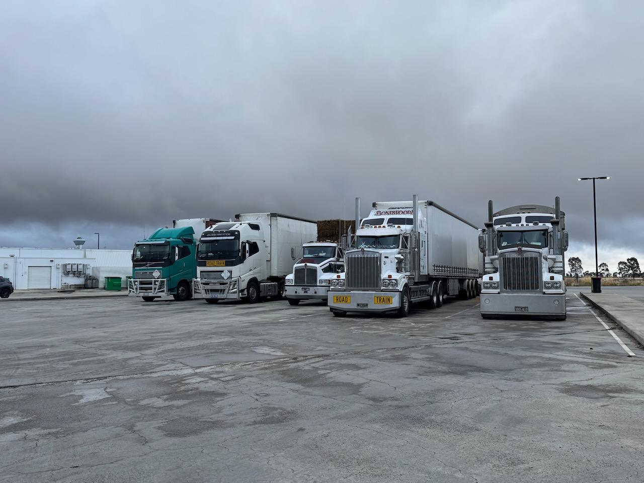
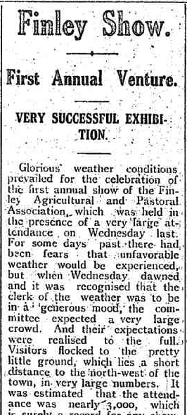
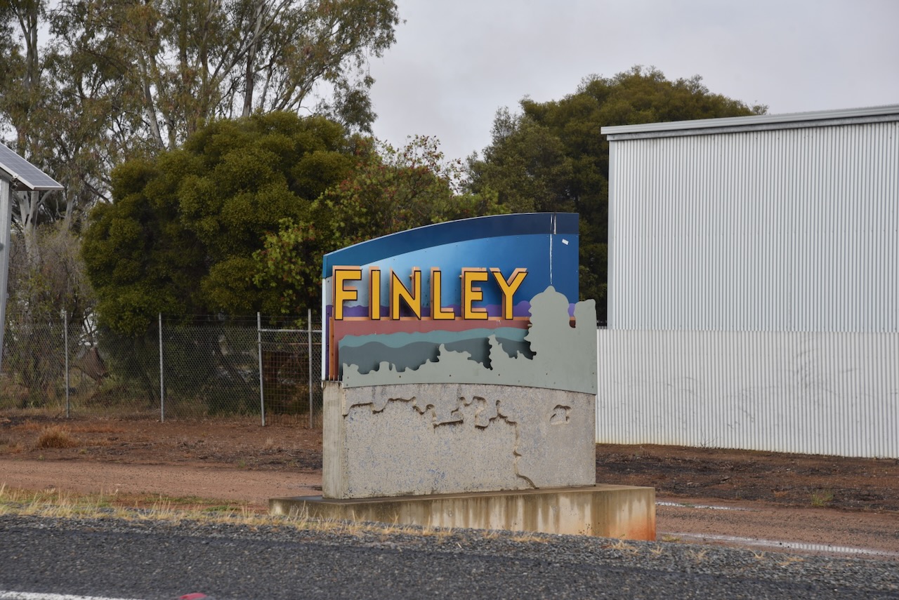
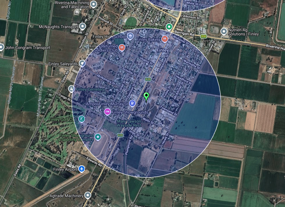
After leaving Finley on Tuesday, 4th November 2025, Marija and I drove south to Tocumwal on the New South Wales and Victoria State border. We didn’t have any specific plans and just wanted to go for a drive and explore the area.
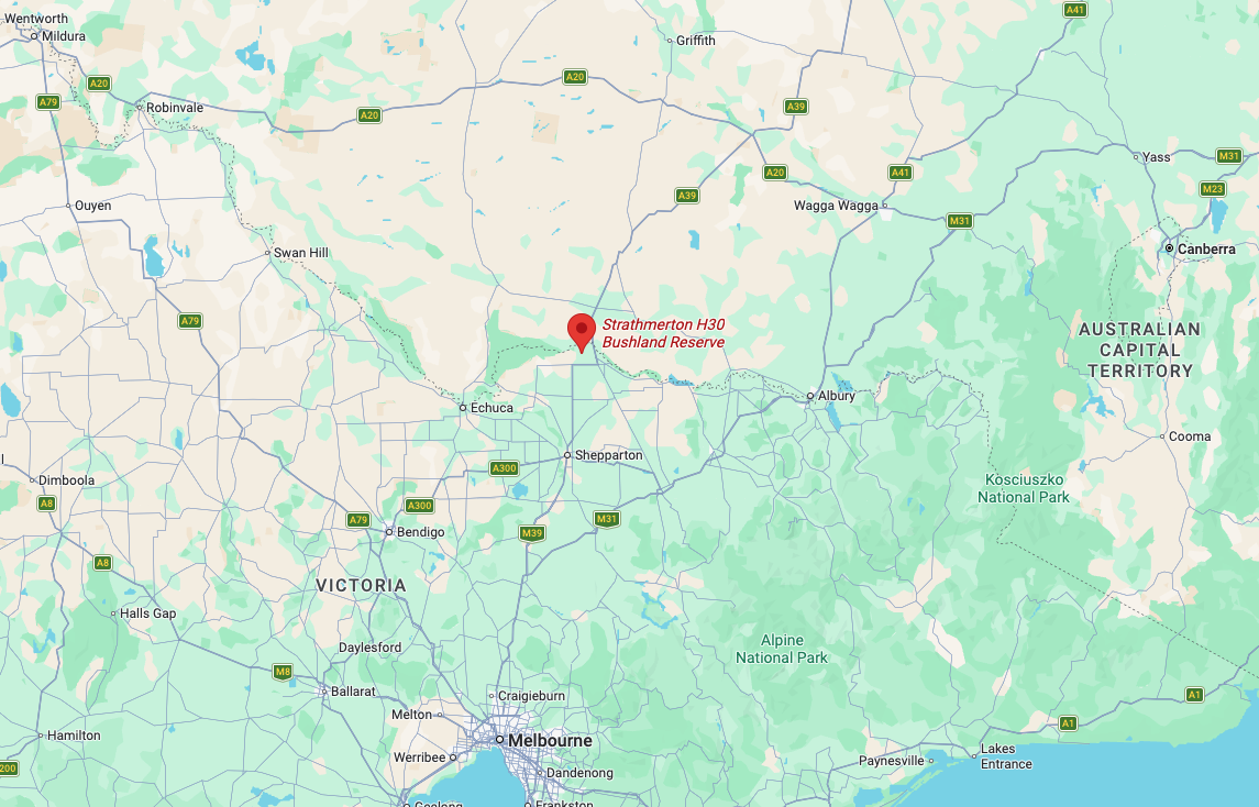
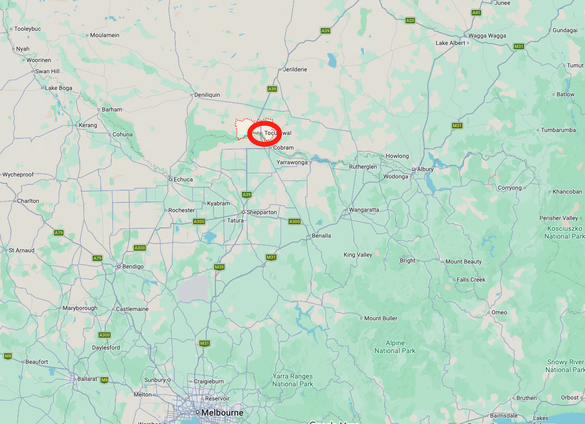
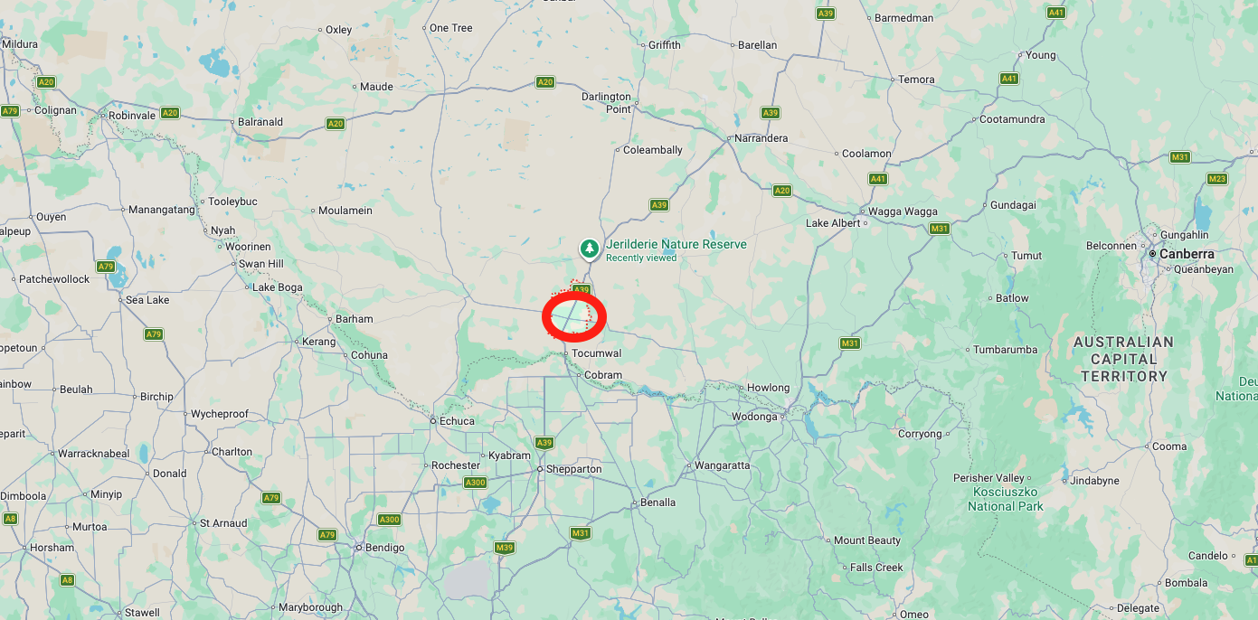
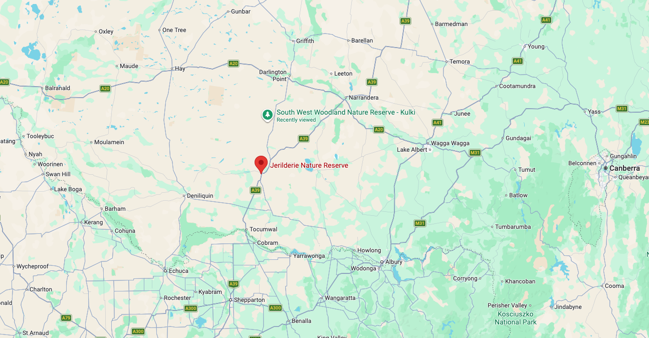
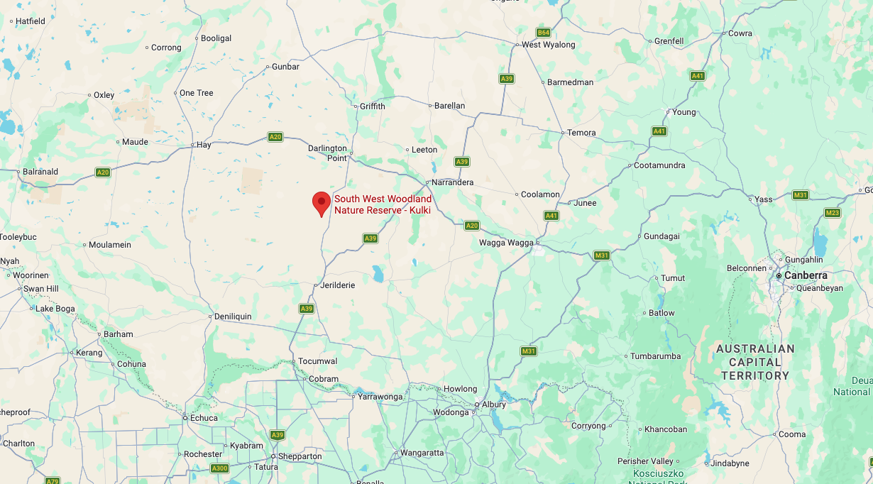
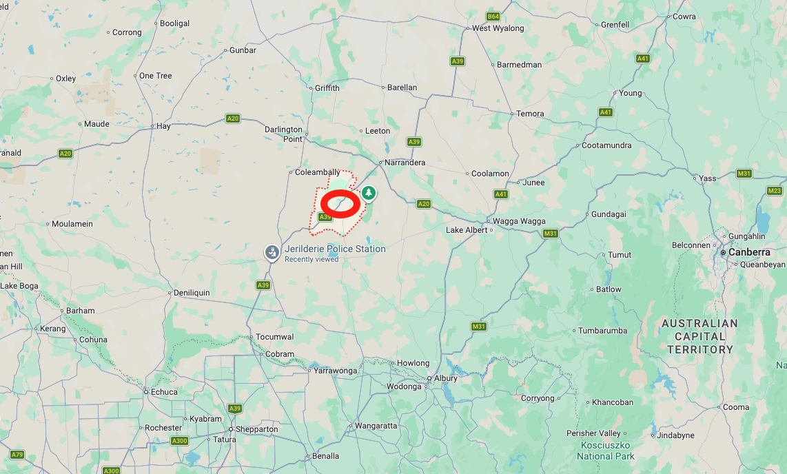
Above: Map showing the location of Tocumwal. Image c/o Google Maps
Tocumwal is about 275 km north of Melbourne and about 676 km southwest of Sydney. It is located in the southern Riverina region of New South Wales and lies on the northern bank of the Murray River. As of the 2021 Census, Tocumwal’s population was 2,862 people. (Wikipedia 2026)
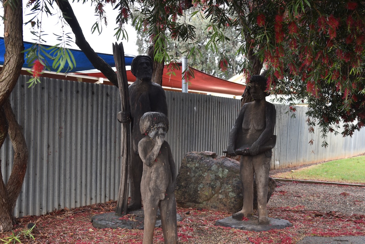
Prior to European settlement, the Tocumwal area was occupied by the Ulupana and Bangerang Aboriginal people. Tocumwal is believed to be an Aboriginal word meaning ‘deep hole’ or ‘pit’. It was the abode of a native spirit that moved swiftly underground by a subterranean passage and then appeared at the Blow Hole in the granite formation at The Rocks. The Blow Hole is a small outcrop of rocks near The Rocks area northeast of Tocumwal. (Trove 2026) (www.murrayriver.com.au n.d.)
In the early 1840s, the district around Tocumwal was taken up by an English syndicate that ran several pastoral runs, including the Murray Run, the Tuppal Run, Deniliquin Station and others. Some years later, the Royal Bank of Scotland acquired these runs. They placed well known pioneer of the South Western Riverina, Benjamin Boyd in charge of the runs. (Berrigan 2015) (Trove 2026)
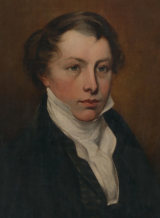
Benjamin Boyd was born in Scotland in August 18901. He arrived in Australia in 1842. In the colony of New South Wales, he became a major shipowner, banker, grazier, politician and alleged ‘blackbirder’. Blackbirding was the trade in indentured labourers from the Pacific. Indenturing is a form of labour where a person is contracted to work without a salary for a specified number of years. As a result of the ‘blackbirding’ activities, in 2022, the Ben Boyd National Park named in his honour, was renamed Beowa National Park. (Wikipedia 2020) (Wikipedia 2026)
Above: Benjamin Boyd. Image c/o Wikipedia
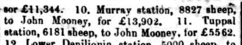
In 1855, the bank sold the Murray Station with 8,827 sheep to John Mooney for £13,902 and the Tuppal Station to Mooney for £5,562 with 6,181 sheep. I have seen other sources that state that John Mooney was James Moodie and Dan Mooney. (Trove 2026) (www.murrayriver.com.au n.d.)
Above: part of an article from The Maitland Mercury, Sat 17 Nov 1855. Image c/o Trove
Tuppal Run was then purchased by Messrs Ronald and Macbain, and then by George Watson and Cyrus Hewitt. (Trove 2026)
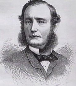
George John Watson was born in County Carlow, Ireland, in 1831. He emigrated to Melbourne, Australia, in March 1850. In 1851, he became the lessee of the leading colonial horse sale yard, Kirk’s Bazaar. (ancestry 2016) (Eastwood 1976)
Above: George Watson. Image c/o ancestry.com.au
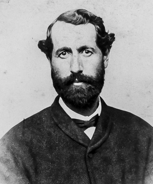
Cyrus Wheeler Hewitt was born in May 1825 in Massachusetts, USA. (ancestry 2016)
Above: Cyrus Hewitt. Image c/o ancestry.com.au
In November 1857, Watson and Hewitt won the mail contract between Melbourne and Sandhurst (current day Bendigo), and Melbourne and Ballarat. In the following month, December, they won the Beechworth mail contract. They purchased the two operating Cobb and Co coachlines. (ancestry 2016) (Eastwood 1976)
In the 1860s, George Watson became a member of the first committee of the Victorian Racing Club. He was renowned for being an outstanding amateur rider and a successful racehorse owner. In 1861, he was a steward for the first Melbourne Cup. In that year, he also won the first Oaks Stakes at Flemington. He became known as one of the most respected men in Victorian horse racing. Watson was a world-renowned race starter with his nickname being the ‘Prince of Starters.’ He died in 1906 at St Kilda, Victoria, aged 80 years. The George Watson Handicap held at Flemington is named in his honour. (Blog 2017) (Eastwood 1976)
Cyrus Hewitt married Margaret Helen Simpson in 1866. They had 2 children. He died in December 1874, in South Africa. (ancestry 2016)
In the 1860s, Tuppal Run was purchased by Messrs. Thomas Brown and Alexander Macfarlane for about £30,000. About thirty years after the purchase of the Tuppal Run by Watson and Hewitt, the Run was sold in the 1890s to Franc Sadleir Falkiner for about £400,000. Not a bad profit. Falkiner also purchased other pastoral interests. (Trove 2026)
Francis Sadleir Falkiner was born in 1833 in Tipperary, Ireland. His father, Daniel was a solicitor whose family had pioneered the woollen industry in Ireland. He emigrated to Australia in c. 1853, and in 1856, he married Emily Elizabeth Bazely at Carisbrook, Victoria. They had 10 children. He died in September 1909 in Deniliquin, N.S.W., aged 75 years. He left his family an estate of £204,000. (ancestry 2016) (Patenall 1972)
Above: Franc Falkiner. Image c/o ancestry.com.au
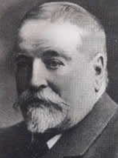
In the 1860s, Edward Hillson built a bark hotel and store alongside the Murray River, where current day Tocumwal is located. Hillson then built a small punt and established a crossing place on the Murray River between Shepparton and Jerilderie. Steamers travelling along the Murray commenced to make Tocumwal a regular point of call. Due to the increased number of people visiting Tocumwal, Hillson built a larger punt and opened a butcher and baker’s shop. (Berrigan Shire 2025) (Trove 2026)
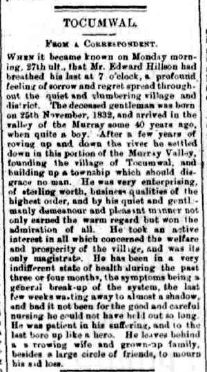
Hillson was born in 1832 in Sydney. In 1862, he married Mary Ross Forsyth. They had 9 children. He served as a Magistrate at Tocumwal. He was known as ‘The King of Tocumwal.’ He died on the 27th day of June 1892, aged 60 years. (ancestry 2016) (Trove 2026)
Above: article from The Corowa Free Press, Fri 8 Jul 1892. Image c/o Trove
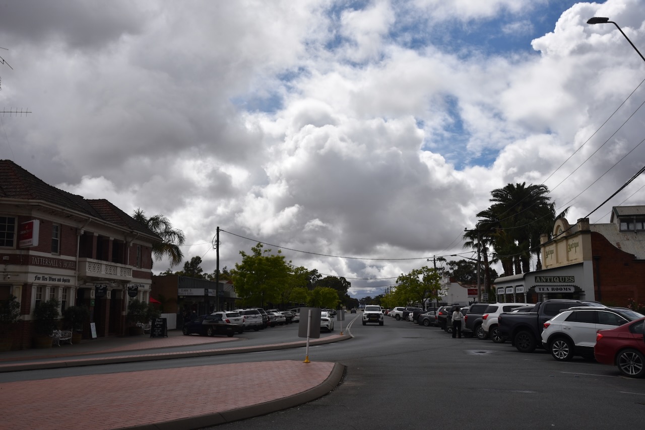
Several historic buildings remain in Tocumwal. Before having some lunch, we drove around the town to admire them and take in their history.
Edward Hillson’s old store still stands on the main street. His former residence, built in the 1850s, can be found alongside the shop. Later in the day, we would pay the shop a visit for some ice cream.
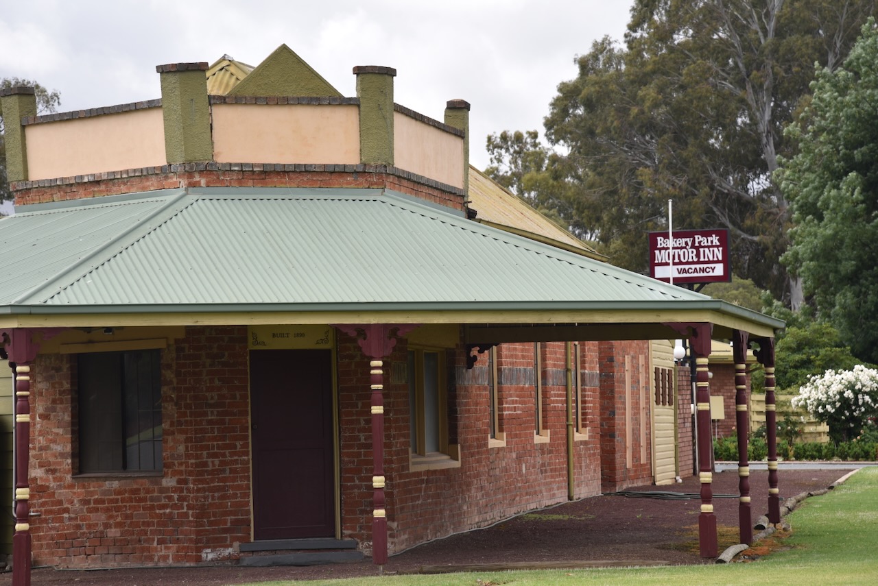
The former Bakery is located on Deniliquin Street at the junction with Jerilderie Street. The bakery was built between 1888 and 1890. (Berrigan Shire 2025)
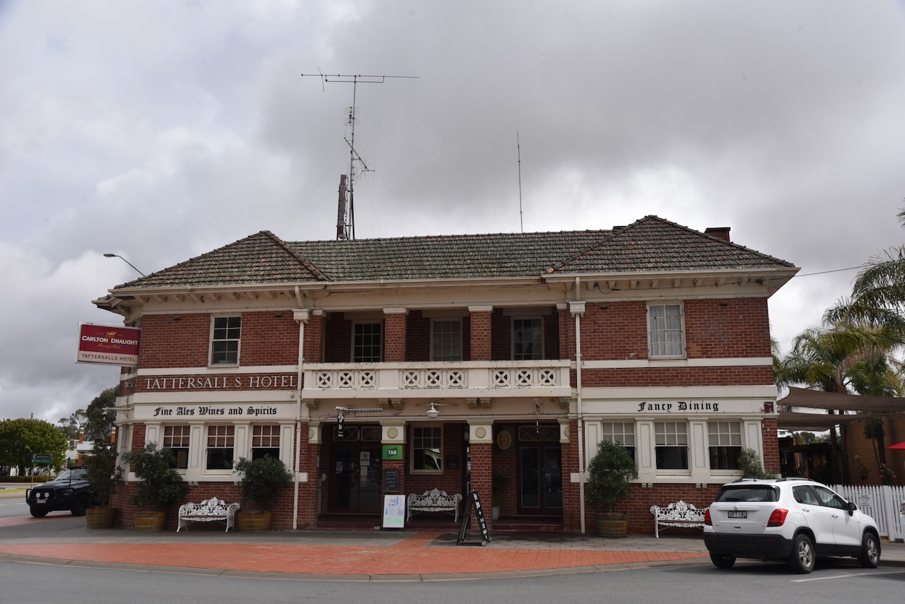
The present Tattersalls Hotel at Deniliquin Street was built in 1927-28 for Tooth & Co. From c. 1889, a hotel of this name had occupied the site. The old hotel, which included stables, was demolished. (Berrigan Shire 2025)
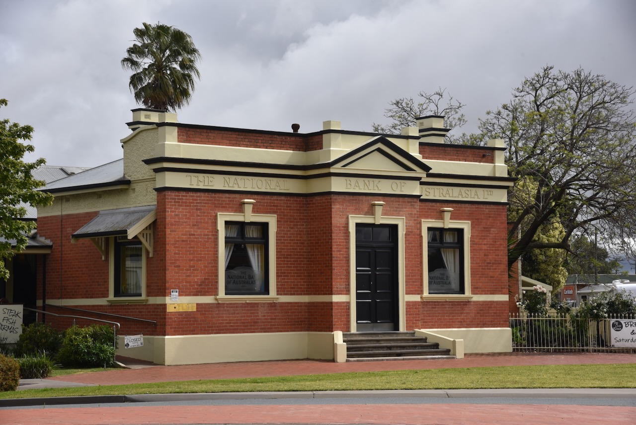
The former National Bank of Australasia can be found on Murray Street. It was built between 1921 and 1922 as a bank chamber and an attached manager’s residence. The building was designed by Arthur Edgar Dainton, an English-born architect who had previously worked in the southern African colonies. John Smith, a well-known local builder, was contracted to build the bank. This bank branch continued to operate until 1989. (Berrigan Shire 2025)
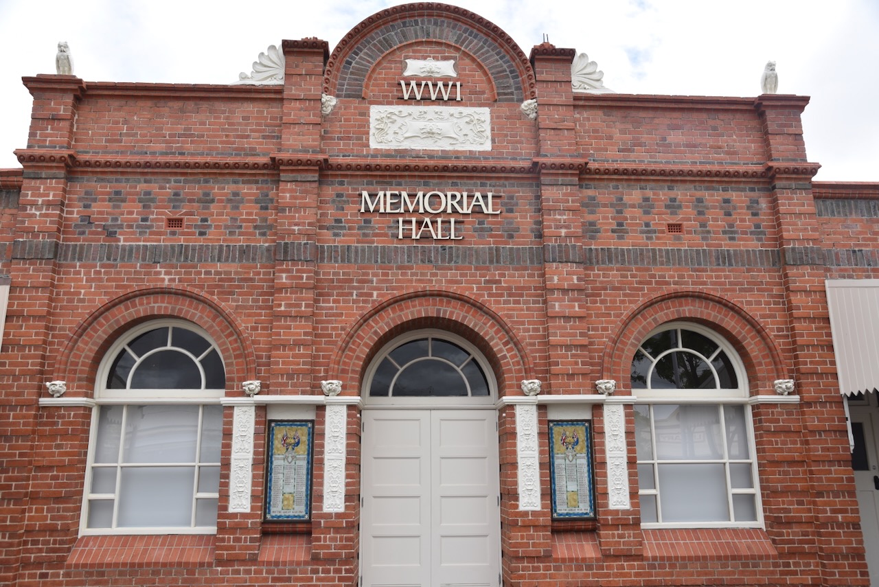
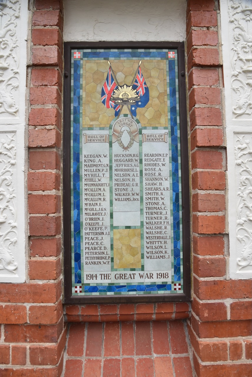
The Memorial Hall is located on Deniliquin Street. In 1919, the Tocumwal community sought to create a memorial to honour Tocumwal’s soldiers. A few years later, construction commenced on the building, which was completed in 1927. In 1938, Honour Rolls were added to the facade of the building. (Berrigan Shire 2025)
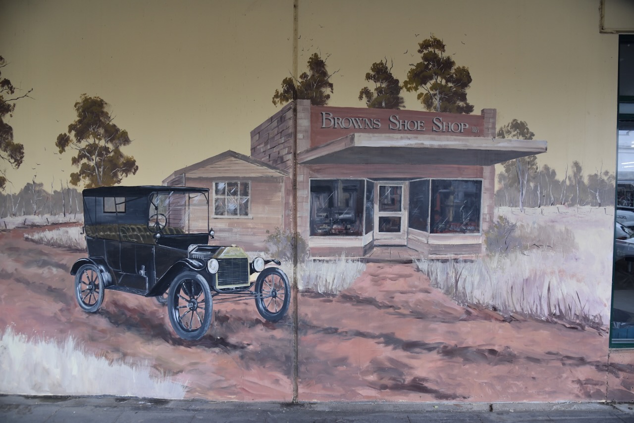
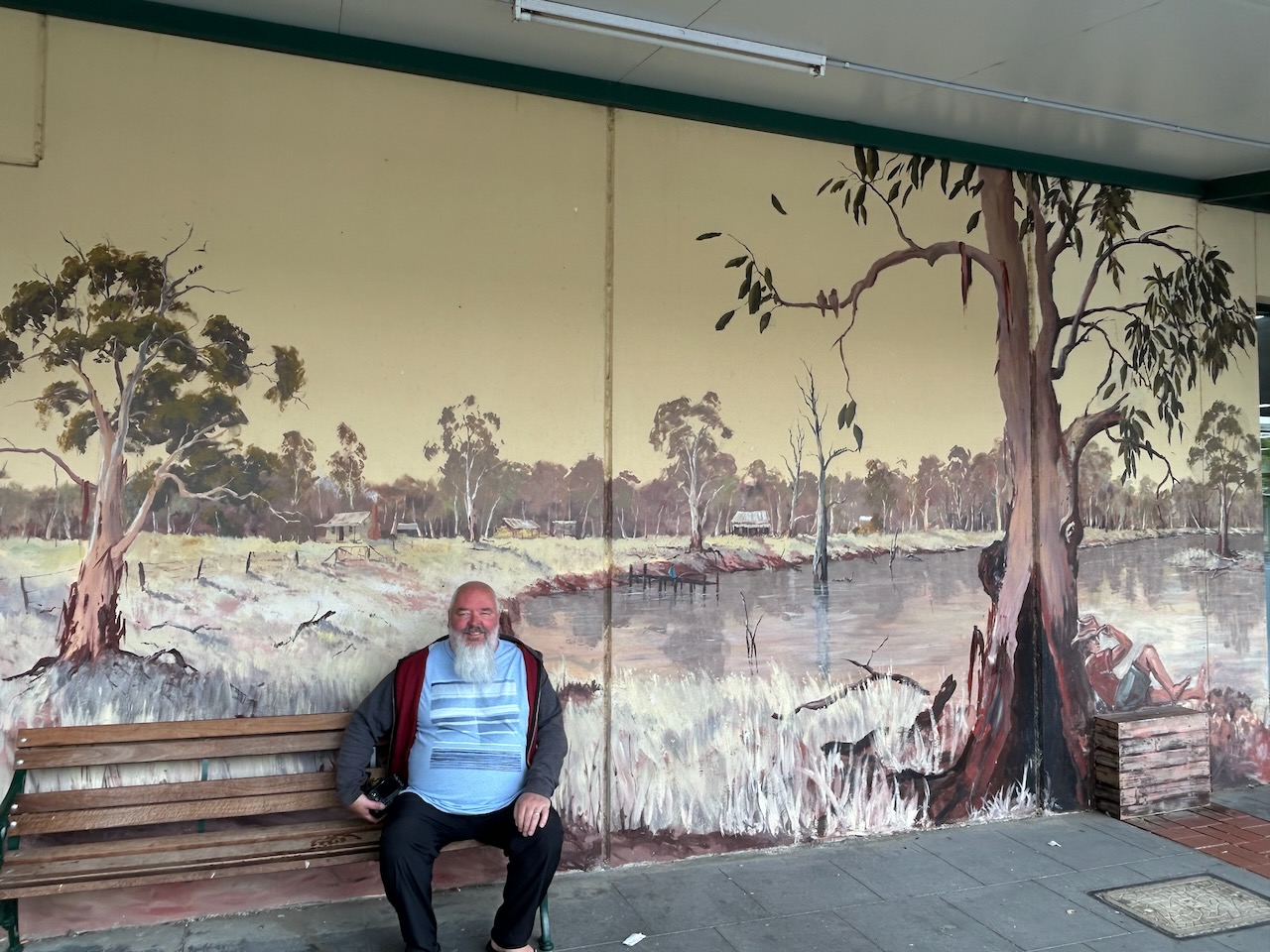
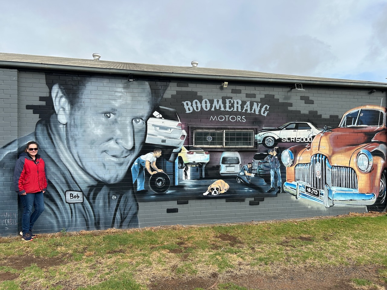
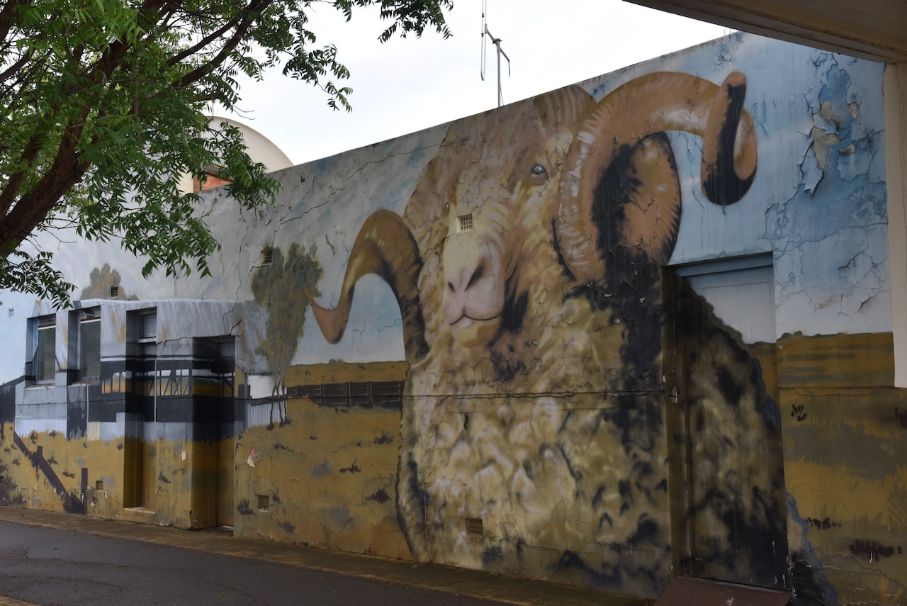
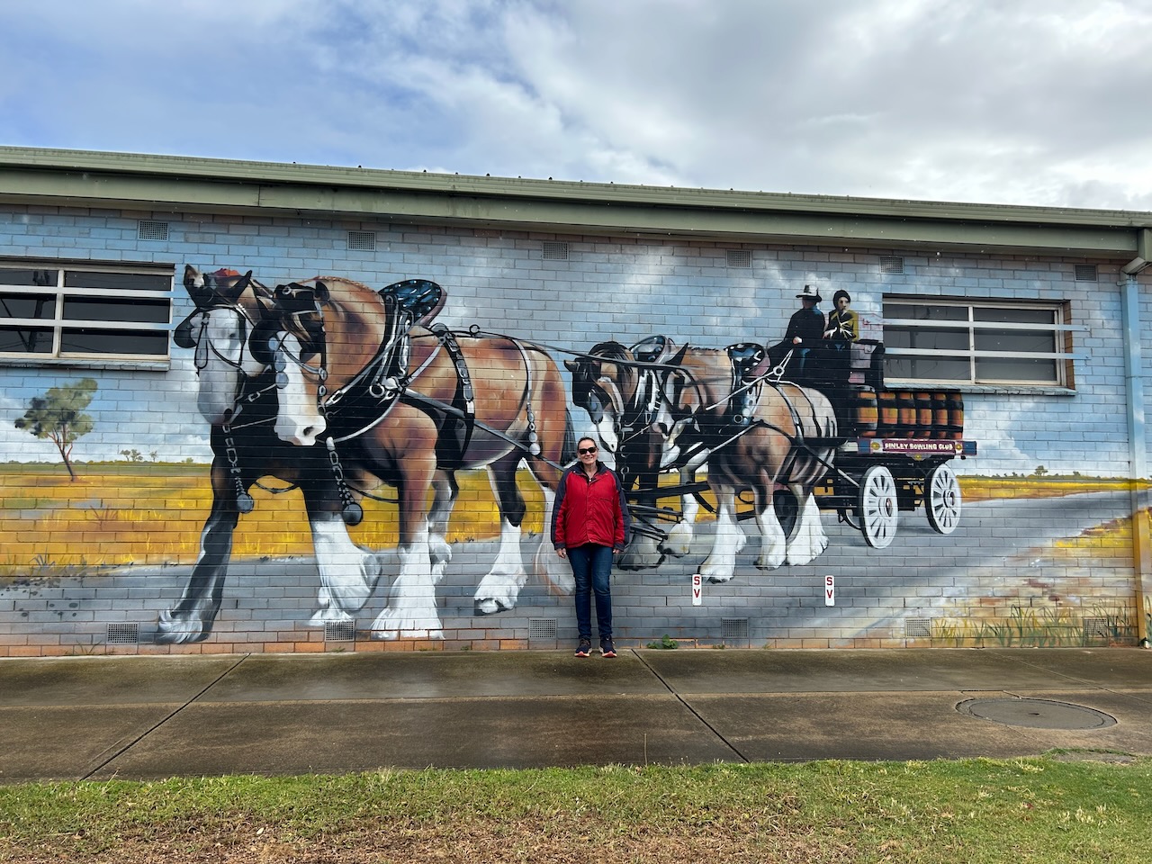
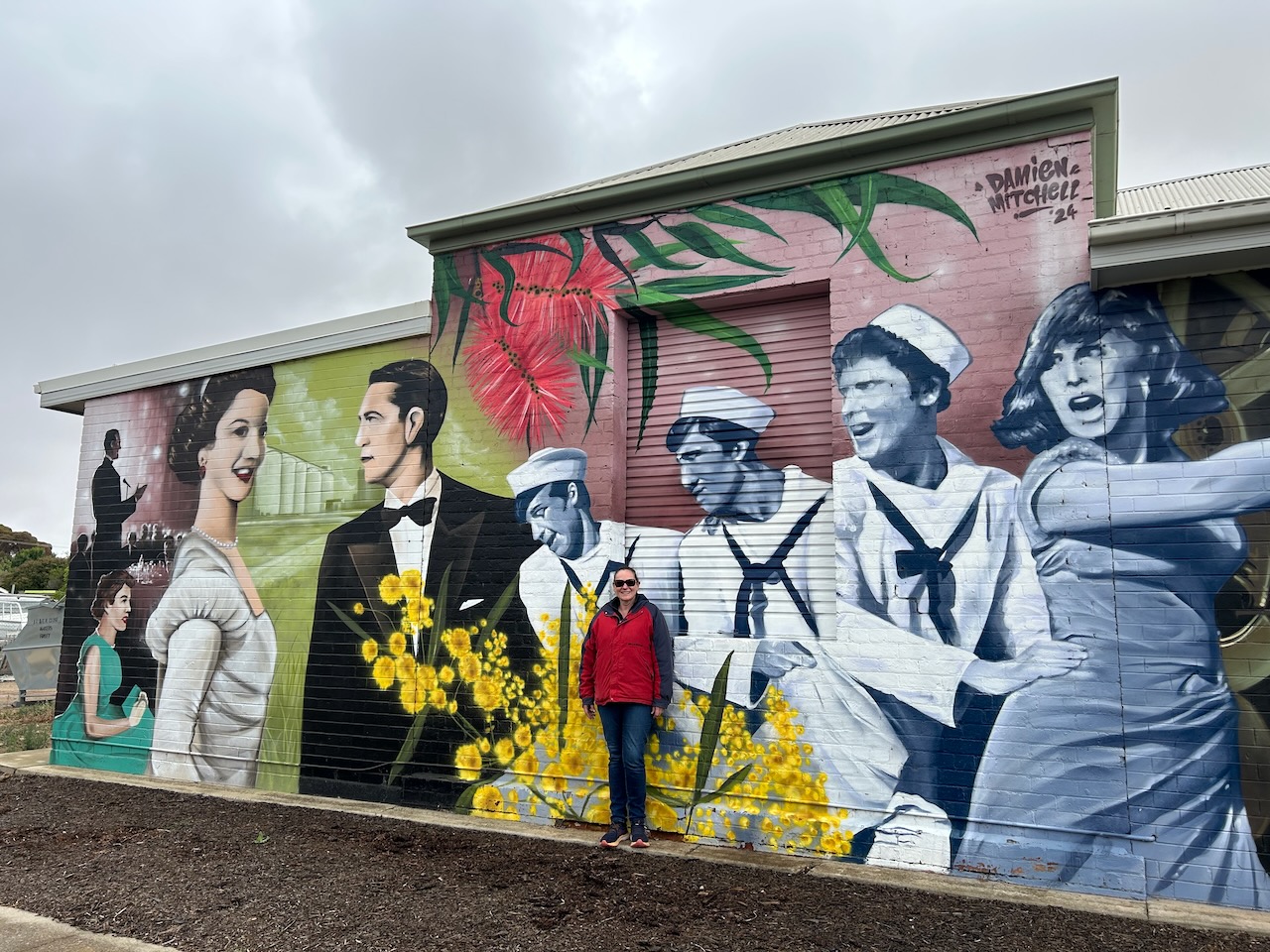
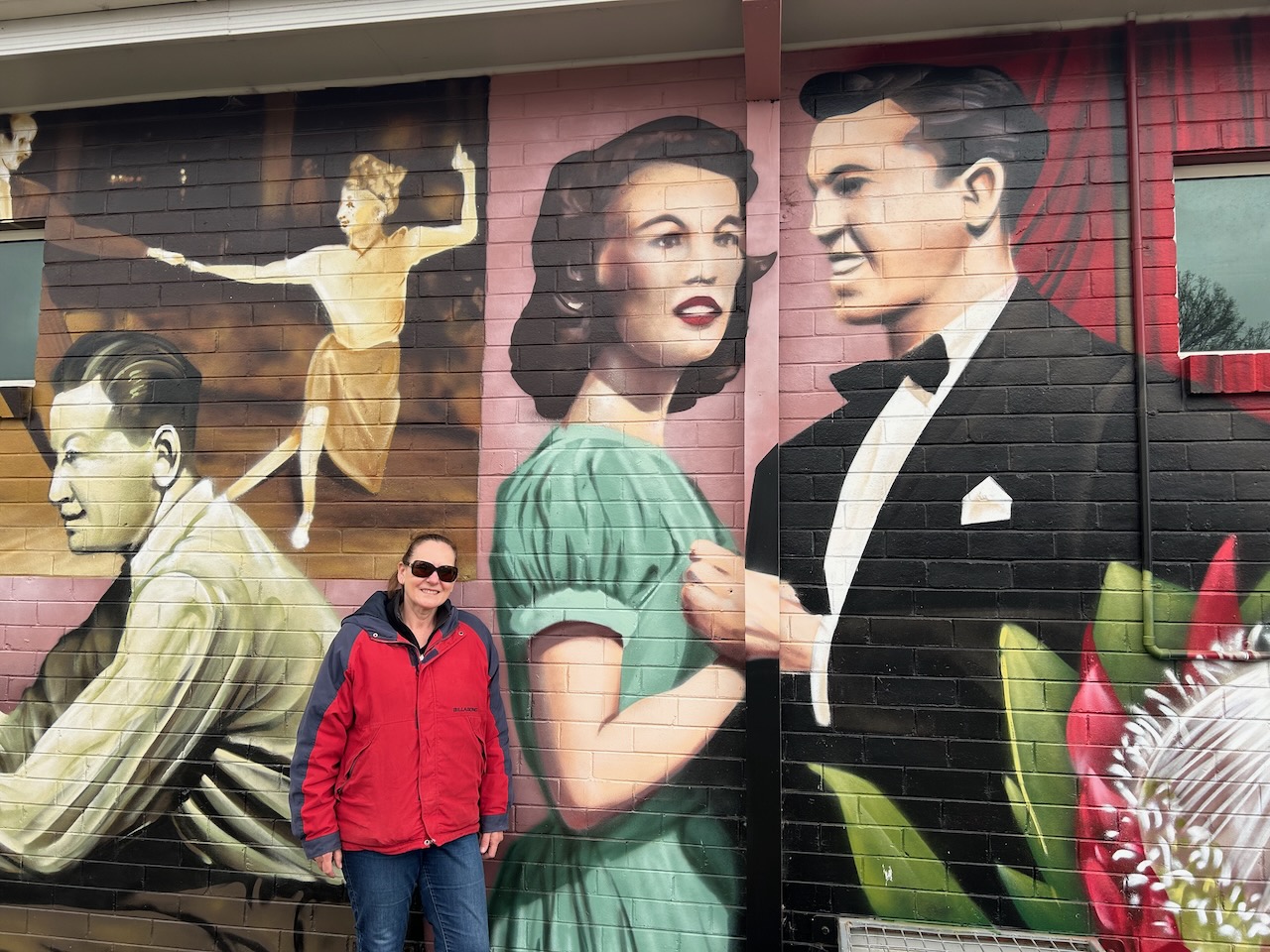
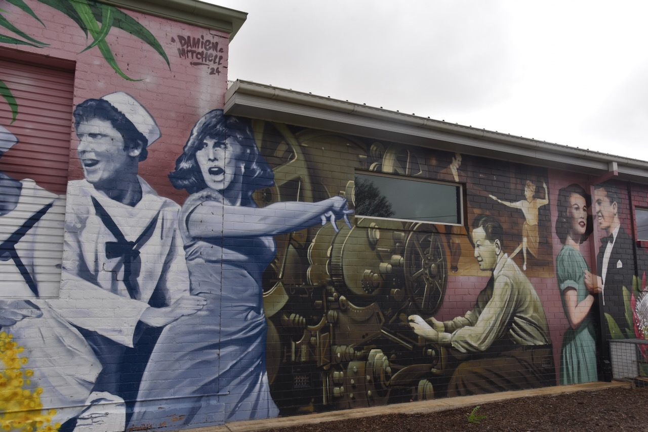
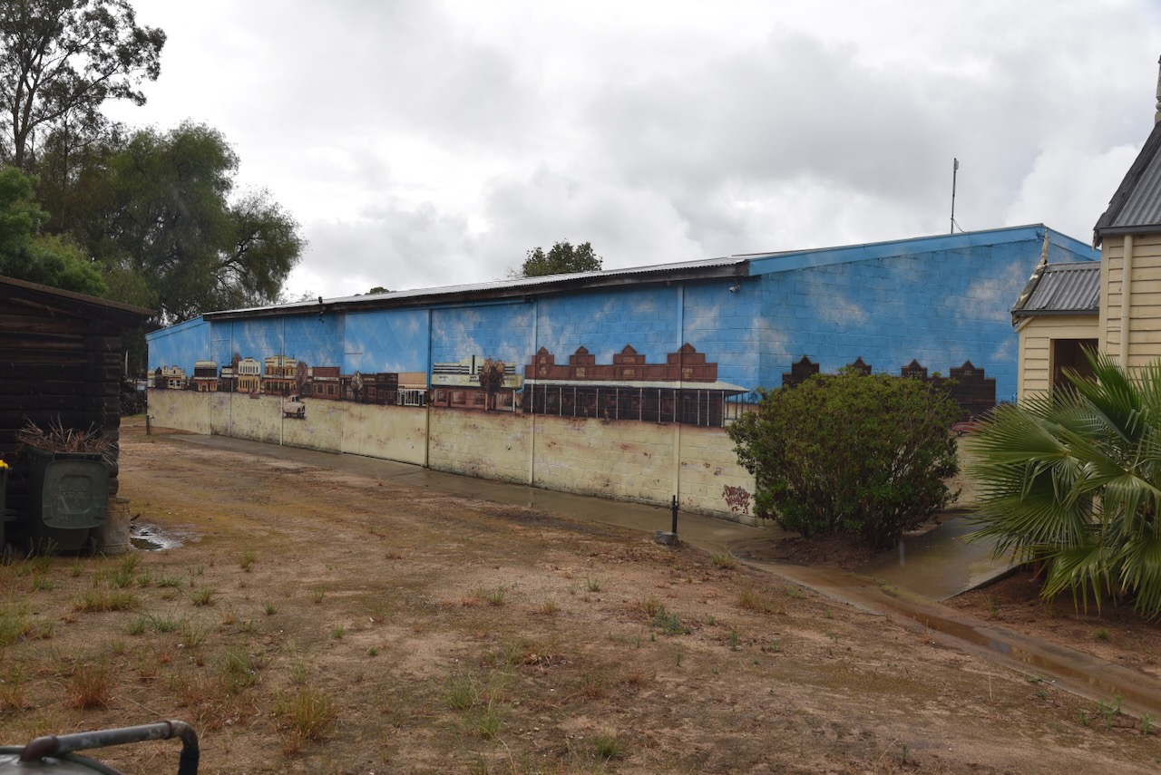
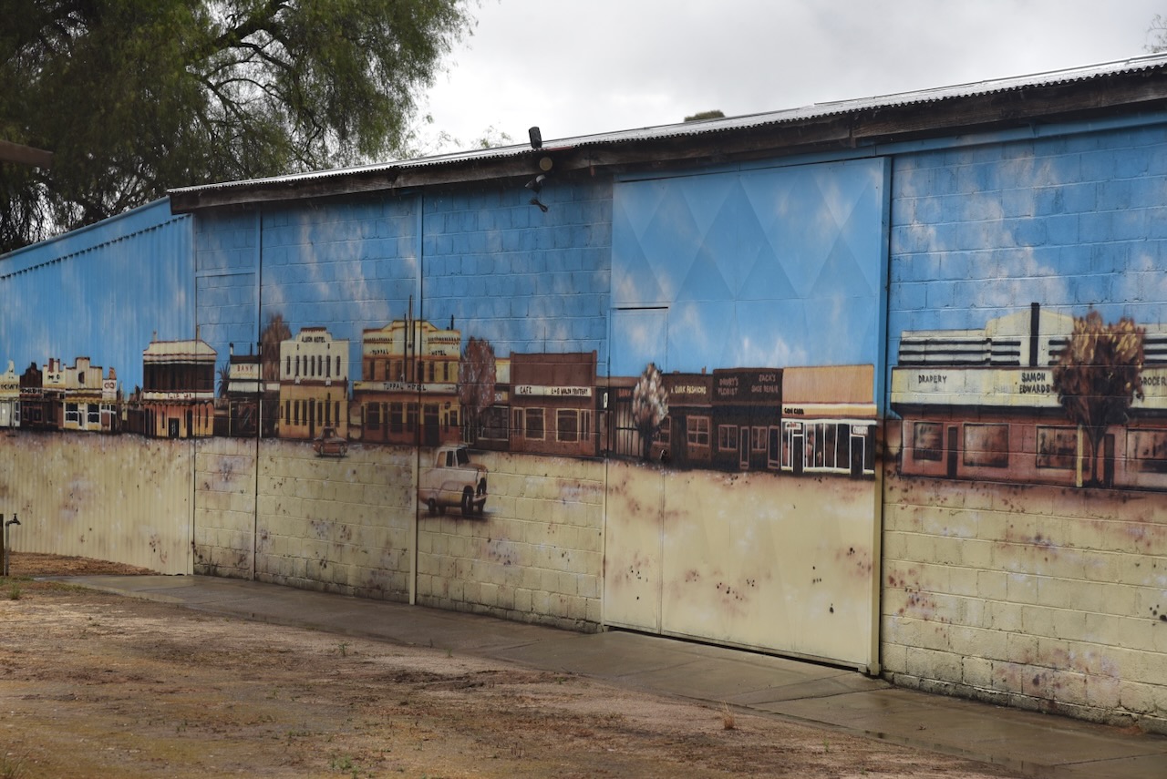
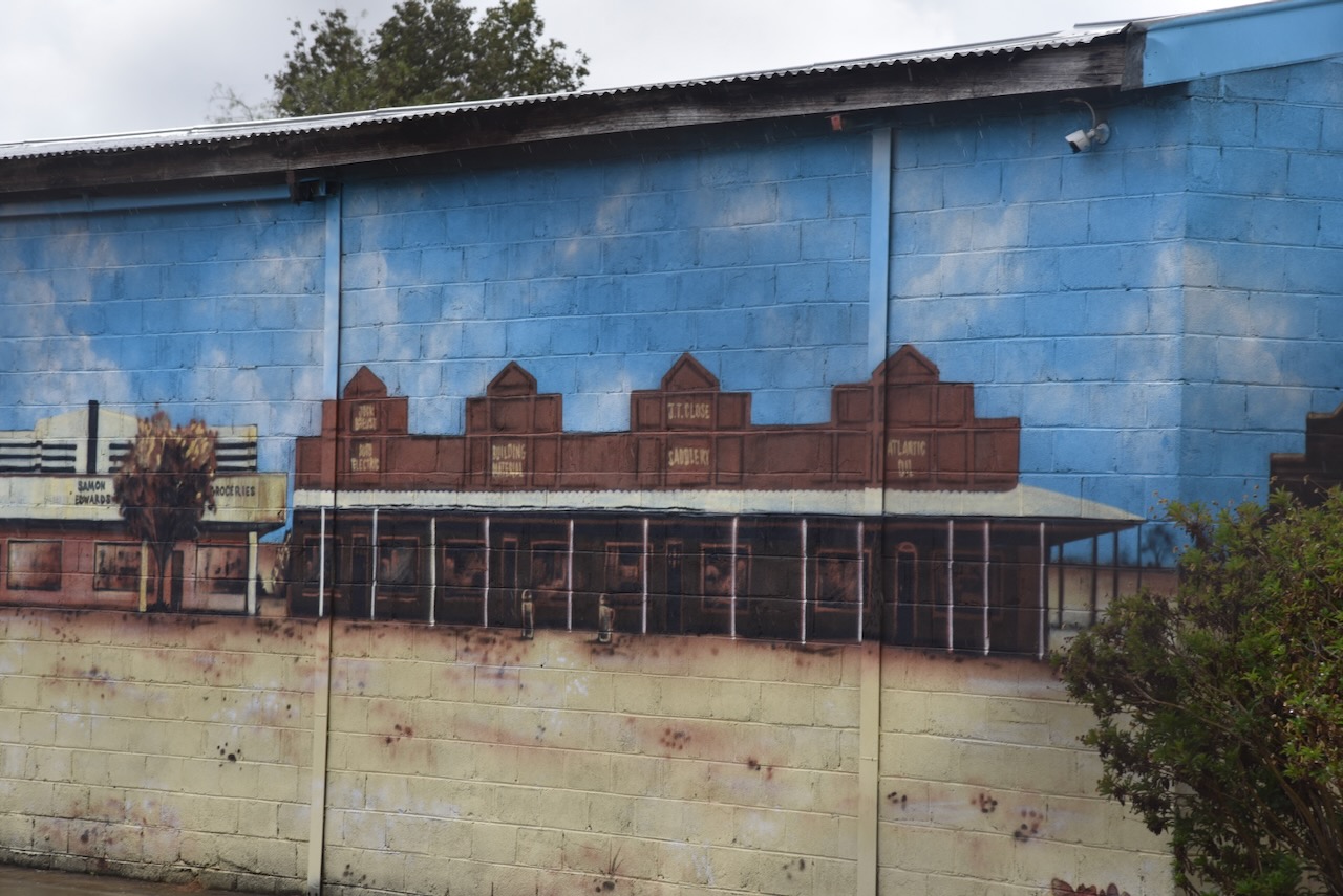
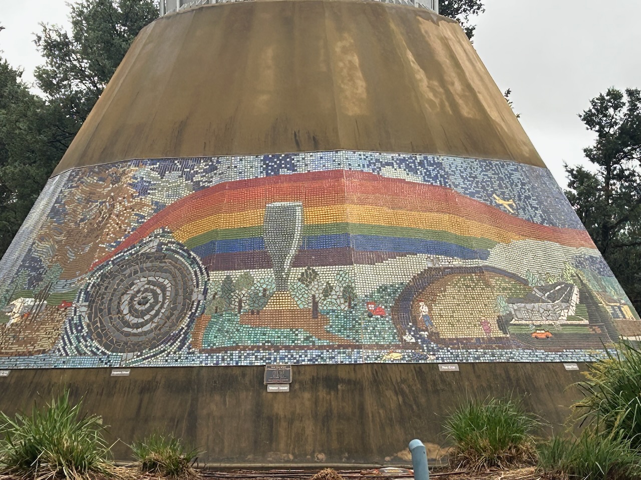
On the facade of the IGA supermarket is a very impressive mural.
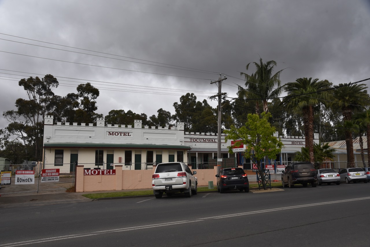
The Tocumwal Hotel is located on Deniliquin Street. It was closed for renovations during our visit to Tocumwal. The hotel was established in 1859 by Edward Hillson. It was originally a timber public house with an attached store. In 1868 it was destroyed by a fire. The hotel was rebuilt with the existing structure. In 1900 the hotel underwent significant renovation whilst Frank Staples was the licencee. In 1910 the hotel was sold. (Berrigan Shire 2025)
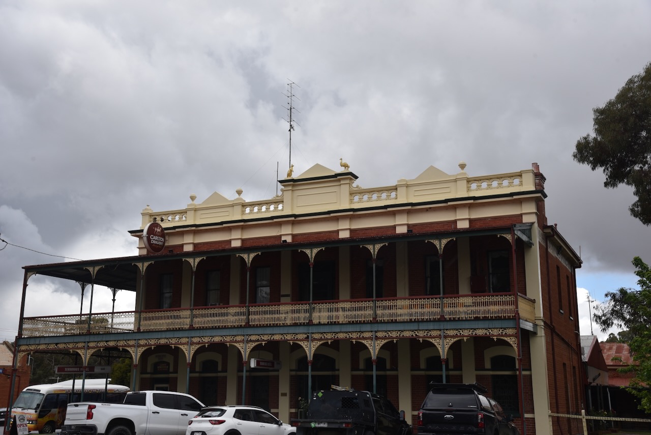
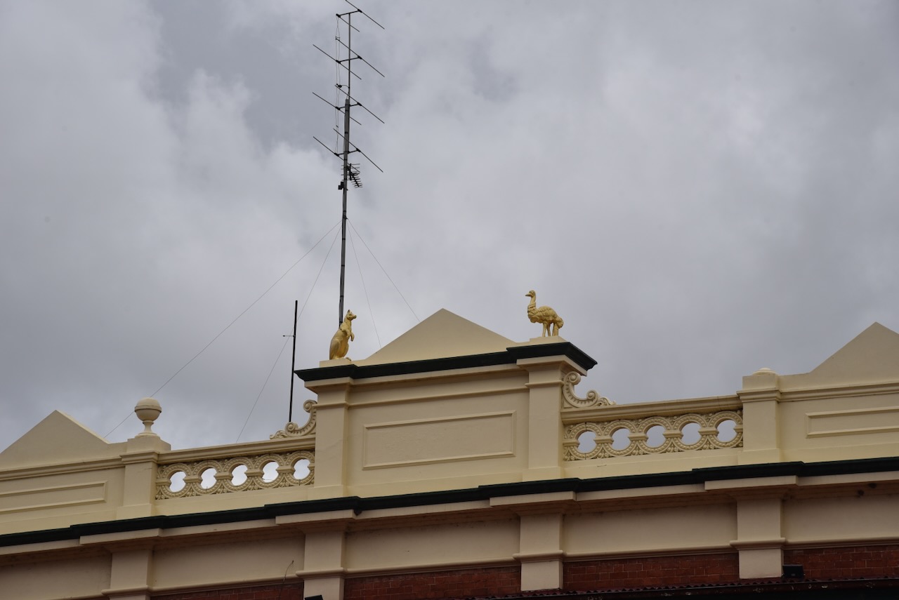
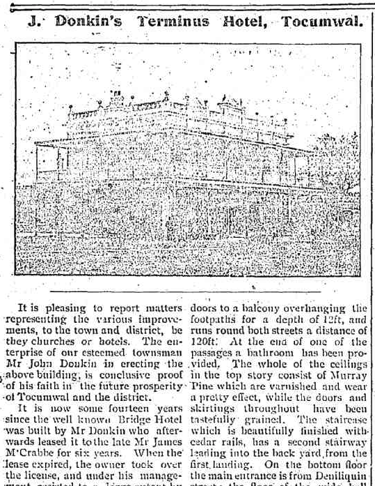
The Terminus Hotel is located on Deniliquin Street. The hotel was built in 1909 at the behest of John Donkin, an English immigrant. He was a well-known publican, and he strategically constructed the hotel in close proximity to the newly established railway station. (Berrigan Shire 2025)
The Tocumwal Guardian in 1909 described the hotel as:
“The imposing structure is an ornament to the town of Tocumwal and greatly enhances the value of toenship property….”
Above: part of an article from the Tocumwal Guardian & Finley Free Press, Fri 27 Aug 1909. Image c/o Trove
The former Houghton’s Wine Saloon on Murray Street was built c. 1905. It replaced an earlier timber building on the site to accommodate a wine saloon, boarding rooms and dining room. John Thomas Houghton was the first licensee. He died in 1918 and at the time of his death, the Tocumwal Guardian reported that he was “‘well and popularly known in Tocumwal. He was a thrifty and honest man, and was respected by all classes of the community.” (Berrigan Shire 2025) (Trove 2026)
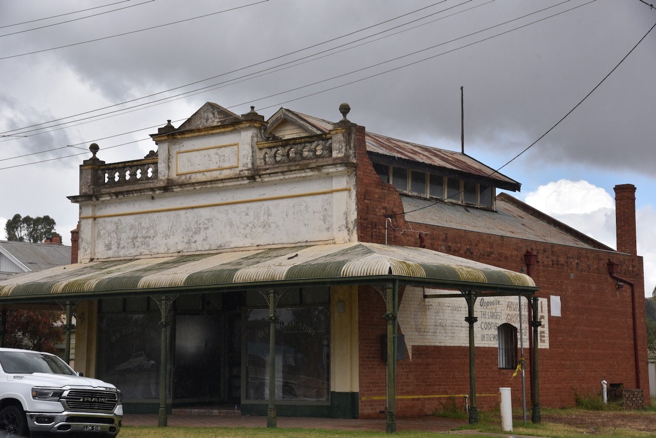
A little building that captured our eye was the former Railway Store on Tuppal Road. Sadly, it appears to be in a run-down condition and was vacant. The Tocumwal Visitor Information Centre previously occupied the building.
The store was built in 1900 for John Wilson and Robert Bustorff and traded as Bridge Stores. The partnership did not last long, and in November 1901, the partnership dissolved. Wilson became the sole owner, and as the business grew, the building was expanded. In February 1912, Wilson sold the business to Mr Cunningham, who continued to trade from the building, assisted by his wife. It was at this time that the business name was changed to Railway Stores. Two years later, in 1914, the store was sold to James Flanagan. The business was later sold to Laurence Plowright, who continued to run the store until the 1960s. (Berrigan Shire 2025) (Facebook 2026)
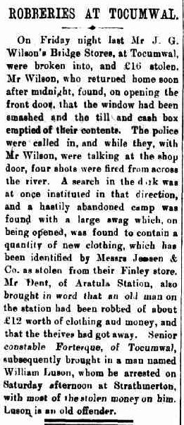
Above: article from The Berrigan Advocate, Fri 6 Mar 1903. Image c/o Trove
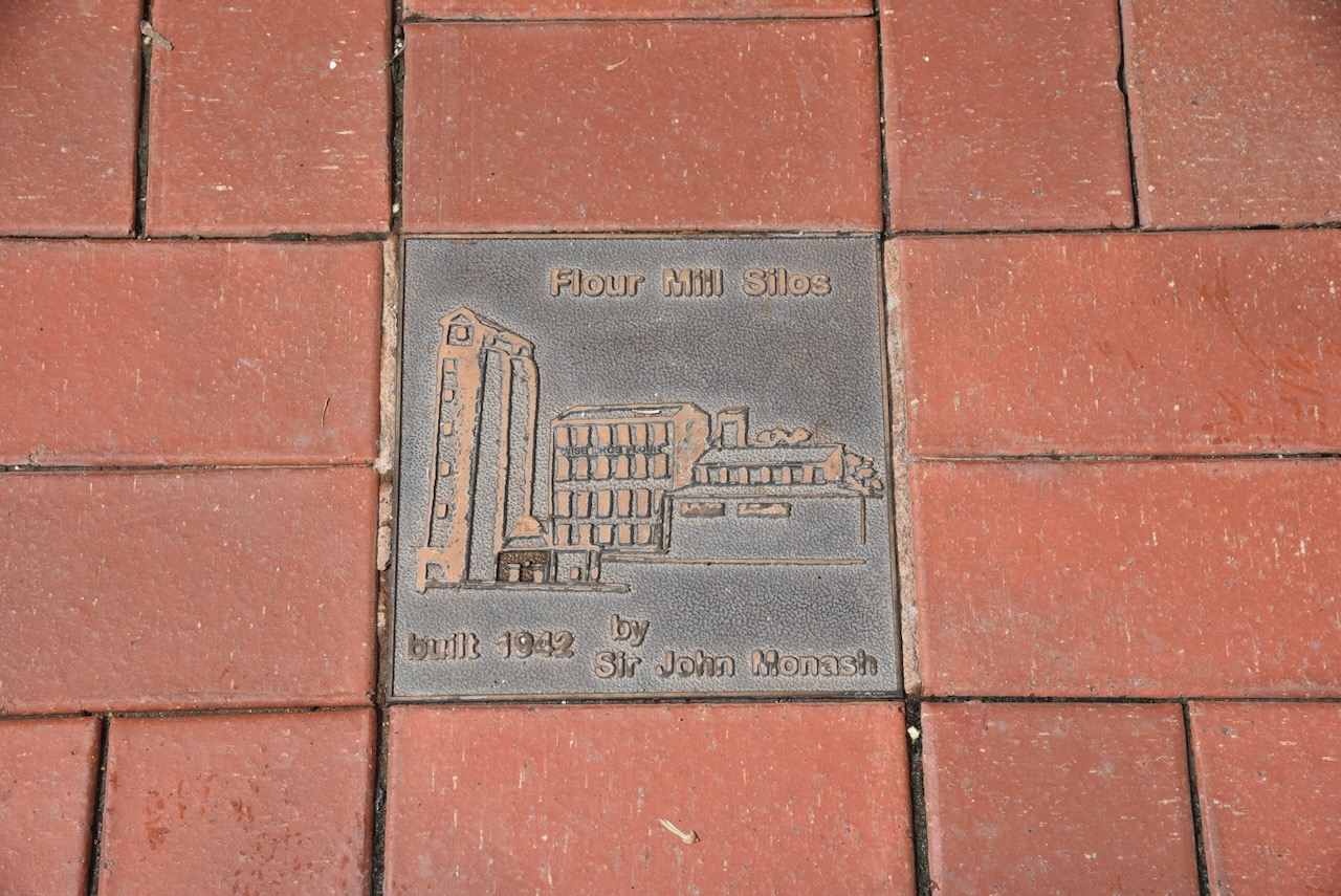
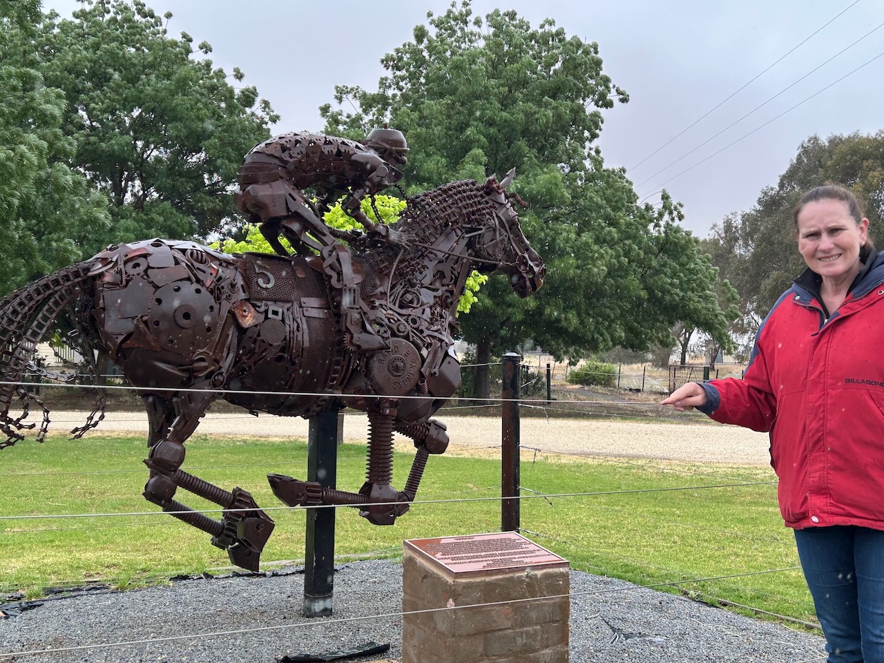
I found this plaque in the main street commemorating the Tocumwal flour mill. Marija and I would activate this silo lateer in the day.
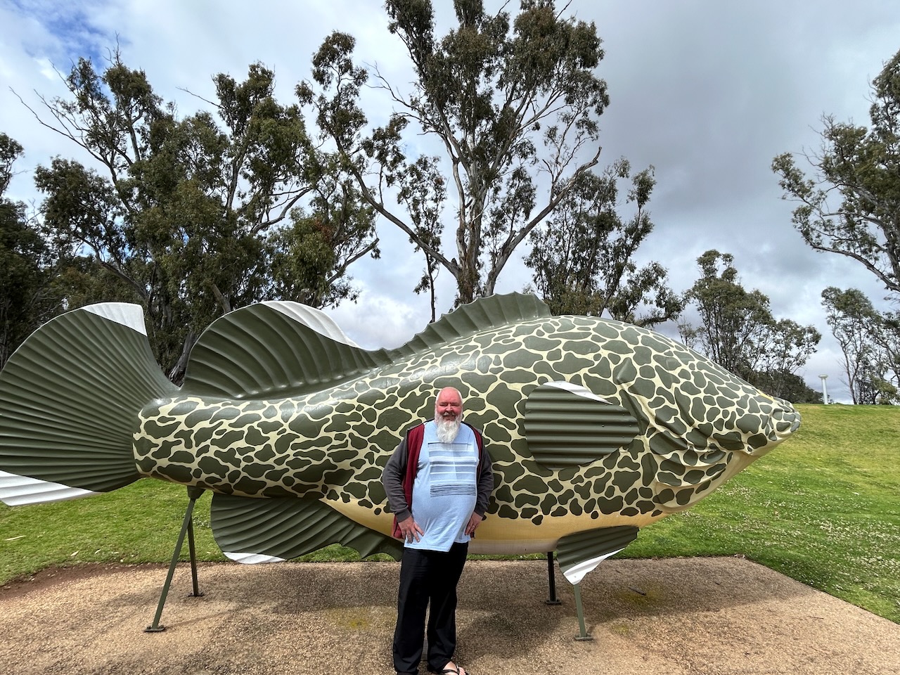
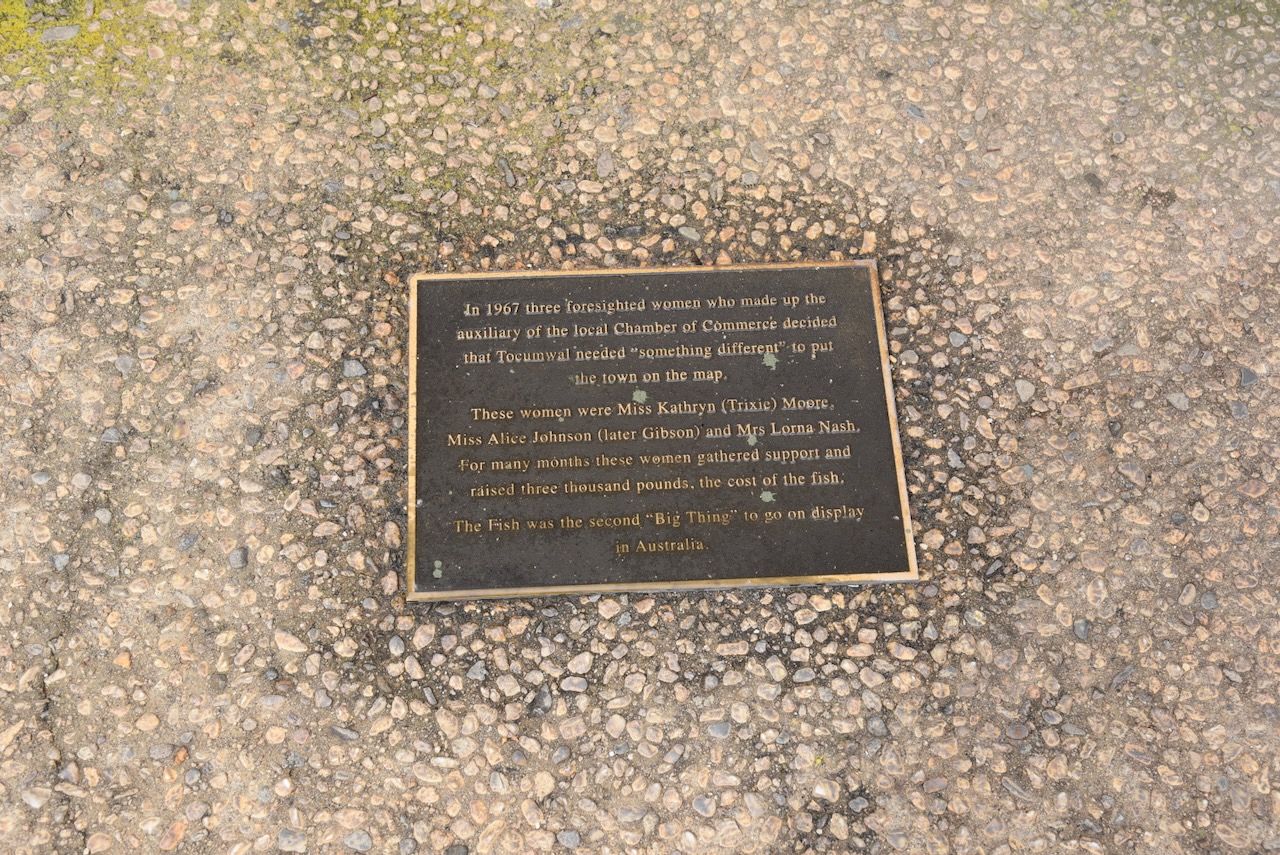
Marija and I then visited Tocumwal’s Big Murray Cod. It was originally erected at the old swimming pool in 1968, but was later removed to its current location. The idea of the Big Murray Cod was that of three women from the auxiliary of the local Chamber of Commerce, Miss Kathryn Moore, Miss Alice Johnson, and Mrs Lorna Nash. At the time, it was just the second ‘Big Thing’ to go on display in Australia. (Visitnsw.com 2015)
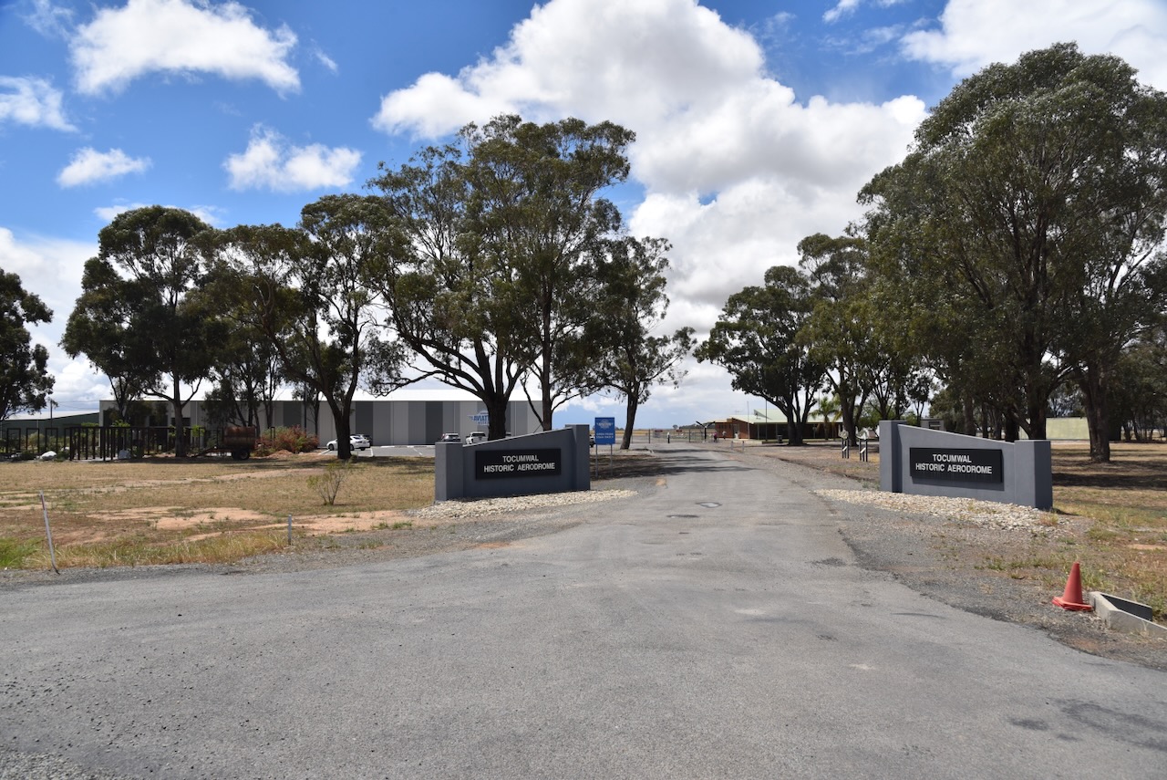
We then drove out to the Tocumwal Aviation Museum.
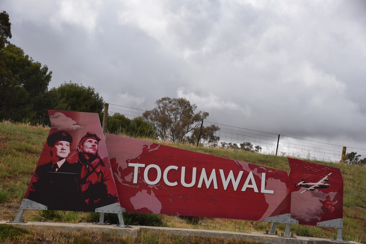
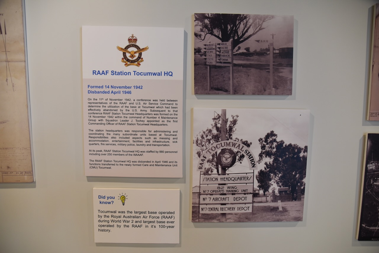
During the Second World War, Tocumwal was home to the Royal Australian Air Force Station Tocumwal. It was a major RAAF training airfield and aircraft depot. Tocumwal was the largest base operated by the RAAG during WWII and the largest base ever operated by the RAAF in its history. (Wikipedia 2026)
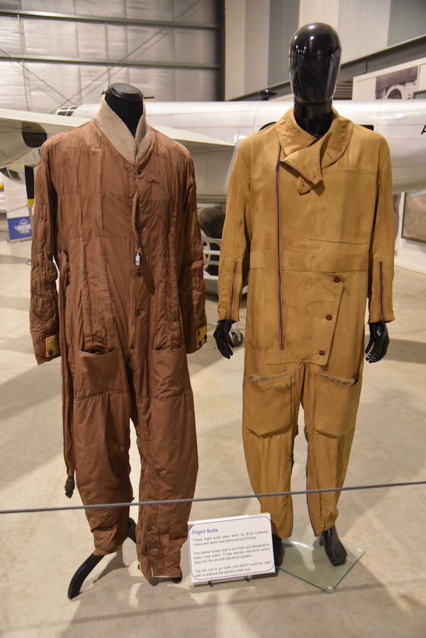
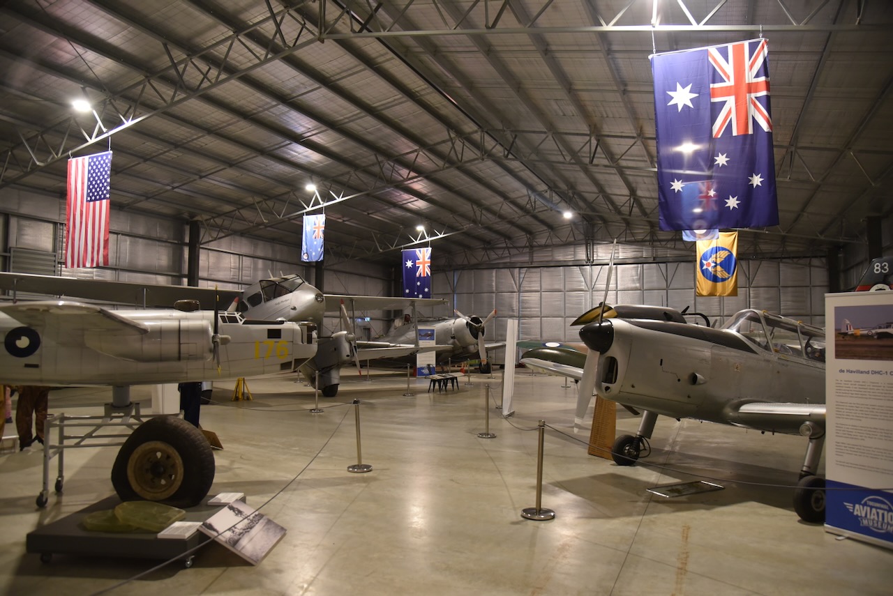
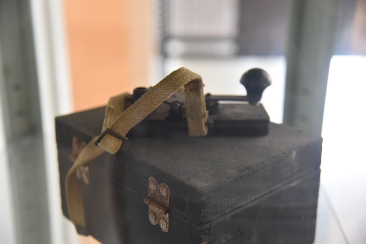
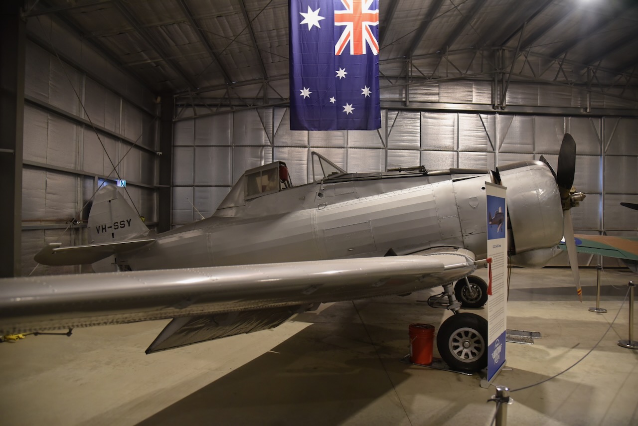
The museum has an excellent display of aircraft and RAAF memorabilia. We wandered around for a few hours.
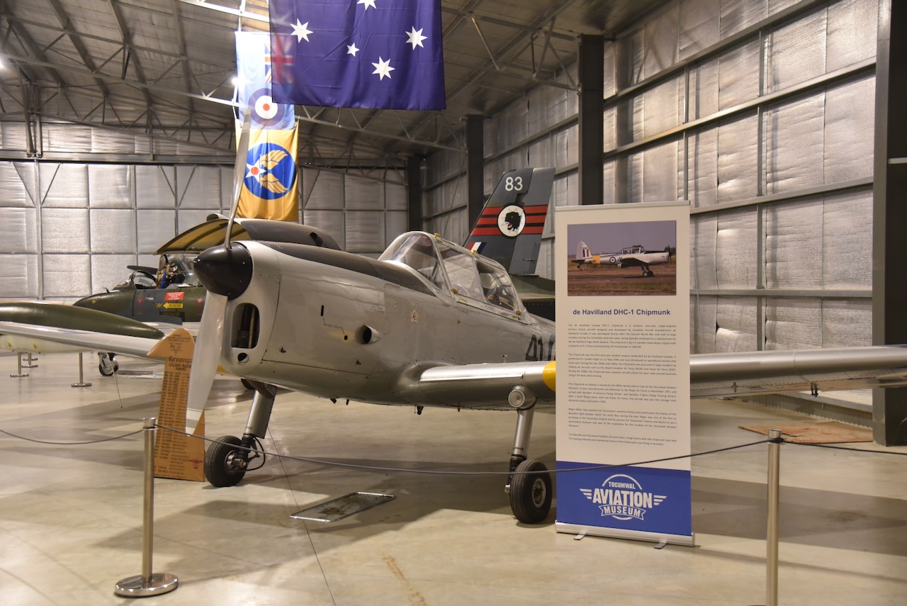
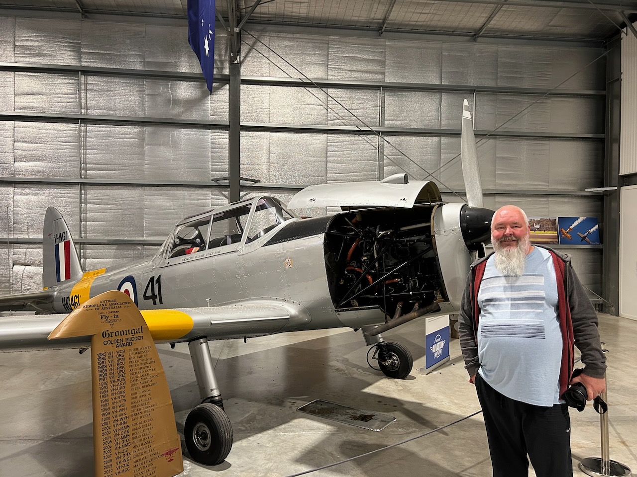
One of the aircraft on display is a de Havilland DHC-1 Chipmunk. The Chipmunk was developed shortly after WWII and was typically employed as a replacement for the de Havilland Tiger Moth biplane. The particular Chipmunk on display was manufactured and delivered to the Royal Air Force in November 1951. Following a brief flying career, the aircraft was put into storage and then declared surplus and sold in 1956.
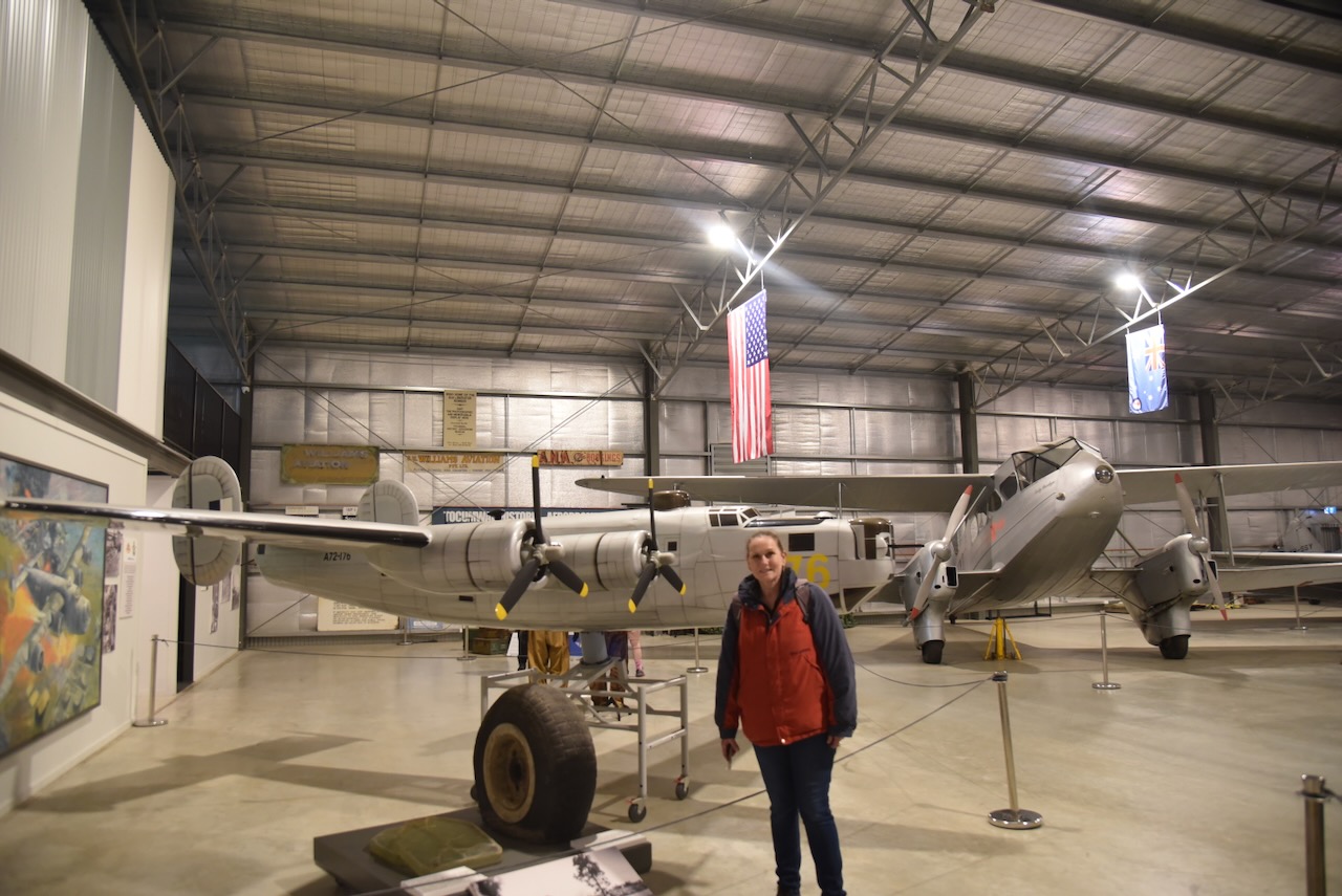
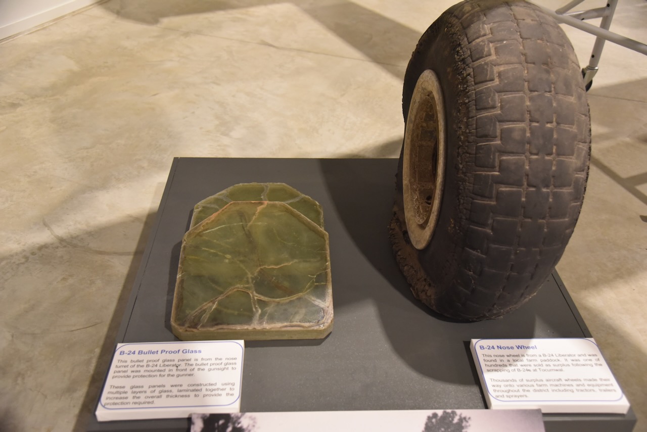
An interesting display is the bulletproof glass from a B-24 Liberator and the nose wheel of a B-24.
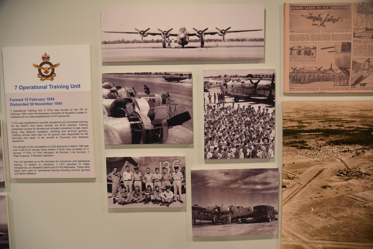
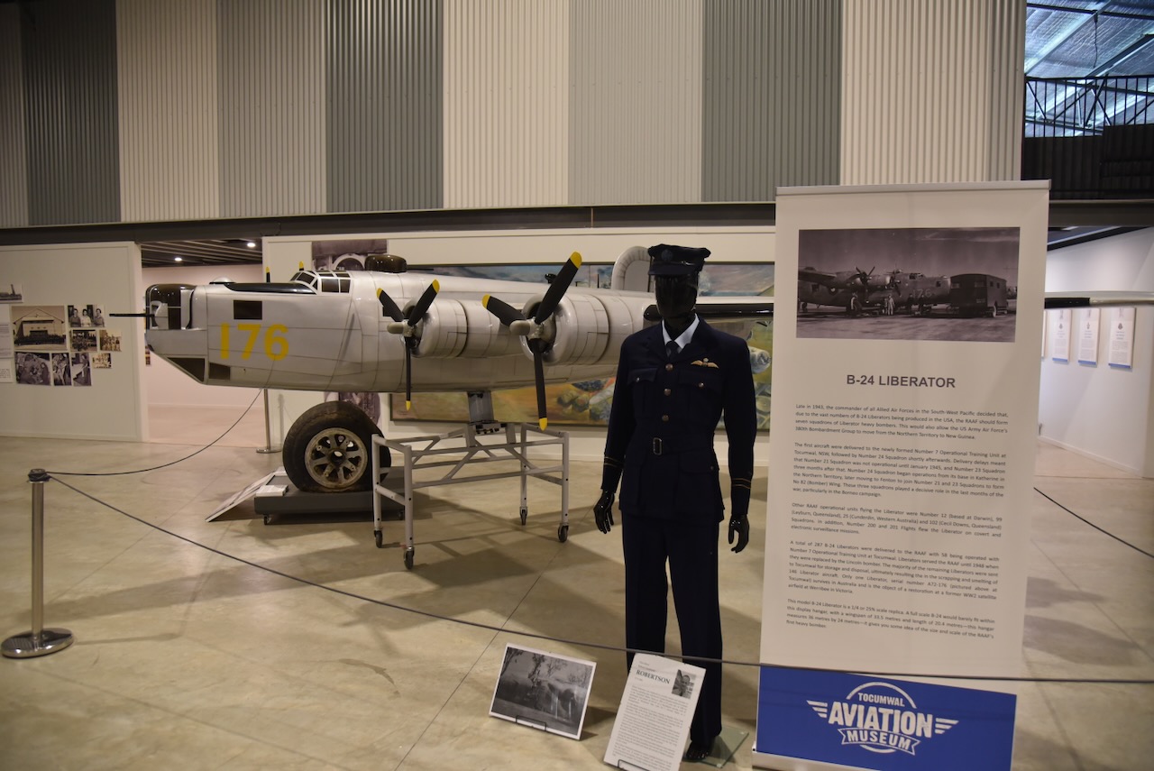
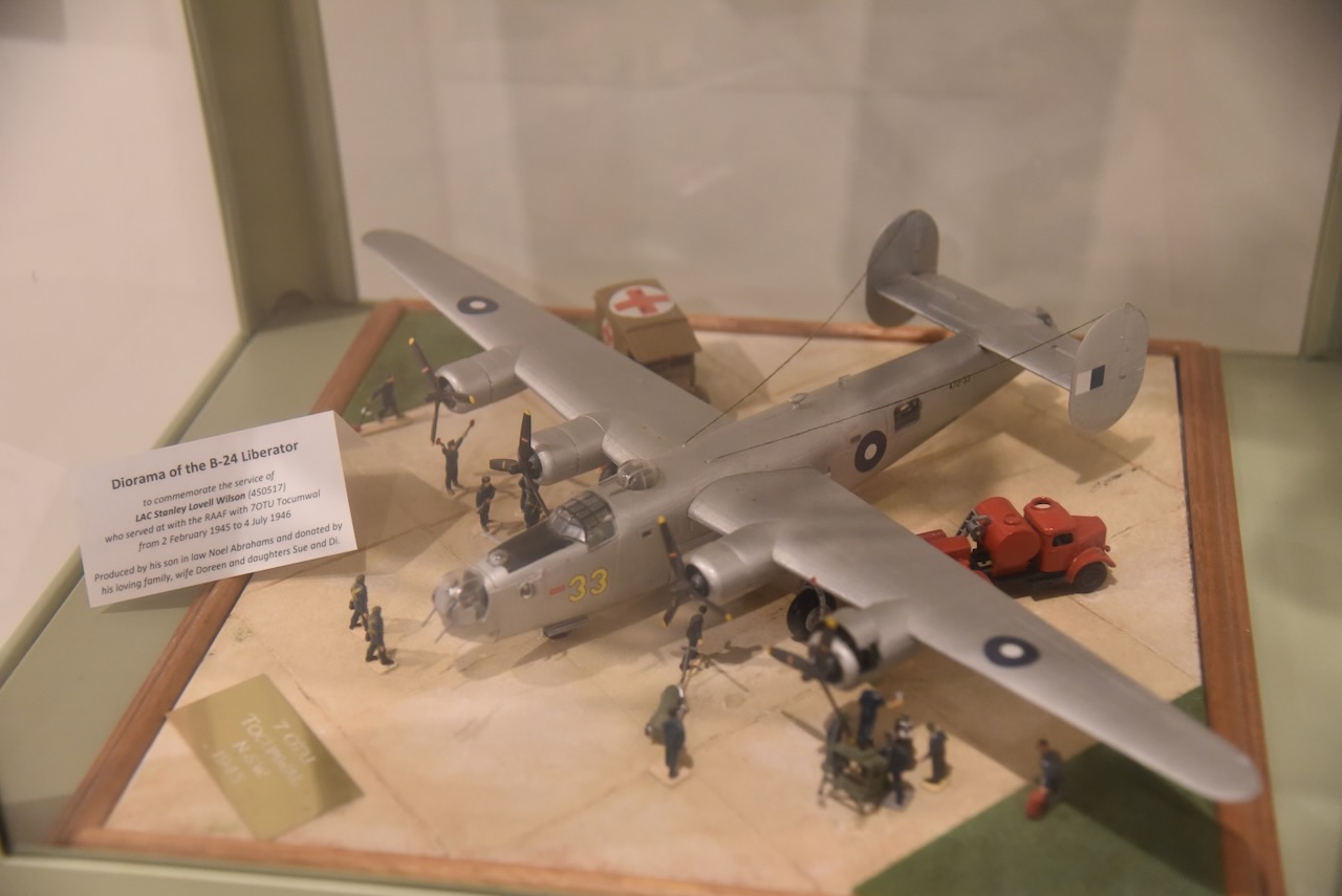
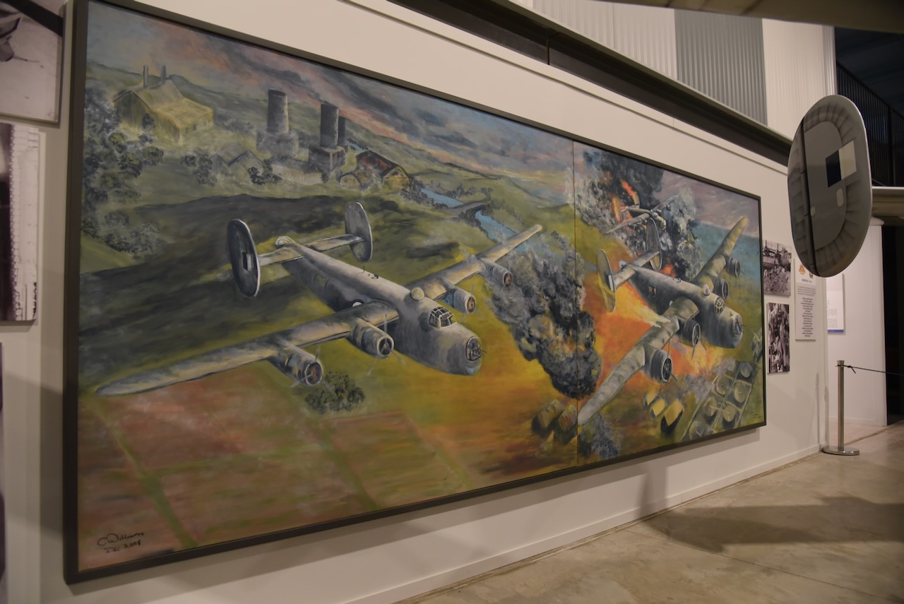
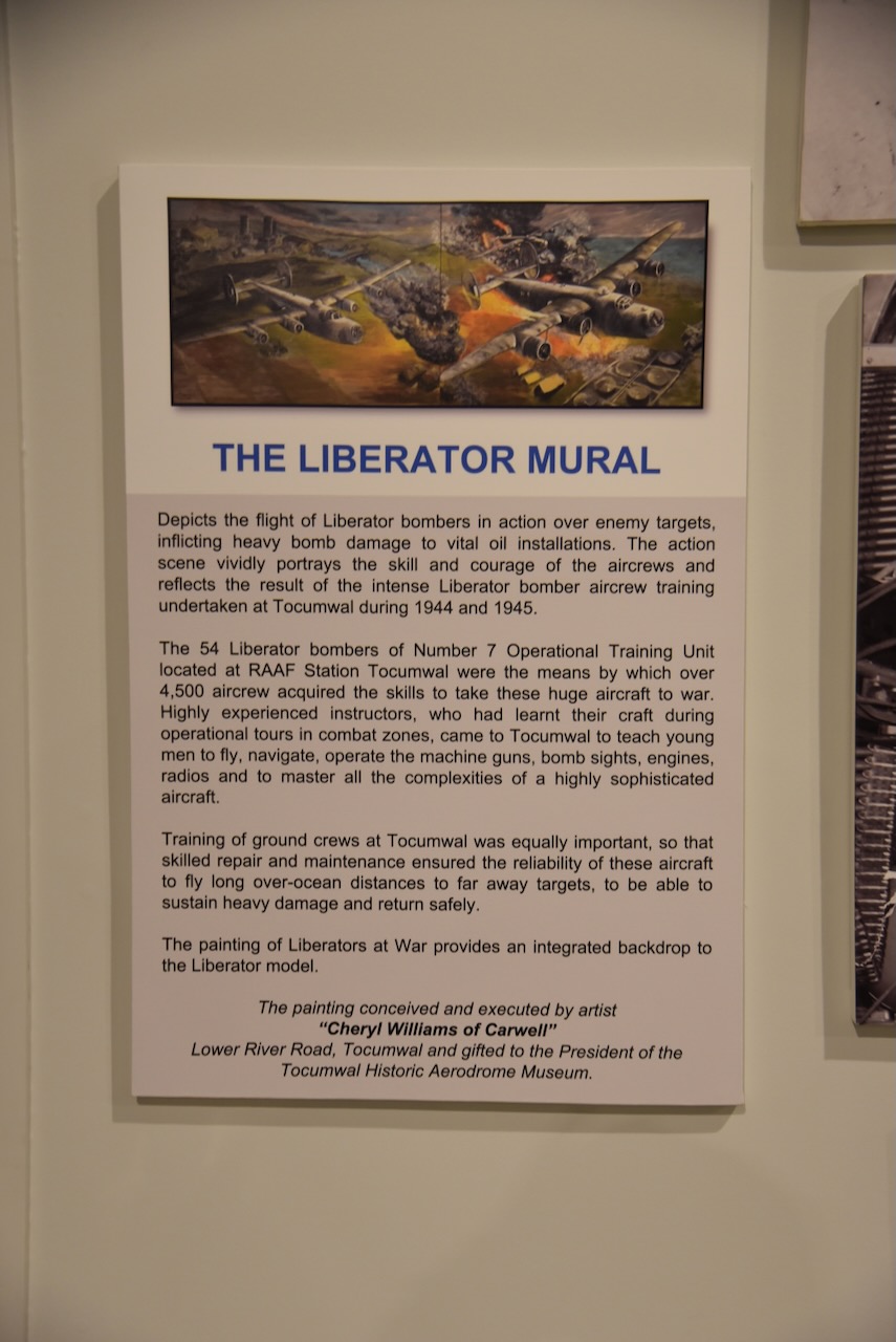
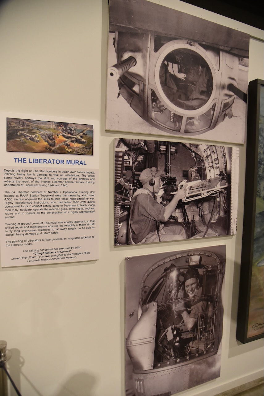
There is also an excellent mural of a B-24 Liberator. There were 54 Liberator bombers of No. 7 Operational Training Unit located at RAAF Station Tocumwal. About 4,500 airmen acquired the skills at Tocumwal to take these aircraft into the theatre of war.
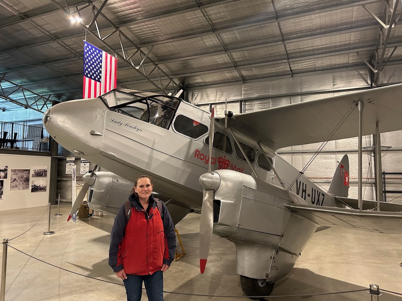
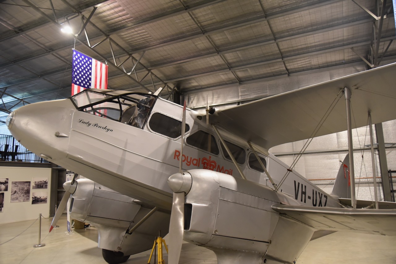
The De Havilland DH-89A Dominie were manufactured between 1934 and 1946.
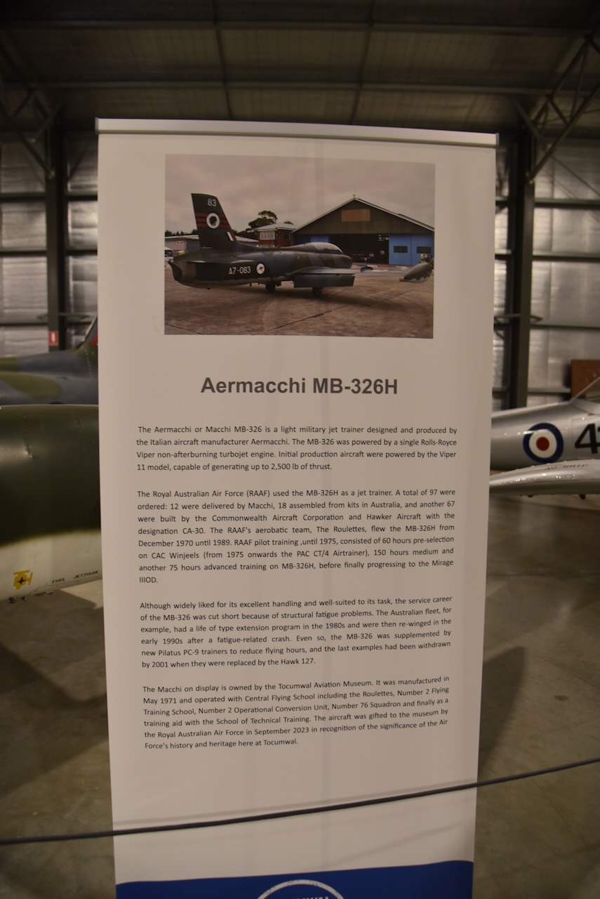
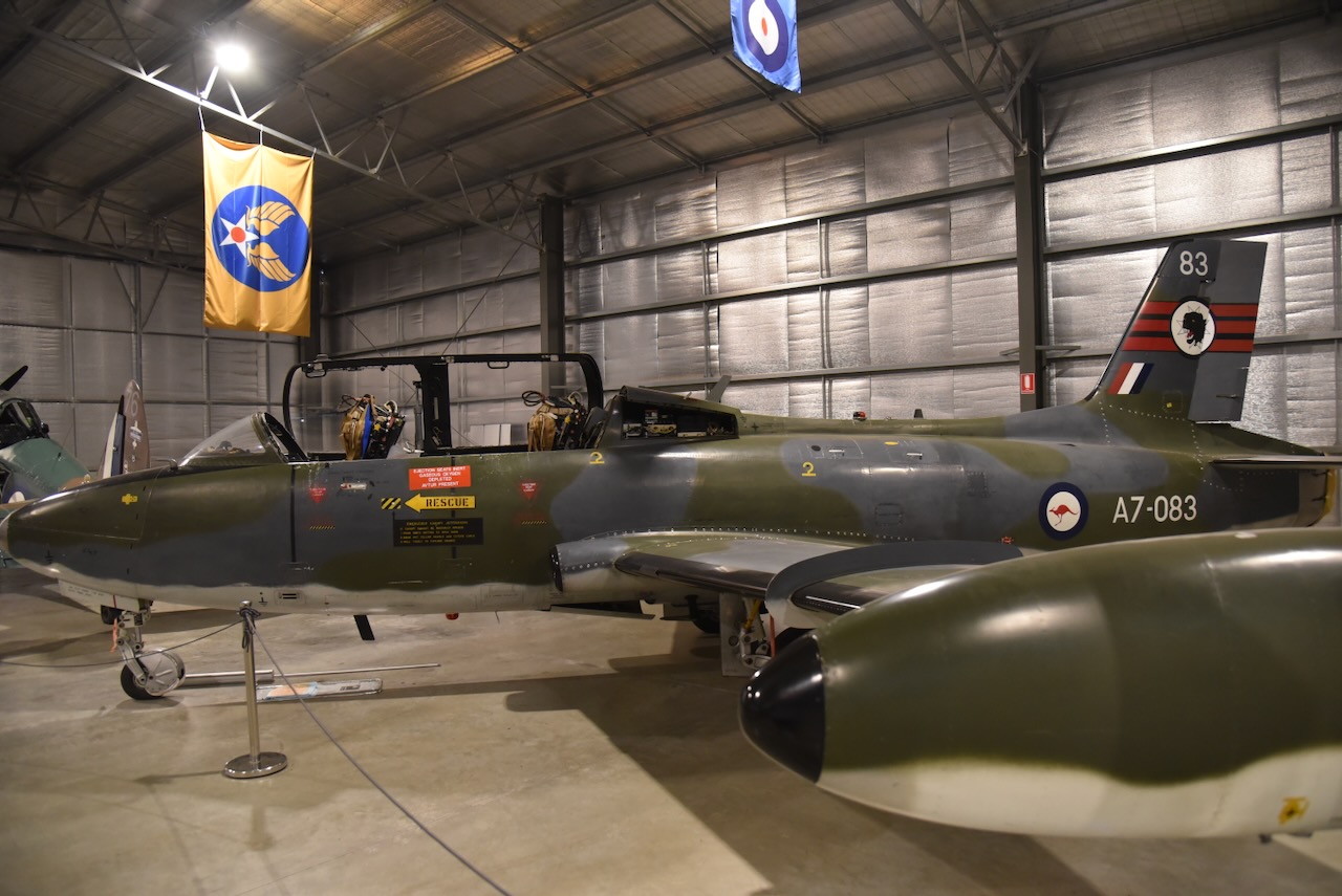
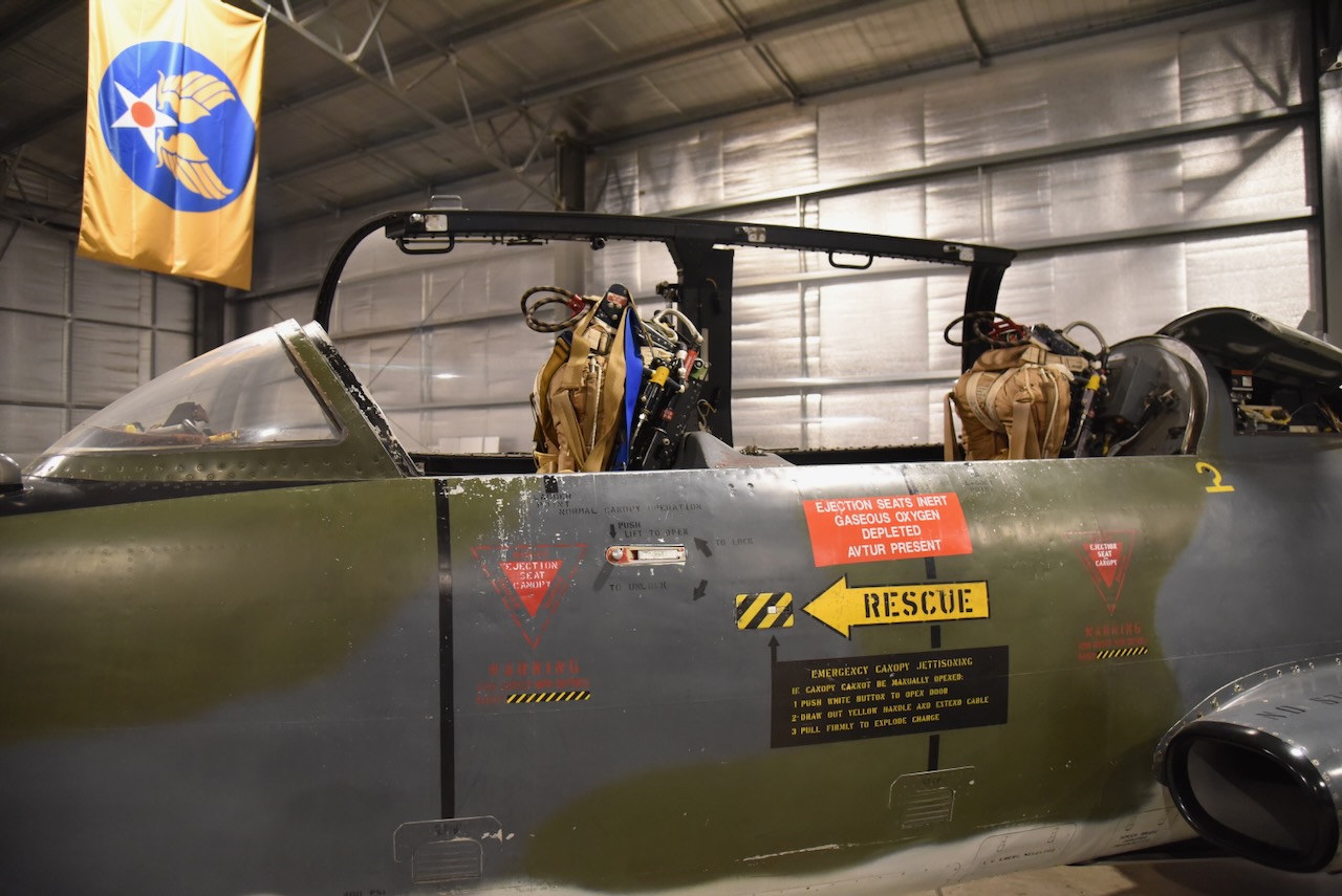
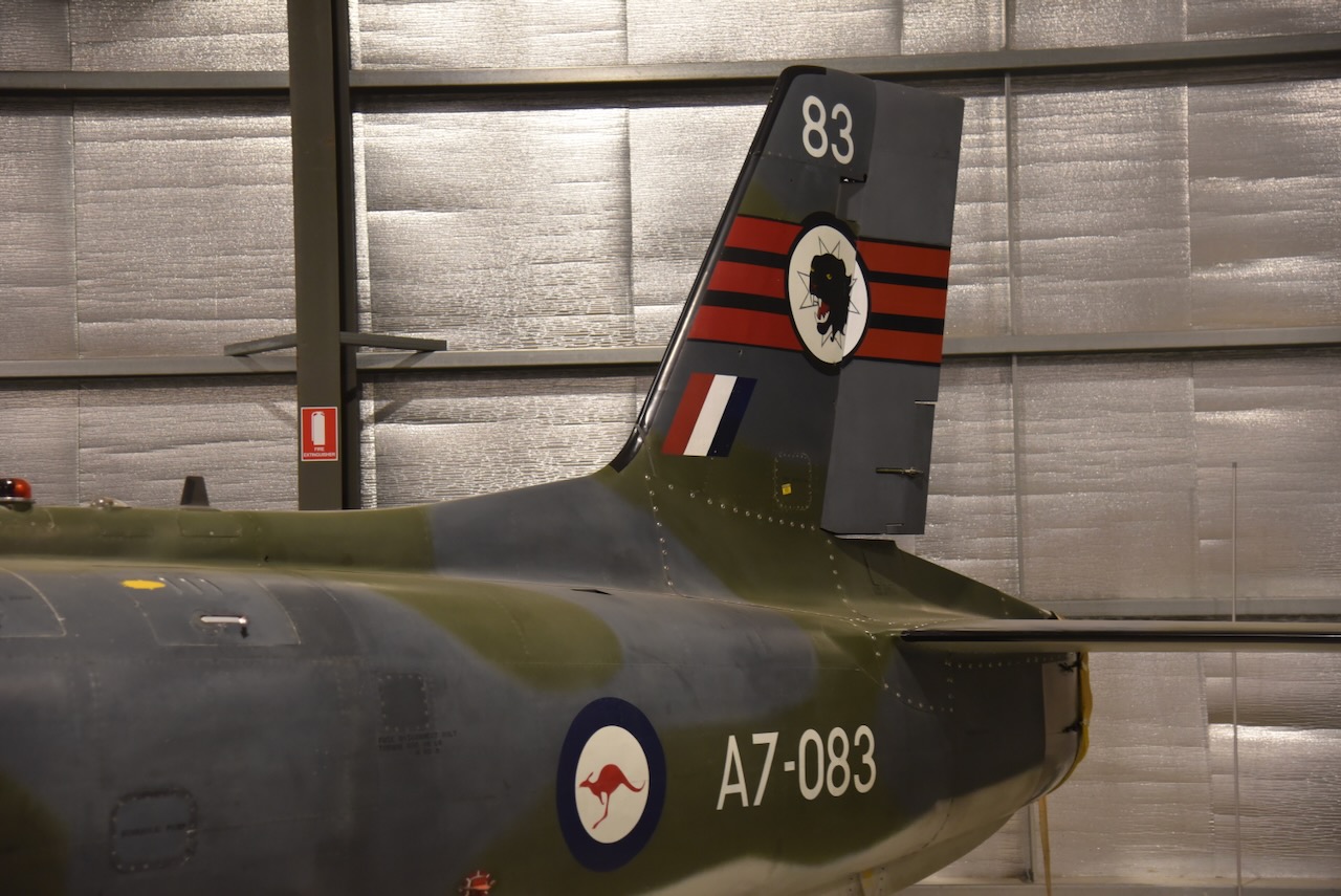
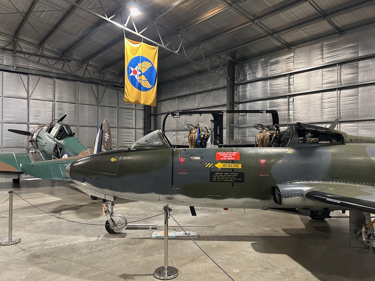
One display that really interested me was the Aermacchi MB-326H. This aircraft was a light military jet trainer that was designed and manufactured by Italian aircraft manufacturer, Aermacchi. They were powered by a single Rolls-Royce Viper non-afterburning turbojet engine. The RAAF used them as a jet trainer. They were used by the RAAF’s aerobatic team The Roulettes.
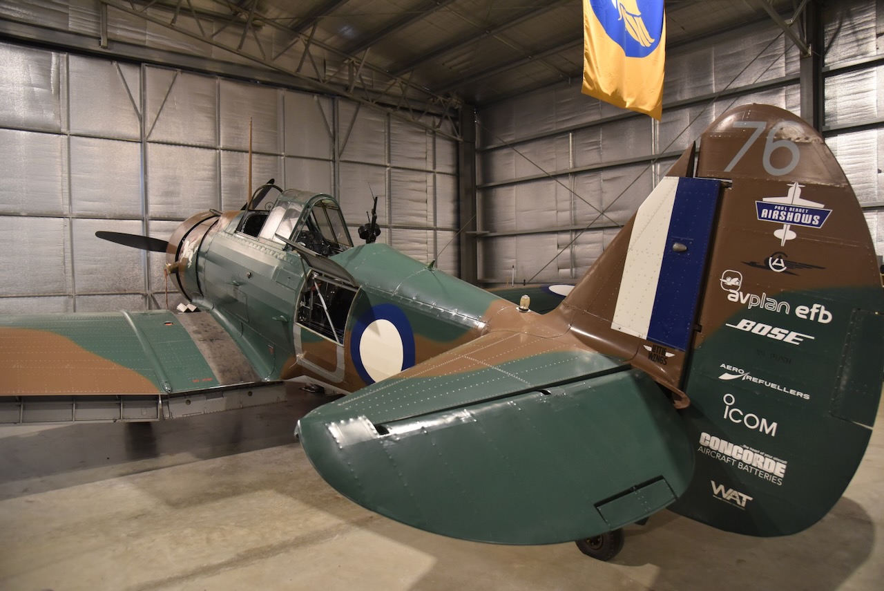
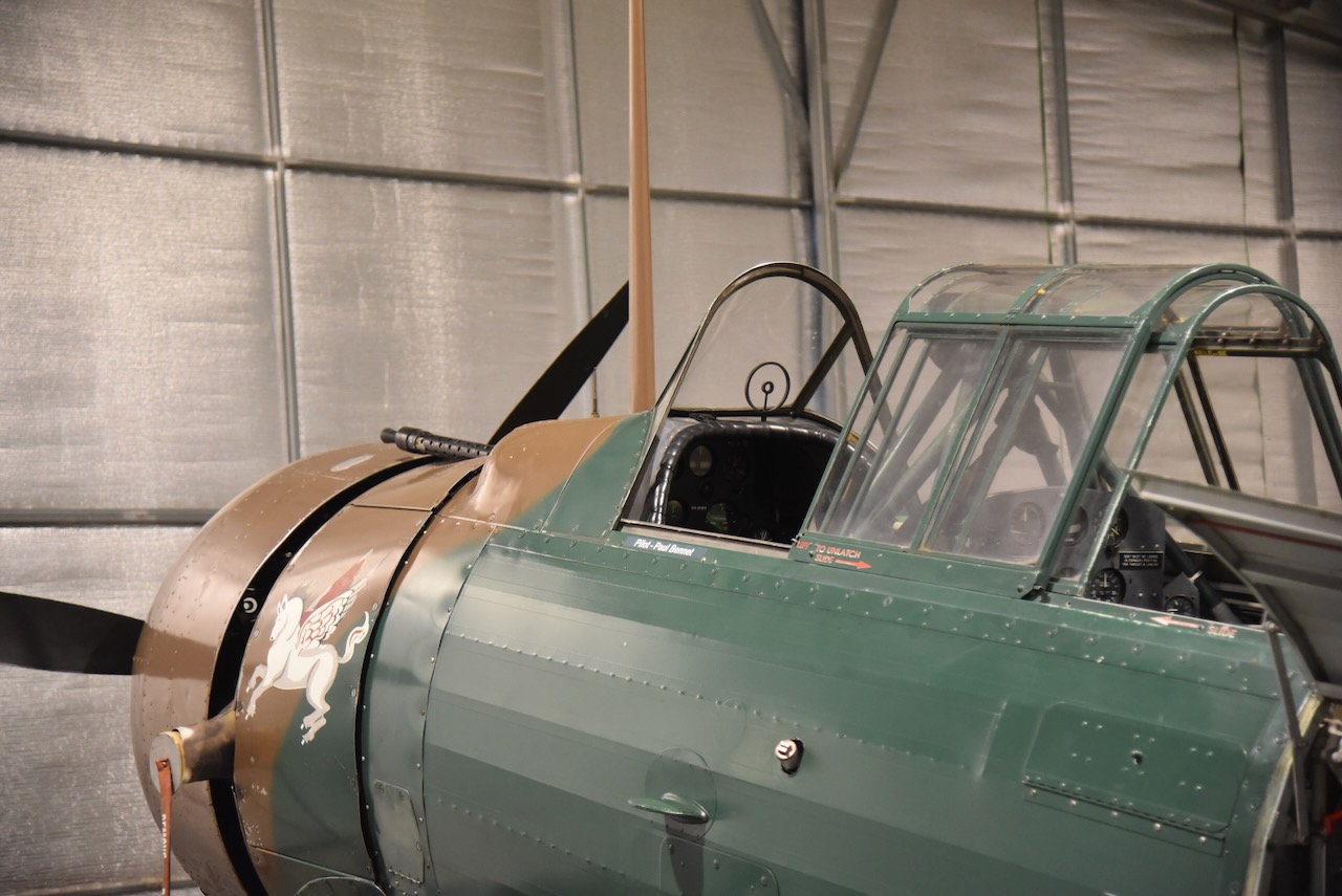
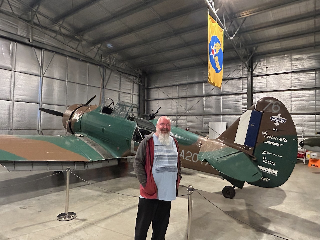
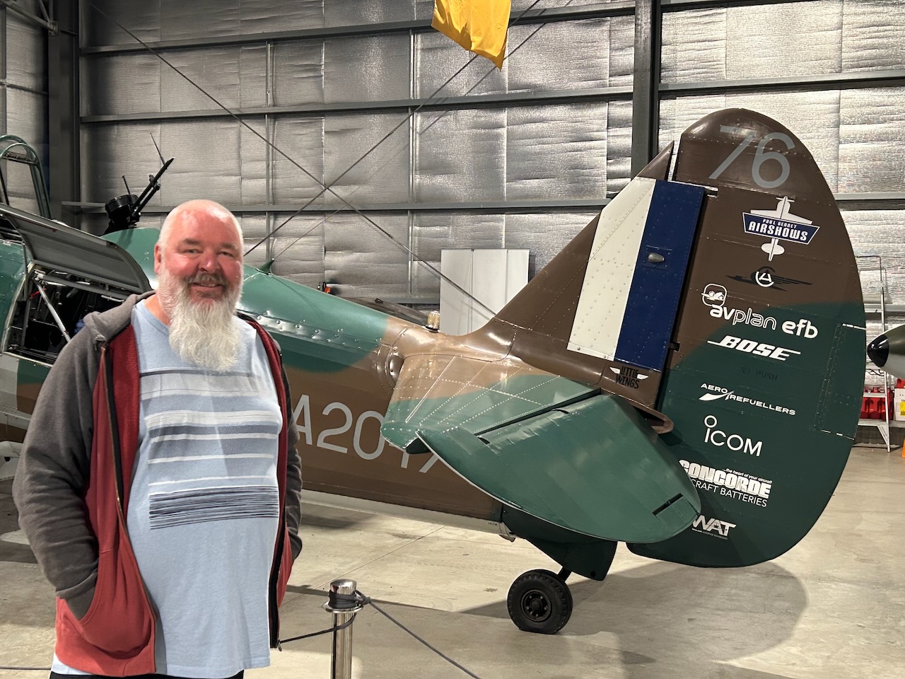
This Wirriway is owned by Paul Bennett, an Australian aerobatic pilot. He has performed at the Tocumwal Air Show.
The CAC CA-28 Ceres was developed by Commonwealth Aircraft Corporation (CAC) Pty Ltd as a heavy payload agricultural aircraft.
Outside, the museum has a beautiful garden to stroll around.
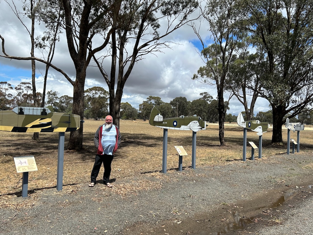
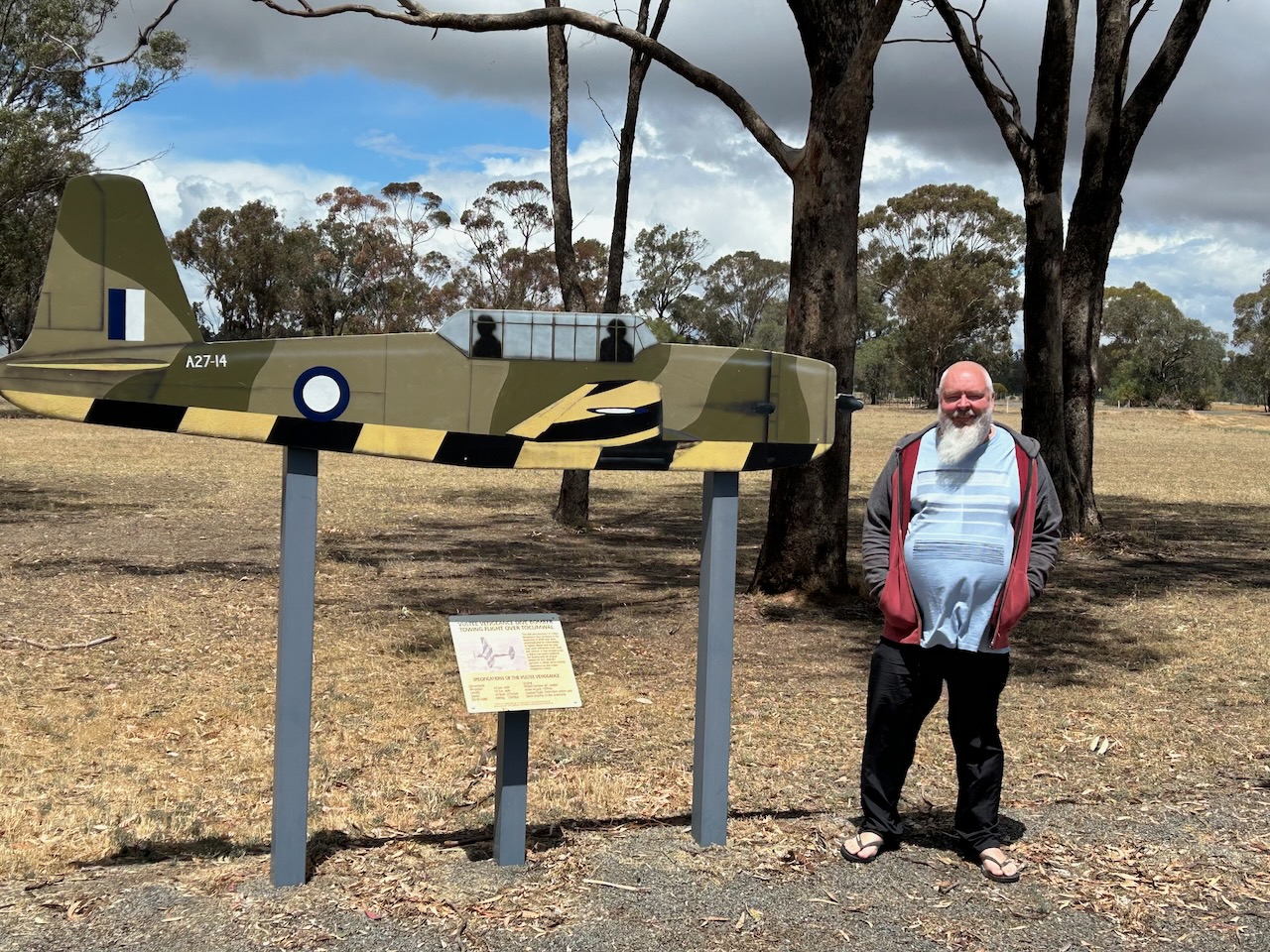
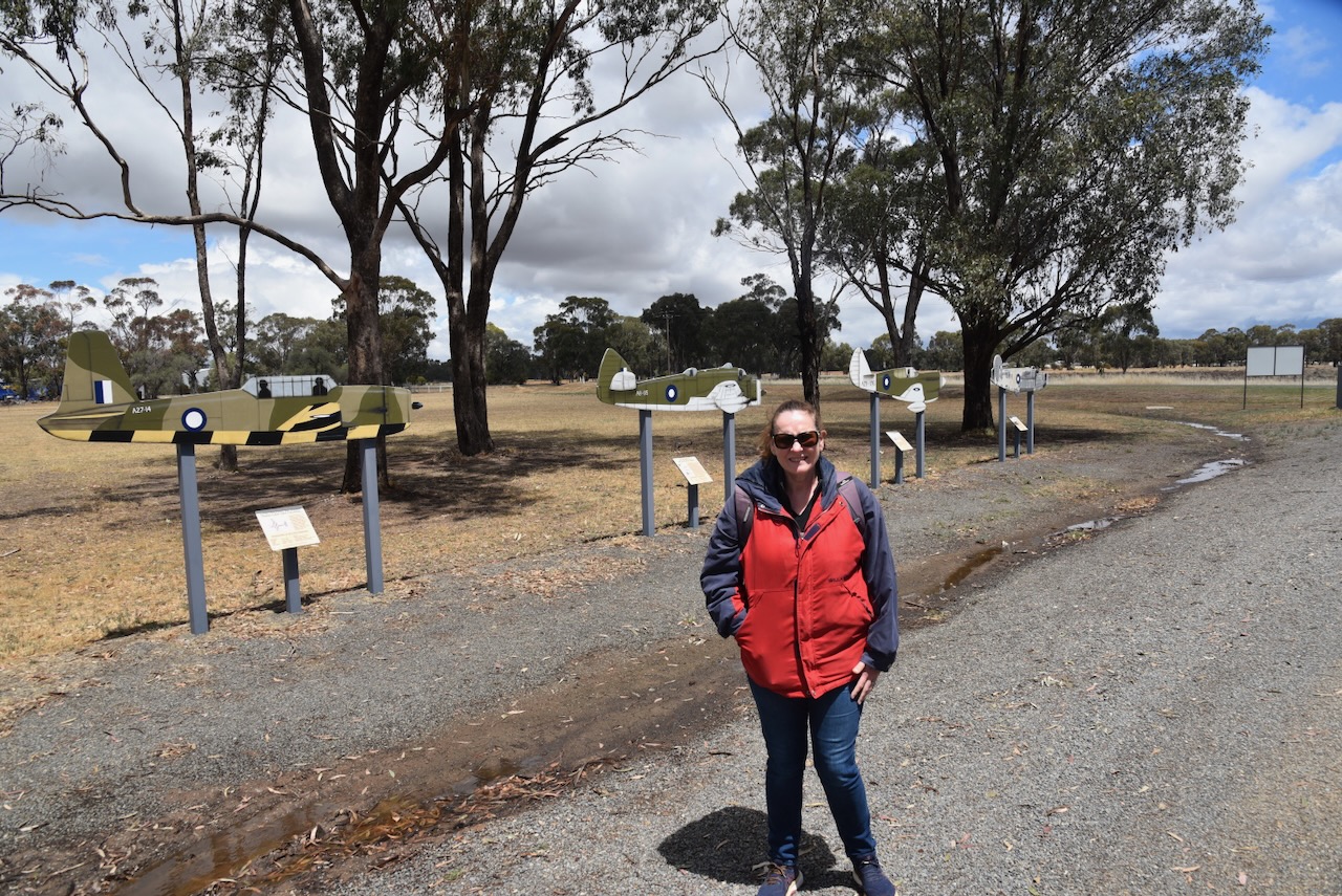
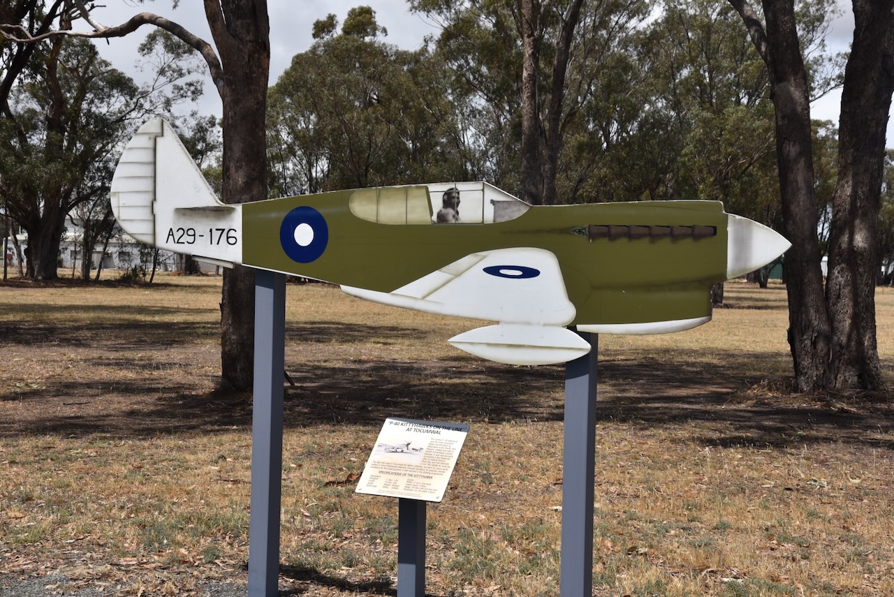
At the front of the museum, there are silhouettes of aircraft flown at Tocumwal.
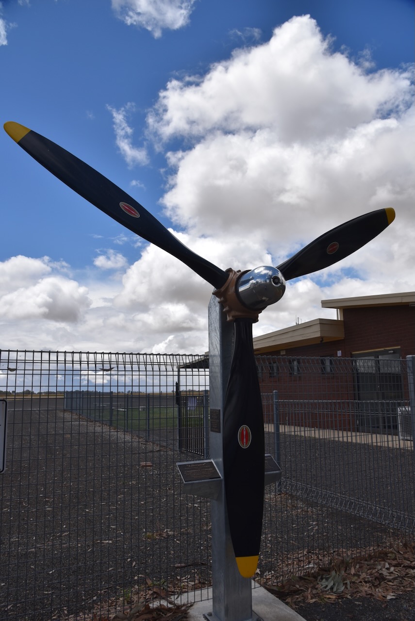
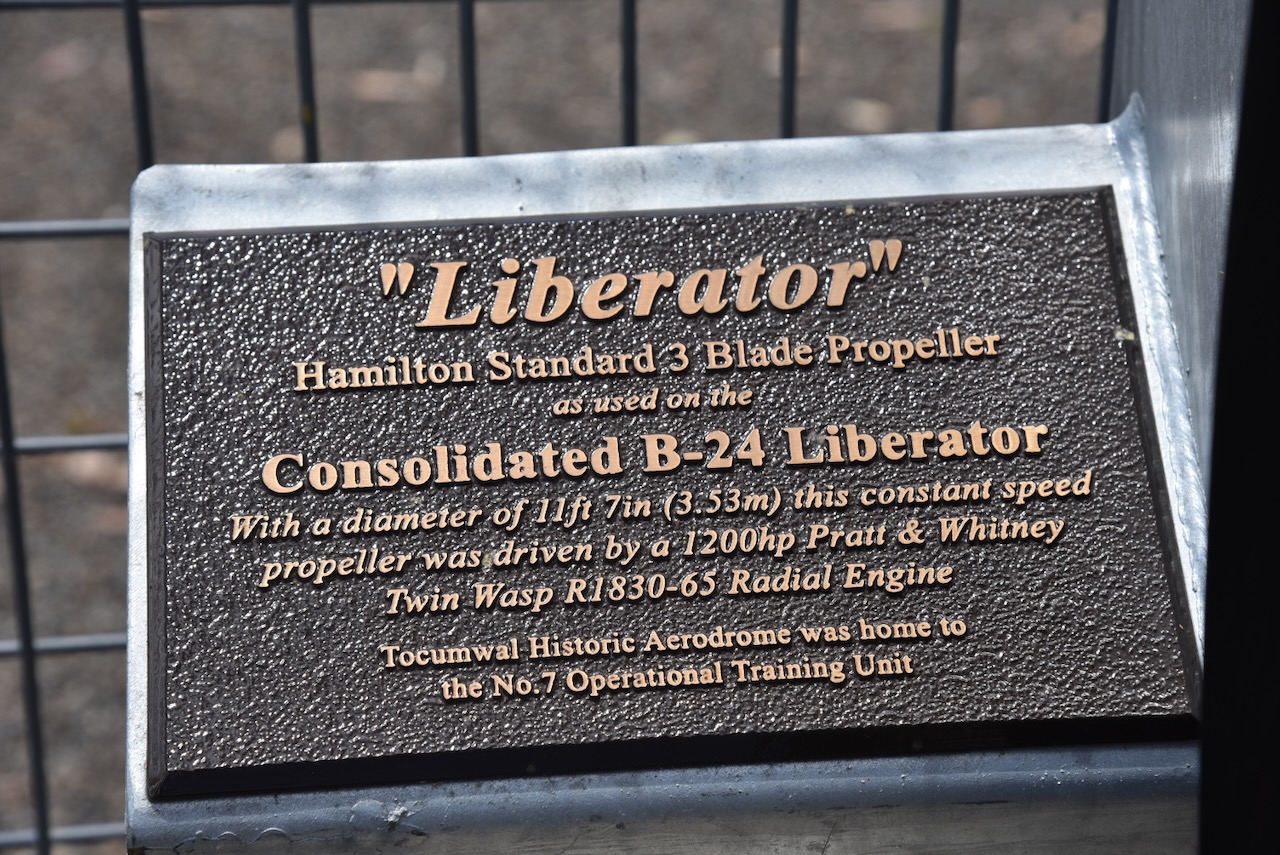
You can also find the blade propellor of a B-24 Liberator.
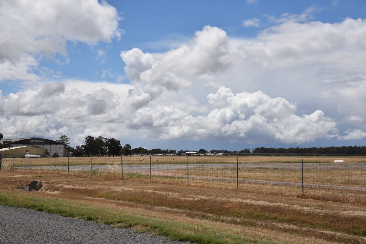
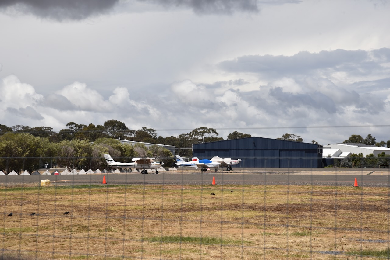
This is still an active airfield.
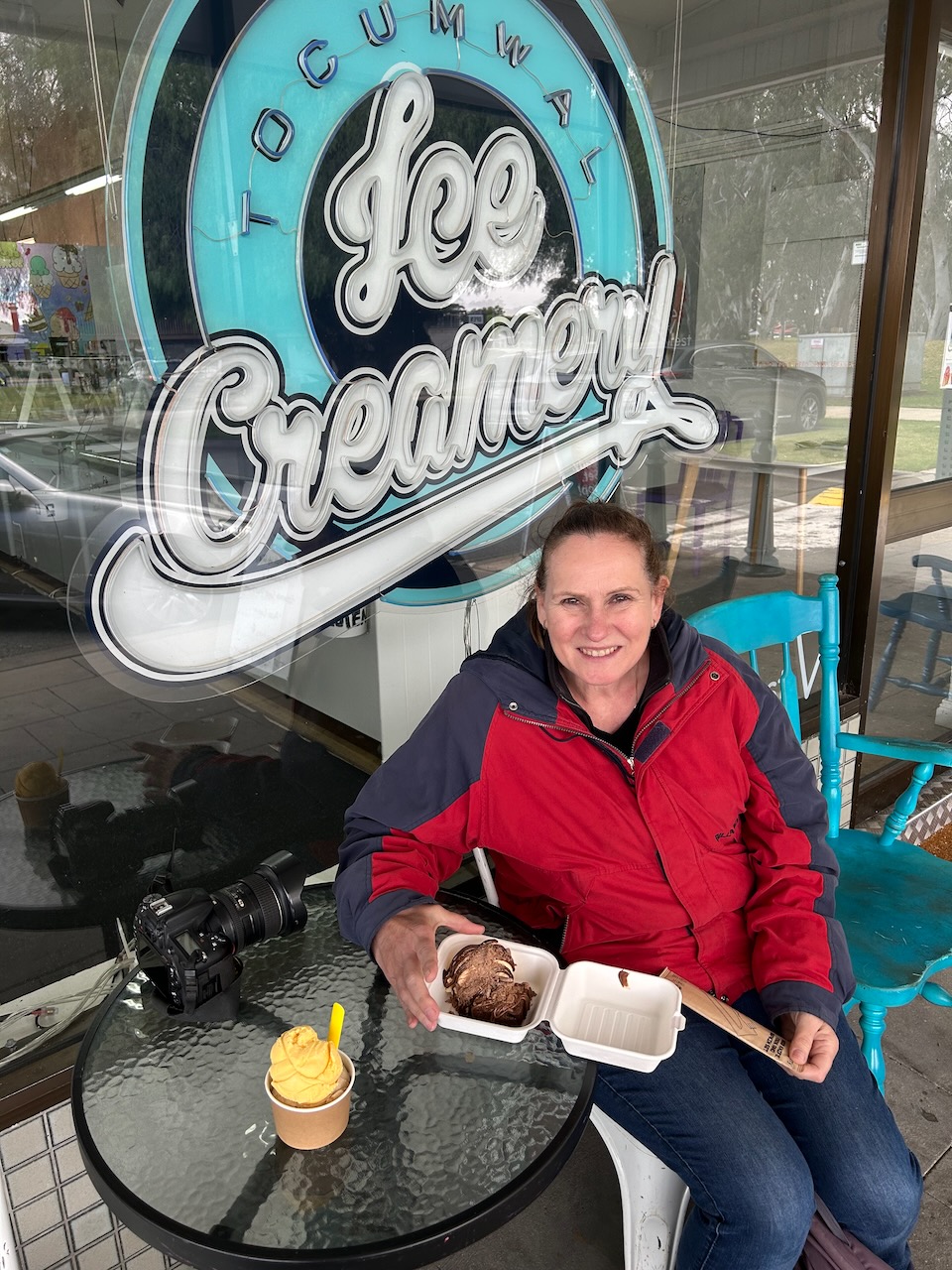
We enjoyed a nice lunch in ‘The Drome’ restaurant at the aviation museum, and then headed back into town to the Tocumwal Ice Creamery for some very yummy ice cream.
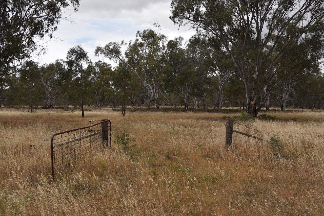
With full bellies, we drove towards the Tocumwal Regional Park for a park activation for the World Wide Flora Fauna (WWFF) program.
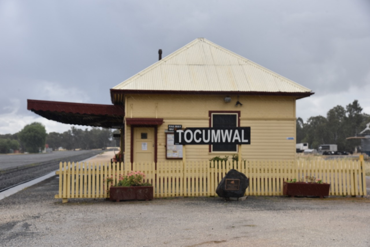
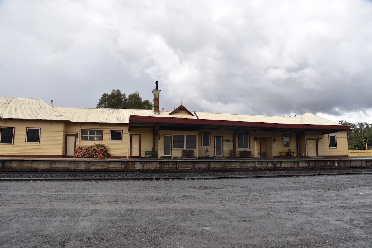
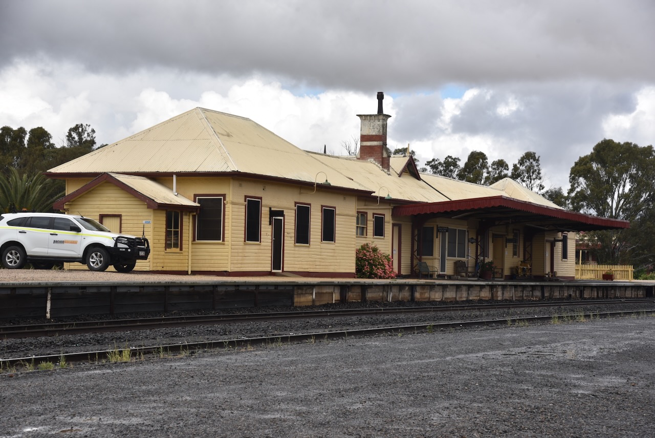
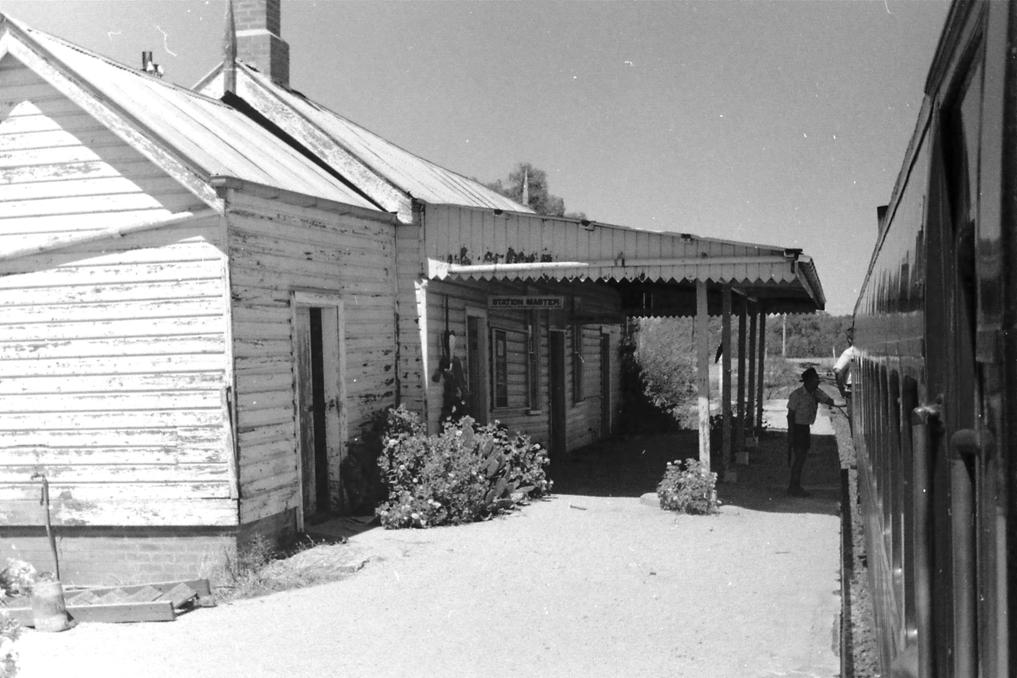
We stopped briefly to view the historic Tocumwal railway station. It was opened in February 1929 and is now closed, but houses a small railway museum. It is listed on the New South Wales State Heritage Register. (Wikipedia 2026)
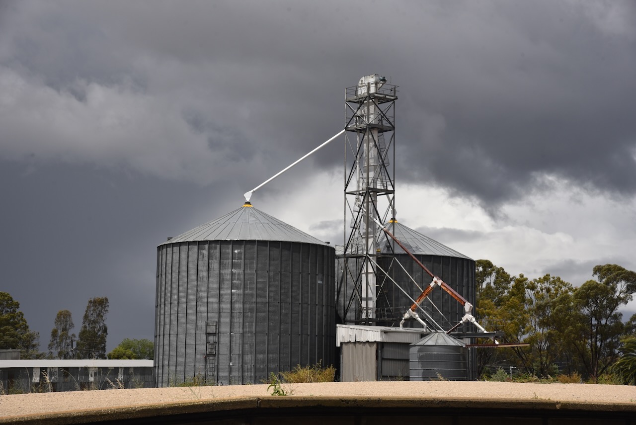
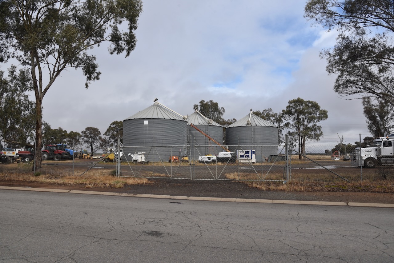
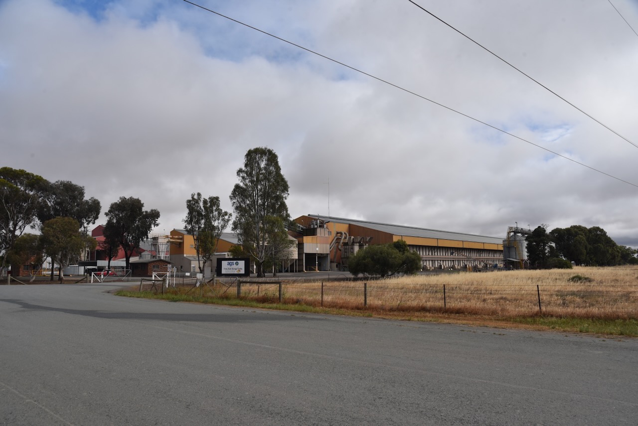
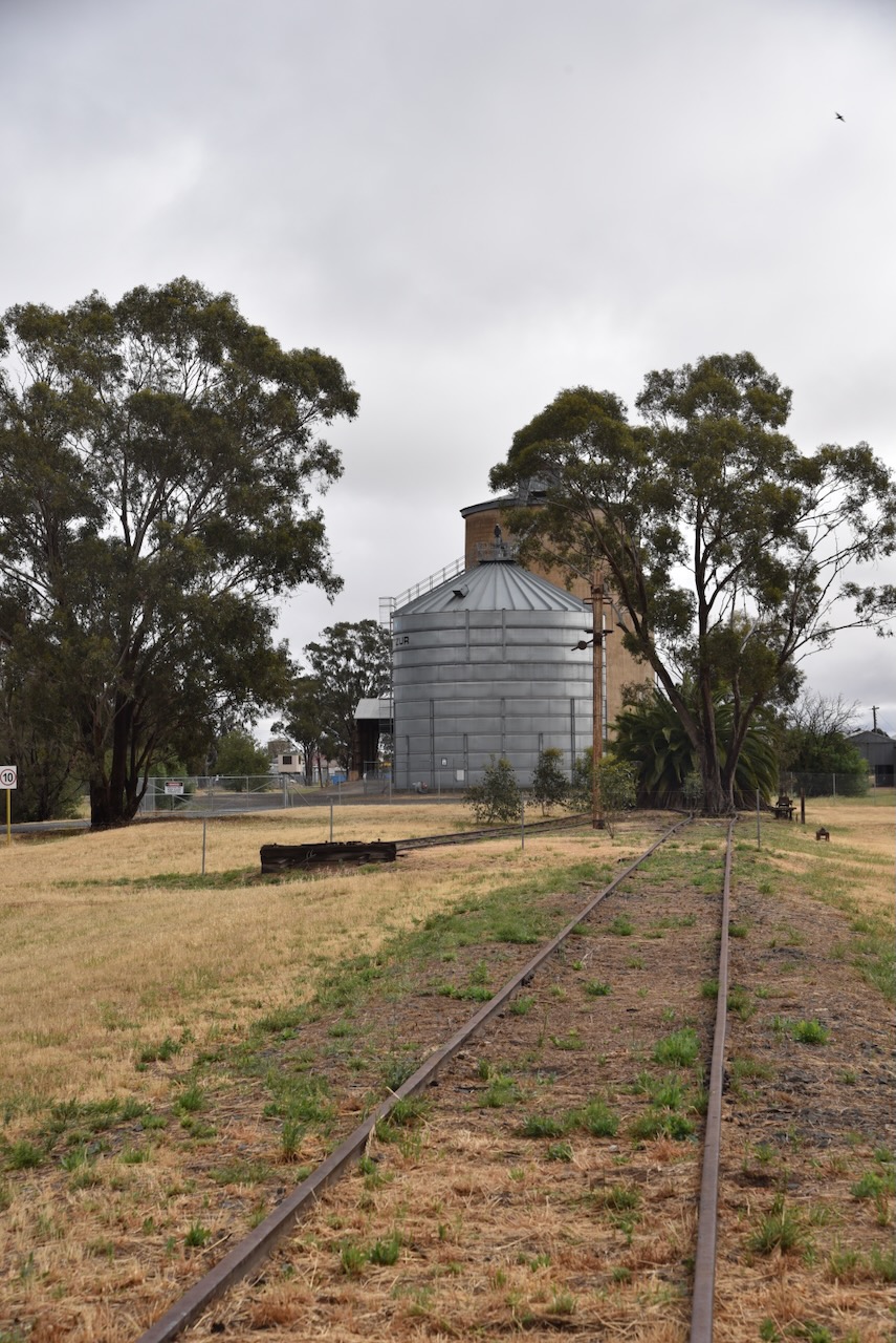
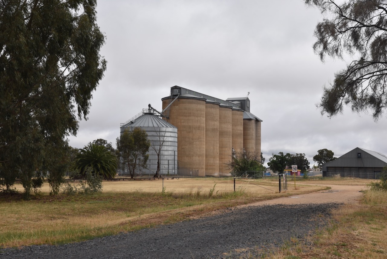
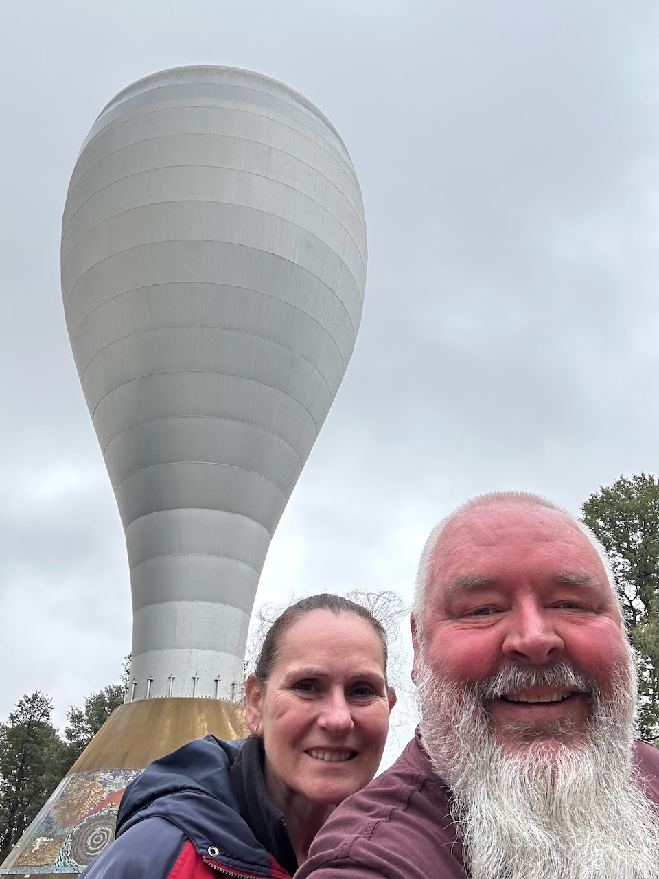
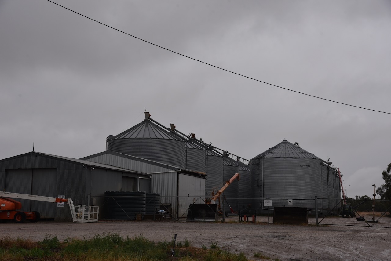
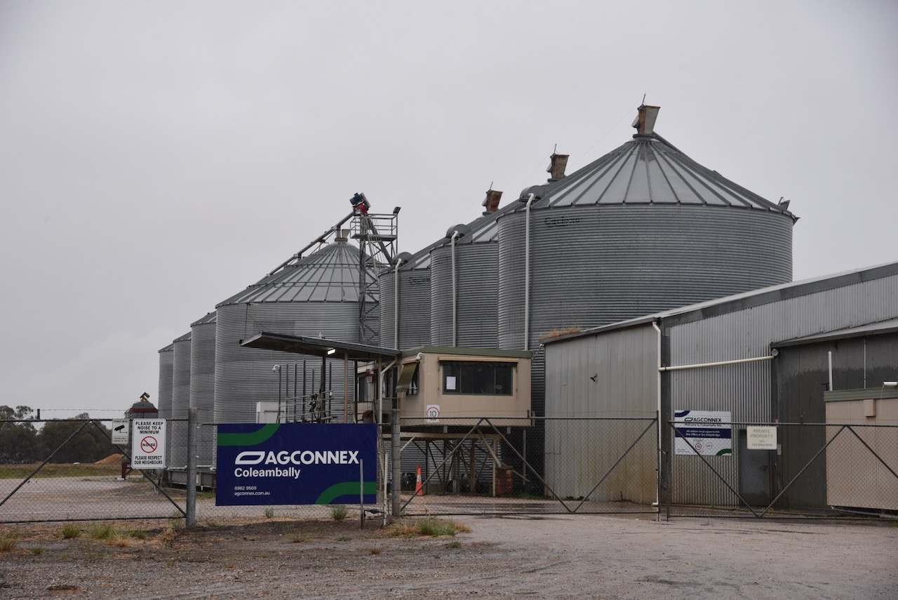
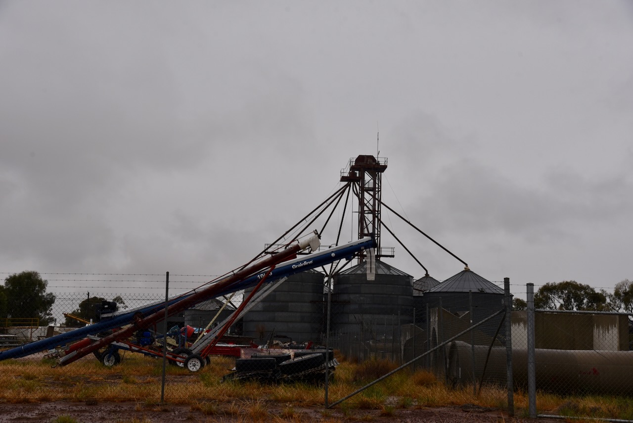
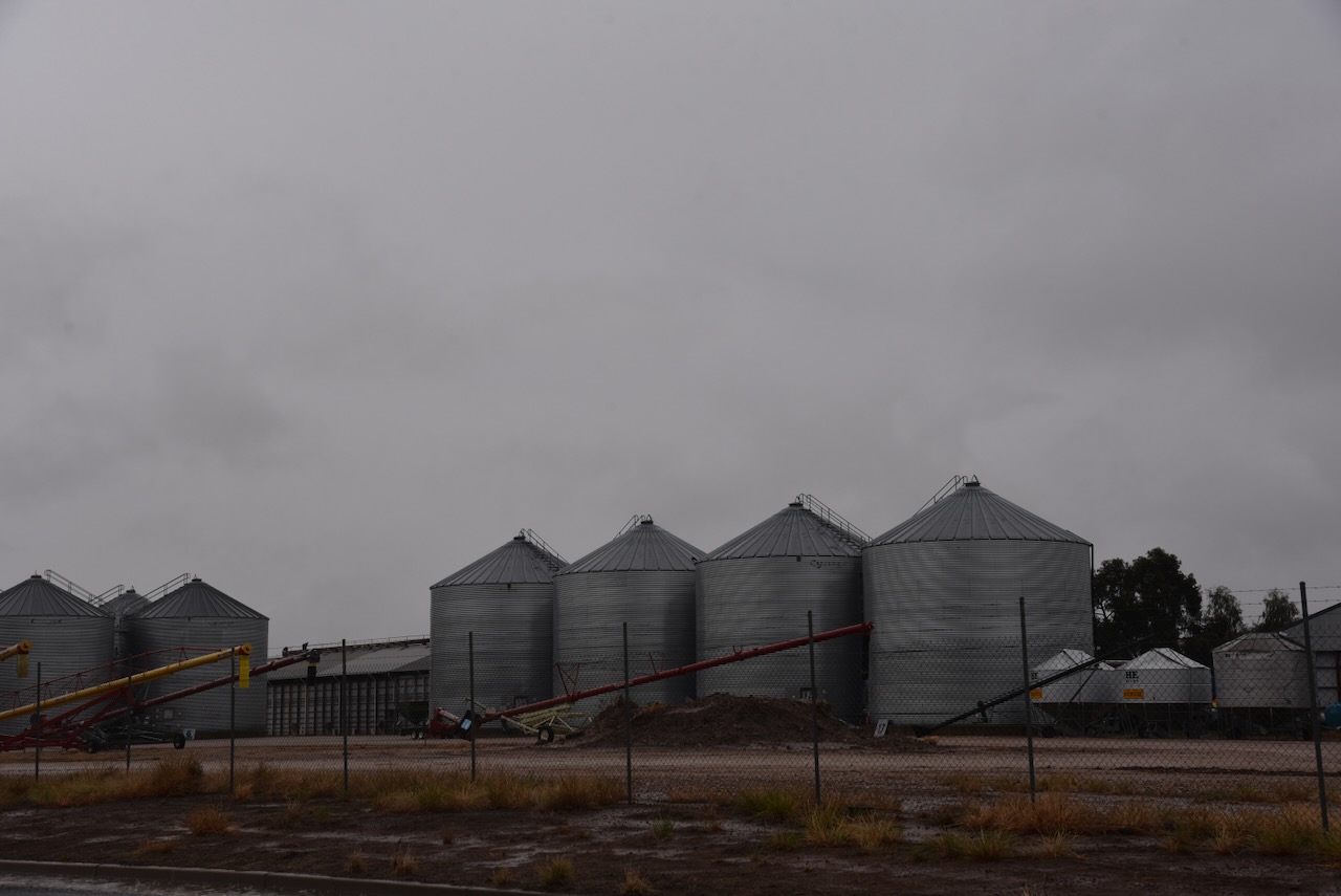
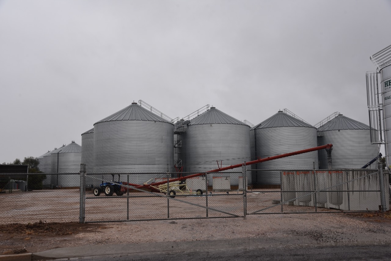
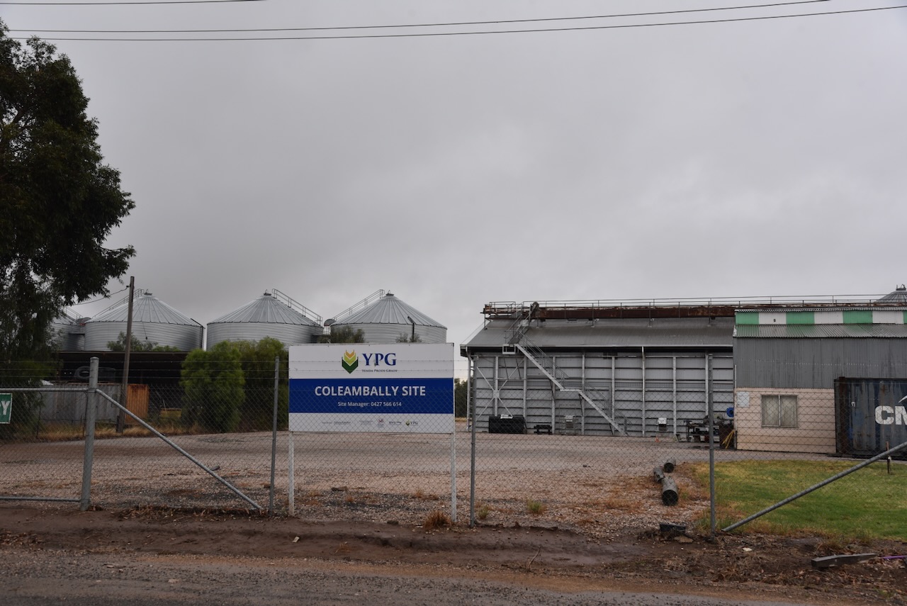
The Tocumwal South silo VK-TCT2 is located alongside the old Seymour Tocumwal Railway, and close to the Tocumwal Railway Heritage Museum. They consist of two steel Aquila-type silos. It is one of 4 silos in Tocumwal that qualify for the Silos On The Air (SiOTA) program.
The Tocumwal South 2 silo VK-TCU2 is also located alongside the old Seymour Tocumwal Railway, a little further to the south of the Tocumwal South silo.
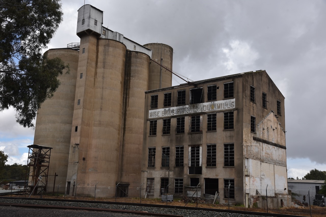
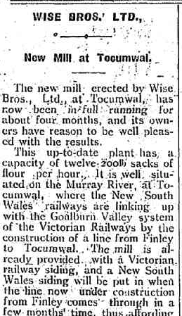
In 1911, Henry George Wise and his brother Thomas Walter Wise purchased land next to the Victorian railway line in Tocumwal to construct a flour mill. The mill commenced operation in 1913 and featured a 13-sack roller design.
Above: part of an article from the Tocumwal Guardian, Fri 29 Aug 1913. Image c/o Trove
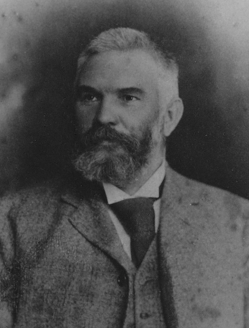
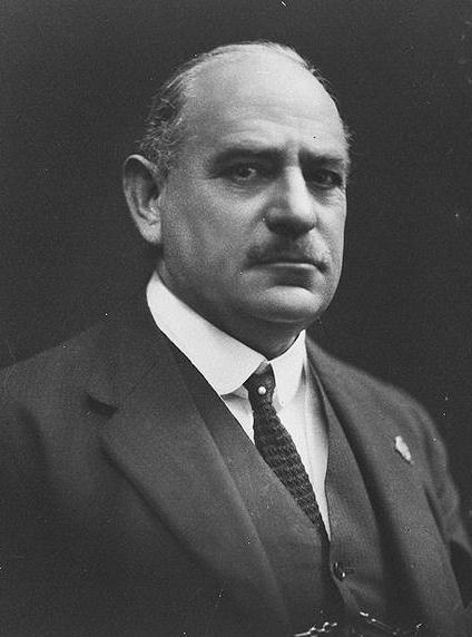
Henry George Wise was born in October 1843 in County Cork, Ireland. His younger brother, Thomas Walter Wise, was born in December 1850 in County Cork, Ireland. Henry emigrated to Australia in 1861. He died on the 2nd day of February 1926 at Paddington, N.S.W. His brother Thomas emigrated to Australia in 1860, when aged 10, with his father and mother, George and Elizabeth Wise. He died on the 29th day of August 1922 in Sydney, N.S.W. (ancestry 2016)
Above: Thomas Wise. Image c/o ancestry.com.au
The two original 10,000 bushel wheat silos at this location were designed and built by Sir John Monash of the State Monier Pipe Company. In May 1912, construction commenced on the 50-foot-high silos.
Above: Sir John Monash. Image c/o Wikipedia
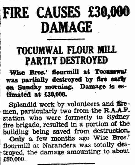
In March 1945, a fire at the Tcocumwal mill caused about £30,000 in damage. The mill was saved by the RAAF Fire Brigade.
Above: article from The Pastoral Times, Tue 13 Feb 1945. Image c/o Trove
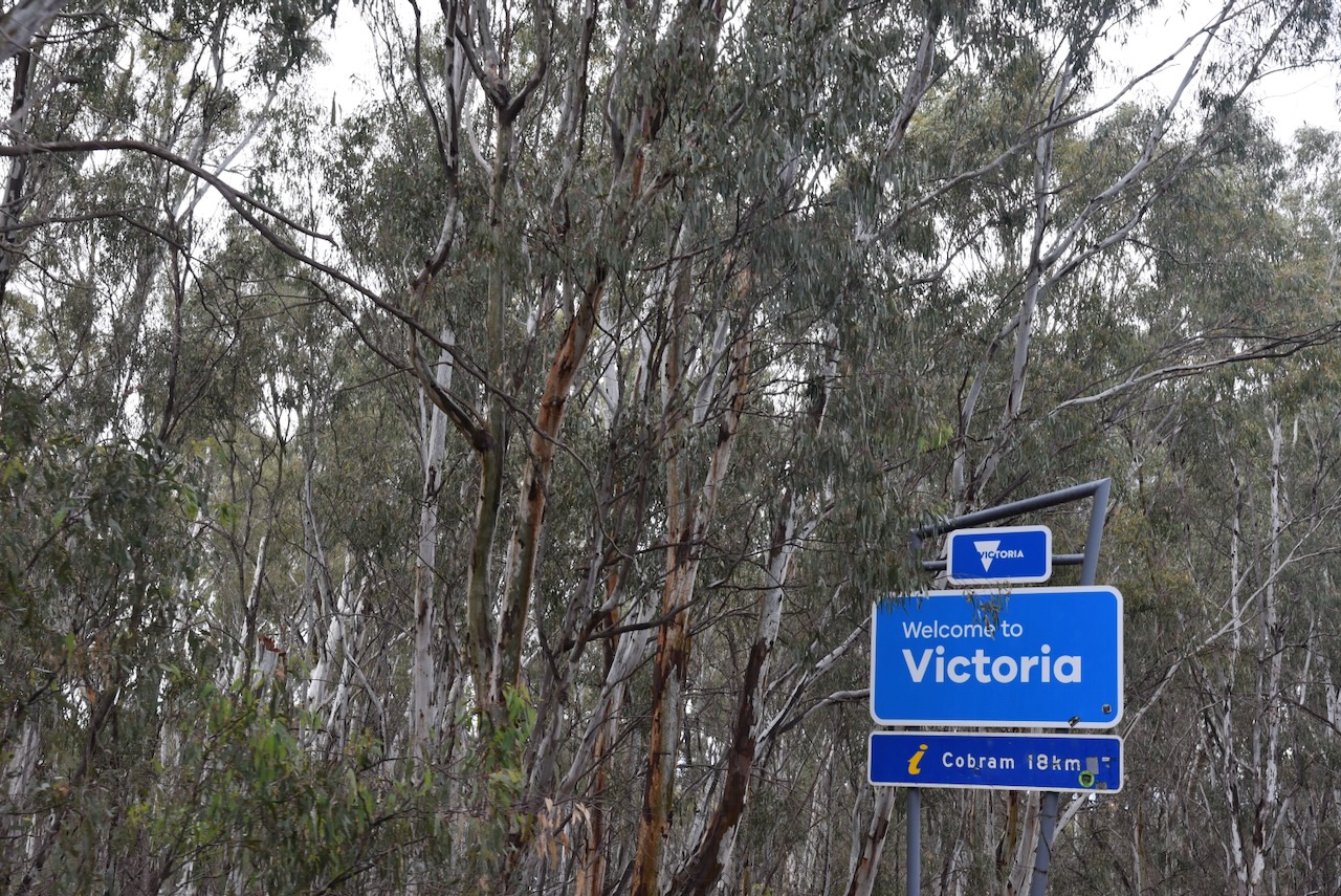
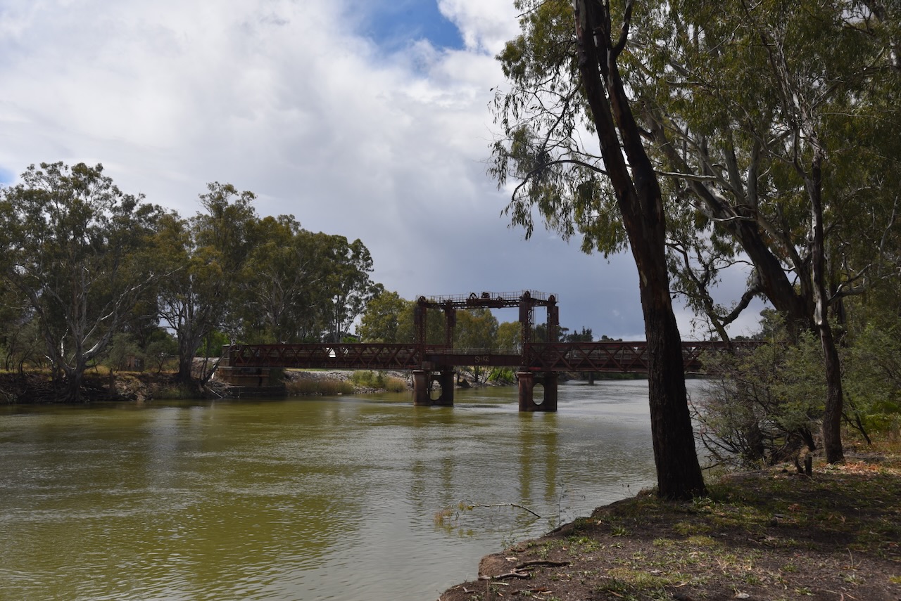
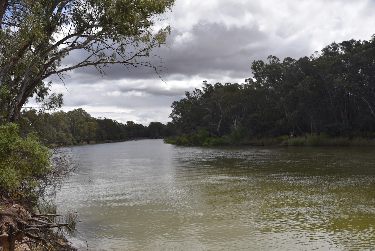
Interestingly, the Tocumwal Regional Park is actually located in Victoria. We travelled across the mighty Murray River on the Edward Hillson Bridge to reach the park. A point of interest, the Murray is known as the River Murray in South Australia and the Murray River in Victoria and New South Wales. The Edward Hillson Bridge is named in honour of Edward Hillson, who I have spoken about above.
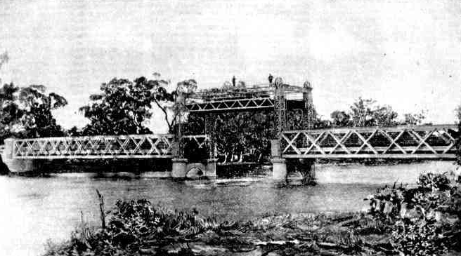
This was not the first bridge to span the Murray at Tocumwal. The original bridge was opened on Easter Monday in 1895 by J.H. Young, the Minister for Works. Members of the NSW Assembly, the Victorian Assembly and about 250 people were in attendance. It was the 9th bridge to be erected over the Murray between Victoria and New South Wales, with construction commencing in 1893. (Trove 2026) (www.murrayriver.com.au n.d.)
Above: the Tocumwal Bridge, 1895. Image c/o Australian Town & Country, Sat 14 Sept 1895, Trove
The bridge survives today, and is just to the south of the Edward Hillson Bridge.
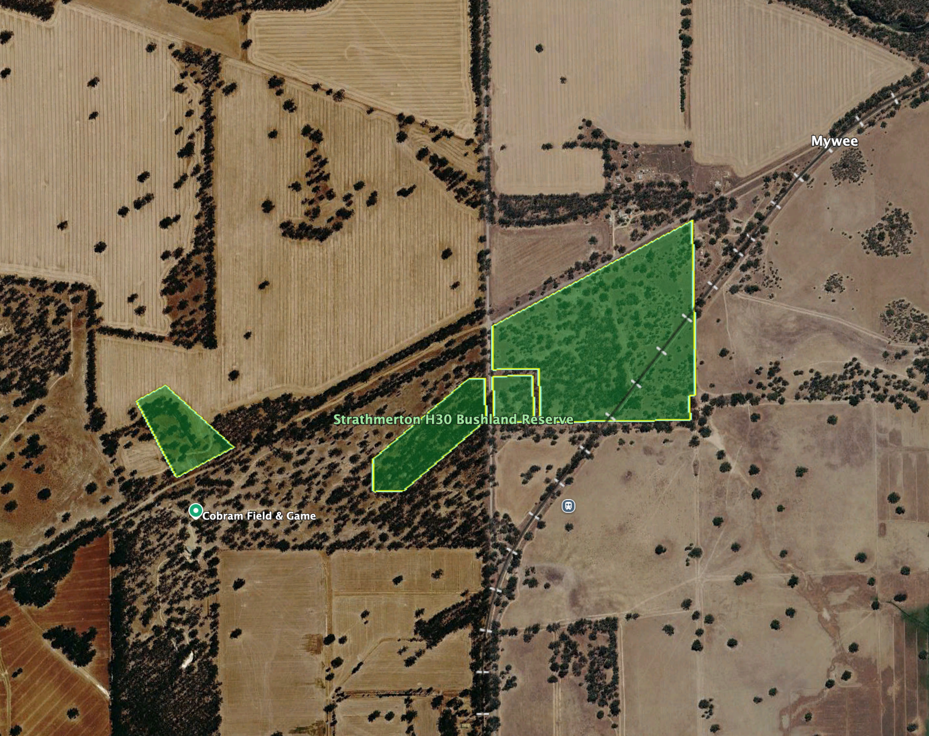
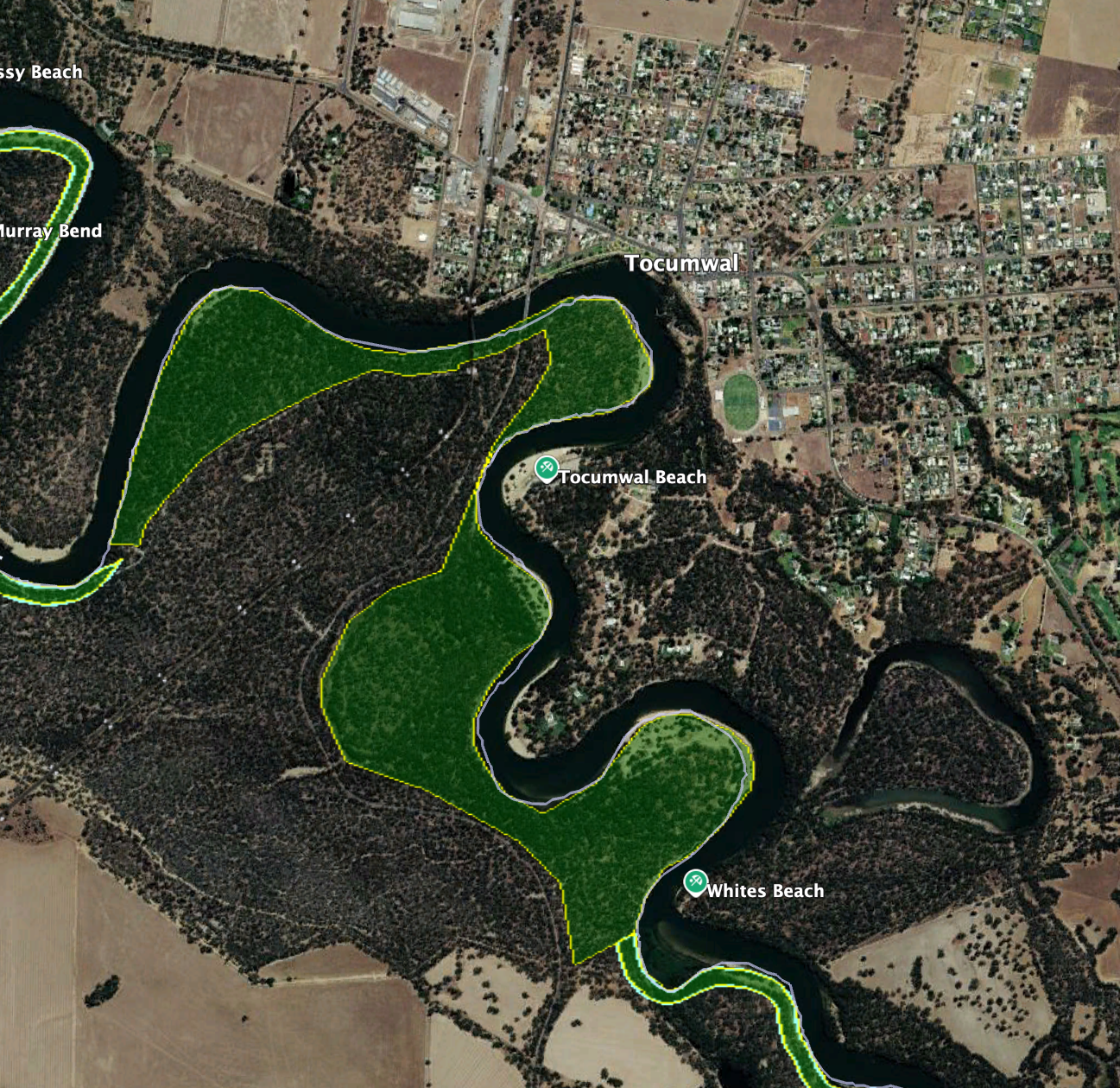
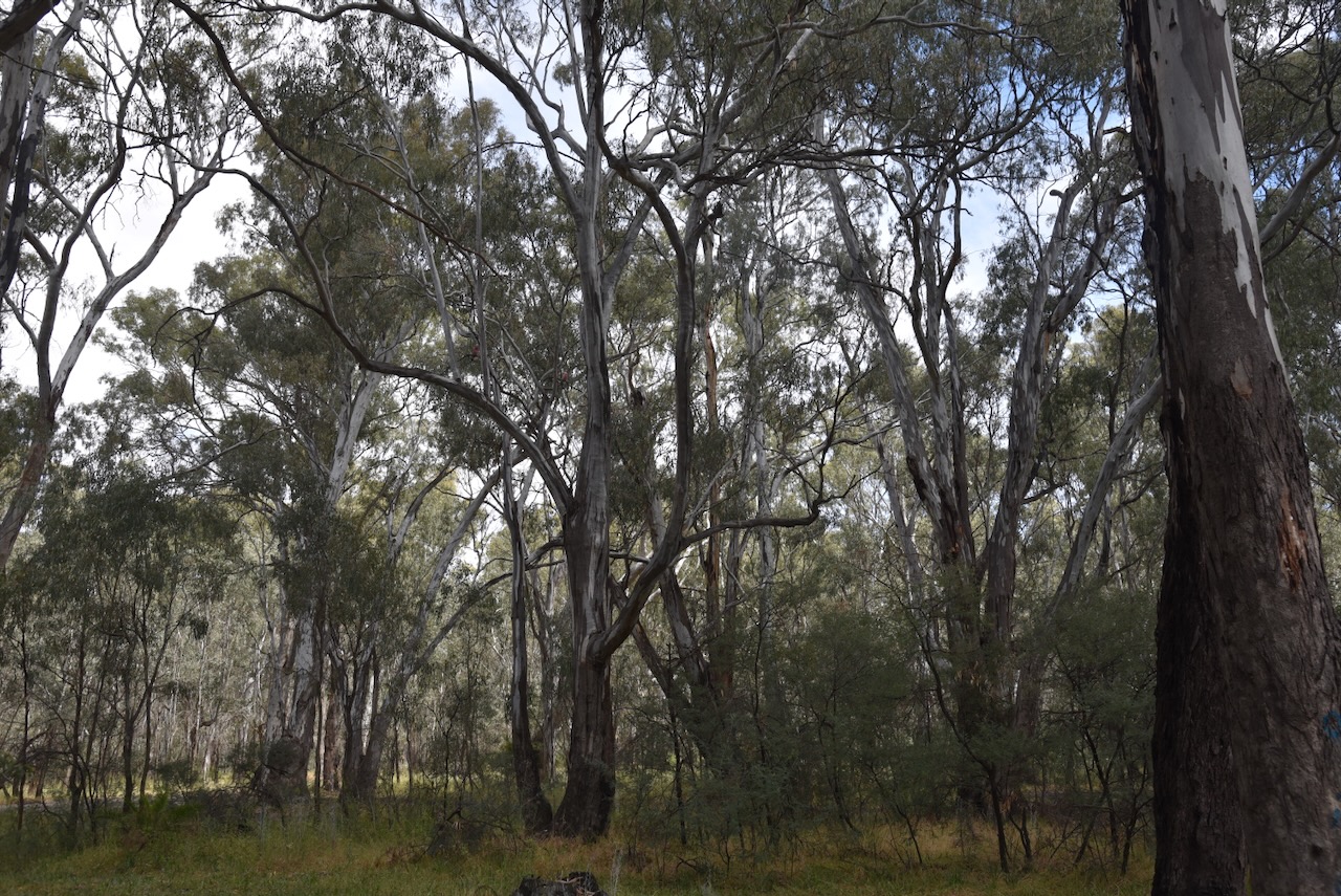
The Tocumwal Regional Park is bounded by the Murray River and the Goulburn Valley Highway.
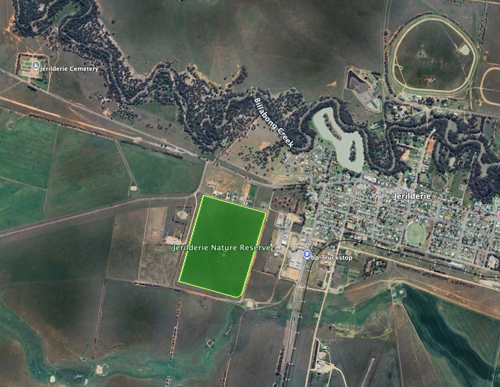
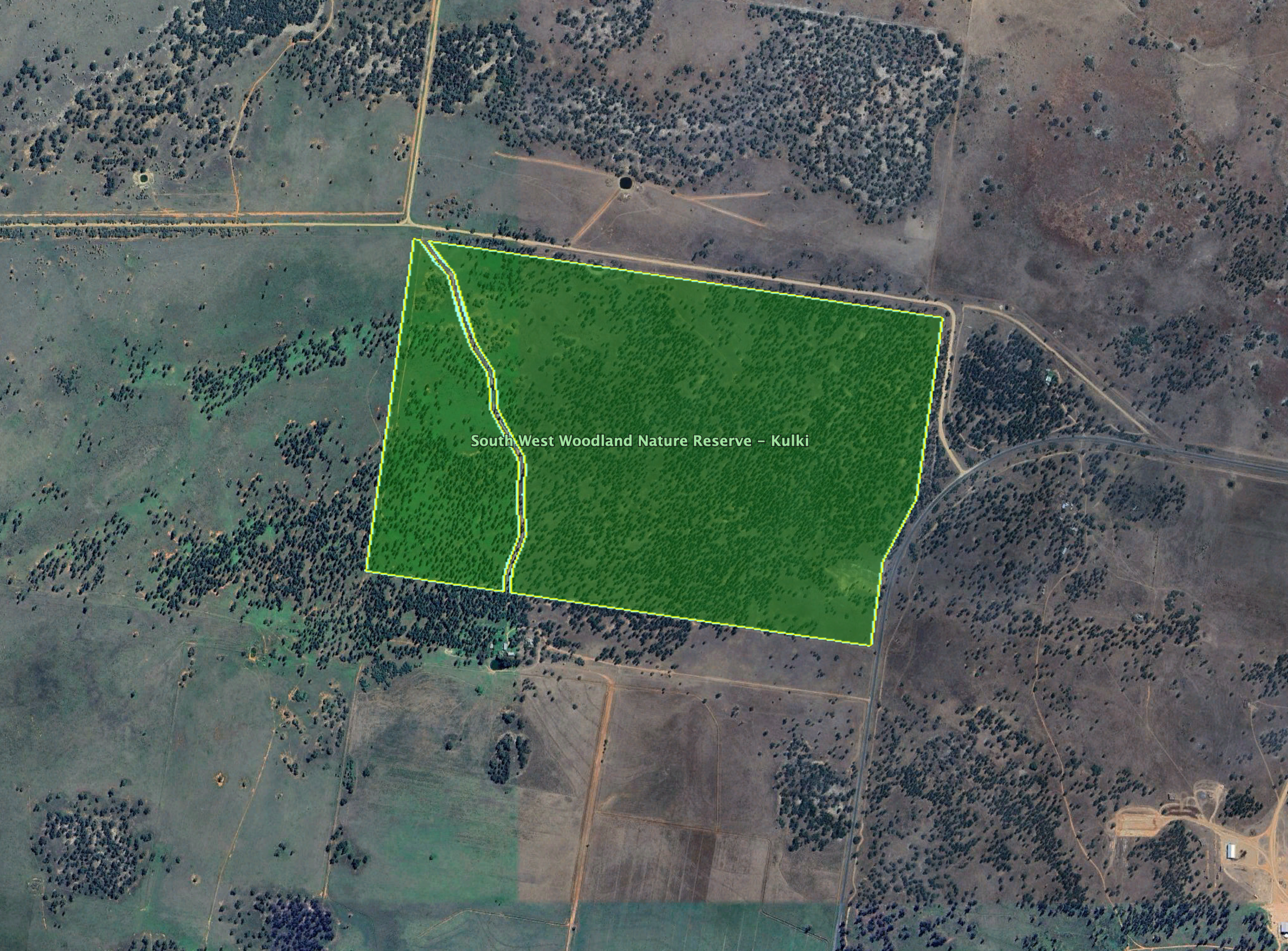
Above: the boundaries of Tocumwal Regional Park. Image c/o Google Earth
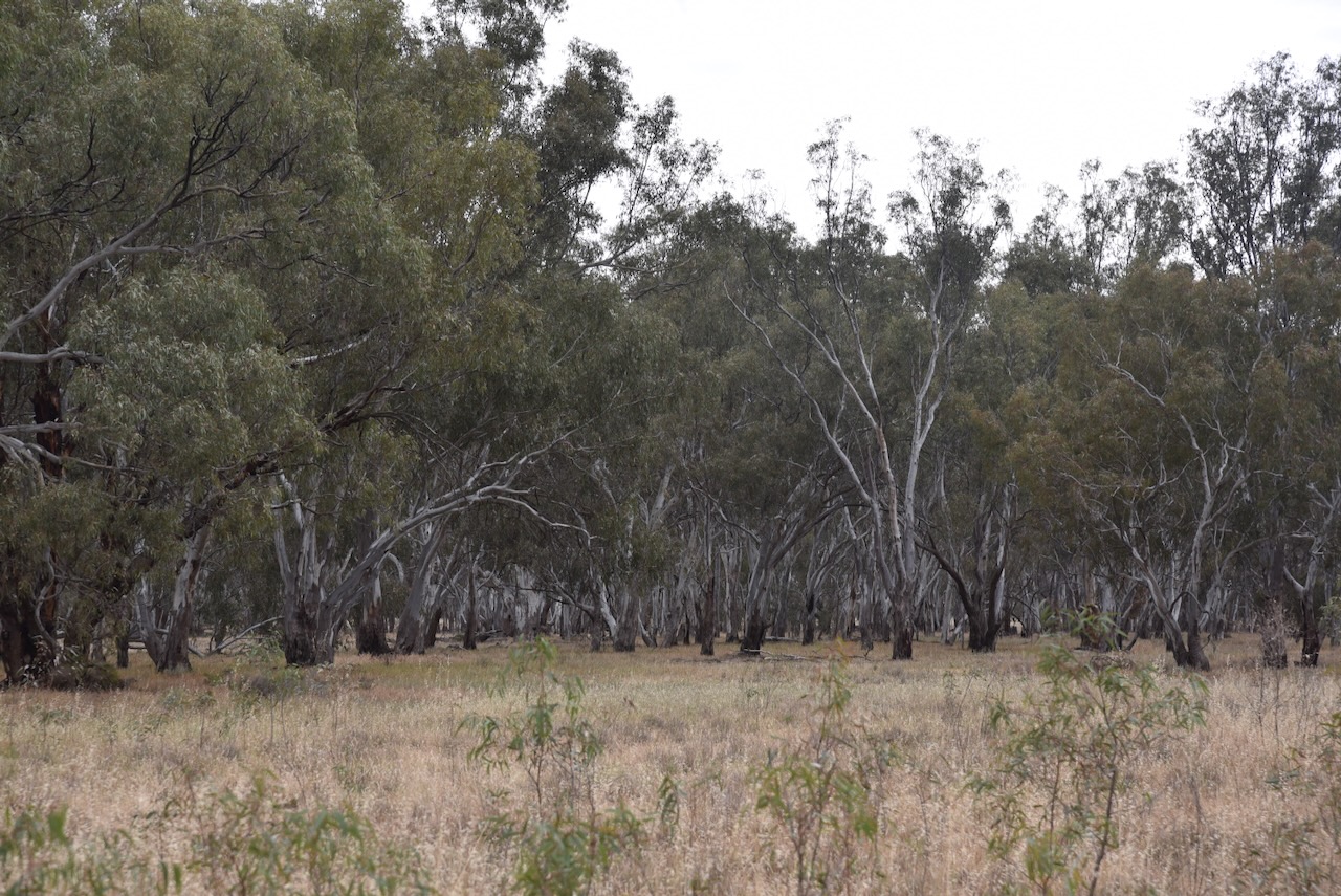
The park includes about 25 sandy riverside beaches and several bush camping sites.
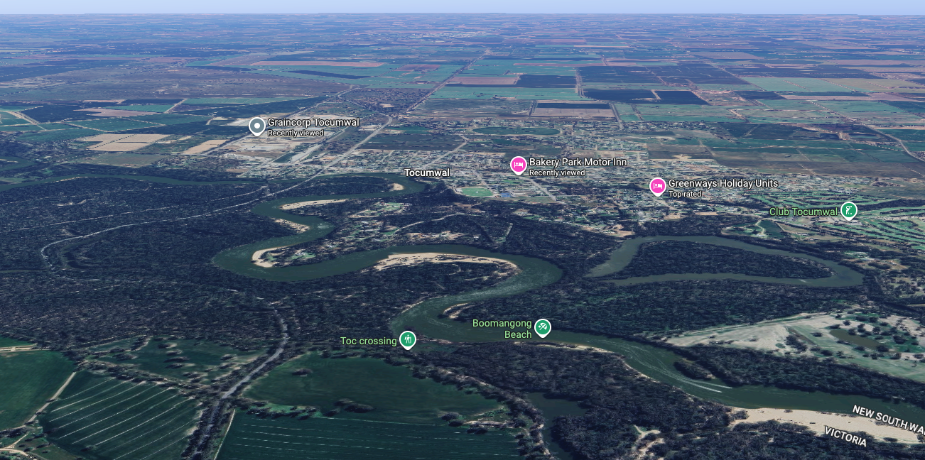
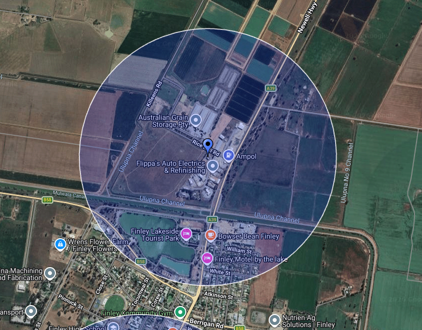
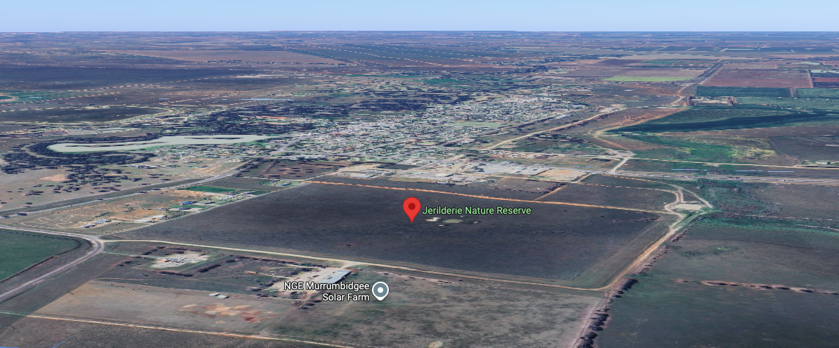
Above: an aerial view of Tocumwal Regional Park. Image c/o Google Maps.
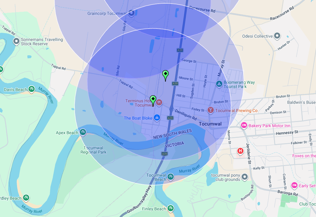
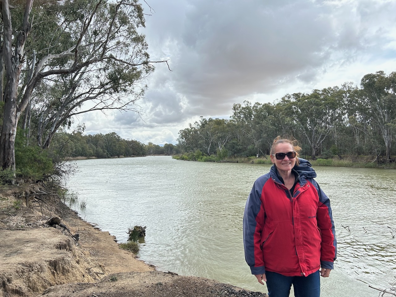
Marija and I drove a short distance down Pump Bend Track and set up very close to the river, and ensured we were in the activation zone of the 2 silos. We operated with the Yaesu FT857, 40 watts, and the 20/40/80m linked dipole.
The activation zone at the 2 silos. Image c/o SiOTA website
We had a group of young lads riding trail bikes in the park, stop to ask us what we were doing. We took the time to explain the hobby of amateur radio to them, and they seemed quite keen and wished us well.
Marija worked the following stations on 40m SSB:-
- VK3PF
- VK3KAI
- VK3DAC
- VK3ACZ
- VK1AD
- VK1NAM
- VK2IO/P (VKFF-0987)
- VK2GEZ/P (VKFF-0987)
- VK2VW
- VK2HFI
- VK2AKA
- VK2BUG
I worked the following stations on 40m SSB:-
- VK3PF
- VK3KAI
- VK3DAC
- VK3ACZ
- VK1AD
- VK1NAM
- VK2IO/P (VKFF-0987)
- VK2GEZ/P (VKFF-0987)
- VK2VW
- VK2HFI
- VK2AKA
- VK2BUG
- VK3ZSC
- VK2YAK
- VK4YAK
- VK3CLD
- VK5QA
- VK2DBF
- VK5HS
- VK2EXA
- VK3KLI
- VK3WRD
- VK2DA
- VK1DA
- VK3BWS
- VK2NP
- VK7EV
- VK3SX
- VK3CEO
- VK5WU
- VK2VMC
- VK3YY
- VK3OAK
- VK5VK
- VK3UH
- VK1AO
- VK2MET
- VK3AIW
- VK3EJ
- VK3ZPF
- VK3JW
- VK3PJF
I worked the following stations on 20m SSB:-
- VK2LEE
- VK2VW
- VK2HFI
- VK2AKA
- VK2BUG
References.
- ancestry (2016). Ancestry® | Genealogy, Family Trees & Family History Records. [online] Ancestry.com.au. Available at: https://www.ancestry.com.au/. [Accessed 26 Mar. 2026]
- Blog. (2017). George Watson and The Melbourne Cup. [online] Available at: https://blog.qm.qld.gov.au/2017/11/02/george-watson-and-the-melbourne-cup/ [Accessed 30 Mar. 2026].
- Eastwood, J. (1976). Watson, George John (1829–1906). [online] Anu.edu.au. Available at: https://adb.anu.edu.au/biography/watson-george-john-4810 [Accessed 30 Mar. 2026].
- Facebook.com. (2026). Explored Visions by GD. [online] Available at: https://www.facebook.com/exploredvisions [Accessed 26 Mar. 2026].
- Patenall, D. (1972). Falkiner, Franc Sadleir (1833–1909). [online] Anu.edu.au. Available at: https://adb.anu.edu.au/biography/falkiner-franc-sadleir-3495 [Accessed 30 Mar. 2026].
- Trove. (2026). THE HISTORY OF TOCUMWAL – No. 64— Weekly Times Country Towns Series – Weekly Times (Melbourne, Vic. : 1869 – 1954) – 27 Dec 1930. [online] Available at: https://trove.nla.gov.au/newspaper/article/224917025 [Accessed 30 Mar. 2026].
- Trove. (2026). Sydney News. – THE SCHEDULES. (From the Empire, Nov. 14.) – The Maitland Mercury and Hunter River General Advertiser (NSW : 1843 – 1893) – 17 Nov 1855. [online] Available at: https://trove.nla.gov.au/newspaper/article/708762/129360 [Accessed 30 Mar. 2026].
- Trove. (2026). DEATH OF A PIONEER. – THE FOUNDER OF TOCUMWAL. TOCUMWAL, Monday. – The Herald (Melbourne, Vic. : 1861 – 1954) – 27 Jun 1892. [online] Available at: https://trove.nla.gov.au/newspaper/article/242861308?searchTerm=edward%20hillson [Accessed 30 Mar. 2026].
- Trove. (2026). The Murray Bridge at Tocumwal. – Weekly Times (Melbourne, Vic. : 1869 – 1954) – 20 Apr 1895. [online] Available at: https://trove.nla.gov.au/newspaper/article/220542875?searchTerm=tocumwal%20%2B%20bridge%20%2B%20open [Accessed 31 Mar. 2026].
- Trove. (2026). Obituary. – MR J. T. HOUGHTON. – Tocumwal Guardian and Riverina Echo (NSW : 1913 – 1918) – 12 Apr 1918. [online] Available at: https://trove.nla.gov.au/newspaper/article/128729469?searchTerm=houghtons%20wine%20saloon%20tocumwal [Accessed 31 Mar. 2026].
- Visitnsw.com. (2015). Big Murray Cod. [online] Available at: https://www.visitnsw.com/destinations/country-nsw/the-murray/tocumwal/attractions/big-murray-cod. [Accessed 30 Mar. 2026]
- Wikipedia Contributors (2026). Benjamin Boyd. Wikipedia.
- Wikipedia. (2020). Indentured servitude. [online] Available at: https://en.wikipedia.org/wiki/Indentured_servitude. [Accessed 30 Mar. 2026]
- Wikipedia Contributors (2026). Tocumwal. Wikipedia.