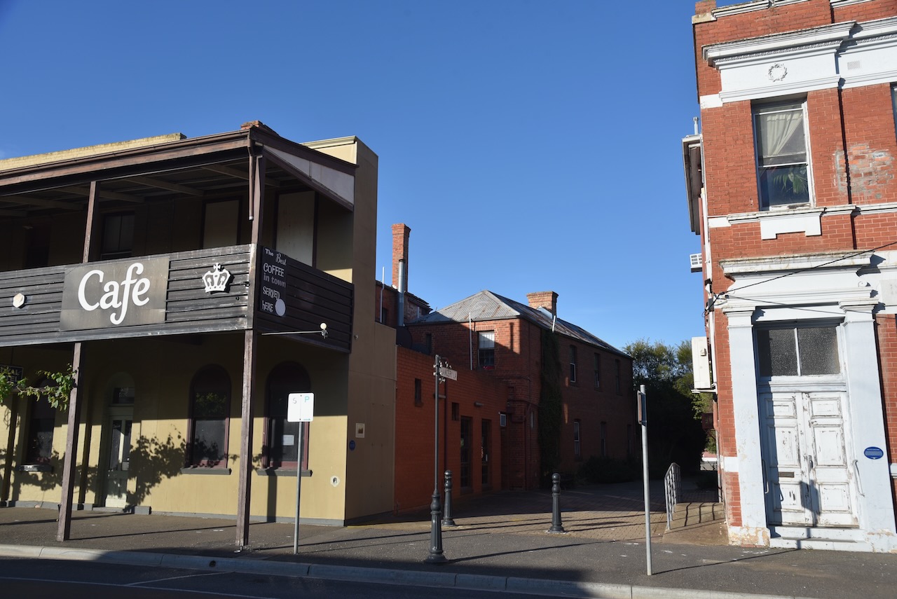
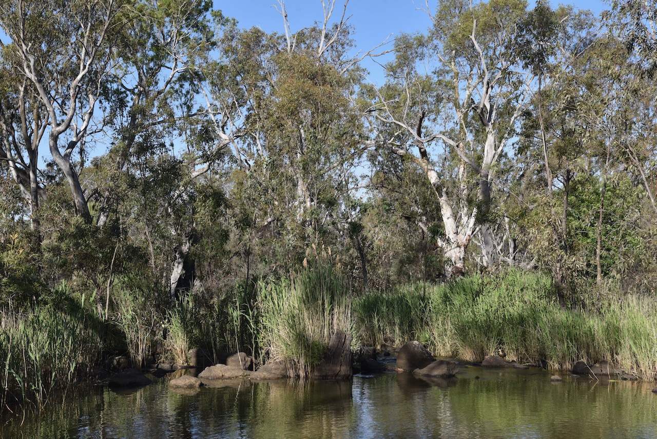
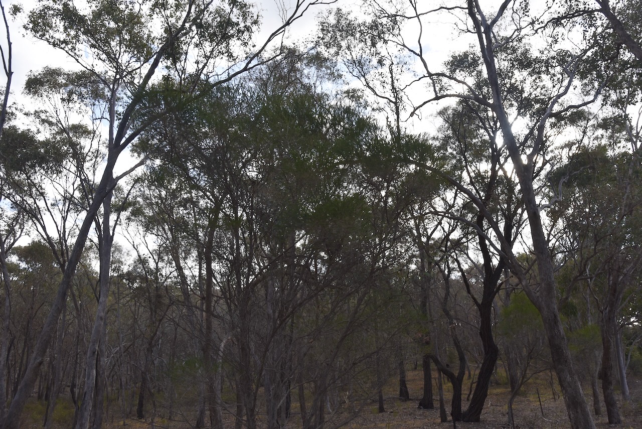
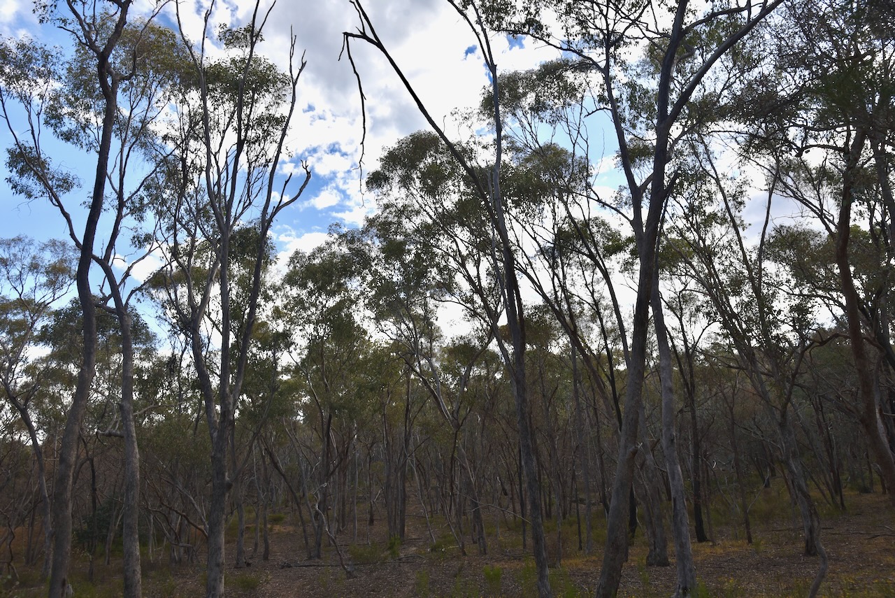
Our next activation for Tuesday, 29th October 2024, was the Junortoun Bushland Reserve VKFF-5182. The park is located about 8 km east of Bendigo.
Before European occupation, the Junortoun district was home to the Dja Dja Wurrung Aboriginal people.
In February 1855, Charles Boyle acquired allotments in section 15 of Strathfieldsaye parish. His property was called Homebush. (Tripod.com, 2025)
The settlement was centred around Homebush Estate, a property of about 2,000 acres owned by the Lazarus family, which extended along the valley of Splitters Creek. The homestead was situated about 5 1/2 miles from Bendigo on the current McIvor Highway. (Junortoun Community Action Group, 2018) (Tripod.com, 2025) (Victorianplaces.com.au, 2015)
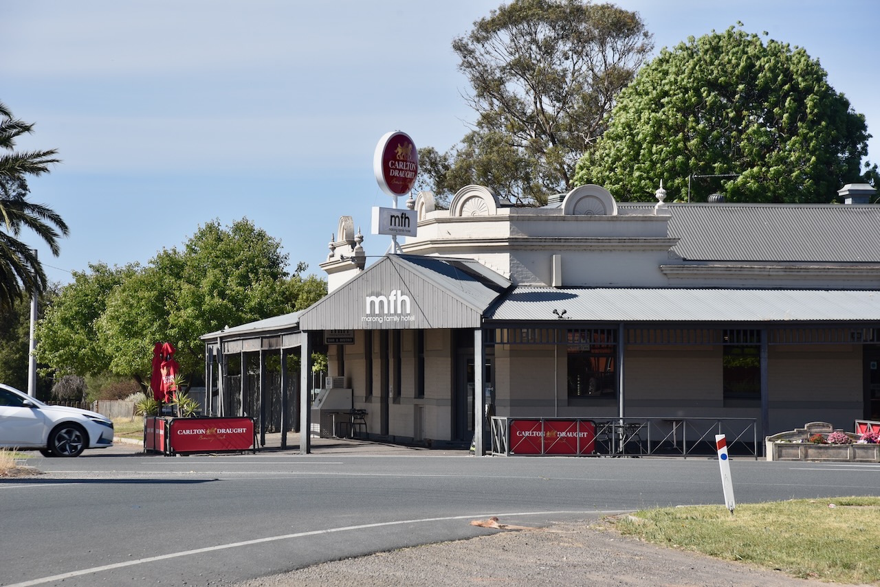
There were two hotels in the district, the Homebush Hotel and the Farmers Arms Hotel, built in 1896. The Farmers Arms Hotel was destroyed by fire in February 2009. (Tripod.com, 2025) (Victorianplaces.com.au, 2015)
Up until the early 1970s, the homestead was the receiving Post Office for the district. During the early 1900s, there were several complaints regarding mail being redirected to Homebush in New South Wales. This resulted in the Postal Authorities deeming that a name change was necessary. (Tripod.com, 2025)
Meetings of local residents subsequently took place, and name suggestions were proposed. The owner of Homebush, Mr. Samuel Lazarus, proposed that the name be ‘Junor’ after his wife Mary’s maiden name. However, the authorities declined this name because it was too similar to Junee in New South Wales. (Tripod.com, 2025)
Above:- Mary Isabella Lazarus, nee Junor. Image c/o ancestry.com.au
The suffix of ‘toun’ was subsequently added to ‘Junor’, and this was submitted and accepted as the new name. (Junortoun Community Action Group, 2018)
Above:- Article from The Bendigo Independent, Tue 28 Nov 1916. Image c/o Trove.
The reserve is located on the southern side of McIvor Highway at the junction with Wilkie Road.
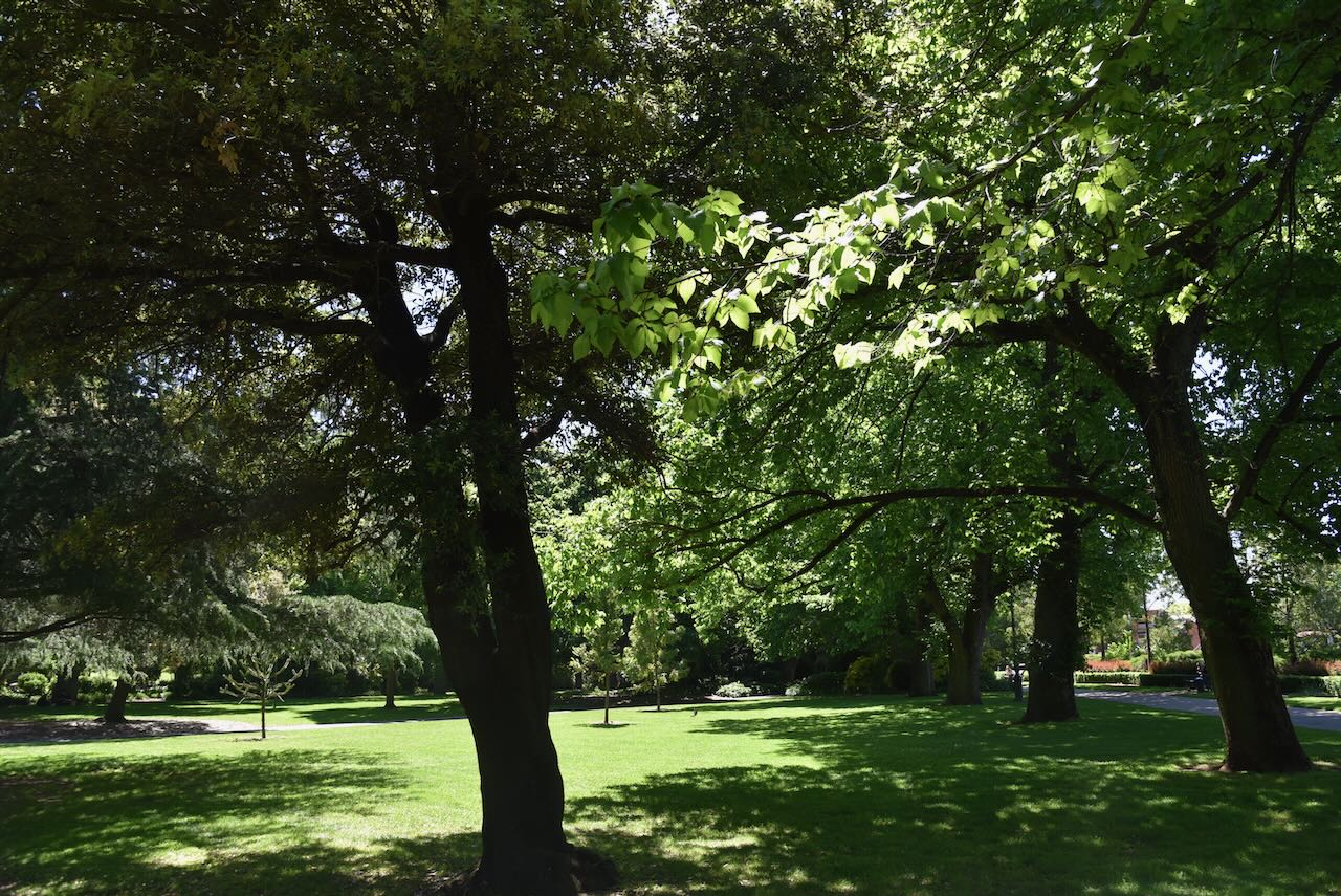
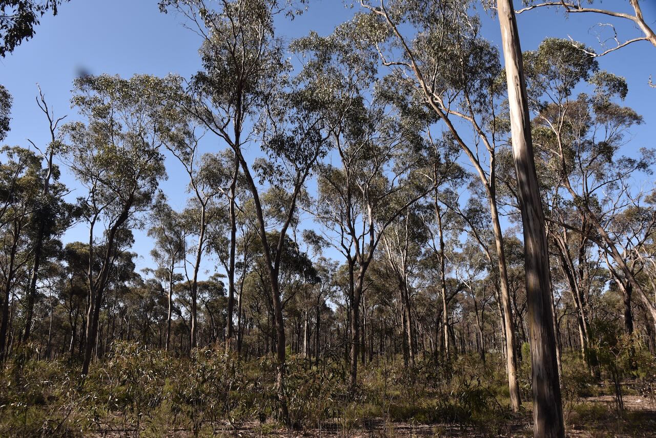
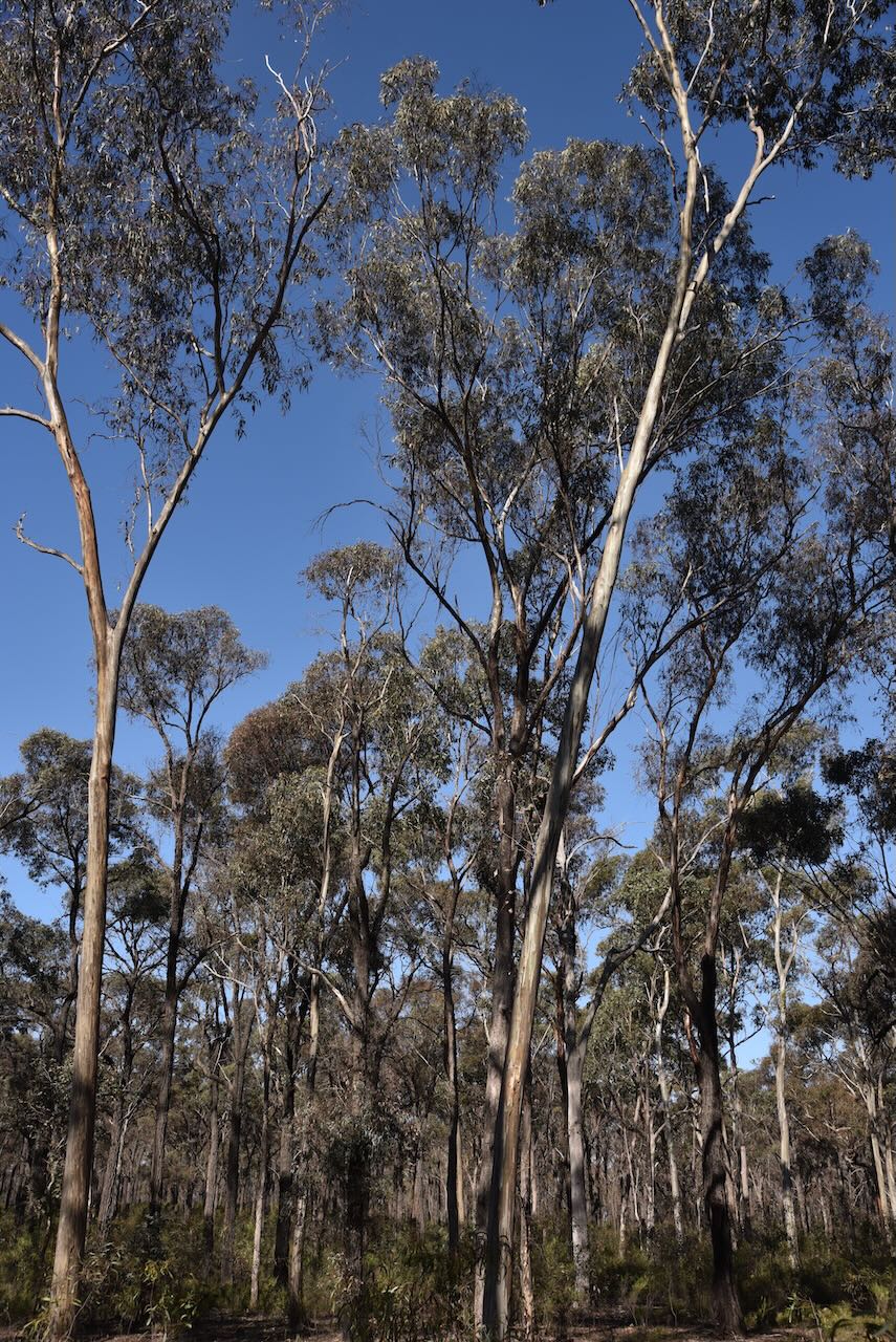
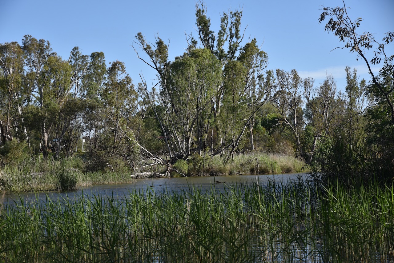
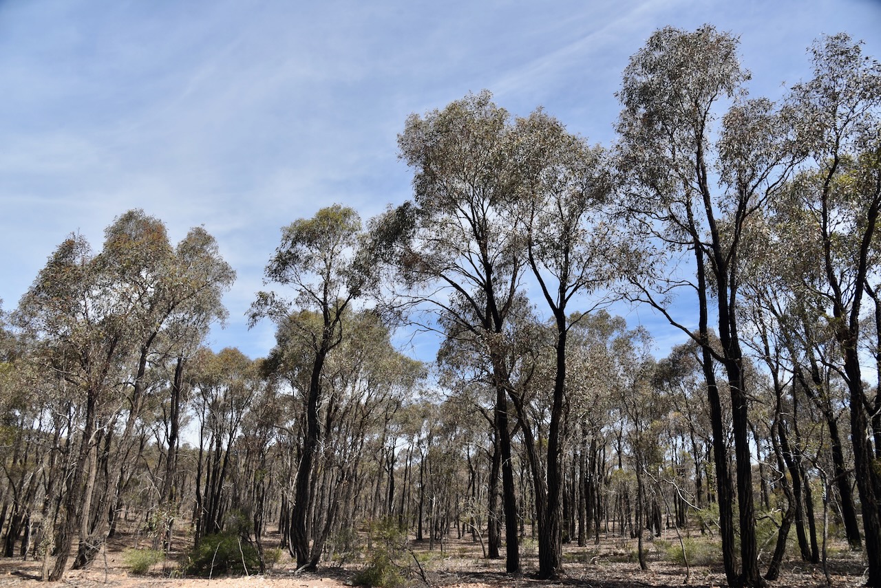
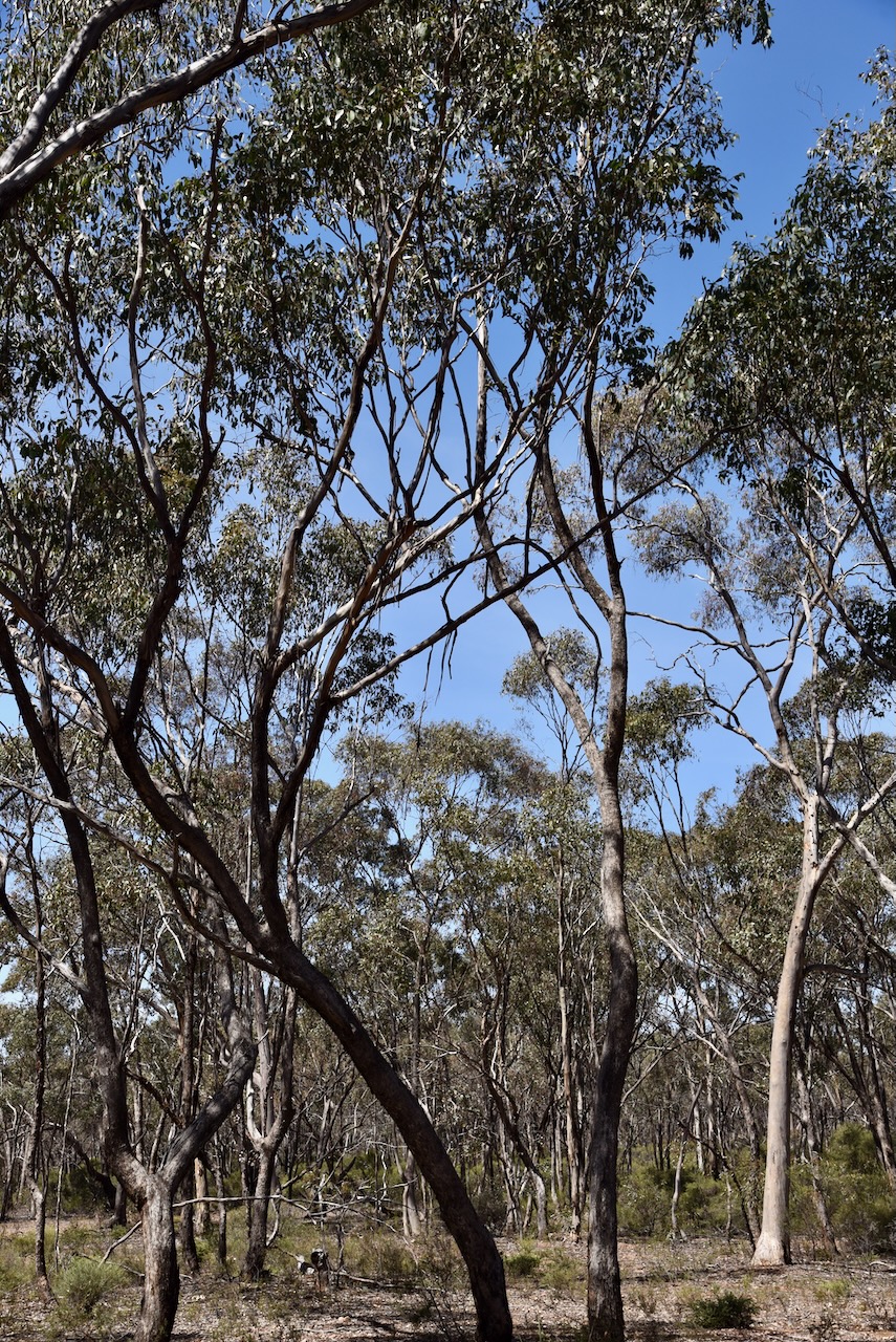
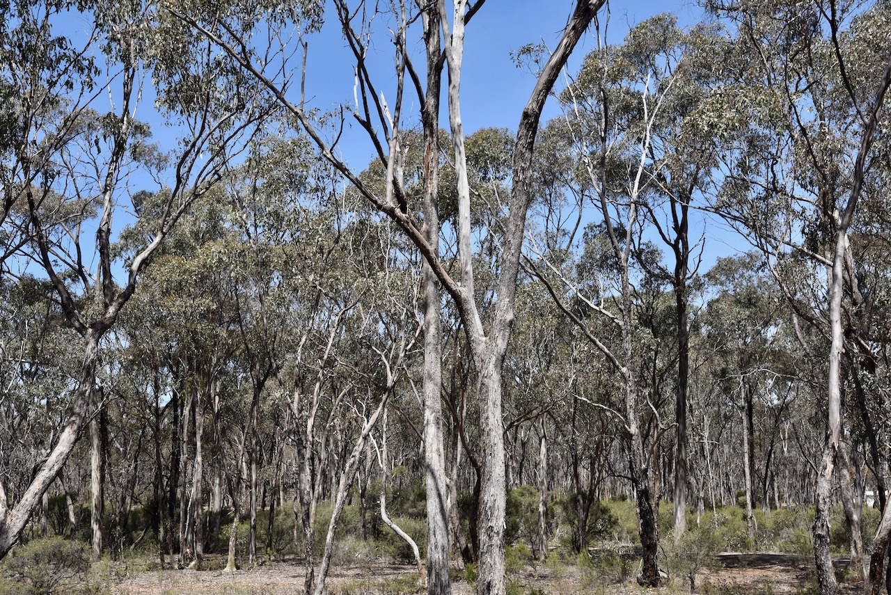
When we arrived at the park, this is what we were faced with. Power lines were running through a very heavily wooded park. We were really concerned that there would be significant noise in this park.
The Junorton Bushland Reserve is about 2 hectares in size and was established on the 3rd day of August 2006. (CAPAD 2022)
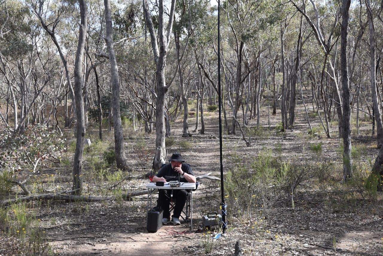
For this activation, we ran the Yaesu FT857, 40 watts, and the 20/40/80m linked dipole. Fortunately, the 40m band had only a crackly noise floor of strength 2.
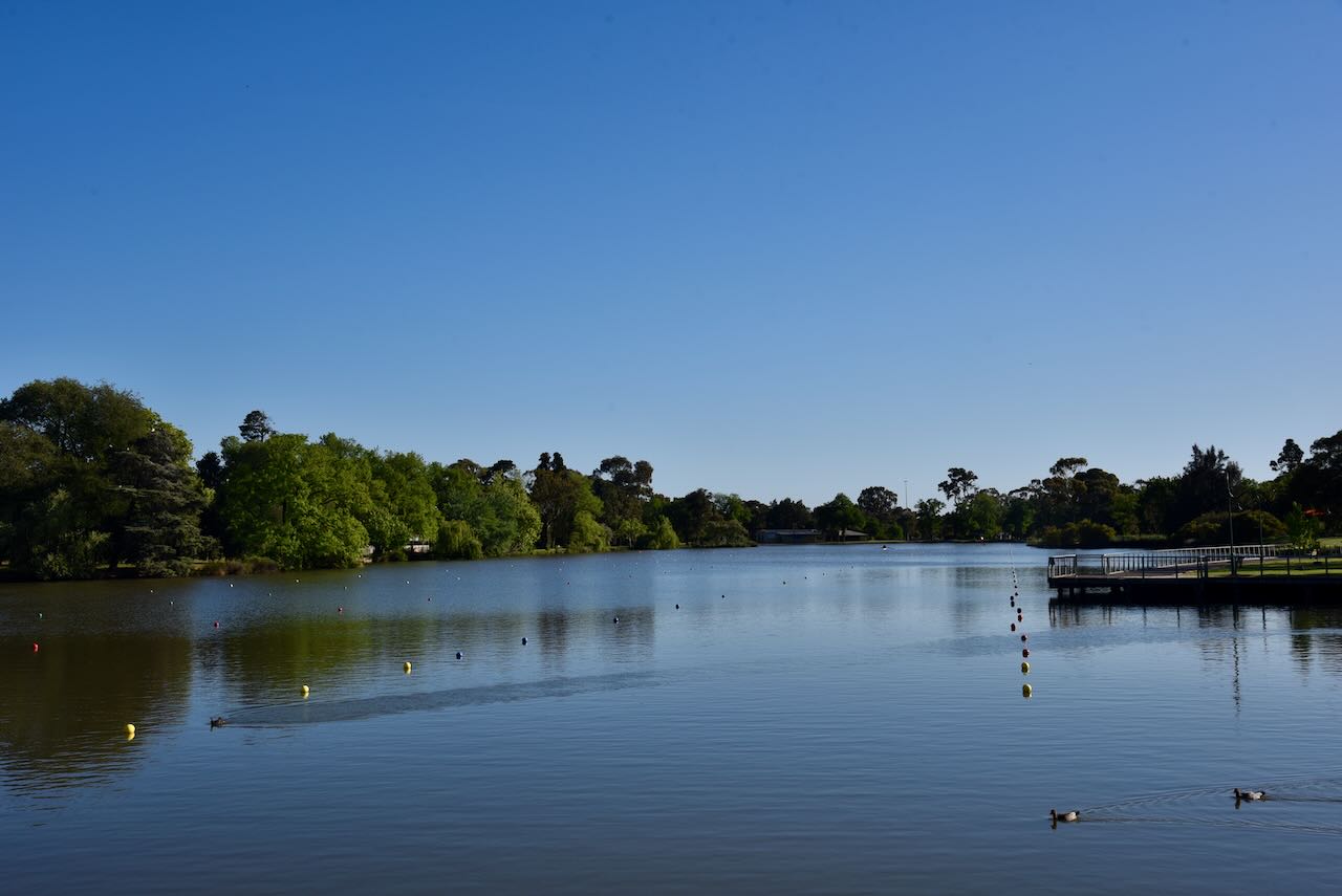
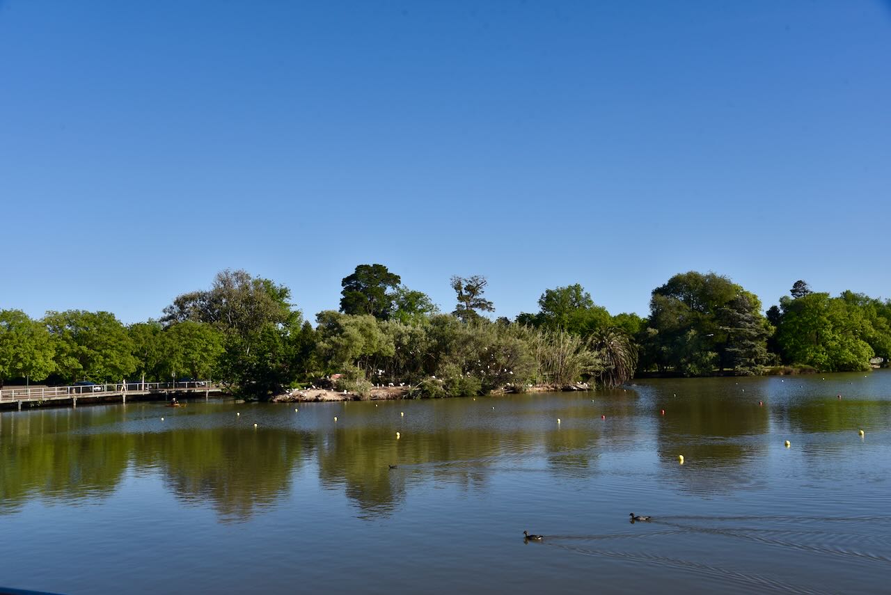
It was now Tuesday, 29th October 2024. Marija and I headed out for breakfast at the Whitby cafe in Bendigo, on the shore of Lake Weerona. It was a beautiful morning and a very nice meal.
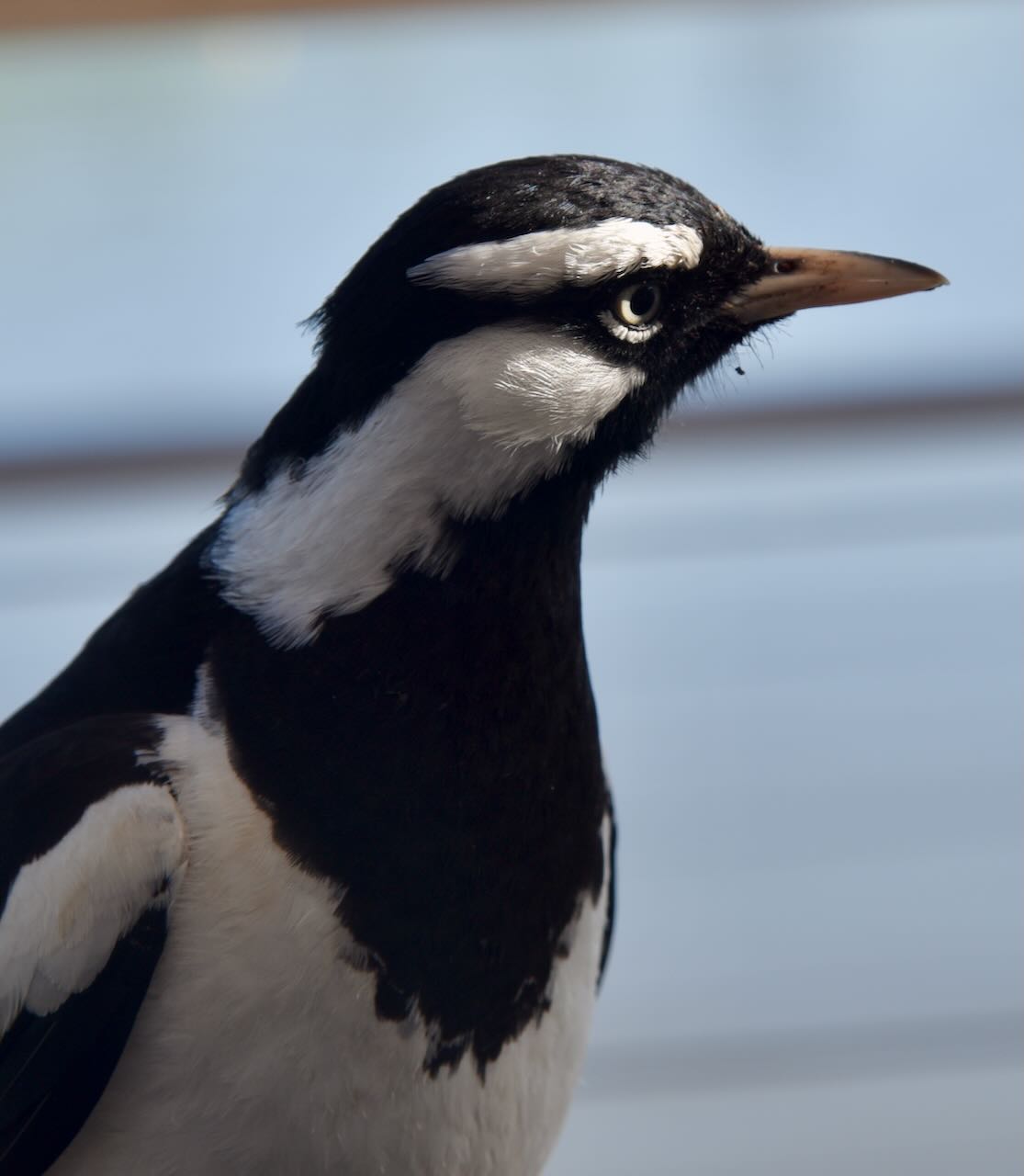
During our breakfast, we had this little visitor keen on some of our leftovers, a Piping Shrike, the bird which features on South Australia’s state badge.
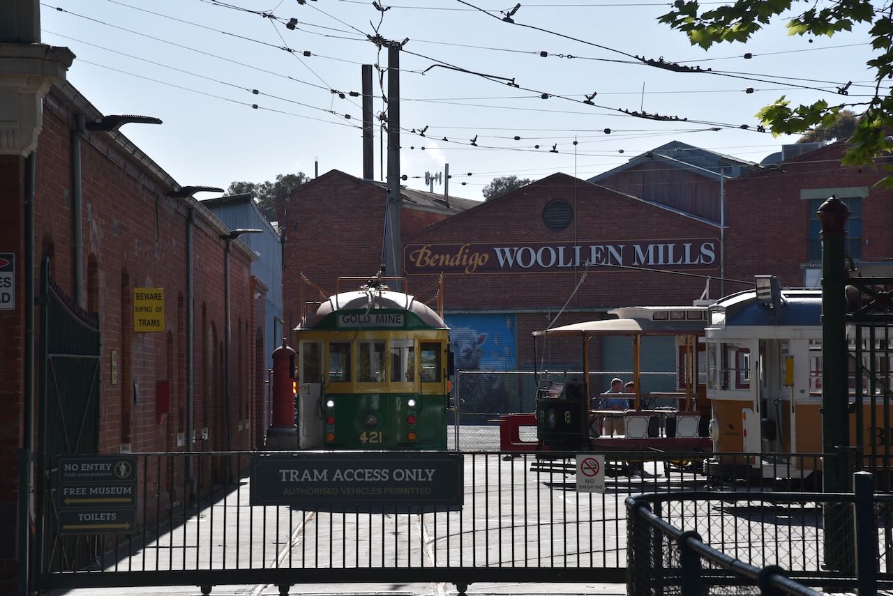
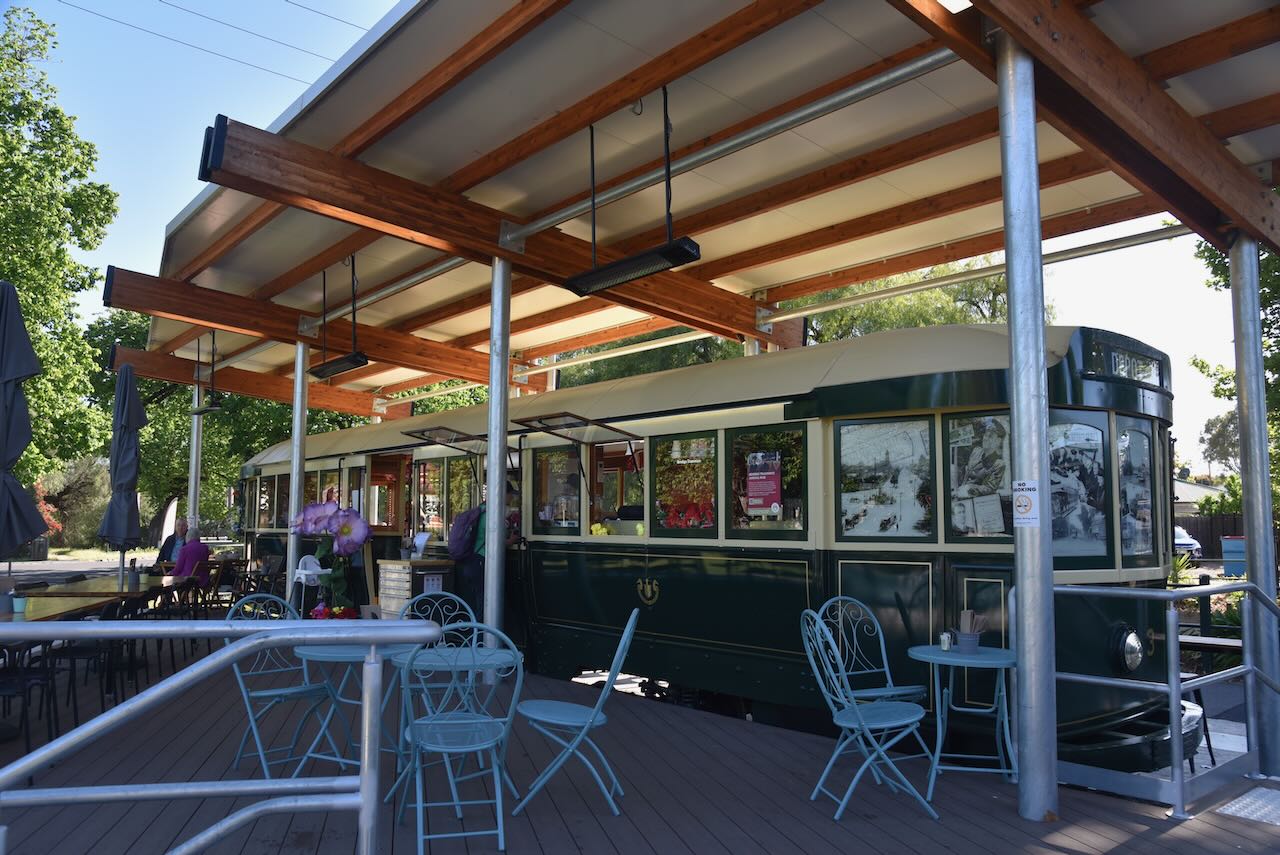
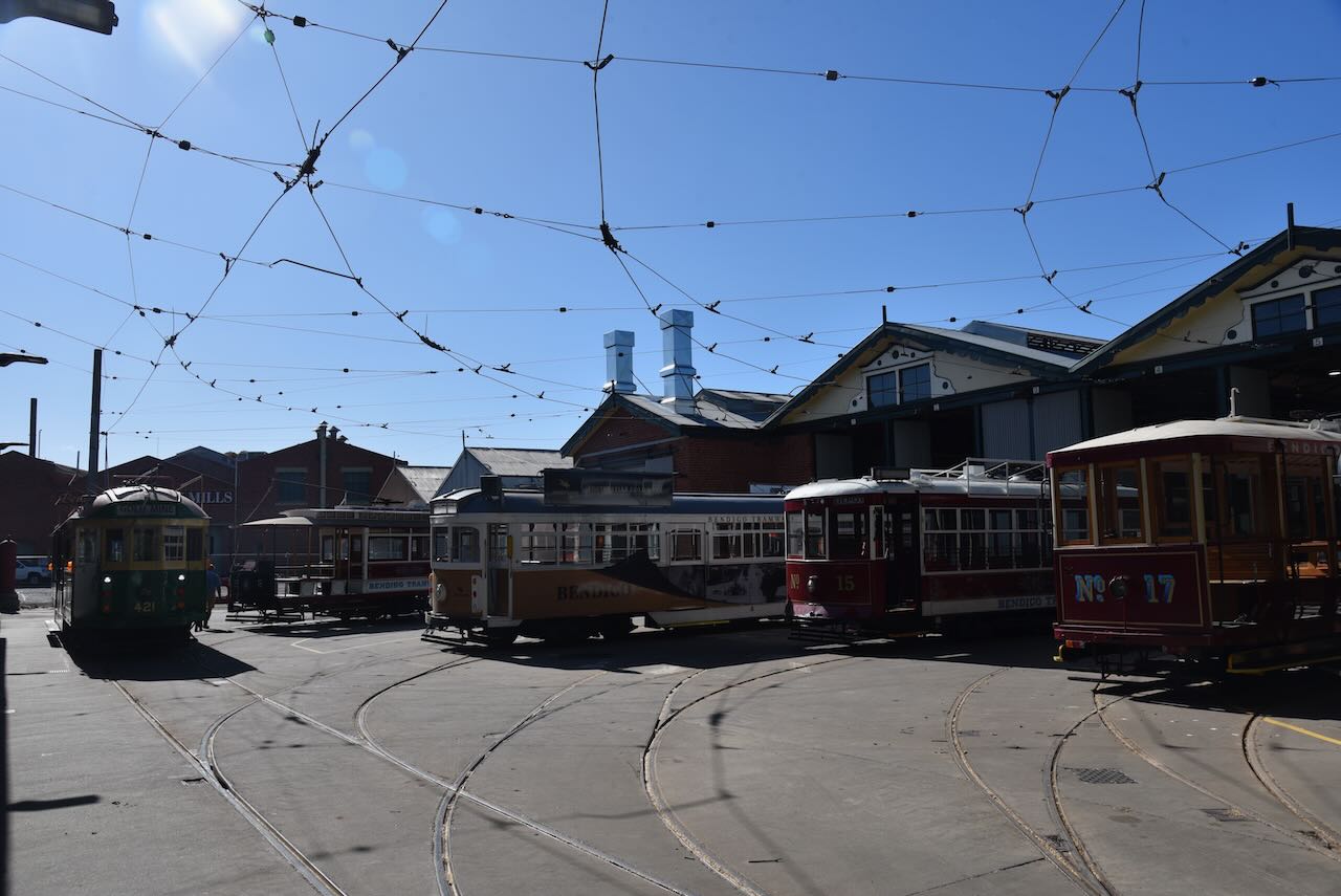
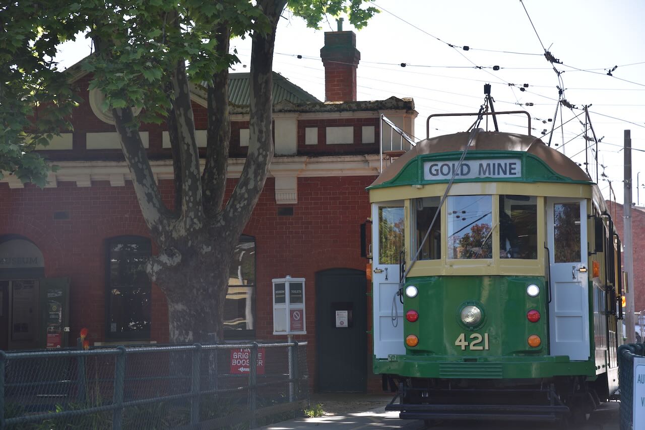
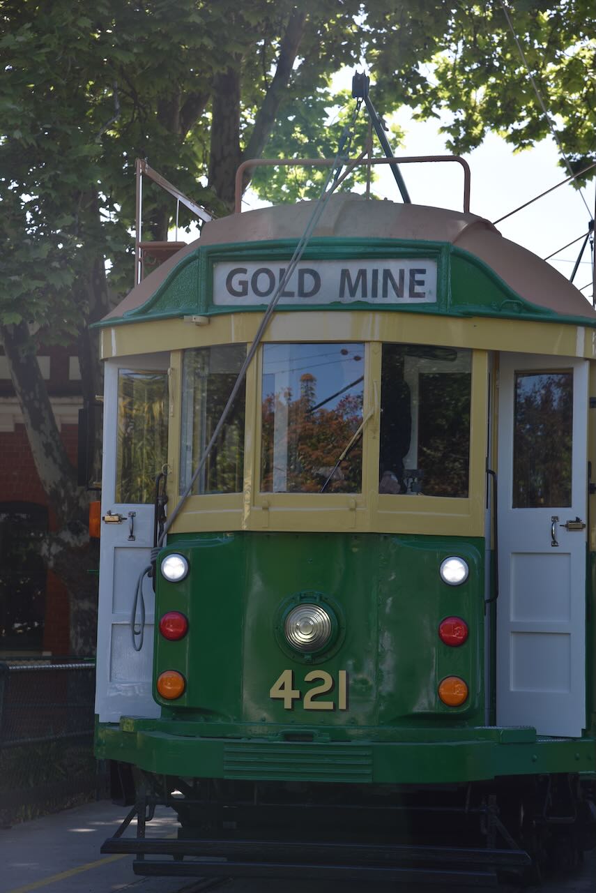
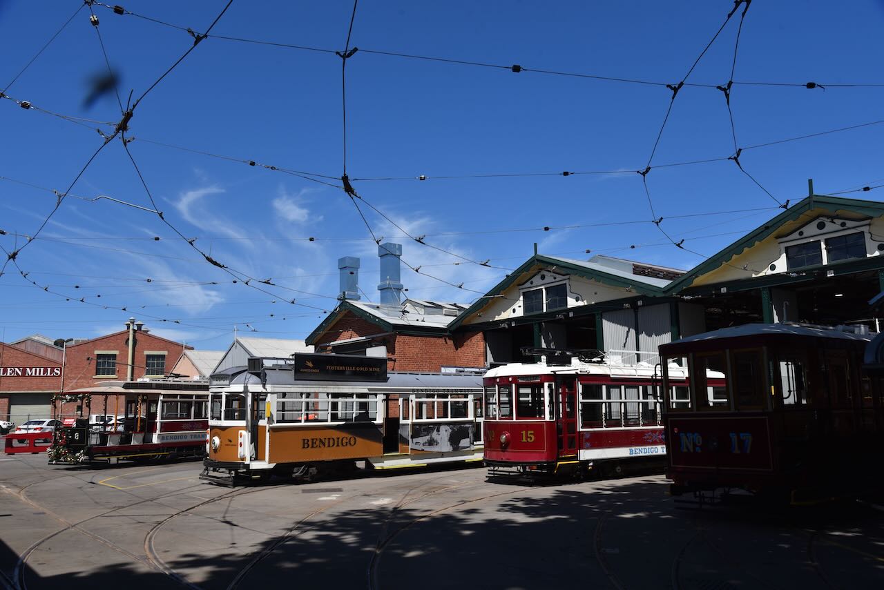
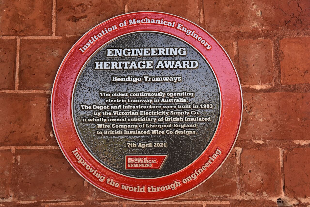
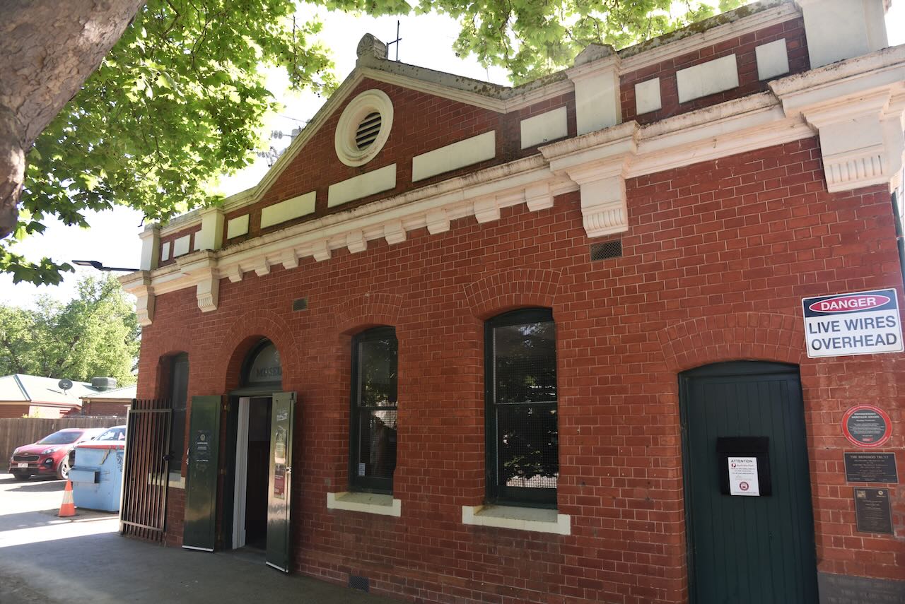
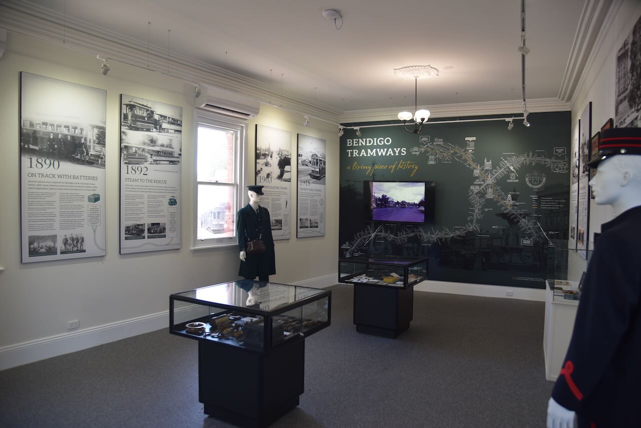
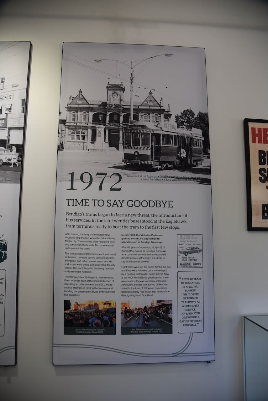
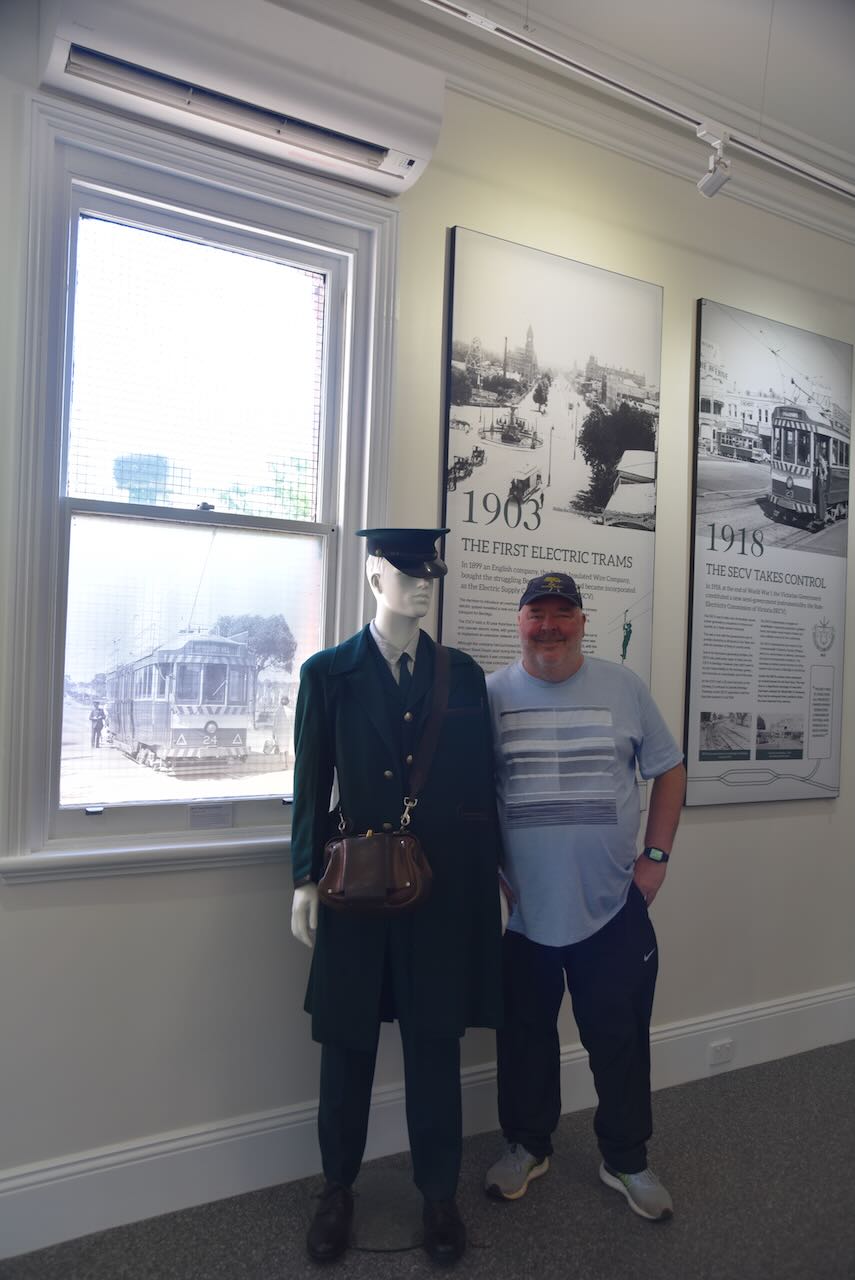
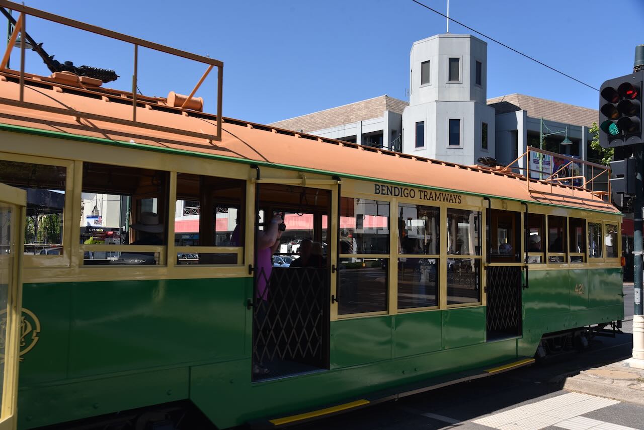
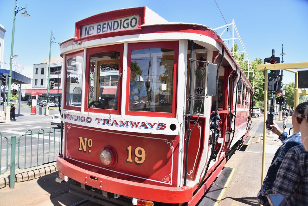
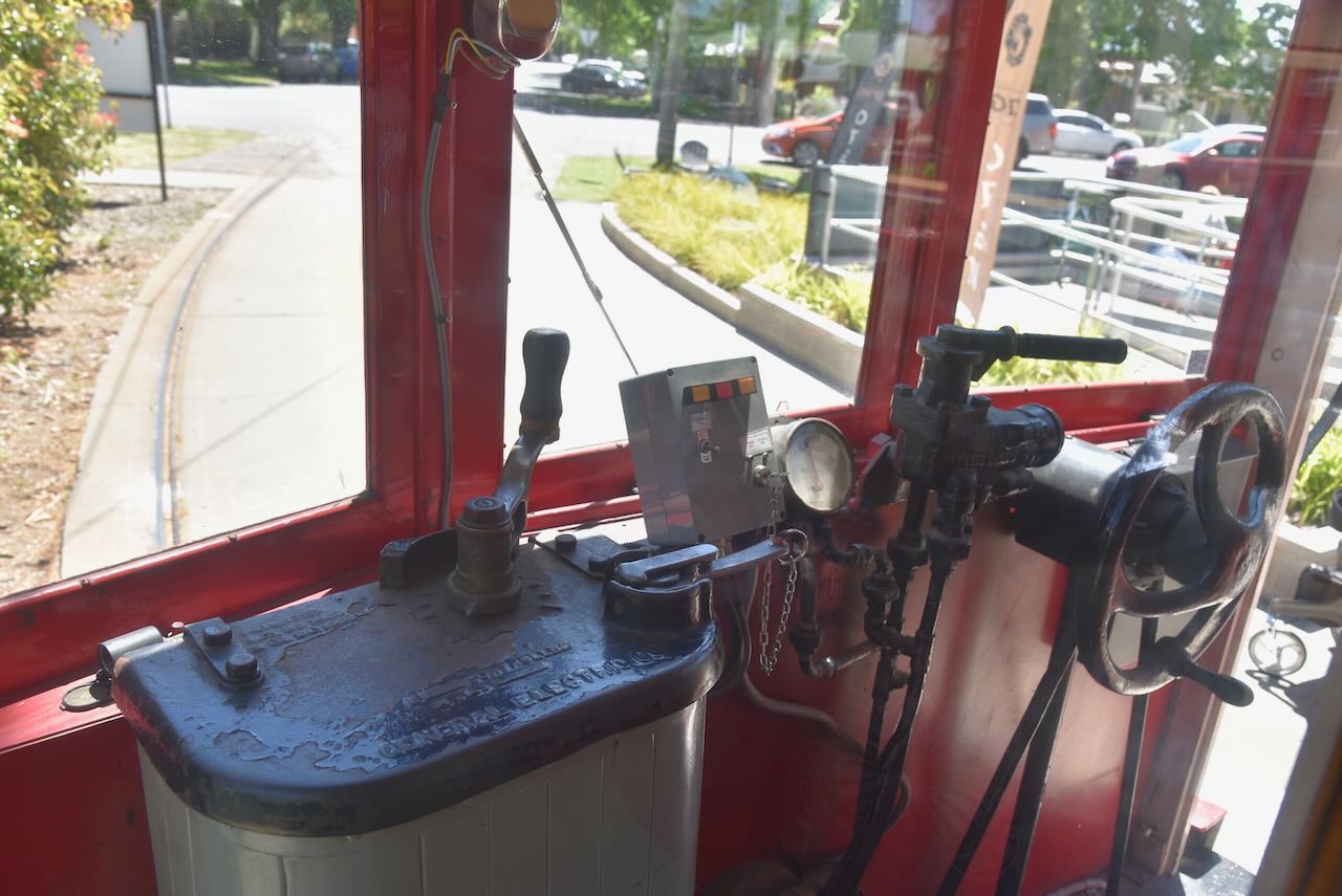
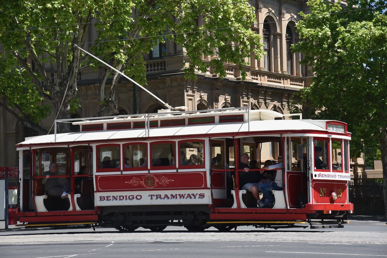
Following breakfast, Marija and I headed to the Tramways Museum at Bendigo. We had been here previously on a prior visit to Bendigo, but enjoyed it so much that we decided to visit once again.
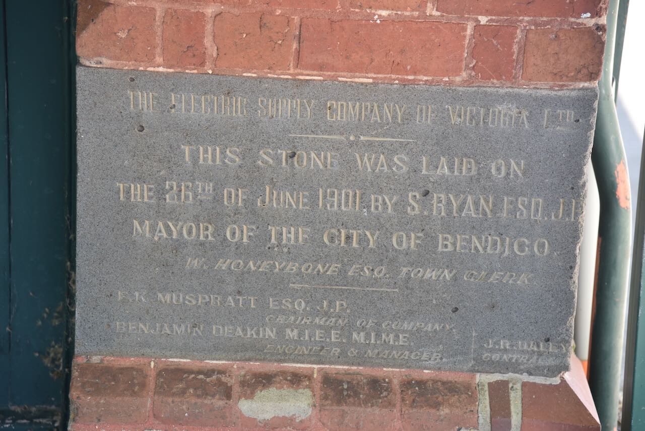
The tram museum display is located in the old Electric Supply Company of Victoria Limited building, that was opened in 1901.
The display features a fascinating look at the 130-year tramway history of Bendigo.
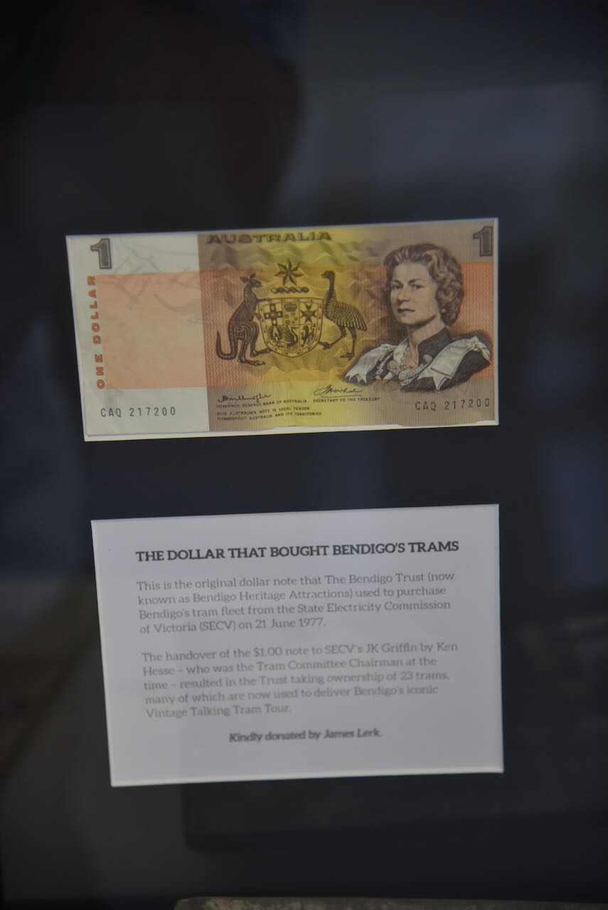
One of the interesting items in the museum is the original dollar note that the Bendigo Trust used to purchase Bendigo’s tram fleet from the State Electricity Commission of Victoria in 1977.
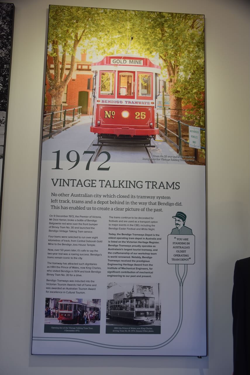
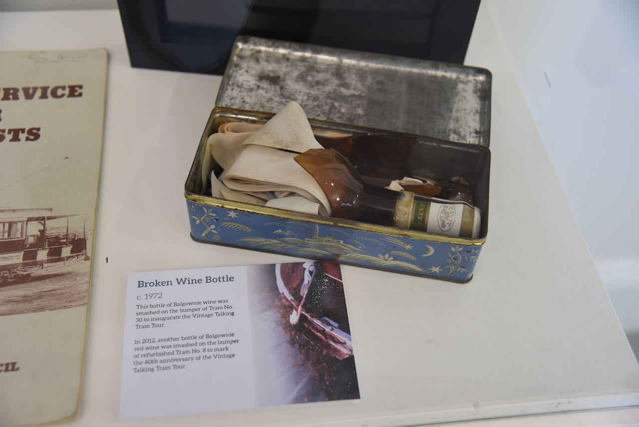
Another interesting item is a broken bottle of Balgownie wine that was smashed on the bumper of Tram No. 30 to inaugurate the Vintage Talking Tram tour.
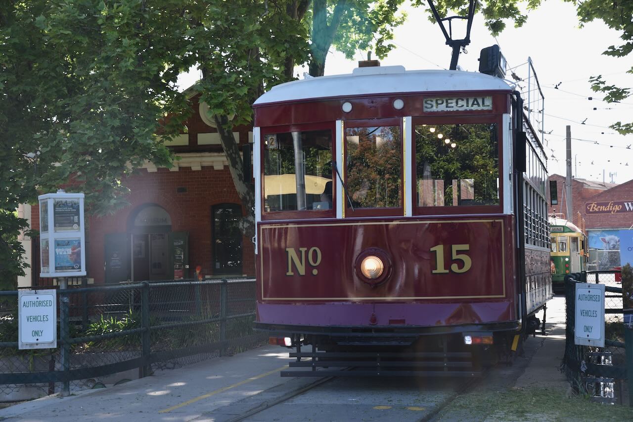
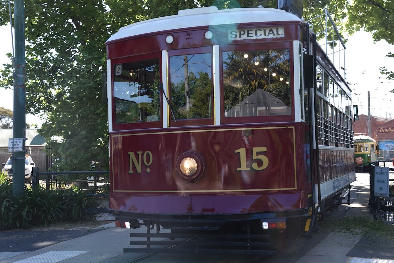
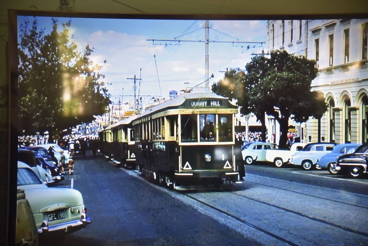
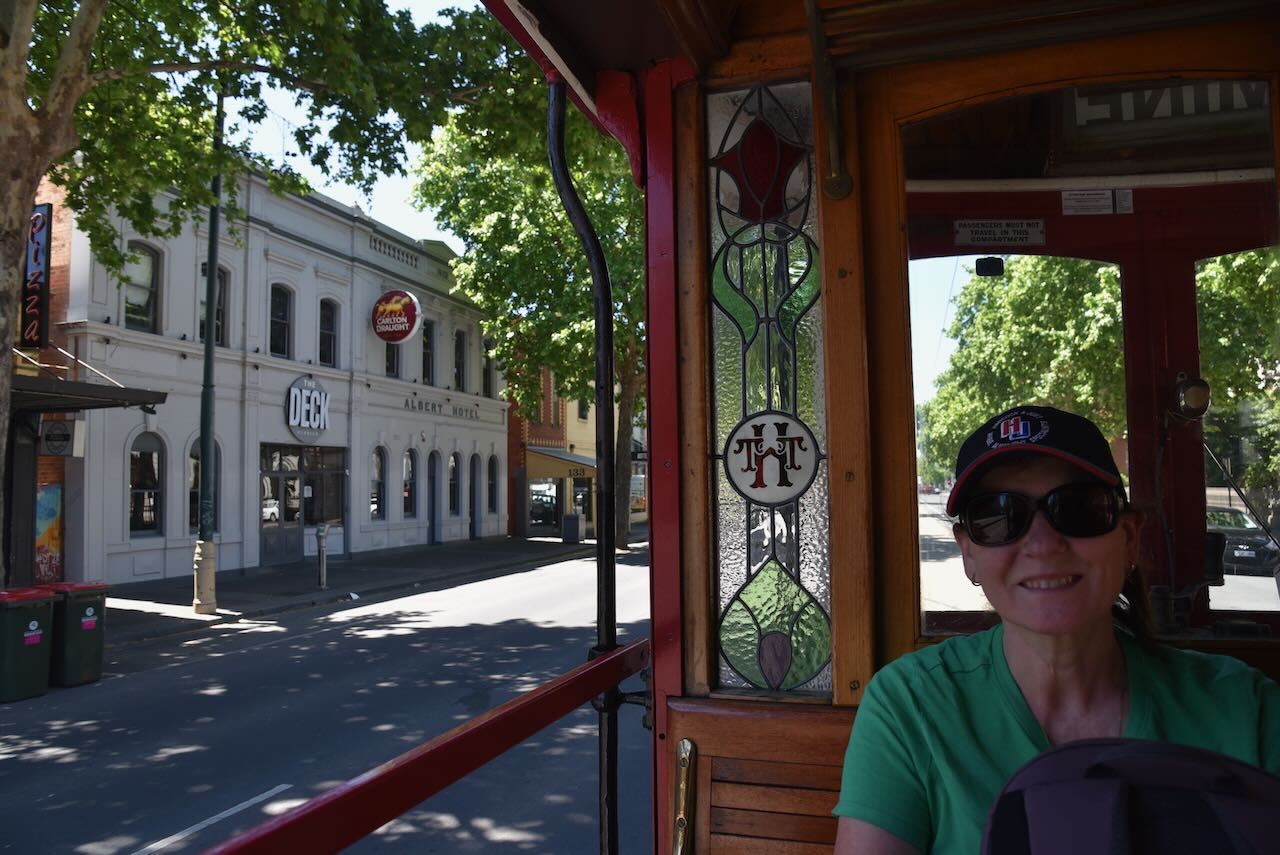
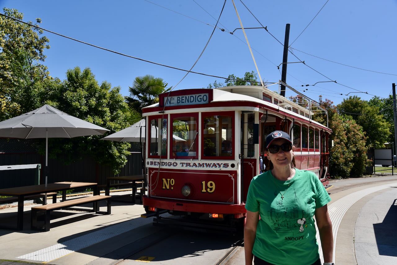
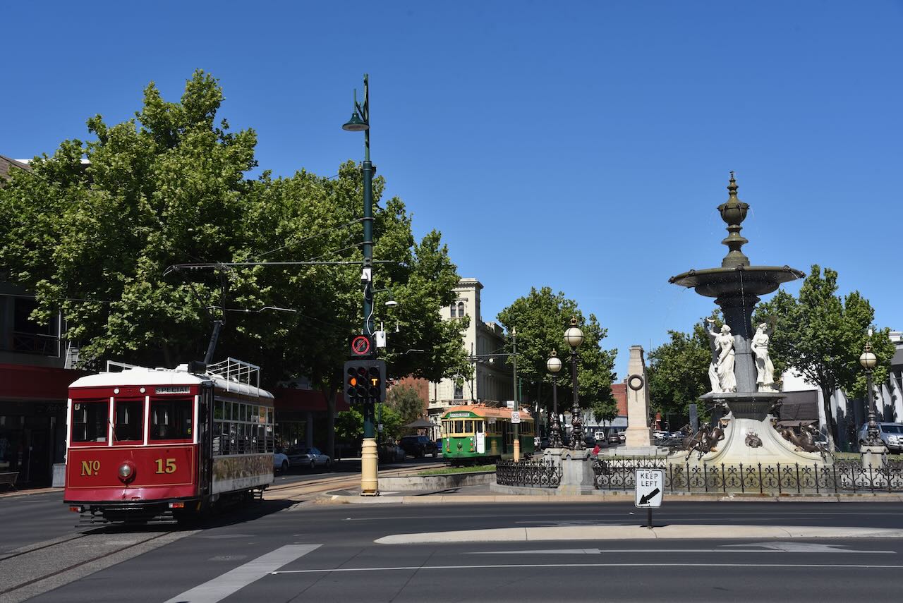
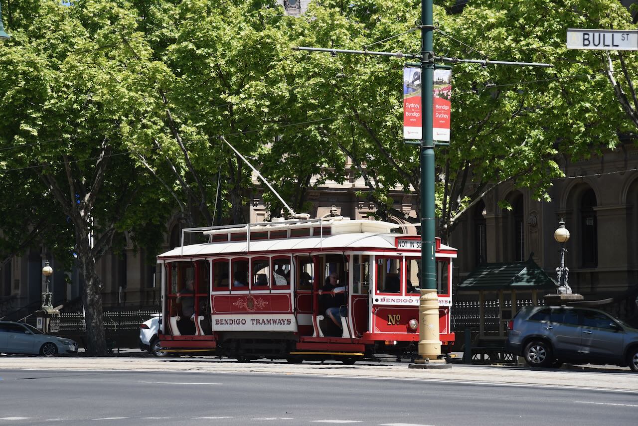
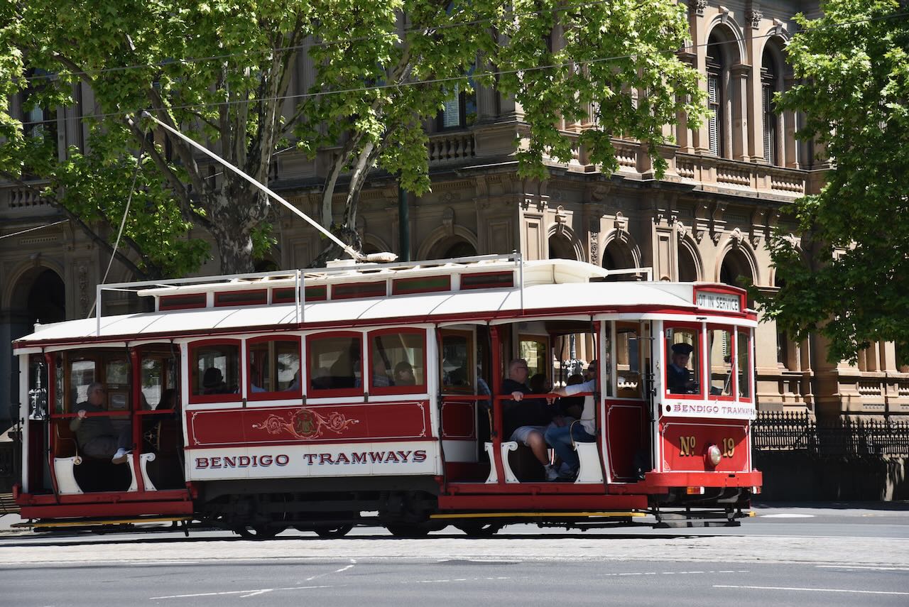
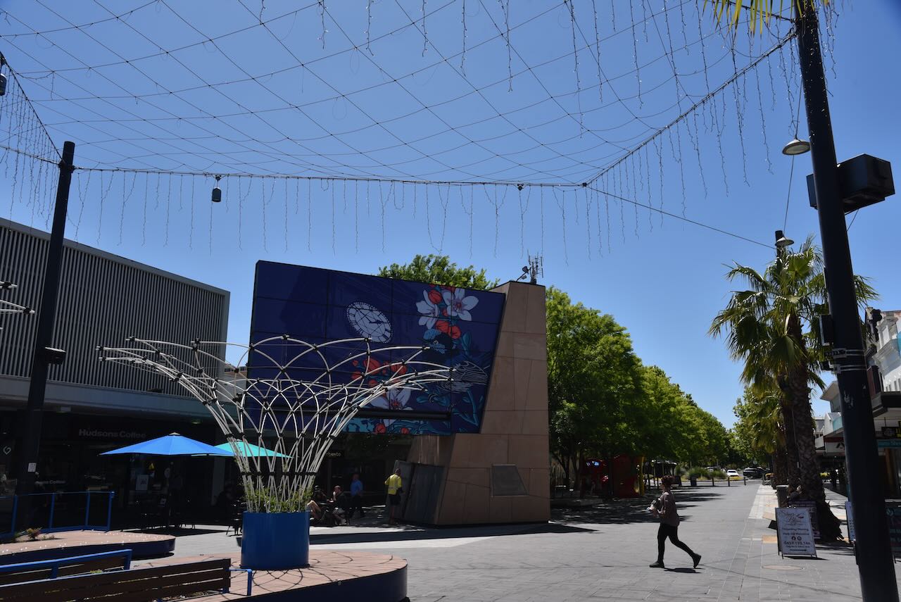
After spending some time in the museum, Marija and I boarded one of the vintage talking trams that took us around Bendigo, stopping at many of Bendigo’s attractions.
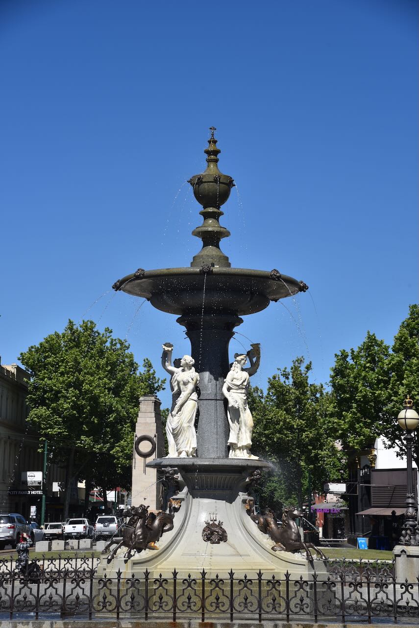
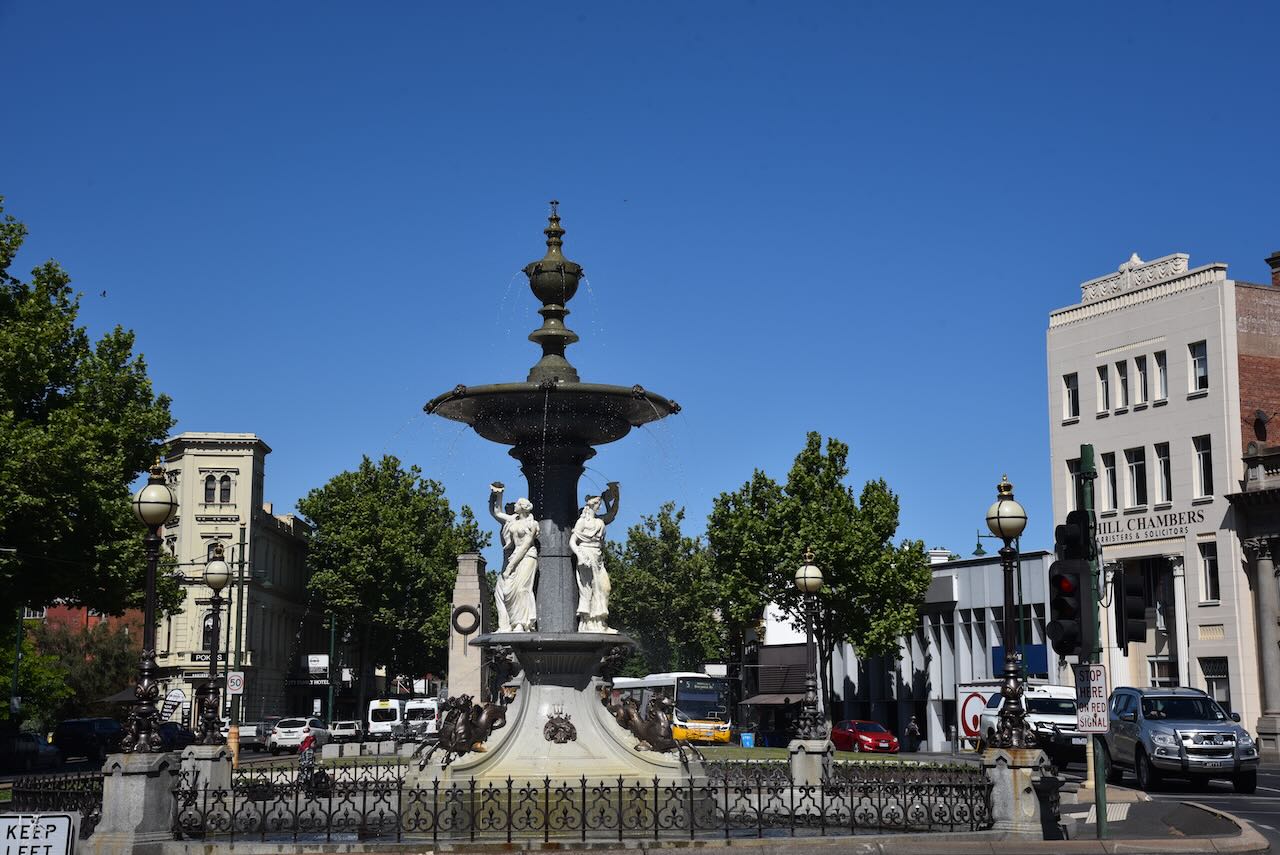
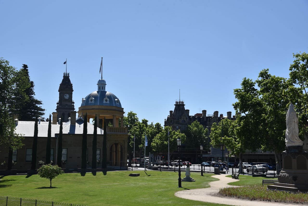
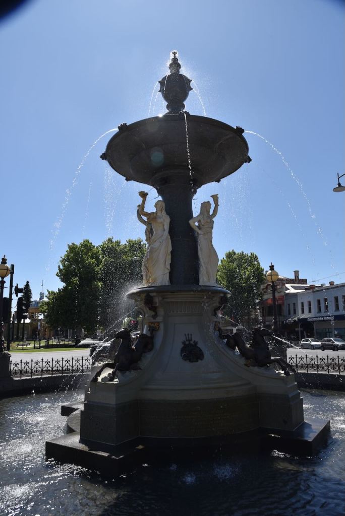
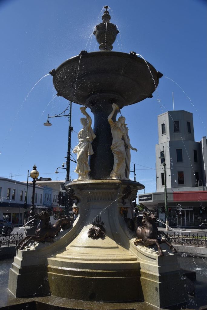
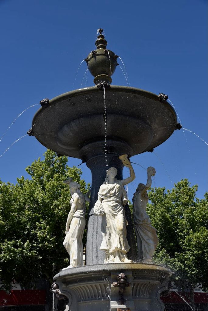
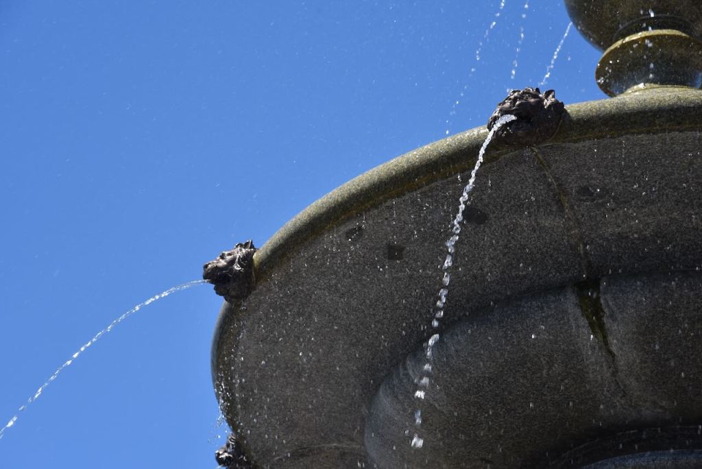
One of the premier locations in Bendigo is Charing Cross at the corner of Midland Highway, View Street and Mitchell Street. This is the location of the Alexandra Fountain. Charing Cross is named for Charing Cross in England.
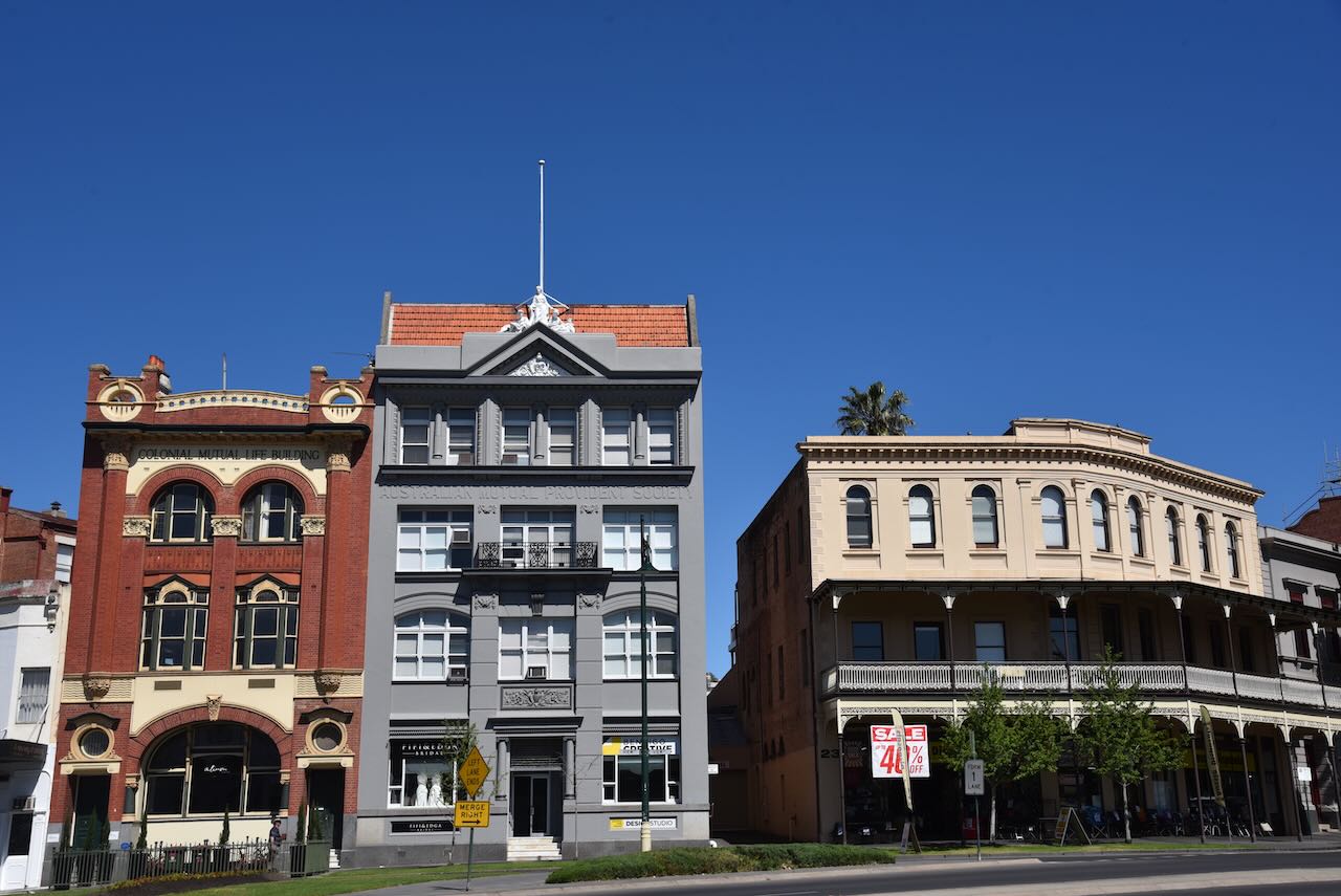
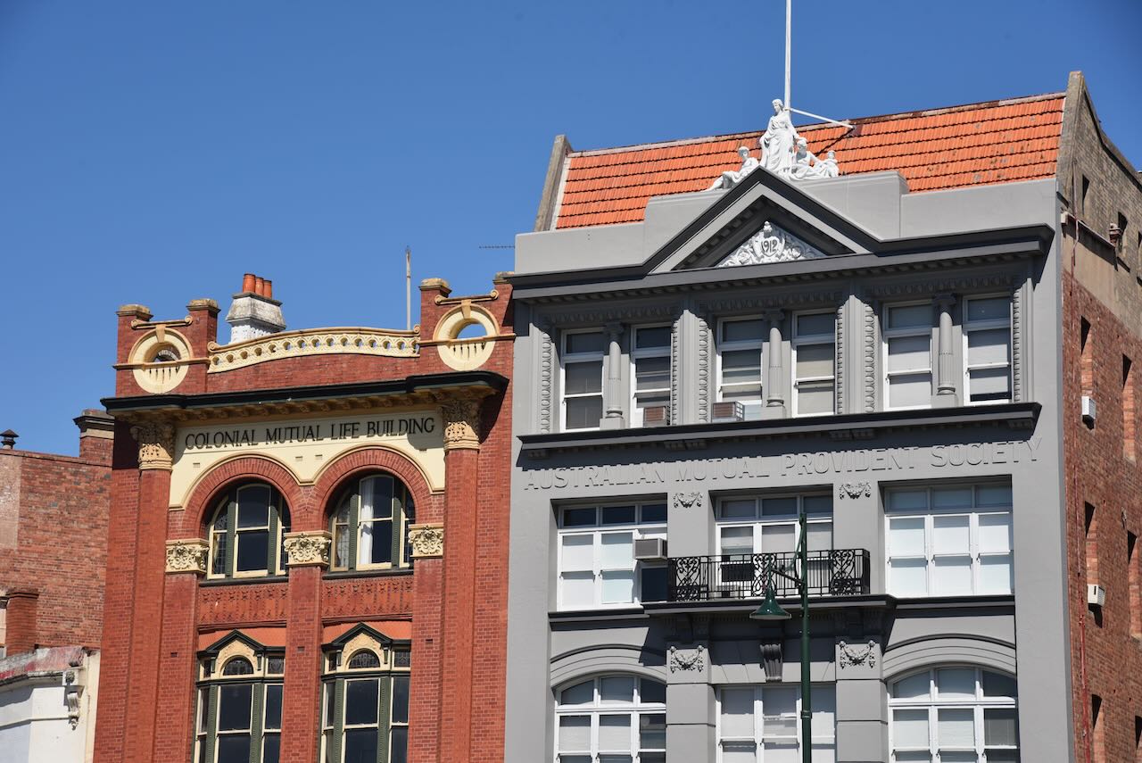
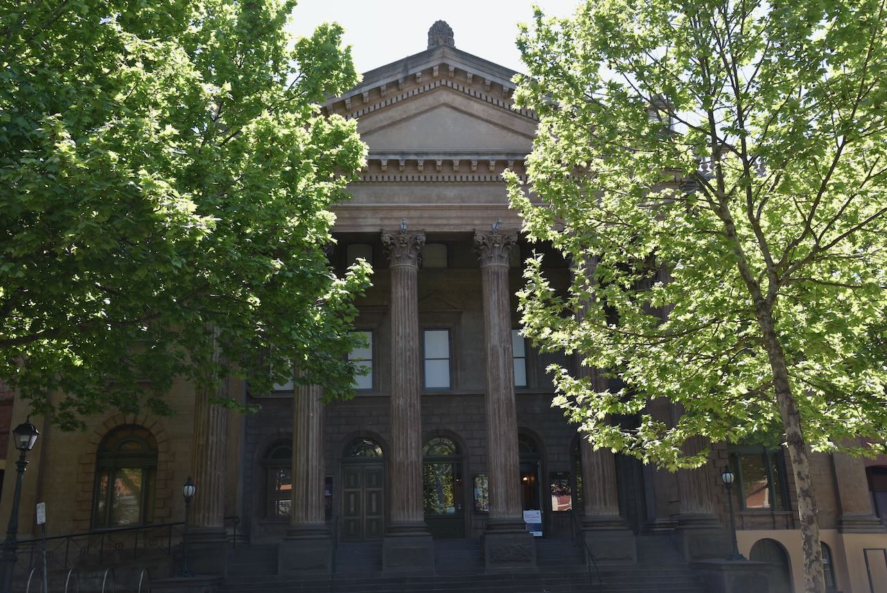
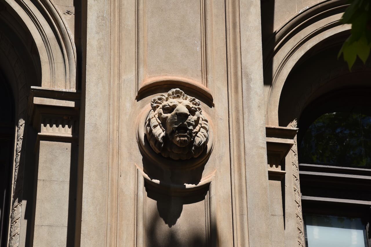
There are dozens of historical and impressive buildings in Bendigo. This includes the old Colonial Mutual Life building and the Australian Mutual Provident Society building.
The Colonial Life building was constructed in 1908 as the Royal Bank. It was designed by local architects William Beebe and George Garvin. It is one of the finest and most intact Art Nouveau-designed commercial buildings in Bendigo. (Heritage Vic 2017)
The Australian Mutual Provident Society was established in 1849 as a non-profit life insurance company and mutual society. The Bendigo building was built in 1913. (Anu.edu.au, 2020) (Trove 2019)
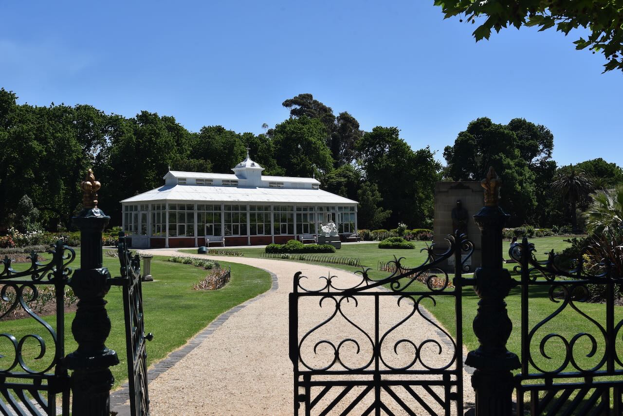
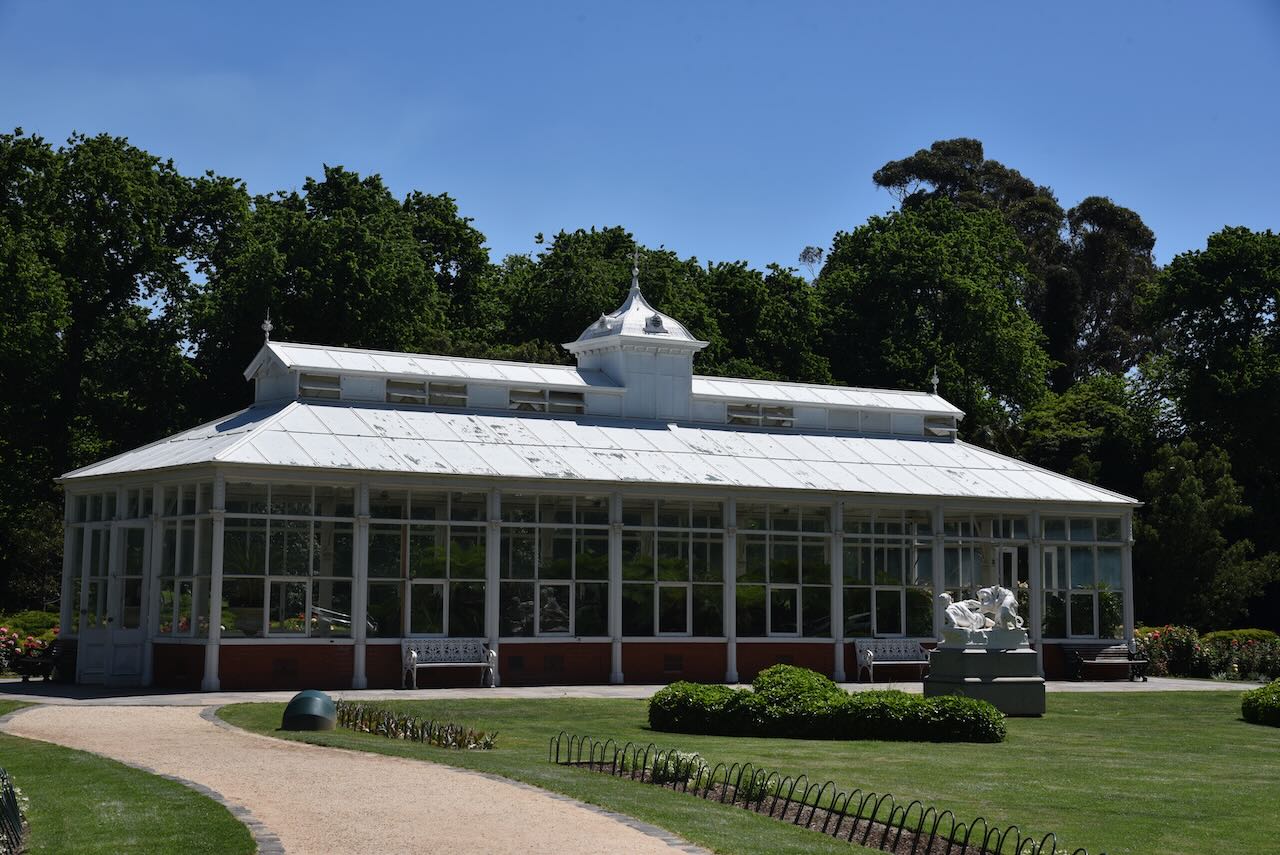
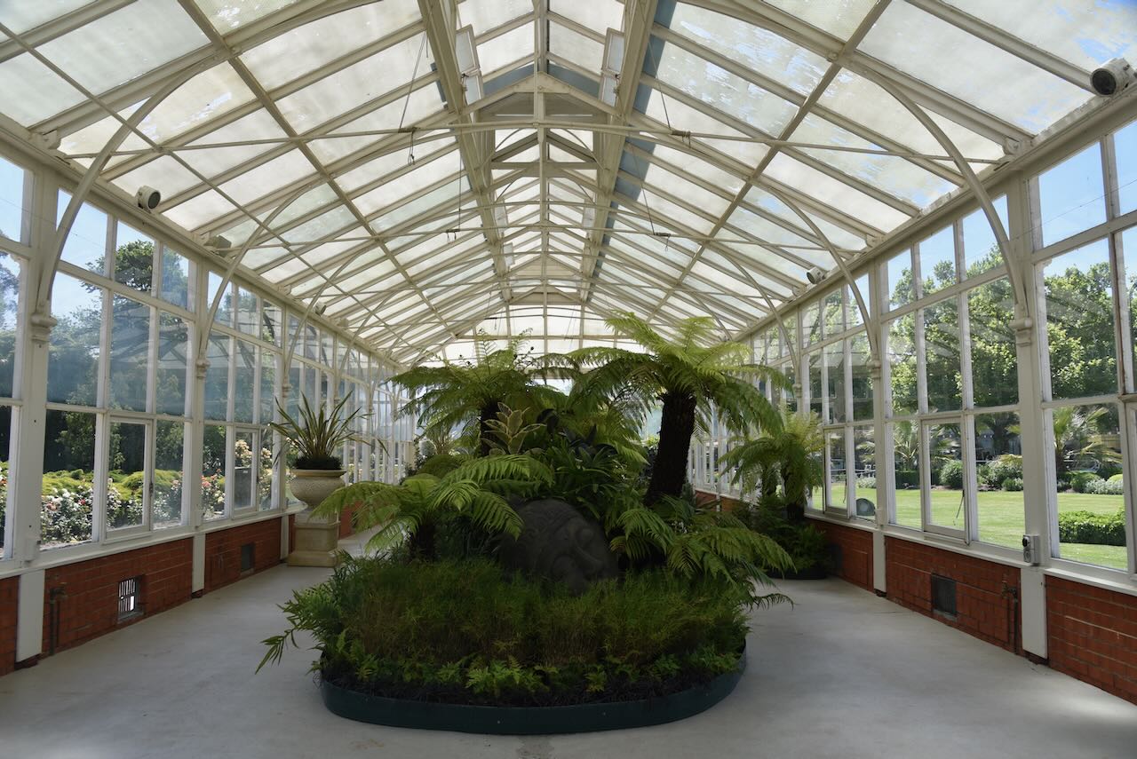
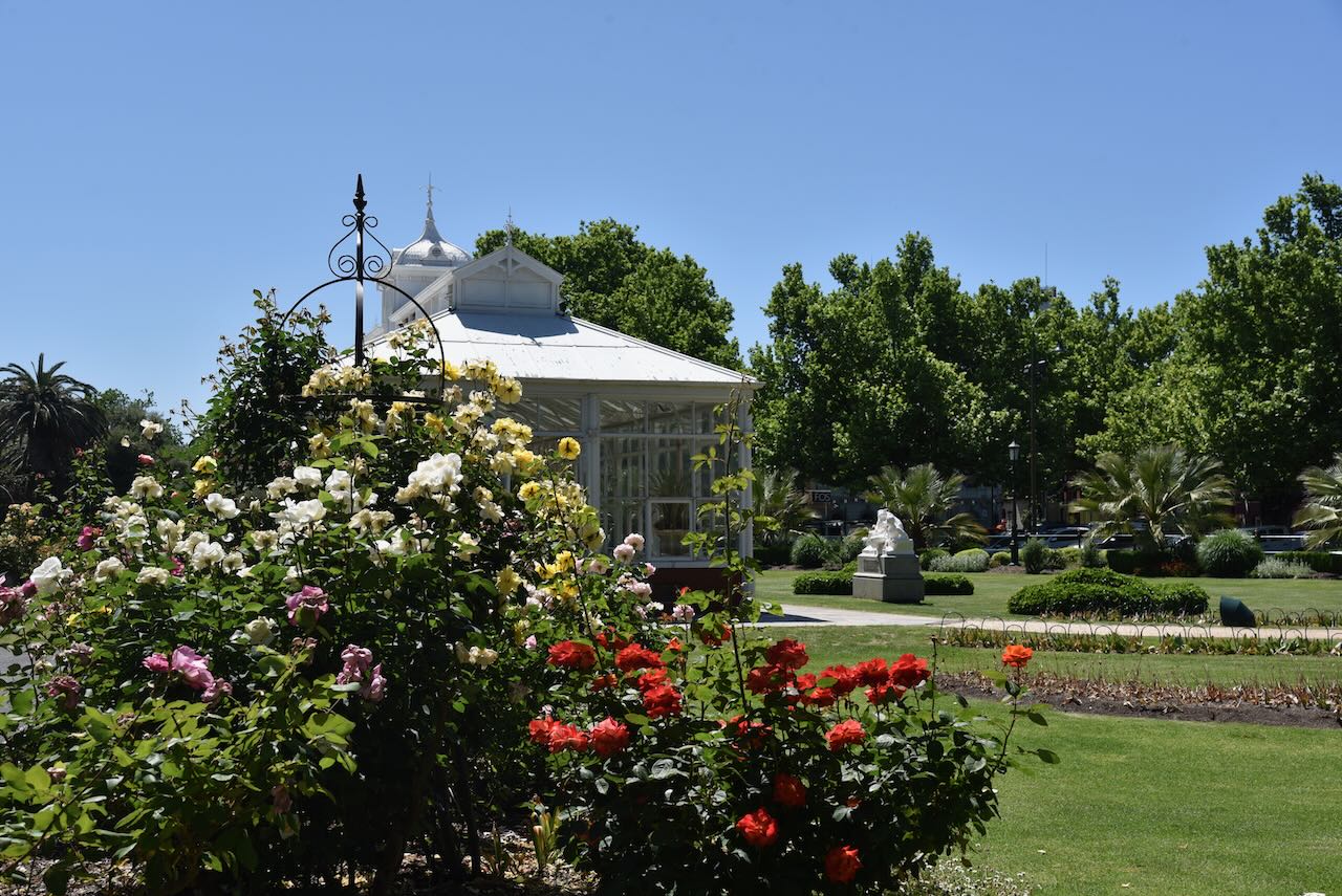
Below is a view across Rosalind Park and the Conservatory Gardens.
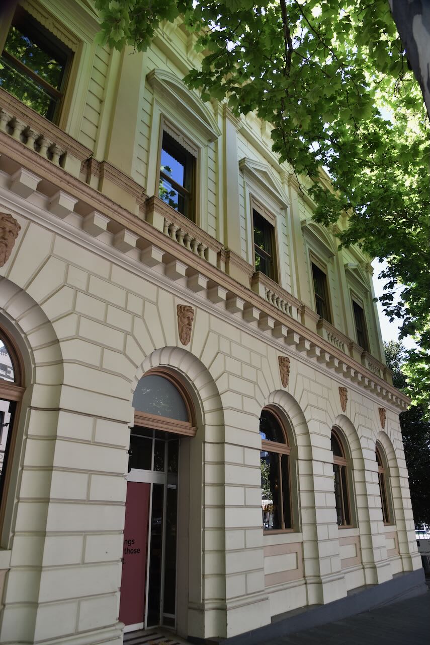
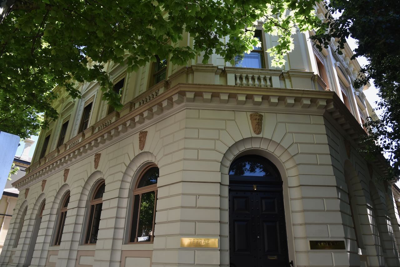
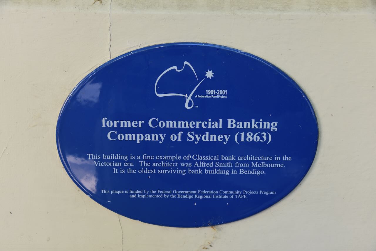
The former Commercial Banking Company of Sydney building was constructed in 1863. It is a fine example of classical bank architecture from the Victorian era. It is the oldest surviving bank building in Bendigo.
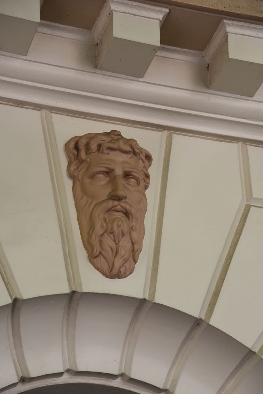
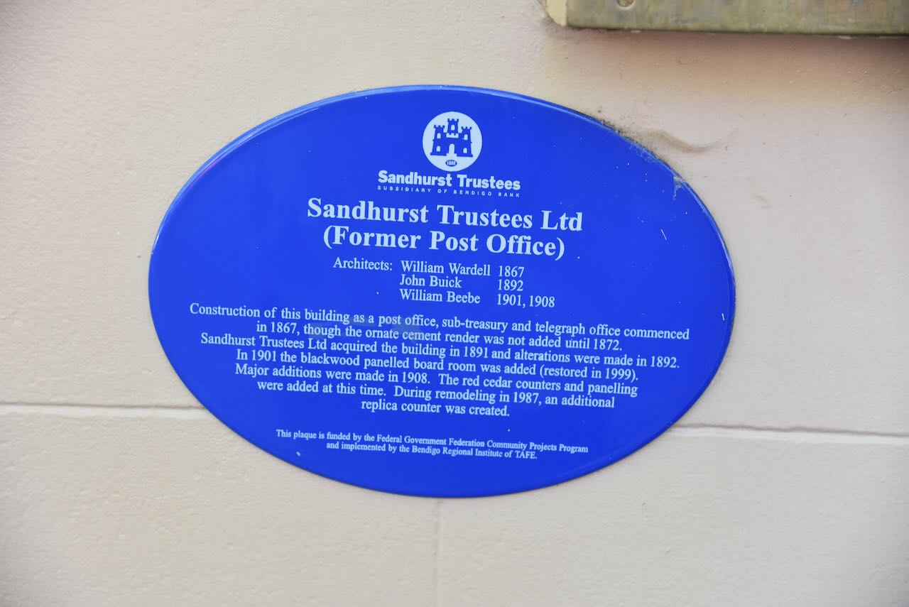
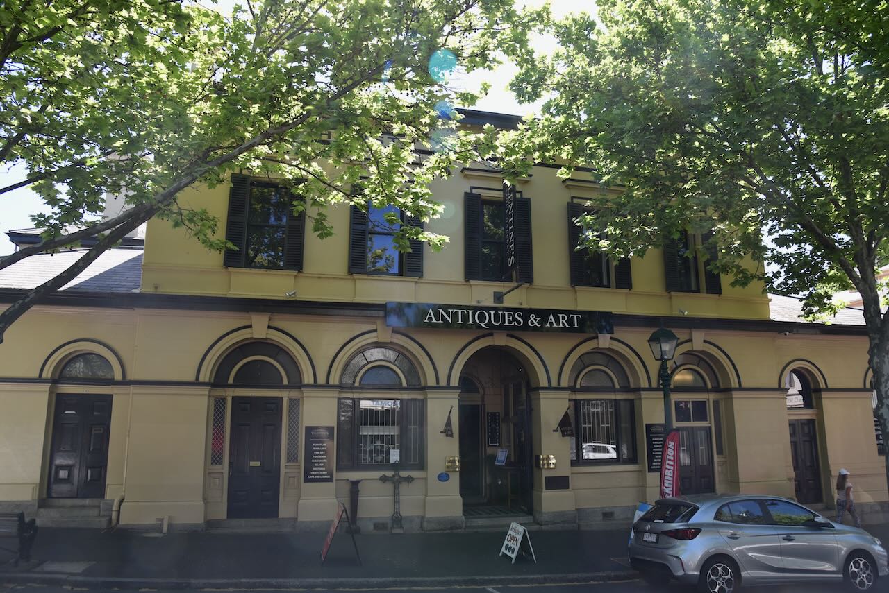
The construction of the former Post Office, sub-treasury and telegraph office commenced in 1867.
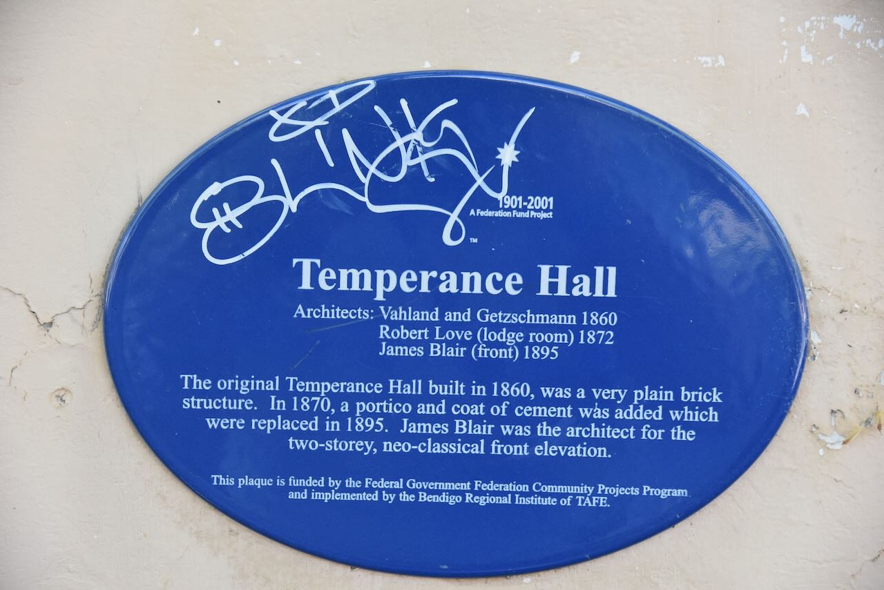
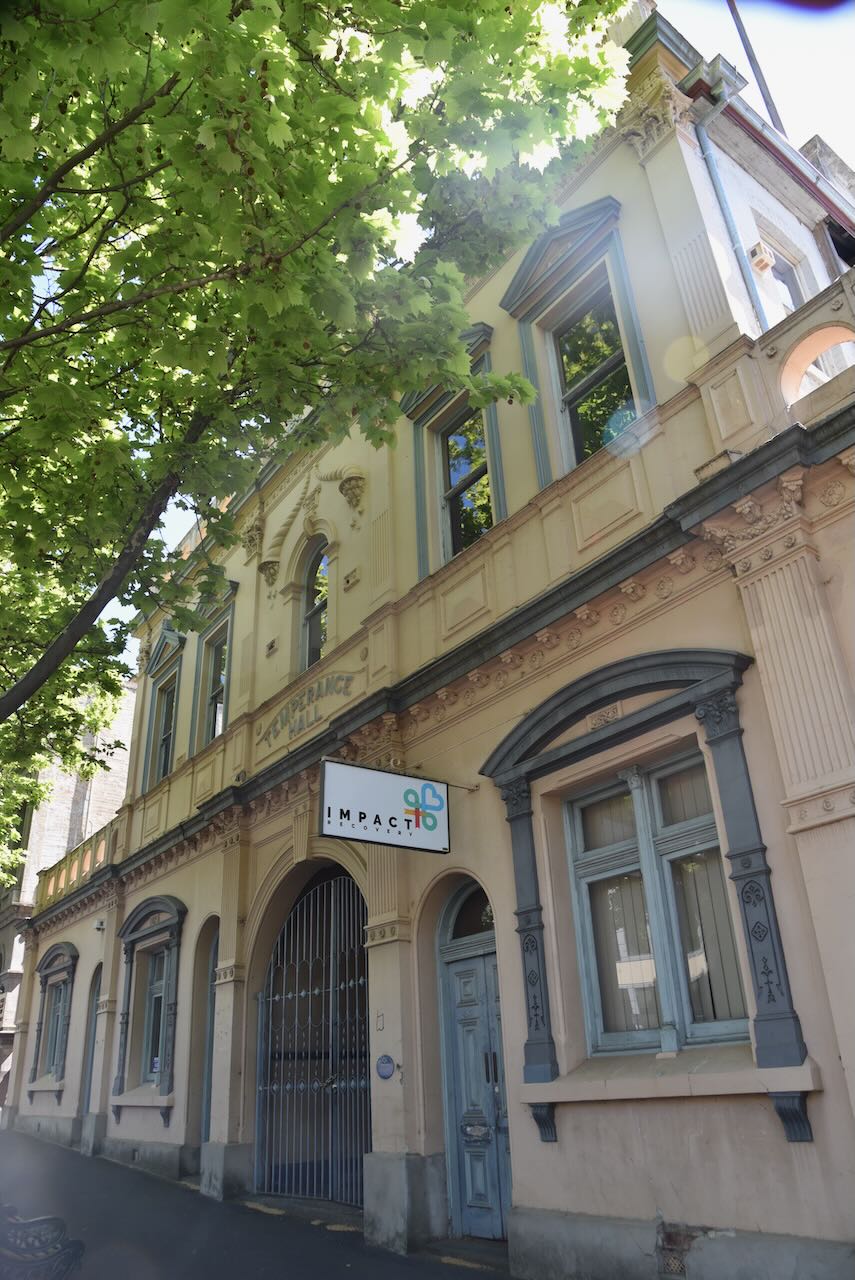
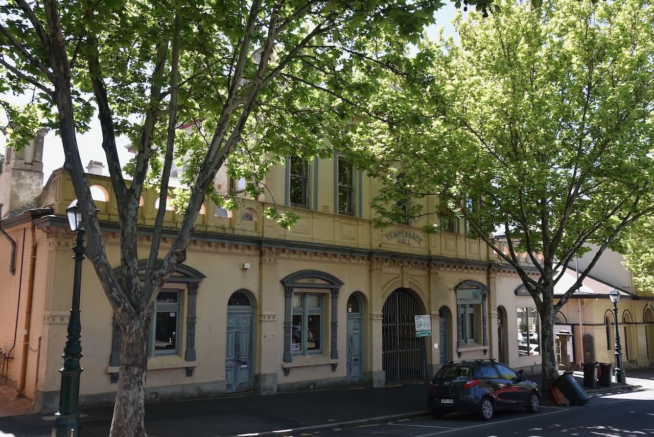
The original Temperance Hall was built in 1860 and was a very plain brick structure. In 1870, a portico and coat of cement were added, which were replaced in 1895.
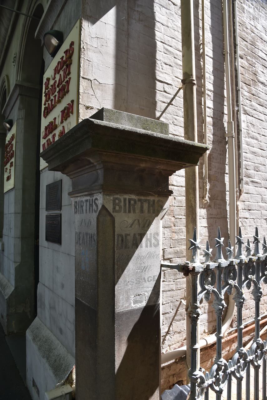
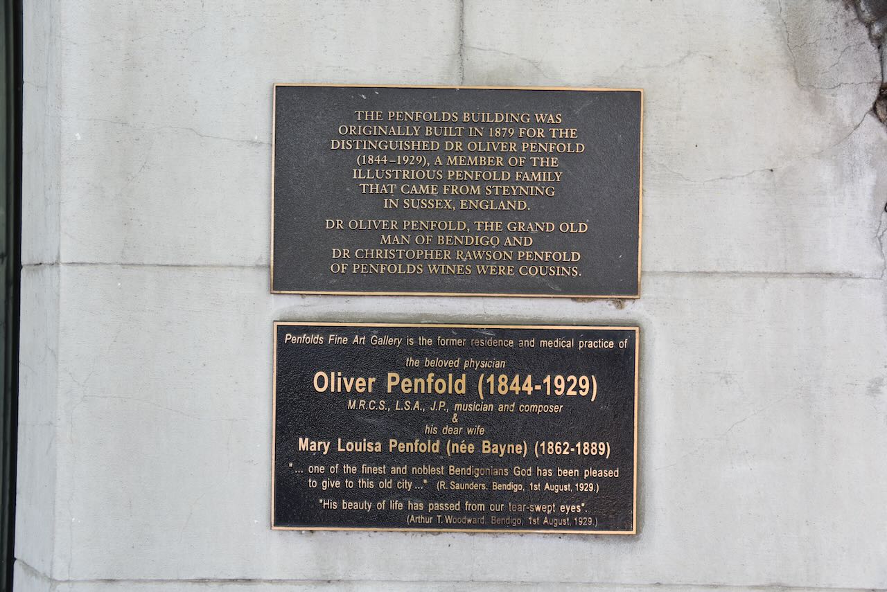
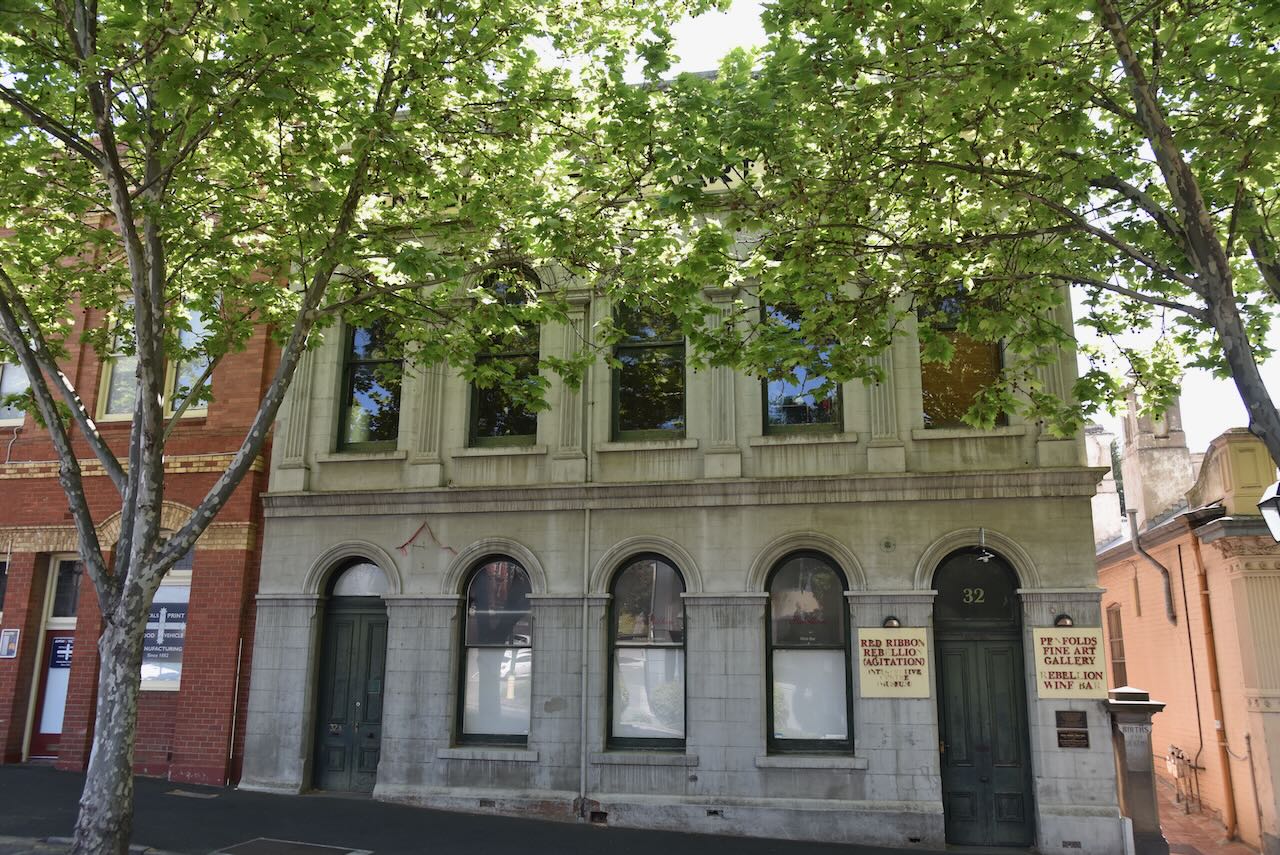
The Penfolds building was originally built in 1879 for the distinguished Dr Oliver Penfold, a member of the illustrious Penfold family from Steyning in Sussex, England. Dr. Oliver Penfold, the grand old man of Bendigo and Dr. Christopher Rawson Penforld of Penfold Wines were cousins.
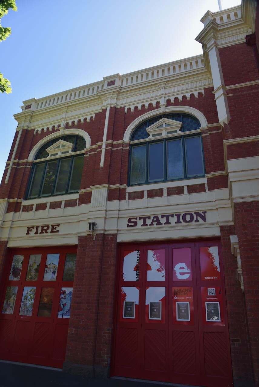
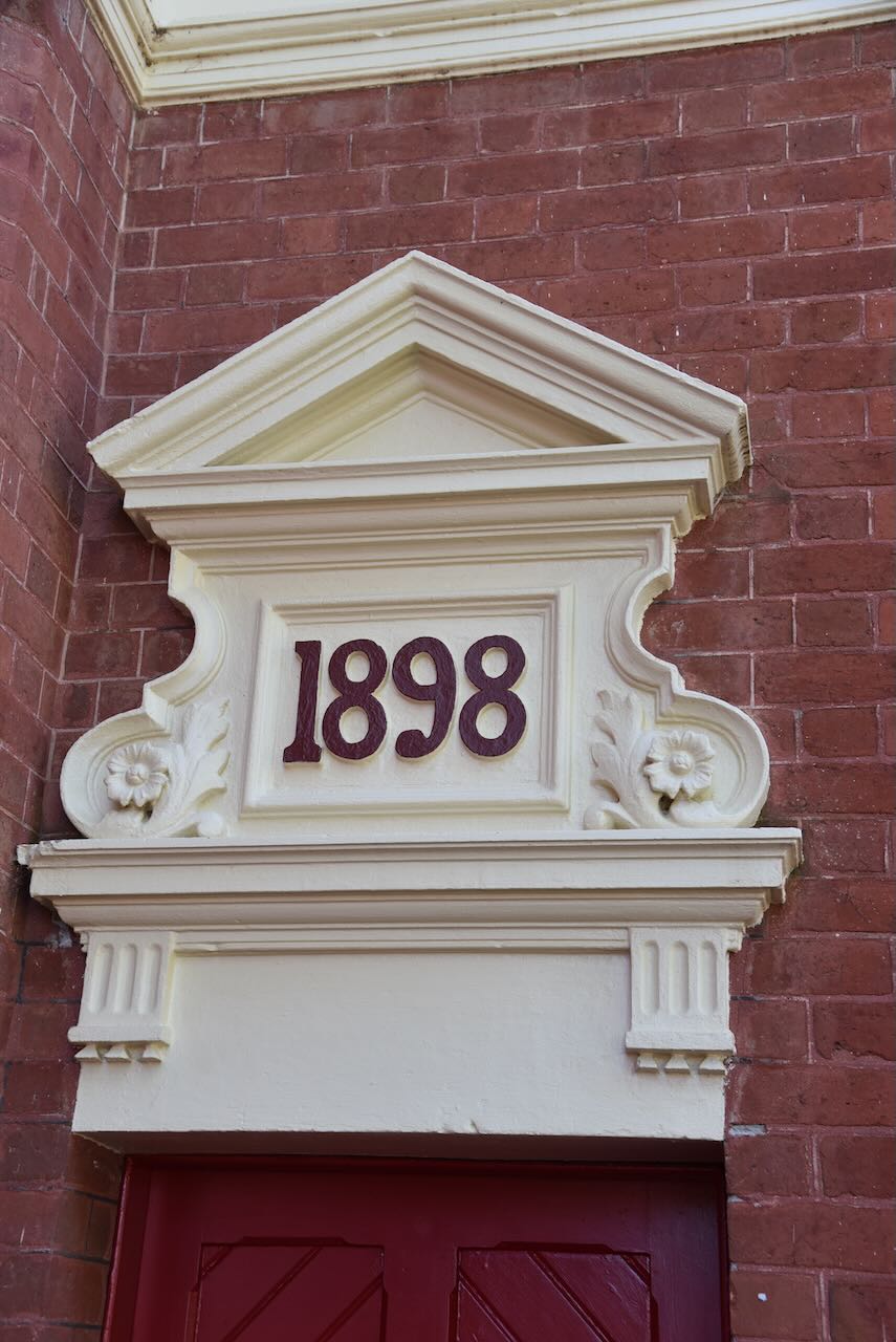
The Former Bendigo Fire Station was built in 1898 to the design of prominent local architect William Beebe. It was constructed to house accommodation for the fire brigade as well as a residence. (Heritage Vic 2017)
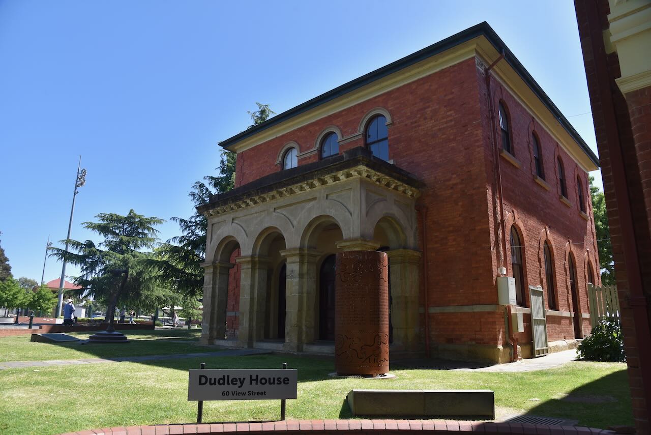
Dudley House was constructed in 1858-59 and was one of the first government offices erected in Bendigo’s Camp Hill area following the discovery of gold in 1851. It was constructed for the public works department and was used as the residence and office for Bendigo’s first surveyor, Richard Larritt. It is one of the earliest and most intact buildings in Bendigo from the 1850s. (Heritage Vic 2017)
The Capital Theatre was originally constructed as the Sandhurst Masonic Hall in 1873. It features a 480-seat theatre. (Wikipedia 2025)
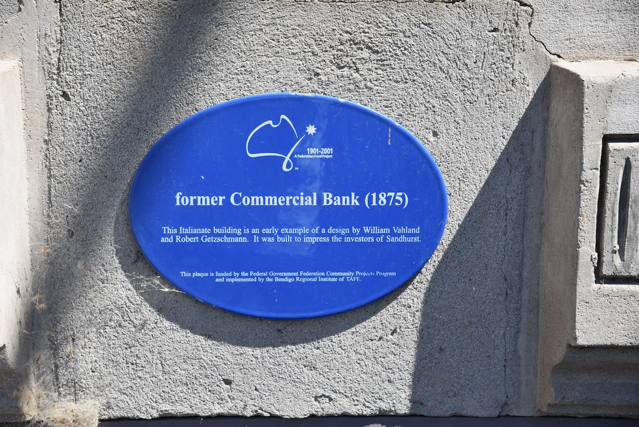
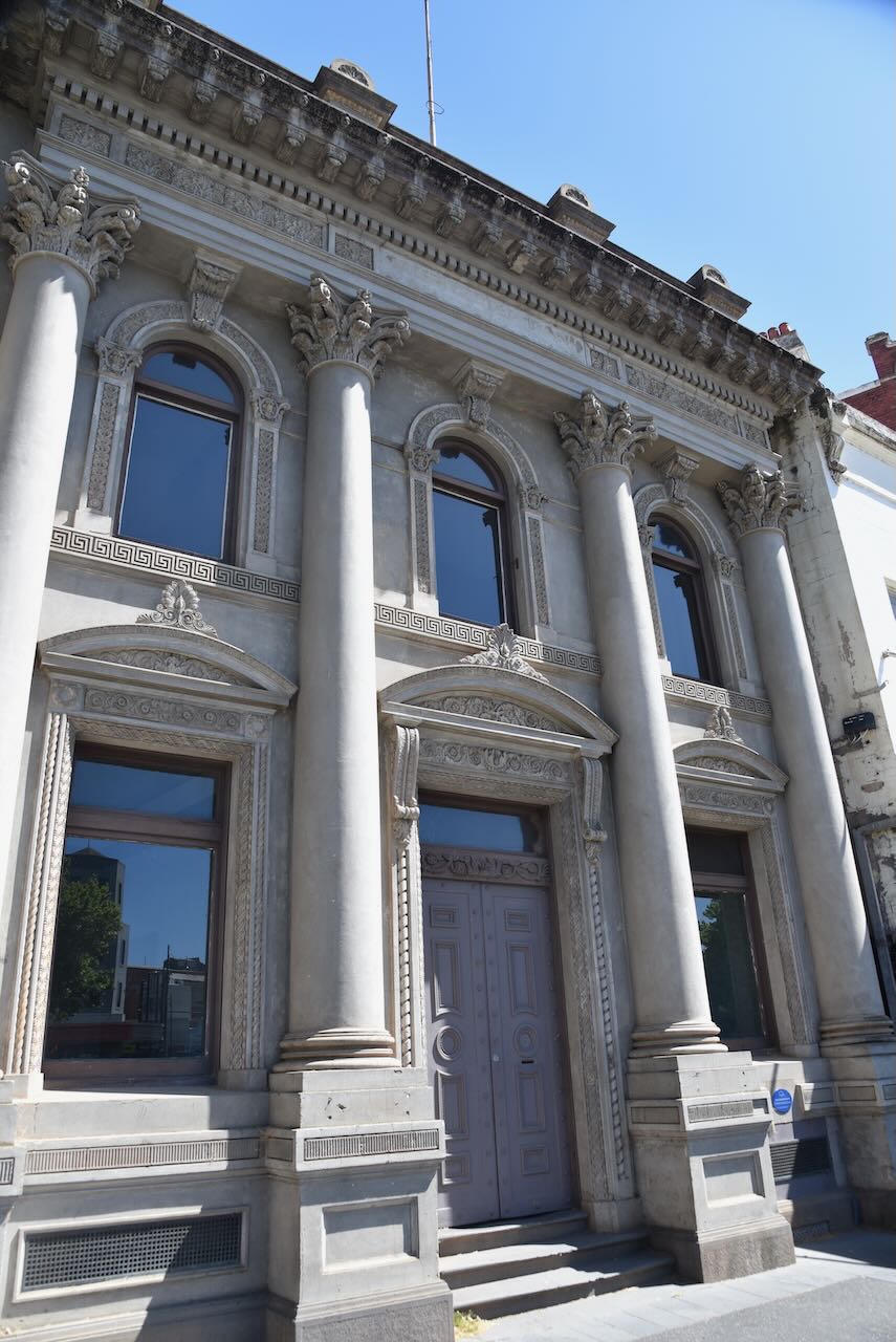
The former Commercial Bank building was built in 1875. It is an early example of a design by William Vahland and Robert Getzschmann that was built to impress the investors of Sandhurst.
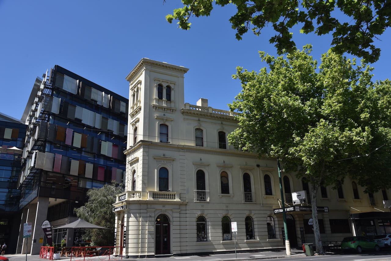
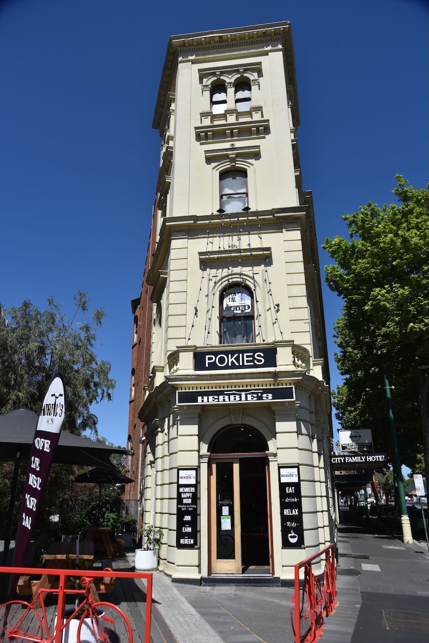
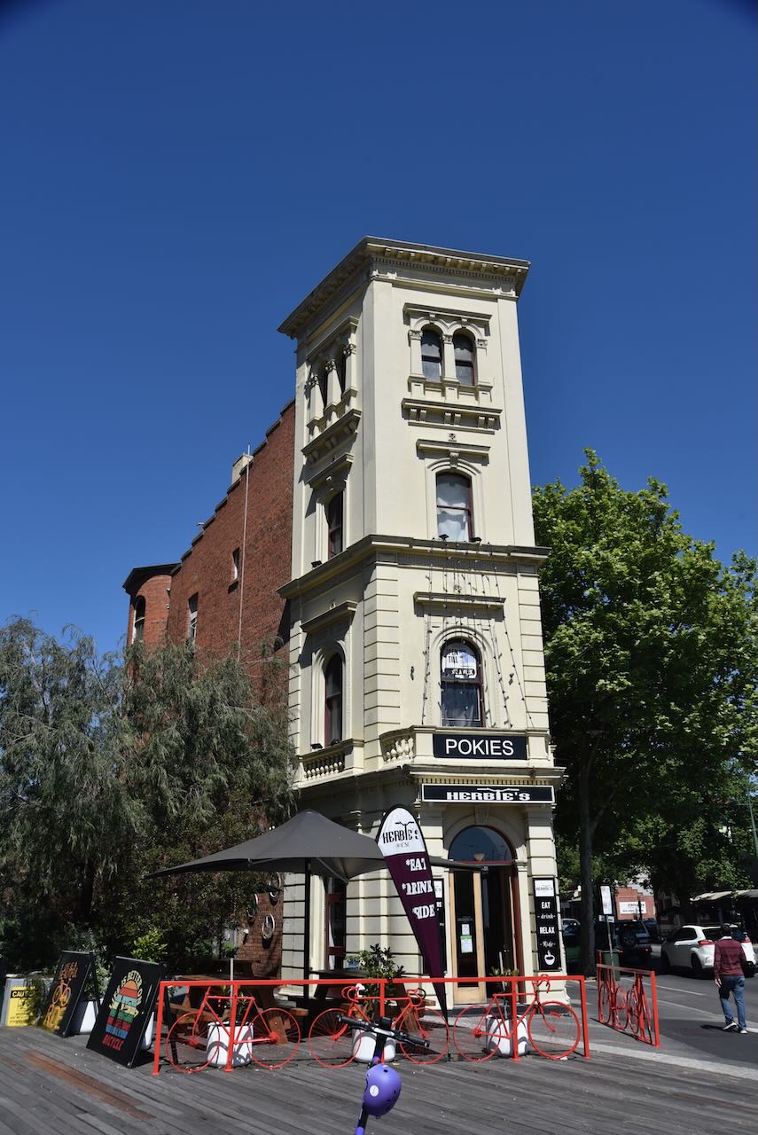
The former City Family Hotel was built in 1872. It was designed by well well-known architect William Vahland.
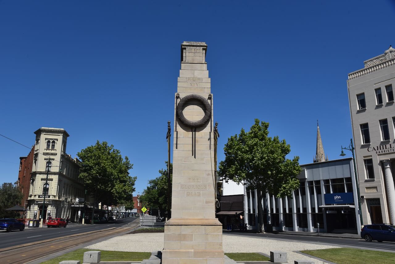
The Bendigo Cenotaph, located in Charing Cross, is a small replica of the Shrine in Whitehall, London, England, and it commemorates those who have served in the various conflicts in which Australia has been involved. (Monument Australia 2025)
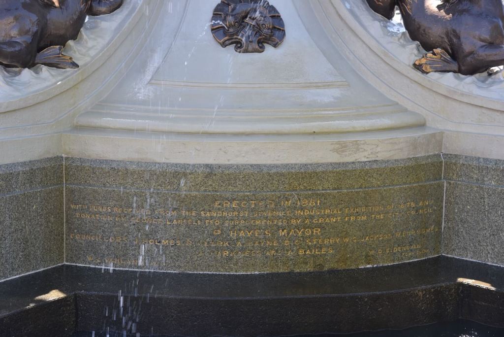
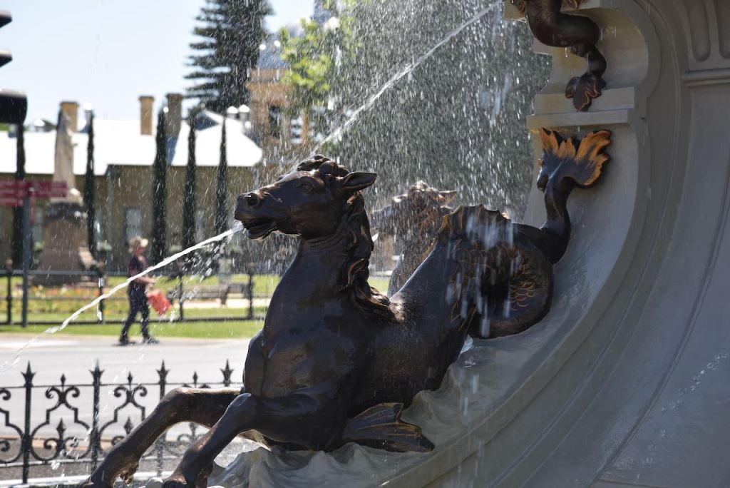
The Alexandra Fountain, located in Charing Cross, Bendigo, was designed by local architect William Vahland. It takes its name from Alexandra, Princess of Wales. Her sons, Princes Albert and George, attended the opening ceremony of the fountain in 1881. (Heritage Vic 2017)
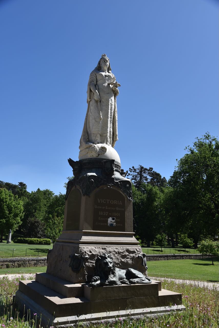
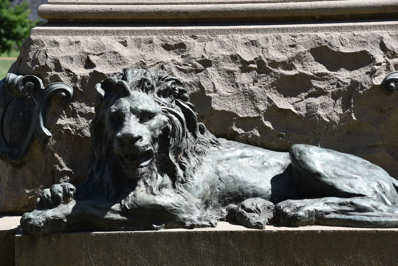
On Pall Mall is a statue of Queen Victoria. The statue was erected to commemorate Queen Victoria and is a twice-life-size marble statue on a 5-metre-high stone pedestal. (Monument Australia 2025)
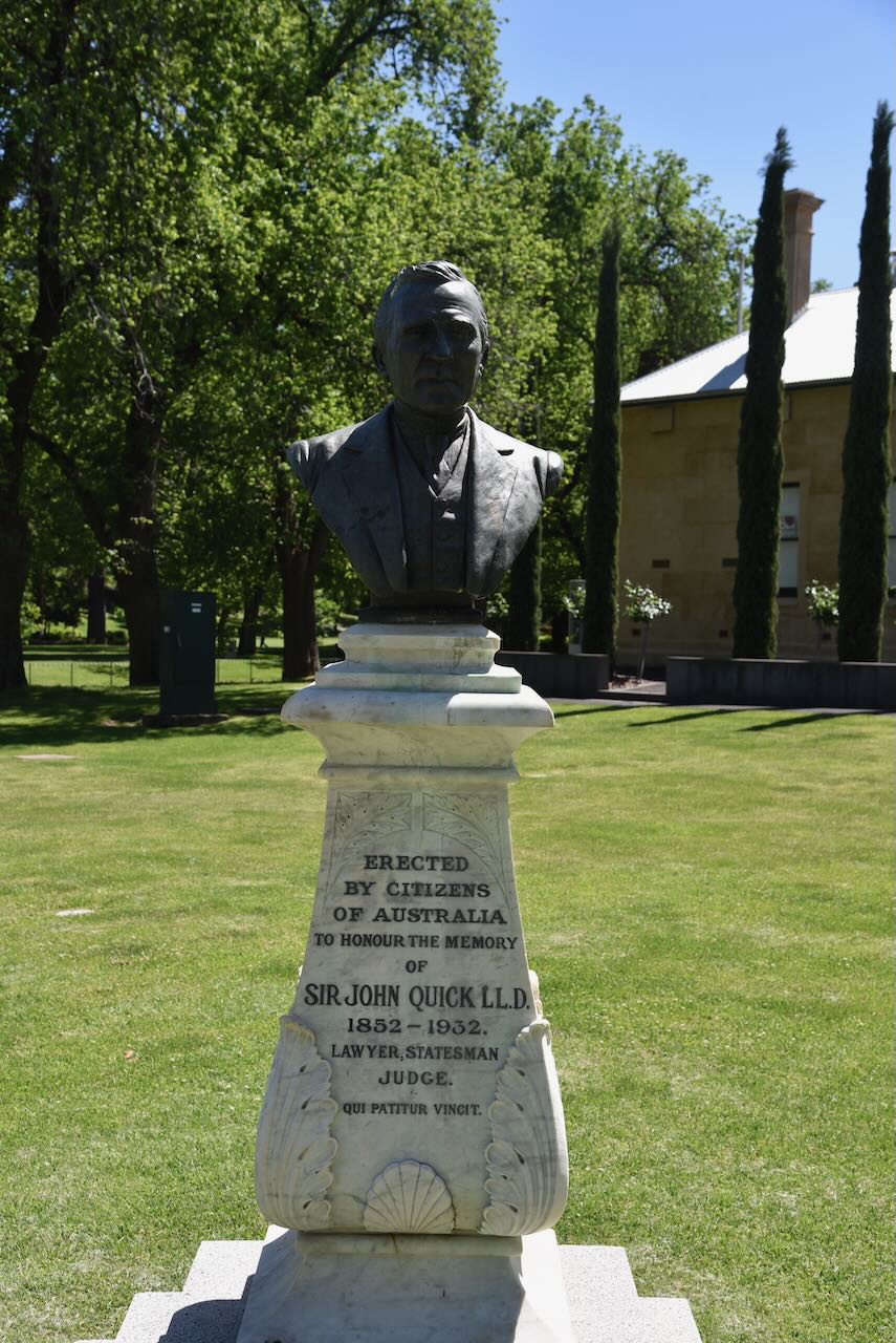
Also on Pall Mall is a bust that commemorates lawyer and statesman Sir John Quick. He was an Australian politician, author, and the federal Member of Parliament for Bendigo and one of the authors of the Australian Constitution. (Monument Australia 2025)
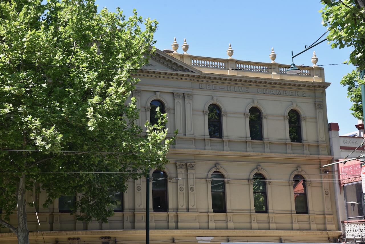
The Beehive Building was designed by architect Charles Webb and was constructed in 1871. It was formerly the Bendigo Mining Exchange. (Heritage Vic 2017)
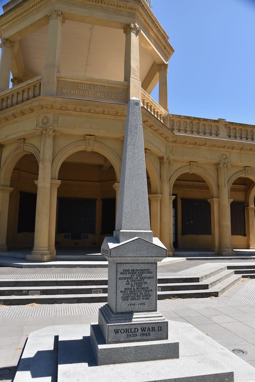
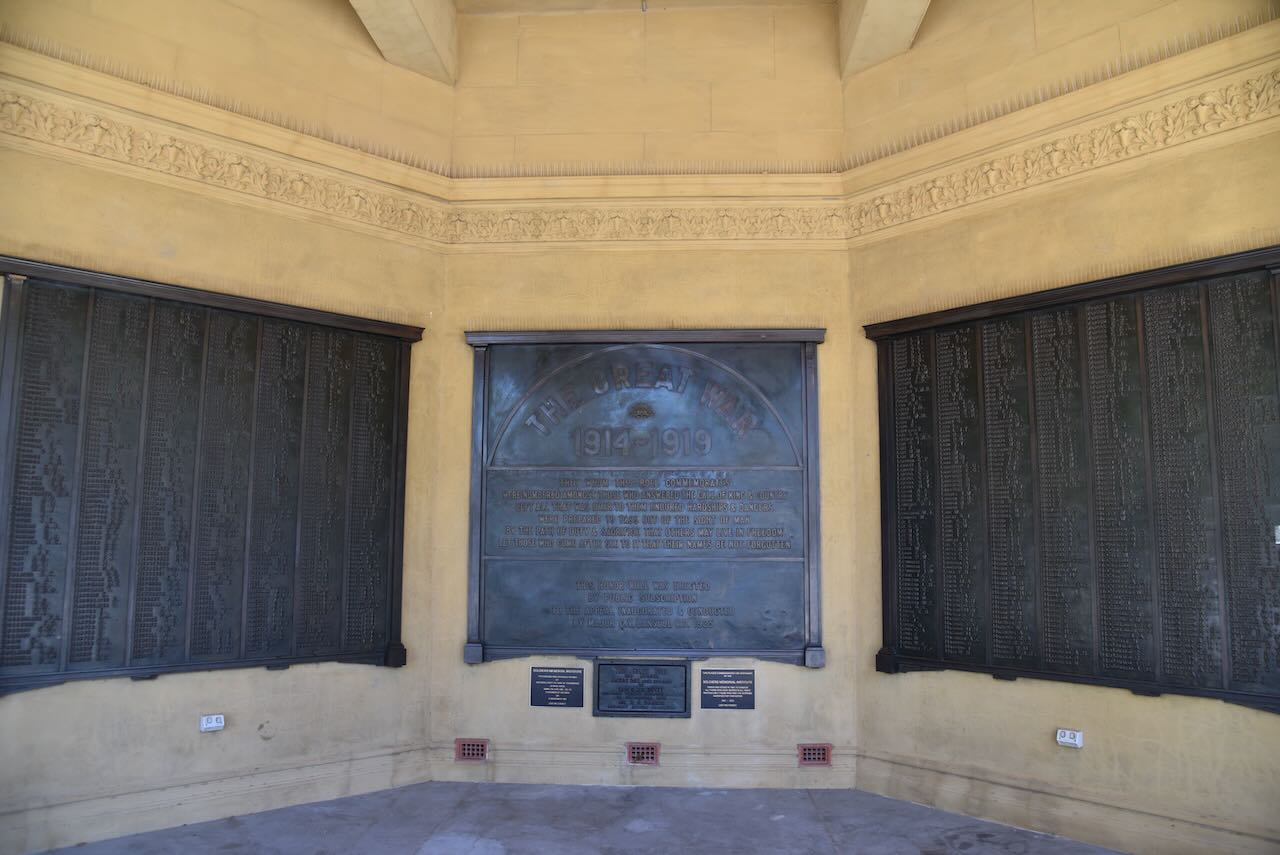
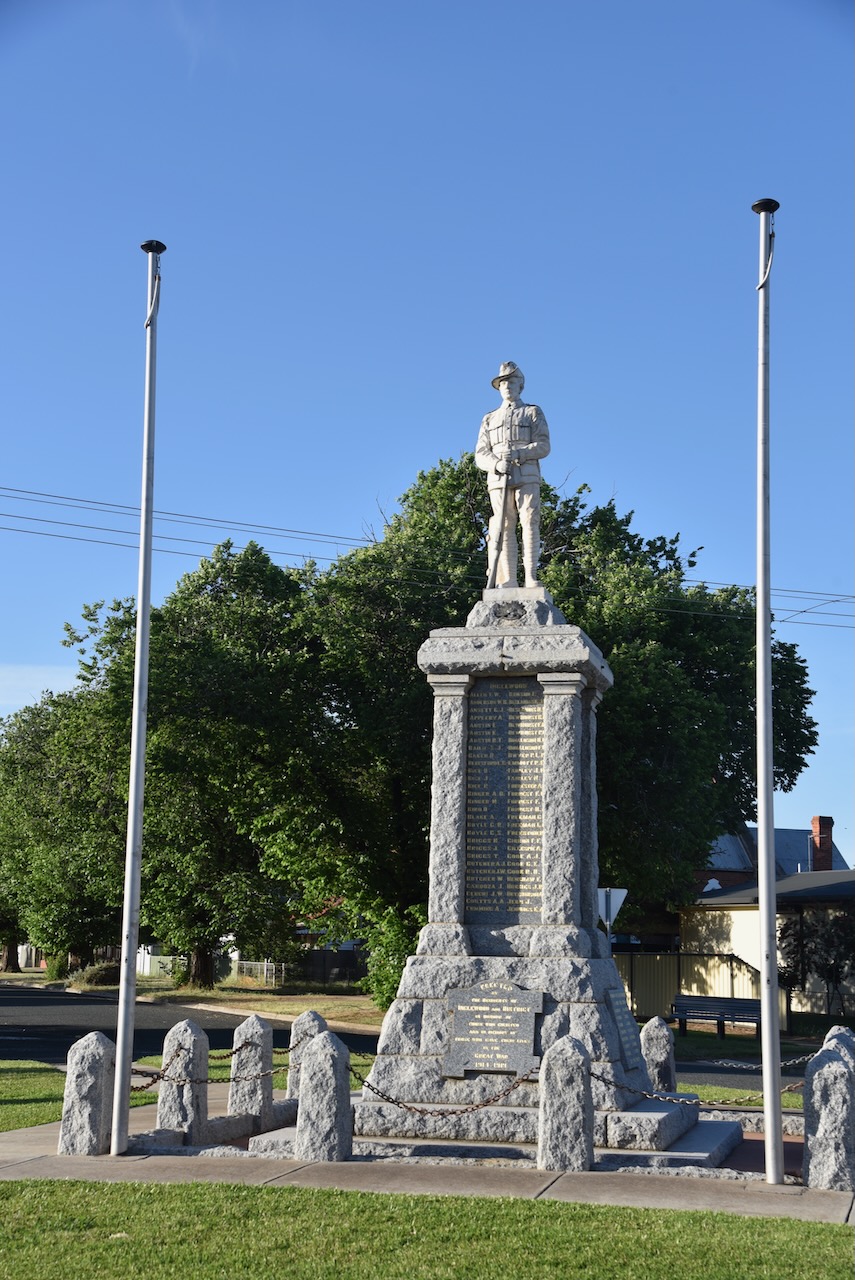
We then visited the Bendigo War Memorial in Pall Mall.
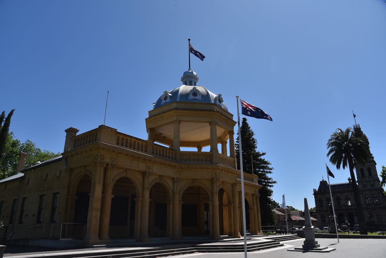
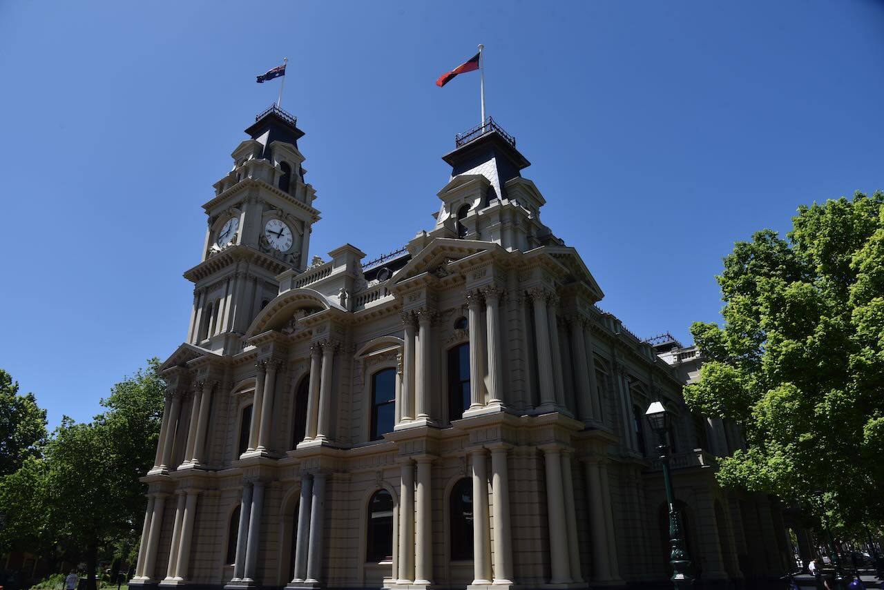
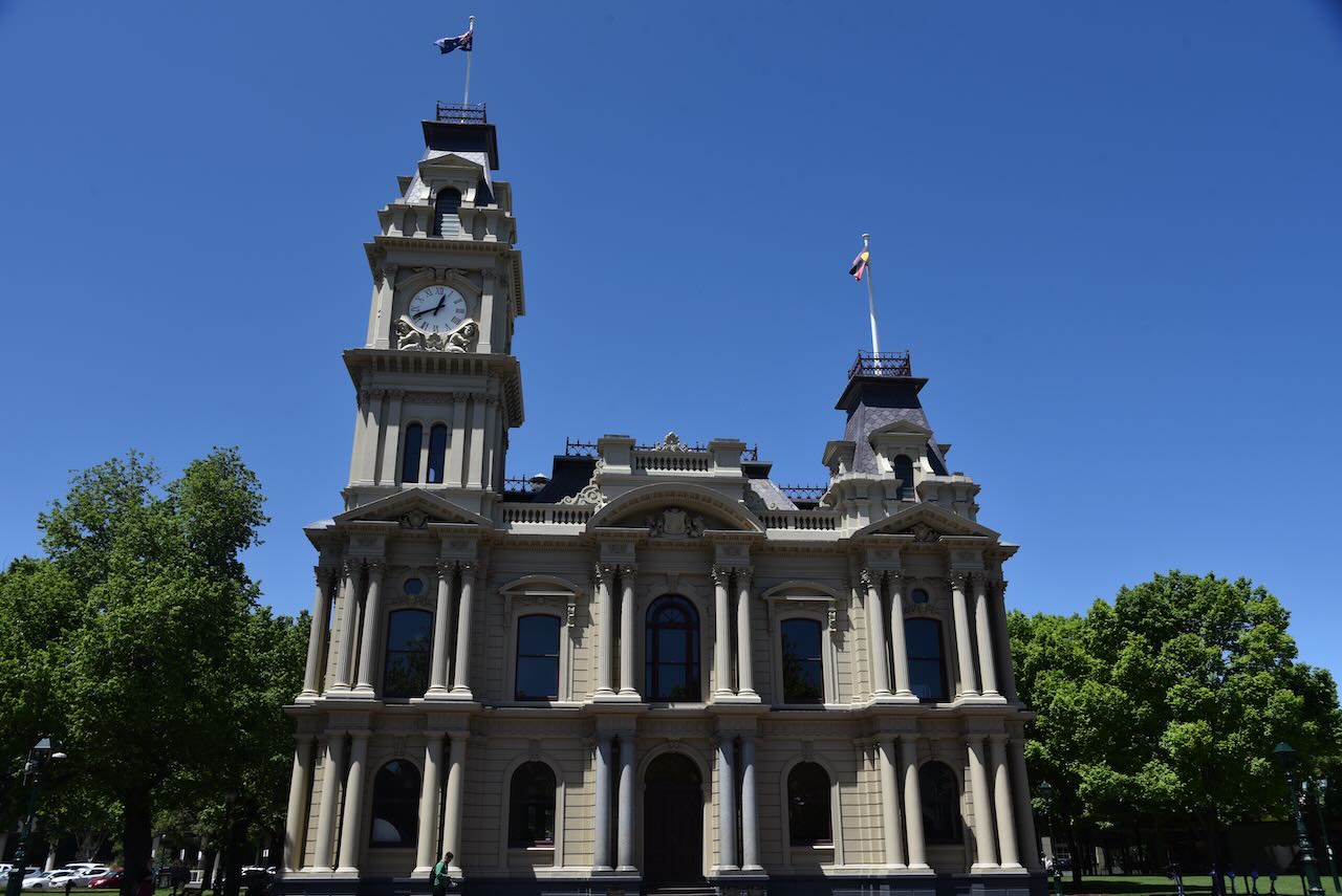
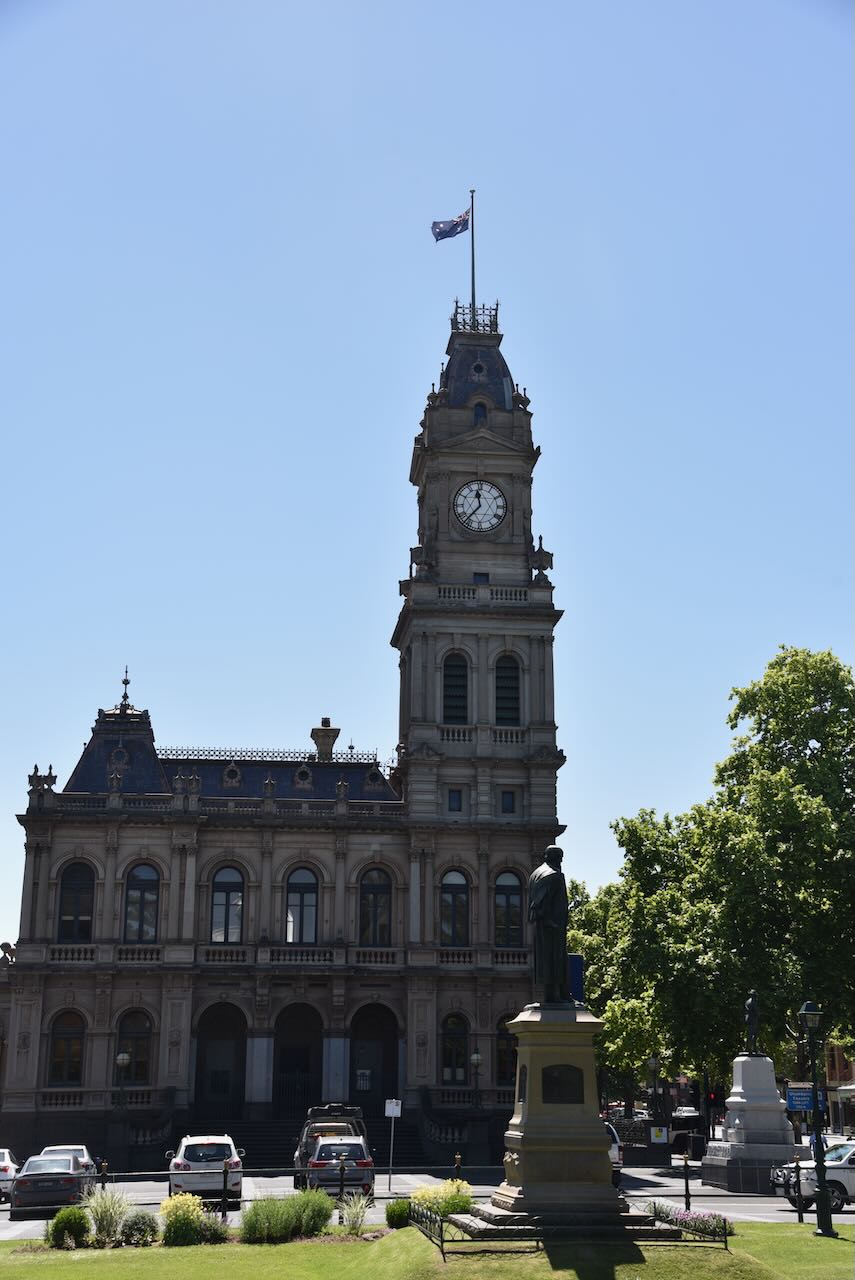
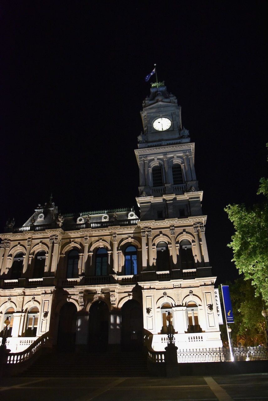
The Bendigo Town Hall was built in 1859 and extended over three phases. Its original 1859 design was that of George Avery Fletcher and was a simple two-storey building. (Heritage Vic 2017)
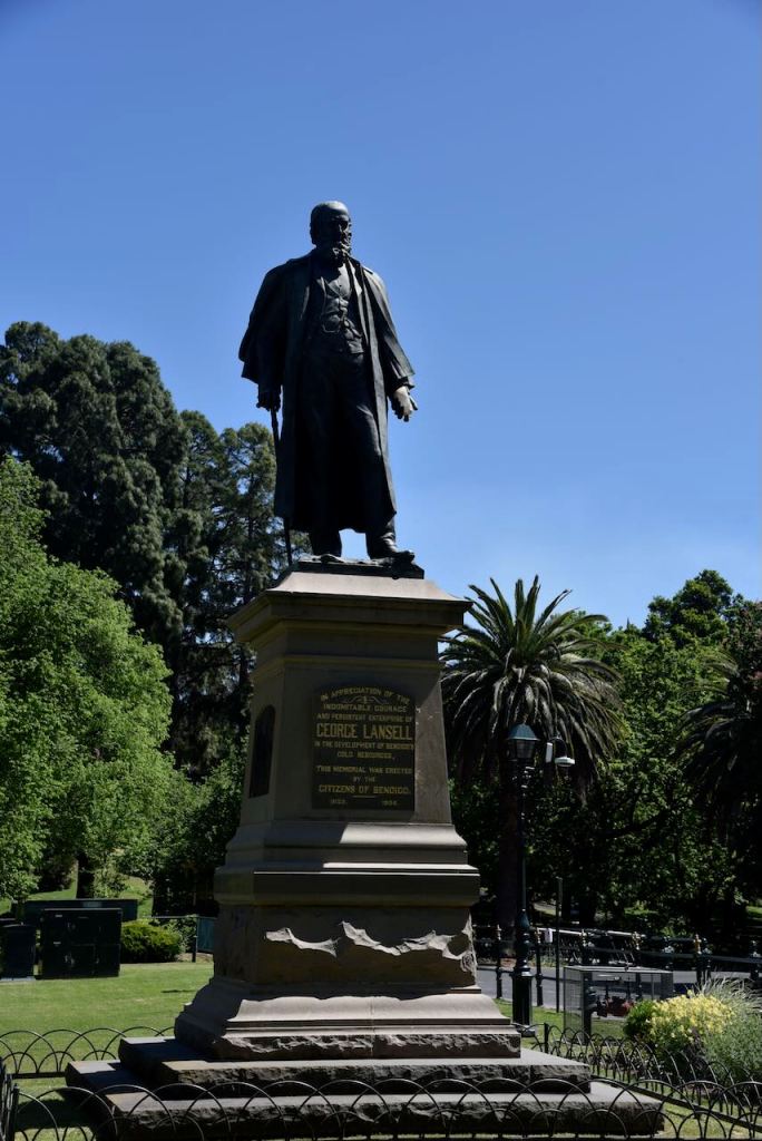
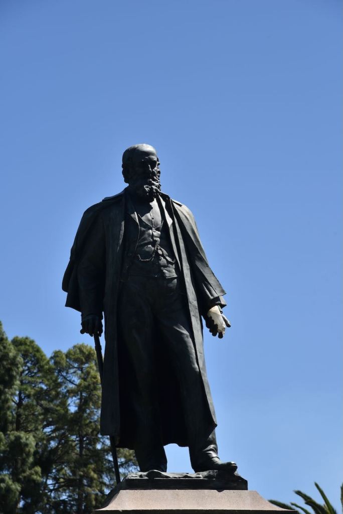
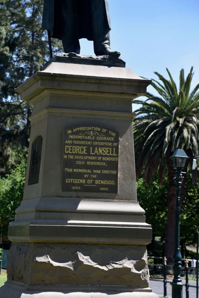
George Lansell was an English-born Australian politician and was the chairman of a large number of media and other companies in Victoria. He was born in 1823 in Margate, England, and arrived in Australia in 1853. He initially opened a butchery, soap and candle factory and a tallow chandler’s business. He soon became interested in deep reef mining and was known as the ‘Quartz King’ in Bendigo. (Monument Australia 2025)
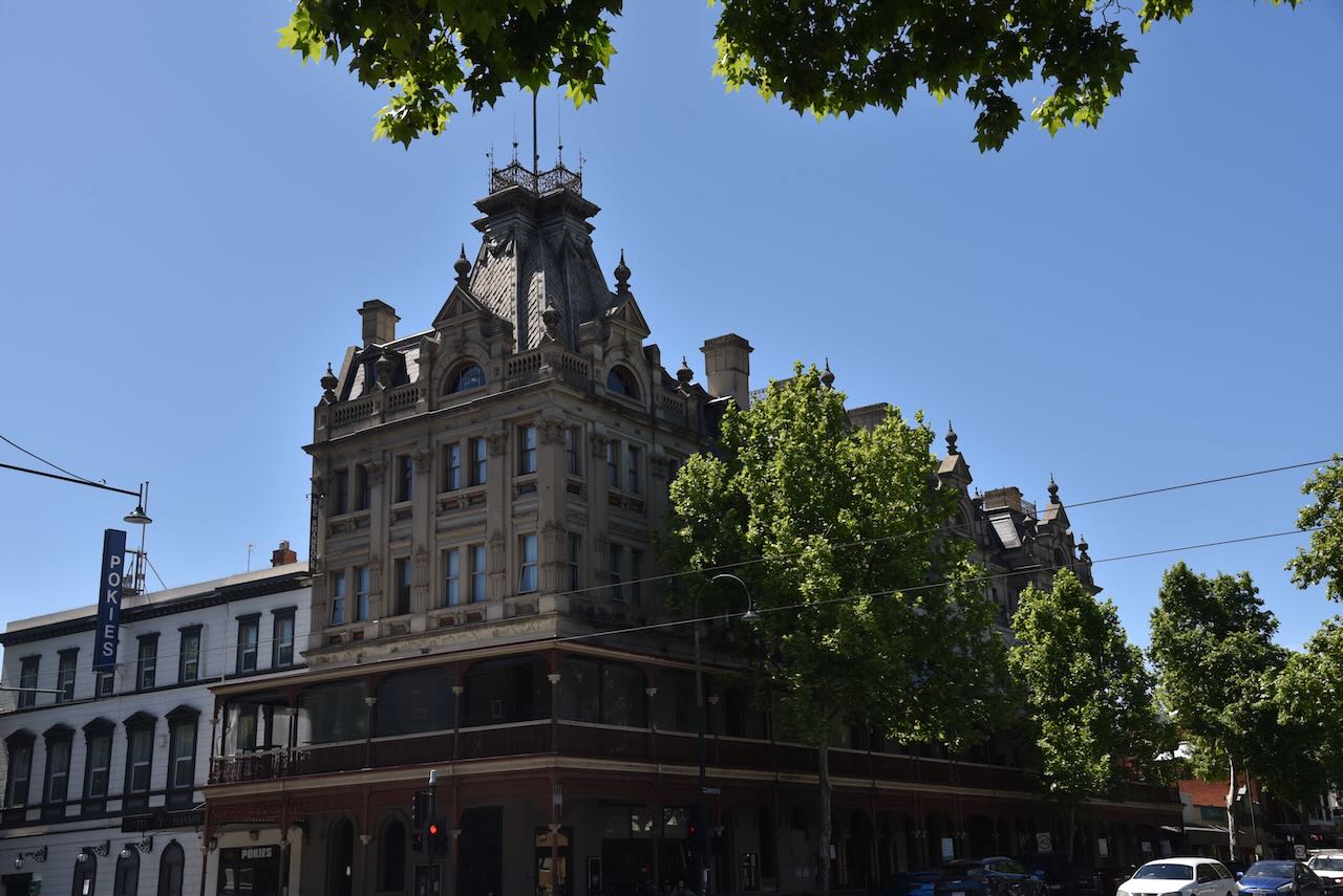
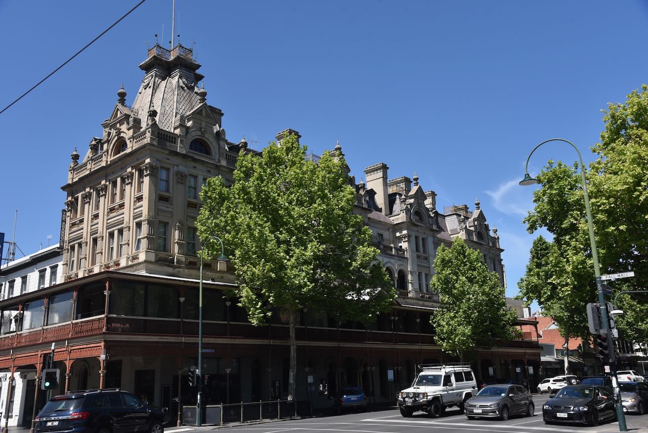
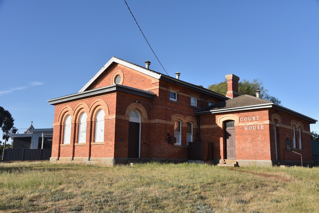
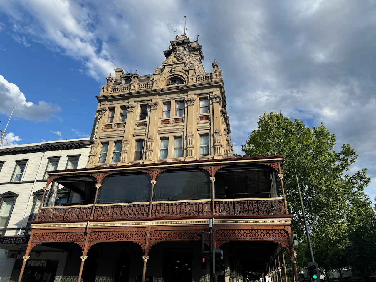
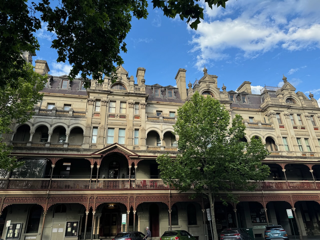
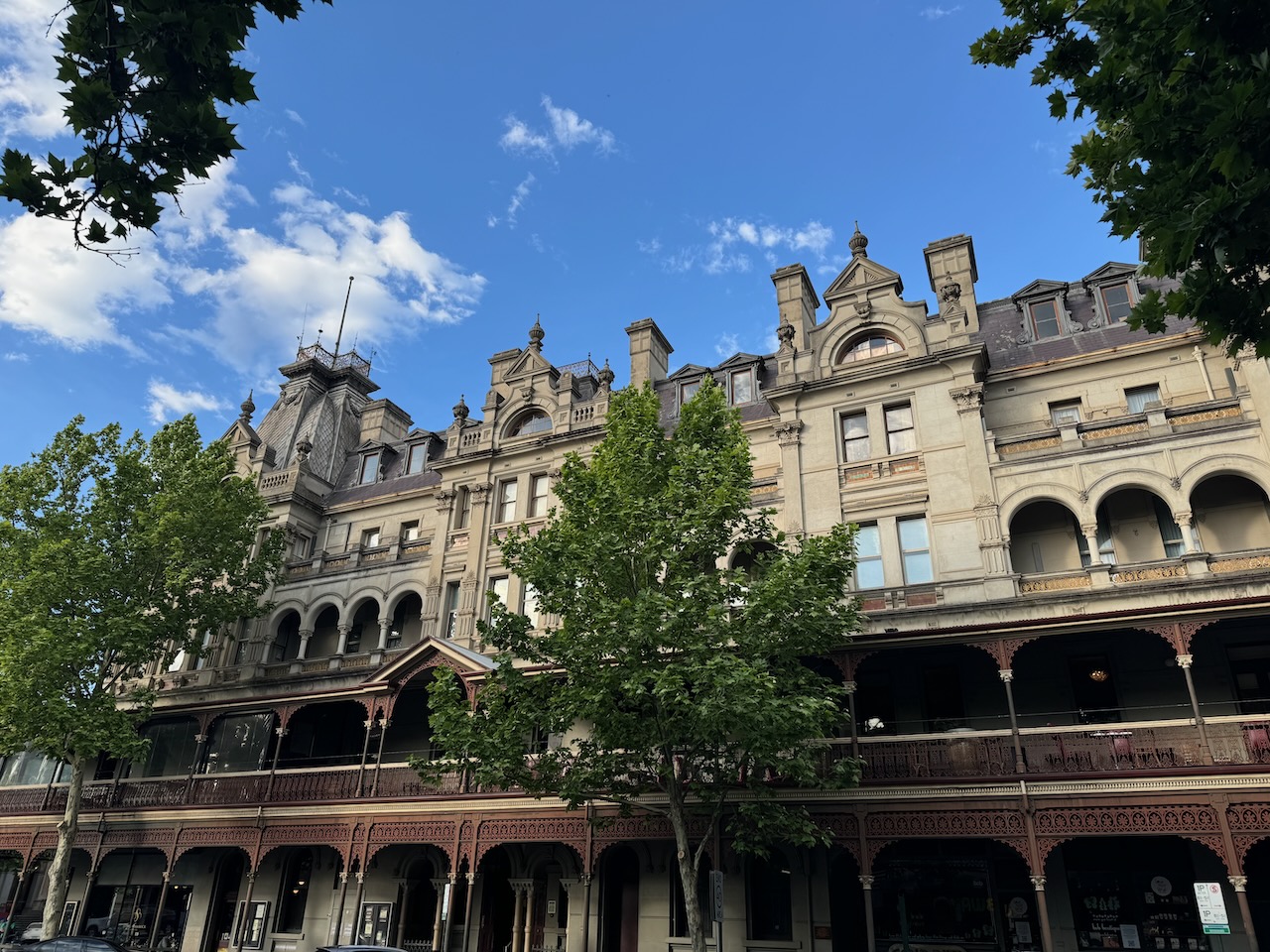
The impressive Hotel Shamrock is one of Bendigo’s major landmarks and was the venue for our Friday evening meal for the 2024 VKFF National Get Together.
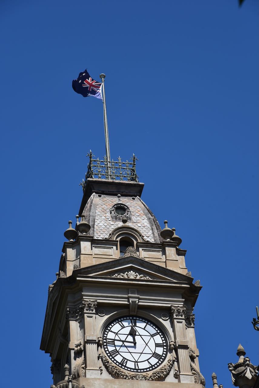
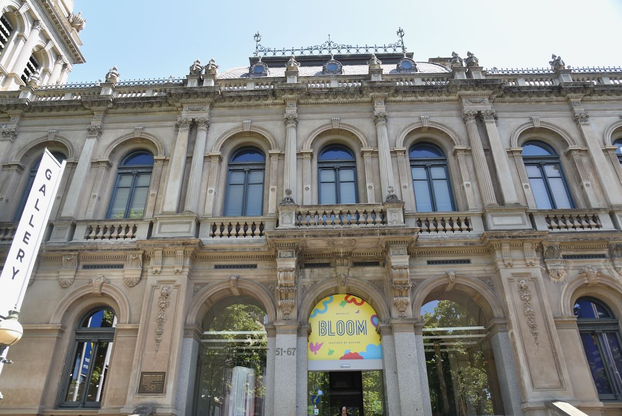
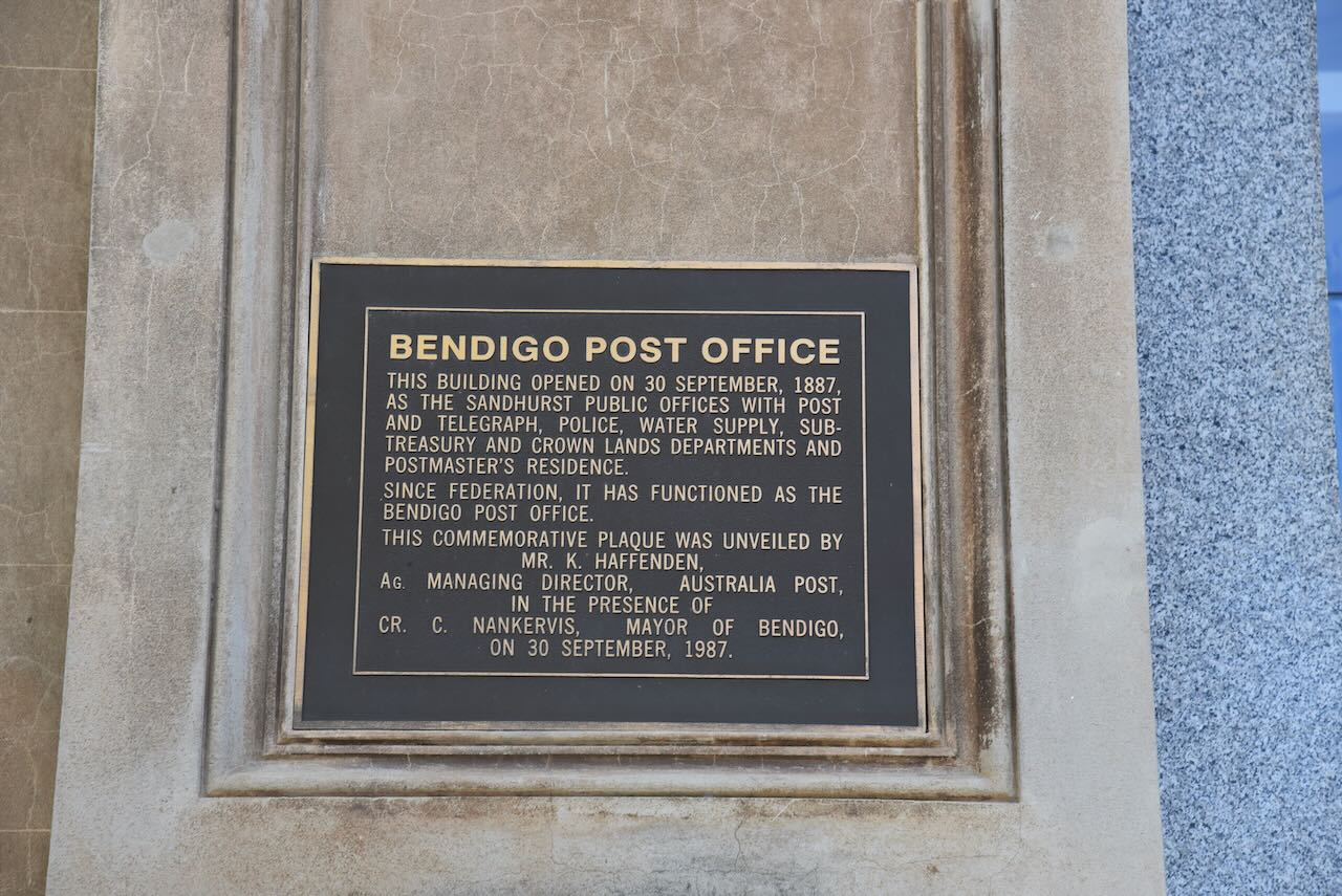
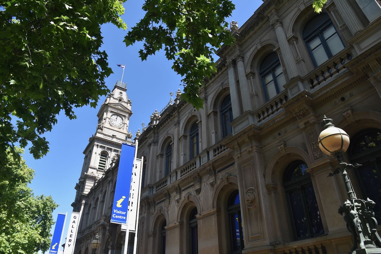
The Bendigo Post Office building was opened on the 30th day of September 1887, as the Sandhurst Public Offices with Post and Telegraph, Police, Water Supply, Sub Treasury and Crown Lands Departments and Postmaster’s residence.
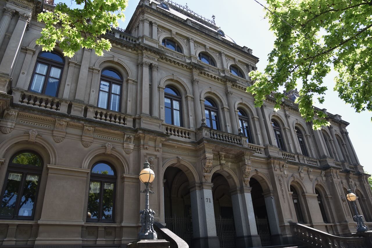
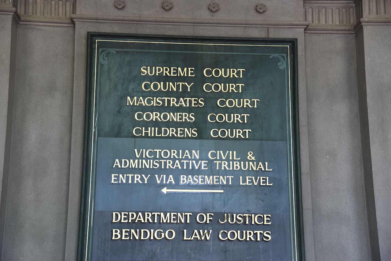
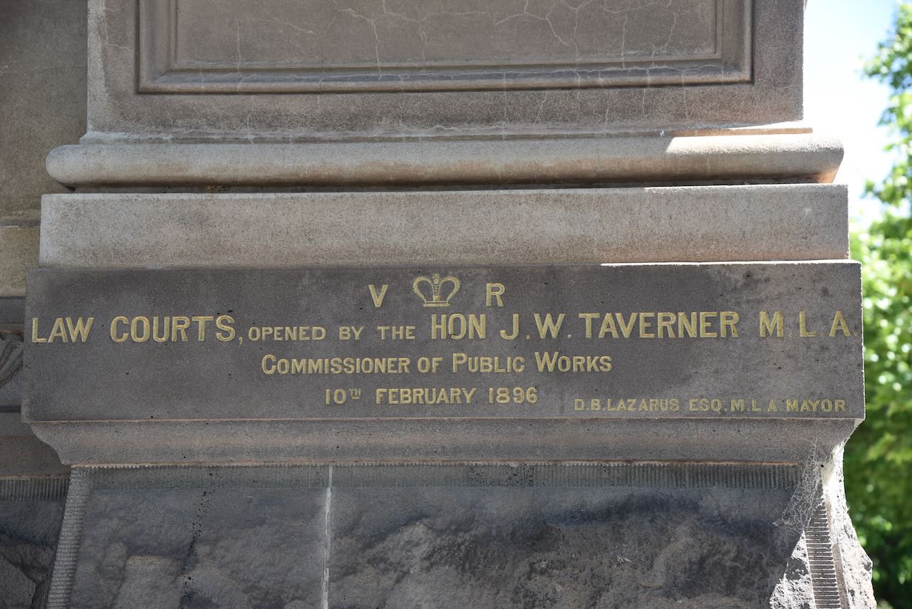
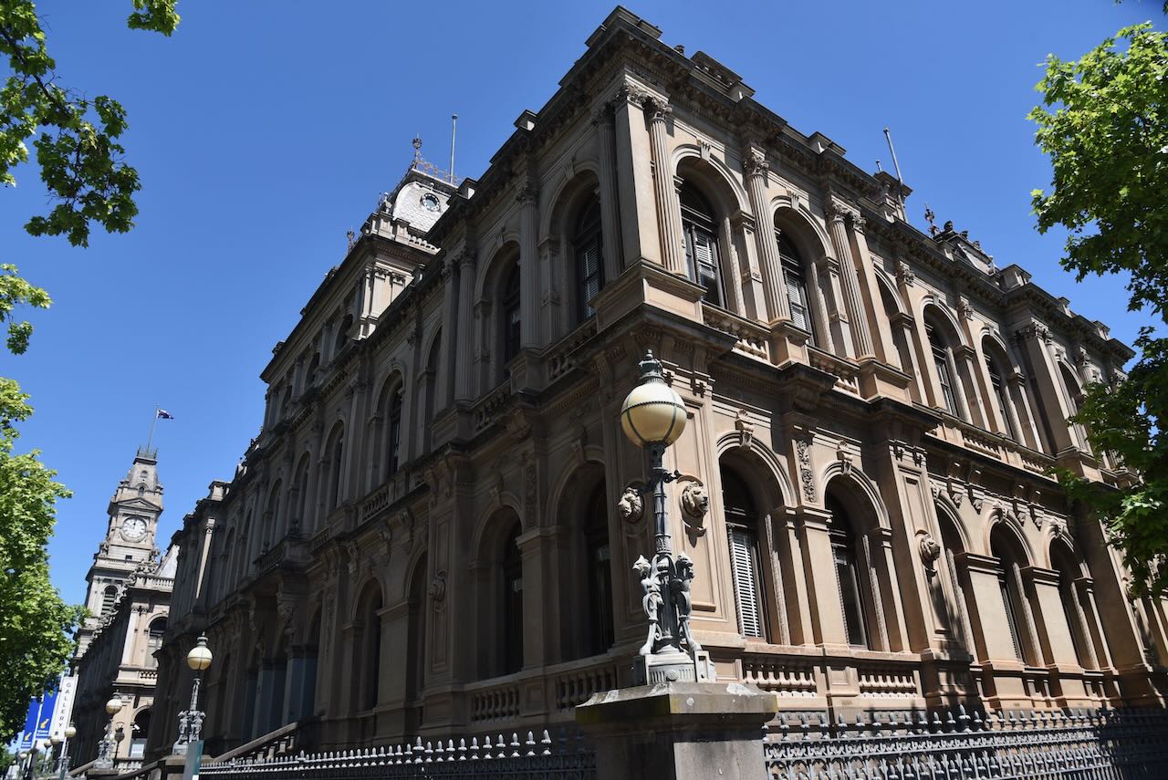
The old Supreme Court building was constructed in 1896.
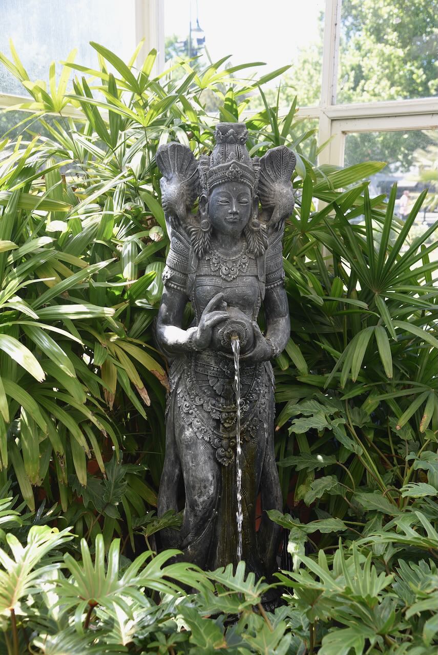
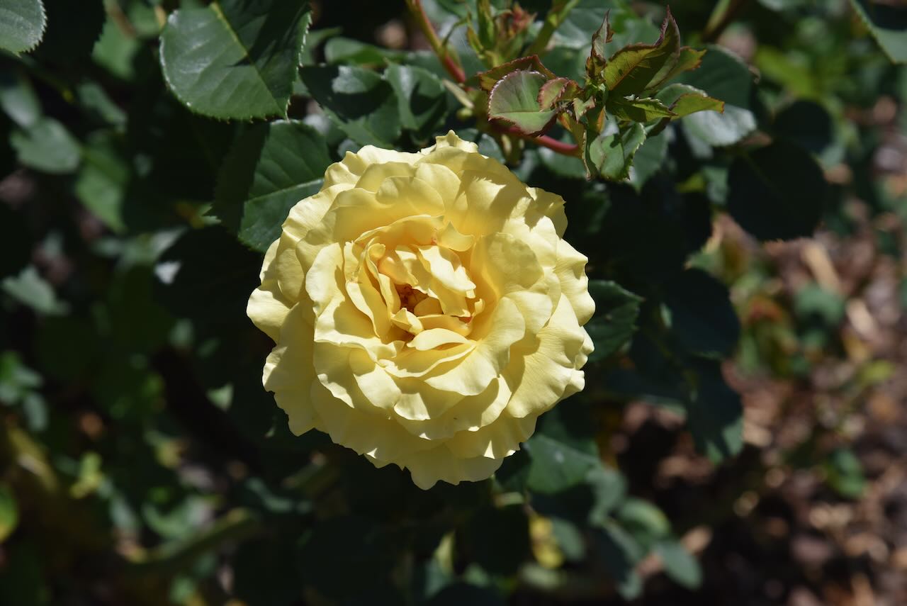
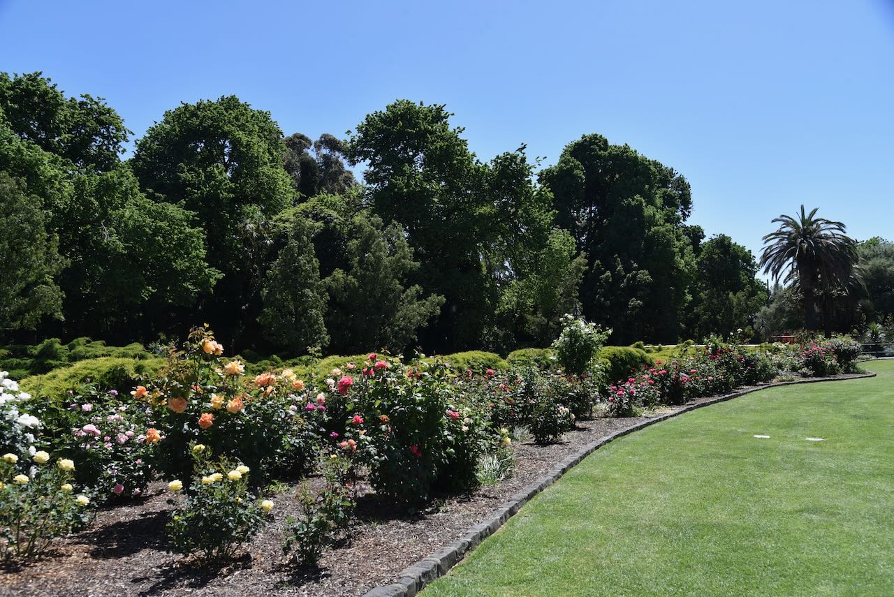
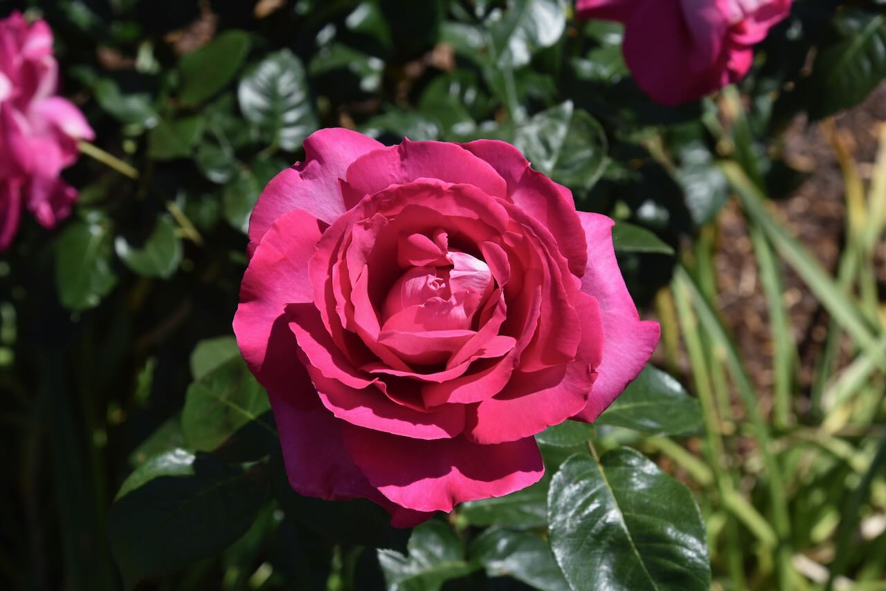
Marija and I then spent an hour or so strolling around the Bendigo Botanic Gardens. They are one of regional Victoria’s earliest botanic gardens, and were established in 1857. (www.bendigo.vic.gov.au, n.d.)
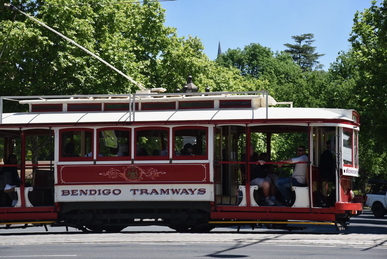
Whilst walking around Bendigo, the historic Bendigo Tramways tourist trams passed by regularly.
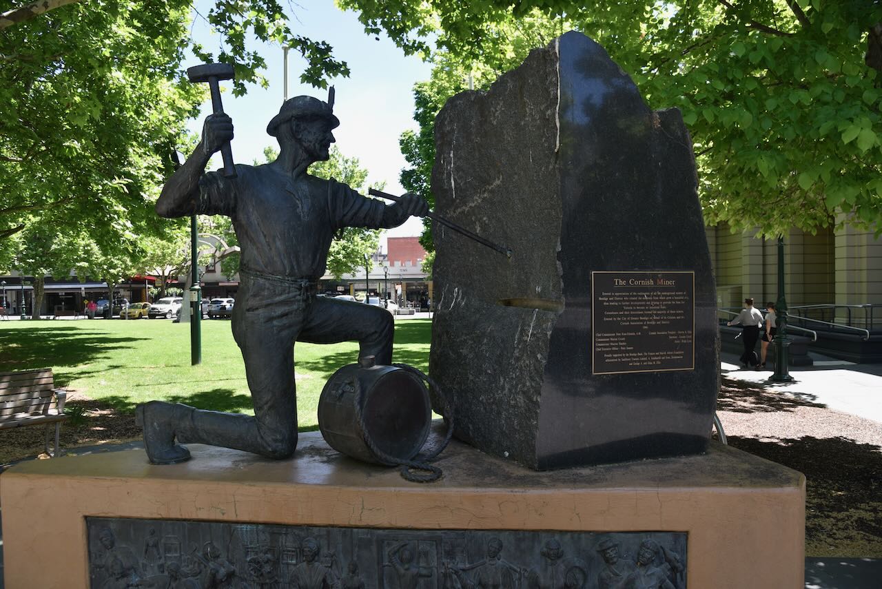
The Cornish Miner monument commemorates the efforts of all the underground miners of Bendigo and District. The majority of these miners were Cornishmen. (Monument Australia 2025)
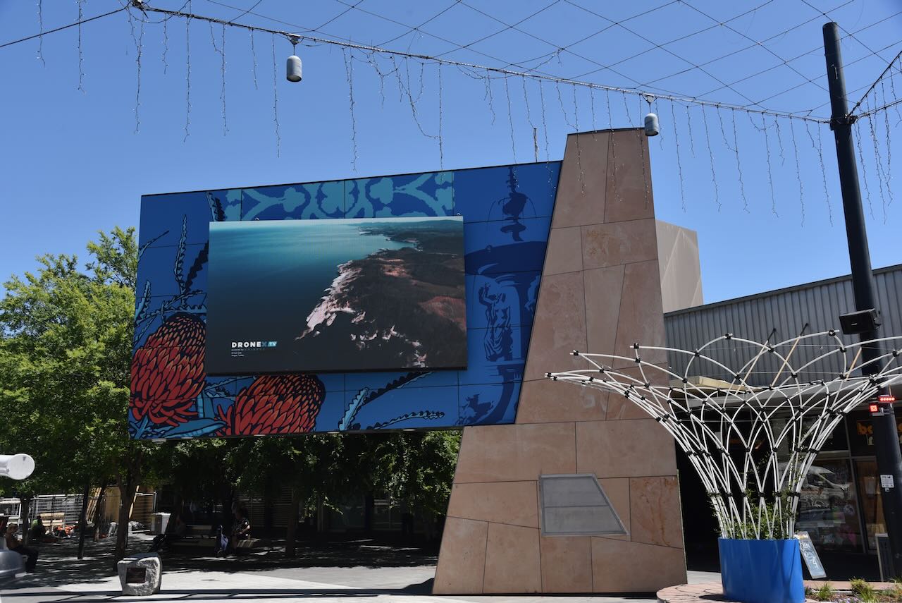
Below are some photographs of Hargraeves Mall.
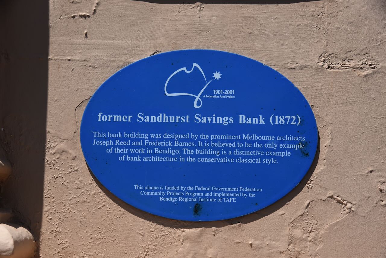
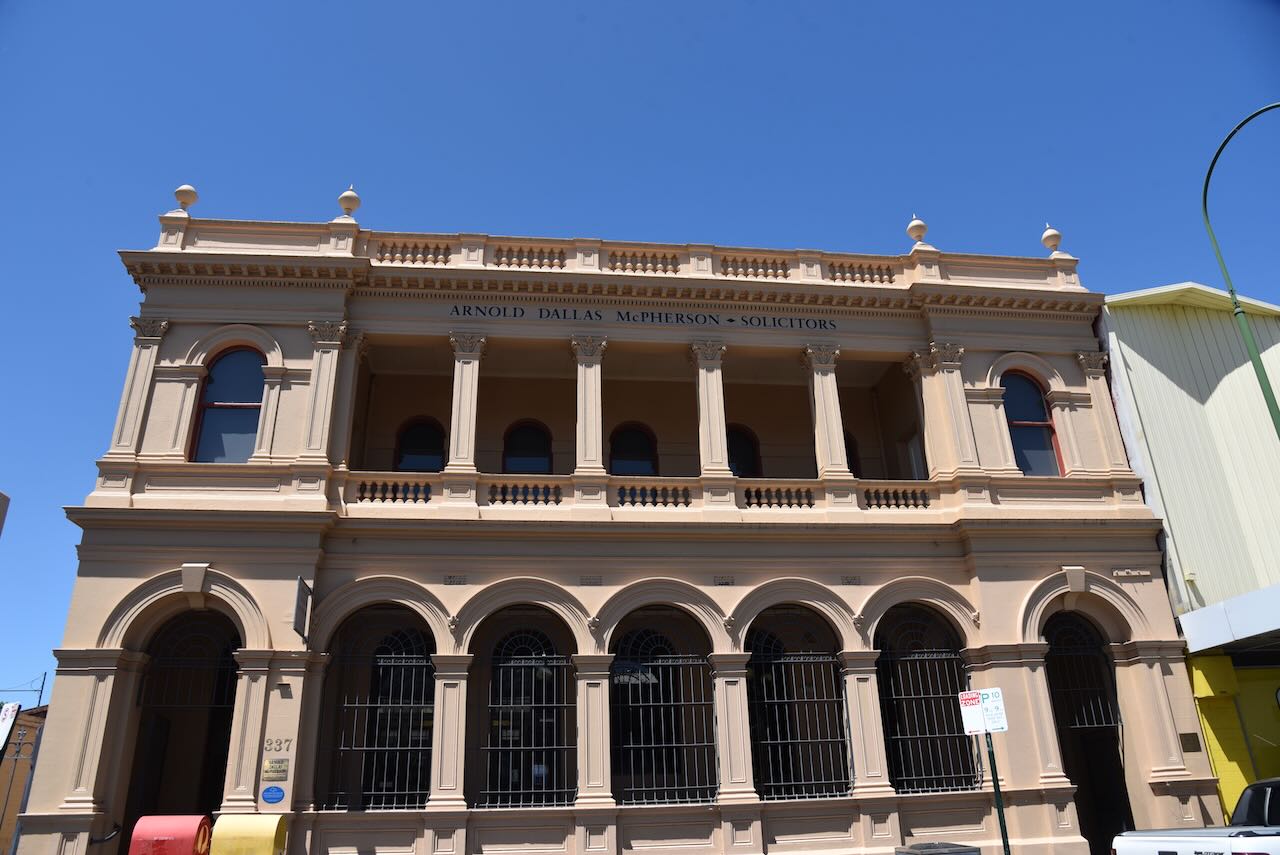
The former Sandhurst Savings Bank was built in 1872 and was designed by the prominent Melbourne architects Joseph Reed and Frederick Barnes. This building is believed to be the only example of their work in Bendigo.
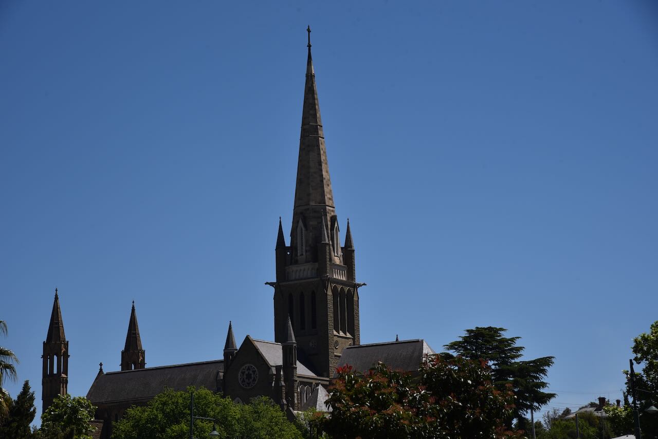
Off in the distance, we could see the impressive Sacred Heart Cathedral.
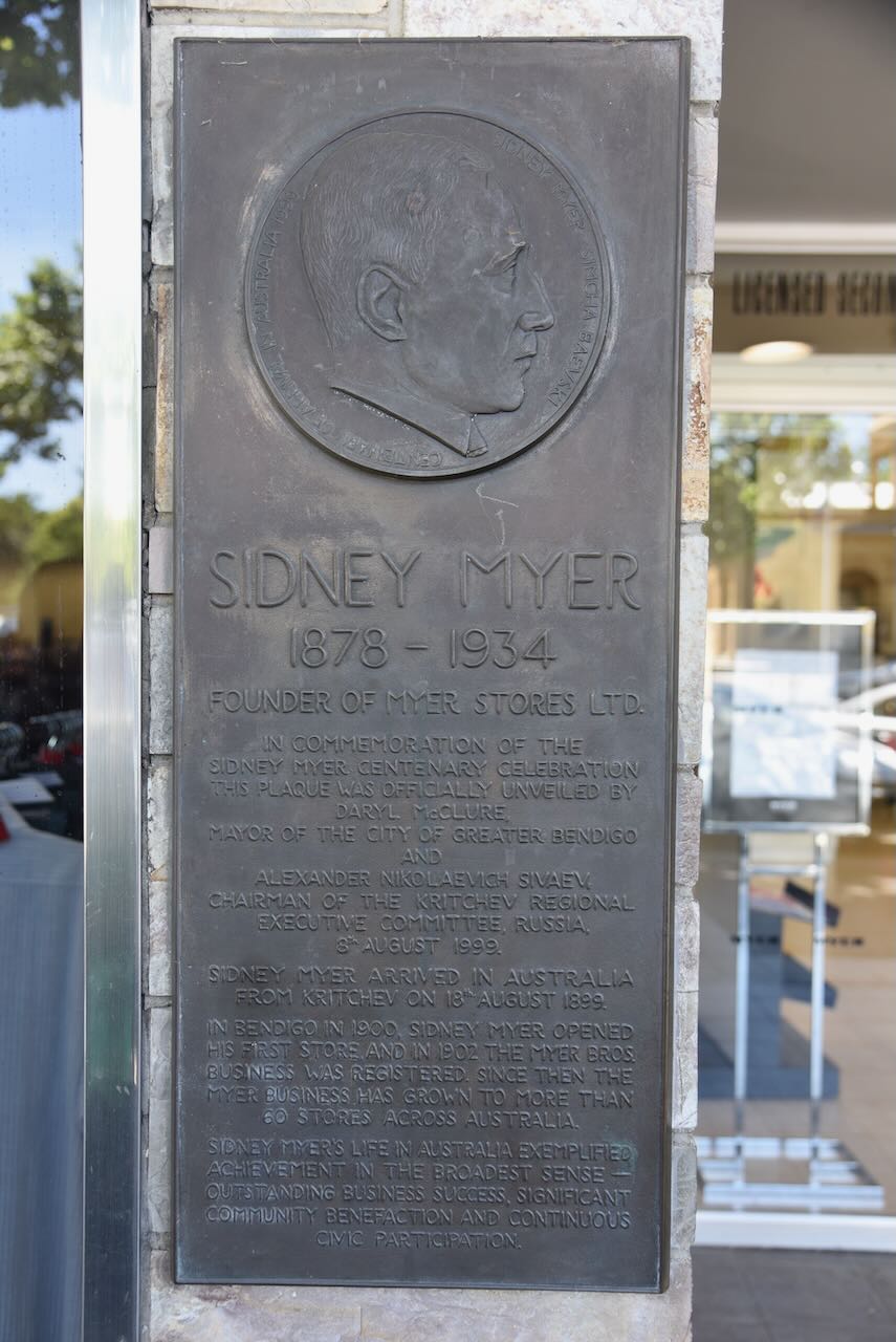
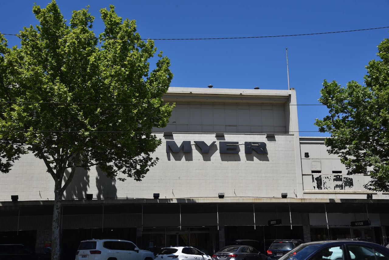
Our next stop was the Myer building. It was in 1909 in Bendigo that Sidney Myer opened his first store. His business, the Myer Bros, grew to more than 60 stores across Australia.
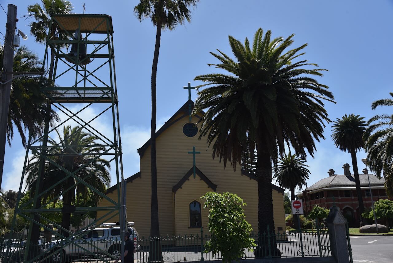
St Killiams is the largest wooden church in Australia and was blessed on the 1st day of July 1888. (www.ohta.org.au, n.d.)
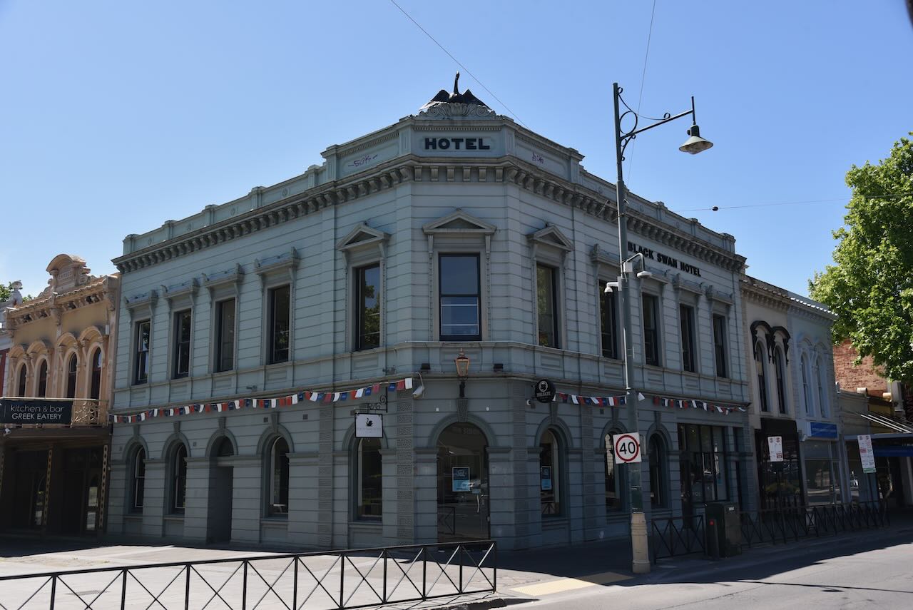
The Black Swan Hotel held Bendigo’s first official liquor licence in 1873. (Black, 2025)
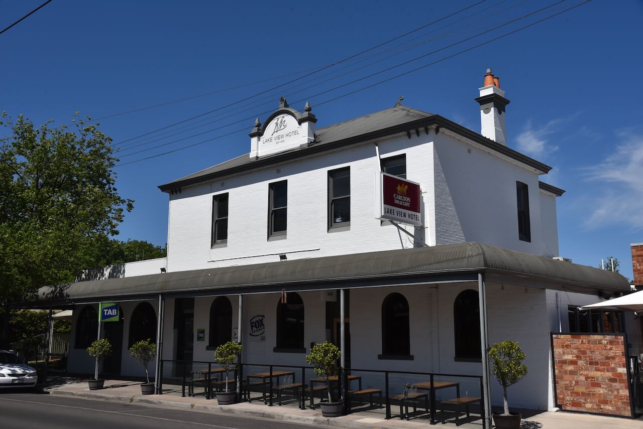
The Lake View Hotel was opened in 1878.
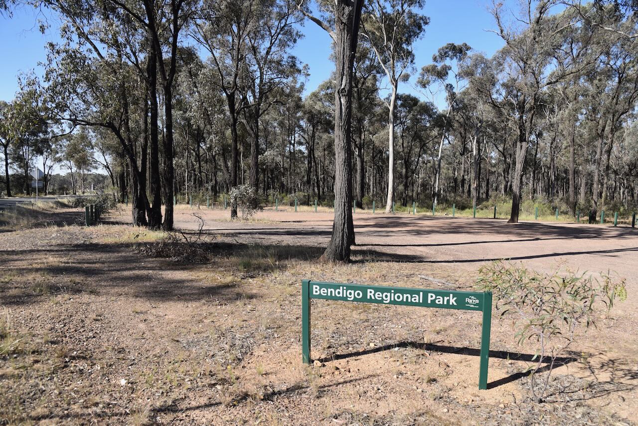
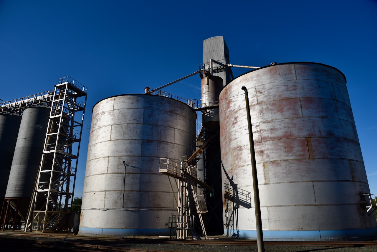
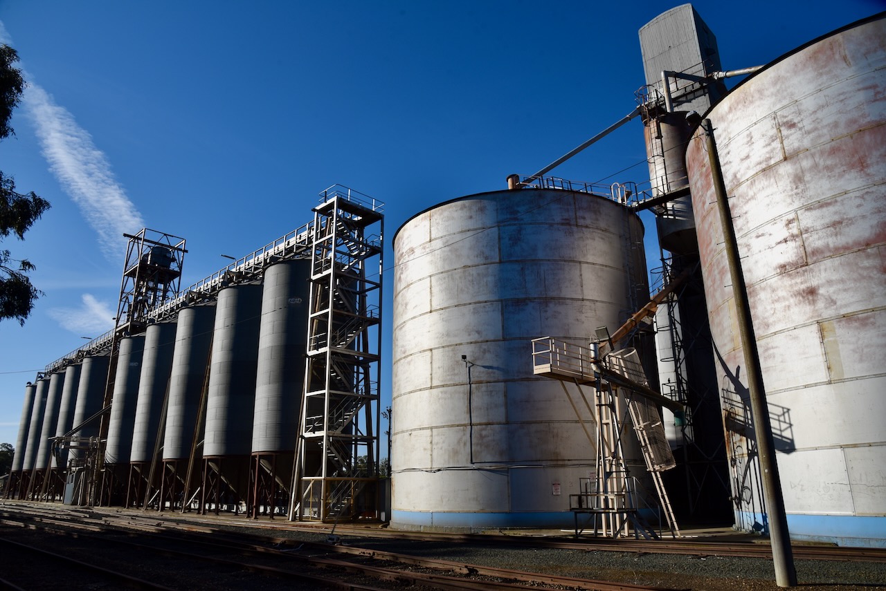
After a great morning and early afternoon of exploring Bendigo, Marija and I headed to our first activation for the day, the Bendigo Regional Park VKFF-0960 and the East Bendigo silo VK-ESO3.
The silos are located in Victa Road.
We accessed the park via Victa Road, so that we were in the activation zone of the silo.
We ran the Yaesu FT857, 40 watts, and the 20/40/80m linked dipole. As we were close to the Bendigo airport, we had a lot of aircraft flying above us during the activation.
Black (2025). Black Swan Hotel Bendigo | Bendigo Bar | Motorbike Museum | Bikes, Blues and Brews. [online] Black Swan Hotel Bendigo | Bendigo Bar | Motorbike Museum | Bikes, Blues and Brews. Available at: https://blackswanhotelbendigo.com.au/#our-history [Accessed 1 May 2025].
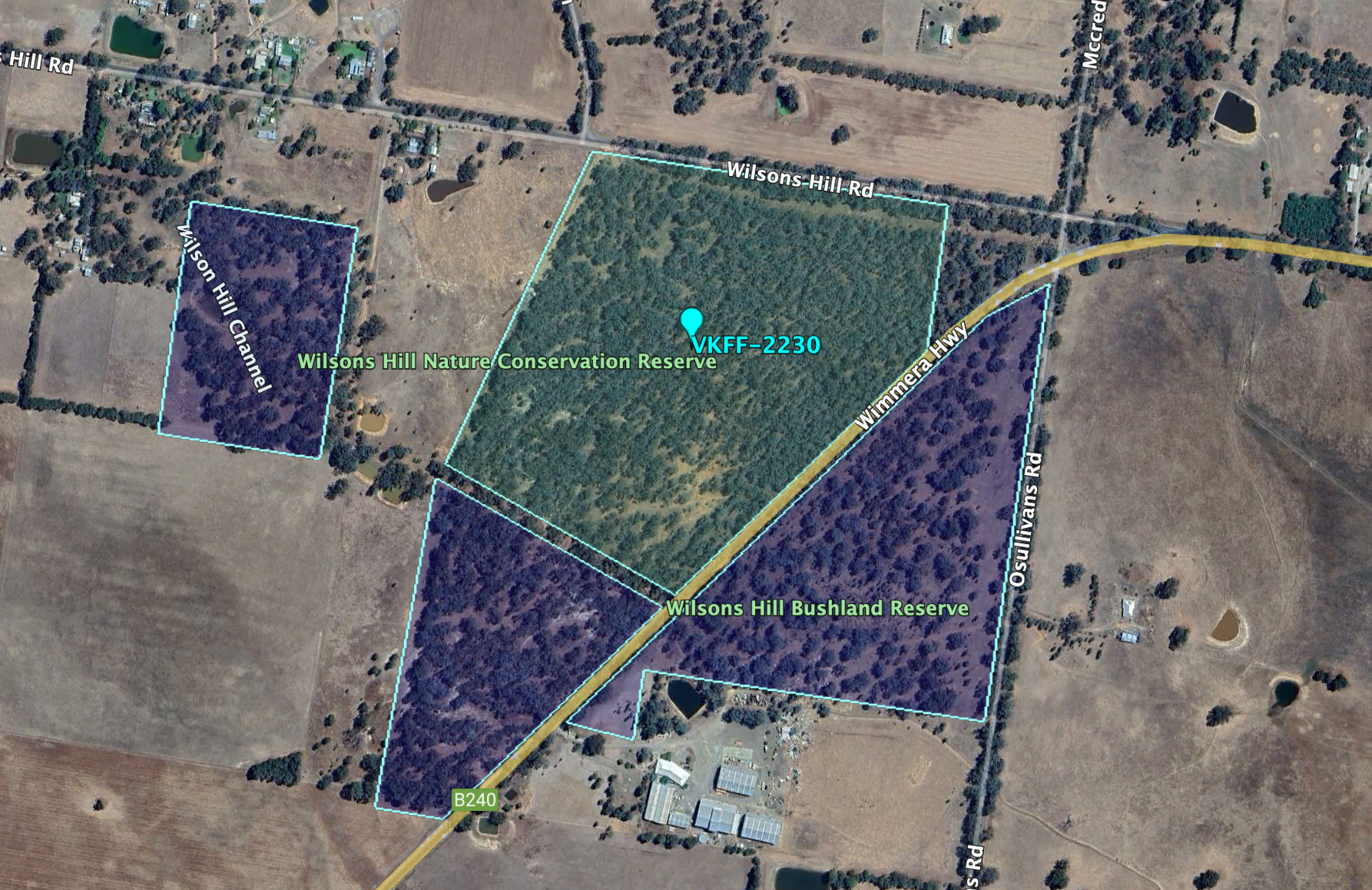
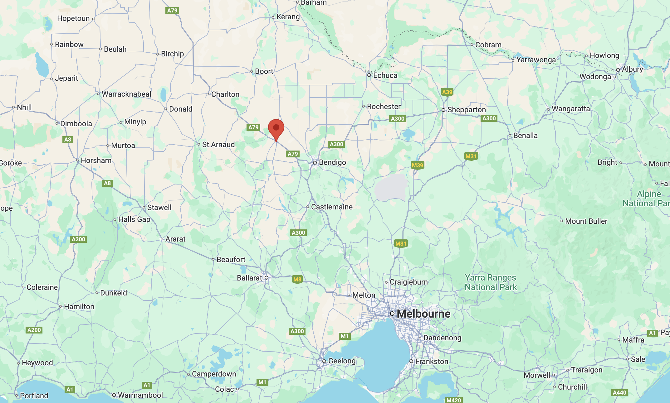
Our final activation for Monday, 28th October 2024, was the Wilsons Hill Nature Conservation Reserve VKFF-2230. The park is about 17 km west of Bendigo in central Victoria.
Above:- Map showing the location of Wilsons Hill NCR. Map c/o Google Map.
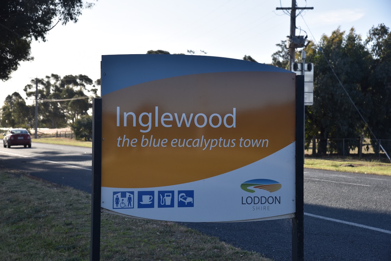
Before activating the park, we strolled around the historic town of Inglewood.
Prior to European settlement, the Inglewood region was home to the Taurngurong Aboriginal people. The first Europeans in the area were graziers who settled in the area during the 1840s. During the 1850s, the Loddon and Glenalbyn pastoral runs were established. (Aussie Towns, 2020)
Gold was discovered in the area in mid-1852, and a town sprang up as a result. The Reverend William Hall (b. 1811. d. 1887) owned Glenalbyn run, and it is believed that Inglewood was named at the suggestion of his wife, who came from Inglewood Forest, Cumberland, England. Virtually nothing remains of the town, known as Old Inglewood (Victorianplaces.com.au, 2015)
Above:- Part of an article from the Bendigo Advertiser, Tues 13 Dec 1859. Image c/o Trove.
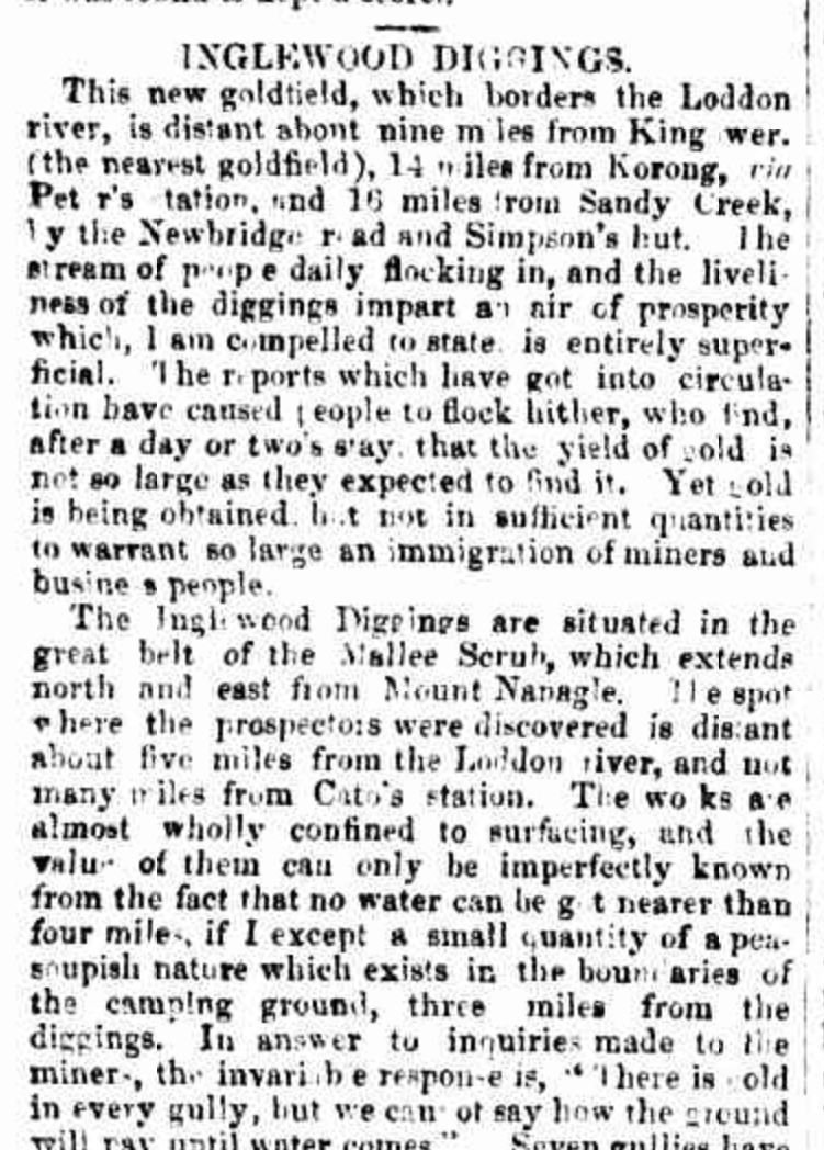
In 1860, gold was discovered near the northern end of the present township of Inglewood. This resulted in the establishment of a more permanent township of Inglewood. At its peak, the goldfield at Inglewood had over 10,000 miners. (Victorianplaces.com.au, 2015)
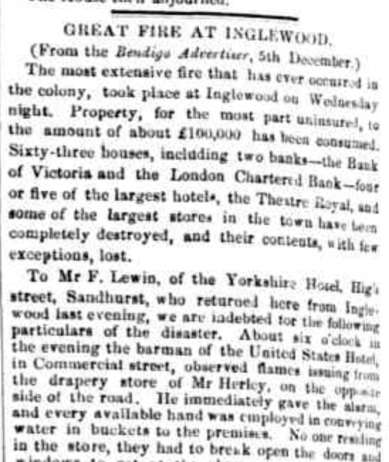
In 1863, a Presbyterian church and a hospital were constructed. An Anglican church was built in 1864, followed by a Methodist church and a mechanics’ institute hall in 1865. In 1866, a courthouse and a fire station were opened. It is highly likely the firehouse was established as a result of a catastrophic fire in Ingelwood in 1862 that resulted in the destruction of several commercial buildings. It was described as ‘the most extensive fire that had ever occurred in the colony’. (Victorianplaces.com.au, 2015)
Above:- part of an article from The Star, Ballarat, Sat 6 Dec 1862. Image c/o Trove.
Below is a great video on historic Inglewood.
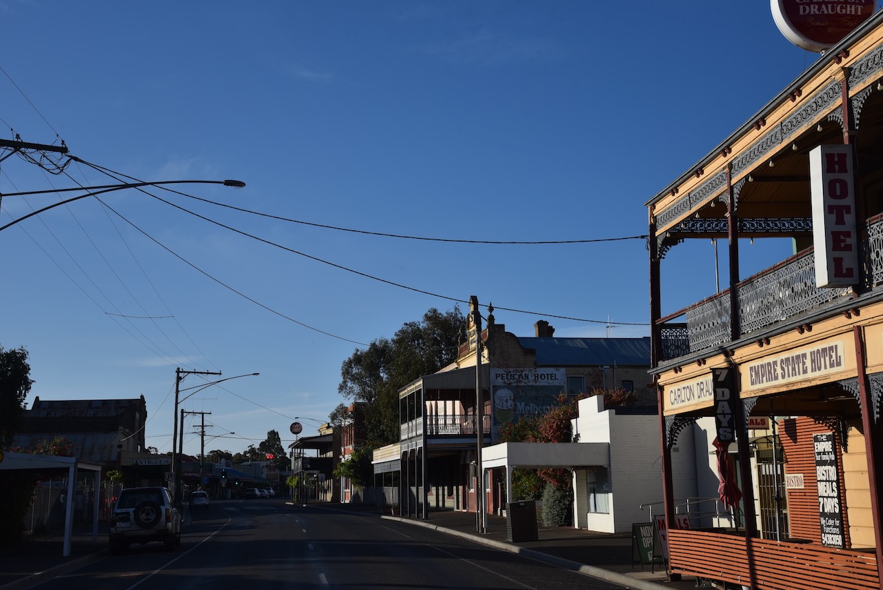
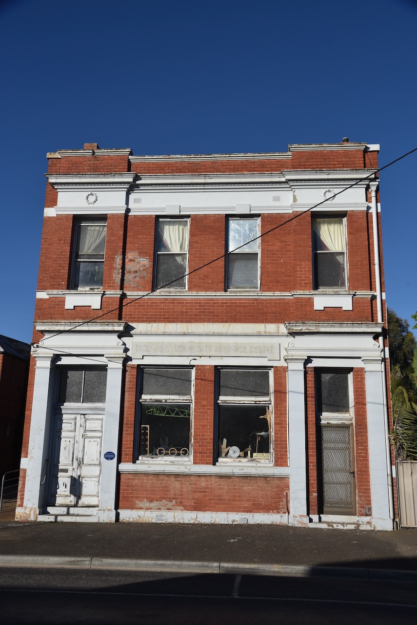
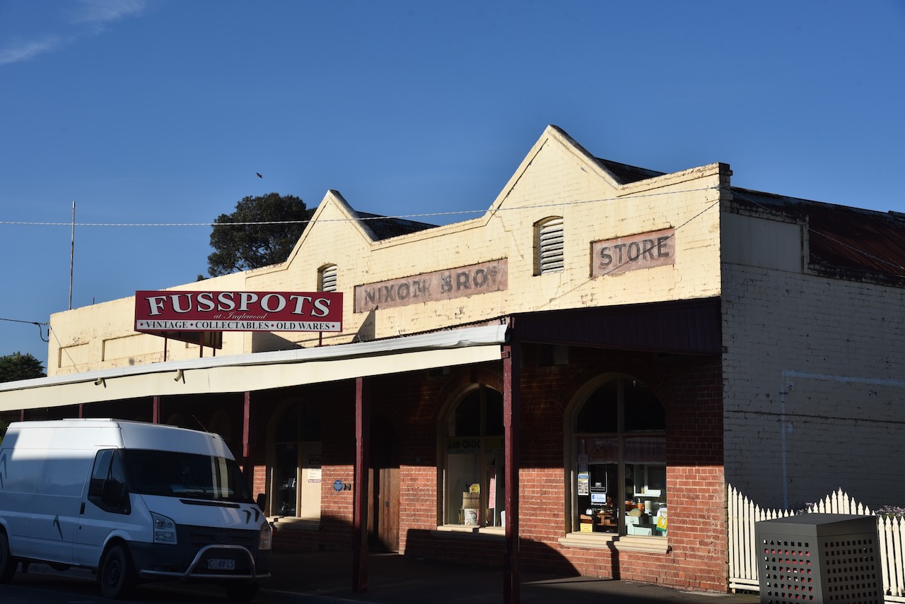
Numerous historic buildings remain in Inglewood. We spent about an hour looking around the time, but you could easily spend half a day here wandering around town. Many of the historic buildings have blue plaques that explain the history of the building.
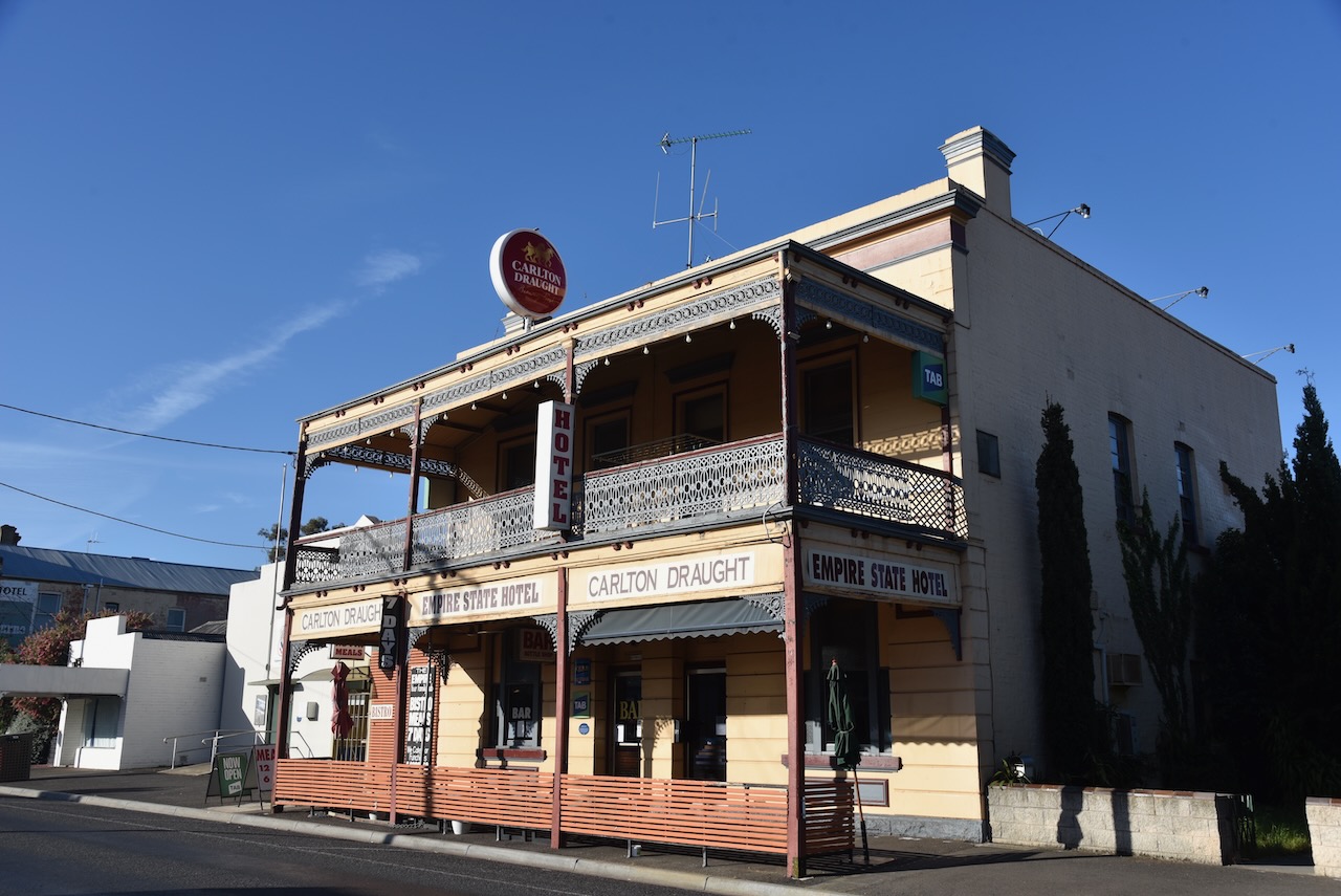
The original Empire State Hotel was built in 1861, but was destroyed during the 1862 fire. It reopened in 1873 and is Inglewood’s second oldest surviving hotel. (Chirp Internet, 2025)
I found this very interesting video on YouTube on the story behind the Empire State Hotel.
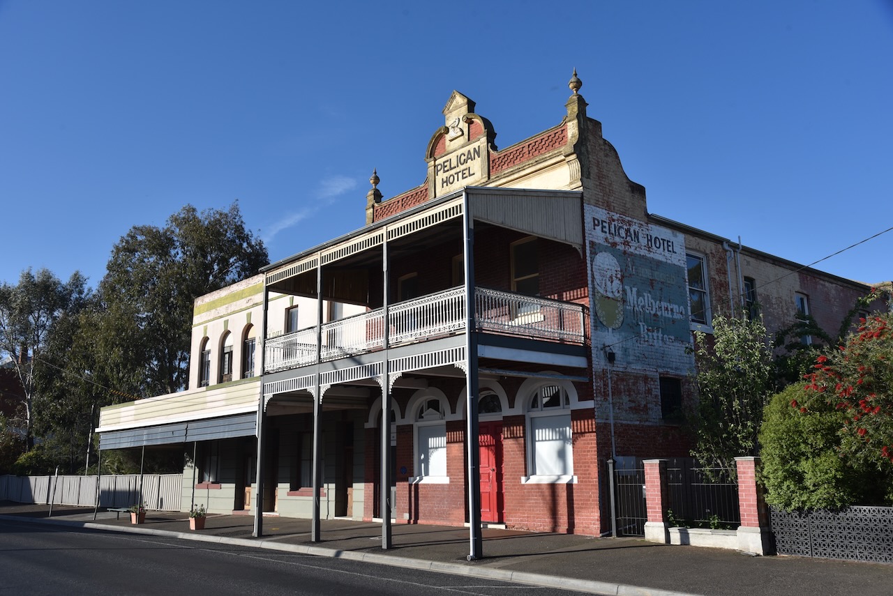
The former Pelican Hotel was built in 1907 to replace earlier hotels on the site that were destroyed during the 1862 fire. (Herald, 2024)
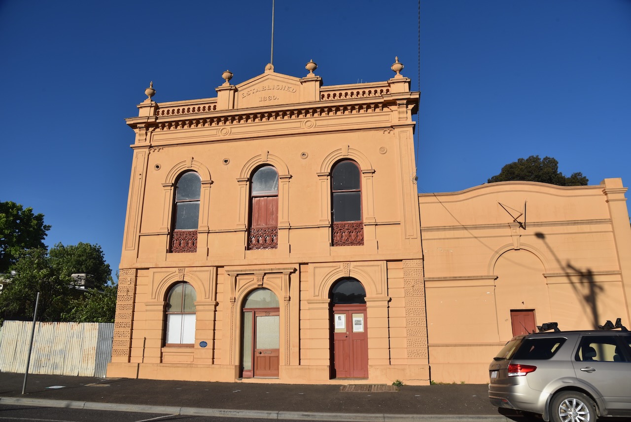
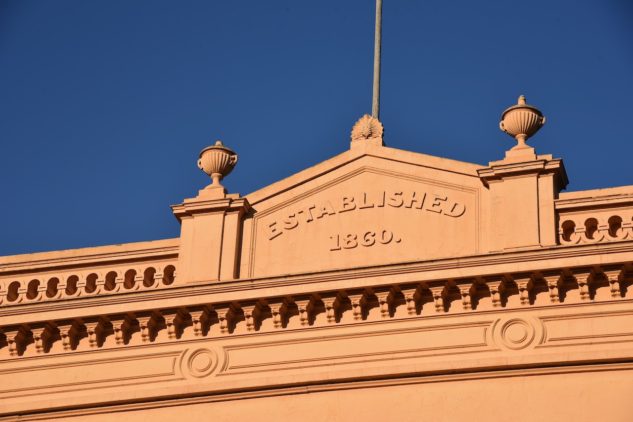
The State Savings Bank was built on the site of the Bobby Burns Hotel, whose license was surrendered in April 1908. In 1913, the old hotel was purchased by the State Savings Bank of Victoria and demolished to make way for the new bank building. George Pallet and Son, contractors of Richmond, built the bank, and the Borough Mayor, Charles Ansett, father of Sir Reginald Ansett, officially opened it on the 29th day of May 1914. The bank closed its Inglewood branch in August 1993.
Chancery Lane once featured a line of narrow-fronted shops on both sides that included the Inglewood Advertiser newspaper office and the Courthouse Hotel. Following the Great Fire of 1862, most of the Chancery Lane businesses relocated. The name ‘Chancery Lane’ follows the custom of thus naming the street that leads directly to the law courts. ‘Chancery’ is a shortening of the word ‘Chancellory’ which in England is the second highest court after the Privy Council.
George Nixon established his first store in a tent on the Old Inglewood goldfields in late 1859. The brick shop that he built on this site prevented the Great Fire of 1862 from progressing further along Brooke Street. In the late 1860s, George Nixon built the Exchange Hotel on the south end of his store, rebuilding it again in 1889. The hotel was delicensed in 1914, and his grandsons moved the grocery business back to the hotel area. The original shop on the north side was demolished in 1960. Roy Nixon sold the business in 1964 after 104 years of family ownership.
The first Charlie Napier Hotel was built in 1860 by John Sorg. Following windstorm damage in 1862, it was rebuilt again in timber. In 1874, Frederick Klein and Elizabeth Sorg demolished the old building and replaced it with a single-storey brick structure. The second storey was added in 1879 and a billiard room in 1909. In 1906, a painter who signed himself ‘Len Moodie’ completed a series of wall murals in the bar room. The hotel was delicensed in 1967 and sometime after this the beautiful balcony and lacework verandah were removed. In 1995, Heritage Victoria listed the building.
The building of the Inglewood Courthouse commenced in 1866 to a standard Public Works design on what was then known as Hospital Hill. The first court case was heard on the 12th day of May 1869. Regular sittings at the Court House accommodated the Court of Petty Sessions, the Mining Warden’s Court and the County Court. The courthouse was finally closed in 1983 and since then has been used by the Inglewood District Historical Society.
The Sandhurst to Inglewood railway was opened on the 17th day of November 1876 by His Excellency, The Governor, Sir G.F. Bowen, at a ceremony in a marquee in Verdon Street. The line from Sandhurst was built by Thomas Doran, taking twenty months to complete. Mr. Isaac Summerland built the station buildings. The overhead walkway above the tracks was opened in July 1888. The walkway and turntable were removed some years ago. The passenger train service ceased in the 1880s with only freight trains using the lines now.
The first licensee of the Railway Hotel is believed to be Alice Watts in 1879, followed by Moses Toghill in 1881. The hotel was built after the railway line reached Inglewood in 1876. It was known for some years as ‘The Weighbridge Hotel’. It became the Railway Hotel in about 1885. With the railway station nearby, the hotel was in a prime position to gain patronage from train passengers as well as locals. The hotel was delicensed in 1963 and is now a private residence.
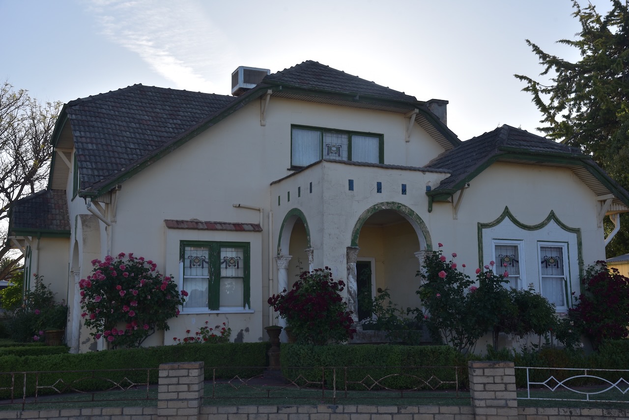
From the 1880s, the Dr. Bill Brennan residence was the site of Morgan and Miller’s blacksmith shop. The old timber and corrugated iron building stood idle for several years before demolition in the late 1920s. The current house was built for Dr. Bill Brennan as a private residence and dental surgery, opening for business in 1934.
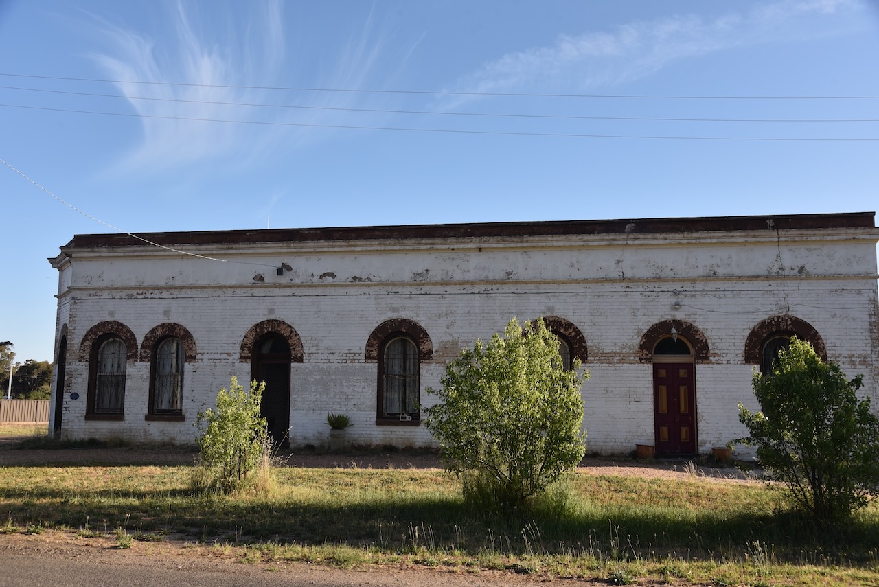
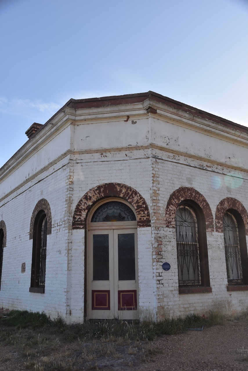
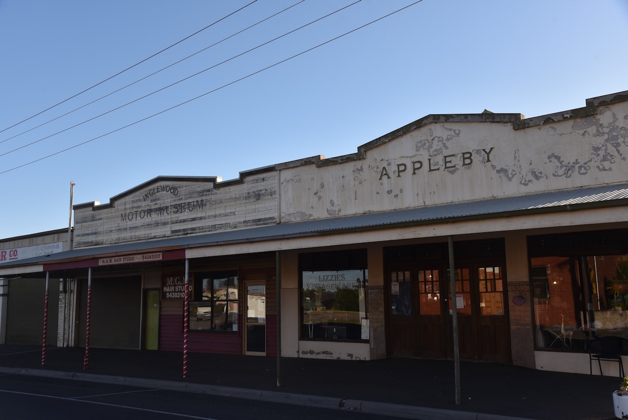
In 1916, Jim Turpie and Alan Gillespie opened a farm implement business, which included the district’s first tractors. Soon, it was to become a motor car garage with Charles Boyle as the mechanic, who later took over the business. In 1927, Fred Applebey purchased the premises and extended the workshop, and build a car showroom with a residence behind it. The car showroom with its polished wooden floor opened as ‘The Dance Palais’ in 1931. The family business was sold in 1983 and has since been used as a motor garage, car museum, antique shop and take-away food shop.
The Inglewood War Memorial is a reminder of those locals who paid the supreme sacrifice to protect this country.
Marija and I then headed to Wilsons Hill Nature Conservation Reserve, which is located on the southern side of Wilsons Hill Road off the Wimmera Highway.
Above:- An aerial view of Wilsons Hill NCR. Image c/o Google Earth.
The reserve is about 20 hectares in size and was established on the 26th day of February 2002. (CAPAD 2022)
Unfortunately by the time we had reached the park is was almost completely dark, so we did not get to have a look at the park.
We ran the Yaesu FT857, 40 watts, and the 20/40/80m linked dipole for this activation.
Marija worked the following stations on 40m SSB:-
VK7PJM
VK4HMI
VK1AO
VK2MET
VK5SPJ/M
VK5WU
VK2EG
VK2AAJ
VK3STV
VK2QR
ZL2FN
VK7MAD
I worked the following stations on 40m SSB:-
VK7PJM
VK4HMI
VK1AO
VK2MET
VK2MG
VK5SPJ/M
VK5WU
VK2EG
VK2AAJ
VK3STV
VK2QR
ZL2FN
VK7MAD
VK3APJ
VK3GJG
VK2SS
VK3DL
VK3ATA
VK2LEE
VK3MRG
VK3CEO
VK2IO/M
VK2GEZ/M
VK7PSJ
VK3TDX
VK2WE
VK3TGL
VK7ACE
VK3PF
VK2UXO
VK4SMA
VK2MKY
VK5DW
VK3ZGA
JF7RJM
VK2YW
VK5HSX
VK5IE
VK3DO
VK3AHJ
VK5NOU
VK3JK
VK5AV
VK3QA
VK3YV
VK7AAE
VK3AGM
VK5DDD
I worked the following stations on 40m AM:-
VK5DW
VK3CEO
VK3PF
VK2LEE
VK3ZGA
VK2YW
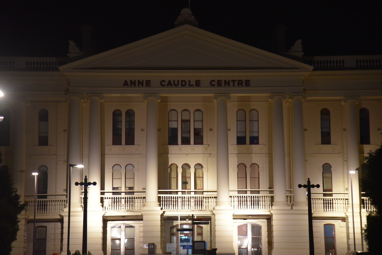
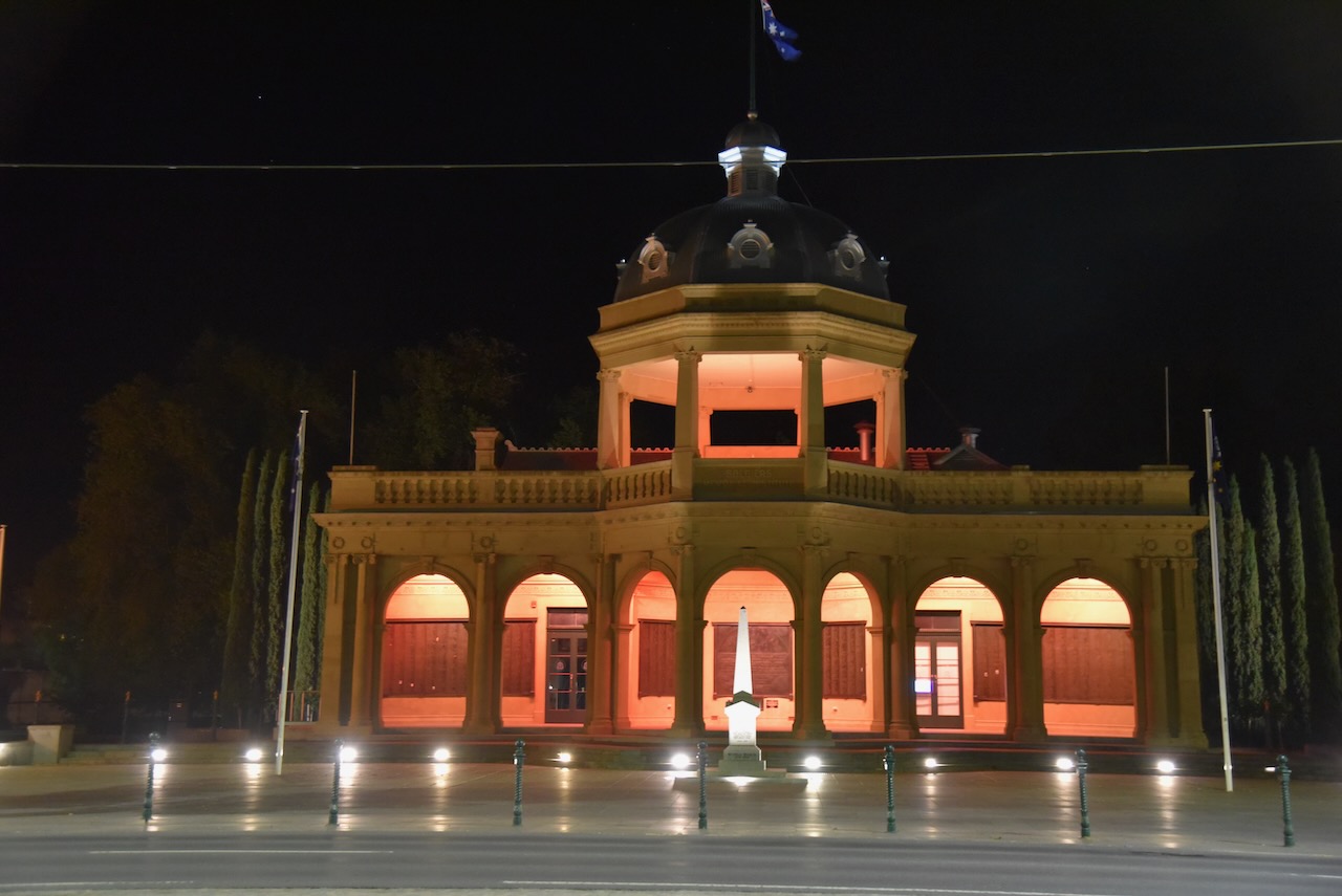
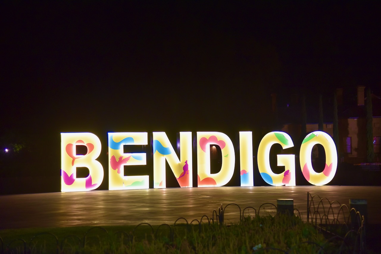
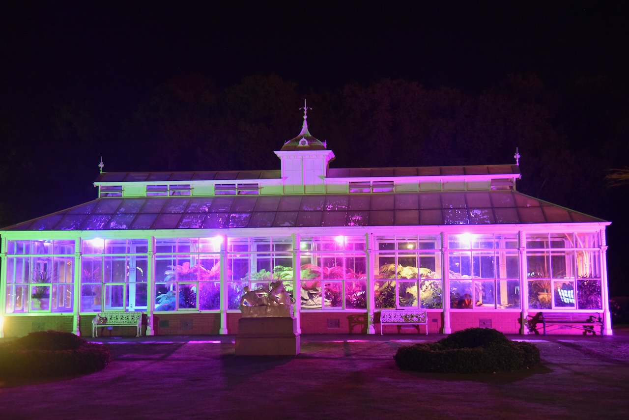
After packing up, Marija and I headed back into Bendigo. We drove around for about 20 minutes, admiring many of the historic buildings lit up at night.
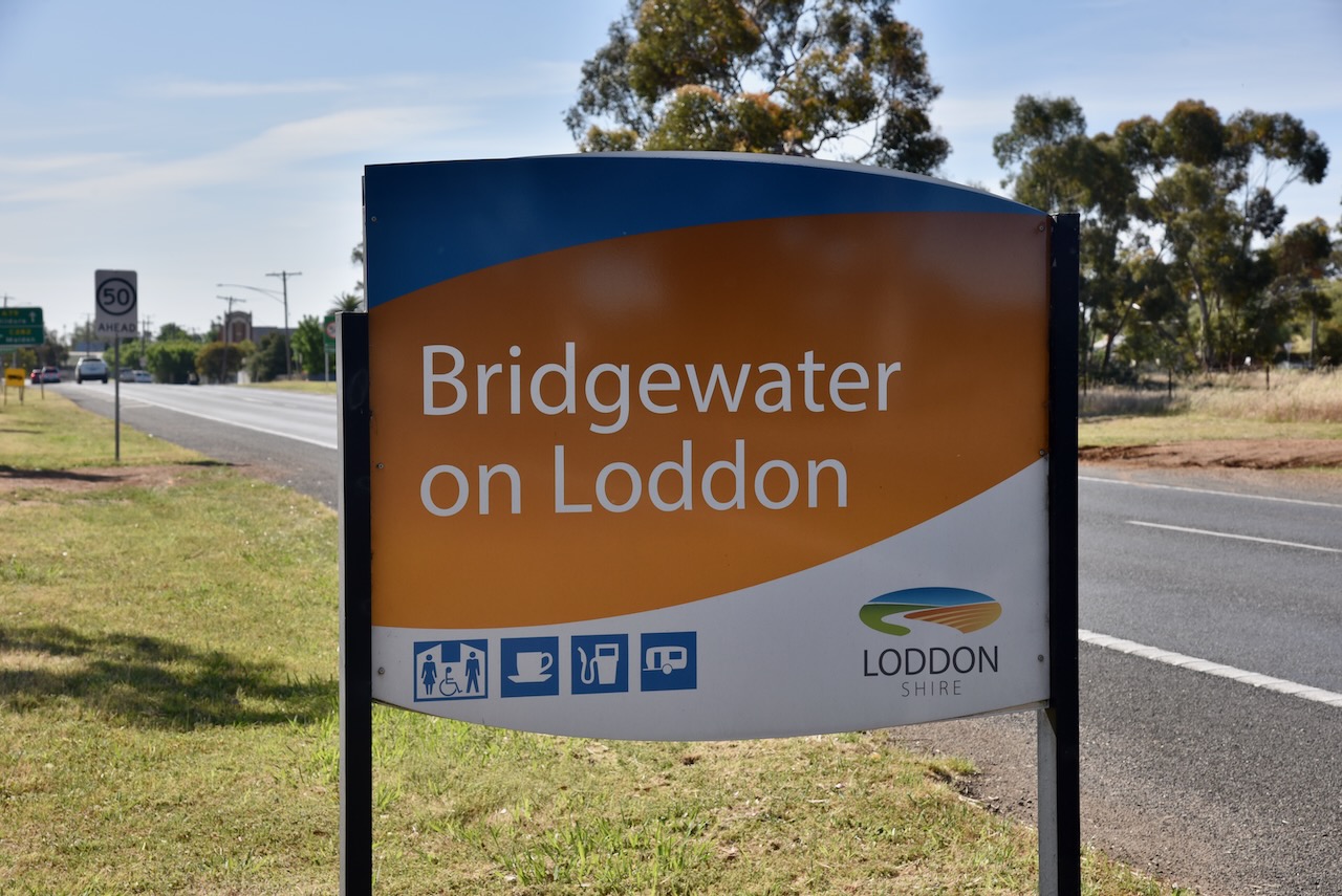
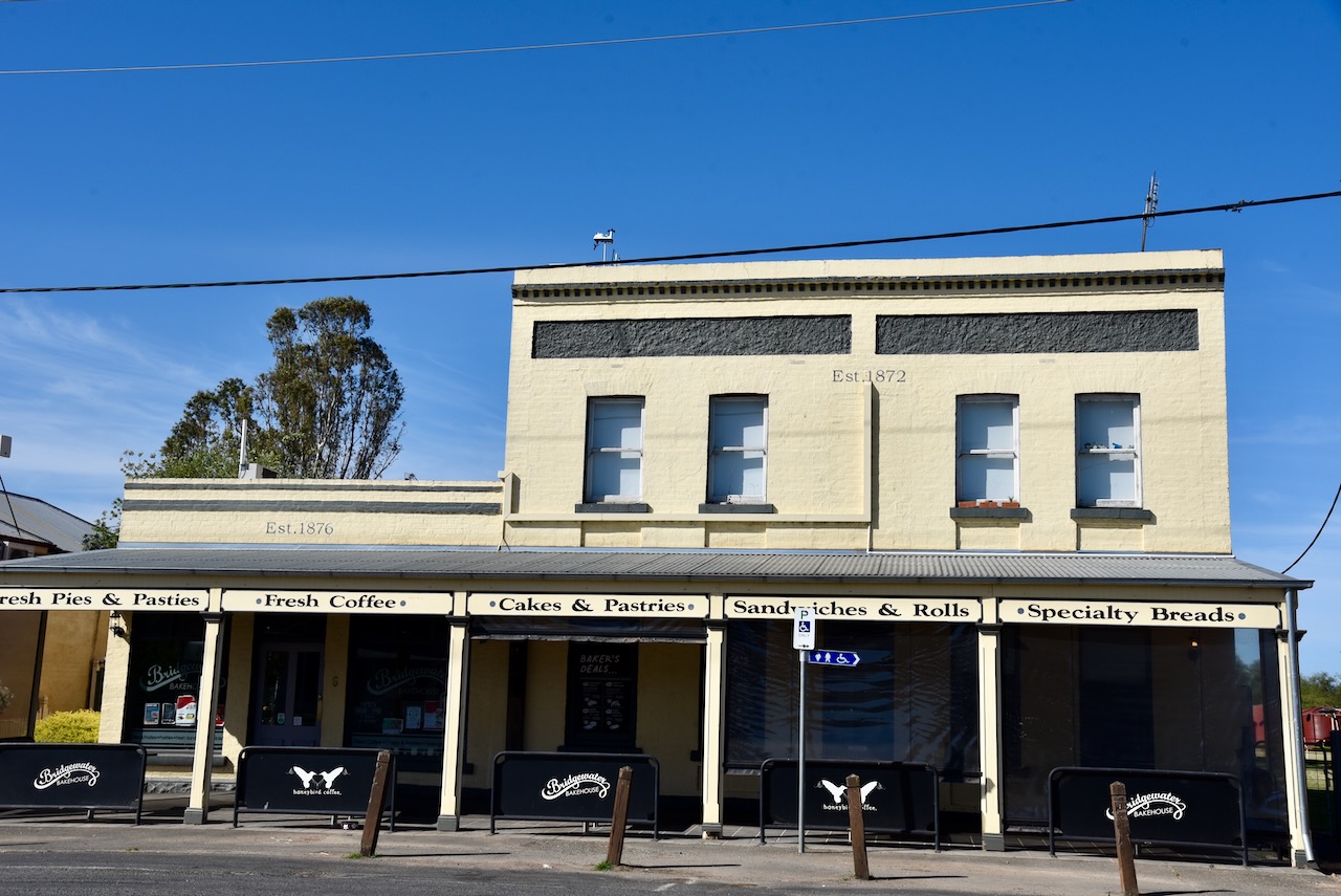
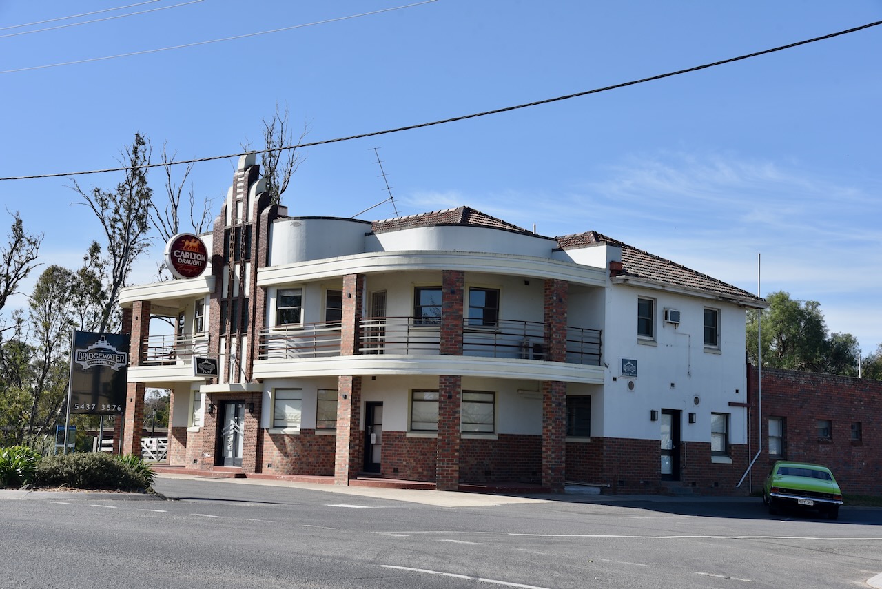
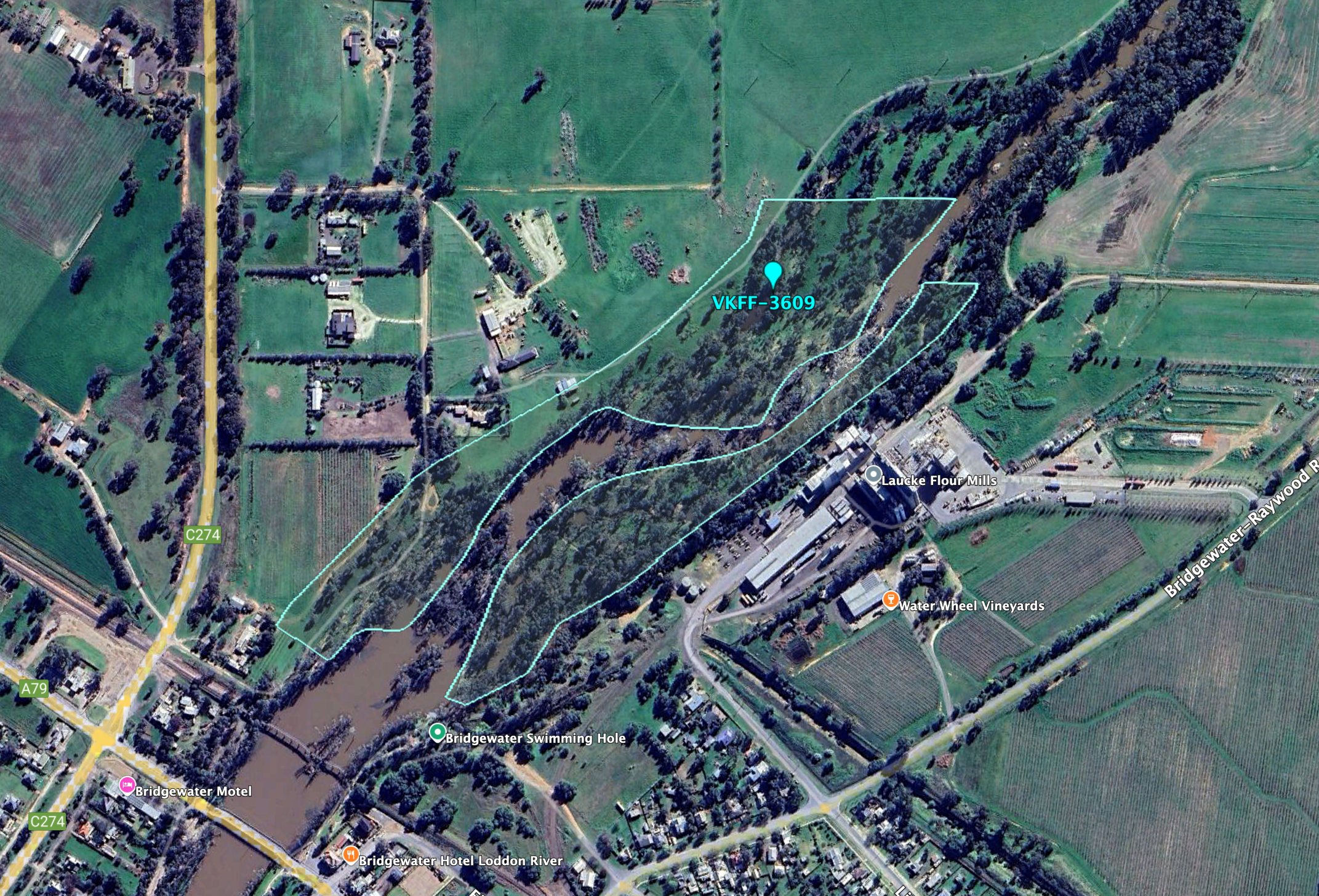
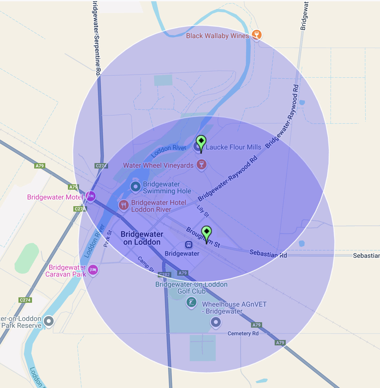
On 28th October 2024, after leaving the Marong H8A Bushland Reserve, Marija and I headed towards Bridgewater where we intended to activate the Bridgewater Streamside Reserve VKFF-3609 and the two silos, the Bridgewater silo VK-BRA3 and the Laucke silo VK-LCE3.
Above:- Map showing the location of Bridgewater on Loddon. Map c/o Google Maps.
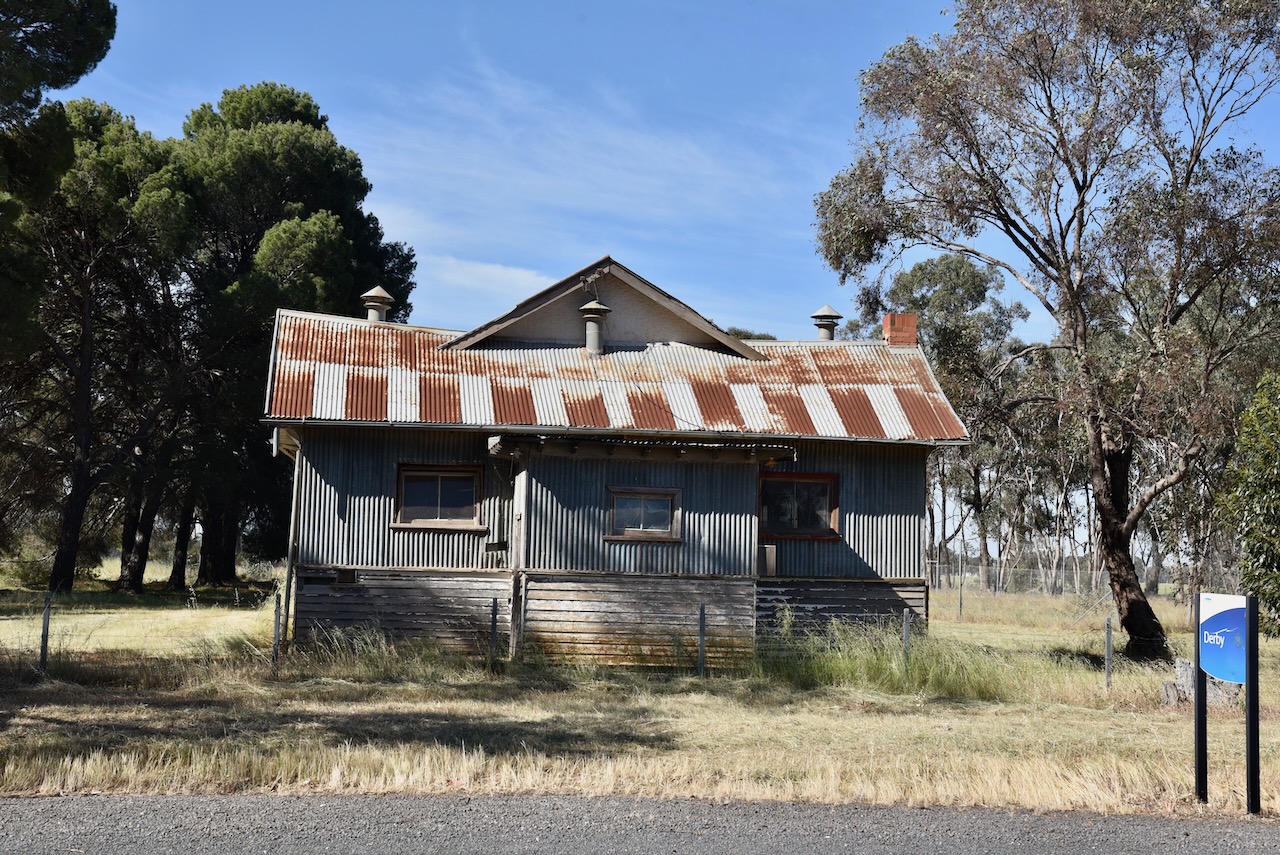
Along the way, we stopped briefly to have a look at the old hall in Derby. Blink and you will miss this place, which was once located on the Derby Gold Line, first worked in 1855. (Blake 1978)
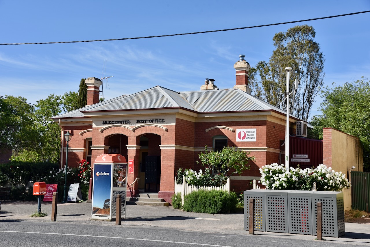
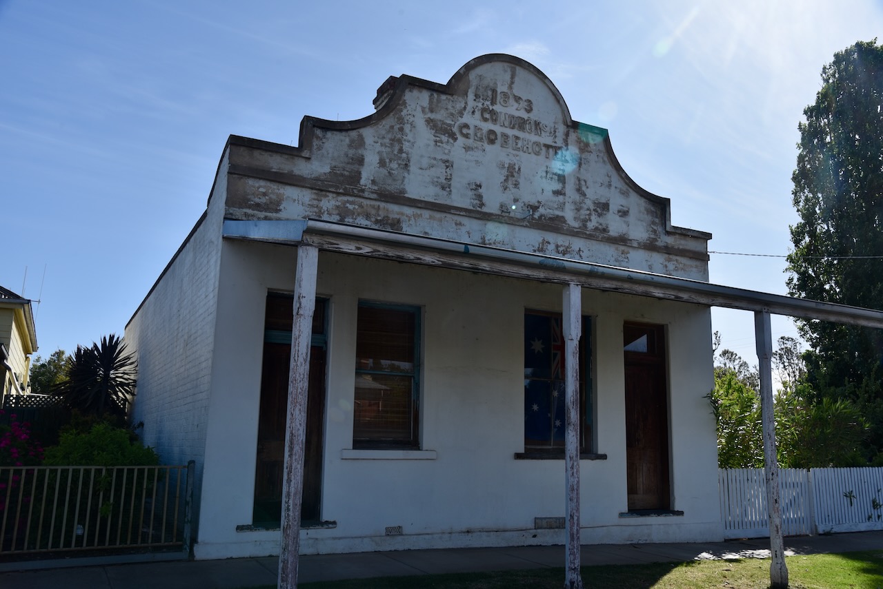
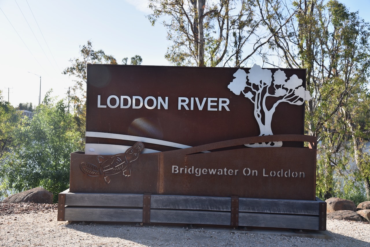
Bridgewater on Loddon is located on the Calder Highway where it crosses the Loddon River. It became a settlement for miners at Inglewood, which was located about 6 km away. This was due to the water at Inglewood becoming unsuitable for drinking purposes. Within two years of the twosnhip being established, a bridge was constructed over the Loddon River in 1862. Six years later, in 1868, the Post office was opened. In 1871, a school was opened. By 1874, a flour mill had been established. (Victorianplaces.com.au, 2015)
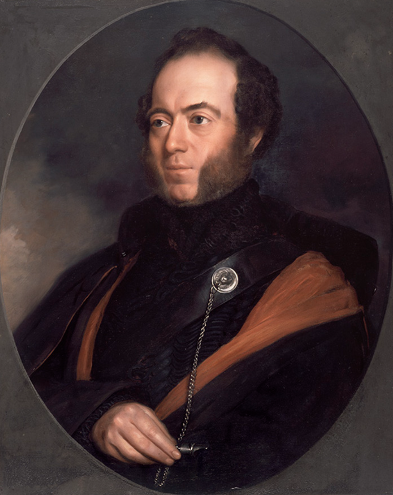
The Loddon River’s headwaters rise on the northern slopes of the Great Dividing Range east of Daylesford and descend to flow north into the Little Murray River near Swan Hill. It is Victoria’s second-longest river after the Goulburn River. It flows for a distance of about 392 km. It was discovered and named by Major Thomas Mitchell in 1836. It was named after the Loddon River in Berkshire. (Blake 1978) (Wikipedia 2023)
Above:- Major Thomas Mitchell. Image c/o Wikipedia.
During September 2010 and again in January 2011, the Loddon experienced significant flooding, along with numerous other areas of Victoria. Homes and businesses in Bridgewater on Loddon River experienced flooding. This included the hotel, the post office, the police station, and the caravan park. (Victorianplaces.com.au, 2015)
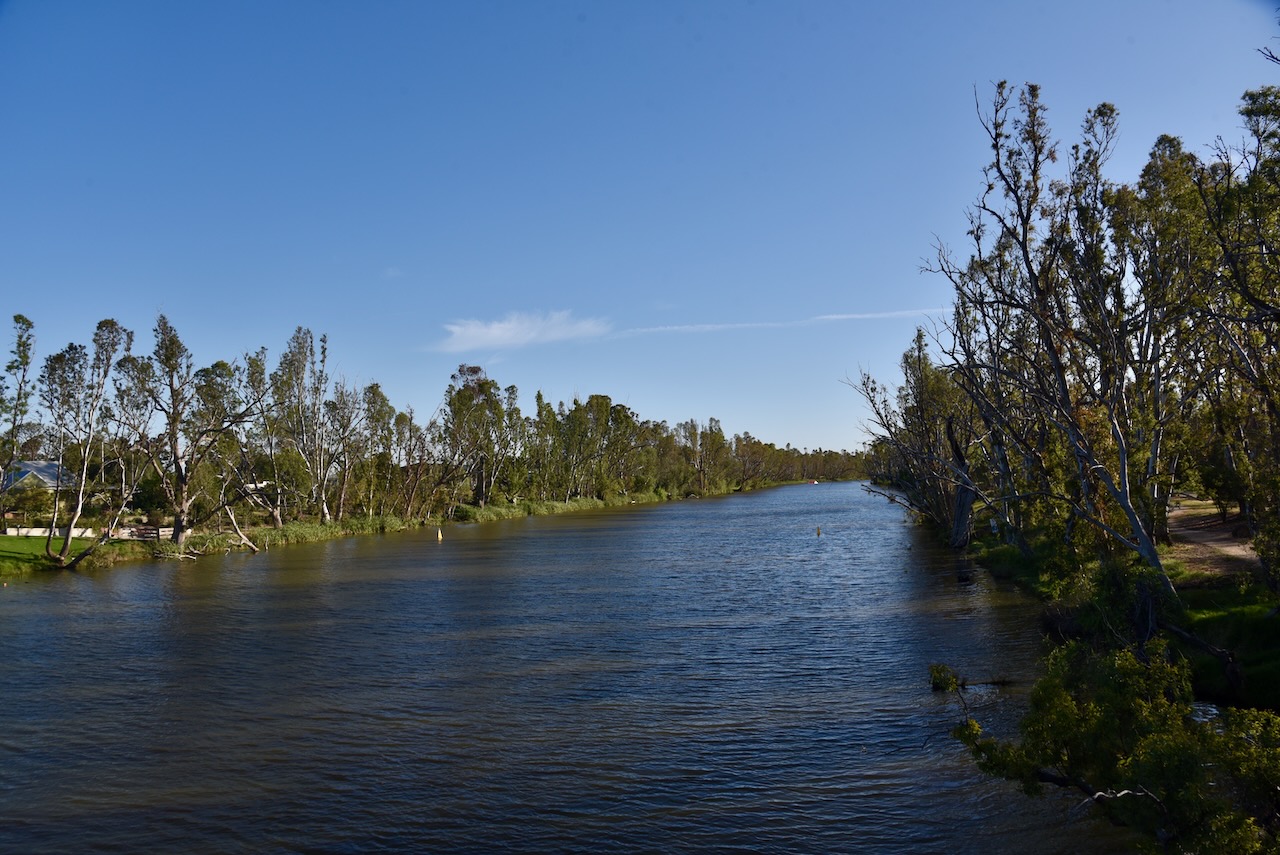
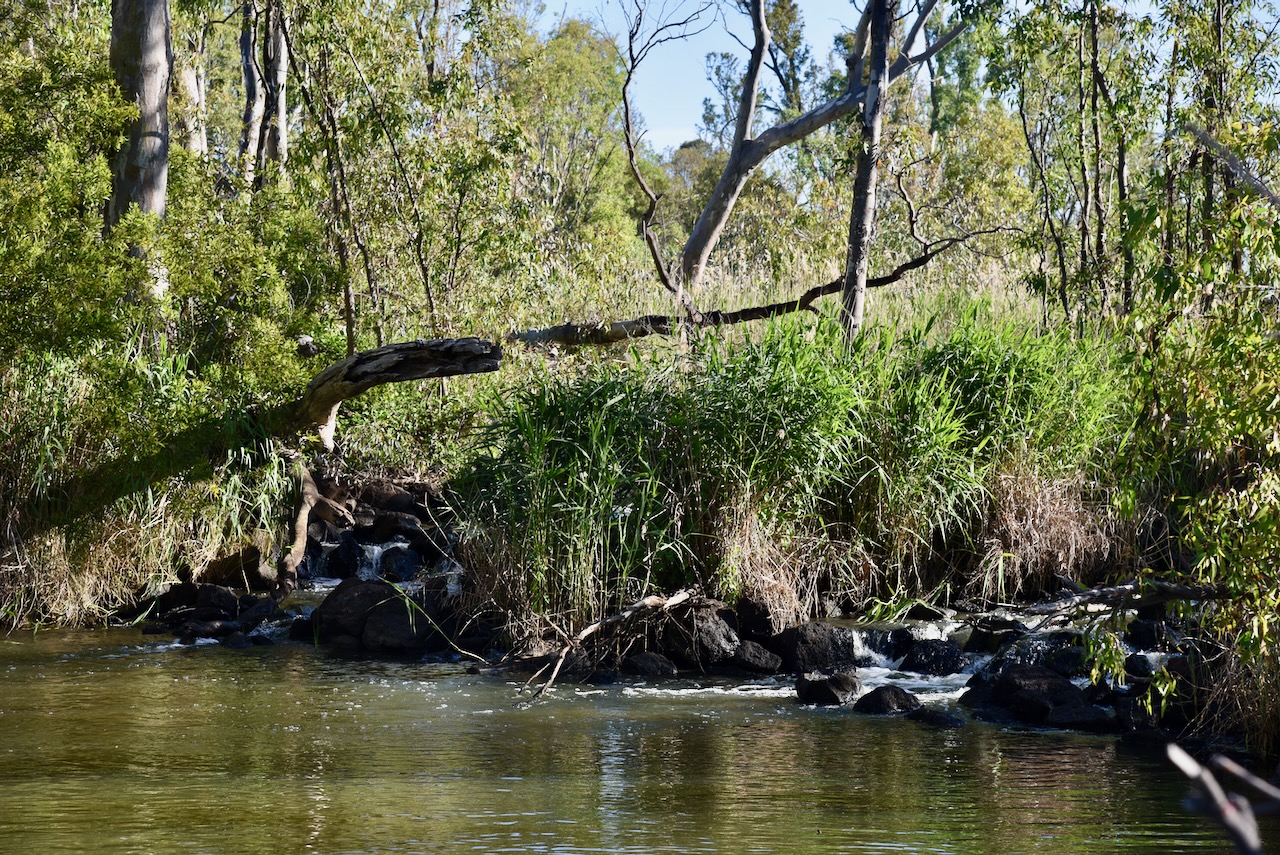
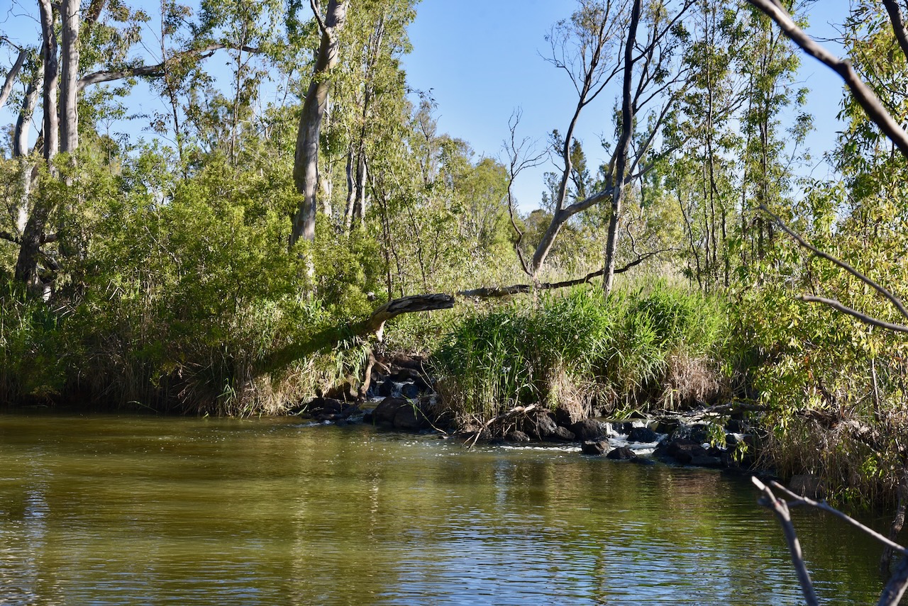
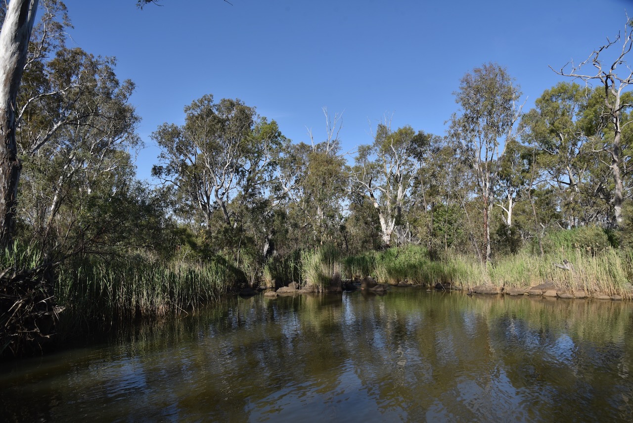
The Bridgewater Streamside Reserve is on either side of the Loddon River on the northeastern side of the town.
Above:- An aerial view of the Bridgewater Streamside Reserve. Image c/o Google Earth.
The reserve is about 14 hectares in size and was established on the 24th day of August 1982. (CAPAD 2022)
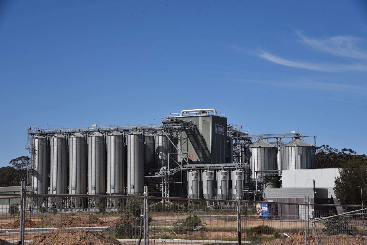
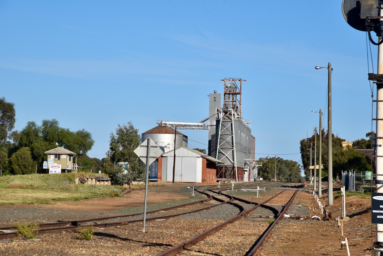
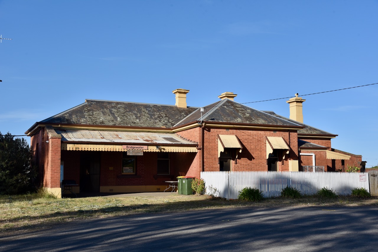
The Bridgewater silo VK-BRA3 is located alongside the railway line on Brougham Street. Four steel silos with a total capacity of 280,000 bushels were built in 1963, for the storage of wheat, barley, and oats. (Victorianplaces.com.au, 2015)
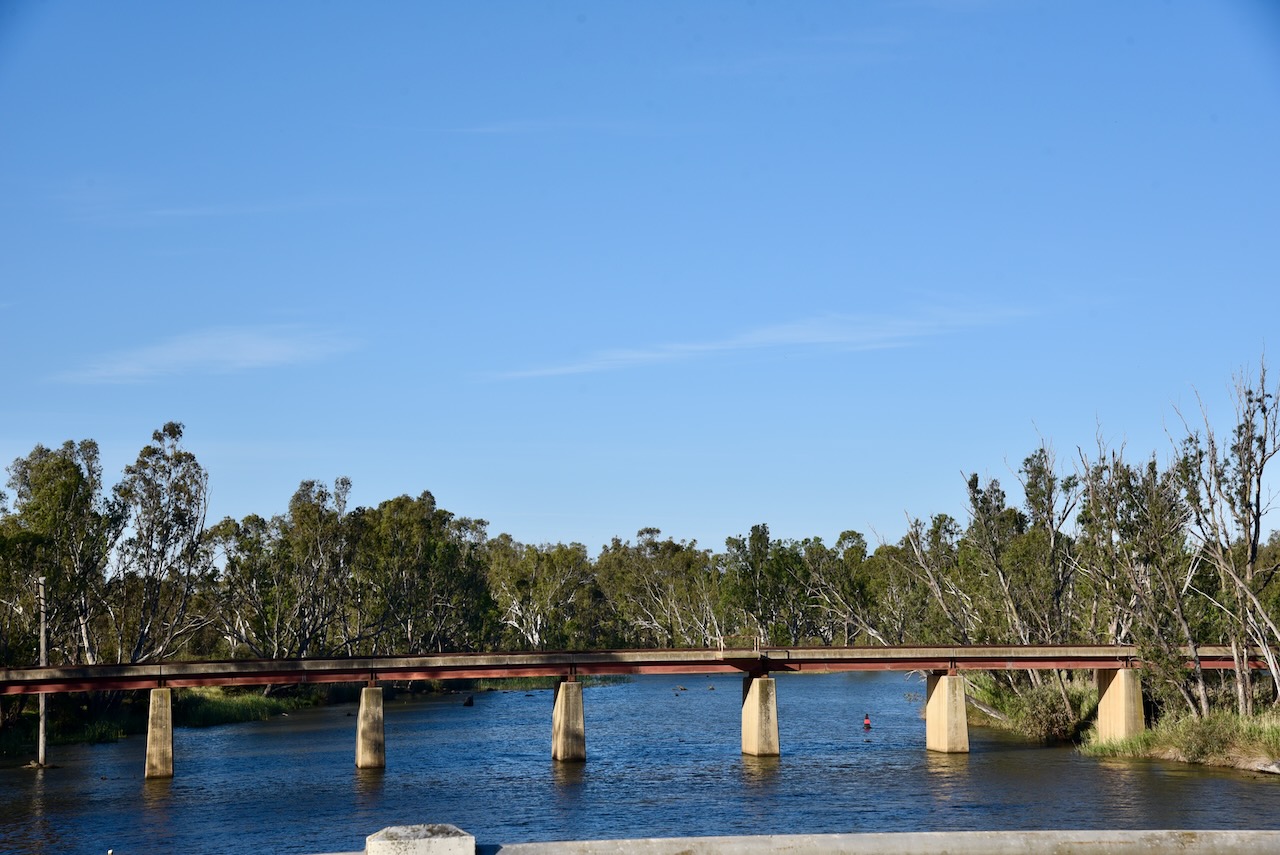
Nearby is the old Bridgewater on Loddon railway station. The railway station and the original rail bridge were opened in 1876. (Stationspast.net, 2025)
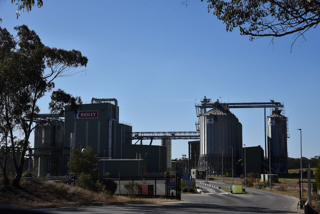
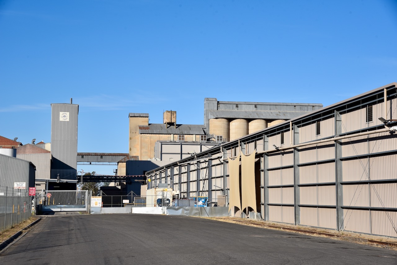
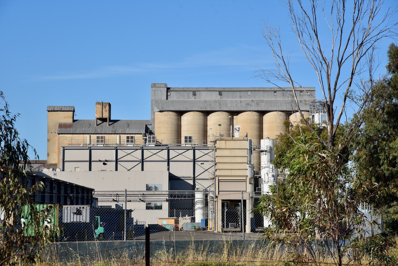
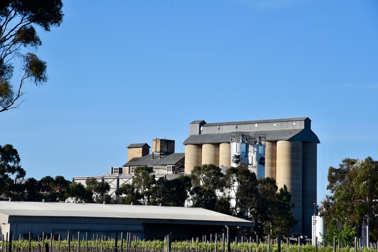
The Laucke silos VK-LCE3 are located on Lily Street.
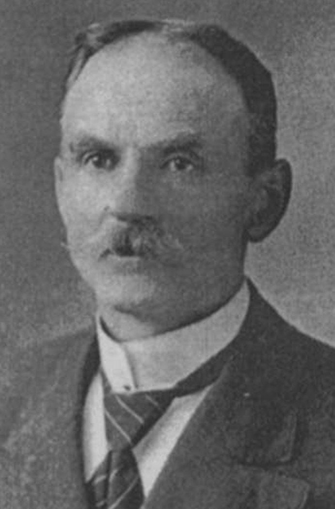
The Laucke flour mill is one of Victoria’s five operating mills. Friedrich Laucke arrived in South Australia in 1895 from the Kingdom of Prussia (current day Germany). He commenced employment with Edwin Davey and Sons at Salisbury, north of Adelaide, as a miller. By 1899, he had acquired the Greenock flour mill in the Barossa Valley. His operations expanded with the purchase of other mills, including Strathalbyn, Angaston, Eudunda, and Stockwell. (Laucke.com.au, 2025) (Victorianplaces.com.au, 2015)
Above:- Friedrich Laucke. Image c/o ancestry.com.au
Marija and I set up near Chinamans Hole, in the park, and within the activation zone of the two silos. We ran the Yaesu FT857, 40 wattsm, and the 20/40/80m linked deipole.
Above:- The activation zones at the two silos at Bridgewater on Loddon. Image c/o SiOTA website.
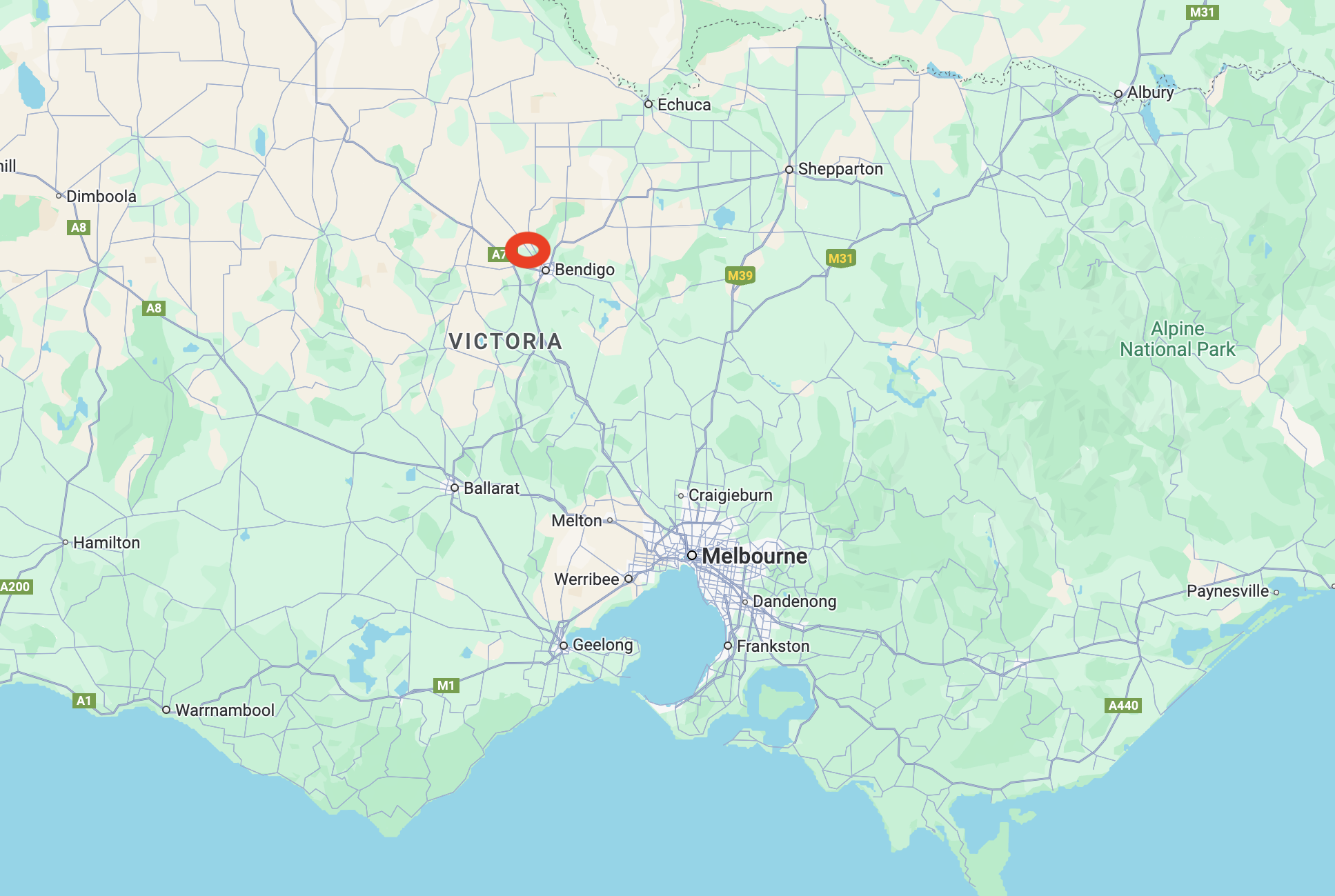
Our next park activation on 28th October 2024, was the Marong H8A Bushland Reserve VKFF-5438. The reserve is located about 15 km northwest of Bendigo and about 163 km northwest of Melbourne.
Above:- Map showing the location of Marong H8A Bushland Reserve. Map c/o Google Maps.
Marong is believed to be derived from an Aboriginal word, mahrung, meaning a native or Murray pine tree. Marong is situated in the Victorian gold fields region, however, it was not a town founded on gold. As it was located on Bullocks Creek, it became a gold washing place and in 1852, a commissioner’s camp. In 1859, a school was opened. A Presbyterian church was opened in 1864, followed by Anglican and Catholic churches in 1876. By 1876, the Marong railway station had opened on the railway line from Bendigo to Inglewood. (Blake 1978) (Victorianplaces.com.au, 2015)
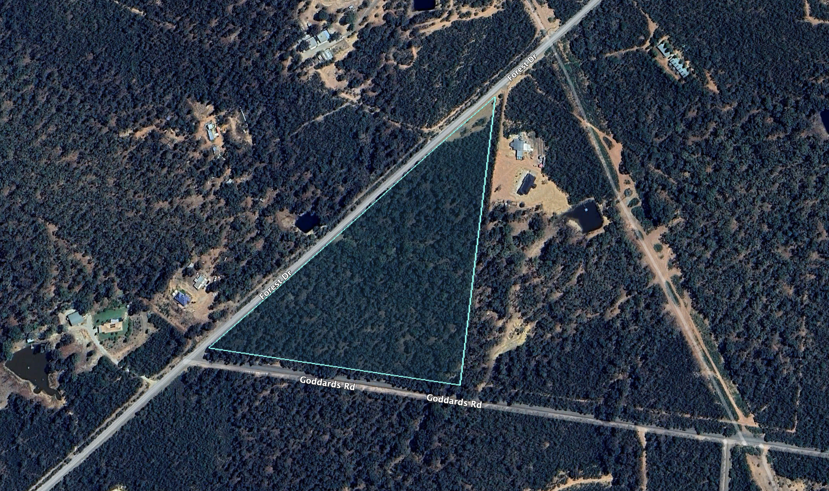
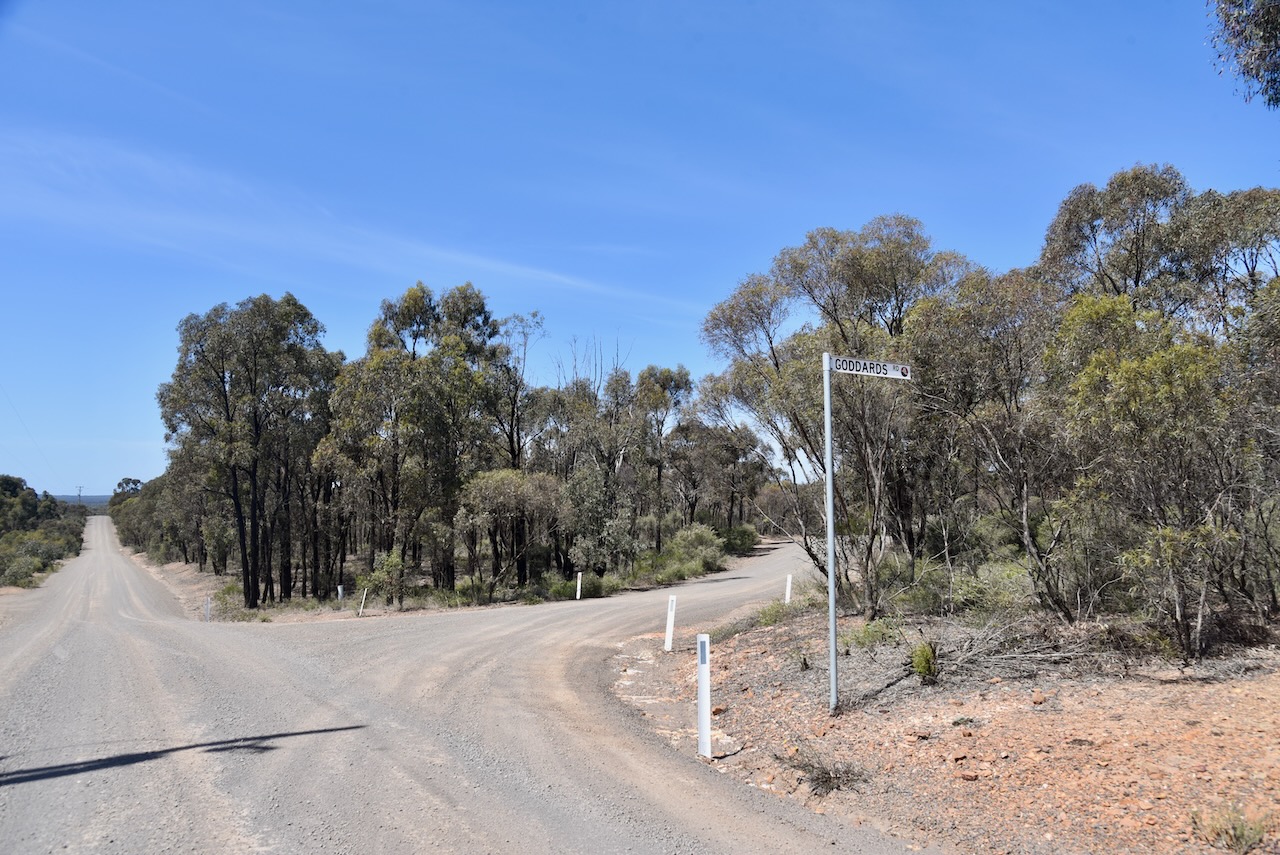
The Marong H8A Bushland Reserve is located at the intersection of Forest Drive and Goddards Road.
Above:- An aerial view of the reserve. Image c/o Google Earth.
The reserve is about 5 hectares in size and was established on the 21st day of June 2005. (CAPAD 2022)
This was another easy park to access. We ran the Yaesu FT858, 40 watts, and the 20/40/80m linked dipole for this activation.
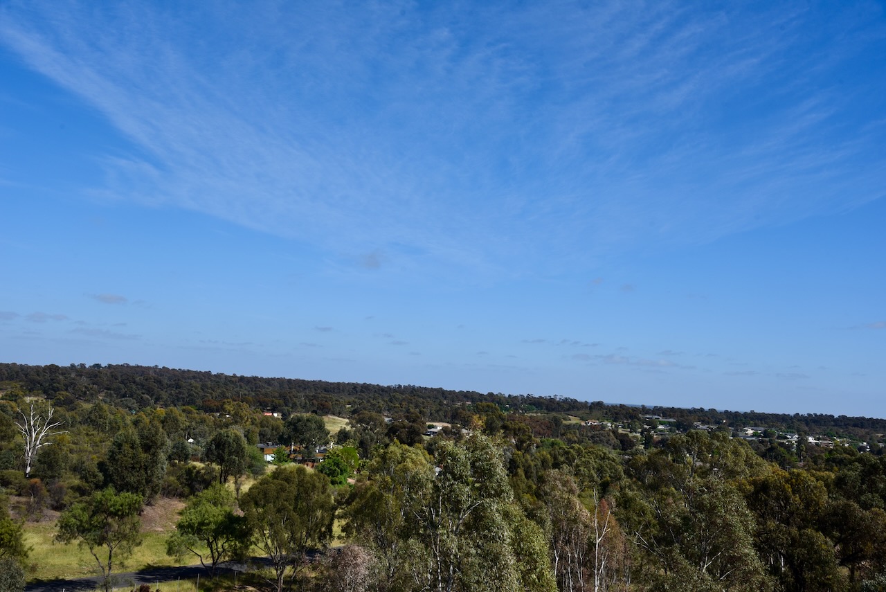
On Monday 28th October 2024, after breakfast, Marija and I visited Victoria Hill Diggings Historic Reserve at Marong Road, Ironbark.
In front of the reserve is the Bendigo Bushfire Memorial. Black Saturday occurred on Saturday 7th April 2009. A series of catastrophic fires broke out around Victoria, resulting in the death of 173 people and the loss of over 3,500 buildings, including 2,029 homes. (Wikipedia 2019)
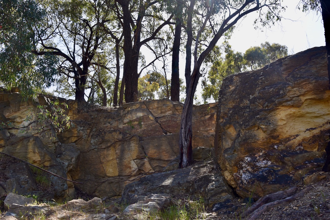
In 1854, gold was discovered at Victoria Hill. Seven years later in 1861, a total of 1,200,000 ounces of gold had been extracted from Victoria Hill. Christopher Ballerstedt, an immigrant from the Kingdom of Prussia, and his son Theodore, purchased the first claim on the site. He was a veteran of the Battle of Waterloo and the California gold rushes. He purchased his claim from two Americans for 80 pounds. Christopher Ballerstedt became known as the “Father of the Hill”. He had a 200-foot mine shaft, which yielded quartz that was rich with gold. (www.bendigo.vic.gov.au, n.d.)
Above:- Christopher Ballerstedt. Image c/o Victorian Collections.
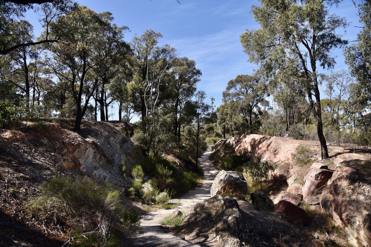
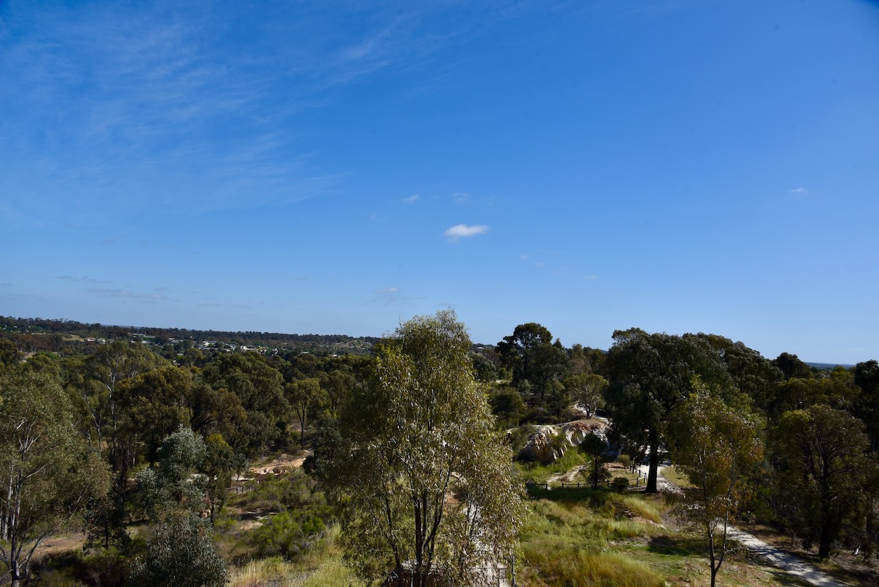
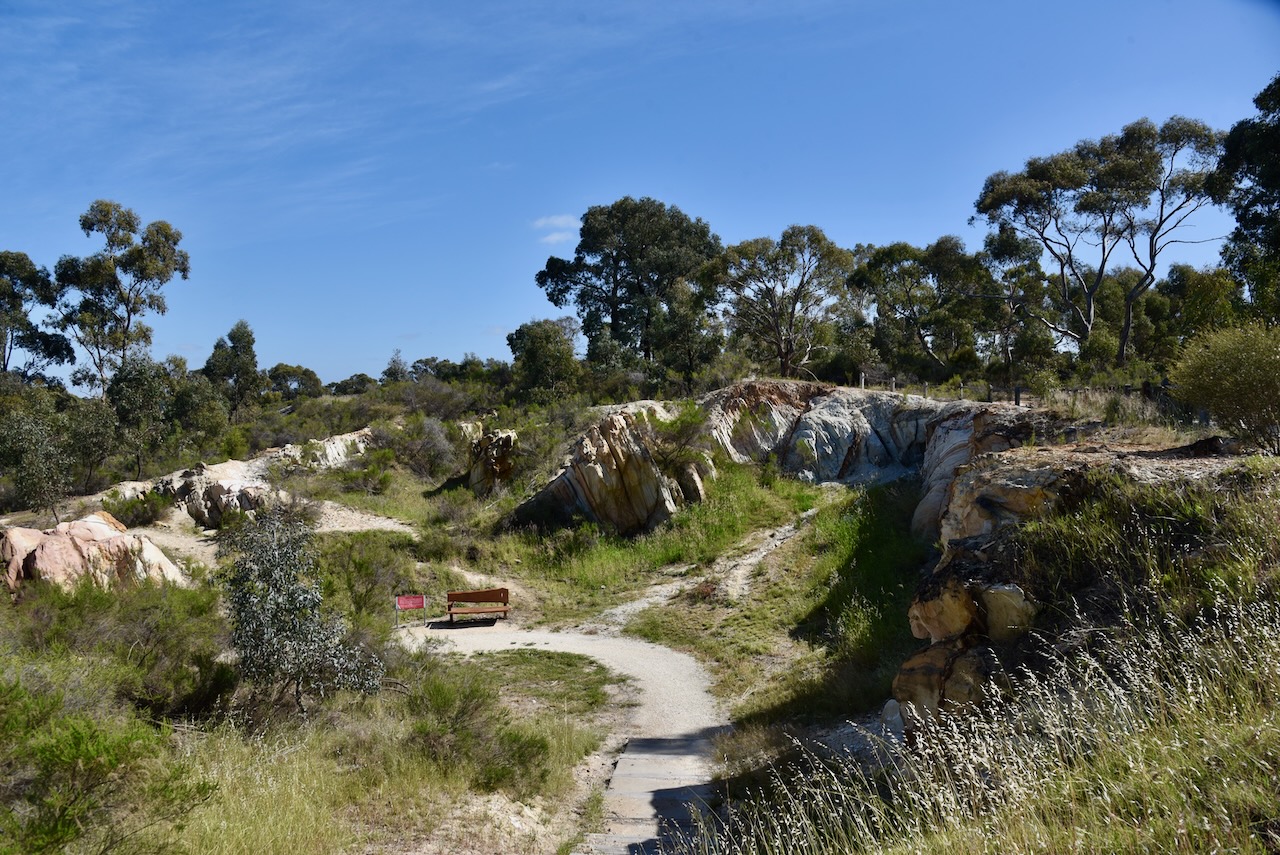
The Victoria Hill Diggings contains relics of mining from the 1800s, including quartz crushing machinery and mine foundations. (www.bendigo.vic.gov.au, n.d.)
From the car park at the Calder Highway, you first walk through Ballerstedt’s Open-Cut Mine.
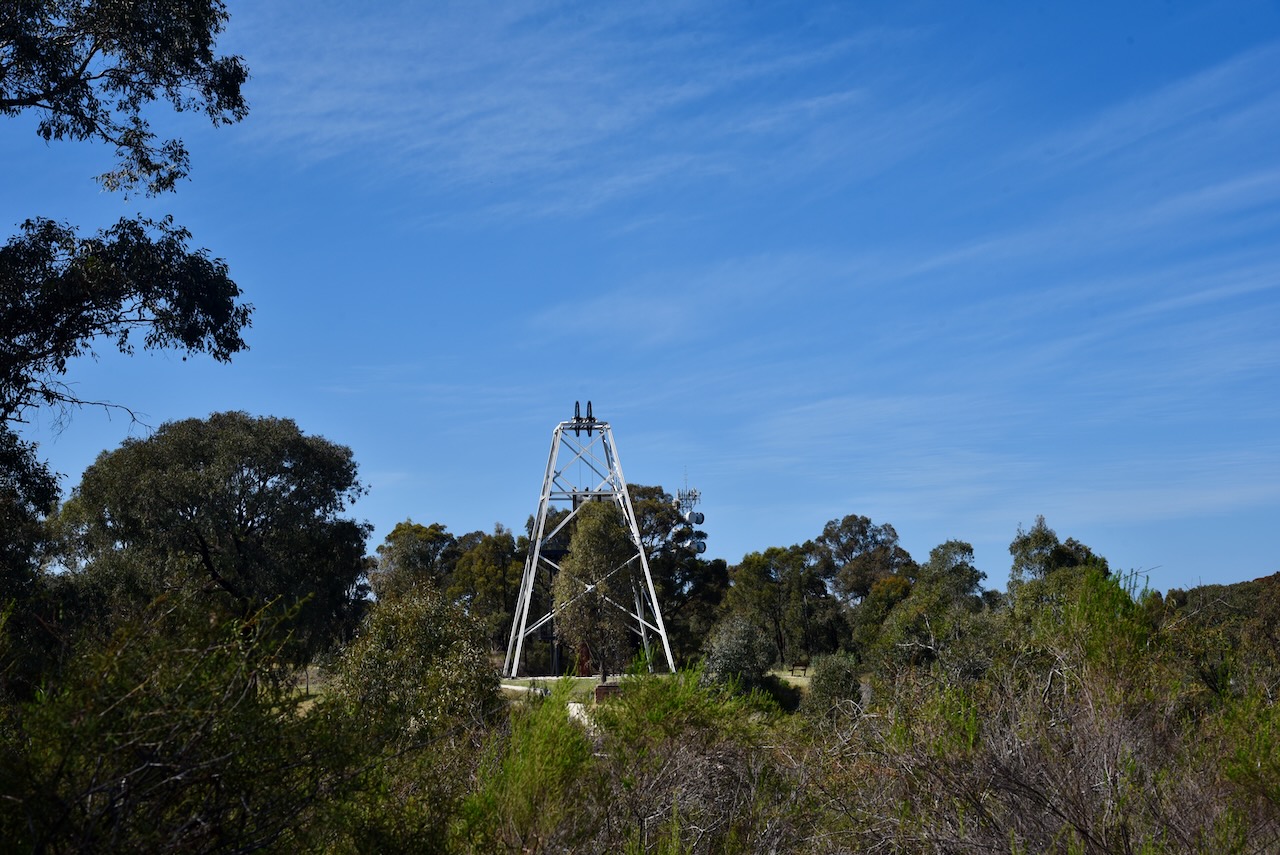
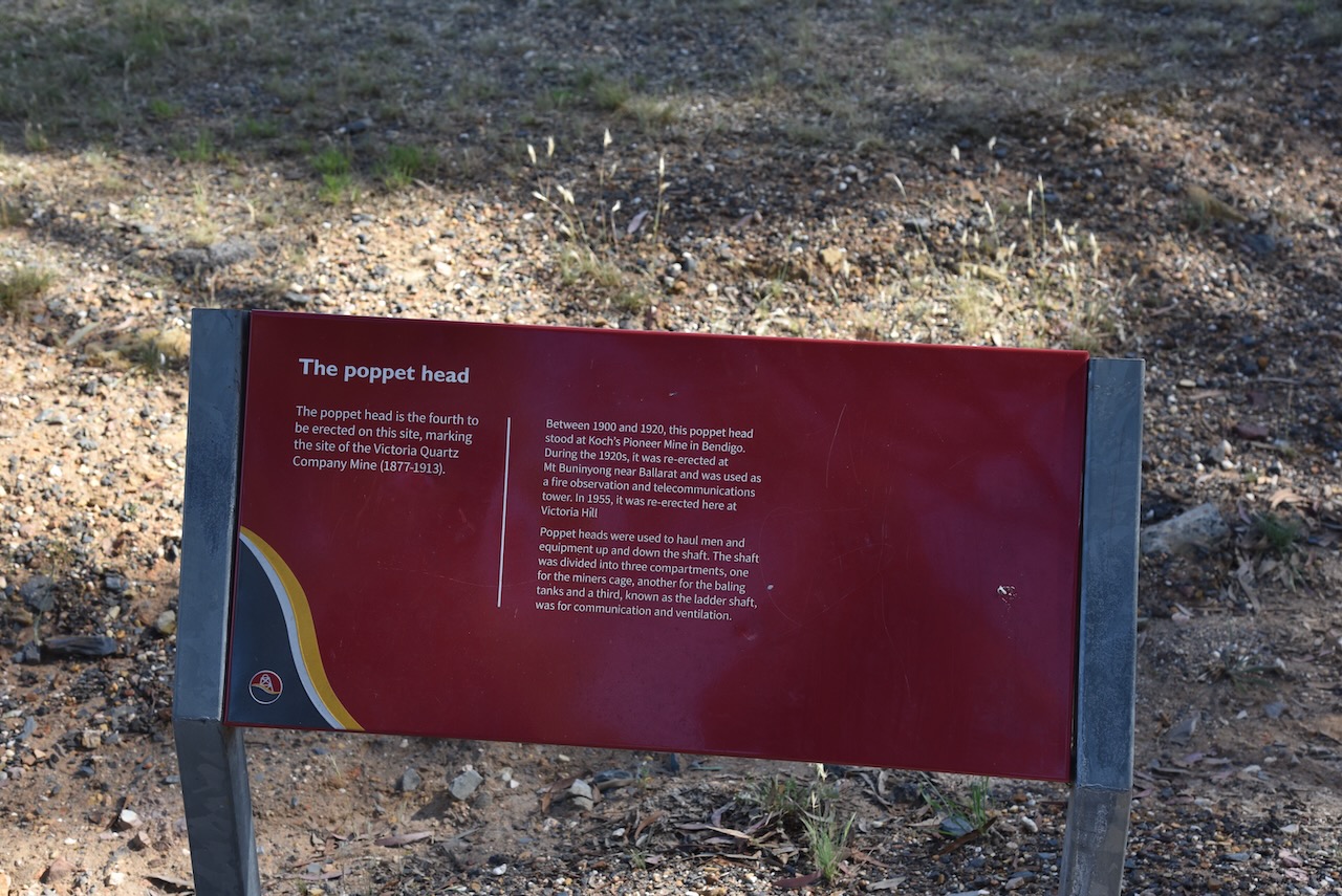
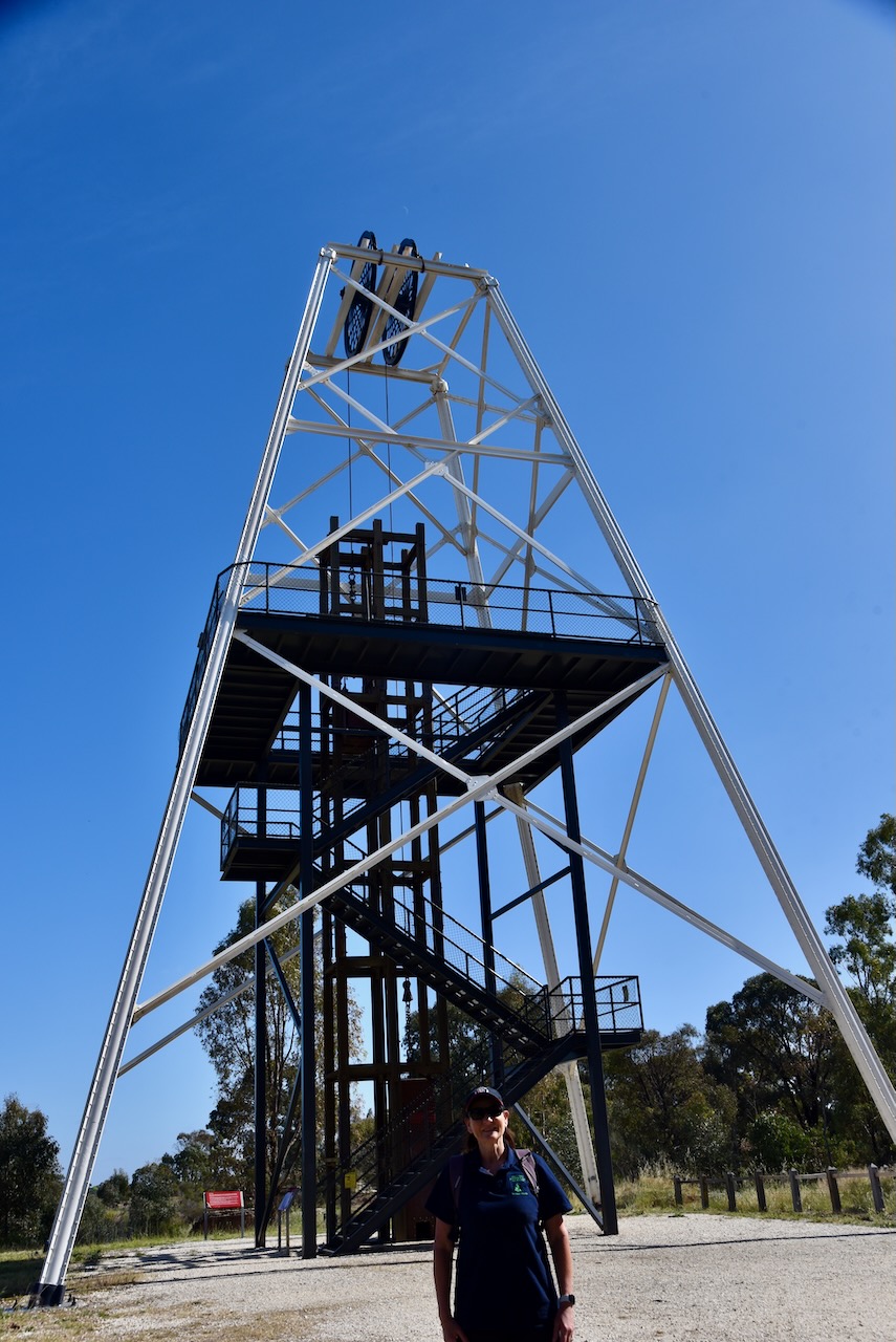
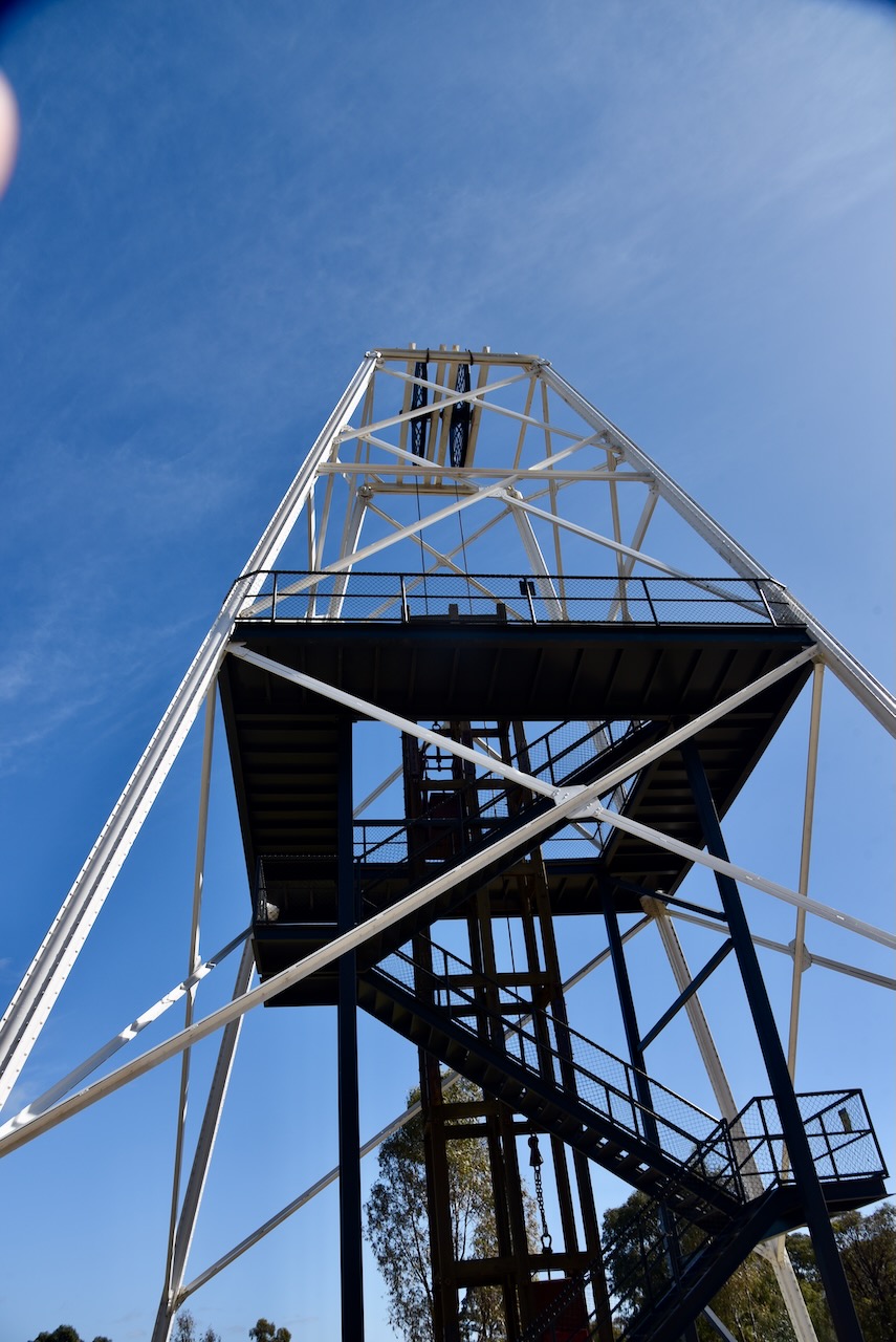
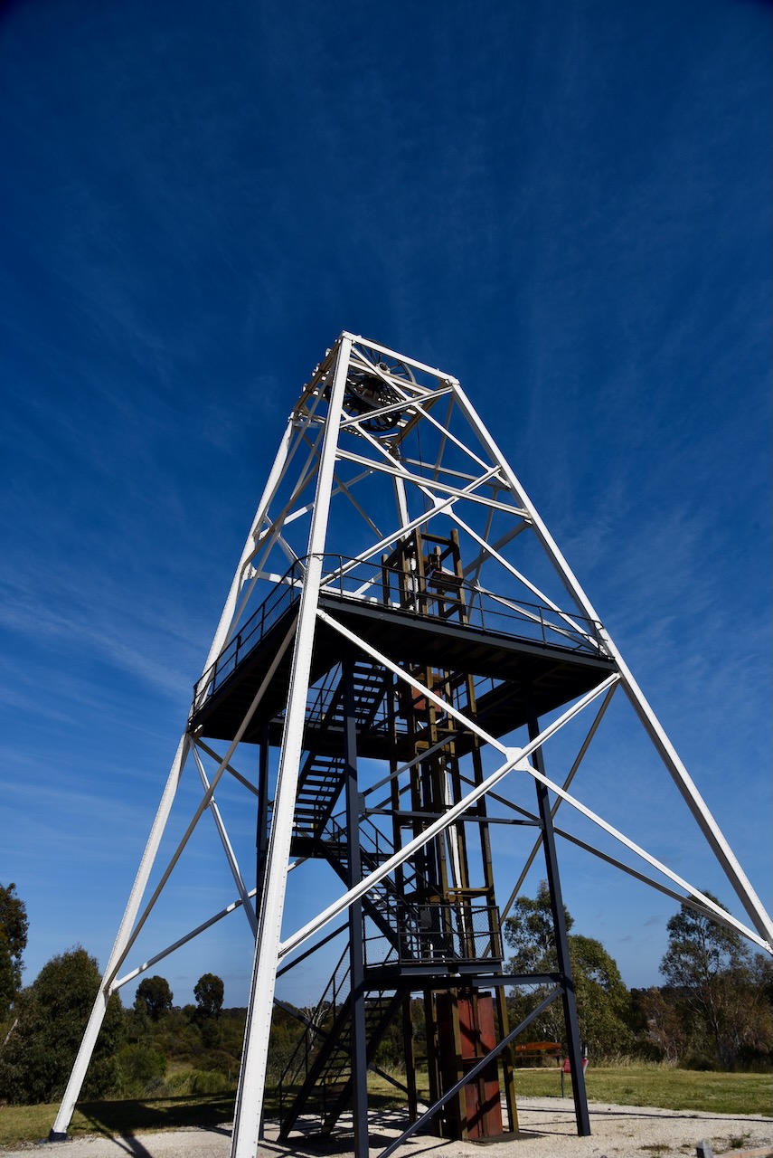
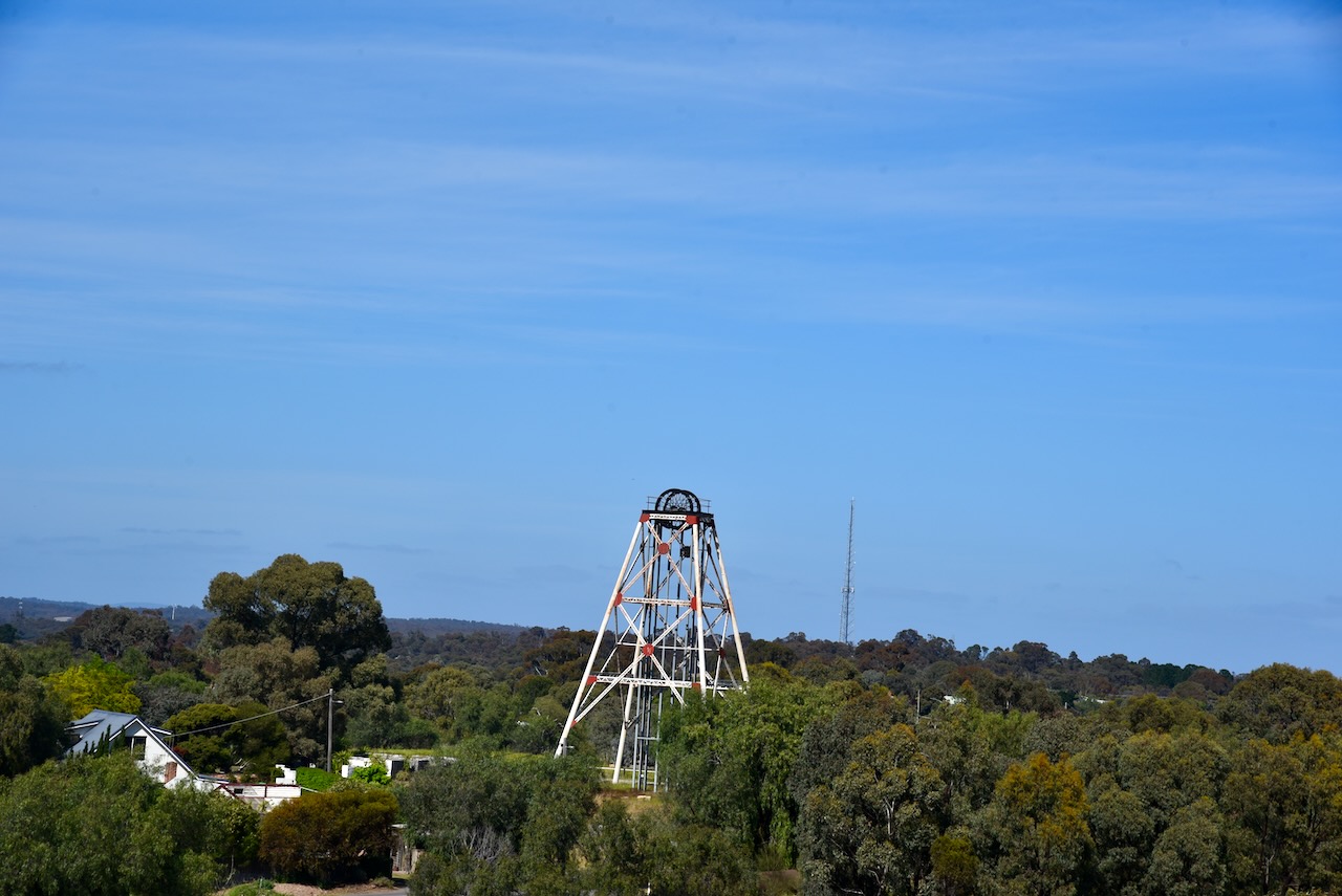
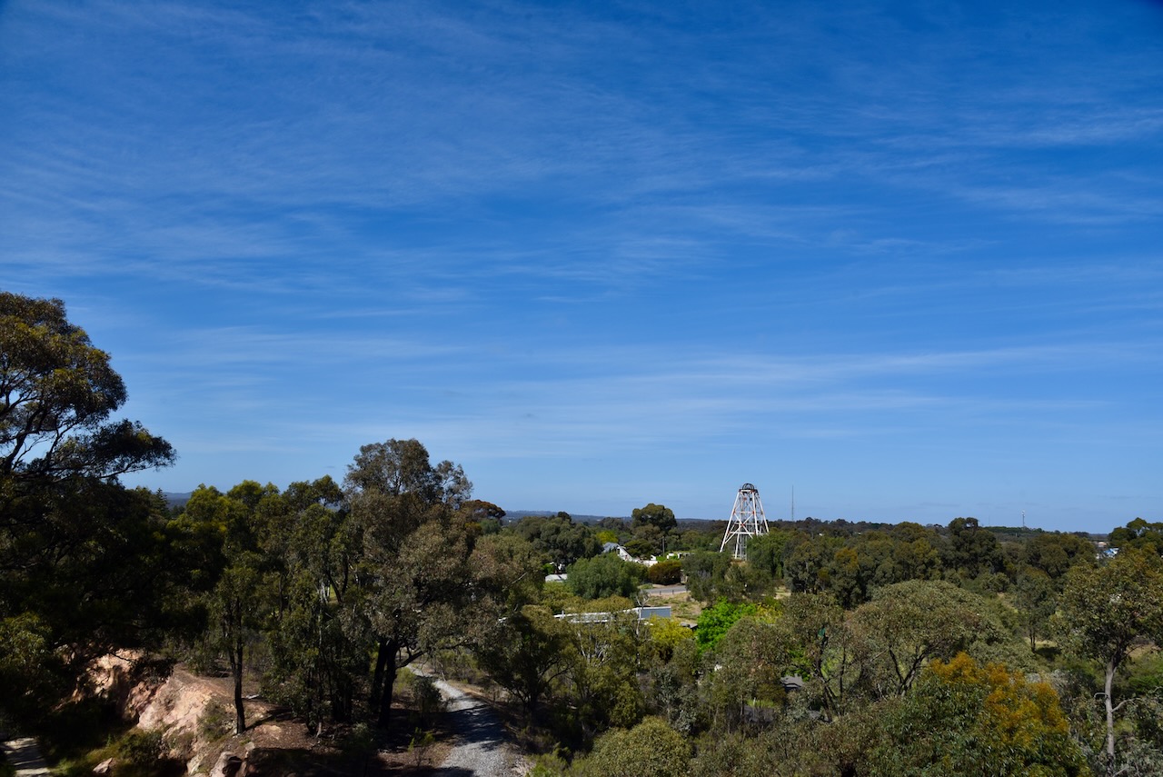
The poppet head is the fourth to be erected on the Victoria Hill Diggings site. It marks the site of the Victoria Quart Company, which operated from 1877-1913.
You can climb the poppet. The short climb to the top and you are rewarded with some great views of the surrounding district.
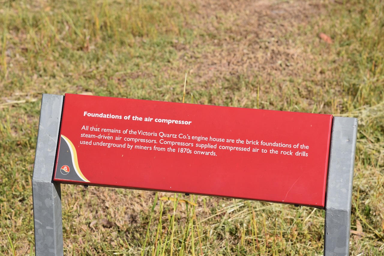
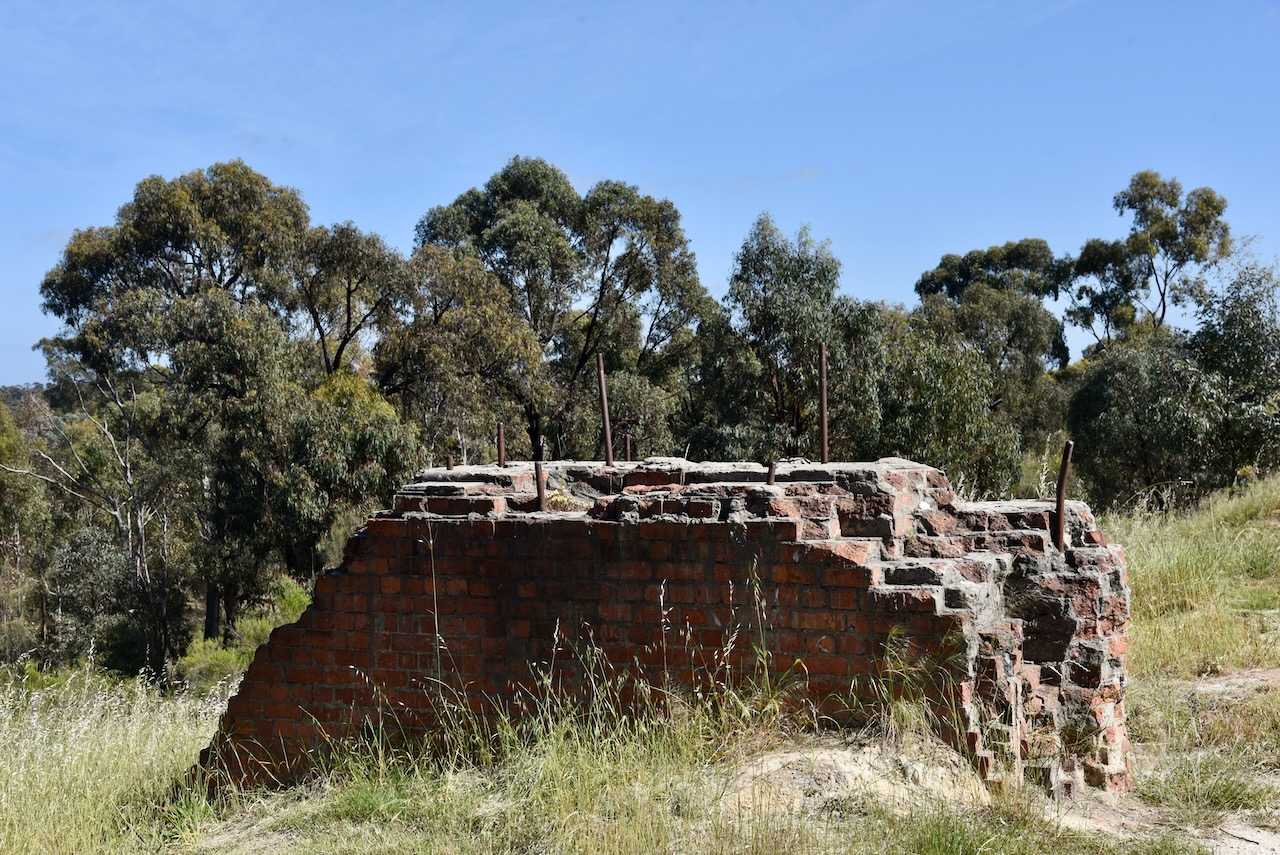
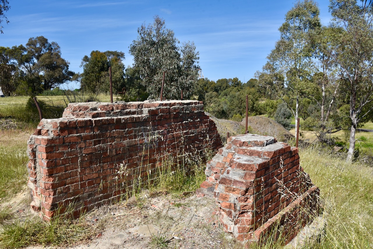
All that remains of the Victoria Quartz Company’s engine house are the brick foundations of the steam-driven air compressors. These supplied compressed air to the rock drills used underground by miners from the 1870s onwards.
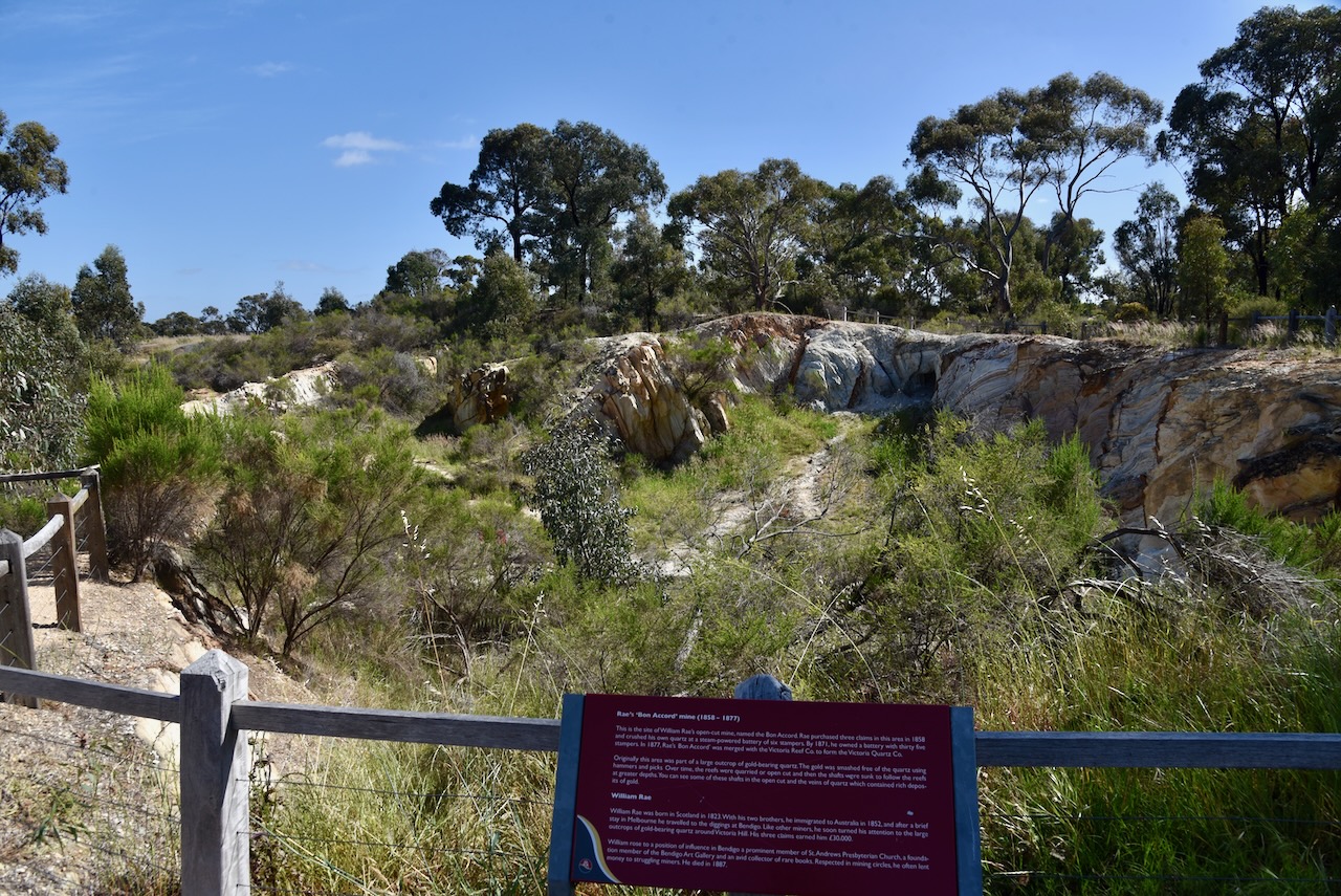
The William Rae open-cut mine was named the Bom Accord. In 1858, Rae purchased three claims in the area. He crushed his own quartz at a steam-powered battery of six stampers. By 1871, he owned a battery with 35 stampers. In 1877, his Bon Accord mine was merged with the Victoria Reef Company to form the Victoria Quartz Company.
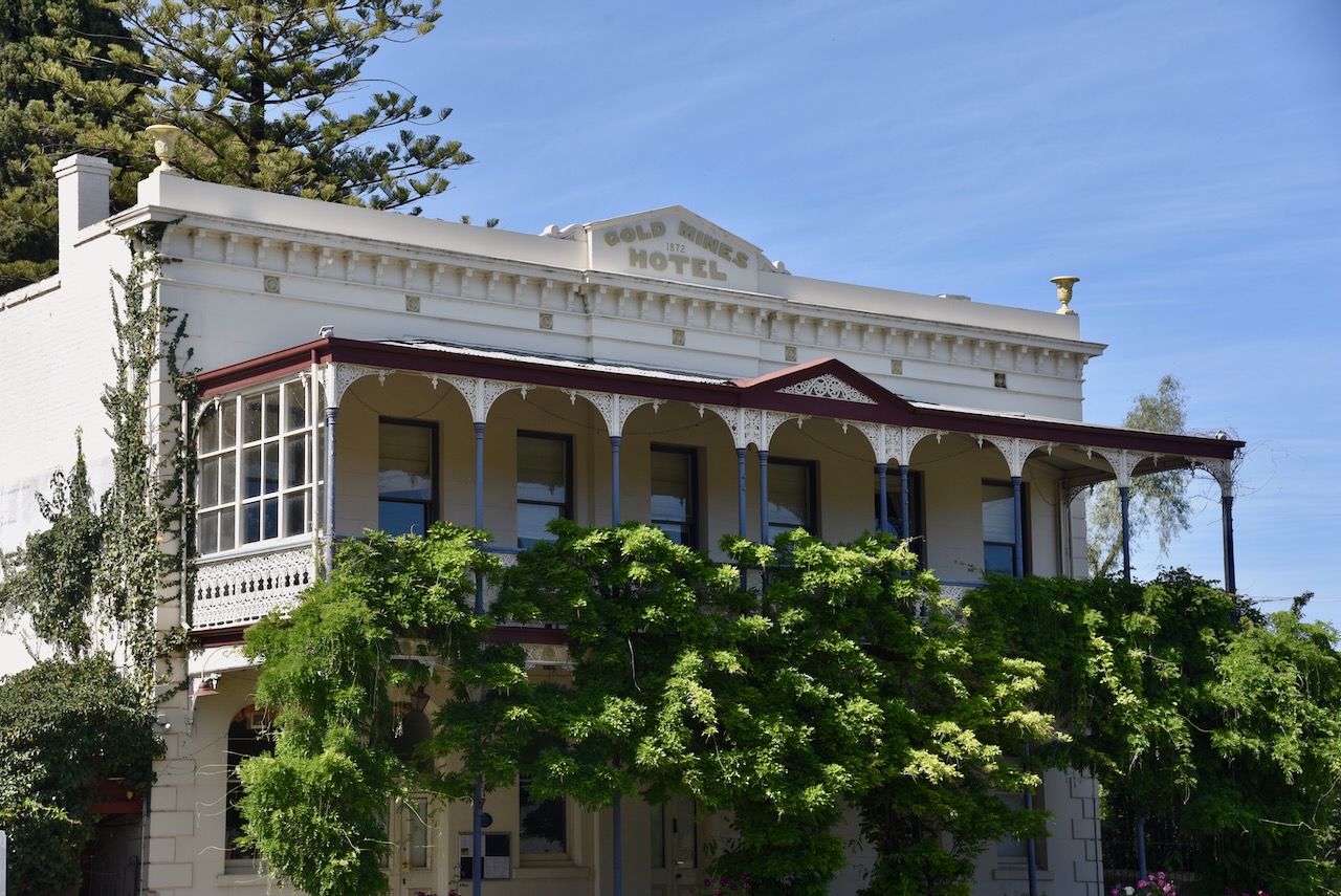
Opposite the reserve is the historic Gold Mines Hotel which was built in 1872. This very impressive building was designed by Vahland and Getzschmann, a Bendigo architectural firm. A hotel was first erected on this site in 1857 by David Chaplin Sterry. He became a councillor, Mayor of Bendigo, President of the Marong Shire and Member of Parliament. (heritagecouncil.vic.gov.au, n.d.)
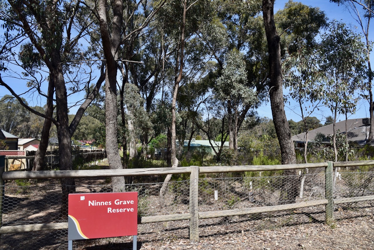
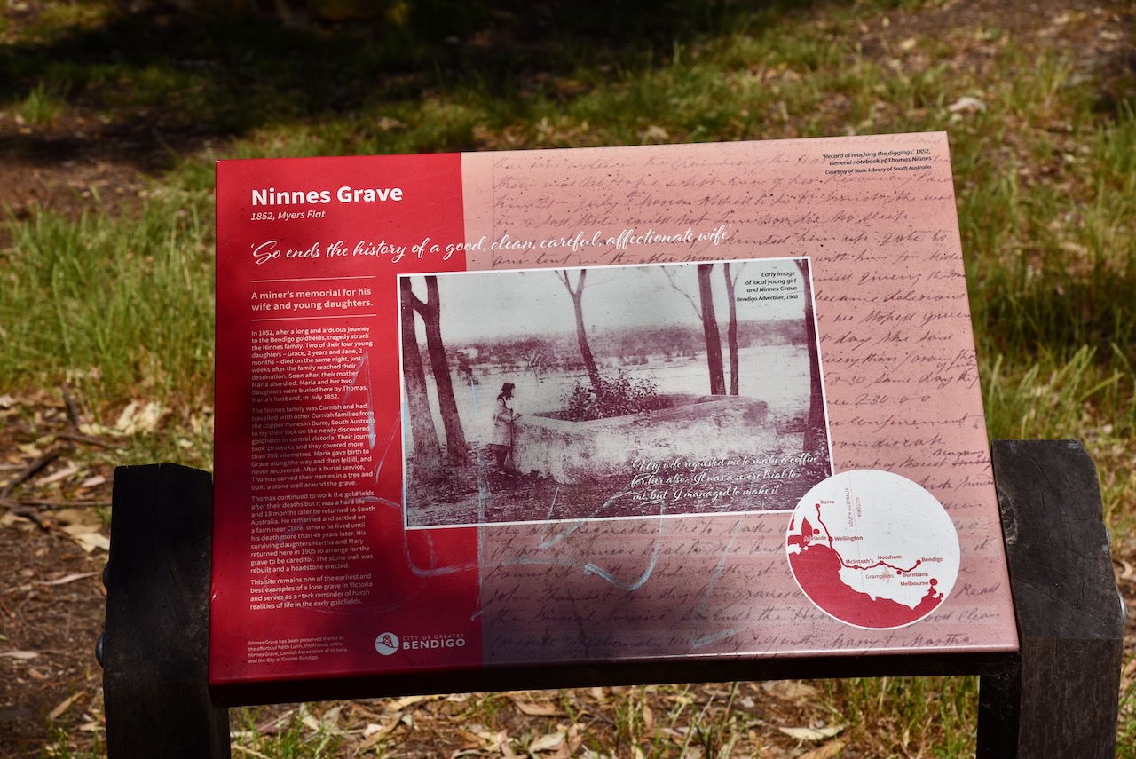
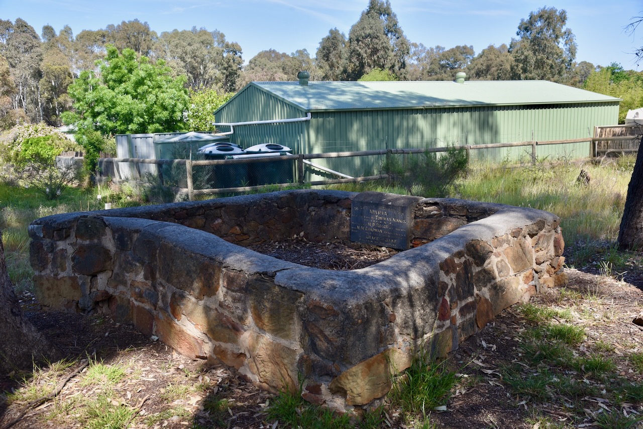
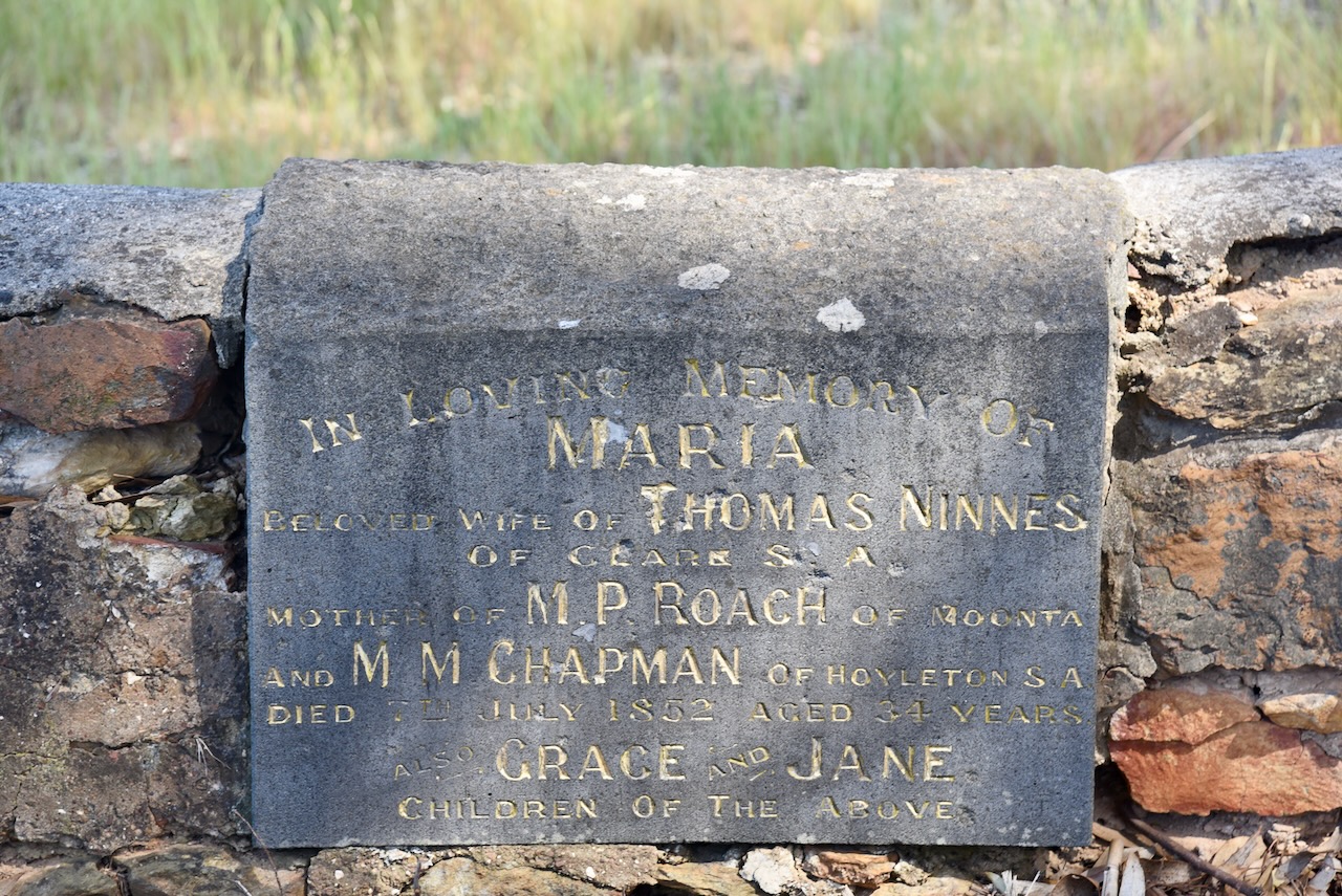
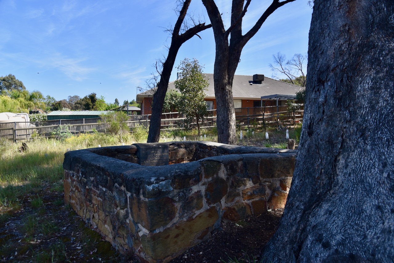
We then visited Ninnes Lone Grave. It is surrounded by a new housing estate in Bendigo. The grave is enclosed by a stone wall. It is one of the finest and best preserved examples of a lone grave in Victoria. (heritagecouncil.vic.gov.au, n.d.)
In 1852, Thomas Ninnes and his family left the copper mines in South Australia and made the arduous journey to the Bendigo goldfields. Their journey covered about 700 km and took about 10 weeks. Along the way, Maria Ninnes gave birth to Grace.
Sadly, tragedy struck the family with the death of two of their four young daughters. Grace, who was 2 years old, and Jane, who was just 2 months old, died on the same night, only a few weeks after the family had reached Bendigo. Their mother Maria died shortly after. In July 1852, Thomas buried his wife and two young daughters. He carved their names in a tree and built the stone wall around the grave.
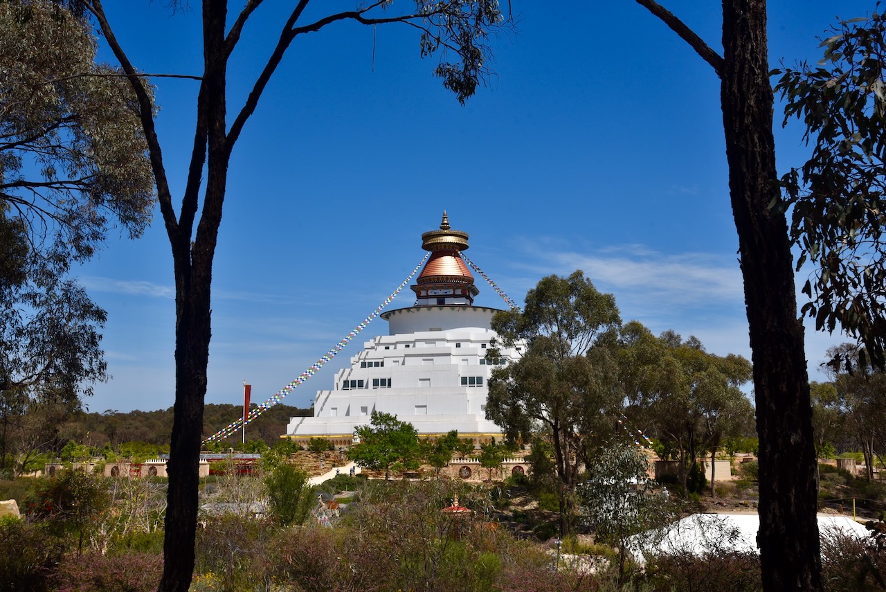
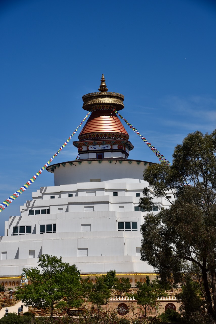
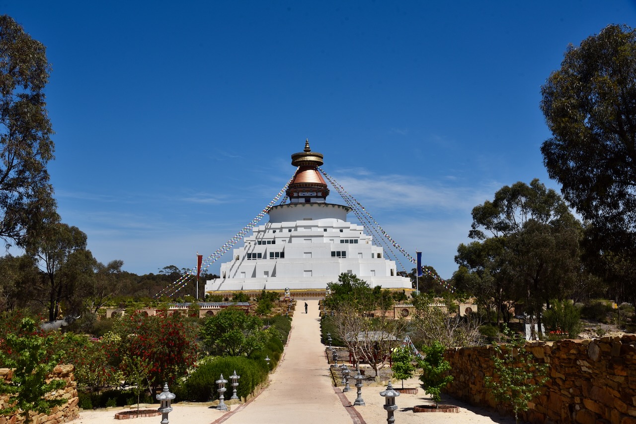
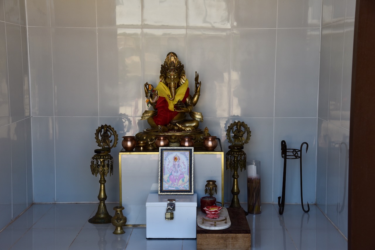
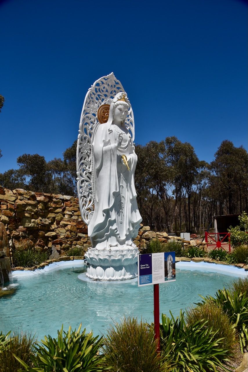
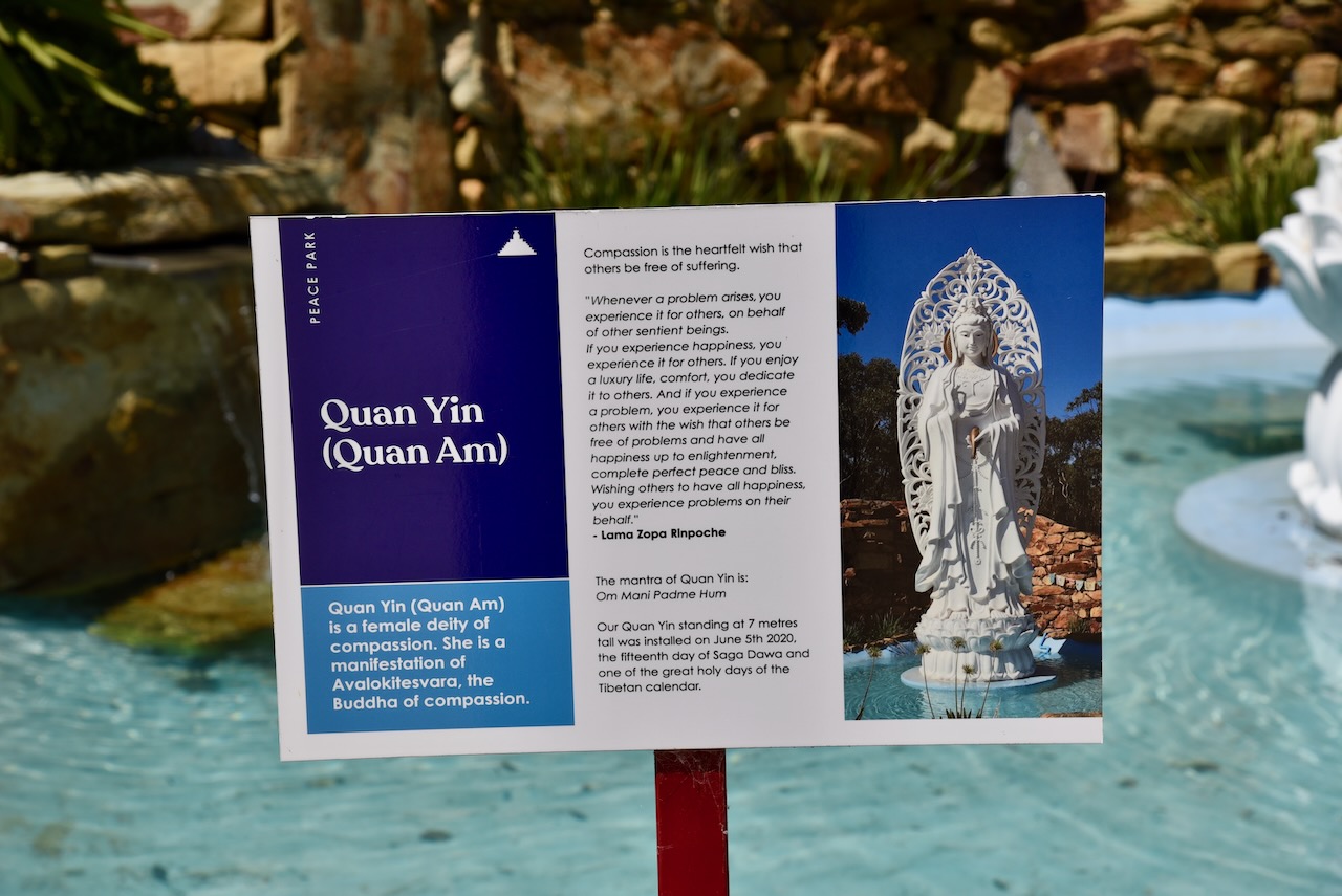
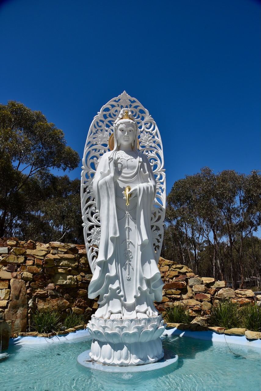
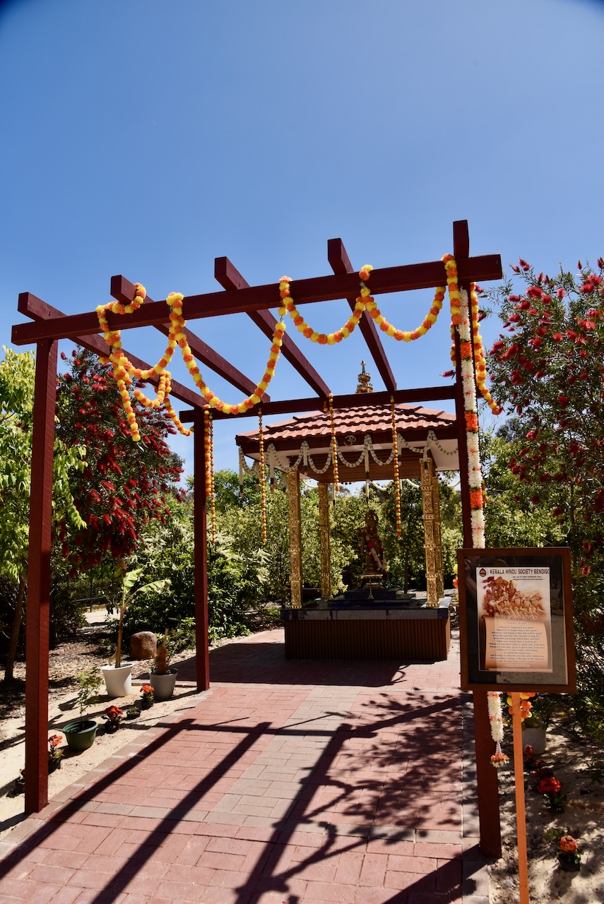
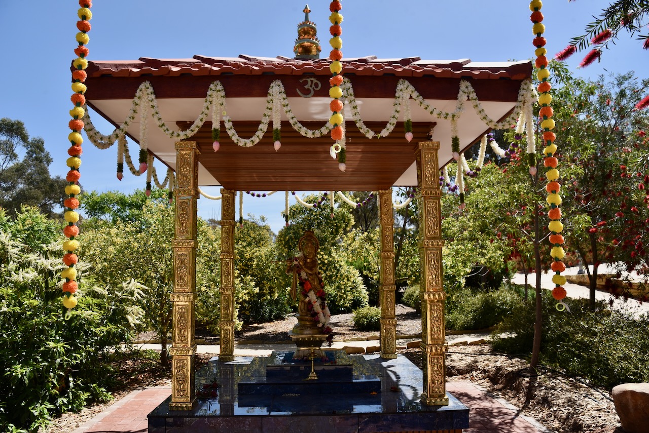
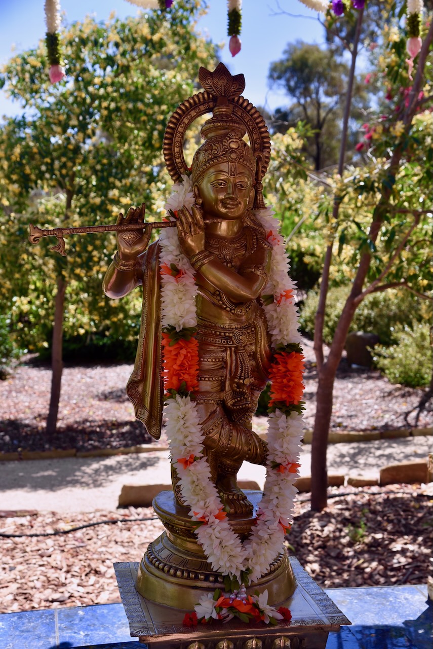
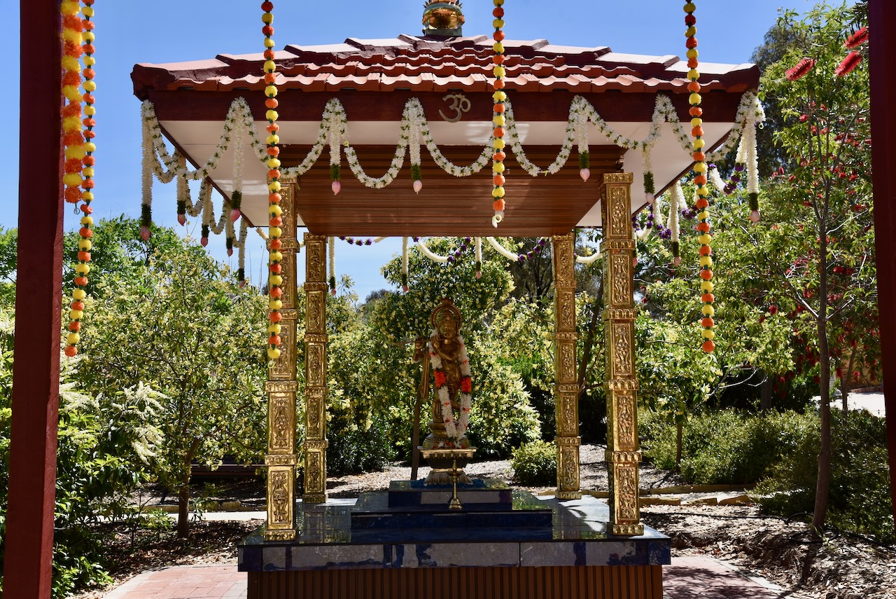
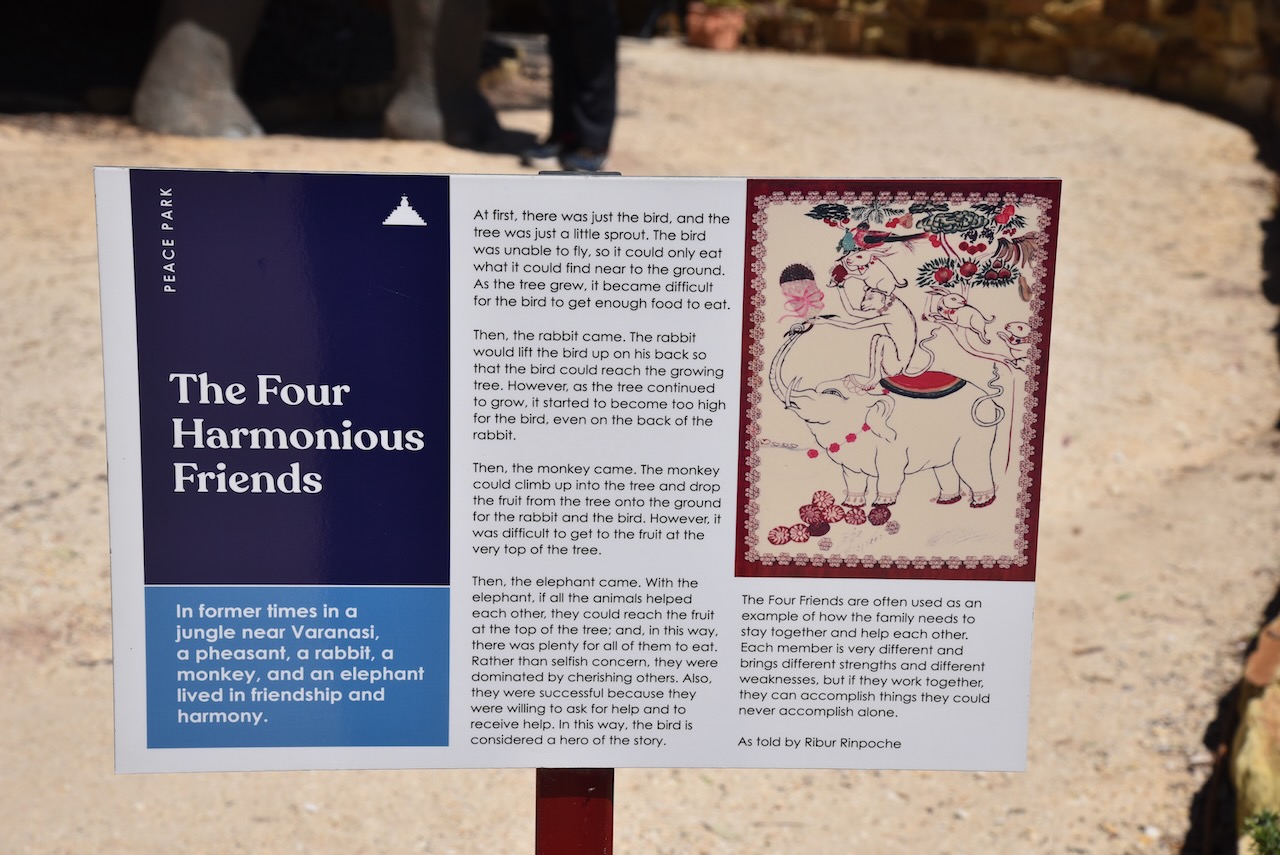
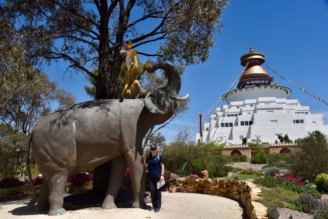
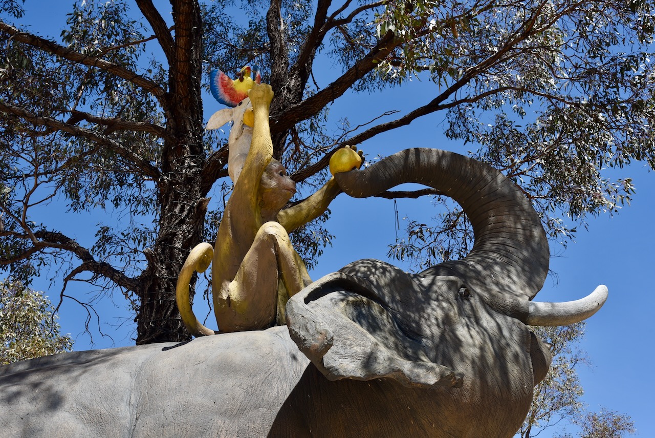
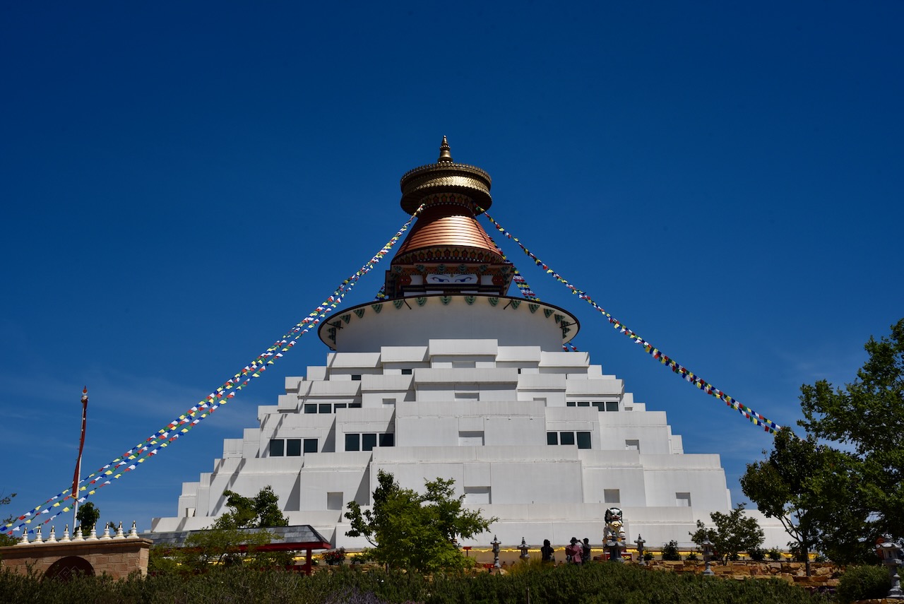
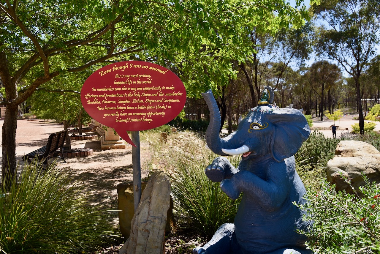
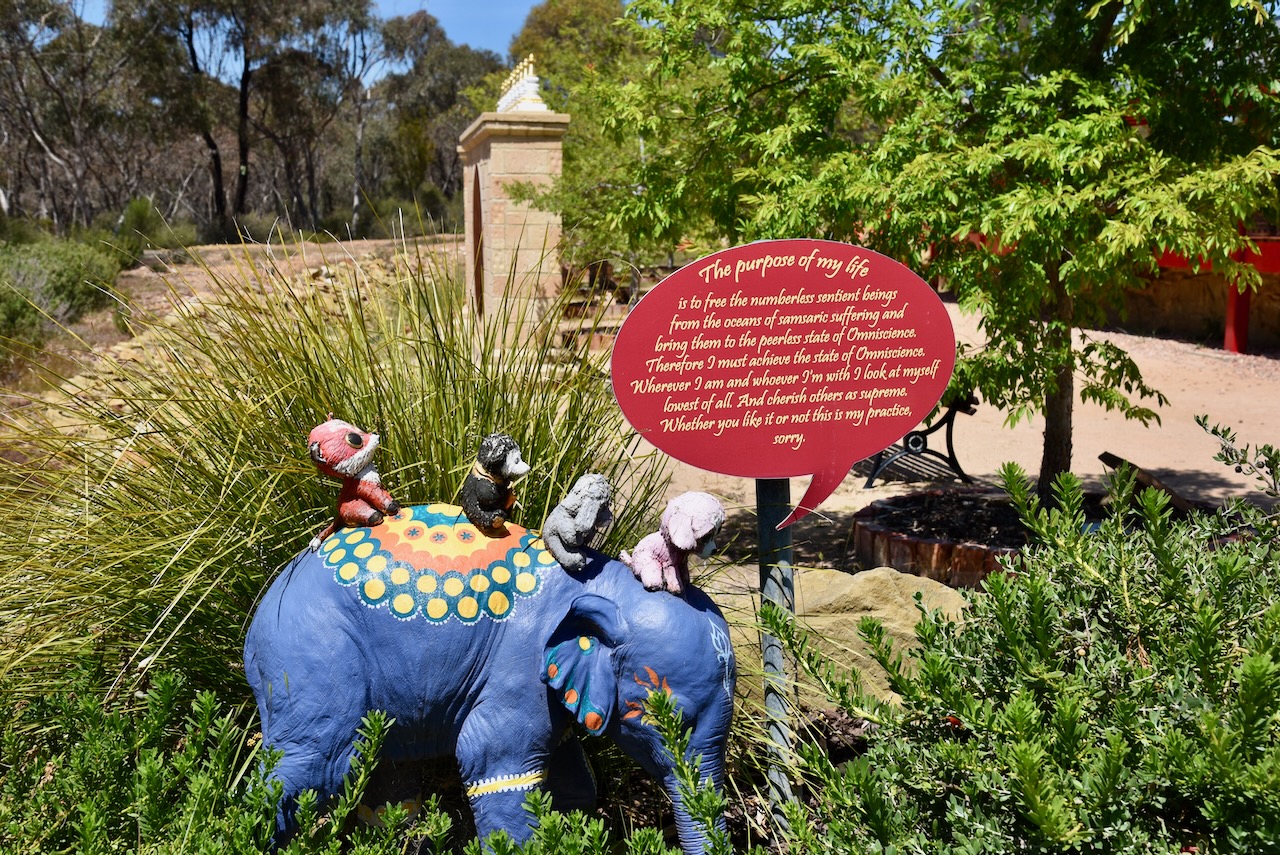
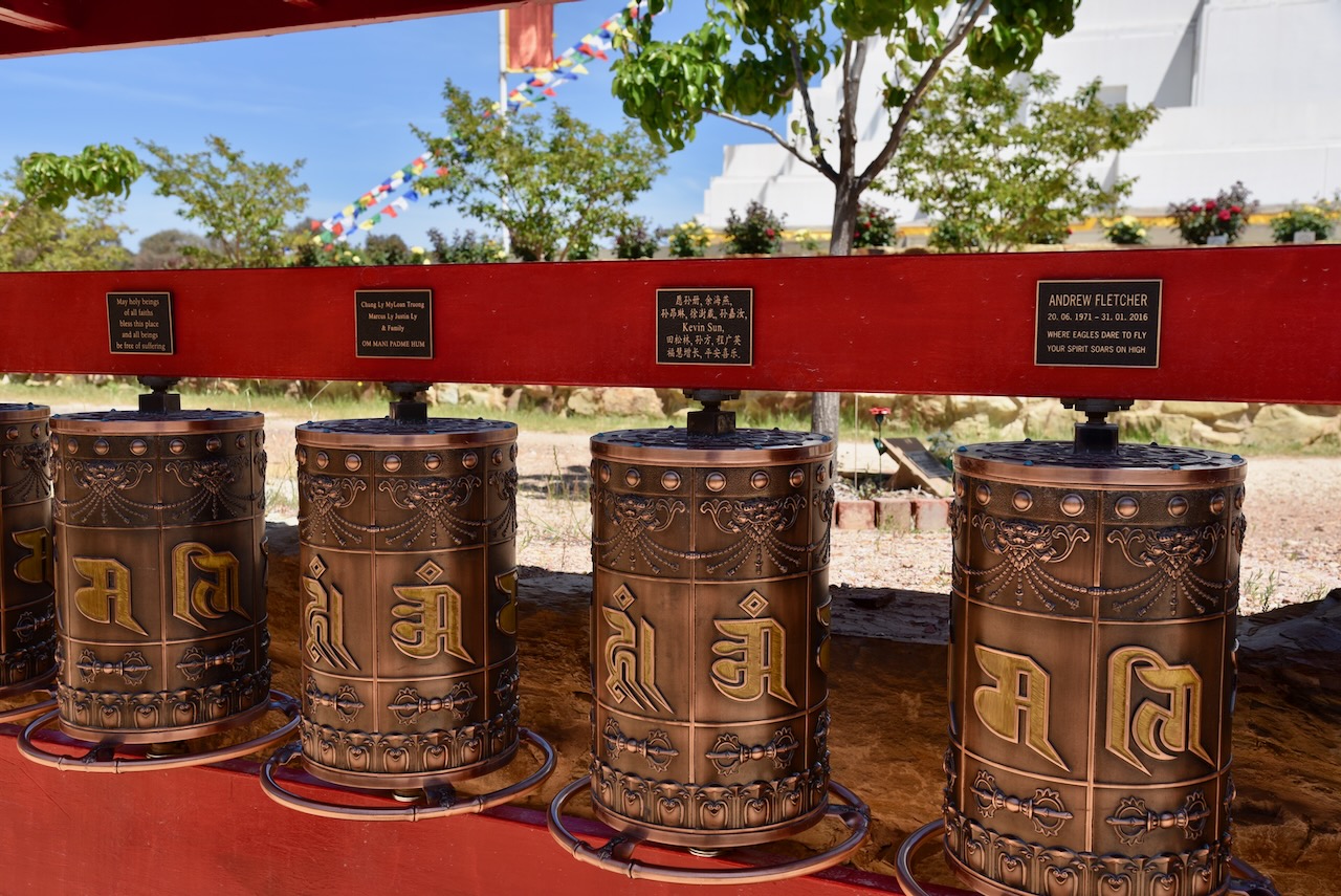
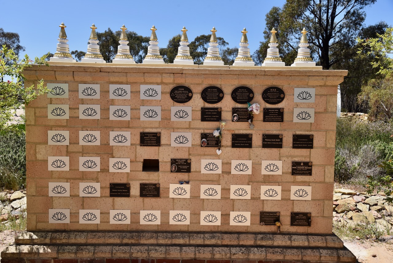
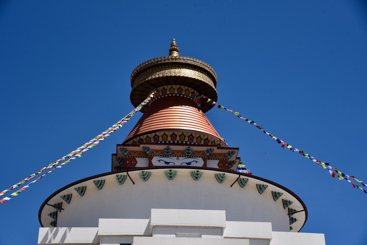
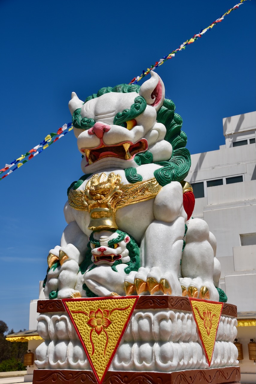
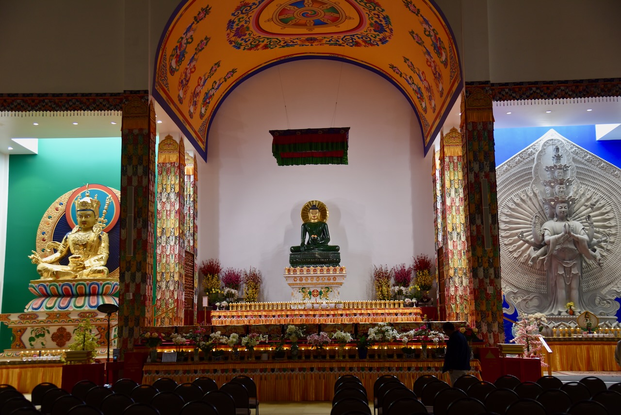
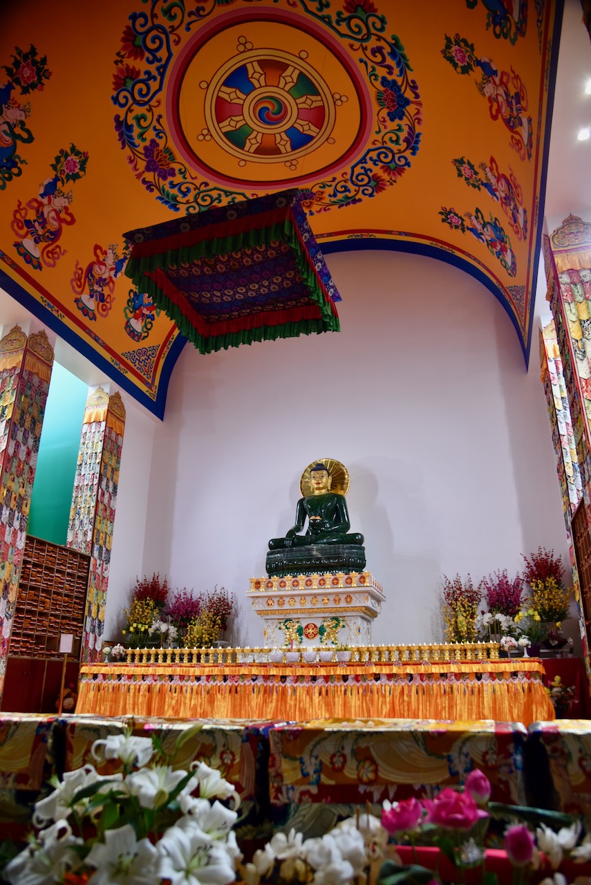
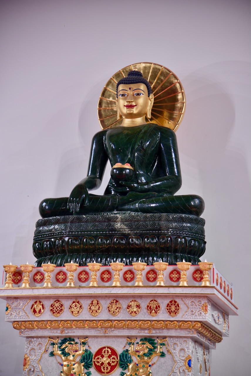
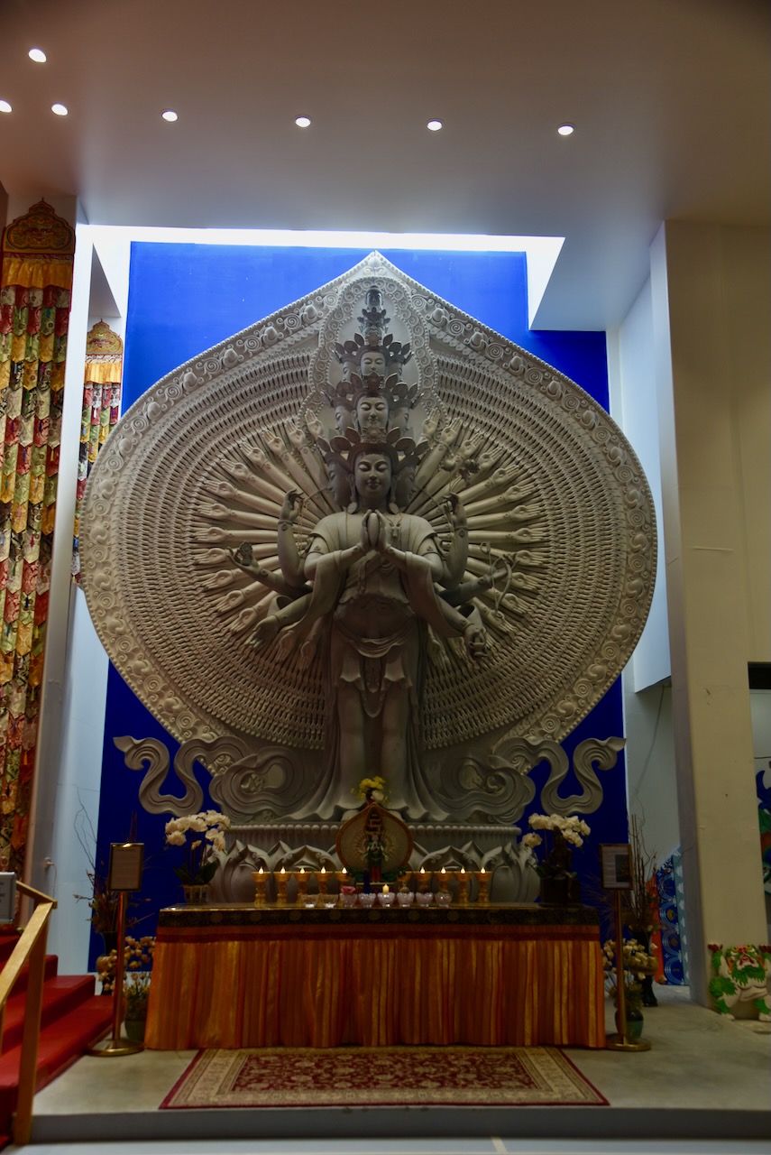
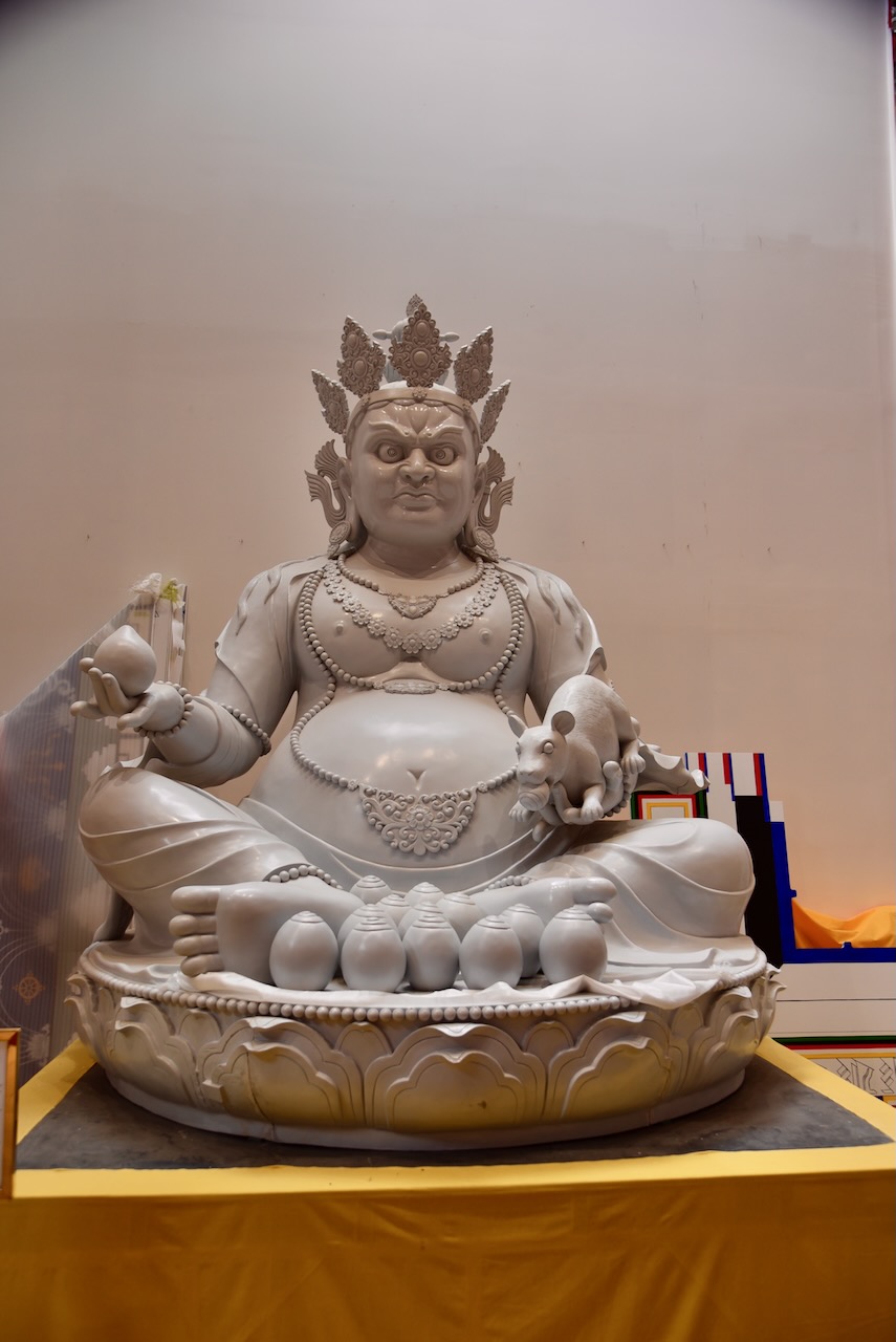
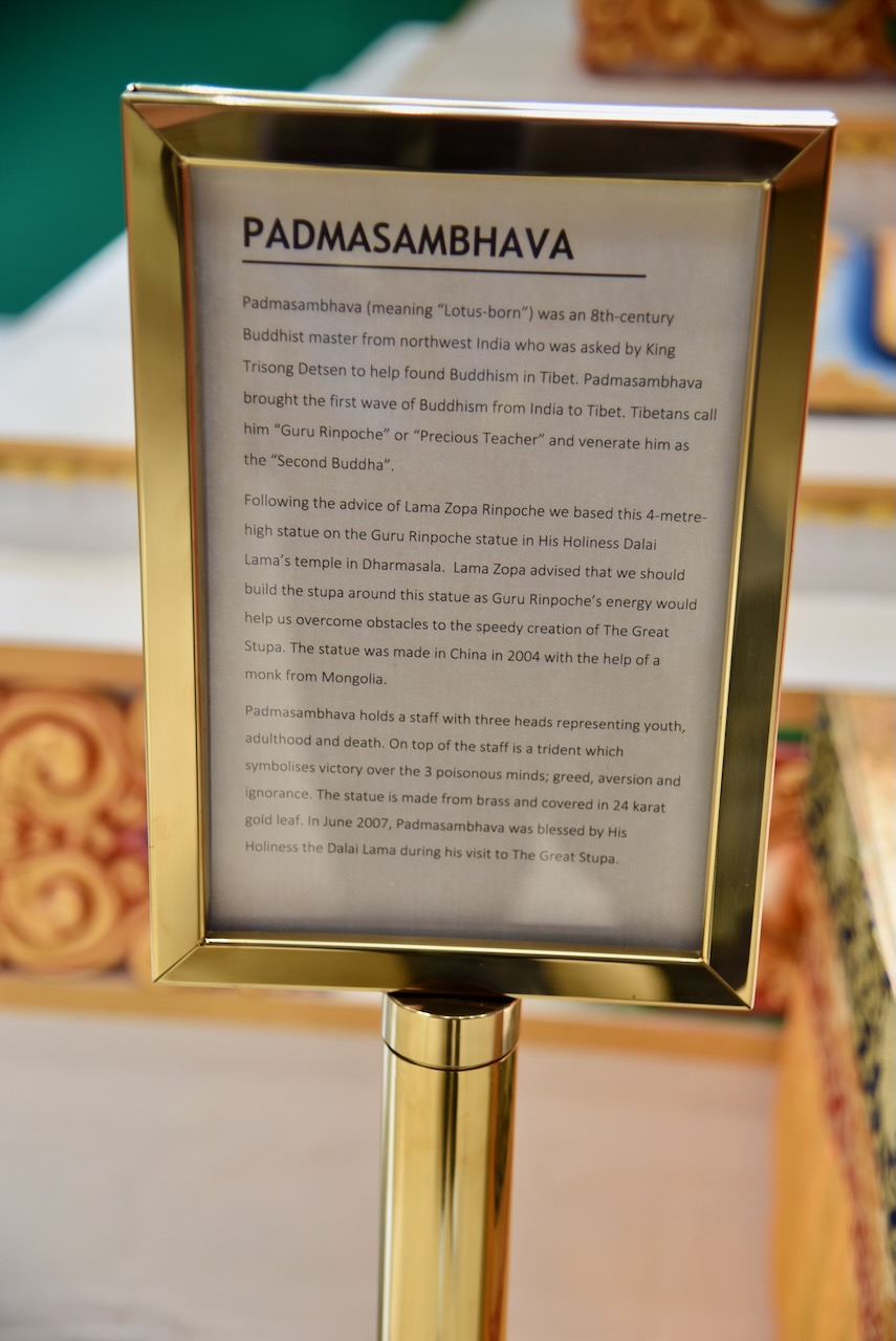
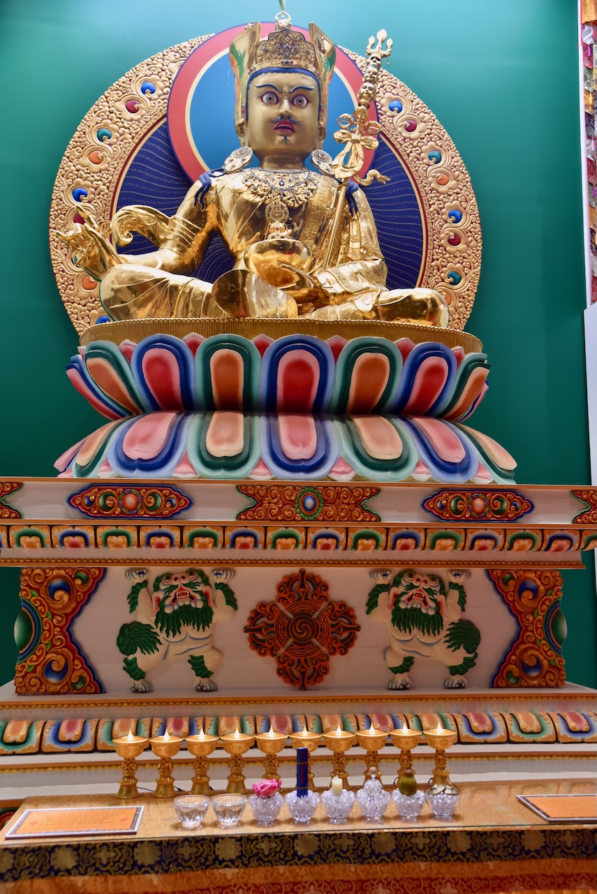
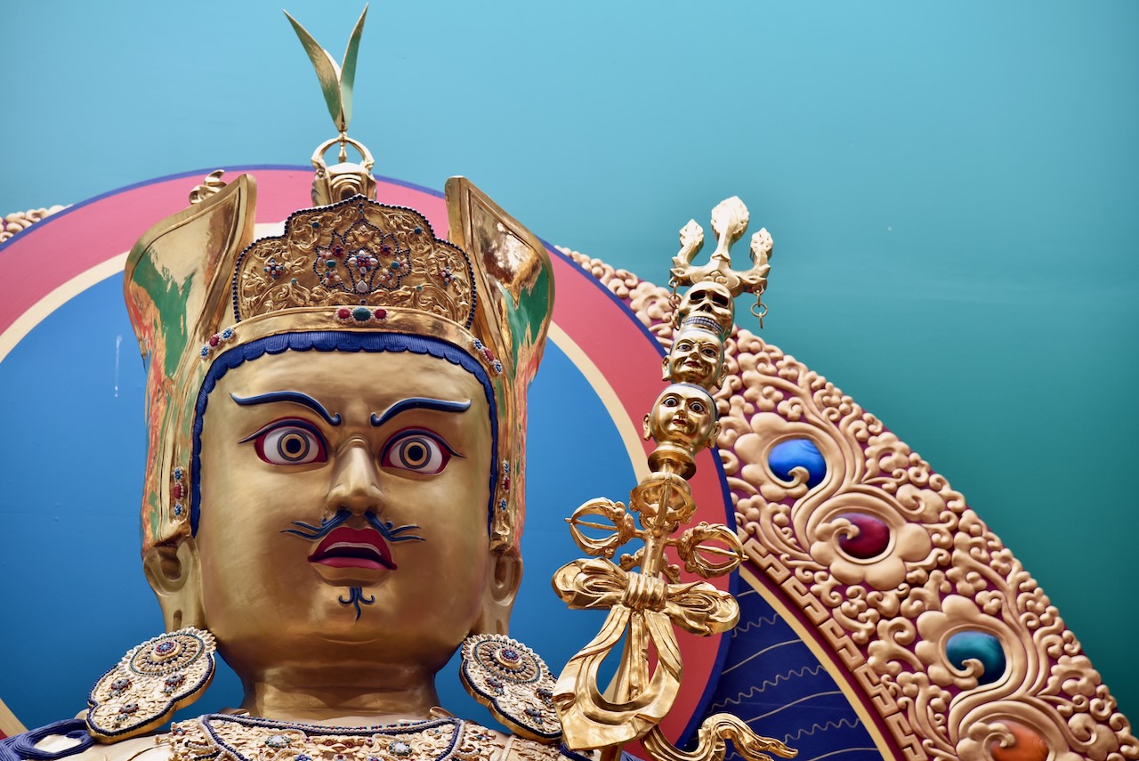
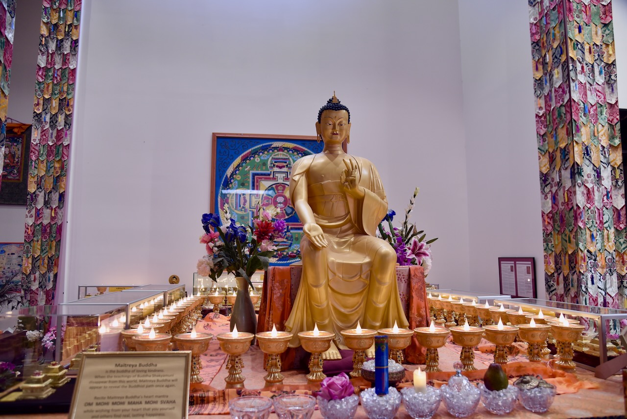
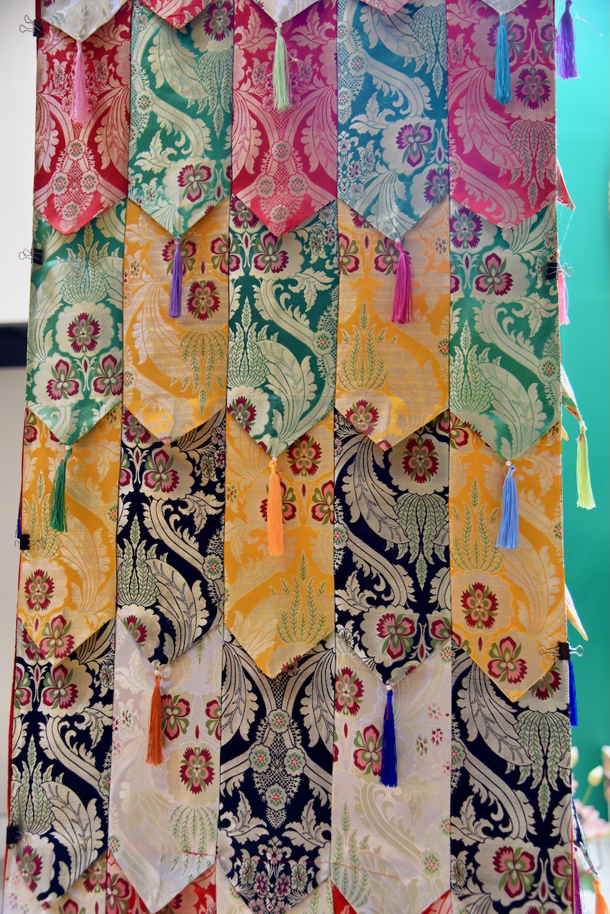
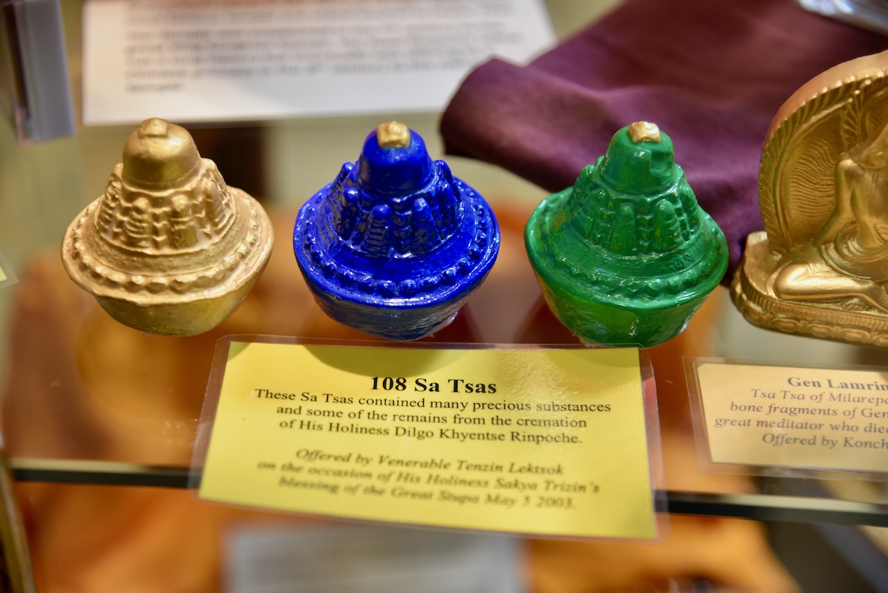
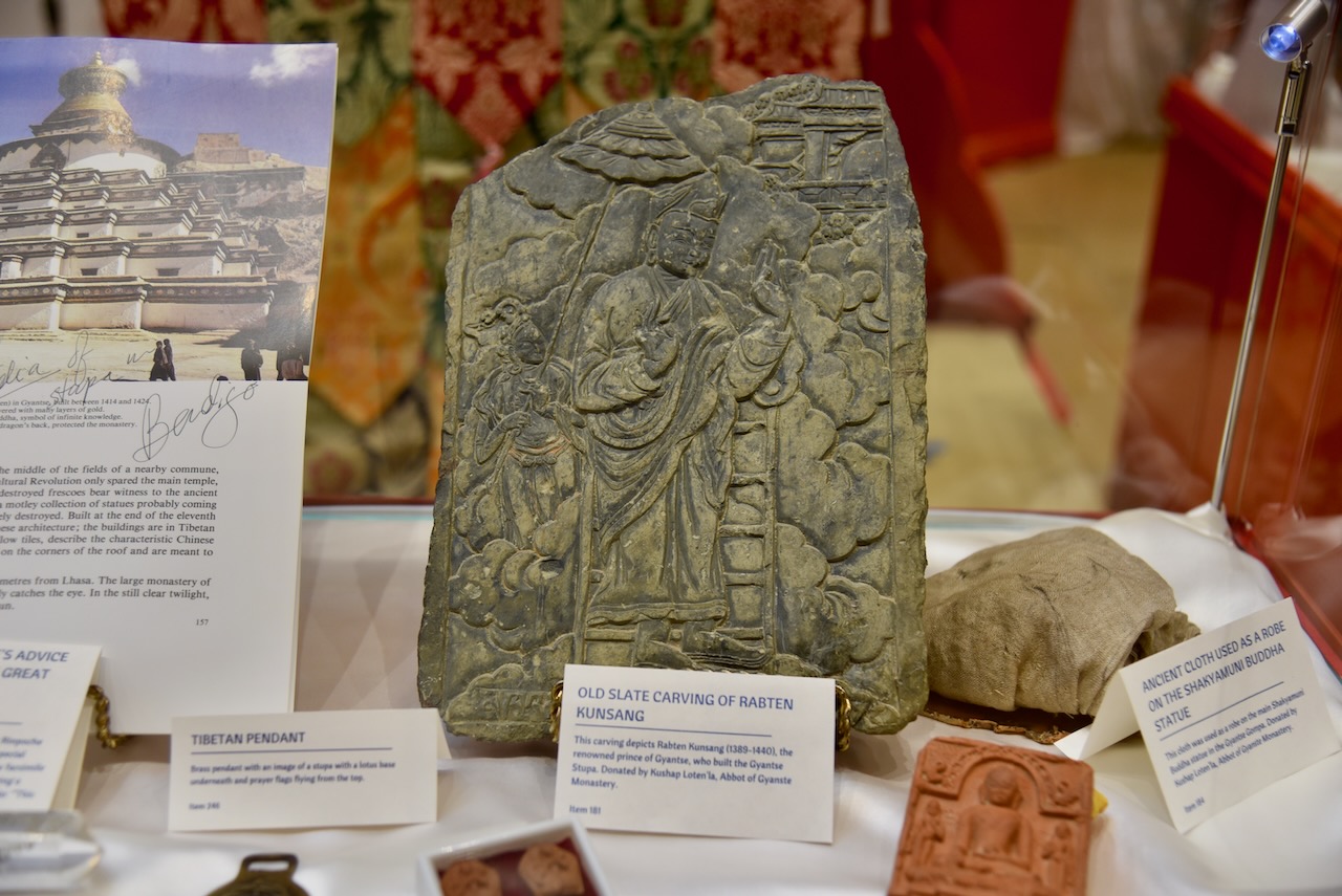
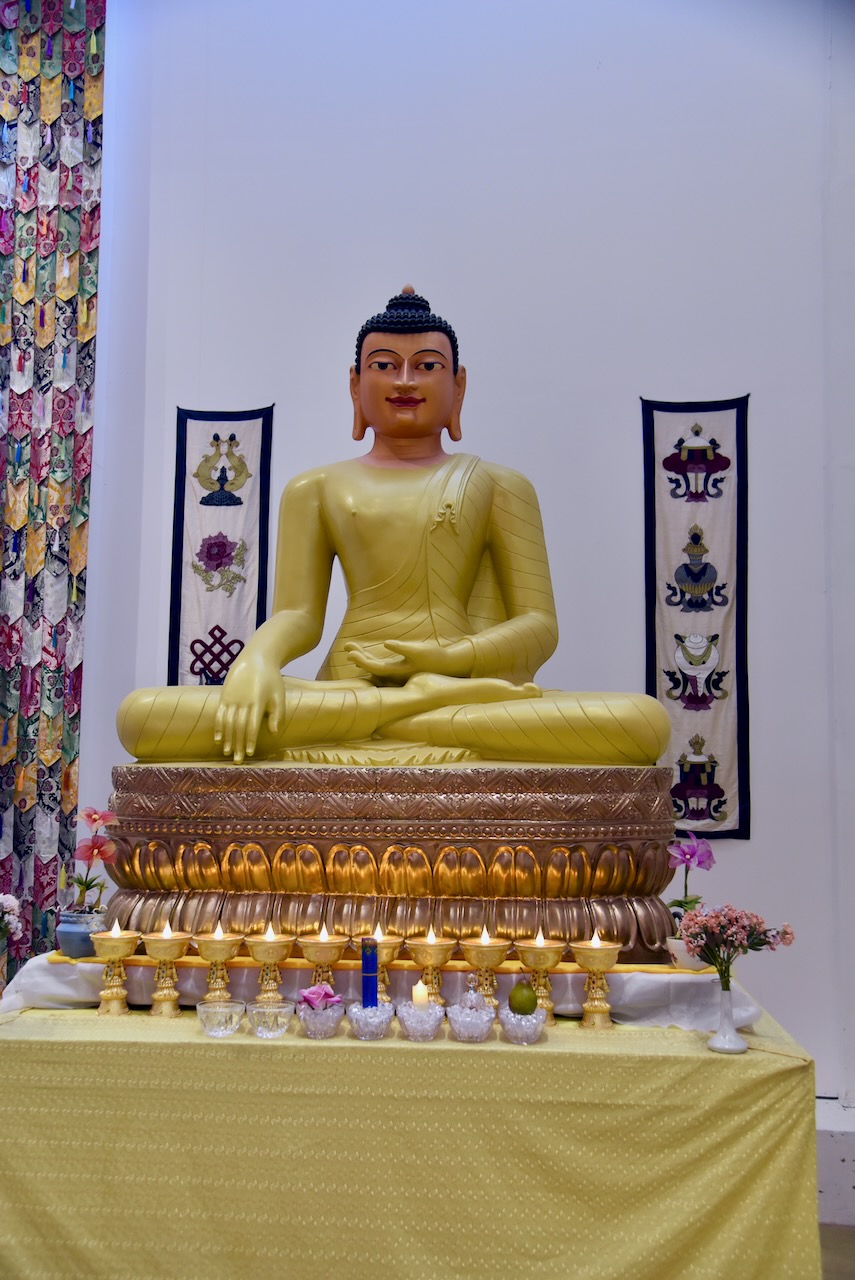
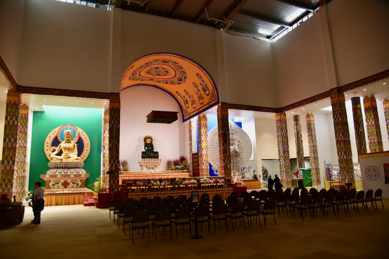
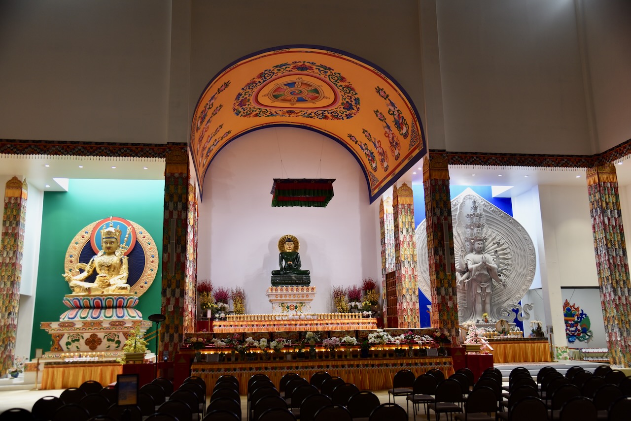
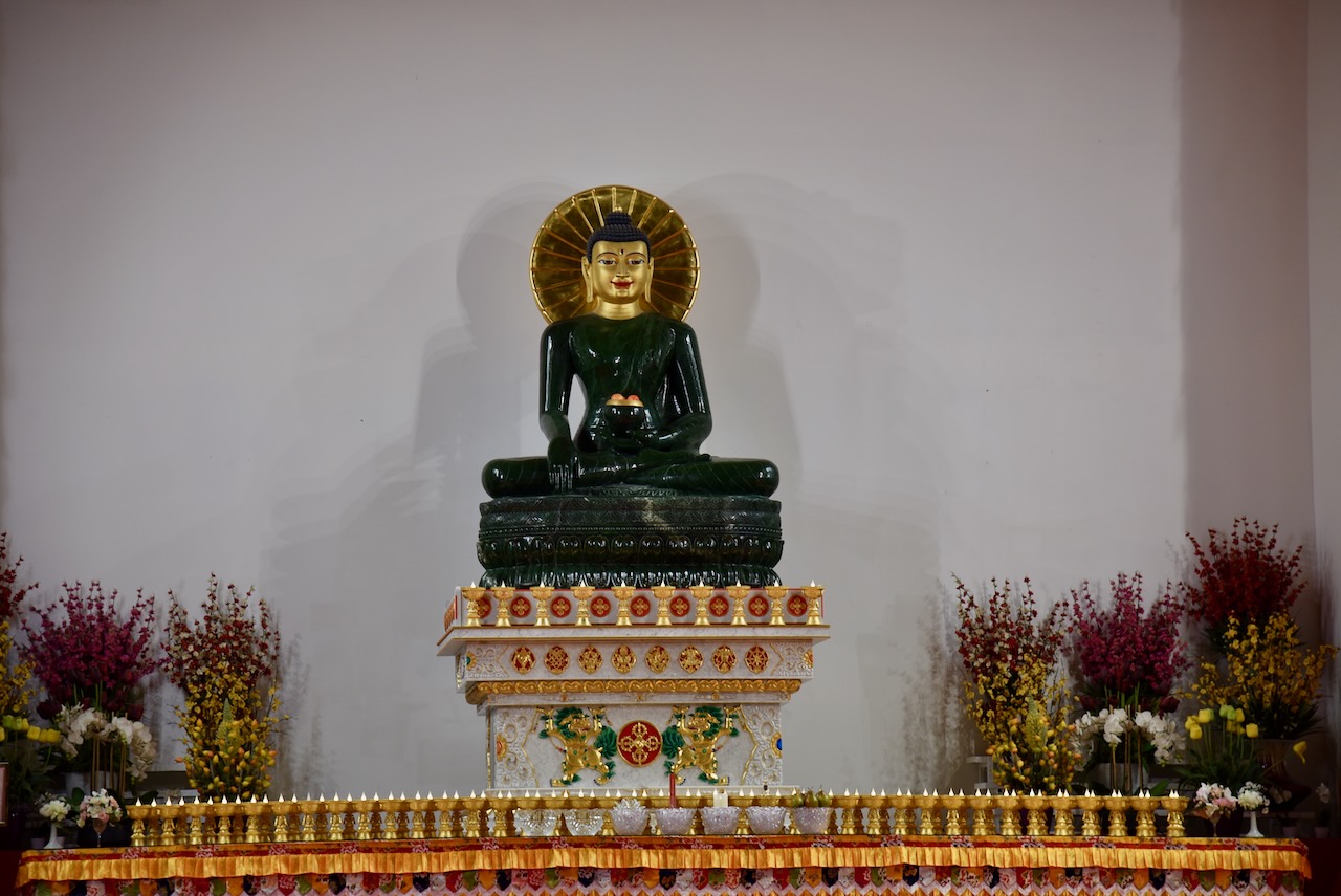
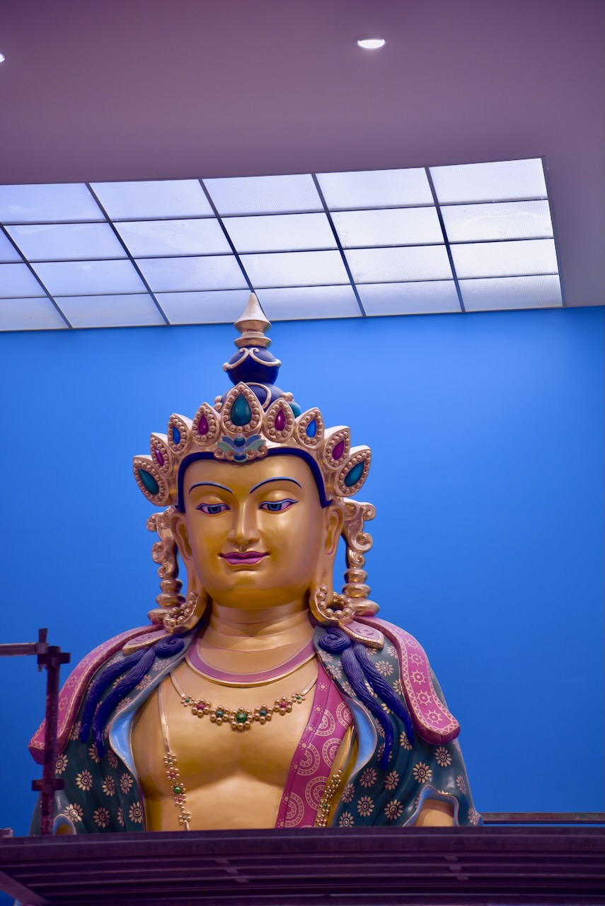
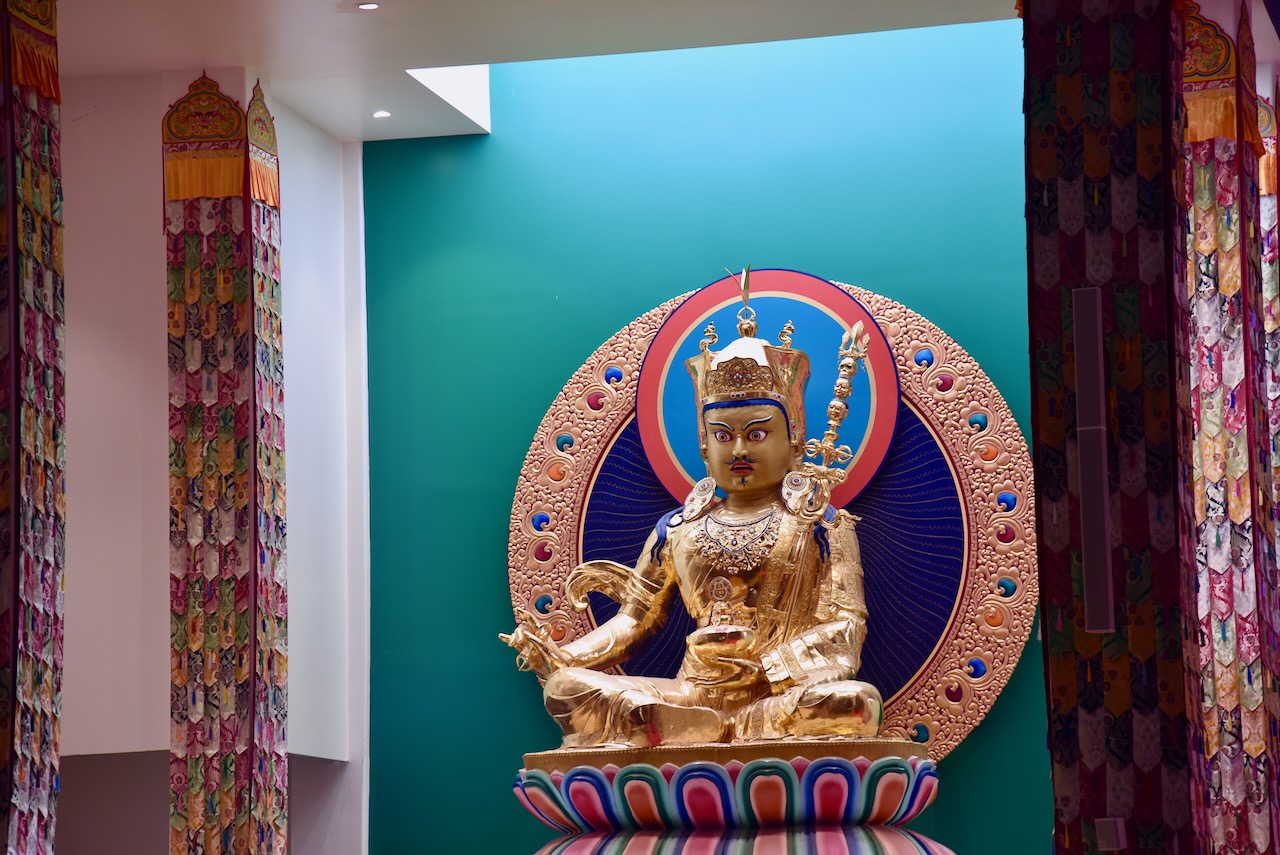
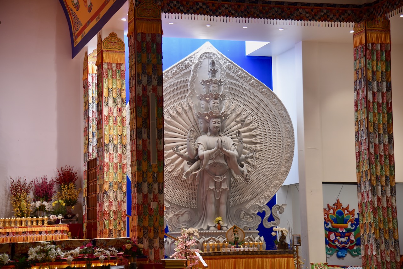
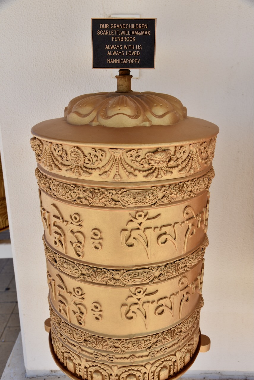
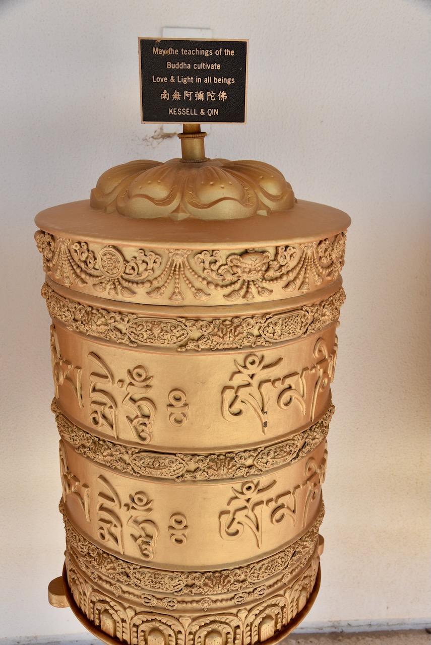
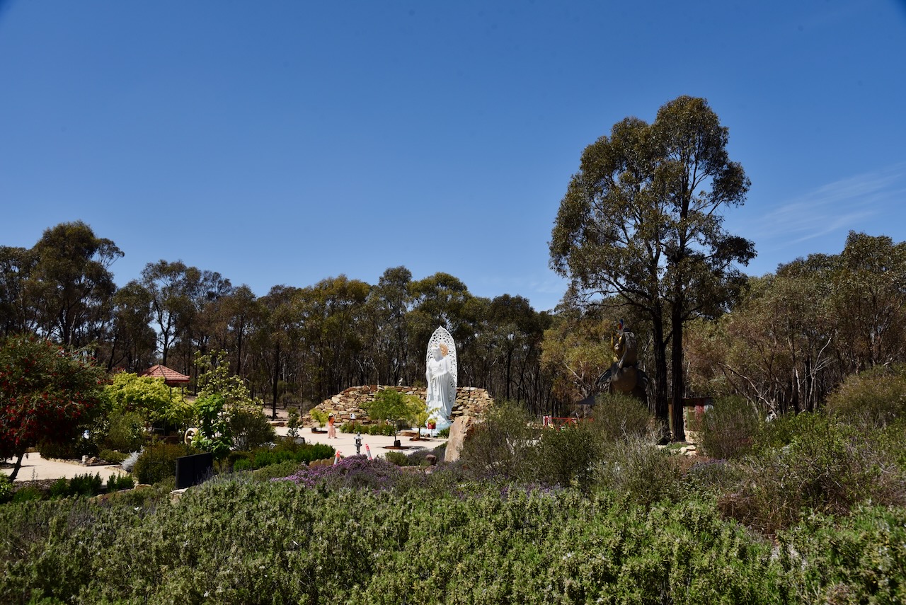
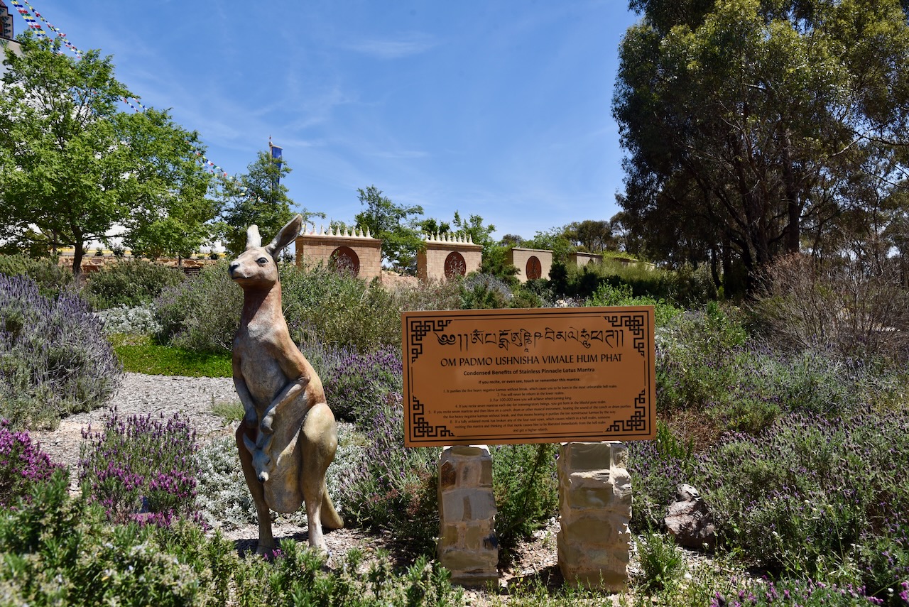
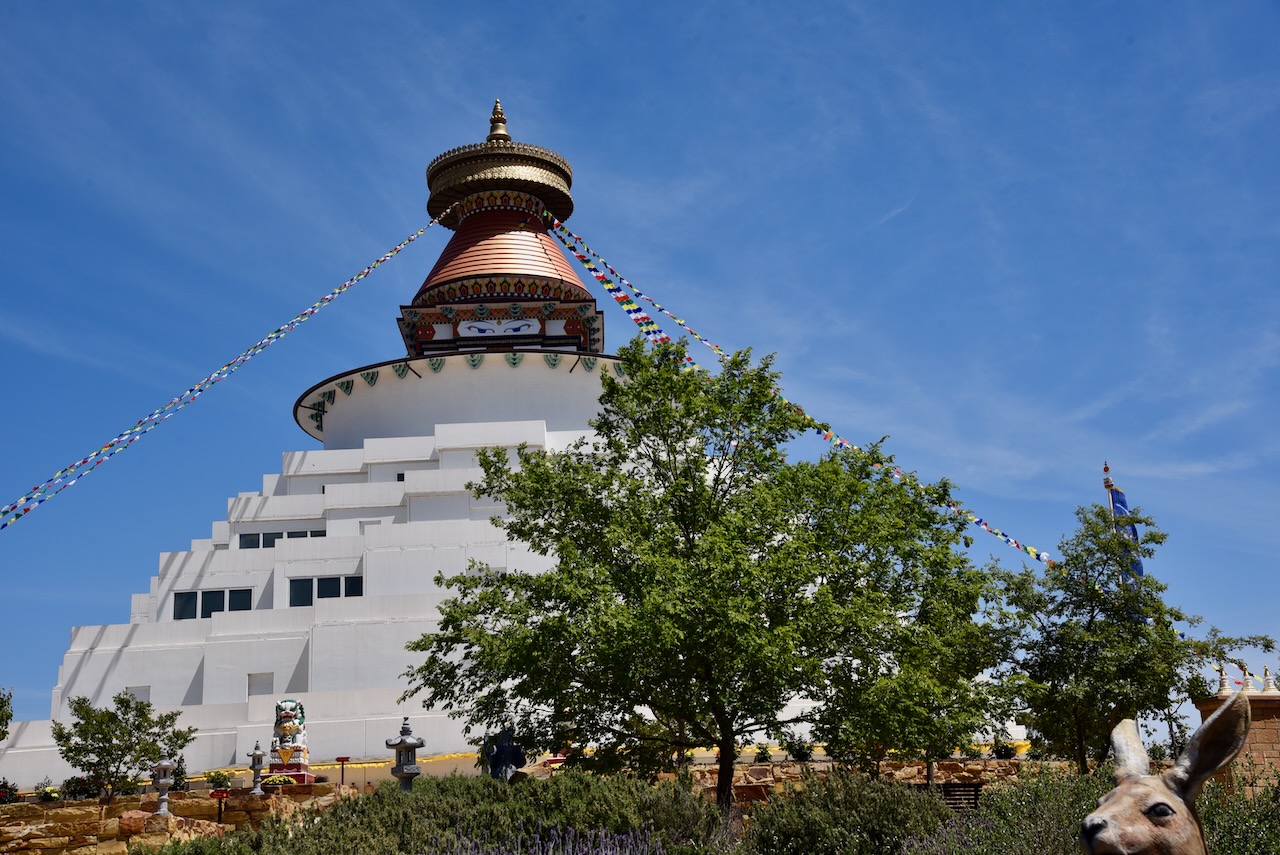
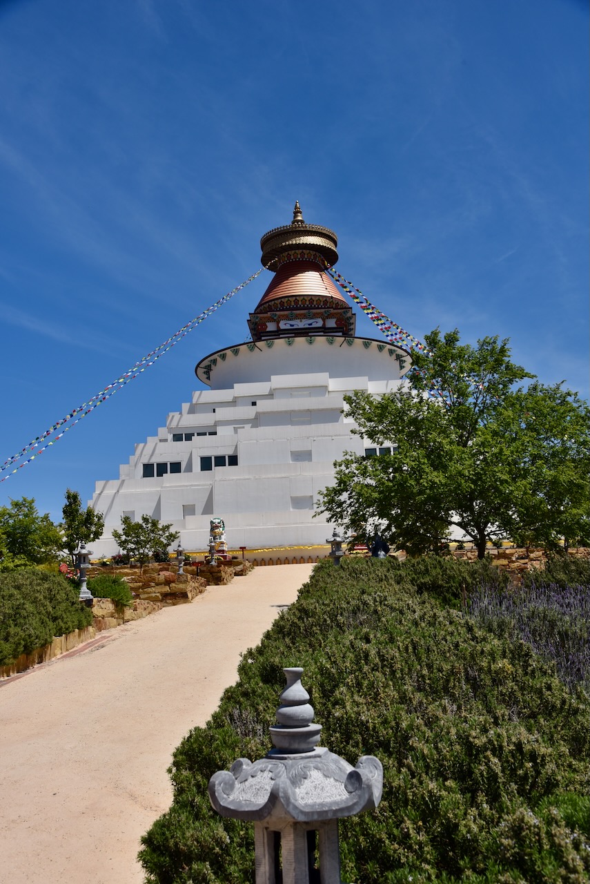
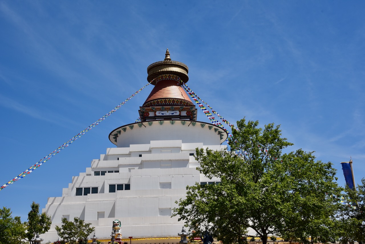
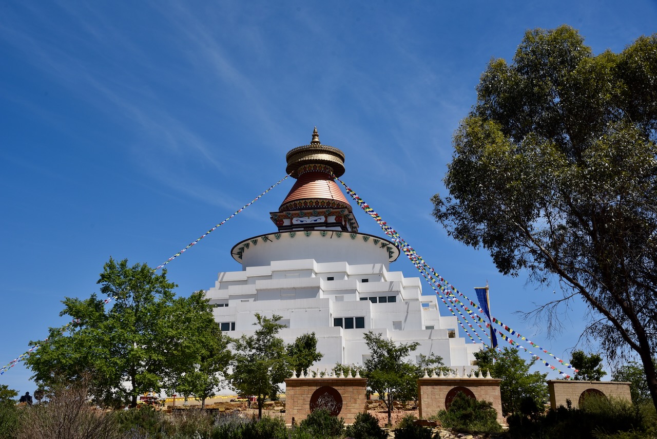
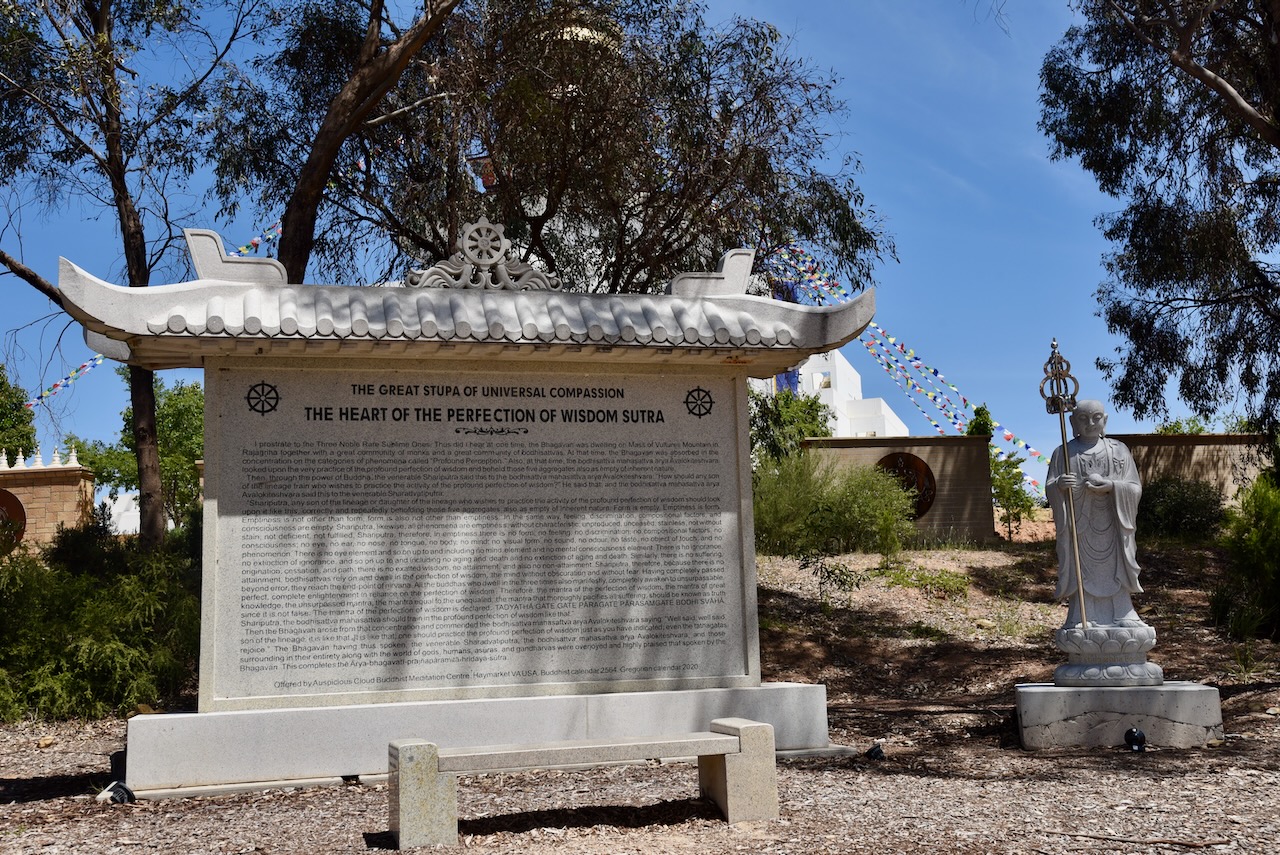
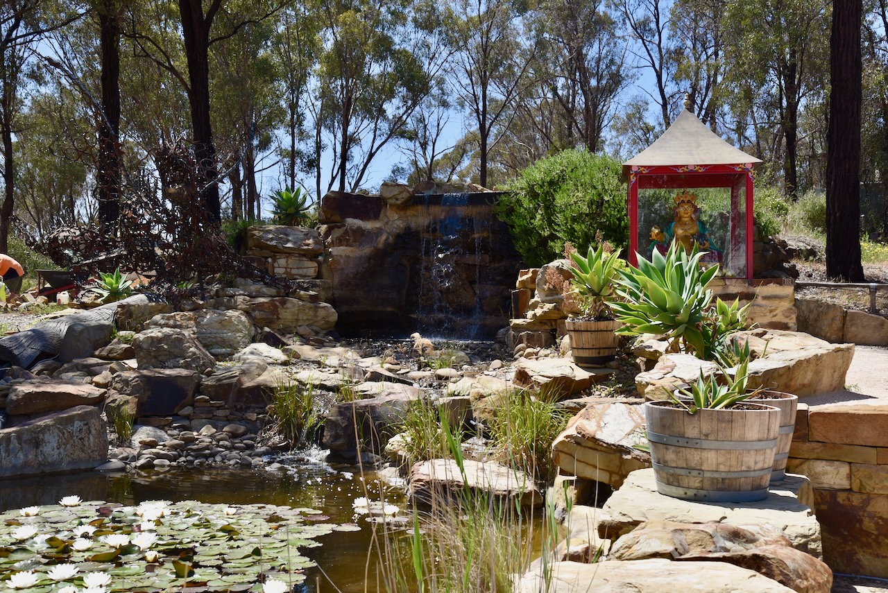
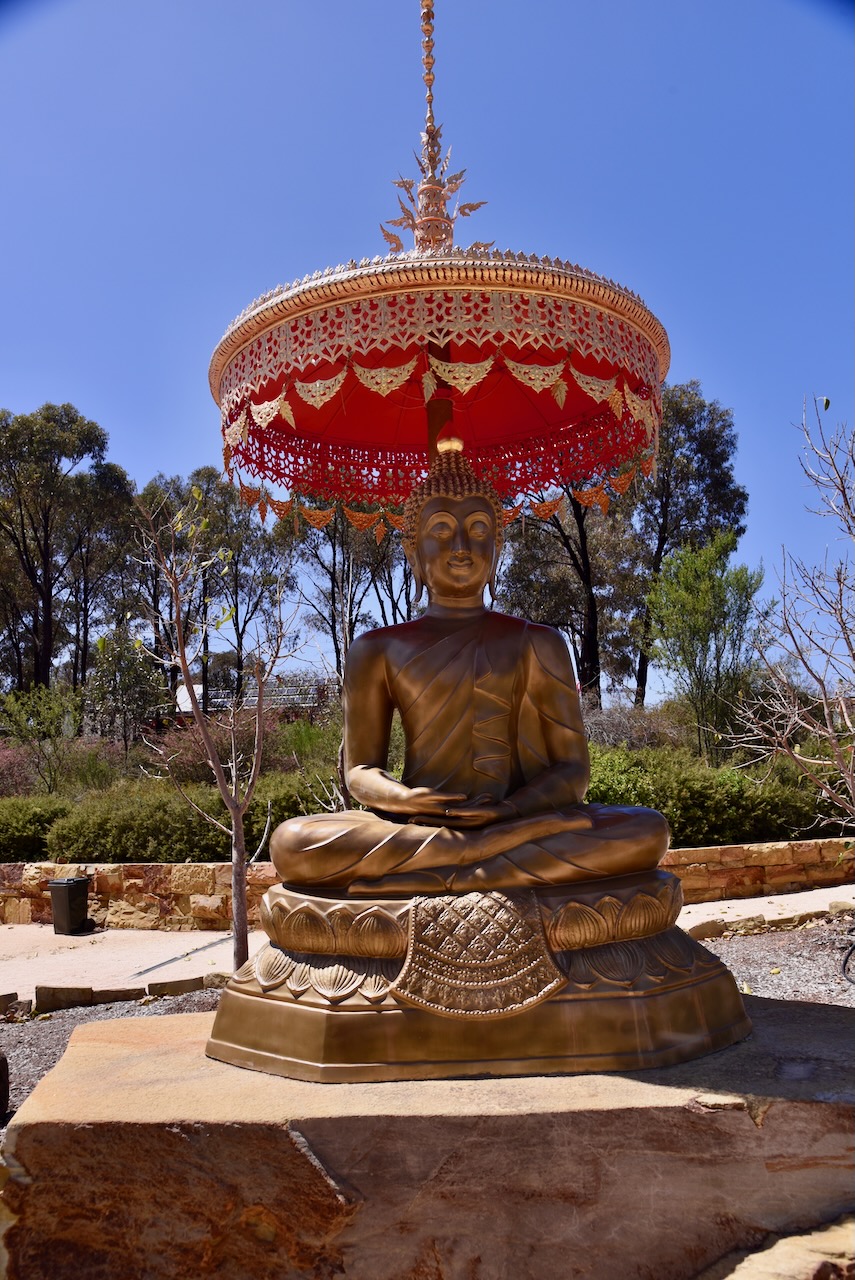
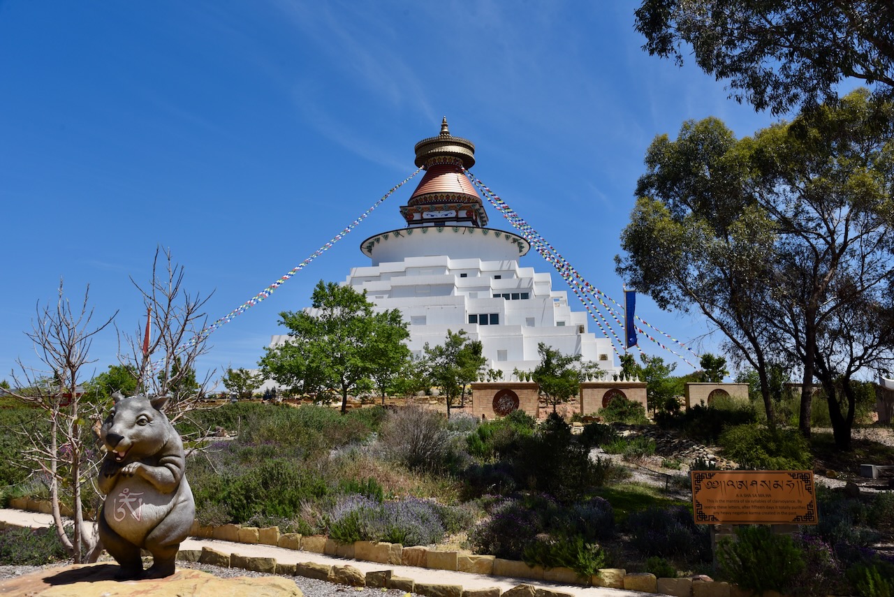
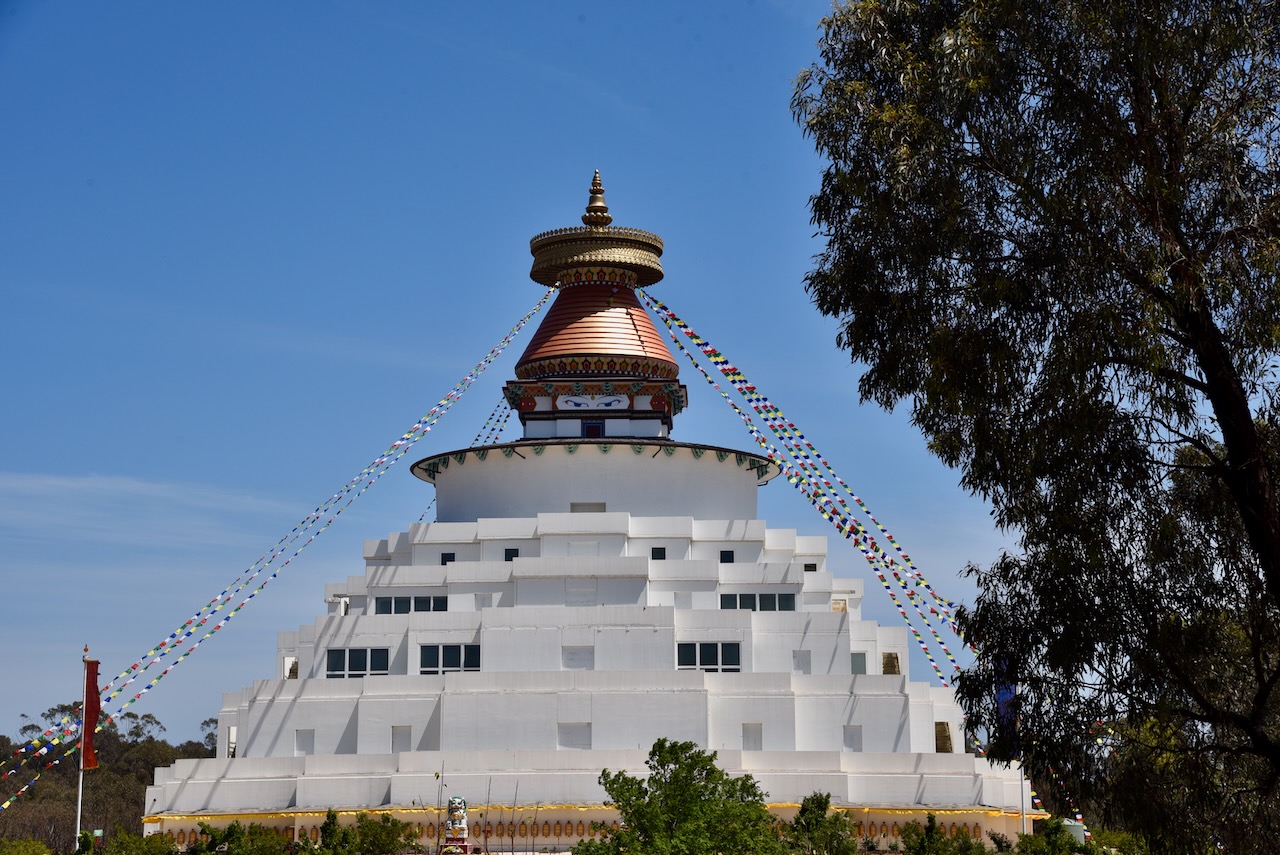
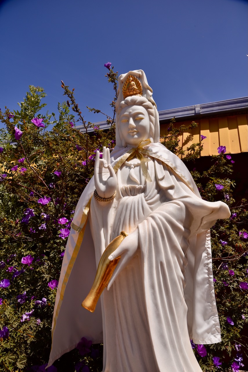
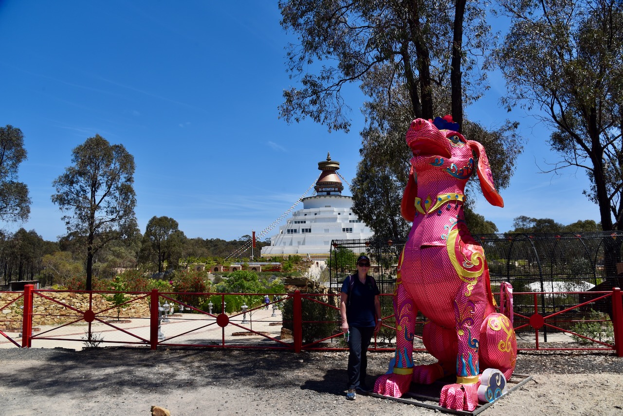
Our next stop was the Great Stupa of Universal Compassion at Myers Flat near Bendigo. The Stipa is 50 metres square at its base and is almost 50 metres high. This makes it the largest Stupa in the Western World. (admin, n.d.)
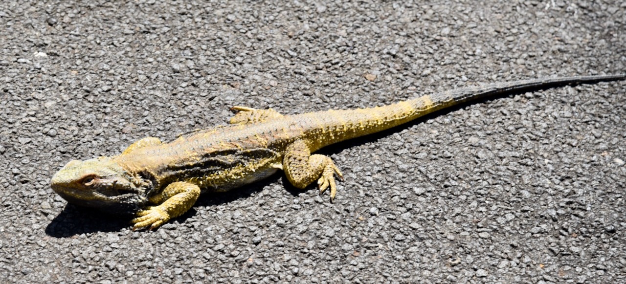
We left the Stupa and headed to our next park activation. It was a warm day and we saw several lizards and snakes basking on the roadway.
Our first park activation of the day was the Marong H71 Bushland Reserve VKFF-5437, at Myers Flat, about 14 km northwest of Bendigo.
Although the park is called Marong, it is in fact located in Myers Flat, a former goldfield that was discovered in 1856. Thomas Myers held the Weddikar pastoral run on which the gold diggings developed. The run was dissected by The Sandy Creek which was later renamed Myers Creek. (Blake 1978) (heritagecouncil.vic.gov.au, n.d.) (Victorianplaces.com.au, 2015)
The gold rush in the area was not overly productive with the land in the district also attracting farm settlers. By 1854, an Anglican school was opened, and six years later in 1860, a Catholic school was opened. The district had a strong Irish influence. (Victorianplaces.com.au, 2015)
The Marong H71 Bushland Reserve Old Bridgewater Road, Allies Road and Forest Drive.
The reserve is about 243 hectares in size and was established on the 26th day of February 2002. (CAPAD 2022)
This was an unfenced park. Marija and I drove in and set up our station comprising the Yaesu FT857, 40 watts, and the 20/40/80m linked dipole.
Marija worked the following stations on 40m SSB:-
VK3PF/P (VKFF-3925)
VK5HS
VK3APJ
VK3IFR
VK3TKU
VK2IO/P (SOTA VK3/ VN-023)
VK2GEZ/P (SOTA VK3/ VN-023)
VK3CEO
VK3JE
VK3CJN
VK3QHU
Marija worked the following stations on 20m SSB:-
VK2IO/P (SOTA VK3/ VN-023)
VK2GEZ/P (SOTA VK3/ VN-023)
I worked the following stations on 40m SSB:-
VK3PF/P (VKFF-3925)
VK5HS
VK3APJ
VK3IFR
VK3TKU
VK2IO/P (SOTA VK3/ VN-023)
VK2GEZ/P (SOTA VK3/ VN-023)
VK3CEO
VK3JE
VK3CJN
VK3QHU
VK3ZSC
VK3BAP
VK1AO
VK2MET
VK1CHW
VK3PWG
VK3TTK
VK3VMM
VK4NH
VK4DXA
VK3UP
VK1AD
VK1NAM
VK5NOU
I worked the following stations on 20m SSB:-
ZL2AJ
VK1AO
VK2MET
VK2IO/P (SOTA VK3/ VN-023)
VK2GEZ/P (SOTA VK3/ VN-023)
ZL1HIM
VK4EMP
VK4TI
VK4GKO
VK4NBX
I worked the following stations on 20m FT8:-
VK4HX
VK1AO
VK2SOL
VK2MET
I worked the following stations on 40m FT8:-
VK1AD
VK1NAM
VK3UAO
VK1AO
VK3CEO
VK3ALF
VK1CHW
References.
admin (n.d.). Great Stupa. [online] Great Stupa of Universal Compassion. Available at: https://stupa.org.au/great-stupa/. [Accessed 10 Apr. 2025]
Our final activation for 27th October 2024 was the Emu Valley Bushland Reserve VKFF-4969, which is located about 10 km southeast of Bendigo.
Above:- Map showing the location of Emu Valley Bushland Reserve. Map c/o Google Maps.
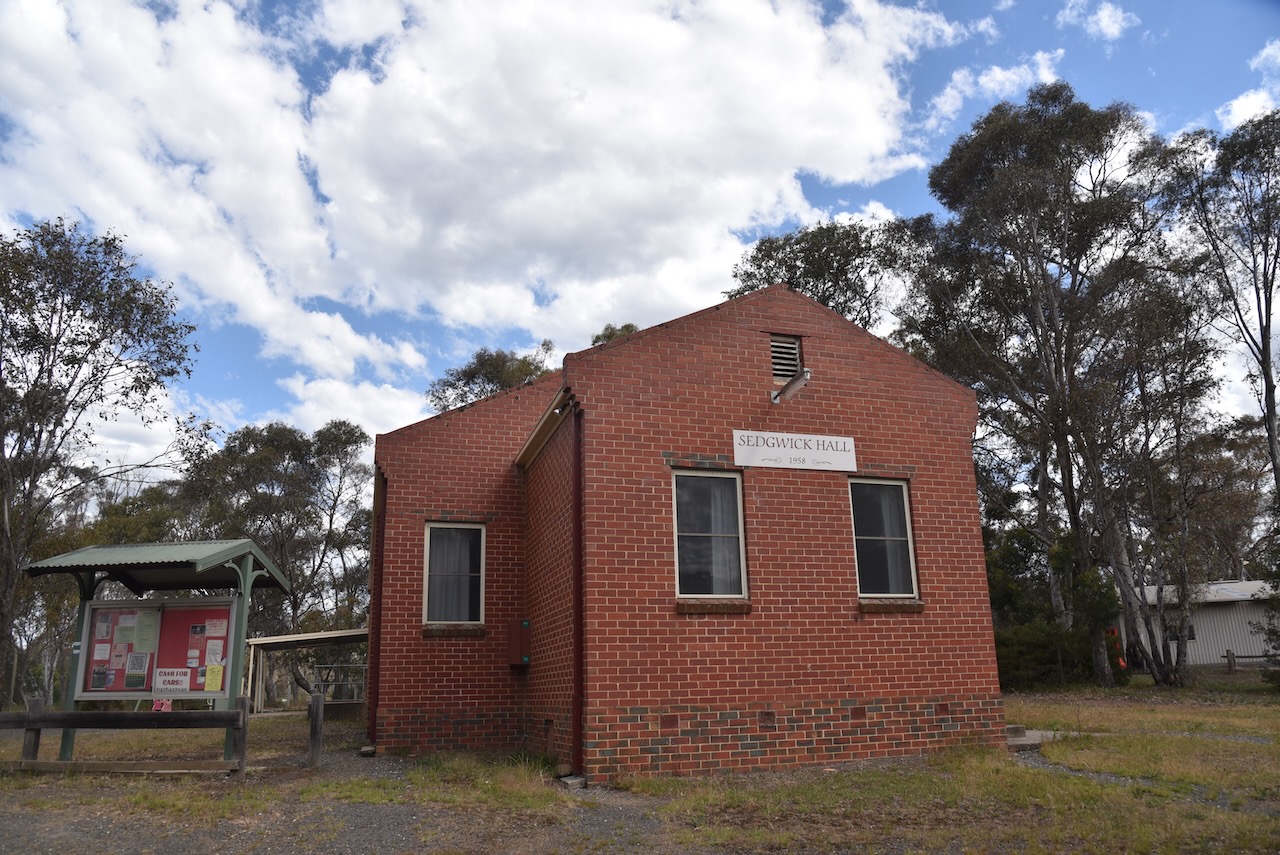
On the way, we stopped to have a look at the Sedgwick Hall built in 1959. Sedwick is a small town and rural district that was known as Upper Emu Creek until 1903. It was renamed Sedgwick after British geologist Professor Adam Sedgwick.
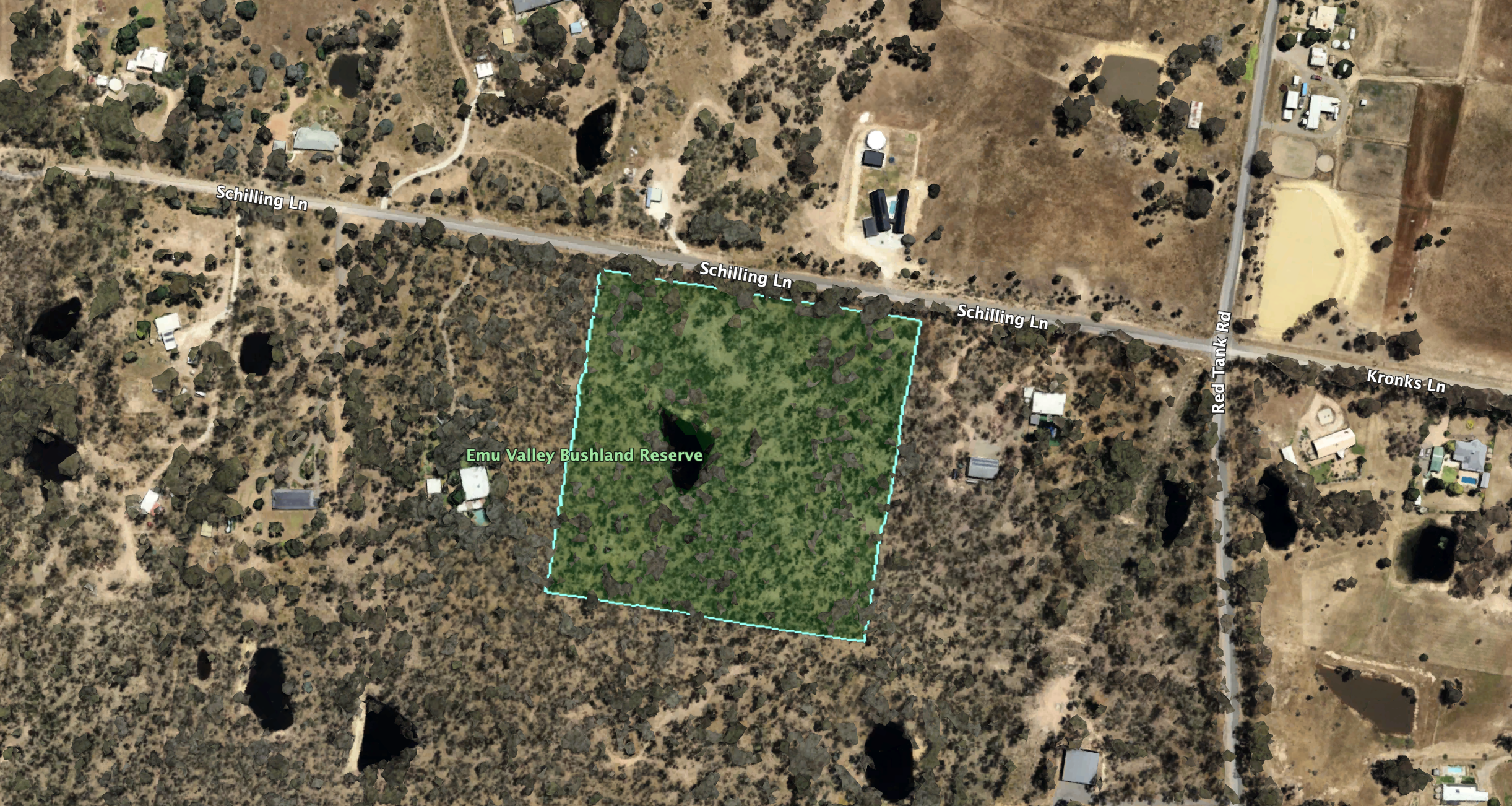
The Emu Valley Bushland Reserve is located on the southern side of Schilling Lane, Emu Creek.
Above:- An aerial view of the reserve. Image c/o Google Earth.
Emu Creek consists of several creeks named after the flightless Australian bird, the Emu. The reserve is about 4 hectares in size and was established on the 26th day of February 2002. (Blake 1978) (CAPAD 2022)
We parked the car and walked into the park, which did not have any fencing. We ran the Yaesu FT857, 40 watts, and the 20/40/80m linked dipole. The 20m band on SSB was pretty much a wipeout due to a contest, and as a result, the QRM was very high.
Marija worked the following stations on 40m SSB:-
VK3KLI/P (VKFF-5762)
VK5NOU
VK3IFR
VK3TKU
VK2IO/P (VKFF-0960)
VK2GEZ/P (VKFF-0960)
VK3PF/P (VKFF-4960)
VK3BHR/P (VKFF-0960)
VK4NH
VK4DXA
Marija worked the following station on 20m SSB:-
VK3PF/P (VKFF-2158)
I worked the following stations on 40m SSB:-
VK3KLI/P (VKFF-5762)
VK5NOU
VK3IFR
VK3TKU
VK2IO/P (VKFF-0960)
VK2GEZ/P (VKFF-0960)
VK3PF/P (VKFF-4960)
VK3BHR/P (VKFF-0960)
VK4NH
VK4DXA
VK3APJ
VK3MGM
VK3GJG
VK3ABE
VK3CEO
VK3UP
VK5HS
VK7PJM
VK3ZSC
VK3FQSO
VK2QR
VK5WU
VK1AO
VK2MET
VK5SPJ/M
VK2VW
VK2HFI
VK2AKA
VK2BUG
VK3SQ
VK2BD
VK5AAY
VK3DCQ
VK3PWG
VK5QA
VK3CLD
VK2DBF
VK5MOS/M
VK3ZMD
VK7MAD
VK2EXA/P
VK3CWF
VK3WRD
VK3WSG
VK3DJC
I worked the following stations on 20m SSB:-
VK2VW
VK2HFI
VK2AKA
VK2BUG
VK4EW
VK3PF/P (VKFF-2158)
VK2IO/P (VKFF-0960)
VK2GEZ/P (VKFF-0960)
I worked the following stations on 20m FT8:-
CT2HEX
K3RH
OK1WCF
LY1CX
WI0M
RZ3AM
EA5ASQ
IZ8VYU
EB3DIM
KB6LQV
IK4IDF
OE9SKJ
EA6ANX
IU8PLP
OH1MM
VA7ZT
KS6N
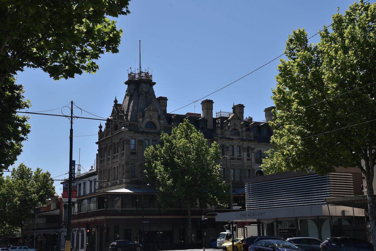
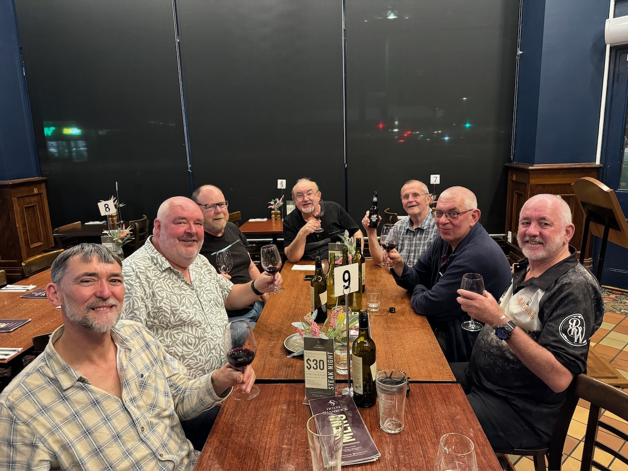
We packed up and headed back to the motel for a shower and then headed off to the historic Shamrock Hotel in Bendigo for an evening meal with some of those who were still around from the 2024 VKFF National Get Together.
It was another great night of plenty of amateur radio tales, solving the world’s problems, and lots of laughs.
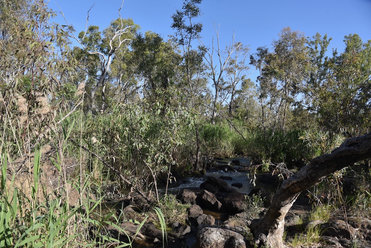
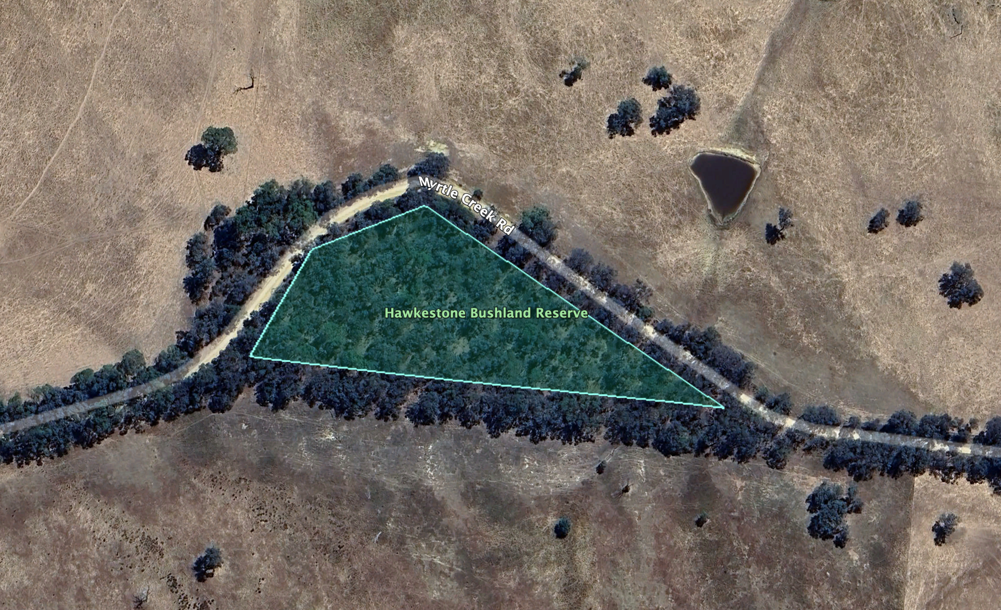
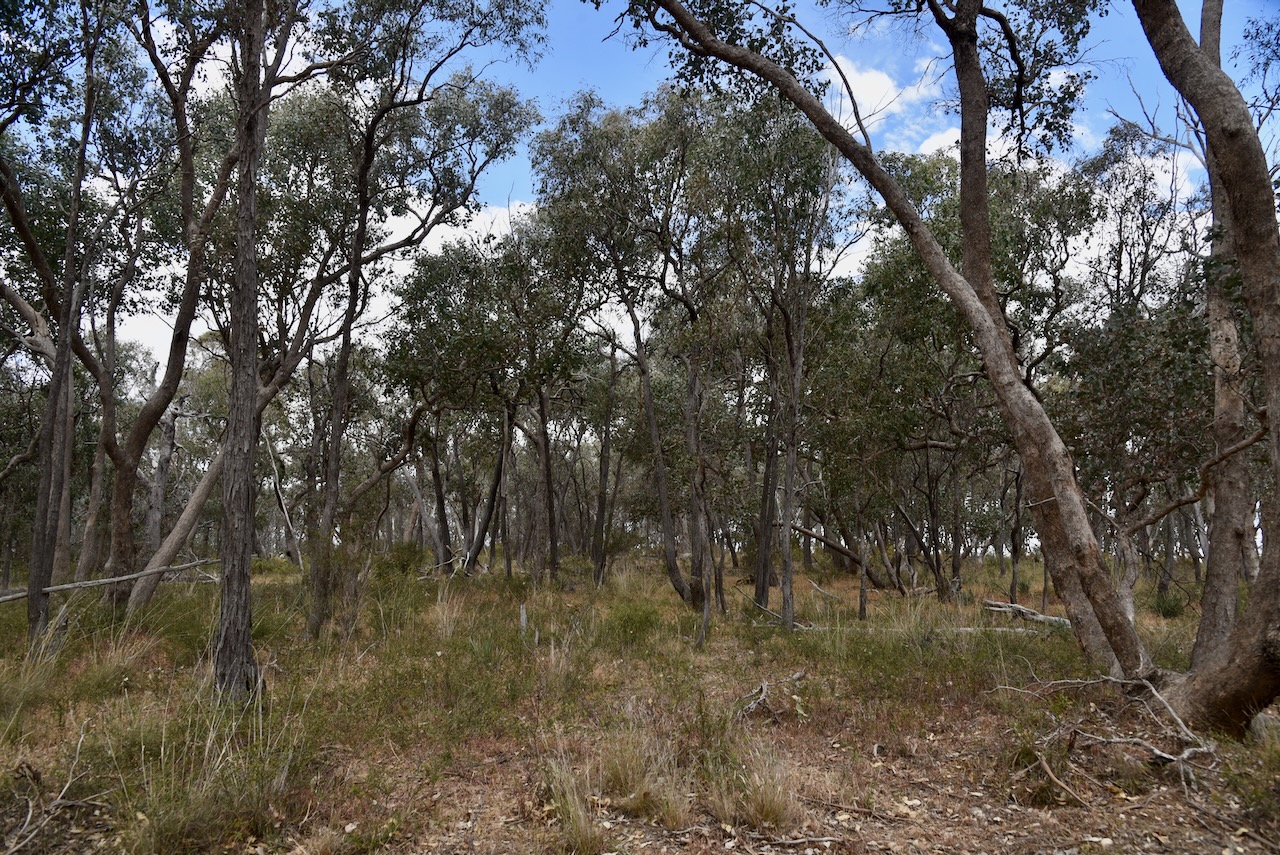
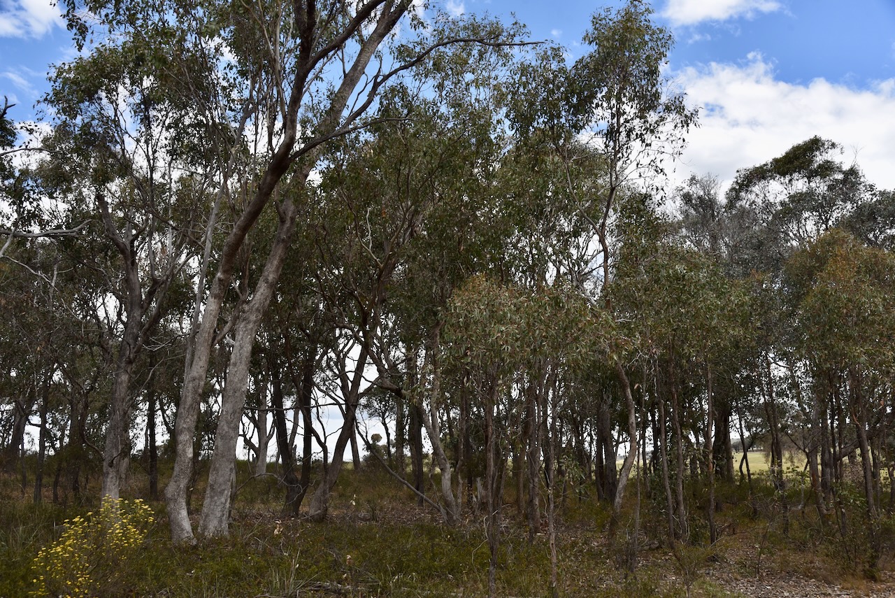
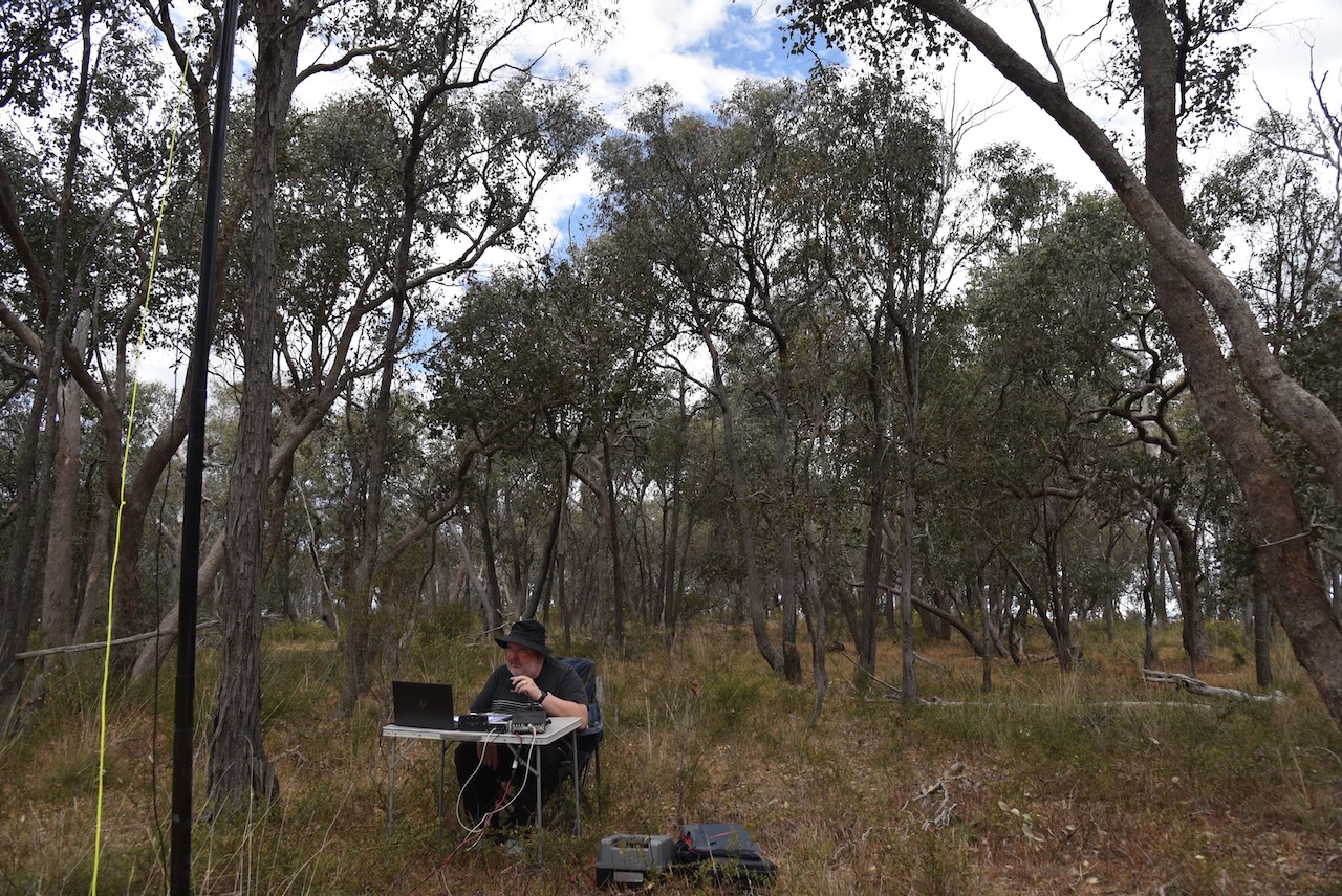
Our next activation for 27th October 2024 was the Hawkestone Bushland Reserve VKFF-5113. The reserve is located about 37 km southeast of Bendigo and about 140 km northwest of Melbourne.
Above:- Map showing the location of the Hawkestone Bushland Reserve. Map c/o Google Maps.
The reserve is located on the southern side of Myrtle Creek between Pattersons Road and Bartys Road.
This is just a small park, being about 1.3 hectares in size. It was established on the 24th day of August 1982. (CAPAD 2022)
This was quite a difficult park to access due to the thick vegetation. Our 20/40/80m dipole was on all sorts of angles with the 80m sections lying on the ground. We ran the Yaesu FT857 and 40 watts.
The bands were alive with park activators from the 2024 VKFF National Get Together at Bendigo. We made a total of 41 Park to Park contacts during the activation.
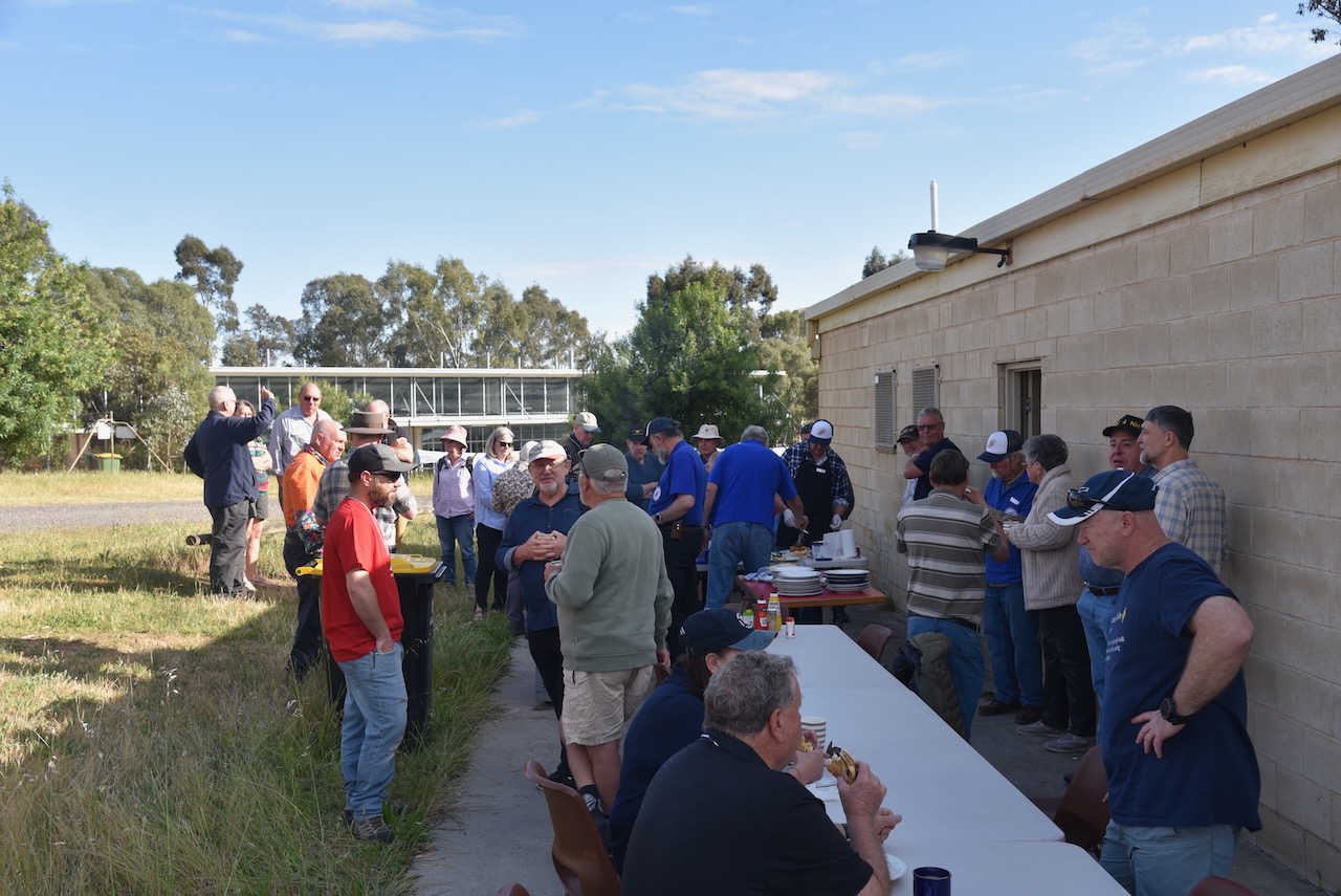
On Sunday, 27th October 2024, we attended the next stage of the 2024 VKFF National Get Together in Bendigo, Victoria. That was a morning breakfast at the clubrooms of the Bendigo Amateur Radio & Electronics Club.
Following breakfast, everybody headed off for the final stage of the event, a series of park activations around the district.
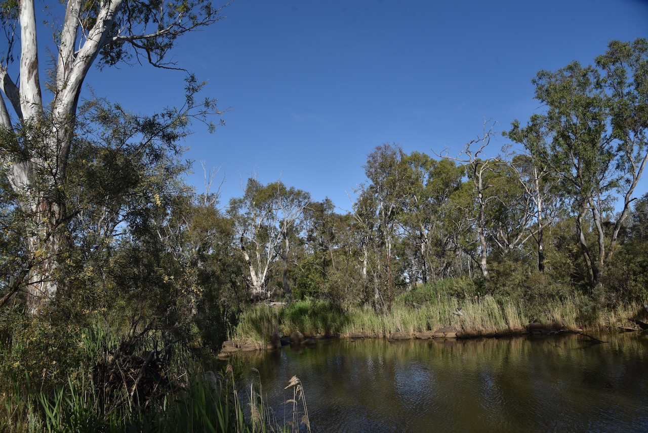
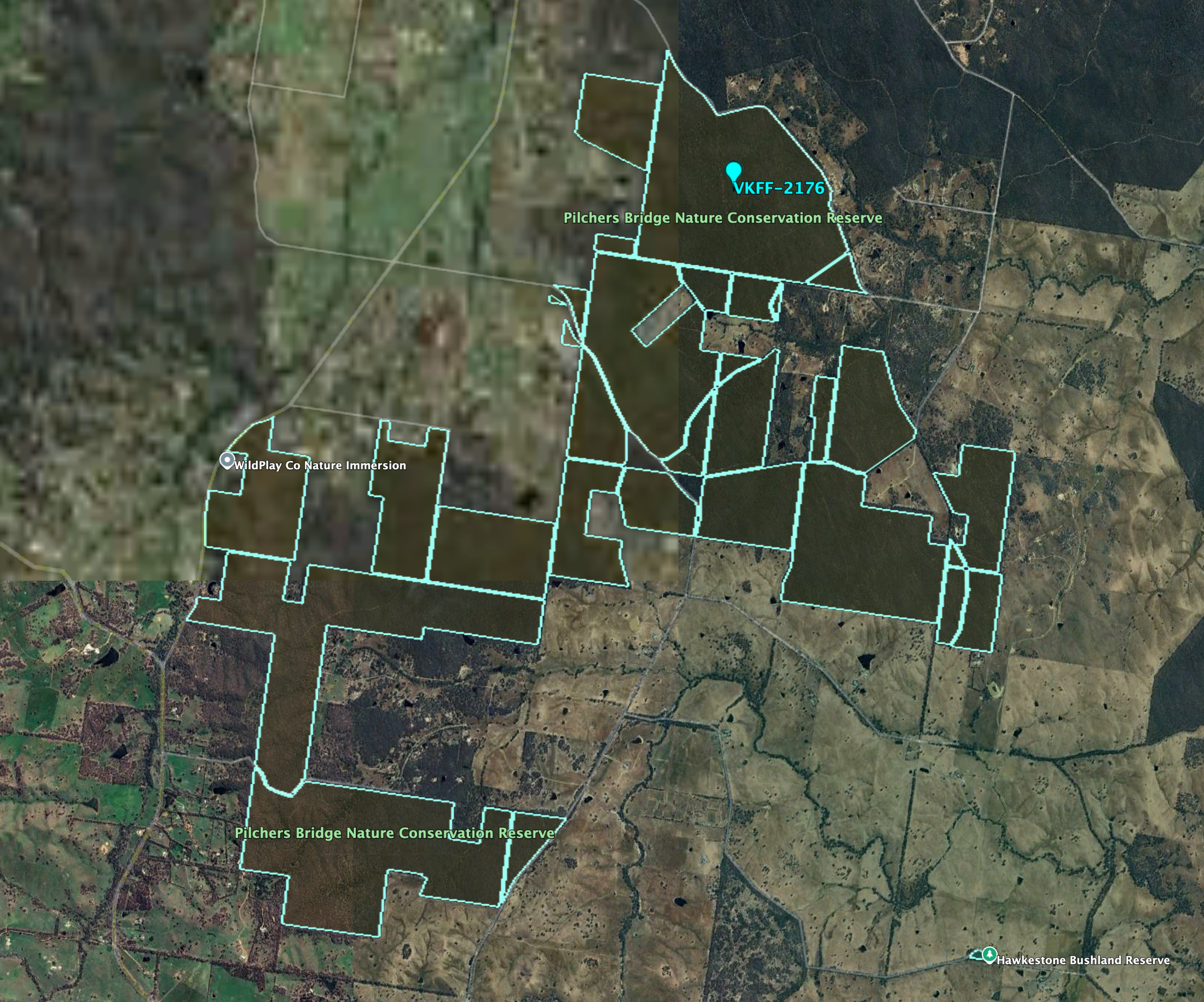
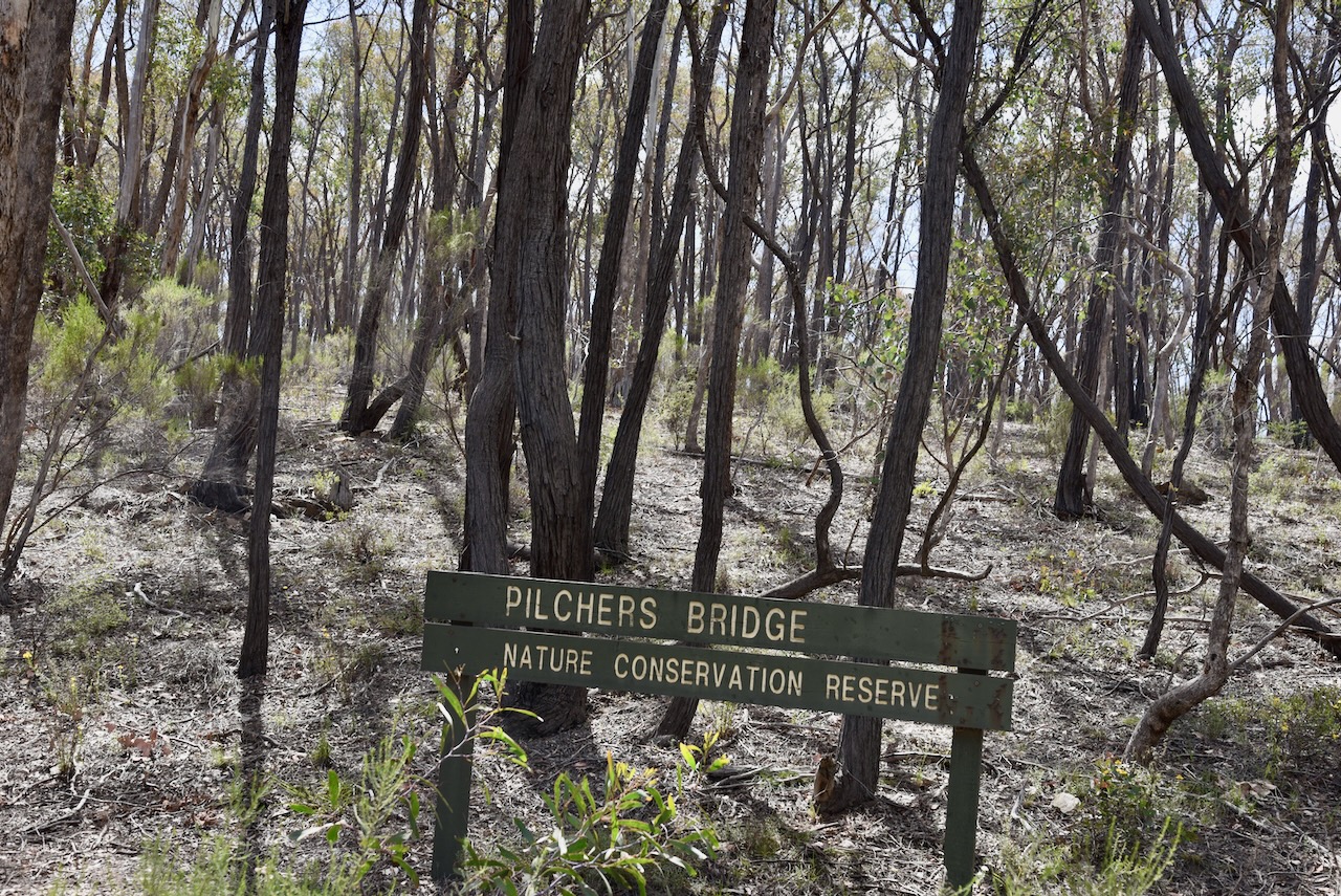
Marija and I headed to Pilchers Bridge Nature Conservation Reserve VKFF-2176, which is located about 26 km south of Bendigo.
Above:- Map showing the location of Pilchers Bridge NCR. Map c/o Google Maps.
Pilcher’s Bridge is divided into a number of separate sections of protected land. The park is about 2,243 hectares in size and was established on the 24th day of August 1982. It was originally known as Lyell Forest. (CAPAD 2022) (AllTrails.com, 2025)
Above:- An aerial view of Pilchers Bridge NCR. Image c/o Google Earth.
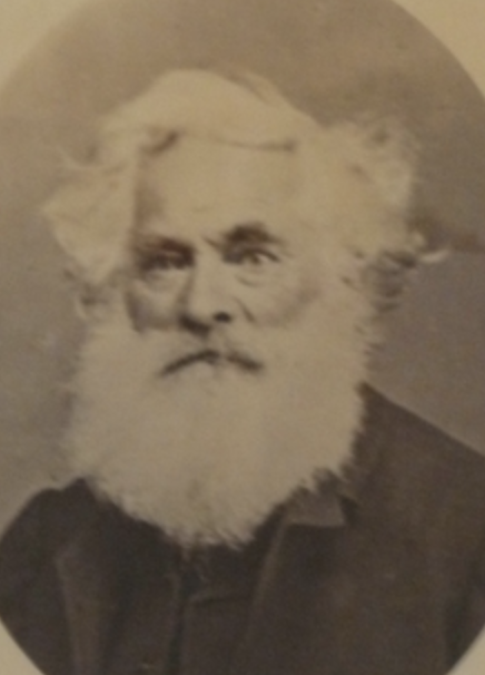
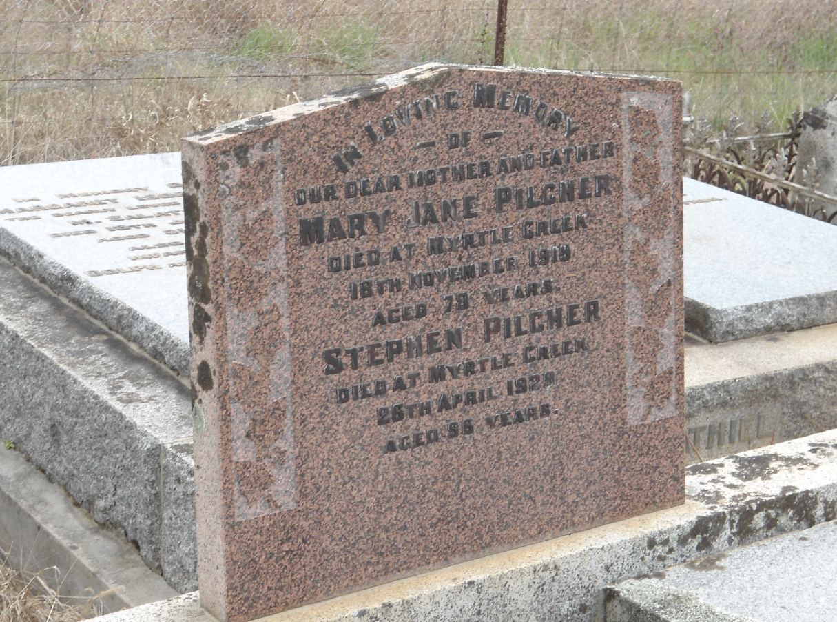
The park is named in honour of the Pilcher family who lived in the district. The first to settle in the area was Stephen Pilcher in the 1880s. He was born in 1832 in Kent, England and emigrated to Australia in 1854. (ancestry 2016) (Heritage Vic 2017)
Above:- the headstone of Stephen Pilcher. Image c/o ancestry.com.au
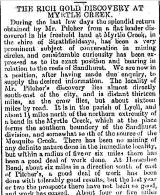
Gold was discovered in the area at Myrtle Creek during the late 1880s.
Above:- Part of an article from the Bendigo Advertiser, Wed 6 Aug 1884. Image c/o Trove
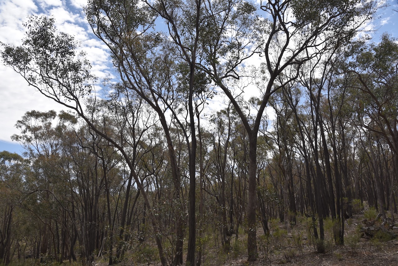
Pilchers Bridge Nature Conservation Reserve is a Box-Ironbark forest dominated by red ironbark, red stringybark, red box, grey box, and yellow gum. This entire area was cleared during the 1930s for timber and gold mining activities. (Harcourt.vic.au 2024)
We ran the Yaesu FT857, 40 watts, and the 20/40/80m linked dipole for this activation.
ancestry (2016). Ancestry® | Genealogy, Family Trees & Family History Records. [online] Ancestry.com.au. Available at: https://www.ancestry.com.au/. Accessed 3 Apr. 2025]