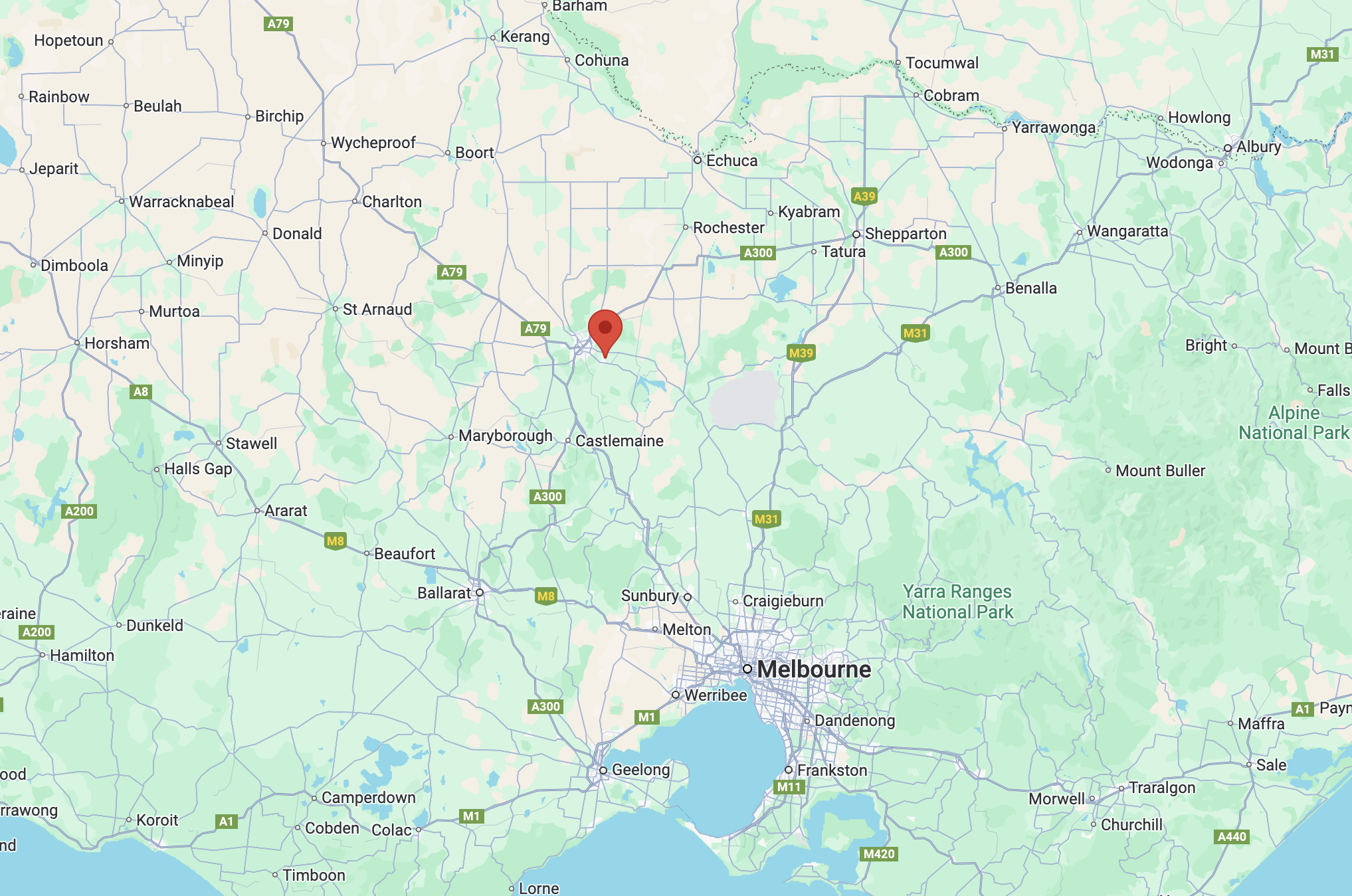
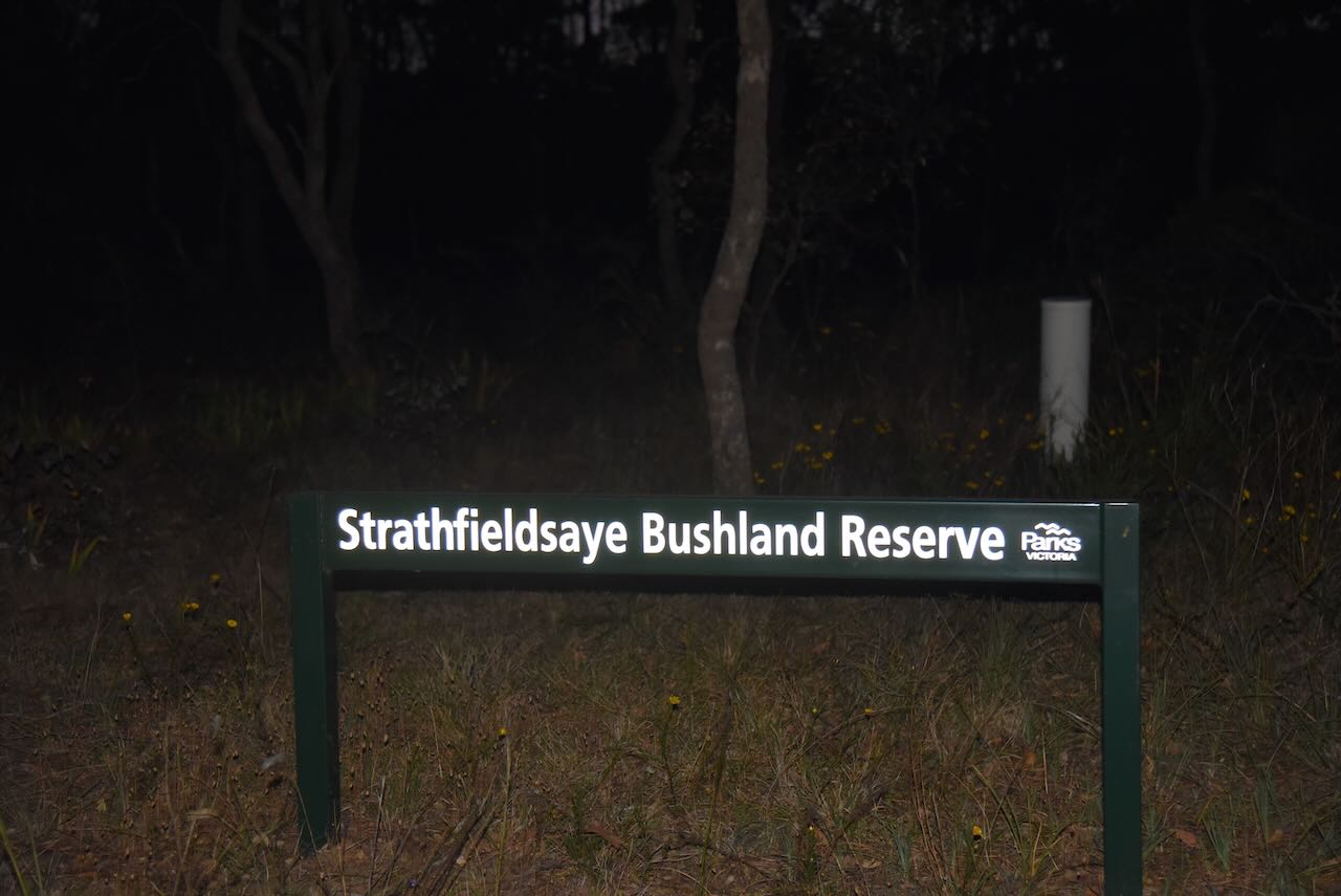
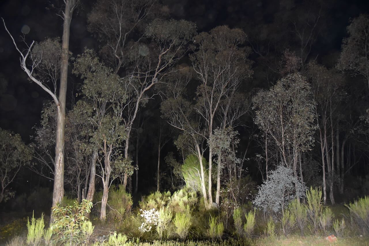
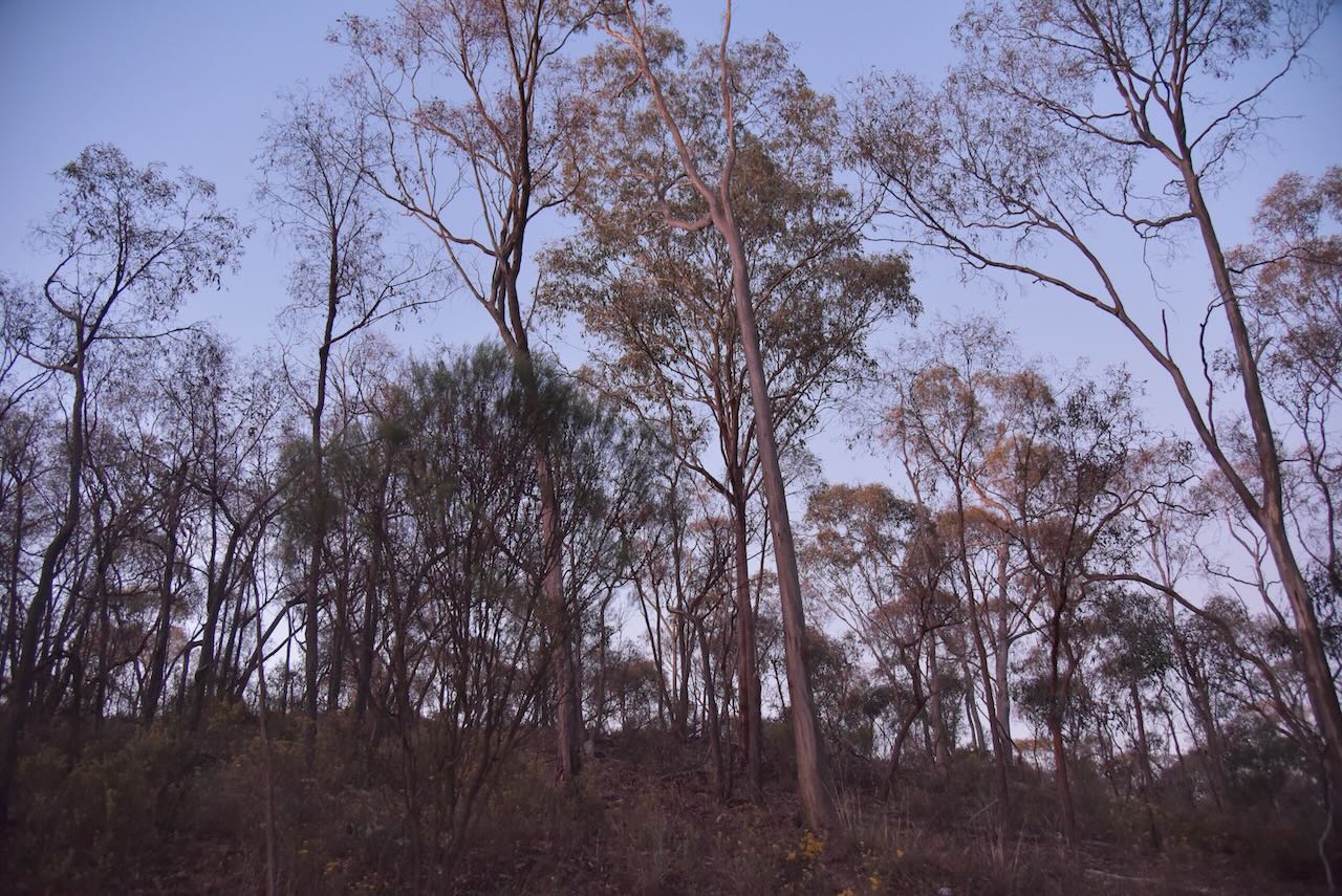
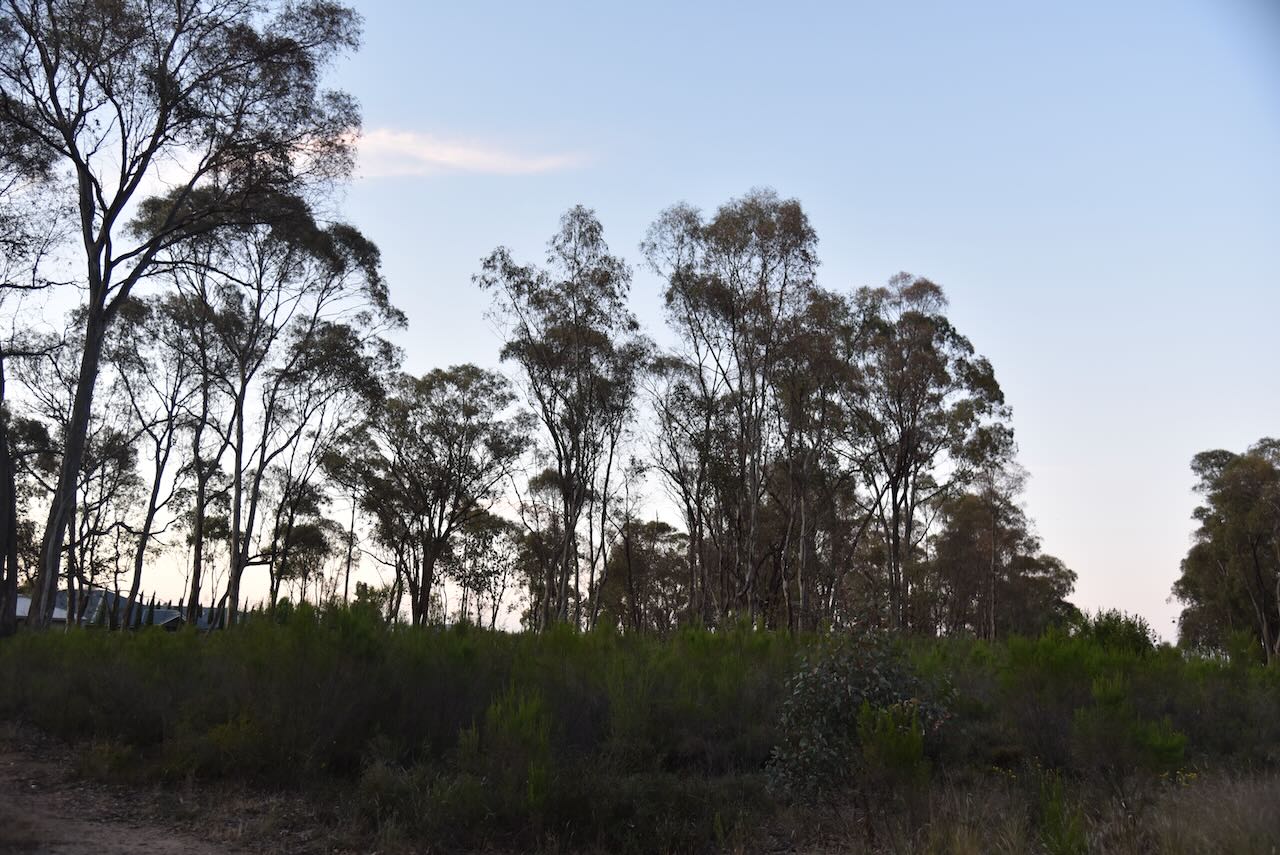
Our next park for Tuesday, 29th October 2024, was the Strathfieldsaye I159 Bushland Reserve VKFF-5875. The reserve is located about 10 km east of Bendigo in central Victoria.
Above:- Map showing the location of the Strathfieldsaye I159 Bushland Reserve. Map c/o Google Maps.
It is believed that Strathfieldsaye was named after the Hampshire estate awarded to the Duke of Wellington in 1817. Strathfield means ‘field near street’ and saye means ‘small island’. (Blake 1978) (Victorianplaces.com.au, 2015)
The Shire Hall was built in 1869 alongside the Duke of Wellington Hotel. The town is located on Sheepwash Creek, and this land was found very suitable for dairying, fruit and vegetable growing. There were also several vineyards in the district. In 1871, Strathfieldsaye’s population was 26 people. In 1873, a school was opened in the Shire Hall, with a permanent school building constructed two years later in 1875. By 1888, the railway had reached Strathfieldsaye from Bendigo. (Victorianplaces.com.au, 2015) (Wikipedia Contributors, 2019)
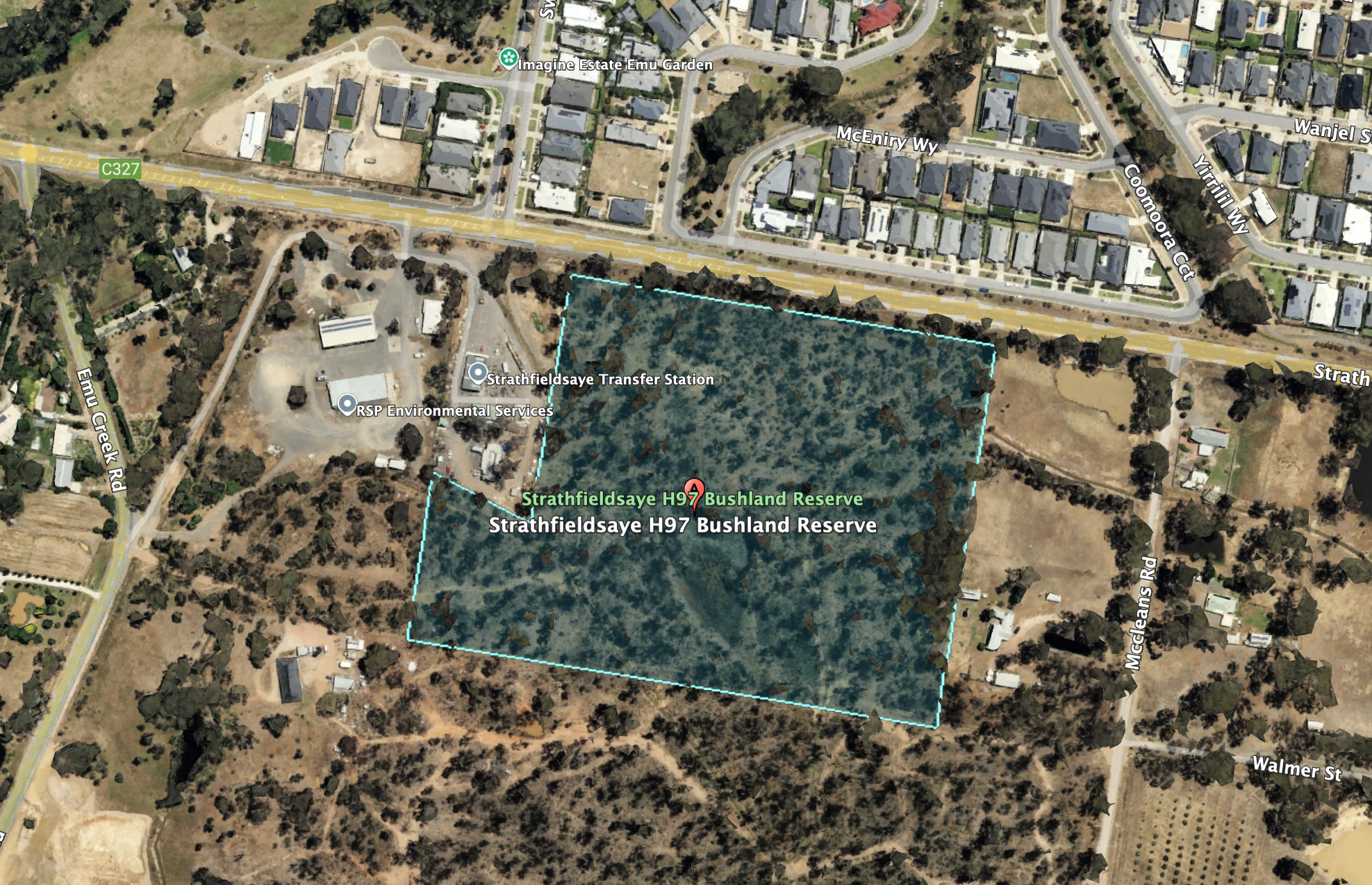
The reserve is located on the southern side of Somerset Park Road. Google Maps shows the park, also called Turner’s Bushland Reserve and Somerset Park Reserve.
Above:- An aerial view of the Strathfieldsaye I159 Bushland Reserve. Image c/o Google Earth.
The reserve is about 24 hectares in size and was established on the 24th day of August 1982. (CAPAD 2022)
We ran the Yaesu FT857, 40 watts, and the 20/40/80m linked dipole for this activation.
Marija worked the following stations on 40m SSB:-
- VK3CEO
- VK3PF
- VK3KAI
- VK3WSG
- VK1AO
- VK2MET
- VK2YK
- VK5GA
- VK2IO/P (VKFF-0420)
- VK2GEZ/P (VKFF-0420)
I worked the following stations on 40m SSB:-
- VK3CEO
- VK3PF
- VK3KAI
- VK3WSG
- VK1AO
- VK2MET
- VK2YK
- VK5GA
- VK2IO/P (VKFF-0420)
- VK2GEZ/P (VKFF-0420)
- VK3VIN
- VK5WU
- VK3ZGA
- VK7MAT
- VK2MFW
- VK4FDJL
- VK4WAB
- VK4ABFT
- VK5LA
- VK5KAW
- VK2LEE
- VK6DJ
- VK3HJW
- VK1ARQ
- VK5PDR
- VK3APJ
- VK4SMA
- VK3MGM
- VK3EJ
- VK3ADS
- VK4HMI
- VK2BW
- VK5QA
- VK3CLD
- VK2DBF
- VK3PWG
- VK3TTK
- VK3HBG
- VK3CEO/M
- VK5IS
- VK2ACZ
- VK5EBA
- VK3BEL
- VK3TDX
I worked the following stations on 40m AM:-
- VK3APJ
- VK3CEO
- VK4SMA
References.
- Dcceew.gov.au. (2023). Collaborative Australian Protected Areas Database (CAPAD) 2022 – DCCEEW. [online] Available at: https://www.dcceew.gov.au/environment/land/nrs/science/capad/2022 [Accessed 2 May. 2025].
- Leslie James Blake, 1978, Place Names of Victoria.
- Victorianplaces.com.au. (2015). Strathfieldsaye | Victorian Places. [online] Available at: https://www.victorianplaces.com.au/strathfieldsaye [Accessed 2 May 2025].
- Wikipedia Contributors (2019). Strathfieldsaye. Wikipedia.