Day 7 in Tasmania and the Freycinet National Park VKFF-0188

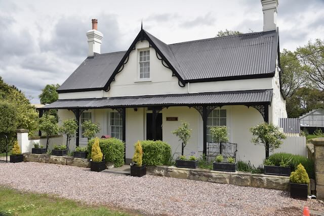
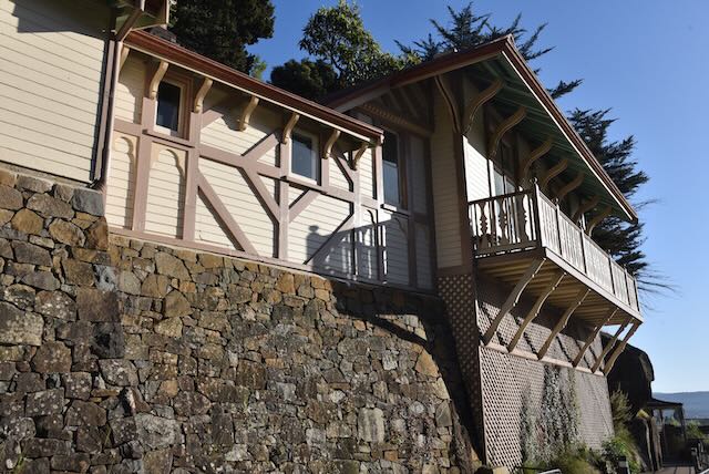
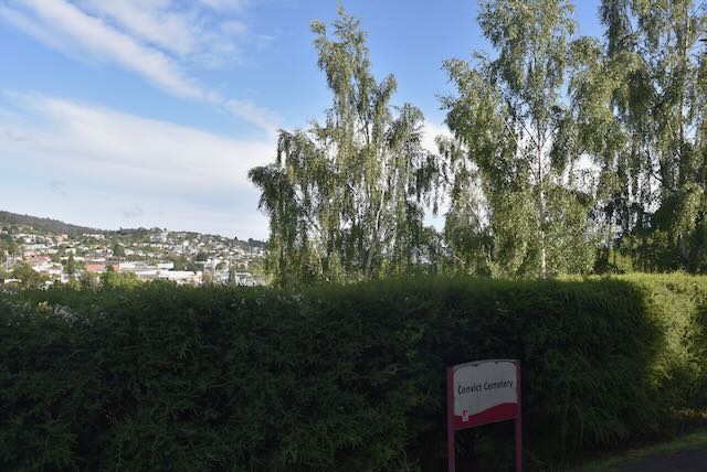
We had now reached day seven (Thursday 3rd November 2022) of our Tasmania trip, and after just one night at Swansea we needed to travel to the Tasmanian capital, Hobart. In reflection, we should have spent longer in Swansea. One night was nowhere near enough and we were very pushed for time seeing everything in the area.

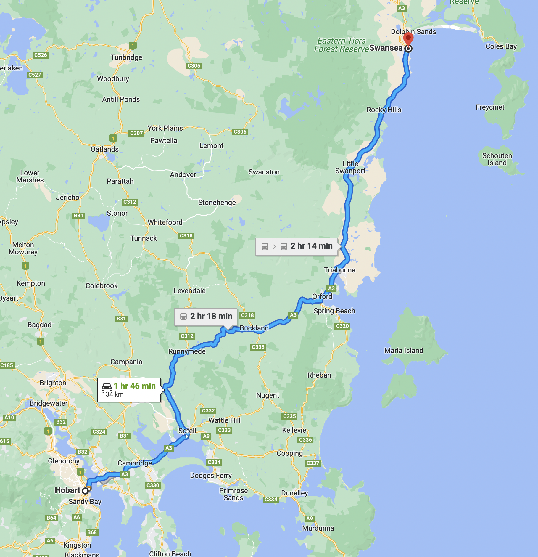
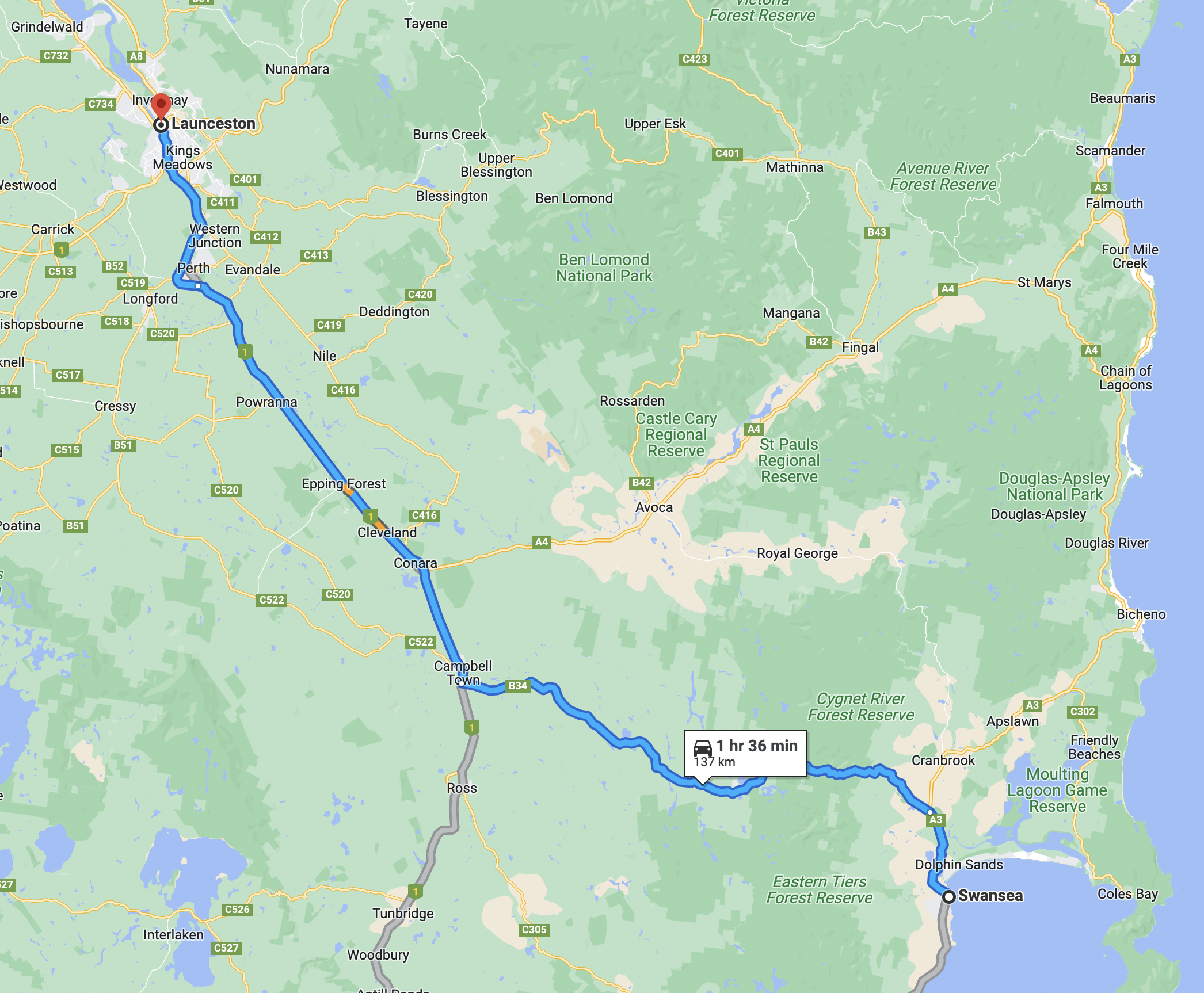
Above:- Map showing the route between Swansea and Hobart. Map c/o Google maps

On the day we had planned on activating Freycinet National Park and then visit Oatlands and Ross on our way to Hobart. The quickest way from Swansea to Hobart was via the coast and Triabunna, but Oatlands was a must for us. As it turned out our plans changed quite significantly.

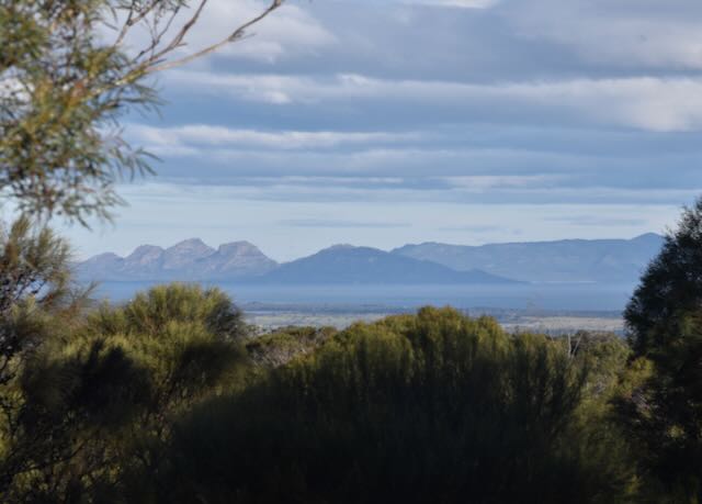
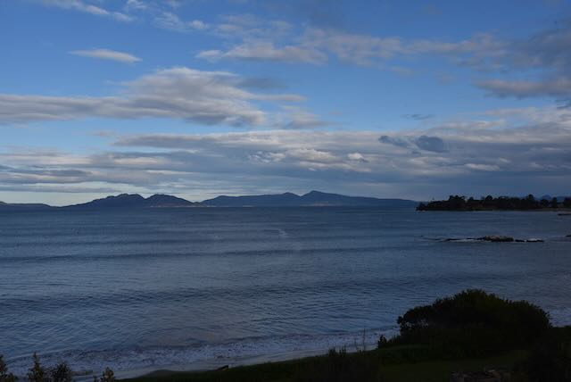
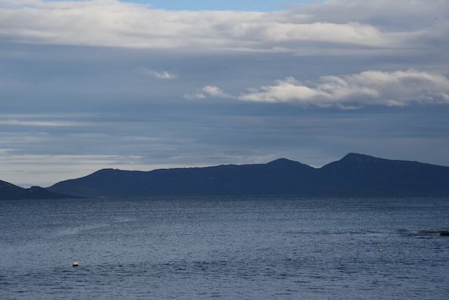
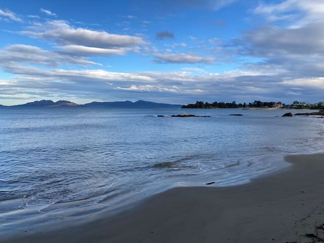
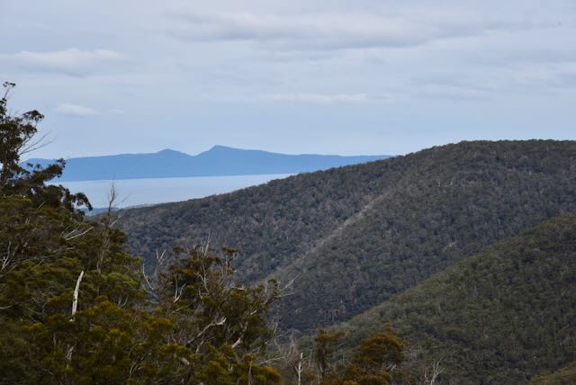
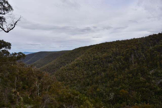
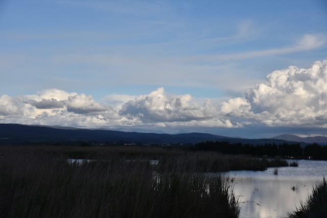
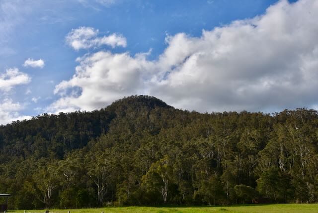
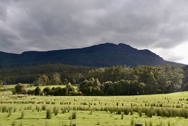
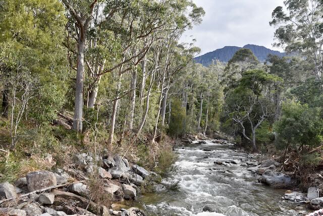
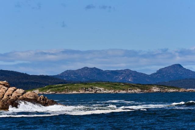
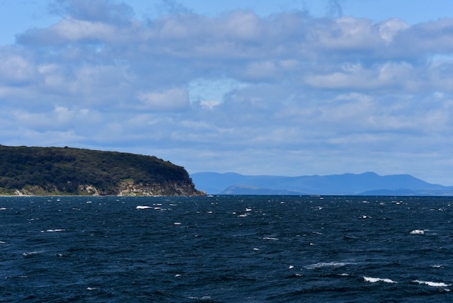
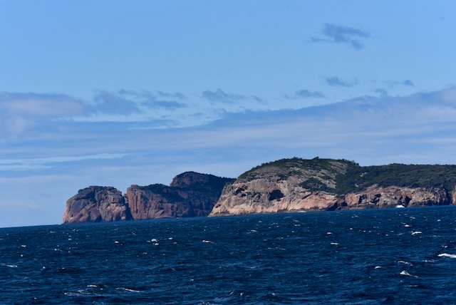
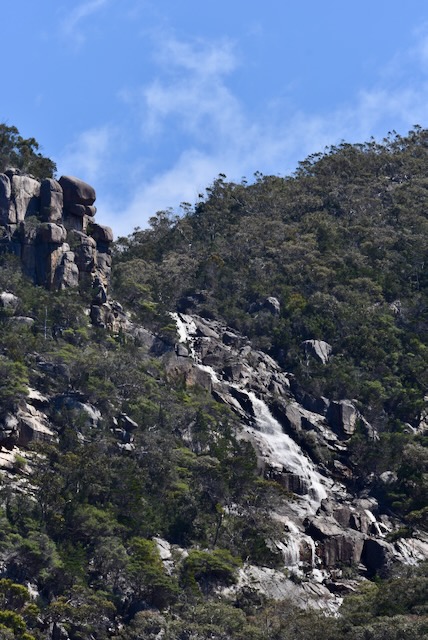
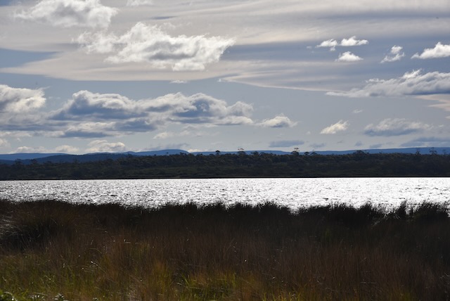
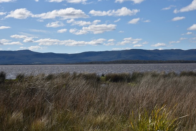
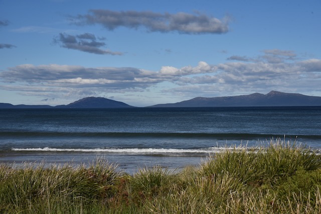
We drove north on the Tasman Highway admiring the magnificent views of Moulting Lagoon Game Reserve and the Freycinet National Park.

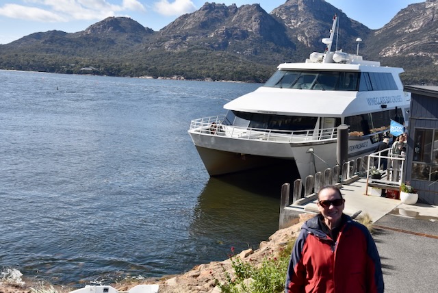
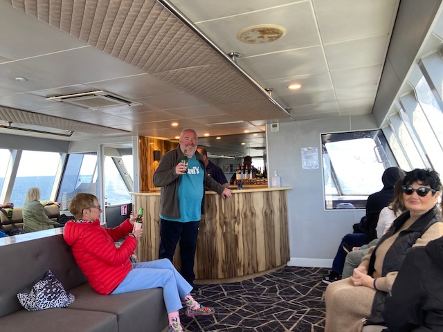
Upon reaching the park we saw a cruise ship and Marija made some enquiries about a cruise to Wineglass Bay. Fortunately they were not booked out and planned to sail later that morning. So we decided to go on the 4 hour & 30 minute cruise to Wineglass Bay. This was a big shift in our plans for the day.

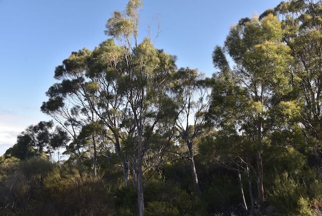
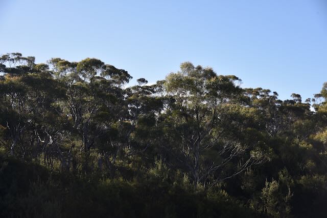
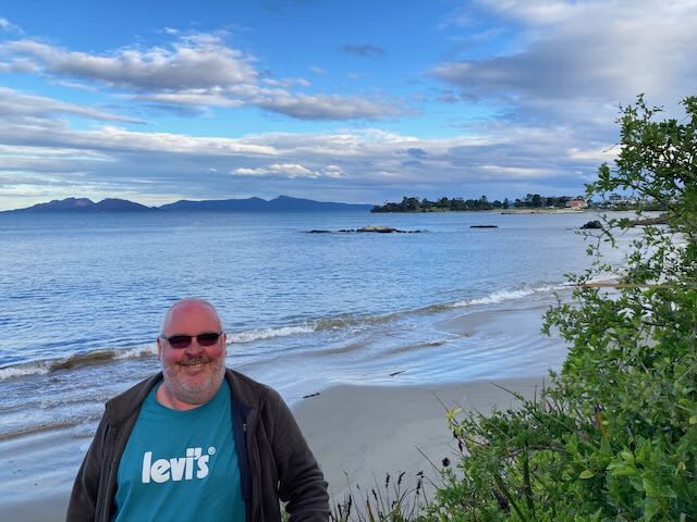
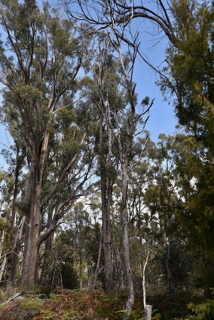
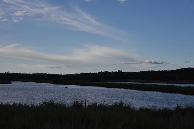
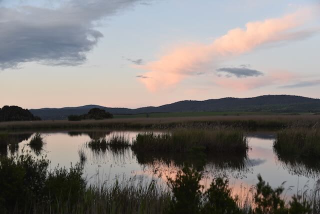
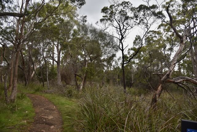
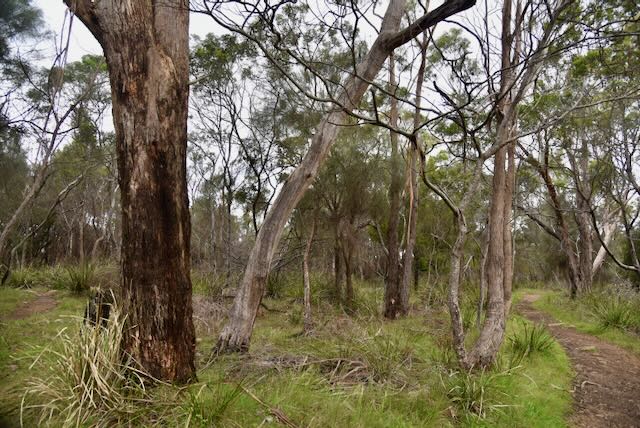
We had a little bit of time up our sleeve so we drove out of Coles Bay and into the Freycinet National Park VKFF-0188.

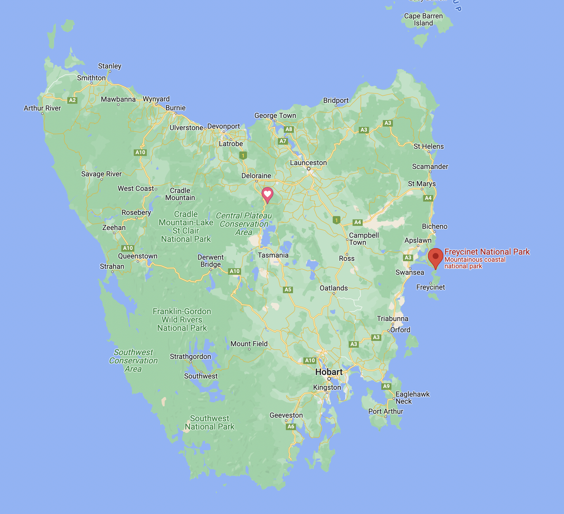
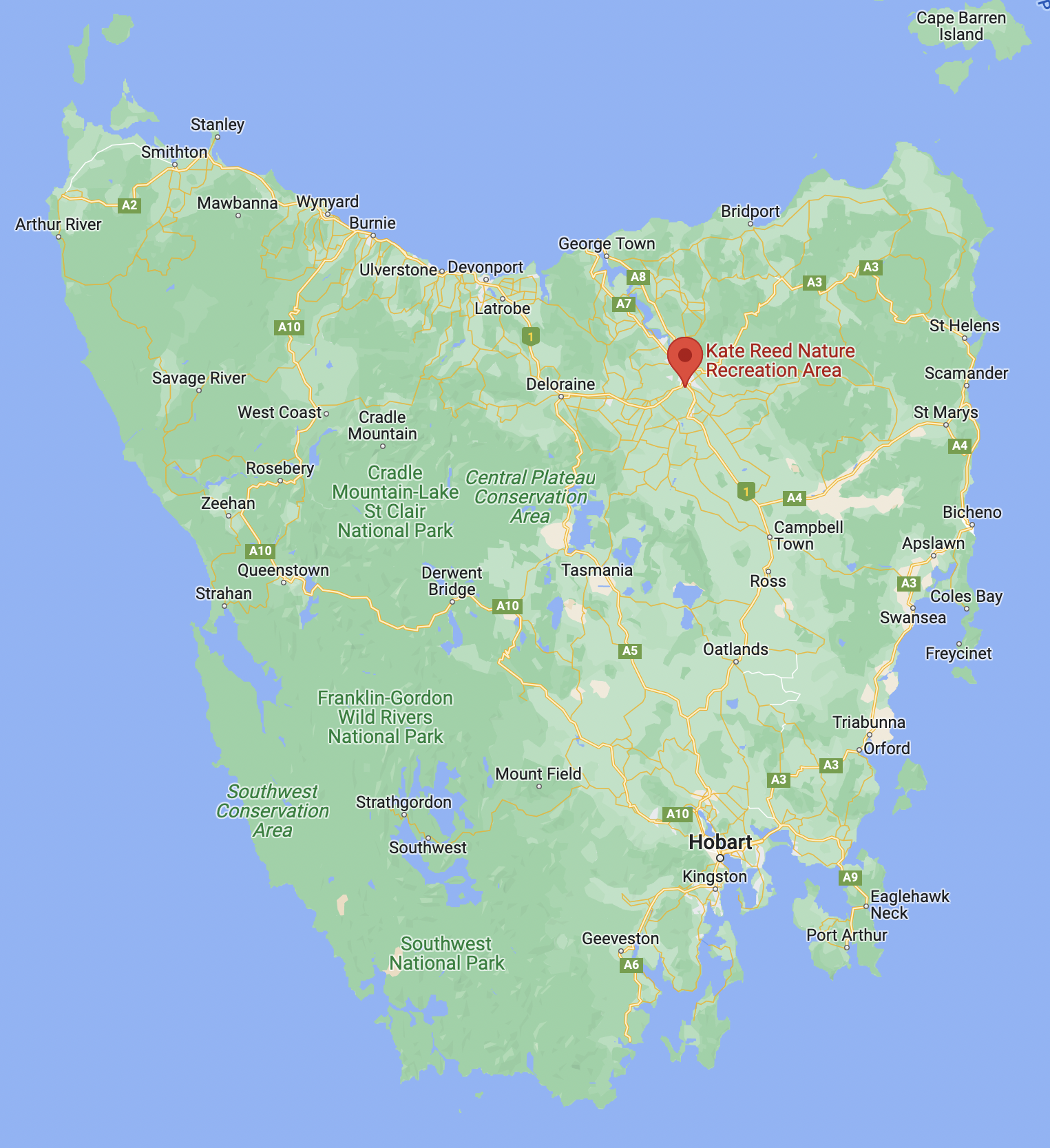
Above:- Map showing the location of the Freycinet National Park. Map c/o Google maps.

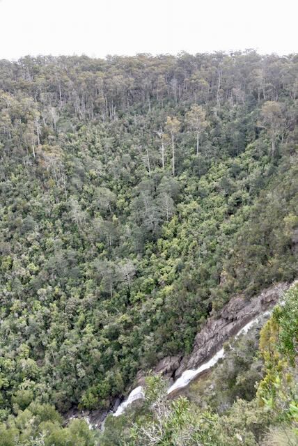
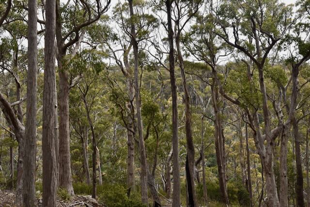
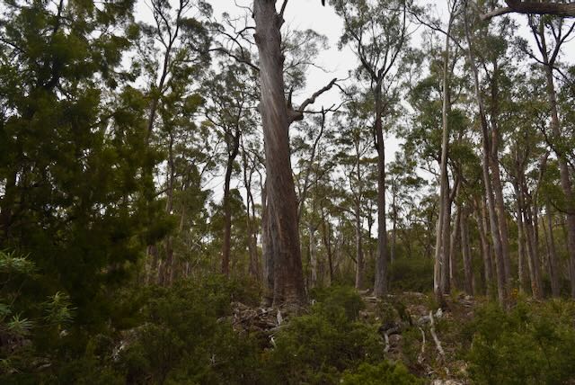
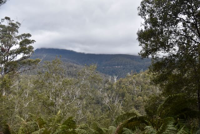
Freycinet National Park is 169 km2 in size and was established in 1916. It is Tasmania’s oldest park.

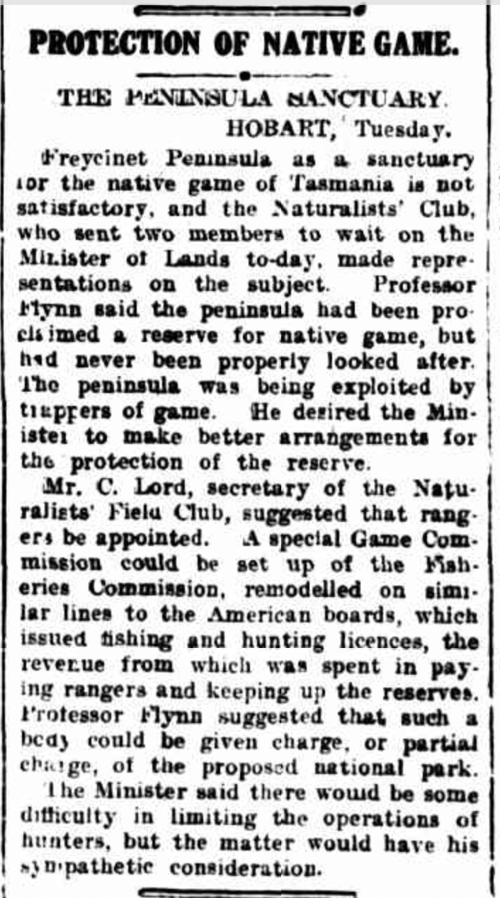
Above: Article from the Examinder Launceston, Wed 22 Apr 1914. Image c/o Trove

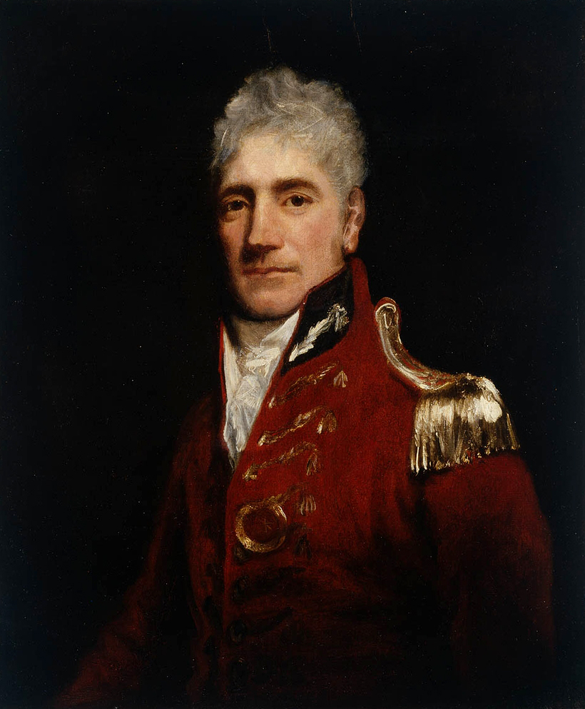
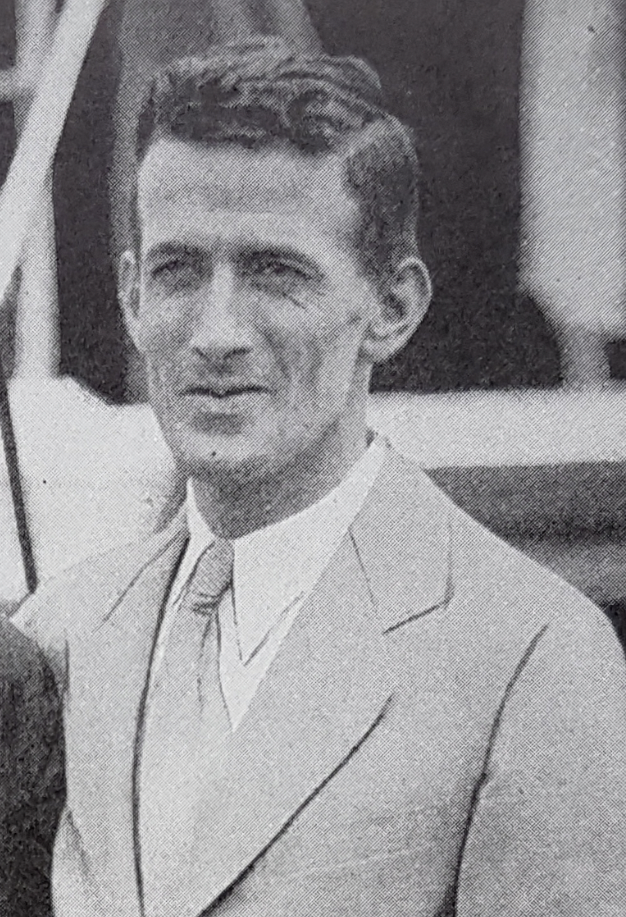
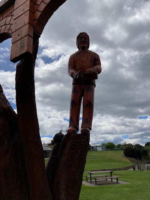
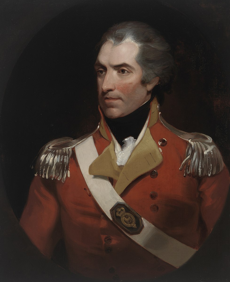
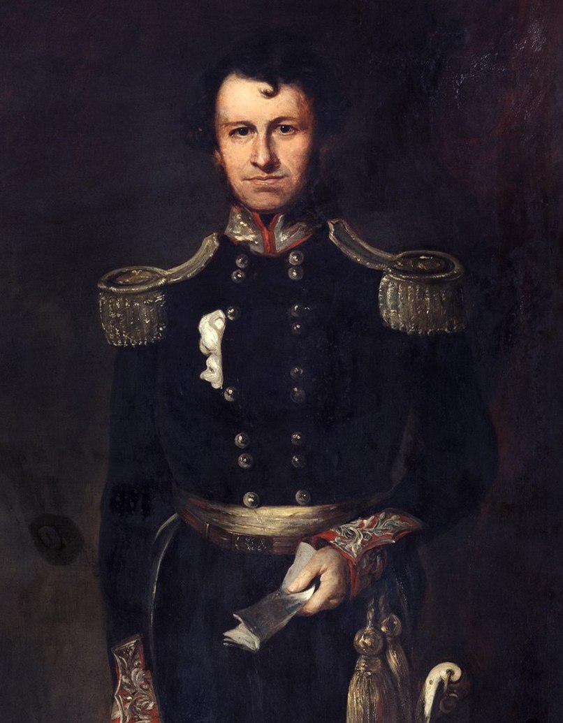
The park was named after French Navy officer and navigator Louise de Freycinet (b. 1779. d. 1841). In 1811 de Freycinet published the first map to show a full outline of the coastline of Australia.

Above:- Louis de Fteycinet. Image c/o Wikipedia.

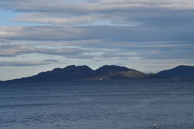
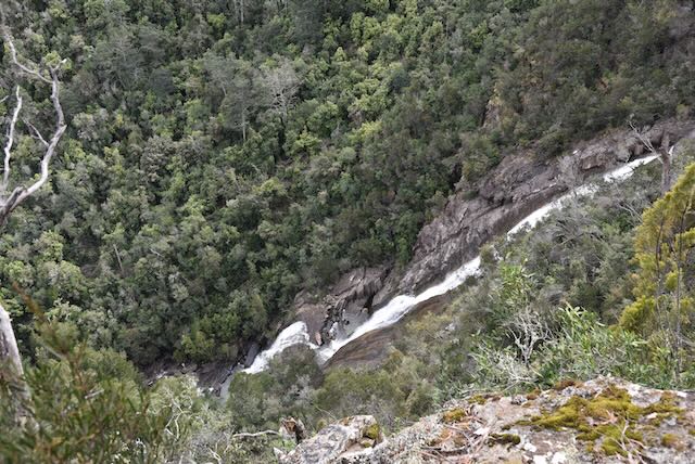
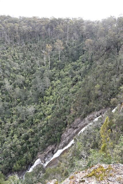
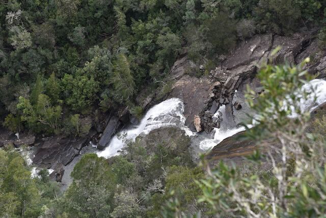
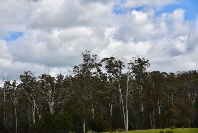
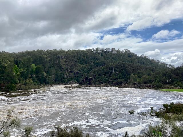
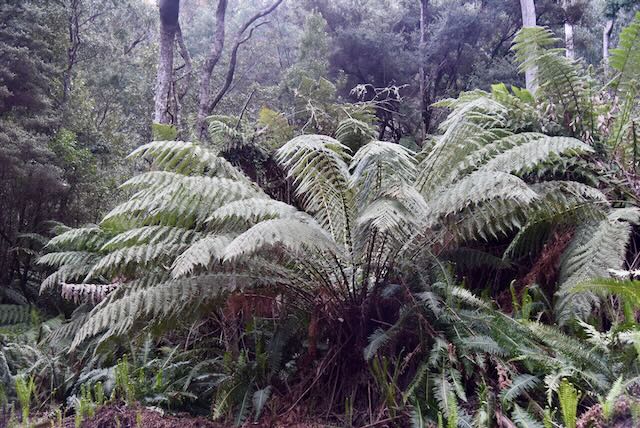
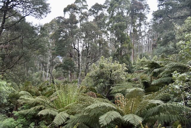
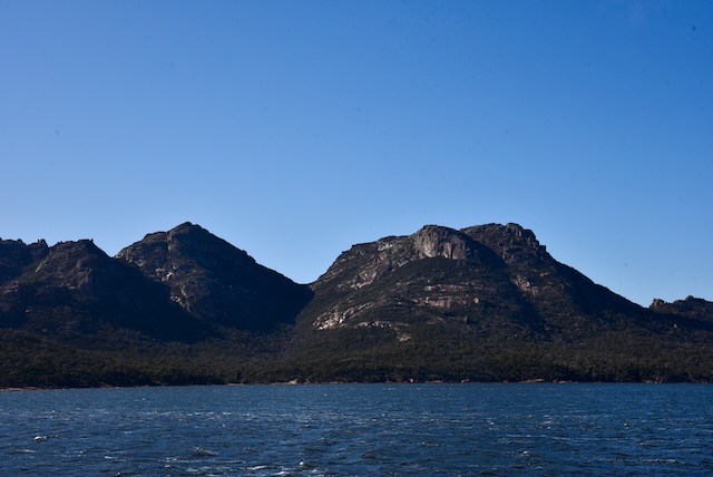
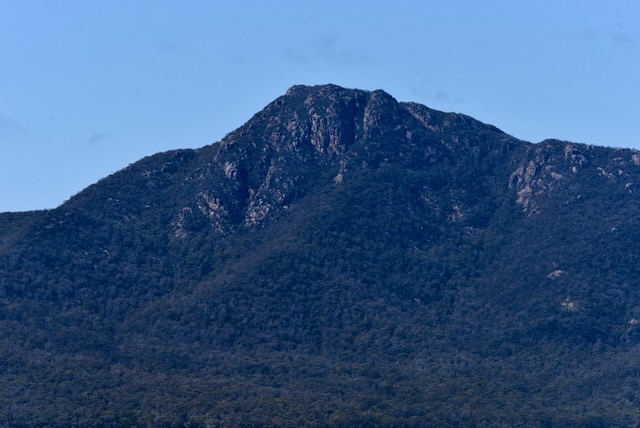
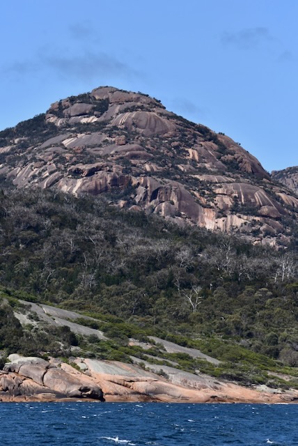
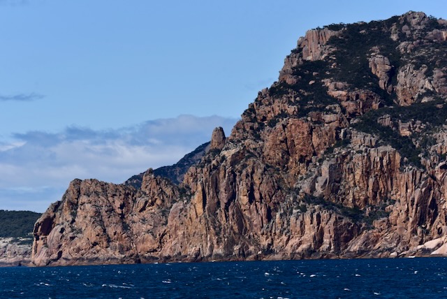
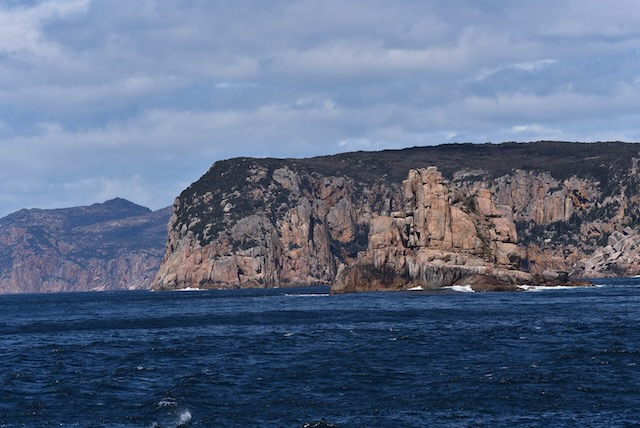
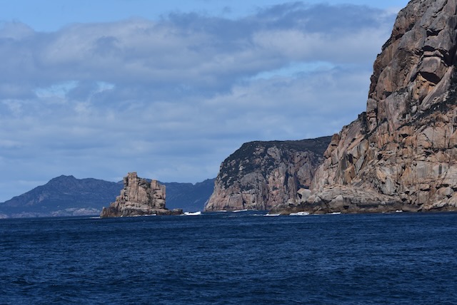
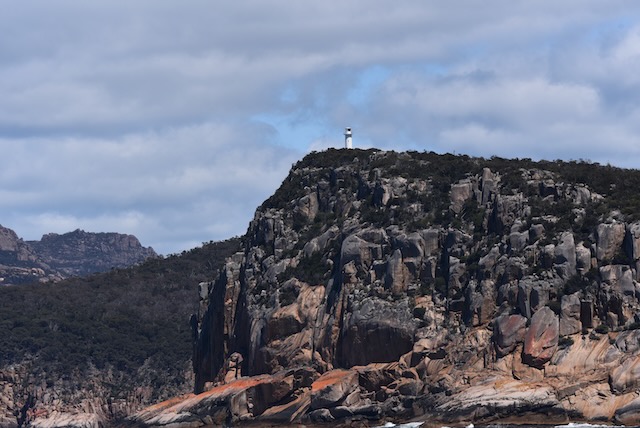
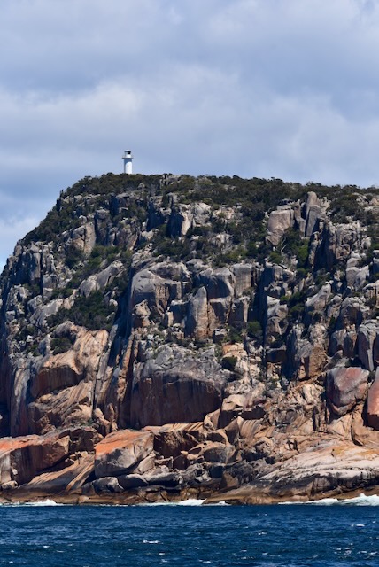
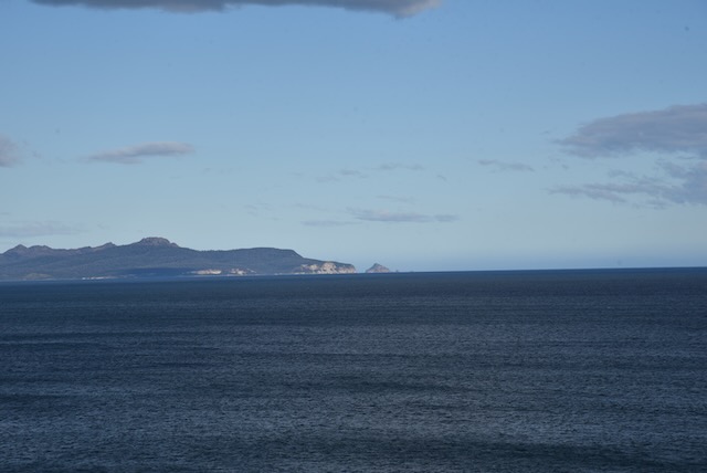
The park comprises a large section of the Freycinet Peninsula and also Schouten Island, named after Joost Schouten, a member of the Council of the Dutch East India Company. Freycinet has rugged coastline and includes the secluded Wineglass Bay. A series of jagged granite peaks in a line, called The Hazards, can be located in the park.

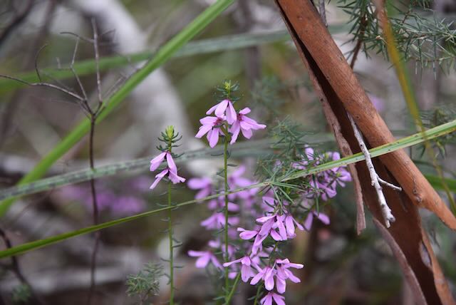
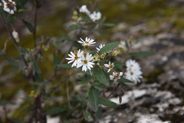
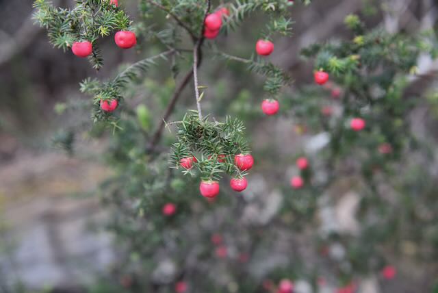
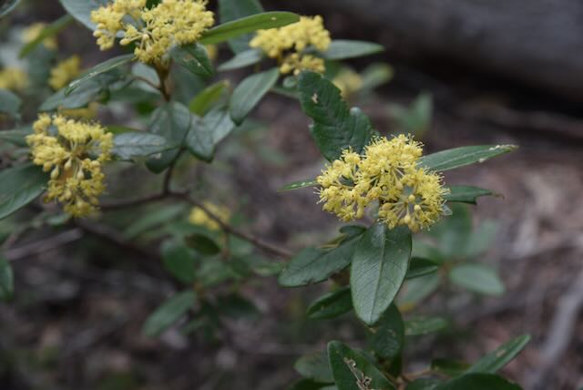
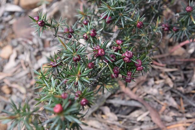
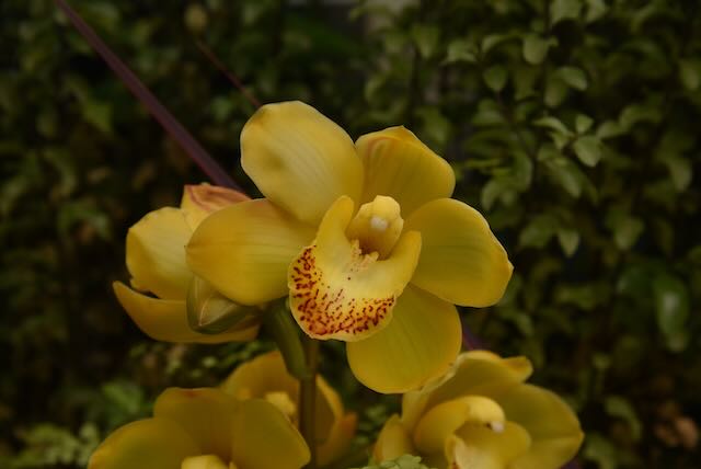
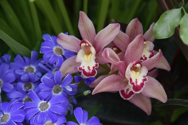
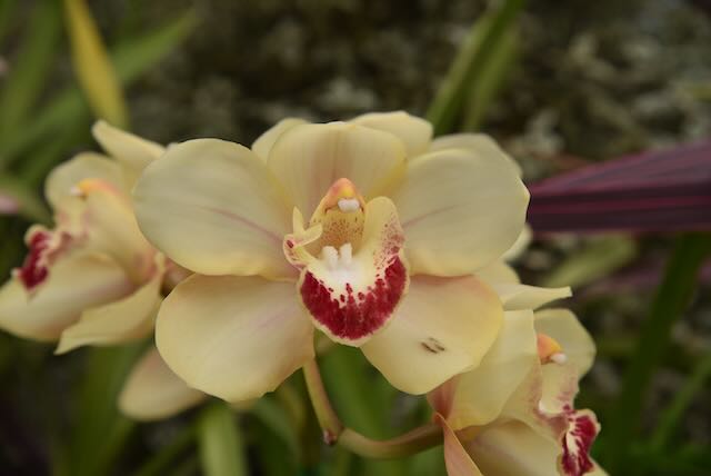
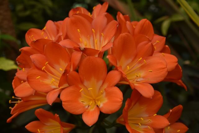
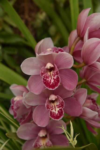
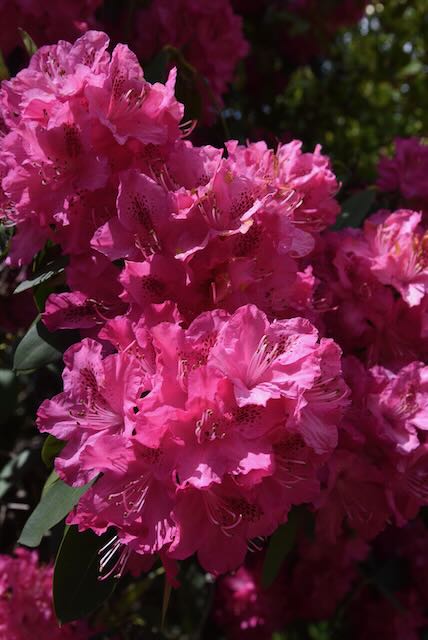
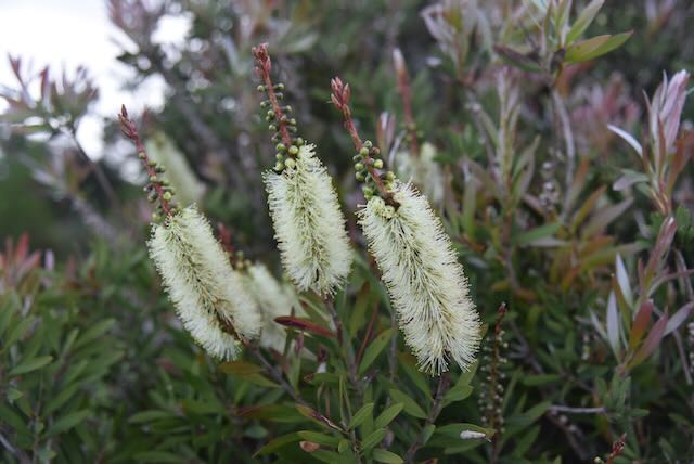
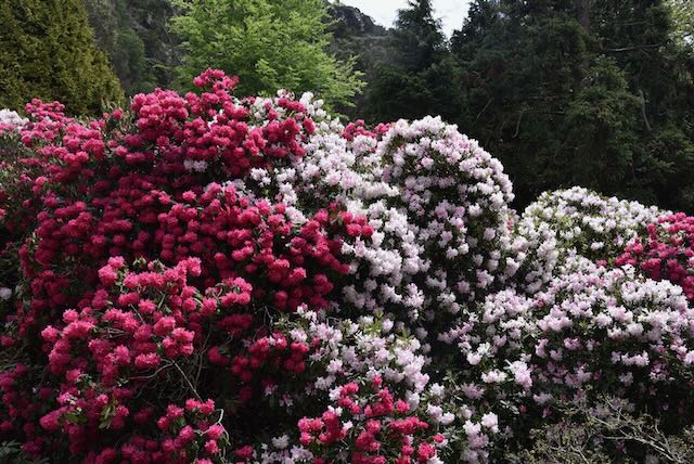
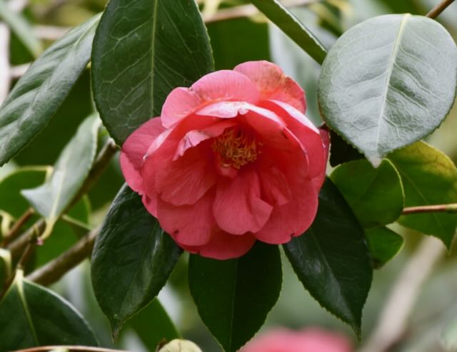
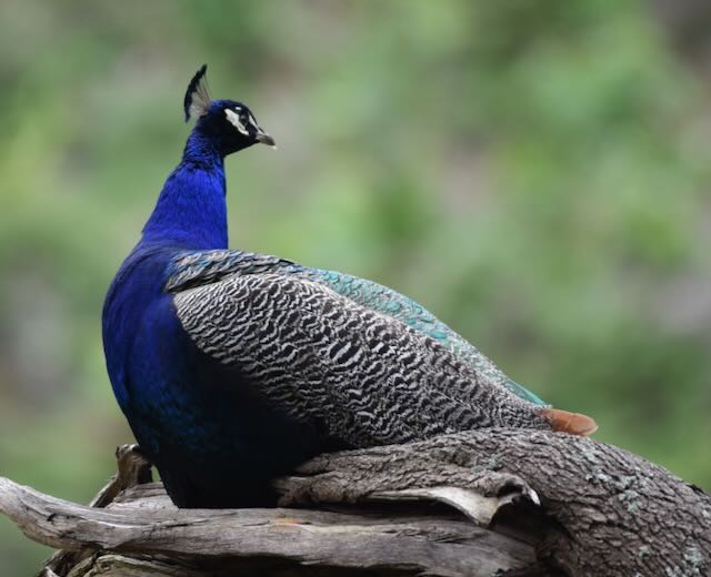
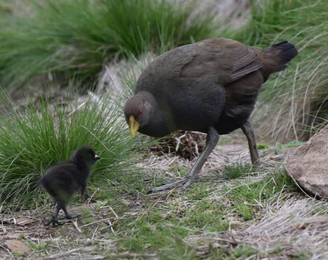
More than 500 species of plant have been recorded in the park, including over 80 species of native orchid. Numerous native mammals can be found in the park including Red-necked wallaby, Eastern Quoll and the Tasmanian pademelon.

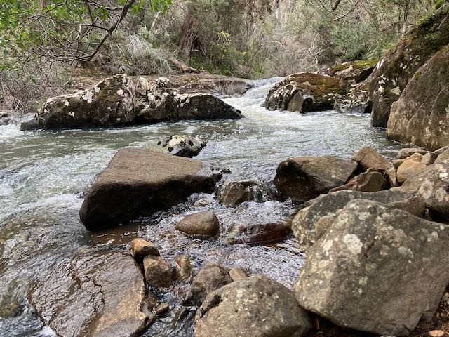
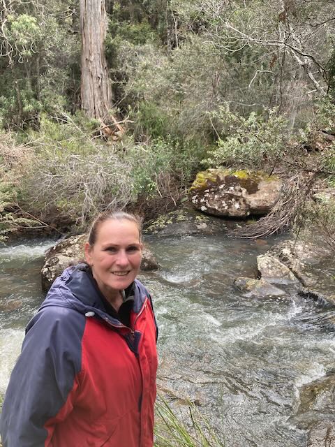
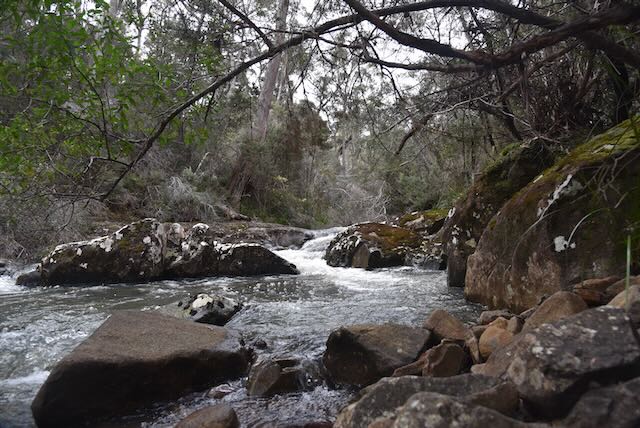
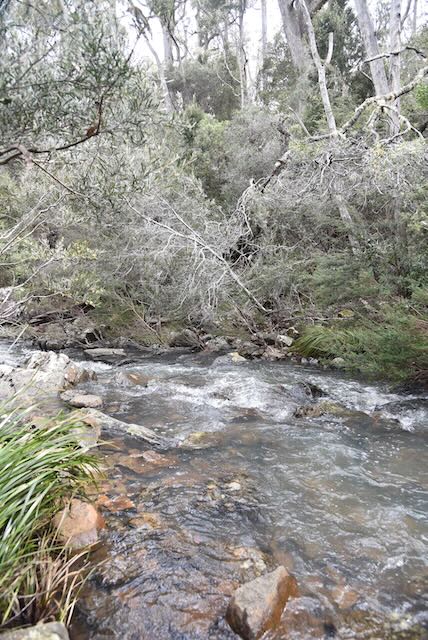
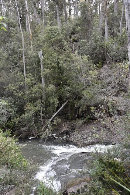
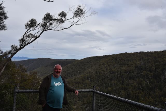
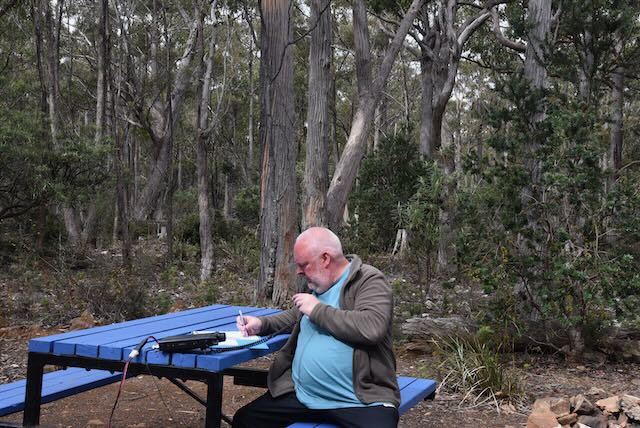
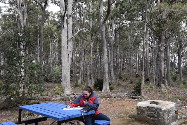
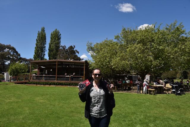
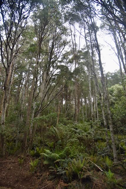
We found a nice little quiet spot off Freycinet Drive and decided to do a quick park activation from the 4WD. We ran the Icom IC7000, 100 watts, and the Codan 9350 self tuning antenna mounted on the back of the 4WD.

Marija worked the following stations on 40m SSB:-

  1. VK2VW
  2. VK2HFI
  3. VK3VIN
  4. VK2NP
  5. Vk2MET
  6. VK1AO
  7. VK3AMO
  8. VK3NBL
  9. VK2IO
  10. VK3PF
  11. VK2PKT

I worked the following stations on 40m SSB:-

  1. VK2VW
  2. VK2HFI
  3. VK3VIN
  4. VK2NP
  5. VK2MET
  6. VK1AO
  7. VK3AMO
  8. Vk3NBL
  9. VK2IO
  10. VK3PF
  11. VK2PKT
  12. VK1ARQ
  13. ZL1BQD
  14. VK2VH
  15. VK4AAC

We were both happy as we had qualified the park fof the VKFF program with 10 QSOs.

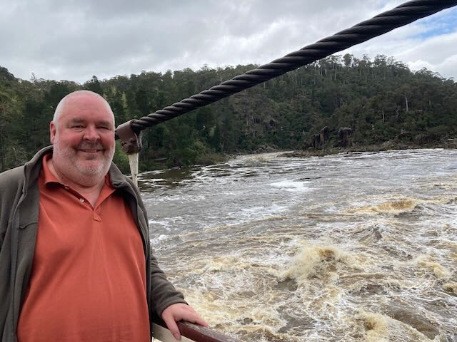
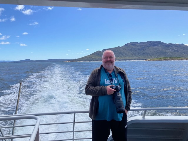
We then headed back into Coles Bay for our cruise to Wineglass Bay.

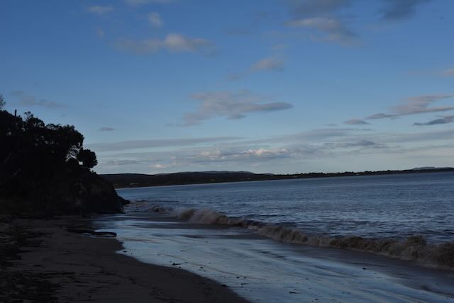
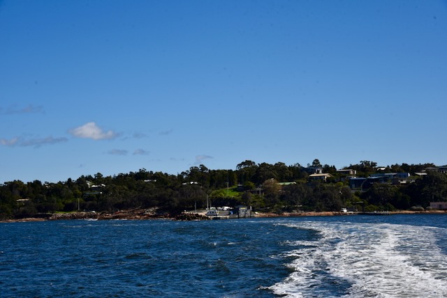
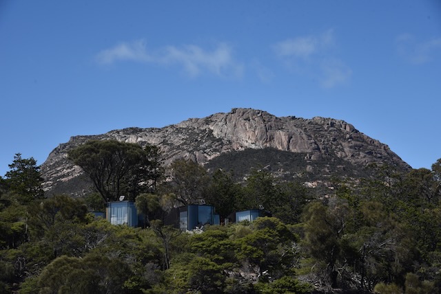
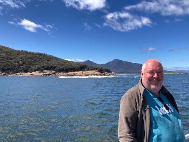
The boat left Coles Bay and travelled the short distance to Honeymoon Bay where we picked up some more passengers. There are some amazing ‘coastal pavilions’ tucked in amongst the scrub at Freycinet Lodge within the National Park.

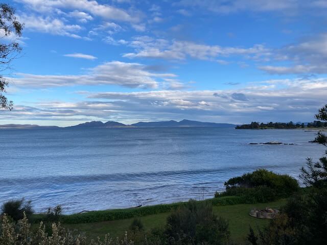
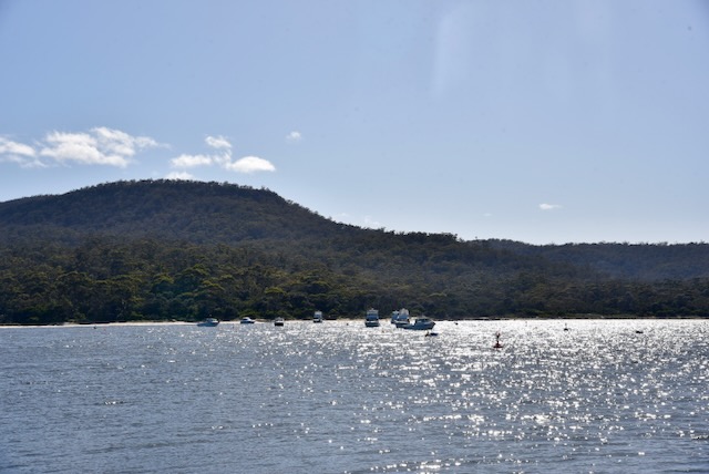
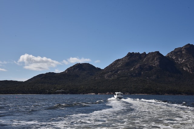
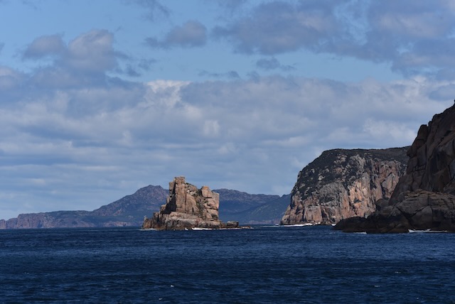
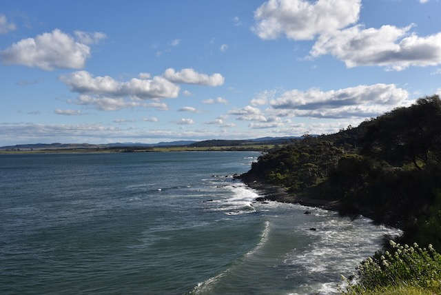
We then set out across Coles Bay and then out into the open ocean and along the spectacular coastline.

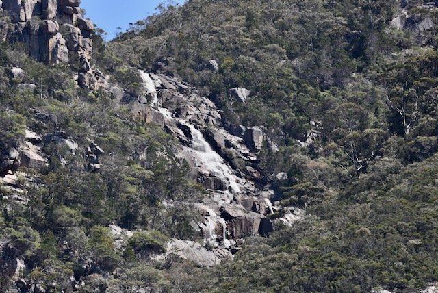
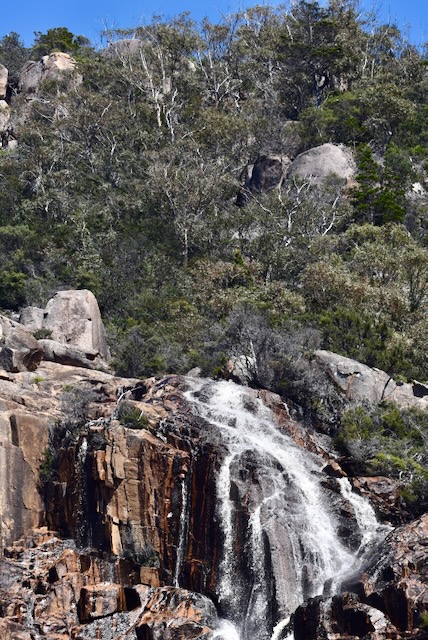
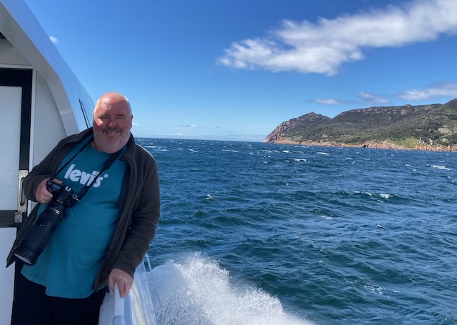
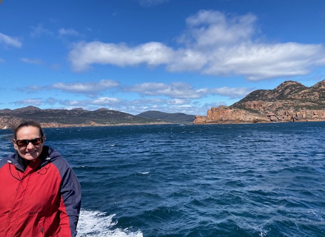
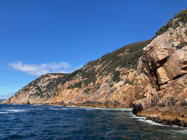
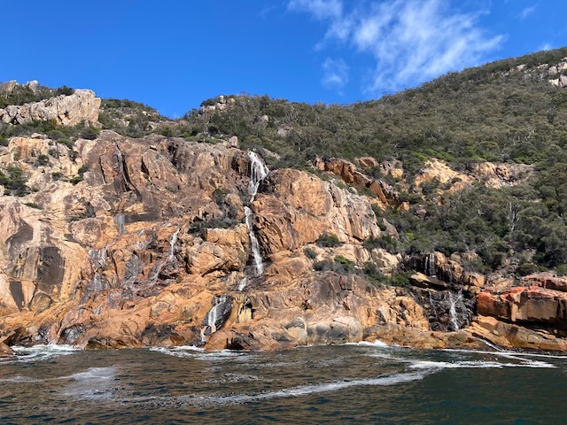
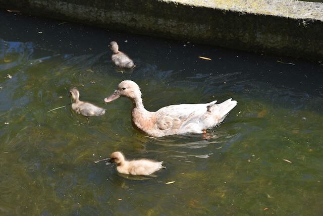
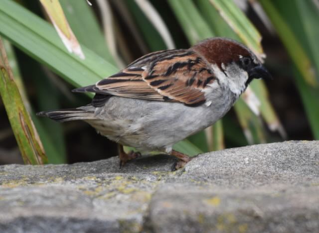
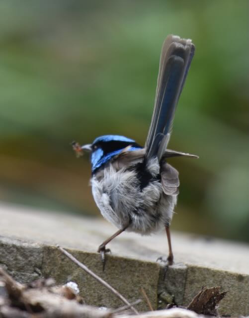
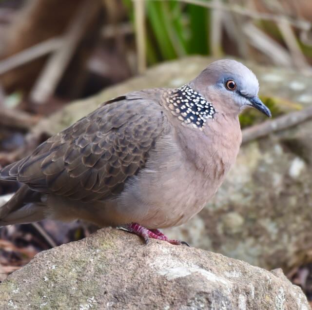
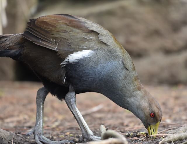
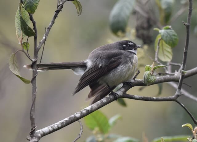
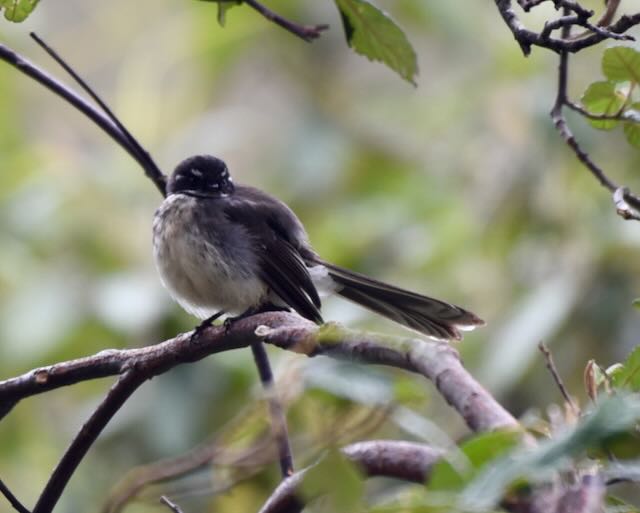
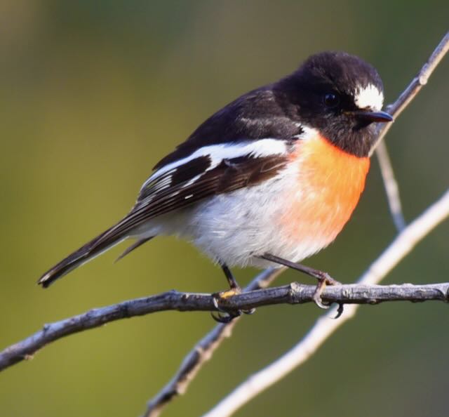
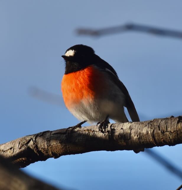
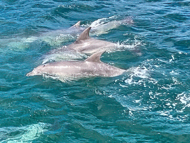
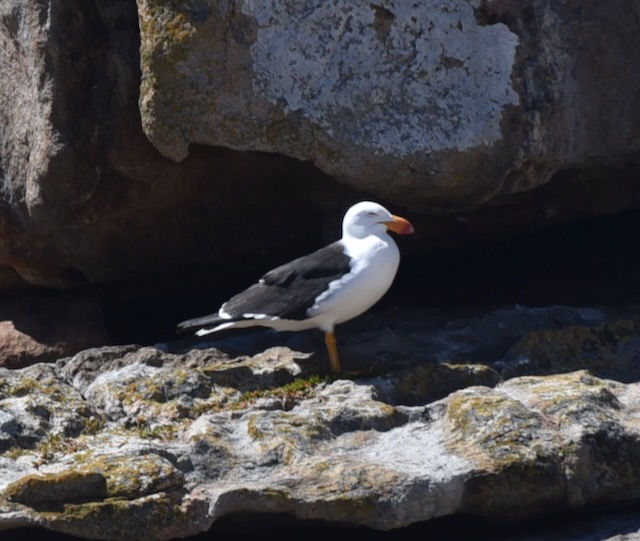
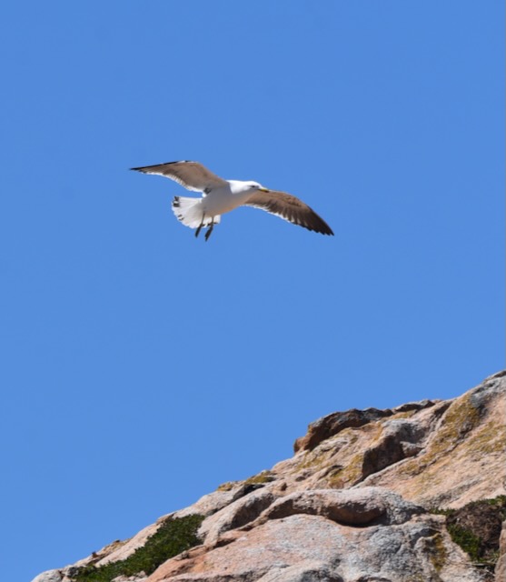
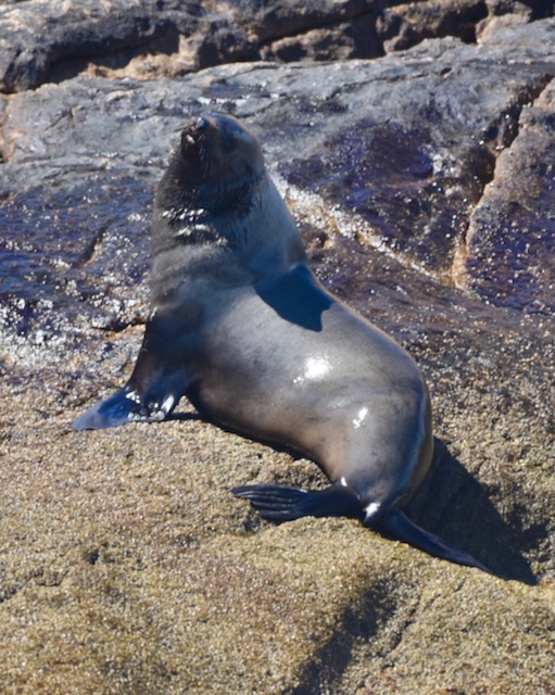
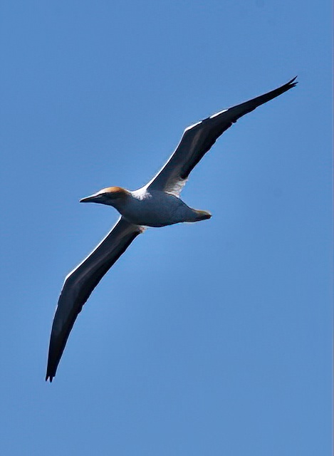
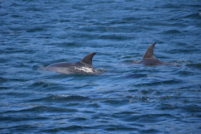
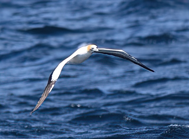
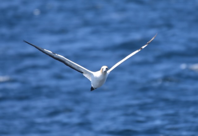
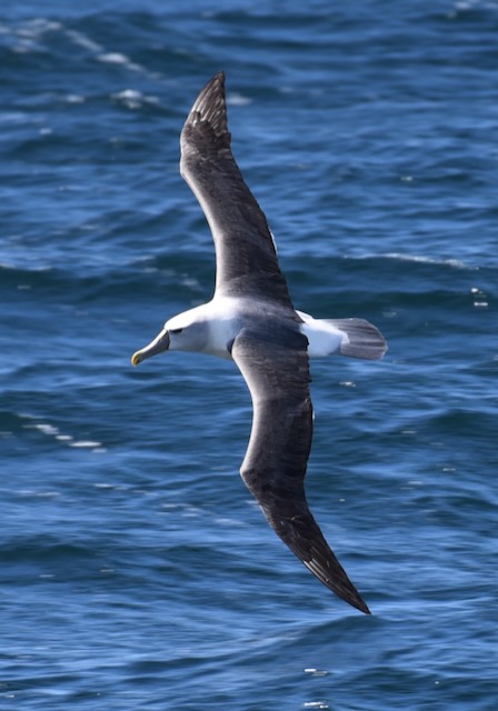
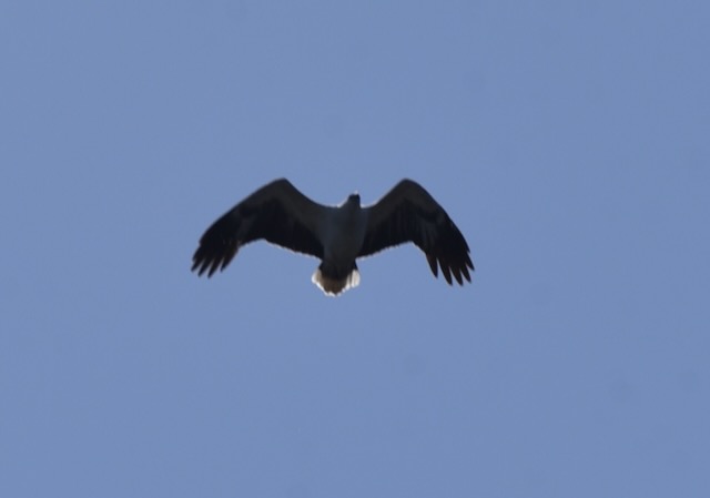
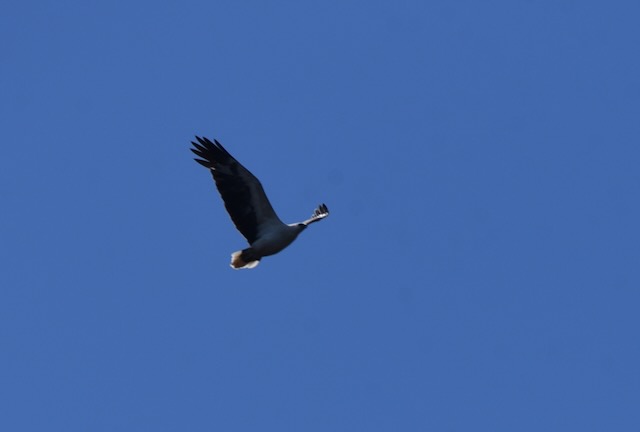
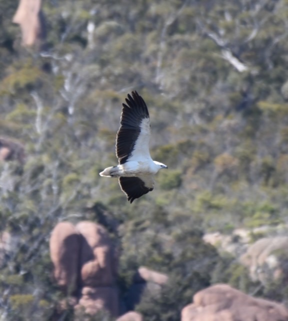
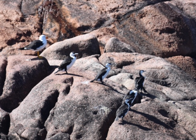
There was numerous wildlife to be observed along the way,

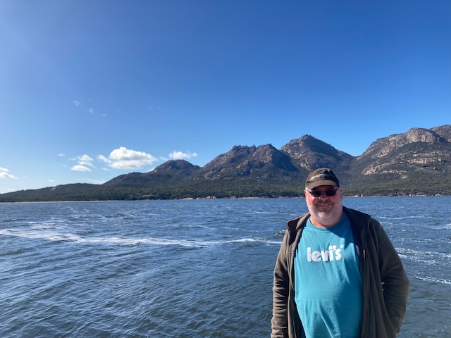
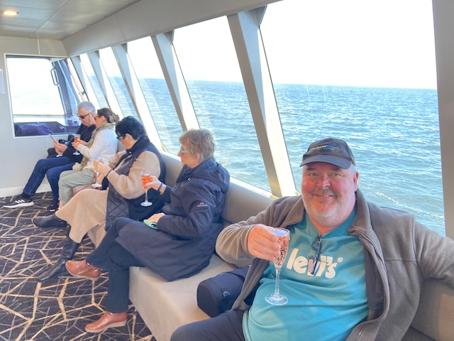
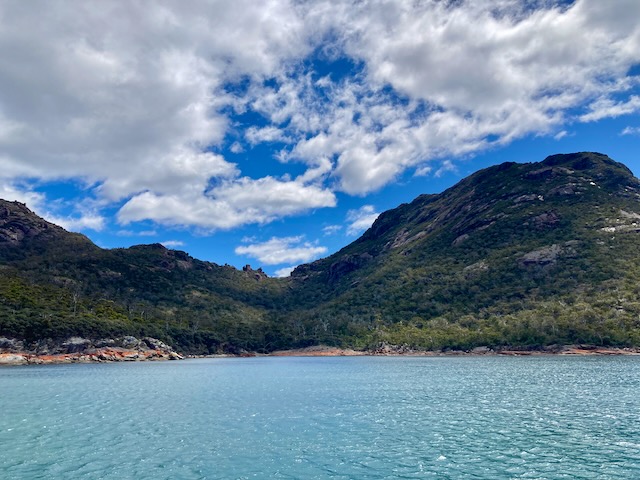
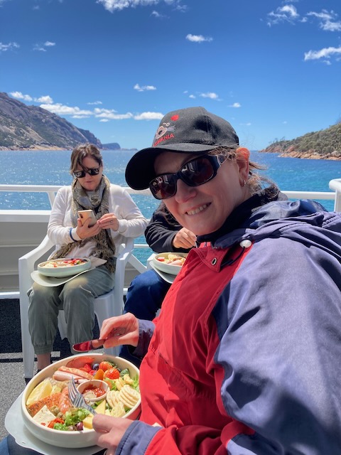
We then reached Wineglass Bay, one of the ‘must sees’ when in Tasmania. The boat moored in the bay and we sat back and enjoyed a brilliant lunch consisting of Tasmanian produce and a few cold beers.

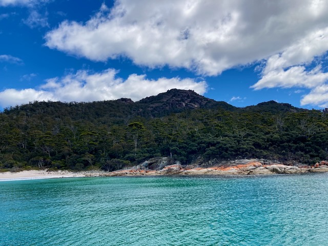
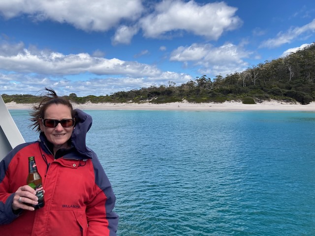
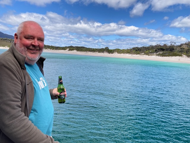
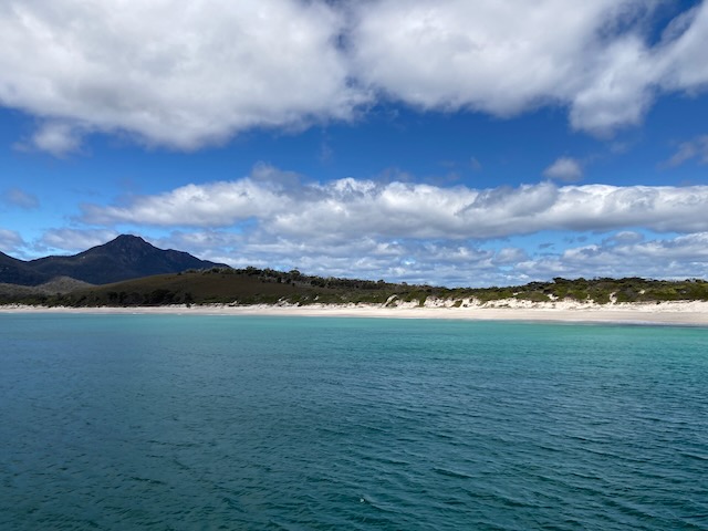
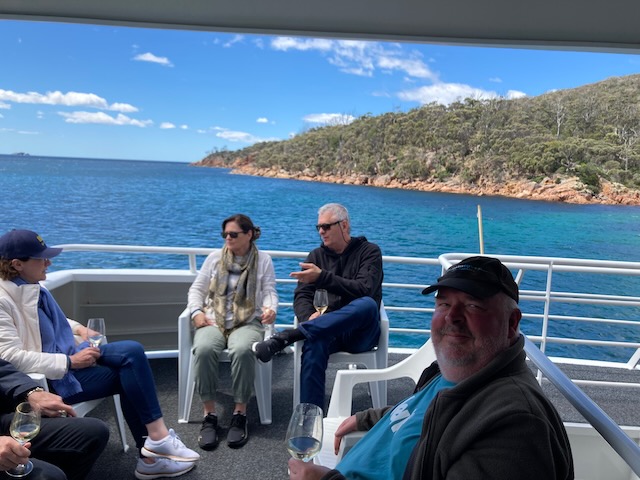
We then sailed back to Coles Bay and departed the cruise. It had been a very enjoyable day.

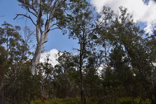
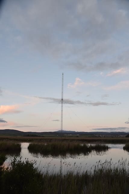
As I had only 15 QSOs in the log for Freycinet National Park, Marija and I decided to set up again, hoping that I might be able to reach 44 QSOs and qualify the park for the global WWFF program.

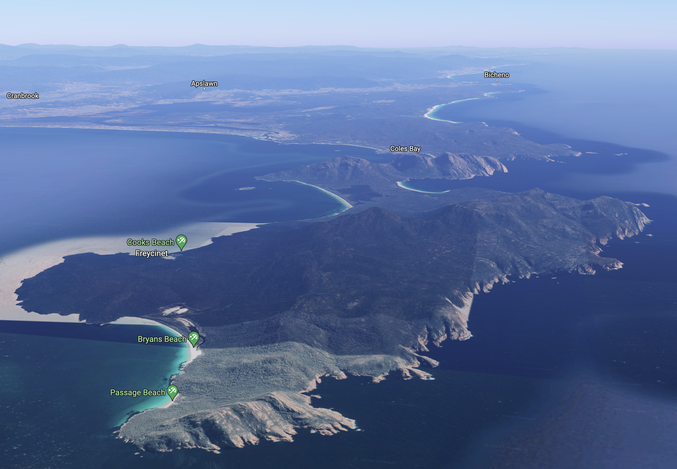
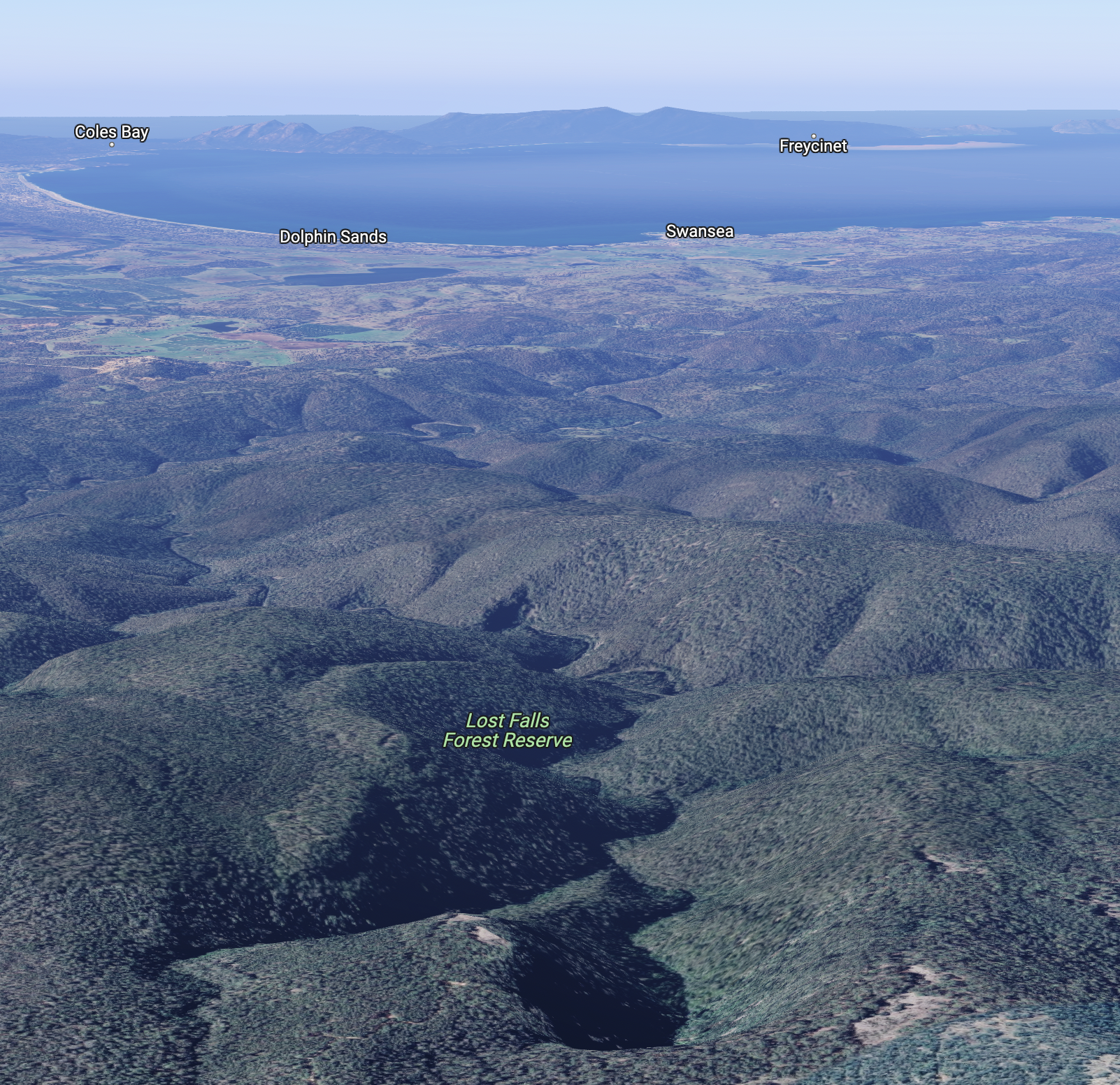
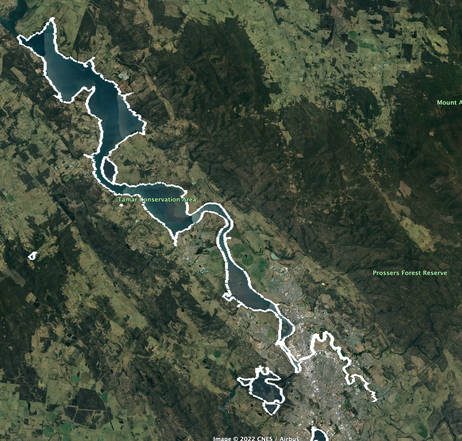
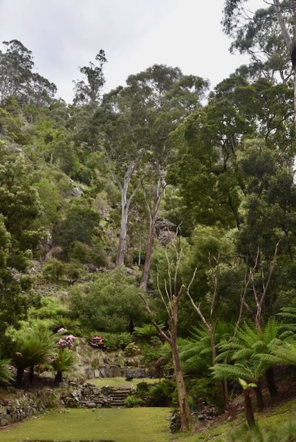
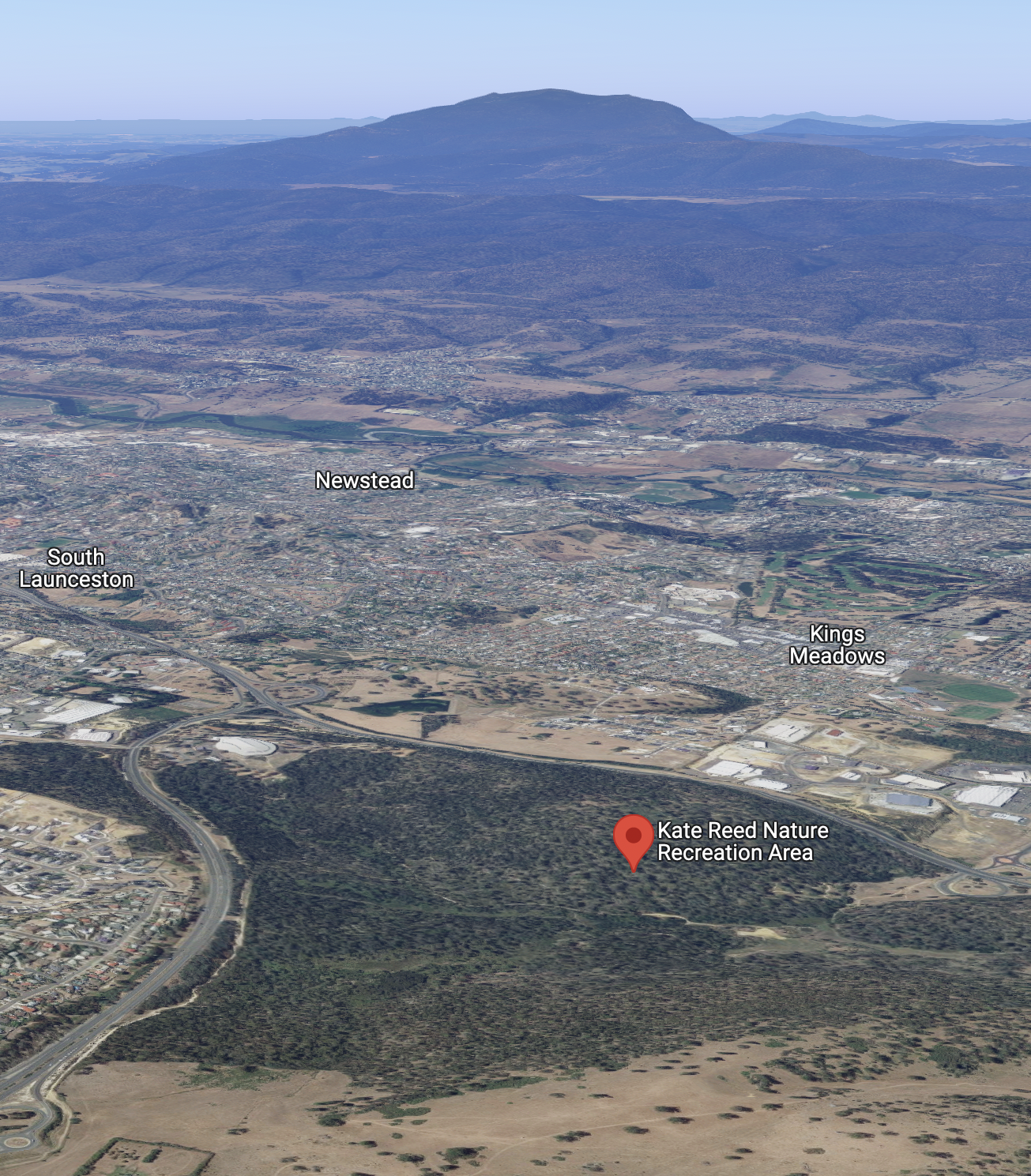
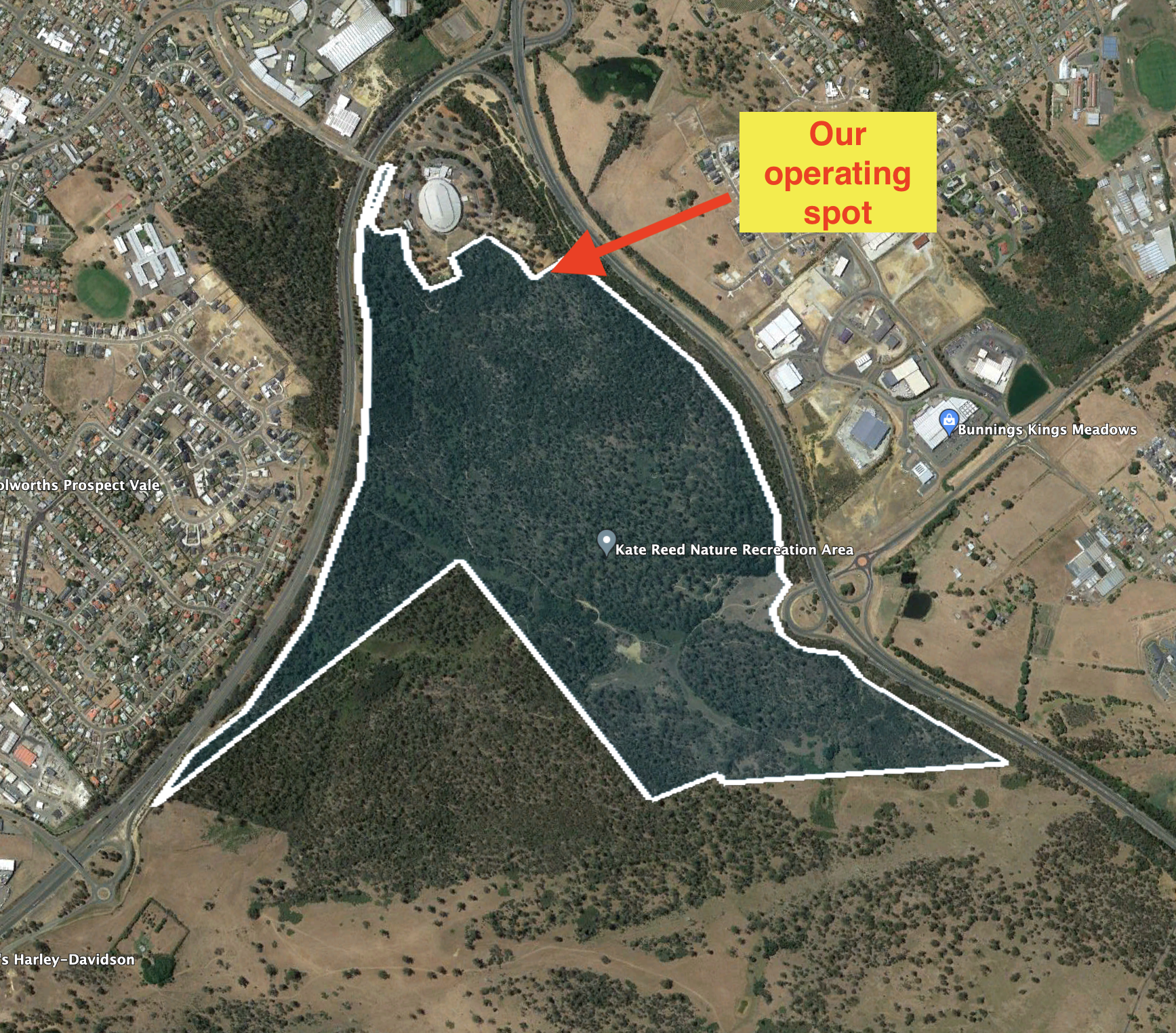
Above:- An aerial view of the Freycinet National Park. Image c/o Google maps

This time around I ran the Yaesu FT857d, 40 watts, and the 20/40/80m linked dipole, inverted vee, supported on a 7 metre telescopic squid pole.

I worked the following stations on 40m SSB:-

  1. VK3SQ
  2. VK3PF
  3. VK2MET
  4. VK1AO
  5. VK2IO
  6. VK2NP
  7. VK3FFF
  8. VK3JG
  9. VK5IS
  10. VK4KLA
  11. VK7CIA
  12. VK2HHA
  13. VK3ZSC
  14. VK3APJ
  15. VK5FANA
  16. VK3MTT
  17. VK3PWG
  18. VK7KJL
  19. VK5CZ
  20. VK3VIN
  21. VK3NZC
  22. VK3STV
  23. VK3IDX
  24. VK1AD
  25. VK1NAM
  26. VK7QP
  27. VK4HAT
  28. VK2XSE/m
  29. VK7GN
  30. VK5GY
  31. VK5MOS/m

I worked the following stations on 20m SSB:-

  1. VK4HAT
  2. VK4TJ
  3. VK4KC
  4. VK4MAD
  5. VK4DOG
  6. VK2MET
  7. VK1AO

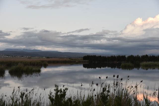
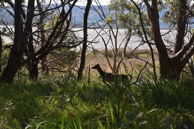
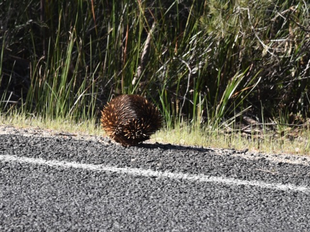
We then packed up and continued along. We stopped briefly at Moulting Bay Game Reserve to enjoy the view. We even saw some wild deer in the scrub.

It was slow going on the road out of the park as there was a lot of wildlife on the roadway.

We then commenced our journey to Hobart via the Tasman Highway.

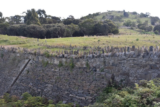
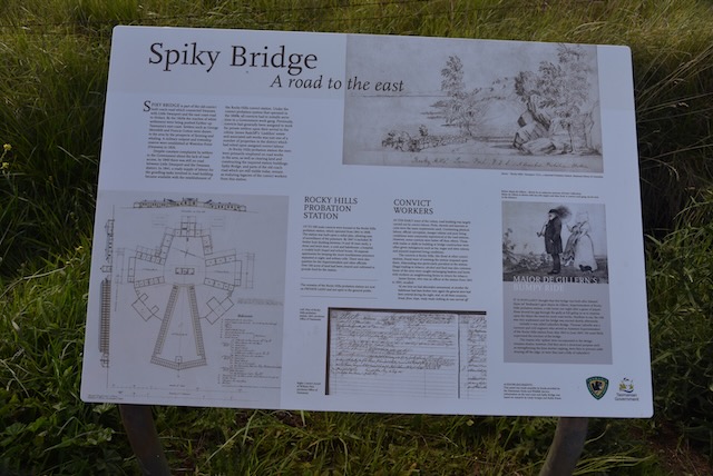
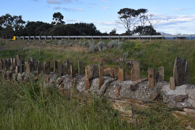
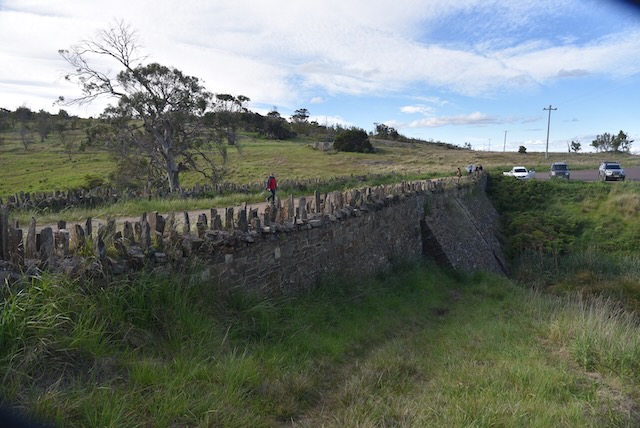
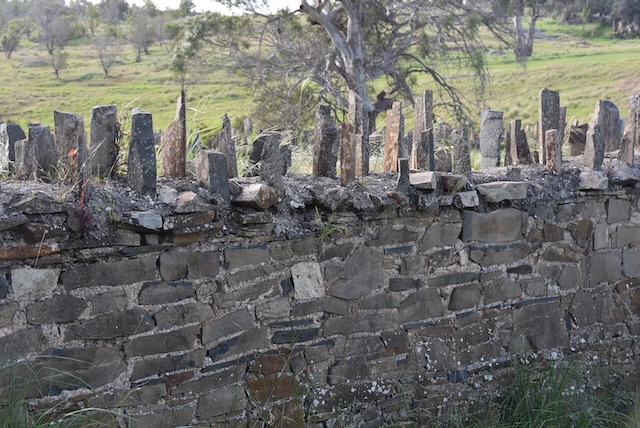
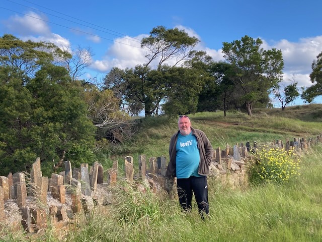
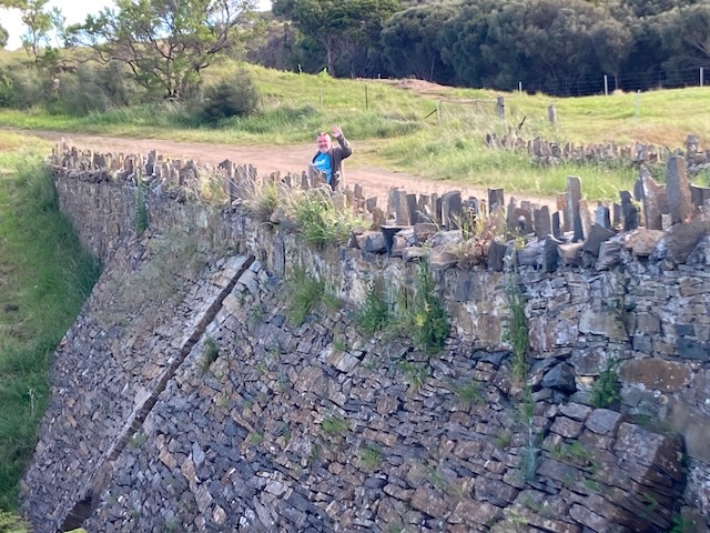
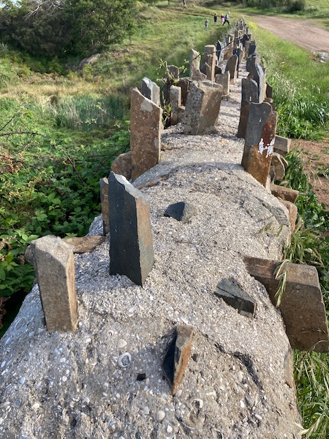
We stopped off at Spiky Bridge which is part of the old convict built coach road which connected Swansea with Little Swanport and the east coast road to Hobart.

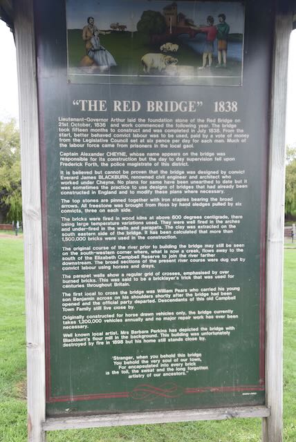
By the 1820’s the reaches of white settlement were being pushed further up Tasmania’s east coast. Settlers such as George Meredith and Francis Cotton, were drawn to the area by the prospects of farming and whaling. Despite constant complaints from the settlers to the Government regarding the lack of road access, by 1840 there was still no road between Little Swanport and the Swansea district.

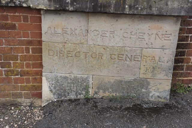
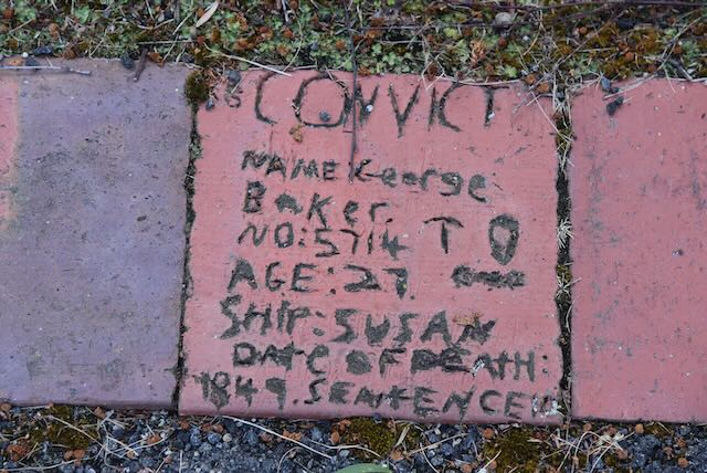
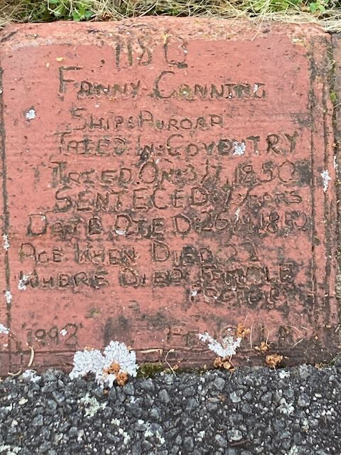
In 1841, a ready supply of labour for the grueling tasks involved in road building became available with the establishment of the Rocky Hills Probation Station. Under the convict probation system that operated in the 1840’s, all convicts had to initially serve time in a government work gang. Previously , convicts had generally been assigned to work for private settlers upon their arrival in the colony. James Radcliffe’s “Lisdillon” estate and associated salt works were just two of a number of properties in the district that had relied on assigned convict labour.

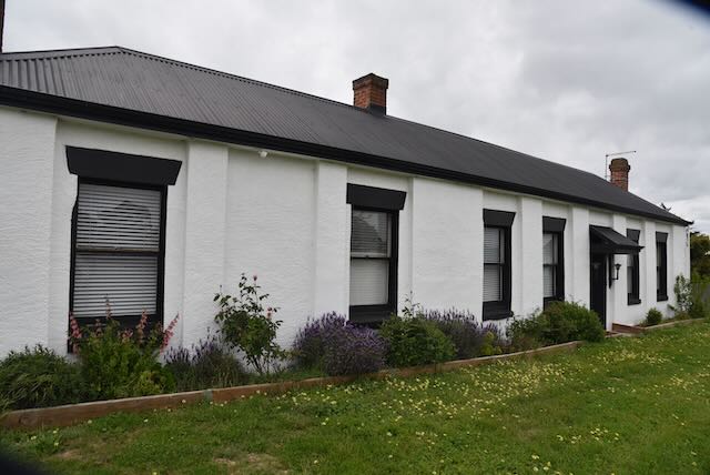
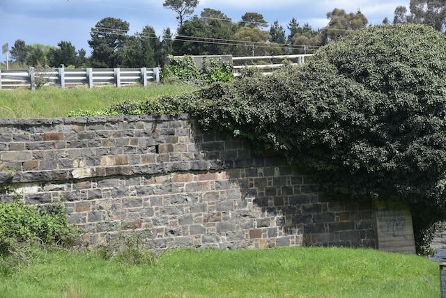
At Rocky Hills Probation Station, the convicts were primarily employed on road works in the area, as well as clearing land and constructing station buildings. The Spiky Bridge and parts of the old coach road which are still visible today, remain enduring legacies of the convict workers from this station.

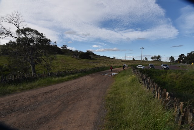
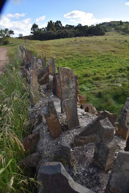
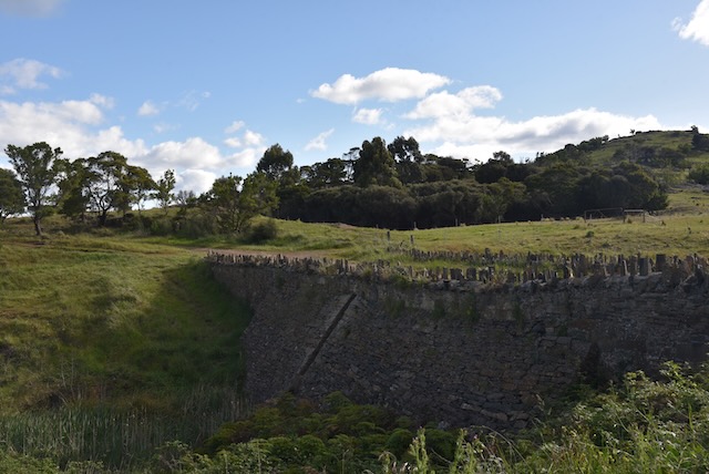
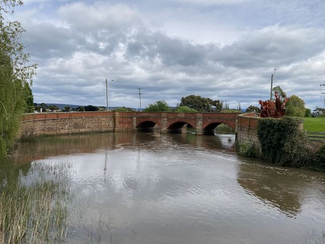
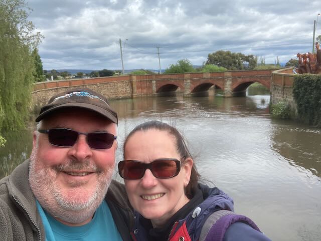
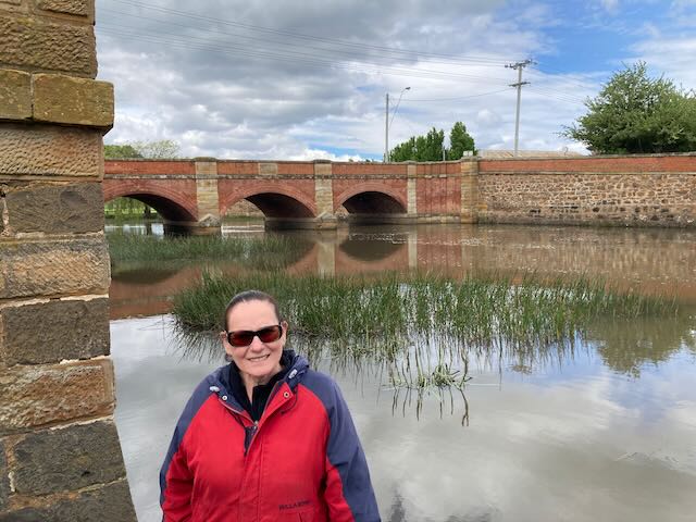
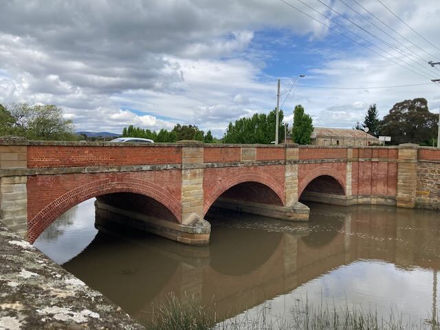
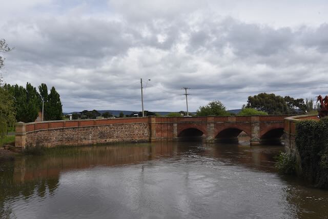
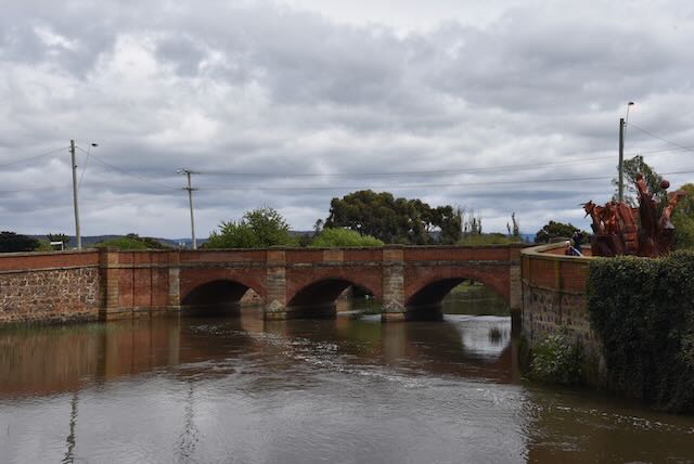
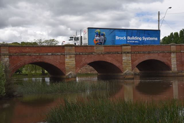
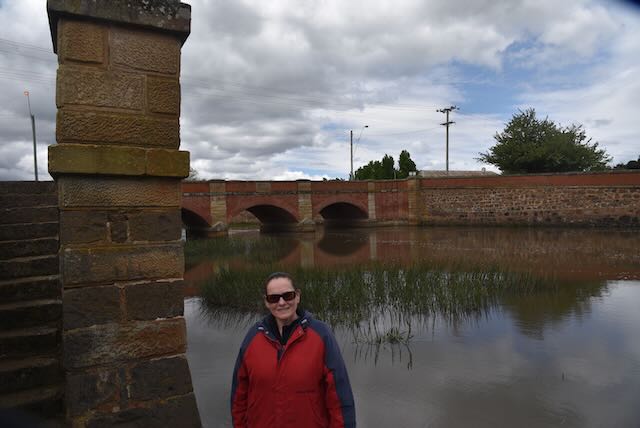
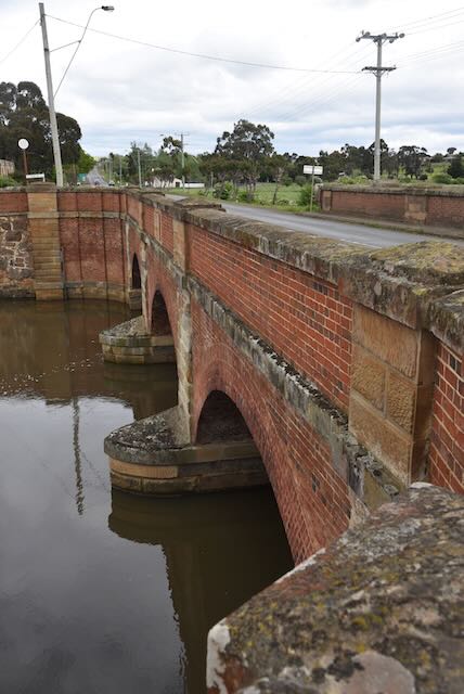
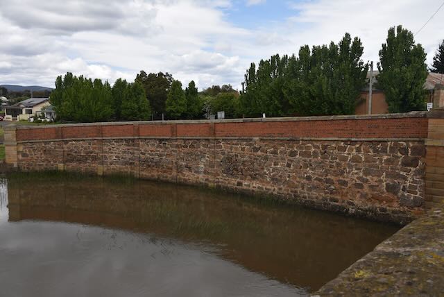
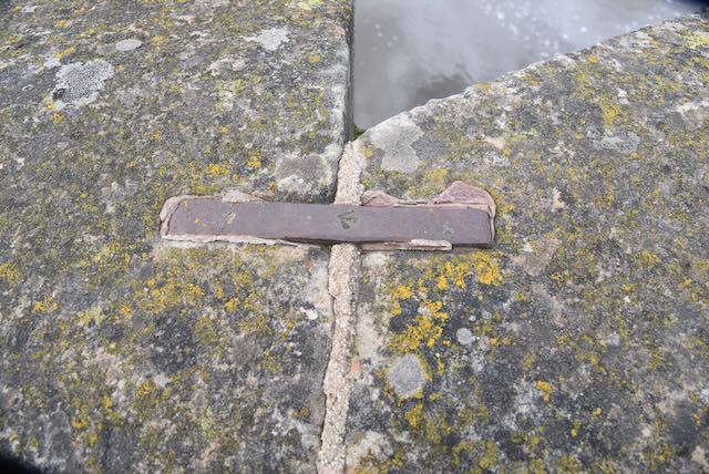
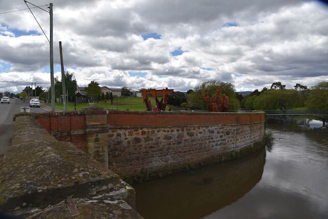
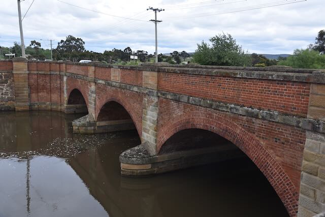
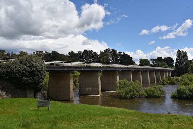
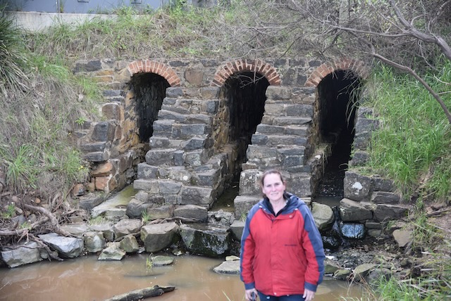
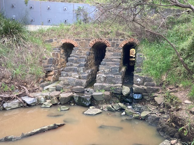
Our next stop was the Three Arch bridge at Mayfield Beach, a little further along on the Tasman Highway. It is not signposted, and is just a small bridge which was constructed in 1845 by convict labour from the nearby Rocky Hills Probation Station. It spans the outlet of the Old Man Creek at Mayfield Beach. The existing road is built over the top of the bridge. You can view the bridge after a short walk from Mayfield Bay campground.

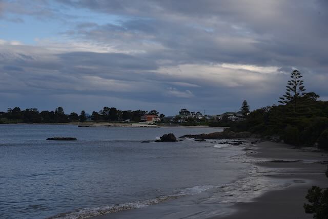
We continued along the coast admiring the beautiful views.

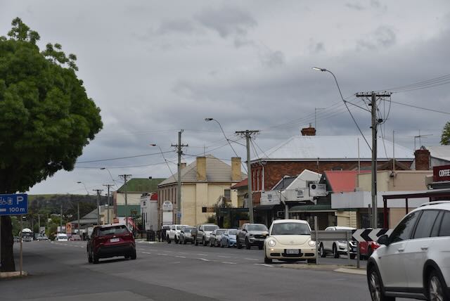
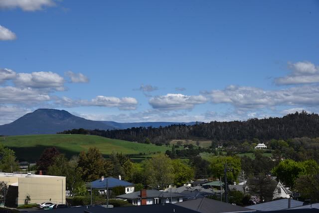
We soon reached the town of Triabunna, but as we were running late we did not get the opportunity of stopping sadly.

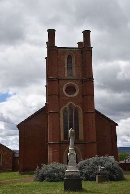
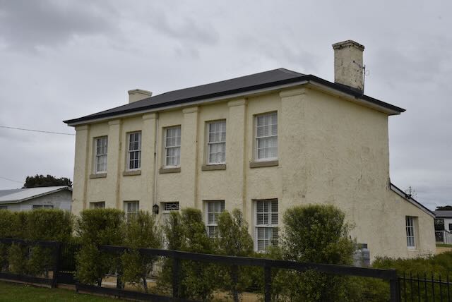
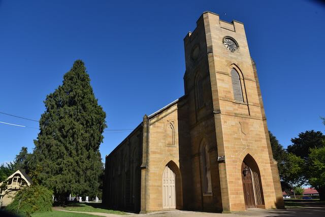
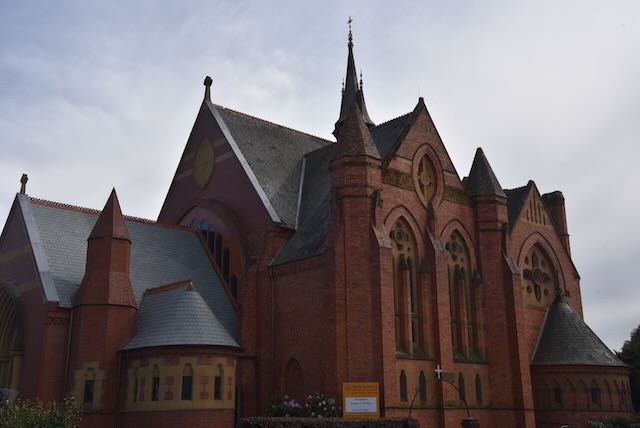
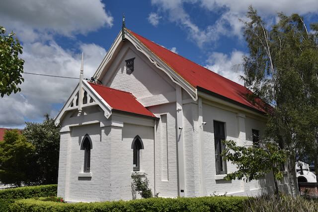
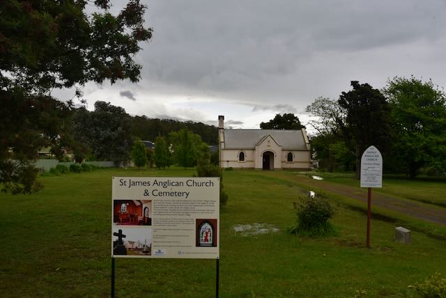
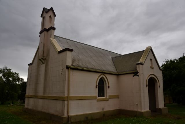
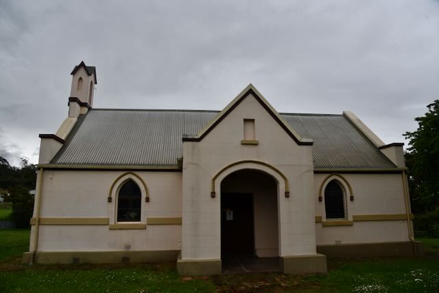
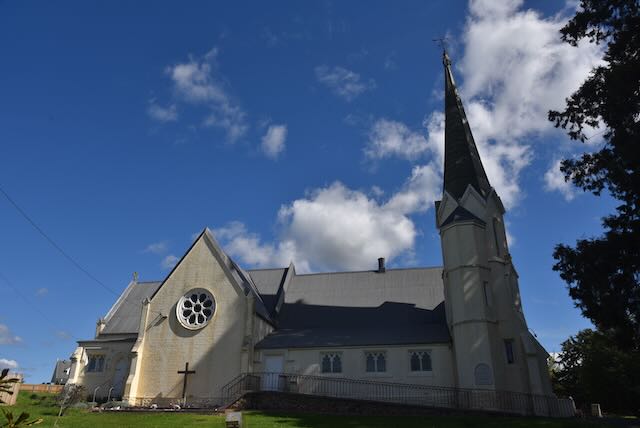
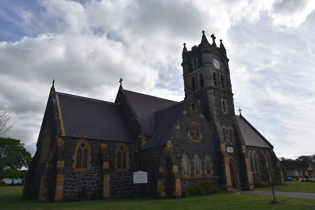
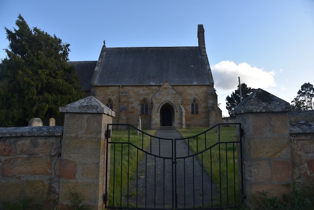
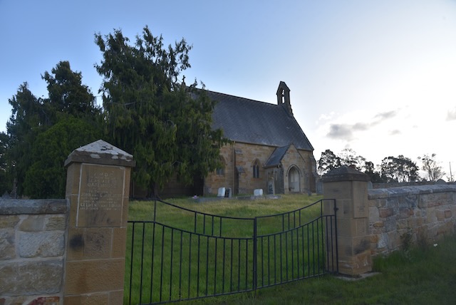
Our next brief stop was at the small town of Buckland where we had a look at the old St John The Baptist church. Like so many other buildings in Tasmania, the church was constructed by convict labour in 1846. It is believed that the East Window in the church dates b ack to the 14th century.

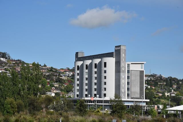
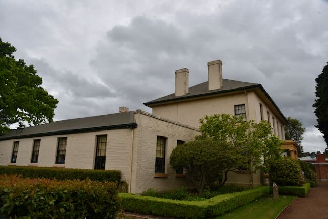
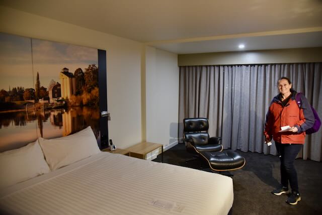
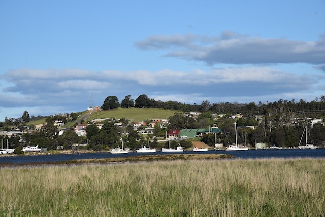
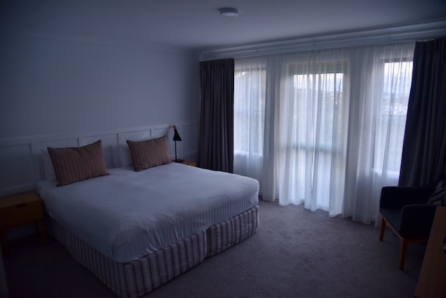
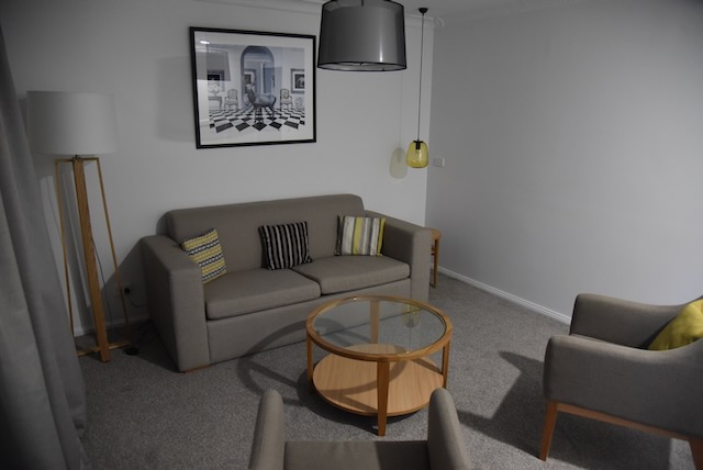
We got into Hobart quite late and booked into our accomodation, the Rydges Hobart.

References.

  1. Discover Tasmania, 2022, <https://www.discovertasmania.com.au/things-to-do/heritage-and-history/threearchbridgemayfieldbreach/>, viewed 27th December 2022.
  2. Discover Tasmania, 2022, <https://www.discovertasmania.com.au/things-to-do/heritage-and-history/stjohnthebaptistchurchbuckland/>, viewed 27th December 2022.
  3. Wikipedia, 2022, <https://en.wikipedia.org/wiki/Freycinet_National_Park>, viewed 27th December 2022.

Wye River State Reserve VKFF-1841

Our final park activation for 2nd November 2022 was the Wye River State Reserve VKFF-1841. The park is located about 23 km north west of Swansea.

Above:- Map showing the location of the Wye River State Reserve. Map c/o Google maps

The Wye River State Reserve was created to protect forest communities and threatened flora species. Wye River is predominantly dry sclerophyll forest with some areas of wet eucalypt forest and in the north areas of Oyster Bay pine forest.

Above:- An aerial view of the Wye River State Reserve. Image c/o Google Earth.

The Reserve which comprises the former Bluemans Creek State Reserve and Wye River Bluemans Creek State Reserve, was proclaimed on the 31st day of May 2000. The area of the Wye River State Reserve which was formerly Bluemans Creek State Reserve is listed on the Register of the National Estate in Tasmania.

We operated from the Bluemans Creek roadside stop area on the Lake Leake Highway. Equipment used was the Yaesu FT857d, 40 watts output and the 20/40/80m linked dipole, inverted vee, supported on a 7 metre heavy duty telescopic squid pole.

I enjoyed a nice little opening on the 20m band, long path into Europe, working Italy, Spain, France, Czech Republic, Finland, Poland, Romania, Germany, and Greece.

Marija made the following QSOs on 40m SSB:-

  1. VK3PF
  2. VK3SQ
  3. VK3VIN
  4. VK2VH
  5. VK4AAC
  6. VK4TJ
  7. VK3GRX
  8. VK3MTT
  9. VK2MET
  10. VK1AO
  11. VK5FB

I made the following QSOs on 40m SSB:-

  1. VK3PF
  2. VK3SQ
  3. VK3VIN
  4. VK2VH
  5. VK4AAC
  6. VK4TJ
  7. VK3GRX
  8. VK3MTT
  9. VK2MET
  10. VK1AO
  11. VK5FB
  12. VK4NH
  13. VK4DXA
  14. VK2MOE
  15. VK2NP
  16. VK5FANA
  17. VK5IS
  18. VK5KVA
  19. VK2IO
  20. VK3NP
  21. Vk7XX
  22. VK3ZPF
  23. VK1DI
  24. VK3EJ
  25. VK2YAK/m
  26. VK3KST
  27. VK3DNB
  28. VK1FPRV
  29. VK2PCT/m
  30. VK2ACK
  31. VK7HBR
  32. VK5CZ
  33. VK4PDX
  34. VK3NZC
  35. VK3YSA/m
  36. VK3ACZ
  37. VK3QA
  38. VK3DJC
  39. VK5WU
  40. ZL3MR
  41. VK3BKO
  42. VK2PKT
  43. VK2DA
  44. VK1DA
  45. VK2EXA

I made the following QSOs on 20m SSB:-

  1. ZL4NVW
  2. IK4IDF
  3. VK4NH
  4. VK4DXA
  5. IK1GPG
  6. IK3QAN
  7. VK4EMP
  8. EA4FLS
  9. F4CIM
  10. IZ5CML
  11. VK4HAT
  12. OK7WA
  13. VK4KC
  14. VK4MAD
  15. VK4DOG
  16. EA3AKP
  17. EA3HZX
  18. VK4EW
  19. VK4BXX
  20. OH1MM
  21. SP7MW
  22. F1BLL
  23. VK4PDX
  24. YO3APJ
  25. IK8NSR
  26. DK4RM
  27. EA3IM
  28. IW2BNA
  29. VK4MUD
  30. SV3SFJ
  31. DJ1AL
  32. SP9AW
  33. KG5CIK

Unfortunately we had to conclude the activation, even with callers still calling, due to us needing to get to our accomodation. It was nearly 6.00 p.m.

We headed in to the little town of Swansea and checked in to our accomodation at the Swansea Beach Chalets.

Below are some of the views of the bay and the coastline from where we were staying.

The town of Swansea is situated on the east coast of Tasmania on the north west shore of Great Oyster Bay and overlooks Frecinet National Park. The town was established in 1821 and was named Swansea by George Meredith, a Welshman who settled in the area, after Swansea in Wales.

There are a number of historic buildings in the town including Morris’ General Store which was built in 1838, and Schouten House which was built in 1845.

After freshening up we headed out for dinner at the Saltshaker Restaurant in Swansea, enjoying some of the local seafood.

References.

  1. Aussie Towns, 2022, <https://www.aussietowns.com.au/town/swansea-tas>, viewed 17th December 2022.
  2. Freycinet National Park and Wye River Management Plan, 2000, Parks and Wildlife Service Tasmania
  3. Wikipedia, 2022, <https://en.wikipedia.org/wiki/Swansea,_Tasmania>, viewed 17th December 2022.

Lost Falls Conservation Area VKFF-2908

After packing up at the Tom Gibson Nature Reserve (2nd November 2022), Marija and I travelled south on the Midland Highway and soon reached the little town of Cleveland.

Cleveland was established in 1842 and takes its name from a breed of horses which were imported into the district in the 1830s and bred in the area. Cleveland was as a stopping point on the coaching route between Hobart and Launceston. It was reportedly a stopping point for travelers prior to them venturing though Epping Forest which was a notorious area for bushrangers.

There are some historic buildings that remain in Cleveland and these including St Andrews Inn built in 1854 and the Cleveland church and historic graveyard.

We continued south and arrived in the very historic town of Campbell Town, about 68 km south of Launceston.

The original inhabitants of the area which is now Campbell Town were the Tyerrernotepanner aboriginal people. Lachlan Macquarie, a British Army Officer and Colonial Administrator from Scotland. In 1811 whilst travelling from Hobart to Launceston, Macquarie renamed Relief Creek to Elizabeth after his wife. In 1821 Macquarie named the site of Campbell Town in honour of his wife, whose maiden name was Campbell.

Thomas Kenton was the first European settler in the area. He was a Constable, and in 1821 erected a cottage at Campbell Town. By 1823 a causeway had been erected over the river and in 1824 an Inn was opened.

As a town, Campbell Town was established in 1826. It was one of four garrison towns which linked Hobart and Launceston.

Above:- Major General Lachlan Macquarie. Image c/o Wikipedia.

Our first stop in Campbell Town was the Harold Gatty Memorial. Harold Charles Gatty (b. 1903. d. 1957) was an Australian navigator and aviation pioneer who was born in Campbell Town. The famous Charles Lindbergh called Gatty the ‘Prince of Navigators’. He devised the ground-speed and drift indicator which formed the basis of the automatic pilot now standard equipment on most aircraft. In 1931 Gatty flew around the world with Wiley Post. This flight set the record for aerial circumnavigation of the world, flying a distance of 15,747 miles (24,903 km) in a Lockheed Vega named the Winnie Mae, in 8 days, 15 hours and 51 minutes. In 1951 he founded Pacific Airways Ltd in Fiji.

Above:- Harold Gatty. Image c/o Wikipedia.

The monument which is located on the corner of the Midland Highway and Pedder Street commemorates the life of Gatty who I had not heard of prior to my visit to Campbell Town.

We then had a look at St Andrews Church which was completed and dedicated in 1857. Following its construction when the scaffolding was removed it was found that there was still a rope hanging from the steeple. Before the opening of the church a ‘crack rifle shot’ was called in to shoot it down. The church contains an organ and desk that belonged to Bishop Nixon, first Anglican Bishop of Tasmania.

We then drove to Valentine Park in Campbell Town and viewed the Eliza and the Ram monument.

Eliza Forlong (b. 1784. d. 1859) was a founder of the super-fine wool industry in Tasmania. In 1804 she married John Forlong who was a Glasgow wine merchant. They had six children, but by the mid 1820s four of their six children had died from tuberculosis. A decision was made that they would move to a warmer climate in Australia.

They were aware that the fine wool from Merino sheep in Saxony were bringing high prices and they travelled to Leipzig to study methods of sheep rearing and wool preparation. Between 1828 and 1830 Eliza Forlong walked through Saxony purchasing sheep and drove them to Hamburg. She walked about 1,500 miles across Saxony.

In 1829 her 16 year old son William emigrated to Australia aboard the Clansman with seven rams and ninety ewes. He was bound for New South Wales, but the Clansman stopped at Hobart Town on the way where Governor Arthur who recognised the high quality of the flock, persuaded William Forlong to take up a large grant of land consisting of 2,600 acres near Campbell Town.

In 1831 Eliza and John and their son Andrew, together with the remainder of the sheep, emigrated to Australia aboard the Czar. Their Saxon sheep became the basis of many of the fine wool flocks throughout the new colony of Australia.

From Valentine Park you can also view The Grange, originally the home of Dr. William Valentine and built in 1847. Valentine Park is named in his honour. In 1839 Valentine emigrated to Van Dieman’s Land from Somerset England. He took over the position of Doctor in Campbell Town and helped establish the first public hospital. He was a lay preacher at the Anglican church and played a role in the building of St Luke’s Sunday School. He set up a reading room, Turkish baths and a library.

Also in Valentine Park is a sundial built in 2004 to commemorate the transit of the planet Venus across the face of the sun. The event was observed at The Grange by scientists from the United States Naval Observatory in 1874.

We also viewed the Convict Brick Trail which is dedicated to the nearly 200,000 convicts who were transported to Australia for almost 100 years from 1788 onwards.

We then visited the famous Red Bridge which crosses the Elizabeth River at Campbell Town. The bridge was constructed in 1838 using convict labour. It is the oldest surviving brick arch bridge in Australia. It contains three arch spans of 7.6 m (25 ft) each and holds two lanes of traffic as well as pedestrian walkways. It carries over two million vehicles per year.

The bridge was designed by James Blackburn (b. 1803. d. 1854), an English civil Engineer, surveyor, architect, and convict who had been transported to Australia after being sentenced for Forgery. The bridge was constructed of 1,250,000 handmade bricks on dry land, and after its completion the river was diverted to flow under the bridge.

Adjacent to the bridge in Blackburn Park are a number of wooden sculptures. They are the creation of Campbell Town’s chainsaw sculptor, Eddie Freeman. They were created using 80 year old pine trees.

We then drove around the town to admire the numerous historic heritage buildings.

We also stopped off briefly at the Campbell Town Museum and Visitor Information Centre which is located in the old Town Hall. It contains a large amount of local history of the Midlands area of Tasmania.

Just a short distance away is A Little Piece of Heaven, a lolly shop, which we visited of course.

We then had a late lunch at one of the local cafes in Campbell Town.

We then continued on our journey, leaving the Midland Highway and taking the Lake Leake Highway. We stopped briefly to have a look at Lake Leake, a man made water storage reservoir which can hold 22.076 gigalitres (779,600,000 cu ft) of water. The lake was named after Charles Henry Leake, a member of the Tasmanian Legislative Council.

We then drove out to Lost Falls Conservation Area VKFF-2908 for a park activation for the World Wide Flora Fauna (WWFF) program.

Above:- Map of Tasmania showing the location of Lost Falls. Map c/o Google maps.

The park also appears on some maps as the Lost Falls Forest Reserve.

Above:- An aerial view of Lost Falls. Image c/o Google maps.

Lost Falls Conservation Area is about 486 hectares in size. The park contains Lost Falls, a seasonal waterfall on Last Falls Creek. It is often dry, relying on heavy rain and snow meltage. Due to the recent heavy rain, the Creek and waterfall were flowing well during our visit.

We followed Crossins Road to the campground in the park.

Above:- An aerial view of the park showing our operating spot. Image c/o Google Earth

We ran the Yaesu FT857d, 40 watts output and the 20/40/80m linked dipole for this activation.

Unfortunately I only made 30 contacts in about 30 minutes and did not reach the 44 QSOs as we were really running short of time. However, Marija and I both qualified the park for the VKFF program with 10 QSOs.

Marija made the following QSOs on 40m SSB:-

  1. VK3PF
  2. VK3SMW
  3. VK3VIN
  4. VK3SQ
  5. VK3PMC
  6. VK2VH’VK4AAC
  7. VK2AX
  8. VK2YW
  9. VK5IS
  10. VK7AN

I made the following QSOs on 40m SSB:-

  1. VK3PF
  2. VK3SMW
  3. VK3VIN
  4. VK3SQ
  5. VK3PMC
  6. VK2VH
  7. VK4AAC
  8. VK2AX
  9. VK2YW
  10. VK5IS
  11. VK7AN
  12. VK1TTY
  13. VK3PRG
  14. VK7HAM
  15. VK2NP
  16. VK3MTT
  17. VK2MET
  18. VK1AO
  19. VK3DCQ
  20. VK2IO
  21. VK3NP
  22. VK7OT
  23. VK3APJ

I made the following QSOs on 20m SSB:-

  1. VK4HAT
  2. VK4NH
  3. VK4DXA
  4. VK4TJ
  5. VK4KC
  6. VK4MAD
  7. VK4DOG

References.

  1. Encyclopedia of Australian Ascience and Innovation, 2022, <https://www.eoas.info/biogs/P001570b.htm>, viewed 17th December 2022.
  2. Find a Grave, 2022, <https://www.findagrave.com/memorial/136720185/harold-charles-gatty>, viewed 17th December 2022.
  3. Monument Australia, 2022, <https://monumentaustralia.org.au/themes/people/industry/display/99815-eliza-and-the-ram>, viewed 17th December 2022.
  4. Our Tasmania, 2022, <https://www.ourtasmania.com.au/launceston/campbell-town.html>, viewed 17th December 2022.
  5. Tasmanian Convict Trail, 2022, <https://www.tasmanian-convict-trail.com/cleveland-7211/>, viewed 17th December 2022.
  6. Waterfalls of Tasmania, 2022, <https://waterfallsoftasmania.com.au/>, viewed 17th December 2022.
  7. Where in Tasmania, 2003, Dennison C.J.
  8. Wikipedia, 2022, <https://en.wikipedia.org/wiki/Harold_Gatty>, viewed 17th December 2022.
  9. Wikipedia, 2022, <https://en.wikipedia.org/wiki/Eliza_Forlonge>, viewed 17th December 2022.
  10. Wikipedia, 2022, <https://en.wikipedia.org/wiki/Red_Bridge_(Tasmania)>, viewed 17th December 2022.
  11. Wikipedia, 2022, <https://en.wikipedia.org/wiki/James_Blackburn_(architect)>, viewed 17th December 2022.
  12. Wikipedia, 2022, <https://en.wikipedia.org/wiki/Lake_Leake,_Tasmania>, viewed 17th December 2022.

Day six and Tom Gibson Nature Reserve VKFF-1155

Day six (Wednesday 2nd November 2022) of our Tasmania trip was upon us. We were to travel from Launceston to Swansea, a distance of about 137 km.

Above:- Map showing our route from Launceston to Swansea. Map c/o Google maps.

After breakfast we headed to Freelands Lookout, but we were sadly disappointed as trees covered most of the view of Launceston and the Tamar Valley.

We then visited Kings Bridge and the Toll Booth. The original toll house was constructed in 1891 with a contribution box to enter Cataract Gorge introduced by the Launceston City and Suburbs Improvement Association. The intention was to raise funds for further development of Cataract Gorge. Unfortunately most people did not pay and as a result in 1892 the toll become compulsory.

As a novelty and fundraiser, automatic vending machines were placed at the gates. For a penny, one machine would spray lavender scent onto a handkerchief, while another dispensed chocolate.

When the toll to enter Cataract Gorge was removed, so was the toll house….it was demolished. What you see today is a replica.

The first span of the Kings Bridge was completed in 1864. It was originally named the South Esk Bridge and was designed by William Thomas Doyne, a civil engineer from Ireland. The first span was fabricated in Manchester and was transported to Launceston where it was assembled on a pontoon and then floated into position and the lowered on to its abutments on the receding tide. In 1904 the bridge was renamed Kings Bridge in honour of King Edward VII.

The caretakers cottage was originally constructed in 1890 to house a caretaker in preparation for the creation of the Victorian Cliff Grounds. Alexander North, a leading church architect in Launceston at the time as the designer.

We then travelled south on the Midland Highway and into the historic town of Longford which was originally known as Norfolk Plains and then Latour. In 1827 the Latour Hotel was constructed and the town grew up around the hotel. In 1833 the town re re-named Longford.

Numerous significant and historic buildings were constructed in the town between 1830 and 1850. These include Christ Church built in 1839, the Queens Arms Hotel built in 1835, and the former Racecourse Hotel built in 1838,

We enjoyed a magnificent cooked breakfast at JJs Bakery in Longford.

We left Longford and headed to the Symmons Plains Raceway which is about 30 km south of Launceston. Since the closure of the Longford racing circuit, Symmons Plains has been Tasmania’s premier motor racing facility. Unfortunately everything was locked up, but we were able to see the track through some vantage points on the fence line.

We drove a short distance to the Tom Gibson Nature Reserve VKFF-1155 for a park activation for the World Wide Flora Fauna (WWFF) program.

Above:- Map of Tasmania showing the location of the Tom Gibson Nature Reserve. Map c/o Google maps.

The Tom Gibson Nature Reserve was proclaimed in 2022. It is located within the Northern Midlands Bioregion which is one of only fifteen areas in Australia which have been identified as a National Biodiversity Hotspot. It is part of ‘Epping Forest’ a large network of reserves on public and private land which supports over 400 hectares of endangered Black Peppermint forest.

Rare plants in the park include Moss Sunray, Tiny Water Milfoil, Tiny Arrowgrass, and Grassland Candles.

Tasmanian Devils and the Tasmanian Bettong can be located in the park.

The park was named after the former owner of the land, Tom Gibson.

We operated from the south eastern corner of the park on Barton Road.

Above:- An aerial view of the park showing our operating spot. Image c/o Google Earth

In about 20 minutes we made a total of 28 QOs.

Marija made the following QSOs on 40m SSB:-

  1. VK3AHR
  2. VK2HQ/p (VKFF-0447)
  3. VK2BYF/p (VKFF-0447)
  4. VK2HHA
  5. VK3SQ
  6. VK3VIN
  7. VK3PF
  8. VK3MTT
  9. VK2MET
  10. VK1AO
  11. VK2MOP
  12. ZL1BQD

I made the following QSOs on 40m SSB:-

  1. VK3AHR
  2. VK2HQ/p (VKFF-0447)
  3. VK2BYF/p (VKFF-0447)
  4. VK2HHA
  5. VK3SQ
  6. VI3VIN
  7. VK3PF
  8. VK3MTT
  9. VK2MET
  10. VK1AO
  11. VK2MOP

I made the following QSOs on 40m SSB after the UTC rollover:-

  1. ZL1BQD
  2. VK3PF
  3. VK3SQ
  4. VK1MET
  5. VK1AO

Unfortunately we were running a bit short of time so we did not get the opportunity of trying other bands or getting to 44 QSOs for this activation. It is a park we will have to come back to one day in the future.

References.

  1. Legislation Tasmania, 2022, <https://www.legislation.tas.gov.au/view/whole/html/inforce/current/sr-2004-053>, viewed 16th December 2022.
  2. Tasmanian Land Conservancy, 2022, <https://tasland.org.au/properties-for-sale/epping-forest/>, viewed 16th December 2022.
  3. Tasmanian Plants, 2022, <https://tasmanianplants.wordpress.com/2009/11/22/tom-gibson-nature-reserve-fieldtrip/>, viewed 16th December 2022.
  4. Wikipedia, 2022, <https://en.wikipedia.org/wiki/Longford,_Tasmania>, viewed 16th December 2022.
  5. Wikipedia, 2022, <https://en.wikipedia.org/wiki/Symmons_Plains_Raceway>, viewed 16th December 2022.

Day 5 and Tamar Conservation Area VKFF-1154

It was now day five (Tuesday 1st November 2022) of our Tasmania trip.

After breakfast we visited the Launceston Convict Cemetery which can be accessed via Peel Street in South Launceston. The cemetery was established in 1846 and it is estimated that there about 320 convicts buried here. There are no headstones to be found here, however local primary school students have created some memorial bricks which bare the names of some of the convicts buried here.

It was such a beautiful sunny day that Marija and I decided to go for a walk along the Launceston waterfront. We admired the architectural brilliance of those who converted the Launceston silos in Peppers Silo Hotel.

We then enjoyed a very nice cooked breakfast.

We then drove into the Launceston CBD and paid a visit to the Visitor Centre. We also went for a walk around Launceston admiring some of the heritage buildings.

We then visited City Park Radio which is located in City Park Launceston. This is a non profit community radio station is located at the heritage City Park Cottage which was the park caretakers cottage. The radio station has a magnificent collection of old bakelite radios. Entry is a gold coin donation. We had a very friendly guide who took us around the facility.

https://cityparkradio.com/radio-museum/

We then went for a walk through City Park which was created during the 1820s by the Launceston Horticultural Society. The park includes a conservatory, a band stand, a duck pond, a children’s playground, and Monkey Island which is home to a group of Macaque monkeys. 

Our next stop was the National Automobile Museum of Tasmania in Launceston which has an extensive collection of classic motor vehicles and motorcycles. The museum was originally run by Geoff and Gloria Smedley from 197 to 1995 at the Waverley Woollen Mills. In 1996 the museum moved to another location in Launceston, and in 2019 moved to its current location at Invermay. We spent a number of hours here with me drooling over a number of cars which I would like in my shed at home.

We then drove down to the historic town of Perth. Not to be confused with Perth in Western Australia! Governor Lachlan Macquarie settled in Perth in 1821. At the time he was staying nearby with pastoralist David Gibson. Macquarie named the area Perth after Gibson’s home town of Perth in Scotland.

Above:- Lachlan Macquarie. Image c/o Wikipedia.

There are numerous historic buildings in Perth dating back to the early 1800s.

Our next stop was the Tasmanian Honey Company in Perth.

We then drove to the historic Perth bridge which was built by convict labour in 1836. The bridge has been destroyed by floods in 1880, 1929, and 1971, and has been rebuilt on each occasion

We then drove back into Launceston as we had a James Boags Brewery tour booked that afternoon. The brewery was founded in 1883 by James Boag and his son James.

James Boag (b. 1804. d. 1890) was born in Scotland. He arrived in Australia with his wife and four children in 1853. Boag initially spent time at the Victorian goldfield and then commenced his involvement in the brewing industry with the Cornwall Brewery, the Cataract Brewery, and then the Esk Brewery. J. Boag & Son was officially formed in 1883.

Following the brewery tour Marija and I drove out to the Tamar Conservation Area VKFF-1154 for a park activation. The park is located just to the north of Launceston.

Above:- Aerial view of the Tamar Conservation Area. Image c/o Google Earth.

The Tamar Conservation Area is about 4,633 hectares in size and is located on the Tamar River estuary.

Above:- An aerial view of the Tamar Conservation Area. Image c/o Google maps.

The park takes its name from the Tamar River which in turn was named by Colonel William Paterson in 1804 after the River Tamar in South West England. Paterson was Scottish soldier, explorer, Lieutenant Governor and botanist.

Above:- Colonel William Paterson. Image c/o Wikipedia.

The park includes the Tamar Island Wetlands Reserve and stretches along the upper part of the Tamar Estuary from St Leonards to Batman Bridge. It includes the Tamar Wetlands Important Bird Area which has been identified by BirdLife International due to its importance in supporting over 1% of the world populations of Pied Oystercatchers and Chestnut Teals.

We operated from the vehicle for this activation, in the carpark at Tamar Island. We ran the Yaesu FT857, 40 watts, and the 20/40/80m linked dipole supported on a 7 metre heavy duty squid pole.

Above:- Aerial view showing our operating spot. Image c/o Google Earth.

In about an hour in the park we made a total of 60 QSOs. This included some nice DX into Europe on the long path on the 20m band. It was also nice to get a Park to Park contact with Matthew who was portable in the Langwarrin Flora & Fauna Reserve VKFF-2031.

Marija worked the following stations on 20m SSB:-

  1. VK4TJ
  2. VK7DW
  3. ZL3MR
  4. EA4FLS
  5. ZL1TM
  6. VK4SMA
  7. ON4VT
  8. VK4ABH
  9. VK4NH
  10. VK4DXA
  11. F1BLL

Marija worked the following stations on 40m SSB:-

  1. VK3ARD (Langwarrin Flora & Fauna Reserve VKFF-2031)
  2. VK3PRG

I worked the following stations on 20m SSB:-

  1. VK4TJ
  2. VK7DW
  3. ZL3MR
  4. EA4FLS
  5. ZL1TM
  6. IK4IDF
  7. VK4SMA
  8. ON4VT
  9. IW2BNA
  10. VK4ABH
  11. VK4NH
  12. VK4DXA
  13. F1BLL
  14. IW2NXI
  15. UT5PI
  16. VK4EMP
  17. OH1MM
  18. VK5HS
  19. EA1HTF

I worked the following stations on 40m SSB:-

  1. VK3ZPF
  2. VK5WU
  3. VK4SMA
  4. VK3PF
  5. VK3APJ
  6. VK4MGL
  7. VK5KVA
  8. VK5BJE
  9. VK5HS
  10. VK3GJG
  11. VK3ACZ
  12. VK3ARD/p (Langwarrin Flora & Fauna Reserve VKFF-2031)
  13. VK3PRG
  14. VK1TTY
  15. VK2IO
  16. VK5FANA
  17. VK2WOG
  18. K2MET
  19. VK1AO
  20. VK4EMP
  21. VK3LF/m
  22. VK3AMO
  23. VK3GRX
  24. VK5KSW
  25. VK3JW
  26. VK2MOP
  27. VK2YES
  28. VK3ZK

References.

  1. City Park Radio, 2022, <https://cityparkradio.com/radio-museum/>, viewed 14th December 2022.
  2. Our Tasmania, 2022, <https://www.ourtasmania.com.au/launceston/perth.html>, viewed 14th December 2022.
  3. Wikipedia, 2022, <https://en.wikipedia.org/wiki/Perth,_Tasmania>, viewed 14th December 2022.
  4. Wikipedia, 2022, <https://en.wikipedia.org/wiki/City_Park,_Launceston>, viewed 14th December 2022.
  5. Wikipedia, 2022, <https://en.wikipedia.org/wiki/Boag%27s_Brewery>, viewed 14th December 2022.
  6. Wikipedia, 2022, <https://en.wikipedia.org/wiki/Tamar_River_Conservation_Area>, viewed 14th December 2022.
  7. Wikipedia, 2022, <https://en.wikipedia.org/wiki/William_Paterson_(explorer)>, viewed 14th December 2022.

Day 4 in Tassie and Kate Reed Nature Recreation Area VKFF-1141

It was now day four (31st October 2022) of our Tasmania trip. Marija and I had planned to meet a number of amateur radio operators for breakfast and coffee in Launceston. We headed to the cafe at Glebe Gardens where we caught up with John VK7XX, Andrew VK7DW, and a number of other amateurs. It was a really enjoyable morning.

It had belted down with rain whilst we were at Glebe Gardens, but the weather had cleared a little so we decided to head to Cataract Gorge, a river gorge which is located at the lower section of the South Esk River. It is a premier tourist attraction in Launceston.

Due to all of the recent heavy rain in Tasmania, the Gorge was in flood during our visit, with an enormous amount of water flowing down the South Esk River.

We took the chairlift across the First Basin. The chairlifet which was built in 1972, is the longest single-span chairlift in the world. It has a total span of 457 metres. Its longest span is 30 metres.

The Cataract Gorge gardens are home to numerous peacocks.

We also viewed numerous other birds at Cataract Gorge including both native species and introduced species including sparr ows and blackbirds.

We then visited Franklin House, a Georgian style house which was built in 1836 for former convict Britton Jones, a Launceston brewer and innkeeper. Between 1842 and 1866 it was a school for boys whilst leased to schoolmaster William Keeler Hawkes. In 1960 Franklin House became the first heritage property taken over by the National Trust in Tasmania.

We then wandered over the road to have a look at St James Anglican Church. It was originally known as Franklin Village Chapel and was built in 1845.

We then headed to the Kate Reed Nature Recreation Area VKFF-1141 for a park activation for the World Wide Flora Fauna (WWFF) program.

Above:- Map of Tasmania showing the location of the Kate Reed Nature Recreation Area. Map c/o Google maps

The park is located just outside of Launceston. There are three access points to the park: through the Silverdome complex; an entrance on the Bass Highway side of the reserve; or via the Kings Meadows connector on the Midland Highway. 

Above:- An aerial view of the Kate Reed Nature Recreation Area. Image c/o Google maps.

Kate Reed Nature Recreation Area is named in honour of Kate Reed, the wife of Henry Reed (b. 1806. d. 1880) who owned Mount Pleasant Estate. Reed was a landowner, shipowner, merchant and philanthropist. In 1874 he purchased Mount Pleasant from the bankrupt estate of a friend John Crookes. He renovated the house making it the finest house in northern Tasmania. The estate once included the land that today makes up Kate Reed Nature Recreation Area.

Above:- Mrs. Kate Reed and family. Image c/o Libraries Tasmania.

The reserve contains approximately 120ha of remnant native vegetation. It is the home to numerous threatened plant species including Trailing Speedwell.

The reserve contains a network of mountain biking trails and walking trails.

We accessed the park via the Silverdome complex and operated in the north eastern corner of the park.

Above:- Aerial view of the park showing our operating spot. Image c/o Google Earth.

We ran the Yaesu FT857, 40 watts output, and the 20/40/80m linked dipole for this activation.

Band conditions on 40m were really poor and there were long periods of calling CQ with no takers. But persistence paid off and we both qualified the park for the Australian chapter of WWFF (VKFF) and I went on to get 44 QSOs for the global program.

There was a nice little opening on 20m into Europe on the long path with Malta, Italy, Germany, Finland, Belgium, Germany, Ukraine, Poland, France, Czech Republic, Netherlands and Slovak Republic logged.

Marija worked the following stations on 40m SSB:-

  1. VK2VH
  2. VK4AAC
  3. VK2EXA
  4. VK3SQ
  5. VK3PF
  6. VK3GJG
  7. VK3BBB
  8. VK2CCP
  9. VK2MET
  10. VK1AO
  11. VK3VIN

I worked the following stations on 40m SSB:-

  1. VK2VH
  2. V K4AAC
  3. VK2EXA
  4. VK3SQ
  5. VK3PF
  6. VK3GJG
  7. VK3BBB
  8. VK2CCP
  9. VK2MET
  10. VK1AO
  11. VK3VIN
  12. VK3ZPF
  13. VK3NBL
  14. VK3SRC
  15. VK3AWO
  16. VK5HS
  17. VK2IO
  18. KG5CIK
  19. VK3ANL
  20. VK4PDX
  21. VK2KF
  22. VK2JRO
  23. VK5FANA

I worked the following stations on 20m SSB:-

  1. VK4XCS
  2. VK7XX
  3. VK4TJ
  4. VK4GSF
  5. ZL3MR
  6. VK4NH
  7. VK4DXA
  8. F1BLL
  9. VK5HS
  10. 9H5BZ
  11. IK4GRO
  12. IK1GPG
  13. DJ1SD
  14. VK4IM
  15. VK4KC
  16. VK4MAD
  17. VK4DOG
  18. ZL1TM
  19. OH1MM
  20. VK4MGL
  21. VK6JK
  22. ON4VT
  23. DC5BK
  24. UT5ZC
  25. SP9N
  26. PE1PIC
  27. OH6GAZ
  28. OK2QA
  29. IW2BNA
  30. IZ2EWR
  31. V73MS
  32. F4CIM
  33. VK4HAT
  34. OM5DP

After packing up we headed back to our hotel and enjoyed a very nice meal and of course some dessert.

References.

  1. St James, 2022, <https://stjfv.org.au/>, viewed 13th December 2022.
  2. Tasmania Parks & Wildlife Service, 2022, <https://parks.tas.gov.au/explore-our-parks/kate-reed-nature-recreation-area>, viewed 13th December 2022.
  3. Wikipedia, 2022, <https://en.wikipedia.org/wiki/Cataract_Gorge>, viewed 13th December 2022.
  4. Wikipedia, 2022, <https://en.wikipedia.org/wiki/Franklin_House_(Launceston)>, viewed 13th December 2022.

VKFF DX Hunter 50 certificate

Yesterday I received the VKFF DX Hunter 50 certificate issued for having worked WWFF activators in 50 different DXCC entities.

  • Antarctica
  • Australia
  • Austria
  • Balearic Islands
  • Belgium
  • Canary Islands
  • Chatham Island
  • Chile
  • Christmas Island
  • Cocos Keeling Island
  • Conway Reef
  • Corsica
  • Croatia
  • Crete
  • Cyprus
  • Czech Republic
  • Denmark
  • Ecuador
  • England
  • Estonia
  • Finland
  • France
  • Galapagos Islands
  • Germany
  • Greece
  • Heard Island
  • Hungary
  • Israel
  • Italy
  • Lithuania
  • Lord Howwe Island
  • Macedonia
  • Macquarie Island
  • Netherlands
  • New Zealand
  • Norfolk Island
  • Northern Ireland
  • Poland
  • Portugal
  • Prince Edward & Marion Island
  • Romania
  • Rotuma Island
  • Sardinia
  • Serbia
  • Slovak Republic
  • Slovenia
  • Spain
  • Sri Lanka
  • Sweden
  • Switzerland
  • Ukraine
  • USA
  • Wales

Day three and Liffey Falls State Reserve VKFF-1143

Following our park activation at Don Heads, Marija and I headed south out of Devonport on the Bass Highway and into the town of Latrobe.

We had visited Latrobe briefly on our first day in Tasmania, but we had missed the lolly shop so we headed back into the little town about 11 km south of Devonport. The first European settler in the Latrobe area was Edward Curr, who had a property in 1826. In 1828 Captain B.B. Thomas took over Curr’s land when he moved to Cicular Head, knoown today as Stanley. In 1861 the settlement of Latrobe was named in honour of Charles Joseph La Trobe, the administrator of the colony of Tasmania.

Above:- Charles La Trobe. Image c/o Wikipedia

We paid a visit to the Edward ‘Teddy’ Sheean memorial. Sheean was born in 1923 in Lower Barrington and served with the Royal Australian Navy during the Second World War. In December 1942 he was aboard the HMAS Armidale when it was attacked by Japanese aircraft. It was struck by two torpedoes and a bomb and commenced to sink. Sheehan helped to free a life raft and was wounded by two bullets. He made his way to an anti aircraft gun and commenced firing upon the attacking Japanese aircraft to protect those already in the water. He successfully shot down a Japanese bomber, but sadly was killed when the Armidale sunk.

Sheean was credited by many of his colleagues as saving their lives and he was posthumously mentioned in despatches. In 1999 the submarine HMAS Sheean was named in his honour. Consideration was also given to awarding him with the Victoria Cross (VC). A 2013 enquiry recommended that he not be awarded the VC. However in 2019 another inquiry recommended that he should be awarded the VC, however this was rejected by the Government. It was not until 2020 that another inquiry recommended he be awarded the VC, that the Government accepted the proposal. On the 12th day of August 2020, the Queen approved the award for Sheean.

Above:- Teddy Sheean. Image c/o Wikipedia.

We had a little bit more fun in Latrobe.

And then visited the ‘You Deserve it’ lolly shop in Labtrobe and left with a bucket of lollies. Just what we needed for our waistlines!

We continued south on the Bass Highway and called in to Ashgrove Cheese for some lunch. Ashgrove Cheese is located just northof Elizabeth Town and produces a range of quality cheese, milk, butter and cream. Ashgrove Cheese commenced as Eddington Farm in 1908. In 1983, Michael and John Bennett formed the Ashgrove Farm partnership. In 1994 the farm gate cheese shop opened. In 2021 the Ashgrove dairy door and visitor centre opened.

Marija and I enjoyed a beautiful cheese plate while sitting outside and soaking up the sunshine.

As if we didn’t have enough for lunch at Ashgrove, we then stopped off at Van Diemans Land Creamery for an ice cream, and the Christmas Hills Rasberry Farm.

We then headed to Deloraine, stopping once to enjoy the beautiful views of the surrounding countryside.

Our next stop was at the town of Deloraine. We viewed the Malua racehorse Memorial. The memorial includes a life sized bronze statue of the horse known as ‘Australia’s Most Versatile Champion’. Malua was bred at the Calstock stud property at Deloraine in 1879. In 1884 Malua won the Melbourne Cup, the Newmarket Handicap, the Oakleigh Plate, and the Adelaide Cup. Malua was subsequently retired, but in 1886 Malua was brought back to the track where Malua won the Australian Cup. In 1888 Malua was once again brought out of retirement and won the Australian Grand National Hurdle.

Adjacent to the Malua memorial is the Deloraine and Districts Folk Museum and the Visitor Centre. The museum incorporates the Family and Commercial Inn which was built in 1863.

We spent a number of hours here viewing the museum’s extensive collection of local memorabillia. There is also a pioneer village consisting of heritage buildings.

Within the museum there is the four quilted, soft sculpture silk panels depicting the Latrobe area. The four panels each measure 4 metres wide and 3 metres long. They were worked on by more than 300 local artists over a 10,000 hour period. 

There is a great view of the Great Western Tiers mountain range from the museum. The Tiers are a collection of World Heritage listed mountain bluffs.

We then went for a drive around Latrobe to view the many historic buildings in the town. There is a ‘Historical Deloraine’ brochure which can be downloaded from the internet which guides you on a 45 minute walk around the town.

We then headed out of Deloraine and stopped briefly to have a look at Bowerbank Mill which was built in 1853 for the Horne Family. The mill was originally powered by a water wheel. In 1870 the boiler room and a chimney stack were added for conversion to steam.

Our next stop was the historic little town of Westbury, about 34 km west of Launceston. The site of Westbury was first surveyed in 1823, with the town laid out in 1823 by the Van Dieman’s Land Company. The town takes its name from Westbury in Wiltshire, England.

Numerous historic Victorian and Georgian buildings can be found in the town. This includes St Andrews Church which was built between 1836 and 1890.

Marija and I decided to head out to do a park activation at Liffey Falls State Reserve VKFF-1143, about 34 km by road south of Westbury. It was a little bit out of our way and out intended destination of Launceston, but we decided to venture out there anyway.

Above:- Map of Tasmania showing the location of the Liffey Falls State Reserve. Map c/o Google maps

As we drove to Liffey Falls State Reserve we were rewarded with some beautiful views of the surrounding countryside.

We then followed Liffey Road which runs alongside the Liffey River.

Due to the recent heavy rain in Tasmania, there was considerable damage to Liffey Road. Fortunately the roads had been cleaned up and cleared and we were able to get through. A few weeks earlier this would not have been possible.

As we drove along Liffey Road we enjoyed some magnificent views of Drys Bluff in the Great Western Tiers. Drys Bluff, known as Taytitikitheeker in the local aboriginal language, is 1,340 metres above sea level. The walk to Drys Bluff commences in Oura Oura Reserve, the birthplace of Bush Heritage Australia. The walk to the top of the summit is classed as difficult with a very steep 1,000 metre ascent over 3 km.

Unfortunately we reached a ‘road closed’ sign at Riversdale Road which leads down to Liffey Falls upper carpark area. Option two was to double back and head to the Liffey Falls lower carpark and camping area

The State Reserve takes its name from the town and rural locality of Liffey which was named by Captain William Moriaty (b. 1792. d. 1850) from Dingle, County Kerry, Ireland. In 1829, whilst enroute to Van Diemans Land with his wife and two children, Moriaty’s ship the Letitia was wrecked at the Cape Verde Islands. They were rescued by an American ship and taken to Rio de Janeiro and then sailed to Hobart Town in the Anne, reaching Van Diemans Land in June 1829

Liffey Falls State Reserve consists of dense rainforest and is part of the Tasmanian Wilderness World Heritage Area. It was included within the World Heritage Area in 1989 due to the globally significant values of the environment in the region.

Native mammals found in the Reserve include Tasmanian Devils, quolls, bandicoots and wallabies. Various bird species can be found in the Reserve including Pink Robins, Green Rosellas and Superb Fairy Wrens.

The Liffey Falls are the major attraction of the State Reserve. Unfortunately we could not get to the falls, but the video below shows the walk and what we missed out on.

We operated on the side of the road for this activation, using the Yaesu FT857, 40 watts output, and the 20/40/80m linked dipole.

Together Marija and I made a total of 56 QSOs on 40m and 20m SSB into VK2, VK3, VK4, VK5, VK7, New Zealand, England, Hawaii, USA, Denmark, Curacao, Finland, Germany, France, and Spain.

Marija worked the following stations on 40m SSB:-

  1. VK2CDB
  2. VK2SK
  3. VK2EXA
  4. VK3PT
  5. VK3GJG
  6. VK3BBB
  7. VK2CCP
  8. VK3PF/m
  9. VK3VIN
  10. VK4NH
  11. VK4DXA

I worked the following stations on 40m SSB:-

  1. VK3ATA
  2. VK2CDB
  3. VK2SK
  4. VK2EXA
  5. VK3PT
  6. VK3GJG
  7. VK3BBB
  8. VK2CCP
  9. VK3PF/m
  10. VK3VIN
  11. VK4NH
  12. VK4DXA
  13. VK3APJ
  14. ZL3MR
  15. VK2IO
  16. VK3MTT
  17. VK3EJ
  18. VK5DW
  19. VK4SMA
  20. VK5KVA
  21. VK5AYL
  22. VK5HS
  23. VK3GRX
  24. VK2SLB
  25. VK5BJE
  26. VK5FANA
  27. VK5AJQ
  28. VK3UAO
  29. VK7CIA
  30. M6T
  31. KH7M

I worked the following stations on 20m SSB:-

  1. WX3B
  2. OG3B
  3. PJ2T
  4. VK4MGL
  5. KH6J
  6. PQ5B
  7. K3LR
  8. OH1MM
  9. VK4SMA
  10. VK4TJ
  11. DL2ND
  12. F1BLL
  13. EE1G
  14. DH1TT

After an hour in the park Marija and I packed up and headed in to Launceston, and our accomodation at the Hotel Launceston.

References.

  1. Ashgrove Cheese, 2022, <https://www.ashgrovecheese.com.au/>, viewed 11th December 2022.
  2. Australian Dictionary of Biography, 2022, <https://adb.anu.edu.au/biography/moriarty-william-2481>, viewed 11th December 2022.
  3. Drys Bluff walking brochure, 2022, Great Western Tiers Visitor Centre
  4. Great Australian Secret, 2022, <https://greataustraliansecret.com/tasmania/north-west-tasmania/latrobe/>, viewed 11th December 2022.
  5. Monument Australia, 2022, <https://monumentaustralia.org.au/themes/culture/animals/display/94384-malua-memorial>, viewed 11th December 2022.
  6. Tasmanian Parks and Wildlife, 2022, <https://parks.tas.gov.au/explore-our-parks/liffey-falls-state-reserve>, viewed 11th December 2022.
  7. Wikipedia, 2022, <https://en.wikipedia.org/wiki/Charles_La_Trobe>, viewed 11th December 2022.
  8. Wikipedia, 2022, <https://en.wikipedia.org/wiki/Latrobe,_Tasmania>, viewed 11th December 2022.
  9. Wikipedia, 2022, <https://en.wikipedia.org/wiki/Teddy_Sheean>, viewed 11th December 2022.
  10. Wikipedia, 2022, <https://en.wikipedia.org/wiki/Liffey,_Tasmania>, viewed 11th December 2022.
  11. Wikipedia, 2022, <https://en.wikipedia.org/wiki/Westbury,_Tasmania>, viewed 1th December 2022.