
After packing up at the Tom Gibson Nature Reserve (2nd November 2022), Marija and I travelled south on the Midland Highway and soon reached the little town of Cleveland.
Cleveland was established in 1842 and takes its name from a breed of horses which were imported into the district in the 1830s and bred in the area. Cleveland was as a stopping point on the coaching route between Hobart and Launceston. It was reportedly a stopping point for travelers prior to them venturing though Epping Forest which was a notorious area for bushrangers.
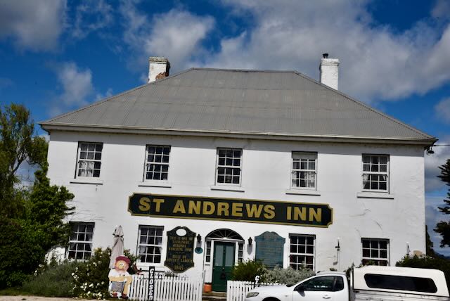
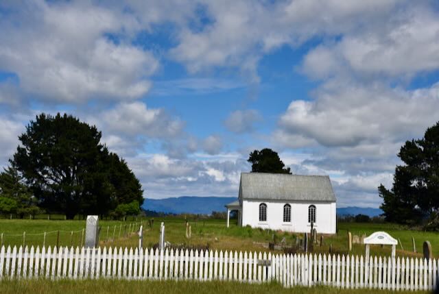
There are some historic buildings that remain in Cleveland and these including St Andrews Inn built in 1854 and the Cleveland church and historic graveyard.
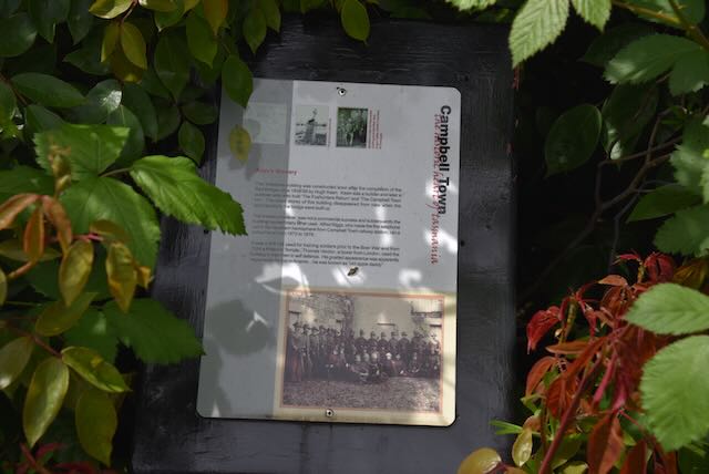
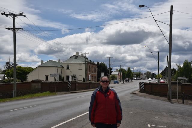
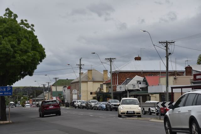
We continued south and arrived in the very historic town of Campbell Town, about 68 km south of Launceston.
The original inhabitants of the area which is now Campbell Town were the Tyerrernotepanner aboriginal people. Lachlan Macquarie, a British Army Officer and Colonial Administrator from Scotland. In 1811 whilst travelling from Hobart to Launceston, Macquarie renamed Relief Creek to Elizabeth after his wife. In 1821 Macquarie named the site of Campbell Town in honour of his wife, whose maiden name was Campbell.
Thomas Kenton was the first European settler in the area. He was a Constable, and in 1821 erected a cottage at Campbell Town. By 1823 a causeway had been erected over the river and in 1824 an Inn was opened.
As a town, Campbell Town was established in 1826. It was one of four garrison towns which linked Hobart and Launceston.
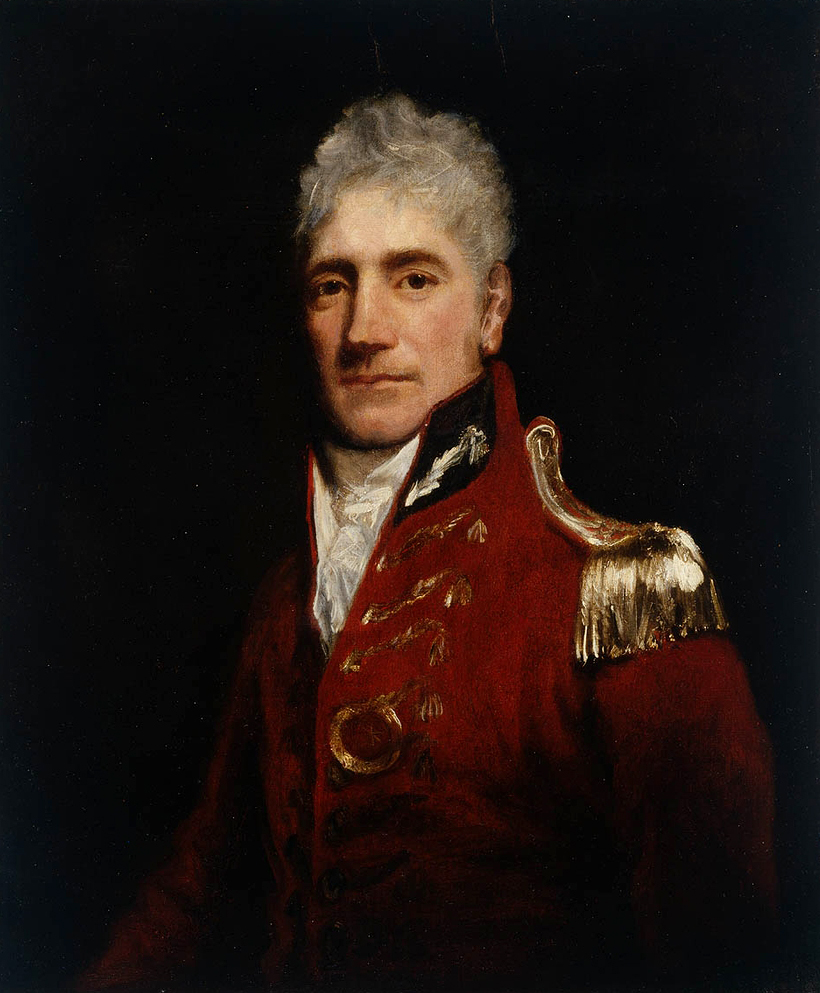
Above:- Major General Lachlan Macquarie. Image c/o Wikipedia.
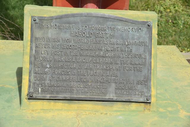
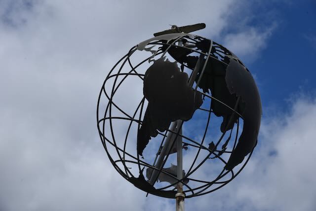
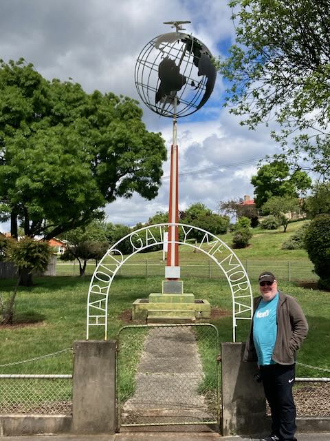
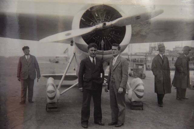
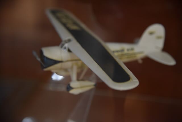
Our first stop in Campbell Town was the Harold Gatty Memorial. Harold Charles Gatty (b. 1903. d. 1957) was an Australian navigator and aviation pioneer who was born in Campbell Town. The famous Charles Lindbergh called Gatty the ‘Prince of Navigators’. He devised the ground-speed and drift indicator which formed the basis of the automatic pilot now standard equipment on most aircraft. In 1931 Gatty flew around the world with Wiley Post. This flight set the record for aerial circumnavigation of the world, flying a distance of 15,747 miles (24,903 km) in a Lockheed Vega named the Winnie Mae, in 8 days, 15 hours and 51 minutes. In 1951 he founded Pacific Airways Ltd in Fiji.
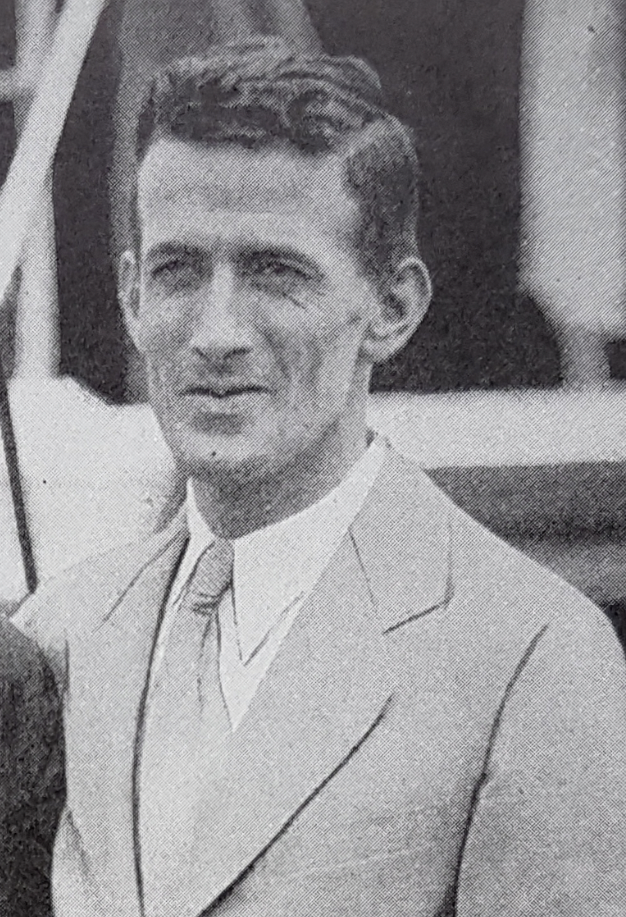
Above:- Harold Gatty. Image c/o Wikipedia.
The monument which is located on the corner of the Midland Highway and Pedder Street commemorates the life of Gatty who I had not heard of prior to my visit to Campbell Town.
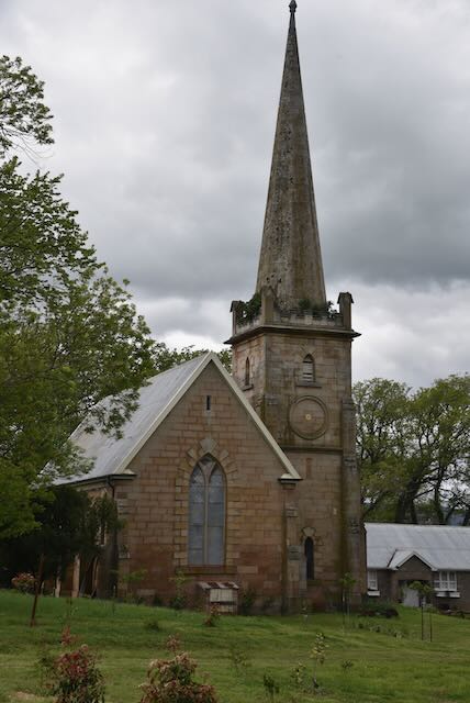
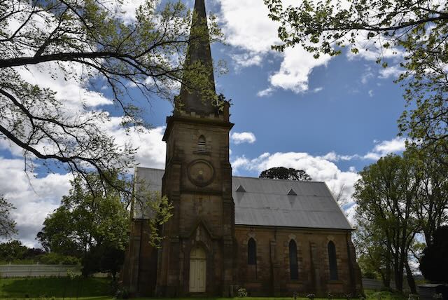
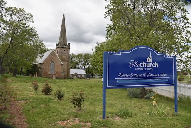
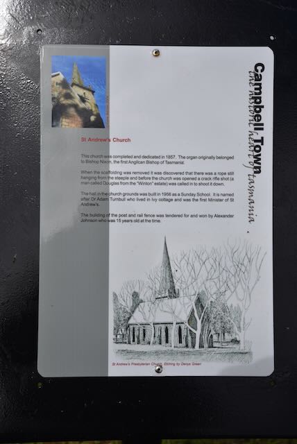
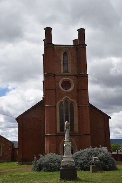
We then had a look at St Andrews Church which was completed and dedicated in 1857. Following its construction when the scaffolding was removed it was found that there was still a rope hanging from the steeple. Before the opening of the church a ‘crack rifle shot’ was called in to shoot it down. The church contains an organ and desk that belonged to Bishop Nixon, first Anglican Bishop of Tasmania.
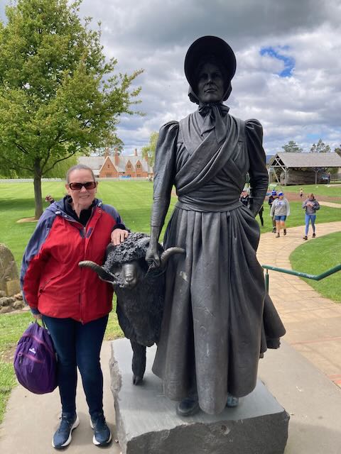
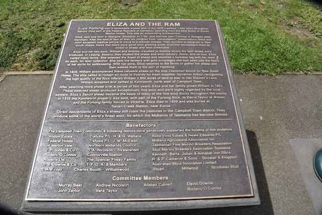
We then drove to Valentine Park in Campbell Town and viewed the Eliza and the Ram monument.
Eliza Forlong (b. 1784. d. 1859) was a founder of the super-fine wool industry in Tasmania. In 1804 she married John Forlong who was a Glasgow wine merchant. They had six children, but by the mid 1820s four of their six children had died from tuberculosis. A decision was made that they would move to a warmer climate in Australia.
They were aware that the fine wool from Merino sheep in Saxony were bringing high prices and they travelled to Leipzig to study methods of sheep rearing and wool preparation. Between 1828 and 1830 Eliza Forlong walked through Saxony purchasing sheep and drove them to Hamburg. She walked about 1,500 miles across Saxony.
In 1829 her 16 year old son William emigrated to Australia aboard the Clansman with seven rams and ninety ewes. He was bound for New South Wales, but the Clansman stopped at Hobart Town on the way where Governor Arthur who recognised the high quality of the flock, persuaded William Forlong to take up a large grant of land consisting of 2,600 acres near Campbell Town.
In 1831 Eliza and John and their son Andrew, together with the remainder of the sheep, emigrated to Australia aboard the Czar. Their Saxon sheep became the basis of many of the fine wool flocks throughout the new colony of Australia.
From Valentine Park you can also view The Grange, originally the home of Dr. William Valentine and built in 1847. Valentine Park is named in his honour. In 1839 Valentine emigrated to Van Dieman’s Land from Somerset England. He took over the position of Doctor in Campbell Town and helped establish the first public hospital. He was a lay preacher at the Anglican church and played a role in the building of St Luke’s Sunday School. He set up a reading room, Turkish baths and a library.
Also in Valentine Park is a sundial built in 2004 to commemorate the transit of the planet Venus across the face of the sun. The event was observed at The Grange by scientists from the United States Naval Observatory in 1874.
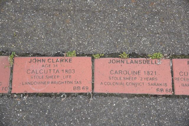
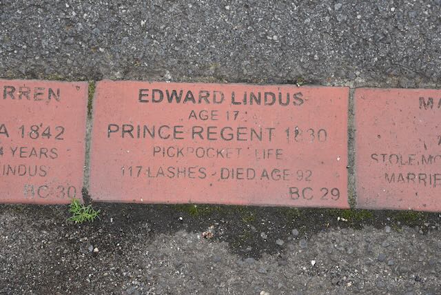
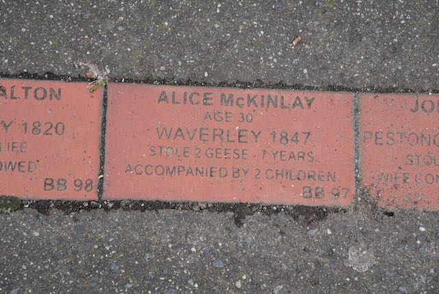
We also viewed the Convict Brick Trail which is dedicated to the nearly 200,000 convicts who were transported to Australia for almost 100 years from 1788 onwards.
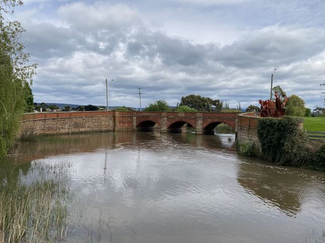
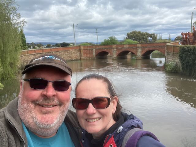
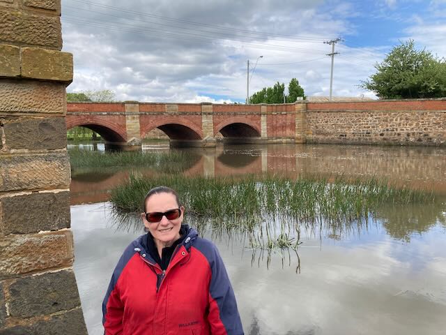
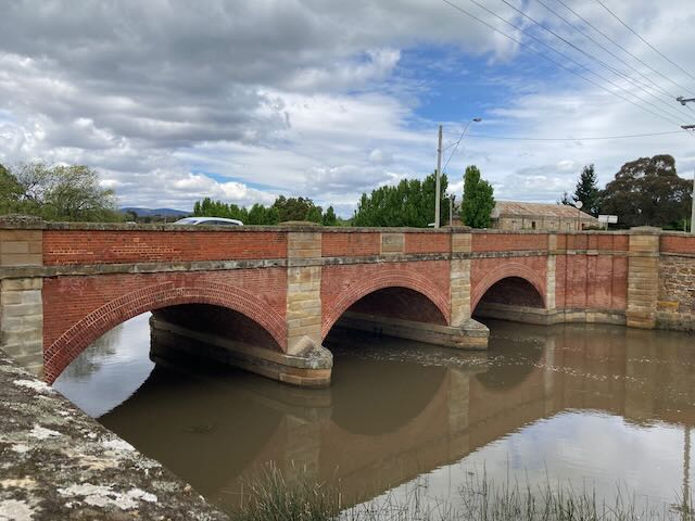
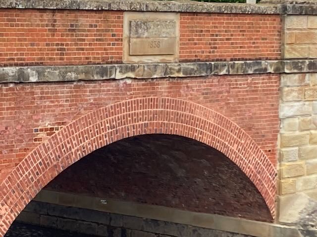
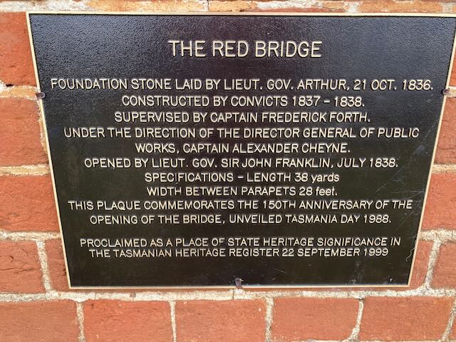
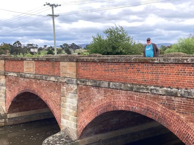
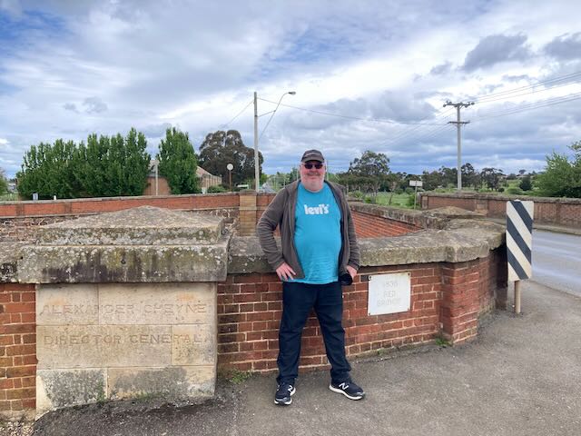
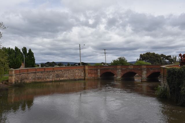
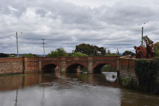
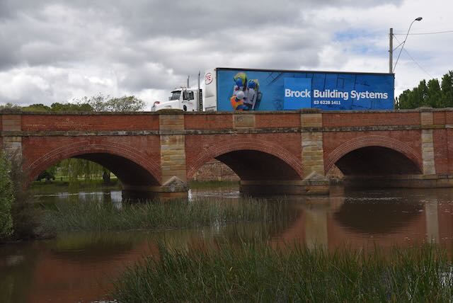
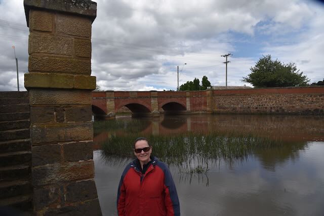
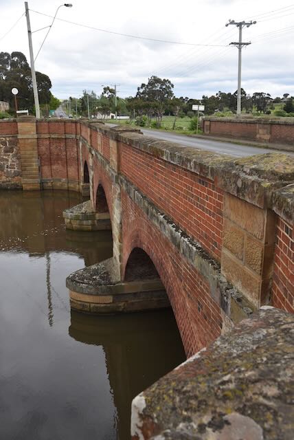
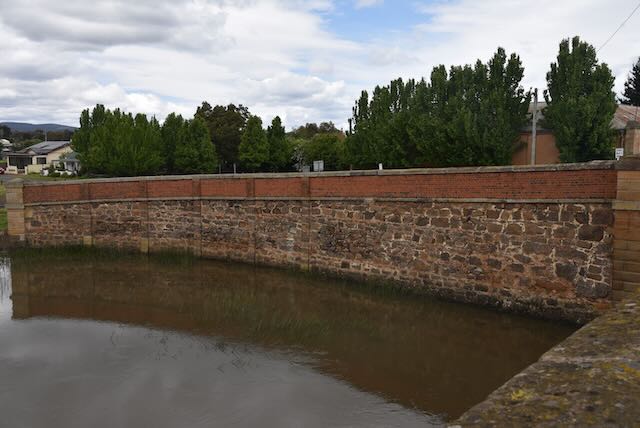
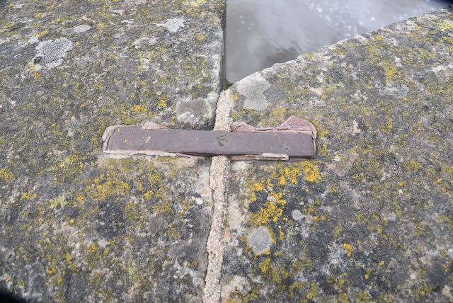
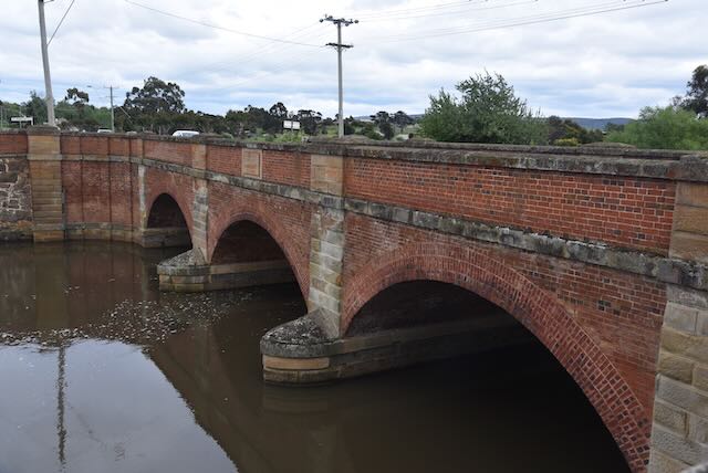
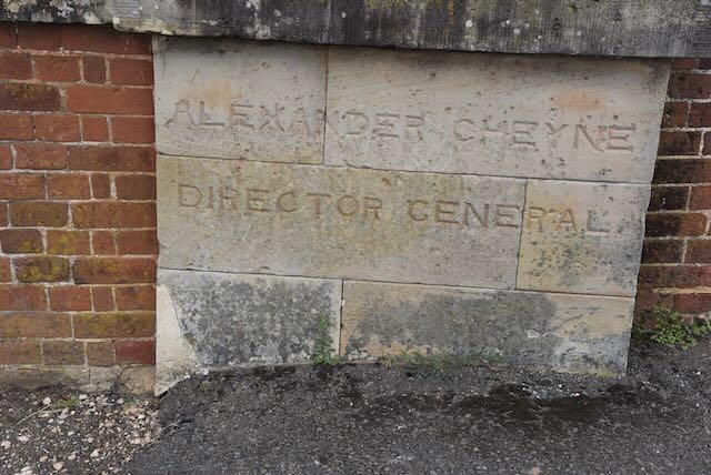
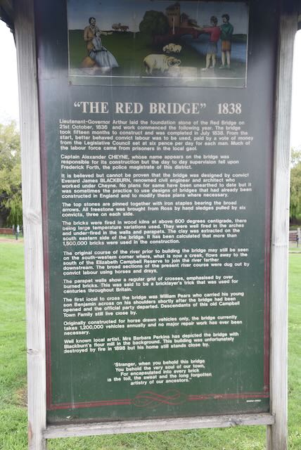
We then visited the famous Red Bridge which crosses the Elizabeth River at Campbell Town. The bridge was constructed in 1838 using convict labour. It is the oldest surviving brick arch bridge in Australia. It contains three arch spans of 7.6 m (25 ft) each and holds two lanes of traffic as well as pedestrian walkways. It carries over two million vehicles per year.
The bridge was designed by James Blackburn (b. 1803. d. 1854), an English civil Engineer, surveyor, architect, and convict who had been transported to Australia after being sentenced for Forgery. The bridge was constructed of 1,250,000 handmade bricks on dry land, and after its completion the river was diverted to flow under the bridge.
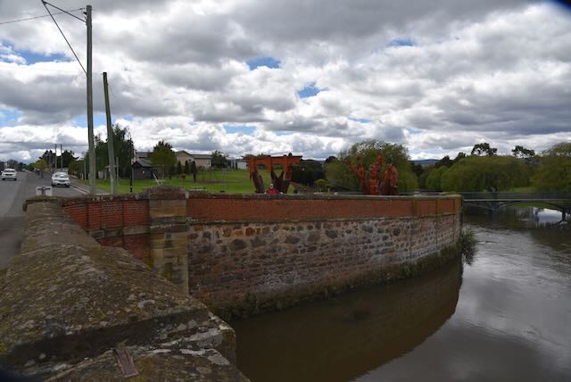
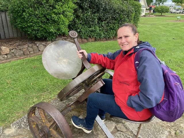
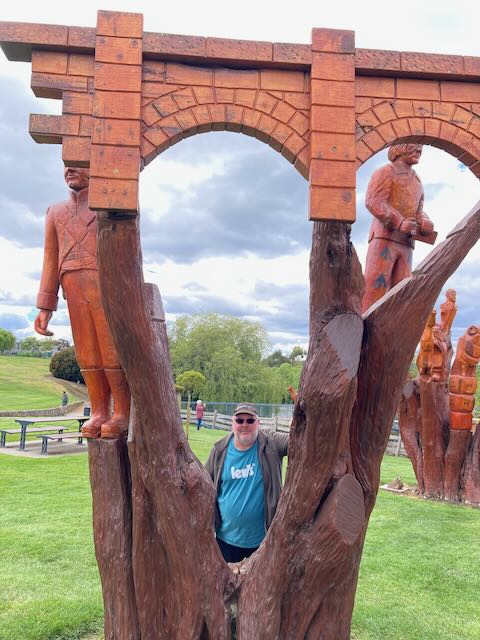
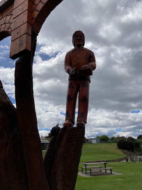
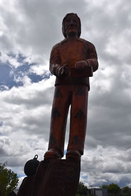
Adjacent to the bridge in Blackburn Park are a number of wooden sculptures. They are the creation of Campbell Town’s chainsaw sculptor, Eddie Freeman. They were created using 80 year old pine trees.
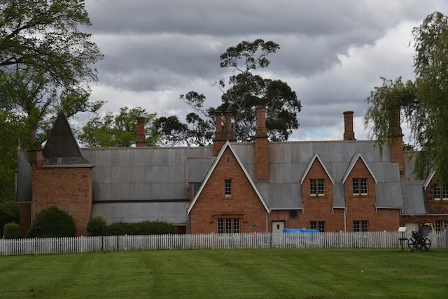
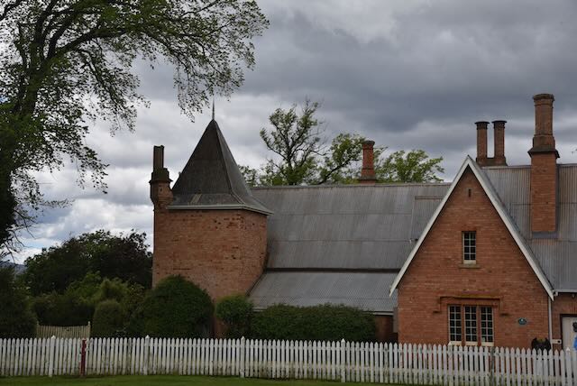
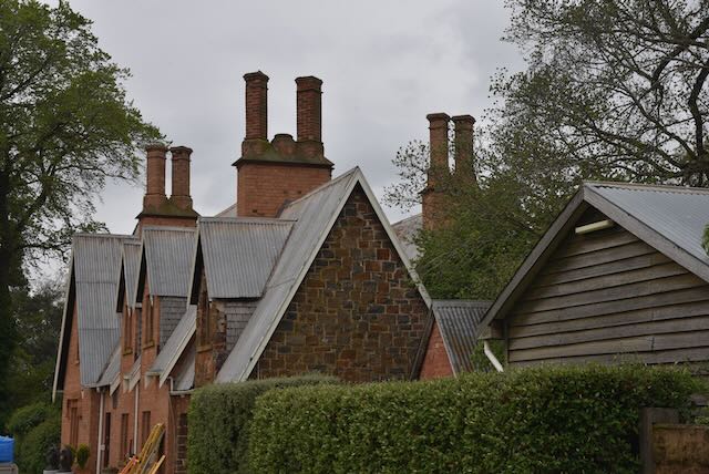
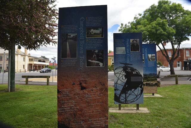
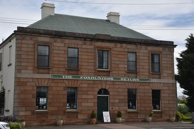
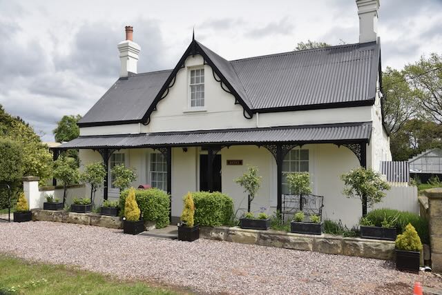
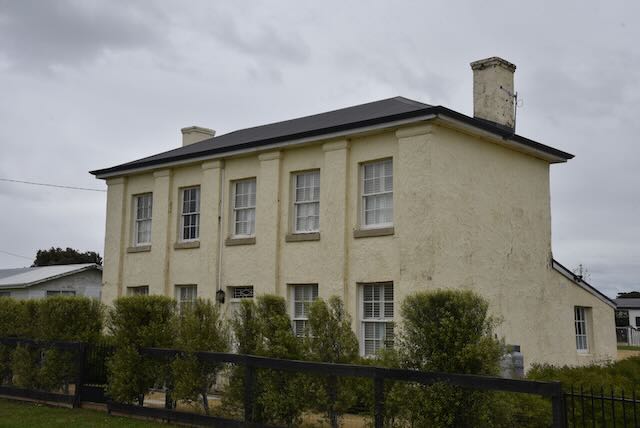
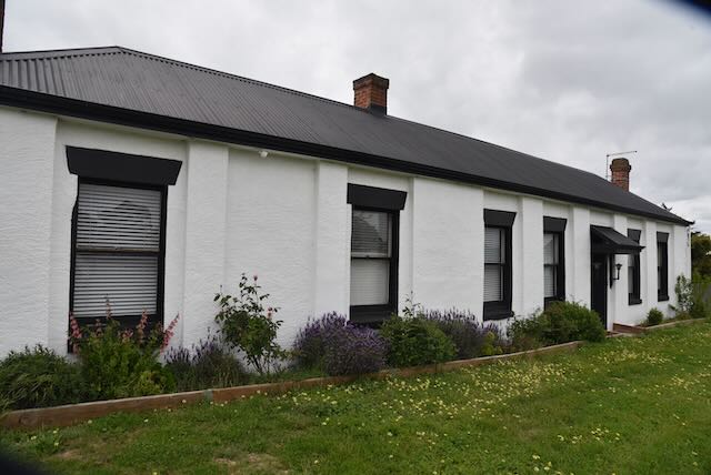
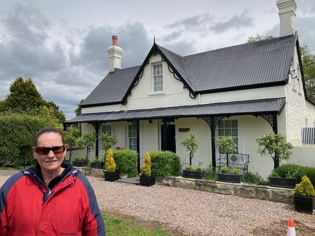
We then drove around the town to admire the numerous historic heritage buildings.
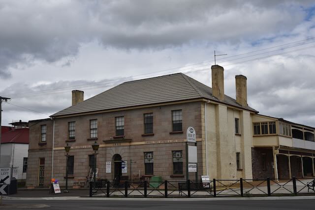
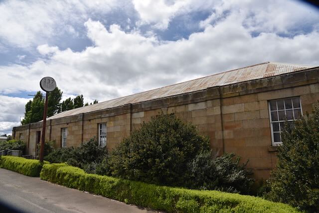
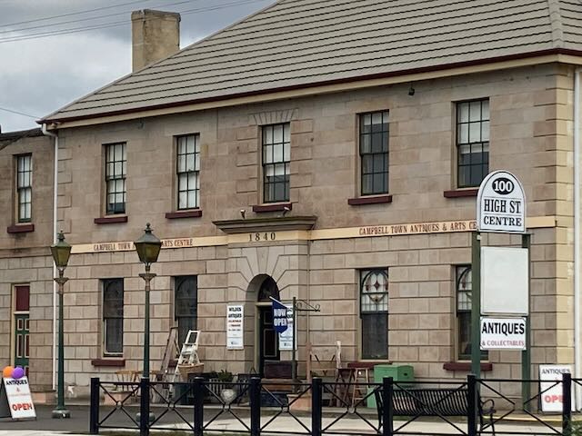
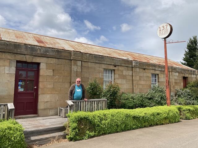
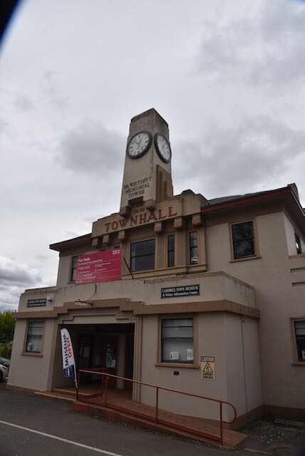
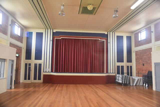
We also stopped off briefly at the Campbell Town Museum and Visitor Information Centre which is located in the old Town Hall. It contains a large amount of local history of the Midlands area of Tasmania.
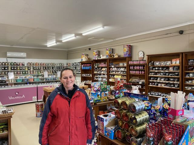
Just a short distance away is A Little Piece of Heaven, a lolly shop, which we visited of course.
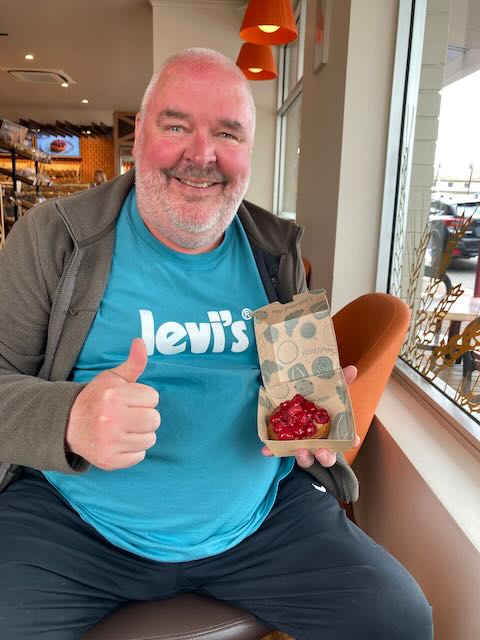
We then had a late lunch at one of the local cafes in Campbell Town.
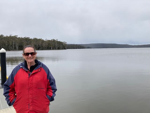
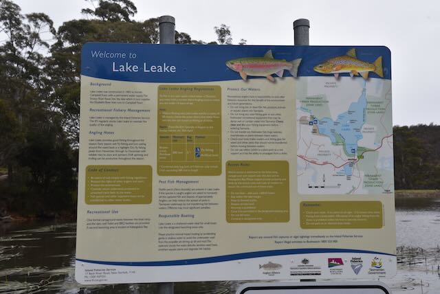
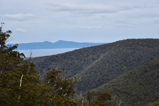
We then continued on our journey, leaving the Midland Highway and taking the Lake Leake Highway. We stopped briefly to have a look at Lake Leake, a man made water storage reservoir which can hold 22.076 gigalitres (779,600,000 cu ft) of water. The lake was named after Charles Henry Leake, a member of the Tasmanian Legislative Council.
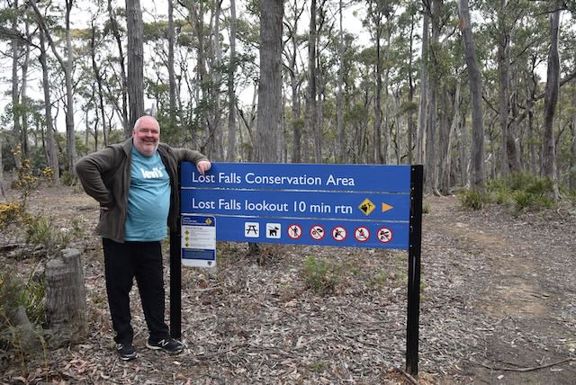
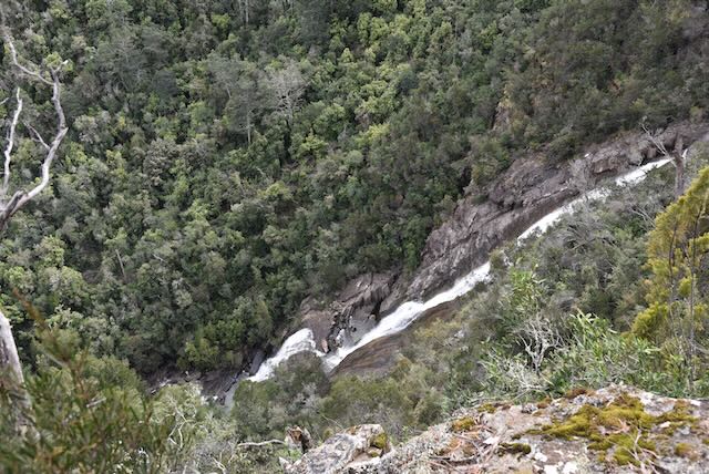
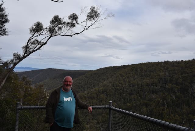
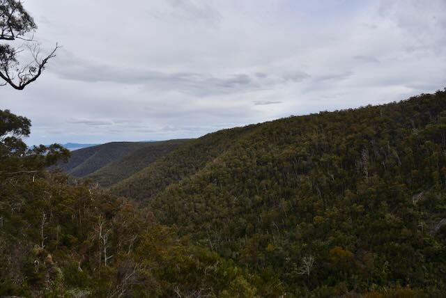
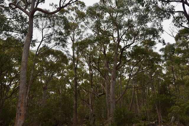
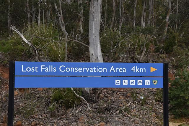
We then drove out to Lost Falls Conservation Area VKFF-2908 for a park activation for the World Wide Flora Fauna (WWFF) program.
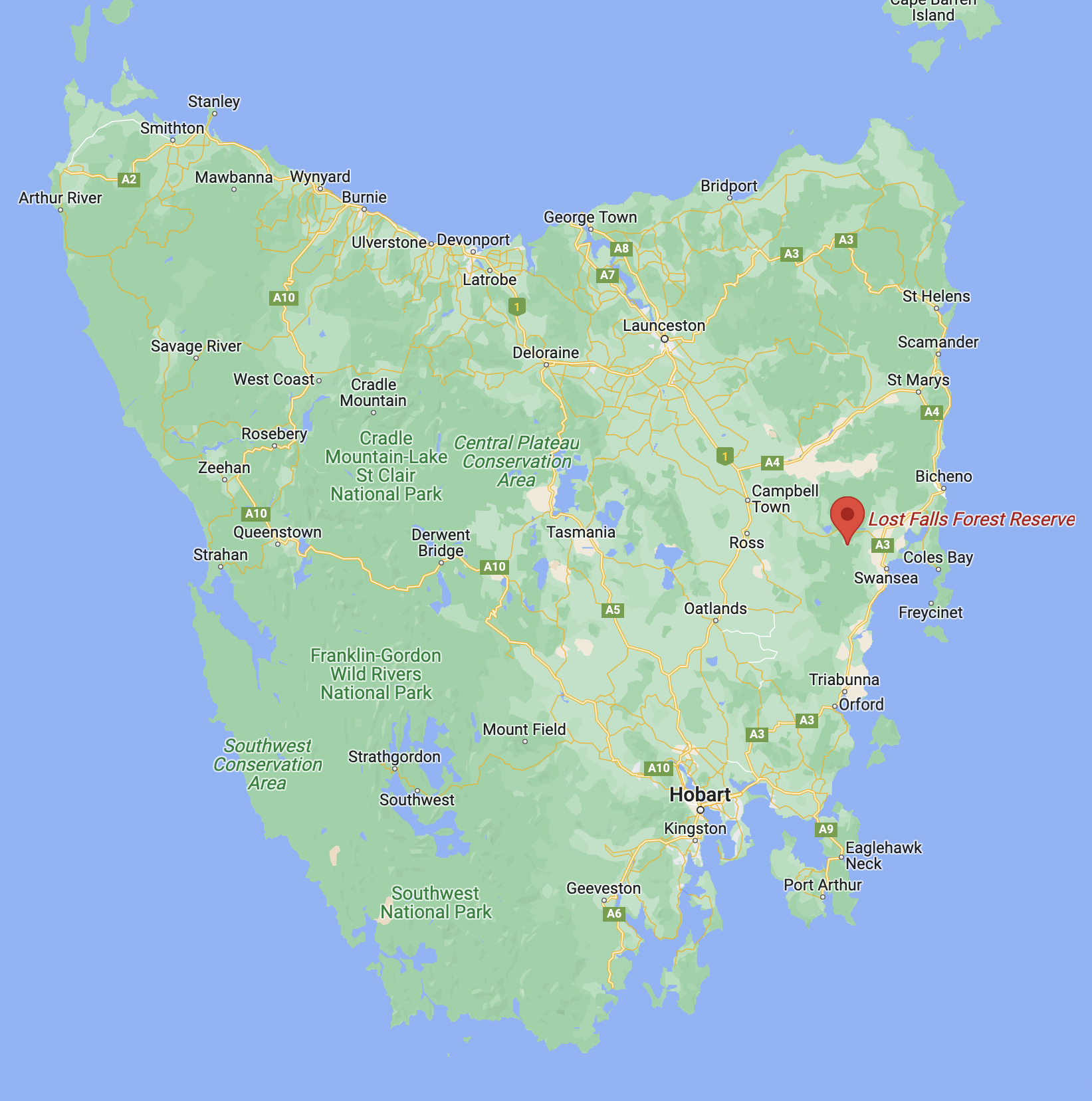
Above:- Map of Tasmania showing the location of Lost Falls. Map c/o Google maps.
The park also appears on some maps as the Lost Falls Forest Reserve.
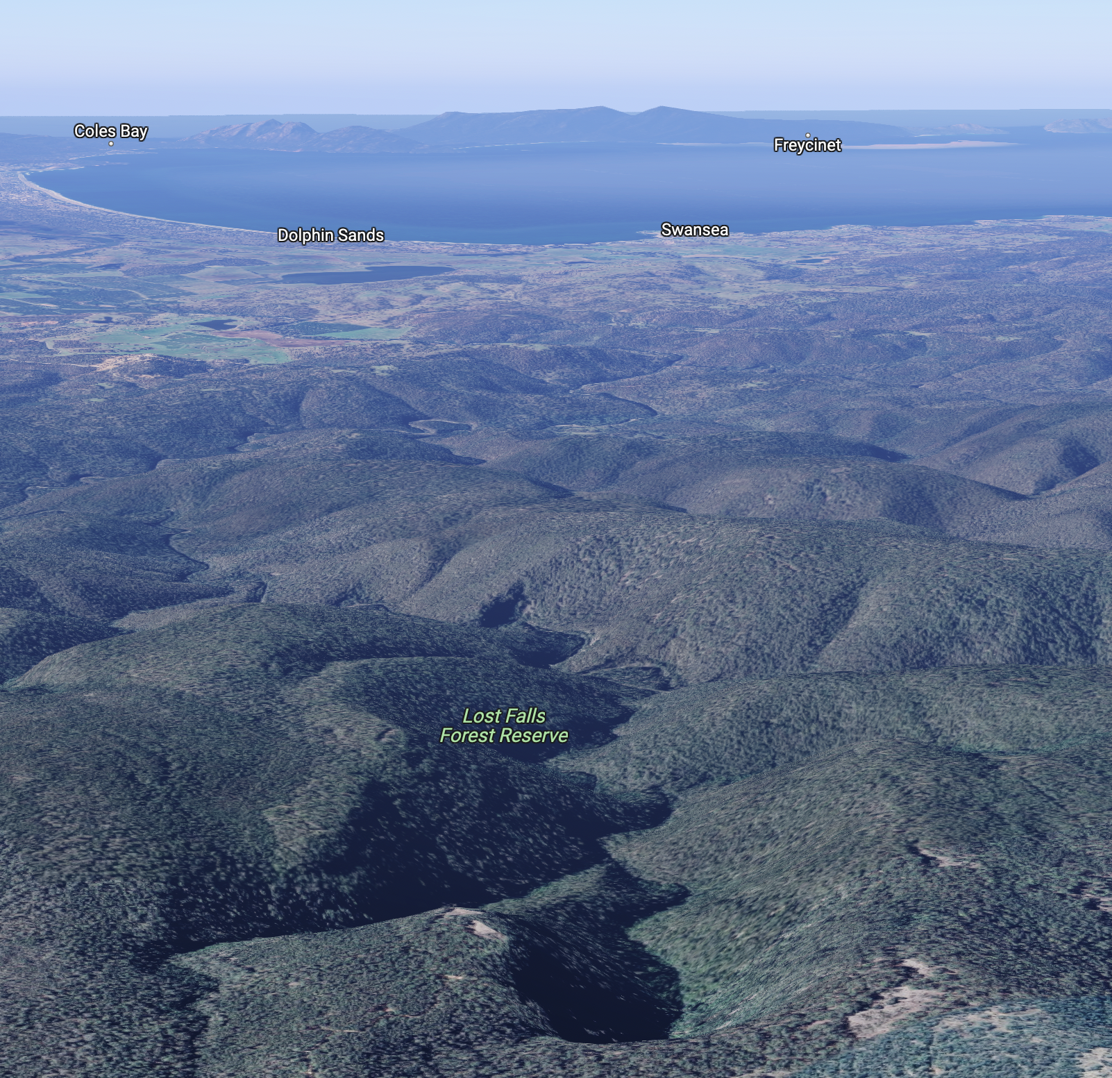
Above:- An aerial view of Lost Falls. Image c/o Google maps.
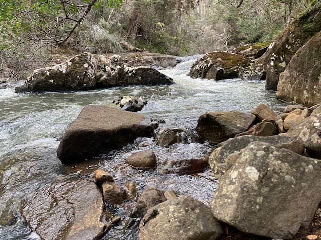
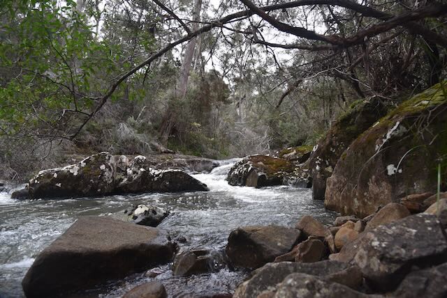
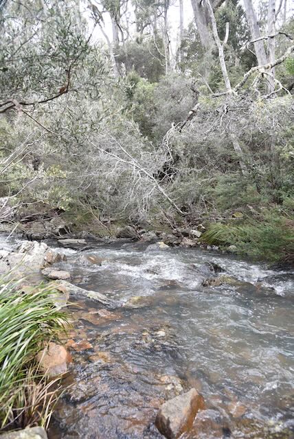
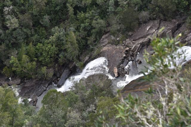
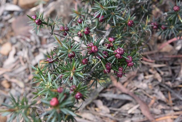
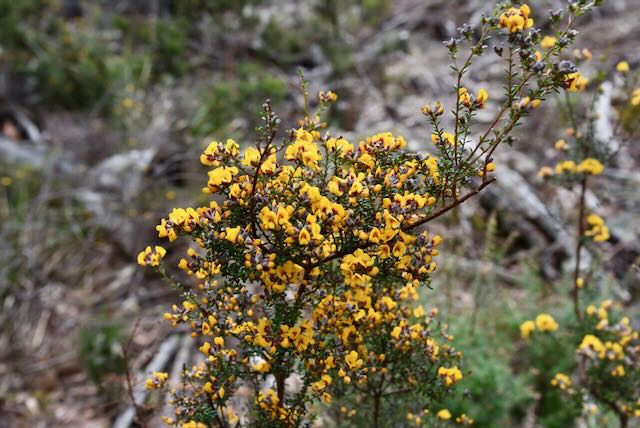
Lost Falls Conservation Area is about 486 hectares in size. The park contains Lost Falls, a seasonal waterfall on Last Falls Creek. It is often dry, relying on heavy rain and snow meltage. Due to the recent heavy rain, the Creek and waterfall were flowing well during our visit.
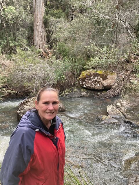
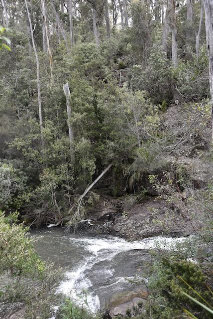
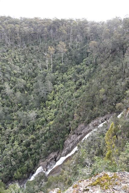
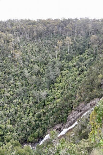
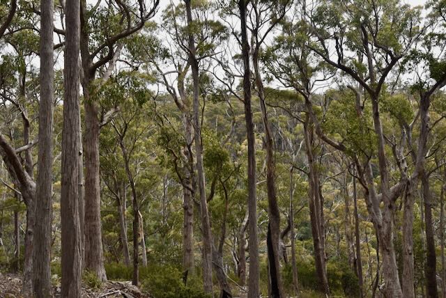
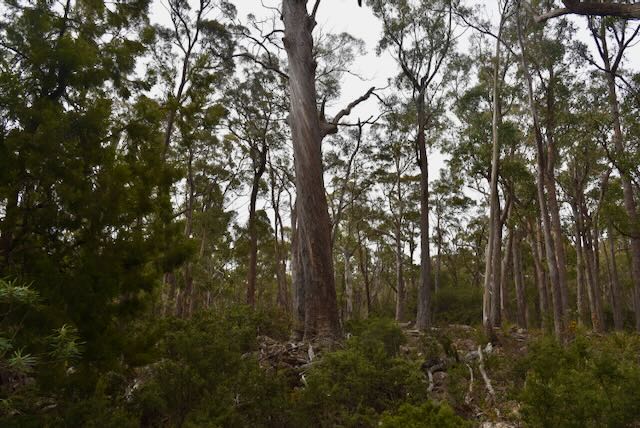
We followed Crossins Road to the campground in the park.
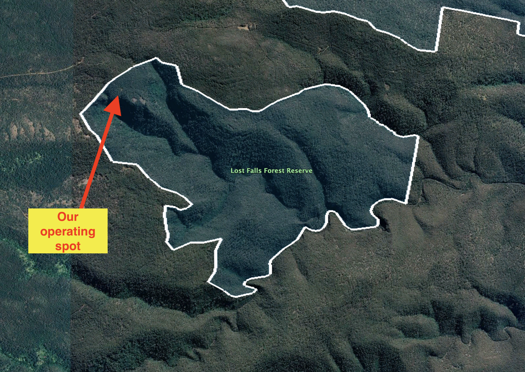
Above:- An aerial view of the park showing our operating spot. Image c/o Google Earth
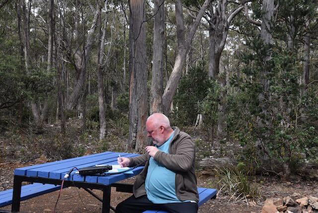
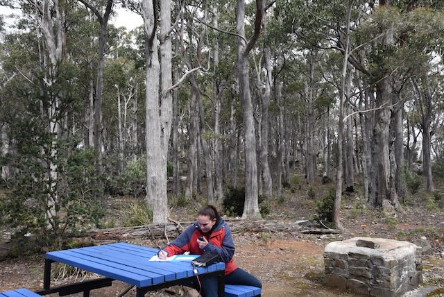
We ran the Yaesu FT857d, 40 watts output and the 20/40/80m linked dipole for this activation.
Unfortunately I only made 30 contacts in about 30 minutes and did not reach the 44 QSOs as we were really running short of time. However, Marija and I both qualified the park for the VKFF program with 10 QSOs.
Marija made the following QSOs on 40m SSB:-
- VK3PF
- VK3SMW
- VK3VIN
- VK3SQ
- VK3PMC
- VK2VH’VK4AAC
- VK2AX
- VK2YW
- VK5IS
- VK7AN
I made the following QSOs on 40m SSB:-
- VK3PF
- VK3SMW
- VK3VIN
- VK3SQ
- VK3PMC
- VK2VH
- VK4AAC
- VK2AX
- VK2YW
- VK5IS
- VK7AN
- VK1TTY
- VK3PRG
- VK7HAM
- VK2NP
- VK3MTT
- VK2MET
- VK1AO
- VK3DCQ
- VK2IO
- VK3NP
- VK7OT
- VK3APJ
I made the following QSOs on 20m SSB:-
- VK4HAT
- VK4NH
- VK4DXA
- VK4TJ
- VK4KC
- VK4MAD
- VK4DOG
References.
- Encyclopedia of Australian Ascience and Innovation, 2022, <https://www.eoas.info/biogs/P001570b.htm>, viewed 17th December 2022.
- Find a Grave, 2022, <https://www.findagrave.com/memorial/136720185/harold-charles-gatty>, viewed 17th December 2022.
- Monument Australia, 2022, <https://monumentaustralia.org.au/themes/people/industry/display/99815-eliza-and-the-ram>, viewed 17th December 2022.
- Our Tasmania, 2022, <https://www.ourtasmania.com.au/launceston/campbell-town.html>, viewed 17th December 2022.
- Tasmanian Convict Trail, 2022, <https://www.tasmanian-convict-trail.com/cleveland-7211/>, viewed 17th December 2022.
- Waterfalls of Tasmania, 2022, <https://waterfallsoftasmania.com.au/>, viewed 17th December 2022.
- Where in Tasmania, 2003, Dennison C.J.
- Wikipedia, 2022, <https://en.wikipedia.org/wiki/Harold_Gatty>, viewed 17th December 2022.
- Wikipedia, 2022, <https://en.wikipedia.org/wiki/Eliza_Forlonge>, viewed 17th December 2022.
- Wikipedia, 2022, <https://en.wikipedia.org/wiki/Red_Bridge_(Tasmania)>, viewed 17th December 2022.
- Wikipedia, 2022, <https://en.wikipedia.org/wiki/James_Blackburn_(architect)>, viewed 17th December 2022.
- Wikipedia, 2022, <https://en.wikipedia.org/wiki/Lake_Leake,_Tasmania>, viewed 17th December 2022.
