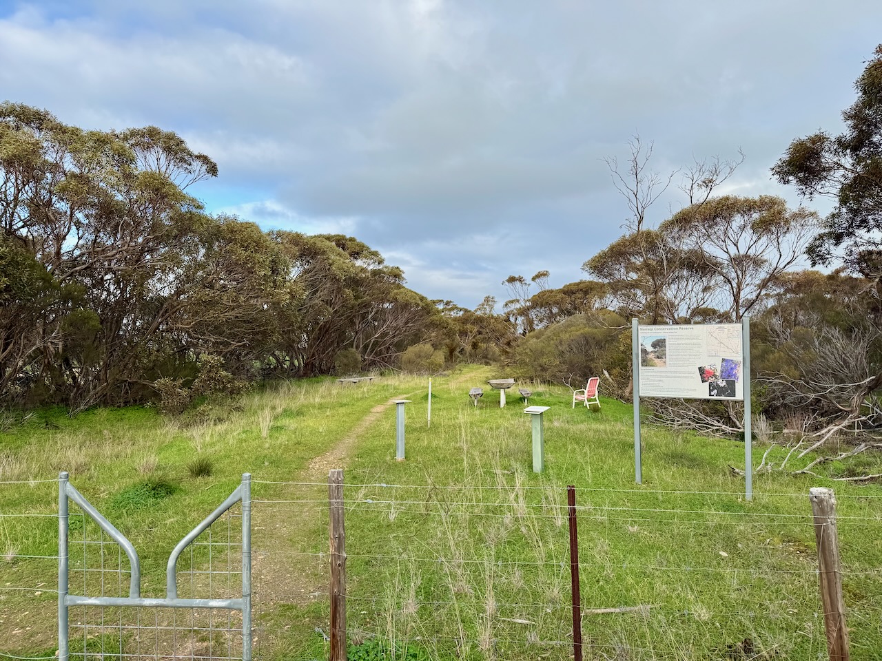
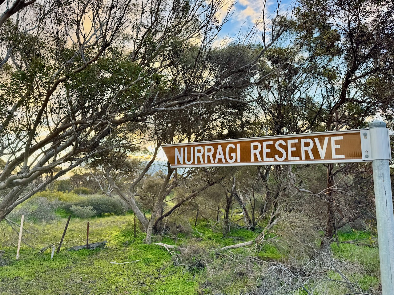
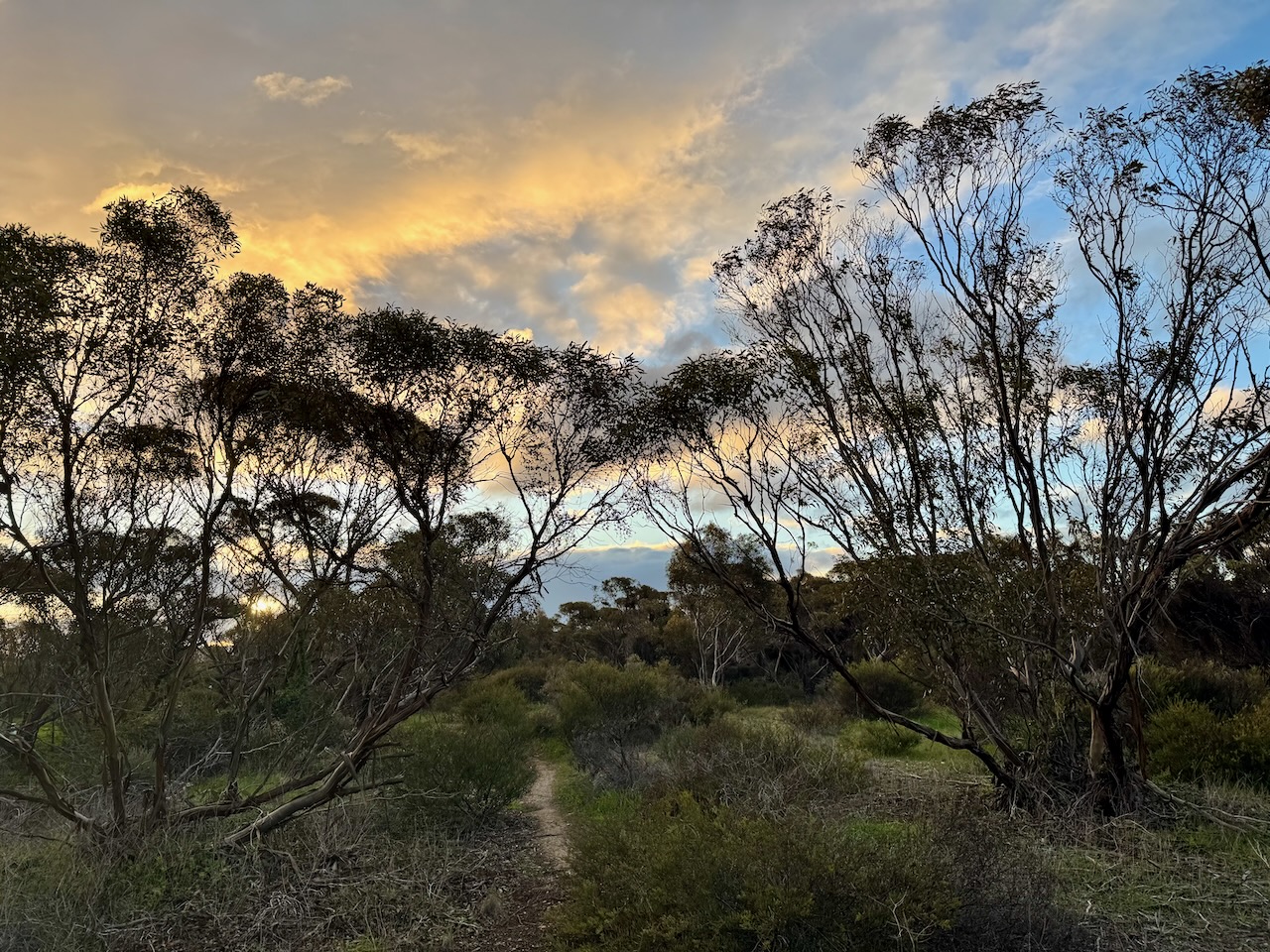
On Sunday, 27th July 2025, Marija VK5MAZ and I headed out to activate the Nurragi Conservation Reserve VKFF-2247 for National Tree Day.
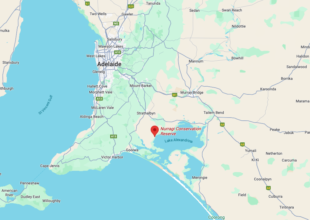
Above:- Map showing the location of the Nurragi Conservation Reserve. Map c/o Google Maps.
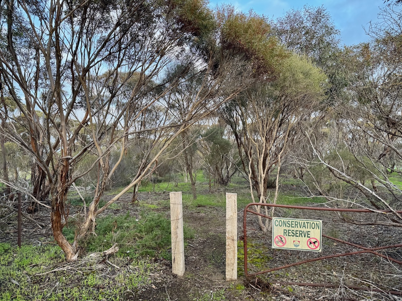
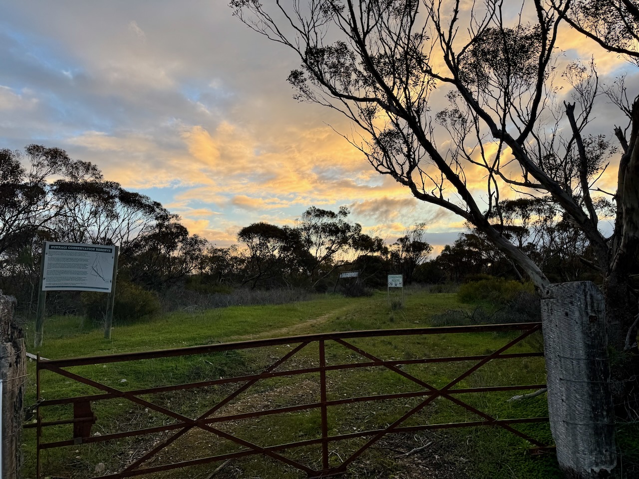
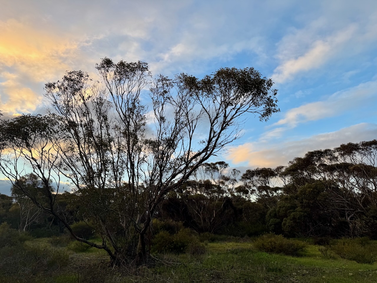
The Nurragi Conservation Reserve is the former Milang railway branch line. It is protected by a native vegetation heritage agreement was was declared in 1991. Nurragi is an Aboriginal word meaning scrub. The reserve preserves a corridor of native scrub in a region where more than 98% of the land has been cleared. (Wikipedia 2025)
Above: The Nurragi Conservation Reserve. Image c.o Wikipedia.
More than 300 native plant species have been recorded in the reserve. A total of 50 of those are of particular conservation significance. The Friends of Nurragi Association and local primary school children have been responsible for significant planting in the reserve of native flora to the Milang Scrub. This includes Aboriginal food plants such as muntries, quandongs and native currants. (Wikipedia 2025)
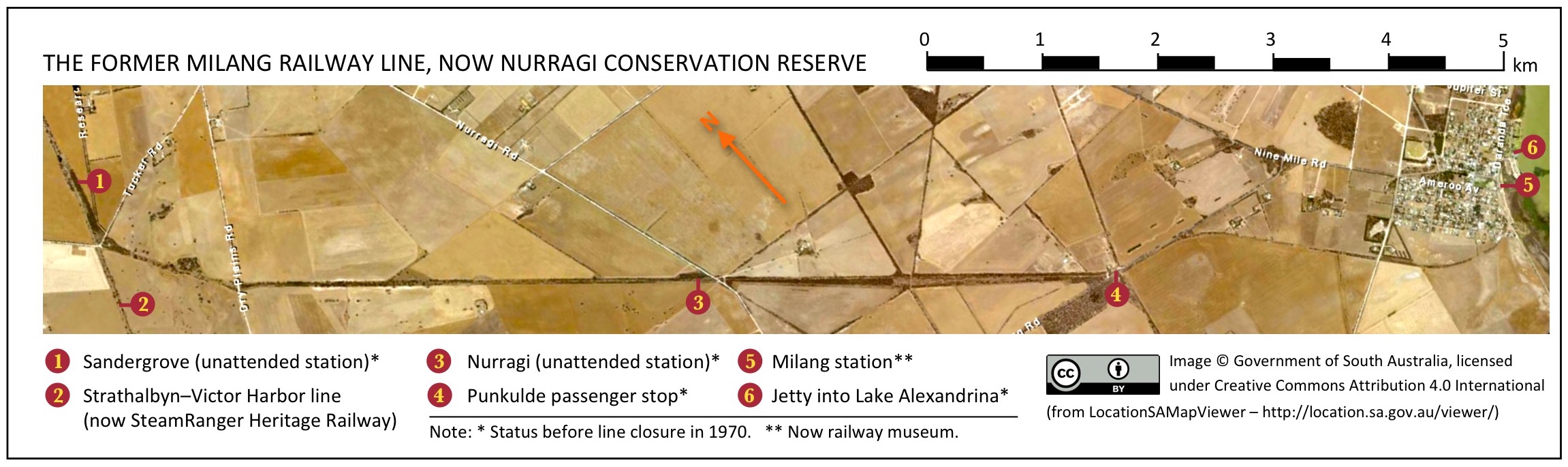
The Milang railway line was a branch line of the main Victor Habror railway line. The Milang line branched off at Sandergrove, about 9 km south of Strathalbyn. The line proceeded from there in a southeast direction for about 13.1 km to the riverport of Milang, located on Lake Alexandrina. The Milang line was opened on the 17th day of December 1884 and was closed on the 17th day of June 1970. (Wikipedia 2025)
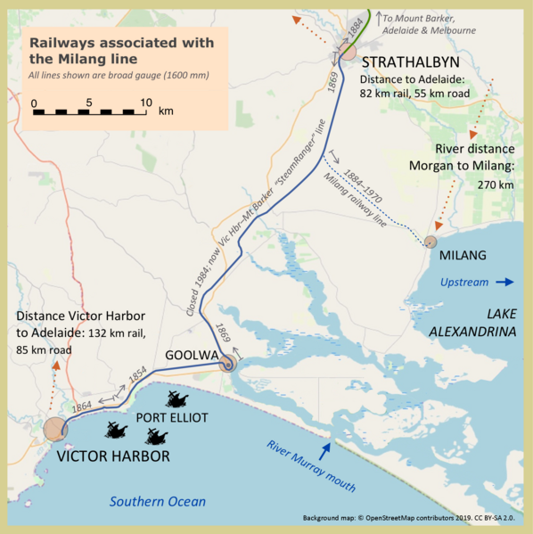
Above: Railway lines associated with the Milang line. Image c/o Wikipedia.
By 1880, a Select Committee was appointed by the South Australian parliament to investigate the building of a connecting line from Strathalbyn to the main Adelaide-Melbourne line, which at that time was under construction. One of the committee members was Mr. Albert Henry Landseeer. He was a prominent and highly respected Member of Parliament and had founded Milang in 1856. (Wikipedia 2025)
Landseer had businesses in the Milang area, including flour milling, ownership of river steamers and barges, wool warehousing and a paddle steamer agent. Landseer ensured that the committee heard evidence supporting a branch line to Milang. (Milang 2025) (Wikipedia 2025)

Above: Albert Henry Landseer. Image c/o Wikipedia
In November 1881, assent was granted to an Act – short title The Mount Barker and Strathalbyn Railway Act, which authorised a link to Mount Barker and also the branch line from Sandergrove to Milang that Landseer had been seeking. (Milang 2025) Wikipedia 2025)
The Southern Argus newspaper reported:
“The country around Milang-what is known as the Murray scrub-is exceedingly well adapted for the growth of wheat, and it has moreover an advantage which the north has not – a regular rainfall. The branch to Milang will certainly help the development of this valuable country.” (Trove 2025)
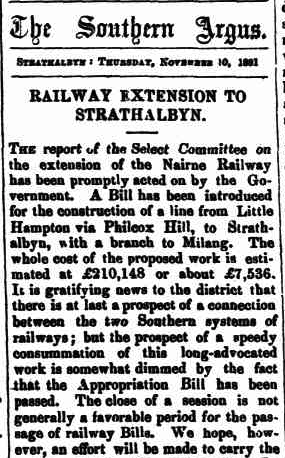
Above: Part of an article from the Southern Argus, Thu 10 Nov 1881. Image c/o Trove
In April 1882, tenders were called for the building of the line. Walker and Swann were awarded the contract for both of the lines, and official contract papers were signed in June 1882. The contract price was £143,678 for the main line (20 per cent lower than the survey estimate of £155,000) and £25,600 for the branch line. (Milang 2025) (Wikipedia 2025)
In November 1883, a total of 500 men commenced building the main line from Mount Barker junction via Philcox Hill to Strathalbyn. It was completed in September 1884. The first load of wool was consigned from Mr A. McFarlane’s property at Milang to A.H. Landseer’s store at Port Adelaide. (Wikipedia 2025)

Above: Article from the South Australian Register, Tue 16 Sept 1884. Image c/o Trove.
By late August 1884, the railway workforce transferred en masse to the Milang branch, on which earthworks had been completed. All that was required was the laying of the rails and steel sleepers, and the laying of ballast. Three months later, the branch line opened on the 17th day of December 1884. There was no official ceremony; however, the public was given free rides with the permission of the Commissioner of Public Works. A special train was organised by the line’s engineer, Mr. J. Reed, and this brought invited guests from Strathalbyn, stopping almost halfway between Sandergrove and Milang for a picnic in the scrub. This was followed by entertainment at Milang’s Institute Hall. When the line was opened, the Southern Argus newspaper referred to the line as ‘Landseer’s line.’ (Milang 2025) (Wikipedia 2025)

Above:- Article from the Southern Argus, Thu 4 Dec 1884. Image c/o Trove
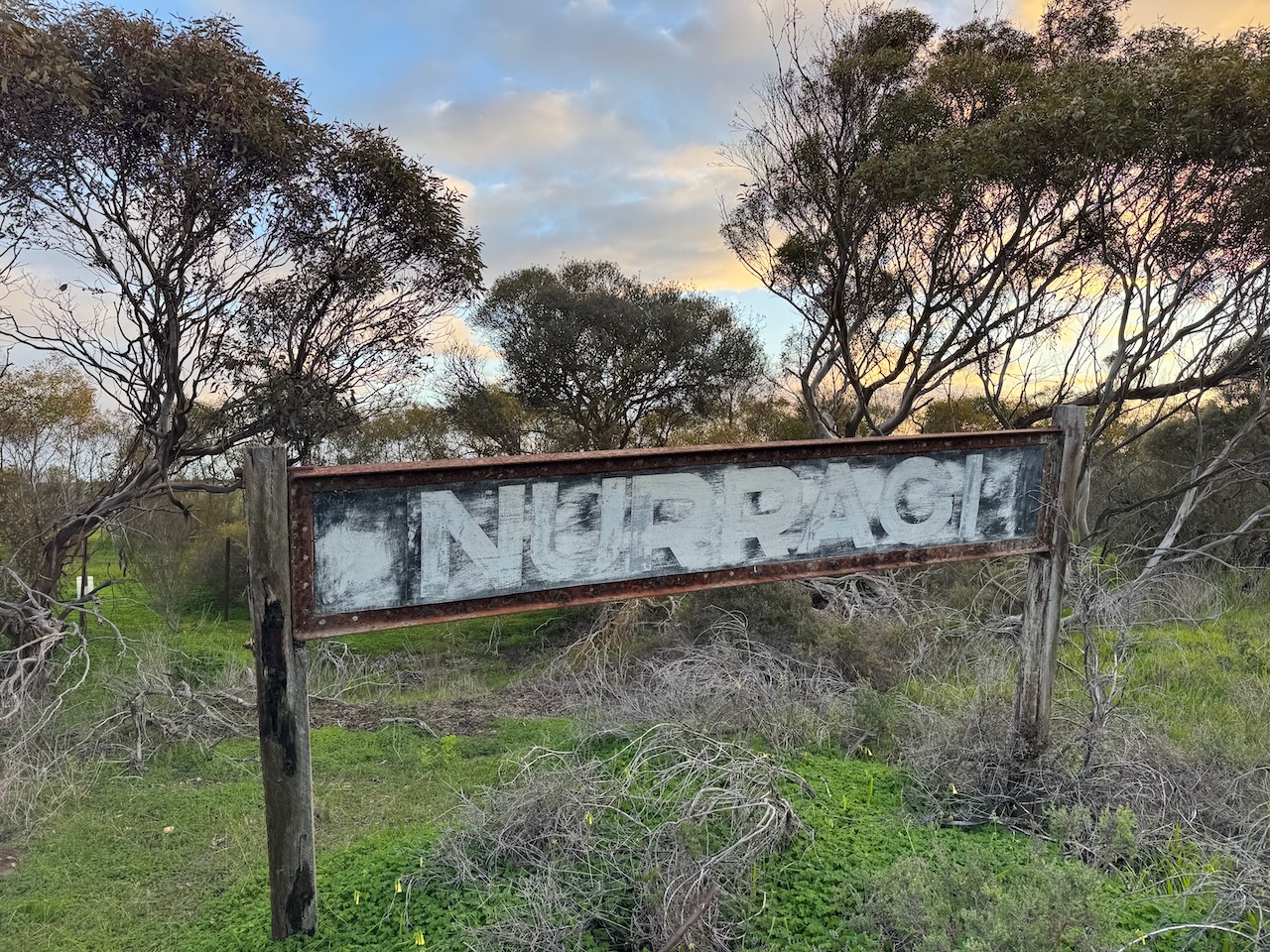
The facilities on the branch line to Milang were minimal. At Sandergrove junction, there was a platform and a small shed. At the intermediate station Nurragi, there was a very short platform and a passing loop about 70 metres long. At Punkulde, there was a passenger stopping point where the Finniss to Milang road crossed the line. (Milang 2025) (Wikipedia 2025)

Above: The port of Milang, c. 1900. Image c/o Wikipedia.
In the early years of the Milang branch line, there was a steady flow of wool and supplies up and down the Murray River. By 1929, road transportation was deregulated, and traffic along the branch line declined. By 1931, the South Australian Railways was asked by the Transport Control Board to provide a report on the estimated savings to be made by the closure of unprofitable railway lines. This included the Milang line, however, closure was averted. (Wikipedia 2025)
A mixture of steam-hauled freight and passenger trains operated on the line from Strathalbyn until 1925. At that time, a new Brill Model 55 railcar commenced running daily between Adelaide and Milang. A goods train also worked the line several times from Strathalbyn. By the late 1930s, a larger Brill Model 75 railcar worked along the line, along with a weekly locomotive-hauled train. (Milang 2025) (Wikipedia 2025)

Above: A model 75 railcar on the Milang line near Nurragi. Image c/o Phillip G. Curnow, Wikipedia
In May 1968, it was announced that railway passenger services would be cancelled, expected to save the State Government $1,000,000 per year. This included a cancellation of the Adelaide to Victor Harbor line and the Milang line. The Government quoted official figures that both lines carried 23 passengers per train, mainly at weekends. There was a call for protests following this announcement. The last timetabled passenger service was run on the 30th day of November 1968. (Milang 2025) (Trove 2025) (Wikipedia 2025)

Above: Article from the Victor Harbour Times, Fri 10 May 1968. Image c/o Trove.
In 1969, an enquiry was conducted by the Transport Control Board, and this recommended the closure of the lines south of Strathalbyn. Public meetings were held to hear evidence from interested persons. This was followed by a recommendation by the Parliamentary Standing Committee that an attempt be made to reinvigorate freight traffic in preference to the closure of the main Victor Harbor railway line. (Trove 2025) (Wikipedia 2025)
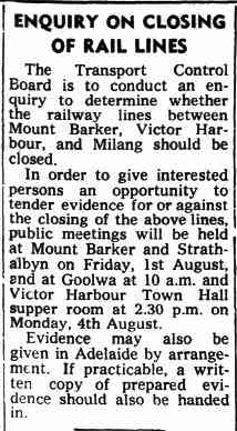
Above: Article from the Victor Harbour Times, Fri 25 Jul 1969. Image c/o Wikipedia
In June 1970, a special train was chartered to travel on the Sanderston to Milang line. Four coaches travelled from Adelaide to Strathalbyn with 300 passengers, with a further coach added at Strathalbyn to permit 50 more passengers. Over 100 cars were at the Milang railway station to see the train arrive. Mr. J.J. Whicker, the President of the Railway Historical Society, was one of the passengers. (Trove)(Wikipedia 2025)
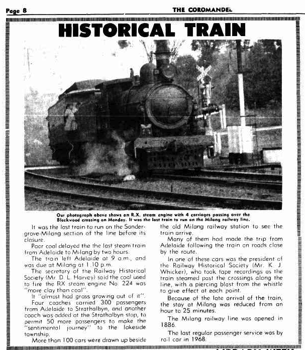
Above: Article from The Coromandel, Thu 18 Jun 1970. Image c/o Trove
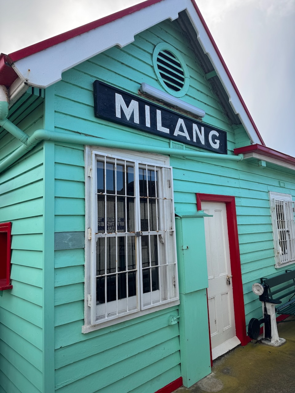
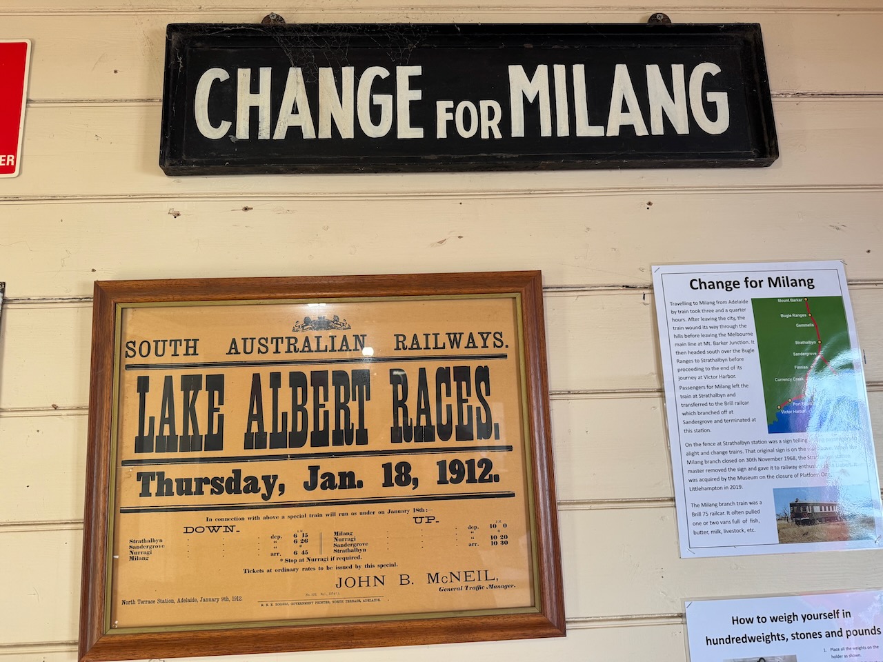
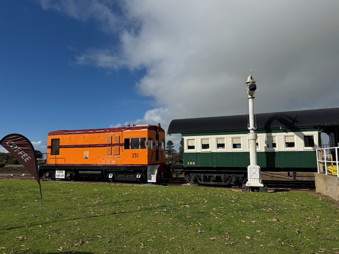
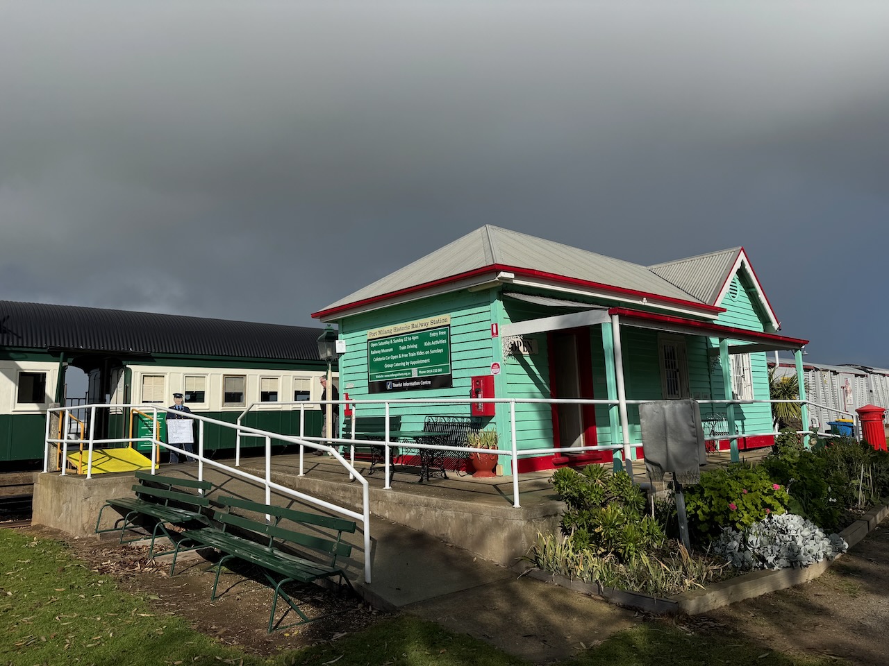
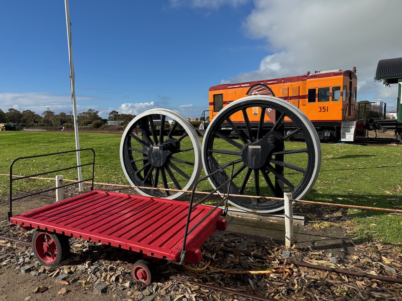
In October 1992, the Port Milang Historic Railway Museum was officially opened by Dame Roma Mitchell, the Governor of South Australia. Marija and I have visited this little museum several times and highly recommend a visit if you are in Milang. (Milang 2025)
Below is an excellent video on the Sandergrove to Milang Railway Line.
All up, Marija and I made a total of 182 QSOs on 40m SSB and 20m SSB.
Marija worked the following stations on 40m SSB:-
- VK3BEL
- VK3BEB
- VK2YK
- VK5GA
- VK4DNO
- VK3DNO
- VK3AMO
- VK3PF/P (VKFF-0764)
- VK3KAI/P (VKFF-0764)
- VK2EXA
- VK3CLD
- VK5QA
- VK2DBF
- VK5DW
- VK5CZ/P (VKFF-0816)
- VK1AO/P (VKFF-1994)
- VK2MET/P (VKFF-1994)
- VK1DI/4 (VKFF-1632)
- VK7MAT/P (VKFF-1156)
- VK2IO/P (VKFF-2784)
- VK2GEZ/P (VKFF-2784)
- VK5LA/P (VKFF-0372)
- VK5KAW/P (VKFF-0372)
- VK2HAK
- VK4SMA
- VK3SQ
- VK2BD
- VK3JT
- VK3ZK
- VK5WU
- VK5KPR
- VK3KRL
- VK4HNS
- VK3ALF
- VK5DOC
- VK2YI
- VK2LEE
- VK3VIN
- VK5FANA
- VK2TMN
- VK3AEI
- VK3TDK
- VK2LQ
- VK3GJG
- VK3GCD
- VK3ARK
- VK7PJM
- VK4JST
- VK4BWL
- VK3ACZ
- VK7AAE
- VK3EJ
Marija worked the following stations on 20m SSB:-
- VK2IO/P (VKFF-2784)
- VK2GEZ/P (VKFF-2784)
- VK1AO/P (VKFF-1994)
- VK2MET/P (VKFF-1994)
- VK3PF/P (VKFF-0764)
I worked the following stations on 40m SSB:-
- VK3BEL
- VK3BEB
- VK2YK
- VK5GA
- VK4DNO
- VK3DNO
- VK3AMO
- VK3PF/P (VKFF-0764)
- VK3KAI/P (VKFF-0764)
- VK2EXA
- VK3CLD
- VK5QA
- VK2DBF
- VK5DW
- VK5MSA
- VK2ETI/P (VKFF-3226)
- VK2AIT/P (VKFF-3226)
- VK2AIQ/P (VKFF-3226)
- VK5CZ/P (VKFF-0816)
- VK3MGM/M
- VK2EIS
- VK3OAK/P
- VK3APJ
- VK5MK
- VK3CEO
- VK5AYL
- VK3TDX
- VK3WSG
- VK3CJN
- VK3QHU
- VK2PKT
- VK2KFT
- VK1AO/P (VKFF-1994)
- VK2MET/P (VKFF-1994)
- VK1DI/4 (VKFF-1632)
- VK3GRK
- VK7MAT/P (VKFF-1156)
- VK2VW
- VK2HFI
- VK2AKA
- VK2BUG
- VK4EW
- VK7PJM
- VK2IO/P (VKFF-2784)
- VK2GEZ/P (VKFF-2784)
- VK7AN
- VK3BBB
- VK2CCP
- VK3ENI
- VK1JIM
- VK2TER
- VK2BM
- VK2QRP
- VK2MOP
- VK3MCK
- VK3MTT
- VK5WU
- VK3AEI
- VK3TDK
- VK5FANA
- VK5WMT
- VK4WTN
- VK3KRL
- VK3VIN
- VK3SQ
- VK2BD
- VK3JT
- VK3BRT
- VK4EMP
- VK4TI
- VK4GKO
- VK5DOC
- VK7DW
- VK5KPR
- VK5LA/P (VKFF-0372)
- VK5KAW/P (VKFF-0372)
- VK5IS
- VK3NP
- VK2HAK
- VK2SGH
I worked the following stations on 20m SSB:-
- VK3CEO
- ZL2BB
- ZL1POTA
- EC4AT/M
- VK6JK
- VK6LK
- VK6FRS
- VK6LMK
- KG5CIK
- EA3MP
- VK7AAE
- VK4HNS
- VK2MG
- VK4NH
- VK4DXA
- OH1MM
- EB3AM
- W0XXT
- VK4CZ
- F5PYI
- VK4EEW
- VK4SMA
- VK2IO/P (VKFF-2784)
- VK2GEZ/P (VKFF-2784)
- VK1AO/P (VKFF-1994)
- VK2MET/P (VKFF-1994)
- VK6NU
- VK4EMP
- VK4TI
- VK4GKO
- VK3RH
- KH6KW
- VK4JT
- F/VK6CB
- VK2TM
- VK4FOX
- DK7LJ
- XL3MR
- VK3AUX
- VK3PF/P (VKFF-0764)
- EA5JMN
- F4GYG
- G3SVD
- 2E0YEH
- F8ATM
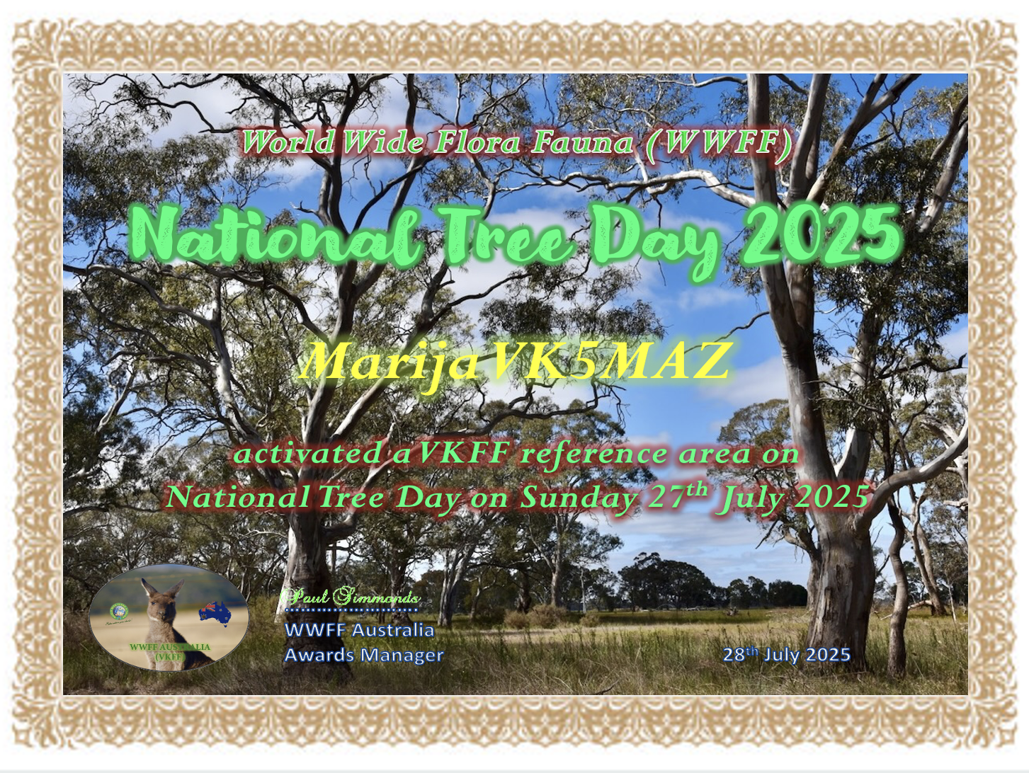
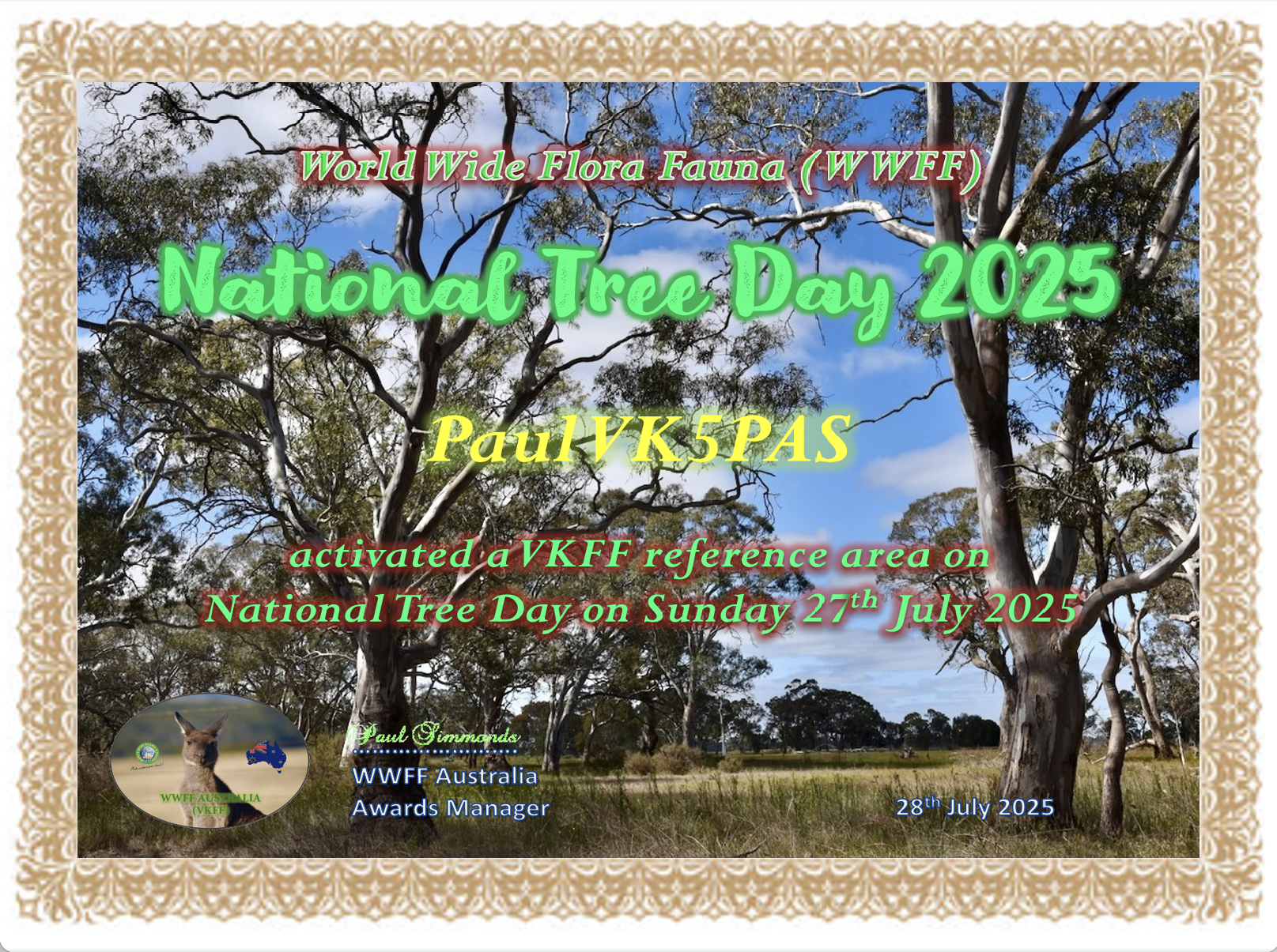
For taking part in National Tree Day, Marija and I each received a special certificate.
References.
- CAPAD 2024
- Milangrailway.org.au. (2025). Milang’s Railway History. [online] Available at: https://milangrailway.org.au/milangs-railway-history/ [Accessed 2 Aug. 2025].
- Trove. (2025). Victor Harbour Times (SA : 1932 – 1986) – 25 Jul 1969 – p1. [online] Available at: https://trove.nla.gov.au/newspaper/page/21131449?searchTerm=milang%20rail [Accessed 2 Aug. 2025].
- Trove. (2025). Railway Services Must Continue – Victor Harbour Times (SA : 1932 – 1986) – 17 May 1968. [online] Available at: https://trove.nla.gov.au/newspaper/article/187364366?searchTerm=milang%20rail [Accessed 2 Aug. 2025].
- Trove. (2025). ENQUIRY ON CLOSING OF RAIL LINES – Victor Harbour Times (SA : 1932 – 1986) – 25 Jul 1969. [online] Available at: https://trove.nla.gov.au/newspaper/article/187368855?searchTerm=milang%20rail [Accessed 2 Aug. 2025].
- Trove. (2025). Southern Argus (Port Elliot, SA : 1866 – 1954) – 10 Nov 1881 – p2. [online] Available at: https://trove.nla.gov.au/newspaper/page/9483953?searchTerm=railway%20select%20committee%20%2B%20milang [Accessed 2 Aug. 2025].
- Trove. (2025). HISTORICAL TRAIN – The Coromandel (Blackwood, SA : 1945 – 1970) – 18 Jun 1970. [online] Available at: https://trove.nla.gov.au/newspaper/article/261082651?searchTerm=HISTORICAL%20TRAIN%20%2B%20MILANG [Accessed 2 Aug. 2025].
- Wikipedia Contributors (2024). Nurragi railway station. Wikipedia.
- Wikipedia Contributors (2024). Milang railway line. Wikipedia.