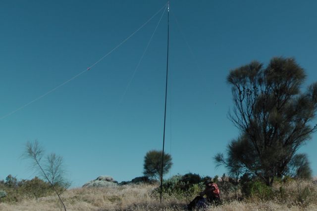
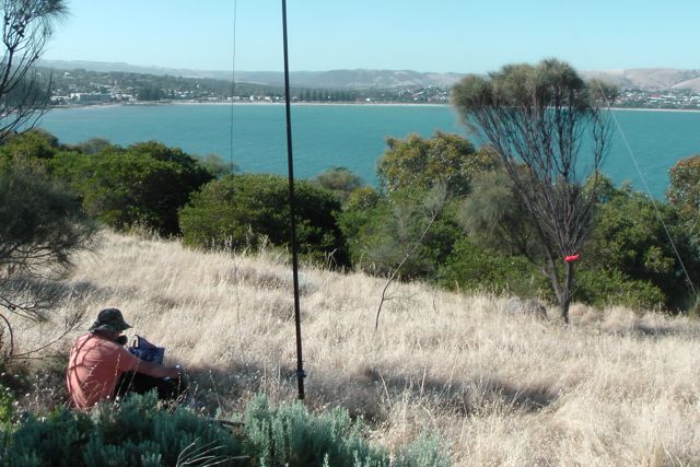
Mount Gawler, VK5/ SE-013

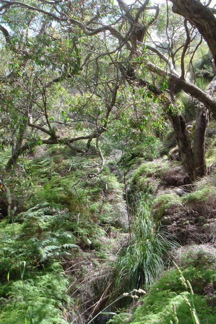
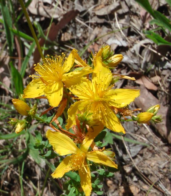
Yesterday (Sunday 12th January, 2014), my wife Marija and I headed up to Mount Gawler, VK5/ SE-013, which is just outside of the little town of Kersbrook.  This is about a 45 minute drive through the Mount Lofty Ranges ‘Adelaide Hills’ from our home at Mount Barker in the central Adelaide Hills.  The weather was beautiful….about 30 deg C…..not the dreaded 40 deg C temperature that we have today and for the next 5 days !

adelaide-map

I activated Mount Gawler summit in 2013, but this is a new calendar year, so I can start revisiting these summits for more activator points.  We drove through the Onkaparinga Valley and then on to Lobethal.  And from there up through the  beautiful Kenton Valley to the little town of Gummeracha.  As we were driving through this beautiful area I realised why I lived here and not down in the rat race of Adelaide.  From Gummeracha we headed to Kersbrook.

Kersbrook is a lovely little town, which is surrounded by the rolling hills of the northern Mount Lofty Ranges.  It was during the early 1830’s that settlers established farms in the Kersbrook area because of those relatively gentle slopes.   Having said that, Checker Hill is not all that far away.  This hill is extremely steep and is very popular with cyclists who like a challenge.

In 1841, John Bowden, manager of the South Australian Company’s dairy farm at Hackney, near Adelaide,  purchased a 32-hectare (79-acre) section in the Adelaide Hills, and named it Kersbrook, after the Cornish farm where he was born. By 1844, Bowden was recorded as having “800 sheep, 62 cattle, one horse, 13 pigs, 16 acres (65,000 m2) of wheat, eight acres of barley, plots of oats, maize and potatoes and a fruit garden”.

The settlement of Kersbrook was created by William Carman, a blacksmith working at a copper mine near Williamstown.  Carman took advantage of the area’s location on the busy road to the Barossa Valley.  In 1851  Carman built a travellers inn called the Wheatsheaf Inn. By 1858, a group of settlers had arrived in the area, and Carman gave some of his land to them to build a town.   Maidstone was the preferred choice of name for the settlement, after his home town in Kent in England.  Many years later, in 1917, the town was officially renamed to Kersbrook as this was the name used by local redidents and referred to the original ‘Kersbrook’ farm of John Bowden.

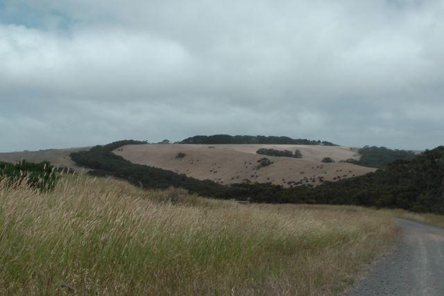
Mount Gawer summit is just a short drive from Kersbrook, out along Kent Road, and then south on Mount Gawler Road, passed Mount Crawford Forest.  Mount Gawler is 541 metres ASL and is worth 2 SOTA points.  The summit itself is nowhere really near the town of Gawler. In fact Gawler is about 25 km further to the north.  The summit was named after Lieutenant Colonel George Gawler, the second Governor of South Australia.
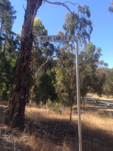
IMG_1261

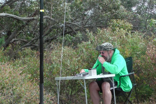
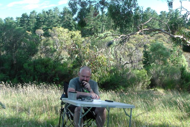
As I have mentioned before in the post of my first activation of Mount Gawler, the summit is located on private property.  There is a trig point which is visible from the road.  However if you don’t want to annoy the land owner, Noel, there are quite a few points on the side of Mount Gawler Road that are well within the ‘activation zone’.  And that is where I decided to set up this time.  Smack bang, right out the front of Noel’s property.
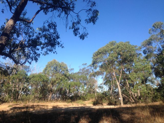
IMG_1267     IMG_1263

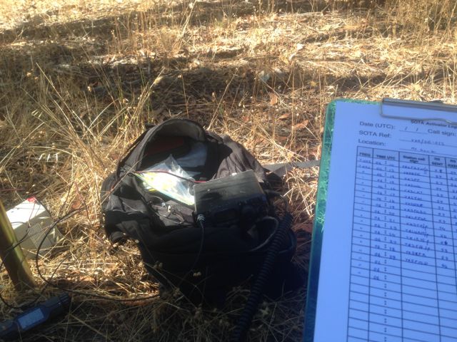
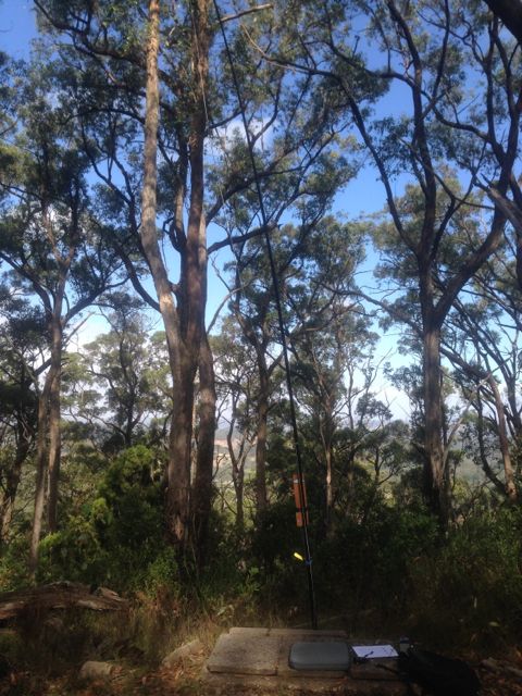
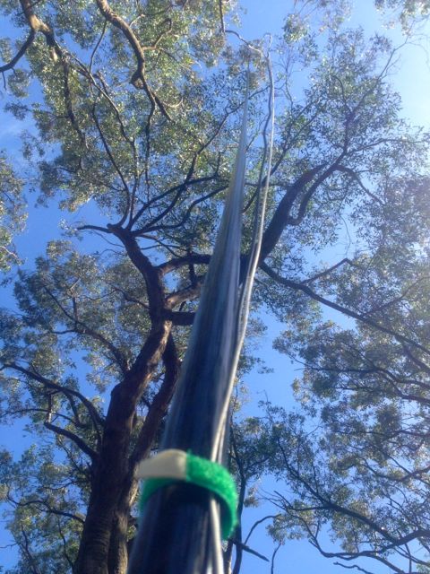
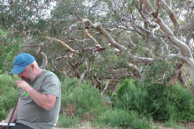
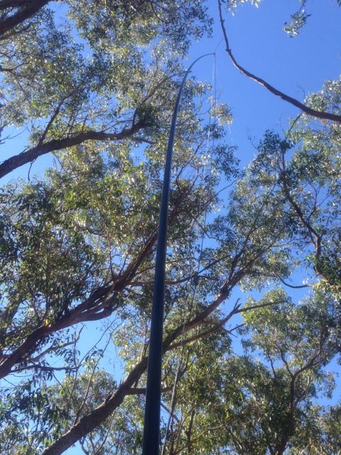
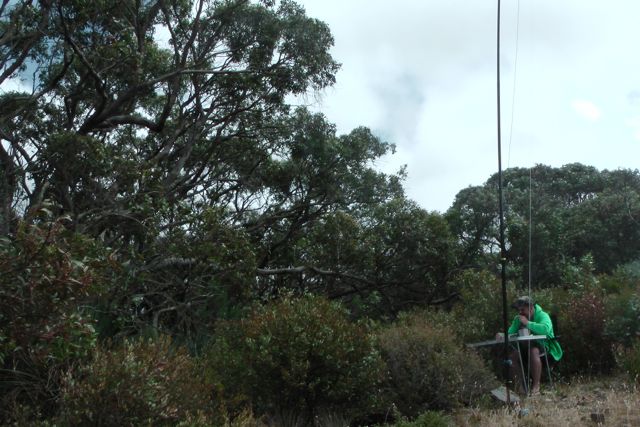
After erecting the squid pole, I had to take it down and move it a little further toward’s Noel’s fence line, because it was getting tangled in the gum tree branches overhead.  But I got that sorted and found some shade out of the warmth of the afternoon sun, and made myself comfortable.
IMG_1264

I turned the little Yaesu FT-817nd on to 40m and there was Greg VK2FGJW portable on Black Mountain, VK1/ AC-042, with a very strong signal.  This was a great way to start the activation with a summit to summit QSO.  I often struggle with hearing Greg from my home qty, but there were no problems at all with his signal on Mt Gawler.  The noise floor here was virtually zero, and Greg’s signal was particularly strong.

After speaking with Greg, I then moved down to 7.090 and put out a CQ call to be greeted by the usual hoard of hungry SOTA chasers from VK2, VK3, & VK5.  There were quite a few QRP callers in amongst this group, including Peter VK3PF, Tony VK3CAT, Kevin VK3VEK, Alex VK3AMX, Andrew VK3ARR, and Richard VK5ZRY.

I also spoke with Andrew VK1NAM and Al VK1RX, who were doing a joint activation of Bimberi Peak, VK1/ AC-001.  This is the highest mountain in the ACT, at a height of 1,913 metres ASL.  Although there was some QSB on their signal/s, Andrew and Al were a very good copy on Mount Gawler.  This is the first time that this peak has been activated on HF.  Wayne VK3WAM has activated it previously, but only on 2m.  Andrew & Al’s efforts are appreciated as I believe they had to walk about 25 km return on this journey.  Not a bad effort guys !

Glen VK3YY also called in, portable from Wilsons Promontory National Park in Victoria.  Glen was a good solid signal, and it was great to be able to work another Victorian National Park for the Keith Roget Memorial National Parks Award (KRMNPA).

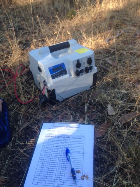
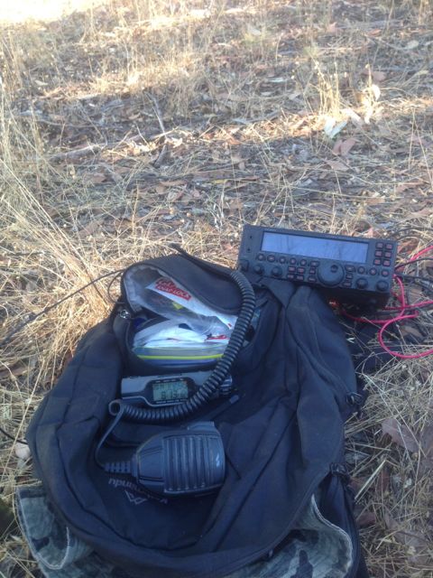
After working a total of 39 stations on 40m SSB, I decided to head over to 20m.  But this meant a walk back to the car to drop off the FT-817nd and lug back the bigger and heavier Yaesu FT-450 with me, with my newly purchased 44 amp hour battery pack which is also heavy.  Mount Gawler is an easy summit to access, so I decided to take along this gear with me so I could operate with a bit more power.  I won’t be doing this again in a hurry.  My back is killing me !
IMG_1274     IMG_1272

I plonked myself on 14.300 and put out a CQ call.  My first contact on 20m was with Ed VK2JI who was on SOTA peak, VK2/ HU-093.  Nice to get a summit to summit with Ed, on 20m this time.  To my surprise, my 4th contact was with Paul KI4MNZ in Kentucky, USA (5/8 both ways).

I then was able to make contact with both John VK6NU and Mike VK6MB over in Western Australia.  Both were down a little bit in signal strength, but I was able to copy them both well through all the European QRM.  It is always good to get John and Mike in the log, as they often miss out on all the Australian SOTA action on 40 m SSB.

Max IK1GPG then called in with a good strong signal.  And this was followed by Manuel EA2DT who was a little weaker, but still very workable.  But things then dried up as far as the DX was concerned, and some QRM came up on the frequency.  I later found out from Adam VK2YK that it was a European SOTA activator looking for me.  Sadly their signal was 3/3 at best for me and they were totally unworkable.

I QSY’d to 14.263 and again put out a CQ call.  Paul VK2HDX responded with a beautiful 5/9 signal from Sydney.  I was Paul’s 1st ever SOTA contact.

I worked a little bit more DX including Franc ZL1SLO in Auckland NZ, Clay I4LEC in Italy, Joe HL5KY in Korea, and Jim JA2NCVM.

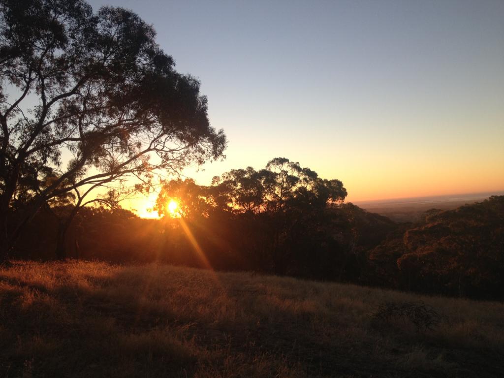
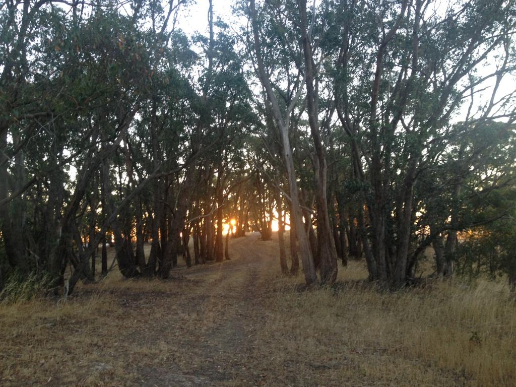
The sun was setting, my stomach was grumbling, my wife was getting impatient, and I was in desperate need for a beer, so we packed up the gear and headed for home.  Making sure we dodged the kangaroos and emus on the way back home.  There are a lot through this area, and we certainly saw a lot as we drove back home at dusk.
IMG_0693     IMG_0697

I worked a total of 61 stations on 40m & 20m SSB.

The following stations were worked on 40m SSB:-

Greg VK2FGJW/p (SOTA); John VK5BJE; Peter VK3PF; Nev VK5WG; Tony VK3CAT; John VK2YW; Phil VK3BHR; Amanda VK3FQSO; Peter VK3FPSR; Glenn VK3YY/p; Andrew VK1NAM/p (SOTA); Al VK1RX/p (SOTA); VK3FB/p; Peter VK5KPR; Brian VK5FMID; Ron VK3AFW; Warren VK3BYD; David VK5NQP; Nick VK3ANL; Allen VK3HRA; Joe VK3YSP; Adam VK2YK; Wolf VK5WF; Gerard VK2IO; Kevin VK3VEK; John VK5FTCT; Larry VK5LY; Mark VK3PI/p; Alex VK3AMX; ANdrew VK2UH; Jeff VK2XD; Ed VK2JI/p (SOTA); John VK5DJ; Andrew VK3ARR; Matt VK5WMT; Richard V5ZRY; Ian VK5CZ; Tom VK5EE; and Stu VK5STU.

The following stations were worked on 20m SSB:-

Ed VK2JI/p (SOTA); Paul VK2KTT; Marc VK3OHM; KI4MNZ; John VK6NU; Mike VK6MB; Max IK1GPG; Ernie VK3DET; Manuel EA2DT; Adam VK2YK; Paul VK2HDX; Gerard VK2JNG/p; Roger VK2GHB; Brian VK2UT; ZL1SLO; Andrew VK1NAM/p (SOTA); Clay I4LEC; Joe HL5KY; Iva VK4HG; Kevin VK6GT; Phil VK5SRP; and Jim JA2NVM.
Chasing European SOTA activators

Last night I had a case of insomnia, so I headed to the ‘shack’ to hopefully work some DX.  What happened was beyond my expectations and sent me off to bed some 4 hours later !  I managed to work a handful of new countries for particular bands, and a few new USA States for particular bands.  I also managed to work a couple of European WorldWide Flora Fauna (WWFF) activators in Poland.  This is never easy because of the European pile up, so I was really happy to get the contacts in my log.  But the cream on top of the cake for me, was bagging 5 European SOTA activators.  And it could have been a few more.
My equipment was a Yaesu FT-2000, with a Heil Pro 4 headset, 100 watts, and a Hy Gain 3 el yagi @ 16 metres, on a small tower in my backyard.

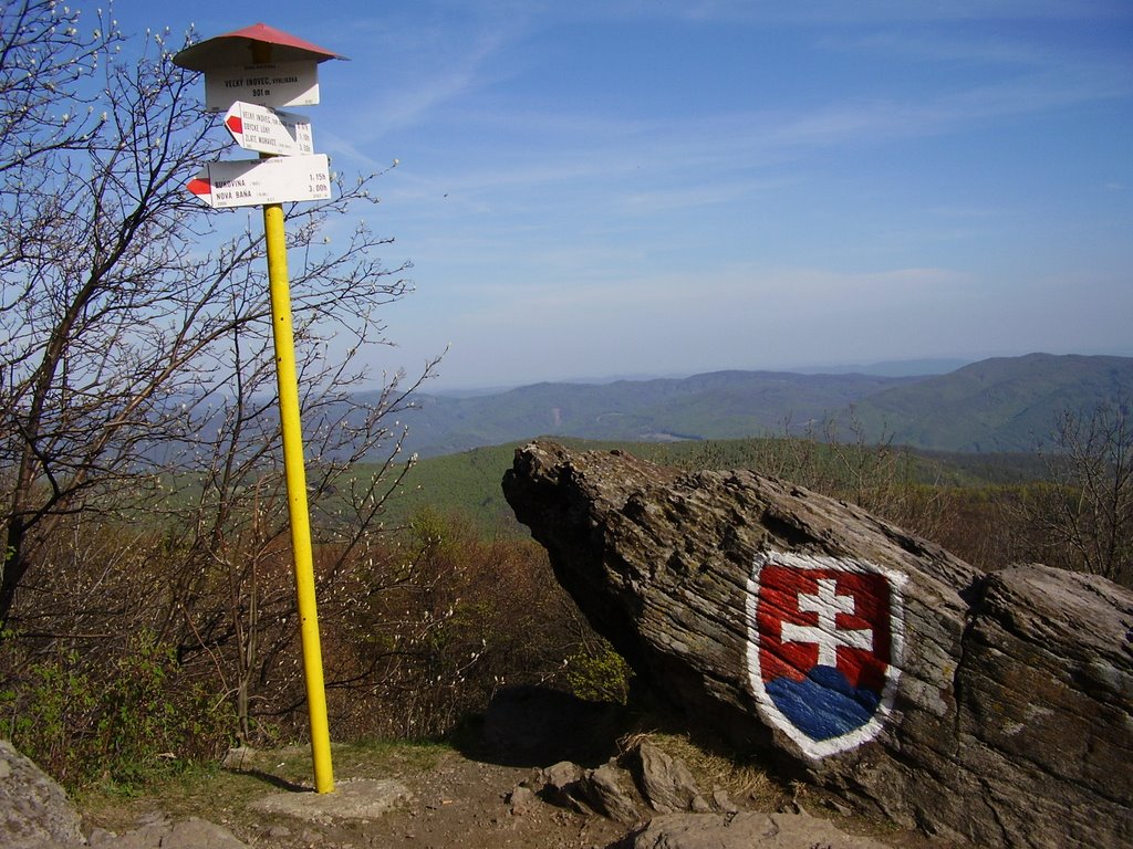
My first SOTA contact was with Zoltan, OM/HA5CQZ/p on top of Velky Inovec, OM/ NR-001.  This peak which is located in the Nitriansky region of the Slovak Republic, is 901 metres and is worth 4 SOTA points.  Translated to English, Velky Inovec means Big Inovec.  The summit is located in the central part of the Pohronsky Inovec mountains and is the highest peak of the entire mountain range.  Pohronsky Inovec is volcanic in origin and is composed of the volcanic rocks andesite and rhyolites.  The southern portion of the mountain range is covered in deciduous forest, predominantly oak.  There are very good views of southern Slovakia from the summit, including the Danube River and the mountains beyond.  Below the summit is the Grand Inovec tourist lodge.

24540307Courtesy of http://www.panoramio.com

Photo courtesy of 2005_01010015

Photo courtesy of http://carovidieku.blogspot.com.au

I saw Zoltan spotted on SOTAWatch, so I tuned to his operating frequency on 20m, and there he was.  Zoltan had quite a good signal coming in on the short path.  Because it was early in the morning here, the noise floor on 20m was very low.  No plasma TV noise or solar inverter interference.  Heaven !  Zoltan  had quite a few European chasers calling him, but I perservered and got through (5/3 sent and 5/7 received).  Zoltan was QRP and he was using just 5 watts and a simple dipole antenna.

1452898871_4da07d9402_b

Photo courtesy of Zoltan, http://www.flickr.com

My contact with Zoltan spurred on my enthusiasm and I kept a close eye on SOTAWatch, whilst I kept tuning across the 20m band working a few DX stations.

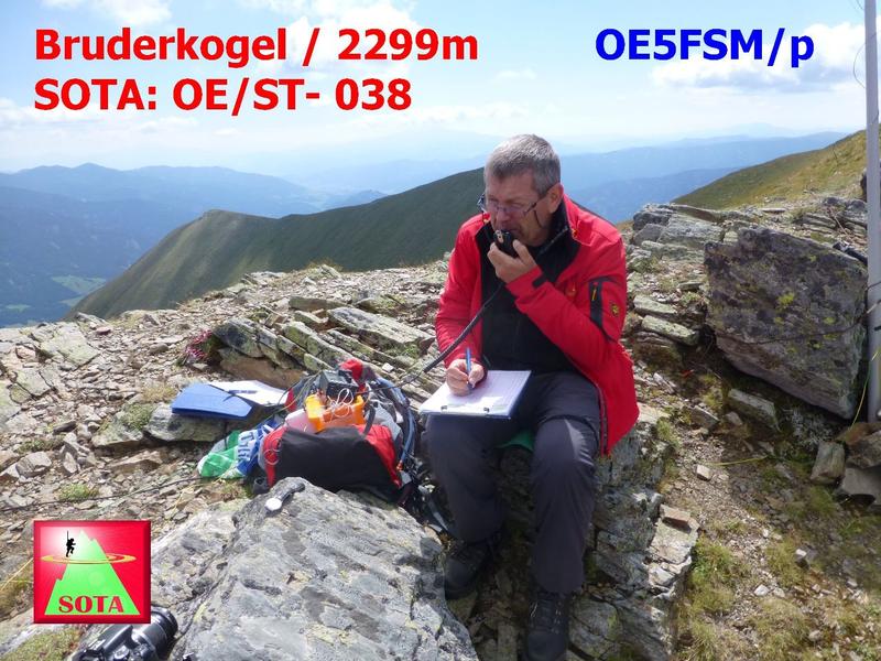
My second SOTA contact was with Franz, OE5FSM/p, who was on Hohenstein, OE/ OO-134, at about 1400 UTC (12.30 a.m. SOuth Australian local time)

Hohenstein is 526 metres ASL, and is located in the Oberosterreich region of southern Austria, and is worth 1 SOTA point.  It is located neat Wilhelmsburg.  According to Peakery.com, Hohenstein is the 454th highest mountain in Austria.

91408629

Photo courtesy of http://www.panoramio.com

Again, Franz had quite a few European chasers, so I was patient, and waited for an appropriate spacing between all the callers, to slip in the VK, in the hope that Franz would hear me.  It took quite a few attempts, but finally I made it (5/2 both ways).  I was Franz first ever VK contact during an activation.

1f853fab530aecc604ee5fb741b2442d

Courtesy of Franz OE5FSM QRZ.com page.

I then saw a spot for Eloy, EA1IEH who was portable on a summit in Spain.  Eloy was actually stronger than Zoltan and Franz.  He was about 5/4 and perfectly readable.  But he had a really big pile up from Europe and it was impossible to break through.  Sadly, Eloy QSY’d to 40m before I was able to work him.

However I was called by Manuel EA2DT, who had heard me trying to get through to Eloy.  Manuel tried calling Eloy, but he had already gone.  Thanks for trying Manuel.

My third SOTA contact came as a bit of a surprise.  It was following my chat with Manuel, that I received a call from Vlado, OM1AX/p, who was operating from Devinska Kobyla,  OM/BA-004.  Initially I didn’t realise that Vlado was on a SOTA peak, because he had such a strong signal.  Vlado was running 50 watts and a dipole, and was a solid 5/5 signal.

Devinska Kobyla is the highest peak in the Devin Carpathians, which are part of the Little Carpathians mountain range.  It is located in the Bratislavský region of Slovakia.  The summit is 514 metres above sea level and is worth 1 SOTA point.  It is a treeless summit and contains an abandoned military rocket base.

800px-Devinska_Kobyla_02

Photo courtesy of http://www.wikipedia.com

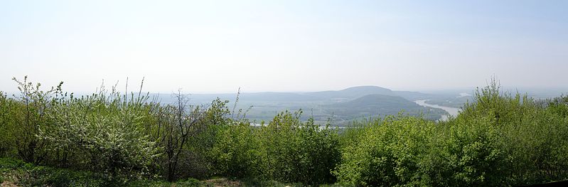
From the top of the summit there are open views of Bratislava, Austria, Hungary, the Danube River and Morava River.  There is a 4 km instructive path that leads through Devínska Kobyla, with one significant area called Sandberg.   This is one of the most important palaeontological localities in Slovakia.   The yellow faces of the old sandpit has remnants of rocks of the tertiary sea with horizontally deposited layers, and there are still fossils of sea fauna to be found there.  The age of these rocks is estimated to be between 14 to 16 million years old.

799px-Kobyla-pano

Photo courtesy of http://www.wikipedia.com

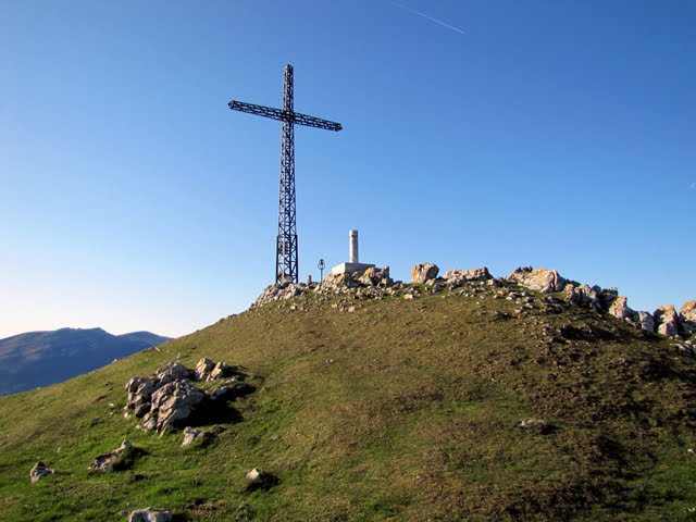
My fourth SOTA QSO was with Miro, S52ON/p on Gora Oljka, S5/KS-051.  Again I had seen Miro spotted on SOTAWatch at about 1530 UTC (2.00 a.m. South Australian local time).  I had just finished working a European pile up on 20m, when I saw Miro spotted.  Fortunately for me, the callers had ceased, so it was a good opportunity to slide up to 14.290 and have a listen for Miro.  And to my surprise again, I was able to clearly hear Miro’s signal coming into South Australia all the way from the top of a mountain in Slovenia.

Gora Oljka is 733 metres above sea level and is worth 2 SOTA points.  It is situated in the KamniÅ¡ko – Savinjske Alpe region of Slovenia.  Gora Oljka translated to English means Olive Hill.  Standing at the top of the summit is the Church of the Holy Cross, which was constructed in the middle of the 18th century.

634729372103264431_gora_oljka_636px

Courtesy of http://www.siol.net

Miro’s signal was not strong on the S meter on the FT-2000 but he was perfectly readable.  I called him and got through almost straight away (5/3 sent and 5/9 received).

And last but not least, I had a QSO with Roberto, EA2DXY/p on Murugain EA2/ SS-030.  I had just finished a QSO with Norman ZS5JY in South Africa, when I saw a spot come up on SOTAWatch for Roberto.  This was about 1550 UTC (2.20 a.m. South Australian local time).

I tuned to 14.288 and heard Roberto coming in with a 5/3 signal with his QRP operation.  Although not strong, he was perfectly readable.  Again, I waited for an opportune time and gave Roberto a call and got through (5/3 sent and 5/5 received).  Unfortunately, IZ0UYB came up in the middle of our QSO, just 2 kc away, calling CQ DX with a very strong signal.  This made things really difficult.  Fortunately Roberto was in the log.  I was ‘unlucky’ 13th Chaser for Roberto on this peak.  Not so unlucky for me !

Mururgain is 778 metres ASL and is worth 1 SOTA point.  It is situated in the Gipuzcoa region of Spain.  Gipuzcoa is a province in northern Spain and a historical territory of the autonomous community of the Basque Country.

34023545

Photo courtesy of http://www.panoramio.com.

Prior to heading off to bed I saw a spot come up for Jon, N7AZ on W7A/ MN125, so I headed up to  the top part of 20m to have a listen.  Although not at all strong, I could hear Jon coming in to VK5 land on the short path across the Pacific.  It was not easy…it was a struggle.  Jon’s signal report was 3/3.  I heard him working USA Chasers and tried getting through, but couldn’t make the journey before Jon went QRT, on his way to his next summit.  I thought about hanging around for another 90 minutes, waiting for Jon, but tiredness got the better of me.  And after all, I do need my beauty sleep !

Although I have worked European SOTA activators before, this was the first time that I had worked so many in the one day / night, and especially on the short path.  I thank all the SOTA activators who took the time out of the pile up to listen for my signal from down here in Australia.  This was a really good fun night and well worth staying up into the wee hours of the morning.

References.

Panoramio

Wikipedia, http://sk.wikipedia.org/wiki/Veľký_Inovec

Wikipedia, http://en.wikipedia.org/wiki/Pohronský_Inovec

Wikipedia, http://www.geocaching.com/geocache/GC15W4H_velky-inovec?guid=a9d92329-e2eb-4202-9d8d-6075d7dc3969

Peakery, http://peakery.com/hohenstein/

Wikipedia, http://en.wikipedia.org/wiki/Dev%C3%ADnska_Kobyla

Wikipedia, http://en.wikipedia.org/wiki/Gipuzkoa

“Up in lights”

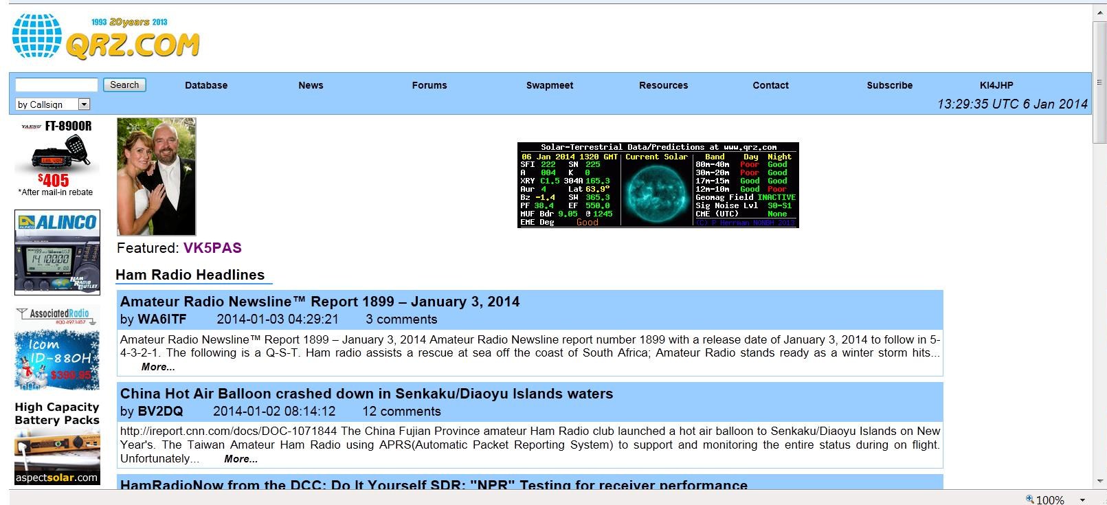
I checked my emails this morning only to find an e-mail from Ron, KI4JHP, to let me know that I had been featured on QRZ.com.

Quite a surprise.

I see that there have been quite a few hits on the page, using the visitor globe as a guide.

Untitled

Mount Lofty summit VK5/SE-005 and Cleland Conservation Park

Yesterday was my 49th birthday, so after a Sunday morning sleep in, and then watching the V8 Supercars in bed, I surfaced from the bedroom and had a magnificent roast lamb lunch with the family.  This was followed by a few beers on the couch watching the Aussies smash the English in the cricket.  This was a bloke’s heaven !

My wife Marija then asked what i would like to do for the afternoon !  Bad move.  Never give a bloke an option.  Especially when he is a keen portable amateur radio operator.  I told Marija that I would like to do my first SOTA activation for 2014.  Fortunately my son Jake was at lunch and he offered to drive me over to Mount Lofty, a short 15 minute drive from home.

I have operated from Mount Lofty Summit a number of times previously because of its close proximity to home.  But because it was a new year, this meant some more SOTA activator points for me.  And the added bonus is that the summit is located within the Cleland Conservation Park, so it qualifies for the VK5 National and Conservation Parks Award.

Jake dropped me off at Mount Lofty, and I headed to my favourite operating spot on the eastern side of the summit and the obelisk, away from the tourists.

IMG_1250     IMG_1255

I started off on 40m first with a contact with John VK5BJE who was portable in the Mount Richmond National Park in Victoria.

I then QSY’d down to 7.090 to call CQ, but when I asked if the frequency was in use I was greeted by John VK2YW, who advised Bernard VK2IB/3, was on the frequency on a peak in Victoria, but he was fixing his antenna which had blown down.  So I placed John in the log and went a bit lower to 7.085 where the pile up started.  This included 2 Summit to Summit contacts.  The first with Greg VK2FGJW who was on One Tree Hill VK1/ AC-035, and then Bernard VK2IB/3 who had followed me down.  Bernard was on VK3/ VE-189.

QRP callers included Col VK5HCF, Peter VK3PF, Nigel VK5NIG, Andrew VK3ARR, Nev VK5WG, and Peter VK3NAD.

After working 21 stations on 40m SSB, I headed up to 20m, hoping to get the two hungry VK6 SOTA Chasers in the log, Mike VK6MB and John VK6NU.

My first caller on 20m was Andrew VK4OZY and this was followed by Matt VK2DAG, Rod VK5VRB, and then Gerard VK2IO.  And then came to the two VK6 boys.  Firstly John, followed by Mike.  It was hard work with John but we got there (5/3 S and 4/1 R).  It was a bit easier with Mike (5/3 S and 5/1 R).

Things slowed down after this on 20m, so I tuned across the 20m band to find very little activity.  I did hear Stuey VK8NSB calling CQ and I tried calling him, but I just couldn’t quite make it.  So I decided to check into the ANZA DX Net on 14.183.  And this was a good move, because I had 3 great DX contacts.

I am trying to get DXCC on QRP 5 watts and portable, and I am currently sitting on about 30 countries since March last year.  So I was very excited when on the net I was able to make contact with Andy E51AND from the Cook Islands, who had a booming signal.  I then received a call from Dom 3Z9DX in Poland, who was running qrp as well, just 5 watts (5/3 sent and 5/0 received).  And finally Maurice FK8HZ from New Caledonia gave me a call (5/8 sent and 5/5 received).

I then went back to 40m to hopefully get some more of the regular VK SOTA Chasers in the log.  I worked a further 18 stations in VK1, VK2, VK3, & VK5.

QRP callers included Nick VK3ANL and Ron VK3MRH.

I then went back to 20m to have a quick listen before Marija arrived.  I managed to sneak in another QSO with John VK6NU.  Conditions had improved between the two of us.  John was up to a 5/7.  The 20m band was not all that busy as far as DX is concerned.  But there was a lot of activity from a Russian contest ? which made finding a clear spot very difficult.

Thanks to Rod VK5VRB for passing the message onto my wife to come and pick me up, after my mobile phone went flat.

The following stations were worked on 40m SSB:-

John VK5BJE/3; John VK2YW; Brian VK5FMID; Tom VK5FTRG; Col VK5HCF; Ron VK3AFW; Greg VK2FGJW/p; Peter VK2NEO; Bernard VK2IB/3; Peter VK3FPSR; Phil VK3BHR; Peter VK3PF; Nigel VK5NIG; Andrew VK3ARR; Nev VK5WG; Ian VK5CZ; Keith VK5OQ/3; Marc VK3OHM; Allen VK3HRA; Peter VK5KPR; Peter VK3NAD; Tom VK5EE; Terry VK5ATN; Kevin VK3VEK; VK3XY; Bernard VK3AMB; Nick VK3ANL; Len VK3FB; Ron VK3MRH; Joe VK3YSP; Peter VK5PET; Ian VK1DI; Matt VK1MA; Julie VK3FOWL; Steve VK3VM/5; Mark VK3YN; Mark VK3PI; Rod VK5VRB; and Paul VK2KTT.

The following stations were worked on 20m SSB:-

Andrew VK4OZY; Matt VK2DAG; Rod VK5VRB; Gerard VK2IO; John VK6NU; Mike VK6MB; Andy E51AND; Col VK4CC; John VK4LJ; Dom 3Z9DX; Lynne VK4SWE; Maurice FK8HZ; and Terry VK4HQ.

Thanks to everyone that called.  It was a good fun activation.  And thanks to everyone who passed on birthday wishes.  I think next year for my 50th I will probably be tied up with a bigger celebration….so no SOTA or Parks.  Maybe ???

Mount Billy Conservation Park

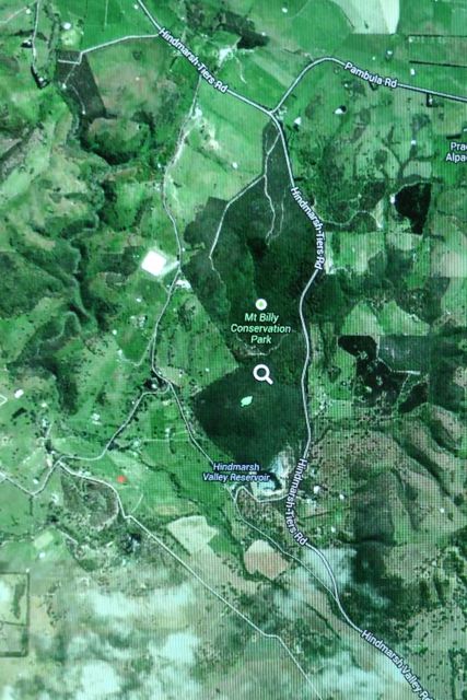
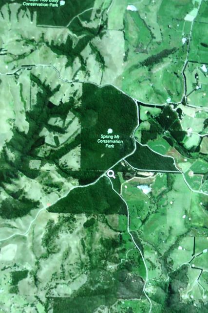
Mount Billy Conservation Park was my last activation for the 3 days away.  It is just a few km south east of the Spring Mount Conservation Park, off the Hindmarsh Tiers Road.

IMGA0004

Courtesy of: http://www.mapcarta.com

Mount Billy Conservation Park is 199 hectares in size and represents some of the best preserved mallee and forest within the southern Mount Lofty Ranges.  The Hindmarsh Valley Reservoir can be located on the southern side of the park.  The Mount Billy summit is also located in the southern section of the park (sadly not a SOTA summit).  I have not been able to find a reference as to how the park/summit was named. The thick under storey of the park and the many creek lines provide habitat for numerous bird and animal species including the endangered Bassian Thrush, Chestnut-rumped Heathwren and the rare Southern Brown Bandicoot.  The Heath Goanna can also often be spotted, basking in the sun.

  IMGA0051_3

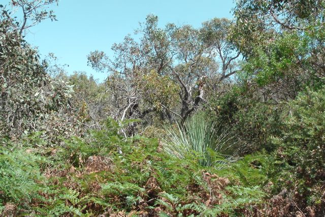
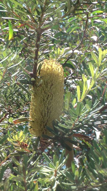
The scrub within the park is very thick, but there are two trails which takes you around the park: Banksia Hike (2.6 km), and the Mount Billy Hike (4.7 km).  Many of the native plants were out in flower whilst we were in the park, including a number of the Banksia species.  The park is full of Pink Gum, Blue Gum, Cup Gum, and Woodland Sheoak.  During spring, flowering orchids are found on the forest floor.

 IMGA0057_3

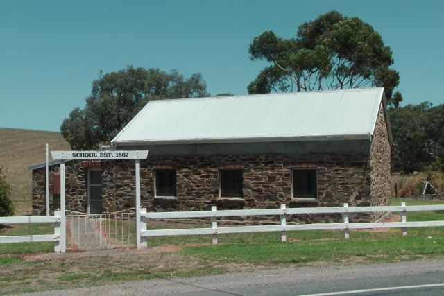
Just down the road from the park is the old Hindmarsh Valley school building which was established in 1867.  It is a beautiful old building and well worth stopping to have a look.

IMGA0058_3

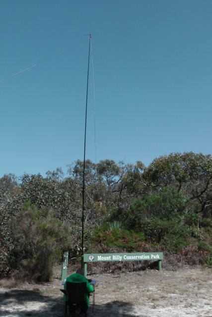
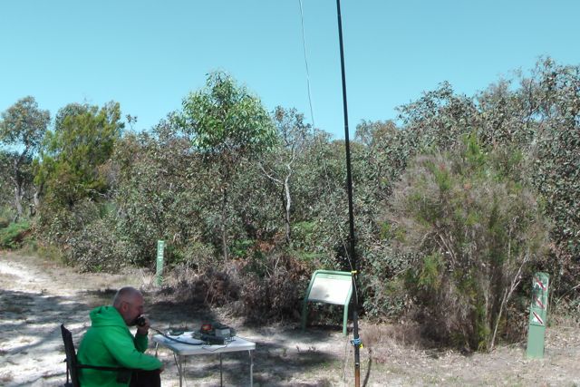
We found a nice operating spot, just inside the park gate on the Hindmarsh Tiers Road.  There was plenty of room to set up the table and chair, and extend the legs of the dipole.  The only down side were the large sand ants.  They pack a bite with a lingering sting, as I found out.

IMGA0035_4

My first contact in the park was with Graham VK5KGP at nearby Victor Harbor, followed by Larry VK5LY in the Riverland, and Col VK5HCF operating qrp 5 watts, and Tim VK5AV from the south east.  Ian VK5CZ who was portable in Wirrabra Forest on his Elecraft KX3, came up to say goodmorning. Greg VK2FGJW/1 called in again from SOTA peak, Black Mountain, VK1/ AC-042.  I think Greg may have been infected by the deadly SOTA bug. Because the noise floor in the majority of the parks is non existent, you can work the weakest of stations.  So it is always pleasing to get some calls from QRP stations.  In Mount Billy I worked Col VK5HCF, Luke VK3HJ, and Ian VK5IS, all of whom were using QRP 5 watts or less. I managed a few more interesting QSO’s including Kevin VK3KAB who was portable on SOTA peak Trapyard Hill,VK3/ VT-005, Andrew VK3BQ who was in Mount Kosziusko National Park, and Steve VK3JY who was operating QRP with his Elecrat KX3, from his holiday home at Lake Eildon.  Unfortunately Steve was just outside the boundary of the National Park. I felt a bit guilty that I had run our of time to try 20m from the previous park (for some of the further afield VK’s who chase Parks), so I headed over to the 20m band hoping to get some further afield VK’s.  I called CQ for a while but there were no takers.  So I tuned across the band which was virtually empty, except for Peter VK3ZPF who was calling CQ from SOTA peak, Mount Matlock, VK3/ VC-001. After speaking with Peter, I was called by Dennis VK4SX, and Stu VK4SDD, both of who had great 5/9 signals coming in from Queensland.

IMGA0042_4

Well it was time to pack up and the end of 3 days of parks activating.  I had a total of 24 stations in the log for this park on 40m SSB and 20m SSB.  It seemed the VK5 National & Conservation Parks Award was quite popular and was attracting some attention, which was great. I worked the following stations:- Graham VK5KGP/p; Larry VK5LY; Col VK5HCF; Tim VK5AV; Brian VK5FMID; John VK5DJ; Ian VK5CZ/p; Nev VK5WG; Tom VK5EE; Shaun VK5FAKV; Luke VK3HJ; Barry VK5BW; Greg VK2FGJW/p; Ian VK5IS; Kevin VK3KAB/p; Bernard VK3AMB; VK3BQ/2; Dave VK3VCE; Steve VK3JY/p; Phil VK3BHR; Peter VK3PF/m; Peter VK3ZPF/p; Dennis VK4SX; and Stu VK4SDD. References. Department for Environment and Heritage, 2011, Parks of the Fleurieu Peninsula Mapcarta, 2013, viewed 30th December, 2013, <http://mapcarta.com&gt;

Spring Mount Conservation Park

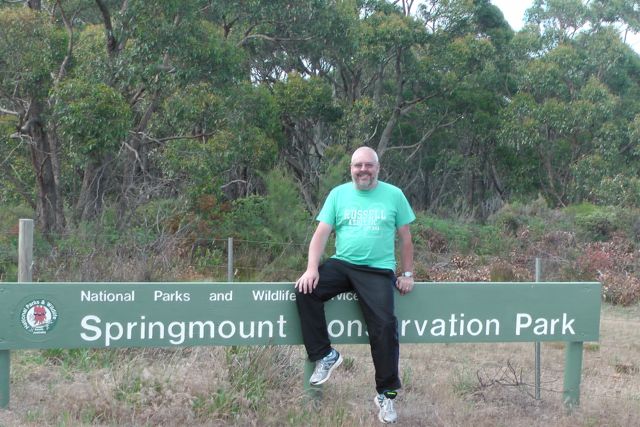
My first activation for Sunday 29th December, 2013, was the Spring Mount Conservation Park, which is situated about 24 km north west of Victor Harbor, and about 71 km south of Adelaide.

IMGA0005

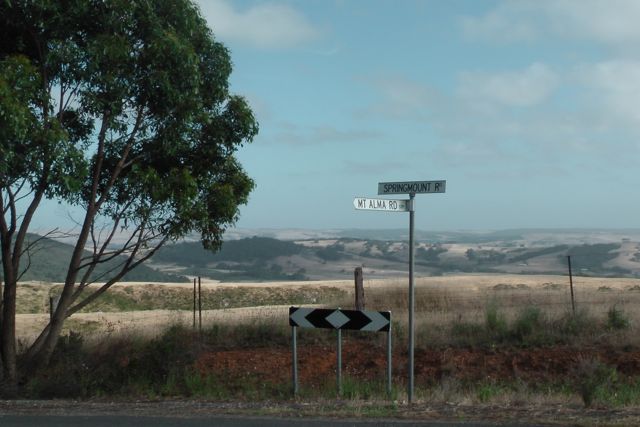
Marija and I headed out relatively early again after breakfast in the motel room.  This was our departure day and back to ‘reality’.  We had both really enjoyed our stay down at Victor Harbor, and the Comfort Inn is recommended.  Marija and I headed north out of Victor Harbor and then turned left onto the Hindmarsh Tiers Road, through the beautiful dairy country of the Hindmarsh Valley.  We then turned left into Spring Mount Road which offered spectacular views out to the ocean.

IMGA0001_6     IMGA0002_5

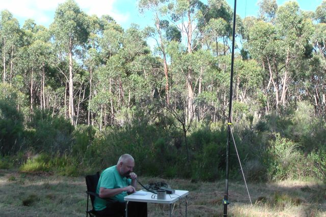
On the western side of Springmount Road there is a cleared area between the fence line and the scrub.  It was the ideal spot to set up the station.  We set up the foldable table & deck chair and erected the 40m/20m dipole with use of the 7m squid pole.

My first contact of the morning was with Parks stalwart, Larry VK5LY, followed by Col VK5HCF running QRP 5 watts, Brian VK5FMID, and Nev VK5WG who was also running QRP.  This was followed by a steady flow of callers from VK1, VK2, VK3 & VK5.

Spring Mount CP     IMGA0018_5

The band seemed to be in very good shape.  One of my QRP to QRP contacts was with Richard VK5ZRY who was operating with just 1/2 watt from Port Vincent on the Yorke Peninsula of South Australia.

Greg VK2FGJW/1 called in to say hi.  He was portable on Black Mountain in the ACT, using QRP 5 watts from his Elecraft KX3, and a dipole.  After some discussion with Greg about the Summits on the Air program, it was confirmed that Greg had indeed qualified for SOTA from his portable location.  I believe this was Greg’s first ever SOTA activation.

My last contacts of the day were with Joe VK3YSP and Julie VK3FOWL who were on the Christmas trip and were portable in the Little Desert National Park in western Victoria.

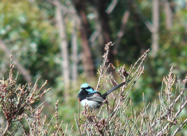
Whilst I was operating, I had some regular visitors.  But not humans !  They were little Superb Blue Wrens.  The male of the species has a really striking bright blue plumage on its head, neck, and tail.  They are an active and gregarious little bird.

IMGA0029_4     IMGA0031_4

Conditions on 40m SSB were really good, but I was already behind schedule, so we packed and headed off to the final park, the Mount Billy Conservation Park.

I worked the following stations:-

Larry VK5LY; Col VK5HCF; Brian VK5FMID; Nev VK5WG; Graham VK5KC/p; Tom VK5EE; Tim VK5AV; Graham VK5KGP; Chuck VK2SS/p; John VK5NJ; Len VK3FB; Rick VK5FIVE; Tom VK5FTRG; Ian VK5IS; Shaun VK5FAKV; Allen VK3HRA; Richard VK5ZRY; Tony VK3CTM; Ian VK5CZ/p; Greg VK2FGJW/1; Joe VK3YSP/p; and Julie VK3FOWL/p.


References.

Department for Environment and Heritage, 2011, Parks of the Fleurieu Peninsula

Mapcarta, 2013, viewed 30th December, 2013, <http://mapcarta.com&gt;

Newland Head Conservation Park

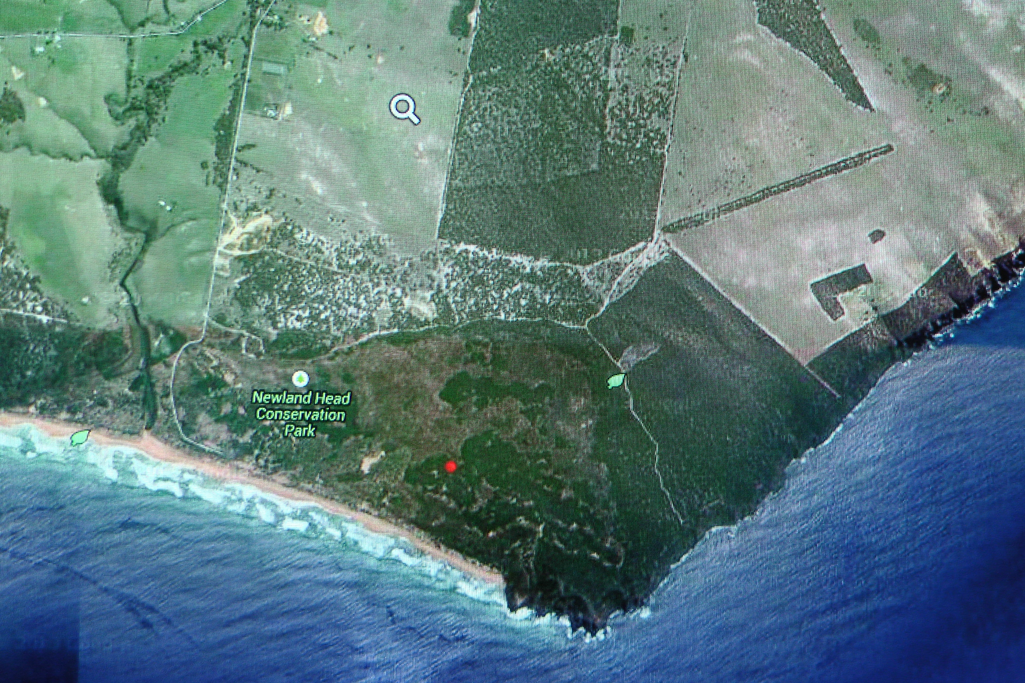
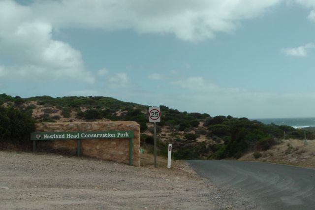
My final activation of the day was the Newland Head Conservation Park, which is situated on the southern coast of the Fleurieu Peninsula, about 7 km south west of Victor Harbor, and about 91 km south of Adelaide.

IMGA0003

Courtesy of http://www.mapcarta.com

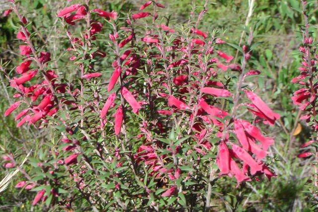
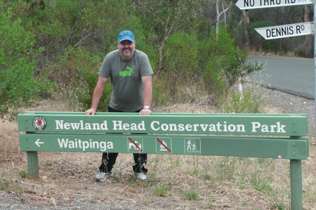
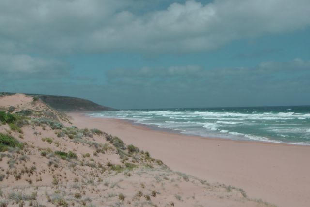
Newland Head CP is a large park and consists of 1,036 hectares.  It takes its name from the rugged headlands that shelter the associated two long beaches, Waitpinga Beach, and Parsons Beach, which are a popular destination for surfers and fishers.  In fact my son Jake surfs here, as did I back in my ‘glory days’.  Now if I ventured onto the beach, Greenpeace would be trying to roll me back into the water.  Fishing is very popular as the wave action and gutters near the shore create ideal conditions for salmon, mulloway and mullet fishing.  Part of the famous Heysen Trail, which extends for 1,200 km, runs through the park.

The park is home to a large amount of birdlife including the Beautiful Firetail finch, Purple-crowned Lorikeet, Wedge tailed wage, Sining honeyeater, and White-capped Albatross.

Southern Right Whales are frequently seen behind the surf zone or swimming towards the west.  After breeding in the warmer waters of southern Australia they return to the main feeding grounds of the subantarctic where they feed in preparation for the return journey.

IMGA0120_2     IMGA0122_2

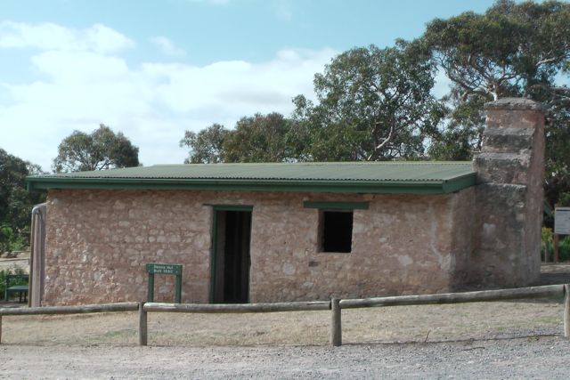
Marija and I initially checked Waitpinga Beach with a view to erecting the vertical antenna in the sand, but it was extremely windy and too exposed.  So we headed back into the Waitpinga campground and put up the gear alongside Dennis Hut, which was is an old stone hut built in 1890 by the Dennis family who lived in the area.

  IMGA0126_2

The Waitpinga camp ground is the only campground in the Park.  It is only about 750 metres inland from Waitpinga Beach, but is well protected from the wind off the Southern Ocean.  The local aboriginal word for Waitpinga is ironically, ‘windy place’.  There are several walking trails which commence from the eastern end of the Waitpinga campground, which was full of campers, who became interested onlookers.

IMGA0135_2      IMGA0138_2

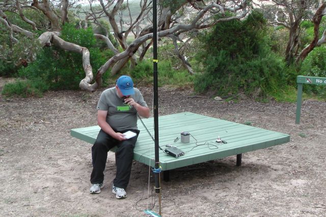
Right alongside of the hut is a wooden table which was the ideal place to place the radio on and initiate as the ‘shack’.  My first contact was again with Larry VK5LY from the Riverland, and this was followed by Tim VK5AV in the south east of S.A., and then Nev VK5WG from Crystal Brook, followed by Ian VK5IS.  I even snuck in a Victorian National Park, with Marshall VK3MRG operating portable from the Lake Eildon National Park.

IMGA0148     IMGA0155

After working a total of 15 stations on 40m it went very quiet.  So I tuned across 40m and other than Urey VK3ATA calling CQ DX, there was not a single VK station on the band.  I could also hear some Europeans coming through, but their signals were very low down.  So I decided to head over to 20m to try my hand.  And my first QSO was with Renzo P29FR.

I am trying my luck at QRP DXCC, and Papua New Guinea was a new QRP country for me.  So I was really happy to get Renzo in the log (5/8 sent and 5/4 received).  My next DX QSO was with Tom DJ7ZZ.  Unfortunately QRM made it very difficult for Tom (5/8 sent and 5/4 received).  And my 3rd DX contact was with Franc F5PAU who had a very strong signal (5/9 sent & 5/2 received).

But I think the highlight was my last QSO of the day, and that was with Anthony VK3YSA/ZL.  Anthony was operating QRP with just 3 watts from an FT-817 and an end fed vertical.  And he was in a Conservation Park, south of Dunedin. Signal reports of 5/3 both ways were exchanged.

Whilst I was operating I had quite a few interested onlookers.  In fact about one dozen people came up, curious as to what I was up to.  This included 3 young guys (one was a pilot) who were involved with UHF radio.

IMGA0161

After a few enjoyable hours of radio, chatting, and a bit of bushwalking in Newland Head CP, I had a total of 24 contacts in the log on 40m SSB and 20m SSB.  This was a really enjoyable activation with quite a few highlights for me.

I worked the following stations:-

Larry VK5LY; Tim VK5AV; Nev VK5WG; Ian VK5IS; Graham VK5KGP; Tom VK5EE; Barry VK5BW; Marshall VK3MRG/p; Peter VK2NEO; Allen VK3HRA; Col VK5HCF; John VK5DJ; Rod VK5VRB; Hans VK5YX; Don VK2HUH; Renzo P29FR; Tom DJ7ZZ; Roy VK7ROY; Don VK7DON; VK6LCK; VK2HAS; Mark VK6AR; Frank F5PAU; & Anthony VK3YSA/ZL (qrp).

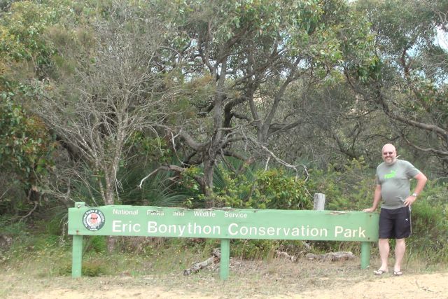
Eric Bonython Conservation Park

Following our activation of Waitpinga Conservation Park, Marija and I continued south on the Tunkalilla Road and then turned left into Rymill Road, until we reached our next destination….the Eric Bonython Conservation Park.

Again, as is the case with Waitpinga CP, this is a small park and consists of just 6 hectares.  Although small it is an excellent example of what the vegetation was like on the Fleurieu Peninsula prior to the arrival of the Europeans and the destruction of the bush.  I was not able to find a lot of information on this park on the internet.  I presume it was named after Eric Bonython, the author ?

IMGA0050_2     IMGA0053_2

The scrub in the park was very thick.  There were no visible cleared areas of land at all.  A large number of the native plants were out in flower.

IMGA0048_2     IMGA0047_2

We set up the gear just off the side of the road as it was physically impossible to get into the scrub, and just too risky with the ‘Joe Blakes’ (snakes).  We stretched out the legs of the dipole and ran them along in the direction of the dirt road, and secured the squid pole with the squid pole holder and an octopus strap.

IMGA0033_3       IMGA0035_3

My first contact was with Col VK5HCF who was up at the South East Radio Club clubrooms, Mount Gambier, using his normal QRP 5 watts.  Col had a great 5/9 signal.  This was followed by Tim VK5AV, also from the south east of South Australia, Graham VK5KGP from Victor Harbor, and Nigel VK5NIG in the north eastern suburbs of Adelaide.

I had a steady flow of callers after this, but sadly the weather had really deteriorated. The cloud cover had moved in, the sun had disappeared, and the wind was extremely strong.  In fact it was so strong that the 7m telescopic squid pole, de telescoped twice during the activation.

I managed another contact with Marshall VK3MRG in the Lake Eildon National Park, and one SOTA contact with Brian VK3MCD who was portable on SOTA peak VK3/ VU-011.

The weather was just that lousy that it was not enjoyable sitting out there, so it was time to pack up.  I had qualified the park and had a total of 17 QSO’s from VK3 & VK5 in the log.

I worked the following stations:-

Col VK5HCF; Tim VK5AV; Graham VK5KGP; Nigel VK5NIG; Marshall VK3MRG/p; Tom VK5EE; Norm VK5GI; Tom VK5FTRG; Nev VK5WG; Brian VK3MCD/p; Barry VK5BW; Barry VK5BAR; Allen VK3HRA; Ian VK5IS; Bernard VK3AMB; Ian VK5CZ; Nick VK3ANL.

Waitpinga Conservation Park

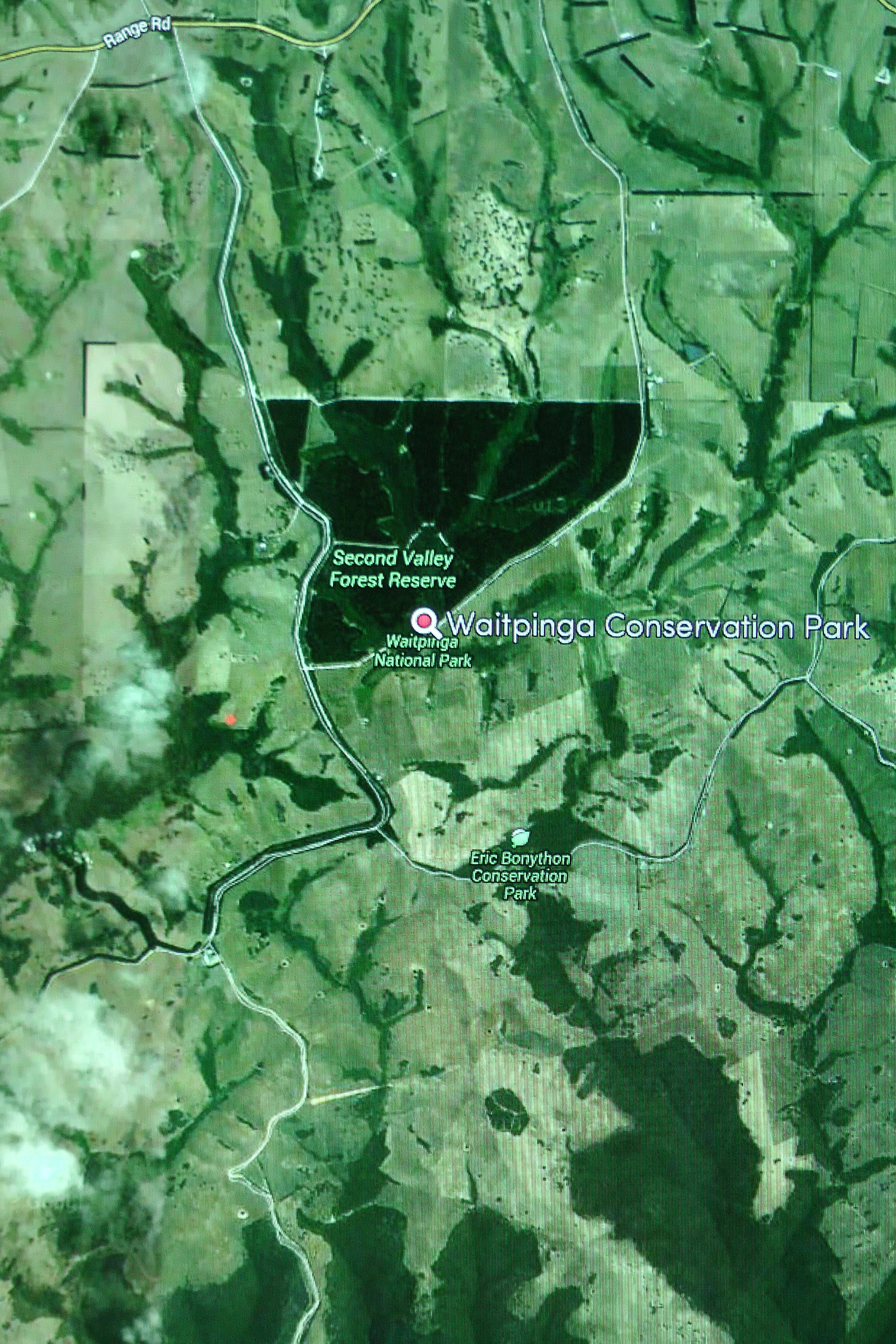
My first park activation for Saturday 28th December, 2013, was Waitpinga Conservation Park, which is about 40 km west of Victor Harbor, on the Fleurieu Peninsula, and about 113 km south of Adelaide.

IMGA0001

Courtesy of: wwww.mapcarta.com

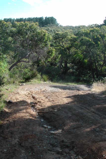
Marija and I had another early start from Victor Harbor and headed out west along Range Road, through the beautiful dairying district of Parawa.  There are sensational views out to both the north and the south from Range Road.  Out to the north are the rolling hills and valleys of the Fleurieu and out to the south is the Southern Ocean.  We then turned left onto Tunkalilla Road and headed towards the coast and Tunkalilla Beach, before turning left onto Illawong Road.  We reached a point on Illawong Road, where we just could not go any further in Marija’s Mitsubishi Lancer.  The road was quite steep and was severely washed away in significant places.  It just wasn’t worth risking getting stuck.

IMGA0002_4

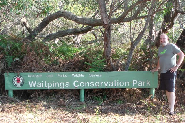
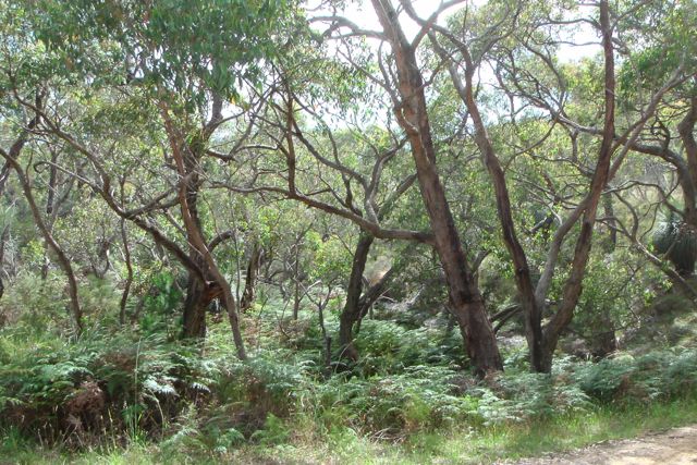
The Waitpinga Conservation Park is only a small park, which is about 3 hectares in size and is dedicated to the conservation of the rare Coral Fern.  The park consists of low open forest of stringy bark and Pink Gum, over an under storey of bracken, tea-tree, sedges and grasses.

IMGA0001_5     IMGA0020_4

The vegetation within the park is very thick.  Many of the native plants were out in flower during our visit.  The park is located on the northern side of Illawong Road, and backs onto a pine plantation.  It is quite some distance away from the beach known as Waitpinga Beach.  Waitpinga in the local aboriginal language means ‘windy place’.  And it was windy where we decided to set up.  Despite it being a warm start to the day, a cool change was coming in quickly and the wind off the Southern Ocean was really starting to pick up.

IMGA0021_4     IMGA0017_4

We set up on the edge of the park in a cleared area and erected the 7m squid pole and the 40m/20m linked dipole.  I tuned to 7.095 and asked if the frequency was in use, only to be greeted by Larry VK5LY with a great signal.  And this was followed by Graham VK5KGP, Col VK5HCF (qrp 5 watts), Tim VK5AV, and a steady flow of callers following that from VK3 & VK5.

I managed a few Victorian park contacts & SOTA contacts whilst in Waitpinga CP.  The first Victorian National Parks contact was with Marshall VK3MRG who was portable in Lake Eildon National Park, camping with the family.

I also spoke with Glenn VK3YY was portable on SOTA peak, Trapyard Hill, VK3/ VT-005, which is located within the Alpine National Park.

And then I was fortunate enough to stumble across Joe VK3YSP and Julie VK3FOWL who were portable in Cobbobonee National Park, on their extended Christmas adventure of Victorian National Parks.

My final contact in Waitpinga CP, was with Tony VK3CAT who was portable on SOTA peak, King Billy No. 1, VK3/ VE-016.

  IMGA0004_4

I worked a total of 29 stations on 40m SSB.  The following stations are in the log:-

Larry VK5LY; Graham VK5KGP; Col VK5HCF; Tim VK5AV; Brian VK5FMID; Marshall VK3MRG/p; Allen VK3HRA; Tom VK5EE; John VK5TD; Nev VK5WG; Andy VK5AKH; Frank VK3GFS; John VK5FMJC; Nick VK3ANL; Shaun VK5FAKV; Bill VK5MBD; Glenn VK3YY/p; Ron VK5BRL; Dennis VK5LDM; Mal VK5MJ; Steve VK5ST; Grant VK5VGC; Craig VK3NCR/m; Joe VK3YSP/p; Julie VK3FOWL/p; Dave VK3VCE; Tom VK5FTRG; David VK5KC/p; Tony VK3CAT/p.

References.

Parks of the Fleurieu Peninsula, 2011, Department of Environment and Natural Resources, Adelaide, South Australia

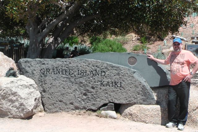
Granite Island, OC-228

Although Granite Island is not a Conservation Park, nor a National Park (it is a Recreation & Nature Park), I decided to have a bit of fun and do an Islands on the Air (IOTA activation) whilst I was staying at Victor Harbor.  I have activated an IOTA reference before as part of the International Lighthouse & Lightship Weekend, when I travel to Kangaroo Island.  But this was the first time I would be operating truly portable from an island.

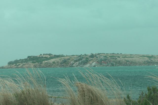
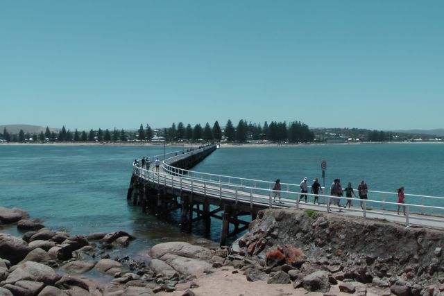
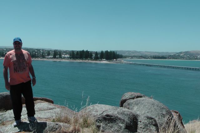
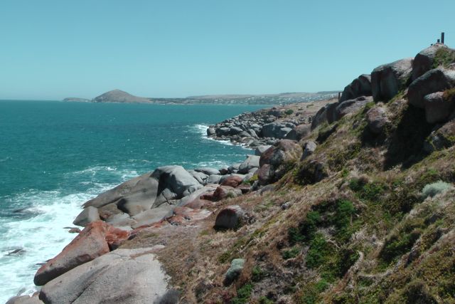
Granite Island is a Recreation & Nature Park under the control of National Parks South Australia.  It lies just off the coast of Victor Harbor, about 100 km south of Adelaide.  It is joined to the mainland by a 60 metre long wooden causeway.  The island is characterised by its huge granite boulders.  Many of which are coloured orange and green with lichen.  I have been over to the island dozens of times as both a child and an adult.  Victor Harbor is a real tourist mecca, as it is in close proximity to Adelaide.  And in fact between 1986-1988 I lived and worked at Victor Harbor.  It has undergone a huge amount of change since that time.

IMGA0060_2       IMGA0066

Prior to 1994, Granite Island was designated as Crown land and was managed by the local Victor Harbor District Council.  In 1994 the island received a major facelift, courtesy of the Greater Granite Island Development Company.  Stage one of an 11 million dollar development commenced.  By January 1995, the cafe, kiosk, souvenir shop and a Penguin Centre were opened on the island.  By mid 1998, the Department of Environment, Heritage and Aboriginal Affairs took control of the island.

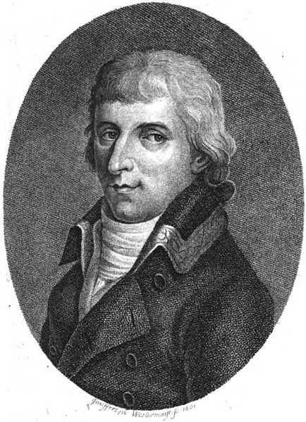
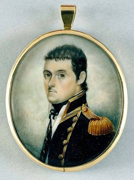
The history of this area is very interesting.  In 1802, British explorer, Matthew Flinders, met (completely by chance) with French explorer Nicholas Baudin in what is now known as Encounter Bay at Victor Harbor.  England and France were war war at the time.  Flinders describes in his journal, how he prepared the crew of his ship, Investigator, for action.  Flinders instructed his crew to hoist a white flag of truce.  Whilst on the French ship, Le Geographe, Baudin also hoped for a peaceful encounter and hoisted the French and English flags.

434px-Nicolas_Baudin_AGE_V07_1801      447px-Matthew_Flinders_watercolour_1801_a069001

Fortunately the chance meeting was friendly and peaceful.  Flinders boarded the French ship and the two captains exchanged information about their explorations. They learned that they had been given the same task by their respective Governments, to chart the ‘unknown coast’ of Terra Australis. As a result of this meeting, Flinders named the area Encounter Bay.

Following the meeting between Flinders and Baudin, Victor Harbor became recognised for its potential for whaling and sealing.  During the early nineteenth century, Encounter Bay attracted large numbers of whales and seals, and whaling stations were established on Granite Island and the nearby Bluff (Rosetta Head) to pursue the Southern Right Whale.   The local Ramindjeri aboriginal  people were regarded as competent whalers and were employed as harpooners and whale spotters.

The whaling industry at Victor Harbor produced whale oil, which was one of South Australia’s first exports.  Encounter Bay became the most productive of the colony of South Australia’s whaling stations.  However, whale numbers dramatically decreased and during the last years, whalers were only harpooning two to three whales each winter.   By 872 the whale industry and ceased.

Although there were other harbours in the colony of South Australia, Victor Harbor was seen to be better than the other harbours.  For one, it was conveniently located to the mighty River Murray trade.  In fact there was a bid for Victor Harbor to become South Australia’s capital.  This saw the construction of Granite Island’s causeway, jetties and breakwater.  Sadly, Victor Harbor was unsuccessful in its bid to be the colony’s capital.

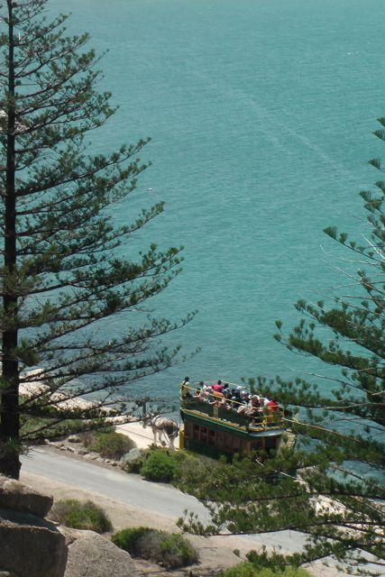
Shipping thrived however, with products such as wool and wheat being ferried down the River Murray by boat, and then by steam train to Victor Harbor and across to Granite Island by the horse-drawn tram, which was then loaded onto the ships bound for ports around the world.

The Granite Island causeway was constructed originally in 1864 by the South Australian Railways and was extended in 1867 to reach Granite Island.  The railway across the The Causeway continued around the northern edge of Granite Island to where the jetty was constructed.  It was not until 1894 that a passenger service was offered.

The tramway still operates today as a tourist tram and is one of the very few horse drawn tram routes remaining in public transit service anywhere in the world.  The tramway almost ceased however.  From c. 1900, the horse tramway was operated by private contractors.  But by the 1950’s the Cuaseway was in desperate need of repair.  However a dispute between the operators and the local Council saw the Causeway reconstructed in 1954 without rail tracks.   By 1956, the rail cars were disposed of, and between 1956 to 1986, a rubber tyres train provided service to the island.  I remember travelling on this.

IMGA0084

In 1986, South Australia celebrated its 150th Jubilee.  Prior to this, a fund was established for special projects to mark the Jubilee.  Reinstatement of the horse tram was nominated as such a project, and the bid for the return of the horse tram was successful.   Replica tram cars were built, tracks were relaid and on the 14th June, 1986, the horse tram service from Victor Harbor to Granite Island, recommenced.

Granite Island Recreation & Nature Park is open daily between sunrise to sunset.  The park is home to a colony of about 150 Little Penguins.  Guided tours take place each evening at dusk.  Due to recent issues with people disturbing the penguin colony, the park closes at sunset.  Believe it or not, some penguins have even been beaten to death or left severely injured by vandals on the island.  What possess some people, I do not know !

IMGA0062     IMGA0069

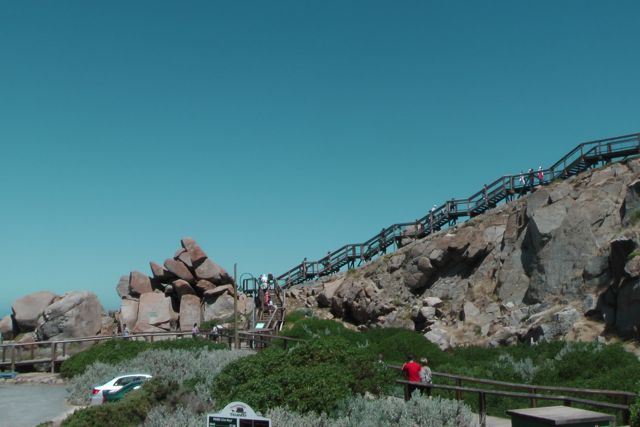
There are a number of walks around the island, including the interpretative Kaiki Walk where you can see some of the spectacular coastline of the island.  You can also try your hand at fishing off the jetty, the breakwater or the causeway.  And if it is a hot day, like it was when we visited the island, there is an assortment of cold drinks, ice cream and food at the cafe and restaurant.  There is also the Penguin Centre, which unfortunately we did not get to see due to time constraints.

IMGA0093     IMGA0113

Marija and I set up the gear right on the top of the island, overlooking Victor Harbor to our north and the Southern Ocean to our south.  There was a slight breeze, but it had been a very hot day and was still warm.  Our operating position was off the main tourist track, so there was plenty of room to stretch out the legs of the 20m/40m linked dipole.

IMGA0126     IMGA0133

My first contact was with Graham VK5KGP who is a resident of beautiful Victor Harbor.  As was to be expected, Graham was extremely strong, and almost knocked me off the top of the island.  This was followed by Larry VK5LY in the Riverland, Stu VK5STU, and then Basil VK5BK.  Craig VK5CE who is located at nearby Middleton then called in and was kind enough to spot me on the DX cluster.

I also spoke with Andy VK5AKH and Theo VK5MTM who were operating portable at Myponga.

After working 22 VK’s on 40m SSB, I decided to QSY to 20m SSB and try my luck.  Craig VK5CE was my first contact and kindly spotted me again on the DX cluster.  I managed to squeeze in just a few DX contacts….I1BSN, EA3NW, UA3AKO, and ZL3LF.  But it was really hard going.  I had to pedal really fast…..I will definitely bring the bigger Yaesu & bigger battery next time, so I can run more power !

So after a little bit of disappointment, I then went back to 40m SSB and worked Joe VK3YSP and Julie VK3FOWL who were portable in the Port Campbell National Park.  They were on their Christmas trip around Victoria, activating multiple National Parks as part of the Keith Roget Memorial National Parks Award (KRMNPA) and WorldWide Flora & Fauna (WFF).  I went on to work a further 15 stations in VK & ZL on 40m SSB.

I was going to check into the 7.130 DX Net, but the Chinese ? Over the Horizon radar was 5/9 + and it was just not worth the heartache.

After 2 & 1/2 hours in the sun, I had a total of 47 QSO’s in the log and I had pushed my luck enough with the XYL and it was approaching sunset, so it was time to pack up and head back to Victor Harbor for dinner.  I made 39 contacts on 40m SSB and 8 contacts on 20m SSB.

I worked the following stations on 40m SSB:-

Graham VK5KGP; Larry VK5LY; Stu VK5STU; Basil VK5BK; Craig VK5CE; Nev VK5WG; John VK5DJ; Andy VK5AKH/p; Bernard VK3AMB; Theo VKMTM/p; Ian VK5CZ; Steve VK3SN; Luke VK3HJ; Brian VK5FMID; Shaun VK5FAKV; Tom VK5EE; Allen VK3HRA; Adam VK2YK/3; Frank VK3GFS; Peter VK3TQ; Nick VK2DX; Matt VK2DAG; Joe VK3YSP/p; Julie VK3FOWL/p; Tim VK5AV; Rod VK5VRB; Tom VK5FTRG; Peter VK3PAH; Graham VK5WK; Craig VK3NCR/p; James VK1DR; Peter VK5NAQ; Paul VK7CC; Marshall VK3MRG/p; Don VK7DON; David VK5DGR; Mal VK5MJ; Brian ZL2ASH; and Colin VK4FAAS.

I worked the following stations on 20m SSB:-

Craig VK5CE; Matt VK2DAG; I1BSN; EA3WN; UK3AKO; ZL3LF; Andy VK5AKH/p; and Mark VK6AR.

I have posted a video of the activation on You Tube…..