Last night I gave a talk on amateur radio to Adelaide Bushwalkers, with particular emphasis on Summits on the Air, the VK5 Parks Award, WWFF, & the KRMNPA. David VK5KC and John VK5BJE came along with me and helped answer questions at the end of the powerpoint presentation. The talk went for about 40 minutes with about 20 minutes of questions at the end.
Membership of Adelaide Bushwalkers offers great opportunities for walking and other outdoor activities. The club holds regular weekend overnight hikes and day-walks, and makes good use of long weekends to do a variety of trips further afield. (This includes multi-walk, chartered bus-trips to the Flinders in June, and the Grampians in October.) Members also lead a number of extended walks e.g. to Tasmania, or the northern Flinders Ranges. In the summer months, kayaking and cycling are also popular pursuits. The club has an active social calendar which throughout the year includes dinners, BBQs, presentations, guest speakers and various unofficial events as well.
There were about 50 people in attendance (young & old) who all showed a keen interest in the topics. Quite a few people took a copy of the brochure “Calling CQ” which is issued/printed by the WIA.
David, John, and I were very impressed with the meeting, and this group is certainly well worth joining.
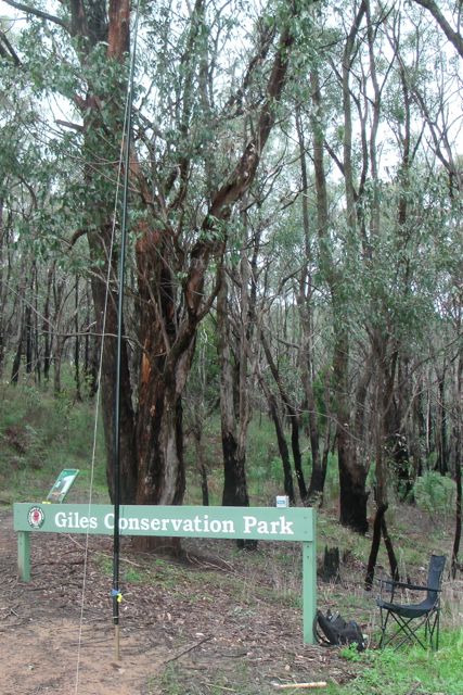
My last park of the day was the Giles Conservation Park, which is literally just around the corner from the Horsnell Gully Conservation Park.
I drove back along Coach Road, the turned left onto Ridge Road, and then along Stony Rise Road towards Ashton. I then turned left onto Woods Hill Road and found a gate on the left leading into the park. There was a good parking spot outside of the gate, so I left my car there.
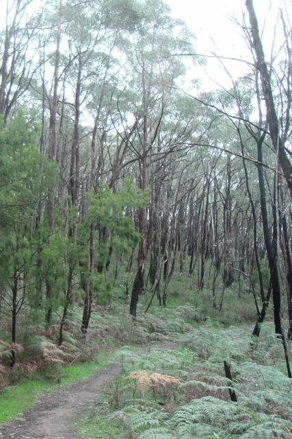
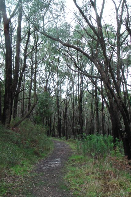
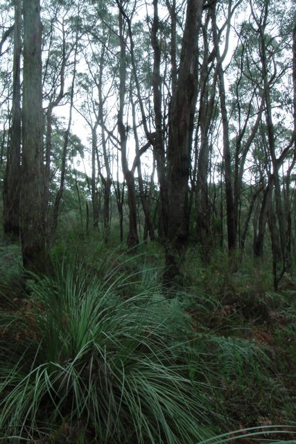
The park consists of heavily wooded eucalyptus forest through steep gullies of the Mount Lofty Ranges ‘Adelaide Hills’. The Heysen trail passes through the park. As does the Yurrebilla trail which is an interpretative bushwalking trail through the Adelaide Hills area that is currently being developed by the Department of Environment, Water and Natural Resources. The trail traverses some of South Australia’s most spectacular and interesting landscapes and provides a link between national and conservation parks in the central Mount Lofty Ranges. The trail was launched by the Hon. John Hill MP, Minister for Environment and Conservation on 2 September 2003.
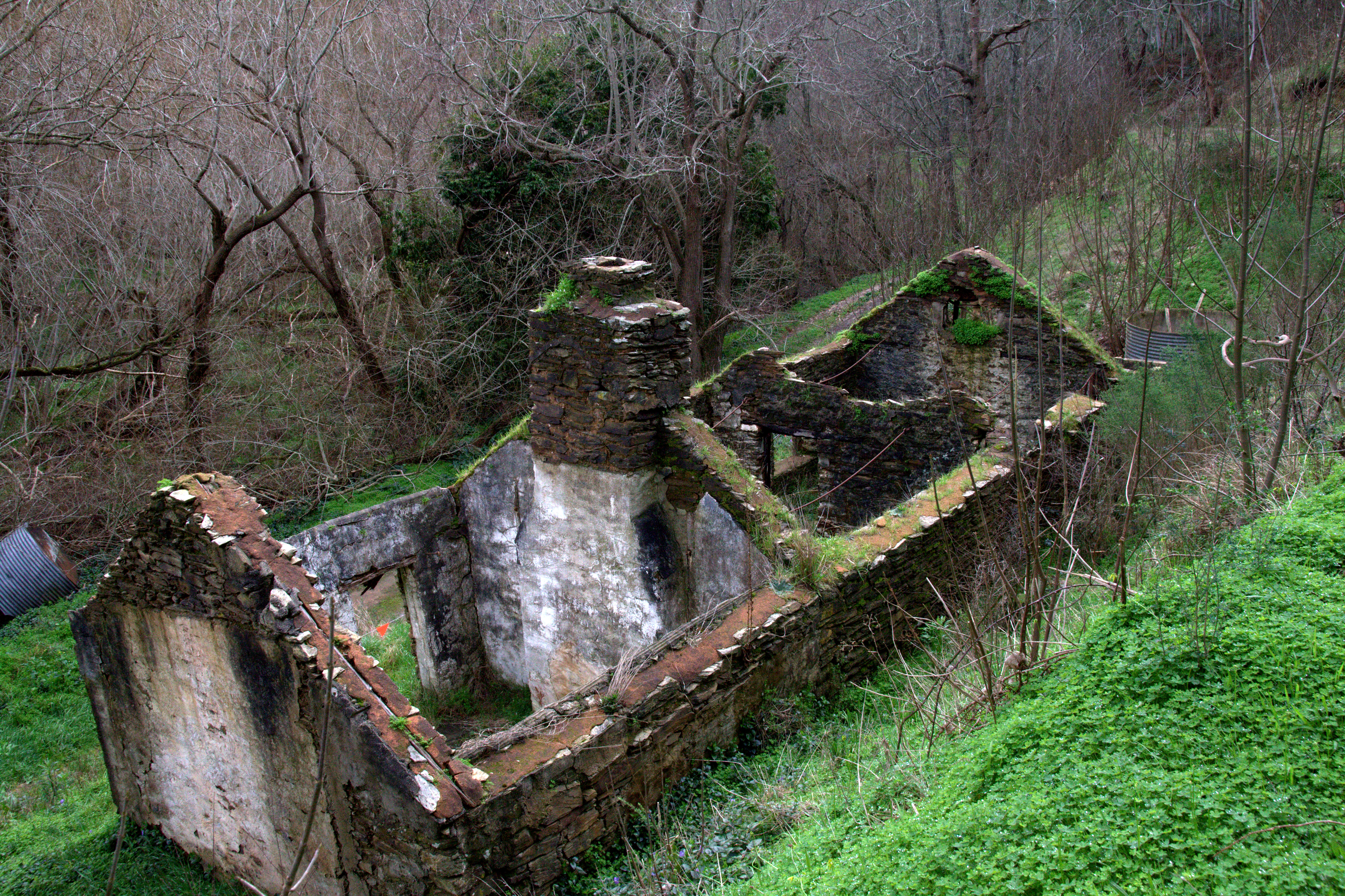
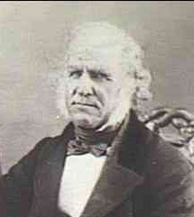
The Giles Conservation Park area was settled by Charles Giles, a pioneer of the horticultural and floricultural industry of South Australia. He purchased the land while living at another property on South Road and walked to the Summit every Monday morning with his week’s provisions, returning home on Saturdays. There was no road up the valley of Third Creek at that time, and to reach his land the creek had to be crossed 21 times. Ruins of the workers’ accommodation huts, once part of an extensive nursery and orchard, can be seen.
Horsnell Gully, including the Giles section, was set aside as a conservation park in 1964 to conserve vegetation associations of the Hills Face Zone, including a number of rare and endangered plants species. In 2007, the eastern section of the park was renamed Giles Conservation Park to honor the Giles family’s historical connections to the park.
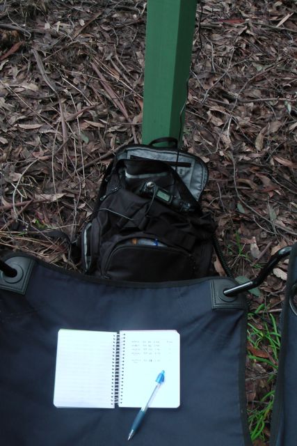
I set up my gear just inside the park boundary and used the Giles Conservation Park sign to rest the Yaesu Ft-817nd on. After erecting the 40m dipole on the 7m squid pole, I sat back in the deck chair and jumped onto 7.100, asking if the frequency was in use. Only to be greeted again by Col VK5HCF and Larry VK5LY. This was followed by a steady call from regular ‘Hunters from VK5 & VK3.
I spoke again with John VK5BJE who was still in the Mount George Conservation Park. So that was some more Park to Park points.
I operated for about half an hour again on 40m SSB and ended up with 18 QSO’s.
The weather was starting to get absolutely freezing, even though it was not quite 3.oo o’clock in the afternoon. I lowered the antenna and adjusted the alligator clips and had a listen on 20m for any possible DX. But my hands were starting to stiffen up from the cold, and as much as I like working DX, I decided to pack up the gear as it was just too damn cold !
The following stations were worked:- Col VK5HCF/qrp; Larry VK5LY; Brian VK5FMID; Dave VK3VCE; Peter VK3PF; John VK5BJE/p; Nev VK5WG; Colin VK3UBY; Andy VK5LA; Tom VK5EE; Ian VK3FNBL; Brenton VK5BZ; Roy VK5NRG; Robin VK5TN; Graham VK5KGP; Mal VK3AZZ; Nick VK3ANL; and John VK5FTCT.
After activating the park, I went for a walk through the park, to warm up and to explore. I walked along a track, that was once the principal road into Adelaide from the east during the 1870s and 1880s. There was a coach gate located on the highest point of ‘Coach Hill’, which is known today as the suburb of Skye. The driver blew a trumpet to tell the settlers that he had been through the gate and they had to climb up to close it. Near the spot where the power lines cross Coach Road, there was a hut for a ‘team’s keeper’ who kept fresh horses for the coaches. Looking around me at the scrub, you can’t help but admire our pioneering history. It must have been an incredibly interesting, but very difficult life.
Headed home to watch the end of the footy. I shouldn’t have rushed home….the Adelaide Crows got beaten by our arch rivals, Port power, by just 3 points !
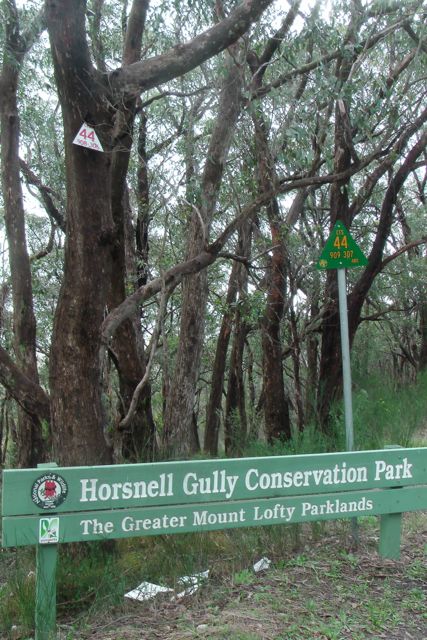
My second park of the day was the Horsnell Gully Conservation Park, which is situated about 8 kms north west of my first activation at the Eurilla Conservation Park
From Eurilla CP, I drove through the Piccadilly Valley, which is a premium market gardening area. And then into the little town of Summertown and then on towards Ashton. The Ashton area is renowned for its fruit orchards including cherries, apples, pears, and lemons. I turned left from Woods Hill Road, into Coach Road.
The Horsnell Gully Conservation Park is located about 10 kilometres east of Adelaide in the rugged terrain of the Mount Lofty Ranges. The 245-hectare area was once farmland owned by the Horsnell and Giles families, and ruins can be found throughout the park and the adjacent Giles Conservation Park.
Today, Horsnell Gully and Giles Conservation Parks are important links in the fragmented band of natural woodland along the Mount Lofty Ranges. There are excellent opportunities for bushwalking, birdwatching, photography, painting, nature study, and mountain biking (as I found out).
Prior to European settlement, the Kaurna (Gar-na) people spent the winter months in locations such as Horsnell Gully and Giles, using the wood and bark from the woodlands for fire, warmth and shelter. During summer they lived on the coast, taking advantage of cool, ocean breezes.
John Horsnell, once coachman to Governor Gawler, settled the gully in 1842, establishing market gardens and orchards of walnut, Osage orange and olive trees – remnants of which can still be seen today. He established an English cottage garden that included roses, violets and agapanthus, and the first dairy in South Australia.
In 1860-61, a house of local sandstone was built and, at one time, housed 14 children. The house remains and a coach house, stable and milking shed can also be found nearby. These ruins are well-maintained and represent one of the earliest farms in the area.
Horsnell Gully, including the Giles section, was set aside as a conservation park in 1964 to conserve vegetation associations of the Hills Face Zone, including a number of rare and endangered plants species. In 2007, the eastern section of the park was renamed Giles Conservation Park to honor the Giles family’s historical connections to the park.
There are a large array of animals that can be found in the park including common ringtail possums, brushtail possums, the elusive yellow-footed antechinus and bush rat, Western grey kangaroos, koalas, and short-beaked echidnas. A variety of Bats are also found in the park.
A large variety of birds can also be found in the park including the crescent honeyeater, striated thornbill, brown thornbill, fan-tailed cuckoo, yellow-faced honeyeater, white-throated treecreeper and scarlet robin, brown treecreeper, restless flycatcher, New Holland honeyeater, striated pardalote, purple-crowned lorikeet, red-browed finch, and yellow-tailed black-cockatoos.
I parked the car at Gate 3, and set up the gear on a dirt track near the entrance gate. Fortunately I didn’t have to walk too far, as the weather was turning ugly. I could see a lot of black clouds out to the west as I looked down the gully towards Adelaide.
I set up the dipole and the deck chair and I jumped onto 7.100 and asked if the frequency was in use, only to get called straight away by Col VK5HCF, Brian VK5FMID, and Larry VK5LY. These three fellas are dedicated ‘Hunters’ and always seem to feature in my log.
I had a good QSO with Greg VK2FGJW who was portable up in the Blue Mountains. I also spoke with Ian VK3FNBL who was operating QRP with just 5 watts (5/6 sent and 5/8 received). And Matt called in again, VK5MLB. This time he was mobile west of Parndarna on Kangaroo Island.
I also managed a Park to Park contact with John, VK5BJE, who had indeed braved the elements, and was operating portable in the Mount George Conservation Park. John was a good strong 5/8 signal and I received a 5/8 back from John.
Whilst in the park I had a chat with a few lads who were mountain biking. They were making the journey up from Skye. There was also a group of about 8 people who I think were ‘Friends of the Park’ or something similar. One of them saw my squid pole and believe it or not asked me if I was catching birds. I explained to him all about the hobby of amateur radio and he seemed ok then.
Again I operated in the park for about 40 minutes and managed 17 QSO’s into VK2, VK3, & VK5 on 40m SSB.
The following stations were worked:- Col VK5HCF; Brian VK5FMID; Larry VK5LY; Nev VK5WG; Tom VK5EE; Greg VK2FGJW/p; Colin VK3UBY; Rod VK5FTTC; Andy VK5LA; Peter VK3PF; Dave VK3VCE; Ian VK3FNBL/qrp; Nick VK3ANL; John VK5BJE/p; Robin VK5TN; Matt VK5MLB/m; and Graham VK5KGP.
Off to the next park, the Giles Conservation Park.
This morning at late notice I decided to head out and activate 3 Conservation Parks. The weather was beautiful at Mount Barker….nice and sunny, and that was the forecast for the day. But unfortunately that did not last long, and by the end of the day it was absolutely freezing. But luckily no rain.
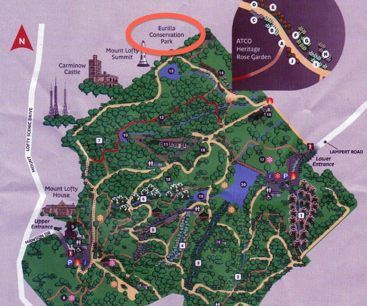
My first park of the day was the Eurilla Conservation Park. I never knew until this morning when checking the internet, that this park even existed. Eurilla CP is located about 16 kms south east of Adelaide. It is located just off the eastern side of Summit Road, which leads to the Mount Lofty summit. The park is situated on the northern border of the Mount Lofty Botanic Garden, and opposite the Cleland Conservation Park.
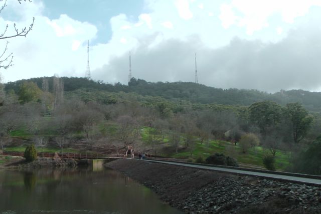
You cannot access the park via Summit Road, and there are no roads leading into the park. I accessed the park via the Mount Lofty Botanic Garden. I entered the Garden via the lower carpark off Lampert Road, and then walked about 4 kms through the garden, and into the park. It took a bit of climbing and fence jumping, but I eventually got there. Below is a photo looking through the Garden up towards the CP. The three TV transmitter towers are in the background.
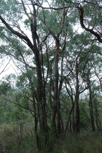
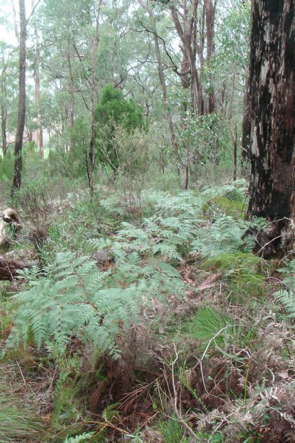
The Eurilla Conservation Park consists of thick eucalyptus forest. However the main feature and the reason for the park being dedicated is an undisturbed bog consiting of a dense mat of the rare coral fern and a large colony of mature king fern, an endangered species in South Australia. These specimens are amongst the finest in the State.
The park was named in honour of Warren Bonython, one of the members of the famous South Australian Bonython family. They lived nearby in ‘Eurilla’ mansion, which was built in1884, but was burnt to the ground during the 1983 Ash Wednesday bushfires.
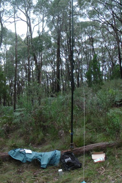
I found a fallen log and used this as a seat, and also to prop the 7 m squid pole against, and secured it with some octopus straps. My i-phone was bleating at me from the SOTA Goat application, so I was keen to get the antenna up and get on air. There were plenty of options in the park re stringing up the ends of the dipole. Lots of tall gum trees.
My first contact of the day was with Tony, VK3CAT who was portable on Mount Dandenong summit VK3/ VC-025. This was Tony’s first SOTA activation, and he had a nice 5/7 signal and I received 5/8 back. So that was a good start. I then QSY’d up to 7.100 and put a call out and worked Larry VK5LY, Brian VK5FMID, and then John VK5BJE. John advised that he was considering going out in the afternoon to activate the Mount George Conservation Park and possibly the Belair National Park. So there were a few more Park to Park opportunities for me.
This was followed by a number of the regular ‘hunters’, all of whom had very good signals.
Matt, VK5MLB gave me a call from the Seddon Conservation Park on Kangaroo Island, and I got excited believing I had another Park to Park for my log. But alas, Matt was working from his car, whilst in the Seddon CP, so it didn’t qualify.
But I did work John VK5FMJC who was portable in the Clements Gap Conservation Park, on his very first VK5 Parks activation. John was using his little FT-817 and just 5 watts and was an excellent 5/9 signal into the Mt Lofty Ranges. Congratulations John.
I also had 2 good QRP contacts. The first being with Col VK5HCF who was using just 5 watts (5/8 signal), and Ian VK5IS who was using just 2 watts (5/8 signal).
After half an hour of sitting on a wet log, I had 18 QSO’s in the log on 40m SSB, into VK3 & VK5.
The following stations were worked:- Tony VK3CAT/p (SOTA); Larry VK5LY; Brian VK5FMID; John VK5BJE; Graham VK5KGP; Dave VK3VCE; Col Vk5HCF/qrp; Roy VK5NRG; Matt VK5MLB/m; Colin VK3UBY; Andy VK5LA; Nev VK5WG; Tom VK5EE; John VK5FMJC/p; Rod VK5FTTC; Peter VK3PF; Ian VK3FNBL; & Ian VK5IS/qrp.
I know there are a few budding VK5 SOTA ops that read this blog, and I thought it might be appropriate to raise a few issues re access to many of the VK5 summits.
So far I have activated about 32 summits since March this year, and the vast majority of those have been situated on private property. And on each occasion I have spoken with the land owners prior to gaining access to the summit either on, or via their property.
And fortunately I have only spoken to 2 x land owners in the past 5 months that have refused access to their land. Their main concerns have been prior bad experience with people tresspassing on their land, or issues with public liability insurance.
I guess I am writing this blog, because all we need is one irresponsible activator, and it might affect any future SOTA activations.
I know that many of the suggestions below are common sense, but from my past experiences in life, this doesn’t always rub off on all people.
Here are a few suggestions to keep land owners happy…..
Contact the land owner prior to accessing the summit. Imagine someone walking into your back yard without seeking prior approval. Other than it being just plain rude, it is also Tresspassing.
Be polite & friendly.
Explain to them what your intentions are and how long you plan to be on the summit.
Explain the SOTA program to them and the hobby of amateur radio.
If you strike a reluctant party, explain the role that amateur radio plays in disasters, and that its not all about a fun activity.
If the land owner is reluctant, ask if they would like to accompany you. I have done this before and it has worked.
If they do decline access, please place this information on the SOTA database, so that other activators don’t ring & pester the land owner again.
Pick up your rubbish. Don’t leave anything behind.
Leave things as you found them.
Close all gates as you find them. If you are not familiar with ‘cokies gates’, ask the land owner if there are any tricky gates.
Be cognisant of sheep and/or stock on the land that you are entering into or plan to operate from.
Don’t discard cigarette butts.
Be aware of your own safety. Other than placing your own health at risk, land owners are not going to be keen to allow other people onto their land in the future, if you happen to break you leg and require to be helicoptered off the summit.
Make sure you are on the right summit. An unhappy neighbour will more than likely get on the telephone to the correct land owner and have a whinge. The correct summit land owner doesn’t need that.
If you are driving across private land, be aware of the limitations of your vehicle. Land owners will be none to pleased if they have to come to tow you out after you’ve got yourself bogged.
Phone the land owner following your activation to let them know you are safely off the hill, and to thank them for allowing you access.
Send the land owner some photos of your activation, or a link to your Tube video of your activation. I have been doing this, and it is amazing how many of them really appreciate it, and enjoy looking at the photos and/or videos.
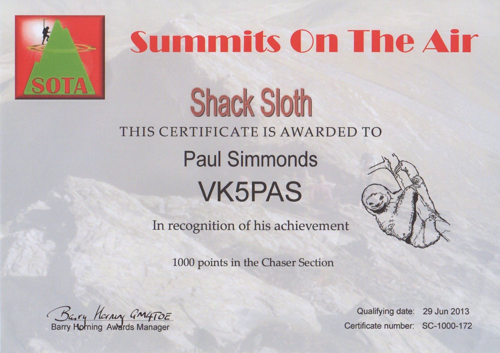
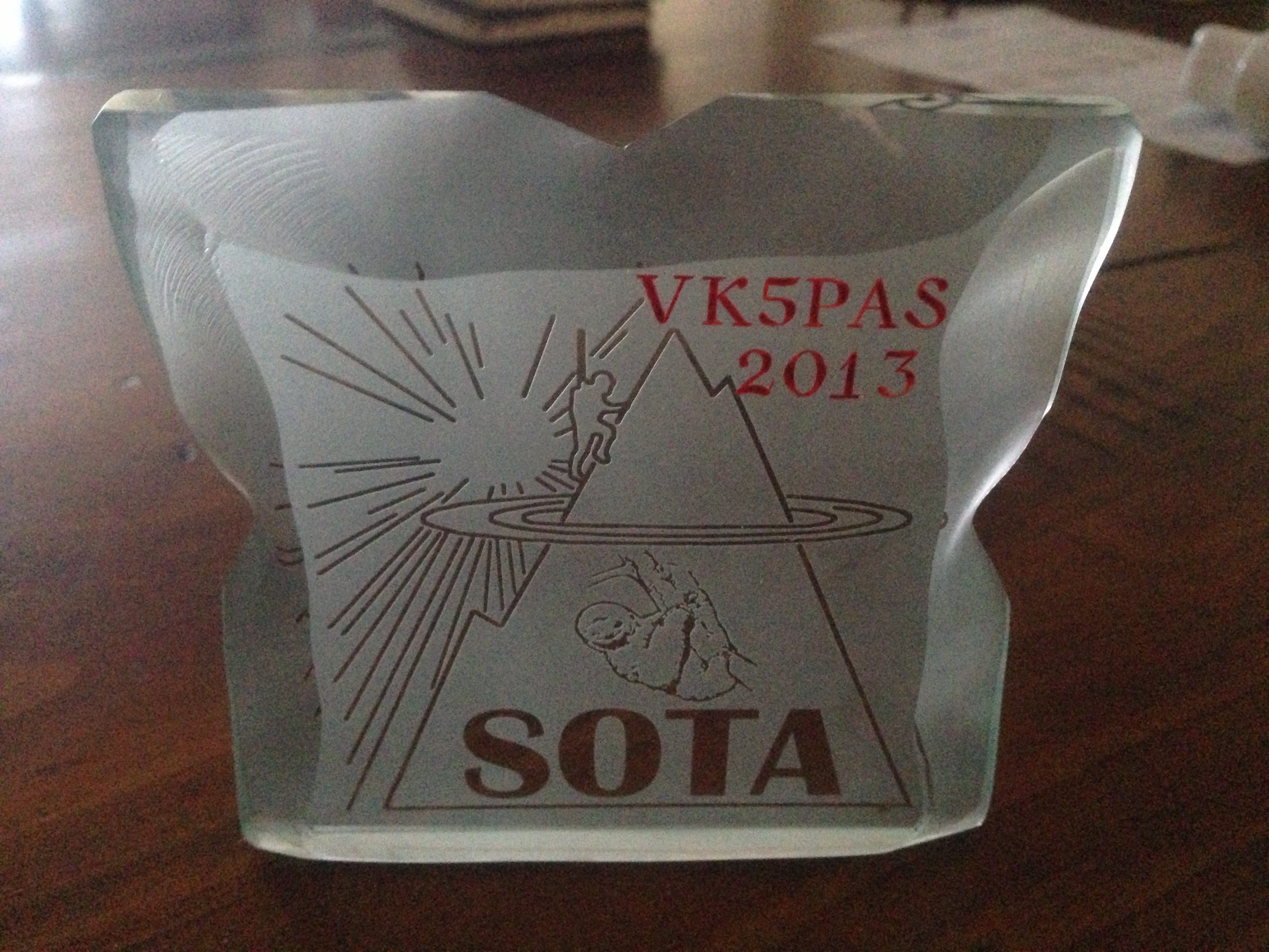
I went to the Post Office this afternoon to find a parcel collection card in the box. I thought it might have been my Shack Sloth certificate and plaque which I had been eagerly awaiting. And sure enough when the parcel was handed over I saw that it was from the UK. And inside was my Shack Sloth certificate for 1000 points as a Chaser, and the glass etched plaque.
Very happy to have received them.
A bit of work to do yet before I even get close to becoming a Mountain Goat.
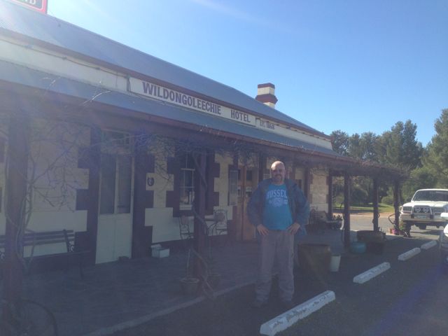
Following our activation of VK5/ SE-006, Ian and I got back to the car, only to find that Ian had left the lunches at home. Bugger ! We were both that hungry that we could have eaten a low flying duck. Our afternoon summit, Mount Bryan, VK5/ SE-001, was going to be a two hour climb, so we were in need for some tucker. So we travelled south on the Barrier Highway, and headed into the nearby town of Hallett, only to find that the local Servwell store, come take away was closed on Sundays. After some cursing & swearing, we headed to the local pub, the Wildongoleechie Hotel.
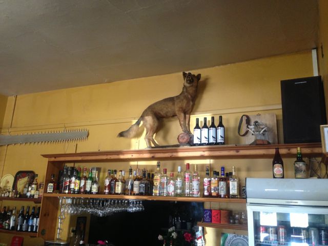
What a great pub. Not only did we pick up a meal & a couple of nice cold beers, but we got some directions from the licence on a short cut to reach the northern side of Mount Bryan. So with some local tips it cut down our 2 hour climb to a possible 20 minute climb. The new owners of this pub have only been here from Western Australia for the past 6 months, and they are making a go of it. They were very friendly, and if you are ever out this way, it is a terrific little country pub with a great atmosphere. It is a very historic pub, and was established way back in 1868. There are conflicting stories about what the name means.
Hallett is a small town in the Mid North of South Australia, situated about 220 kms north of Adelaide. It is about 32 kms north of Burra and about 38 kms south east of Jamestown. It lies very close to Goyder’s Line, which was plotted in the 1800’s by George Goyder, separating the land suitable for cropping from the land suitable for grazing. Hallett has a population of about 210 people. It was once a railhead for the local farming community.
Hallett is the closest town to Mount Bryan East, which is the birthplace of Sir Hubert Wilkins (1883-1958), a polar explorer, ornithologist, pilot, soldier, geographer and photographer. He was perhaps the last modern explorer in Australian history. Sir Hubert Wilkins birthplace and childhood home, Netfield, now restored as a historic site, is easily accessible from the renowned Mount Dare Driving Circuit between Hallett and Terowie.
After lunch we travelled north out of Hallett on the Barrier Highway and then turned right onto Mount Bryan East Road and travelled north east. We then turned right through a double farmers gate about 5 kms along Mount Bryan East Road. There is a sign on the gate warning about the removal of wood. We followed this dirt track, travelling north, and through a few more farmers gates.
Mount Bryan is the highest peak in the ‘South East’ region for Summits on the Air in South Australia. It is 933 metres above sea level and is worth 8 points. It is situated about 5 kms east of Hallett, and about 18 kms north east of the township of Mount Bryan. The weekend prior to our activation, there was snow all over Mount Bryan and the surrounding peaks.
The summit was first sighted by Edward John Eyre and his Party, who were the first Europeans to explore the area west of Hallett on a trek to the northern areas of South Australia in July, 1839.
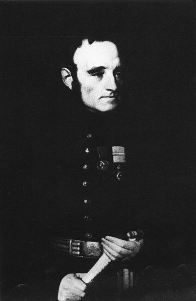
The town of Mount Bryan was named by the Governor of South Australia, Lt. Col. George Gawler, after the nearby peak. He named it in honour of Henry Bryan, a young man who became lost and presumably perished of thirst during Gawler’s ‘Goolwa to Nor-West Bend expedition’ in December, 1839, which was to ‘examine the land along the Murray River, with the hope of finding fertile country; and also to determine the capabilities of river and lake for inland navigation‘.
Among those accompanying Gawler was Gawler’s aid, John Craig, the famous explorer Charles Sturt and the Chief of Police Henry Inman. Apparently a number of rash decisions plagued this expedition, which was otherwise notable for including ladies with a view of dispelling fear of the natives by settlers to the new colony. This included Charlotte Sturt who was Captain Sturt’s wife; Beatrix Sturt, who was Captain Charles Sturt’s biographer and his daughter in law; and also Julia, the daughter of Gov. Gawler.
The story of this expedition is truly remarkable, and whilst I sat on the top of Mt Bryan using technology like an amateur radio transceiver, I shut my eyes to imagine what it must have been like 174 years ago.
The Party set off from near present day Goolwa, and sailed in 4 little boats across Lake Alexandrina from Currency Creek, and proceeded up the Murray River to current day Morgan. After their arrival on Tuesday, the 10th December, at what was described as the ‘Great bend’ in the river at Morgan, they set up camp at the entrance of Bryan (Burra) Creek. The following day on Wednesday the 11th December, Gawler, Sturt, Inman, Craig, and Bryan, set off on horseback with a week’s provisions and 2 barrels of water to explore the country.
It was at approximately 12 noon on the 11th December, 1839, on a small hill to the north east of the campsite, that Gawler saw a mountain in the distance and immediately named it Mount Bryan after his young friend, Henry Bryan.
However by the first night, when about ’32 miles’ from the river, it was discovered that the barrels had leaked and much of the water had evaporated in the extreme heat.
A second day of extreme weather left barely a trace of water in the barrels and the situation was critical. Smoke was seen in the vicinity of Mount Bryan and the Party assumed that this indicated the presence of aboriginals, and thus water. Gawler later stated:-
“While contemplating the scene about us, smokes were observed to arise on Mount Bryan. Smokes indicate Natives, and Natives indicate the neighbourhood of water. Our casks had leaked, the bung had escaped from one of them, and the consequence was that our stock of water was just exhausted…..On the following morning, leaving Captain Sturt and Mr H Bryan in charge of our provisions and packhorses, I and Mr Inman set out in search of the Natives and water, but after toiling over the spurs and through the gullies during the morning of another hot day we could not find either. We found an extinguished Native fire and a ruined Native hut, but that was all, and we returned to the party to say that no alternative remained but to press through the night for our station on the Murray….”
It was at this time that Sturt bled one of the remaining three horses and all partook in this desperate attempt at survival.
On Friday the 13th of December, with all of their water gone and the temperatures rising, Sturt recommended that Gawler and Bryan set off on the strongest horses to seek help. They were about ’65 miles’ (110 kms) from the camp on the river. It was organised that Sturt, Inman, and Craig would follow a short time later.
On Saturday the 14th of December, Gawler and his horse could not proceed any further due to the heat and lack of water. Gawler and Bryan then swapped horses so that Bryan could ride the Governor’s horse slowly for the remaining ’12 miles’ to the camp, and Gawler would ride ahead.
By Sunday the 15th December, Gawler had reached the camp, however he had lost sight of Bryan at this time. He was followed soon after by Sturt, Inman and Craig. But there was no sign of Byran.
On Monday the 16th with the assistance of a local aboriginal, the group tracked the hoof prints of Bryan’s horse, about ‘five miles’ through the bush. They located Bryan’s blankets, coat, and stockings, and Gawler’s saddle, bridle, and telescope. On a scrap piece of paper, dated 9 p.m. Sunday 15th, Bryan had written that he ‘had been detained by exhaustion‘ but was going to the south-southeast.
Beatrice Sturt wrote:- “A second careful search at this spot disclosed the tree to which he had tethered his horse. The animal on escaping had taken a course due west to the hills with his rope trailing after him, and he eventually found his way back to Adelaide. But not search could disclose even to a native’s piercing eye any footprint or other mark in the direction indicated. Repeated efforts were made; they examined every bush, fired at intervals, constantly shouted; but to no purpose, nor was any further trace of ‘Bryan’ ever found”.
Bryan’s horse amazing eventually made its way back to Adelaide, with its hoofs grown to enormous lengths. And as for Bryan, he was never seen again, and has not been declared missing or presumed dead, nor has a death certificate been issued.
Gawler later wrote:-
“I never had so deep a regard for any young man that I had known for the same length of time, his character, looking at it with the severity of a Christian eye, was more faultless that that of any other individual of the same age”.
The town of Mount Bryan was once a busy hub of rail transport where up to 44 trains every week rolled to a halt. Shunting lines to the cattle and sheep yards, a cream and egg shed, a cloakroom, goods sheds, the Station Master’s Office and wheat stack yard filled the area around Mount Bryan. There was a daily passenger service to Adelaide, and the railway provided fresh fruit and vegetables, mail, and health services to the district. Passenger services operated from 1880 right up until 1988. Today Mount Bryan township is a sleepy hollow, with a population of about 140 people. It was once the heart of a thriving farming community, including some of Australia’s best known Merino sheep studs.
Ian and I parked the car about 1 km from the summit and climbed up a steep side of the hill to reach the trig point. It was a beautiful sunny day but blowing an absolute gale.
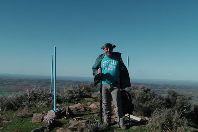
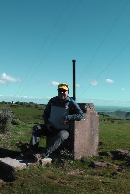
There is the remnants of a trig point at the top. It consists of three blue metal poles. Nearby is a concrete/besser block chair which faces the east. A bit cold on the backside, but an amazing view to the east from the comfort of the chair.
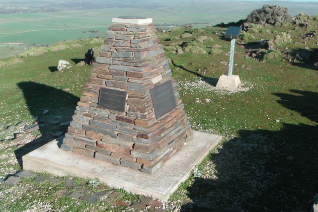
There is also a memorial cairn at the top of the summit, which was erected in 2002 by Mr. Glen Tiver, whose forebears owned the property ‘Rupera’ which encompassed Mount Bryan and its environs. It contains four commeorative plaques in memory of Edward John Eyre, Gawler Sturt & Bryan, Edward Frome, and three generations of the Tiver family.
Sadly, this was not the original cairn on the summit. In 1842, Colonial Surveyor, Lieutenant Edward Frome erected a cairn on the site, during his further explorations of the area. Following Mount Bryan being acquired as a Government Water Reserve in 1970, the S.A. Water Authority demolished Frome’s historic cairn to make way for other engineering works. What a disgrace !
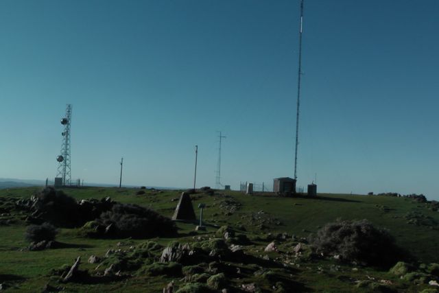
There are also a number of towers with various radio repeaters, etc. Fortunately they did not create any interference and the noise floor was virtually undetectable. There is also a visitors book which we signed.
Going from the experience the day before with the squid pole snapping twice, we knew that today’s winds were just as bad as yesterday morning’s winds, so we looked around carefully for an operating spot. We walked down to a little gully just down from the trig point and this seemed to afford quite a bit of protection from the very strong winds.
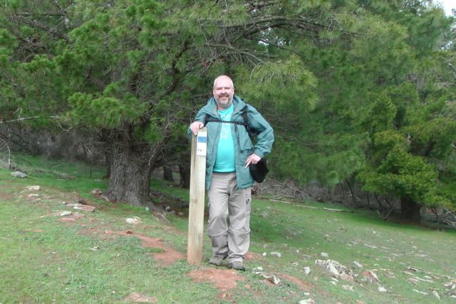
We set up the squid pole, attaching it to a Heysen trail sign post, using the octopus straps, and we then attached the 40m/20m linked dipole, weighing down the ends with some rocks. The wind was so strong that the legs of the dipole went flying into the air on at least two occasions.
My first contact of the afternoon was with Col VK5HCF who was using just 5 watts QRP. Col had a terrific 5/8 signal. My next QSO was with John VK5BJE who was portable in the Ramco Point Conservation Park in South Australia’s riverland. John was activating quite a few Conservation parks as part of the VK5 National & Conservation Parks Award. John was also QRP and he too had a great 5/8 signal. Next was Ernie VK3DET, followed by Peter VK3PF to make my 4 required QSO’s.
Ian had already activated this park earlier in the year, so for him it was not worth any additional points. However whilst I got up to stretch the legs and go for a walk, Ian jumped onto 20m SSB and made 5 contacts into Europe, VK2, & VK6.
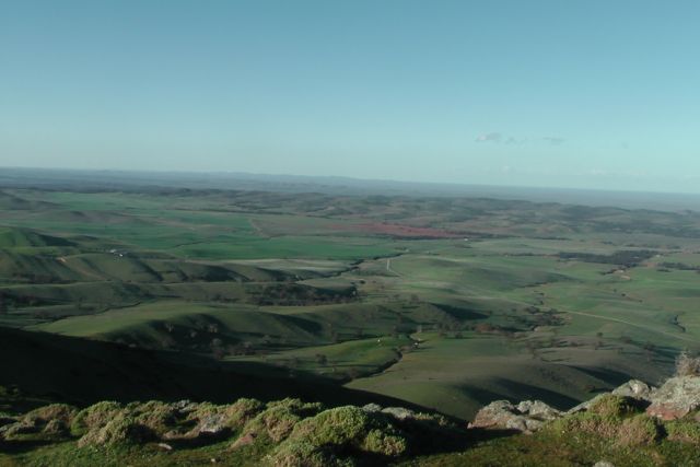
The views from the top of the summit are really quite something. There are 360 degree panoramic views.
After an hour of activating, it was time to get off the summit. Before leaving we bumped into the bushwalker whose car we had seen parked down at the base of the summit. He was a friendly guy and we explained why we were up the top of Mount Bryan and he was very interested.
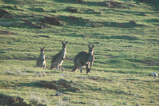
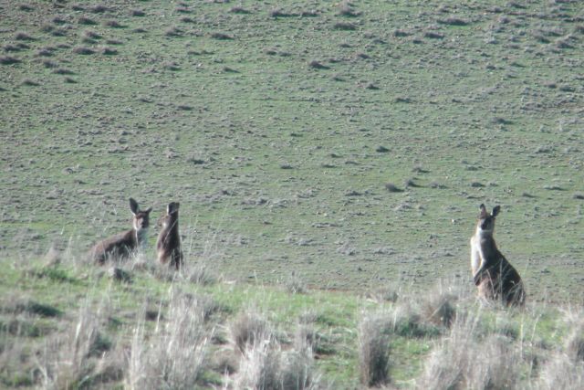
On the way back to the car we saw a large number of kangaroos. It was getting on towards 4.00 p.m. and they were just starting to come out and graze on some of the lush greenery on the hills.
It was an enjoyable hour or so on the hill, with a total of 26 QSO’s on 40m SSB into VK1, VK2, VK3, VK4, & VK5, and 2 QSO’s on 20m SSB into Spain & New Zealand.
I worked the following stations:- Col VK5HCF/qrp; John VK5BJE/p/qrp; Ernie VK3DET; Peter VK3PF; Peter VK3ZPF; Andy VK5LA; Tony VK3CAT; Brian VK5FMID; Rhett VK3GHZ; Tom VK5EE; VK2LAX/p; VK5PEP; Peter VK3FPSR/m VK2; Nick VK3ANL; Brian VK3MCD/p; VK3OHM; Paul VK4CPS; Ron VK3AFW; Roy VK5NRG/qrp; Mal VK3AZZ; VK4FADI; Shaun VK5FAKV; Andrew VK2UH; David VK5NQP; Mark VK1MDC; VK4FBRI/p/qrp; John EA7BA; and Brian ZL2ASH.
I have posted a video of this activation on You Tube.
On Sunday morning, 28th July, 2013, Ian and I had another early start. Wide awake and out of bed at 5.30 a.m. for another one of Ian’s fine cooked breakfast consisting of eggs and bacon and fresh home made bread. It had been raining overnight, despite the weather forecast saying that today was mean’t to be sunny.
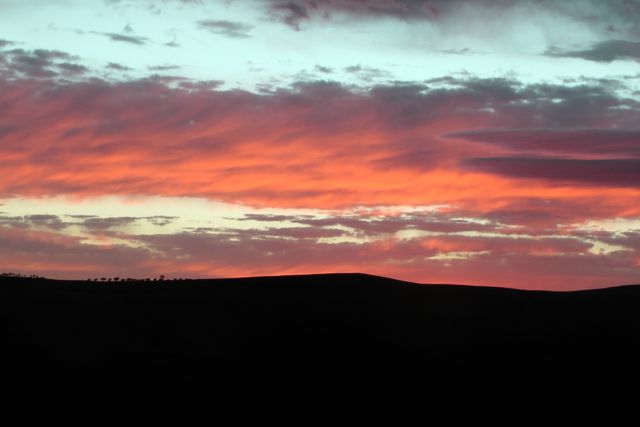
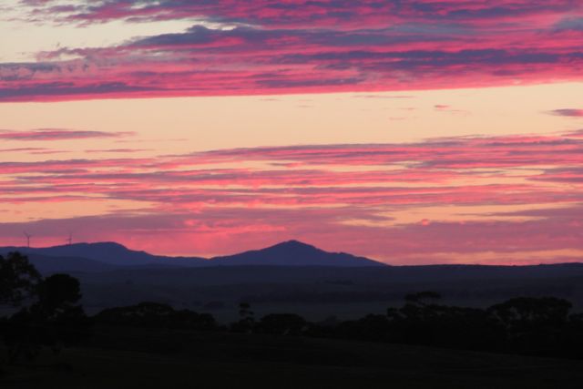
So we headed out, travelling north to un-named summit, VK5/ SE-006. The weather did not look good, and the rain was quite heavy. But we did have some hope, because as we looked to the north east the skies were clear. As it turned out the rain cleared and there was a spectacular sunrise.
We travelled north along the Barrier Highway, through the little town of Mount Bryan, and then passed the imposing Mount Bryan summit, which is South Australia’s third highest peak. Mount Bryan was to be our afternoon activation.
The VK5/ SE-006 summit is situated about 10 kms west of the little town of Whyte Yarcowie on the barrier Highway. Access to the summit is via private property.
Whyte Yarcowie was surveyed in 1875 and the name Yarcowie is said to be aboriginal for ‘wide water”. “Whyte” was added to the name in 1929, after an early pastoralist John Whyte. Alexander McCulloch was the first to pioneer the area and his name is given to McCulloch Square. The railway station was built in 1880 and Whyte Yarcowie was a good example of a bustling railway town in the early 1900s. The town had a flour mill, schools, hotels and an Anglican Church which, at the time, was reported to be the smallest in Australia.
After a 45 minute climb, Ian and I reached the summit and set up our gear in 2 different spots. Ian was using his Elecraft KX3, 5 watts output and a 40m/20m linked dipole supported on a 7m squid pole. I was using a Yaesu FT-817nd, also 5 watts output, and also a 40m/20m linked dipole supported on a 7m squid pole. It was a beautiful day on the top of the summit with bright sunshine but a very strong westerly wind.
My first QSO of the morning was a Summit to Summit contact with Mike VK3XL who was portable on Mount Johnston, VK3/ VG-122 (5/6 both ways). Dave VK3VCE then called in, followed by Peter VK3PF. My fourth contact was also a Summit to Summit QSO with Phil VK3BHR who was portable on Mount Kooyoora, VK3/ VU-007. This was followed by the regular crowd of Chasers, all of whom ahd very good signals.
Again I had a few enjoyable QRP contacts with Urey VK3ATA, Rik VK3KAN/p using just 3 watts, Peter VK3ZPF, & John VK3XR/m using just 10 watts. All had very good signals.
And I also spoke with John VK5BJE who was operating portable again. This time in the Maize Island Conservation Park as part of the VK5 National & Conservation Parks Award. John had been really active the past few days in the Riverland, activating parks as part of the Award. Well done John. Always a great signal.
I managed 35 QSO’s on 40m SSB into VK1, VK2, VK3, VK5, & VK7, including two Summit to Summit QSO’s, and one VK5 Parks Award contact.
The following stations were worked:-
Mike VK3XL/p (SOTA); Dave VK3VCE; Peter VK3PF; Phil VK3BHR/p (SOTA); Larry VK5LY; Col VK5HCF; Nev VK5WG; Andy VK5LA; Rhett VK3GHZ; Tom VK5EE; VK3OHM; Ernie VK3DET; Mark VK1MDC; Ron VK3AFW/m; Andrew VK2UH; Roy VK5NRG; Urey VK3ATA/qrp; Tony VK3CAT/p; Tom VK2KF/qrp; Brian VK5FMID; Brian VK3MCD; Shaun VK5FAKV; Rik VK3KAN/p; Peter VK3ZPF/qrp; John VK3XR/m/qrp; John VK5BJE/p/qrp; Ron VK3AFW; Peter VK2NEO; Ed VK2JI; David VK3EW; Graham VK5KGP; Ken VK3ALA; Al VK7AN; Scott VK7NWT; and Ken VK3XYC.
Time to head down and off to the next summit. The big climb at Mount Bryan.
I have posted a video on You Tube of the activation.
Our second activation of the day was New Campbell Hill, VK5/ SE-007. Ian had already activated this hill, but that was last year in 2012, so it was some more Activator points for him as well. We had about a 60 km drive to the north west to get to New Campbell Hill from Hallett Hill. We cut across to the west to Spalding and then travelled north up the RM Williams Way.
RM Williams Way is named after Reginald Murray Williams, AO, CMG (born in 1908 – died in 2003), who was an Australian bushman and entrepreneur who rose from a swagman to a millionaire. He was widely known as just ‘R.M.’, and was born at Belalie North near Jamestown. He became known for creating an Australian style of bushwear recognised world wide.
New Campbell Hill is situated close to the Bundaleer Forrest Reserve in South Australia’s mid-north, to the south of the township of Jamestown. It is about 220 kms north of Adelaide. The hill is 714 metres above sea level and is worth 4 points.
Bundaleer Forest was Australia’s first plantation forest. The forest is the birthplace of the Australian forest industry. It is just 10 kilometres south of Jamestown, and offers magnificent scenery and walks. The Heysen trail (for hikers) and Mawson trail (for mountain bikers) take in the Bundaleer Forest. The Arboretum on Georgetown Road contains a range of native and exotic tree species. The Conservator’s Hut – formerly the exclusive residence of the Conservator of Forests – is on the Conservator’s Trail. Picnics can be enjoyed in the picnic grounds all year round, except for days of extreme fire danger.
By the 1870’s, much of South Australia’s native trees had been wiped out by eager pioneers in their rush to find materials for buildings, railway sleepers, jetty pylons and supports for mining shafts and tunnels. The need to find a suitable forestry timber species was crucial. By 1876, Bundaleer had been chosen as the site for the first trial plantings of commercial forestry trees from Europe, North America and all over Australia.
It was soon discovered the Californian radiata pine was the best species suited to forestry in Australia and this species went on to become the mainstay of not only Australian forestry, but also forestry in Chile, New Zealand and South Africa. The Woods and Forests Department (now Forestry SA) was formed in 1882 and the Bundaleer Forest Reserve was established with the planting of 400 ha (1000 acres) of forest.
Bundaleer’s timber became known for its high grade, a result of its slow growth (radiata plantations in SA’s South-East grow three times as fast). Throughout its history, Bundaleer timbers has been used for housing and structural timbers, furniture, packaging and shipping, ply-board manufacture, and for the pallet market. Milling of much of the timber occurs locally and is a vital industry to the town and region today.
Today, Bundaleer is the state’s smallest forest with about 1,500 hectares of plantations.
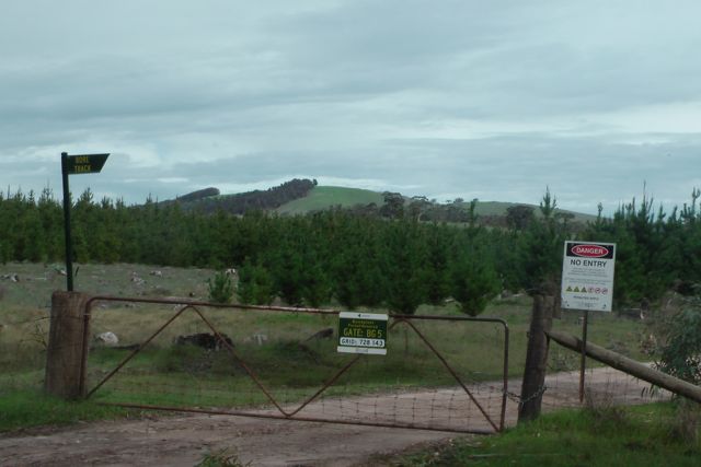
Ian and I travelled north on RM Williams Way and then turned left onto Bundaleer Gardens Road. We parked the car at the locked gate on Neindorf Road. The gate has a sign on it “Gate: BG 5″. There is also a sign saying ‘Bore Track”.
We then commenced our 4km walk from there to the summit. The first section of the walk is along a nicely graded dirt access road to the forest (called Bore Track). There is virtually no incline on the road, but there is worse to come. As Ian and I strolled along the road, we saw a few wild deer and a large number of kangaroos and euros. We even saw a cheeky fox which bounded off in a hurry when he heard our approaching voices.
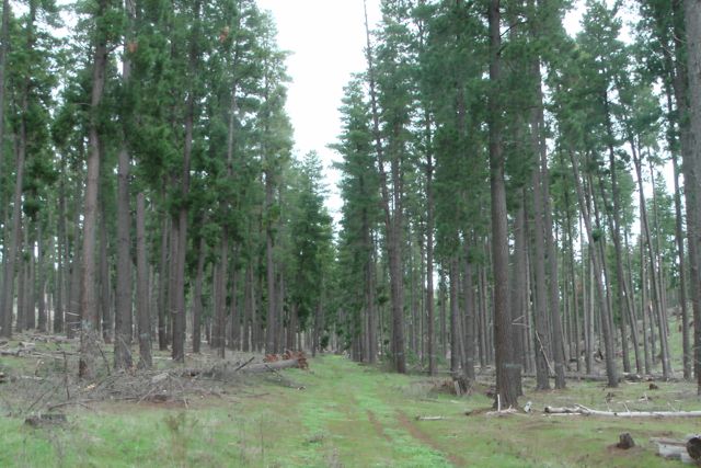
The track takes you passed a few small pine plantations and some native scrub, with some great views back to the east of the Hallett wind farms. You then enter the mature pine forest. We took a track through the forest up towards the summit. It was certainly very wet underfoot as we had received plenty of rain the previous weekend. In fact this area was covered in snow last weekend.
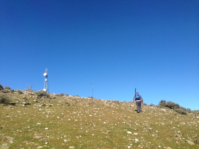
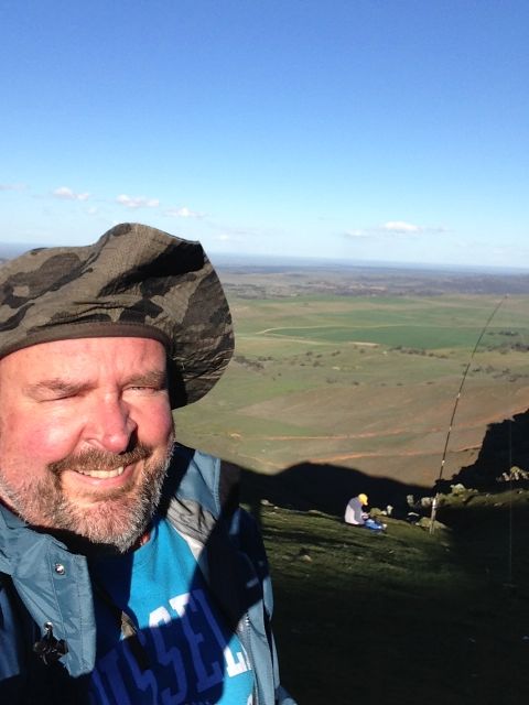
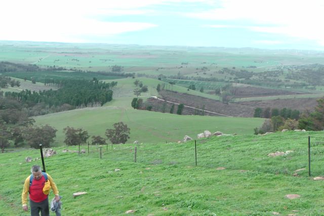
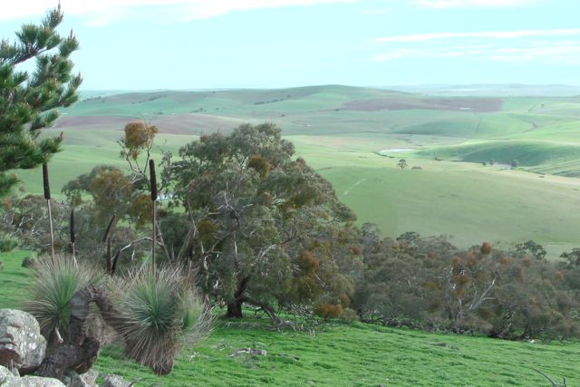
I enjoyed a beautiful walk through the forest, but Ian had warned me that the hard part of the walk was about to start. We exited the forest and could see a cleared area and the summit with the tower on the top. This part of the walk rises over vertical 150 metres in under 500 metres. So we commenced the walk which is a real calf burner, with a few rests along the way. The area is very rocky so you need to be a bit careful underfoot. But the climb is well worth it, as the views become increasingly more spectaular as you rise in elevation. Mount Remarkable and Mount Brown in the Flinders Ranges were visible to the north west.
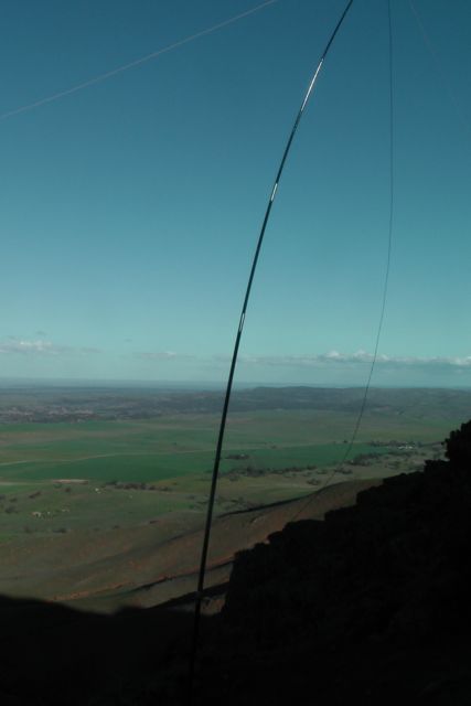
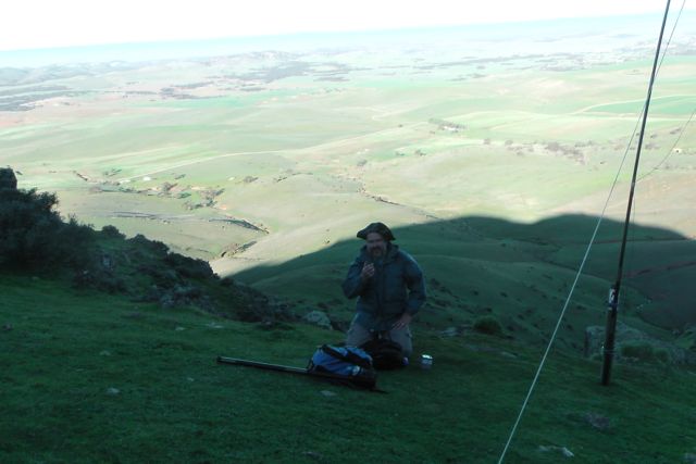
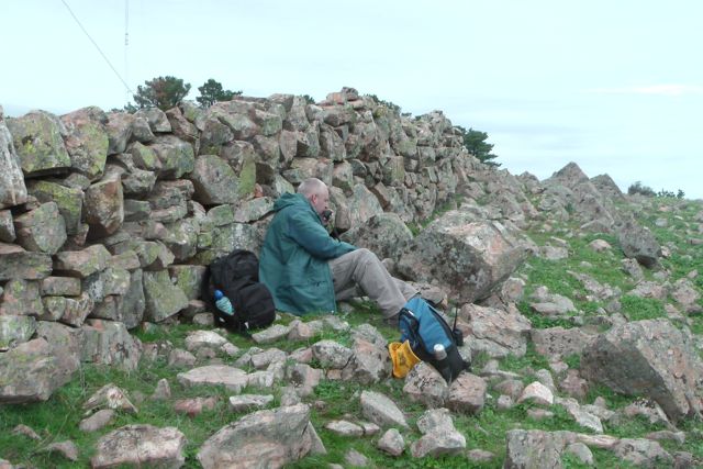
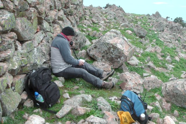
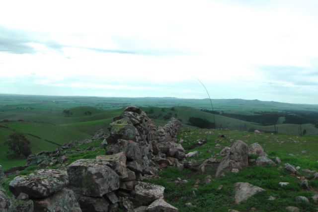
Once we reached the top I was a bit surprised to see that the wind was coming in from the north east, and not from the west. The wind was quite strong, so we set up behind a dry stone wall which runs north-south at the top. Local legend has it that these stone walls were made by Italian inturnees during World War Two. We attached the squid pole to a wire fenceline which runs parallel to the wall, using a couple of octopus straps. And then ran the coax through a gap in the rocks to the western side of the wall. The area is heavily covered in moss rocks.
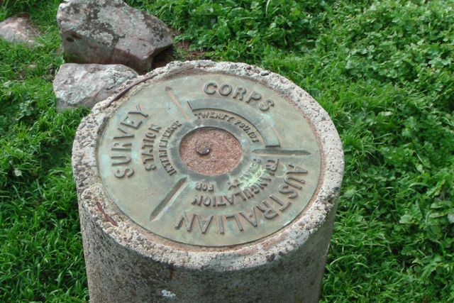
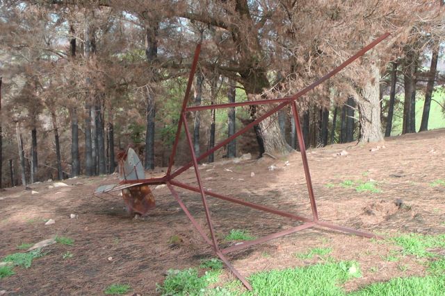
There is a trig point at the summit, just to the south of the tower. The actual trig station has collapsed and has lies on its side, slowly rusting away, about 5 metres away from the trig point which is a concrete column with a plaque on the top. The plaque on the trig point shows that it was erected by the Royal Australian Survey Corps, and there is the warning of a twenty pound fine for interference with the trig.
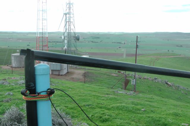
There is also a 4 stage guyed tower at the summit which doesn’t look to be in terrific condition. The top sections have a bit of a lean. There appears to be some sort of small VHF/UHF antenna on the top of the tower. In any event it caused no interference and the noise floor was virtually non existant.
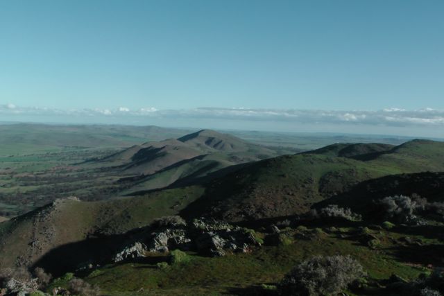
The views from the summit are quite spectacular in all directions. This includes great view of the Bundaleer Forest that was unfortunately devasted by a large bushfire in January 2013.
My first contact of the morning was with Col VK5HCF who was QRP with just 5 watts. Larry VK5LY then called in and this was followed by an interesting contact with Marshall VK3MRG who was bicycle mobile in Kew. My fourth contact was with Peter VK3FPSR. This was followed by many of the regular Chasers.
My last contact before stretching the legs and Ian taking over, was with Peter VK3ZPF who was portable on Sugerload Peak, VK3/ VN-011. So I was very happy to put another Summit to Summit in the log. I then took a walk through the forest and up along the stone wall, while Ian jumped onto the radio.
After about a half hour walk I came back and worked a few more stations on 40m including Brooke VK4RZ and also John VK5BJE who was portable in the Danggali Conservation Park, as part of the VK5 National and Conservation Parks Award. Ian and I decided to have a quick listen on 20m. I had a good QSO with my mate Jesse VK6JES on 20m SSB and this was followed by a contact with Jordi, EA3PT.
Ian and I then packed up and took a different route back to the car.
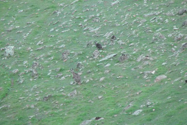
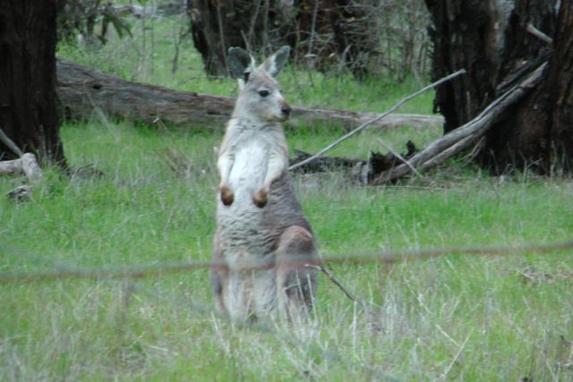
The hill was full of Kangaroos and Euros who were quite inquisitive.
All in all, another very enjoyable afternoon on a summit.
I managed a total of 27 QSO’s on 40m SSB, and 2 QSO’s on 20m SSB.
I worked the following stations on 40m SSB:- Col VK5HCF/qrp; Larry VK5LY’ Marshall VK3MRG/bicycle mobile; Peter VK3FPSR; Nev VK5WG; Ian VK3TB/p; Ian VK3OHM; Warren VK3BYD; Brian VK5FMID; Rhett VK3GHZ; Allen VK3HRA; Nick VK3ANL; Matt VK1MA; Ian VK3TCX; Ernie VK3DET; Peter Vk5NAQ; Peter VK3ZPF/p (SOTA); Mal VK3AZZ; Ron VK3JP; Andrew VK2ONZ/qrp; Terry VK5ATN; Paul VK5FUZZ; Brooke VK4RZ; Bill VK3LY; Graham VK5KGP; and John VK5BJE/p.
I worked the following stations on 20m SSB:- Jesse VK6JES; and Jordi EA3PT.
I have posted a video of the activation on You Tube.
During the week I had planned a 4 summit – weekend activation with Ian VK5CZ. The 4 summits were all located in the mid north of South Australia, about 200 kms – 250 kms north of my home. Ian lived a little closer in beautiful Clare, a great wine growing region, so I decide to stay with Ian and his wife Halima for 2 nights over the weekend. The 4 summits would push me into the 90 point bracket as an activator.
So Friday afternoon after my 2 park activations at Mt Magnificent Conservation Park and Finniss Conservation Park, I packed up my gear and headed north to Clare. I travelled up Main North Road through the wine growing towns of Auburn, Leasingham, Watervale, Penwortham, Sevenhill and arrived at Ian’s place at Clare, late afternoon. I enjoyed a good meal at Ian and Halima’s, and a quiet night playing on the radio and having a chat.
Ian and I got up nice and early on the Saturday morning at about 5.30 a.m. and enjoyed a cooked breakfast of bacon and eggs and then loaded the car and headed north to our first activation, Hallett Hill, VK5/ SE-003. We travelled along the Clare-Farrell Flat Road to Burra, and then north on the Barrier Highway to the little town of Mount Bryan. The sunrise was spectacular, despite the temperature being very nippy.
Mount Bryan which is located at the northern end of the Mount Lofty Ranges, was named after the nearby peak, Mount Bryan, which was discovered in December 1839 by Governor George Gawler. He named it in honour of Henry Bryan, a young man who became lost and perished of thirst during Gawler’s expedition. Mount Bryan was once the heart of a thriving farming community, including some of Australia’s best known Merino sheep studs. Today it has a population of about 130 people, with the most prominent building being the old pub, the Mount Bryan Hotel.
After leaving Mount Bryan, and travelling north along the Barrier Highway, we could clearly see the two towers on the top of Hallett Hill, amongst the wind farm.
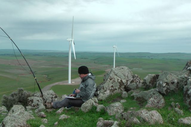
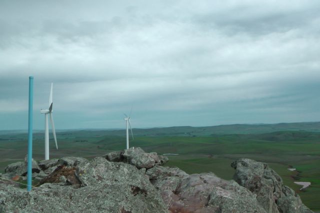
Hallett Hill is 758 metres above sea level and is worth 4 points. It is situated in the Hallett Range amongst a wind farm, about 5 kms north west of Mount Bryan. The wind farm which is one of five in the area, is referred to as Hallett 2 Wind Farm, and is also known as Hallett Hill Wind Farm. It was completed in late 2009 and consists of 34 Suzlon turbines each 2.1 MW, giving an installed capacity of 71.4 MW. It produces enough energy to power about 40,000 homes. In December 2010, AGL Energy Limited identified that under certain wind conditions tones from the wind turbines were audible at the nearest residence. Resonance dampers have since been installed to address this tonality issue with the wind turbines. Noise testing has confirmed that this permanent acoustic treatment has fixed the tonality issue.
The summit is located on private property owned by Bill Gebhardt. Bill is a very friendly fella, and allowed us access. Please contact him prior to entering onto his land. I have placed his contact details on the SOTA site.
To gain access to the summit, travel through Mount Bryan on the Barrier Highway, and then turn left onto Petherton Road, about 3 kms north of the town. Travel up Petherton Road heading west, and on your left you will see an unlocked entrance gate to the windfarm. Please shut the gates as you find them, as there are sheep grazing & lambing on the property.
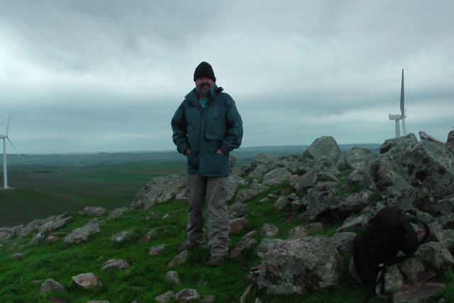
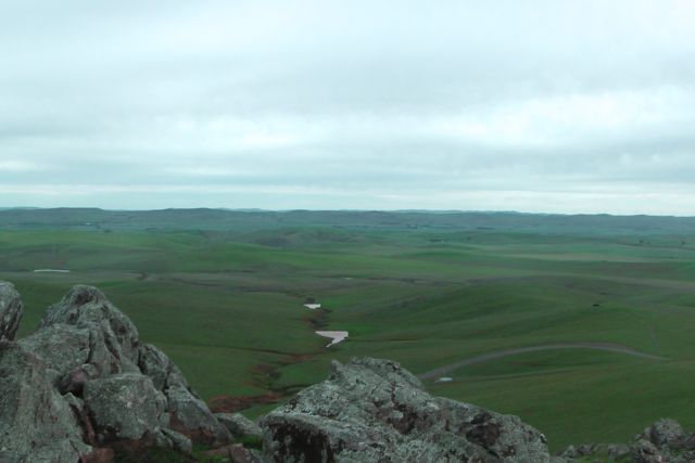
Ian and I drove along the dirt access road which was in very good condition and parked the car down hill from the summit, and then walked about 1 km up to the actual summit. The weather was atrocious on the top of the range. It was extremely cold (probably below 0 degrees C – wind chill) and the wind was vicious (most likely over 60 kph). Ian and I both agreed this was the windiest and coldest summit we had activated.
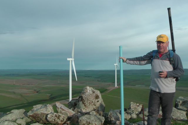
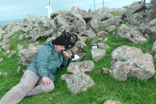
We got to the top of the summit and I set up at what was left of the trig point, just 3 blue painted metal poles amongst a pile of rocks, which afforded a little bit of shelter from the unrelenting wind which was absolutely belting in from the west. Ian set up close by, also sheltering behind some rocks. I used one of the blue upright poles to secure the squid pole. This was the first time I had to use 3 octopus straps to secure the squid pole in place.
I operated first and put a call out on 7.090 on 40m SSB. The first cab off the rank for the day was Nev VK5WG who had a ‘cracking’ signal as always. I then spoke with Tony VK3CAT who was operating QRP with just 5 watts. Tony had a beautiful 5/8 signal. Half way through my third QSO with Warren VK3BYD, I heard a terrible cracking sound coming from behind me and ended up with my squid pole on top of me. Unfortunately it had completely snapped off in the wind !
Lesson learnt……if you are going to secure your squid pole to a solid metal object such as a pole in very windy conditions, try to secure the squid pole on the opposite side from where the wind is coming. After looking at my squid pole secured to the metal pole, it appeared to Ian and I that it had no flexibility and it snapped off at the weakest point, at the top of the metal pole in the very severe wind.
So Ian and I tried to put it together as best we could but it didn’t last long, as the wind was so severe that the squid pole snapped again. Again it was pulled down and resecured to the pole, and luckily it lasted me for the duration of the activation. But it certainly had seen better days and wasn’t going to be accompanying me on any more SOTA trips. Another one is on order from Haverfords in NSW.
I had some good QRP contacts whilst on top of the hill. As mentioned Tony VK3CAT using just 5 watts had a good strong 5/8 signal. I also worked Ian VK3FD who was QRP with a great signal, Andrew VK2ONZ, and Andrew VK4DNA who was QRP with just 5 watts (5/2 signal but perfectly readable).
I would encourage more people to try QRP out of interest as ‘Chasers’, because as Andrew VK1NAM has pointed out previously, on the top of most of these summits the noise floor is non existant. So if you can hear me, I will more likely than not be able to hear you quite well. It is always a thrill to work QRP to QRP.
I also managed one Summit to Summit QSO with Mike, VK3XL/p, who was operating from VK3/ VG-099. Mike was 5/5 and I received 5/9 back from Mike.
I ended up with a total of 27 QSO’s on 40m SSB into VK1, VK3, VK4, & VK5.
Ian then took over after the UTC roll over and had a further 14 QSO’s, whilst I went for a walk and explored the hill. There are terrific views from the top in all directions. I find it amazing that every hill is different, with varied challenges and views. I think that for me is one of the attractions of SOTA.
I worked the following stations:- Nev VK5WG; Tony VK3CAT/qrp; Warren VK3BYD; Ron VK3AFW; Mal VK3AZZ; Max VK3MCX; Peter VK3FPSR; Tom VK5EE; Brian VK3MCD; Rhett VK3GHZ; Nick VK3ANL; Glenn VK3YY; Bernard VK3AMB; Allen VK3HRA; Col VK5HCF; Ian VK3FD/qrp; Andrew VK2ONZ; Andrew VK4DNA; Ian VK3TCX/m; Ed VK2JI; Ernie VK3DET; Rob VK2FROB; Leon VK3VGA; Brian VK5FMID; Al V1RX; Ian VK3TB/p; and Mike VK3XL /p (SOTA).
Time to pack up and head off this freezing blowy hill, and on to the next summit….New Campbell Hill VK5/ SE-007, about an hour’s drive away to the north west.
I have posted a You Tube video of the activation of Hallett Hill.