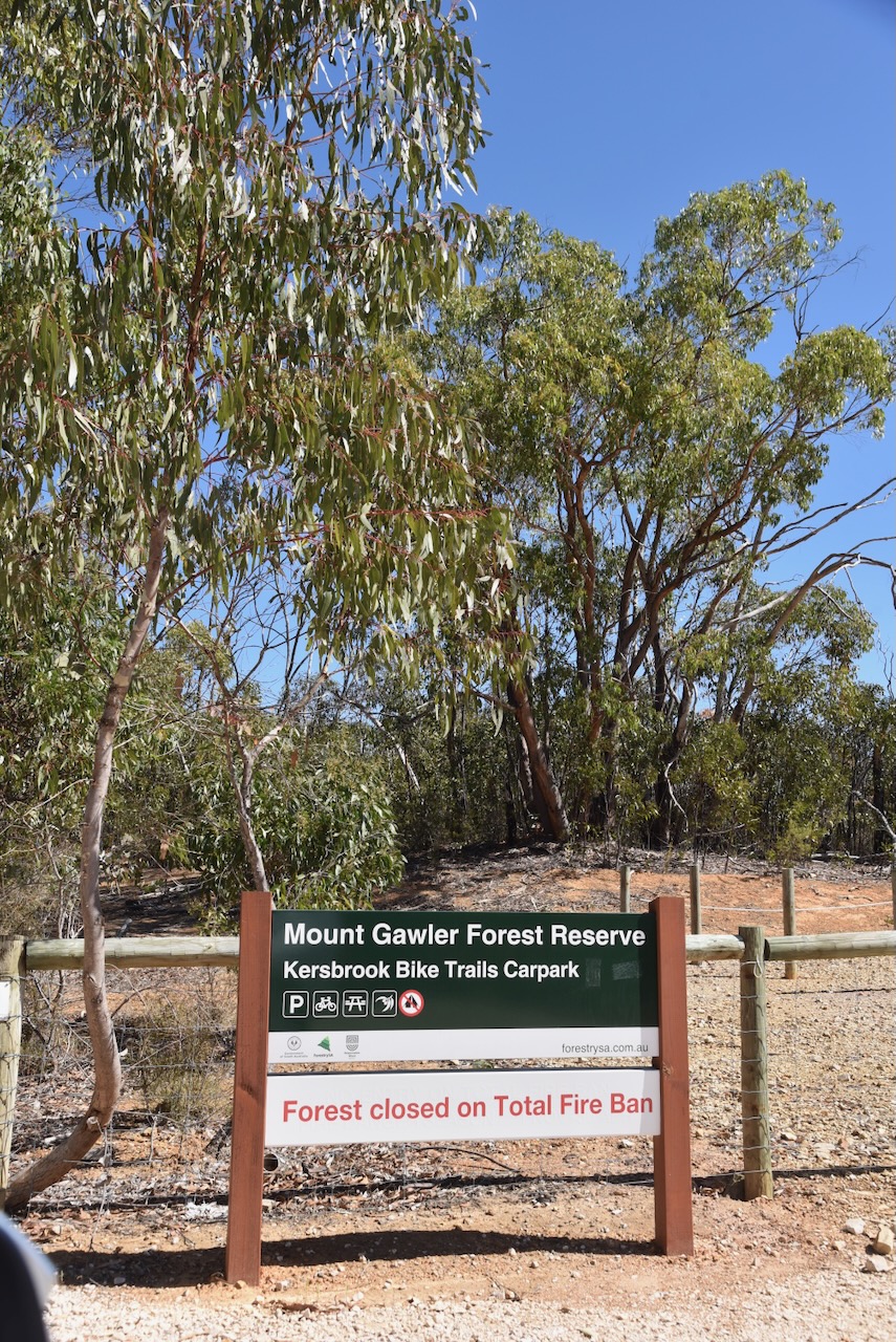
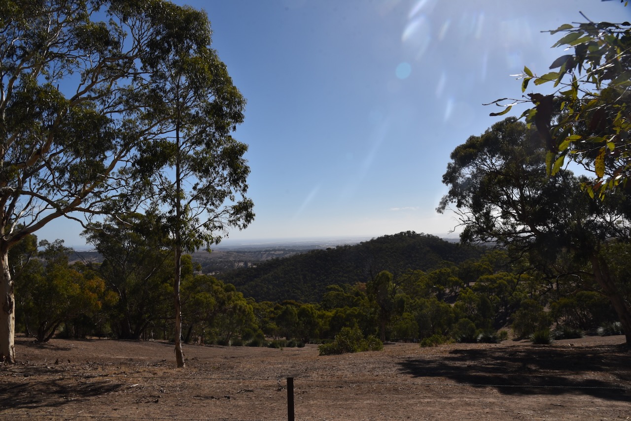
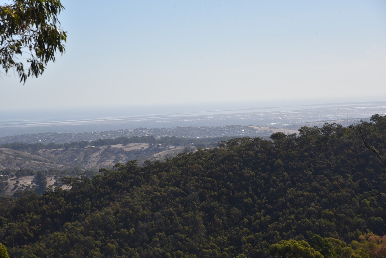
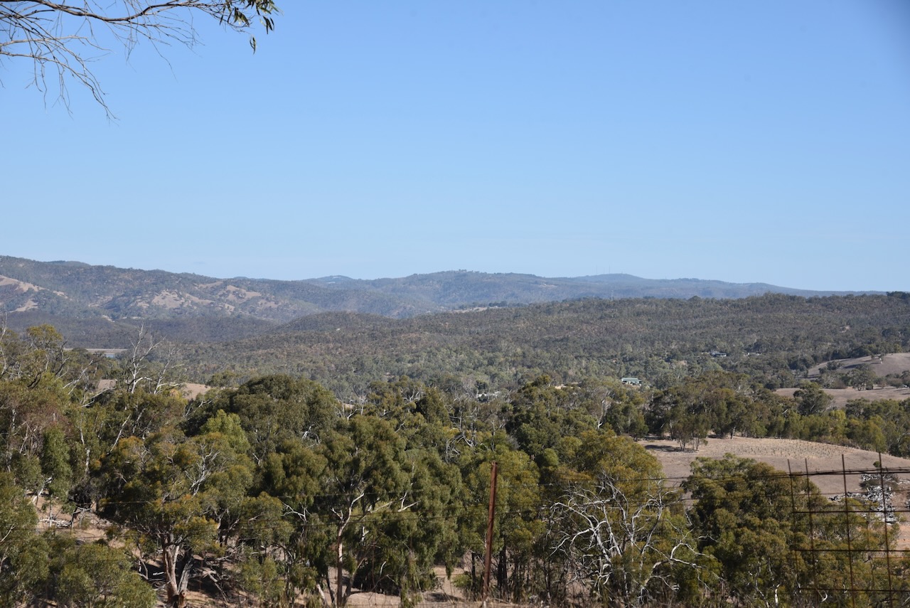
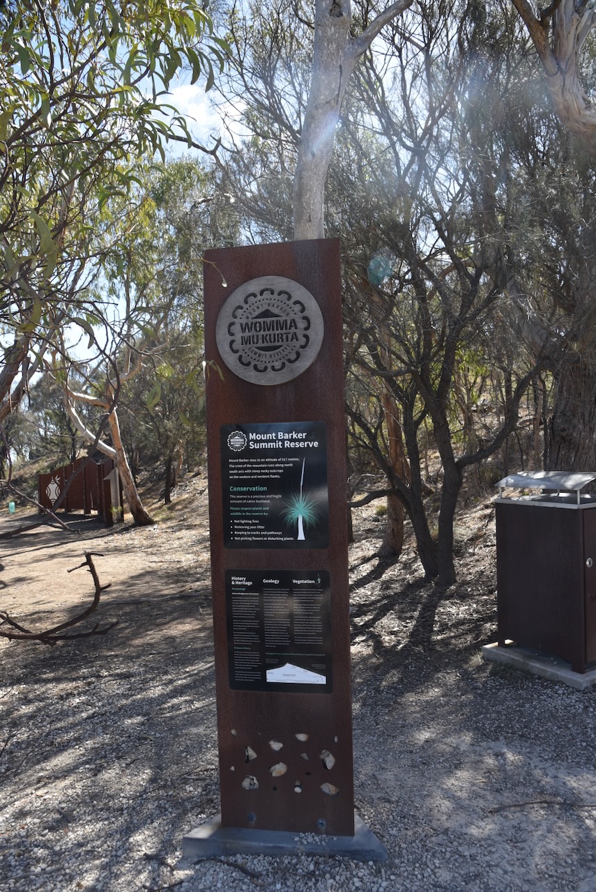
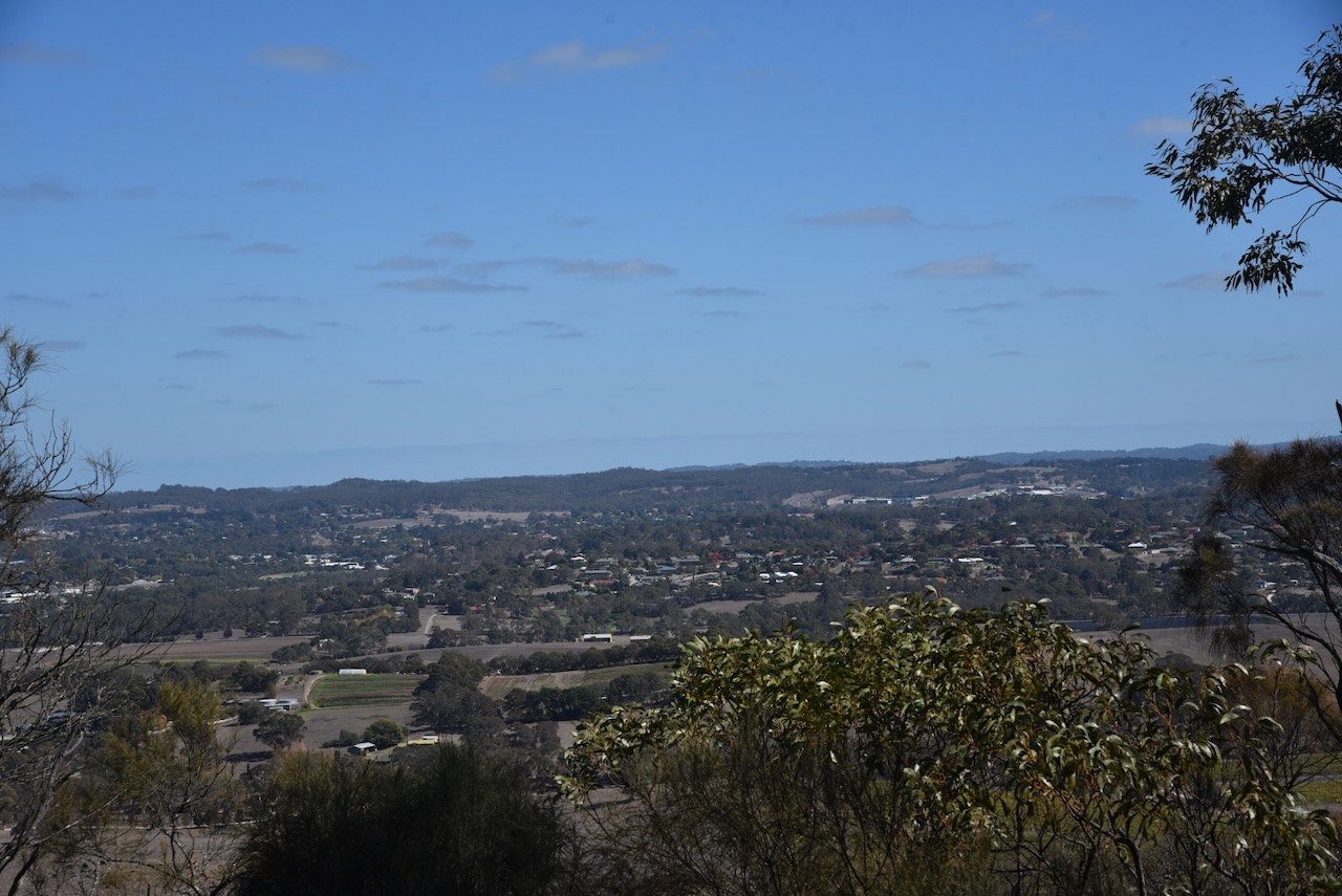
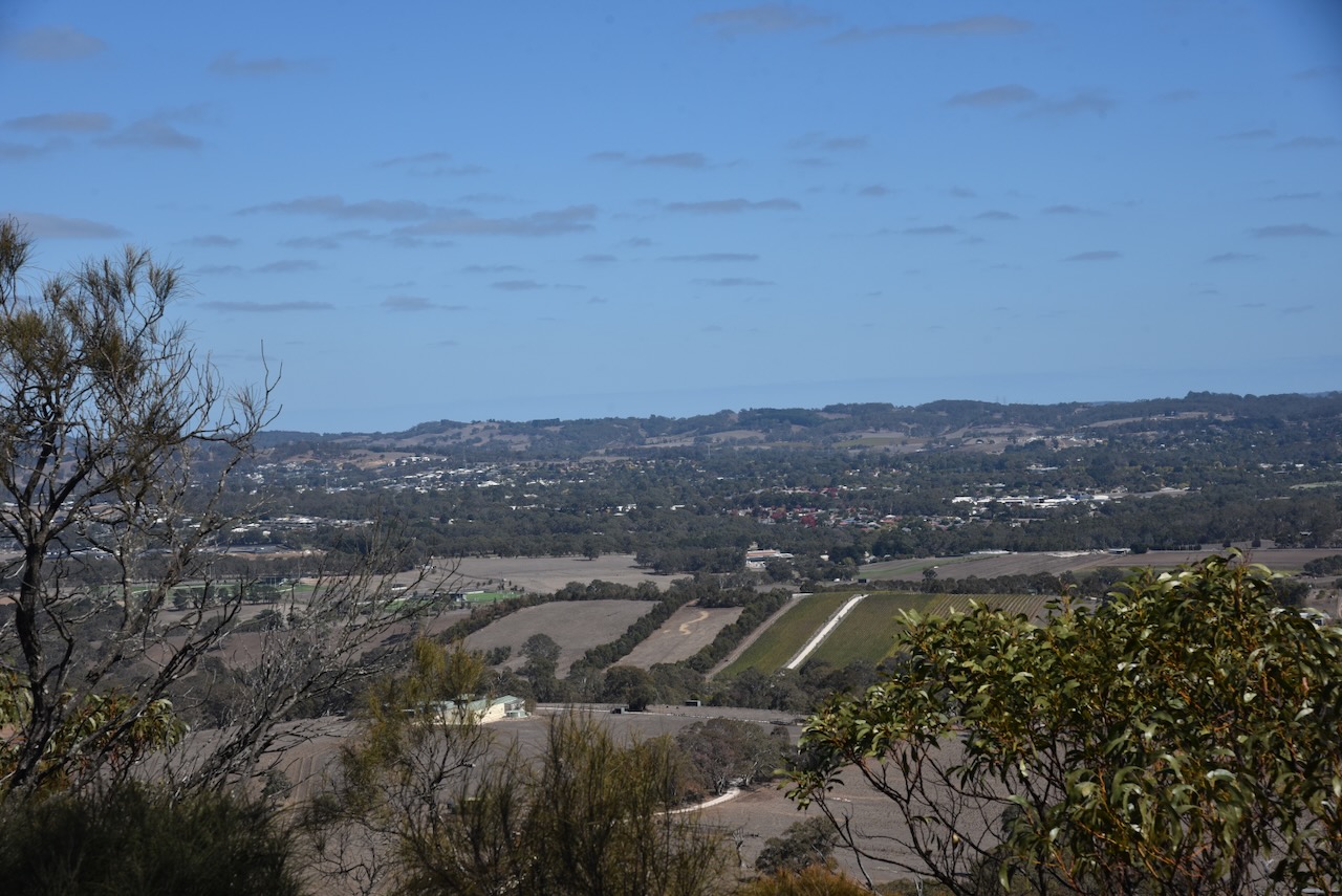
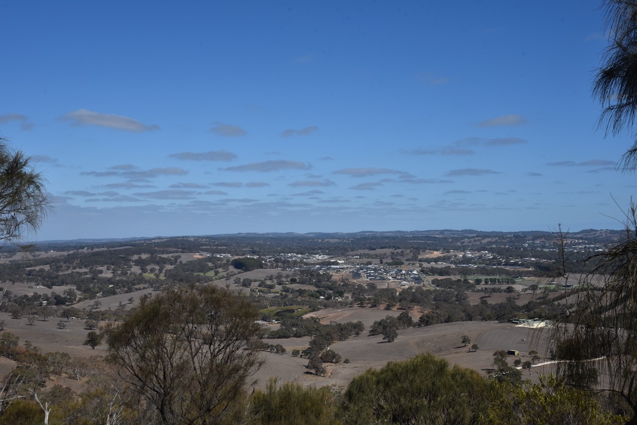
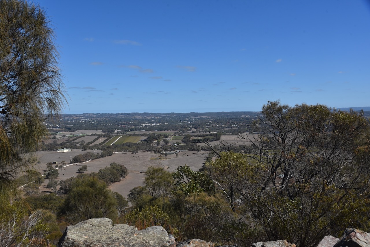
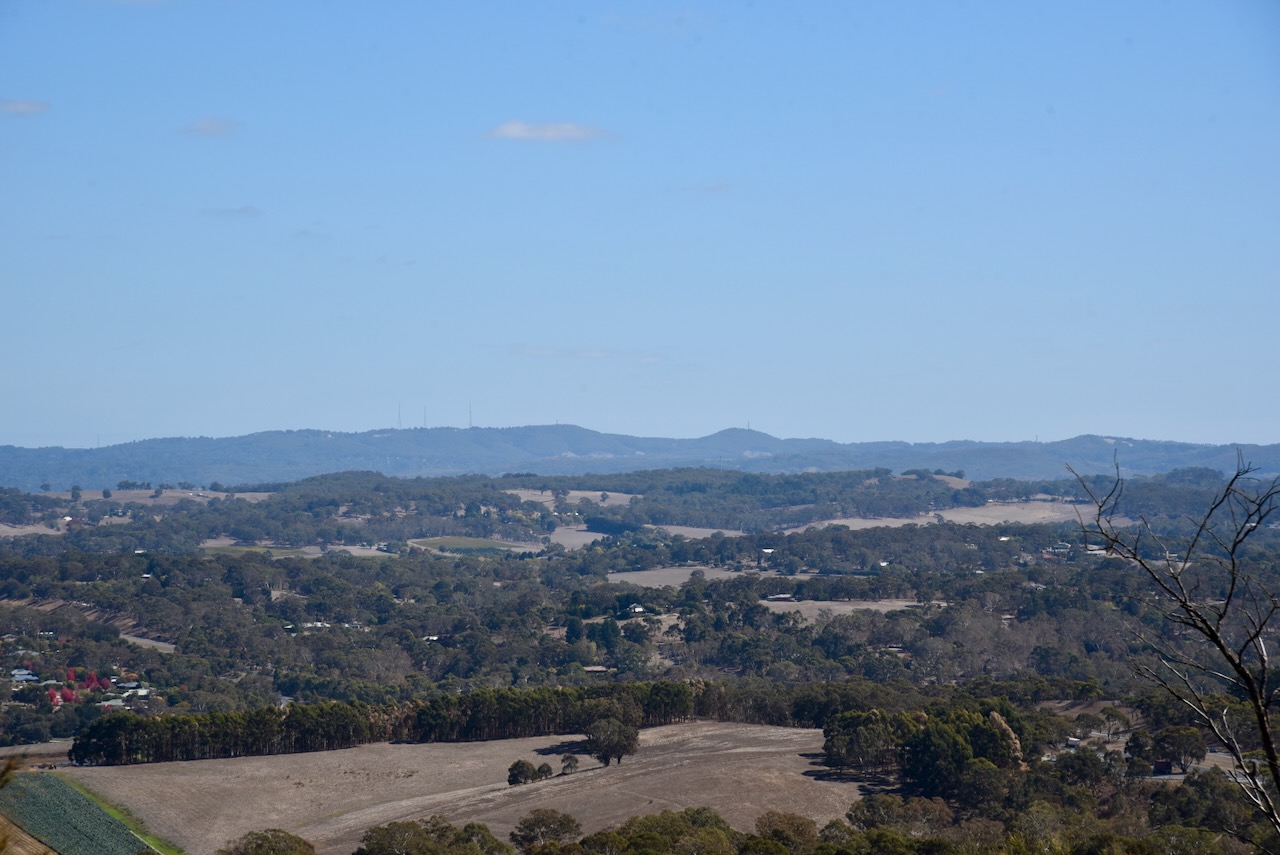
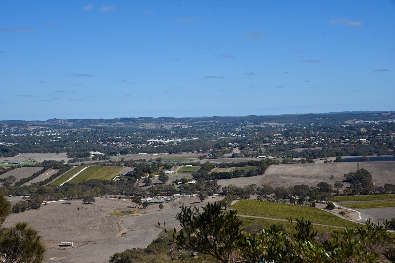
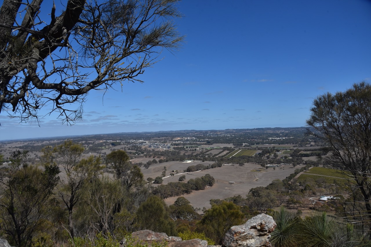
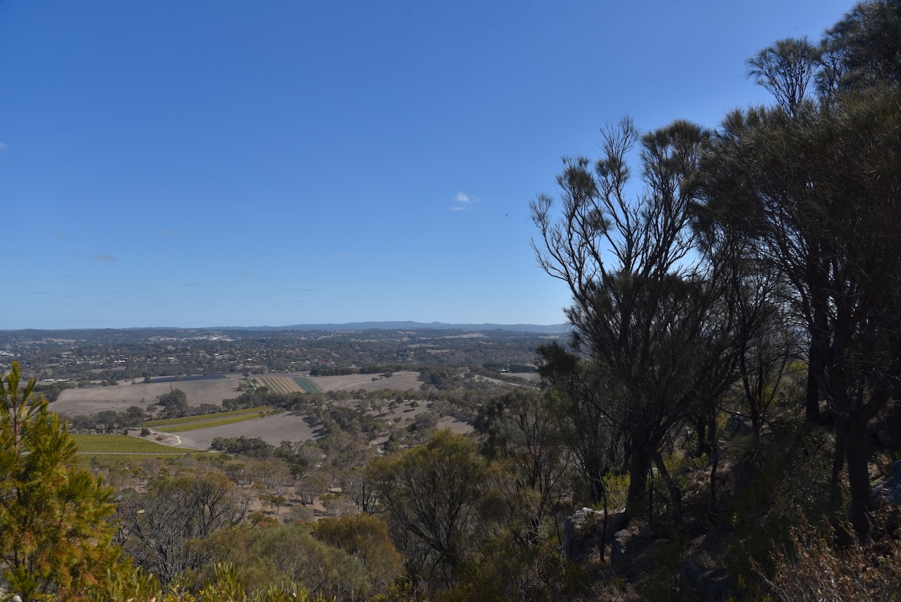
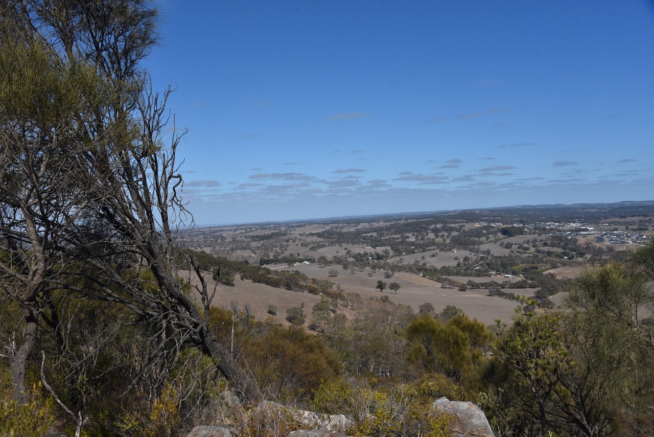
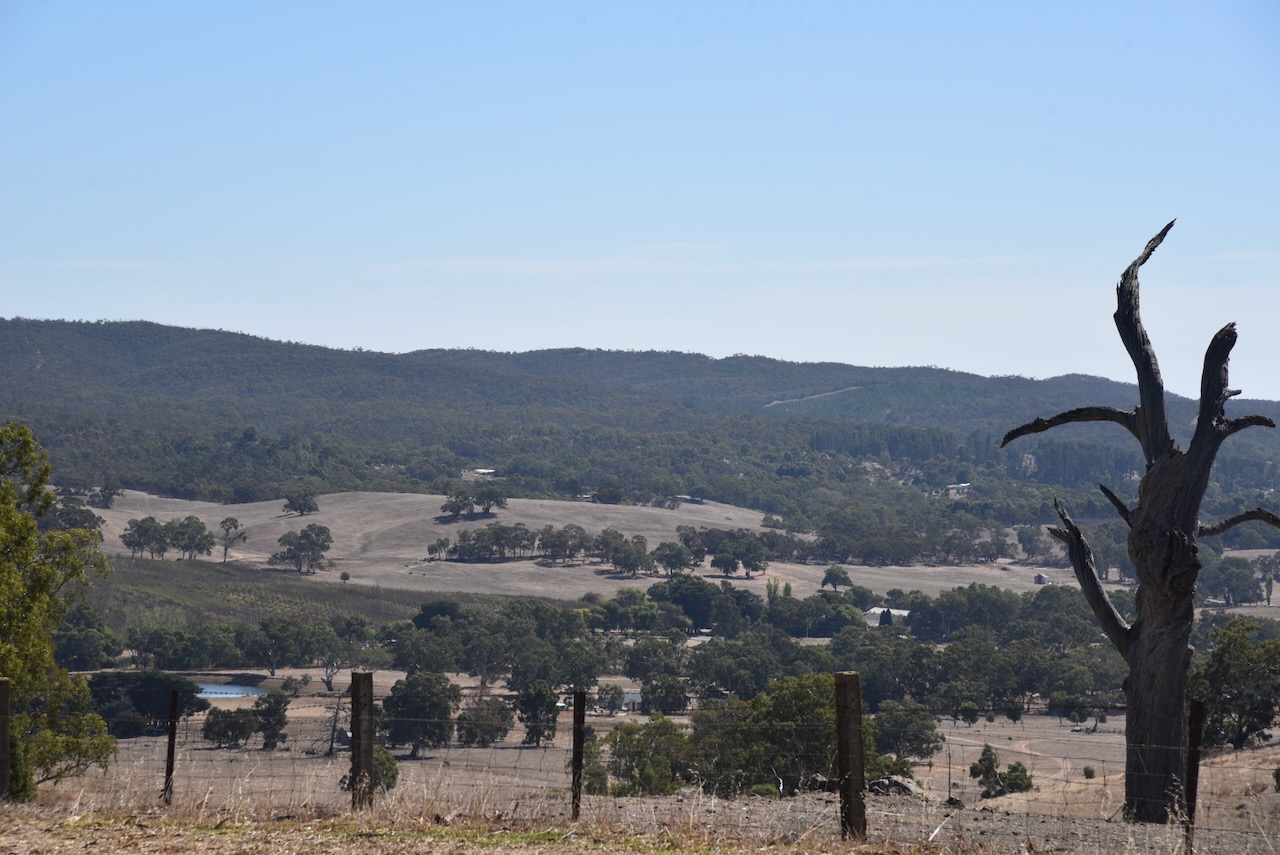
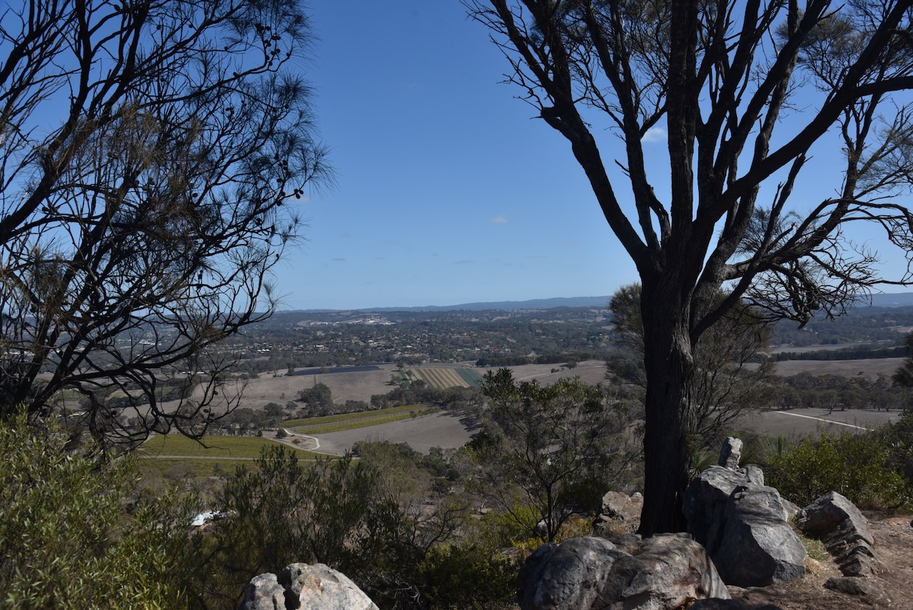
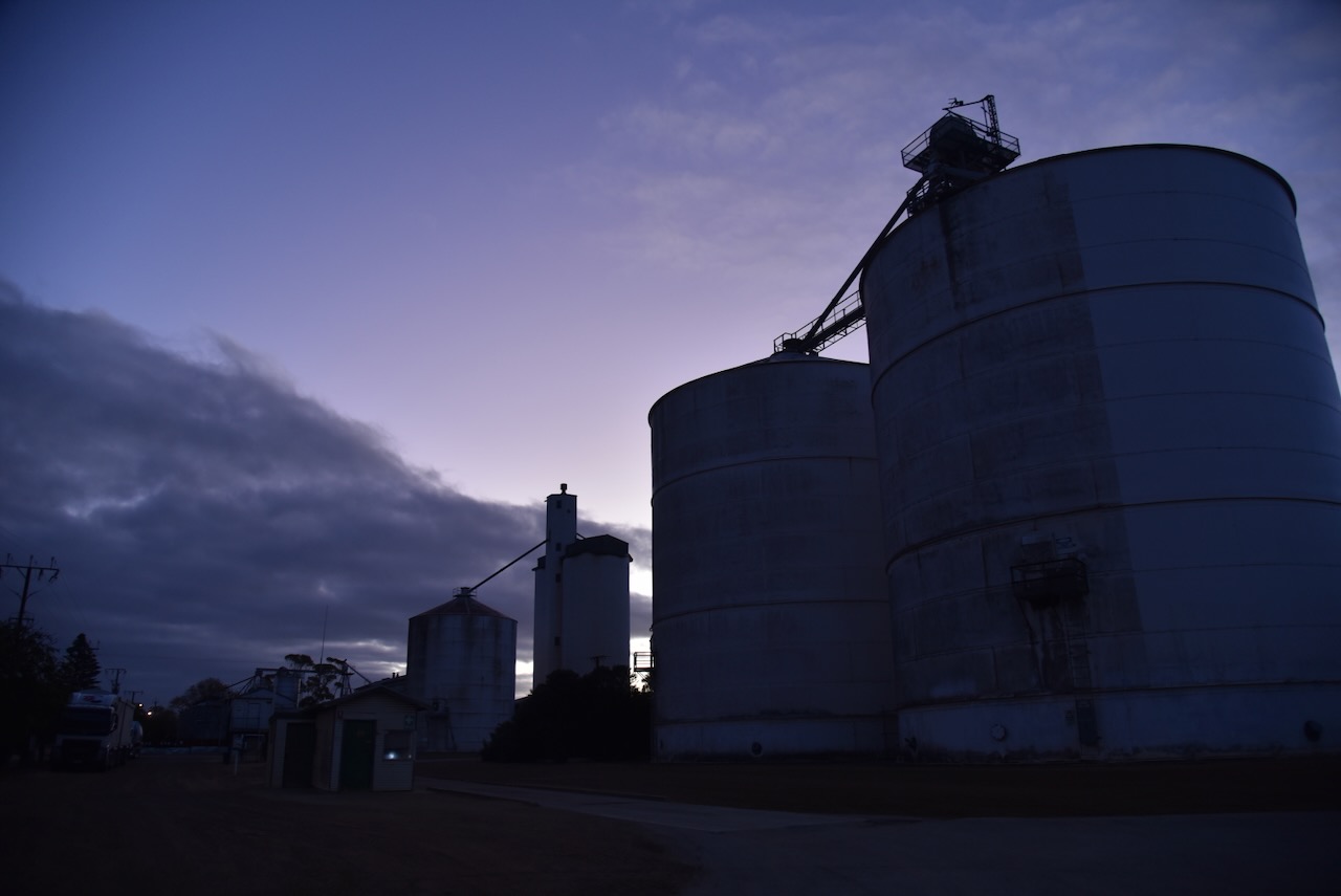
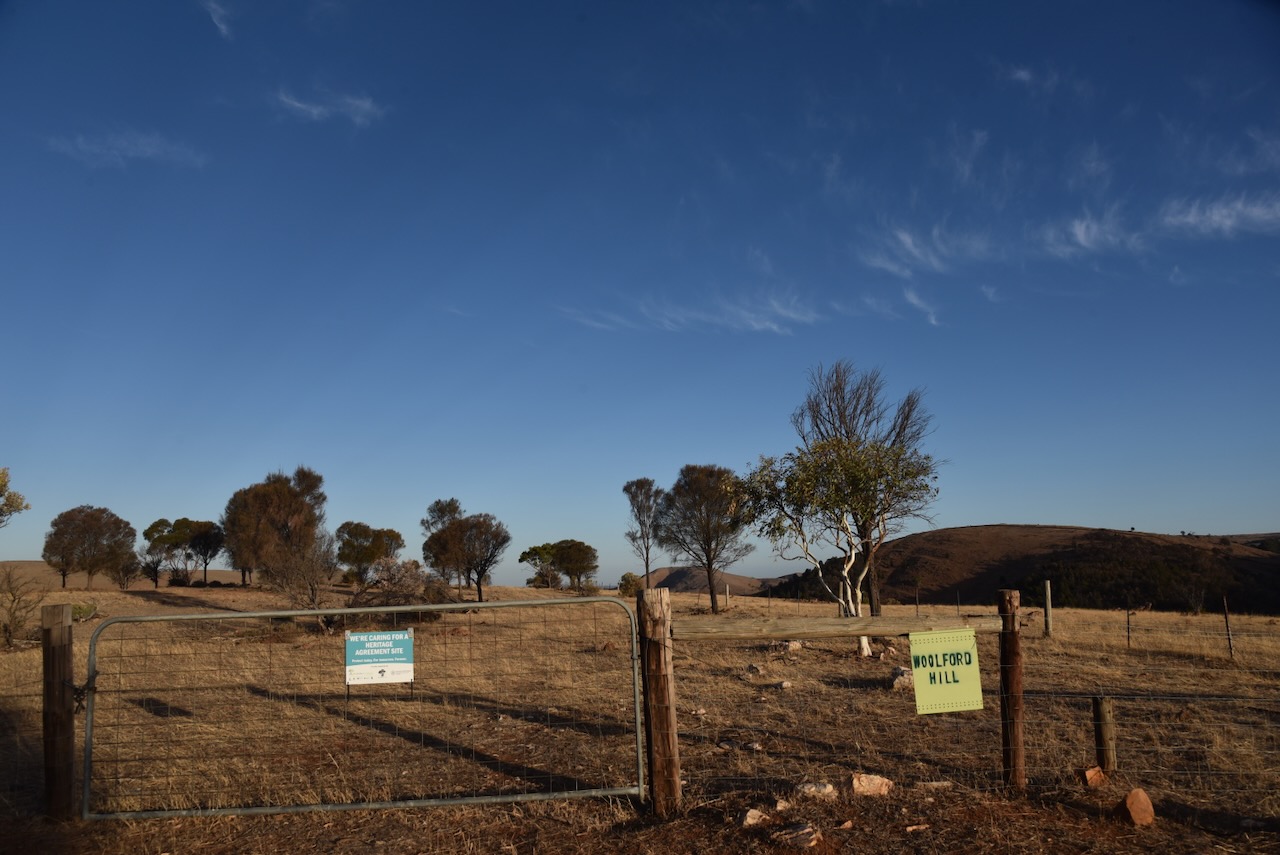
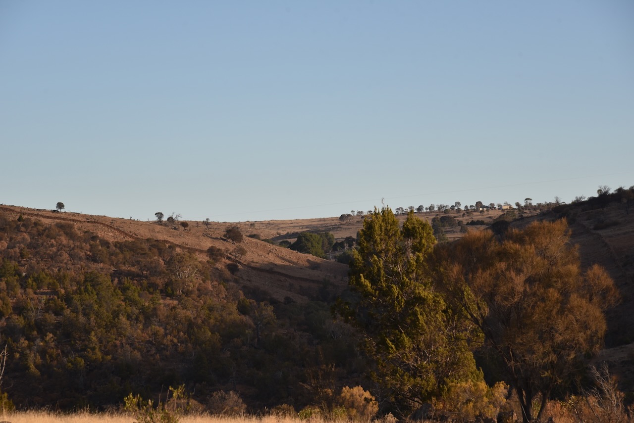
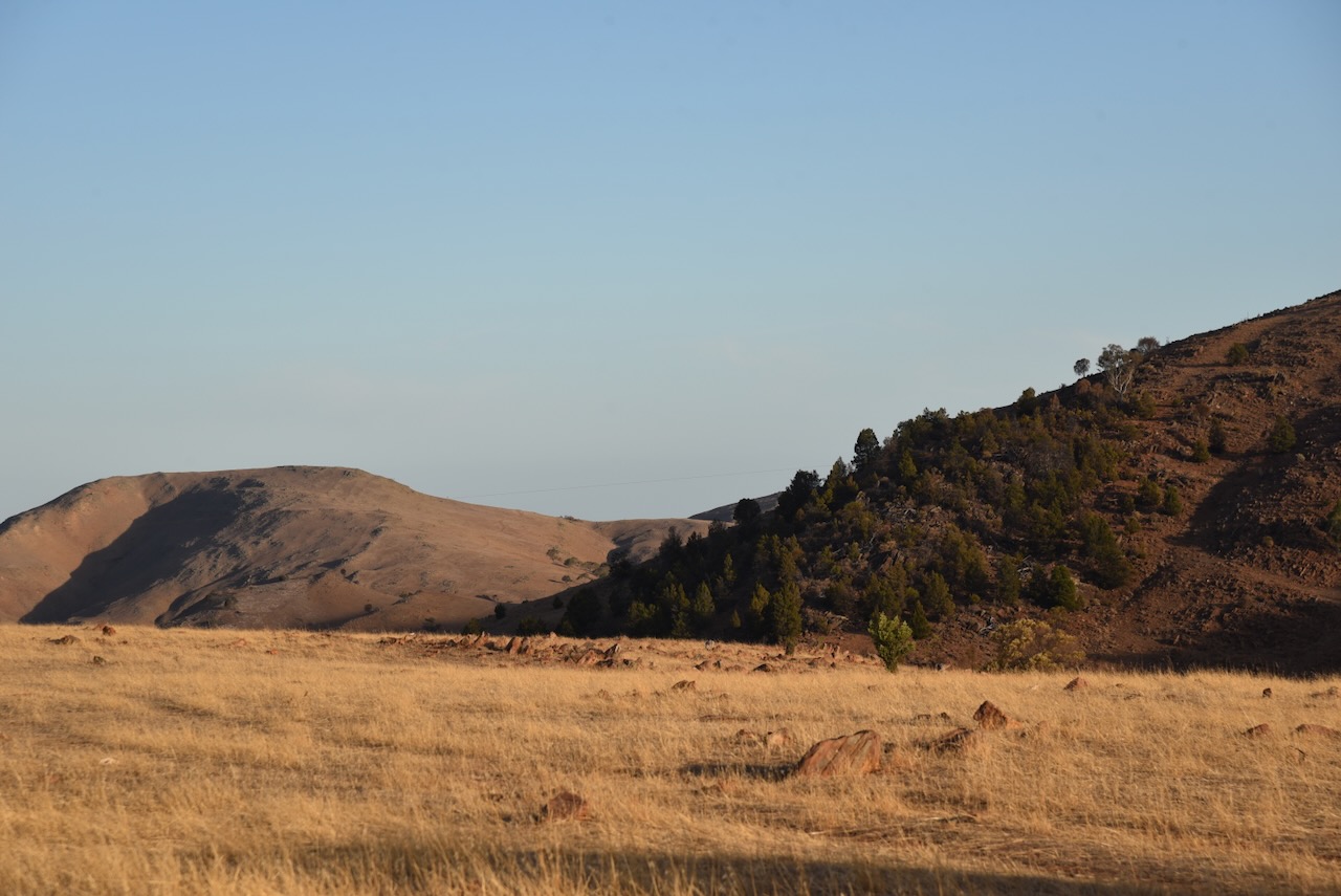
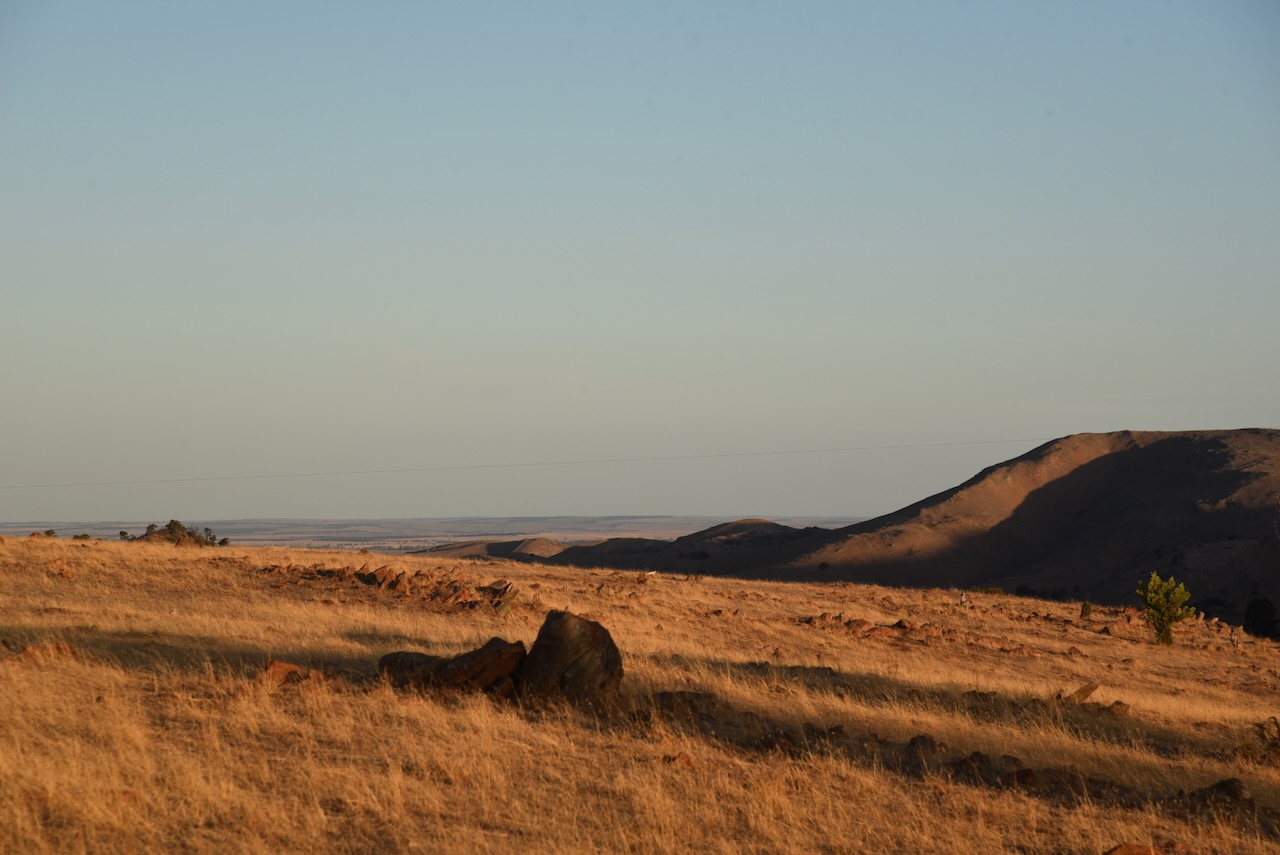
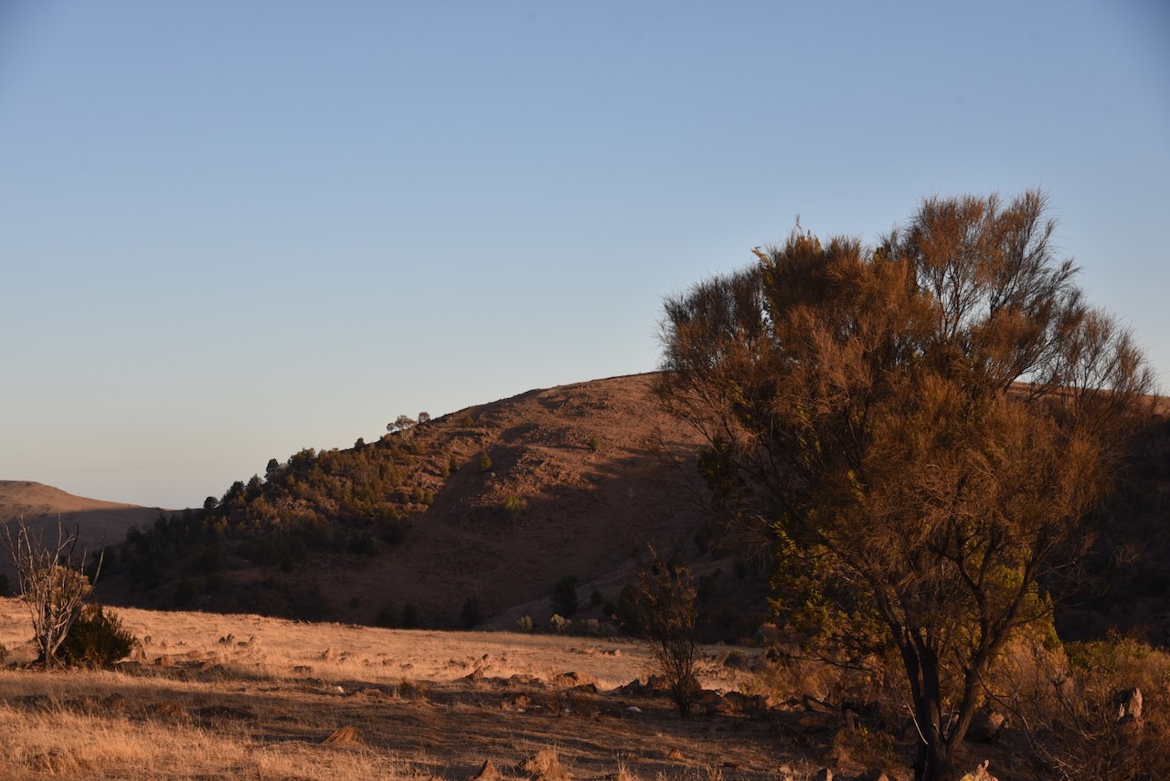
My next activation for 8th April 2024 was the Derek Sutcliffe Memorial Reserve VKFF-6414. The park is located about 8 km east of the town of Springton and about 81 km northeast of the city of Adelaide.

The reserve is located on the southern side of Jutland Road, Springton.

The park commemorates Derek Sutcliffe, who was the first President of the Mount Pleasant Area Trees for Life Group. (Monument Aust 2025)
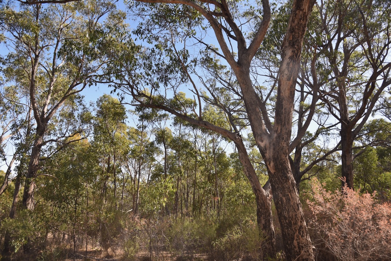
The reserve is about 20 hectares in size. It is surrounded by three other Heritage Agreements, including Guthrie Gorge.

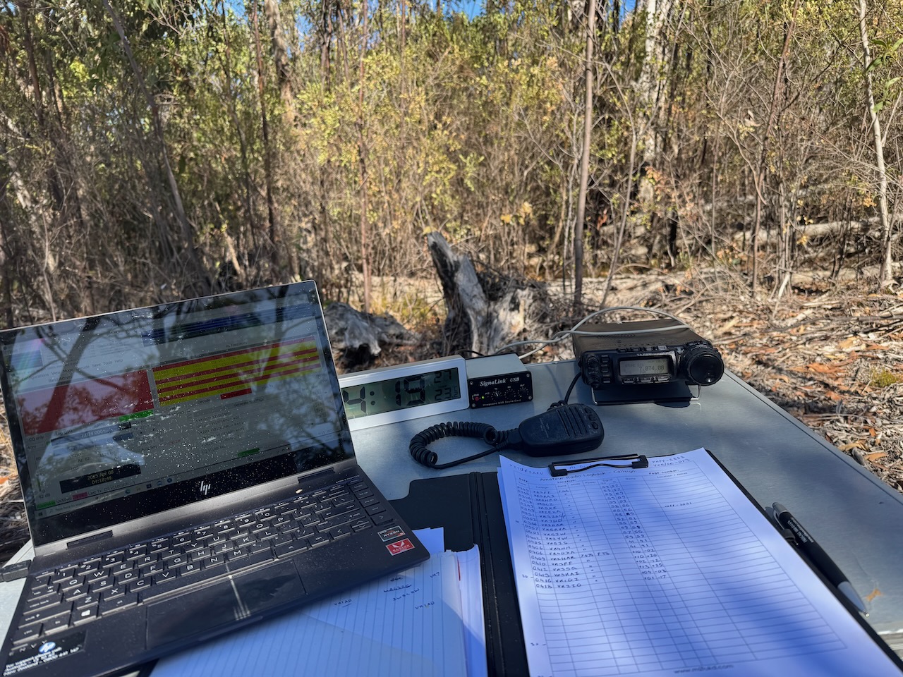
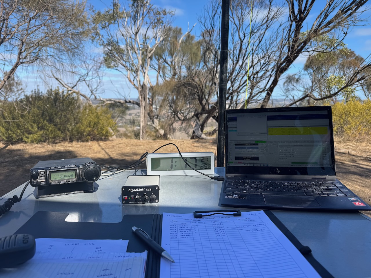
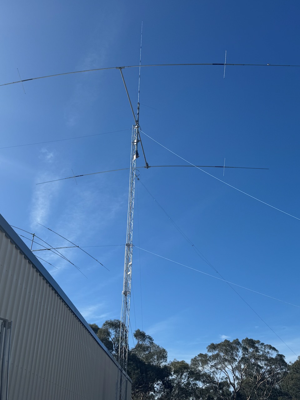
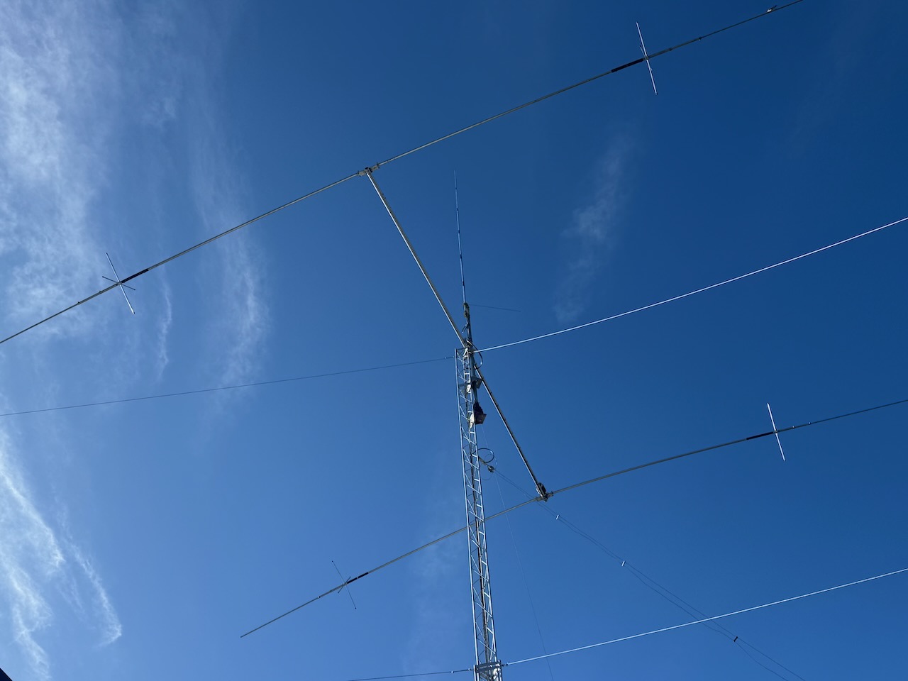
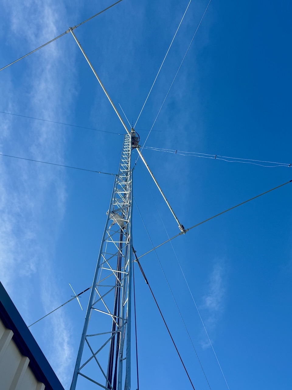
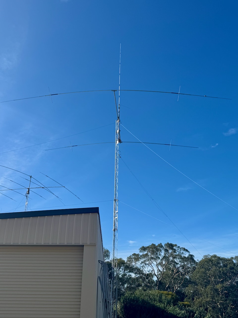
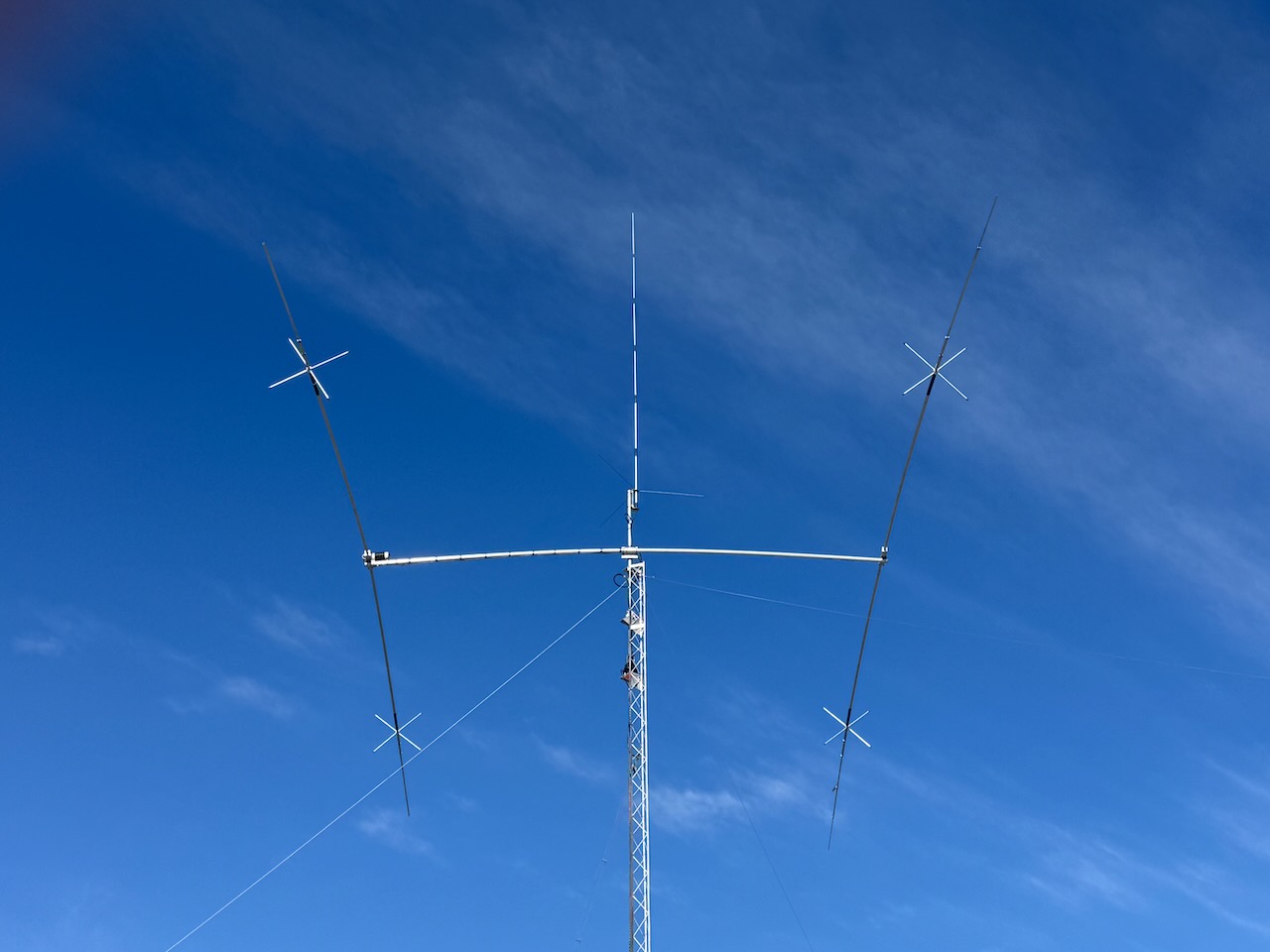
I ran the Yaesu FT857, 40 watts, and the 20/40/80m linked dipole.
I worked the following stations on 20m SSB:-
- VK7XX
- VK4JT
- VK1AC
- VK4NH
- VK4DXA
- VK5QA/M
- VK2DBF/M
- VK3CLD/M
- ZL2LDX
- VK2BUM
- VK2HDT
- VK2USH/P (VKFF-1008)
- VK1AO
- VK2MET
- VK3HJV
- VK3ANL
- VK2IO
- VK2GEZ
- VK2MOE
- VK1MO
- VK2LEE
- VK3AMO
- VK2VW
- VK2HFI
- VK2AKA
- VK2BUG
- VK3UH
- VK2MG
- VK6JK
- VK5XB
- VK5CZ
- VK5XE
- KG5CIK
- M0TRP
- VK4BT
- VK4IO
- VK4KTX
I worked the following stations on 20m FT8:-
- EA1AKD
- EA7TR
- DL2MIJ
- VK2IO
- EA7ST
- VK3AWA
I worked the following stations on 40m SSB:-
- VK4DNO
- VK3DNO
- VK3PF
- VK3KAI
- VK4HMI
- VK2MOE
- VK1MO
- VK3WSG
- VK7PJM
- VK5CZ
- VK5XE
- VK3CEO
- VK2LEE
- VK3BY
- VK5GY
- VK5HS
- VK5SFA
- VK3CJN
- VK3QHU
- VK5FANA
I worked the following stations on 40m FT8:-
- VK5CZ
- VK3PF
- VK5XE
- VK3KAI
References.
- UBC Web Design (2021). Derek Sutcliffe | Monument Australia. [online] Monumentaustralia.org.au. Available at: https://monumentaustralia.org.au/themes/people/community/display/119494-derek-sutcliffe [Accessed 15 Jun. 2025].