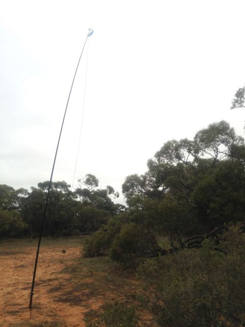
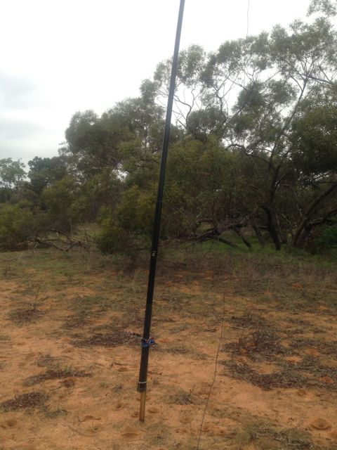
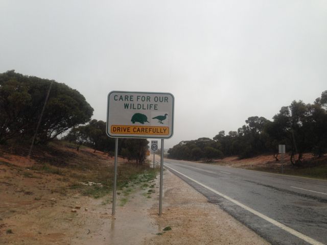
Mt Middleback North, VK5/ SW-011

On Monday 10th June, 2013, I activated Mount Middleback North, VK5/ SW-011.  This was my 2nd summit on my Eyre Peninsula trip.  The summit is 425 metres above sea level, and is worth 1 point.

Mount Middleback North is located on private property, a large sheep station called ‘Cooyerdoo’, about 20 kms from Iron Knob, and about 380 kms north of Adelaide.  The property belongs to some very good friends of ours, Matt and Jane, and is 173,000 acres in size.
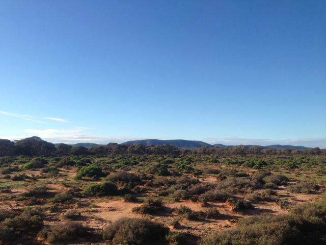
IMG_2676

I left Whyalla early in the morning, before sunrise and headed out towards Iron Knob on the Iron Knob-Whyalla Road.  A journey of about 60 km.  It was a slow drive out to the station because this is real serious kangaroo country through here.  And the big ones too, the Red Kangaroo, which is the largest of all the kangaroos.  Hit one of these and they will do serious damage to your car !

I had to drive through the town of Iron Knob prior to reaching the station.   The town is a shadow of its former self.  Iron ore was originally mined here for use as flux in the copper smelting industry.  The iron ore was of such high quality that it started an iron smelting industry as well.  It is referred to as the birthplace of the steel industry in Australia.  Iron Knob gets its name for the fact that it has a large amount of iron ore and was a major contributor to Australia’s iron industry.  Quarrying for iron at the town ended in 1998.

I then travelled west along the Eyre Highway and then down 6kms of dirt road leading to the homestead from the Eyre Highway.

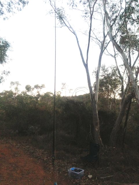
Matt and his young lad, Lachie and I jumped into the 4wd ute and started the 45 minute journey across the station to the base of the summit.  Plenty of wildlife seen on the journey including feral goats, Red Kangaroos, and emus.

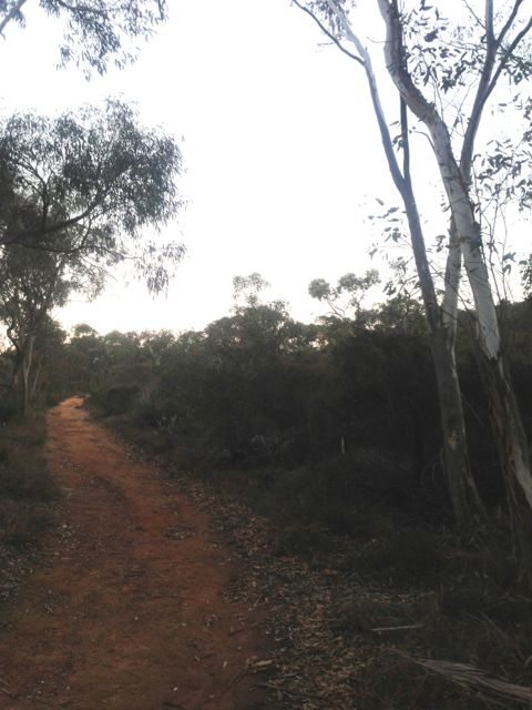
Once we reached the base of the hill, we started the hour long walk to the top.  There is no path, so it was bushbashing through the scrub and over the rocky ground.

IMG_2713      IMG_2686

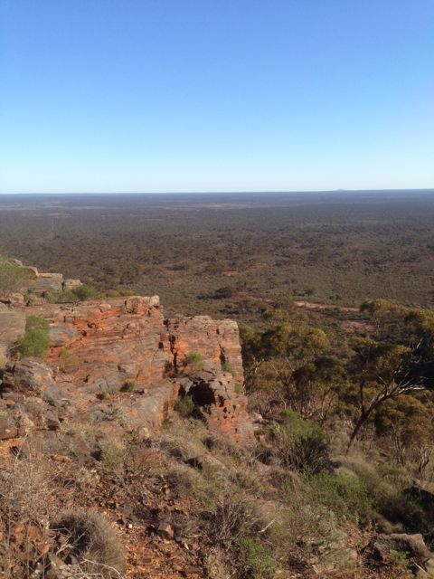
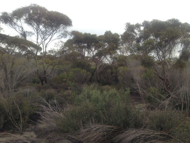
But the journey to the top was worth every bit of sweat.  There were spectacular views in all directions, but particularly to the east and to the west.  To the east we could see Whyalla and across the Spencer Gulf to Port Pirie.  To the west, you could see as far as the eye would allow you to.  This pretty rugged country out here.  In recent years, a man went missing not far from here and his body was never recovered.  It is not surprising when you stand on the top of Mt Midleback North and look out across the outback.
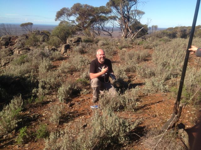
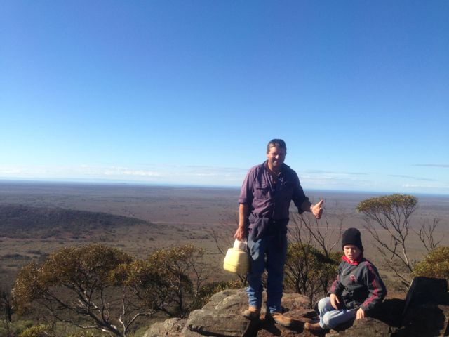
IMG_2698     IMG_2700

As Matt pointed out to me, this is not a summit to do during the summer.  This is real snake country !  And some of the most dangerous snakes in the world, including the Death Adder, Western Brown snake, Tiger snake, and the Taipan (which is about 50 times more toxic than the Asian Cobra).  There plenty of big goannas out here as well.

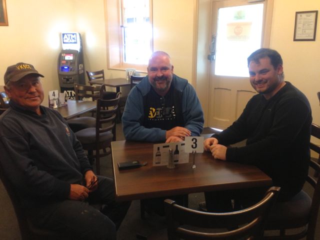
The 3 of us really enjoyed the morning.  The climb was quite good, the views were amazing, and the weather was sensational.

Lachie has even borrowed my Foundation manual, so who knows.  We may have a young amateur on air soon.

I ended up with a total of 21 QSO’s including 2 summit to summit contacts with Brian VK3MCD who was on top of VK3/ VC-001, and Mark VK3PI was on top of Pretty Sally, VK3/ VC-034.

The following stations were worked:- Steve VK5SE; Peter VK3PF; John VK2YW; Allen VK3HRA; David VK5KC; Marshall VK3MRG/p; Ed VK2JI/p; Rod VK2LAX/p; Peter VK3ZPF/p; Brian VK5FMID; Duncan VK3XBC; Ernie VK3DET; Fred VK3JM; VK1XP; Trevor VK5ATW; Rick VK5FIVE; VK5KBJ/p; John VK5FTCT; Col VK5HCF; Brian VK3MCD/p (SOTA); and Mark VK3PI/p (SOTA).

More information can be found on PeakClimbs at…..

http://www.peakclimbs.com/peak/Mount-Middleback-North/199/view/#climb_id_314

Below is a video of the activation, which I have placed on You Tube.

The Bluff, VK5/ NE-065

After activating the Clinton Conservation Park, Marija and I continued north along the Augusta Highway towards our destination of Whyalla.  On the way, we got a call to say that Marija’s mum would not be out of hospital that day, so it was no longer a priority to get to Whyalla early.  So, at Crystal Brook, we deviated to the east and travelled along Main North Road through the towns of Gladstone & Laura, to the eastern side of The Bluff, VK5/ NE-065.  A spur of the moment activation.

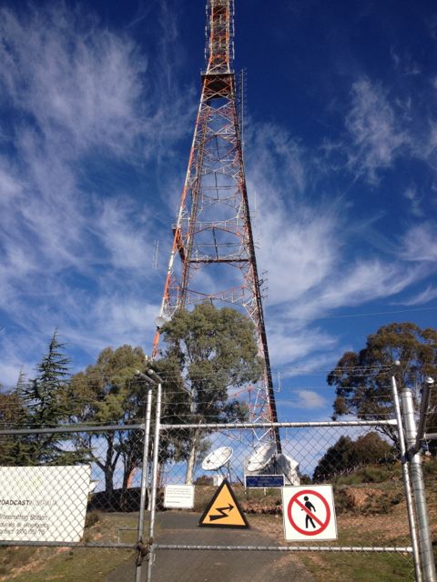
You can’t miss The Bluff if you are travelling along the Augusta Highway, near Port Pirie.  There is a huge TV & radio tower on the top.

Access to The Bluff is via Charcoal Road which runs off Main North Road, a few kms north of Laura.  Laura is a beautiful little town.  It is famous for the being the home of Golden North ice cream.  And the famous poet, C.J. Dennis was born here.  Travel west along Charcoal Road, and then turn left into Forest Road.  This will take you up passed Taralee Orchards and the Wirrabara nursery.  This is a very picturesque setting and a great drive.  The road is dirt but is in good condition.  You will eventually reach a ‘dead end’ where you will find a parking area and the start of a bitumen road which leads to the summit.

However, there is a padlocked gate, preventing vehicles from going any further at this point.  In fact the gate has multiple padlocks on it.  I think one for each of the stakeholders who use the tower at the top.

IMG_2609

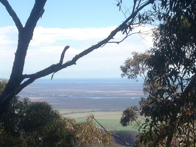
From this point, it is about a 5 km walk to the summit.  The walk took us about 60 minutes.  We mixed it up, using the sealed road and the Heysen trail as we got up higher.  The Heysen trail walk through here is spectacular.  You will reach a point towards the top of the ridge line where there is a T junction.  It is at this point that you turn to the left and either follow the road up to the summit, or take the Heysen trail which is on the left hand side of the road.  At this T junction there are spectular views out over Port Pirie and the Spencer Gulf.

IMG_2645

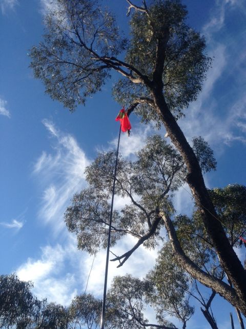
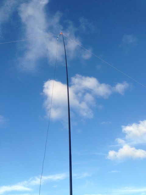
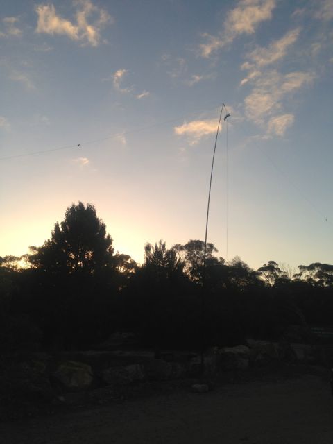
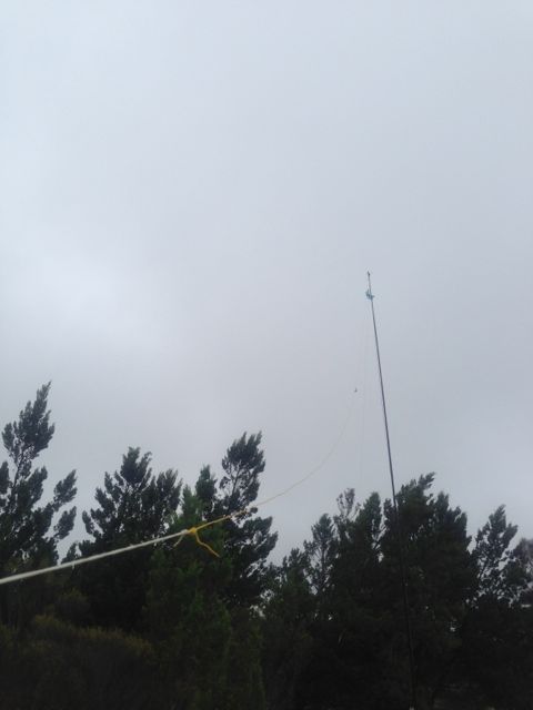
We set up the dipole on the 7m squid pole, just off the Heysen trail, down from the summit.  The tower at the top is very big, with lots of antennas for TV and radio, so I expected there would a lot of noise generated from it.  It paid off because the noise floor where I activated was very low.

IMG_0416     IMG_2639    IMG_2640

My first QSO of the day was a Summit to Summit, with Wayne, VK3WAM, who was portable on Gurdgaragwurd / D’Alton Peak, VK3/ VW-001.  Wayne had a great signal and was very strong.  After working Wayne, he kindly allowed me 7.090 and I put out a CQ call.  Many of the regular Chasers came back including Ernie VK3DET, Tony VK3CAT, Rik VK3KAN, Brian VK5FMID, and John VK5FTCT.  All had terrific signals.

 IMG_2632     IMG_2635

I managed to work David, VK5KC who was portable in the Red Banks Conservation Park, near Burra.  That was a new park for me for the VK5 National & Conservation Parks Award.  David had a very strong signal and was 5/9 on the top of The Bluff.

I also spoke with Allen, VK3HRA who was portable on Mt St Leonards, VK3/ VC-006, and Darren VK3FDJT who was portable on Mount Alexander, VK3/ VN-016.  Two more summit to summit contacts was a real pleasure.

I worked a few more of the regular Chasers including Andrew VK2UH, Ron VK3AFW/mobile, Peter VK3PF, Rhett VK3GHZ, Roy VK5NRG, and John VK5BJE.

Conditions were very good on 40m.  Marija went for a quick walk along the Heysen trail, because I think she was getting bored with being my scribe.  So I took the opportunity of jumping onto 20m for a little while.  I could hear plenty of good strong DX stations, but unfortunately did not work any on this peak.

I ended up with a total of 33 QSO’s.  The majority of those were on 40m SSB, but I did sneak in 5 QSO’s into VK1, VK2, VK4, & VK7 on 20m SSB.

The following stations were worked:- Wayne, VK3WAM/p (SOTA); Ernie VK3DET; Tony VK3CAT; David VK5KC/p (Redbanks CP); VK3OHM; Dave VK3VCE; Rik VK3KAN/p; Brian VK5FMID; John VK5FTCT; Allen VK3HRA/p (SOTA); Andrew VK2UH; Ron VK3AFW/m; Peter VK3PF; James VK1DR; Warren VK3BYD; Ian VK3TCX; Mark VK1MDC; Darren VK3FDJT/p (SOTA); Rhett VK3GHZ; Jim VK5TR; Roy VK5NRG; Barry VK5KBJ; Shaun VK5FAKV; John VK5FMJC/p; Bernard VK3AMB; Colin VK2JCC/qrp; John VK5BJE; David VK5UG; Mark VK1MDC; Peter VK4AAV; Neil VK4HNS/p; Ed VK2JI; and Peter VK7KPC.

Below is a video of the activation, which I have placed on You Tube.
Clinton Conservation Park

On Sunday morning, 9th June, 2013, my wife Marija and I headed up to Whyalla, which is about 400 kms north of our home in the Adelaide Hills.  Our plan was to stay there a week and catch up with family and friends in both Whyalla and down in Port Lincoln at the bottom of the Eyre Peninsula.  Marija’s mum, & Marija’s brother and his family live in Whyalla, which is a big mining city (iron ore).  Marija’s mum was recovering from knee replacement surgery, so whilst Marija was looking after her during the day, I got permission to go out and play radio during the day.

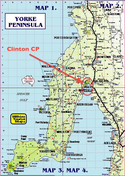
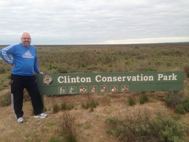
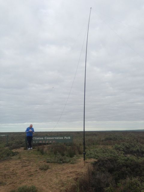
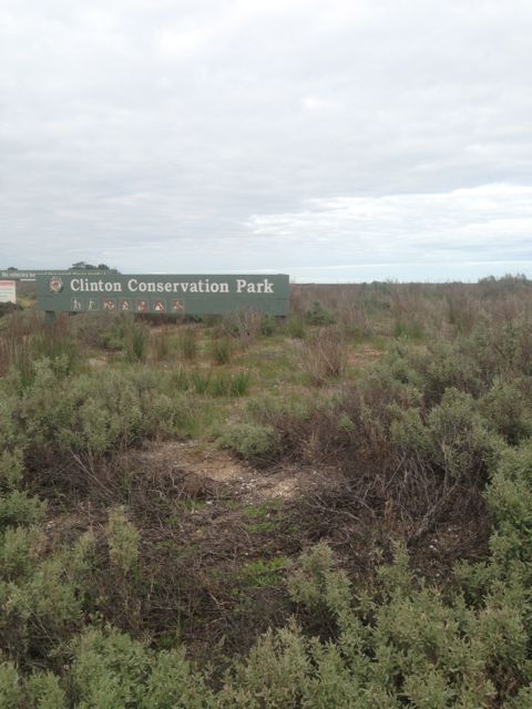
The first radio stop of the trip was the Clinton Conservation Park.  The park follows the coastline at the top of Gulf St Vincent.  The park commences near the town of Port Wakefield which is about 100 kms north of Adelaide and follows the gulf around in a boomerang shape to the little town of Port Clinton on the Yorke Peninsula.  It was gazetted back in 1972.

YORKE

We had a bit of difficulty accessing the park near Port Wakefield, so we “drove around the corner” onto the Copper Coast Highway, and then onto the Yorke Highway and accessed the park from here, on the western side of the gulf.  We followed a short dirt track down off the Copper Coast Highway, but could not get down to the water’s edge due to a no entry sign.

IMG_2590

There’s not a huge amount to see here, if you are not into low coastal shrub and saltbush.  There are large areas of swampy, marshy ground, and tidal mud flats, which support  a large variety of birdlife.  The park is large and covers an area of about 1,900 hectares.  The nearby Wakefield River flows out into the gulf here which provides a haven for migratory wading birds and acts as a fish nursery.
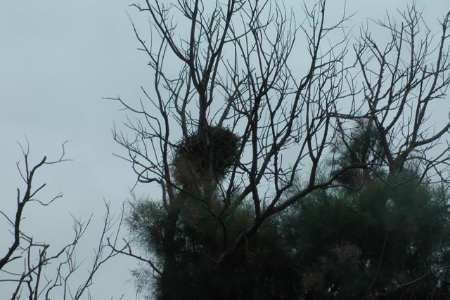
We did spot an Australian Kestrel in a nearby tree, very close to a nest.  He/she kept soaring around us and keeping a watchful eye.

IMGA0003 IMGA0004

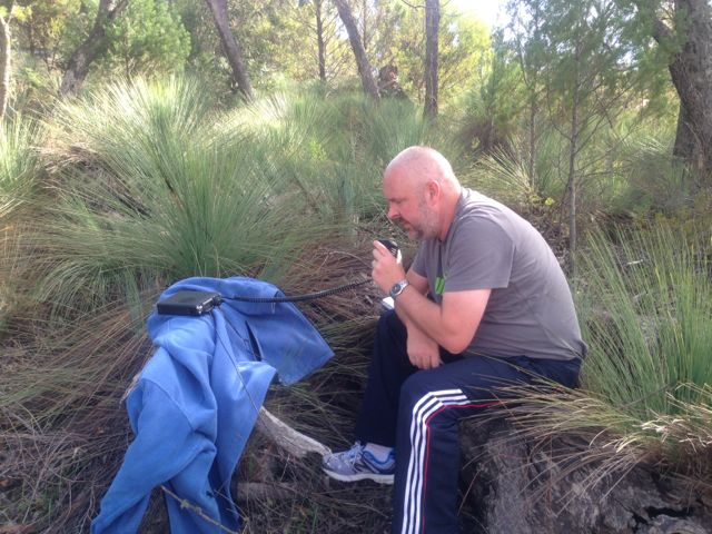
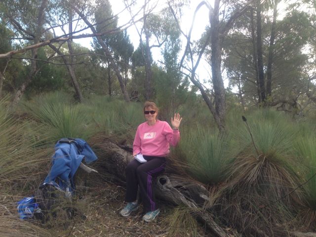
The goat was bleating on my i-phone from the SOTA Goat application, so with the help of Marija I quickly set up the gear and my 1st QSO was with Andy VK5LA who was operating portable from the top of Mount Lofty, VK5/ SE-005.  Andy had a terrific strong signal.  Mount Lofty is located only about 20 kms west of my home qth.  This was Andy’s first ever SOTA activation.  Congratulations Andy.

I then moved up the band a bit and called CQ, and a few of the regular ‘Hunters’ came back to me including John VK5BJE, Bill VK5MBD, Brian VK5FMID, and Andrew VK2UH.

I then went chasing some of the SOTA fellas again, as the goat kept bleating on my i-phone, and I worked Allen VK3HRA/p on Mount Mitchell VK3/ VN-012, and Marshall VK3MRG/p on Mount Dom Dom VK3/ VN-017,  just before the UTC rollover.

Then on the new UTC day, I spoke again with Marshall, and Andy.  Also managed to speak with Ron VK3AFW/p who was on the top of Mount Burr VK5/ SE-019, in the south east of South Australia, and also Rick VK3KAN/p who was on the top of Mount Bogong VK3/ VE-001.

IMG_2592     IMG_2597

I then worked a few more of the regular Park ‘Hunters’ including Roy VK5NRG, and Ernie VK3DET.

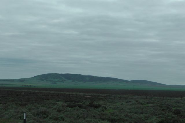
From where we set up I could clearly see South Hummocks, VK5/ SE-017, to the north of me.  I have operated previously from the top of that summit, and there are great views of the Gulf St Vincent and the Yorke Peninsula from the top.

IMGA0005

Conditions on 40m seemed quite good both locally in VK5, and into the eastern states.  I ended up with a total of 19 QSO’s which included 7 SOTA contacts, which edged me ever closer to ‘Shack Sloth’.  But it was time to pack up and head off to Whyalla.

Stations worked were:- Andy VK5LA/p (SOTA – Mount Lofty); John VK5BJE; Peter VK2TQ; Bill VK5MRD; Brian VK5FMID; David VK5UG; Rick VK4KRX/p; Andrew VK2UH; Peter VK5KX; Allen VK3HRA/p (SOTA – VK3/VN-012); Marshall VK3MRG/p; Chris VK5LTD/p; Roy VK5NRG; Ernie VK3DET; John VK5EMI; Ron VK3AFW/p; and Rick VK3KAN/p.

Coorong National Park

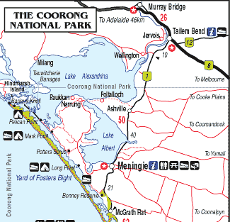
My last activation for Sunday was the Coorong National Park.  After packing up at the Mowantjie Willauwar CP, I drove down the Princes Highway and into the town of Meningie, which sits on the shores of Lake Alexandrina, which is Australia’s largest frehwater lake.

I stopped in at the Meningie bakery for lunch, which I can highly recommend.  After devouring a locally made pie and cream bun, whilst enjoying the view of the lake, I journeyed on down the road to the Coorong.

The Coorong National Park, which was established in 1966, stretches for a distance of about 130 kms.  The western end of the Coorong is located at the mouth of the Murray River near Hindmarsh Island, whilst the eastern end is located near Kingston.  The Coorong is approximately 142,500 hectares in size.  You may remember this National Park from the 1977 movie called ‘Storm Boy’.

The Coorong consists of a string of lagoons which are protected from the Southern Ocean by the sweeping sand dunes of the Younghusband Peninsula.  The area supports a huge array of bird and wild life. In fact some of the birds here are migratory and come from as far away as Siberia.

coorong1

The exact meaning of the name ‘Coorong’ is open to discussion.  It is thought to be a corruption of the local Aboriginal people’s word kurangh, meaning “long neck”; which is a reference to the shape of the lagoon system. The name is also thought to be from the Aboriginal word Coorang, meaning “sand dune”, a reference to the sand dunes that can be seen between the park and the Southern Ocean.

IMGA0040          IMGA0033

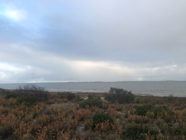
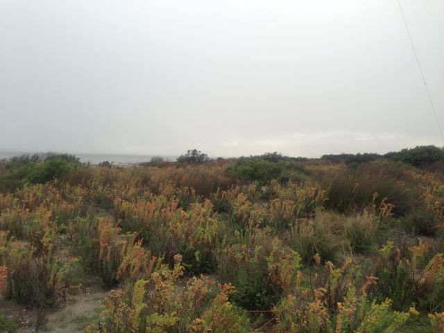
About 5 kms out of Meningie, I turned down Seven Mile Road, and travelled 2kms down to the waterfront, and then headed south along a dirt track through the scrub.  It was a little bit boggy and sandy in parts but the Falcon XR6 handled it just fine.  The photos below show the operating spot, amongst the low lying coastal vegetation.

IMG_2579          IMG_2576

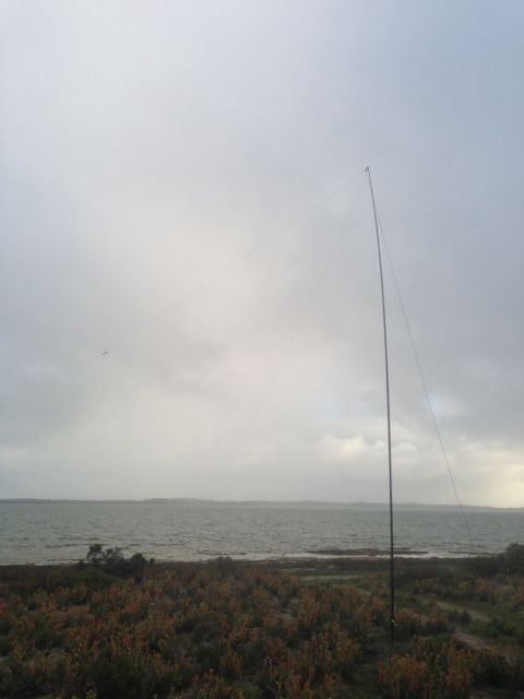
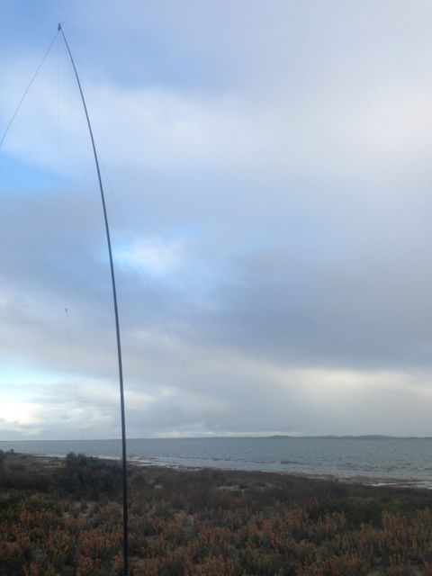
Because the area was so sandy & soft I used the squid pole holder to drive into the sand to hold the squid pole in place.  No trees here, so the ends of the legs of the dipole were pretty close to the ground.  I was set up only about 30 feet from the water.

IMG_2578          IMG_2577

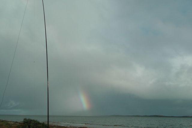
Compared to the 2 previous activations further inland, the weather was very different here.  I was just 30 feet from the freshwater of the Coorong, and the sand dunes and the Southern Ocean were not that far away.  I could actually hear clearly the pounding of the waves.  So the weather off the ocean was pretty fresh and quite windy.  And there was also annoying drizzly rain whilst I set up the antenna.

IMGA0035

But for the most part I stayed dry, and had some good contacts on 40m.  I managed 2 more SOTA contacts, with Mark VK3PI/p on VK3/VS-033; and then Kevin VK3KAB/p on the top of Gentle Annie VK3/ VT-078.

I also spoke with John VK5BJE/p who was operating from the Onkaparinga River National Park.  I had spoken to John earlier from Mowantjie, so obviously John got itchy feet and went out to activate a park, which was great.

After a bit of a run on 40m, I decided to try 20m to see if I could work any DX, but I was a little disapointed.  There didn’t seem to be too much activity on 20m.  But I did manage to have a very enjoyable QSO with Paul EA5/GM0OPK in Spain, who was romping in, and also my good mate Phil ZL2TZE in New Zealand.

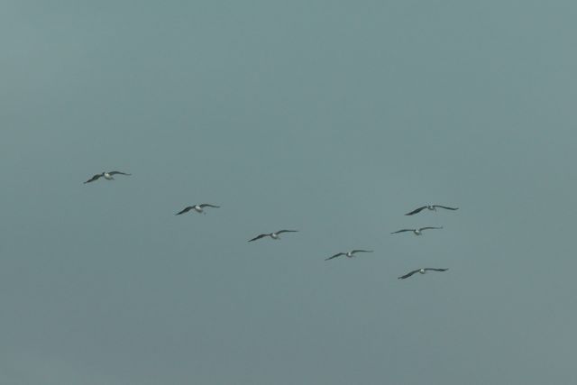
The waters of the Coorong are popular for fishermen, and indeed while I was there I saw about 3 boats heading off, and then returning with their catch.  There was a large group of Pelicans waiting to be fed.  Over the years I’ve had a good feed of fish that have come from the Coorong area, which is renowned for its Coorong Mullet and Mulloway.

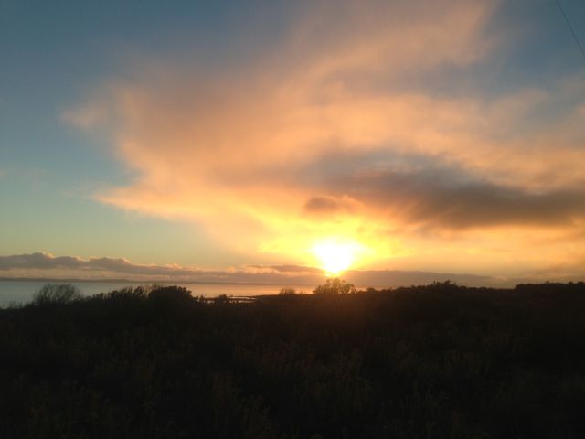
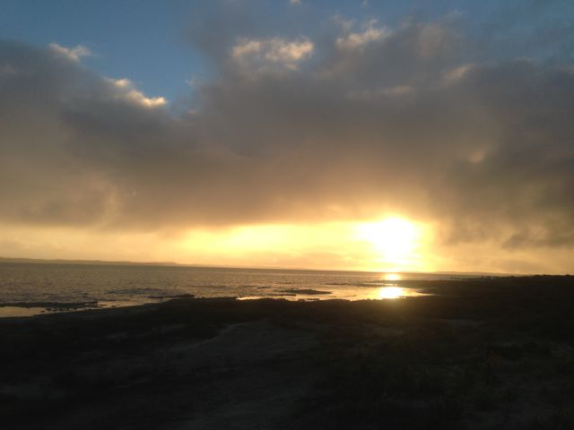
After packing up the gear, I sat back and enjoyed the sunset and then headed home to the Adelaide Hills.

IMG_2584   IMG_2581

I had a total of 19 QSO’s.  Most of those were on 40m.  I did manage 3 on 20m into NSW, Spain, and NZ.

The following stations were worked:- Mark VK3PI/p (SOTA); John VK5BJE/p; Ron VK3AFW; Nick VK3ANL; Allen VK3HRA; Brian VK5FMID; Peter VK3PAH; Andy VK5LA; Peter VK3ZPF/m; David VK5KC; Scott VK7NWT; Kevin VK3KAB/p (SOTA); Gerard VK2JNG; Shaun VK5FAKV; Dave VK3VCE; Roy VK5NRG; Adam VK2YK; Paul EA5/GM0OPK; and Phil ZL2TZE.

A really beautiful spot and a good fun afternoon.

Mowantjie Willauwar Conservation Park

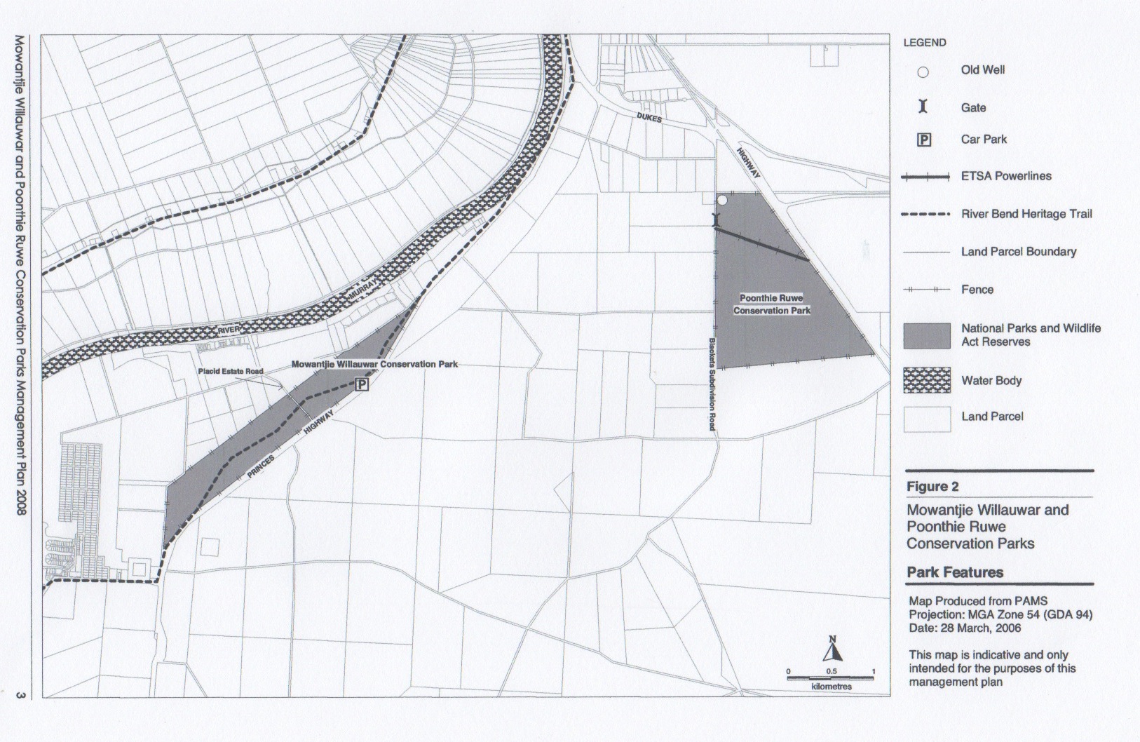
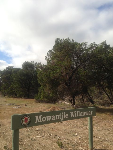
Following the activation at the Poonthie Ruwe CP, I drove a few kms away to the Mowantjie Willauwar Conservation Park.  The park is situated about 100 kms east of Adelaide, and about 5 kms south west of Tailem Bend.  Access is via Placid Estate Road, which runs off the Princes Highway.  This park is much better signposted that Poonthie Ruwe.  Although, there are no signs on the Princes Highway to indicate its existence.

Parks map

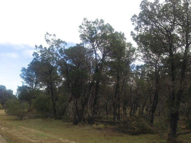
The park was proclaimed under its current name in June, 2005 and conserves about 143 hectares of Southern Cypress Pine forest, that includes two nationally threatened orchid species…the Sandhill Greenhood Orchid, and the Metallic Sun Orchid.  It is one of just nine areas left in South Australia where the Sandhill Greenhood Orchid can be found.  The park was originally constituted as the Tailem Bend Forest Reserve back in 1950.

IMG_2572

The nearby Princes Highway originally cut through the park, but was rerouted in the 19990’s to bypass the park.

The name of the park is aboriginal in the native Ngarrindjeri language.  ‘Mowantjie’ is the name for the native pine found in the park, while ‘Willauwar’ is a plural word meaning ‘forest of species’.  Therefore ‘Mowantjie Willauwar’ means ‘Native Pine Forest’.

Over 40 different varieties of birds have been documented in the park.

IMG_2575          IMG_2574

Again I set up the dipole on the 7m squid pole and used the 817nd.  There are obviously plenty of trees here to string up the ends of the dipole.  This time, there was a bit more activity on 40m which was good.

My first QSO was with Glen VK3YY who was on top of Mount Dandenong VK3/ VC-025.  I had 2 other SOTA contacts during the afternoon.  The next was with Kevin VK3KAB on VK3/ VT-040, and then Peter VK3ZPF who was on top of VK3/ VT-026.

I also spoke with Andy VK5LA/p, who was operating portable as part of the VK5 Parks Award, up in the River Murray National Park.  I think this was Andy’s first parks activation, so congratulations Andy, and thanks for supporting the program/award.

IMG_2573

I made a total of 14 QSO’s, all on 40m.

The following stations were worked:- Glen VK3YY/p (SOTA), Andy VK5LA/p (Murray River NP), Ron VK3AFW, John VK5BJE, Rod VK2ZRD, Col VK5HCF, Andrew VK2UH, Bernard VK3AMB, Brian VK5FMID, Kevin VK3KAB/p (SOTA), Peter VK3ZPF/p (SOTA), David VK5KC, Allen VK3HRA, and Peter VK2NEO.

Poonthie Ruwe Conservation Park

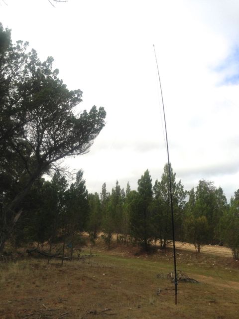
On Sunday morning, 2nd June 2013, I activated the Poonthie Ruwe Conservation Park, which is located about 100 kms east of Adelaide.  It is situated about 5 kms south east of the town of Tailem Bend, near the Murray River.  The park was originally called Poonthie Ruwi-Riverdale CP and was proclaimed back in 2003, but the name was changed in May, 2008.  The park’s name means ‘Hopping Mouse Country’ in the traditional Ngarrindjeri aboriginal language.  Unfortunately, there is no Hopping Mouse population in the area today, due to European settlement.

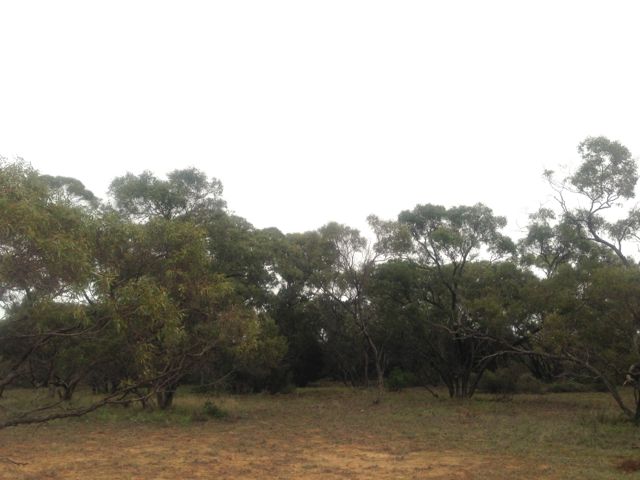
Poonthie Ruwe consists of mallee and Scented Irongrass tussock grassland and covers an area of about 241 hectares.  It is the largest area of this type of vegetation in South Australia, and the temperate grasslands that are found in the park are classified as critically endangered.  This type of vegetation has been poorly conserved due to clearing for farming.

IMG_2569

Access to the park is via Blackets Road, which runs off the Princes Highway, just out of Tailem Bend.  There are no signs indicating the park is there, so before leaving home make sure you know exactly where it is located.

Parks map

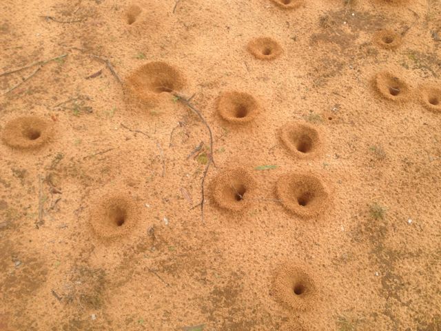
The area is quite sandy, and there is a resident ant population as I found out.  Their nests almost looked like the lunar landscape.

IMG_2568

I set up my gear and called CQ on 7.100 on 40m, but things were incredibly slow.  First cab off the rank was Bob VK2OD.  This was followed by a few of the regular Hunters in Andy VK5LA, Brian VK5FMID, and Allen VK3HRA.

IMG_2566  IMG_2570

Because things were s slow, I decided to pack up the gear and i headed ‘around the corner’ to the Mowantjie Willauwar Conservation Park.

I made a total of just 6 QSO’s, all on 40m.

The following stations were worked:- Bob VK2OD, Andy VK5LA, Brian VK5FMID, Allen VK3HRA, Roy VK5NRG, and Ian VK3FIAN.

Monarto Conservation Park

Friday was a really wet day here at my qth…over 90 mm of rain.  And the forecast for the weekend did not look any better, so unfortunately I had to put on hold any plans to do any SOTA activations this weekend.  But after the morning coffee, the weather seemed to be clearing to a degree, and the ‘portable bug’ bit.  My wife Marija, headed off to the gym and to do her Saturday morning shopping, so I jumped in the car and drove up the South Eastern Freeway to Monarto, and activated the Monarto Conservation Park.

Monarto Conservation Park is situated about 60 kms east of Adelaide, and about 30 kms east from my home at Mount Barker in the Adelaide Hills.  Access to the park is via Ferries McDonald Road.  Simply take the Monarto turn off on the South Eastern Freeway and then turn right onto Ferries McDonald Road.  The park is situated about 6 kms south from here.  The road soon becomes dirt after turning off the Freeway.

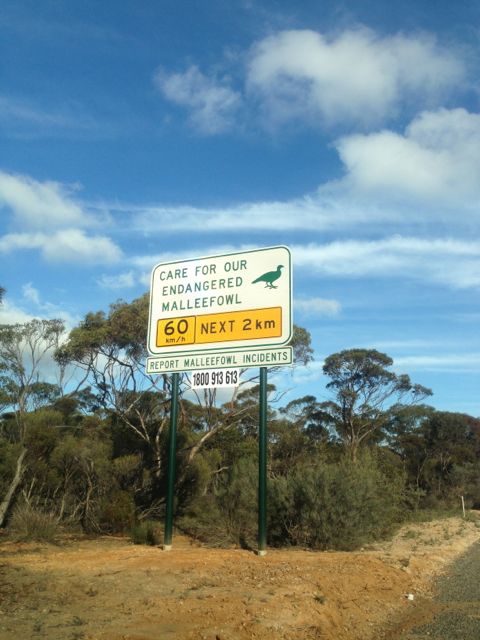
There are plenty of signs around to warn you regarding wildlife.  There are plenty of roos in the area.  But also the highly endangered Mallee fowl, which live in both Monarto CP and the nearby much larger Ferries McDonald Conservation Park.

IMG_2565

The park is well signposted and is located on the western side of Ferries McDonald Road.  There is a large carpark, and from here you can follow a short 2 km loop trail which takes you through the park.

The nearby ‘town’ of Monarto was once earmarked as a satellite city to Adelaide, by the then Premier, Don Dunstan, back in the 1970’s.  However for a variety of reaons this never eventuated.  Today Monarto is a farming district, and it is adjacent to the main Adelaide-Melbourne railway line.

IMG_2558

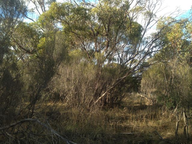
Monarto CP consists of thick mallee woodland and dry heathland.  The park contains one of the few pieces of remnant Mallee vegetation close to Adelaide.  No camping is allowed within the park, and there are no facilities.  The park comprises sand ridges forming part of the Murray Plains.  As previously mentioned the park is home to the endangered Mallee fowl, along with a variety of other wildlife including the Western Grey Kangaroo, and at least two species of Marsupial Mouse.  There are also numerous bat species.  More than 80 species of birs have been documented in the park.

 IMG_2559  IMG_2560

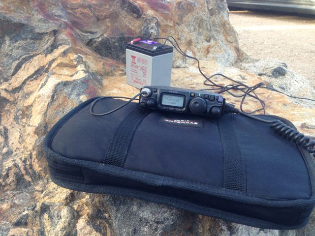
I set up the normal equipment, the 817nd and the dipole using the 7m squid pole.  I attached the squid pole to a post & rail permapine fence using an occie strap.  The weather was a bit ordinary, but the rain held off right until the end, which was good.  Unfortunately for the most part there was annoying light drizzle.  And then the rain came in from the west and it was time to head to the car and home for lunch and a hot coffee.

IMG_2564

Conditions seemed quite good, but there didn’t appear to be the same number of operators on 40m this morning, as there has been on previous Saturday mornings.

I ended up working a total 16 stations on 40m, in VK1, VK3, & VK5.

A few interesting QSO’s though during the morning/early afternoon.  I spoke with Mark VK3DEE/p on VK3/VC-018 (SOTA) who was a good 5/8 signal.  And I had a few good QRP contacts.  One was with Grant VK3HP.  I wound down the power on the 817nd and spoke with Grant on just .5 watt and received a 5/7 signal report from him (down from 5/9 when using 5 watts).  And also Duncan VK3LZ, who was also QRP running just 2.5 watts.  Duncan was a good strong signal 5/8.  Again I only used .5 watt and received a 5/7 signal report from Duncan.  And I also spoke with Ian VK5CZ who gave me 5/5 up in Clare on just .5 watt.

Another interesting QSO was with Peter VK3YE who was using his home brew tx.

The following stations were worked:- Ernie VK3DET; Nick VK3ANL; Ron VK3MJR; Brian VK5FMID; Allen VK3HRA; Shaun VK5FAKV; Mark VK3DEE/p (SOTA); Rod VK5FTTC; Grant VK3HP; Brenton VK3CM; Duncan VK3LZ; Matt VK1MA; Ian VK5CZ; Geoff VK3AHT; & Peter VK3YE.

Other than the weather, an enjoyable activation.

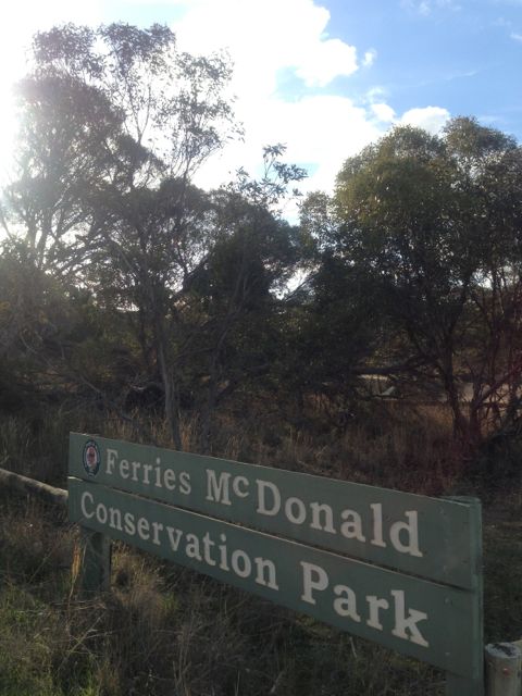
Ferries McDonald Conservation Park

This afternoon was such a terrific afternoon weather wise that I decided to venture out and head east up the South Eastern Freeway, & activate the Ferries McDonald Conservation Park.  The park is situated about 60 kms east of Adelaide, and about 20 kms south west of Murray Bridge.  Its not that far from my home qth.  Access is either via Chaunceys Line Road via the town of Hartley, or via Ferries McDonald Road via Monarto South.

Ferries McDonald Conservation Park covers an area of about 860 hectares and contains one of the few pieces of remnant Mallee vegetation close to Adelaide.  It is important as it has never been cleared for farming, and is an example of the original vegetation of the area.  Within the park there are numerous bird species (over 60 have been recorded), echidnas, marsupial mouse, and Western Grey kangaroos.  It is also home to the highly endangered malleefowl.  Although I didn’t see one, I did go for a walk prior to setting up and I saw one of their nests which are built on the ground as a mound.  The park is named after Mr. Ferries and Mr. McDonald who donated the land for conservation, last century.

IMG_2542                IMG_2540

IMG_2545

I accessed the park via Chaunceys Line Road, and set up the gear near the carpark at the eastern end of Chaunceys Line.  As per usual I used the FT-817nd, just 5 watts output, and my dipole.  There are plenty of trees here to hang the ends of the legs from, and I used a couple of big rocks to hold the 7m squid pole in place.  The park contains thick mallee and other Mt Lofty Ranges vegetation, including gums.

IMG_2547

I started off on 40m and my 1st QSO of the day was with Gary, VK5ZK, down at beautiful Goolwa.

My 2nd QSO of the day was with Peter VK3PF, who advised that by working me had had racked up his 10 points, thus qualifying for the Bronze level of the VK5 National & Conservation Parks Award.  Congratulations Peter on becoming the first interstate operator (and in fact the first ever) on getting to Bronze as a “Hunter”.  I know there are plenty of other guys knocking on the door as ‘Hunters’, and most of those are from VK3, which is great to see.

I also spoke with Ian VK5CZ who again was using just 100 milliwatts from up at Clare.  Ian was an excellent signal (5/6) even on such low power.  From Ian’s QTH in the Clare Valley, to my portable location in the park, was a distance of about 200 kms.

Also made contact with John, VK5BJE/p who was operating from the Mylor Conservation Park.  This was John’s second park for the day.  I had worked him earlier in the afternoon before leaving home, when he was in the Sir Mark Oliphant CP in the Adelaide Hills.  Well done John on getting out and about and activating 2 parks.

IMG_2546     IMG_2550

I also spoke with Brian VK5FMID down in Mount Gambier, who lowered his power down to 2 watts, and I lowered my power down to the lowest setting on the 817nd (half a watt), and we were able to comfortably talk with each other on 40m.

After the activity on 40m had slowed down, I slid over to 20m to see if I could pull in any DX, but I was sadly disappointed.  I could hardly hear anything coming in on the LP from Europe.  There were stations there but they were very light.  I had to run the antenna through the antenna analyser a few times, just to make sure I didn’t have a fault, but everything was okay.  I then heard a few Europeans comment that the band was poor, so that made me feel a little bit better.

So I switched back to 40m and made a few more contacts until the sun went down and the mozzies came out.  My last QSO of the day was with Bob VK6KRC.  By the end of the afternoon, I ended up 33 QSO’s into VK2, VK3, VK4, VK5, VK6, & VK7 on 40m, and just 1 QSO on 20m into VK6.  I packed up my gear and headed home to a waiting meal of Noddle Box, a nice hot coffee, and a few glasses of port.

This is the list of stations worked:-

Gary VK5ZK; Peter VK3PF; Marshall VK3MRG; Andy VK5LA; Wayne VK7NET/m; John VK5FTCT; Shaun VK5FAKV; Allen VK3HRA/m; Ian VK5CZ; Col VK5HCF; Nick VK3ANL; Ken VK3HKV; Kas VK5ZKT; John VK5BJE/p; Darren VK2NNN; Steve VK3MEG; Ian VK3VIN; Jim VK5JW/qrp (5 watts); John VK2YW; Wayne VK7NET (at home); Dean VK2FLYS; Brian VK5FMID; Frank VK3FADI/qrp (5 watts); Ray VK3NBL; Don VK7DON; Peter VK5KPR; Rex VI103WIA; Andrew VK2UH; Peter VK5NAQ; Andrew VK7AD; Colin VK4FAAS; Kev VK2KEV/m; Noel VK3NDX; and Bob VK6KRC.

Another great afternoon out.  Plenty of stations called in which is great and lots of interest in the VK5 Parks Award, which is even better.

Hale Conservation Park

After packing up at Sandy Creek CP and saying see ya later to Andy VK5AKH, I started heading home through the Adelaide Hills.  My wife Marija had told me about another park that I was going to pass on the way home, so I took this as a ‘you have permission to stop in there on the way home‘, which is exactly what I did.

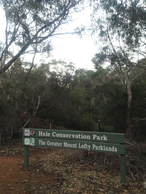
Hale Conservation Park is situated about 60kms north east of Adelaide.  It is located a few kms south of the town of Williamstown.  Access is via the Mount Pleasant Road.  The park has a diverse landscape and steep rocky ridges, and is the home to some of Australia’s more secretive mammals.  It conserves the oyster bay cypress pine.

IMG_2530      IMG_2533        IMG_2531

There are some challenging walking trails in the park which provide spectacular views of the South Para Valley and the South Para Reservoir.  The trail to the South Para River passes from the highlands to the river crossing while the trail to the north eastern boundary of the park follows the creek line to emerge in grasslands on the outskirts of Williamstown.

When I first arrived at the park, there were 2 other cars in the carpark.  I think they were 2 young lovers.  But they didn’t hang around for long.  The sight of some fella carrying a squid pole into the bush and the sounds of goats bleating (from SOTA Goat), got the better of them, and off they went to a more quiet location !

I set up the Bandhopper 40m/20m dipole on the 7m squid pole, and used my Yaesu FT-817nd with 5 watts.  There are plenty of trees here so there were no problems with getting the ends of the legs of the dipole up off the ground.

IMG_2535I had a steady flow of ‘hunters’ who responded to my CQ call, and I ended up with 16 QSO’s, all on 40m.  Included one QSO with Lamont in Gisborne in NEW ZEALAND.  Really good conditions between the 2 of us, with 5/8 both ways.

IMG_2536

It was a great little spot where I was set up and there was quite a bit of natural lightning, as it was almost a full moon.  But the cold weather got the better of me, and I headed home to the warmth, and spent there remainder of the evening watching the AFL on the TV.

Stations worked were:-

Hans VK5YX; Ian VK5CZ/m; John VK5FTCT; Nev VK5WG; Rod VK5FTTC; Brian VK3MCD/m; Matt VK1MA; Mark VK3YN; Steve VK3MEG; Michel VK3KVW; Shaun VK5FAKV; Bill VK7SV; Lamont ZL2ALK; Paul VK5FUZZ; Urey VK3ATA; and Roy VK7ROY.

Sandy Creek Conservation Park

On Saturday, the 25th May, 2013, I journeyed up to Riverton, about 130 kms north of home, for a get together lunch with Ian VK5CZ and Andy, VK5AKH. We had an enjoyable lunch at the Riverton Hotel, and a chat, and spoke a bit about the direction of SOTA in South Australia.

Riverton is a great little town situated in the mid north of S.A. in the Gilbert Valley.  It only has a population of about 720 people.  But in its heyday it was a very busy place, as it was situated on the bullock track to Adelaide, from the mining town of Burra.

IMG_2506

I had intended activating the Sandy Creek Conservation Park later that afternoon on the way home, and Andy showed his interest in coming along as well.  Over lunch, Ian then decided he would activate the Spring Gully Conservation Park on his way home

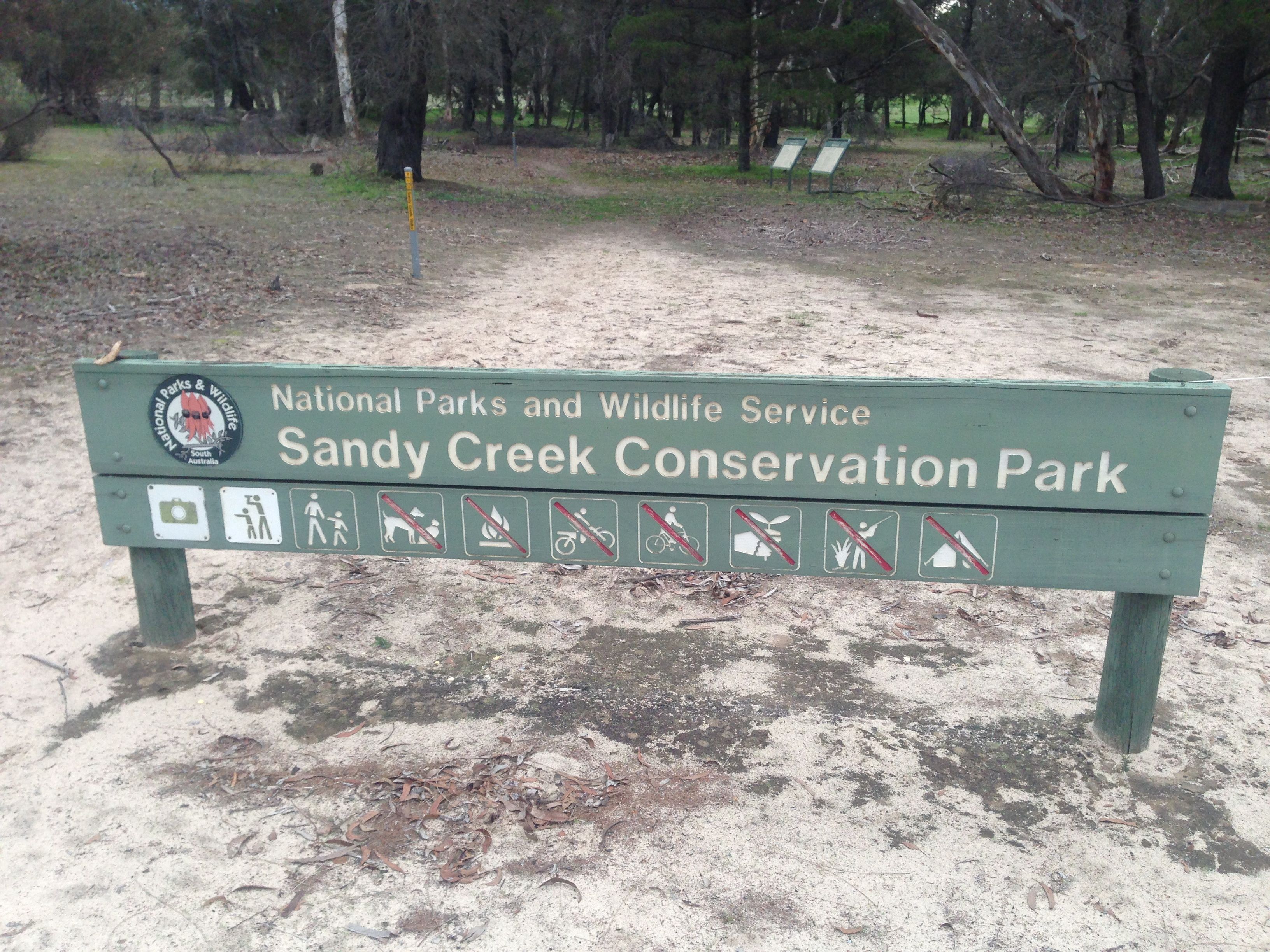
Following lunch, Ian headed west back to Clare, and Andy & I headed south to the Sandy Creek CP, which is located about 60 kms north east of Adelaide, between Gawler and Lyndoch in the southern Barossa Valley.  Access is via the Barossa Valley Highway.

We soon worked out why it is called Sandy Creek.  The soil here is certainly very sandy !  Funny that.  The Sandy Creek Conservation Park is surrounded by farmland, vineyards and deep sand mining pits.   It is established on gently undulating sand dunes with occasional creeks.  It conserves some of the last remaining vegetation of the sandy soil lowlands of the Barossa Valley.

IMG_2509          IMG_2508

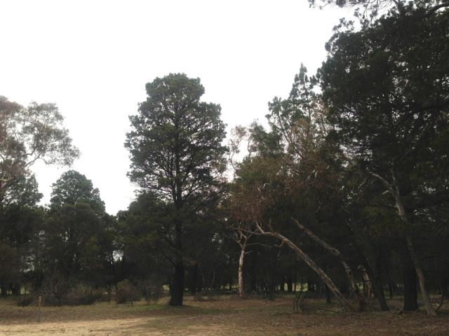
Several walking trails through the native pine and pink gum allow you to explore the park. There is plenty of wildlife in the park including western grey kangaroos. The richness and diversity of the park’s birdlife makes it particularly significant for naturalists and birdwatchers.  Unfortunately, bird populations are in decline due to the changing habitat.

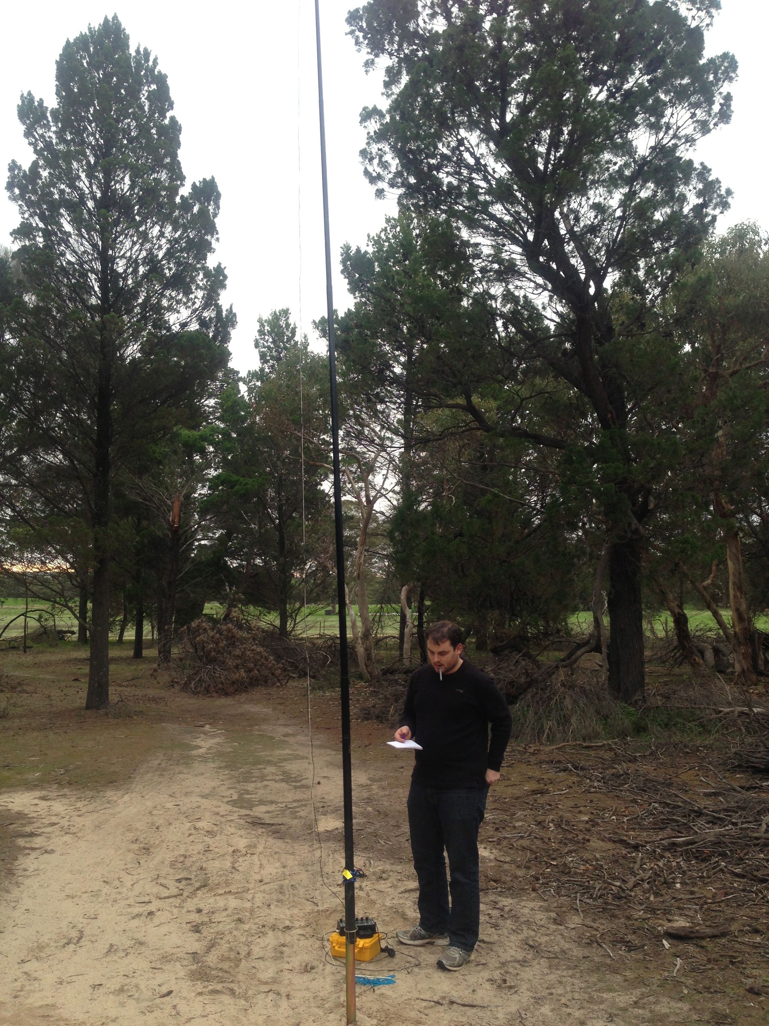
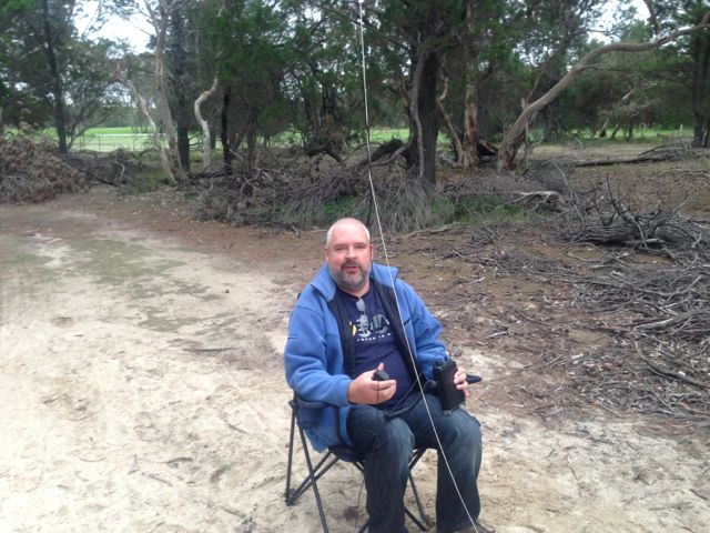
Andy and I set up the Bandhopper 40m/20m linked dipole, using the 7m squid pole as support.  No problems here with putting the pole holder into the ground.  We used Andy’s Elecraft KX3, which is a great transceiver, and just 5 watts output.

Our first QSO’s were with Col VK5HCF and Brian VK5FMID down at the Ewens Ponds Conservation Park, in the south east of South Australia.  Col and Brian have been active supporters of the VK5 Parks Award.  It was great to speak to them and have them in the log.

IMG_2507

Ian VK5CZ then gave us a call from the Spring Gully CP, and we slowly wound back the power at both ends from 5 watts down to 100 milliwatts and were still able to hear each other very well.

Our next QSO was with Doug using the special event call of VI130WIA for the 2013 WIA National Conference in Perth, W.A.  This was a good one to have in the log.

Next we spoke with Marshall VK3MRG/p who was on top of Suger Loaf peak, VK3/ VN-011, in Victoria.  Marshall had a great signal, with very little QSB.

IMG_2522

Andy and I were just in the process of packing up and taking down the antenna, when a goat bleated from my iphone from SOTA Goat.  It was a spot for Wayne VK3WAM.  So the 2nd leg of the dipole was strung back up in the trees and we made contact with Wayne who was on the top of Mount Disappointment, VK3/ VC-014.  Signals were very good…5/8 both ways.

Matt VK1MA then asked us to QSY down 10, so we spoke with Matt, and then kept getting calls following that.  Which was great, but nature was calling, and unfortunately we had to go QRT.  Ended up with 13 QSO’s, all on 40m SSB.

The following is a list of stations worked:-

Col VK5HCF; Brian VK5FMID; Peter VK3ZPF; Peter VK3PF; Ian VK5CZ; Doug VI103WIA; Marshall VK3MRG/p; Wayne VK3WAM/p; Matt VK1MA; Allen VK3HRA; Paul VK3IH; VK3YN; and Peter VK5KPR.