Mount Dutton, VK5/ SW-035

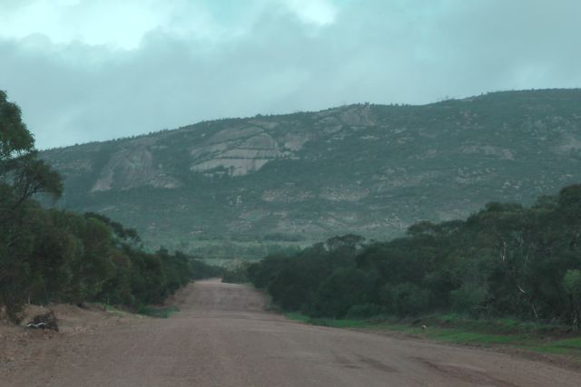
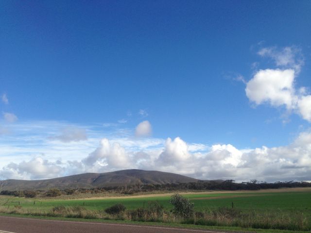
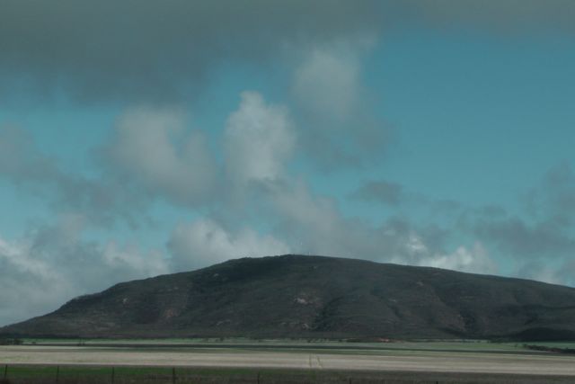
On Friday morning, 14th June, 2013, I got up bright and early and headed for Mount Dutton, VK5/ SW-035, which is situated about 48 kms north west of Port Lincoln on the lower Eyre Peninsula.

Mount Dutton was named after Charles Christian DUTTON, an explorer, who in 1839, led a small expedition from Port Lincoln to Coffin Bay.  DUTTON was an early Sheriff of the Province and then settled in the Port Lincoln district.  He died at age 32 in 1842.

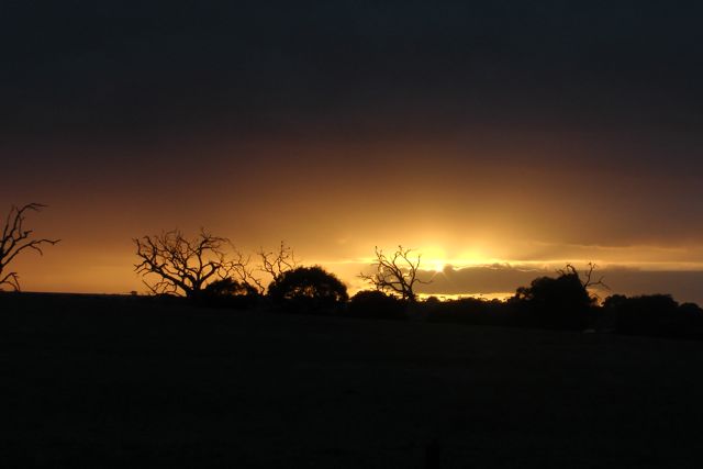
I travelled out along the Flinders Highway towards the town of Wangary, and watched the spectacular sunrise.  And at the same time keeping a close watch for kangaroos.  There are plenty of roos over here on the Eyre Peninsula.
IMGA0001_5

At Wangary, turn left into Farm Beach Road and travel west towards the ocean.

It is worth a quick detour down to Farm Beach and Gallipoli Beach, which featured in Peter WEIR’s Australian movie ‘Gallipoli’.

After travelling down Farm Beach Road for about 5 kms turn right into Broccabruna Drive.  There is a brown sign here saying ‘Frenchman 14’.  Travel about 1 km along Broccabruna Dr and then veer left onto Mena Road.  There is a brown sign here saying ‘Frenchman 13’.  About 3 kms up Mena Road, you will see an old derelict cottage just set off the road amongst trees and shrubs.  There is a large tall palm tree here as well to keep an eye out for.
IMG_3022

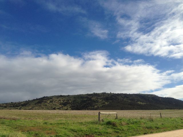
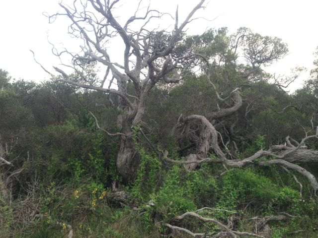
Directly opposite this, you will see a large cocky’s gate.  I travelled from here through the paddock to the base of the hill.  It is about a 3 km walk from there to the summit.  The first part of this walk is a bit of a challenge.  There is no track and the scrub is quite thick in parts.  It is pretty easy to get disorientated.
IMG_2981

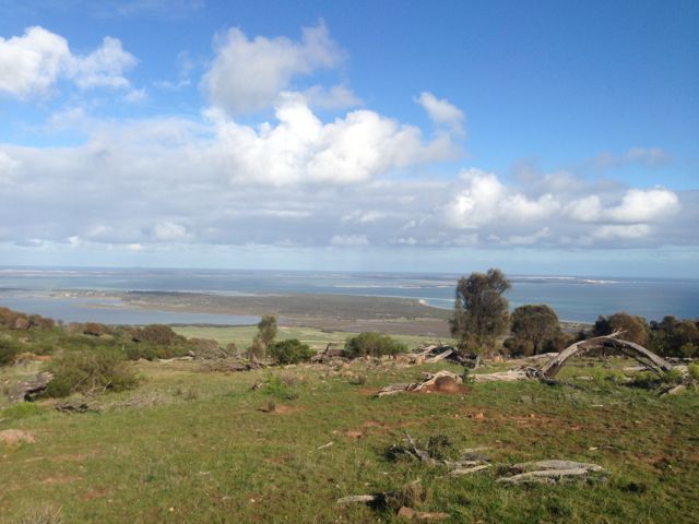
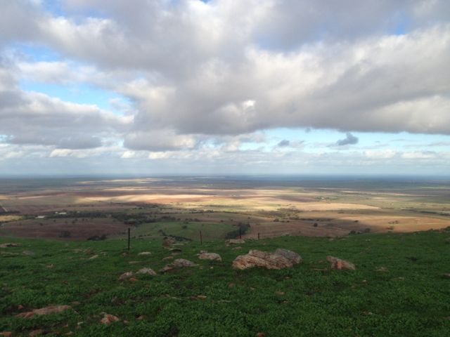
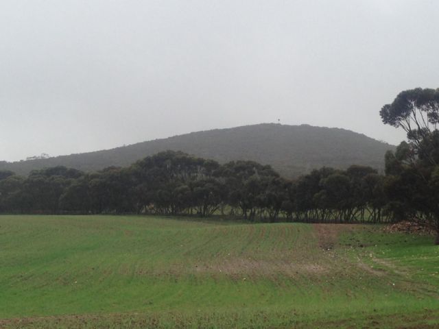
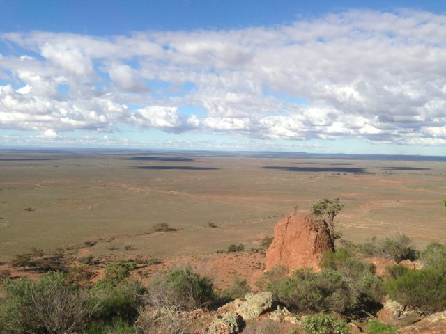
Once you do reach the top there are spectacular views out in all directions.  Particularly to the south.  The views of Mount Dutton Bay, Coffin Bay, and the Coffin Bay National Park are truly amazing.  The hill is surrounded by lush sheep and cereal farming land.  The walk along the ridgeline on the top of the hill is quite easy, and there are plenty of spots to explore.

During the late 1800’s, nearby Dutton Bay was a valuable ‘land-sea link’, as a jetty was built adjacent to the large Dutton Bay woolshed.  At its peak, over 20,000 sheep were shorn within the woolshed.  Up to 100,000 fleeces were baled and loaded onto ketches from the adjoining jetty, for overseas markets.
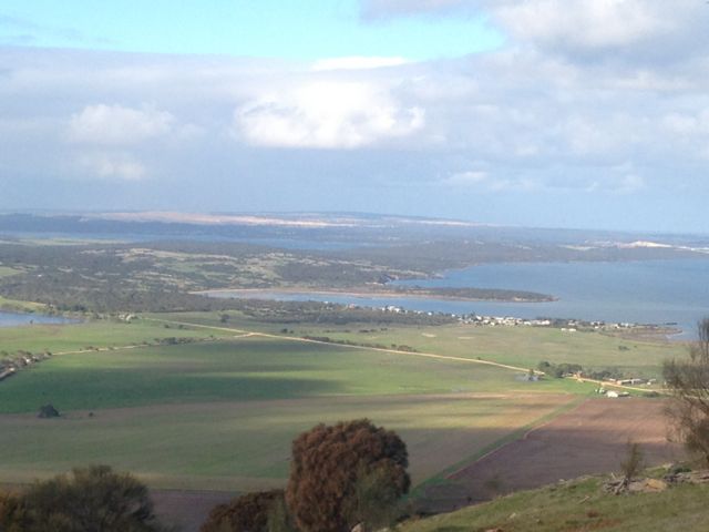
IMG_3006     IMG_3014

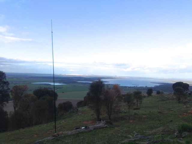
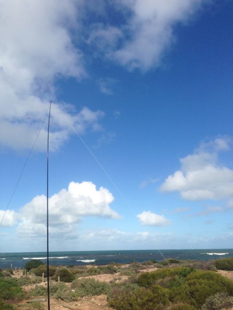
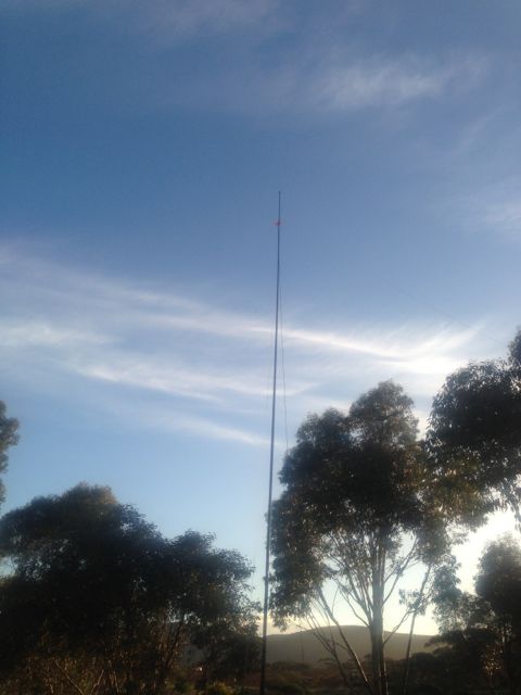
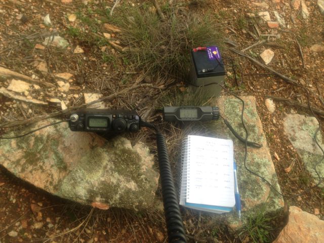
There are quite a few trees and shrubs and rocks on the  top, so plenty of options in securing the ends of the dipole.  I set up the 40m/20m linked dipole on the 7m squid pole, using a fallen tree and some rocks to secure it into place.  The tree made a good bench.
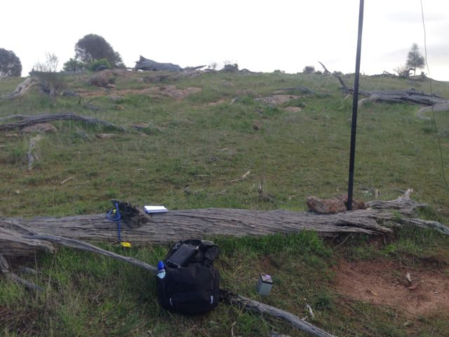
IMG_2995     IMG_2998

I put a CQ call out, and worked a total of 15 stations before the UTC rollover, and a total of 24 stations after the UTC rollover.

Stations worked before the UTC rollover were:- Ian VK5CZ; Roger VK5NWE; Peter VK3PF; Glenn VK3YY; Rik VK3KAN/m; David VK3VDL/m; Ron VK3AFW/m; Tony VK3CAT; David VK5UG; Nev VK5WG; David VK5LSB; Ernie VK3DET; Urey VK3ATA; Dennis VK5LDM; and Mike VK5MCB.

Stations worked after the UTC roll over were:- Rik VK3KAN/m; David VK5UG; Nev VK5WG; Ron VK3AFW/m; Peter VK3PF; Col VK5HCF; David VK5LSB; Les VK5KLD; Mike VK5MCB; Tony VK3CAT/m; Ernie VK3DET; Rhett VK3GHZ;  VK3JP; Ian VK5CZ; David VK3VDL; VK3JM; Glenn VK3YY; Dennis VK5LDM; Jim VK5JW; Colin VK3NCC/2; Urey VK3ATA; Brian VK5FMID; John VK5FTCT, and Mark VK7FMPR.

More information on PeakClimbs at…..

http://www.peakclimbs.com/peak/Mount-Dutton/205/view/#climb_id_320

Below is a video of my activation, which I have posted on You Tube.
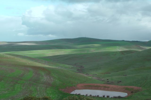
Pillaworta Hill, VK5/ SW-028

My only planned summit activation for Thursday 13th June, 2013, was Pillaworta Hill, VK5/ SW-028.

Pillaworta Hill is located about 14 kms south west of Tumby Bay on the southern Eyre Peninsula in the Koppio Range.  The summit is situated on private property owned by Emmie BORTHWICK.  The 1,400 hectare ‘Pillaworta’ property has been in Emie’s family for six generations.  Today the farm consists of merino sheep, and crops of oats and barley.

‘Pillaworta’ station was founded by Charles Christian DUTTON during the early 1840’s.  It is associated with one of the worst conflicts between the European settlers and the native aboriginals, during the pastoral pioneer days of the Eyre Peninsula.  DUTTON was apparently so hampered by the aborigines, that he and four other men cleared out on the 20th June, 1842, with the intention of driving several hundred head of cattle around the top of the Gulf to the mainland.  A detachment of English soldiers, under Lieutenant HUGONIN, accompanied the party for the first day, but after that they were never seen again.  It is believed they were massacred by the local aborigines.

Following arriving at the property I checked in with Andrew, who is the share farmer on the property.  He gave me directions on how to access the summit.

Access to the summit is via Bratten Way which runs off the Lincoln Highway at Tumby Bay.  Travel west along Bratten Way up through the hills, and then turn left into Pillaworta Road and travel south.  About 5 kms up the road you will see on your left a dirt road with a red ‘Fire Track’ sign.  This is the track you need to take, and this will take you to the top of the summit.

IMGA0030_2

Follow the dirt track leading through the paddocks all the way to the summit.  Despite it being winter time, the track was in good condition.  There are a few gates to travel though, before reaching the summit.  I parked the car at the final gate and walked the rest of the way to the summit.

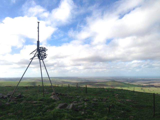
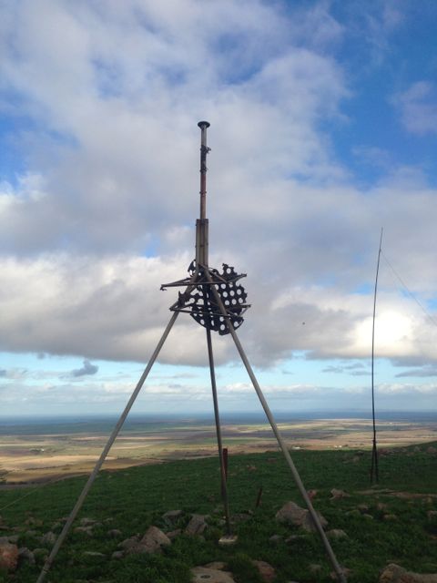
There is a trig point which had seen better days.  There is also a large communications tower and an amateur repeater at the site, VK5RAC.  The view from the top is terrific, particularly out to the west over the Spencer Gult towards the Yorke Peninsula.

IMG_2909     IMG_2919

I attached the 7m squid pole to a fence post with an octopus strap, and one end of the dipole I tied off to the trig point, and the other end to a fencepost.

My first contact was a summit to summit QSO with Ron VK3AFW who was portable on the top of Mount Lofty, VK5/ SE-005.  Ron had a good strong signal over onto the Eyre Peninsula (5/8 both ways), and was braving the elements on the top of Mt Lofty where it was windy & wet.

I decided to have a quick listen on 20m SSB, and managed to work two DX stations: Ralph H44IOTA and Roger ON7TQ.   I also spoke with Ed VK2JI; Peter VK3PF, Barrie VK2ABD; & Ray VK4NH.  During the afternoons, I always try to get onto 20m to work some of the more distant VK fellas, and hopefully a little bit of DX.

IMG_2915

By the end of the afternoon I had worked a total of 28 stations.

I packed up my gear and headed to Port Lincoln.  On the way I stopped off at the service station/take away food place at North Shields.  Had one of the best hamburgers and chips, I’ve had in a long time.  Well worth a visit if you’re down that way and feeling hungry.

Stations worked were:- Ron VK3AFW/p (SOTA); Bill VK5MBD; Ernie VK3DET; Col VK5HCF; Nev VK5WG; Rik VK3KAN/m; Peter VK3FPSR; Brian VK5FMID; John VK5BJE; Ed VK2JI; John VK5FTCT; Jim VK5KOB; David VK5UG; Marshall VK3MRG; Peter VK1IRC; Peter VK3PF; Bernard VK3AMB; Peter VK3BSF; Paul VK7CC; Tony VK3CAT/m; Doug VK3FJAE; Ian VK5CZ; Ed VK2JI (20m); Peter VK3PF (20m); Ralph H44IOTA (20m);  Roger ON7TQ (20m); Barrie VK2ABD (20m); & Ray VK4NH (20m).

More information on PeakClimbs…..

http://www.peakclimbs.com/peak/Pillaworta-Hill/204/view/#climb_id_319

Below is a video of my activation which I have placed on You Tube.

Franklin Harbour Conservation Park

On the way down to Port Lincoln on Thursday 13th June, 2013, I stopped off at the Franklin Harbour Conservation Park, just outside of Cowell.

Cowell is a beautiful little coastal town on the Franklin Harbour on the east coast of the Eyre Peninsula.  It is about 111 kms south of Whyalla, and about 493 kms from Adelaide.  Cowell is the centre of an agricultural district, farming, wheat, and sheep.  Fishing and oyster farming are also important industries of the area.

IMG_2889

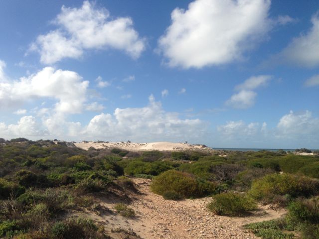
I set up very close to the salt water of Spencer Gulf on the road to Point Gibbon.  The weather was quite pleasant.  Plenty of blue sky, with a strong breeze off the ocean.  I nestled up behind some low lying bushes to get a break from the wind.

IMG_2887

I worked a total of 7 stations on 40m SSB.

The following stations were worked:- David VK5UG; Bill VK5MBD; John VK5FTCT; Col VK5HCF; Ron VK3AFW/m; Brian VK5FMID; & Nev VK5WG.

Carappee Hill Conservation Park

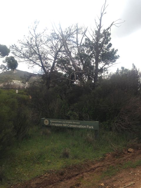
I had intended on activating Carapee Hill, VK5/ -001 during the afternoon of Wednesday, 12th June, 2013.  But the weather was not kind, so I wasn’t keen on climbing to the top and getting rained out.  So I did activate the Carapee Hill Conservation Park.

IMGA0011_2

The park was established in 1973, and covers an area of about 920 hectares.  Carappee Hill, which rises to a height of 495 metres above sea level, covers 63 % of the Conservation Park.  The hill is the highest point on the Eyre Peninsula and comprises of pre Cambrian rock.  The park had been a Water Conservation Reserve since 1955, and prior to this was leased for grazing purposes.

IMG_2864     IMG_2869

I worked a total of 9 stations on 40m SSB.

The following stations were worked:- VK3FDJT; Craig VK5LI; John VK5FMJC; Trevor VK5ATW; Nev VK5WG; Ian VK5CZ; Bill VK5MBD; David VK5KC; and Brian VK5ALZ.

I will be back here on my next trip to the Eyre Peninsula, to activate the summit.

Carprie Puntha Hill, VK5/ SW-003

My first activation for Wednesday, 12th June, 2013, was Carprie Puntha Hill, VK5/ SW-003.

I had to leave earlier than planned this morning, due to staying att Whyalla overnight and not at Iron Knob.  Unfortunately there was just so much rain that the 6km road out to my friend’s station’ Cooyerdoo’ at Iron Knob was impassable.

Carprie Puntha is aboriginal for ‘plenty of water’, and this was certainly the case for the Eyre Peninsula in the past few days.   The summit is located on private property owned by Brian PETERS.  Access to the summit is through paddocks off the northern side of Hicks Road.

IMG_2848

The weather was absolutely lousy this morning.  Very wet and windy.  Many of the local dirt roads in the area were impassable in a 2wd vehicle.  It was a very slow drive out to Brian’s property.  There is normally an excellent view from the top of the summit, but the rain and the fog put pay to that.

IMG_2836

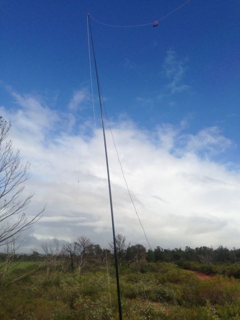
I set up the 7m squid pole using some moss rocks as support at the base, and tied the ends of the dipole off to the shrubs on the top of the summit.  Because the weather was so terrible, I didn’t really plan hanging around for long.  I had to ‘hide’ underneath some trees and shrubs to get out of the showers.  Must invest in one of those ‘bothie’ bags.  But I had plenty of ‘Chasers’ so I stayed around for the UTC rollover.

IMG_2838

I ended up with a total of 23 QSO’s on 40m SSB.

Stations worked before the UTC rollover were:- David VK3VDL/m; Ron VK3AFW/m; Ed VK2JI; David VK5KC; Ernie VK3DET; Shaun VK5FAKV; Ian VK5CZ; Peter VK3PF; Col VK5HCF; Fred VK3JM; Nick VK3ANL; John VK5BJE; David VK5LSB; & Peter VK3FPSR.

Stations worked after the UTC rollover were:- Peeter VK3FPSR; Fred VK3JM; Ed VK2JI; Ron VK3AFW/m; Peter VK3PF; Col VK5HCF; David VK5KC; David VK5LSB; and Ian VK5CZ.

More information can be found on PeakClimbs at…..

http://www.peakclimbs.com/peak/Carprie-Puntha-Hill/203/view/#climb_id_318

Below is a video I compiled of the activation which I have placed on You Tube.
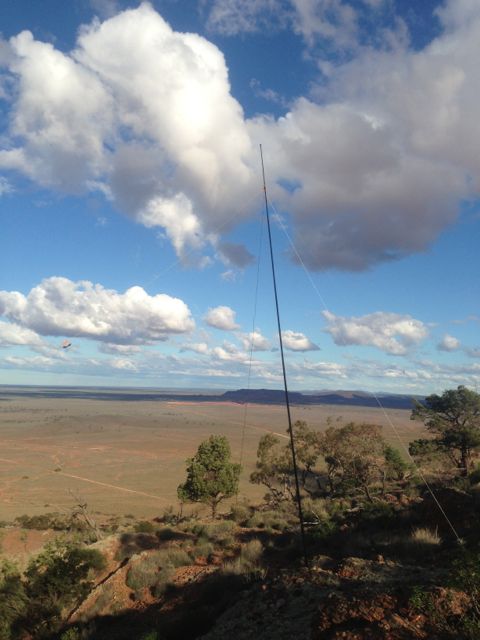
Darke Range Conservation Park

After activating the Darke Peak summit, I drove around the corner to the Darke Range Conservation Park, and activated the park as part of the VK5 National & Conservation Parks Award.

The Darke Peak summit is located within the Darke Range, but not within the Darke Range Conservation Park.  The mountain range, summit, town, and Conservation Park take their name from the exploirer John Charles Darke, who was injured in a spear attack by Aborigines in the vicinity of the summit on the 24th October, 1844.  He died the next day and was buried at the foot of the large peak.

IMGA0008

The Conservation Park is contained within the central section of the Darke Range, a few kms from the town of Darke Peak.  The hotel here is well worth popping in and having a feed or a beer.

IMG_2829

I set up for about half an hour and worked 8 stations in VK2, VK3, & VK5, on 40m SSB.

The following stations were worked:- Peter VK2NEO; David VK5KC; Roy VK5NRG; Matt VK3FORD/m; Andrew VK3FABE; John VK5BJE; Ted VK5KBM; and Bill VK5MBD.

Darke Peak, VK5/ SW-006

My 2nd summit for Tuesday 11th June, 2013, was Darke Range, VK5/ SW-006.

The Darke Range summit is situated in the Darke Range, in close proximity to the little town of Darke Peak, and about 53 kms south of Kimba.

IMG_2787

The town takes its name from the explorer John Charles Darke, who was injured in a spear attack by Aborigines in the vicinity of the peak on 24 October 1844.  He died the next day and was buried at the foot of the large peak.  His grave can be located on the western side of the Darke Range.  In 1910, the South Australian State Government erected a memorial at the site.

Governor Grey expressed a wish that some landform in the region of the grave should be named to honour him.  In 1865 surveyor Thomas Evans who was performing a trigonometrical survey of the Gawler Ranges, and named the 1,564 ft (477 m) high mount, ‘Darke’s Peak’.

IMG_2796

I gained access to the summit via the southern side.  There is a track that will take you al the way to the summit, but this is for 4wd only, so I drove as far as I could and then walked the rest of the way.  It is quite a few kms to the actual summit.

IMG_2821

Fortunately the weather held off for me and I ended up with 22 QSO’s.  The majority of these were on 40m SSB, but I did work some stations on 20m SSB, including some DX: England, New Zealand, French Polynesia, Hawaii.  They were a bit of a struggle, but nether the less, they are in the log.

Stations worked were:- Peter VK3PF; Rod VK5FTTC; Ernie VK3DET; Peter VK3FPSR; Bill VK5MBD; John VK2YW; Nev VK5WG; Grant VK5VGC; Roger VK5NWE; Ian VK1DI/3; John VK5FTCT; Dale VK5DC; Andrew VK5ARP; Keith VK5FEKH; Paul VK2HMV; Don G0RQL; Rob ZL1RD; William FO5JV; Owen ZL2GLG; Ray VK4NH; Clem VK4XCS; and Jamie KH6KW.

More information on PeakClimbs…..

http://www.peakclimbs.com/peak/Darke-Peak/202/view/#climb_id_317

Below is a video I put together of the activation, which I have placed on You Tube.

Caralue Bluff, VK5/ SW-002

Caralue Bluff, VK5/ SW-002, was my first proposed SOTA activation for Tuesday, 11th June, 2013.

IMGA0003_3

Caralue Bluff is 486 metres above sea level, and is worth 1 point.  It is situated about 27kms west of the town of Kimba.

This was a real hit and run activation for me, as the weather during the morning was atrocious.  I almost didn’t make it out of ‘Cooyerdoo’ at Iron Knob because of the weather.  The upper Eyre Peninsula had torrential rain overnight and it continued until mid morning.  And when it did stop raining, the sunny breaks only lasted a short period of time.

Fortunately there is a track which takes you up to the summit.  So for the first time it was get 4 contacts and get out quick.

There is a communications tower and also a trig point at the top.

The following stations were worked:- David VK5KC; Peter VK3FPSR; John VK2YW; Peter VK3PF; Roger VK5NWE; Ernie VK3DET; and John VK5MG.

For more information, see PeakClimbs at…..

http://www.peakclimbs.com/peak/Caralue-Bluff/201/view/#climb_id_316

Lake Gilles Conservation Park

My first activation for Tuesday 11th June, 2013, was the Lake Gilles Conservation Park.

IMG_2765

Lake Gilles was first discovered in 1839 by explorer Edward John EYRE, and was named after Osmond GILLES, who was the Colonial General at the time.

Lake Gilles Conservation Park was established in 1973, and protects a sample of original vegetation growing in the transition zone between pastoral leases and established agricultural lands.  The lake was added in 1993, increasing the total area to 68,584 hectares.  The southern section of the park was surveyed in 1925 for farming.  Some sections were allocated to early settlers but only used for grazing.

Due to drought and the Great Depression, the Government decided against farming and reverted the area to pastoral leases.  Although timber cutting by the early settlers was prevalent, the native vegetation in this area was saved from clearing for farms and remains in its original state.

IMG_2773      IMG_2776

I turned the Yaesu FT-817nd to 40m and called CQ for about 5 minutes but had no takers at all.  So I QSY’d down the band a bit and heard Gary VK5ZK talking about my Eyre Peninsula trip.  So at the end of his over I jumped in and had a really enjoyable conversation with Gary VK5ZK; John VK5BJE; Trevor VK5ZTJ/m; and John VK5NJ.

After about 30 minutes of chatting, I decided it was time to take the antenna down and head further west towards Caralue Bluff.

Corruna South, VK5/ SW-017

Corruna South, VK5/ SW-017, was my second summit for Monday, 10th June, 2013.  It is 396 metres above sea level and is worth 1 point.

Corruna South is located about 10 kms north of Iron Knob, just off the Kingoonya-Iron Knob Road.  It is situated on private property owned by Graham FRENCH.

IMG_2728     IMG_2733

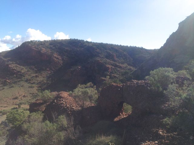
I met up with Graham and said g’day before tackling the hill.  It took me about 1 hour to climb to the top.  There is no track.  There are sheer cliff faces on the southern side and a large waterfall, so I found the best way to tackle the summit was to start climbing from the eastern side.  There is no track, so there was a fair bit of rock climbing and bush bashing.

IMG_2734     IMG_2741

Once at the top, the summit plateaus off quite a bit.  There are a lot of rocks and trees at the top which you can attach a dipole to.

IMG_2737

Conditions on 40m SSB locally were very good, but into the eastern states they were very poor.  I did manage a summit to summit QSO with Ian, VK1DI who was portable on VK3/ VW-007 near Boroka lookout.  Ian had a good strong 5/8 signal.

After working all the usual ‘Chasers’ on 40m I QSY’d to 20m SSB and spoke to John ZL2JBR (5/9 both ways).  I then had a good chat with Dan K7SS who was 5/9 and I received 4/5 back.  My last DX contact for the day was with Pat I5ZSS who was a very strong 5/9.  I received a 5/7 signal report back from Pat.

What followed Pat’s QSO, was a constant stream of calls from the eastern states.  Signals into VK1, VK2, VK3, & VK4 were excellent.

This just reinforced my ethic of trying 20m for contacts around Australia other than the close in states.

I ended up with a total of 42 QSO’s.

Stations worked were as follows:- Roy VK5NRG; Ian VK5CZ; Peter VK3PF; Graham VK5KGP; Trevor VK5ATW; Steve VK5AIM/p; Warren VK3BYD; Glenn VK3YY; Mal VK5MJ/m; Ernie VK3DET; Allen VK3HRA; Shaun VK5FAKV; Brian VK5FMID; Nick VK3ANL; Ian VK1DI/3 (SOTA); Tony VK3CAT; Paul VK5FUZZ; John VK5FTCT; Wayne VK3WAM/p; Hans VK5YX; Peter VK3ZPF; Ian VK5IS/qrp; Ron VK3AFW/m; John VK5BJE; VK3JP; John ZL2JBR; Dan K7SS; Pat I5ZSS; Bernard VK3AMB; Ed VK2JI; VK3DXJ; VK1OO; Simon VK3SIM; Dennis VK2HHA; Rob VK3EY; VK3XBC; Max VK3MCX; Don VK3MCK; Adam VK2YK; Alan VK4KO; and Tony VK5WC/4.

For more information, see PeakClimbs at…..

http://www.peakclimbs.com/peak/Corruna-South/200/view/#climb_id_315

Below is a video of my activation, which I have placed on You Tube.