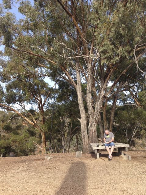
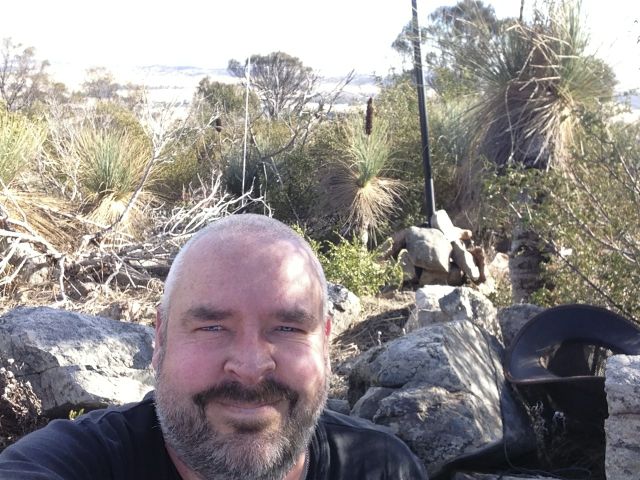
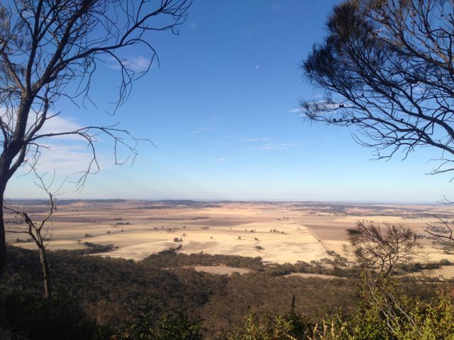
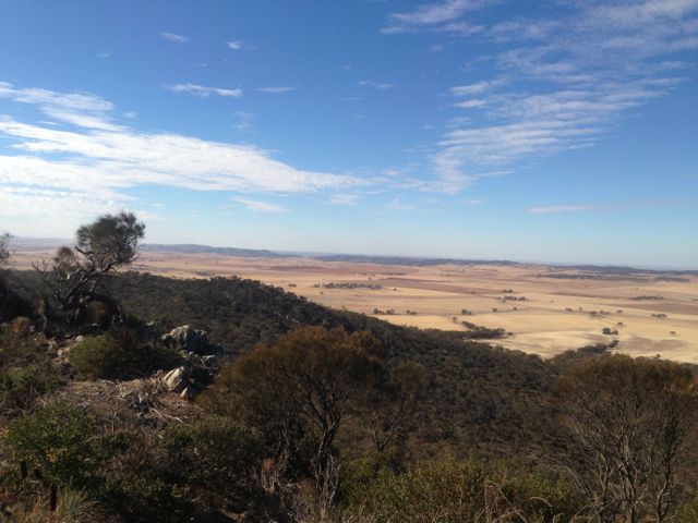
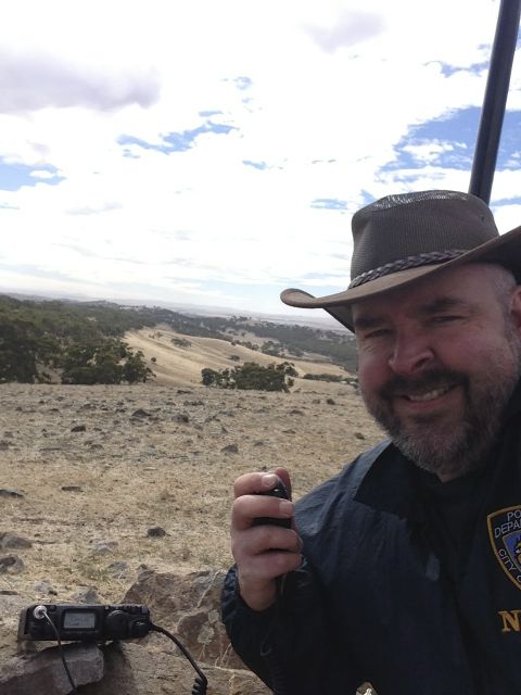
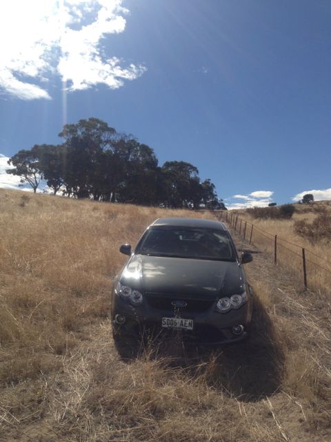
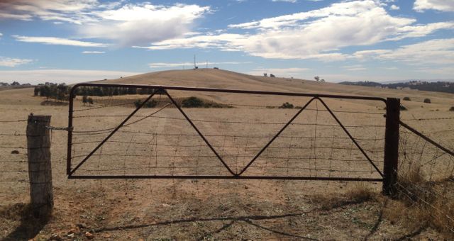
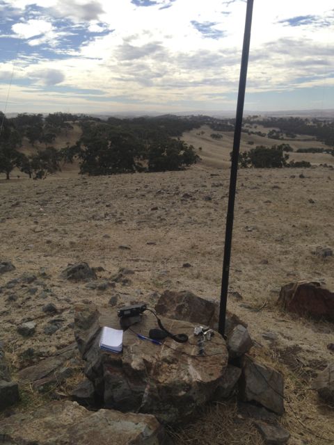
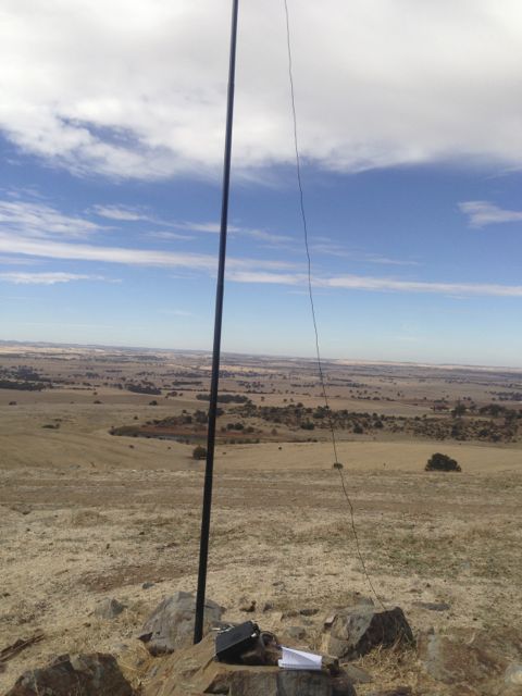
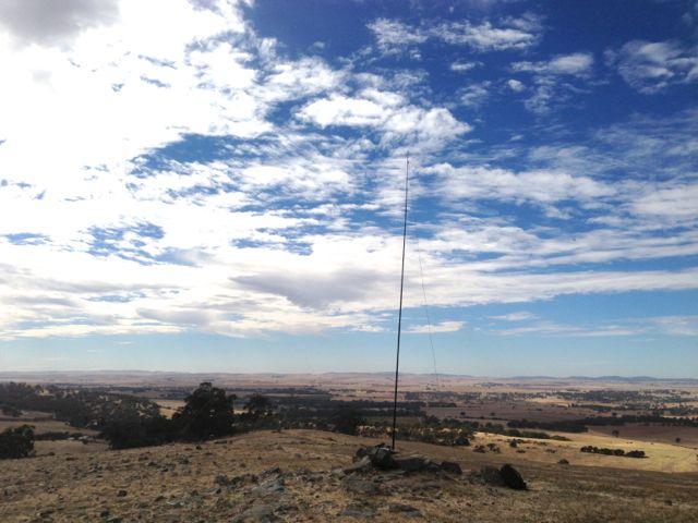
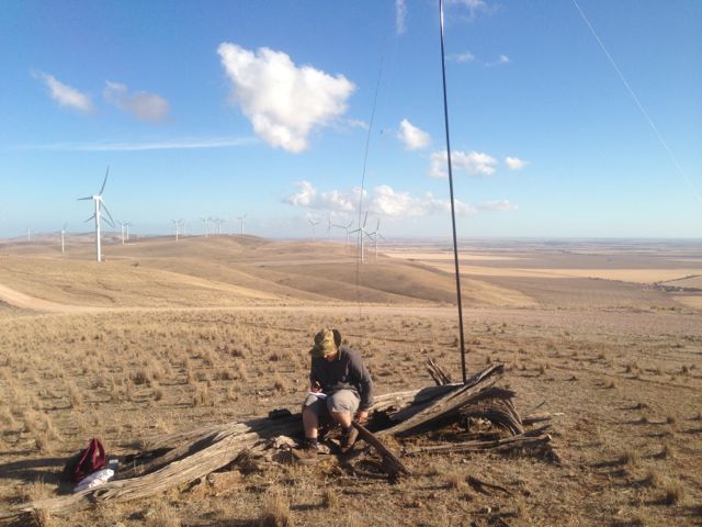
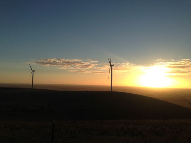
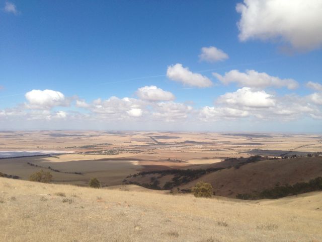
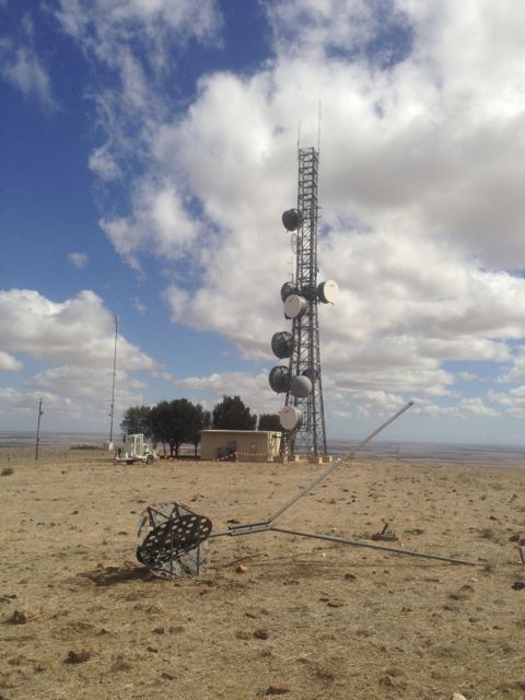
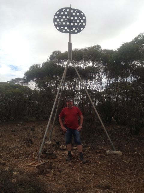
I activated the Mount Remarkable National Park on the morning of Sunday 5th May, 2013, before heading home to Adelaide after 3 nights at Melrose in the southern Flinders Ranges.
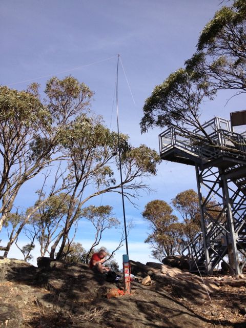
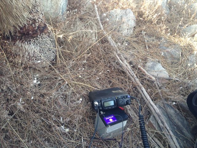
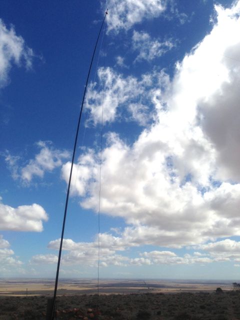
I used my Yaesu FT-817nd, 5 watts, and my BandHopper 40m/20m linked dipole supported by a 7m squid pole.
I made contact with 7 stations, all on 40m including 3 SOTA QSO’s.
Stations worked were:- Andrew VK1NAM/p (SOTA VK1/AC-027); Larry VK5LY; Alan VK3HRA; Al VK1RX/p (SOTA VK1/AC-021); Ian VK1DI/p (SOTA VK1/AC-031); Ron VK3AFW; & David VK5LSB.
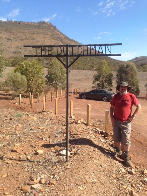
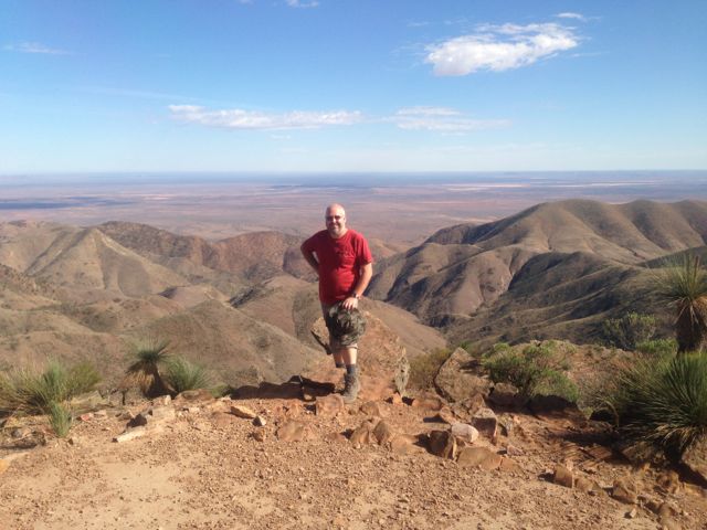
I activated The Dutchman’s Stern summit and the Dutchman’s Stern Conservation Park on Saturday 4th May, 2013. My wife, Marija did the walk/climb with me, which took us about 90 minutes to get to the top.
The Dutchman’s Stern summit is 855 metres ASL, and is worth 6 points.
It is situated within the 3,532 hectare Dutchman’s Stern Conservation Park, in the southern Flinders Ranges. The park gets its name from the bluff’s similarity to Dutch sailing ships of the 18th century. The rocky outcrops and slopes appear to resemble the reverse stern of these ships. The bluff was named by Captain Matthew Flinders who chartered the nearby Spencer Gulf in 1802.
Access is from the Arden Vale Road. The signposted turn-off to the park is 6.5 kms from the Port Augusta road intersection in Quorn. It is then a further 3 km to The Dutchman car park. All walking trails commence at the carpark.
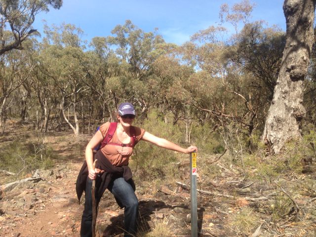
The track leading to the summit is very well maintained and signed. It is a 8.2 km return hike (4 hours return). It took Marija and I about 90 minutes to reach the summit and about 60 minutes back down. There are markers all along the way showing your progress.
We commenced this walk early in the morning and there were kangaroos everywhere. Both Western Greys and Red Kangaroos.
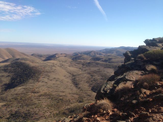
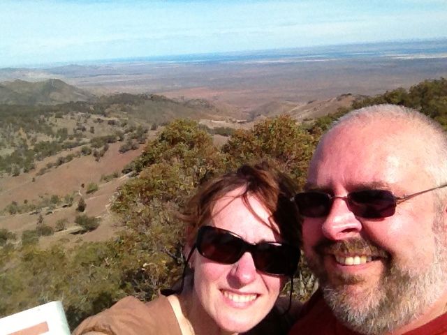
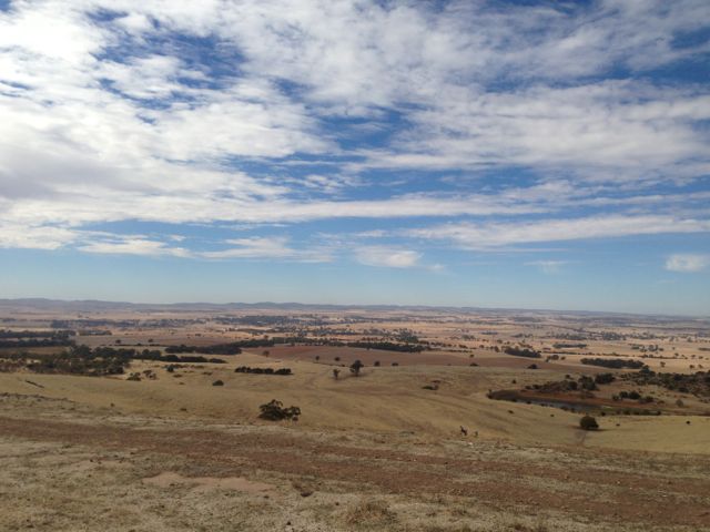
Upon reaching the summit, the views are sensational.
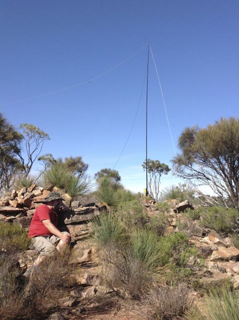
I used my Yaesu FT-817nd, 5 watts, and my BandHopper 40m/20m linked dipole on a 7m squid pole (inverted vee formation).
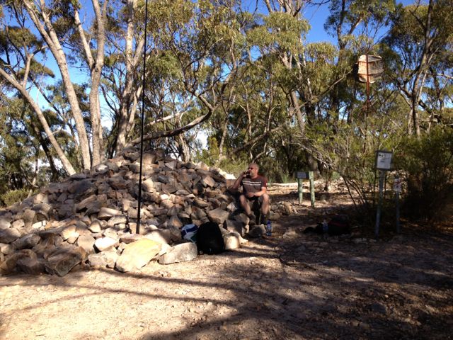
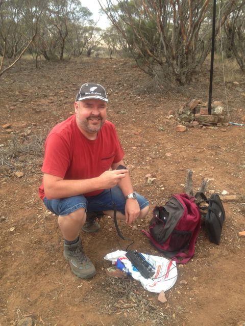
I used a distance marker post to secure my squid pole to. There is a rock formation with plenty of comfortable large rocks to sit on (if you can get comfortable rocks).
I managed 26 QSO’s on 40m, including a Summit to Summit with Rik, VK3KAN/p.
Stations worked were:- Dave VK3VCE; Glen VK3YY; Peter VK3ZPF; Ian VK1DI; Graham VK5KGP; Allen VK3HRA; Marshall VK3MRG; Mal VK3AZZ; Trevor VK5ATW; Larry VK5LY; Roy VK5NRG; Rik VK3KAN/p (SOTA VK3/ VC-005); Ian VK5CZ; Rex VK5FRCP; Warren VK3BYD; Ernie VK3DET; Steve VK3MEG; Kas VK5ZKT; David VK5KC; Bill VK5FWMA; John VK5FTCT; Peter VK3RV; Peter VK2NEO; Rod VK5FTTC, Jenny VK3WQ; and John VK2PBC/p.
More information can be found on PeakClimbs, at…..
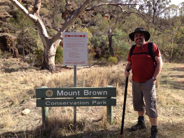
I activated the Mount Brown summit and Mount Brown Conservation Park on Saturday, the 3rd May, 2013.
Mount Brown summit is 951 metres ASL and is worth 8 points.
The Mount Brown summit is situated within the Mount Brown Conservation Park, and is located in the Southern Flinders Ranges, about 300 kms north of Adelaide, and about 14 kms south of Quorn.
Mount Brown is named in honour of Robert Brown, the botanist aboard Matthew Flinder’s survey ship HMS Investigator, who climbed the mountain and viewed Willochra Plain.
Access to the park is from Quorn township. At the Quorn Mill, travel south following the signs to Richman Valley and Waukarie Falls. Drive to the southern end of Richman Valley Road, a total distance of about 14 kms. The hike starts at the Olive Grove Trailhead, situated 200 metres from Olive Grove gate.
Walk down 50 metres from the Olive Grove Trailhead to checkpoint 1 near Waukarie Falls. Distance measurement markers start from here and are placed every 200 metres along the trail.
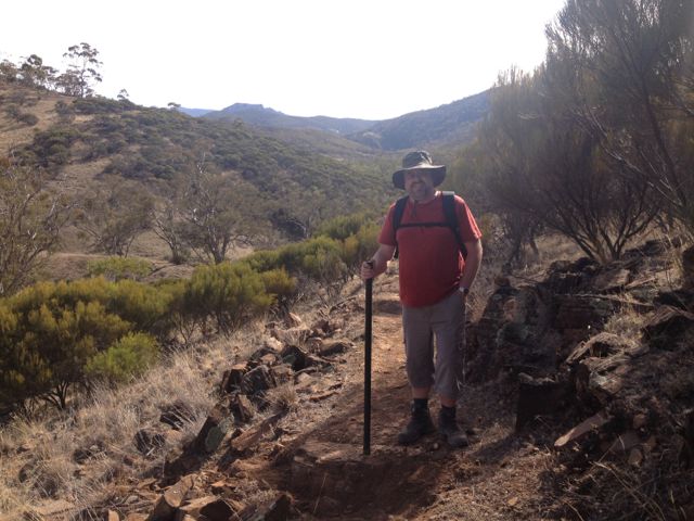
My wife Marija accompanied me on this hike which is about 11.6 km return, and took us about 2 hours to reach the summit. It is a moderate hike but is certainly challenging. The first 2 kms are quite flat and follow the creek line, but soon you are climbing up the tracks and it progressively gets steeper.
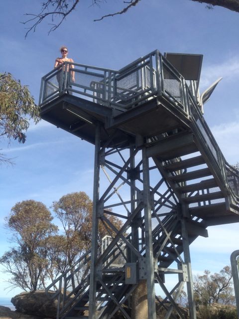
There is a small commemorative lookout at the summit which you can climb to see the spectacular 360 degree views. There are some great interpretaive signs on the lookout as well, which explain about the area & Robert Brown.
There are also some small antenna installations here and some solar panels, which I think were causing a little bit of noise interference, but nothing too drastic.
There are quite a few large gum trees at the summit which afford some shade, and lots of large rocks to sit on or to use to support a squid pole.
At the top of the summit we met a group of volunteers who were maintaing the track leading to the summit. They were extremely interested in the SOTA program and watched with interest as I made a few QSO’s.
I used my Yaesu FT-817nd, 5 watts, and my BandHopper 40m/20m linked dipole supported on the 7m squid pole which I secured to a distance marker.
I managed 17 QSO’s on 40m and 20m. It was a bit of a struggle into VK3 from here. Got in some DX contacts on 20m into Austria, Croatia, & France. Peter VK2NEO, had such a strong signal on 40m he nearly knocked me off the edge of the cliff face.
Stations worked were:- Peter VK3FPSR; John VK5EMI; Ernie VK3DET; David VK5KC; Rob VK2ZRD; Peter VK3PF; Peter VK2NEO; Larry VK5LY; Ron VK3AFW; Paul VK5FUZZ; Mark VK5QI; Rod VK5KFB; Don VK3MNZ/p; OE3DIA; Emil 9A9A; Pierre F8DHE; and Matt VK1MA.
It took about 90 minutes to climb back down to the bottom carpark.
For more information on Mount Brown, have a look at PeakClimbs…..
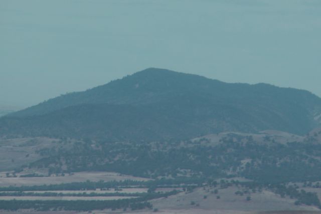
On Thursday afternoon, the 2nd May, 2013, I activated the Mount Remarkable summit, which is situated within the 16,00 hectare Mount Remarkable National Park.
Mount Remarkable is 963 metres ASL and is worth 8 points.
Mount Remarkable is located about 277 kms north of Adelaide, and about 45 kms north of Port Pirie. The small town of Melrose is located at the base of the mountain.
The explorer Edward John EYRE named Mount Remarkable in June, 1840. The native Nukunu people, who called the mountain “Wangyarra’, (‘arra’ meaning tunning water), inhabited the area before the arrival of European settlers in 1844.
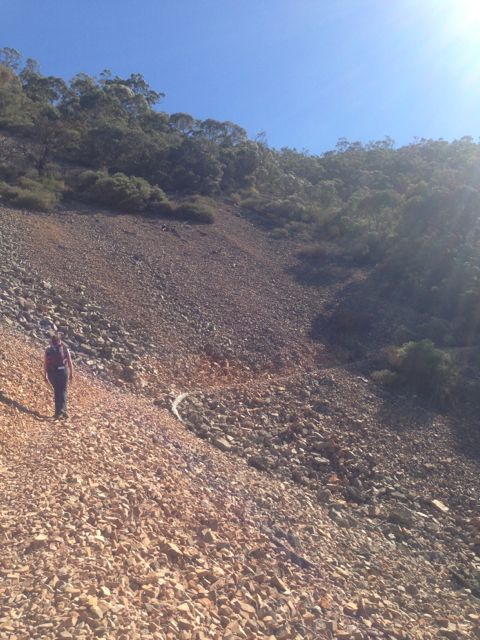
My wife Marija came along with me. The hike to the summit is 12.2 km return – 5 hours return). The climb to the top took us about 2 & 3/4 hours from the walking trail which commences at the War Memorial monument carpark. It is hard going ! Although the track is well marked, you need to pass over a number of rock slides / screes. Really sturdy footwear is highly recommended. Even with proper hiking boots I ended up with some really rippa blisters !
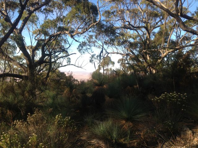
And don’t be disapointed by the lack of a view when you reach the top. There really isn’t one. This is because the vegetation and trees on the top of the summit are really thick.
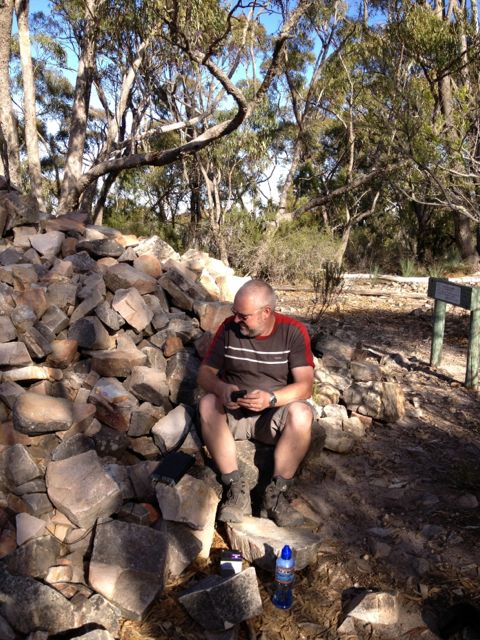
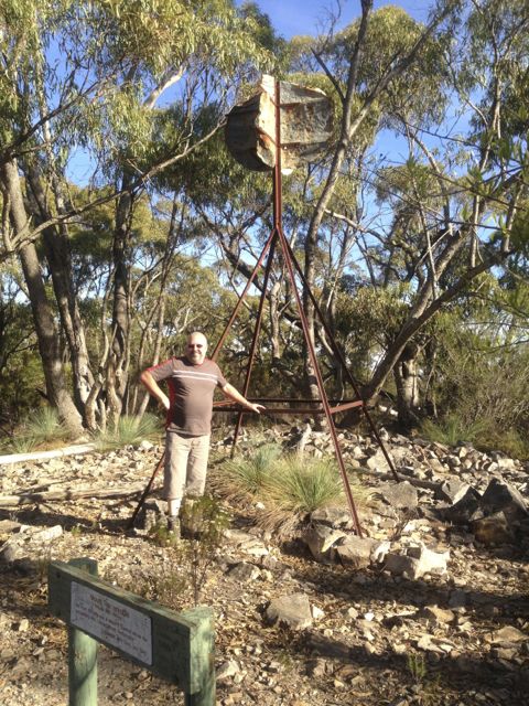
There is a trig point at the top, along with a pile of stones/rocks, which you can use to support a squid pole, which is exactly what I did. And also a lot of gum trees if you want to hang an antenna.
I used my Yaesu FT-817nd, 5 watts, and my BandHopper 20m/40m linked dipole on the 7m squid pole. Conditions were okay. People were hearing me at least. Most signal reports coming back were in the 5/5 – 5/7 range.
I managed 14 QSO’s, including some DX on 20m into the Canary Islands, France, & the USA.
Unfortunately because we did not get to Melrose until lunch time, I ran out of time on the top of the summit. We had a 2 hour climb to get down, so I unfortunately had to pull stumps which was frustrating because I was working into Europe quite well on 20m.
Stations worked were:- Tony VK3CAT; Ernie VK3DET; Ron VK3AFW; Bernard VK3FABA; Larry VK5LY; VK5XB; Peter VK3PF; Rod VK5KFB; Darren VK3FDJT; Bill VK5MBD, EA8YT; Pierre F8DHE; Bob K4MZU; and Jack VK2XH.
The climb down took about 2 hours and the ‘screes’ rock slides took their toll on my feet despite good hiking boots.
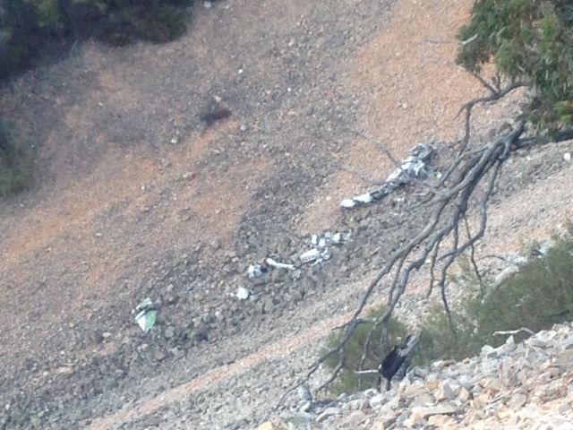
Keep an eye out for the plane wreckage on one of the screes. In 1980 a light plane crashed into the side of the mountain in poor visibility and all on board were killed. Believe it or not, people have been scavanging parts over the years, but there is still a significant amount of the fuselage and the tail remaining. Not the sort of souvenir I would like on my bar at home !
More information on Mount Remarkable can be found at PeakClimbs at…..
p.s. the meals at the Mount Remarkable Hotel (the middle pub) are brilliant. The beer is not too bad either ! Very well priced and big servings. Highly recommended. And our accomodation, the Melrose Holidays Units were also well priced and comfortable. Also recommended !
Below is a video I put together using my iphone & Moviemaker on my Mac.
I activated Lagoon Hill on the 20th April, 2013, after I had been to Mount Horrocks summit.
Lagoon Hill is 689 metres ASL and is worth 4 points.
Lagoon Hill is located about 138 kms north of Adelaide, and about 30 kms north east of the town of Saddleworth. It is located close to the Apoinga Lagoon (was completely dry) and Energy Australia’s Waterloo wind farm installation.
The summit is located on private property. Access is via Mollers Gap Road. Travel east on Mollers Gap Road over Apoinga Road, and take the first dirt track on your left. Go to the end of the track and you will come to a cockies gate on your right. Go through the gate and drive through the paddock. You will reach a fenceline where the scrub starts. I parked my car here and then walked to the north slightly and then up the hill.
The climb up here is NOT easy. There is NO track leading to the summit. It is bush bashing through the scrub, which is made hard by the fact that the hill is steep and very rocky. It took me about one hour to get to the top and it was hard yaka ! Ended up with a few cuts & scratches.
However once you reach the top, you are rewarded with magnificent views. The view from the top is absolutely spectacular. There is a trig point at the top but it is not easy to find as it is surrounded by thick scrub. There are plenty of operating spots as the mountain is covered in large rocks and small trees and scrub, so there are plenty of options for securing a squid pole or antenna.
I found a comfy spot and set up the gear. As I sat admiring the view and chatting on the radio, a few Wedge Tailed eagles were soaring above the cliff face. I don’t think they were eyeing me off ! ?
I had a total of 20 QSO’s on 40m & 20m. This included a few DX contacts into Europe & the UK on 20m, who were receiving my QRP signal quite well. Unfortunately I ran out of time and I knew I had a hard climb down, and definitely didn’t want to do it in partial darkness. Oh well !
An interesting QSO for me that afternoon was with Nev, VK5WG, who is getting on in years now. This was originally his father’s call sign. I remember often hearing VK5WG when I was a short wave listener in my teenage years (some 35 years ago).
Stations worked were:- VK3MRG/p; Robby VK5VRD/qrp (5 watts); Peter VK3ZPF; Tony VK3CAT; Ernie VK3DET; Ian VK1DI; Andrew VK1NAM; Glen VK3YY; Al VK1RX; Nev VK5WG; Richard VK3TXD/qrp (10 watts); Daniel VK5DF; Rhett VK3GHZ; Andrew VK2UH; Bernard VK3FABA; Doug VK3FDRE; Ian VK5CZ/m; Darren VK3FDJT; Francisco EA7ISH; and GB2VEF.
A really enjoyable sunny afternoon and a great view that I won’t forget.
On Saturday the 20th April, 2013, I activated Mount Horrocks summit, VK5/SE-012 in the mid north of S.A.
Mount Horrocks is 610 metres ASL and is worth 2 points.
It is located about 132 kms north of Adelaide, and about 27 kms south of Clare, in the Clare Valley in the mid north of South Australia. The Clare Valley is one of Australia’s oldest wine regions and is best known for Riesling wines.
The summit is located on private property owned by Mr. Jock GOSS, Mobile. 0428 439 072. Jock is very friendly and only asks that he be contacted first prior to entering his property, and gates are shut behind you as he has sheep grazing on the property.
To get to Jock’s property, turn down Queltala Road in the town of Watervale’s main street, and then left into Springvale Road. If you are like me, it’s hard to drive through this great wine country and not stop off for a sip. Travel along Springvale Road for about 2.6 kms heading north, and then turn right into the vineyard before the sharp left bend. There is a small red firetrack sign on the gate. Follow that track right up to the top of the vineyard, and then through an old iron gate. After a bit of bushbashing in your car, then travel under some trees to another gate which will be on your right. Go through the gate and follow that track to the top along the ridge. Just follow the red Fire track signs. There are some spectacular views of Watervale & Leasingham at this point. Then go left through the iron gate which is right at the top. It is about a 1 km walk from that point to the summit. The walk is very easy and is a slow incline, and follows a dirt track.
There are 2 radio communications towers at the summit, providing radio & broadband coverage.
I initially set up close to the towers using what appears to be the base of the old trig point to support my squid pole (this consists of 3 blue poles). But I was really disapointed when I turned on the FT-817nd and had an S8-9 noise floor. So I pulled down the gear and moved further north and set up again a few hundred metres away. Fortunately the noise floor dropped, but it was still S3-4.
I used some large rocks to prop up the 7m squid pole and also to sit on. It was fairly comfortable, and not too hot, and view was terrific. There were a few gum trees on the top of the summit, not to far away from my operating spot, should it get too hot.
I made a total of 9 QSO’s, including a Summit to Summit (S2S) with Al VK1RX/p. This was only my 3rd S2S, so it was great to make contact with Al, who was a very good 5/5 from the ACT (and 5/5 back from Al).
Stations worked were:-Al VK1RX/p (SOTA VK1/ AC-034 Mt Majura); Glen VK3YY; Andrew VK1NAM; Bernard VK3FABA; Matt VK1MA; Peter VK3ACJ; Peter VK3ZPF; Dale VK5DC; and Ian VK1DI.
It was a fairly quiet morning for me despite conditions appearing to be quite good. Many of the normal ‘chaser’s weren’t around the place. But I was just happy to get the 4 qualifying QSO’s and the S2S with Al was a real bonus for me.
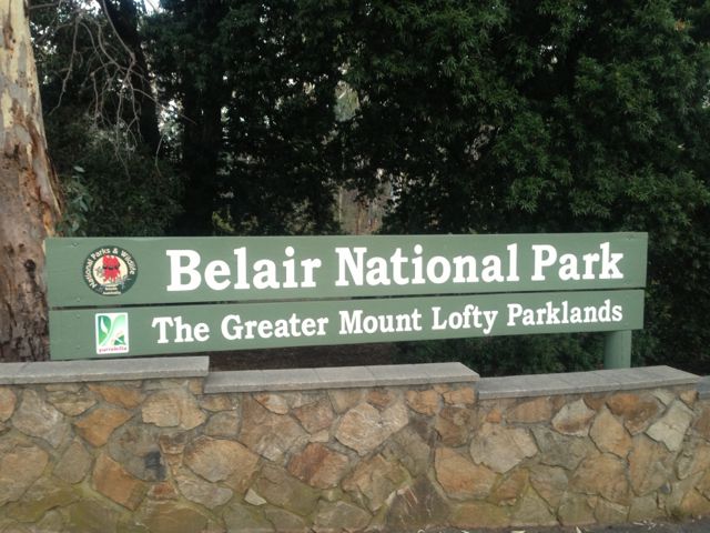
I activated Belair National Park on the 18th day of April, 2013.
The Belair National Park is located about 13 kms south of Adelaide. It is the oldest National Park in South Australia and the second oldest in Australia, and the 10th oldest in the world.
The choice of operating positions in the park is endless.
I had some watchful observers and they were not human……quite a few kangaroos and a koala who was perched up in a gum tree just above my operating spot.
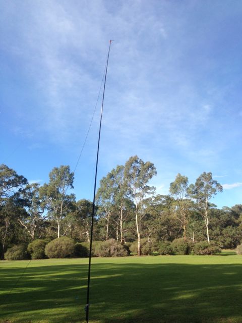
I made a total of 11 QSO’s on 40m, using my Yaesu FT-817nd, 5 watts, and my 40m / 20m linked dipole supported on a 7m squid pole.
Stations worked were:- Colin VK5DK/m2; Russell VK3ZQB; Lou VK3ALB; Gus VK6WB; Peter VK1IRC; Rob VK2XIC; Tom VK2ARK; Ron VK5MRE; Tom VK4ATH/qrp; Paul VK5FUZZ; and Ian VK5IS.
On the 14th April, 2013, I activated Illawarra Hill, VK5/SE-014, with Andy, VK5AKH.
Illawarra Hill is 434 metres ASL and is worth 1 point. It is situated about 156 kms north of Adelaide, and about 11 kms west of Snowtown.
The summit is located on private property and is amongst the Trust Power wind farm. The owner of the land is Mr. Levi HANSEN, Mobile. 0418 857 021. Access is via Shadwells Gap Road.
Andy and I were lucky to get access to the hill. I had tried to contact the land owner for a week or so before the day of activation, but to no avail….the phone always rang out. So after the first 2 activations I tried the number again and got through to Levi’s wife. She advised that they did not live on the property, but as luck would have it, Levi was delivering water to the property. So I phoned Levi and as Andy and I drove up Shadwells Gap Road, there was Levi pulling into the property in his semi. A case of “being in the right place at the right time !”
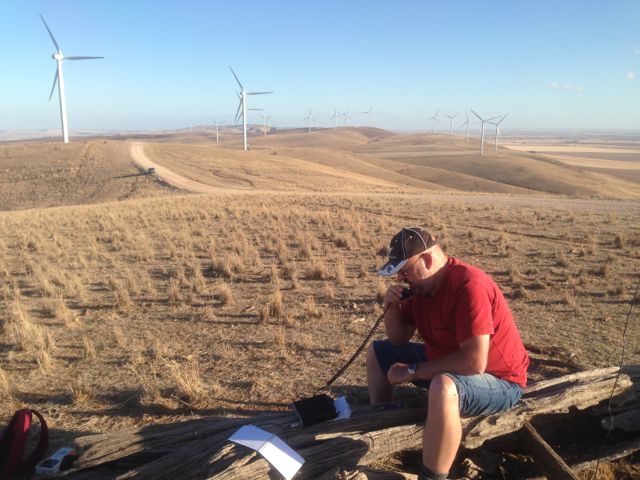
This summit was extremely windy (as you would expect) and we received quite a few comments about the wind noise. There are 2 major towers here as well, but these did not cause us any interference. There are no trees or shrubs up the top of this hill. So the wind roars in off the ocean from the west !
There was a convenient old log which we sat on and operated from, dodging the ants and spiders that had made the log their home. We also used it to support the 7m squid pole.
Andy & I used my Yaesu FT-817nd and his Elecraft KX3, 5 watts, and the 40m/20m linked dipole.
I made a total of 24 QSO’s, including some DX contacts into Europe.
Stations worked were:- Will VK5AHV; Tony VK3CAT; Dale VK5FSCK; Steve VK5ST; Ernie VK3DET; Rick VK3KAN; Kevin VK3KAB; Bernard VK3FABA; John VK5AJQ; Craig VK3CRG; Rhett VK3GHZ; Bill VK5MBD; VK3ANL; Al VK1RX; Shaun VK5FAKV; Wayne VK7NET; Peter VK3PF/m; Allen VK3HRA; Brenton VK2MEV; Glen VK3YY; Marjan S51RU; Michael DJ5AV; Luis EA3JE; & Paul EA5/GM0OPK.
Again, a very enjoyable day spent with Andy climbing hills and playing on the radio.
I activated Bumbunga Hill with Andy, VK5AKH, on Sunday, the 14th April, 2013.
Bumbunga Hill is 413 metres ASL and is worth 1 point.
Bumbunga Hill is situated about 139 kms north of Adelaide, and about 10 kms north west of the town of Lochiel.
It is located on private property owned by Mr. John GREEN, Ph. 8826 2135 (H) or Mobile 0427 101 482. John is a really friendly guy and loves a chat. His only issue is that people shut gates behind them.
Access is via Landslide Road, through John’s property to the top of the hill. You need to travel through a few gates to get there, and some of the diret tracks are very rough and rocky with a lot of washaways.
There was trig point at the summit, but it had seen better days and was lying on its side.
The Lochiel amateur repeater is located at this site, along with a few other towers with microwave repeaters, etc. However these did not cause any interference. There are magnificent views in all directions. It is perched above the town of Lochiel and Bumbunga Lake. The nearby summits of South Hummocks and Illawarra Hill are clearly visible.
Fortunately not too many flies up here and it was initially windy, but when the sun came out from behind the clouds it was hot. There are no trees up here for shade, so bring the sunscreen.
Andy and I used my Yaesu FT-817nd and his Elecraft KX3, 5 watts, and my BandHopper 40m/20m linked dipole. Strapped the 7m squid pole to one of the fence posts.
I had 18 QSO’s on 40m and 20m.
Stations worked were:- Ernie VK3DET; Peter VK5KX; Arnie VK5NEX; Scott VK5FSKS; VK3BML/p; Mal VK3FMAL; Allen VK3HRA/p; Dale VK5FSCK; Steve VK5ST; Bob VK3BNC/p; Bernard VK3FABA; Wayne VK3VCL/p; John VK5AJQ; Andrew VK3FABE; Tony VK3CAT; VK3KQT/p; Ken VK3ALA; and Brenton VK2MEV.
On Sunday, 14th April, 2013, Andy, VK5AKH and I travelled to the mid north of S.A. and activated 3 summits including South Hummocks, VK5/ SE-017.
South Hummocks summit is 330 metres ASL, and is worth 1 point.
South Hummocks is situated about 127 kms north of Adelaide, and about 30 kms north of Port Wakefield. It is the big hill visible when travelling north towards Port Wakefield along the Pt wakefield Road.
The summit is located on private property on the eastern side of the South Hummocks Pump Station Road. The land owner is Mr. Colwyn MILLARD, Mobile 0409 676 605, who kindly left the gate to the paddock open for us. If travelling south on Sth Hummocks Pump Stn Rd, the gate (double farm gate) is about 1.3 kms south of Millards Road.
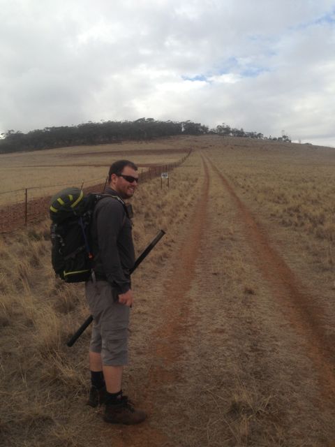
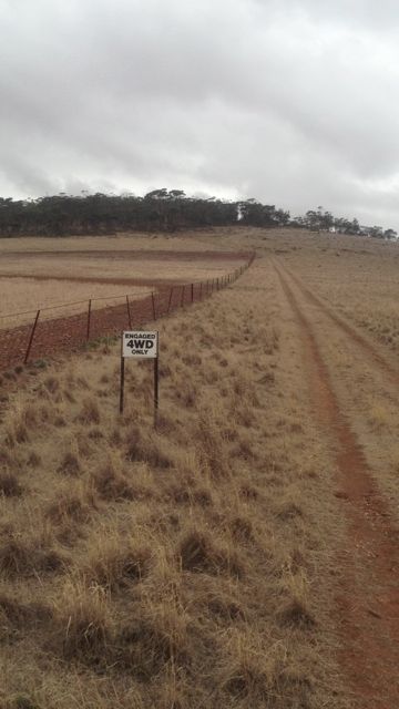
We followed the dirt track running through the paddock up the fenceline to a point where there was a sign saying ‘Engaged 4WD only‘. A new fence was being built at this point which runs north-south. We parked the car here in the paddock and walked up to the summit.
It is a fairly gentle climb from this point up the dirt track which becomes very rocky after reaching the scrub on the hill. About 400 m from this point is the trig point.
Keep a good look out for the trig point because it is not easy to spot. It is located in thick mallee type scrub on your left, over the fence line.
This summit is NOT located where the tower is. The hill which the tower is located on is about 1 km to the south of the actual summit where the trig is located.
Andy & I found that the flies and the ants at the summit were amazing, so definitely bring your Aeroguard !
There is a convenient star dropper in the ground which you can use to strap you squid pole to. There are also quite a few large rocks which you can use to prop up a squid pole.
The hill is covered in thick mallee type scrub and gums, so there is a bit of shade if you need it.
Andy and I used my Yaesu FT-817nd and his Elecraft KX3, 5 watts, and my BandHopper 40m/20m linked dipole.
I managed 13 QSO’s on 40m & 20m.
Stations I worked were:- Ian VK1DI; Shaun VK5FAKV; Allen VK3HRA; Peter VK5KX; Bernard VK3FABA; Scott VK5FSKS; Ian VK3AXH; Glen VK3YY; Leigh VK5KLT; Tony VK3CAT; Dale VK5FSCK; Ernie VK3DET; & Brenton VK2MEV.