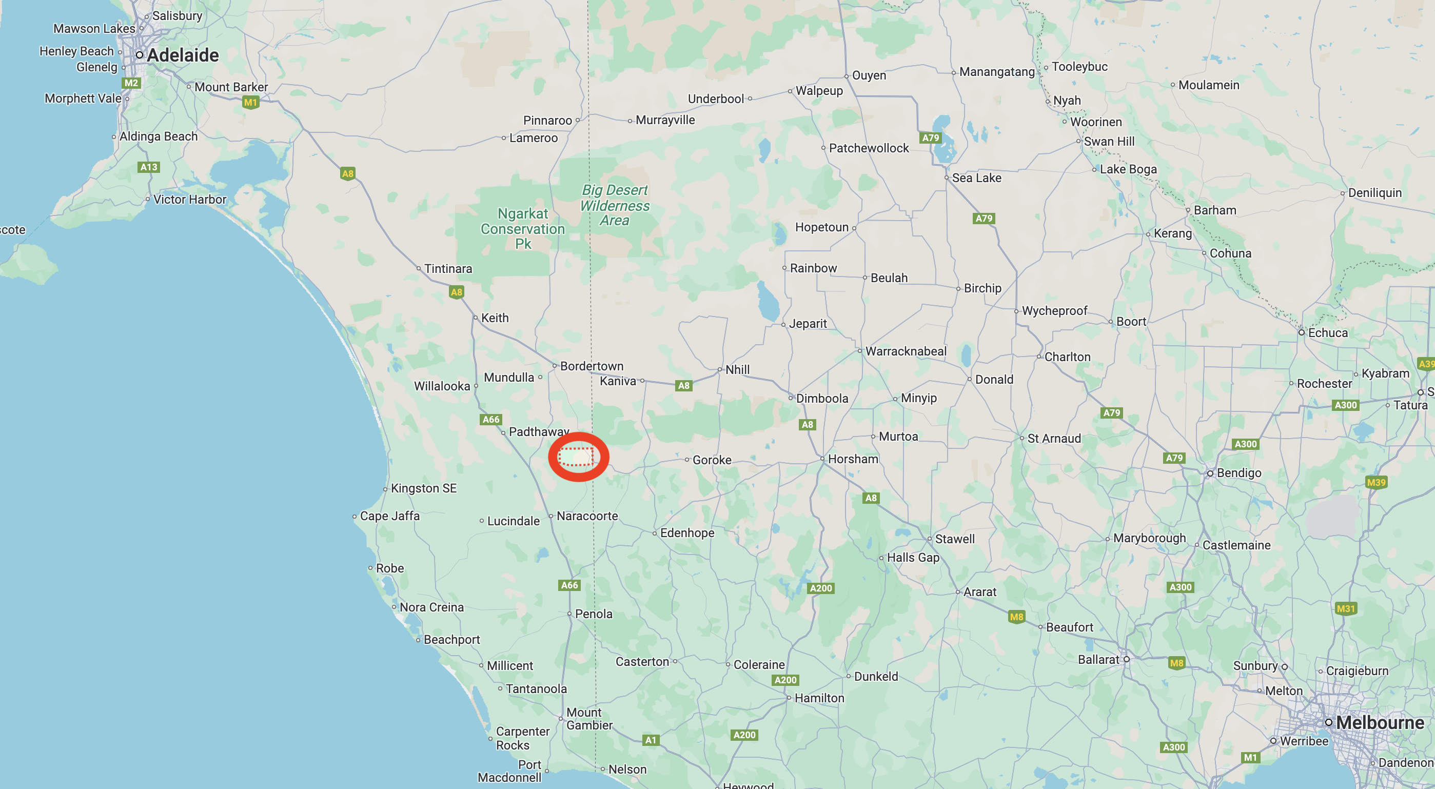
Our final activation for Saturday, 2nd November 2024 and our Bendigo trip for the 2024 VKFF National Get Together, was the Frances silo VK-FRS5.
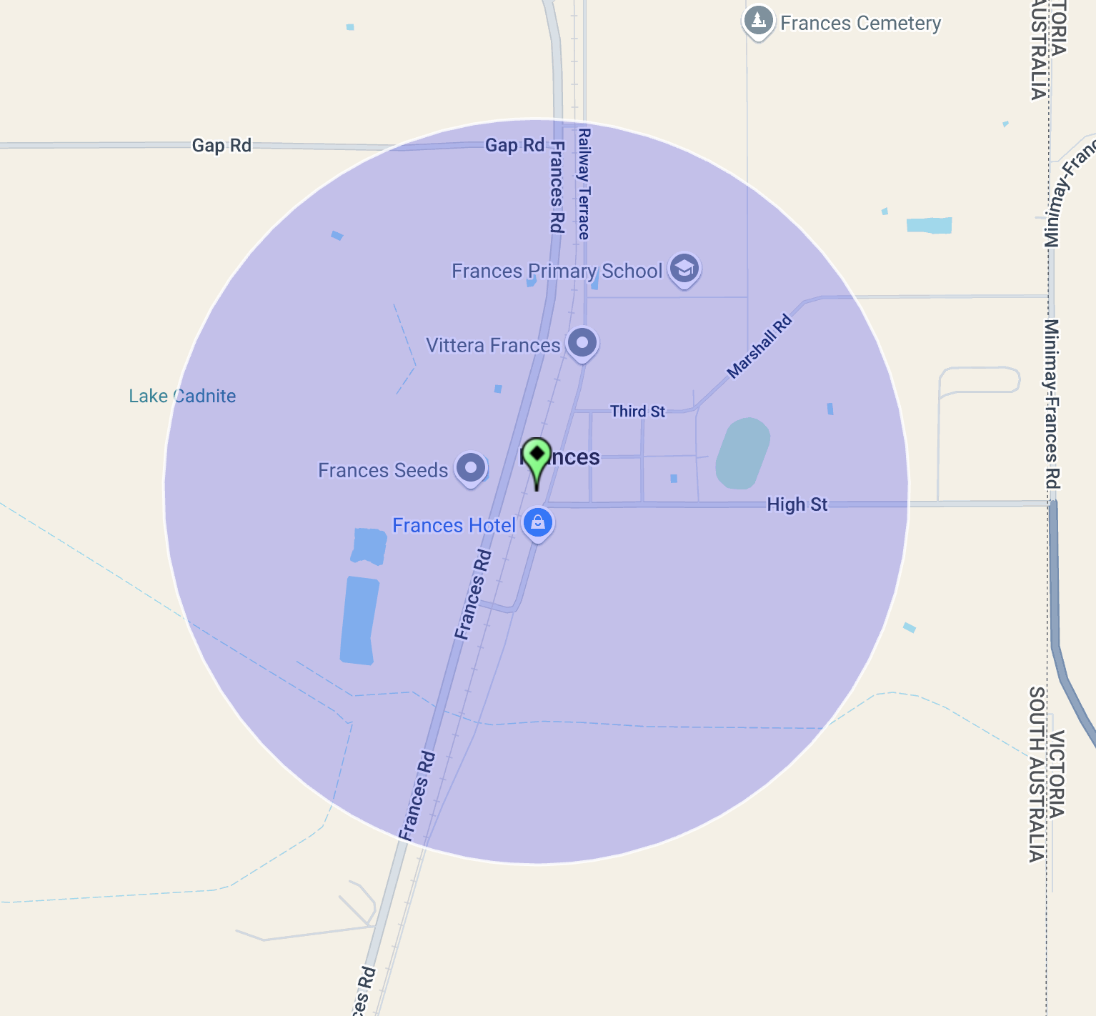
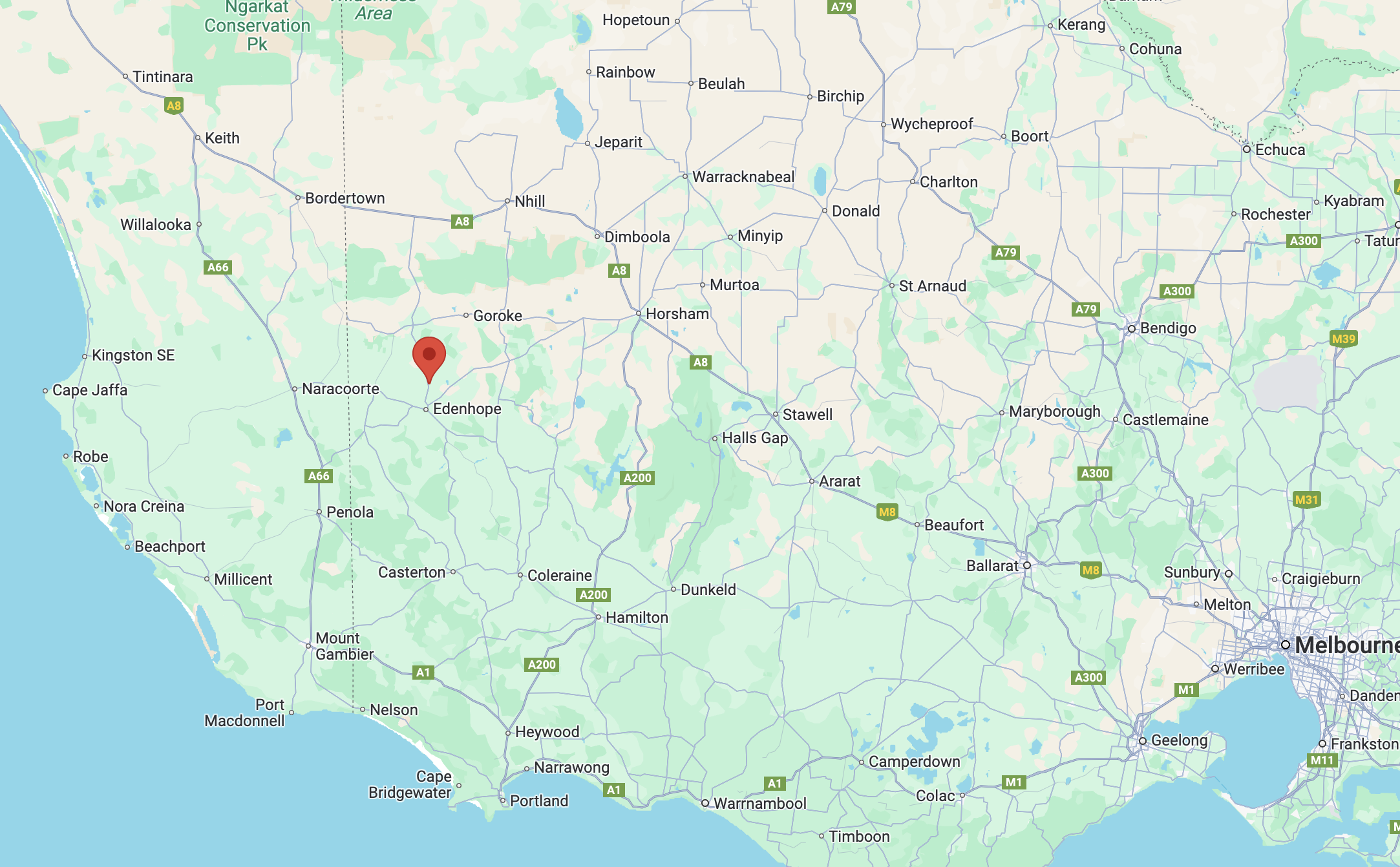
Above:- Map showing the location of Frances. Map c/o Google Maps.
Frances is located about 291 km southeast of Adelaide and very close to the South Australia and Victoria state border.
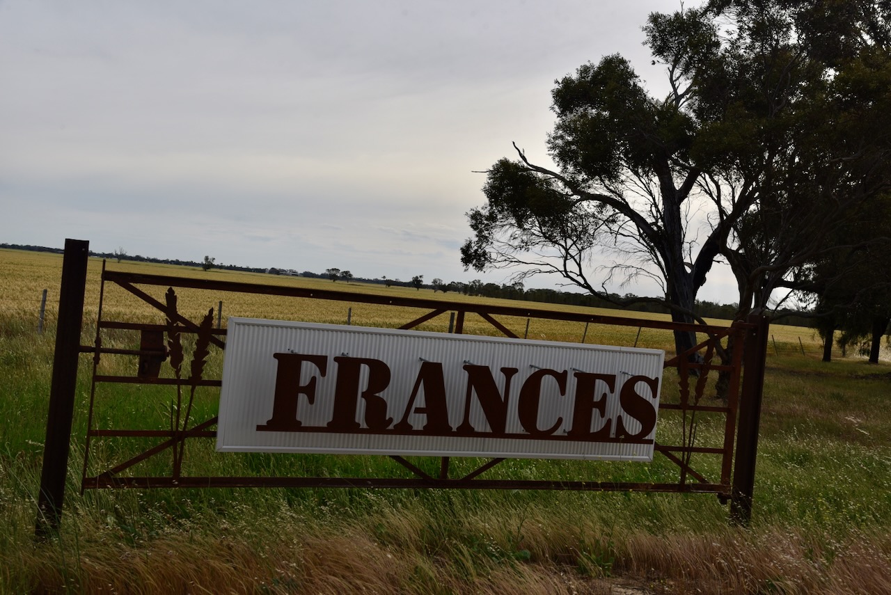
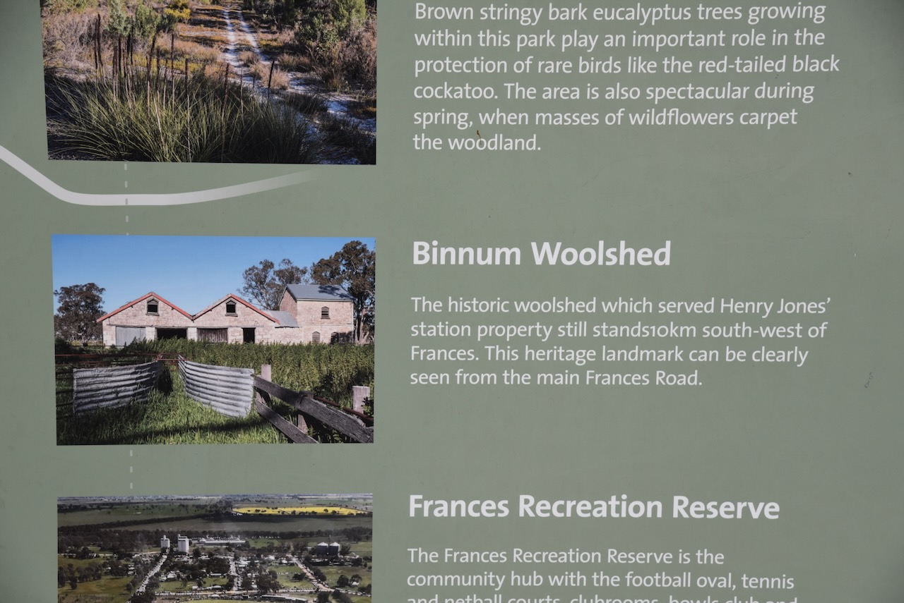
The town of Frances was first surveyed in July 1871. It is believed the name comes from the wife of Mr. Henry Jones of Binnum Station.
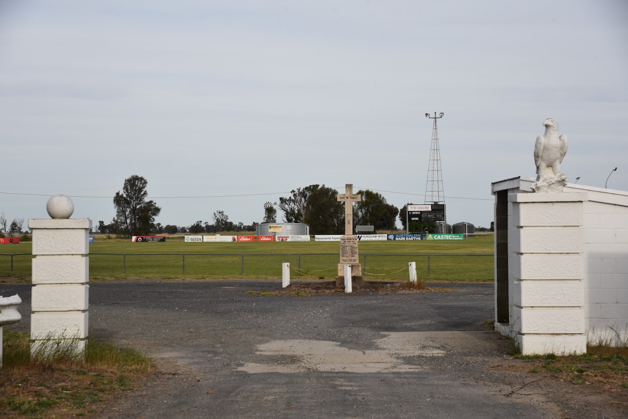
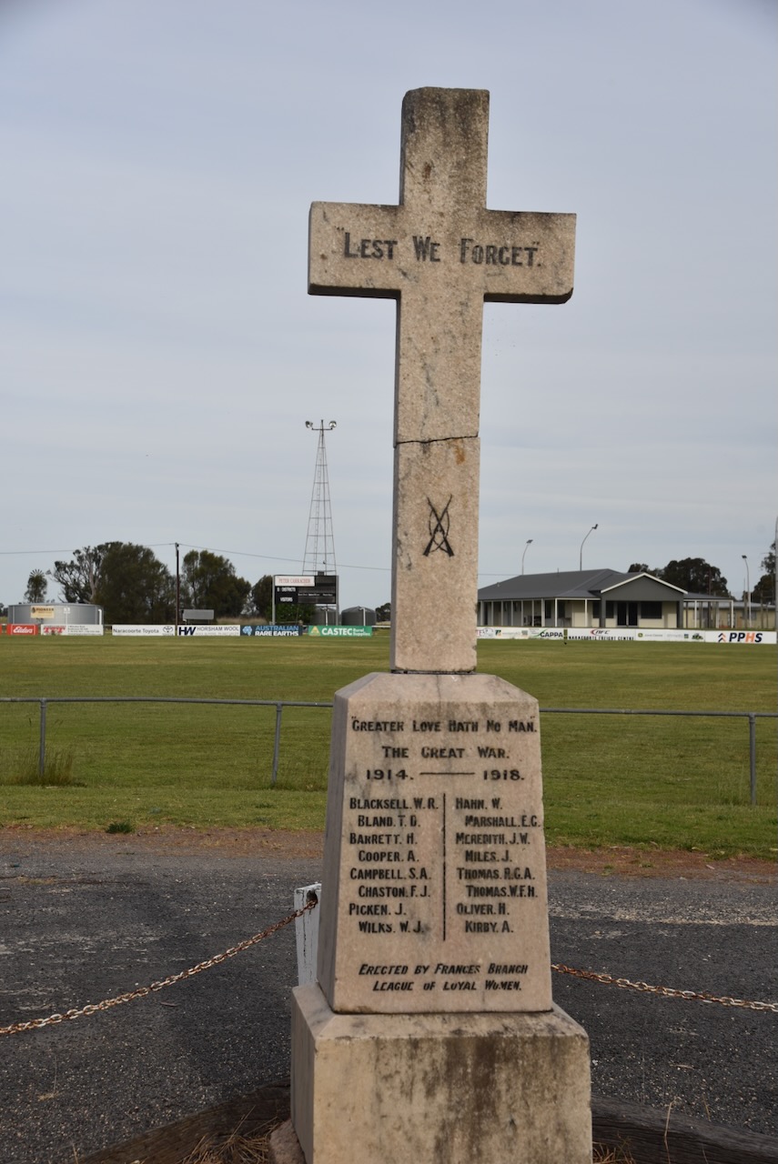
The Frances War Memorial is located just inside the entrance gates at the Recreation Reserve. It honours those brave men from the Frances district who lost their lives during the First World War.
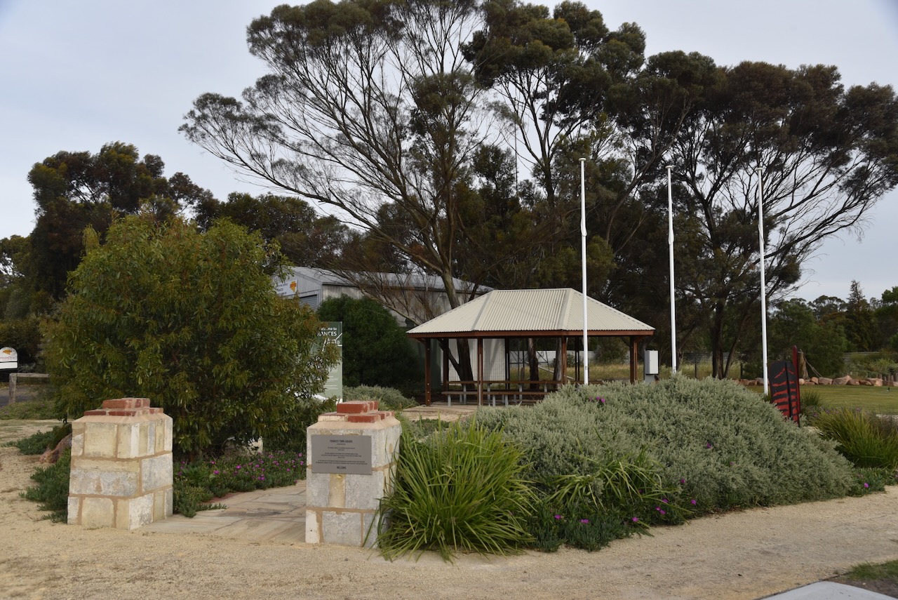
The Frances Town Square was established in 2021. The Catholic Church of St Bernard occupied the site from 1953 to 2010. The site was acquired by the Frances Folk Gathering Committee who successfully ran the Frances Folk Festival for 20 years from 2000 to 2020. At the initiative of the Frances Progress Association, the vacant site was then purchased by the Naracoorte Lucindale Council to be used a community space for people to gather.
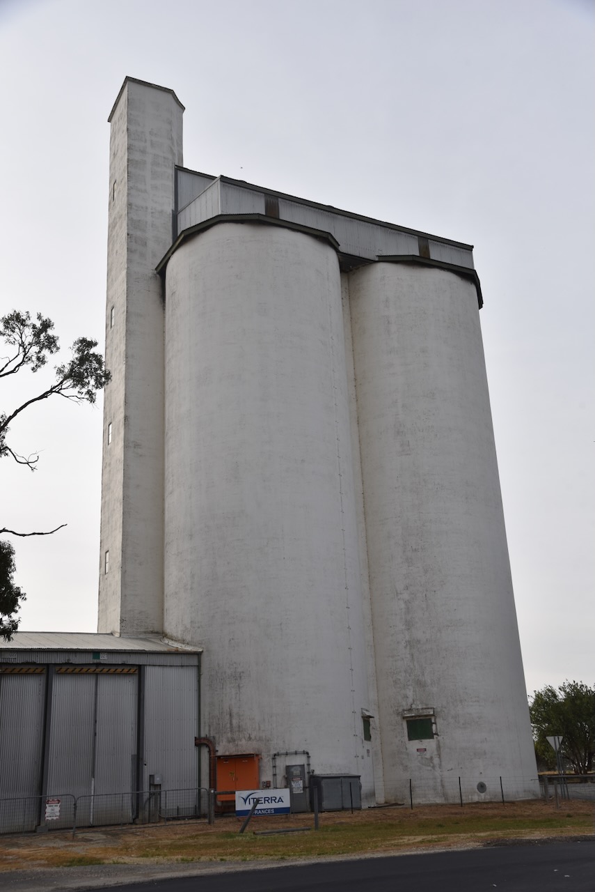
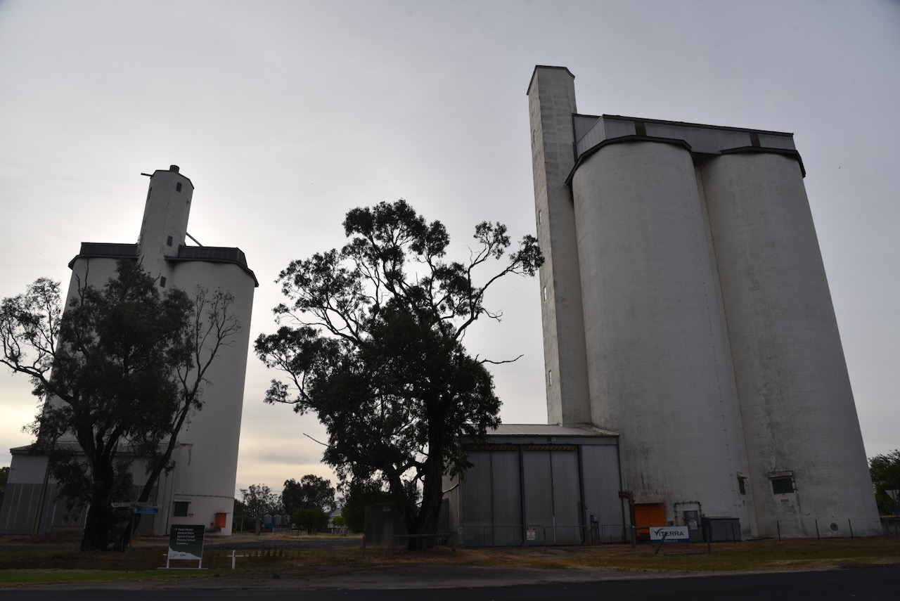
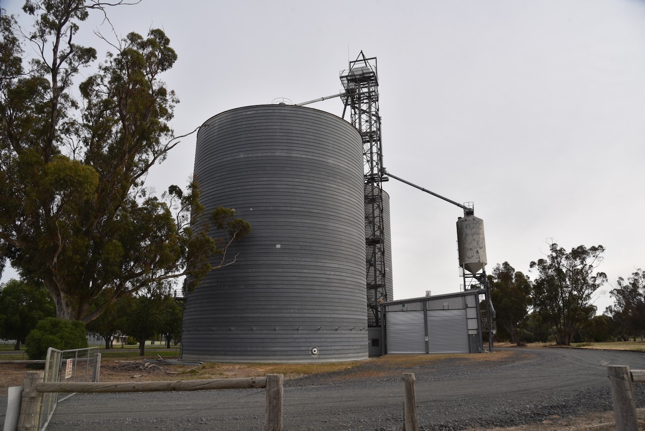
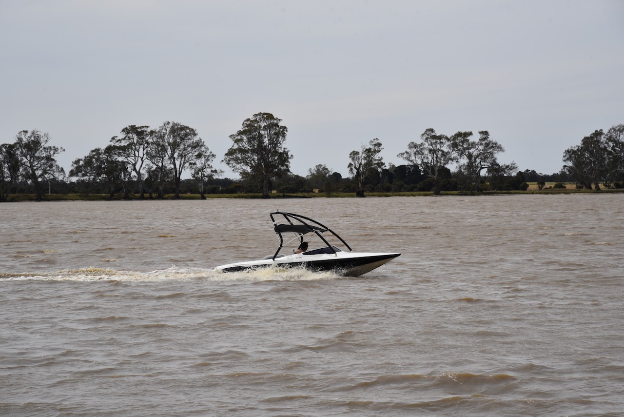
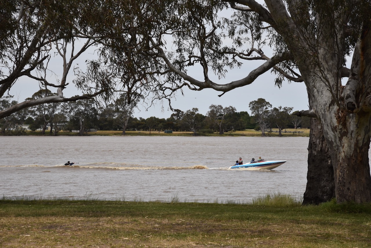
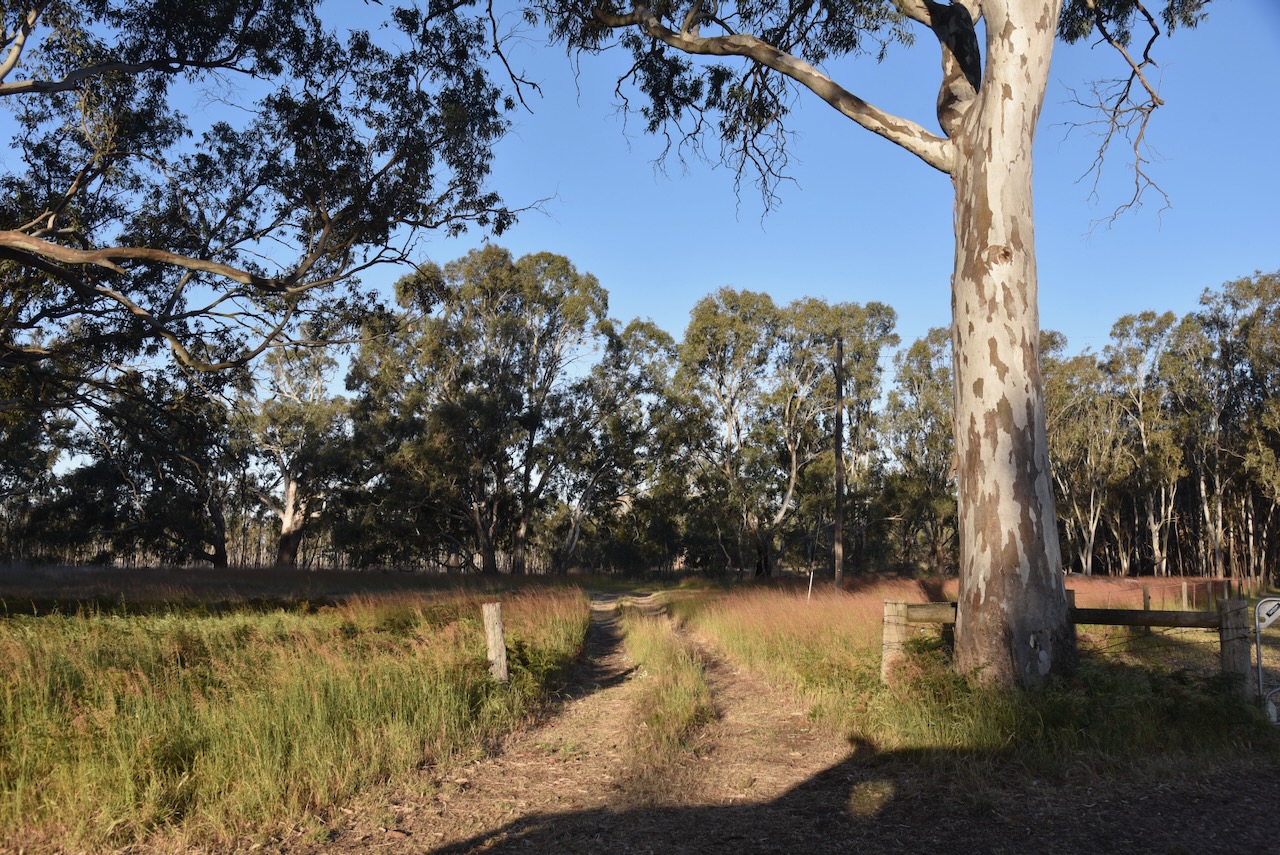
The Frances silos are located on the western side of Railway Terrace, between Frances Road. They consist of concrete silos and galvonised iron silos. The railway closed on the 12th day of April 1995. Despite this, Frances continues to be a receiving point for grain. (Wikipedia 2025)
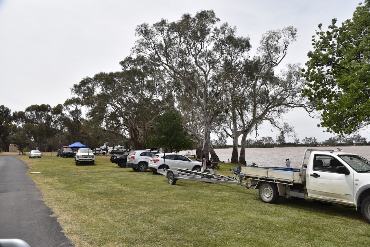
Marija and I parked on Gap Road near Frances Road in the silo activation zone.
Above:- the activation zone at the Frances silos. Image c/o SiOTA website.
We operated from the 4WD, running the Icom IC-7000, 100 watts, and the Codan 930 antenna with the 1.5 metre stainless steel whip.
I worked the following stations on 40m SSB:-
VK3PF
Vk1AO
VK2MET
VK2HAK
ZL3RIK
VK1CHW
VK5LA
References.
Wikipedia Contributors (2025). Frances. Wikipedia.
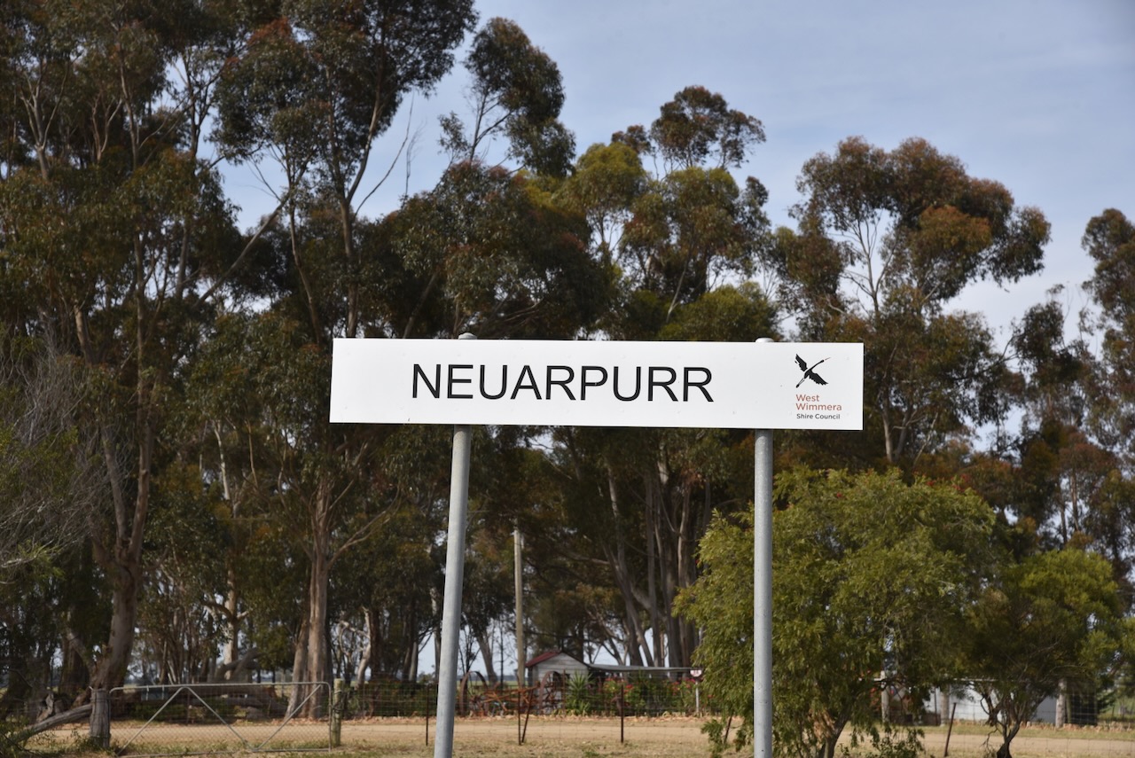
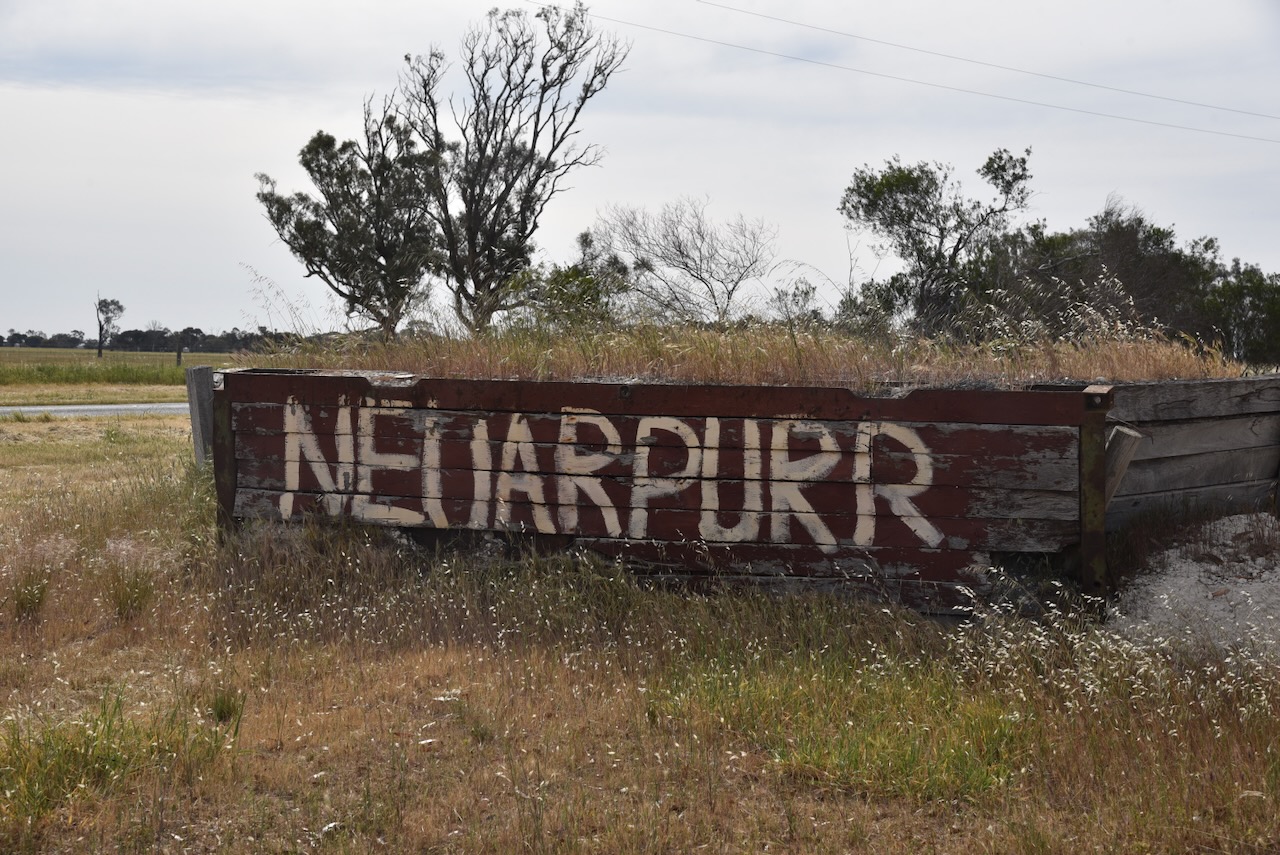
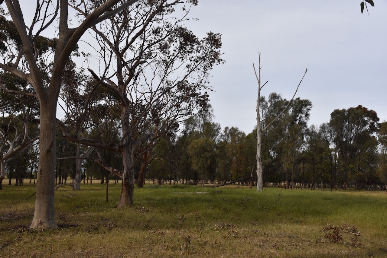
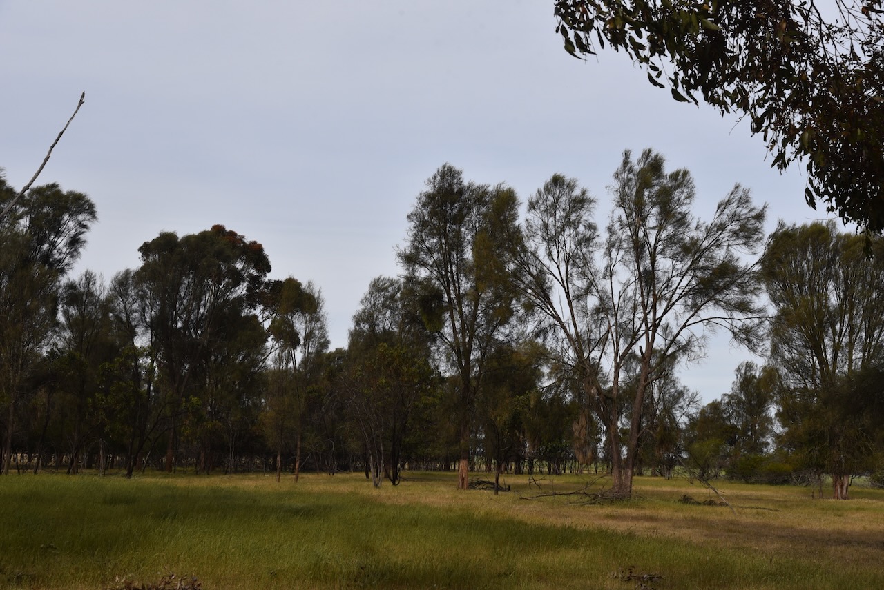
Our final park activation for Saturday, 2nd November 2024 and our Bendigo trip, was the Neuarpurr Bushland Reserve VKFF-5649. The park is located very close to the South Australia and Victoria state border.
Above:- A map showing the location of the Neuarpurr Bushland Reserve. Map c/o Google Maps.
Neuarpurr is named after the Rhineland town in Germany. The first known European in the area was R.E. Ogilby, who squatted in the area in 1847. (Blake 1978)
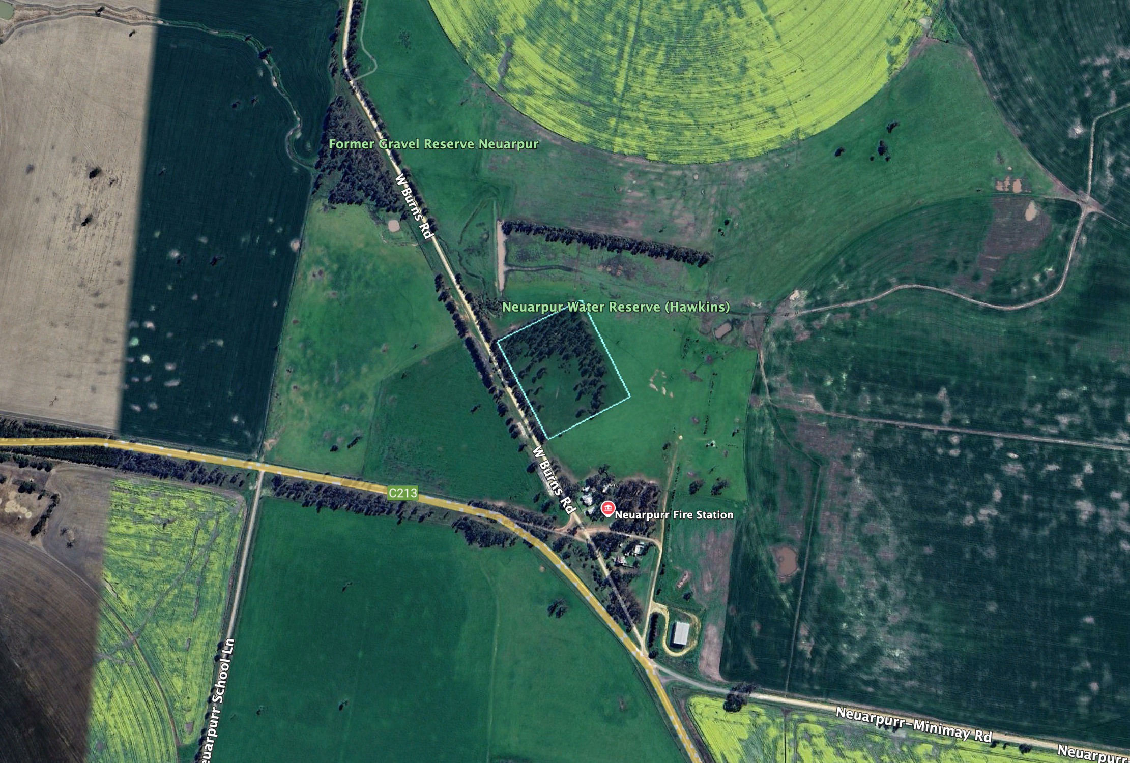
The reserve is located on the eastern side of W Burns Road, just north of the Natimuk-Frances Road.
Above:- An aerial view of the Neuarpurr Bushland Reserve. Image c/o Google Earth.
The reserve is about 6 hectares in size and was established on the 6th day of November 1996. (CAPAD 2022)
Marija worked the following stations on 40m SSB:-
VK3SQ
VK2BD
VK1VIC/P (VKFF-0269)
VK2VIC/P (VKFF-0269)
VK1ARQ/P (VKFF-0269)
Marija worked the following stations on 40m AM:-
VK3SQ
VK2BD
VK3PF
VK3KAI
VK3MCA
VK3ACZ
Marija worked the following stations on 20m SSB:-
VK4EMP/P (VKFF-3992)
VK4TI/P (VKFF-3992)
VK4GKO/P (VKFF-3922)
I worked the following stations on 40m SSB:-
VK3SQ
VK2BD
VK1VIC/P (VKFF-0269)
VK2VIC/P (VKFF-0269)
VK1ARQ/P (VKFF-0269)
VK3PF
VK3KAI
VK5LA
VK5KAW
VK3PI
VK7MAD
VK2YK
VK5GA
VK3MCA
VK3MAP
VK1TIM
VK1AO
VK2MET
VK7NRT
VK3CEO
VK3APJ
VK5PE
VK7PJM
VK7EE
VK2VAR
VK2GOM
VK2VW
VK2HFI
VK2AKA
VK2BUG
VK5PDR
VK3ZZS/P
VK5AV
VK5CZ
I worked the following stations on 40m FT8:-
VK3PF
VK5CZ
VK3KAI
VK4MGL
VK3APJ
VK3MCA
VK3MCK
VK5HS
I worked the following stations on 40m AM:-
VK3SQ
VK2BD
VK3PF
VK3KAI
VK3MCA
VK3ACZ
I worked the following stations on 20m SSB:-
VK4ANS
OH1MM
KG5CIK
OH1XT
VK4IM
F1BLL
VK6DS
VK4EMP/P (VKFF-3992)
VK4TI/P (VKFF-3992)
VK4GKO/P (VKFF-3922)
ZL3MR
F8GGV
SQ9CWO
References.
Leslie James Blake, 1978, Place Names of Victoria.
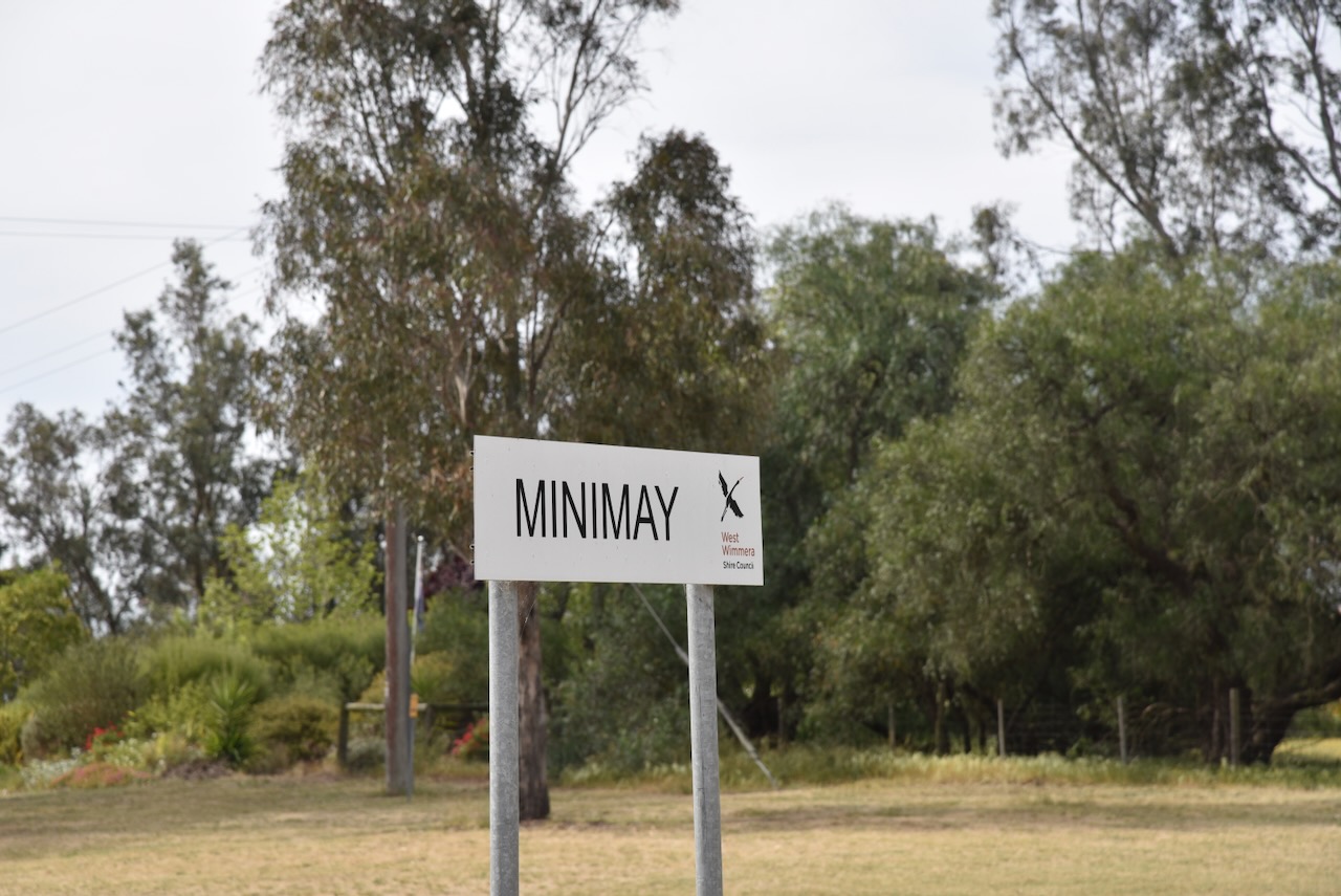
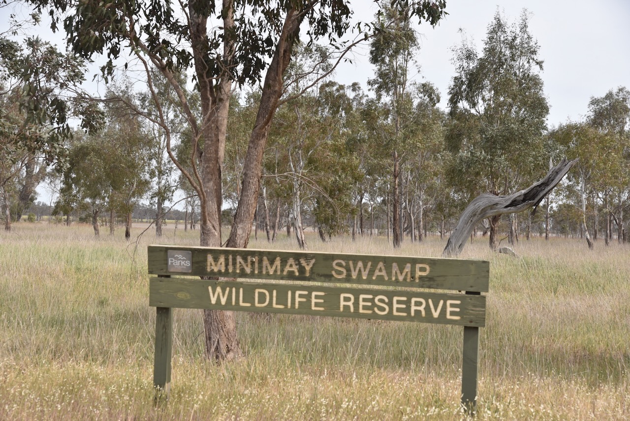
After leaving Tallageira, Marija and I doubled back a bit further into Victoria and headed to the Minimay Swamp Wildlife Reserve VKFF-5488.
Above:- Map showing the location of the Minimay Swamp Wildlife Reserve. Map c/o Google Maps.
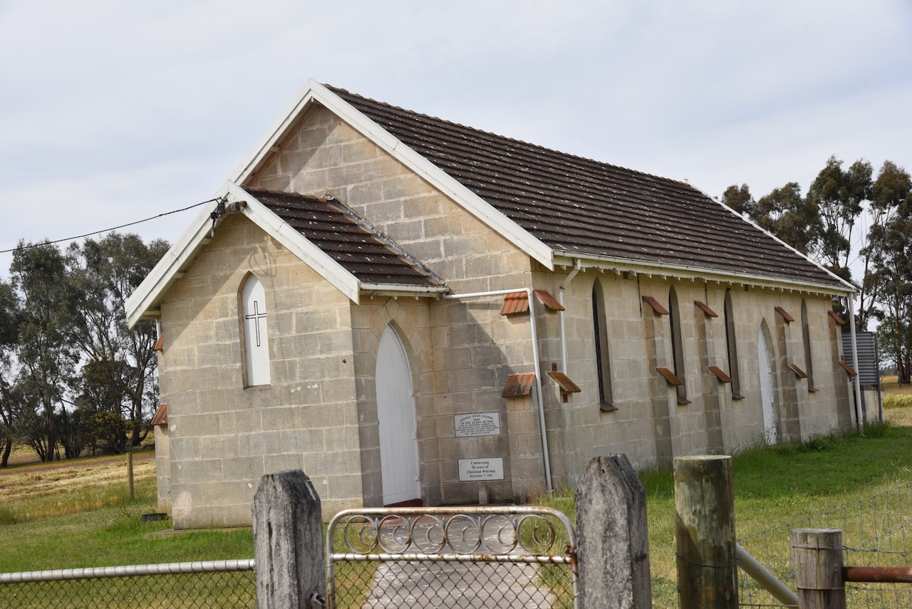
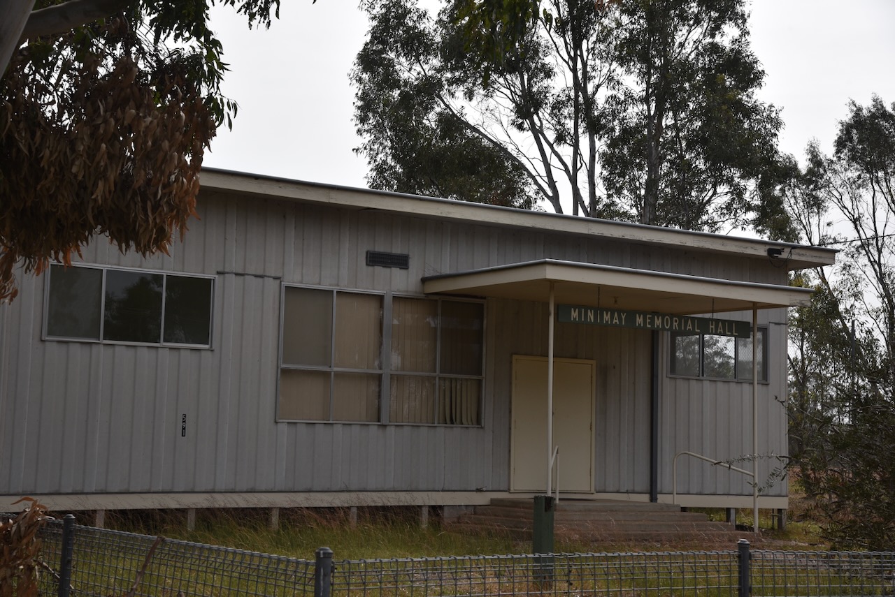
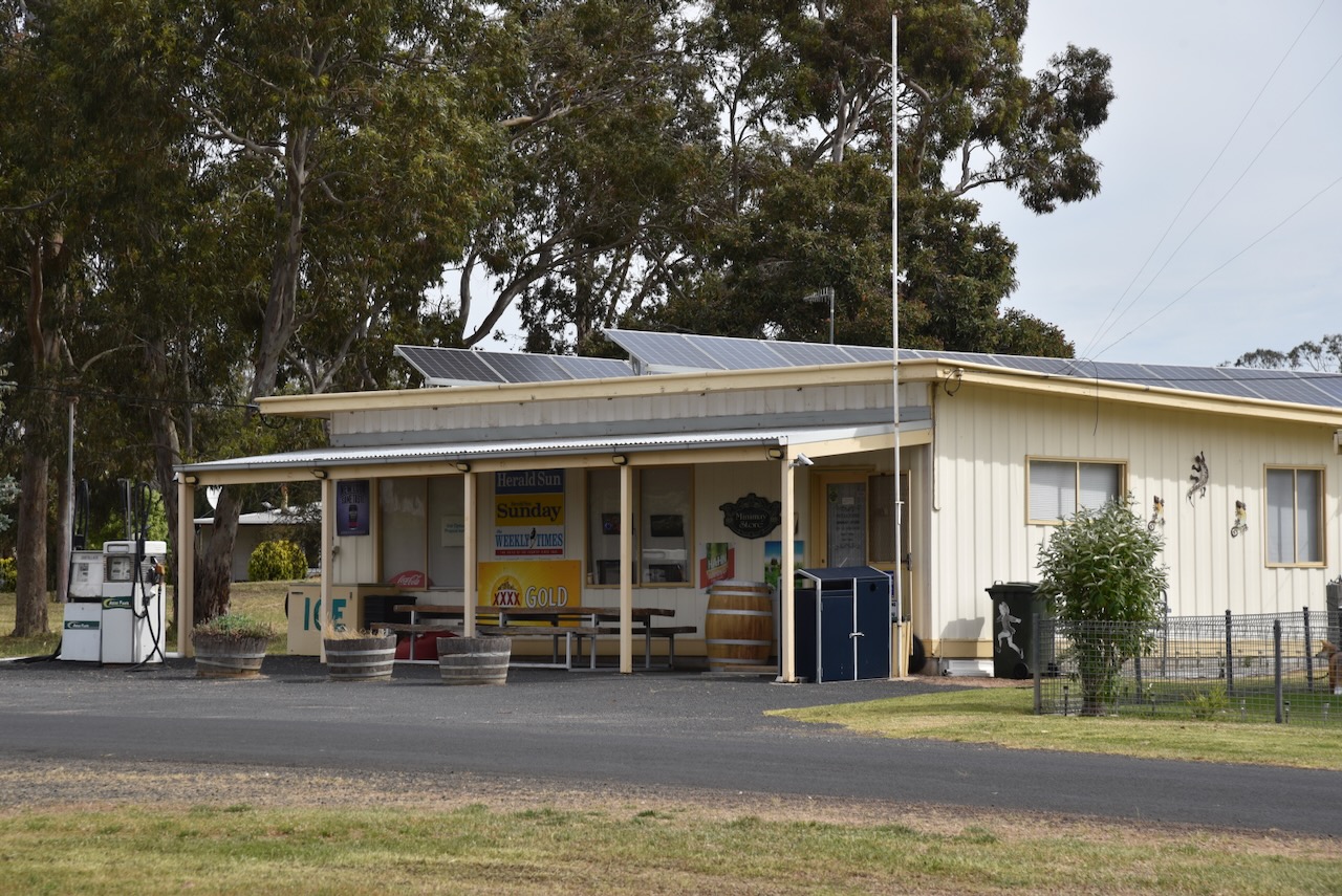
We drove through the little town of Minimay to get to the park. Minimay is derived from the Aboriginal words mina, meaning see, and may, meaning wind, e.g. see the wind or eye of the wind. (Blake 1978)
The Minimay Post Office opened on the 1st day of November 1877. During the early 1880’s selectors took up 320-acre blocks in the Minimay district. The first store in Minimay was opened in the 1880s and was operated by Mr & Mrs. Egan from the nearby town of Harrow. The store was destroyed by fire and was rebuilt in 1901. It was demolished in 1976. In 1885, Minimay School No. 2600 was opened and could hold 30-40 children in a small room. The school was closed in 1902 while being renovated and was reopened some years later. (Wikipedia 2025)
Above:- Article from The Horsham Times, Fri 24 Jun 1887. Image c/o Trove.
The Australian lyric poet John Shaw Neilson grew up in Minimay in the 1880s. (Wikipedia 2025)
Above:- John Shaw Nelson. Image c/o Wikipedia.
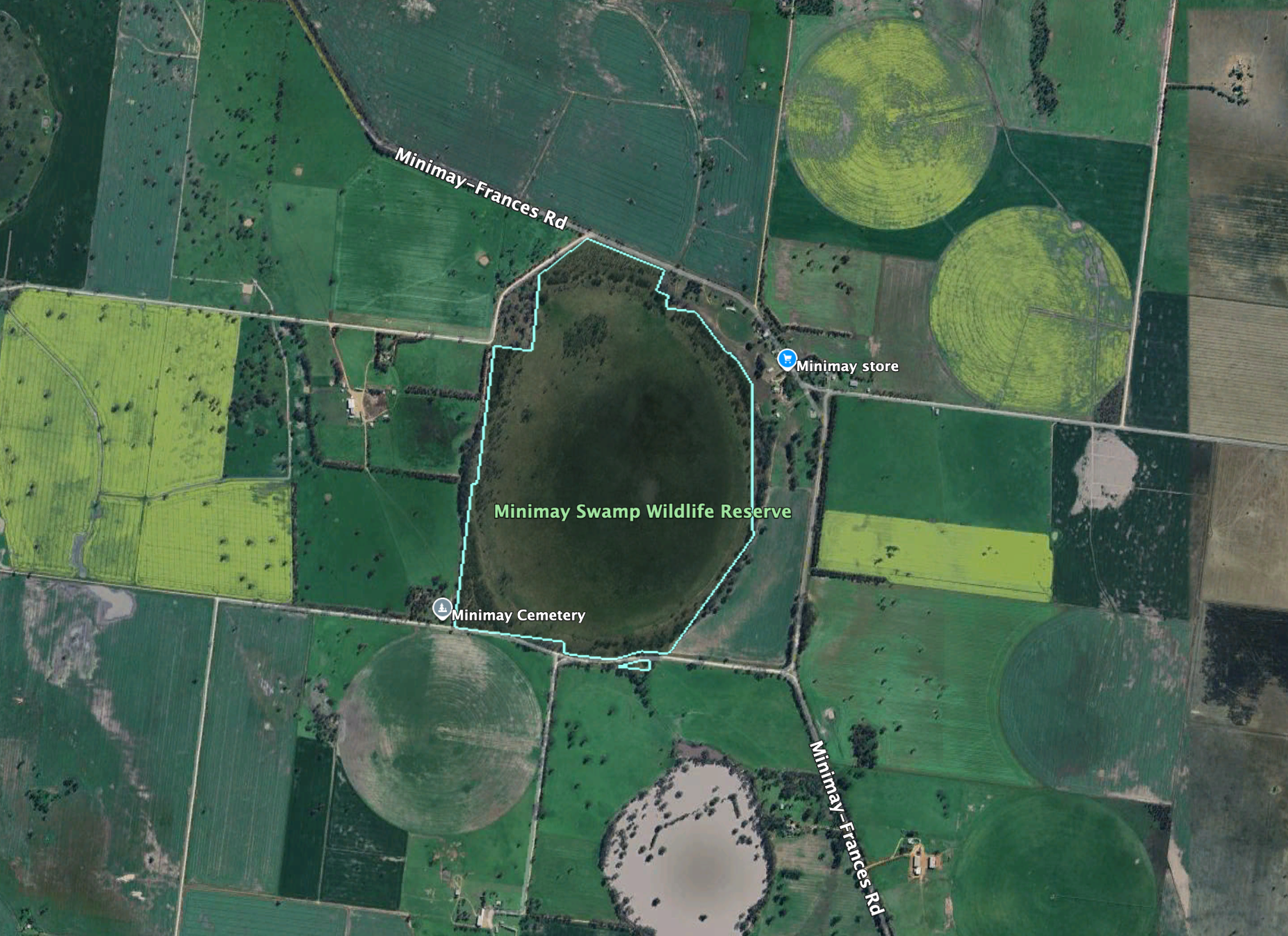
The Minimay Swamp WIldlife Reseve is located on the western side of Minimay-Frances Road.
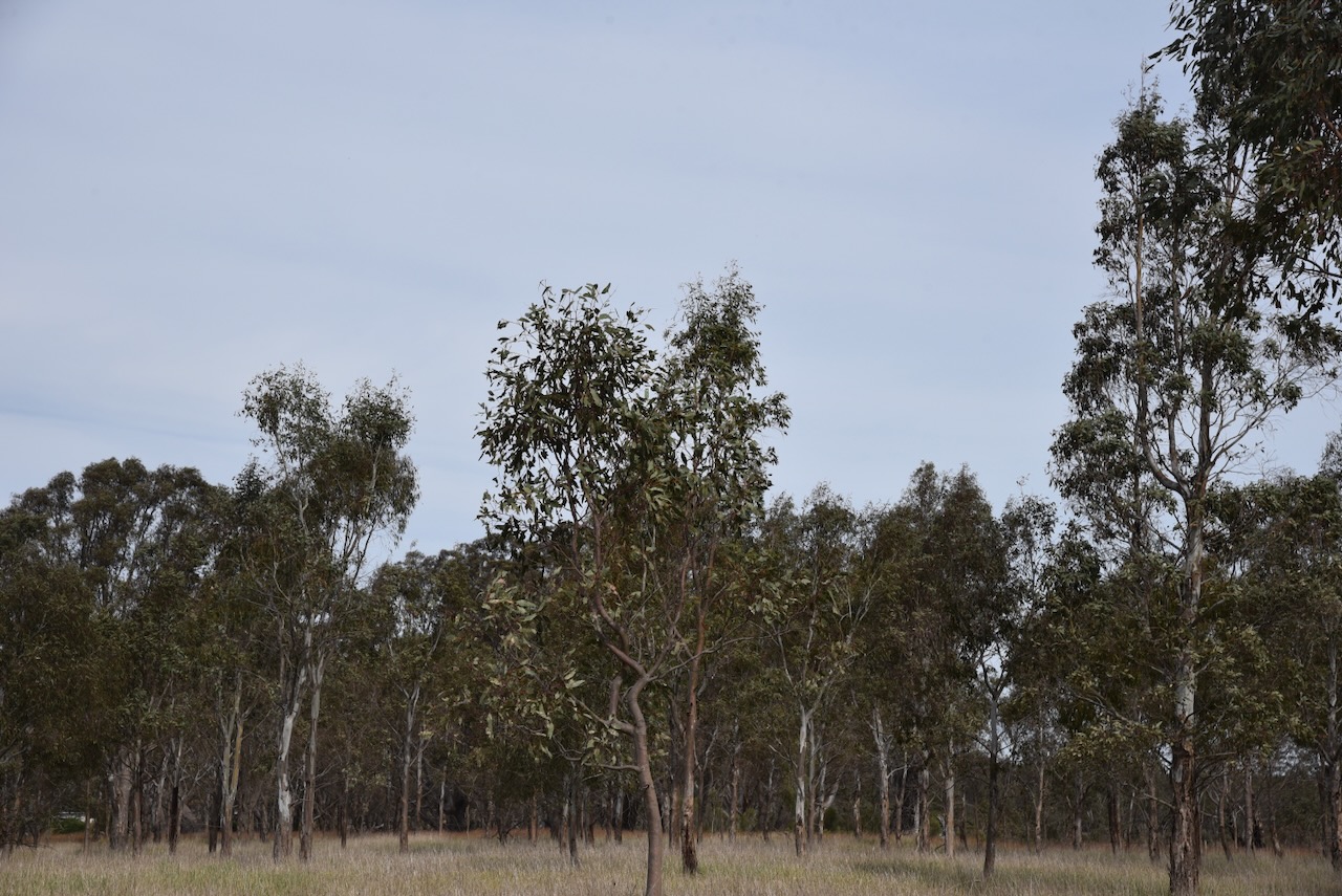
Above:- An aerial view of the Minimay Swamp Wildlife Reserve. Image c/o Google Earth.
The reserve is about 167 hectares in size and was established on the 22nd day of September 1987. (CAPAD 2022)
On Saturday, 2nd September 2024, after leaving the Jallakin I15 Bushland Reserve, Marija and I continued on our journey to our home in South Australia.
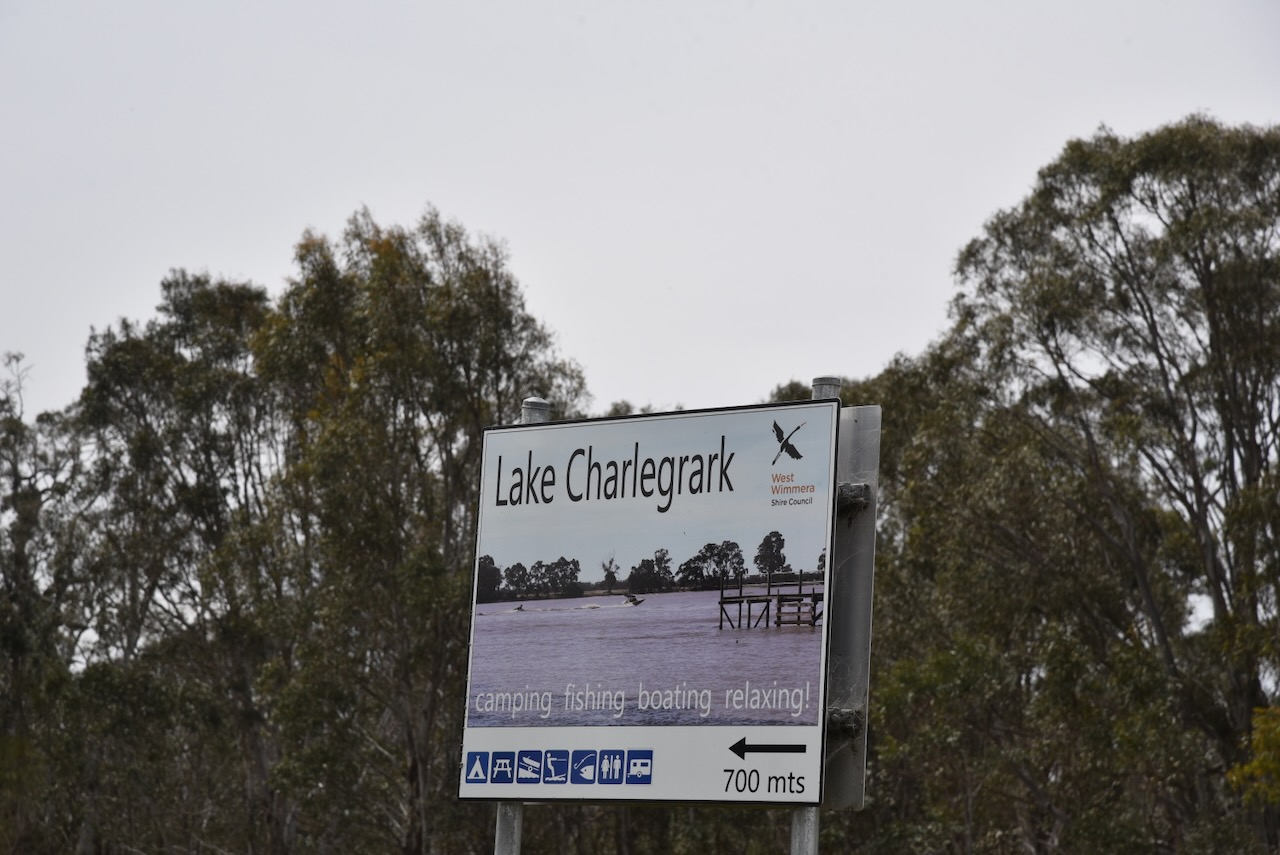
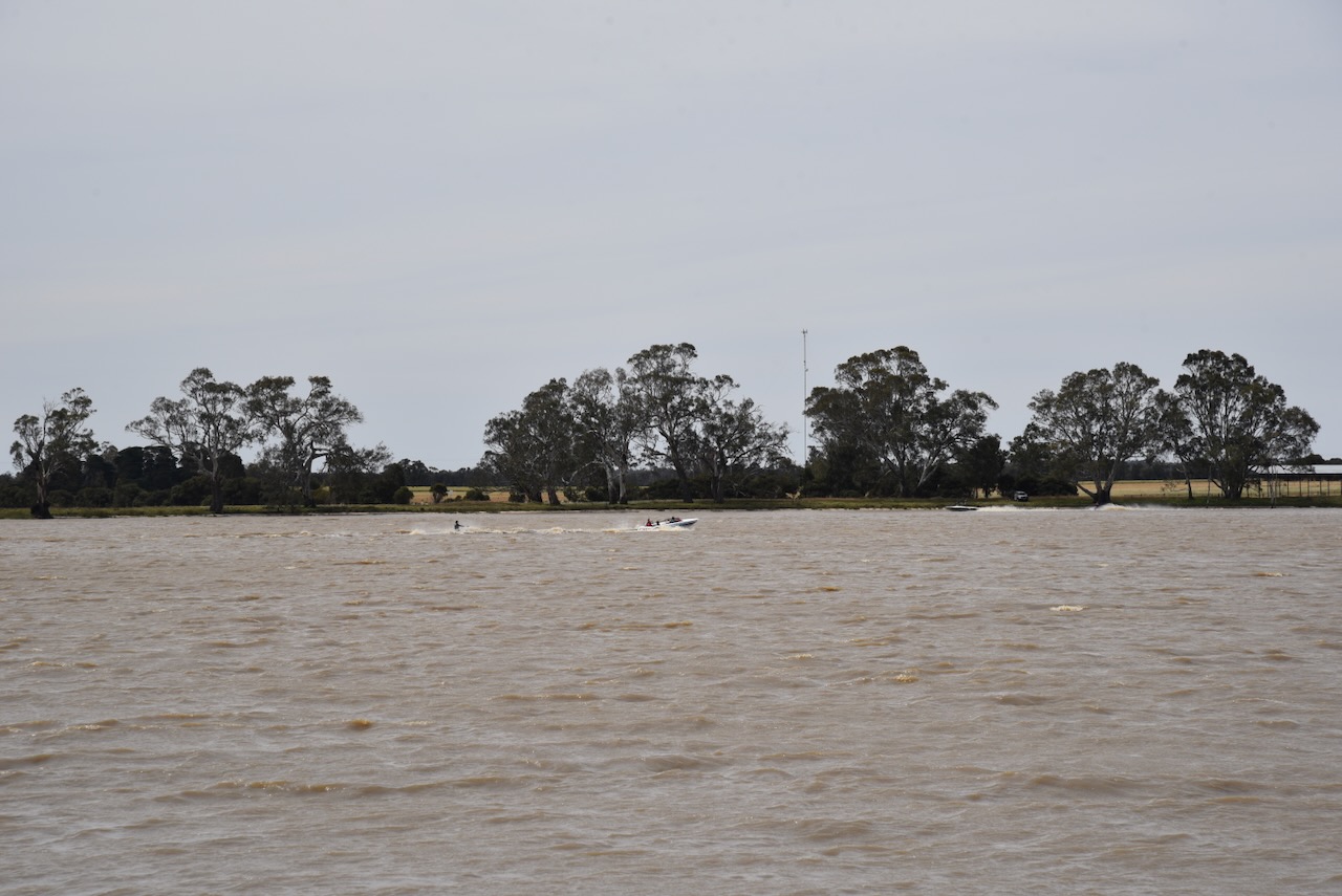
We stopped at Lake Charlegark, about 33 km north of Edenhope in southwest Victoria. Charlegark is from the Aboriginal words charrh, meaning earth and goorook, meaning big lake. The lake covers an area of about 40 hectares, and it was incredibly busy during our visit. (Blake 1978)
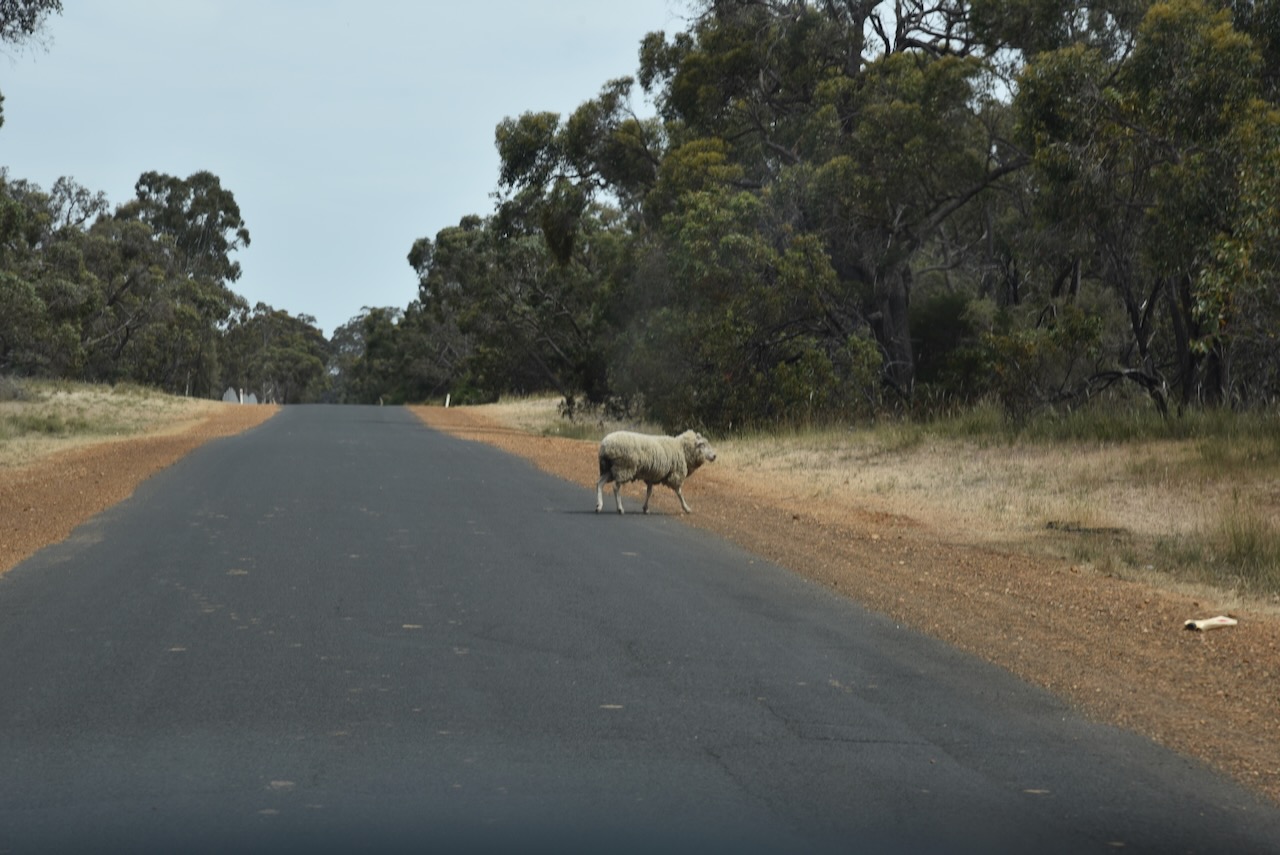
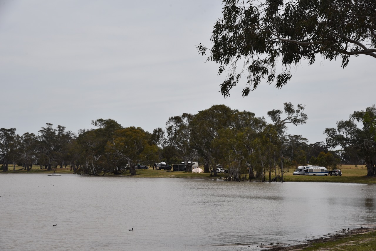
We left Charlegark and headed towards Lake Bringalbert. It was slow going at times along the way with kangaroos and stock crossing the road.
Lake Bringalbert takes its name from the Parish of Bringalbert. The earliest known European occupation of the area was Thomas Gibson, who squatted in the area in 1845. Bringalbert is an Aboriginal word for sandy spring or place of sickness. This was another place that was very busy with caravaners and campers during our visit. (Blake 1978).
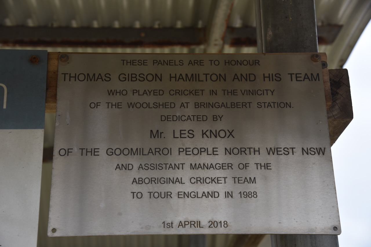
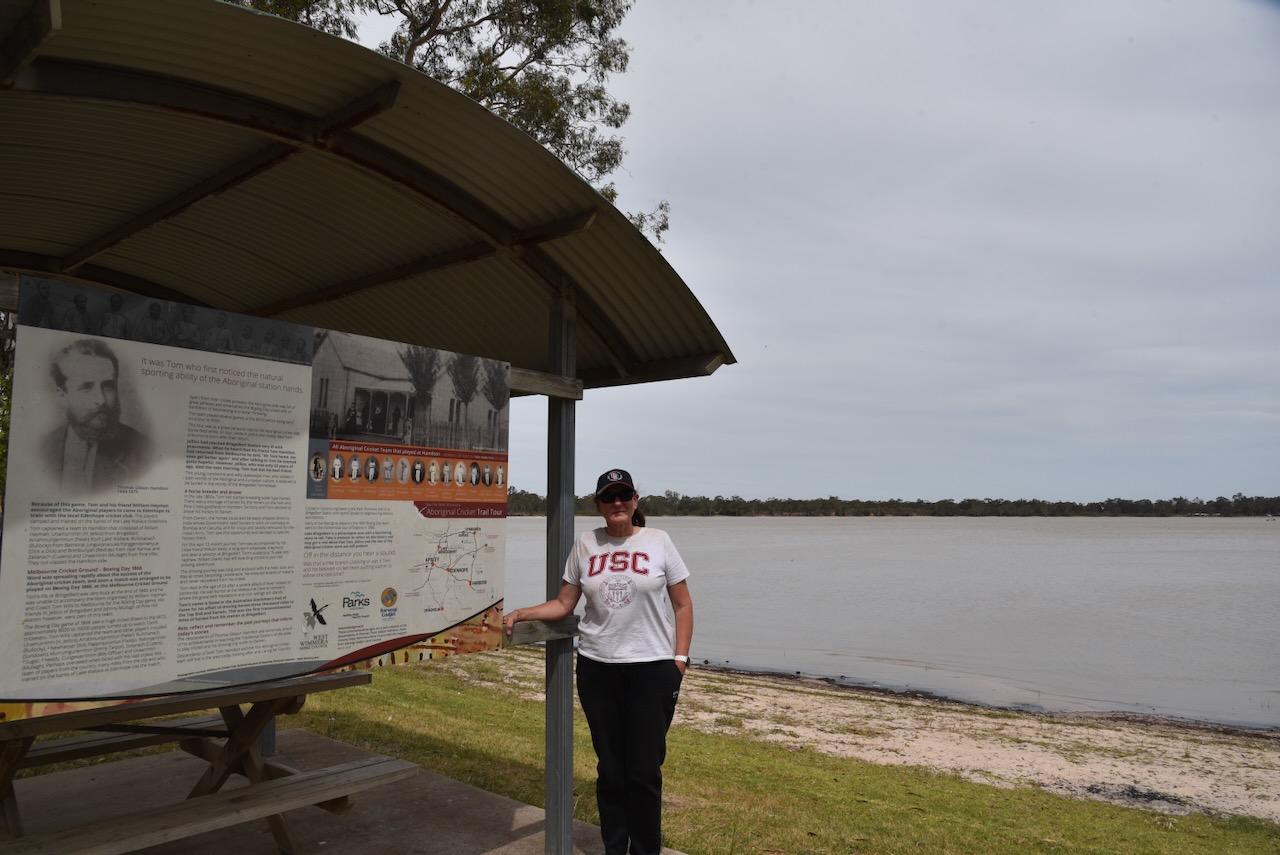
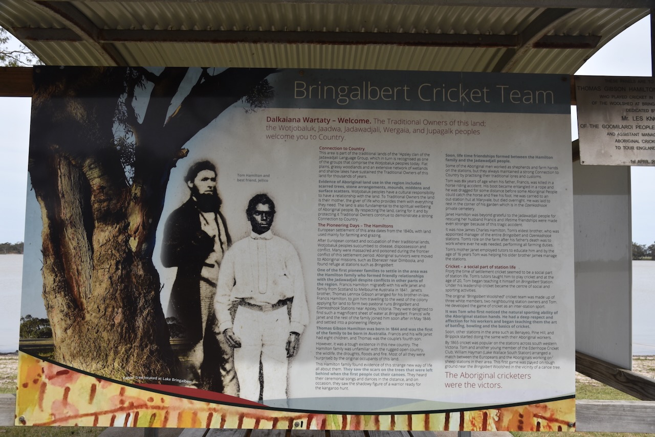
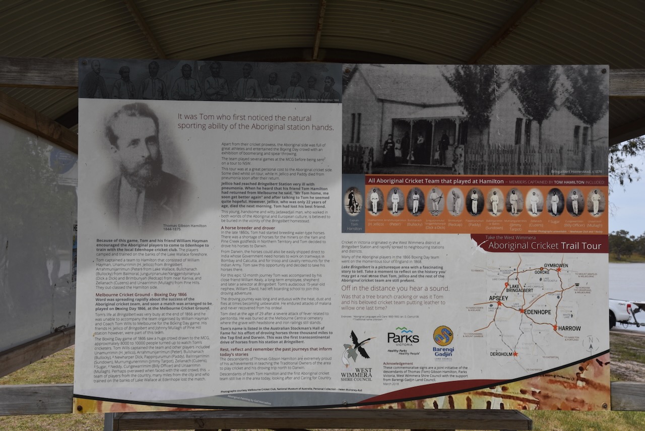
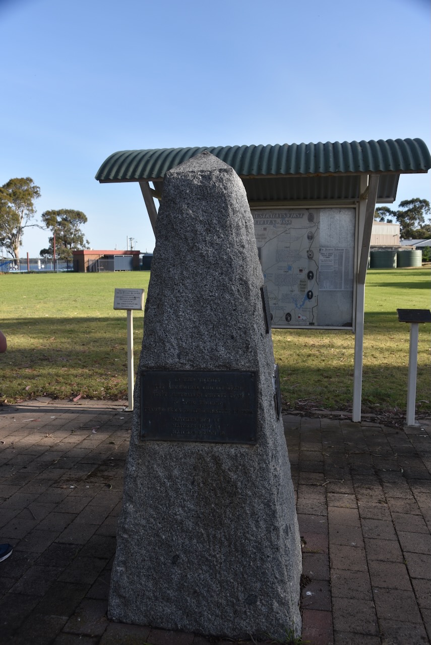
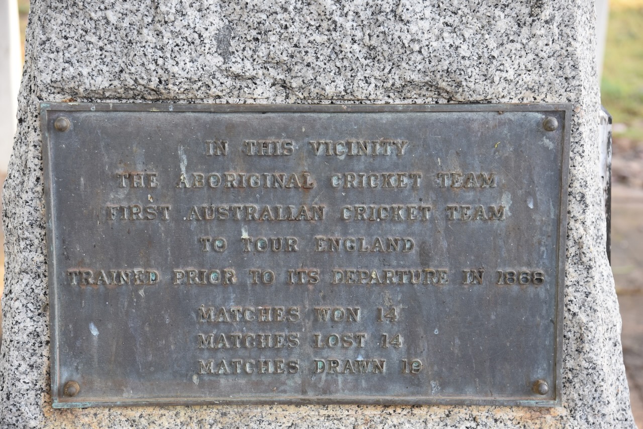
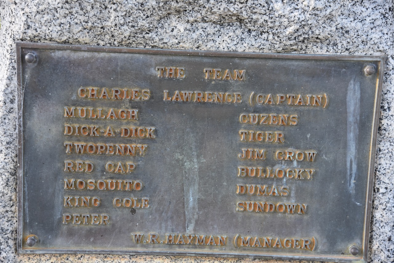
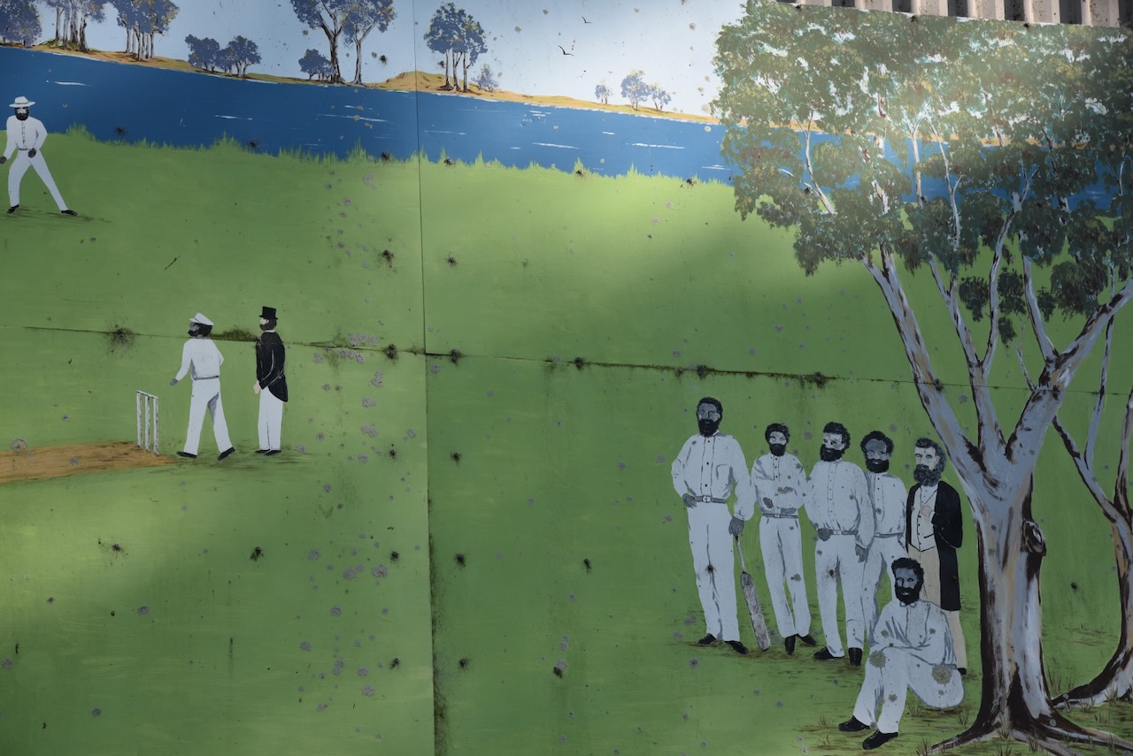
Lake Bringalbert was the site of the first cricket match between Aboriginal and European station hands. There is a monument here and some very interesting information boards.
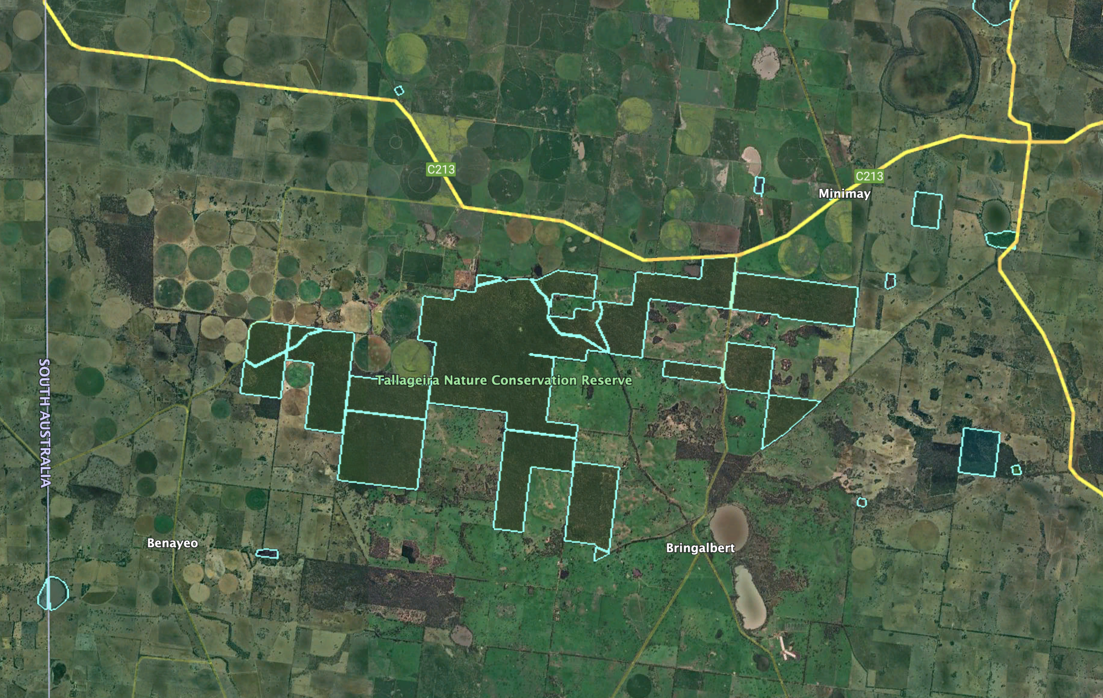
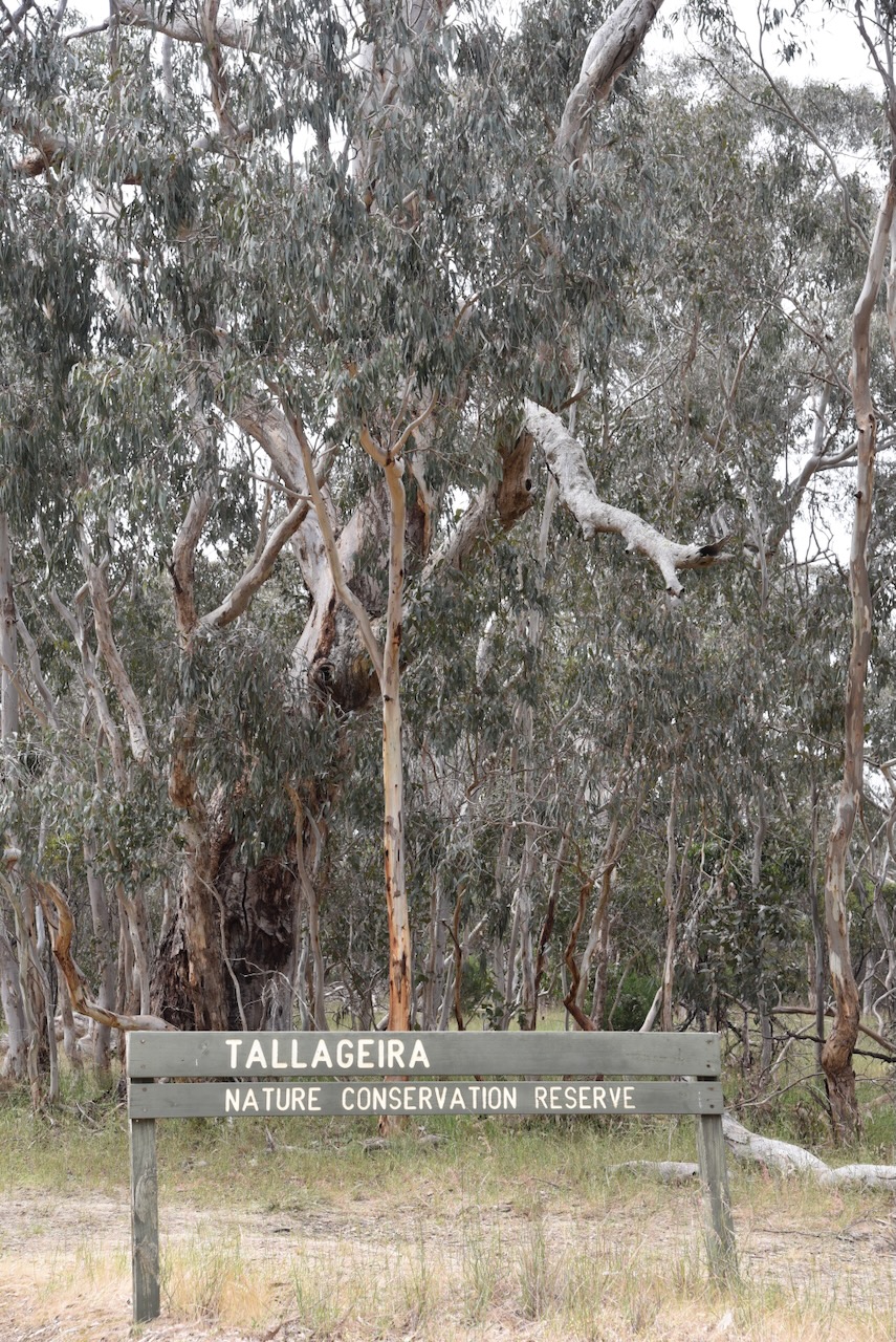
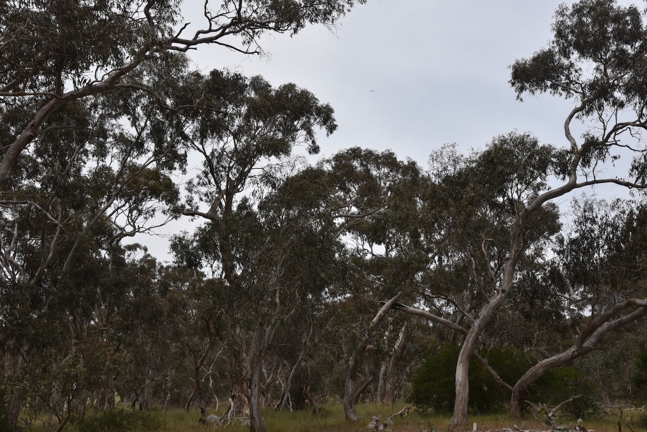
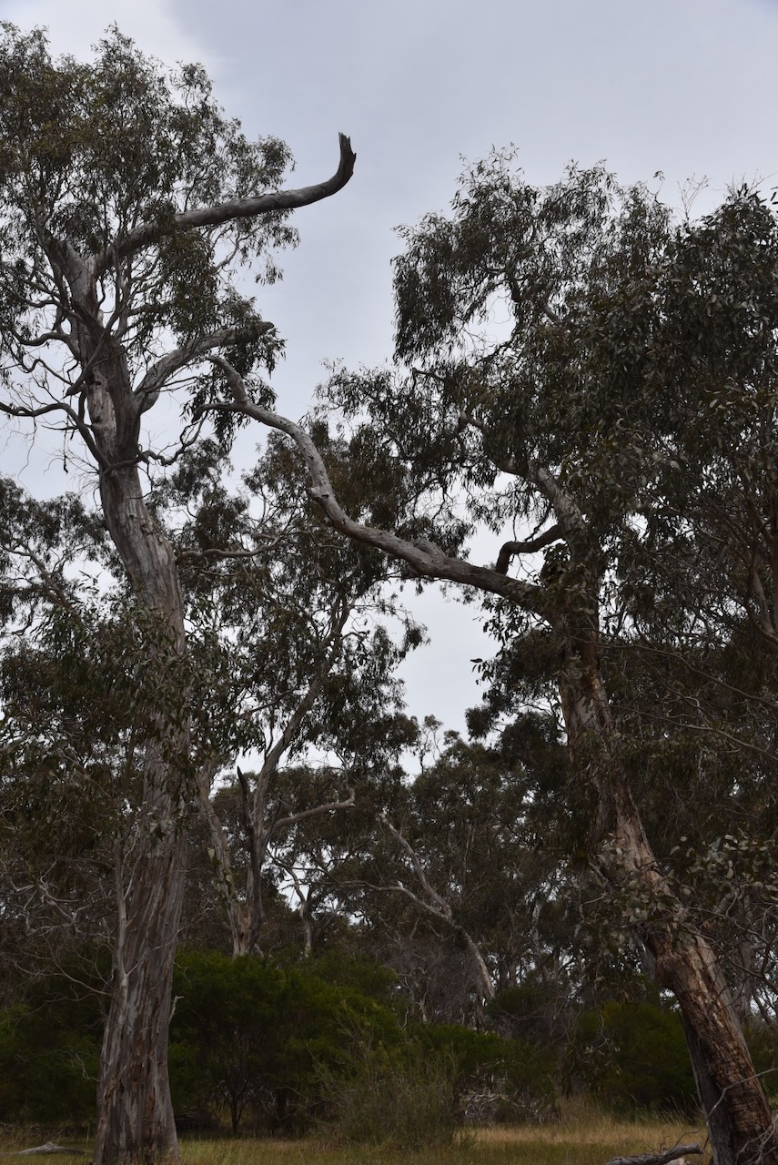
We left Lake Bringalbert and headed to the Tallageira Nature Conservation Reserve VKFF-2203, which is located very close to the South Australia and Victoria state border.
Above:- Map showing the location of the Tallageir NCR. Map c/o Google Maps.
As can be seen below, the reserve is divided into several separate pieces of native scrubland.
Above:- An aerial view of the Tallageir NCR. Image c/o Google Earth.
The reserve takes its name from the Tallageira pastoral run that was run by Derwas Jones in 1844. (Blake 1978)
Above:- Derwas Jones. Image c/o State Library South Australia.
The reserve is large, comprising about 3,750 hectares and was established on the 13th day of October 2004. (CAPAD 2022)
This was an easy park to access. We drove in and set up in a clearing amongst the scrub. We ran the Yaesu FT857, 40 watts, and the 20/40/80m linked dipole.
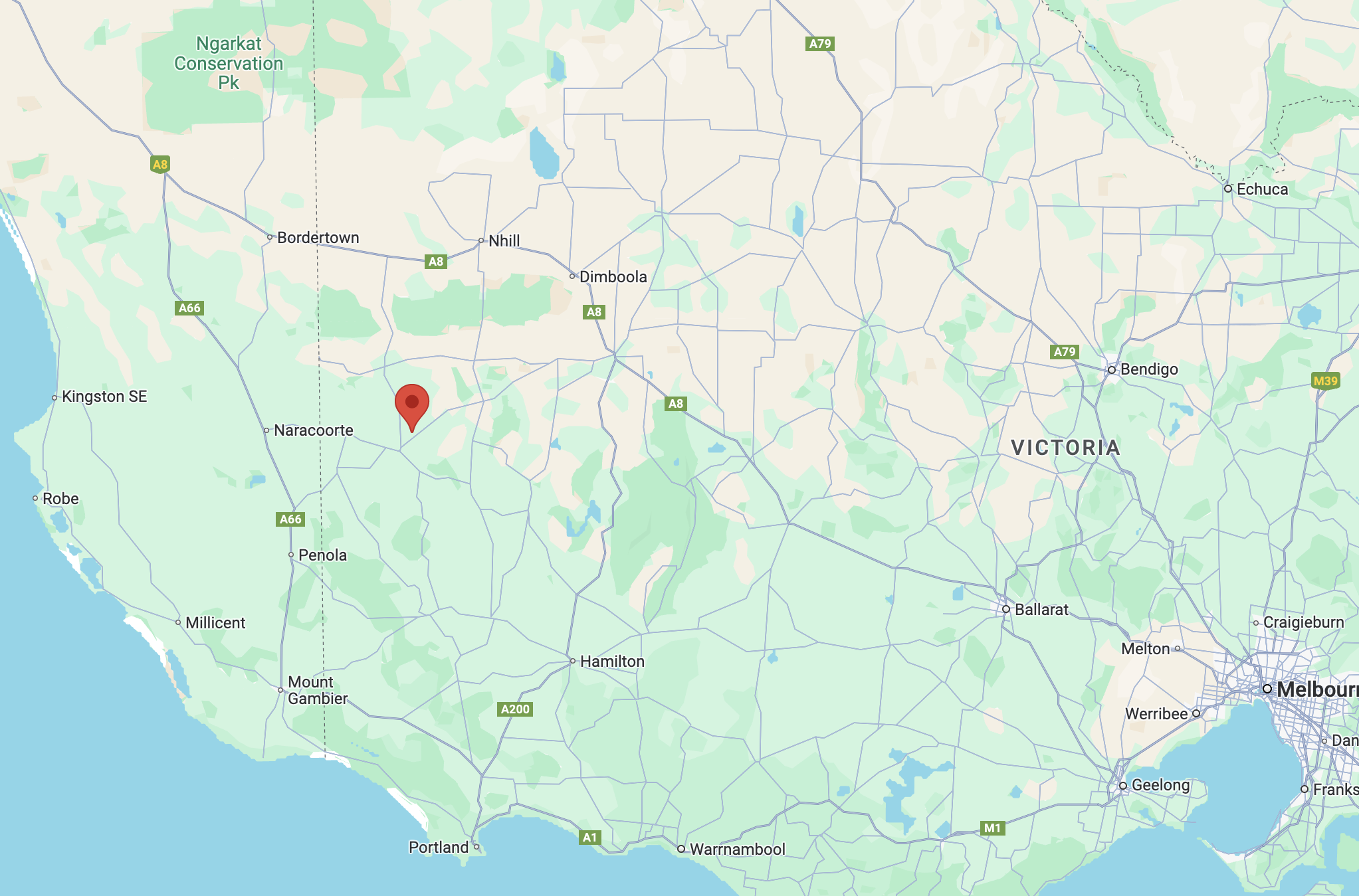
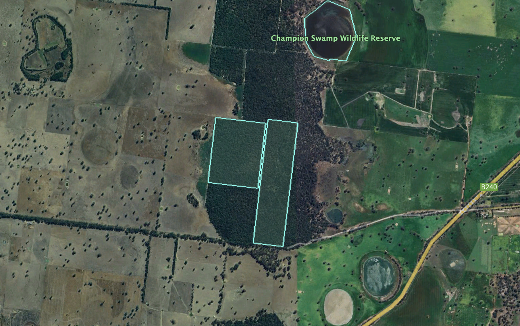
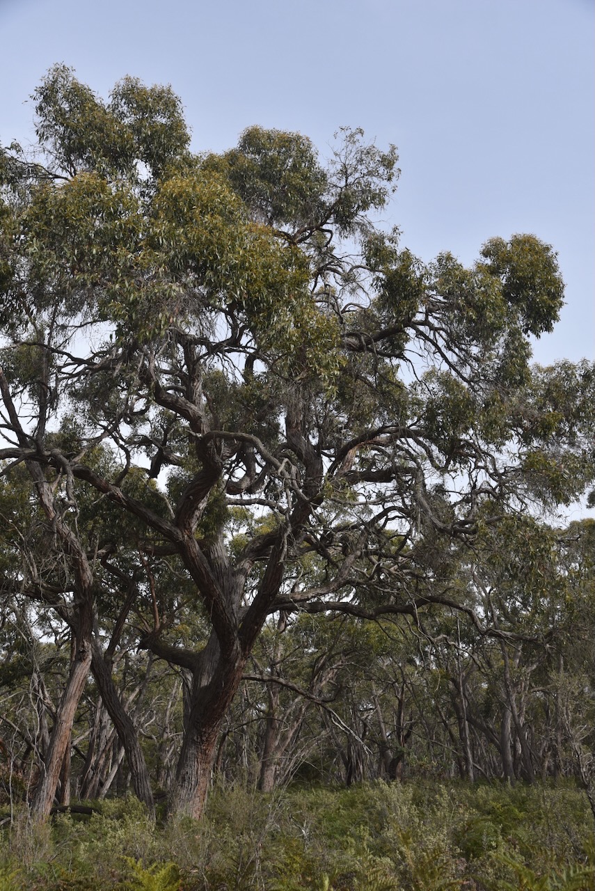
Our next park for Saturday, 2nd November 2024, was the Jallakin I15 Bushland Reserve VKFF-5165. The reserve is located about 13 km north of Edenhope in southwest Victoria.
Above:- Map showing the location of the Jallakin I15 Bushland Reserve. Map c/o Google Maps.
The reserve is located on the corner of Kaniva-Edenhope Road and Ian Forsters Road.
Jallakin is an Aboriginal word meaning kangaroo rat. (Blake 1978)
The reserve is about 7 hectares in size and was established on the 22nd day of November 1983. (CAPAD 2022)
We ran the Yaesu FT857, 40 watts, and the 20/40/80m linked dipole for this activation.
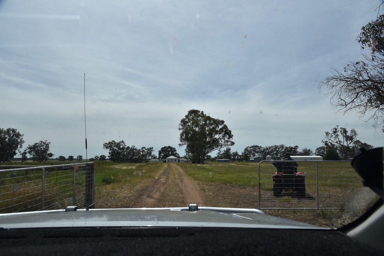
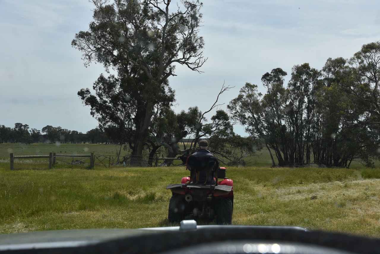
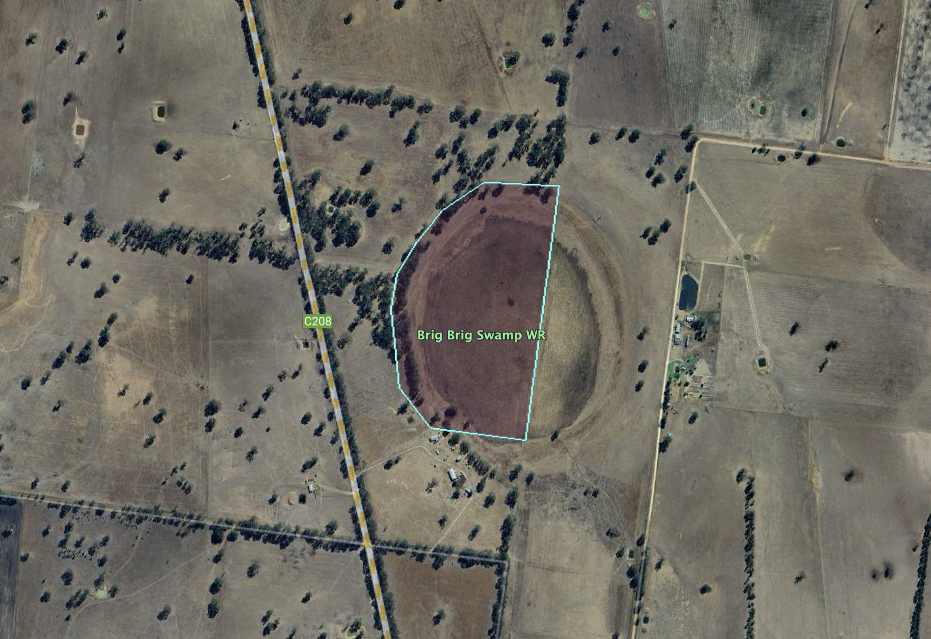
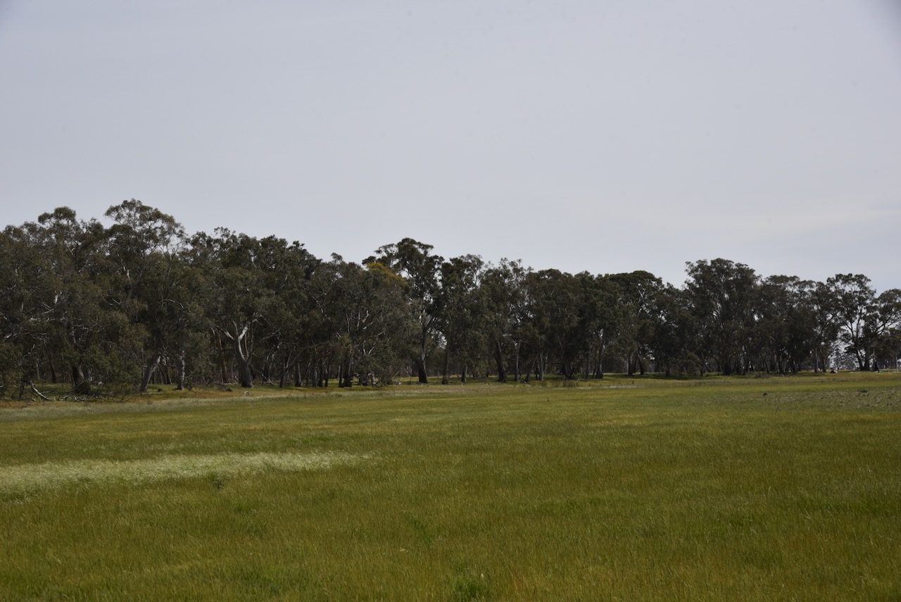
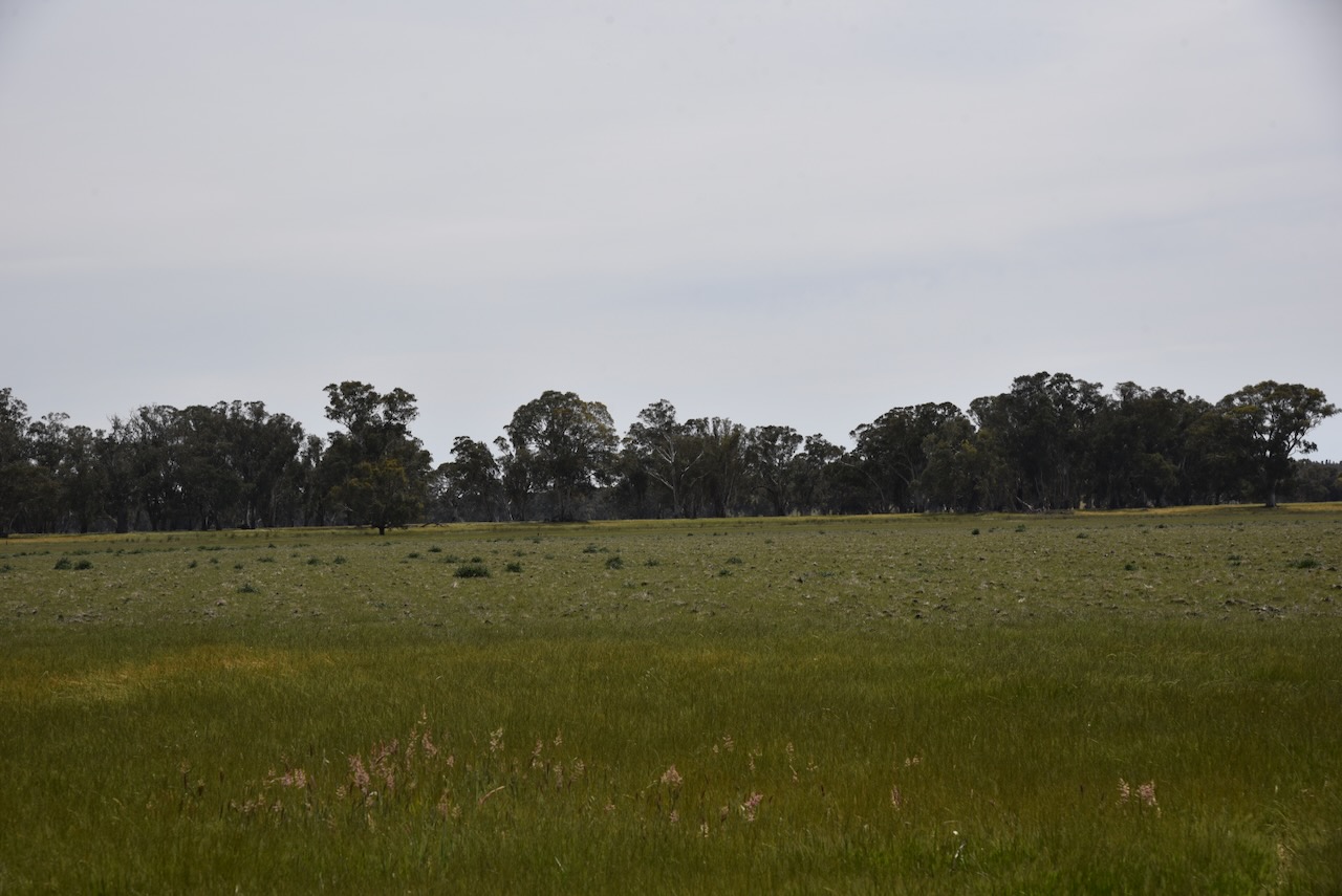
Our next activation for Saturday, 2nd November 2024, was the Brig Brig Swamp Wildlife Reserve VKFF-4662. The reserve is located about 11 km north of Edenhope.
We found that the reserve was on private property, but we were very fortunate that the farmer, Trevor, allowed us access to the reserve. We are very grateful. Thank you, Trevor.
The reserve is located on the eastern side of Kaniva-Edenhope Road, Patyah. Patya is an Aboriginal word meaning flower. (Blake 1978)
Above:- An aerial view of Brig Brig Swamp Wildlife Reserve. Image c/o Google Earth.
The reserve is about 83 hectares in size and was established on the 22nd day of November 1983. (CAPAD 2022)
Trevor informed us that the swamp had not had any water in it since the 1970s. Trevor stated that Redfin were once caught in the swamp. He also informed us that the lake was used as a watering point for bullock teams in the 1800s.
We ran the Yaesu FT857, 40 watts, and the 20/40/80m linked dipole for this activation.
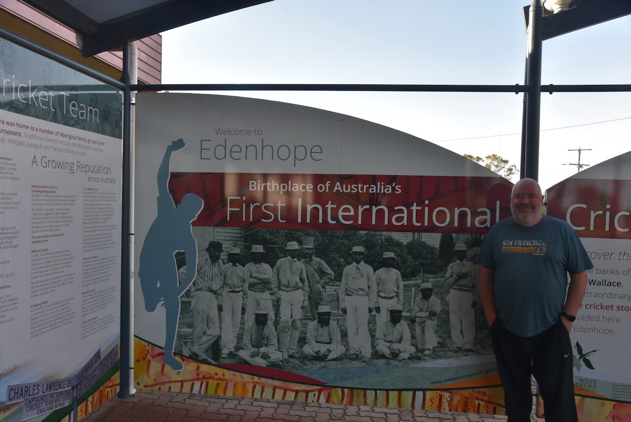
It was now Saturday, 2nd November 2024, and the last day of our Bendigo trip. After breakfast, we had a look around the town of Edenhope.
Current day Edenhope is in the area that was occupied by the 120,000-acre Lake Wallace pastoral run established in 1845 by George and James Hope. The station takes its name from Lake Wallace, which was discovered in April 1843 by Scotsman William Wallace. (Blake 1978) (Victorian Places 2015)
The township of Edenhope was surveyed in 1862 by G.W. Langford. It was gazetted on the 8th day of January 1862. The town’s name derives from the Hope brothers’ fatherland of the River Eden in Scotland. In 1865, a school was opened. The town also had a hotel and a coach service operated from Edenhope to Hamilton. A school was opened in 1865. There was also a hotel and a coach service from Edenhope to Hamilton. (Blake 1978) (Victorian Places 2015)
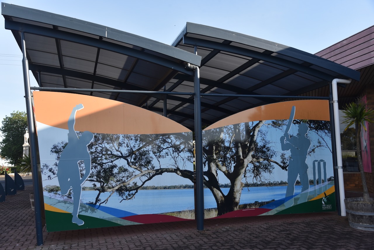
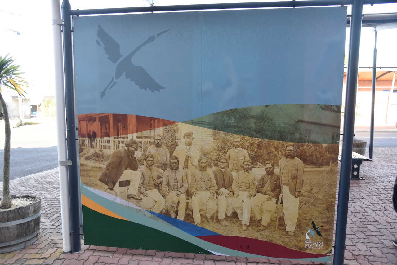
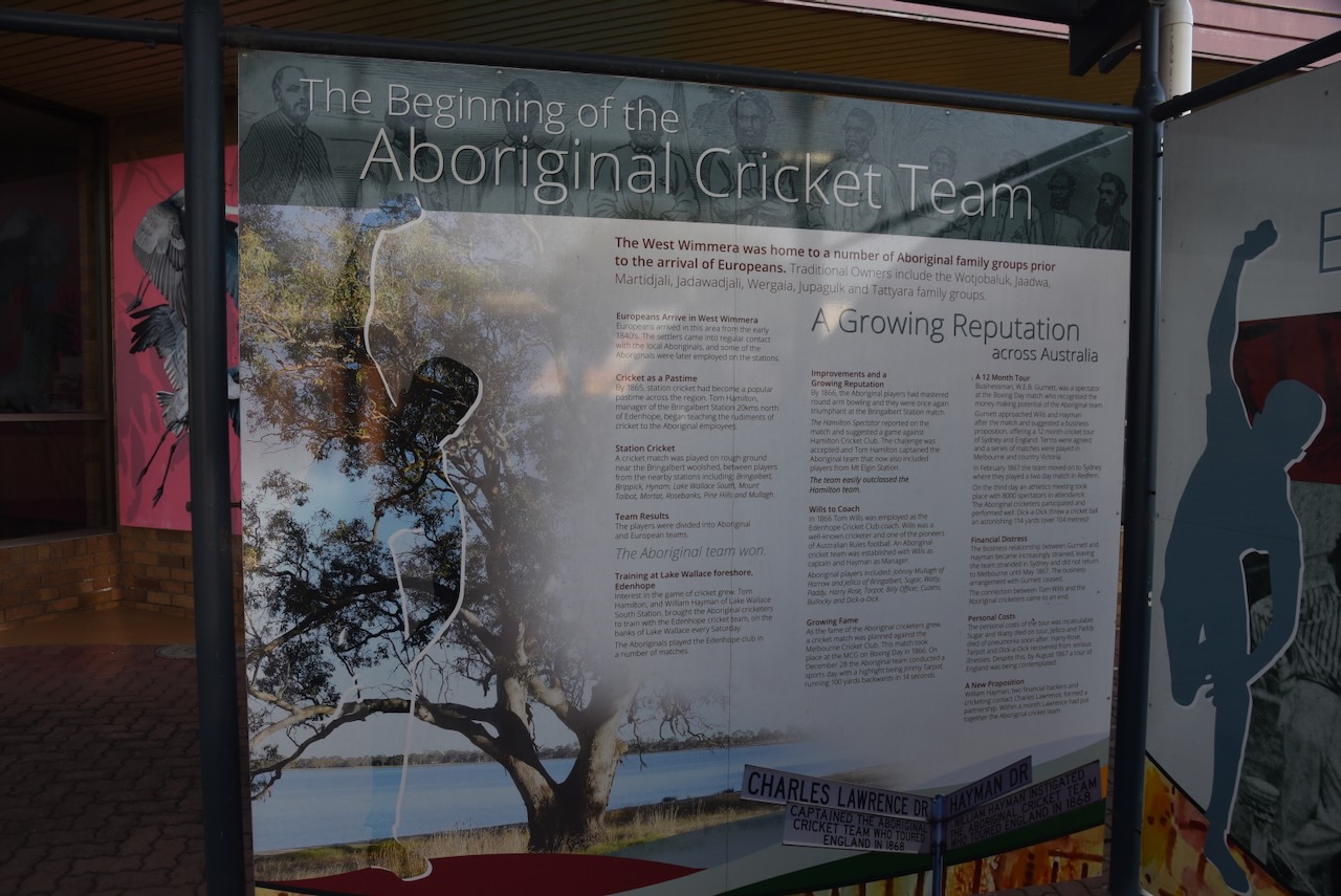
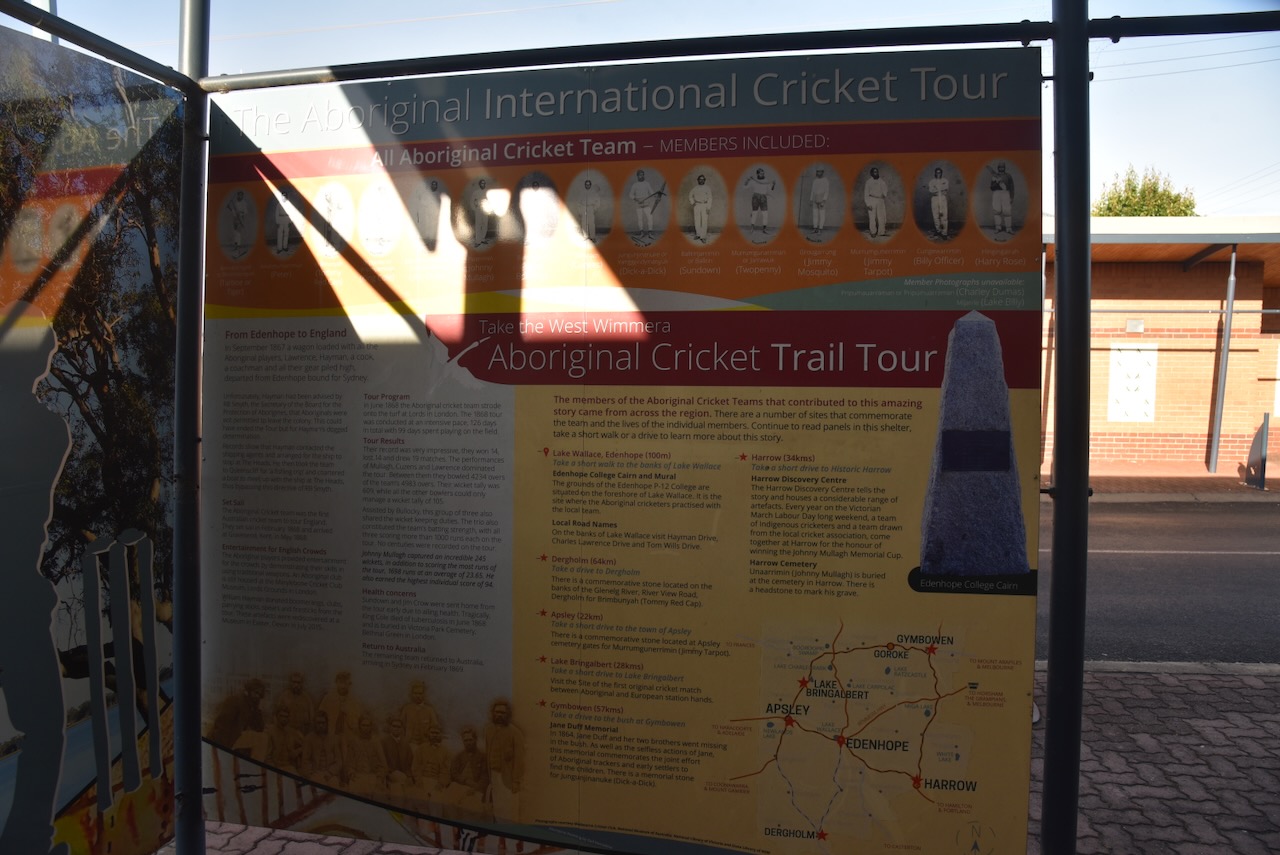
In the main street, you can find some information boards on the Aboriginal Cricket team that toured England in the 1860s.
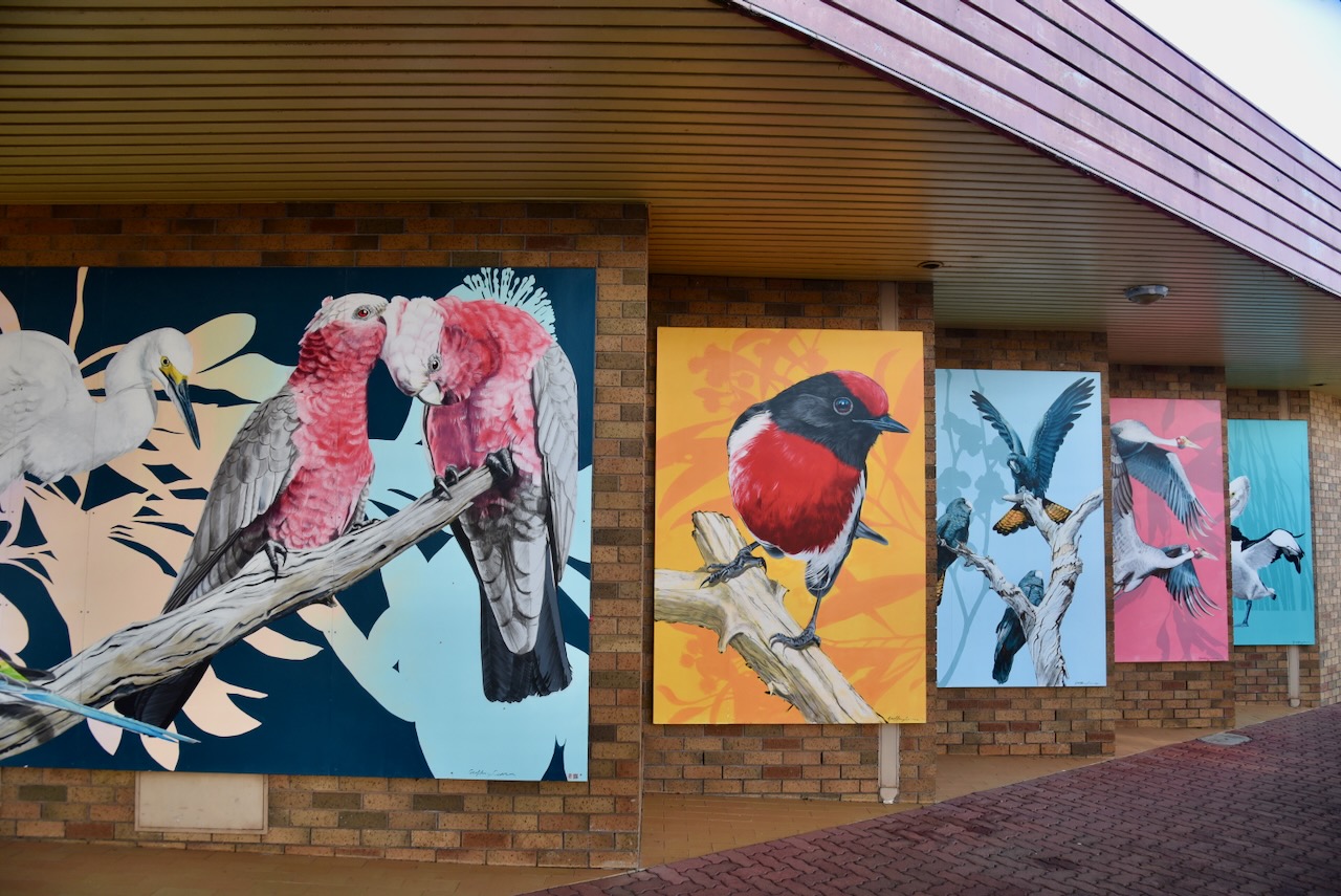
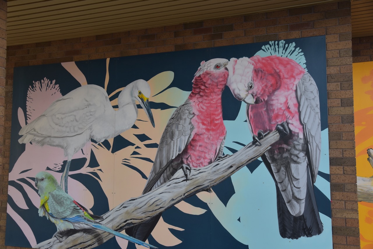
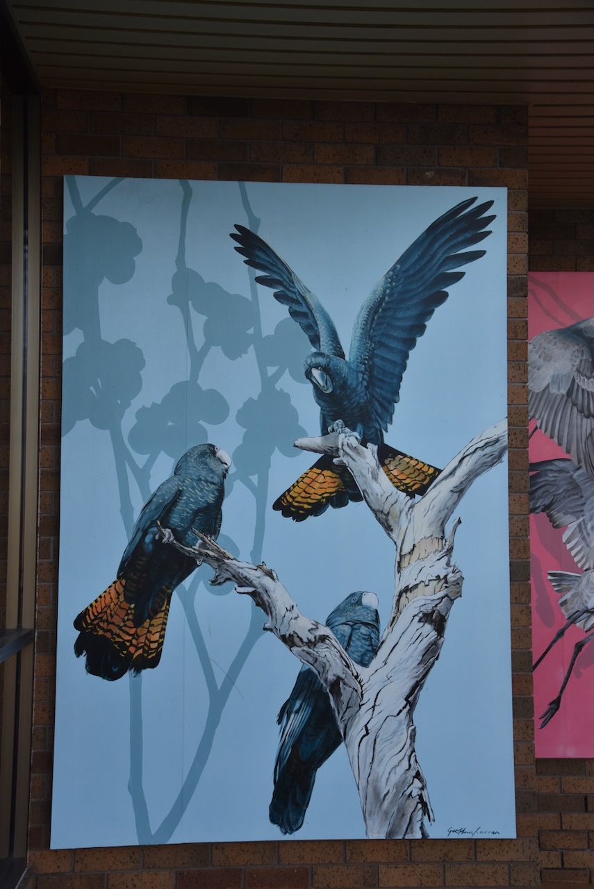
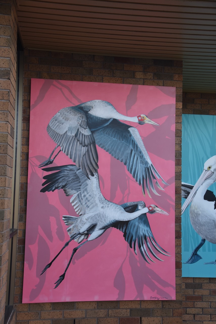
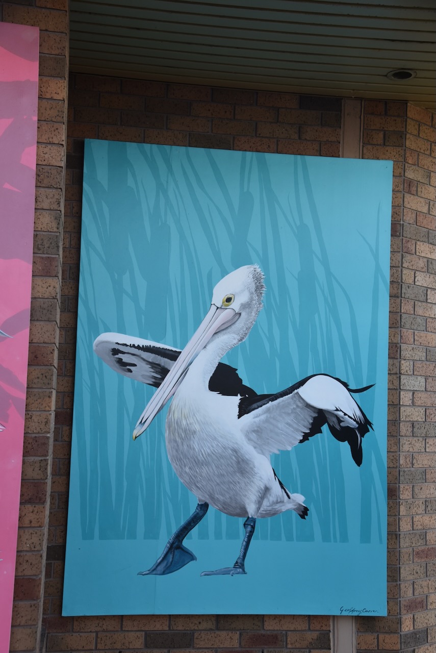
Another interesting point in Edenhope is ‘The Icons of Edenhope’, a series of large paintings in the main street that are the work of Geoffrey Carran, who grew up in the Wimmera region of Victoria. The murals feature the birdlife found in the district. (Carran 2021)
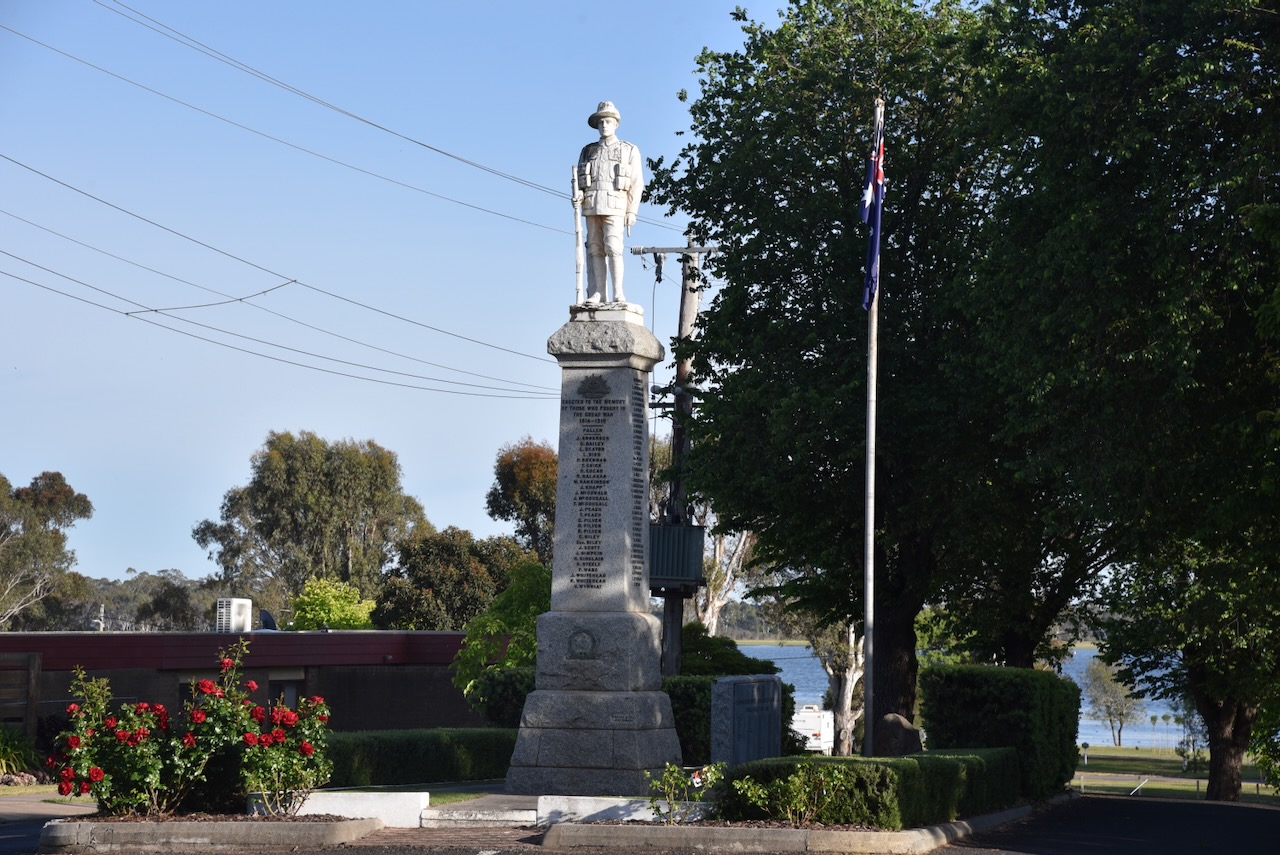
The Edenhope War Memorial can be found on the main street. The monument was unveiled by Senator Brigadier General Elliott, D.S.O., D.C.M., D.C., D.M. on the 2nd day of September 1922. The monument features a life-size Australian soldier and honours those men of the Edenhope district who served and died in service during the First World War. The names of those killed in action during the Second World War were added at a later time. (Monument Aus 2025)
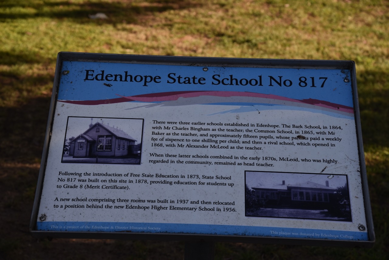
Also on the main street is a monument for the Edenhope State School No. 817, which was built in 1878. It provided education for students up to Grade 8 (Merit Certificate).
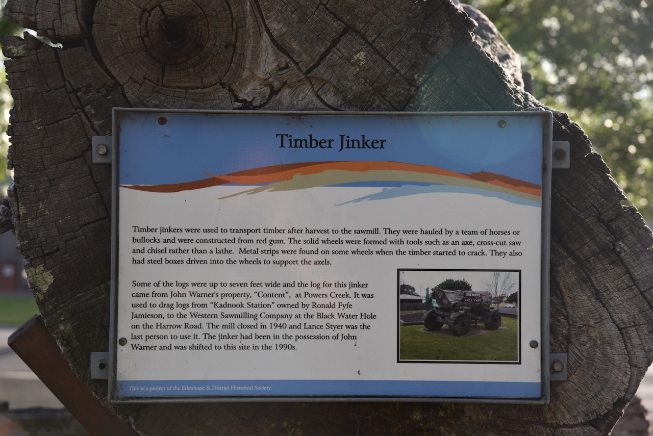
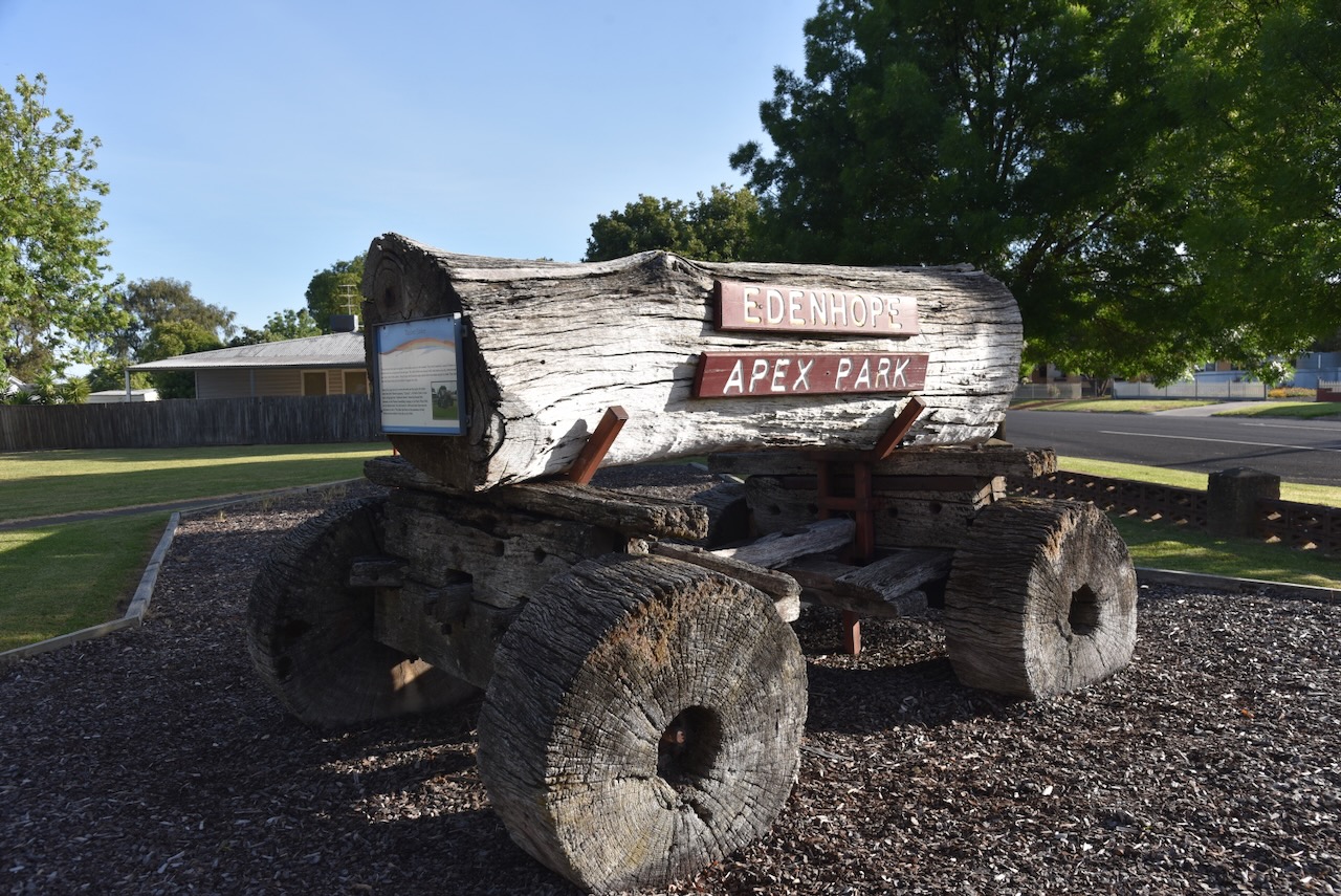
Nearby is an old timber jinker. They were used to transport timber after harvest to the sawmill. The log on this jinker came from John Warner’s property ‘Content’ at Powers Creek. It was used to drag logs from ‘Kadnook Station’ owned by Ronald Fyfe Jamieson, to the Western Sawmilling Company at the Black Water Hole on the Harrow Road.
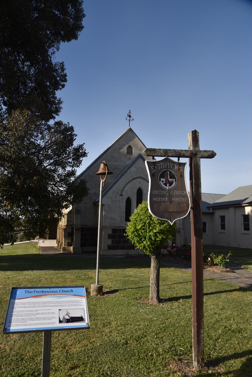
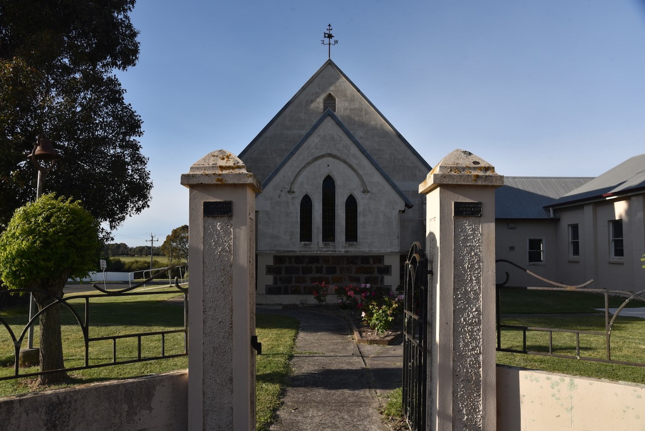
Across the road is the old Presbyterian Church, which was opened on the 21st day of September 1868.
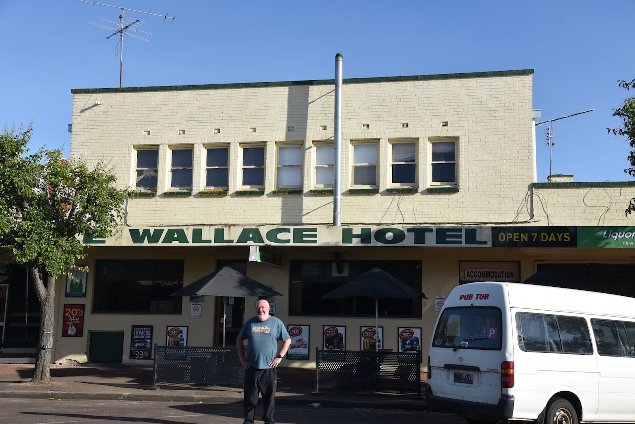
The Lake Wallace Hotel was established in 1862.
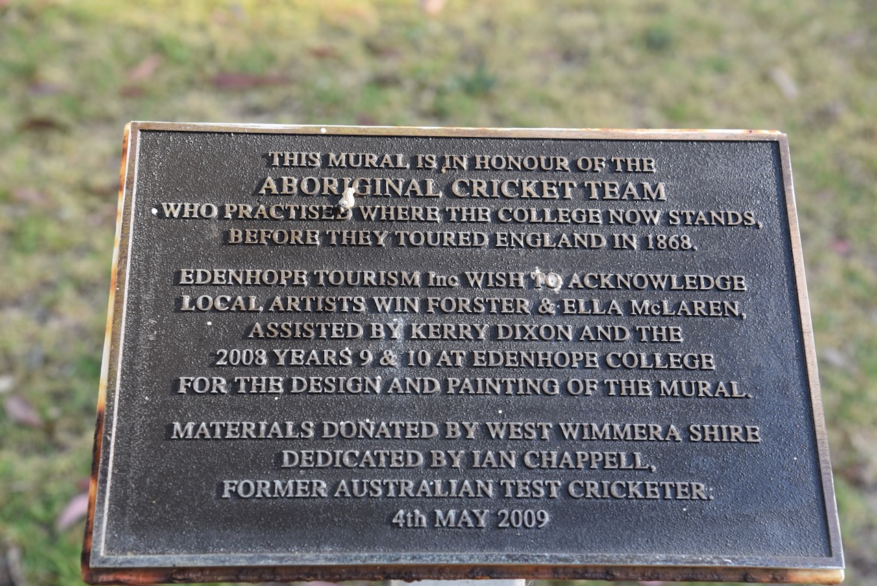
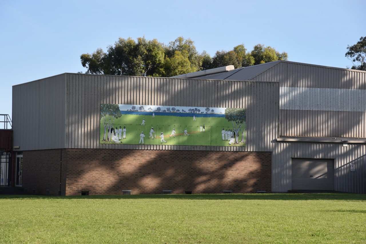
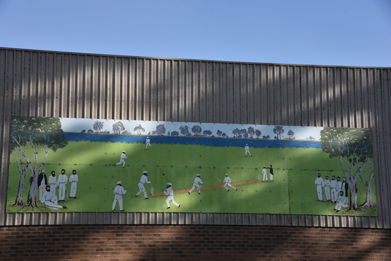
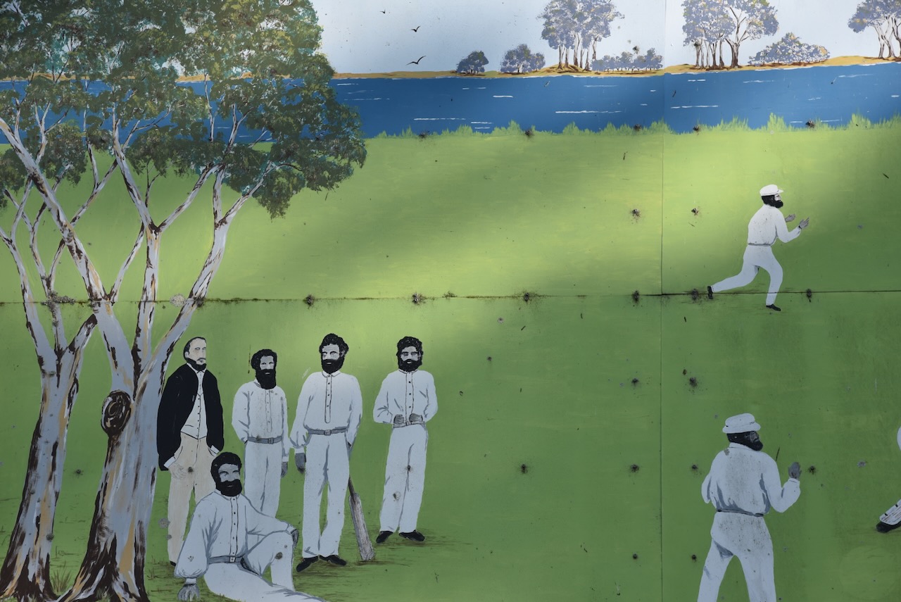
We then headed to the Edenhope College, where you can find a monument for the Aboriginal cricket team. It is near this site that the team trained prior to their departure for England.
On the side of one of the college buildings is an excellent mural featuring the Aboriginal cricket team. The mural is the work of local artists Win Forster and Ella McLaren, assisted by Kerry Dixon and the 2008 Year 9 & 10 at Edenhope College.
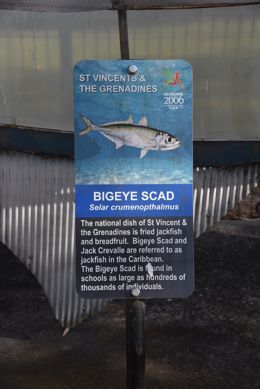
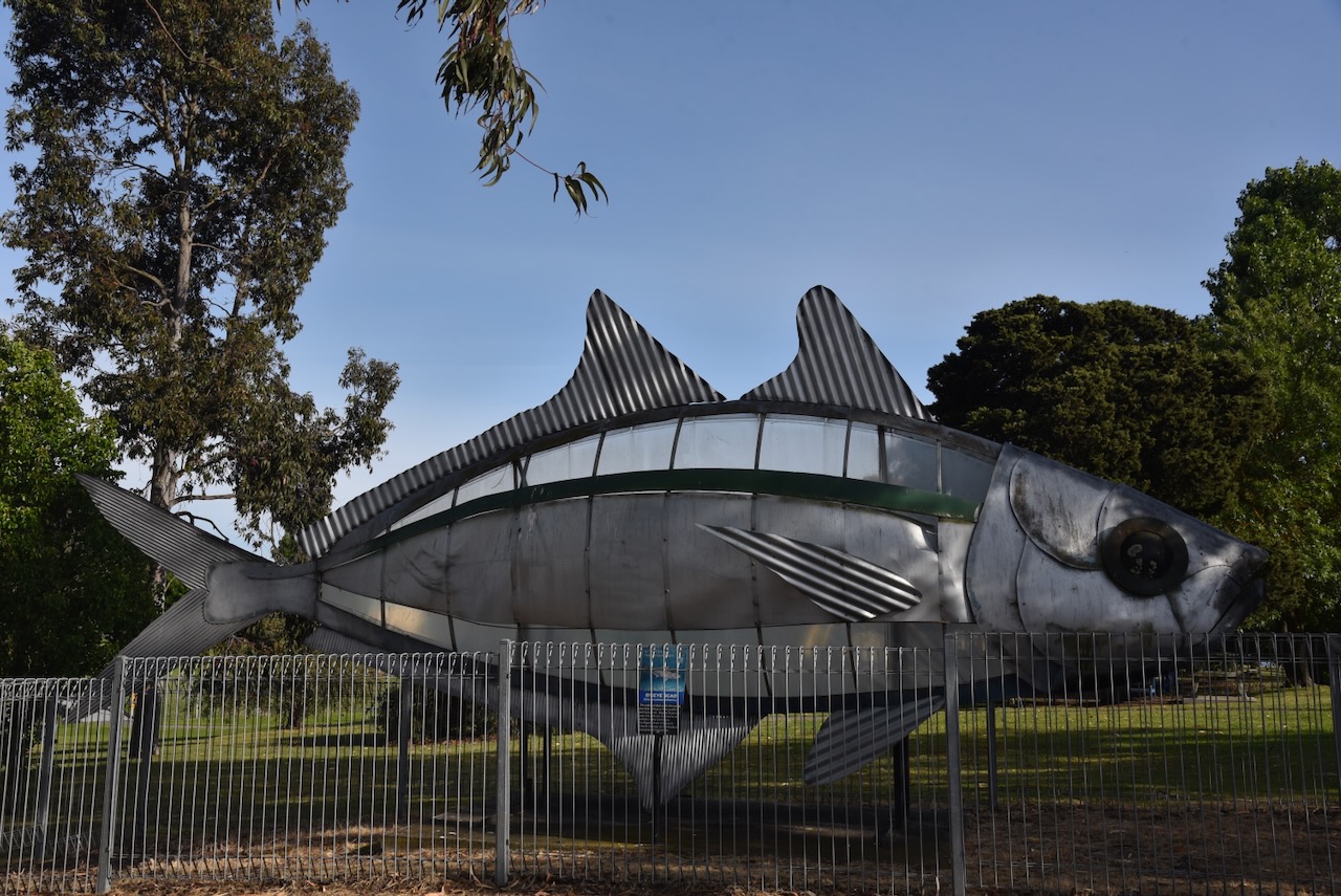
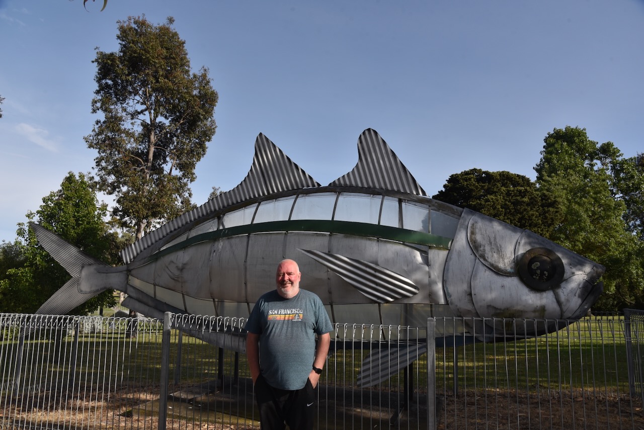
Our next stop was the Bigeye Scad sculpture, which was on one of the barges along the Yarra River during the 2006 Commonwealth 72 fish each representing a nation participating in the Games.
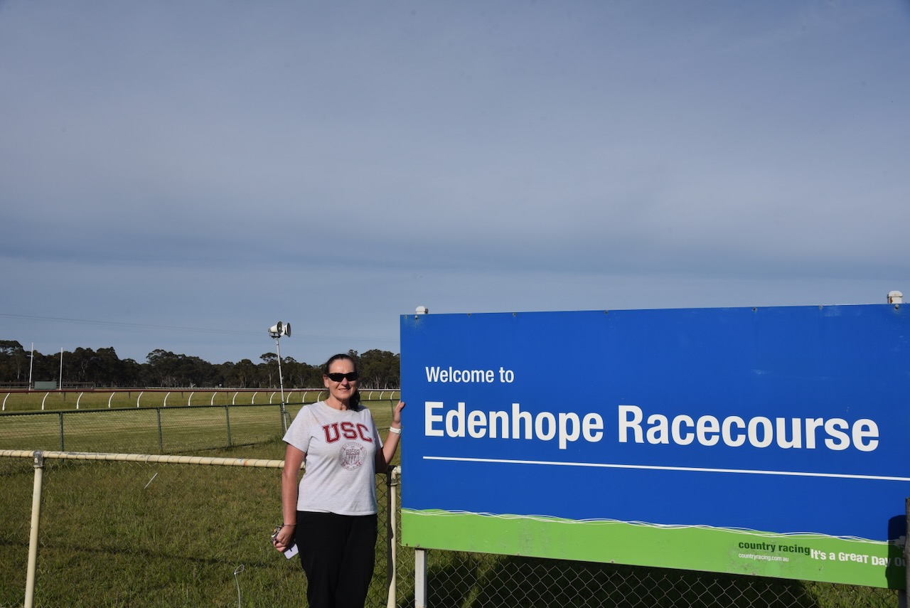
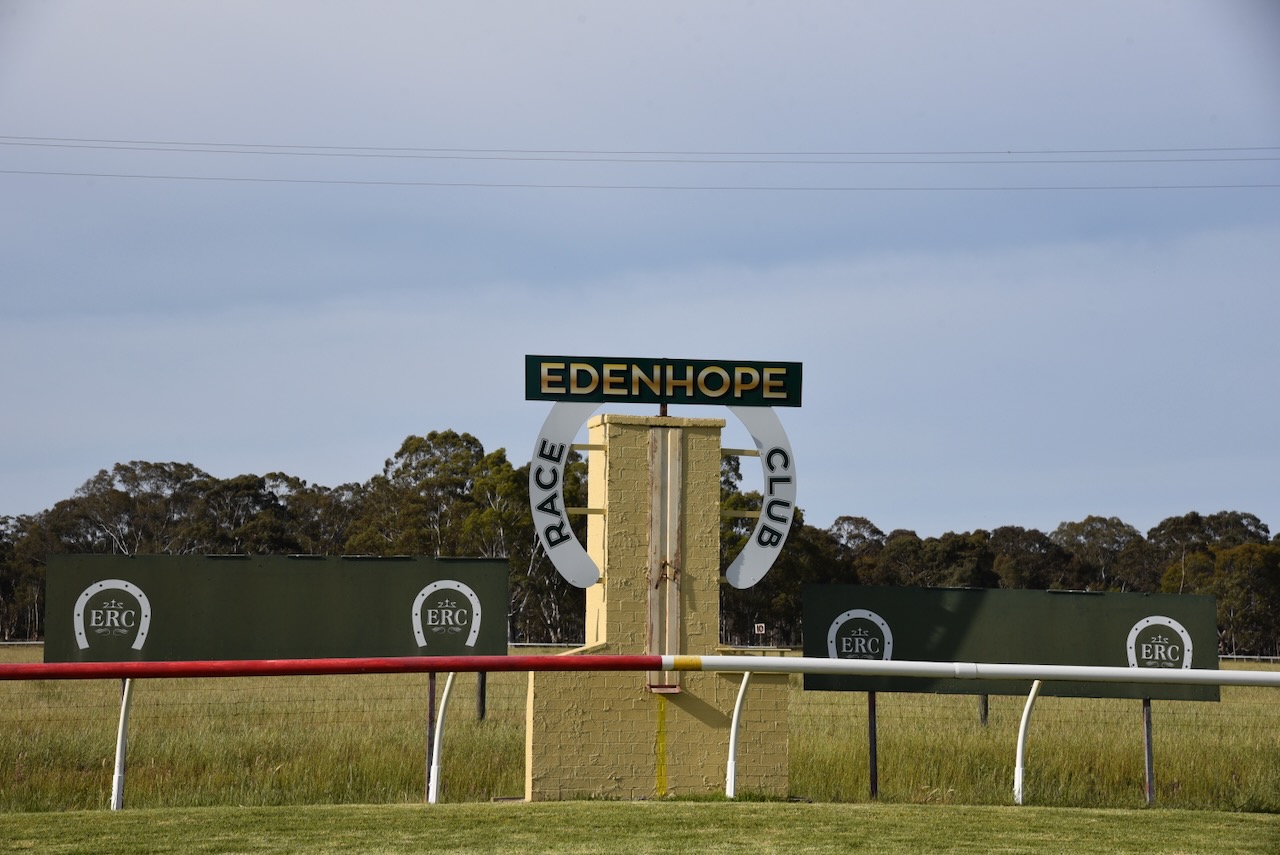
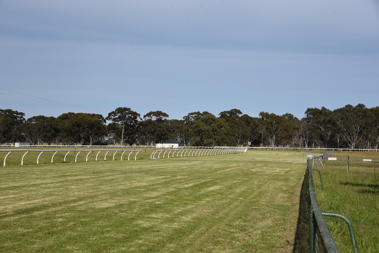
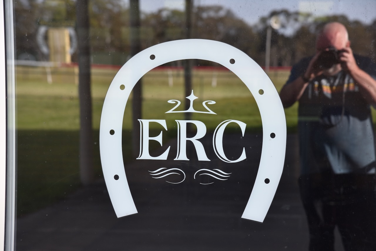
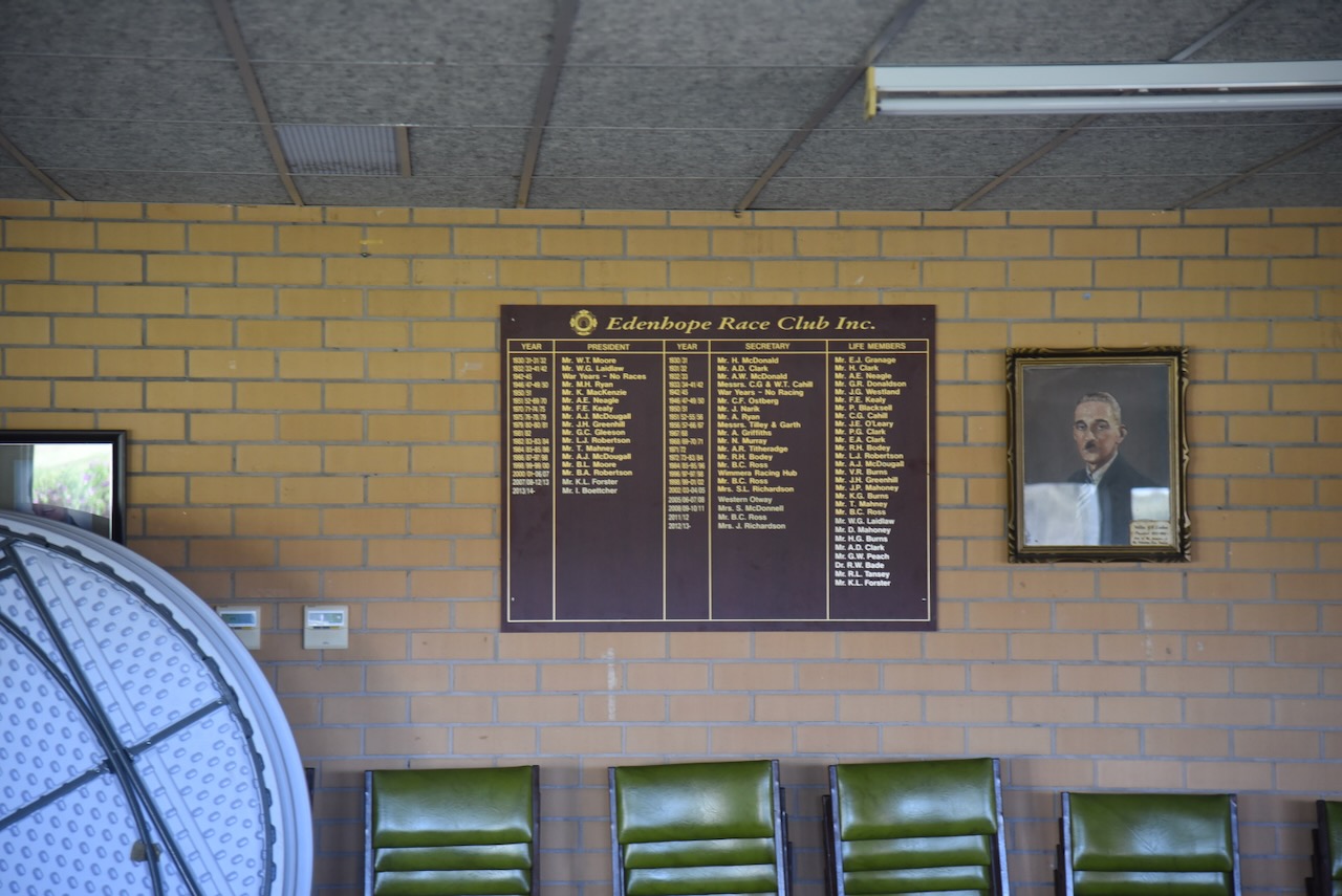
We then headed out to the Edenhope Racecourse.
It was then off to the Awonga I19 Bushland Reserve VKFF-4510, about 5 km northeast of Edenhope
Above:- A map showing the location of the Awonga I19 Bushland Reserve. Image c/o Google Maps.
The reserve is located on the northern side of Sims Road, which runs off Wimmera Highway.
Above:- An aerial view of the Awonga I19 Bushland Reserve. Image c/o Google Earth.
The reserve is about 91 hectares in size and was established on the 22nd day of November 1983. (CAPAD 2022)
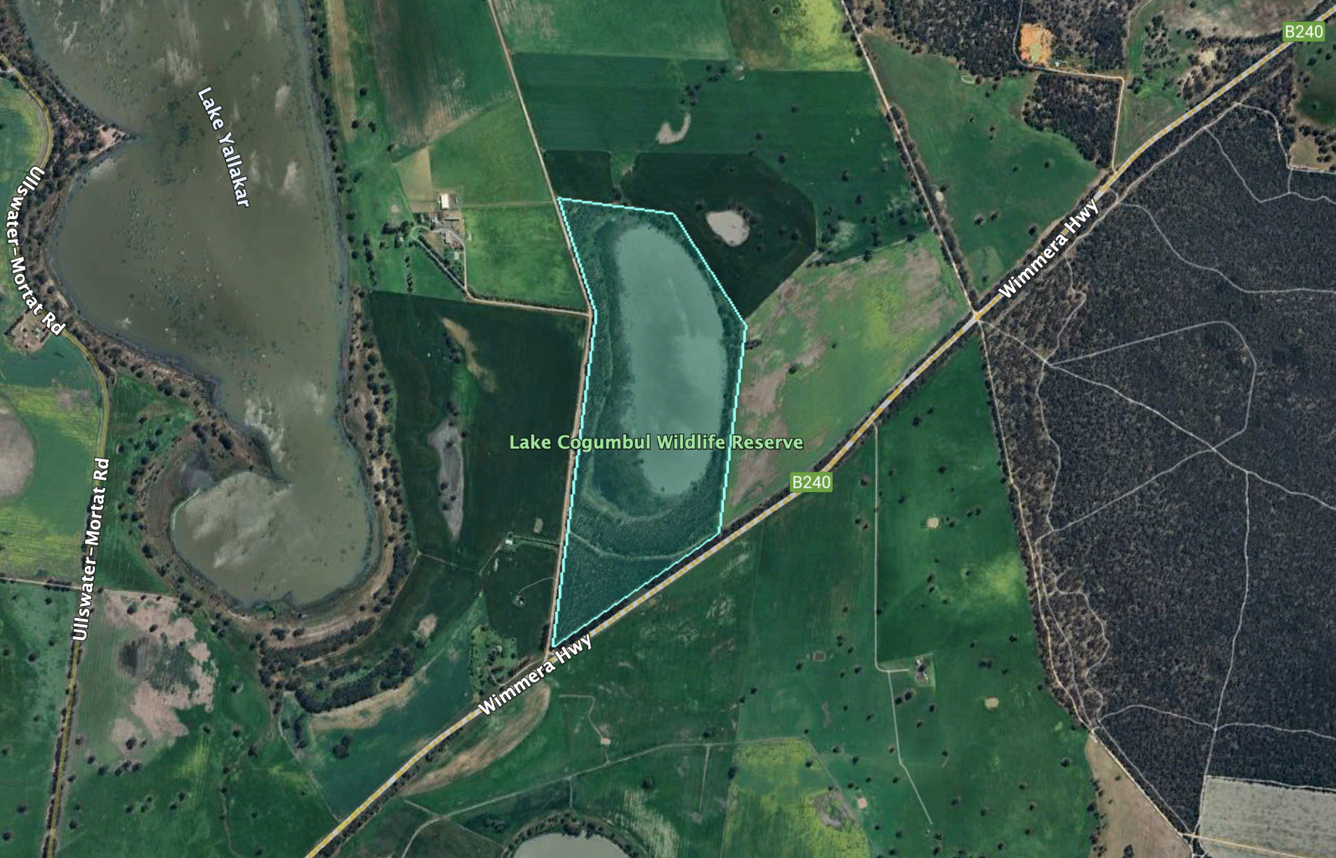
Our final park activation for Friday 1st November 2024, was the Lake Cogumbal Wildlife Reserve VKFF-5278. The reserve is located about 14 km northeast of Edenhope in southwest Victoria.
Above:- Map showing the location of Lake Cogumbal Wildlife Reserve. Map c/o Google Maps.
The reserve is located on the corner of Wimmera Highway and Muddy Lake Road.
Above:- An aerial view of Lake Cogumbul Wildlife Reserve. Image c/o Google Earth.
Cogumbul is an Aboriginal word meaning shadow. (Blake 1978)
The reserve is about 74 hectares in size and was established on the 22nd day of November 1983. (CAPAD 2022)
We did not plan on activating this park, but as we were heading back to Edenhope, we noticed the park sign, so we decided to pop in for a quick activation.
We ran the Yaesu FT857, 40 watts, and the 20/40/80m linked dipole.
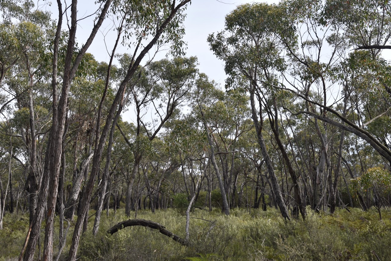
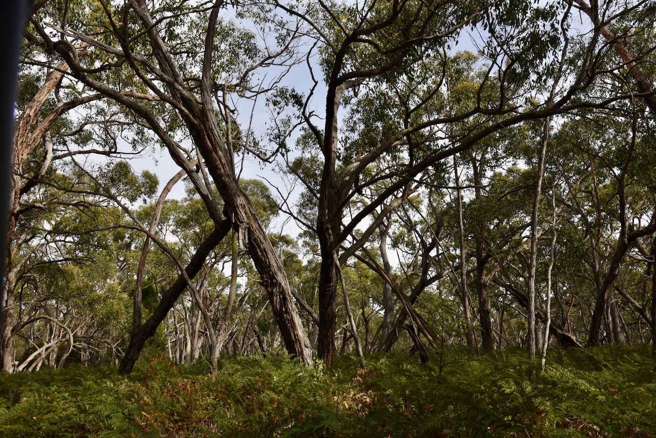
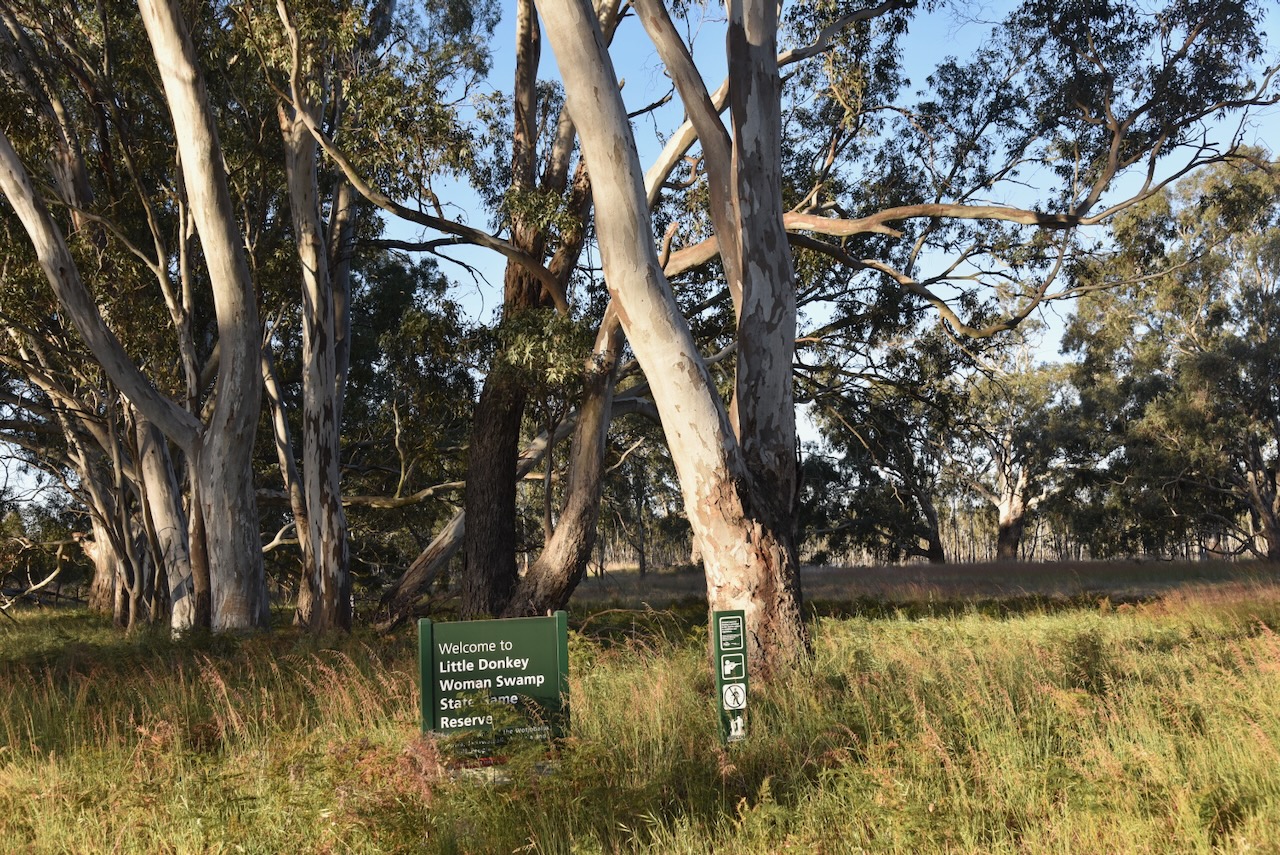
Our next activation for Friday, 1st November 2024, was the Little Donkey Woman Swamp Wildlife Reserve VKFF-5379. The reserve is located about 27 km northeast of Edenhope in southwest Victoria.
Above:- Map showing the location of Little Donkey Woman Swamp Wildlife Reserve. Map c/o Google Maps.
The reserve is located on the eastern side of Goroke-Harrow Road, south of the Wimmera Highway.
Above:- An aerial view of the Little Donkey Woman Swamp Wildlife Reserve. Image c/o Google Earth
The reserve is about 11 hectares in size and was established on the 22nd day of November 1983. (CAPAD 2022)
This was an easy park to access, with a track leading into the park. We ran the Yaesu FT-857, 40 watts, and the 20/40/80m linked dipole.