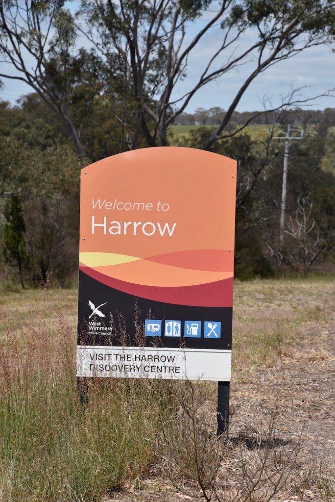
Our next stop on Friday 1st November 2024, was the town of Harrow in southwest Victoria. We had been there before, but we wanted to visit the Harrow Discovery Centre again which has an excellent cricket museum.
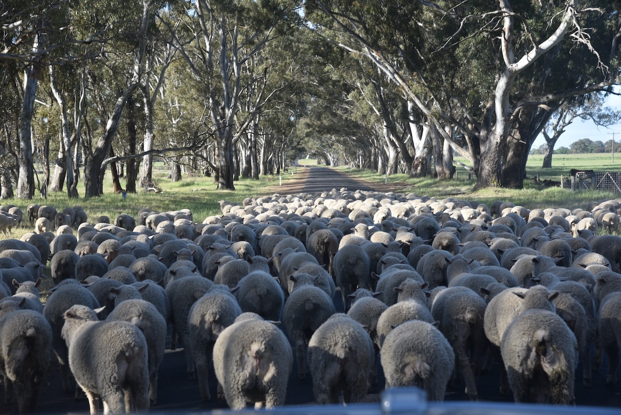
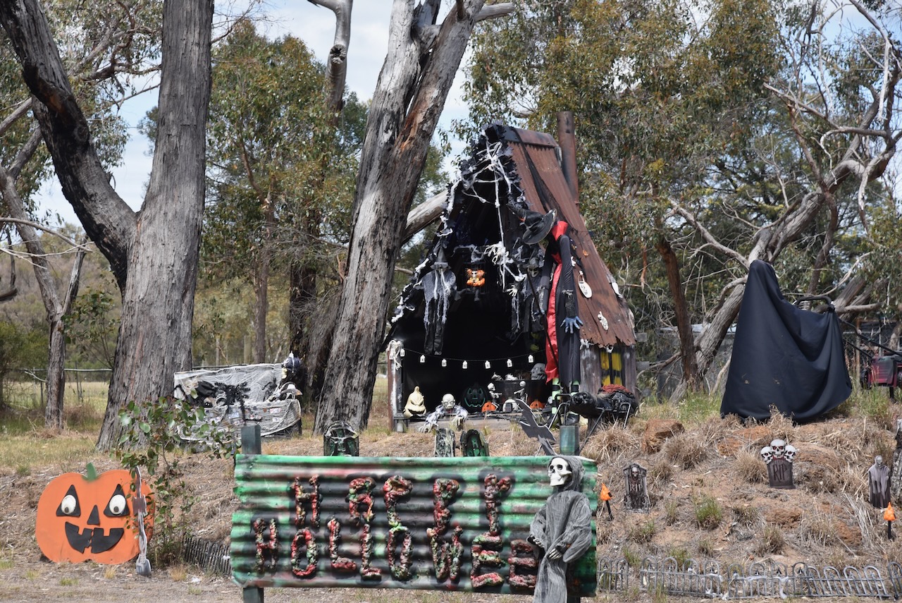
As we approached the town of Harrow, we came across the interesting property below. It had a Halloween collection and a display for the Harrow National Billycart championships.


Harrow is located on the west side of the Glenelg River, about 391 km northwest of Melbourne.
Prior to European settlement, the district was the traditional home of the Madi Madi and Wutjubaluk First Nations people. The first European settlement in the area were large pastoral runs. This included “Clunie,” “Longlands,” “Mullagh,” and “Second Kout Narin”. (Aussie Towns, 2023) (Swvic.au, 2021)

Above:- Map showing the major runs around the town of Harrow. Image c/o https://www.swvic.au/harrow
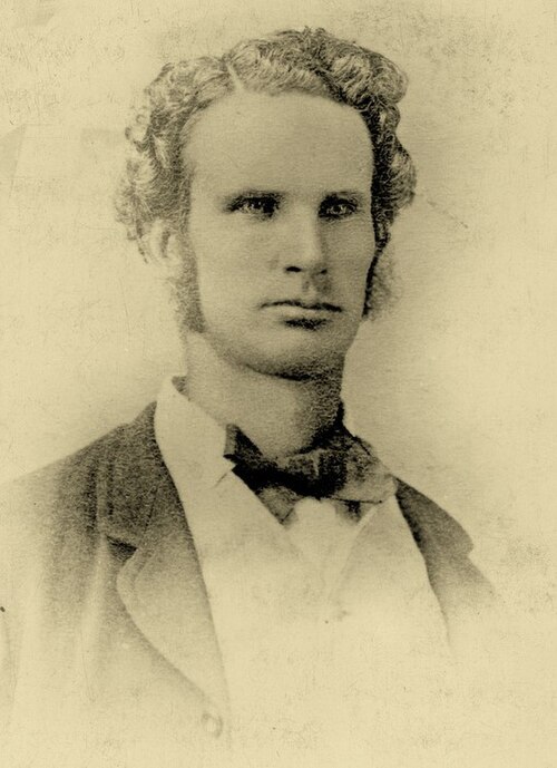
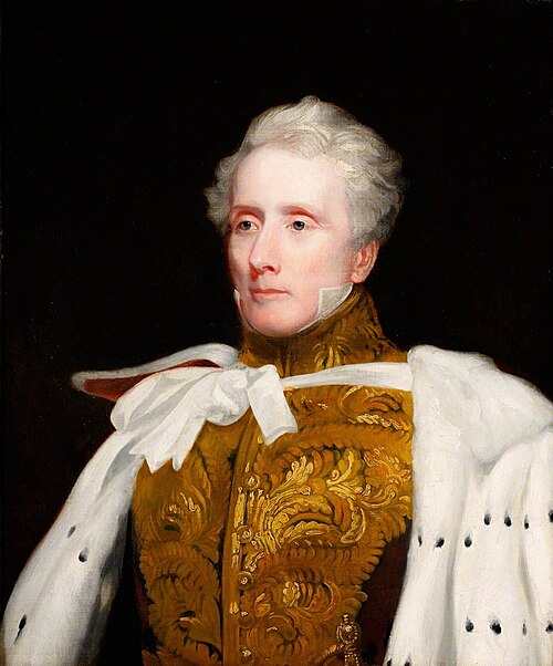
Major Thomas Mitchell crossed the Glenelg River near Harrow on the 31st day of July 1836 during his Australia Felix expedition. (Victorianplaces.com.au, 2015)
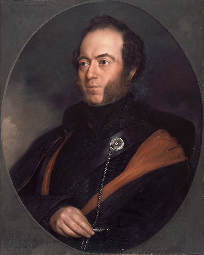
Above:- Major Mitchell. Image c/o Wikipedia.
At the Glenelg River bridge you can find a monument to commeorate his crossing of the river.

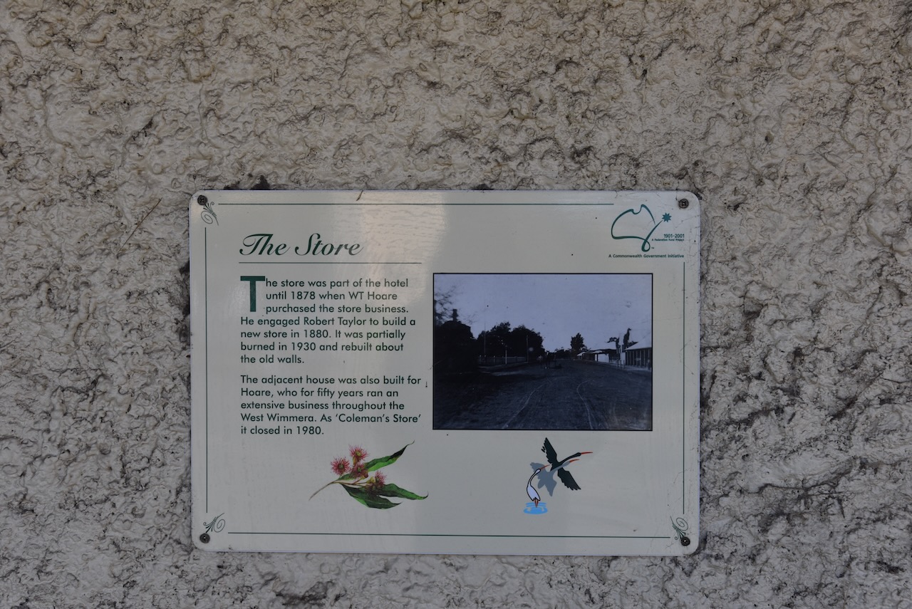
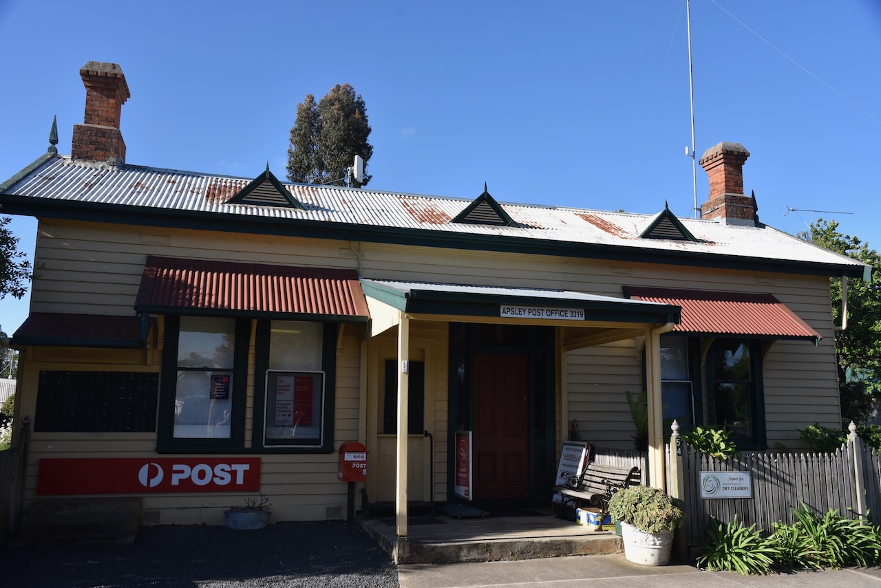
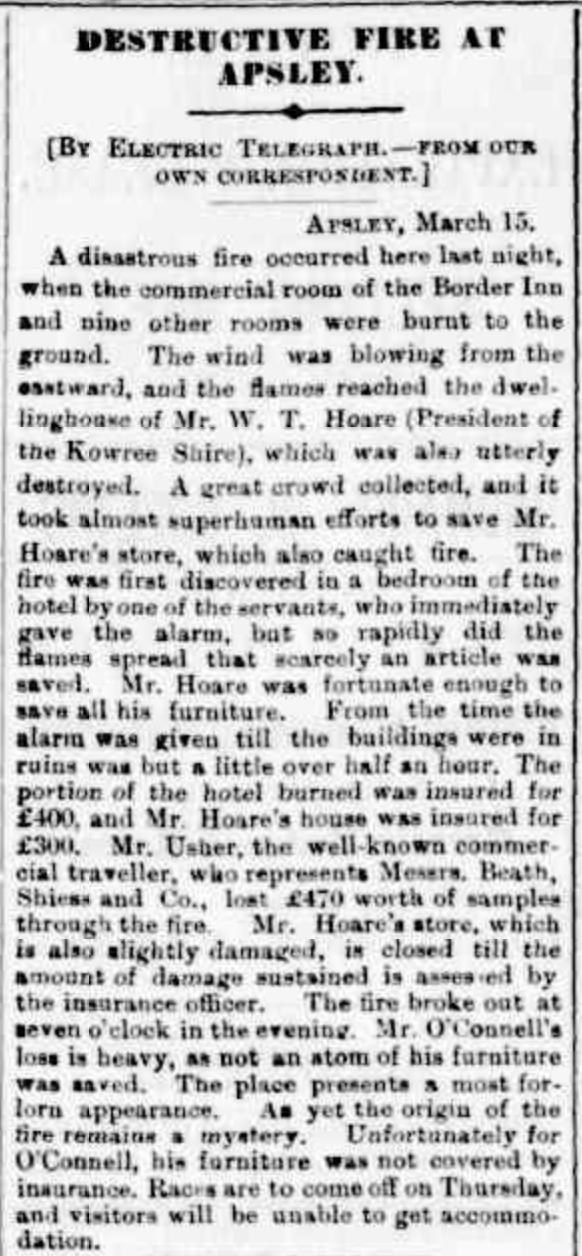
Harrow was originally known as Upper Glenelg, a crossing point on the Glenelg River. By 1849, the settlement had a hotel the Foresters Arms Inn, a blacksmith, and a store operated by R.H. Evans. On the 16th day of 1849, it was announced that a Post Office would operate out of Mr R. H. Evans store.(Wikipedia, 2020)

Above:- Article from The Argus, Fri 16 Mar 1849. Image c/o Trove.
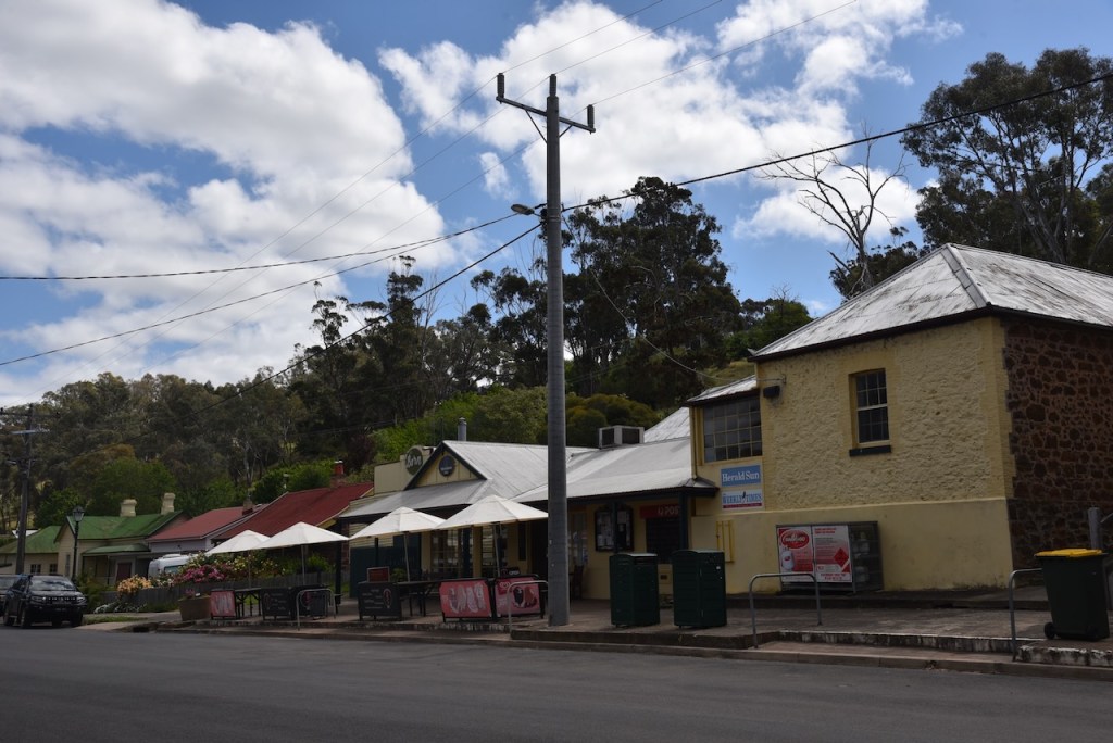
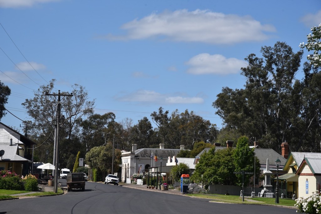
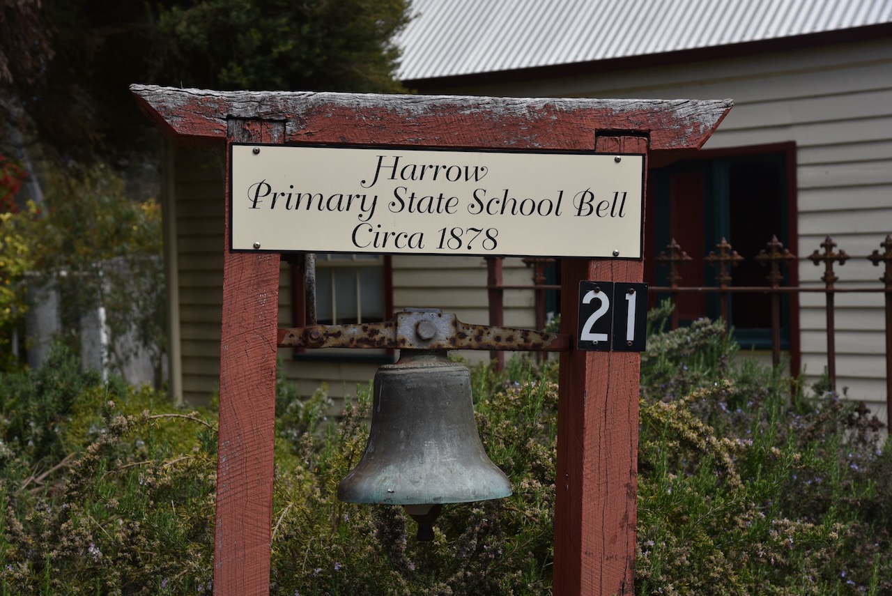
The town was surveyed in 1852 which was renamed Harrow, inspired by Harrow in England. In October 1853, township blocks were auctioned at Portland. This was amongst allegations that the owner of Clunie station had purchased all of the blocks in an effort to prevent occupation of the town. By 1853 a police post was established at Harrow. At its peak, Harrow had two hotels, three general stores, a blacksmith’s, a saddlery, a drapery store, a shoemaker, a baker, flour mills, a brickworks and Chinese market gardens. (Wikipedia, 2020) (The Sydney Morning Herald, 2004)
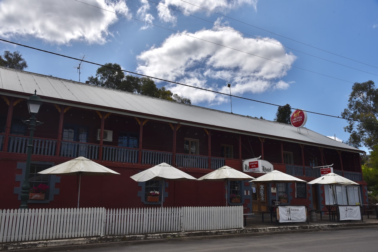
A number of historic buildings remain in Harrow. This includes the Hermitage Hotel which was originally Hermitage Stores and built in 1848. Its licence was granted in 1853.

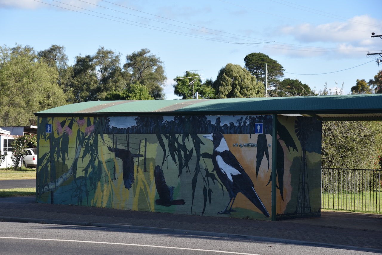
The National Australia Bank building was built in 1874. It features some magnificent murals on the side of the building.


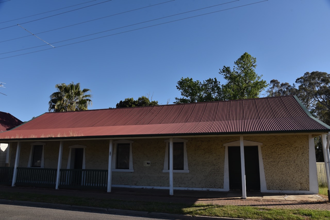
Kolmar House was built in 1881 for the Rosenthal Brothers as a licenced grocery store.


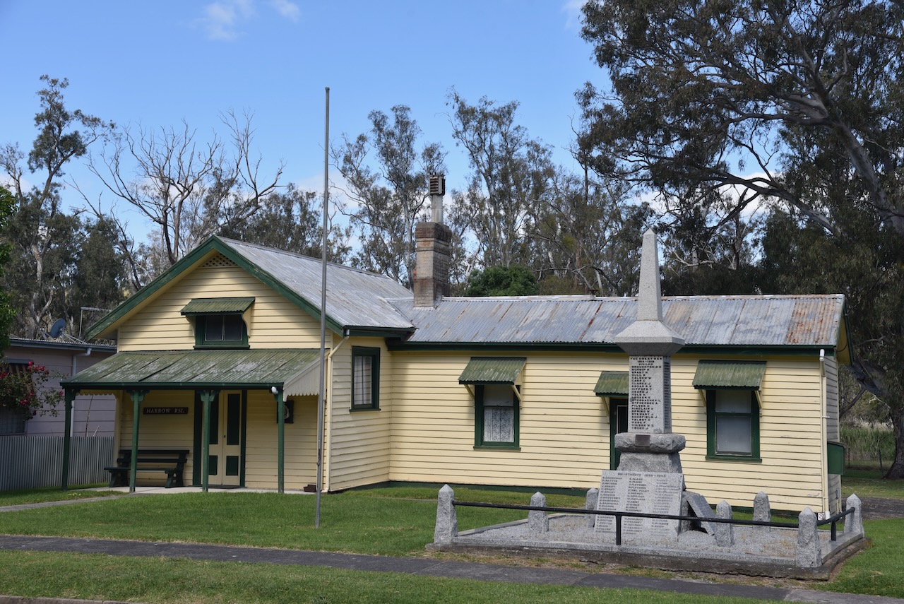
The Harrow War Memorial Obelisk is located outside the old Harrow courthouse (now RSL) built in 1877. The obelisk is on the Victorian Heritage Database.
St Paul’s Anglican Church was built in 1933.

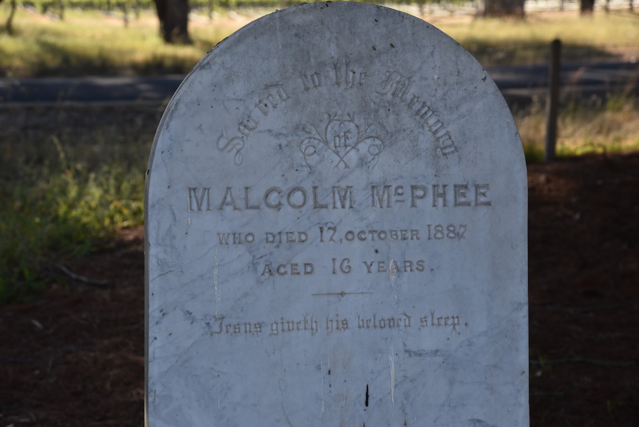
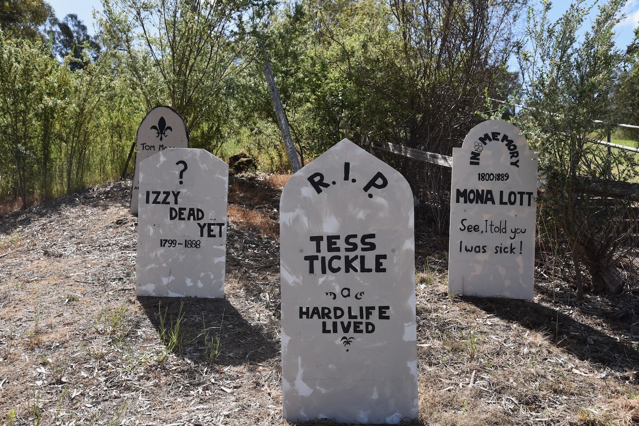
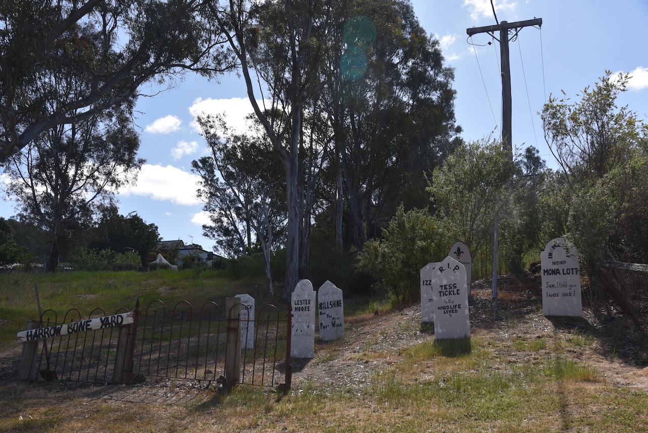
In the main street (Blair Street) you can find these quirky headstones in the Harrow Boneyard.
Kalang Cottage was built in 1876 as a settler’s cottage. It was subsequently moved into town to Gardner Park and was restored in 1988.


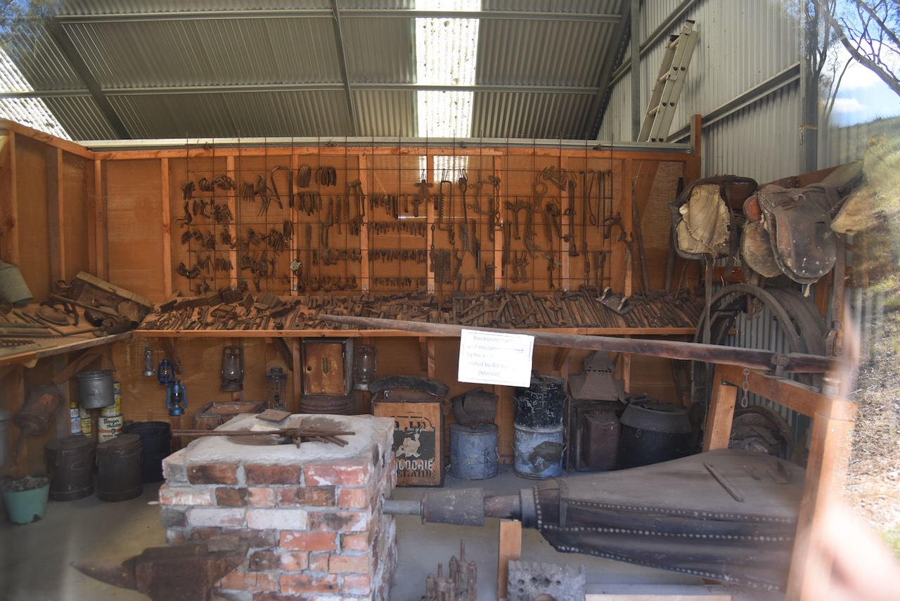


Near the cottage is an old horse drawn fire tank and an old tyre shrinker that was used by blacksmiths to shrink iron tyres to fit wooden wheels.

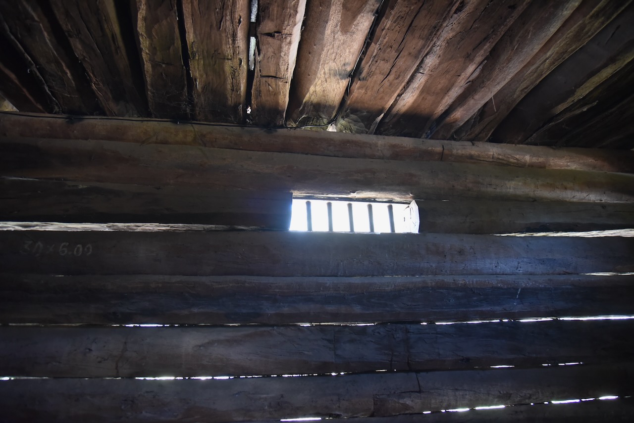
The oldest surviving building in Harrow is the old log gaol built in 1859 from locally sawn logs. It was used by the police until 1869.
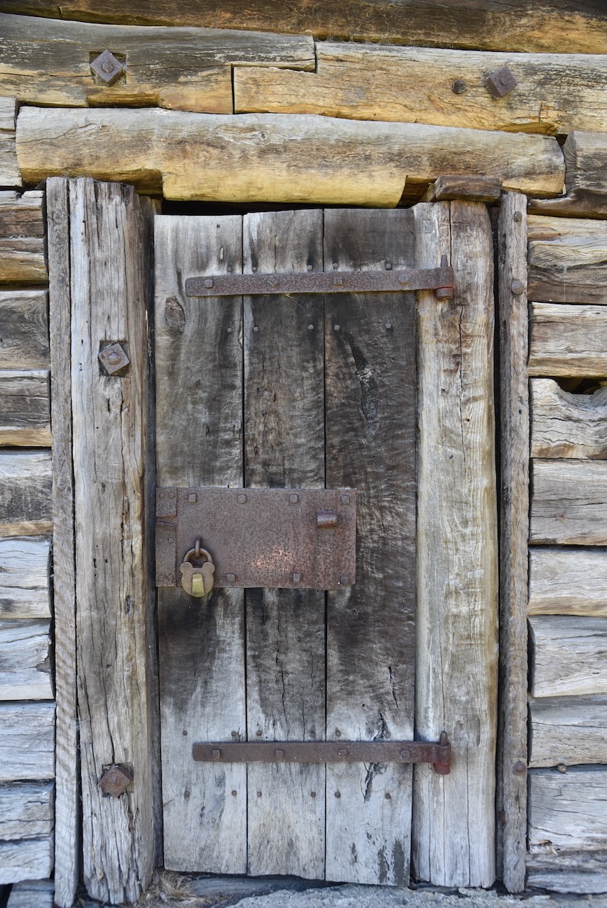
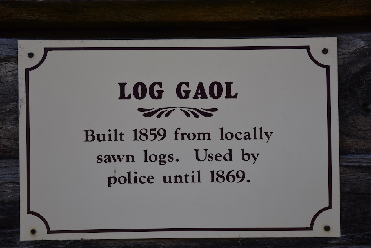
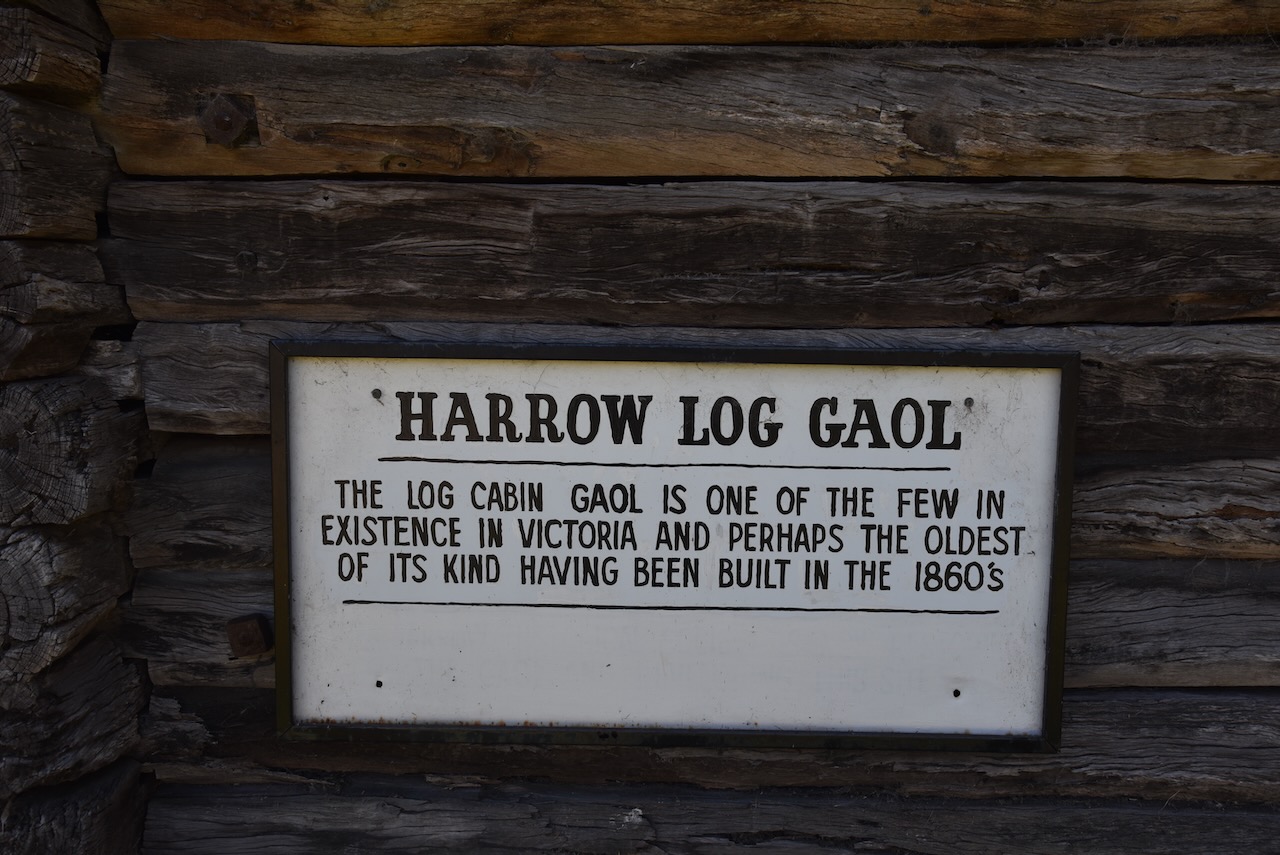
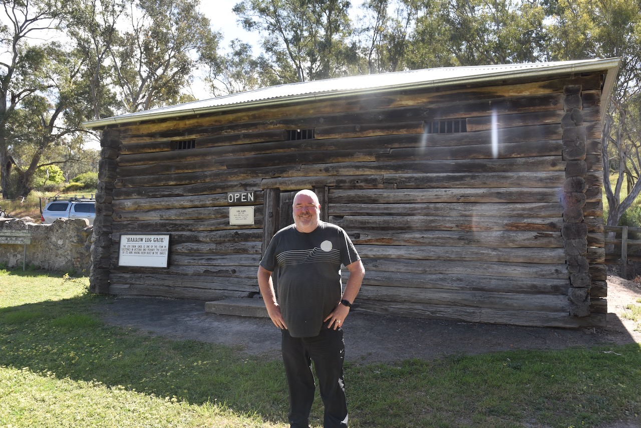
The log gaol is one of only a few remaining in existence in Victoria.


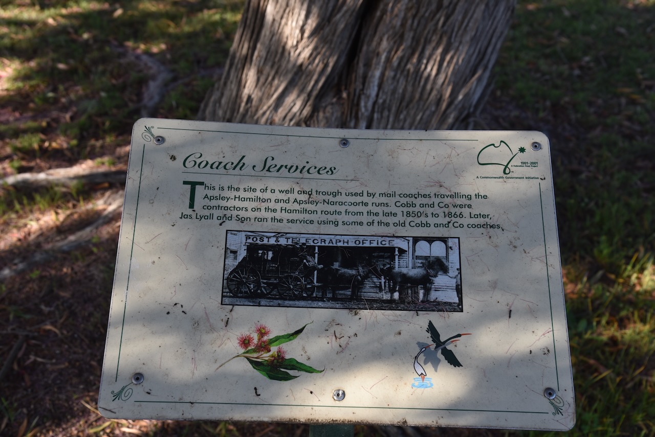
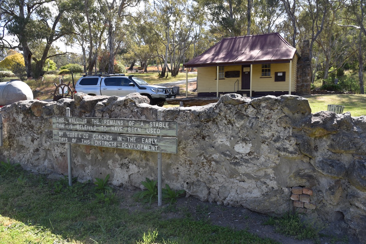
Near Kalang Cottage is an old wall that is the remains of a stable that is believed to have been used by Cobb & Co coaches in the early days of Harrow.
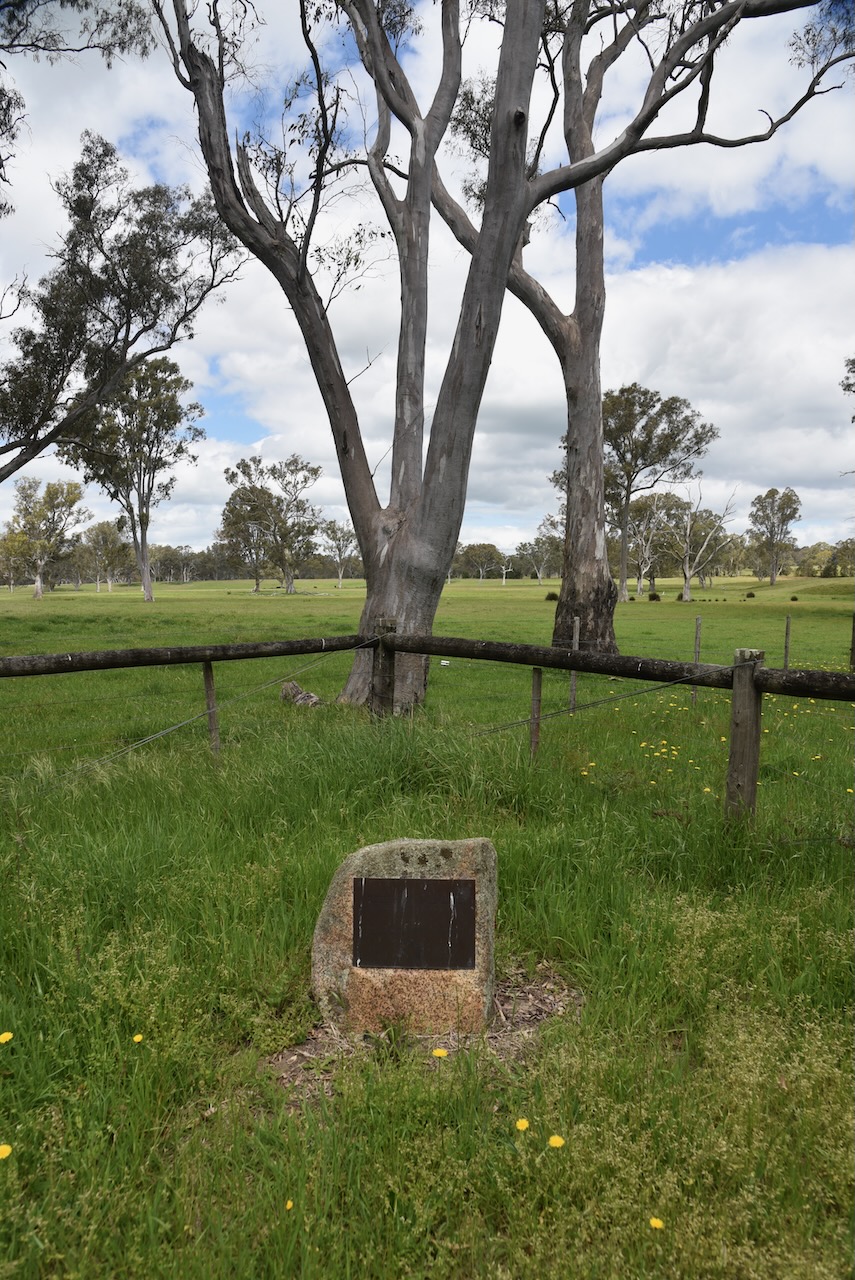
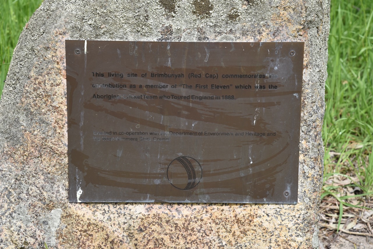
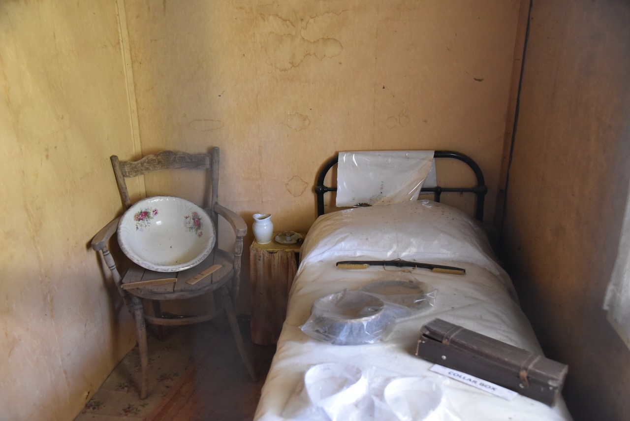
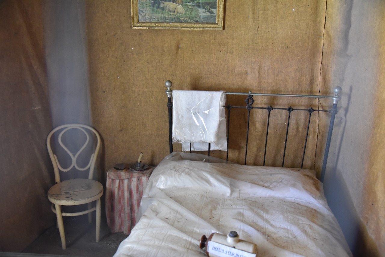
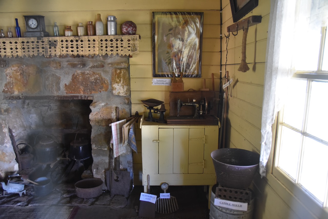
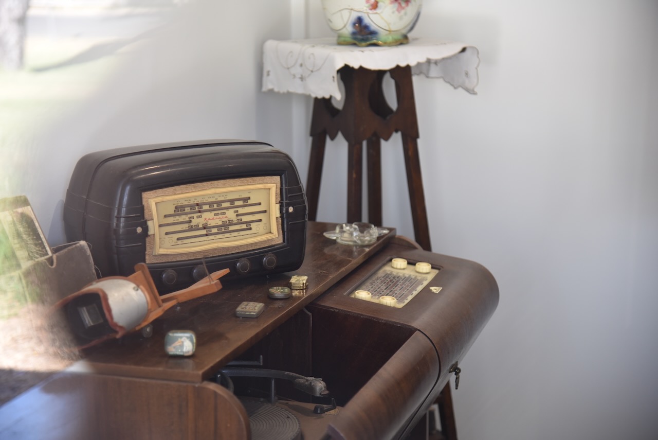
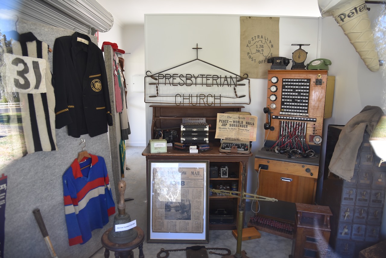
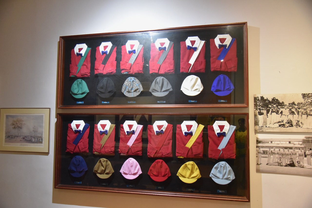
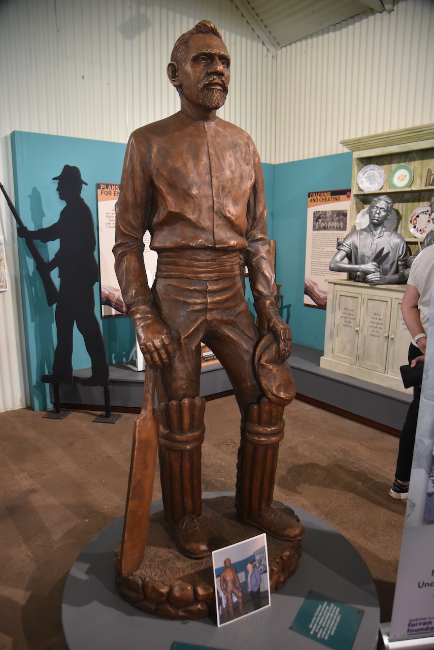
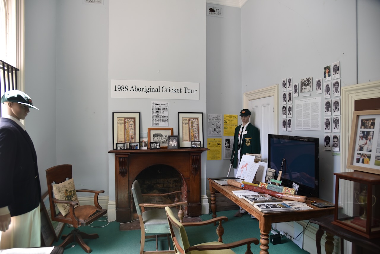
The jewell in the Crown of Harrow, in our opinion, is the Harrow Discovery Centre and Johnny Mullagh Interpretative Centre.

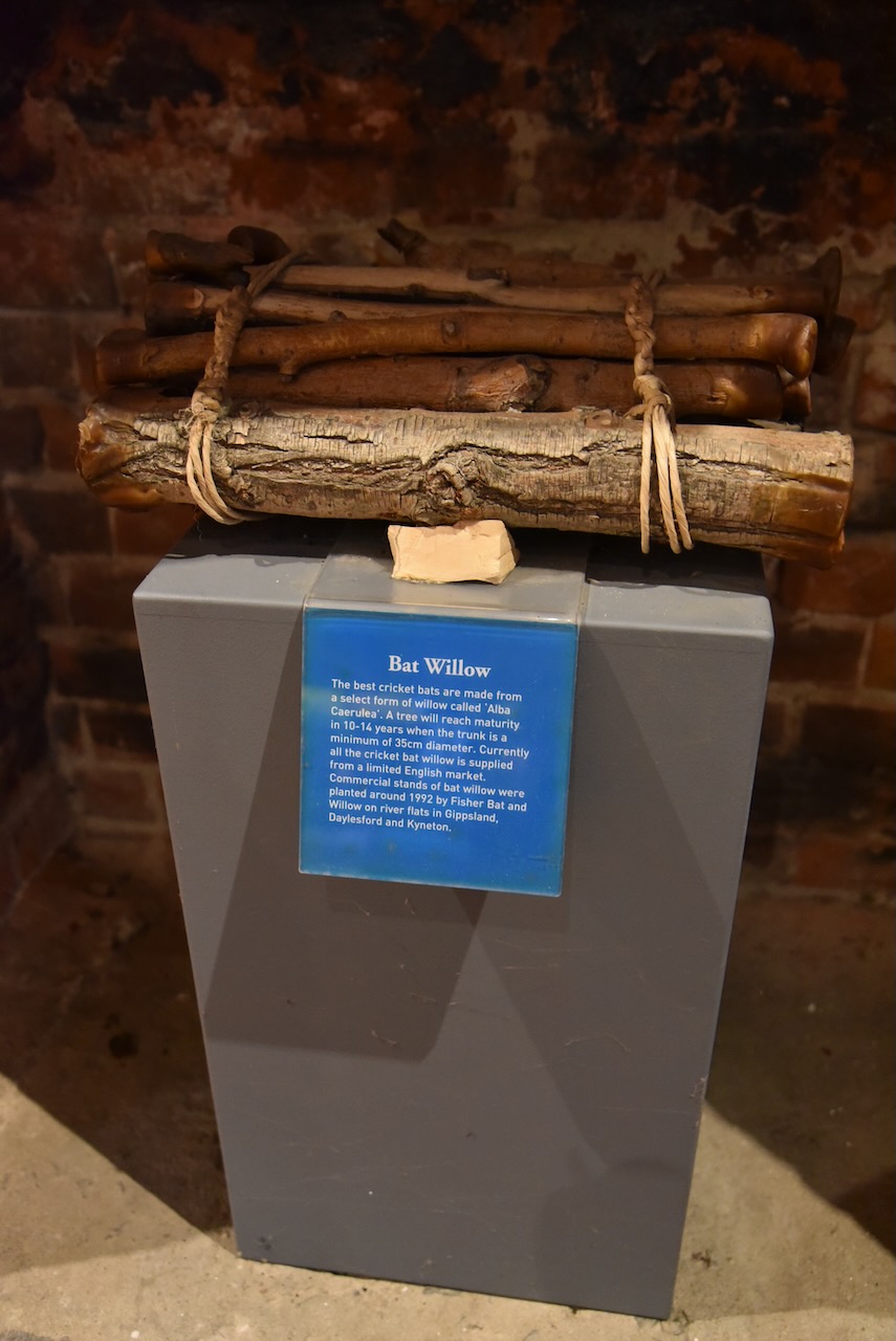
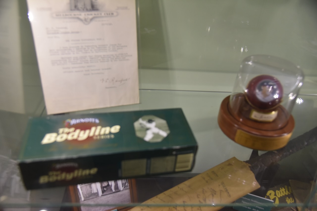
The centre has an excellent collection of cricket memorabillia.

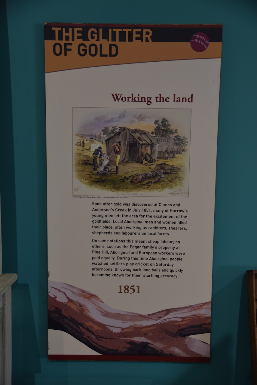


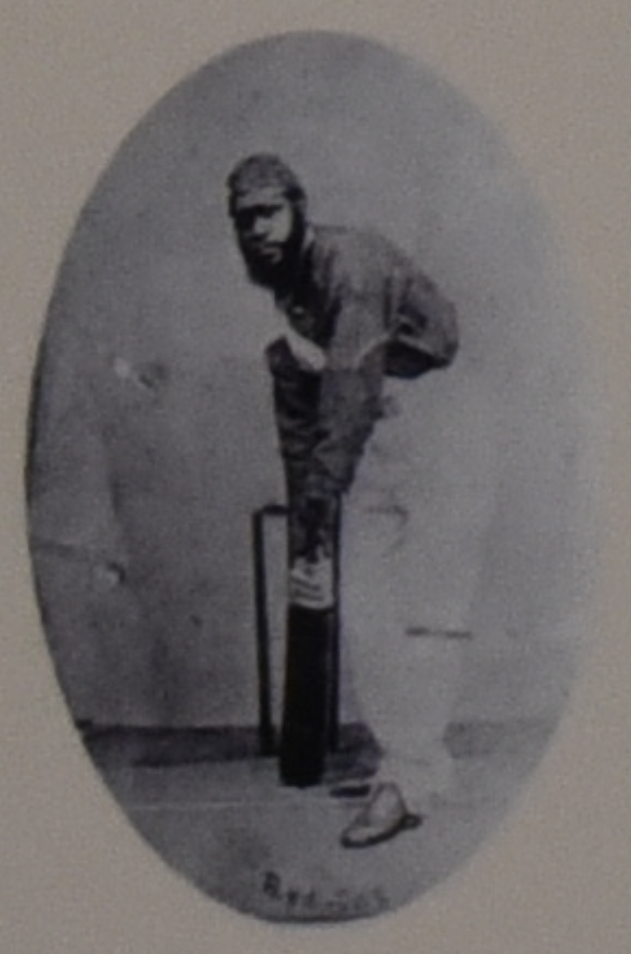
The centre also tells the story of the Aboriginal cricket team that toured England in the 1860s. This was 14 years before the first Ashes matches in England.
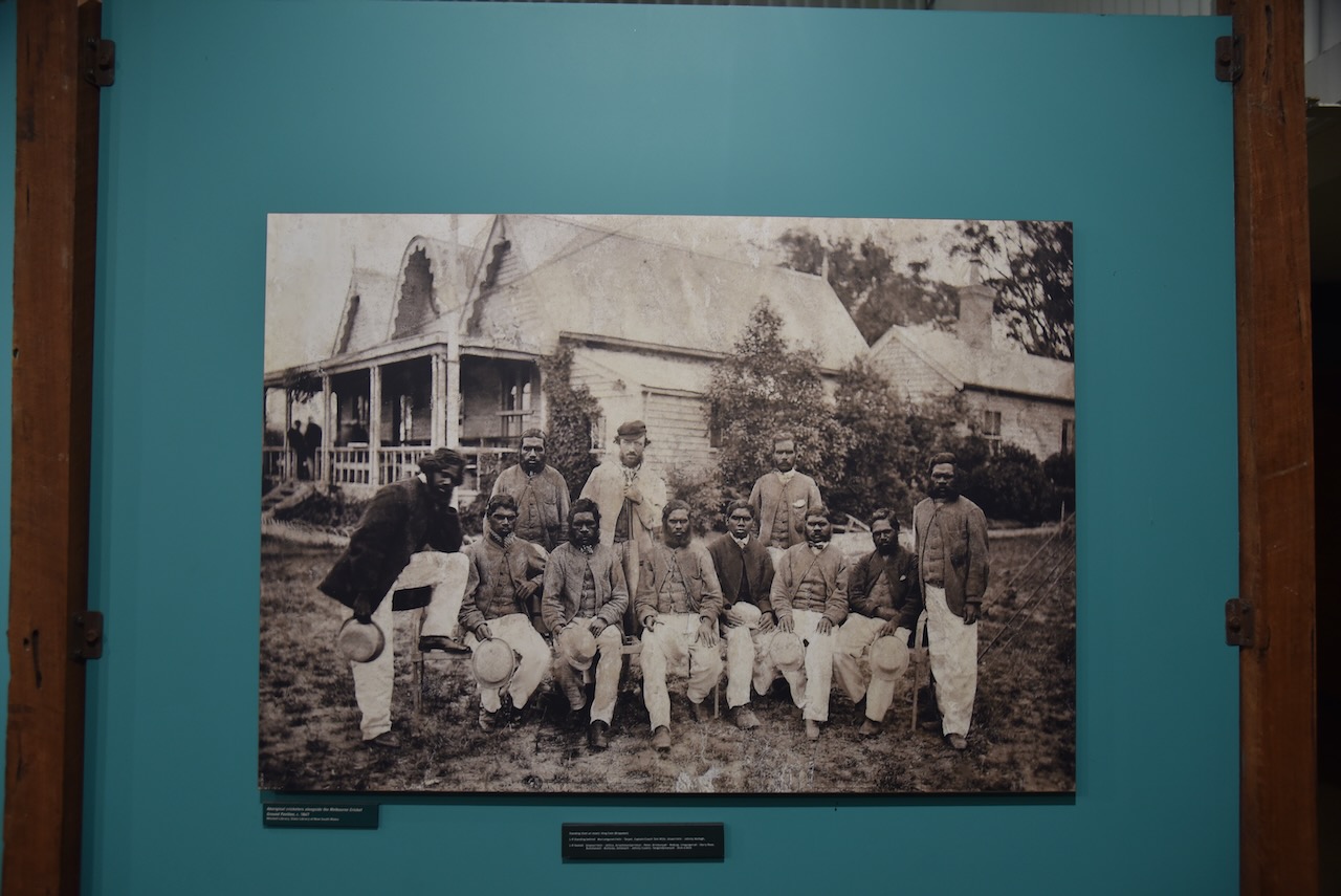
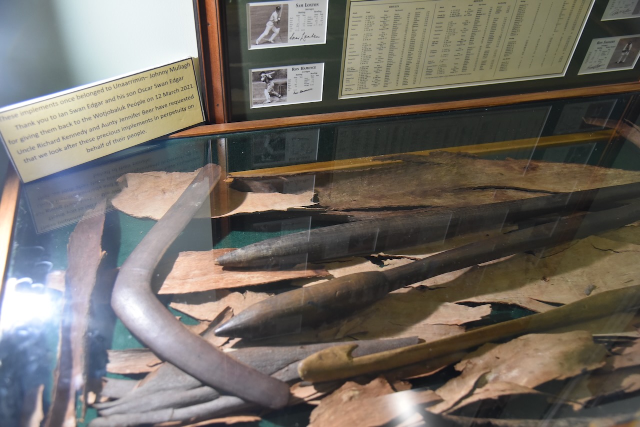
There is some emphasis on Johnny ‘Unarrimin’ Mullagh who was born on Mullagh Station near Harrow in c. 1841. Mullagh Station was established in 1844 by Patrick Riley and Thomas Barrett As was usual for those times in the 1800s Aboriginal workers were employed on the stations. Unarrim was employed at Mullagh Station and was given the European name Johnny Mullagha.

Below is an excellent video on Johnny ‘Unarrimin’ Mullagh.
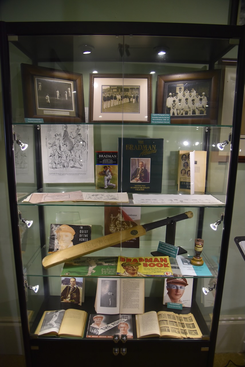
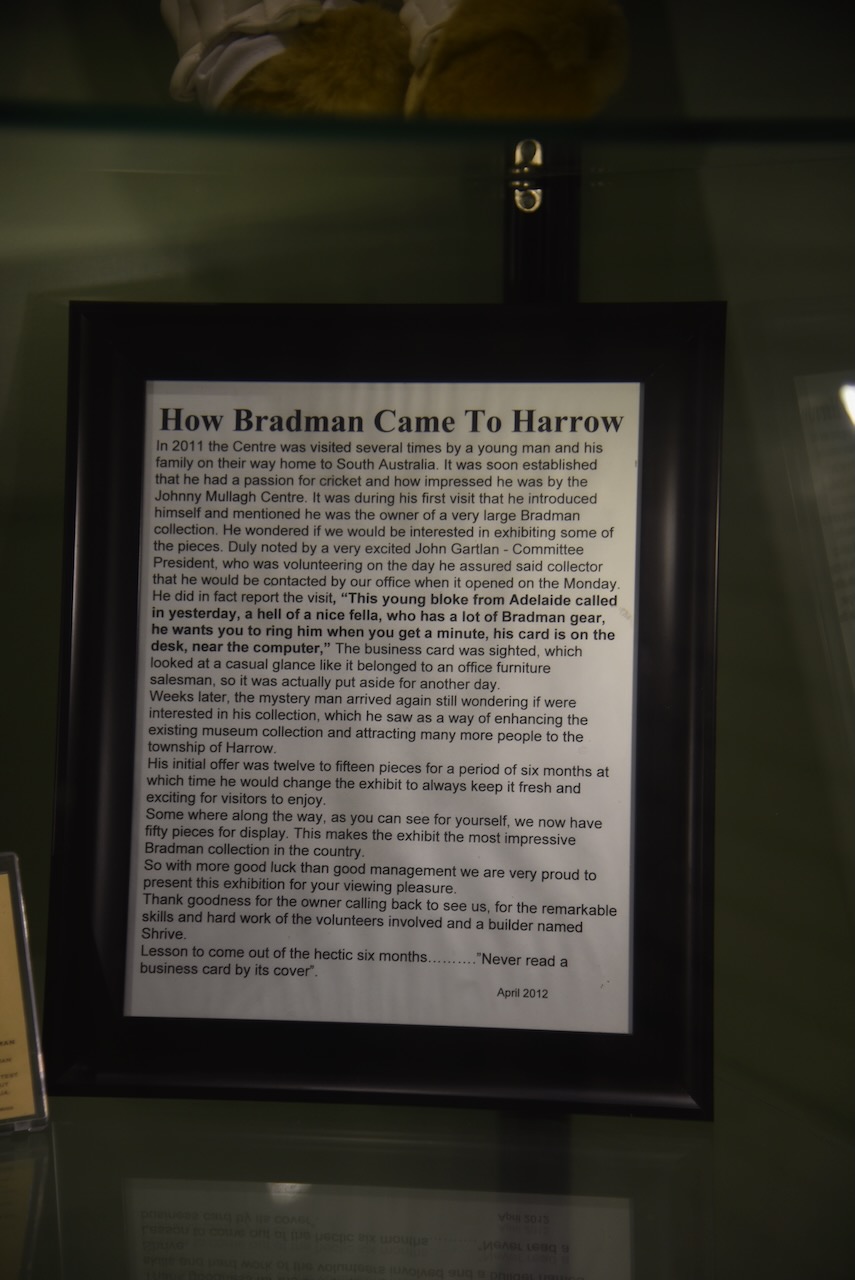
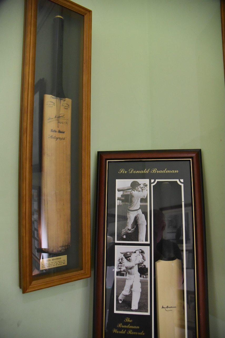
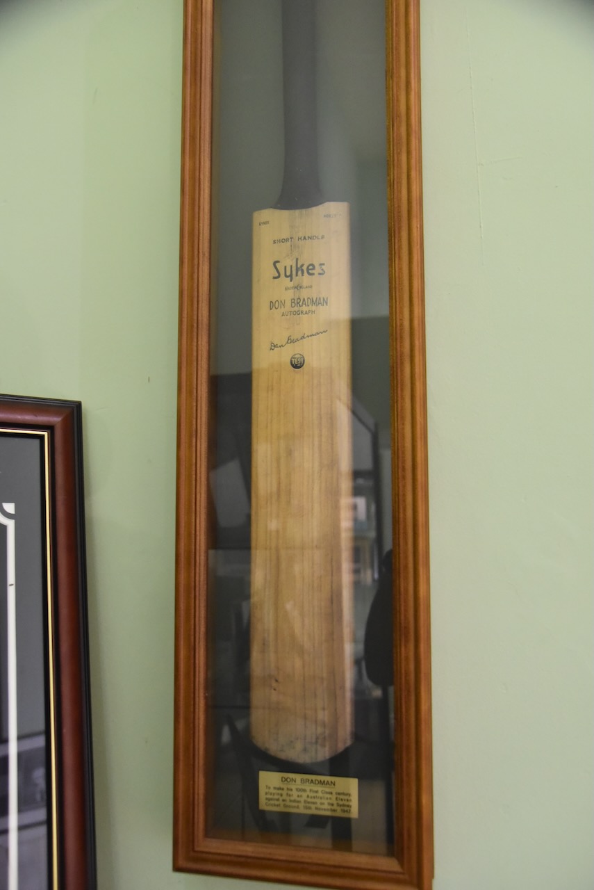
The centre also has an excellent collection of Don Bradman cricket memorabaillia.
For those reading this post from overseas who know nothing about Bradman and cricket, you can view a very interesting video below.
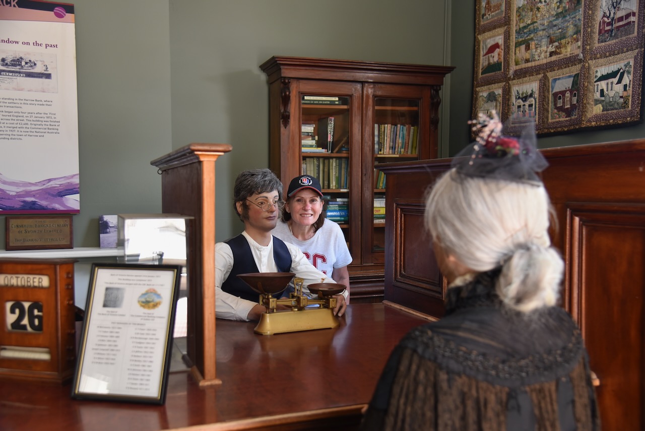
The centre contains the original Harrow Bank which was built in 1873 at a cost of 2,400 pounds. It was originally the Bank of Victoria, before merging with the Commonwealth Banking Company in 1927.

There is also a room dedicated to the 1988 Aboriginal Cricket team, who 120 years after the 1868 aboriginal cricket team, retraced the steps of the first team to coincide with the bicentennial celebrations
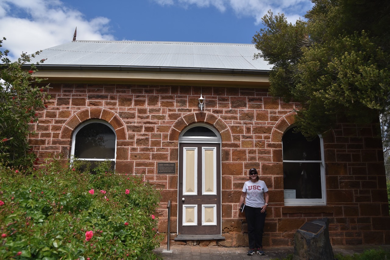
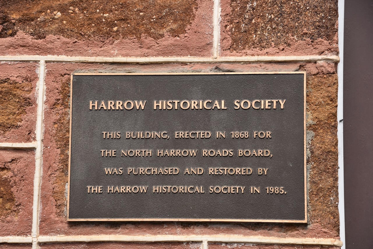
Next door is the Harrow Historical Society building that was originally erected in 1868 for the North Harrow Roads Board. It later became the Kowree Shire Council Offices building from 1872 to 188. It was purchased and restored by the Harrow Historical Society in 1985.
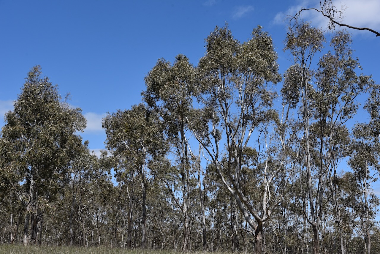
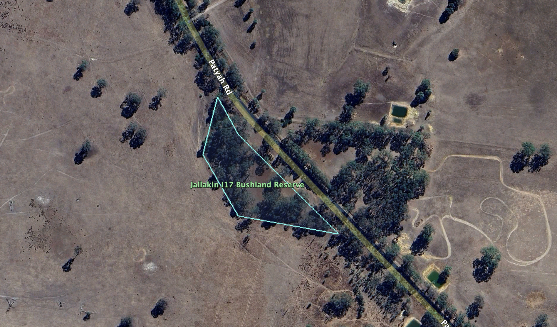
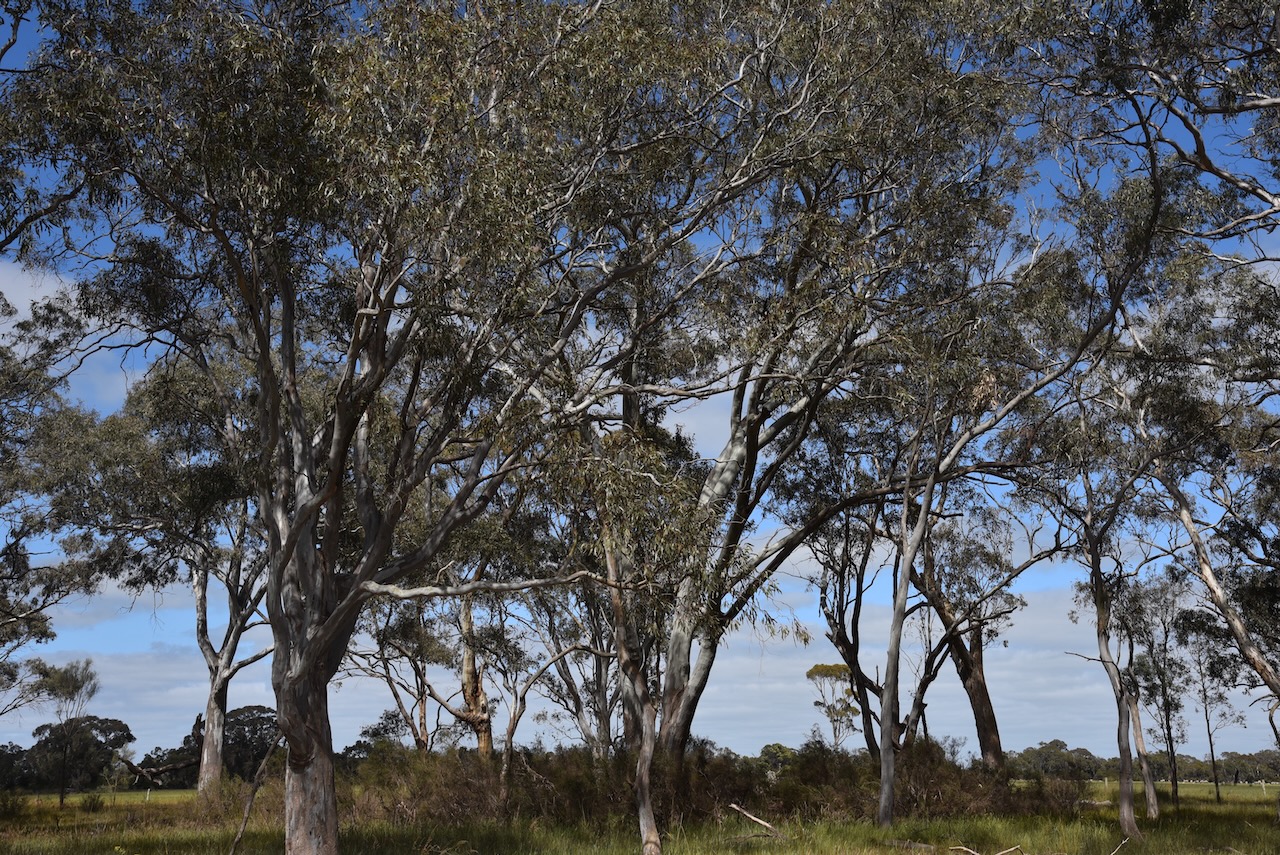
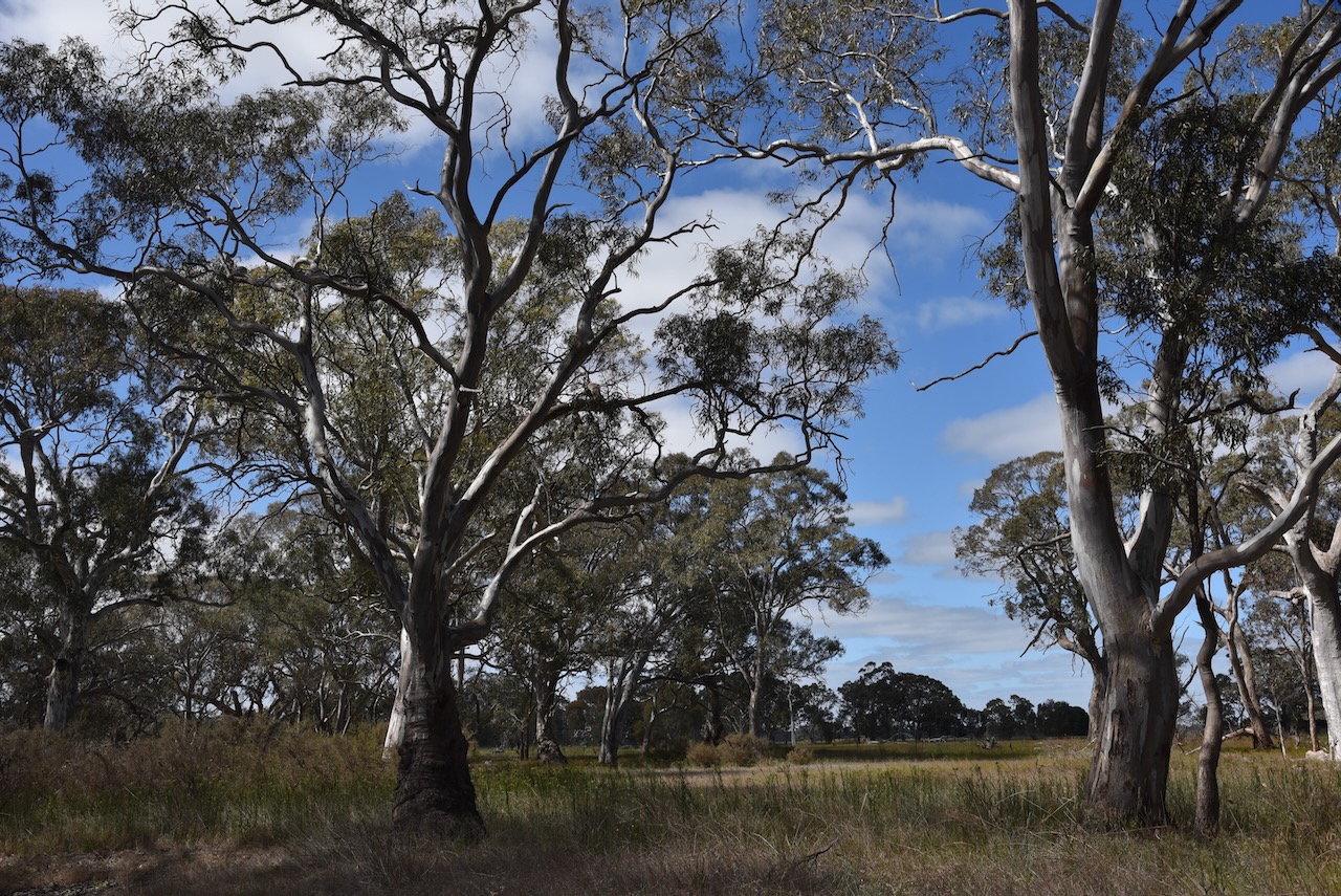
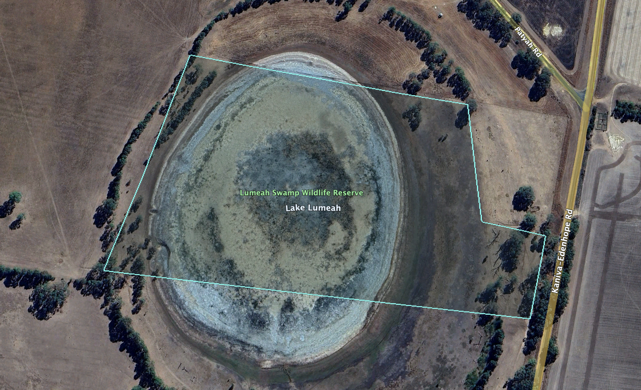
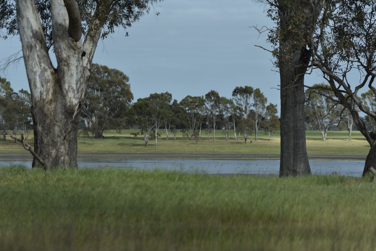
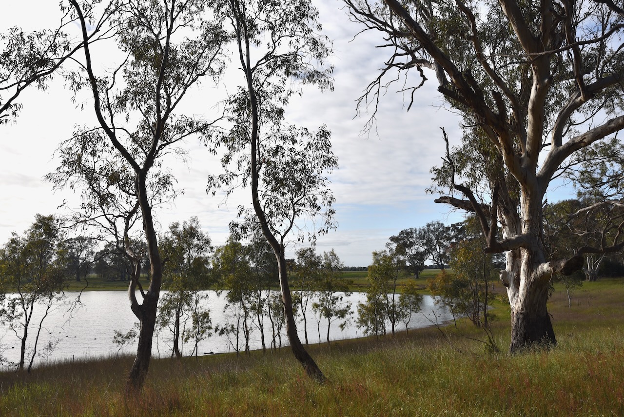
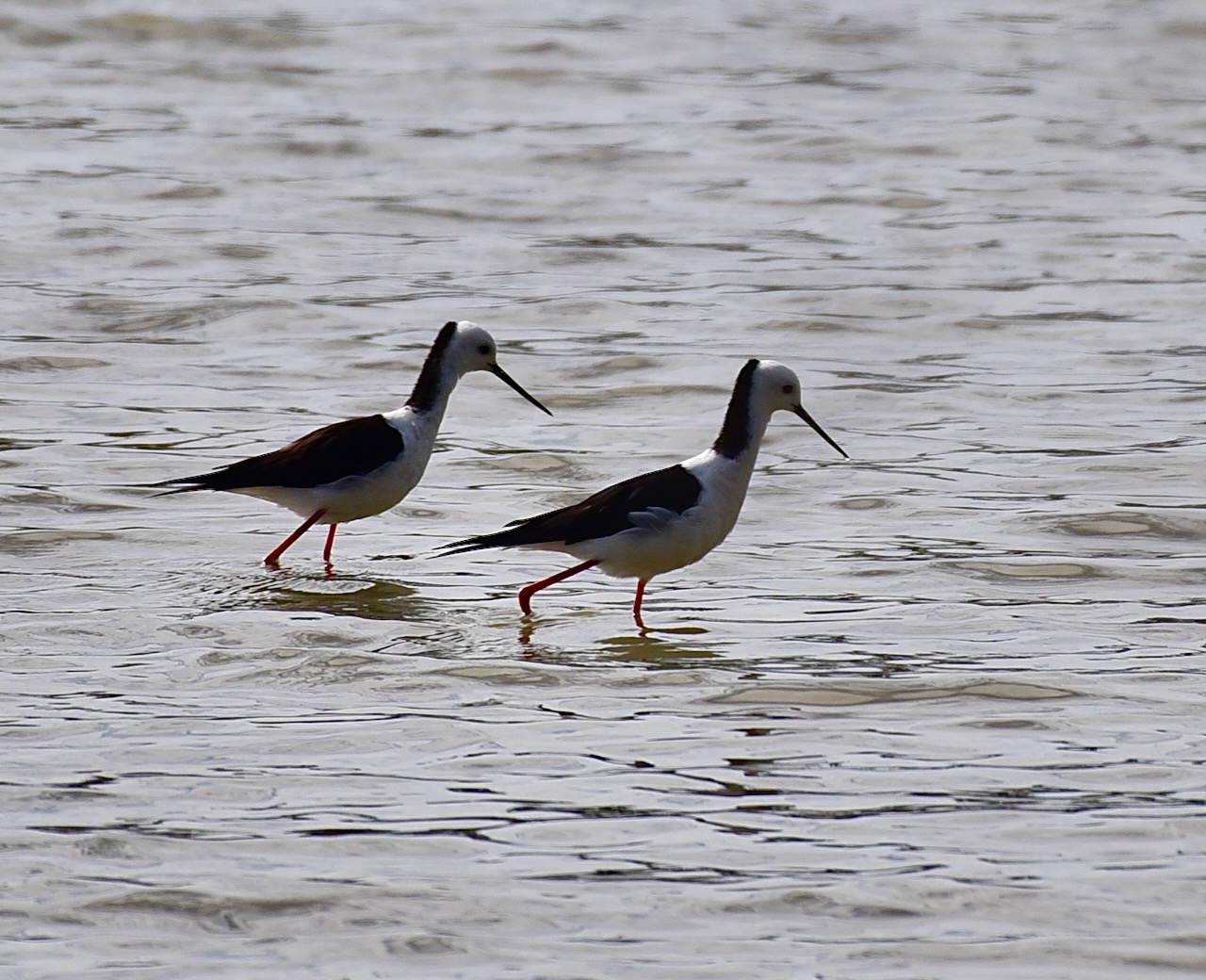
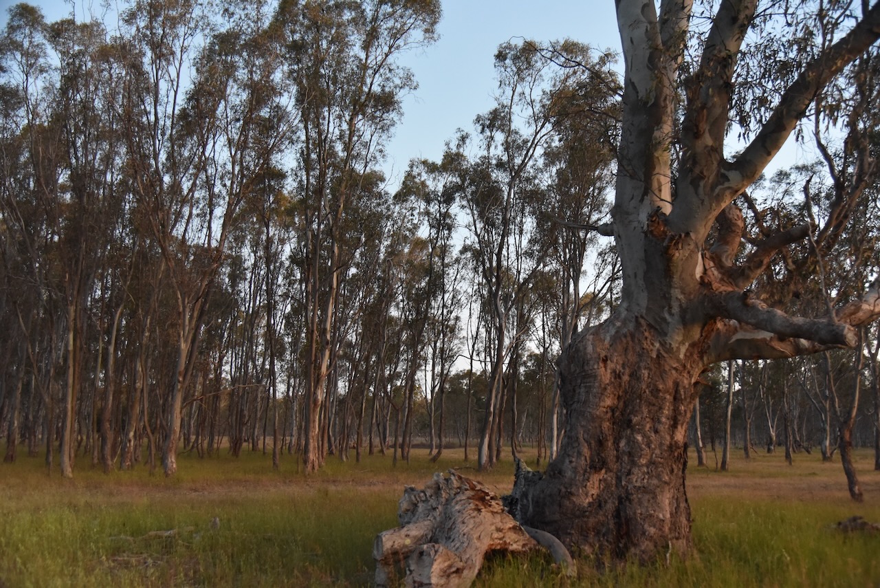
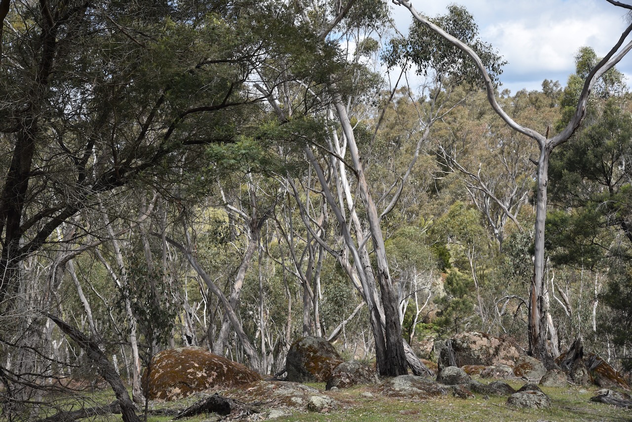
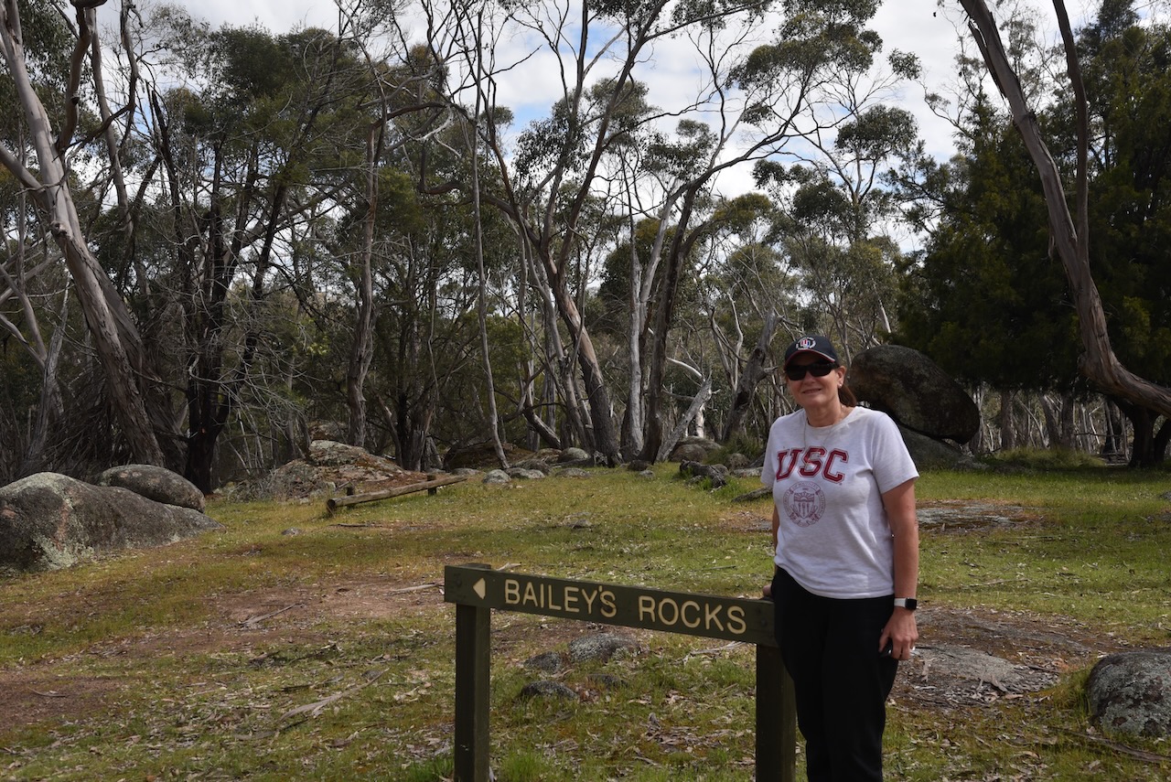
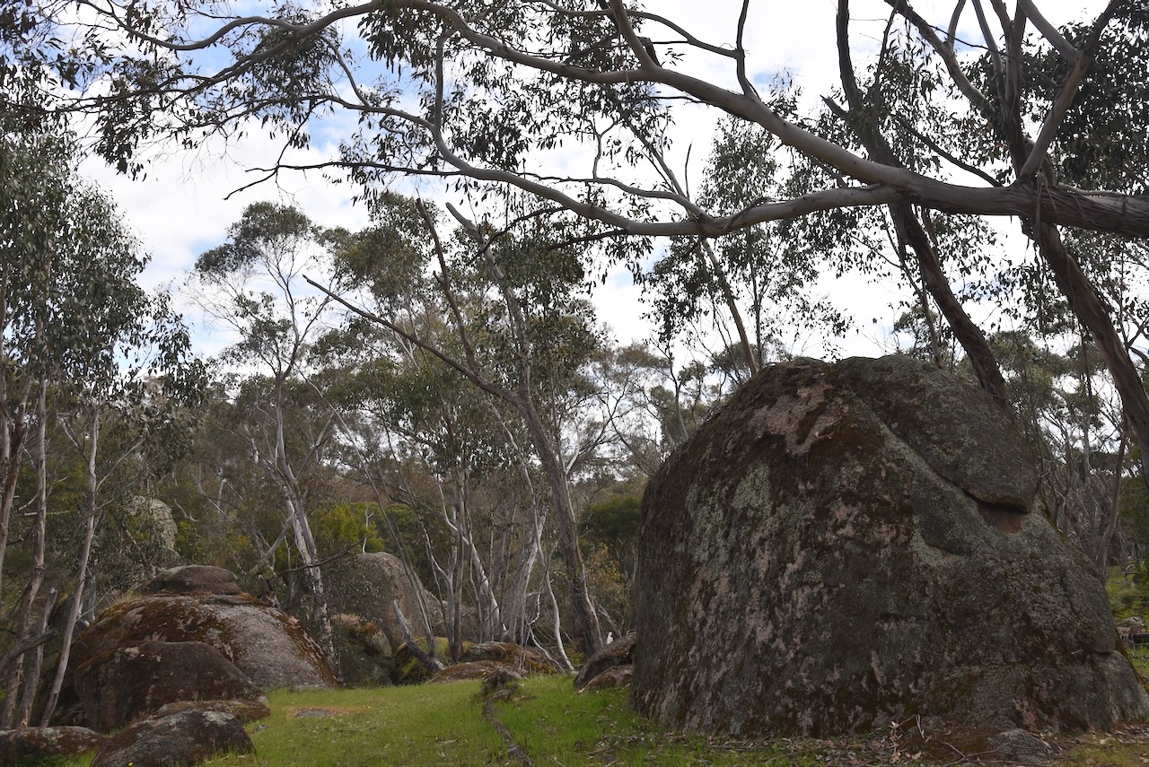
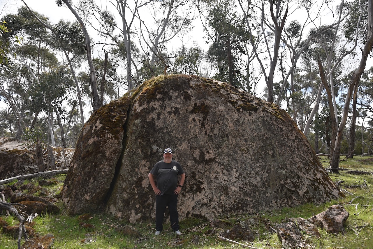
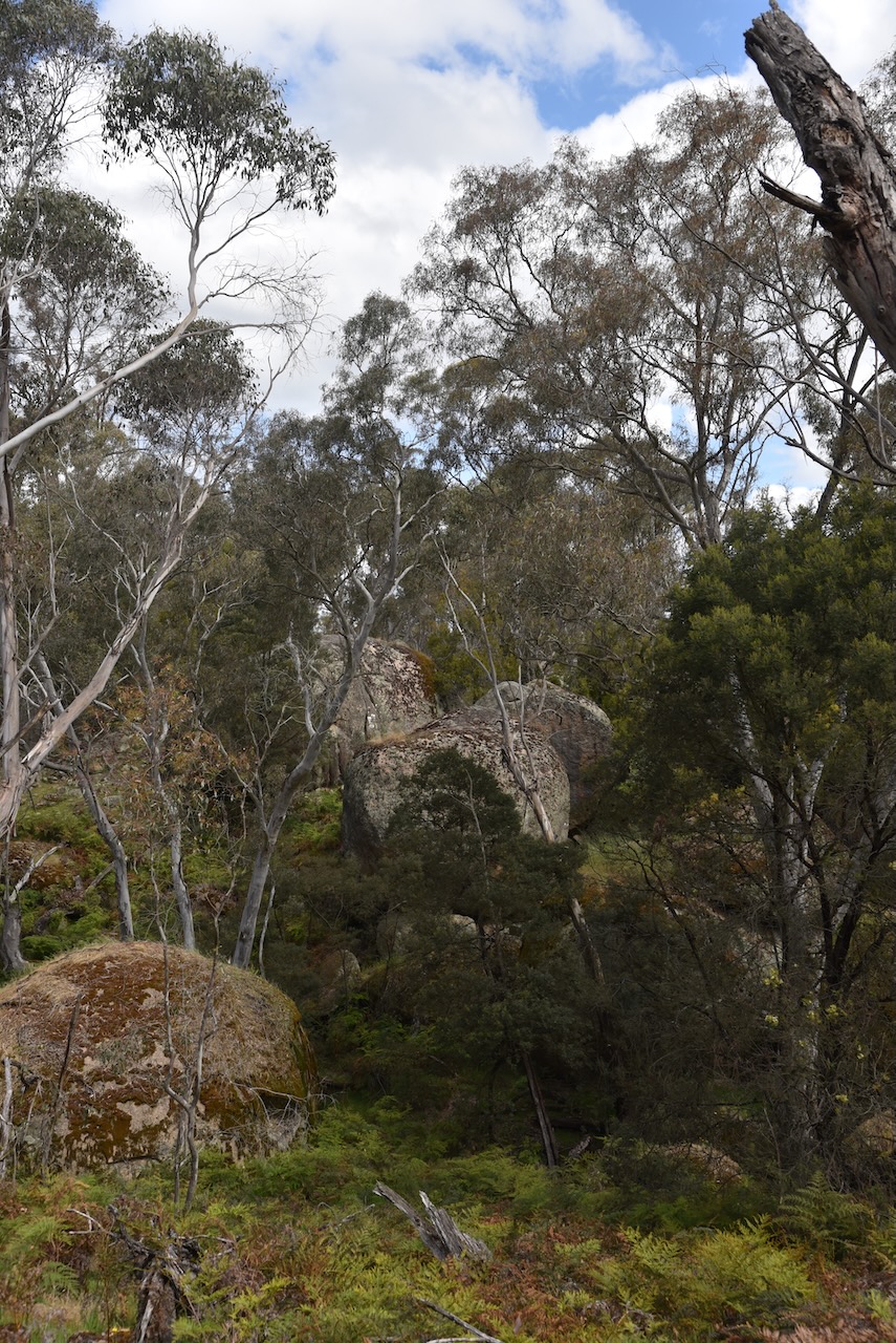
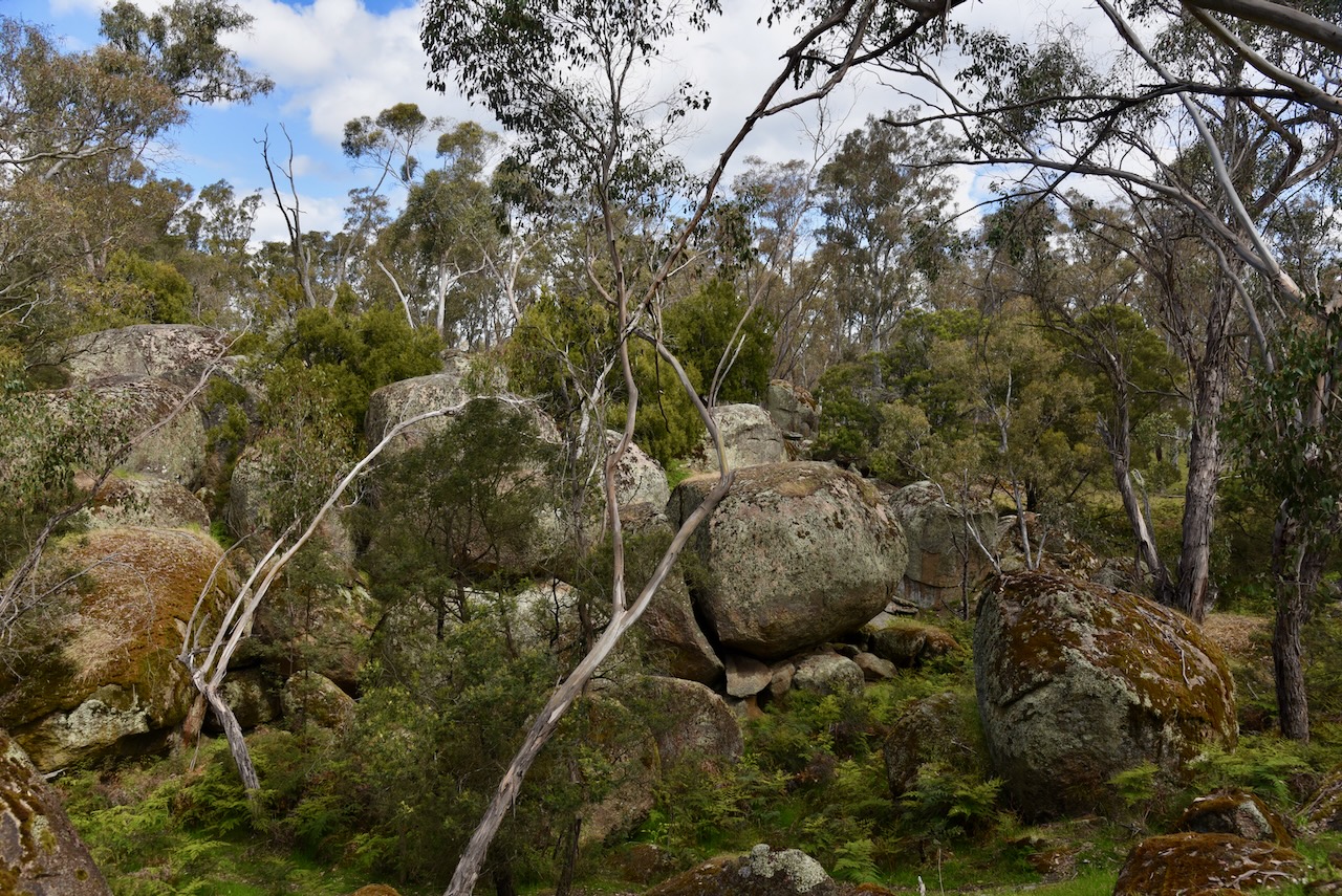
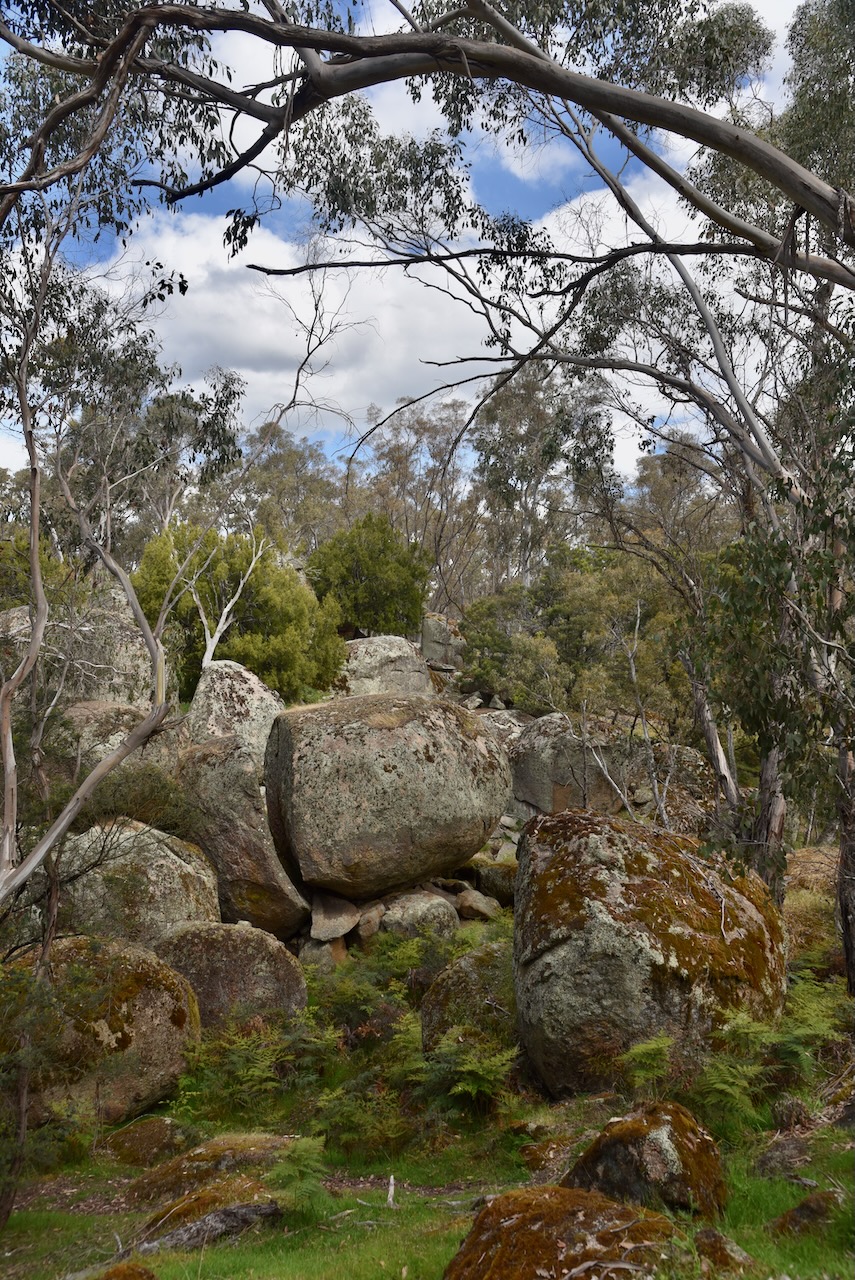
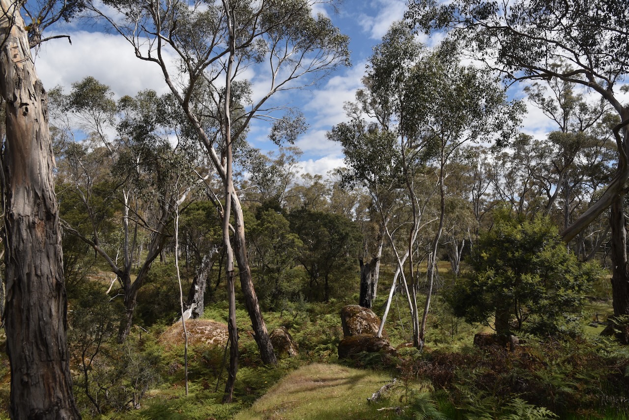
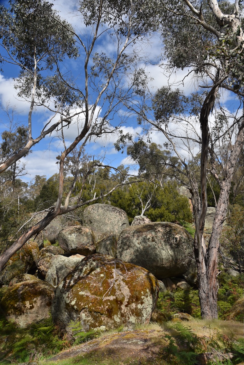
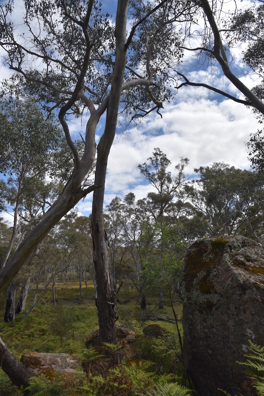
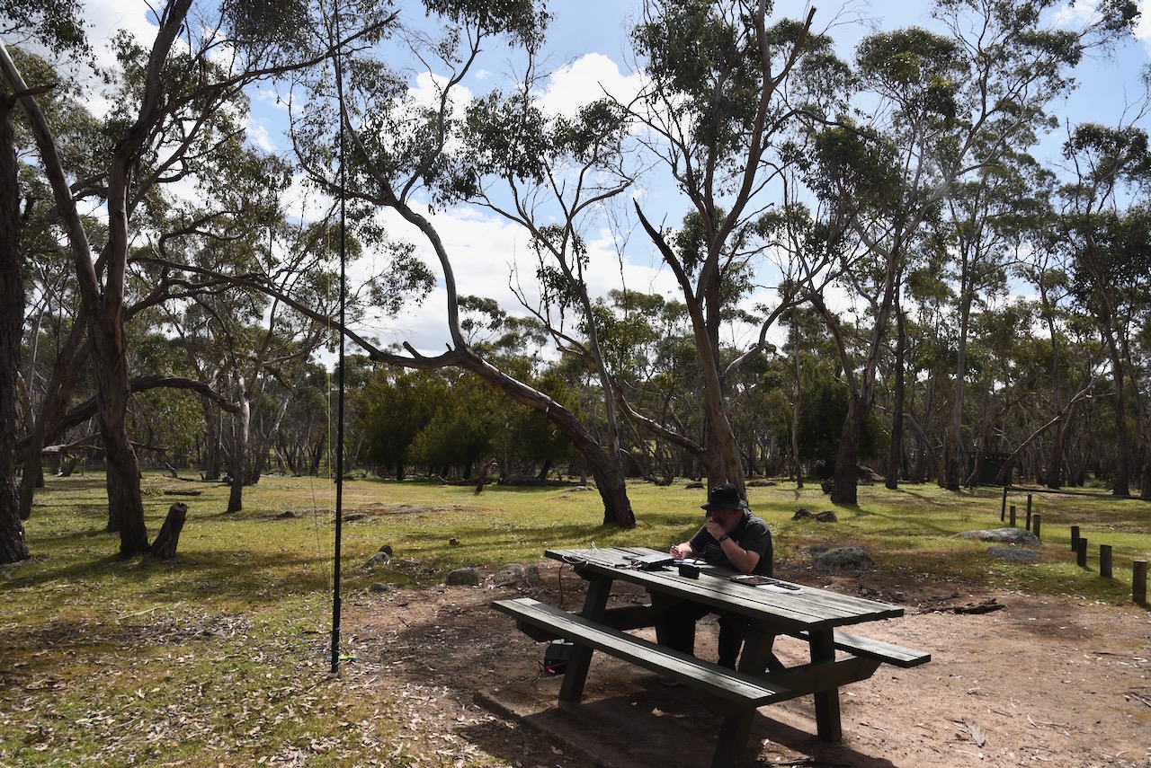
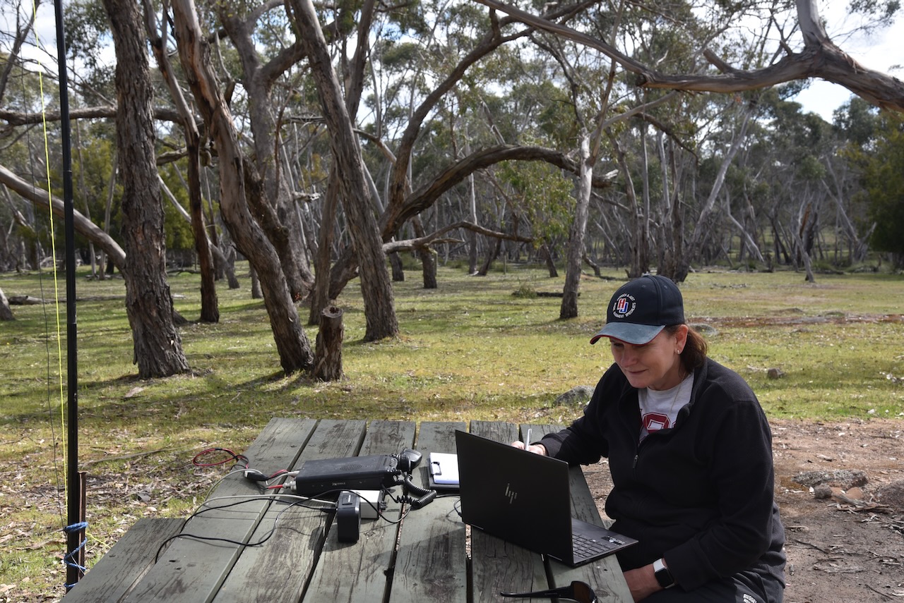
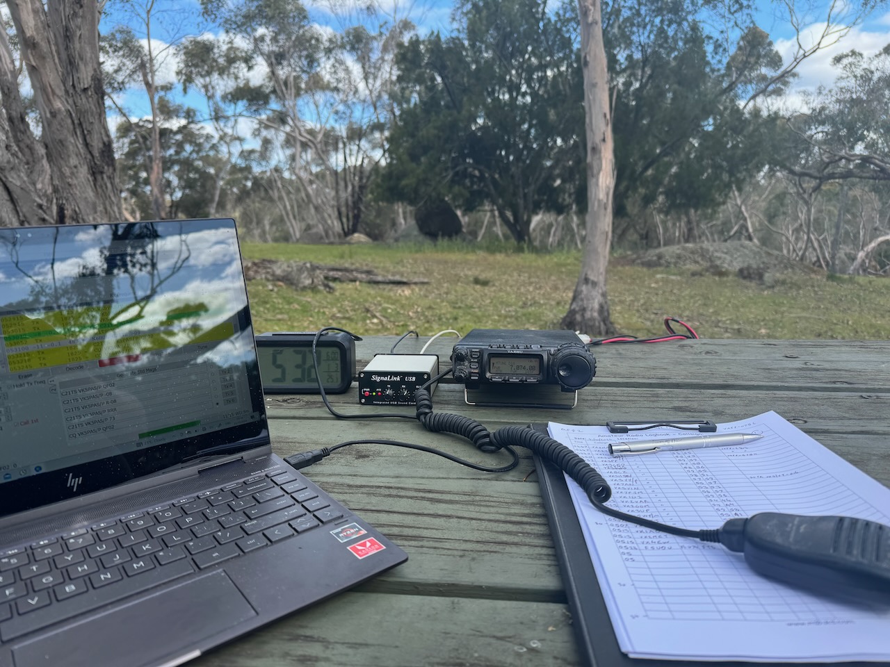
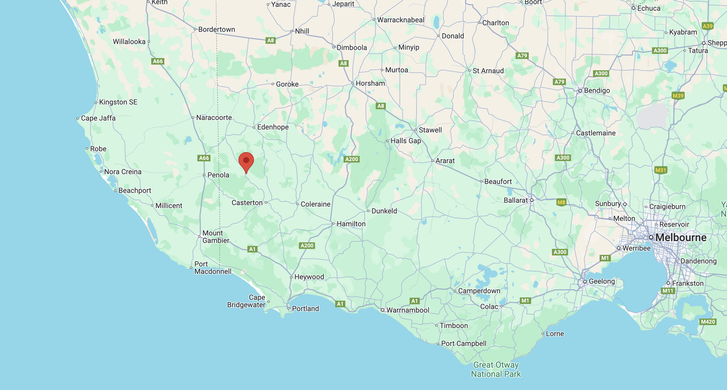
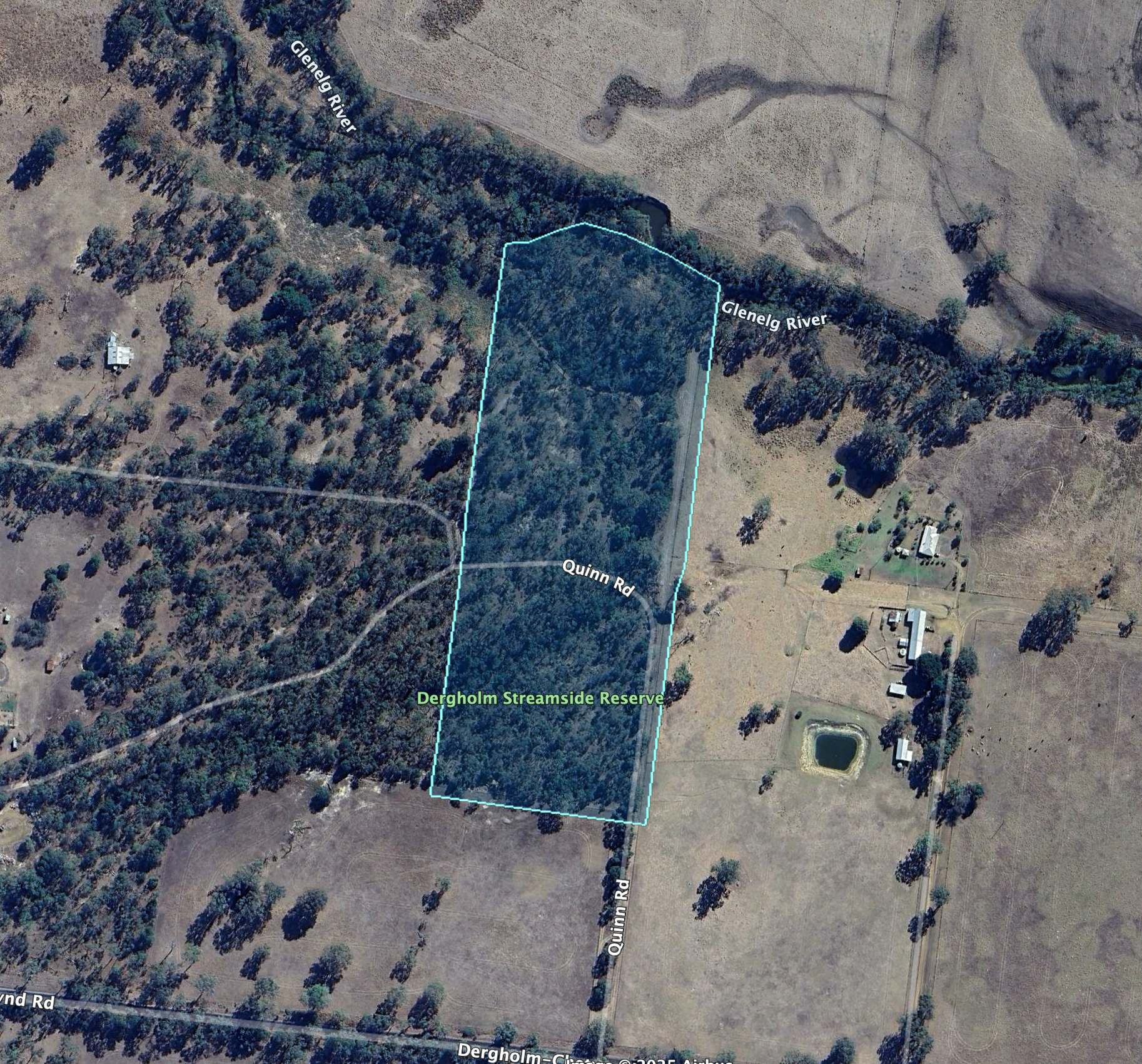
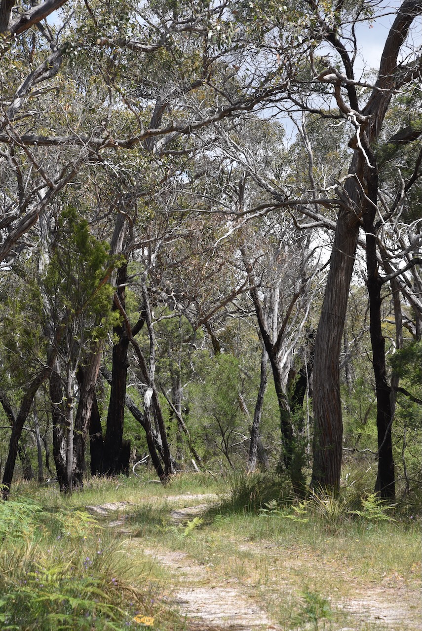
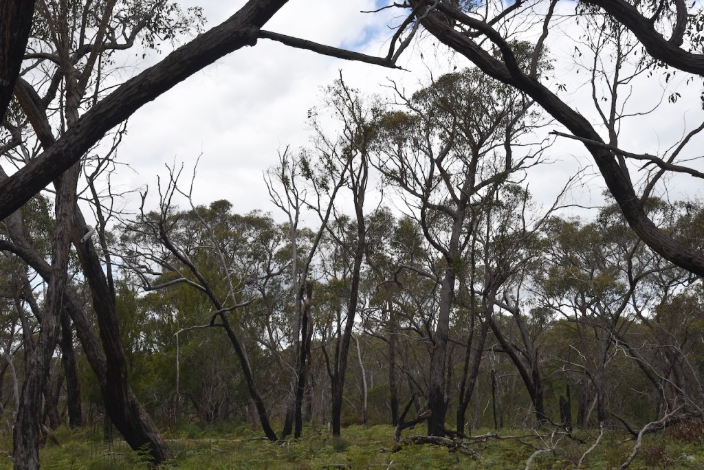
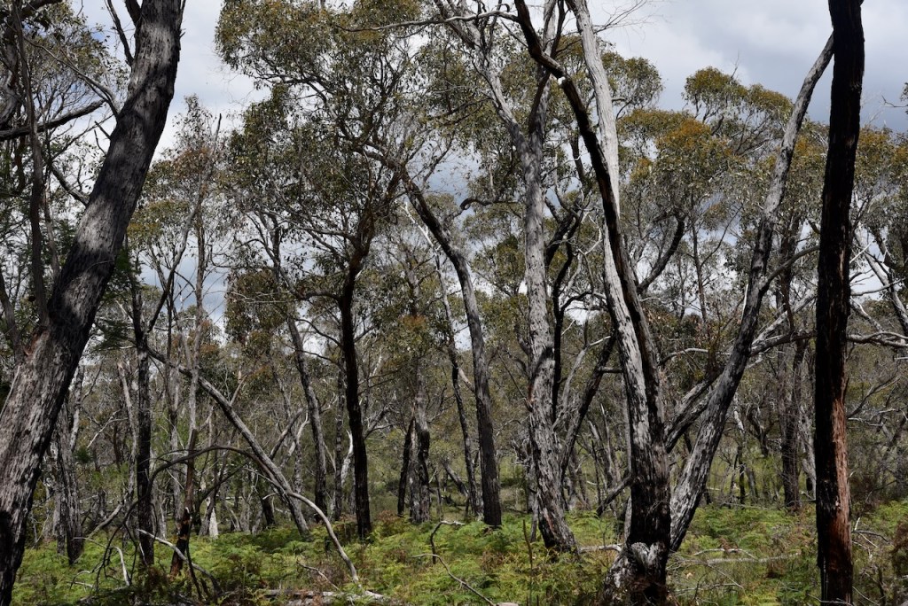
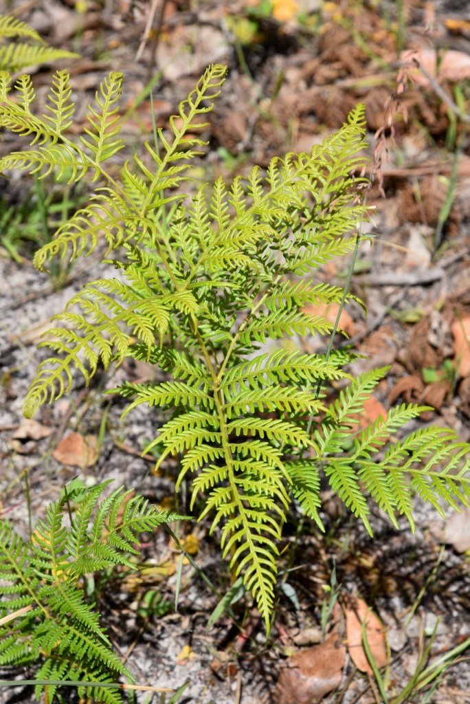
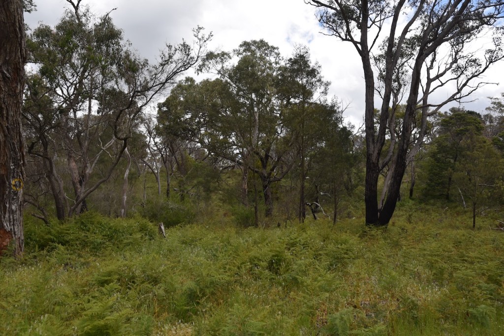
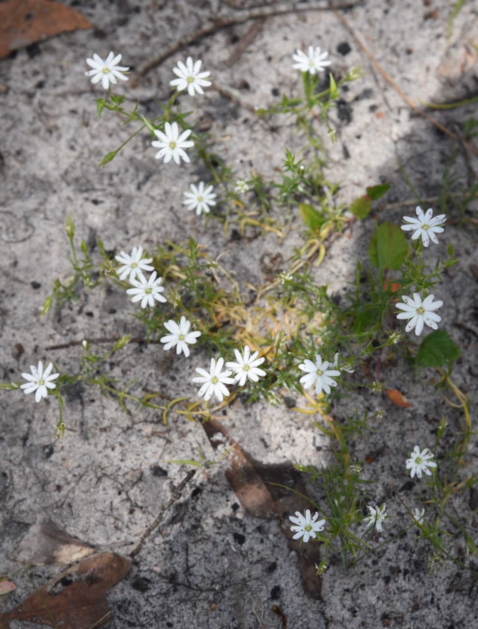
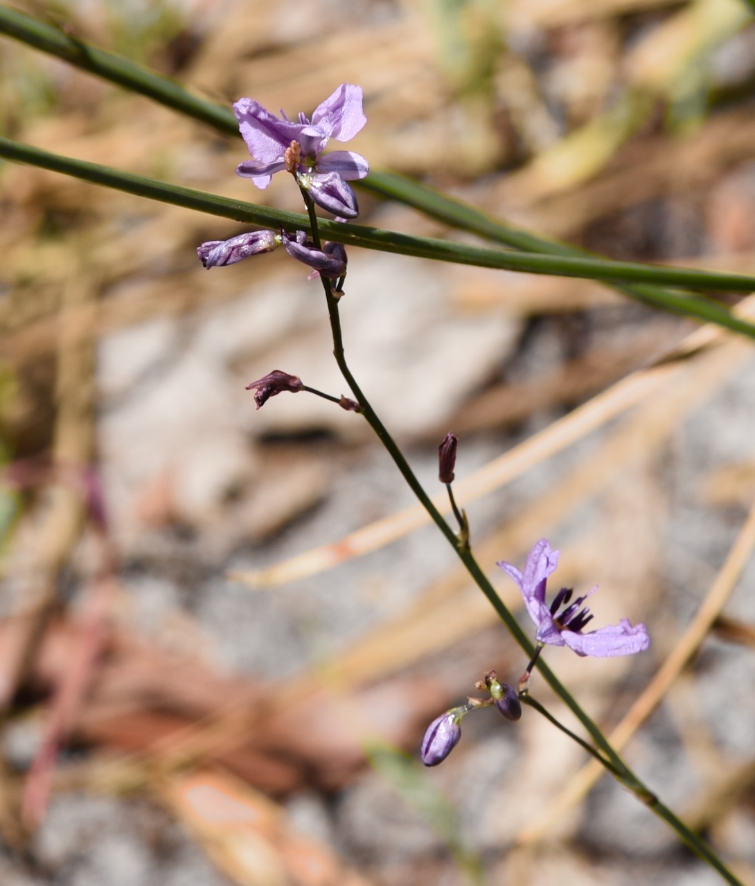
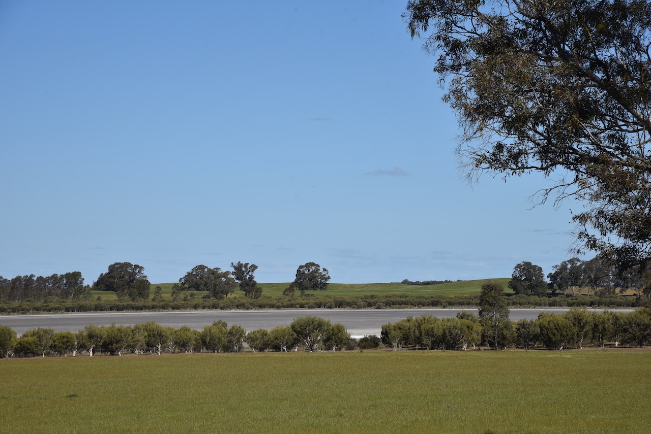
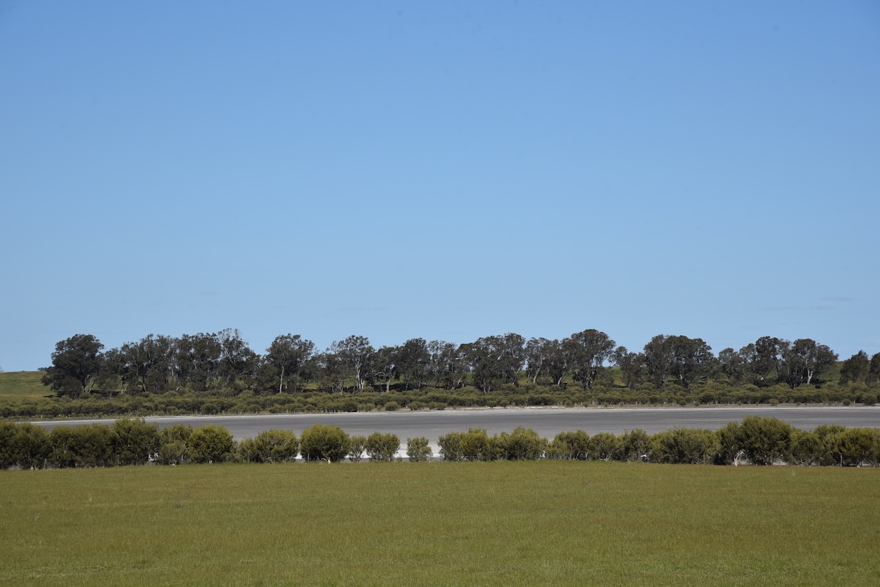
Marija and I left Harrow and headed out to activate Lake Mullancoree Wildlife Reserve VKF-5315.
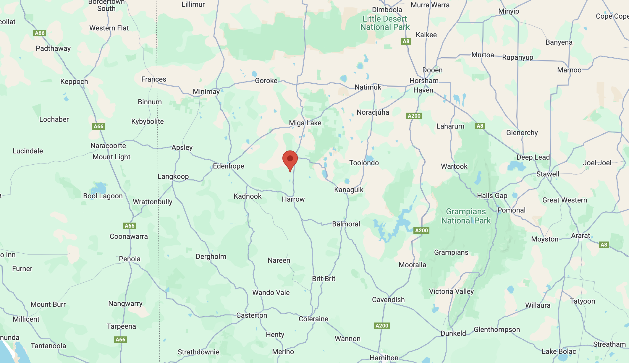
Above:- Map showing the location of Lake Mullancoree Wildlife Reserve. Map c/o Google Maps.
The reserve is located on the eastern side of Goroke-Harrow Road.
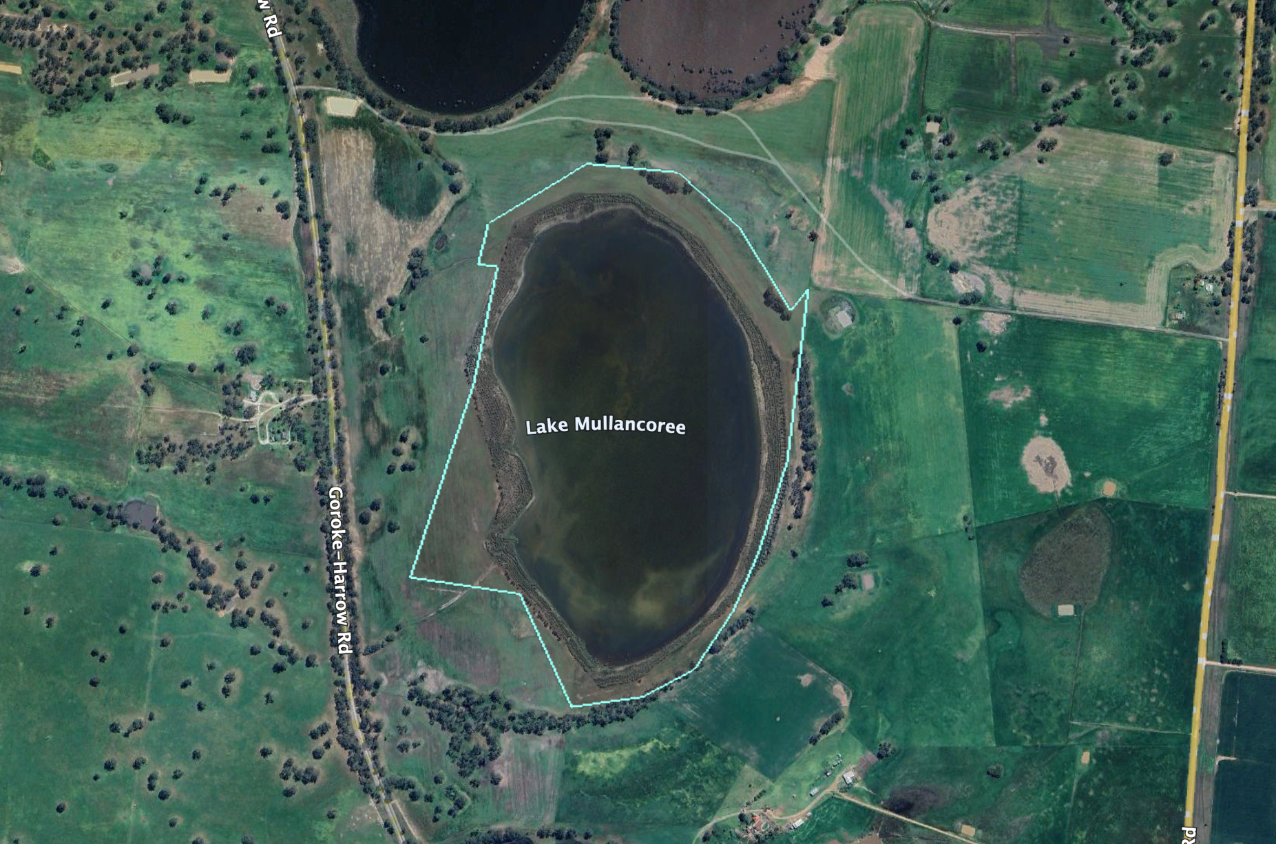
Above:- An aerial view of the Lake Mullancoree Wildlife Reserve. Image c/o Google Earth.
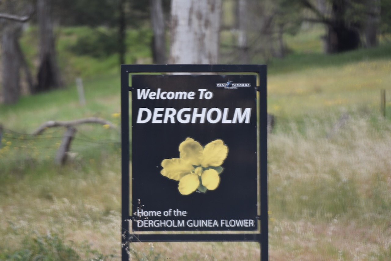
The reserve is located at Wombelano, which is an aboriginal word meaning beautiful. (Blake 1978)


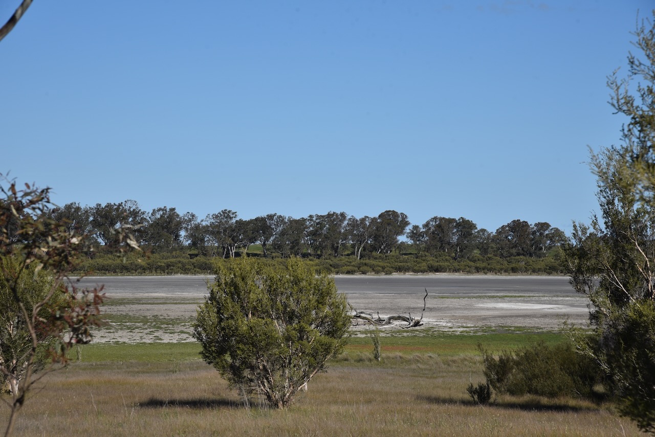
We were given permission to access the reserve by the landowner.
We ran the Yaesu FT857, 40 watts, and the 20/40/80m linked dipole.
Marija worked the following stations on 40m SSB:-
- VK3PF
- VK3KAI
Marija worked the following stations on 40m AM:-
- VK3PF
- VK3KAI
- VK3CEO
- VK3PWG
- VK3TTK
- VK3GJG
- VK3VIN
- VK2USH
- VK5MK
I worked the following stations on 40m SSB:-
- VK3PF
- VK3KAI
- VK2IO/M
- VK2GEZ/M
- VK5MK
- VK5LA
- VK5KAW
- VK3CEO
- VK3PWG
- VK3TTK
- VK5WU
- VK2USH
- VK1AO
- VK2MET
- VK2SLB
- VK2BRN
- VK2KBT
- VK1AD
- VK1NAM
- VK7IAN
- VK3SMW
- VK5AJQ/P (Penola Conservation Park)
- VK3GJG
- VK3VIN
- VK2YK
- VK5GA
- VK2LEE
- VK2VW
- VK2HFI
- VK2AKA
- VK2BUG
- VK3WSG
- VK7PJM
- VK1DI
- VK5IS
- VK3AMO
- VK2HAK
I worked the following stations on 40m AM:-
- VK3PF
- VK3KAI
- VK3CEO
- VK3PWG
- VK3TTK
- VK3GJG
- VK3VIN
- VK2USH
- VK5MK
I worked the following stations on 20m SSB:-
- VK2VW
- VK2HFI
- VK2AKA
- VK2BUG
- KG5CIK
- OH1XT
- OH1MM
- SQ9CWO
- SP5INQ
- OM5TP
- IK1GPG
- EA3MP
- VK4EMP
- VK4TI
- VK4GKO
References.
- Aussie Towns. (2023). Harrow, VIC – Aussie Towns. [online] Available at: https://www.aussietowns.com.au/town/harrow-vic [Accessed 5 Jun. 2025].
- Dcceew.gov.au. (2023). Collaborative Australian Protected Areas Database (CAPAD) 2022 – DCCEEW. [online] Available at: https://www.dcceew.gov.au/environment/land/nrs/science/capad/2022 [Accessed 5 Jun. 2025].
- Leslie James Blake, 1978, Place Names of Victoria.
- Swvic.au. (2021). Harrow and Balmoral District, Upper Glenelg River, South-West Victoria, Australia. [online] Available at: https://www.swvic.au/harrow/ [Accessed 5 Jun. 2025].
- The Sydney Morning Herald. (2004). Harrow. [online] Available at: https://www.smh.com.au/lifestyle/harrow-20040208-gdkqsr.html [Accessed 5 Jun. 2025].
- Victorianplaces.com.au. (2015). Harrow | Victorian Places. [online] Available at: https://www.victorianplaces.com.au/harrow [Accessed 5 Jun. 2025].
- Wikipedia. (2020). Harrow. [online] Available at: https://en.wikipedia.org/wiki/Harrow. [Accessed 5 Jun. 2025].