On Monday 28th October 2024, after breakfast, Marija and I visited Victoria Hill Diggings Historic Reserve at Marong Road, Ironbark.
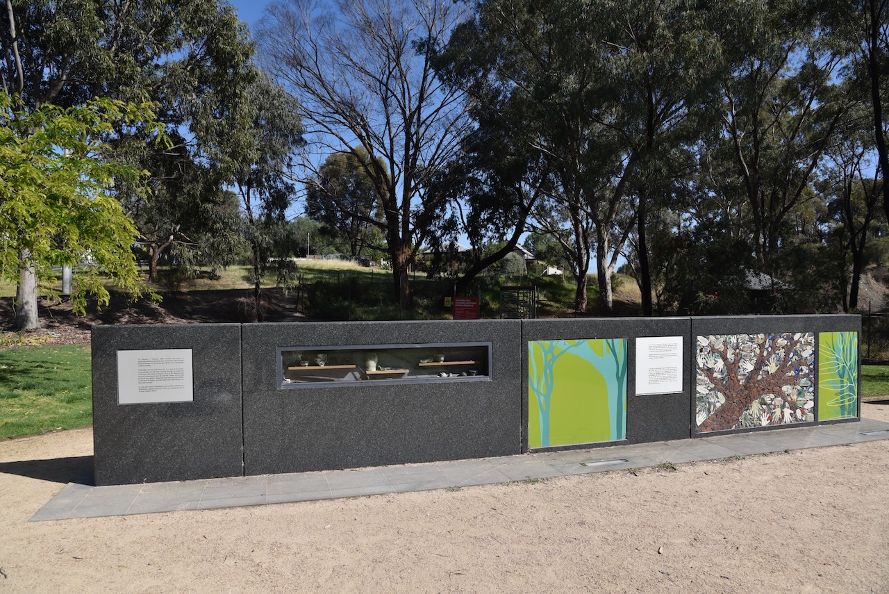
In front of the reserve is the Bendigo Bushfire Memorial. Black Saturday occurred on Saturday 7th April 2009. A series of catastrophic fires broke out around Victoria, resulting in the death of 173 people and the loss of over 3,500 buildings, including 2,029 homes. (Wikipedia 2019)
In 1854, gold was discovered at Victoria Hill. Seven years later in 1861, a total of 1,200,000 ounces of gold had been extracted from Victoria Hill. Christopher Ballerstedt, an immigrant from the Kingdom of Prussia, and his son Theodore, purchased the first claim on the site. He was a veteran of the Battle of Waterloo and the California gold rushes. He purchased his claim from two Americans for 80 pounds. Christopher Ballerstedt became known as the “Father of the Hill”. He had a 200-foot mine shaft, which yielded quartz that was rich with gold. (www.bendigo.vic.gov.au, n.d.)
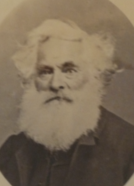
Above:- Christopher Ballerstedt. Image c/o Victorian Collections.
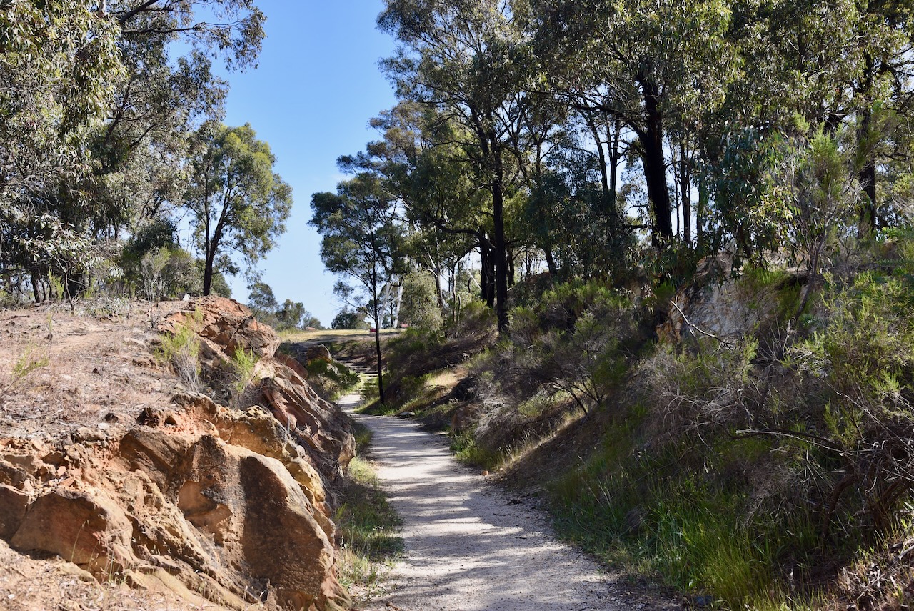
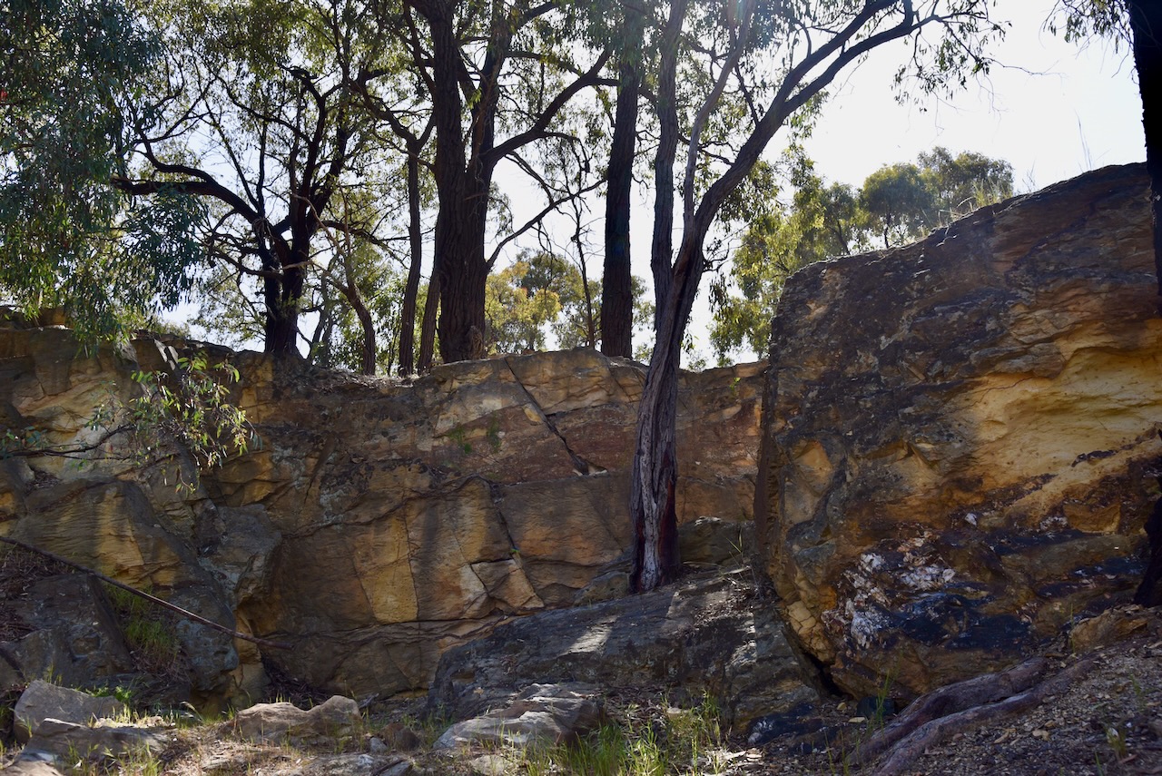
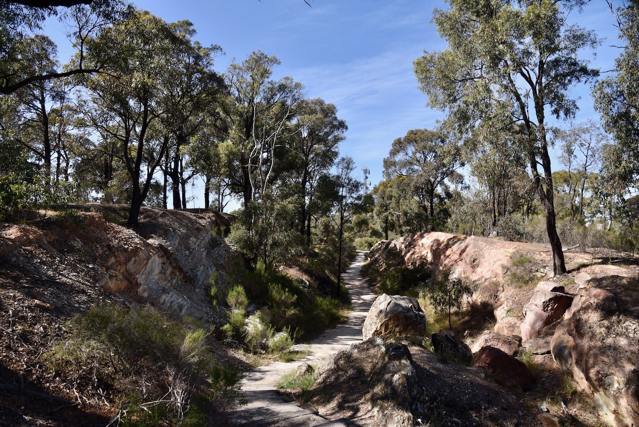
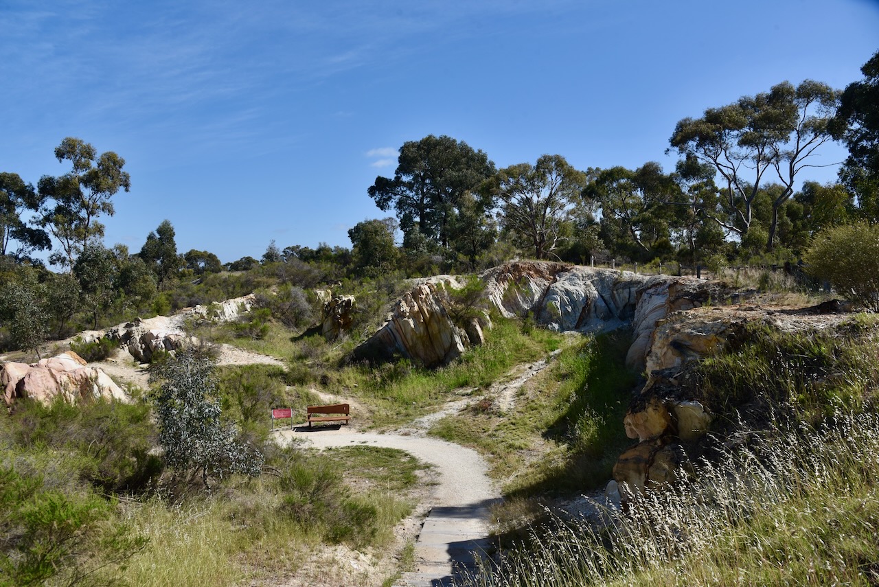
The Victoria Hill Diggings contains relics of mining from the 1800s, including quartz crushing machinery and mine foundations. (www.bendigo.vic.gov.au, n.d.)
From the car park at the Calder Highway, you first walk through Ballerstedt’s Open-Cut Mine.
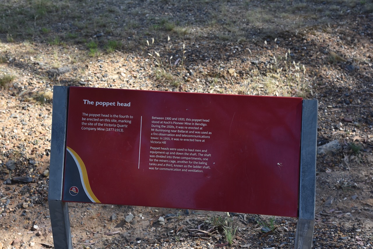
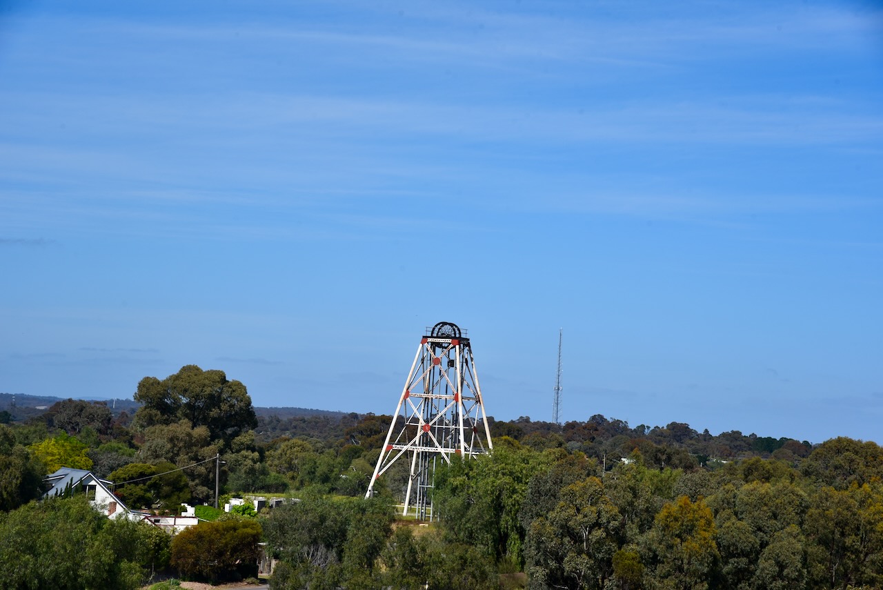
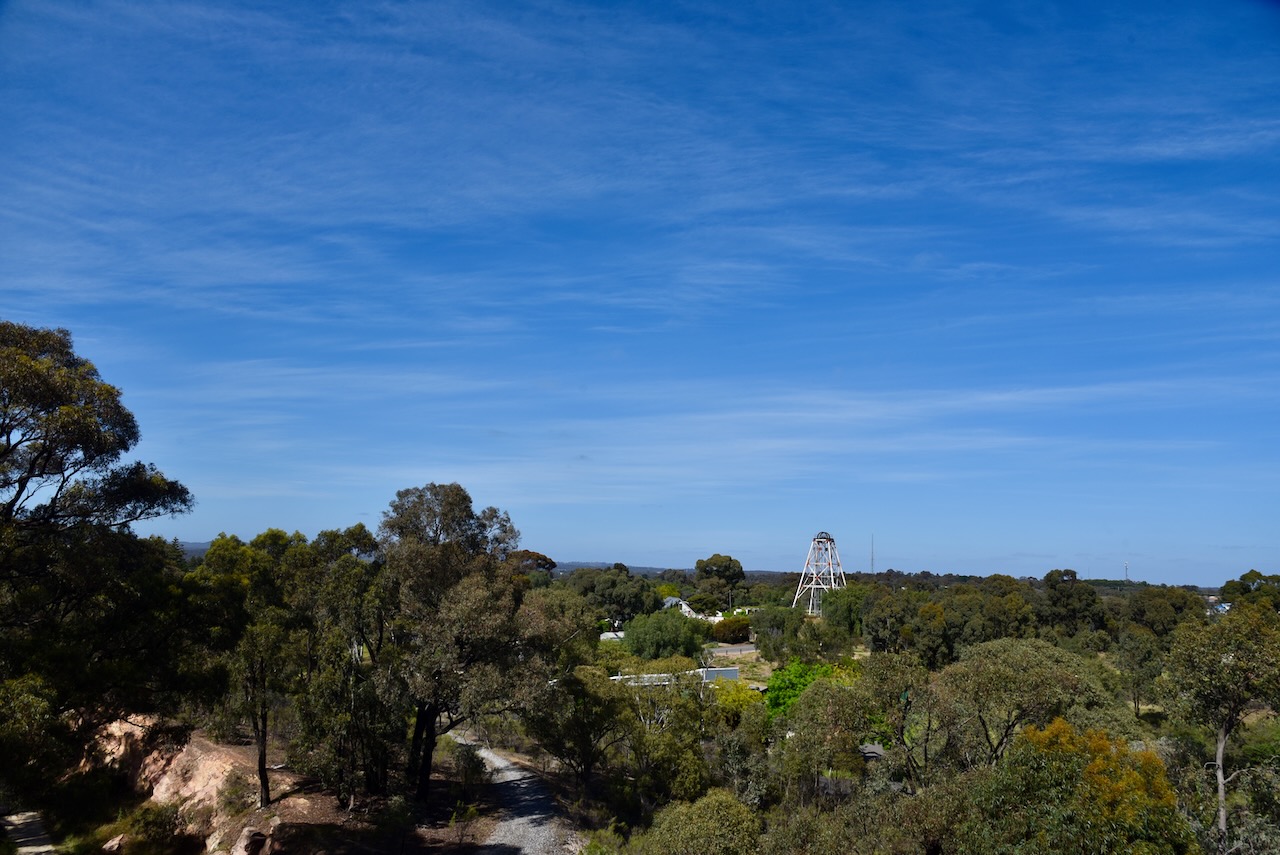
The poppet head is the fourth to be erected on the Victoria Hill Diggings site. It marks the site of the Victoria Quart Company, which operated from 1877-1913.
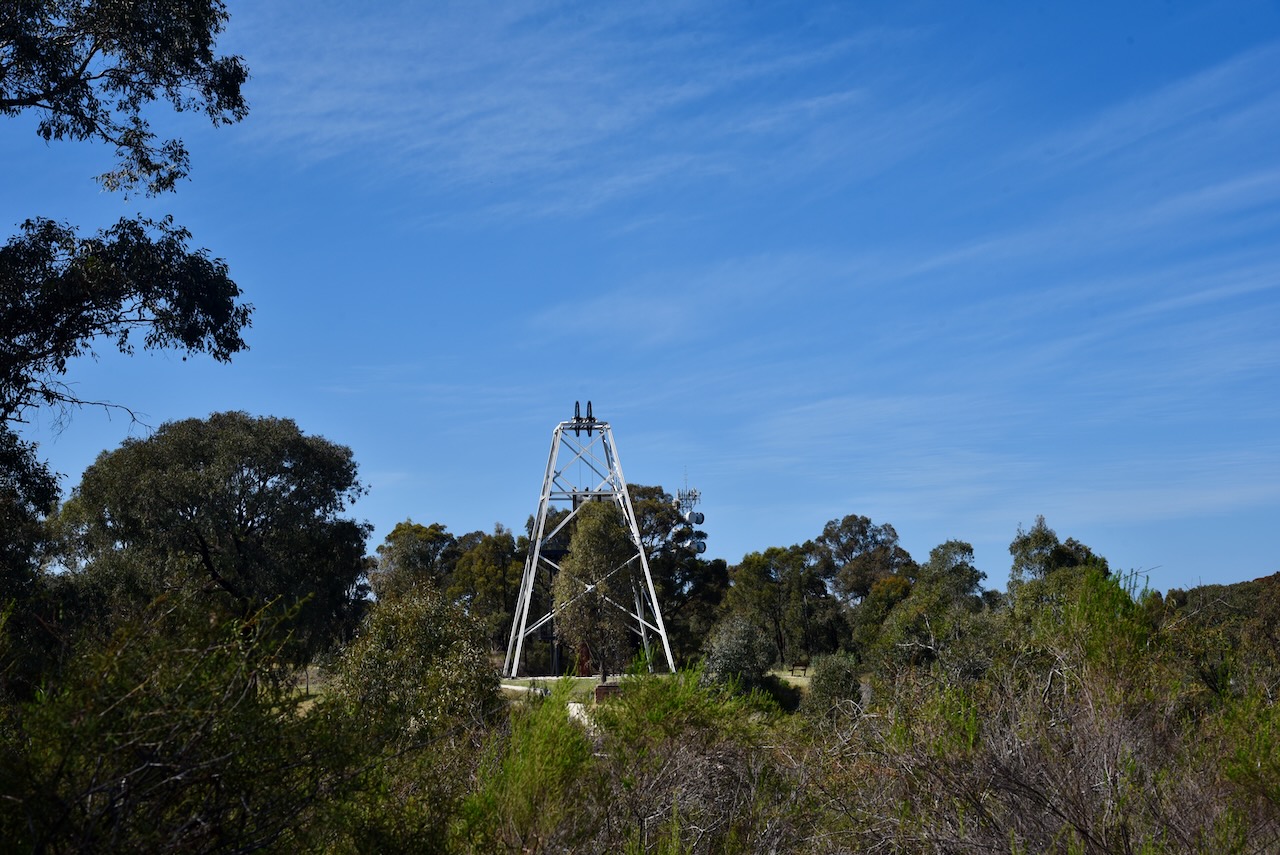
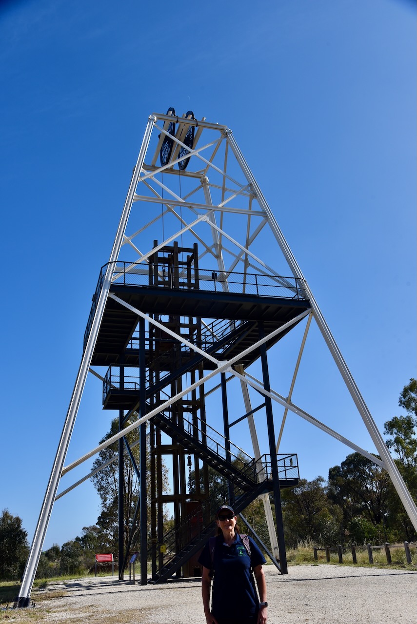
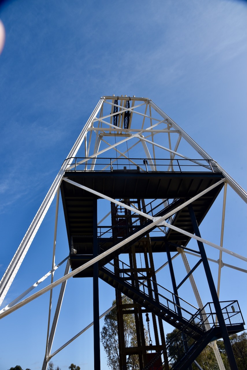
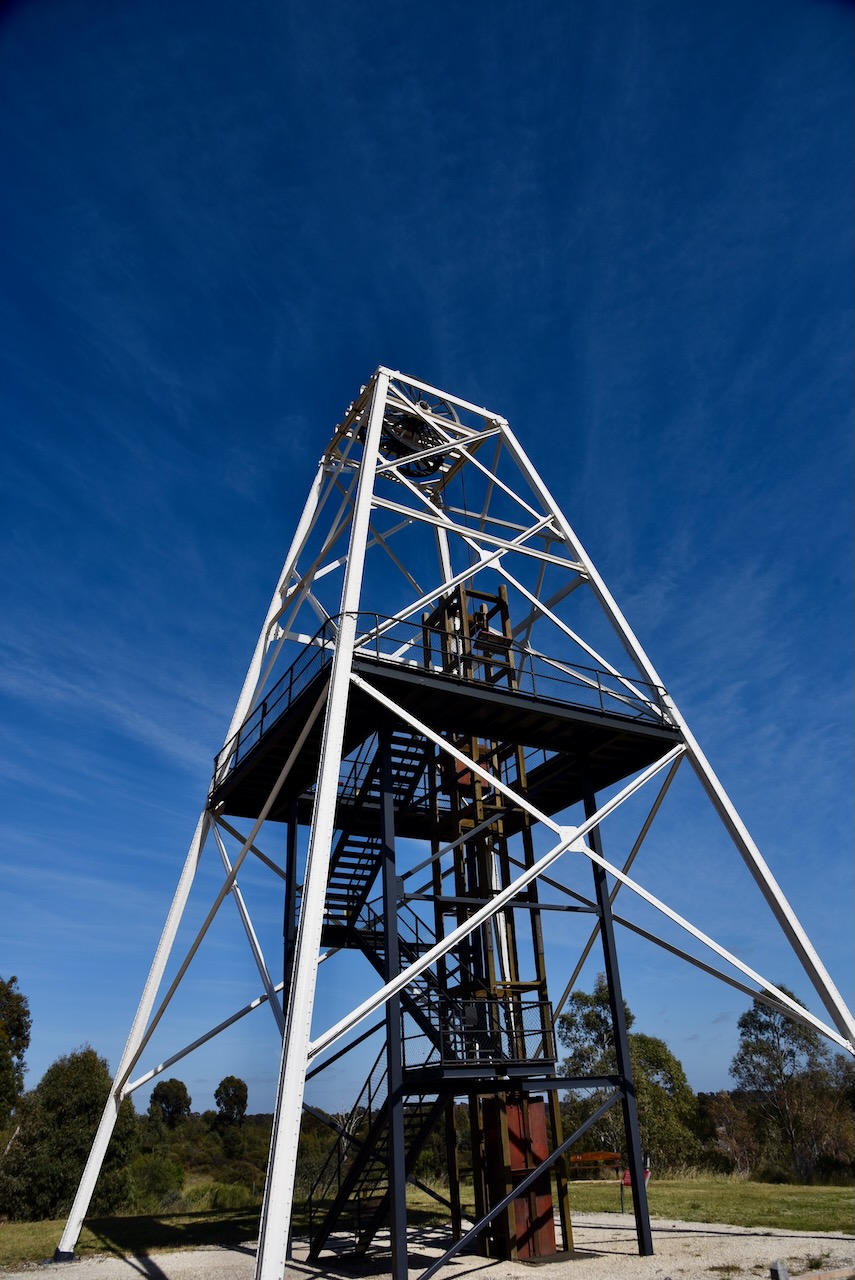
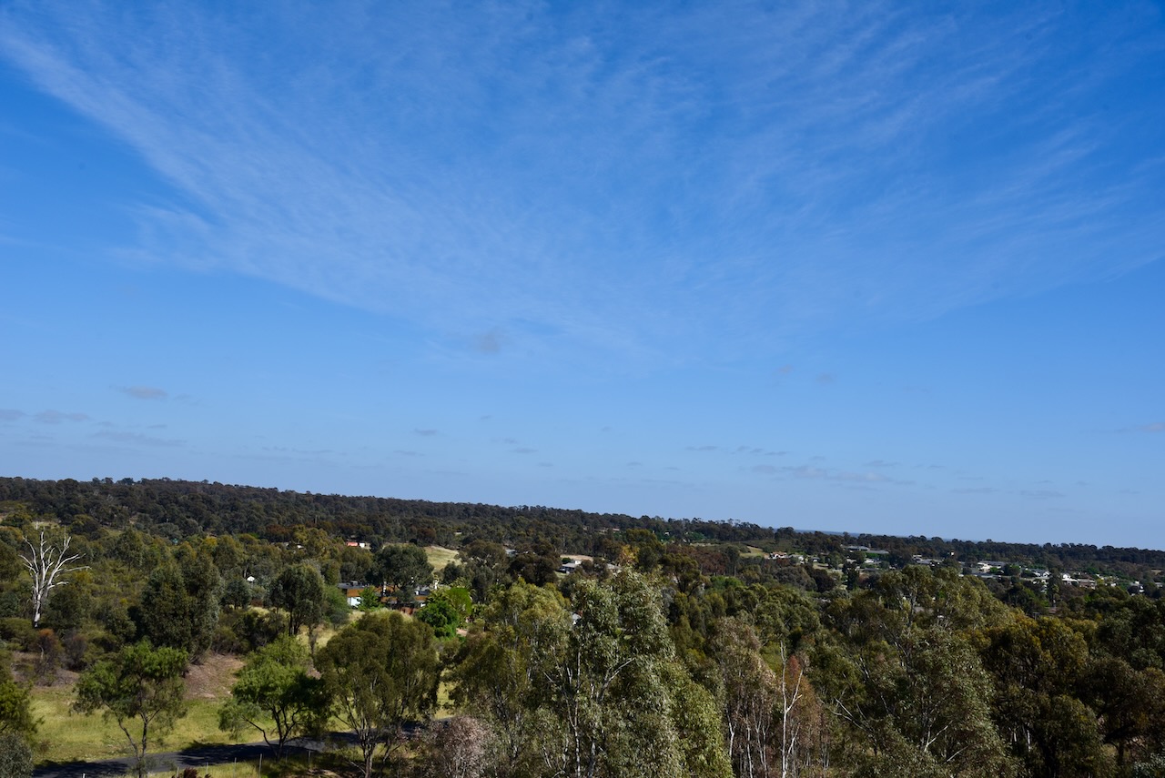
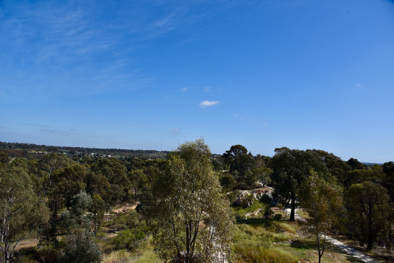
You can climb the poppet. The short climb to the top and you are rewarded with some great views of the surrounding district.
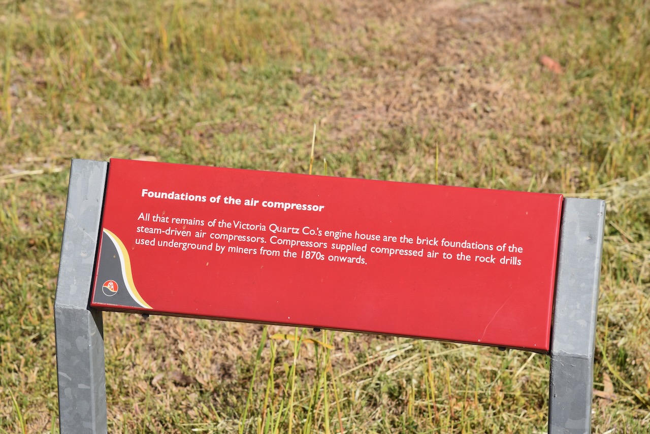
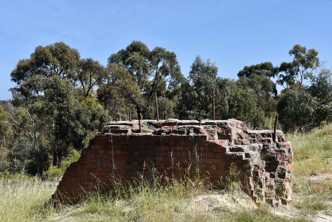
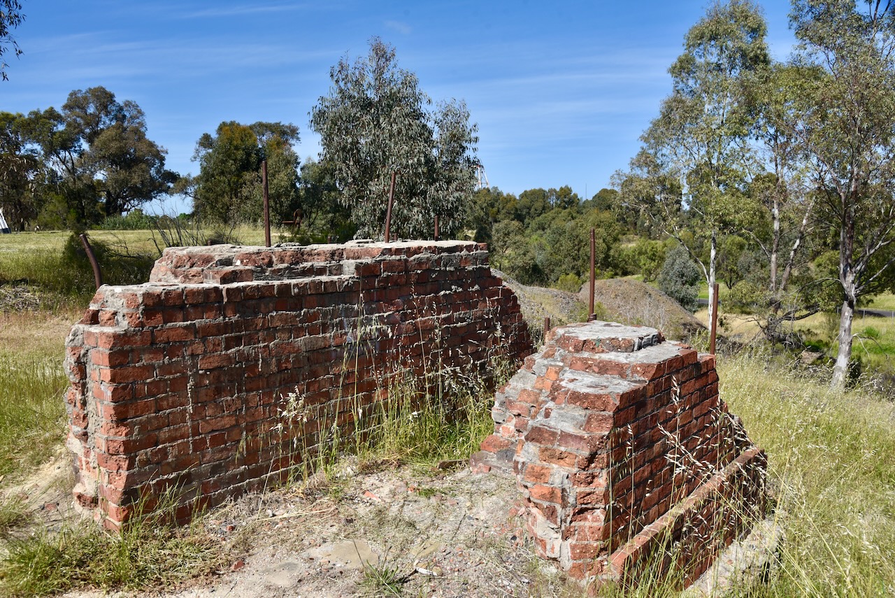
All that remains of the Victoria Quartz Company’s engine house are the brick foundations of the steam-driven air compressors. These supplied compressed air to the rock drills used underground by miners from the 1870s onwards.
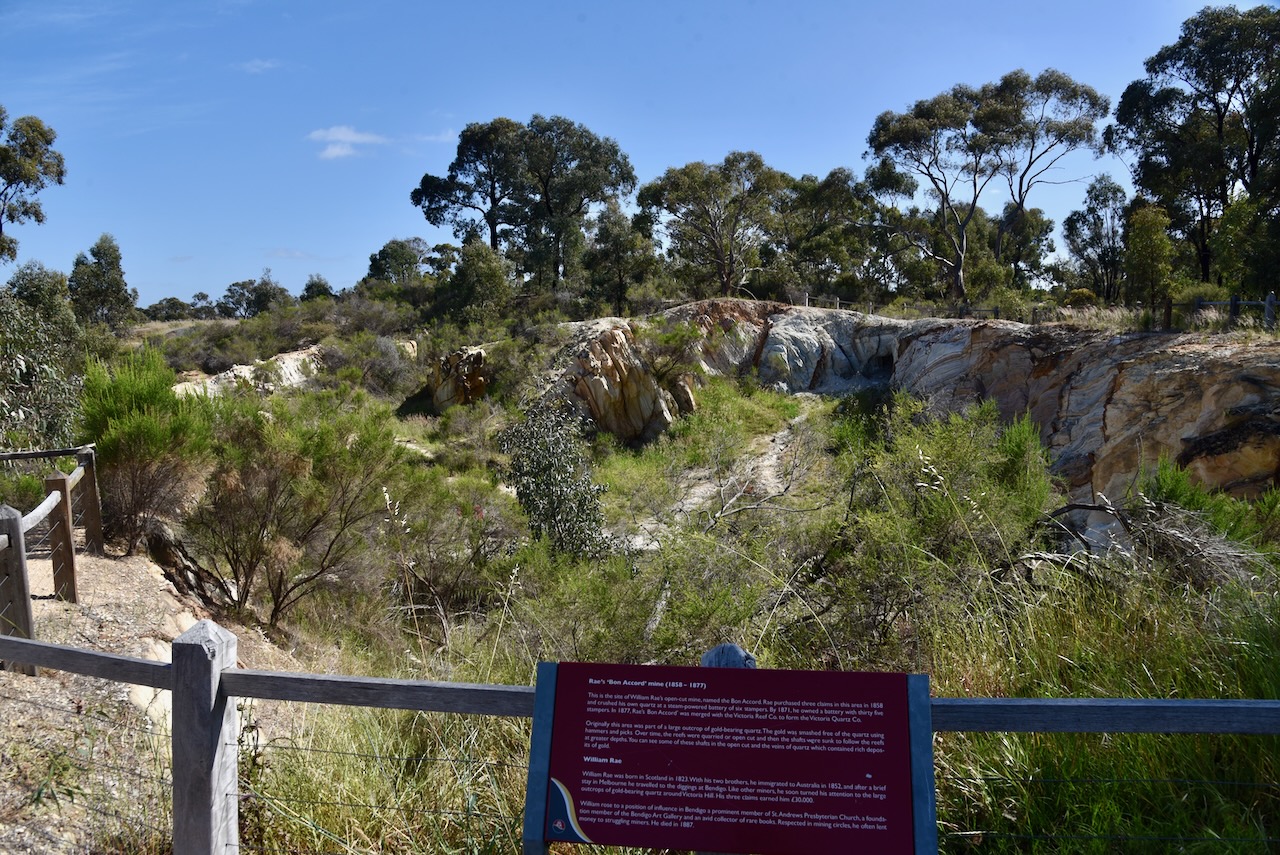
The William Rae open-cut mine was named the Bom Accord. In 1858, Rae purchased three claims in the area. He crushed his own quartz at a steam-powered battery of six stampers. By 1871, he owned a battery with 35 stampers. In 1877, his Bon Accord mine was merged with the Victoria Reef Company to form the Victoria Quartz Company.
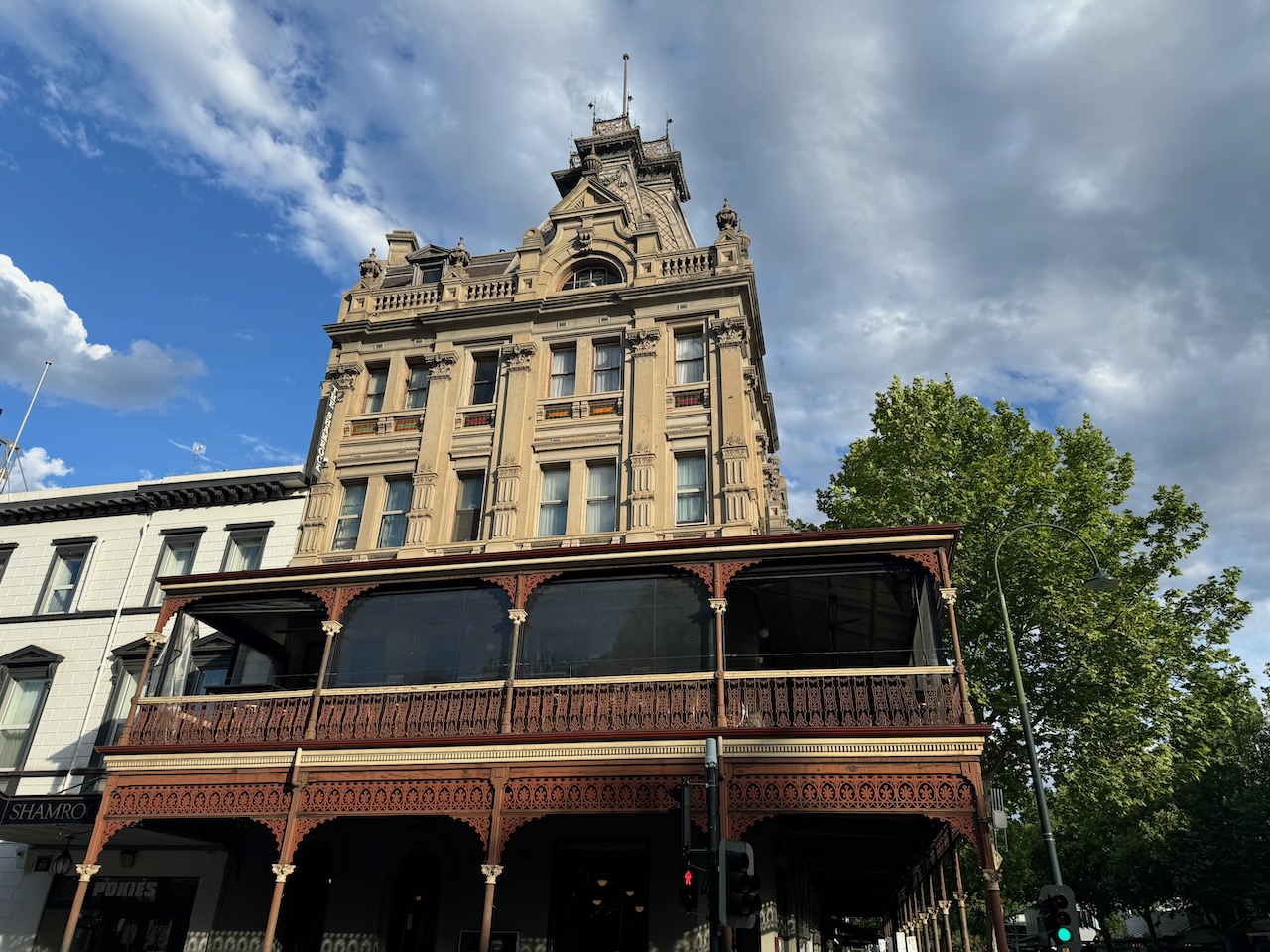
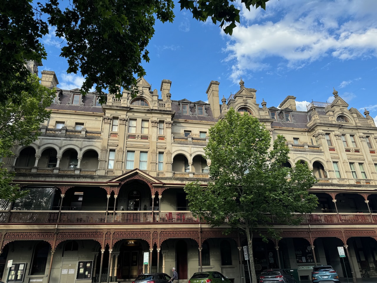
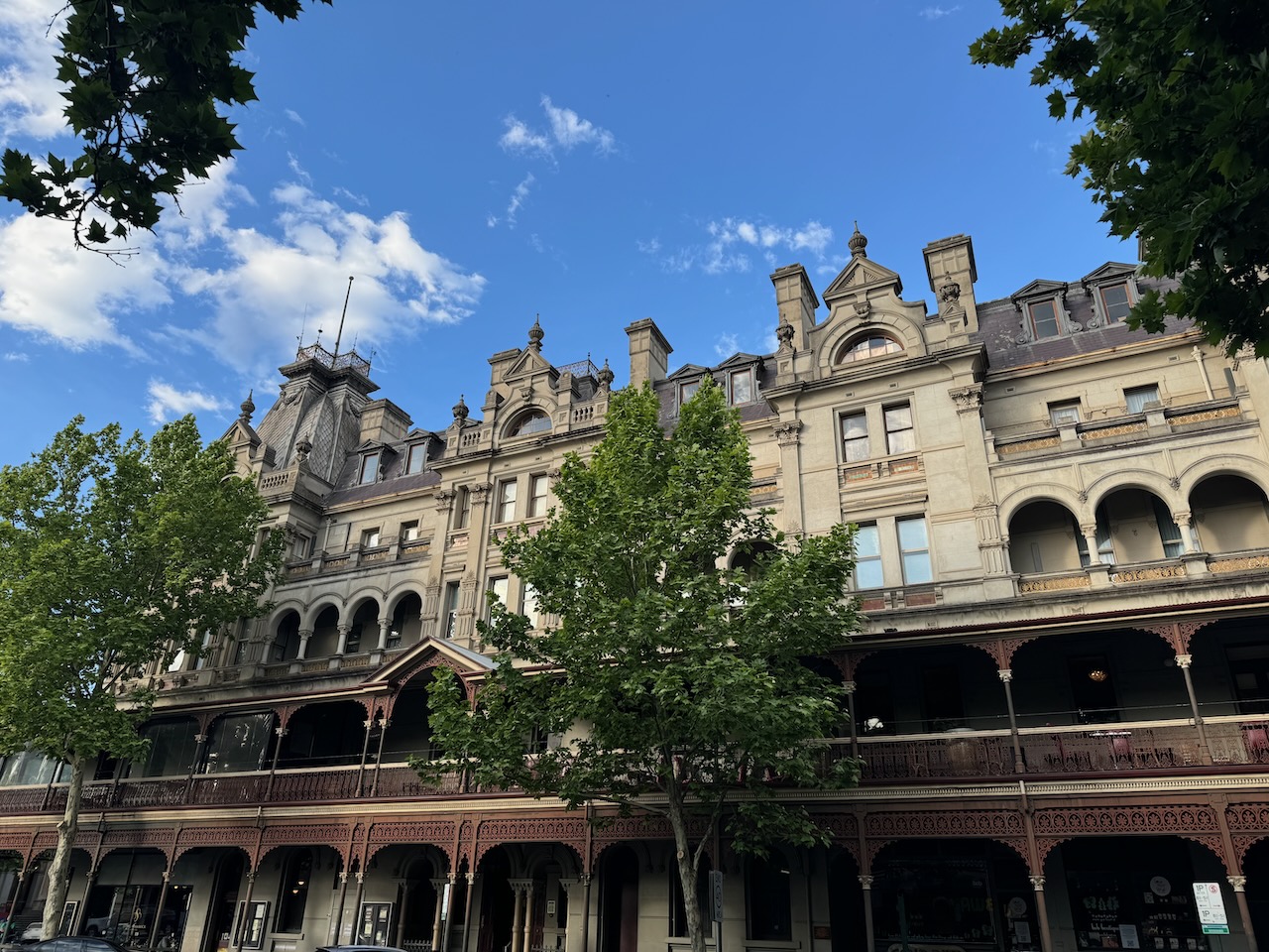
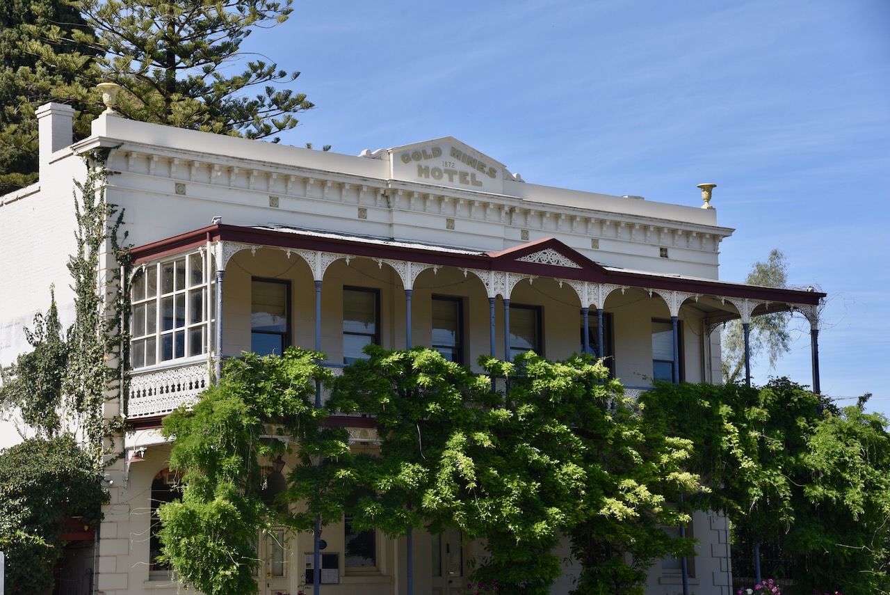
Opposite the reserve is the historic Gold Mines Hotel which was built in 1872. This very impressive building was designed by Vahland and Getzschmann, a Bendigo architectural firm. A hotel was first erected on this site in 1857 by David Chaplin Sterry. He became a councillor, Mayor of Bendigo, President of the Marong Shire and Member of Parliament. (heritagecouncil.vic.gov.au, n.d.)
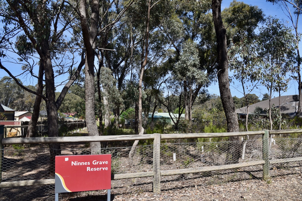
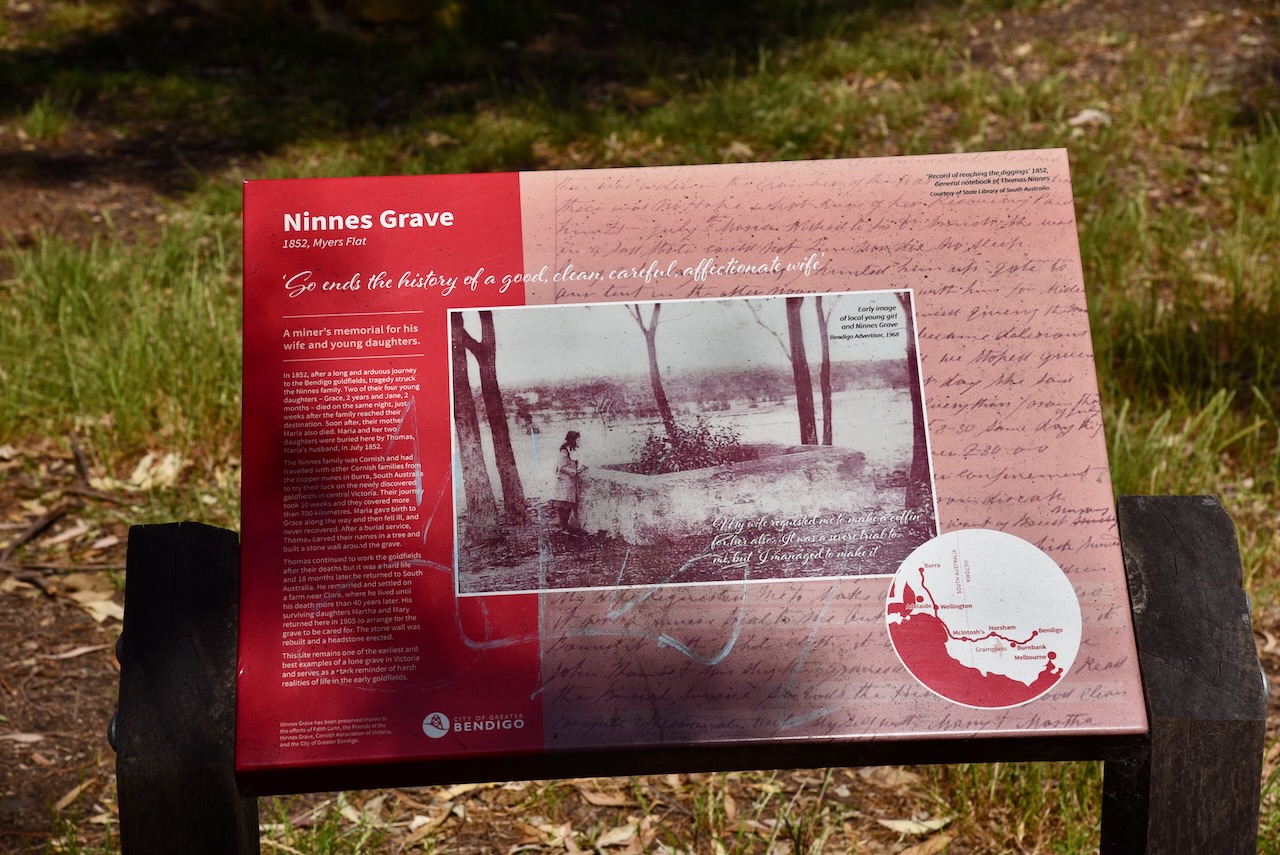
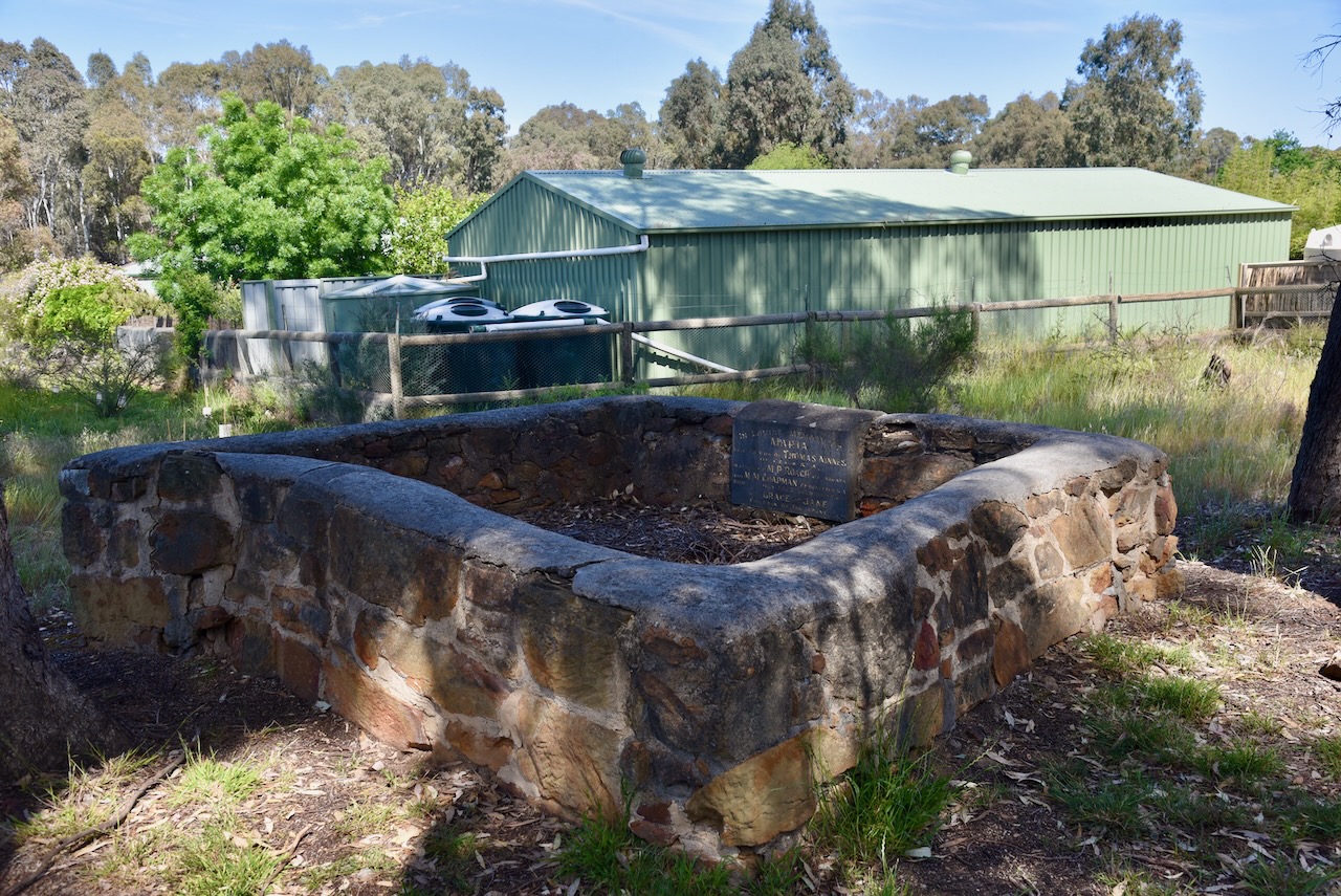
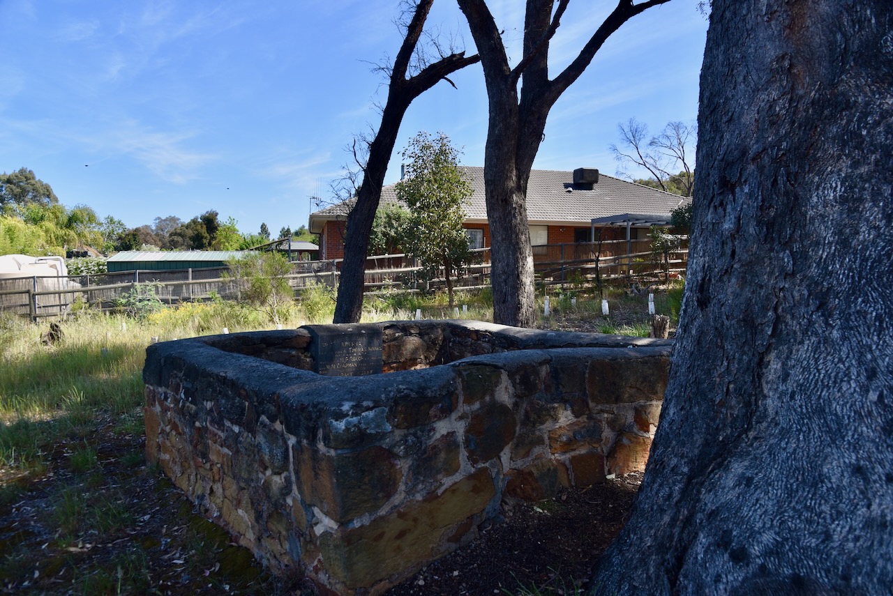
We then visited Ninnes Lone Grave. It is surrounded by a new housing estate in Bendigo. The grave is enclosed by a stone wall. It is one of the finest and best preserved examples of a lone grave in Victoria. (heritagecouncil.vic.gov.au, n.d.)
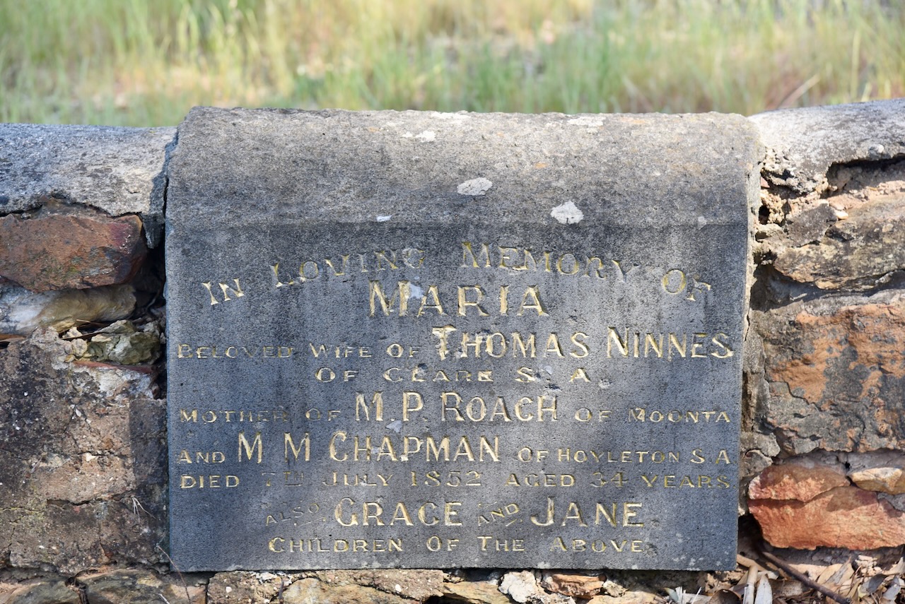
In 1852, Thomas Ninnes and his family left the copper mines in South Australia and made the arduous journey to the Bendigo goldfields. Their journey covered about 700 km and took about 10 weeks. Along the way, Maria Ninnes gave birth to Grace.
Sadly, tragedy struck the family with the death of two of their four young daughters. Grace, who was 2 years old, and Jane, who was just 2 months old, died on the same night, only a few weeks after the family had reached Bendigo. Their mother Maria died shortly after. In July 1852, Thomas buried his wife and two young daughters. He carved their names in a tree and built the stone wall around the grave.
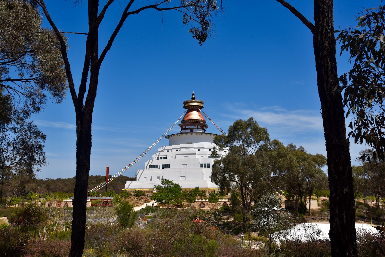
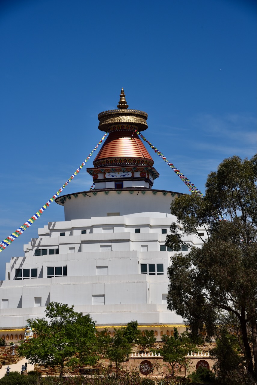
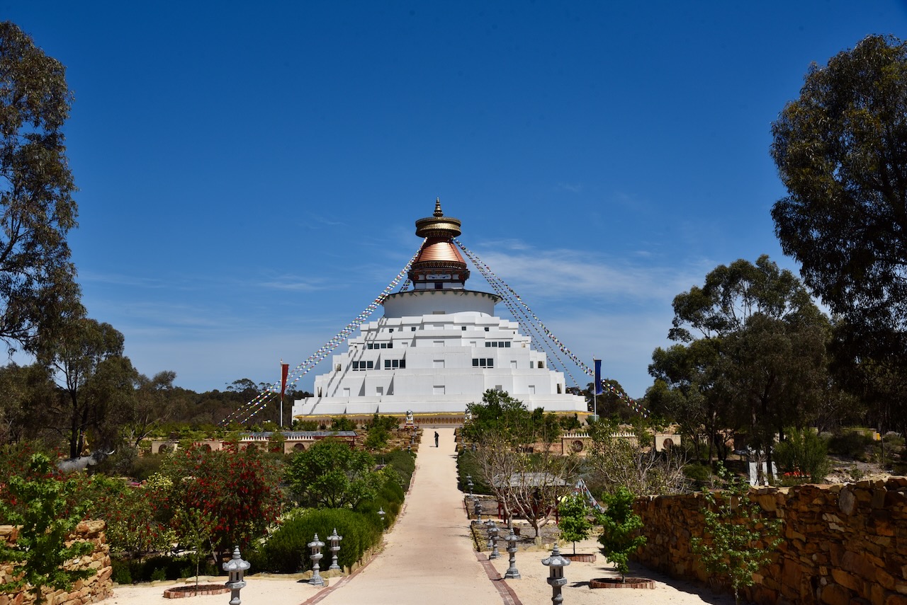
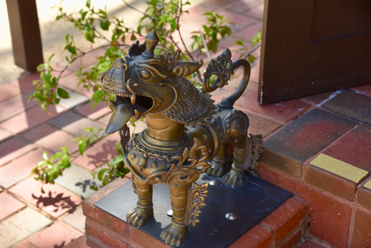
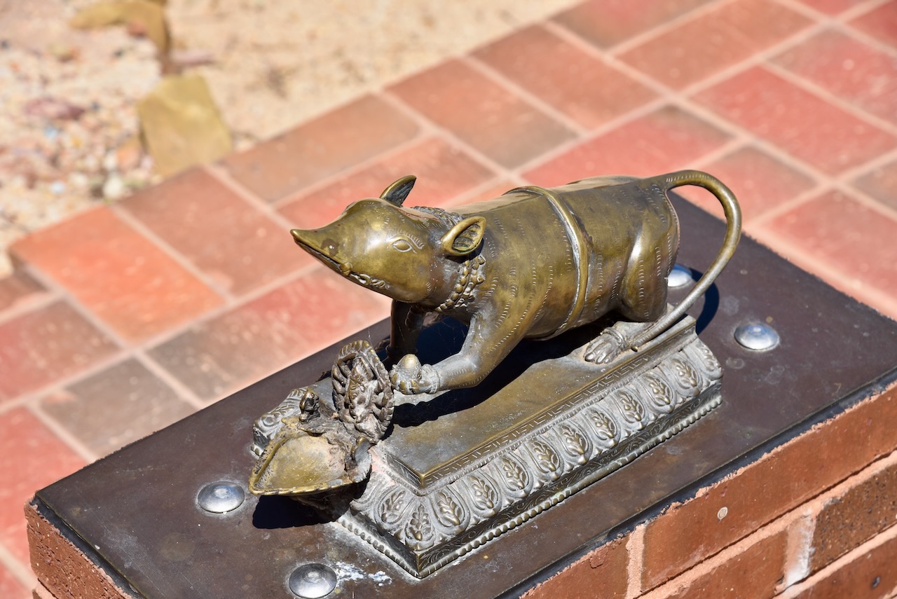
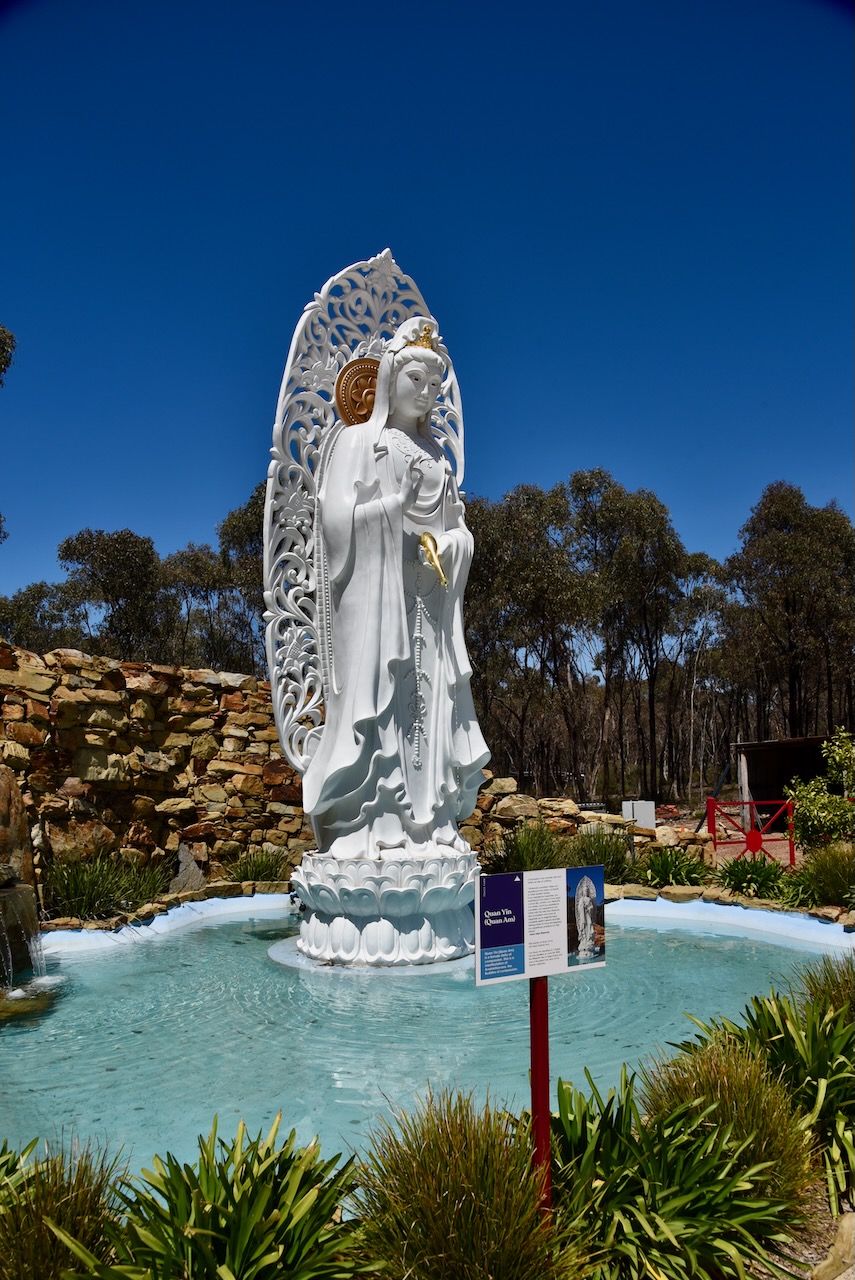
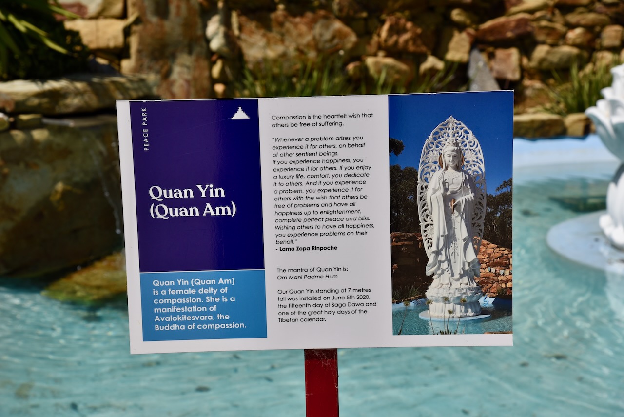
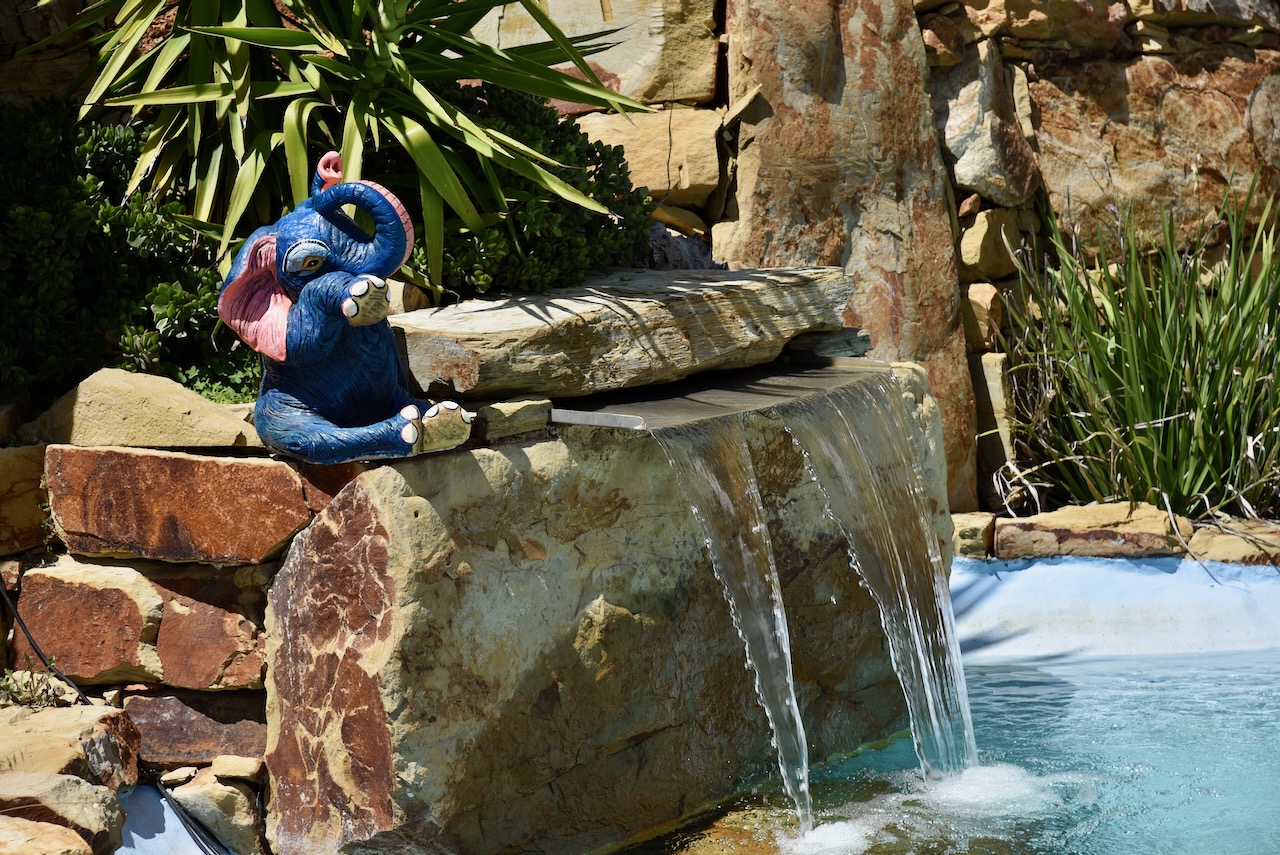
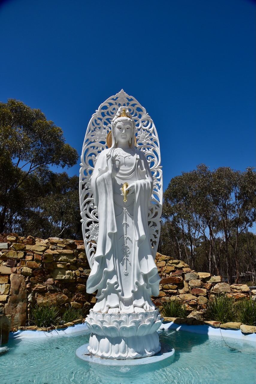
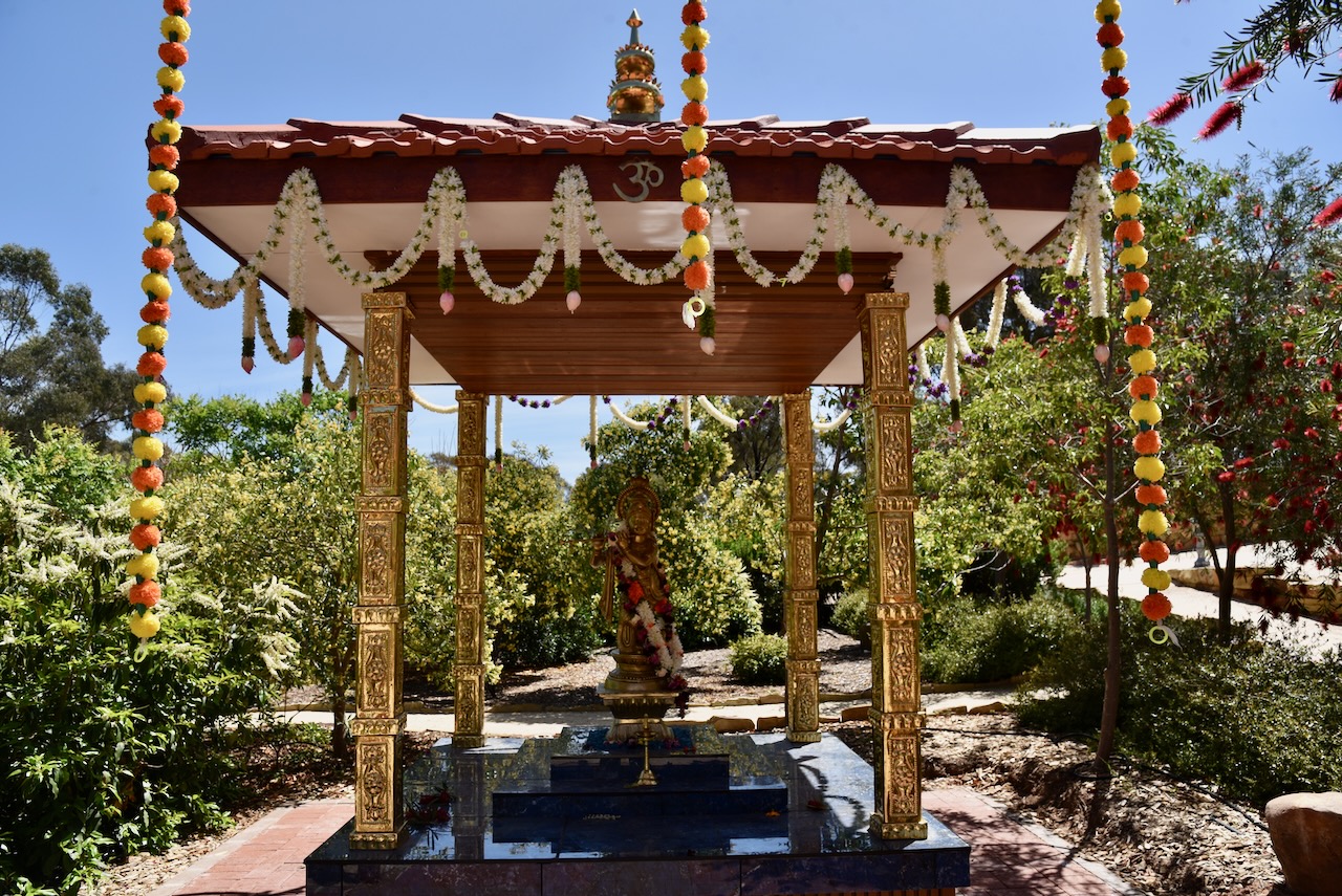
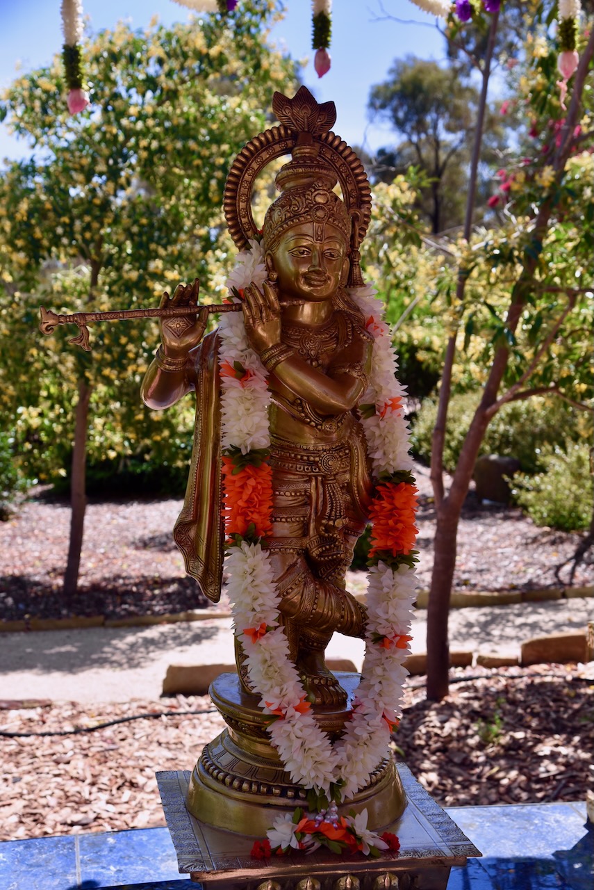
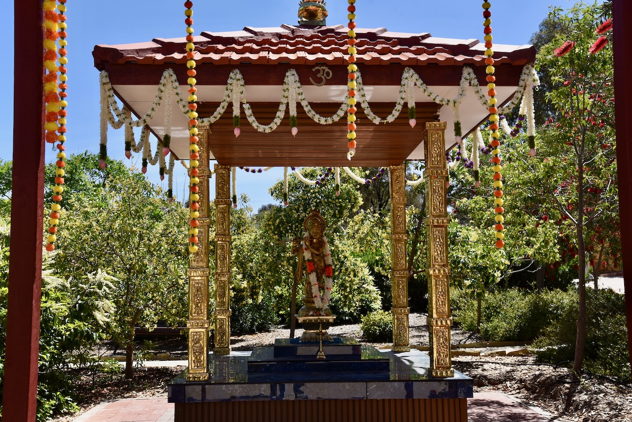
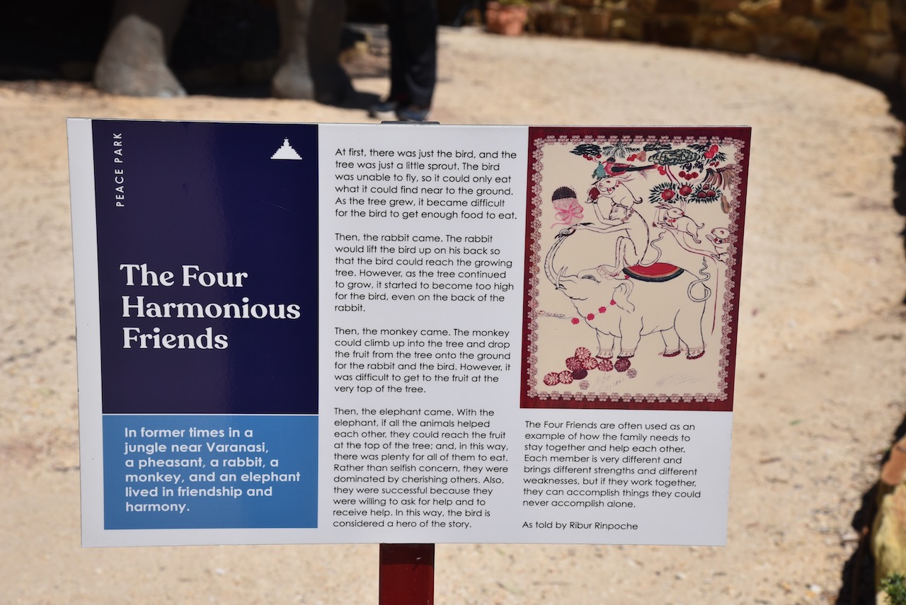
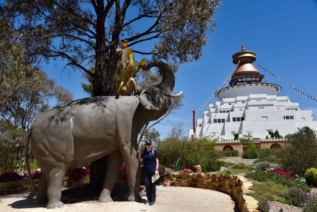
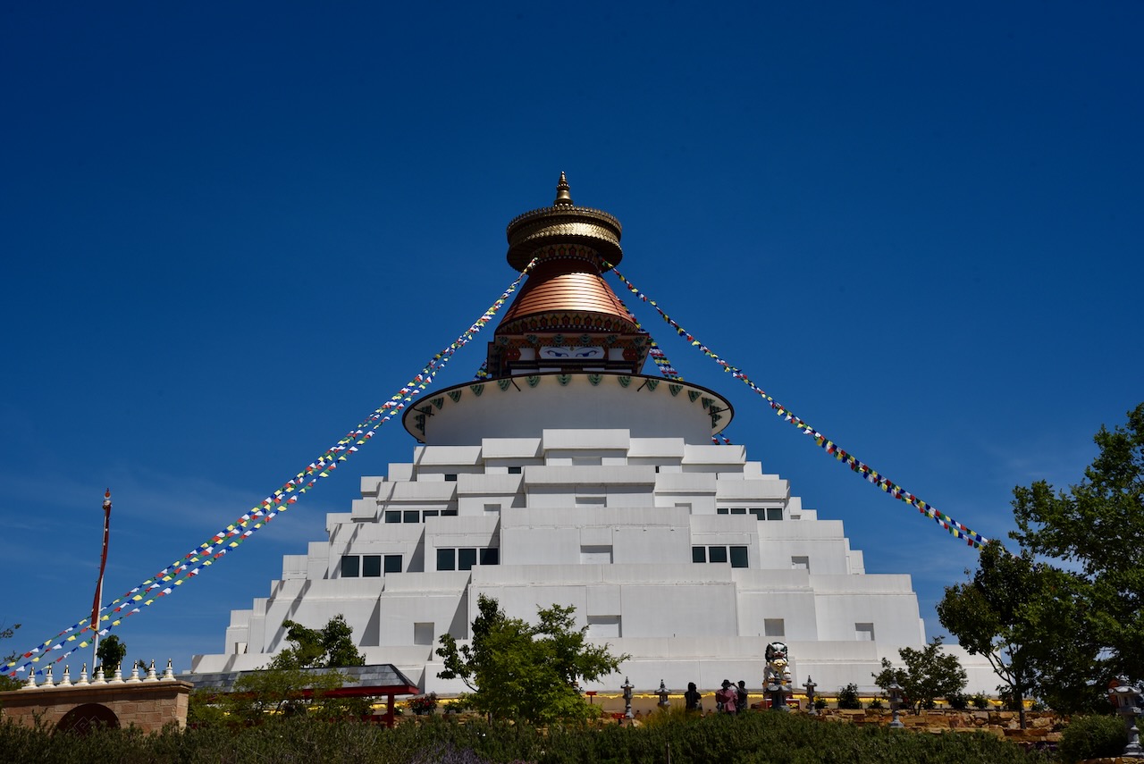
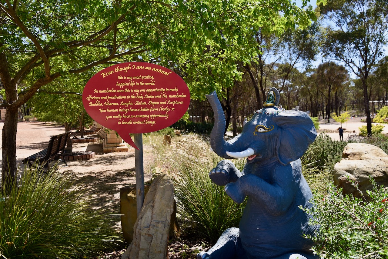
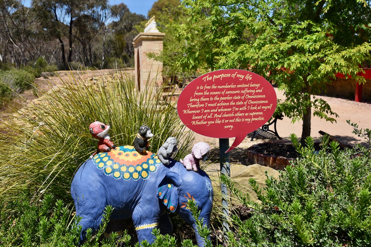
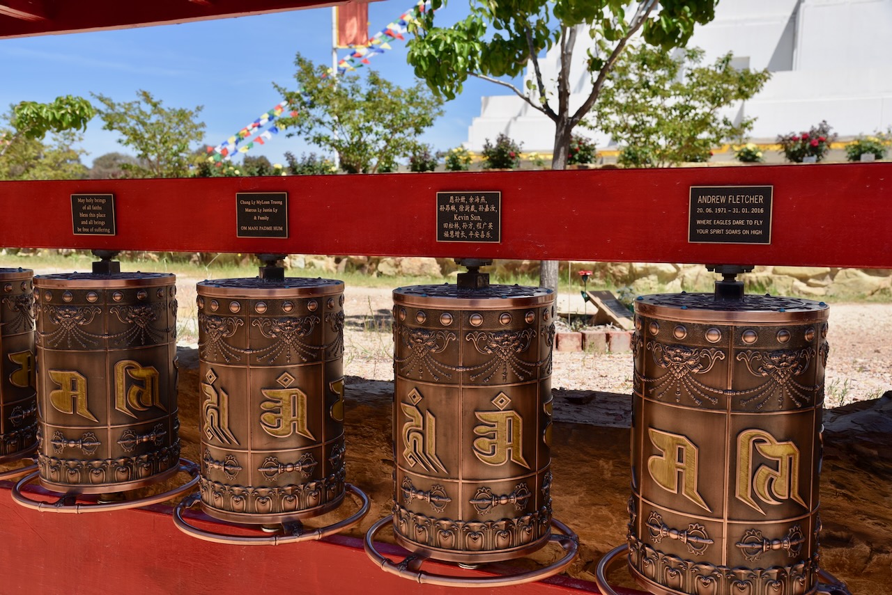
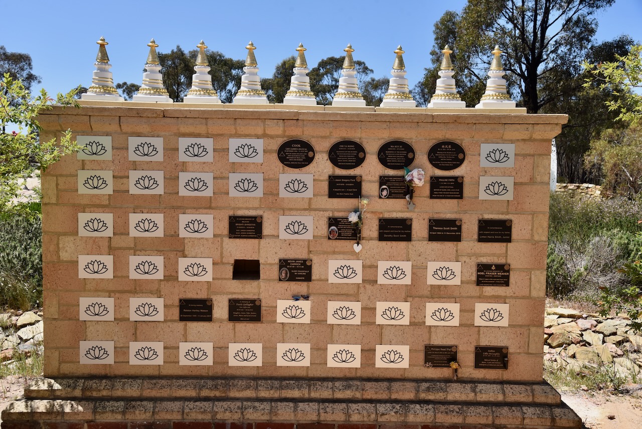
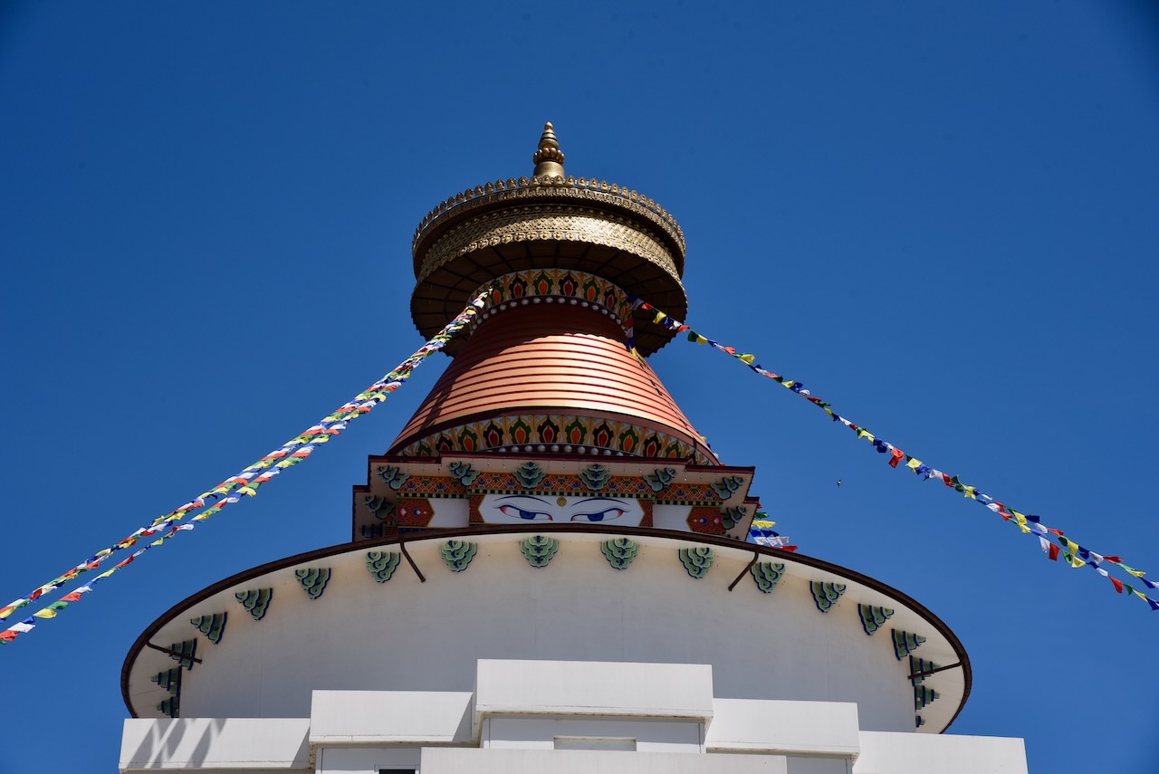
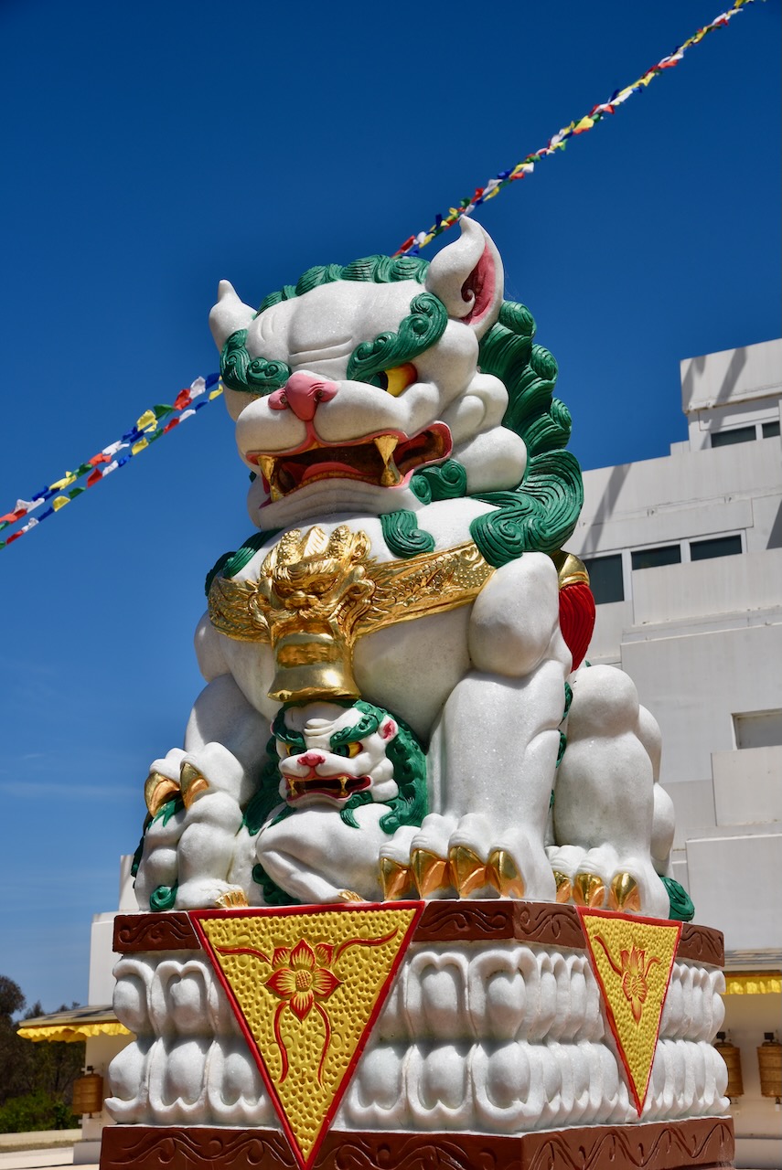
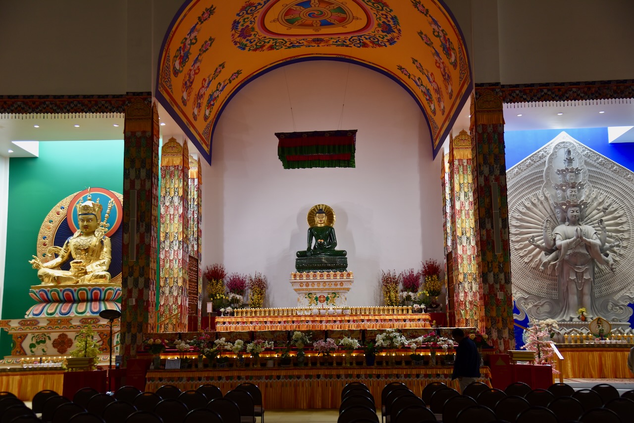
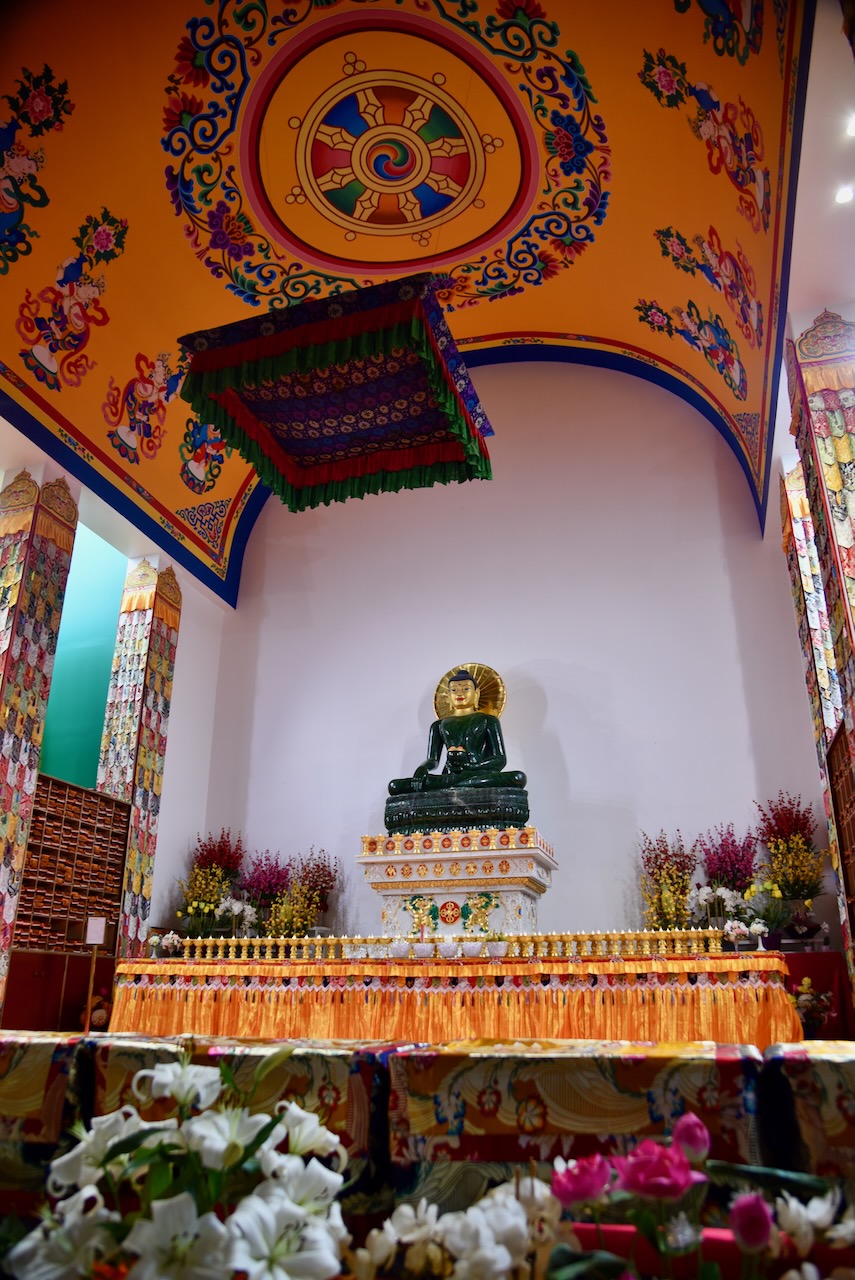
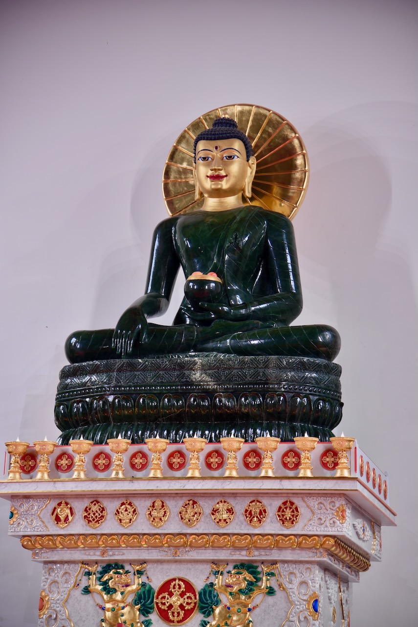
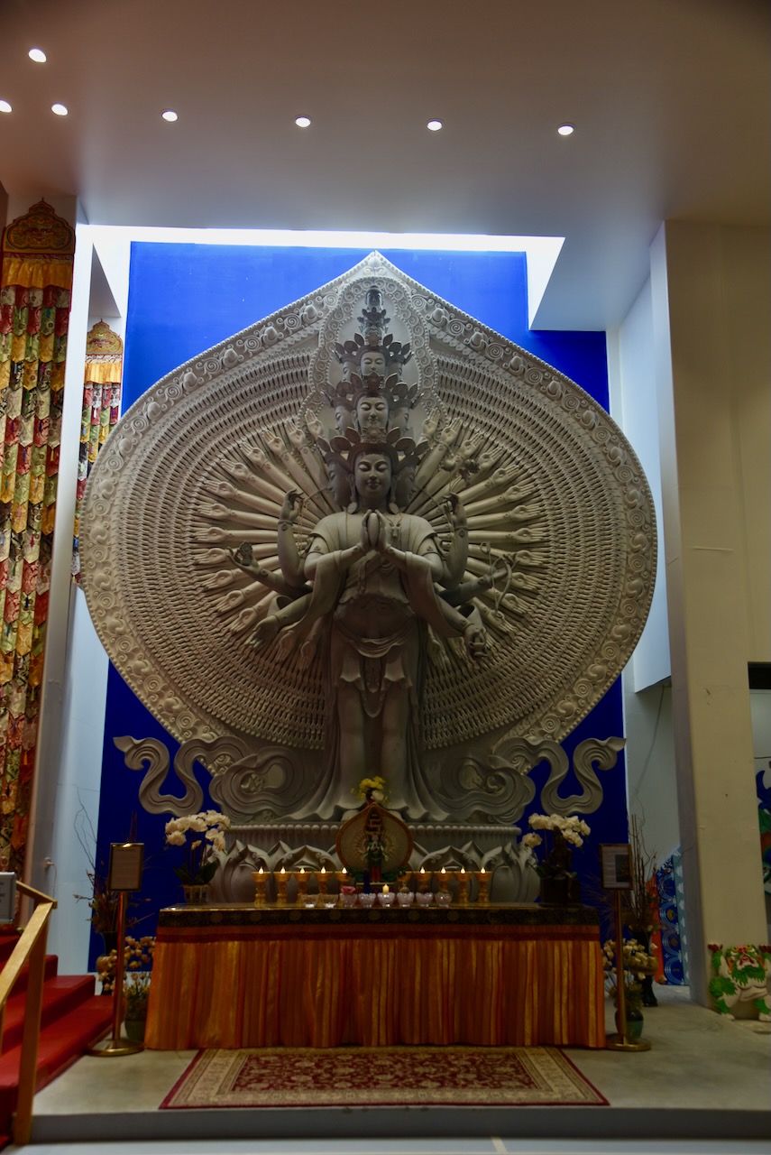
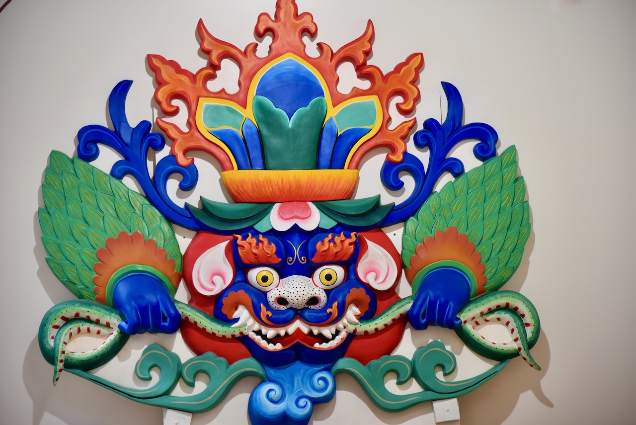
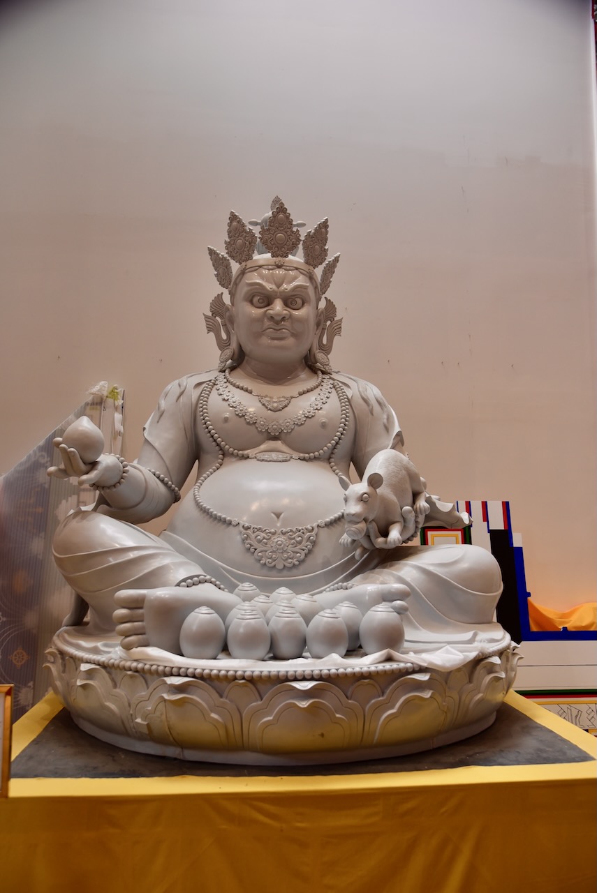
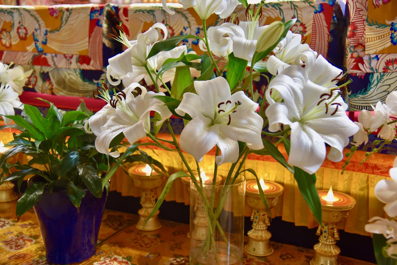
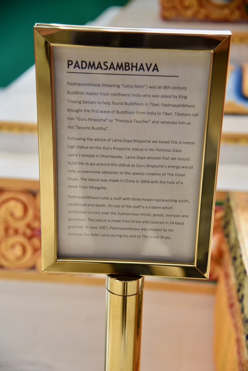
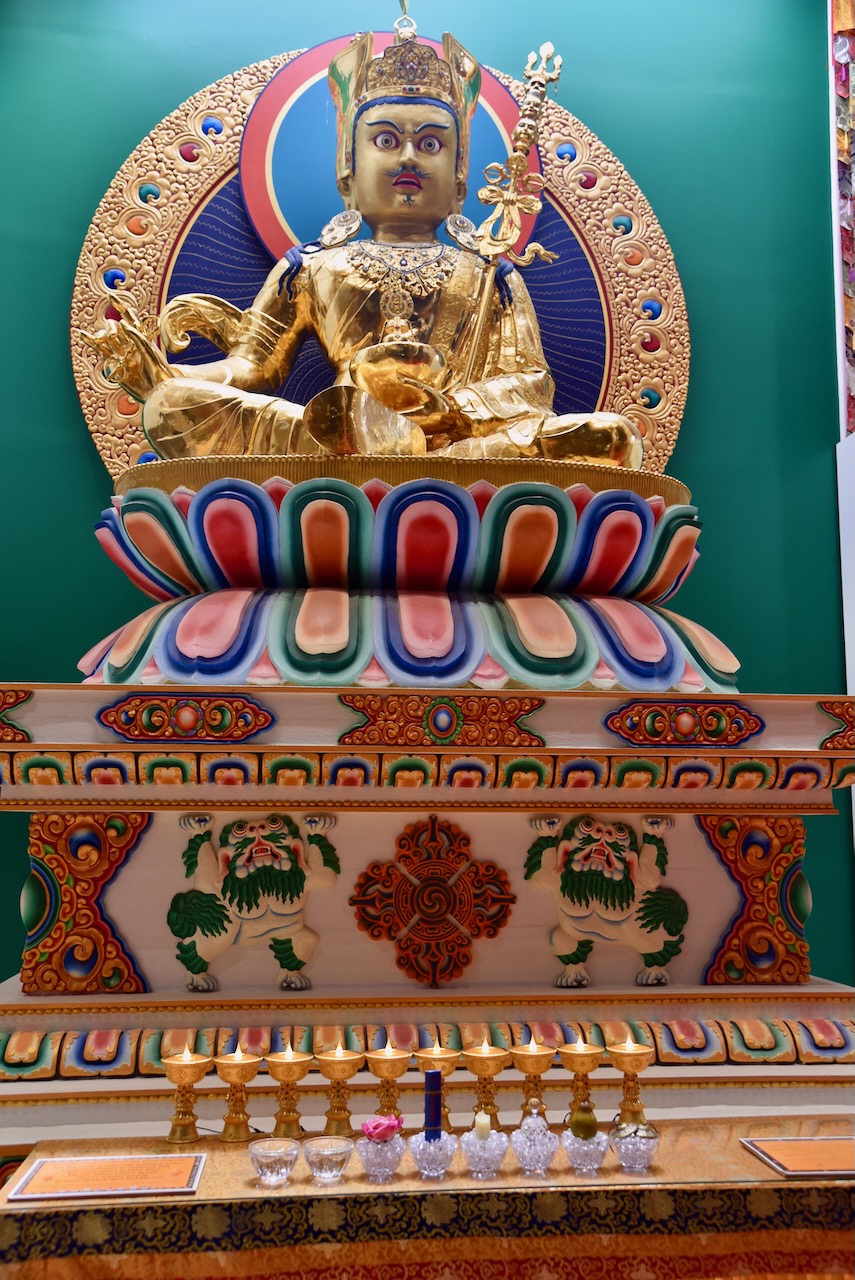
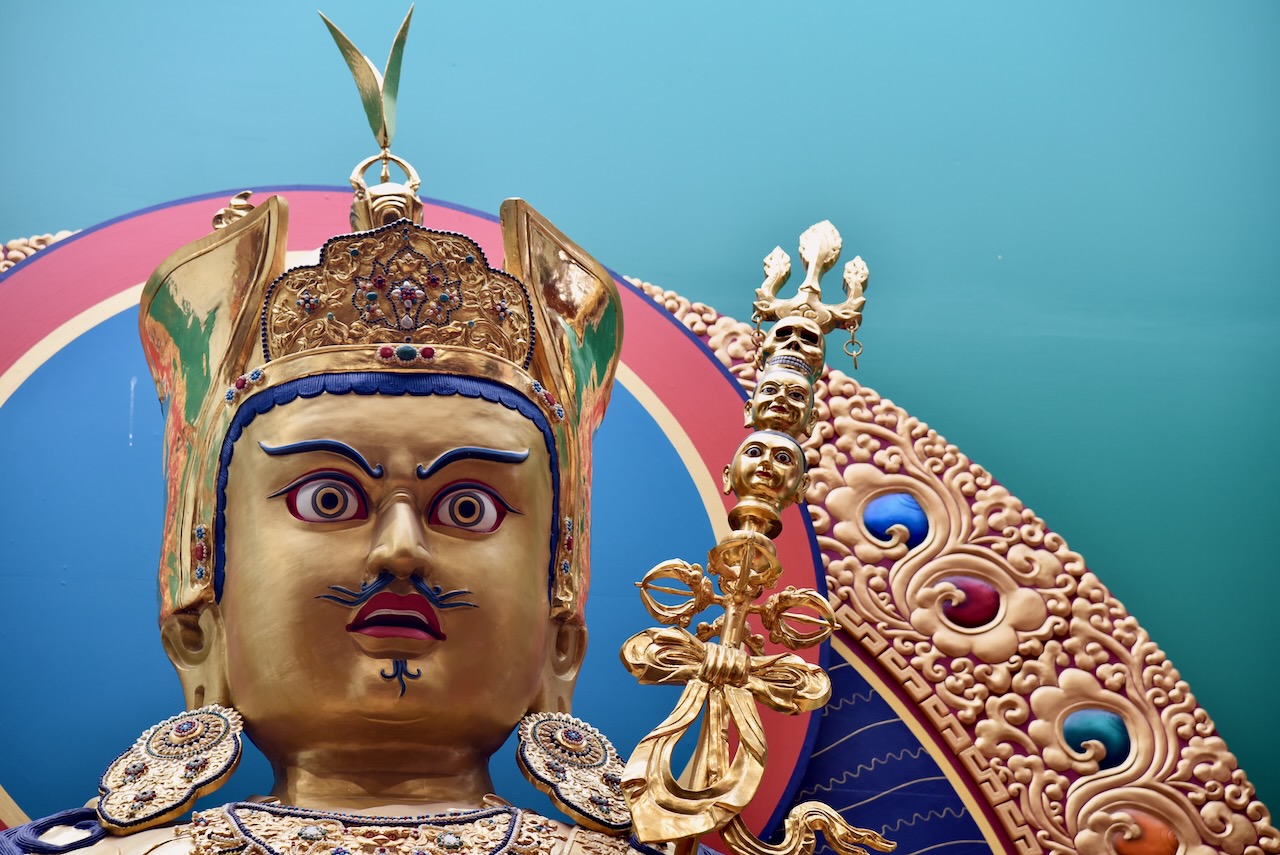
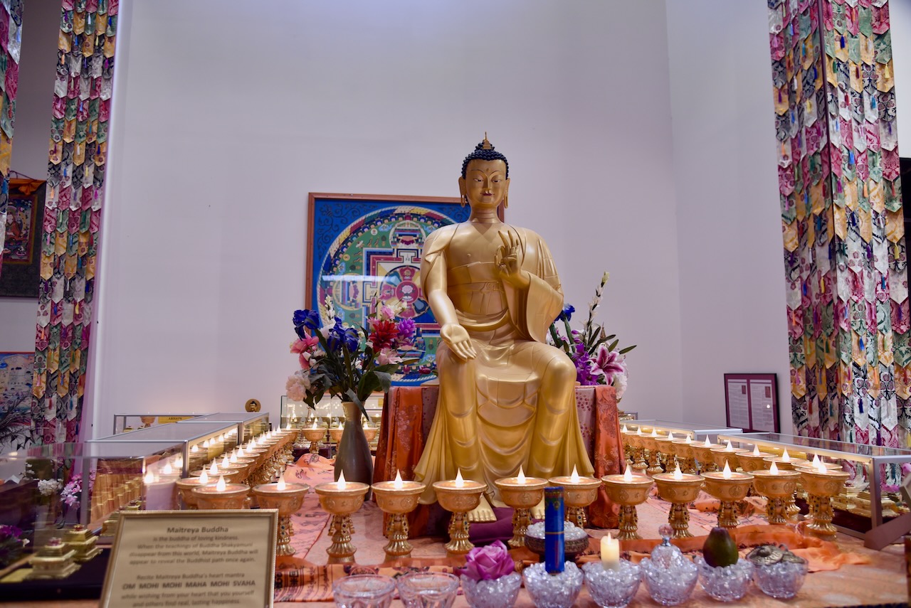
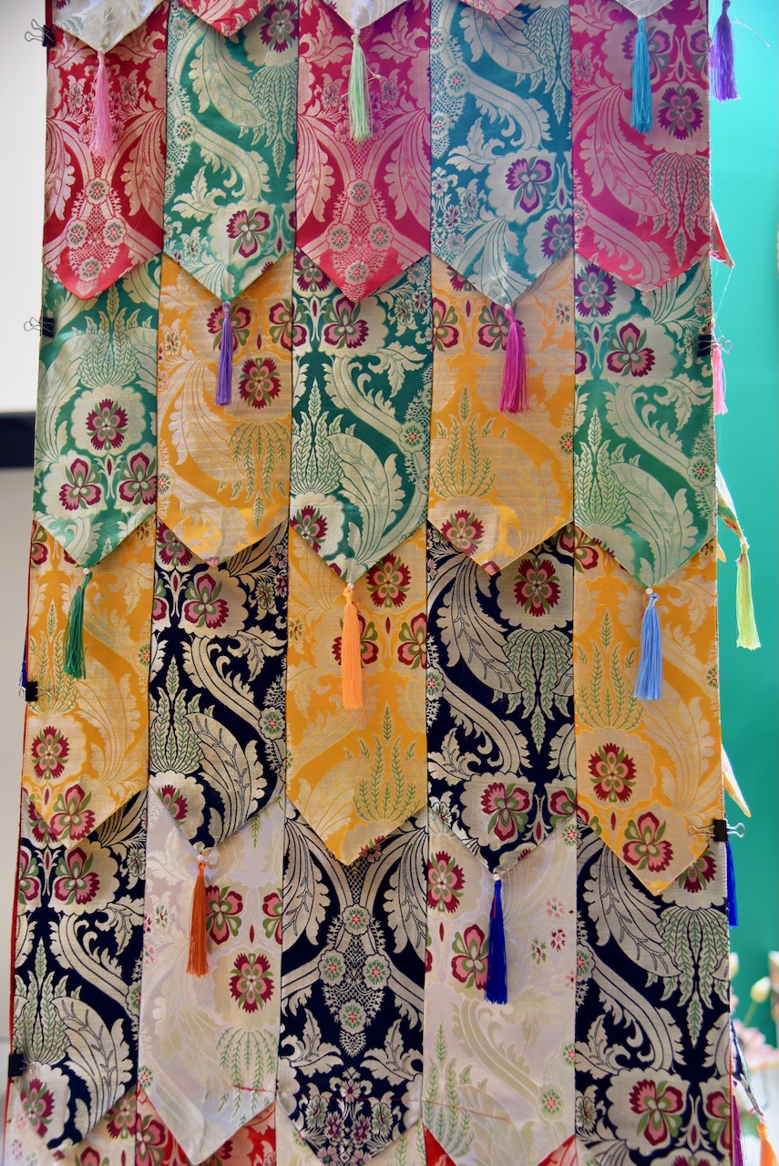
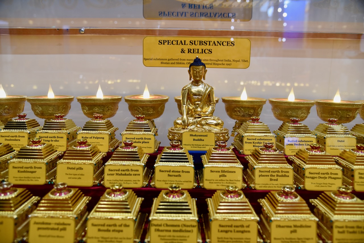
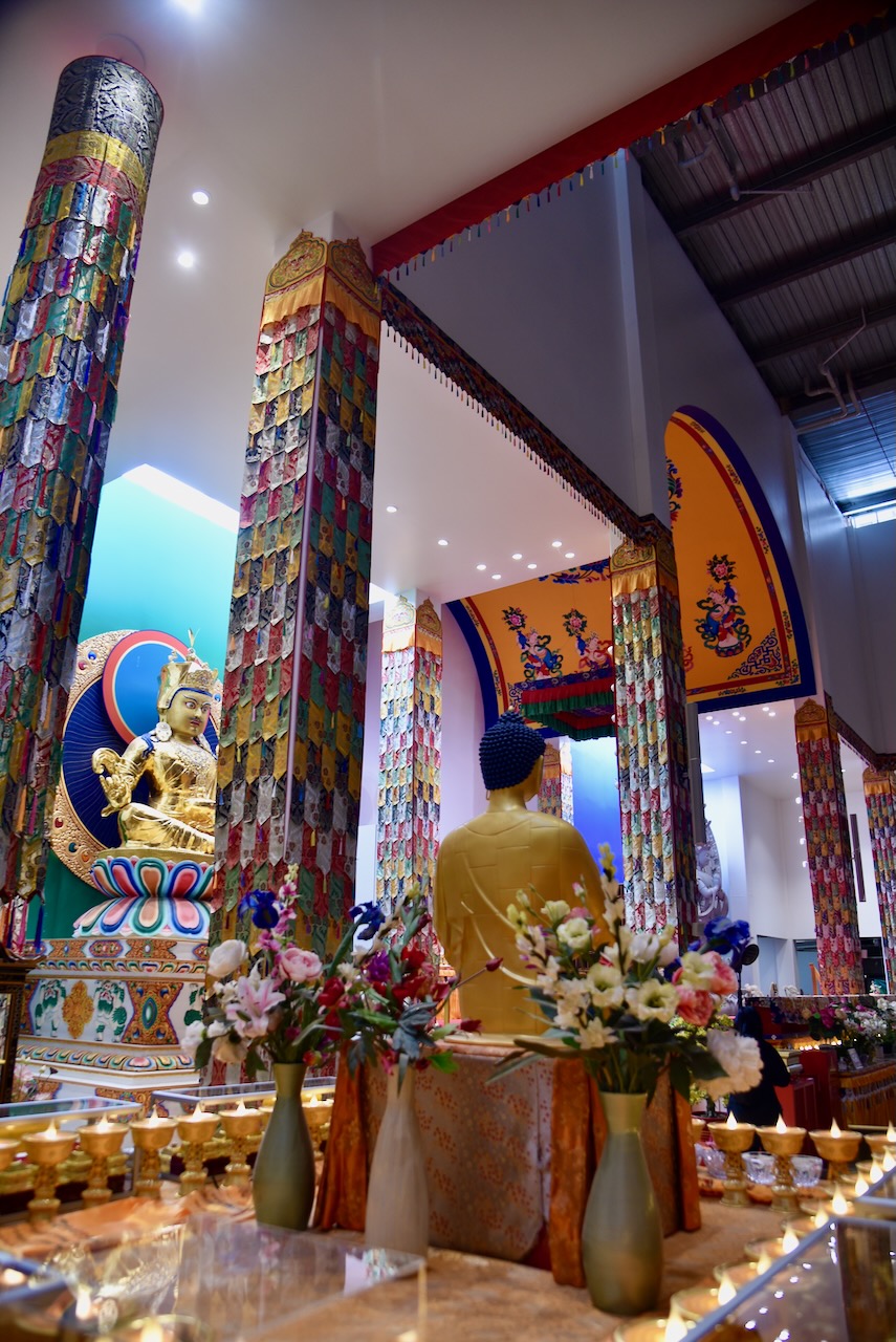
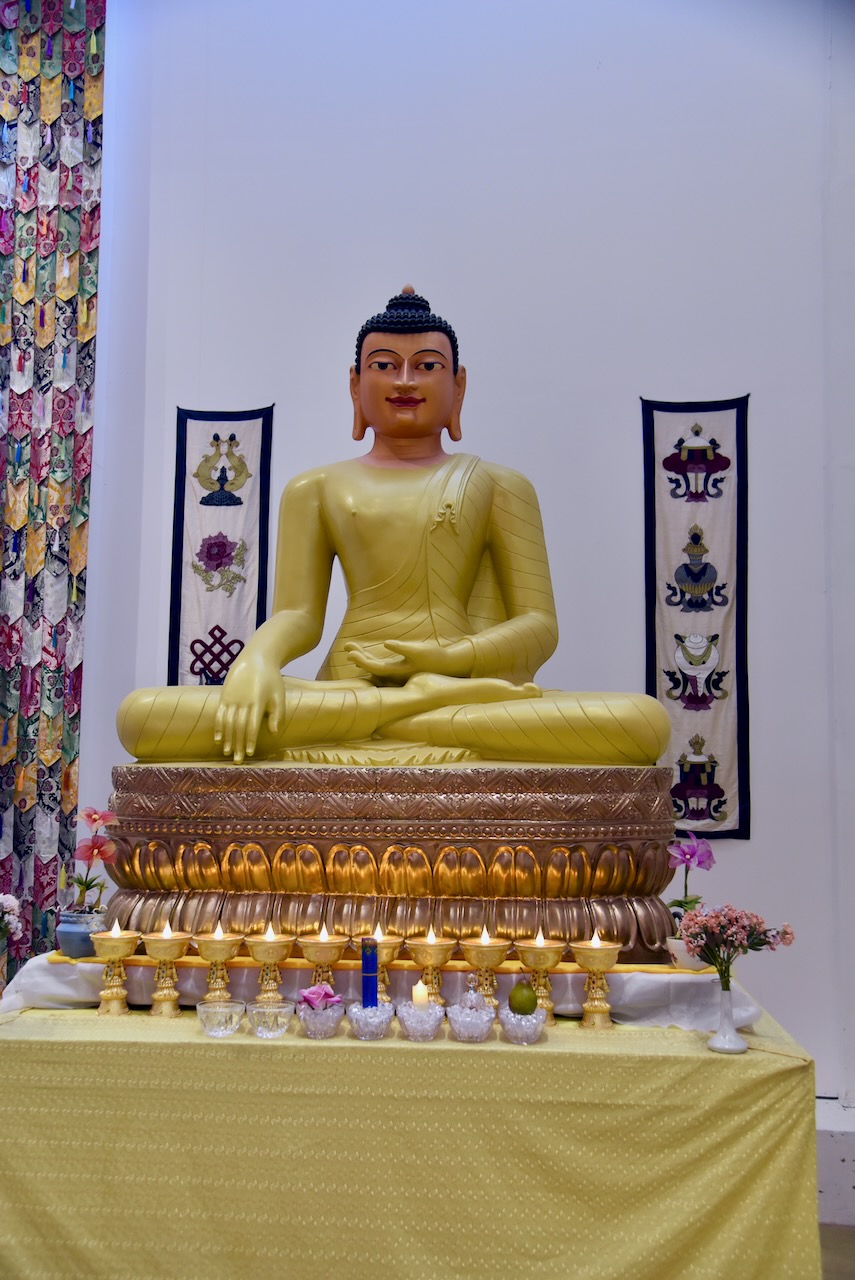
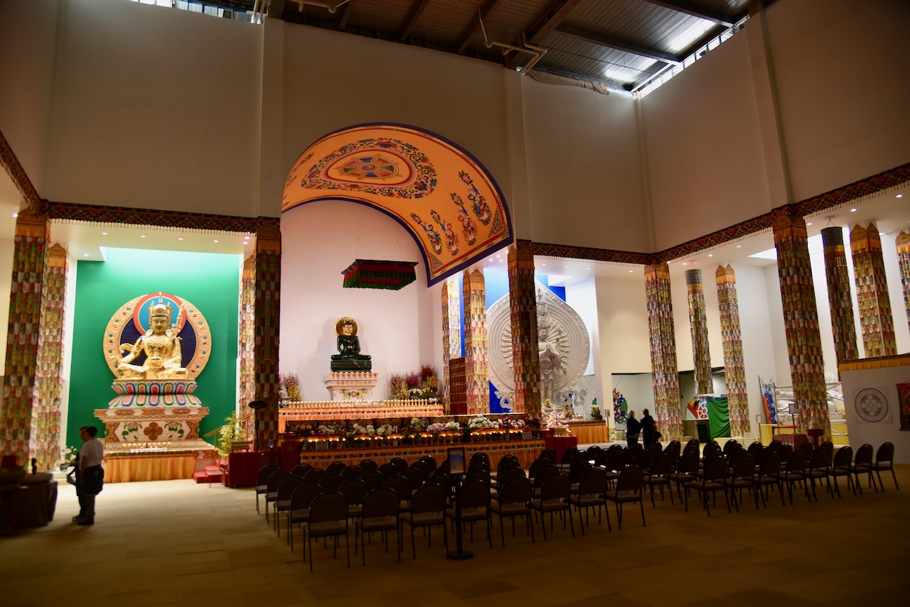
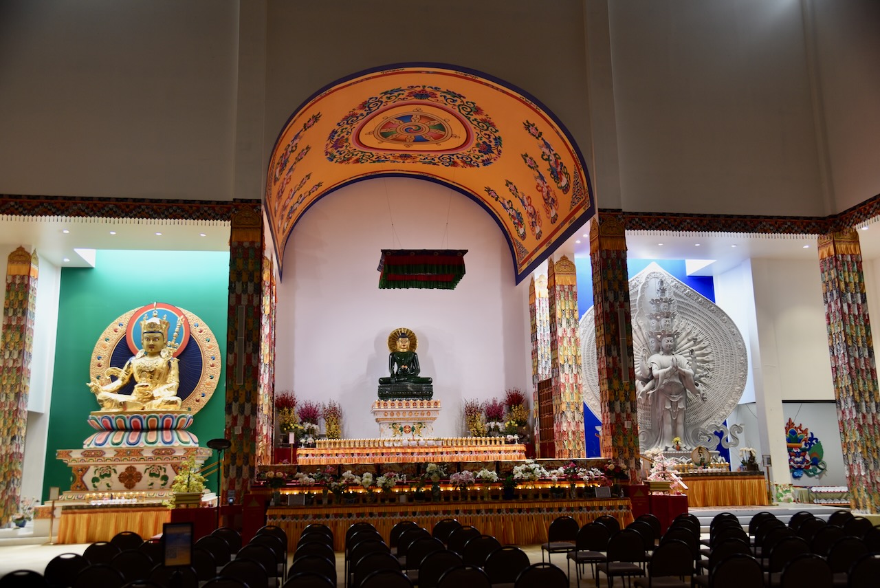
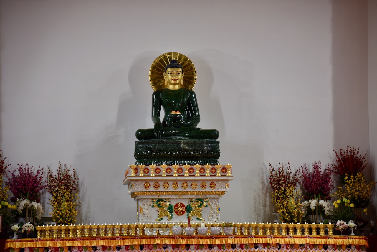
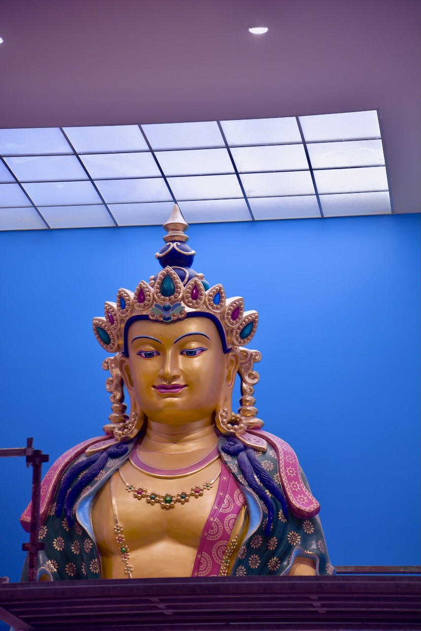
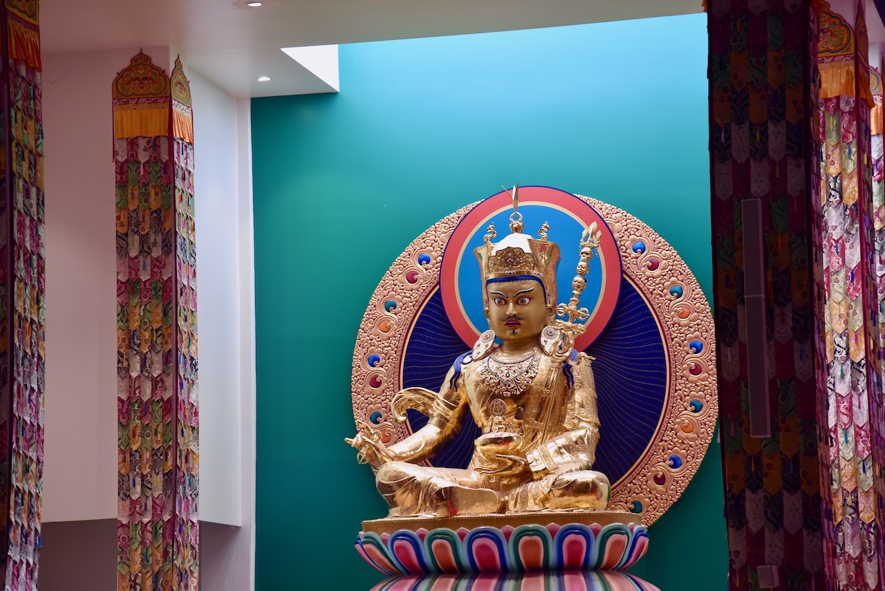
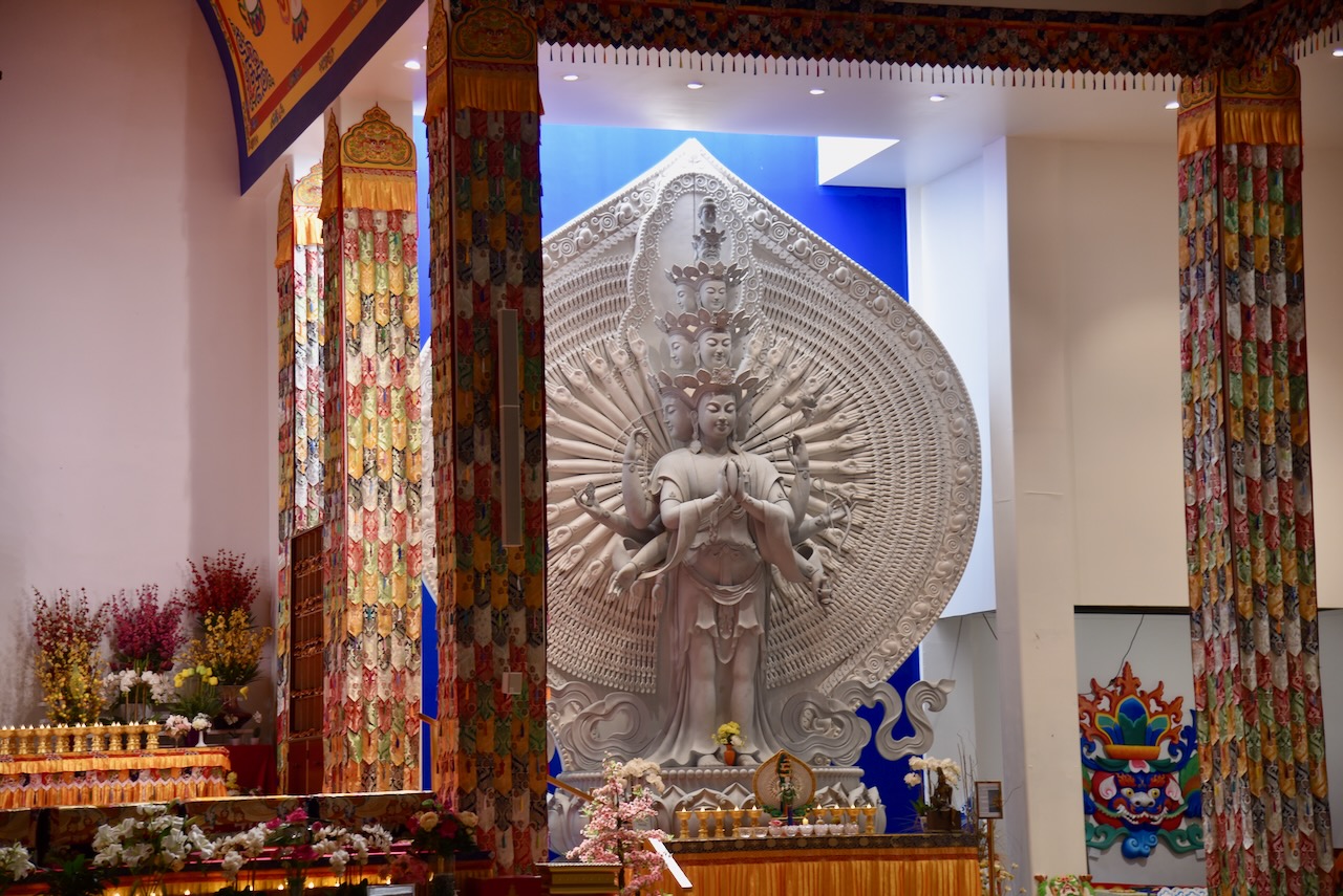
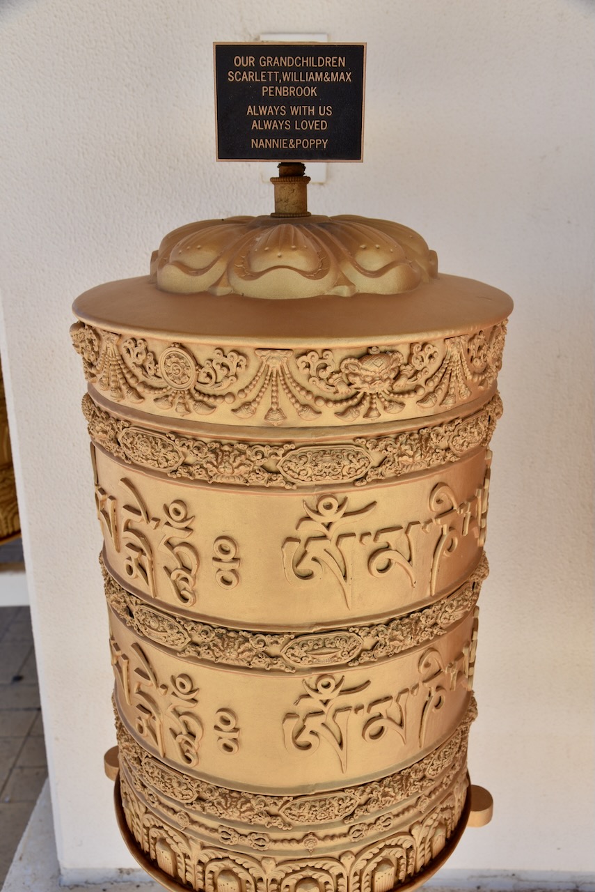
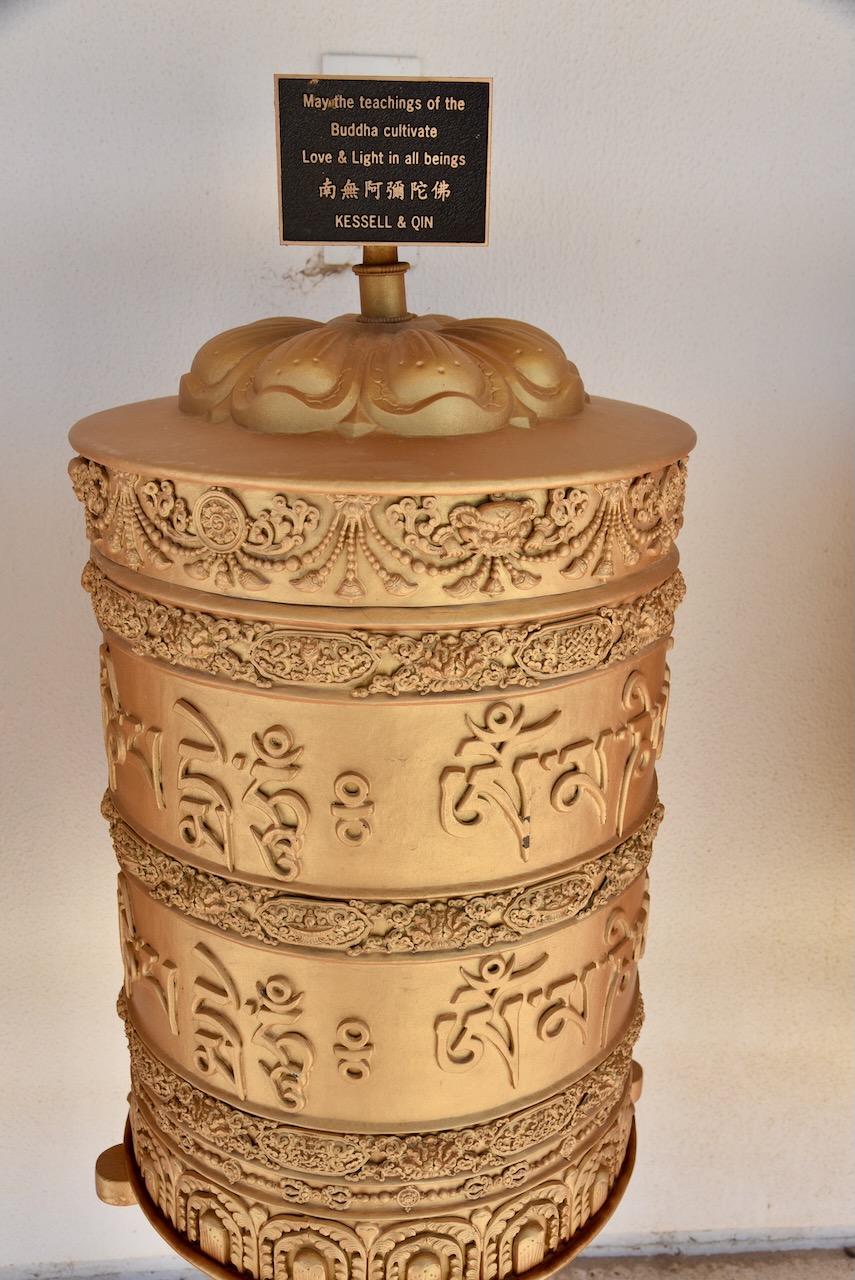
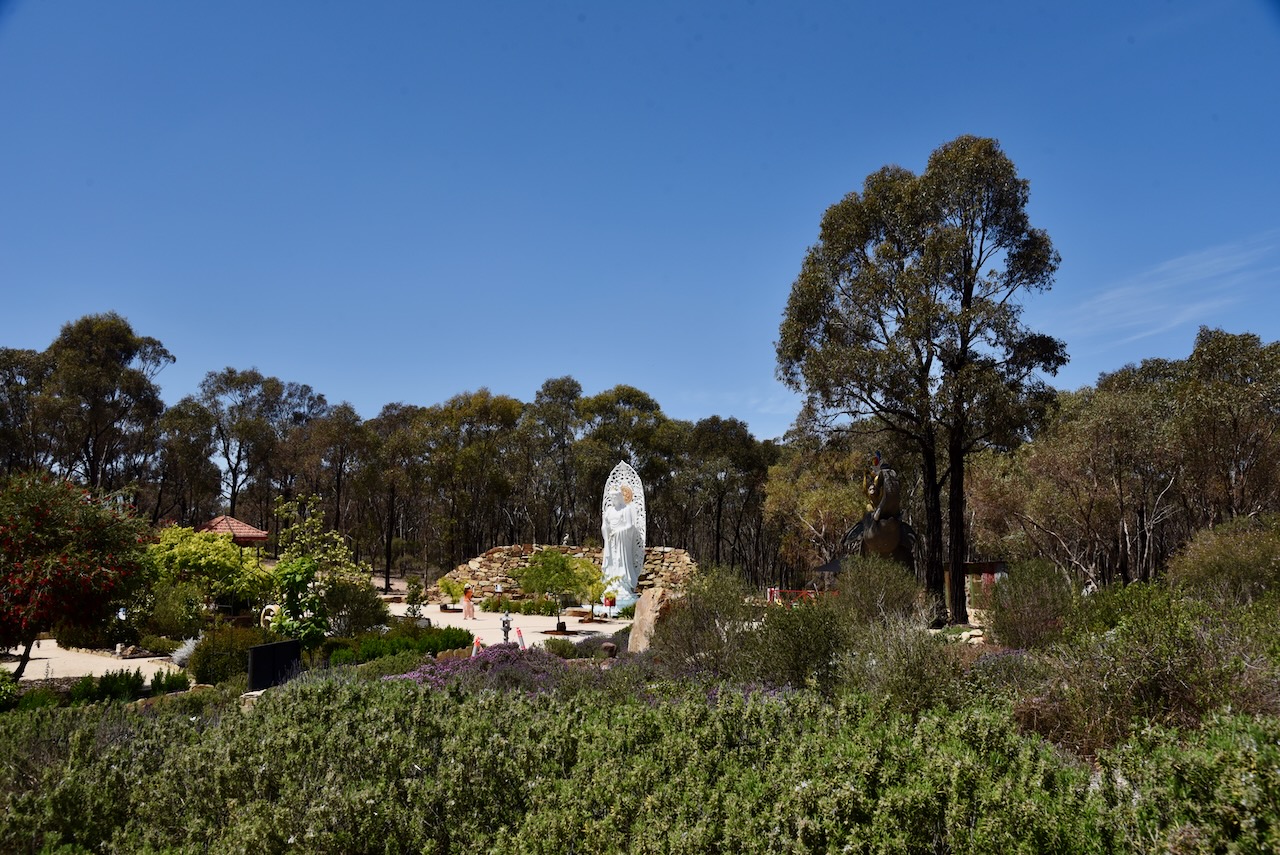
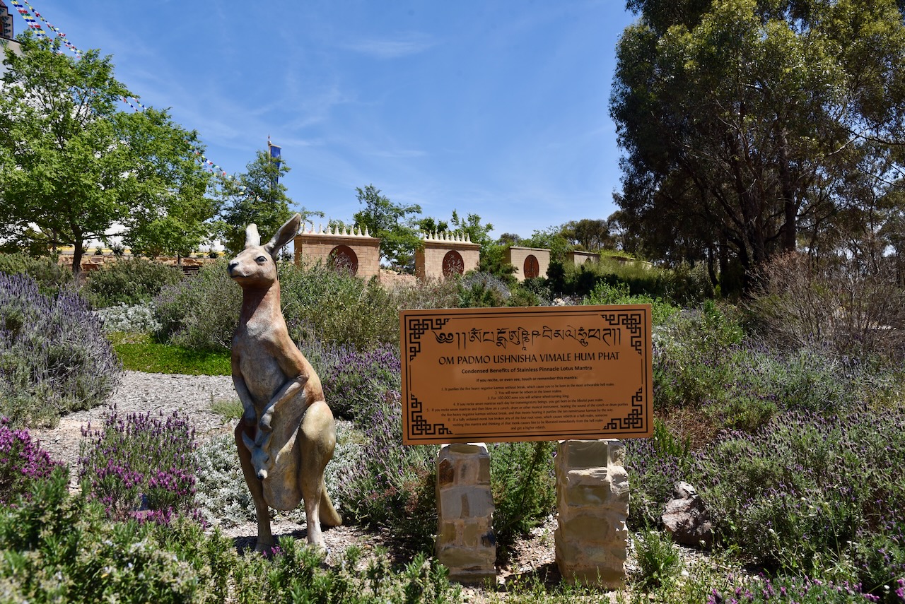
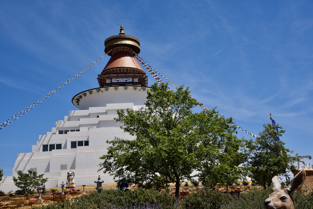
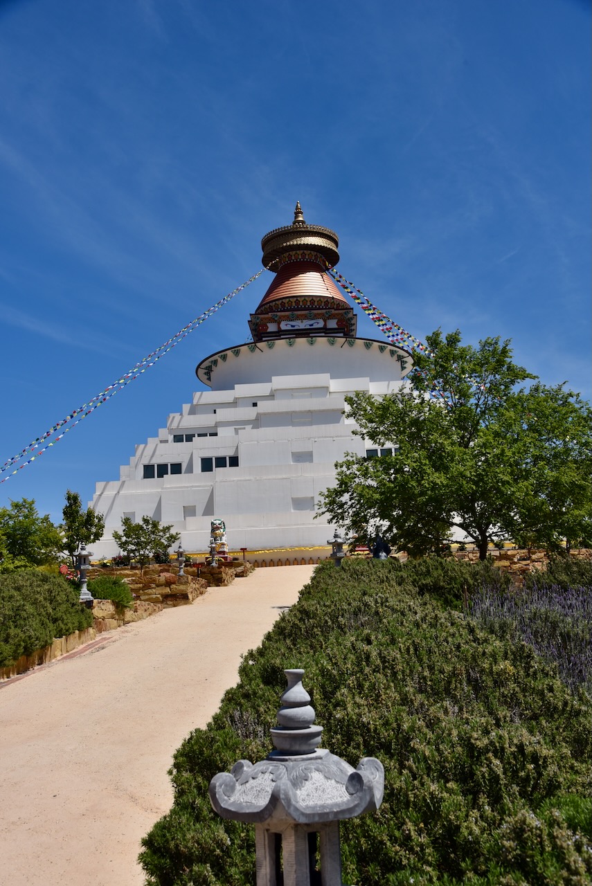
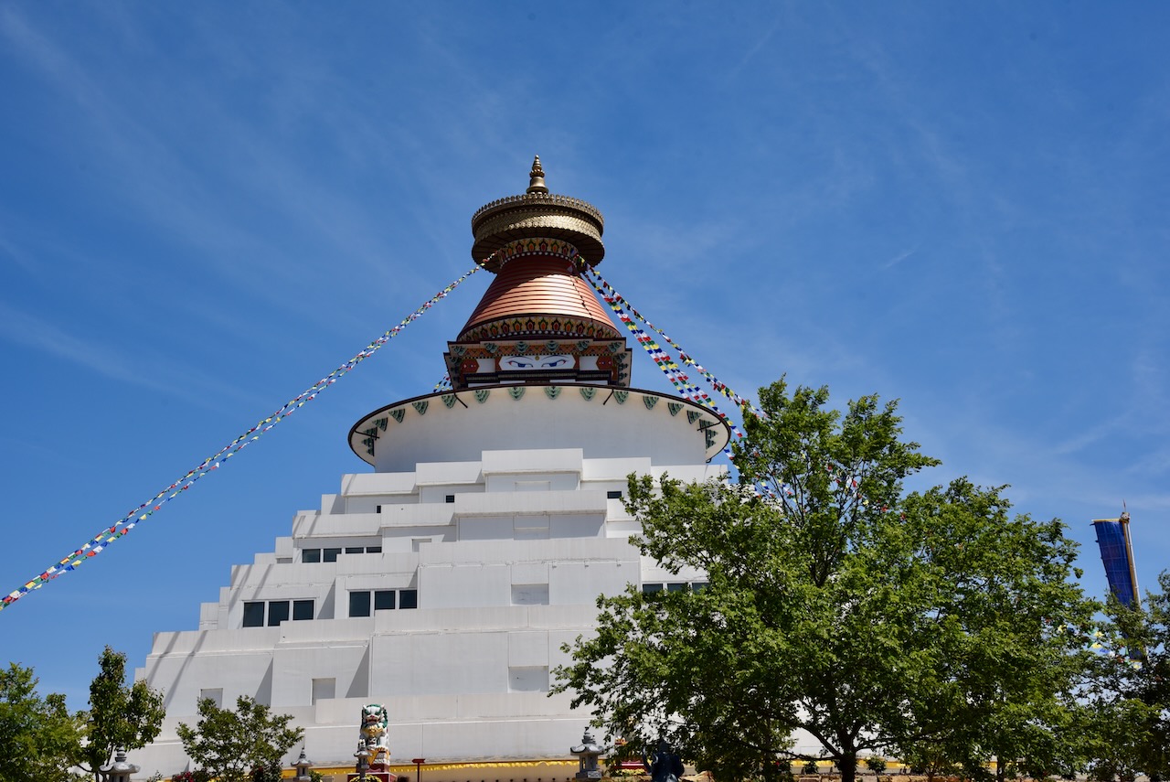
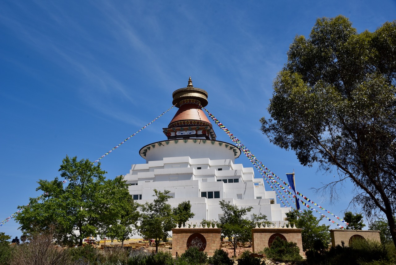
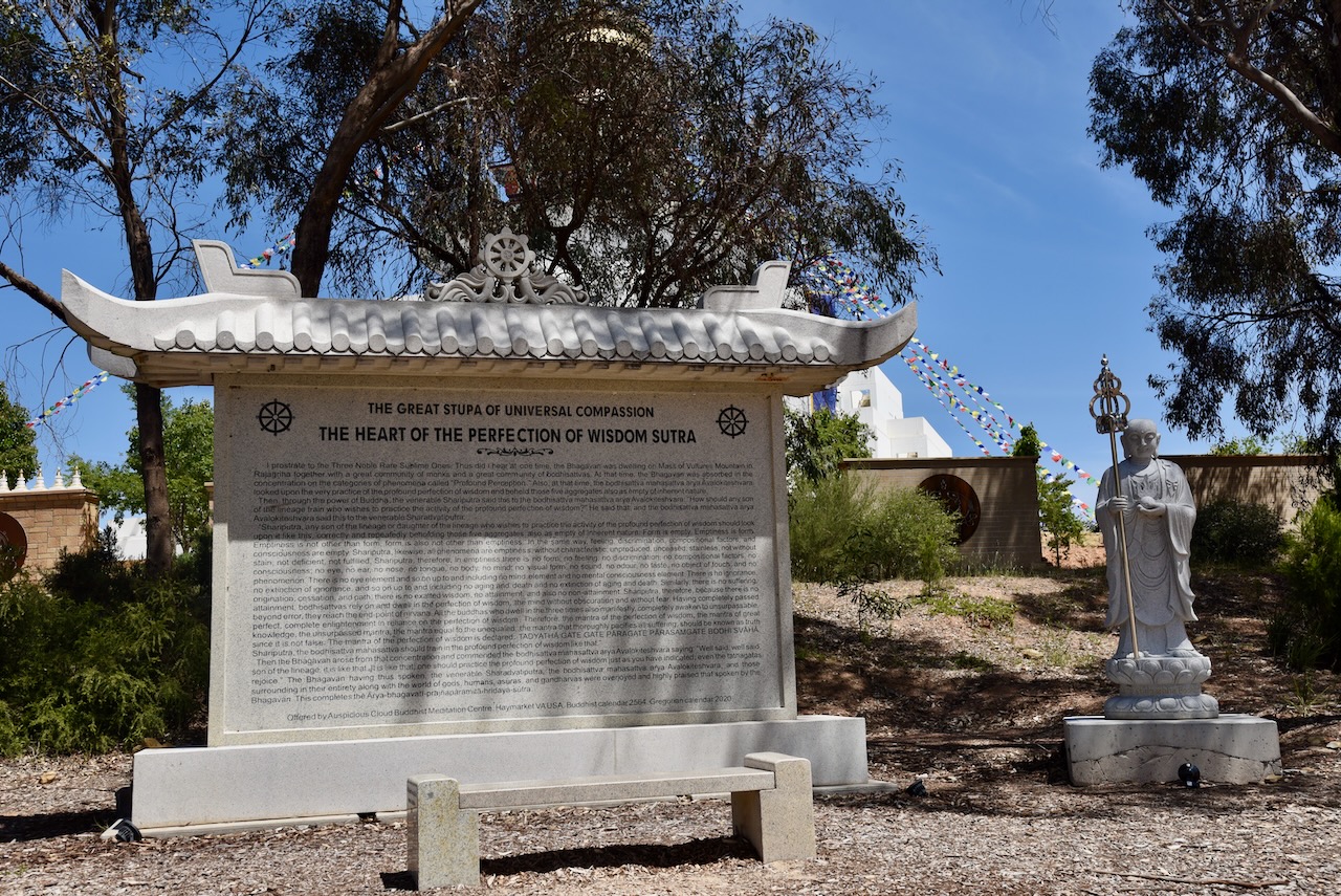
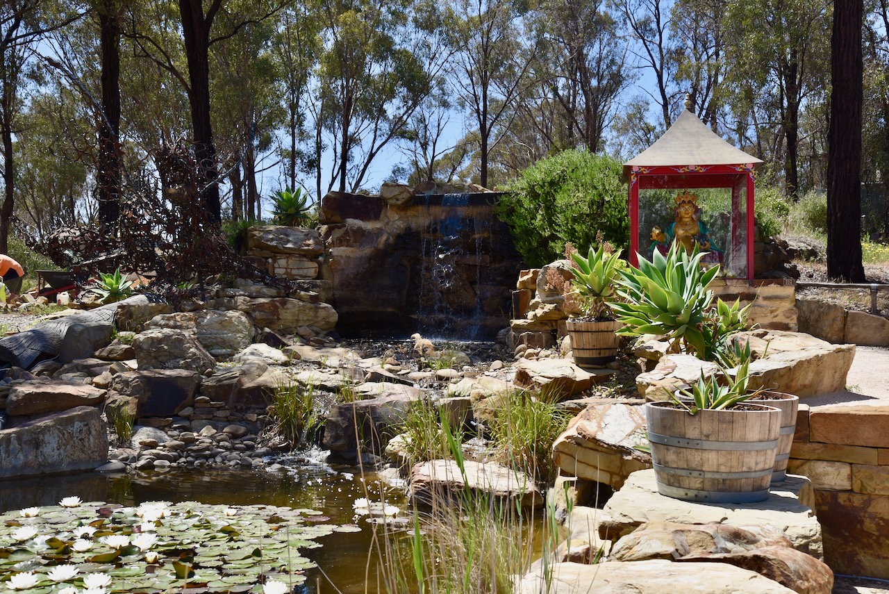
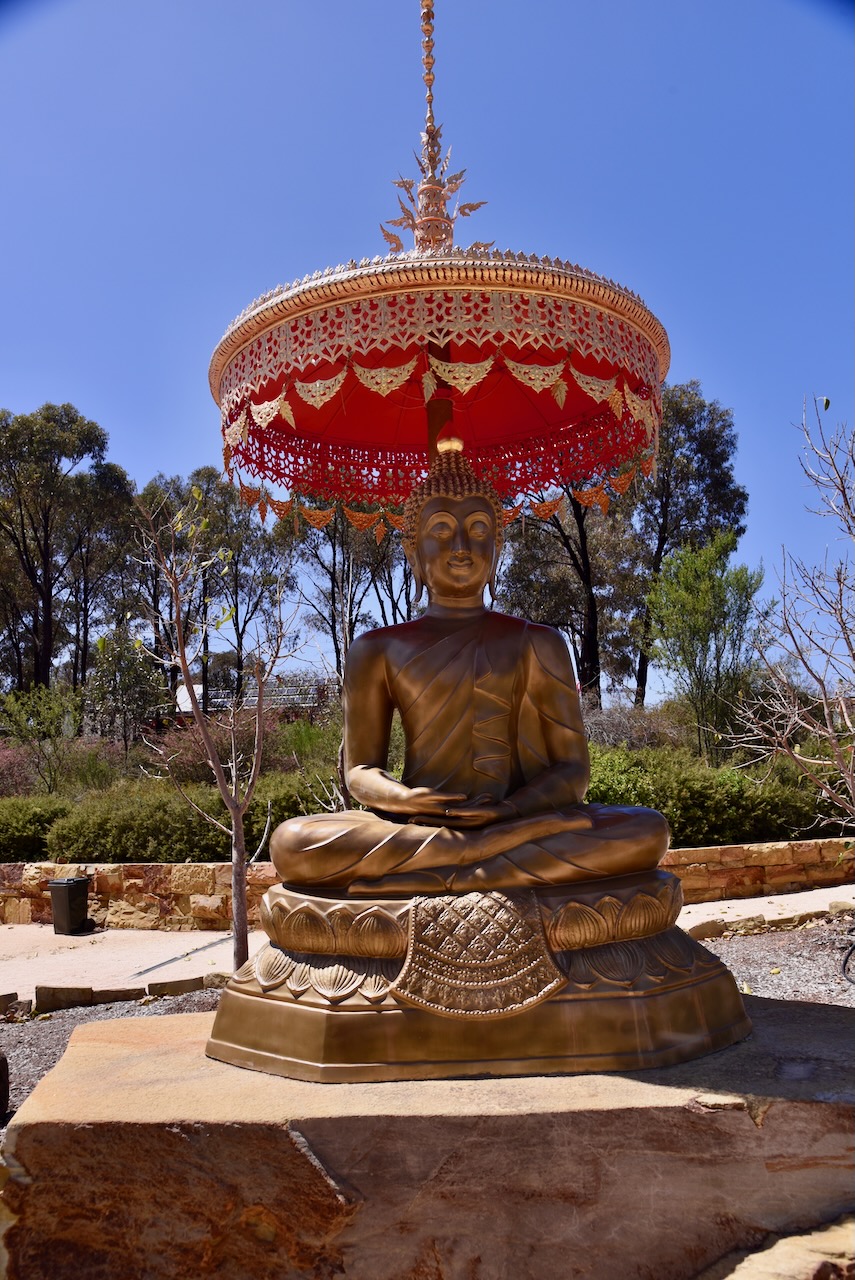
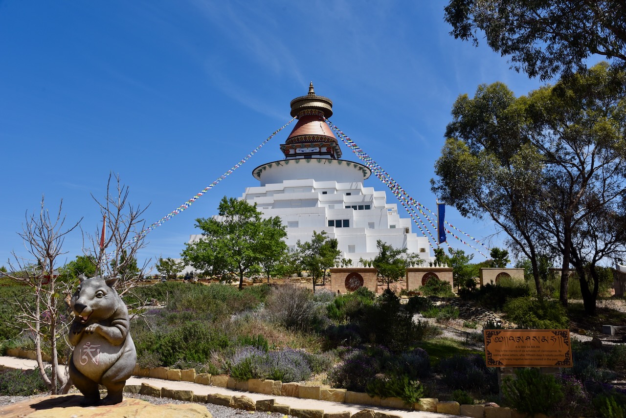
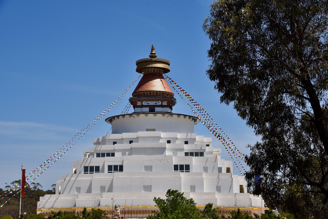
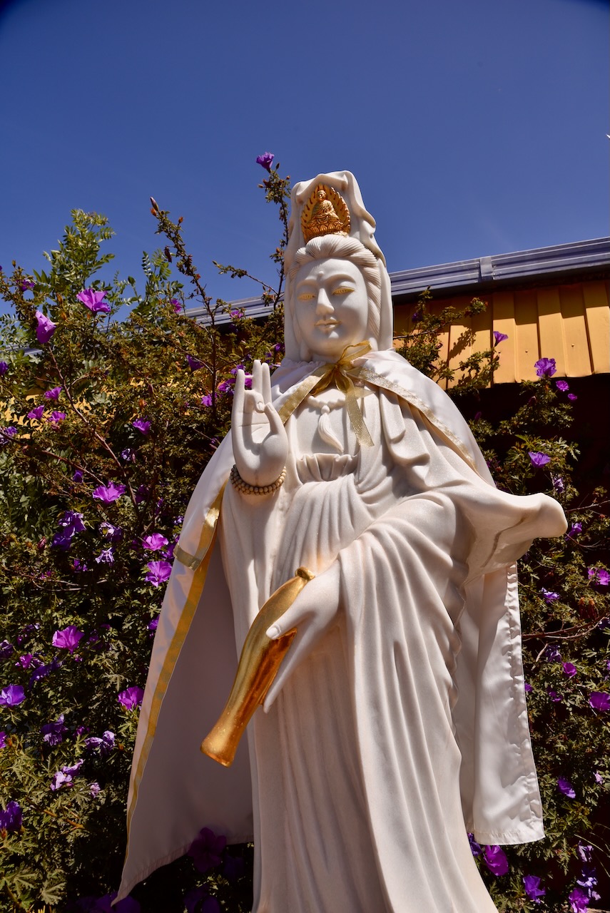
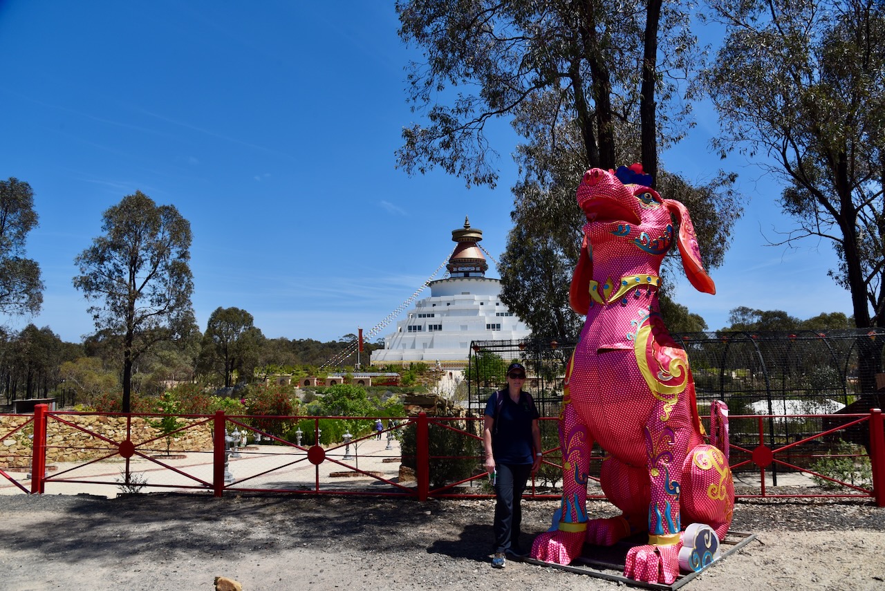
Our next stop was the Great Stupa of Universal Compassion at Myers Flat near Bendigo. The Stipa is 50 metres square at its base and is almost 50 metres high. This makes it the largest Stupa in the Western World. (admin, n.d.)
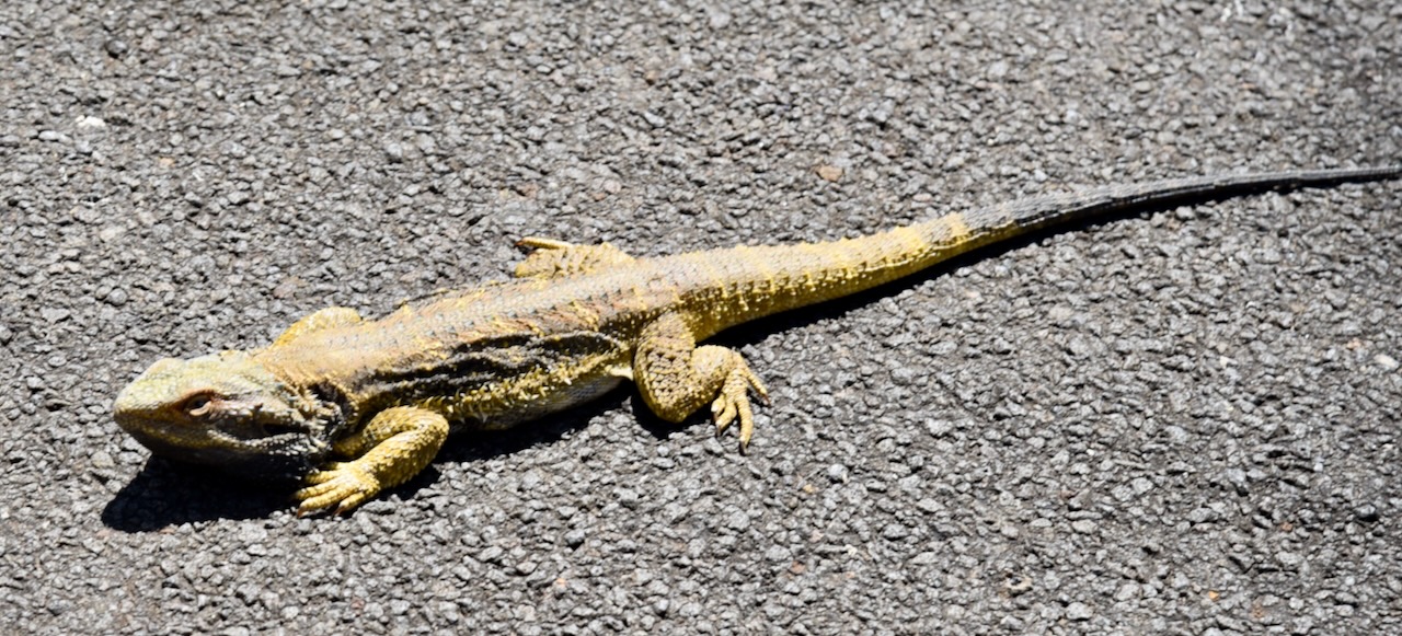
We left the Stupa and headed to our next park activation. It was a warm day and we saw several lizards and snakes basking on the roadway.
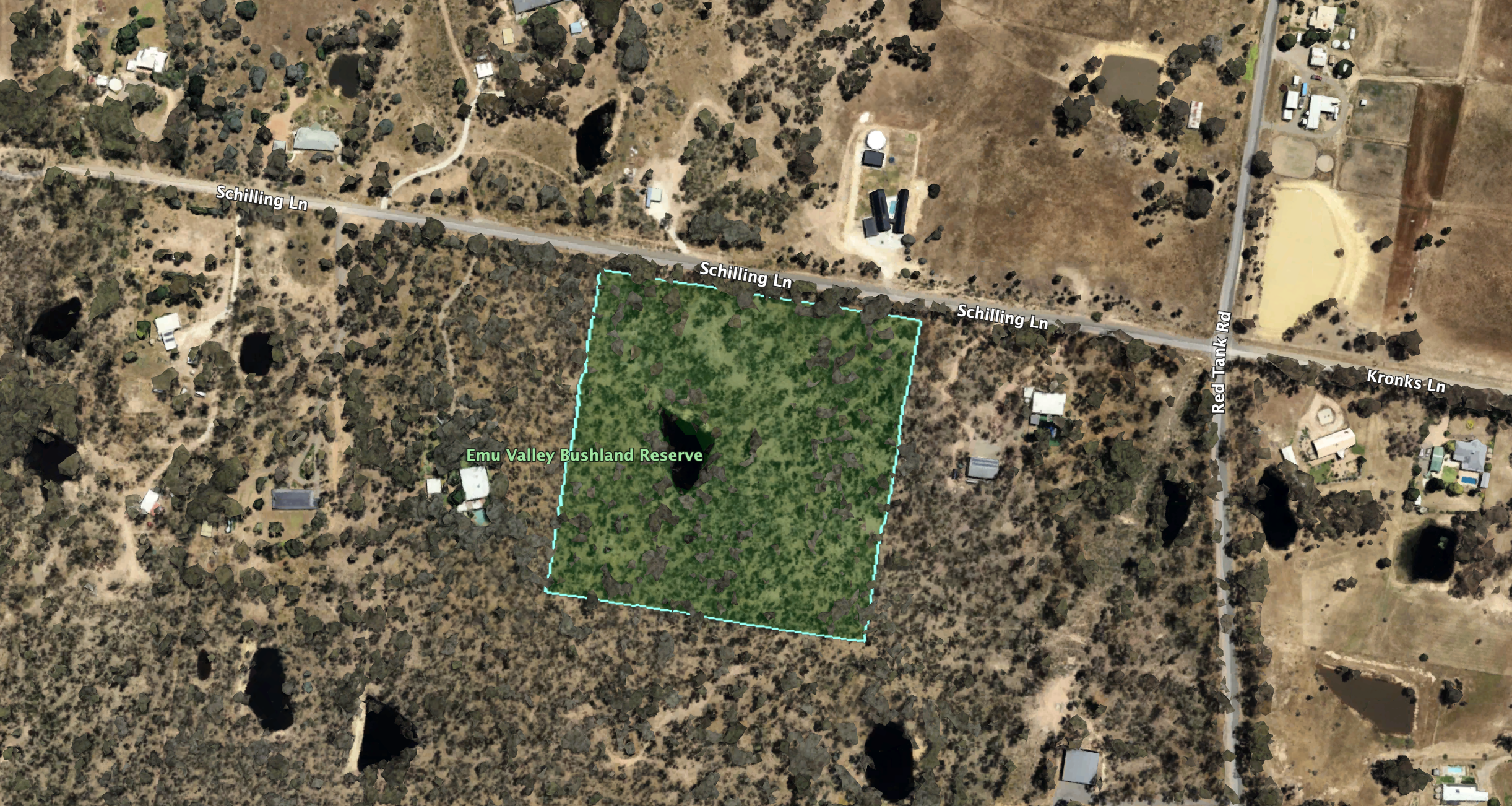
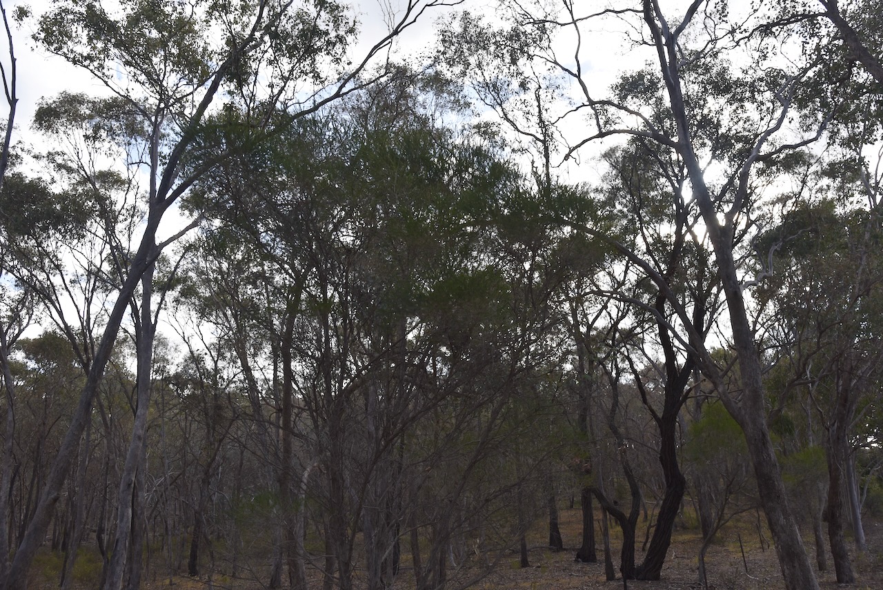
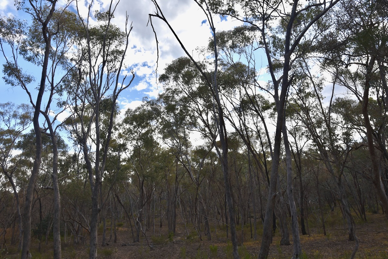
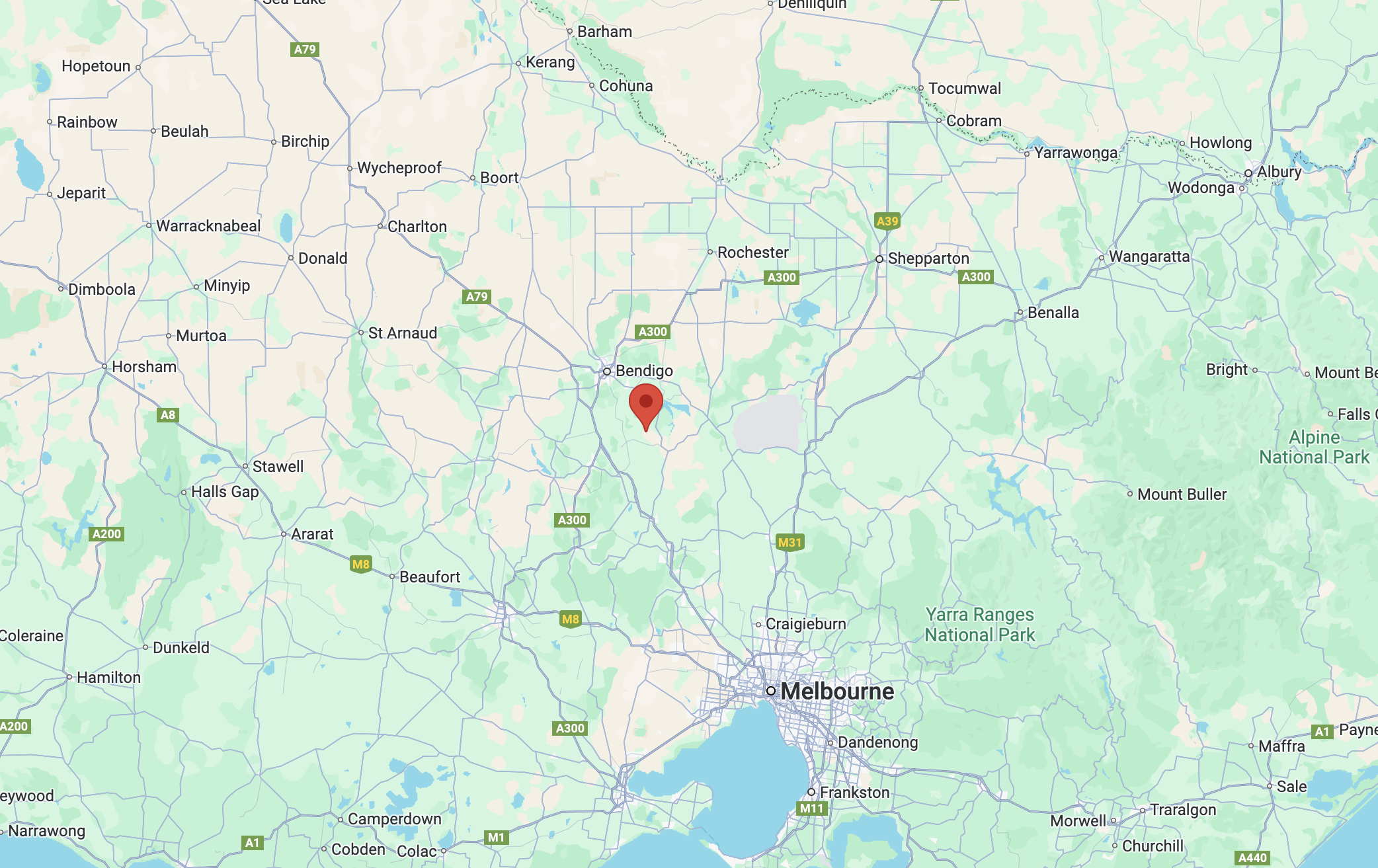
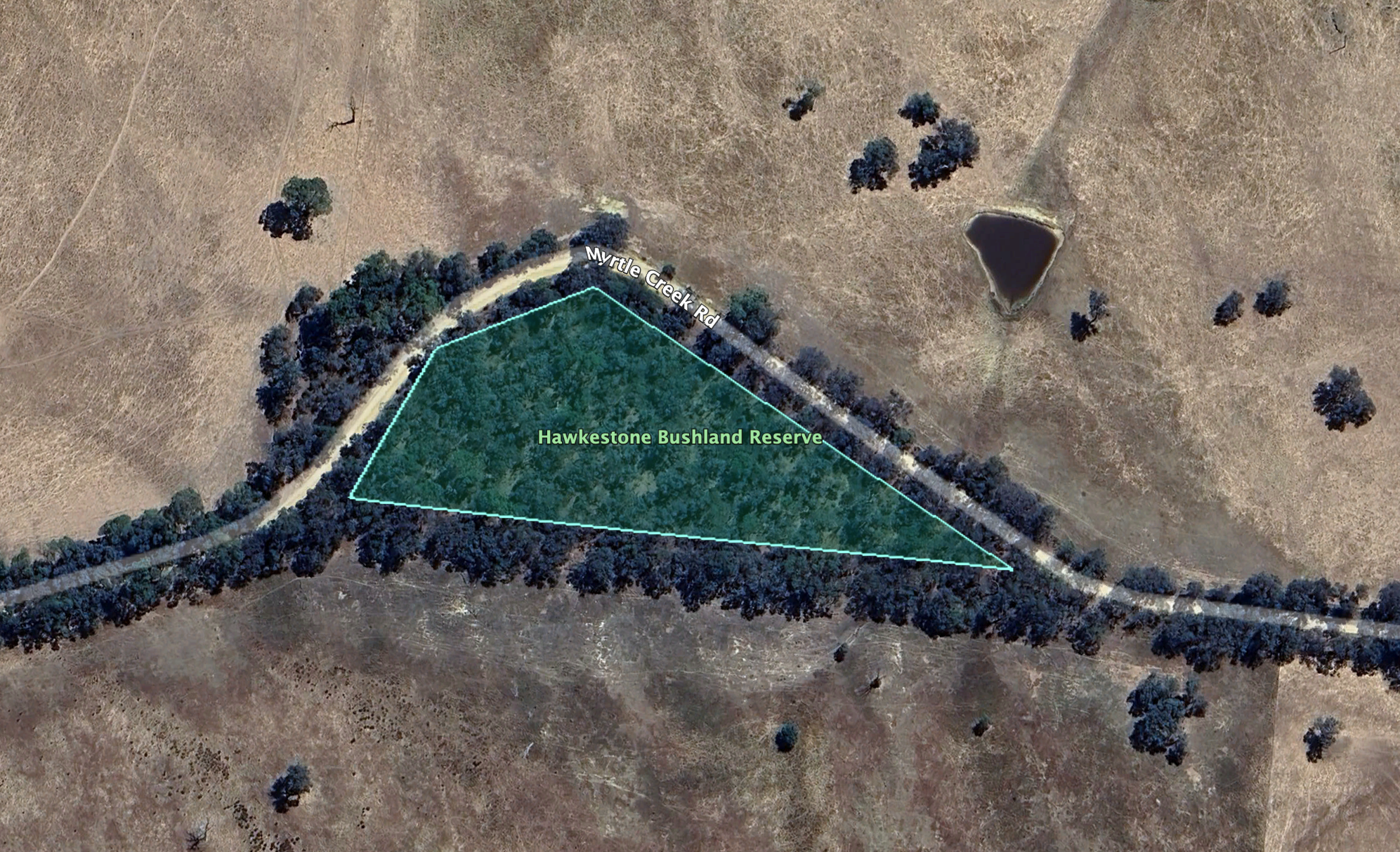
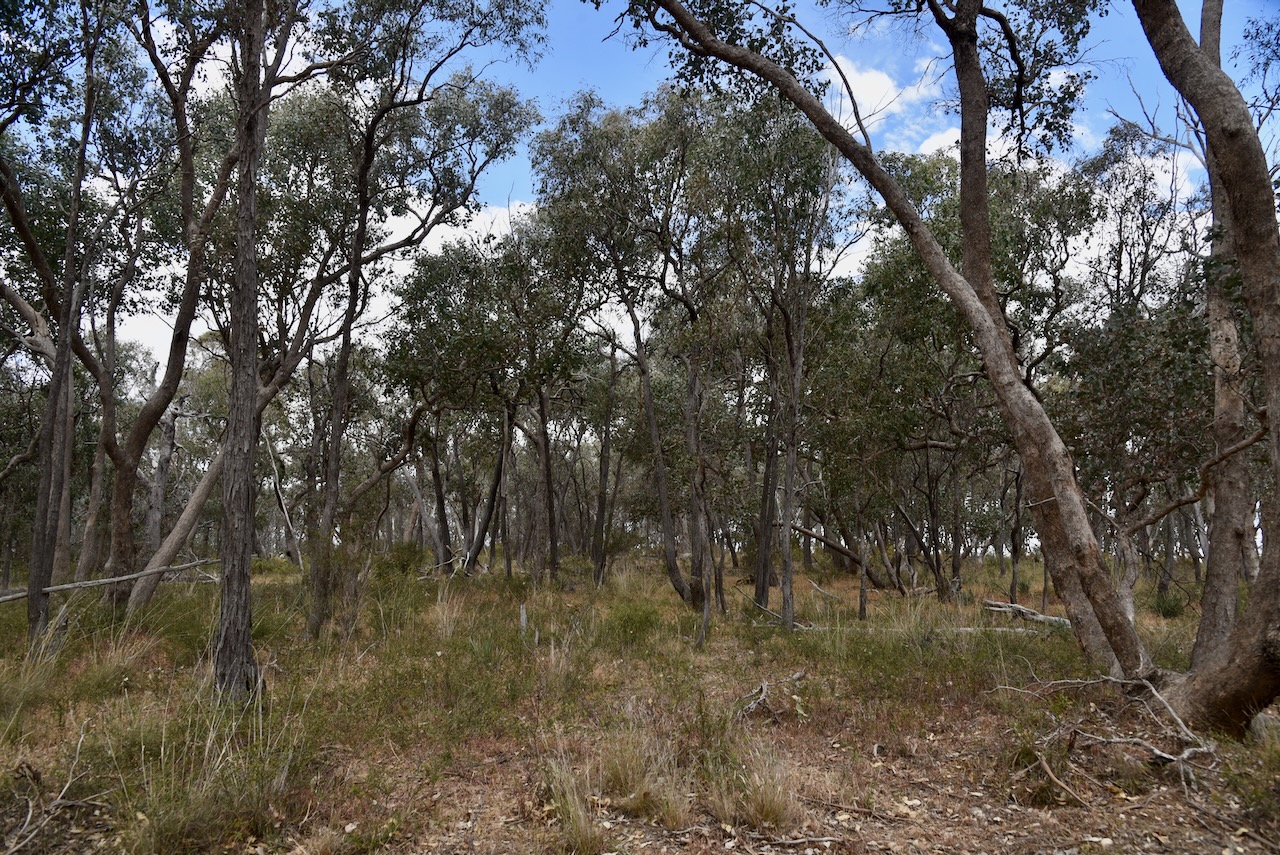
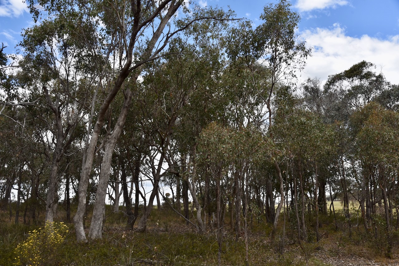
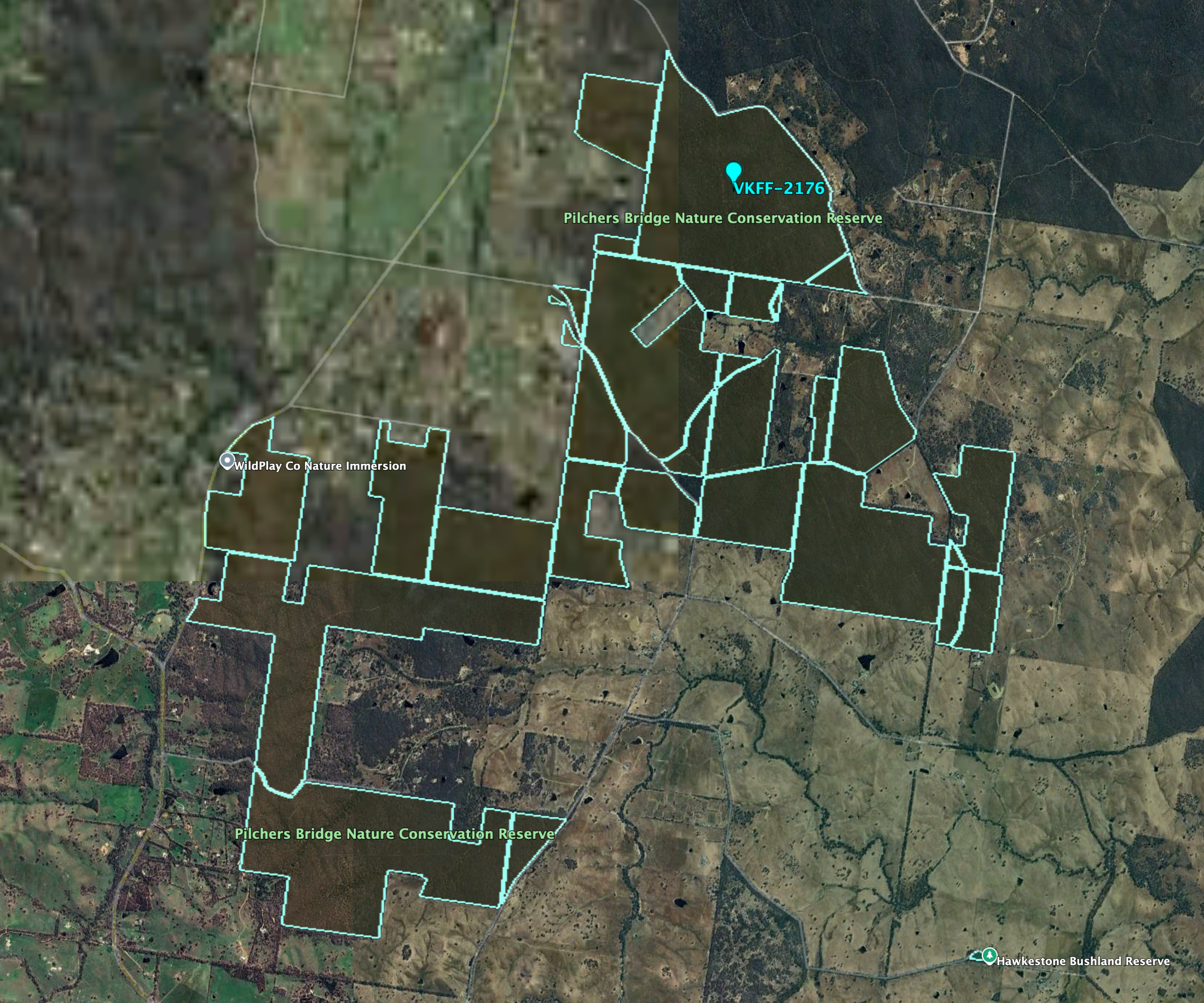
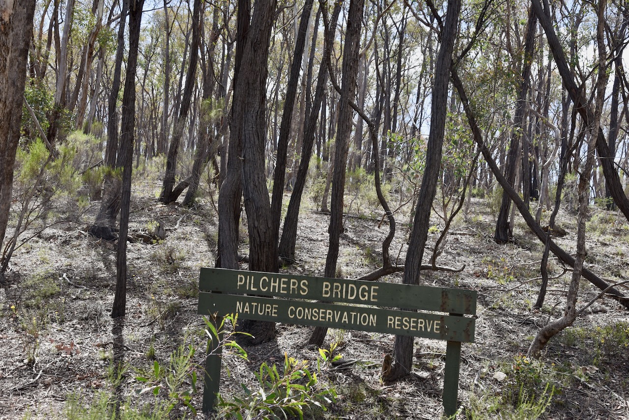
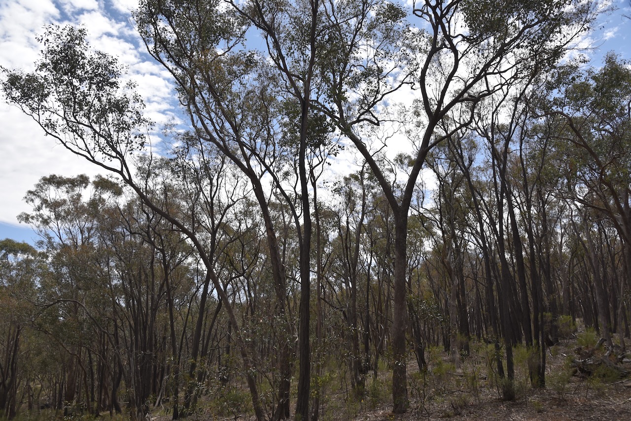
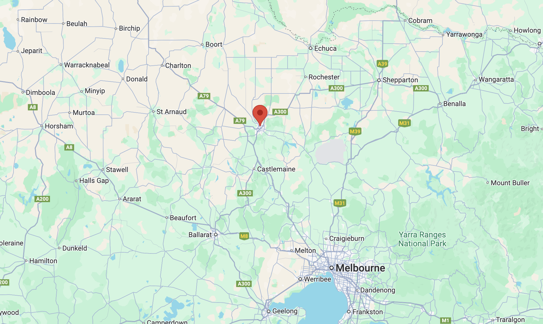
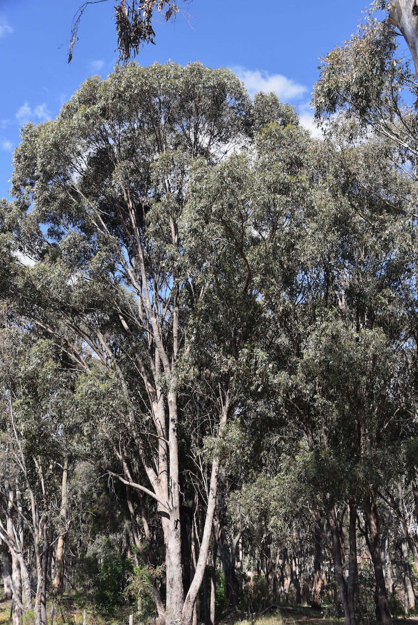
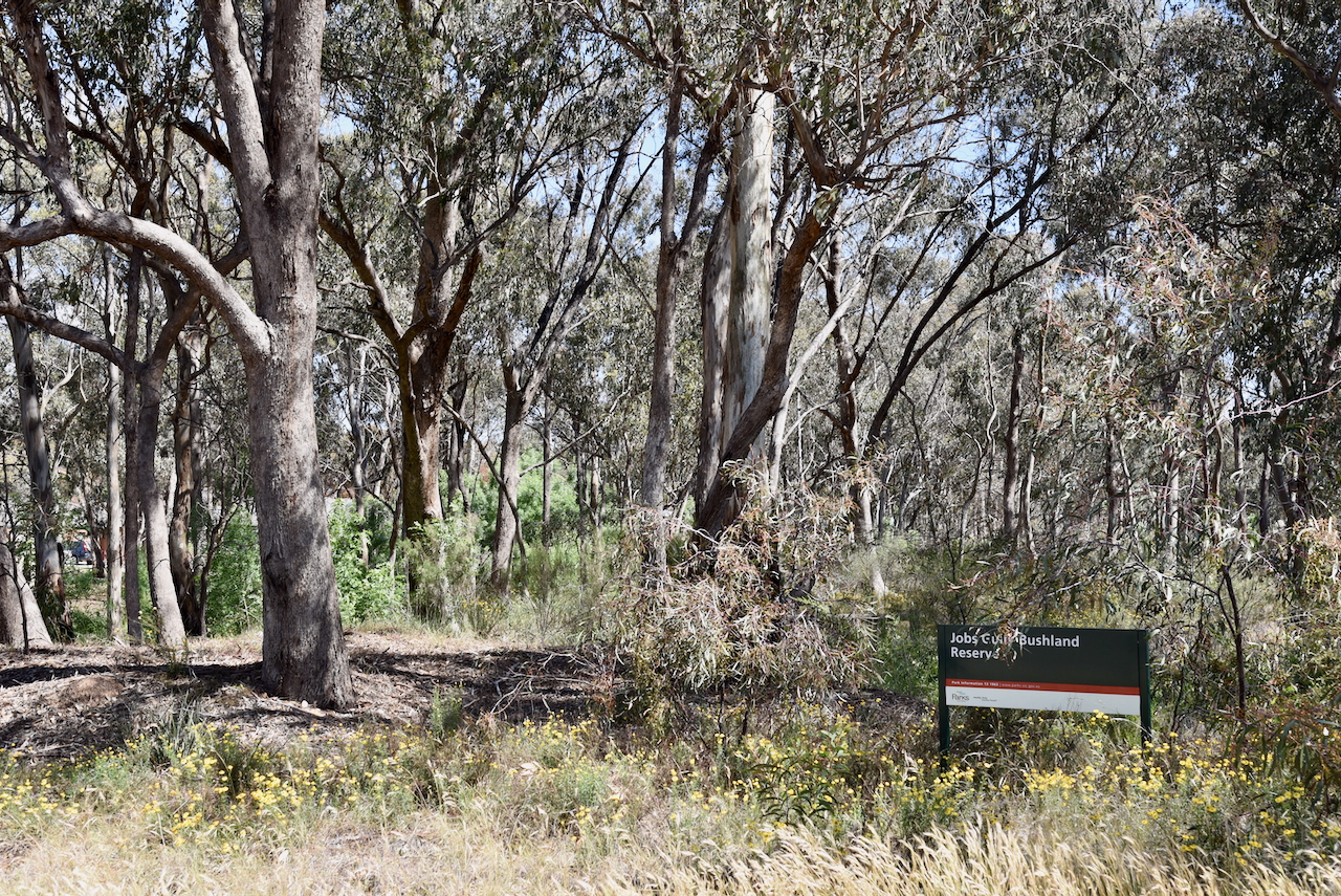
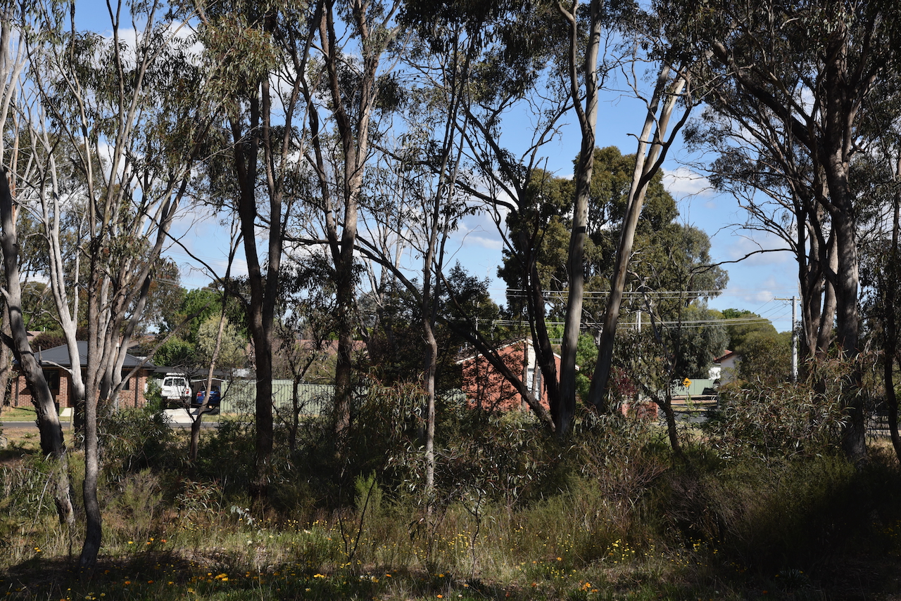
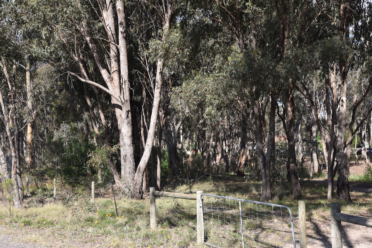
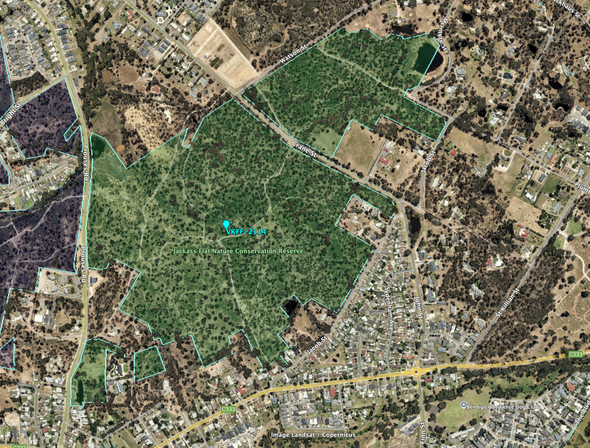
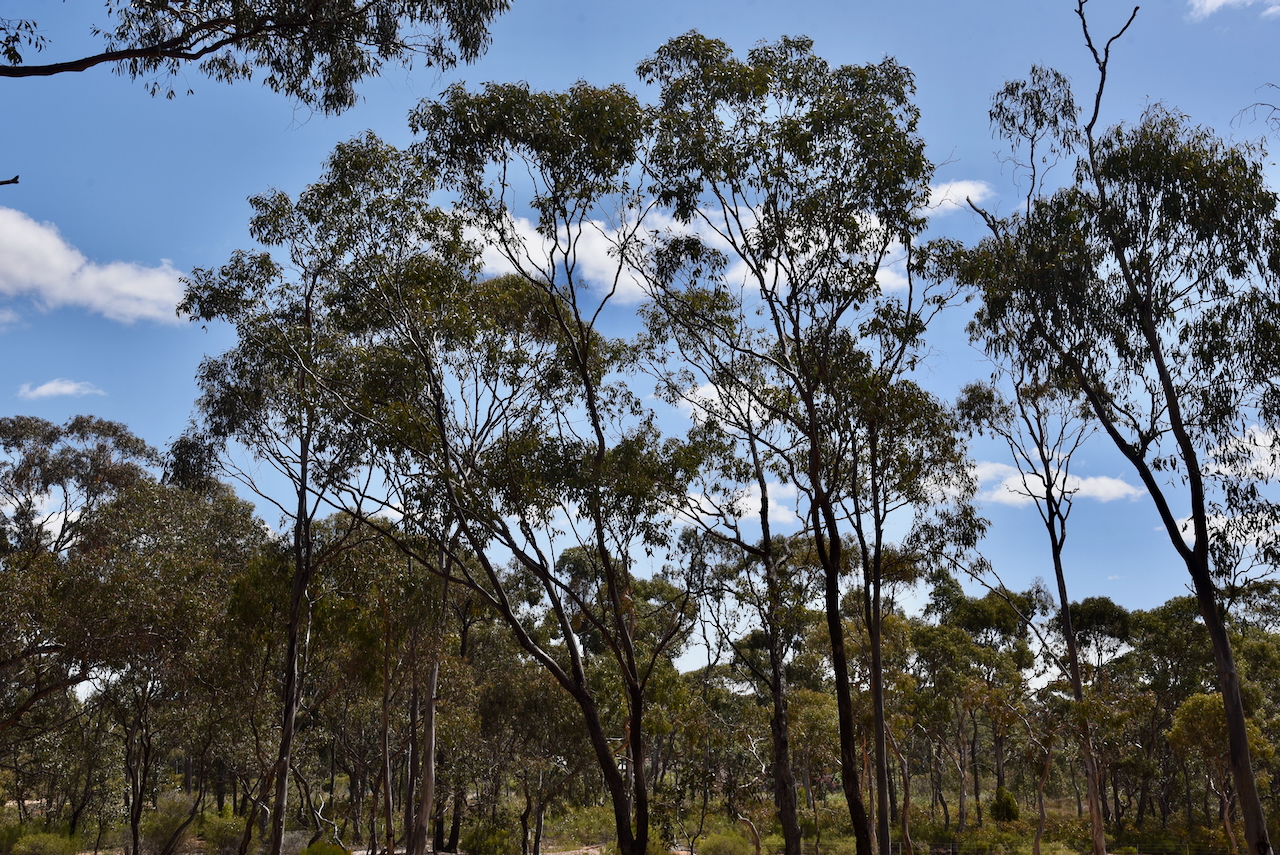
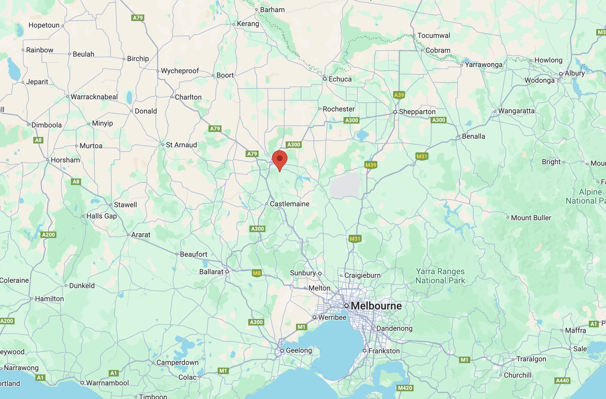
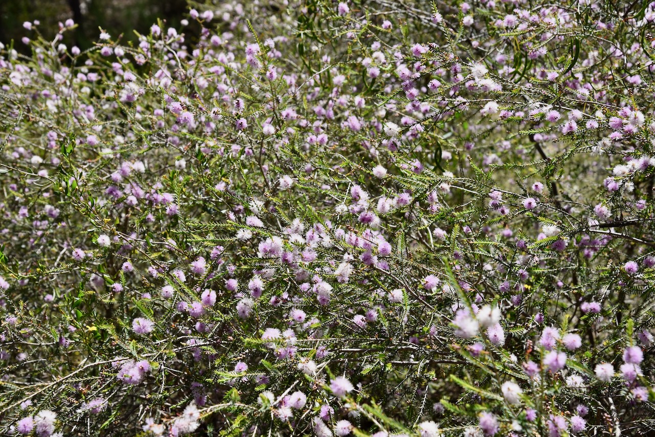
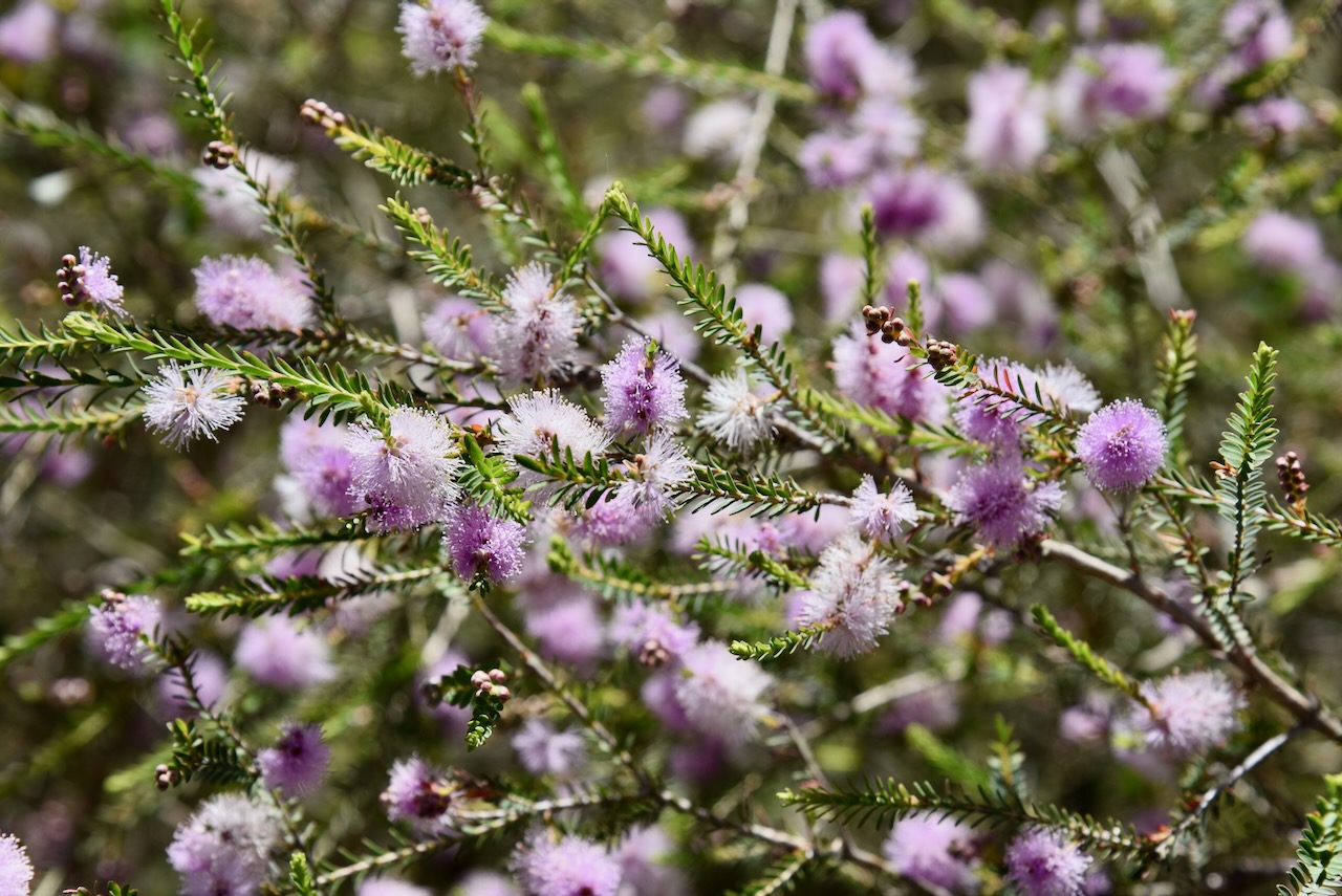
Our first park activation of the day was the Marong H71 Bushland Reserve VKFF-5437, at Myers Flat, about 14 km northwest of Bendigo.
Although the park is called Marong, it is in fact located in Myers Flat, a former goldfield that was discovered in 1856. Thomas Myers held the Weddikar pastoral run on which the gold diggings developed. The run was dissected by The Sandy Creek which was later renamed Myers Creek. (Blake 1978) (heritagecouncil.vic.gov.au, n.d.) (Victorianplaces.com.au, 2015)
The gold rush in the area was not overly productive with the land in the district also attracting farm settlers. By 1854, an Anglican school was opened, and six years later in 1860, a Catholic school was opened. The district had a strong Irish influence. (Victorianplaces.com.au, 2015)
The Marong H71 Bushland Reserve Old Bridgewater Road, Allies Road and Forest Drive.

The reserve is about 243 hectares in size and was established on the 26th day of February 2002. (CAPAD 2022)
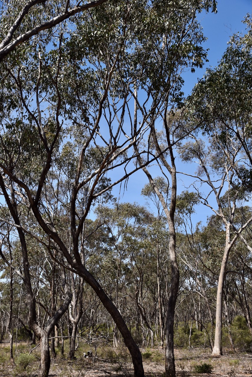
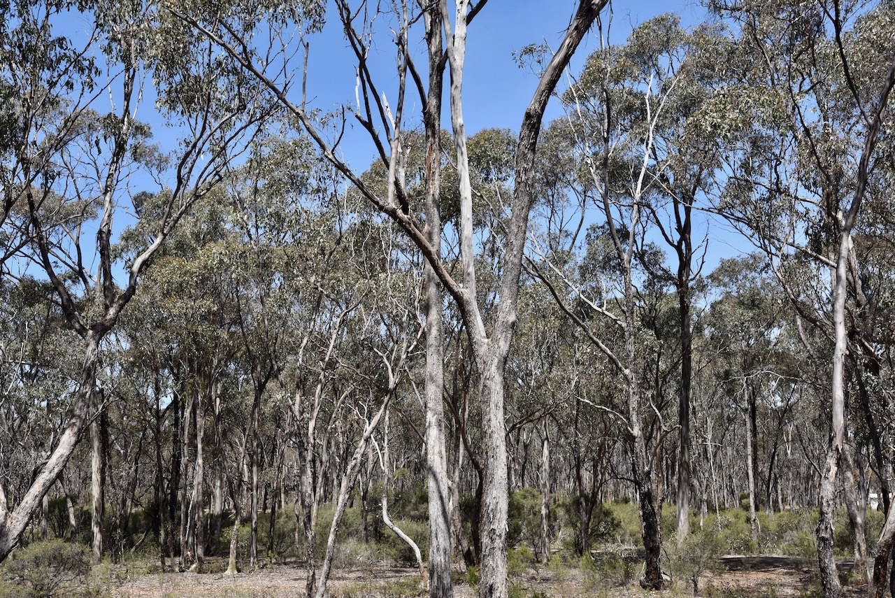
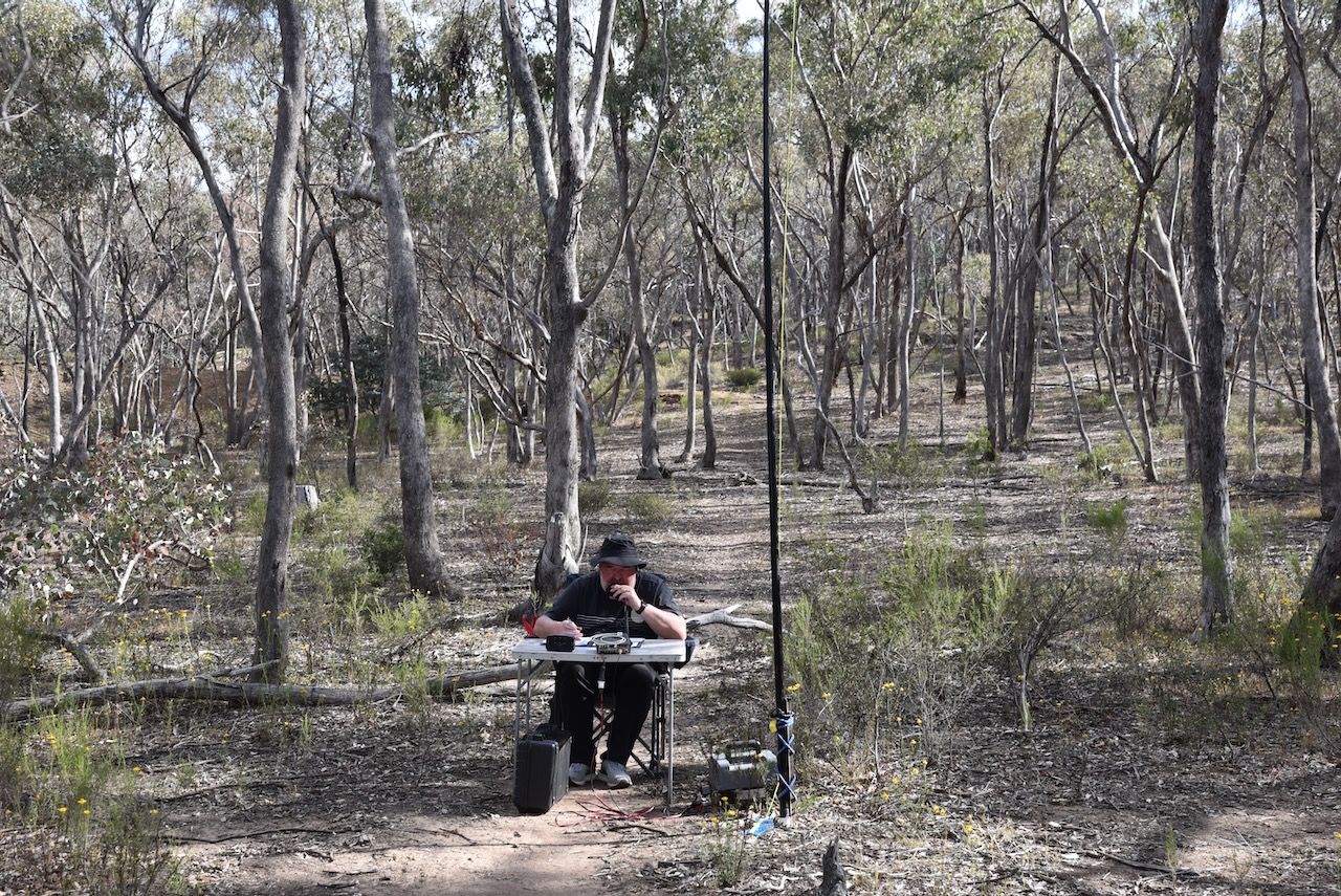
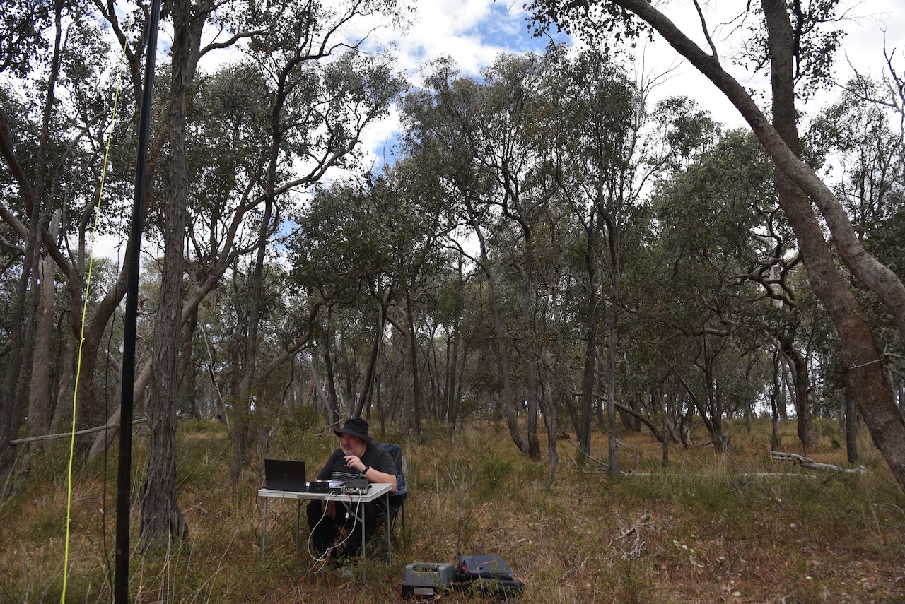
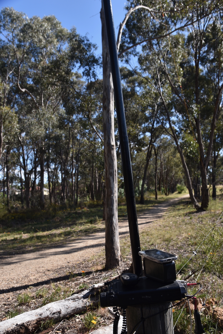
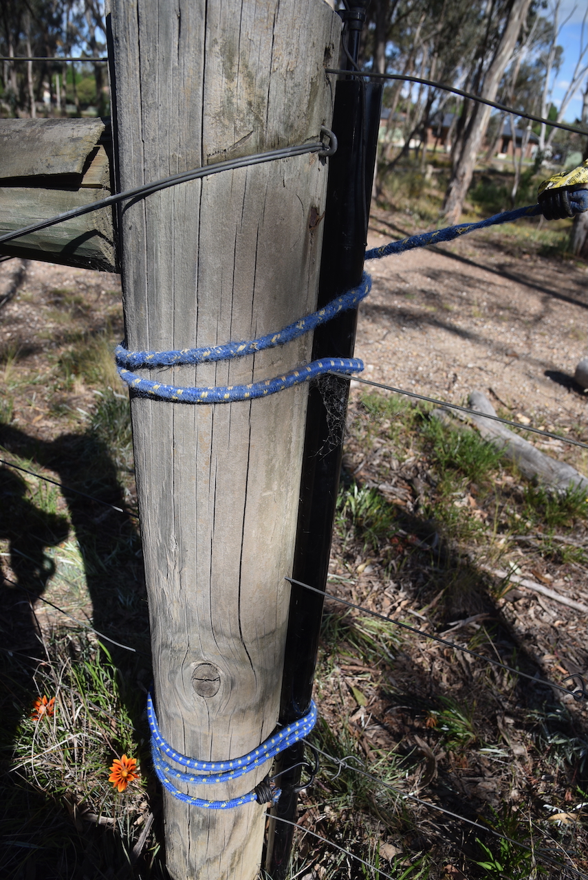
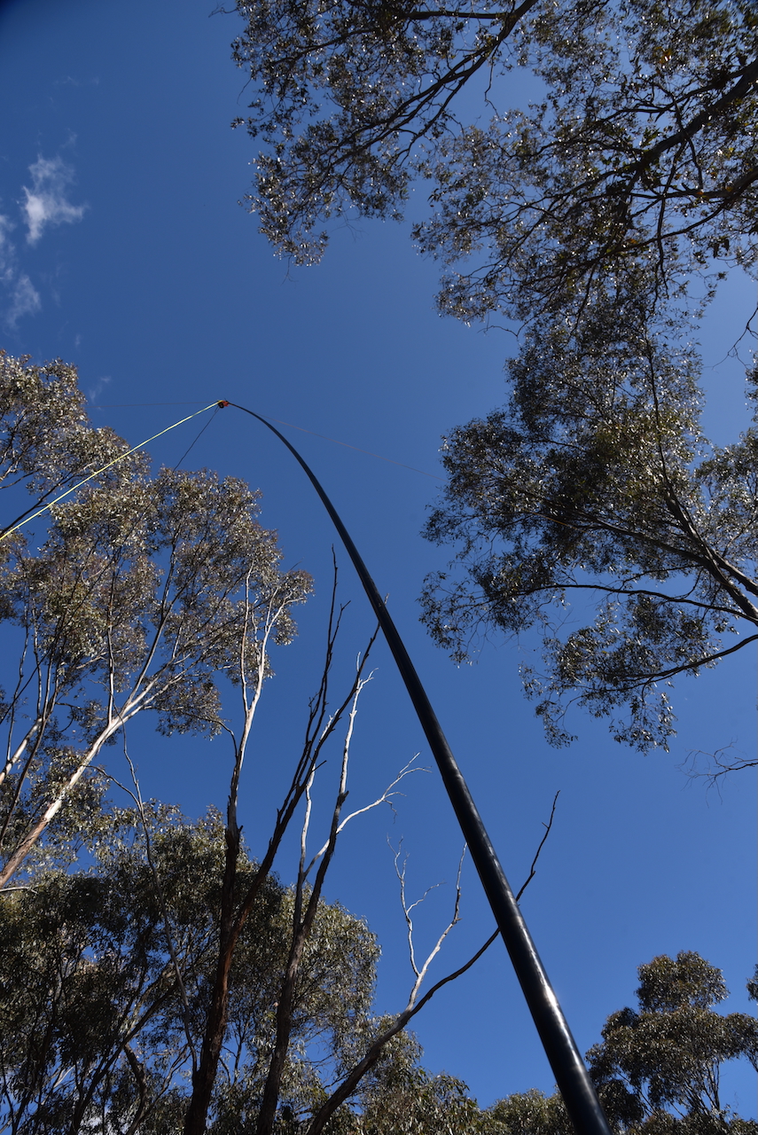
This was an unfenced park. Marija and I drove in and set up our station comprising the Yaesu FT857, 40 watts, and the 20/40/80m linked dipole.
Marija worked the following stations on 40m SSB:-
- VK3PF/P (VKFF-3925)
- VK5HS
- VK3APJ
- VK3IFR
- VK3TKU
- VK2IO/P (SOTA VK3/ VN-023)
- VK2GEZ/P (SOTA VK3/ VN-023)
- VK3CEO
- VK3JE
- VK3CJN
- VK3QHU
Marija worked the following stations on 20m SSB:-
- VK2IO/P (SOTA VK3/ VN-023)
- VK2GEZ/P (SOTA VK3/ VN-023)
I worked the following stations on 40m SSB:-
- VK3PF/P (VKFF-3925)
- VK5HS
- VK3APJ
- VK3IFR
- VK3TKU
- VK2IO/P (SOTA VK3/ VN-023)
- VK2GEZ/P (SOTA VK3/ VN-023)
- VK3CEO
- VK3JE
- VK3CJN
- VK3QHU
- VK3ZSC
- VK3BAP
- VK1AO
- VK2MET
- VK1CHW
- VK3PWG
- VK3TTK
- VK3VMM
- VK4NH
- VK4DXA
- VK3UP
- VK1AD
- VK1NAM
- VK5NOU
I worked the following stations on 20m SSB:-
- ZL2AJ
- VK1AO
- VK2MET
- VK2IO/P (SOTA VK3/ VN-023)
- VK2GEZ/P (SOTA VK3/ VN-023)
- ZL1HIM
- VK4EMP
- VK4TI
- VK4GKO
- VK4NBX
I worked the following stations on 20m FT8:-
- VK4HX
- VK1AO
- VK2SOL
- VK2MET
I worked the following stations on 40m FT8:-
- VK1AD
- VK1NAM
- VK3UAO
- VK1AO
- VK3CEO
- VK3ALF
- VK1CHW
References.
- admin (n.d.). Great Stupa. [online] Great Stupa of Universal Compassion. Available at: https://stupa.org.au/great-stupa/. [Accessed 10 Apr. 2025]
- Dcceew.gov.au. (2023). Collaborative Australian Protected Areas Database (CAPAD) 2022 – DCCEEW. [online] Available at: https://www.dcceew.gov.au/environment/land/nrs/science/capad/2022 [Accessed 10 Apr. 2025].
- heritagecouncil.vic.gov.au. (n.d.). Heritage Council of Victoria. [online] Available at: https://heritagecouncil.vic.gov.au/. [Accessed 10 Apr. 2025]
- Leslie James Blake, 1978, Place Names of Victoria.
- Victorianplaces.com.au. (2015). Myers Flat | Victorian Places. [online] Available at: https://www.victorianplaces.com.au/myers-flat [Accessed 10 Apr. 2025].
- www.bendigo.vic.gov.au. (n.d.). Victoria Hill Diggings | City of Greater Bendigo. [online] Available at: https://www.bendigo.vic.gov.au/things-do/gardens-and-natural-reserves/victoria-hill-diggings. [Accessed 10 Apr. 2025]
- Wikipedia Contributors (2019). Black Saturday bushfires. [online] Wikipedia. Available at: https://en.wikipedia.org/wiki/Black_Saturday_bushfires. [Accessed 10 Apr. 2025]