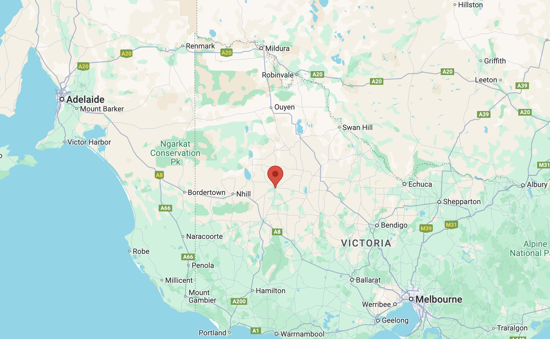
Our first activation for Wednesday 23rd October 2024 was the Bangerang I102 Bushland Reserve VKFF-4540.
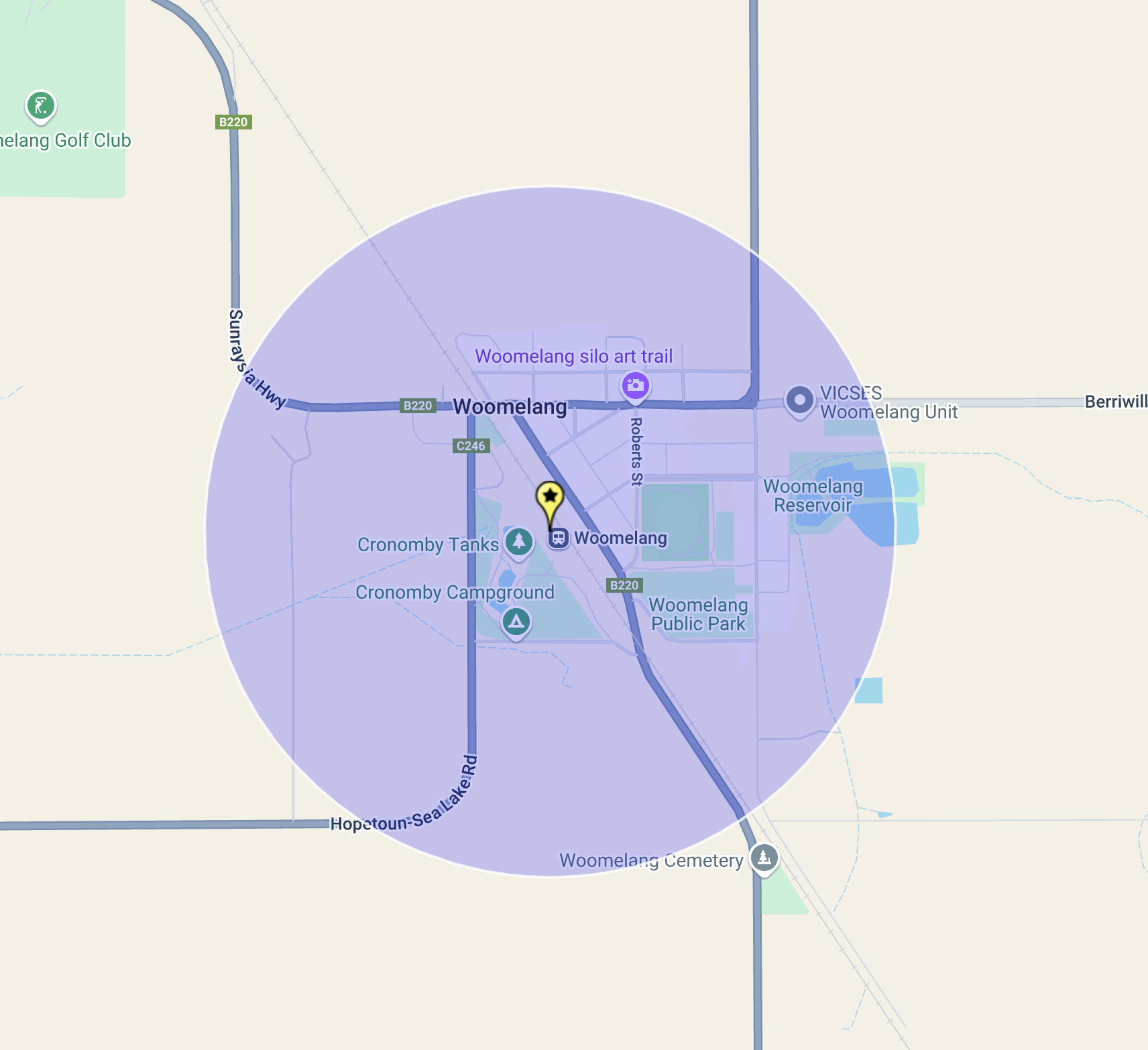
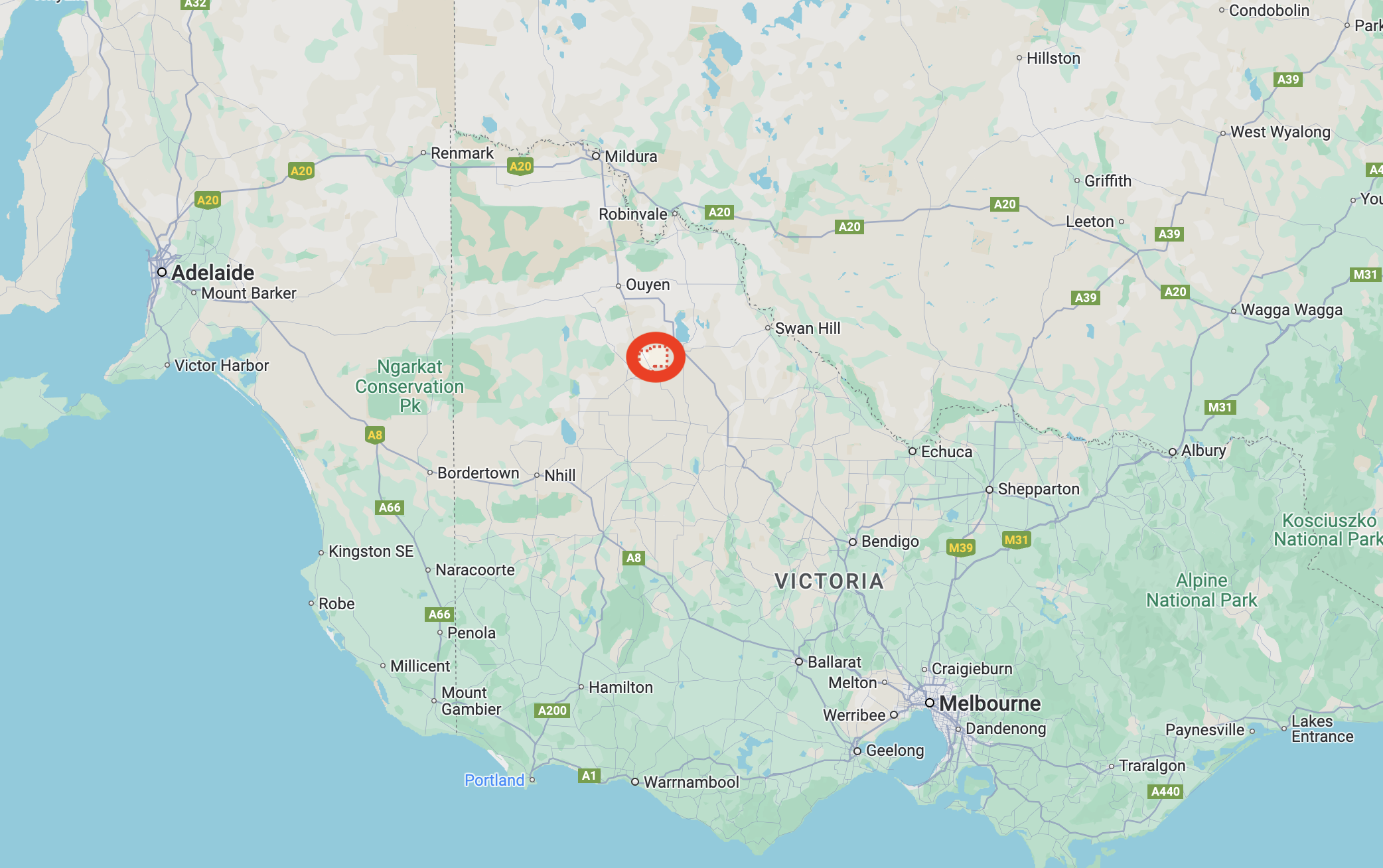
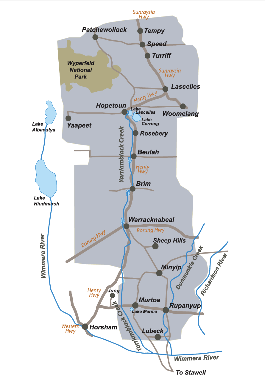
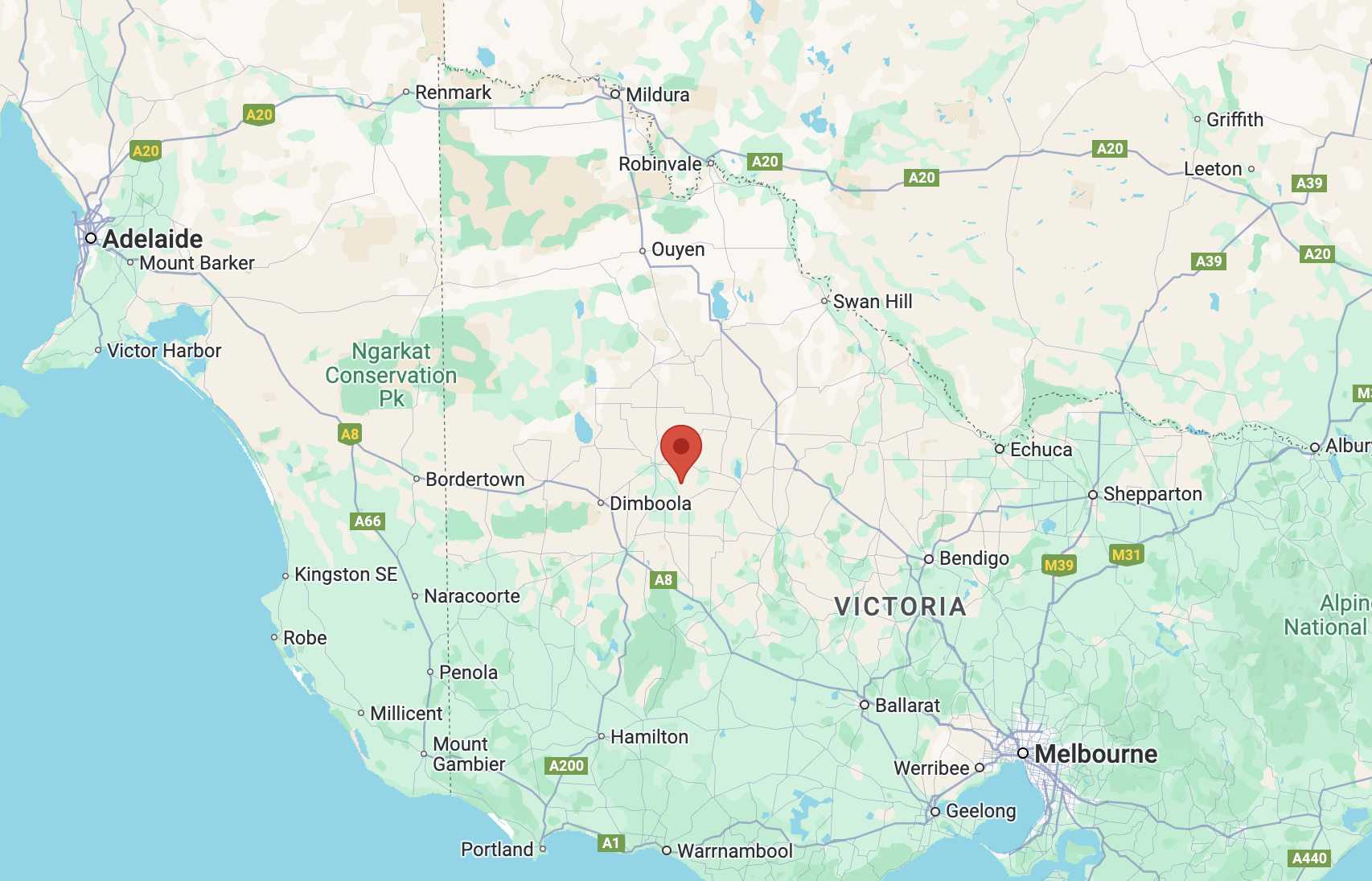
The reserve is located about 15 km east of Warracknabeal and about 328 km northwest of Melbourne.
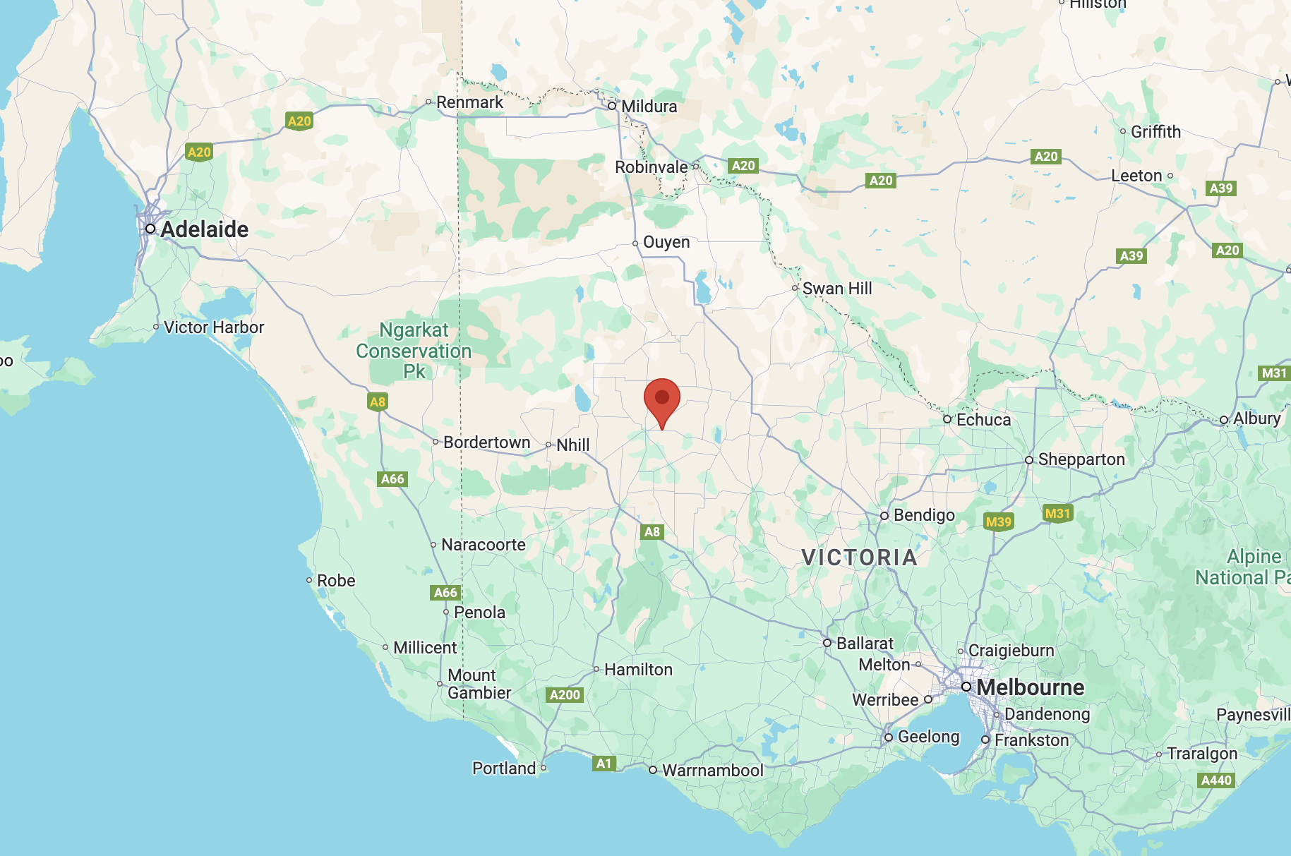
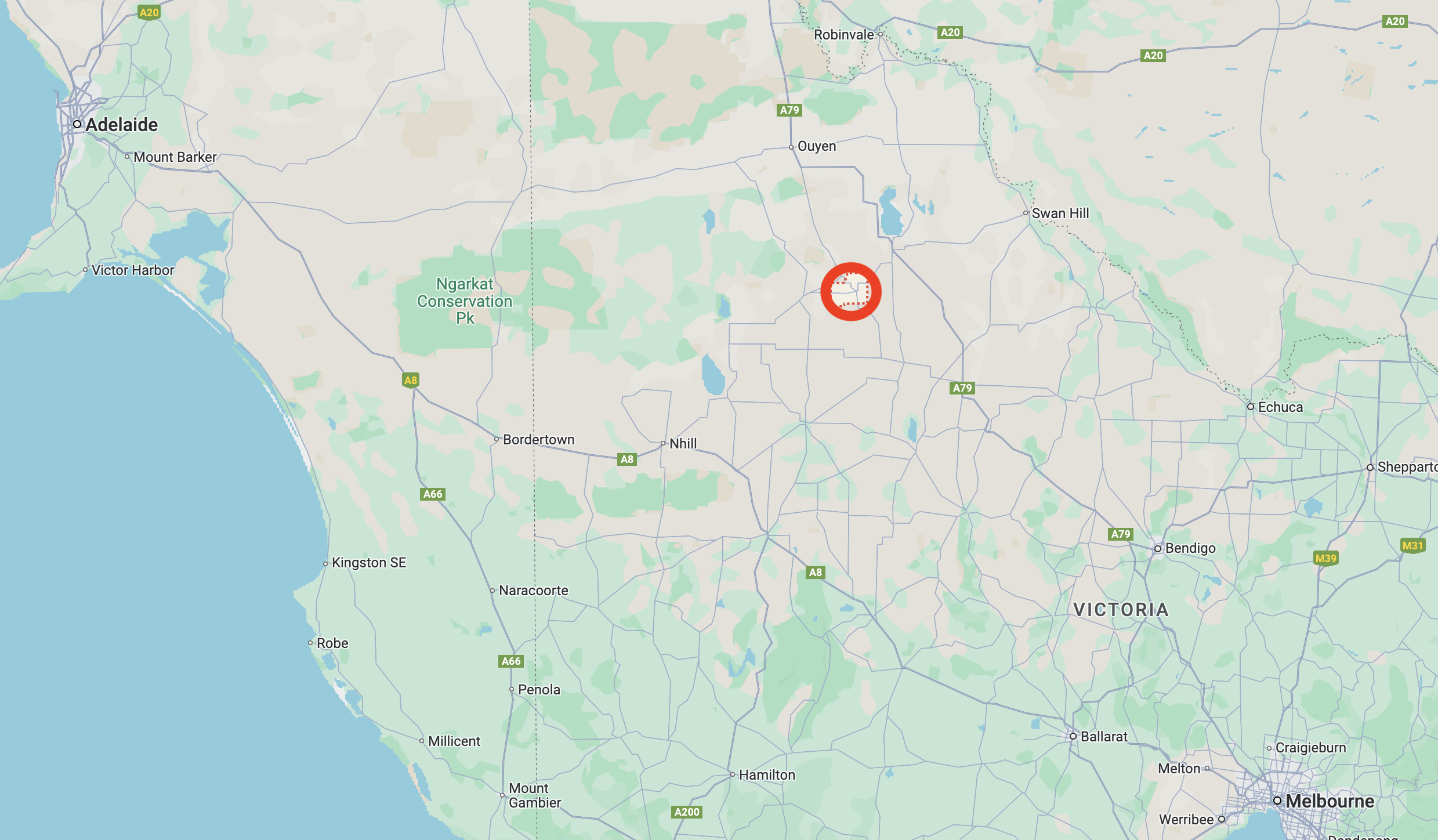
Above:- Map showing the location of the Bangerang I102 Bushland Reserve. Map c/o Google Maps.
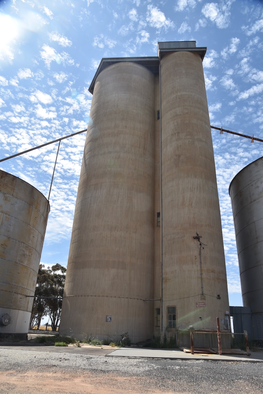
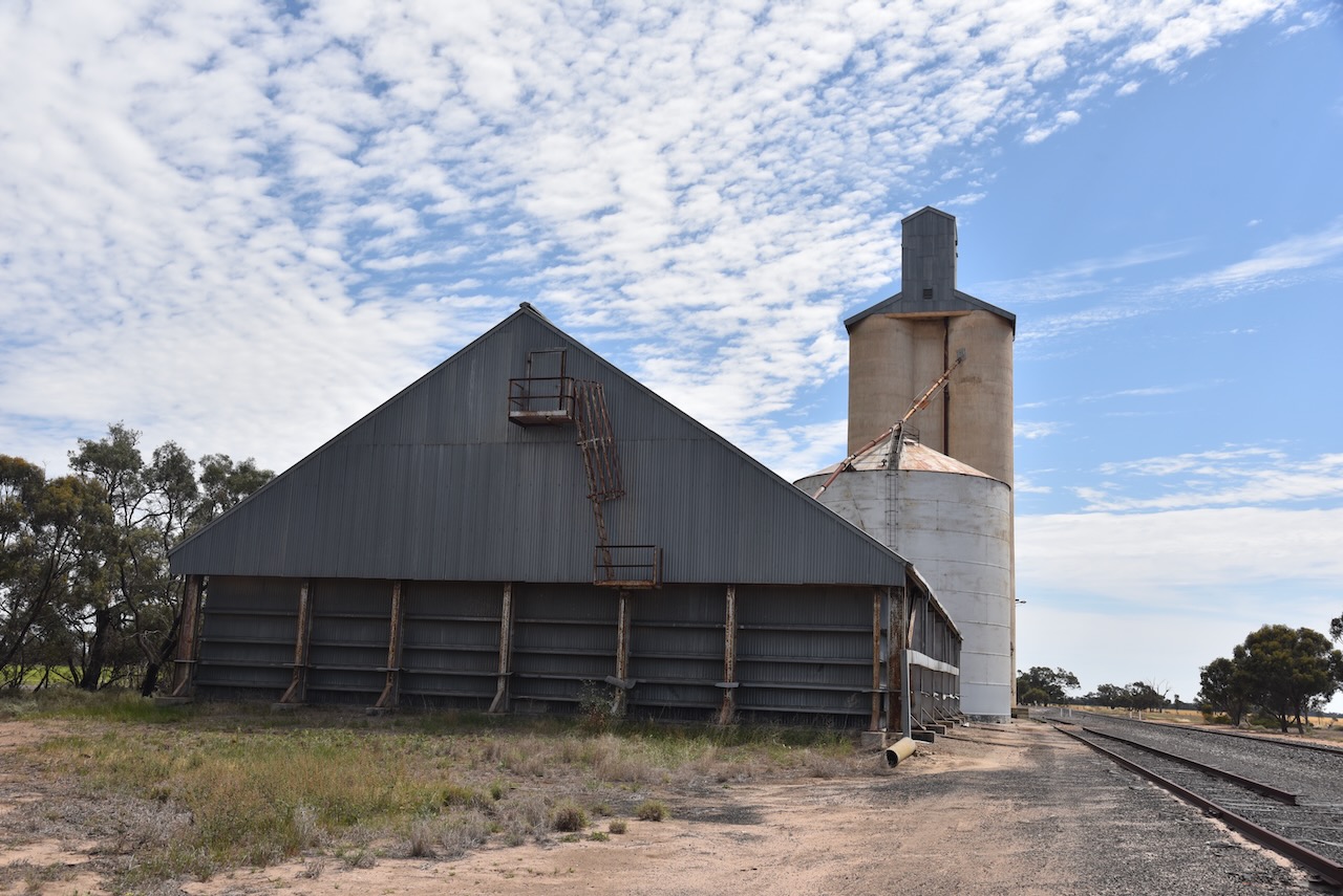
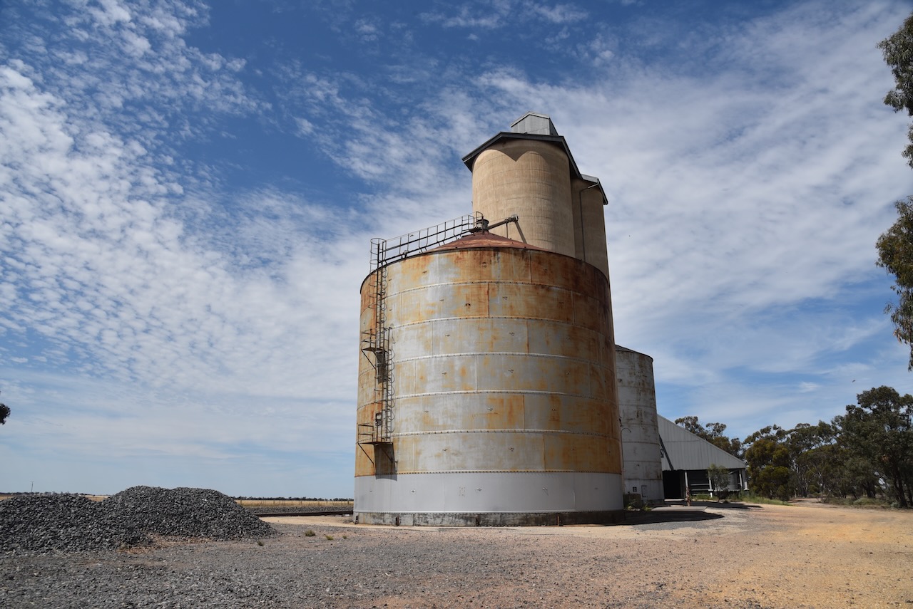
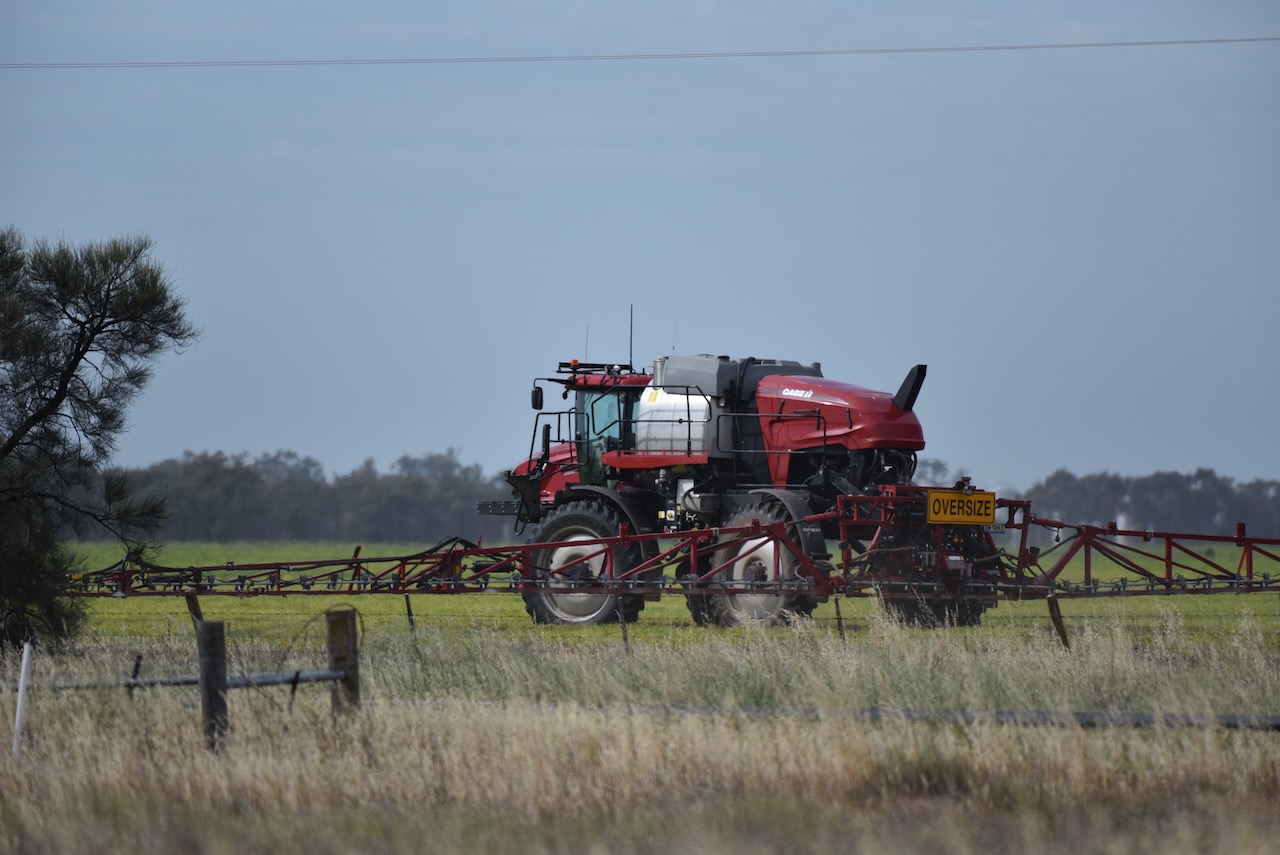
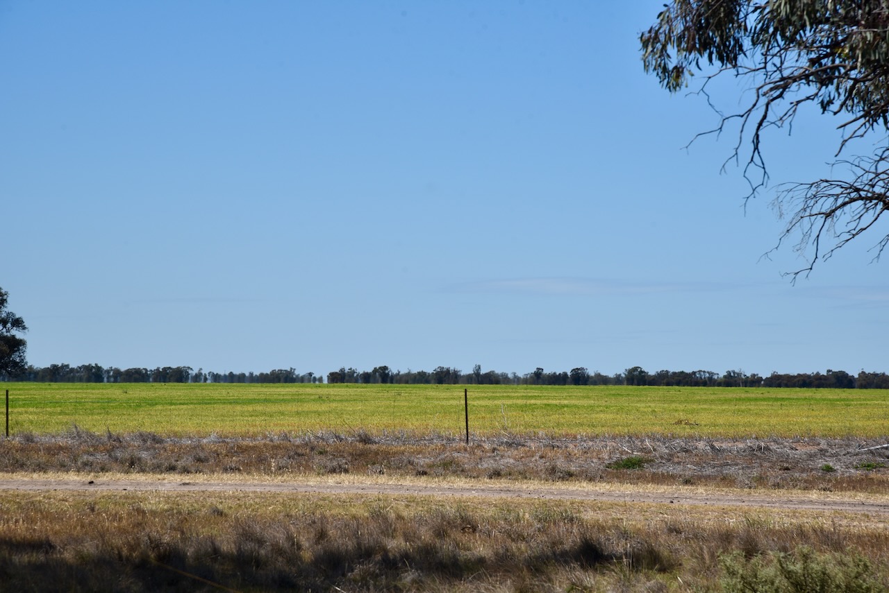
Along the way, we saw several farmers out in their fields spraying their crops.
Bangerang is derived from the aboriginal words barn meaning bullock, and gerang meaning leaf or branch. (Blake 1978)
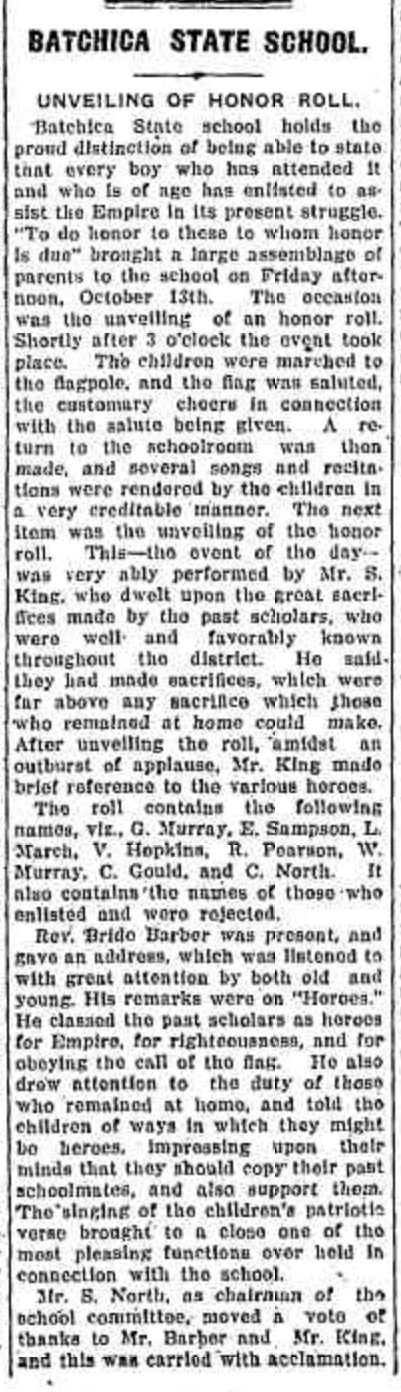
The township of Bangerang once had a Mutual Improvement Association, a Red Cross Society branch and a primary school Local Bangerang residents could join the Rifle Club, Cricket club or go to the public library. (Trove 2025)
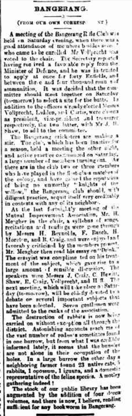
Above:- Article from The Horsham Times, Fri 19 Sept 1884. Image c/o Trove.
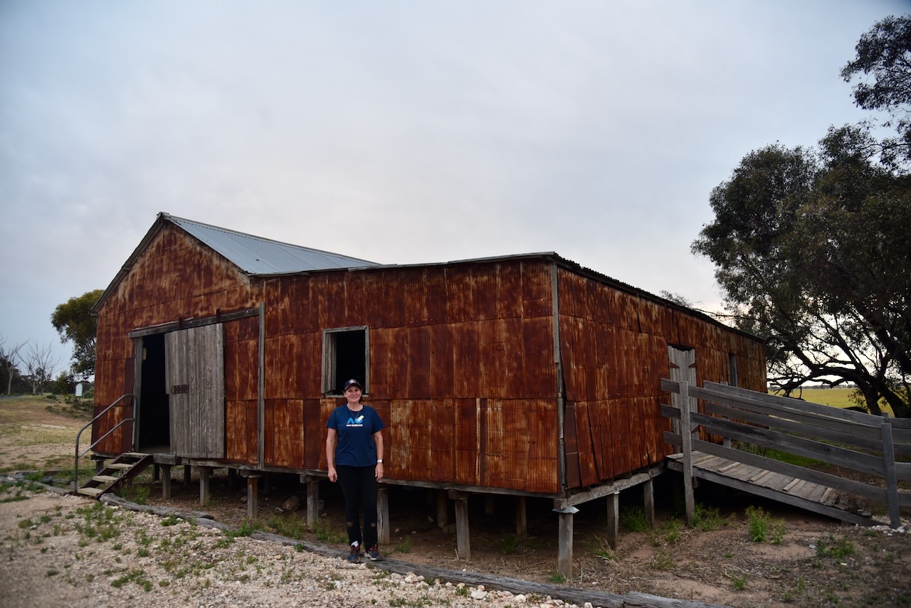
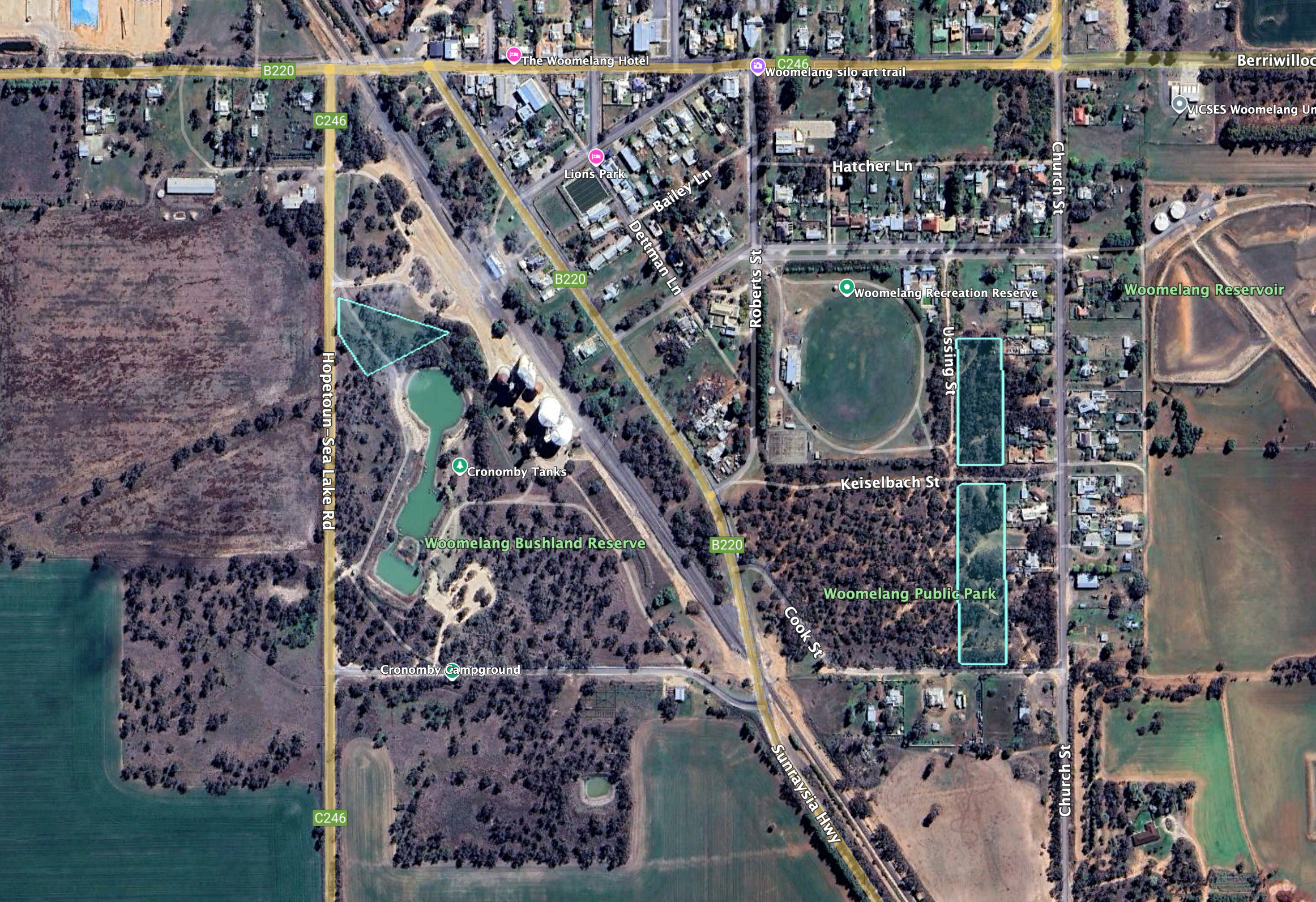
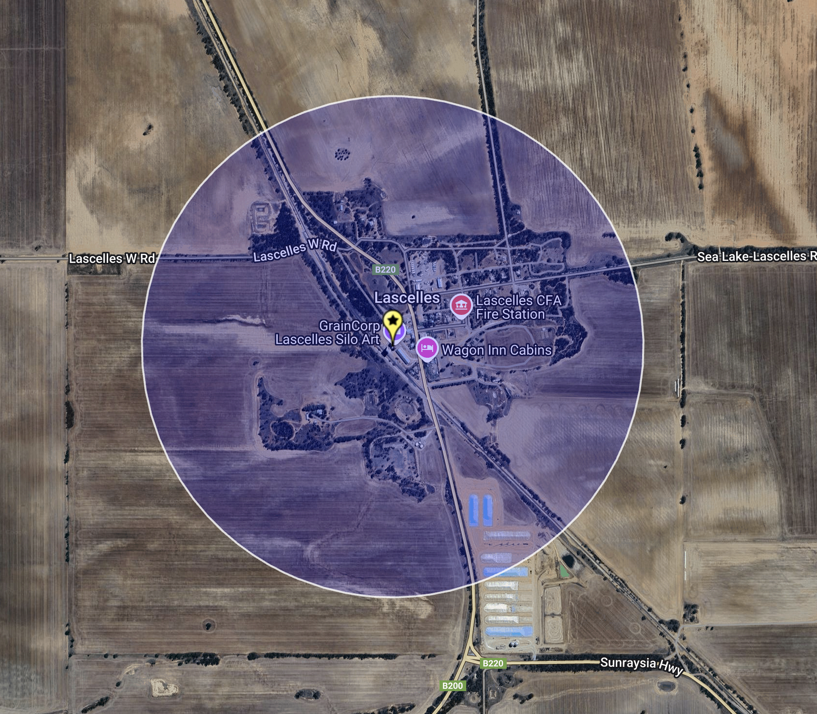
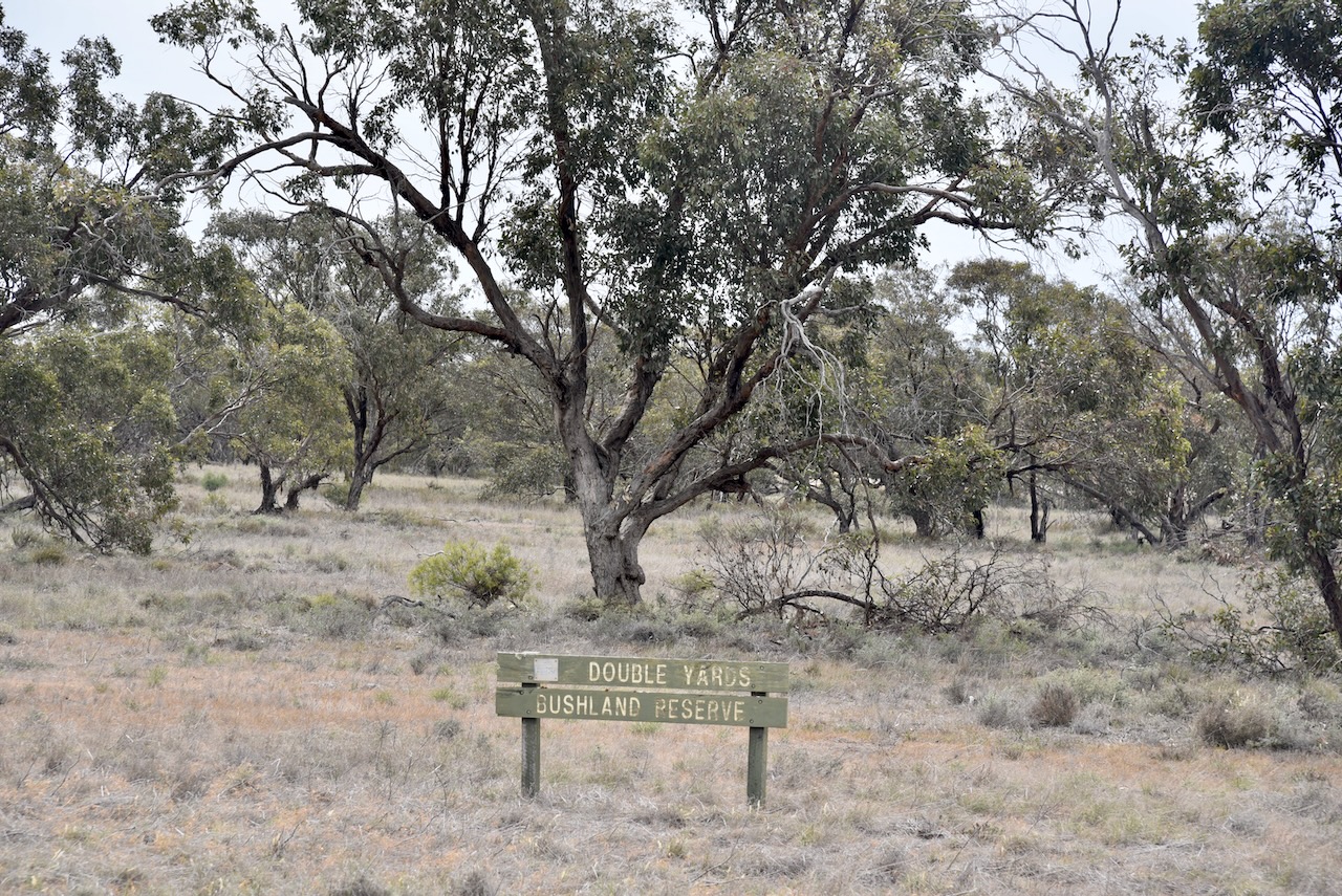
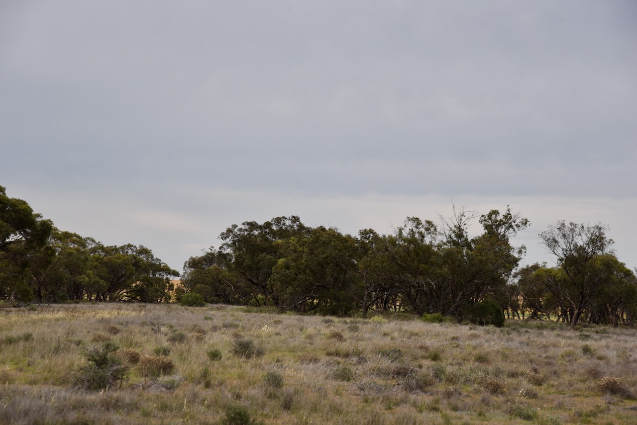
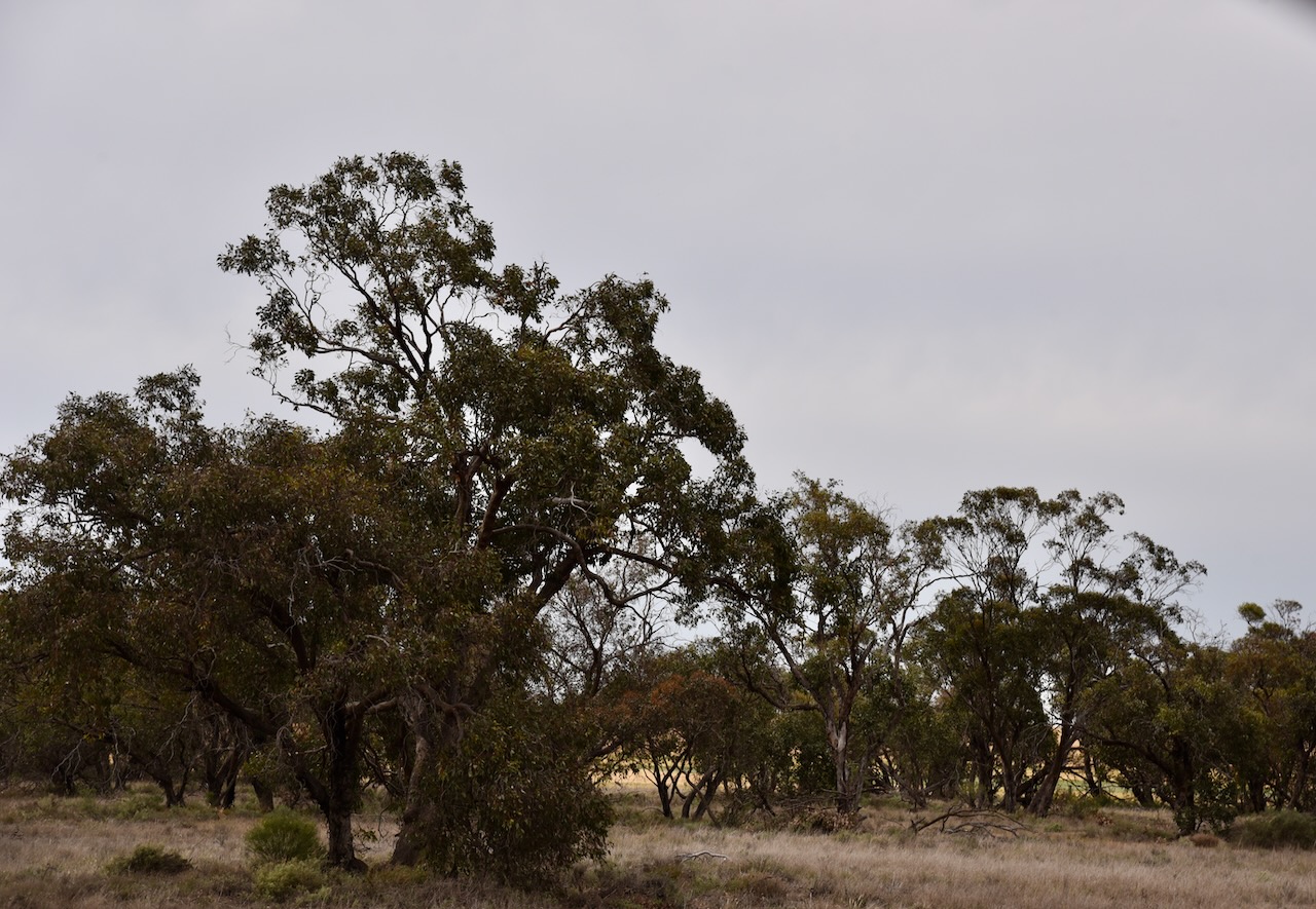
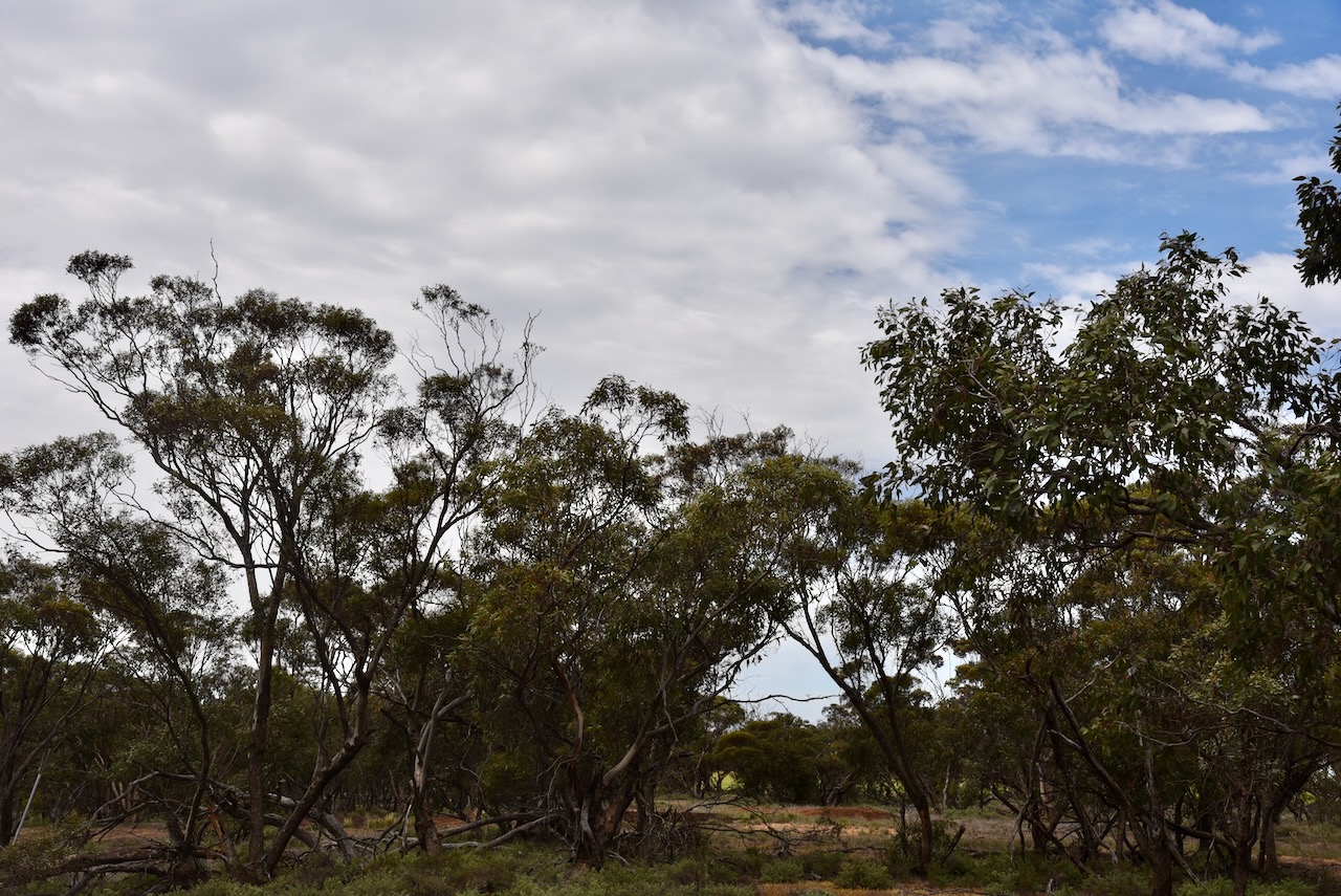
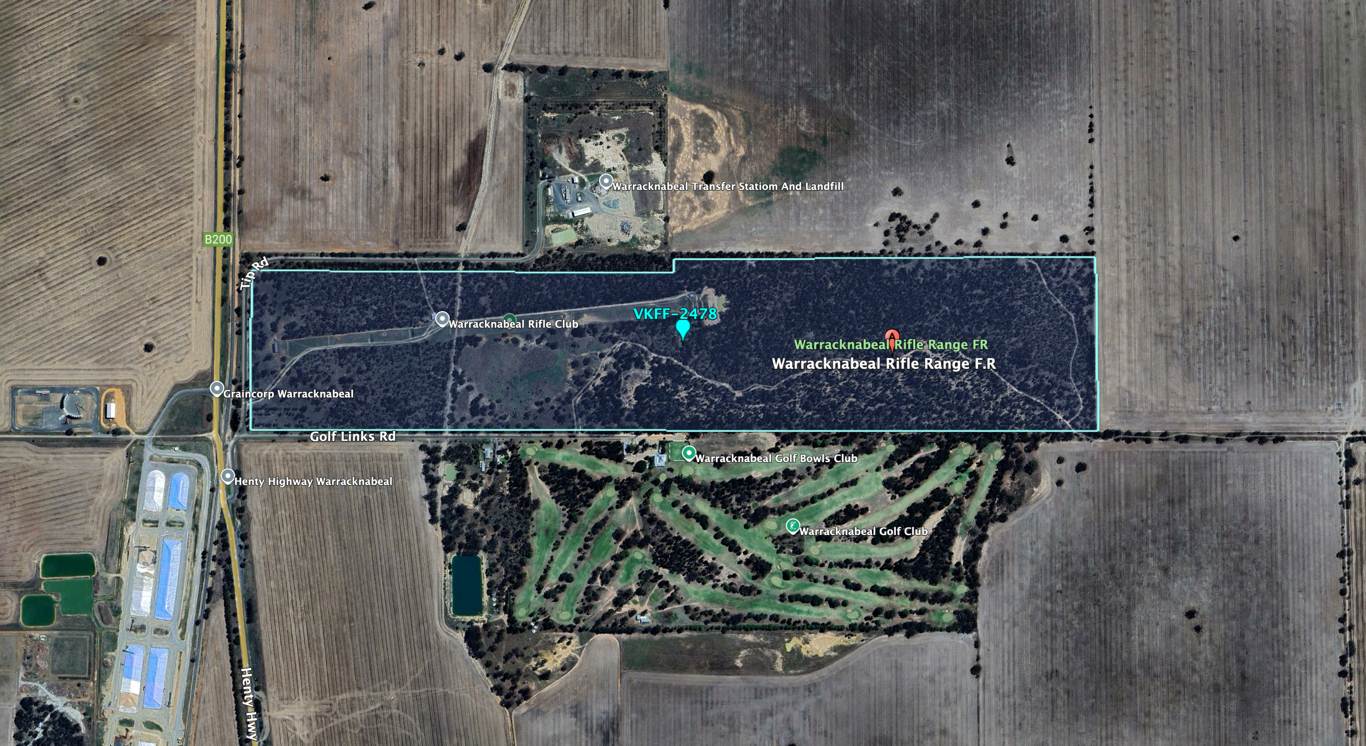
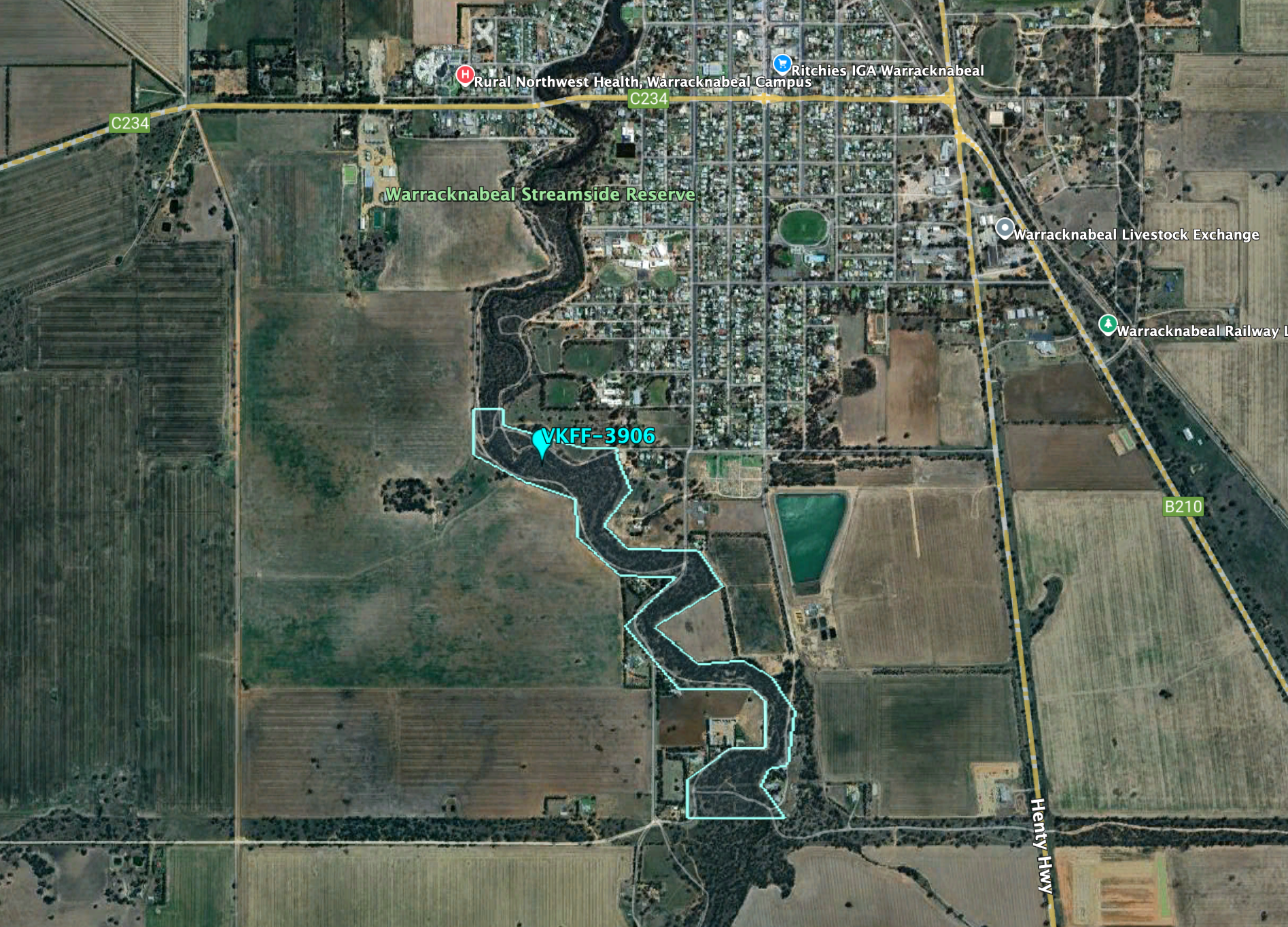
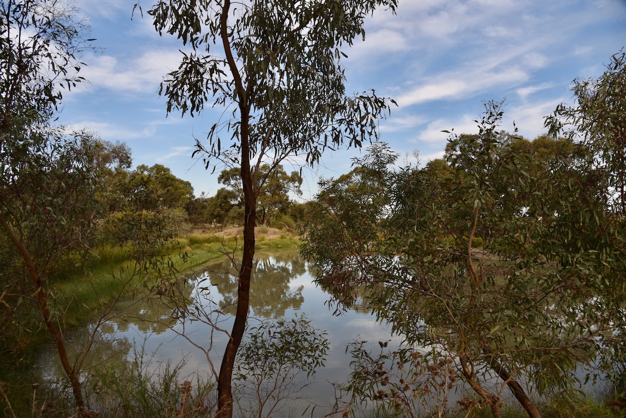
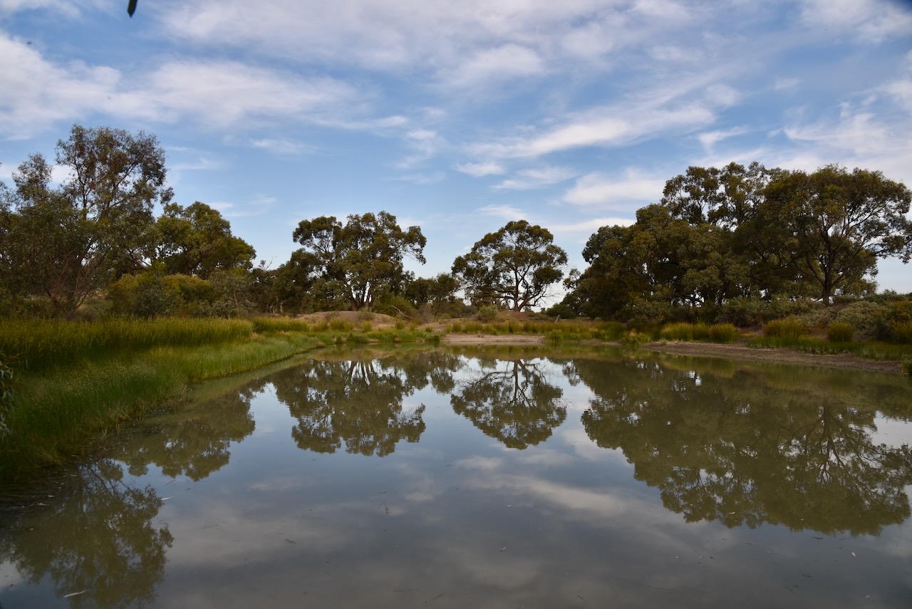
The Bangerang I102 Bushland Reserve is located at the corner of Sheep Hills-Bangerang Road and Vollprecht Road.
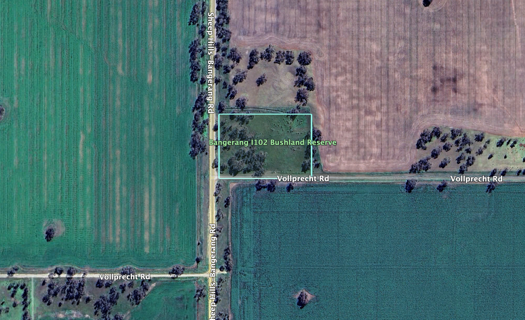
Above:- An aerial view of the reserve. Image c/o Google Earth.
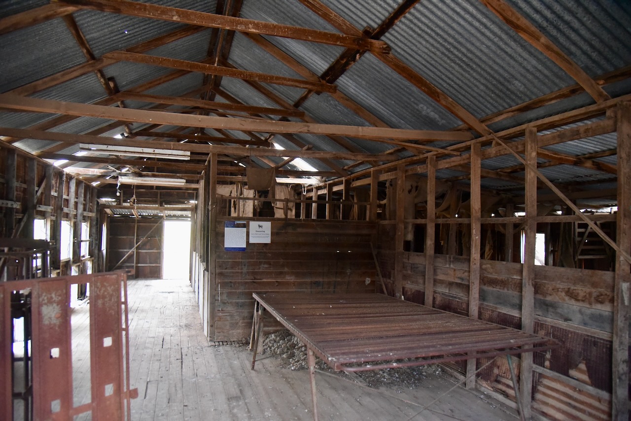
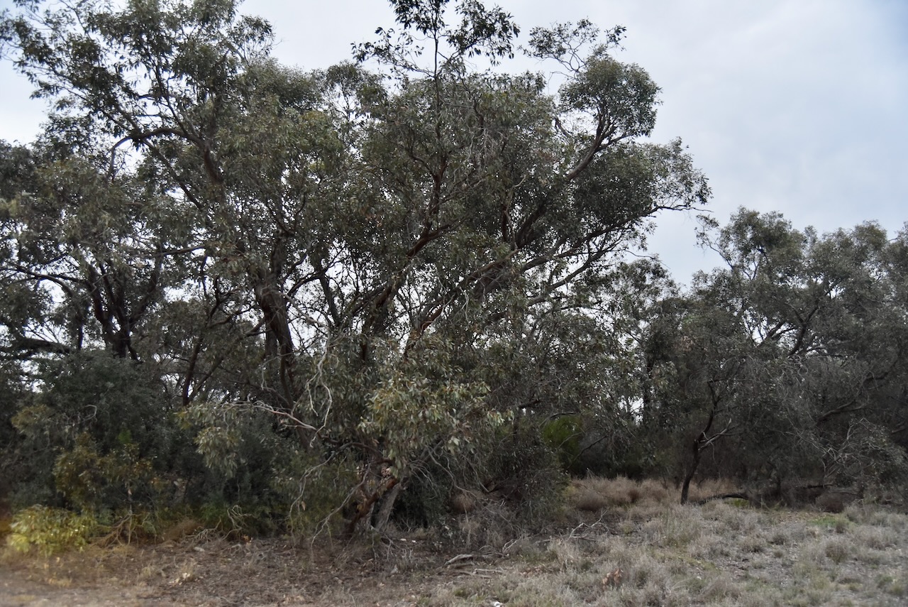
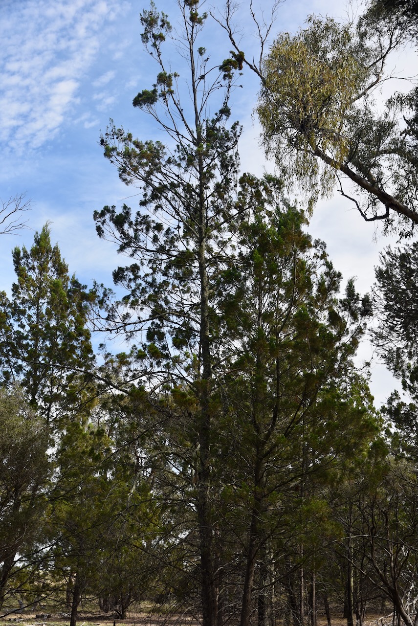
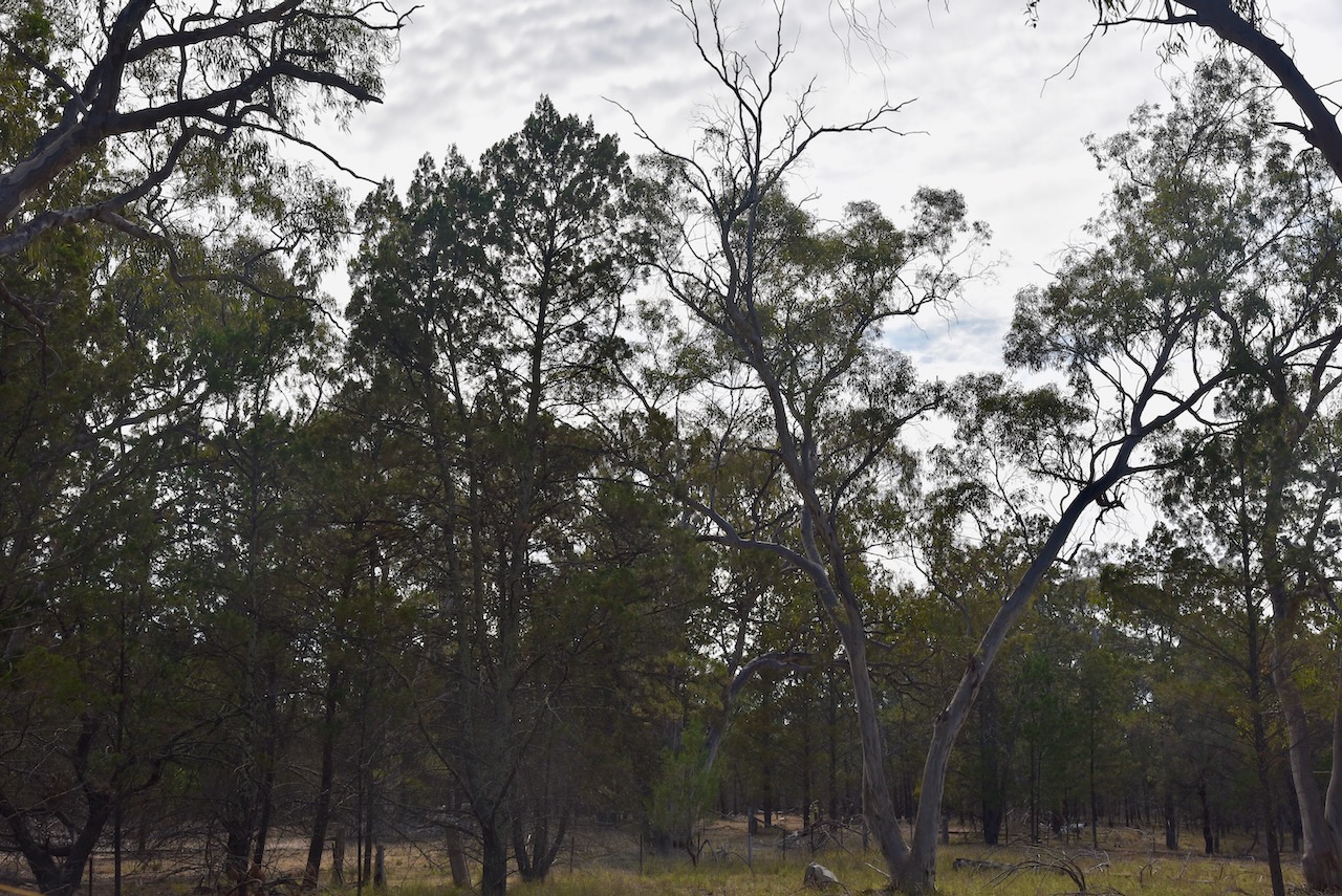
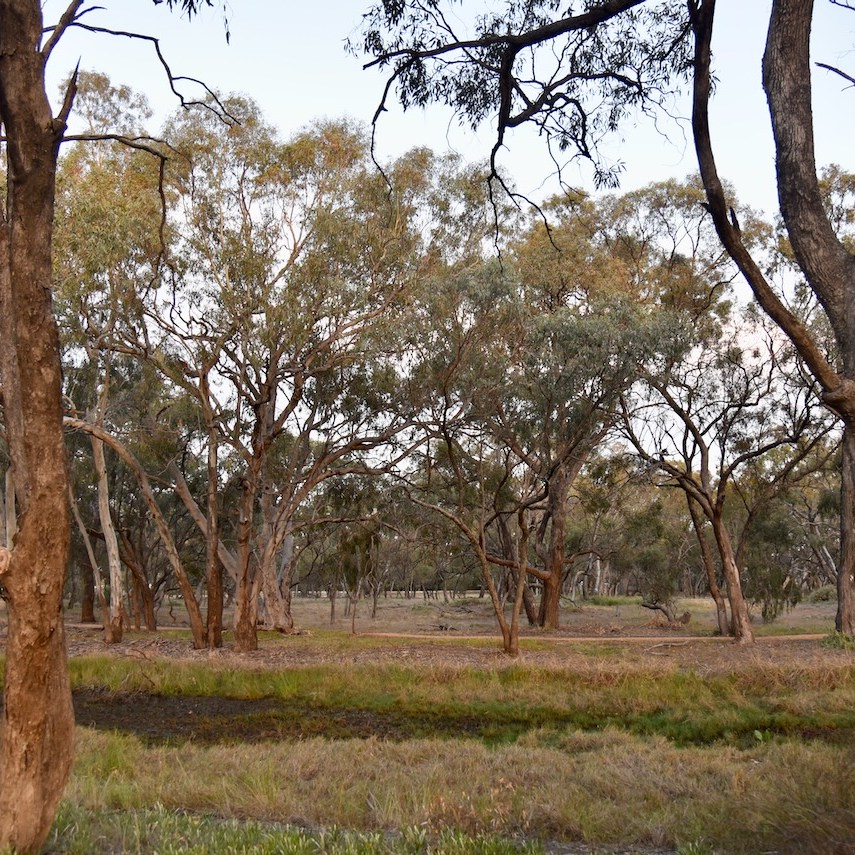
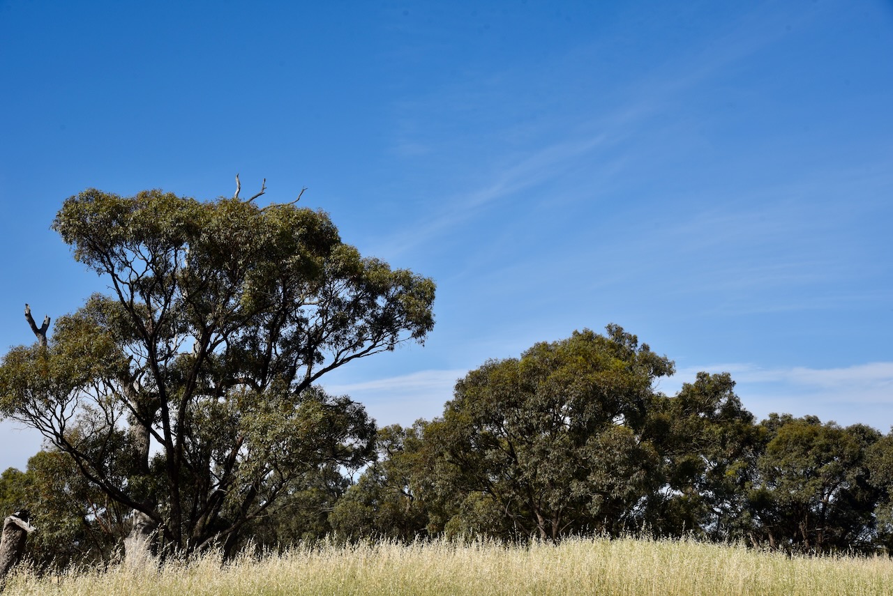
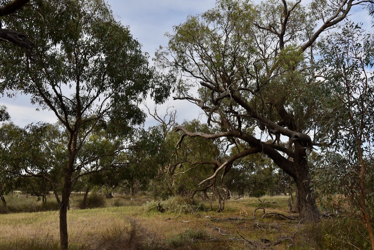
The reserve is only small, about 2 hectares in size. It was established on the 22nd day of September 1987. (CAPAAD 2022)
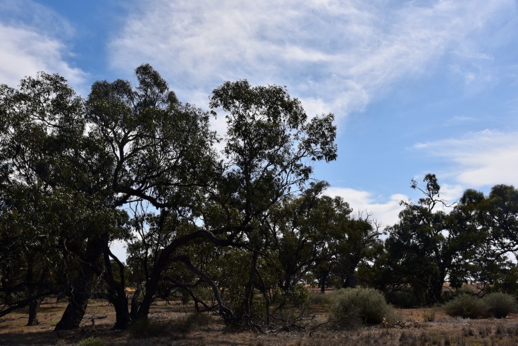
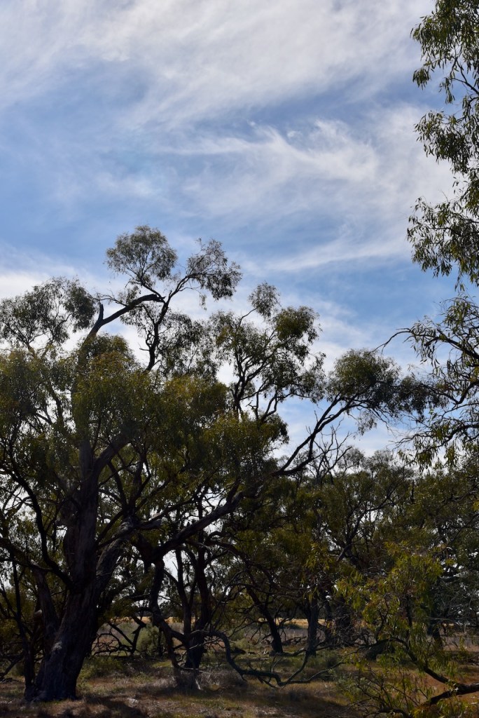
The reserve is surrounded by land cleared for cropping.
This was an easy park to access. Marija and I drove in and set up as there were no fences. We ran the Yaesu FT857, 40 watts, and the 20/40/80m linked dipole.
Marija worked the following stations on 40m SSB before the UTC rollover:-
- VK3PF
- VK3KAI
- VK2IO
- VK2GEZ
- VK3CJN
- VK3QHU
- VK3DAC
- VK4FE/P
- VK1AO
- VK2MET
- VK3CEO
- VK3ZSC
- VK3NDG
- VK3FACD
- VK3BTP
- VK3NVY
- VK2VW
- VK2HFI
- VK2AKA
- VK2BUG
- VK3HJW
- VK2AJG/P
- VK3BEL
- VK5ZL
- VK3APJ
- VK2SLB
- VK2BRN
- VK2KBT
- VK5PE
- VK3MGM
- VK3TDX
- VK3FG
Marija worked the following stations on 40m SSB after the UTC rollover:-
- VK3NDG/P (VKFF-1877)
- VK3PF
- VK3KAI
- VK3GJG
- VK3SQ
- VK2BD
- VK1AO
- VK2MET
- VK2VW
- VK2HFI
- VK2AKA
- VK2BUG
- VK3TZT
- VK3DL
- VK3HJW
- VK3VIN
- VK3DAC
- VK4FE/P
- VK5WU
- VK3CEO
Marija worked the following stations on 20m SSB:-
- VK2VW
- VK2HFI
- VK2AKA
- VK2BUG
- VK4EMP
- VK4TI
- VK4GKO
- VK1AO
- VK2MET
I worked the following stations on 40m SSB:-
- VK3PF
- VK3KAI
- VK2IO
- VK2GEZ
- VK3CJN
- VK3QHU
- VK3DAC
- VK4FE/P
- VK1AO
- VK2MET
- VK3CEO
- VK3ZSC
- VK3NDG
- VK3FACD
- VK3BTP
- VK3NVY
- VK2VW
- VK2HFI
- VK2AKA
- VK2BUG
- VK3HJW
- VK2AJG/P
- VK3BEL
- VK5ZL
- VK3APJ
- VK2SLB
- VK2BRN
- VK2KBT
- VK5PE
- VK3MGM
- VK3TDX
- VK3FG
- VK3NDG/P (VKFF-1877)
I worked the following stations on 40m FT8:-
- VK3CEO
- VK3APJ
- VK3PF
- VK3PRG
- VK3KAI
- VK1TTY
- VK3DL
- VK1AO
- VK1AD
- VK2MET
- VK1NAM
I worked the following stations on 20m FT8
- VK1AO
- VK4EMP
- VK4TI
- VK2MET
- VK4GKO
References.
- Dcceew.gov.au. (2023). Collaborative Australian Protected Areas Database (CAPAD) 2022 – DCCEEW. [online] Available at: https://www.dcceew.gov.au/environment/land/nrs/science/capad/2022 [Accessed 6 Jan. 2025].
- Leslie James Blake, 1978, Place Names of Victoria.
- Trove. (2025). BANGERANG. – The Horsham Times (Vic. : 1882 – 1954) – 19 Sep 1884. [online] Available at: https://trove.nla.gov.au/newspaper/article/72952903?browse=ndp%3Abrowse%2Ftitle%2FH%2Ftitle%2F225%2F188%2F1884%2F09%2F19%2Fpage%2F7084259%2Farticle%2F72952903 [Accessed 6 Jan. 2025].
- Trove. (2025). Bangerang, – Minyip Guardian and Sheep Hills Advocate (Vic. : 1915 – 1918) – 31 Oct 1916. [online] Available at: https://trove.nla.gov.au/newspaper/article/154363534?browse=ndp%3Abrowse%2Ftitle%2FM%2Ftitle%2F788%2F191%2F1916%2F10%2F31%2Fpage%2F17862835%2Farticle%2F154363534 [Accessed 6 Jan. 2025].
- Trove. (2025). Bangerang. – Minyip Guardian and Sheep Hills Advocate (Vic. : 1915 – 1918) – 24 Aug 1915. [online] Available at: https://trove.nla.gov.au/newspaper/article/154364361?browse=ndp%3Abrowse%2Ftitle%2FM%2Ftitle%2F788%2F191%2F1915%2F08%2F24%2Fpage%2F17862428%2Farticle%2F154364361 [Accessed 6 Jan. 2025].