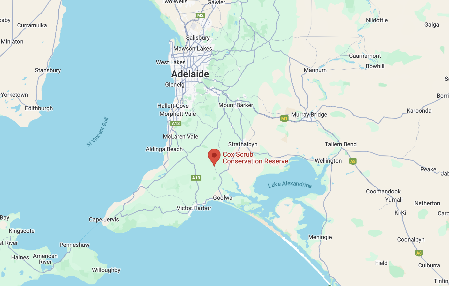
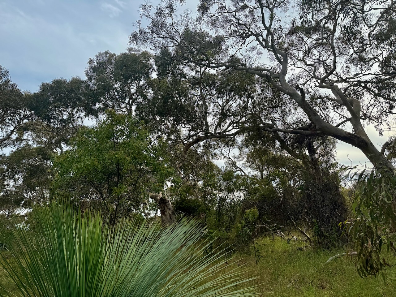
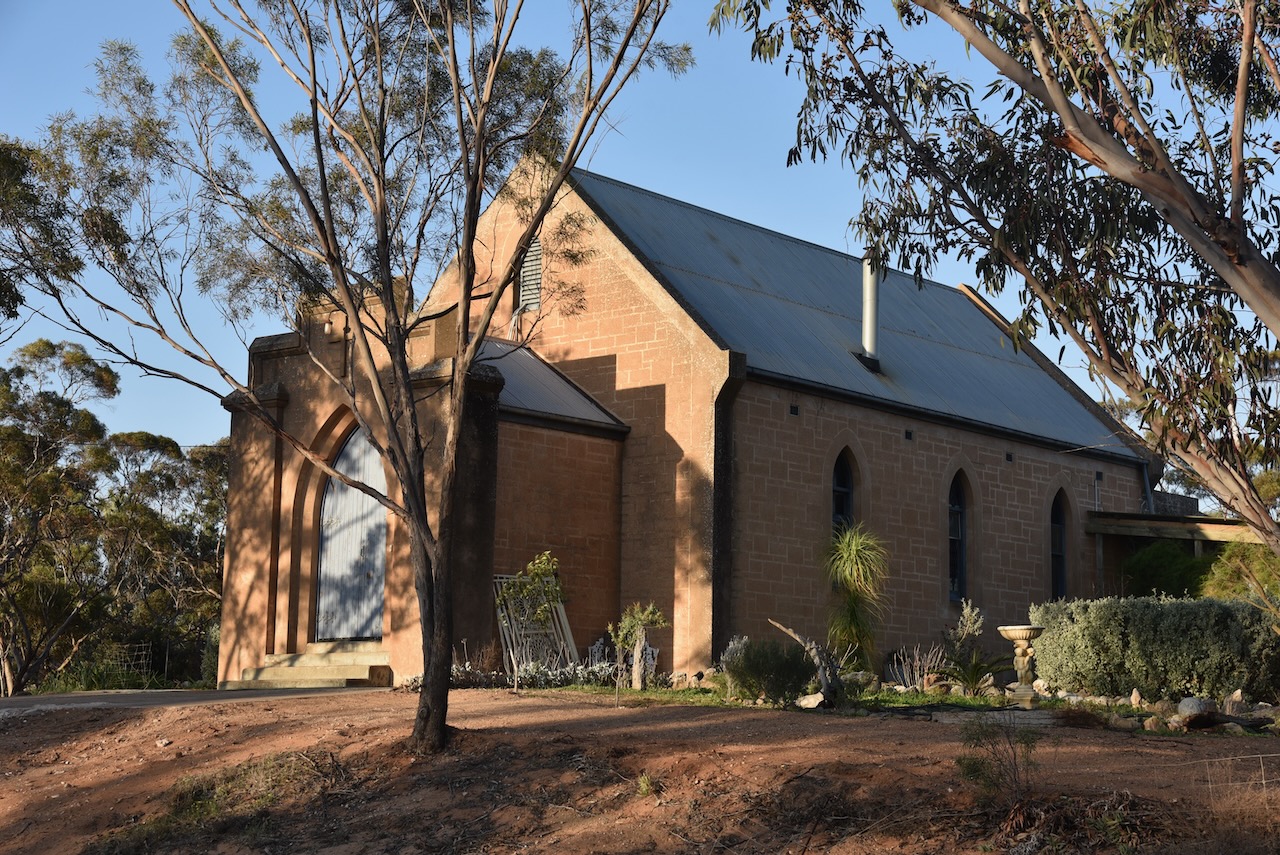
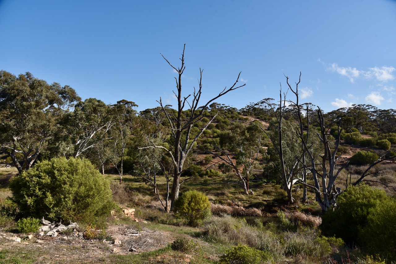
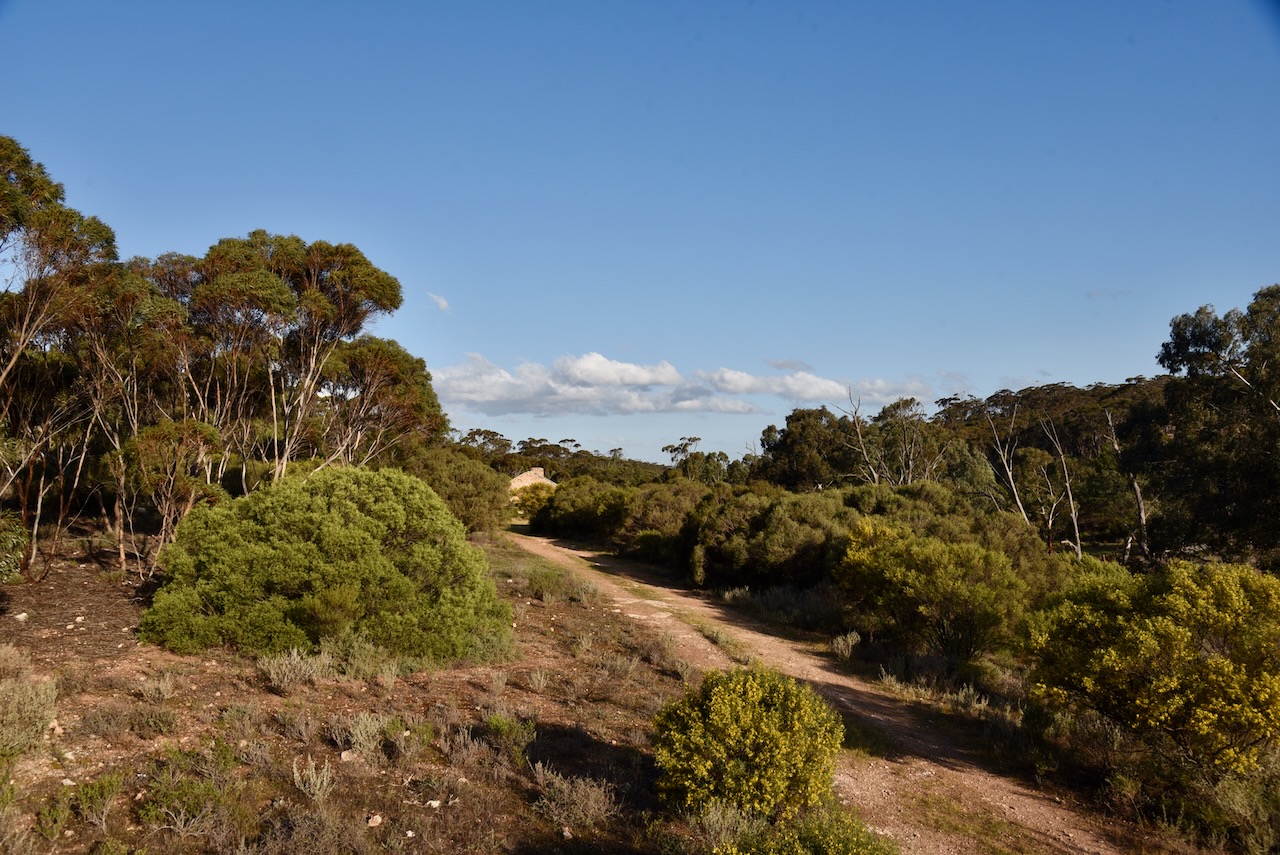
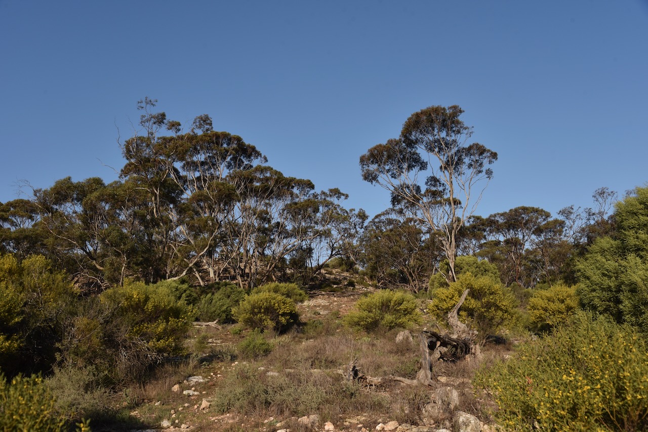
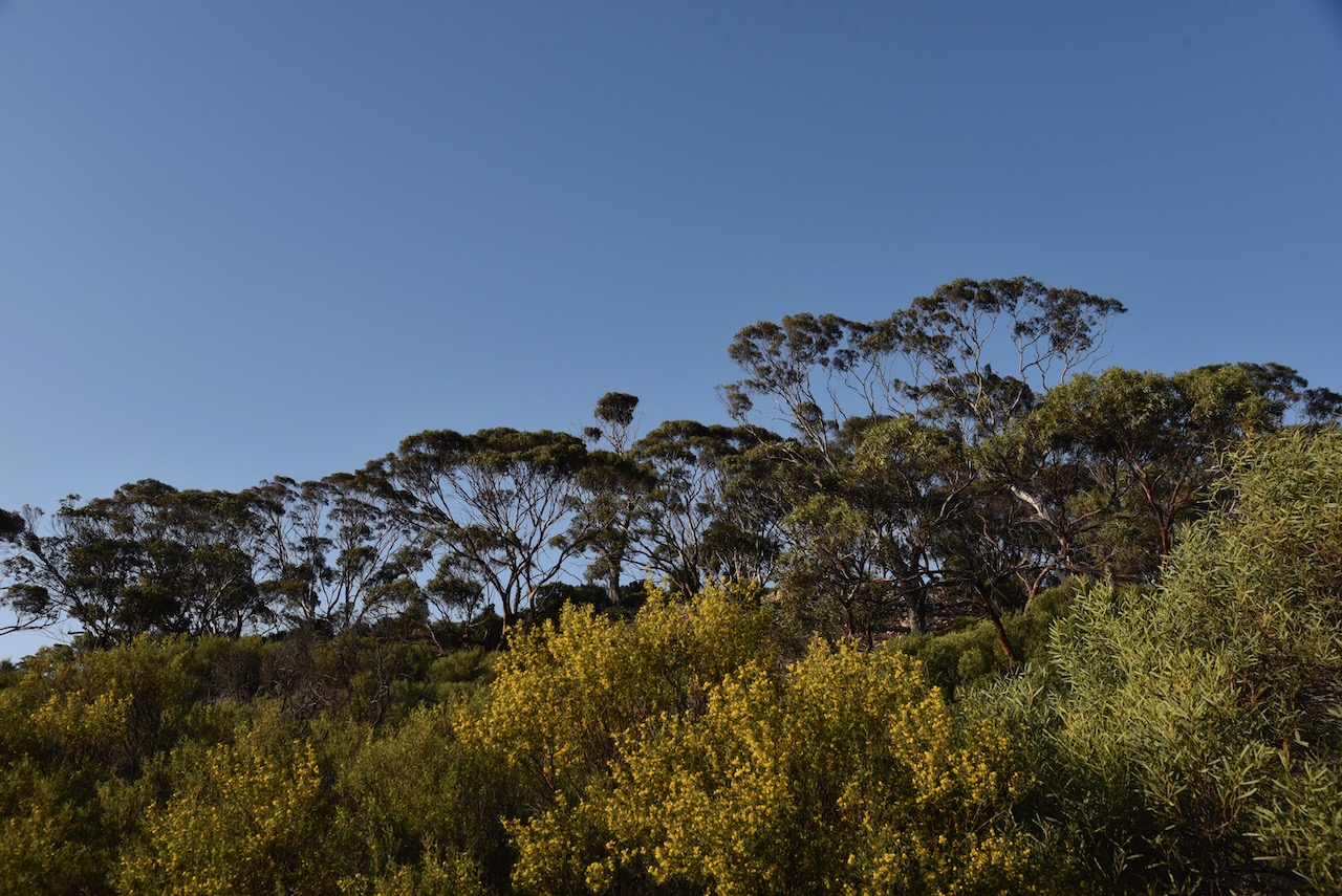
Our second park for Saturday 12th October 2024, and the 2024 VKFF Team Championship, was the Cox Scrub Conservation Reserve VKFF-1701.
The park is located about 66 km south of Adelaide on the Fleurieu Peninsula.
Above:- Map showing the location of the Cox Scrub Conservation Reserve. Map c/o Google Maps.
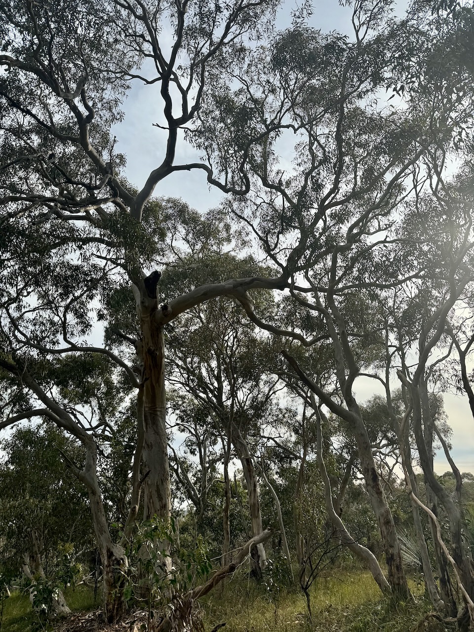
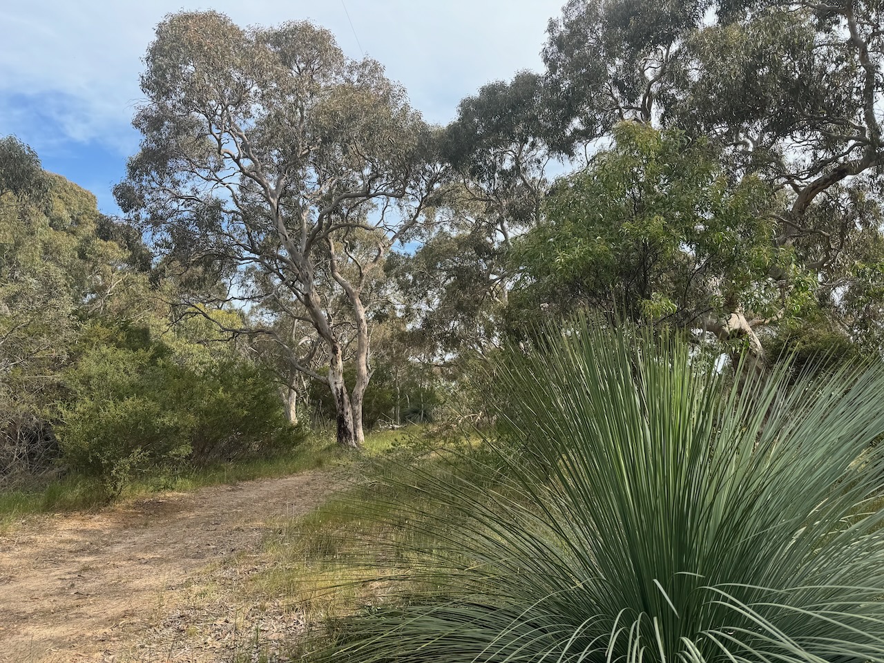
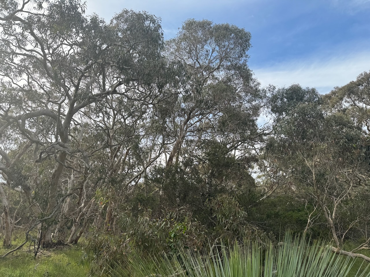
If you did not know this little park was here, you would drive straight past it. It is located on the western side of Bull Creek Road, adjacent to the much larger Cox Scrub Conservation Park. There are no signs.
The reserve is just 1 hectare in size and was established on the 11th day of November 1993. (CAPAD 2022)
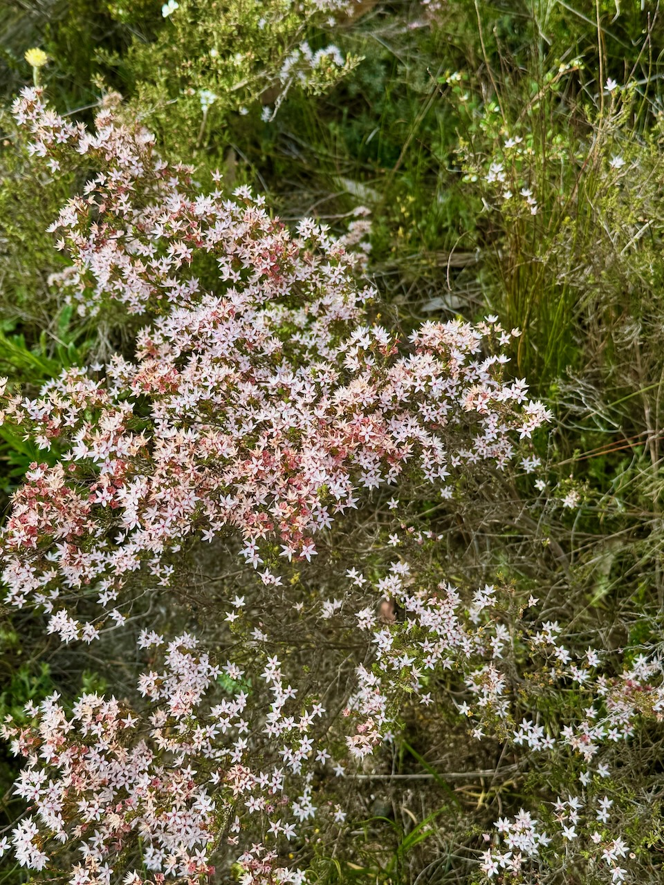
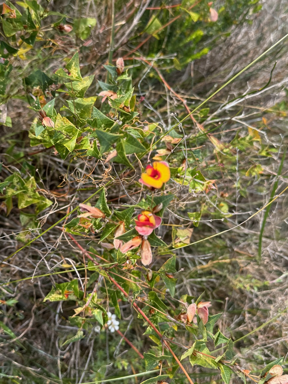
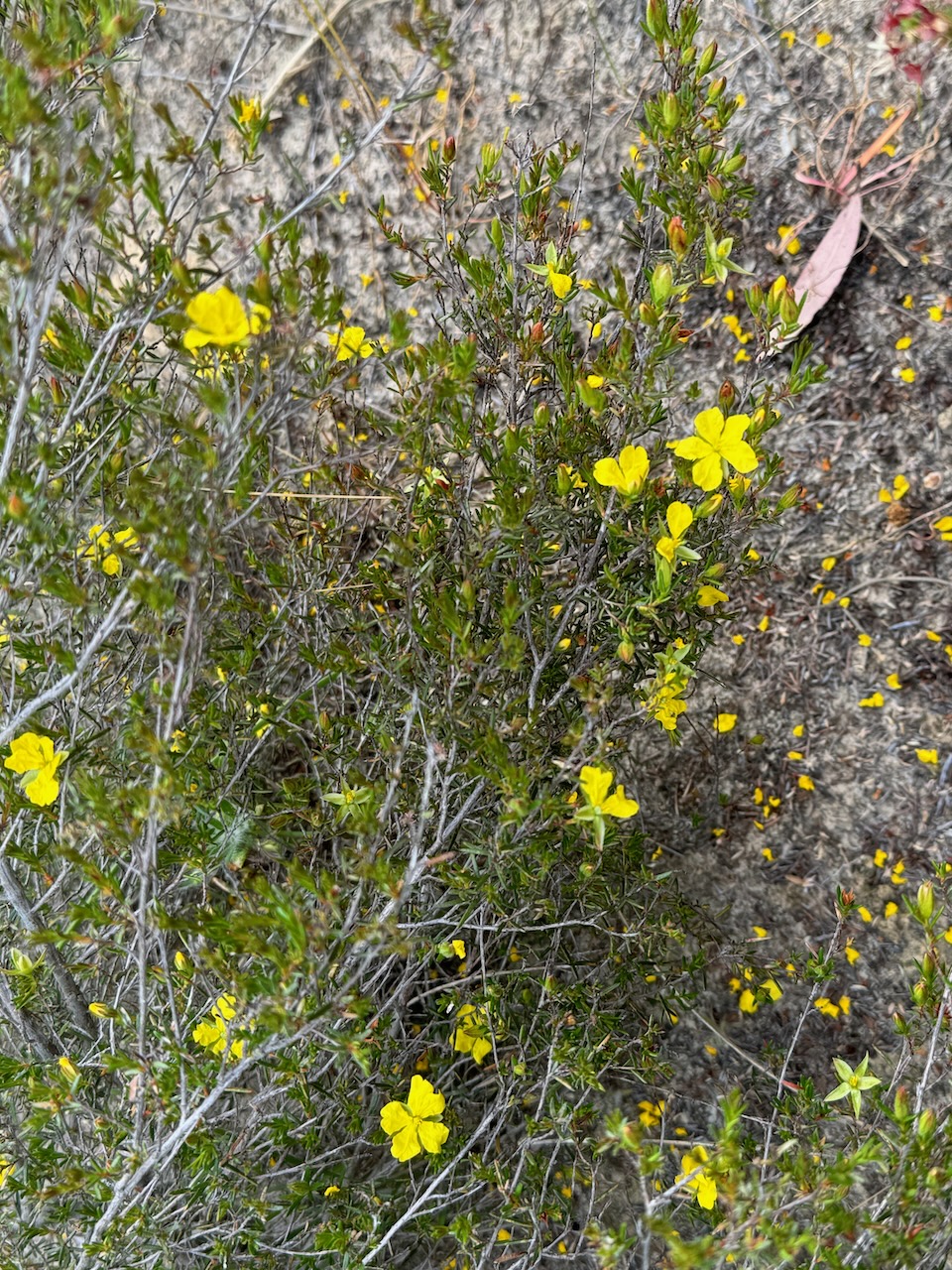
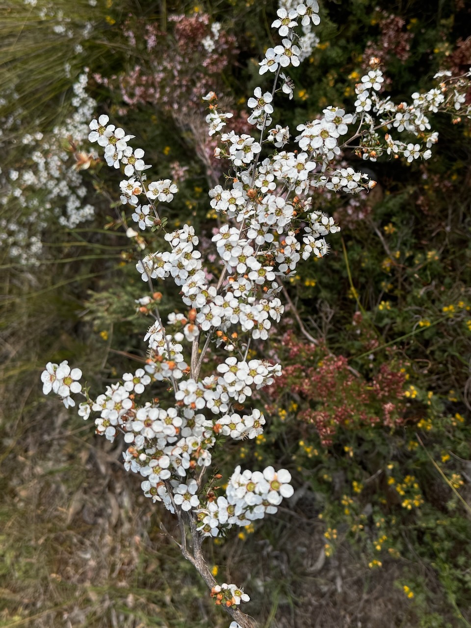
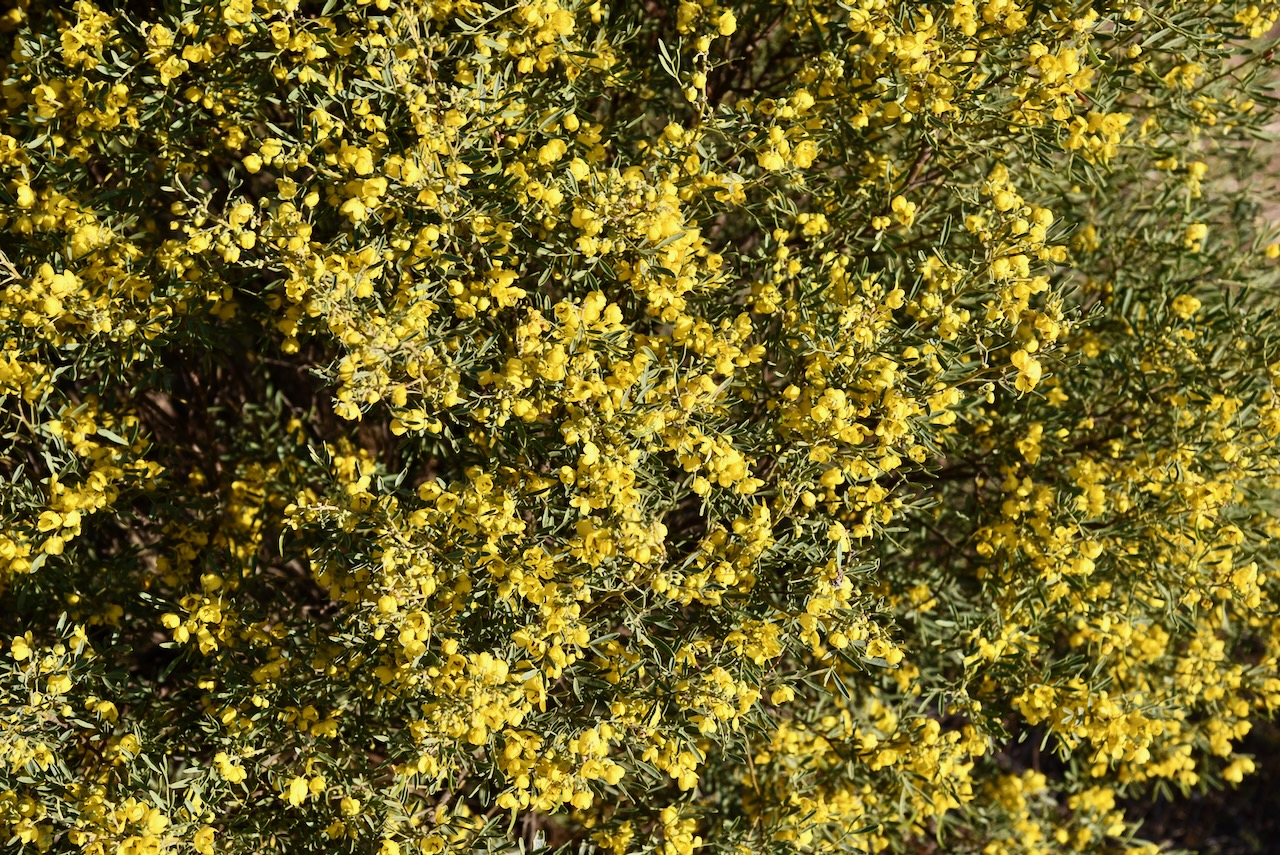
There were several native plants in flower during our visit.
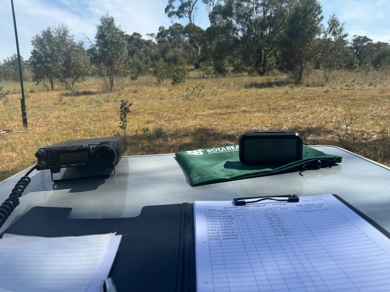
We set up in a clearing amongst the scrub and ran the Yaesu FT857, 40 watts, and the 20/40/80m linked dipole.
We found the 40m band had improved a little since our first activation at Bullock Hill. We made a total of 104 QSOs on 40m SSB & 80m SSB.
The 2024 VKFF Team Championship was held on Saturday 12th October 2024. This is a fun event that is held each year in October for the World Wide Flora Fauna (WWFF) program.
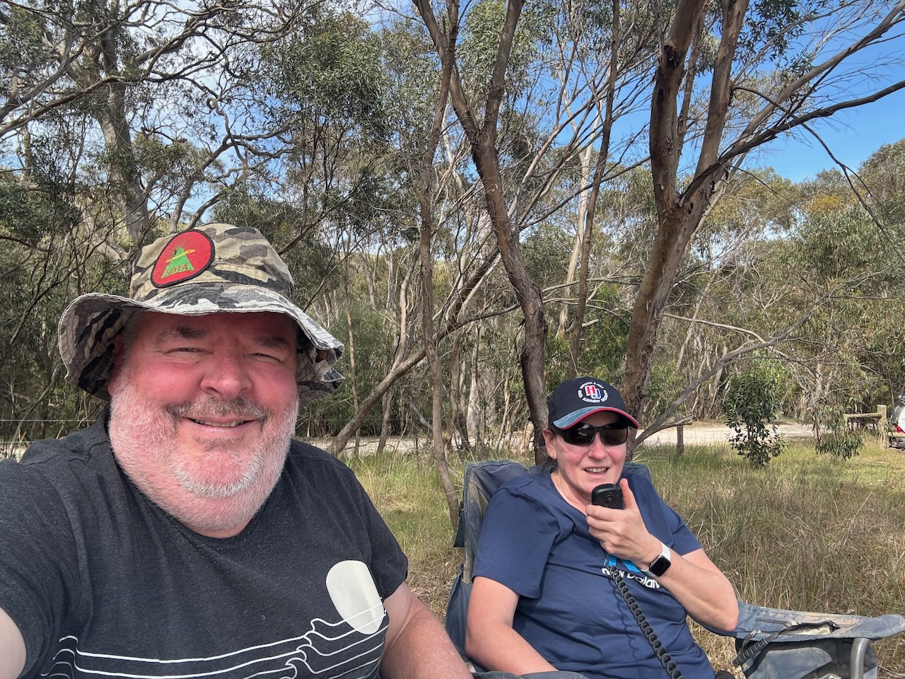
Marija VK5MAZ and I headed out to activate three local parks for the Championship. Our team name was ‘The Walky Talkies’.
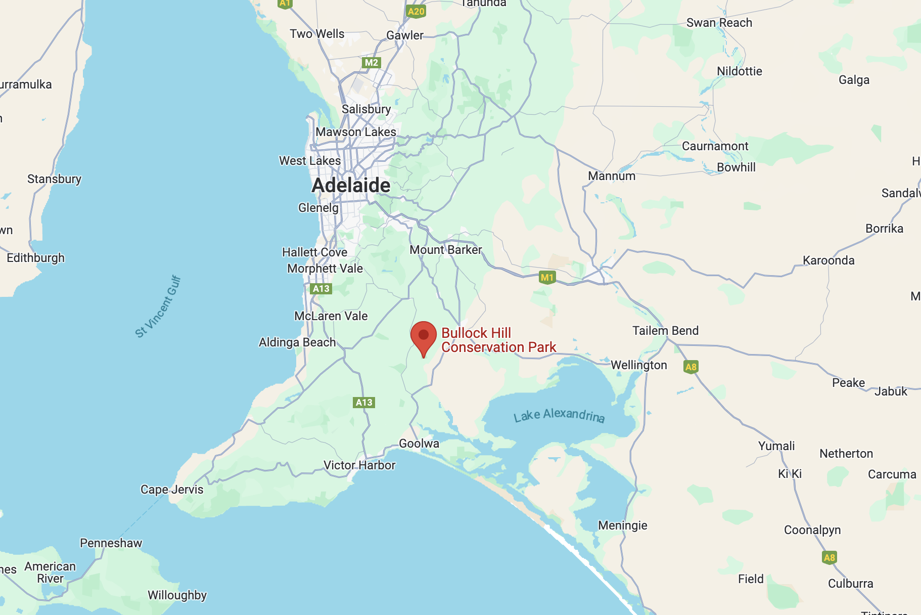
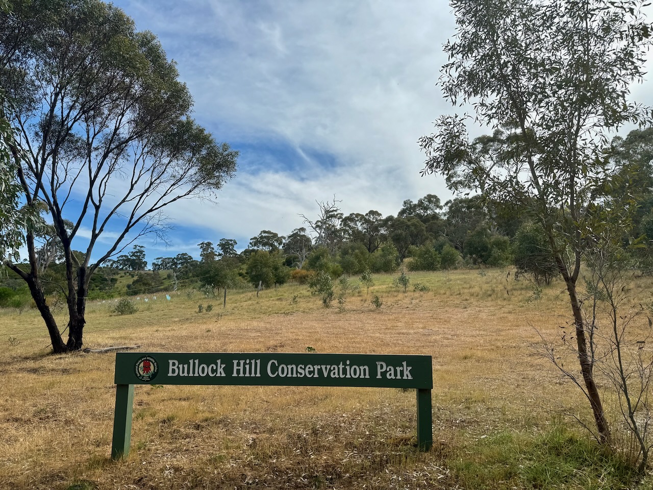
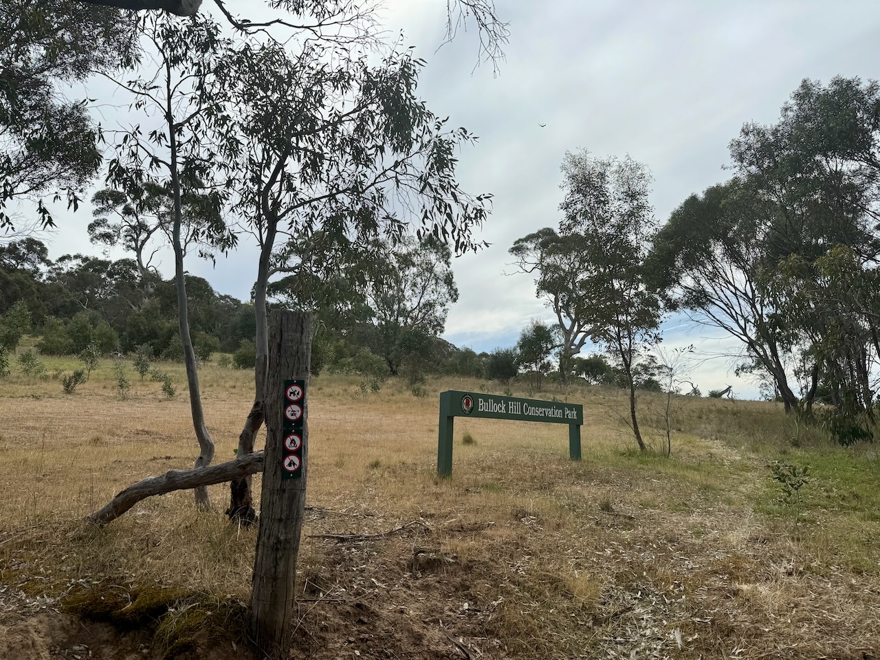
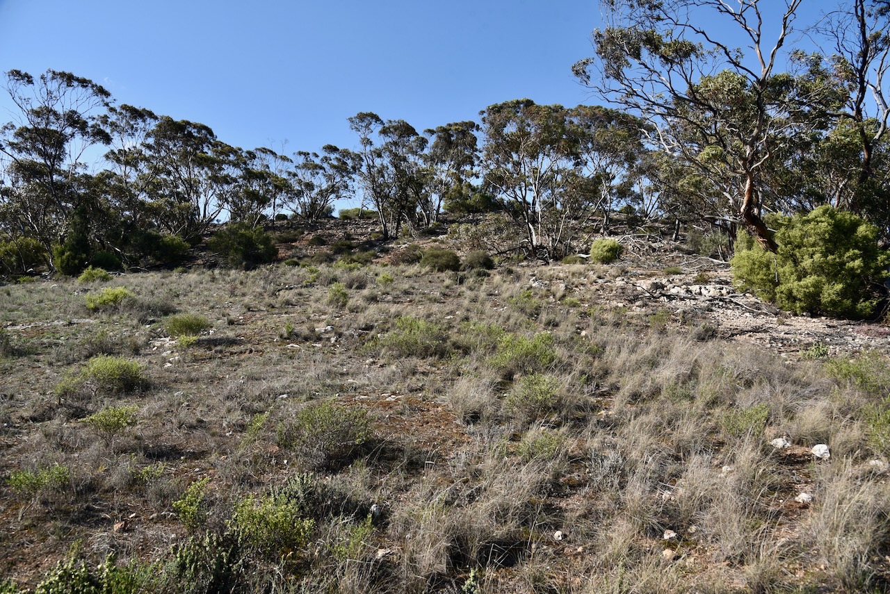
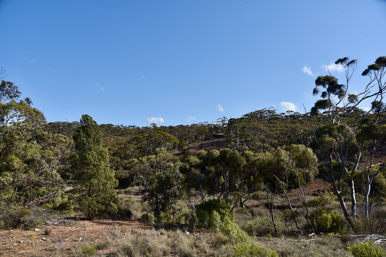
The first was the Bullock Hill Conservation Park VKFF-0873. Marija and I have activated this park several times previously. The park is located about 65 km southeast of Adelaide on the Fleurieu Peninsula.
Above:- Map showing the location of the Bullock Hill Conservation Park. Map c/o Google Maps.
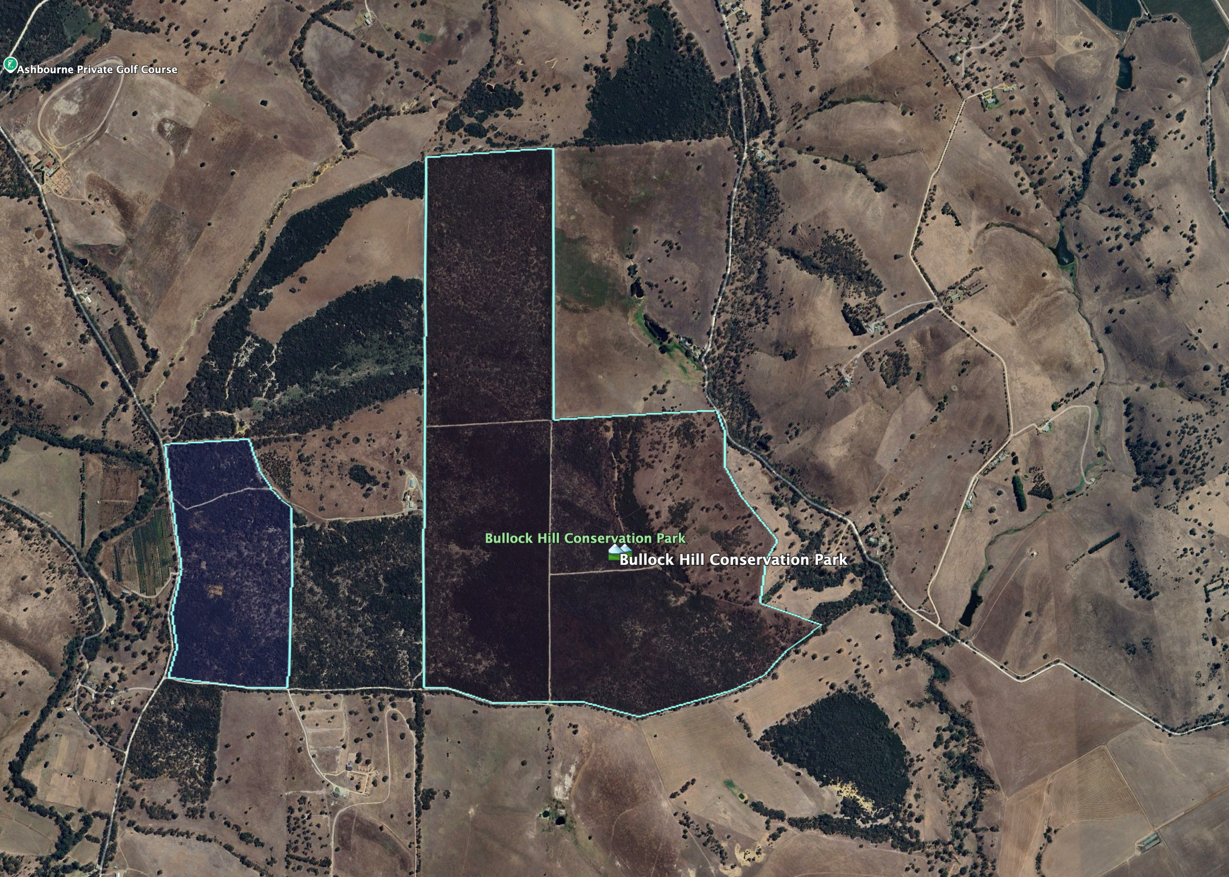
The park’s eastern boundary is Wattle Flat Road. Its southern boundary is Haines Road. A heritage agreement exists on the western side of the park. It takes its name from Bullock Hill, a hill rising 188 metres above sea level.
Above:- An aerial view of the Bullock Hill Conservation Park. Image c/o Google Earth.
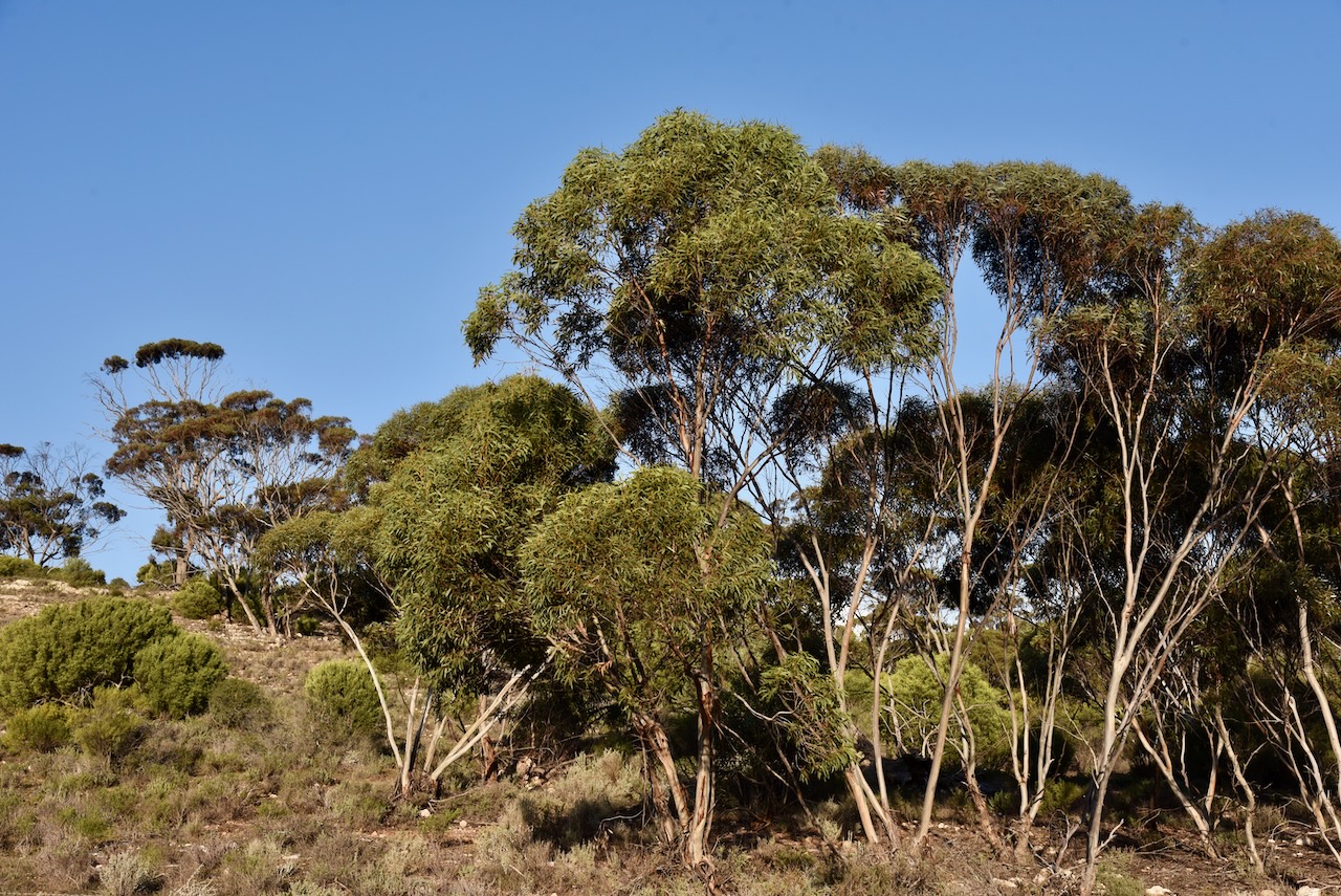
The park is about 221 hectares in size and was established on the 30th day of January 2014. Bullock Hill is an undulating park with several vegetation types including tall stands of eucalyptus, including pink gum and cup gum through to native grasslands in the east. Eucalypt woodlands can be found on the western side of the park which have a dense understory of acacia and mixed heath. (CAPAD 2022) (NPWS 2024)
Above:- An aerial view of the park looking west. Image c/o Google Maps.
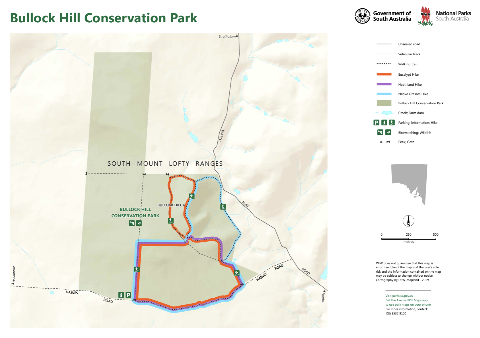
There are three hikes in the park and these are covered well on the Walking SA website. National Parks SA also has a map (show below) which shows the three hikes.
Above:- Map showing the three hikes in the park. Map c/o National Parks SA.
Birds SA have recorded a total of 95 native birds in the park. Common species include Common Bronzewing, Superb Fairywren, Brown-headed Honeyeater, Red Wattlebird, Brown Thornbill, Grey Shrikethrush. Rainbow Bee-eaters have also been sighted. (Birds SA)
The park is also home to Western Grey kangaroos. These can be sighted regularly at dawn and dusk in the park’s eastern grassland area. (NPWS 2024)
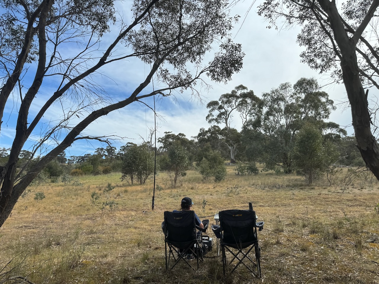
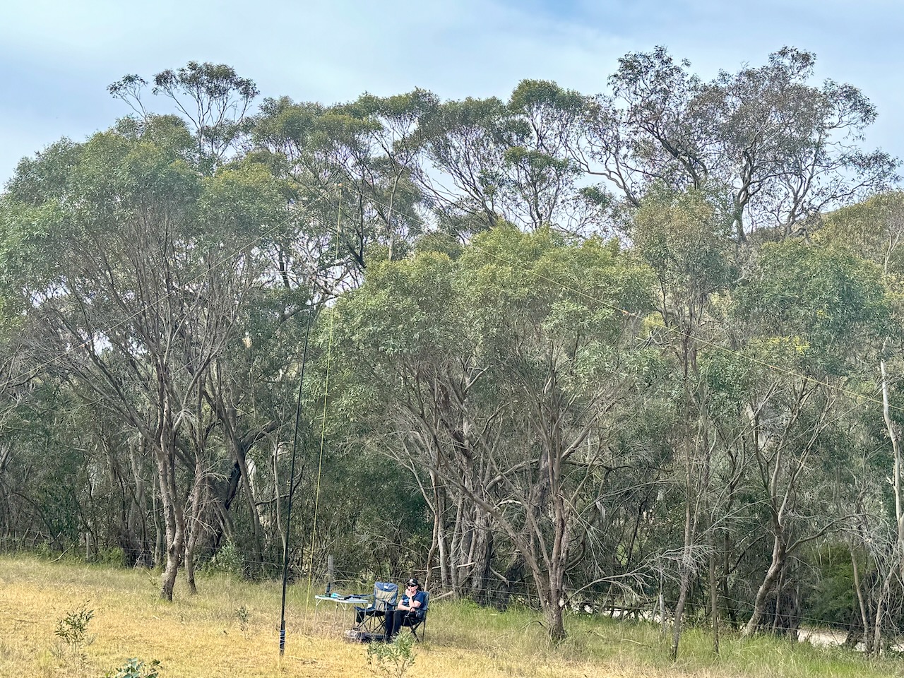
Marija and I set up on the Wattle Flat Road side of the park. We ran the Yaesu FT857, 40 watts, and the 20/40/80m linked dipole.
We found the band conditions to be poor. We managed 72 contacts. All of those excluding 2, were made on 40m SSB. We did not try 20m as we were entered in the 40/80m section for the Team Championship.
It was nice to log Ian Vk5CZ & Gordon VK5GY who were taking part as ‘No flies on us’, and Chris VK1CHW & Jared VK2LDJ who were taking part as the ‘Bandwidth Bandits’.
Marija worked the following stations on 40m SSB:-
VK3ZPF/p (SOTA VK3/ VN-020 & Kinglake National Park VKFF-0264)
VK3SRT/p (SOTA VK3/ VN-020 & Kinglake National Park VKFF-0264)
VK3MCA
VK3VMM
VK5HS
VK5AYL
VK5LA
VK5KAW
VK5TUX
VK5DMR
VK5TRM
VK3ZK/P (Tocumwal Regional Park VKFF-0978)
VK3PWG
VK3KR/P (SOTA VK3/ VC-027)
VK5GVV
VK2EXA
VK5ALM
VK5PCM
VK5GY/P (Caroona Creek Conservation Park VKFF-0875)
VK5CZ/P (Caroona Creek Conservation Park VKFF-0875)
VK1CHW/P (Mount Ainslee Nature Reserve VKFF-0850)
VK2LDJ/P (Mount Ainslee Nature Reserve VKFF-0850)
VK5ZRY
VK5ZNP
VK3UP
VK3UN
VK3DL
VK5GMH
VK3ZSJ
VK3SQ
VK2BD
VK3VIN
VK3TDX
VK5DW
VK3MIJ
Marija worked the following station on 80m SSB:-
VK5TUX
I worked the following stations on 40m SSB:-
VK3ZPF/p (SOTA VK3/ VN-020 & Kinglake National Park VKFF-0264)
VK3SRT/p (SOTA VK3/ VN-020 & Kinglake National Park VKFF-0264)
VK3MCA
VK3VMM
VK5HS
VK5AYL
VK5LA
VK5KAW
VK5TUX
VK5DMR
VK5TRM
VK3ZK/P (Tocumwal Regional Park VKFF-0978)
VK3PWG
VK3KR/P (SOTA VK3/ VC-027)
VK5GVV
VK2EXA
VK5ALM
VK5PCM
VK5GY/P (Caroona Creek Conservation Park VKFF-0875)
VK5CZ/P (Caroona Creek Conservation Park VKFF-0875)
After leaving Lenger Reserve on 1st September 2024, Marija and I headed along Dennis Road towards home. We were lucky to see a Kite soaring close to the ground in a paddock adjacent to the road. Unfortunately I did not have my zoom lens but I did snap a few photographs.
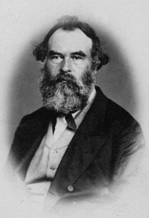
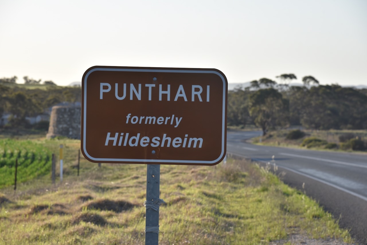
We then drove into the little town of Punthari which was originally called Finnis Vale. It was named after Boyle Travers Finniss (b. 1807. d. 1893), the first Premier of South Australia. (Wikipedia 2024)
Following the opening of the Post Office the Postmaster General suggested a name change to Nuske. The local settlers did not agree. The name of Hildesheim was adopted. (Cockburn 1990)
During the First World War, many German place names in South Australia were changed due to anti-German sentiment. A Nomenclature Committee was given the task of finding German names. A total of 67 were found. This included Hildesheim. The name was changed to Punthari, an aboriginal word meaning ‘scrub’. (Cockburn 1990)
I was keen to have a look at the Saunders Creek rail bridge, so we headed north. Unfortunately, we could not get close to the bridge as private land had to be accessed to reach it.
We then drove south, enjoying the very picturesque countryside.
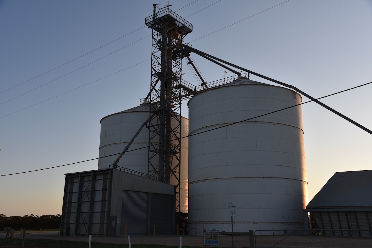
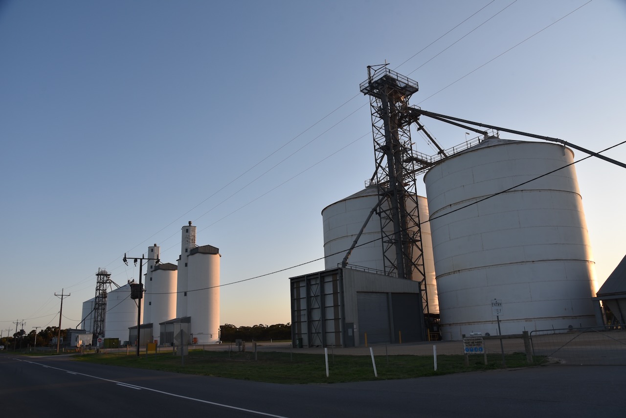
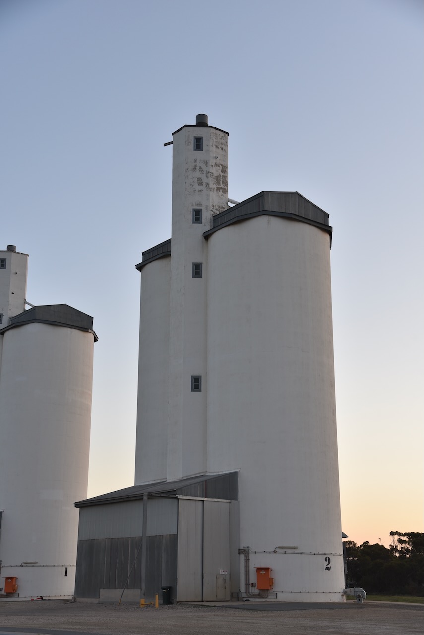
As we approached the silos at Apamurra, we decided to stop briefly to activate the silos for the Silos On The Air (SiOTA) program.
Aparmurra is an aboriginal word for ‘fresh water’. (Cockburn 1990)
Apamurra was on the Monarto to Sedan railway line, a branch line of main south line from Adelaide. It commenced art Monarto South and stretched for 70km to Sedan in the north. The line which opened in 1919, had eight stations and goods sidings. The line from Cambrai to Sedan closed in the late 1960s. The Cambrai to Apamurra section closed in 1987. The line between Apamurra to Monarto closed in 2005. (G, M 2021)
Below is an excellent video on the old Monarto to Sedan railway line.
We operated from the 4WD, running the Icom IC-7000, 100 watts, and the Codan 9350 antenna with the 1.5 metre stainless steel whip.
I worked the following stations on 40m SSB:-
VK2YK/p (Waite Conservation Reserve VKFF-4060)
VK5FANA
VK4SMA
VK4NH
VK4DXA
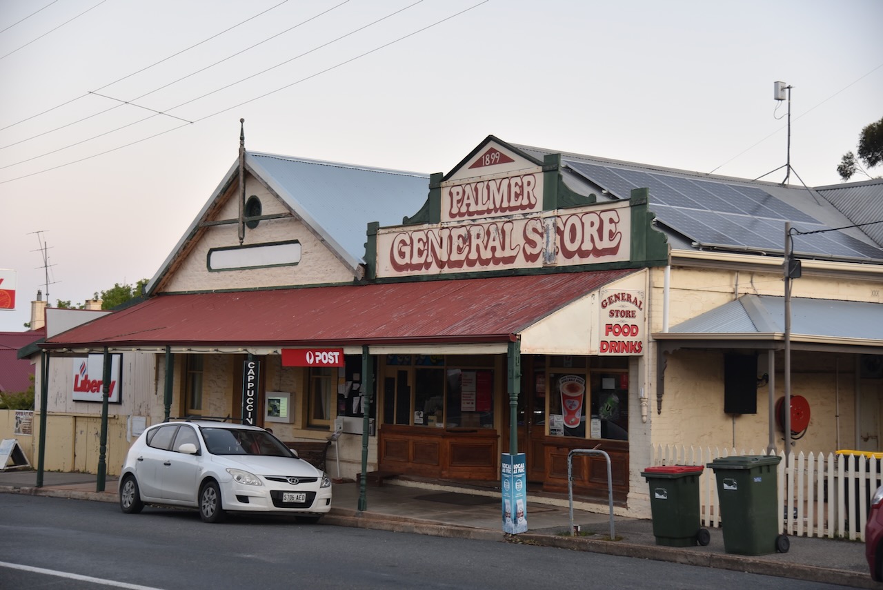
It was getting a bit late and we were feeling hungry, so we headed into the town of Palmer, hoping that the hotel might be open. Sadly it wasn’t.
The town of Palmer was laid out in 1868 by the Australian Mining Company. Its railway station was called Apamurra. The town was named in honour of Colonel George Palmer, a South Australian Colonisation Commissioner, and a Director of the mining company. (Place Names SA 2012)
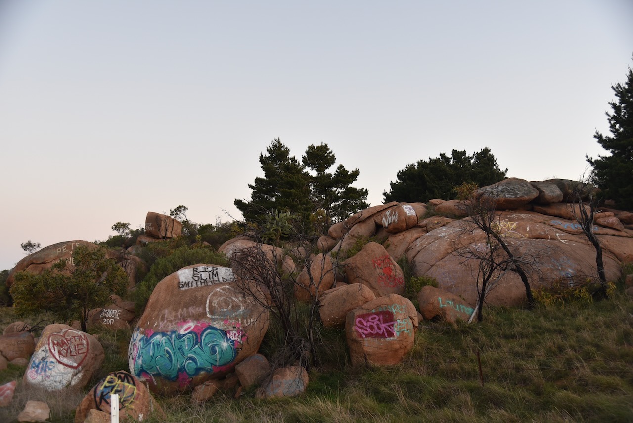
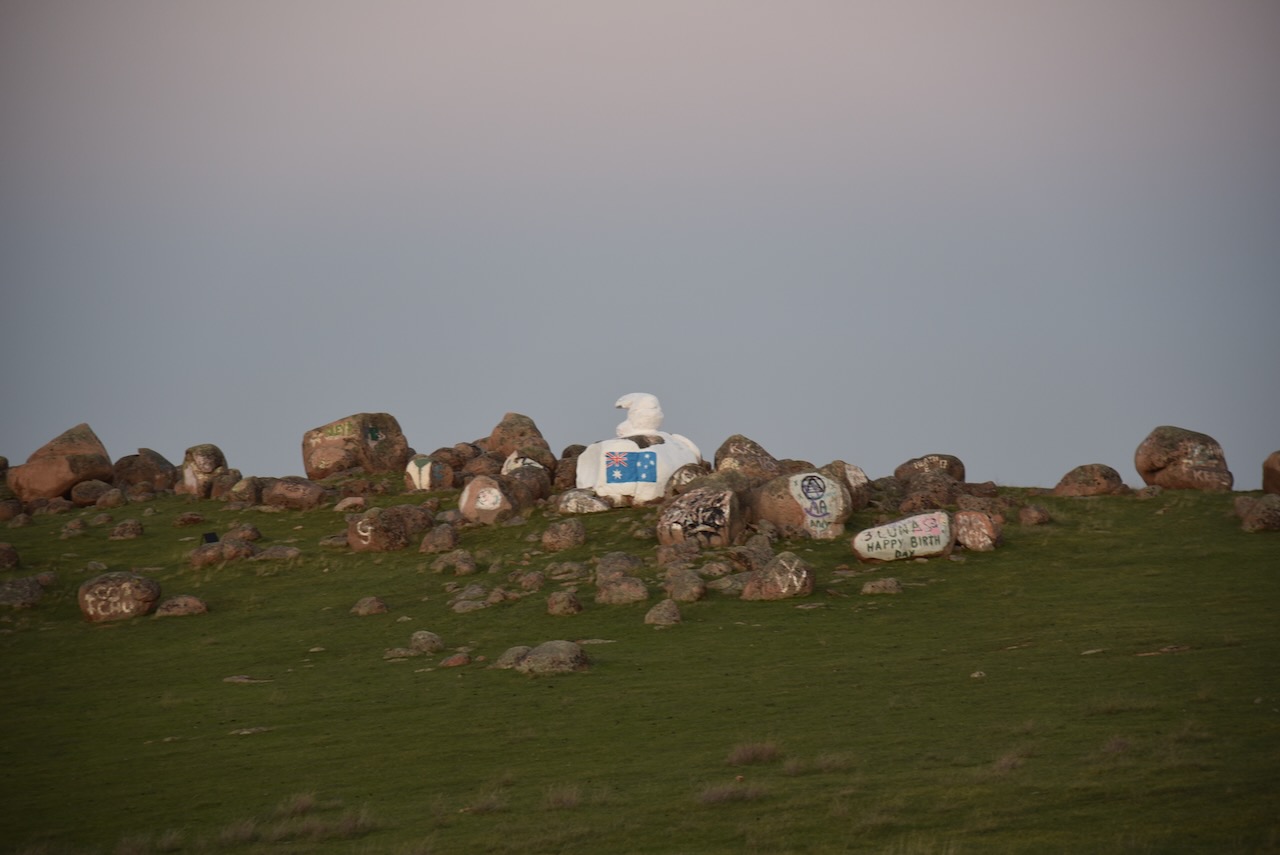
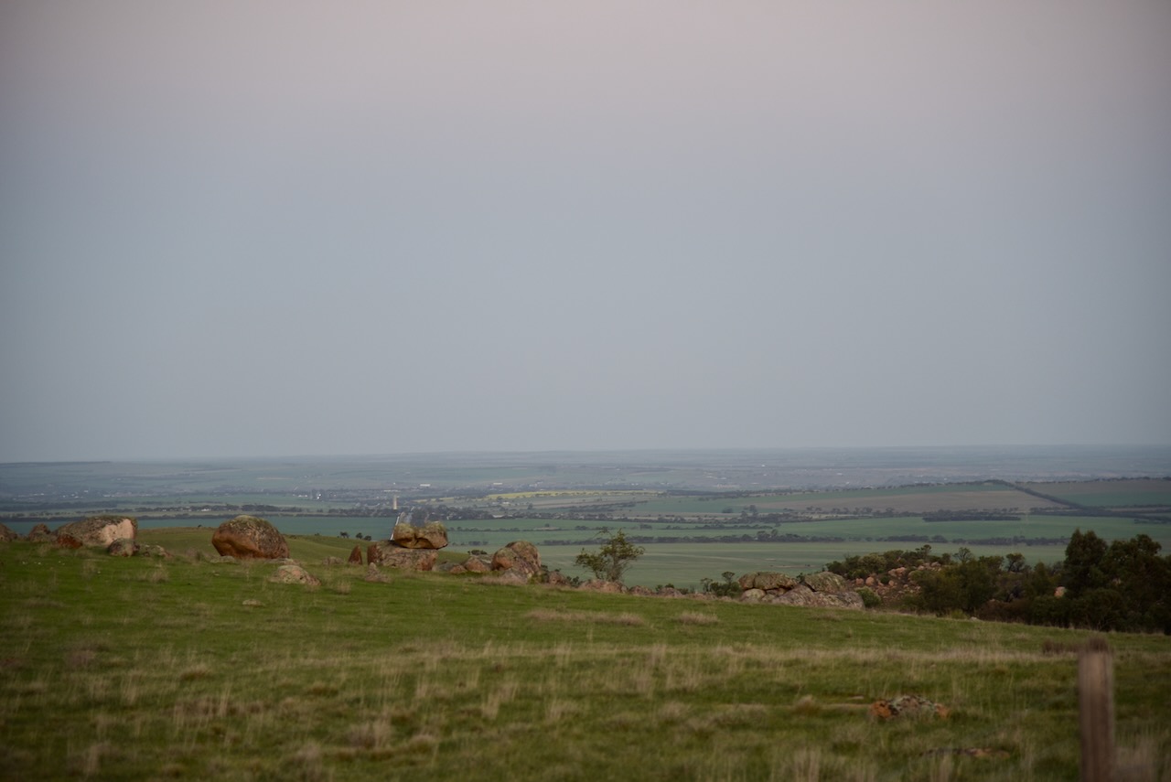
We continued west out of Palmer along Randell Road. This area is very rocky and features a unique rock called Bear Rock as it has the appearance of a Polar Bear.
On the way home we stopped off at the Commercial Hotel at Strathalbyn for a meal. And a very nice meal it was.
Every year on the 1st day of September, National Wattle Day is celebrated in Australia. This is the start of the Australian spring season. It is a time when several Acacia species, commonly called Wattle, are in flower.
The first National Wattle Day was held in 1992. Prior to this, Wattle Day was celebrated on different days by each of the Australian States and Territories. (Wattle Assoc 2024)
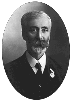
In 1899 the ‘Wattle Club’ was formed in Victoria. It was the initiative of Archibald James Campbell who was a leading ornithologist and field naturalist. He had a particular passion for Australian wattles. For many years the Wattle Club would organise outings on the 1st day of September. (Wikipedia 2024)
Above:- Archibald Campbell. Image c/o Wikipedia.
In September 1908, Campbell delivered a speech and made the very first suggestion of a dedicated Wattle Day in Australia. (Wikipedia 2024)
In September 1909, the Wattle Day League was formed in Sydney. Joseph Henry Maiden, the Director of the Sydney Botanic Gardens was the President. The purpose of the Wattle Day League was to present to the various Australian state governments, the need for a national Wattle Day. In 1910 the League agreed on the 1st day of September and there were celebrations on three Australian States including South Australia. (Wikipedia 2024)
Above:- Joseph Henry Maiden. Image c/o Wikipedia
During the 1980s there was a campaign led by Maria Hitchcock for National Wattle Day. She is known as the ‘Wattle Lady’. She was successful in 1988 for having the Golden Wattle Acacia pycnantha gazetted as Australia’s National Floral Emblem in 1988 and the introduction of National Wattle Day in 1992. (Authors Agent 2024)
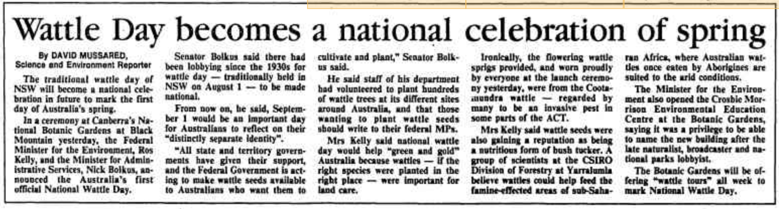
On 23 June 1992, Governor-General Bill Hayden declared that “1 September in each year shall be observed as ‘National Wattle Day’ throughout Australia and in the external Territories of Australia”. (ANBG 2024)
Above:- Article from The Canberra Times, Wed 2 Sept 1992. Image c/o Trove.
The Wattle Association Inc. website states that we celebrate National Wattle Day for the following reasons:-
National Wattle Day includes everyone
Golden Wattle (Acacia pycnantha) is our national floral emblem. It is a symbol that comes directly from our land;
Golden Wattle is a unifying symbol of Australia and Australians. There is no other symbol that says so much about what it takes to survive and thrive in this ancient land;
Wattles are Australian with great diversity (more than 1,075 described Acacia species) and resilience like our people;
Wattle welcomes the spring, and is among the first plants to regenerate after fire, reminding us of the importance of renewal as it paints our national colours across our landscapes; and
All wattles remind us of Australia and Australians. (Wattle Assoc 2024)
Below is an interview that appeared on ABC Radio about 6 years ago about Wattle Day.
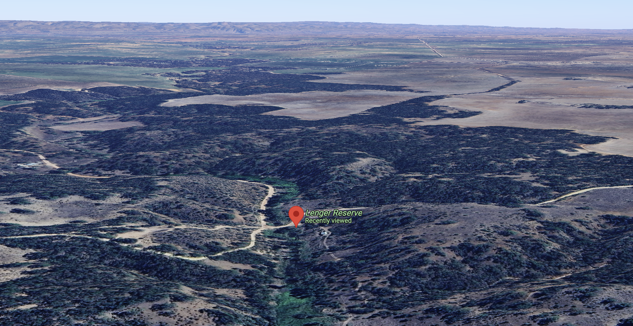
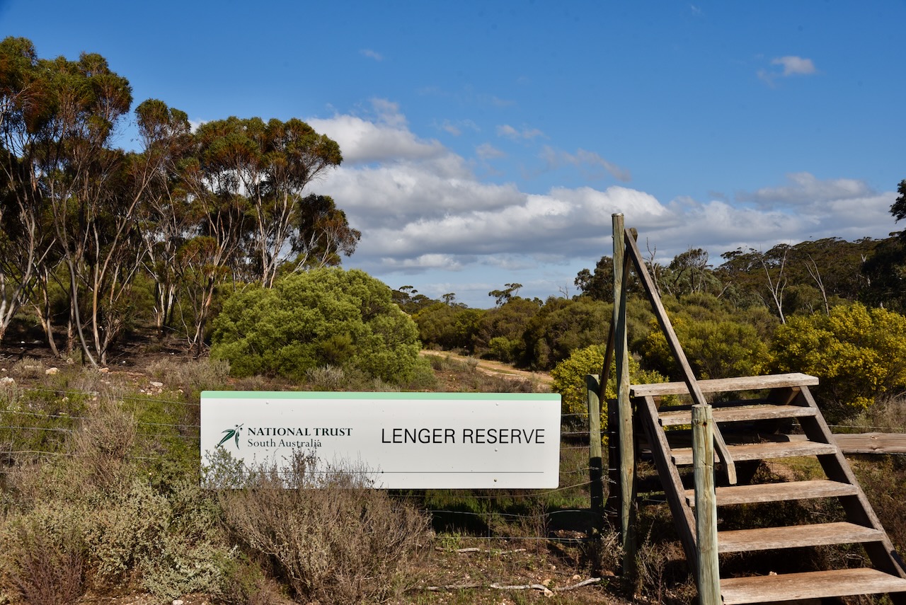
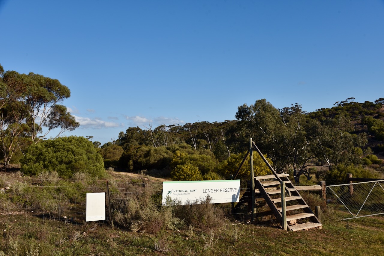
Marija VK5MAZ and I headed to Lenger Reserve VKFF-4039 which is located about 17 km north of Mannum in the Murray Mallee region of South Australia.
Above:- Map showing the location of Lenger Reserve. Map c/o Google Maps.
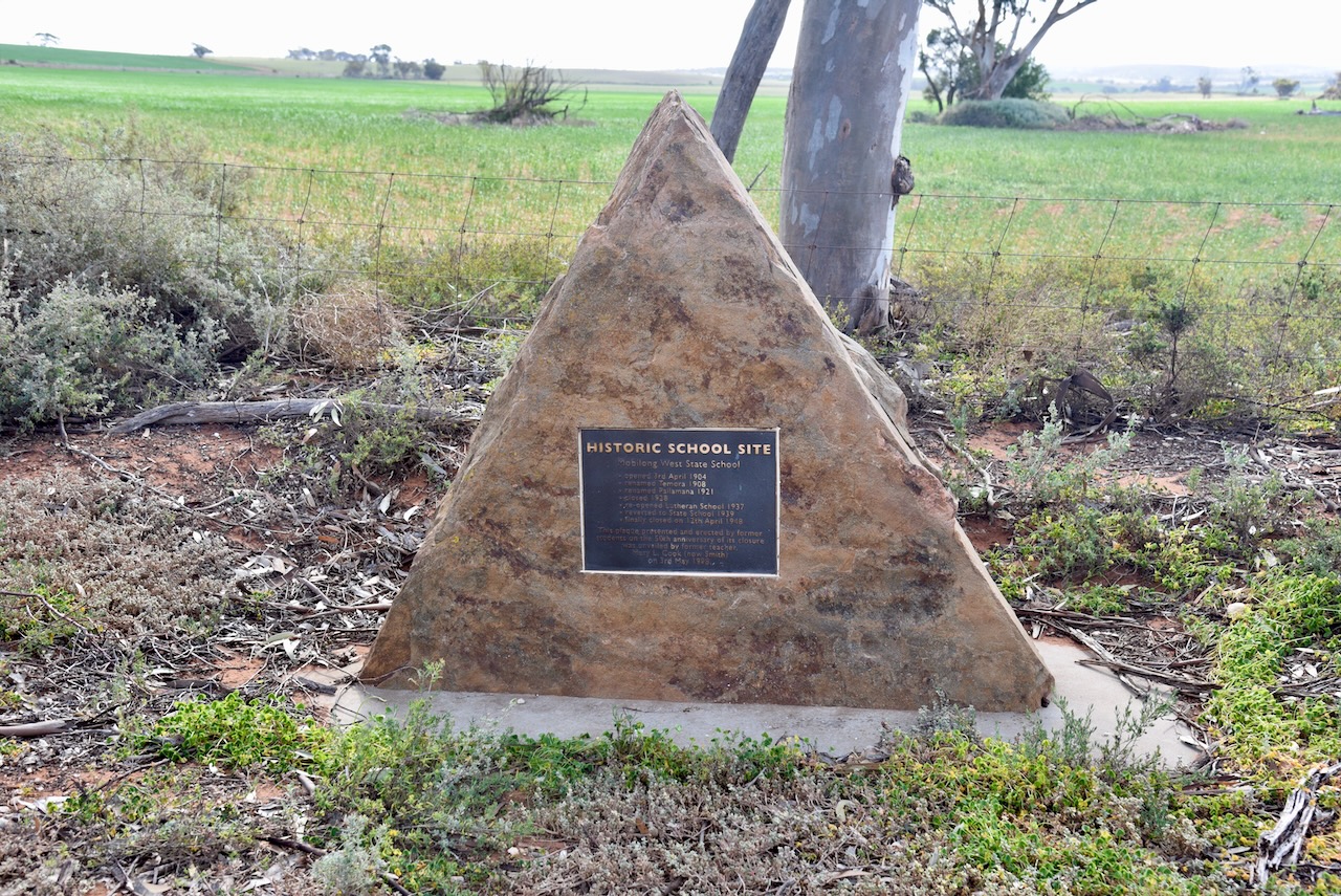
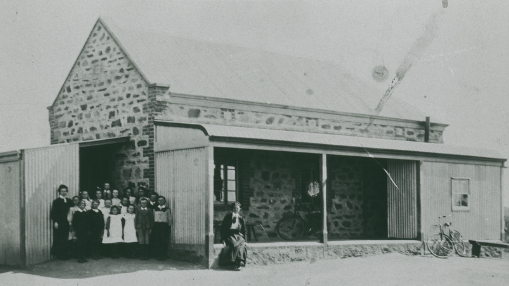
Along the way, we stopped off to look at the monument for Mobilong West State School, located at the intersection of Pallamana Road, Reedy Creek Road, and Wagenknecht Road, Pallamana.
The school opened on the 3rd day of April 1904. It was renamed Temora in 1908. In 1921 it was renamed Pallamana. The school closed in 1928. In 1937 it was reopened as a Lutheran school. Just 2 years later in 1939, it reverted to a State School. It finally closed on the 12th day of April 1948.
Above:- The Pallamana School, early 1900s. Image c/o State Library South Australia.
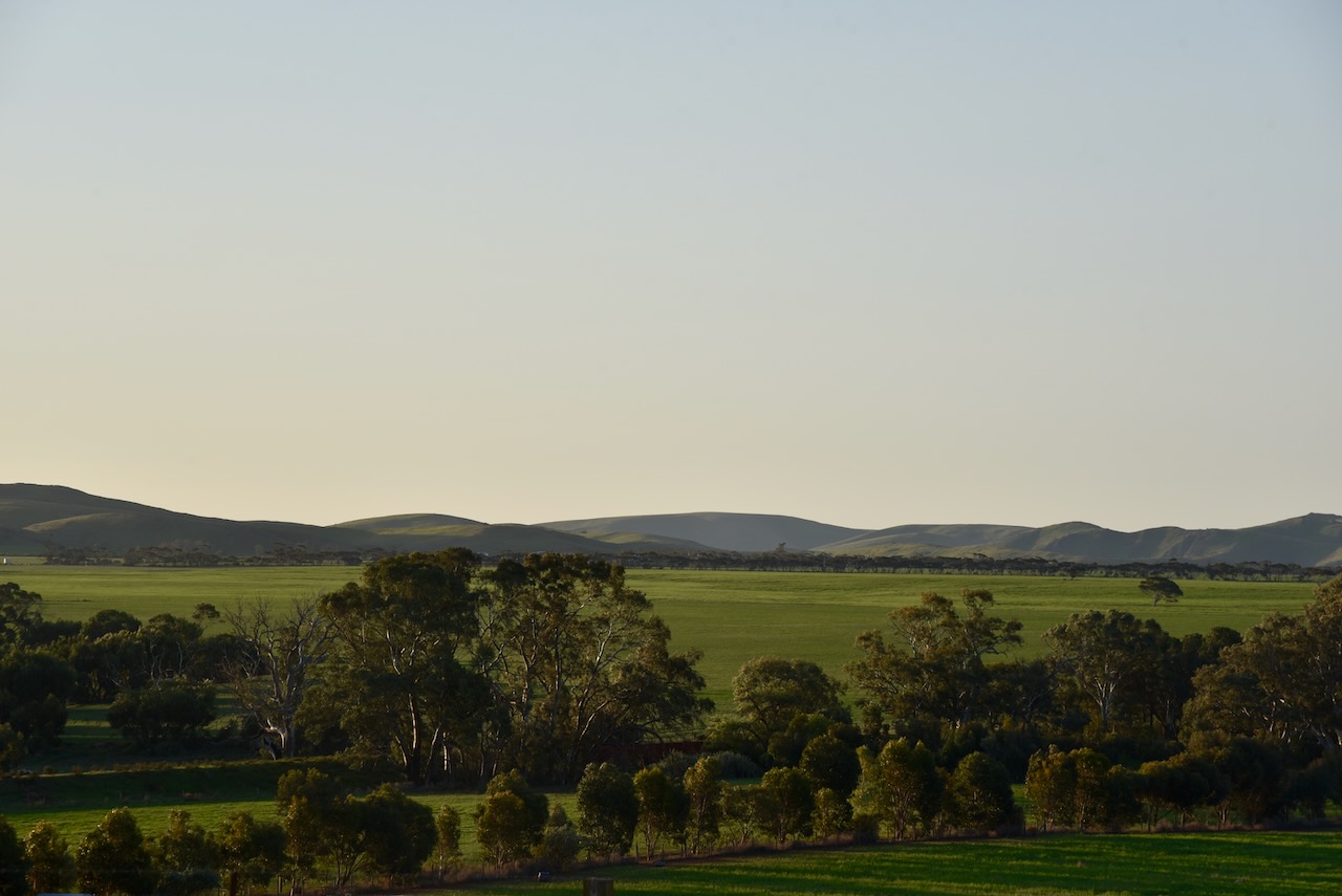
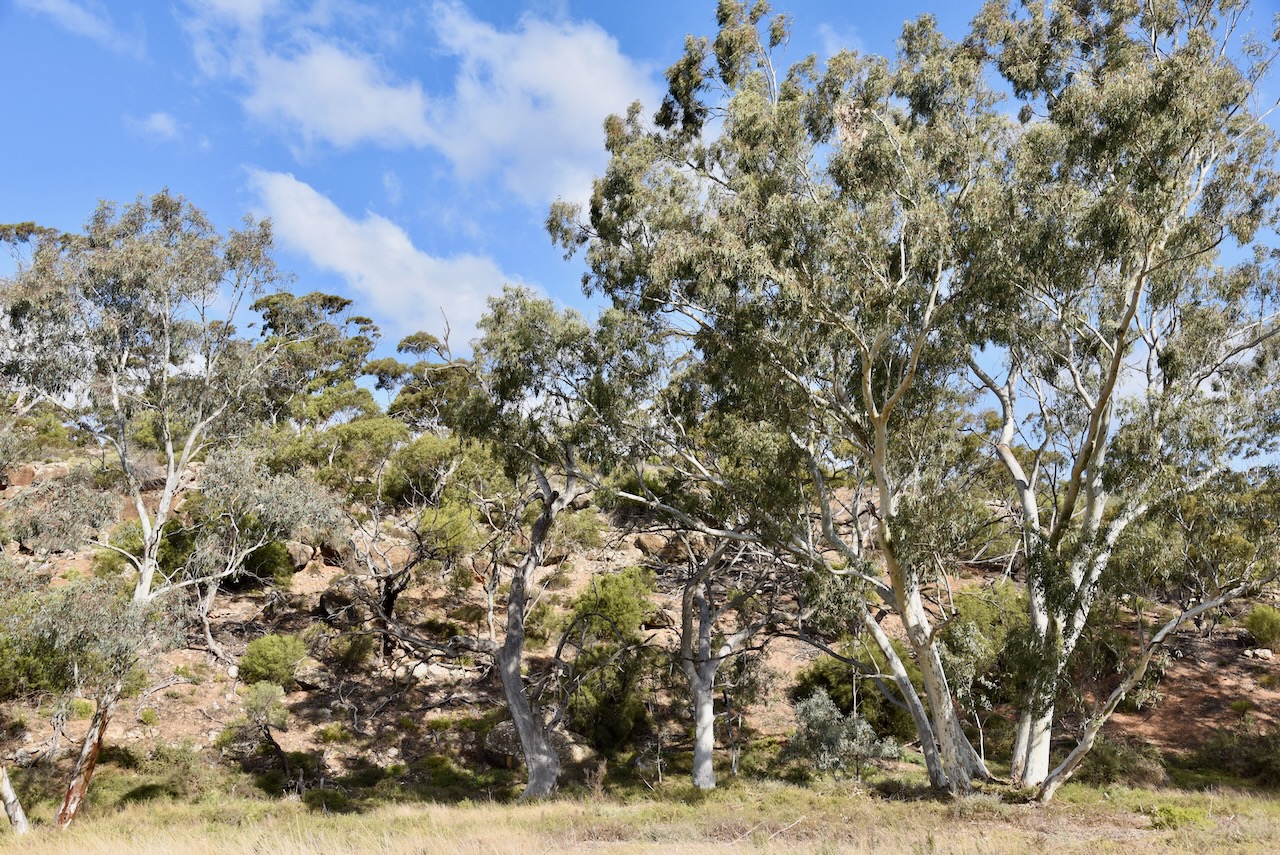
As we approached the park, the surrounding countryside became quite spectacular, compared to the cleared farming land that we had experienced earlier in the trip. It is about a 100km drive to the park from our home on the Fleurieu Peninsula, south of Adelaide.
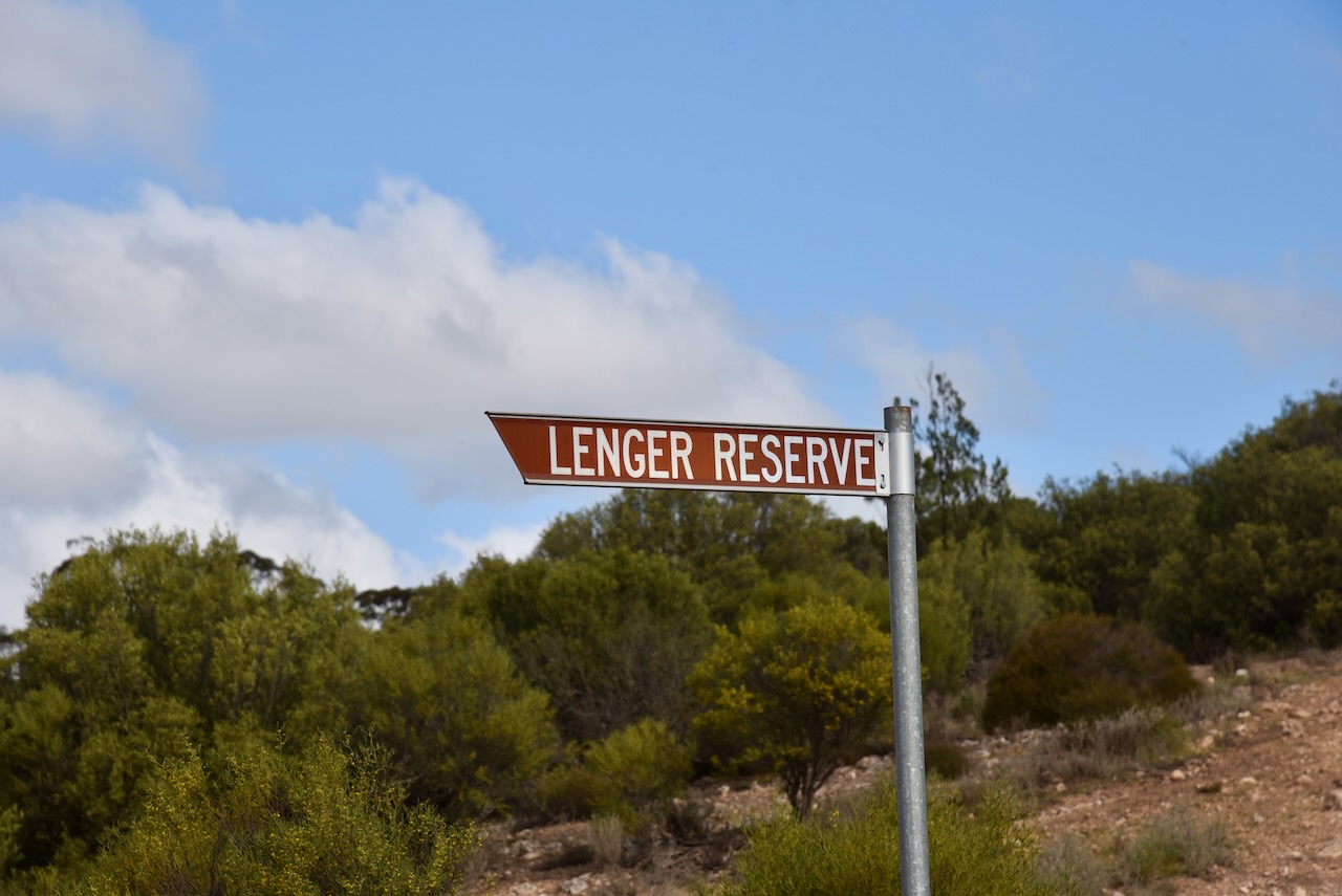
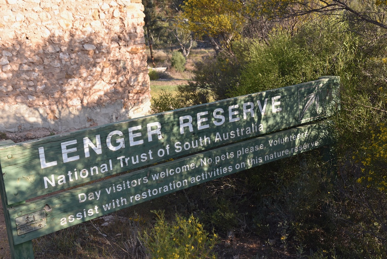
What we did find was the park was well-signposted. There wasn’t just one sign, there was a number, that directed you towards Lenger Reserve.
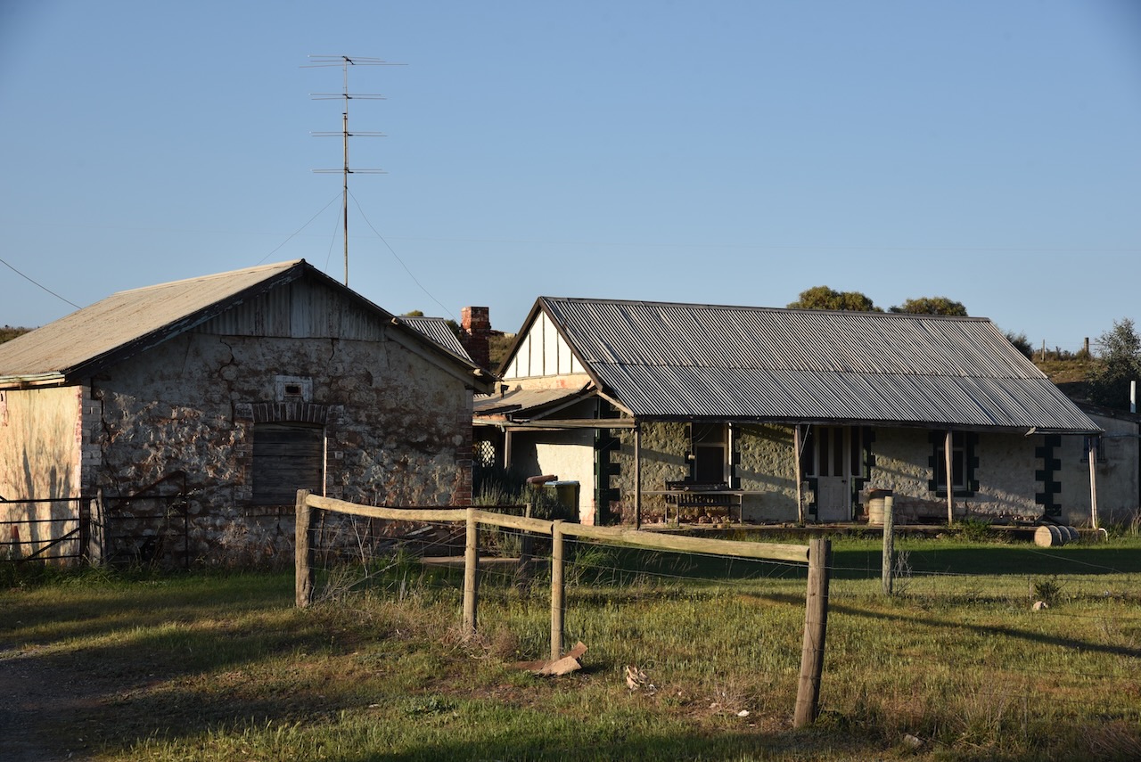
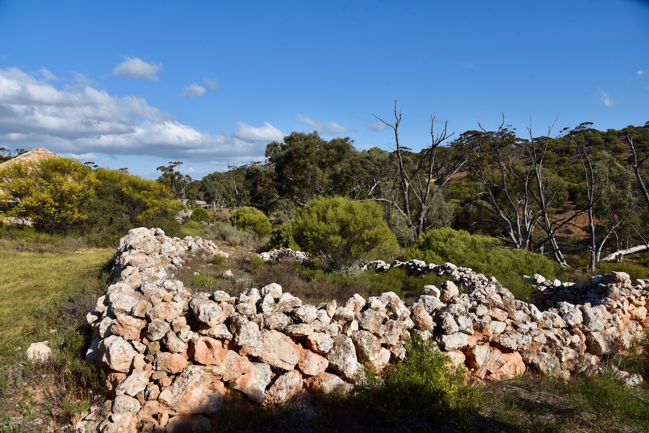
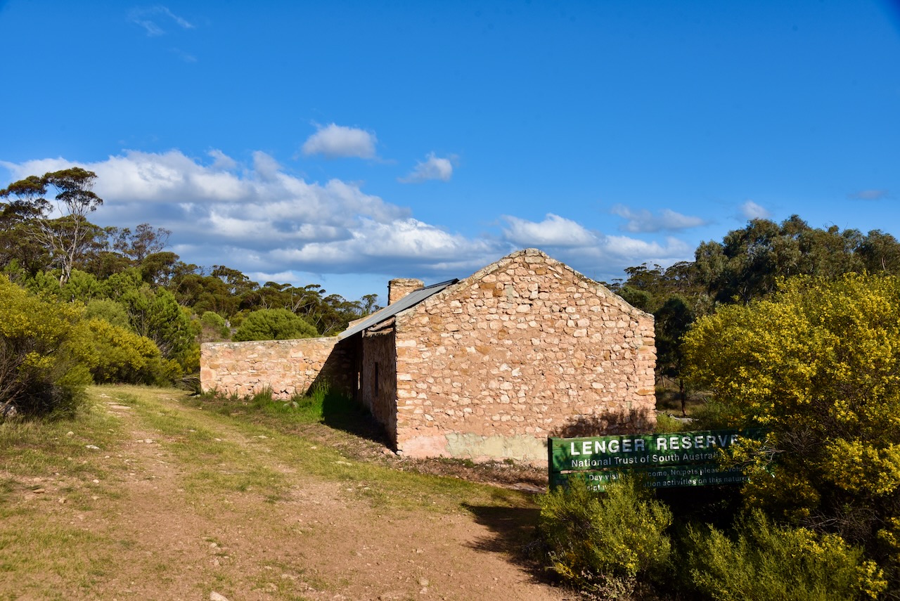
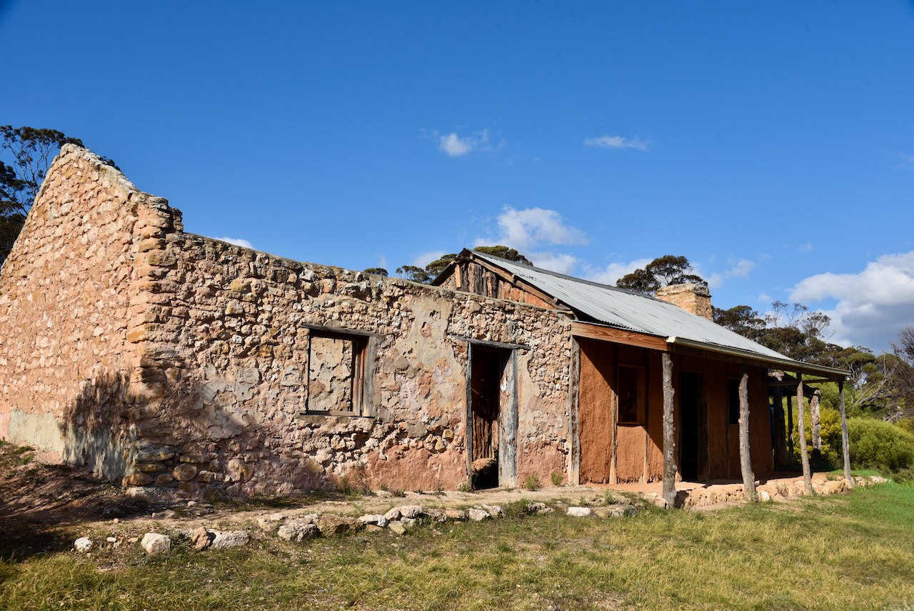
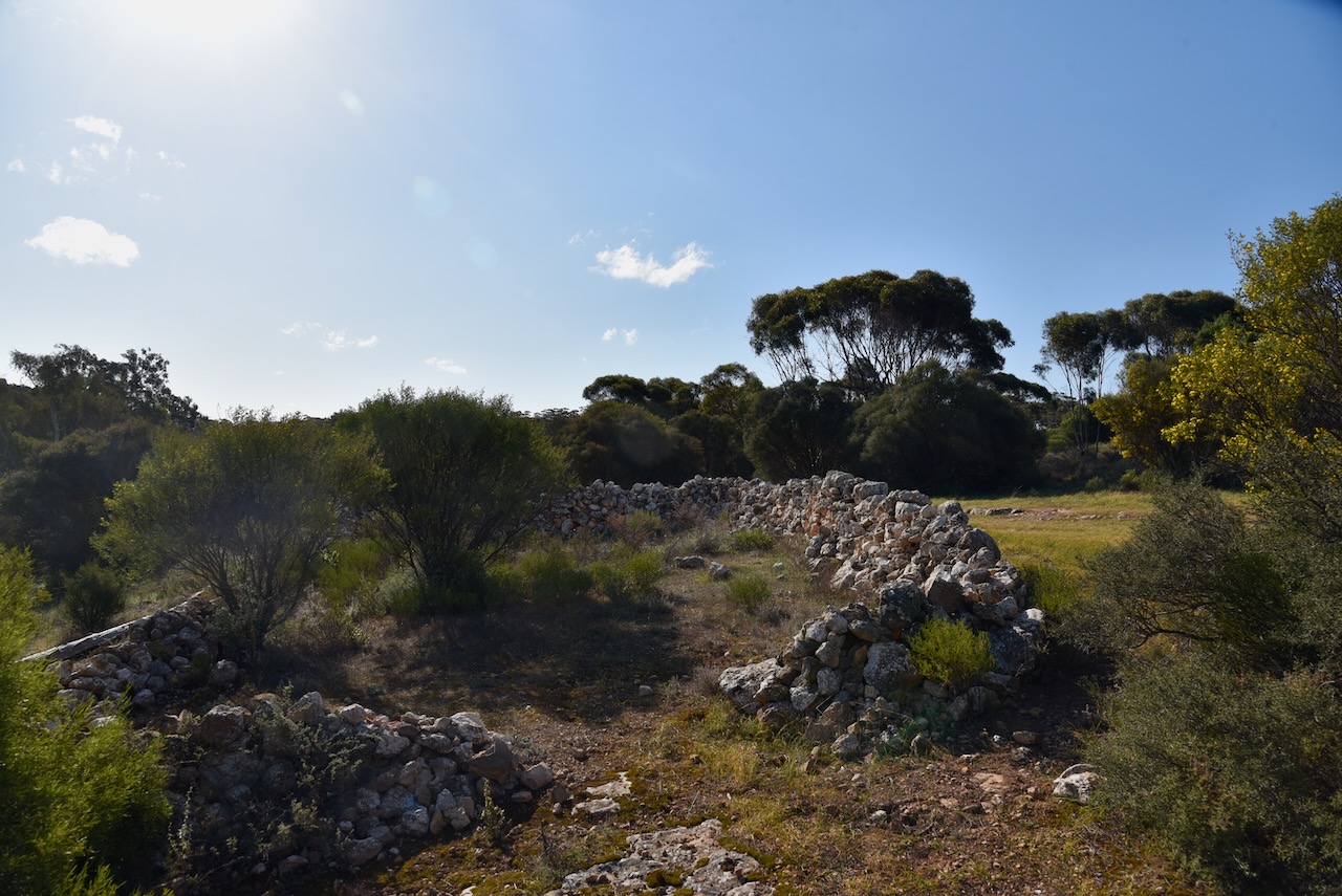
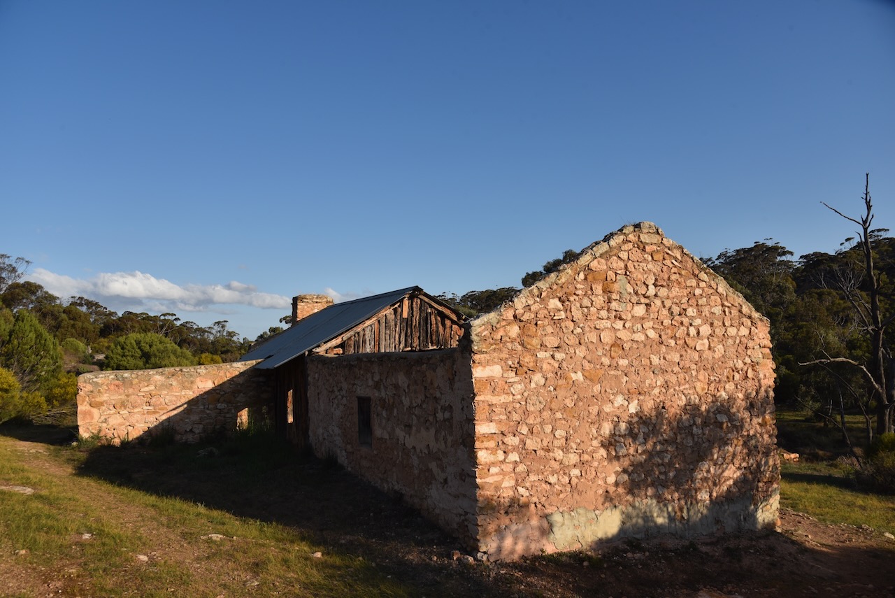
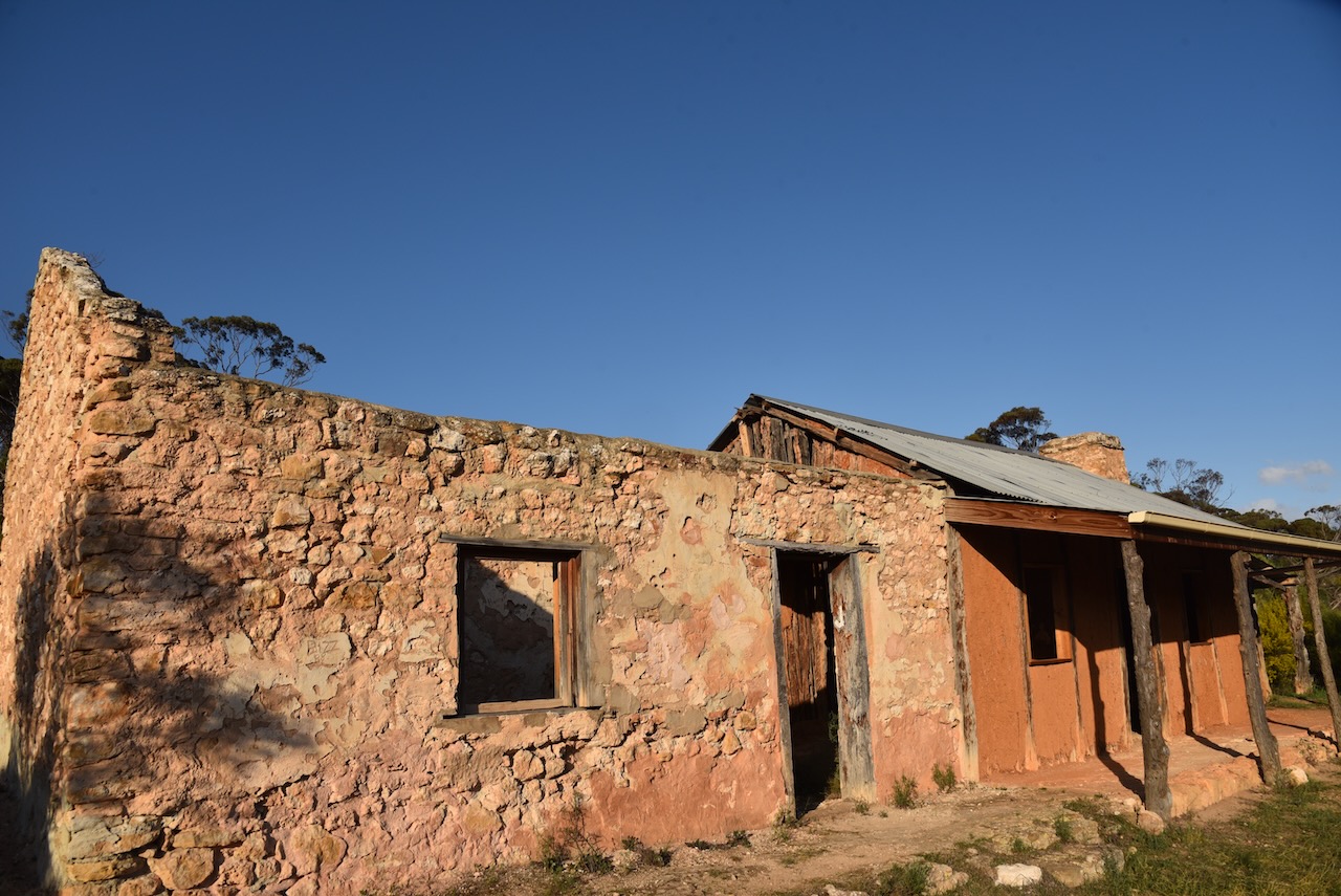
Lenger Reserve is located at 884 Springs Road, Mannum. It is owned by the National Trust of SOuth Australia. The reserve is about 95 hectares and contains steep limestone/calcrete hills that follow Saunders Creek. The creek has cut a narrow valley through the plain. There are several permanent spring-fed waterholes. The reserve also contains majestic River Red Gums. (National Trust 2024)
Above:- An aerial view of Lenger Reserve. Image c/o Google Maps.
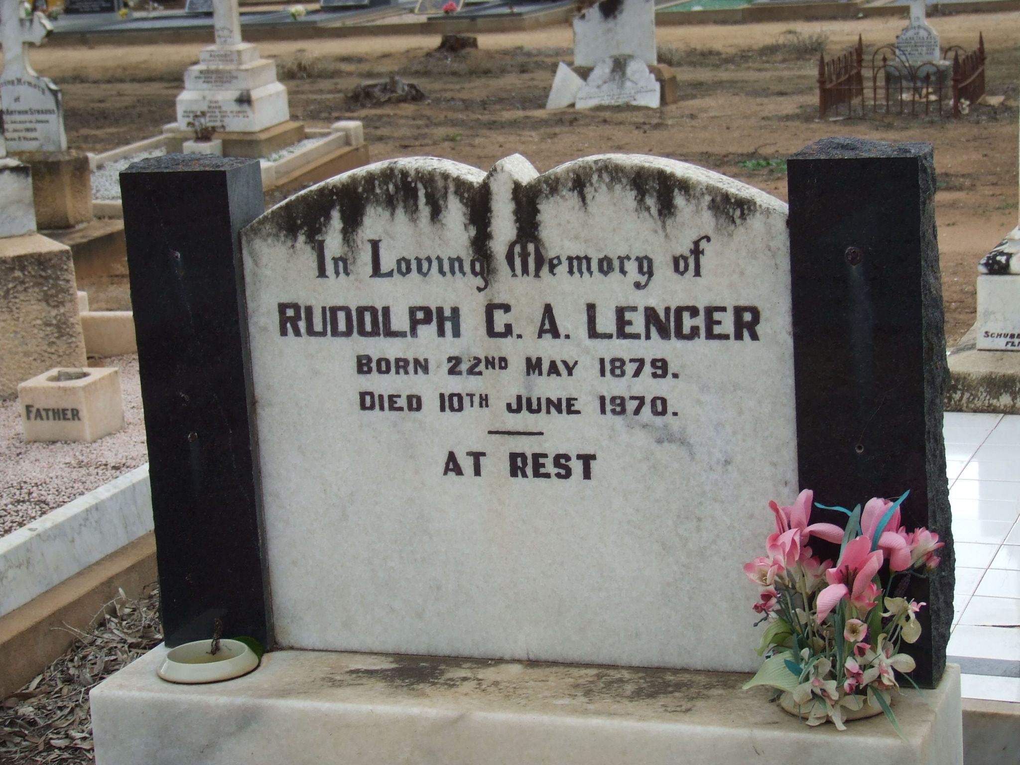
Rudolph Gustav Lenger gifted the reserve to the National Trust of South Australia in 1978 to be used as a bird sanctuary. (National Trust 2024)
Rudolph Gustav Albert Lenger was born on the 22nd day of May 1879 in Finniss, South Australia. His parents were Albert Gustav Lenger and Emma Augusta Louise Lenger nee Heidrich. His parents had arrived in South Australia in 1857 aboard the Heinrich from the Kingdom of Prussia. Rudolph was their tenth and final child. (ancestry.com.au)
Rudolph was a farmer at Mannum. He died on the 10th day of June 1970 at Norwood, South Australia. He is buried at the Mannum District Cemetery. (ancestry.com.au) (Find a Grave 2024)
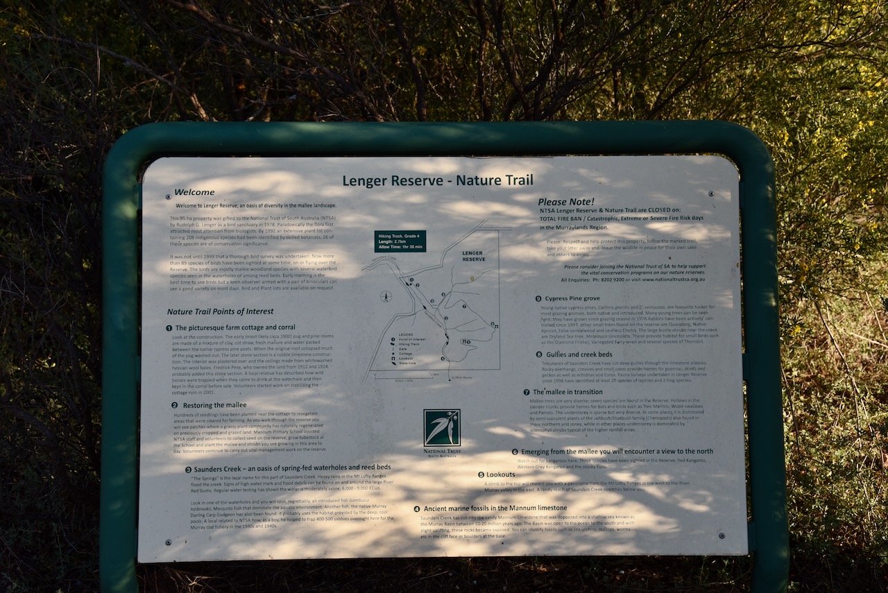
The vegetation in Lenger Reserve is predominantly mallee with shrub and chenopod understoreys. By 1992 an extensive plant list had been undertaken by botanists. Today, about 208 indigenous flora species have been identified in the reserve. Of those, 26 are of particular conservation significance including the nationally significant Rohrlach’s bluebush. (National Trust 2010) (National Trust 2024)
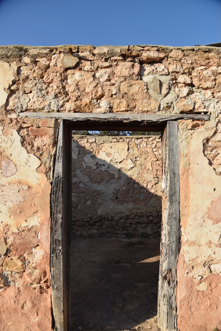
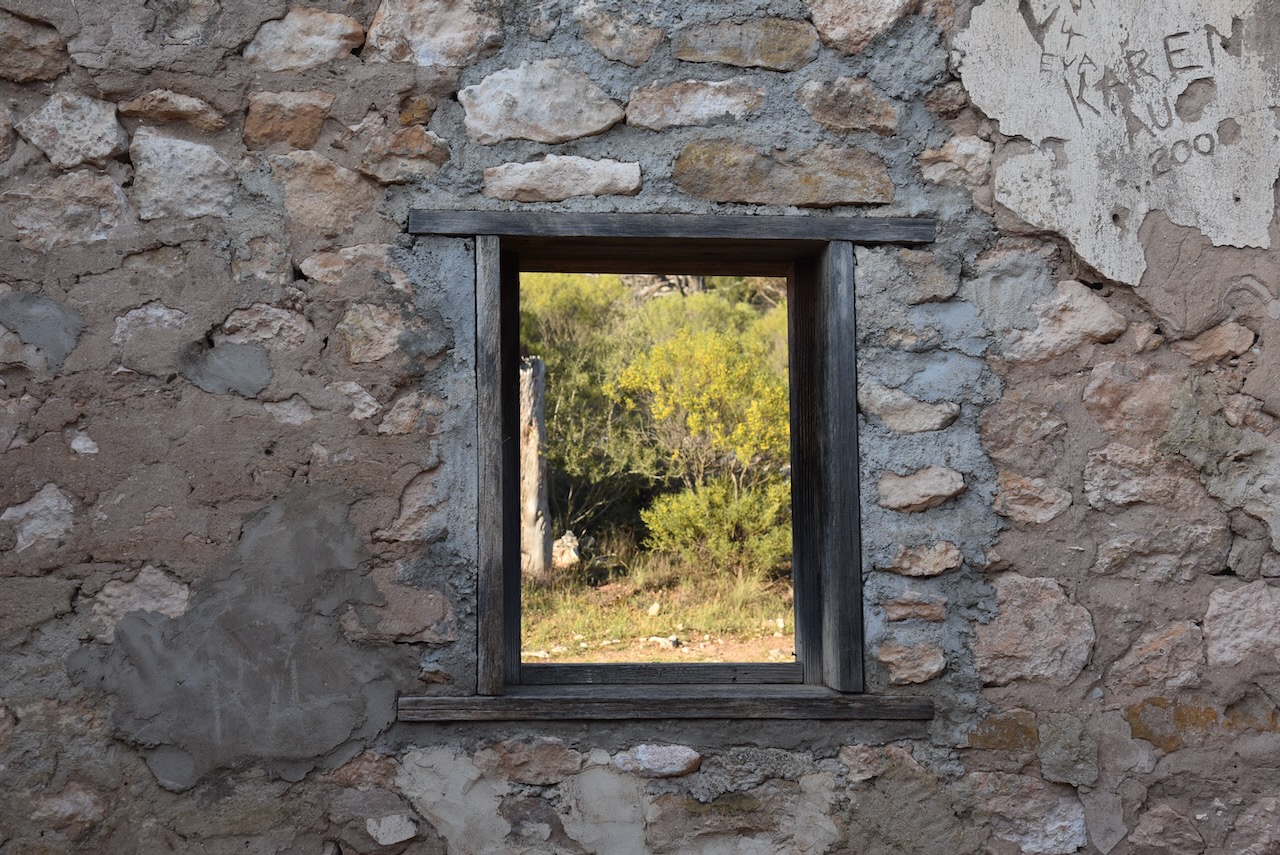
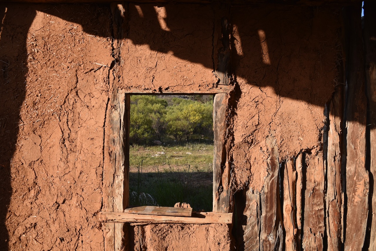
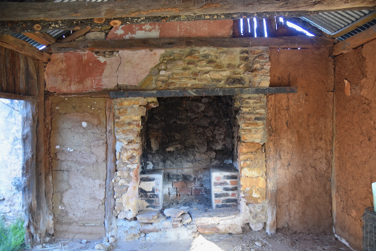
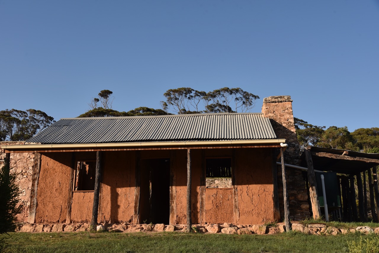
The reserve contains a c. 1900 pug and pine and stone cottage. The rooms are constructed of a mixture of clay, cut straw, fresh manure and water that are packed between the native cypress pine posts. In 2001 volunteers commenced work on establishing and renovating the cottage ruin. (National Trust 2010)
Between 1912 to 1924, the land was owned by Fredrick Pese. It is believed that he added the stone section of the cottage. William Fredrick Theordor Pese was born in 1876 at Birdwood, South Australia. His grandparents had emigrated to Australia from the Kingdom of Prussia. He died in 1947 at Mannum, South Australia, aged 47 years. (ancestry.com.au) (National Trust 2010)
It was not until 1999 that a thorough bird survey was undertaken in the reserve. Birds SA have recorded 100 native birds in the reserve, and 9 have conservation status at the state or regional level. Common species of bird found in the reserve include Brown Treecreeper, Spiny-cheeked Honeyeater, Weebill, White-browed Babbler, Grey Shrike-thrush, White-browed Babbler (Birds SA 2024) (National Trust 2010) (National Trust 2024)
Lenger Reserve was previously cleared and cropped by farmers and used for grazing. Grassland species are regenerating in these areas. Volunteers have also stabilised the cottage, repaired fencing, cleared rubbish, established a hiking track and prepared an information brochure. (National Trust 2024)
Marija and I set up just inside the gate. We ran the Yaesu FT857, 40 watts, and the 20/40/80m linked dipole.
I worked the following stations on 40m SSB:-
VK3VIN
VK3HJW
VK5KLD
VK5LA
VK5KAW
VK3APJ
VK3DCQ
VK2EG/P (Glenrock State Conservation Area VKFF-1319)
VK3PF/P (Traralgon South Flora Reserve VKFF-2465)
VK5CZ
VK2SLB
VK2BRN
VK2KBT
VK3KRL
VK3CJN
VK3QHU
VK2VW
VK2HFI
VK2AKA
VK2BUG
VK3CEO
VK7HAM
VK5HW
VK2YK/P (Belair National Park VKFF-0022)
VK3YV
VK4SUN
VK3BBB/m
VK2CCP/m
VK3MGM
VK5MSA
VK4NH
VK4DXA
F5PYI
VK1DI/p (The Pinnacle Nature Reserve VKFF-0862)
VK2IO/p (Pitt Town Nature Reserve VKFF-1984)
VK2GEZ/p (Pitt Town Nature Reserve VKFF-1984)
VK3ACZ
VK3WRD
VK2EXA
VK3SG
VK5GY
VK1CHW
VK1RF
VK2MK
VK4CEE
VK4CZ
VK7PJM
VK2EBN
VK4HBT
VK4DNO
VK2XD
VK3MCA
VK5HMB
VK3ALF
VK3IFR
I worked the following station on 40m AM:-
VK3CJN
I worked the following stations on 20m SSB:-
VK2EG/P (Glenrock State Conservation Area VKFF-1319)
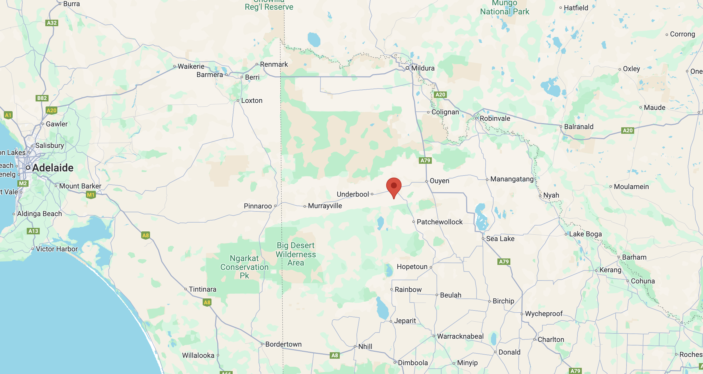
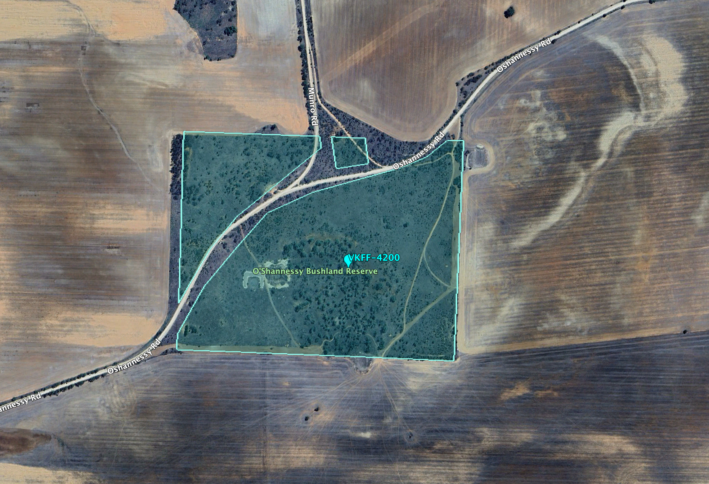
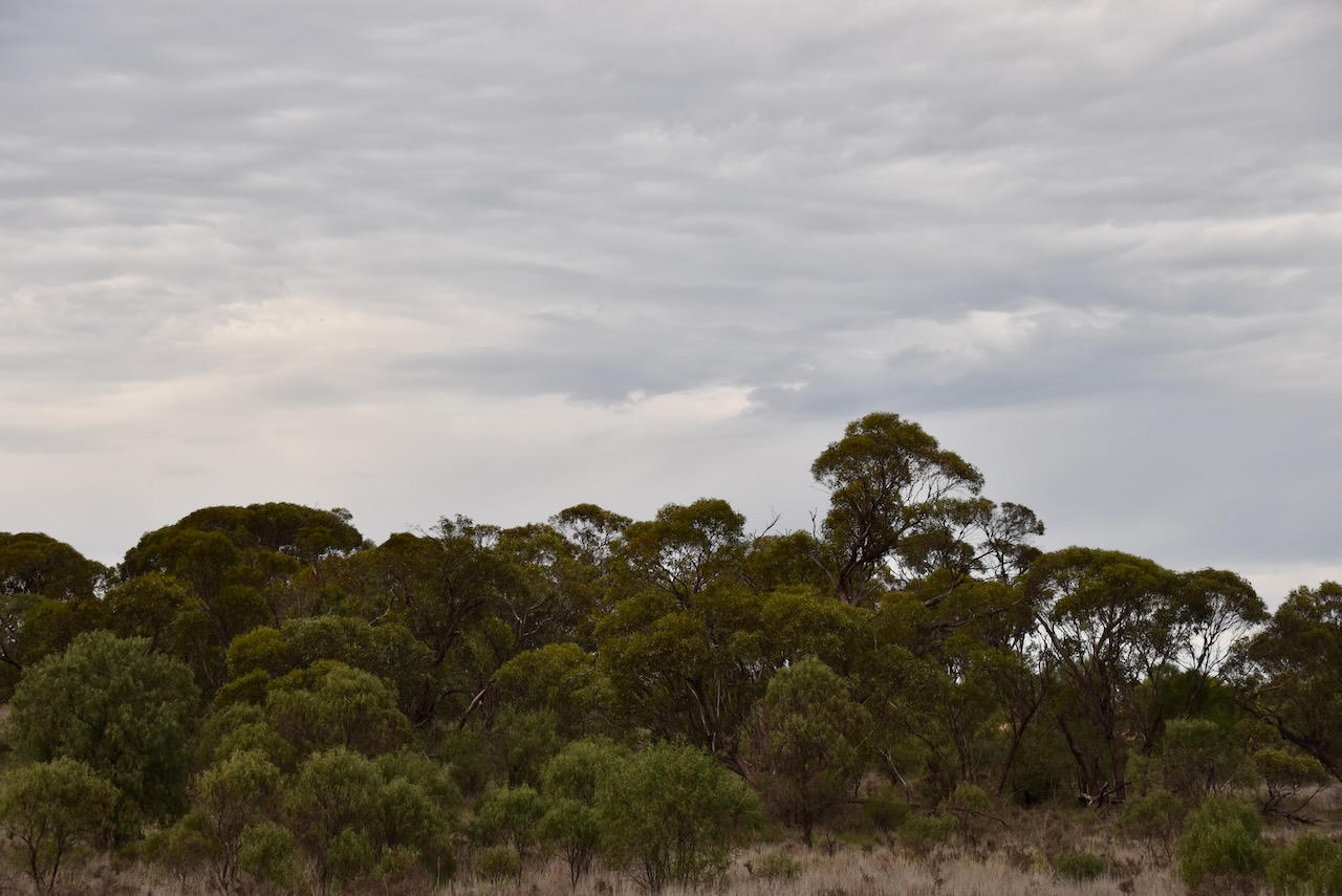
My final activation for the Werrimul Victoria trip was O’Shannessy Bushland Reserve VKFF-4200.
The reserve is located about 15 km south of the town of Walpeup in northwest Victoria.
Above:- Map showing the location of the O’Shannessy Bushland Reserve. Map c/o Google Maps.
The reserve is located at the junction of O’Shannessy Road and Munro Road, Walpeup.
The reserve is about 41 hectares in size and was established on the 1st day of May 1979. (CAPAD 2022)
This was an easy park to access. I pulled off the road in the 4WD and set up in a clearing amongst the scrub. I ran the Yaesu FT857, 40 watts, and the 20/40/80m linked dipole for this activation.
I logged a total of 87 stations including quite a bit of DX on 20m.
I worked the following stations on 20m SSB:-
UT5PI
VK2KEV
VK5MAZ
KG5CIK
VK7XX
ZL4KD
SQ9CWO
VK2IO/M
VK2GEZ/M
VK2VW
VK2HFI
VK2AKA
VK2BUG
F1BLL
PP7M
VK7AAE
VK7DWS
VK2NCS
EW6MP
DH4PSG
VK4EMP
VK4TI
VK4GKO
F5PYI
VK7HBR
VK3APJ
ZL1TM
IW2BZL
VK4FOX
IW2NXI
VK4HNS
OM5TX
I worked the following stations on 40m SSB:-
VK3PF
VK5MAZ
VK3HJW
VK3MTT
VK3CJN
VK3APJ
VK5TUX
VK5GY
VK3GP/M
VK5WU
VK3SQ
VK2BD
VK2EXA
VK2VW
VK2HFUI
VK2AKA
VK2BUG
VK3CEO
VK5AAF
VK5JK
VK3ZPF
VK3JW
VK5AFAN
VK3CAT
VK3APC
VK3WSG
VK3ACZ
VK3KR
VK2IO
VK2GEZ
VK7IAN
VK3MCK
VK3EJ
VK1CHW
VK2YAK/P
VK4YAK/P
VK2OKR
VK2AUS
VK3WRD
VK3UAO
VK3KGW
VK5CZ
VK3MGM
VK2HAK
VK3AMO
VK4EMP
VK4TI
VK4GKO
VK3VIN
VK4FDJL
VK4WAB
VK3PWG/P
VK3TTK/P
VK5TN
VK5DW
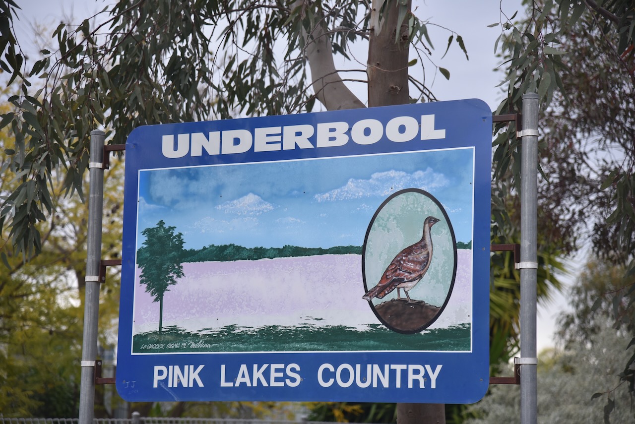
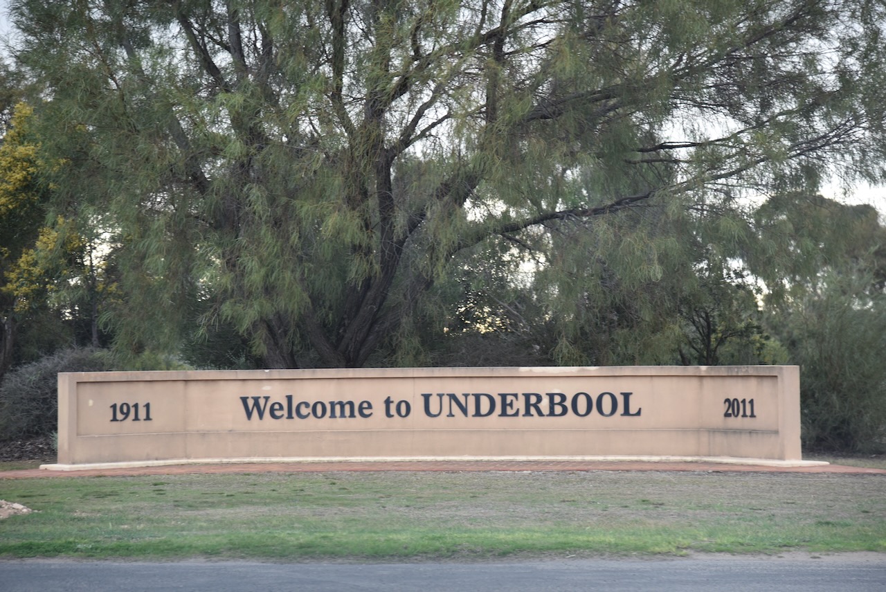
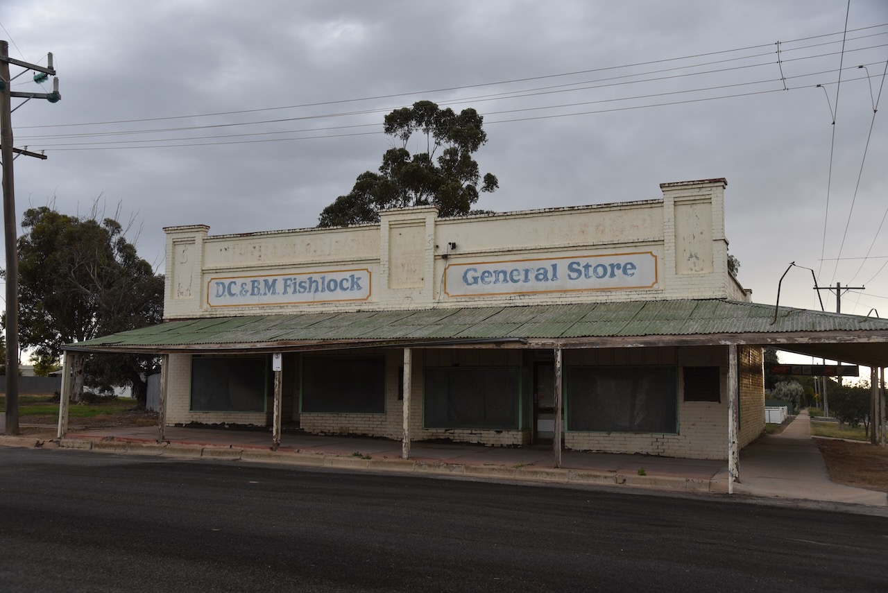
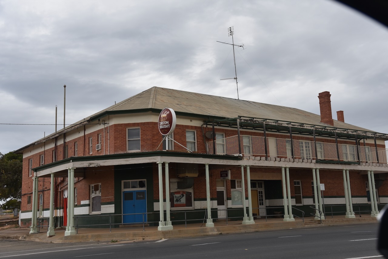
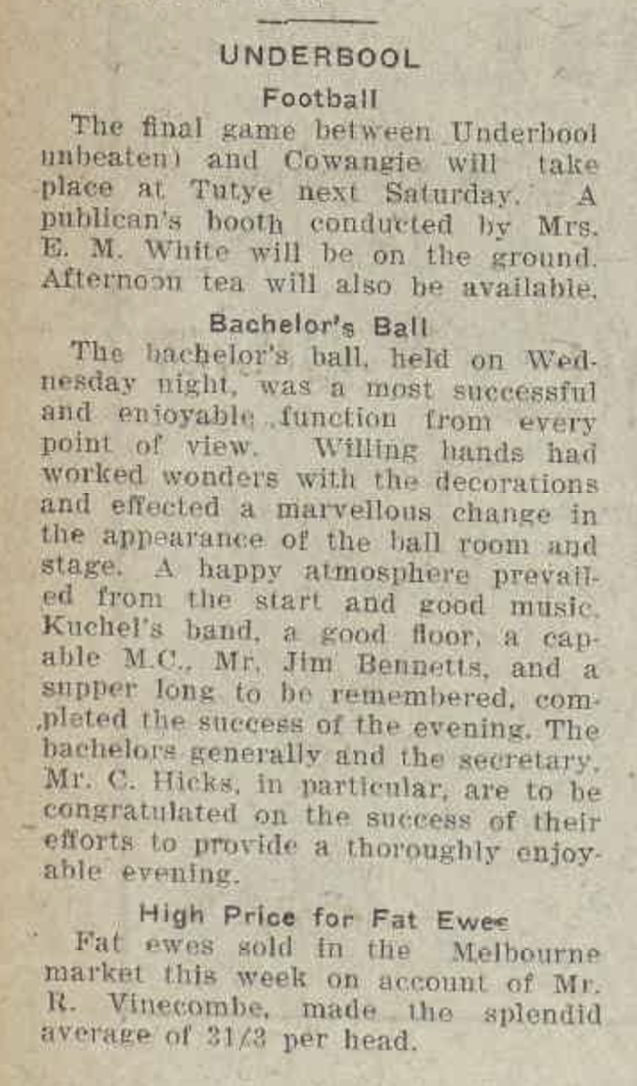
It was getting late and I still had a long drive ahead of me to get back home. I packed up and headed west along the Mallee Highway. I stopped briefly in the town of Underbool to stretch my legs. This is another favourite little town of mine along the Mallee Highway.
During the 1850’s, Europeans commenced to settle in the Underbool district. This included pastoralists Clow, Ellerman and Cameron who sought leases. However, life here was difficult. It was a desolate and remote region with drought and vermin being just some of the difficulties faced by those who decided to settle in the area. (Underbool 2024)
The exact origin of the name Underbool is unclear. Some suggest Underbool is derived from the aboriginal word ‘wimbool’ meaning the ear, or ‘bool’ meaning ‘water’. (Blake 1978)
While others believe the name is derived from the German word underbolt, given to it by surveyor Dr. Georg von Neumayer who camped in the area in October 1861. (Blake 1978)
Above:- Georg von Neumayer. Image c/o Wikipedia.
By 1883, the Mallee Leases Act approved the establishment of A and B Blocks by dividing Mallee land in lines of 10 mile intervals. T.H.Turner surveyed the County of Weeah into A and B blocks in 1887. (Underbool 2024)
During the early 1900’s the then Premier of Victoria, Sir Thomas Bent, recognised the potential for agricultural development along the Ouyen to Kow Plains route. This followed the successful settlement of Mallee land in the nearby South Australia. (Underbool 2024)
By 1907, the Mallee Select Committee recommended that Kow Plains be opened for selection and that a rail link should be established. Land was opened for selection as rail selections were completed. The block sizes were set at 600-700 acres. (Underbool 2024)
The Parish of Underbool was surveyed on the 24th day of July 1910. By August 1910, 31,000 acres of land were declared available in the Parish of Underbool. This consisted of 92 blocks. The demand was immediate and a list of the successful applicants appeared in The Age newspaper on the 20th day of December 1910. (Underbool 2024)
Above:- Article from The Age, Mon 12 Sep 1910. Image c/o Trove.
A post office opened ay Underbool on the 15th day of July 1912 when a regular mail service was provided following he opening of the railway from Ouyen to Murrayville a month earlier in June 1912. Underbool Primary School (No. 3819) opened on the 5th day of November 1913. (Phoenix 2012) (Underbool 2024)
Above:- Article from the Ouyen Mail, Mon 18 Sep 1933. Image c/o Trove
I continued along the Mallee Highway and crossed into South Australia.
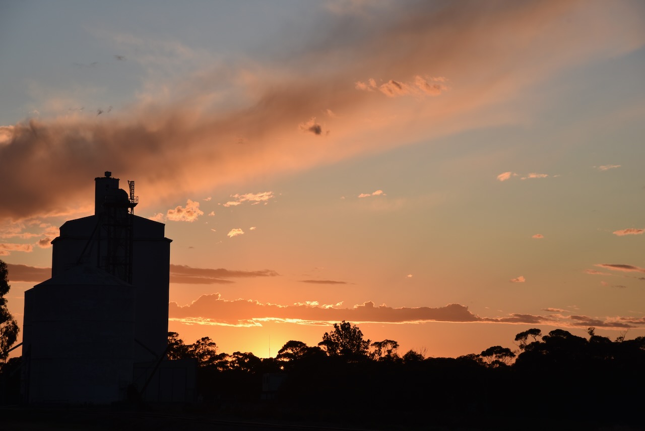
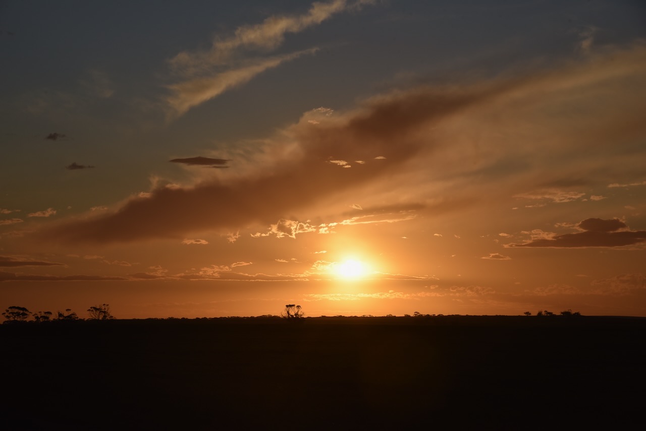
My next stop was the little town of Parilla in South Australia. As I entered the town I enjoyed a magnificent sunset.
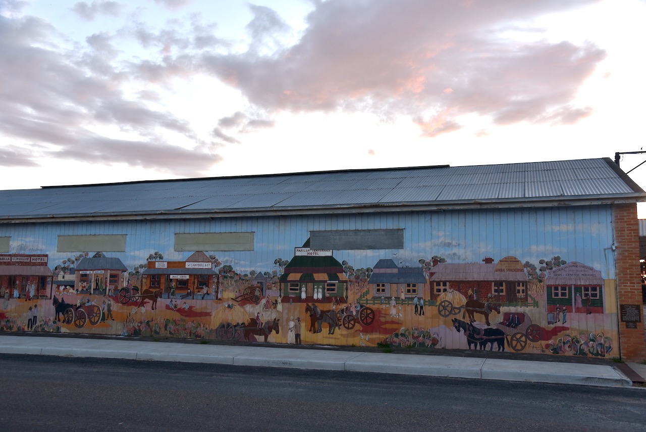
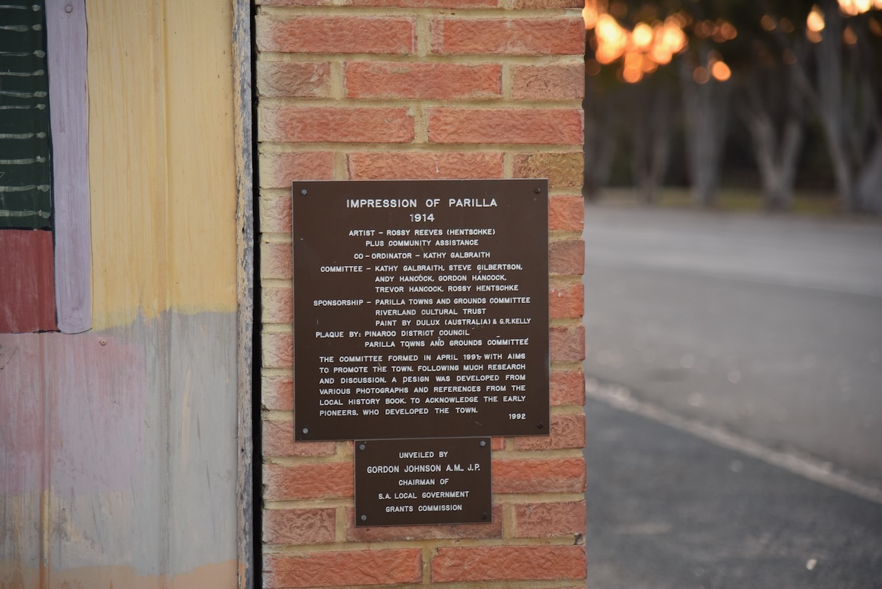
Parilla is believed to be an aboriginal word meaning ‘cold place’. The township of Parilla was proclaimed on the 4th day of January 1894. There is a magnificent mural in Parila entitled “Impression of Parilla 1914” acknowledges the early pioneers who established the town. The images appearing on the mural were designed from various photographs in a local history book. (Monument Australia 2024)
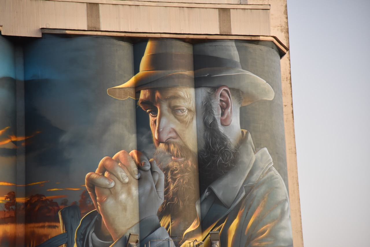
I then stopped briefly to have a look at the Lameroo silo. Unfortunately, I was running short of time and decided not to activate the silo for the Silos On the Air (SiOTA) program. The silo was completed in April 2024. I had been through Lameroo numerous times before but this was prior to the silo art being completed. The silo art features a Mallee farmer and a windmill. The artist was ‘Smug’ Sam Bates. (Silo Art 2024)
I stopped off along the way to get a bite to eat and made it home by earlu evening.
Thank you to everyone who called me while I was away.
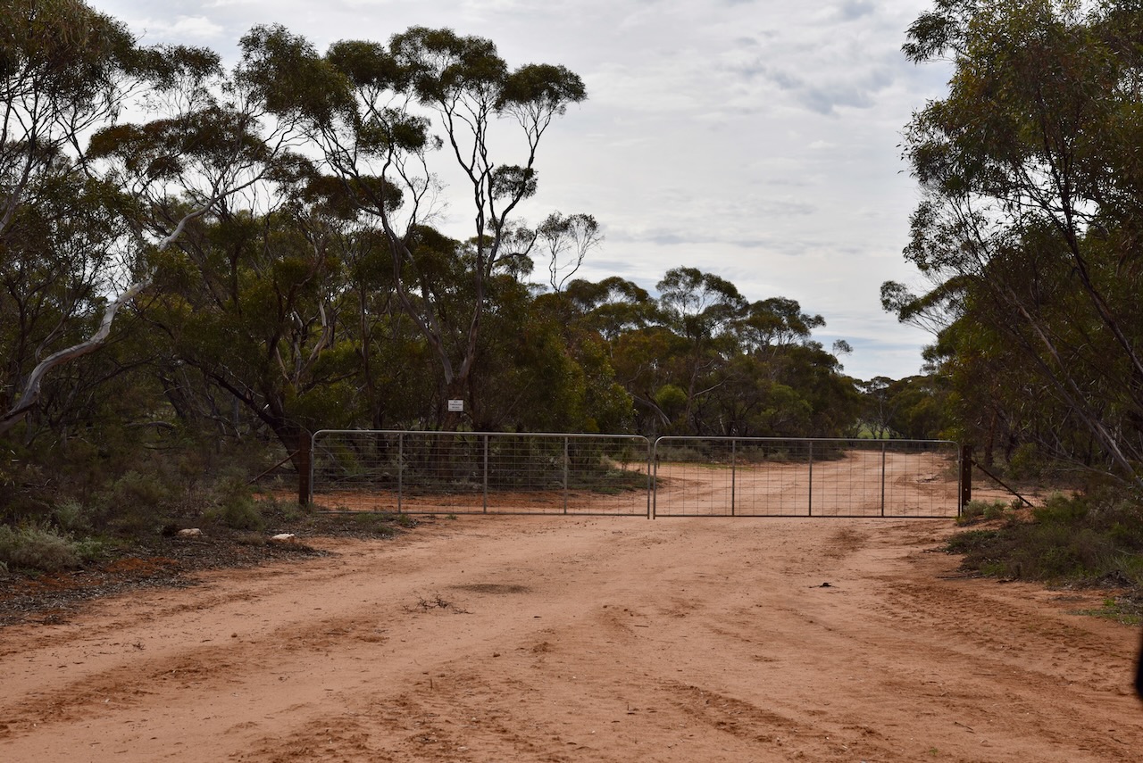
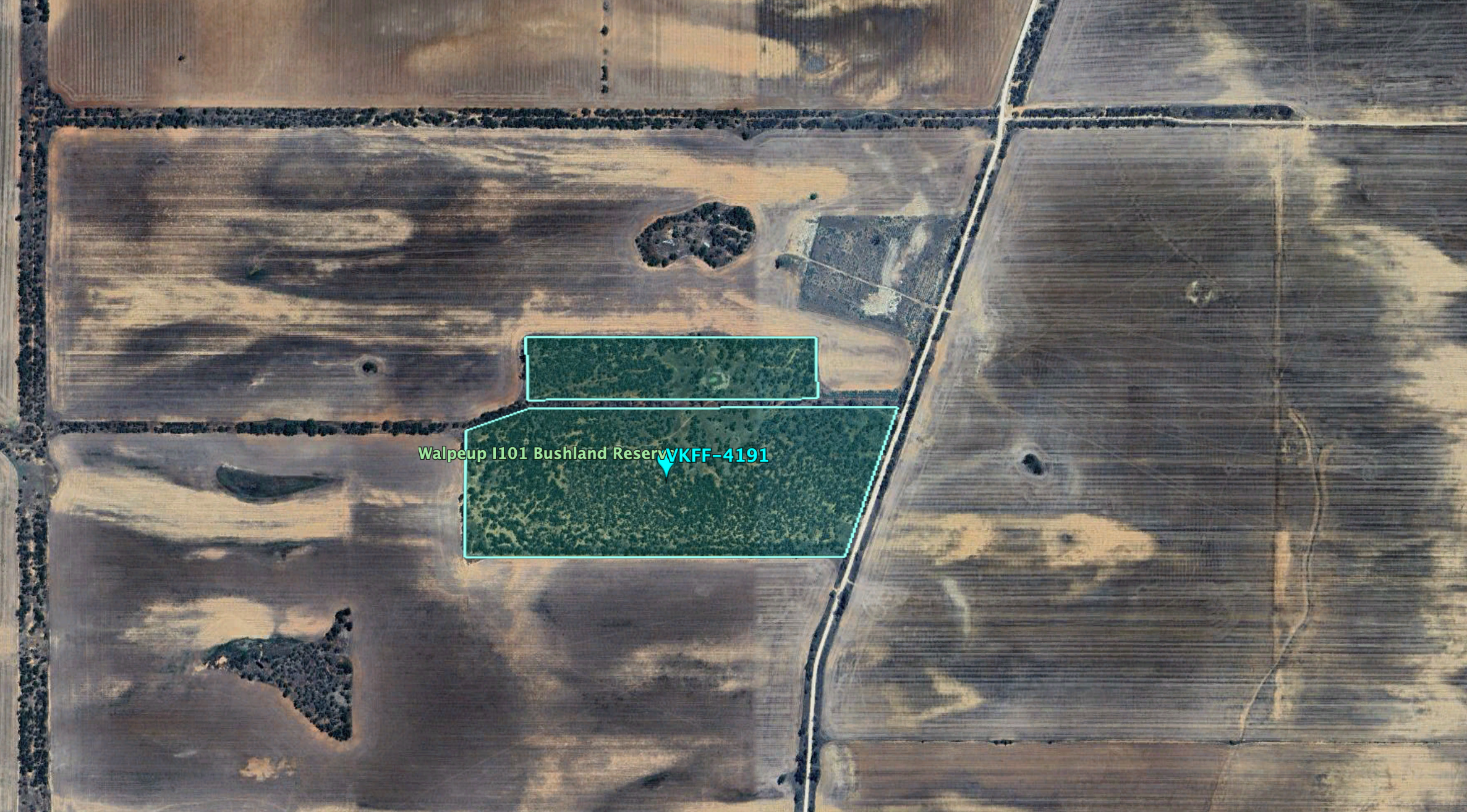
My next park for Friday 23rd August 2024 was the Walpeup I101 Bushland Reserve VKFF-4191.
The reserve is located about 7 km south of the town of Walpeup in northwest Victoria.
Above:- Map showing the location of the Walpeup I101 Bushland Reserve. Map c/o Google Maps.
Along the way, I had another look at access to the Gnarr I237 Bushland Reserve. It shows as bright green on MapshareVic which indicates the public can access it. However, the only apparent access point was a road running off Aikman Road, and there were two gates at this location and they were padlocked.
The reserve is located on the western side of Donnelly Road and to the north of Stock Route Road.
Above:- An aerial view of the Walpeup I101 Bushland Reserve. Image c/o Google Earth.
The reserve is about 43 hectares in size and was established on the 1st day of May 1979. (CAPAD 2022)
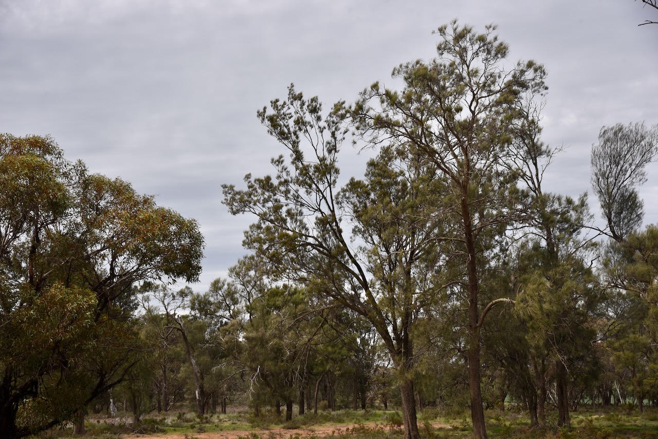
I found a dirt track leading into the park. I ran the Yaesu FT857, 40 watts, and the 20/40/80m linked dipole for this activation.
My third park activation for Friday 23rd August 2024 was the Mamengoroock I18 Bushland Reserve VKFF-4234.
The reserve is located about 18 km north of Underbool in northwest Victoria.
Above:- Map showing the location of the Mamengoroock I18 Bushland Reserve. Map c/o Google Maps.
To access the park I took a dirt track that ran off Bertalli Road. It took me passed the ruins of an old farm with several old tractors rusting away.
This was quite an isolated location. The reserve is located just to the south of the remote expanse of the Murray Sunset National Park.
Above:- An aerial view of the Mamengoroock I18 Bushland Reserve. Image c/o Google Earth.
The reserve is about 16 hectares in size and was established on the 1st day of May 1979. Mount Gnarr is just to the south of the park. It is not really a mountain, more like a hill at just 99 metres above sea level. (CAPAD 2022) (Peak Advisor 2024)
I ran the Yaesu FT857, 40 watts, and the 20/40/80m linked dipole for this activation.