Ararat Bushland Reserve VKFF-4300

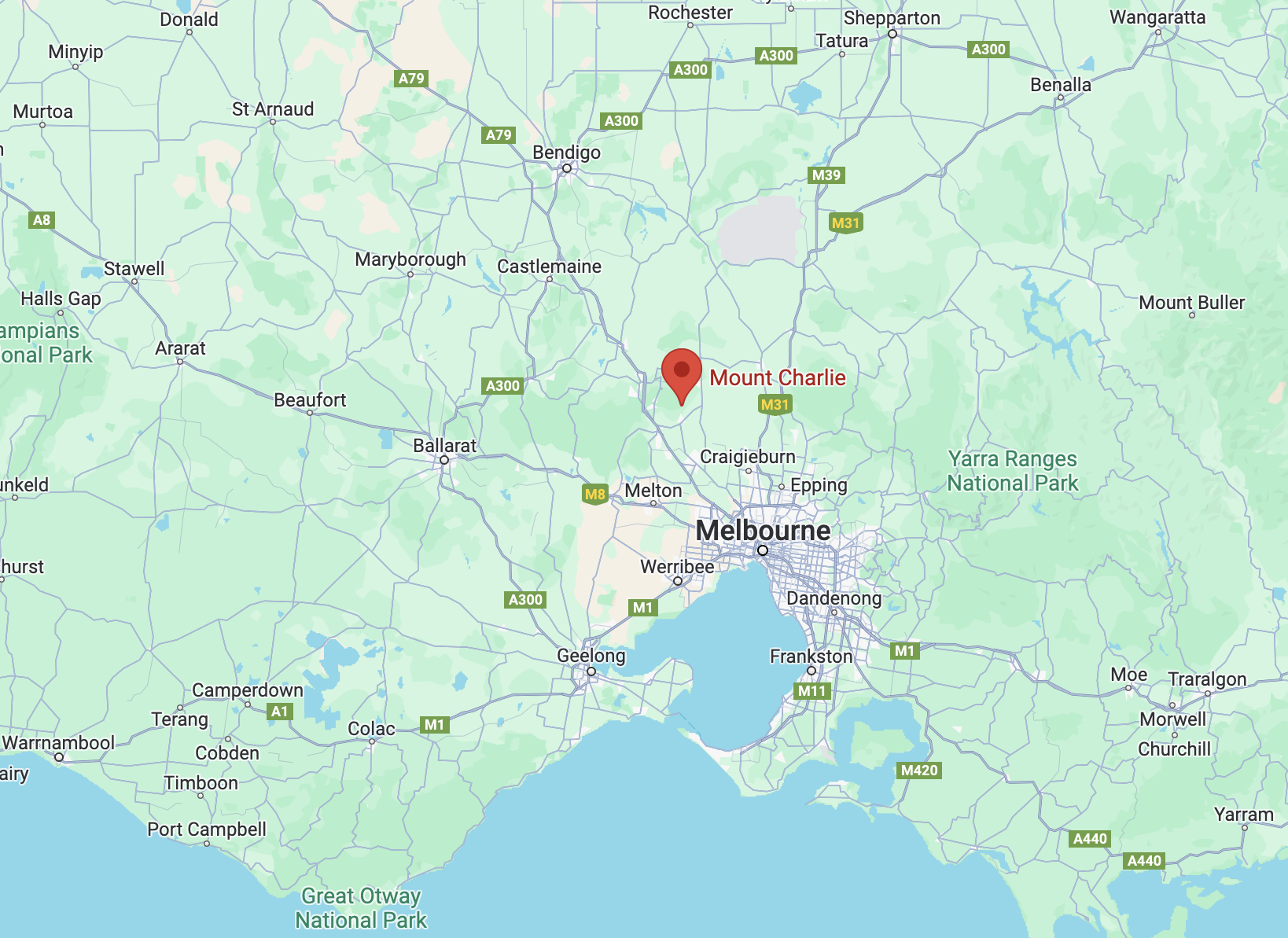
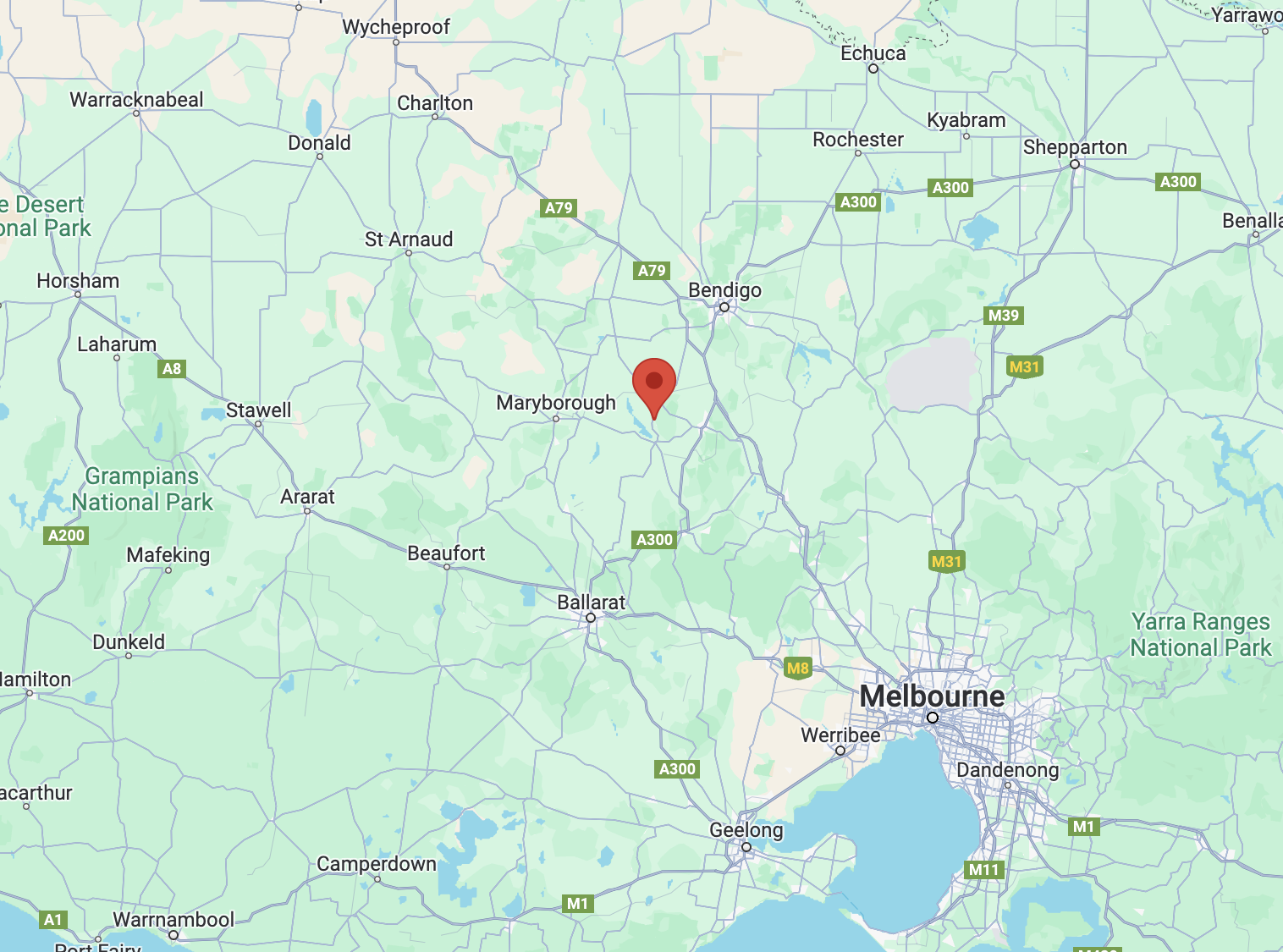
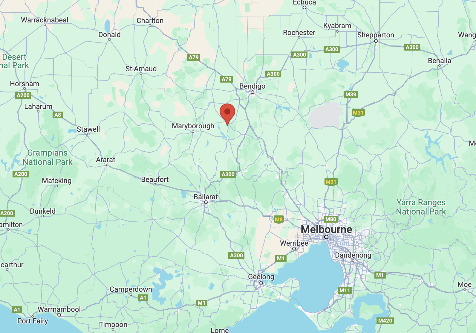
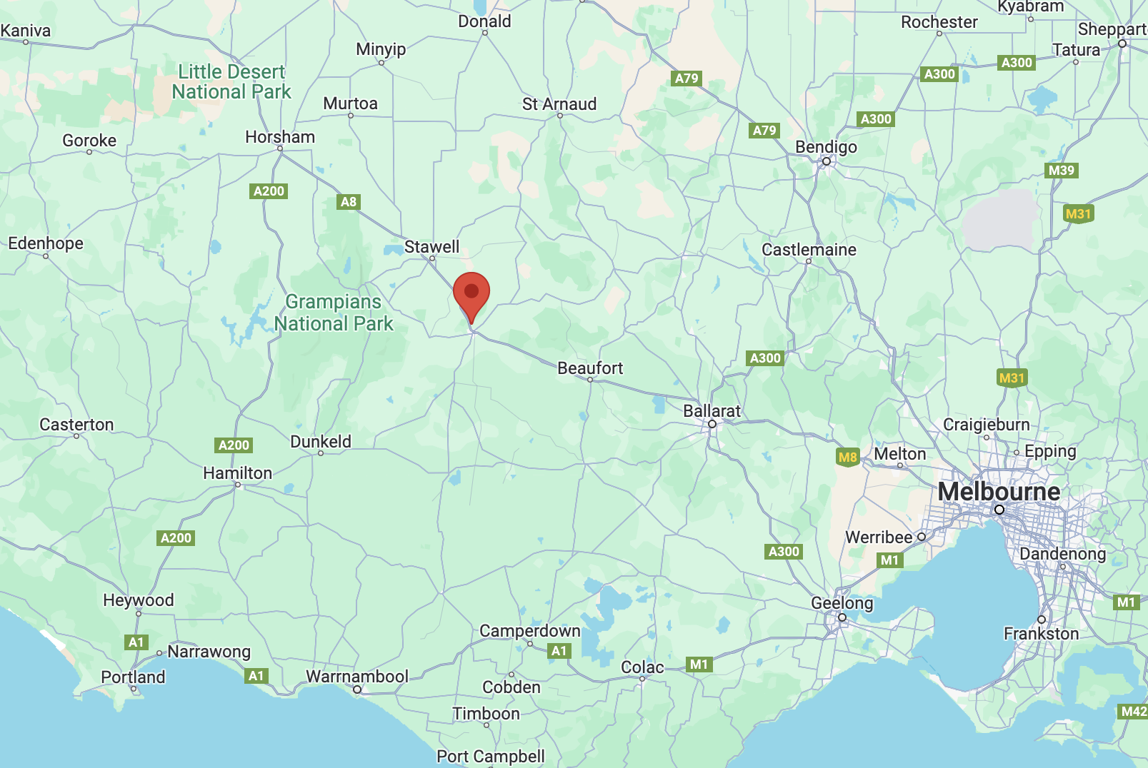
It was now Thursday 30th November 2023 and almost the end of our trip to Victoria. It was time for Marija and I to leave Melbourne and head for Ararat in western Victoria, a drive of about 200 km.

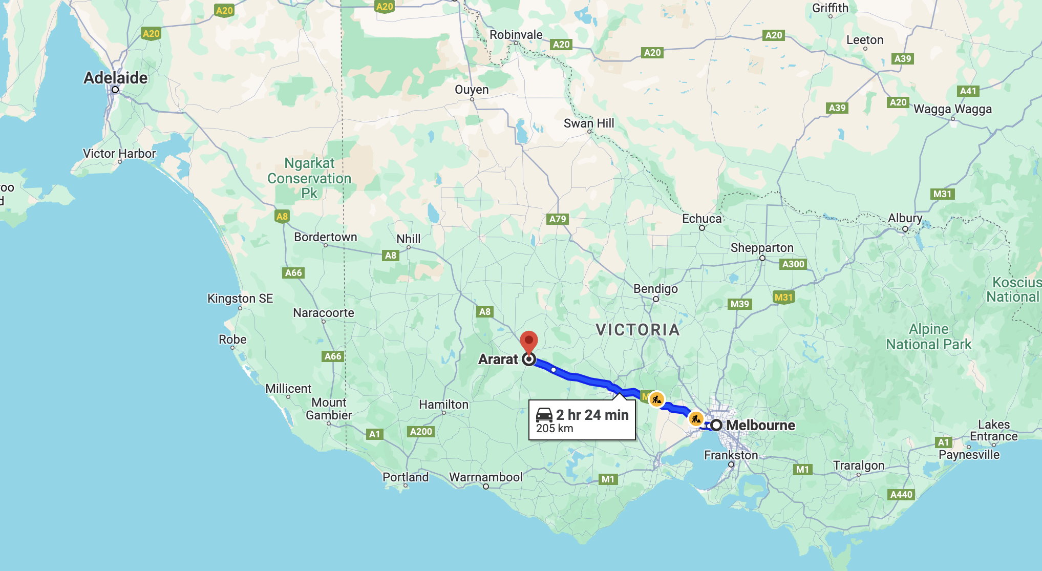
Above:- Map showing the route between Melbourne and Ararat. Map c/o Google Maps.

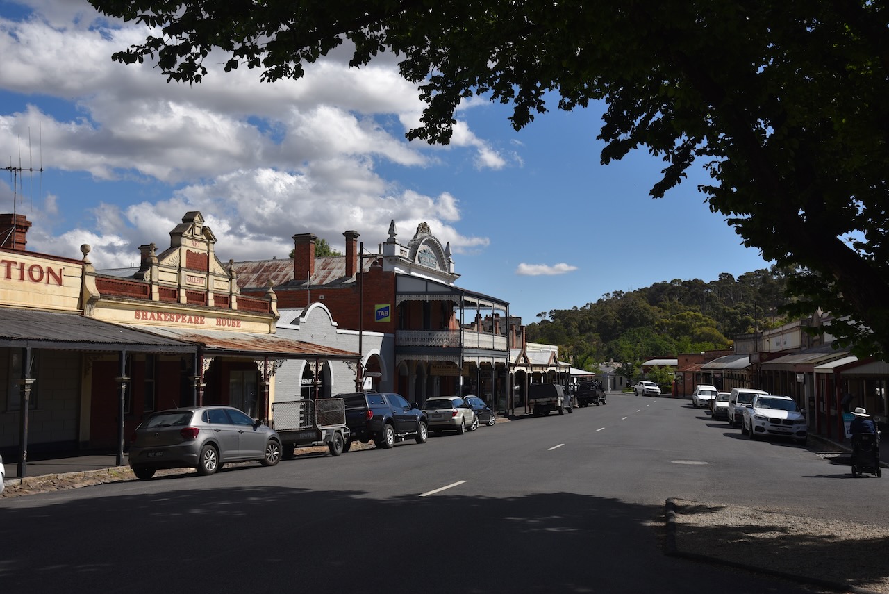
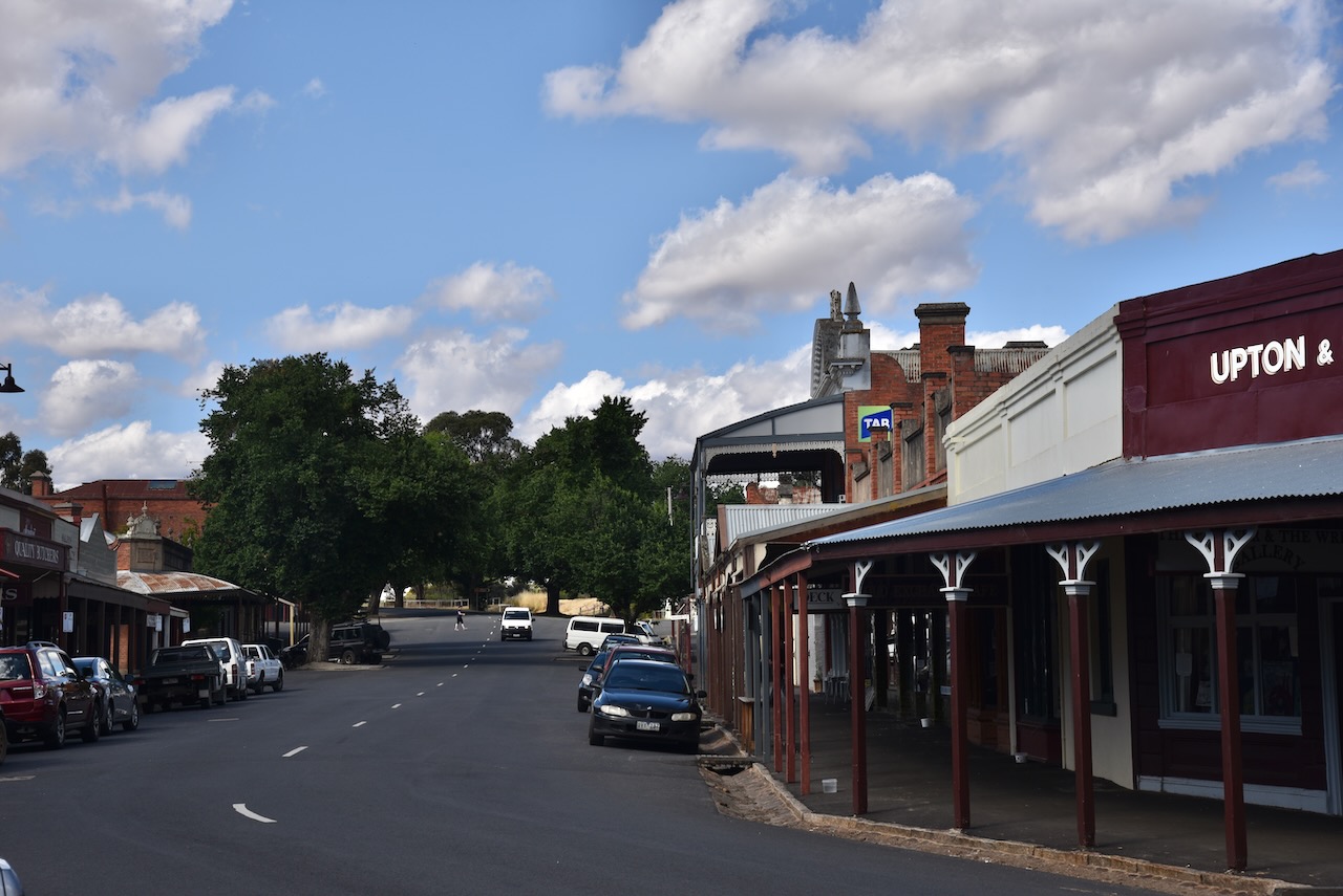
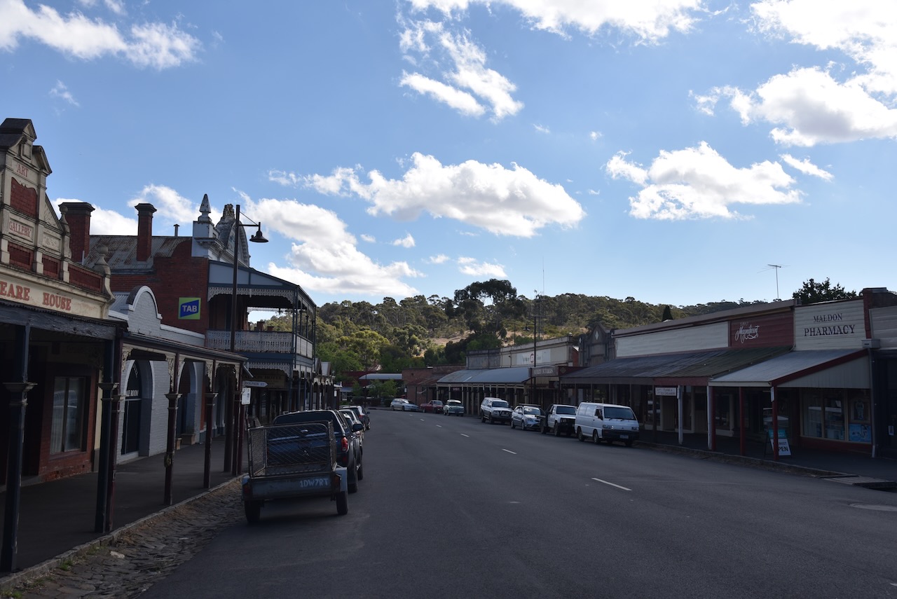
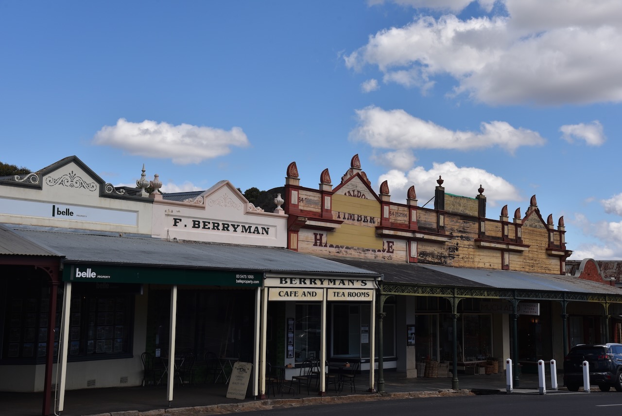
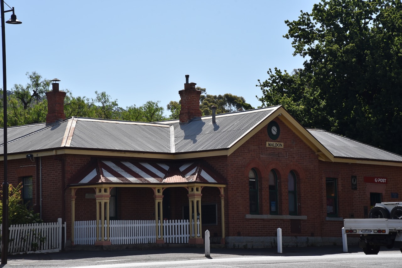
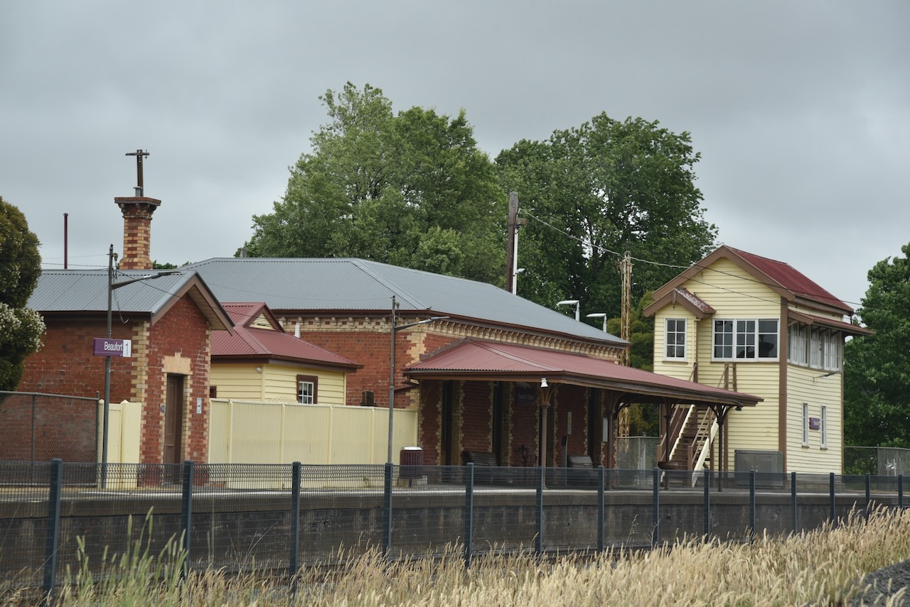
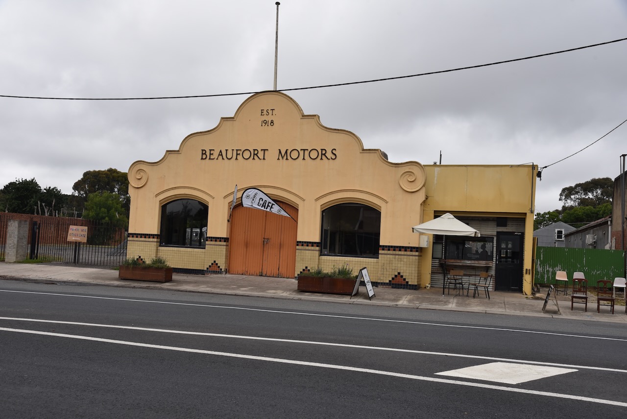
Our first stop of the day was at the little town of Beaufort, on the Western Highway, about 445 km northwest of Ballarat. We enjoyed an early lunch at one of the local cafes.

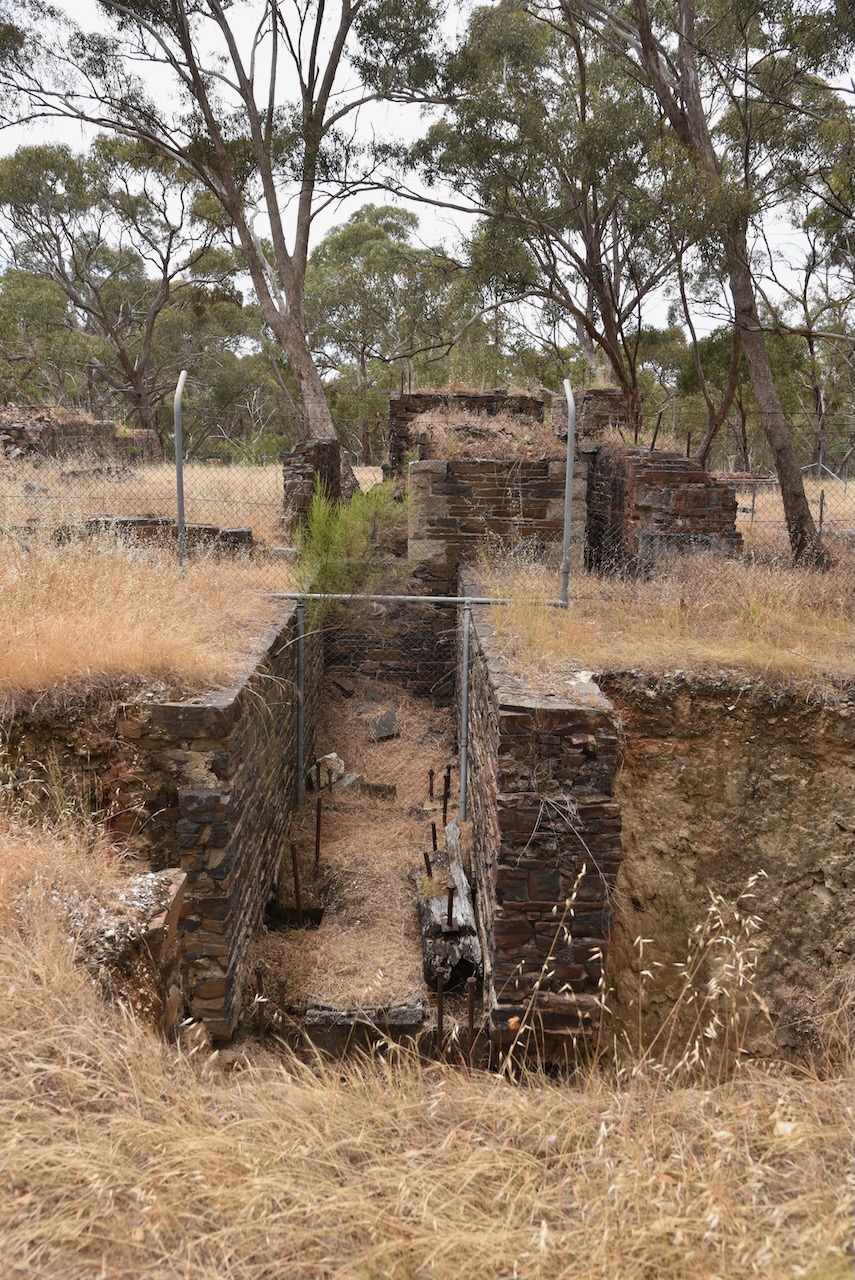
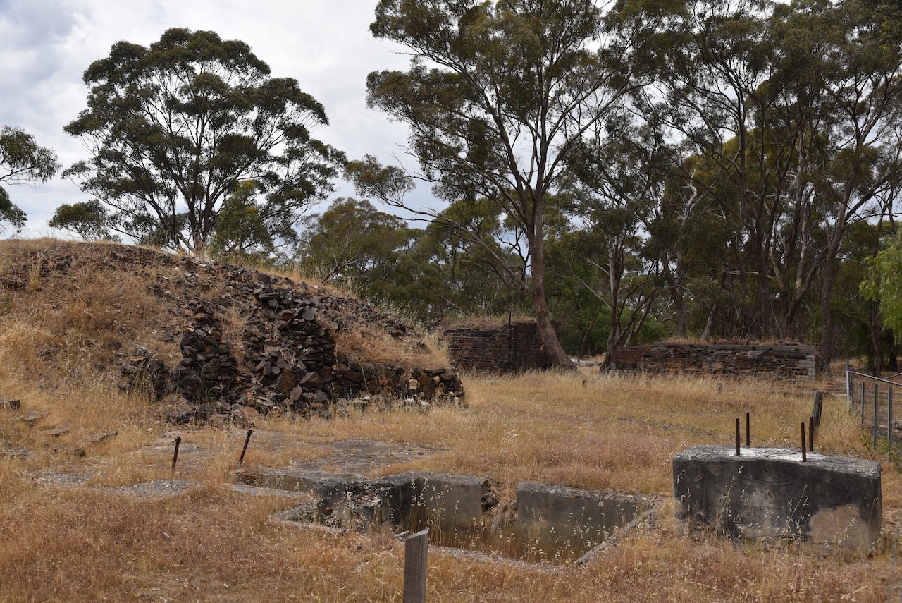
The Beaufort area was first settled by Europeans with several prosperous pastoral runs including the Langhi Kal Kal Run in 1838 which contained current-day Beaufort. In 1854 gold was discovered just north of Beaufort at Yam Holes Creek and within a year the area was being extensively mined and was known as the Firey Creek diggings. Fiery Creek flows westwards of Beaufort and was named following a drought due to the heat-generated haze over the creek bed. (Victorian Places 2024)

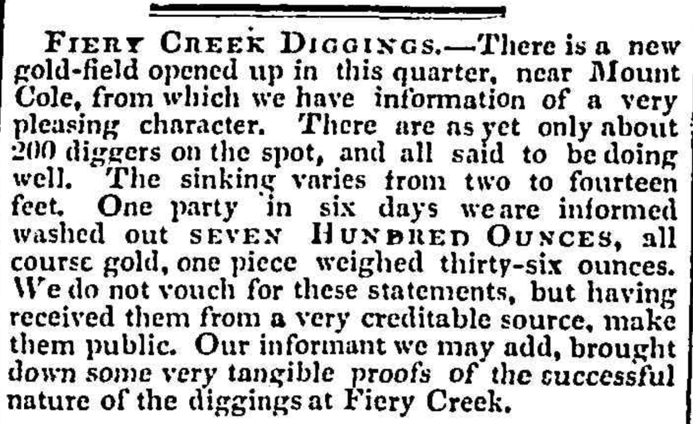
Above:- Article from the Geelong Advertside, Thu 26 Jul 1855. Image c/o Trove.

Following the gold rush a hastily built town ensued and in March 1858 surveyed township blocks were sold. Beaufort was named in honour of Sir Francis Beaufort (b. 1774. d. 1857), a British Rear Admiral and hydrographer.

Rear-Admiral Sir Francis Beaufort. Image c/o Wikipedia

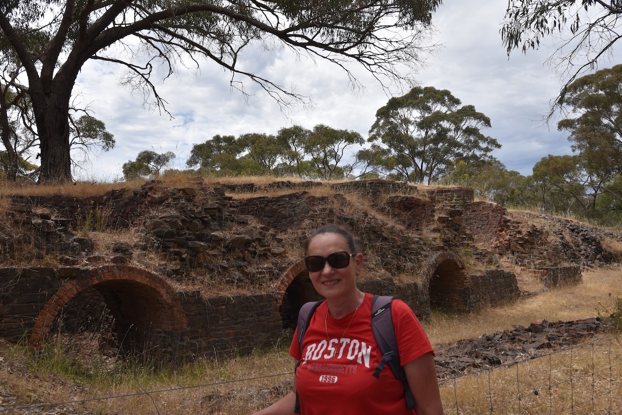
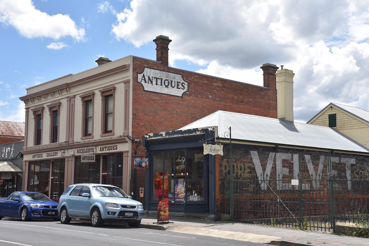
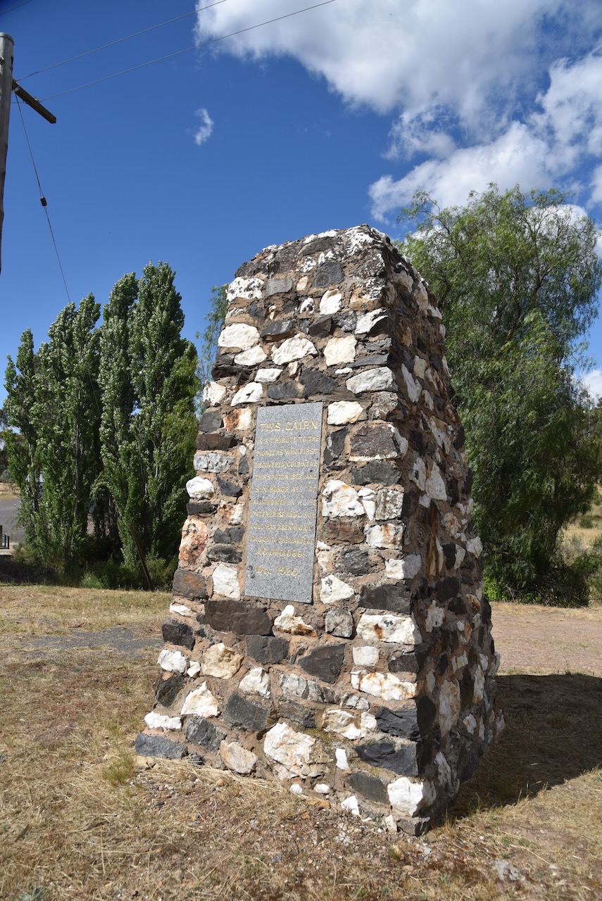
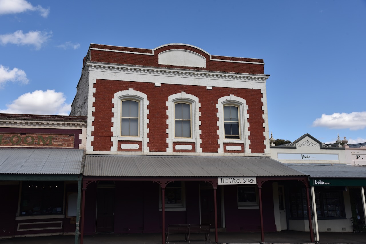
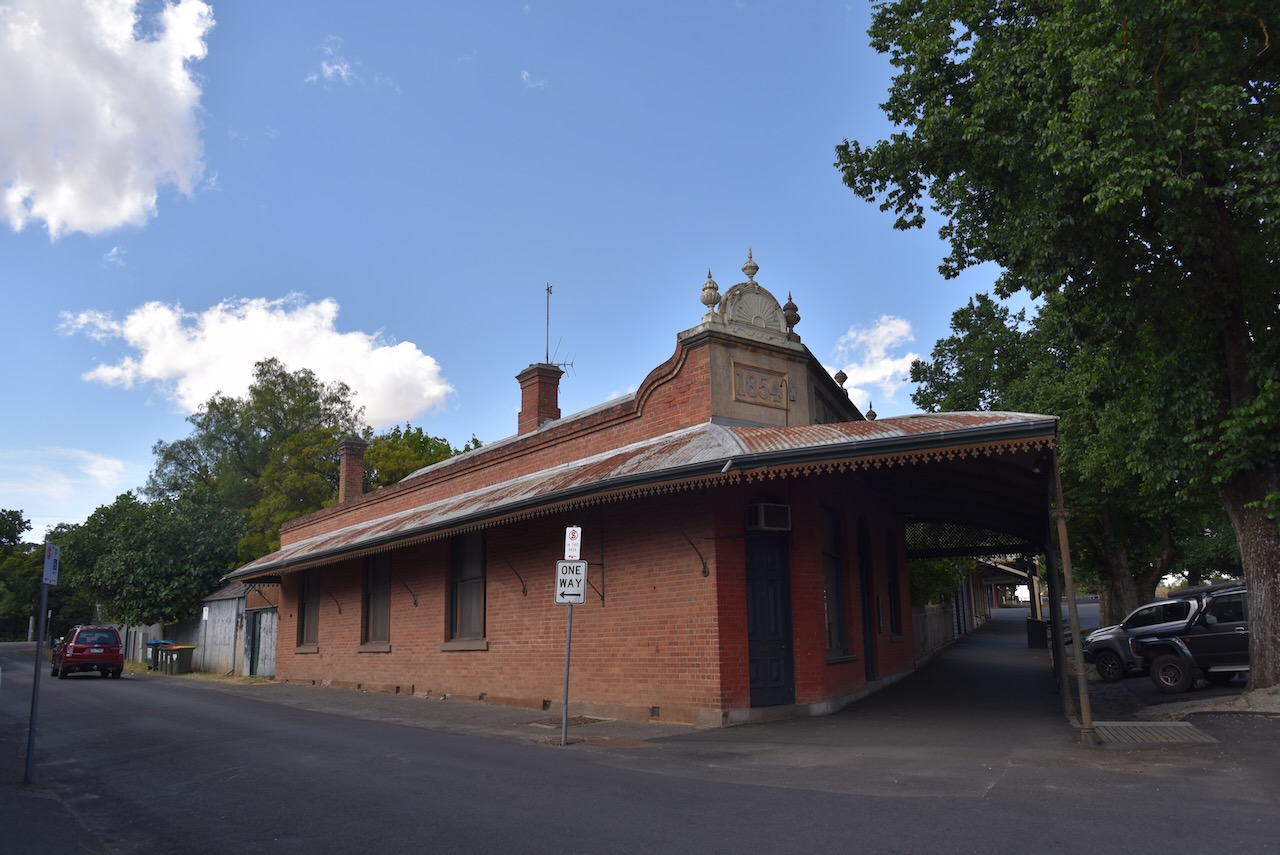
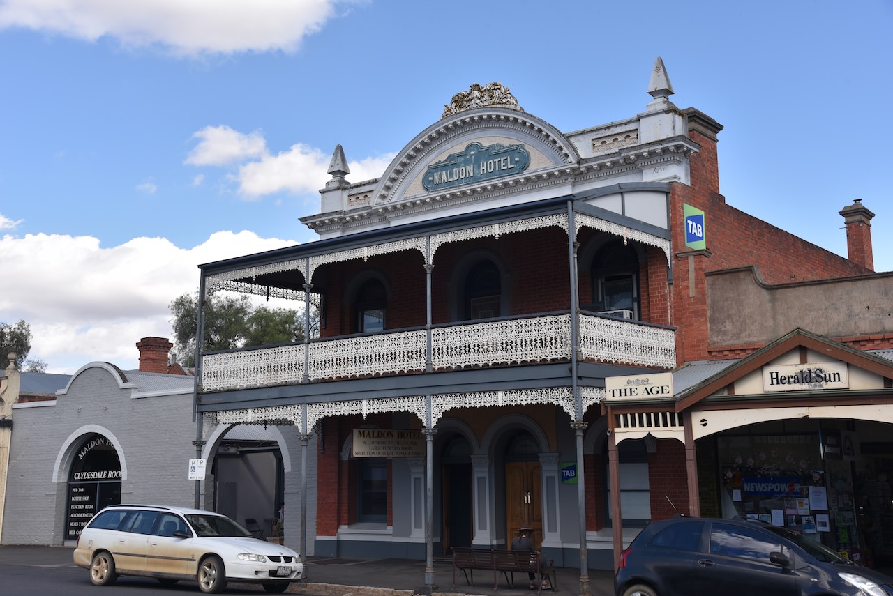
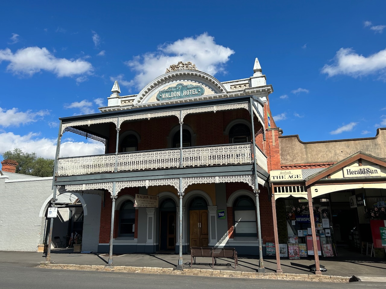
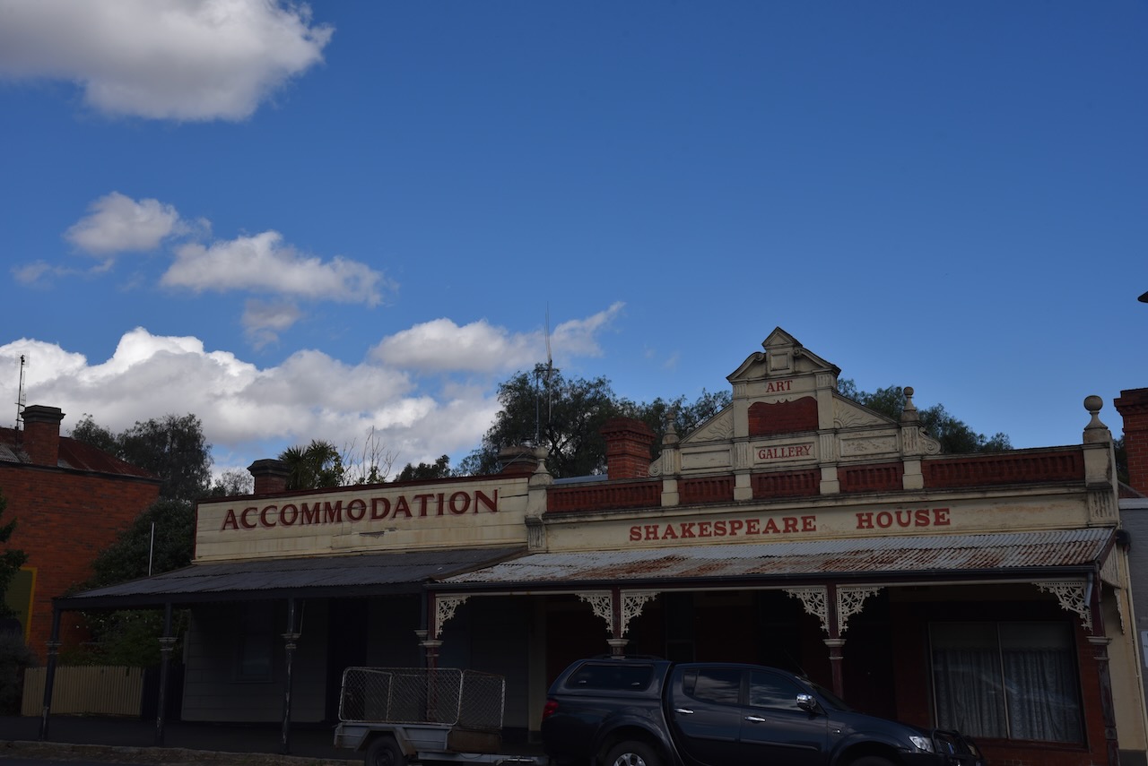
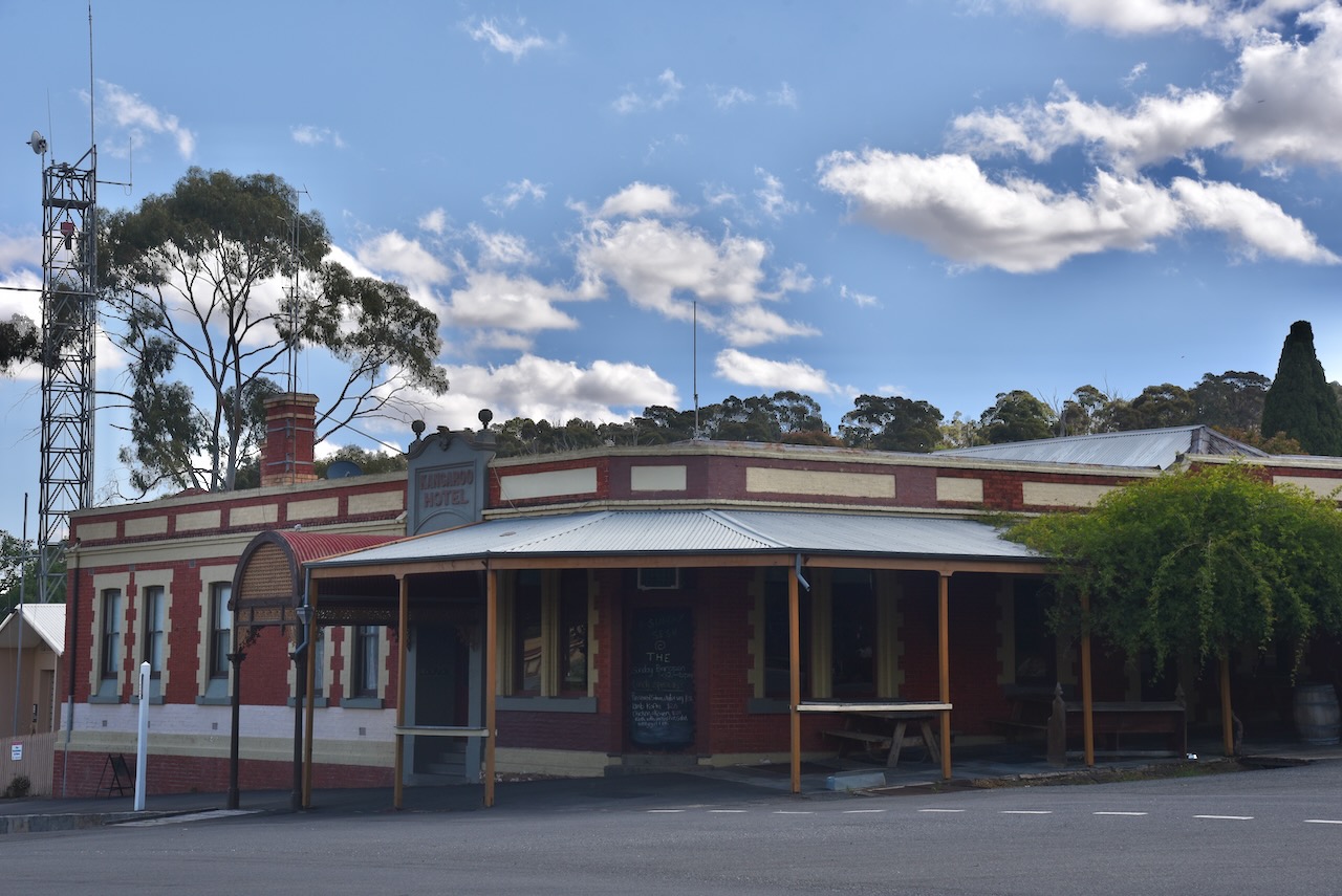
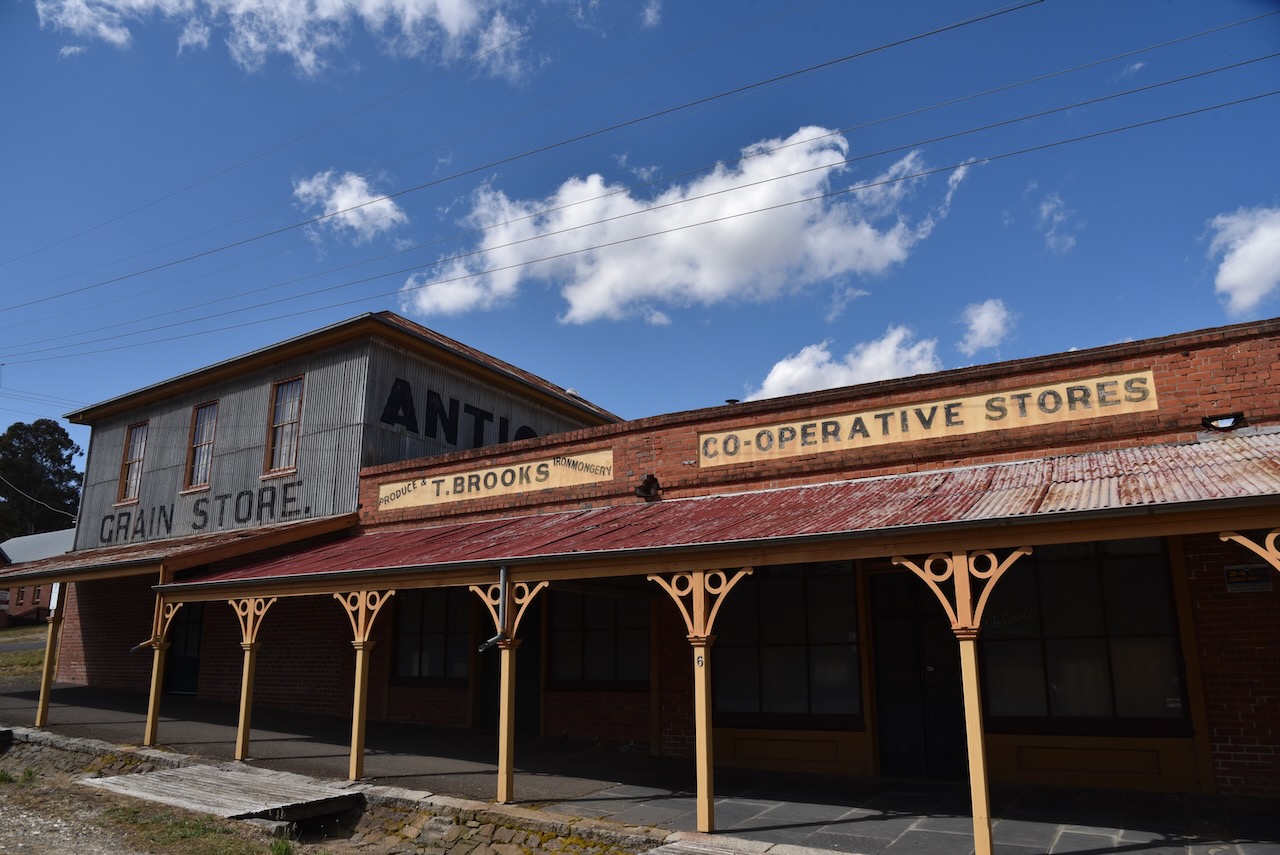
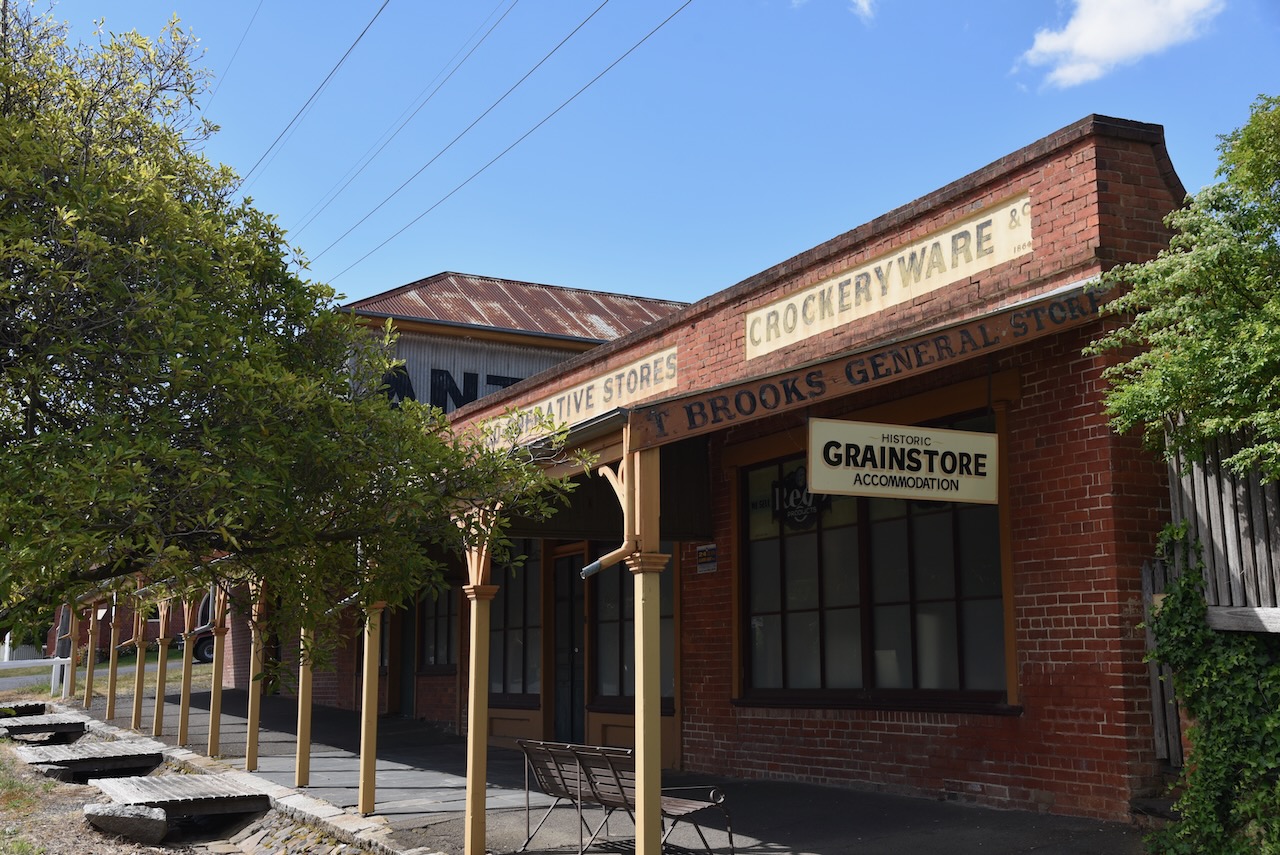
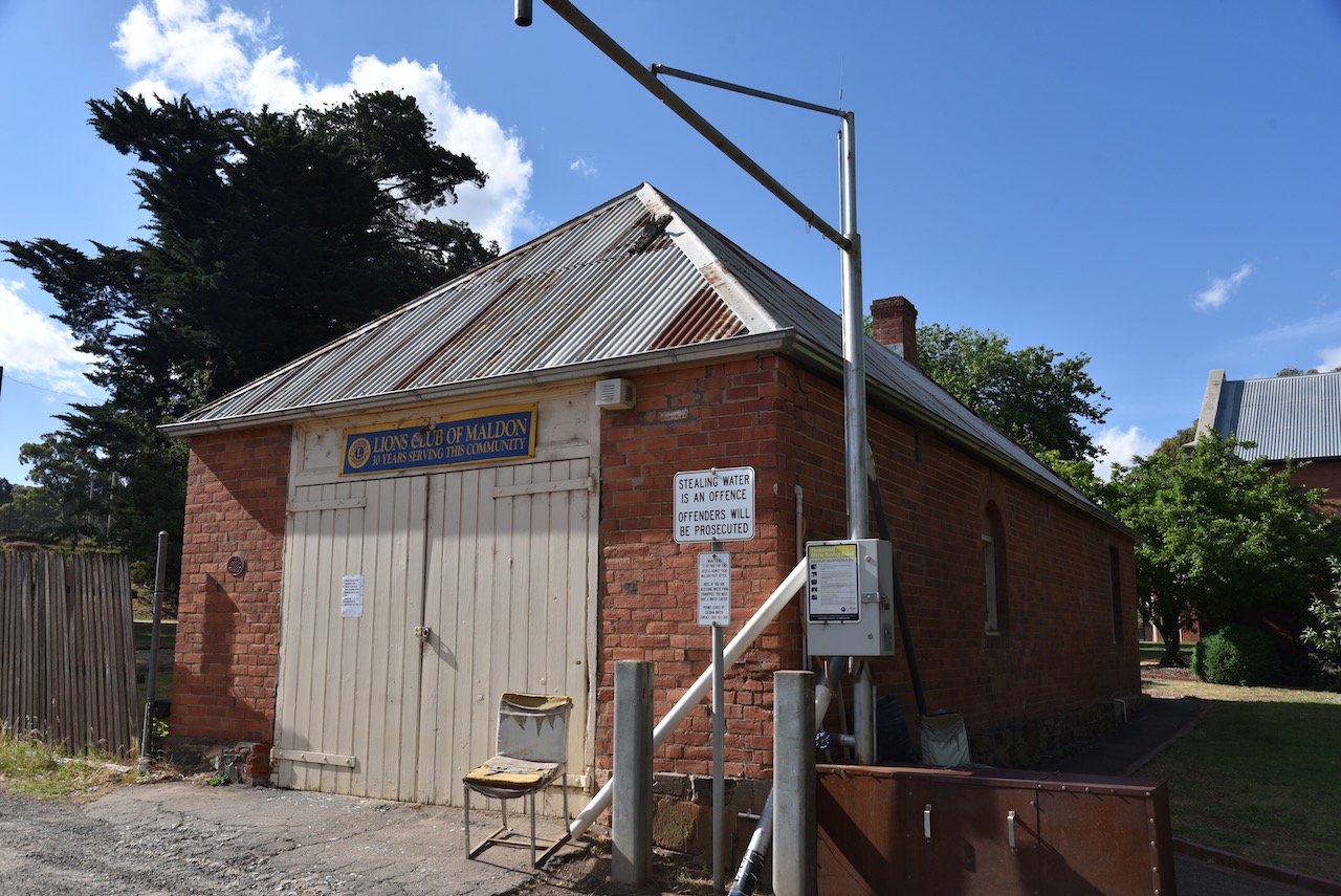
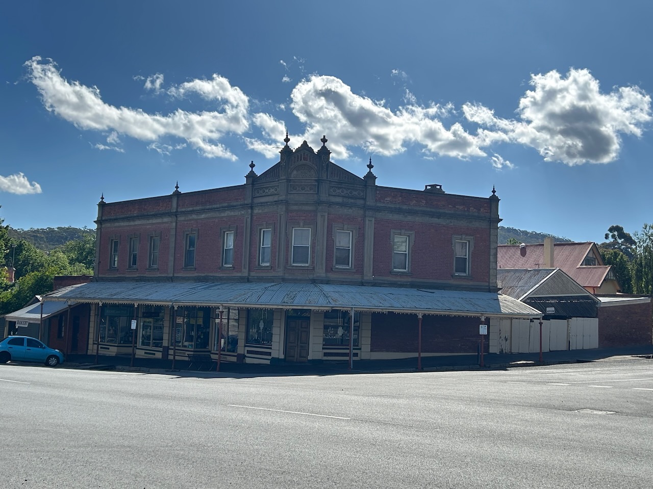
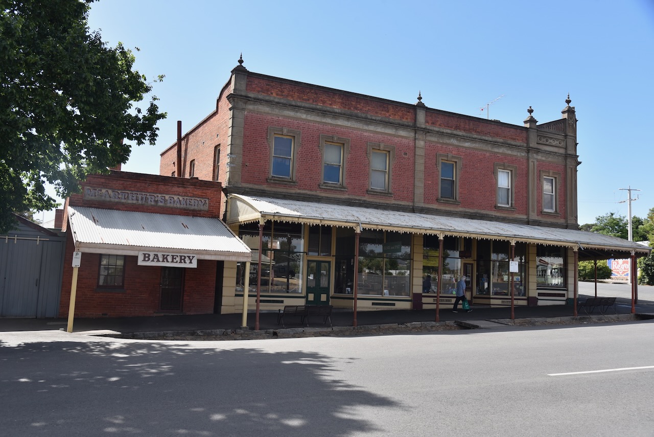
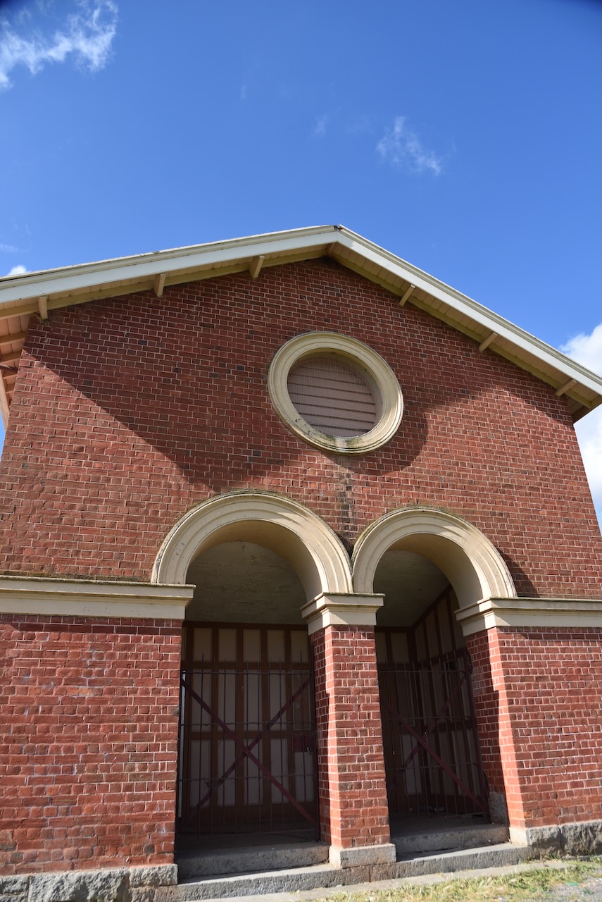
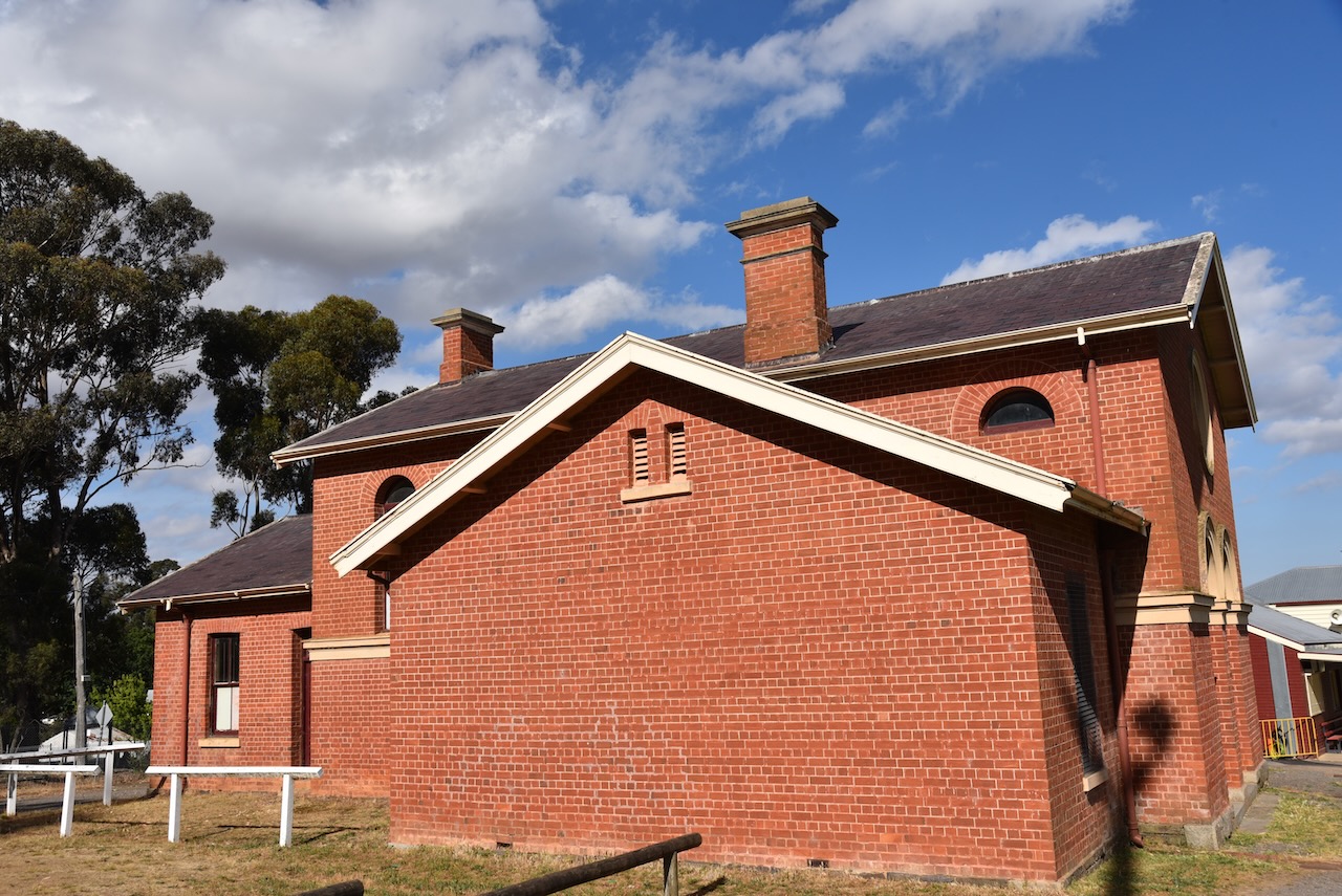
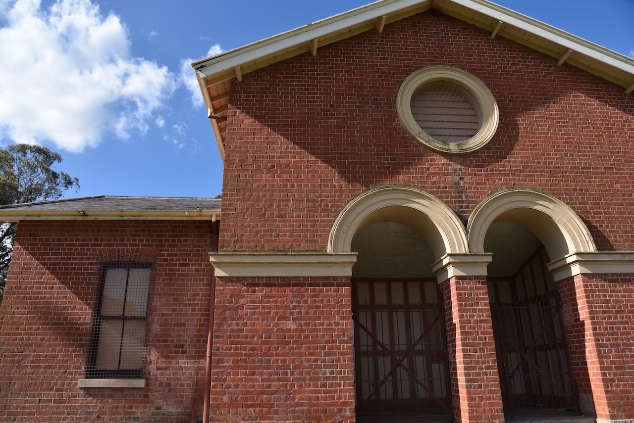
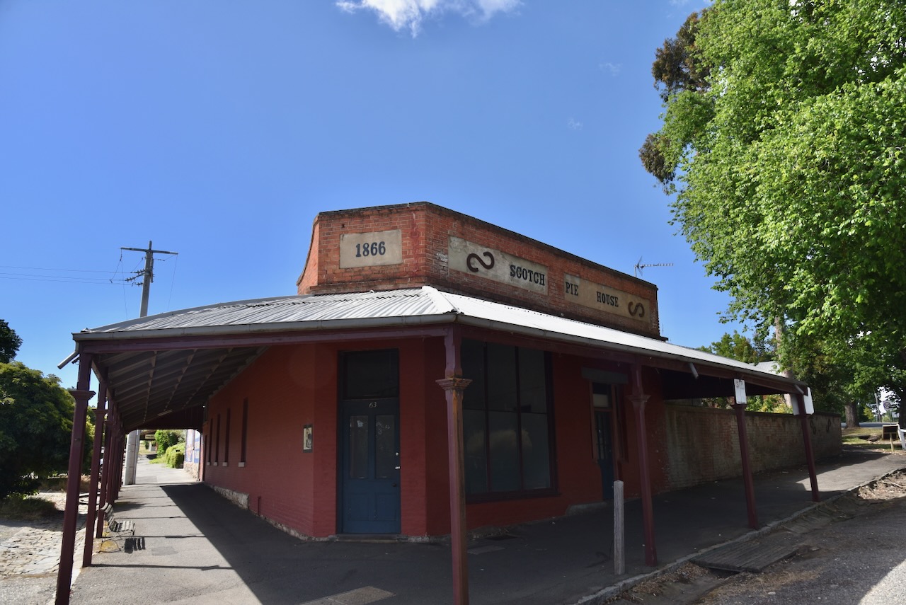
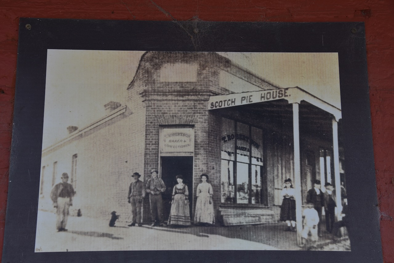
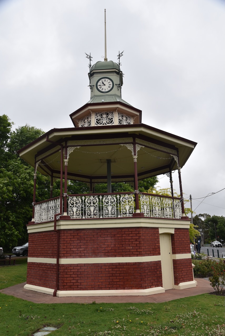
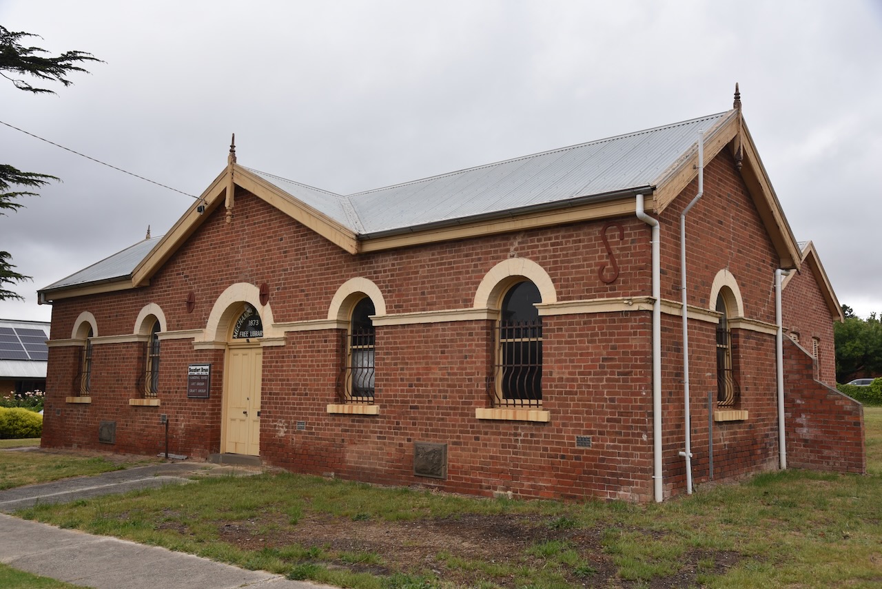
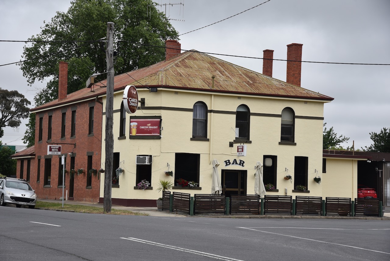
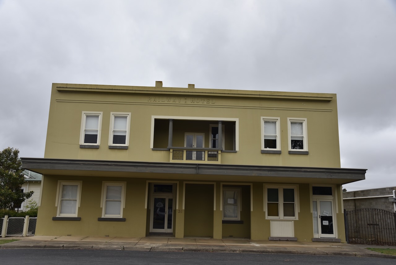
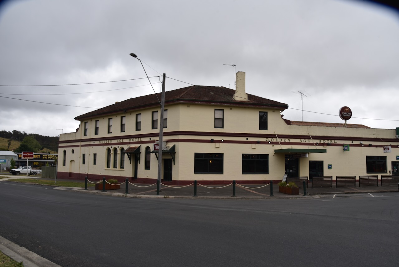
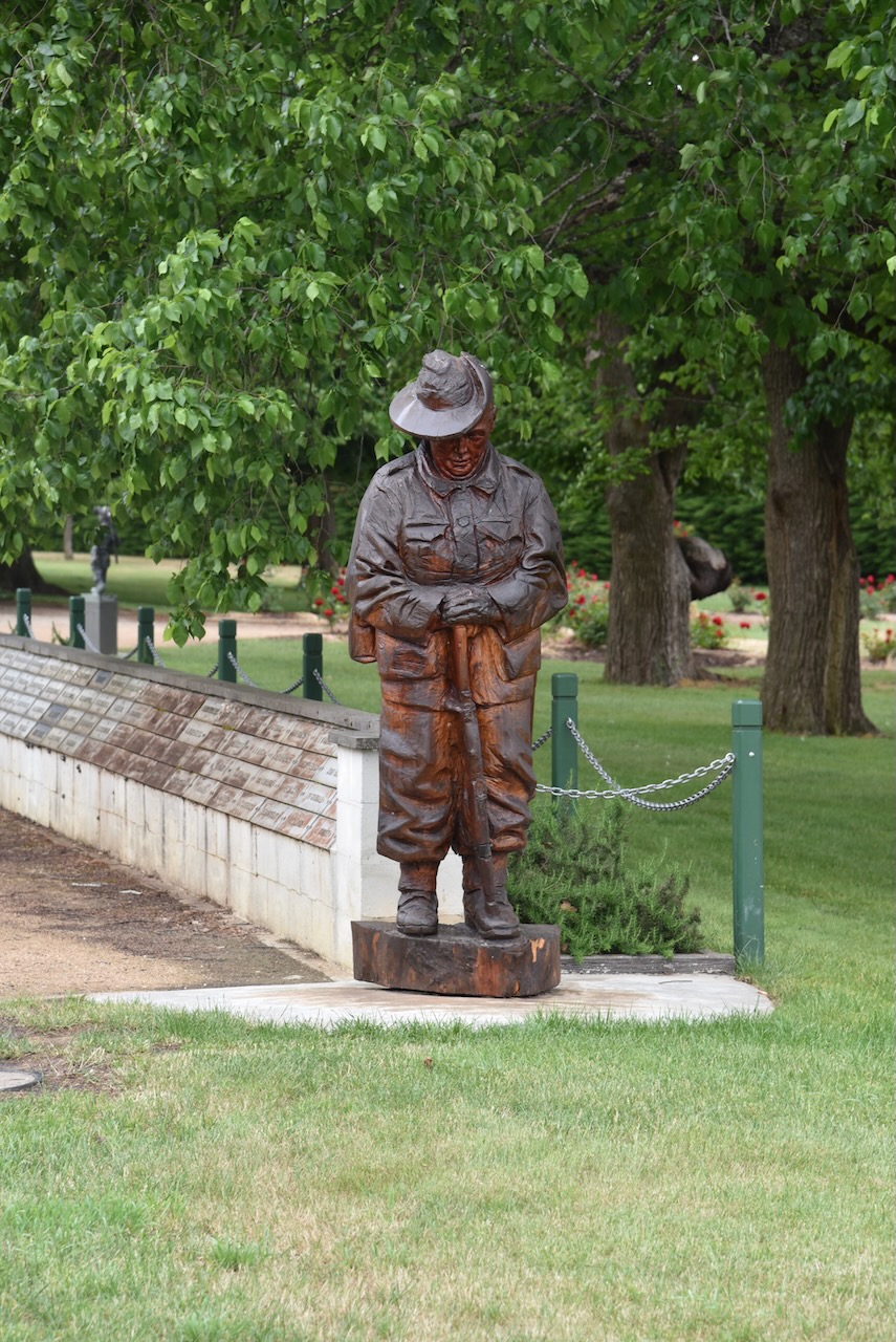
Beaufort is one of my favourite towns in Victoria. It is a place that Marija and I always stop at. The town contains several historic buildings including the Band Rotunda built in 1903, the Beautfort Fire Brigade established in 1874 and rebuilt in 1911, the Mechanics Institute built in 1863, and the Golden Age Hotel built in 1864. (Destination Beaufort 2024)

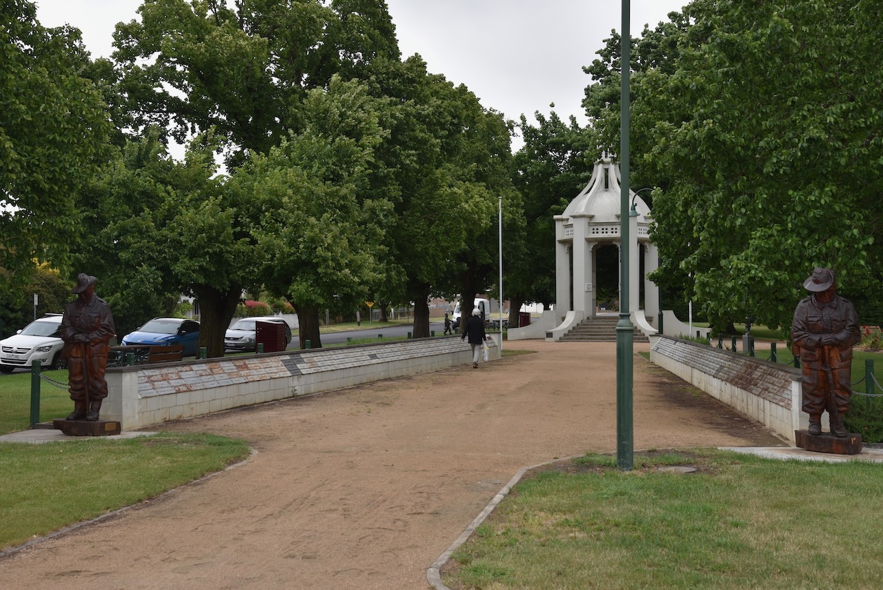
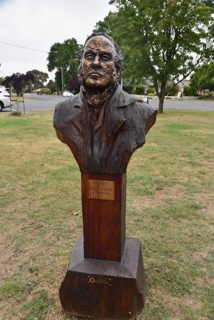
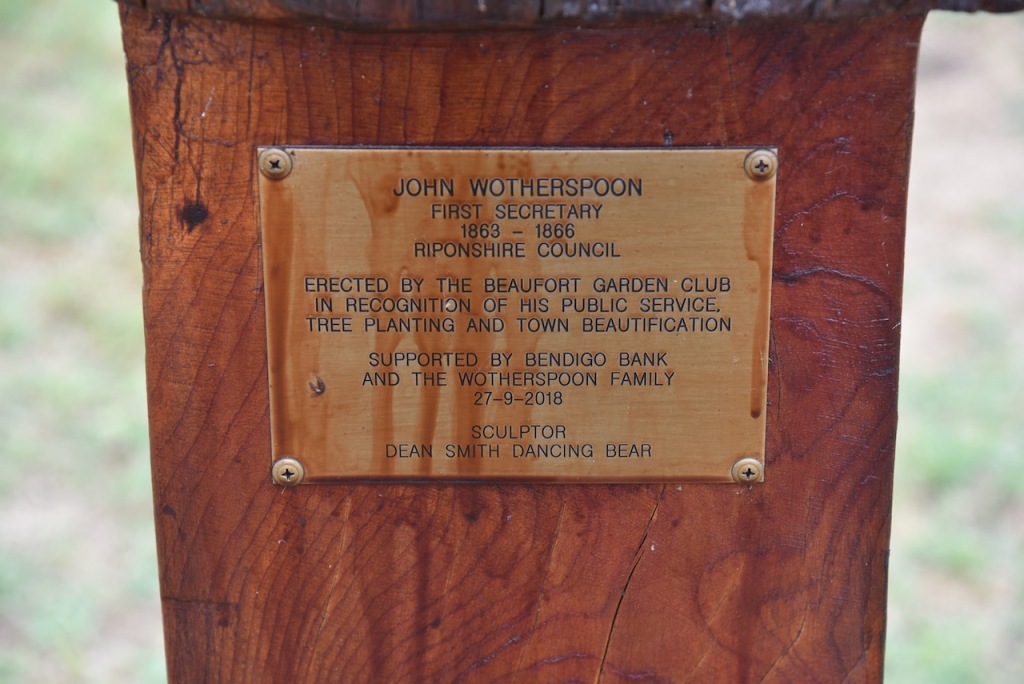
There is also a bust of John Wootherspoon, the first Secretary of the Ripponshire Council (1863-1866).

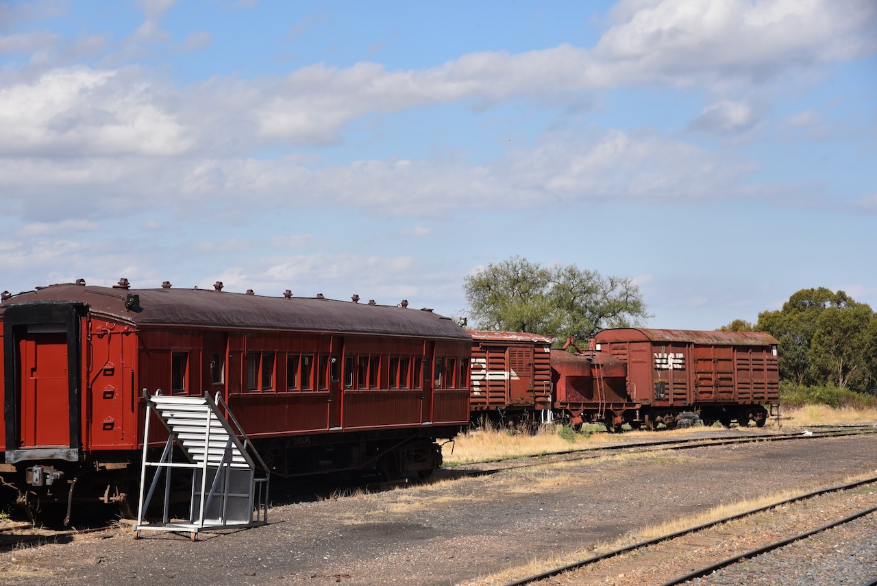
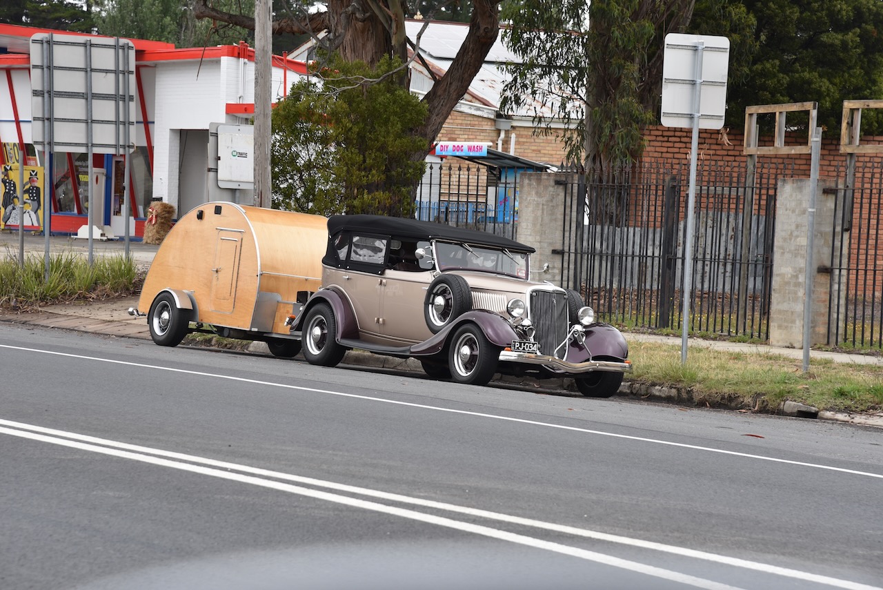
Whilst in Beaufort, Marija and I saw a number of hot rods towing small caravans, either returning home from, or off to some sort of a car show.

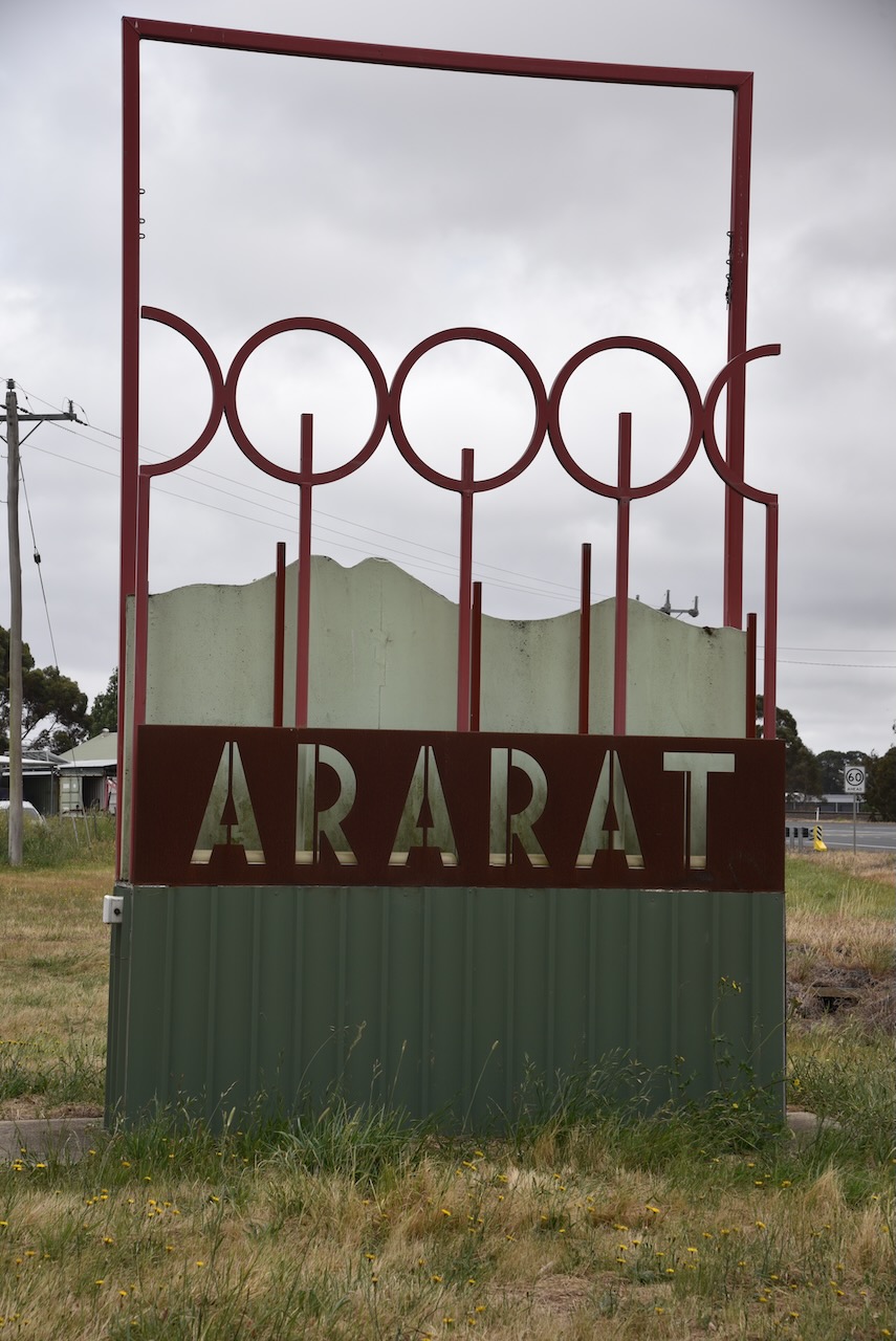
Marija and I continued west on the Western Highway and soon reached Ararat, about 85 km west of Ballarat and 198 km northwest of Melbourne.

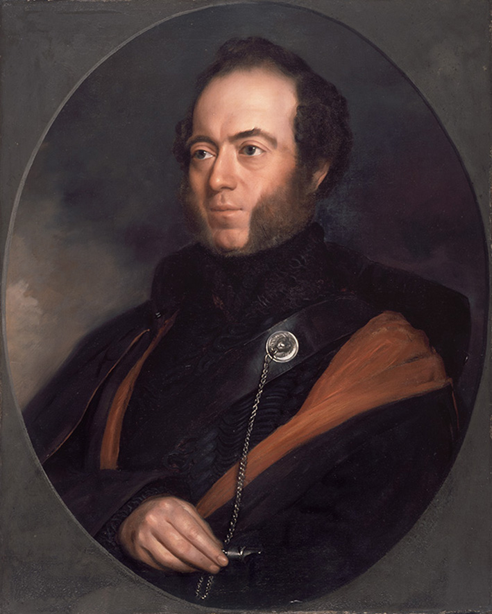
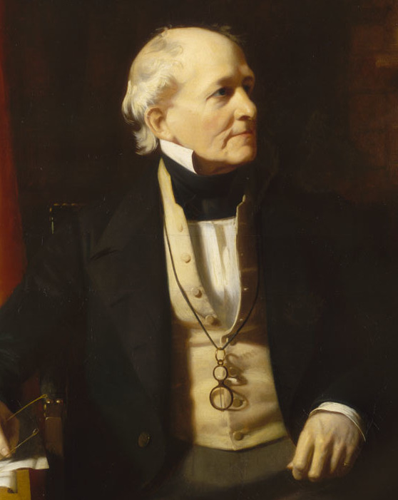
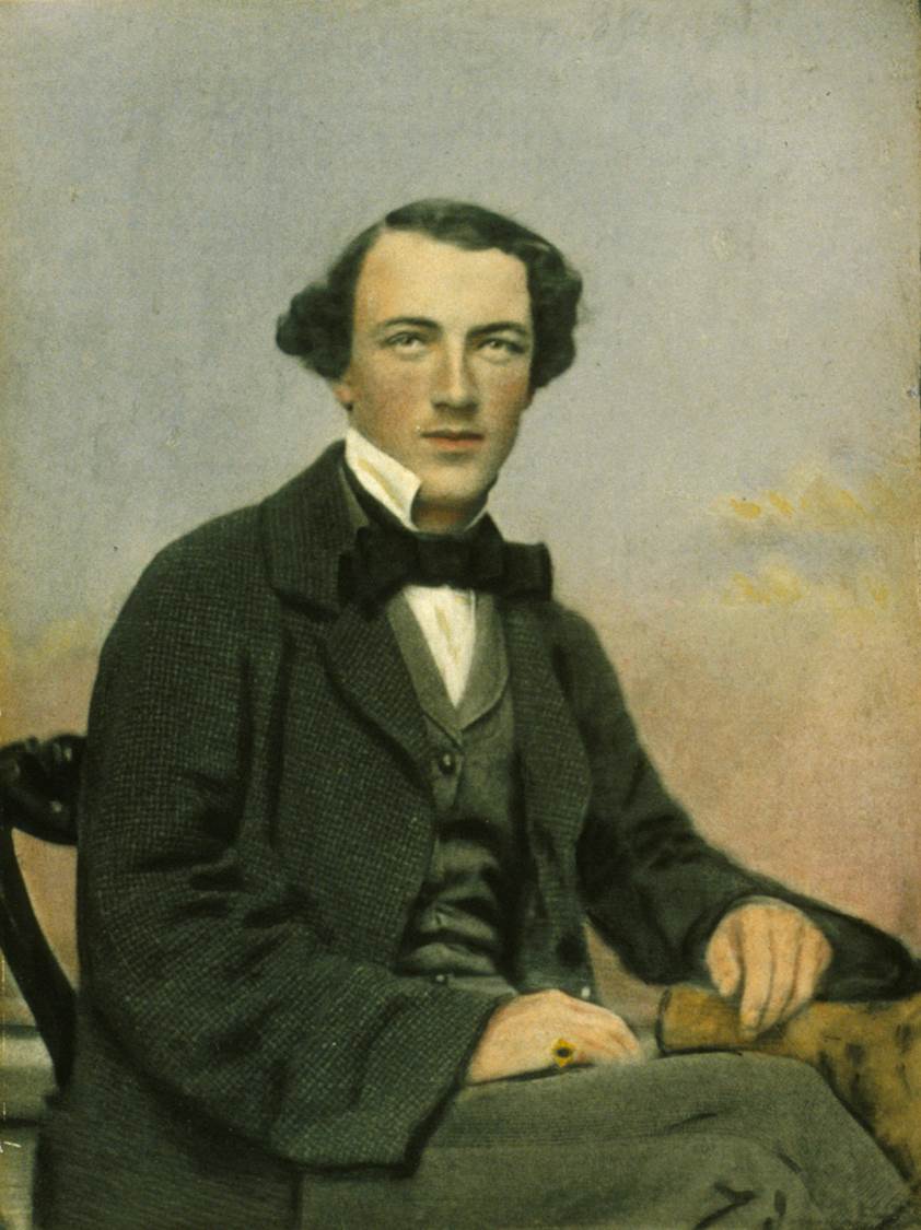
Horatio Spencer Howe Wills (b. 1811. d. 1861) is credited with naming Mount Ararat. He overlanded with his family to the Grampians region of the Port Phillip District (now Victoria) in the late 1830s. He purchased a 125,000 acred property called Lexington near Moyston. He built a house on the property which was completed in 1845. He hired aboriginal people to work on his property as station hands and harvesters. He named Mount Ararat for ‘like the arc, we rested there’. (Aust Dict of Biography 2024) (Victorian Places 2024)

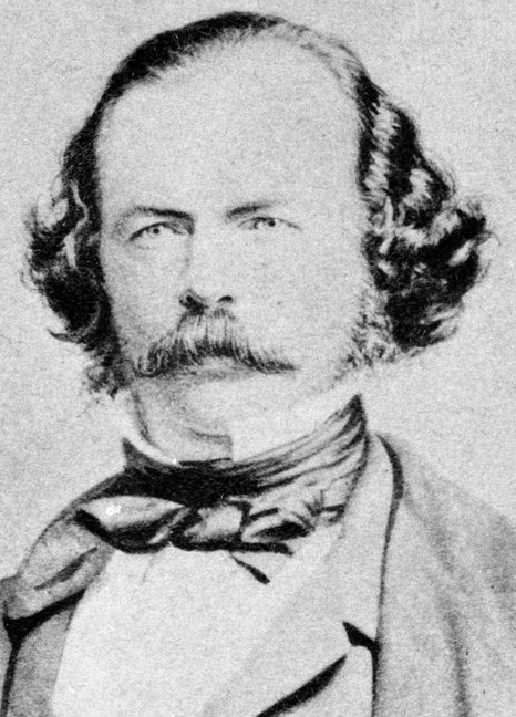
Above:- Horatio WIlls. Image c/o Wikipedia.

Horatio Wills son Thomas ‘Tom’ Wills was a talented cricketer and a founder of Australian Rules Football.

Above:- Tom Wills. Image co Wikipedia.

In 1861 Horatio Wills moved In 1861, Horatio moved north to Queensland, near Rockhampton. Just three weeks later, on the 17th day of October 1861, he along with 18 others, was murdered by aboriginal people at Cullin-la-ringo. This included women and children. Known as the ‘Cullin-la-ringo massacre’ or the ‘Wills Tragedy’, this was the largest massacre of white people by aboriginal people in Australian history. (The Wills Tragedy 1861)

Above:- The arrival of the neighbouring squatters collecting and burying the dead following the massacre. Image c/o WIkipedia.

Marija and I booked into our accommodation and offloaded some of our luggage from the 4WD.

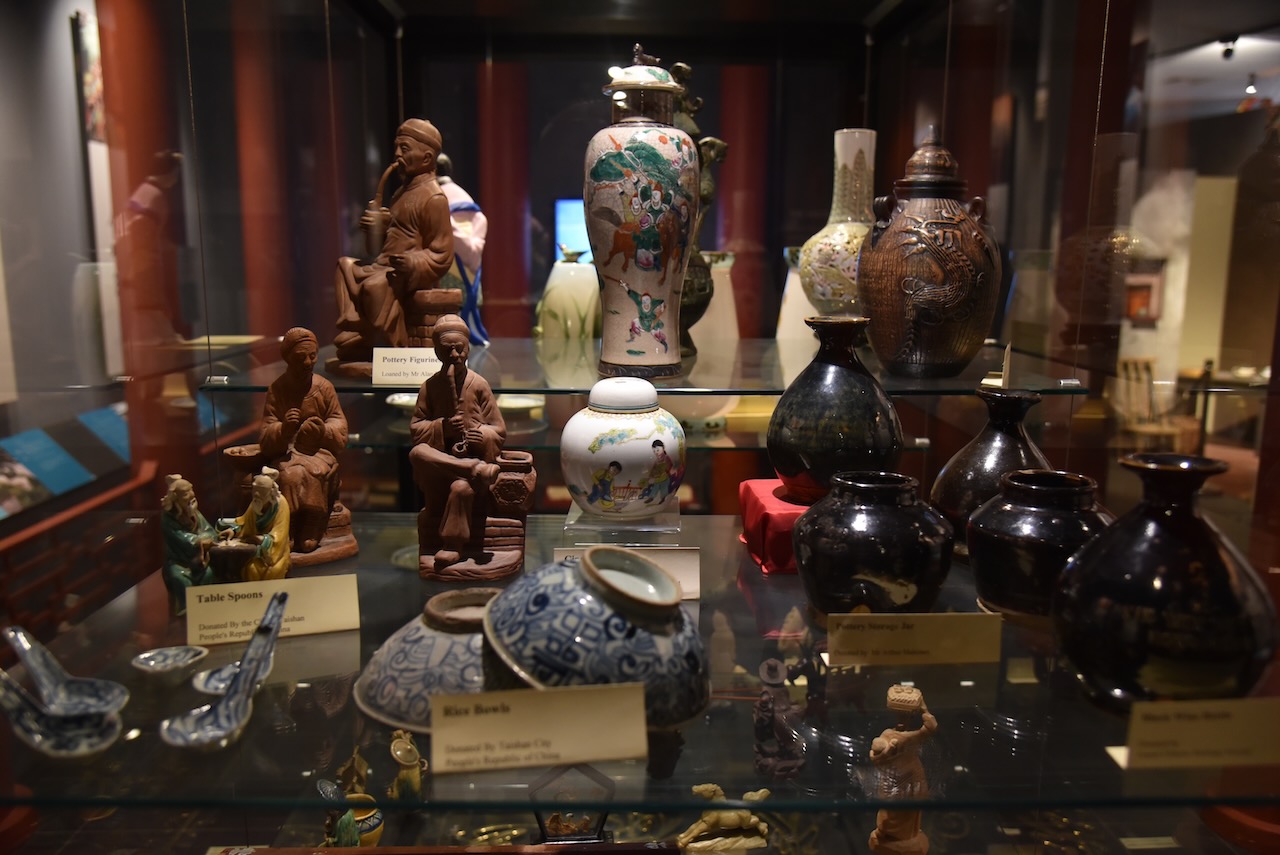
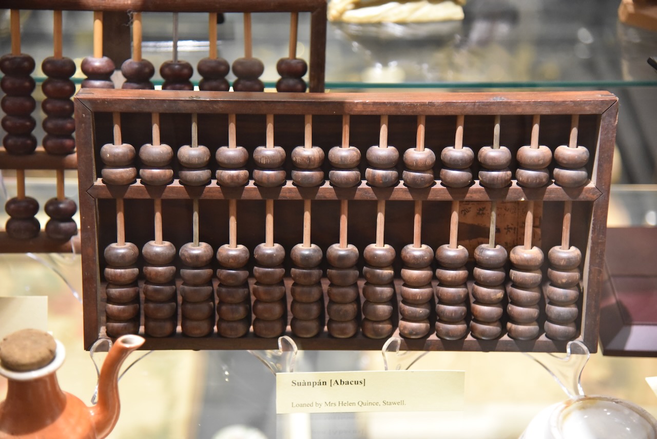
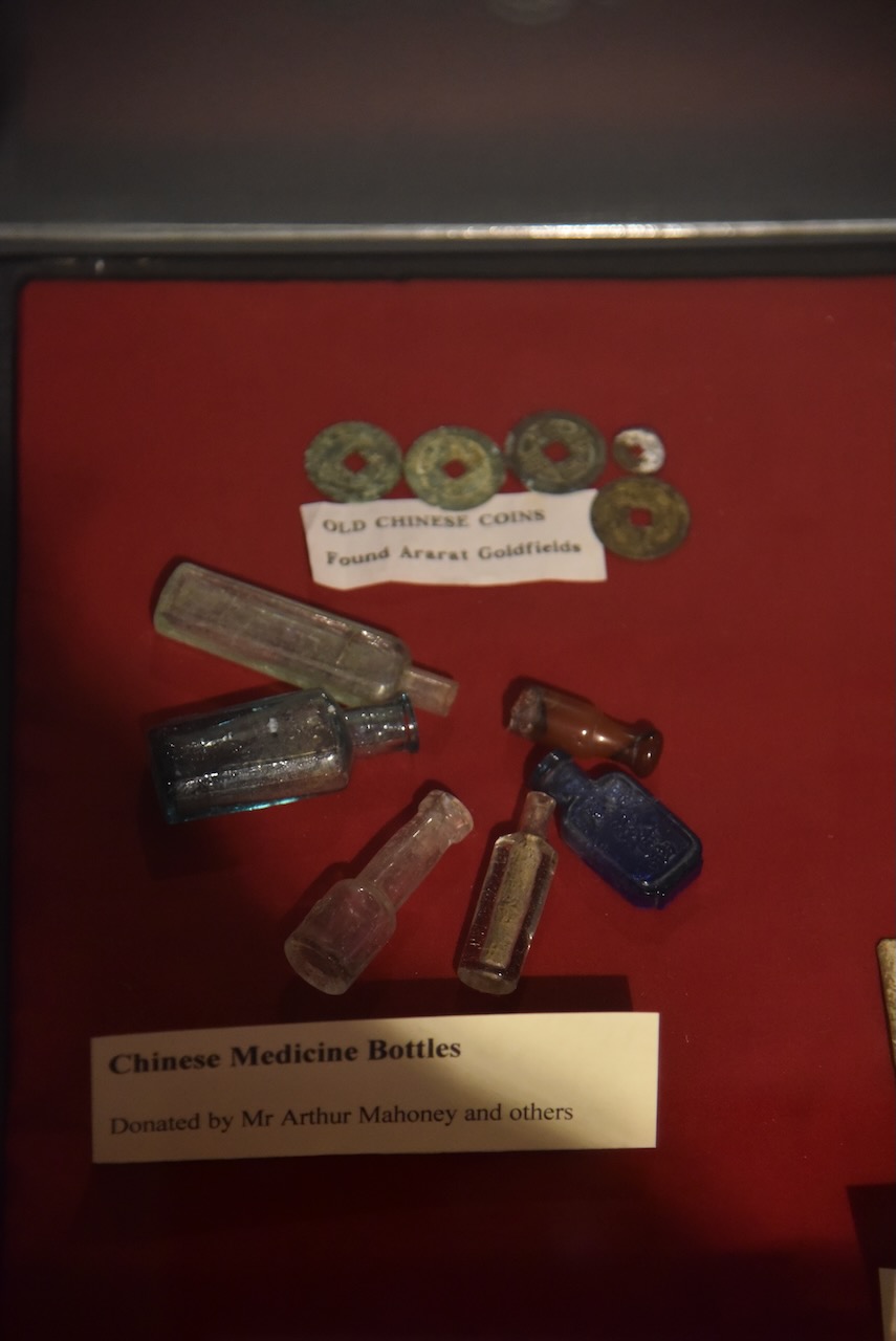
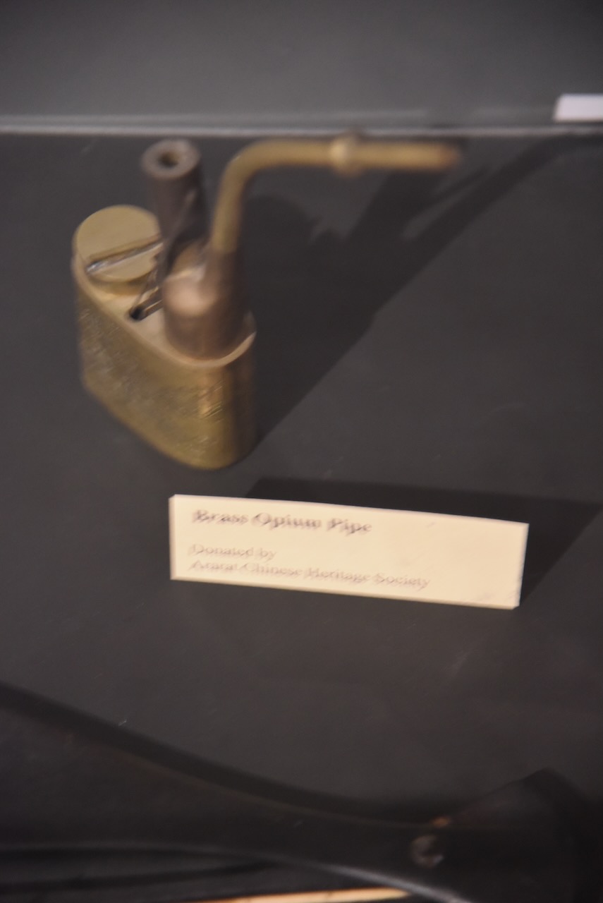
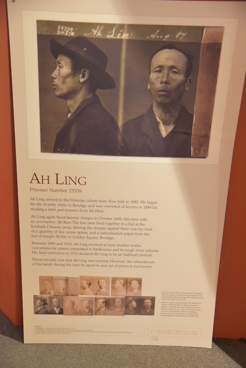
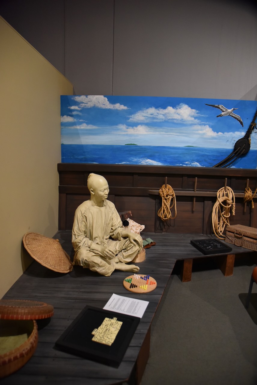
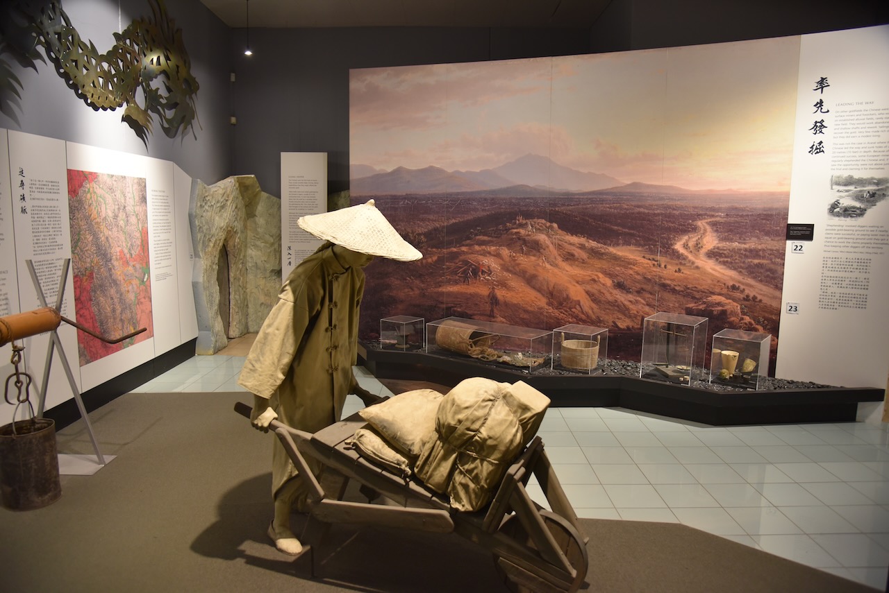
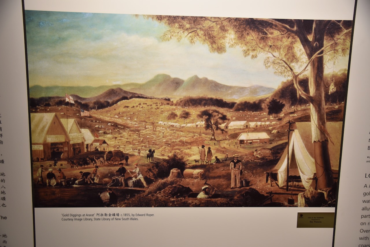
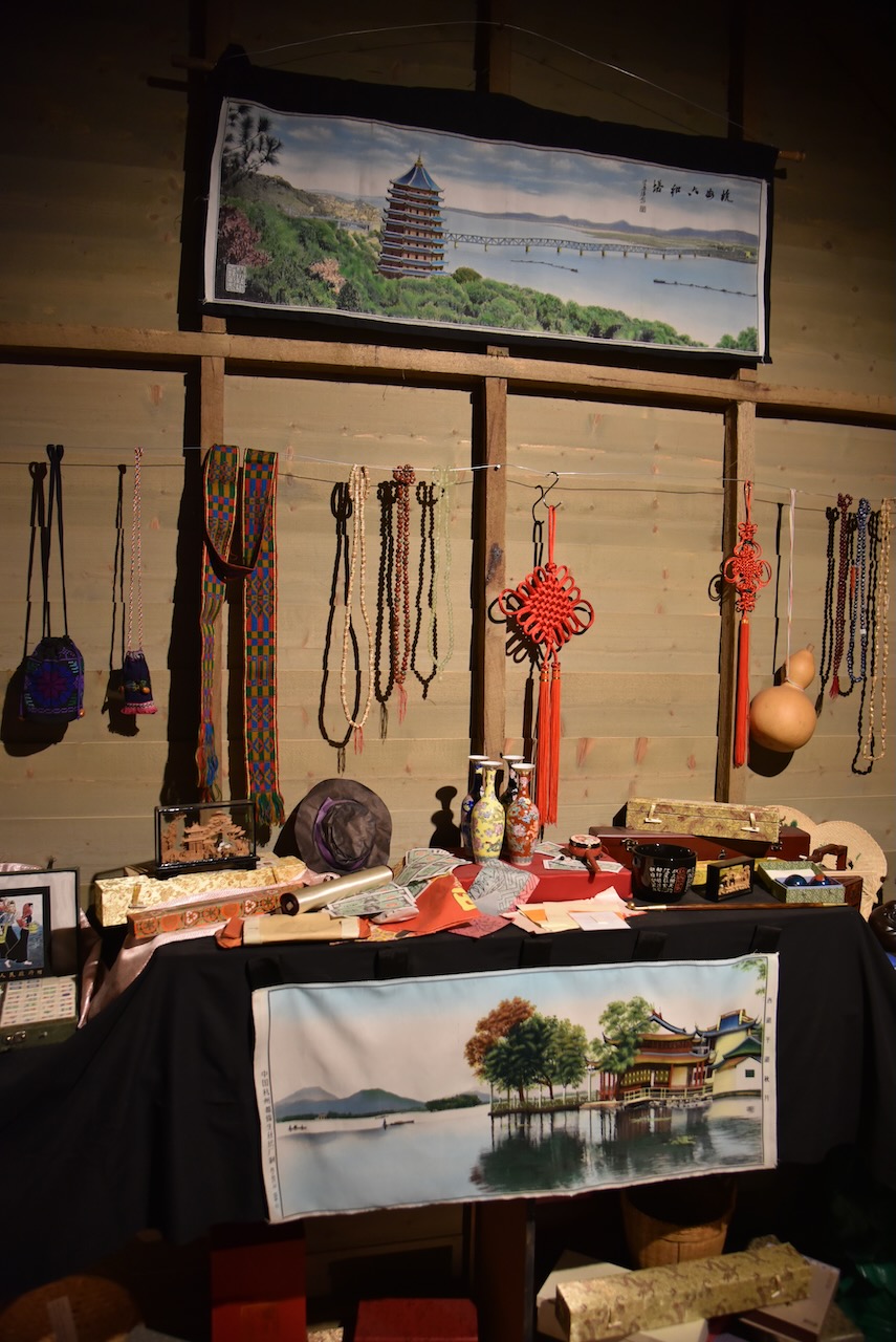
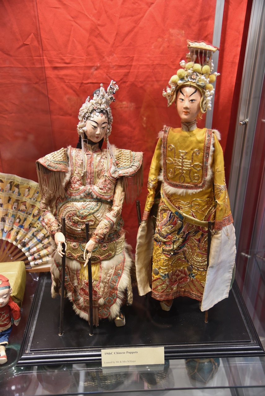
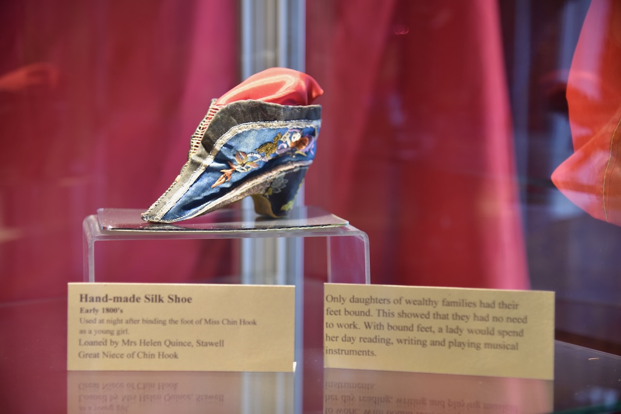
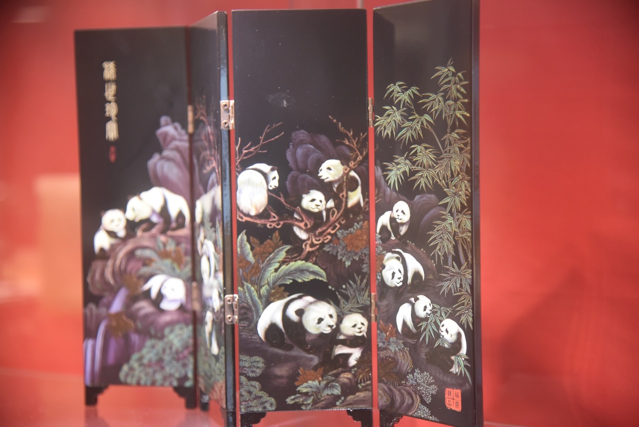
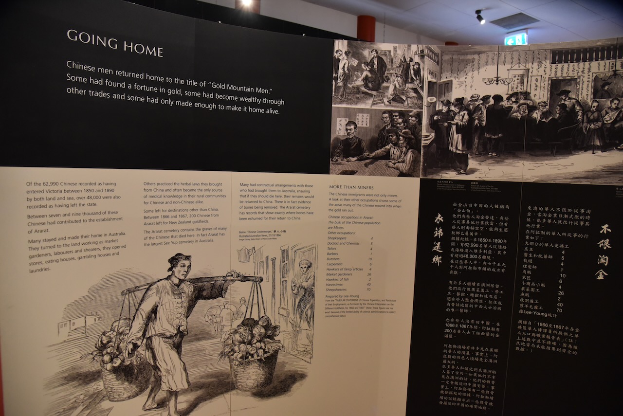
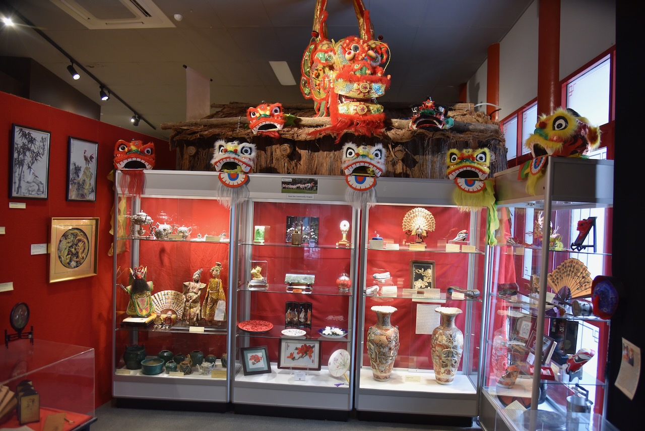
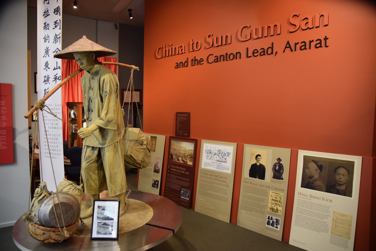
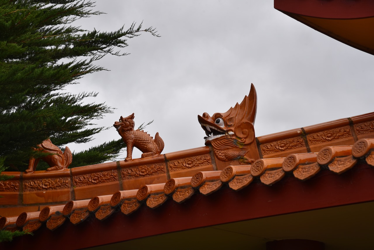
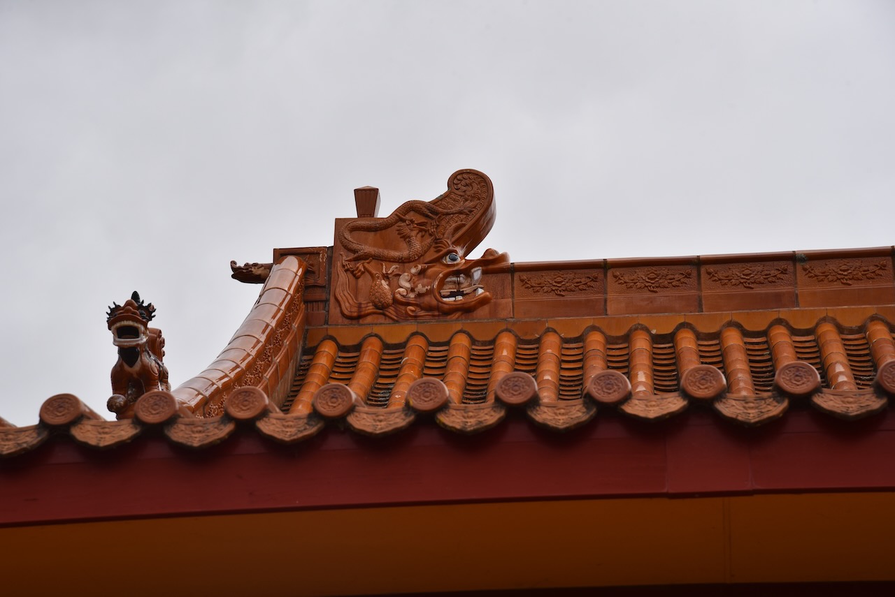
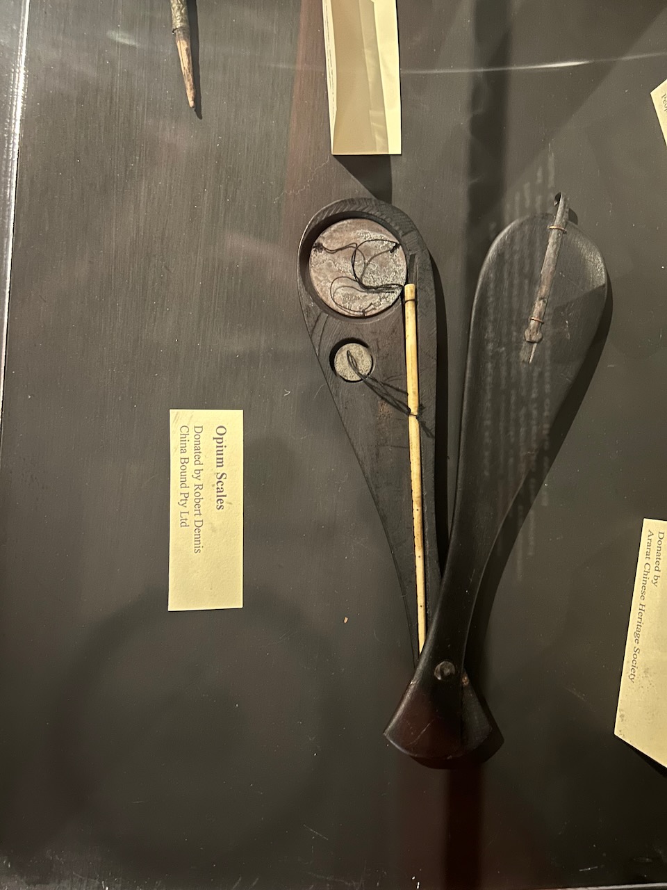
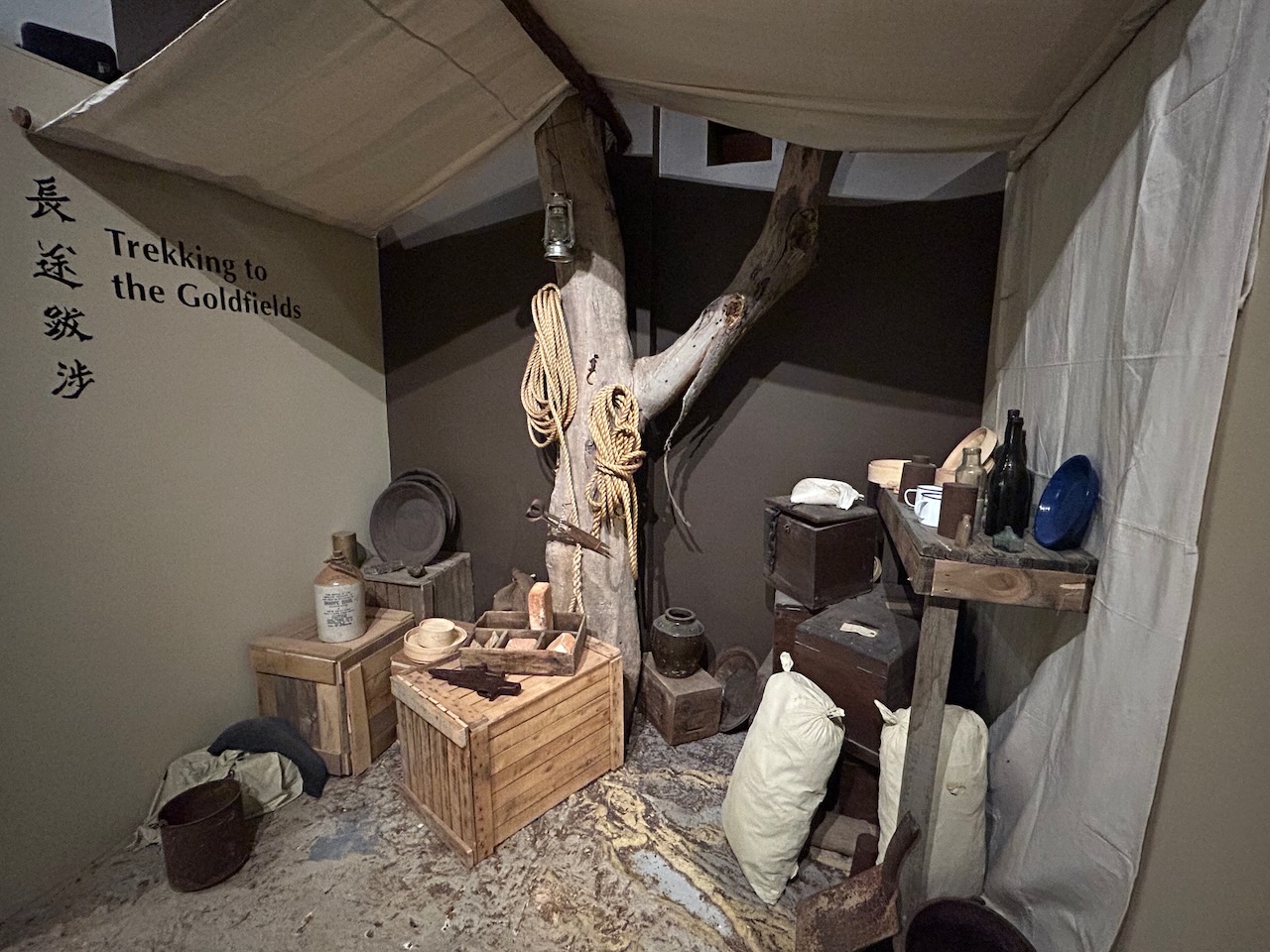
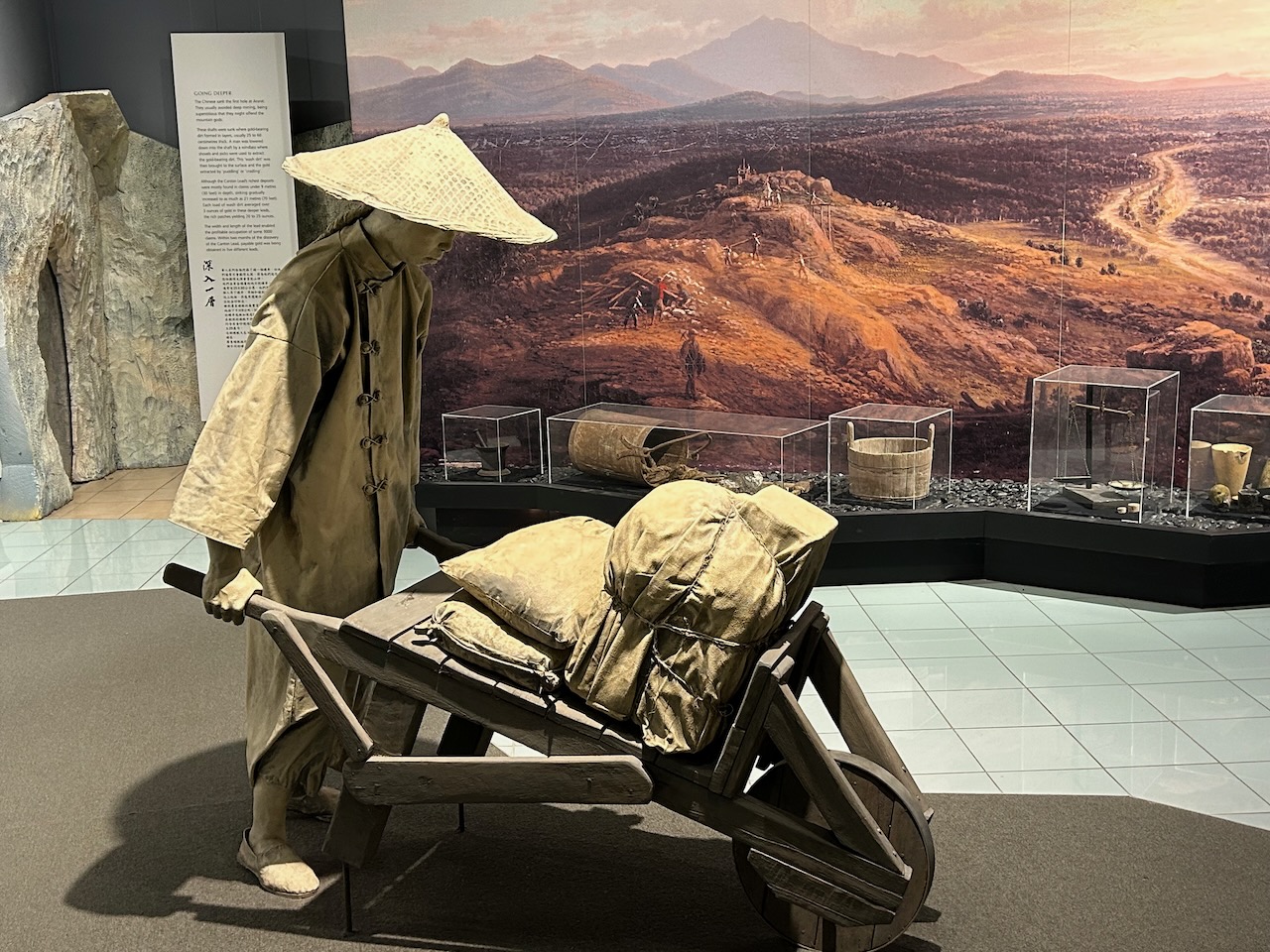
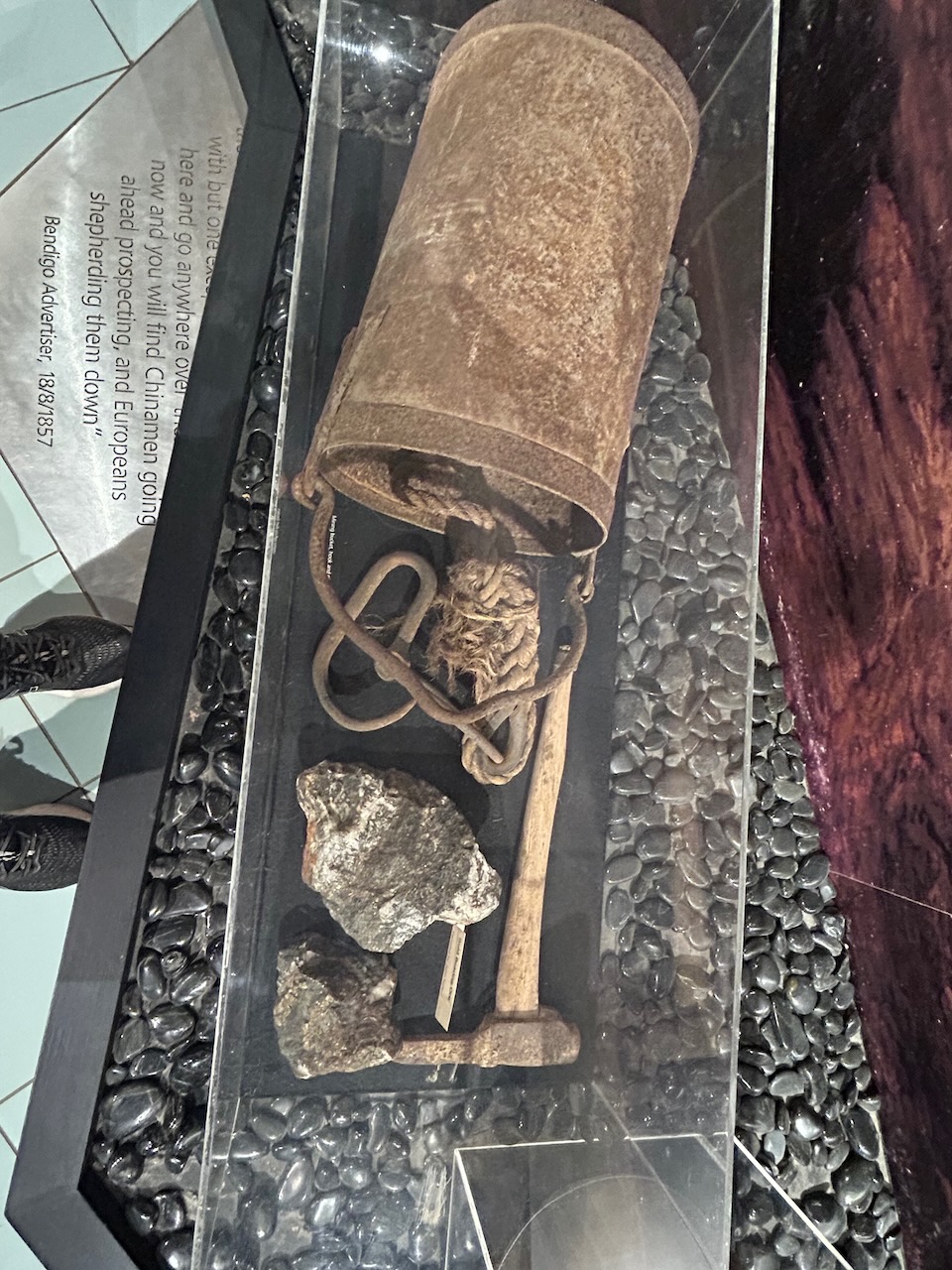
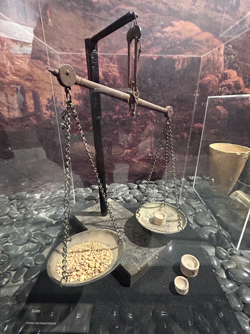
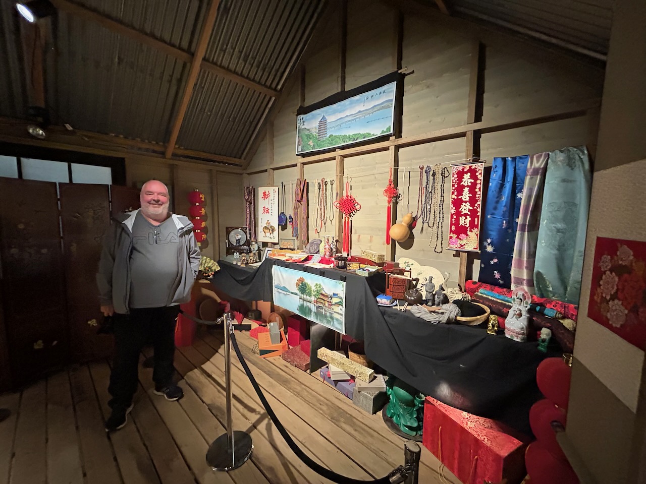
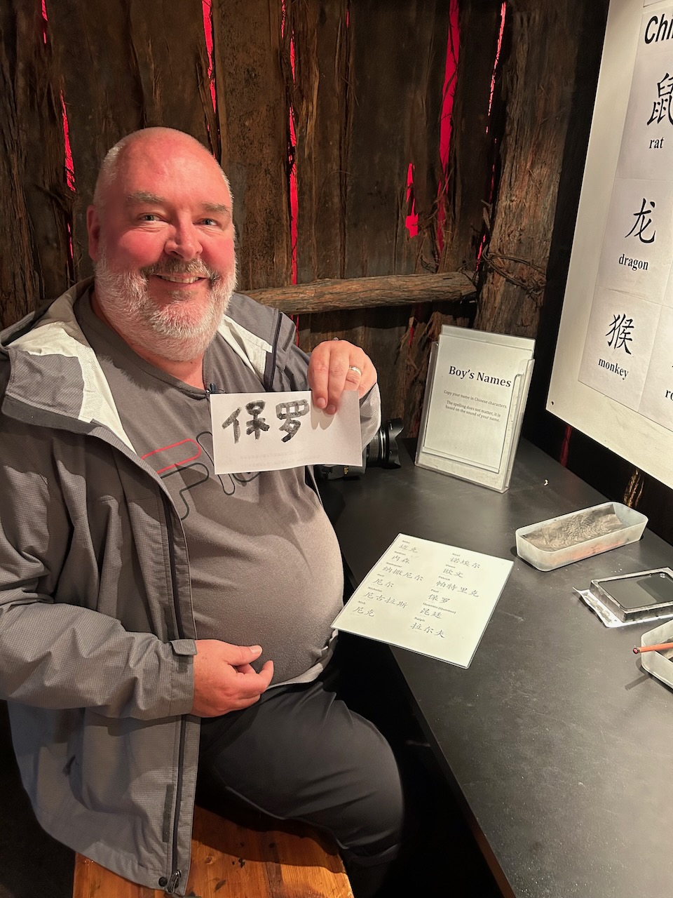
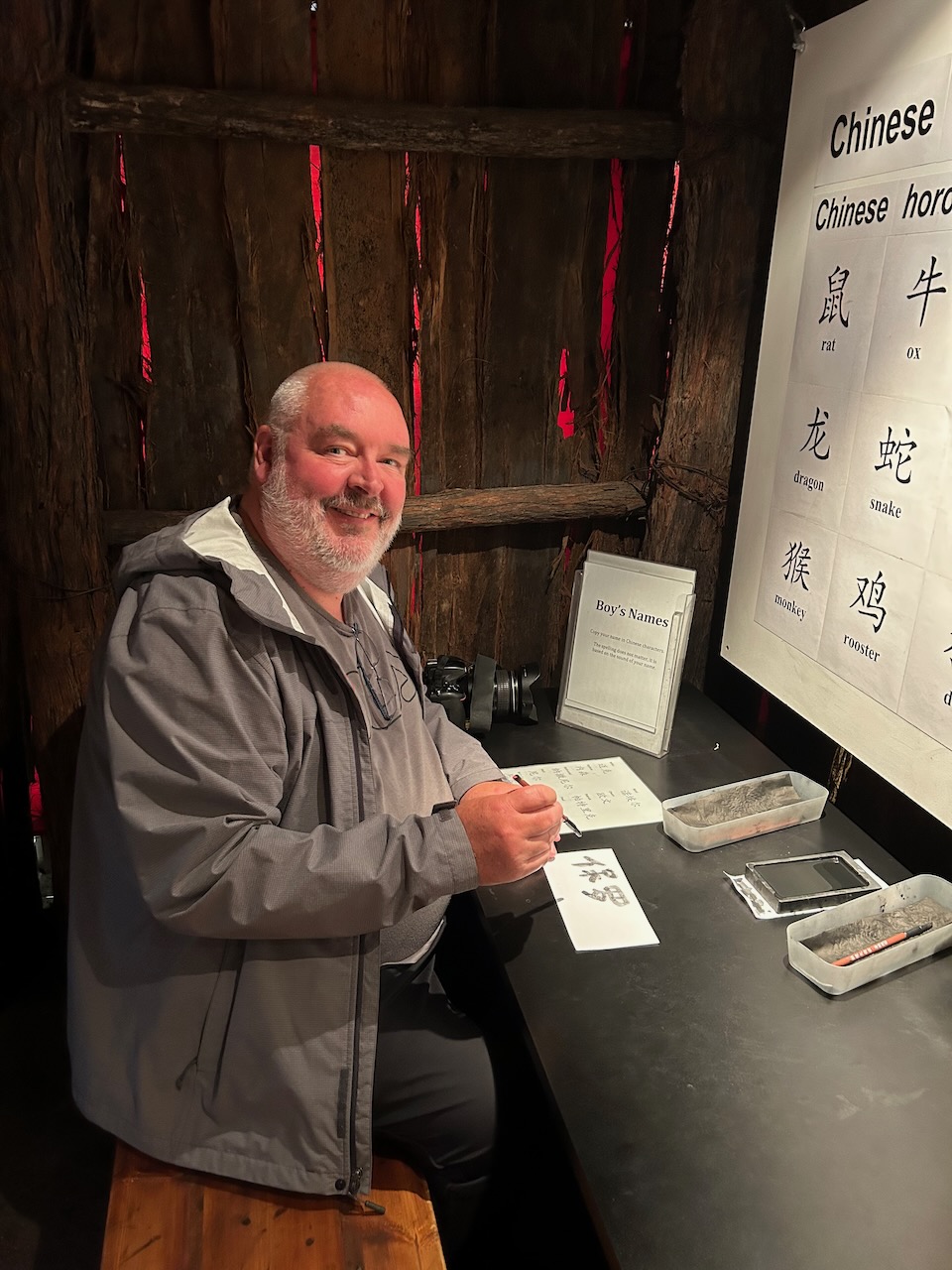
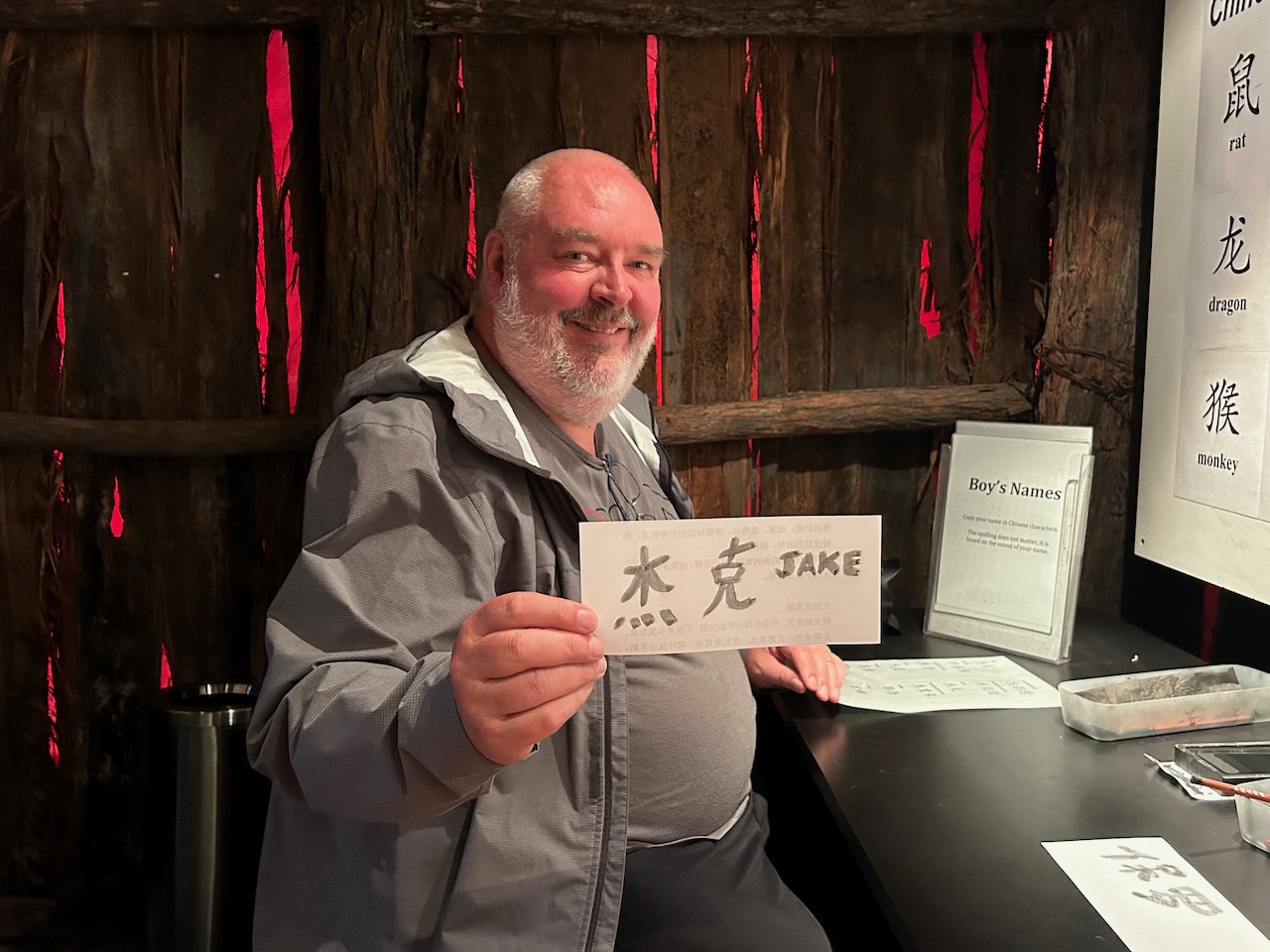
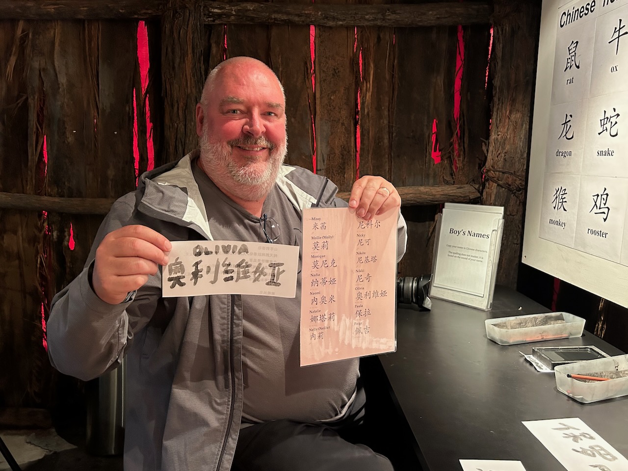
We then visited the Gum San Chinese Heritage Centre. Marija and I have visited and driven through Ararat so many times and we have always commented ‘we must visit Gum San’ but we always seem to be short of time. This time we made a point of visiting the centre and we were not disappointed.

As the Gum San website states: “Ararat is the only town in Australia that was founded by Chinese miners that arrived in the mid-1850s chasing the riches to be found at the Victorian Goldfields.” (Gum San 2024)

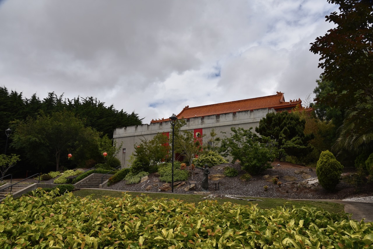
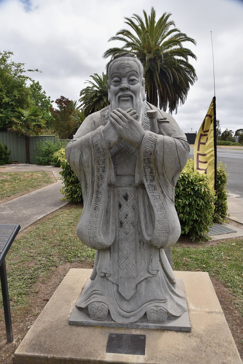
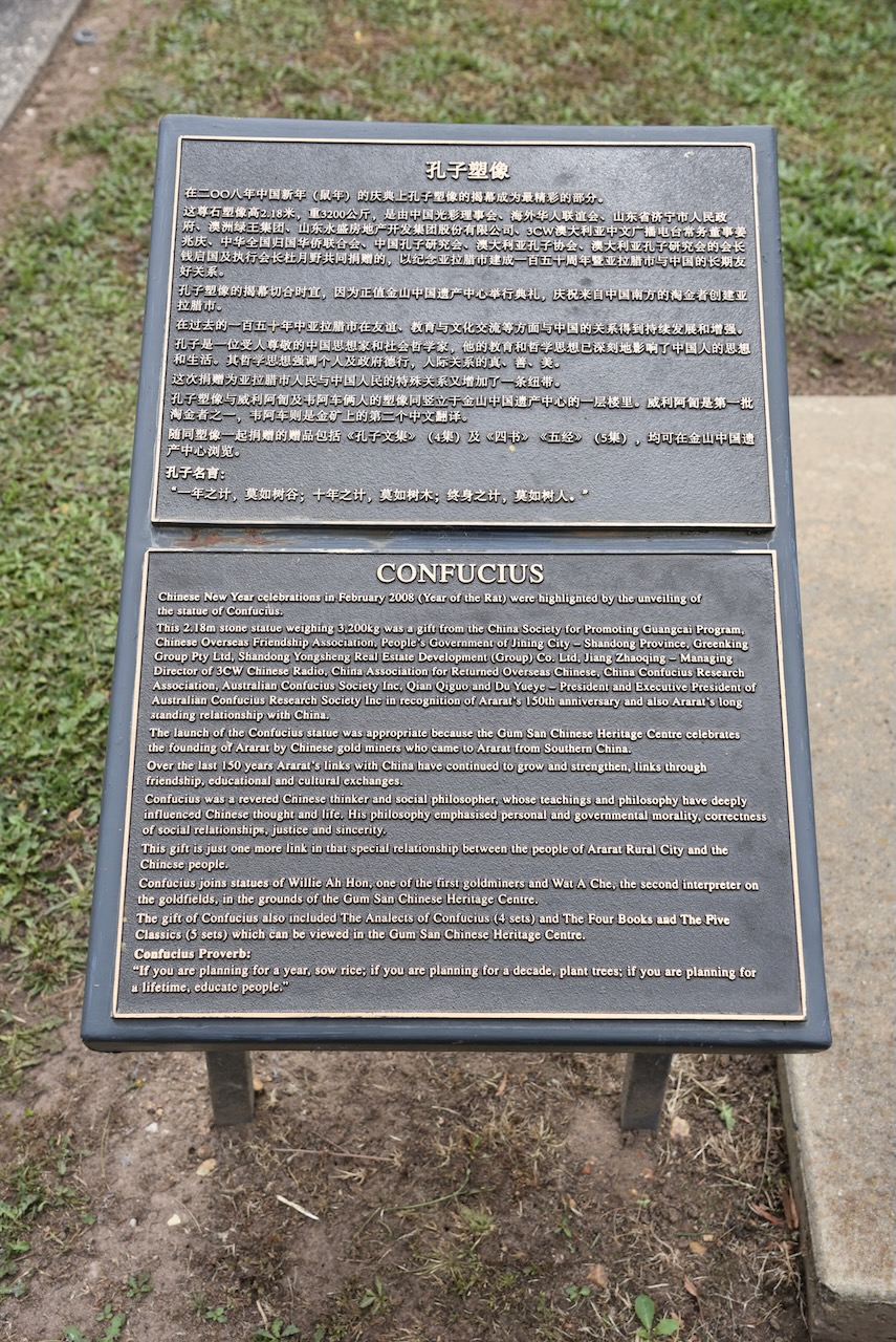
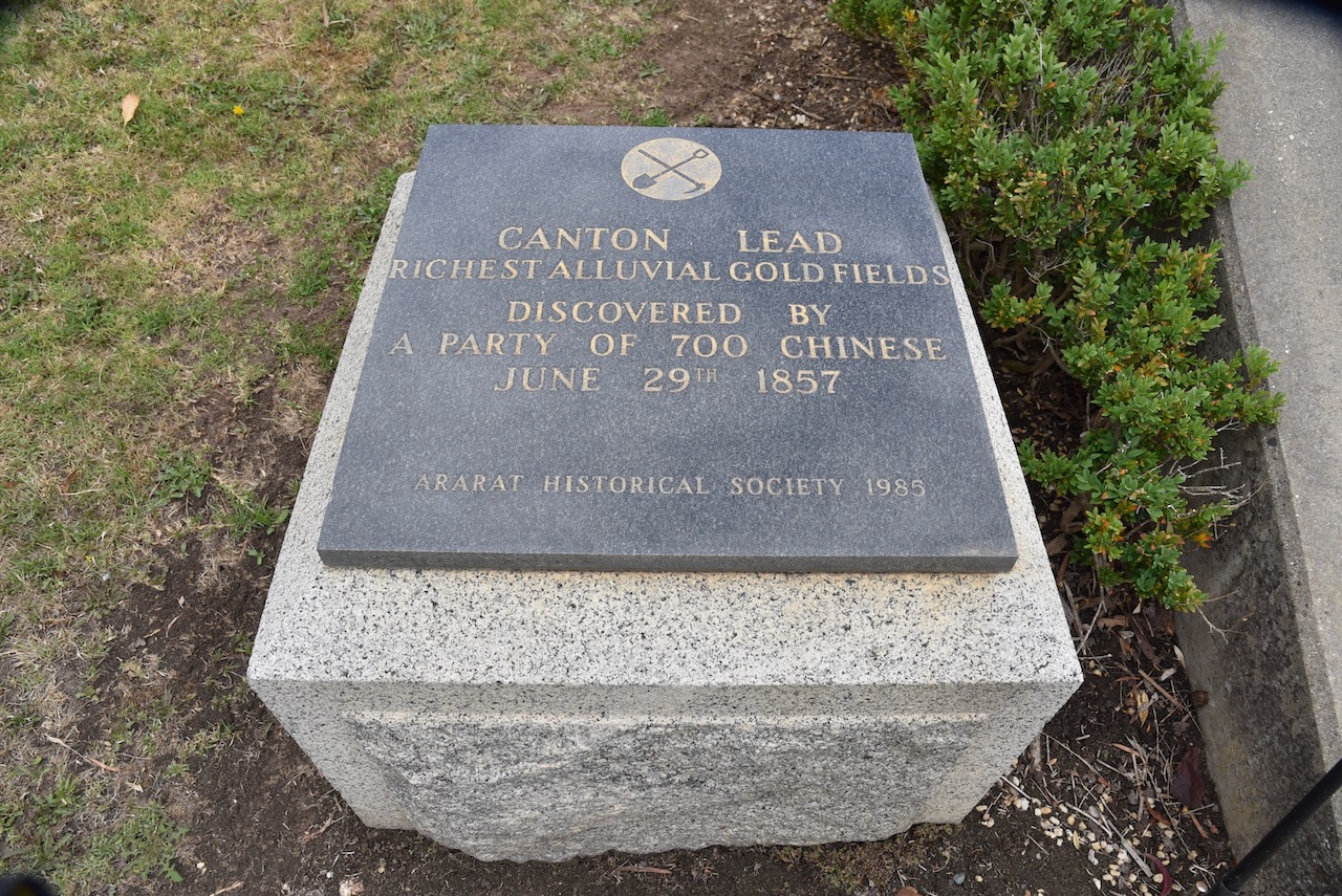
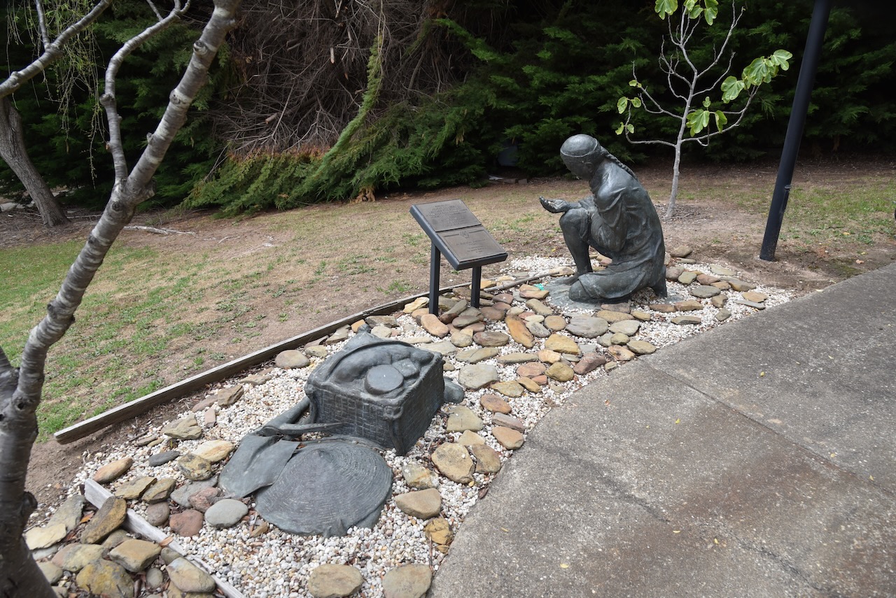
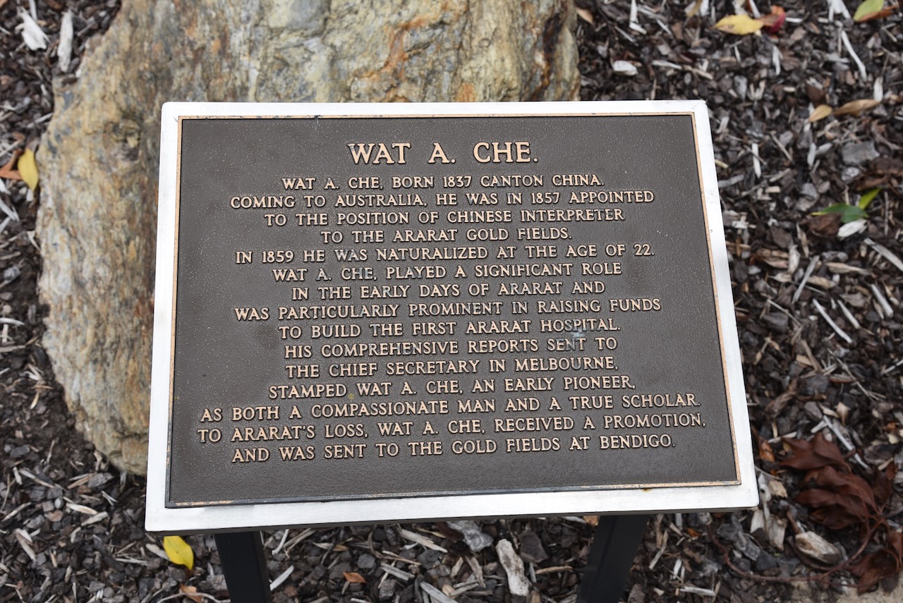
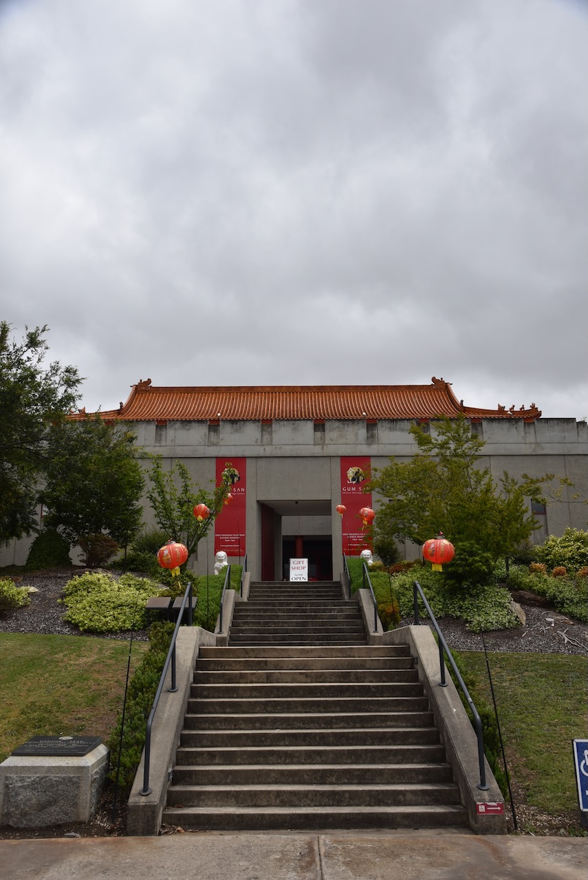
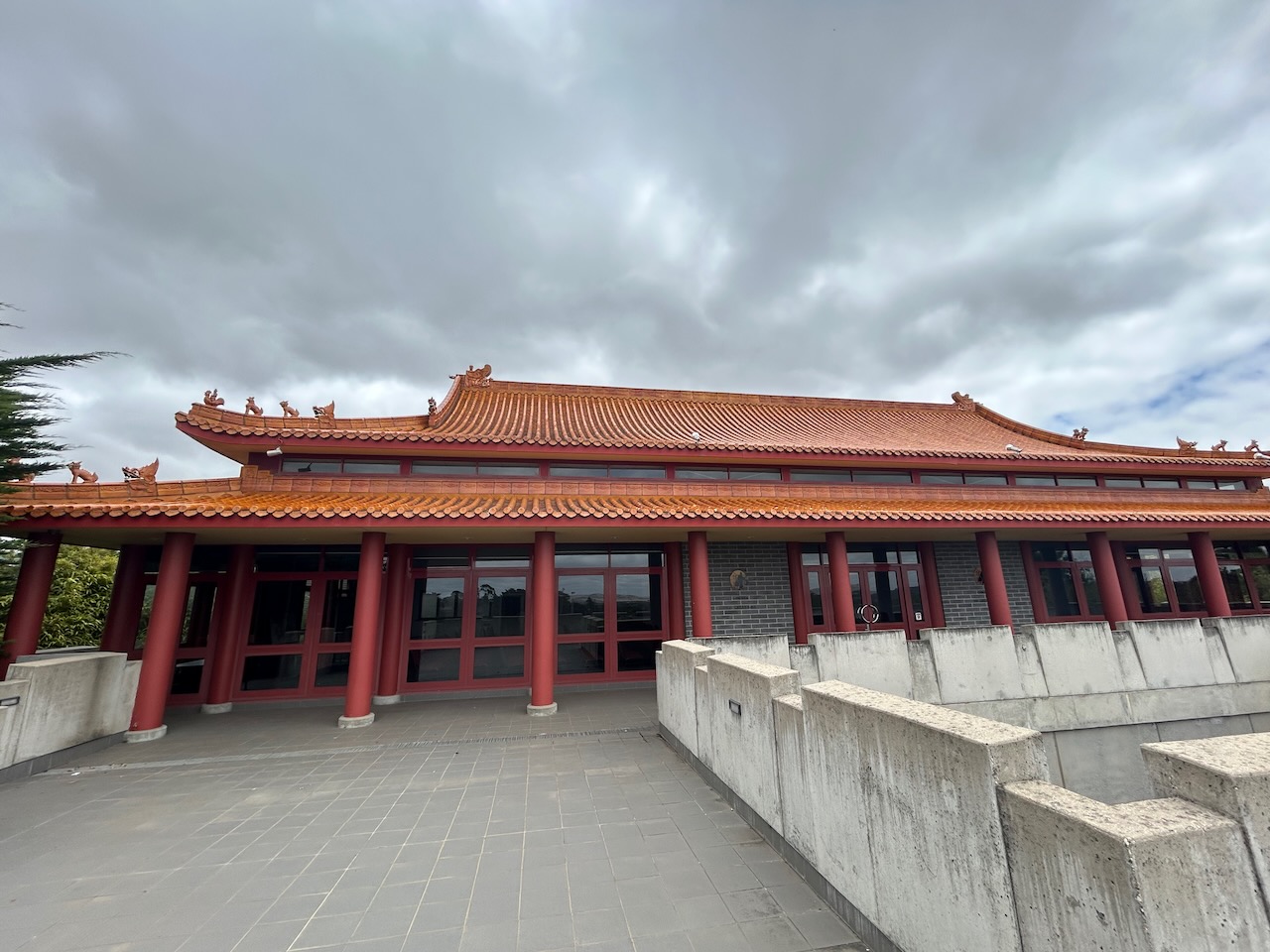
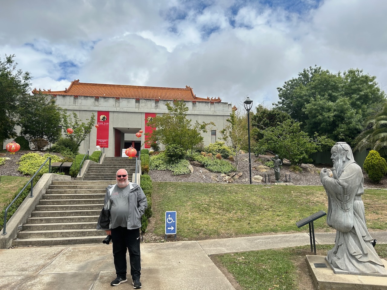
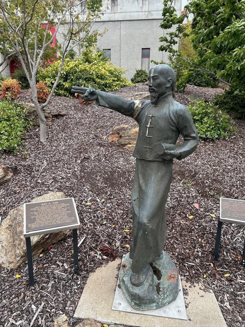
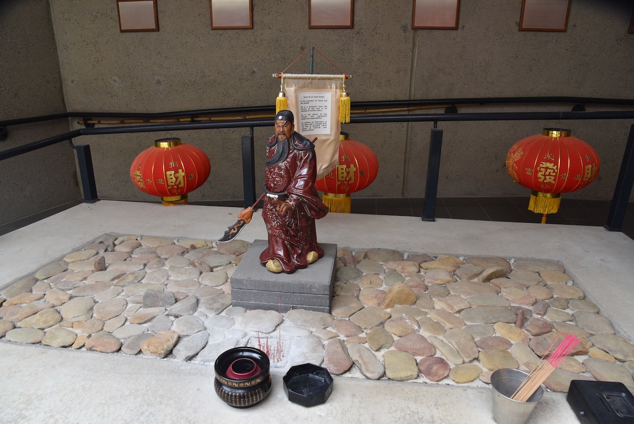
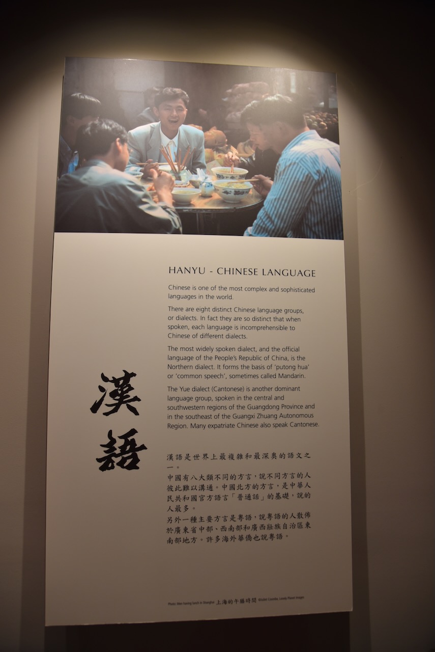
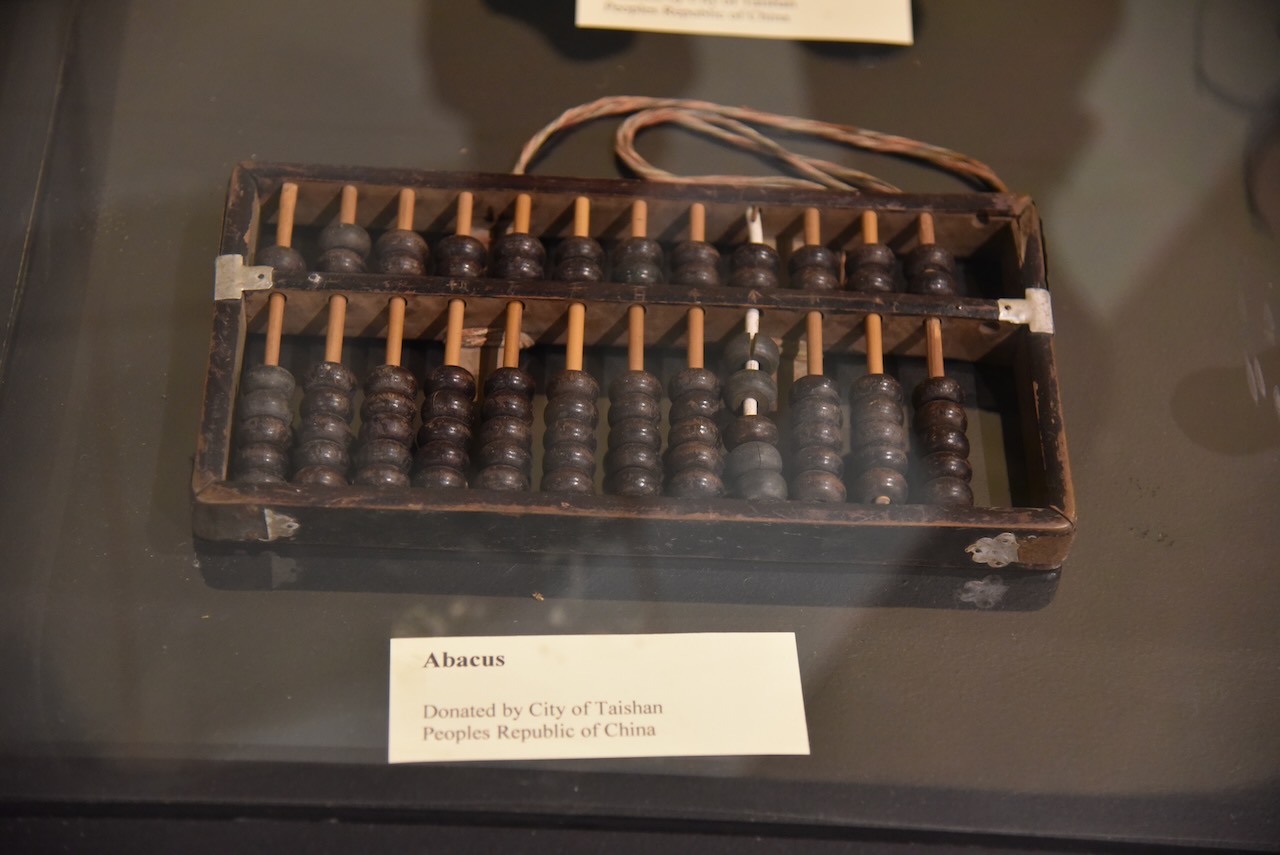
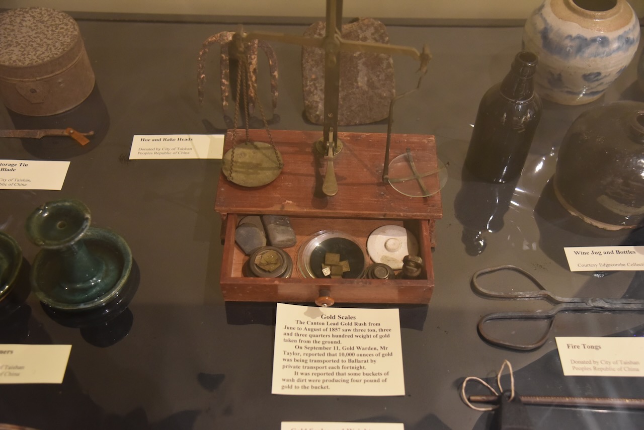
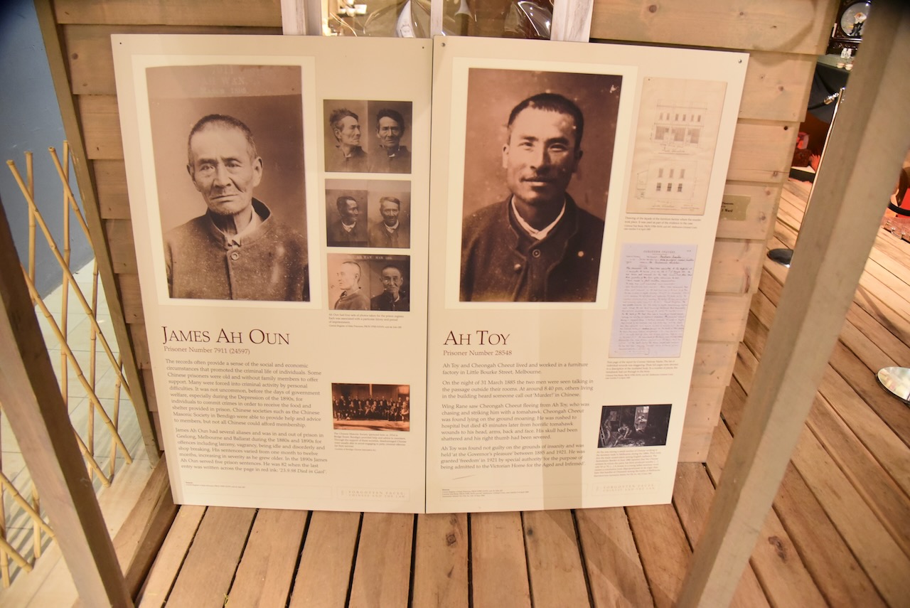
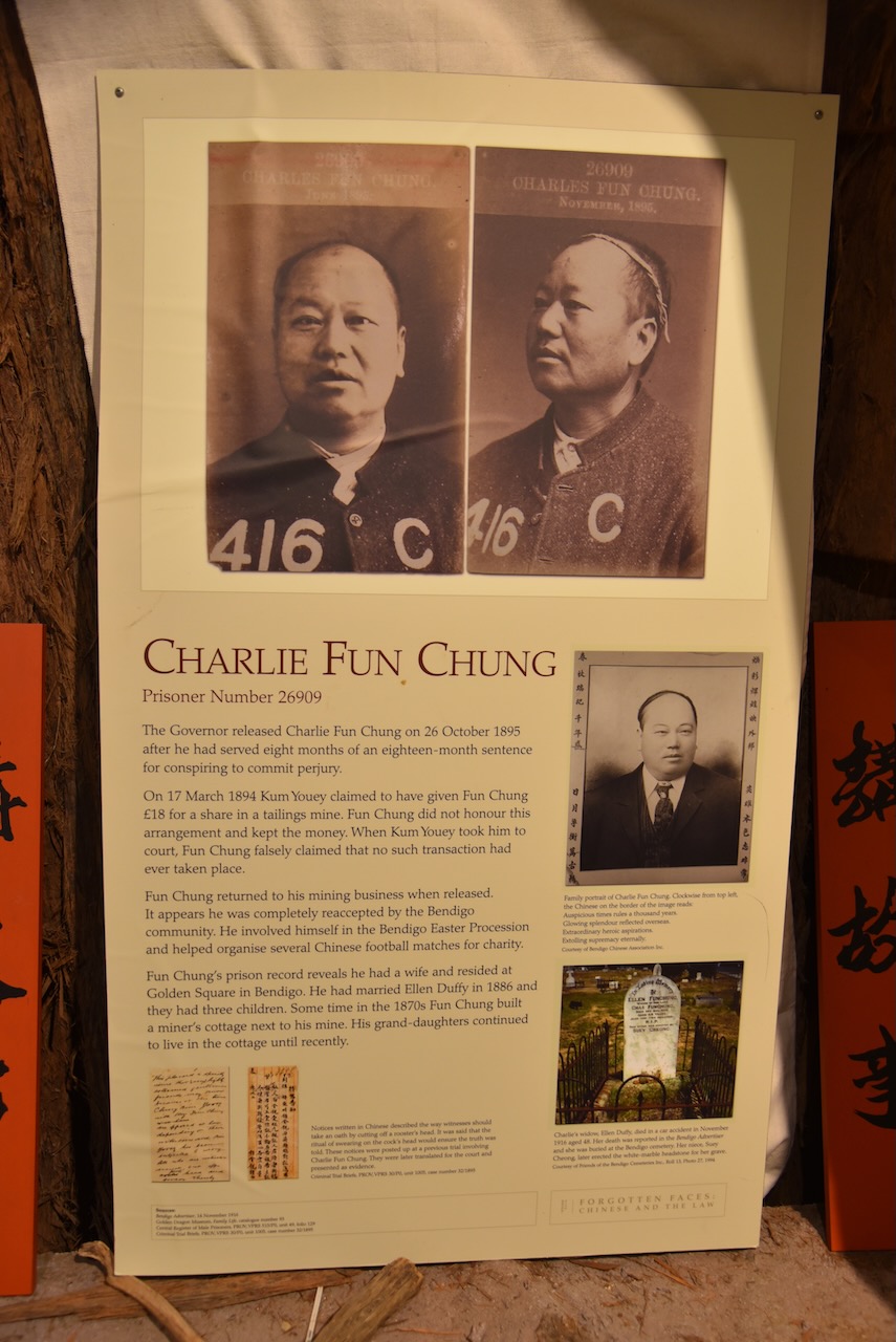
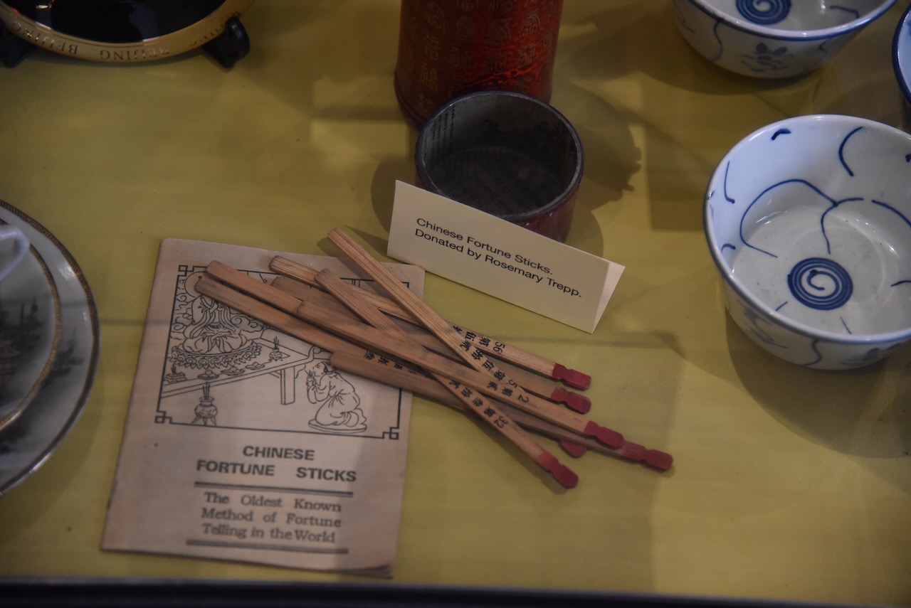
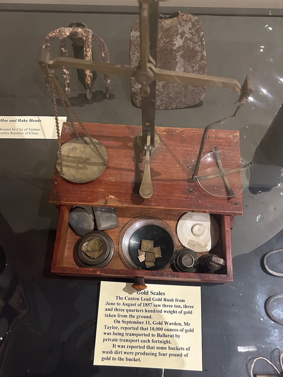
The Gum San Chinese Heritage Centre tells the story of Chinese miners travelling by sea to Australia and the hardships and prejudices they had to endure as they made their way to Victoria’s rich goldfields. The staff here were incredibly welcoming, friendly and knowledgeable. We spent a number of hours walking around the centre viewing the many very interesting exhibits.

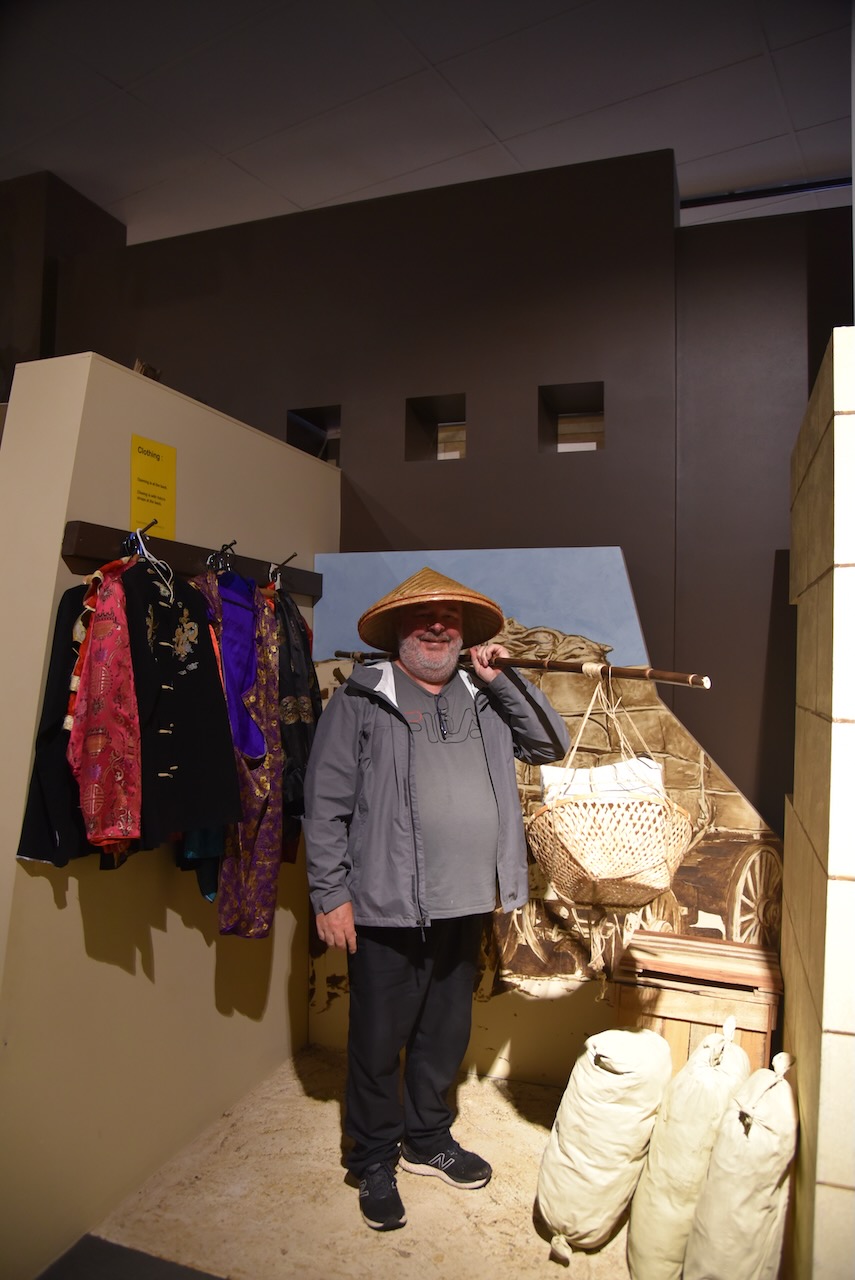
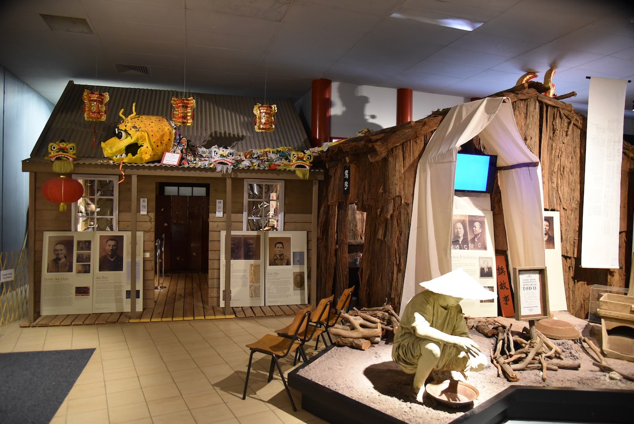
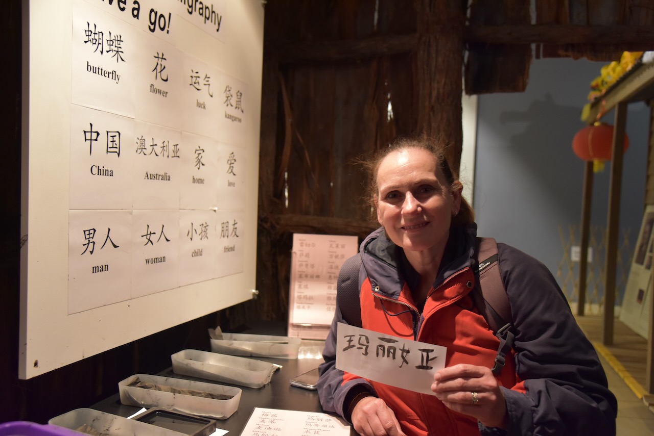
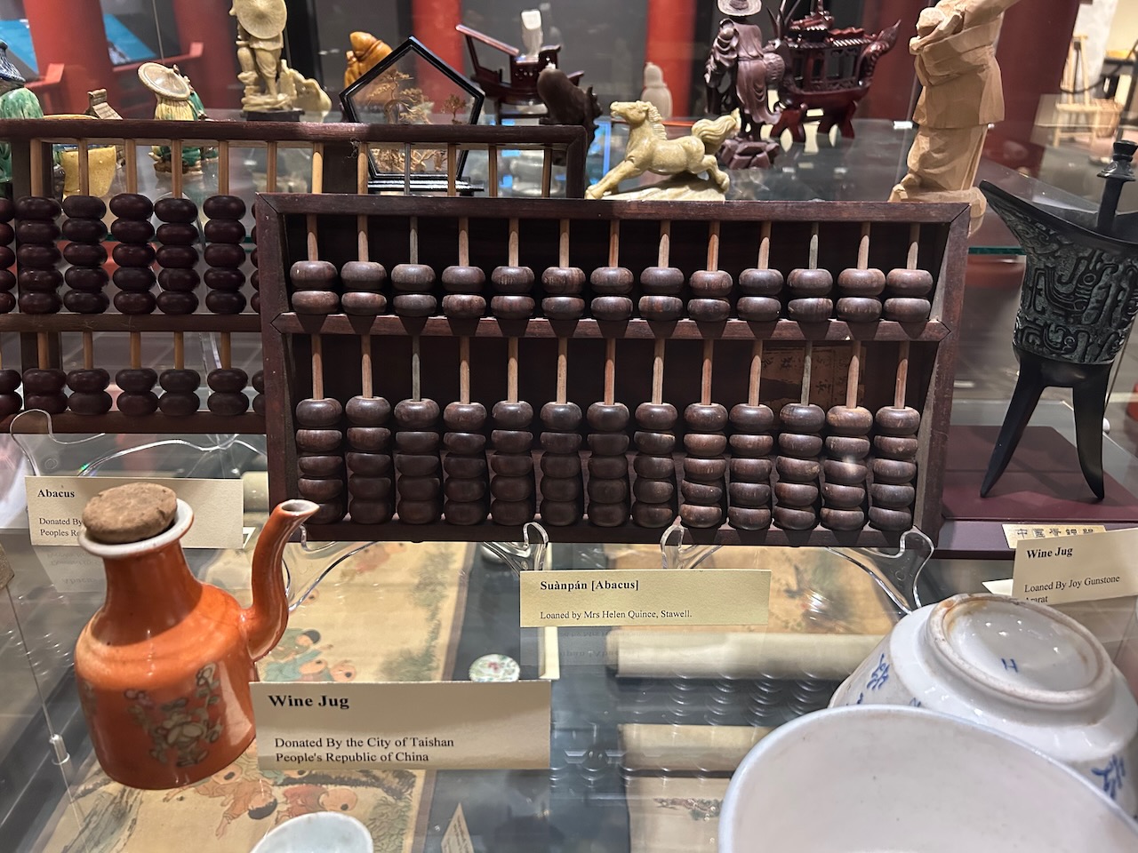
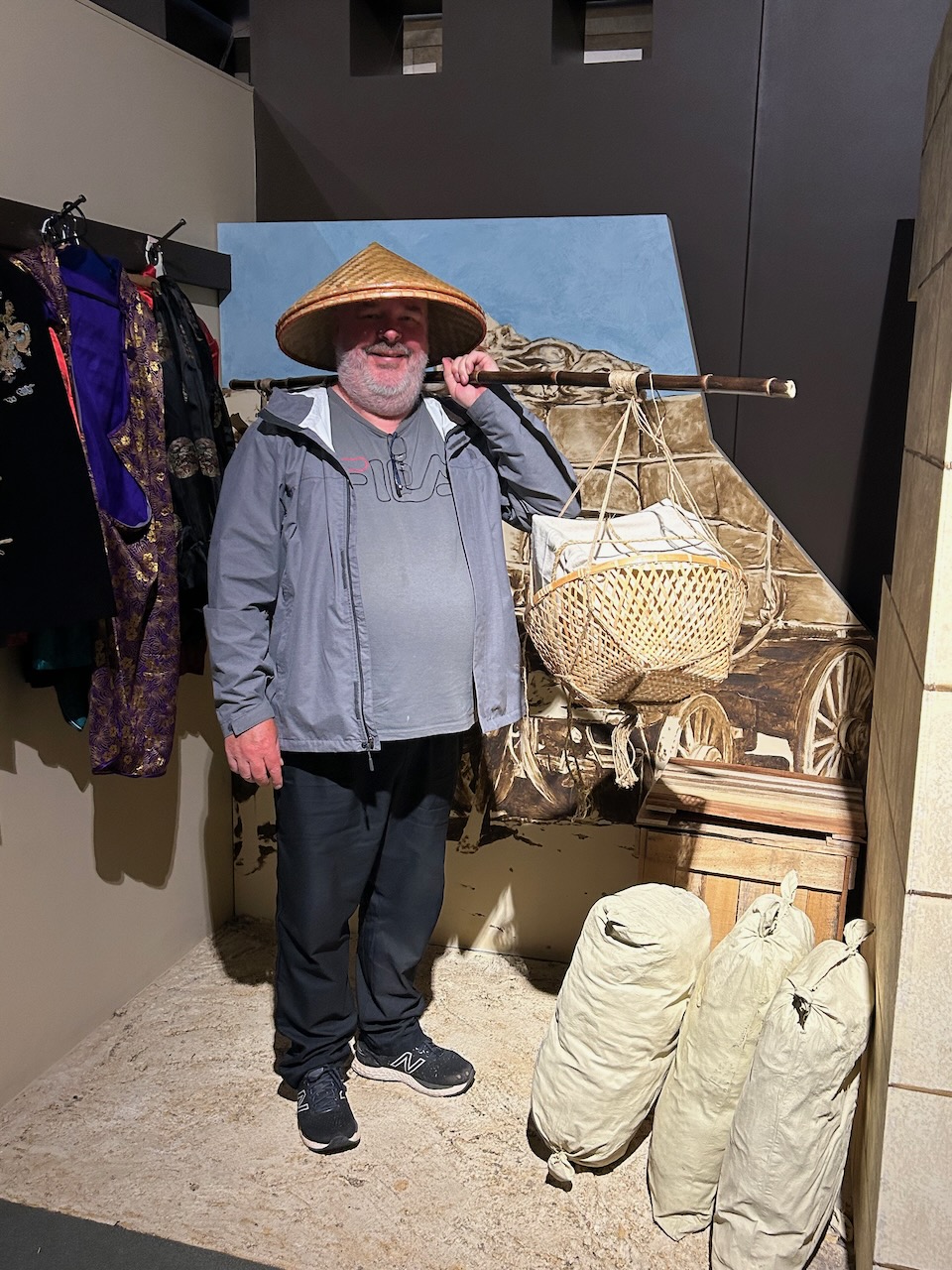
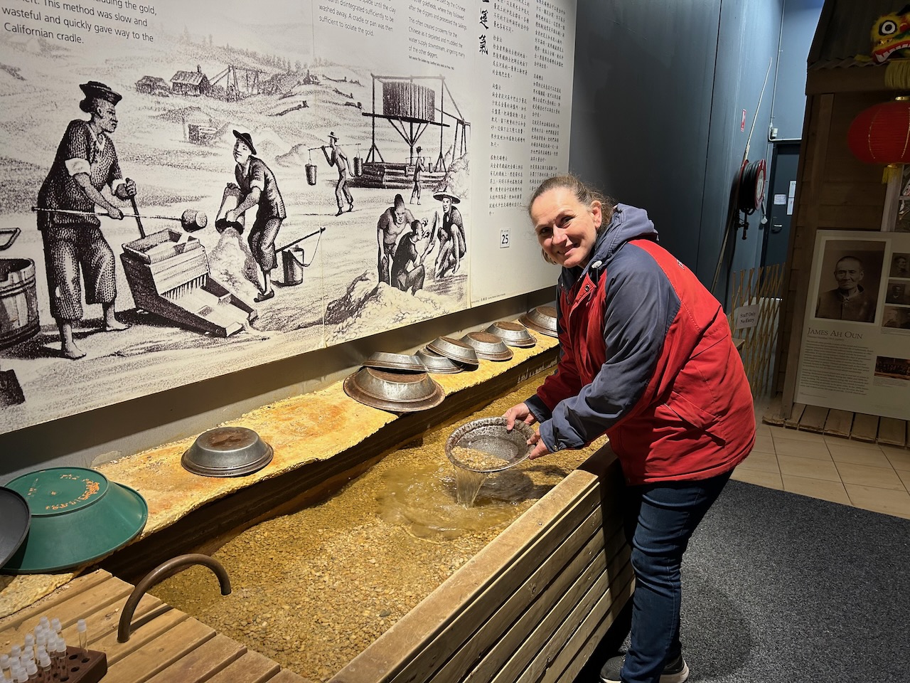
I even got to try my hand at painting our children’s and grandchildren’s names in Chinese.

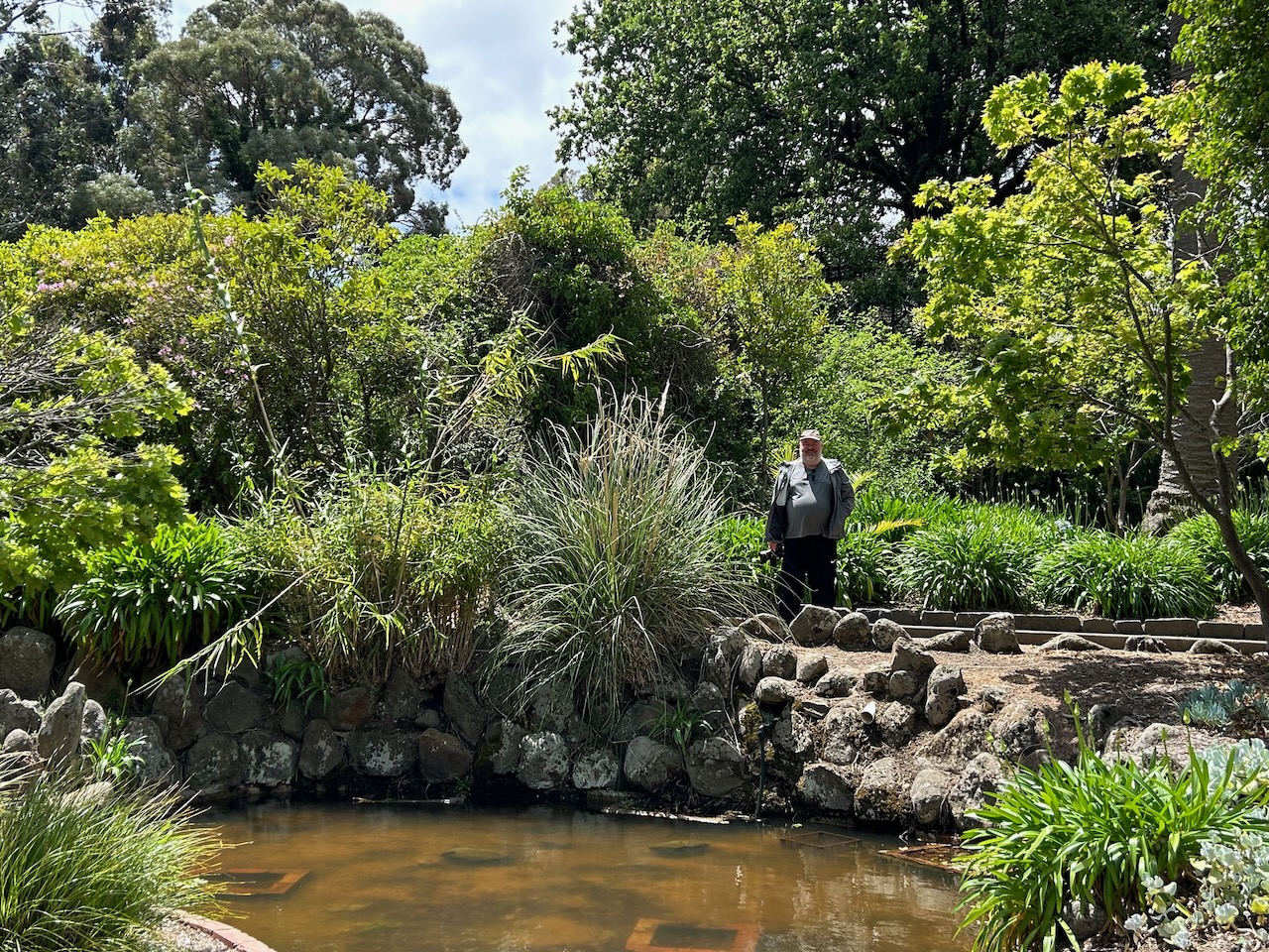
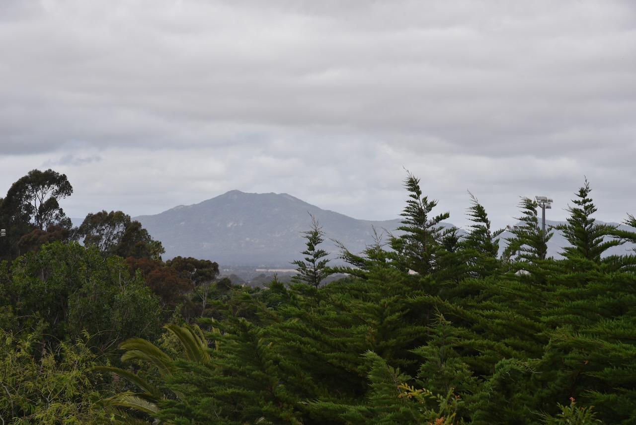
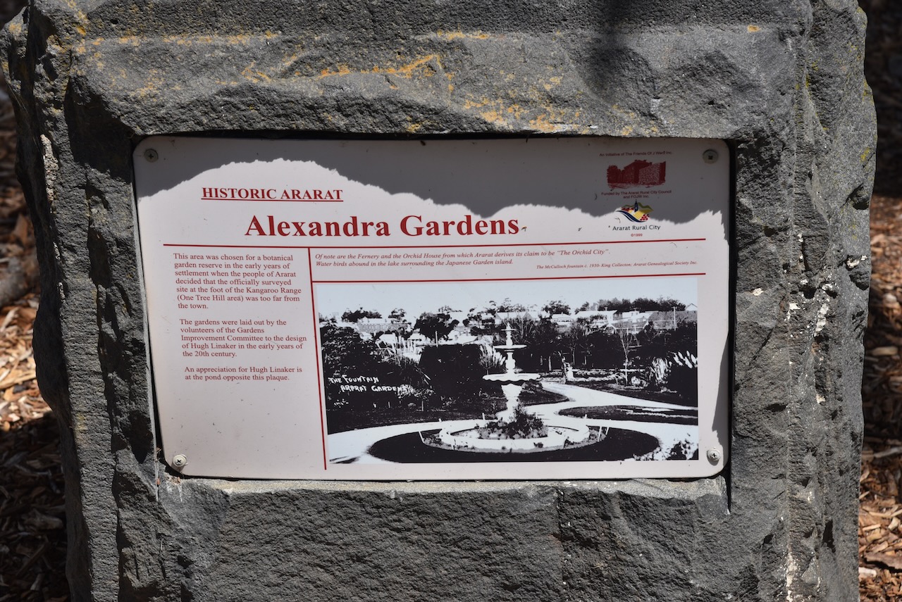
Marija and I then visited Alexandra Gardens at Ararat.

The gardens were established with plant material supplied by Baron Ferdinand Von Muller from the Melbourne Botanical Gardens. The site was gazetted as a botanical garden in 1862 and was established according to a plan provided by Dr. Muller. (Goldfields Guide 2024)

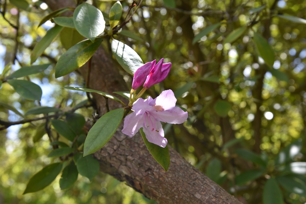
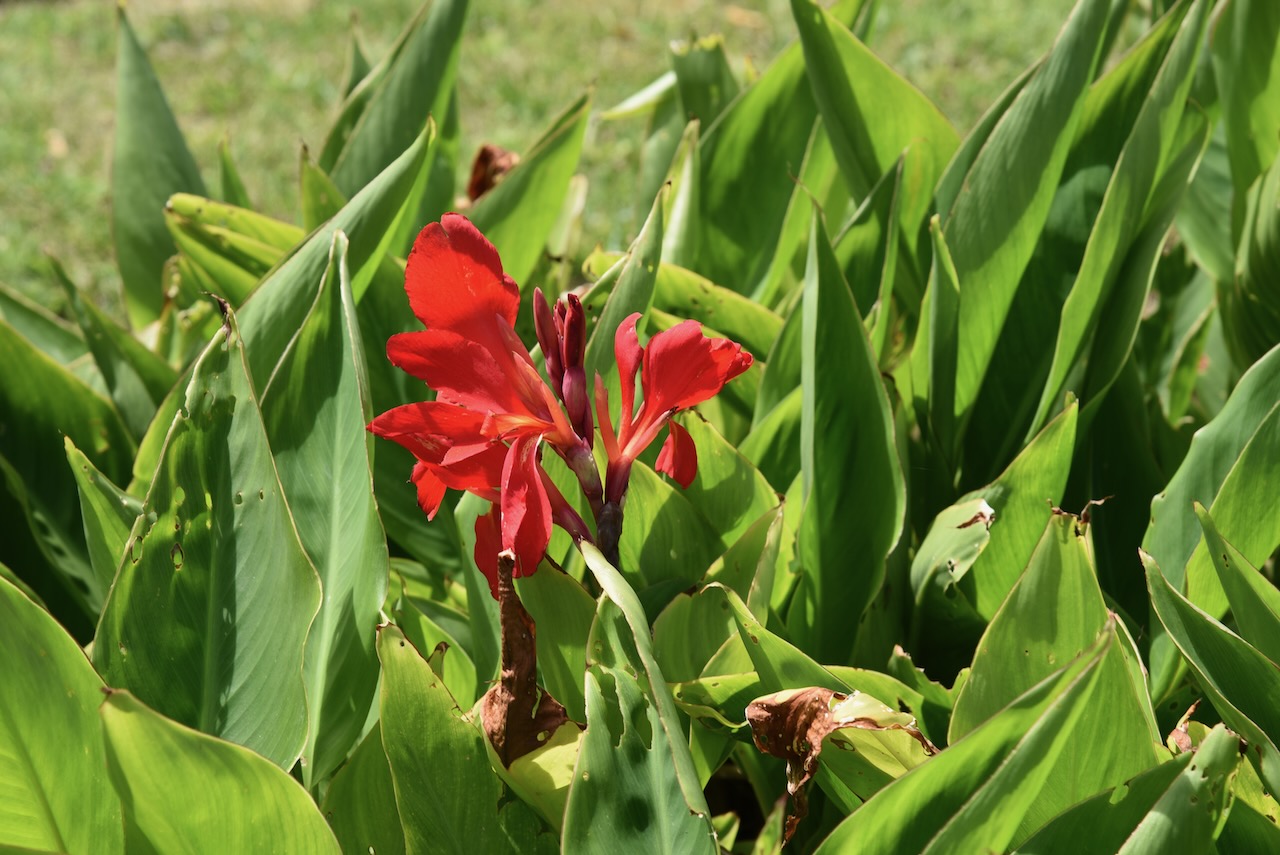
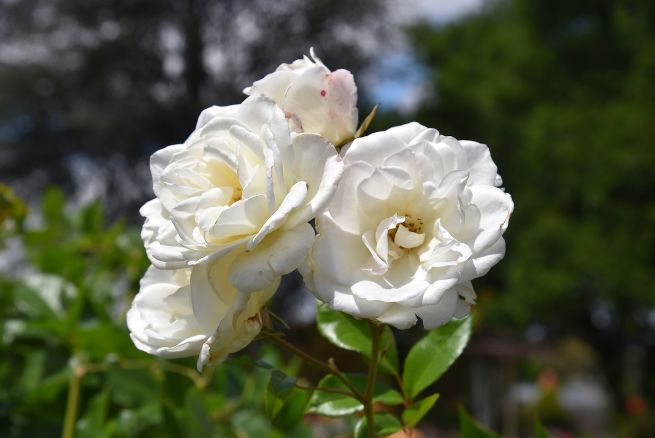
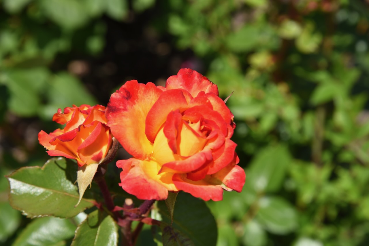
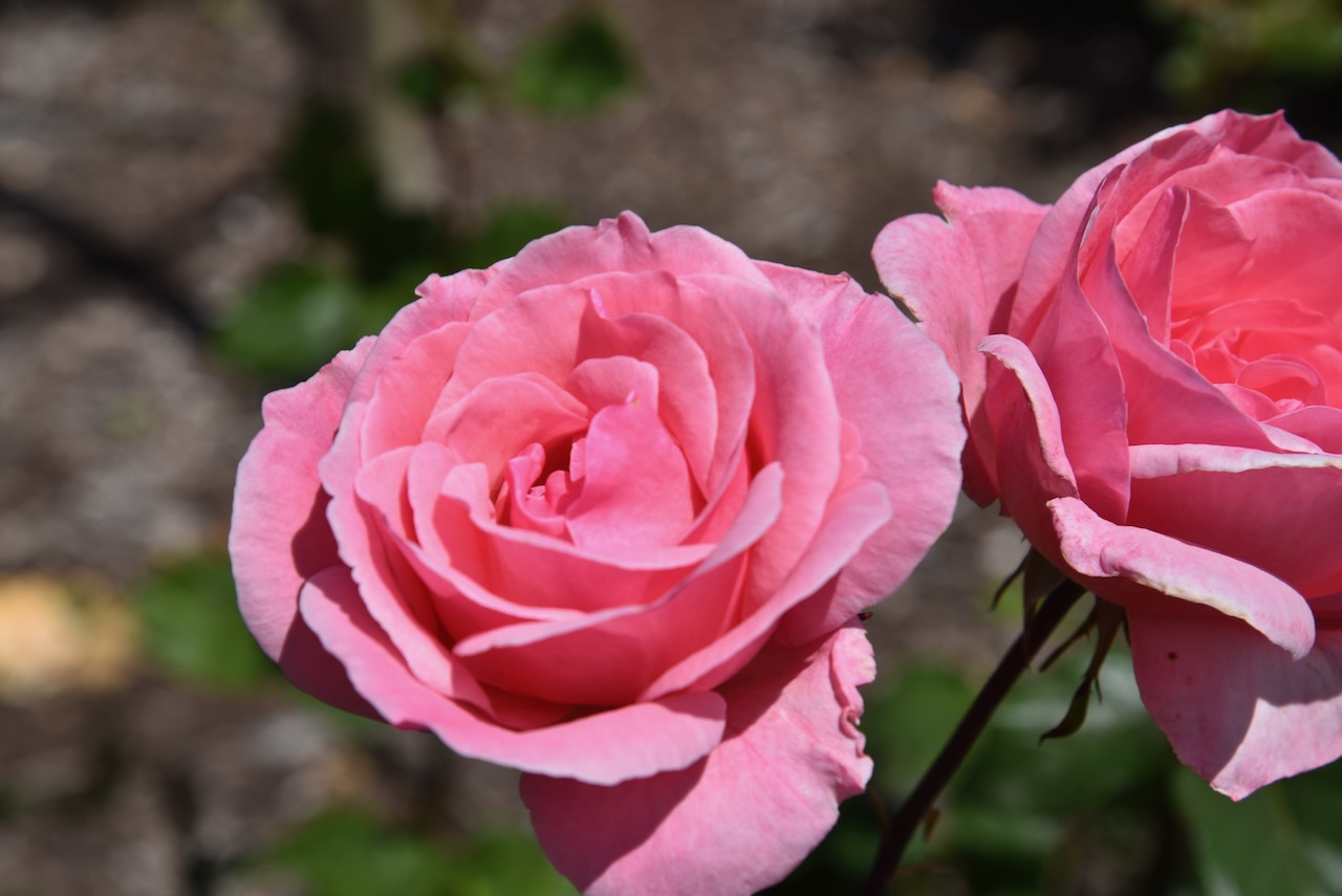
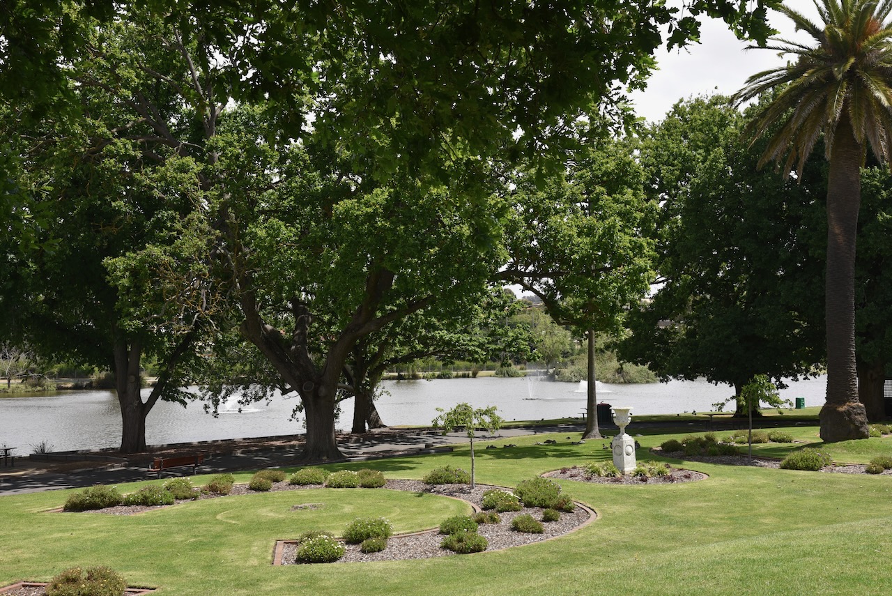
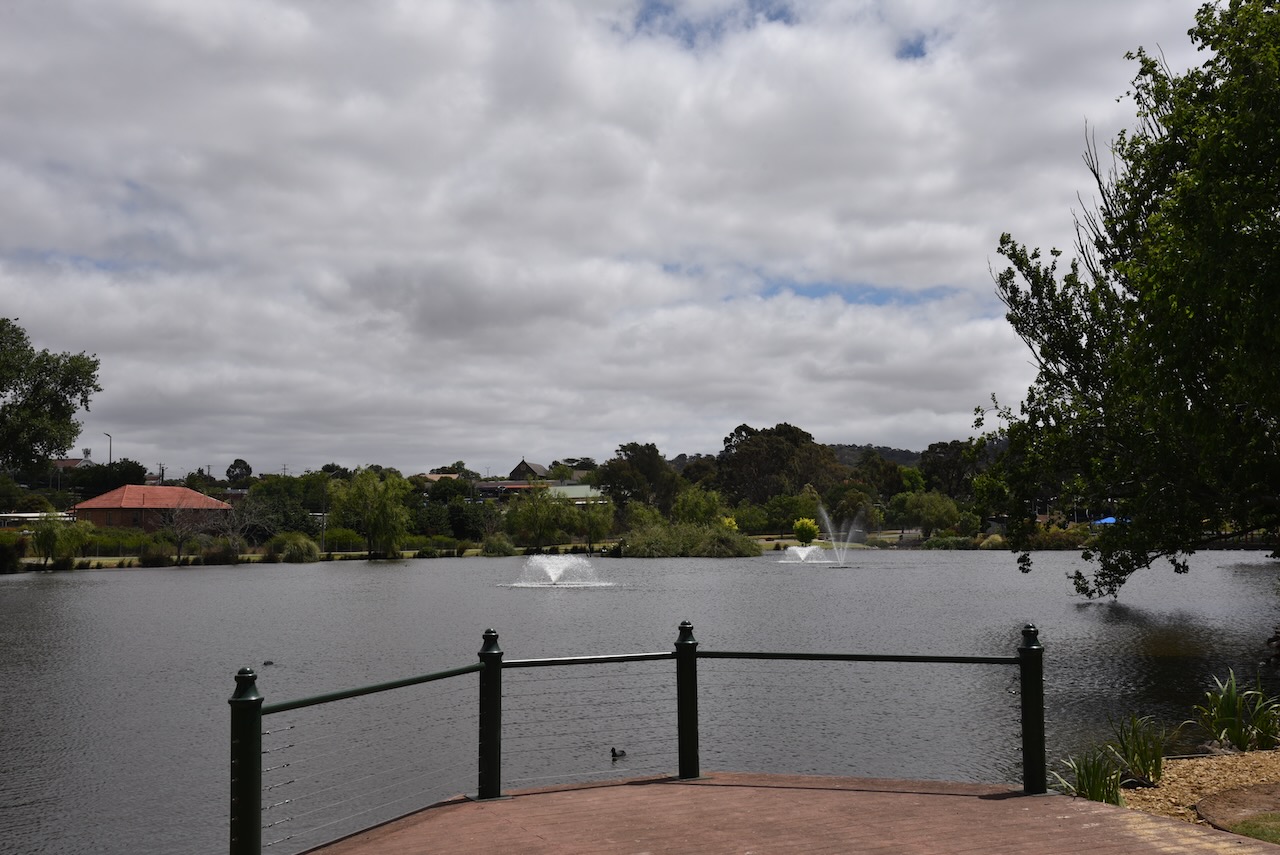
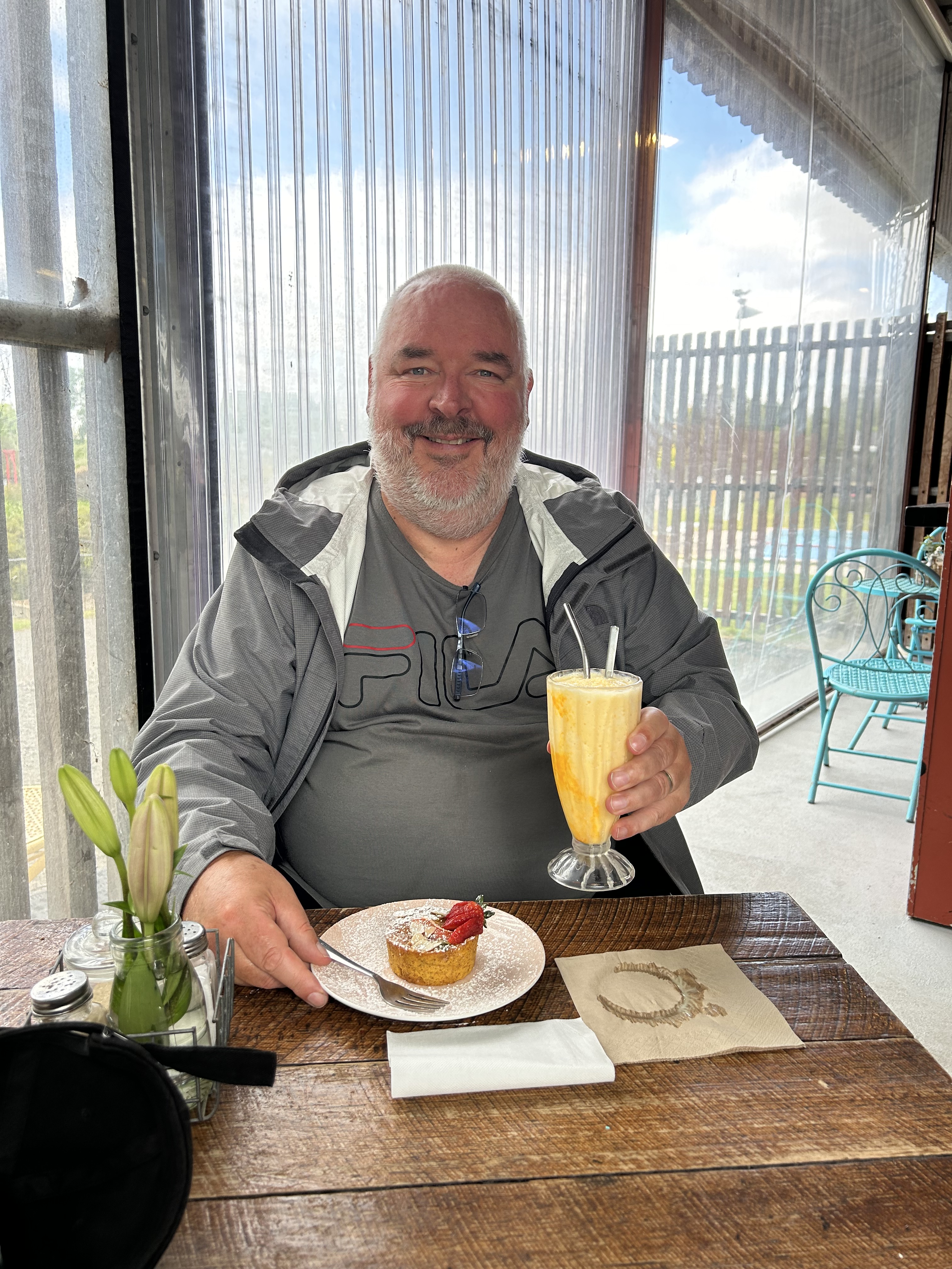
Marija and I enjoyed some afternoon tea in the gardens.

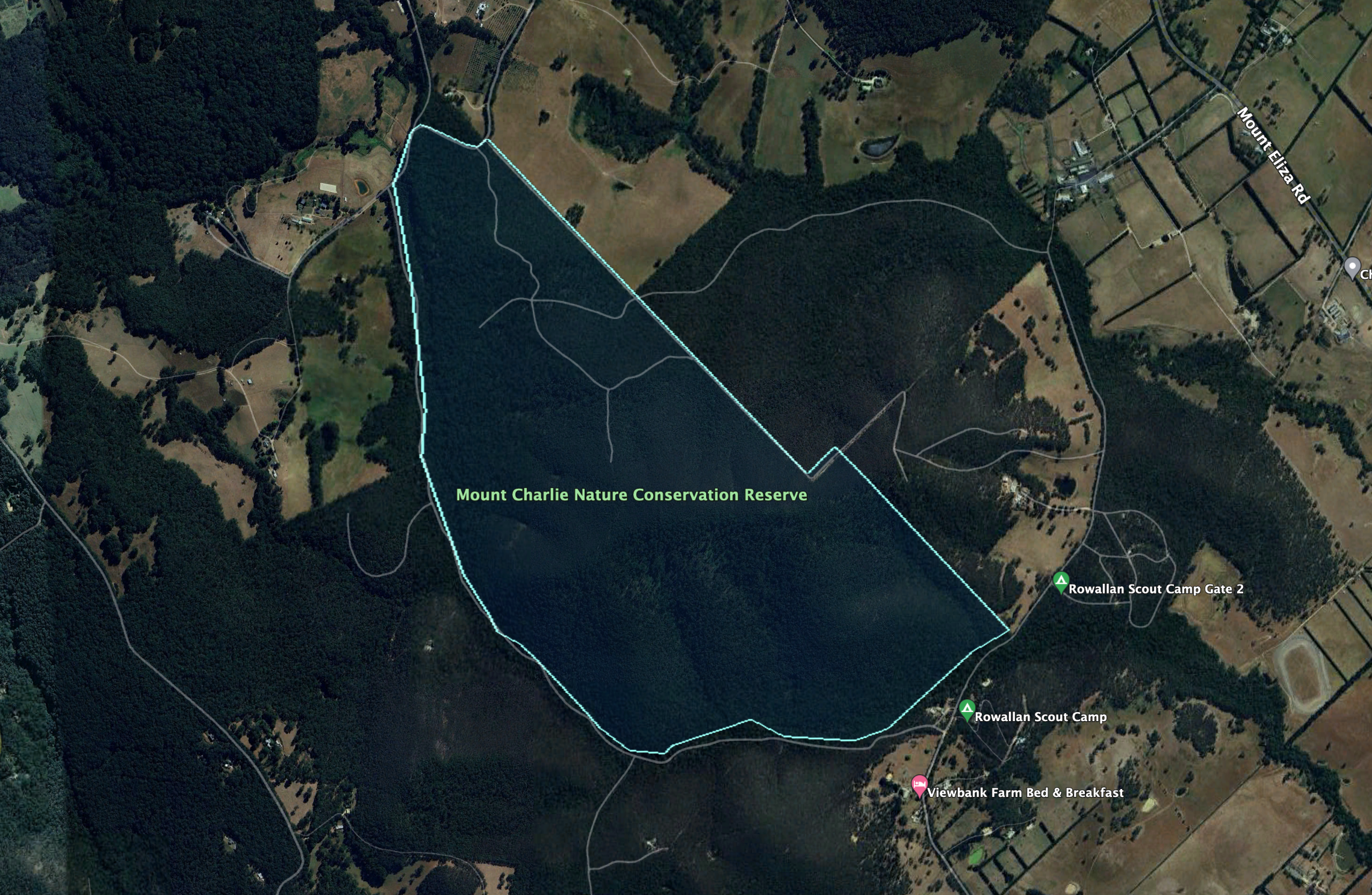
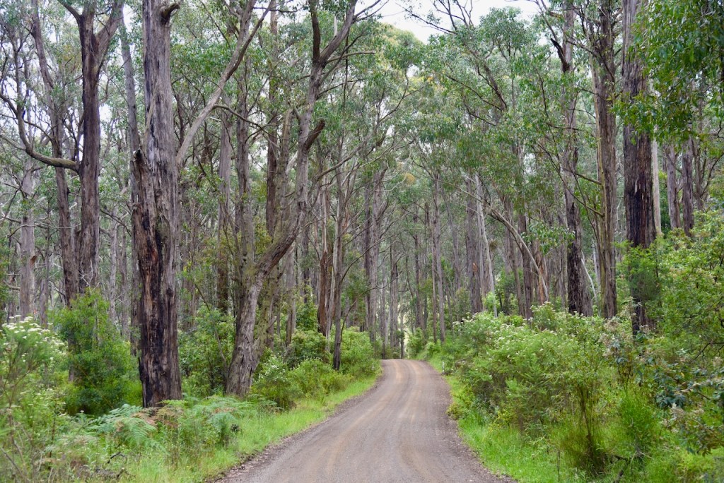
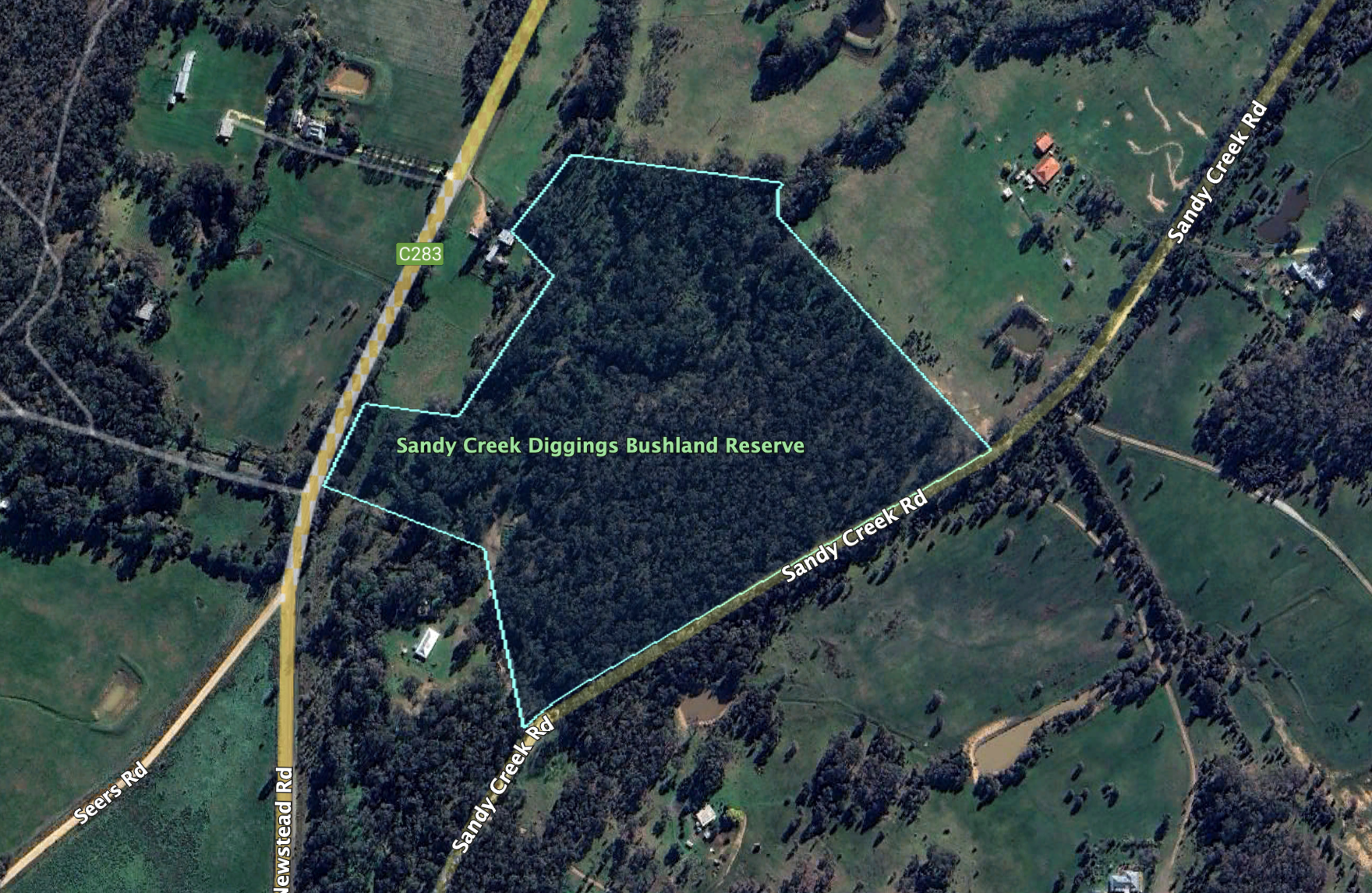
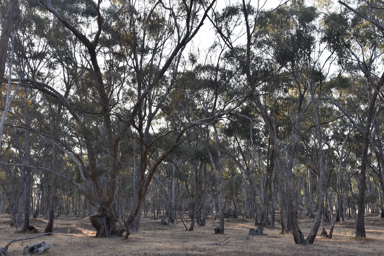
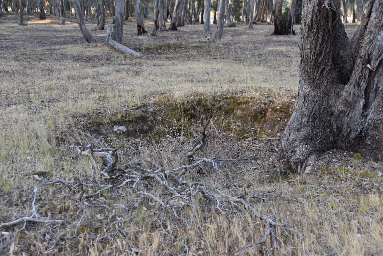
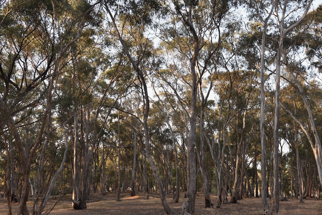
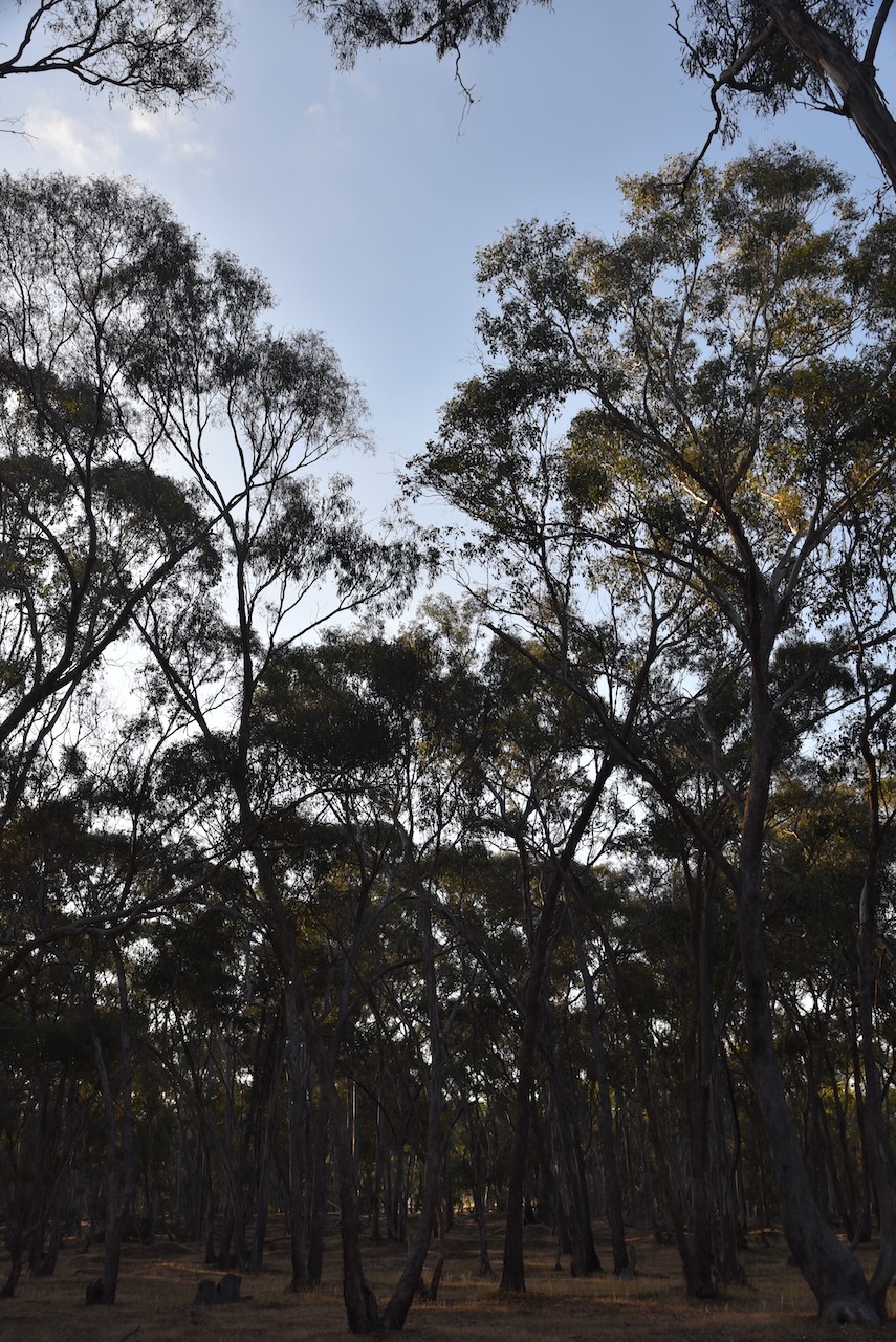
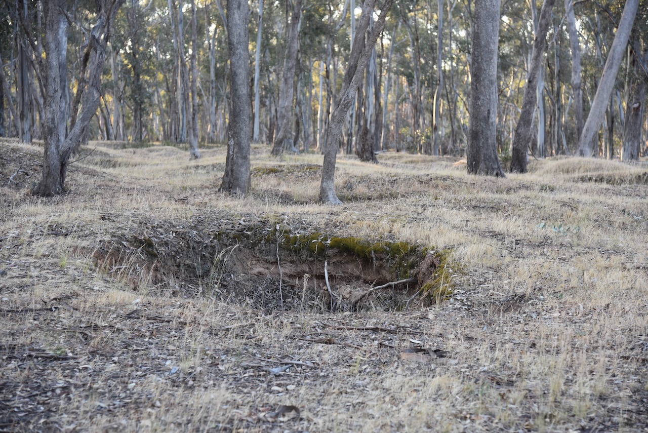
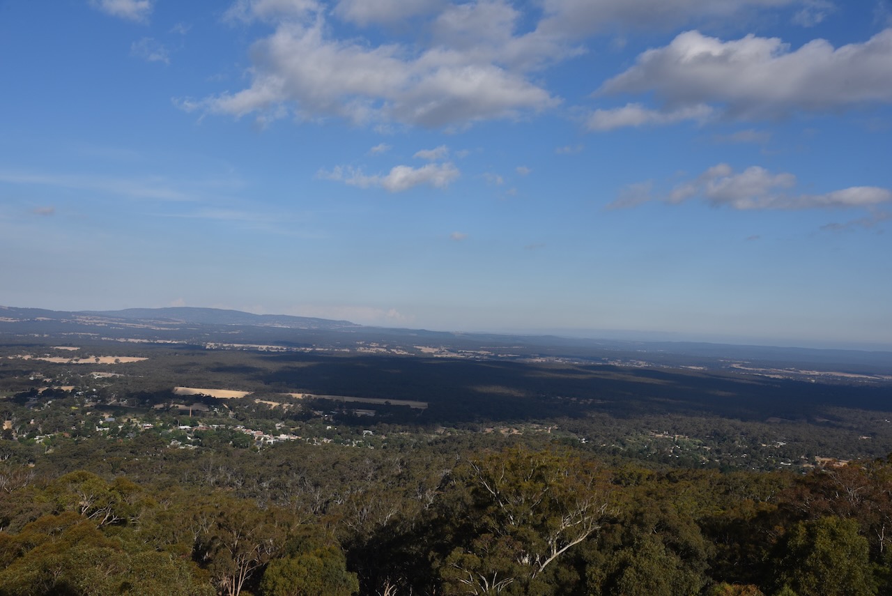
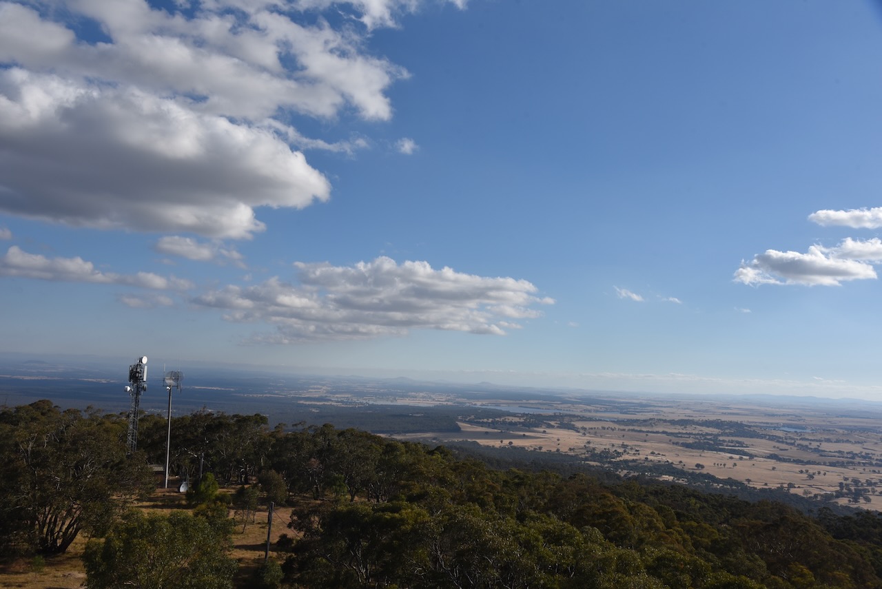
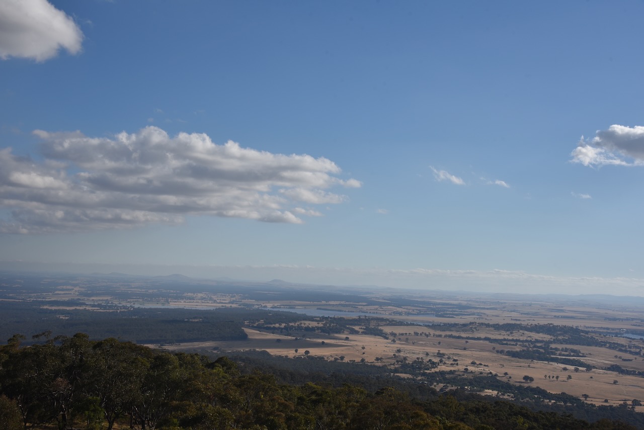
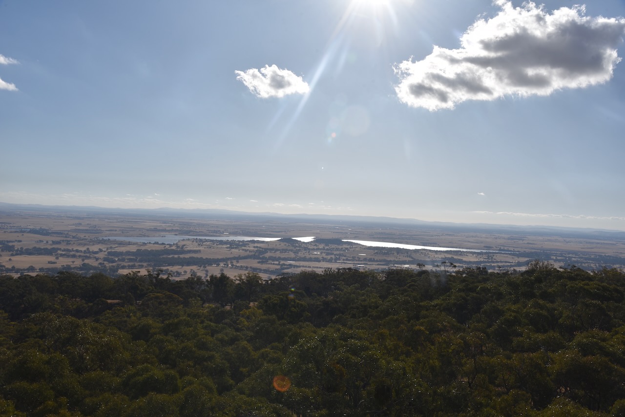
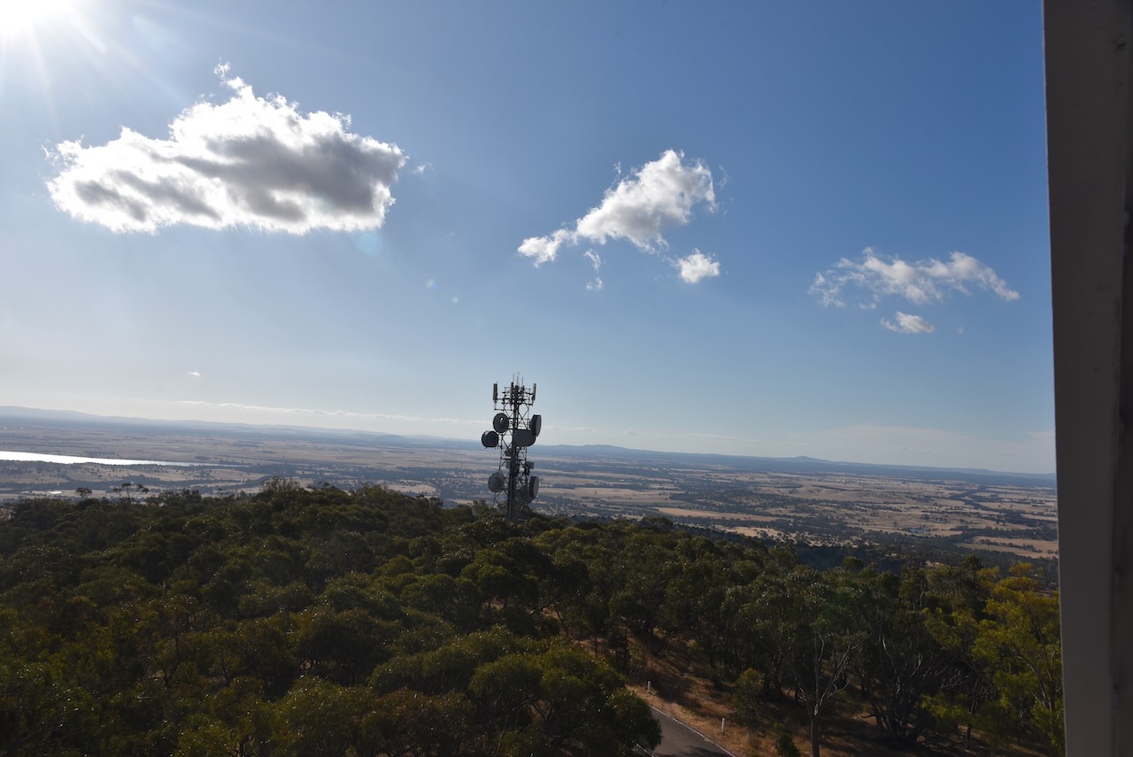
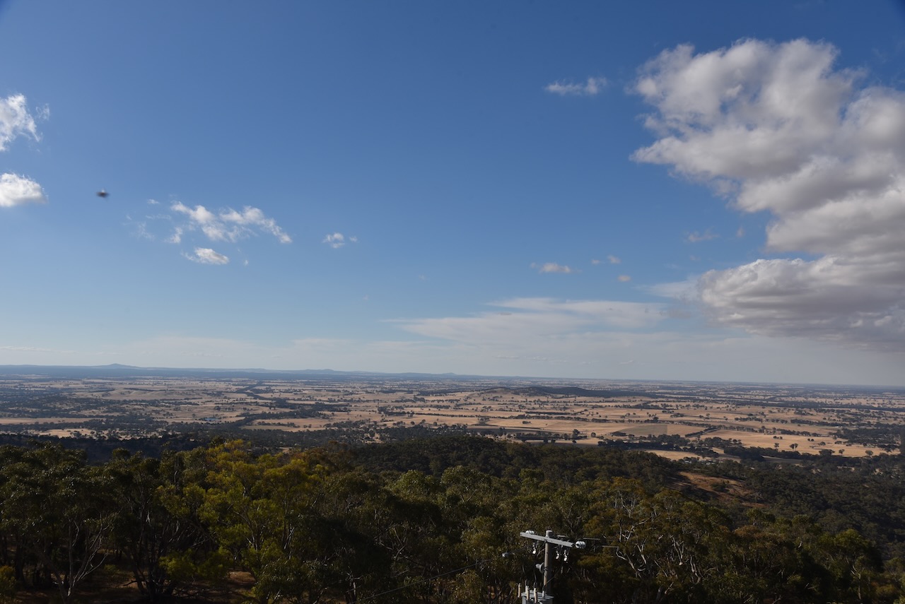
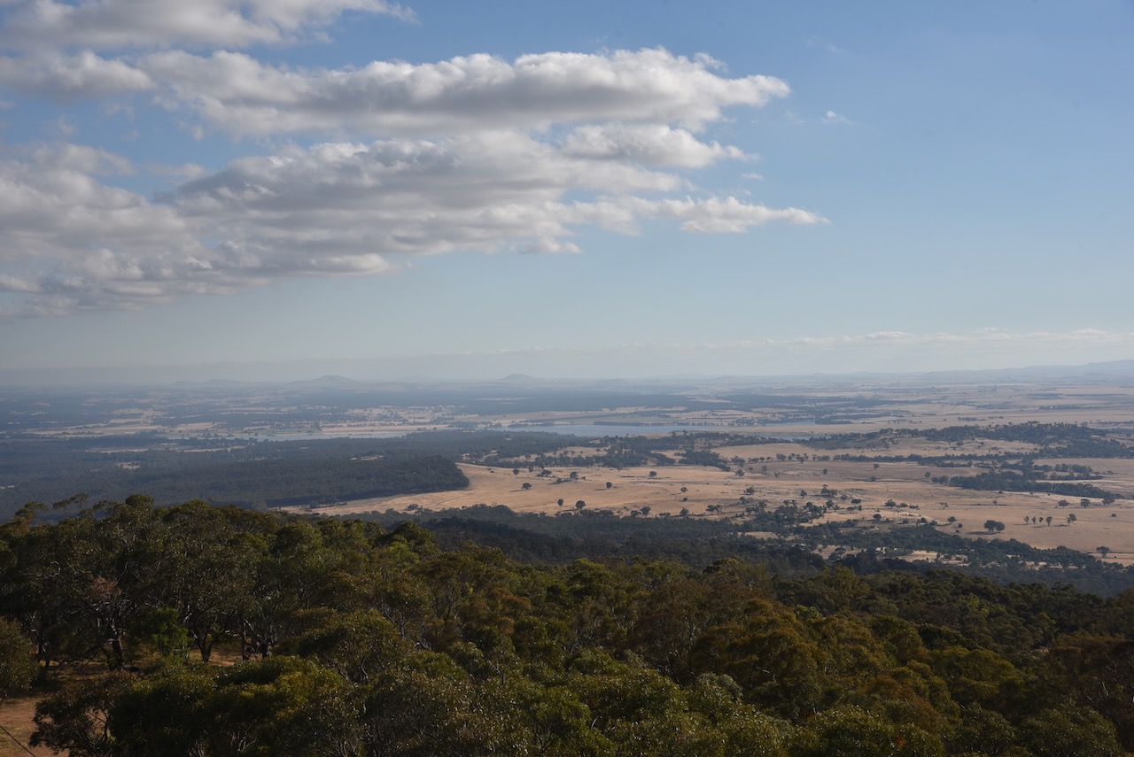
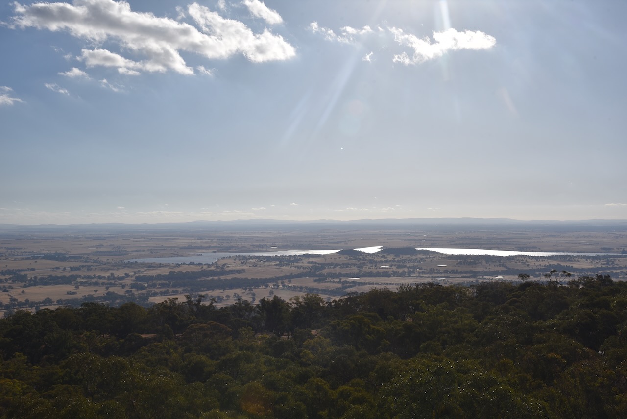
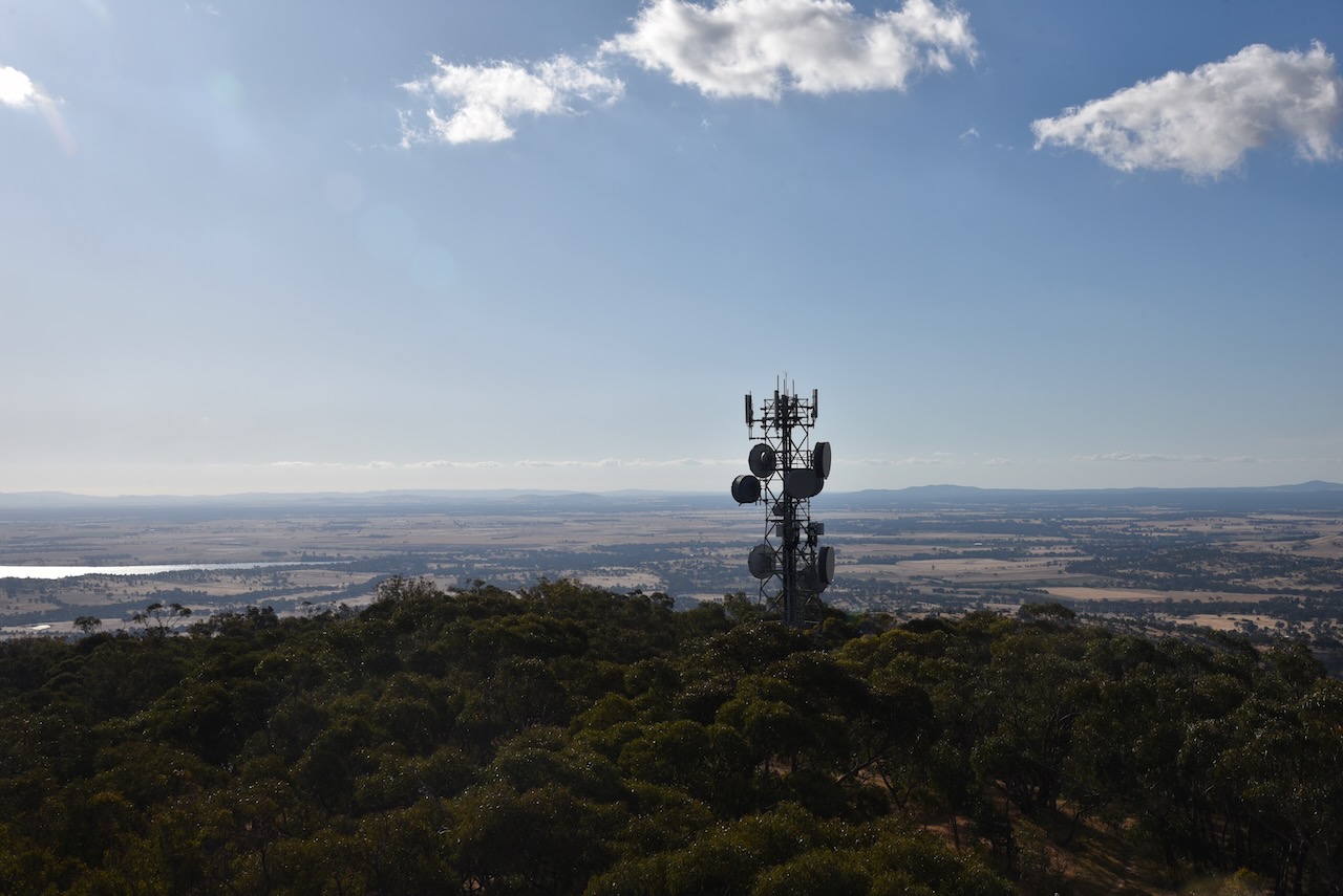
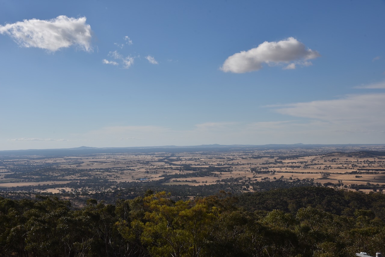
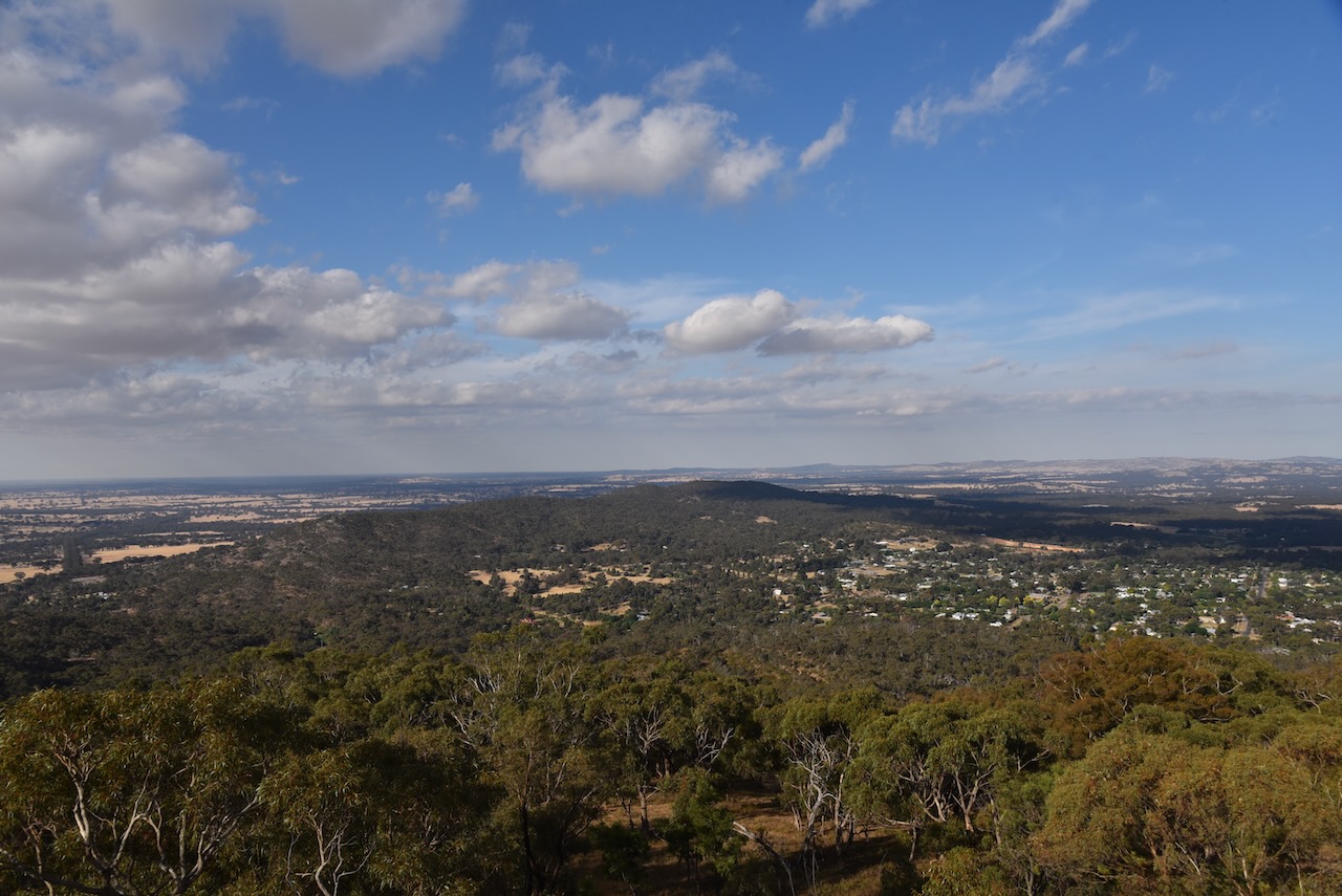
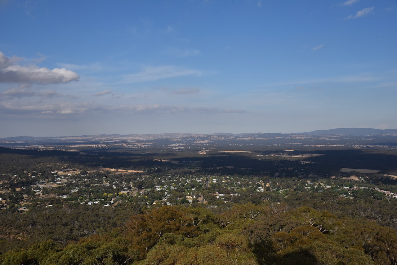
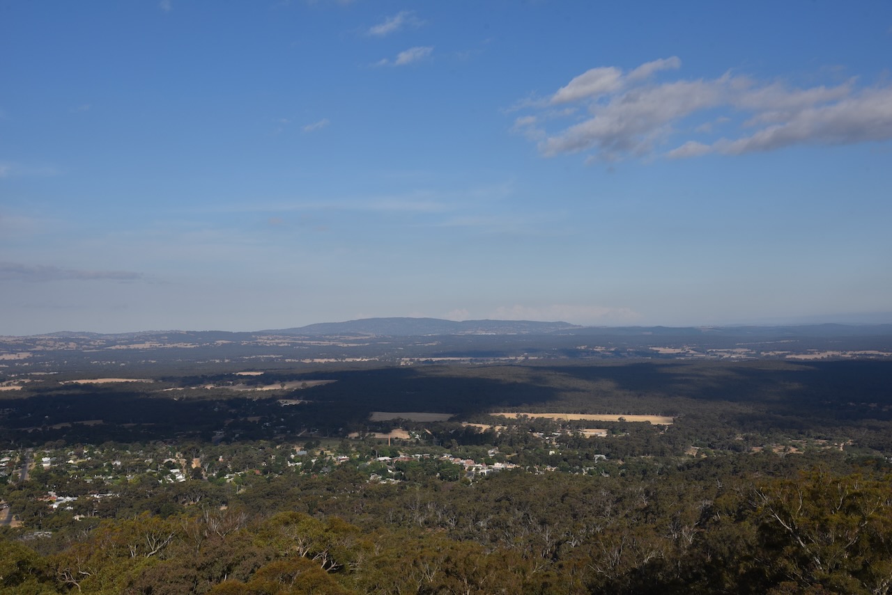
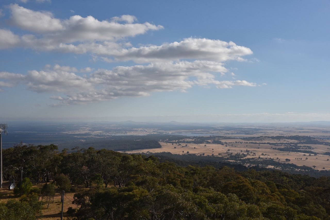
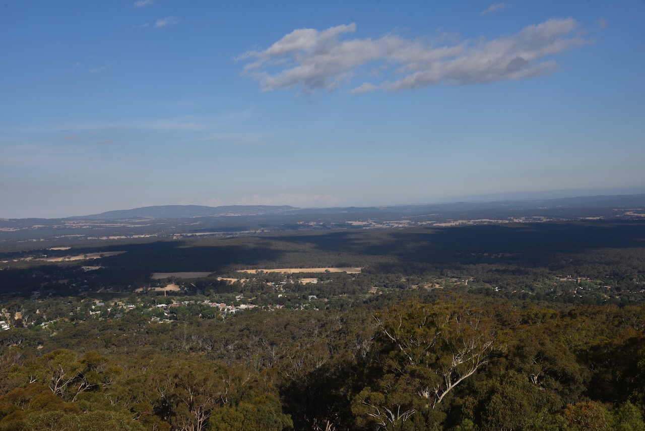
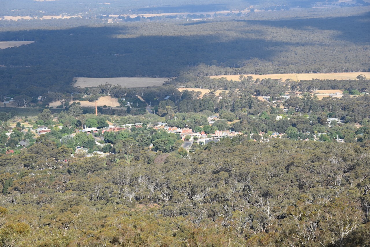
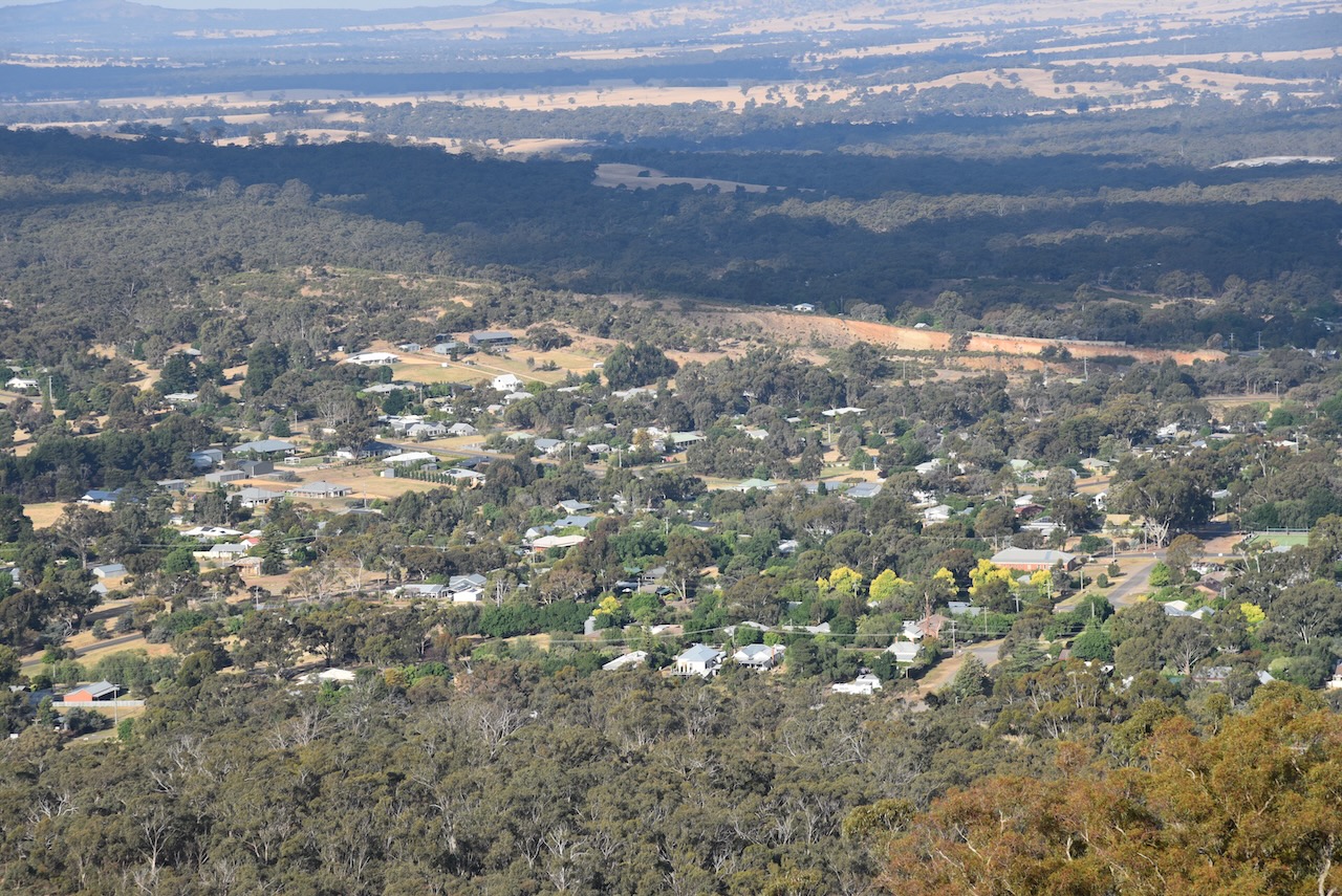
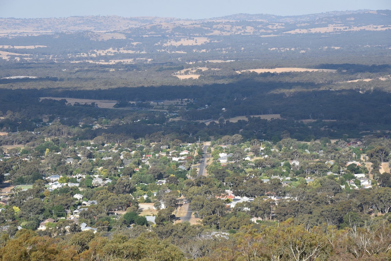
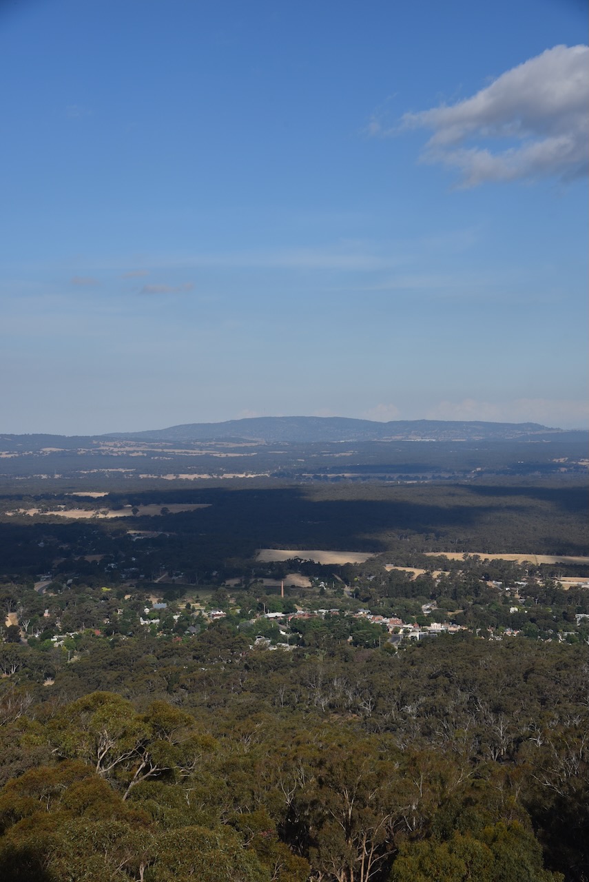
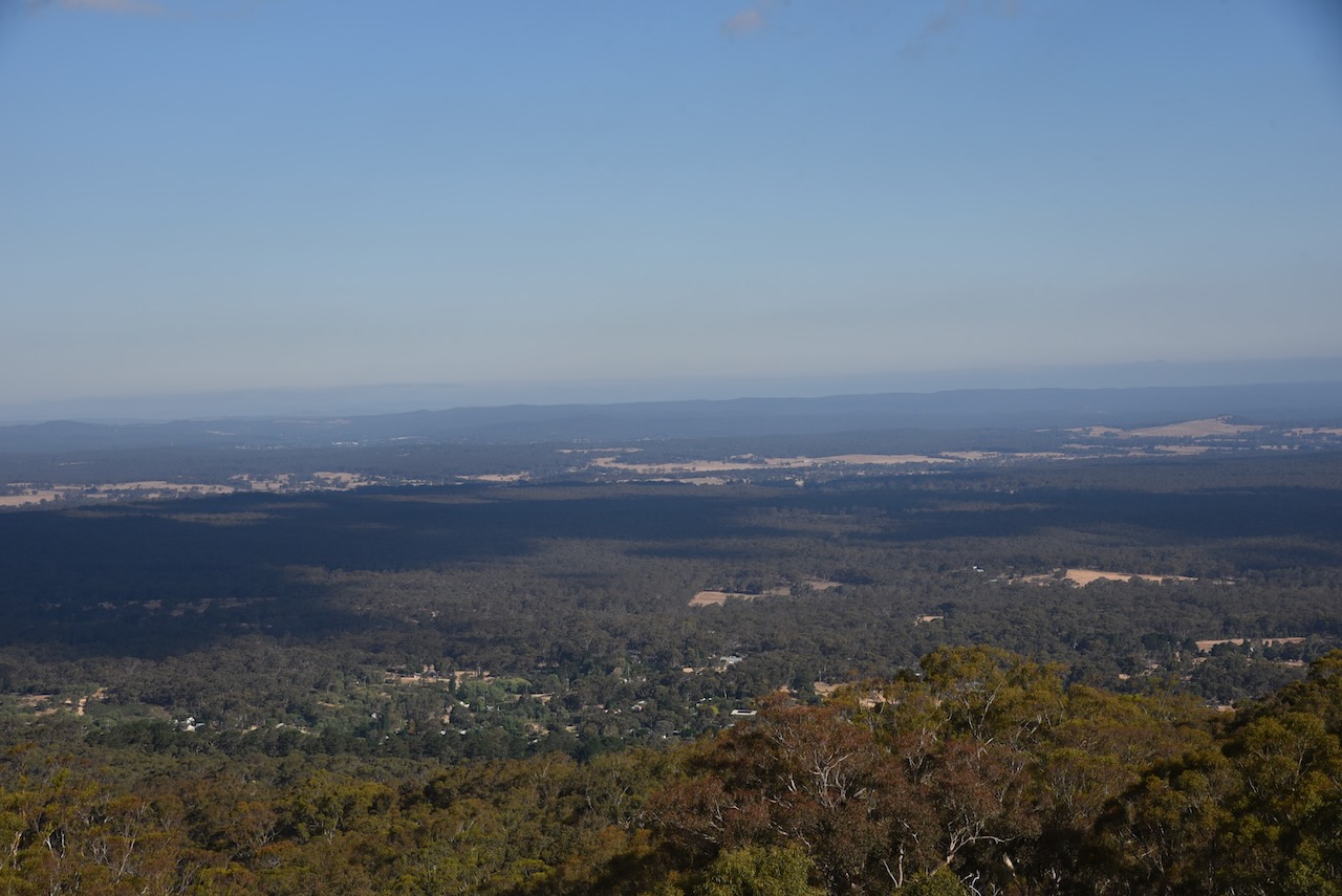
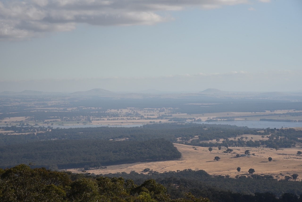
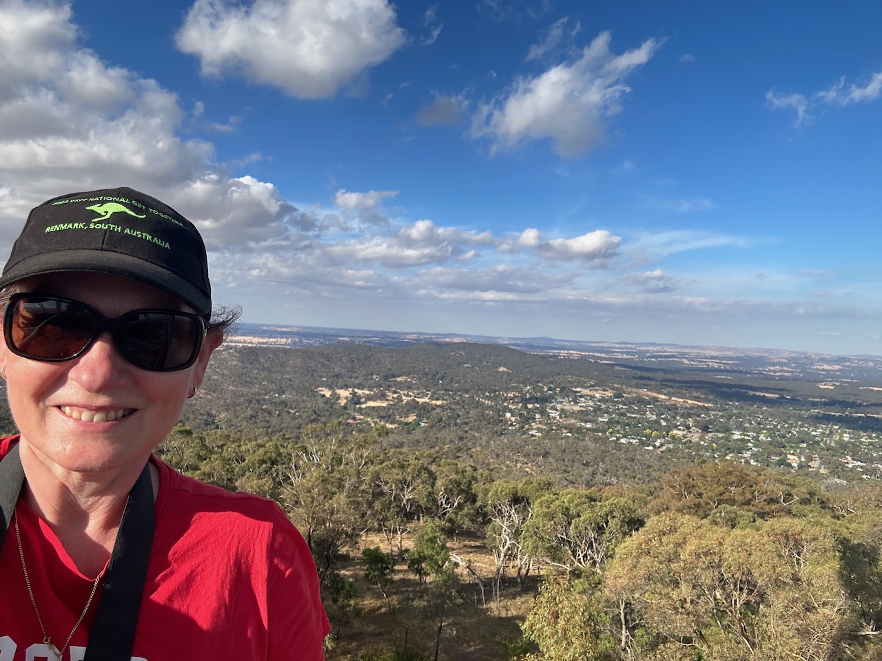
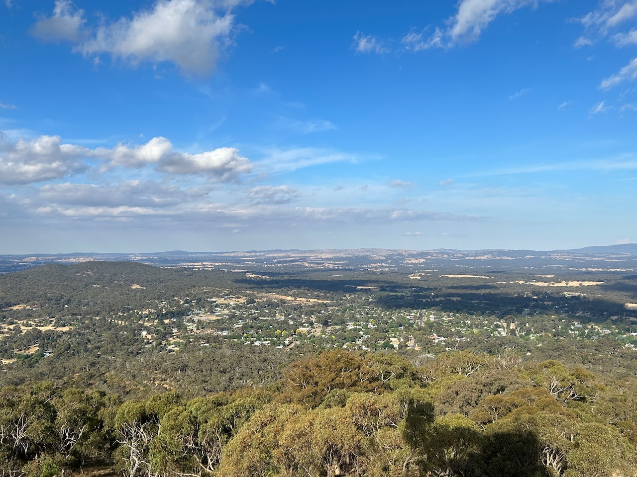
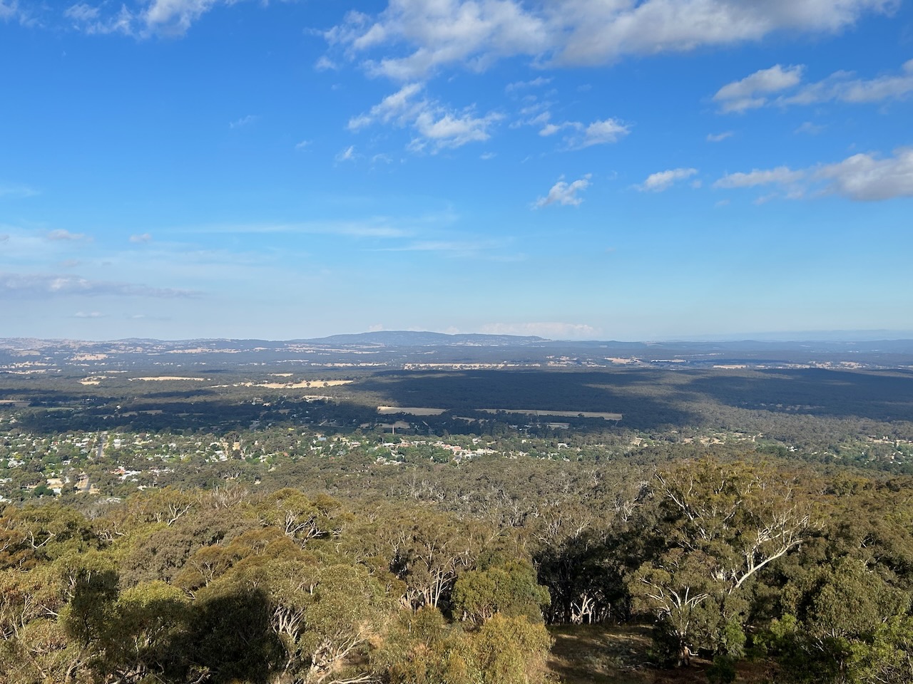
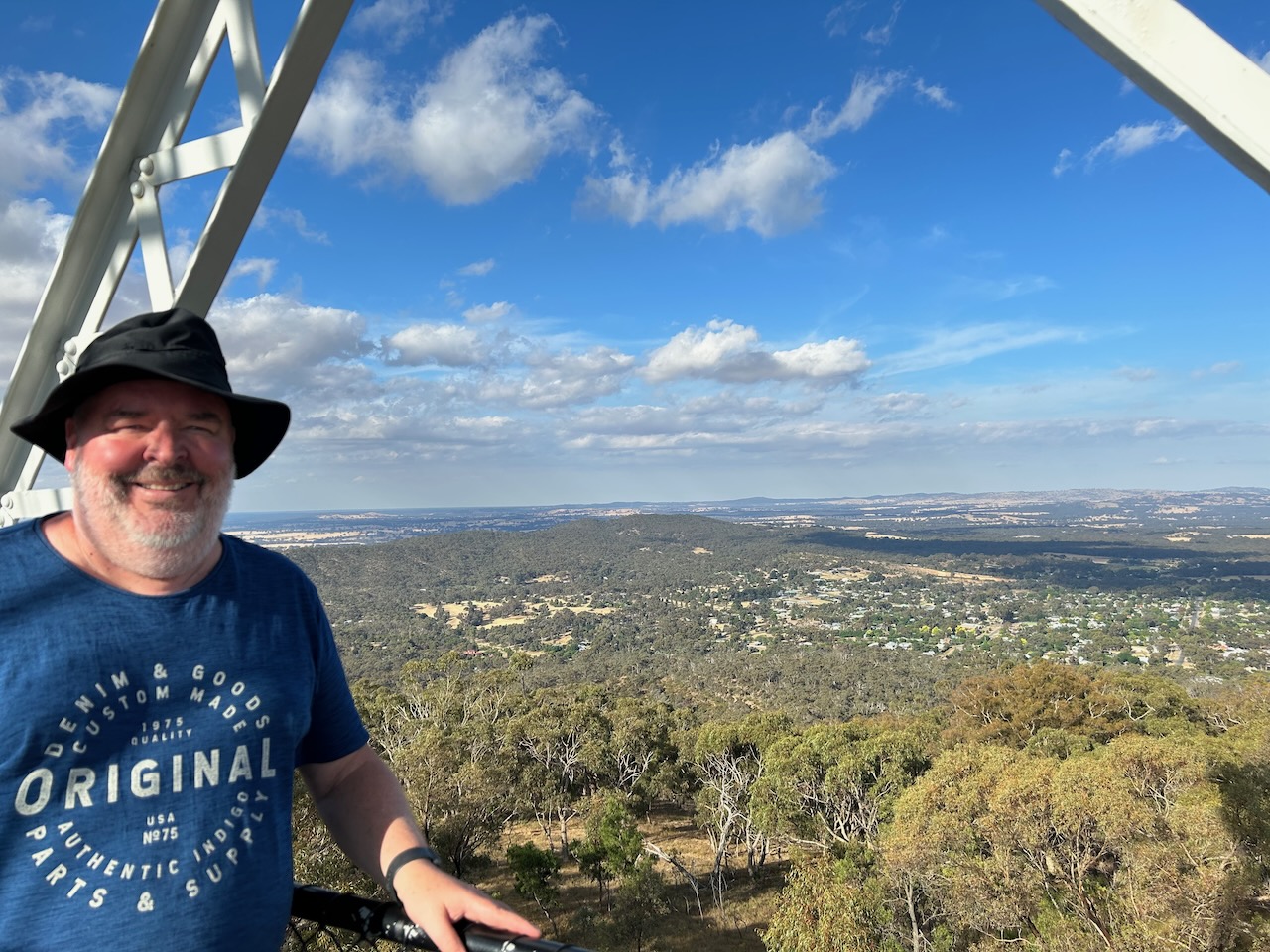
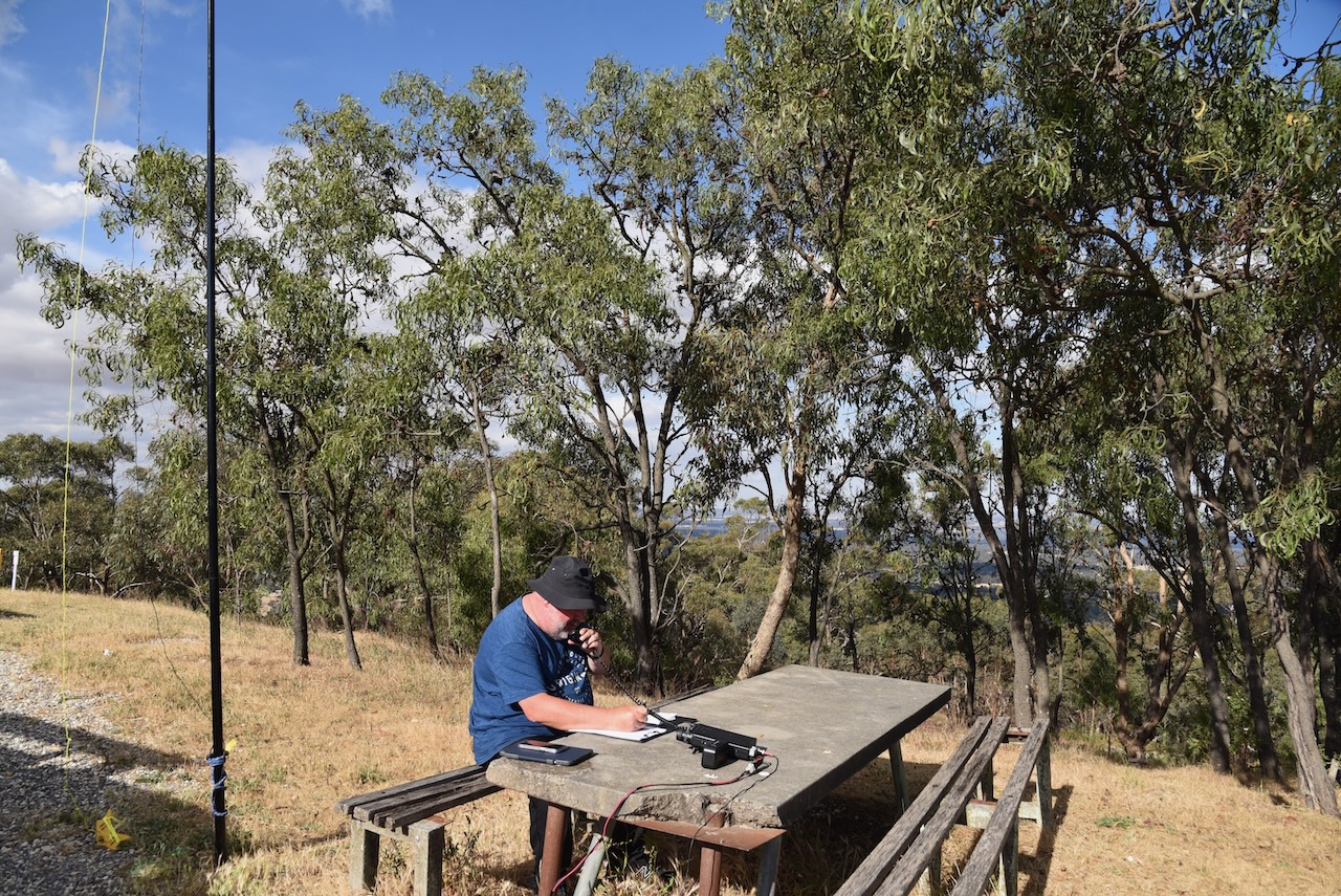
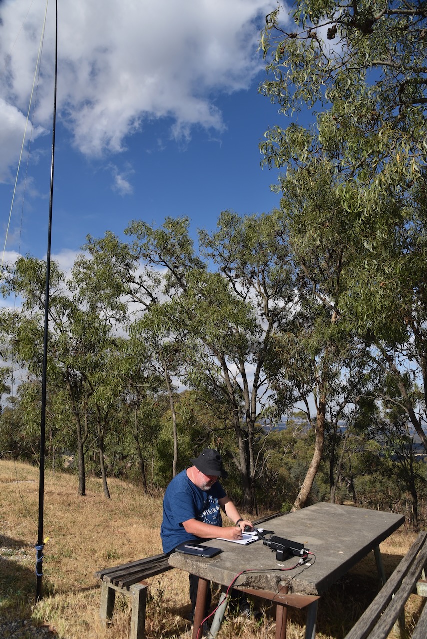
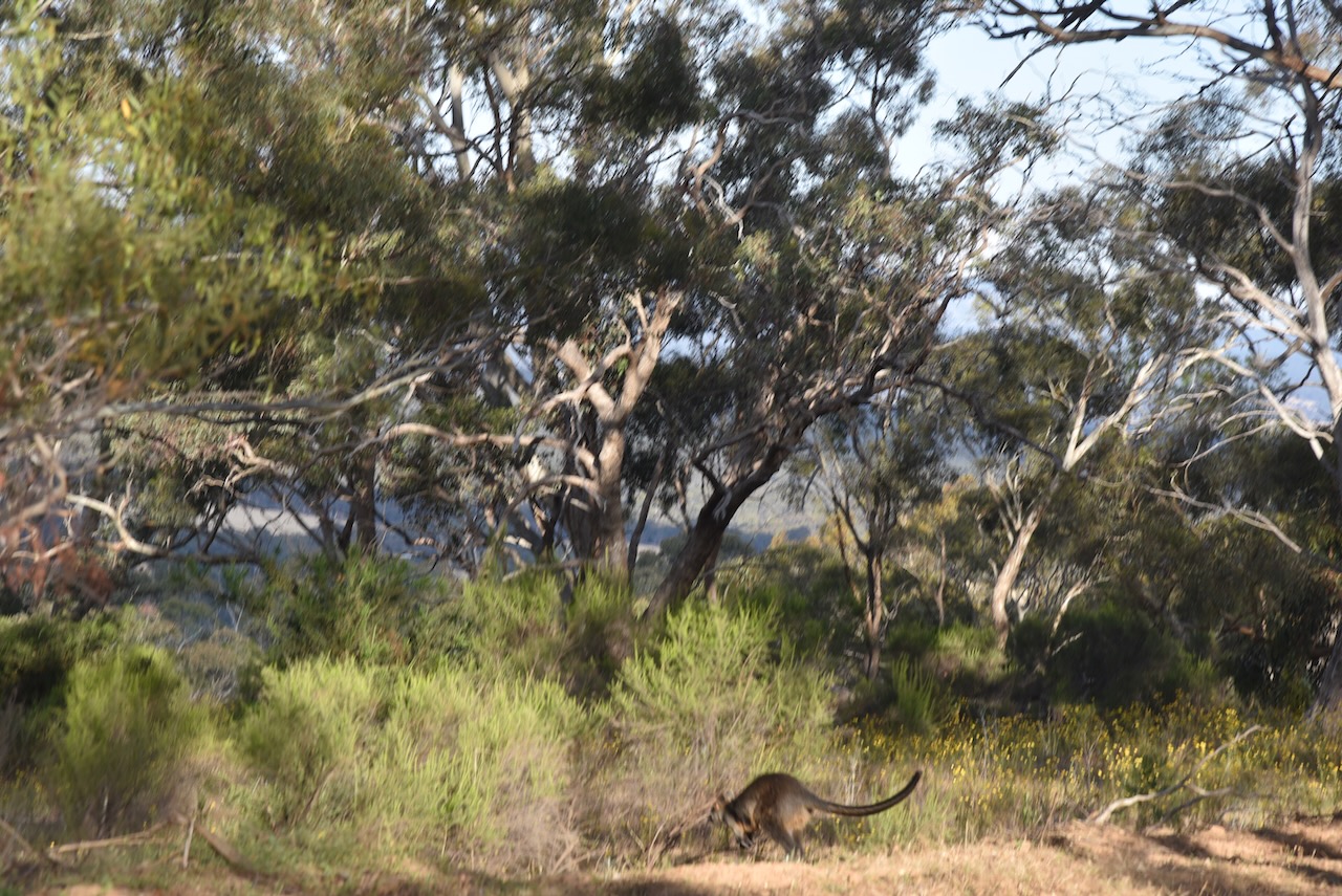
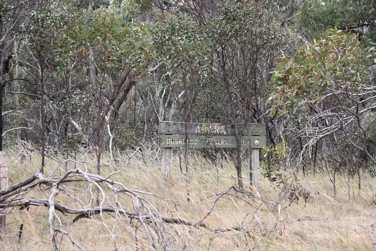
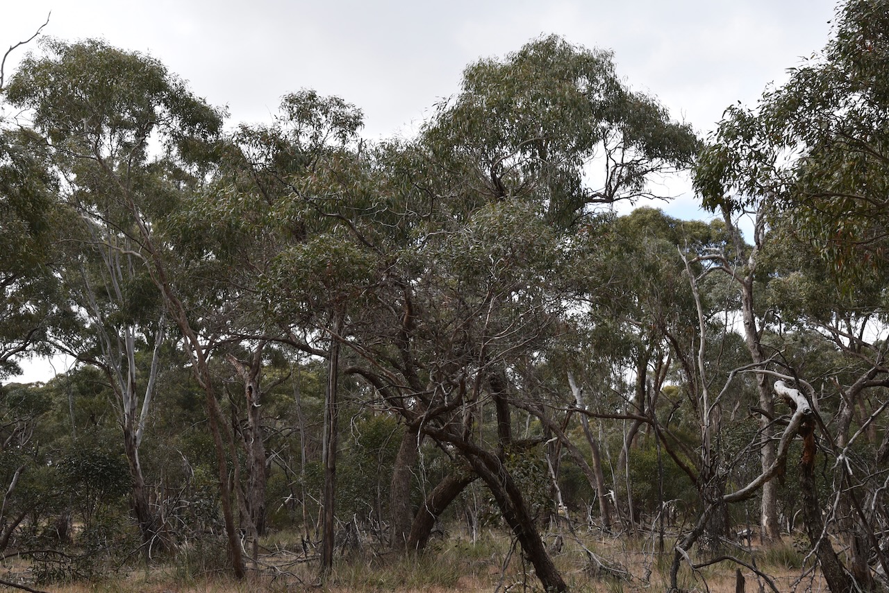
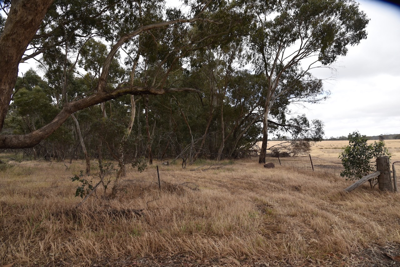
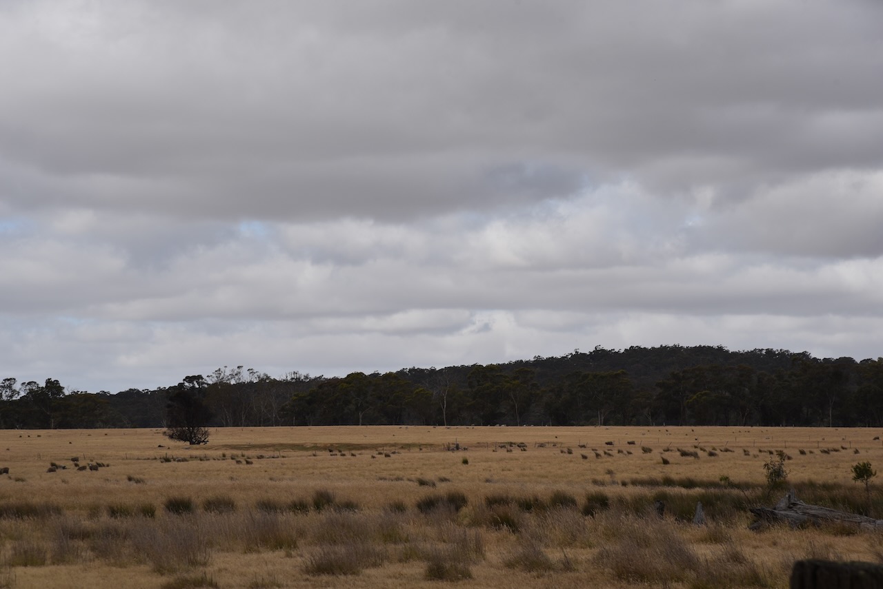
We then headed out to undertake a park activation at the Ararat Bushland Reserve VKFF-4300.

Above:- Map showing the location of the Ararat Bushland Reserve. Map c/o Google Maps.

The reserve is located on the corner of Railway Road and Common Road.

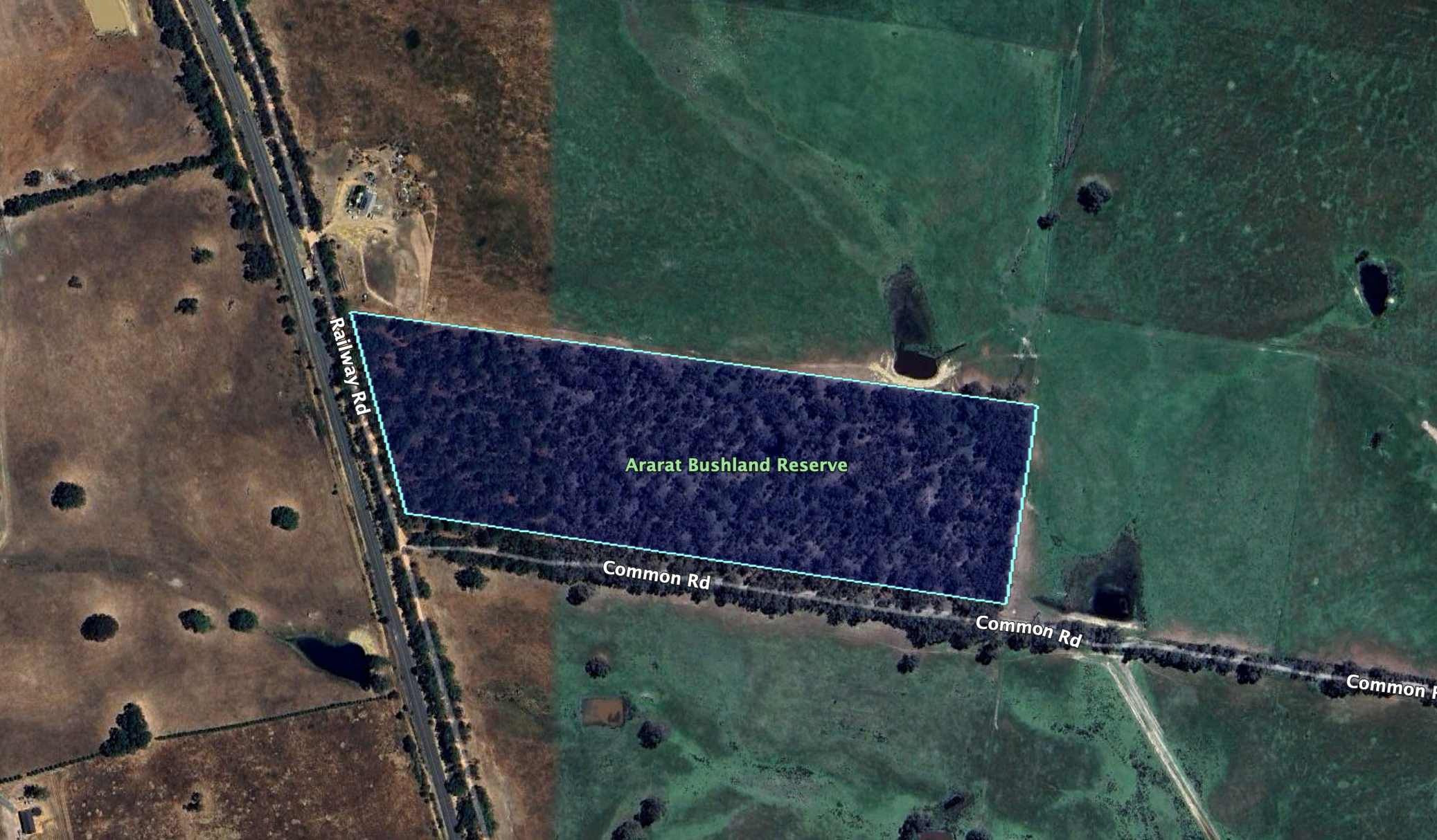
Above:- An aerial view of the reserve showing its boundaries. Image c/o Google Earth.

The reserve is about 12 hectares in size and was established on the 22nd day of November 1983. (CAPAD 2022)

Marija worked the following stations on 40m SSB:-

  1. VK3PF
  2. VK3KAI
  3. VK2USH
  4. VK3SG
  5. Vk1AO
  6. VK2MET
  7. VK3BEL
  8. VK5HS
  9. VK4MUD/p (Boat Mountain Conservation Park VKFF-1480)

Marija worked the following stations on 40m AM:-

  1. VK3PF
  2. VK3KAI
  3. VK3BEL
  4. VK3RM
  5. VK3BWS

Marija worked the following station on 20m SSB:-

  1. VK4MUD/p (Boat Mountain Conservation Park VKFF-1480)

I worked the following stations on 40m SSB:-

  1. VK3PF
  2. VK3KAI
  3. VK2USH
  4. VK3SG
  5. VK1AO
  6. VK2MET
  7. VK3BEL
  8. VK5HS
  9. VK3UAO
  10. VK3GB
  11. VK3JG/p
  12. VK4MUD/p (Boat Mountain Conservation Park VKFF-1480)
  13. VK3BWS
  14. VK3KMA
  15. VK5FANA
  16. VK3HBG
  17. VK3PWG
  18. VK3KTT
  19. VK3MEG
  20. VK2DWP
  21. VK4HMI
  22. VK3YV
  23. VK3TNL
  24. VK3SQ
  25. VK2BD
  26. VK3BBB
  27. VK2CCP
  28. VK7MAT

I worked the following stations on 40m AM:-

  1. VK3PF
  2. VK3KAI
  3. VK3BEL
  4. VK3RM
  5. VK3BWS
  6. VK3YV
  7. VK3TNL
  8. VK3SQ
  9. VK2BD

I worked the following stations on 20m SSB:-

  1. VK4JT
  2. VK4XCS
  3. VK6NTE
  4. VK4MUD/p (Boat Mountain Conservation Park VKFF-1480)
  5. VK1AO
  6. VK2MET
  7. F1BLL
  8. ZL3MW
  9. IW2BNA
  10. VK4HAT
  11. VK4EMP
  12. VK4TI
  13. VK4OZI
  14. KG5CIK

I worked the following station on 15m SSB:-

  1. VK4MUD/p (Boat Mountain Conservation Park VKFF-1480)

References.

  1. Dcceew.gov.au. (2023). Collaborative Australian Protected Areas Database (CAPAD) 2022 – DCCEEW. [online] Available at: https://www.dcceew.gov.au/environment/land/nrs/science/capad/2022 [Accessed 1st May 2024].‌
  2. Destination Beaufort – Your Grampians Gateway. (2023). Beaufort Historical Walk – Destination Beaufort. [online] Available at: https://destinationbeaufort.com.au/listings/beaufort-historical-walk/ [Accessed 2 May 2024].‌
  3. GUM SAN CHINESE HERITAGE CENTRE. (n.d.). GUM SAN CHINESE HERITAGE CENTRE. [online] Available at: https://www.gumsan.com.au/ [Accessed 1 May 2024].‌
  4. https. (n.d.). Alexandra Gardens. [online] Available at: https://www.goldfieldsguide.com.au/explore-location/210/alexandra-gardens/ [Accessed 1 May 2024].‌
  5. Sayers, C.E. (n.d.). Horatio Spencer Howe Wills (1811–1861). [online] Australian Dictionary of Biography. Available at: https://adb.anu.edu.au/biography/wills-horatio-spencer-howe-2799 [Accessed 2 May 2024].‌
  6. THE WILLS’ TRAGEDY. (1861). Sydney Morning Herald. [online] 16 Nov. Available at: https://trove.nla.gov.au/newspaper/article/13062373 [Accessed 2 May 2024].‌‌
  7. http://www.victorianplaces.com.au. (n.d.). Beaufort | Victorian Places. [online] Available at: https://www.victorianplaces.com.au/beaufort [Accessed 1 May 2024].‌
  8. http://www.victorianplaces.com.au. (n.d.). Ararat | Victorian Places. [online] Available at: https://www.victorianplaces.com.au/ararat. [Accessed 2 May 2024].‌‌

Brunswick silo VK-BRC3

Our final silo activation for Wednesday 29th November 2023 was the Brunswick silo VK-BRC3. The silo is located alongside the railway line at Tinning Street, Brunswick.

Above:- Map showing the location of the Brunswick silo. Map c/o Google Maps.

Brunswick is an inner city suburb in Melbourne, about 5 km north of the Melbourne CBD. It is traditionally a working-class area. It takes its name from George IV and the city of Brunswick, Germany, which lay within his ancestral Kingdom of Hanover.

The silo is part of the Australian Silo Art Trail. It features an image of the former New Zealand Prime Minister Jacinda Ardern embracing a Muslim woman following the Christchurch mosque attacks in 2019. The mural was painted in May 2019 by Loretta Lizzio. (Silo Art 2024)

We parked in Colebrook Street and suffered from strength 5 noise on both the 40m band and the 20m band.

Marija worked the following stations on 40m SSB:-

  1. VK3UAO
  2. VK7ZA
  3. VK7JFD
  4. VK3PF

Marija worked the following station on 20m SSB:-

  1. VK3UAO

I worked the following stations on 40m SSB:-

  1. VK3UAO
  2. VK7ZA
  3. VK7JFD
  4. VK3PF

I worked the following station on 20m SSB:-

  1. VK3UAO

Marija and I then visited the Victoria Police Museum located at Police Headquarters in Spencer Street, Docklands. It opened just 2 months earlier in September 2023. We visited the museum at its old location many years ago.

The museum features more than 300 historical police objects including Australia’s largest collection of Kelly Gang armour. (Victoria Police Museum 2024)

We then walked to Spencer Street Railway Station and caught the train back to our friends Jackie and Des’s house in Kensington.

That evening we attended the Jackson Browne concert at Margaret Court Arena. Each time Jackson visits Australia, I have attended his concerts, and he never disappoints. This was take two for us. We had been to Melbourne earlier in the year, but sadly the concert was cancelled due to illness. What a brilliant evening with front row seats. I even got to catch up with my mate Greg VK3MTV who was at the concert.

References.

  1. http://www.australiansiloarttrail.com. (n.d.). Brunswick Silo Art. [online] Available at: https://www.australiansiloarttrail.com/brunswick [Accessed 1 May 2024].‌
  2. http://www.police.vic.gov.au. (2023). Victoria Police Museum. [online] Available at: https://www.police.vic.gov.au/victoria-police-museum [Accessed 1 May 2024].‌

Is Don Is Good silo VK-ISD3

Our next silo activation for Wednesday 29th November 2023 was the Is Don Is Good silo VK-ISD3. The silo is located in Laurens Street, North Melbourne.

Above:- Map showing the location of the Is Don Is Good silo at North Melbourne. Map c/o Google Maps.

The silo features the famous Is Don logo of the DON Smallgoods company.

The story of DON Smallgoods dates back to 1947 when R.J. Gilbertson, a butcher who had a small store at Essendon, commenced production of a range of processed meats. His business became one of the biggest names in Australian food, DON. (DON 2024)

During the 1990s DON ran a series of famous commercials featuring Scotisch-born Australian actor Thomas Gibson ‘Tommy’ Dysart (b. 1935. d. 2022), an amusing butcher.

Marija and I parked in Foggerty Street next to the North Melbourne Recreation Reserve, in the activation zone for the silo.

Above:- the activation zone at the Is Don Is Good silo. Image c/o SiOTA website.

We operated from the 4WD, running the Icom IC7000, 100 watts and the Codan 9350 with the 1.5-metre stainless steel whip. Unfortunately, we had strength 5-6 noise on the 40m band and we only made limited contacts.

Marija worked the following stations on 40m SSB:-

  1. VK5HS
  2. VK7ZA
  3. VK3UAO

I worked the following stations on 40m SSB:-

  1. VK5HS
  2. VK7ZA
  3. VK3UAO

I worked the following stations on 20m SSB:-

  1. VK4NH
  2. VK4DXA

References.

  1. Anon, (n.d.). Our Story – Don. [online] Available at: https://isdonisgood.com.au/our-story/ [viewed 1st May 2024]‌

Uncle Toby’s silo VK-UNS3

Our first activation for Wednesday 29th day of November 2023, was the Uncle Toby’s silo VK-UNS3 for the Silos On The Air (SiOTA) program.

The silos are located at the site of the old Uncle Tobys factory on Sunshine Road, West Footscray.

Uncle Tobys is an Australian food manufacturing company that was established in 1861. It specialises in breakfast oat products. It is currently operated as a wholly owned subsidiary of Nestlé, with its main factory being located in Wahgunyah, Victoria. (Leth 2019)

During the 1850s gold rush in Victoria, brothers Leonard Frederick Parsons (b. 1846. d. 1917) and George Sidney Parsons (b. 1844. d. 1886) left England and commenced manufacturing John Bull Oats in Melbourne. In 1861 they established Parsons Brothers which later became Uncle Tobys. (Uncle Tobys 2024)

Above:- Article from The Sydney Morning Herald, Wed 18 July 1917. Image c/o Trove.

Marija and I parked in Hansen Reserve in the activation zone and operated from the 4WD for this activation. We ran the Icom Ic-7000, 100 watts and the Codan 9350 with the 1/5 metre stainless steel whip. Surprisingly the noise floor was only strength 3 on the 40m band.

Above:- the activation zone at the Uncle Toby’s silo. Image c/o SiOTA website.

Marija worked the following stations on 40m SSB:-

  1. VK3PF
  2. VK3CLD
  3. VK3UAO
  4. VK2EXA

I worked the following stations on 40m SSB:-

  1. VK3PF
  2. VK3CLD
  3. VK3UAO
  4. VK2EXA
  5. VK5HS
  6. VK7ZA

I worked the following stations on 20m SSB:-

  1. VK2IO
  2. VK3UAO

References.

  1. Leth, Melinda (2019). “Sustainable Oat Production in Australia”
  2. Uncle Toby’s (2023). Our story. [online] Uncle Tobys. Available at: https://www.uncletobys.com.au/our-story. [viewed 1st May 2024]‌

Mount Charlie Flora Reserve VKFF-2396

On our way into Melbourne (28th November 2023), Marija and I decided to activate the Mount Charlie Flora Reserve VKFF-2396.

Above:- Map showing the location of the Mount Charlie Flora Reserve. Map c/o Google Maps.

To get to the park Marija and I drove through the beautiful Macedon Ranges which is well known for its thriving food and wine industry, native forests and other natural attractions.

Mount Macedon which is contained within the Ranges was named by the explorer, Sir Thomas Livingstone Mitchell (b. 1792. d. 1855), in 1836. On the 30th day of September 1836, he climbed the mountain and named it after Philip II of Macedon (359 BC-336 BC), the father of Alexander the Great. (Aussie Towns 2024) (Monuments Australia 2024)

Above:- Major Thomas Mitchell. Image c/o Wikipedia.

The Mount Charlie Flora Reserve is bordered to the south and the west by Mount Charlie Road.

Above:- An aerial view of the Mount Charlie Flora Reserve. Image c/o Google Maps.

The reserve is about 318 hectares in size and was established on the 20th day of March 1979. (CAPAD 2022)

An aerial view of the park showing its boundaries. Image c/o Google Earth.

Marija and I parked on Mount Charlie Road and we found a clearing in the scrub and set up our station comprising the Yaesu FT857, 40 watts and the 20/40/80m linked dipole. I used the special call of VI10VKFF.

Marija worked the following stations on 40m SSB:-

  1. VK3PF
  2. VK3KAI
  3. VK2EXA
  4. VK3ZSC
  5. VK3UAO
  6. VK3ZMD

Marija worked the following stations on 40m AM:-

  1. VK3PF
  2. VK3KAI
  3. VK2EXA
  4. VK2HAK

I worked the following stations on 40m SSB:-

  1. VK3PF
  2. VK3KAI
  3. VK2EXA
  4. VK3ZSC
  5. VK3UAO
  6. VK3ZMD
  7. VK3KRL
  8. Vk3ZZS/p
  9. VK3VIN
  10. VK1RF
  11. VK2MK
  12. VK4CEE
  13. VK5CZ
  14. VK3MAP
  15. VK7ALB
  16. VK3HJW
  17. VK3TKK/m
  18. VK3DAC
  19. VK4FE/3
  20. VK1AO
  21. VK2MET

I worked the following stations on 40m AM:-

  1. VK3PF
  2. VK3KAI
  3. VK2EXA
  4. VK2HAK

I worked the following stations on 20m SSB:-

  1. VK1AO
  2. V K2MET
  3. VK2IO
  4. ZL4NVW
  5. VK4EW
  6. KG5CIK

I worked the following station on 20m AM:-

  1. VK4EW

References.

  1. Dcceew.gov.au. (2023). Collaborative Australian Protected Areas Database (CAPAD) 2022 – DCCEEW. [online] Available at: https://www.dcceew.gov.au/environment/land/nrs/science/capad/2022 [Accessed 1st May 2024].‌
  2. monumentaustralia.org.au. (n.d.). Major Thomas Mitchell | Monument Australia. [online] Available at: https://monumentaustralia.org.au/themes/people/exploration/display/32766-major-thomas-mitchell- [Accessed 1 May 2024].‌
  3. Verheyen, M. (n.d.). Mount Macedon, VIC. [online] Aussie Towns. Available at: https://www.aussietowns.com.au/town/mount-macedon-vic. [viewed 1st May 2024]‌

Maldon Bushland Reserve VKFF-4292

Our first activation for Tuesday 28th November 2023 was the Maldon Bushland Reserve VKFF-4292. The reserve is located about 7 km south of the town of Maldon and about 139 km northwest of the city of Melbourne.

Above:- Map showing the location of the Maldon Bushland Reserve. Map c/o Google Maps.

The reserve is located on the southern side of Cemetery Road at Welshman’s Reef. However, the park is known as the Maldon Bushland Reserve.

Above:- An aerial view of the Maldon Bushland Reserve. Image c/o Google Earth.

Prior to the activation we visited the Welshmans Reef cemetery which adjoins the reserve. The cemetery was previously known as the Sandy Creek Cemetery and was in use from 1870 to 1956. It features a pioneer memorial and numerous historic headstones, along with many simple graves marked with wooden posts. (Goldfields Guide 2024) 

Nearby is the old church.

The Maldon Bushland Reserve is about 1.6 hectares in size and was established on the 26th day of February 2002. (CAPAD 2022)

Marija and I ran the Yaesu FT857, 40 watts output, and the 20/40/80m dipole for this activation. I used the special call of VI10VKFF.

Marija worked the following stations on 40m SSB:-

  1. VK3PF
  2. VK3KAI
  3. VK3VIN
  4. VK2HRX/p (SOTA VK1/ AC-039)
  5. VK3CLD
  6. VK2LOC/m
  7. VK1AO
  8. VK2MET
  9. VK2IO

Marija worked the following stations on 40m AM:-

  1. VK3PF
  2. VK3KAI
  3. VK3SQ
  4. VK2BD

I worked the following stations on 40m SSB:-

  1. VK3PF
  2. VK3KAI
  3. VK2HRX/p (SOTA VK1/ AC-039)
  4. VK3CLD
  5. VK3LOC/m
  6. VK1AO
  7. VK2MET
  8. VK2IO
  9. VK3SQ
  10. VK2BD
  11. VK3PWG
  12. VK3EJ
  13. VK3VIN
  14. VK3MCK
  15. VK3UAO
  16. VK2MOP
  17. VK1AD
  18. VK1NAM
  19. VK3DX
  20. VK3AP/m
  21. VK7AAE
  22. VK2SLB
  23. VK3CEO
  24. VK2VAR
  25. VK2GOM
  26. VK1AAF
  27. VK3UCD
  28. VK3BBB
  29. VK2CCP
  30. VK3MTT
  31. VK3UT
  32. VK7ZA
  33. VK3ZSC
  34. VK3BEL

I worked the following stations on 40m AM:-

  1. VK3PF
  2. VK3KAI
  3. VK3SQ
  4. VK2BD
  5. VK3UCD
  6. VK3CEO
  7. VK3BBB
  8. VK2CCP
  9. VK3BEL

We packed up and headed off to visit Rod VK3RH. Rod is one of the Net Controllers on the Australia New Zealand Africa (ANZA) DX Net with me. Although I had spoken with Rod dozens of times on air, we had never met in person. It was quite slow going to Rod’s house due to graders undertaking repairs on some of the surrounding roads.

Marija and I spent a very enjoyable couple of hours at Rod’s house, enjoying a cup of coffee and some other goodies. I also admired Rod’s collection of Mustangs and of course, had a look at Rod’s shack.

After leaving Rod’s home, Marija and I visited the ruins of the mining venture at Lisles Reef. It was operated by Dr. Lisle and his partner who discovered gold there in 1856 when searching for his horse. It is reputed that Lisle and his partner took about £34,000 worth of gold (about 8,500 ounces) from their claim (Historic Mining Sites 1993).

We then visited the ruins of the North British Mine at Maldon. During the 1880s the North British Mine was one of the richest mines in the world. It was owned by Robert Dent Oswald who employed more than 100 men. Oswald was born in 1830 in Lauriston, Stirling, Scotland and emigrated to Australia in 1854. As a young man, he joined other miners on the Maldon goldfields. He soon found himself the sole owner of The Caledonian, a large crushing works, and the North British Mine He became one of the colony’s most wealthy men and a ‘quartz king’.

Above:- Robert Dent Oswald. Image c/o Maldon Museum & Archives Assoc Inc Facebook page.

There are extensive ruins to be viewed along the walking trails and kilns which are some of the best-surviving quartz kilns in Victoria. 

Our next stop was the old dredge and dragline at Porcupine Flat northeast of Maldon. This was once part of the flourishing Maldon goldfields. The Porcupine Inn was opened here in 1846. In 1958 George Heywood commenced working the site at Porcupine Flat and purchased the dredge soon after. In 1974 mining operations ceased. The dragline was brought to Porcupine Flat from the Yallourn Coal Mine to assist in creating the initial dam, however, it was of little assistance and abandoned in its current position. (Blake 1977) (Goldfields Guide 2024)

Marija and I then headed towards Melbourne, along the Calder Freeway, detouring into Kyneton for some lunch.

Kyneton is a small rural town about 75 km northwest of Melbourne. The area was once part of the Carlsruhe pastoral run which by 1839 had been split. The area around current-day Kyneton was called St Agnes, and by 1839 a small slab homestead had been built on the river flat by Charles Wedge, one of the owners of St Agnes Run. The area became a teamster’s camping area and by 1848 a courthouse had been built. By this time, Henry Jeffreys and Lieutenant-Governor Charles La Trobe owned the run. La Trobe decided to make the area a township and named it Kyneton after Mrs Jeffrey’s birthplace of Kineton in Warwickshire. By 1850 it was gazetted as Kyneton. (Victorian Places 2024)

Above:- Lt Gvnr La Trobe. Image c/o Wikipedia.

Kyneton became a stopping place and supply point for those travelling between Melbourne and the Bendigo goldfields. Several buildings were constructed including the Anglican church in 1852, the Congregational church in 1853, the Mechanics Institute in 1854, a Catholic church in 1855, and a hospital in 1857. In 1857 Degraves mill was constructed, and in 1863 a railway station was built. (Victorian Places 2024)

It was then down to Melbourne where we planned to stay with friends for a few nights.

References.

  1. Bannear; D, 1993, Historic Mining Sites in the Maldon Mining Division.
  2. Dcceew.gov.au. (2023). Collaborative Australian Protected Areas Database (CAPAD) 2022 – DCCEEW. [online] Available at: https://www.dcceew.gov.au/environment/land/nrs/science/capad/2022 [Accessed 9 Apr. 2024].‌
  3. https. (n.d.). Welshmans Reef Cemetery. [online] Available at: https://www.goldfieldsguide.com.au/explore-location/502/welshmans-reef-cemetery/ [Accessed 9 Apr. 2024].‌
  4. https. (n.d.). North British Mine and Quartz Kilns. [online] Available at: https://www.goldfieldsguide.com.au/explore-location/109/north-british-mine-and-quartz-kilns/ [Accessed 9 Apr. 2024].‌
  5. https. (n.d.). Porcupine Flat Gold Dredge and Dragline. [online] Available at: https://www.goldfieldsguide.com.au/explore-location/19/porcupine-flat-gold-dredge-and-dragline/#google_vignette [Accessed 1 May 2024].‌
  6. Leslie James Blake (n.d.). Place Names of Victoria.‌
  7. Maldon Inc. (n.d.). Gold Dredge and Dragline. [online] Available at: https://www.maldon.org.au/explore/gold-dredge-and-dragline [Accessed 9 Apr. 2024].‌
  8. http://www.victorianplaces.com.au. (n.d.). Kyneton | Victorian Places. [online] Available at: https://www.victorianplaces.com.au/kyneton [Accessed 9 Apr. 2024].‌

Sandy Creek Diggings Bushland Reserve VKFF-4291

Our final activation for Monday 27th November 2023 was the Sandy Creek Diggings Bushland Reserve VKF-4291. The reserve is located about 7 km south of Maldon and about 139 km northwest of Melbourne.

Above:- Map showing the location of the Sandy Creek Diggings Bushland Reserve. Map c/o Google Maps.

The reserve is located on the northwestern side of Sandy Creek Road, Welsmans Reef. Part of its boundary also abuts Maldon-Castlemaine Road.

Above:- An aerial view of the reserve. Image c/o Google Earth.

The reserve is about 15 hectares in size and was established on the 24th day of August 1982. (CAPAD 2022)

We ran the Yaesu FT857, 40 watts, and the 20/40/80m linked dipole for this activation. I used the special call of VI10VKFF.

Marija worked the following stations on 40m SSB:-

  1. VK2IO
  2. VK5PE
  3. VK5HS
  4. VK1AO
  5. VK2MET
  6. VK3PF
  7. VK3KAI
  8. VK2MOE
  9. VK5FANA
  10. VK3VIN

I worked the following stations on 40m SSB:-

  1. VK2IO
  2. VK5PE
  3. VK5HS
  4. VK1AO
  5. VK2MET
  6. VK3PF
  7. VK3KAI
  8. VK2MOE
  9. VK5FANA
  10. VK3VIN
  11. VK2RK
  12. VK2ACR
  13. VK5VK
  14. VK3CEO
  15. VK5LA
  16. VK5KAW
  17. VK2EXA
  18. VK7AAE
  19. VK3OAK
  20. VK4EMP
  21. VK4TI
  22. VK2HHA
  23. VK3MAP
  24. VK3GJG
  25. VK3PWG
  26. VK3DA
  27. VK3UAO
  28. VK2PBC
  29. VK3MLT
  30. VK2LQ
  31. VK2PCT
  32. VK7PSJ
  33. VK2MFW
  34. VK2YK
  35. VK5GA
  36. VK3MCK

I worked the following stations on 40m AM:-

  1. VK5LA
  2. VK5KAW
  3. VK5HS
  4. VK2IO
  5. VK3UAO
  6. VK3OAK

I worked the following stations on 80m SSB:-

  1. VK3PWG
  2. VK2YK
  3. VK5GA
  4. VK3MCK
  5. VK3OAK
  6. VK3UAO
  7. VK3PF
  8. VK3KAI

References.

  1. Dcceew.gov.au. (2023). Collaborative Australian Protected Areas Database (CAPAD) 2022 – DCCEEW. [online] Available at: https://www.dcceew.gov.au/environment/land/nrs/science/capad/2022 [Accessed 9 Apr. 2024].‌

Mount Tarrengower VK3/ VN-023

Our next activation for Monday 27th November 2023 was Mount Tarrengower VK3/ VN-023 for the Summits On The Air (SOTA) program.

The summit is located about 4 km (by road) west of Maldon and about 148 km northwest of the city of Melbourne.

Above:- Map showing the location of Mount Tarrengower. Map c/p Google Maps.

As you enter the little town of Maldon, you can view the Maldon Pioneer Memorial on the Castlemaine-Maldon Road. The memorial commemorates the pioneers who discovered gold in the district. It was erected in 1926. (Goldfields Guide 2024) (Monuments Australia 2024)

The plaque reads:

“This cairn is a tribute to the pioneers who first discovered gold near this spot in 1853, and is in honor also of all the men by whose enterprise and labor gold has been on in Maldon to the vavlue of £6,000,000. Dec. 1926.”

Maldon is one of my favourite towns in Victoria. It is a former gold town with a real country feel, containing several historic buildings. Maldon was declared Australia’s first notable town in 1966 by the National Trust. (Victorian Places 2024)

The original inhabitants of the area were the Dja Dja Waurrung aboriginal people. The first European to travel through the area was explorer Major Thomas Mitchell in 1836 during his Australia Felix expedition. This was followed by pastoralists who set up pastoral runs in the district.

The town of Maldon is situated on the former Cairn Curran pastoral run, established in 1840, and owned by the Simson brothers, John, Donald, & Hector. The brothers Donald and Hector had arrived in Australia from Scotland in 1839. They were followed later by their brother John. The brothers also owned Tarrangower Run located immediately to the south of Cairn Curran. (Pioneering Family 1934) (Victorian Places 2024)

In December 1853, a Polish immigrant John Mechosk, discovered gold near the foot of Mount Tarrengower. As a result, a gold rush occurred in 1854 with the goldfield named Tarrengower Fields. Just one month after the discovery of gold, the Chief Commissioner for Goldfields reported that 3,000 miners had arrived at the diggings.

In 1854 it was reported that the road from Castlemaine to Maldon was lined with shops with storeowners thriving from the miners:

The road follows up the course of Long Gully, where the diggings were first opened, for a couple of miles, and is lined on either side by an almost continuous row of stores, refreshment tents, eating houses, doctors’ tents, apothecaries’ shops, and, in fact, shops of every description.” (Tarrengower Diggins 1854)

Above:- part of an article from the Empire, Sydney, Tue 7 Mar 1854. Image c/o Trove.

In 1857 Mechosk was issued with a reward of £476 for his discovery of the Tarrengower and Kingower goldfields. (Victorian Places 2024)

Above:- Article from The Star, Ballarat, Fri 18 Sep 1857. Image c/o Trove.

One of the richest fields in the Maldon district was known as Nuggety and was found in 1855 in the hills north of Maldon. The Department calculated that over 300,000 ounces of gold were taken from Nuggety. Another rich area was the Beehive Company, located immediately east of Maldon’s commercial centre. The remains of the chimney, built in 1863, can be seen today. (Victorian Places 2024)

The township of Maldon was surveyed soon after. It is believed that Maldon was proposed by a member of the survey party, as the hills in the area resembled those in Maldon in Essex, England. (Victorian Places 2024)

By 1854 Maldon had a brewery and several hotels. In 1855 a Wesleyan church was opened. In 1858 the municipality of Maldon was established, followed by the District of Maldon in 1863. On the 12th day of January 1864 the Shire of Maldon was created. By 1858 Maldon had its own newspaper, the Tarrangower Times newspaper, numerous hotels and banks, and two schools. This was followed by a hospital and an athenaeum in 1859. An Anglican church was built in 1861, followed by a Welsh Congregational Church and a Methodist Church in 1863, and a Welsh Baptist Church. (Victorian Places 2024)

Maldon’s population peaked during the 1870s, with the town having a population of 3,817 [people in 1871. The Australian Handbook in 1875 described Maldon as follows…..

As late as 1903 there were still over 1,000 diggers on various sites around Maldon. About 2.1 million ounces of gold was extracted at Maldon worth about 3 billion dollars in today’s value.

The old McArthur’s Bakery is located in Maldon’s Main Street. The McArthur family operated a bakery here from 1854 until the 1930s. (Maldon Museum 2024)

The original Maldon Hotel consisting of a weatherboard structure was built on this site c. 1860. The current building, the hotel and stables, was built in 1909 and was designed by architect Louis Boldini. This was the last grand building to be built in Maodon before the town’s decline. (Maldon Museum 2024)

Alongside the Maldon Hotel is Shakespeare House built in 1907. Before this current building, the Shakespeare Hotel consisting of a simple timber structure was built in 1864. (Maldon Museum 2024)

From 1856, a Kangaroo Hotel has operated on this site continuously. It included its own amusement theatre, one of 3 in Maldon during its peak. In 1859 the hotel almost burnt to the ground when somebody set off fireworks during a performance. The brick corner section of the current building dates from 1866. (Maldon Museum 2024)

The Maldon Post Office has operated from this building and location on High Street since 1870.

The Maldon Grain Store dates back to the 1860s and is now used as apartments.

The Maldon Progress Hall was built in 1873 as a Temperance Hall and was used by the Salvation Army from 1884 to 1903.

The old Franklin’s building was built c. 1870 and is now the Beehive Market.

The small brick Upton & Sons butcher shop located in Main Street was built c. 1858 by George Upton. It was used as a butcher shop until at least 1900. (Maldon Museum 2024)

The Welsh Baptist Church was built in 1865.

Near the church is the Maldon Town Lamp that was founded and forged in the Victorian goldfields. By the late 1880s, this lamp was located by the small vestibule window so that passersby could read the upcoming Baptist sermons. Only a handful of lamps of this kind were made, using simple processes and materials by a metal smith at Maldon.

The Maldon Fire Station building was built c. 1870 by the Maldon Shire Council. It was used by the fire brigade until 1957 before they relocated.

The Maldon Bakery is reputedly Australia’s oldest continuously running bakery, still containing its original Scoth Oven. It was built in 1854 by George McArthur Sr. (Maldon Bakery 2024)

The first Maldon courthouse was a timber building, built in 1857. By 1860 plans had been drawn up for a new brick courthouse by architect Kawerau from the Public Works office. John Robertson was the successful tender in December 1860 for £2016. Reportedly there were issues with the building of the courthouse and construction halted in February 1861. Work recommenced in Aril 1861 with Maldon bricks being used in place of Castlemaine bricks. By mid-1861 the building was opened. It was closed in 1968-1969. (Heritage Council 2024)

Scotch Pie House Scotch Pie House was built in 1866 following a fire that destroyed a previous store operated by Warnock Bros. (Maldon Museum 2024)

The Maldon railway station is located on the Victorian Goldfields Railways Maldon branch line, off the main Bendigo, Echuca and Swan Hill lines. The station was opened on the 16th day of June 1884, with passenger services concluding on the 6th day of January 1941. Following that the line was used for goods traffic until its closure on the 3rd day of December 1976.

After a good look around Maldon and some lunch, Marija and I headed up to Mount Tarrengower.

The summit is 565 metres above sea level and is worth 2 points in the SOTA program. It has been activated a total of 89 times since July 2012.

Above:- an aerial view of Mount Tarrengower with Bendigo in the distance. Image c/o Google Maps.

Mount Tarrengower has a lookout tower in the former of a poppet head. It was built in 1923 using the poppet head from Bendigo’s Comet Mine. The Advance Maldon Association had purchased the poppet head for 87 pounds and brought it to Maldon by rail. A road was constructed to the top of Mount Tarrengower and the tower’s four legs and various pieces of bracing were dragged up to the summit by horse teams. On the 26th day of January 1924, the Victorian State Premier Hon H.S.W. Lawson officially opened the tower to the public.

Above:- Article from The Argus, Melbourne, Tue 29 Jan 1924. Image c/o Trove.

The tower has three levels, the first two open to the public. The third level is a fire lookout tower section and is closed to the public. The fire lookout commenced in 1950 and is manned about 125 days of the year during the summer months. The first fire spotter was Oliver Ralph who was described as having ‘eyes like a hawk.’ (Goldfields Guide 2024)

There are some magnificent views to be enjoyed from the top of the lookout tower. You can view Mount Alexander, Mount Macedon, Mount Franklin and the Grampians National Park.

We operated from a wooden table and bench at the summit, running the Yaesu FT857, 40 watts, and the 20/40/80m linked dipole supported by a 7-metre heavy-duty squid pole.

During our activation, we had some interested onlookers.

Marija worked the following stations on 40m SSB:-

  1. VK2IO
  2. VK3PF
  3. VK5LA
  4. VK5KAW
  5. VK3WMD
  6. VK1AO
  7. VK2MET

I worked the following stations on 40m SSB:-

  1. VK2IO
  2. VK3PF
  3. VK5LA
  4. VK5KAW
  5. VK3WMD
  6. VK1AO
  7. VK2MET
  8. VK3OAK
  9. VK5FANA
  10. VK2EXA
  11. VK3DEM
  12. ZL4NVW
  13. VK2ACK
  14. ZL3MR
  15. VK3PWG
  16. VK3PI
  17. VK5AAF
  18. VK2MVP
  19. VK3GJG
  20. VK5PE/m
  21. VK3VIN
  22. VK5MSA
  23. VK2PBC
  24. VK3MLT
  25. VK7AD
  26. VK5MRD
  27. VK3SPG
  28. VK7KT
  29. VK3FRV
  30. VK2RB
  31. VK5DW
  32. VK2GWB
  33. VK3QH

I worked the following stations on 20m SSB:-

  1. VK2HAK
  2. ZL1KB
  3. ZL1ALF
  4. F4WBN

References.

  1. A Great Pioneering Family. (1934). Argus. [online] 24 Mar. Available at: https://trove.nla.gov.au/newspaper/article/10921466 [Accessed 9 Apr. 2024].
  2. ‌https. (n.d.). Maldon Pioneer Memorial. [online] Available at: https://www.goldfieldsguide.com.au/explore-location/706/maldon-pioneer-memorial/ [Accessed 8 Apr. 2024].
  3. ‌https. (n.d.). Mt Tarrengower Lookout Tower. [online] Available at: https://www.goldfieldsguide.com.au/explore-location/121/mt-tarrengower-lookout-tower/ [Accessed 8 Apr. 2024].
  4. ‌monumentaustralia.org.au. (n.d.). Gold Discovery Monument | Monument Australia. [online] Available at: https://monumentaustralia.org.au/themes/technology/industry/display/32067-gold-discovery-monument [Accessed 8 Apr. 2024].
  5. ‌Story (2014). The Maldon Bakery. [online] The Maldon Bakery. Available at: https://www.maldonbakery.com.au/story [Accessed 9 Apr. 2024].
  6. ‌THE TARRANGOWER DIGGINGS. (1854). Empire. [online] 7 Mar. Available at: https://trove.nla.gov.au/newspaper/article/60149900 [Accessed 9 Apr. 2024].
  7. ‌vhd.heritagecouncil.vic.gov.au. (n.d.). VHD. [online] Available at: https://vhd.heritagecouncil.vic.gov.au/places/673 [Accessed 9 Apr. 2024].
  8. ‌www.victorianplaces.com.au. (n.d.). Maldon and Maldon Shire | Victorian Places. [online] Available at: https://www.victorianplaces.com.au/maldon-and-maldon-shire [Accessed 8 Apr. 2024].‌