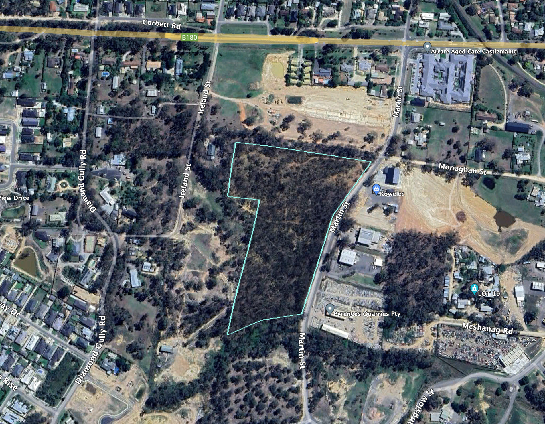
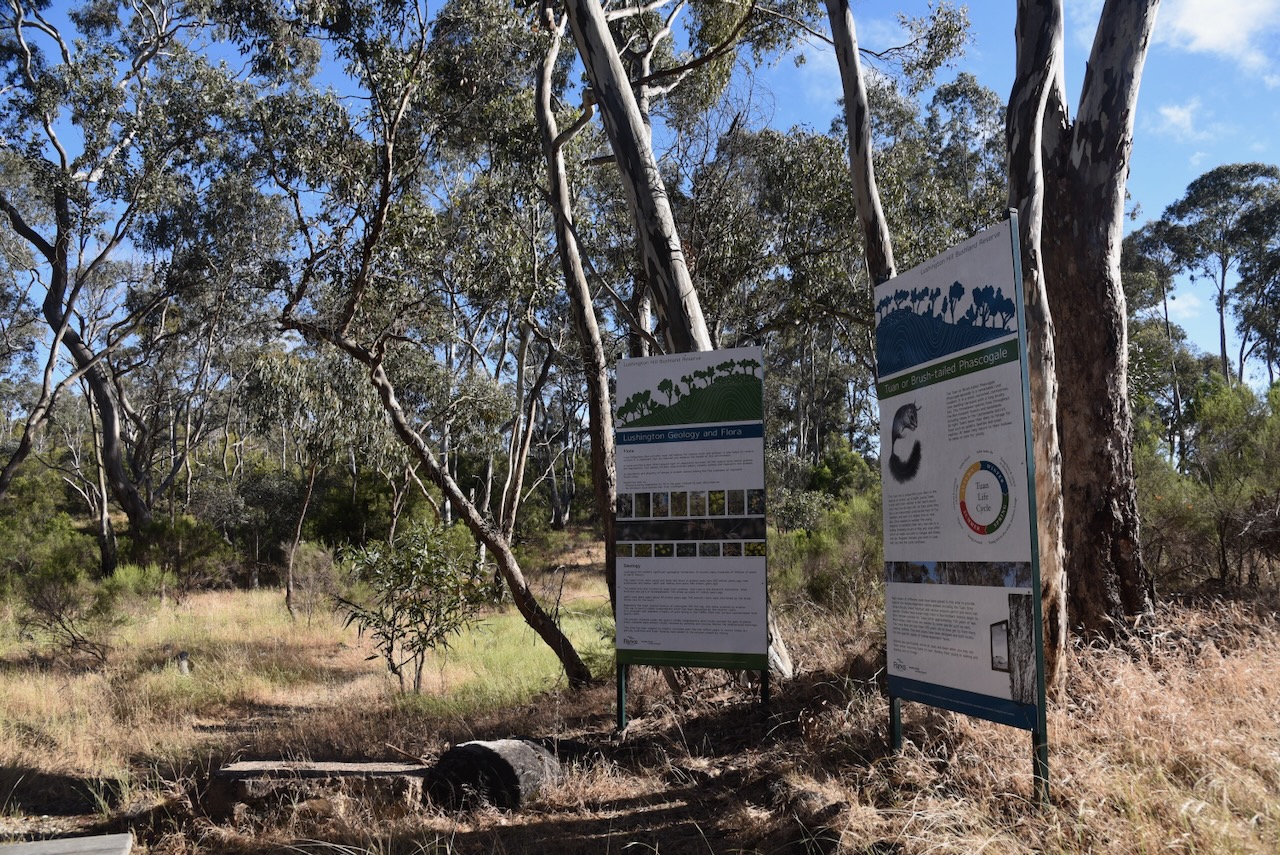
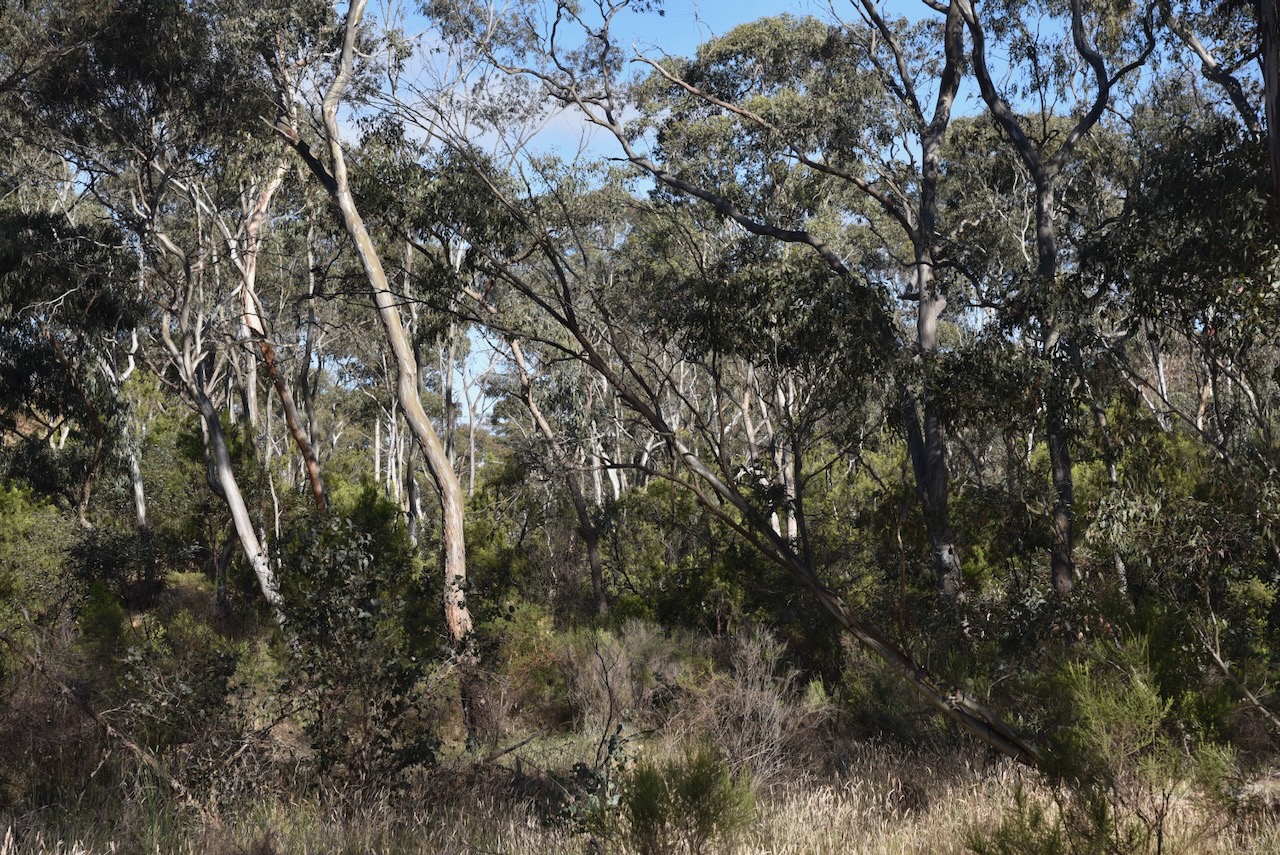
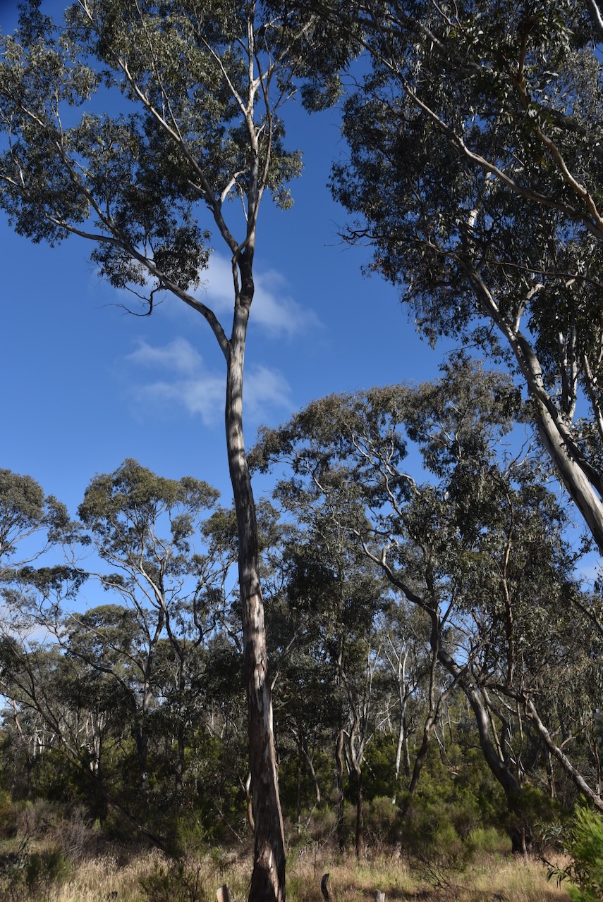
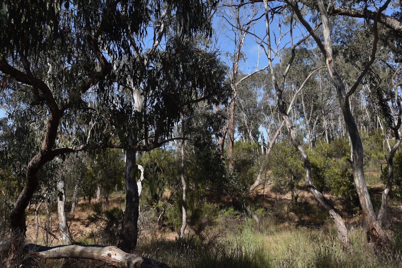
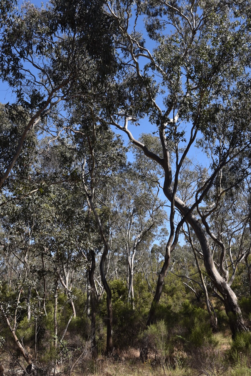
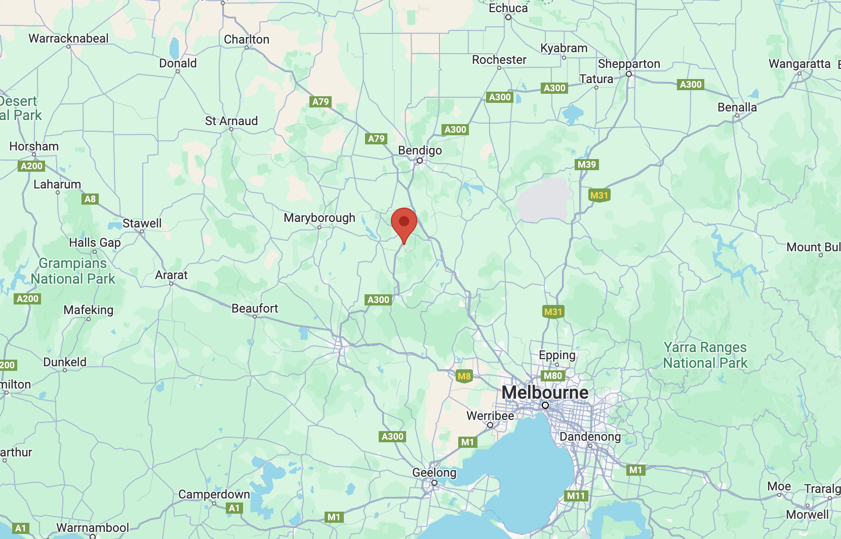
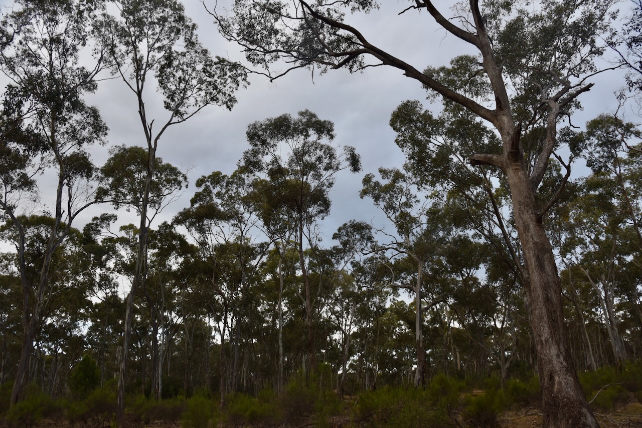
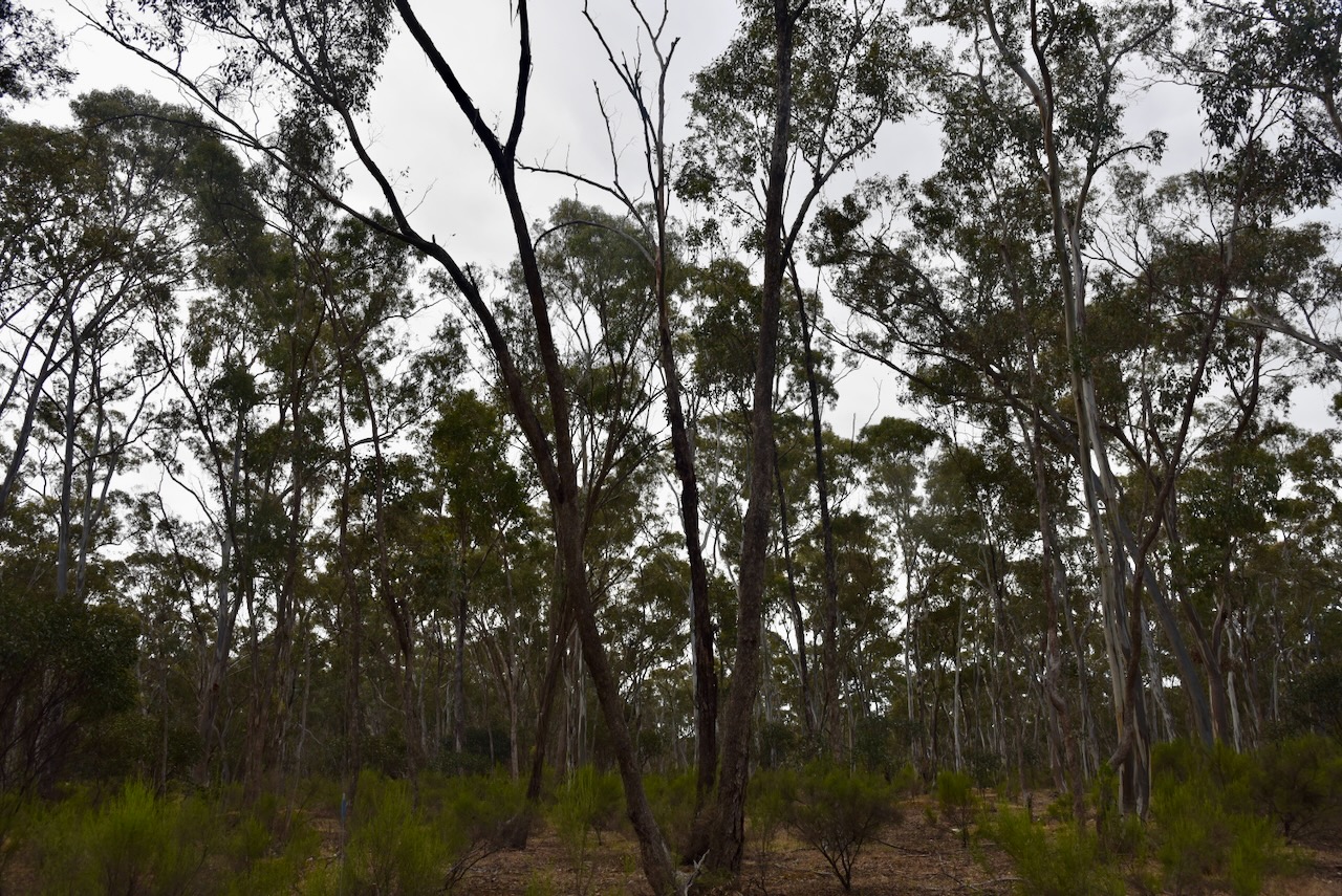
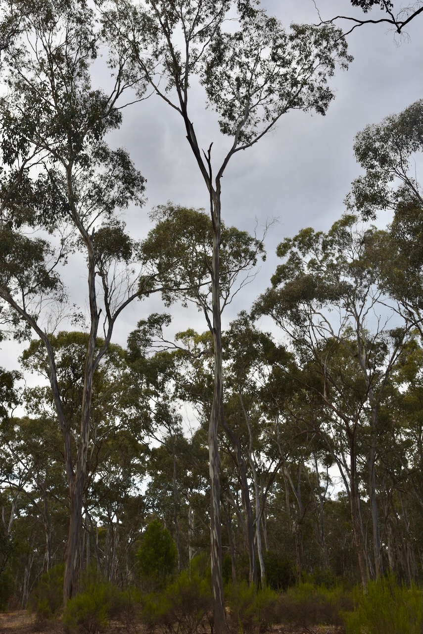
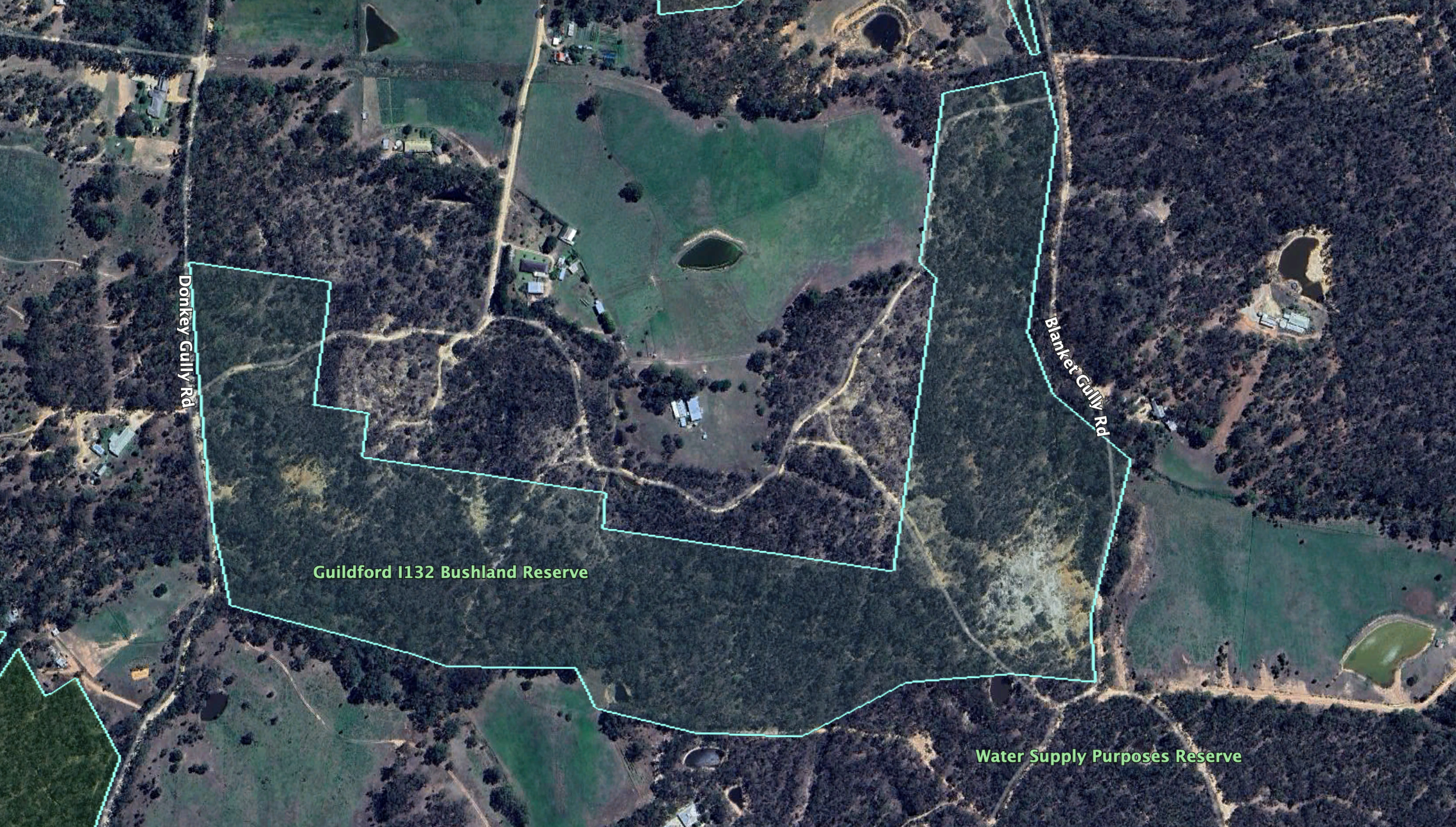
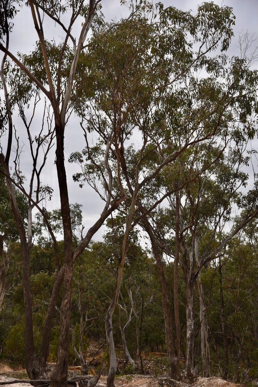
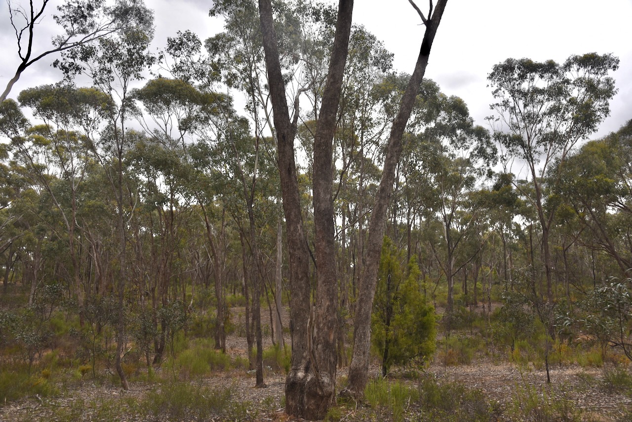
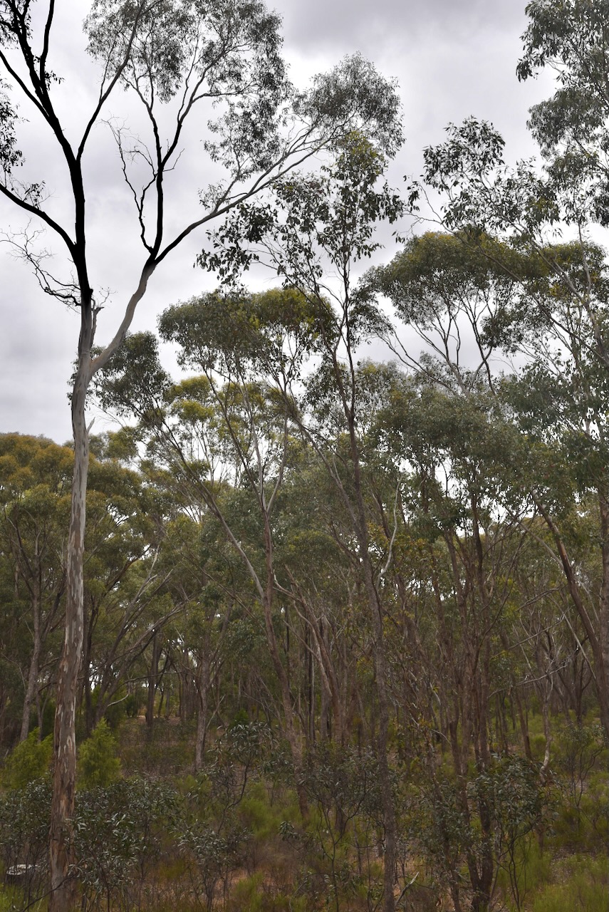
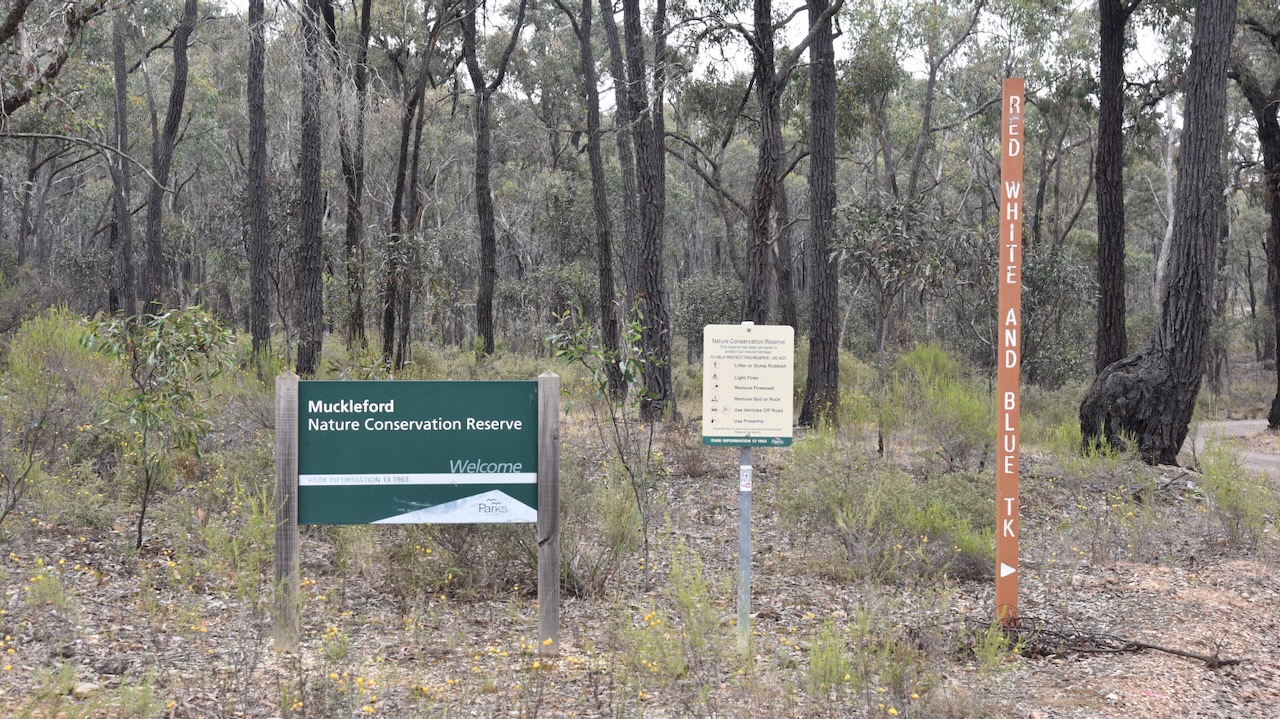
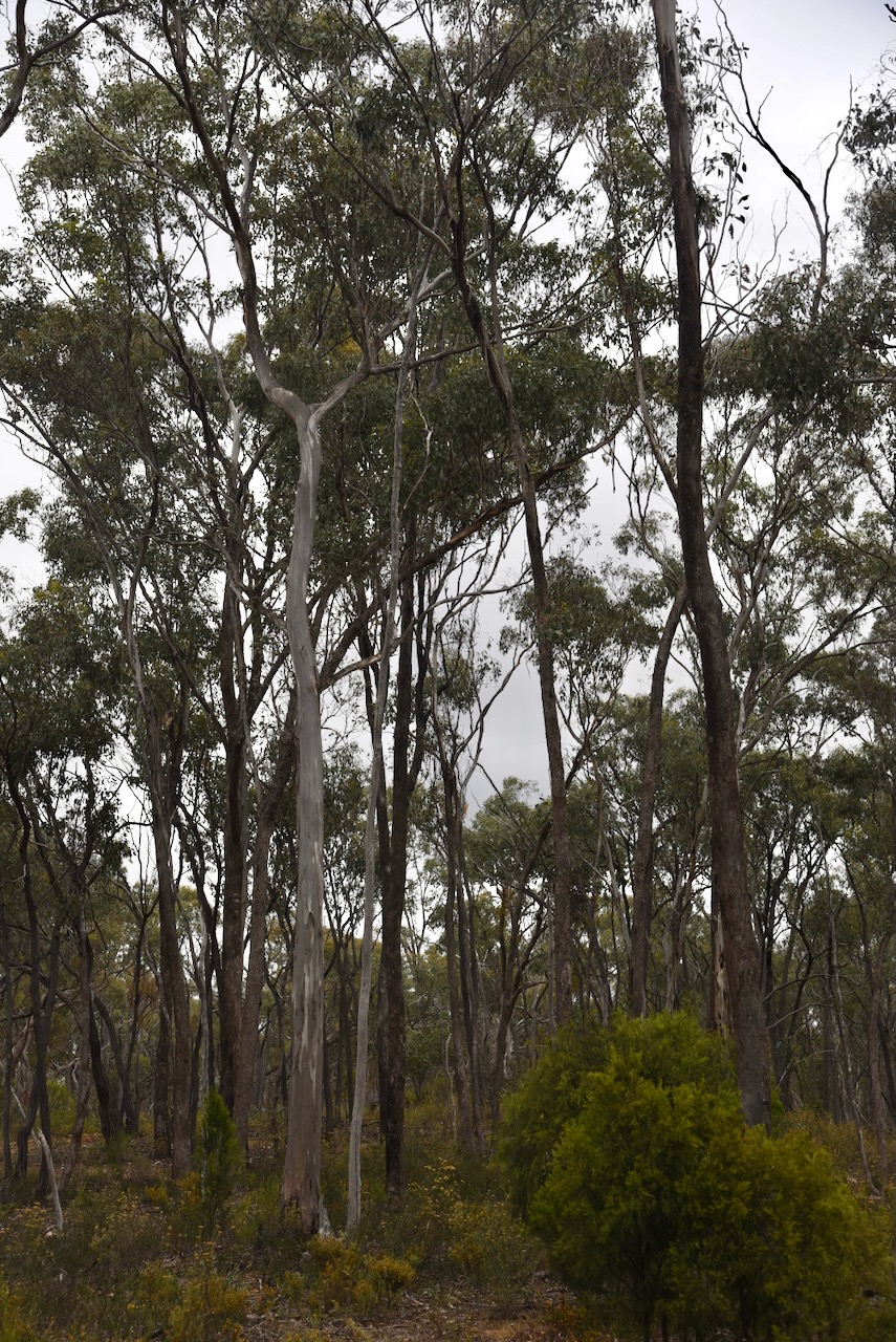
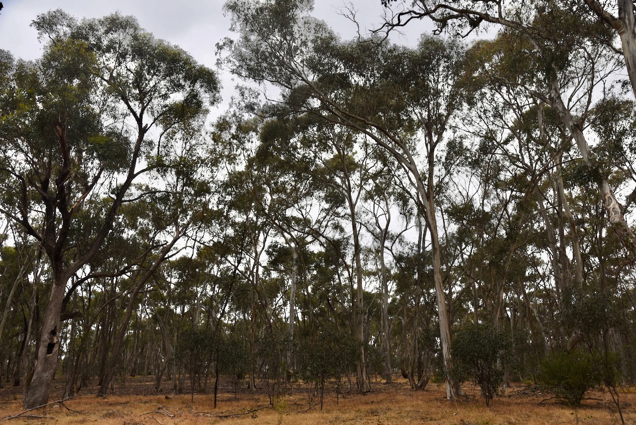
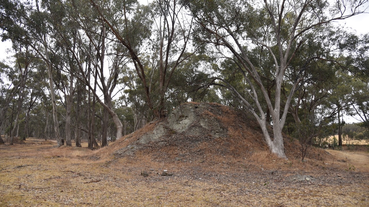
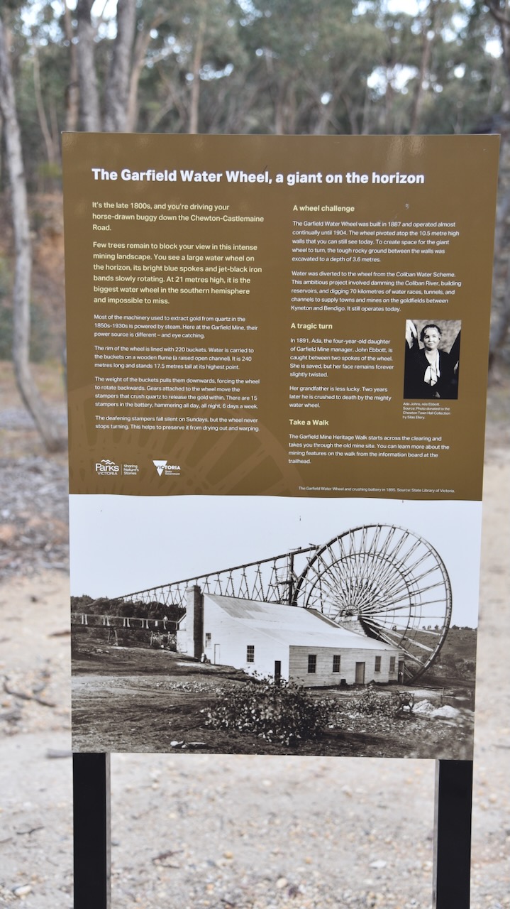
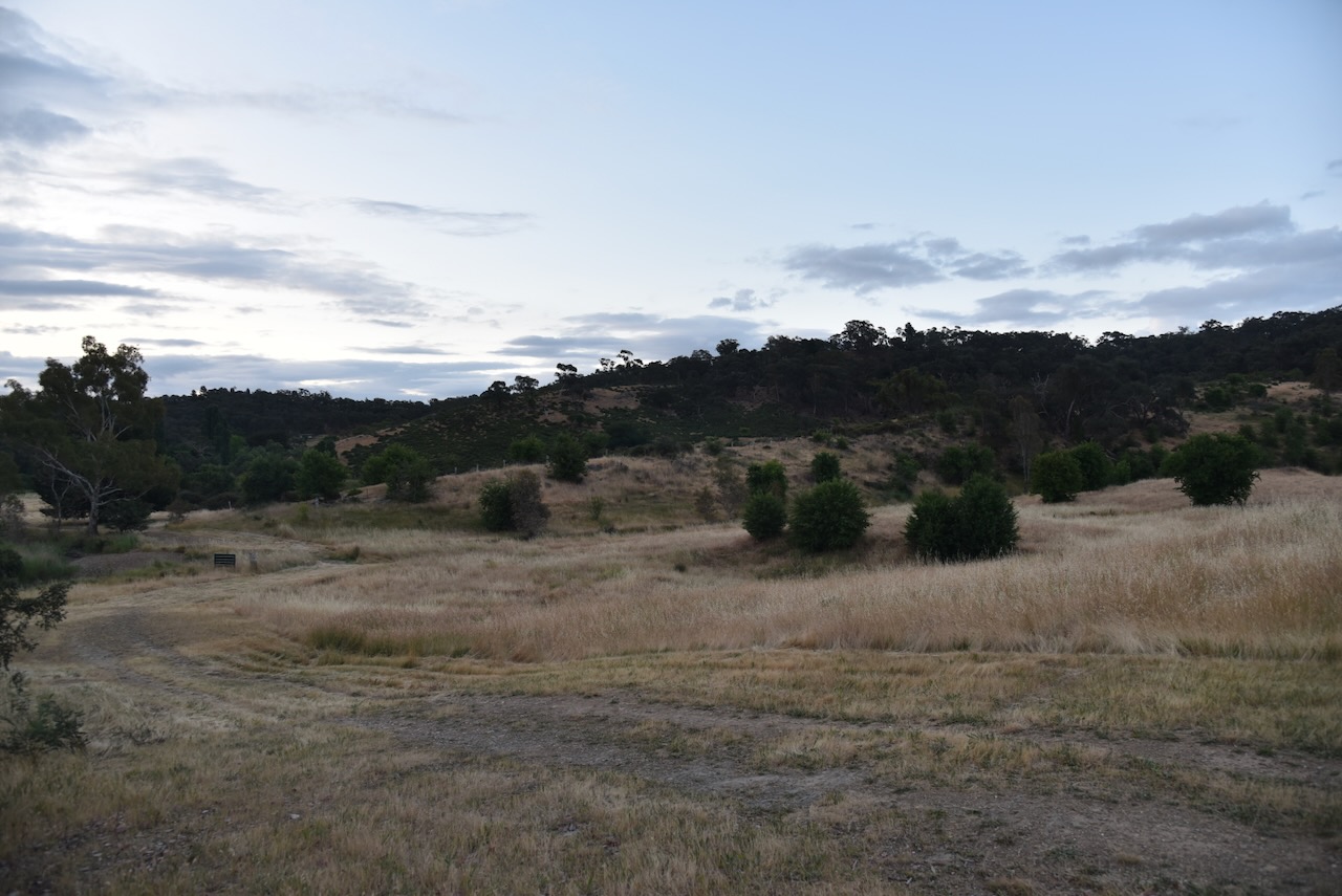
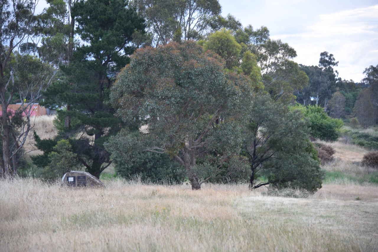
Our second World Wide Flora Fauna (WWFF) park activation for Monday 27th November 2023 was the Diamond Gully H8A Bushland Reserve VKFF-4284 at Castlemaine.
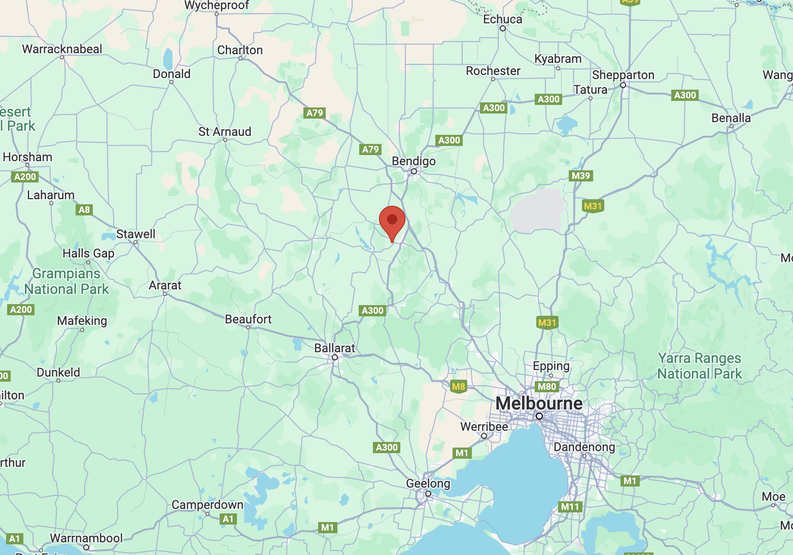
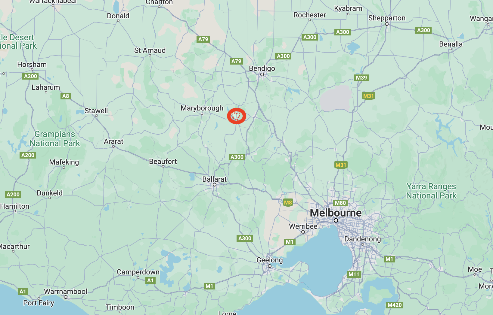
Above:- Map showing the location of the Diamond Gully H8A Bushland Reserve. Map c/o Google Maps.
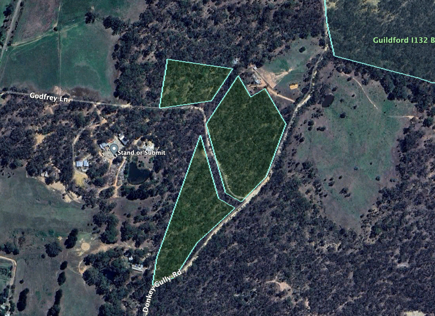
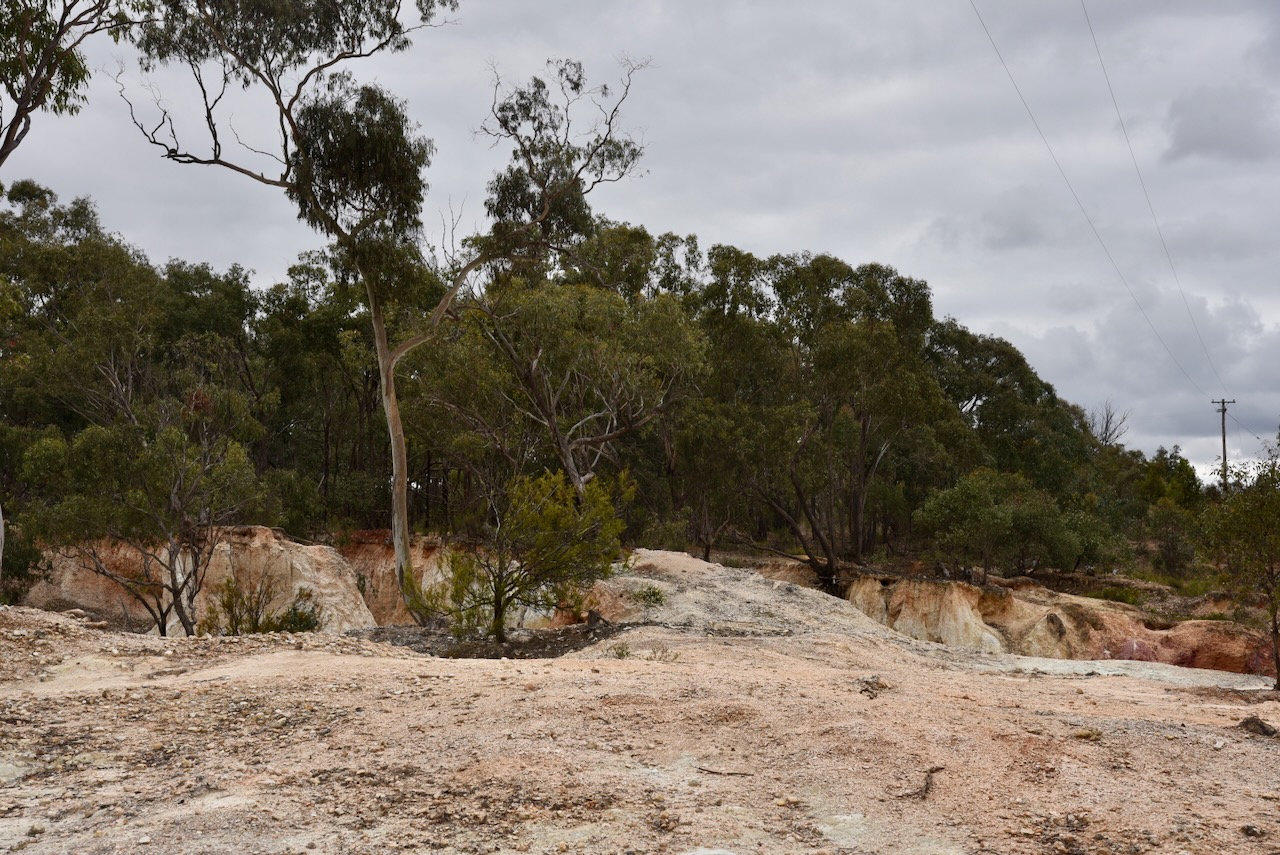
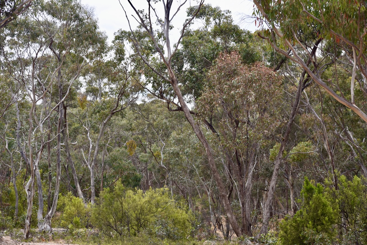
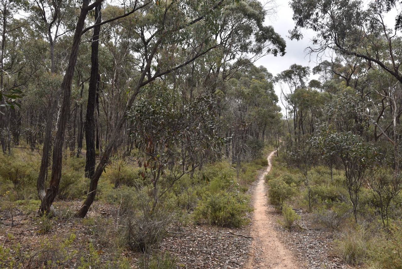
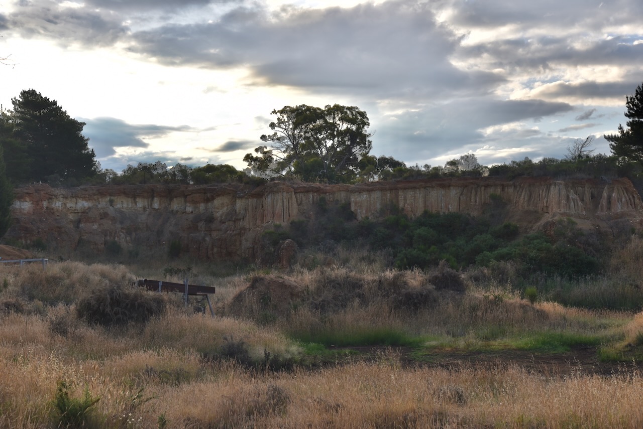
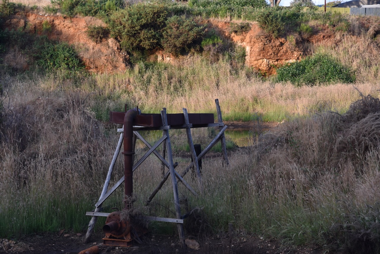
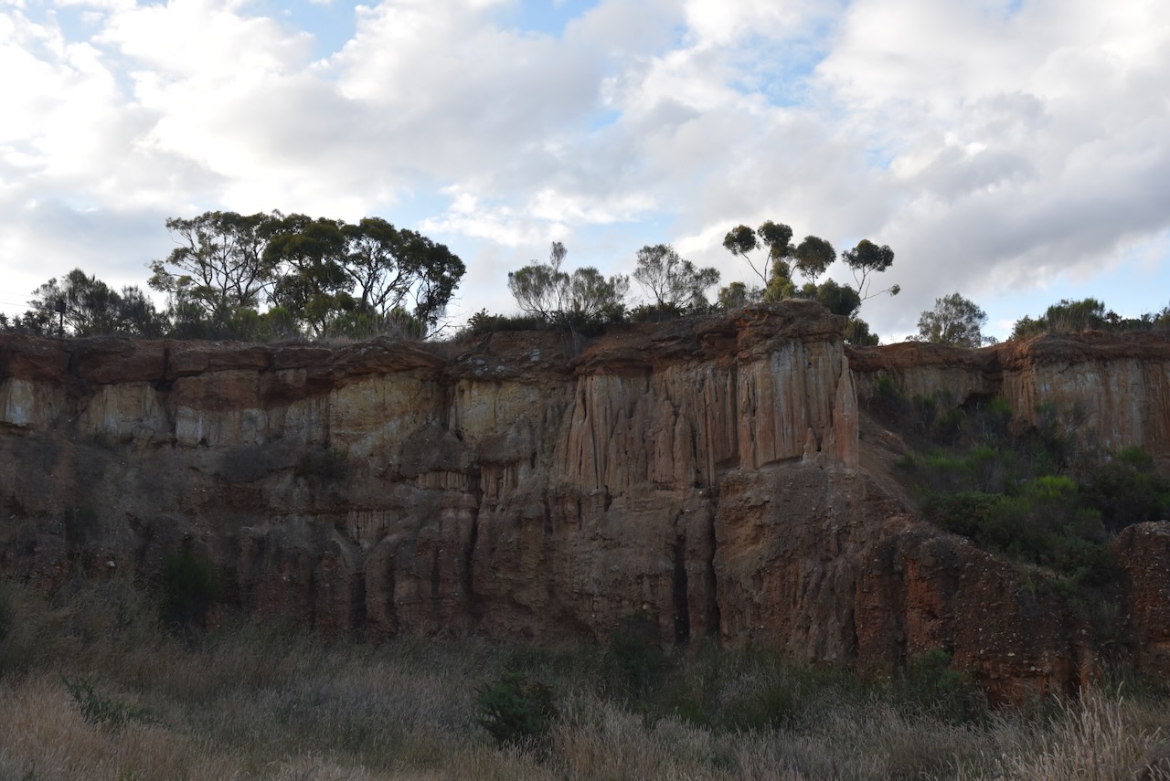
The reserve is located on the eastern side of Sluices Road in a built-up industrial area of southwestern Castlemaine. A large waste facility and a garden supplies business are located in close proximity to the reserve.
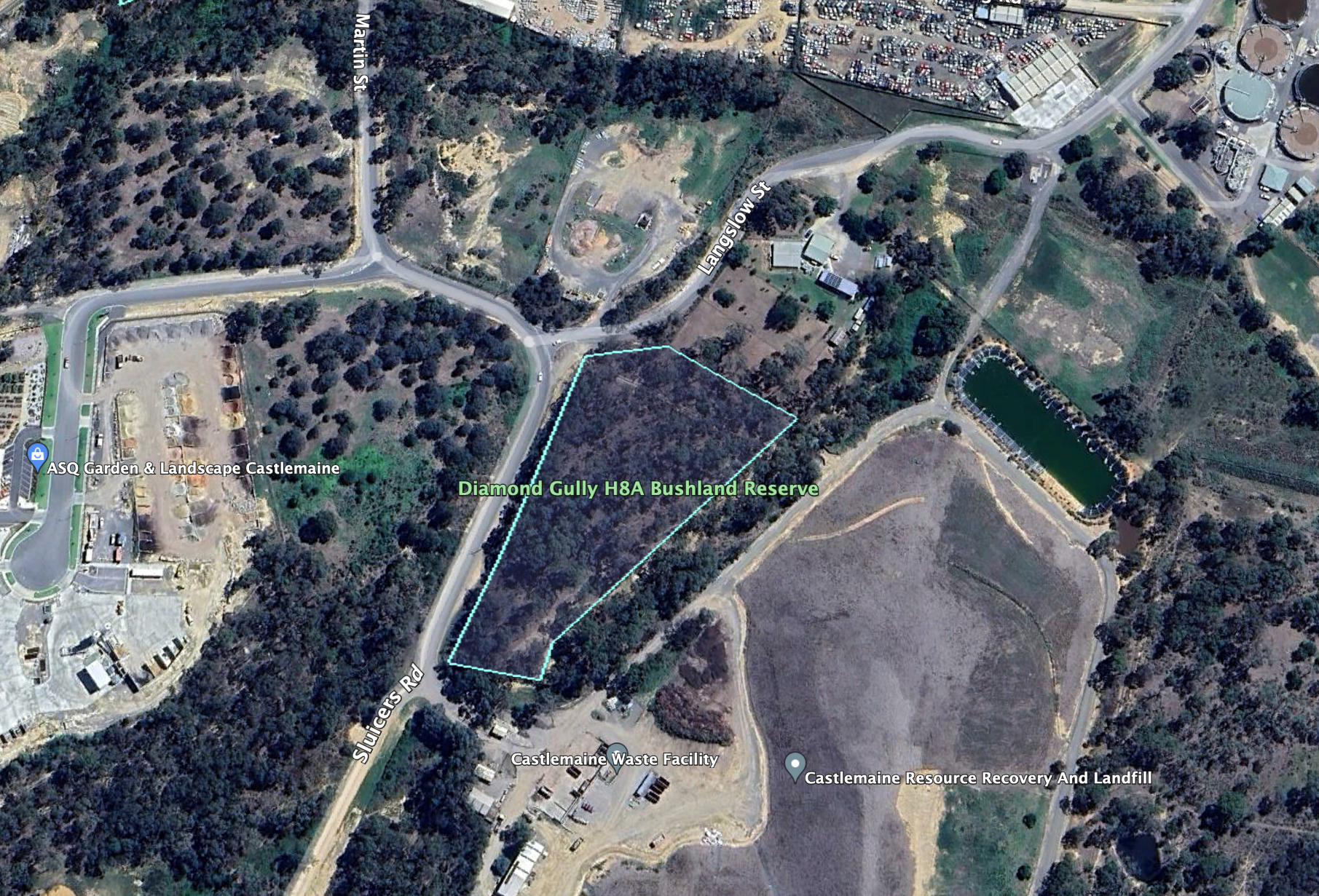
Above:- An aerial view of the reserve. Image c/o Google Earth.
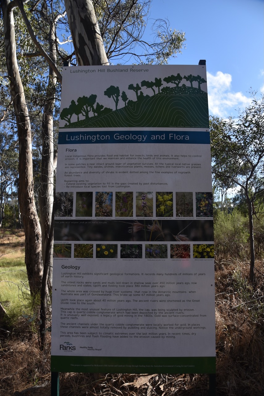
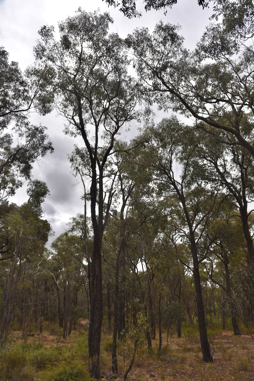
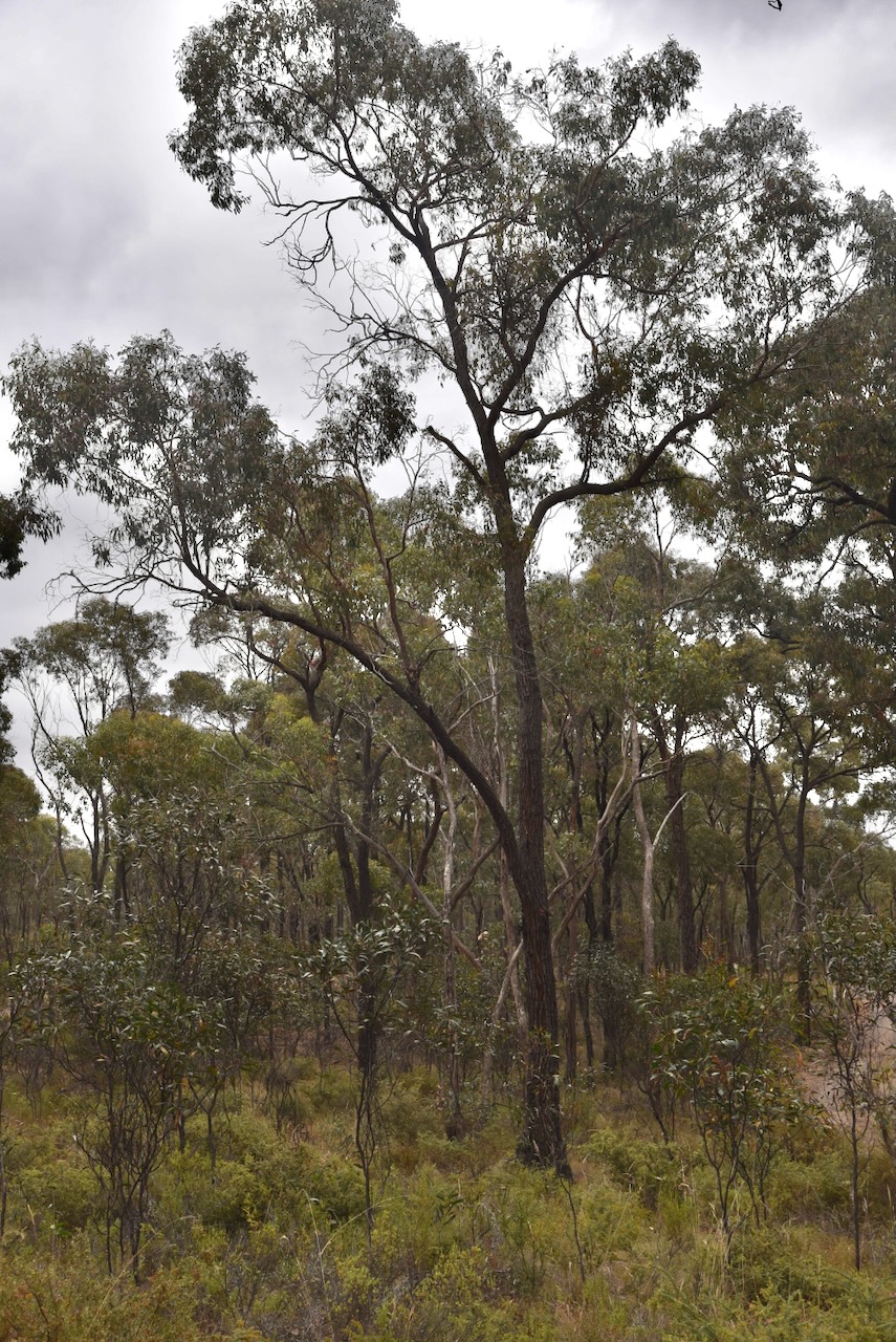
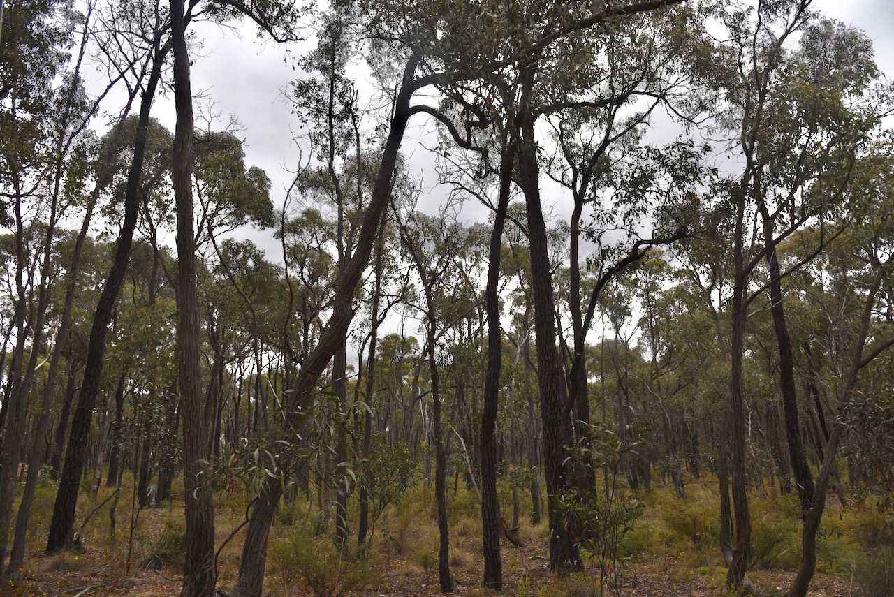
The reserve is about 1.4 hectares in size and was established on the 18th day of July 2006. It is a small piece of remnant bushland surrounded by industrial businesses. (CAPAD 2022)
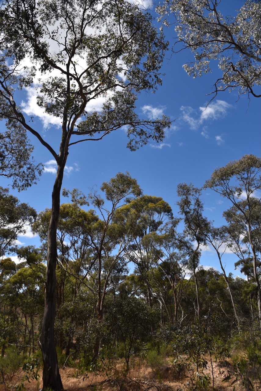
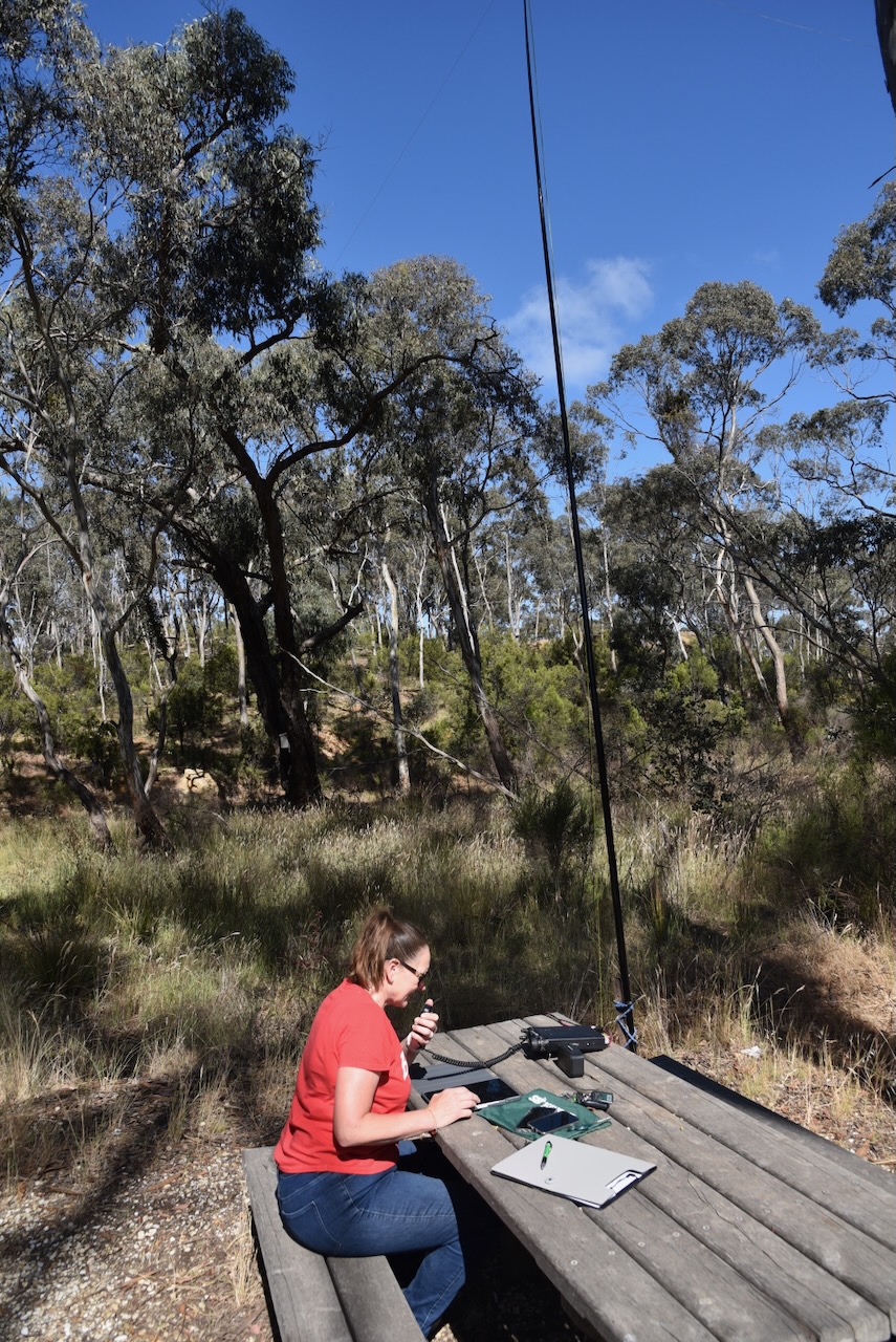
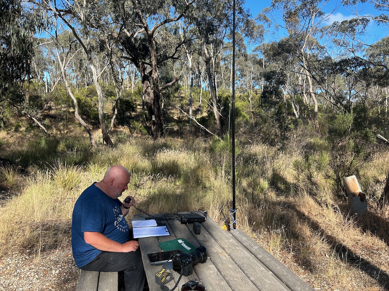
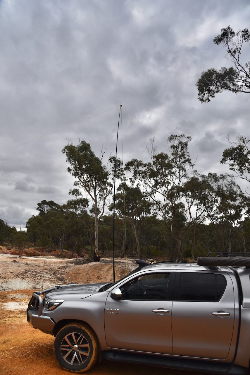
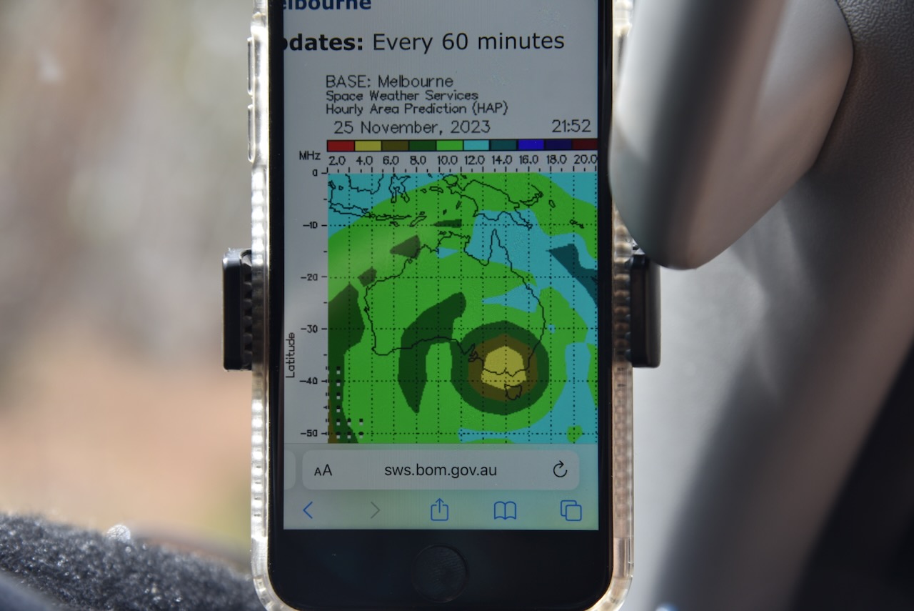
As this park was located in a built-up industrial area, Marija and I were a little concerned whilst we were setting up that the noise floor would be high. But we were pleasantly surprised to hear no noise on the 40m band when we had set up the station. We did however experience strength 7 noise on the 80m band.
We ran the Yaesu FT857, 40 watts, and the 20/40/80m linked dipole. I used the special call of VI10VKFF.
Marija worked the following stations on 40m SSB:-
- VK3PF
- VK3KAI
Marija worked the following stations on 40m AM:-
- VK3PF
- VK3KAI
- VK3UAO
- VK3DAC
- VK4FE/3
- VK2EXA
- VK5LA
- VK5KAW
- VK3CEO
I worked the following stations on 40m SSB:-
- VK3PF
- VK3KAI
- VK2EXA
- VK3CLD
- VK1AO
- VK2MET
- VK5LA
- VK5KAW
- VK3EJ
- VK5FANA
- VK4NH
- VK4DXA
- VK2IO
- VK5AAF
- VK3DAC
- VK4FE/3
- VK5CZ
- VK3VIN
- VK3CEO
- VK5IS
- VK3UAO
- VK2SLB
- VK3UCD
- VK3HBG
- VK3MTT
- VK3BBB
- VK2CCP
- VK3BEL
I worked the following stations on 40m AM:-
- Vk3PF
- VK3KAI
- VK3UAO
- VK3DAC
- VK4FE/3
- VK2EXA
- VK5LA
- VK5KAW
- VK3CEO
- VK5IS
- VK3BEL
I worked the following stations on 80m SSB:-
- VK3PF
- VK3KAI
- VK3UCD
- VK3BEL
- VK3SQ
- Vk2BD
I worked the following stations on 20m SSB:-
- VK4EMP
- VK4TI
- VK4NH
- VK4DXA
- VK1AO
- VK2MET
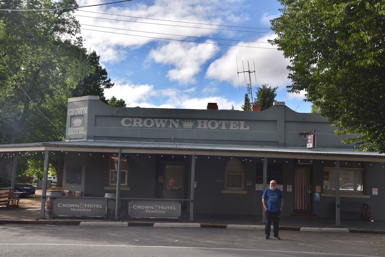
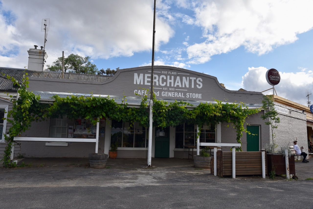
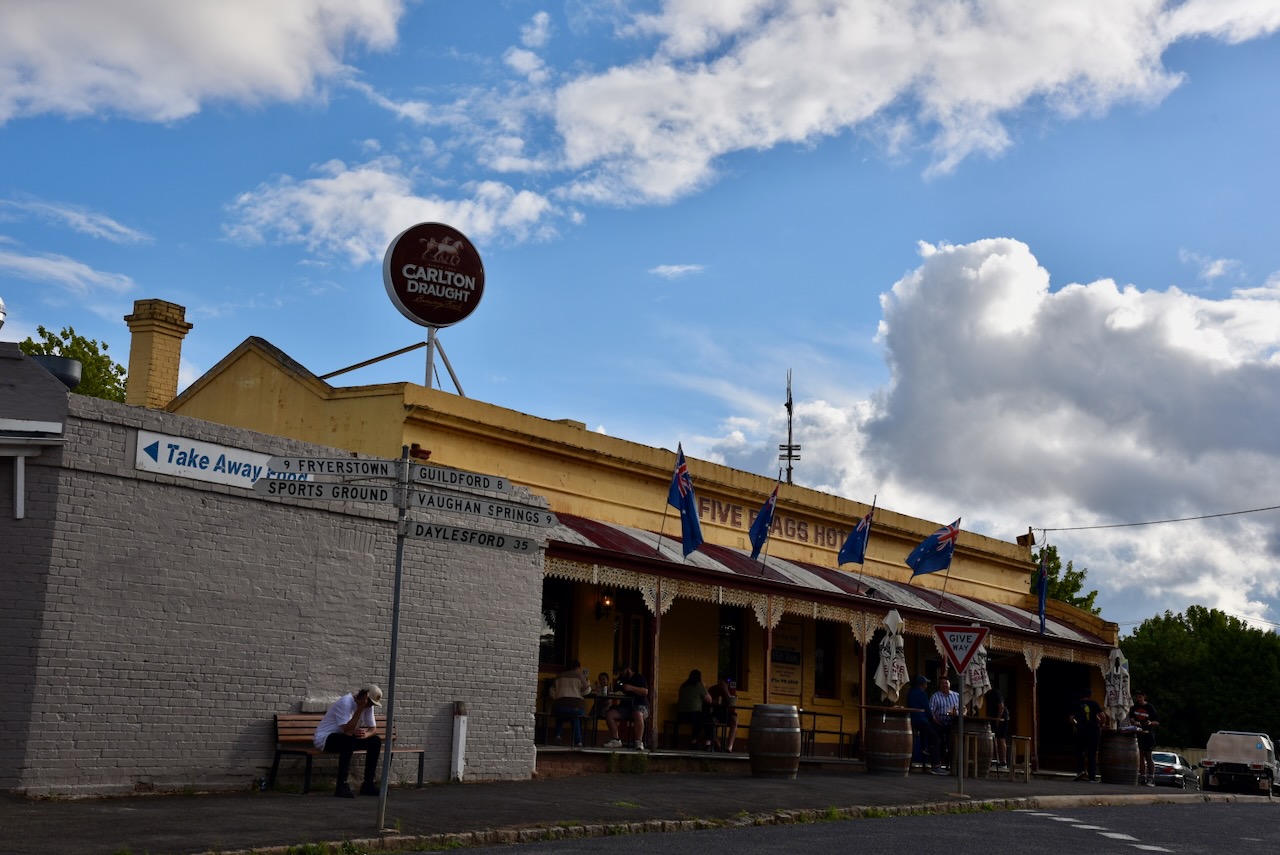
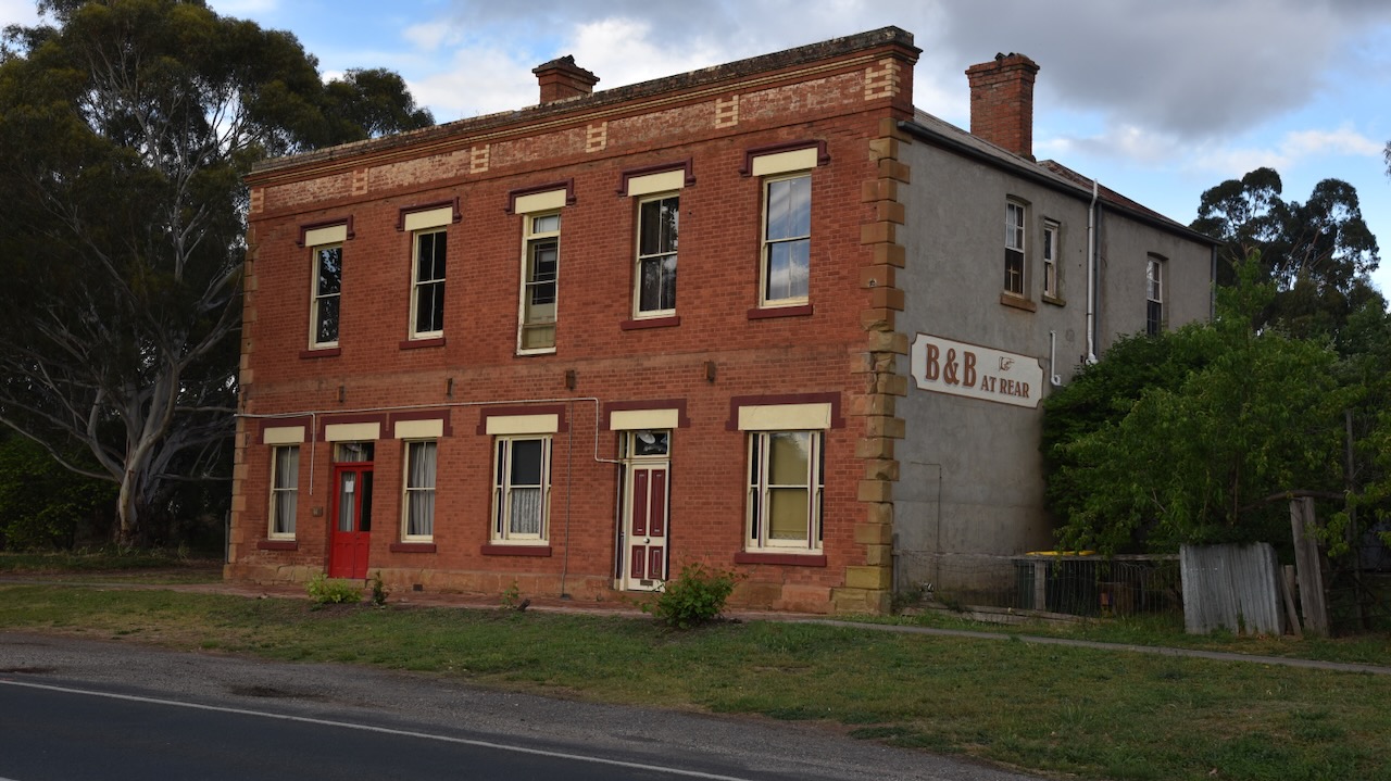
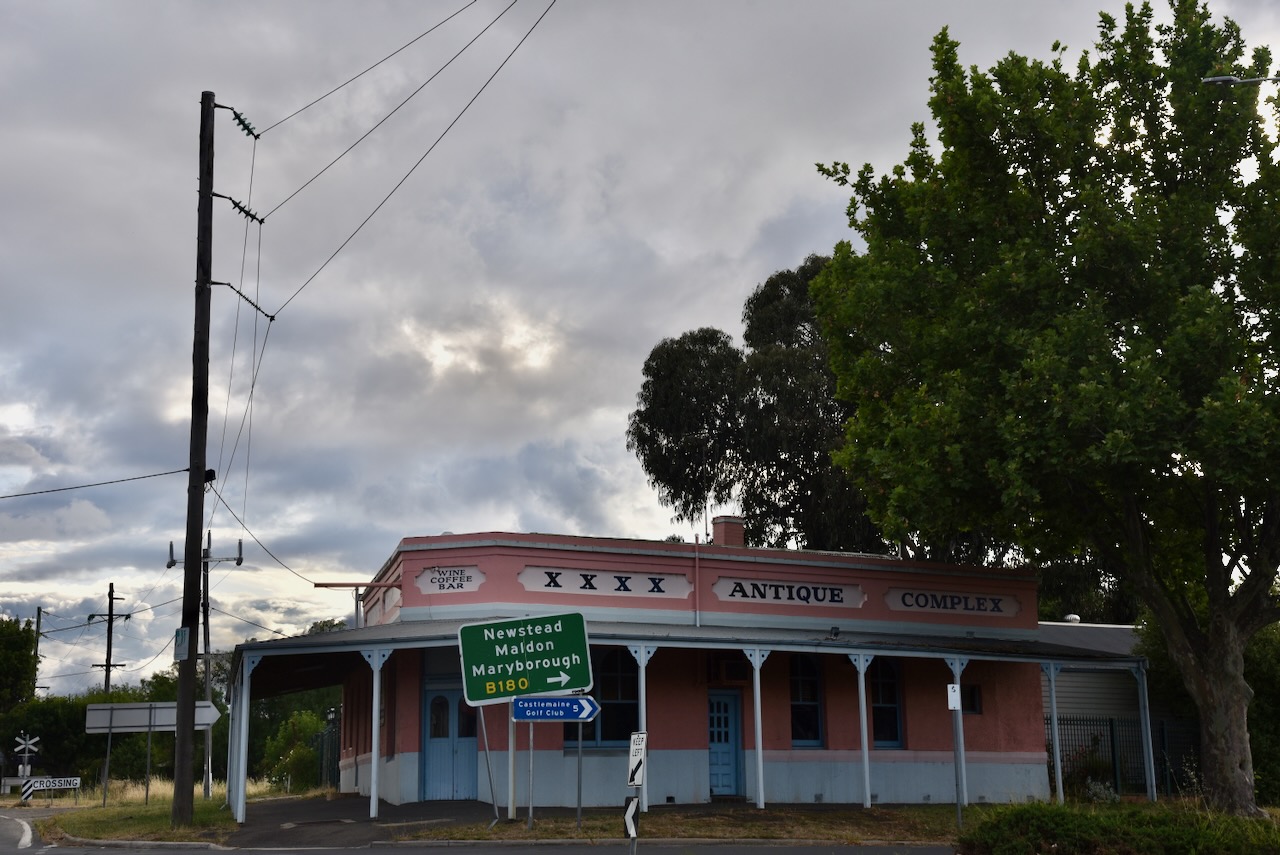
After packing up at the park Marija and I had a look around Castlemaine at several of the historic buildings.
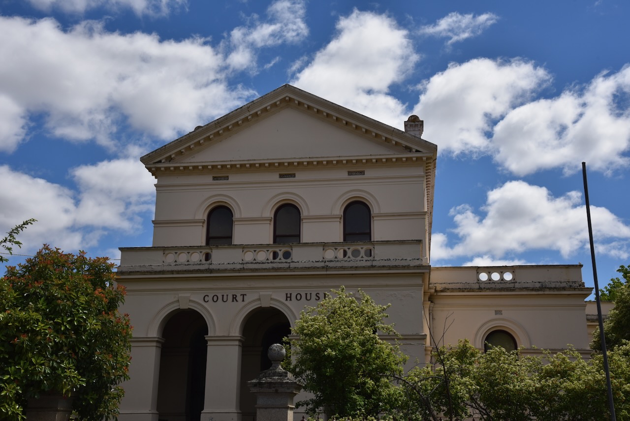
The Castlemaine Court House was built in 1877 and replaced an earlier court building on the same site. (Walking Maps 2024)
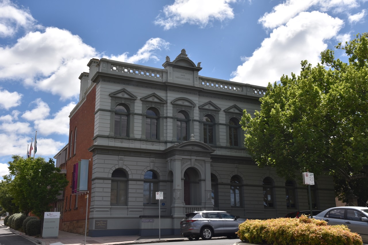
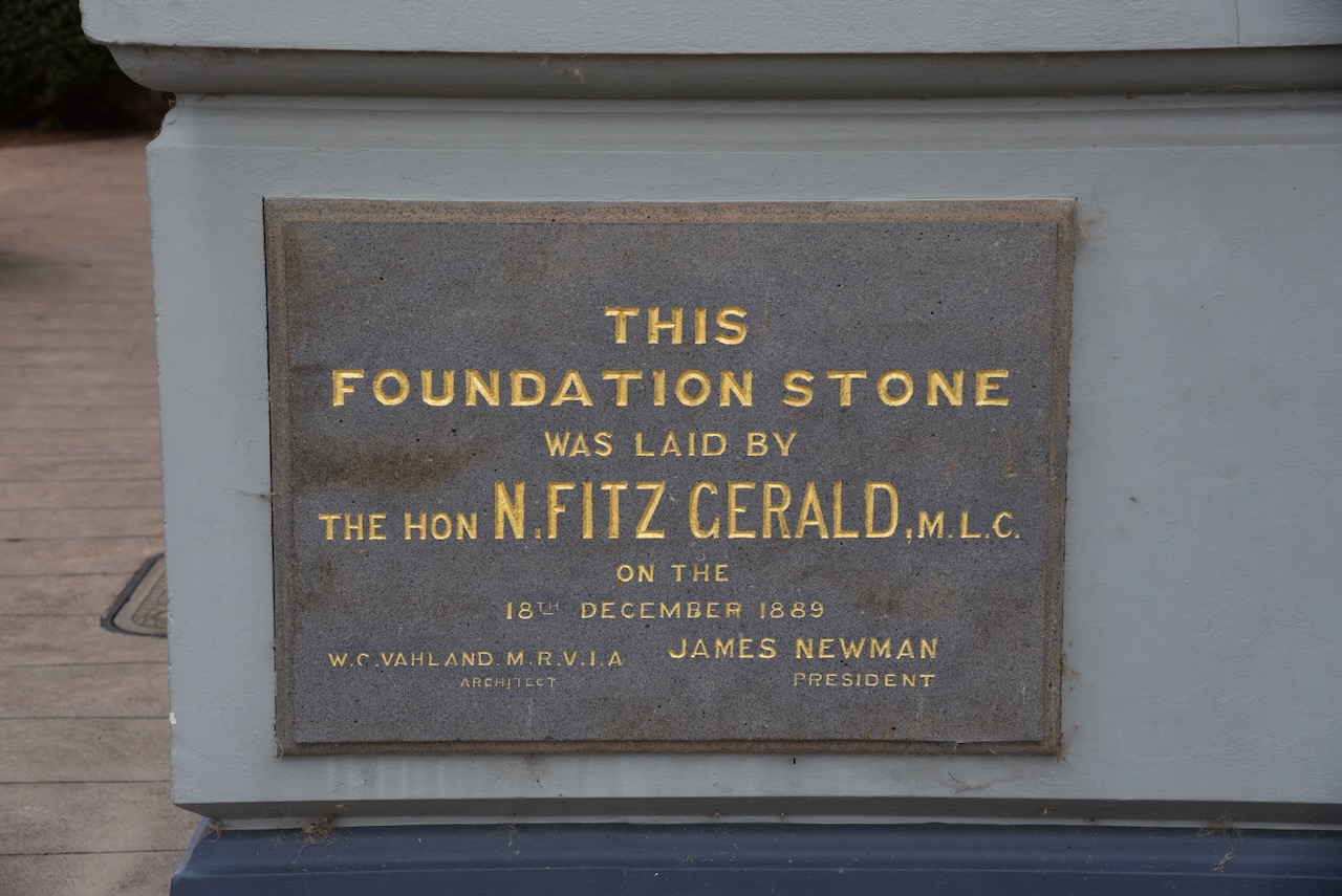
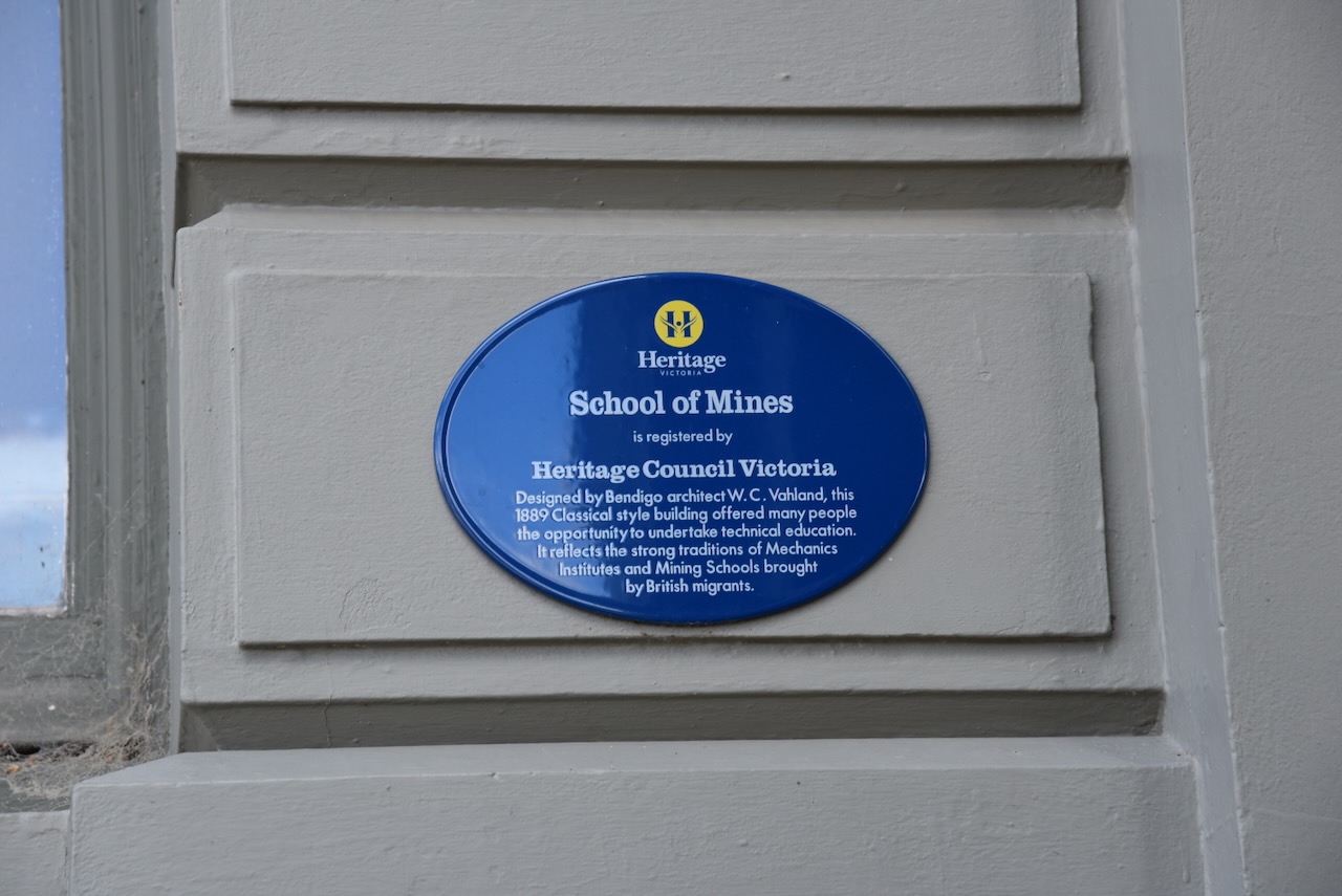
The School of Mines building was built in 1889 and is now the Mount Alexander Shire Council building. It was designed by Bendigo architect W.C. Vahland. It offered many people the opportunity to undertake technical education and reflects the strong traditions of Mechanics Institutes and Mining Schools brought by British migrants. The foundation stone was laid by the Hon. N. Fitzgerald M.L.C. on the 18th day of December 1889. (Walking Maps 2024)
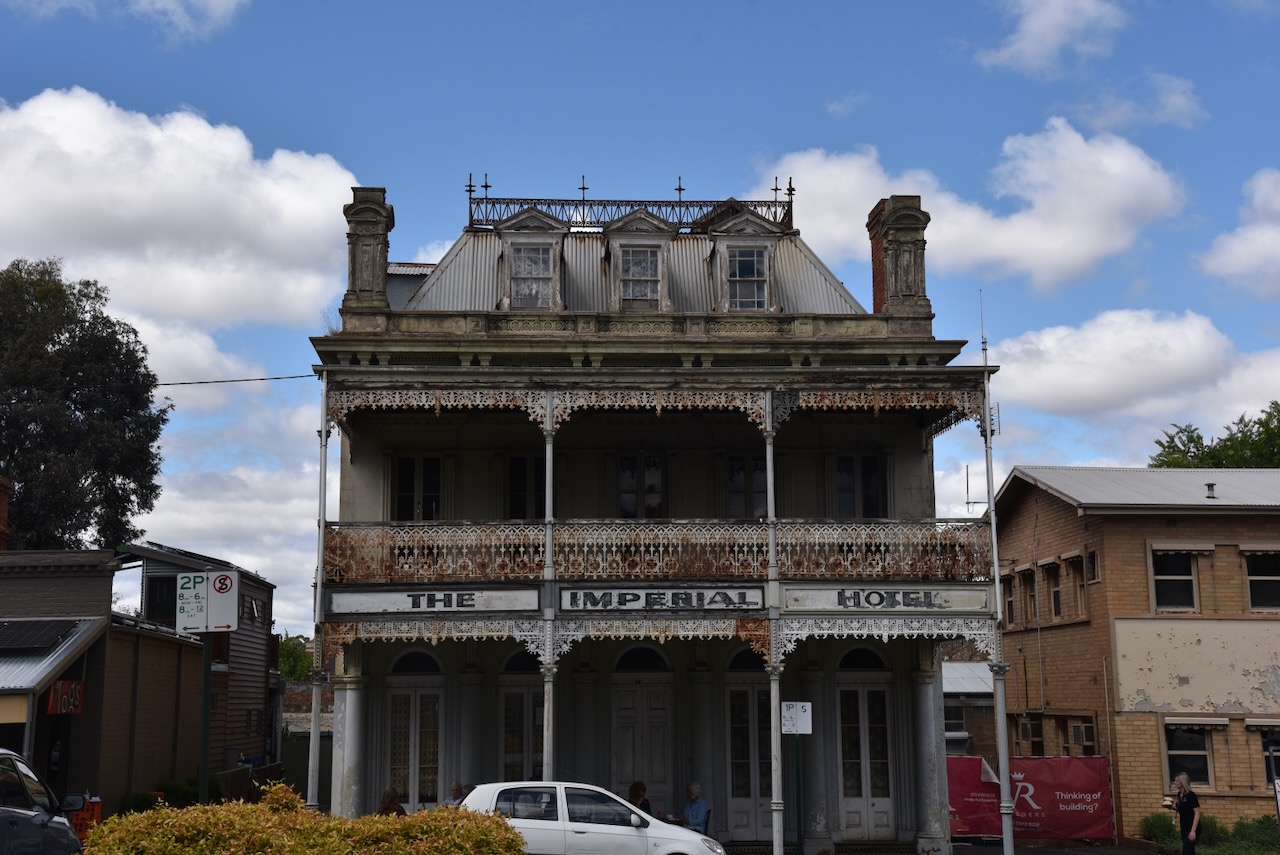
The Imperial Hotel was built in 1861. The hotel featured in the Australian TV drama Blue Heelers in the fictional town of Mount Thomas. (Walking Maps 2024)
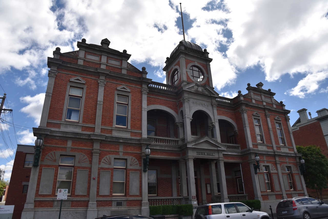
The Castlemaine Town Hall building was built in 1898. (Walking Maps 2024)
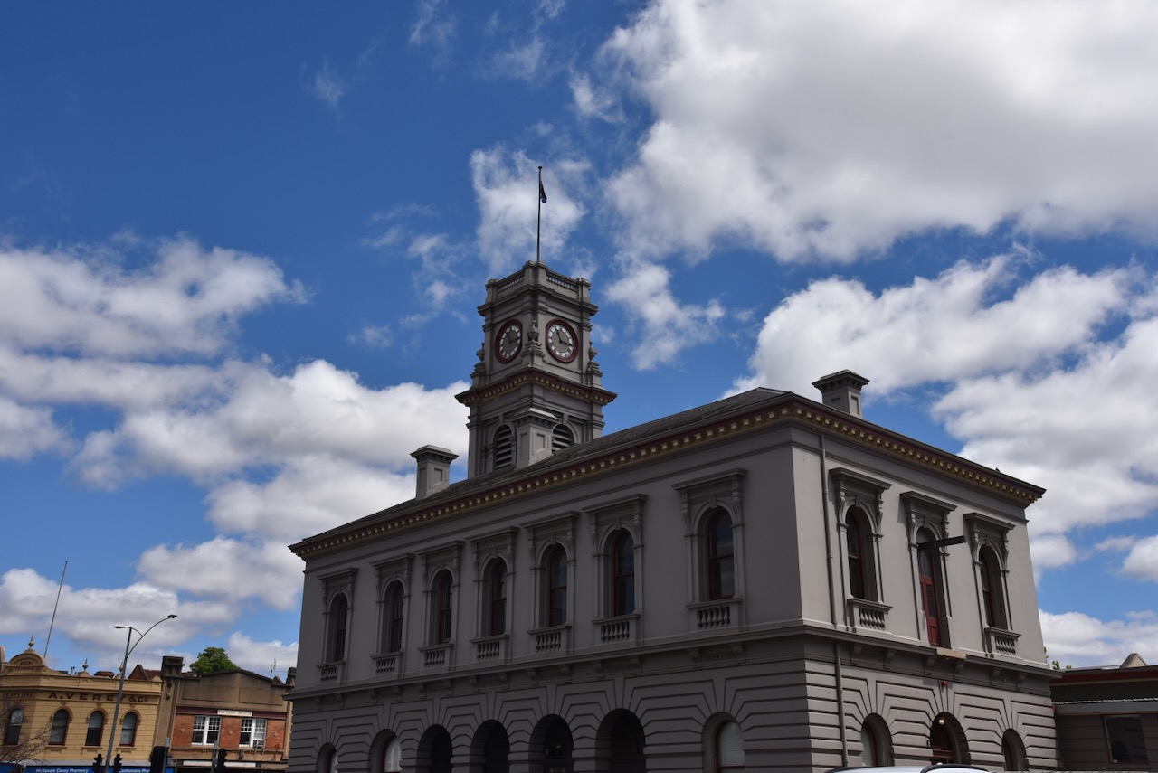
The Castlemaine Post Office was built in 1875. It was designed by architect J.J. Clark. The building replaced a former bluestone structure built in c. 1852. The clock and bell was installed in 1878-1879. The bell was cast locally at William J. Horwood’s Albion Foundry at Castlemaine. The bell was Australia’s first large bell successfully cast in Victoria. (Aust Heritage Database 2024) (Walking Maps 2024)
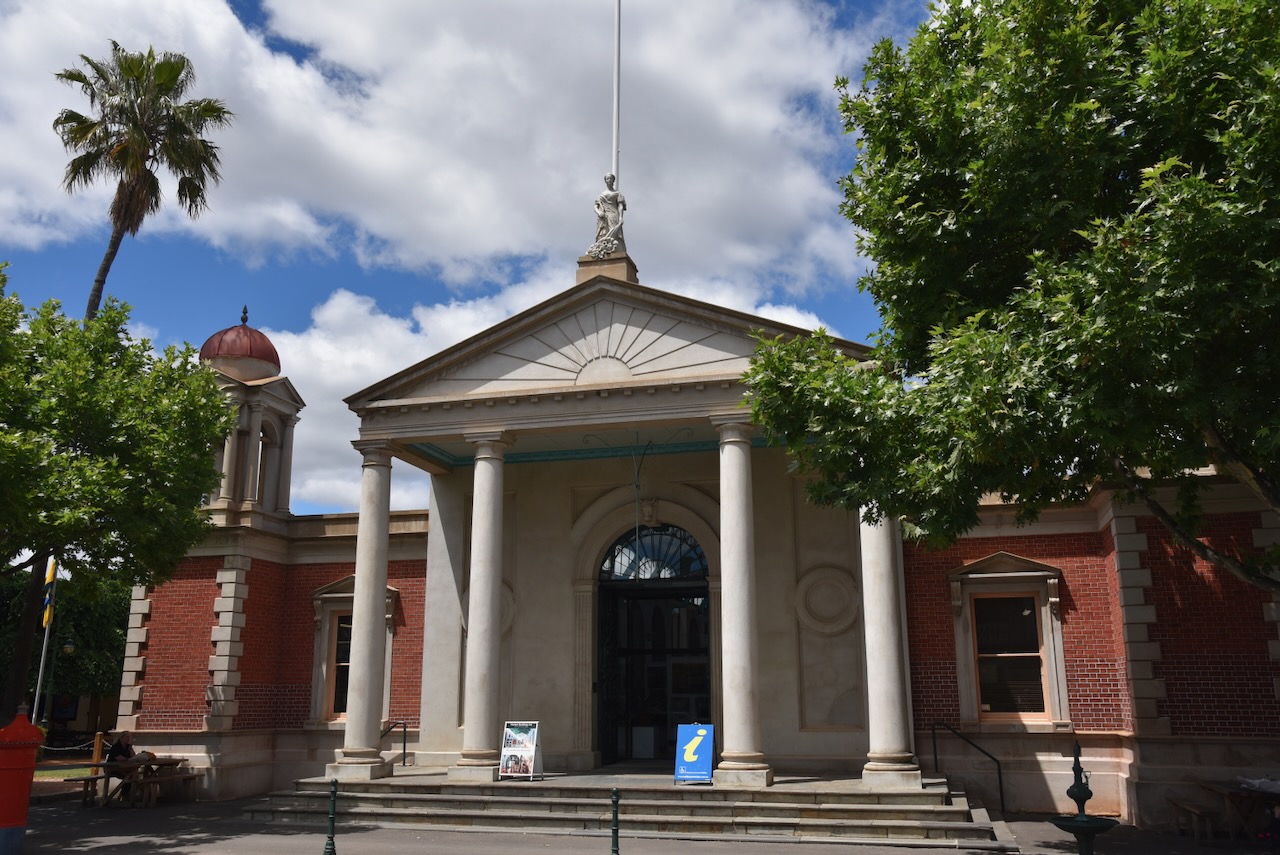
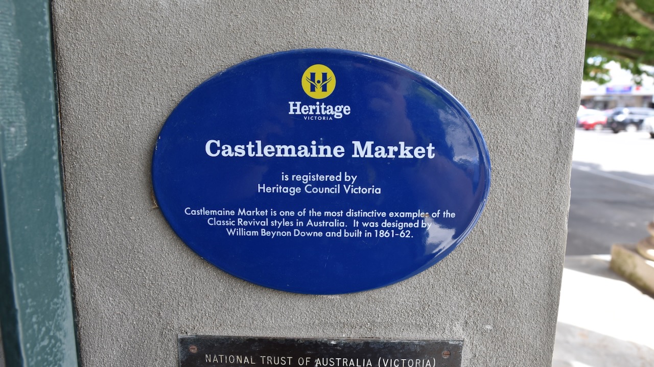
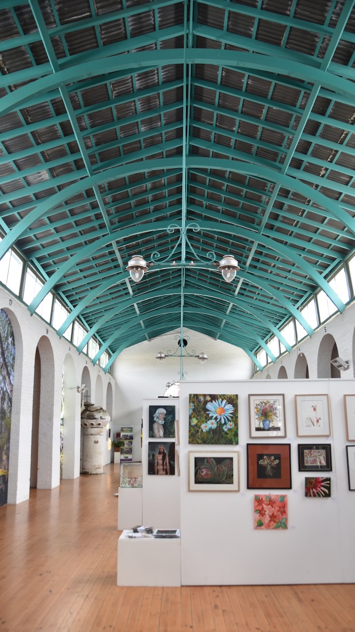
We then visited the Castlemaine Market, one of the most distinctive examples of Classic Revival styles in Australia. It was designed by William Beynon Downe and was built in 1861-1862. It is now used as the Castlemaine Visitor Information Centre. (Walking Maps 2024)
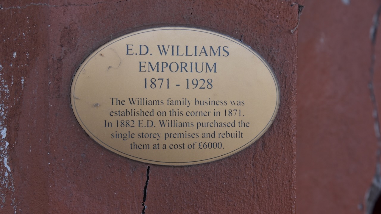
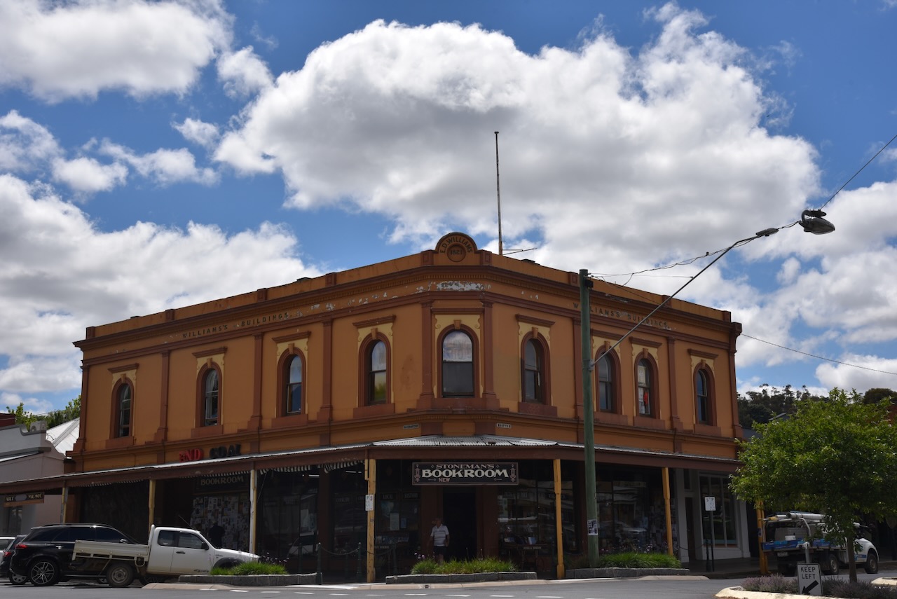
The E.D. Williams Emporium building was built in 1871. The Williams family business was established on this corner site in 1871. In 1882 E.D. Williams purchased the single-storey premises and rebuilt them at a cost of 6,000 pounds.
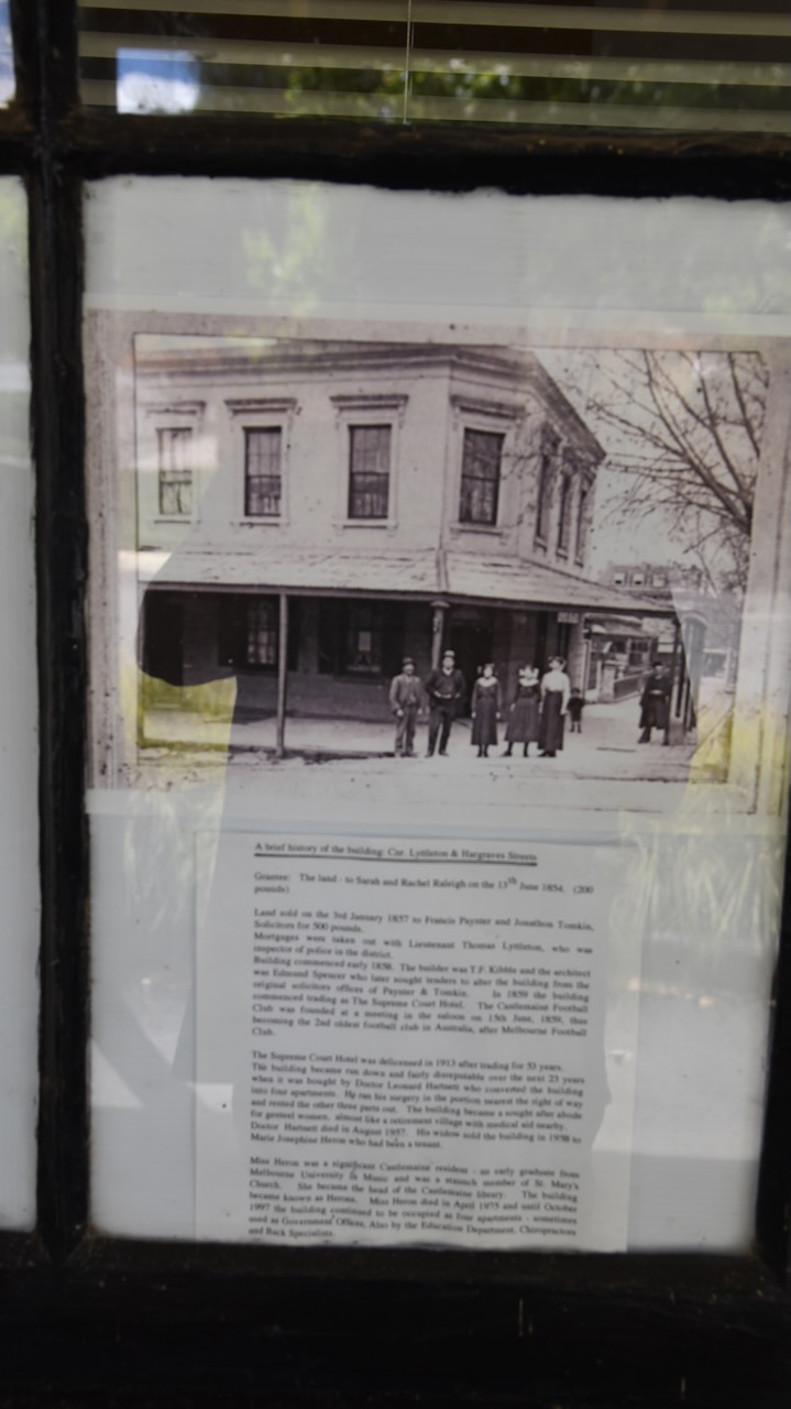
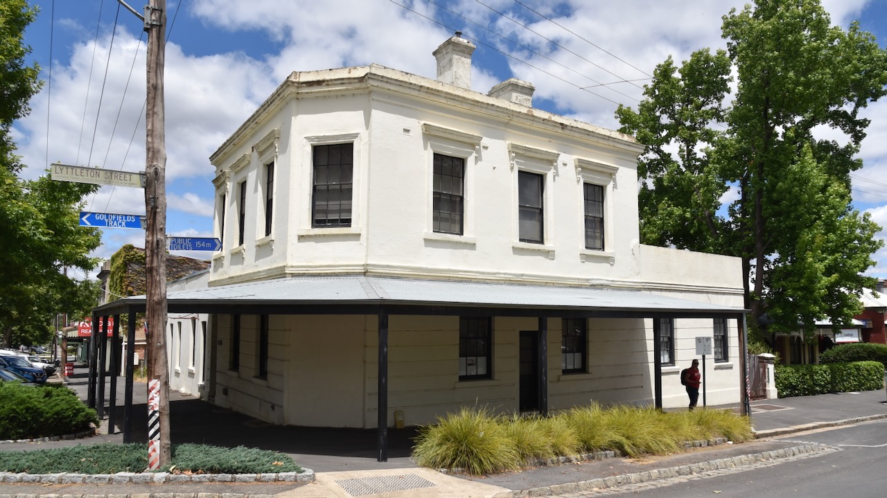
The former Supreme Court Hotel was built in 1859 and was in use until 1913 when it was delicenced. (Walking Maps 2024)
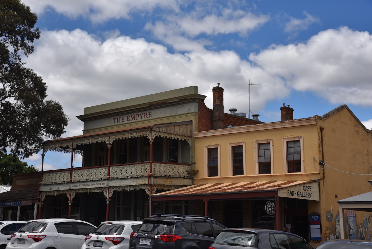
The former Empyre Hotel was built in 1860 and was originally known as the Albion Hotel. (Castlemaine Facebook 2024)
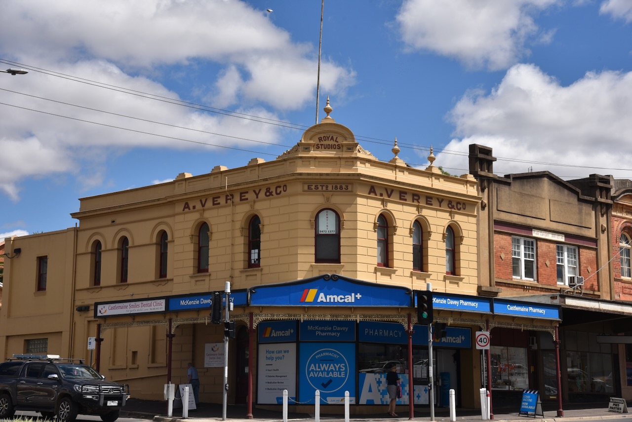
A photographic studio was on this corner site (Barker and Lyttleton Streets) from c. 1884 and operated by Adolphus Verey (b. 1862. d. 1933). The current building was built in the early 1900s. (Walking Maps 2024)
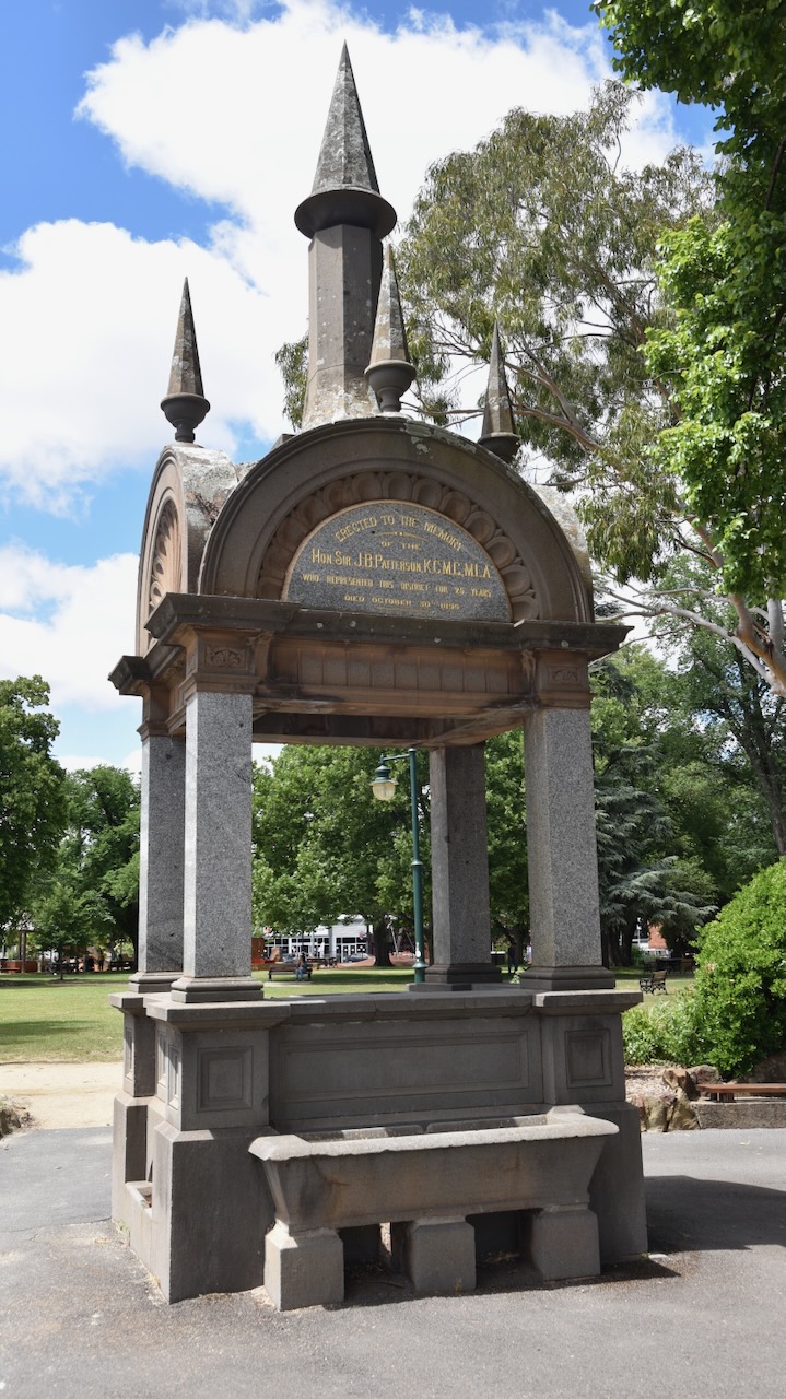
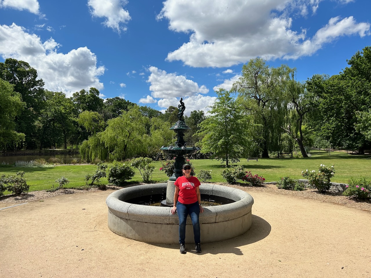
The fountain at Castlemaine commemorates local Member of Parliament and former Victorian Premier Sir James Patterson. (Monuments Australia 2024)
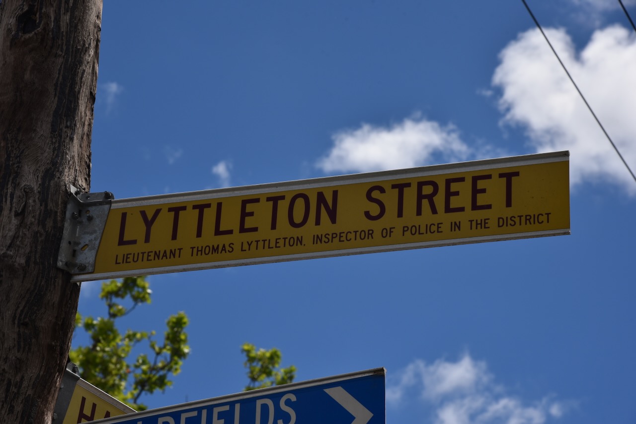
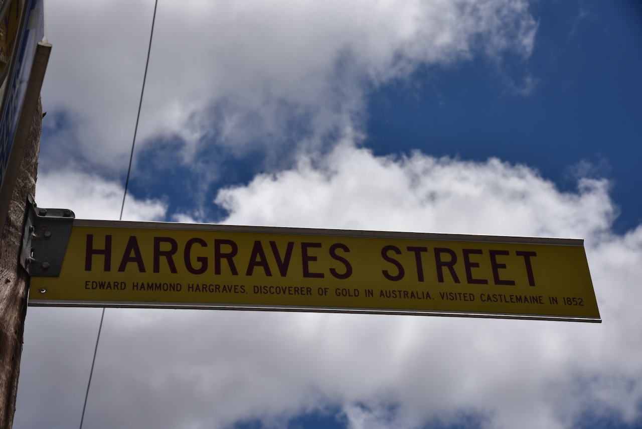
Many of the streets in Castlemaine are named after people of significance to Castlemaine. The street signs also have a short description about that person.
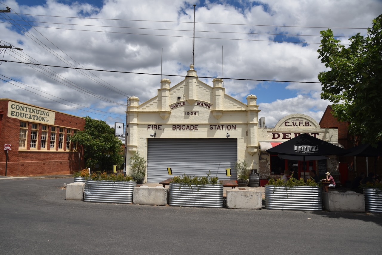
The old Castlemaine Fire Station building was built in 1857. (Walking Maps 2024)
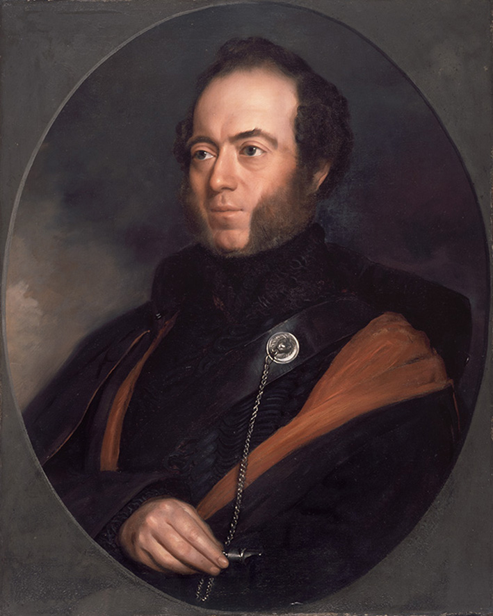
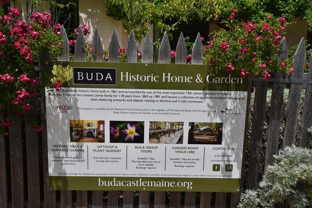
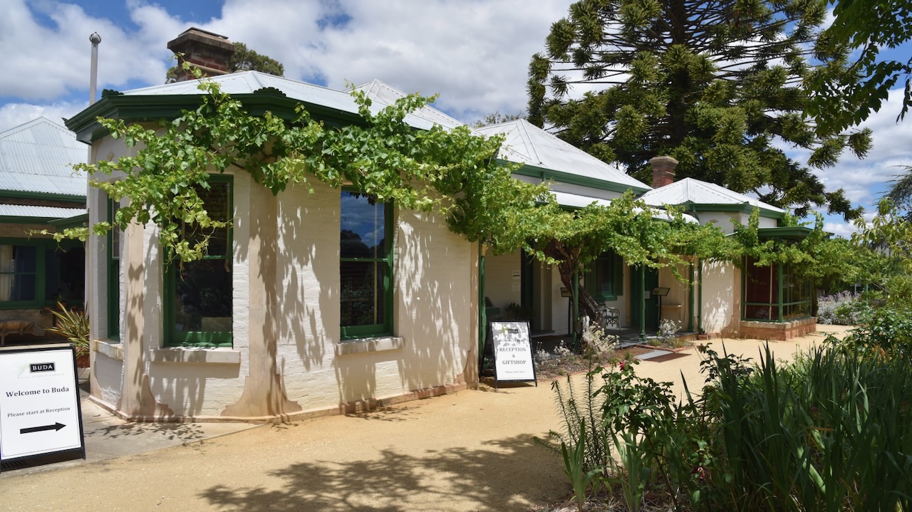
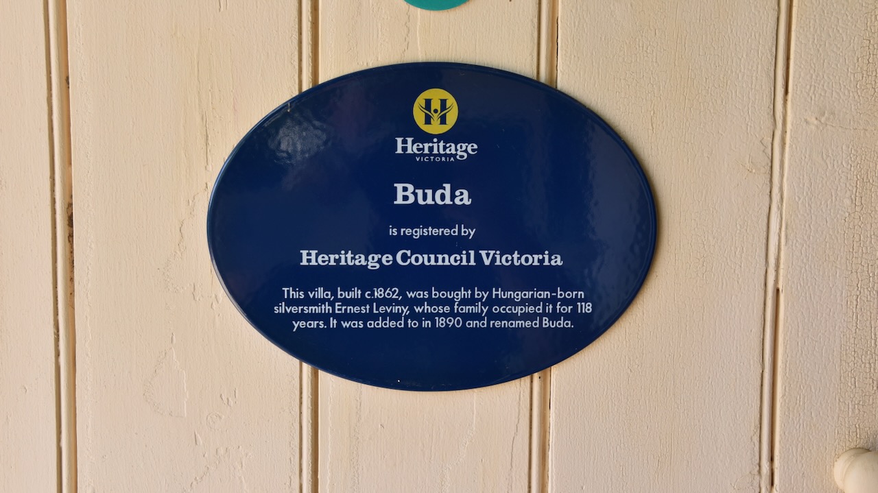
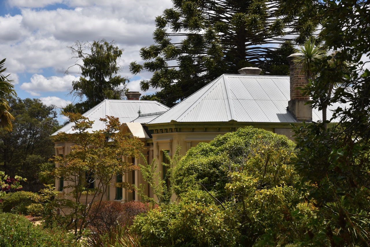
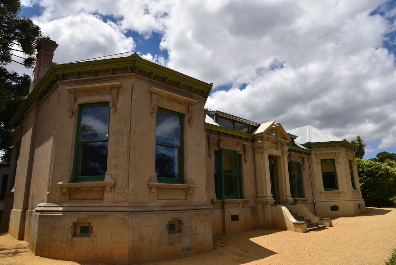
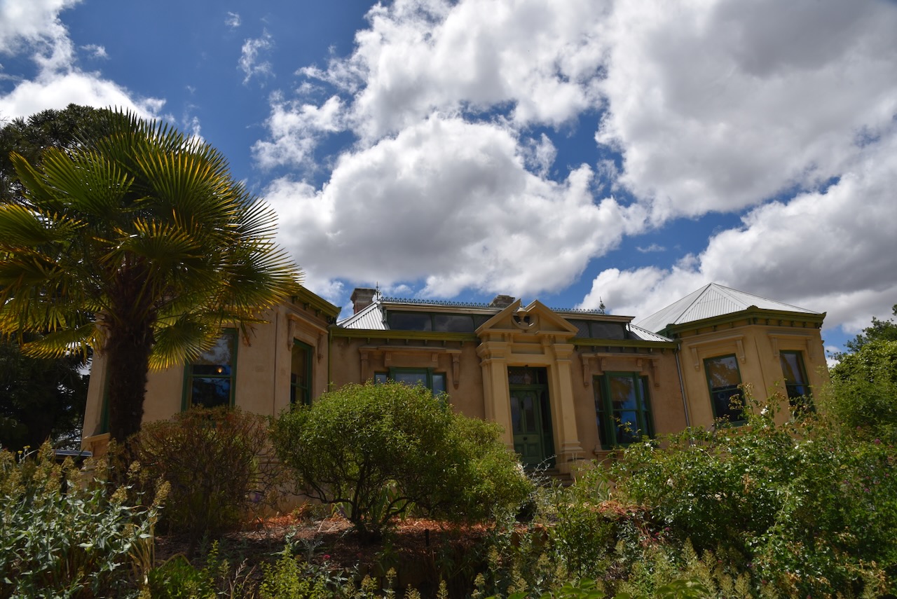
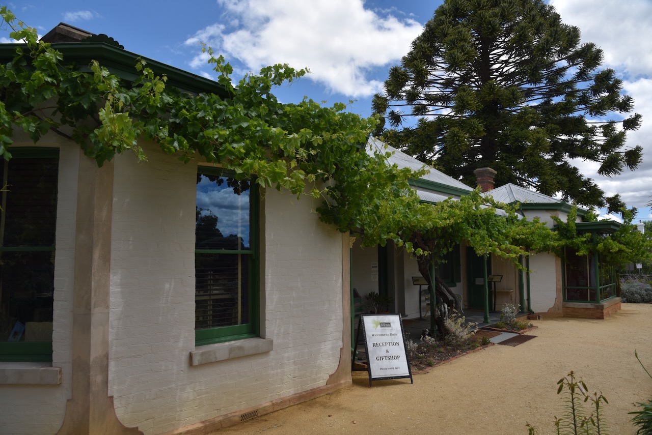
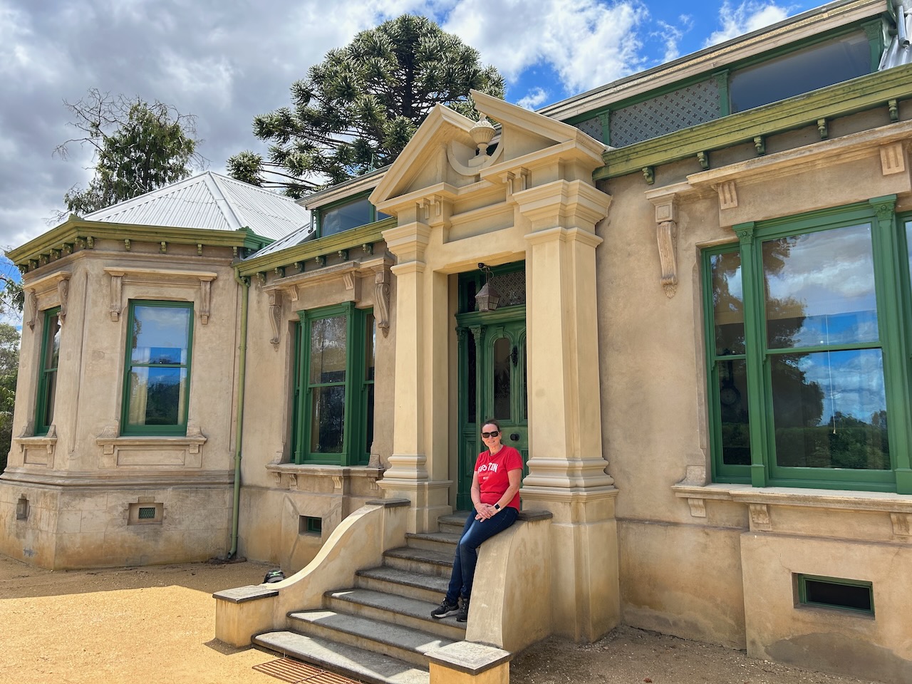
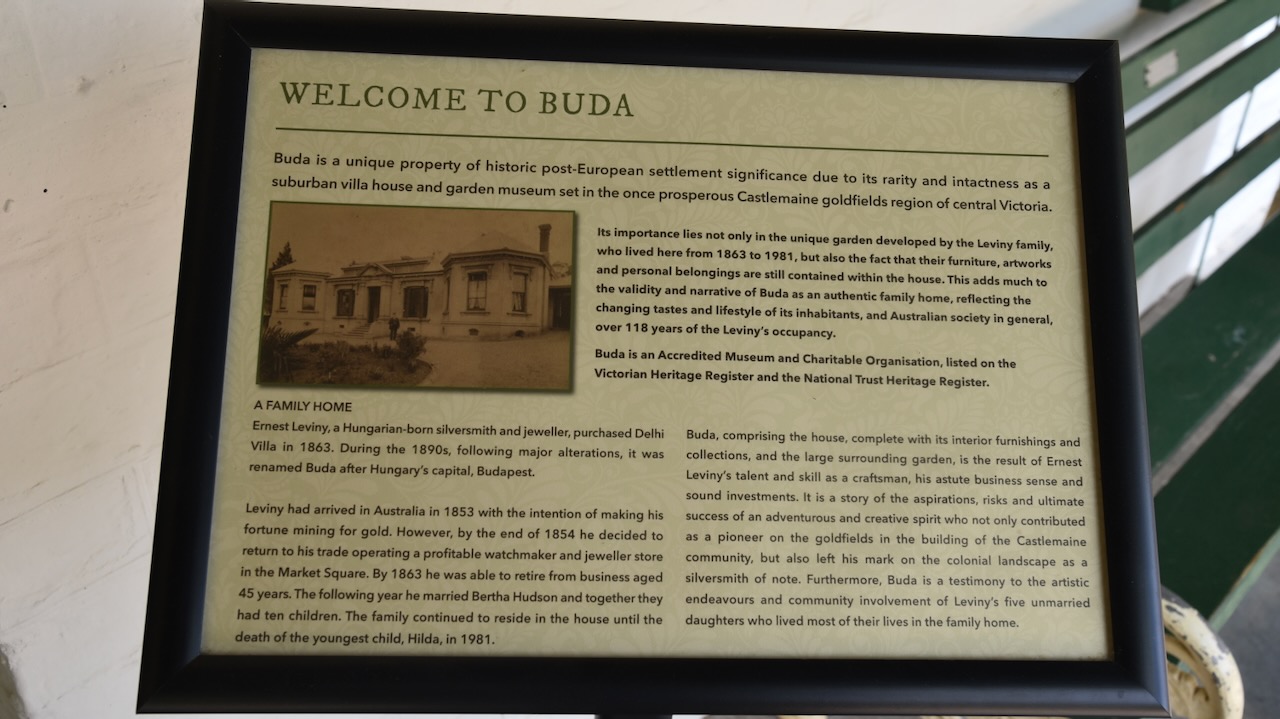
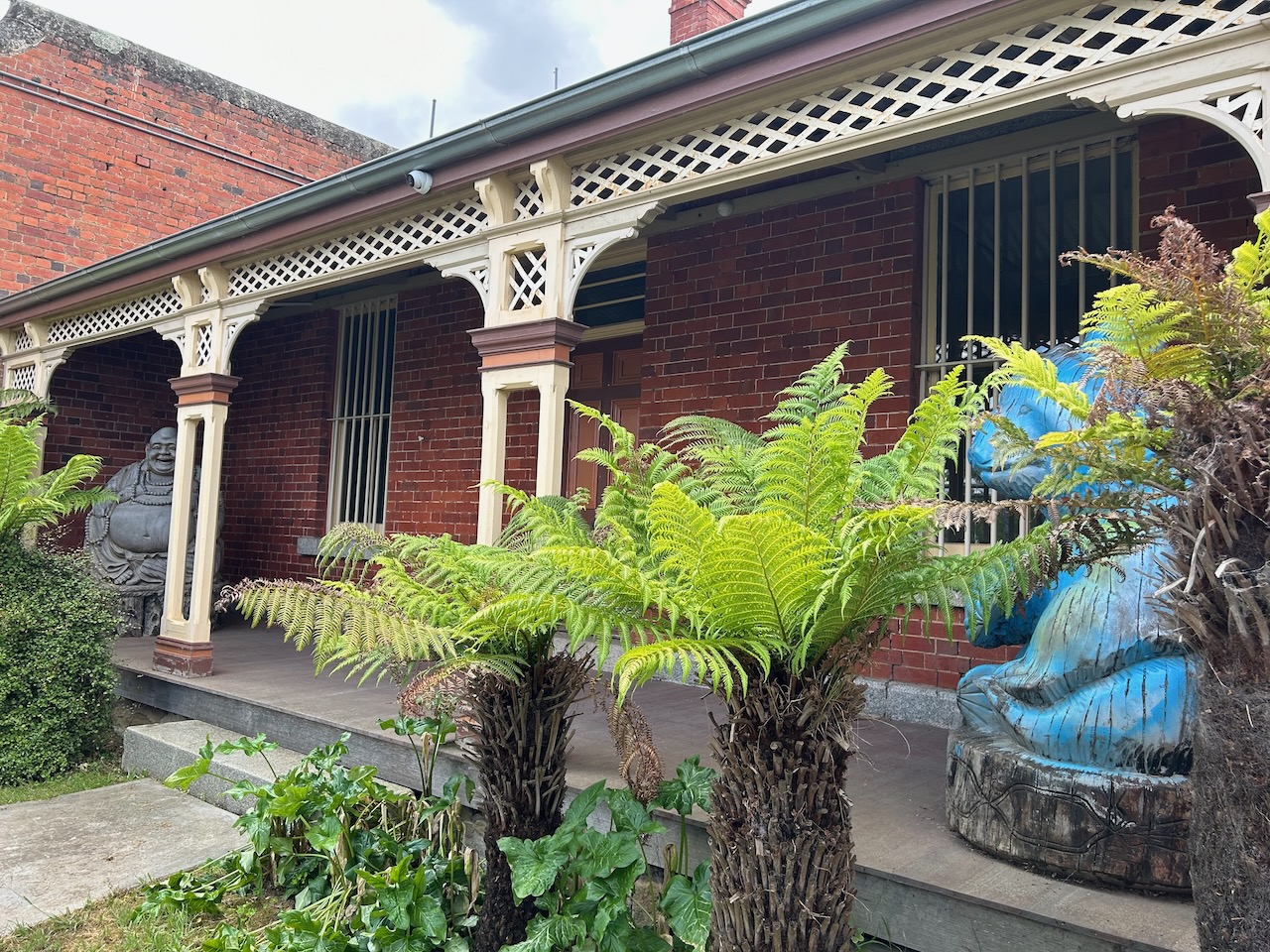
Our next stop was ‘Buda’ historic home and garden at Castlemaine. It was named Buda after Budapest by its Hungarian owner Ernest Leviny. (Buda 2024)
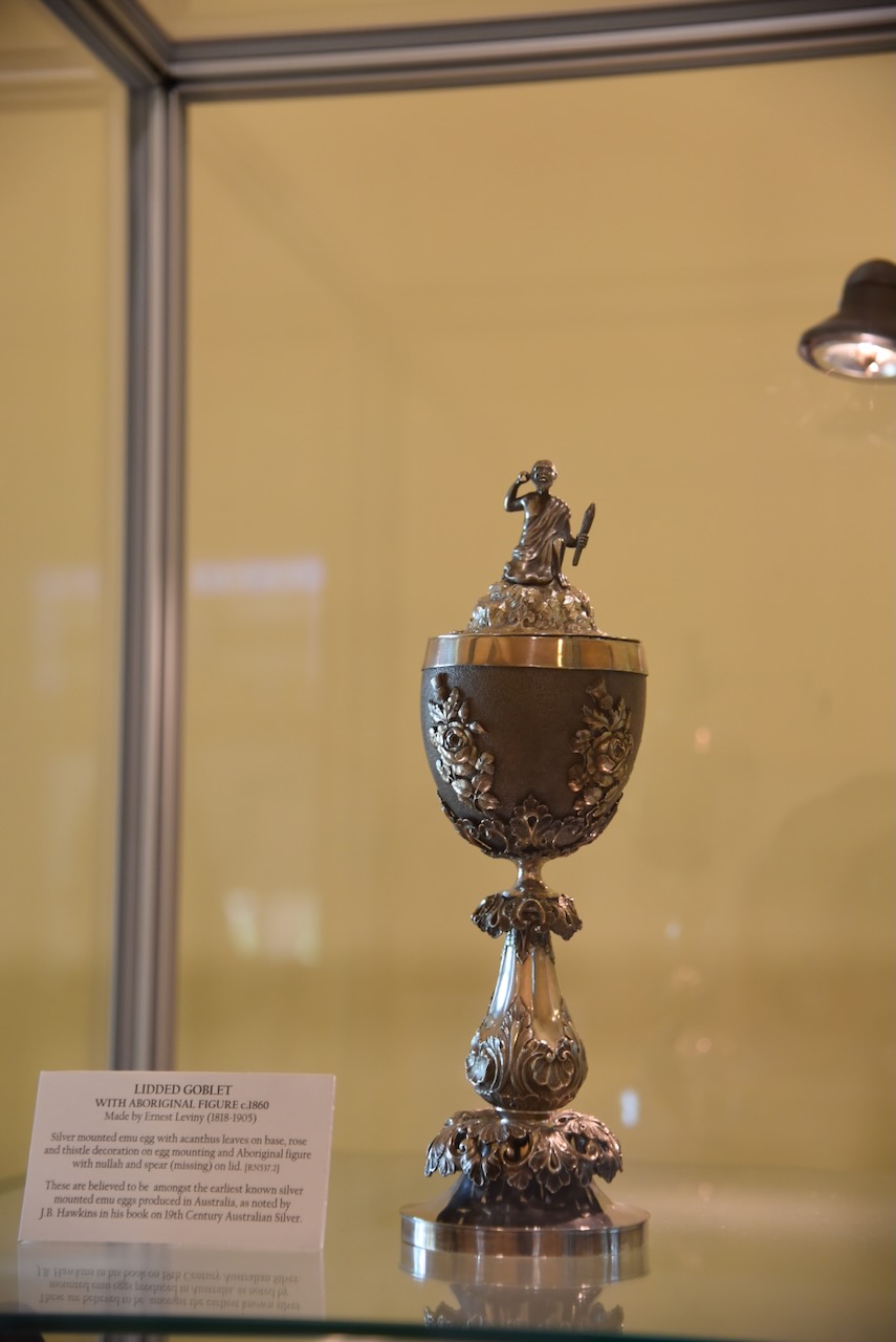
Leviny was born in Hungary in 1818 where he trained as a silversmith and jeweller. From 1843 to 1846 he lived and worked in Paris before moving to London where he operated a manufacturing jewellers and goldsmith business from 1846 to 1852. He emigrated to Australia in 1853 and immediately headed to the goldfields at Forest Creek. He established a watchmaking and jewellery business. In 1863 he retired and purchased Delhi Villa (later to become Buda). In 1864 he married Bertha Hudson and they had 10 children. He died in 1905, allegedly the wealthiest person in Castlemaine at the time. (Buda 2024)
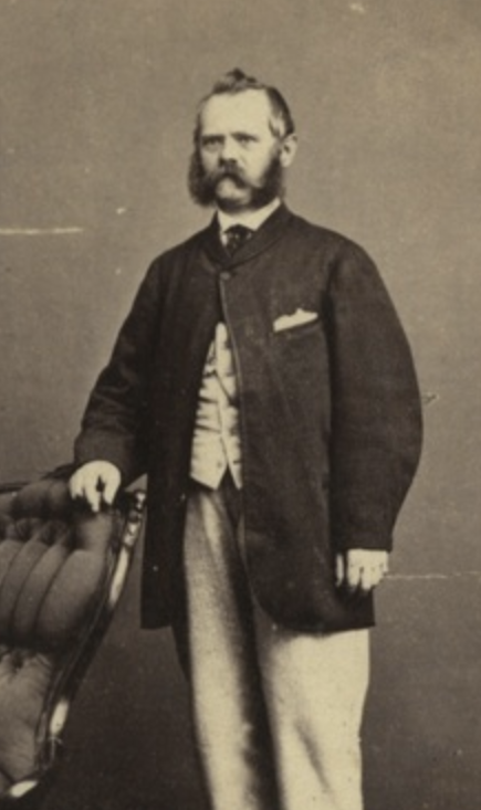
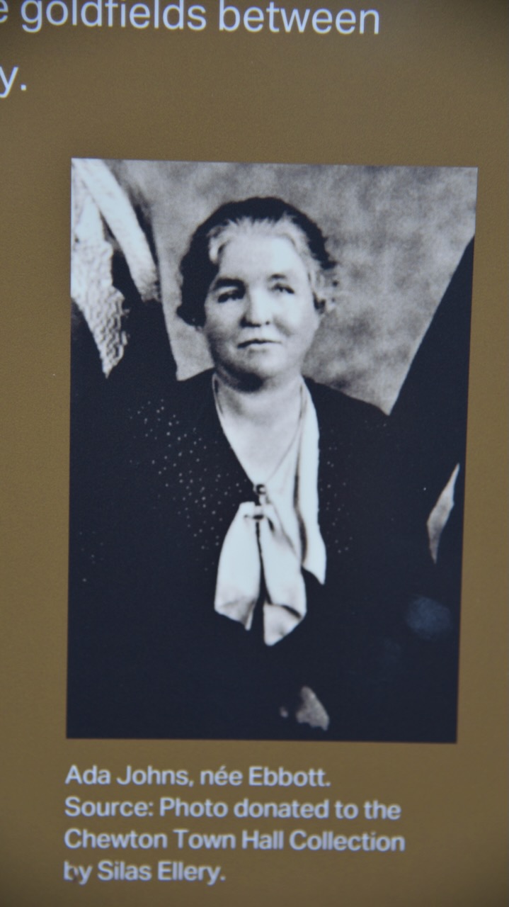
Above:- Ernest Leviny. Image c/o https://victoriancollections.net.au/items/5407c4202162f10ad41c5f9c
Below is an excellent video on the life of Ernest Leviny.
And below is a mini tour of Buda historic home and garden.
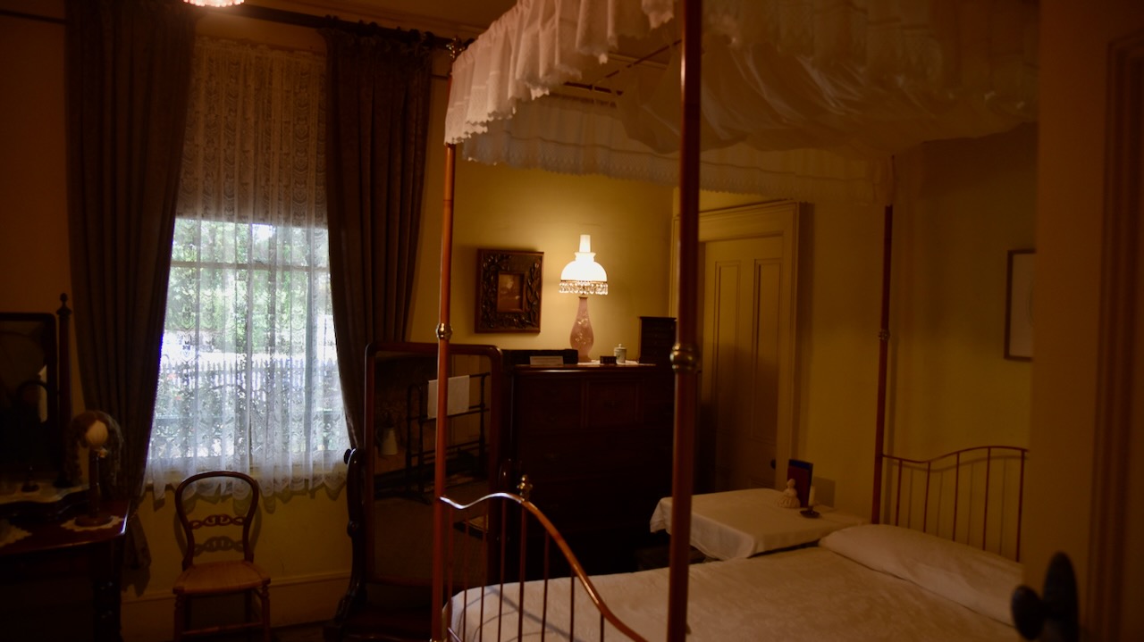
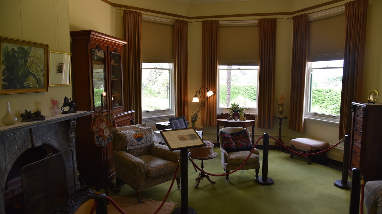
The Buda historic home was built in 1861 and is surrounded by one of the most important 19th century gardens in Victoria. The house was occupied continuosly by the Leviny family for 118 years when the last surviving daughter Hilda died at the age of 98 years.
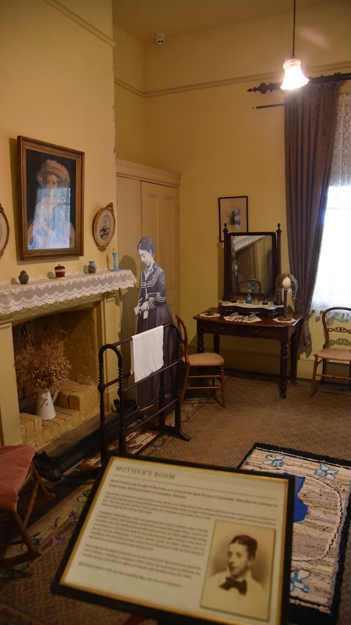
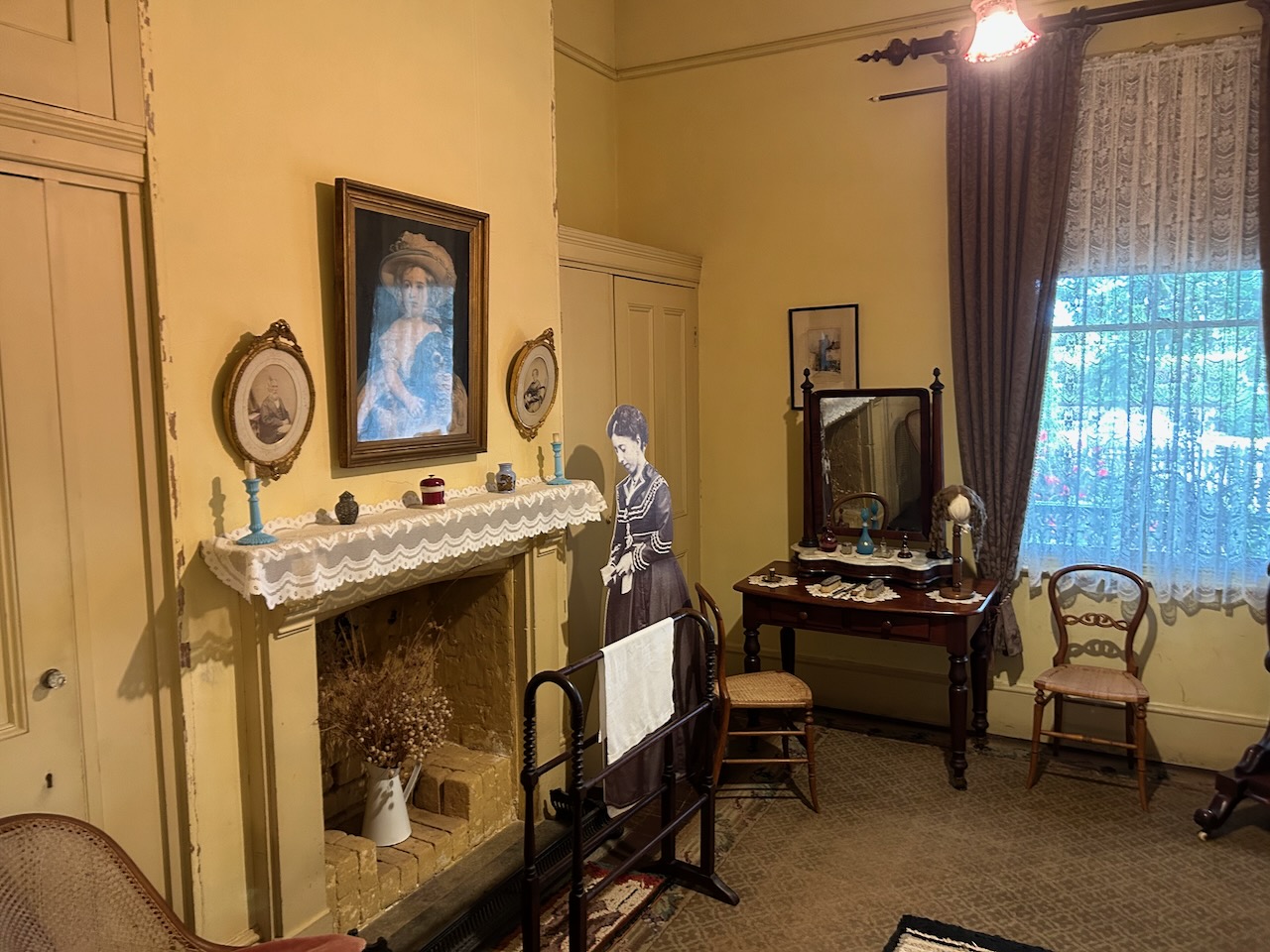
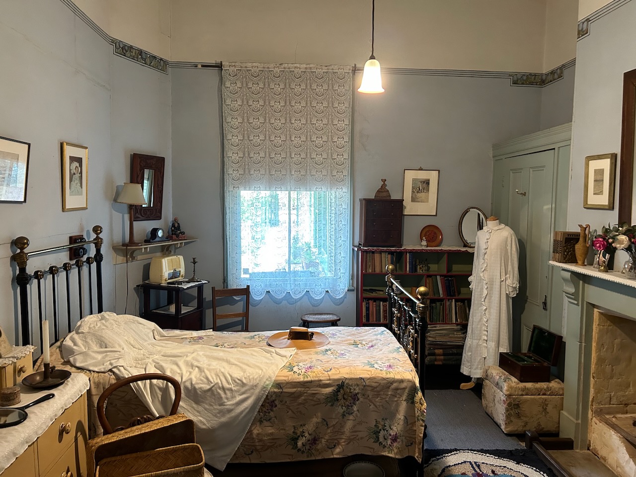
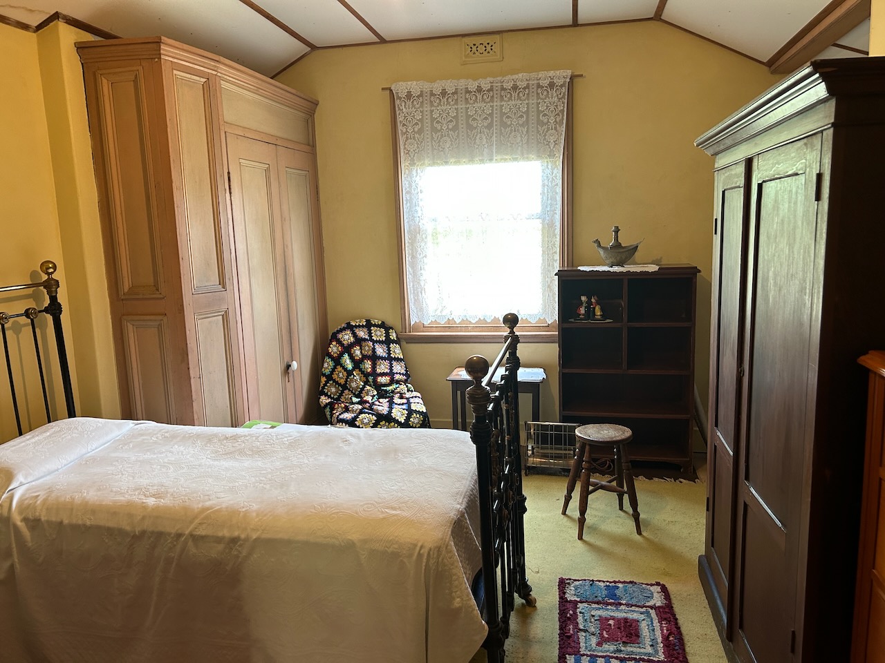
Each of the rooms in the house has an information board. The main bedroom is called the Mother’s Room. Bertha gave birth to her 10 children in this bedroom.
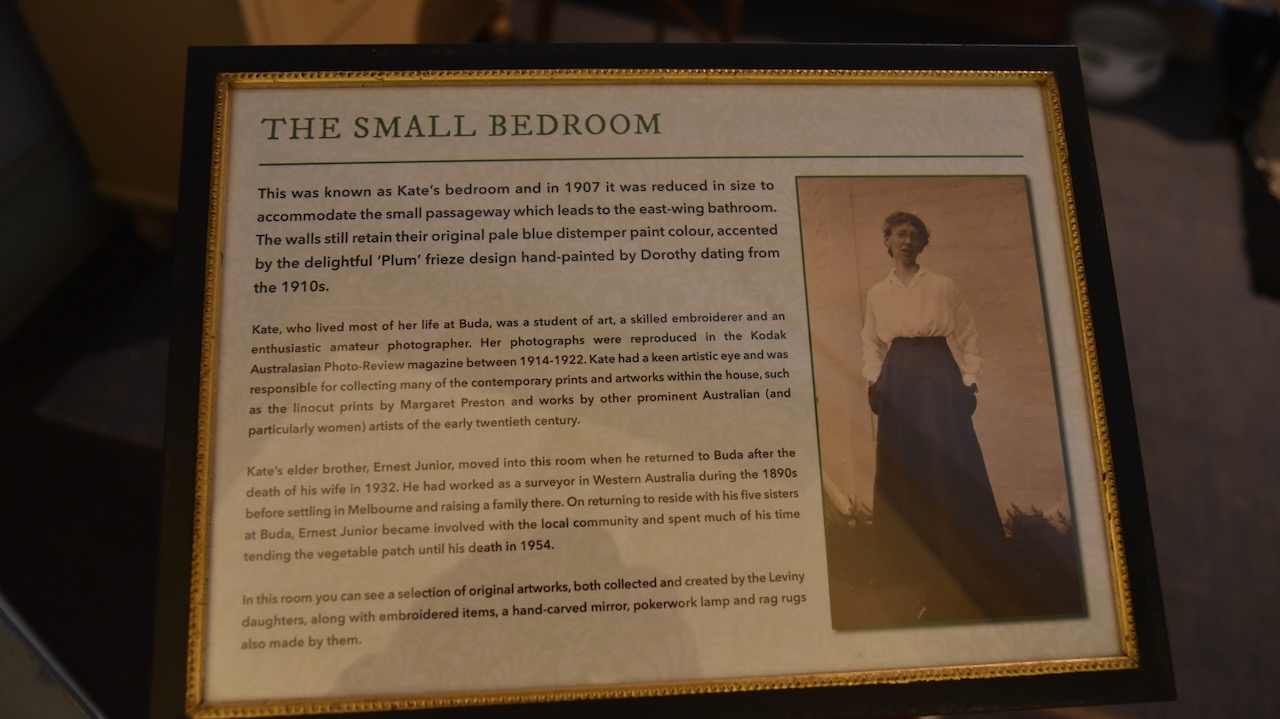
The Small Bedroom is also known as Kate’s bedroom. Beatruce Kate Leviny was born in 1877 and spent the majority of her life at Buda. (Victorian Collections 2024)
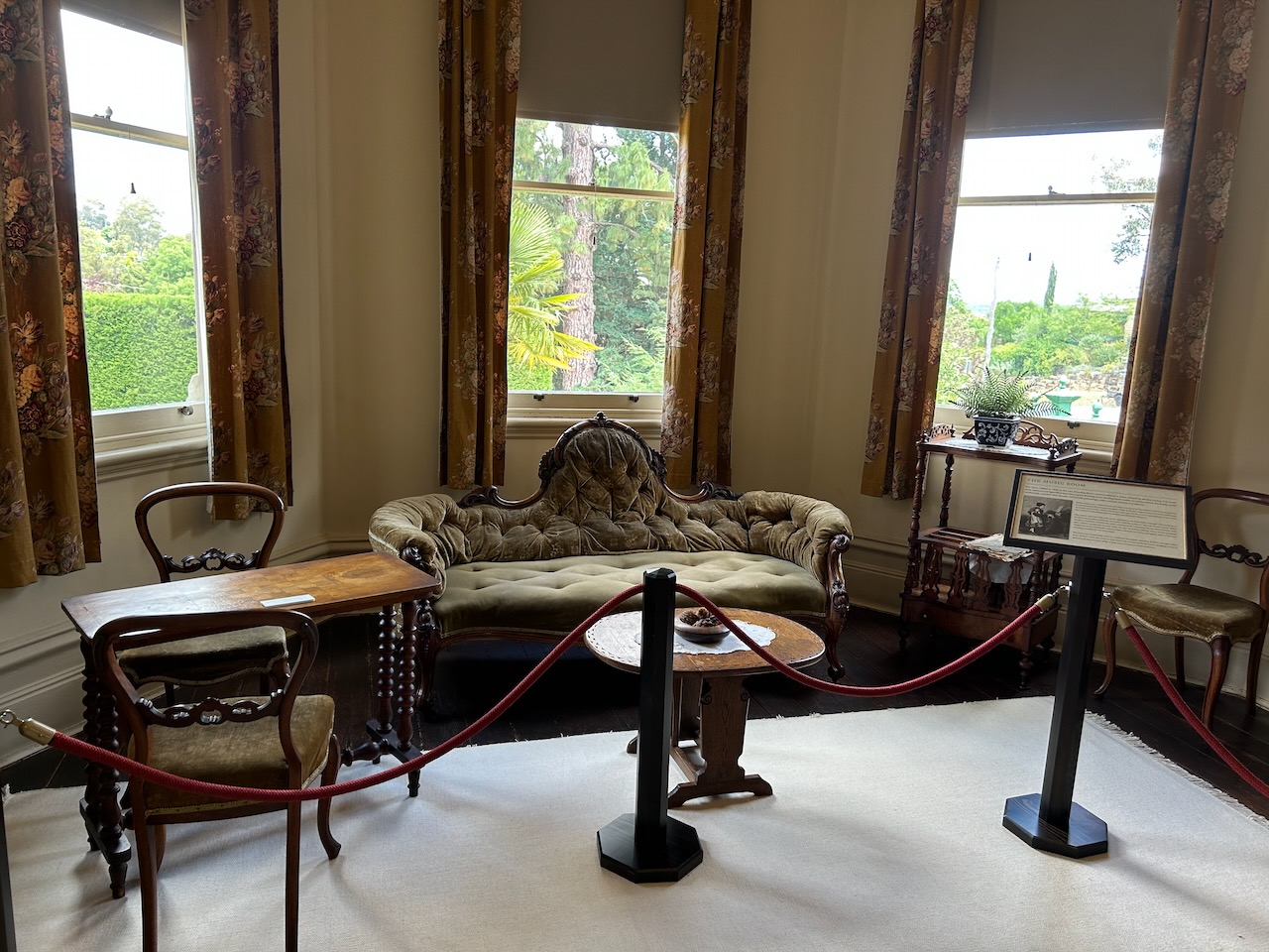
The music room contains a piano that was played by Bertha Leviny who was a skilled pianist.
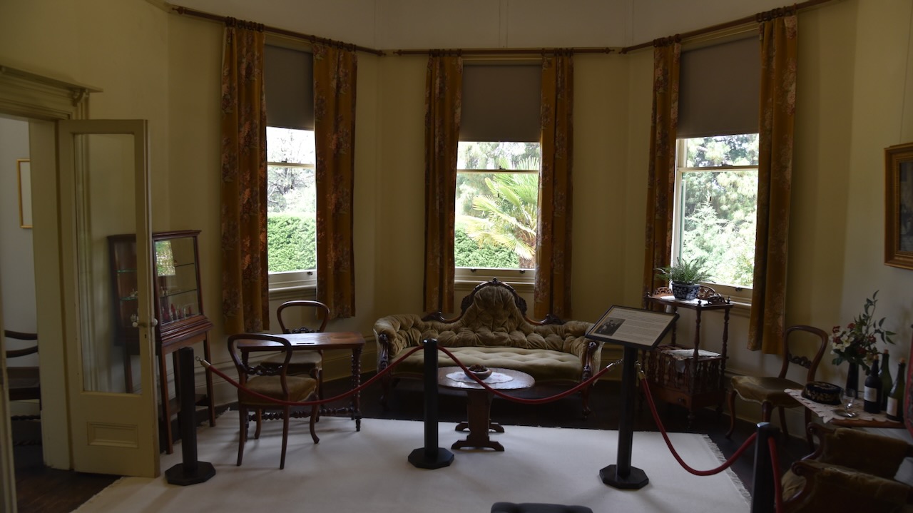
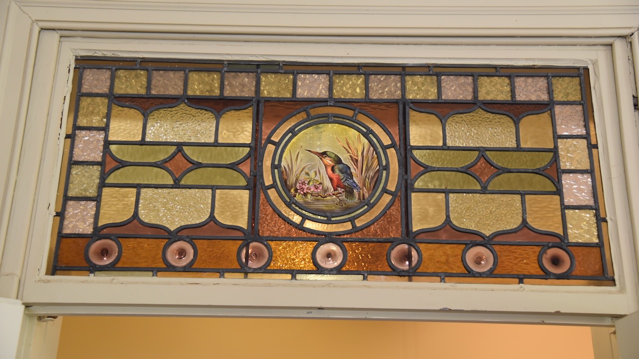
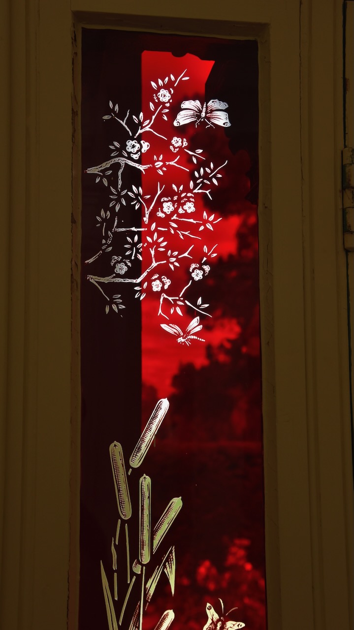
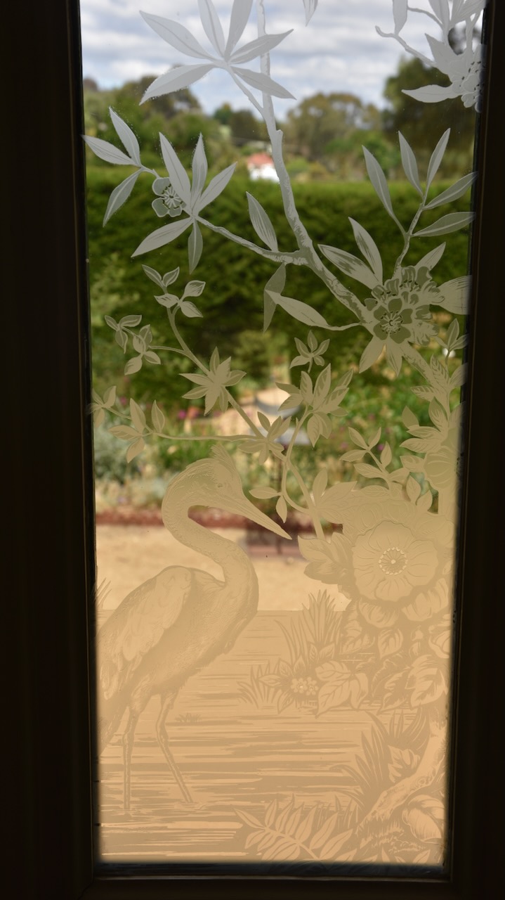
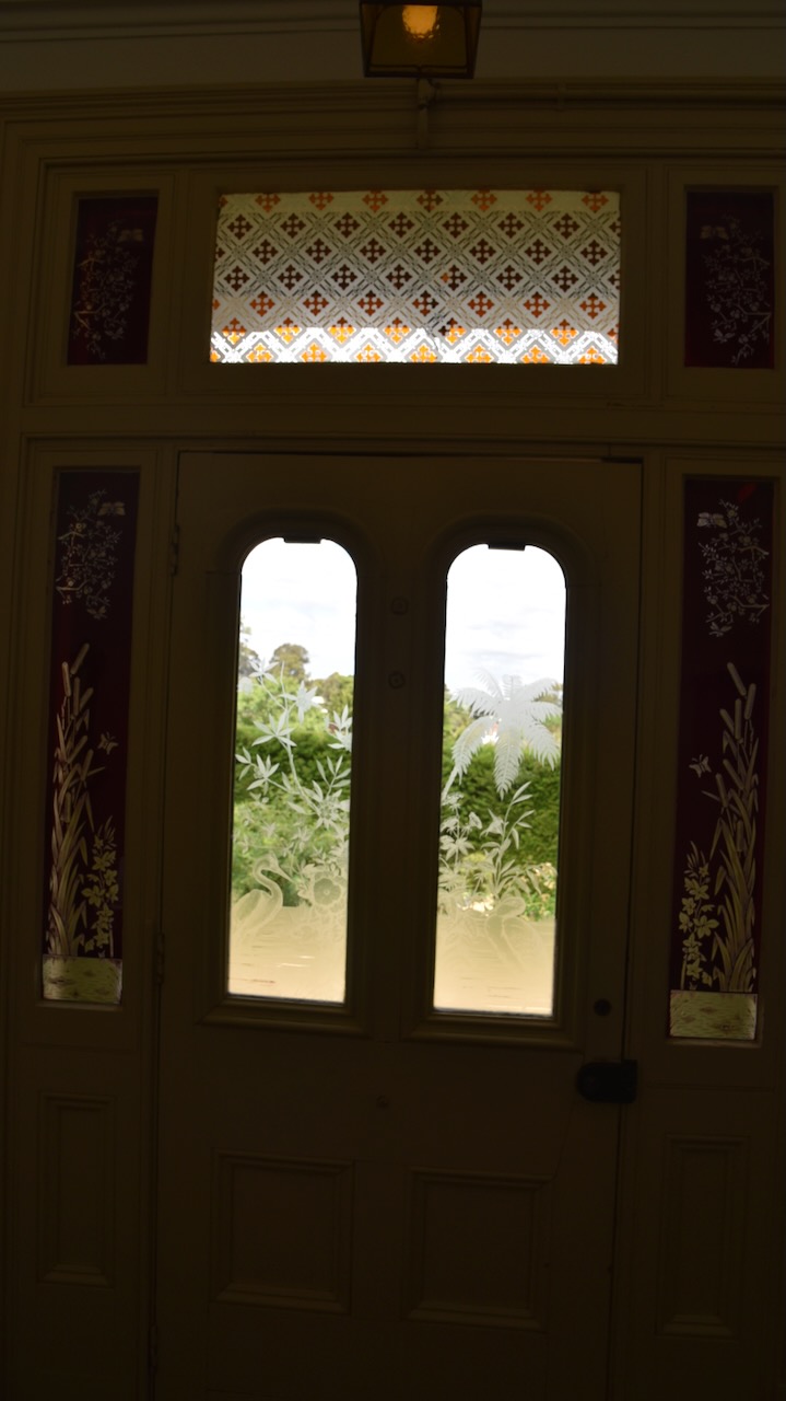
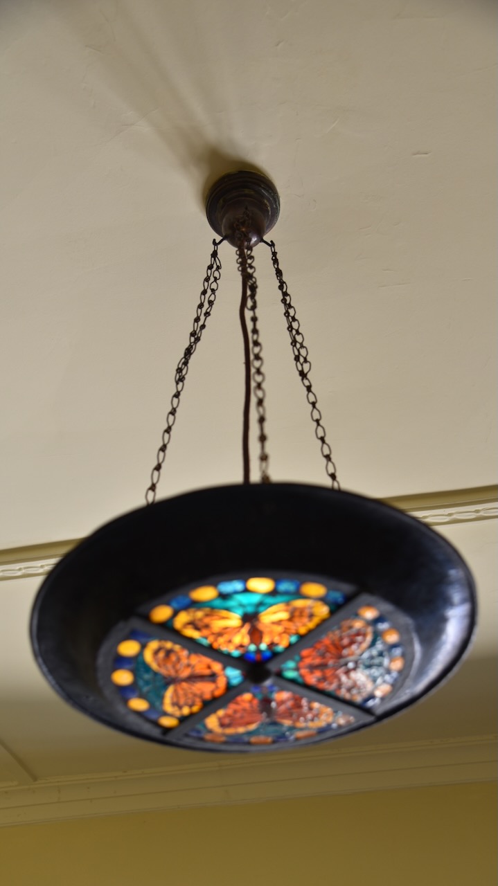
There are some beautiful headlight windows in the home.
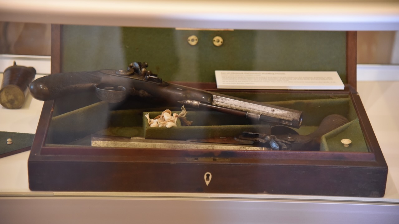
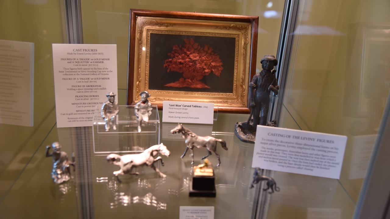
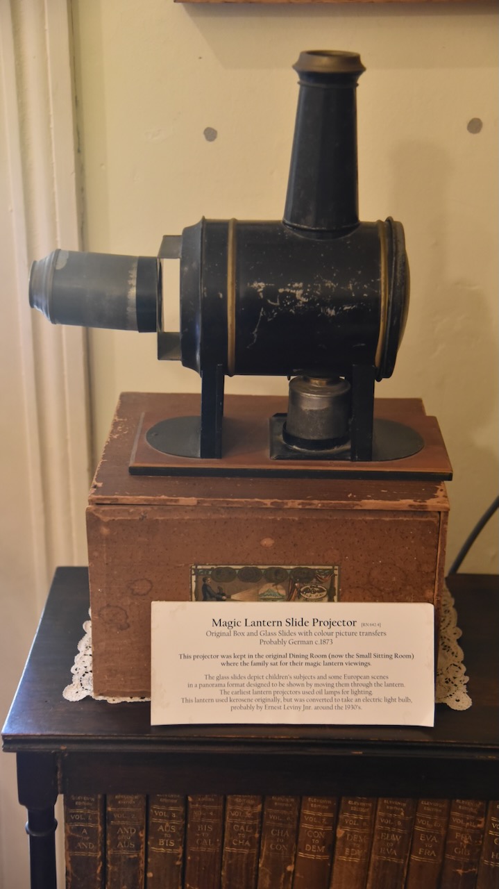
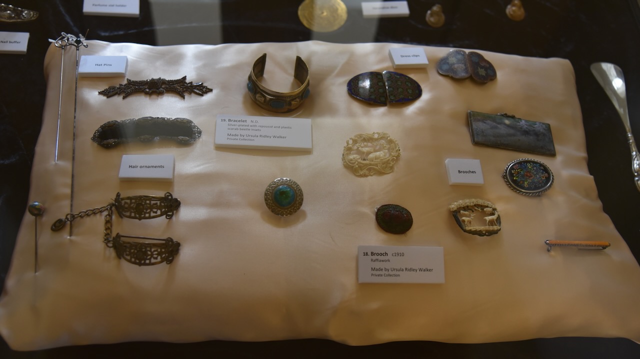
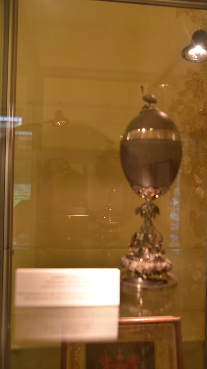
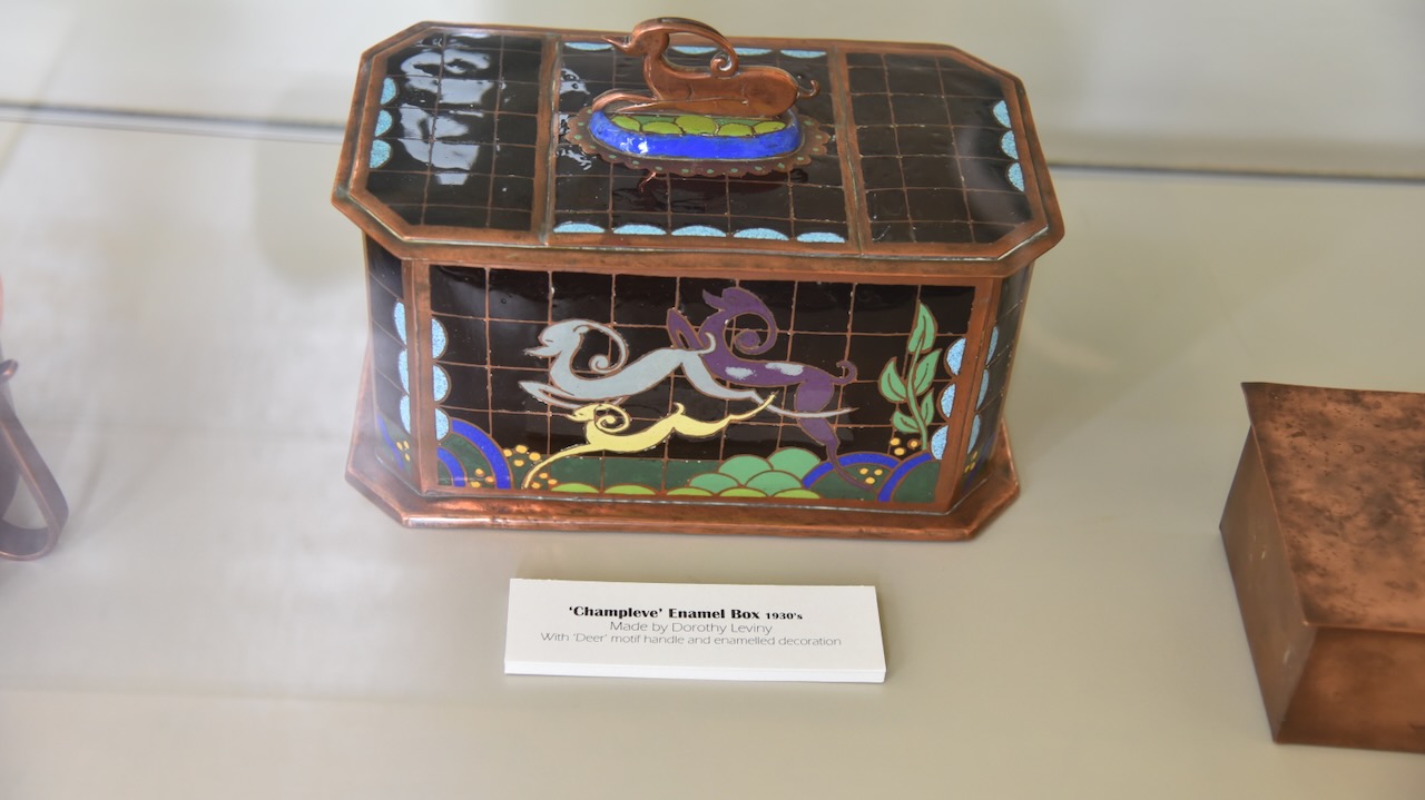
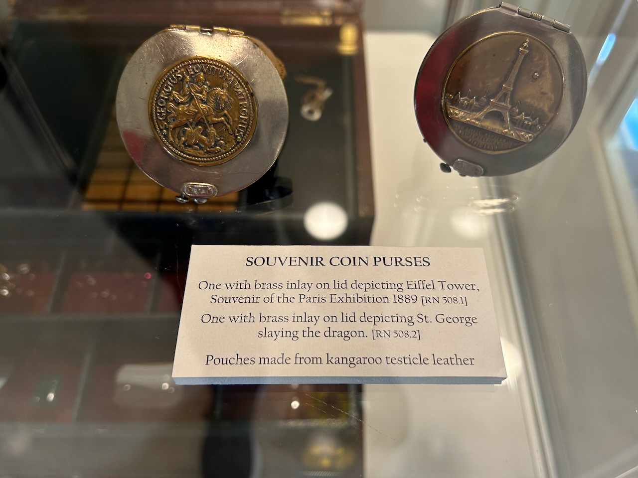
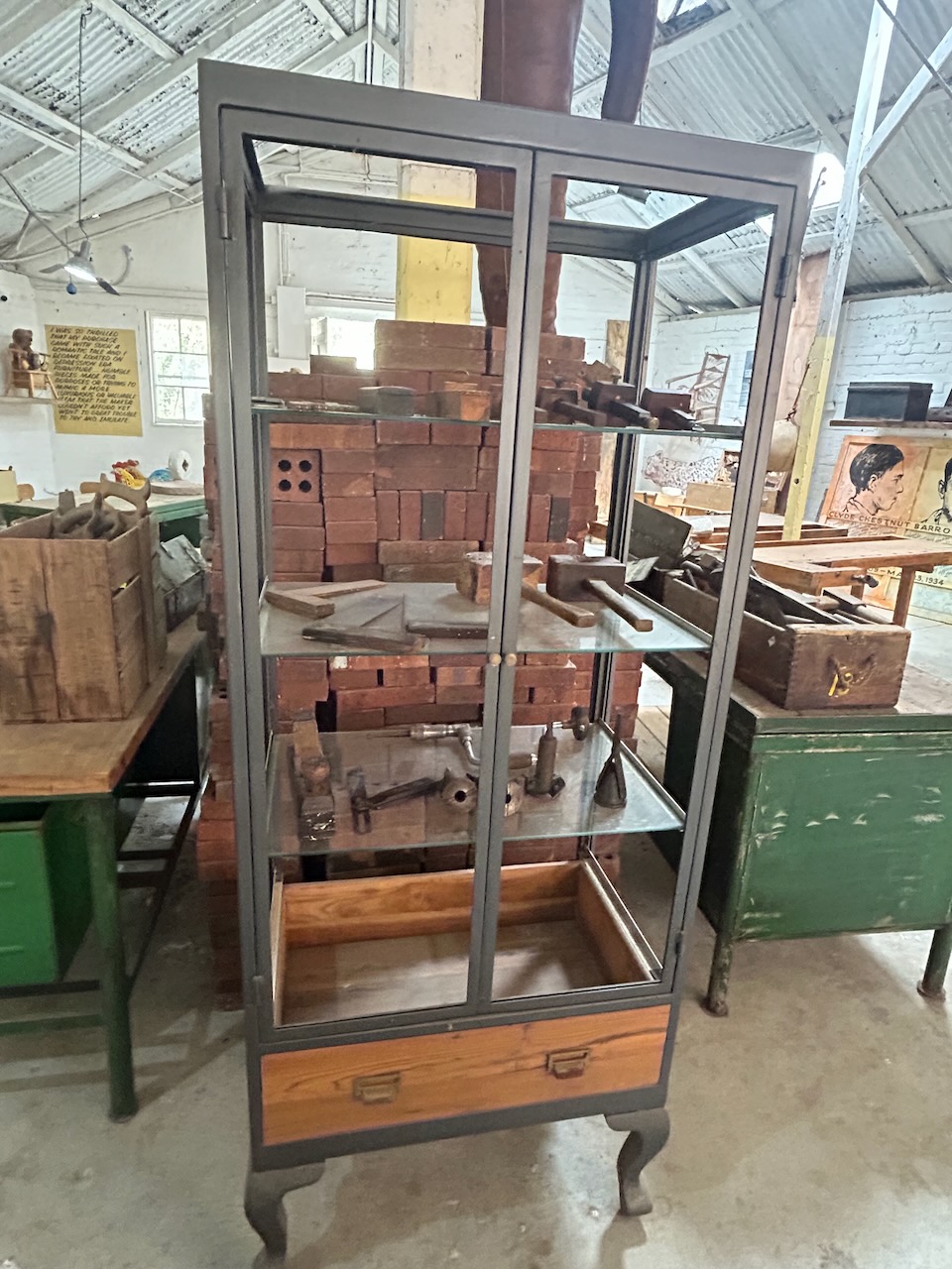
The home contains a collection of the works of Leviny.
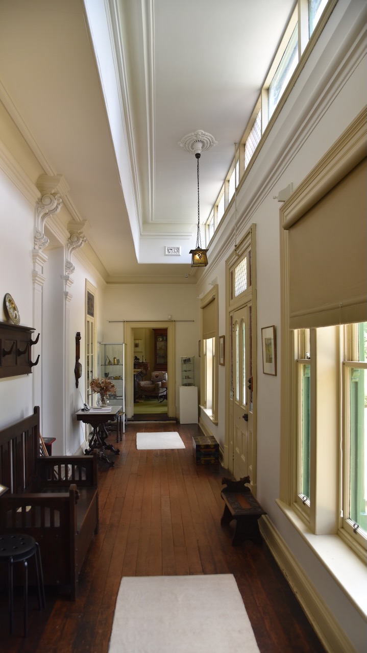
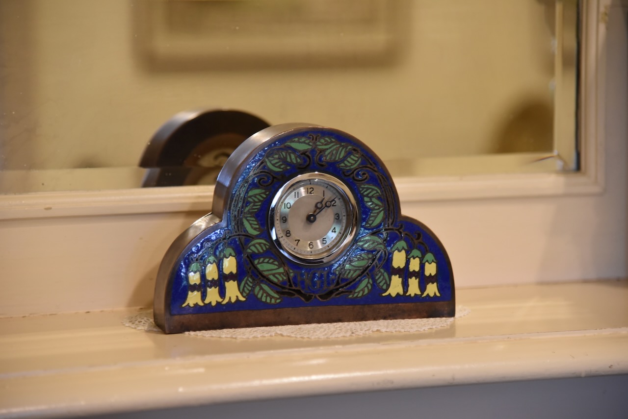
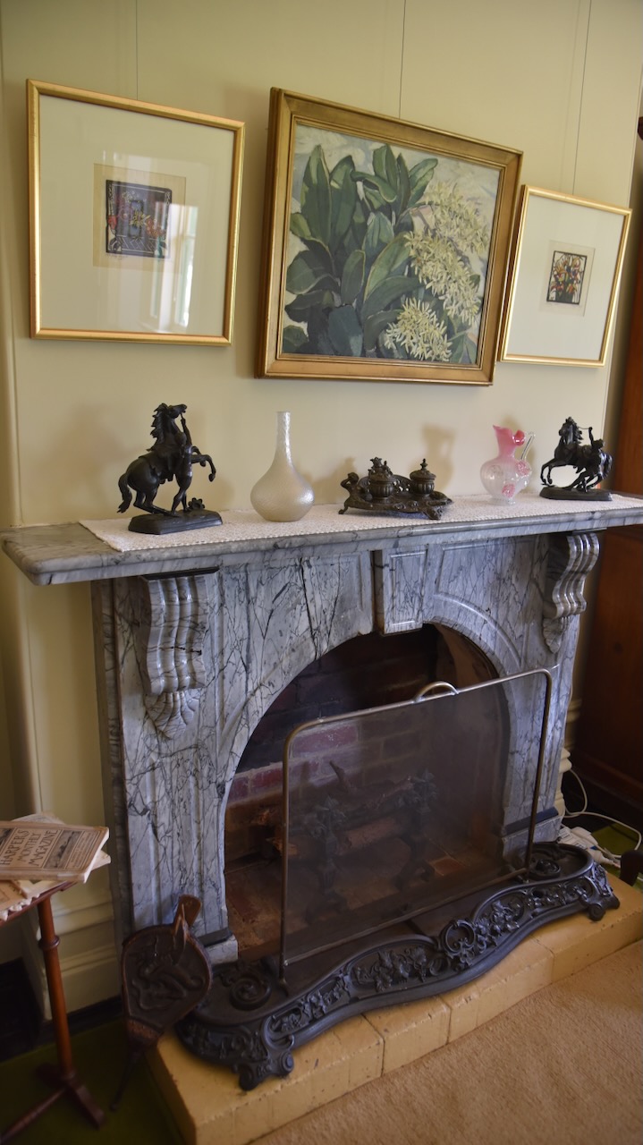
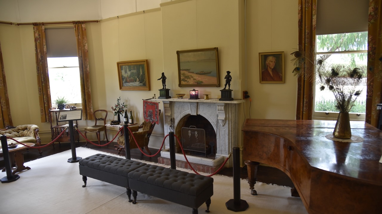
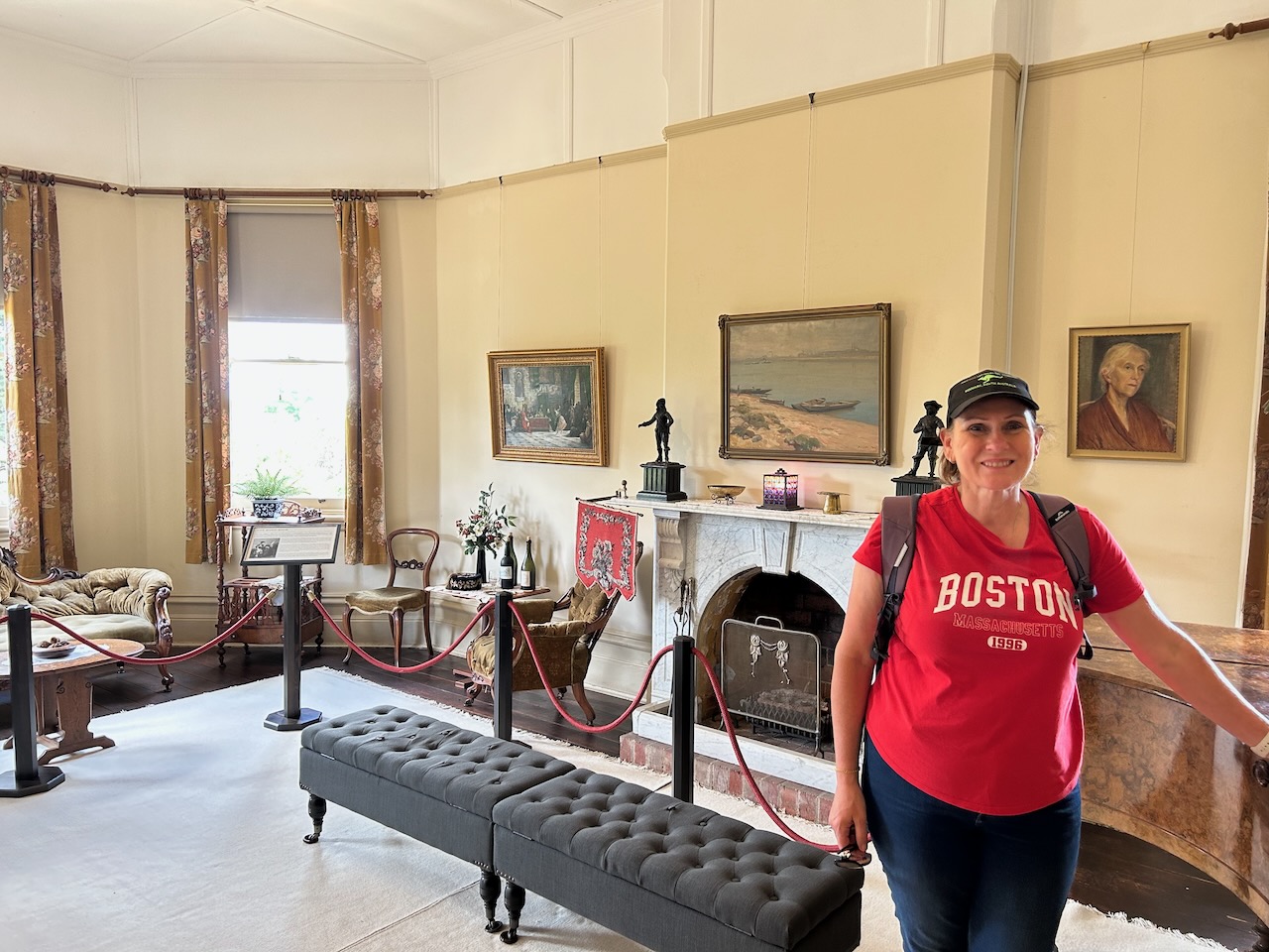
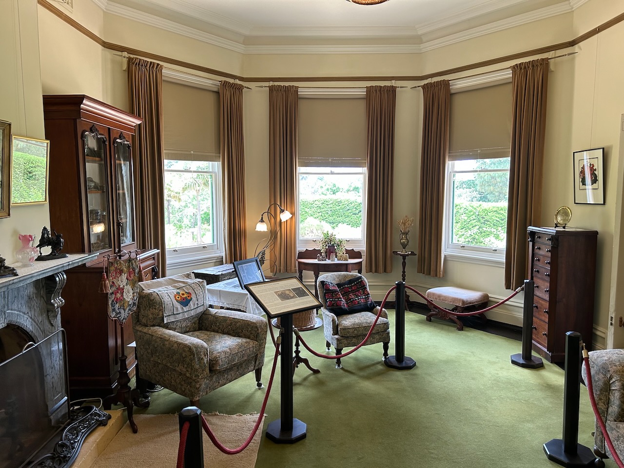
The main sitting room contains a grand marble fireplace and other period furniture.
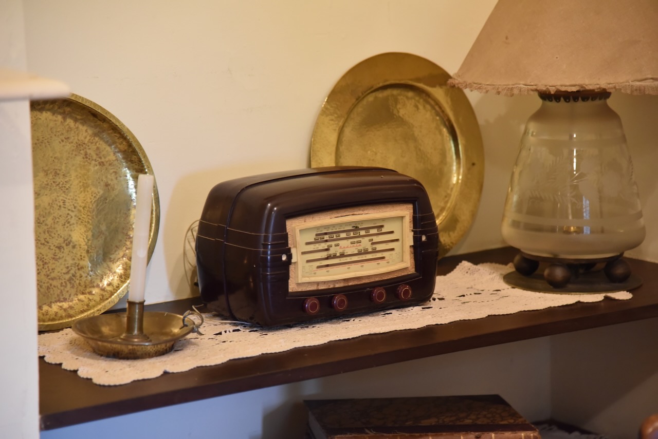
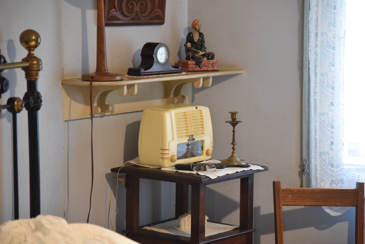
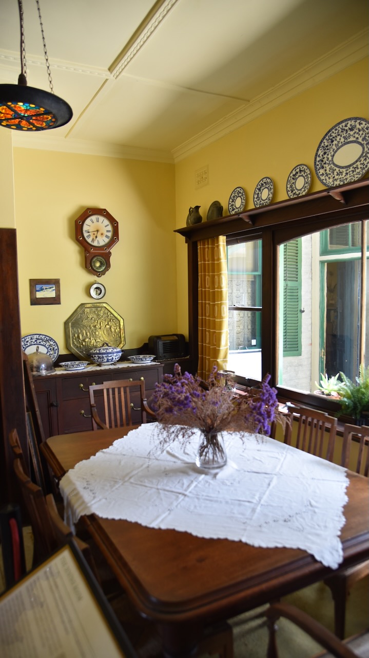
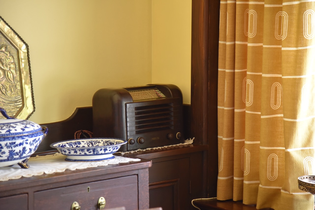
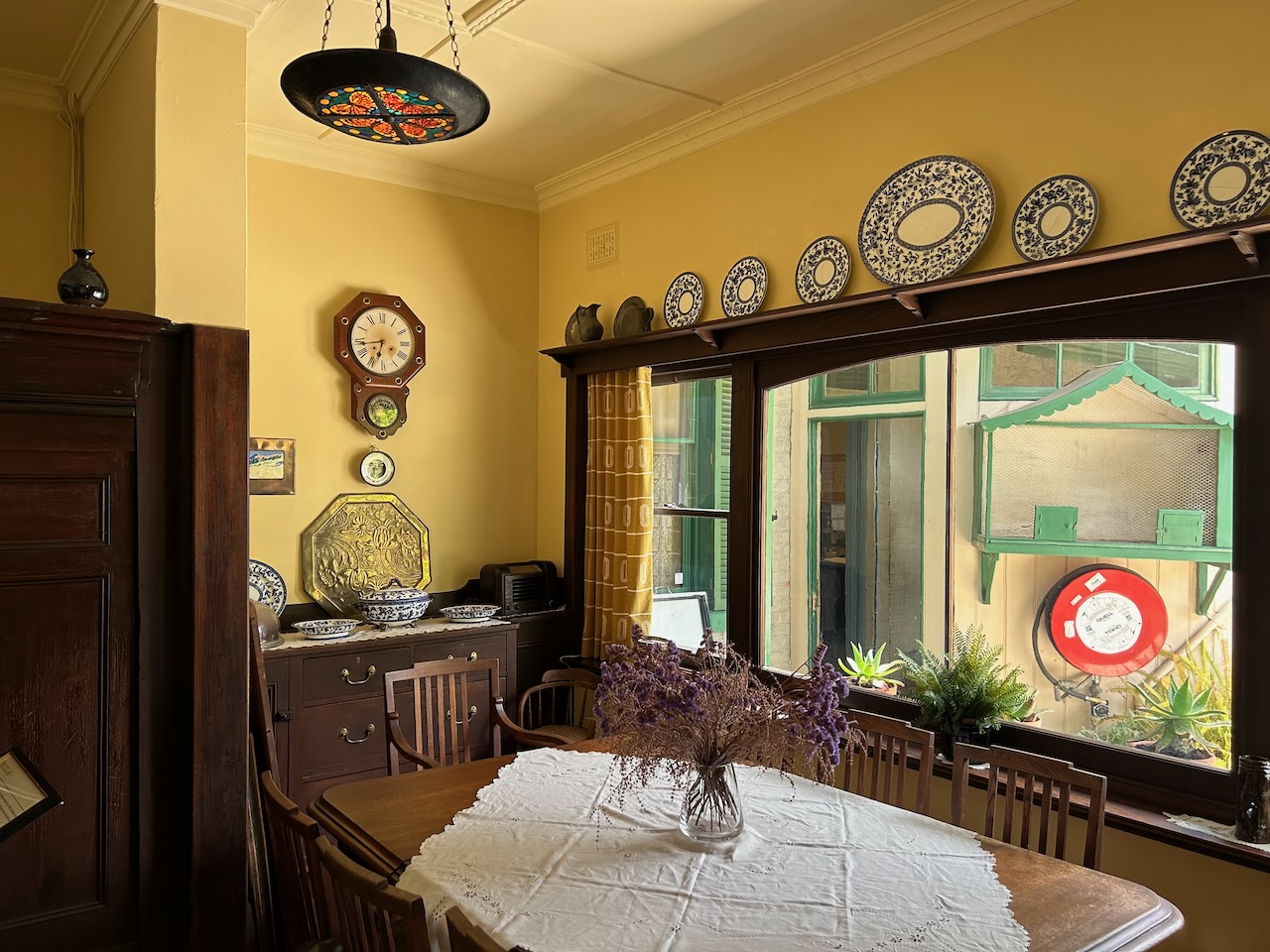
I even found an old bakelite radio in the kitchen.
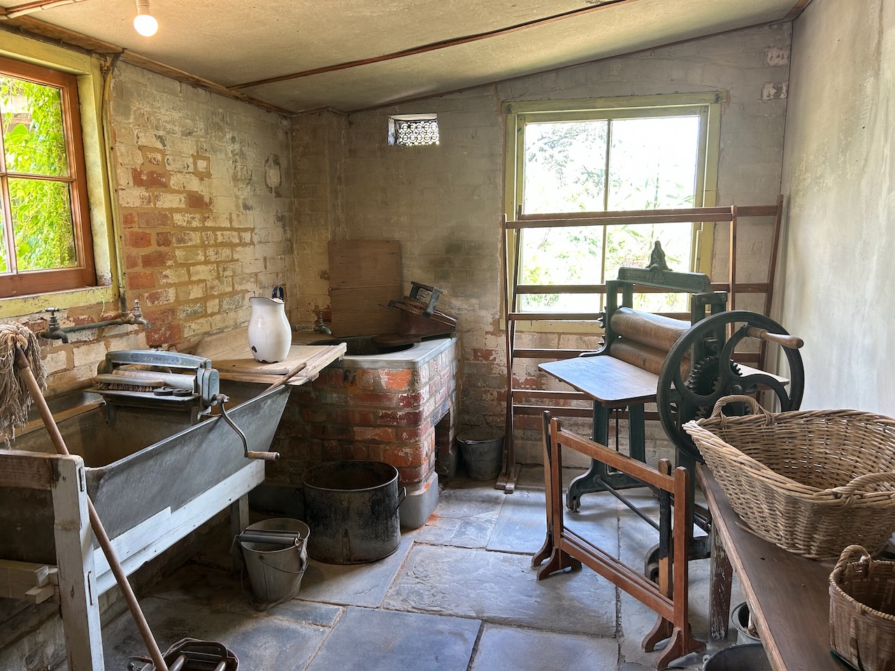
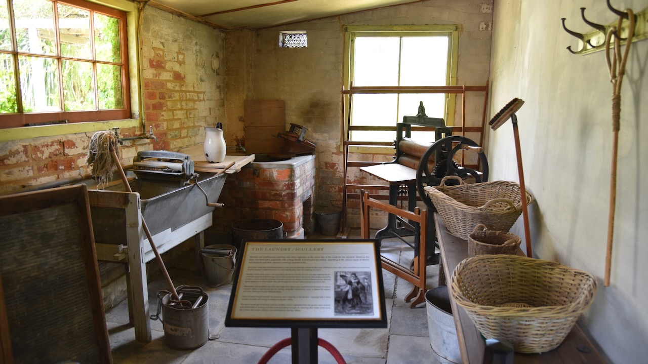
The laundry and scullery is located in the lower section of the house.
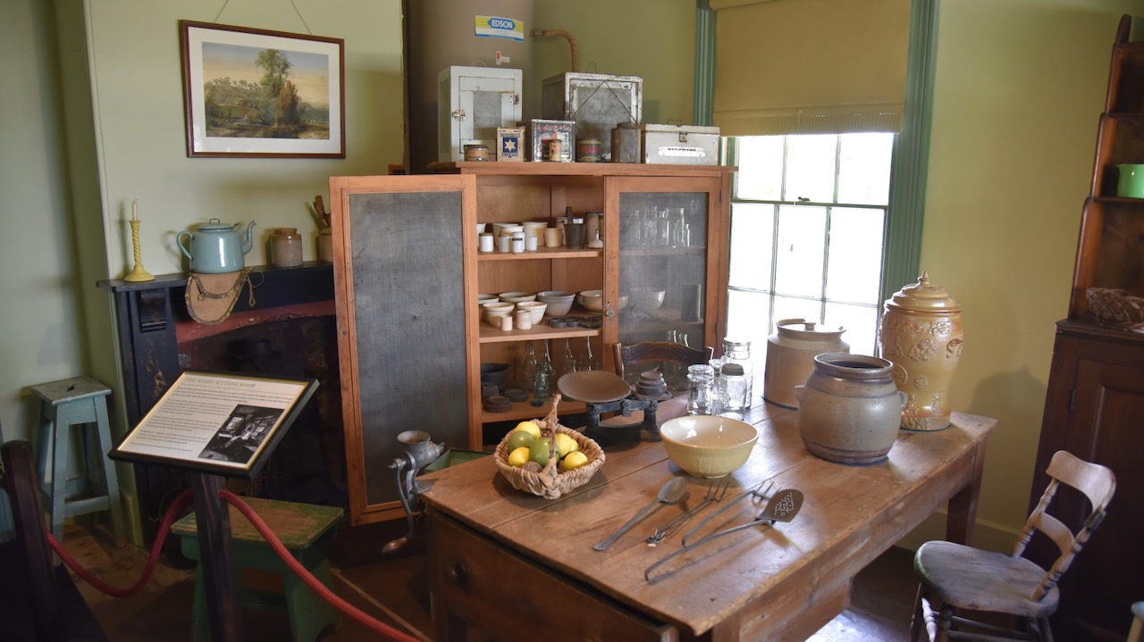
Maid’s sitting room
You can also view the maid’s bedroom.
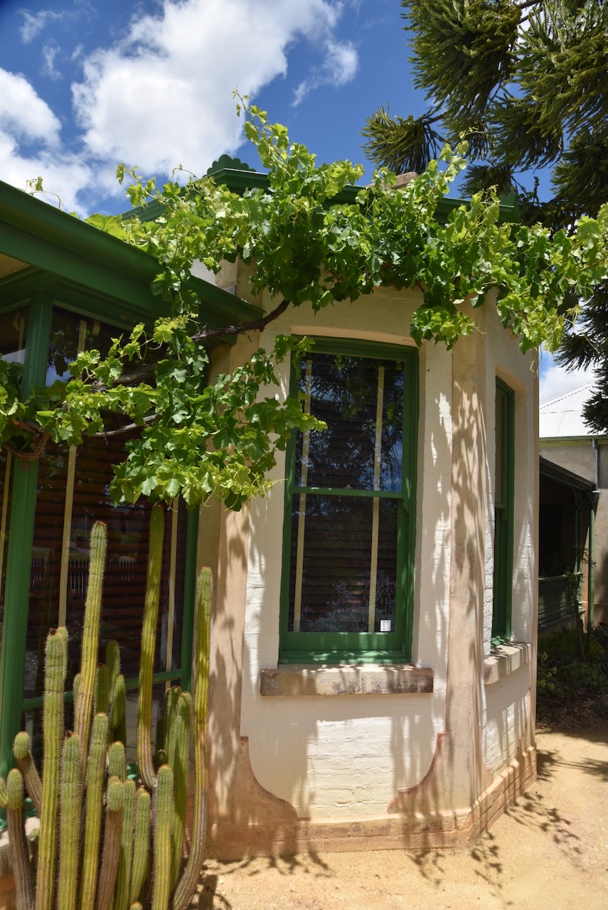
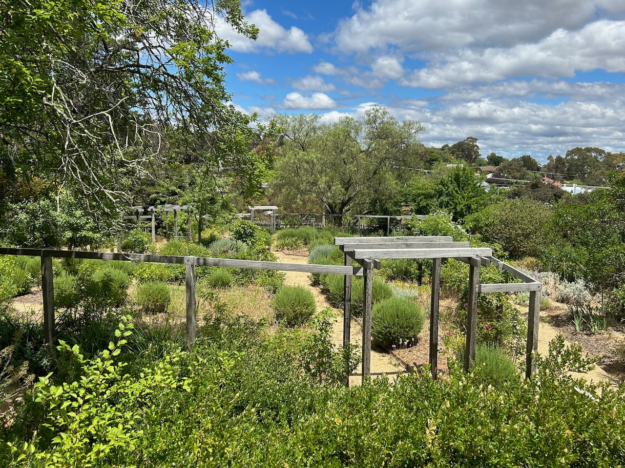
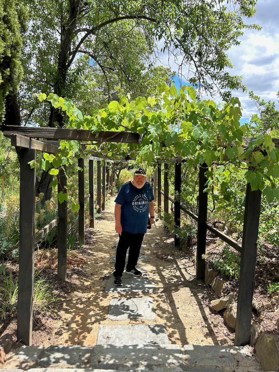
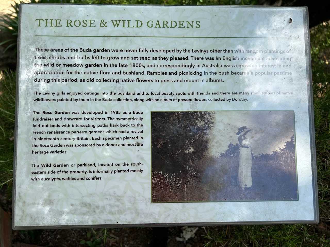
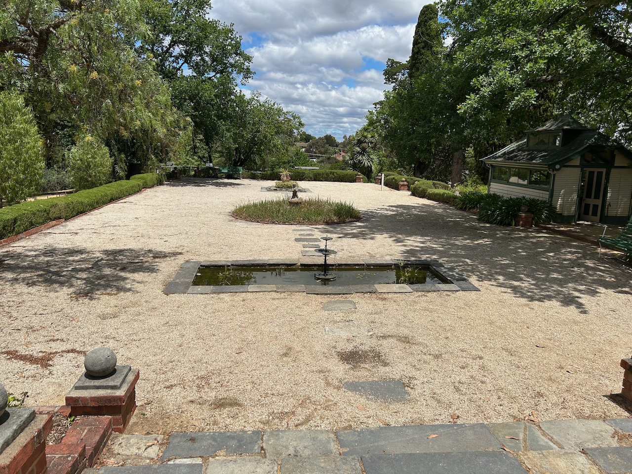
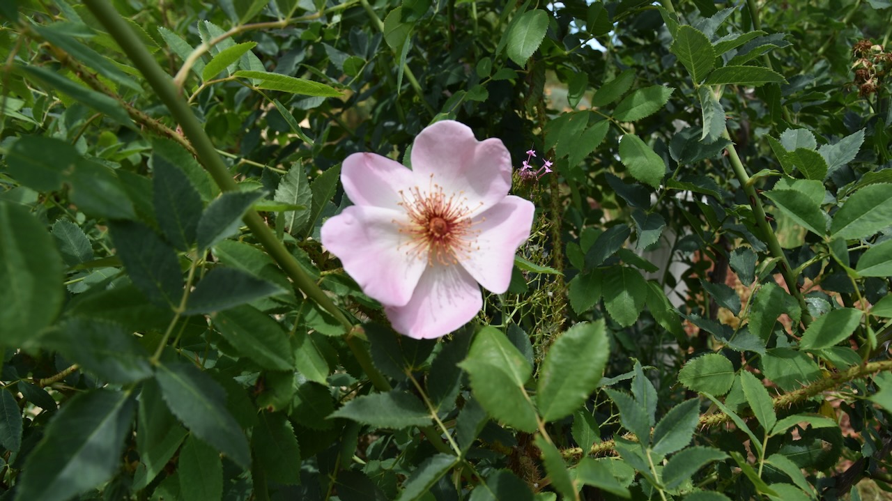
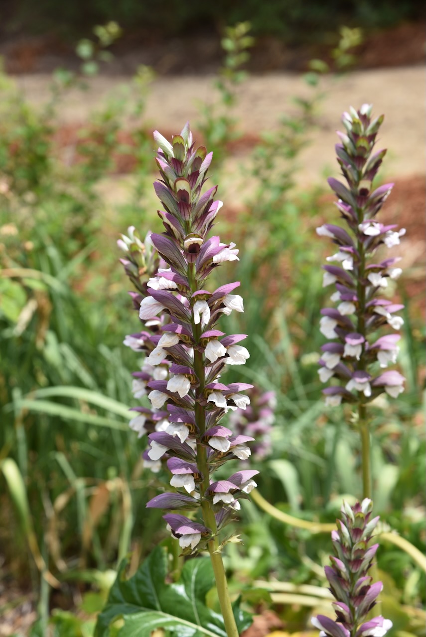
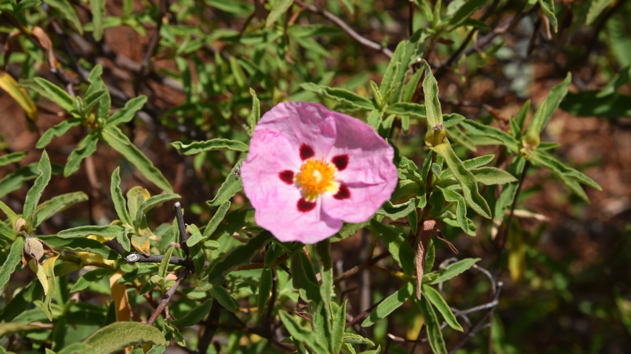
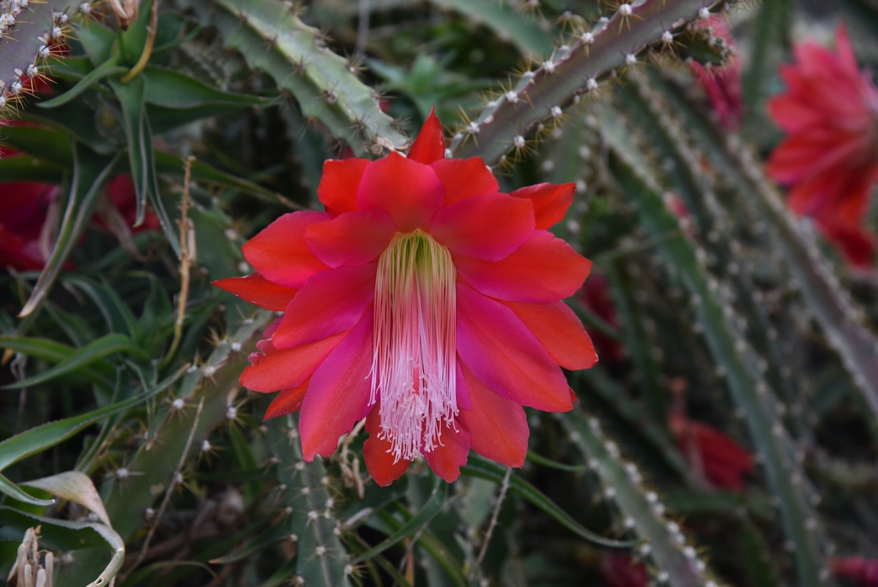
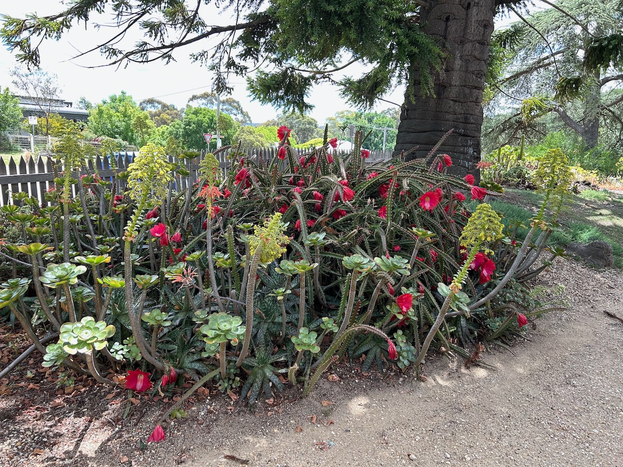
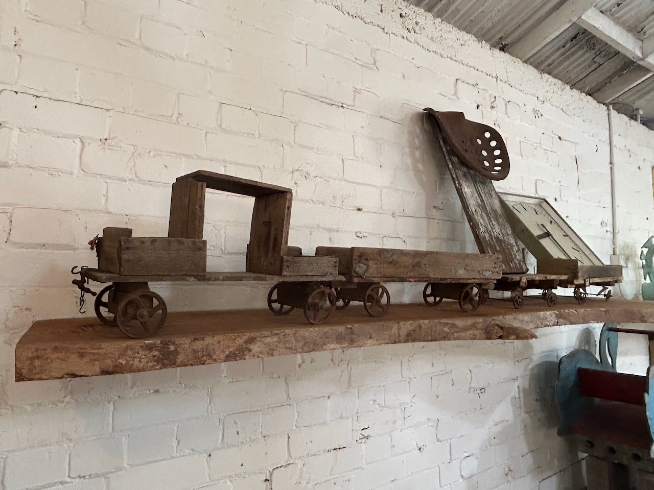
The home also features 3 acres of heritage garden that includes original plantings and structures including a tennis pavilion and grape pergola.
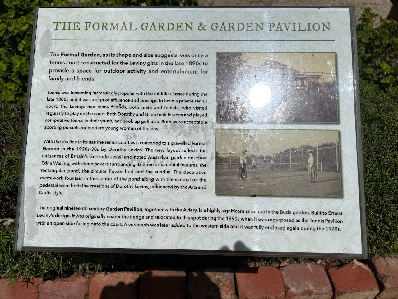
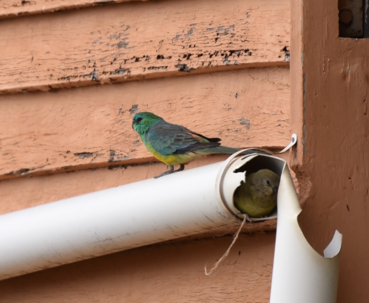
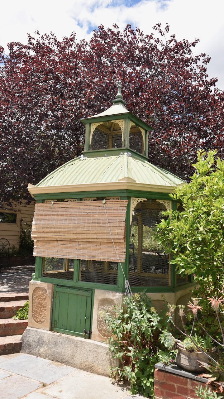
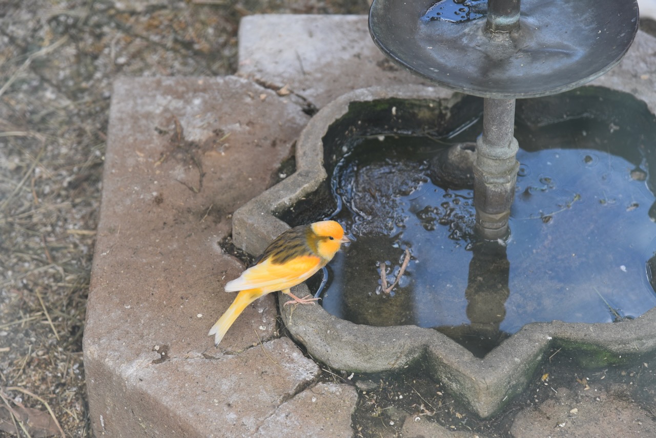
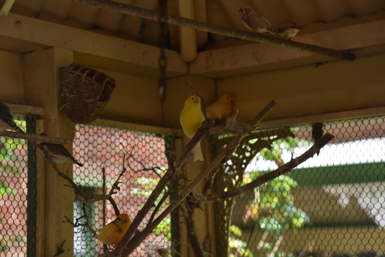
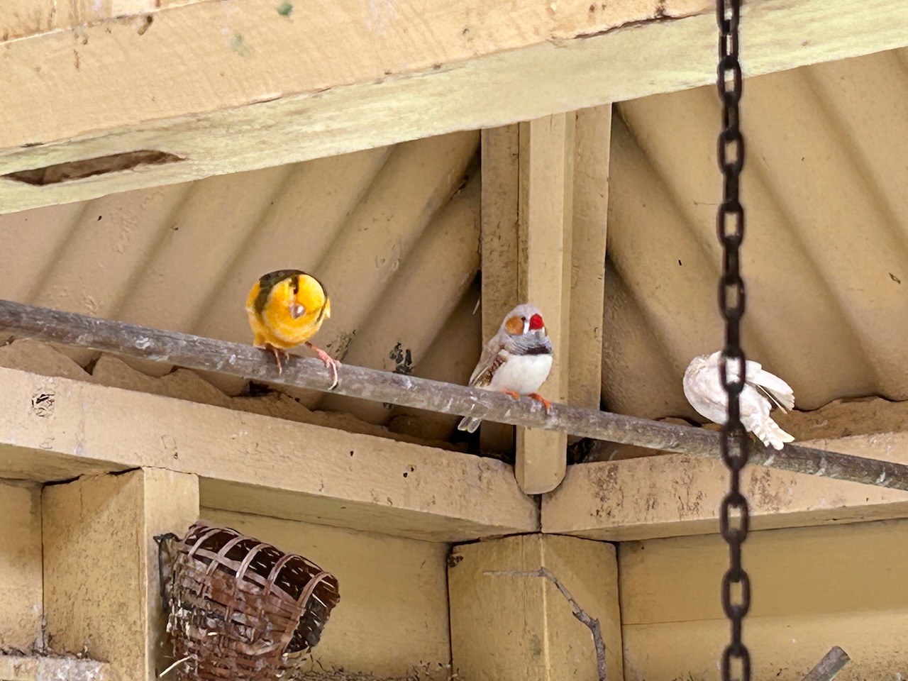
The original bird aviary built in the 1880s containing canaries and zebra finches can also be viewed. The avairy was designed by Ernest Leviny and the decorative metalwork brackets were cast at the local Thompson’s Foundry. Leviny was fond of birds and often brought a new one home with him from Paddy’s Market in Melbourne. Hilda, the youngest daughter, continued to tend the canaries and finches up until her death in 1981.
After a very enjoyable couple of hours at Buda House, Marija and I had a further look around Castlemaine.
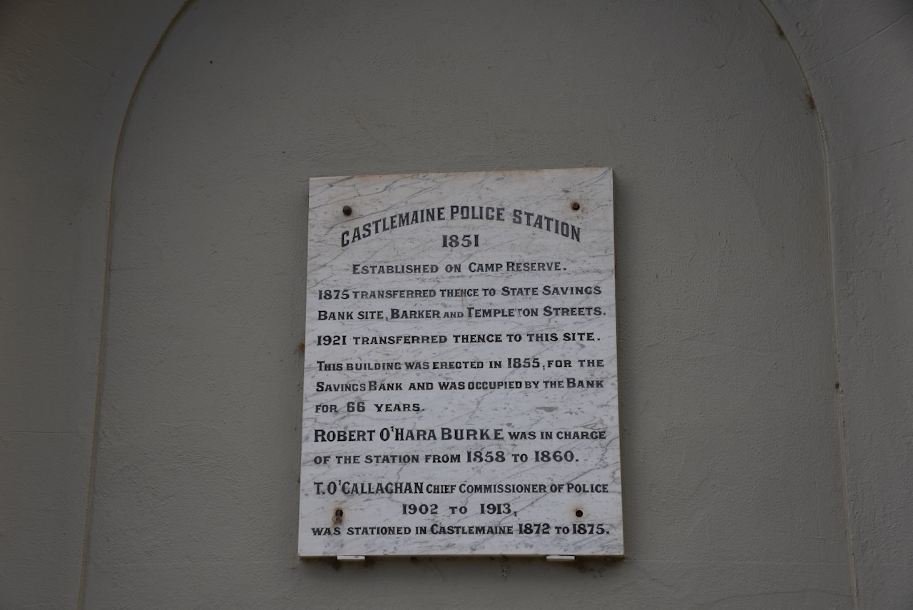
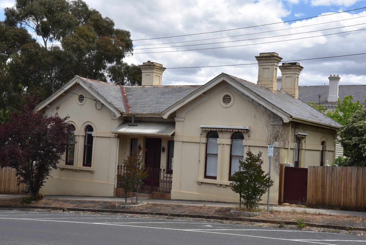
The old Castlemaine Police Station was built in 1851 on Camp Reserve. This building in Hargraves Street was originally the State Savings Bank from 1855. It became the police station in 1921. (Walking Maps 2024)
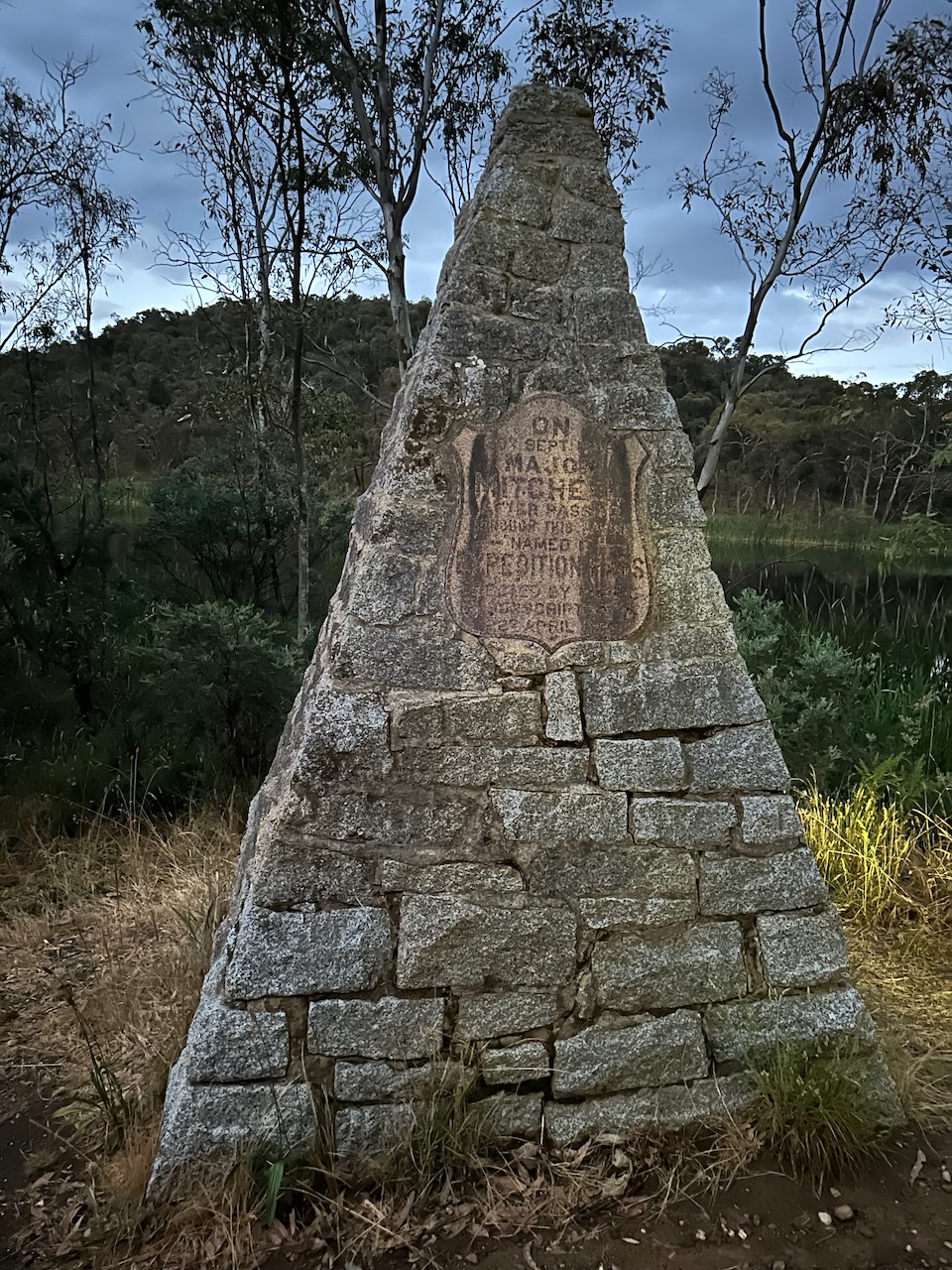
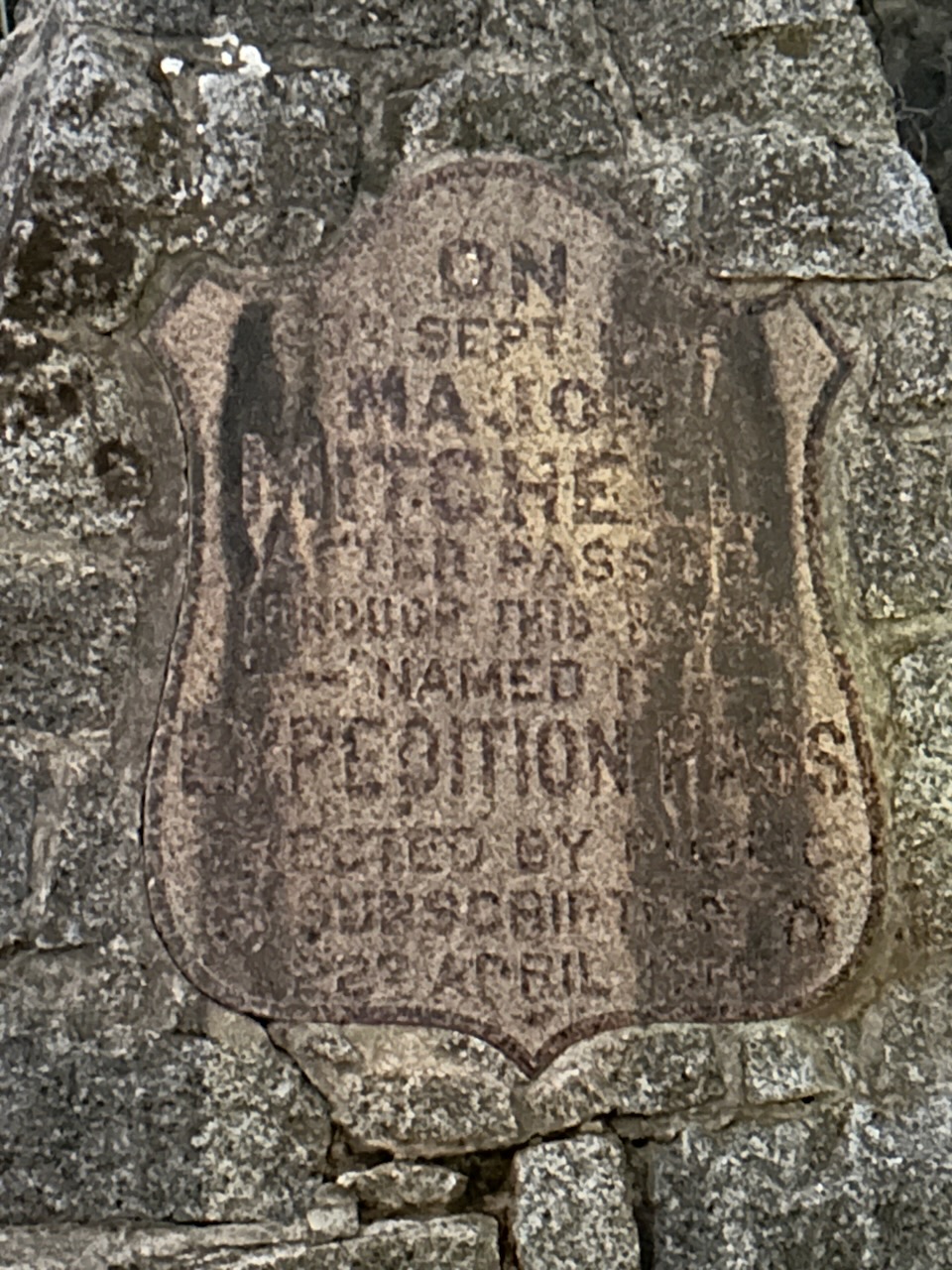
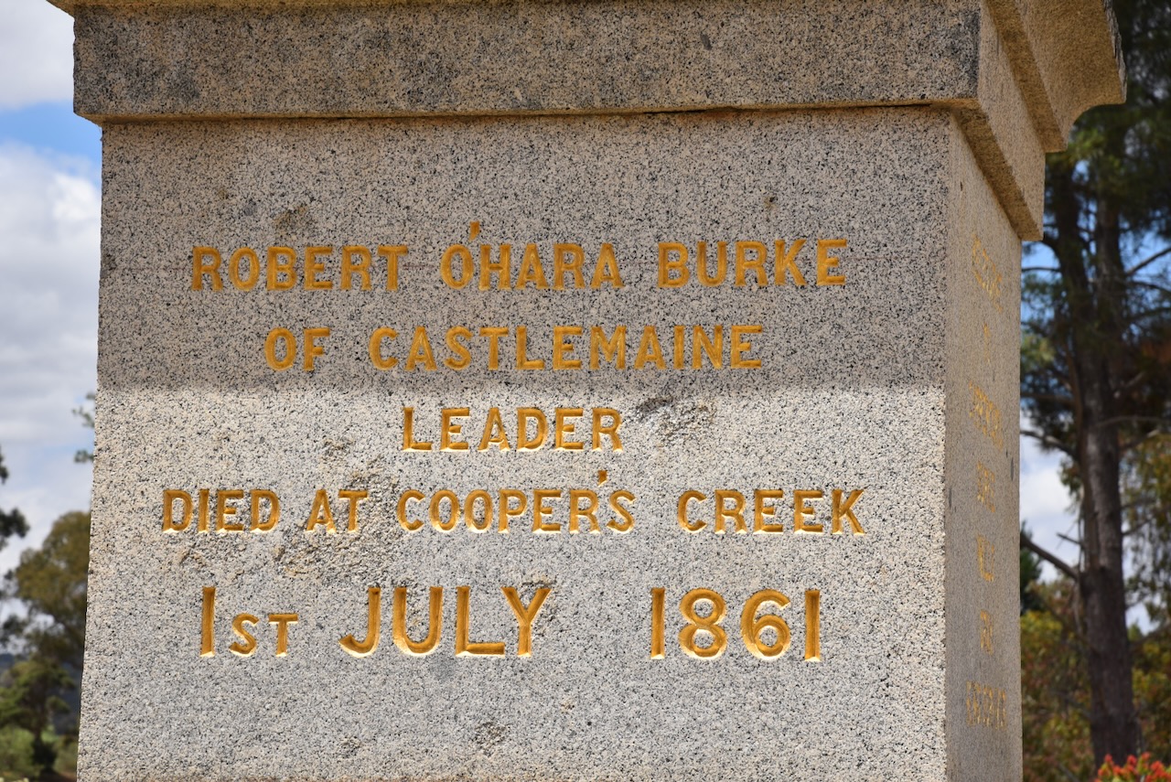
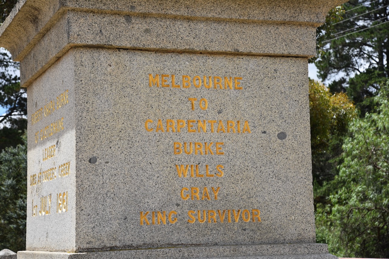
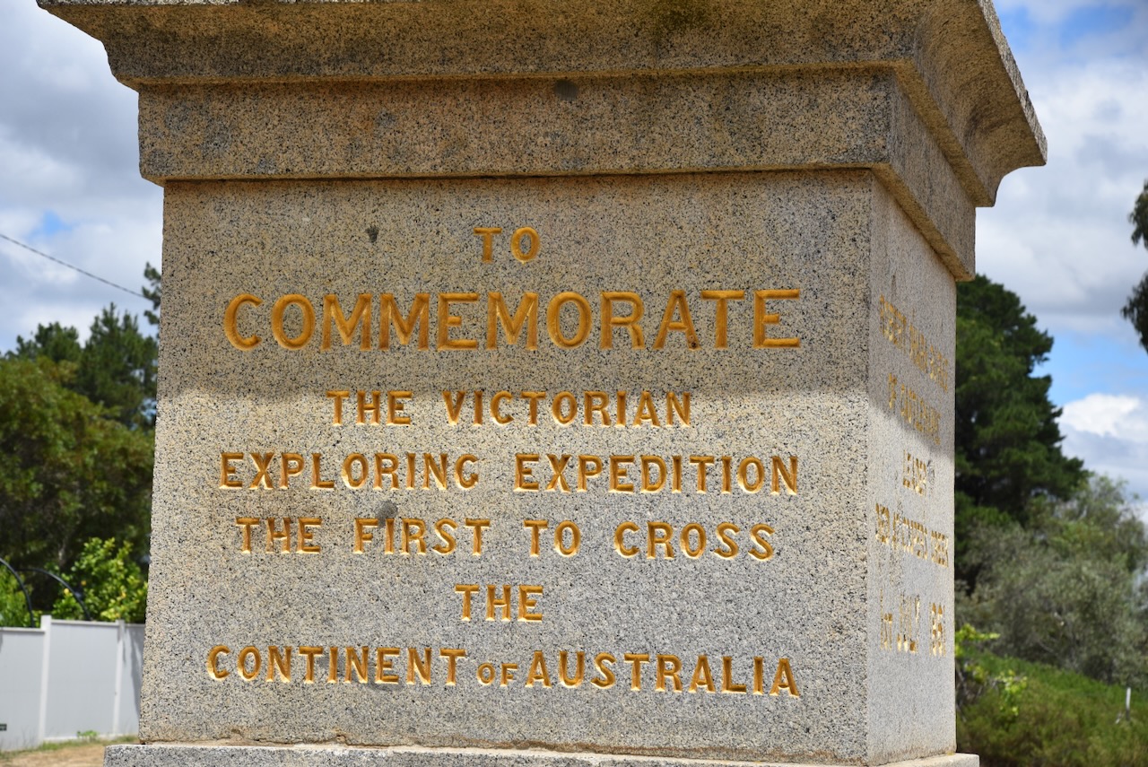
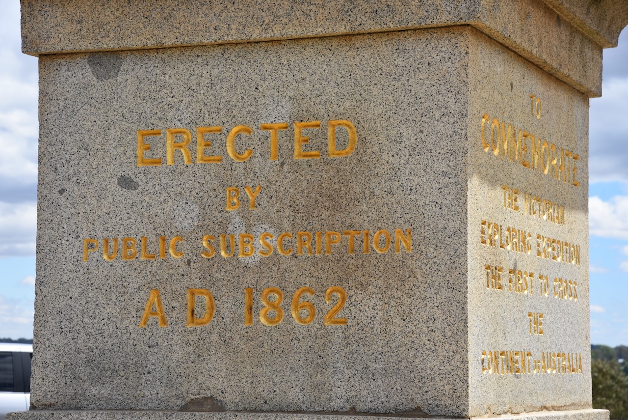
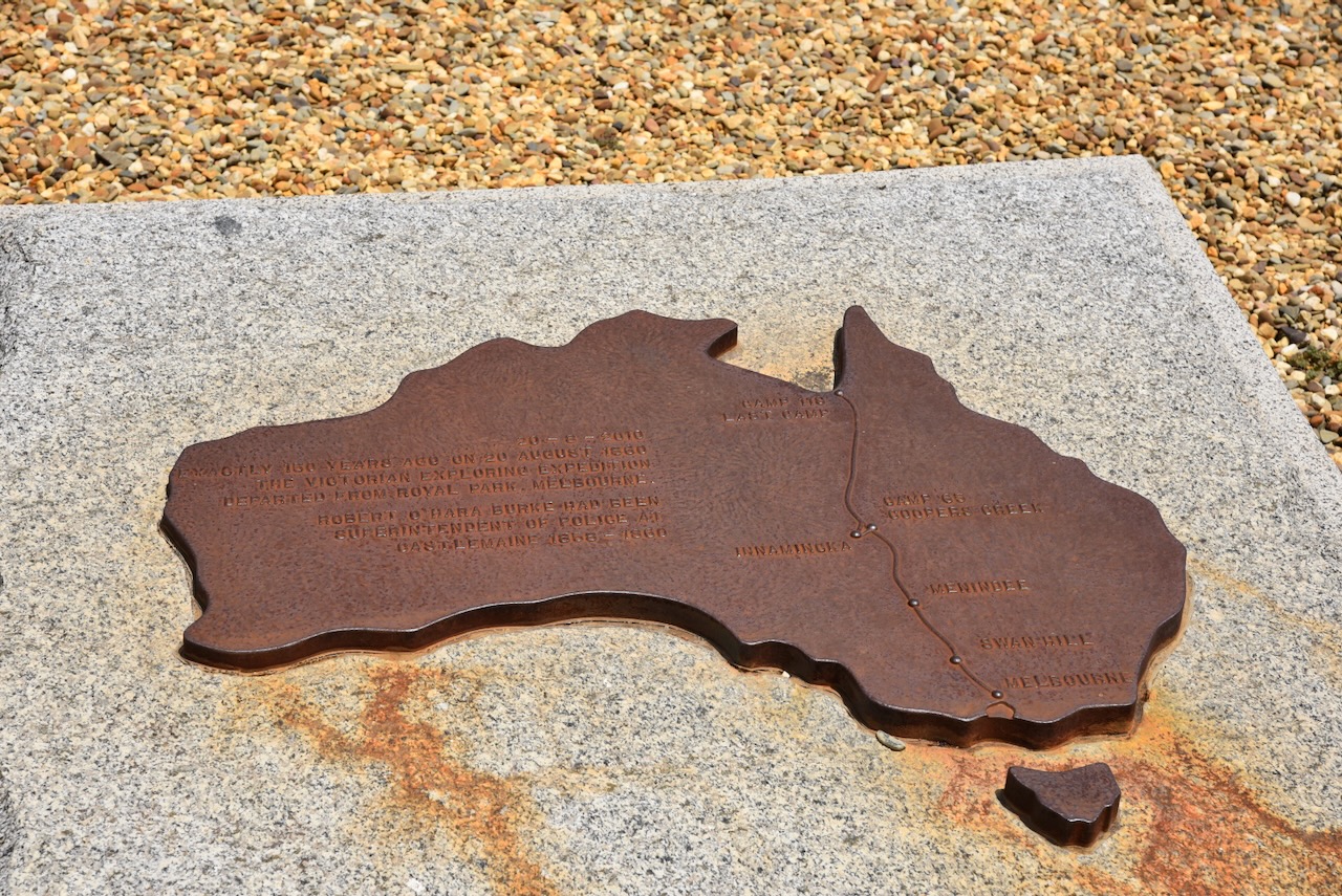
The Burke and Wills monument can be found at the corner of Mostyn and Wells Street at Castlemaine. The monument commemorates the explorers Robert O’Hara Burke, William John Wills, and Charles Gray, members of the first Victorian Exploring Expedition. They were the first men to cross the continent of Australia from south to north in 1861. Sadly Burke, Wills and Gray perished during the return journey. (Monuments Australia 2024)
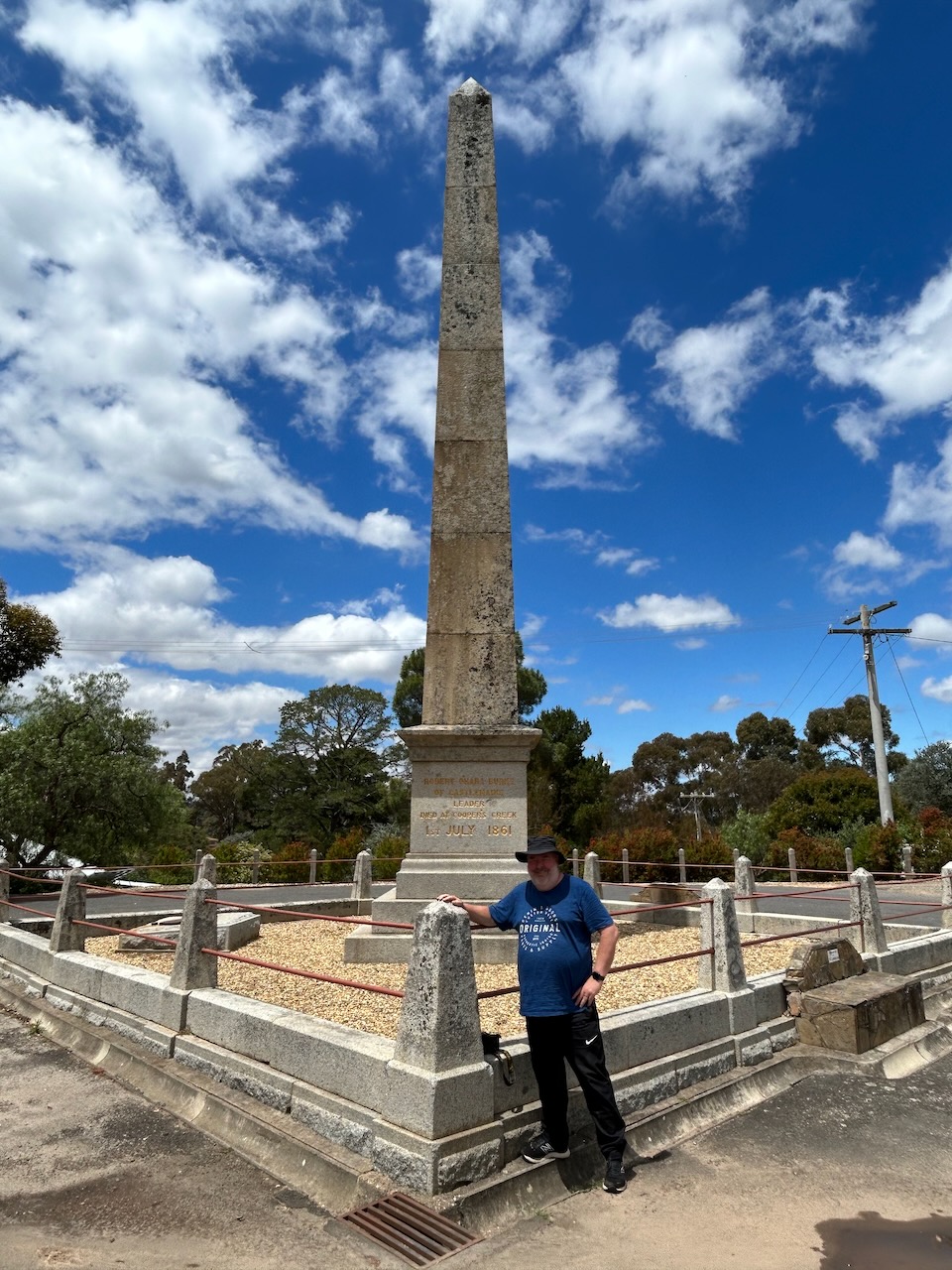
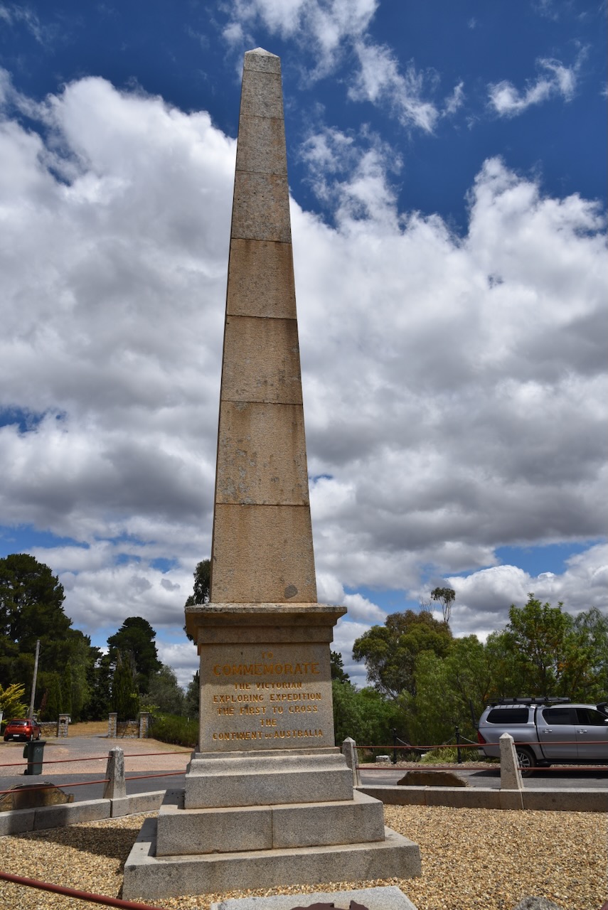
There are some nice views of Castlemaine from the monument.
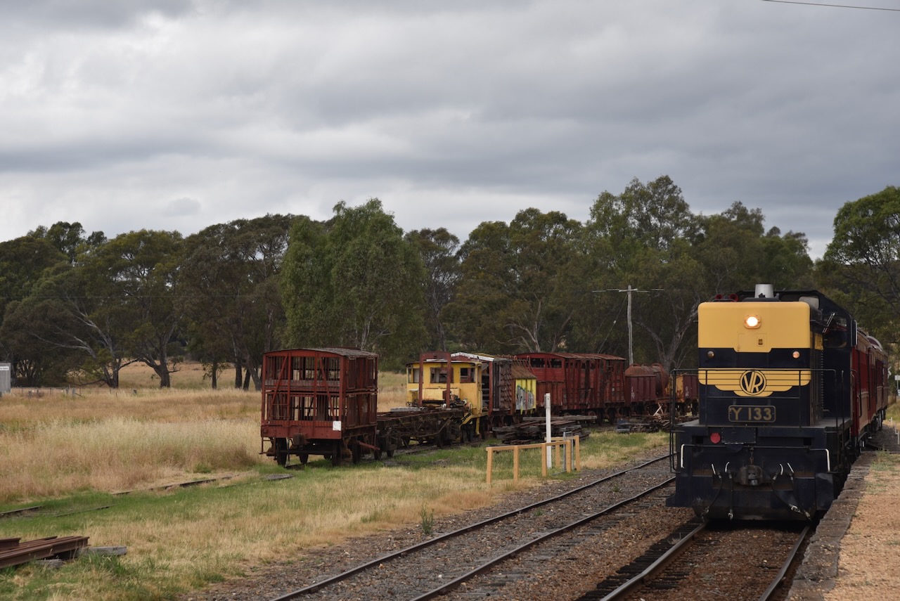
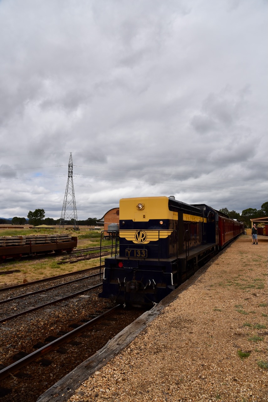
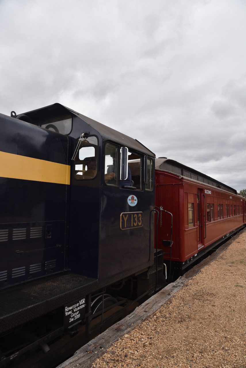
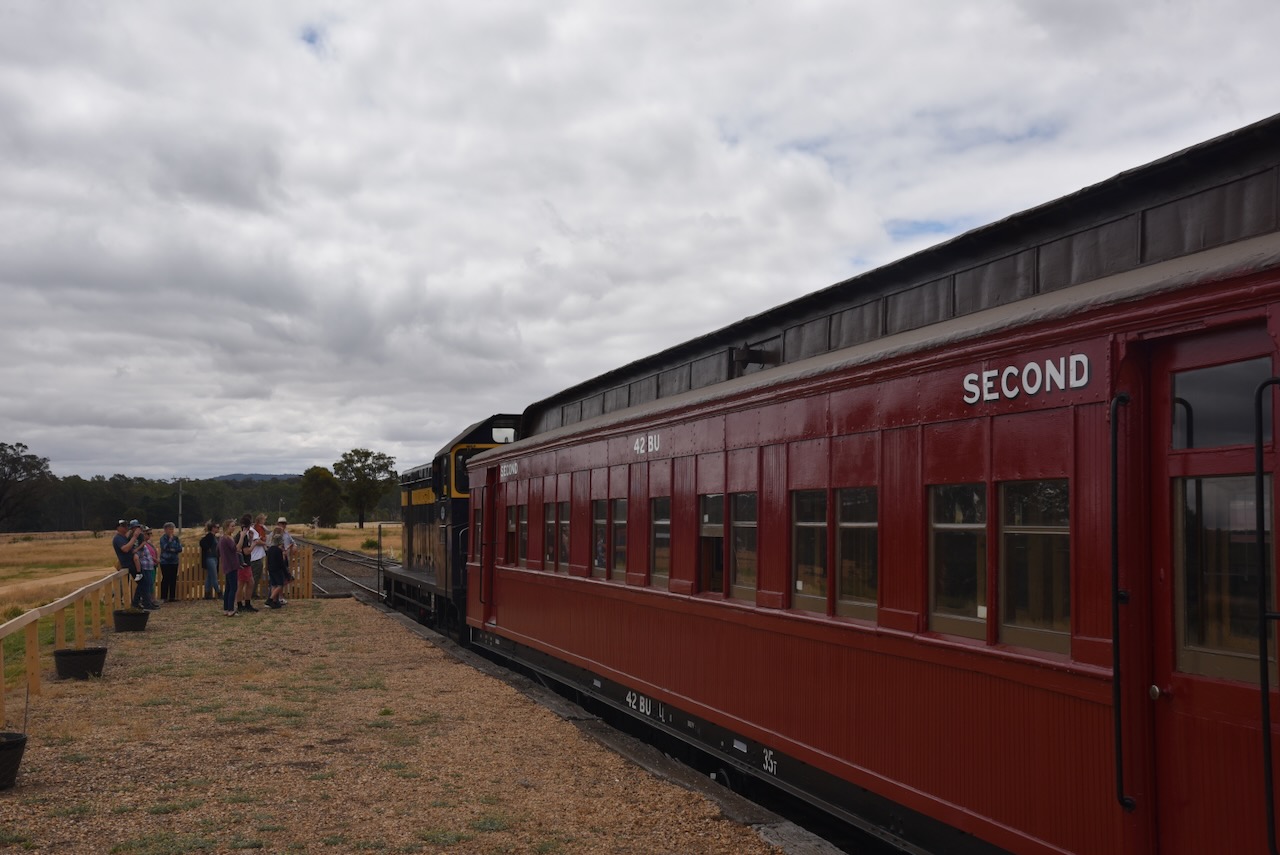
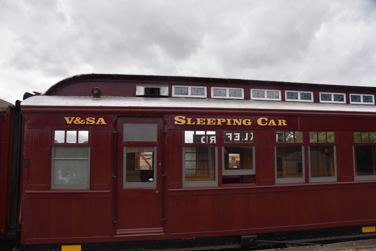
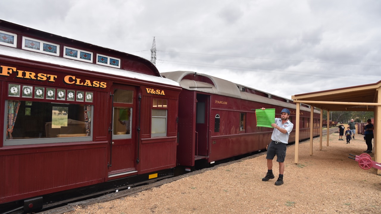
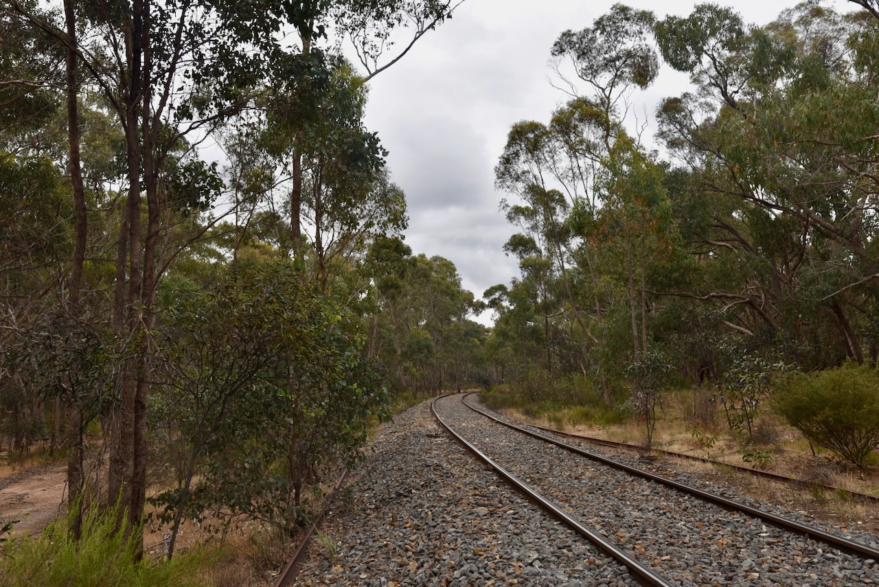
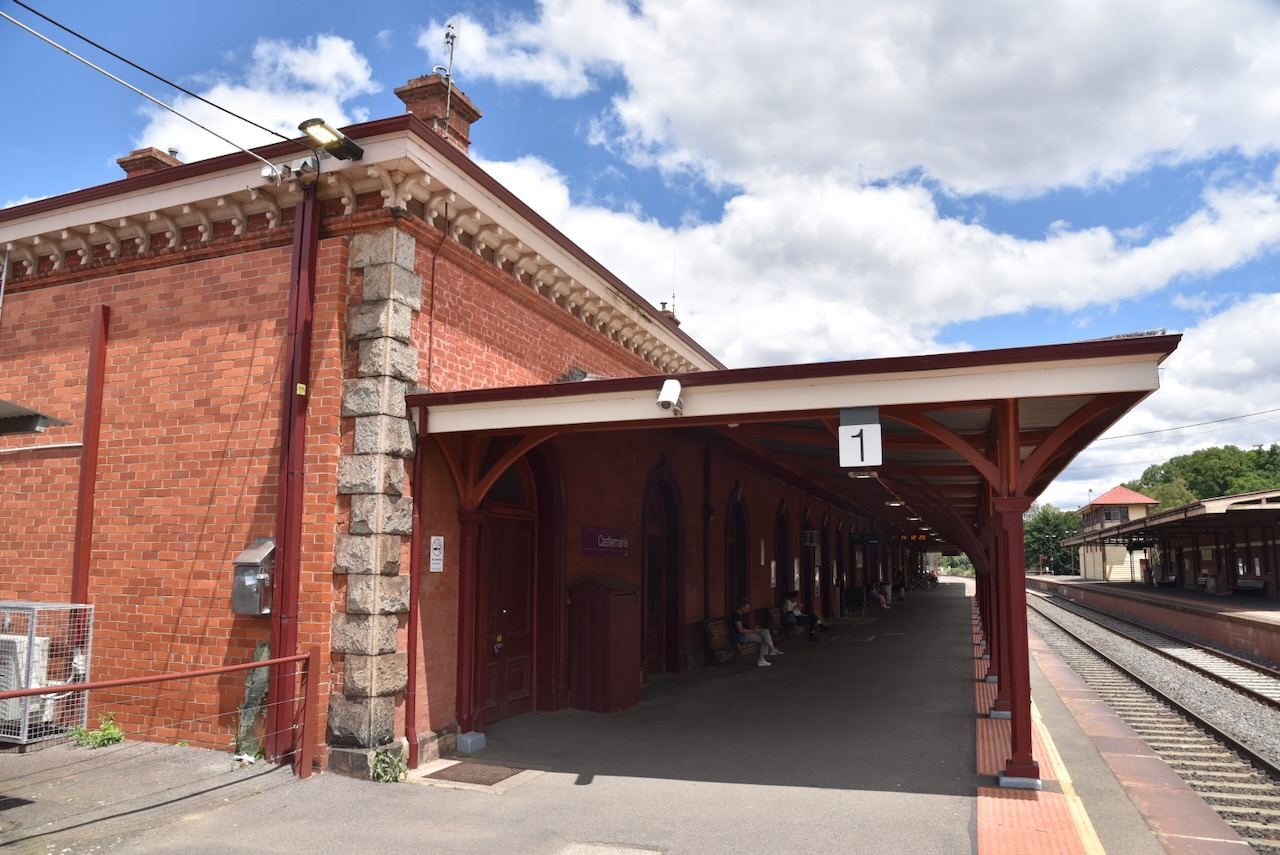
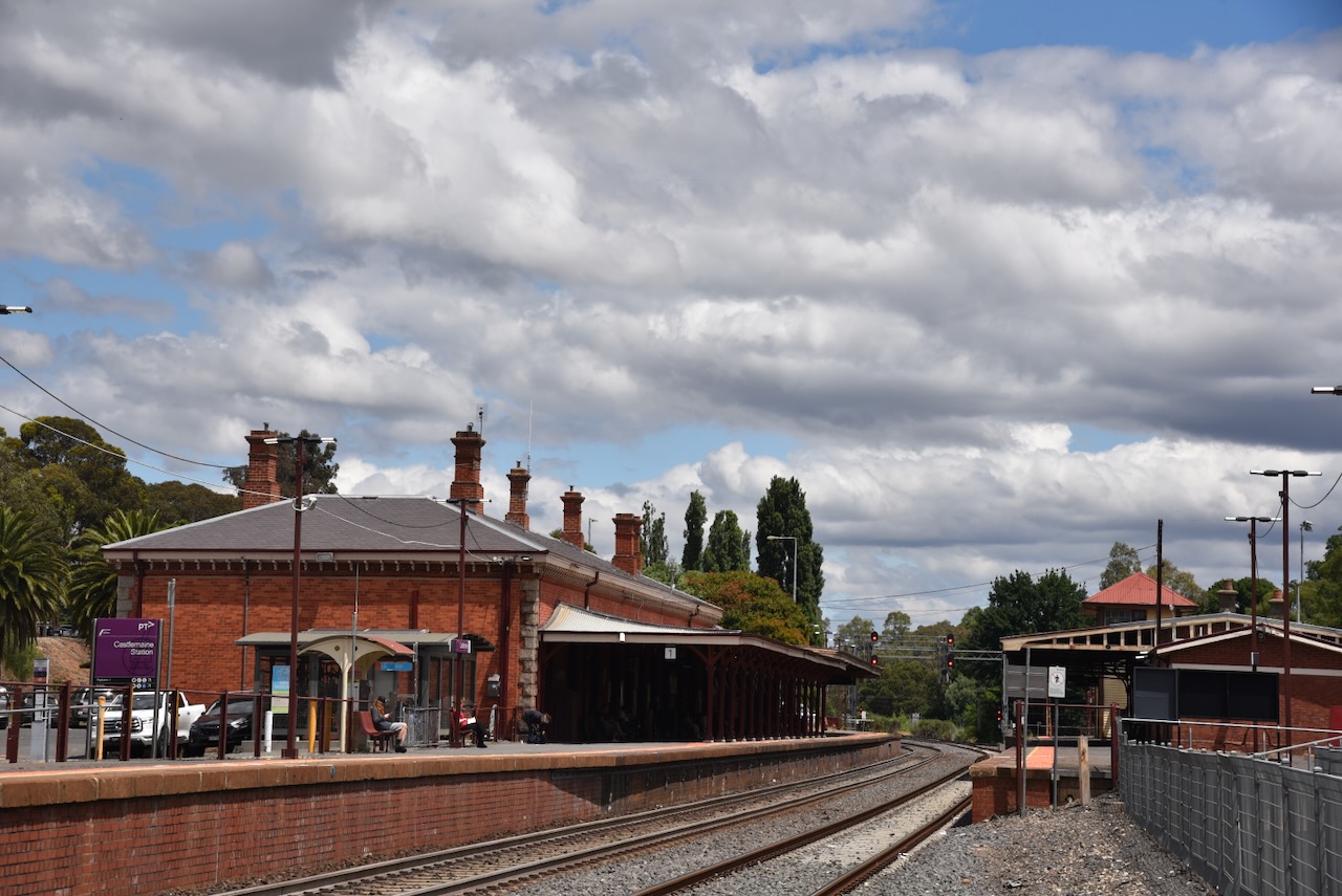
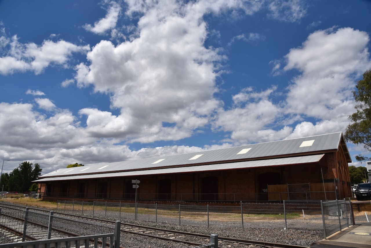
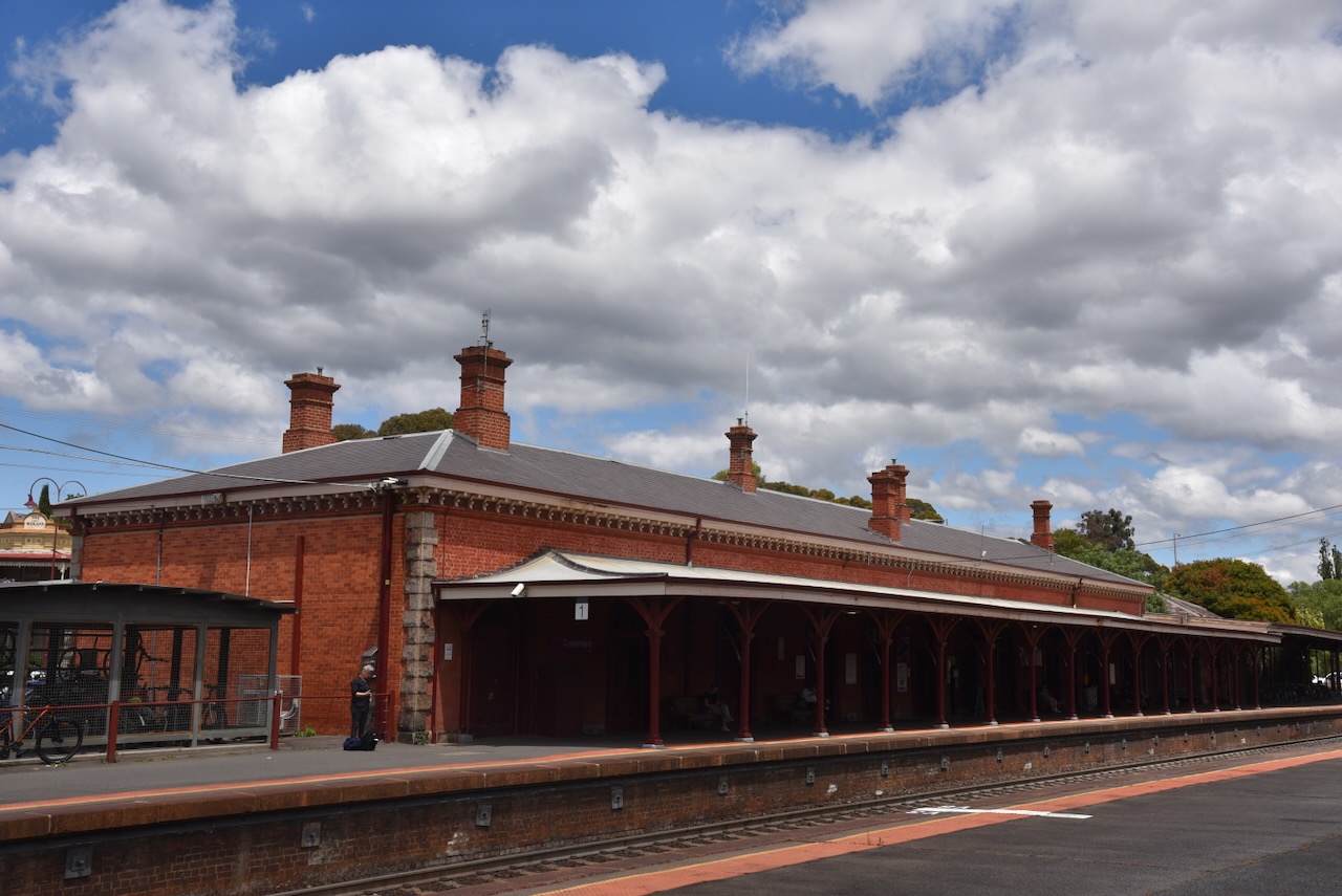
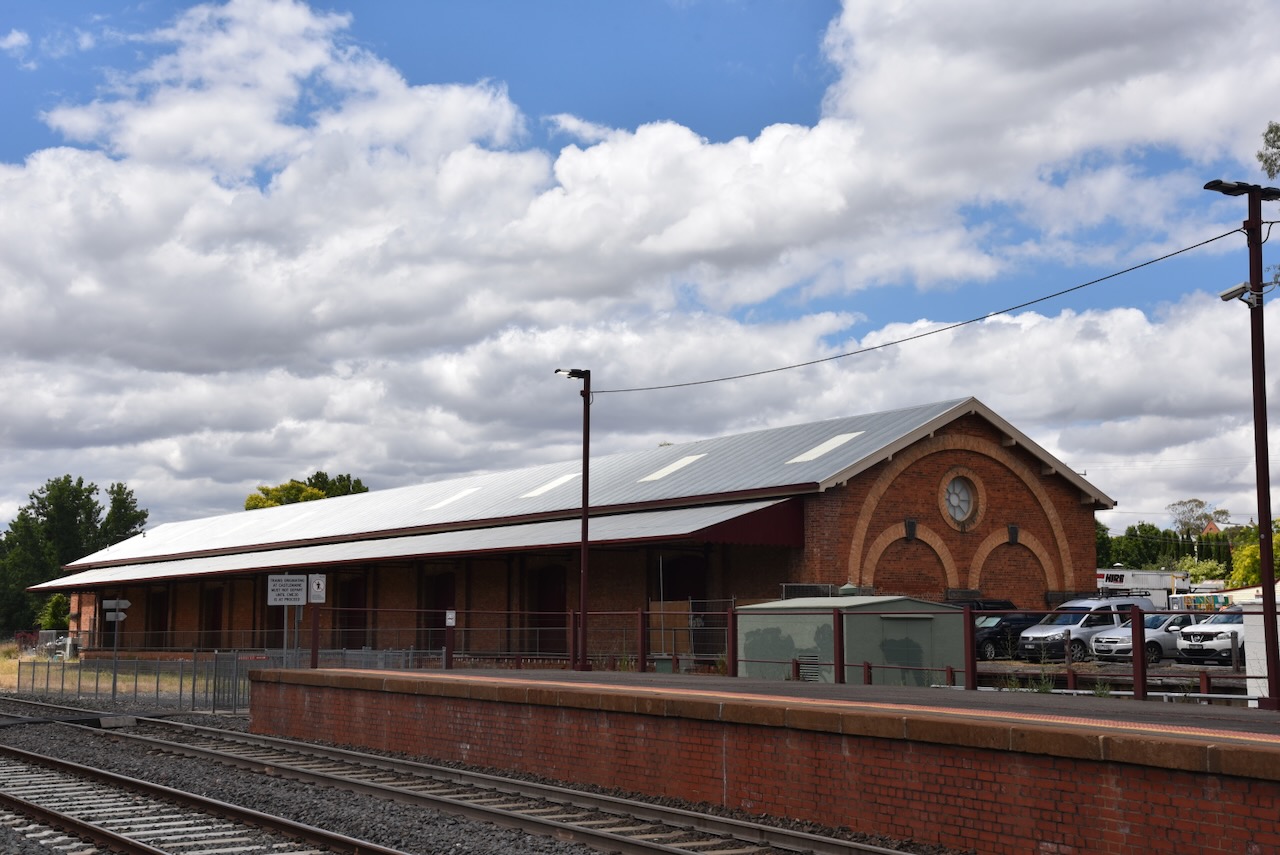
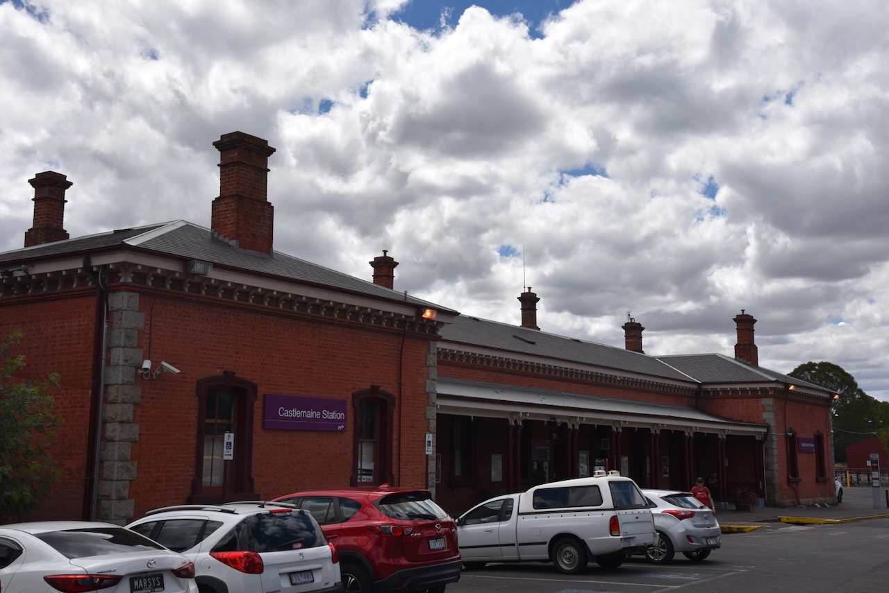
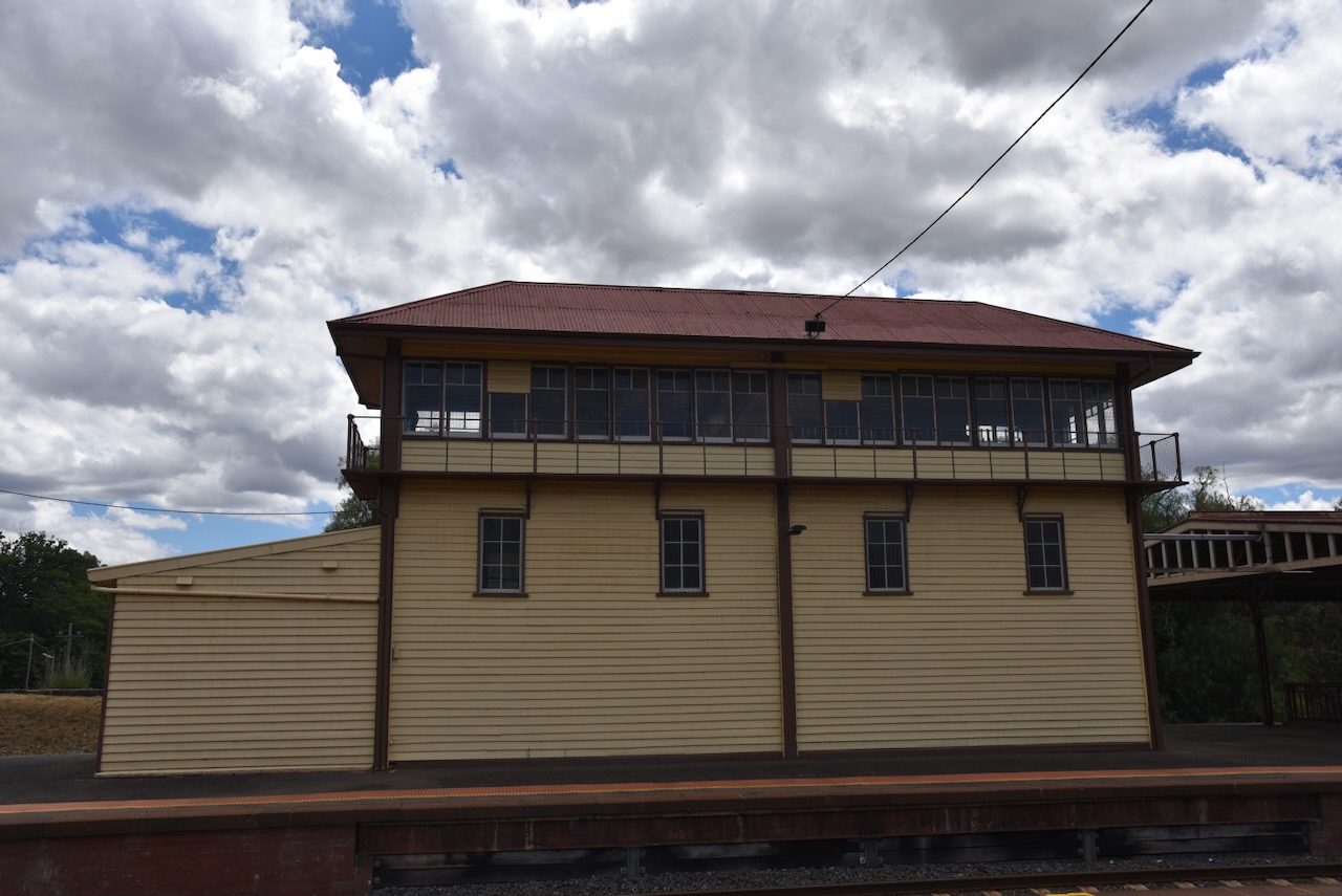
We then visited the Castlemaine railway station which was opened on the 21st day of October 1862. (vicsig 2024)
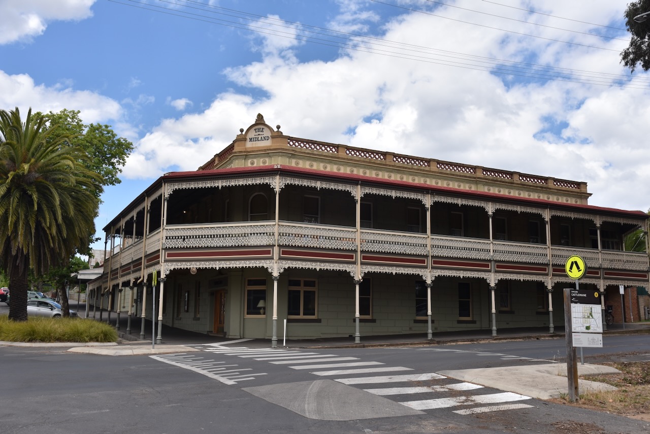
Opposite the railway station is the Midland Hotel. Originally known as the Castlemaine Coffee Palace, the name was changed during the 1930s following extensive renovations. (Midland Hotel 2024)
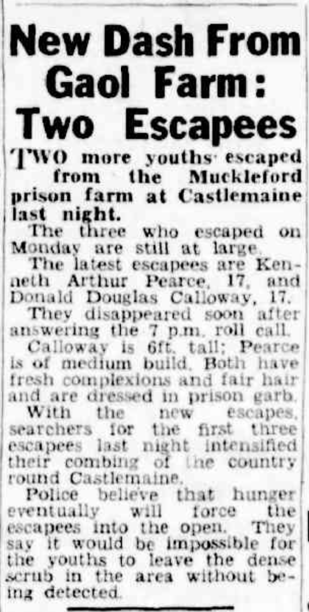
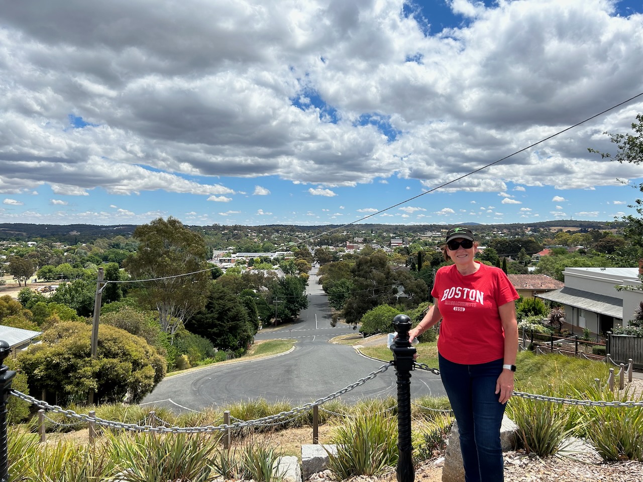
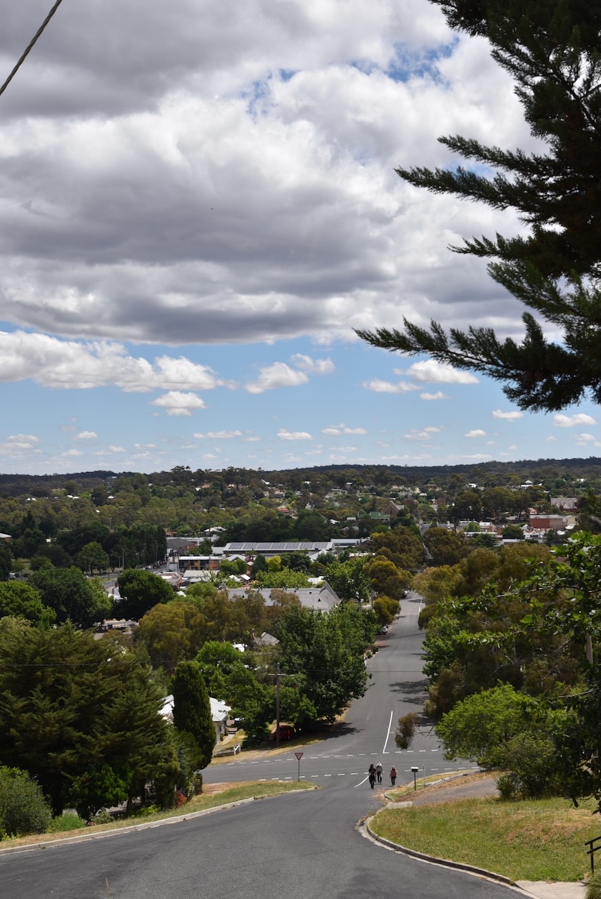
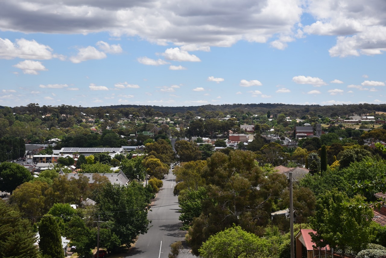
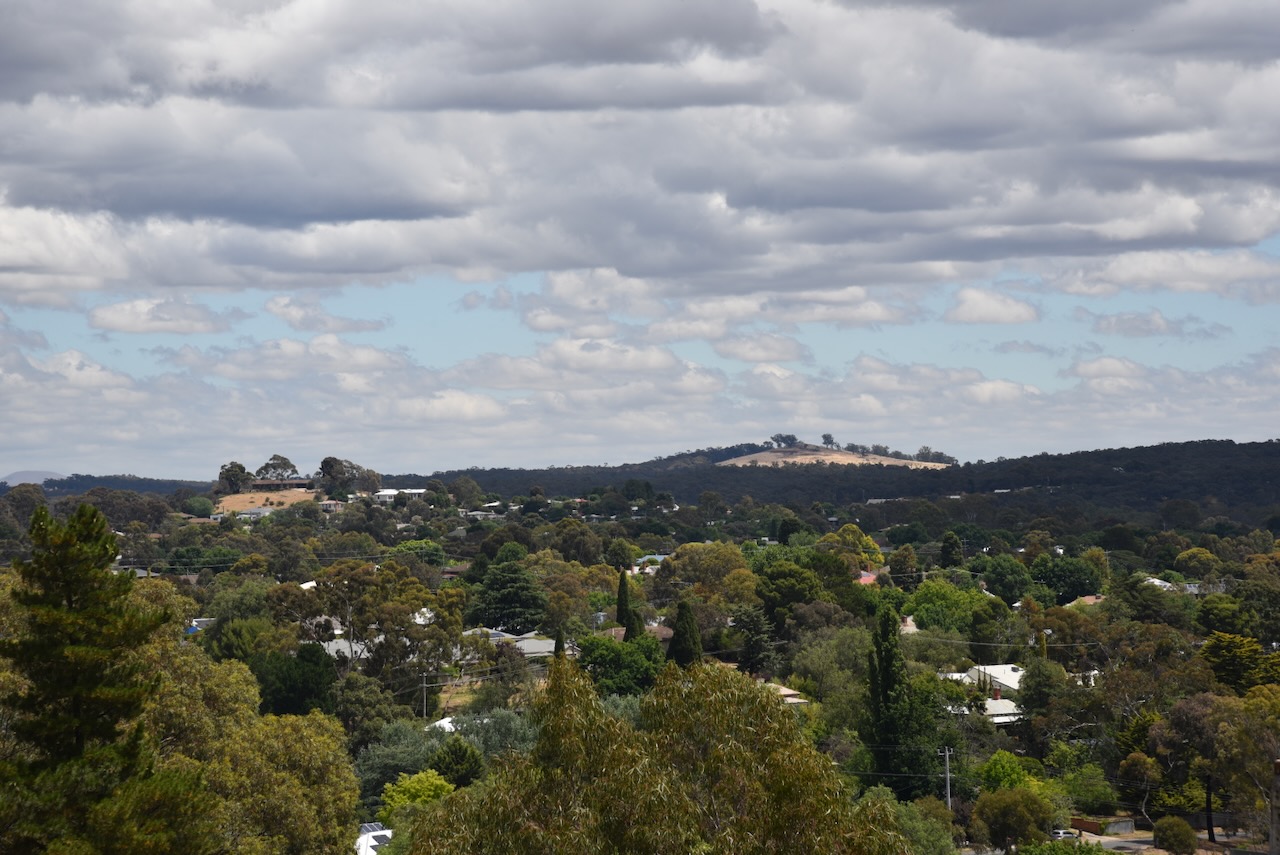
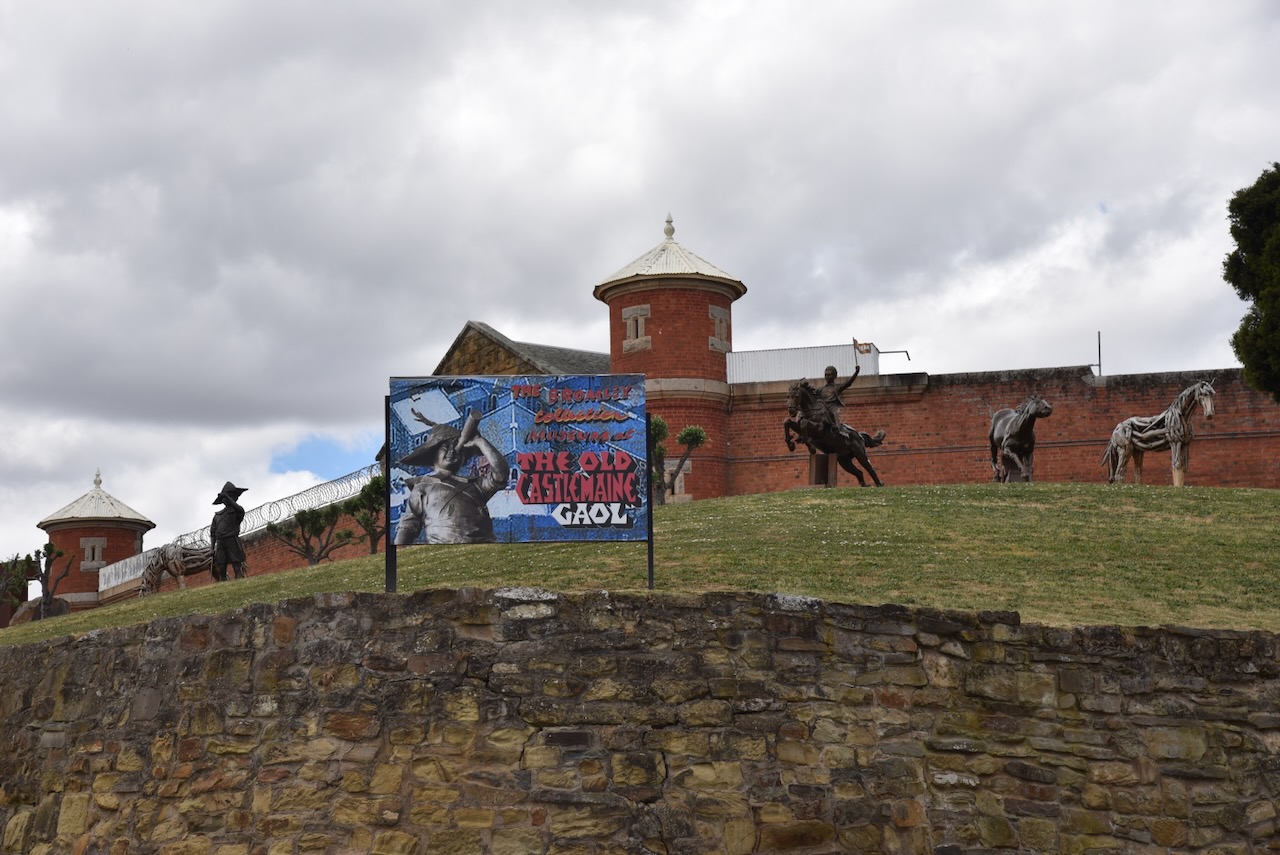
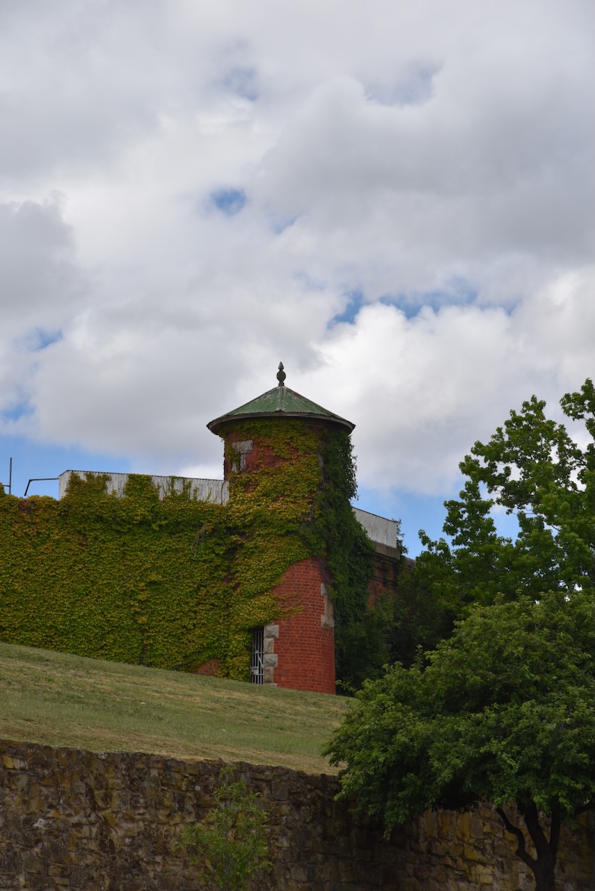
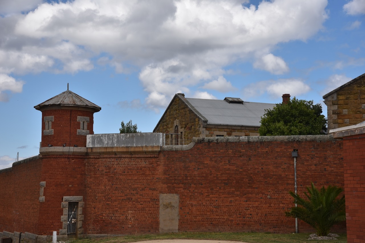
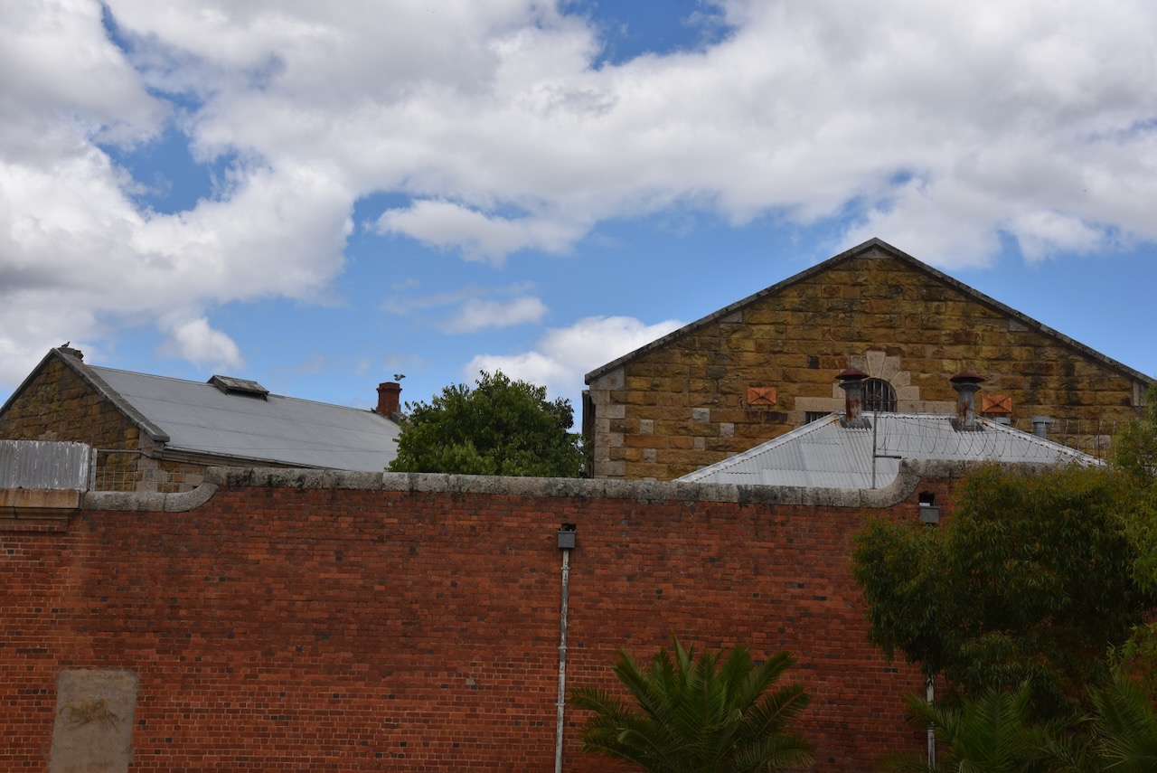
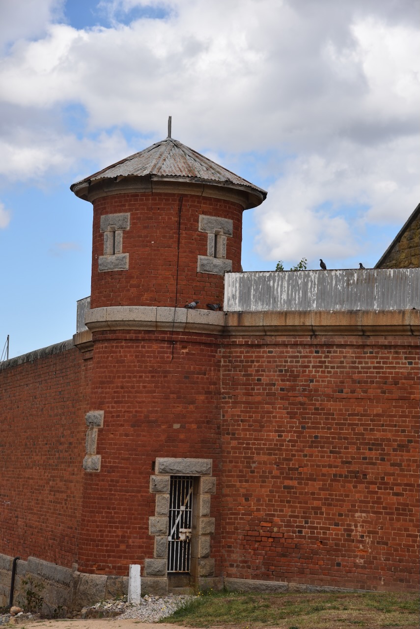
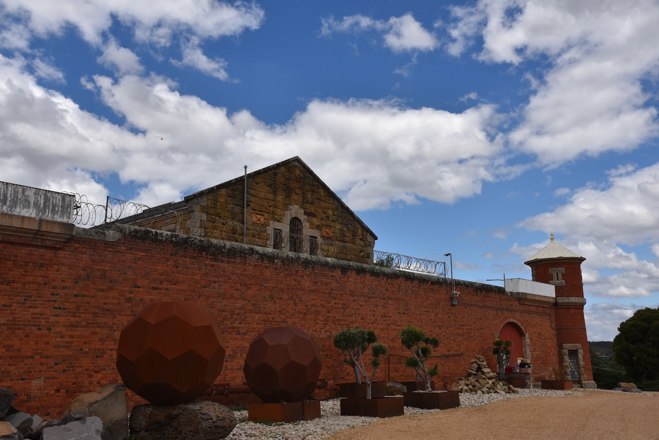
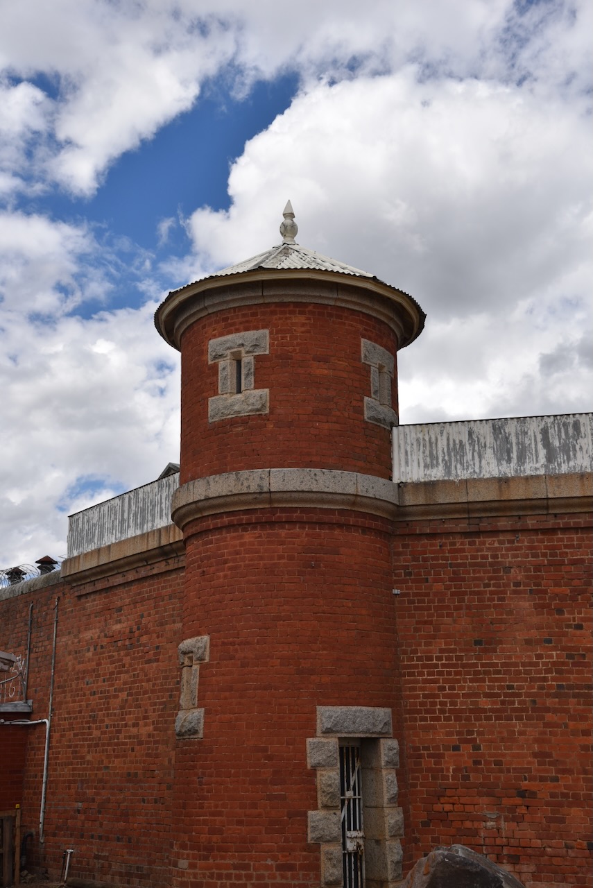
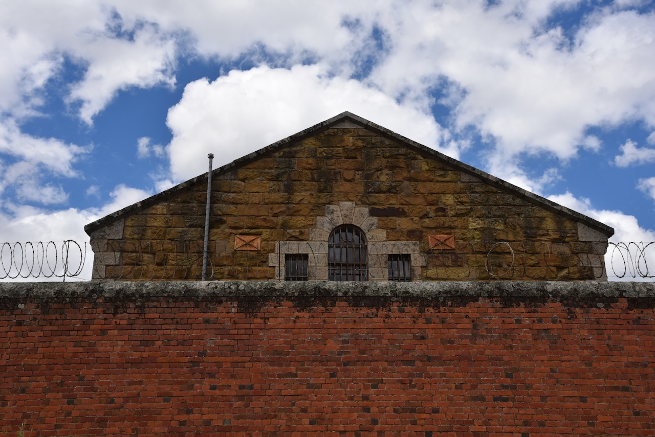
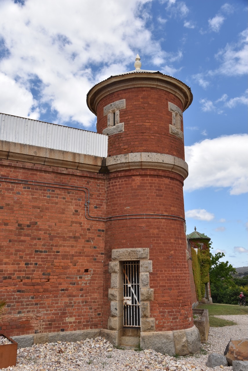
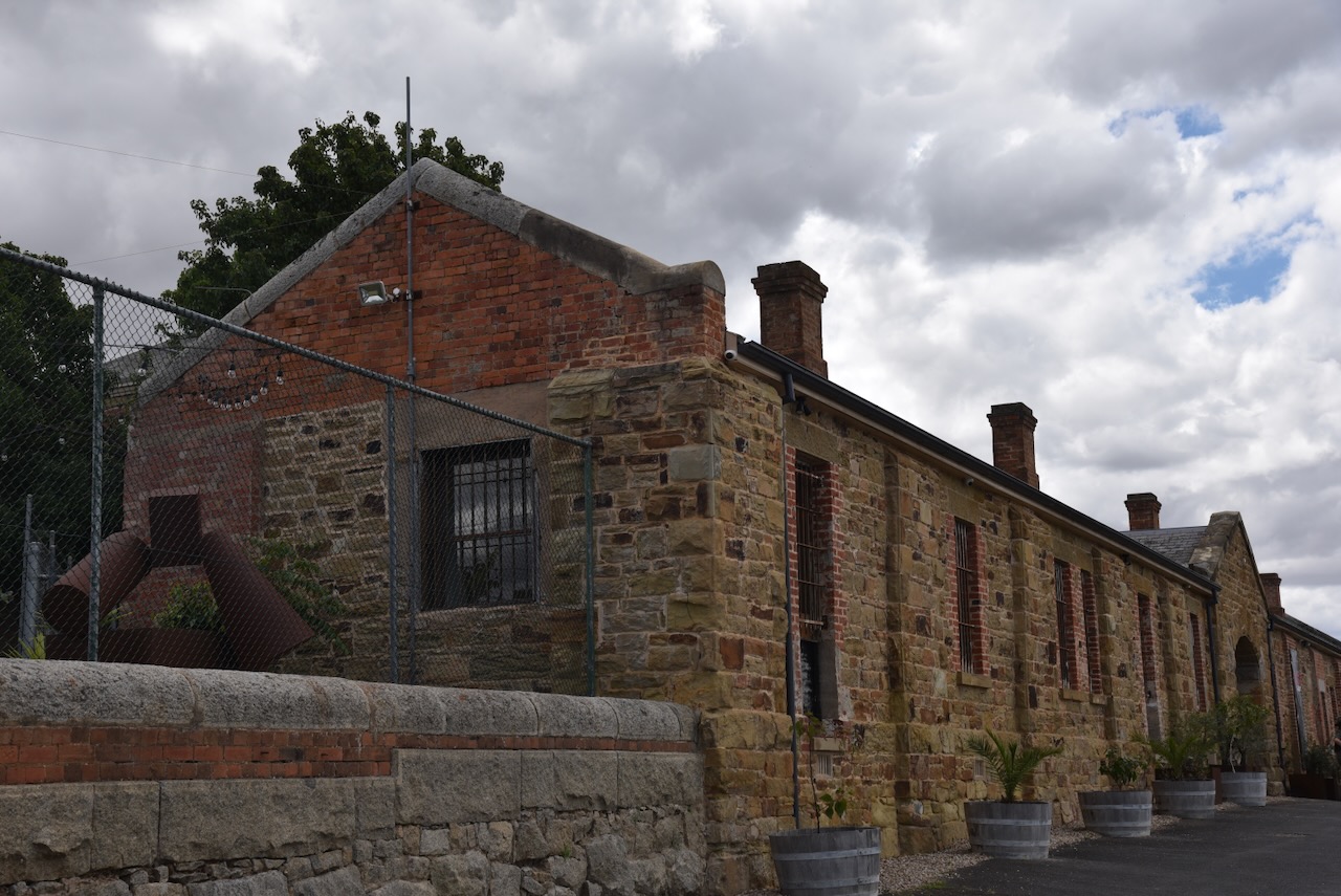
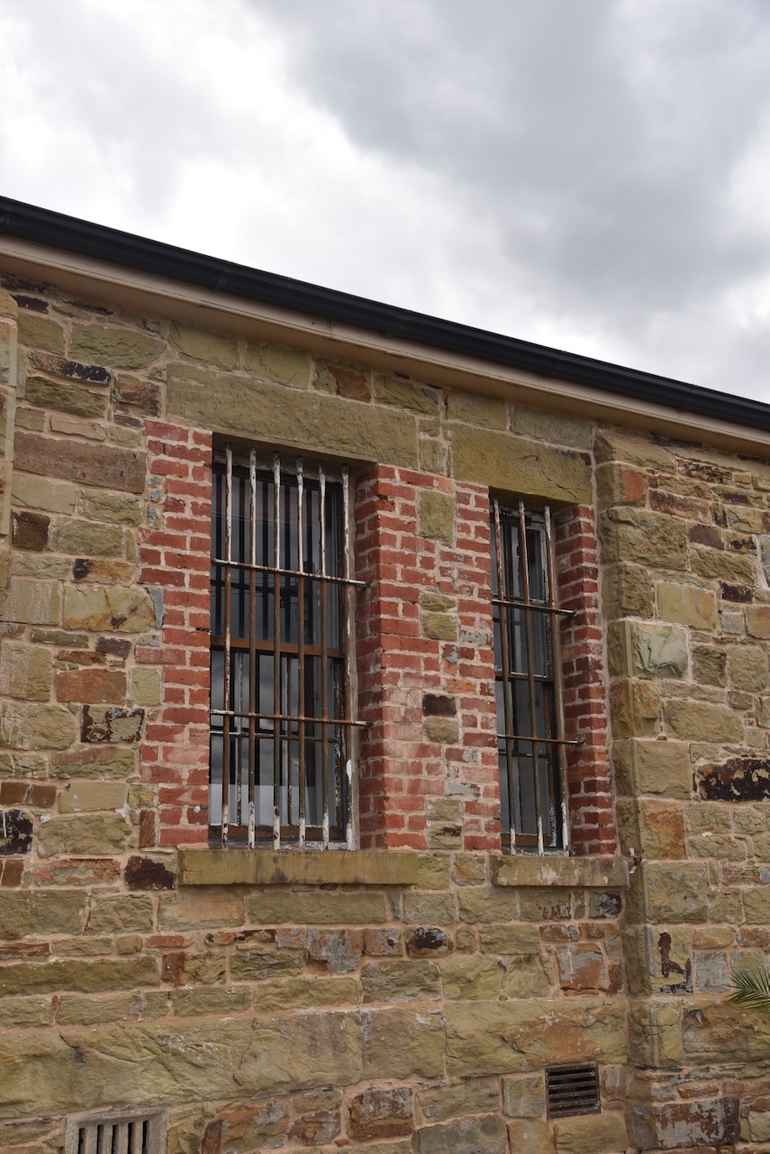
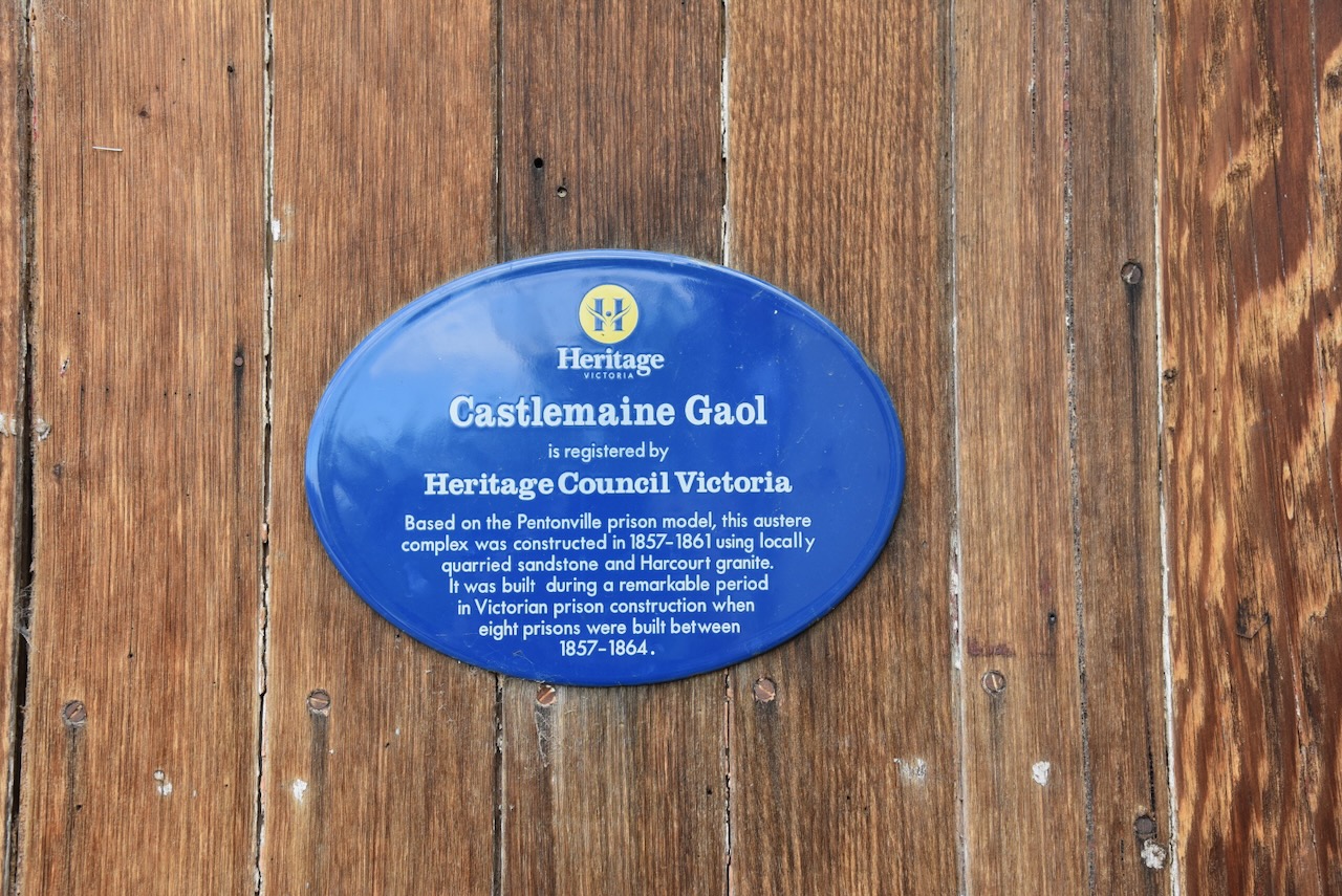
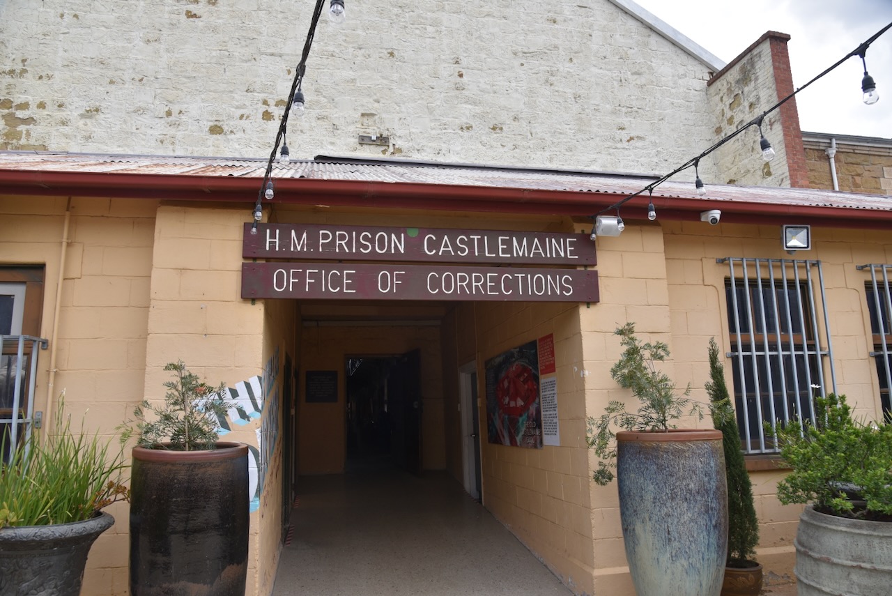
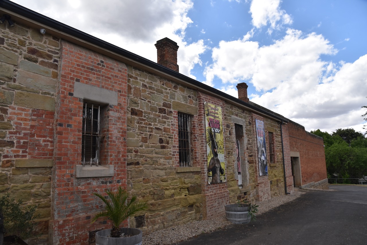
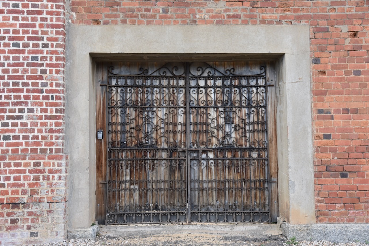
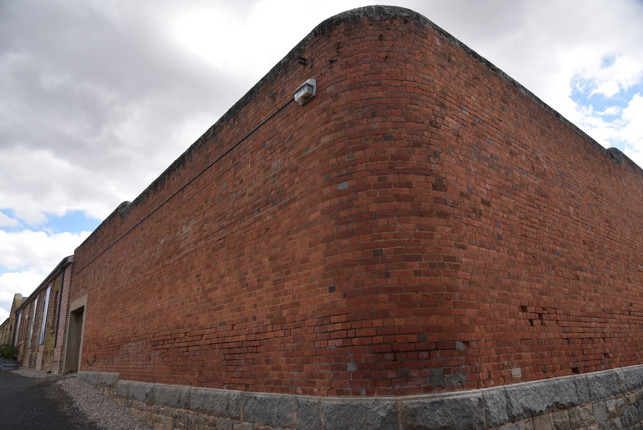
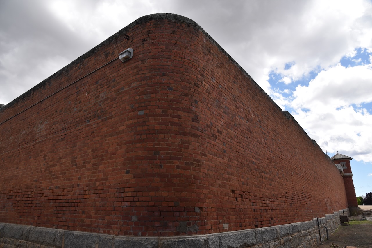
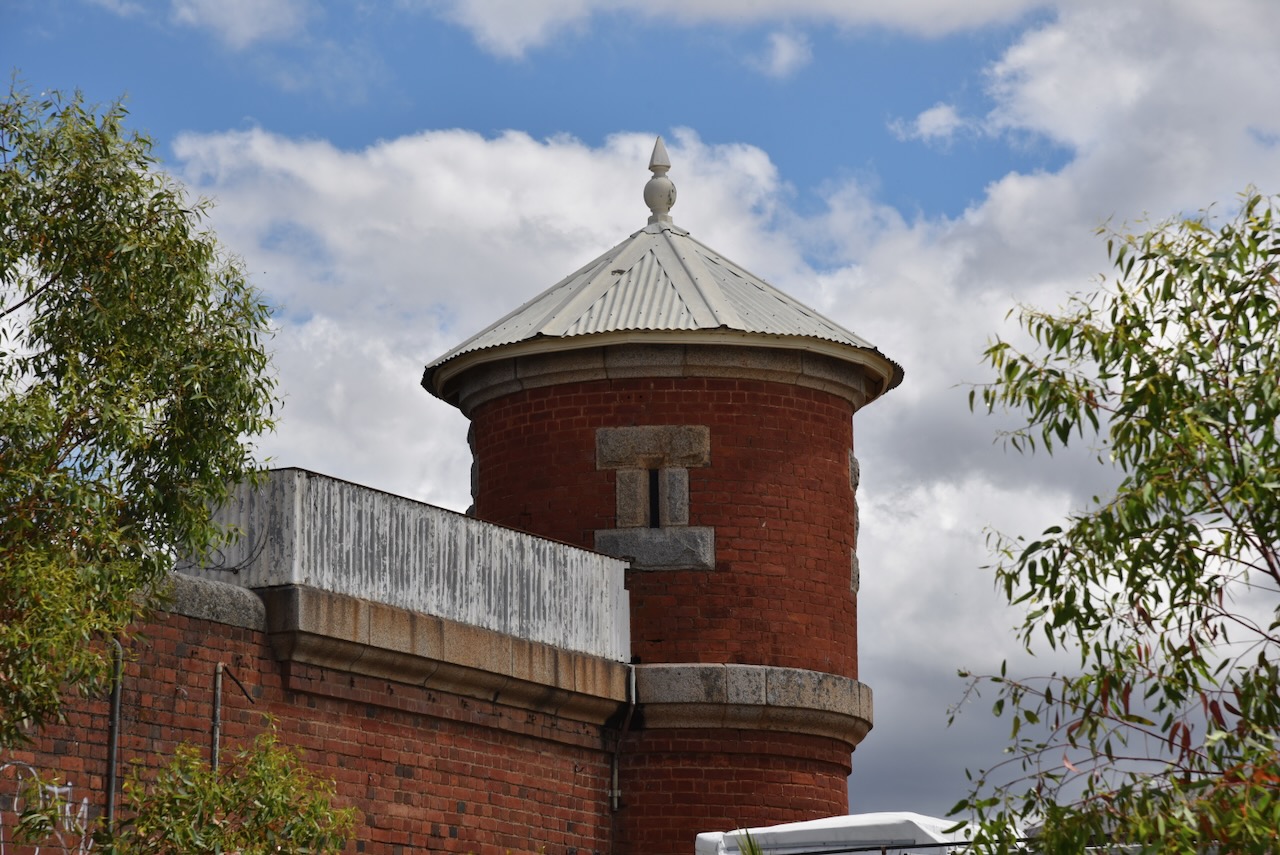
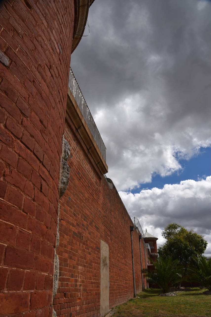
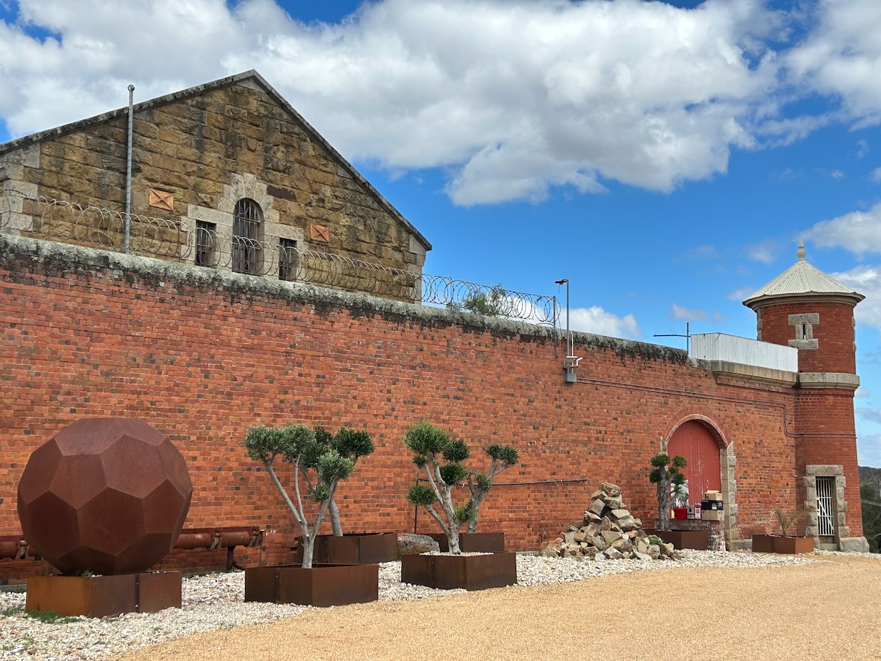
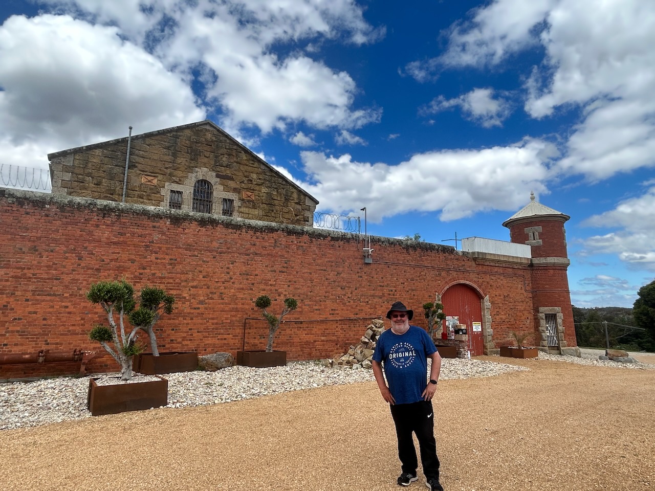
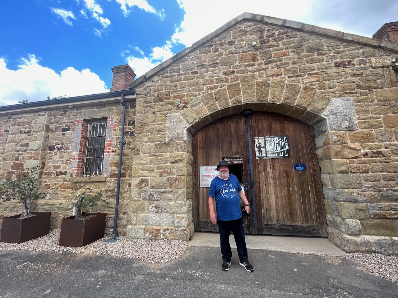
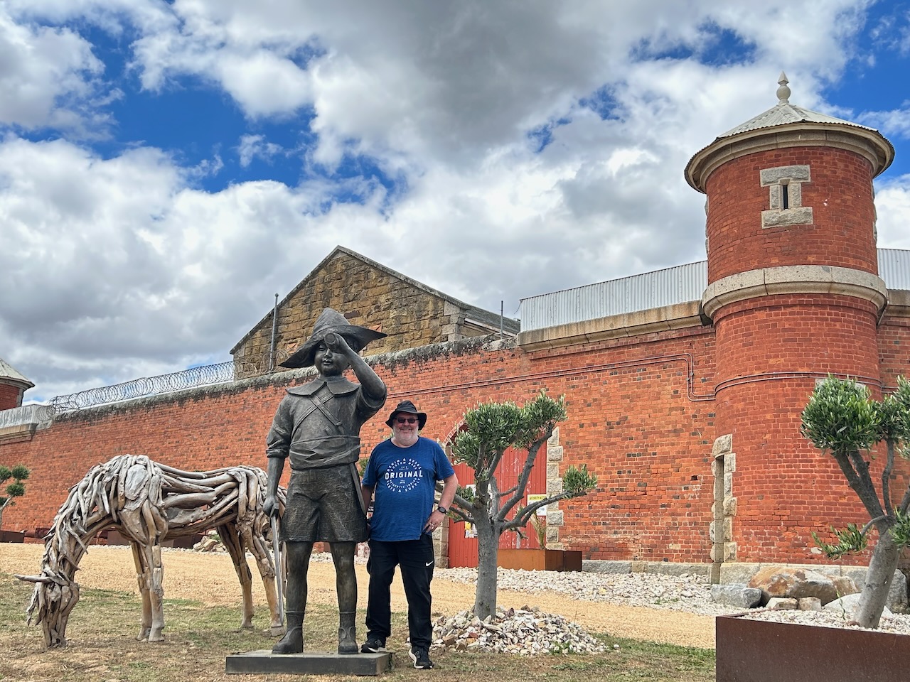
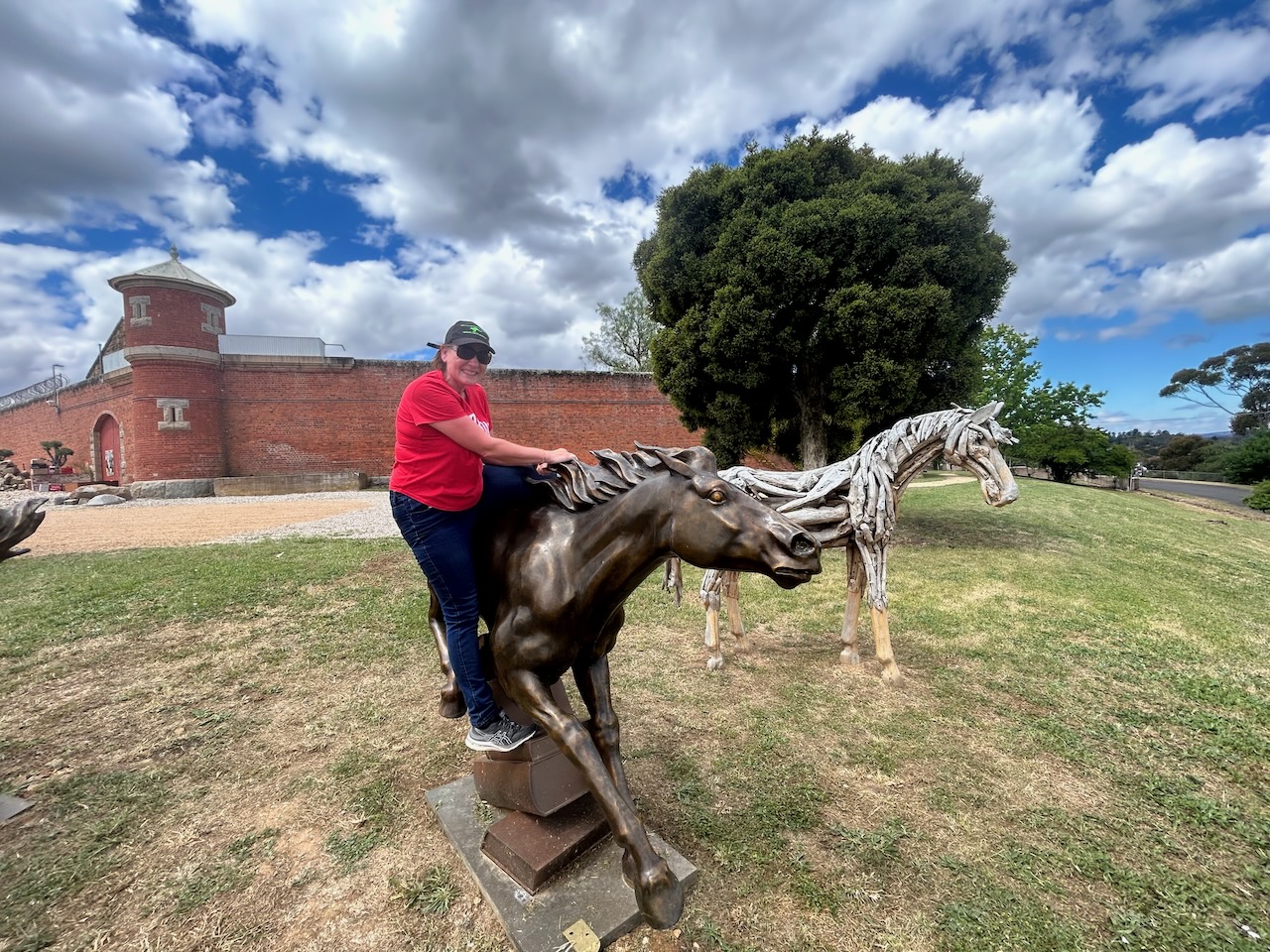
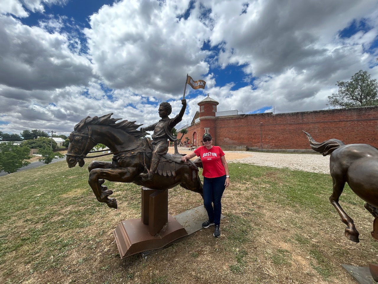
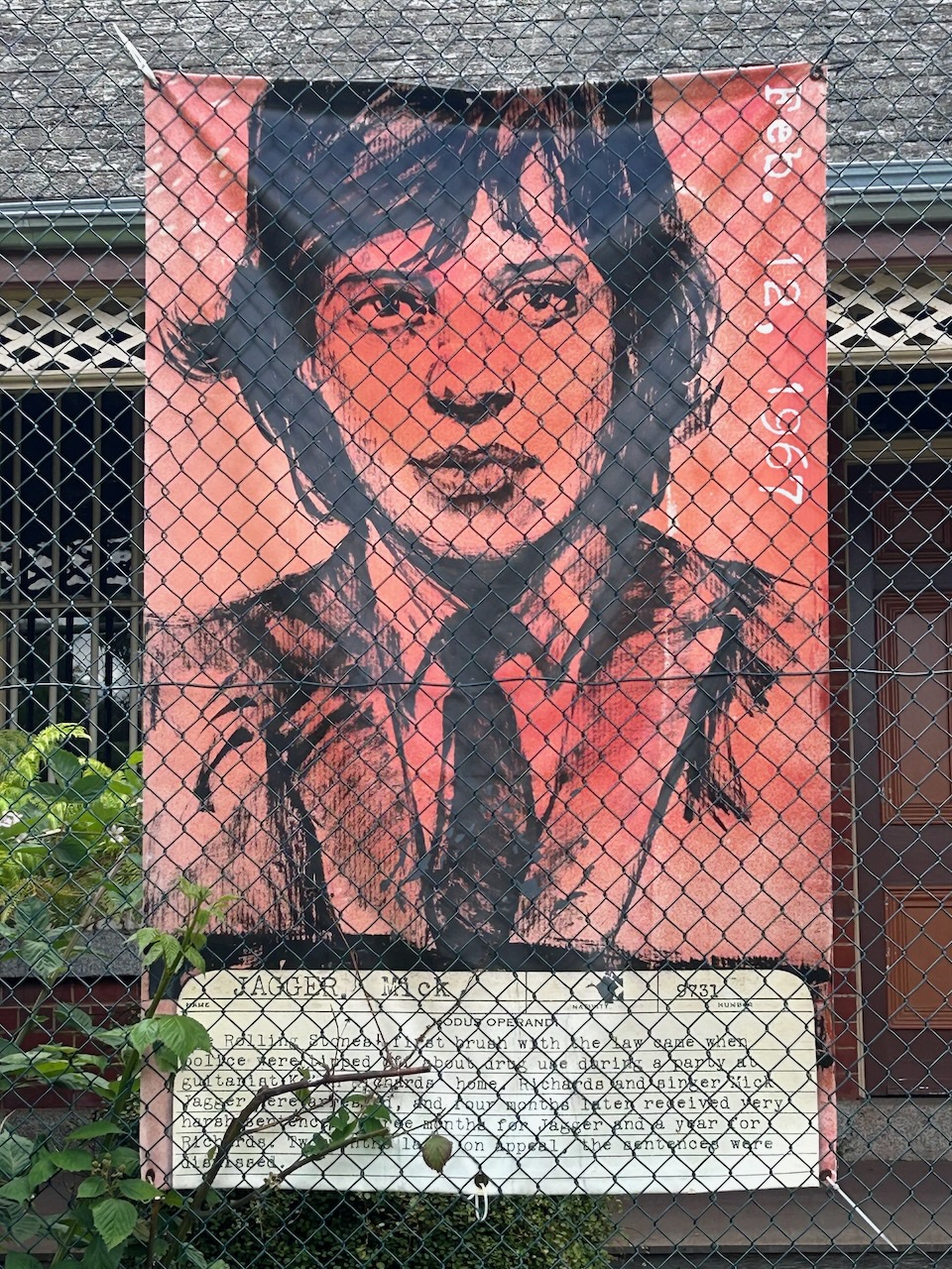
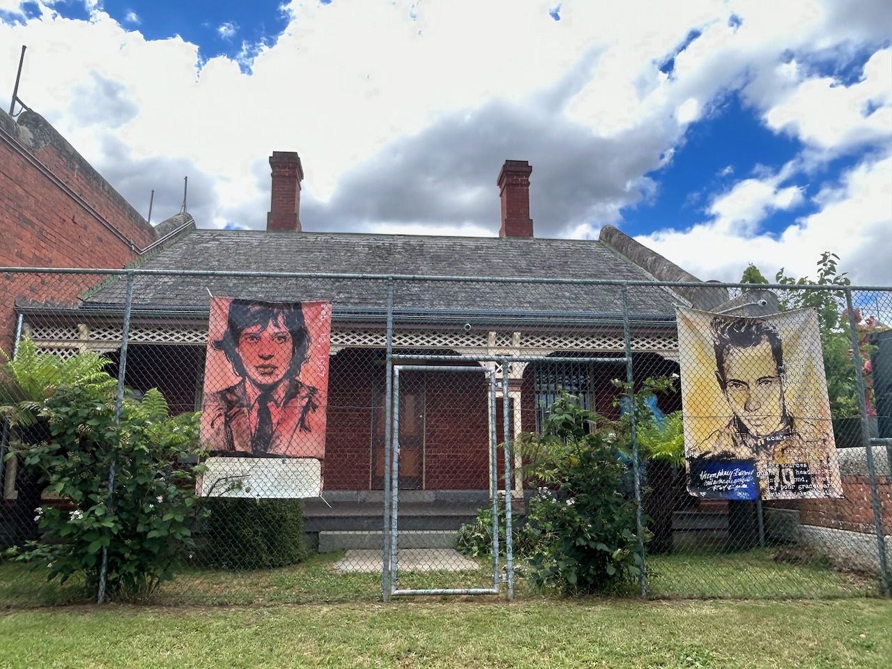
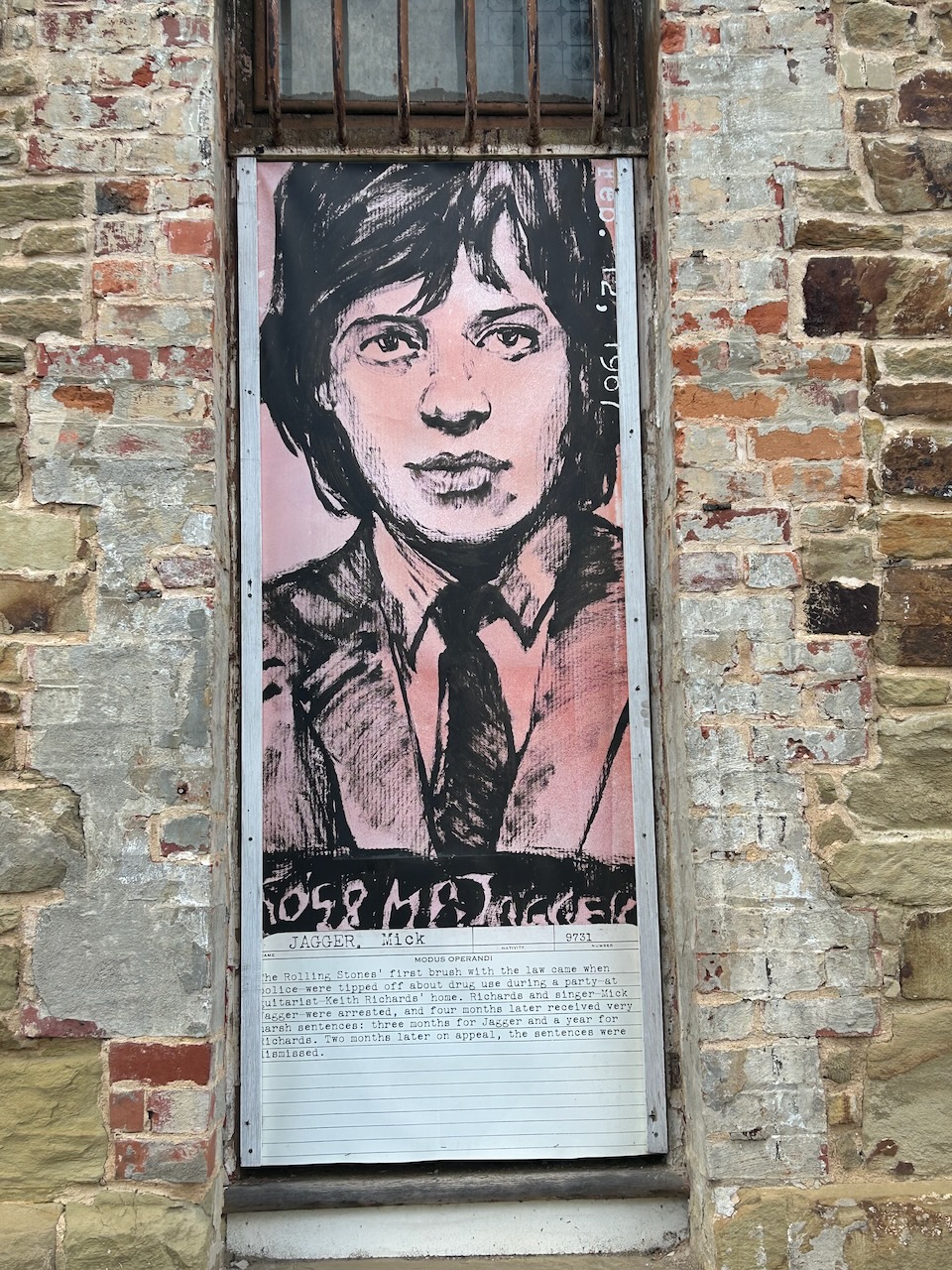
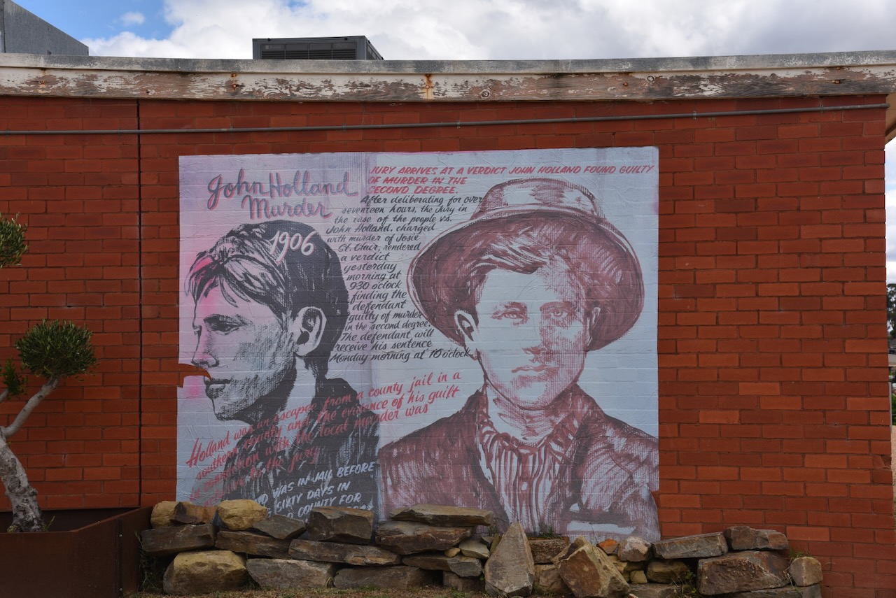
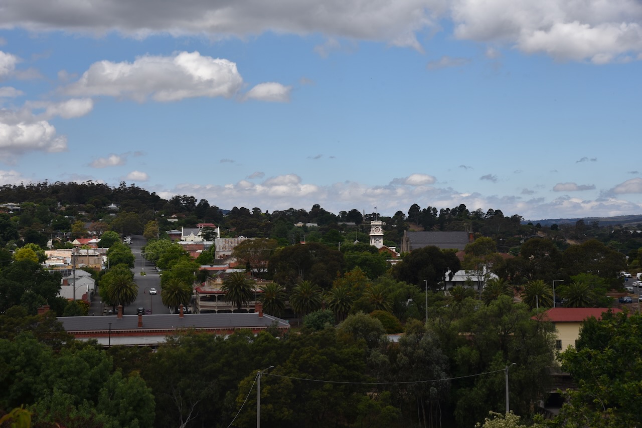
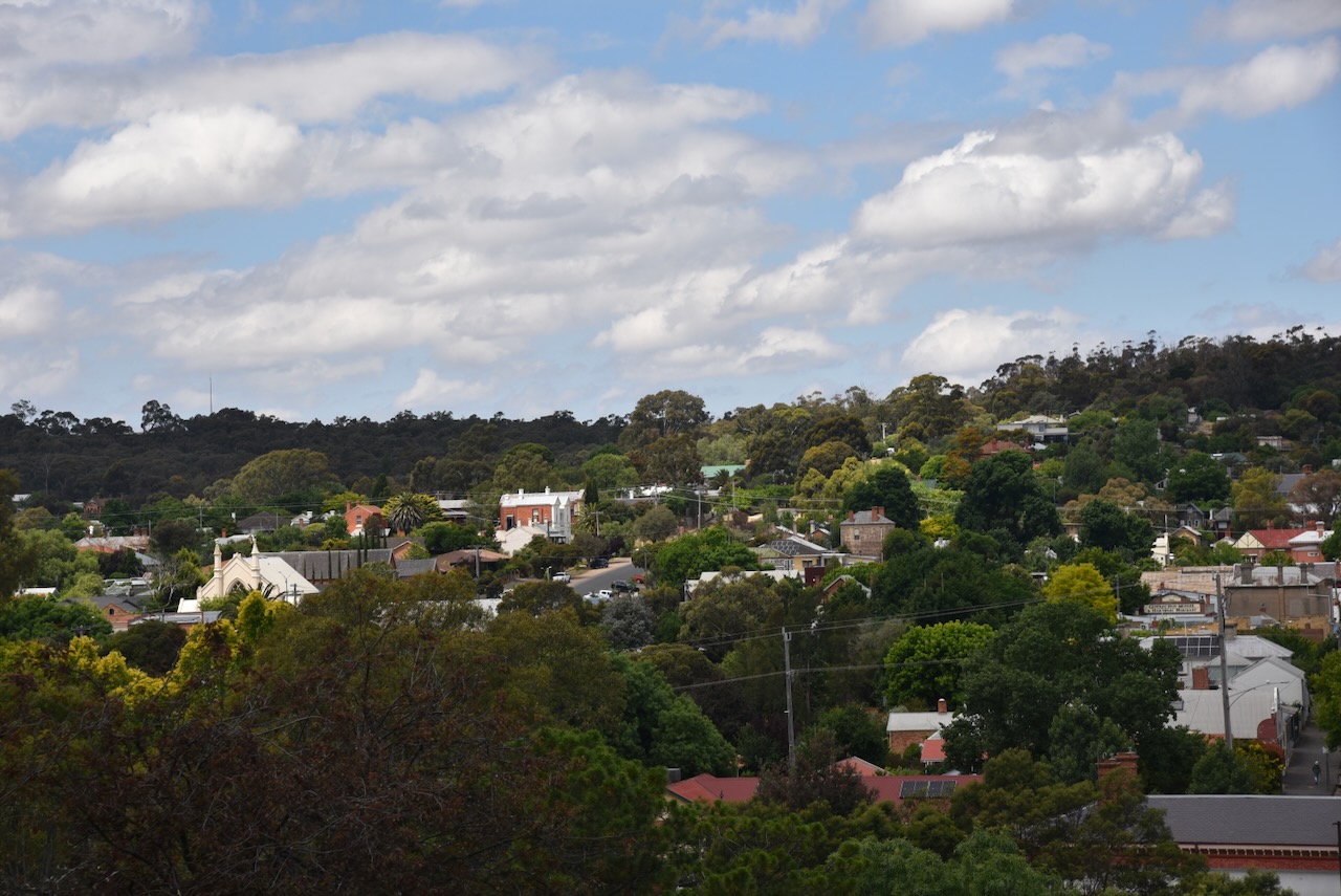
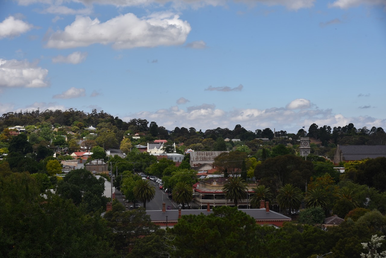
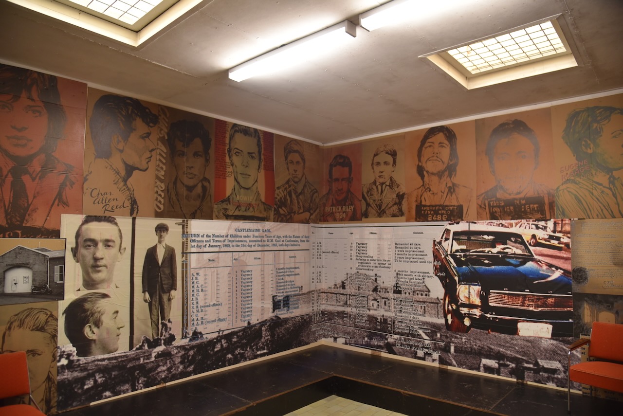
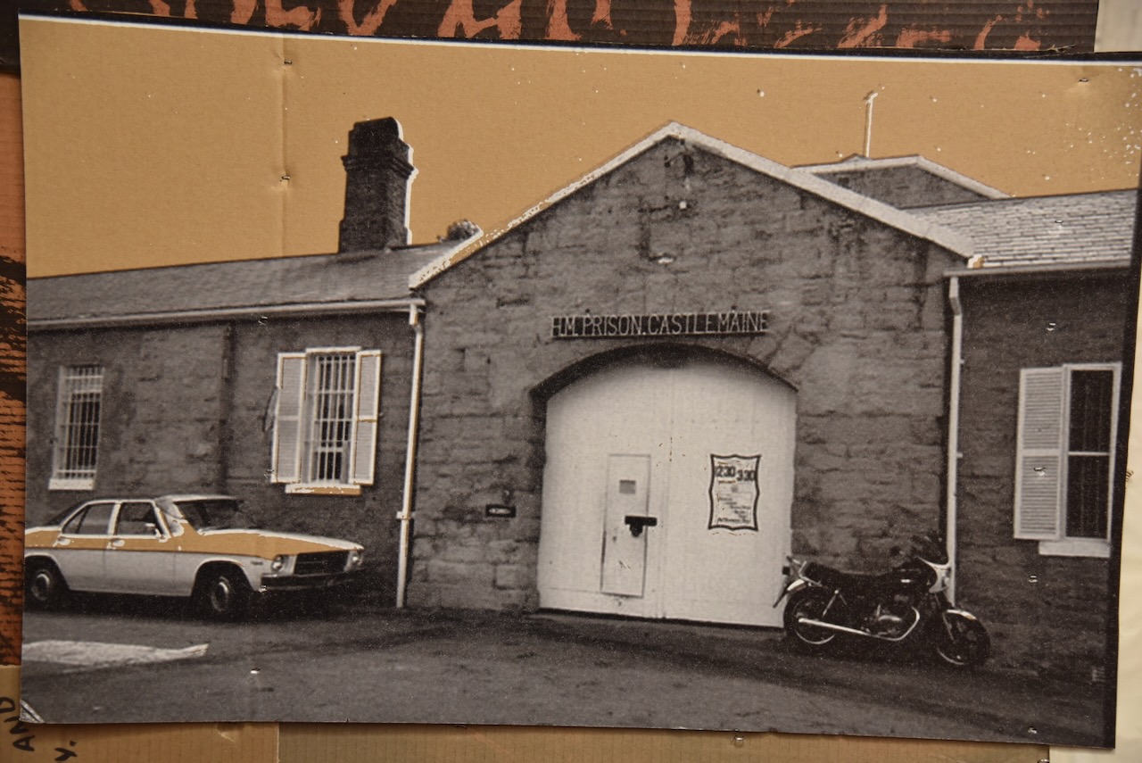
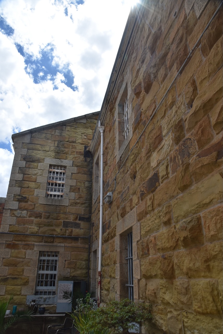
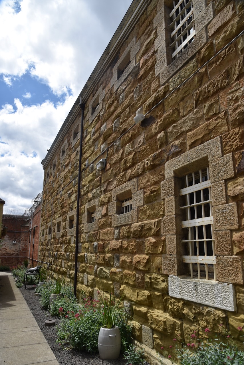
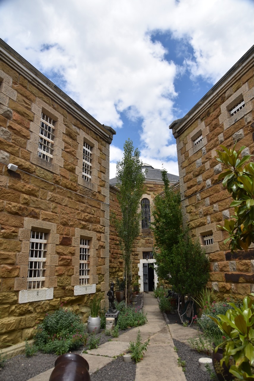
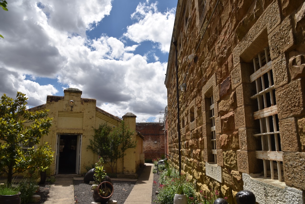
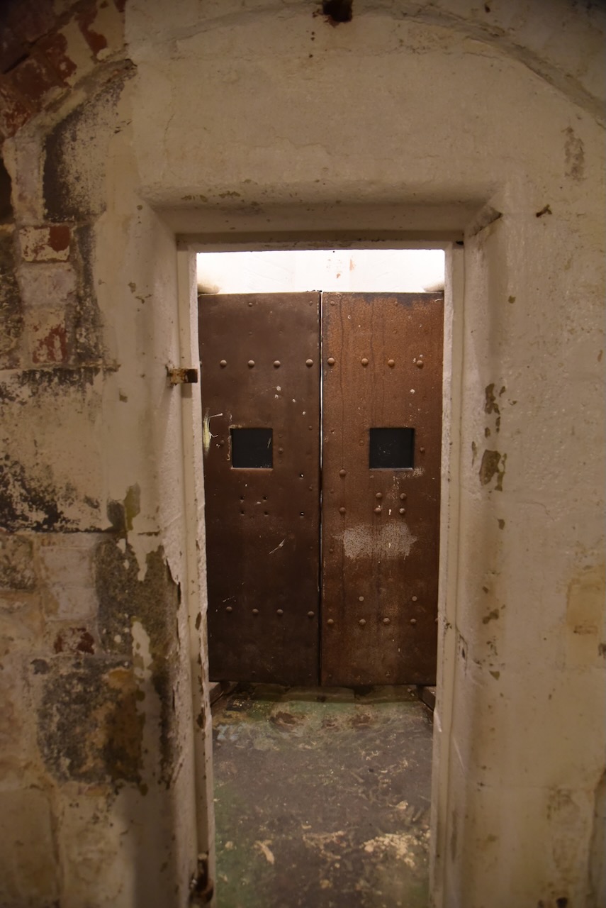
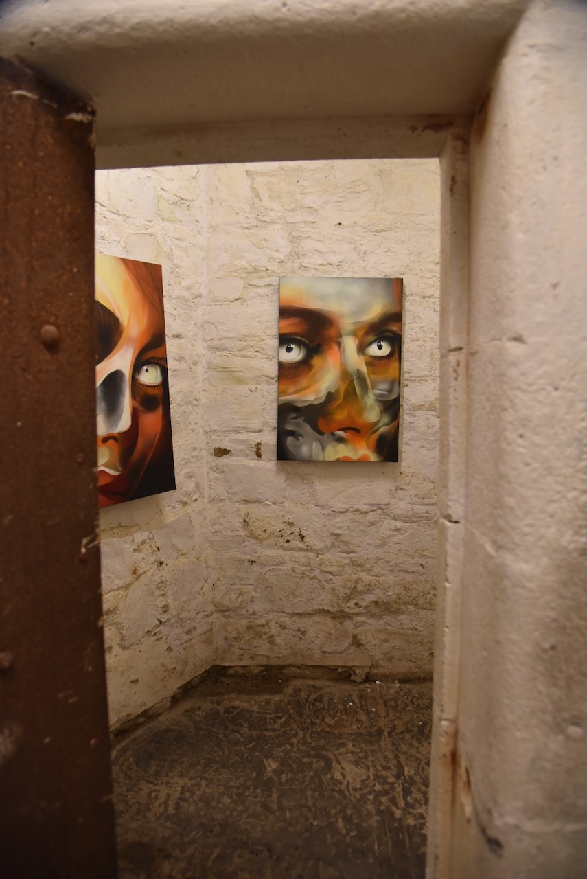
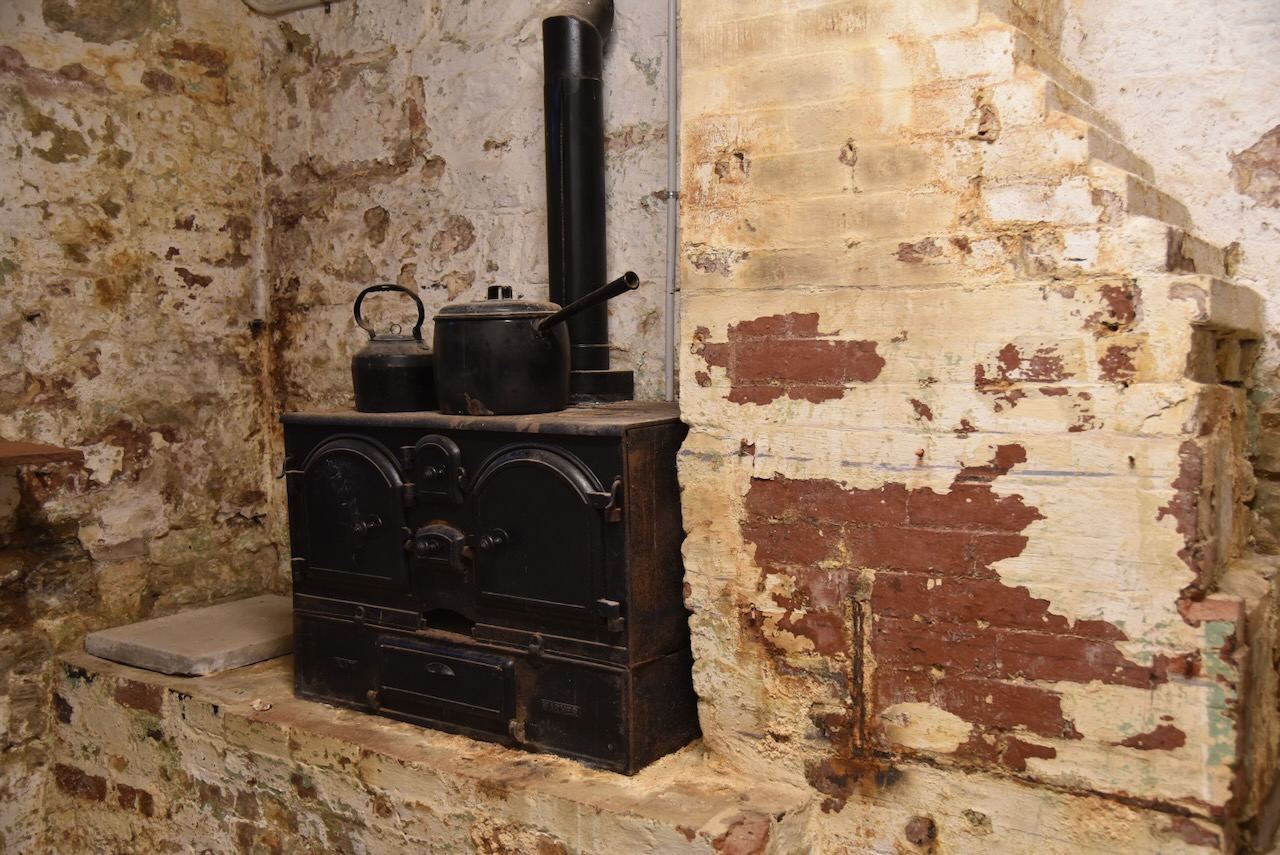
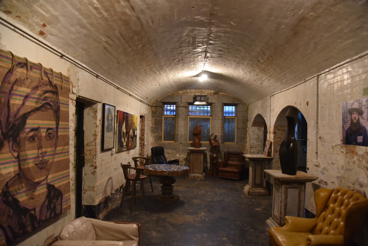
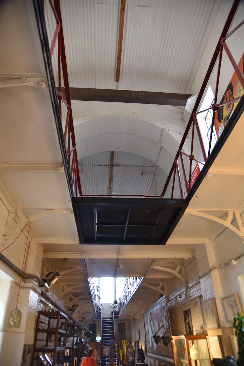
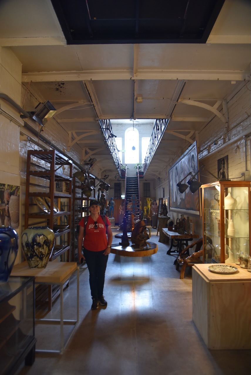
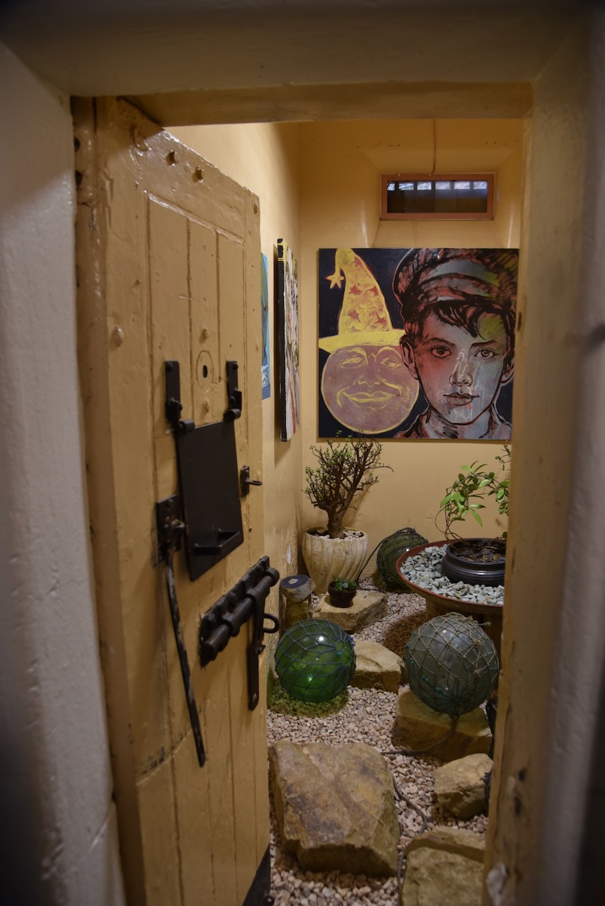
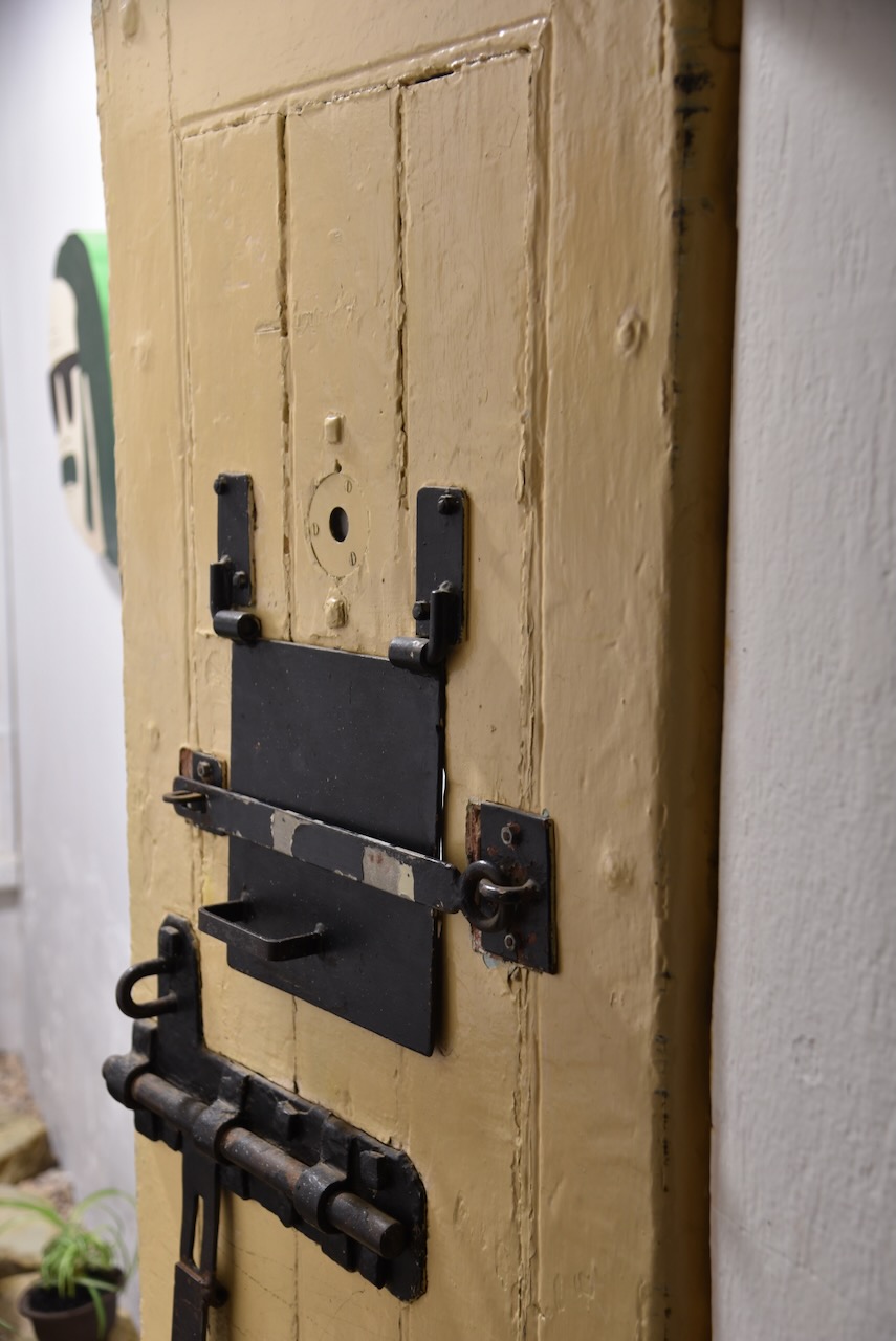
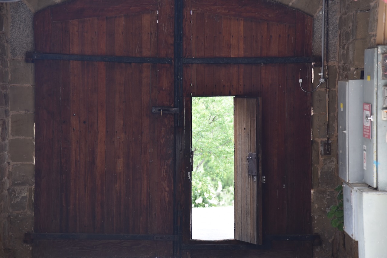
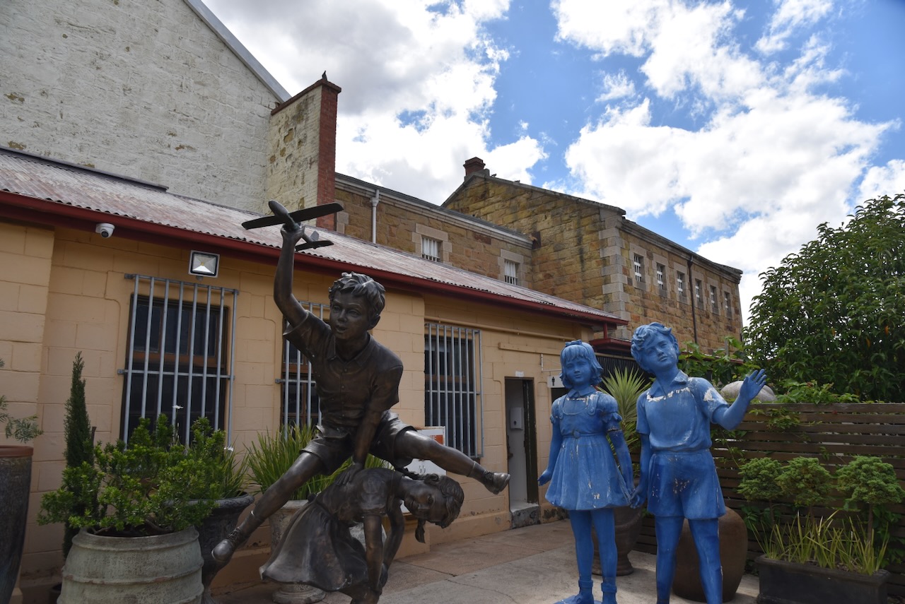
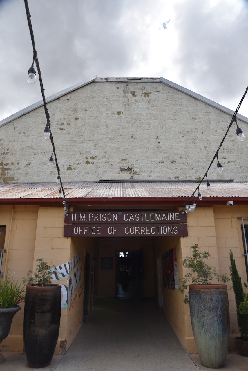
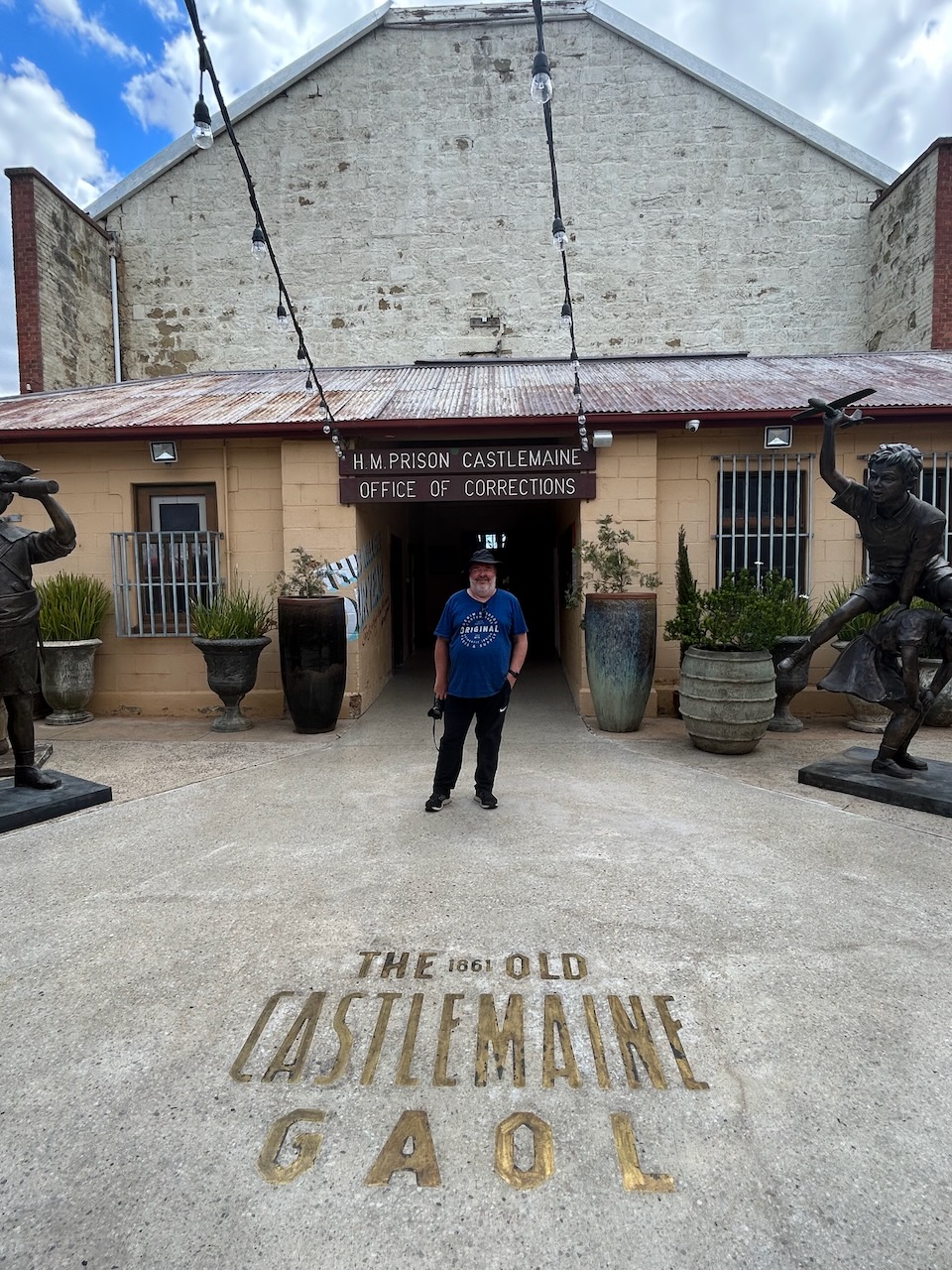
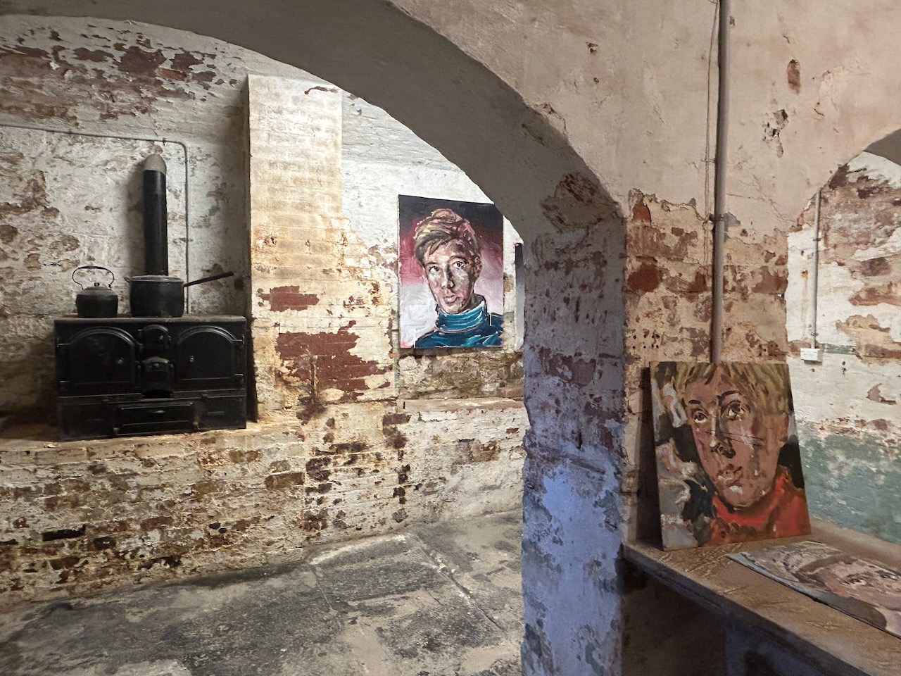
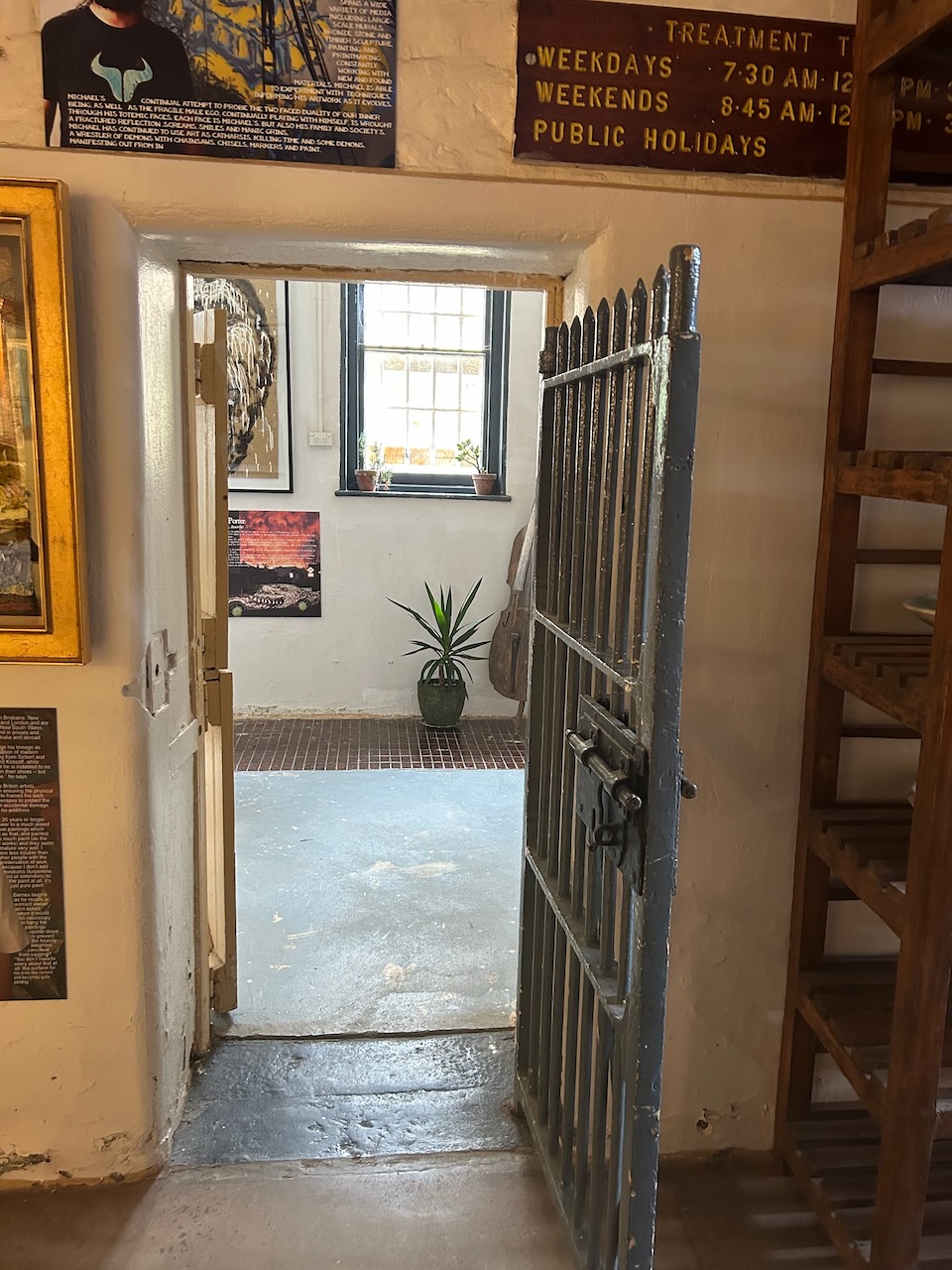
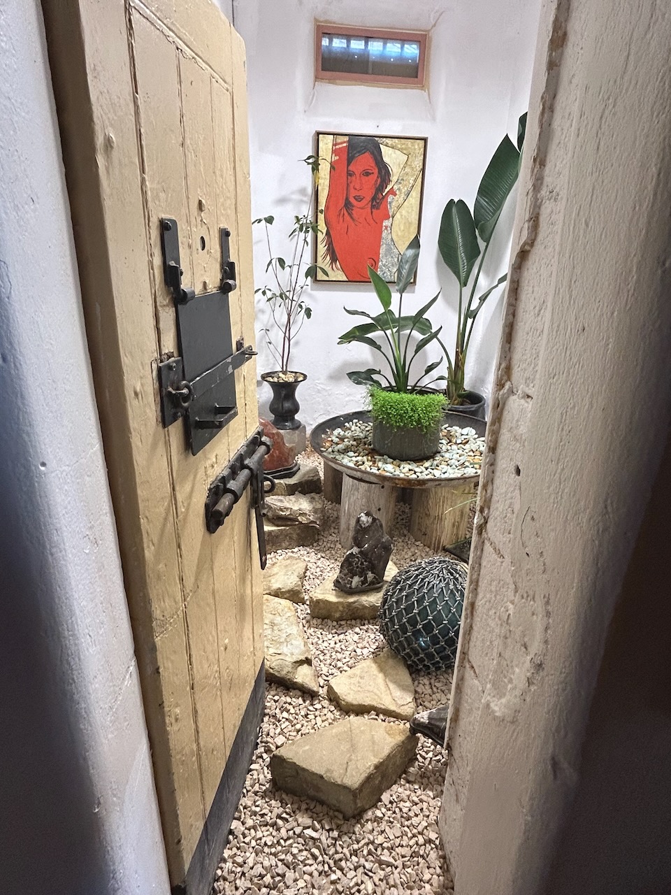
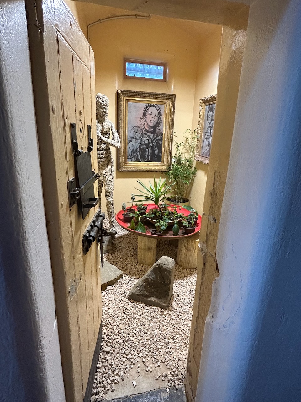
Marija and I then visited the old Castlemaine Gaol on Bowden Street which sits atop a small hill overlooking Castlemaine. The gaol was built between 1857 and 1864 using locally quarried sandstone and Harcourt granite. It was modelled on Pentonville Prison in London. It was constructed to house offenders from the goldfields and the surrounding areas. Ten prisoners were executed by hanging at the gaol during the 1800s. Between 1909 and 1951 the gaol was converted into a boys reformatory for boys aged between 16 and 25, with most aged under 21. The gaol then closed and reopened in 1954 as a medium security prison before closing in August 1990 with prisoners being transferred to HM Prison Loddon. (Goldfields Guide 2024) (Wikipedia 2024)
Some of the notable prisoners at the old Castlemaine Gaol include Peter Dupas, a multiple murderer and rapist, and Alexander Canaris a Greek illusionist who served time there for larceny.
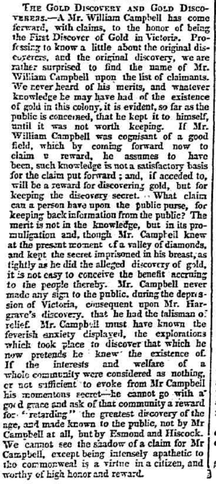
The first to be hanged at the gaol was David Young who was executed for murder on the 21st day of August 1865. The last person to be executed was John Duffus who was hung on the 22nd day of May 1876 for the criminal assault on his daughter.
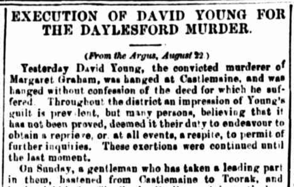
Above:- Article from the Maitland Mercury, Thu 31 Aug 1865. Image c/o Trove.
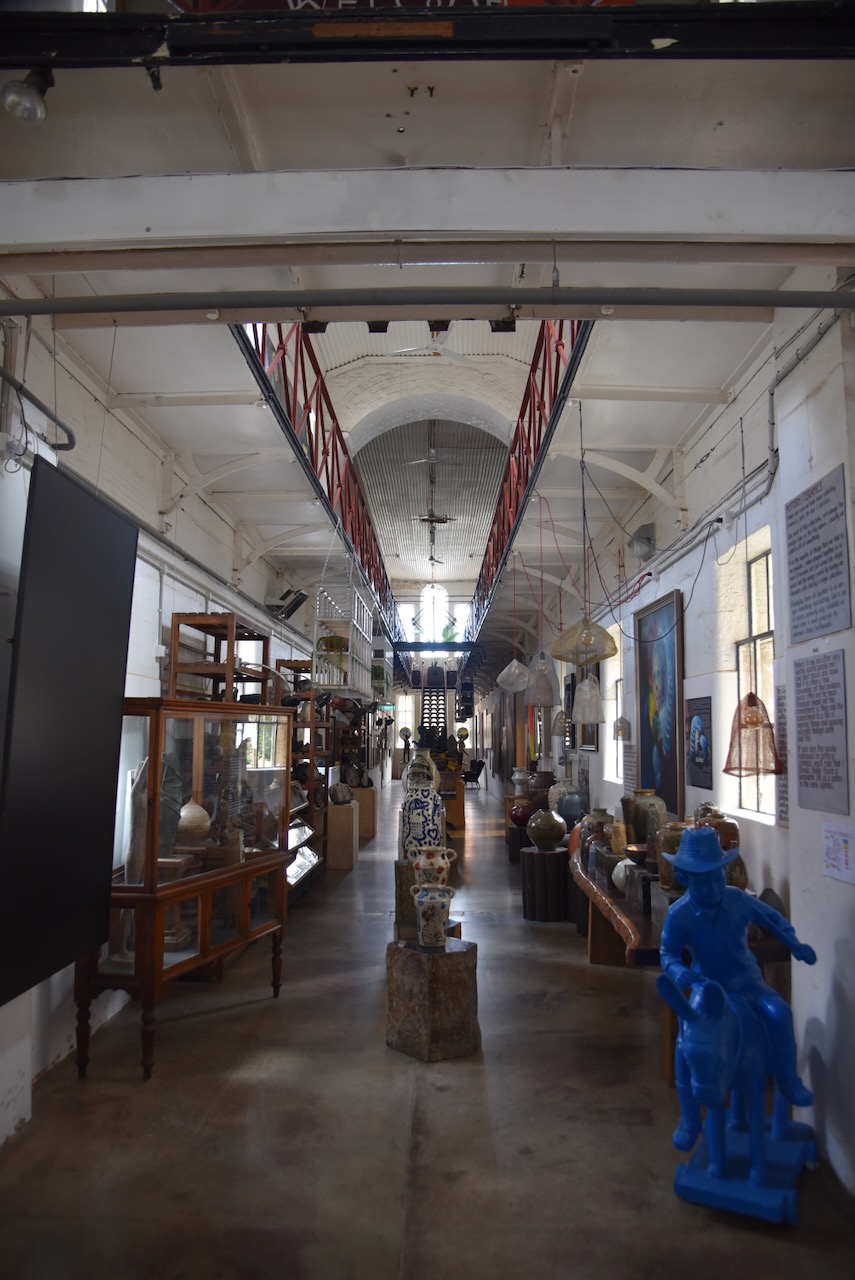
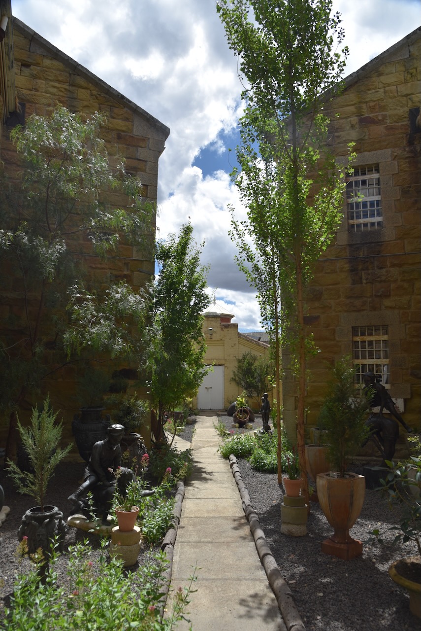
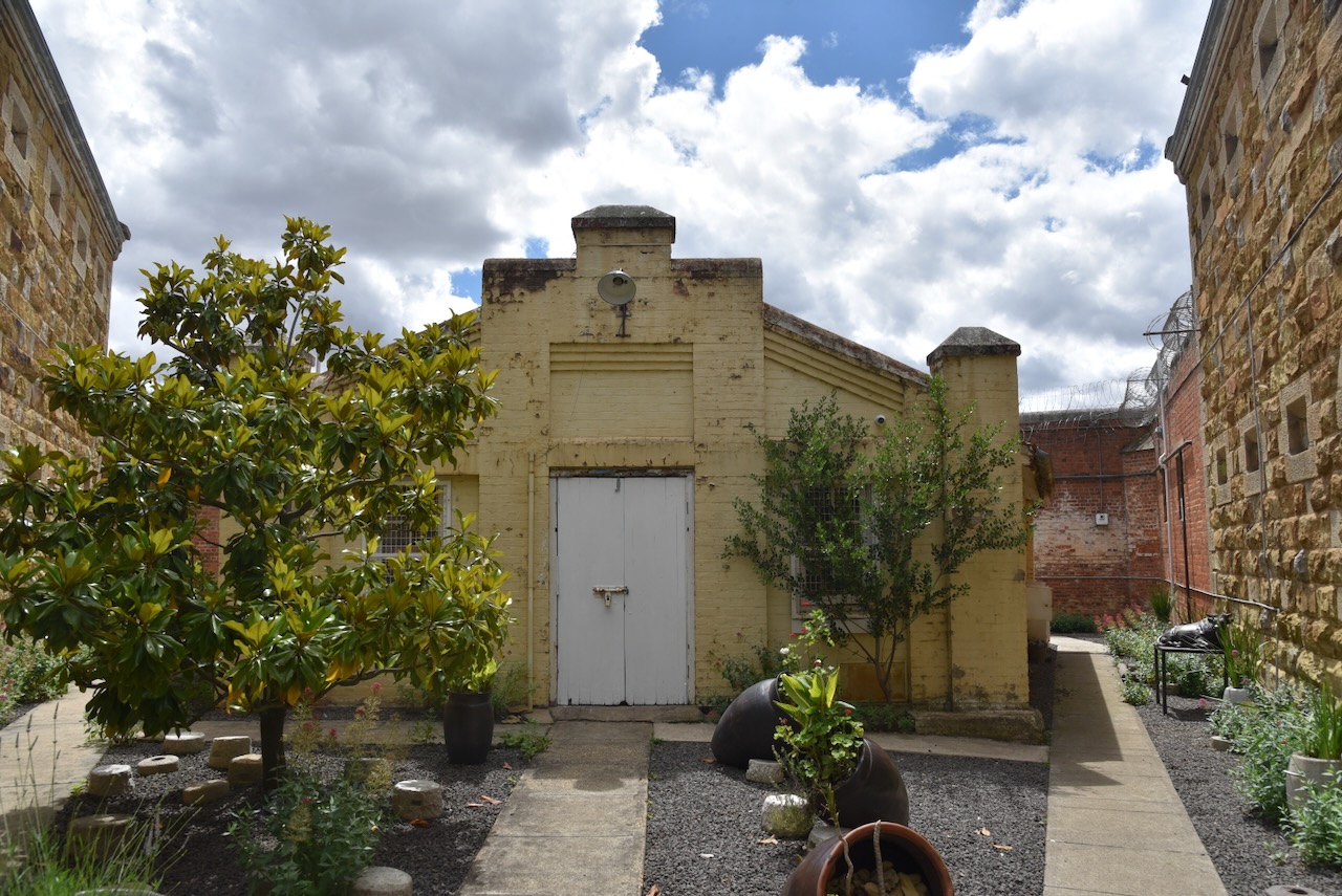
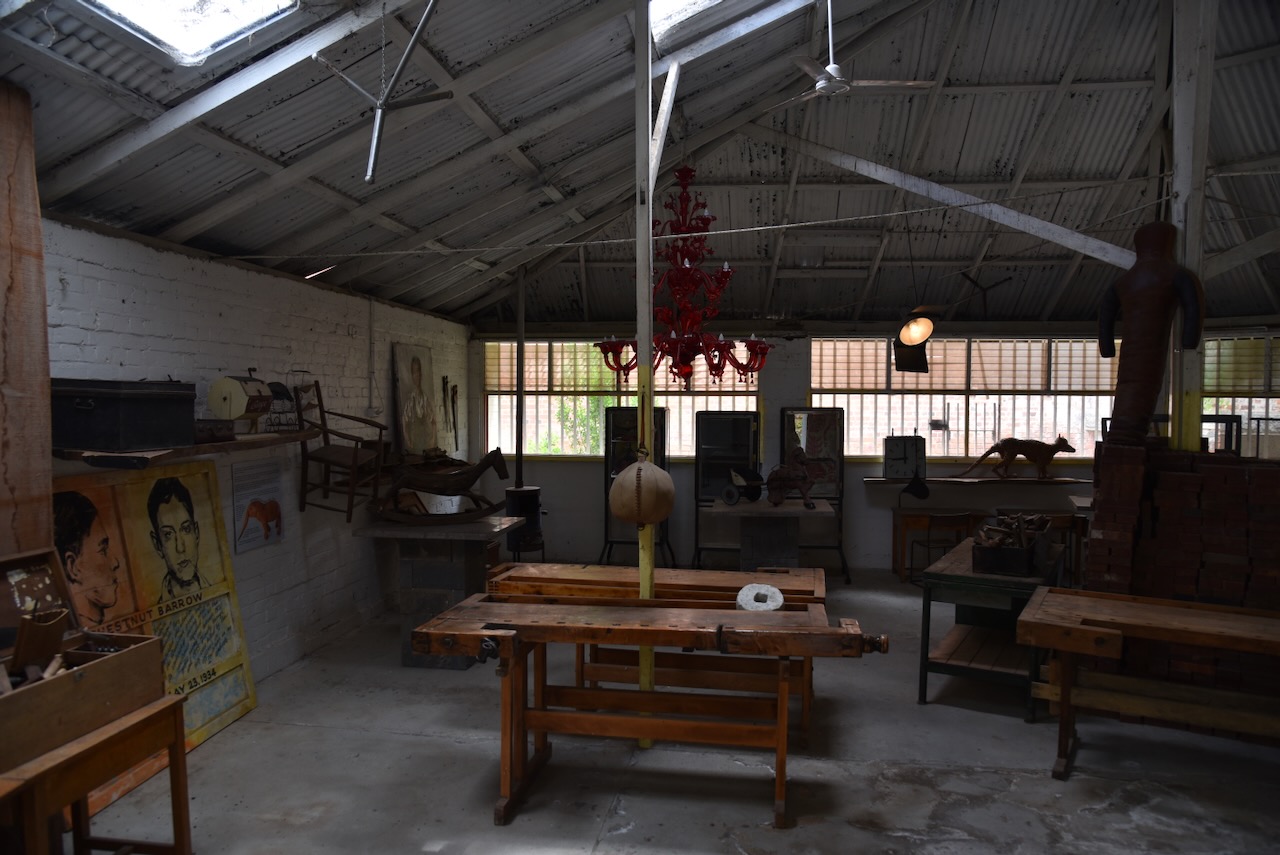
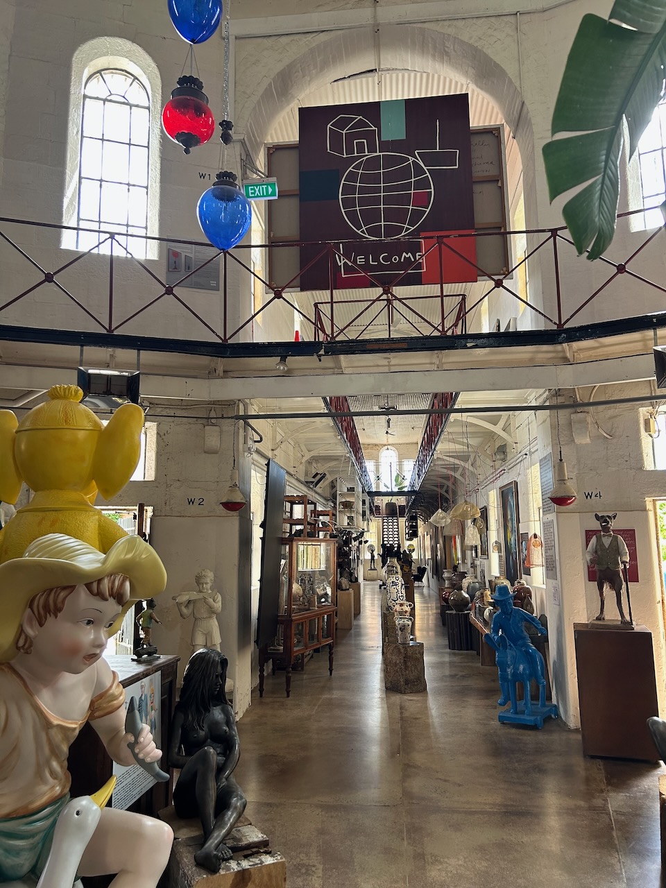
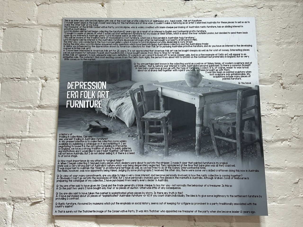
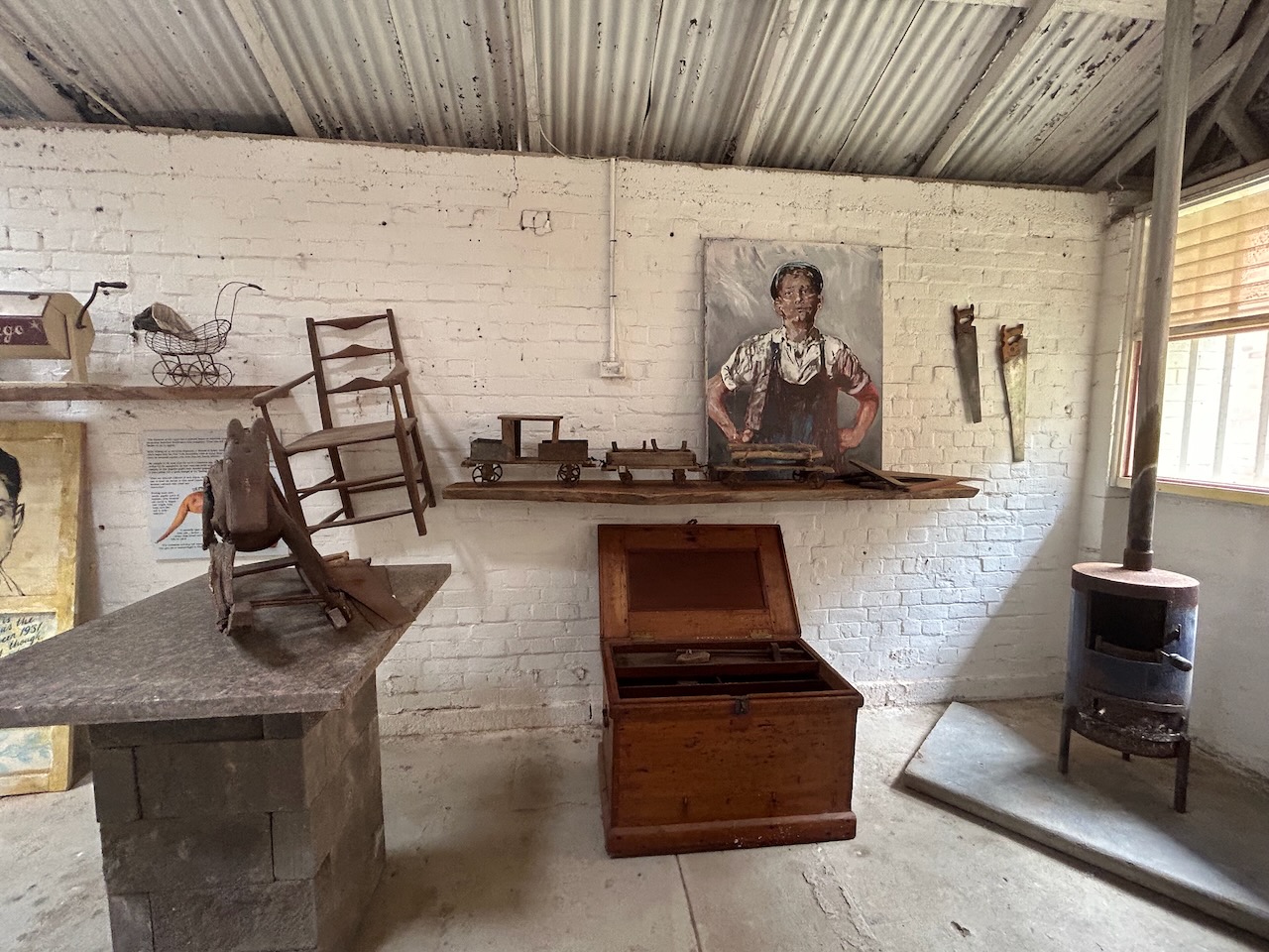
In 2018 the Castlemaine Gaol was sold to artist David Bromley and it now contains the Bromley Collection. The art theme is reflected on the exterior of the gaol.
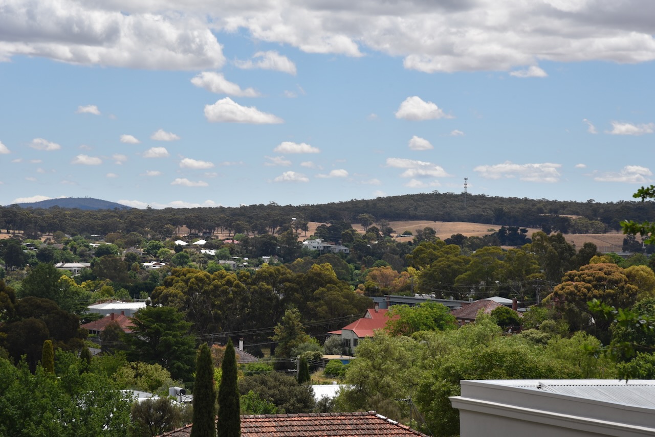
As the old gaol sits on the top of a hill, there are some very nice views of Castlemaine.
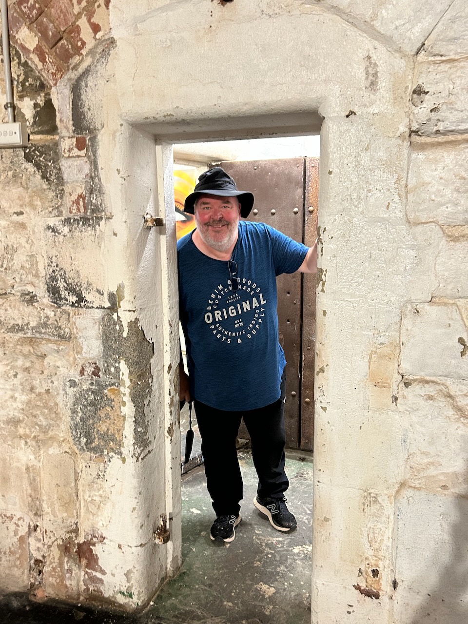
We were incredibly fortunate to be able to access the interior of the gaol. It was closed during our visit, but there were some staff present at the back of the gaol who kindly allowed us access.
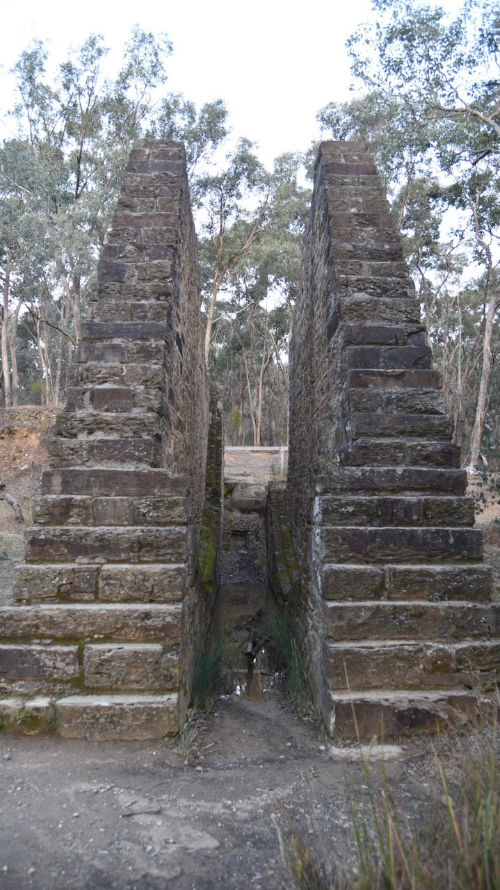
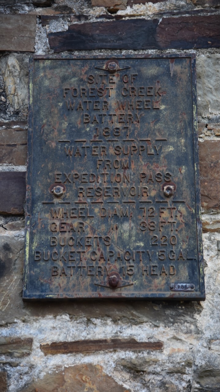
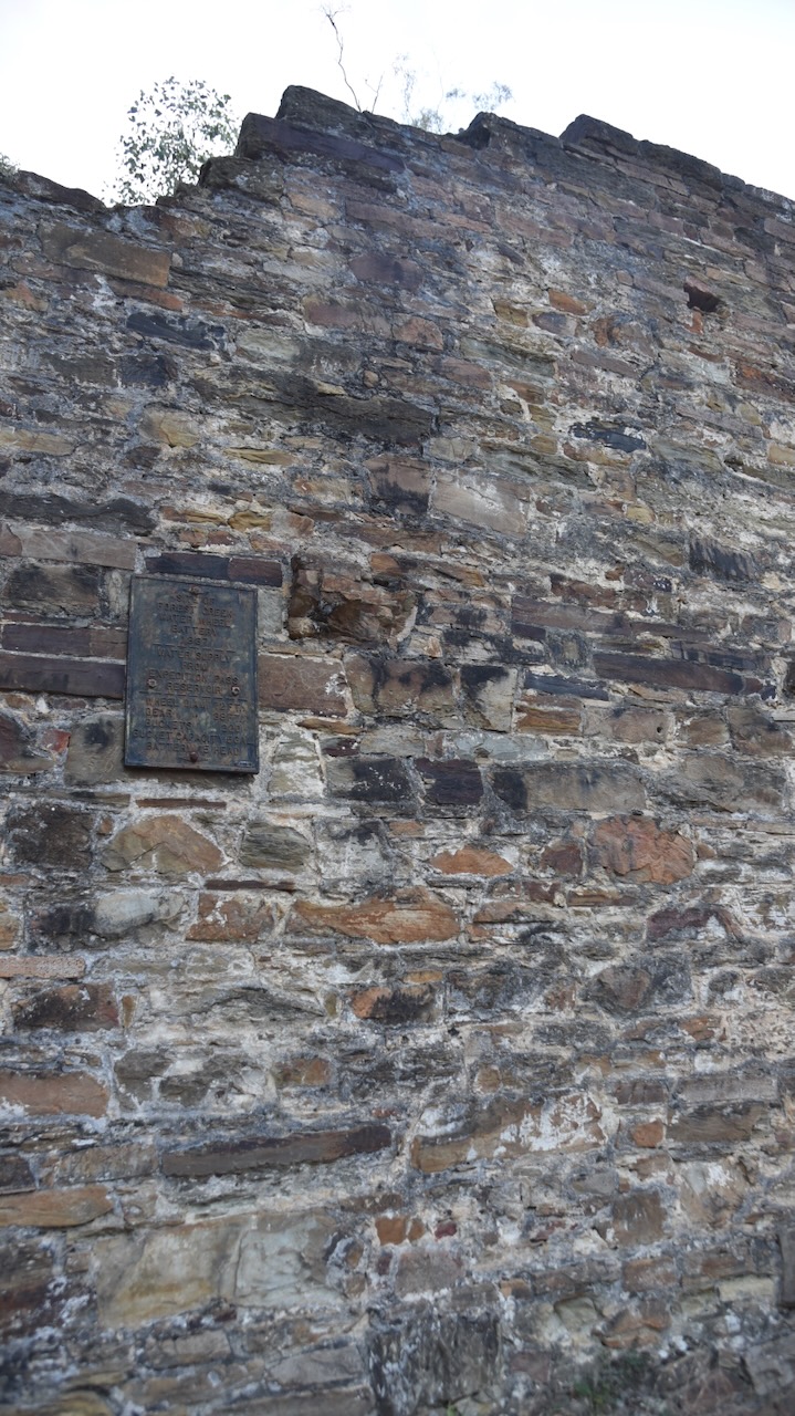
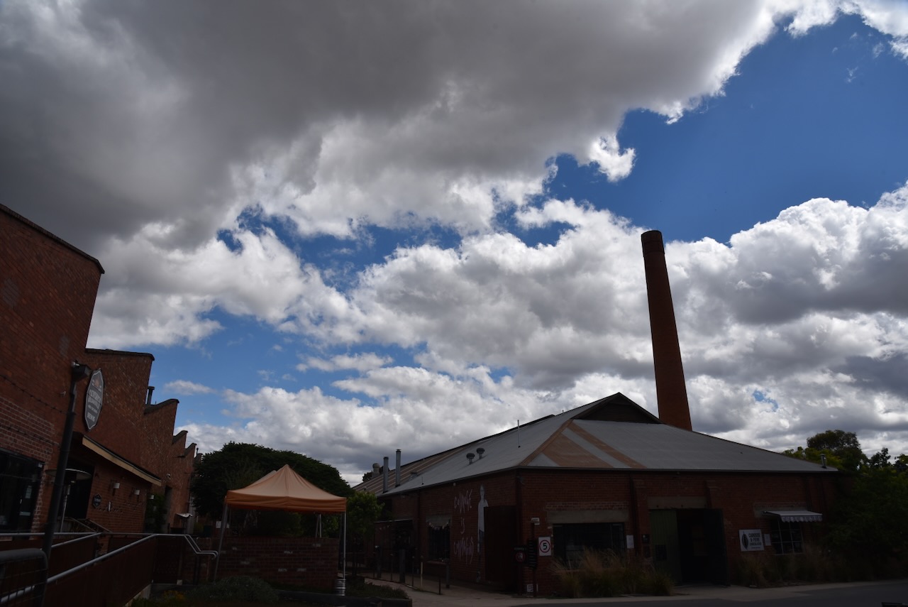
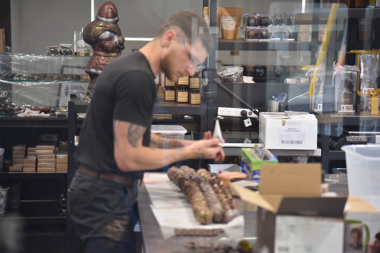
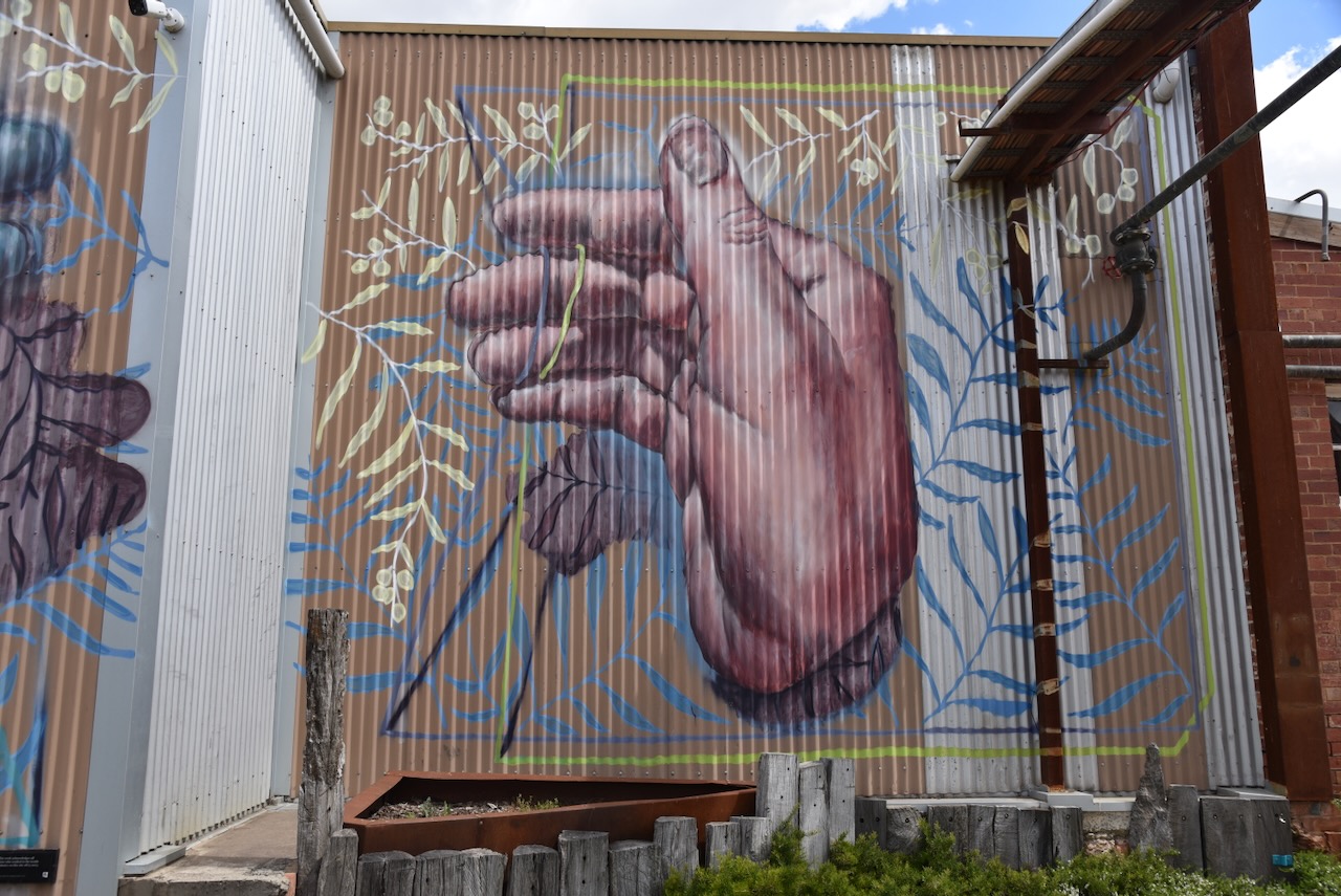
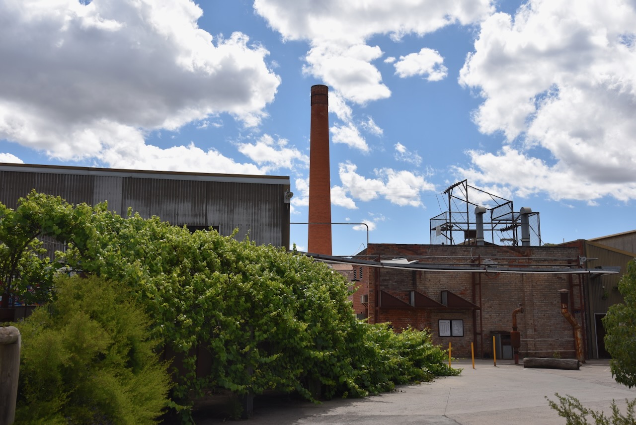
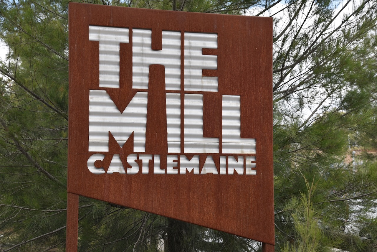
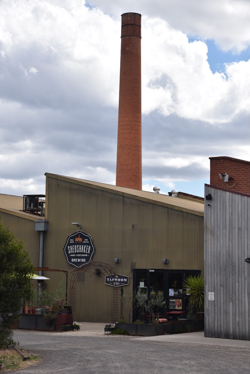
Our next stop was the old 1870s woollen mill complex at Castlemaine. The site now has about 40 small businesses.
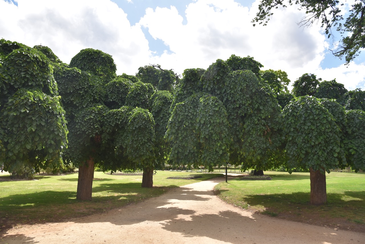
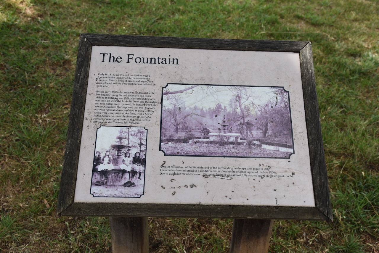
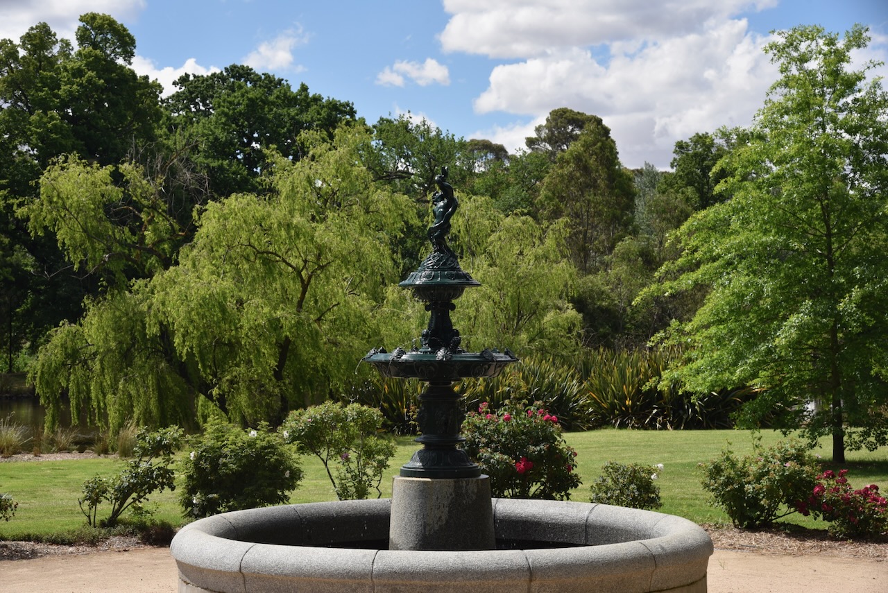
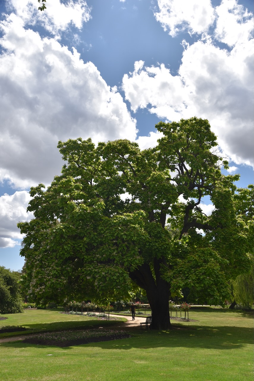
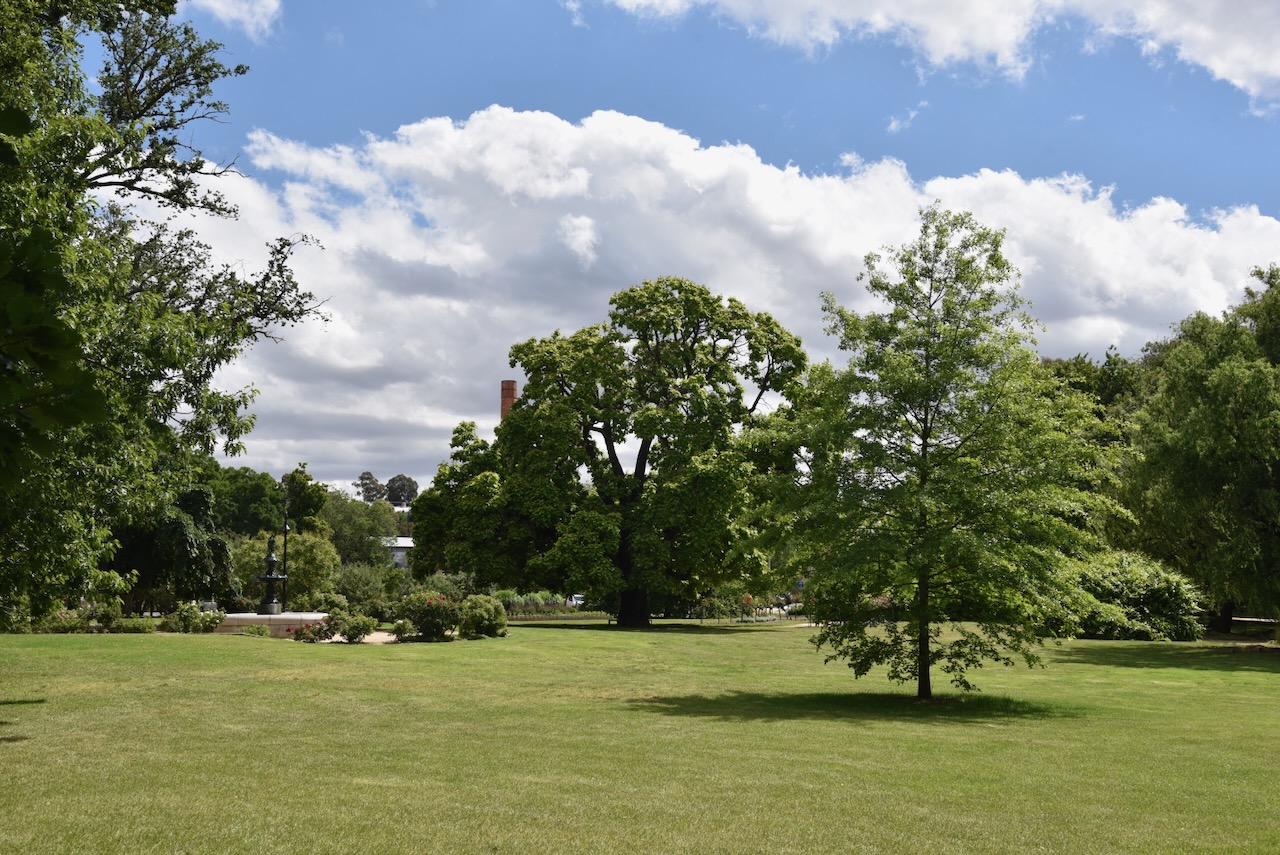
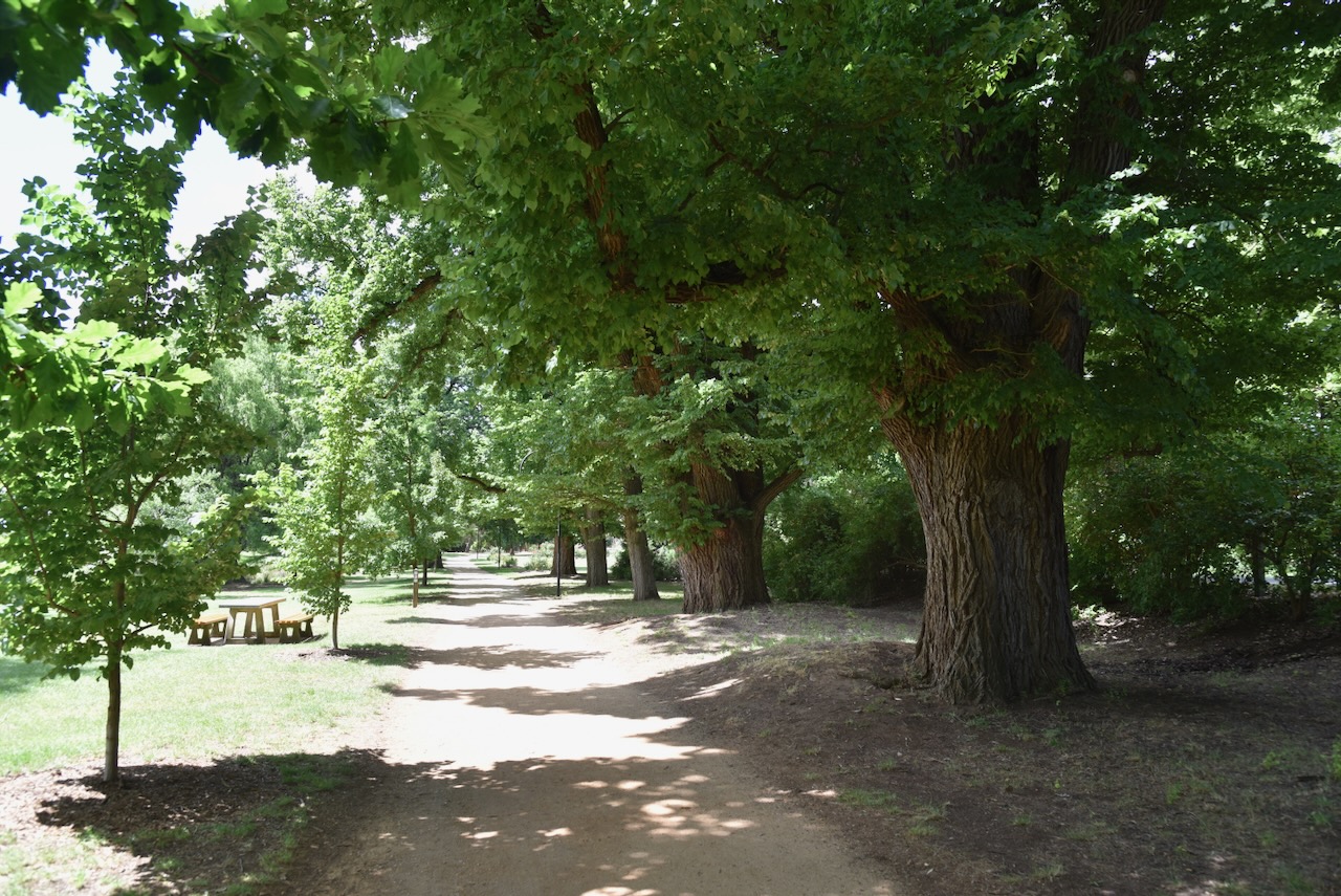
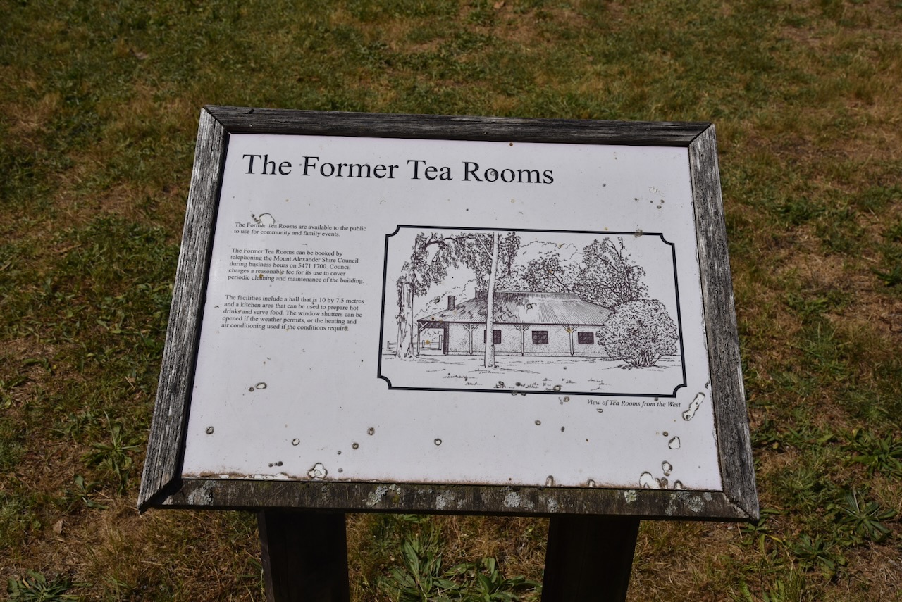
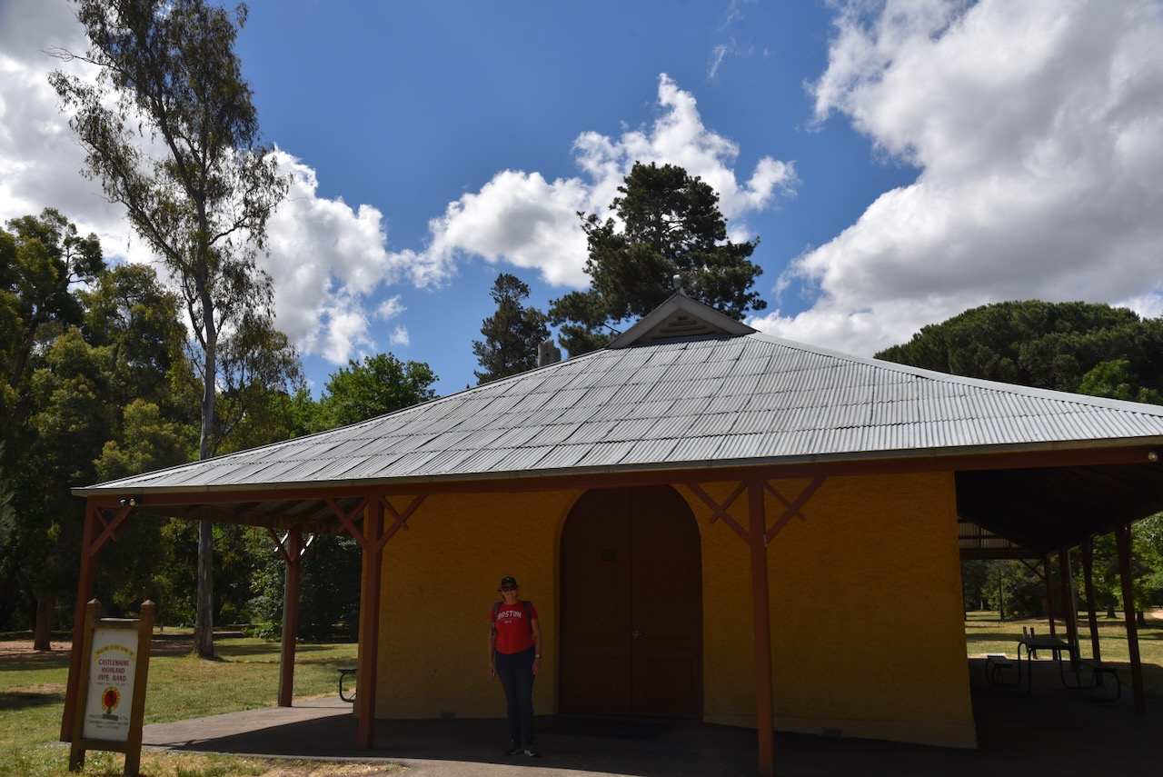
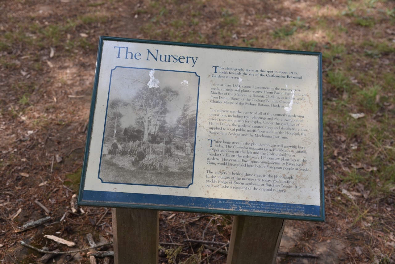
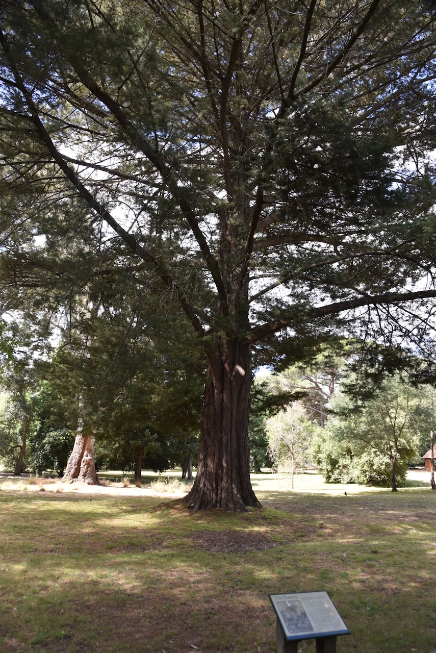
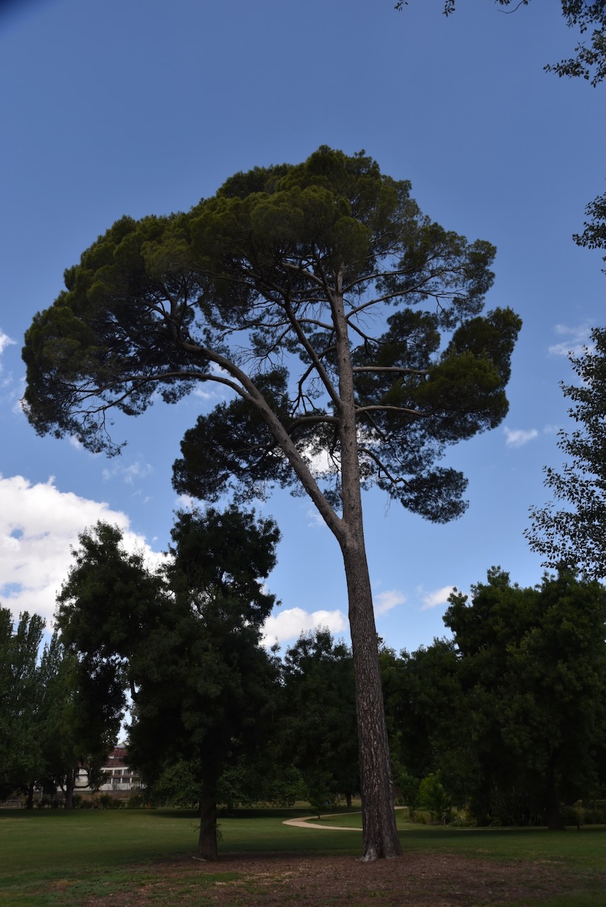
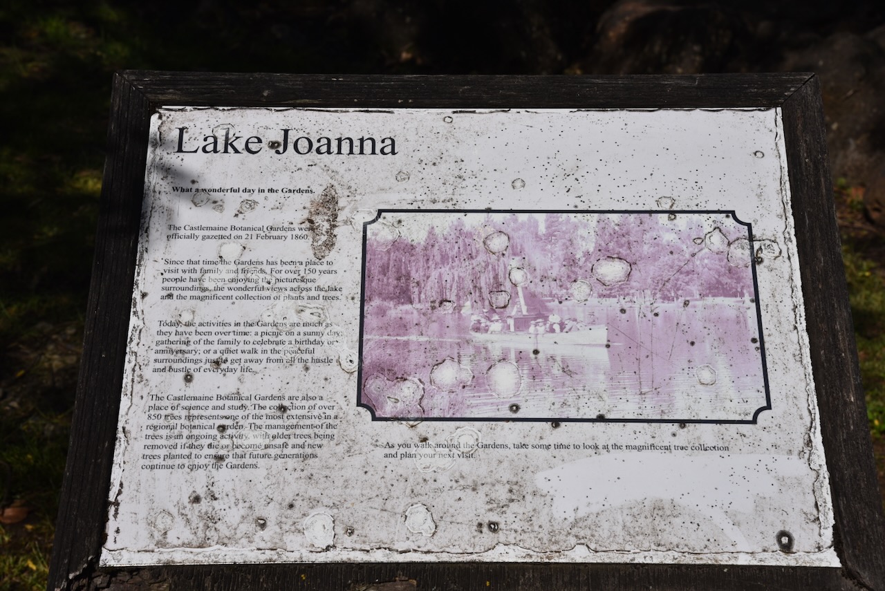
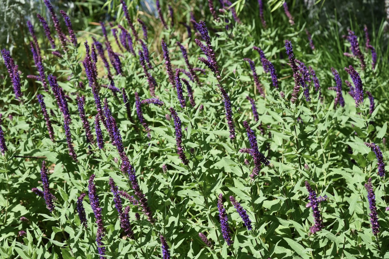
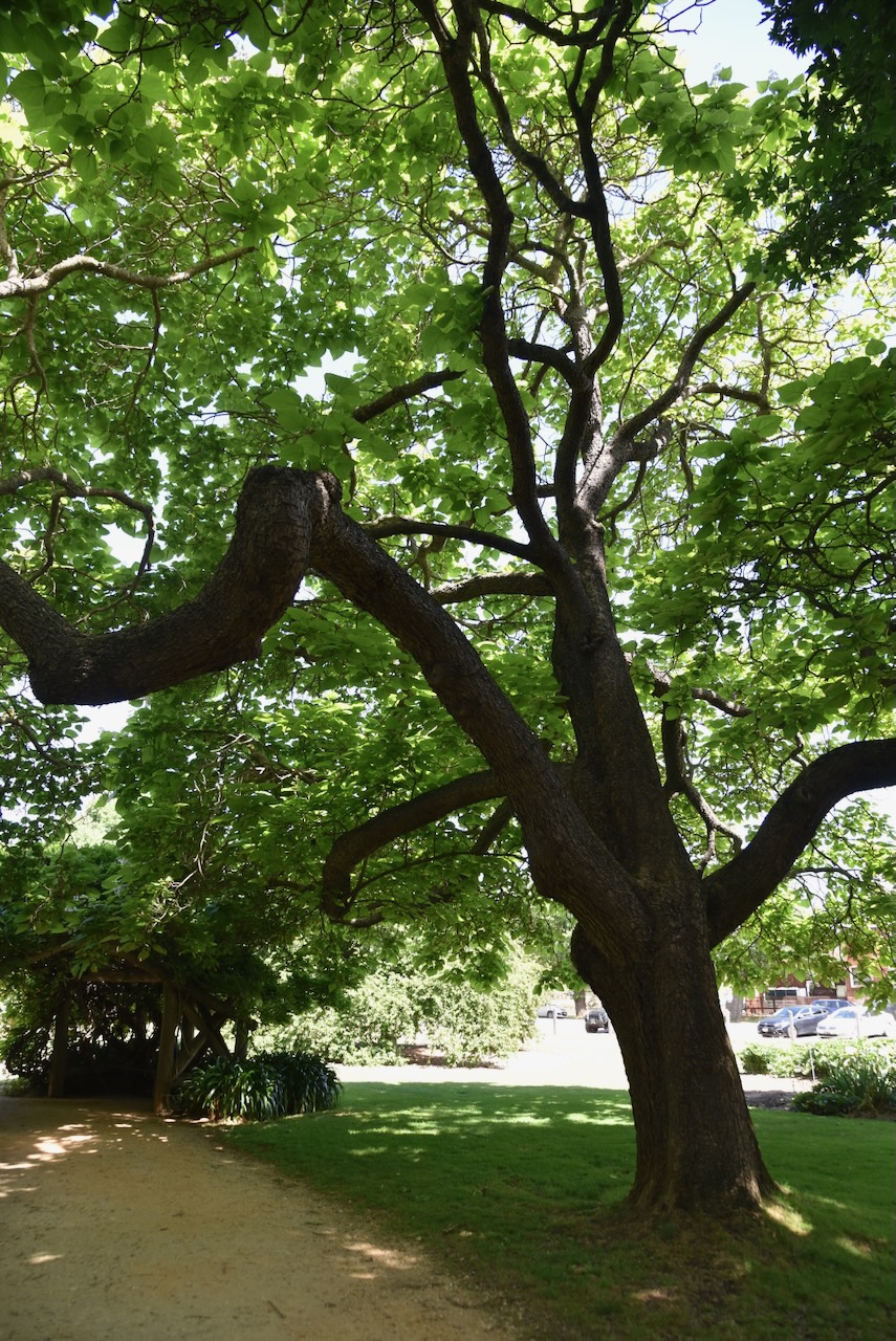
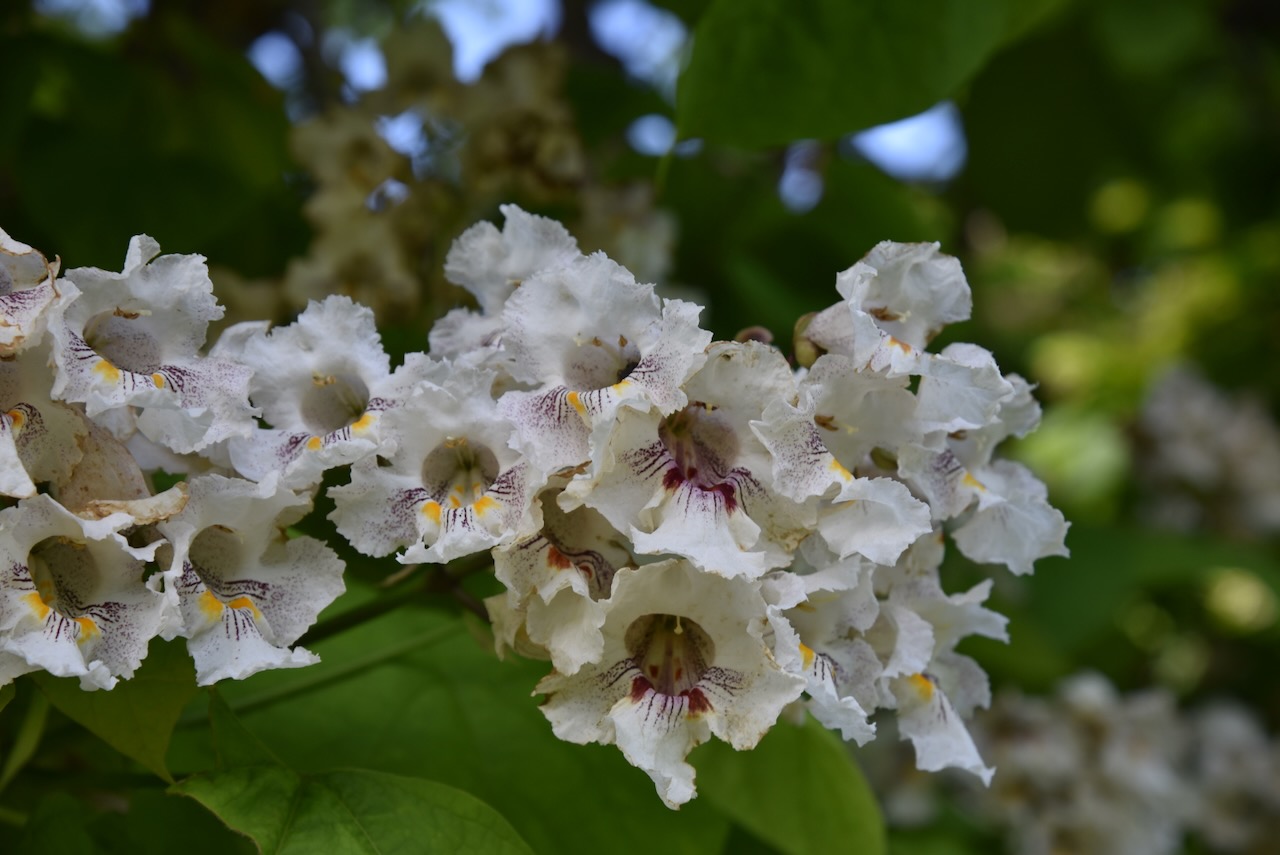
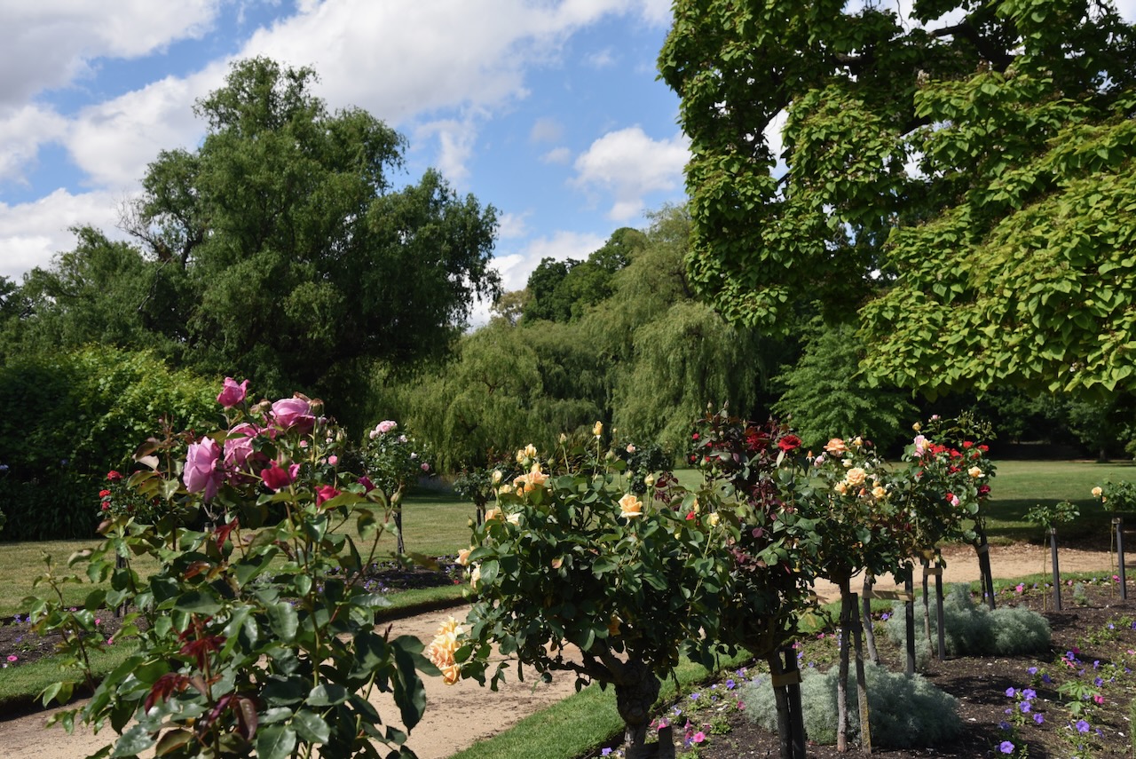
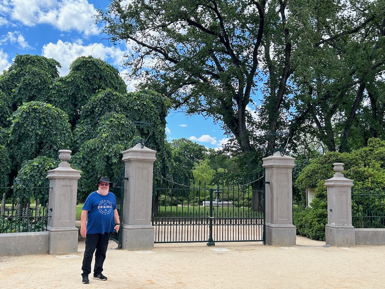
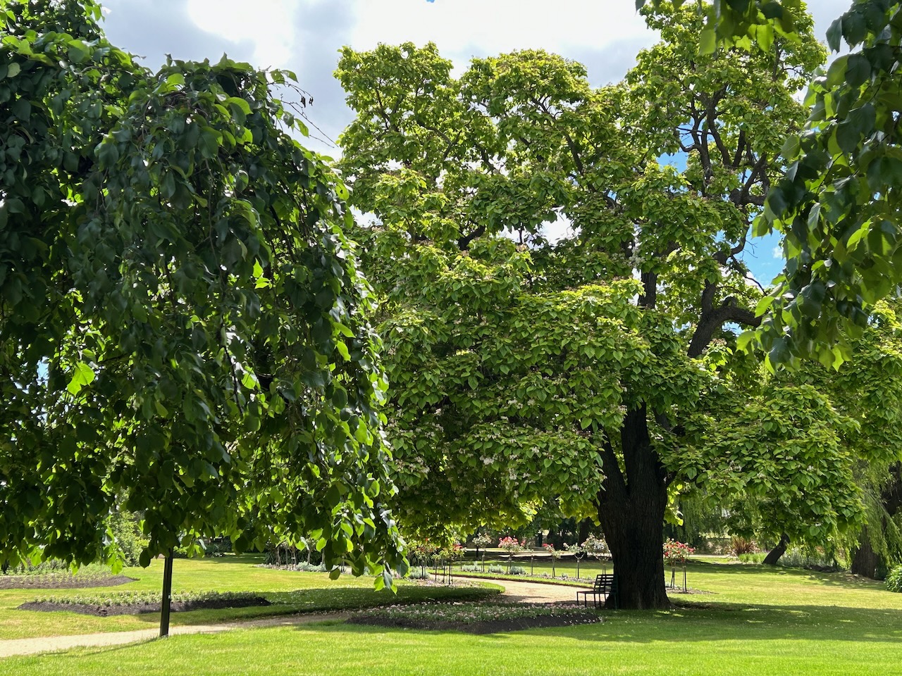
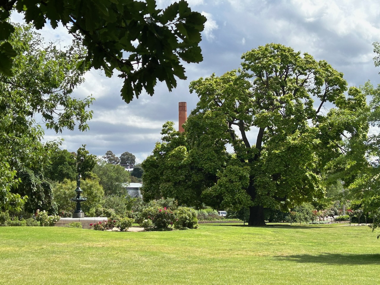
We then strolled over the road to the Castlemaine Botanical Gardens. The gardens are amongst the earliest of Victoria’s provincial botanic gardens. In 1866, the Castlemaine Borough Council appointed Philip Doran as the first curator of the gardens. Doran died in 1913, aged 83, and was still curator at the time of his death. Many of the trees in the gardens are on the National Trust’s Register of Significant Trees. The gardens are registered on the National Estate and the Victorian Heritage Register.
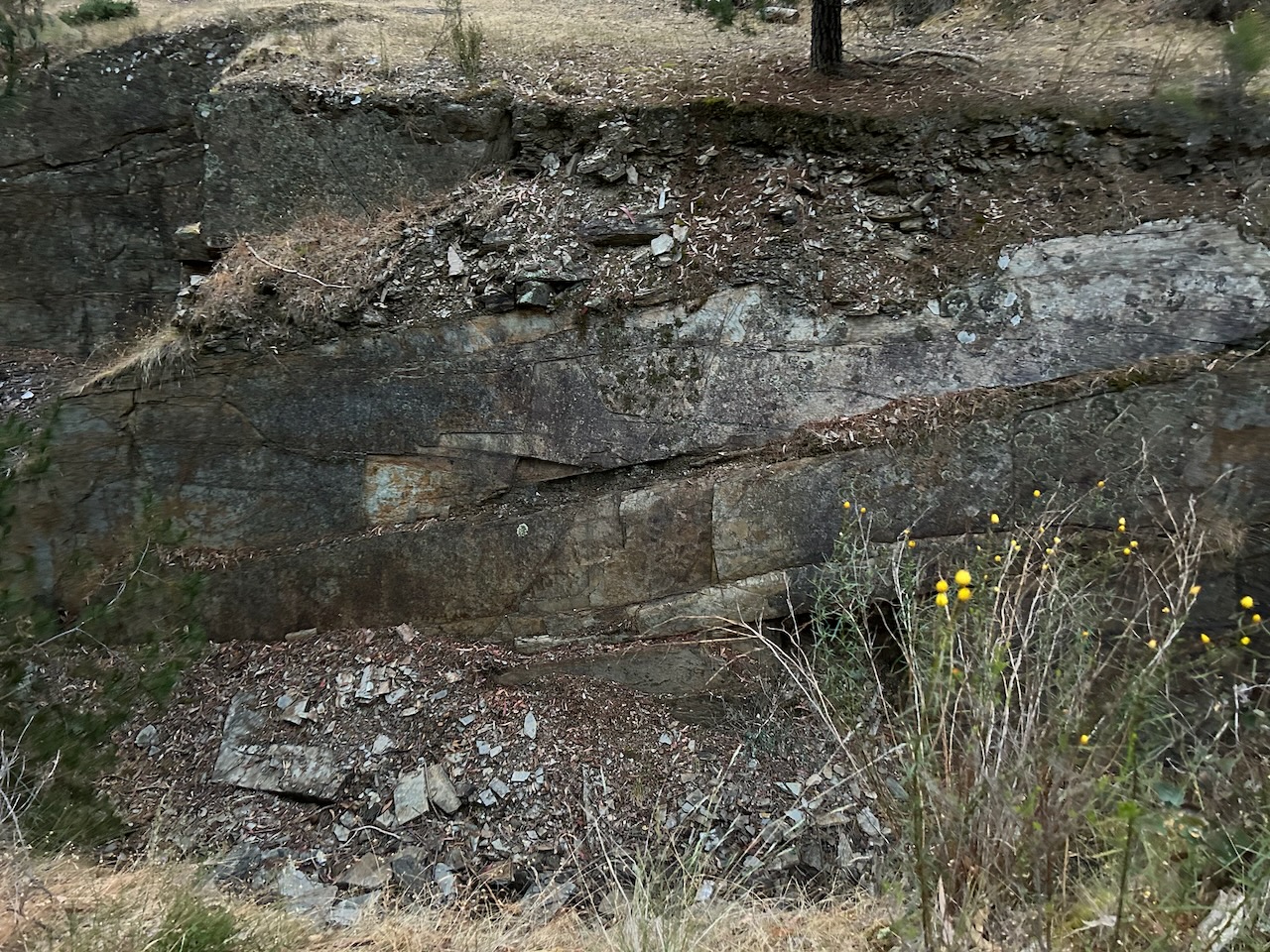
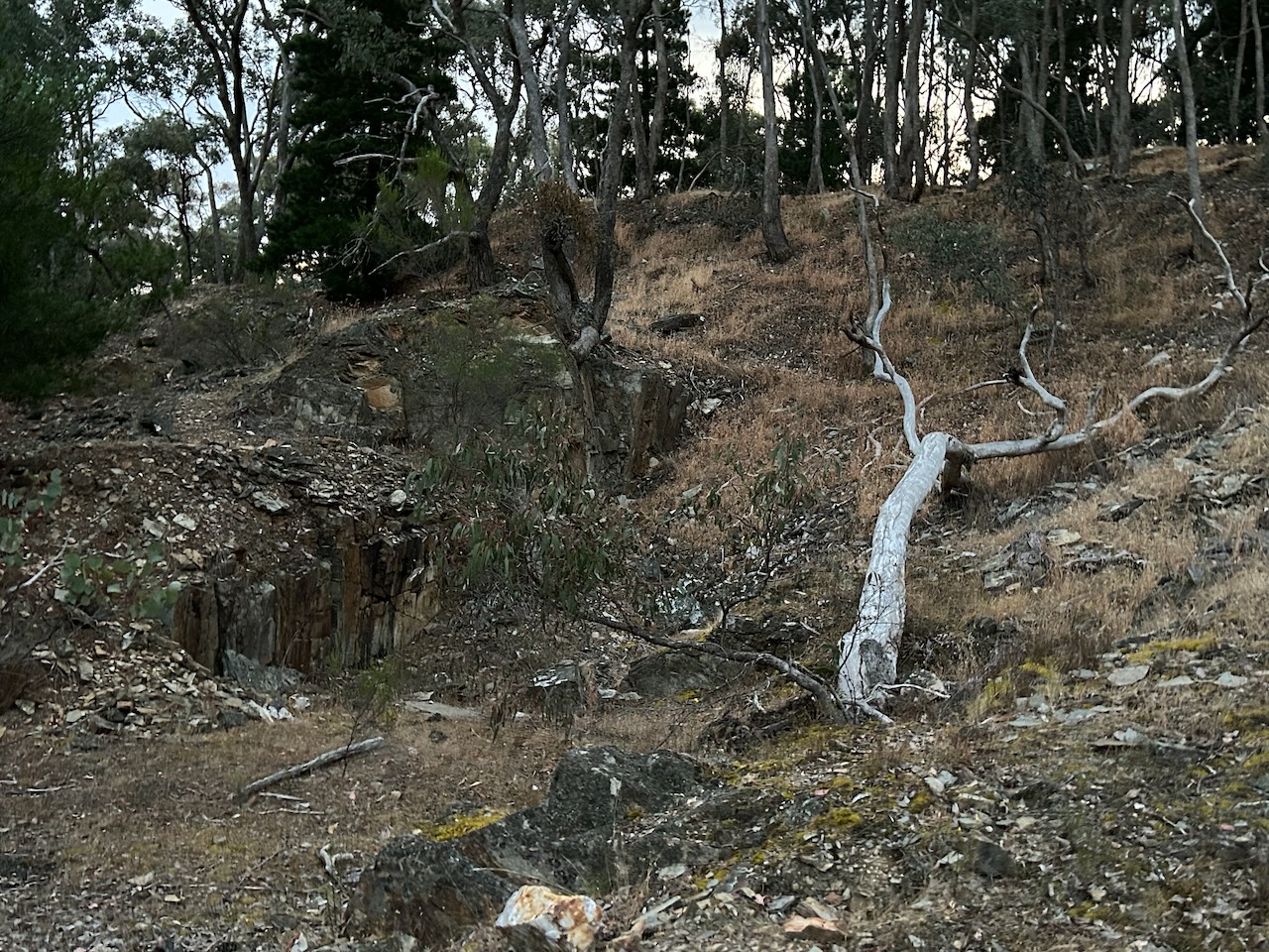
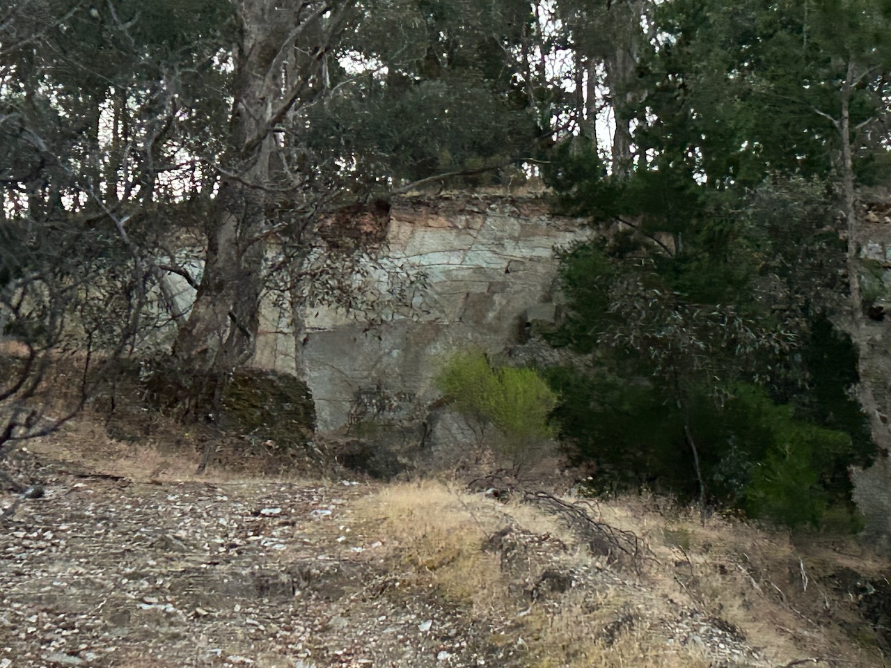
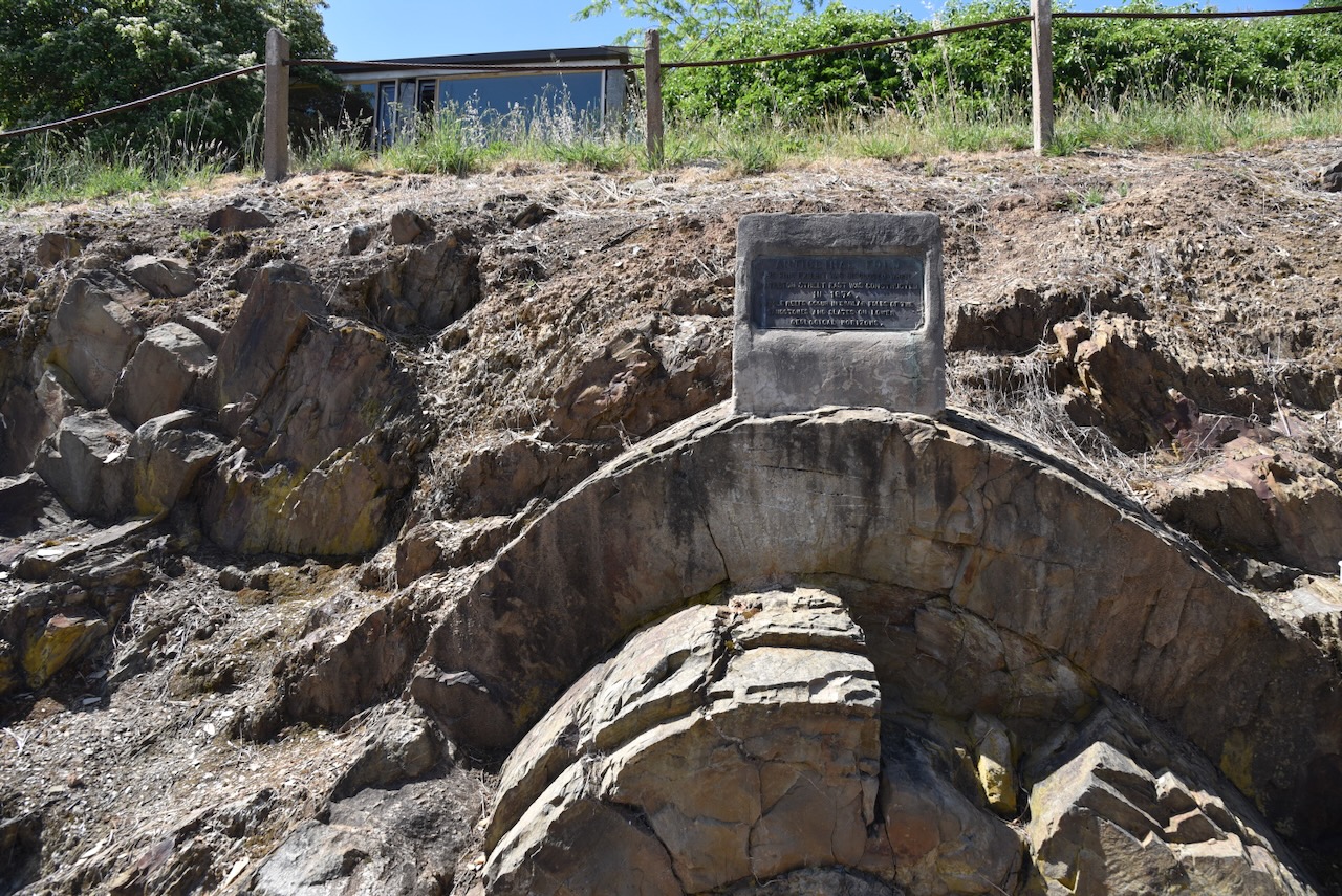
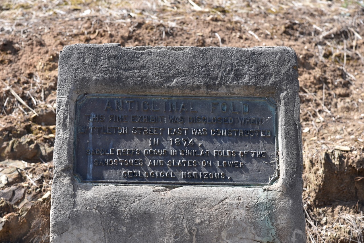
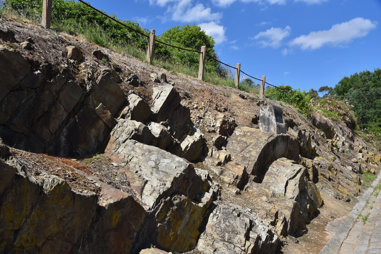
We then visited the Castlemaine Anticlinal Fold on Lyttleton Street. What is an anticlinal fold? It is a geological formation in the shape of an upward arch. This particular fold was found in 1874 during the construction of the Lyttleton Street. (Goldfields Guide 2024)
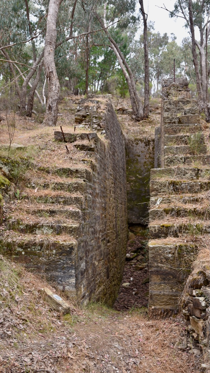
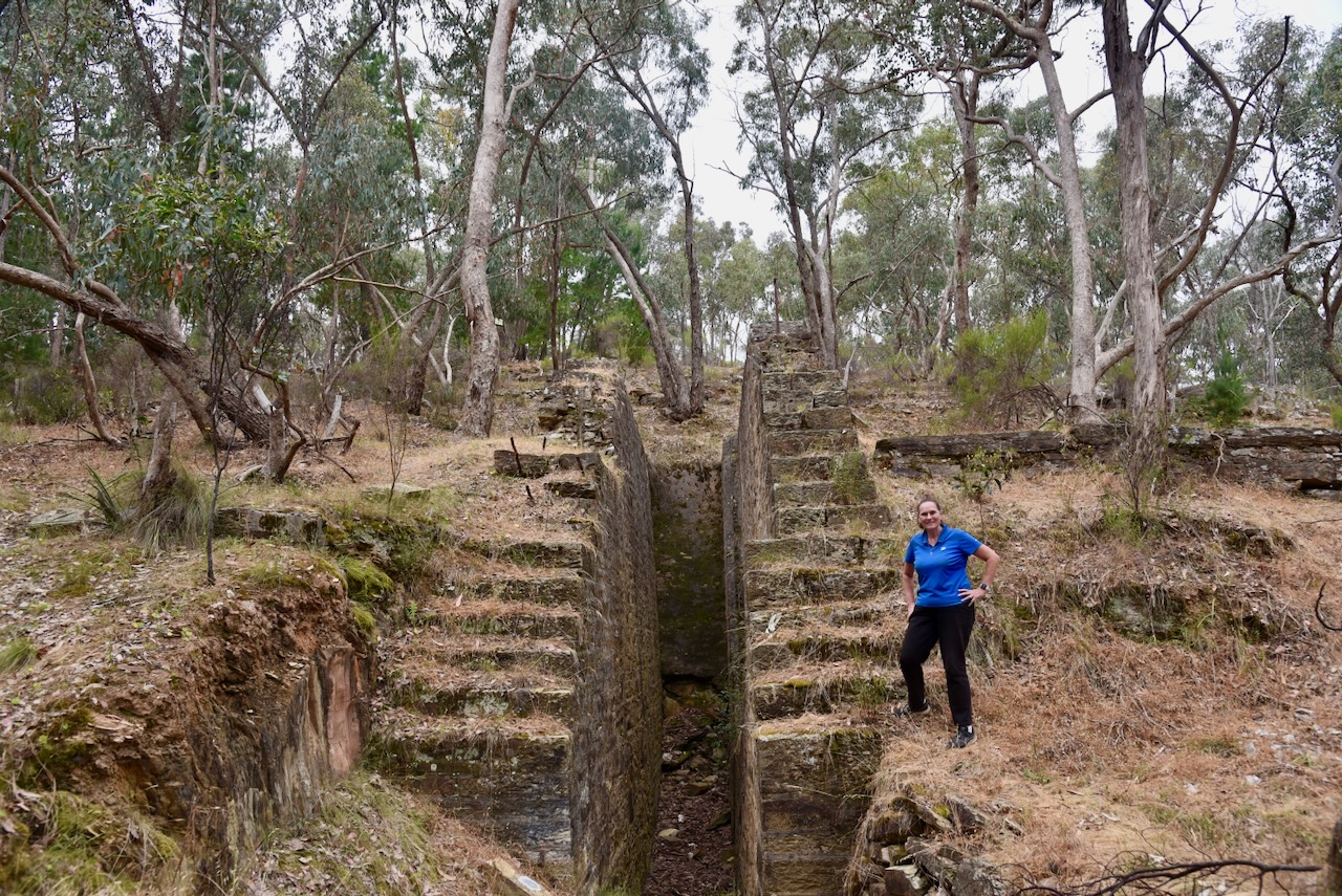
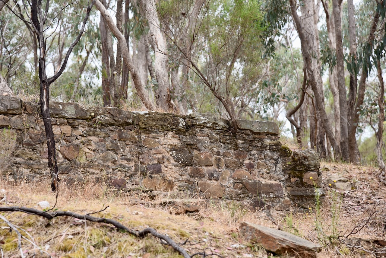
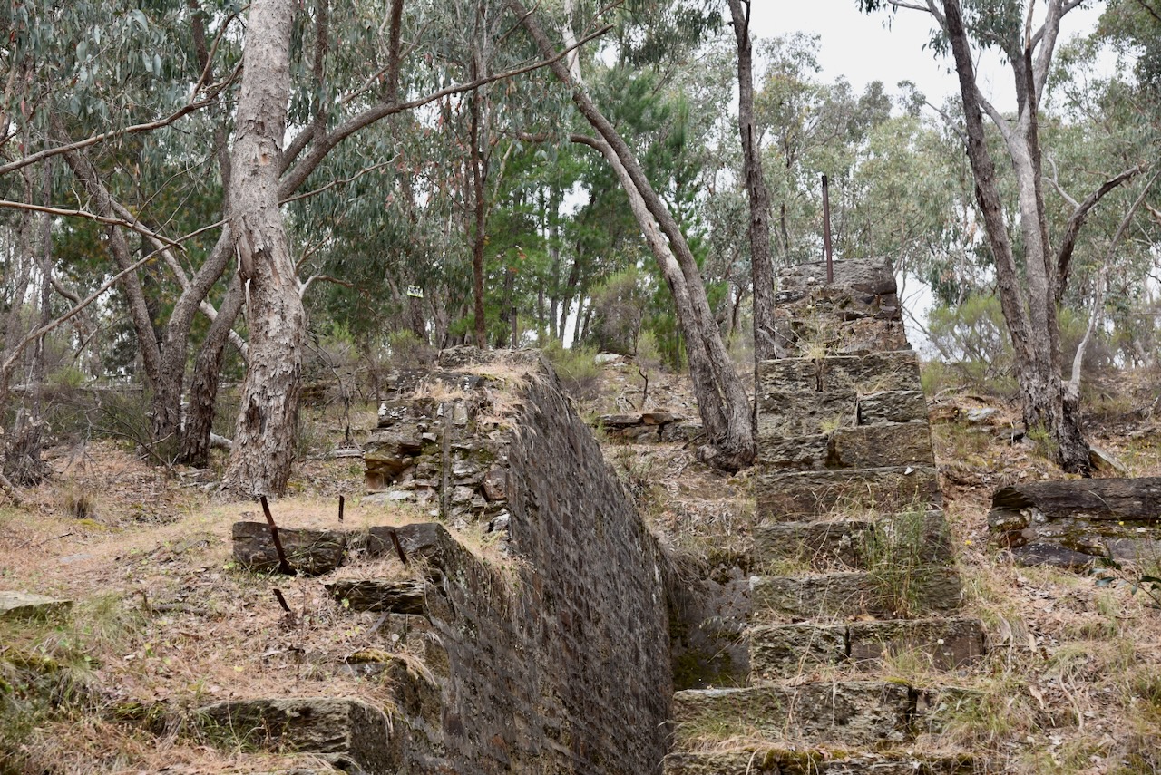
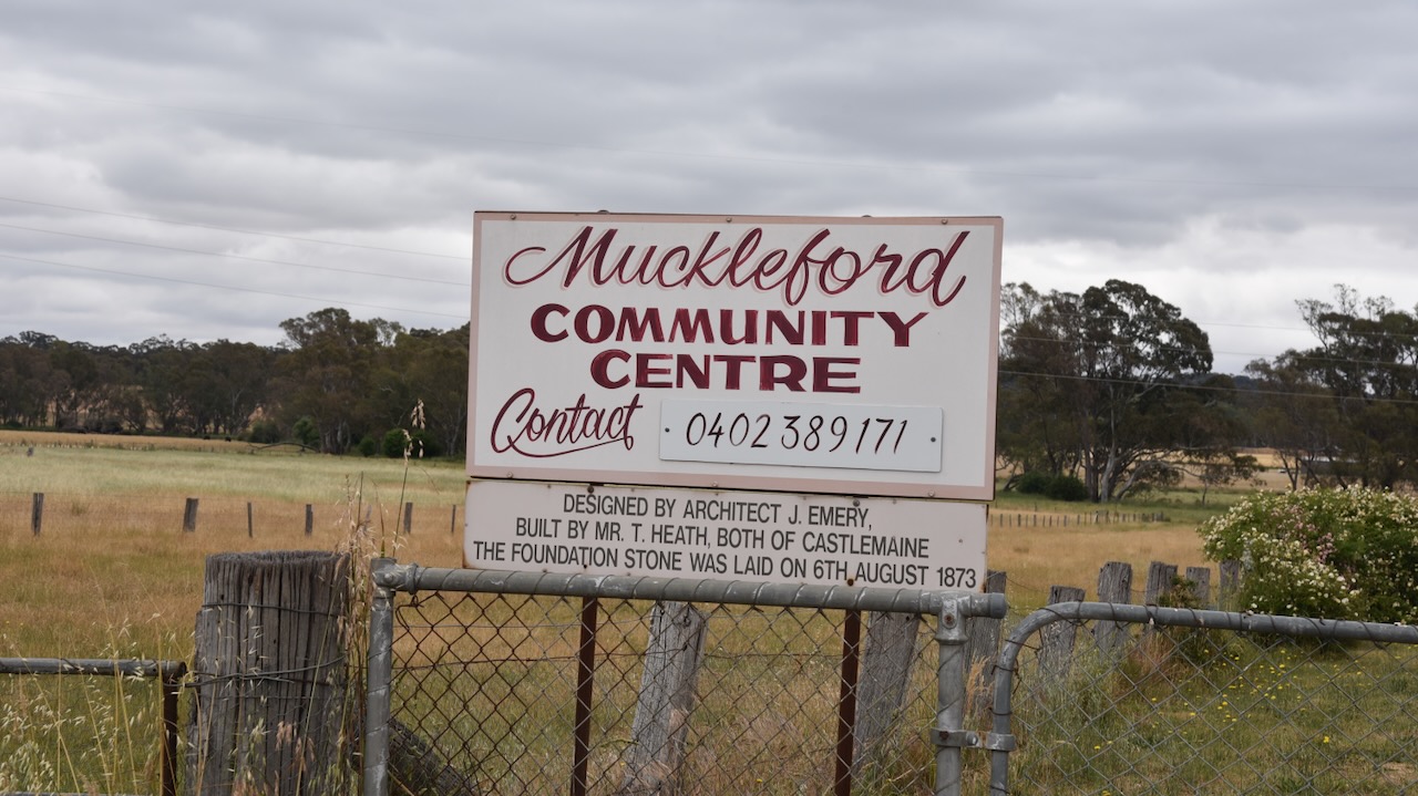
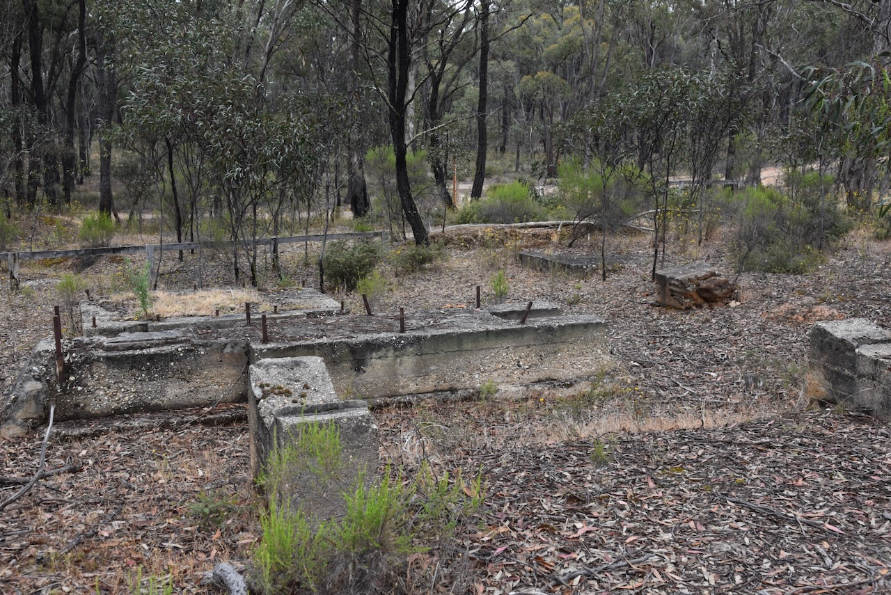
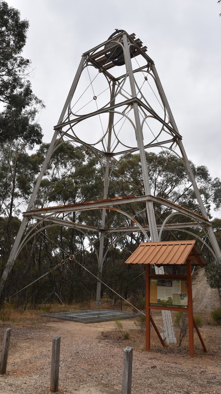
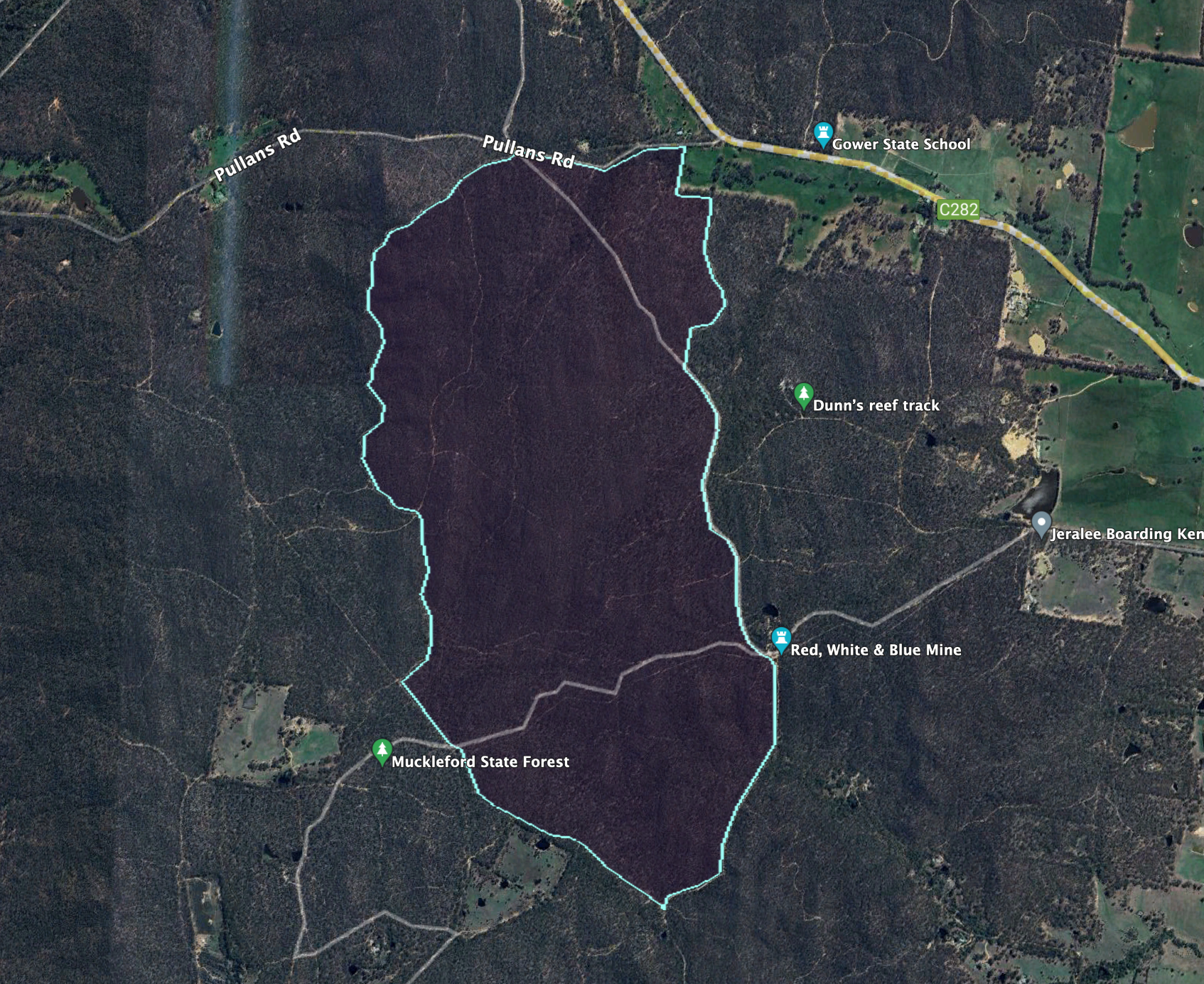
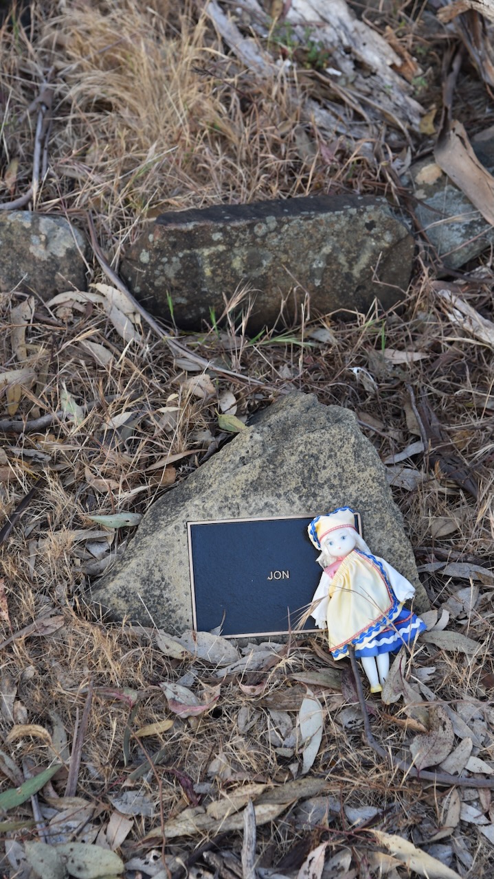
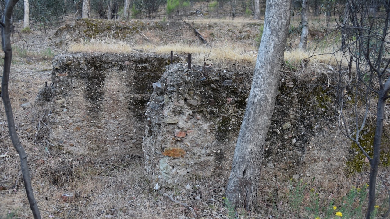
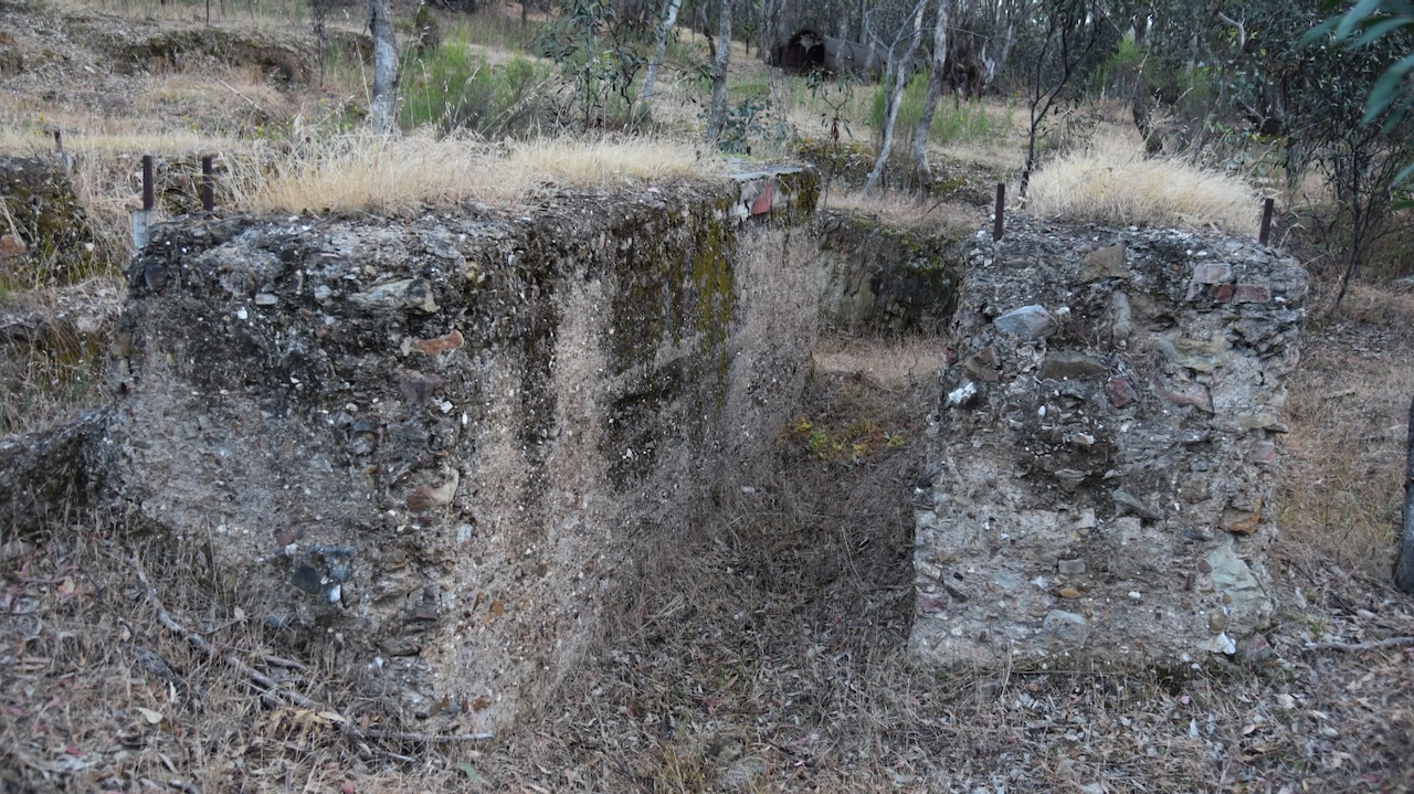
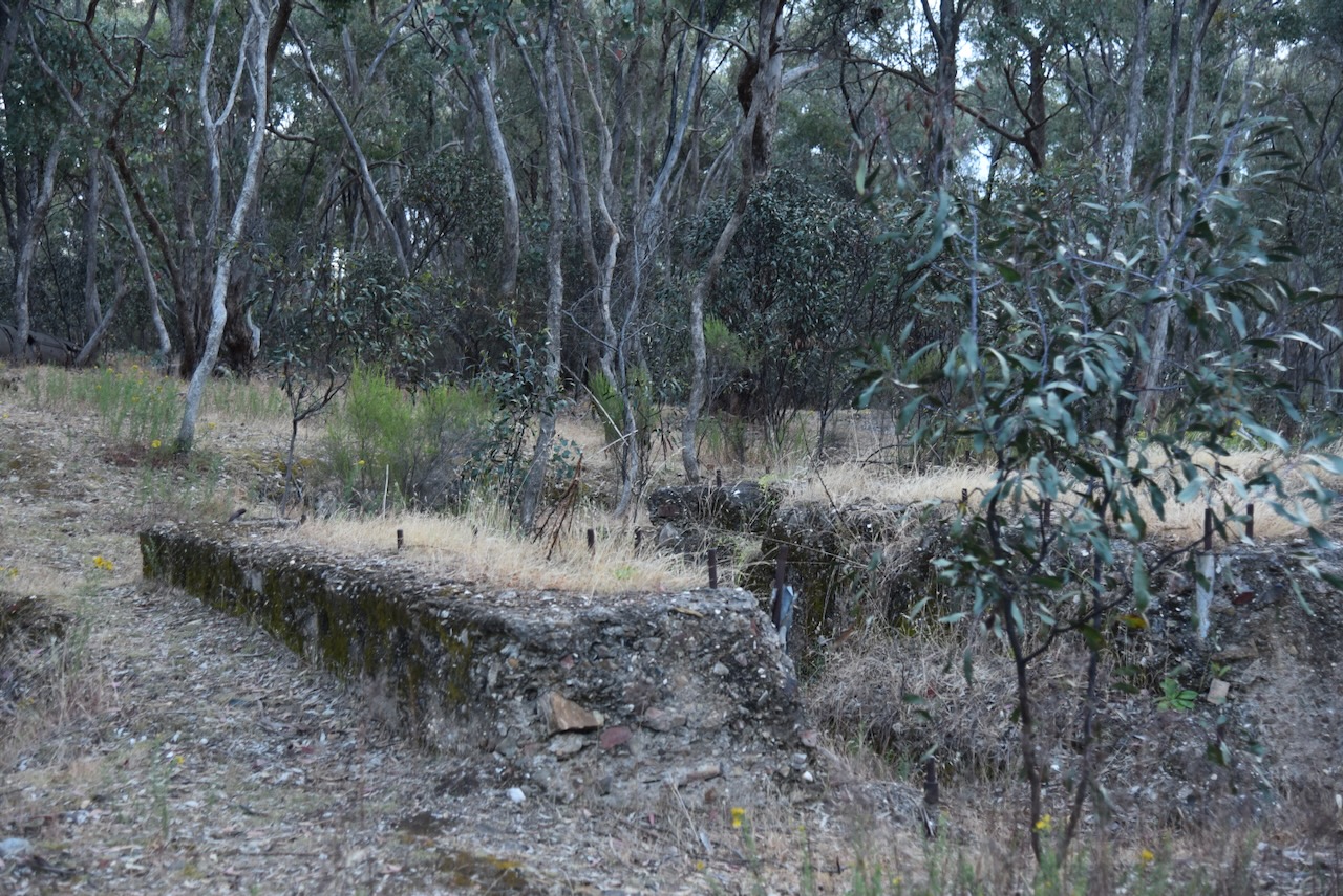
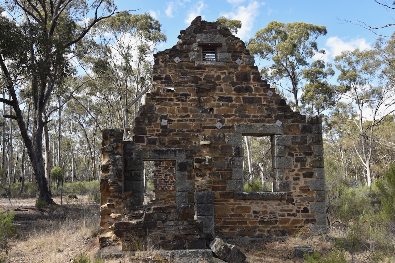
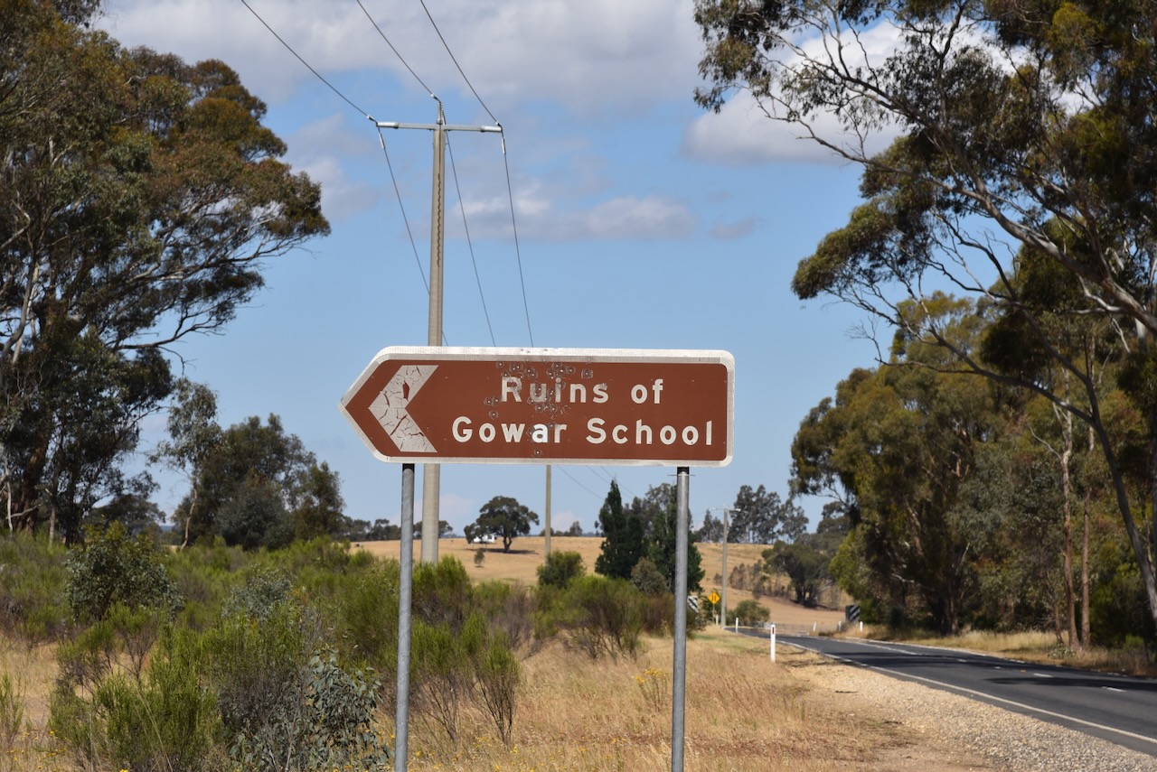
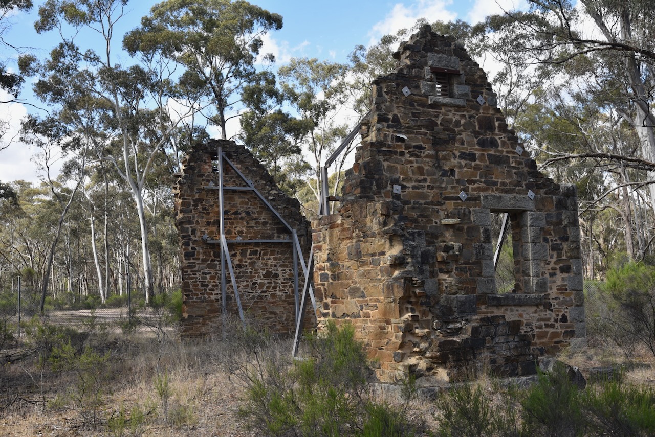
We then left Castlemaine, to our next stop at Maldon. Along the way, we stopped to have a look at the ruins of the Gowar School, on Gowar Road, just off Castlemaine-Maldon Road.
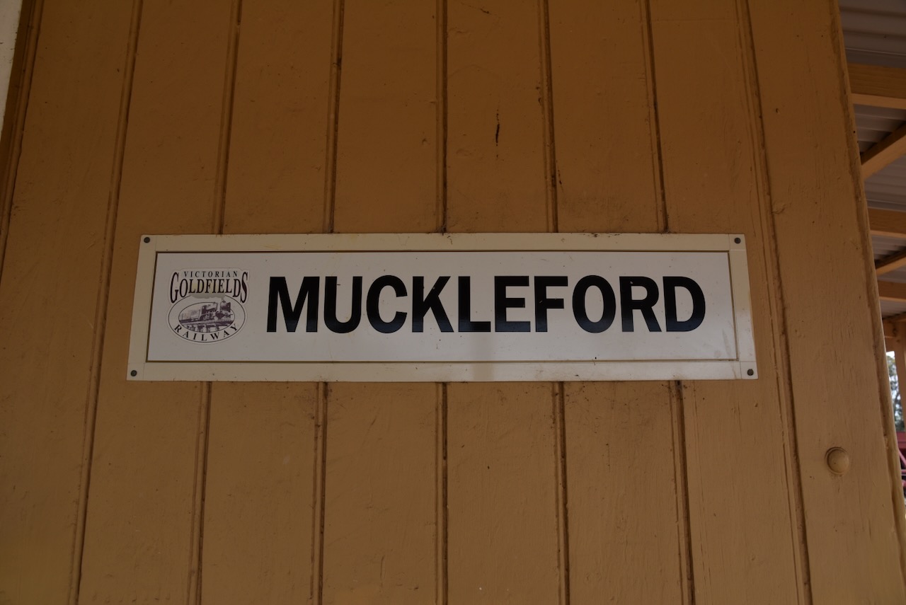
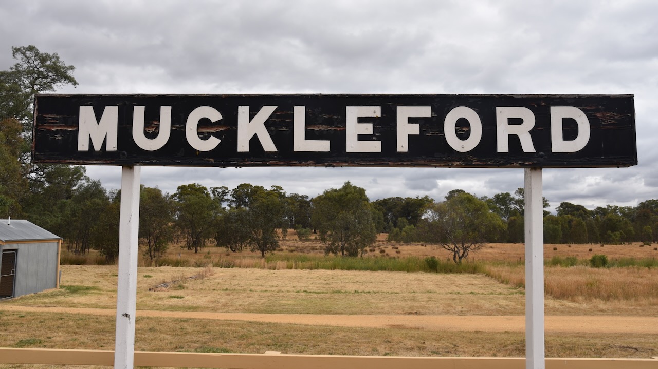
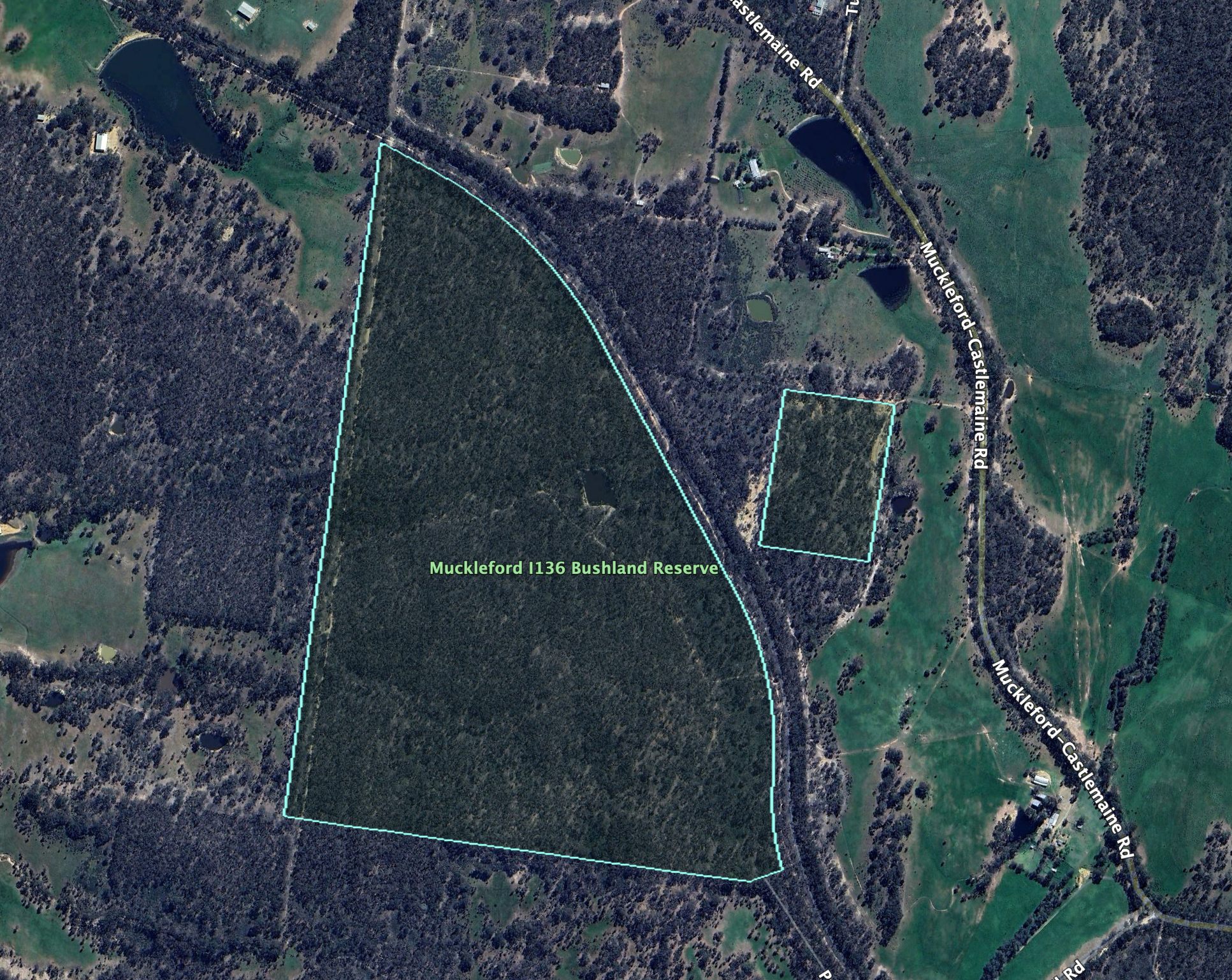
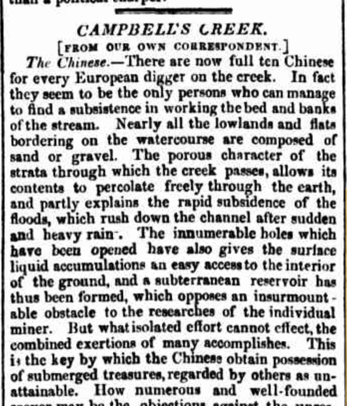
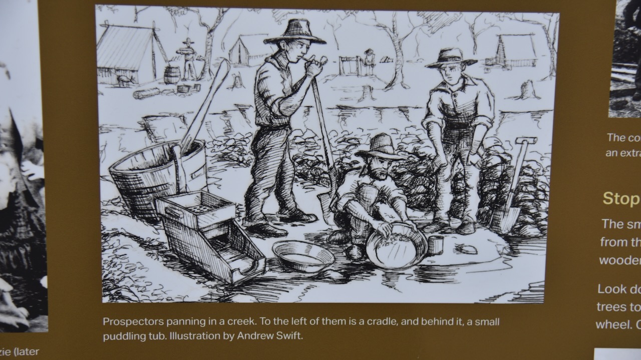
Gowar is about 7km southeast of Maldon and was originally known as Muckleford North until 1880. From that time it was called Gowar, but is now referred to as Gower. It is believed that Gowar is derived from an aboriginal word meaning big hill. There were some minor gold rushes at Muckleford (Gowar) but these did not become permanent. The Muckleford Creek was a source of permanent water for agriculture in the district. The Gowar State School No. 1149 opened in the early 1870s and closed in 1908. In 1881, Gowar’s population was 159 people. By 1921 that had fallen to 72 people. (Goldfields Guide 2024) (Victorian Places 2024)
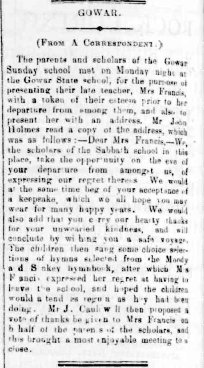
Above:- Article from The Tarrengower Times, Wed 5 Jul 1882. Image c/o Trove.
References.
- Anon, (2024). Buda Castlemaine | Historic Home & Garden. [online] Available at: https://budacastlemaine.org/ [Accessed 6 Apr. 2024].
- Dcceew.gov.au. (2023). Collaborative Australian Protected Areas Database (CAPAD) 2022 – DCCEEW. [online] Available at: https://www.dcceew.gov.au/environment/land/nrs/science/capad/2022 [Accessed 6 Apr. 2024].
- Dottie (n.d.). A Town Walk in Historic Castlemaine. [online] Walking Maps. Available at: https://walkingmaps.com.au/walk/3812 [Accessed 6 Apr. 2024].
- https. (n.d.). Anticlinal Fold. [online] Available at: https://www.goldfieldsguide.com.au/explore-location/433/anticlinal-fold/ [Accessed 8 Apr. 2024].
- https. (n.d.). Old Castlemaine Gaol. [online] Available at: https://www.goldfieldsguide.com.au/explore-location/477/old-castlemaine-gaol/ [Accessed 6 Apr. 2024].
- https. (n.d.). Gowar State School No. 1149. [online] Available at: https://www.goldfieldsguide.com.au/explore-location/342/gowar-state-school-no-1149/ [Accessed 6 Apr. 2024].
- monumentaustralia.org.au. (n.d.). Burke & Wills Expedition | Monument Australia. [online] Available at: https://monumentaustralia.org.au/themes/landscape/exploration/display/30708-burke-and-wills-expedition [Accessed 6 Apr. 2024].
- vicsig.net. (n.d.). VICSIG. [online] Available at: https://vicsig.net/infrastructure/location/Castlemaine [Accessed 6 Apr. 2024].
- Victorian Collections. (n.d.). The Leviny Sisters. [online] Available at: https://victoriancollections.net.au/stories/the-leviny-sisters [Accessed 8 Apr. 2024].
- Wikipedia. (2023). Old Castlemaine Gaol. [online] Available at: https://en.wikipedia.org/wiki/Old_Castlemaine_Gaol [Accessed 6 Apr. 2024].
- www.environment.gov.au. (n.d.). Australian Heritage Database. [online] Available at: https://www.environment.gov.au/cgi-bin/ahdb/search.pl?mode=place_detail [Accessed 6 Apr. 2024].
- www.facebook.com. (n.d.). Log in or sign up to view. [online] Available at: https://www.facebook.com/castlemainemaldonsurrounds?locale=ko_KR [Accessed 8 Apr. 2024].
- www.midlandhotel.com.au. (n.d.). About The Midland Accommodation Hotel. [online] Available at: https://www.midlandhotel.com.au/pc/history.html [Accessed 6 Apr. 2024].
- http://www.monumentaustralia.org.au. (n.d.). Sir James Patterson | Monument Australia. [online] Available at: https://www.monumentaustralia.org.au/themes/people/government—colonial/display/30734-sir-james-patterson [Accessed 8 Apr. 2024].
- www.victorianplaces.com.au. (n.d.). Gowar | Victorian Places. [online] Available at: https://www.victorianplaces.com.au/gowar [Accessed 6 Apr. 2024].