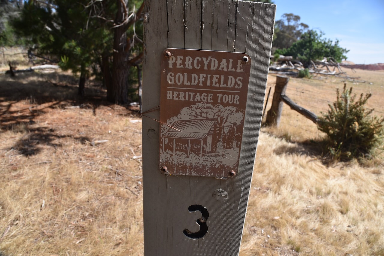
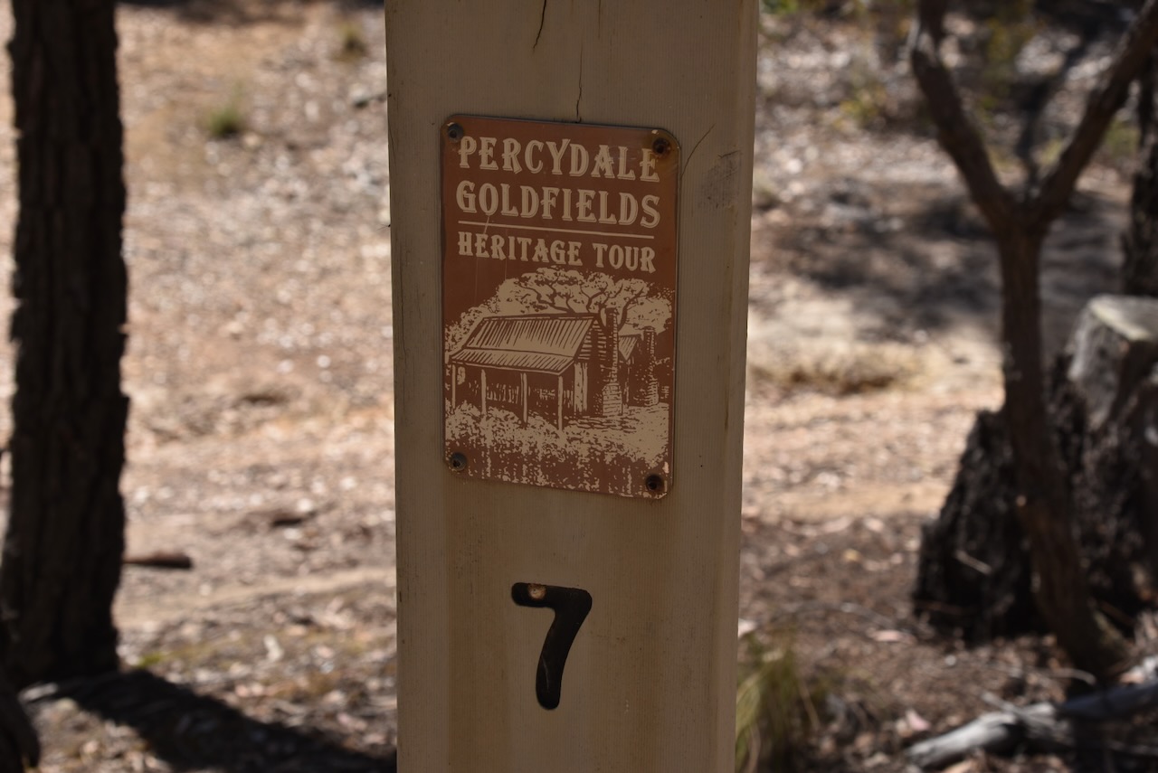
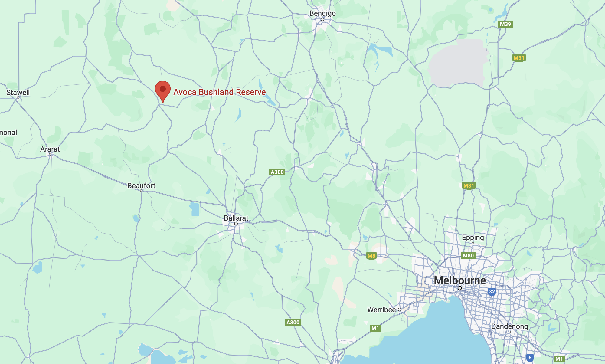
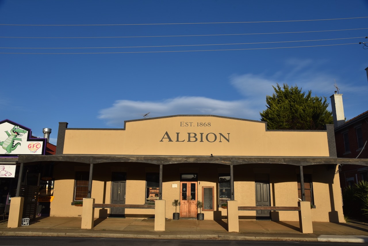
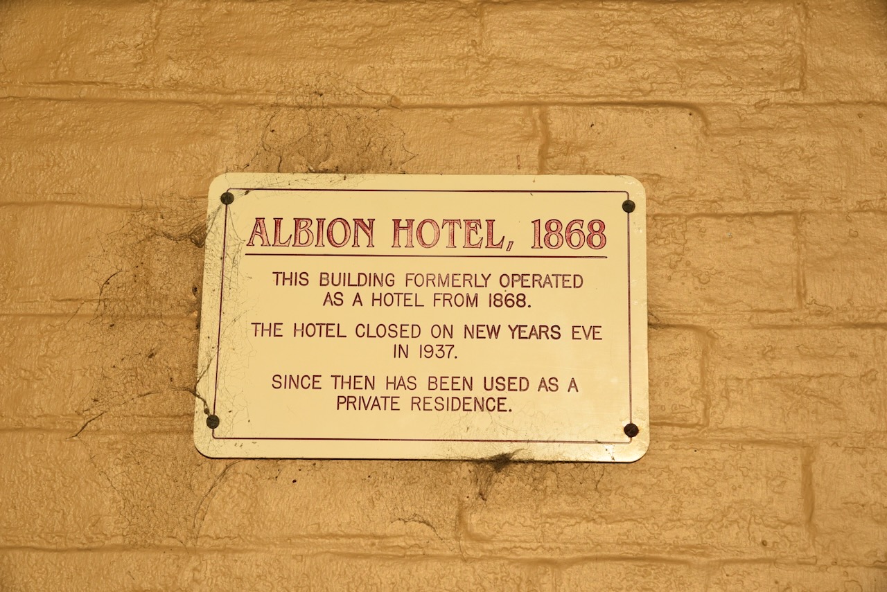
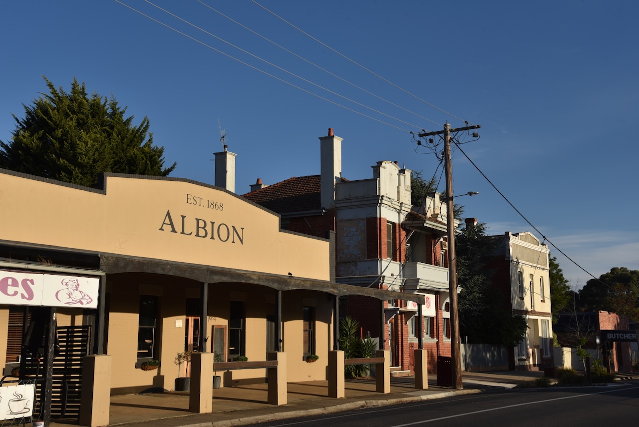
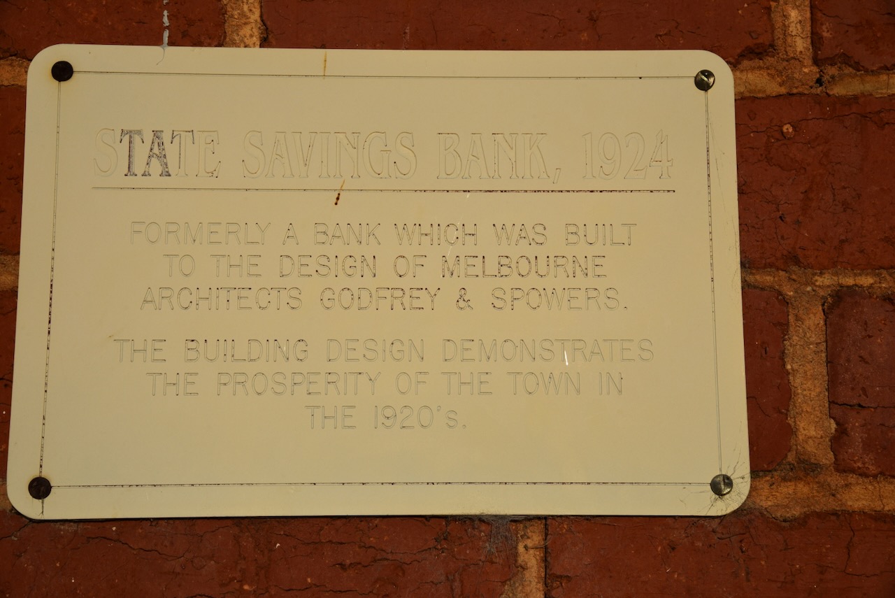
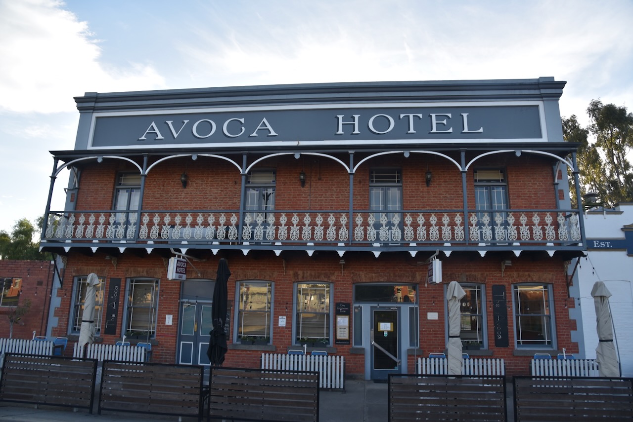
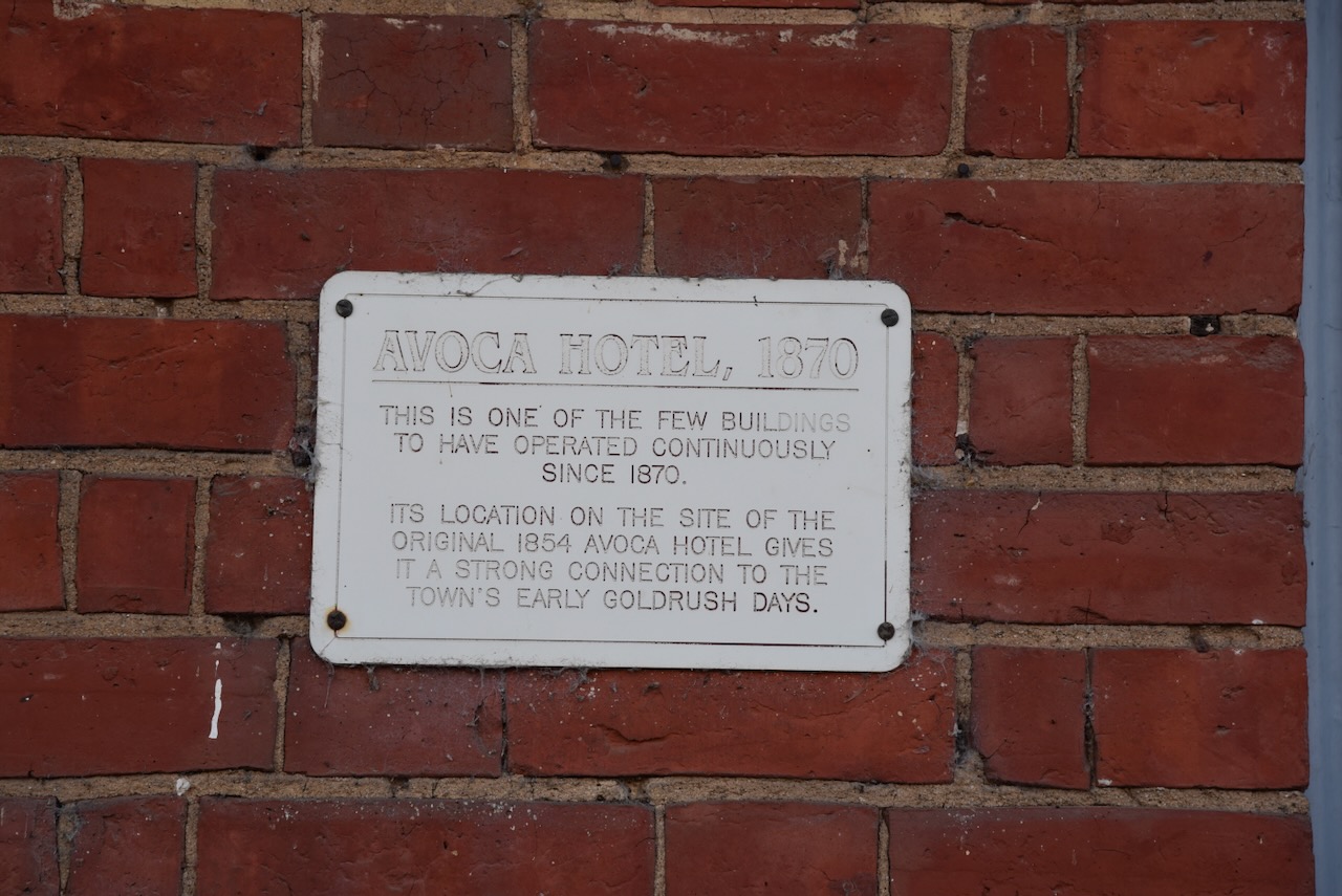
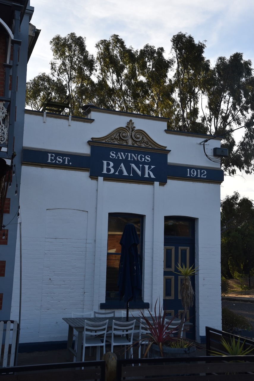
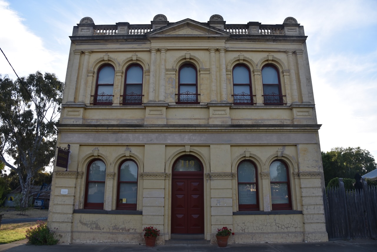
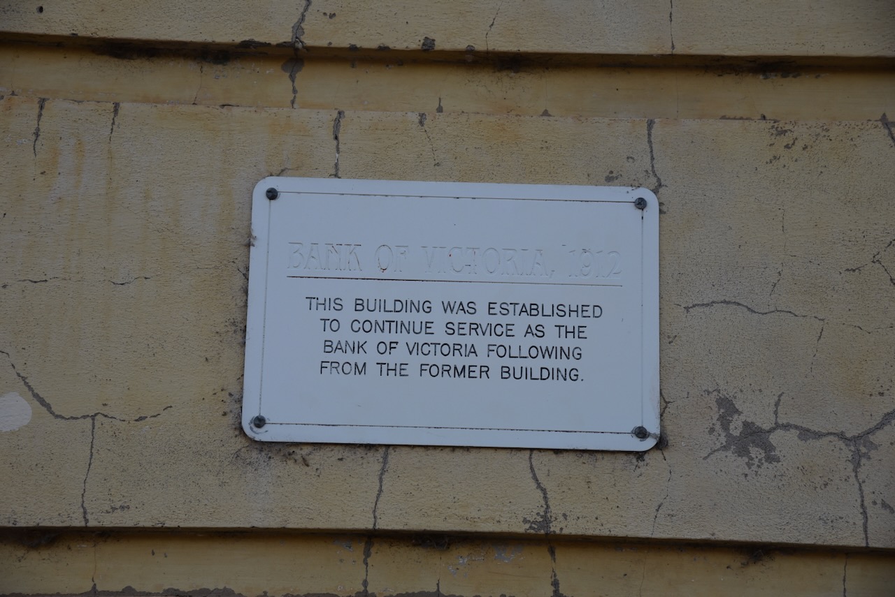
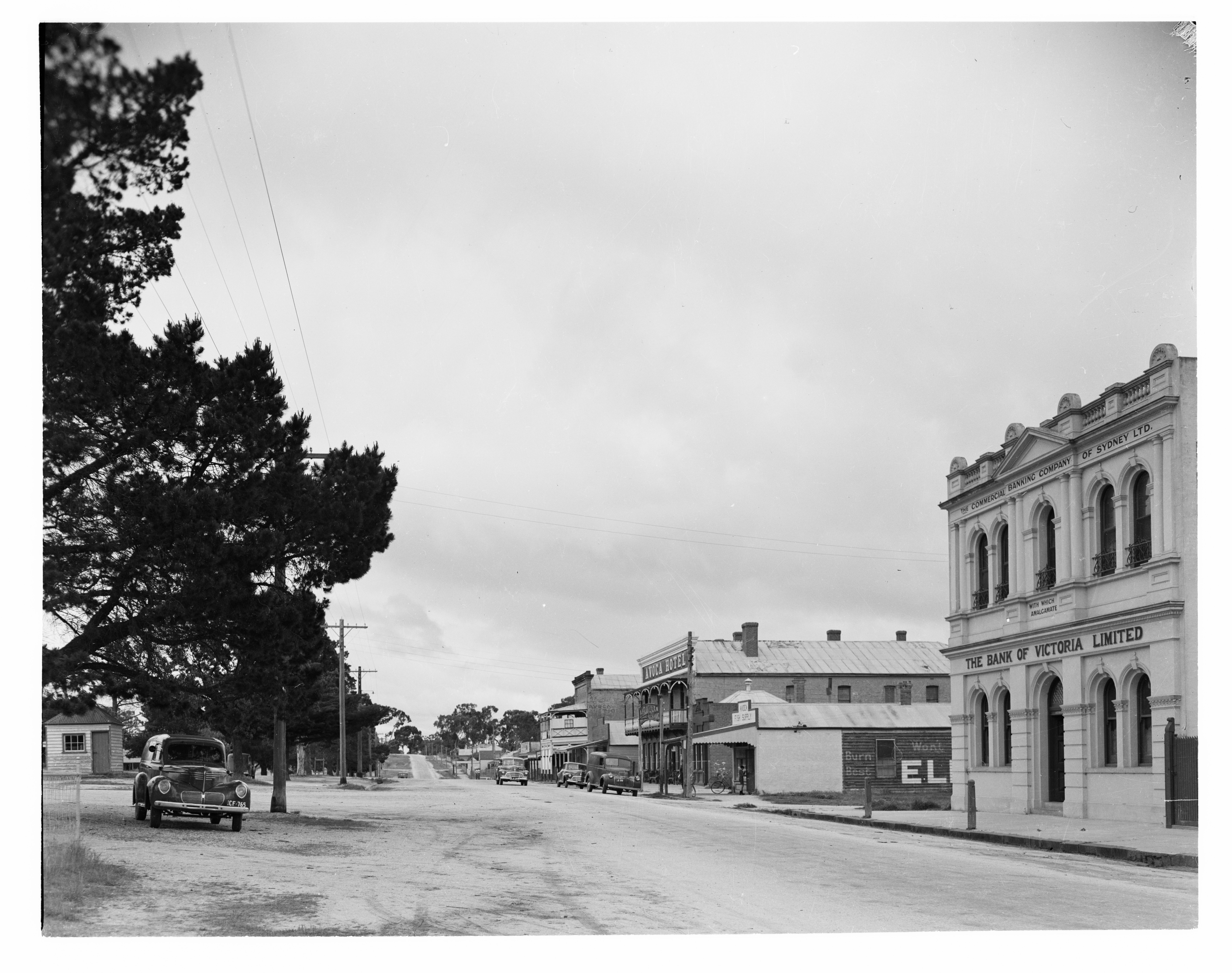
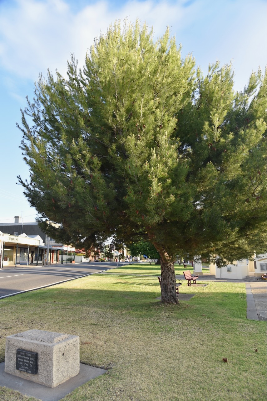
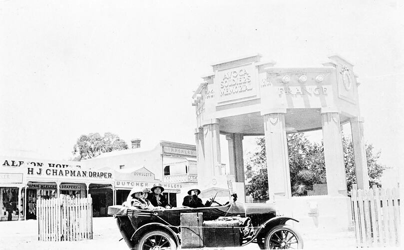
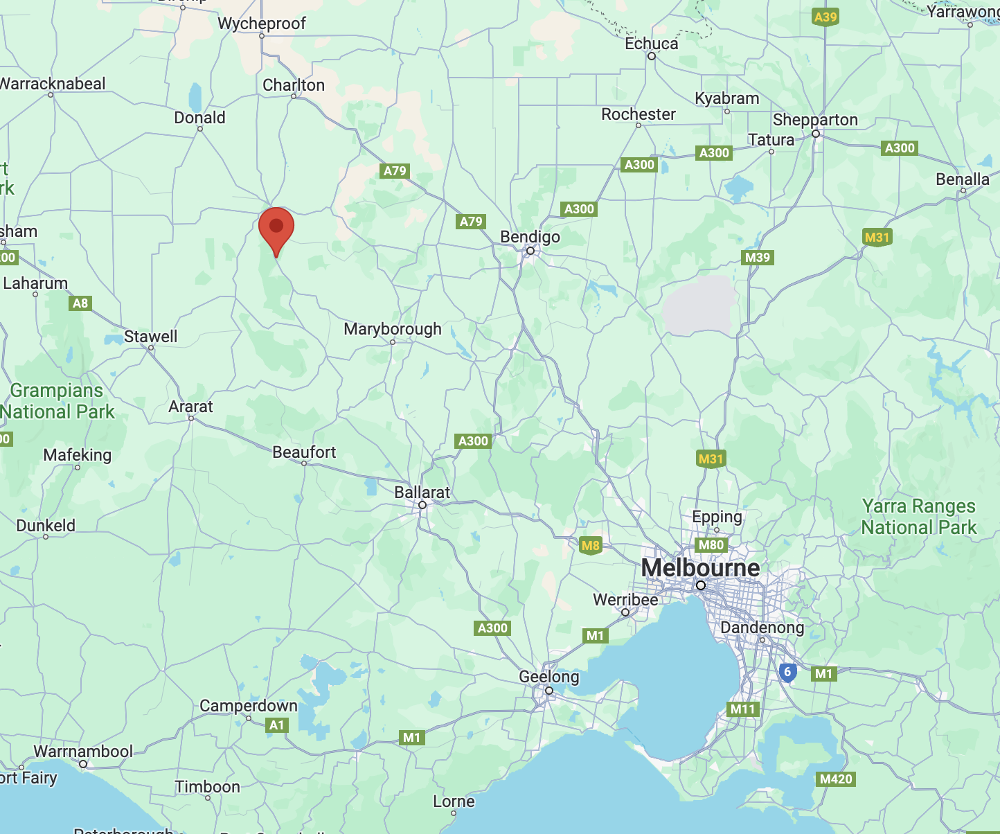
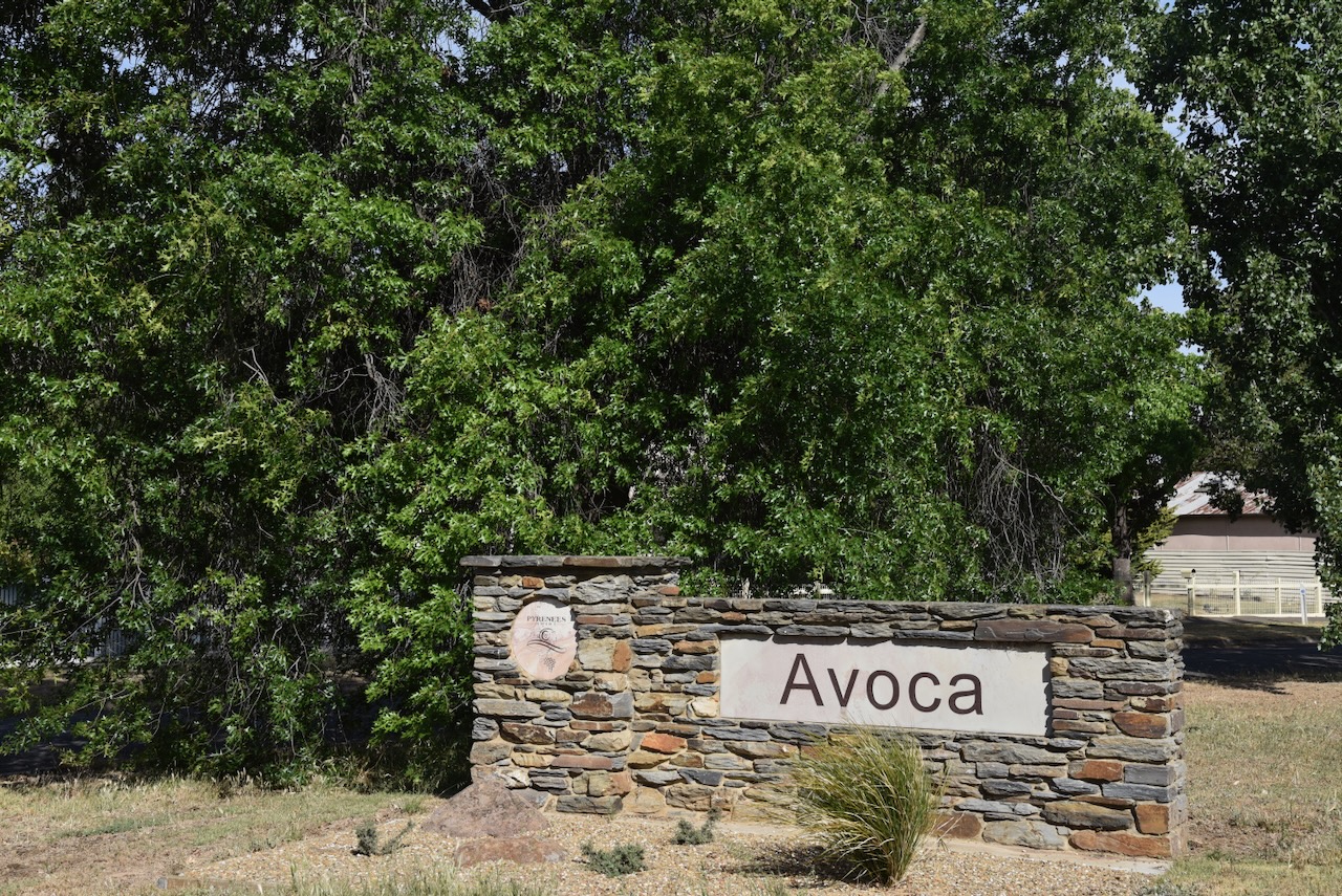
After leaving our SOTA summit in the Pyrenees Range, Marija and I headed into Avoca to have a look at a few more of the tourist attractions.
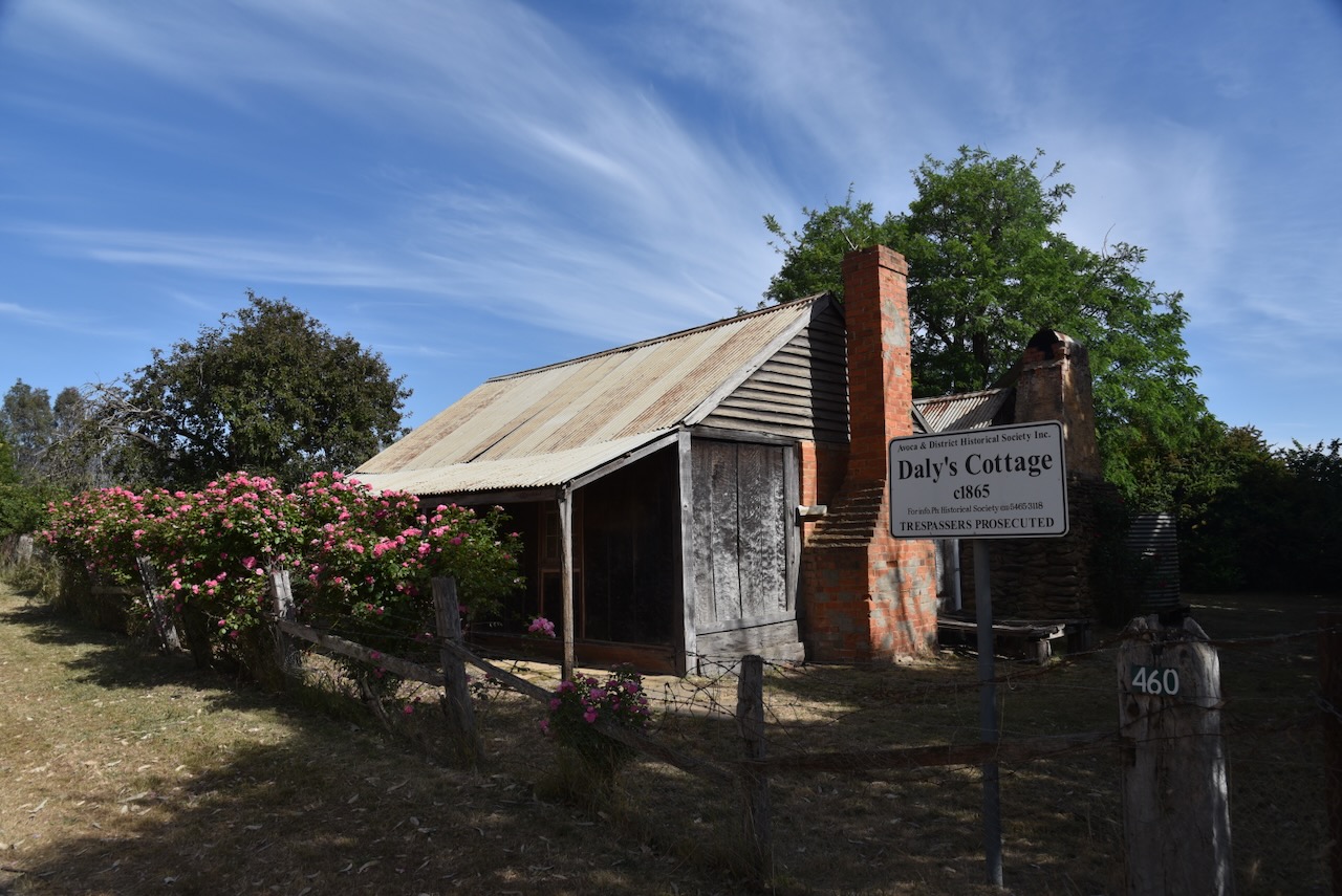
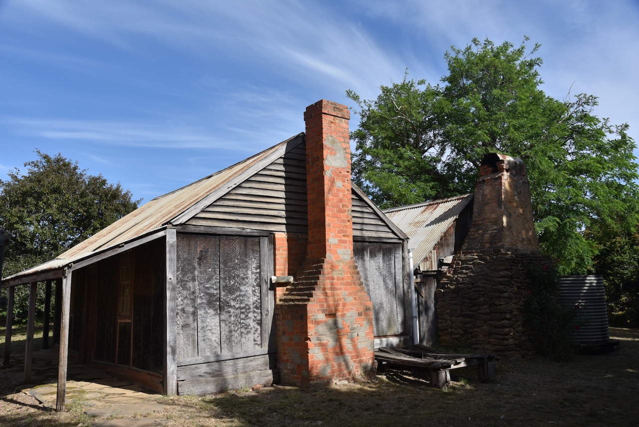
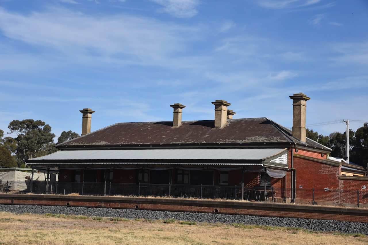
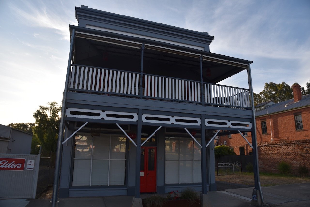
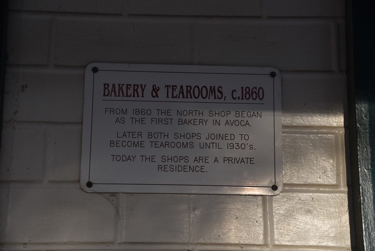
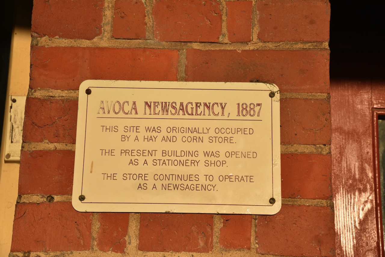
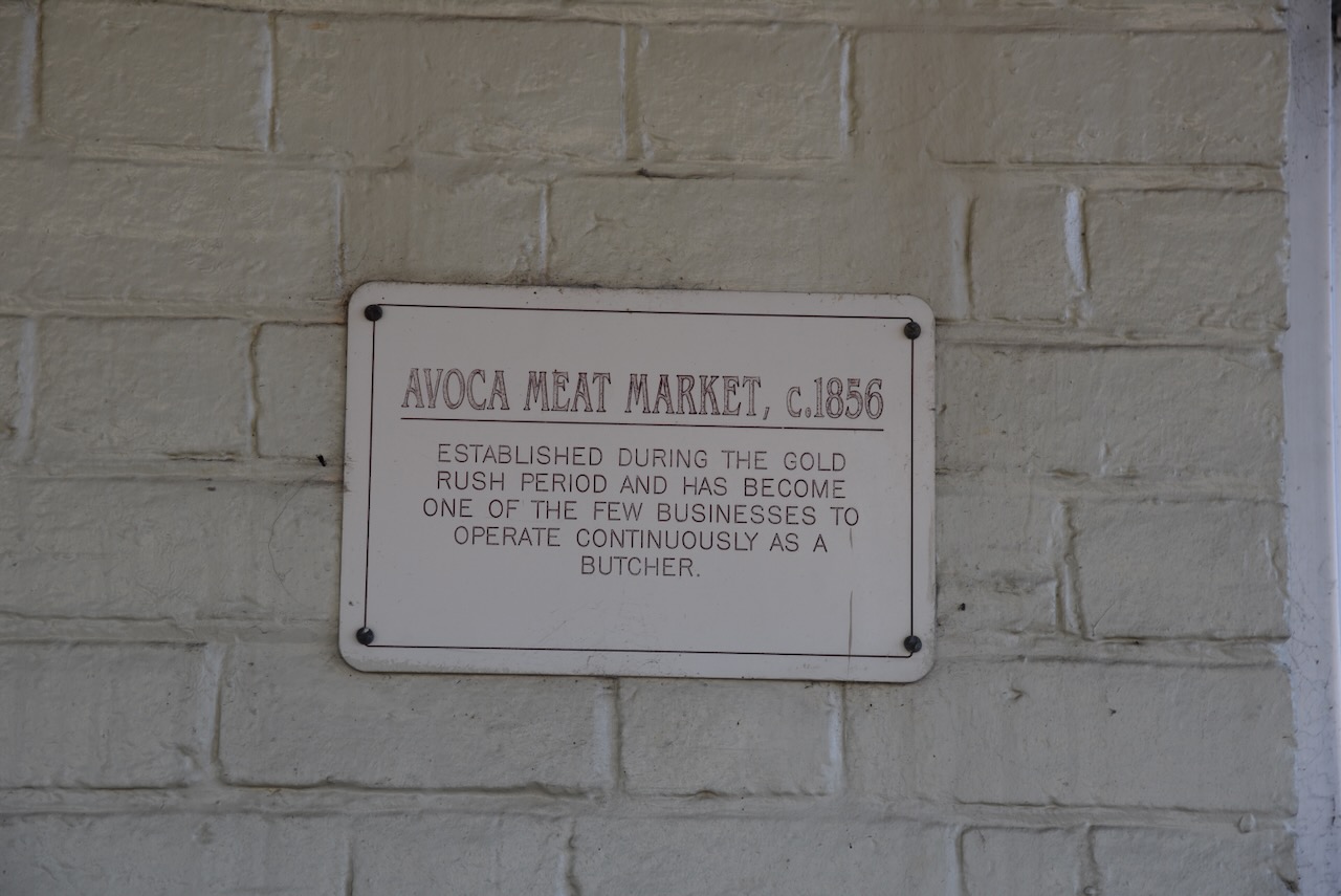
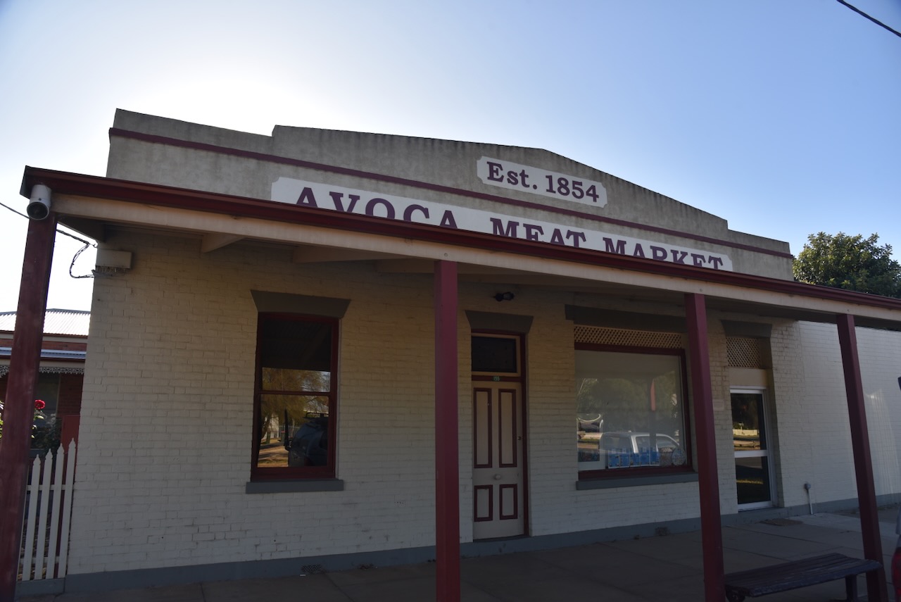
There are numerous historic buildings in Avoca. One of those is the Avoca Meat Market which was established in 1854 by William McO’boy Wise (b. 1815. d. 1873) during the gold rush period. It is one of the few businesses to operate continuously as a butcher. (Relatives Matter 2024)
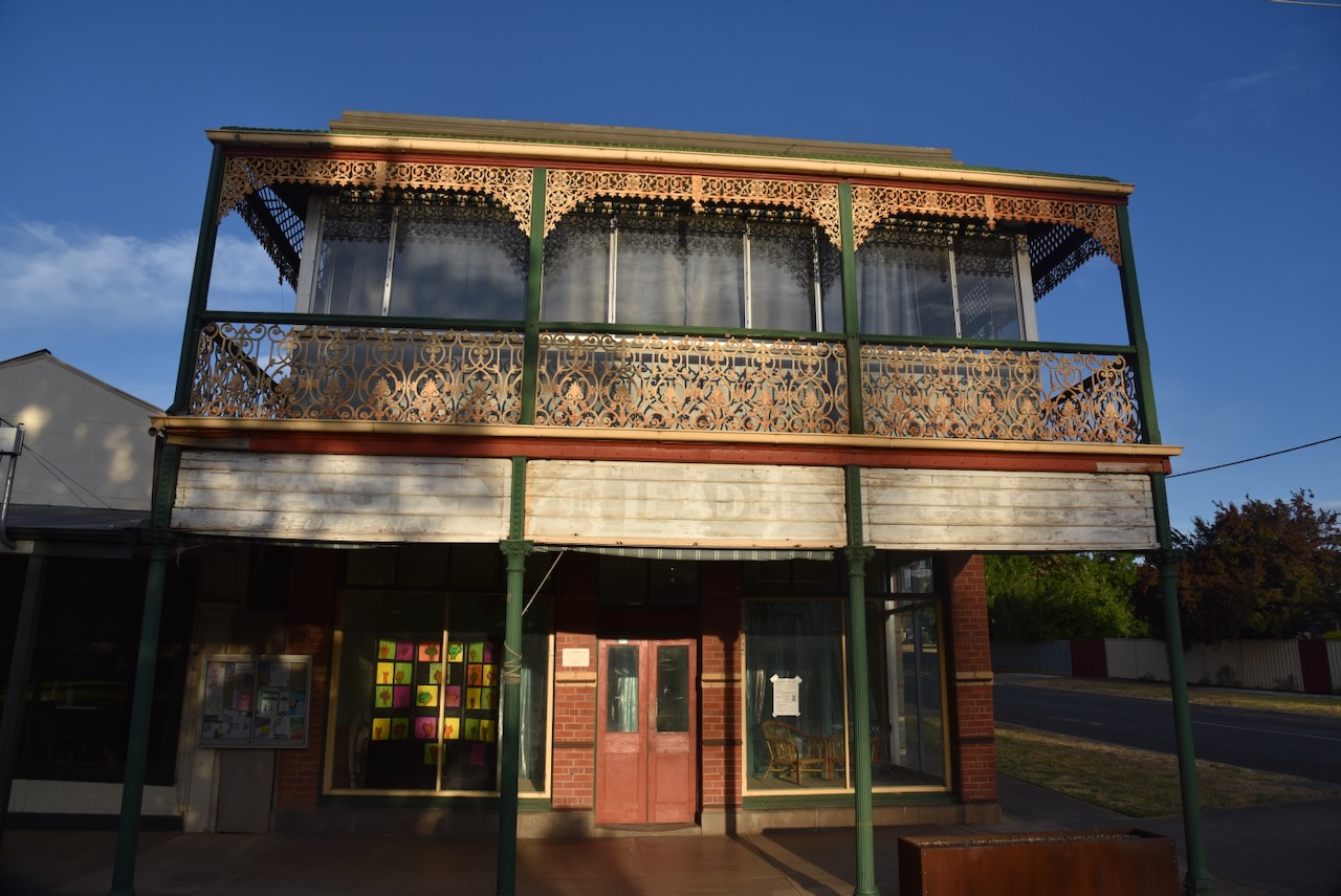
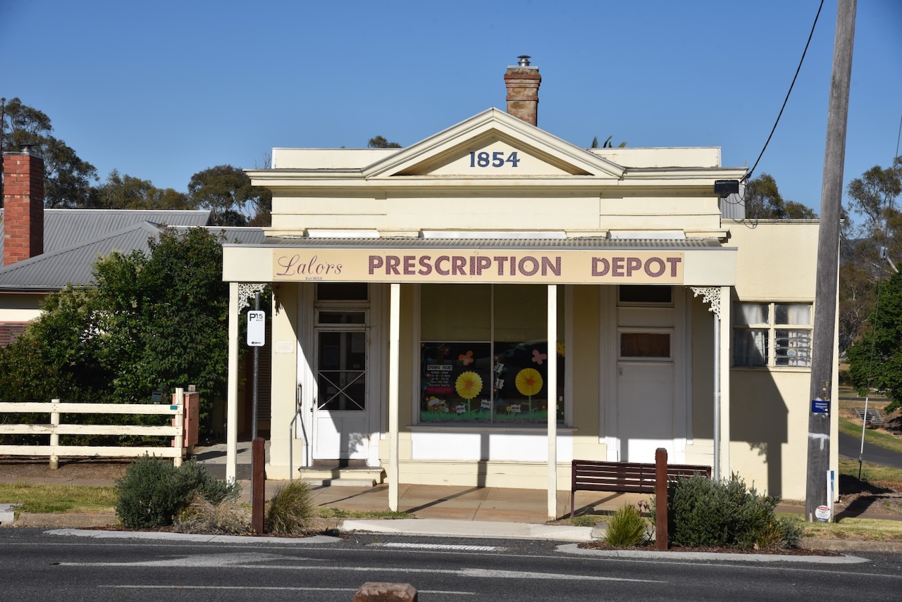
Another historic building is Lalors Prescription Depot, built in 1854. It is believed to be Victoria’s oldest continuously operating pharmacy. (Aussie Towns 2024)
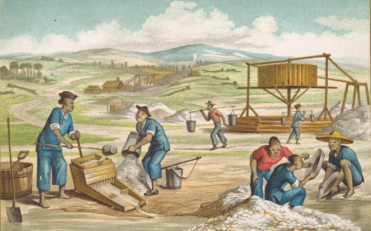
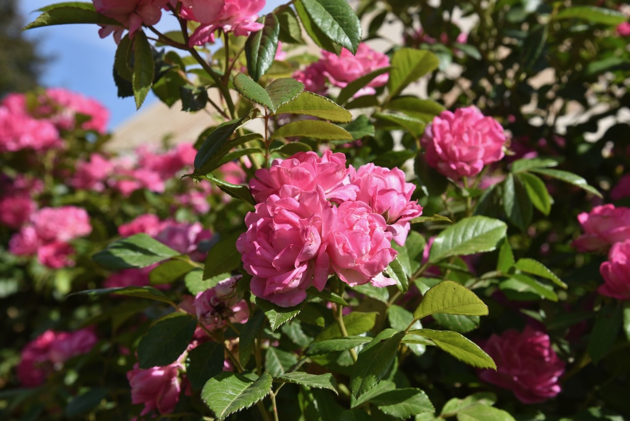
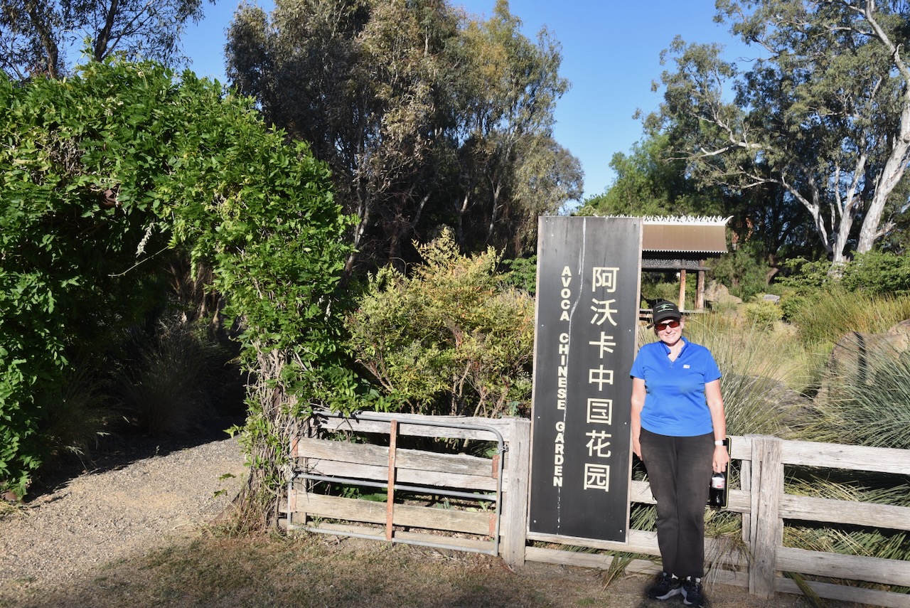
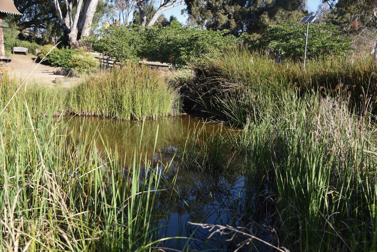
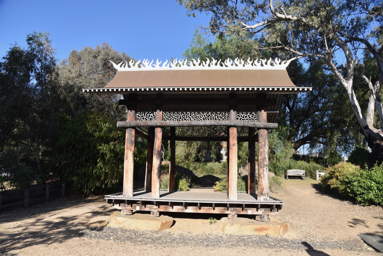
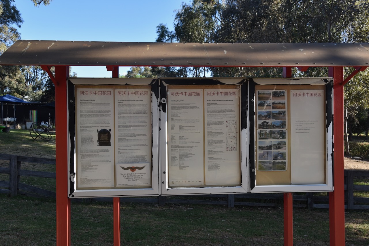
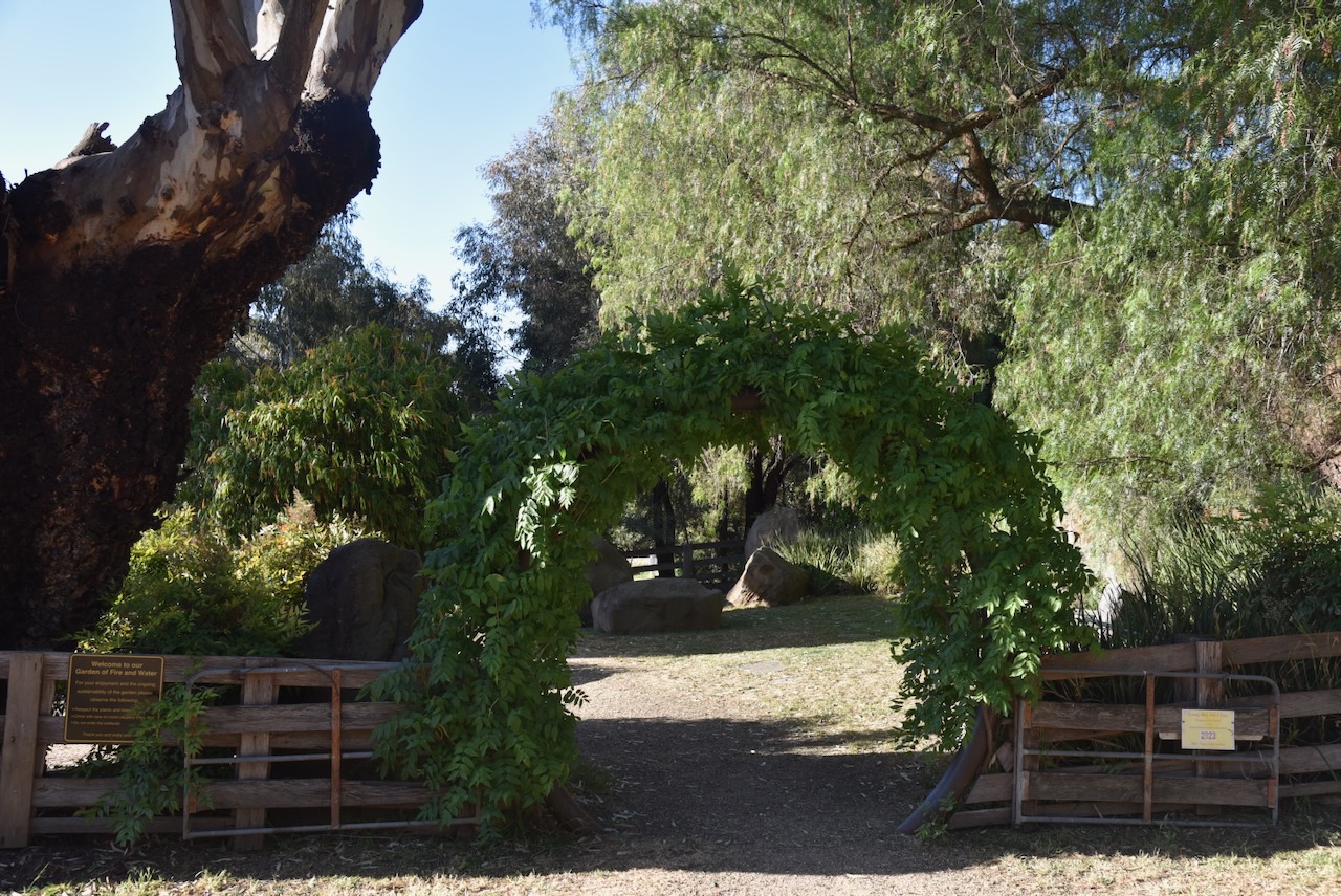
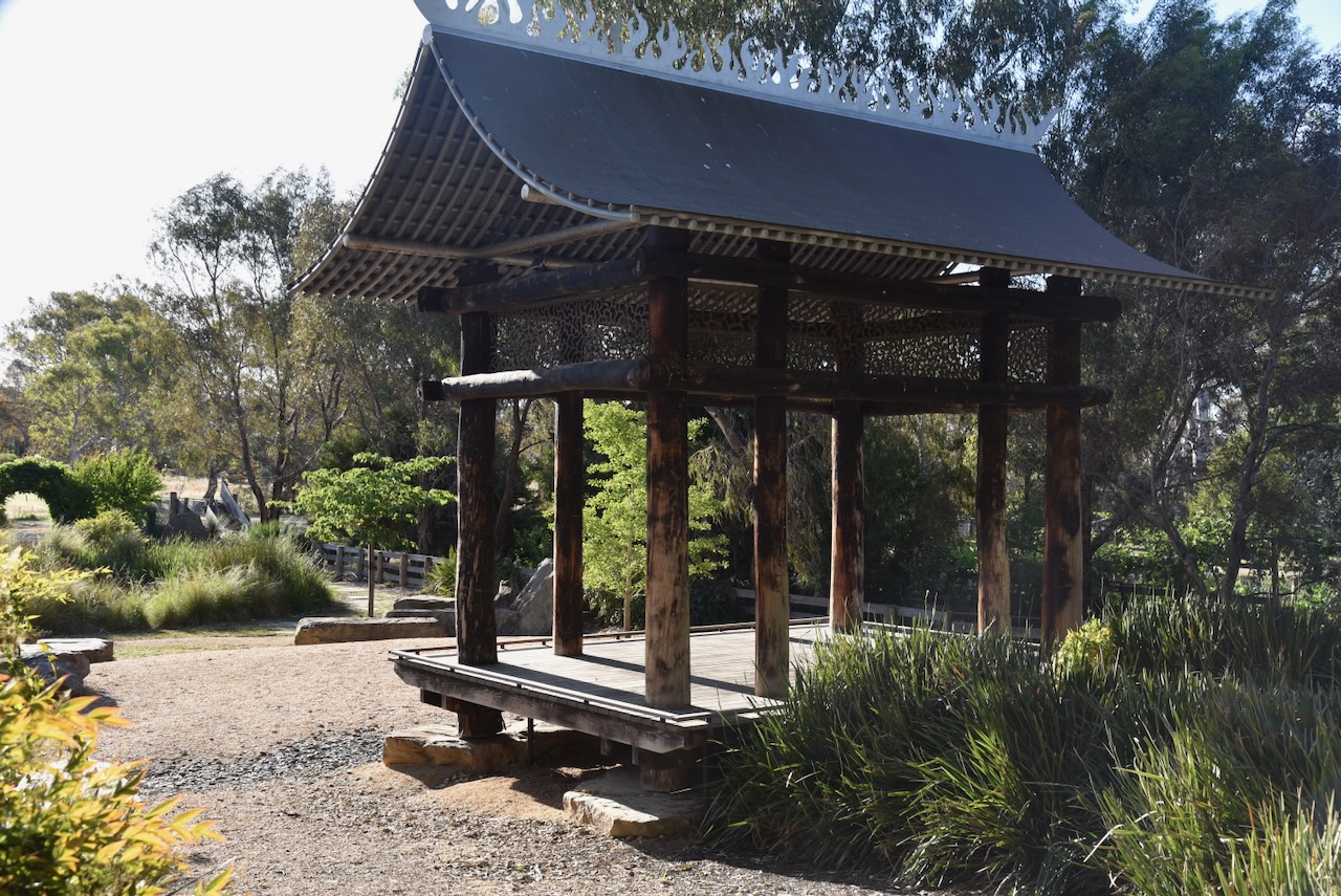
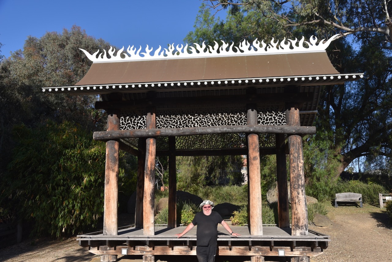
We then visited the Chinese Garden, also known as the “The Garden of Fire and Water”. It was established as a recognition of the role played by the thousands of Chinese miners during the 1850s gold rush in the district. (Aussie Towns 2024)
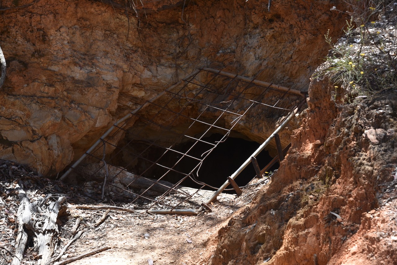
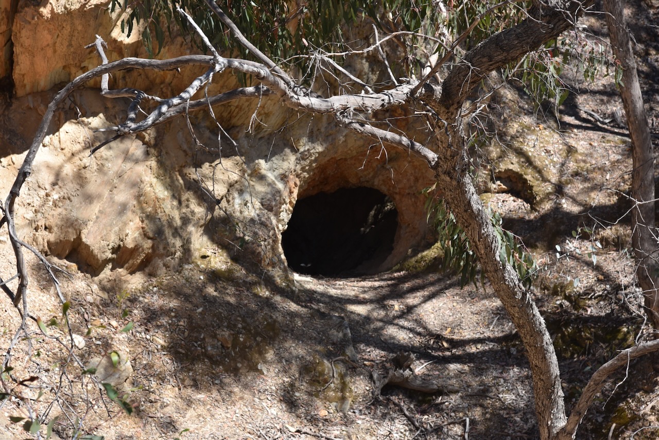
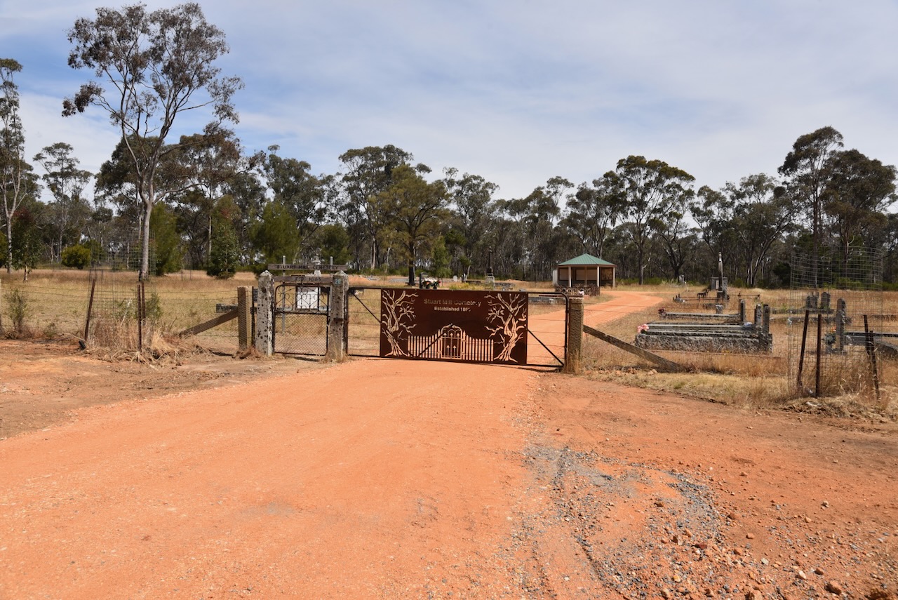
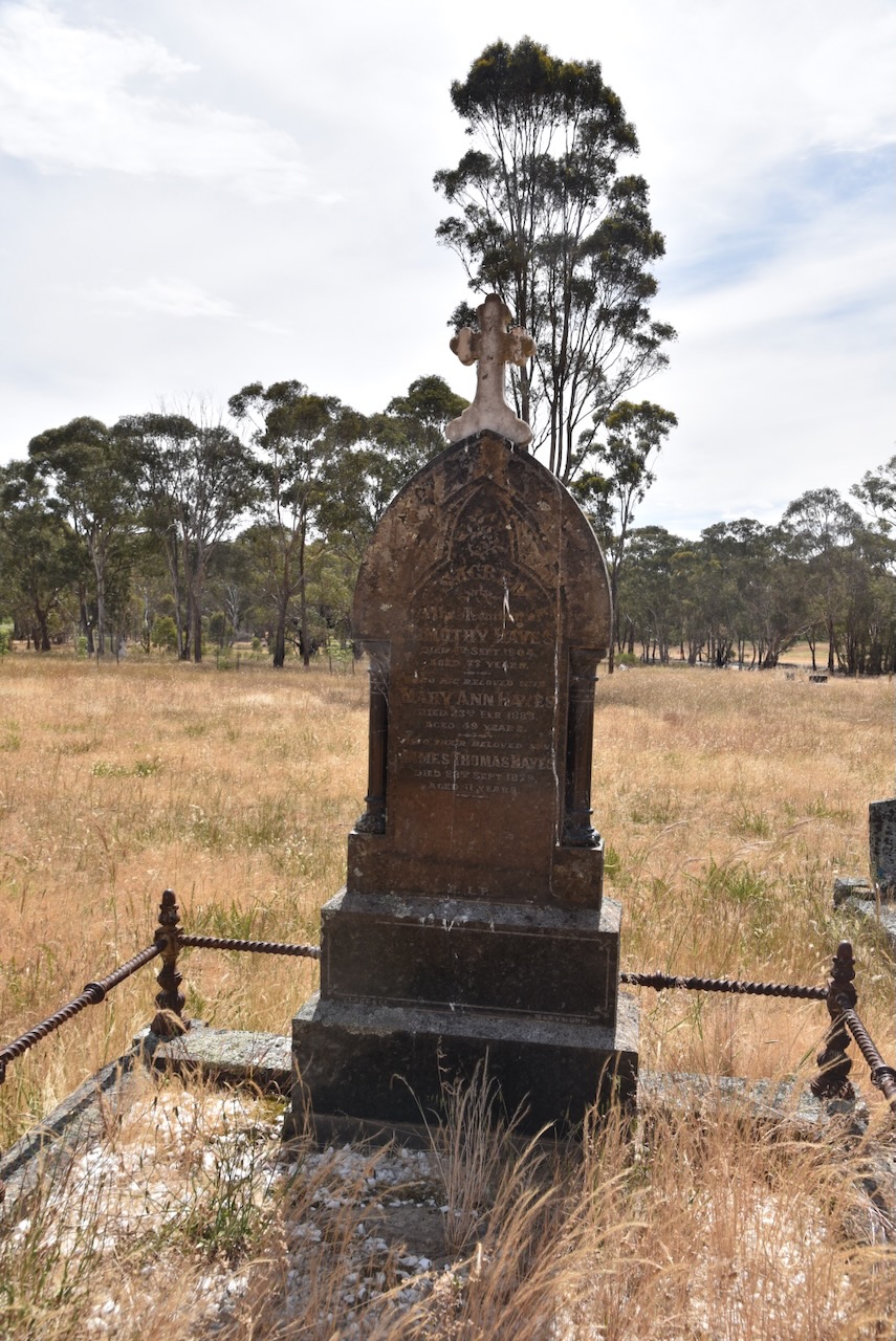
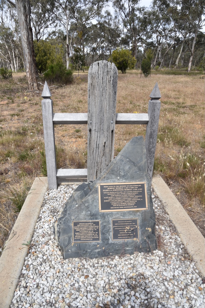
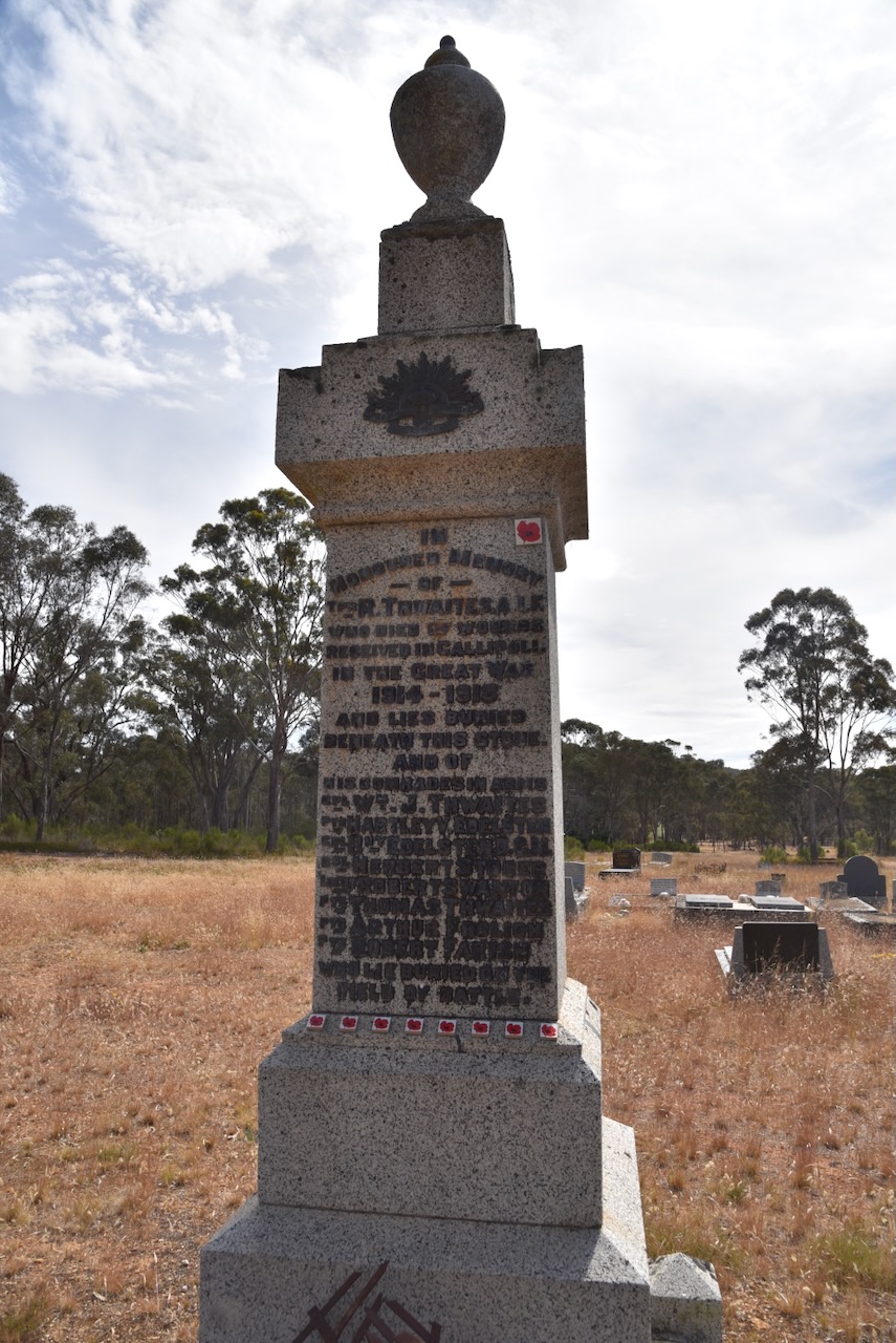
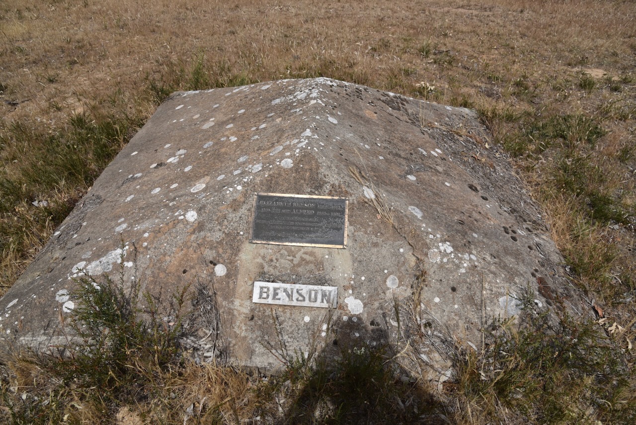
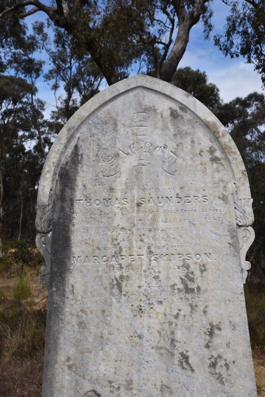
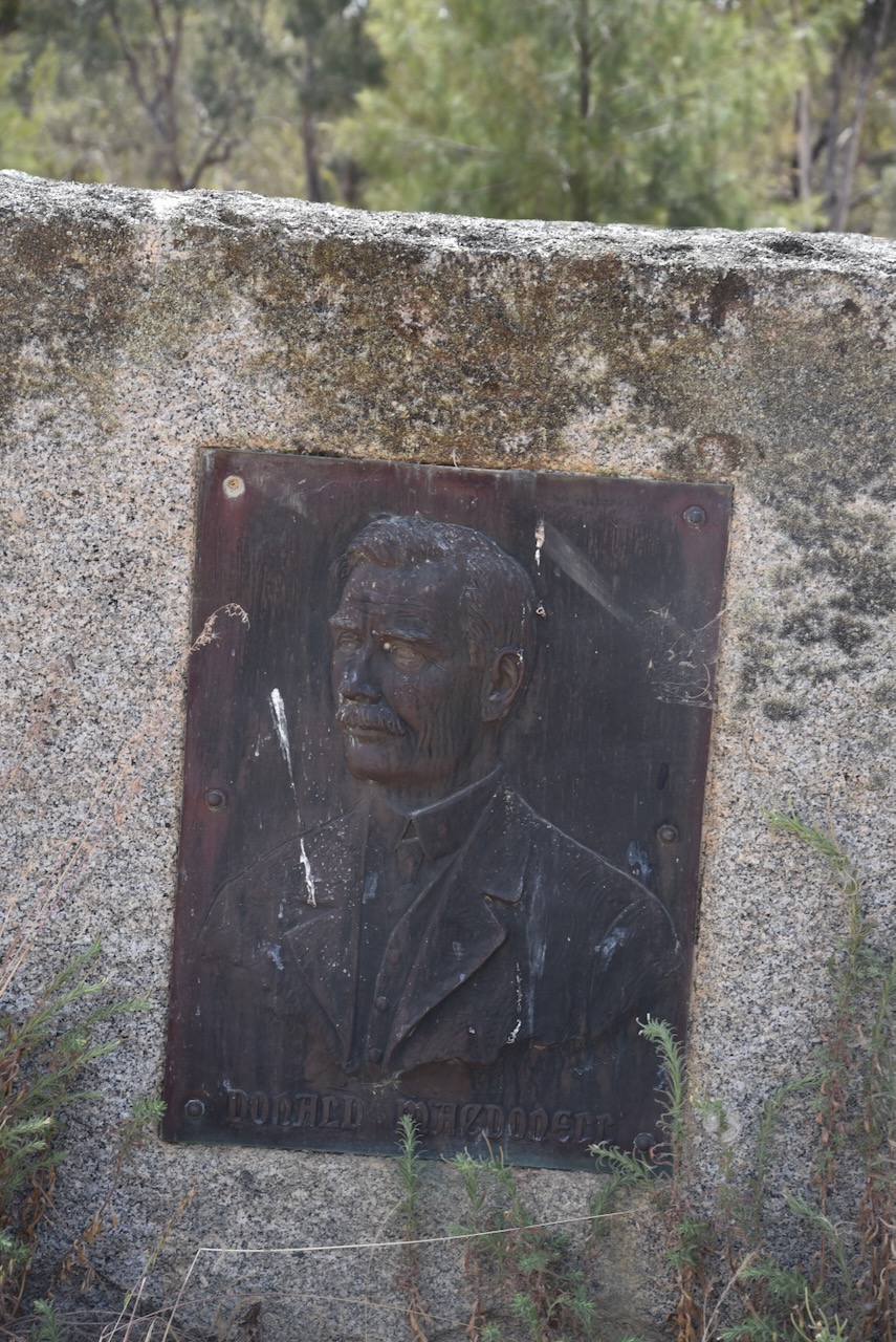
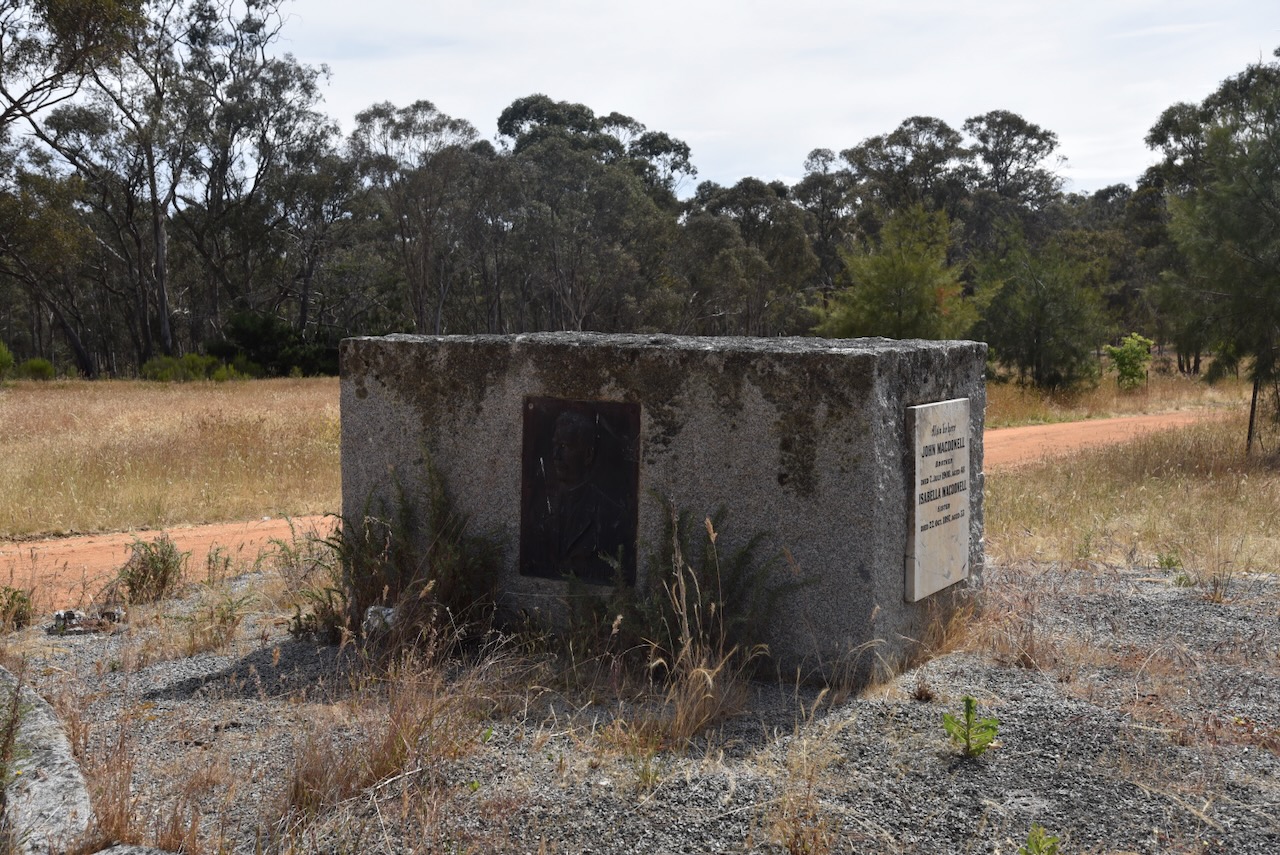
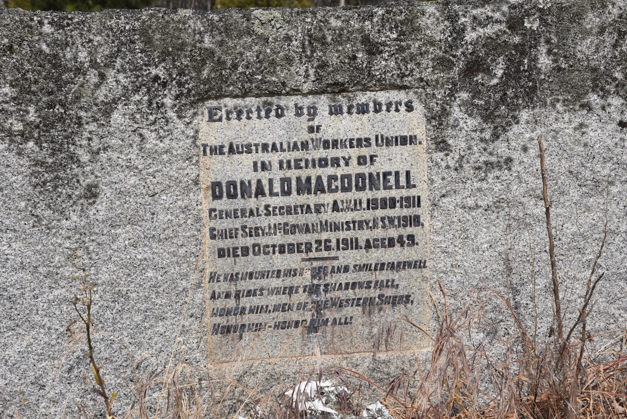
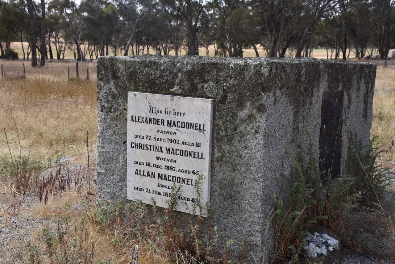
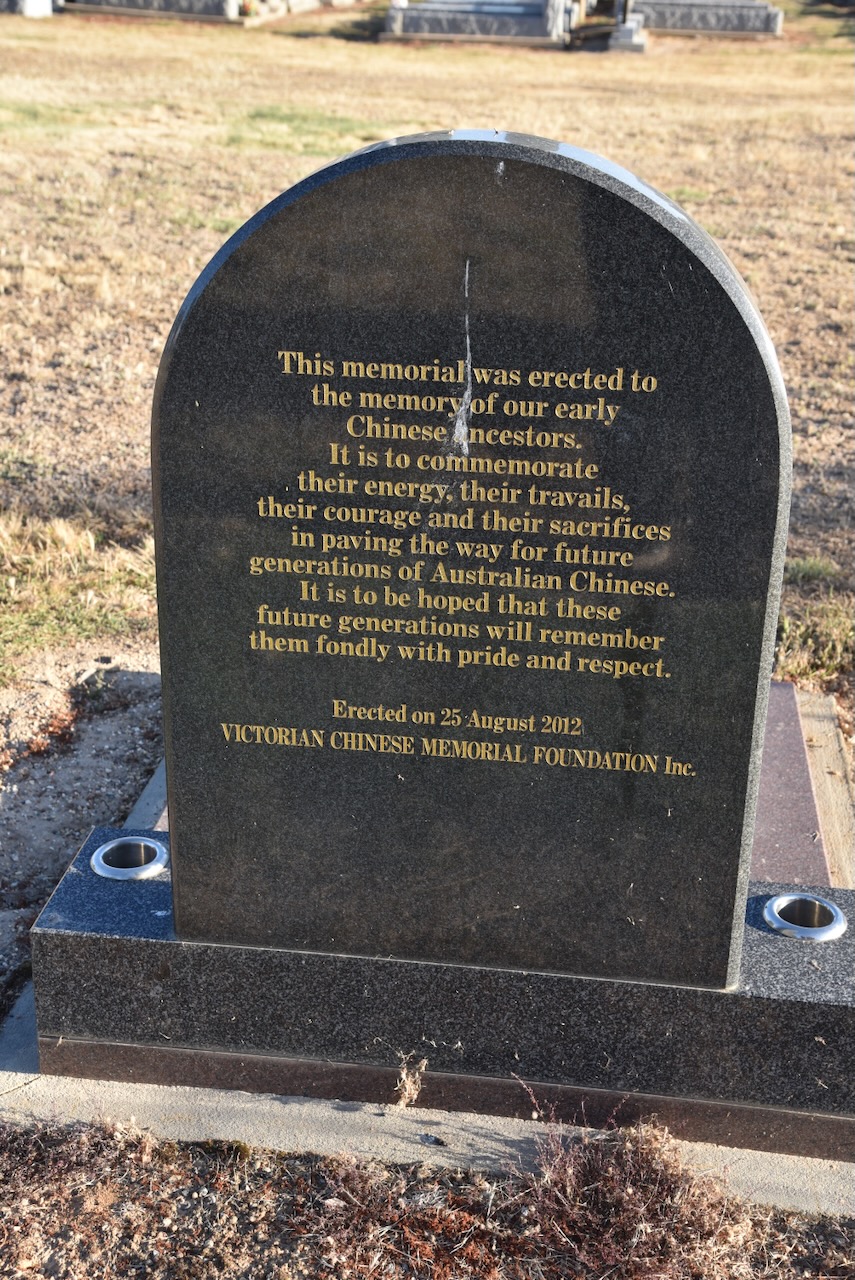
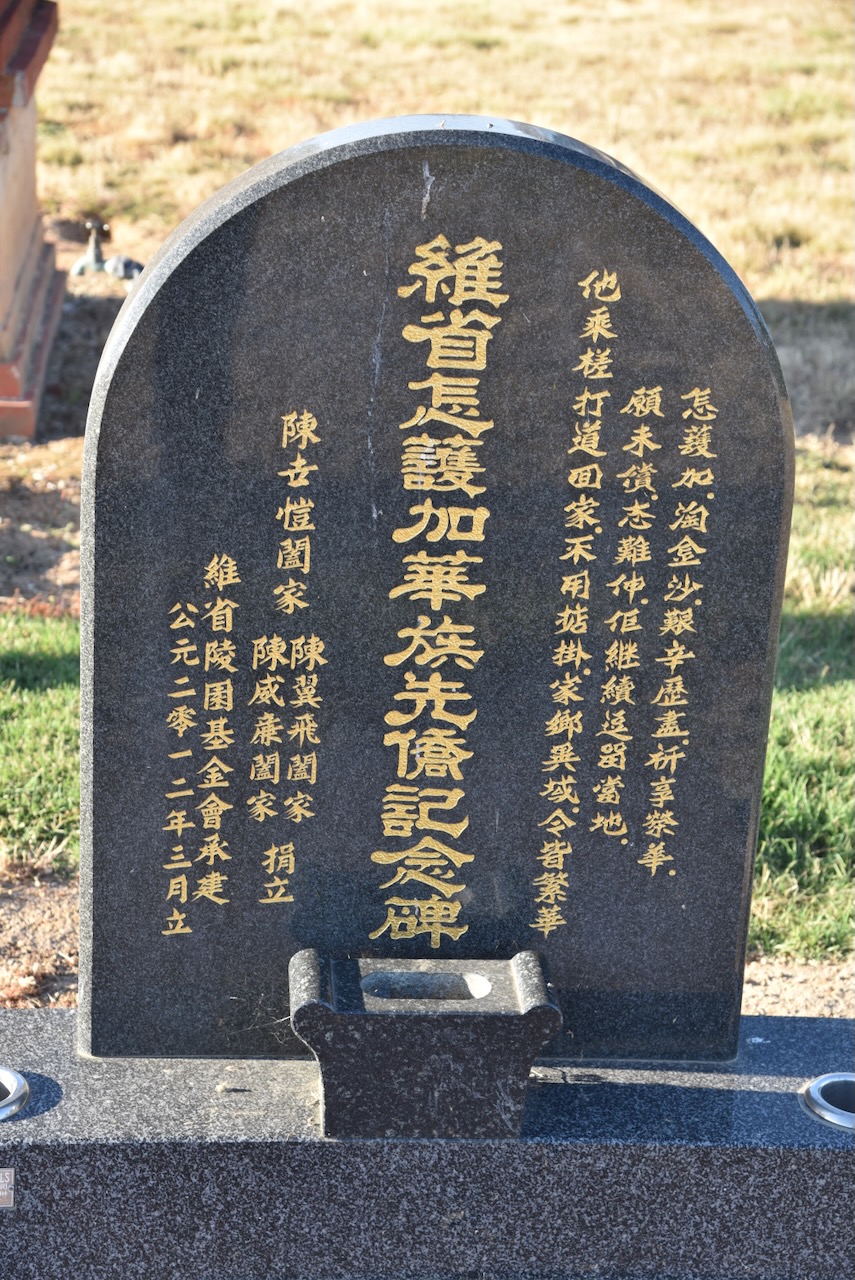
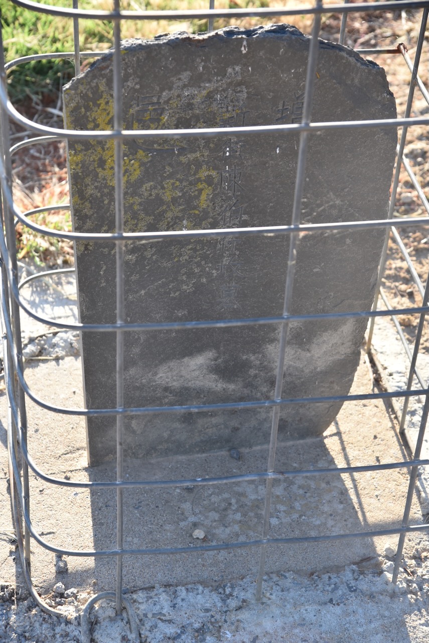
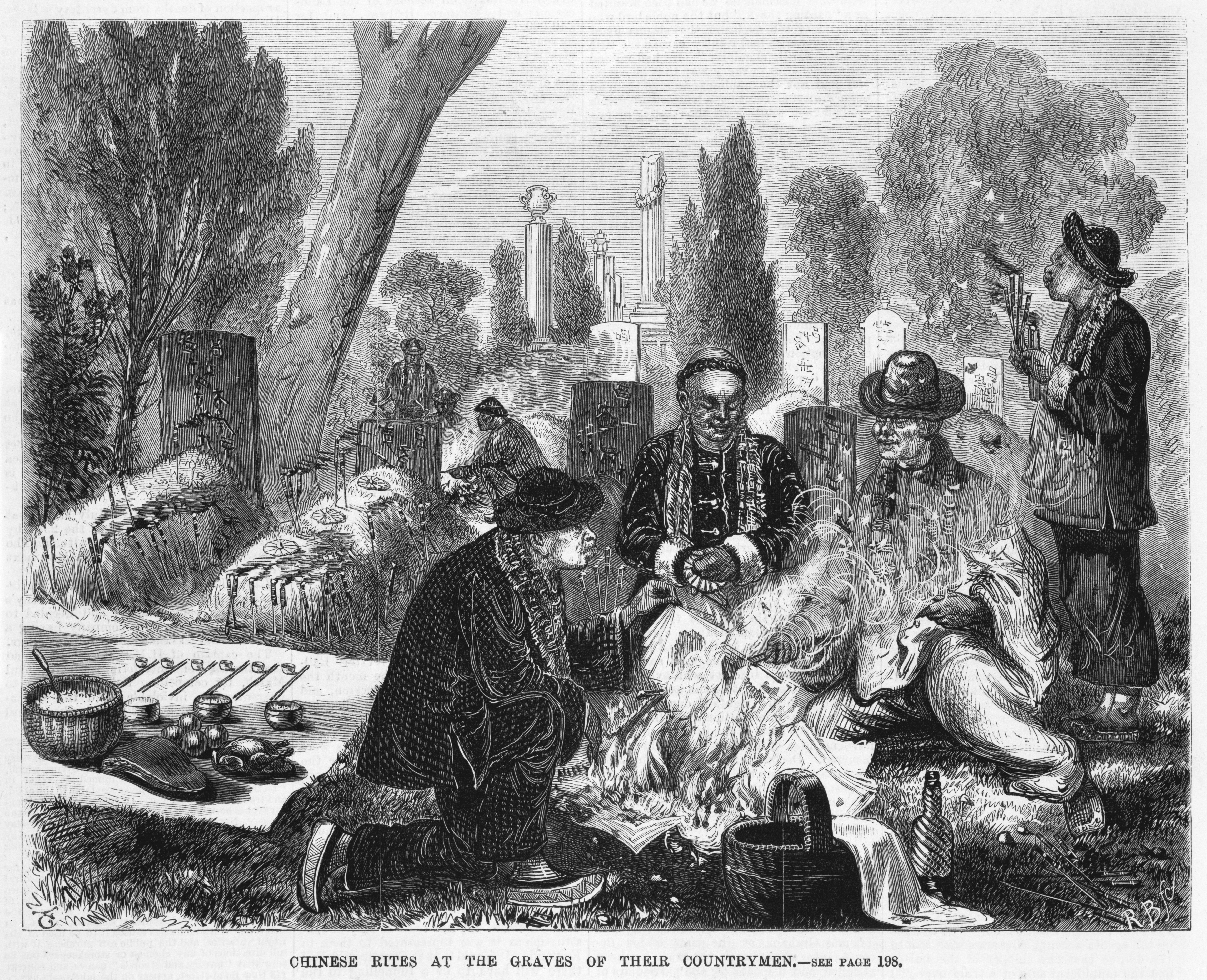
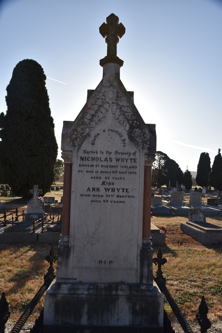
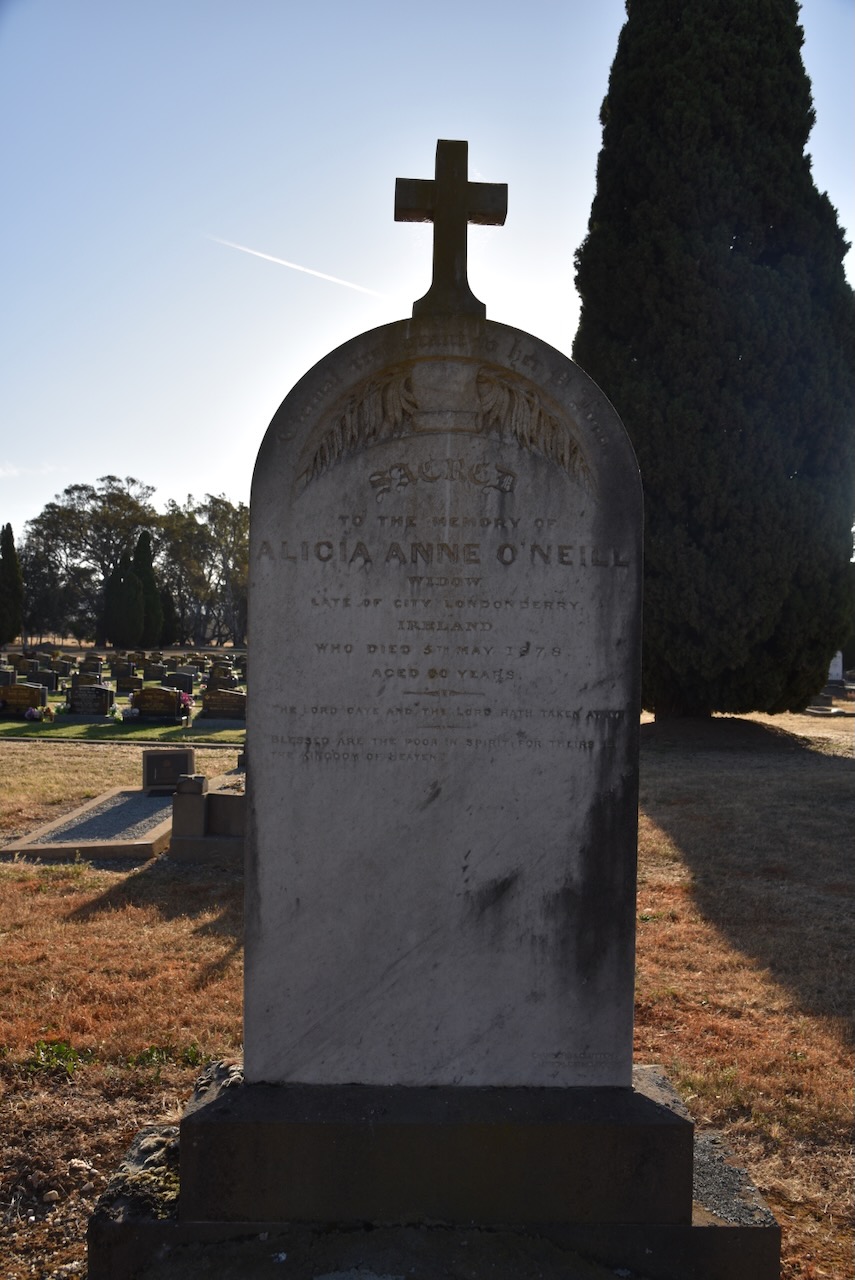
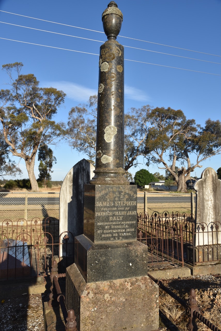
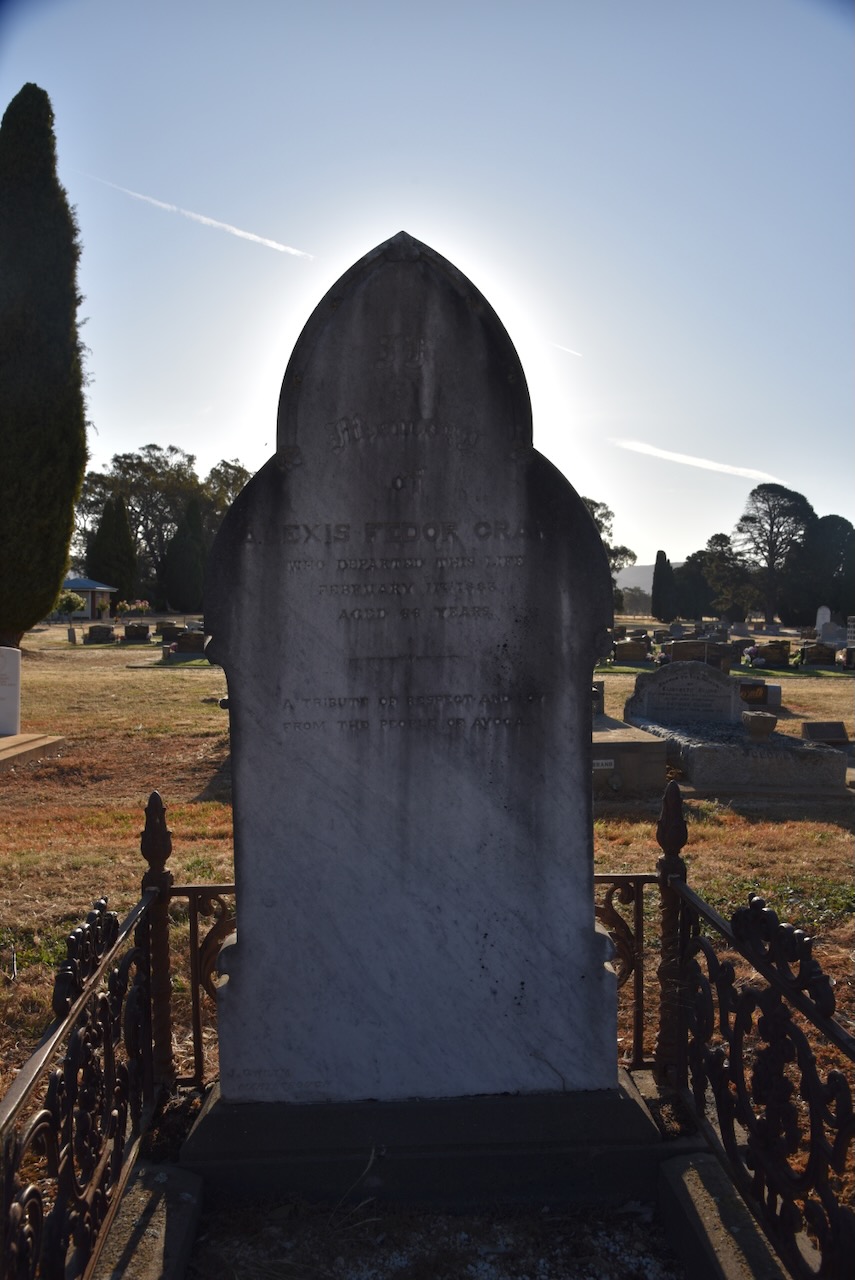
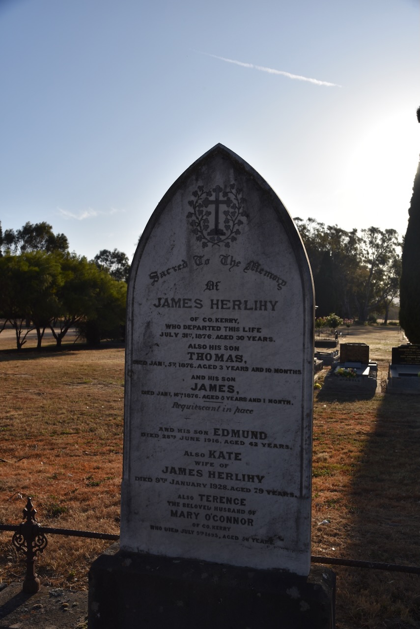
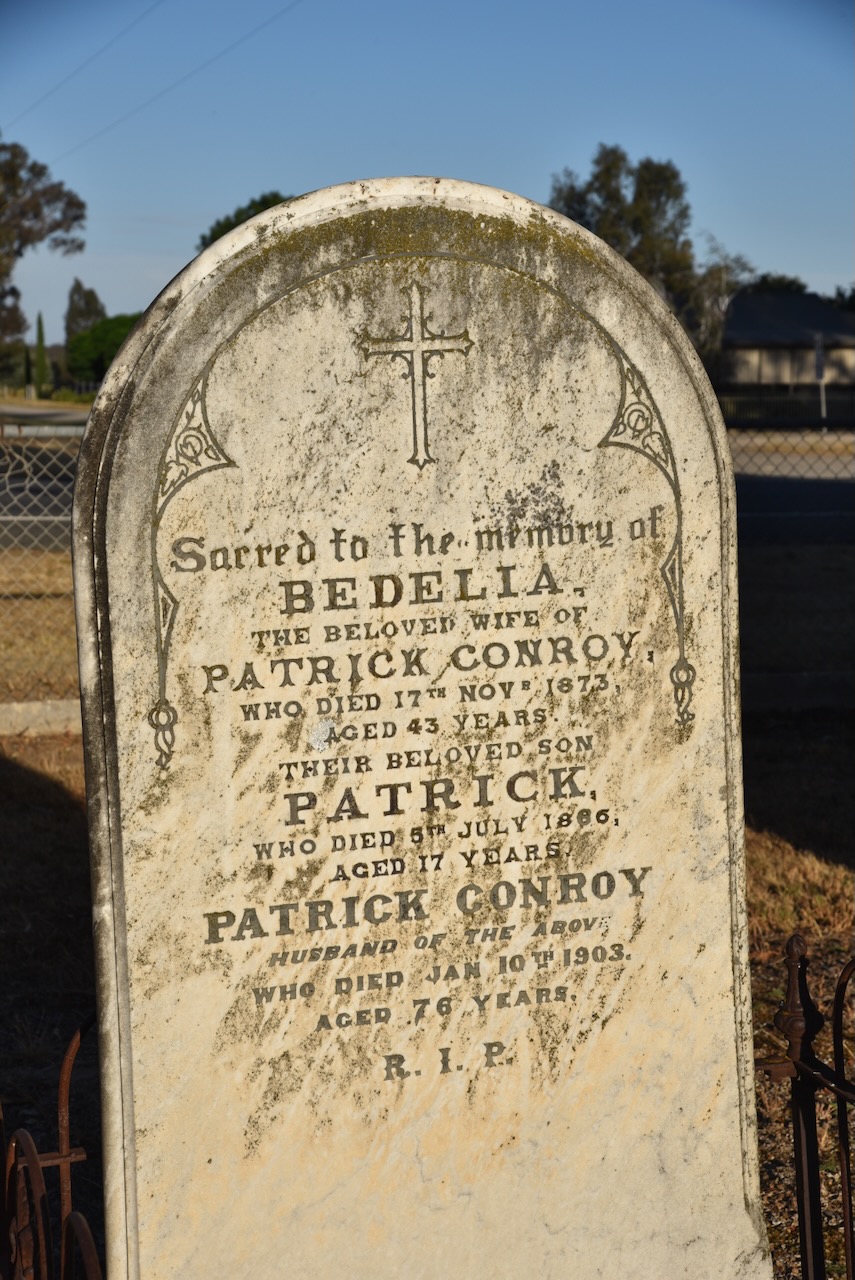
Our next stop was the Avoca cemetery on the Sunraysia Highway. The cemetery contains a Chinese burning tower and numerous Chinese headstones. There is also a memorial to commemorate the Chinese who occupied the area during the 1850 gold rush era.
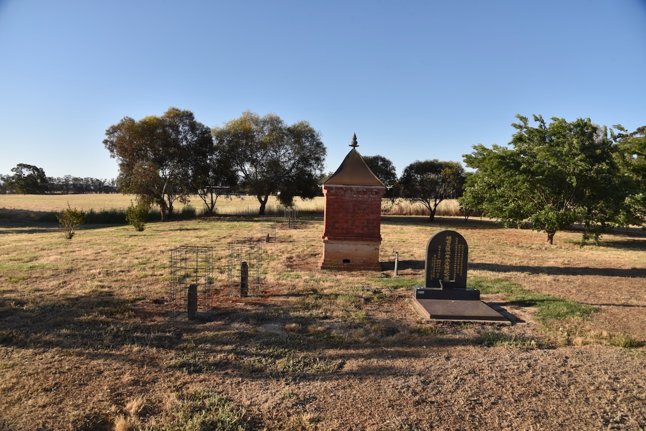
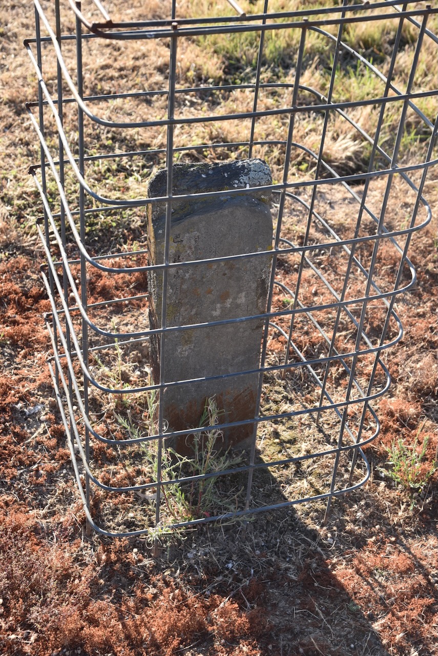
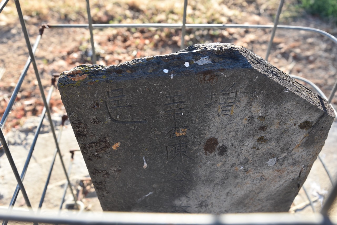
Chinese mourners would burn offerings of paper prayers, pork and other gifts for the afterlife. The burning towers were built to prevent bushfires and several still remain at Avoca, Beechworth, Ballarat, Rutherglen, and other goldfields towns. (Victorian Collections 2024)
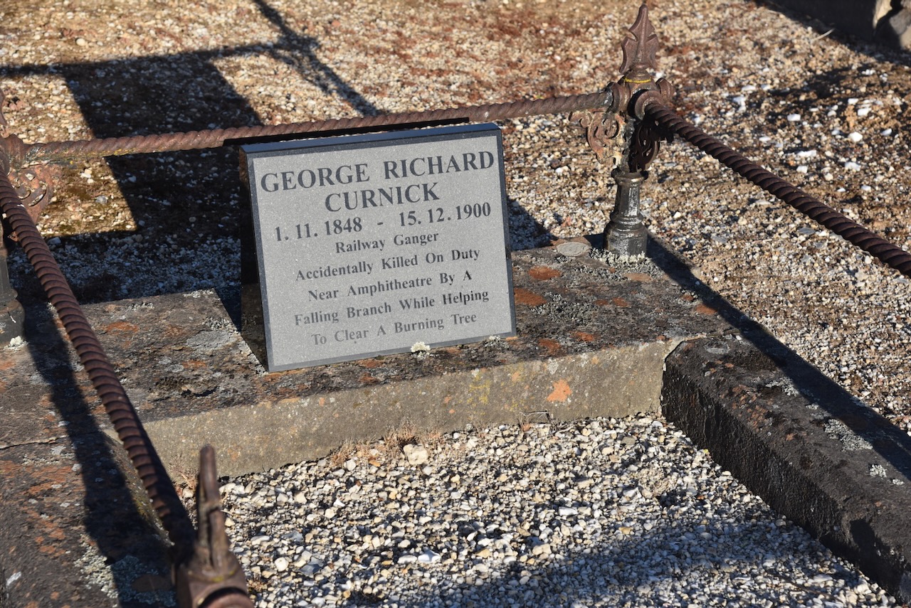
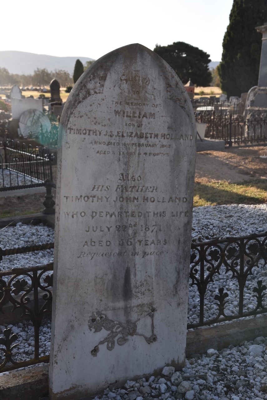
You could wander around this cemetery for hours. There are hundreds of interesting headstones telling the stories of the many who came to the Avoca region from around the world.
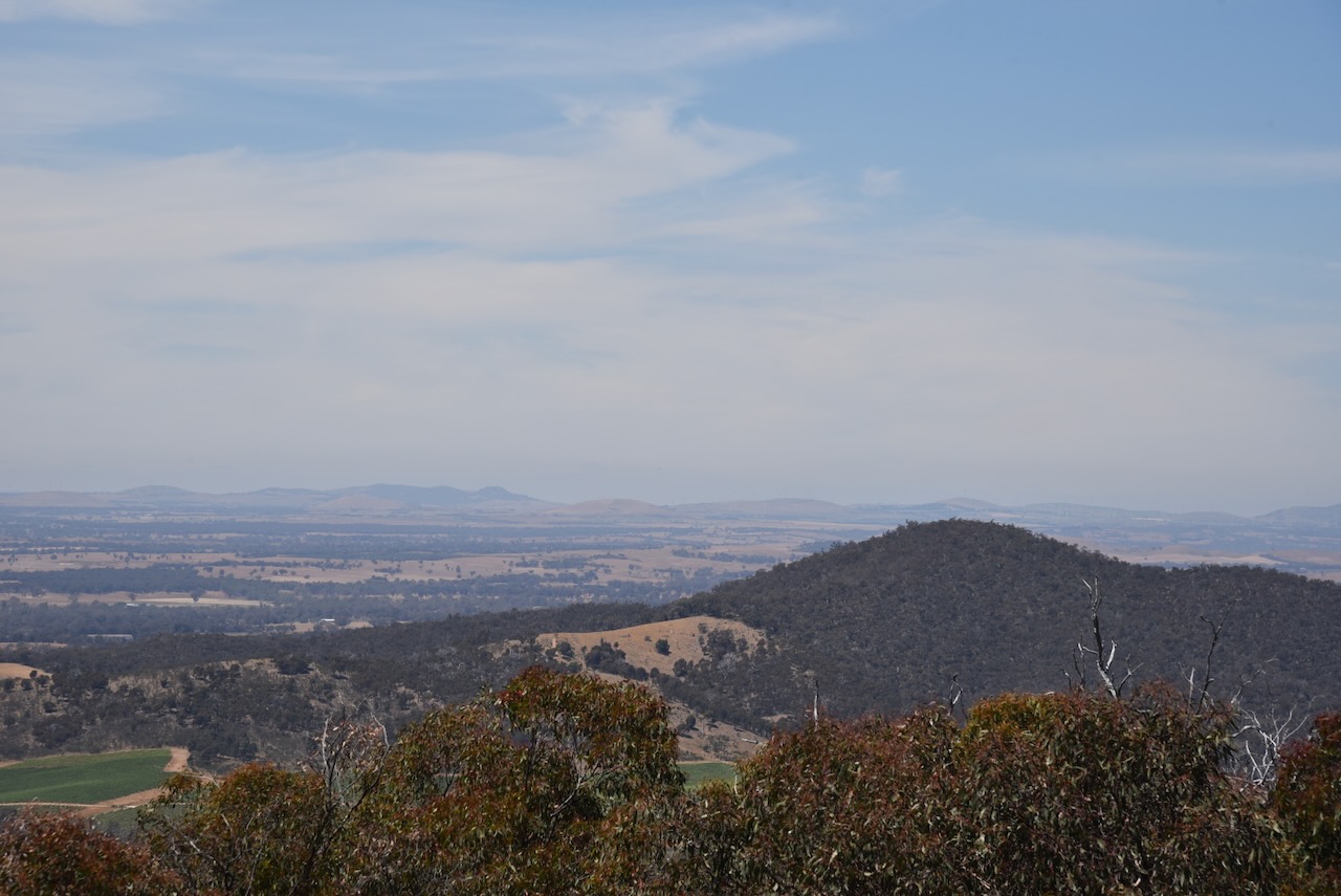
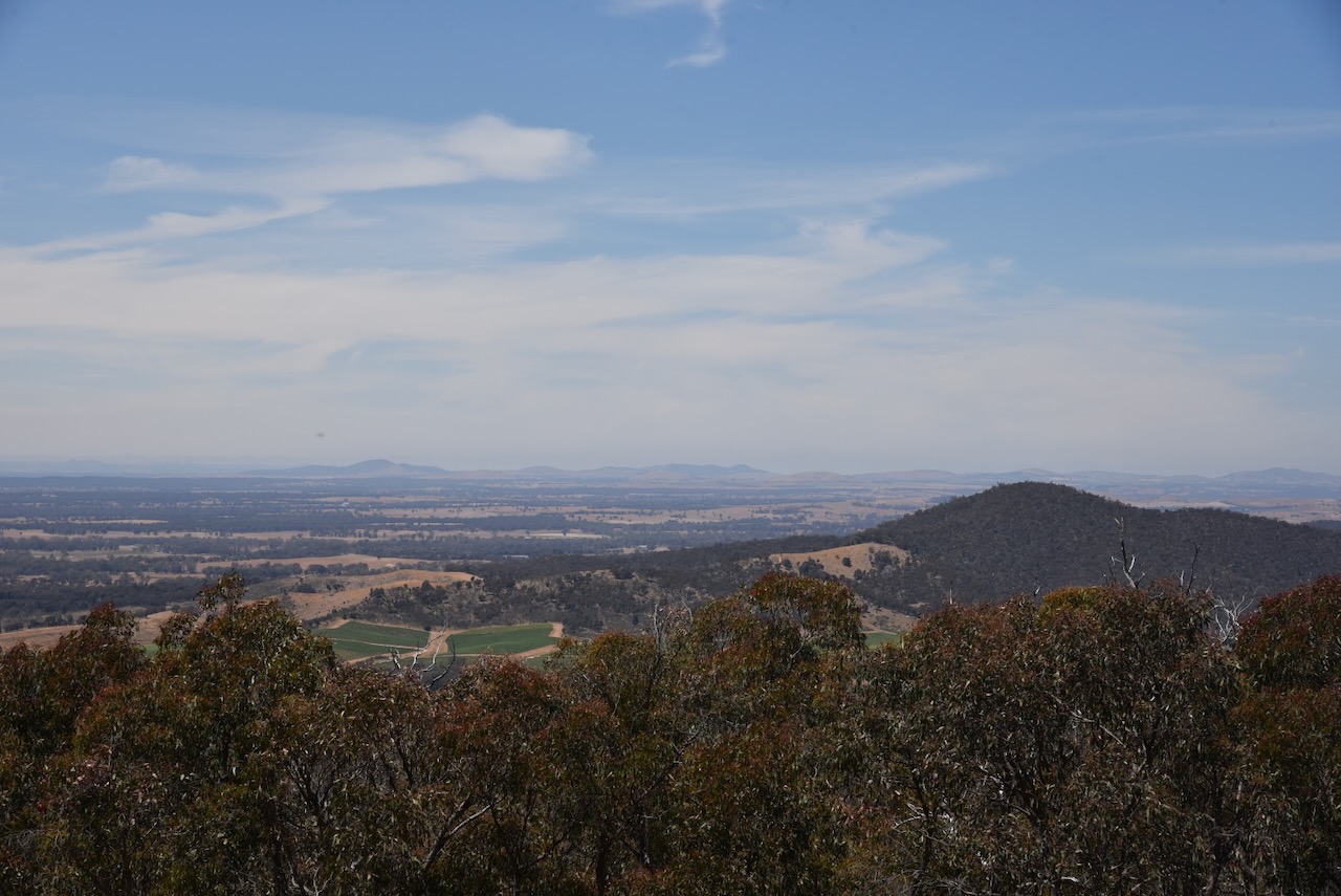
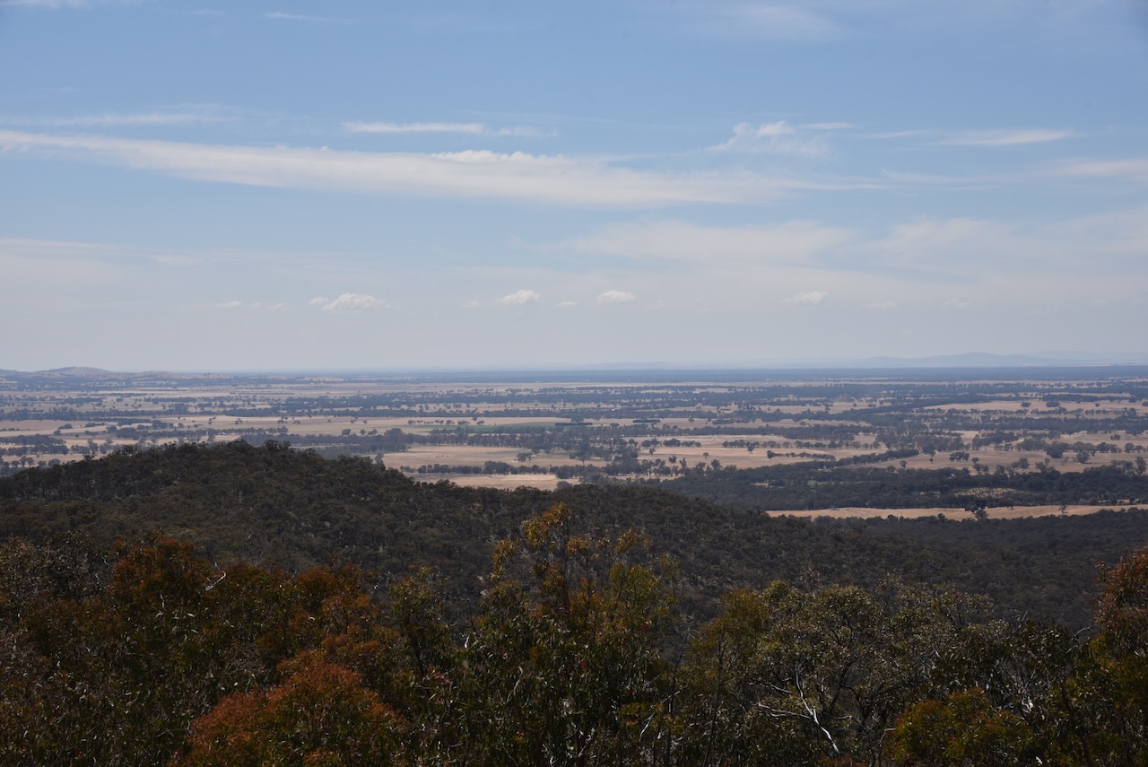
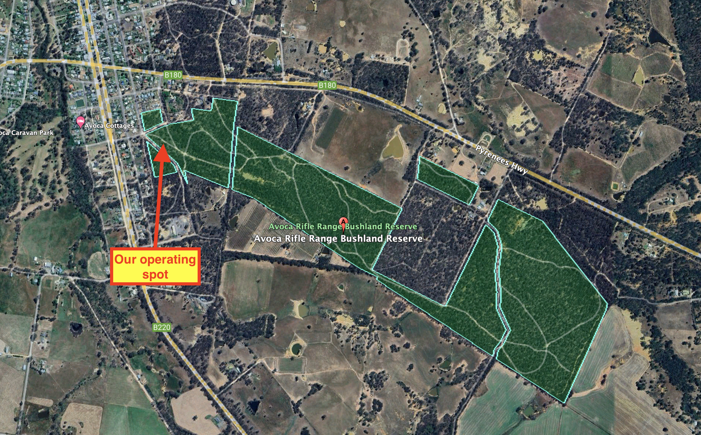
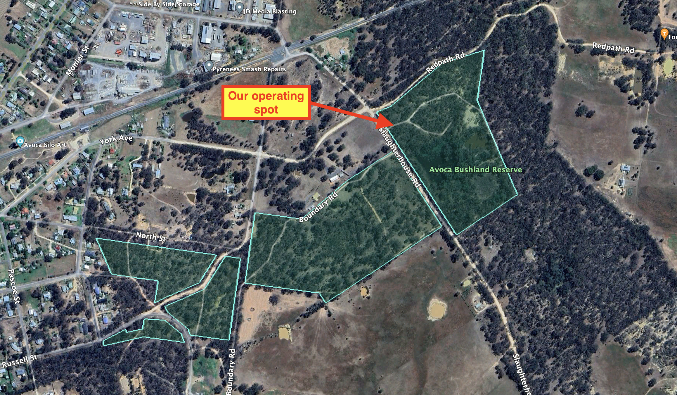
Marija and I then headed to the Bung Bong Streamside Reserve which we had hoped to activate. Unfortunately, access was not possible and with the phone assistance of Peter VK3PF, we decided to give this particular park a miss.

Above:- An aerial view of the Bung Bong Streamside Reserve. Image c/o Google Earth.
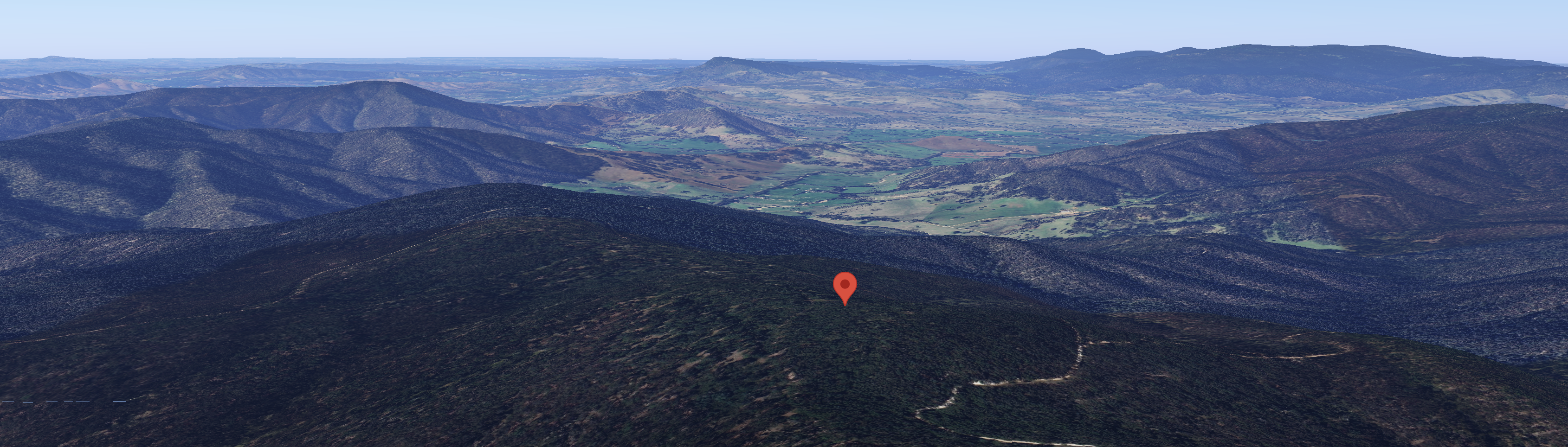
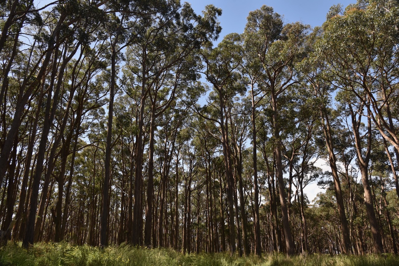
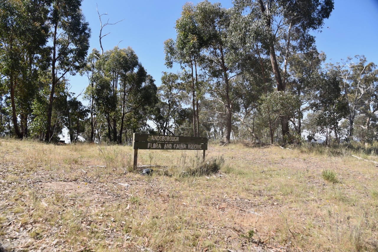
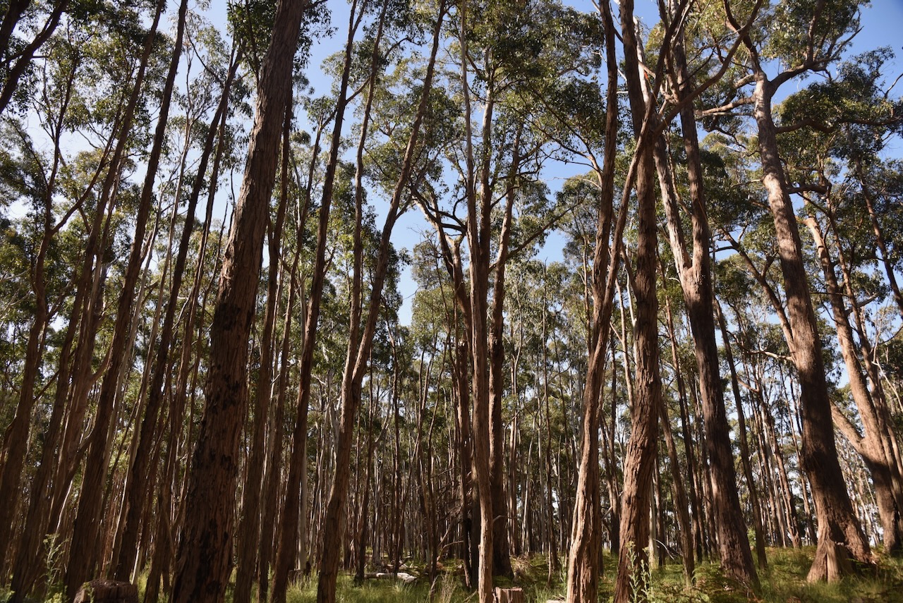
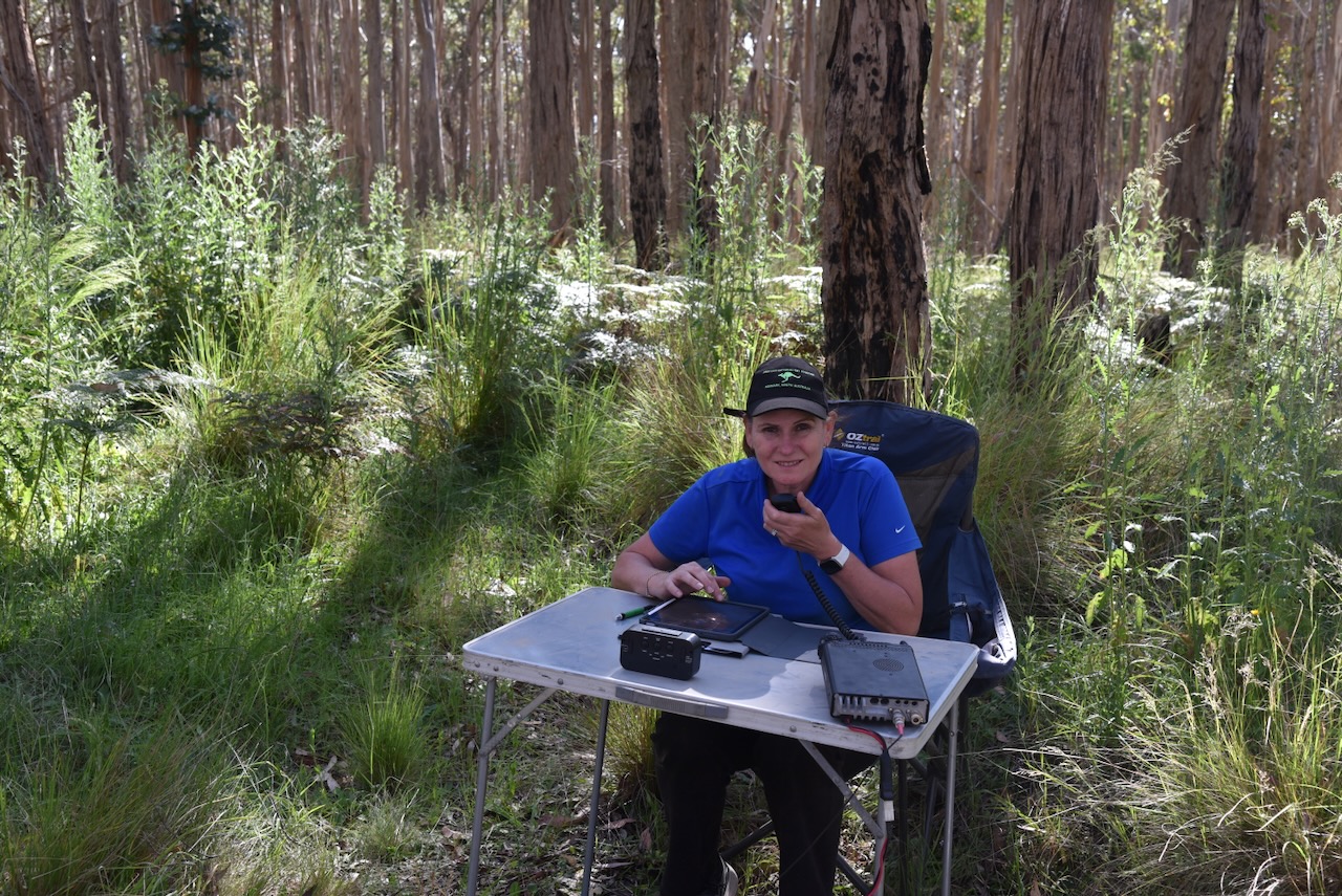
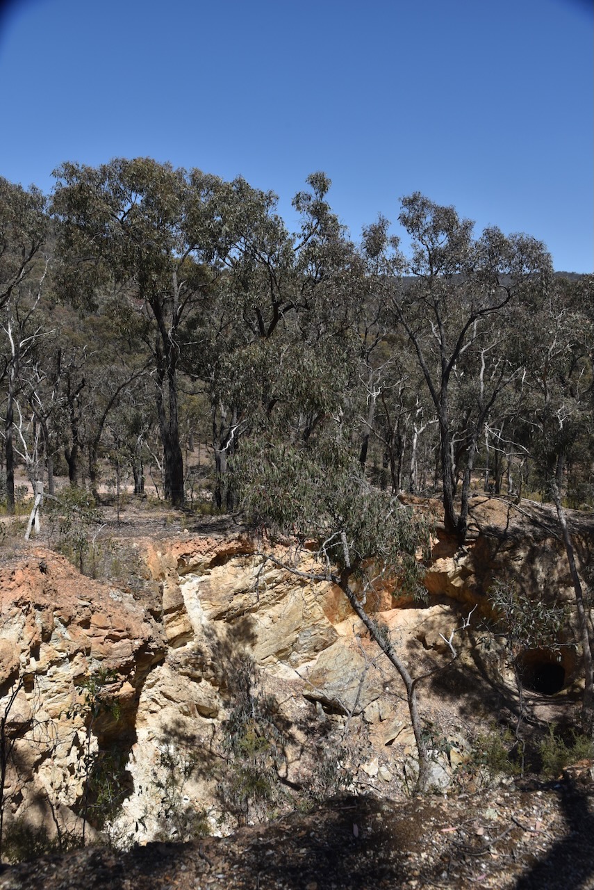
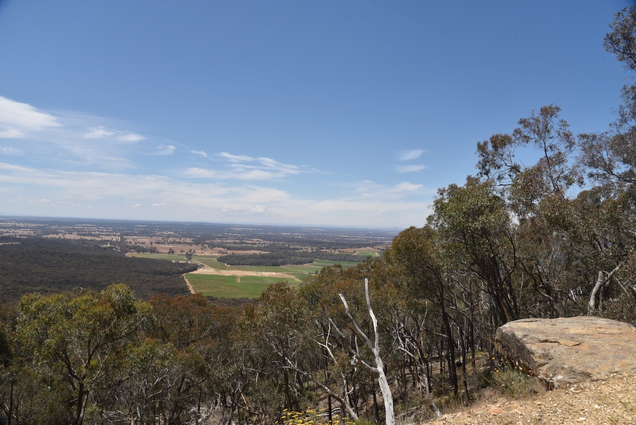
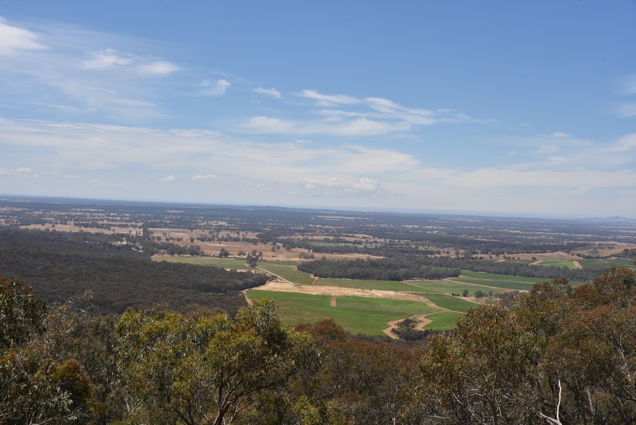
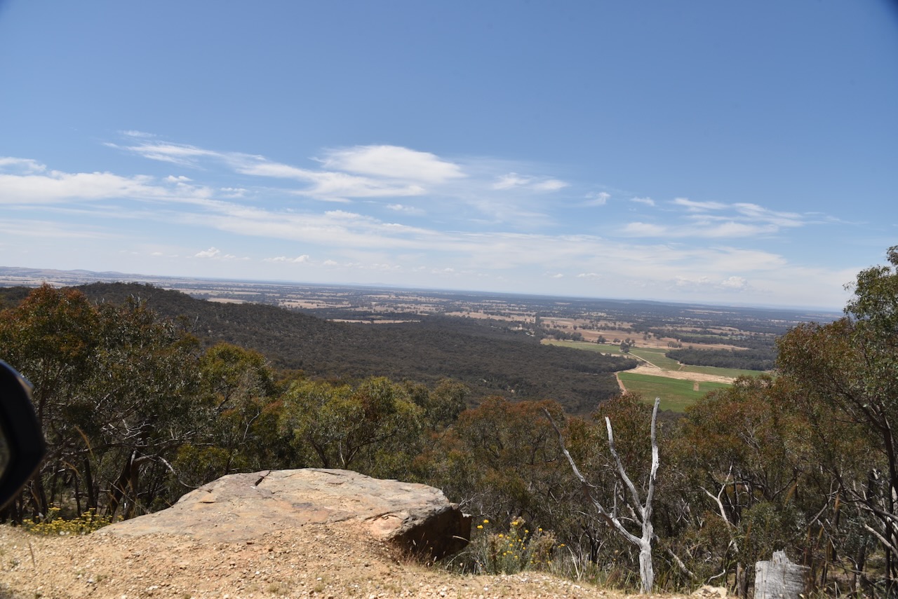
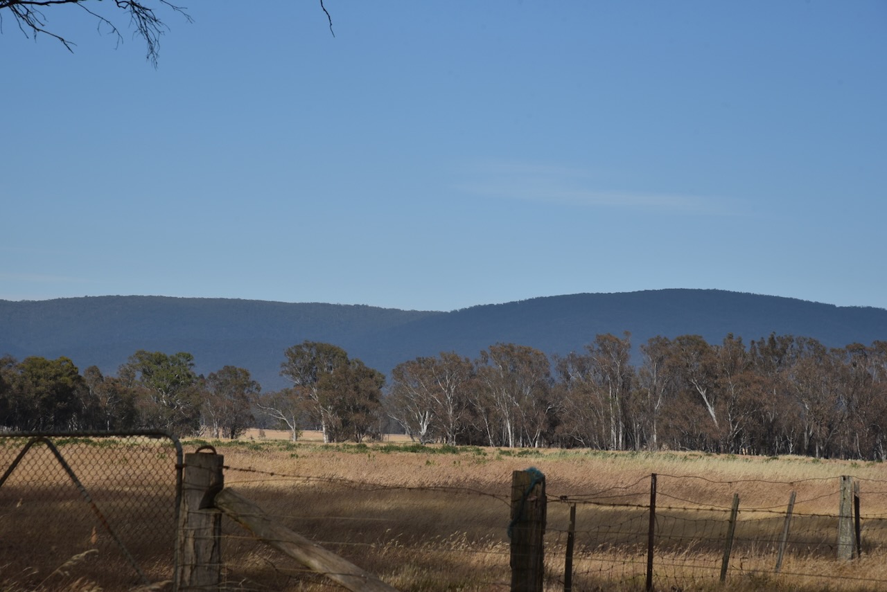
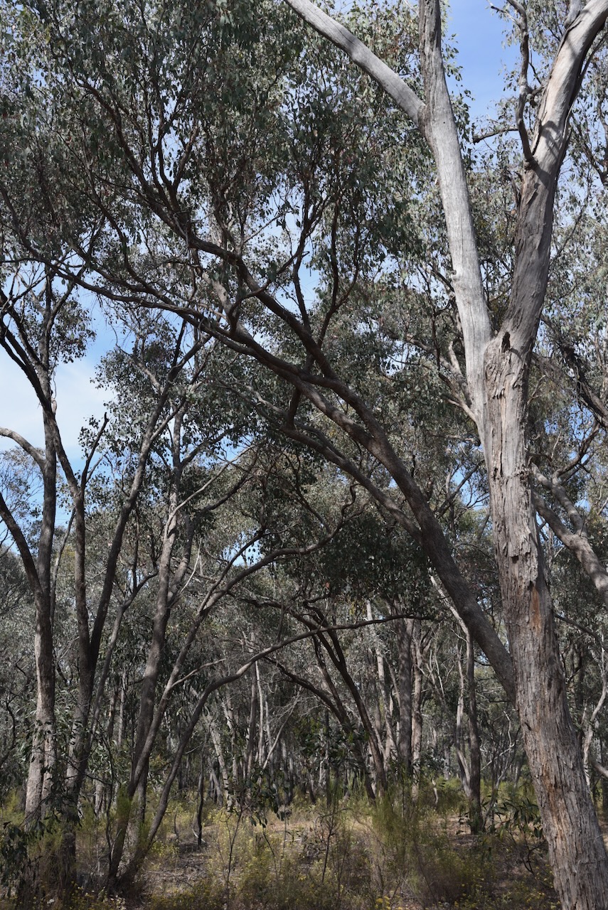
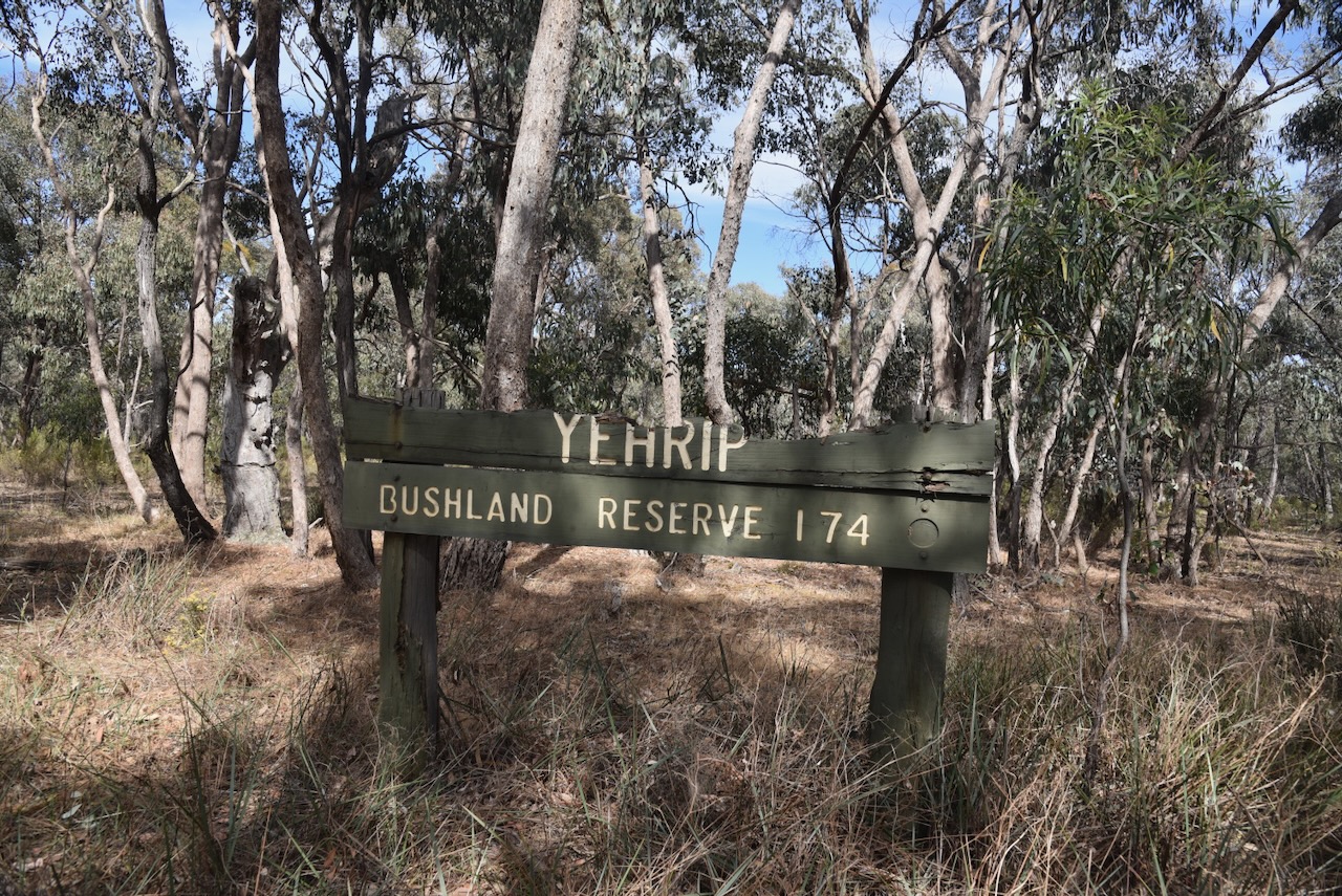
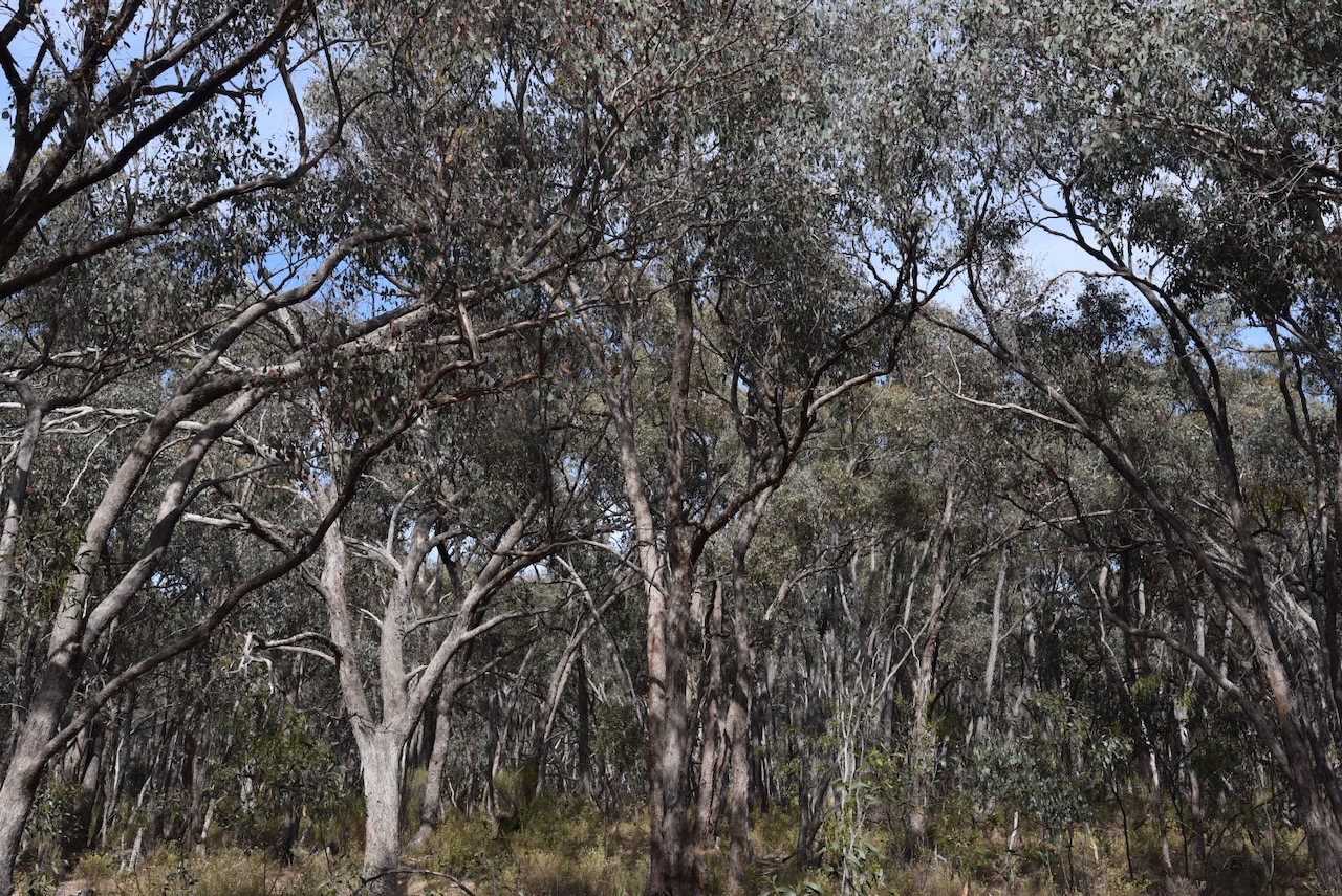
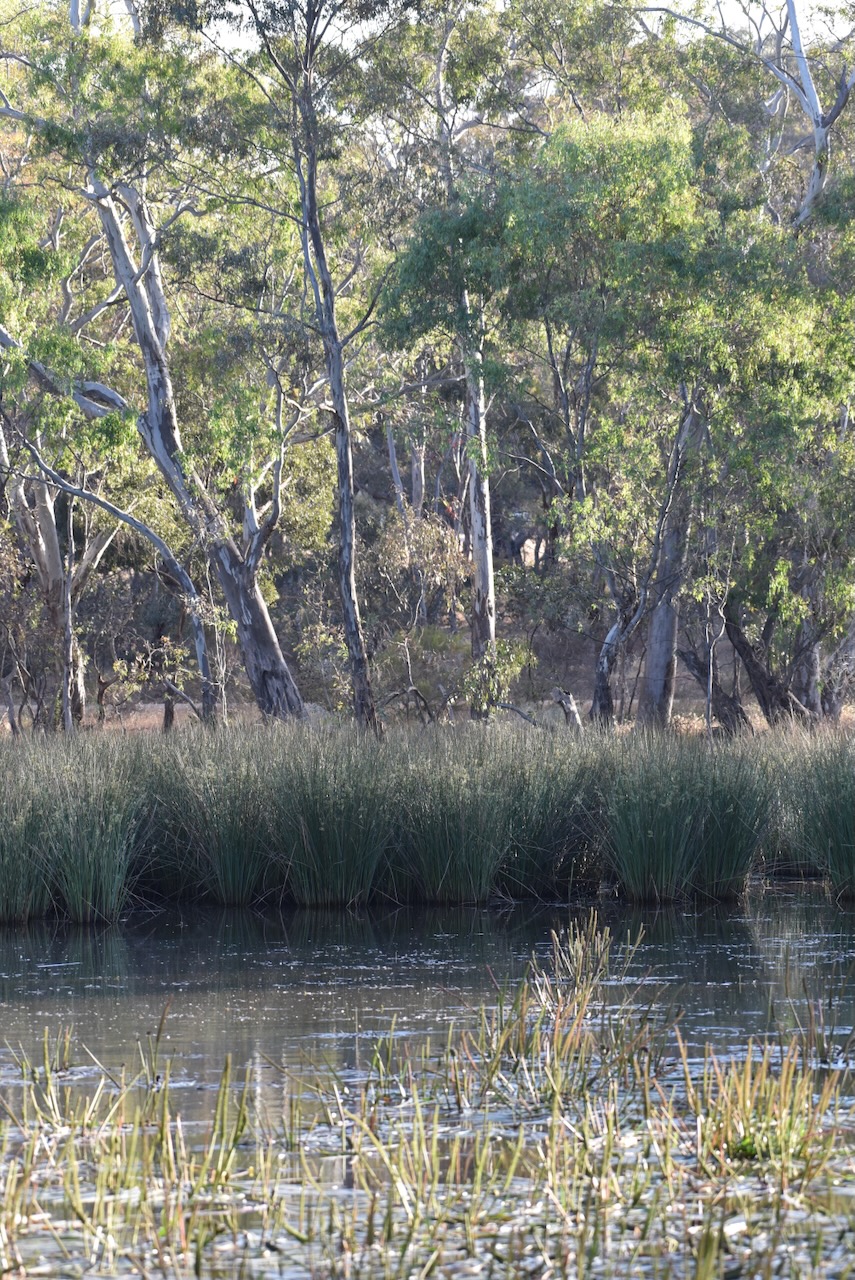
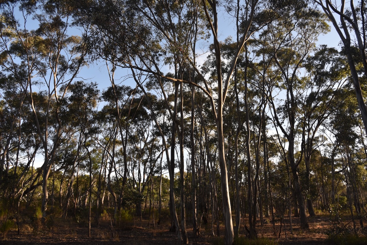
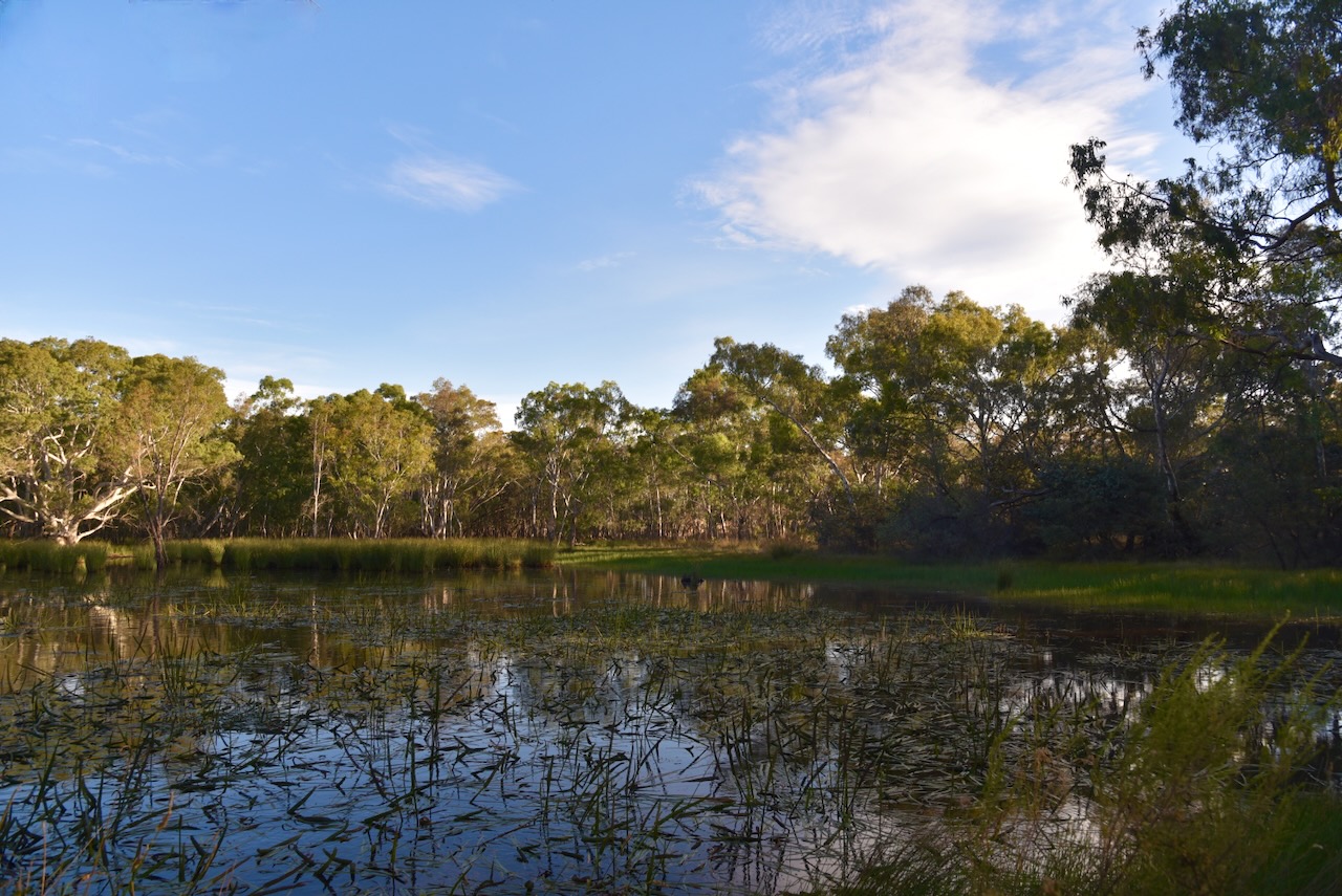
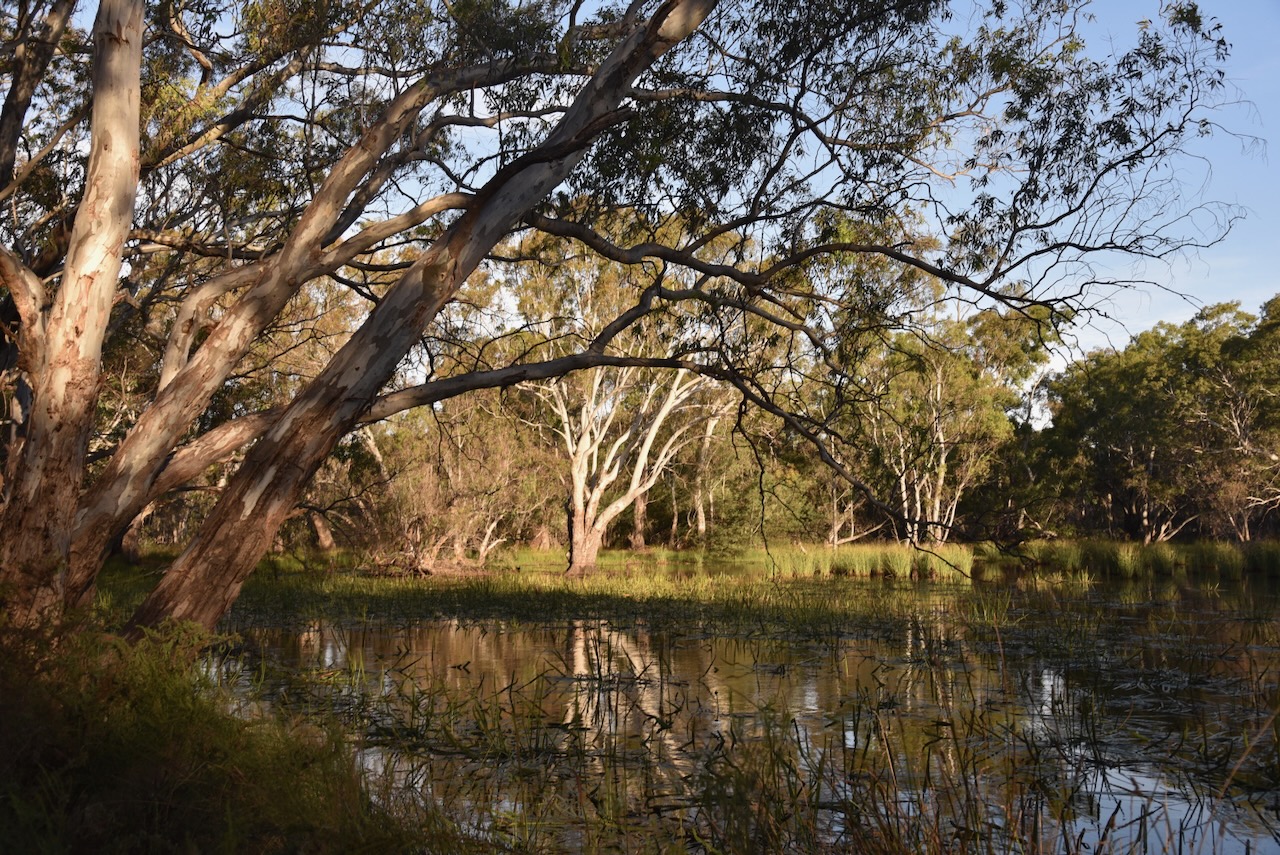
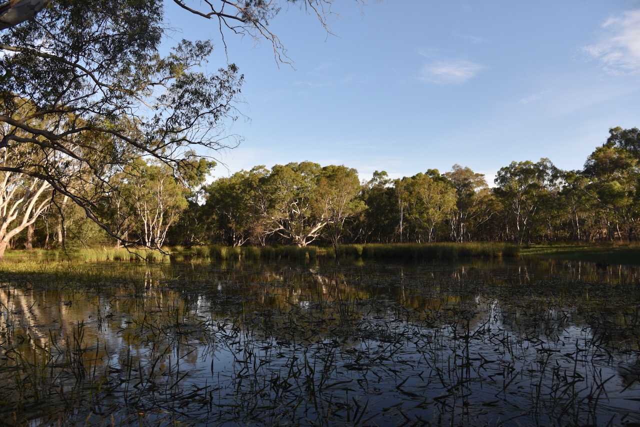
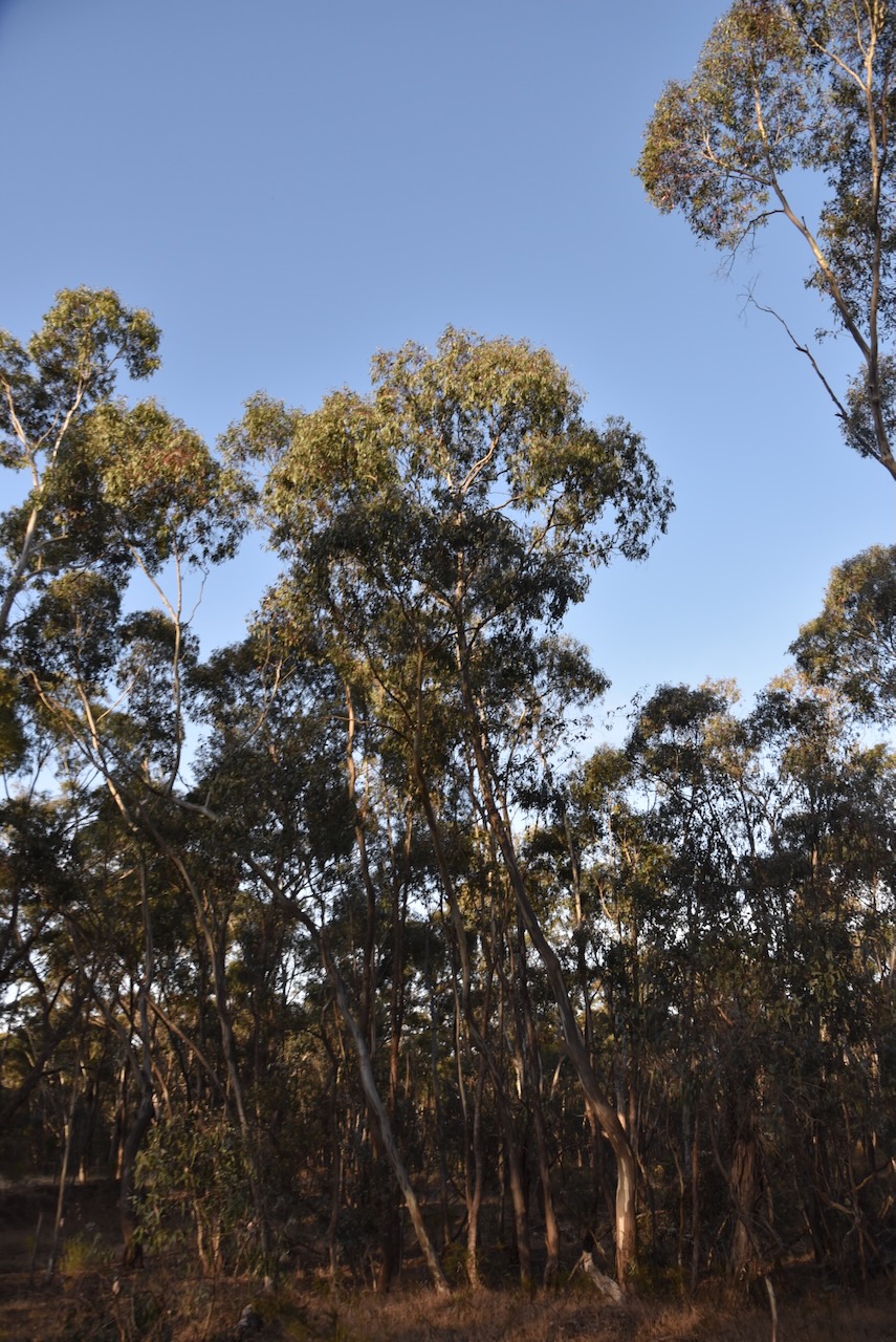
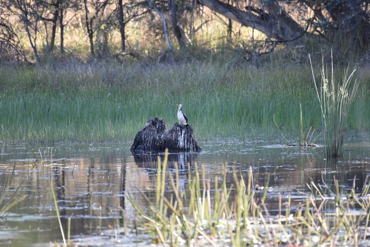
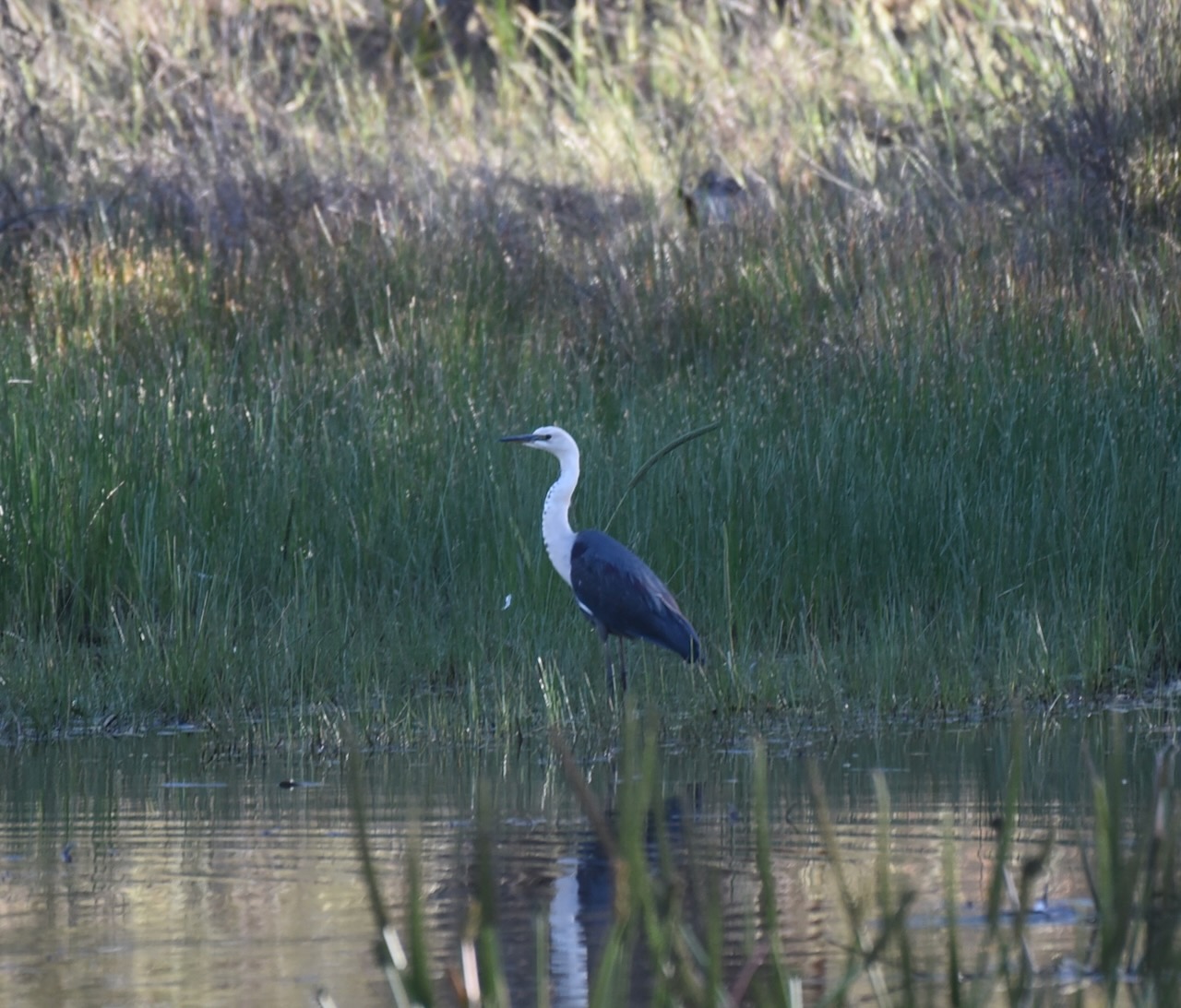
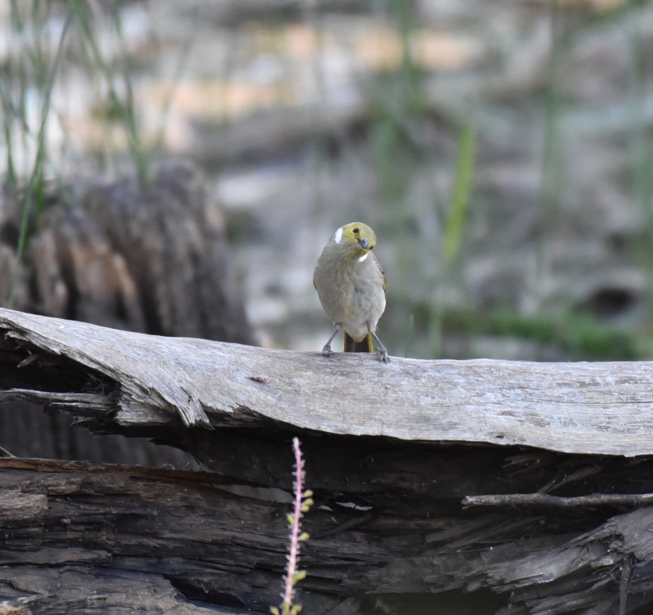
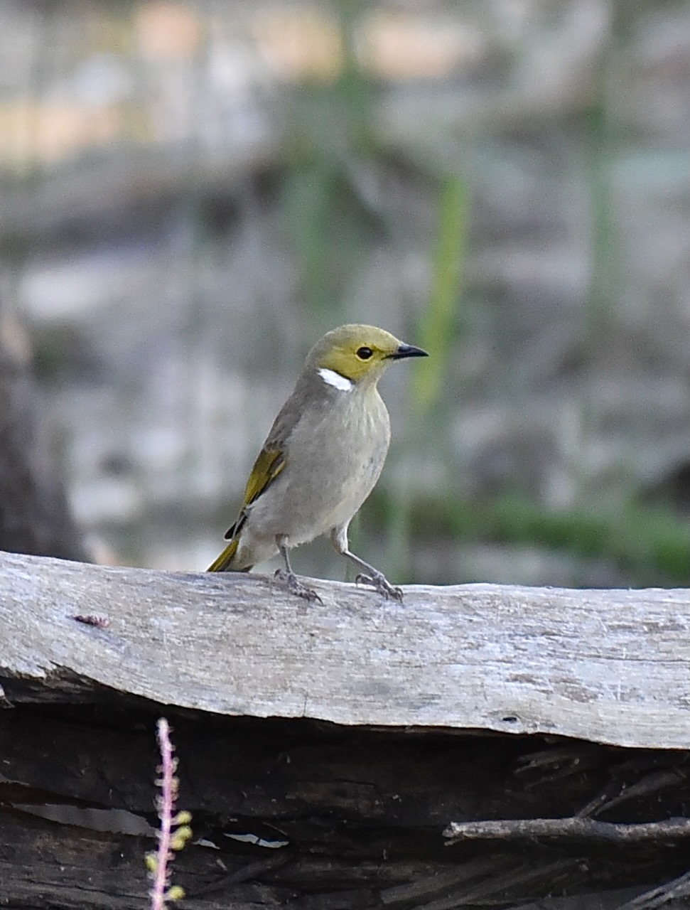
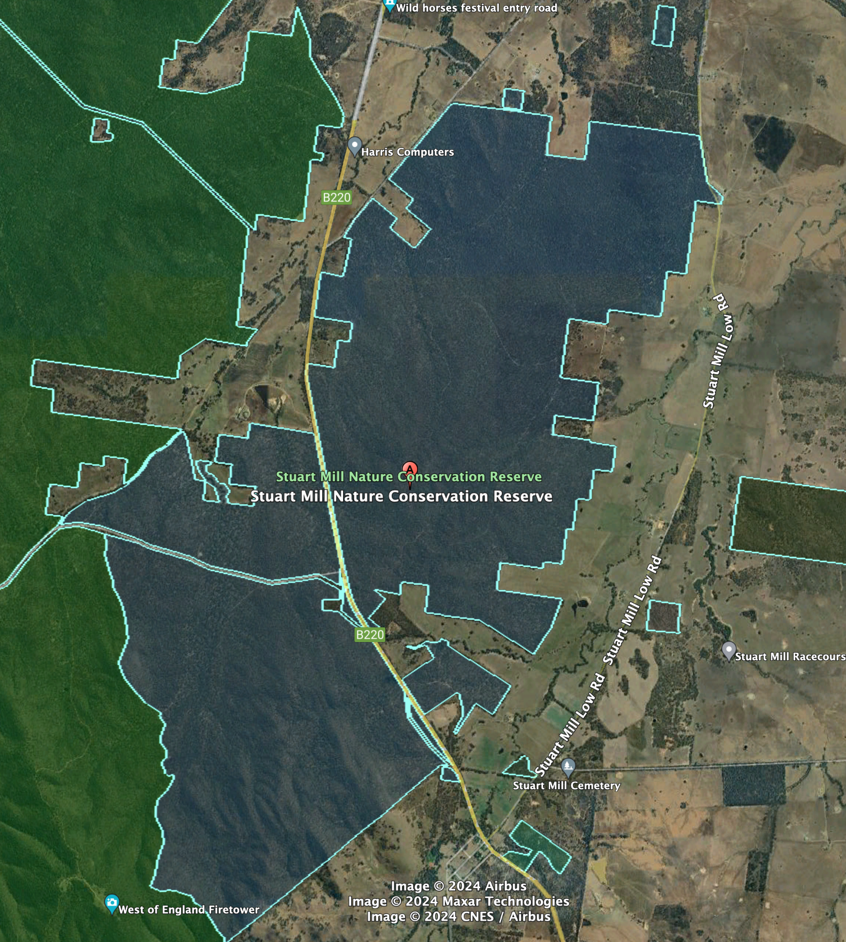
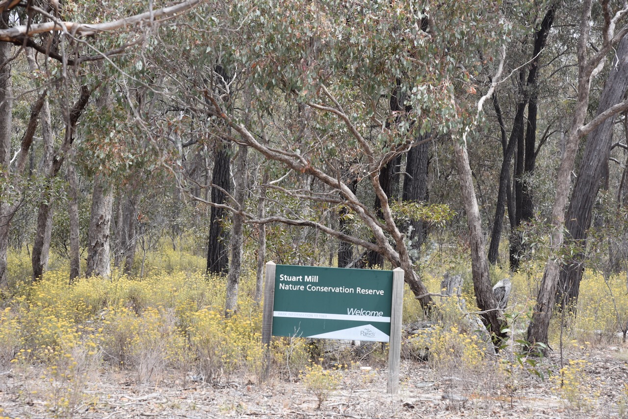
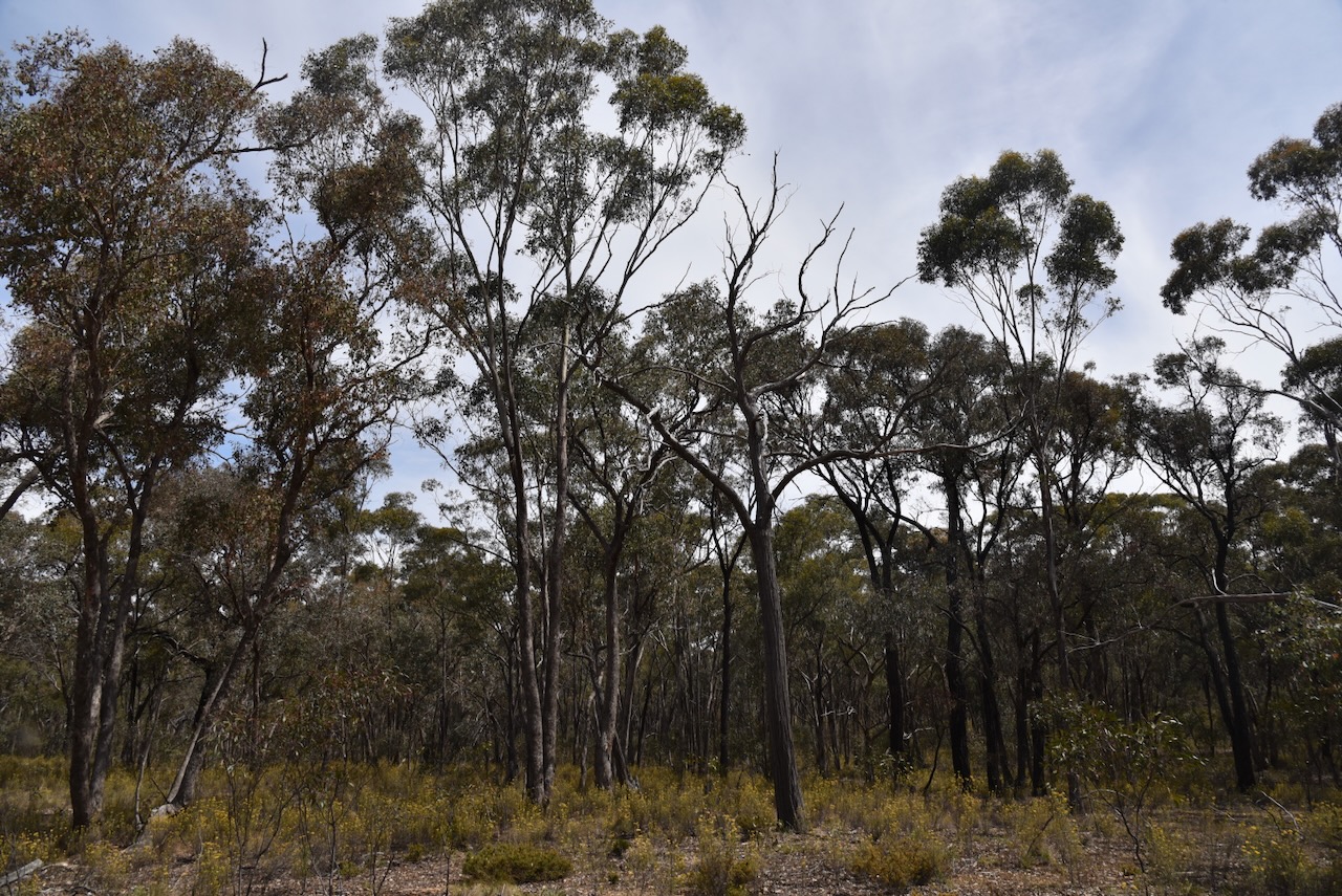
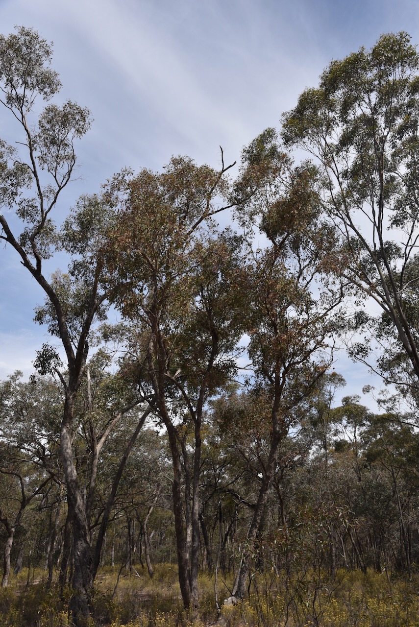
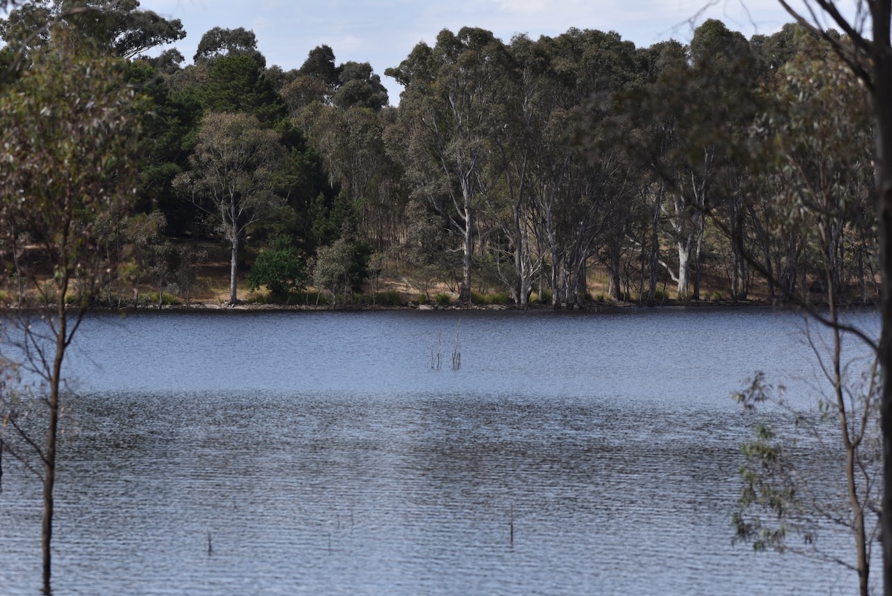
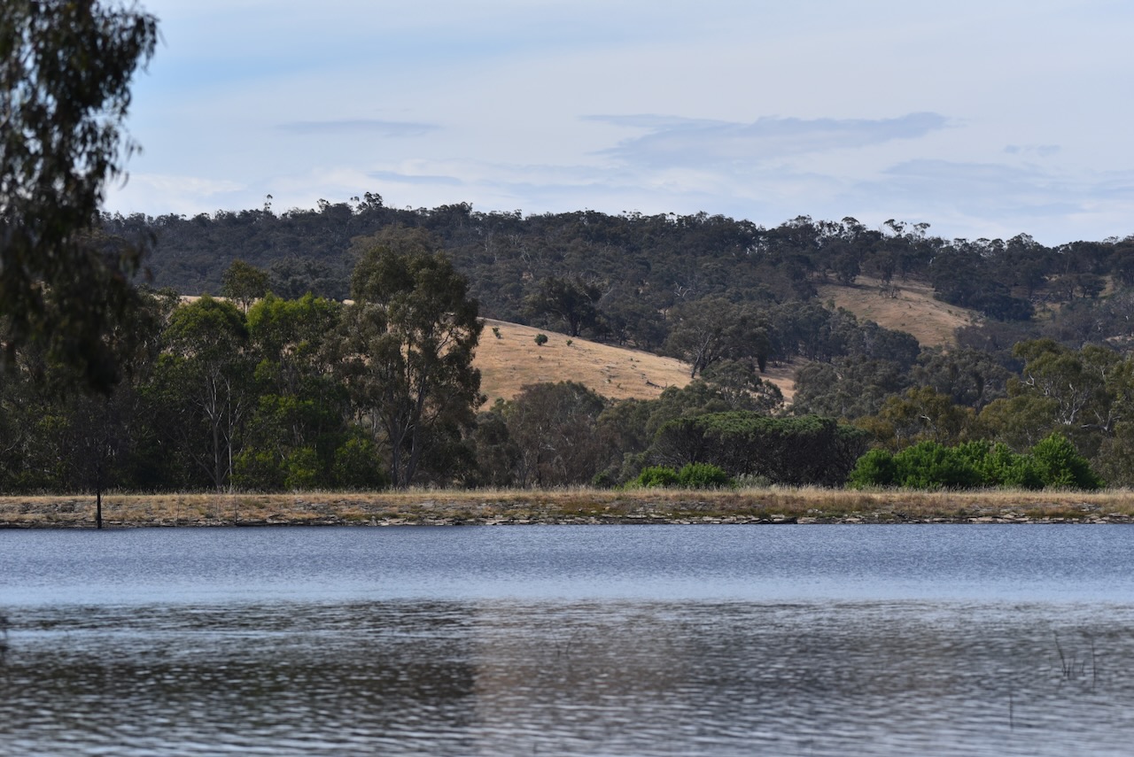
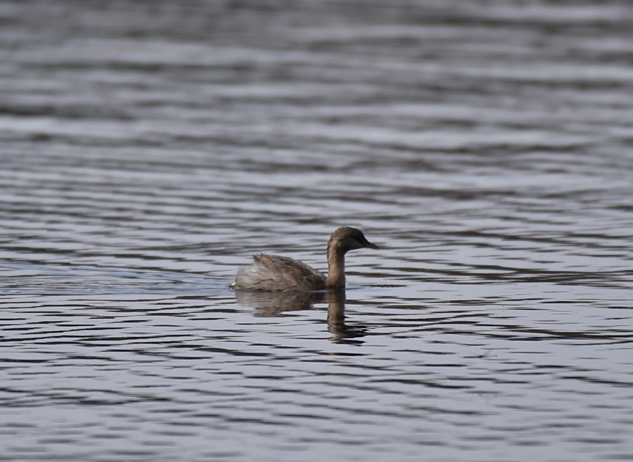
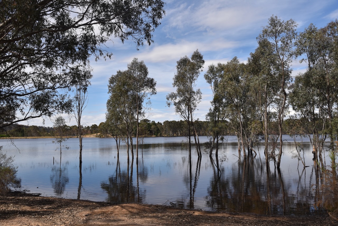
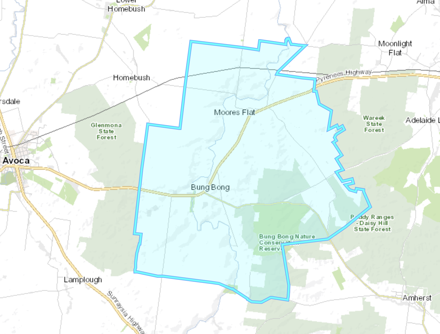
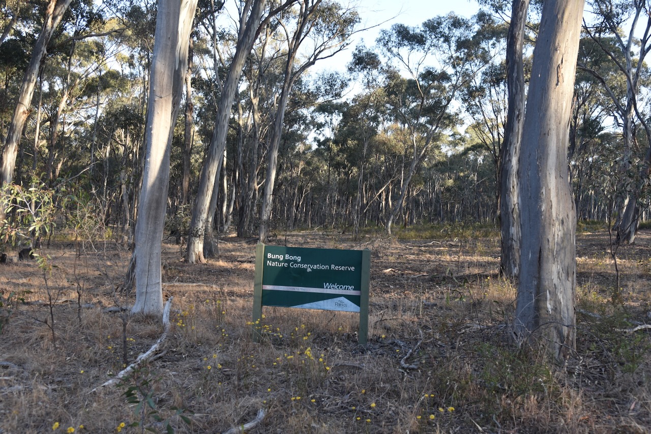
We headed a short distance down the road to the Bung Bong Nature Conservation Reserve VKFF-2056. Access was not an issue here.

Above:- An aerial view of the Bung Bong Nature Conservation Reserve. Image c/o Google Earth.
Bung Bong is a Parish in Victoria. Depending on what source you read, Bung Bong is an aboriginal word meaning creek, swamp, or swamp grass. (Blake 1978) (Healy 1997) (Map Share Vic 2024)
The Bung Bong Post Office opened on the 1st day of February 1864 and closed in 1961. (Post Office List 2005)
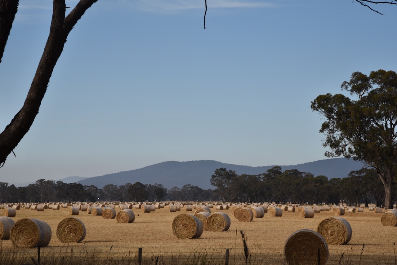
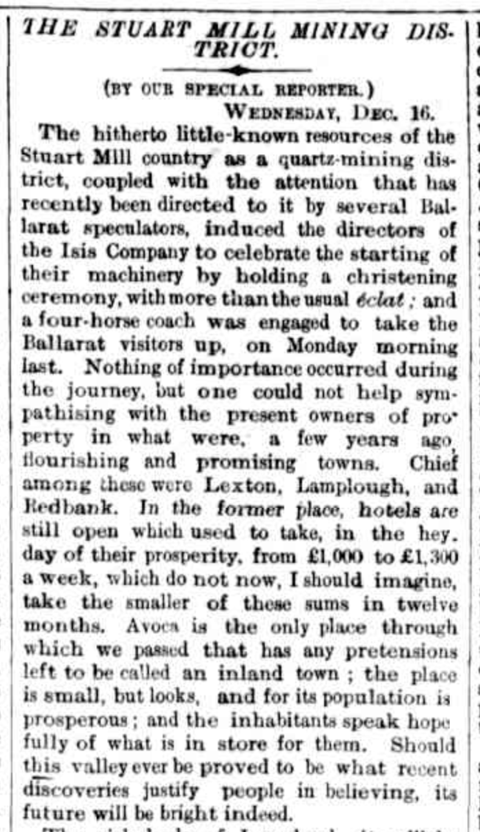
In July 1878 the Bung Bong Farmers’ Club held their first “ploughing match”. The Australasian date Saturday 13th July 1878 stated that there were 12 entries in the senior class and 6 entries in the junior class. The land was described as ”’virgin soil, of a rich chocolate colour.” (Trove 2024)

Above:- Article from The Australasian, Sat 13 Jul 1878. Image c/o Trove.
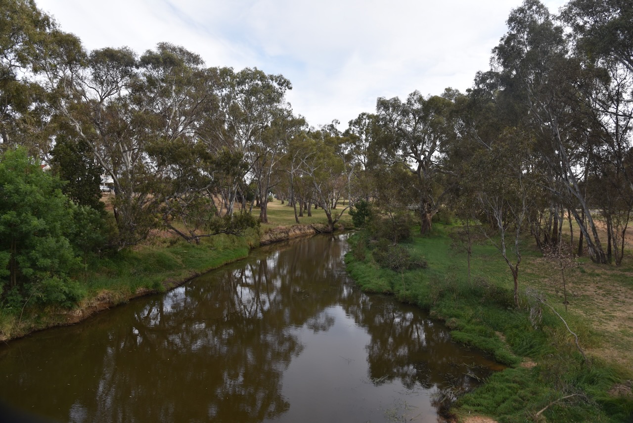
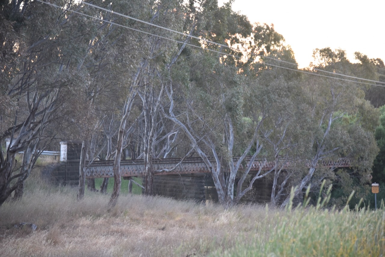
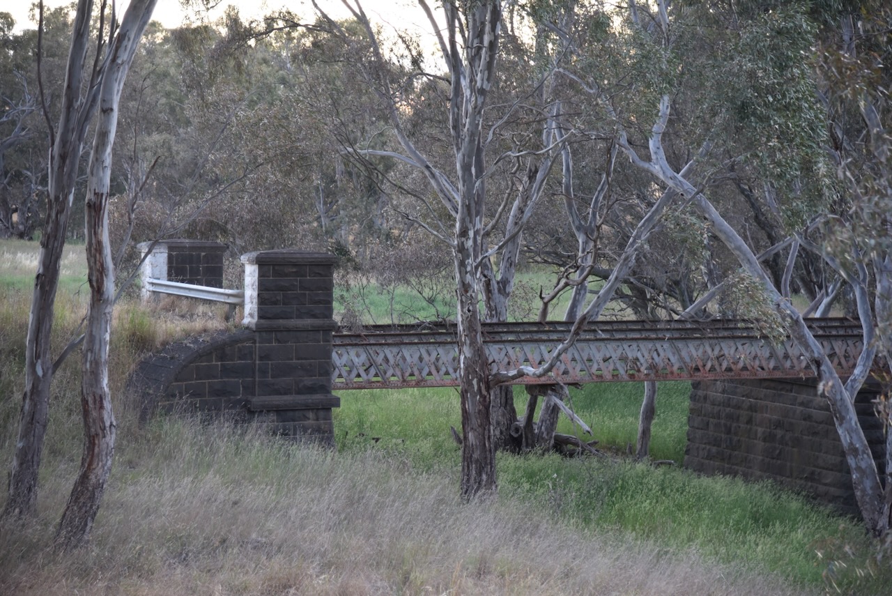
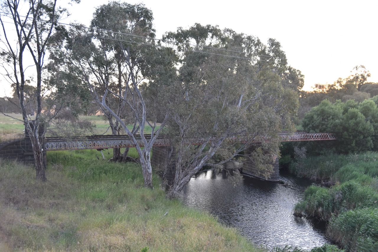
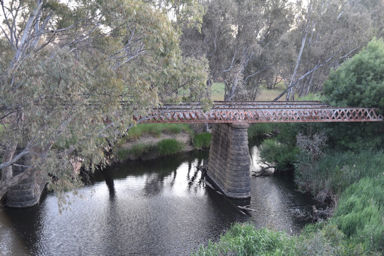
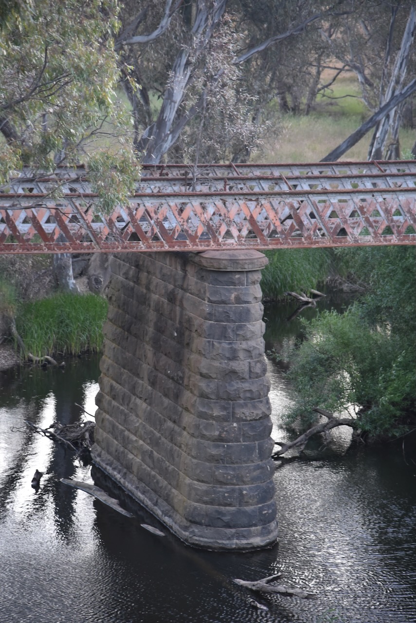
We stopped to view the old Glenmona Bridge that was built over the Bet Bet Creek in 1871. It was constructed to replace a wooden bridge that was destroyed by floods in 1870. (Aust Heritage Database 2024) (The Flood 1870)
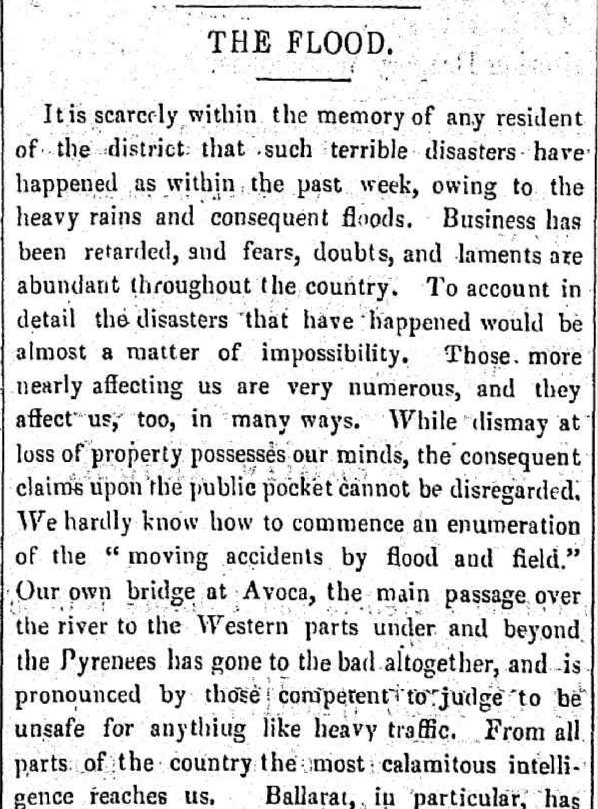
Above:- portion of an article from The Avoca Mail, Sat 10 Sep 1870. Image c/o Trove.
The bridge is of metal truss construction with bluestone abutments and piers. It is the third oldest of its type in Victoria. In January 1985 a bushfire destroyed the timber deck and handrails. (Aust Heritage Database 2024)
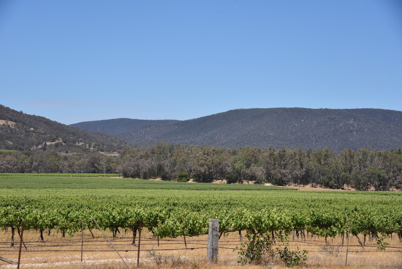
The name Bet Bet is an aboriginal word meaning place of red ochre. The Bet Bet Creek is about 88 km in length. It starts below Ben Major near the town of Lexton, and flows into the Loddon River at the Laanecoorie Reservoir. (Victorian Places 2024)

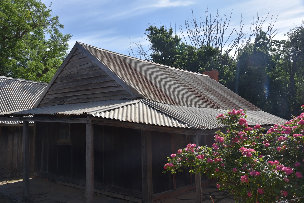
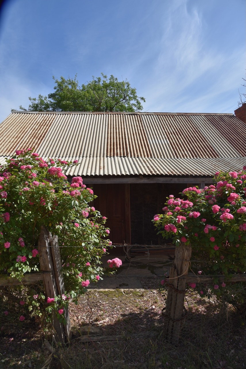
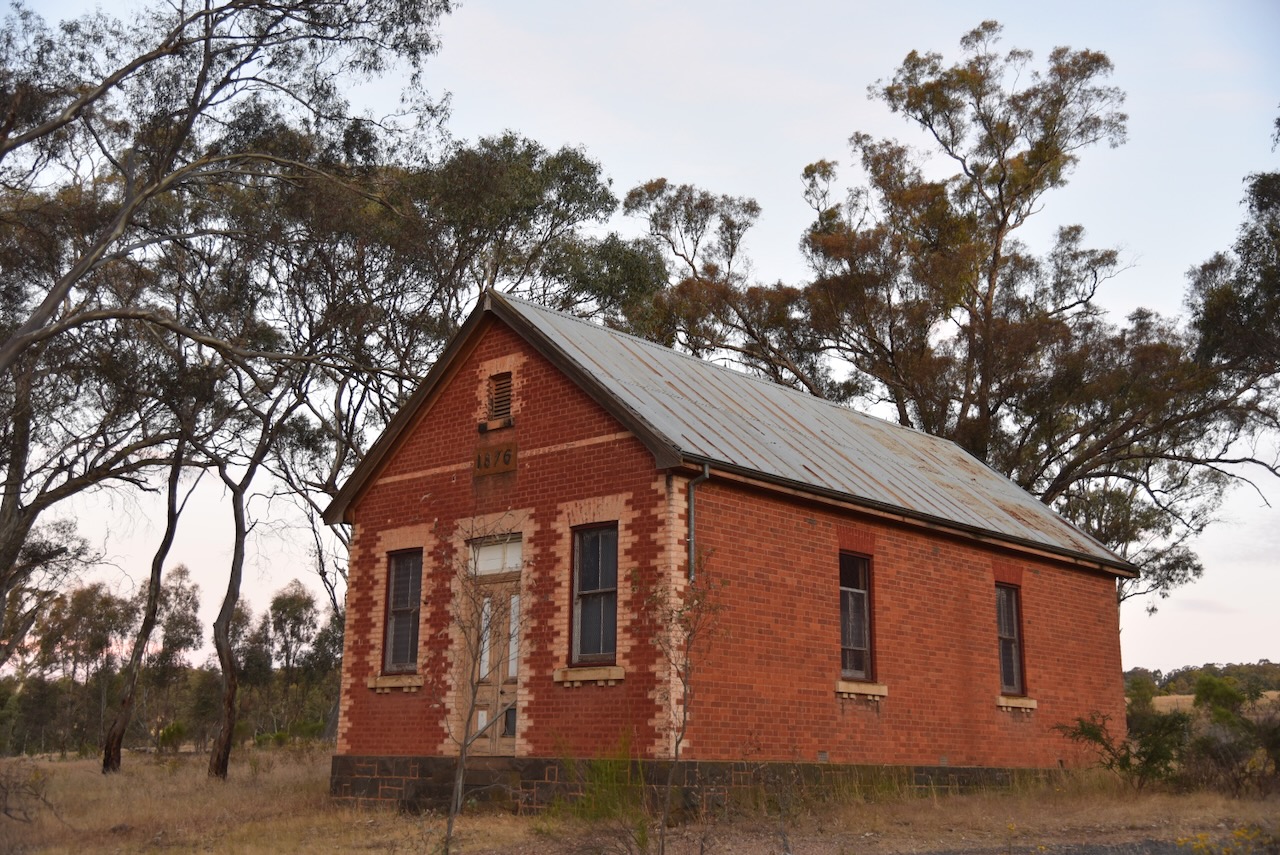
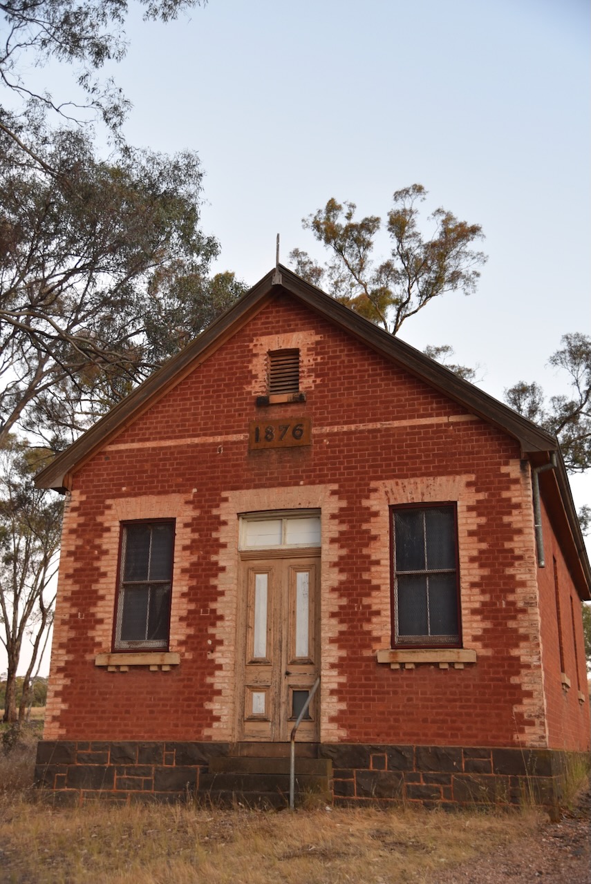
Also at Bung Bong is the Temperance Hall/Church of England which was built in 1876. It was established by the Independent Order of Rechabites on land donated by Mr. Miller and was used for community activities including meetings of the Bung Bong Farmers Club. The hall was later used as the Bung Bong Church of England. (Aust Christian Heritage 2021)
Below is part of an article from The Avoca Mail in August 1878 describing an event held at the ‘handsome Temperance Hall.’ (Bung Bong Farmers Club 1878)
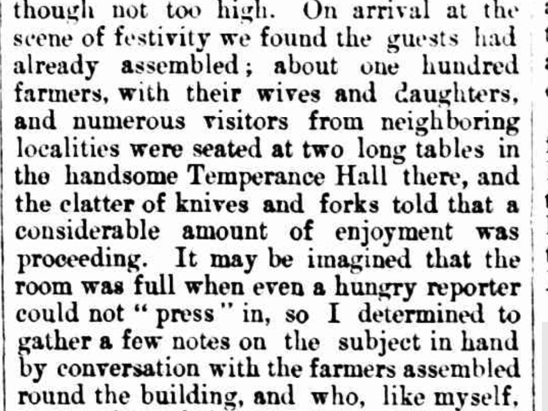
Above: portion of an article from The Avoca Mail, Fri 16 Aug 1878. Image c/o Trove.
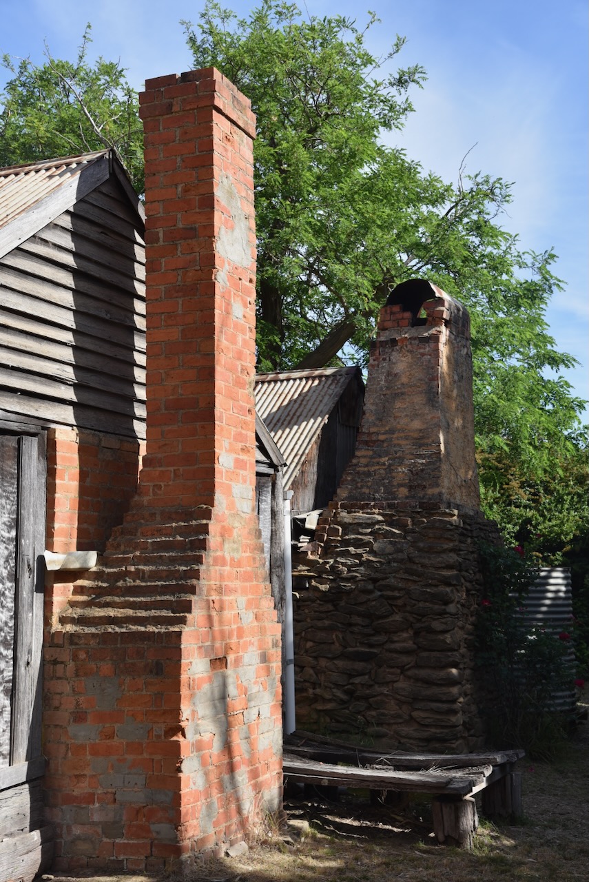
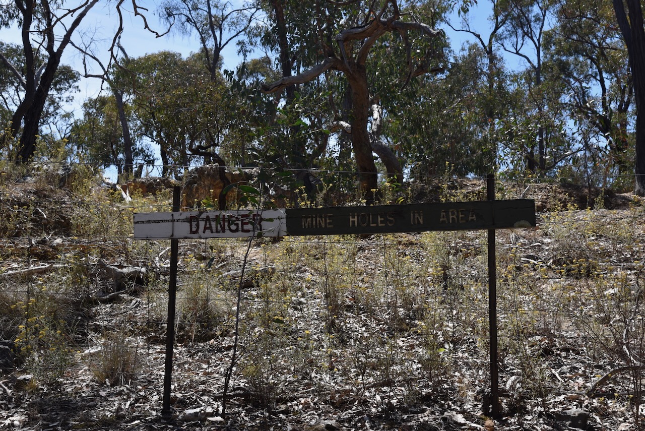
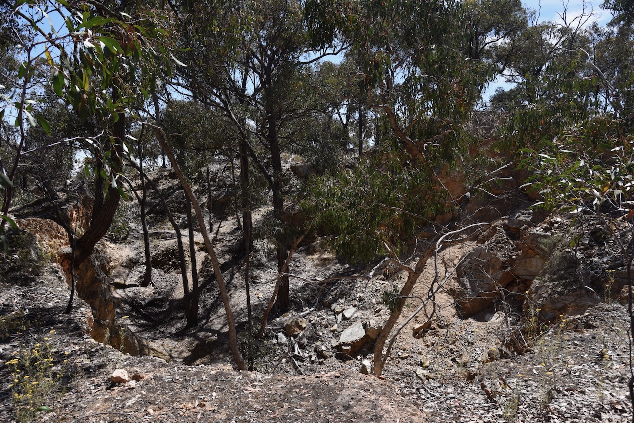
The Bung Bong district has suffered from significant bushfires over the years : 1880, 1881, 1985, and the Black Saturday bushfires in 2009.

Above:- portion of an article from The Argus, Melbourne, Thu 30 Dec 1880. Image c/o Trove.
One of those fires was in January 1985, when fire ravaged the area. The total area burnt was about 50,800 hectares. Sadly, three people were killed as a result of the fire. Over 180 houses, 500 farms and 46,000 livestock were destroyed. (The Avoca Fire 1985)
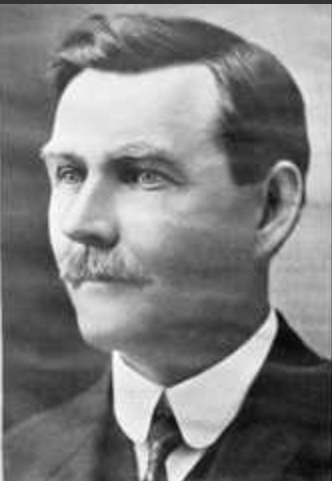
The well-known Bung Bong horse Richmond Lass died in the fire at Richmond Park. Richmond Lass won 31 races as a harness racer and also won the 1969 Inter Dominion Pacing Championship. (Wikipedia 2024)

Above:- Richmond Lass winning the 1969 Inter Dominion Pacing Championship. Image c/o NationalLitchfield, Wikipedia.
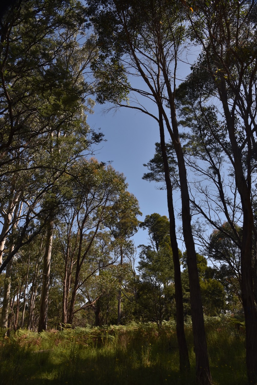
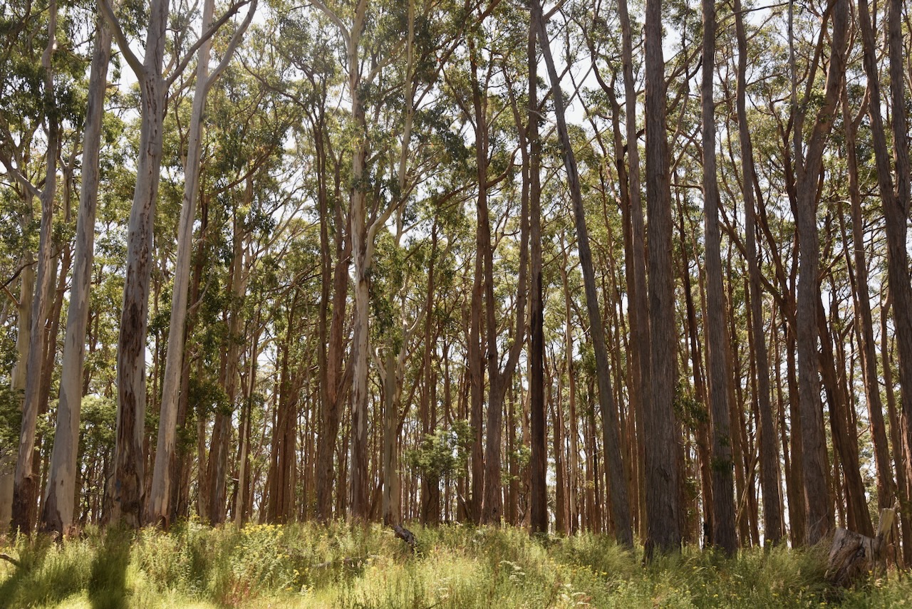
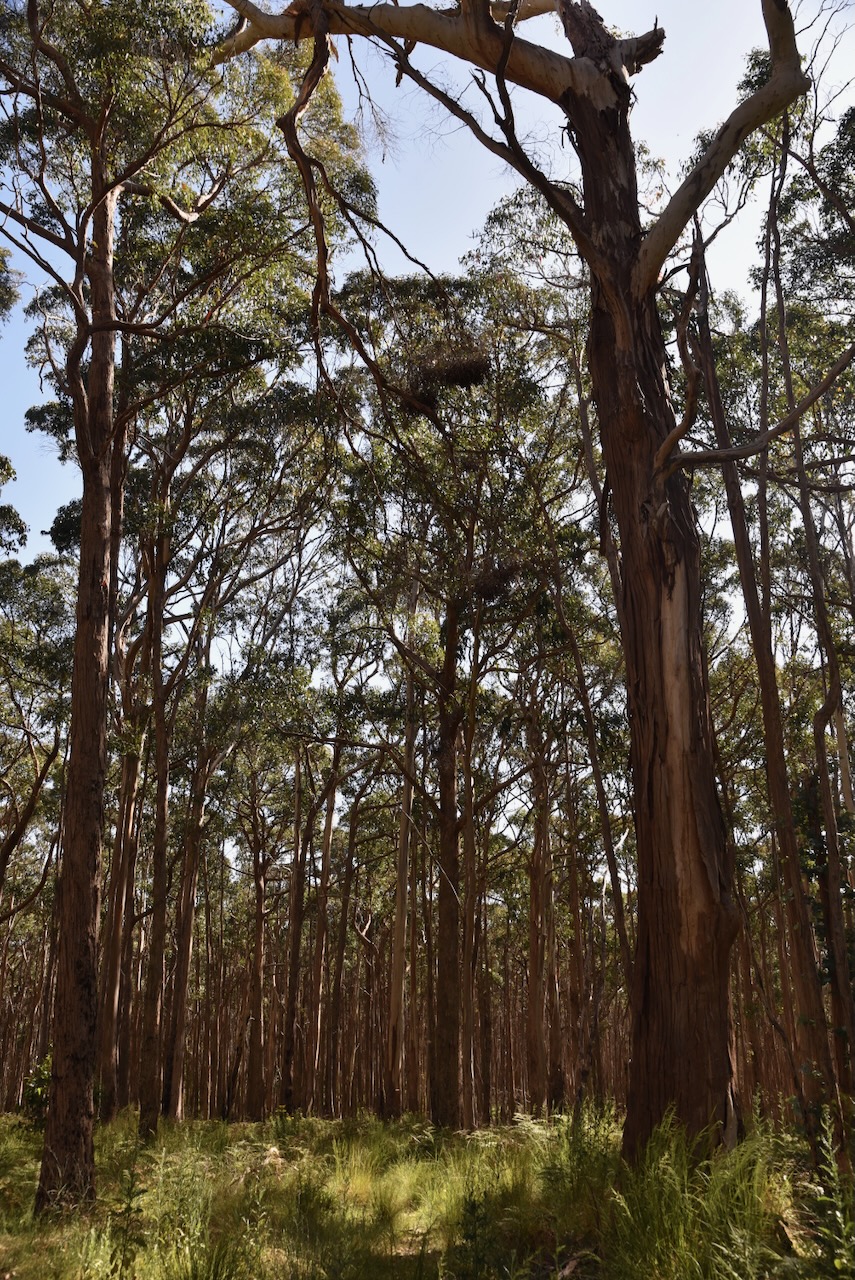
The Bung Bong Nature Conservation Reserve is about 420 hectares in size and was established on the 26th day of February 2002. (CAPAD 2022)
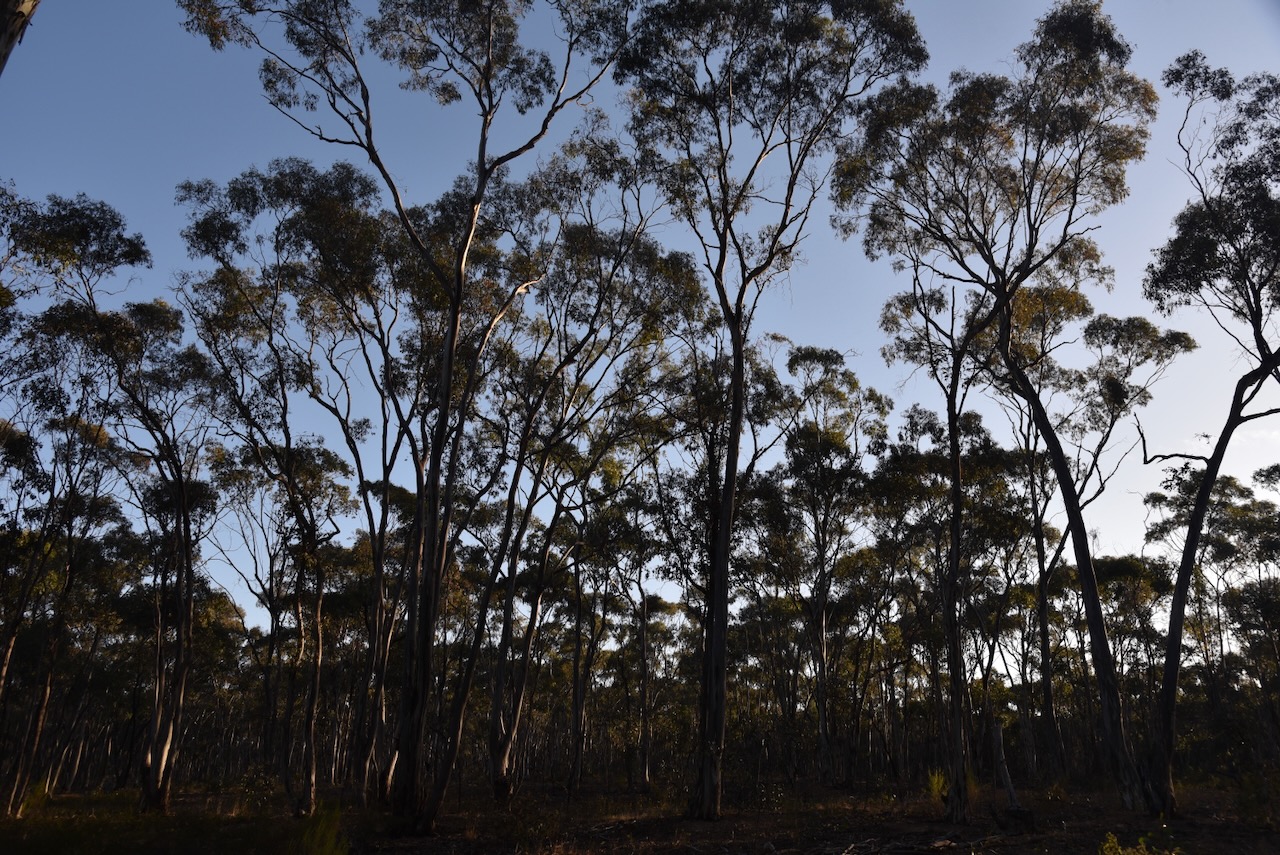
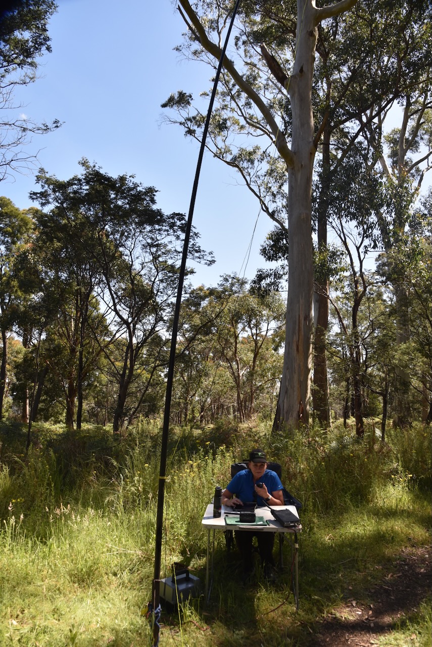
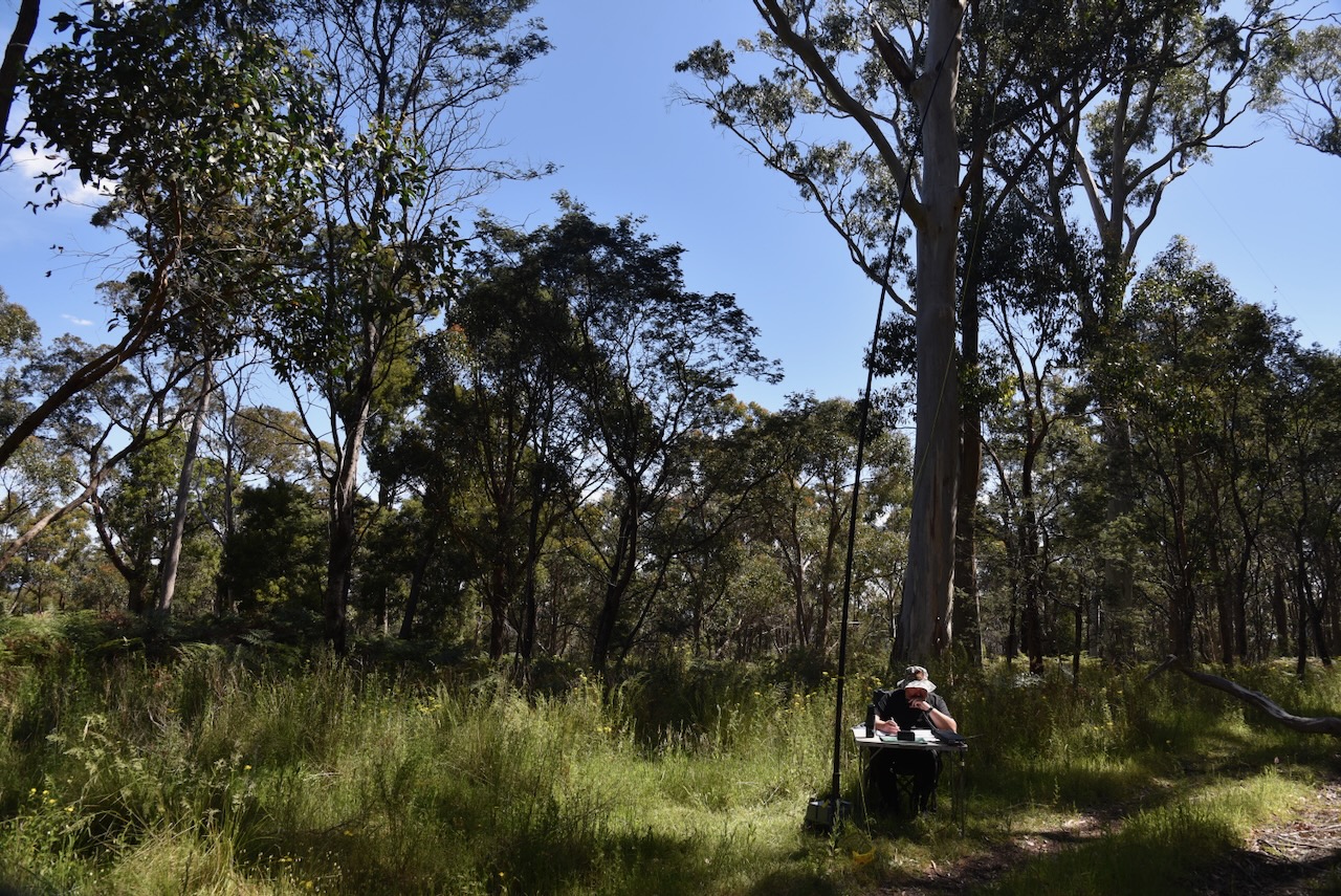
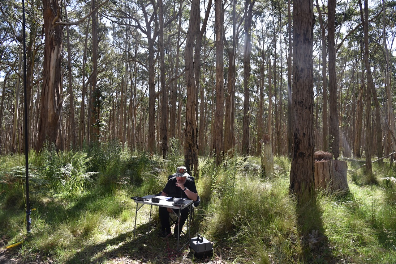
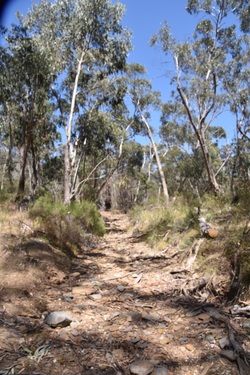
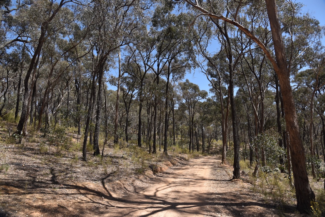
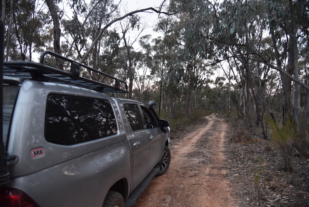
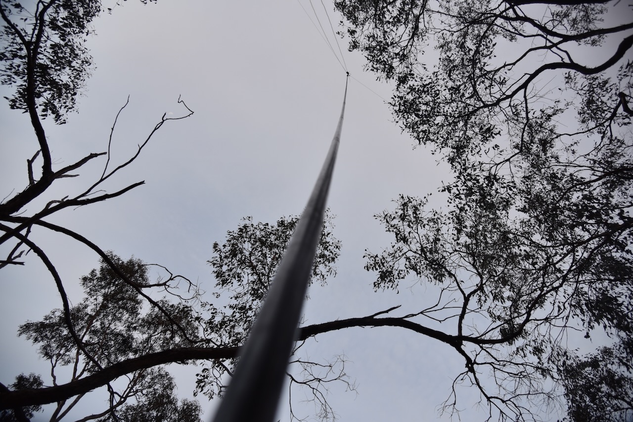
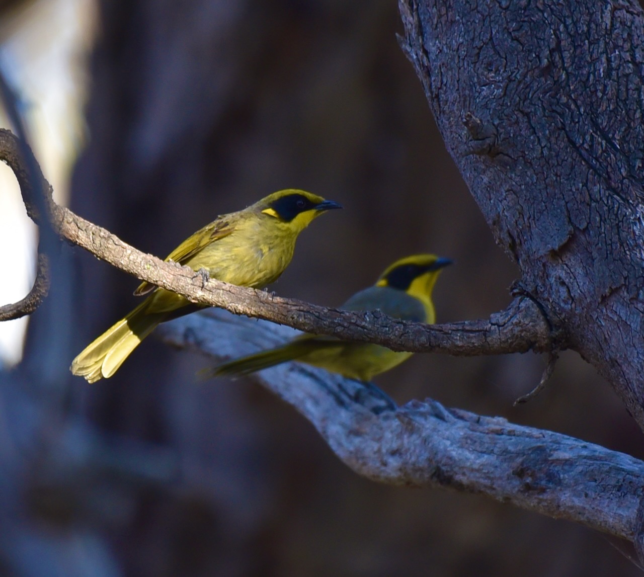
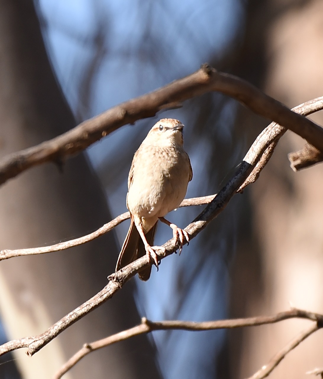
We accessed the park via a 4WD track running off Avoca Road. we ran the Yaesu FT857, 40 watts, and the 20/40/80m linked dipole for this activation. I used the special event callsign of VI10VKFF.
Marija worked the following stations on 40m SSB:-
- VK2IO/p (Bullen Range Nature Reserve VKFF-0984)
- VK3PF
- VK3KAI
- VK4SMA
- VK3APJ
- VK3VIN
- Vk2EG
- VK3YV
- VK3TNL
- VK3ZSC
- VK2PBC
I worked the following stations on 40m SSB:-
- VK2IO/p (Bullen Range Nature Reserve VKFF-0984)
- VK3PF
- VK3KAI
- VK4SMA
- VK3APJ
- VK3VIN
- Vk2EG
- VK3YV
- VK3TNL
- VK3ZSC
- VK2PBC
- VK3ACL
- VK7AAE
- VK2MOE
- VK2YK
- VK5GA
- VK4NH
- VK4DXA
- VK3CA
- VK3EJ
- VK5IS
- VK5GY
- VK5DW
- VK3SX
I worked the following stations on 80m SSB:-
- VK3PF
- VK3KAI
- VK2EXA
- VK3CA
We packed up and headed off to our final activation for the day, the Porcupine Bushland Reserve.
References.
- Aussie Towns. (n.d.). Avoca, VIC. [online] Available at: https://www.aussietowns.com.au/town/avoca-vic. [Accessed 6 Mar. 2024].
- Beechworth. (n.d.). Chinese Burning Towers. [online] Available at: https://www.explorebeechworth.com.au/listing/chinese-burning-towers-beechworth/. [Accessed 6 Mar. 2024].
- Dcceew.gov.au. (2023). Collaborative Australian Protected Areas Database (CAPAD) 2022 – DCCEEW. [online] Available at: https://www.dcceew.gov.au/environment/land/nrs/science/capad/2022 [Accessed 1 Mar. 2024].
- Design, U.W. (n.d.). Bung Bong Anglican Church – Former | Churches Australia. [online] http://www.churchesaustralia.org. Available at: https://www.churchesaustralia.org/list-of-churches/denominations/anglican/directory/3716-bung-bong-anglican-church-former [Accessed 6 Mar. 2024].
- Fire Management Branch, Department of Conservation and Environment, March 1985, The Avoca Fire 14 January 1985, Research Report No. 23
- Healy, C. (1997). From the ruins of colonialism : history as social memory. Cambridge: Cambridge University Press.
- knowledge.aidr.org.au. (n.d.). Bushfire – Central Victoria and Alpine Region, Victoria 1985 | Australian Disaster Resilience Knowledge Hub. [online] Available at: https://knowledge.aidr.org.au/resources/bushfire-central-victoria-and-alpine-region-victoria-1985/. [Accessed 6 Mar. 2024].
- Leslie James Blake, 1978, Place Names of Victoria.
- mapshare.vic.gov.au. (n.d.). MapShareVic. [online] Available at: https://mapshare.vic.gov.au/mapsharevic/. [Accessed 6 Mar. 2024].
- Phoenixauctions.com.au. (2022). Post Office List – Phoenix. [online] Available at: https://www.phoenixauctions.com.au/cgi-bin/wsPhoenix.sh/Viewpocdwrapper.p?SortBy=VIC&filter=. [Accessed 6 Mar. 2024].
- THE BUNG BONG FARMERS’ CLUB. (1878). Avoca Mail. [online] 16 Aug. Available at: https://trove.nla.gov.au/newspaper/article/201450195# [Accessed 6 Mar. 2024].
- THE FLOOD. (1870). Avoca Mail. [online] 10 Sep. Available at: https://trove.nla.gov.au/newspaper/article/202431361 [Accessed 6 Mar. 2024].
- Trove. (n.d.). The Australasian (Melbourne, Vic. : 1864 – 1946) – 13 Jul 1878 – p25. [online] Available at: https://trove.nla.gov.au/newspaper/page/15087176?searchTerm=bung%20bong [Accessed 6 Mar. 2024].
- Victorian Collections. (n.d.). Ceremony & Duty. [online] Available at: https://victoriancollections.net.au/stories/many-roads-stories-of-the-chinese-on-the-goldfields/ceremony-duty. [Accessed 6 Mar. 2024].
- VIR (2017). The Wise Family of Avoca, Victoria. [online] Available at: http://www.relativesmatter.com/2017/08/01/the-wise-family-of-avoca-victoria/ [Accessed 6 Mar. 2024].
- Wikipedia. (2023). Richmond Lass. [online] Available at: https://en.wikipedia.org/wiki/Richmond_Lass [Accessed 6 Mar. 2024].
- www.environment.gov.au. (n.d.). Australian Heritage Database. [online] Available at: https://www.environment.gov.au/cgi-bin/ahdb/search.pl?mode=place_detail. [Accessed 6 Mar. 2024].
- http://www.victorianplaces.com.au. (n.d.). Bet Bet and Shire | Victorian Places. [online] Available at: https://www.victorianplaces.com.au/bet-bet-and-shire [Accessed 6 Mar. 2024].