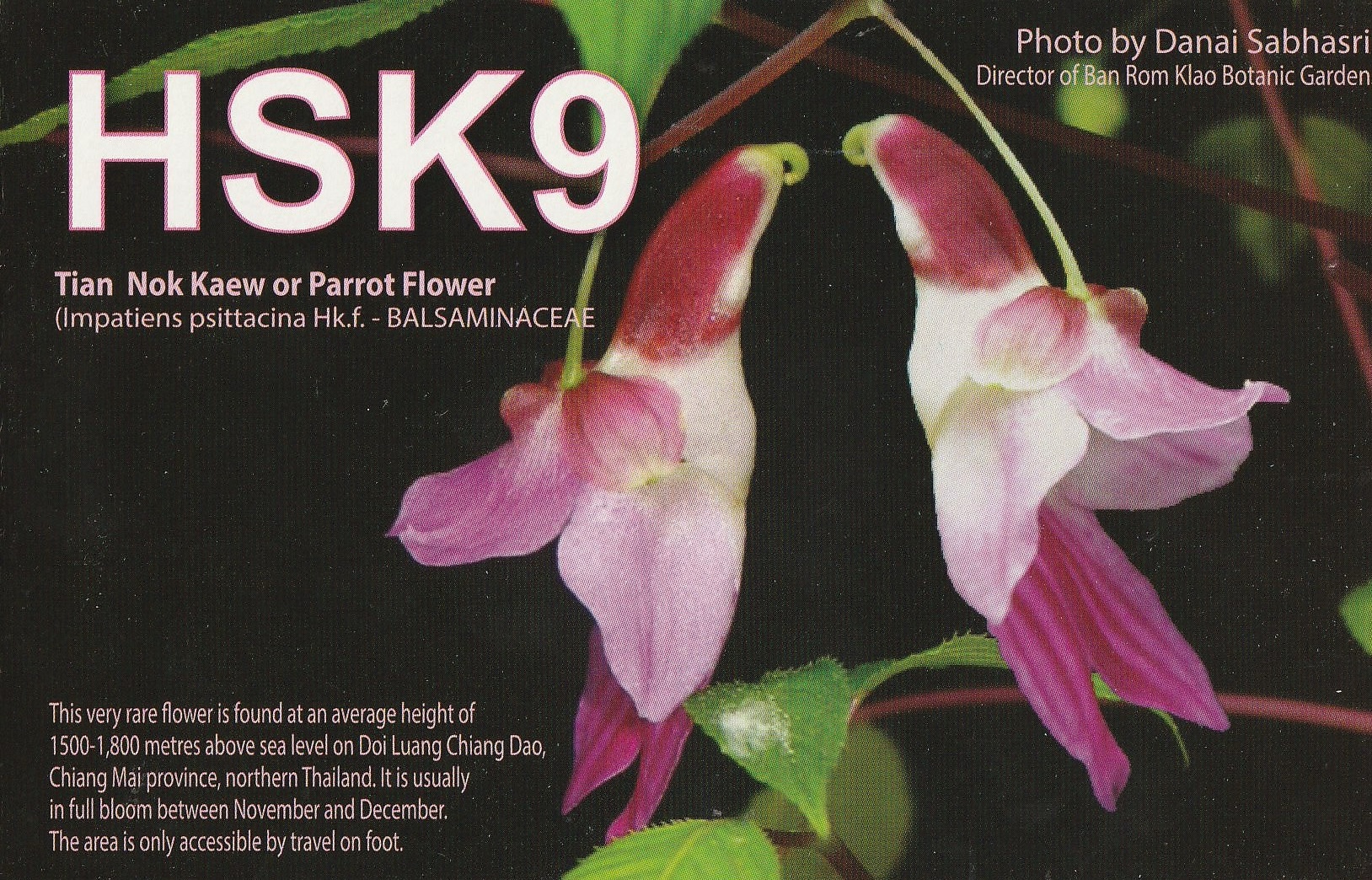
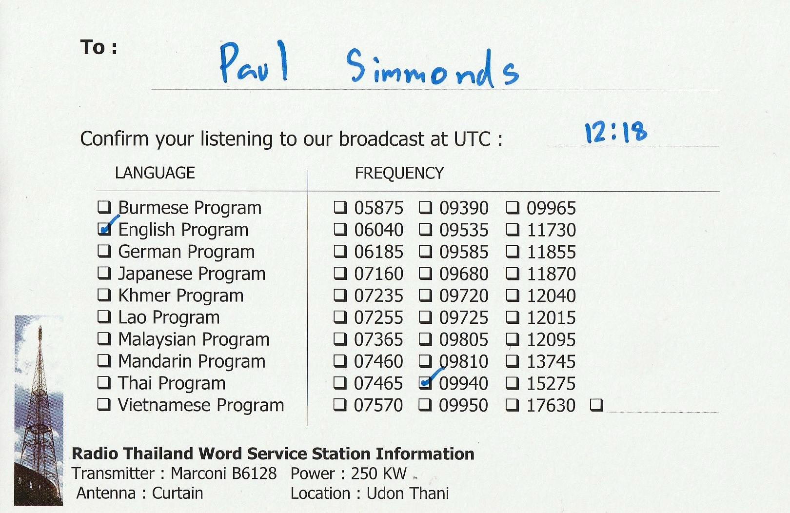
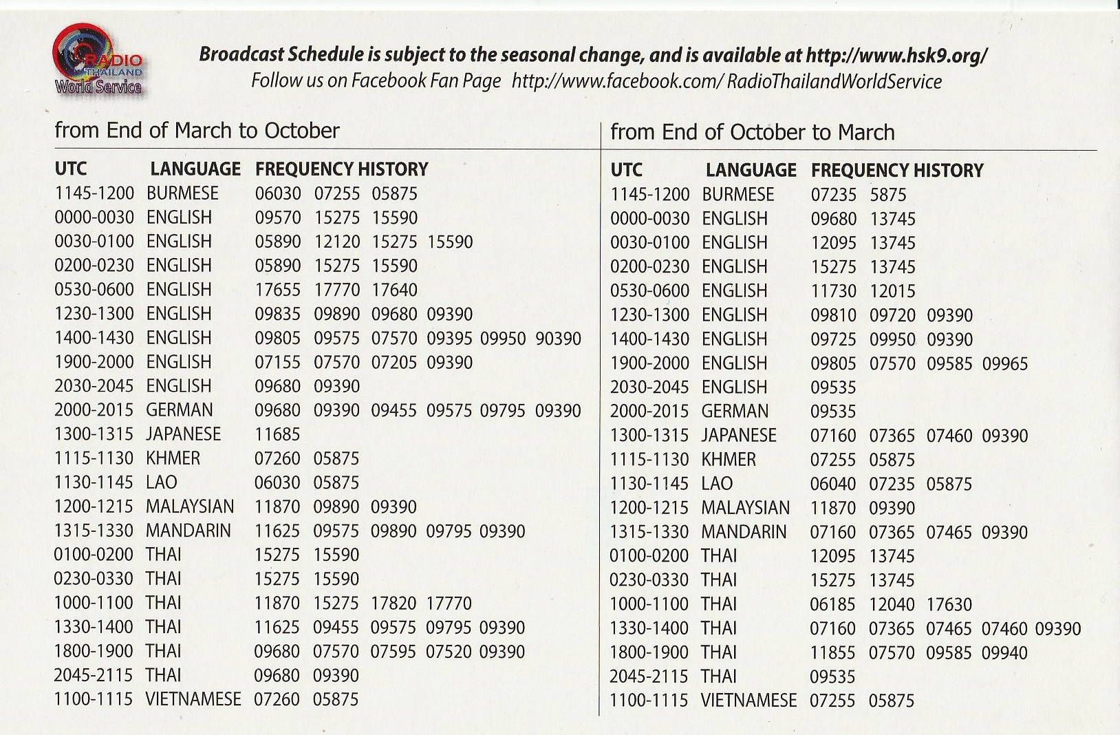
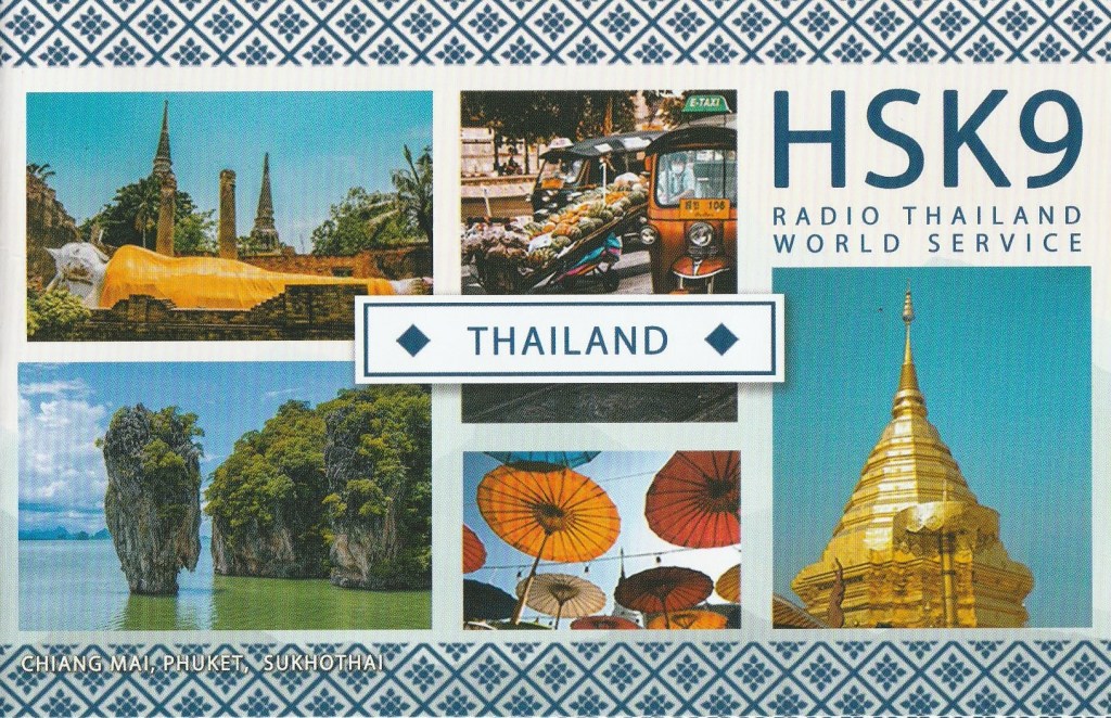
I received the QSL card below in the mail from Radio Thailand for my reception of their station on 9385 kHz on 6th August 2023.

Also included was a pad of stickers.

I received the QSL card below in the mail from Radio Thailand for my reception of their station on 9385 kHz on 6th August 2023.
Also included was a pad of stickers.
I received the QSL card below in the mail from Radio Thailand for my reception of their station on 9385 kHz on 6th August 2023.


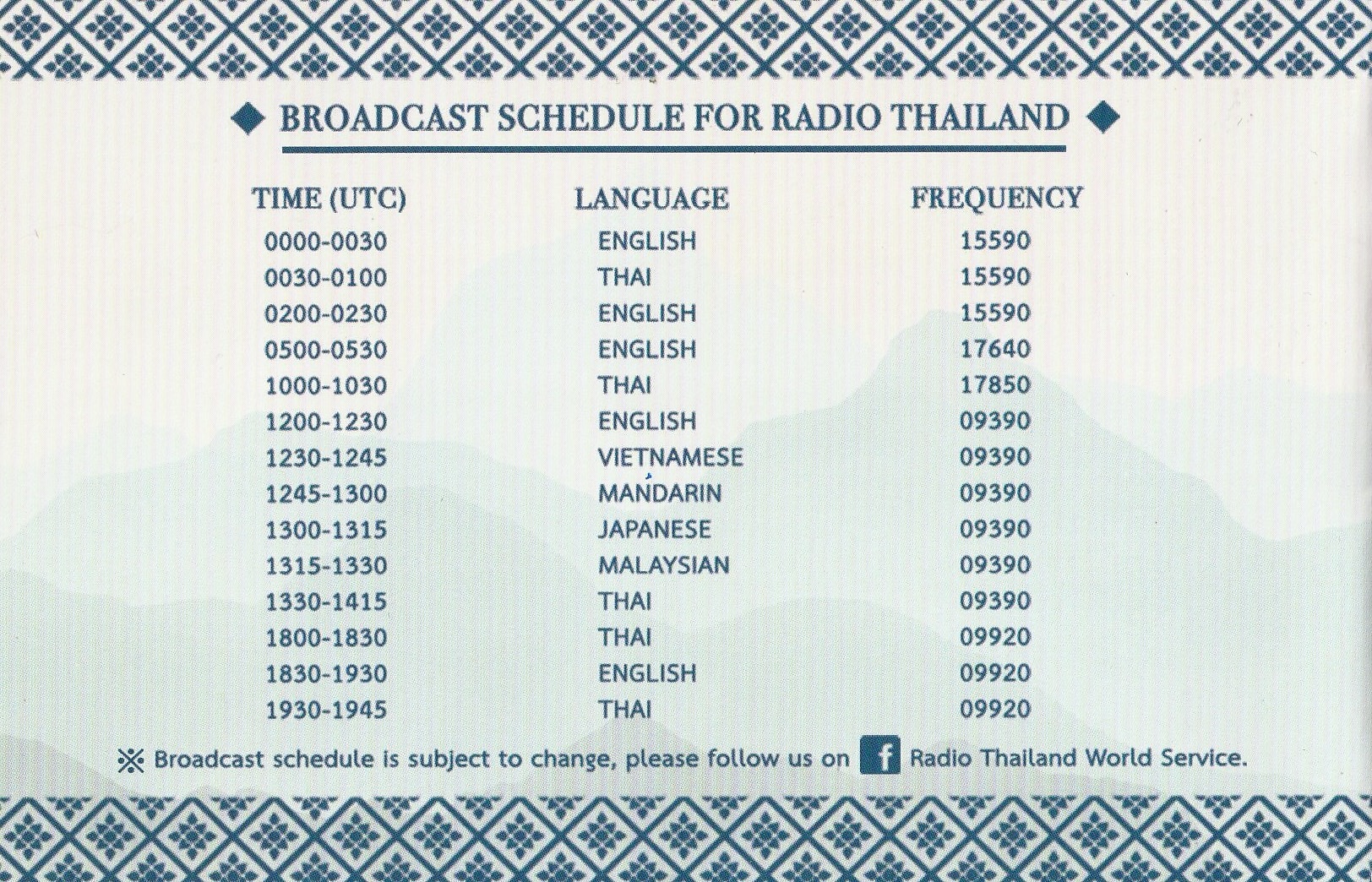
Also included were some stickers.
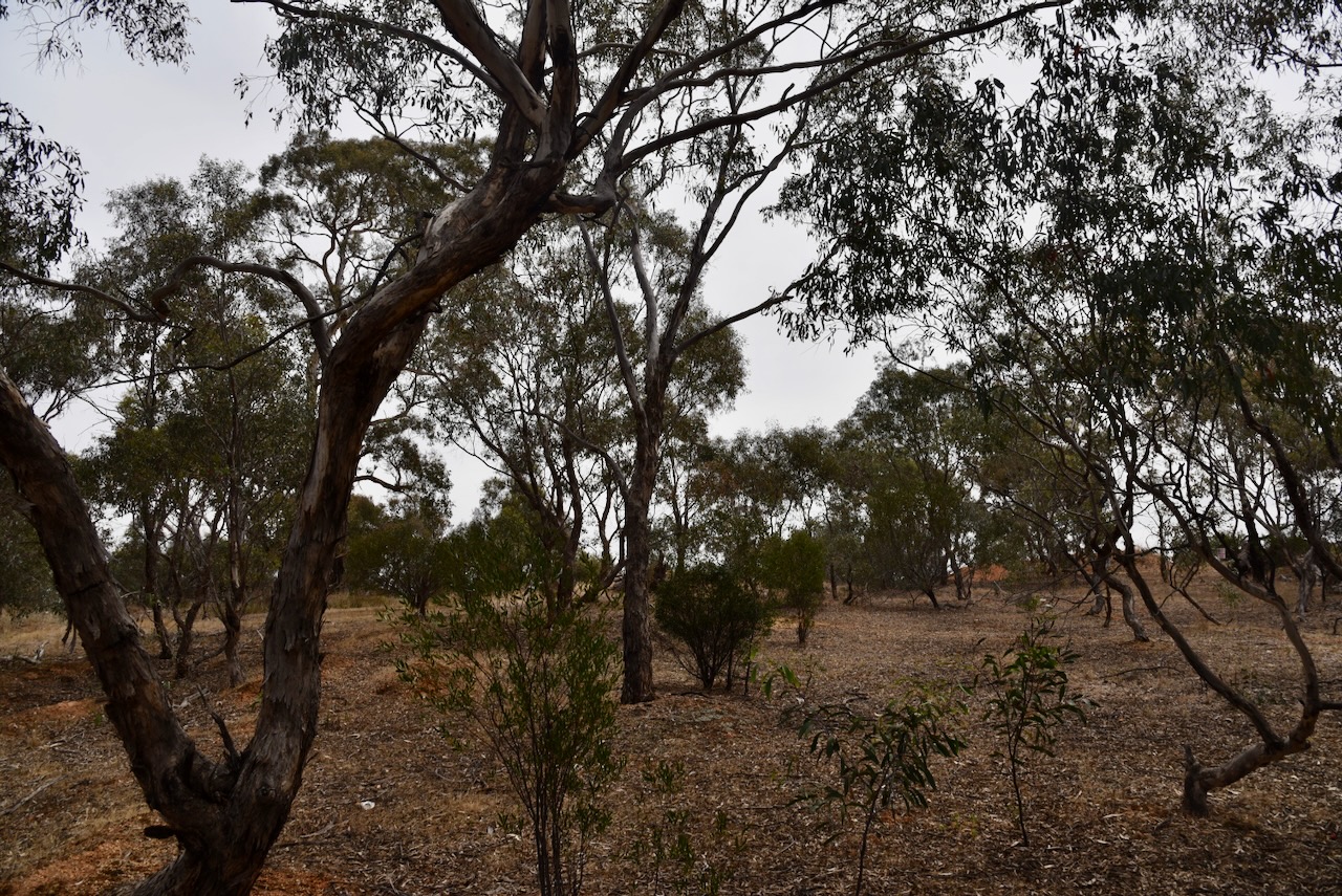
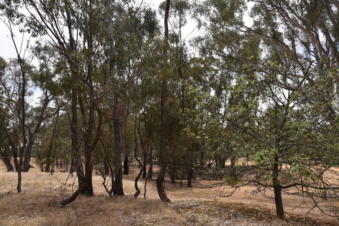
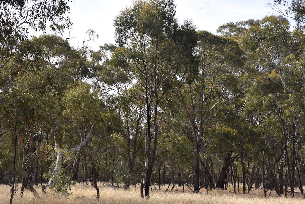
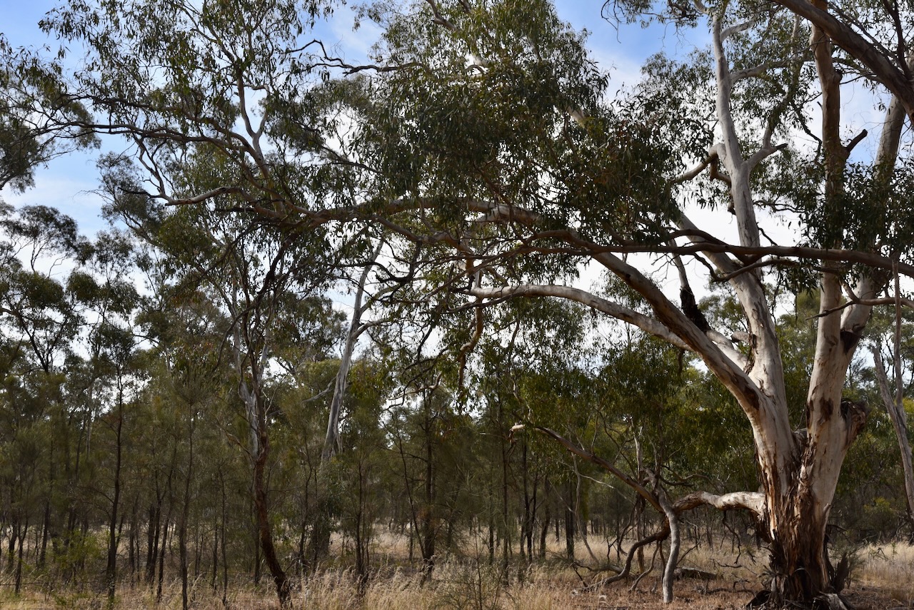
After leaving the Carapooee Creek Streamside Reserve, we drove a short distance to our next activation, the Carapooee I46 Bushland Reserve VKFF-4268. The park is about 11 km southeast of St Arnaud and about 236 km northwest of Melbourne.
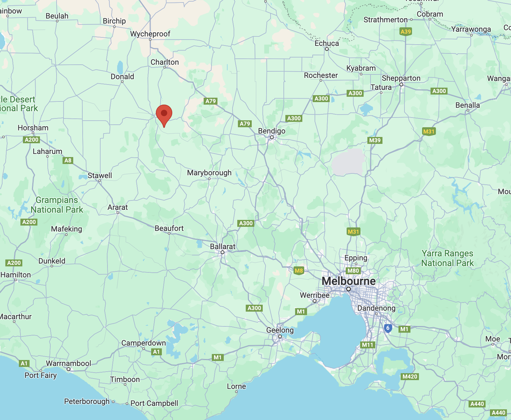
Above:- Map showing the location of the Carapooee I46 Bushland Reserve. Map c/o Google Maps.
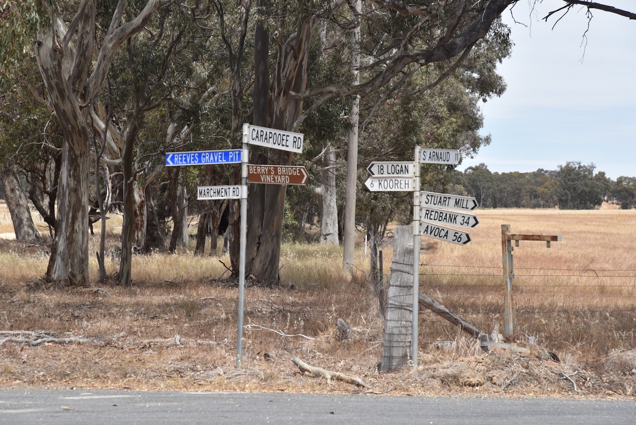
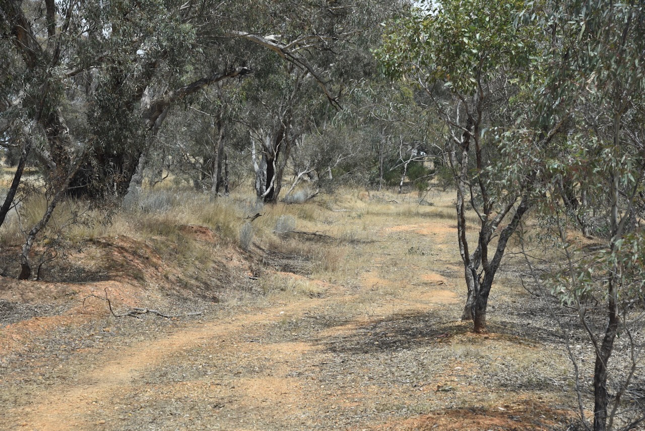
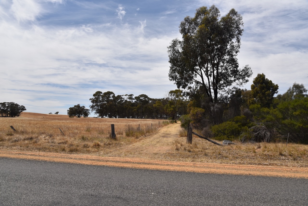
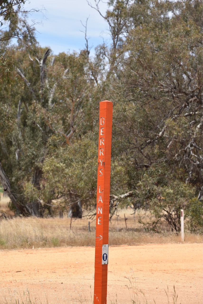
We drove south along Marchment Road and we soon reached the reserve.
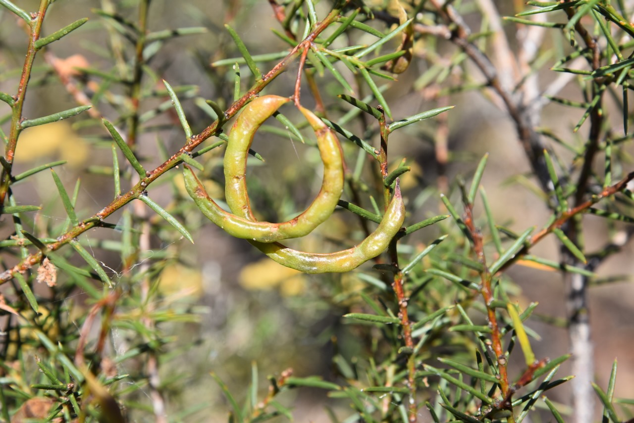
The Carapooee I46 Bushland Reserve is about 10 hectares in size and was established on the 24th day of August 1982. (CAPAD 2022)
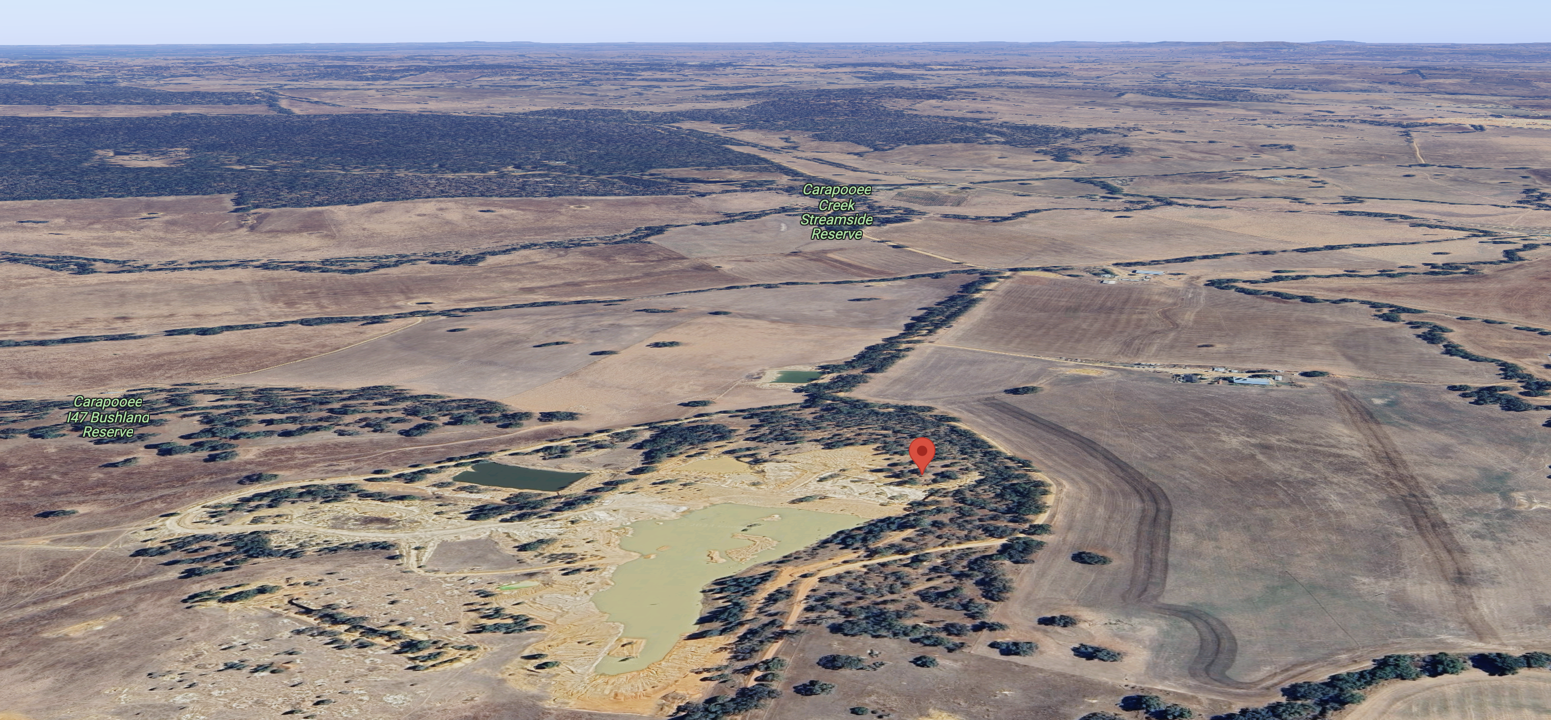
Above:- An aerial view of the reserve, also showing the Caropooee Creek Streamside Reserve and the Carapooe I47 Bushland Reserve. Image c/o Google Maps.
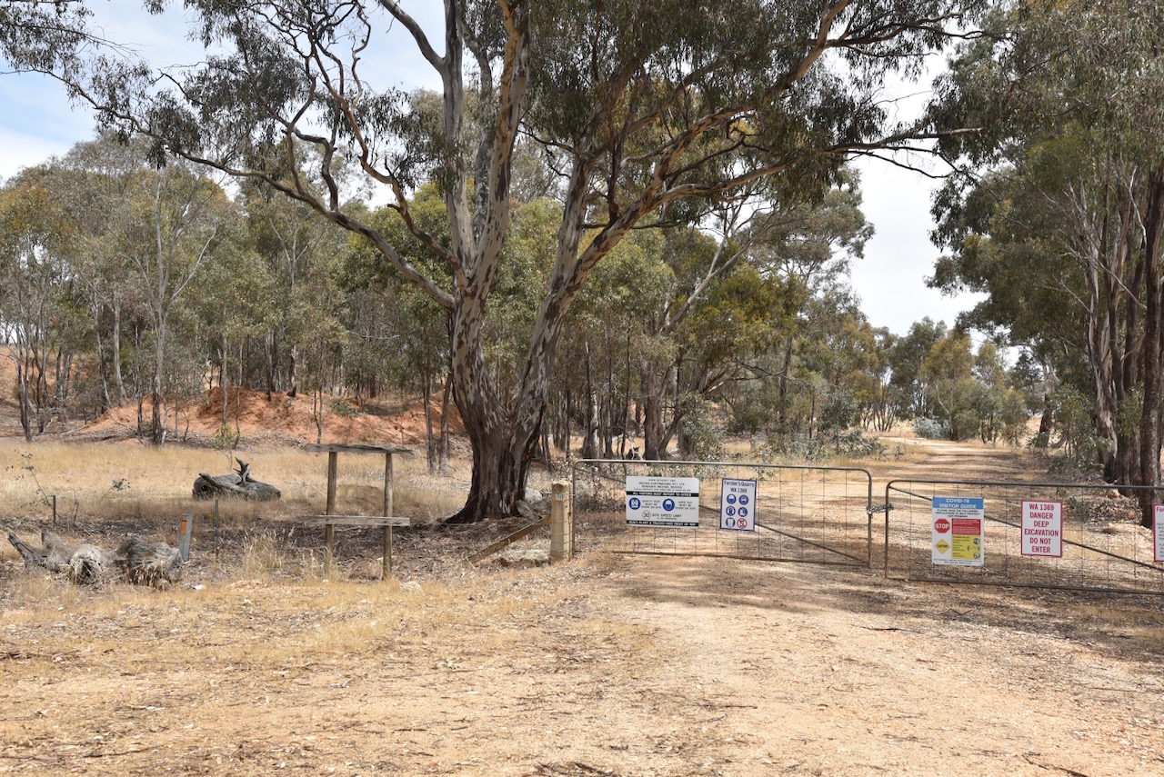
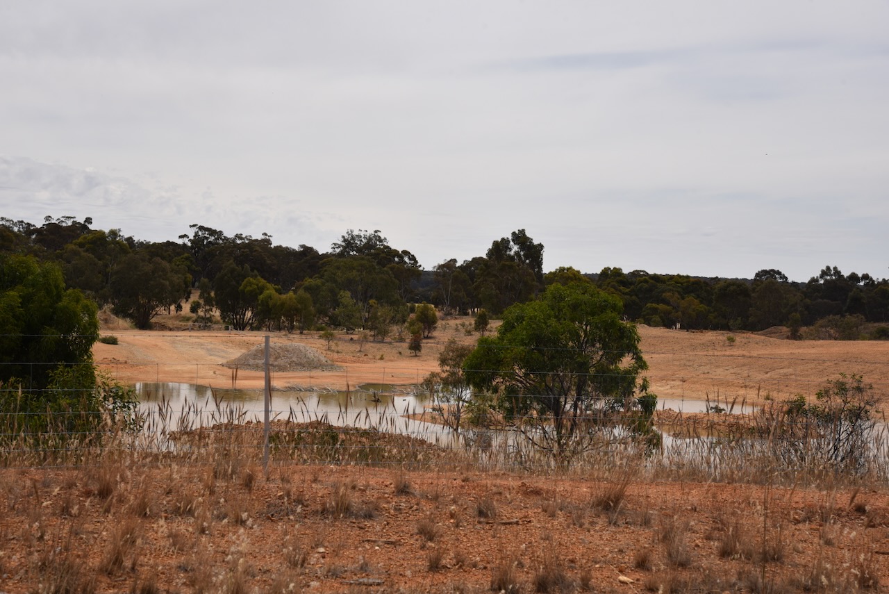
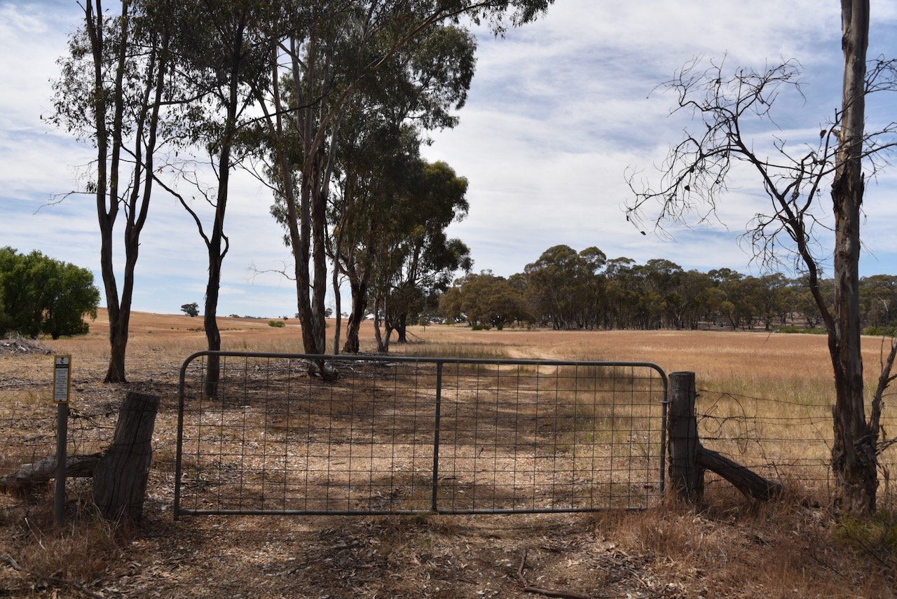
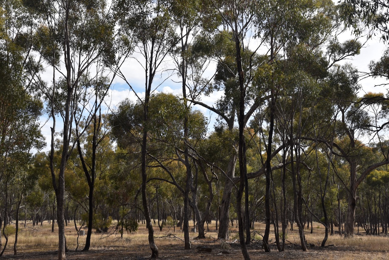
Initially, we thought that we may have some access issues into this park as we found a gate with a ‘Do not enter’ sign. This is a ‘strange’ park in that it contains Forster’s Quarry. Fortunately, we found a part of the park in the southern section, where we could drive in along a 4WD track.
We ran the Yaesu FT857, 40 watts, and the 20/40/80m linked dipole for this activation. I used the special event callsign of VI10VKFF.
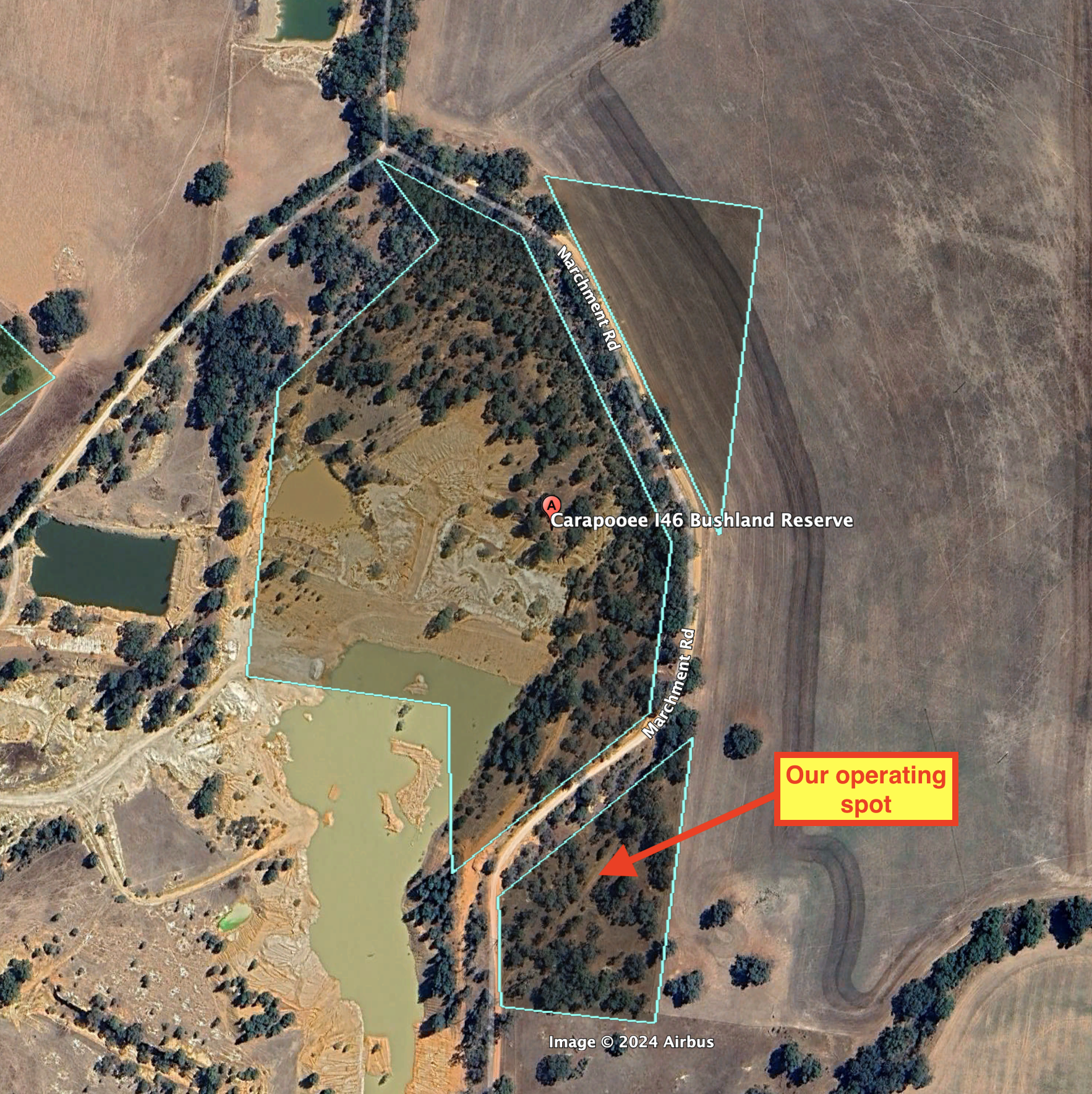
Above:- An aerial view of the reserve showing our operating spot. Image c/o Google Earth.
Marija worked the following stations on 40m SSB:-
I worked the following stations on 40m SSB:-
I worked the following stations on 20m SSB:-
References.
Our second Monday 20th November 2023 activation was the Carapooe Creek Streamside Reserve VKFF-3641. However, it was not our preferred option.
We had hoped to activate the Carapooee I48 Bushland Reserve. We found a dirt track leading to the reserve set off the road. However, we were unsure if this was private property so we decided not to venture down the track. A little further up Kooreh Road, we found an unlocked gate with a track that led to the park, but again we decided to err on the side of caution and not activate this park.
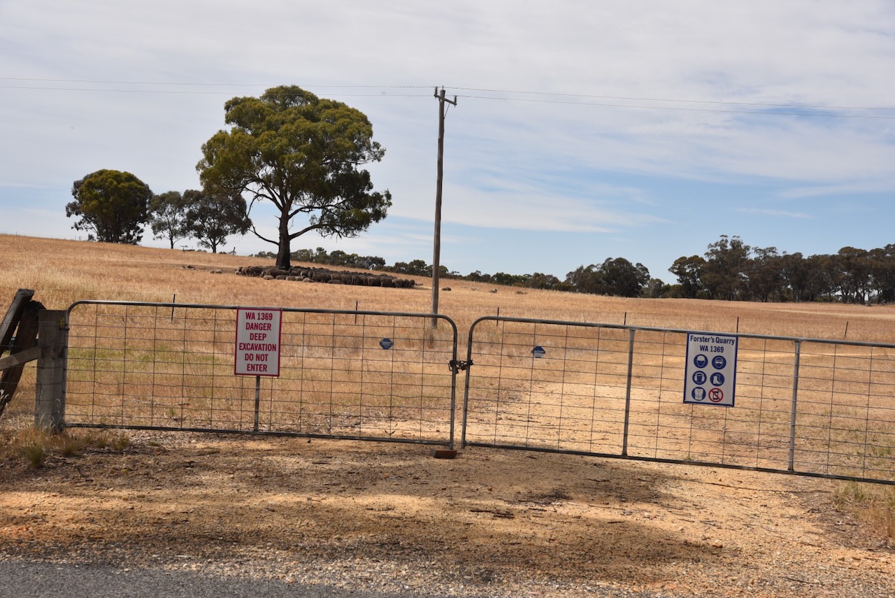
We drove a bit further north on Kooreh Road towards the Carapooee I47 Bushland Reserve which the maps showed was set off the road. Unfortunately, we found a locked gate with a ‘do not enter’ sign on it. Strike two. It was now time to review our options.
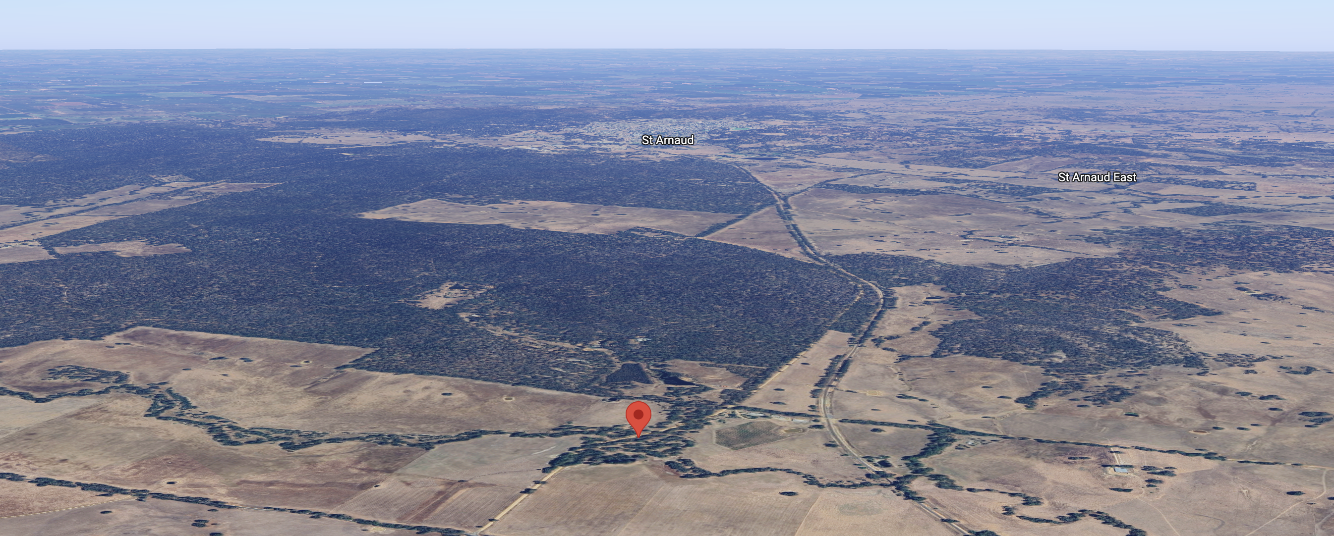
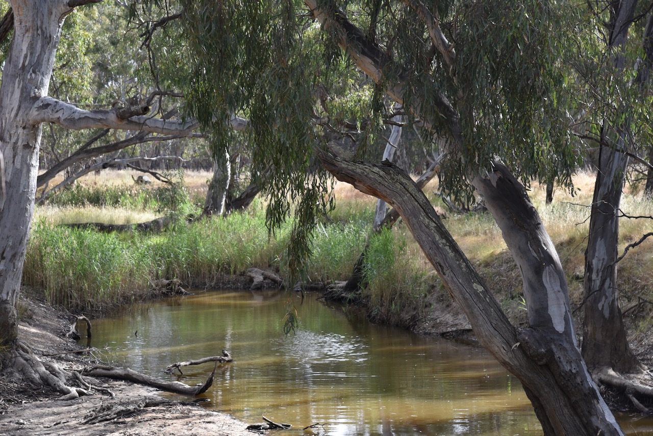
We decided to activate the Carapooe Creek Streamside Reserve. The park is located about 13 km southeast of St Arnaud and about 238 km northwest of Melbourne.
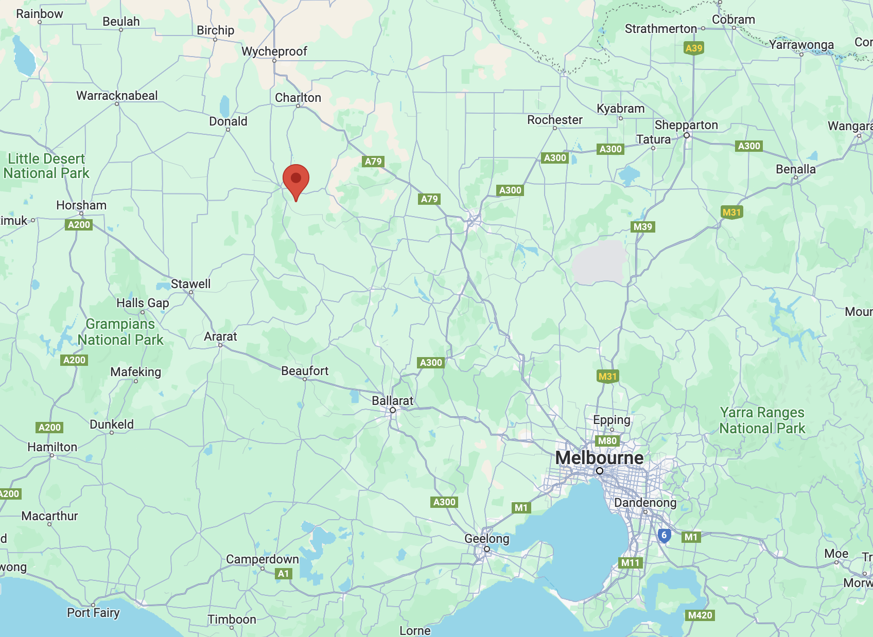
Above:- Map showing the location of the Carapooee Creak Streamside Reserve. Map c/o Google Maps.
The first European settlers in the area occupied the Strathfilan pastoral run which was taken up in 1844. Strathfillan comprised 106,000 acres. In 1857 the run came into the hands of David Peters @ Peter (b. 1819. d. 1881). He was born in February 1819 in Forfar, Angus, Scotland and emigrated to Victoria in 1842, aged 22 years. In 1858 gold was discovered in the area and the settlement that sprung up as a result was known as Peter’s Diggings. Between 1859 to 1860 there were 1,300 miners as Peter’s Diggings. (Victorian Places 2024) (Wikitree 2024)
Peters sold Strathfilan Station in 1861 for £14,940. He had benefited substantially from gold finds and had accumulated a small fortune from the sale of his various properties. In 1864 he travelled to Europe for 14 months to seek a cure for his gout. He returned to Australia in 1865 but by 1870 he and his family returned to Europe, travelling extensively and spending about £10,000 on living and accommodation expenses. He died in Germany in 1881. Following his death, his wife and family returned to Australia. (Wikitree 2024)
Bailliere’s Victorian gazetteer of 1865 recorded that Peter’s Creek had two quartz-crushing mills, three hotels, and a brewery. (Victorian Places 2024)
Above:- Article from the Bendigo Advertiser, Wed 9 Jun 1858. Image c/o Trove.
By the 1870s the area became known as Carapooee, named after the Parish. Carapooee is derived from an aboriginal word carripooi meaning hill. Carapooee was originally known as Peter’s Diggings. Carapooe Creek is a tributary of the Avoca River and was originally called Campbell’s Creek. (Blake 1978) (Victorian Places 2024)
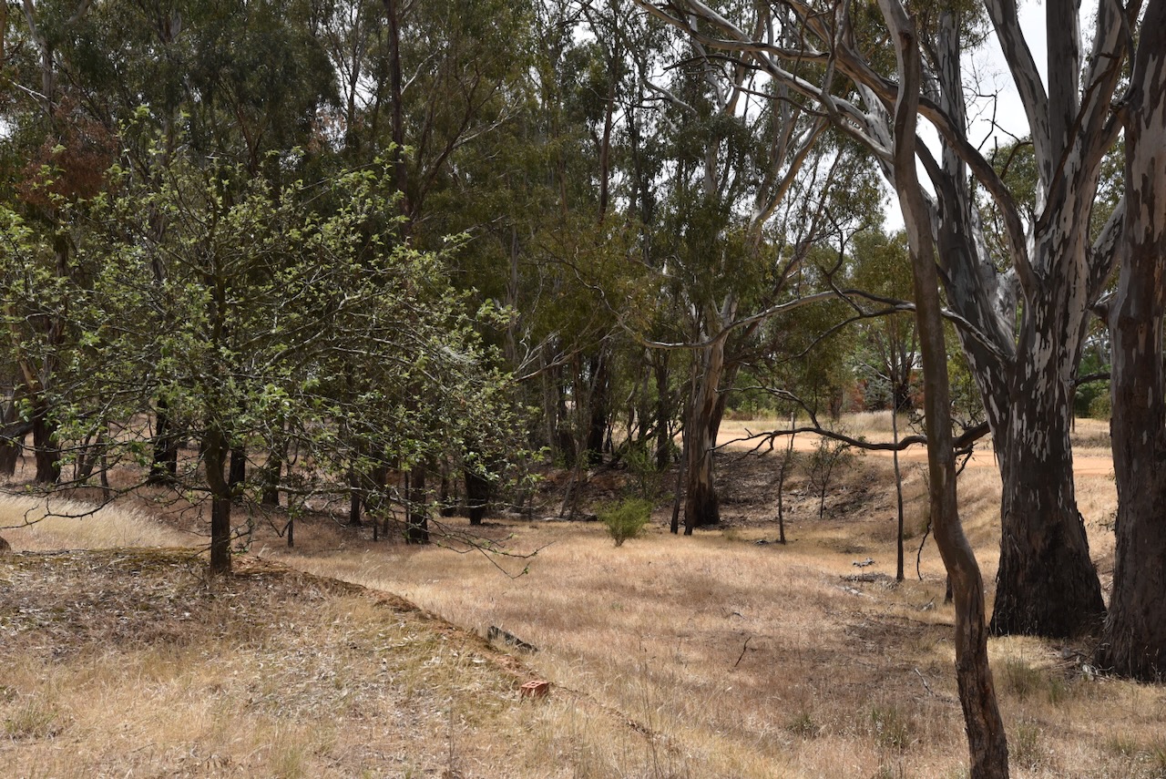
The Carapooee Streamside Reserve is about 9 hectares in size and was established on the 24th day of August 1982. (CAPAD 2022)
Above:- An aerial view of the reserve, looking towards St Arnaud. Image c/o Google Maps.
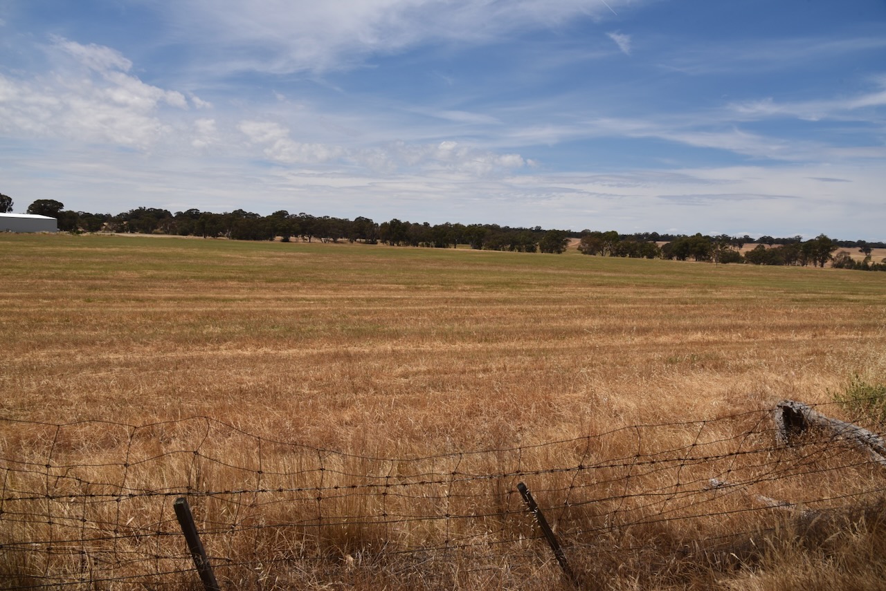
The reserve is located on either side of Carapooee Road.
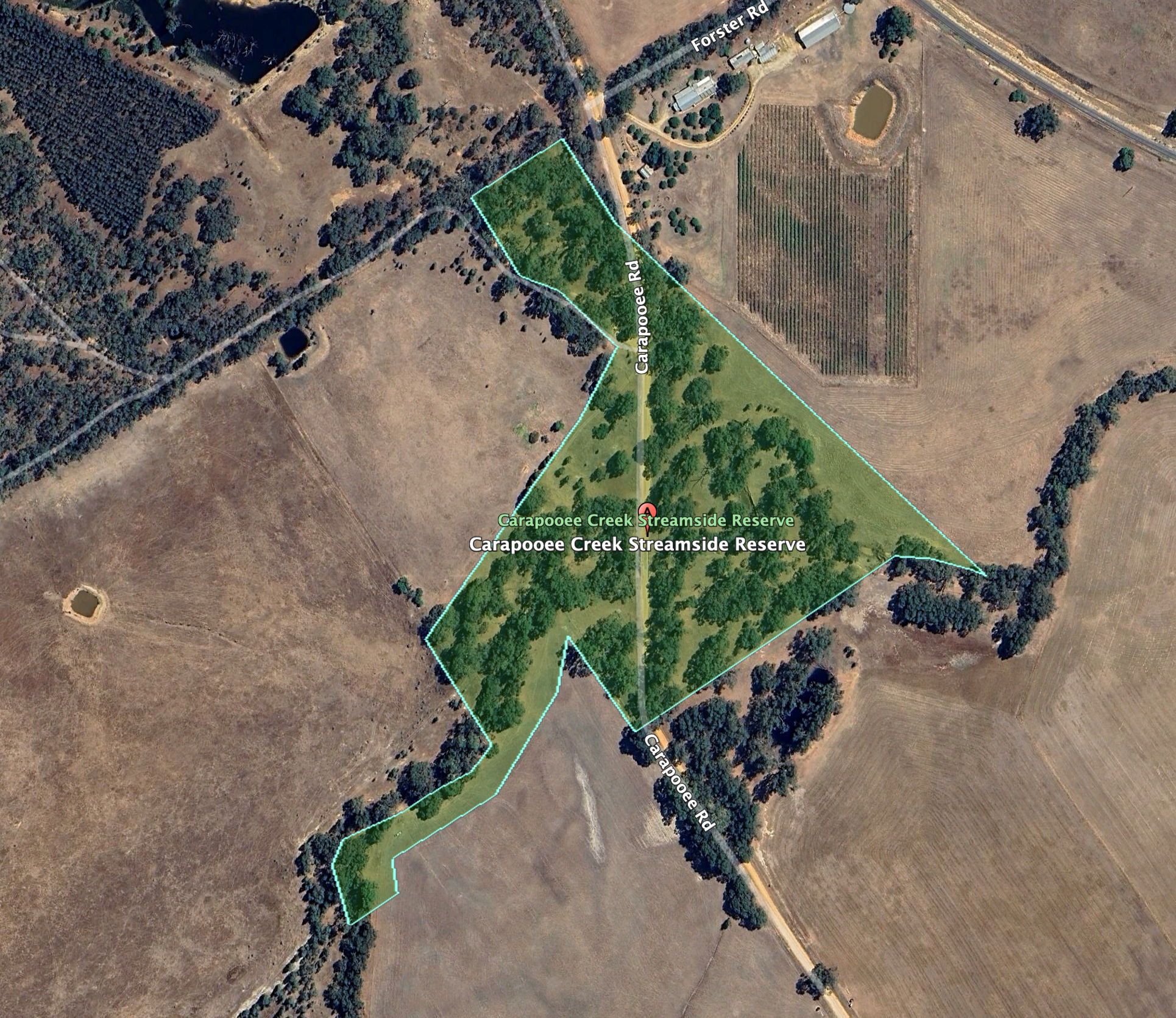
Above:- An aerial view of the Carapooee Creek Streamside Reserve. Image c/o Google Earth.
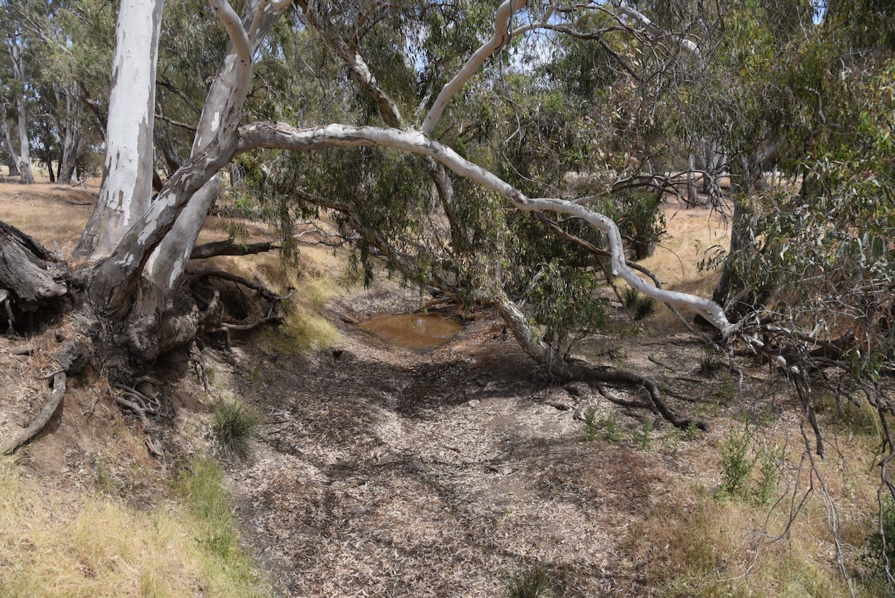
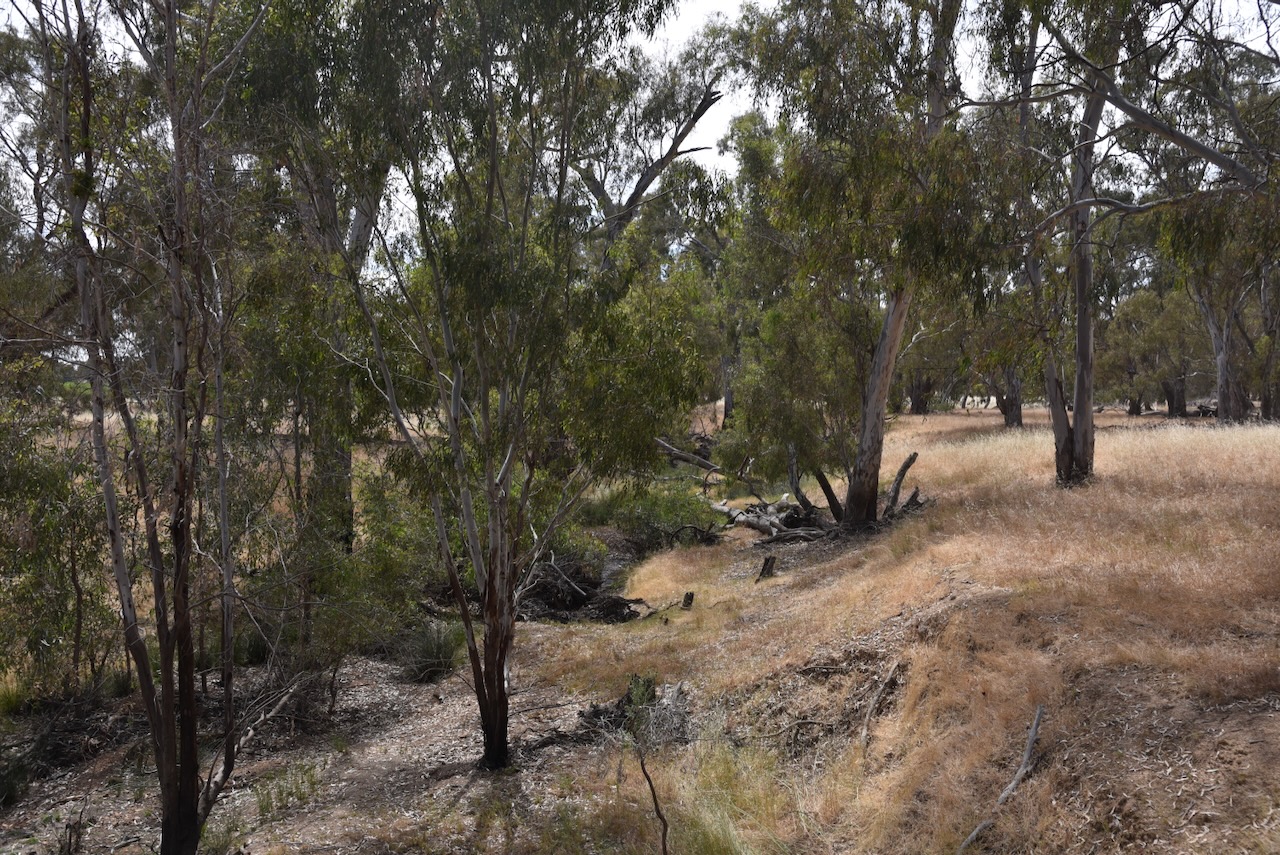
The Carapooe Creek passes through the reserve. During our visit, the creek was virtually dry.
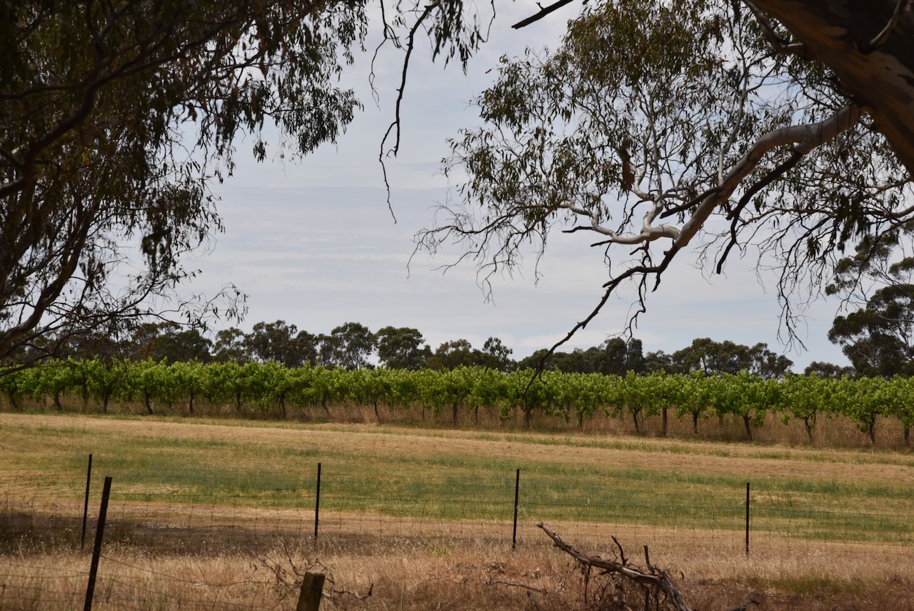
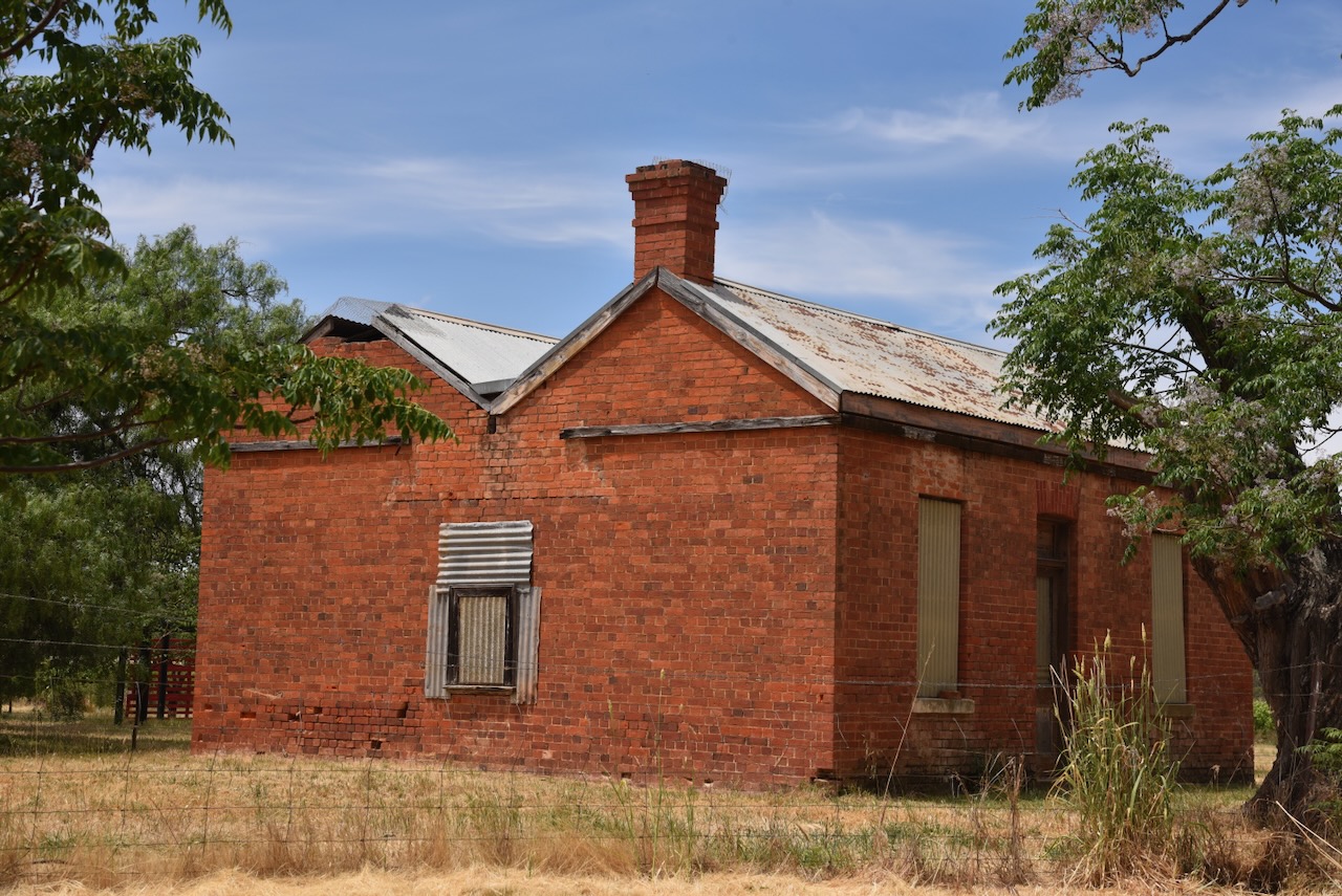
Opposite the reserve is a vineyard from the old Berrys Bridge winery and an old red brick 1860s miners’ cottage. (Commercial Real Estate 2024)
We ran the Yaesu FT857, 40 watts, and the 20/40/80m linked dipole for this activation. I used the special event callsign of VI10VKFF.
Marija worked the following stations on 40m SSB:-
Marija worked the following stations on 40m AM:-
I worked the following stations on 40m SSB:-
I worked the following stations on 40m AM:-
I worked the following stations on 20m SSB:-
I worked the following station on 20m AM:-
References.
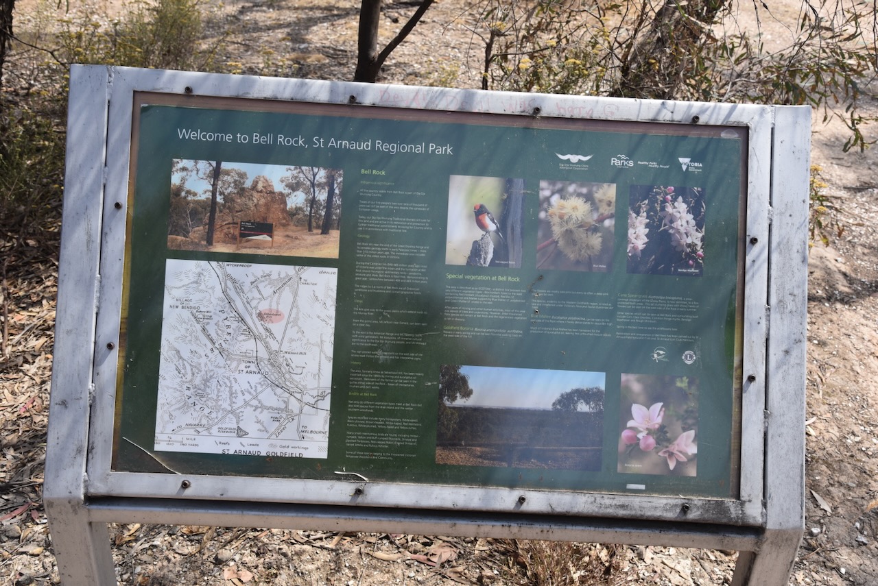
Our first activation for Monday 20th November 2023 was the St Arnaud Regional Park VKFF-0977. Marija and I activated this park on Sunday 19th November and we wanted to pick up a few more QSOs from this park to reach the 44 QSOs required to qualify the park for the World Wide Flora Fauna (WWFF) program.
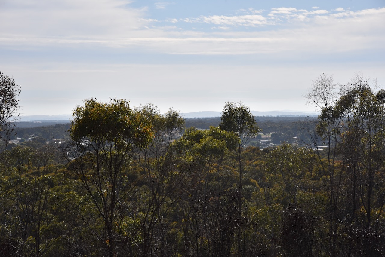
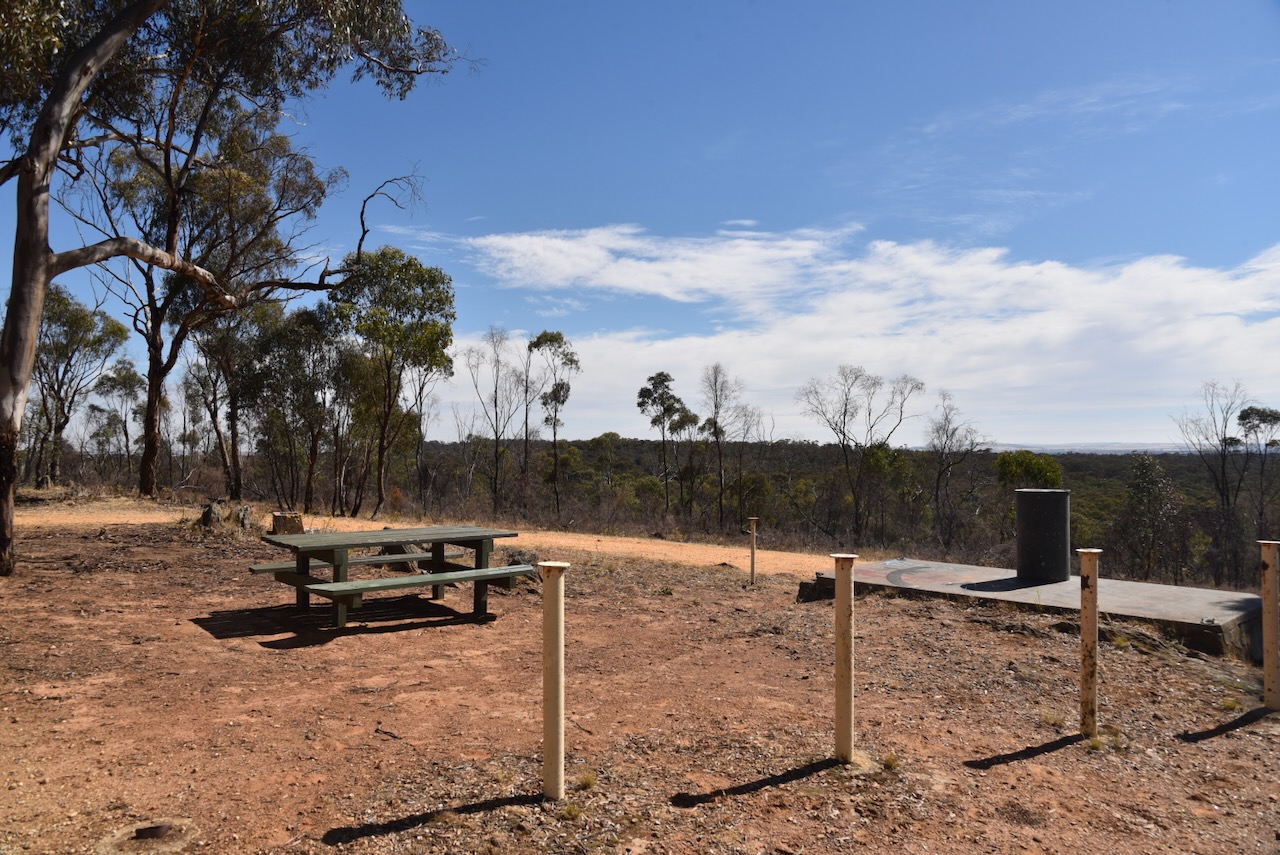
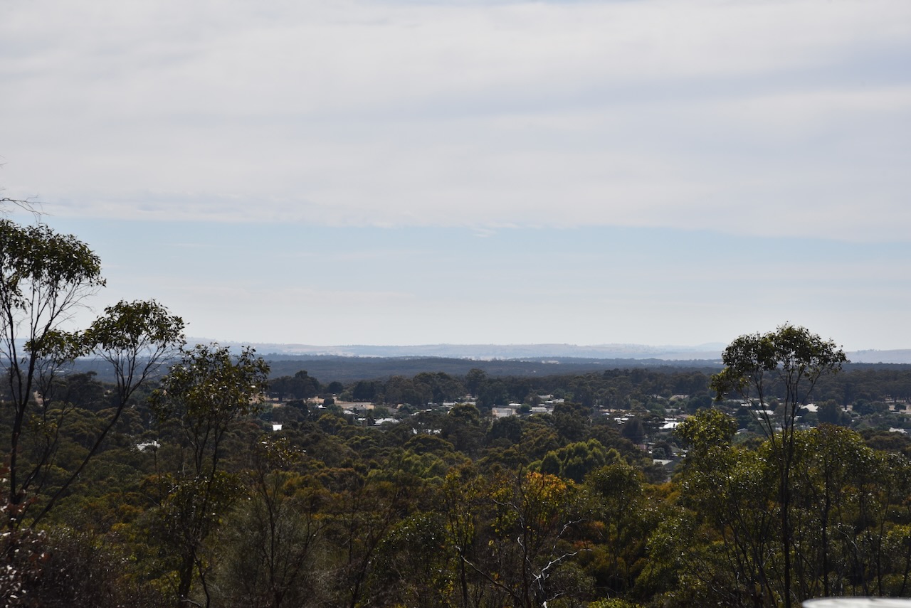
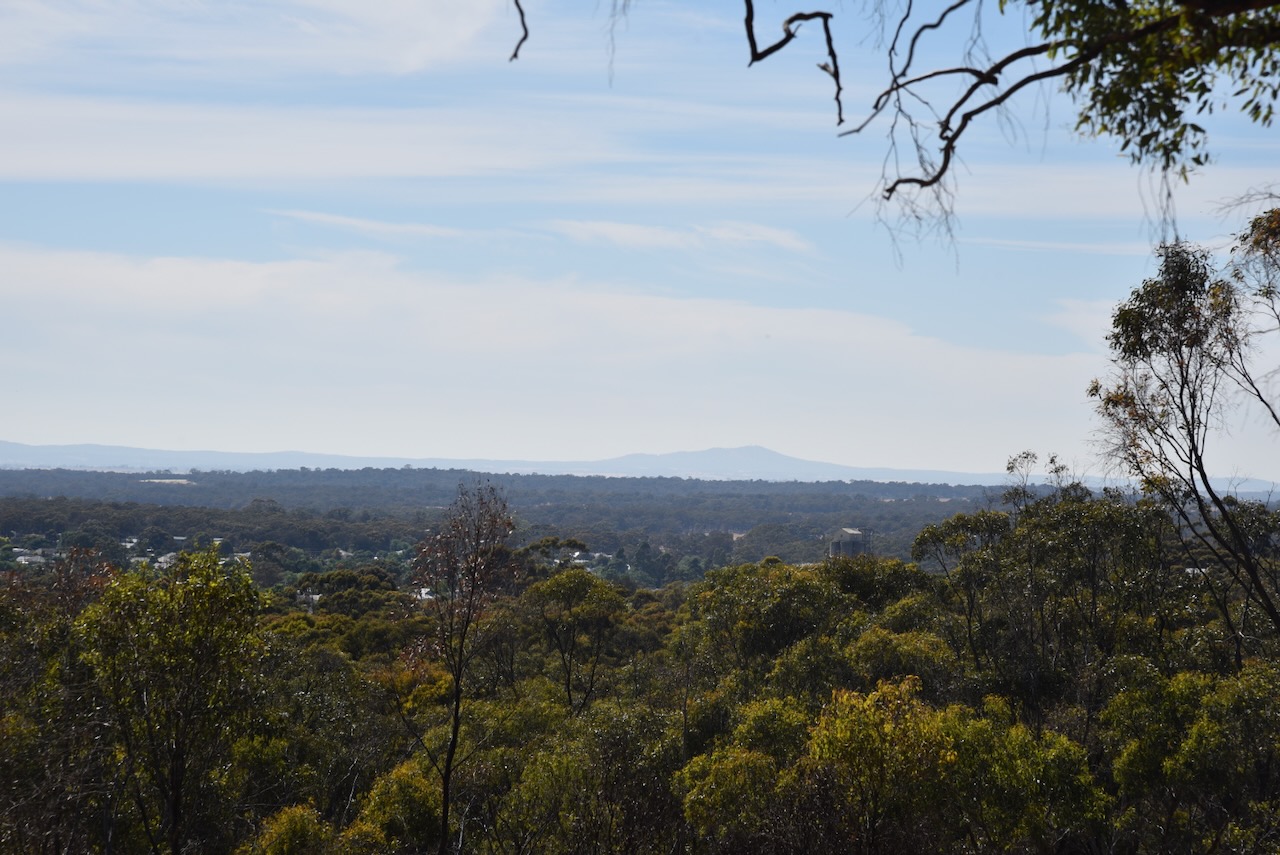
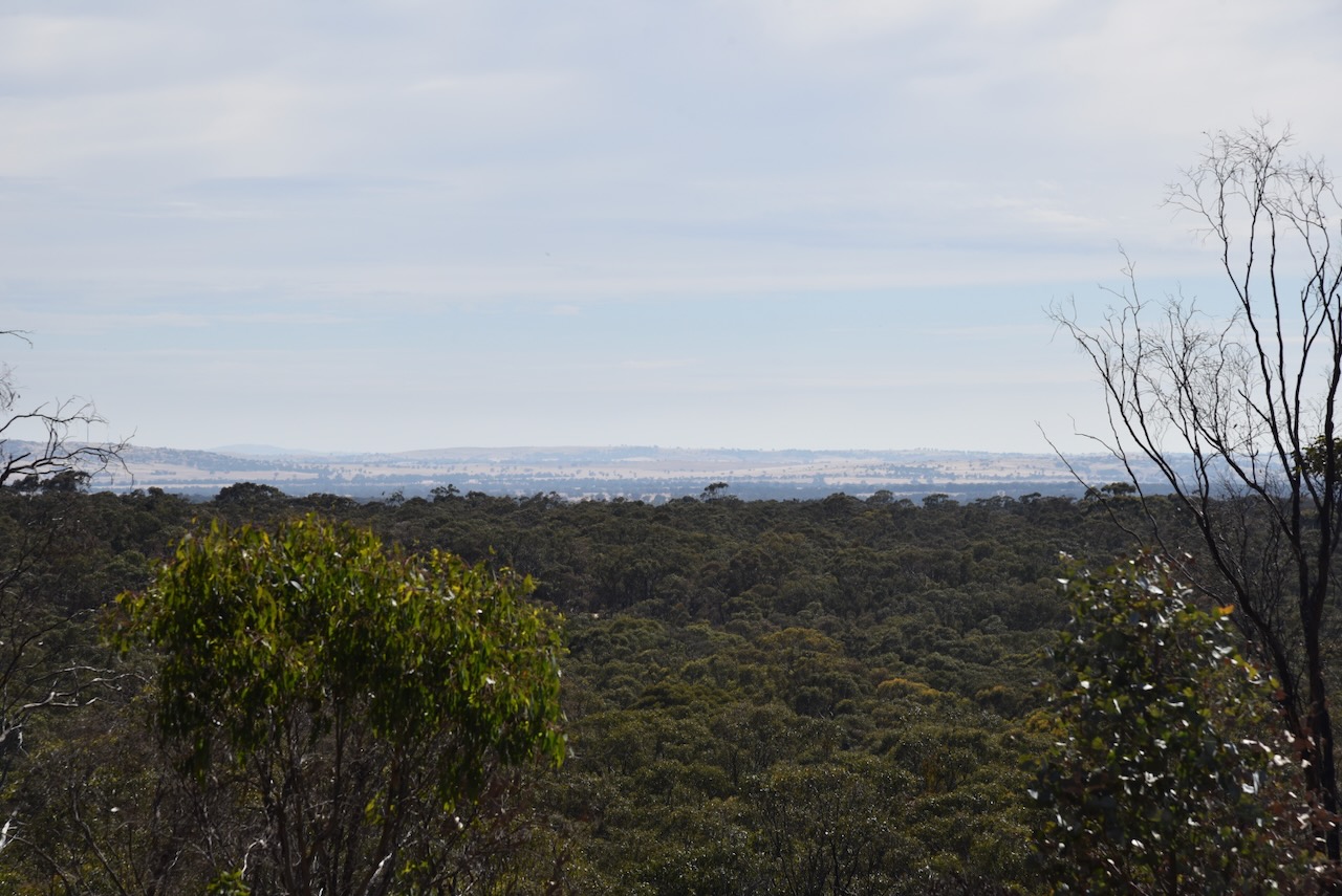
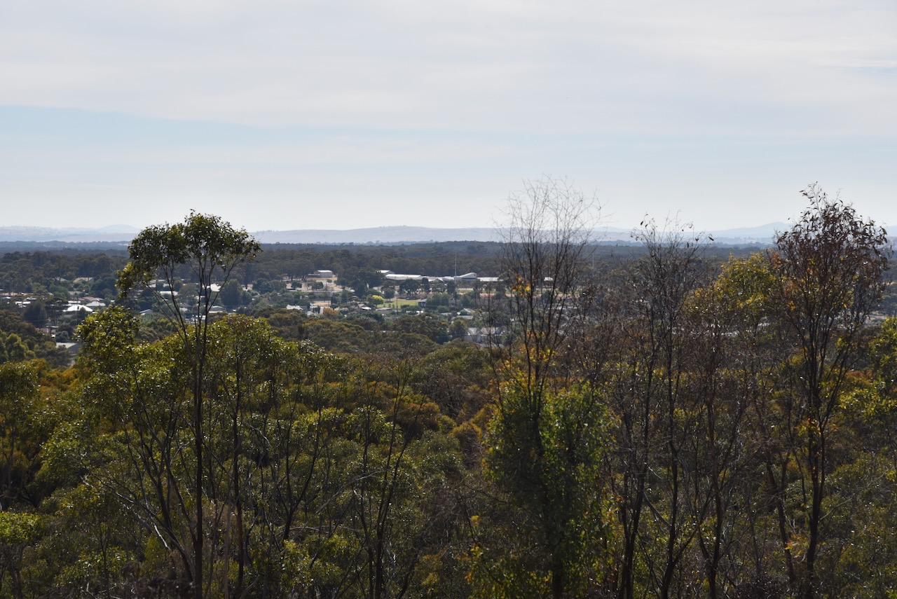
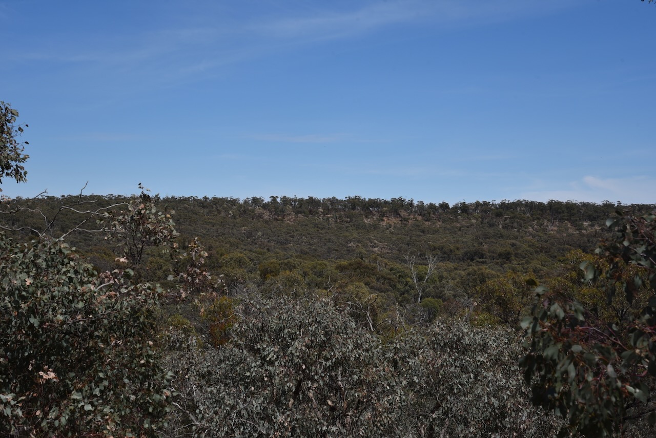
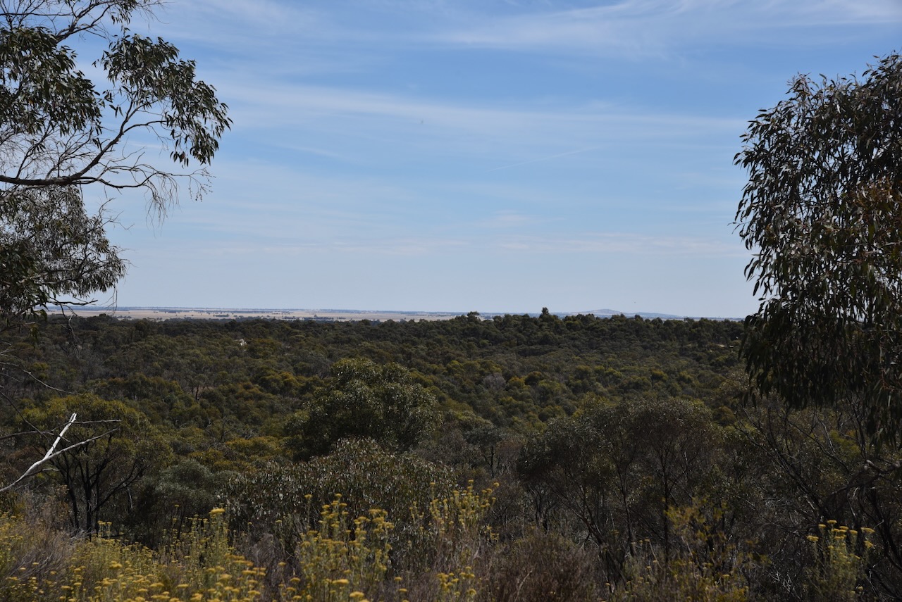
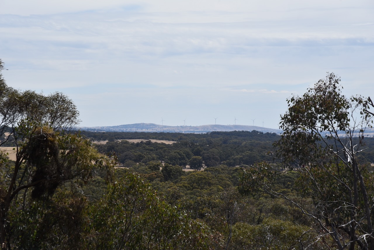
We had a cooked breakfast in St Arnaud and then headed out to the lookout at the park.
Marija worked the following stations on 40m SSB:-
I worked the following stations on 40m SSB:-
I worked the following stations on 20m SSB:-
I worked the following stations on 15m SSB:-
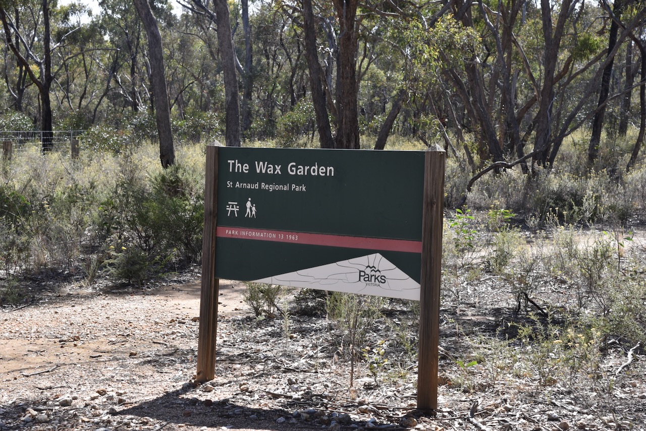
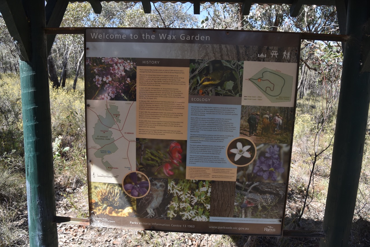
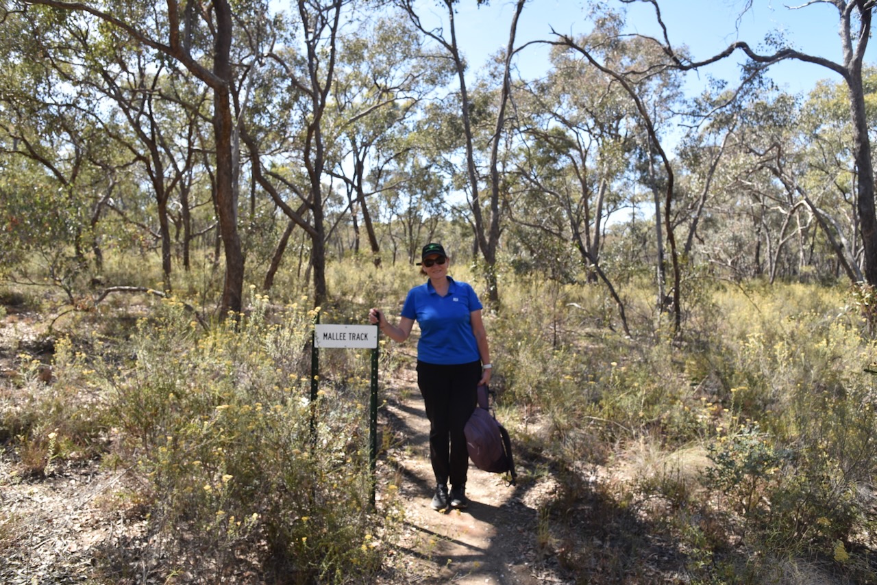
I managed to pick up enough stations to get me over the line with 44 QSOs. We then visited The Wax Garden at St Arnaud. Unfortunately, it was not the right time of the year to visit this 3.9-hectare park. During October there is a profusion of Fair Wax flowers. A total of 70 native flower species have been recorded in the Wax Gardens. Despite the lack of flowers, we enjoyed a nice walk around the park. (Aussie Towns 2024)
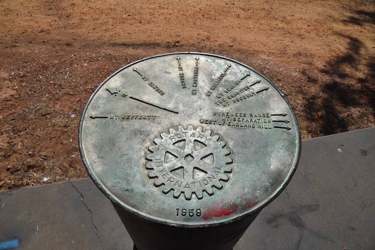
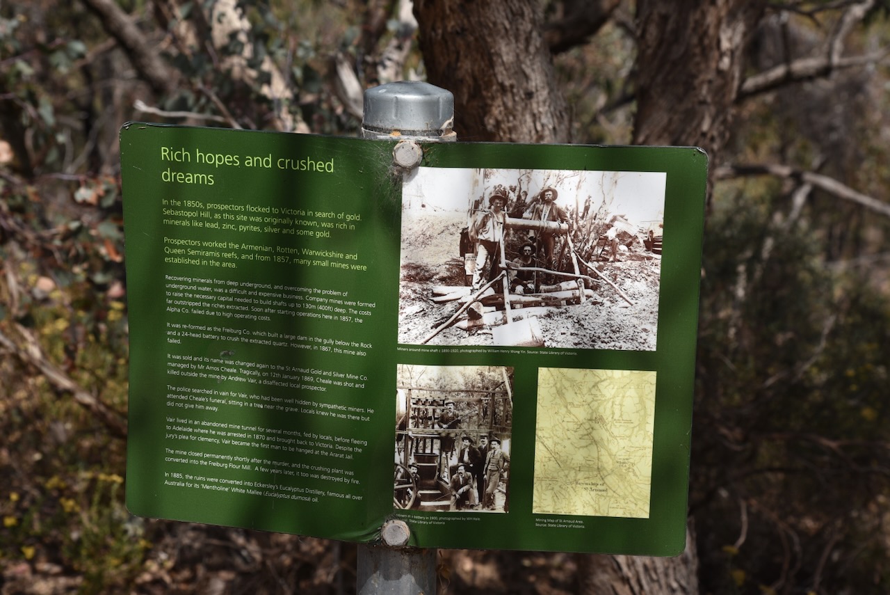
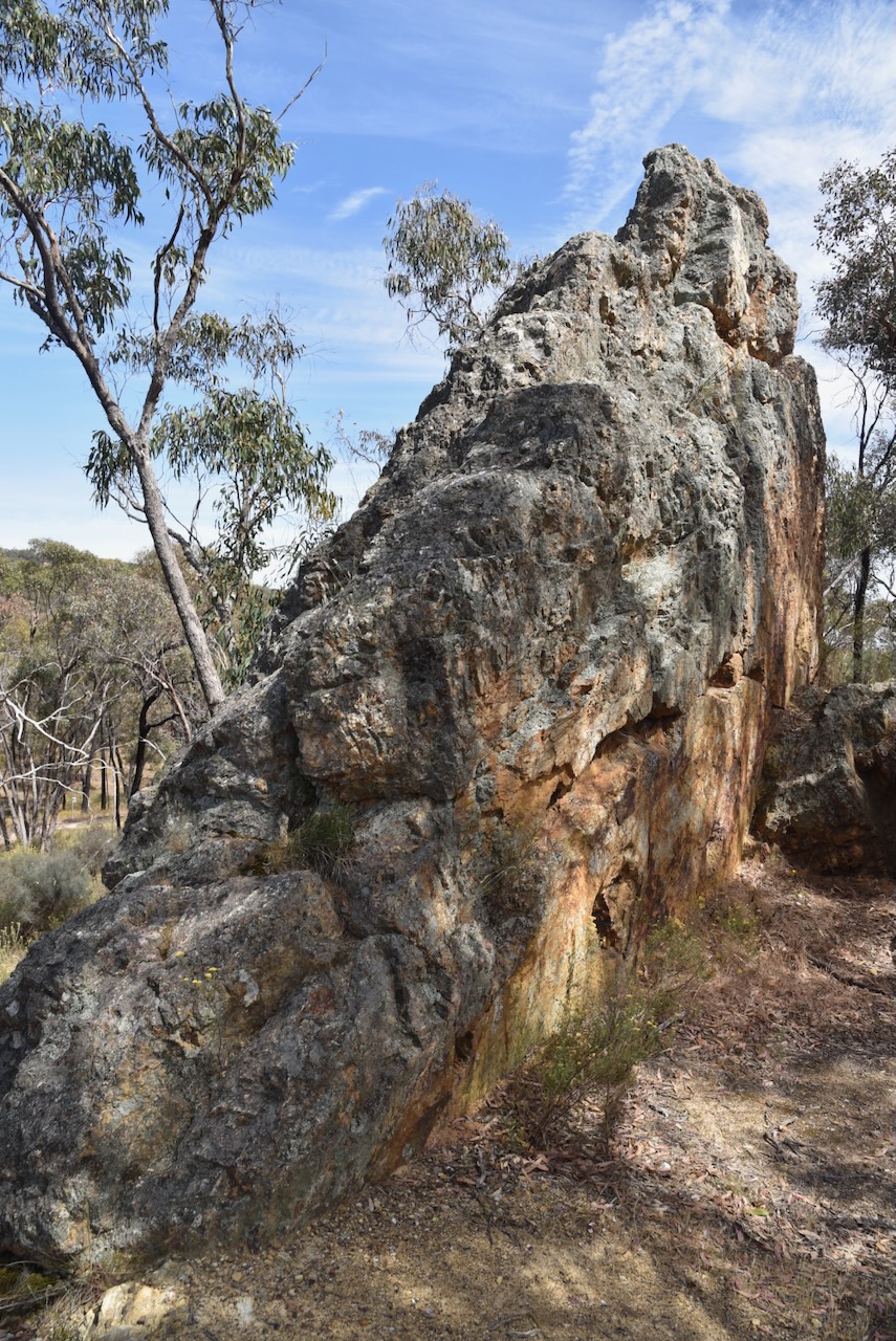
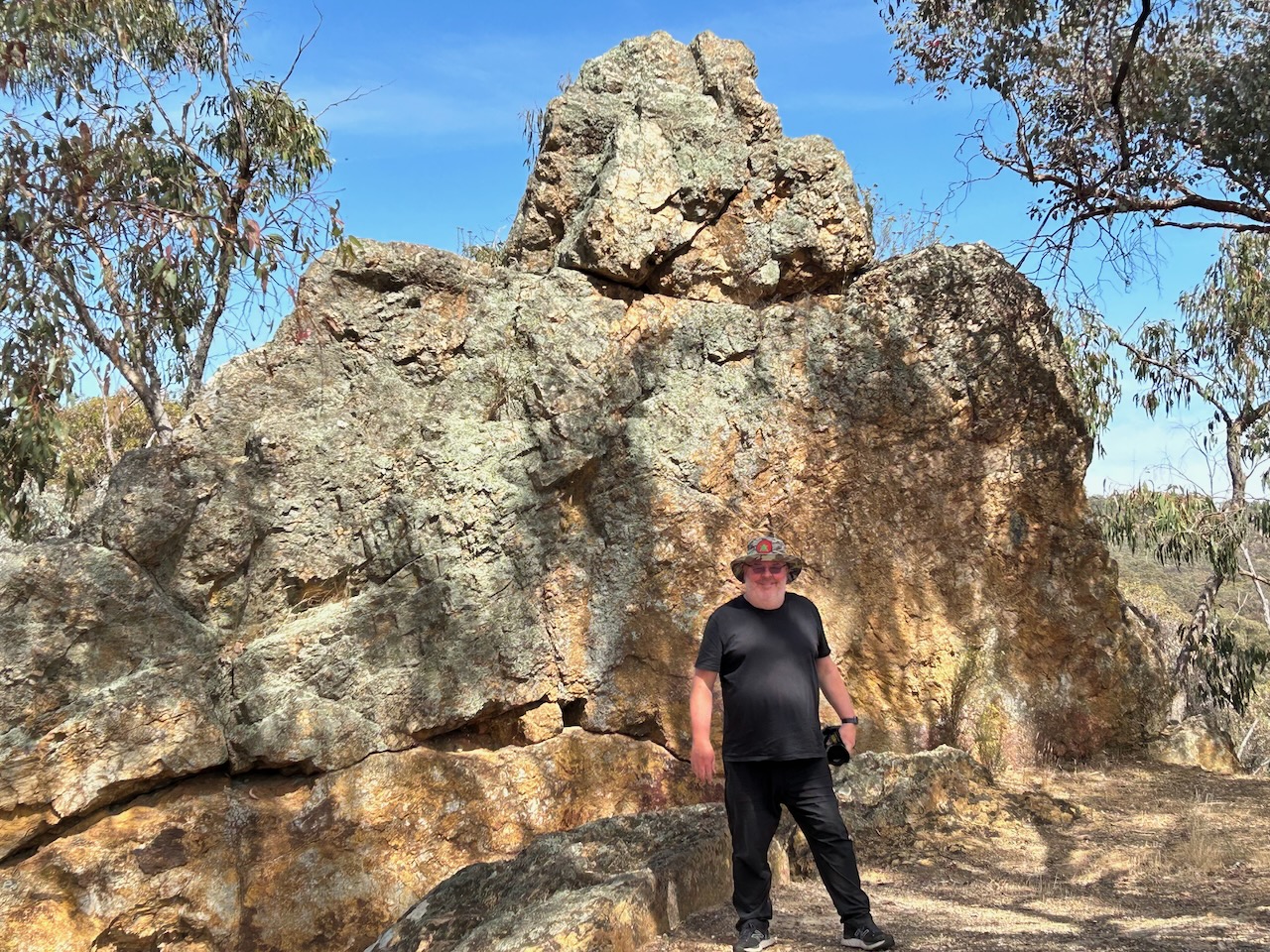
We then drove to Bell Rock which is within the St Arnaud Regional Park. The area was formerly known as Sebastopol Hill and since the 1850s the area has been mined for silver and gold and used for eucalyptus oil extraction. Bell Rock is named for its distinctive shape. This area was underwater about 540 million years ago. (Geocaching 2024)
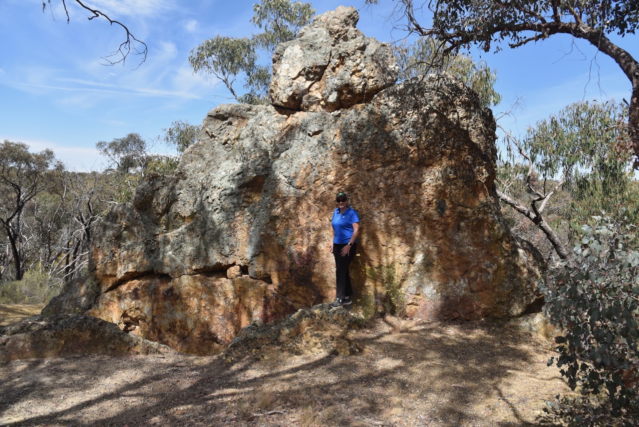
Whilst at Bell Rock we logged a Park to Park contact with Stuart VK3UAO.
Marija worked the following station on 40m SSB after the UTC rollover:-
I worked the following station on 40m SSB after the UTC rollover:-
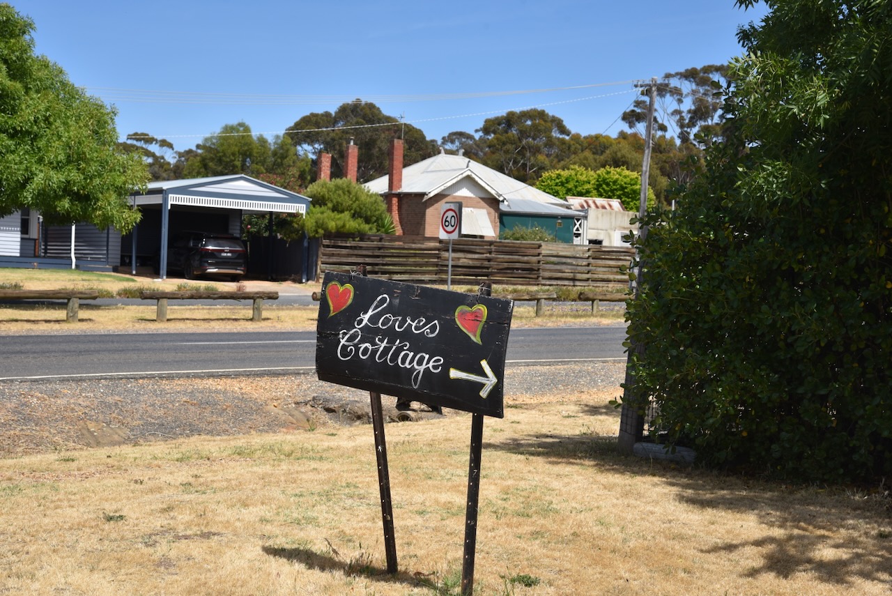
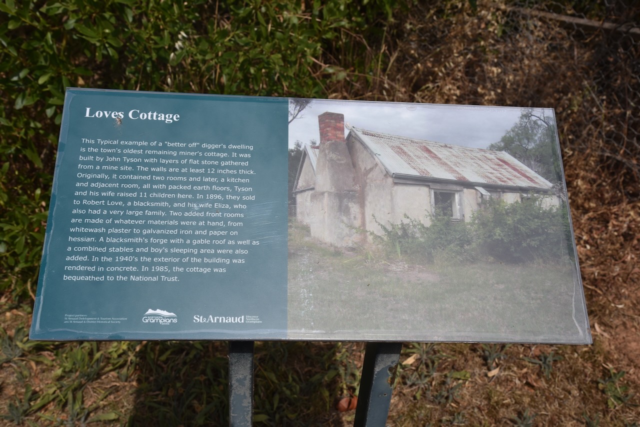
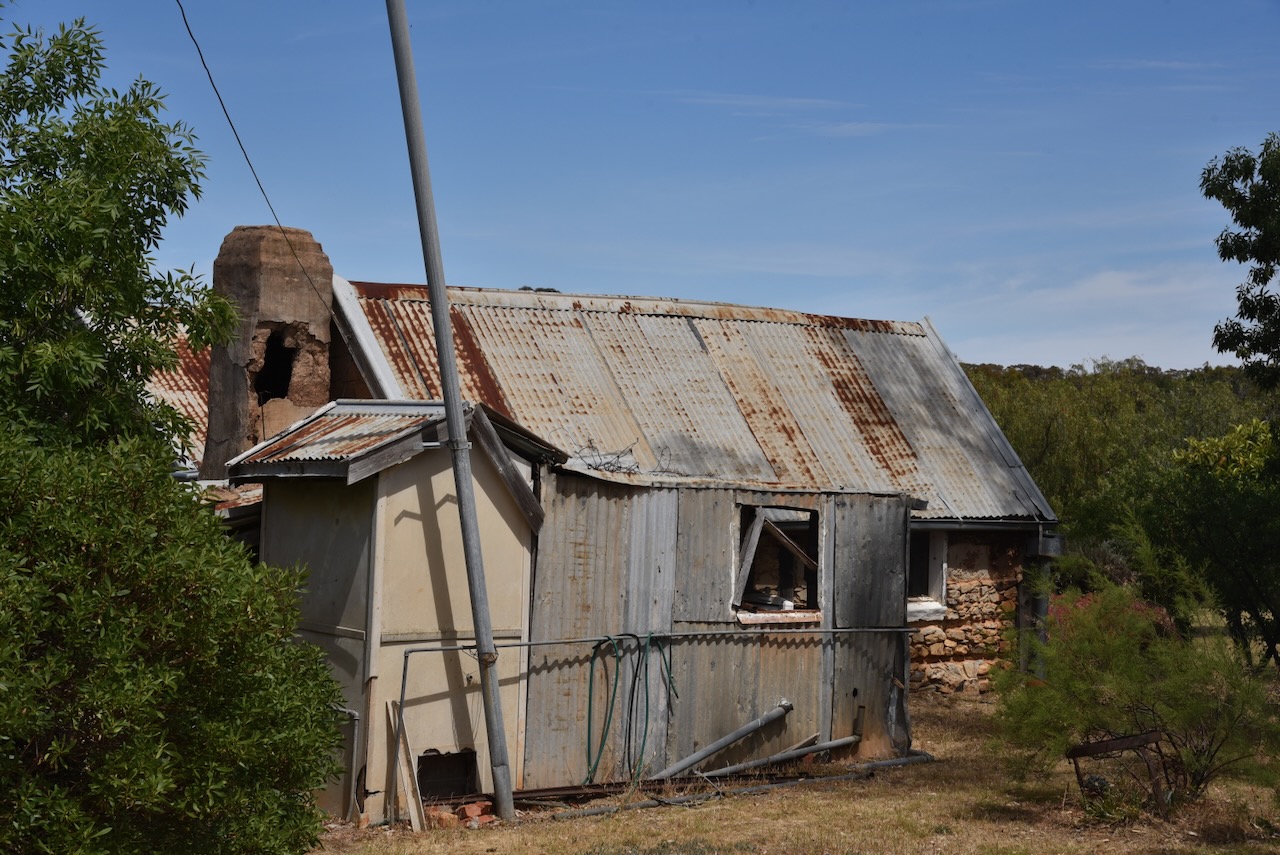
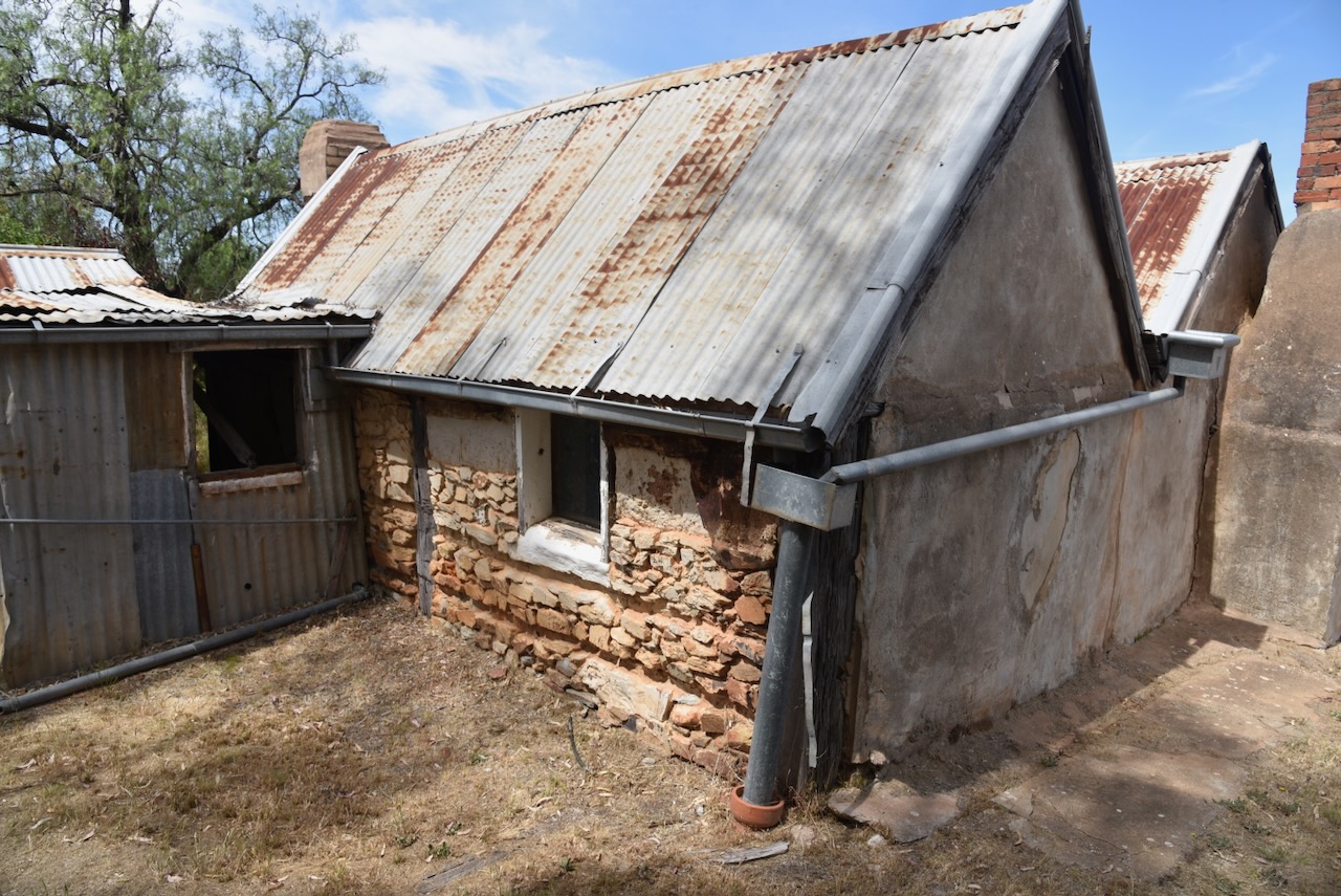
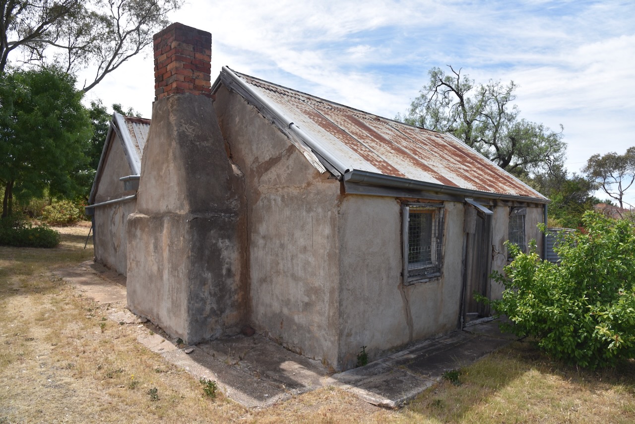
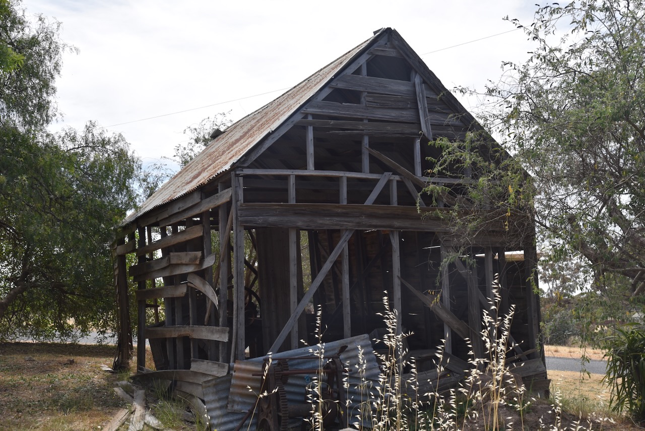
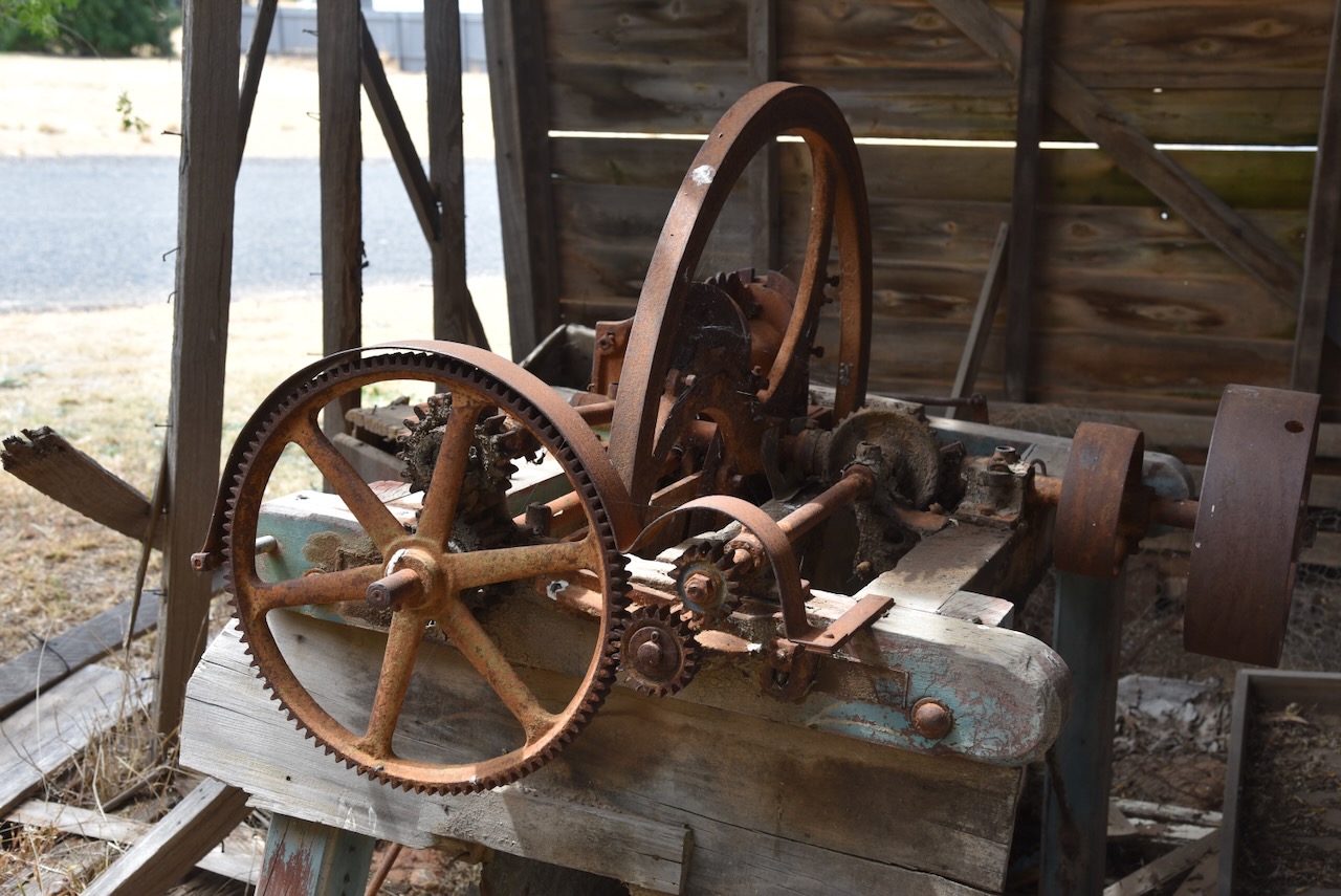
Our next stop was Loves Cottage in St Arnaud, one of the earliest miner’s properties in the town. It was originally built in 1868 with layers of flat stones from a nearby mine, constructed by John Tyson (b. 1843. d. 1901) with the assistance of William Thompson. The property was later owned by Robert Love (b. 1853. d. 1926) who built a blacksmith shop and stables on the property. In 1985 the property was bequeathed to the National Trust following the death of Robert Love’s daughter-in-law, Ethel Love. (Heritage Council 2024)
We then headed off to our next activation at the Carapooee Creek Streamside Reserve.
References.
Received via email this evening.
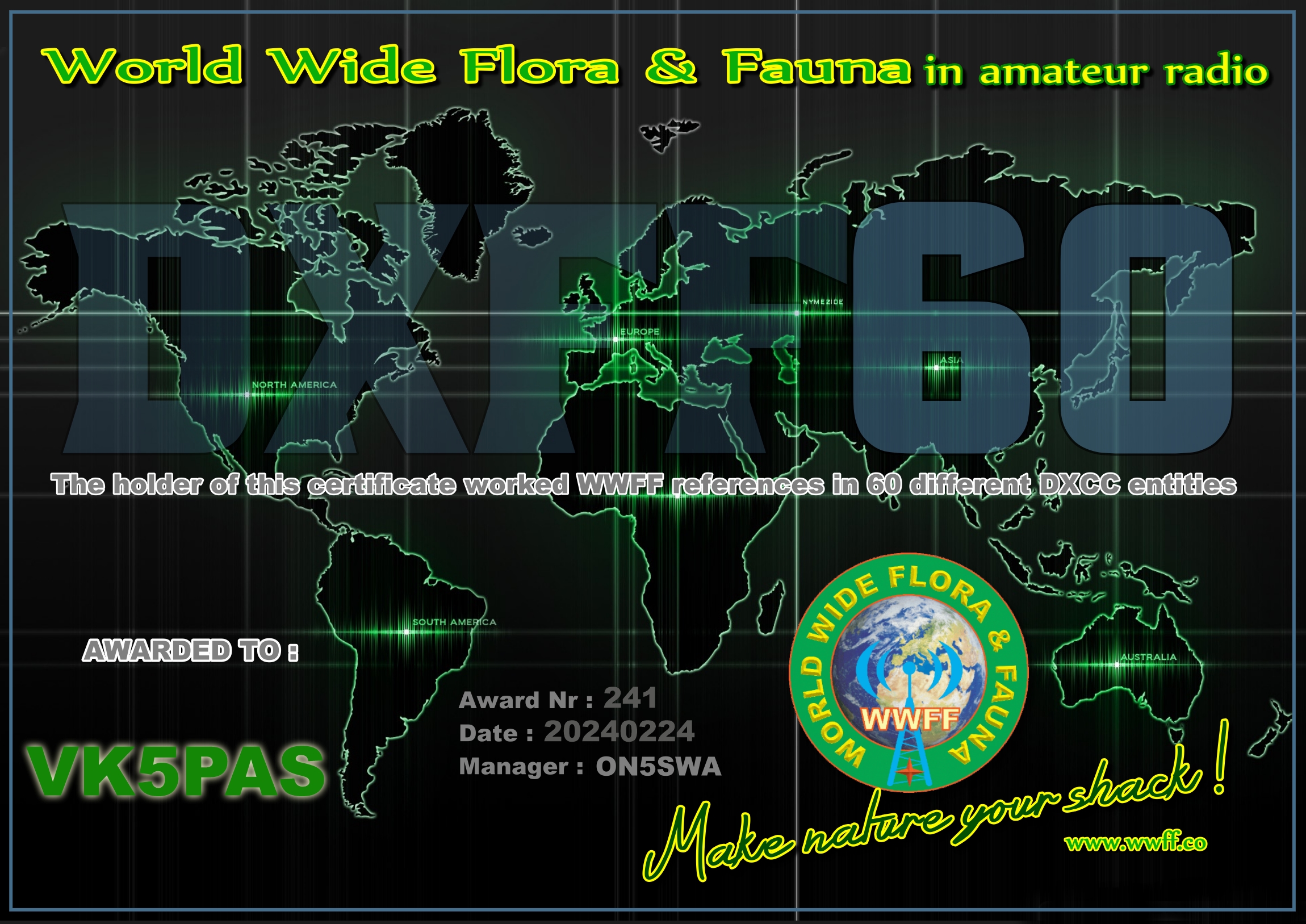
The DXFFF Hunter 60 award. It is issued for having worked WWFF reference areas in 60 different DXCC entities.
Thanks to all of the WWFF activators and to Swa ON5SWA the Awards Manager.
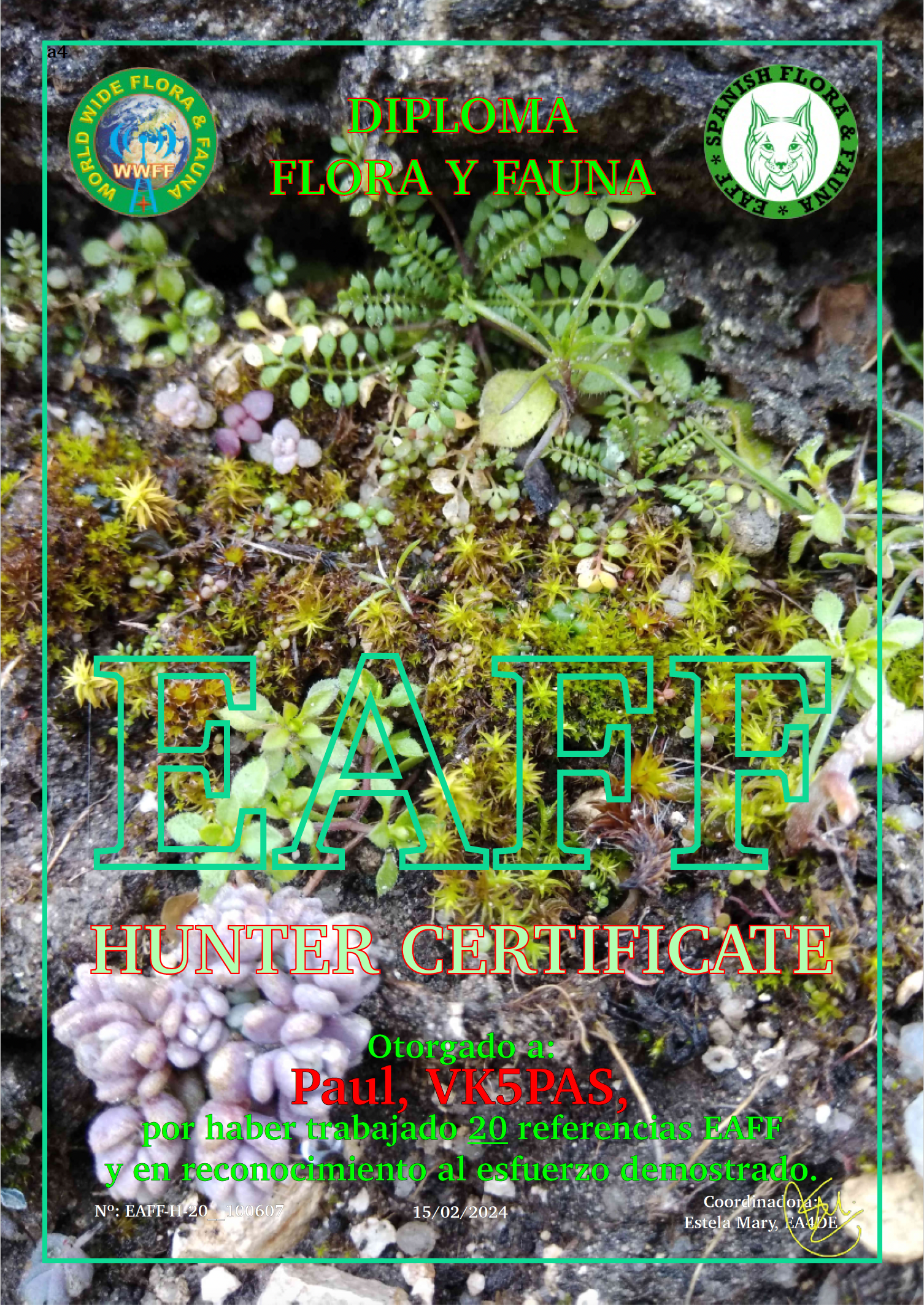
My latest WWFF National certificate issued by the EAFF team. Issued for having worked 20 different EAFF reference areas.
Thank you to all of the EAFF activators and thank you to the EAFF Award Manager Estella EA4DE.
Here are my latest FT8 award certificates.
Thank you to all of the FT8 operators and the various Award Managers.


Our final activation for Sunday 19th November 2023 was the Wimmera River Marma Streamside Reserve VKFF-3921. The park is located about 31 km east of Horsham and about 284 km northwest of Melbourne.
This was the first time the park had been activated for the World Wide Flora Fauna (WWFF) program.
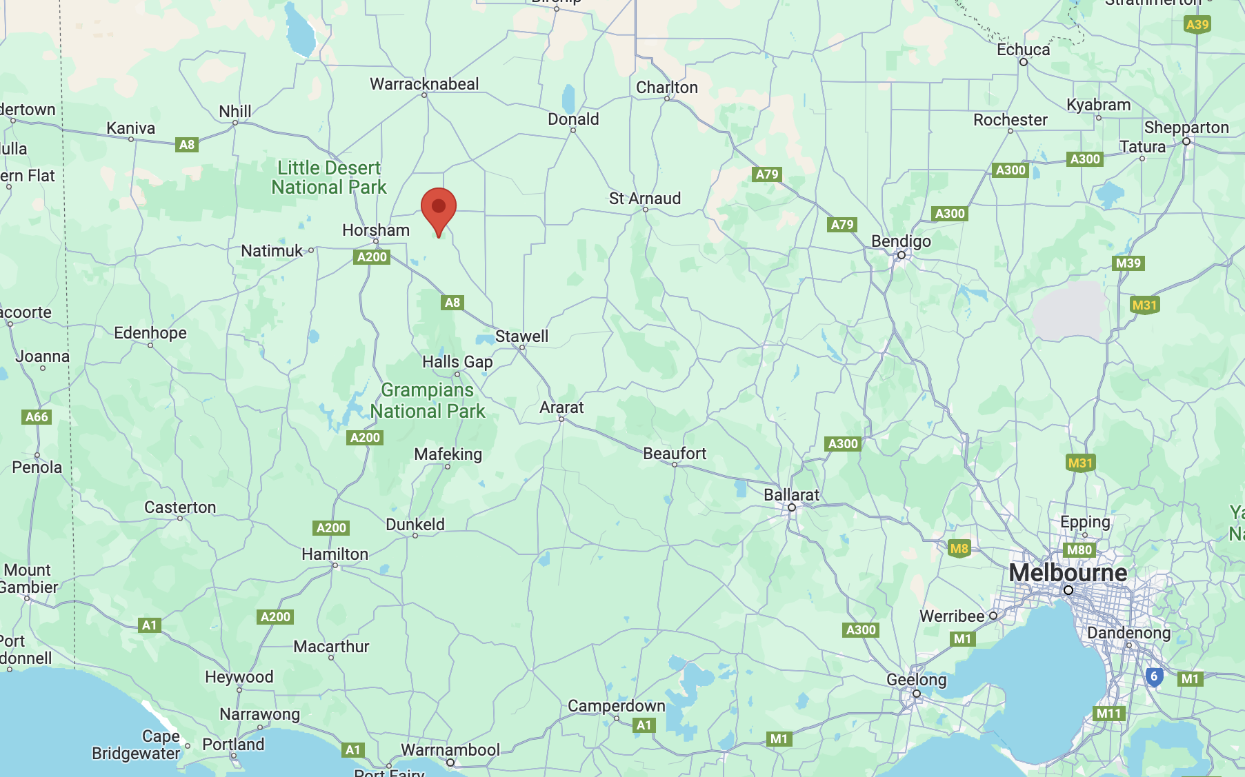
Above:- Map showing the location of the park. Map c/o Google Maps.
The Wimmera River Marma Streamside Reserve is bordered by Burnt Clay Road to the north, and the Horsham-Lubeck Road to the south.

Above:- An aerial view of the Wimmera River Marma Streamside Reserve. Image c/o Google Earth.
The reserve is about 129 hectares in size and was established on the 22nd day of November 1983. (CAPAD 2022) The Wimmera River passes through the park. Mount William Creek is located on the park’s western boundary. It flows into the Wimmera River.
In 1836, the Wimmera River was explored by Sir Thomas Livingstone Mitchell (b. 1792. d. 1855) during his Australia Felix (Happy Australia) expedition of western Victoria. It is believed that Wimmera is an aboriginal word for a throwing stick. The Wimmera River rises in the Pyrenees Range near Ararat and flows northwesterly through Horsham and empties into Lake Hindmarsh near Jeparit. (Victorian Places 2024)
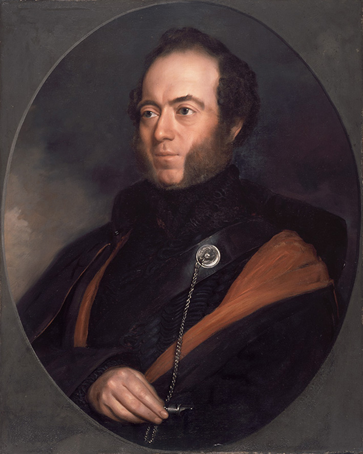
Above:- Sir Thomas Livingstone Mitchell. Image c/o Wikipedia.
Mitchell did however make an inaccurate deduction regarding the Wimmera River. Whilst near Mount Arapiles in the Grampians he stated:
“Upon the whole, I think that the estuary of the Wimmera will most probably be found either between Cape Bernouilli and Cape Jaffa, or at some of the sandy inlets laid down by Captain Flinders…At all events I here abandoned the pursuit of that river, and determined to turn towards the south-west that we might ascertain what streams fell in that direction from the Grampians and also the nature of the country between these mountains and the shores of the Southern Ocean.” (Gutenberg 2024)
We accessed the park via a dirt track that ran off Burnt Clay Road. We ran the Yaesu FT857, 40 watts, and the 20/40/80m linked dipole for this activation. I used the special event callsign of VI10VKFF. We had no internet coverage in the park, so we thank those who took the time to spot us on the parksnpeaks website.
Marija worked the following stations on 40m SSB:-
I worked the following stations on 40m SSB:-
I worked the following stations on 20m SSB:-
After packing up we headed back to St Arnaud and had a magnificent meal at the Farmers Arms Hotel.

References.
After leaving Murtoa (Sunday 19th November 2023), Marija and I drove south to our next activation of the day, the Barrabool Flora & Fauna Reserve VKFF-2263. The park is located about 11 km south of Murtoa and about 295 km northwest of Melbourne.
Above:- Map showing the location of the Barrabool Flora & Fauna Reserve. Map c/o Google Maps.
The reserve is also often referred to as the Barabool Nature Conservation Reserve, the Barrabool Forest Reserve, and the Barrabool State Forest. Its northern border is Sawpit Swamp Road, the eastern border is Barrabool Road, and to the south and west is Burnt Clay Road.
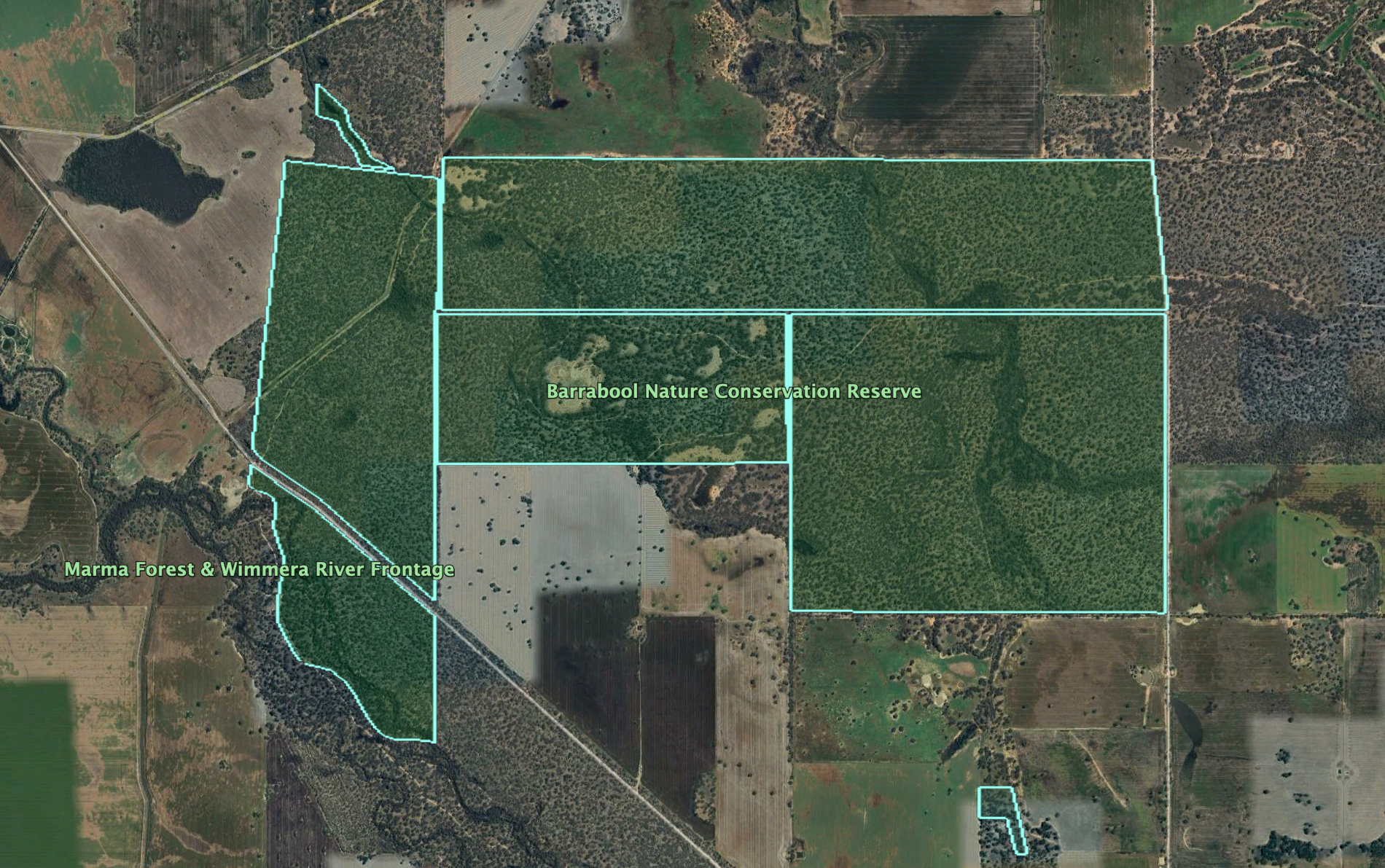
Above:- An aerial view of the park. Image c/o Google Earth.
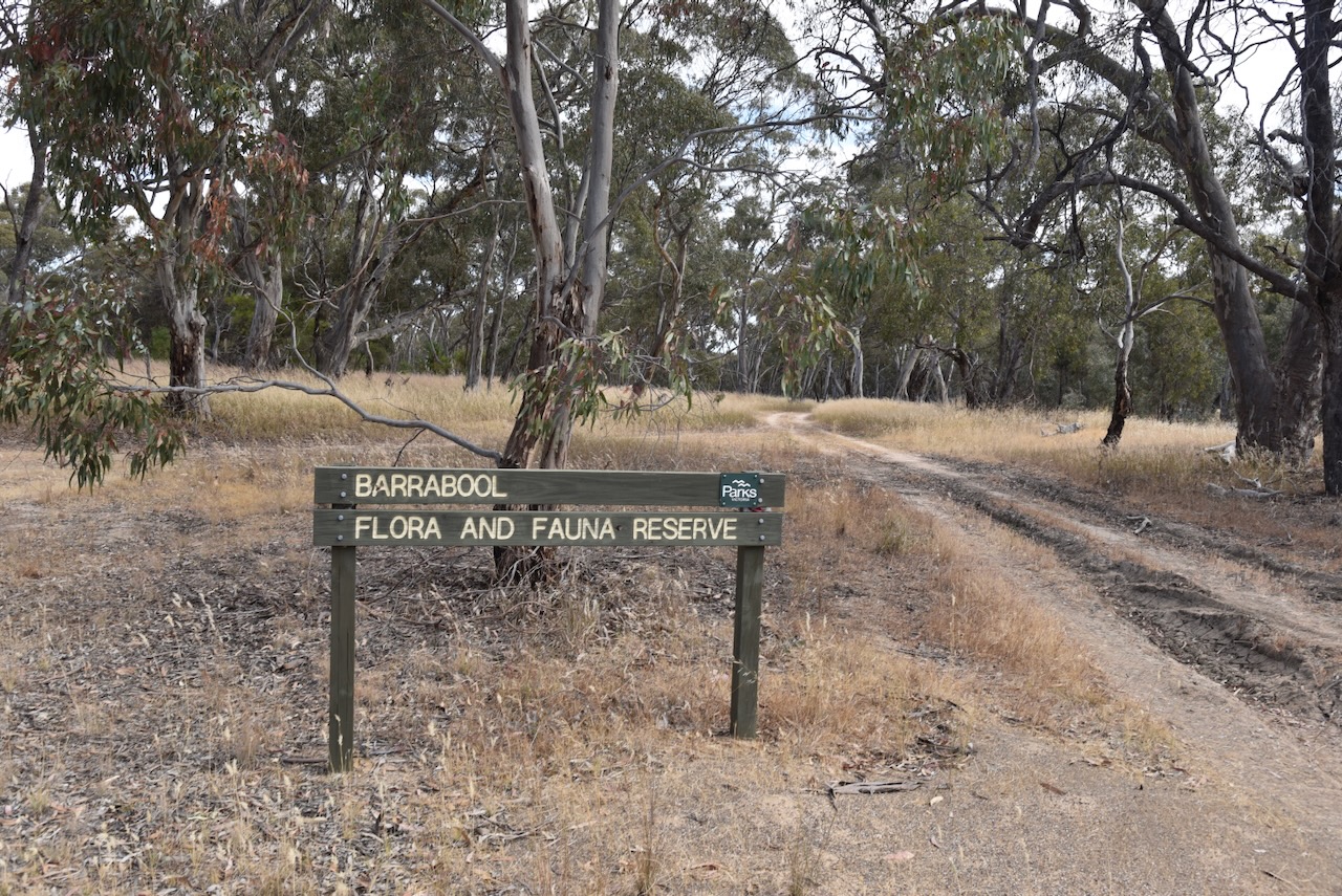
Parks Victoria has a webpage for the park but contains no information about it besides a park boundary image. The Barrabool Flora and Fauna Reserve is 1,035 hectares in size and was established on the 22nd day of September 1987. (CAPAD 2022)

Above:- An aerial view of the park looking towards Murtoa. Image c/o Google Maps.
There is also a Barrabool near Geelong. Barrabool is an aboriginal word meaning oyster. Other alternative meanings include slope down to water. (Blake 1978) Before European settlement, the land was occupied by the Jaadwa aboriginal people. In the reserve, you can find several trees which were cut by the Jaadwa people. (Aussie Towns 2024)
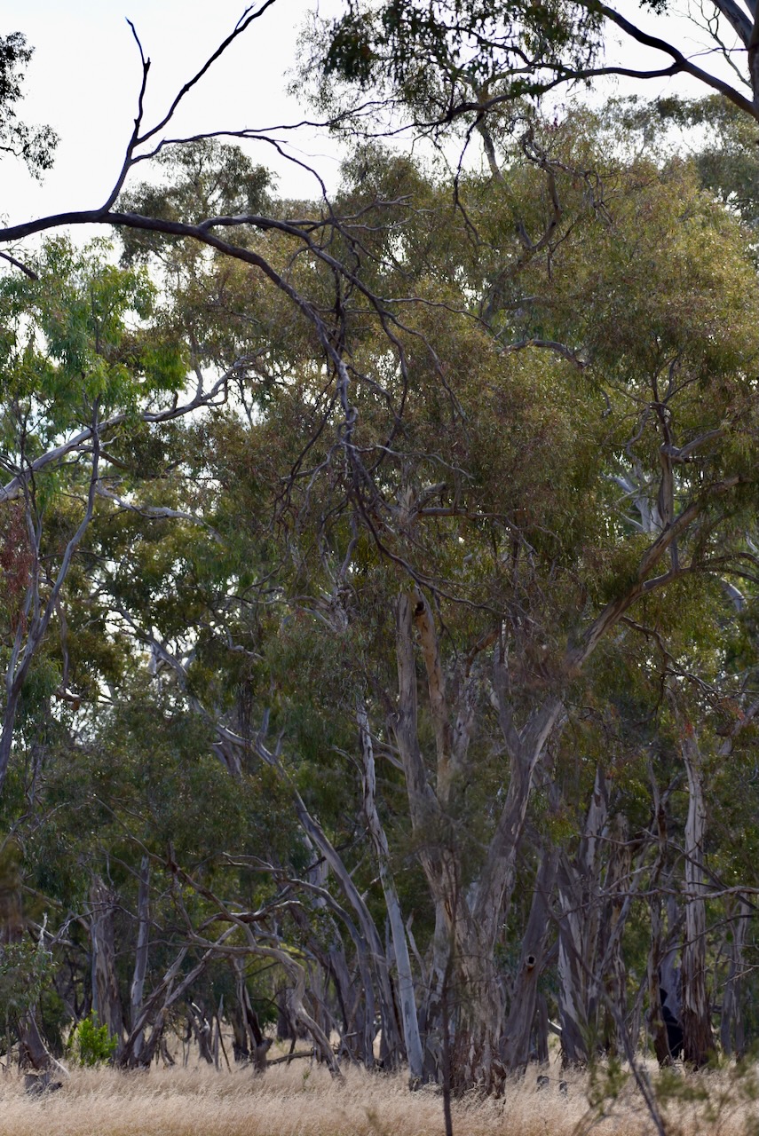
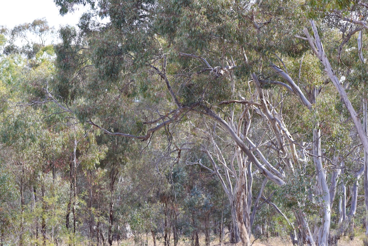
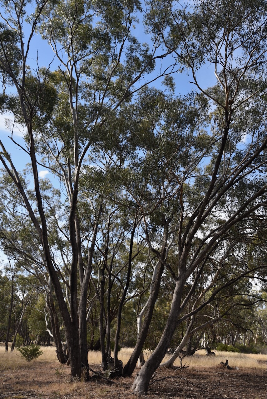
During our activation of the park we had an inquisitive Diamond Firetail finch. Unfortunately, it was quite nervous and would not sit still for a good photograph.

We accessed the park via Barrabool Road. We ran the Yaesu FT857, 40 watts, and the 20/40/80m linked dipole supported on the 7-metre heavy-duty telescopic squid pole. I sued the special event callsign of VI10VKFF for this activation.
Marija worked the following stations on 40m SSB:-
I worked the following stations on 40m SSB:-
I worked the following stations on 20m SSB:-
I worked the following station on 20m AM:-
References.
Amateur Radio, Short Wave Listening, travel and history
Amateur radio experiences with VK1DA
Brisbane - Australia
german amateur radio station
Summits On The Air
SOTA on the peaks, wilderness QRP and some bushwalking
A fine WordPress.com site
Amateur Radio Adventures
Summits on the Ai
Amateur radio station from Belgium
Radio craft, homebrew, QRP/SOTA, AM
Ego loqui ad viros super montes
My adventures with Amateur Radio and Geocaching!
The rantings of VK2GAZ on his SOTA experiences in Australia
A survivor, with minor cuts and abrasions.
The Art and Craft of Blogging
The latest news on WordPress.com and the WordPress community.
Blog of Justin Giles-Clark VK7TW's SOTA and amateur radio adventures.
Occasional SOTA & Microwave operation
