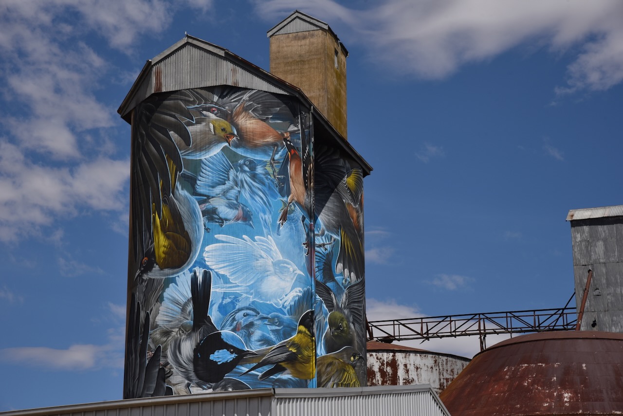
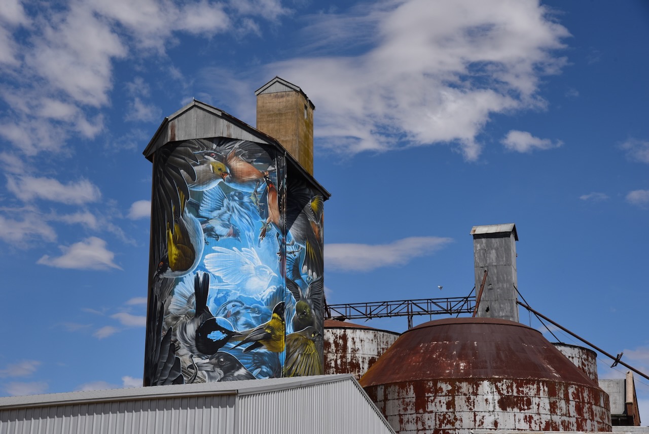
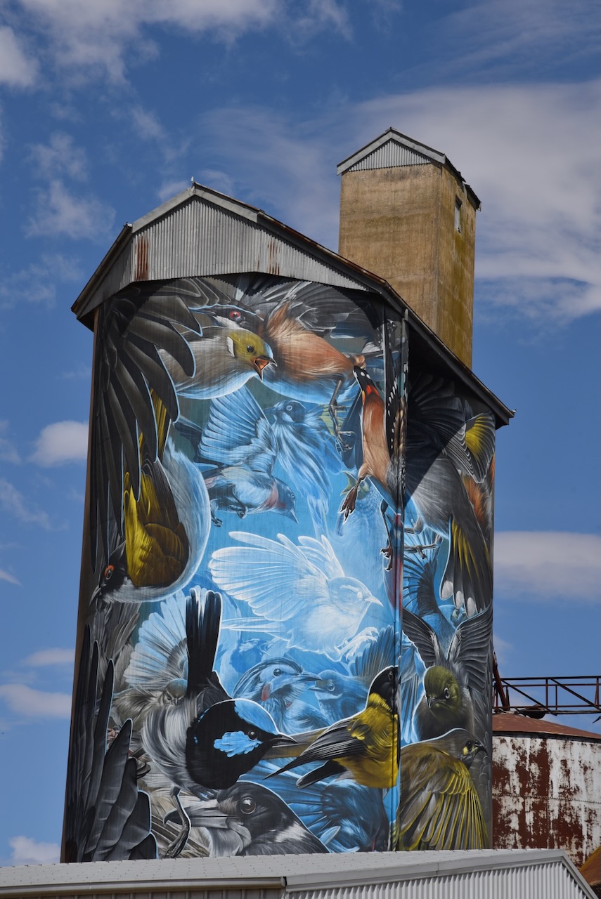
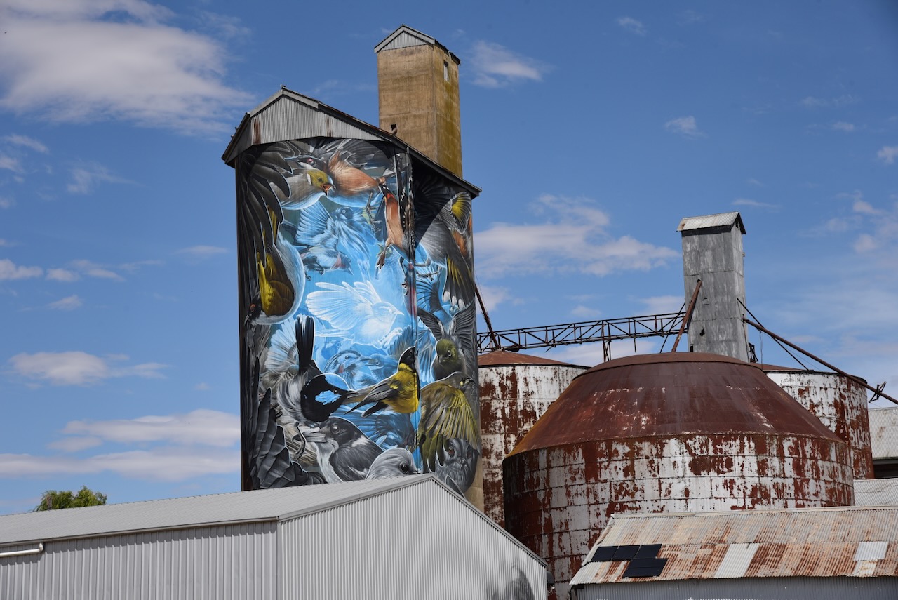
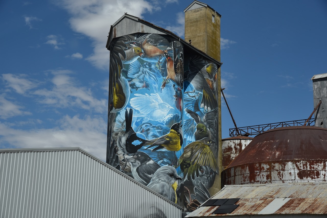
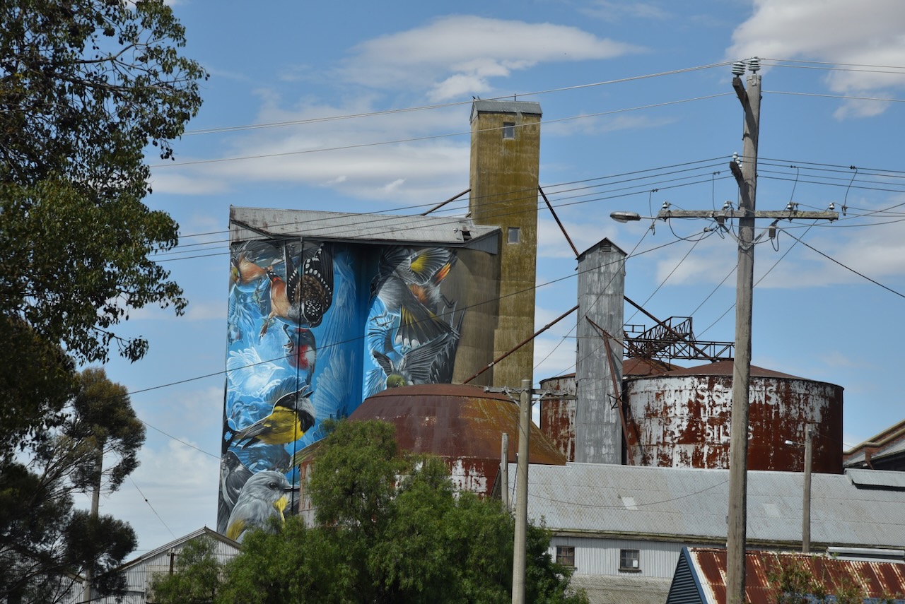
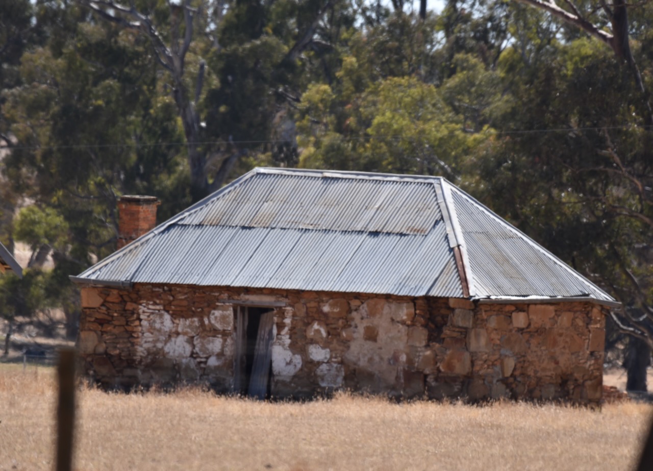
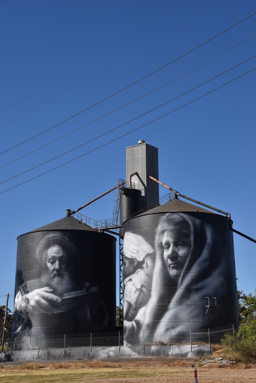
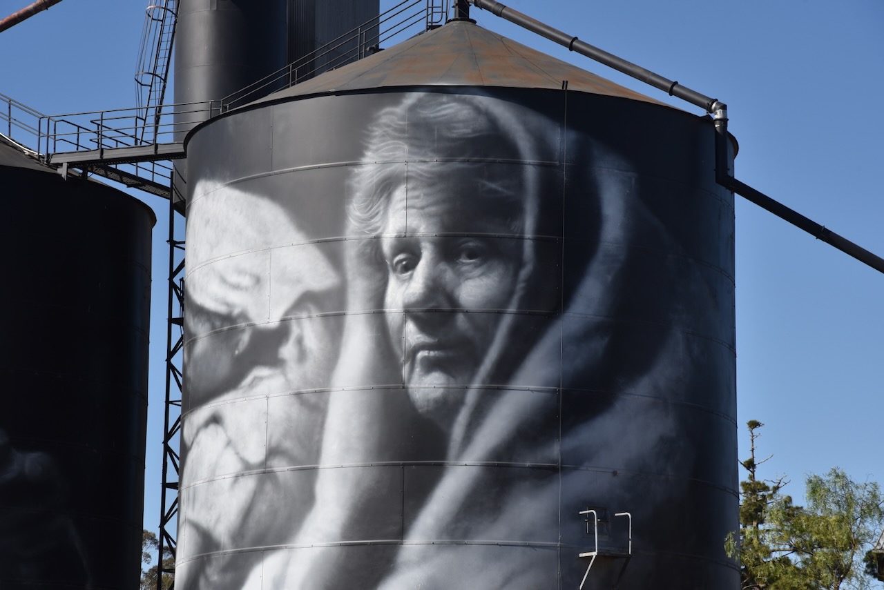
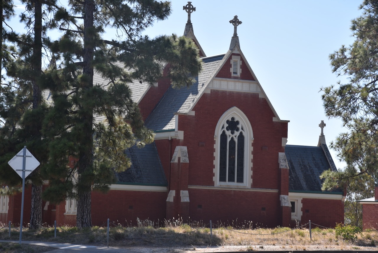
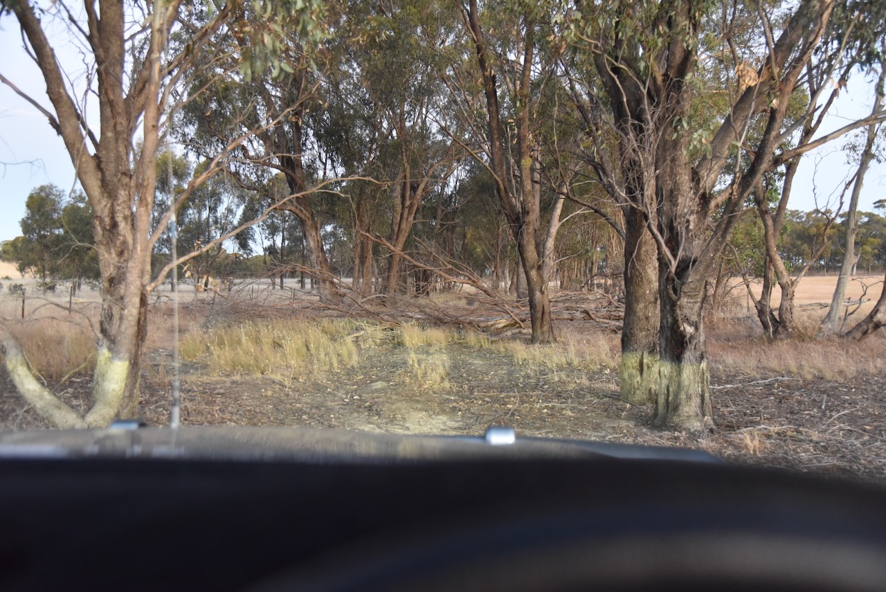
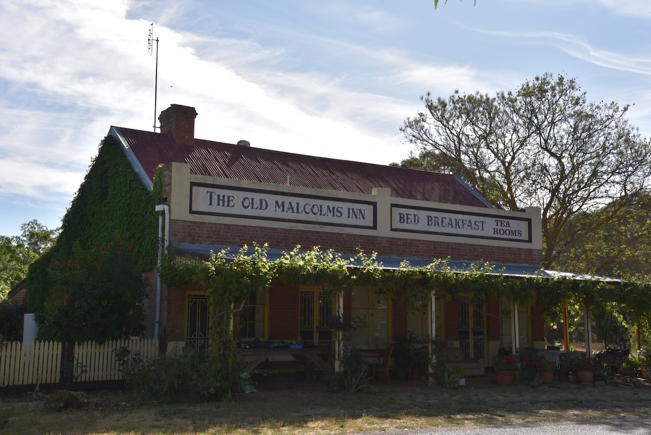
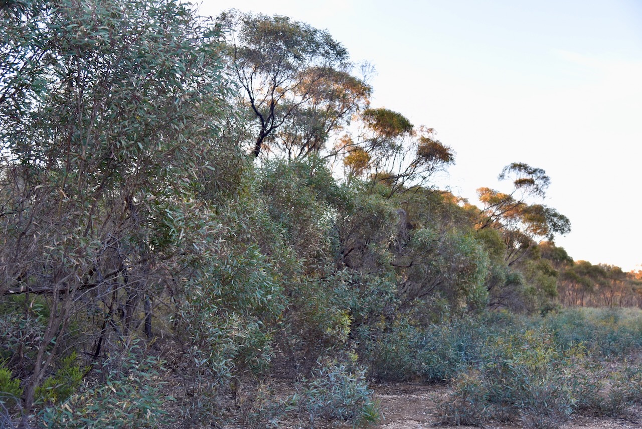
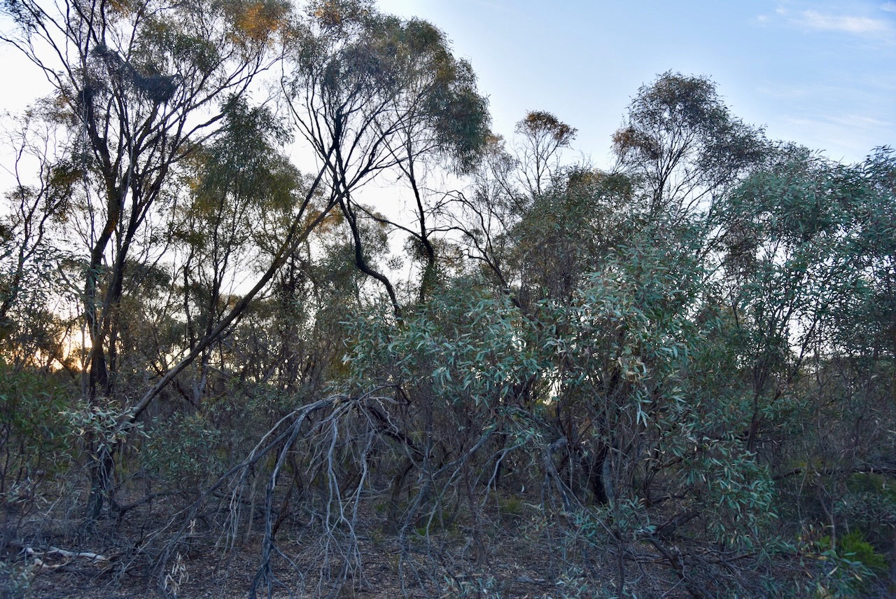
It was just a short drive from the Murtoa silo to our next silo activation, the Murtoa North silo VK-MRU3. This silo complex is located on Thomas Road on the northeastern side of Murtoa.
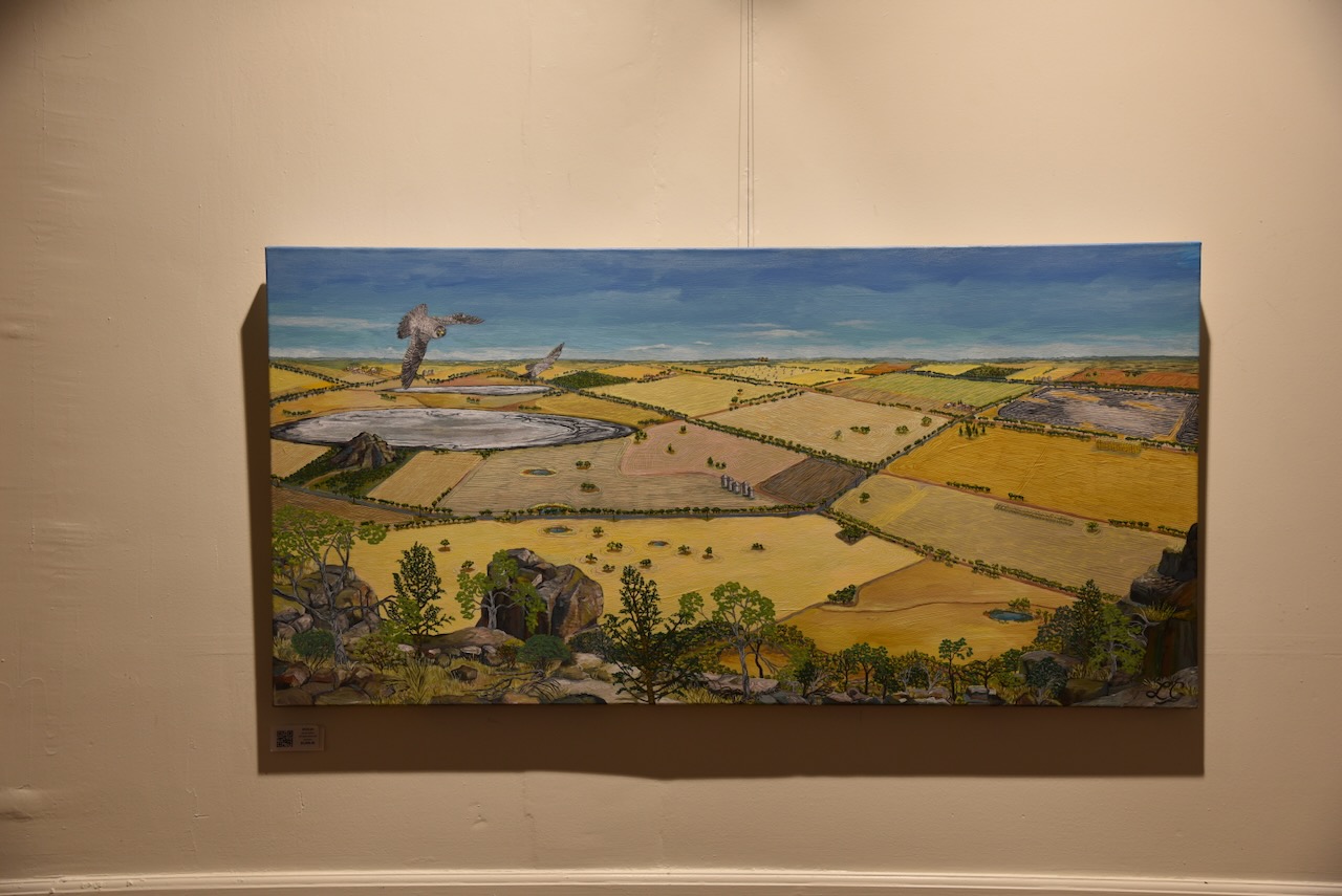
Although very impressive and probably from an art perspective, one of my favourite silos, Marija and I were disappointed about its location. The best view can be obtained from the Water Tower Museum.
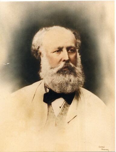
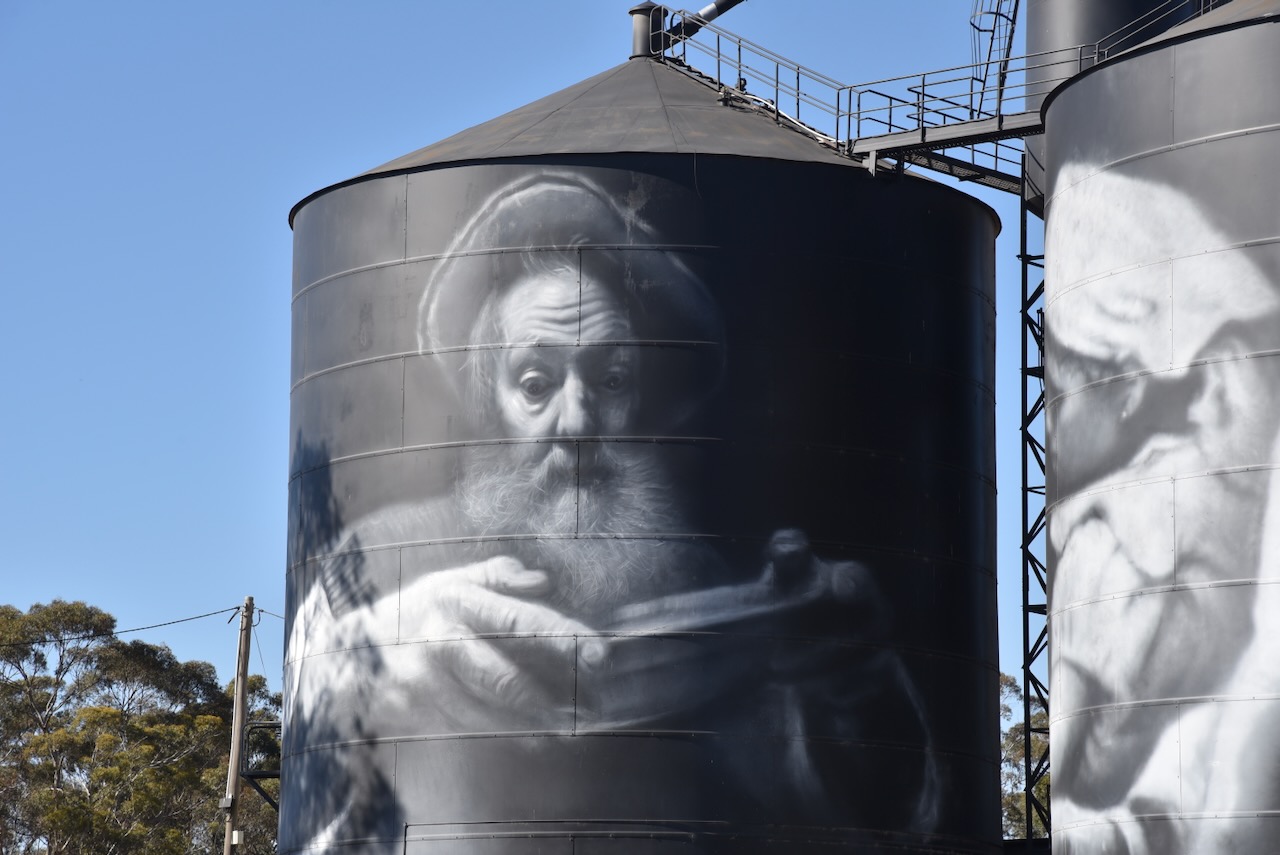
The silo art was completed in April 2023 and is the work of Sam Bates, @ Smug. His inspiration was the James Hill taxidermy collection in Murtoa. A total of thirty birds can be seen on the silo. One of those birds glows at night to represent the one in thirty Australians who suffer from mental health issues. This part of the silo art relates to Dr John Cade, a psychiatrist who was born in Murtoa. (Australian Silo Art 2024)
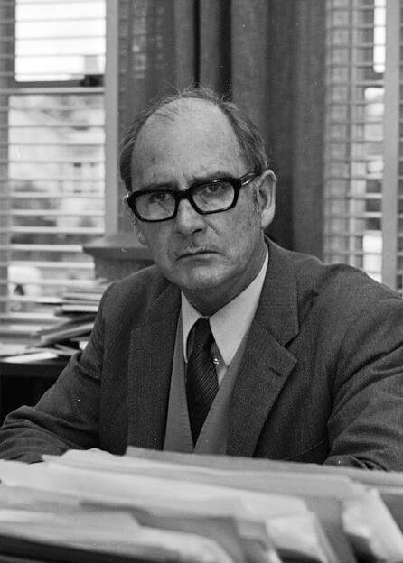
John Frederick Joseph Cade AO (b. 1912. d. 1980), was an Australian psychiatrist. In 1948 he discovered the effects of lithium carbonate as a mood stabilizer in the treatment of bipolar disorder. (News.com.au 2024)
Above:- Dr. John Cade. Image c/o Wikipedia.
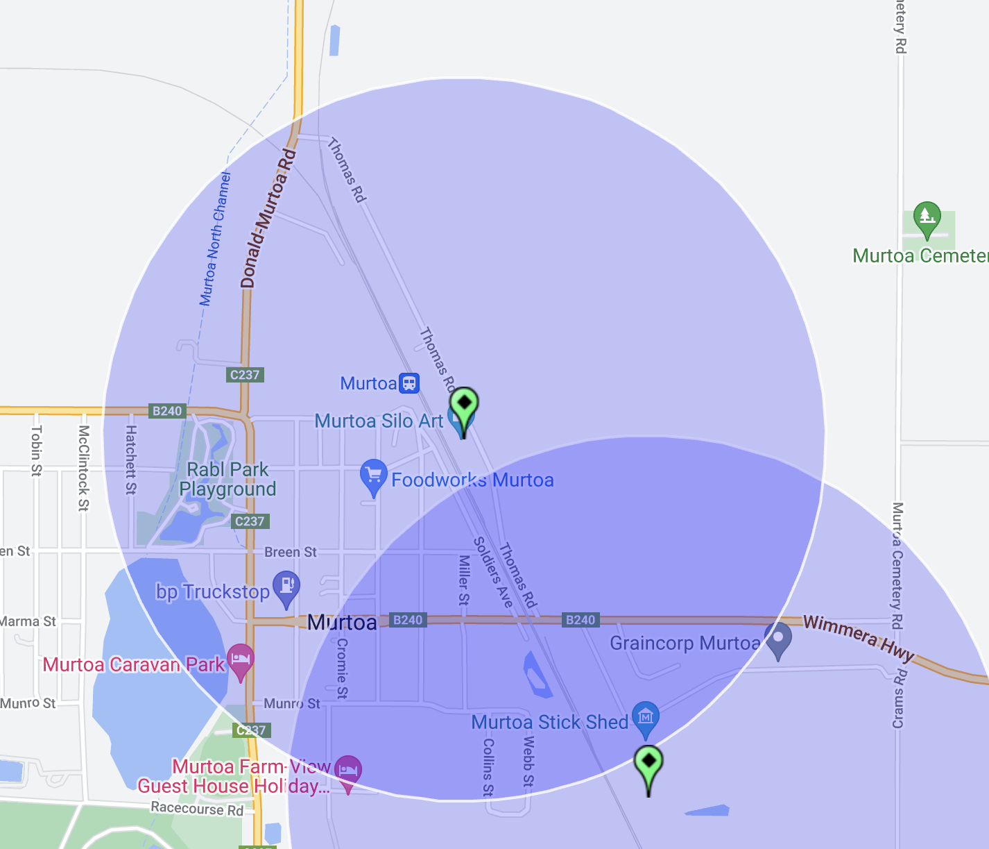
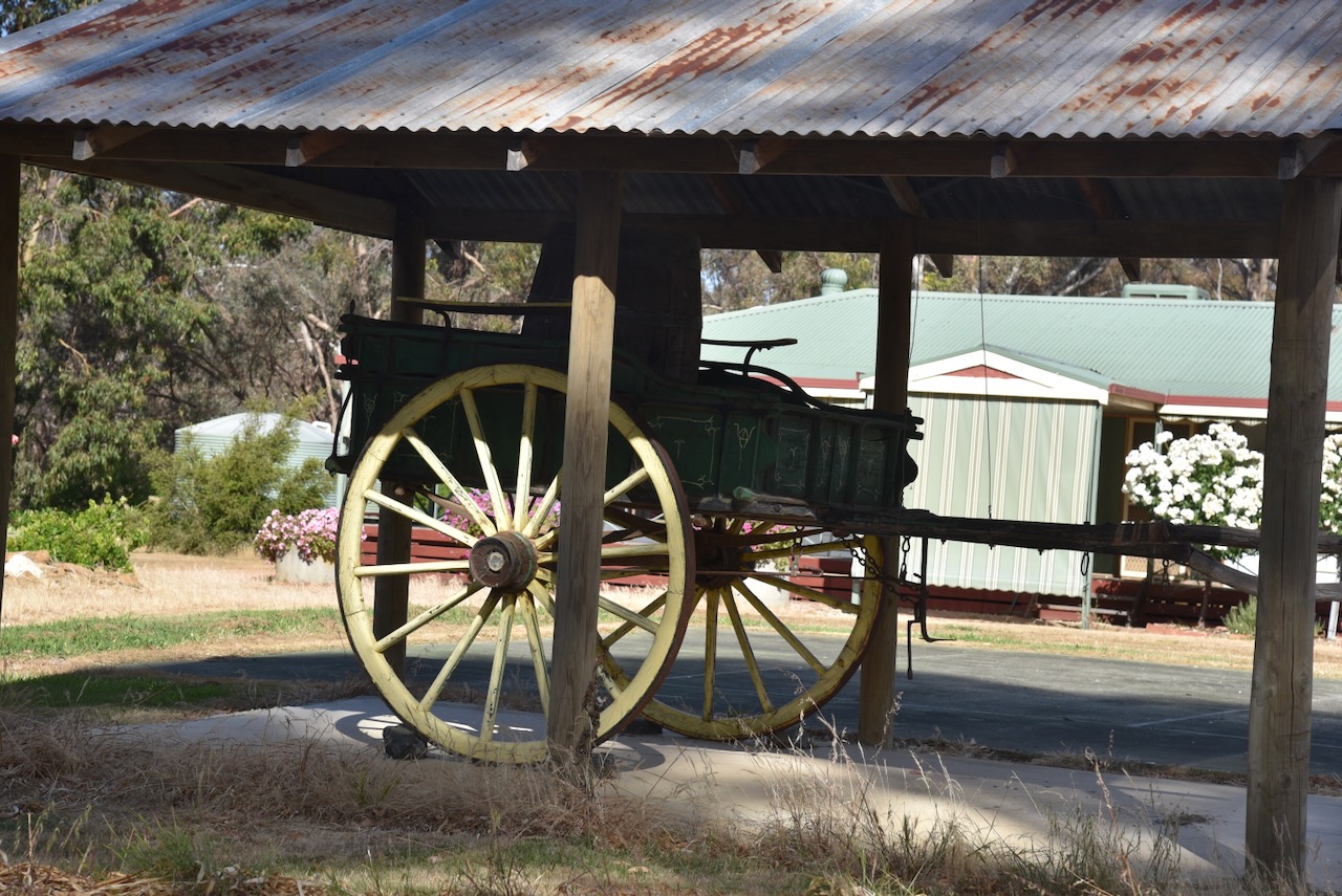
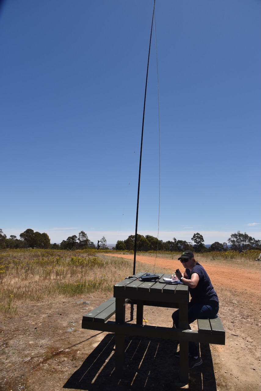
We parked on Thomas Road adjacent to the silo and operated from the 4WD running the Icon IC-7000, 200 watts, and the Coadn 9350 antenna with the 1.5-metre stainless steel whip.
Above:- The activation zone at the Murtoa North silo. Image c/o SiOTA website.
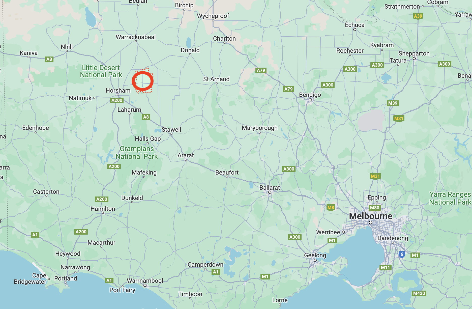
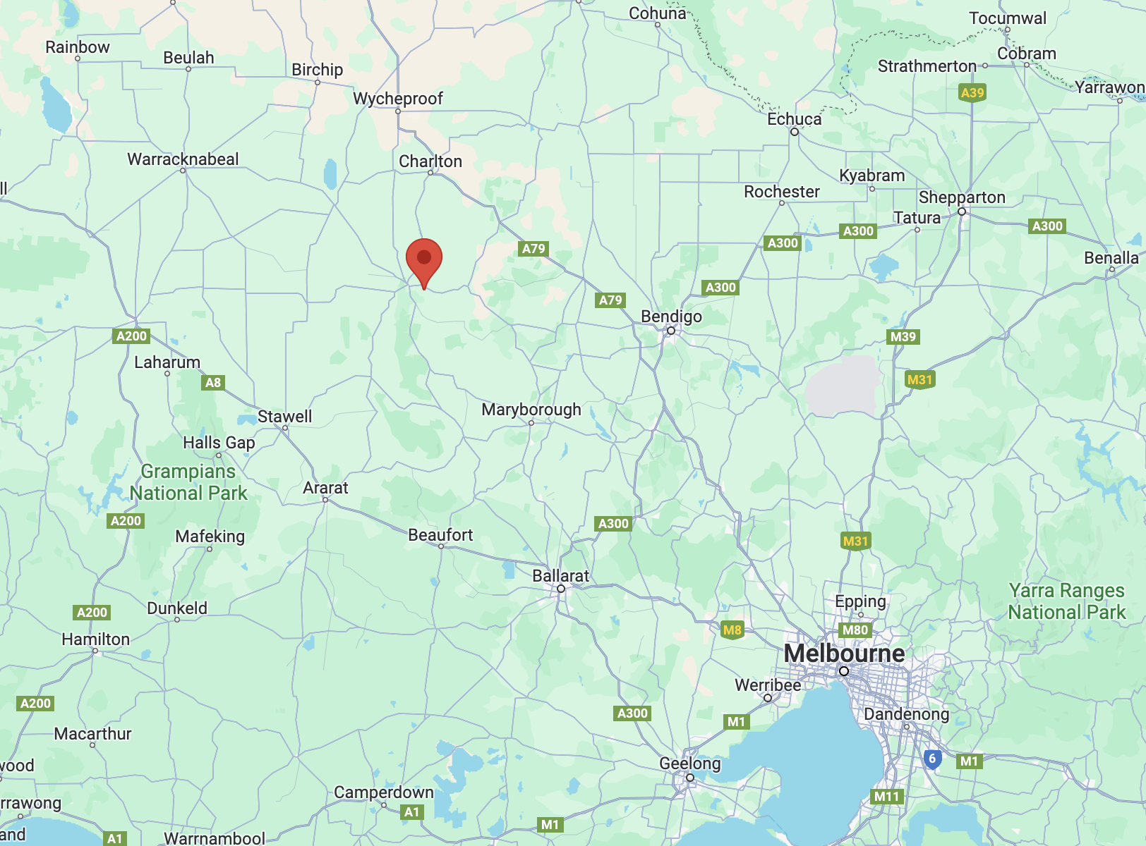
The drive from Big Tottington to our next activation at Murtoa was 67 km in distance and took us through Marnoo and Rupanyup. Murtoa is about 295 km northwest of the city of Melbourne.
Above:- Map showing the location of Murtoa in Victoria. Map c/o Google Maps.
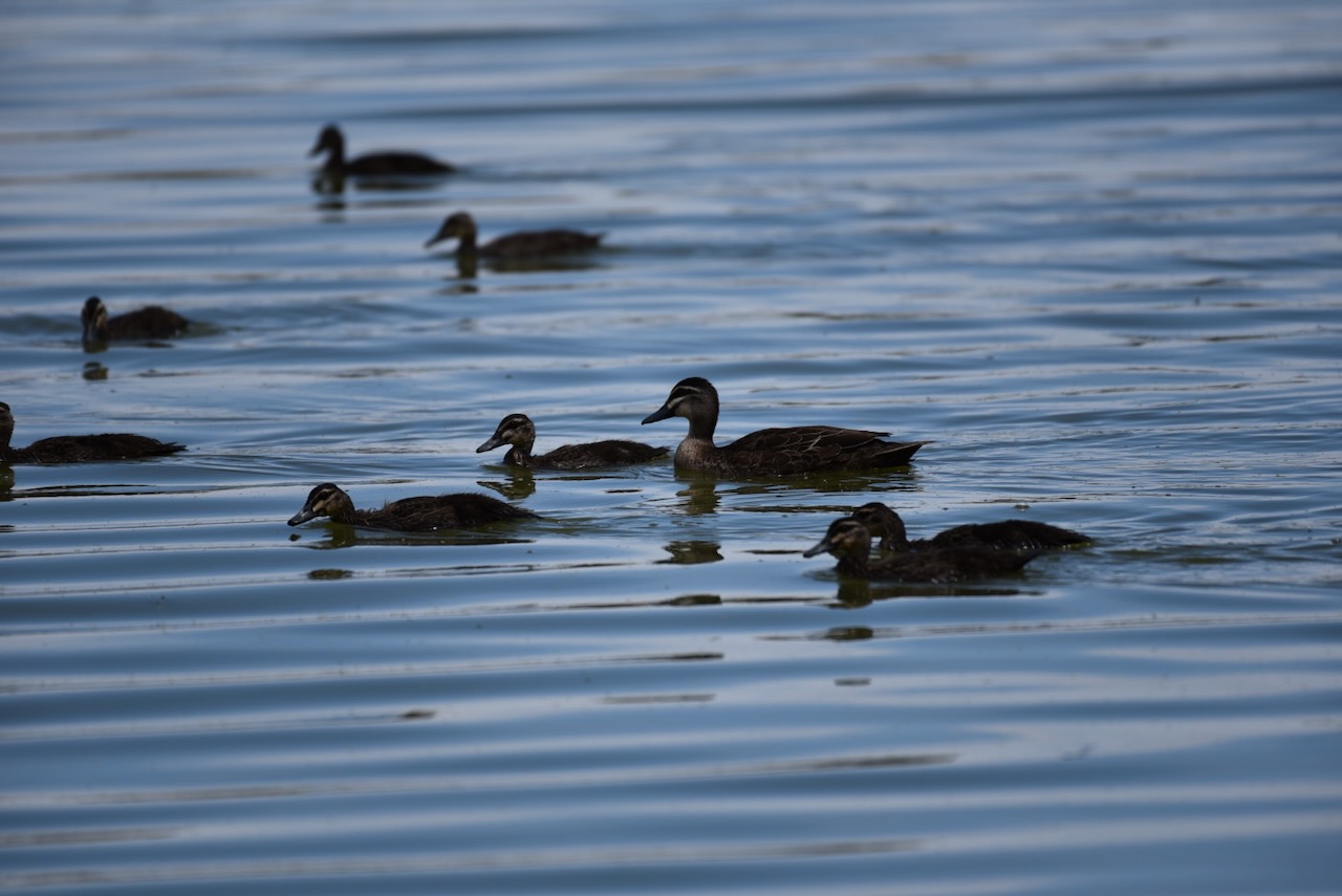
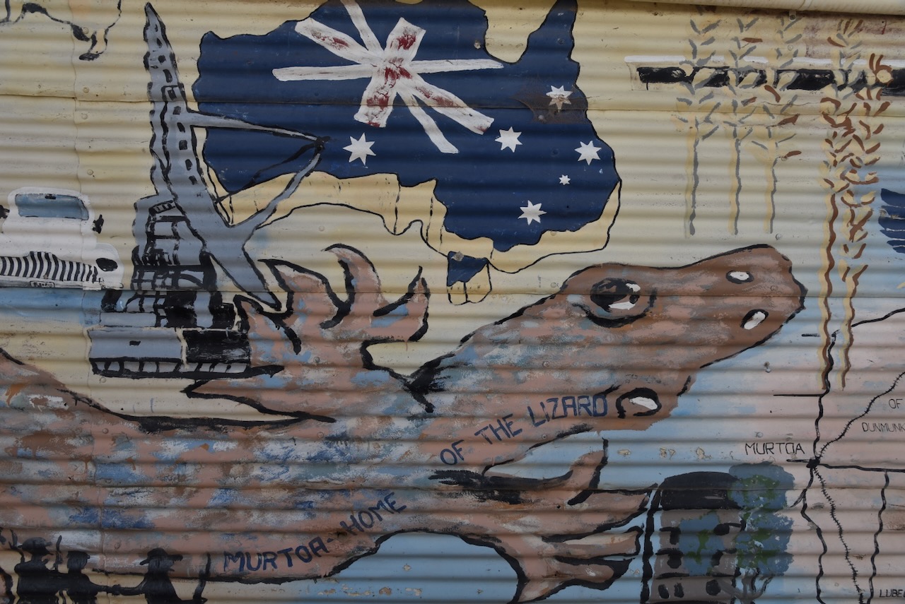
The Murtoa district is the traditional land of the Jardwe aboriginal people. Murtoa is an aboriginal word meaning ‘home of the lizard’. The town contains Lake Marma. Marma is an aboriginal word meaning ‘wild duck. Jardwe people were still present in the area when European settlement commenced. Eventually most were relocated to Ebenezer Mission at Antwerp and then to Lake Tyers in Victoria. (Murtoa Progress Association 2024).
Major Thomas Mitchell traversed the Wimmera River in 1836 and reportedly favourably on the land for farming. European settlement of the area commenced in the 1840s and 1850s with large pastoral station leases. In early 1844 the land was squatted upon by two Scotsmen Dugald McPherson and William Taylor. Their run comprised 206,000 acres (83,366 hectares) with 33,000 sheep. They were the first pastoralists north of Glenorchy in Victoria. (Australian Dictionary of Biography 2024) (Murtoa Museum 2024) (Murtoa Progress Association 2024).
McPherson and Taylor encountered problems with local aboriginal people from 1844 to 1845. The Argus, Melbourne, dated Friday 17th August 1934, reported:-
“As many as 30 per cent of the sheep were destroyed by aborigines.”
In 1848 McPherson and Taylor subdivided their holding, with Taylor’s portion known as Longerenong. Taylor retained the lease on Longerenong until 1856 when he sold it to Sir Samuel Wilson. (Australian Dictionary of Biography 2024)
I found the story of McPherson and Taylor to be extremely interesting.
Dugald McPherson was born in September 1820 in Argyllshire, Scotland. He arrived in Victoria in 1840 with his brother Peter. He went on to develop very large landholdings in northwestern Victoria, New South Wales, and Queensland. He was the Chief of the Highland Society of Ballarat and an elder of the Presbyterian Church. He formed the Australian Club, a private gentlemen’s club in William Street, Melbourne. He was also a councillor in the Ballan Shire. (Museums Victoria 2024)
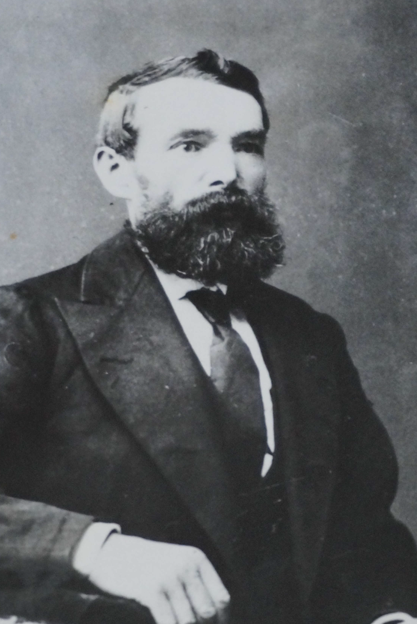
William Taylor was born in November 1818 in Glasgow, Scotland. Following his arrival in Australia in 1840, he purchased a sheep run near Geelong. He returned to Britain in the 1850s but returned to Australia after three years, purchasing more land. In 1847 he was appointed a Magistrate. He was a member for Wimmera in the Legislative Council. He was the Chairman of the Keilor District Road Board and President of the Shire Council. He was a director in Melbourne of the Union Mortgage and Agency Co, and owned many properties in Melbourne and rural Victoria. (Australian Dictionary of Biography 2024)
Above:- William Taylor. Image c/o The Argus, Fri 17 Aug 1934, Trove.
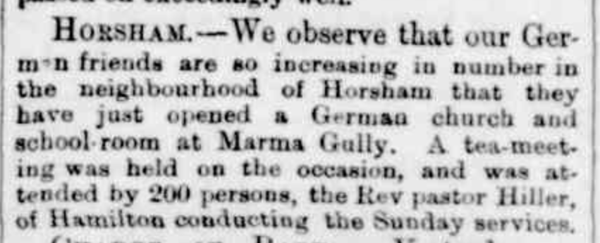
Prior to 1870, the Murtoa district was known as Marma Gully. Following the Land Act of 1869, many families of Prussian (German) origin journeyed to the Wimmera district between 1871 and 1872. (Aussie Towns 2024)
The Australasian, Melbourne, dated Saturday 31st January 1885, reported:-
“The Land Act of South Australia did not offer the same inducements to settlers as the Victorian act of 1869, and hence a large number of Germans, bringing with them their horses, waggons, double-fur-rw ploughs, and stripping machines, came across the border, and spread themselves over the Wimmera district, the vicinity of Lake Marma attracting a large number of the settlers.” (Farming on the Wimmera 1885)
In 1871 Ernest Boehm from the Bremmer in South Australia travelled to the Wimmera and selected land. In October 1871, Boehm was camping on the Penola Road when he encountered another group of Mount Gambier farmers who were heading to Narracoorte to look for land. They were Herman Paul Anders (b. 1841. d. 1930), Johann Heinrich ‘Martin’ Uhe (b. 1813. d. 1900), Heinrich Friedrich ‘Fred’ Conrad Gottleib Degenhardt (b. 1821. d. 1893) and Gustav Julius Wilhelm Degenhardt (b. 1829. d. 1908). Boehm informed them that it was no good going there as he had been there, and he informed them about the Wimmera. They accompanied Boehm to land at Lake Natimuk, but they found the land unsuitable. (Doncaster Hist Society 2024)
In the Dunmunkle Standard Newspaper in 1925 Anders stated:
“On reaching Mount Arapiles we camped at Jackie-Jackie. There a couple of swaggies came over to us and asked for tea, and one of them, an old grey headed man said: ‘I suppose you are looking for land; what will you give if I lay you on to some good country, all open plain, no timber, no stones, you can put the plough into it and work away – there is a nice lake with plenty of water and plenty wildfowl on it. I have been shepherding there for 17 years, and the lake never went dry. The information is worth 5 pounds?. I will direct you and if it is not what I say, don’t pay me anything.'”
The swaggie then instructed them on how to reach Marma Gully. Gustav Degenhardt told the swaggie he would pay him 10 pounds if he told them where this land was, and would pay a further 5 pounds if they found the land as he described when they got there. The swaggie then instructed them on how to reach Marma Gully. (Doncaster Hist Society 2024)
The four men were joined by Hermann Volprecht and they departed Jackie Jackie. They called in on Robert Clark, a store-keeper at Horsham who advised he knew of a boundary rider on Longererong Station called Harry Friend, who was willing to take them to Marma Gully and who had already selected land there. Upon arriving at Marma Gully they found only one house, a shepherd’s hut. They camped alongside Friend’s tent. (Doncaster Hist Society 2024)
Following their inspection of the land, they drew lots for land. Uhe went first as he was the eldest. Each of the gentlemen then pegged a block of land. In December the men returned to Mount Gambier to tender their crops. In February they returned to Marma Gully with their families in waggons with sack tents over the waggons. Upon approaching Natimuk in western Victoria they encountered heavy rain making the roads boggy. To reduce the work on the horses, the women and children walked through the mud. Ander’s mother-in-law is reported to have said ‘Oh what a terrible country you are taking us to.‘ (Doncaster Hist Society 2024)
Anders, Uhe and Fred Degenhardt and their families arrived at Marma Gully on the 16th day of March 1872. Gustav Degenhardt, Volprecht and Hoff arrived 6-8 weeks later with their families. Many of the settlers lived in tents and the area was known as the Calico Township. (Doncaster Hist Society 2024)
In the Dunmunkle Standard Newspaper in 1925 Anders stated:
“One day we had a visit from the old shepherd whom we met at Jackie Jackie, and who told us about Marma Gully. Of course, he found us settled there, and he came for his five-pound note. We clubbed together and he got his money according to promise, as we could thank Tommy-that’s what we called him-that we found Marma Gully.'”
Above:- Article from the Hamilton Spectator, Sat 30 Aug 1873. Image c/o Trove.
In 1873 the township of Marma Gully was surveyed around the swamp by T.H. Breen. Following its establishment as a town, more settlers came to the area and soon Murtoa was a prosperous grain town. Soon after it was renamed Murtoa by Walter Madden, the Land Officer in Horsham. By 1878 the main Melbourne railway line had reached Murtoa and this increased the prosperity of the town. (Murtoa Museum 2024) (Murtoa Facebook page 2024) (Murtoa Progress Association 2024).
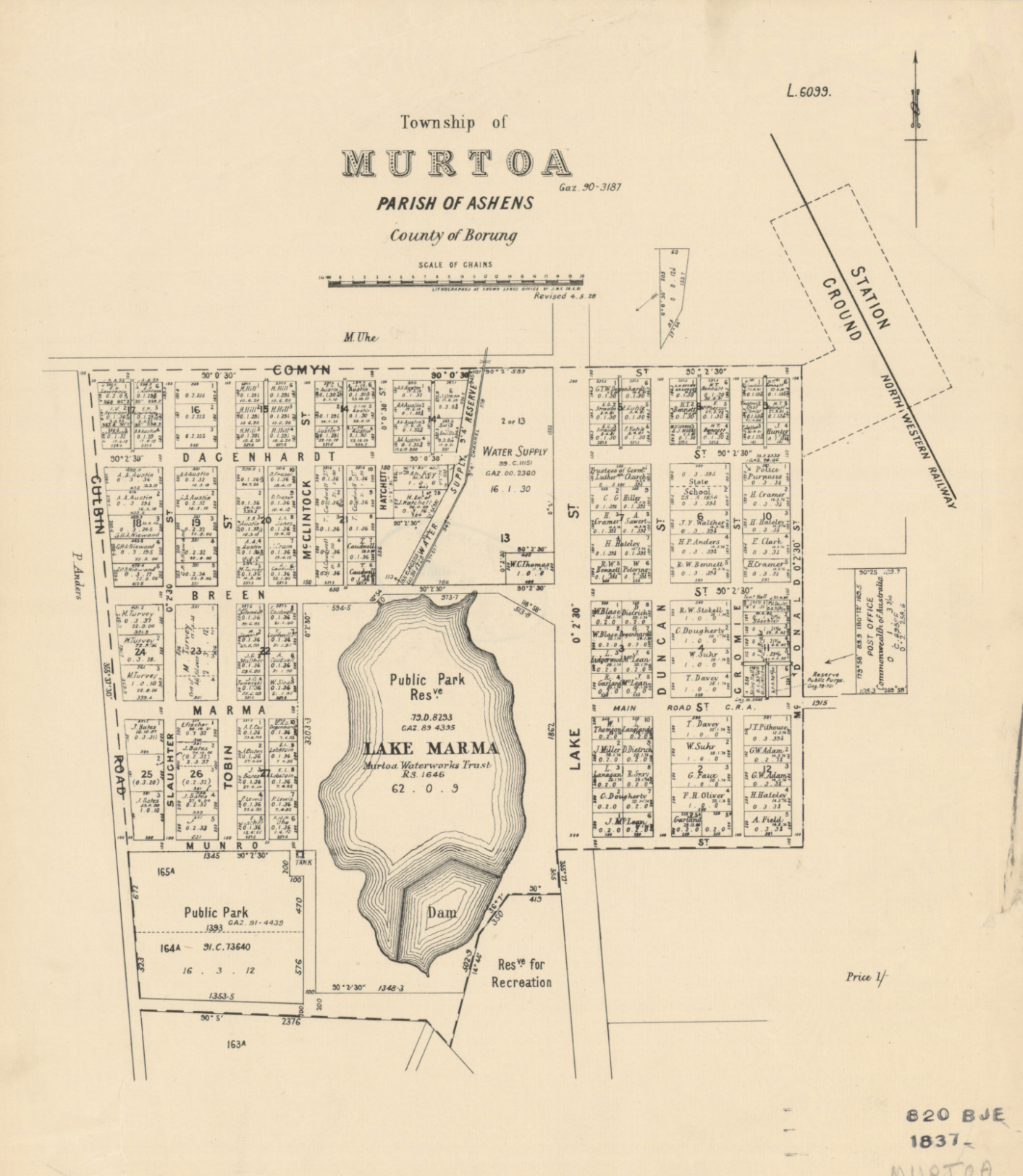
Above:- Plan of the township of Murtoa. Image c/o State Library Victoria.
A combined Town Hall, church, and school was built in 1873. The Commercial Hotel was built in 1874. In 1876 a flour mill was opened. In 1877 the Commercial Bank opened a branch at Murtoa. On the 1st day of December 1878, the first edition of the Dunmunkle Standard newspaper was printed. In 1880 the Murtoa Urban Fire Brigade was formed. The following year, 1881, the Murtoa & Central Wimmera Agricultural and Pastoral Society was formed and the first show was held. In 1884 the Murtoa Post Office was opened. Before this mail came via the hotel at Longerong, a farm, and then Anderson’s store in Murtoa. In 1898 the Murtoa Football Club which had been formed about 10 years earlier, won its first premiership. (Murtoa Facebook 2024) (Murtoa Museum 2024)
Above:- Article from the Hamilton Spectator, Sat 20 Aug 1881. Image c/o Trove.
The population of Murtoa grew quickly and expansion of farming worked in the direction of Coromby, Minyip, Rupanyup, Ashens and Yarriambiack Creek.
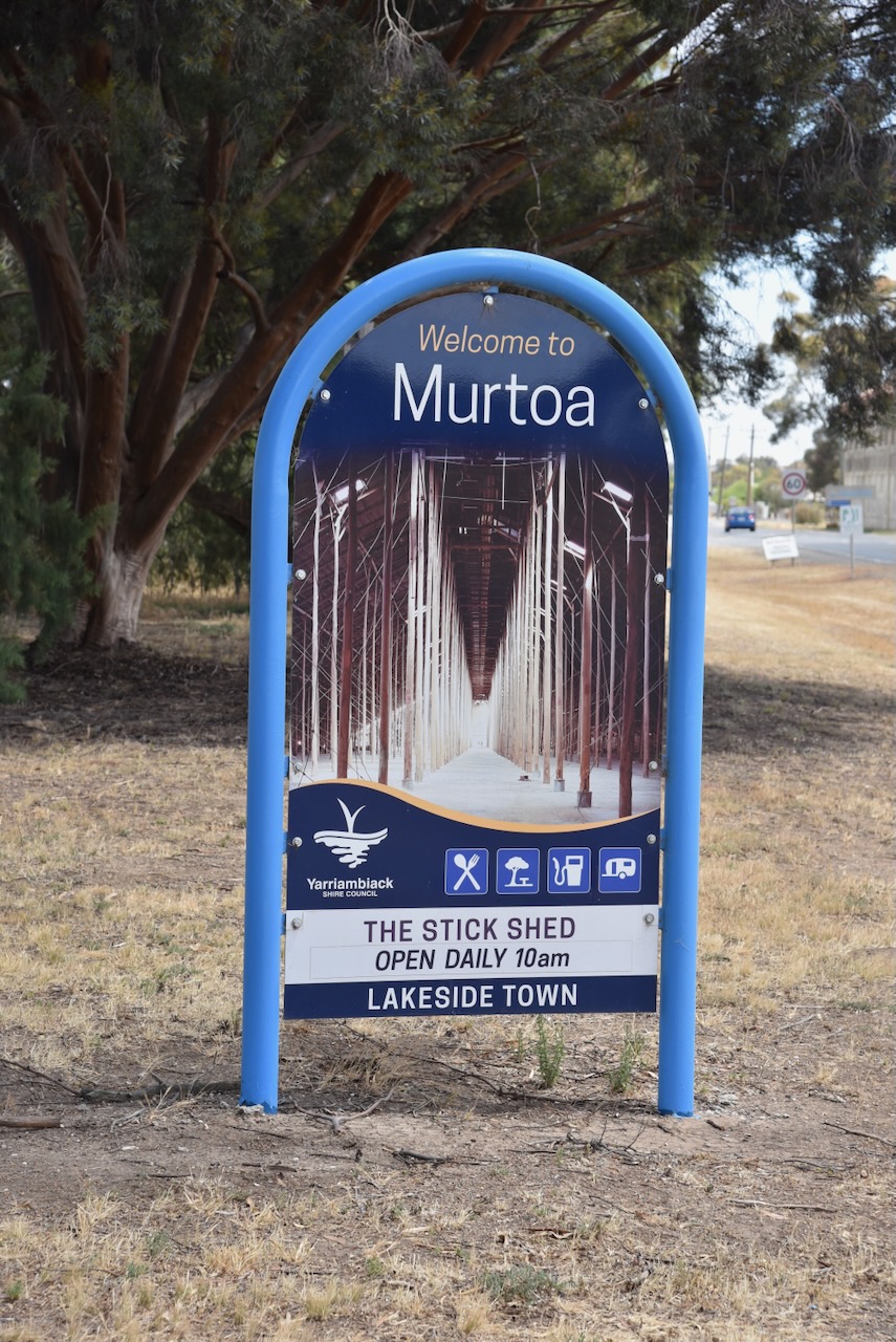
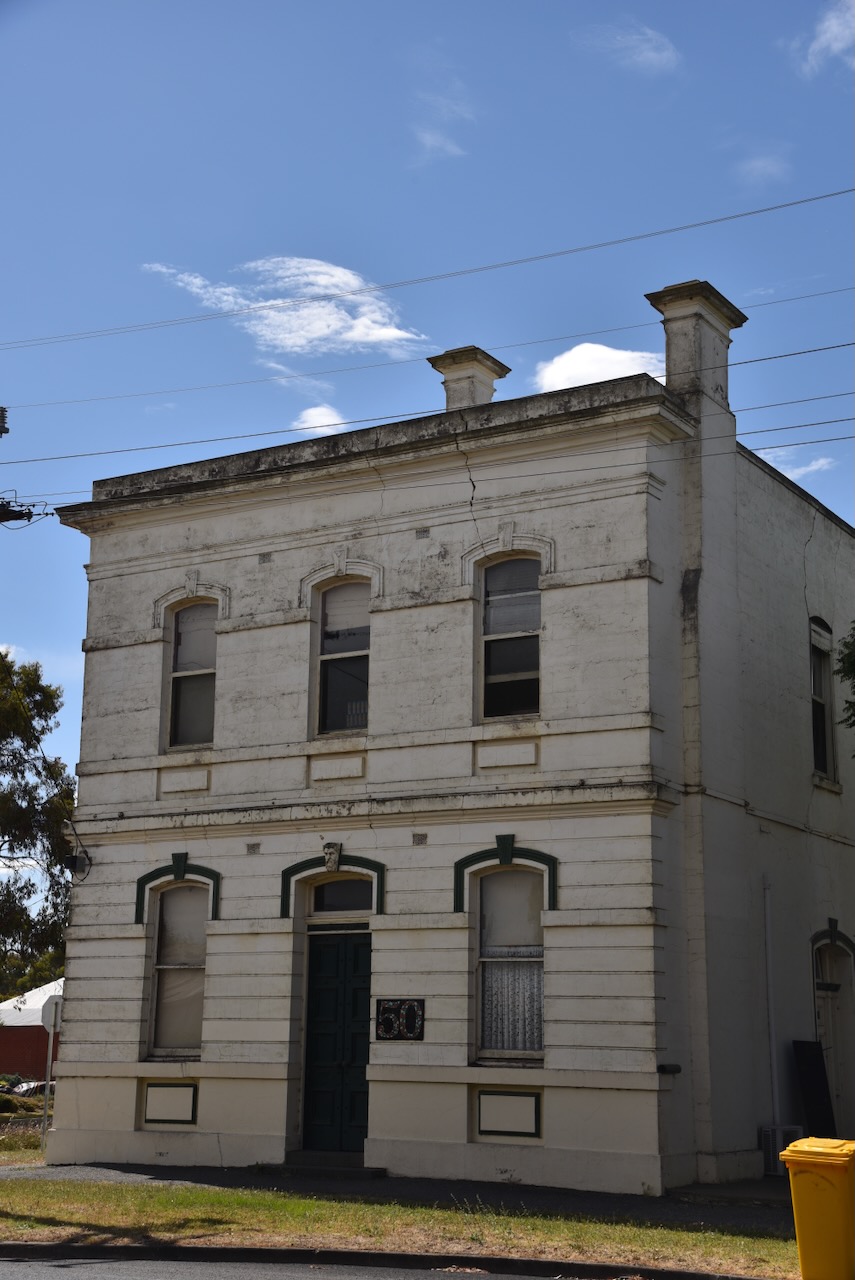
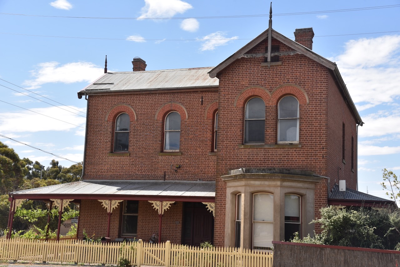
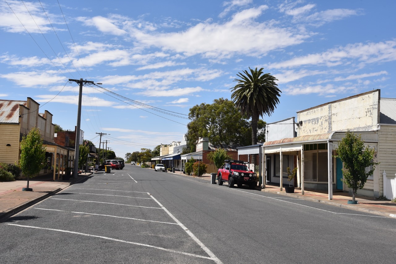
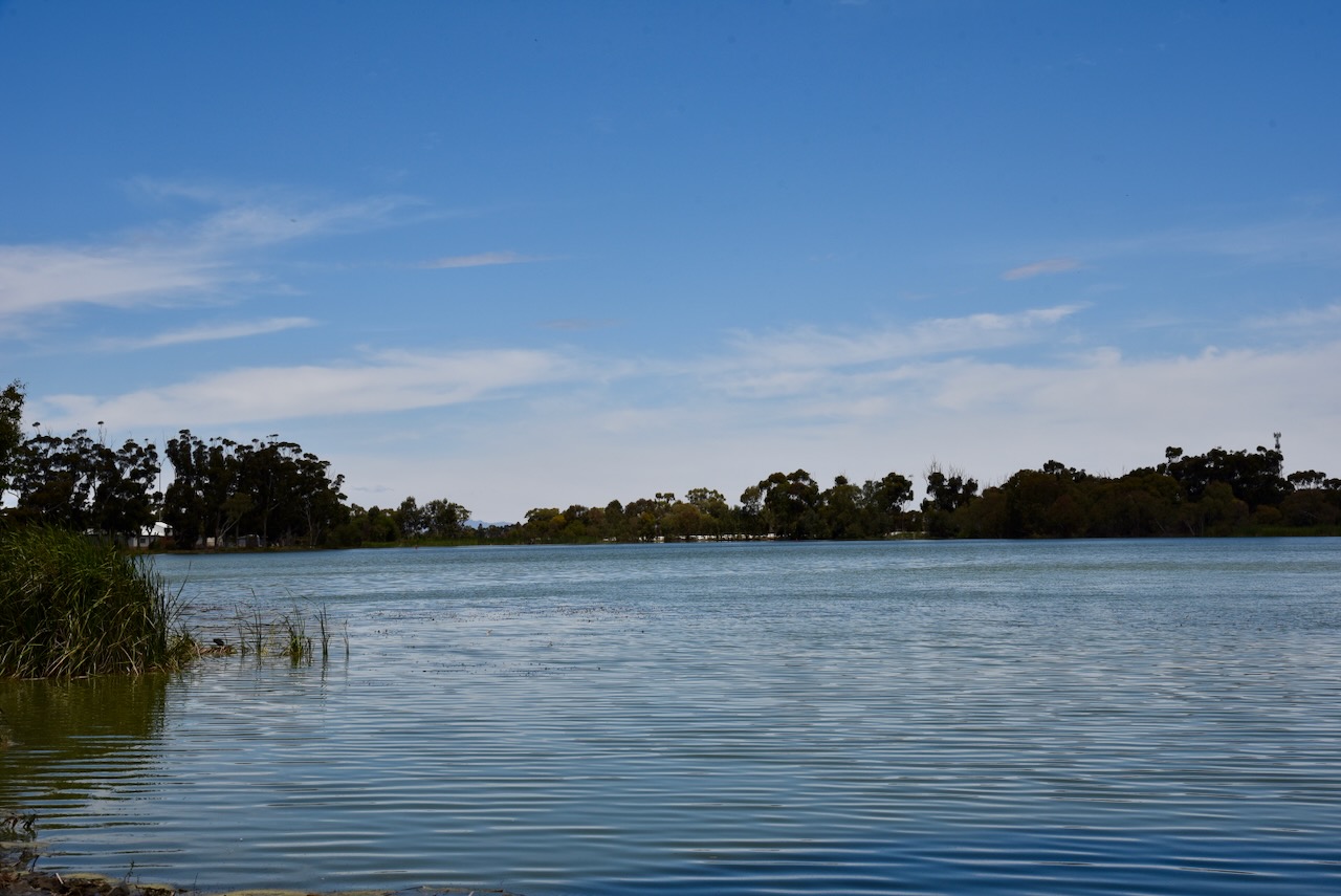
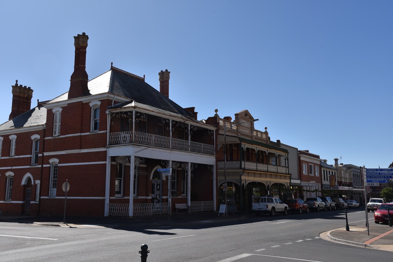
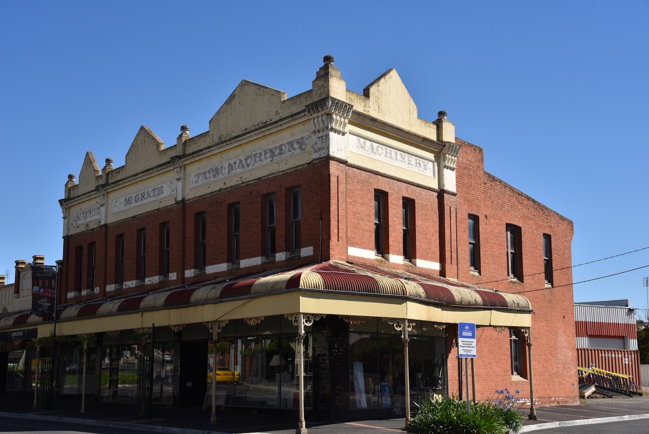
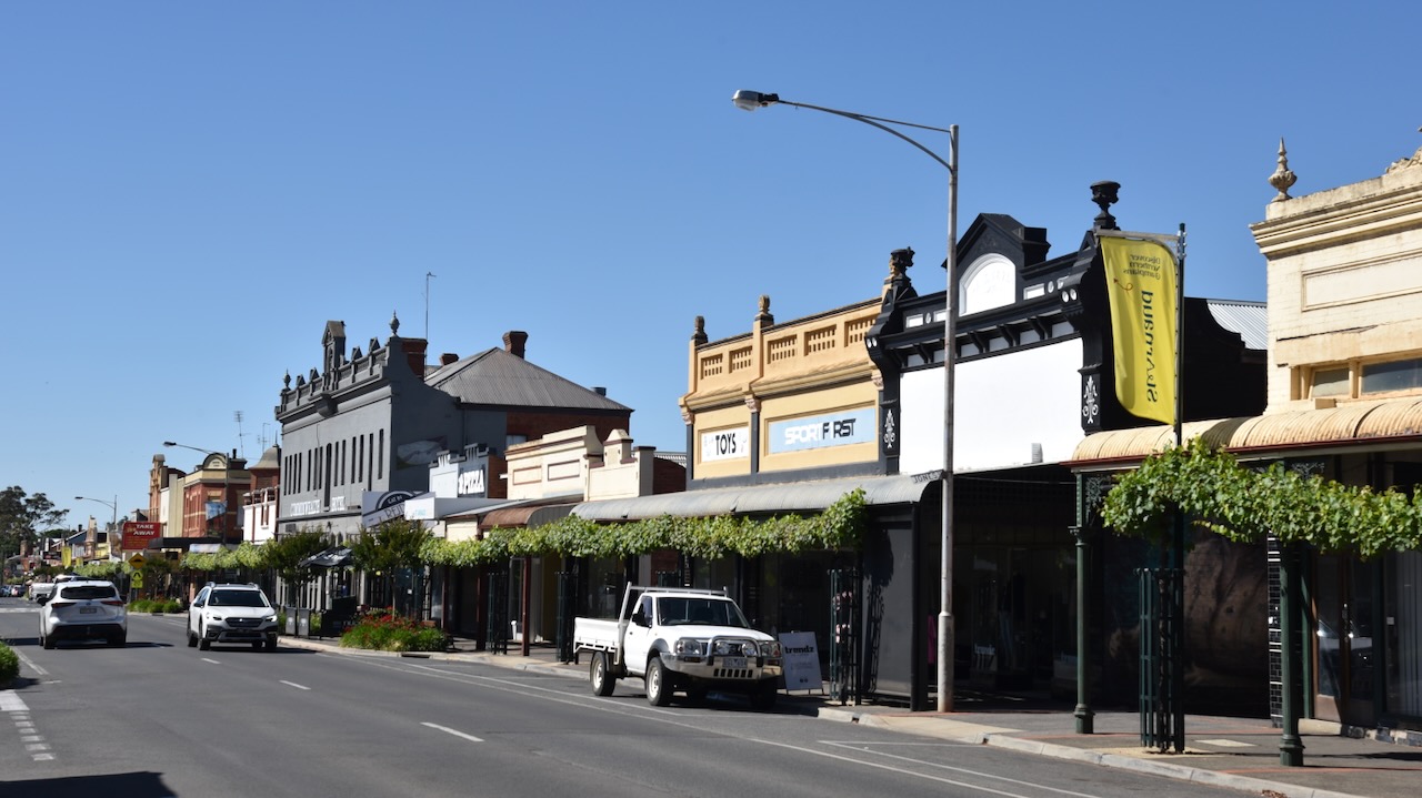
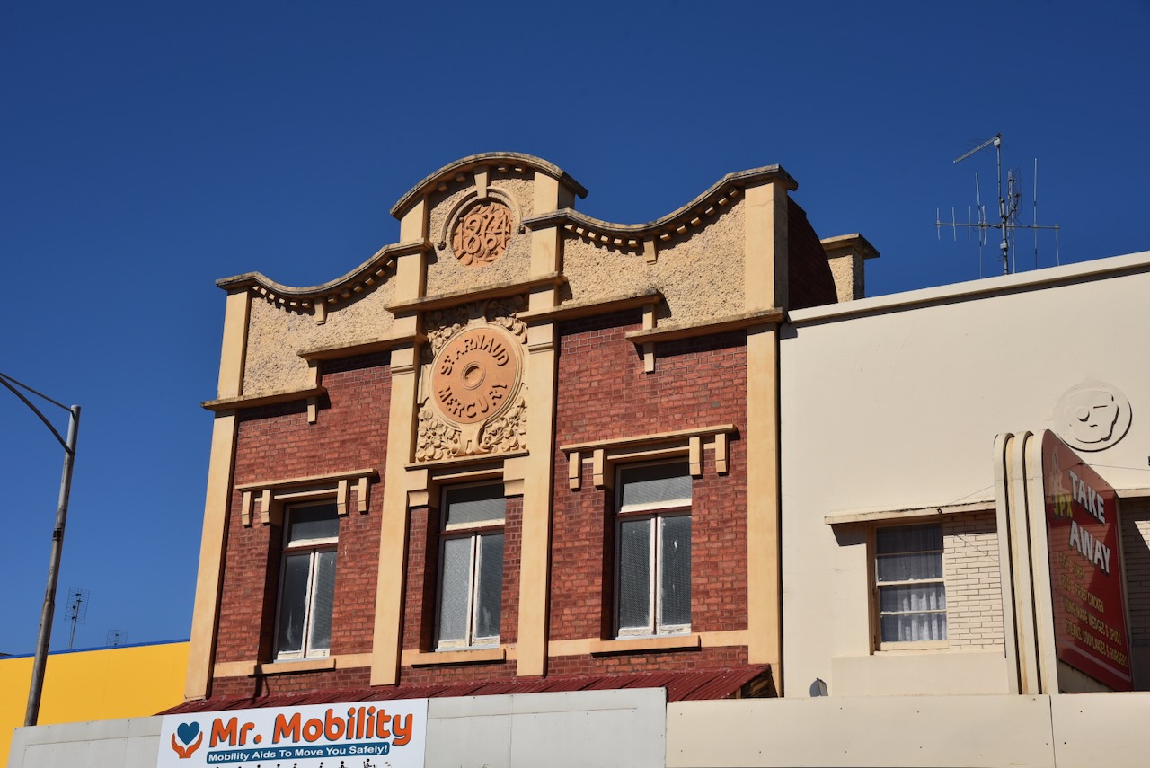
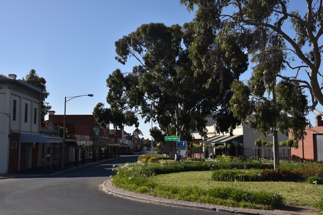
Murtoa is a beautiful little town situated alongside Lake Marma. It contains numerous historic buildings and is definitely worth visiting and spending some time exploring the town.
We had our lunch on the banks of Lake Marma, enjoying the view and the beautiful sunny day. The lake is regarded as one of the most picturesque lakes in the Wimmeara district of Victoria.
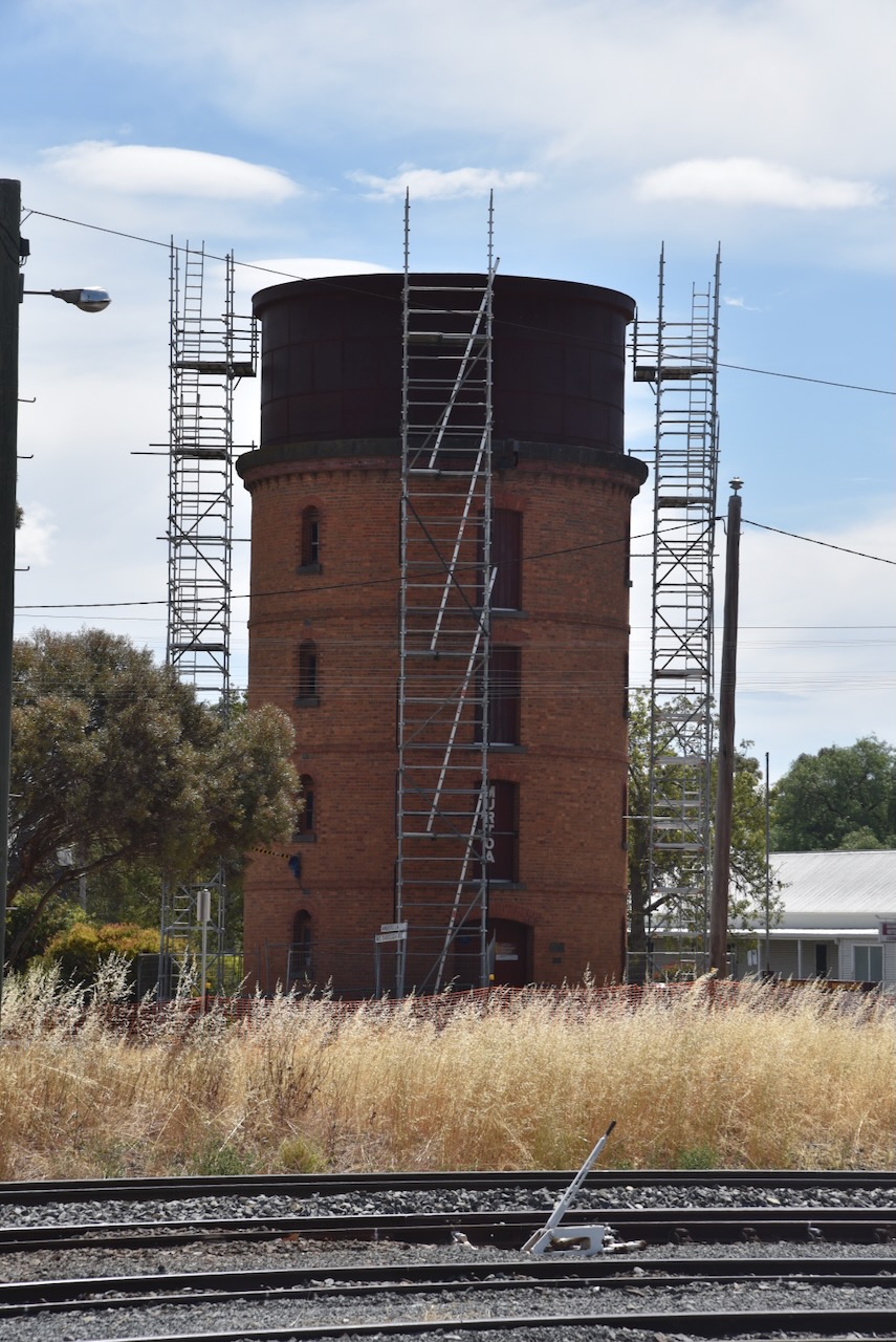
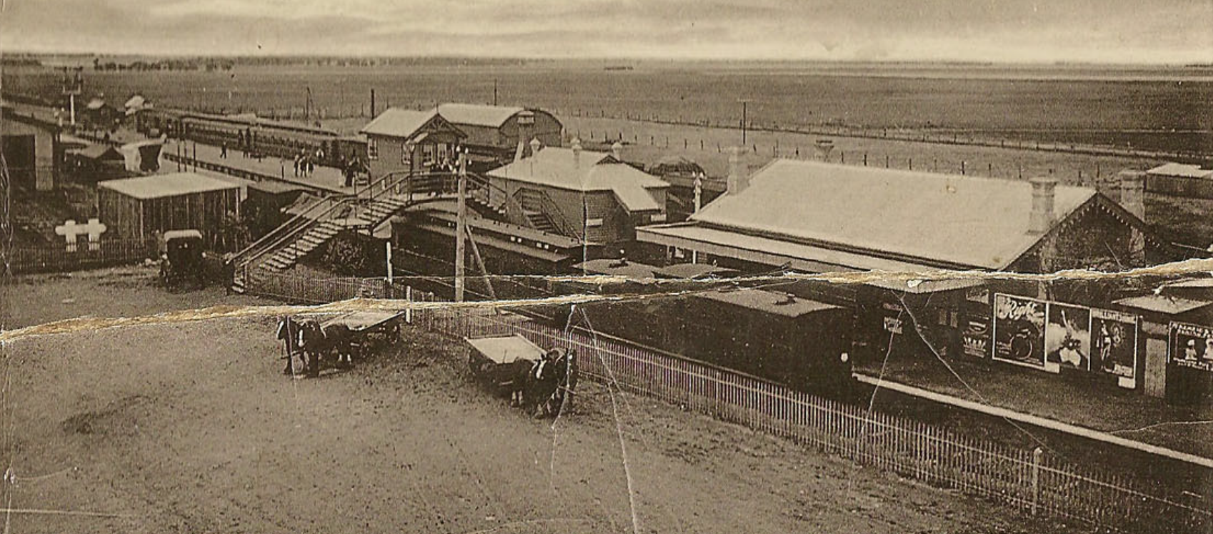
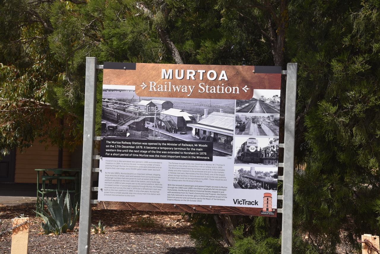
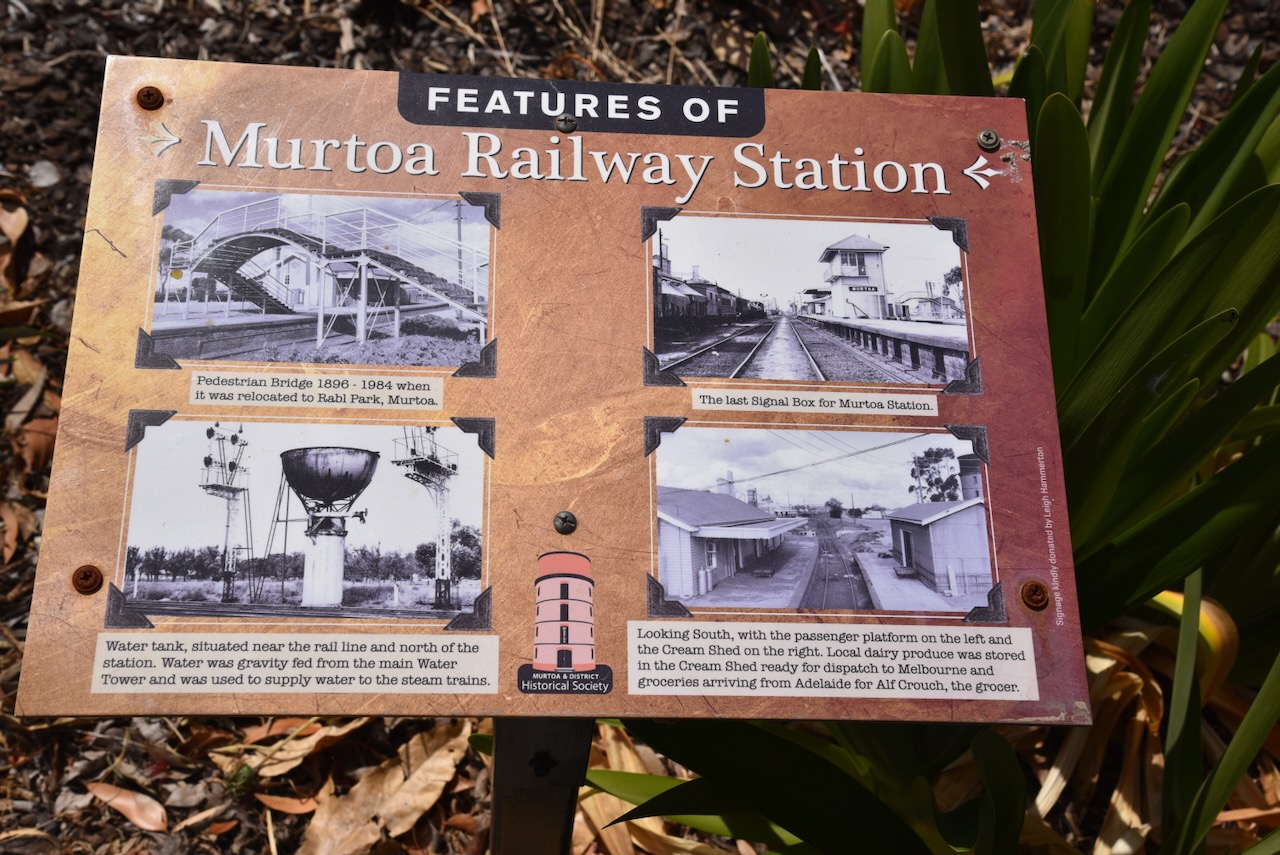
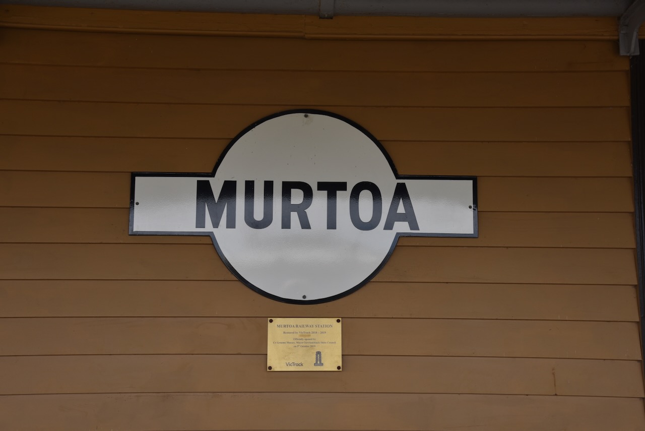
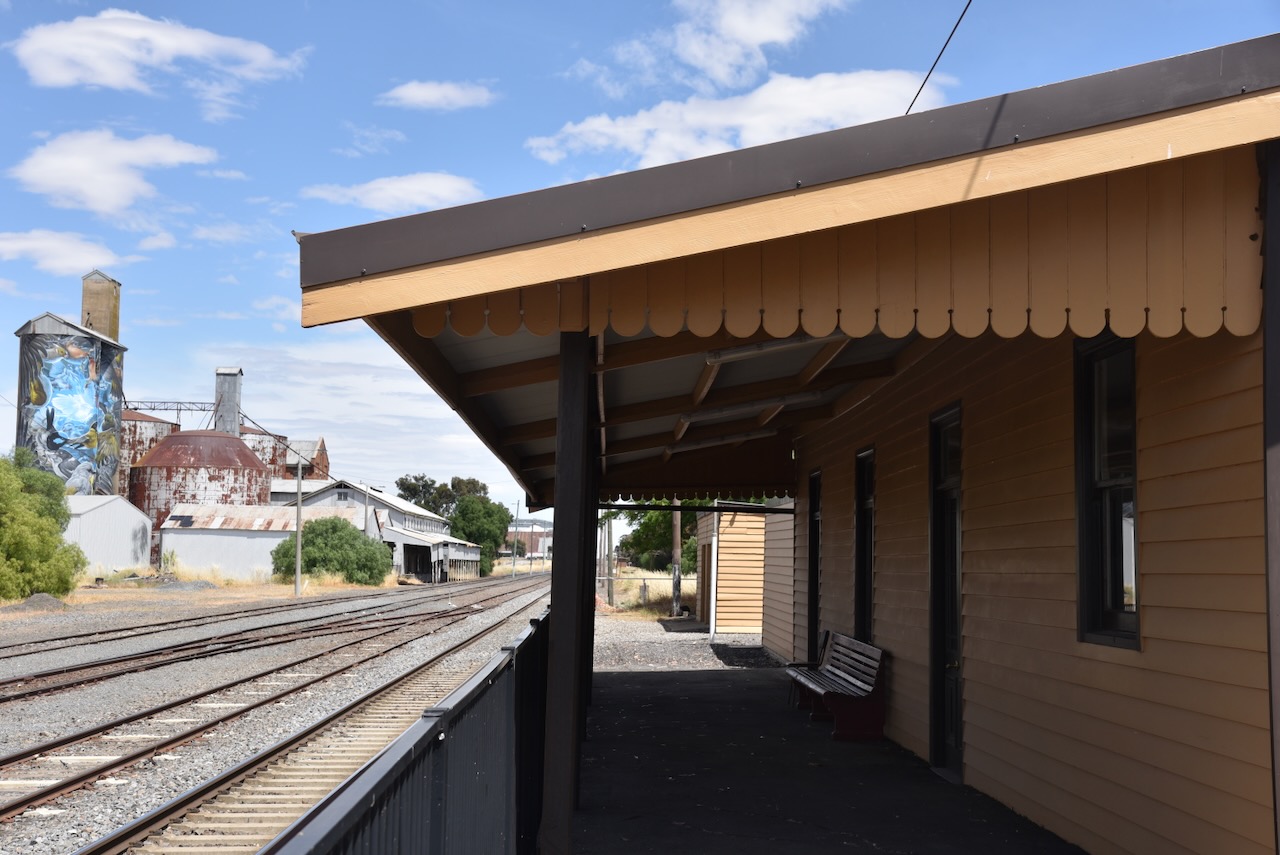
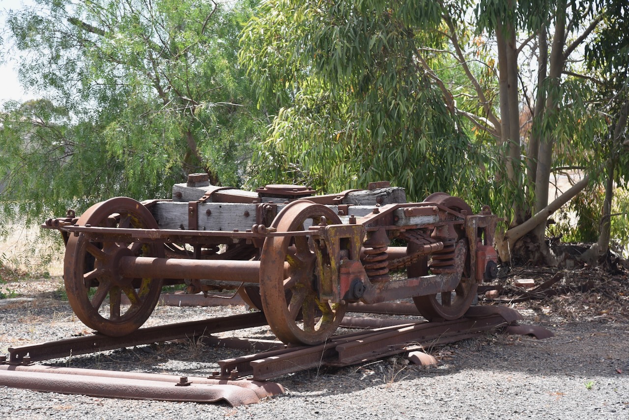
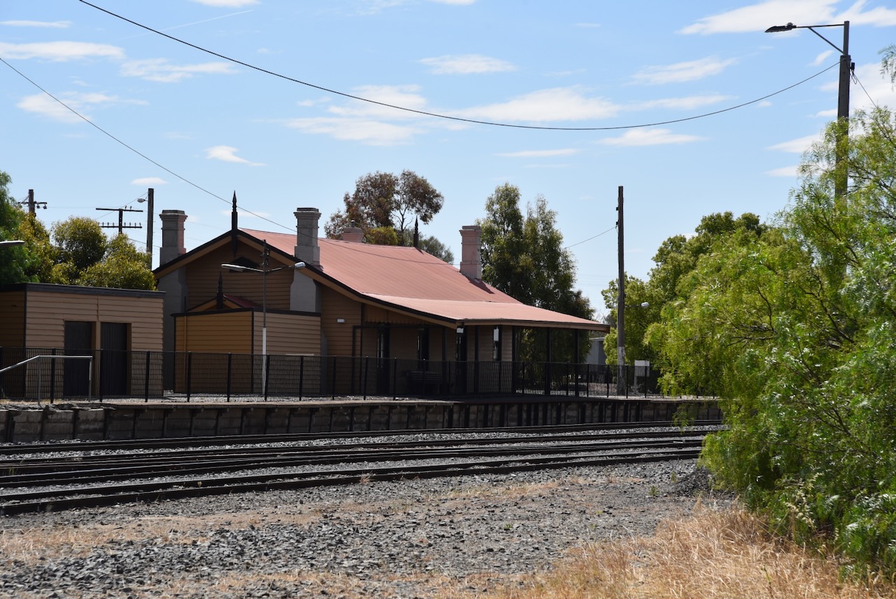
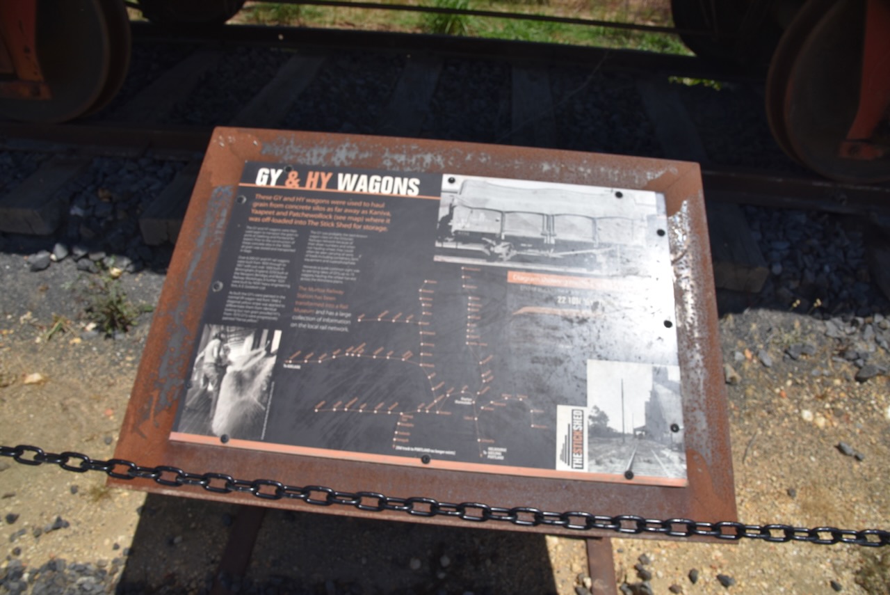
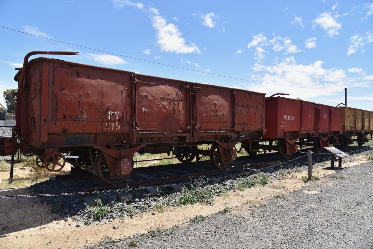
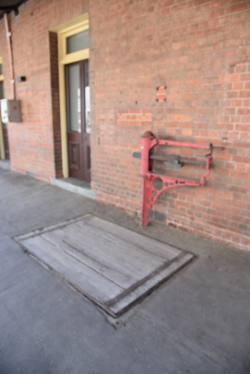
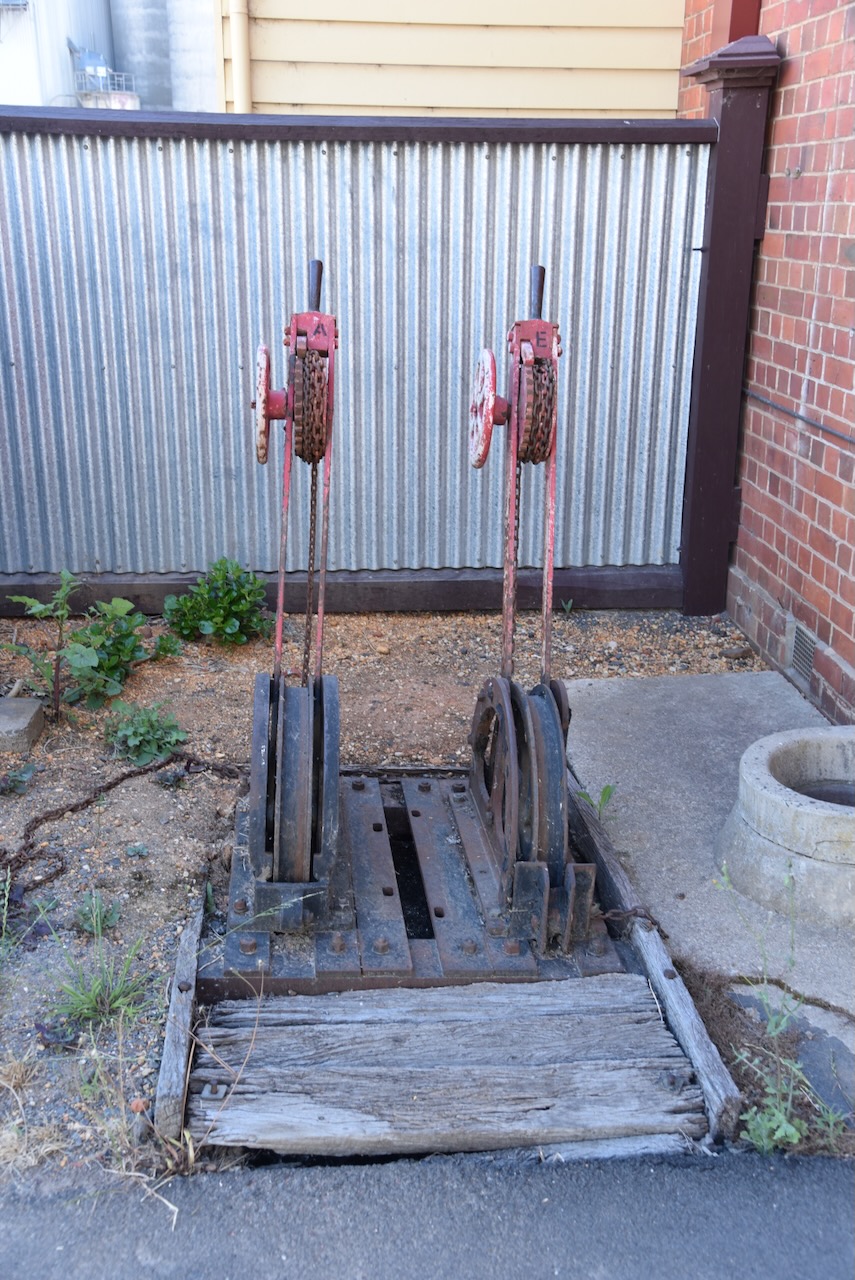
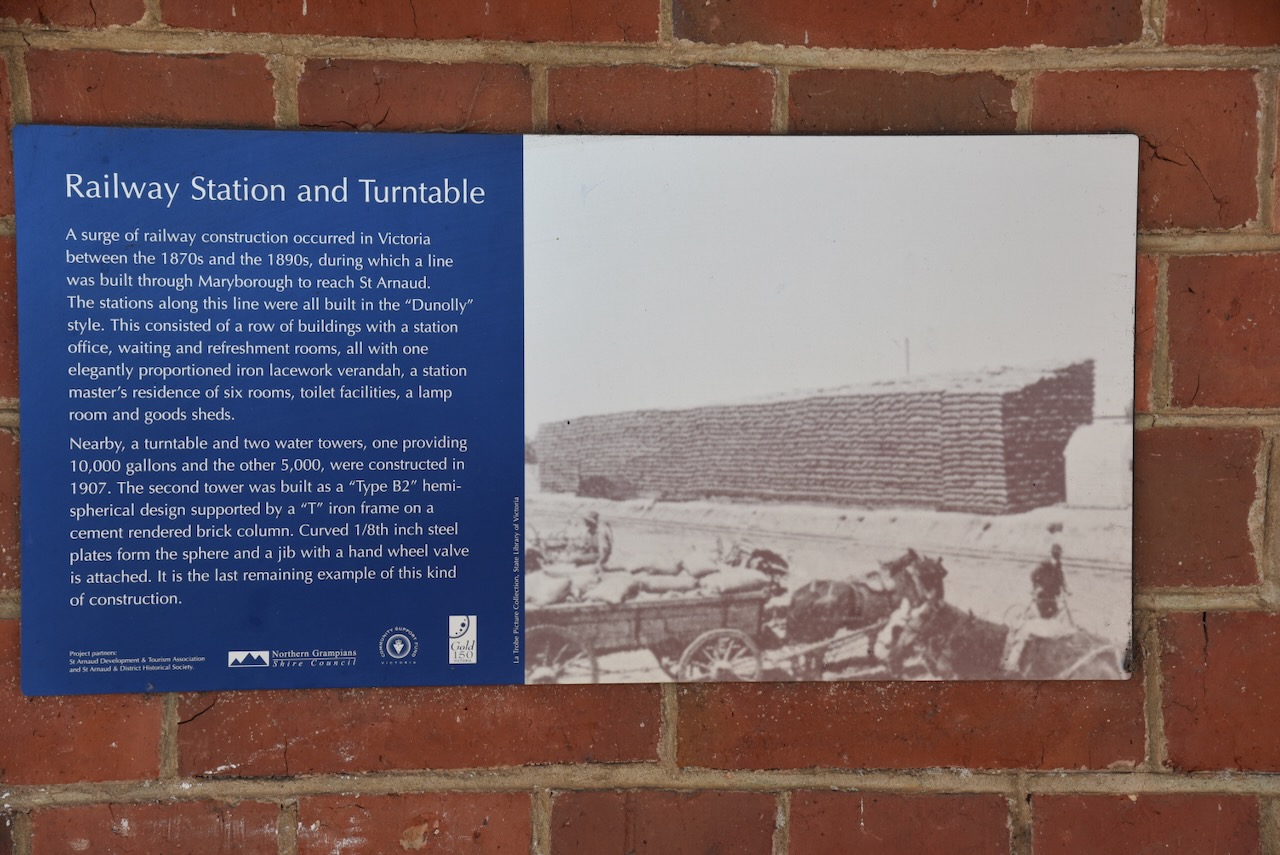
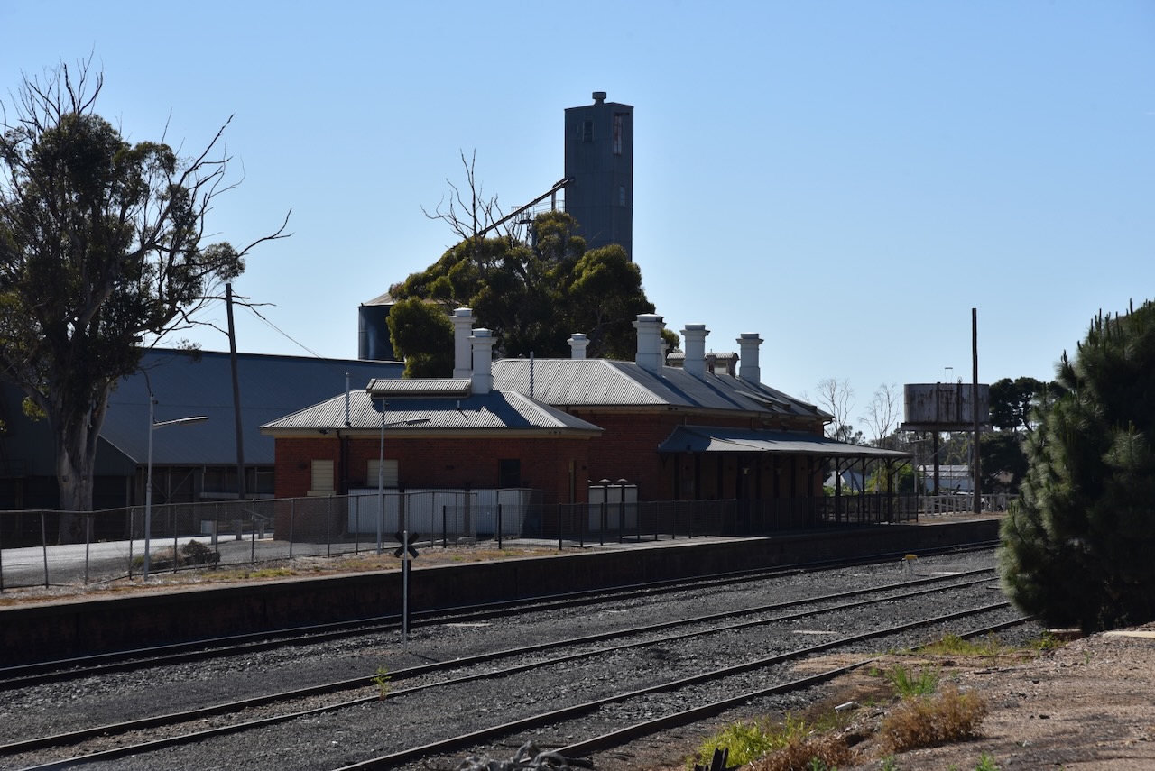
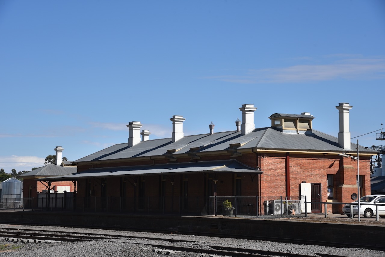
We then visited the old Murtoa Railway Station at the end of Hamilton Street. On the 17th day of December 1878, the station was opened by Mr Woods, the Minister of Railways. The station became a temporary terminus for the main western railway line until 1879 when the line was extended to Horsham. In 1886 a branch line from Murtoa was opened to Warracknabeal and in 1894 a branch line was opened to Patchewollock. Due to the increasing number of trains passing through Murtoa, extensions were made to the locomotive yards and an engine shed, coal stage and a large water tower were constructed. The Railway Hotel opposite the station was also opened. By the late 1890s a new platform was built and a footbridge was constructed. (Murtoa Museum 2024)
Above:- The Murtoa Railway Station, c. 1913. Image c/o flickr.
During the 1980s and 1990s passenger and freight services to Murtoa were removed. The Murtoa railway station commenced to fall into a state of disrepair. In 2018 the station was fully restored as a result of the Murtoa District Historical Society and Vic Track’s Community Use Program. (Murtoa Museum 2024)
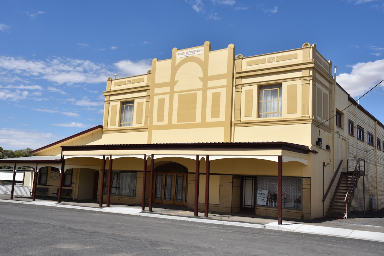
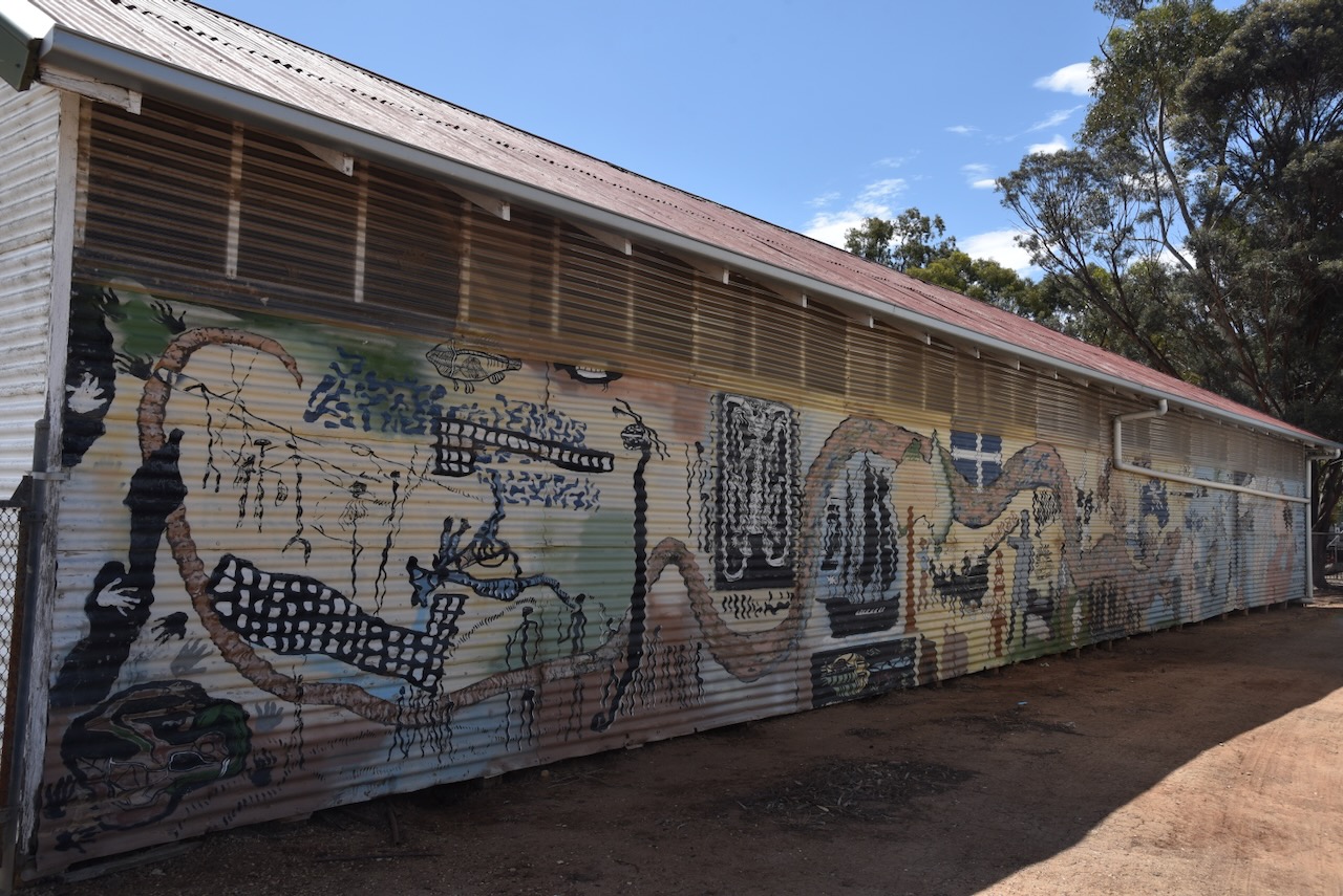
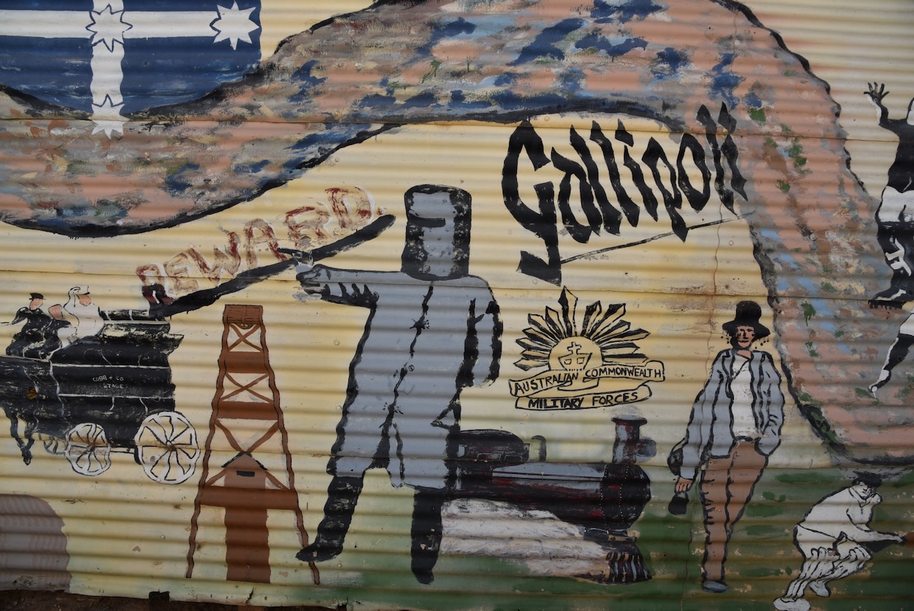
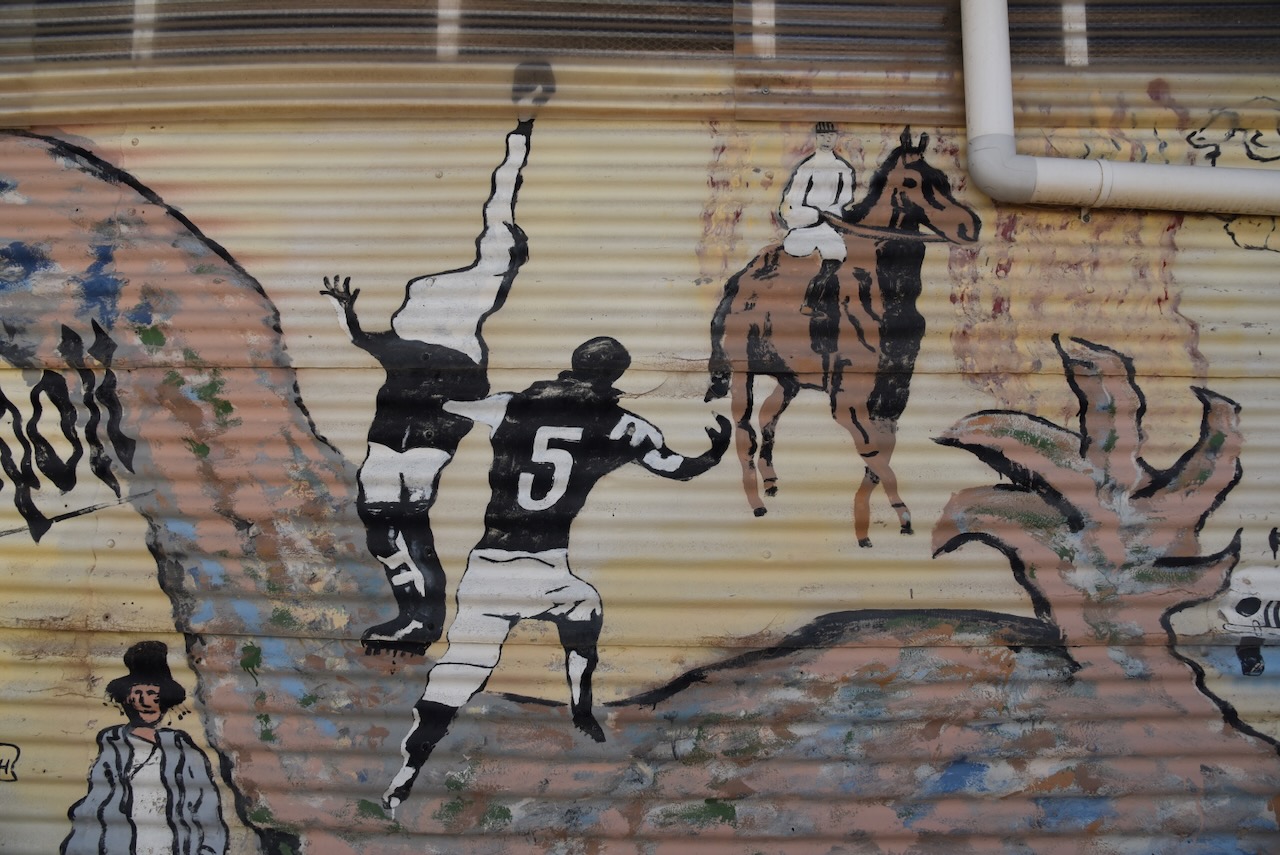
Other than the Silo Art on the second set of silos in Murtoa, you can also view the mural near the Murtoa Recreation Reserve.
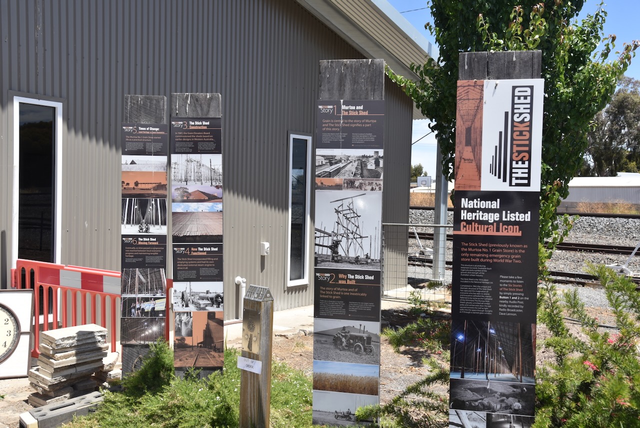
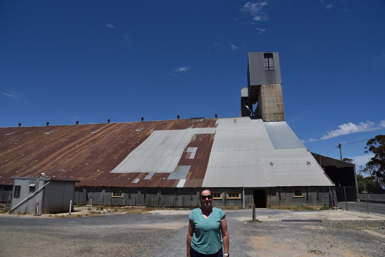
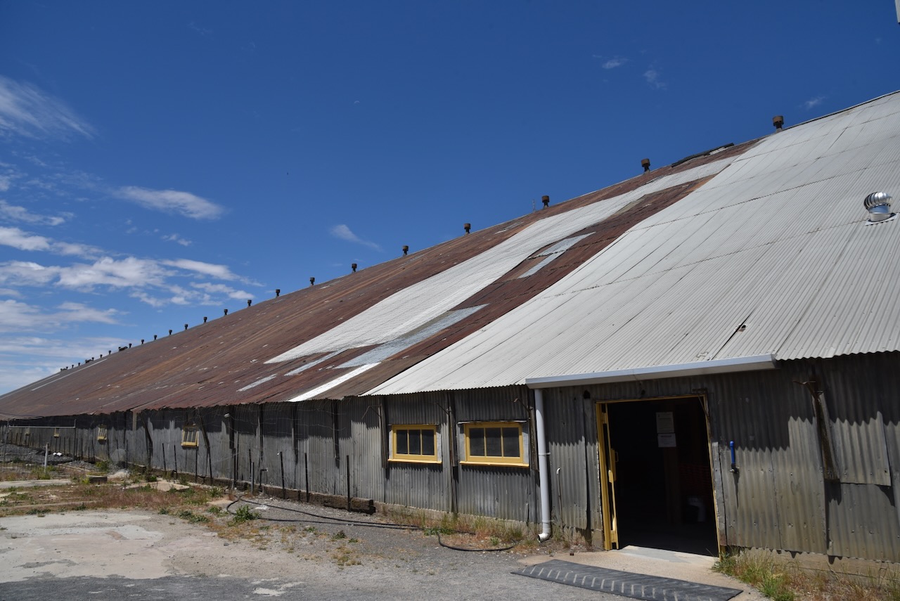
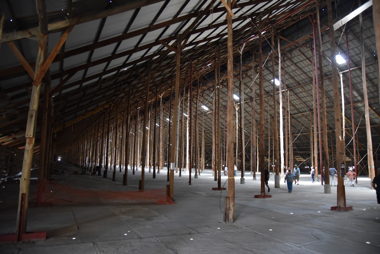
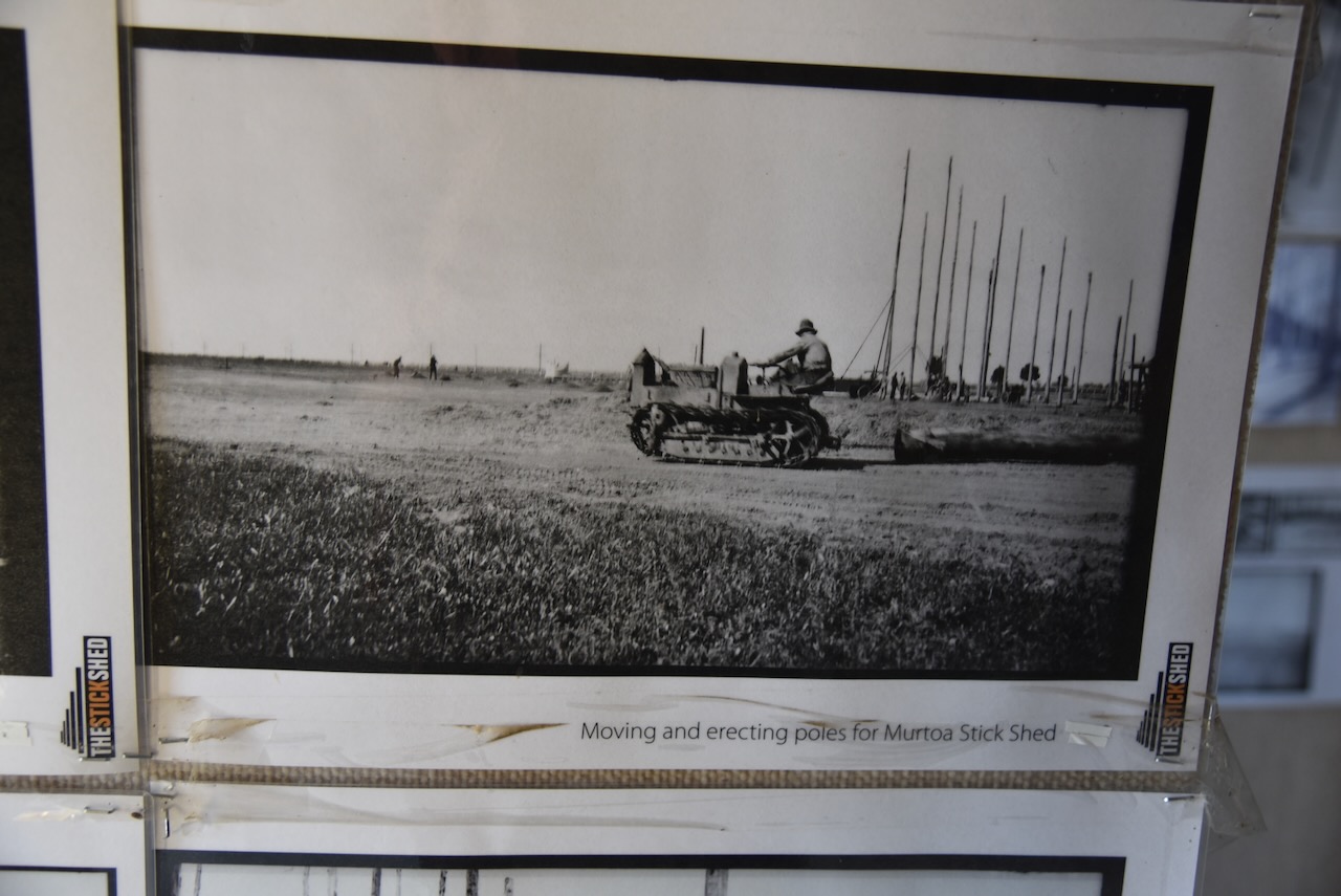
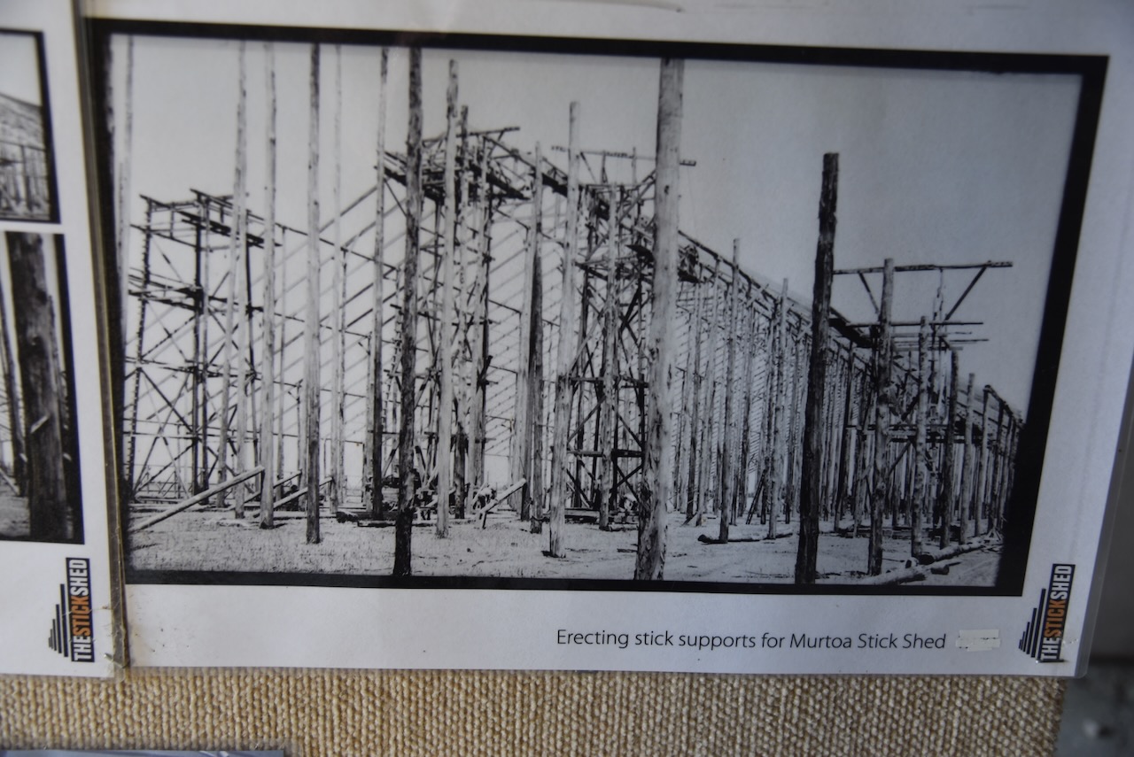
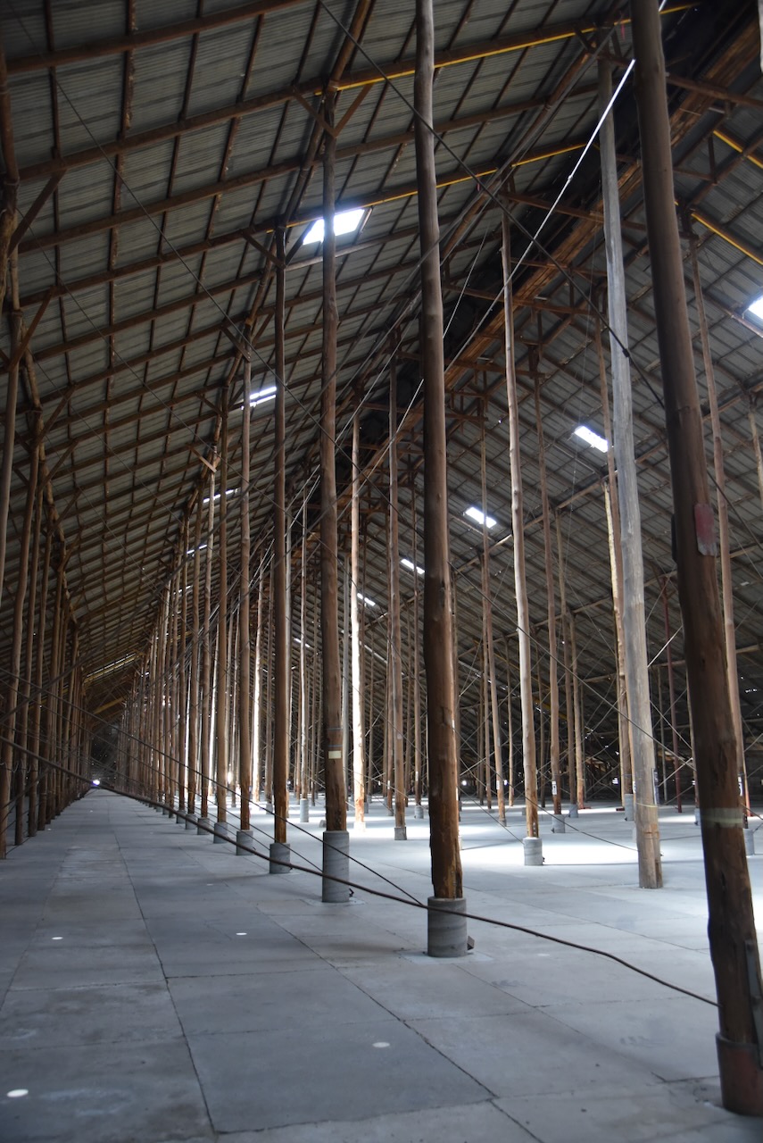
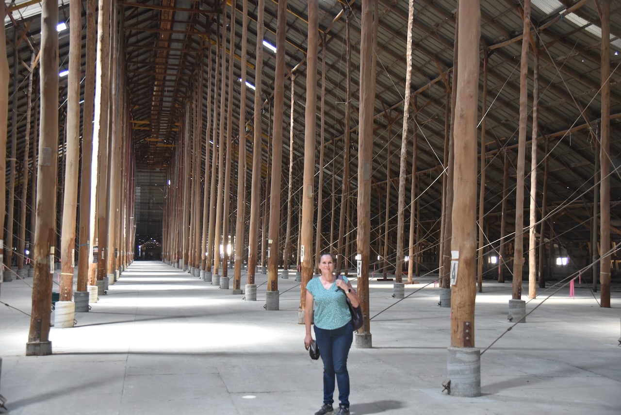
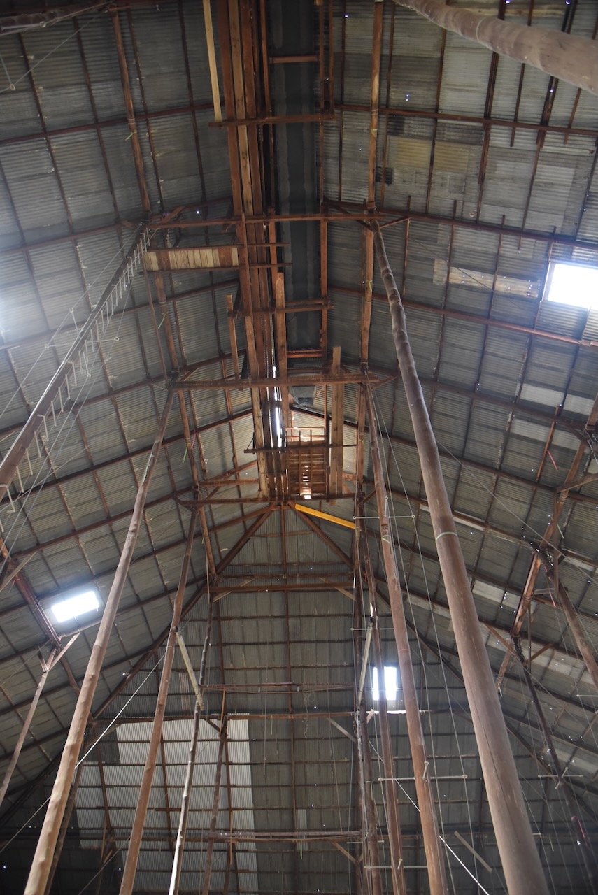
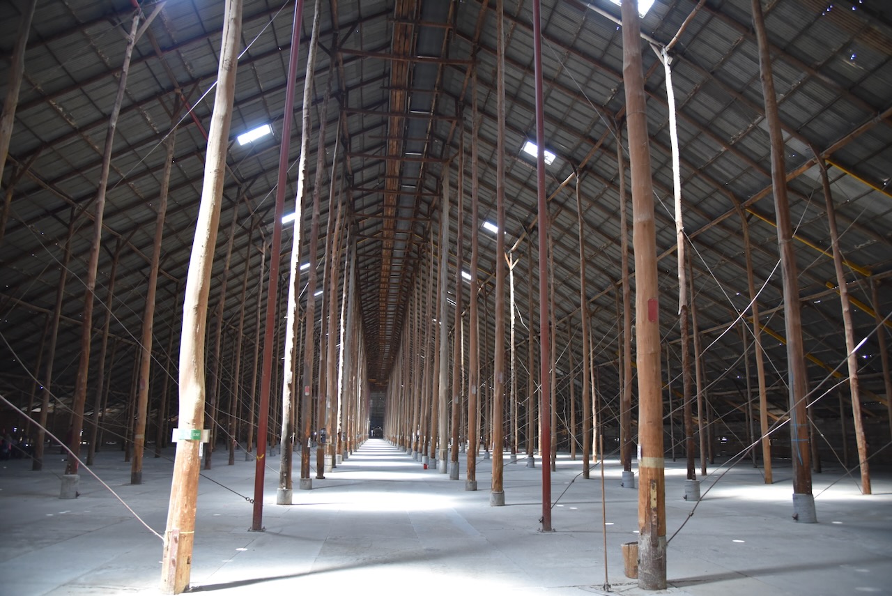
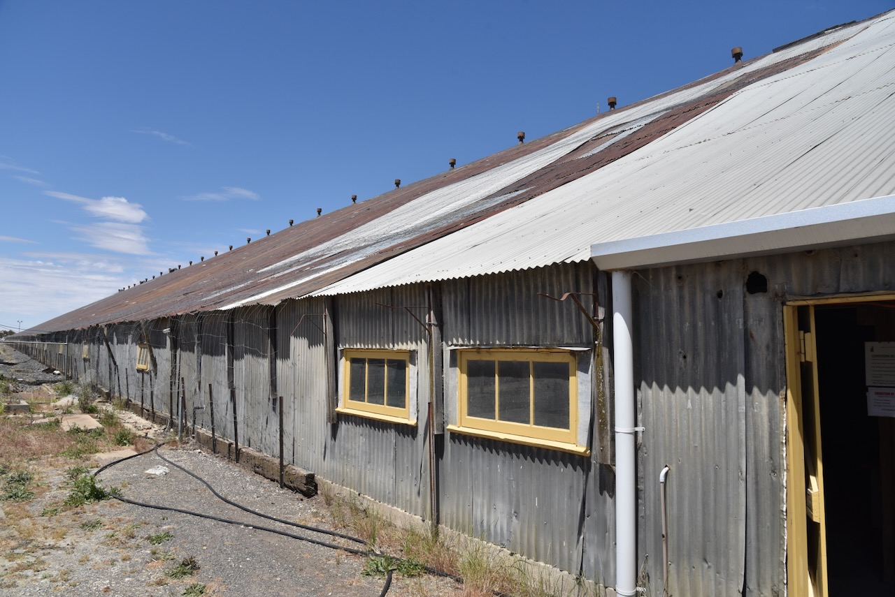
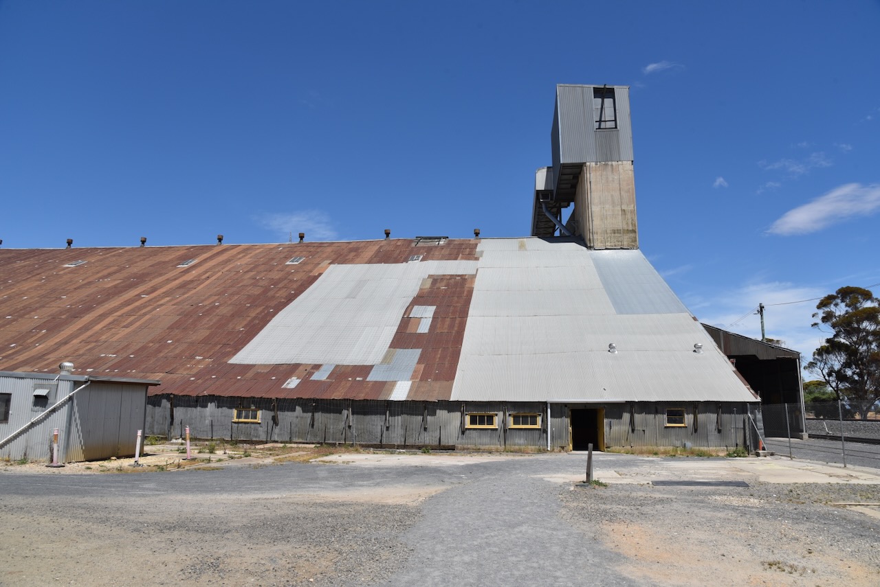
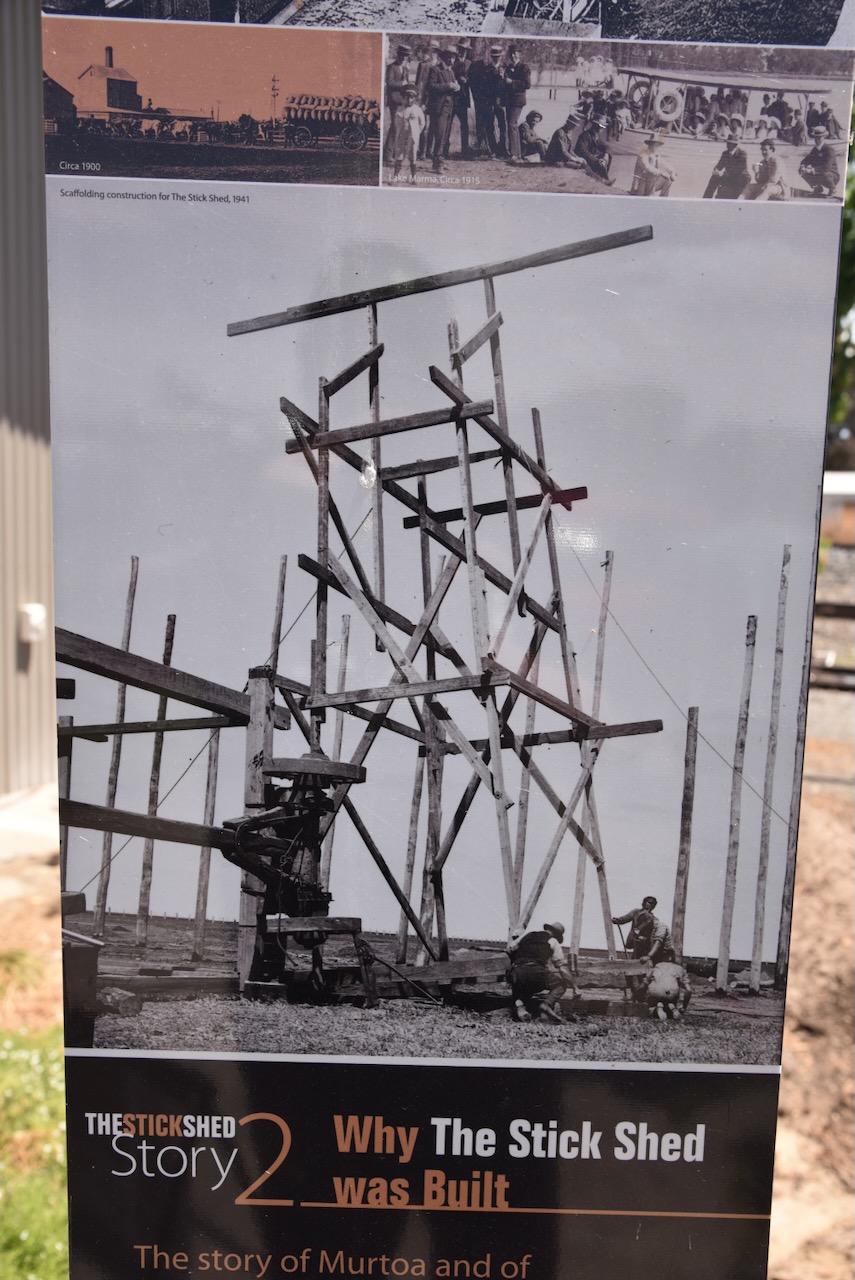
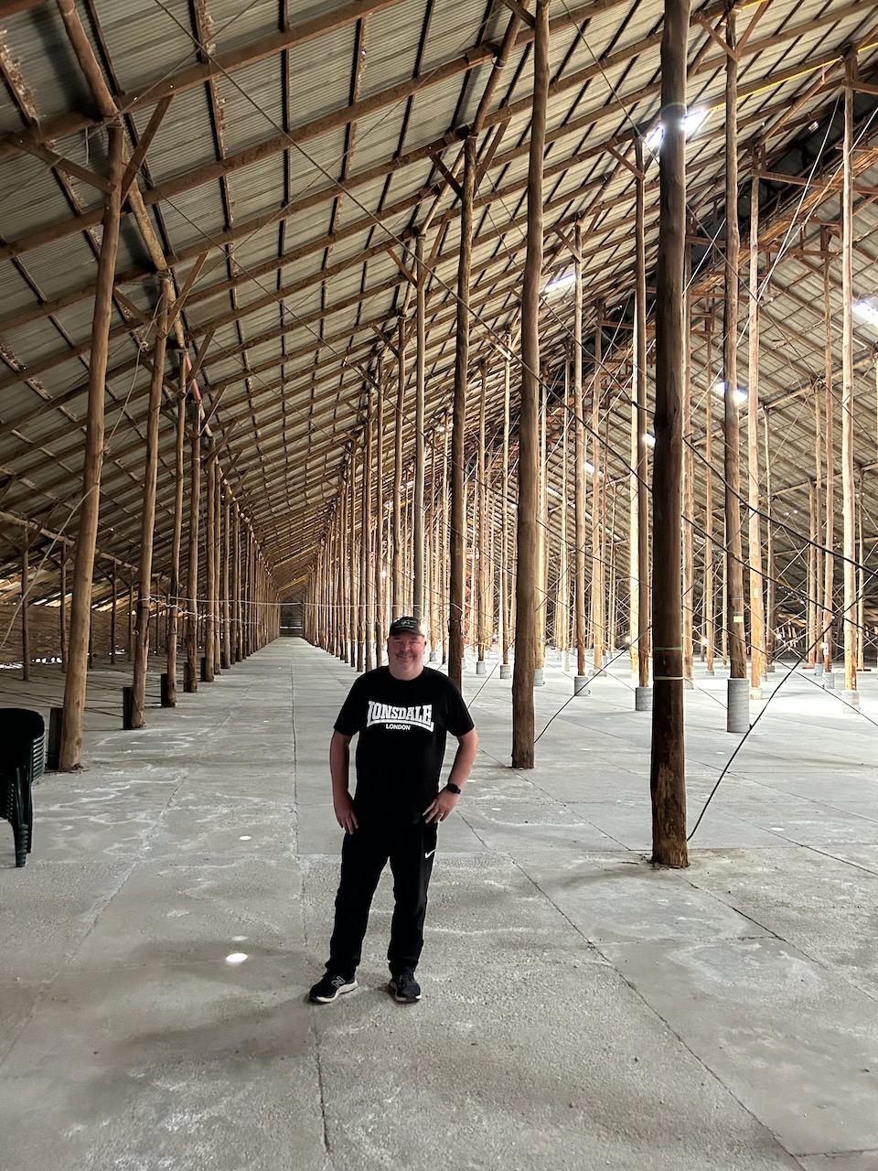
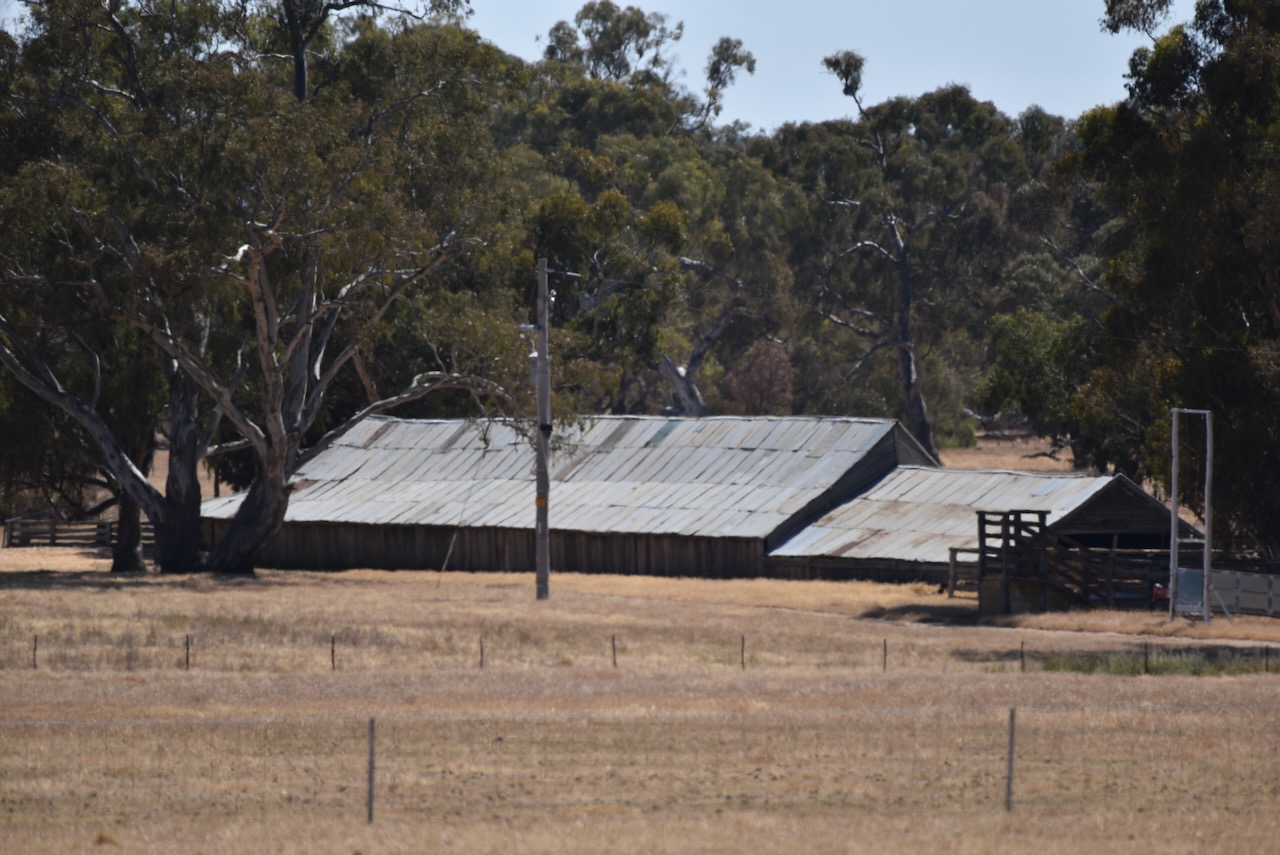
We then headed to the Murtoa Stick Shed. This was our main reason for venturing out to Murtoa. Marija and I had heard about this place and had always wanted to visit. We were not disappointed. It is one of those places that you have to visit to appreciate its magnificence.
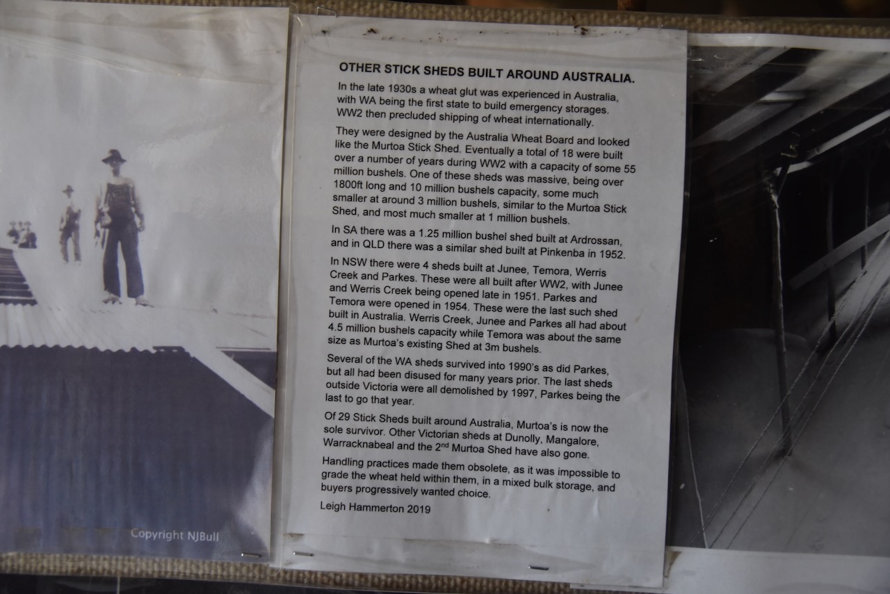
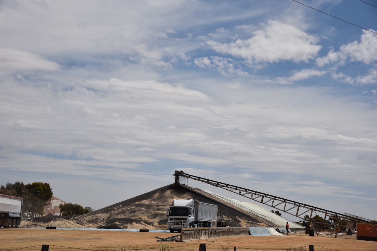
The Stick Shed is also known as the Murtoa No. 1 Grain Store. It is the only remaining emergency grain store that was constructed during the Second World War. It was completed in 1942. It is about 265 metres long, 60 metres wide and 19 metres high. It could hold 3.5 million bushels or about 92,500 tonnes of wheat. It is referred to by some as the ‘Cathedral of the Wimmera’. (The Stick Shed 2024)
Below is a great video about the Murtoa Stick Shed. As one of the narrators says:
‘from outside it’s just a tin shed, and inside, well it just took your breath away.’
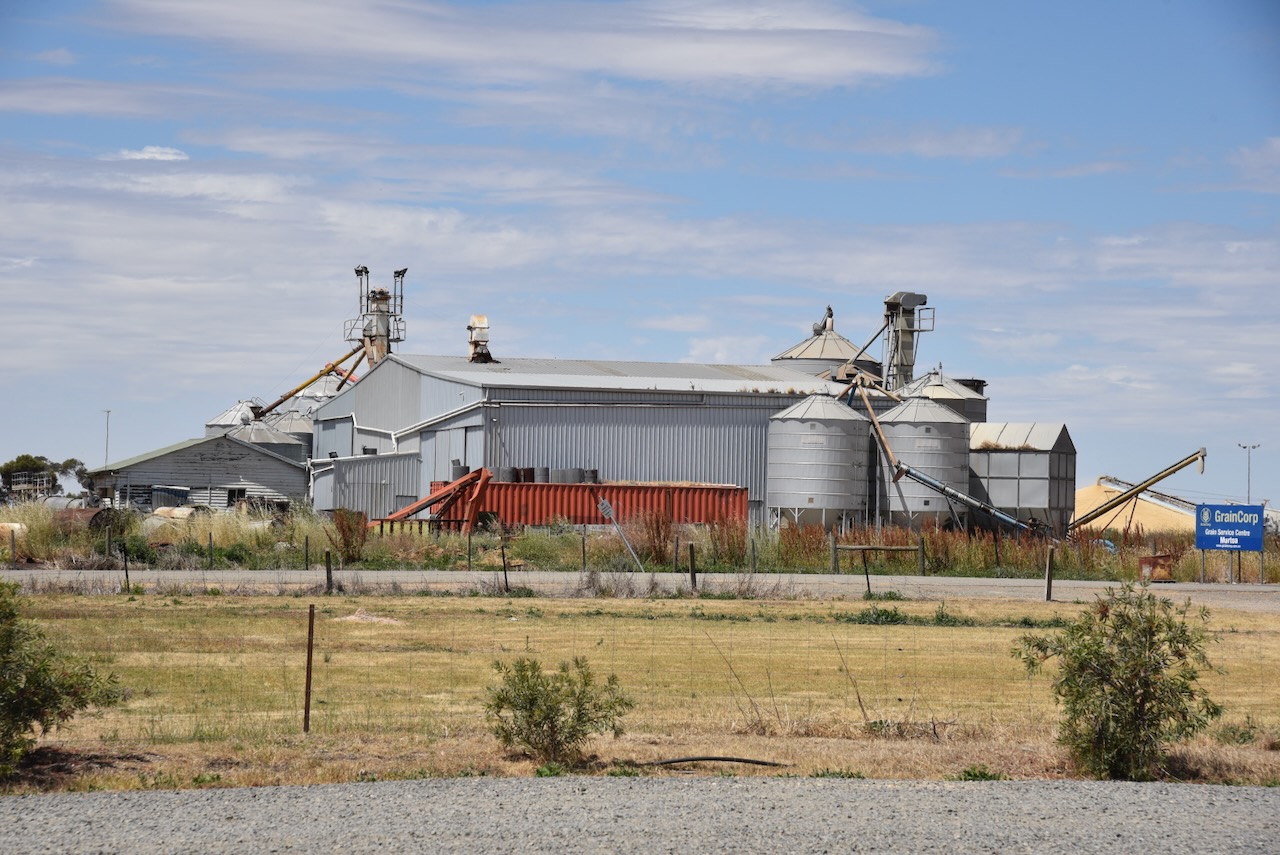
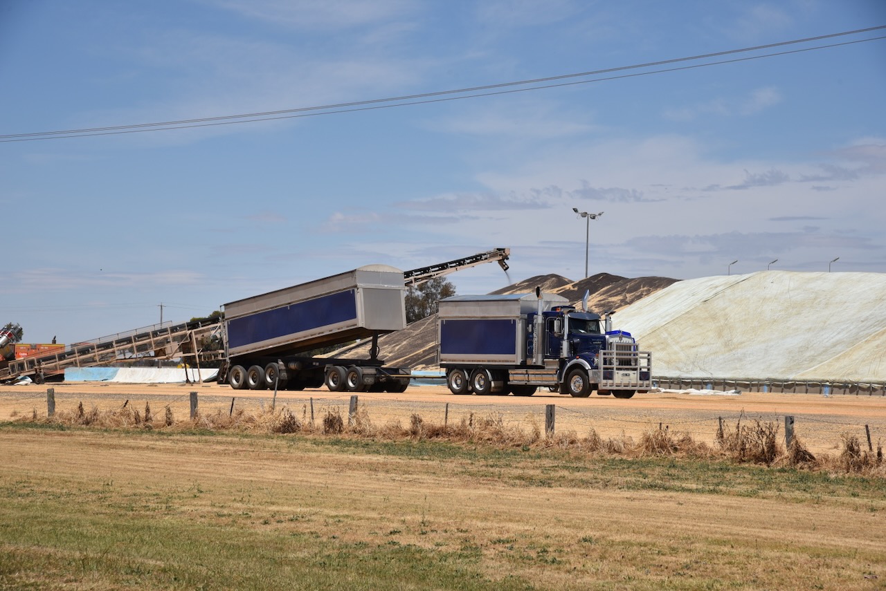
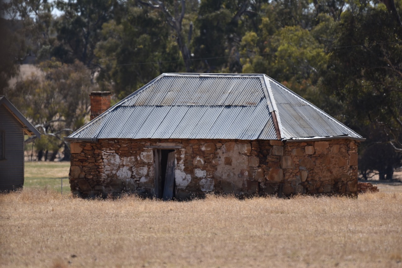
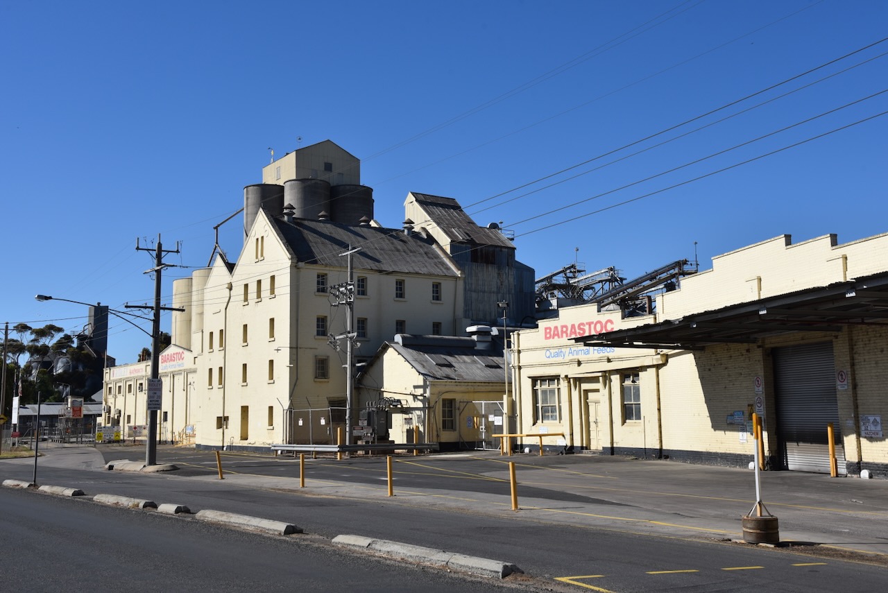
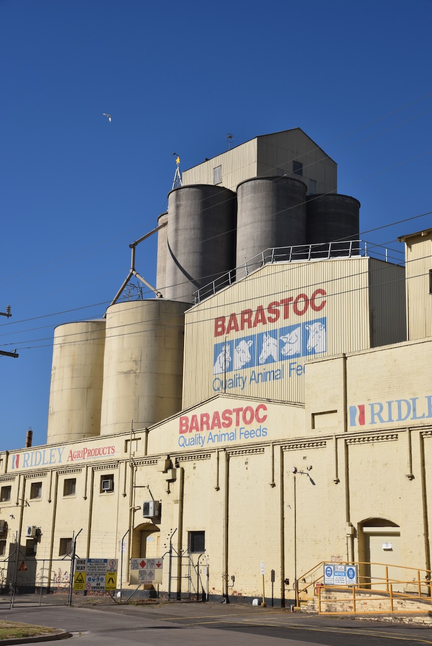
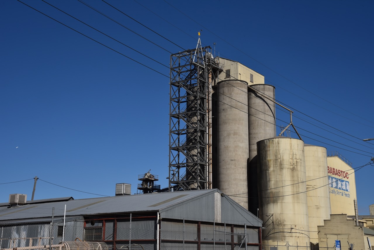
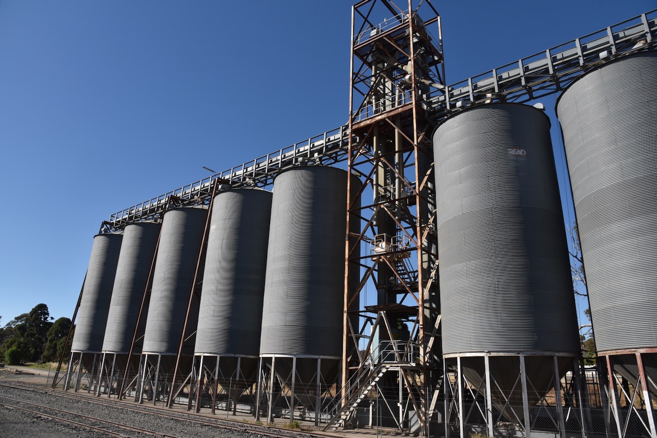
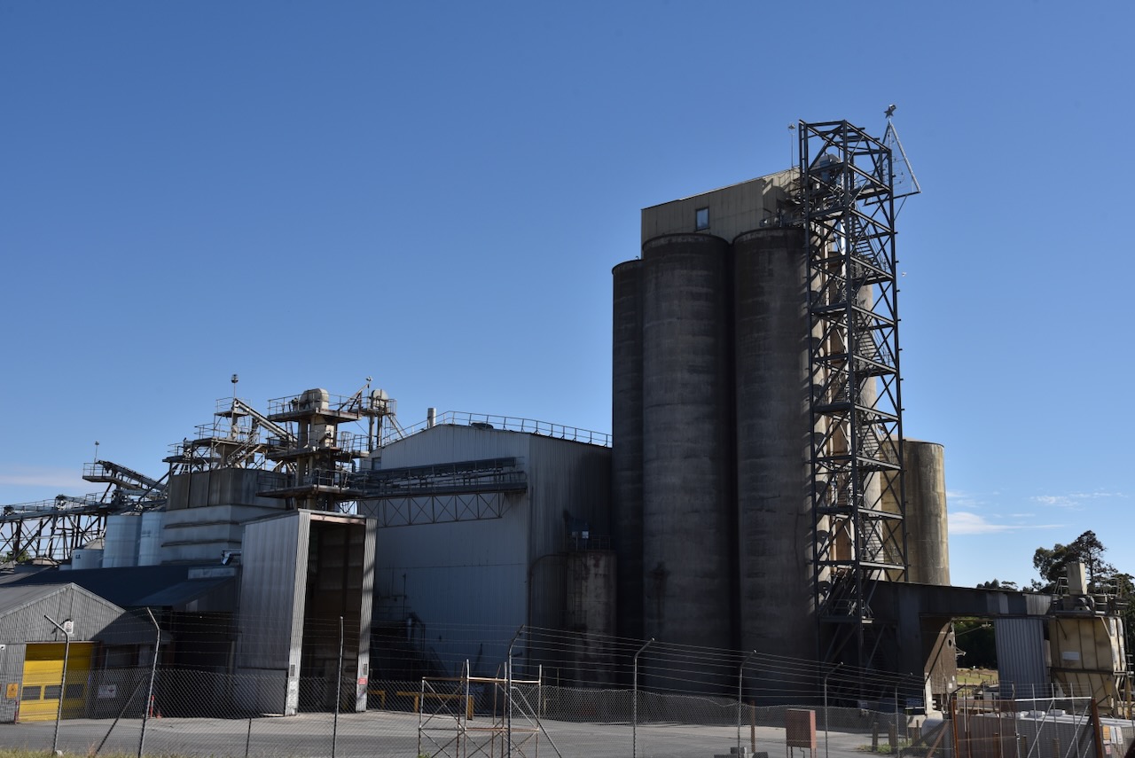
Just behind the Murtoa Stick Shed are the Murtoa silos VK-MRA3. They are operated by GrainCorp.
Marija and I parked on Crams Road just off the Wimmera Highway. We operated from the 4WD running the Icom IC-7000, 100 watts, and the Codan 9350 antenna with the 1.5-metre stainless steel whip.
Above:- the activation zone at the Murtoa silo. Image c/o SiOTA website.
Our second activation for Sunday 19th November 2023 was the Big Tottington Nature Conservation Reserve VKFF-2047. Although the park has been activated in the past, this was the first time that Marija and I had visited Big Tottington.
The park is about 26 km southwest of St Arnaud and about 255 km northwest of the city of Melbourne.
Above:- Map showing the location of the Big Tottington NCR. Map c/o Google Maps.
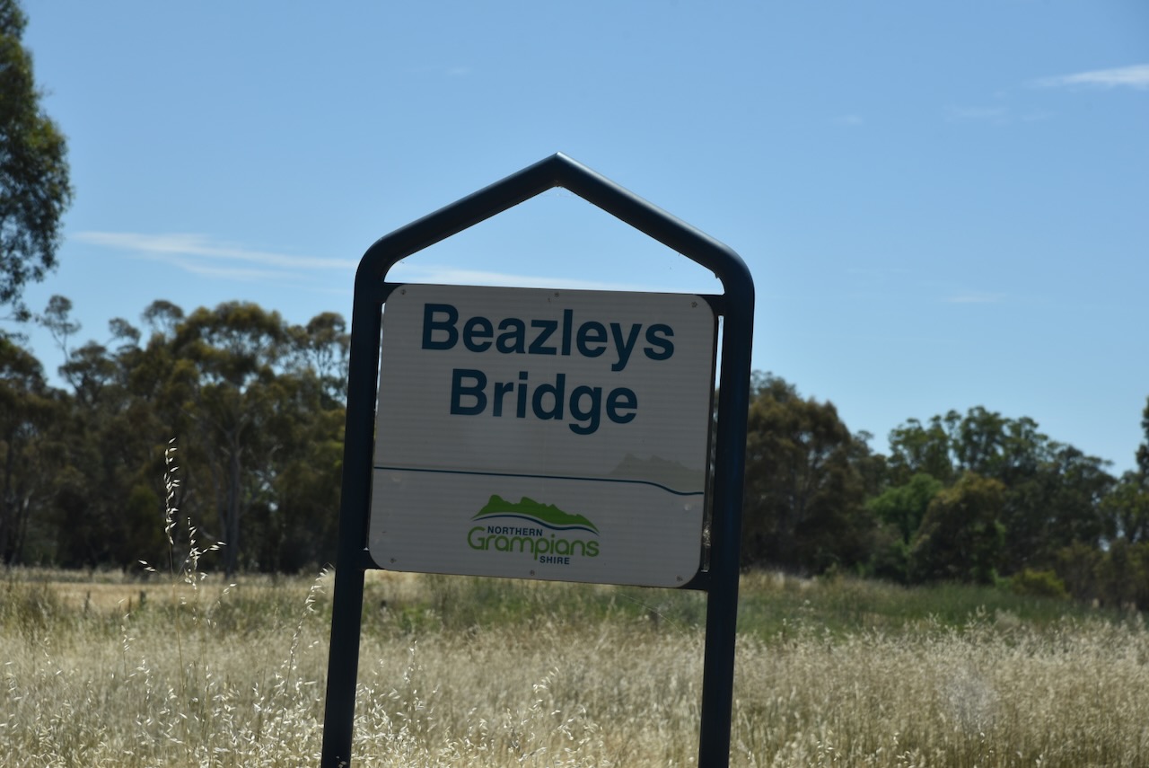
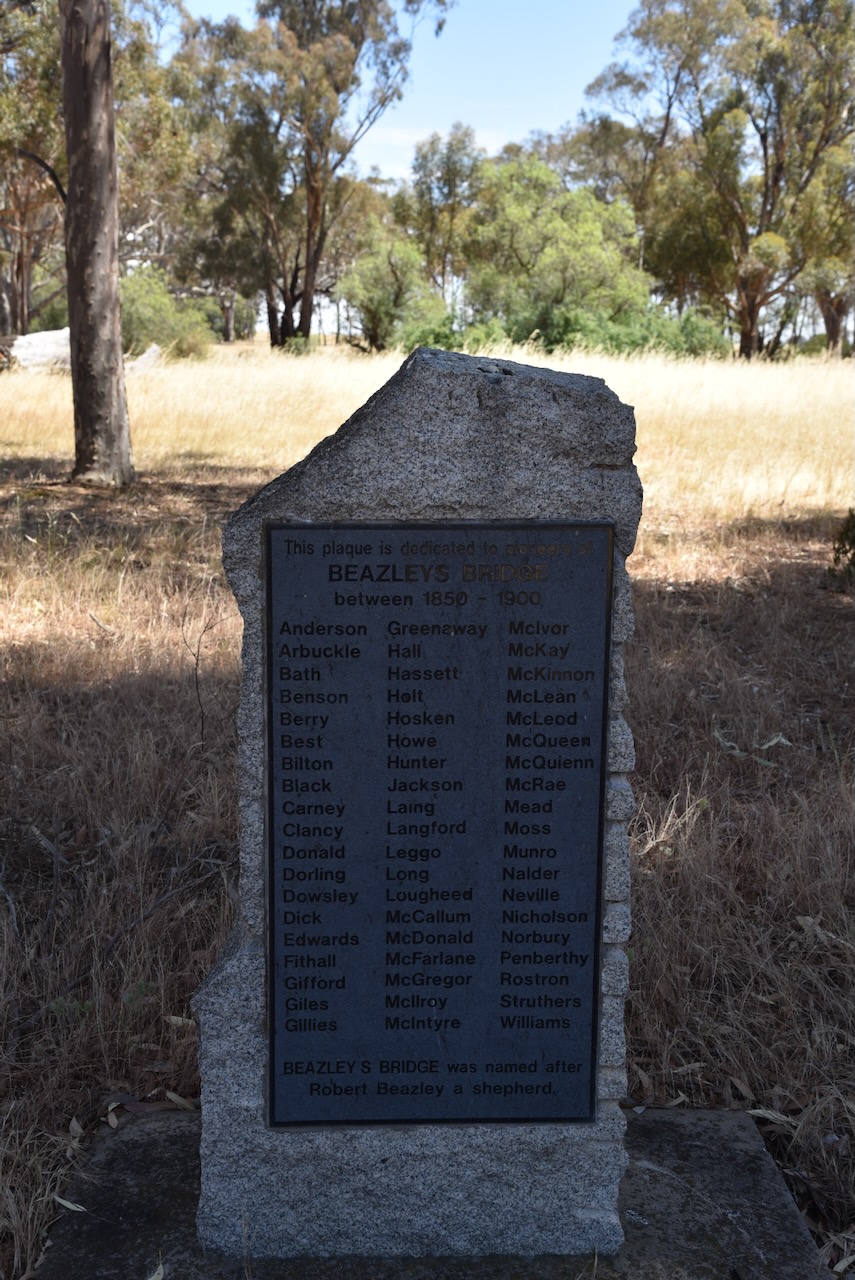
On our way, we stopped briefly at the little settlement of Beazleys Bridge. It takes its name from William Beazley, a shepherd who worked on Tottington Run and lived in a hut by the bridge. (Blake 1978)
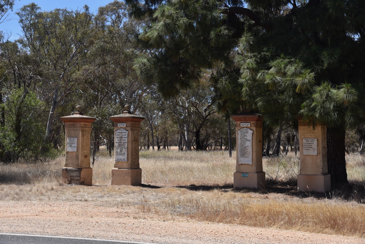
At Beazleys Bridge you can find a monument that commemorates the pioneers who settled in the district between 1850 and 1900. You can also view the memorial gates that commemorate those who served during WWI and WWII. (Monument Australia 2024)
Royal Mail Coaches once ran from St Arnaud to Stawell, stopping at Beazleys Bridge and Tottington.
Above:- Advertisement from the St Arnaud Mercury, Wed 10 Feb 1915. Image c/o Trove
One of our reasons for travelling down to this area south of St Arnaud was to visit the Tottington Woolshed and Homestead. Sadly we found that it was not open to the public and was on private property. We could just view the woolshed at a distance from the side of the road.
The brick and weatherboard homestead was also constructed during the 1840s. The woolshed of wooden construction was built in 1845. The woolshed, homestead and stone cottage are listed on the Victorian Heritage Database. (Heritage Victoria 2024)
The homestead and shearing shed were part of Tottington Station owned by Lawrence Rostron (b. 1800. d. 1877). It takes its name from Tottington in Lancashire, England. (Blake 1978)
There is also a small cemetery on the property which is visible from the roadway.
One of the headstones is for Sarah Pritchard aged 57 years and her daughter Annie aged 21 years. In November 1892 they were driving home from a dance in a double-seater buggy and passed a burning tree that fell and crushed them both. Also killed was Frances King. (Trove 2024)
Above:- Article from The Age, Melbourne, Fri 11 Nov 1892. Image c/o Trove.
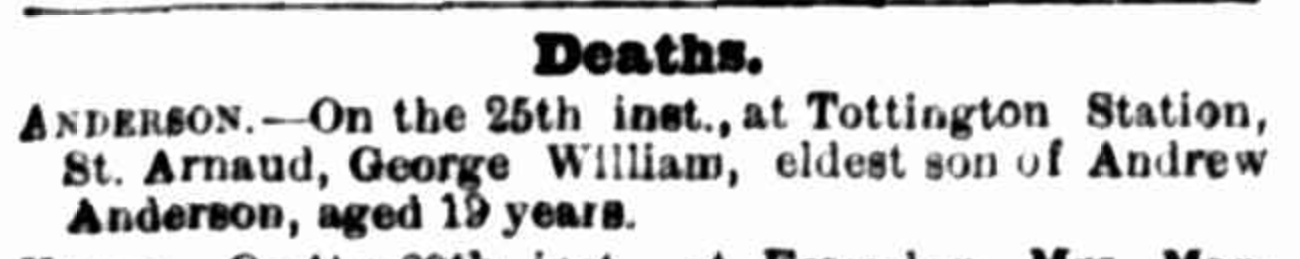
Another headstone is for 19-year-old George William Anderson who died in 1881. Anderson and his brother were driving cattle and during a thunderstorm, they sheltered underneath a tree. The cattle broke and the boys galloped after them, their horses colliding head-on, resulting in the death of George.
Above:- Article from The Argus, Melbourne, Wed 30 Mar 1881. Image c/o Trove
Feeling a little disappointed that we couldn’t get to see the homestead or the shearing shed, we headed to the Big Tottington Nature Conservation Reserve.
Big Tottington is about 1,867 hectares in size and was established on the 26th day of February 2002. (CAPAD 2022)
Above:- An aerial view showing the boundaries of the Big Tottington NCR. Image c/o Google Earth.
We ran the Yaesu FT857, 40 watts, and the 20/40/80m linked dipole for this activation.
Marija worked the following stations on 40m SSB:-
VK3UAO/p (Croajingolong National Park VKFF-0119)
VK3OAK
VK3PF
VK3KAI
VK3SQ
VK2BD
VK2EXA
VK3MCK
VK3CAT
VK3APC
VK5FANA
VK3ZPF/p (Budj Bim National Park VKFF-0345)
VK3JW/p (Budj Bim National Park VKFF-0345)
I worked the following stations on 40m SSB:-
VK3UAO/p (Croajingolong National Park VKFF-0119)
VK3OAK
VK3PF
VK3KAI
VK3SQ
VK2BD
VK2EXA
VK3MCK
VK3CAT
VK3APC
VK5FANA
VK7XX
VK1AO
VK3ZPF/p (Budj Bim National Park VKFF-0345)
VK3JW/p (Budj Bim National Park VKFF-0345)
VK2IO/m
VK3ZS
VK3DAC
VK4FE/3
VK3MCA
VK1DI
VK2YK
VK5GA
VK3SG
VK5NM
VK3APJ
VK2DG
VK7ALH
VK5LEX
VK3ZSC
VK7HBR
VK2SKI
VK5IS
VK3PI
VK3GRX
VK1CHW
VK3TDX
VK7EE
I worked the following stations on 20m SSB:-
VK7XX
VK7HBR
VK1AO
VK2MET
VK4EMP
VK4TI
VK4NH
VK4DXA
VK7ZA
VK7EE
We packed up and headed to Murtoa where we planned on visiting the Stick shed and activating a couple of silos.
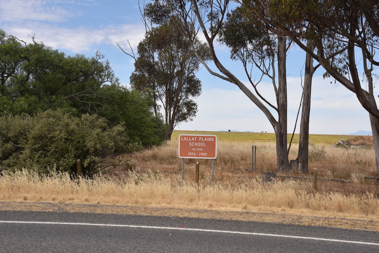
Along the way, we stopped to have a look at the site for the old Lallat Plains School which operated from 1876 to 1980.
It was now Sunday 19th November 2023 and day three of our trip around Victoria. Marija and I headed down the main street of St Arnaud for some cooked breakfast and coffee.
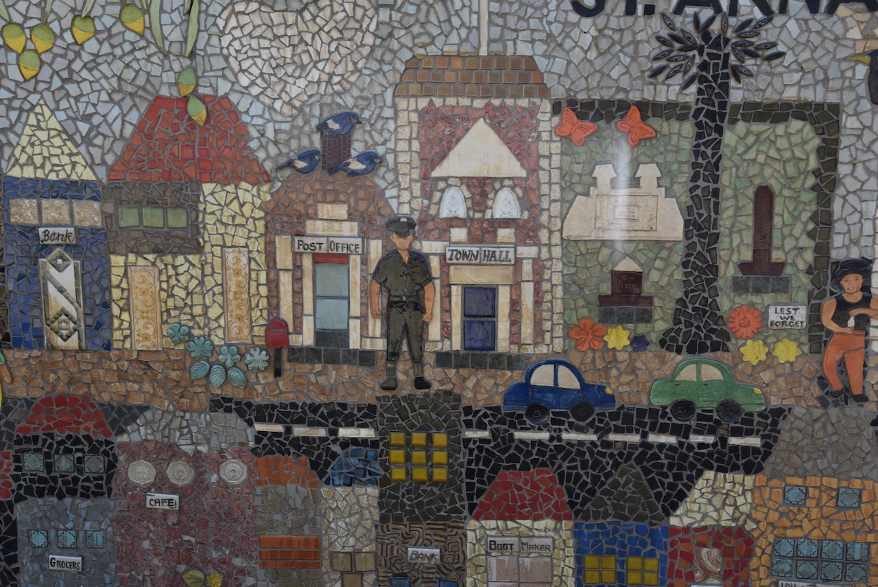
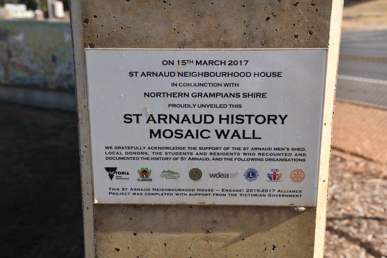
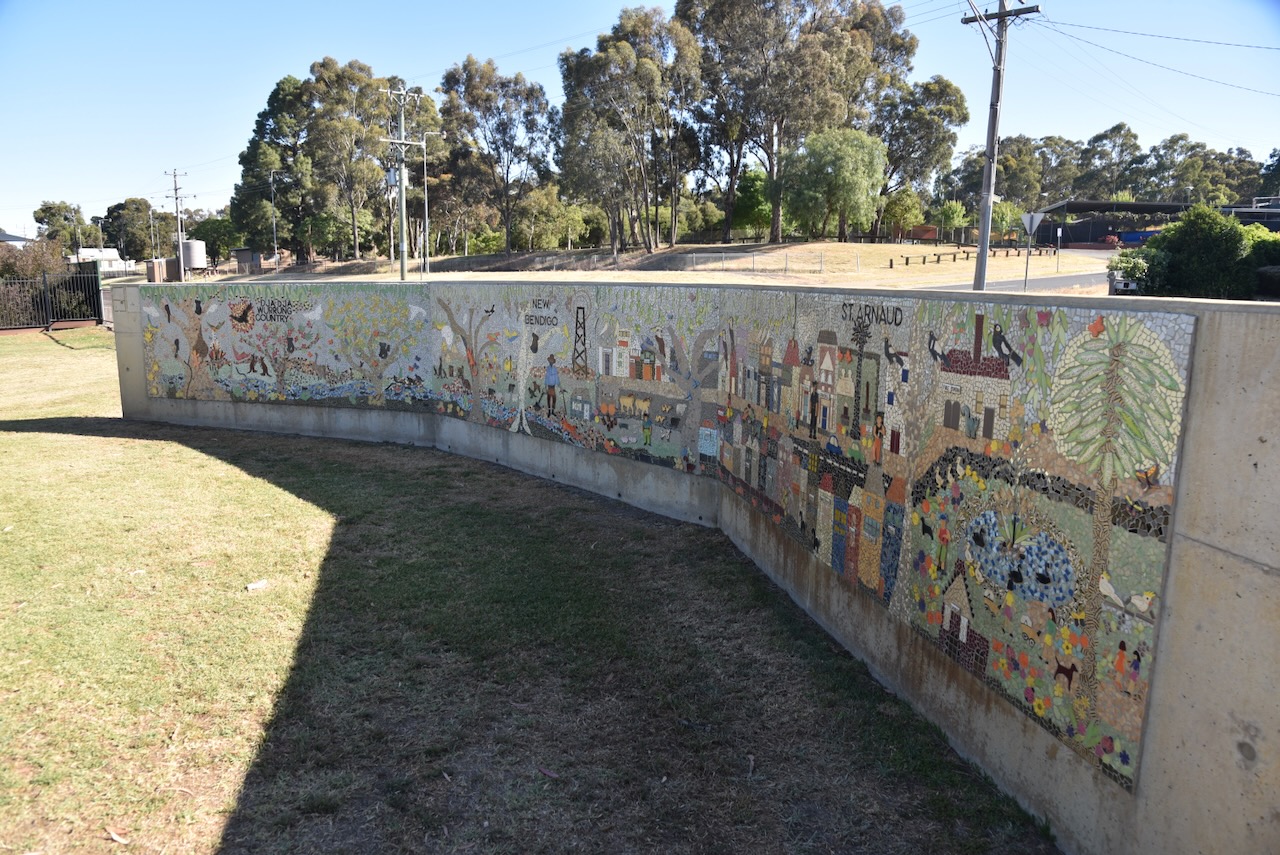
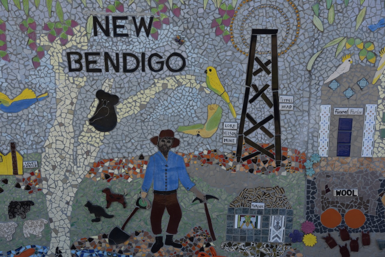
We then visited the St Arnaud History Mosaic Wall, a large mosaic that portrays the history of St Arnaud and its community. The mosaic is the work of a local artist Sally Pritchard. The panels were completed in the St Arnaud Neighbourhood House and were transported by members of the St Arnaud Mens Shed to the wall. It took eight days for the entire mosaic to be mounted to the wall. The Wall was unveiled on the 15th day of March 2017. (St Arnaud Neighbourhood House 2024)
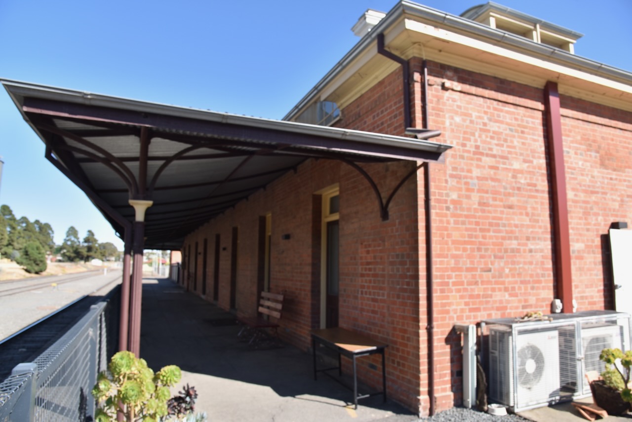
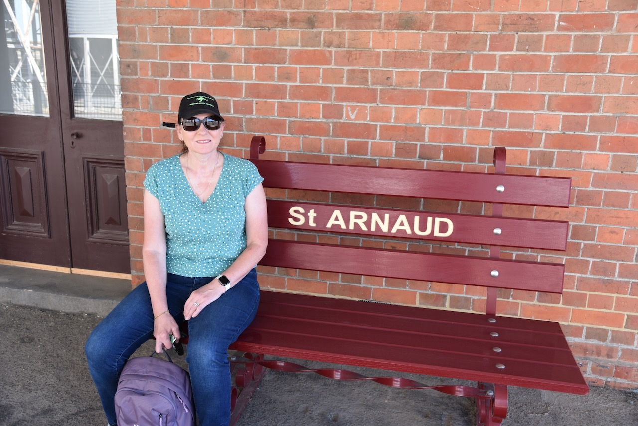
We then drove down to the old St Arnaud Railway Station. We were very fortunate, because as we arrived, a gentleman who is involved in the Art Gallery at the station had arrived to do some work, asked if we would like to have a look inside. It was normally closed at that time.
We then headed to our first activation for the day, the St Arnaud Regional Park VKFF-0977 and the St Arnaud silo VK-STD3.
The St Arnaud silos are located alongside the railway line between McMahon Street and Victoria Street.
The St Arnaud silos are part of the Australian Silo Art Trail. They were the 38th set of silos to be painted in Australia and are the work of Ktorney Art, aka, Kyle Torney. The images on the silo tell the story of three pioneers of St Arnaud. and are officially the 38th set of silos to be completed in Australia. (Australian Silo Art Trail 2024)
The St Arnaud Regional Park is about 957 hectares in size and consists of four township blocks within St Arnaud, along with two small cultural and historic reserves, a bushland reserve, and the Wax Garden which is 28 hectares in size. (Grampians Point 2024)
We operated from the end of Kell Road and ran the Yaesu FT857, 40 watts, and the 20/40/80m linked dipole, supported by the 7-metre heavy-duty squid pole. I used the special event callsign of VI10VKFF for this activation.
Marija worked the following stations on 40m SSB:-
VK3CEO
VK3UAO/p (Lind National Park VKFF-0287)
VK2IO/p (Micalong Swamp Flora Reserve VKFF-3067)
VK5FANA
VK3PF
VK3KAI
VK3SQ
VK2BD
VK3GJG
VK1CHW
I worked the following stations on 40m SSB:-
VK3CEO
VK3UAO/p (Lind National Park VKFF-0287)
VK2IO/p (Micalong Swamp Flora Reserve VKFF-3067)
VK5FANA
VK3PF
VK3KAI
VK3SQ
VK2BD
VK3GJG
VK1CHW
VK3AWA
VK2RK
VK2ACR
VK7SW
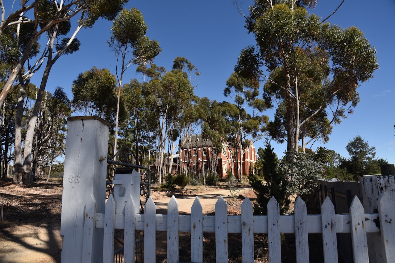
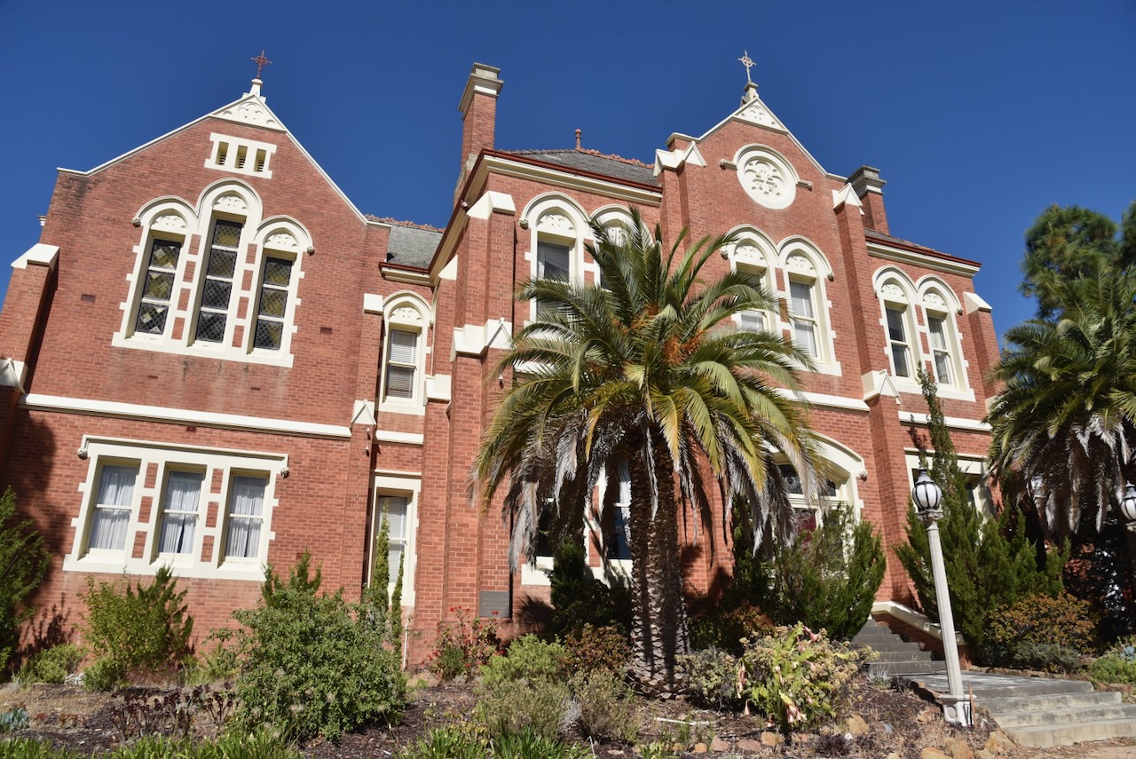
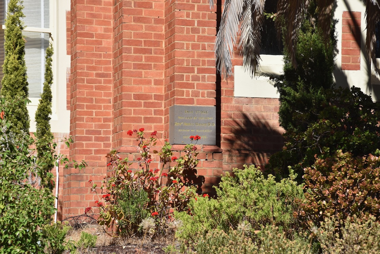
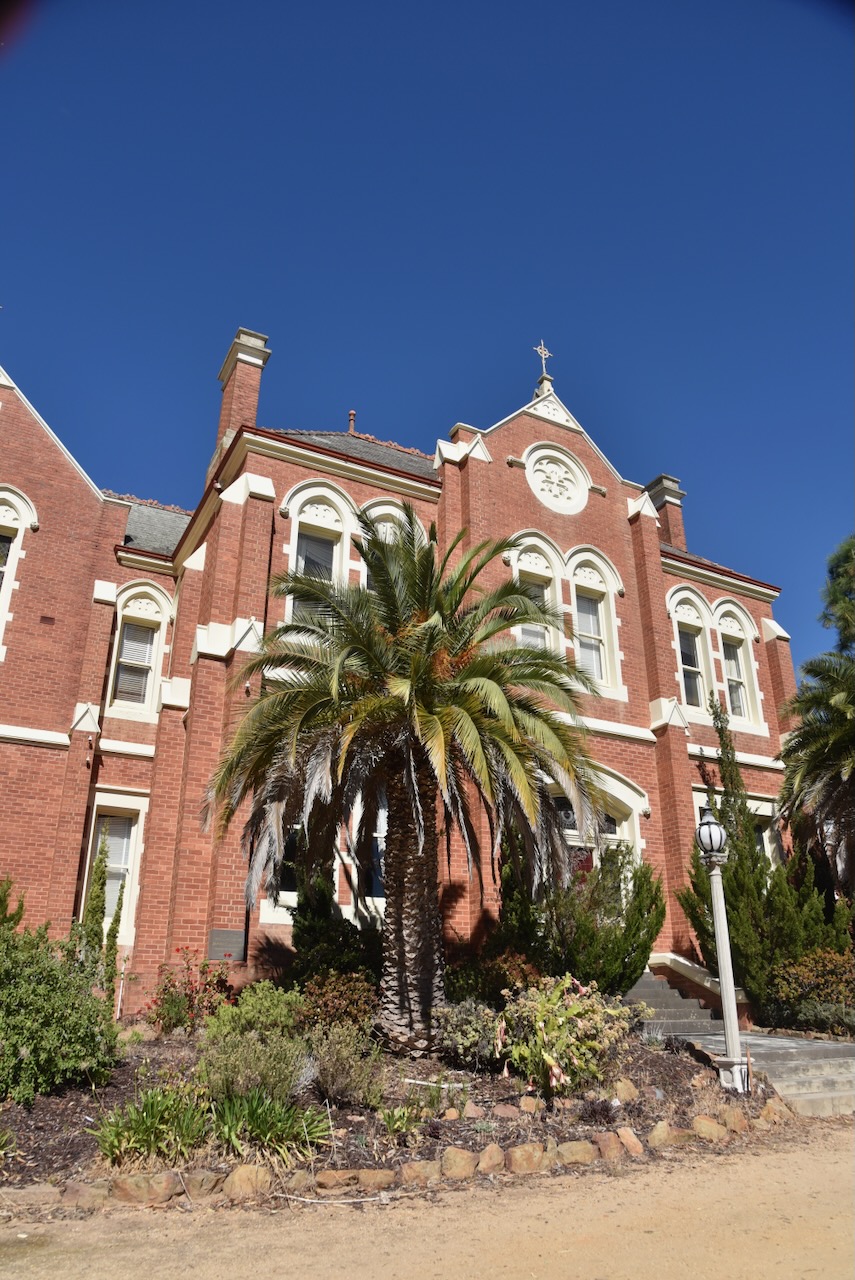
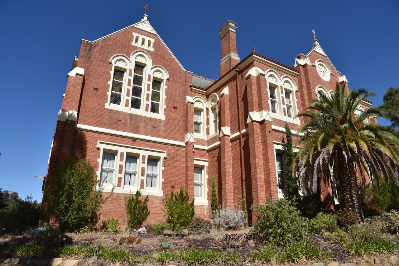
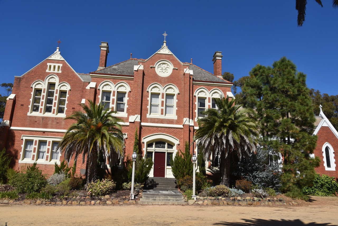
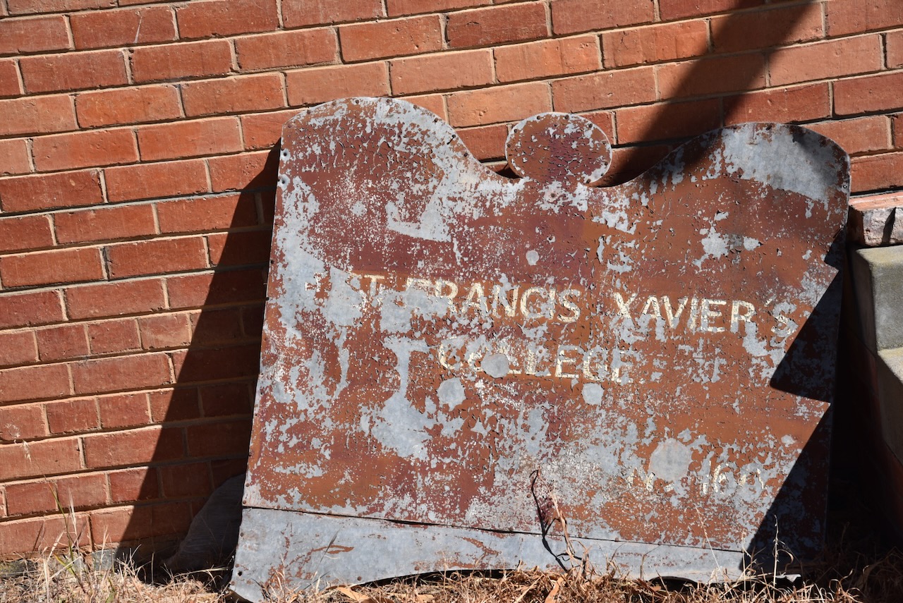
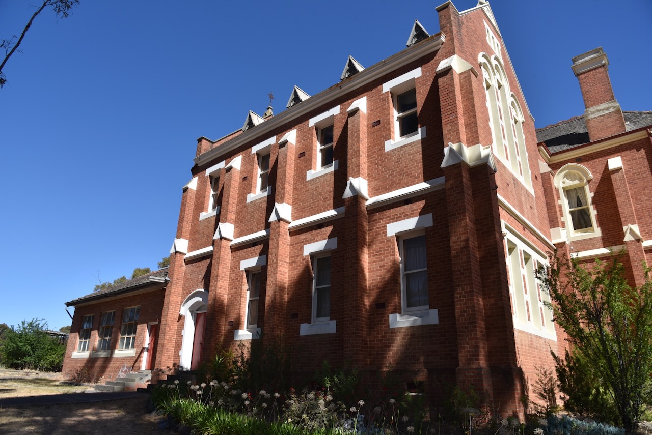
Following the activation we paid a visit to the old Francis Xavier’s boarding college run by the Sisters of Mercy at St Arnaud. The college opened in 1903 and closed in 1986. It is now a private residence. (Flickr 2024)
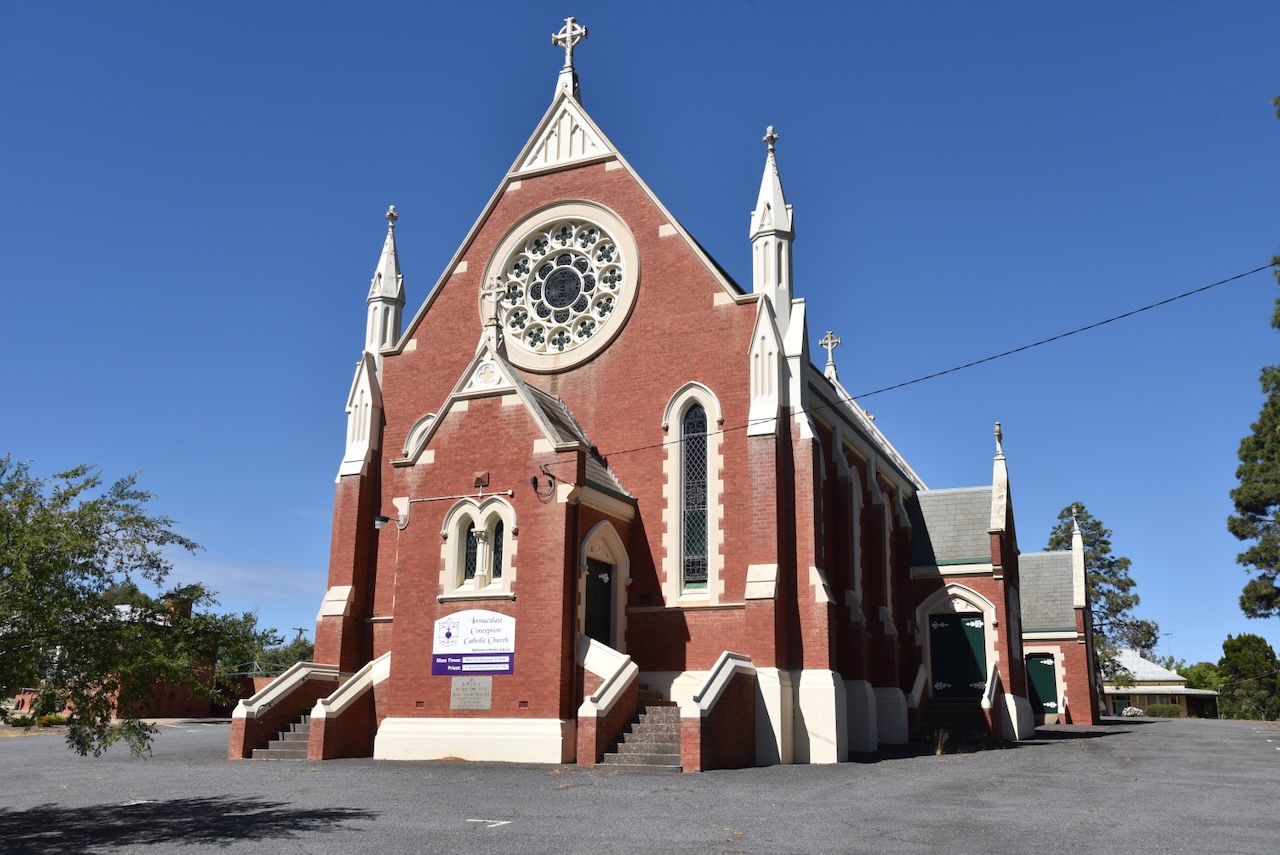
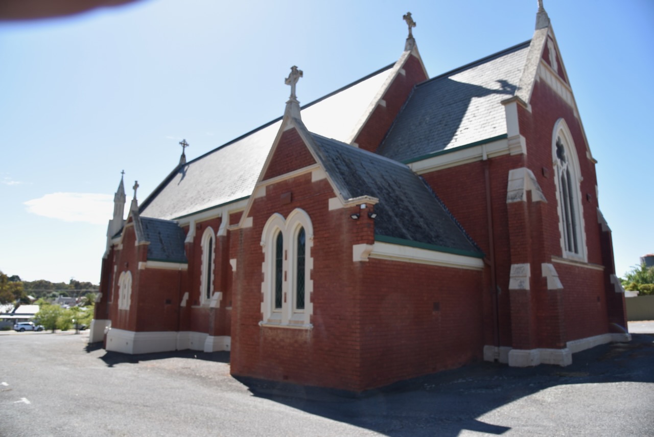
Our next stop was the Church of the Immaculate Conception in St Arnaud. The foundation stone was laid on the 8th day of April 1906. (Australia’s Christian Heritage 2024)
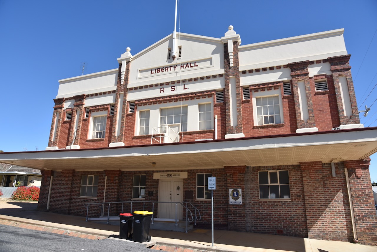
We also stopped to admire the St Arnaud Liberty Hall built in 1928.
It was then off to our next activation of the day, the Big Tottington Nature Conservation Reserve.
References.
denisbin (2022). St Arnaud. Francis Xavier’s boarding college run by the Sisters of Mercy opened in 1903. Closed in 1986. Now a private residence. [online] Flickr. Available at: https://www.flickr.com/photos/82134796@N03/51906457116 [Accessed 20 Feb. 2024].
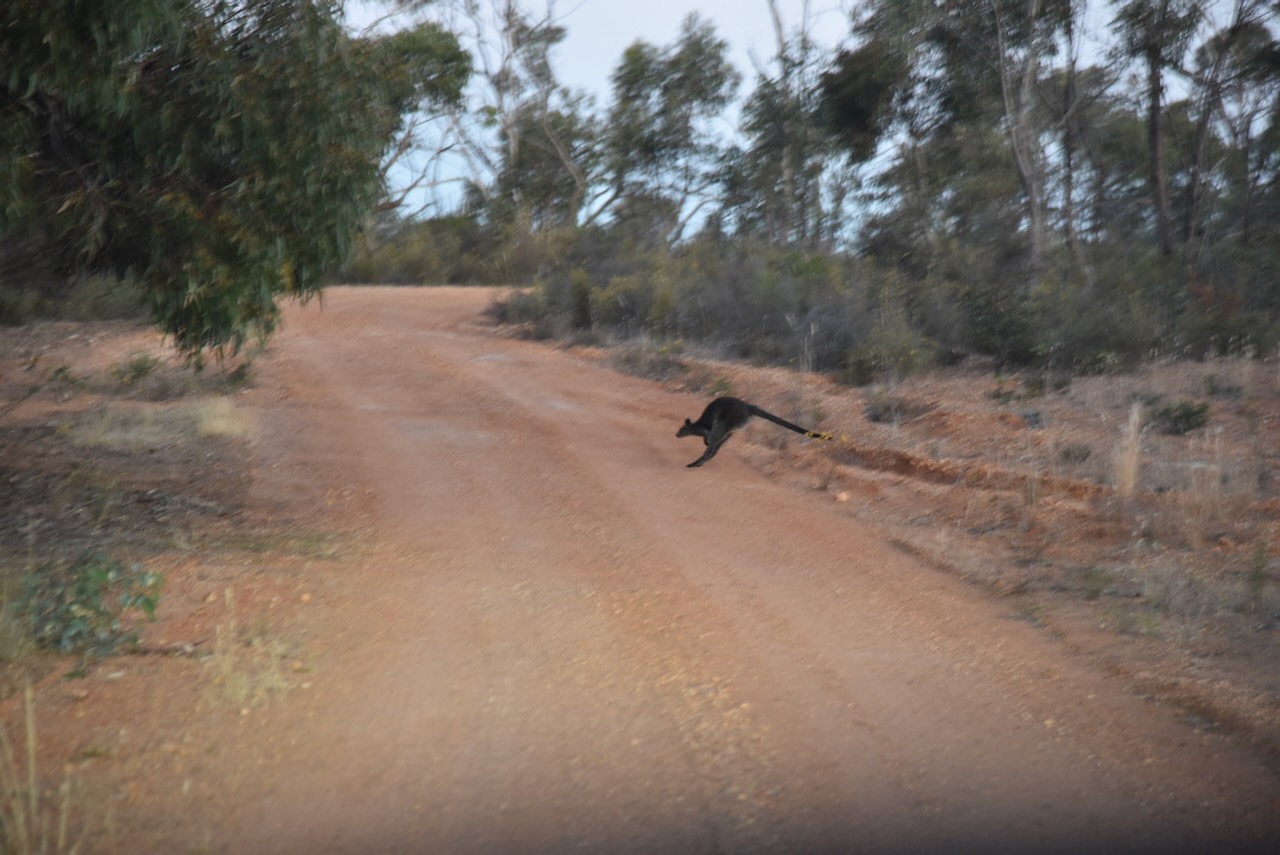
After packing up at Hard Hills, Marija and I decided to squeeze in another park before we headed back to the motel at St Arnaud. It was approaching dusk and there were lots of kangaroos and wallabies on the roads.
Our plan was to activate the St Arnaud H35 Bushland Reserve, however, we encountered several fallen trees on the track leading into the park and this resulted in no access to the park.
So we headed to the St Arnaud I53 Bushland Reserve VKFF-4263. The park is about 5 km east of St Arnaud and about 236 km northwest of the city of Melbourne.
Above:- Map showing the location of the St Arnaud I53 Bushland Reserve. Map c/o Google Maps.
The park is about 14 hectares in size and was established on the 24th day of August 1982. (CAPAD 2022)
Parks Victoria has a page for this park but it contains no information about the park other than a park boundary image.
Above:- An aerial view of the park with St Arnaud in the background. Image c/o Google Maps.
We accessed the park via a dirt track which led into the park running off the Wimmera Highway. We ran the Yaesu FT857, 40 watts, and the 20/40/80m linked dipole for this activation.
Above:- An aerial view of the park showing our operating spot. Image c/o Google Maps.
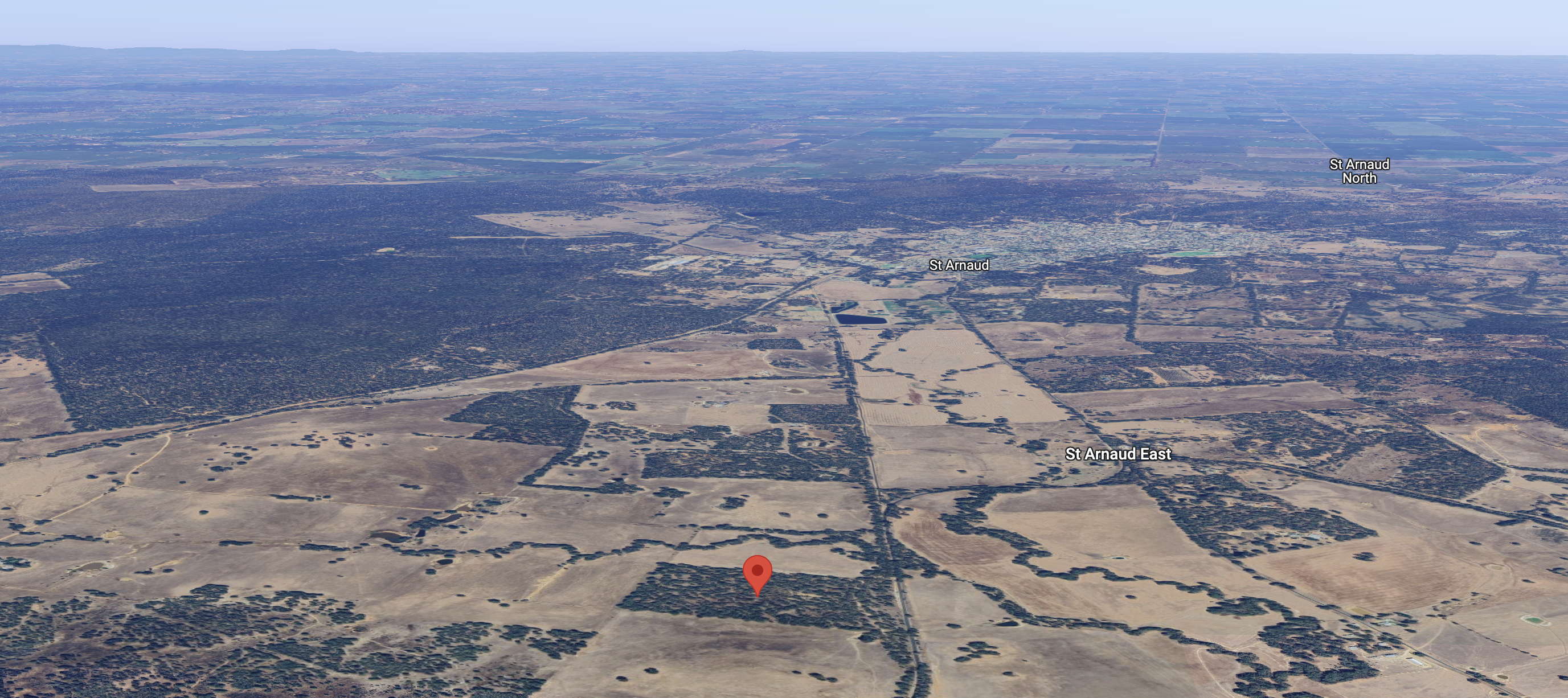
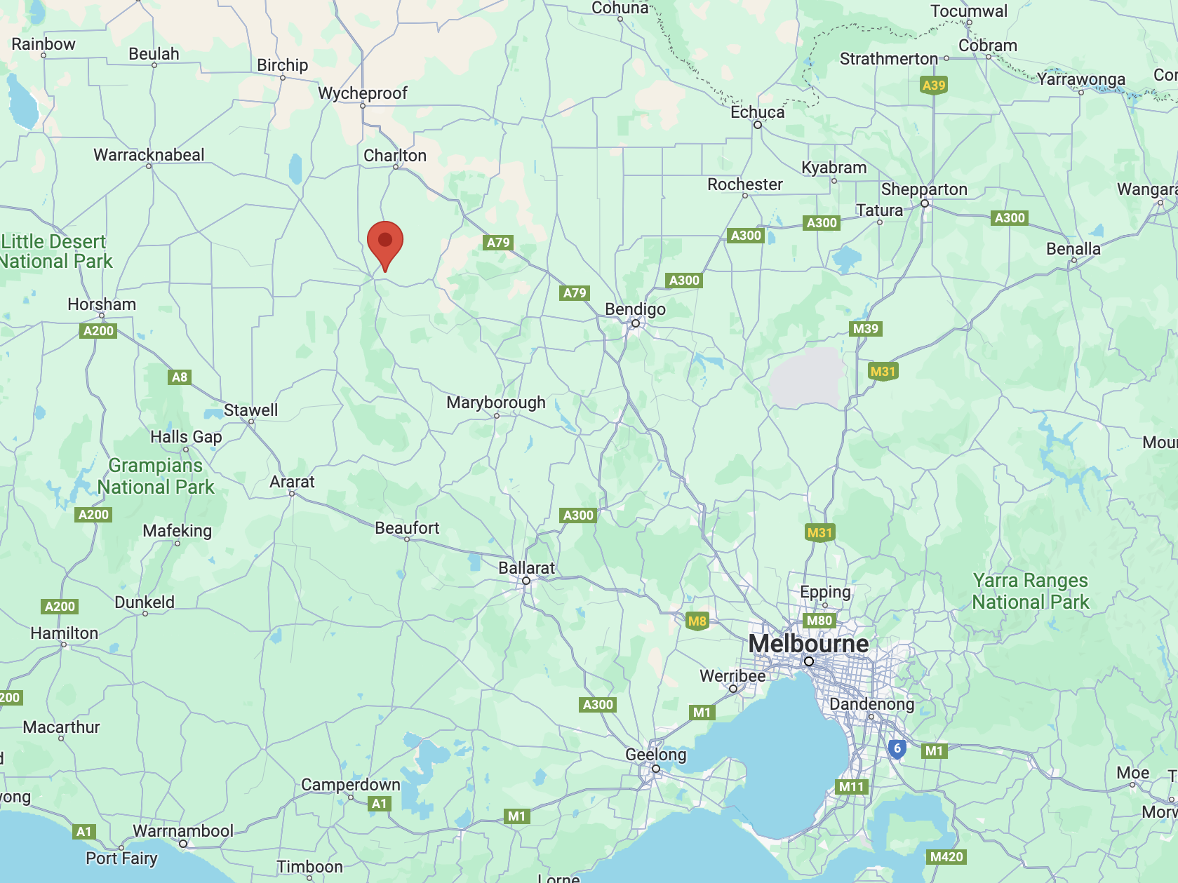
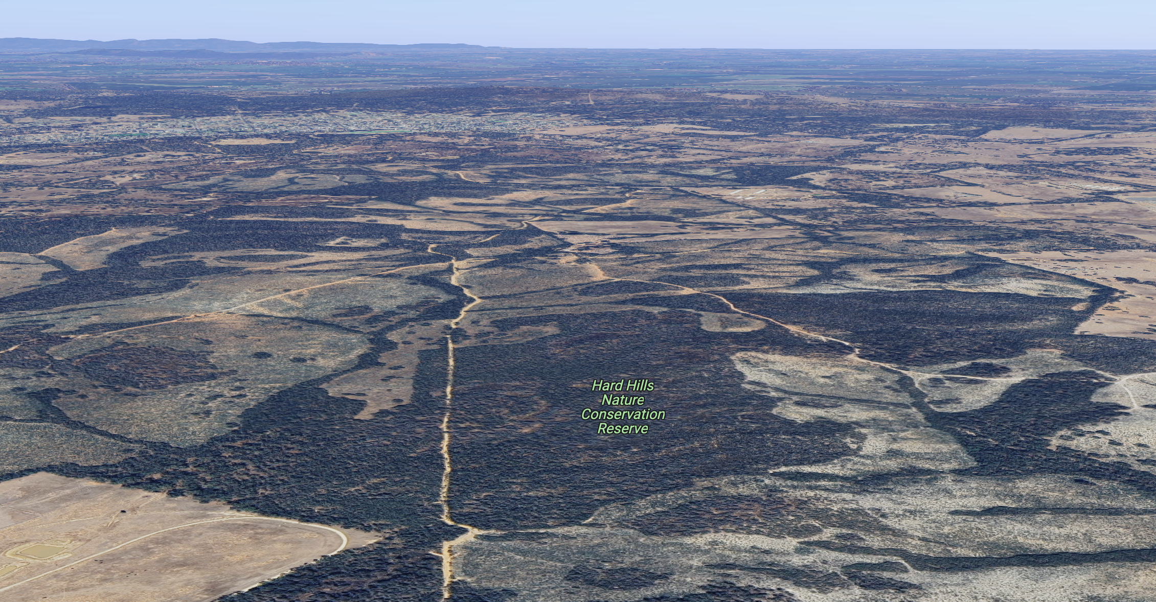
Our next activation for Saturday 18th November 2023 was the Hard Hills Nature Conservation Reserve VKFF-2106. The park is about 9 km northeast (by road) of St Arnaud and about 242 km northwest of the city of Melbourne.
Above:- Map showing the location of the Hard Hills NCR. Map c/o Google Maps.
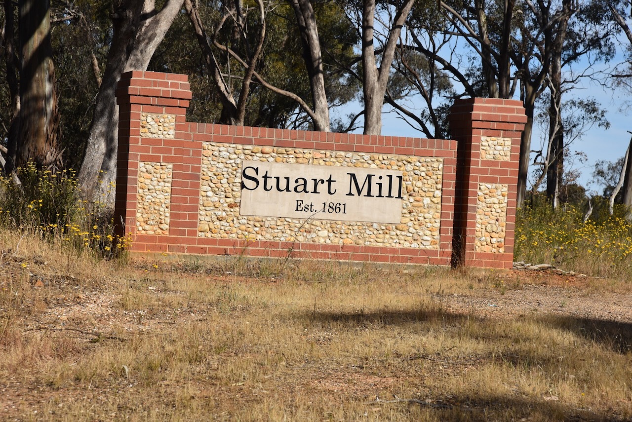
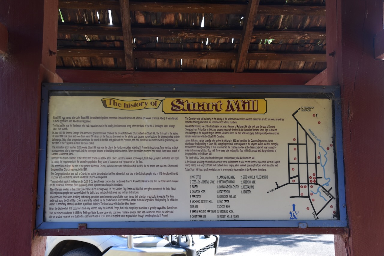
After leaving the Redbank Nature Conservation Reserve, Marija and I travelled north on the Sunraysia Highway and soon reached the little town of Stuart Mill. Stuart Mill is an old gold-mining town that was gazetted in 1865. (Victorian Places 2024)
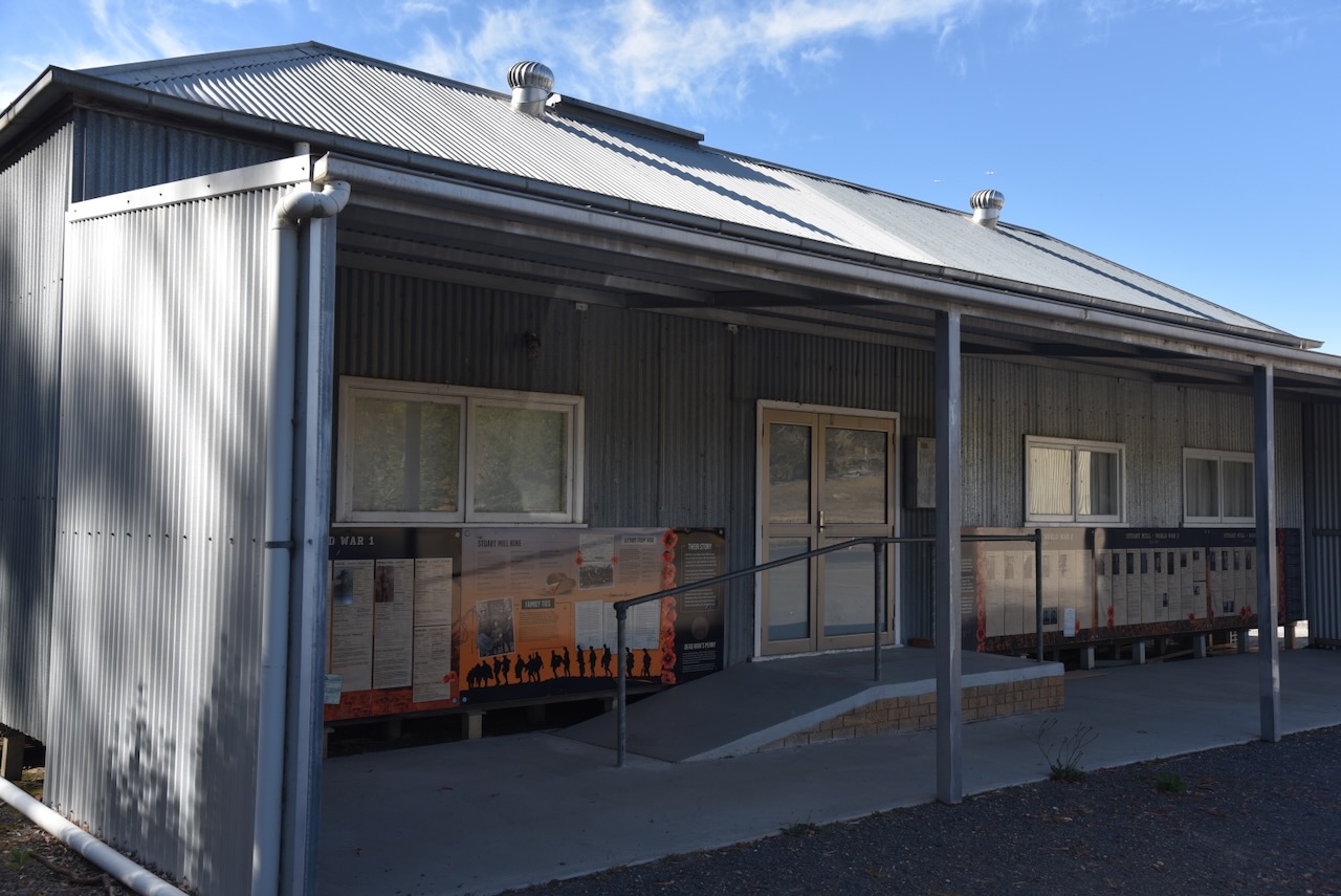
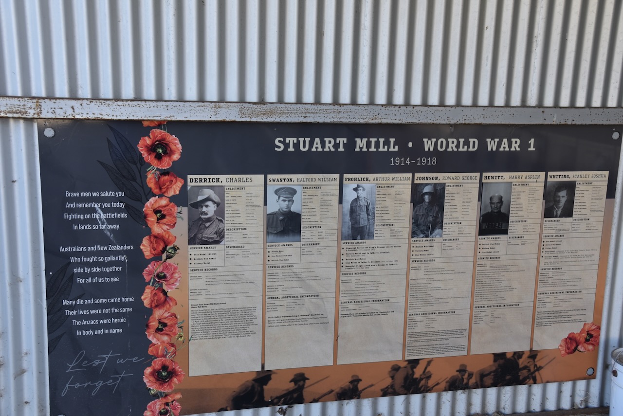
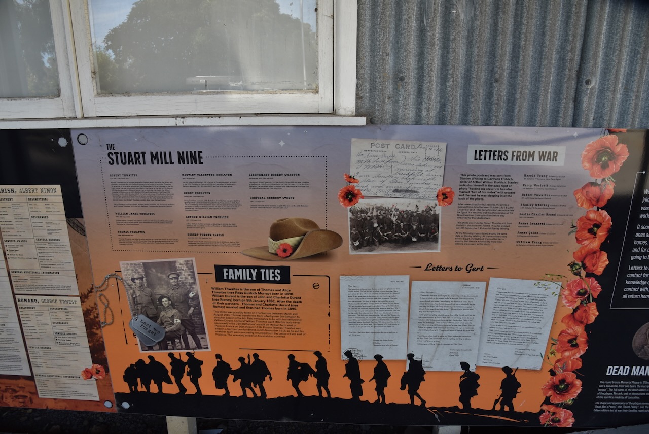
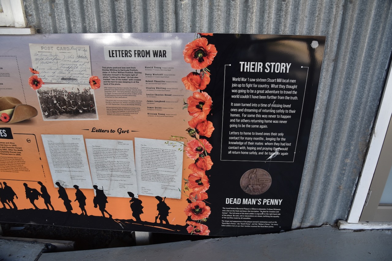
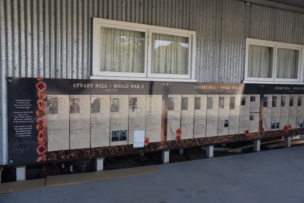
Opposite the Stuart Mill Recreation Reserve is the Stuart Mill Hall. It contains several information boards regarding those who served their country and who came from Stuart Mill.
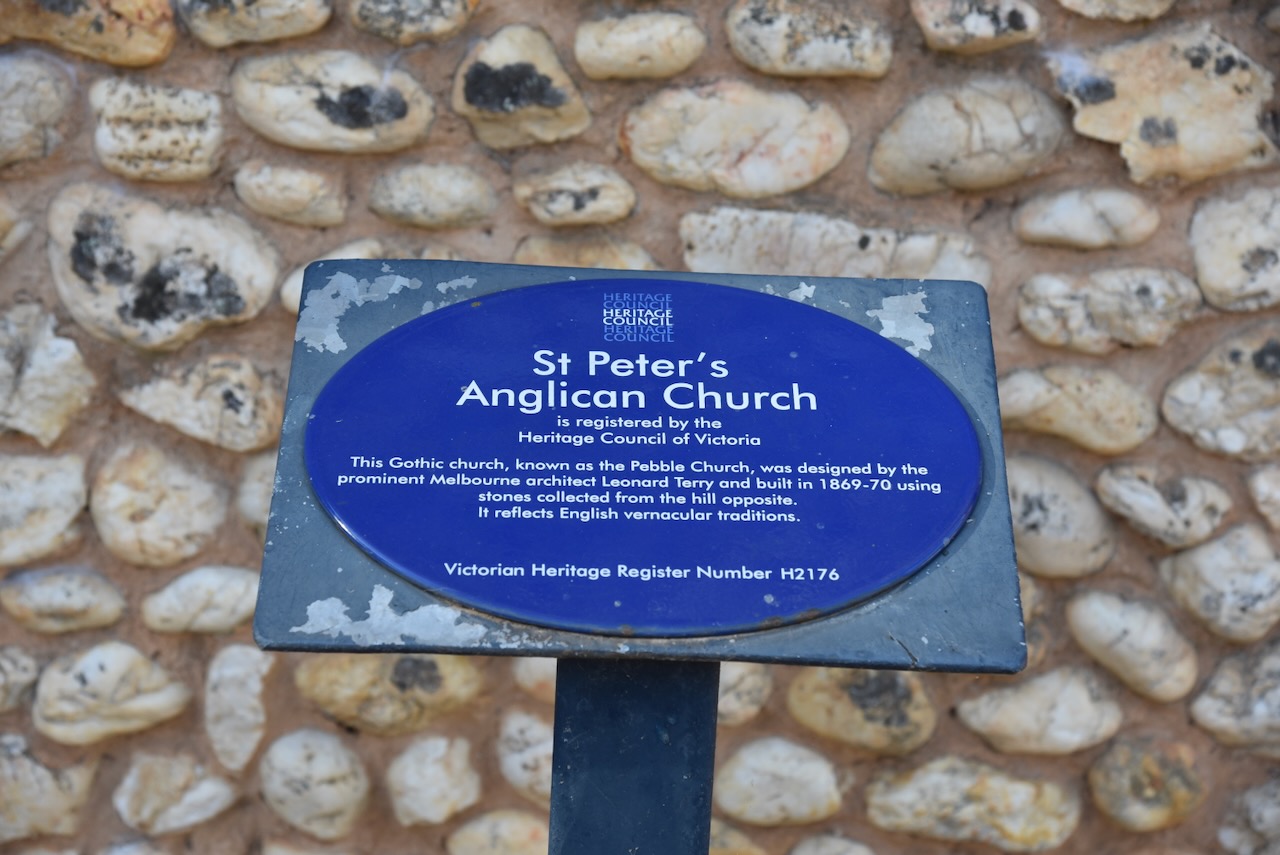
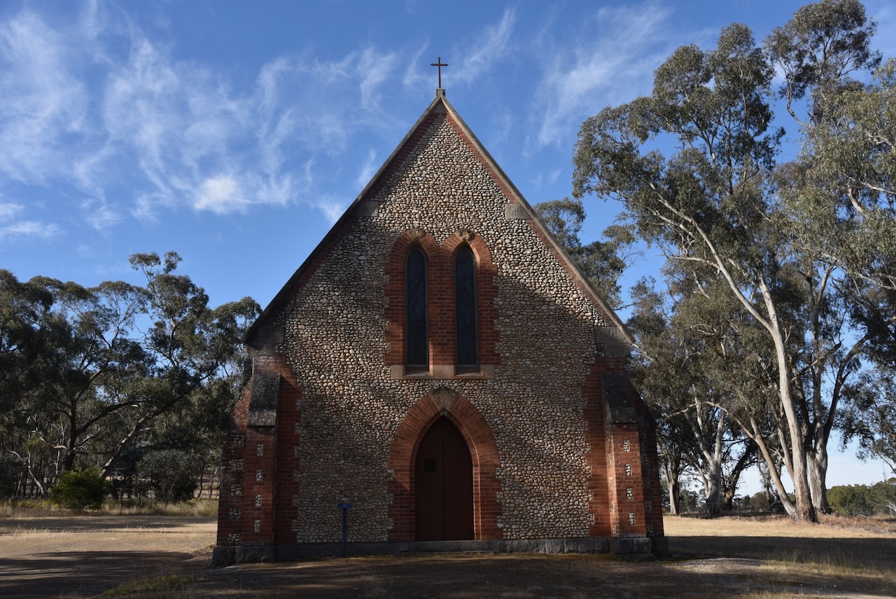
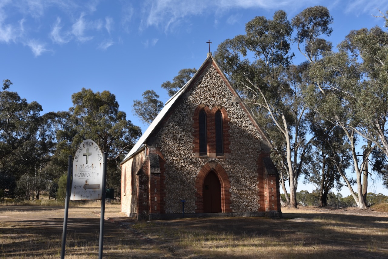
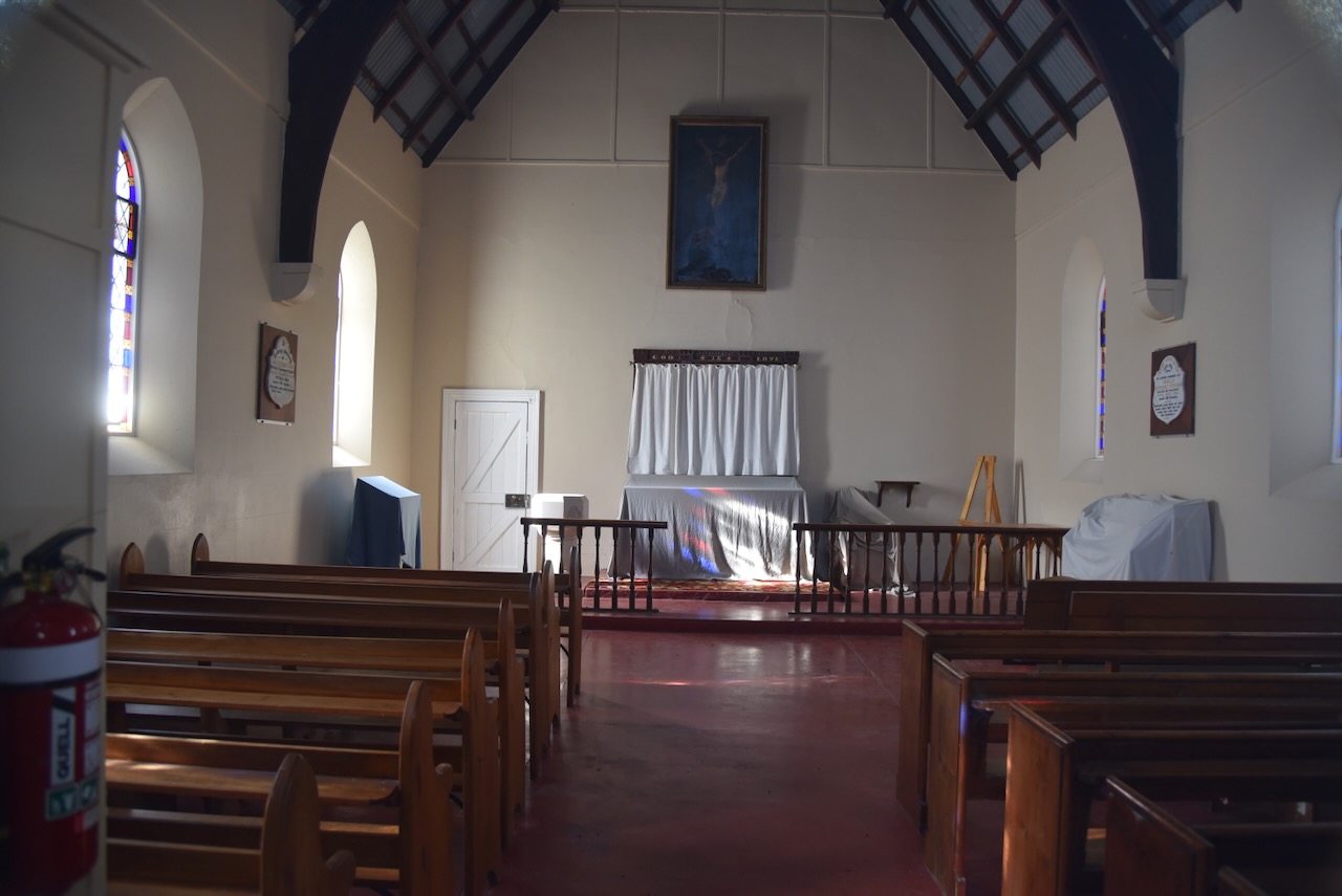
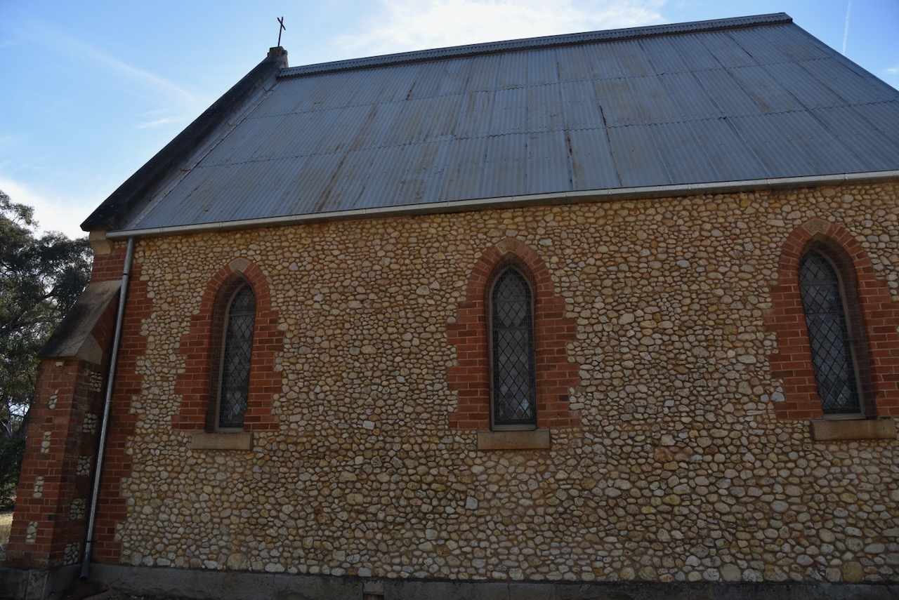
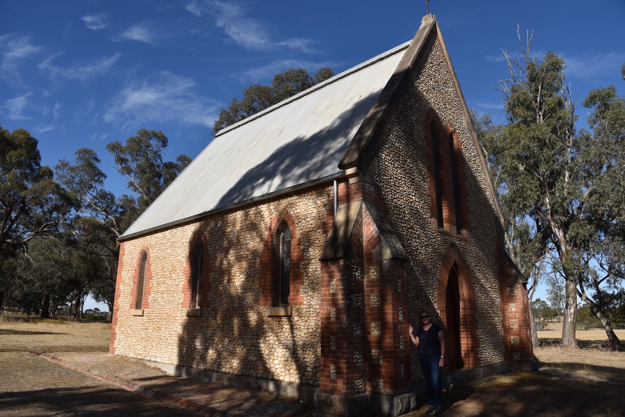
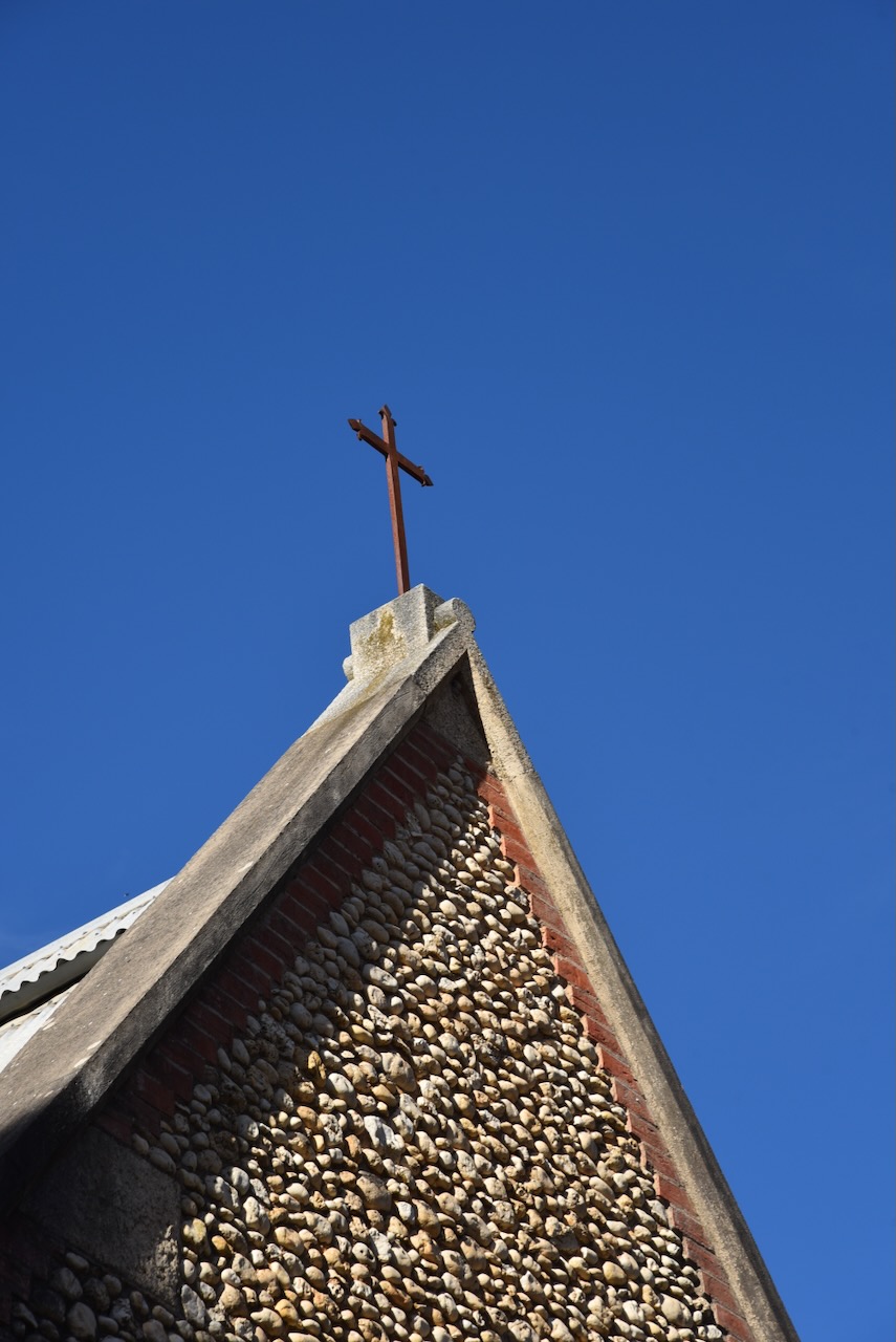
We left Stuart Mill and drove to St Peter’s Anglican church, known as the Pebble Church. This extremely interesting Gothic-style church is registered with the Heritage Council of Victoria. It was designed by prominent Melbourne architect Leonard Terry and was built between 1869 and 1870 using stones collected from the hill opposite the church.
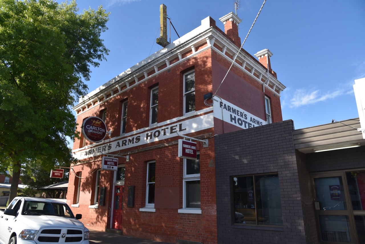
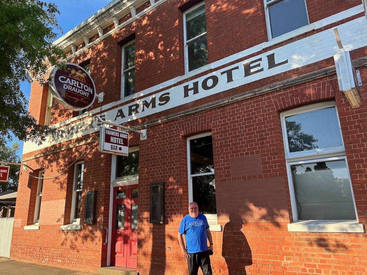
We then drove into St Arnaud and enjoyed a very nice evening meal at the Farmers Arms Hotel.
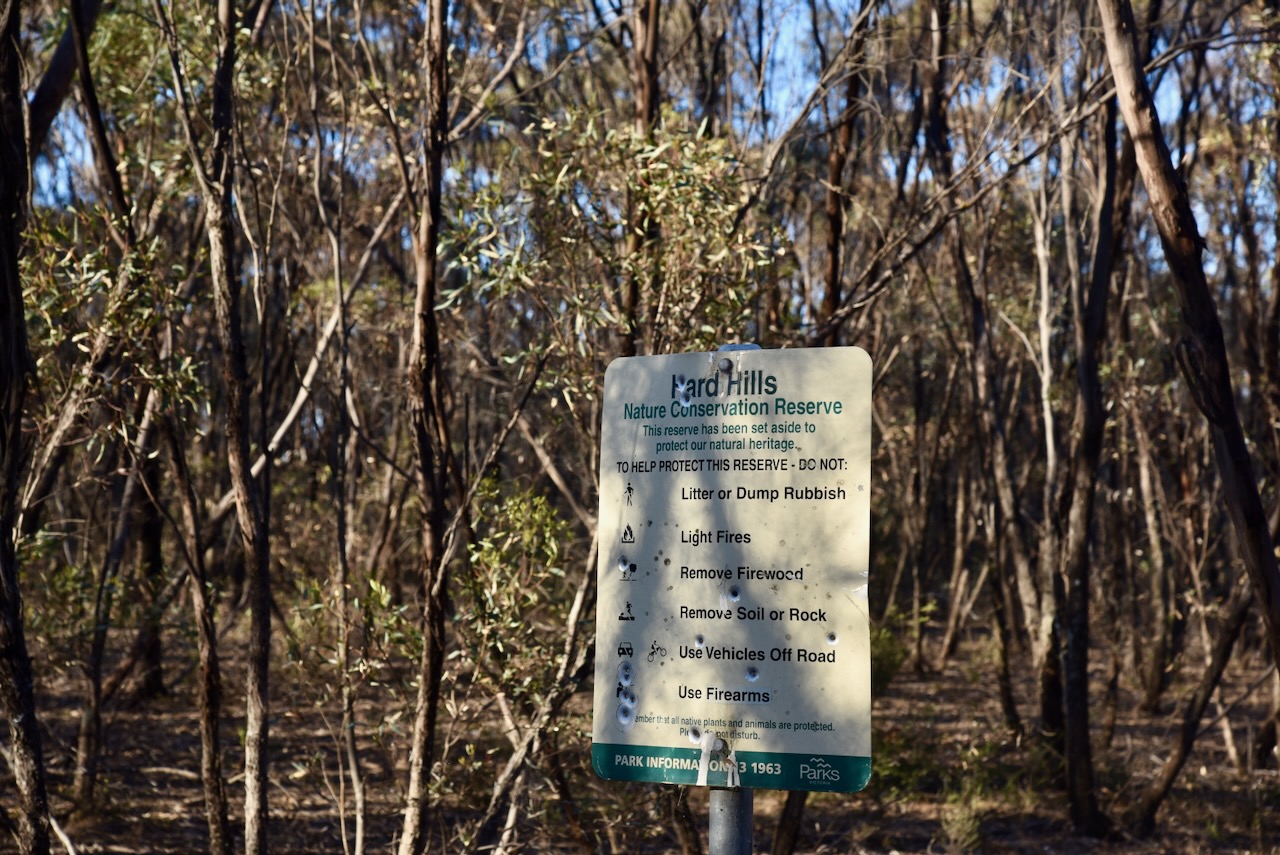
We then headed out to the Hard Hills Nature Conservation Reserve. The park is about 32 hectares and was established on the 24th day of August 1982. (CAPAD 2022) Parks Victoria has a page for this park but it contains no information about the park other than a boundary image. A number of vulernable plants are located in the park including Pamaderris and Daddy Longlegs Orchid. The Hard Hills Spider Orchid can also be found in the reserve. (St Arnaud Field Naturalists 2019)
Above:- An aerial view of the park with St Arnaud in the background. Image c/o Google Maps.
The park is located in the Hard Hills area which takes its name from the gold rush days when ten hills located in the area that were difficult for the fossickers to sink their holes or shafts. (Blake 1977)
We access the park via Bray Road and we set up in the southeastern corner of the park. We ran the Yaesu FT857, 40 watts, and the 20/40/80m linked dipole.
Above:- An aerial view of the Hard Hills NCR showing our operating spot. Image c/o Google Earth.
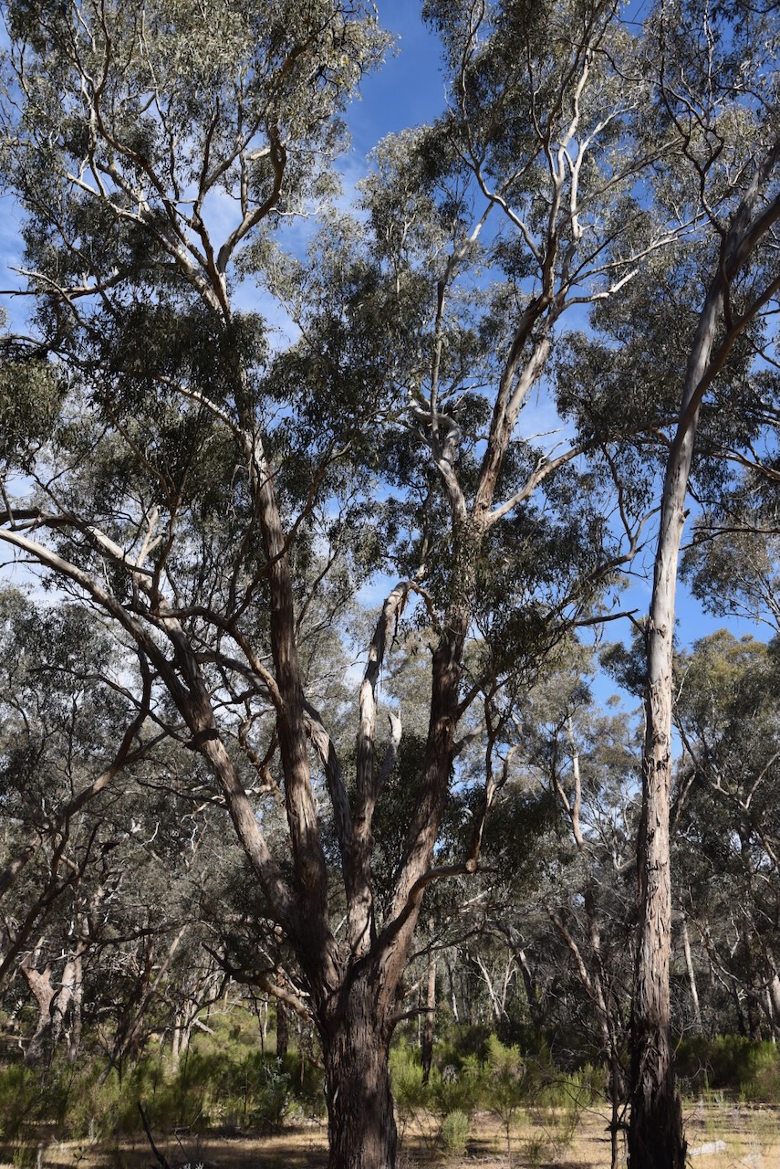
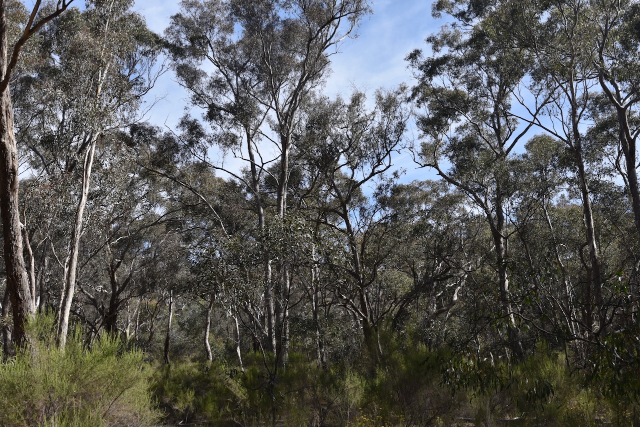
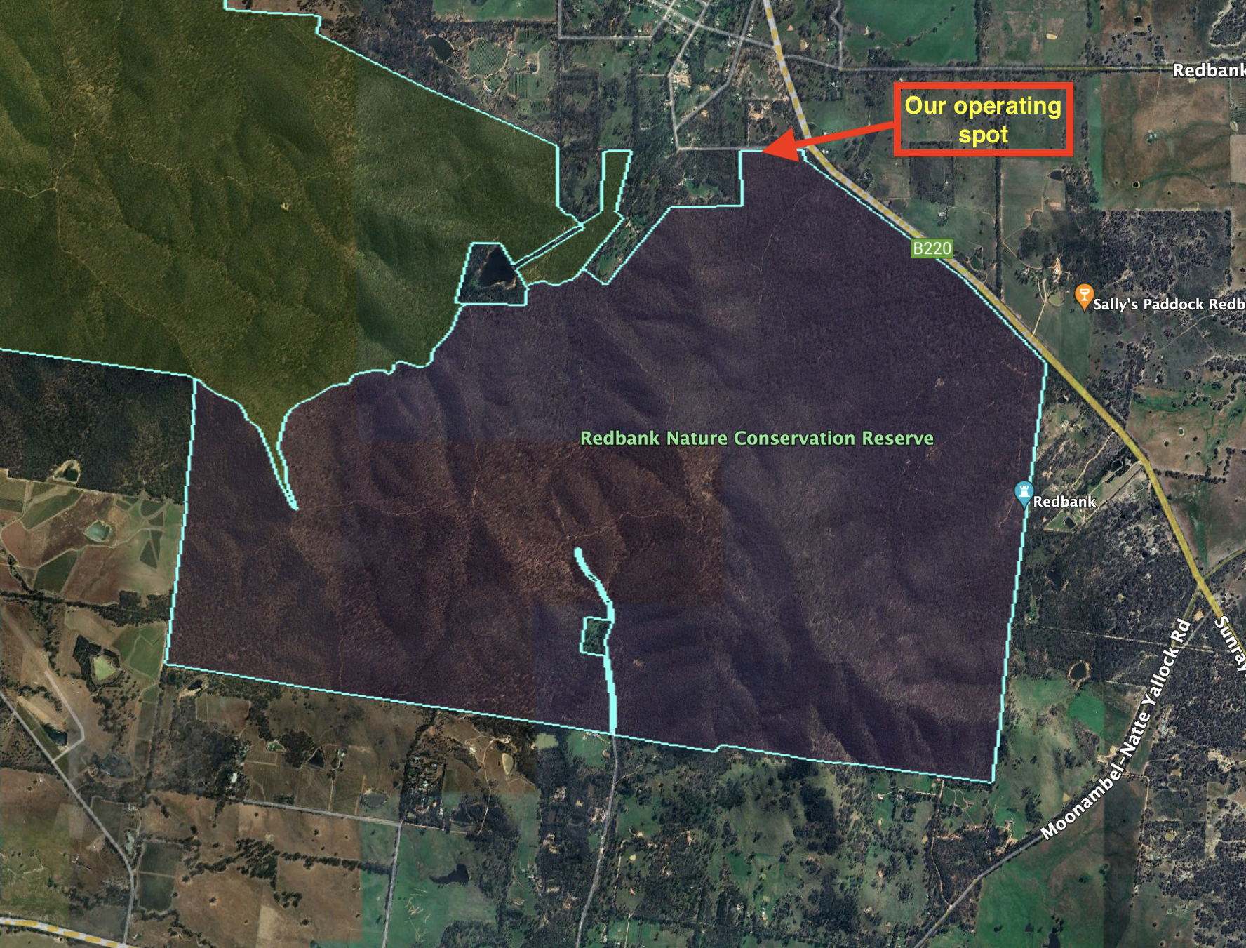
After leaving the Kara Kara National Park, Marija and I headed to our next park activation, the Redbank Nature Conservation Reserve VKFF-2180. The park is located about 204 km north of the city of Melbourne.
Above:- Map showing the location of the Redbank NCR. Map c/o Google Maps.
In 1860 gold was discovered in the area which is now known as Redbank. This resulted in about 2,000 people flooding into the Redbank district. In 1861 the town of Redbank was surveyed. The actual origin of the name is uncertain, but it possibly takes its name from a mine earthworks as there is red clay soil in the area. By 1861 the discovery of gold in other parts of Victoria resulted in a major reduction of Redbank’s population. (Victorian Places 2024)
One of the surviving historic buildings in the district is the Shamrock and Thistle Hotel which was built in 1861. (Victorian Places 2024)
Other historic buildings in the little town include the former St Paul Anglican church that was built c. 1900.
The Redbank NCR is about 1,202 hectares in size and was established on the 26th day of February 2002. (CAPAD 2022)
The park’s northwestern boundary abuts the Kara Kara National Park.
Above: An aerial view of the park. Image c/o Google Maps.
Marija and I travelled a short distance south out of the town of Redbank along High Street and then took Boundary Road.
We ran the Yaesu FT857, 40 watts, and the 20/40/80m linked dipole for this activation.
Above:- An aerial view of the park showing our operating spot. Image c/o Google Earth.
Marija worked the following stations on 40m SSB:-
VK3BEL/p
VK3APJ
VK3PWG
VK3MCK
VK5CZ
VK4NH
VK4DXA
VK3PF
VK3KAI
VK5HS
VK3TKK/p (Clinkers Hill Bushland Reserve VKFF-4288)
I worked the following stations on 40m SSB:-
VK3BEL/p
VK3APJ
VK3PWG
VK3MCK
VK5CZ
VK4NH
VK4DXA
VK3PF
VK3KAI
VK5HS
VK3SQ
VK2BD
VK3CJN
VK3CEO
VK3DAC
VK4FE/3
VK2LEE
VK2IO/m
VK3ZMD
VK3SG
Vk1AO
VK2MET
VK5OUI
VK2EXA
VK3SO
VK3CLD
VK3CRG
VK3LOC/m
VK3TKK/p (Clinkers Hill Bushland Reserve VKFF-4288)
VK3BWS
VK4EW
VK7IAN
VK2HAK
VK2CB
VK3CA
VK3TDX
VK4HAT
I worked the following stations on 20m SSB:-
VK4HAT
VK4NH
VK4DXA
ZL1TM
VK4SMA
VK3TKK/p (Clinkers Hill Bushland Reserve VKFF-4288)
After packing up at the West of England Fire Tower summit, Marija and I headed to our next activation for Saturday 18th November 2023, the West of England Range summit VK3/ VW-013 which is located in the Kara Kara National Park VKFF-0629.
This was the first time that we had activated this summit.
Above:- Map showing the location of the West of England Range summit. Map c/o Google Maps.
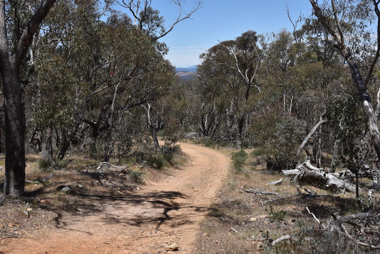
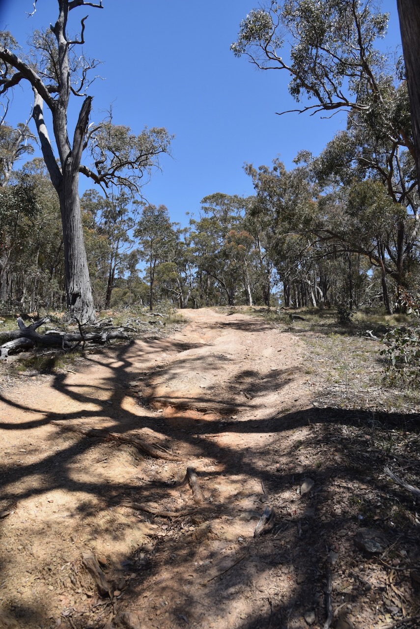
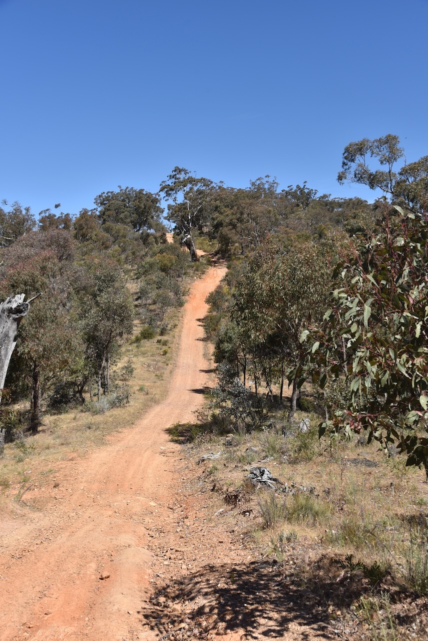
We needed to travel south through the Kara Kara National Park across the West of England Range to reach the summit. It took us a little longer than we expected. The track was quite rough in parts but no challenge for the Toyota Hi-Lux 4WD.
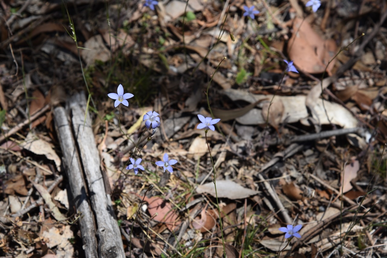
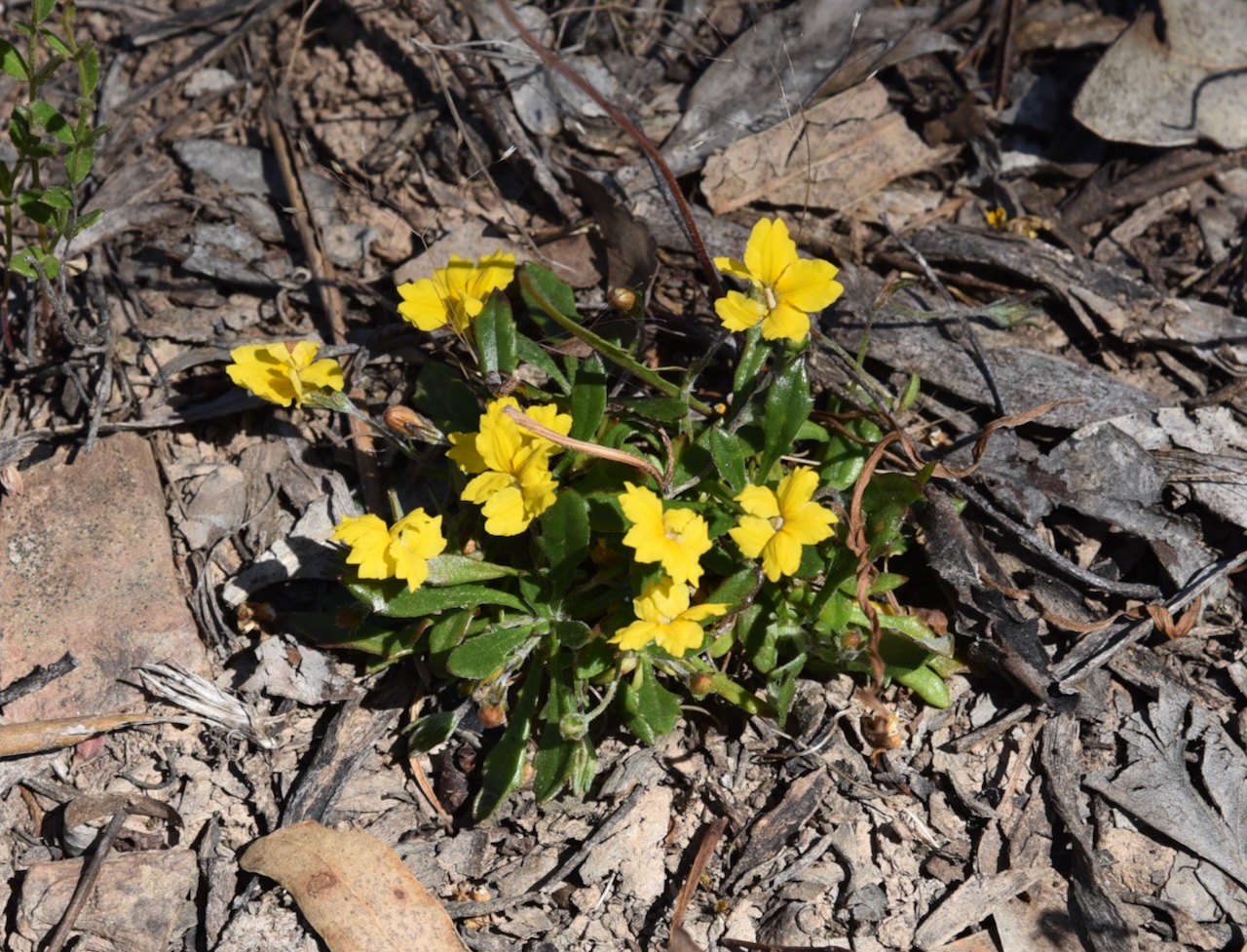
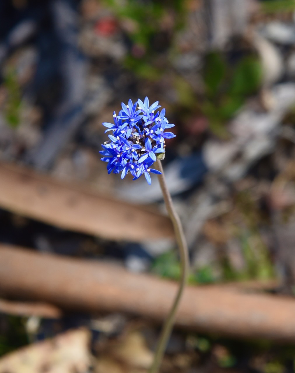
We stopped every now and again to admire some of the beautiful wildflowers and the occasional view through the forest.
The West of England Range summit qualifies for the Summits On The Air (SOTA) program and is worth 2 points. The summit is 617 metres above sea level. It has been activated a total of 13 times. (SOTA 2024)
Above:- An aerial view of the West of England Range summit. Image c/o Google Maps.
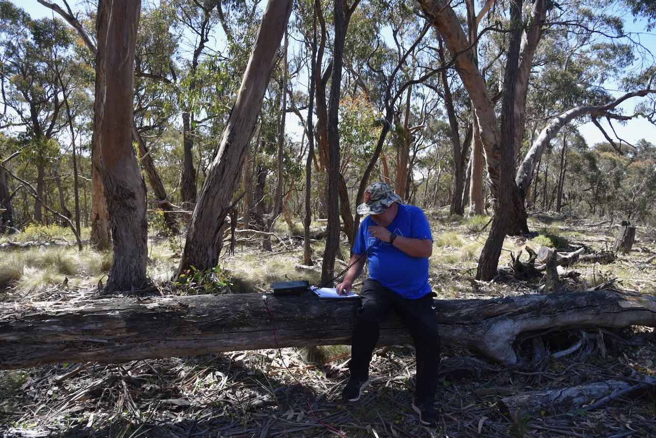
Marija and I parked on the side of Centre Track and walked a little way to the west and found a fallen log which acted as ‘our shack’ for this activation. We ran the Yaesu FT857, 40 watts, and the 20/40/80m linked dipole.
It was now day two of our trip, Saturday 18th November 2023. We had spent a very enjoyable night in St Arnaud and it was time to get stuck into another day of activities. Marija and I headed down the main street of St Arnaud and had a magnificent cooked breakfast at The Shire Cafe which is located in the old Kara Kara Shire Hall.
Kara Kara is an aboriginal word believed to mean gold and quartz. (Victorian Places 2024) The Shire Offices which are now the cafe, were built in 1902 and served as the administration centre of the Kara Kara Shire until 1996. The Federation era building contained the council chambers, a public office and smaller offices for the Shire Secretary and President. (Aussie Towns 2024)
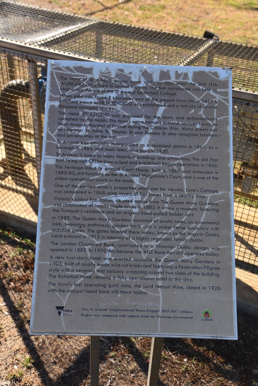
In January 1855 gold was discovered at a sandy knoll which was called Bakery Hill, on the northern outskirts of St Arnaud. The goldfields became known as New Bendigo. (Victorian Places 2024)
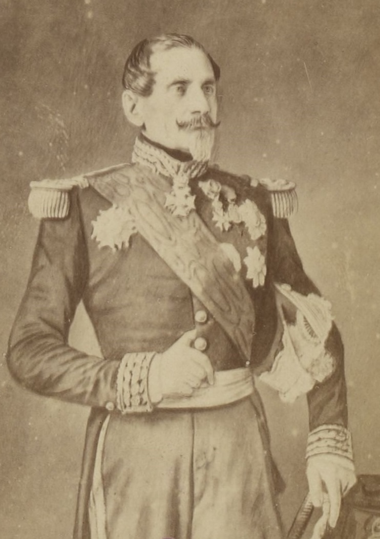
The township of St Arnaud was surveyed in 1856 and is named after Jacques Leroy de Saint-Arnaud (b. 1798. d. 1854), a French soldier and Marshal of France. He served as French Minister of War until the Crimean War when he became Commander-in-chief of the Army of the East and fought alongside the British as the Commander-in-Chief. (Aussie Towns 2024)
Above:- Jacques Leroy de Saint Arnaud. Image c/o Wikipedia.
Below is a very informative video on the township of St Arnaud and its gold mining history.
The St Arnaud Court House was constructed during the 1870s. The courthouse is built in what is known as the Victorian Free Classical style. It originally contained a single courtroom and three adjoining rooms. In 1882-1883 new rooms for the Judge, barristers and witnesses were added, along with a jury box and retiring room. A verandah and double entry were also added to the building. (Aussie Towns 2024)
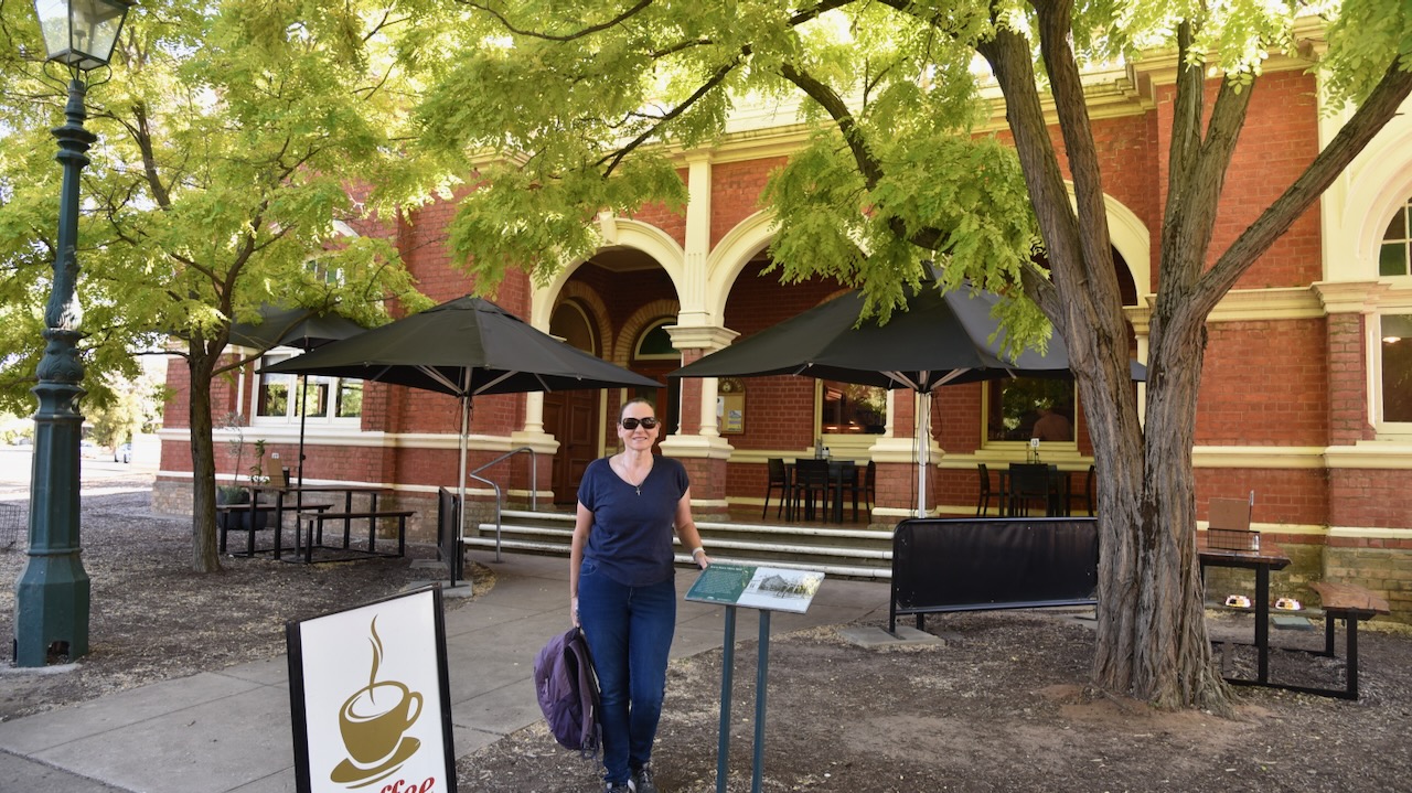
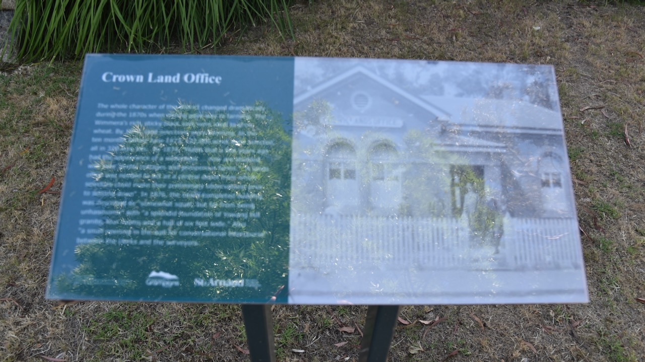
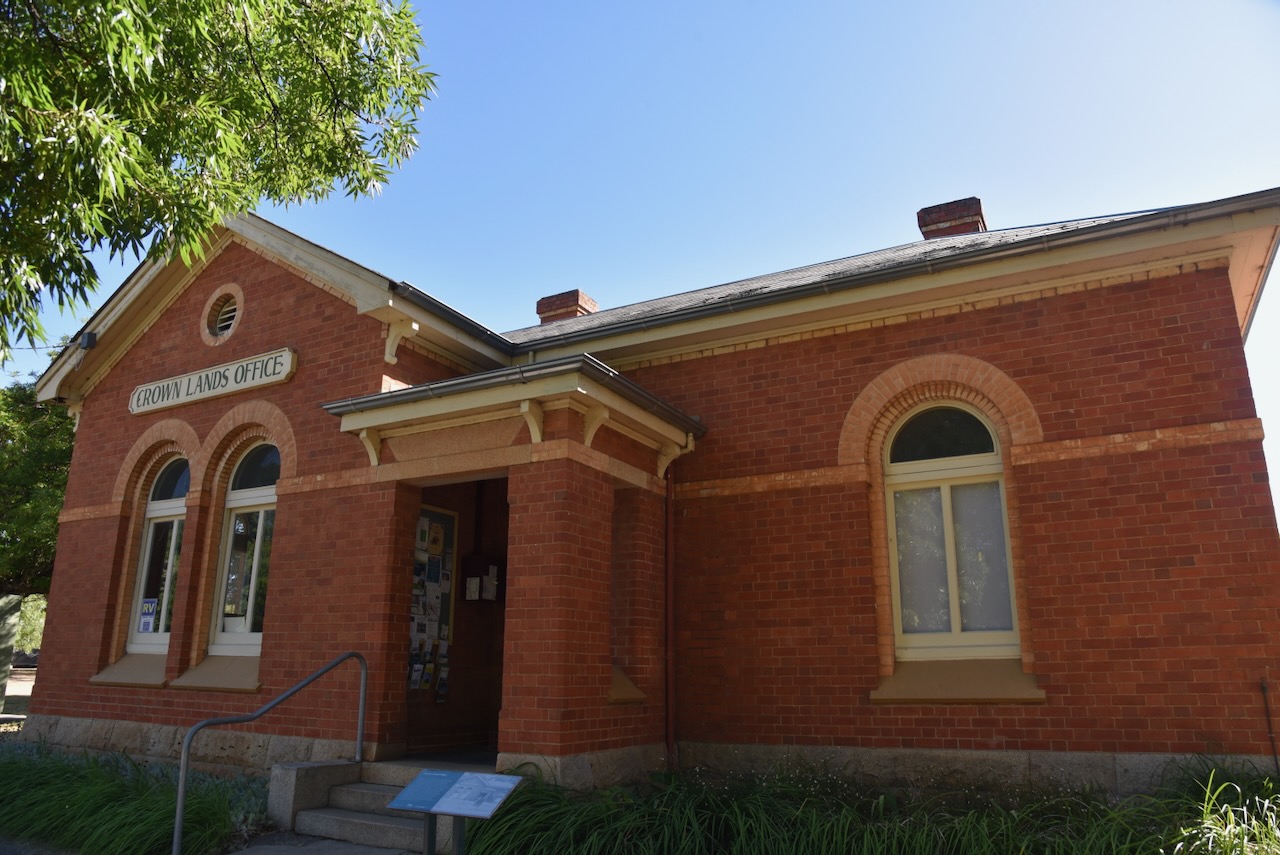
The old Crowns Lands Office is now the Visitor Information Centre. The building was completed in 1876 and at the time was described as ‘a splendid foundation of Yawong Hill granite, four rooms and a hall six feet wide.’ (Aussie Towns 2024)
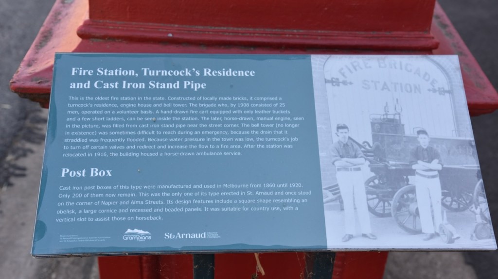
Adjacent to the old Fire Station is a historic cast rin post box which was built during the 1860s. There are only 200 of these historic post boxes remaining in Victoria. (Aussie Towns 2024)
And of course St Arnaud has a Bills Horse Trough. See my previous post about these.
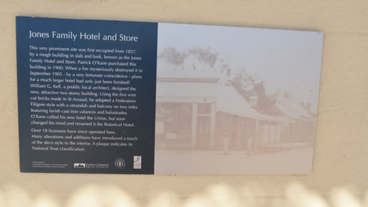
The Botanical Hotel is located adjacent to King Georges Park. The site on which the hotel now stands was first occupied from 1857 and consisted of a rough building in slab and bark and was known as the Jones Family Hotel and Store. It was destroyed by fire in September 1905. The current hotel was designed by William G. Kell, a prolific local architect. The hotel was initially known as the Union, but soon became known as the Botanical Hotel.
The Town Hall’s foundation stone was laid by Cr. James Stewart on the 28th day of August 1869. The formal opening was celebrated with a grand ball, including dancing until 6am the following day. (Aussie Towns 2024)
St Arnaud contains several murals, the work of St Arnaud based artist, Kyle Torney. The murals tell local stories with intricate detail. (Australian Silo Art Trail 2024)
St Arnaud is one of my favourite towns. The main street has a magnificent feel and contains numerous historic buildings from the gold rush era.
The former Bank of New South Wales building can be found in the main street. The building has Esdt 1817 above its entry doors, the year the bank was established. The building itself was built in 1873 and underwent rennovations in 1888. (Sydney Morning Herald 2024)
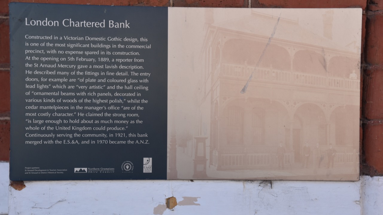
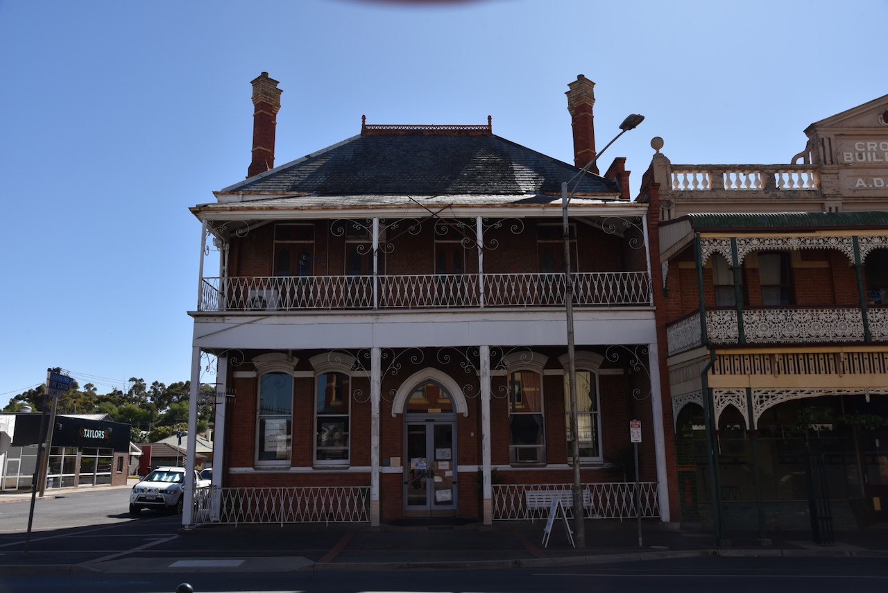
The London Chartered Bank was constructed in a Victorian Domestic Gothic design. It was opened on the 5th day of February 1889. At its opening a reporter from the St Arnaud Mercury newspaper described the entry doors as being ‘of plate and coloured glass with lead lights’ which are ‘very artistic.’
The Old Victoria Inn was and is noted for its original bullnosed verandah and magnificent cast iron lacework. The old Inn still has the original horse and carriage entrance with cast iron gates. (Aussie Towns 2024)
The grain store was built in 1879 by Joseph Read, an early pioneer of the district and distinguished councillor.
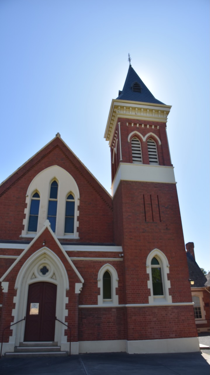
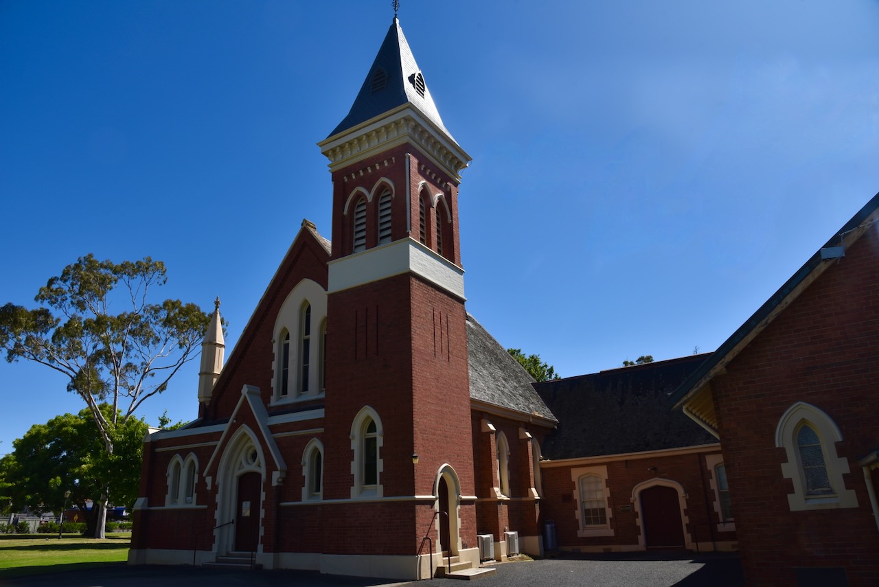
Scots Church was built as the local Presbyterian Church and was designed by Charles Vickers. It features an impressive bell tower and spire. In 1977 following the union of the Presbyterian, Methodist and Congregational Churches, the church became the St. Arnaud Uniting Church. (Aussie Towns 2024)
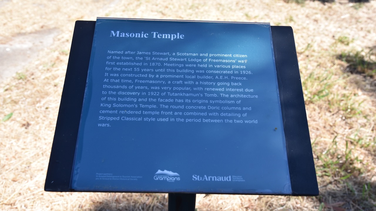
The St Arnaud Masonic Temple was constructed in 1926, however the Freemasons had been operating in St Arnaud since 1870. The St Arnaud Stewart Lodge of Freemasons was named after James Stewart, a Scotsman and prominent St Arnaud citizen. Prior to the construction of the building, meetings were held in various locations. The Masonic Temple waas constructed by A.E.H. Preece, a prominent local builder. The architecture of the building and the facade has its origins symbolism of King Solomon’s Temple. (Aussie Towns 2024)
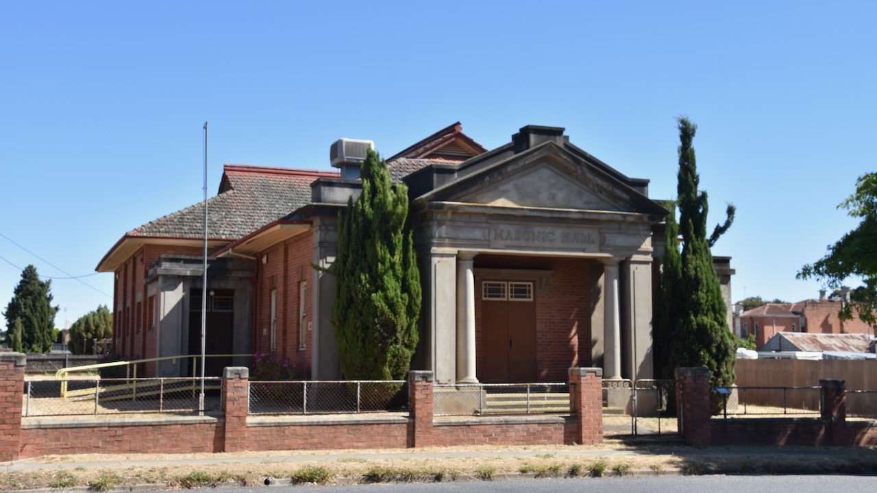
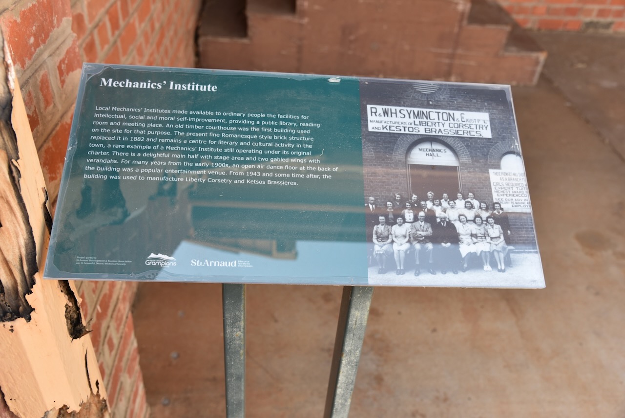
The St Arnauds Mechanics Institute was built in 1882. (Aussie Towns 2024)
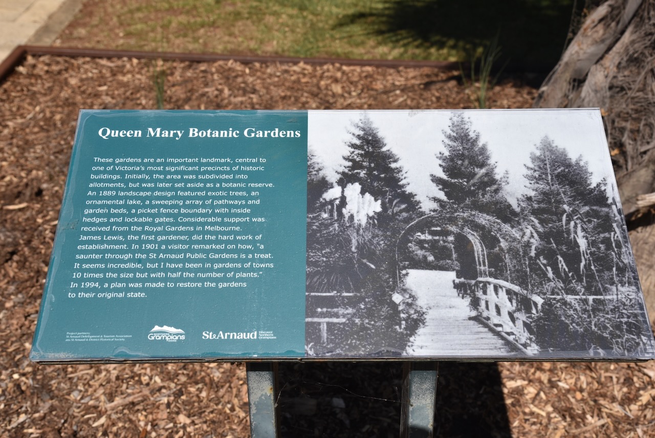
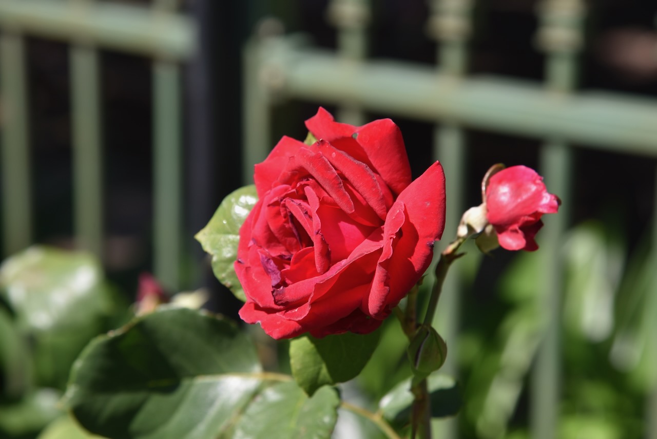
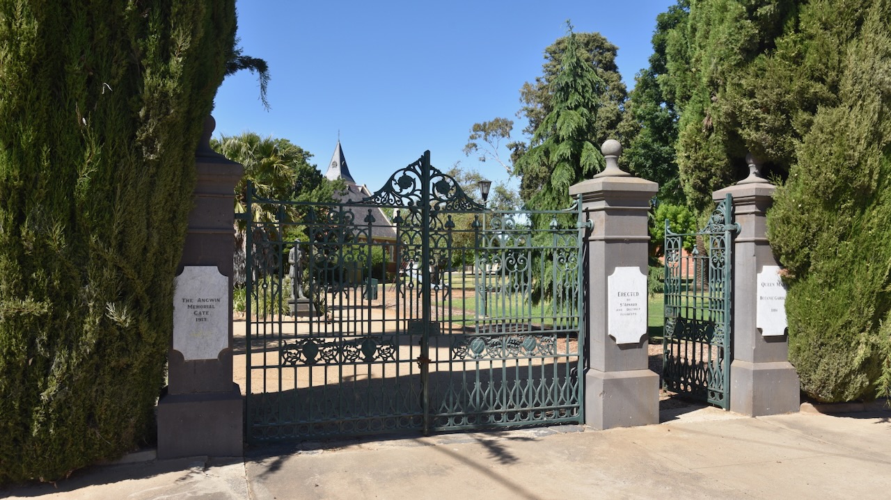
A beautiful area in St Arnaud is the Queen Mary Botanic Gardens and King Georges Park. Marija and I enjoyed a beautiful stroll around the gardens on this glorious sunny morning in St Arnaud.
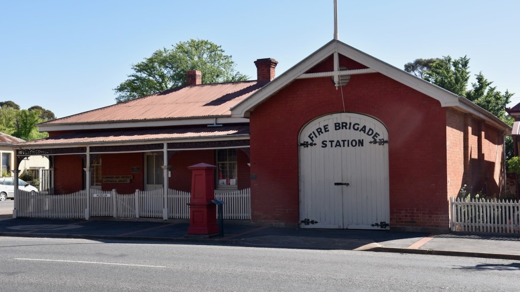
Victoria’s oldest Fire station can be found in St Arnaud. It dates from 1883 and is located on the corner of Napier and Inkerman Streets. The building includes the turnock’s residence. A turncock was employed to maintain the flow of water by adjusting the valves and controlling the flow of water. The original hand pulled ladder cart can be seen inside the station. (Aussie Towns 2024)
After spending a beautiful morning in St Arnaud, Marija and I headed to our first activation of the day, the Kara Kara National Park VKFF-0629 and the West of England Fire Tower summit VK3/ VW-016.
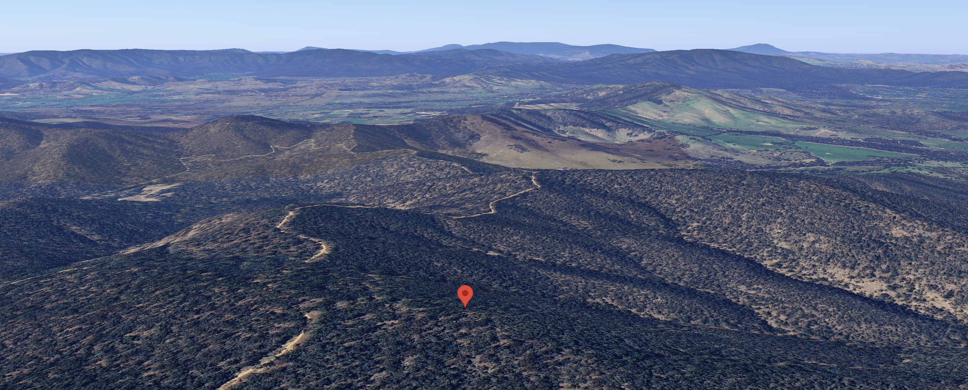
Above:- The Kara Kara National Park. Image c/o Google Earth.
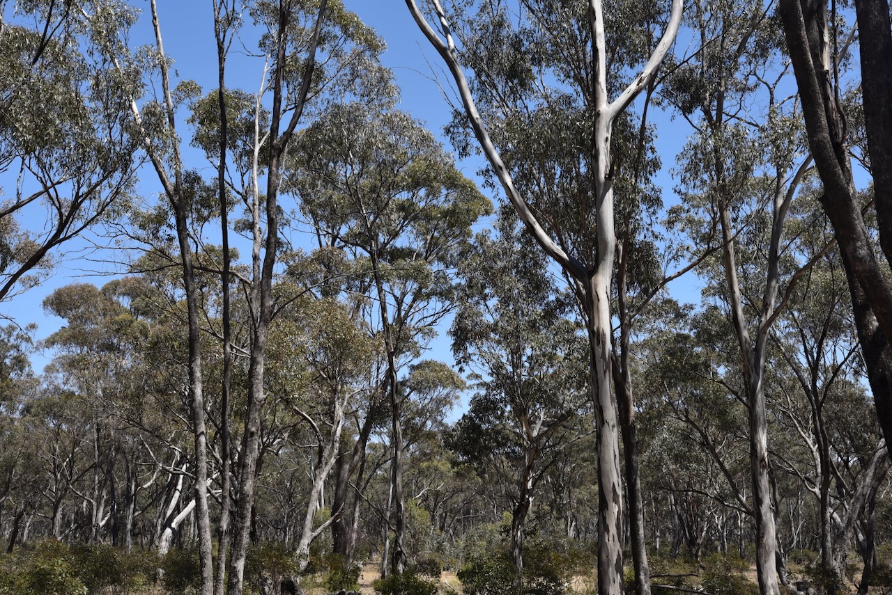
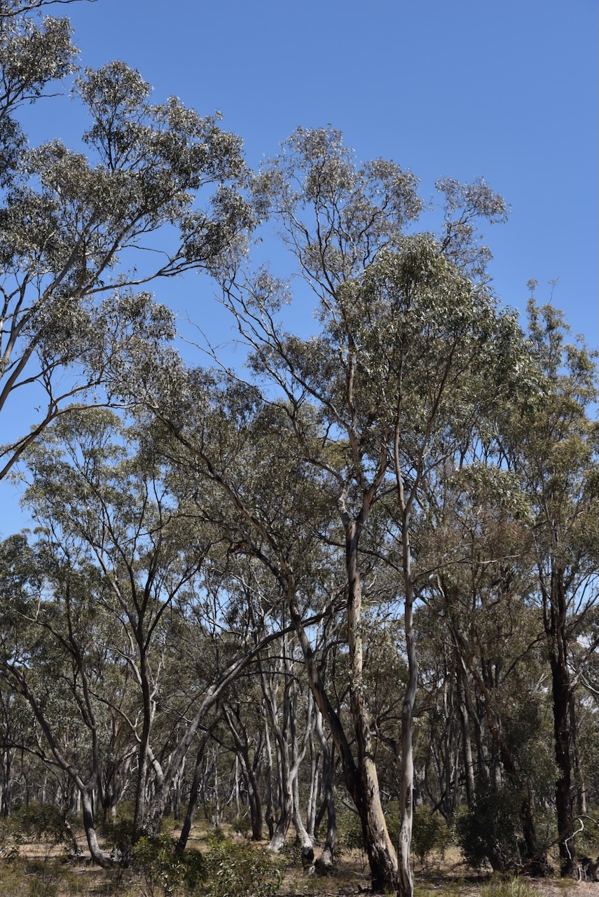
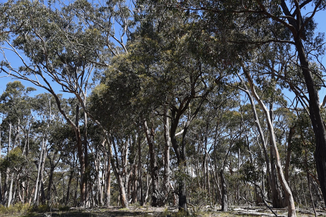
The Kara Kara National Park is about 13,990 hectares (34,600 acres) in size and was established on the 30th day of October 2002. It was original known as the St Arnaud Range National Park. The park consists of forest and open woodlands and contains about 275 species of native plants. (Parks Victoria 2024)
The Kara Kara National Park is within the St Arnaud Box-Ironbark Region Important Bird Area, which was identified by BirdLife International due to its importance for Swift parrots and other woodland birds. (BirdLife 2024)
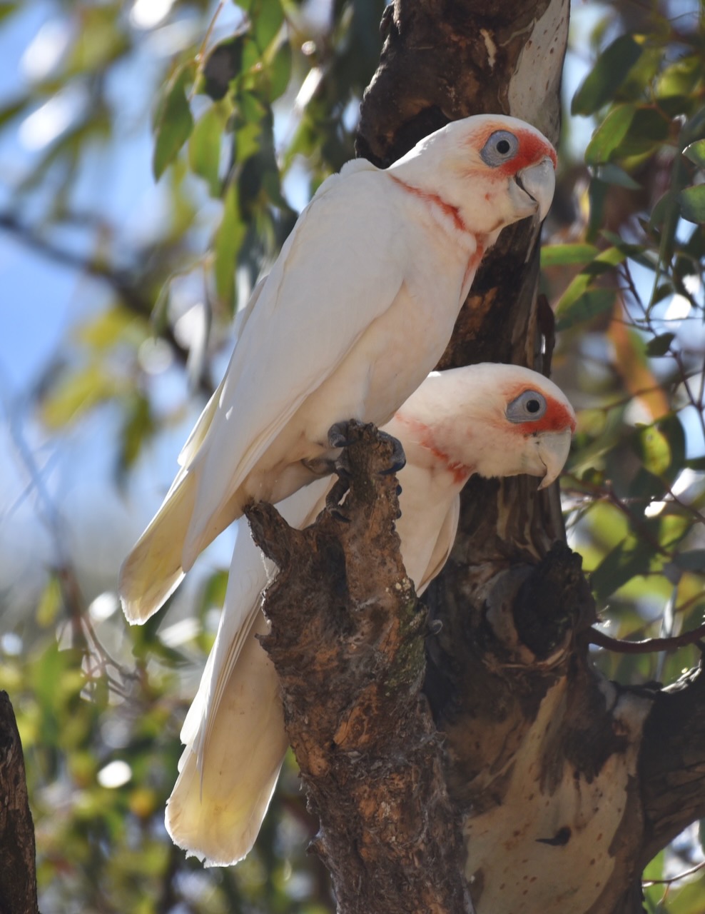
Other birds and animals that call the park home include Barking Owls, Powerful Owls, kookaburras, Crimson Rosellas, Swift Parrots, possums, Yellow-footed Antechinus, Squirrel Gliders, Brush-tailed Phascogale and bats. (Parks Victoria 2024)
The West of England Fire Tower summit VK3/ VW-016 qualifies for the Summits On The Air (SOTA) program. It is 525 metres above sea level and is worth 2 points in the SOTA program. It has been activated a total of 20 times. It was first activated in March 2012 by Allen VK3HRA. (SOTA 2024)
Above:- An aerial view of the West of England Fire Tower summit. Image c/o Google Maps.
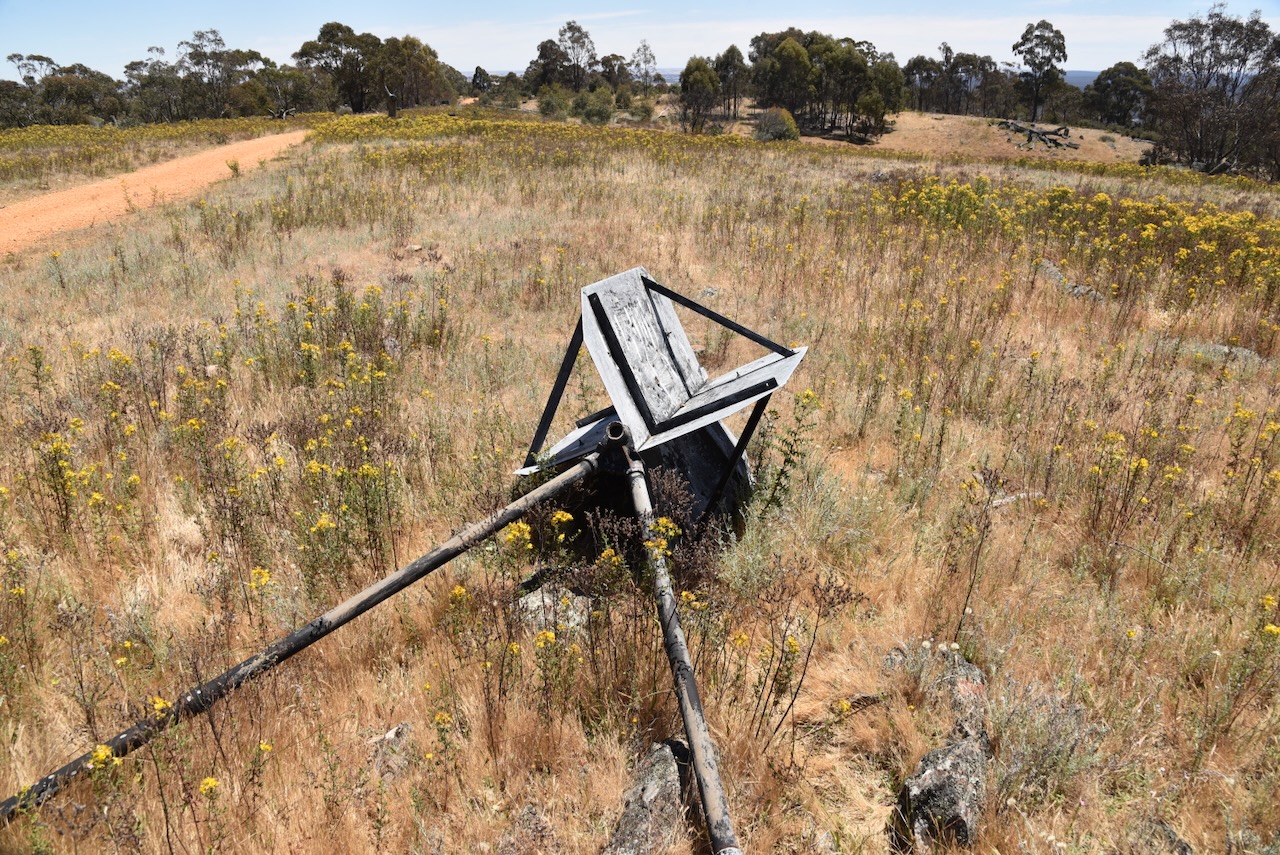
As the name implies, there is a fire tower at the summit.
There is a trig point at the summit, but it is in a poor state of repair and is lying on its side.
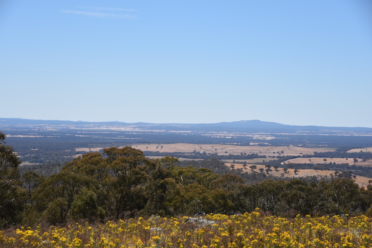
There are some very nice views to be enjoyed from the summit.
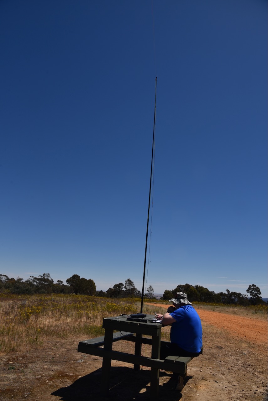
Conveniently there is a wooden table and benches at the summit. We ran the Yaesu FT857, 40 watts, and the 20/40/80 m linked dipole, supported by the 7-metre heavy-duty telescopic squid pole.