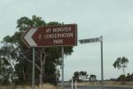
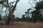
My first Victorian National Park activation for the 2014 Keith Roget Memorial National Parks Award (KRMNPA) activation weekend was the Lower Glenelg National Park (NP), VKFF-296, which I activated on the morning of Saturday 15th November 2014.
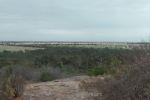
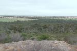
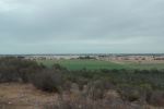
The park is located in South Western Victoria, about 420 km from Melbourne, and about 500 km from Adelaide. The park abuts the South Australian and Victorian border. The park is very popular, and receives over 200,000 visits per year.
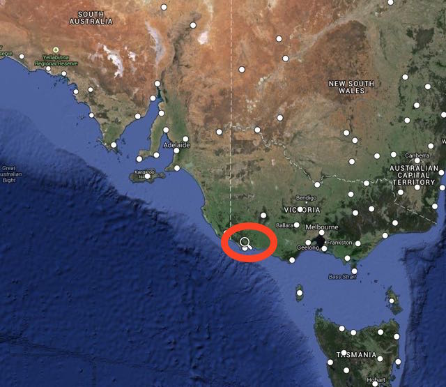
Map courtesy of mapcarta.
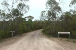
So after a cooked breakfast at my hotel, the Whalers Rest at Portland, I headed out along the Princes Highway and then travelled into the park via a series of dirt roads. I can highly recommend the Whalers Rest. I stayed there on Friday, Saturday, and Sunday night. The room was spacious and very clean, and the cooked breakfasts on offer were very hearty.
http://www.bestwestern.com.au/portland/hotels/best-western-whalers-rest-motor-inn/
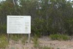
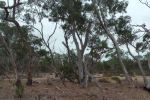
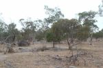
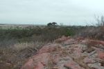
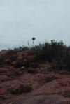
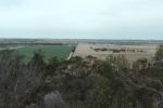
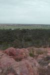
Lower Glenelg NP is 27,300 hectares in size and encompasses the spectacular Glenelg River limestone gorge. The park, which was proclaimed in 1969, contains a wide range of forest, scrub, and heathland. The park has been included in the World List of National Parks and Equivalent Reserves compiled by the International Union for the Conservation of Nature and Natural Resources (IUCN 1985). The park includes the Princess Margaret Rose Caves.
Prior to being declared a park, the land in which Lower Glenelg is located was exploited by European settlement, which included timber harvesting and repeated fuel reduction burning to provide protection for nearby pine plantations and the Nelson township.
William Dutton first settled Southwestern Victoria in 1829 and this was followed by Edward Henty in 1834. The famous explorer, Major Mitchell travelled through the area in 1836. His journey of discovery included exploration of the Glenelg River from the present Dartmoor to Nelson. The area was quickly settled and large pastoral runs dominated until the late 1940s.
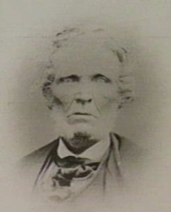
Above: William Dutton. Image courtesy of adb.anu.edu.au
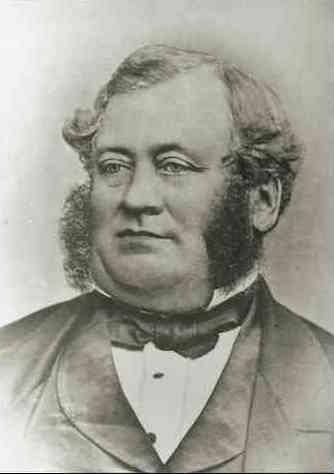
Above: Edward Henty. Image courtesy of wikipedia.org
Even by the late 1800s the Glenelg River was already important to the local community for recreation, particularly angling. A number of shacks were erected along the river for this purpose. However, following proclamation of the Park in 1969 and a 15 year phase out period, nearly all the river shacks were removed, and the sites have been developed for public use.
During the 1920s the first pine plantations were established in the area. Two substantial forestry
companies established major pine plantations throughout southwest Victoria in the 1950s.
Following World War II some native forests now in the Park were selectively logged, by individual
tree selection. Little obvious evidence of the logging remains today.
It was during the early 1940s that the Princess Margaret Rose Caves were also developed
as a commercial visitor operation.
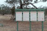
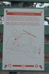
Recreational activities in the park include sightseeing, fishing, pleasure boating, canoeing, water skiing, picnicking, camping, and bushwalking.
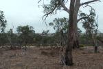
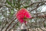
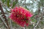
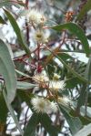
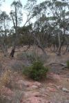
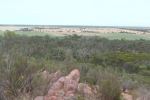
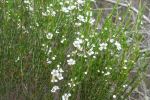
A diverse number of plant species are found in the park. More than 500 species of flowering plants and 30 ferns occur in the Kentbruck Heath and Moleside areas alone.
The park is also home to a large amount of wildlife, as I found out. It was very slow going through the park due to the large number of kangaroos and euros. Over 30 native mammal species have been recorded in the park. A number of threatened species are found in the park. The rare bat, the Large-footed Myotis is found in the park.
Additionally, over 136 bird species have been recored in the Lower Glenelg NP. Three species are considered threatened in Victoria, including the Red-tailed Black Cockatoo, Rufuos Bristlebird, and the Powerful Owl.
A total of 14 species of reptiles are recorded as living in the park, and there are about 32 fish species also recorded.
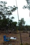
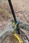
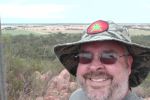
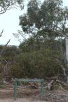
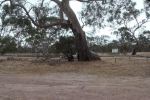
I was ready to go at 7.00 a.m. Victorian local time. I found a nice quiet spot and set up my deck chair and fold up chair. I ran the Yaesu Ft-450 and 40 watts for this activation into my 40m/20m linked dipole @ 7 metres. It was quite difficult finding a clear frequency, as the 40m band was already very busy. I called CQ on 7.097 and my first contact was with Charles VK5FBAC at Strathalbyn. Charles had a good 5/9 signal and he gave me a 5/9 signal report in return. So it appeared the band was in good condition. A number of the ‘regular suspects’ followed, all with excellent signals.
My first Summits on the Air (SOTA) contact in the park was with Rob VK2QR who was portable at Mount Hotham, VK3/ VE-006, which is also located within the Alpine National Park. Rob had a beautiful 5/9 signal to Lower Glenelg. This was followed by Andrew VK1NAM who was portable on VK2/ SM-036 within the Kosciuszko National Park. You can read about Andrew’s activation on his WordPress site at…..
http://vk1nam.wordpress.com/2014/11/16/sota-activation-vk2sm-036-unnamed-10-points/
About a dozen stations later, when things had slowed down a little, I found Rob VK3EK calling CQ in 7.110. Rob was portable on Mount Cann, VK3/ VG-133 in eastern Victoria, near the New South Wales border.
I then checked in to the Riverland Radio Club’s Saturday morning net, which is held on 7.078 each Saturday morning. The net is run by Ron VK5MRE. After working Ron and a few other stations on the net, I quietly disappeared and found Peter VK3FALA on 7.095, calling CQ from Mount Elizabeth, VK3/ VG-074. Peter’s signal was down a little (5/3) and I was very surprised when he gave me a 5/9 signal report in return.
I then spoke with Terry VK3UP who was portable in the Brisbane Ranges National Park, north of Geelong. Terry had a nice 5/7 signal coming in, and I received a 5/9 signal report.
After chatting with Terry for a while, I then found Nick VK3ANL, on 7.090. Nick was portable at Arthurs Seat, VK3/ VC-031.
I then found a clear frequency on 7.105 and put out a CQ call and was immediately greeted by Hans VK5YX at Hallett Cove with a 5/9 plus signal. This was followed by a number of callers from VK2, VK3, & VK5 who called in before and after the UTC rollover. They included Ian VK3TCX who was portable on Mount Elizabeth VK3/ VG-074, Fred VK3DAC on Mount Toolebewong VK3/ VC-033, and Peter VK3FALA on Mount Elizabeth VK3/ VG-074.
It was time to pack up. But before I did I had one last quick tune around the band and worked Rob VK3EK again, portable on VK3/ VG-133, for the new UTC day.
My last contact in the park was with Ron VK3AFW who was portable on Arthurs Seat VK3/ VC-031.
It was time to head off to Cobboboonee National Park. I had a total of 50 stations in the log, which meant that I had qualified the park for the KRMNP, and also for the National (VKFF) and global (WWFF) awards.
This included 10 x SOTA contacts and 3 x National Park contacts.
The following stations were worked:-
- Charles VK5FBAC
- John VK5BJE
- Mick VK3FAFK
- Frank VK3GFS
- Greg VK5ZGY/m
- Tim VK5AV
- Ian VK5IS
- Tom VK5EE
- Geoff VK5HEL
- Bernard VK3AV
- Matt VK1MA
- Les VK5KLV
- Brian VK5FMID
- Mark VK7MK
- Rod VK5KFB
- Rob VK2QR/p
- Andrew VK1NAM/p
- Greg VK5GJ
- John VK5FMJC/p
- Mike VK3XL
- Peter VK3TKK
- Amanda VK3FQSO
- Col VK5HCF
- Nev VK5WG
- Mark VK3PI
- Rob VK3EK/p
- Ron VK5BRL
- Rob VK5TRM
- Dennis VK2HHA
- Peter VK3FALA/p
- Terry VK3UP/p
- Nick VK3ANL/p
- Hans VK5YX
- John VK5DJ
- Darrin VK3FDAP/p
- Larry VK5LY
- Steve VK3VM
- Tom VK5FTRG
- Andrew VK2UH
- Norm VK5FNGM
- VK3ZZS/2
- Dallas VK5WA
- Ian VK1DI
- Charles VK5HD
- Ian VK3TCX/p
- Fred VK3FTAD
- Fred VK3DAC/p
- VK3FALA/p
- Rob VK3EK/p
- Ron VK3AFW/p
Below is a video of the activation at the Lower Glenelg NP…..
References.
Portland Region National Parks and Public Land Division, May 1991, “Lower Glenelg National Park Management Plan”.