On Friday morning (26th November 2021) Marija VK5MAZ hit the road at about 7.00 a.m. and started heading towards Bordertown in the southeast of South Australia. We had planned to stay at Bordertown for three nights and activate six parks for the annual VKFF Activation Weekend for the World Wide Flora Fauna (WWFF) program. We had also planned to activate some silos on the way down to Bordertown.
It was about a 255 km drive to Bordertown along the Dukes Highway, which is the main highway between the cities of Adelaide and Melbourne.
The highway is named in honour of the Duke of York and becomes the Western Highway once you cross the South Australia -Victoria State border. There were some attempts in the 1950s by a Member of Parliament to rename the highway, the Tolmer Highway in honour of Inspector Alexander Tolmer who led a gold escort route from Bendigo.
By the late 1920s, funds were made available by the the Australian Commonwealth Government for highway construction. In 1930, work commenced on forming the Dukes Highway from Murray Bridge to Bordertown.

Our first stop for the morning was just down the road from home, the Strathalbyn bakery, where we had some coffee and a bacon & egg roll for breakfast.
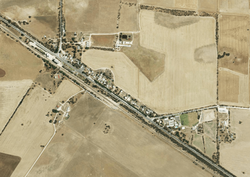
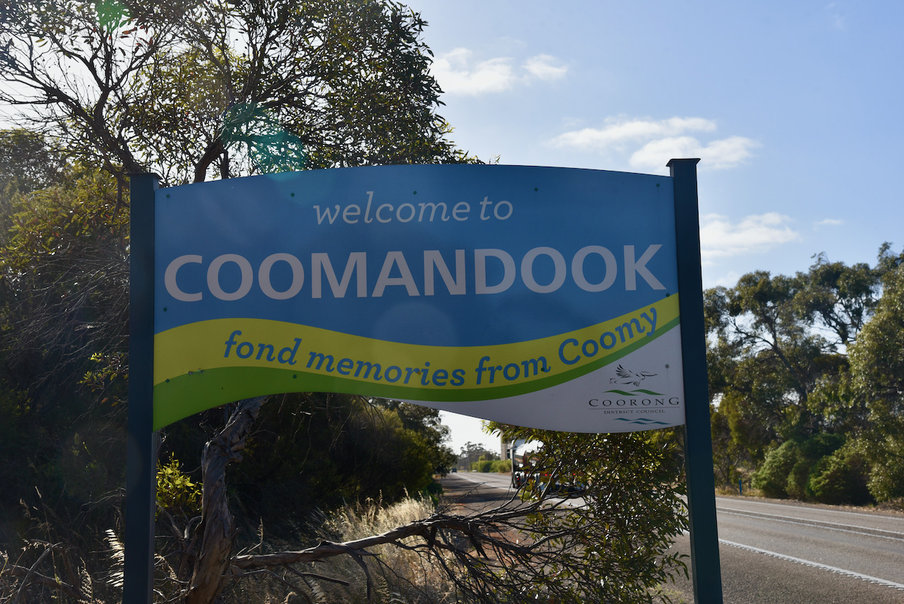
We then continued east, with our first stop being the town of Coomandook where we planned to activate our first silo for the day. Coomandook is a small town situated about 140 km southeast of Adelaide.
The town of Coomandook takes its name from the Coomandook Run, a pastoral lease that was held by John Whyte (b. 1826. d. 1902) from 1869. The area which was to become the town was originally known as Comandook Siding. Coomandook was not always the preferred name. Many locals petitioned the local Agricultural Bureau for a name change to Roby, after the Hundred of Roby, however, this did not occur.
Whyte was born in Kinross, Scotland in 1826. He emigrated to Australia in 1853. After arriving in the new colony of South Australia, his first job was in Louisa Heath’s drapery store in Hindley Street, Adelaide. In 1864, Whyte and his brother and other family members, established Whyte, Counsell & Co, wholesale grocers. They also owned several Murray River steamers which they used to transport goods from their warehouse in Currie Street, Adelaide, along the Murray-Darling river system.
Whyte also became involved as a pastoralist and took up several runs in the Murray Mallee region including Coomandook Run. By 1877 Whyte held a total of 21 pastoral leases covering an area of 8,660 km2 and grazed up to 61,783 sheep including some cattle.
The word Coomandook is an aboriginal word believed to mean ‘place of different speech’, which was a name applied by the aboriginal people of one area to an adjoining tribal area where a different language was spoken. Other publications report that the name means ‘place of strife’ and enemies country’.
The first European wheat farmers arrived in the Coomandook district in 1904. Mr E. Hunt was the first grain farmer, who was well known for his team of six to eight horses. In 1906 the first shipment of wheat was transported out of Coomandook by rail. In 1910 a general store had been established.
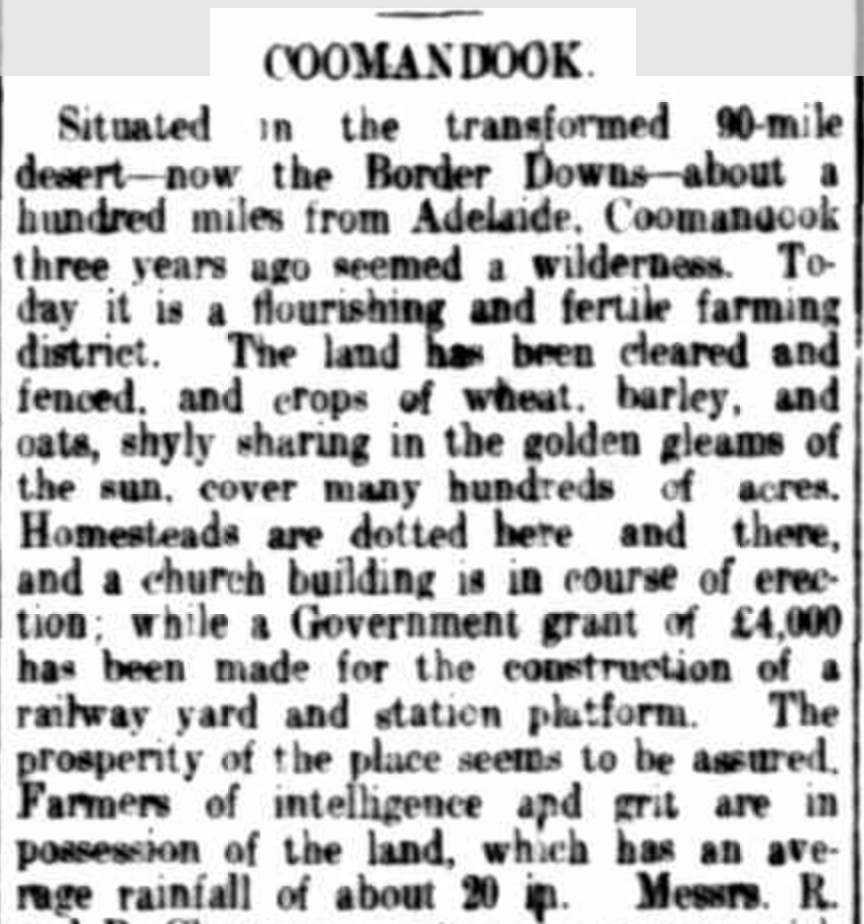
A 1910 news article (see below) describes Coomandook:-
“Situated in the transformed 90-mile desert – now the Border Downs – about a hundred miles from Adelaide, Coomandook three years ago seemed a wilderness. Today it is a flourishing and fertile farming district”.
In 1911 a telegraph office was built at what was known as Coomandook Siding. In 1912, the town of Coomandook was laid out into 19 allotments by Thomas Dart. A small Institute/hall was constructed of wood and iron, and this was used as the Coomandook school for a number of years. The school was then moved to the Coomandook Amalgamated Pastimes Club (CAPC) Hall which was built in 1939 and still exists today.
In 1911 the Parkin Memorial Congregational Church was erected. This was also used as a school. The Parkin Hall School closed in 1938 when the Commandook CAPC Hall was opened. The church partially closed at this time and the hall was used for church services. This was until the new church was constructed in 1970. Sadly at this time, the Parkin Congregational Church was demolished. In 1960 the Coomandook Area School was opened.

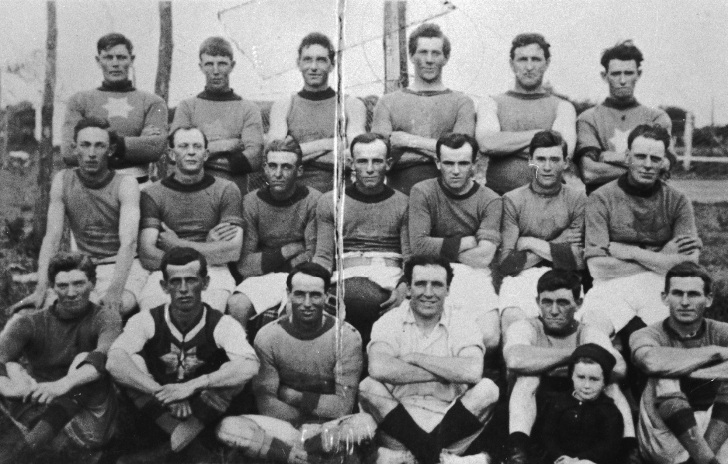
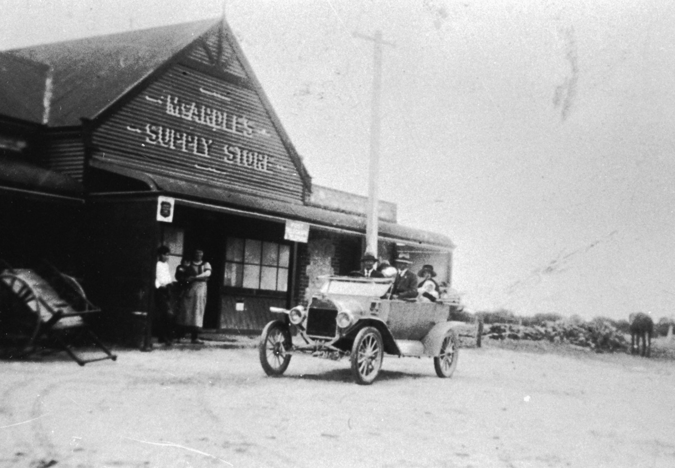

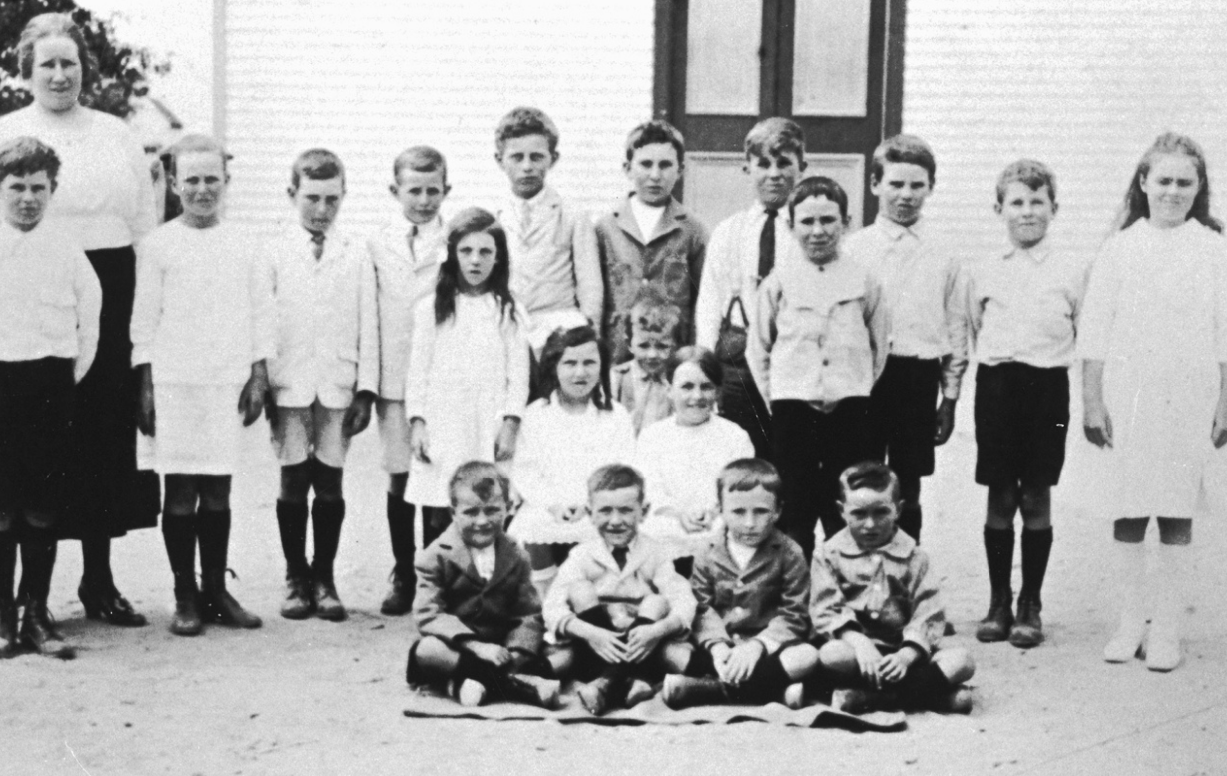
Above:- Various images from Coomandook over the years. All images c/o Trove.
Today, there is not much in Coomandook, which was once a railway stop for passenger trains and the home to a full-time station master. The town has a General store, a CFS station, a Uniting Church, and the Commandook Area School. The population is about 134 people. The area surrounding Coomandook is used for sheep grazing, beef cattle rearing, and grain growing.


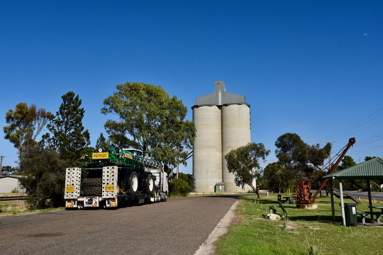
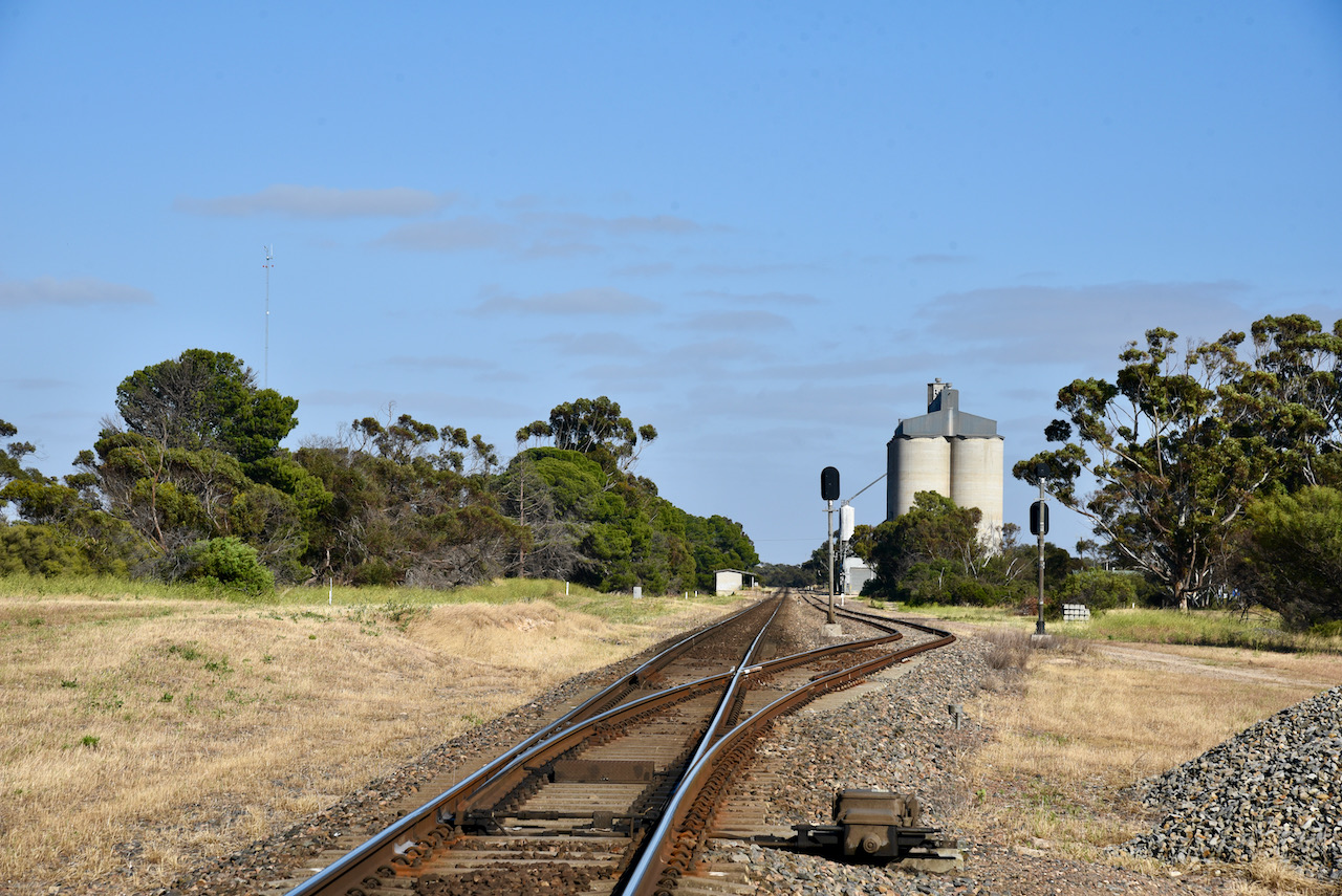
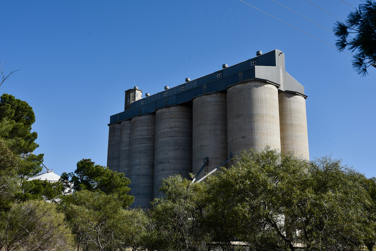
The silos at Coomandook lie alongside the main Adelaide-Melbourne rail line. The first concrete grain silo to be erected in Coomandook was completed in 1967. In 2020, grain handler Vitara closed 12 silo properties, including Coomandook.
On the northern side of the silos is a rest area. There was a truck parked in the rest area so we decided to head around to the southern side of the silos on Williams Road and set up near the tennis courts.




We used the Yaesu FT857d, 40 watts, and the 20/40/80m linked dipole for this activation. Fortunately, there was very little noise on 40m.
I called CQ and first in the log was Peter VK3PF, followed by Mark VK4SMA, John VK2JPR, and then Keith VK2PKT. I had qualified the silo for the Silos On The Air program.
I logged 8 stations on 40m before swapping the microphone with Marija. She soon had her 4 contacts in the log, with contact number four being Keith VK2PKT.
We then moved to the 80m band where we logged a total of 6 stations, all from VK5.
We then lowered the squid pole and removed the links and headed to the 20m band where I logged Brett VK2VW/VK2HFI.
To conclude the activation, Marija put out a few more calls on 7.150 on 40m and logged a further 3 stations.
After 50 minutes at the silo, we had a total of 25 contacts in the log from VK2, VK3, VK4, and VK5.
Marija logged the following stations 0n 40m SSB:-
- VK3PF
- VK2UXO
- VK3BEL
- VK2PKT
- VK5WG
- VK3ZPF
- VK4NH
- VK3OHM
- VK2IO
Marija logged the following stations on 80m SSB:-
- VK5HAA
- VK5FANA
- VK5IS/m
I logged the following stations on 40m SSB:-
- VK3PF
- VK4SMA
- VK2JPR
- VK2PKT
- VK4NH
- VK3VIN
- VK2VW
- VK2HFI
I logged the following stations on 80m SSB:-
- VK5HAA
- VK5IS/m
- VK5FANA
I logged the following stations on 20m SSB:-
- VK2VW
- VK2HFI
References.
- Coorong District Council, 2021, <https://www.coorong.sa.gov.au/tourism/our-towns/our-towns-coomandook>, viewed 1st December 2021
- fickr, 2021, <https://www.flickr.com/photos/82134796@N03/40328820734>, viewed 1st December 2021.
- flickr, 2021, <https://www.flickr.com/photos/82134796@N03/40328818574>, viewed 1st December 2021.
- Trove, 2021, <https://trove.nla.gov.au/newspaper/article/30757584>, viewed 1st December 2021.
- Wikipedia, 2021, <https://en.wikipedia.org/wiki/John_Whyte_(pastoralist)>, viewed 1st December 2021.
- Wikipedia, 2021, <https://en.wikipedia.org/wiki/Coomandook>, viewed 1st December 2021.


