Wirrega silo VK-WRG5

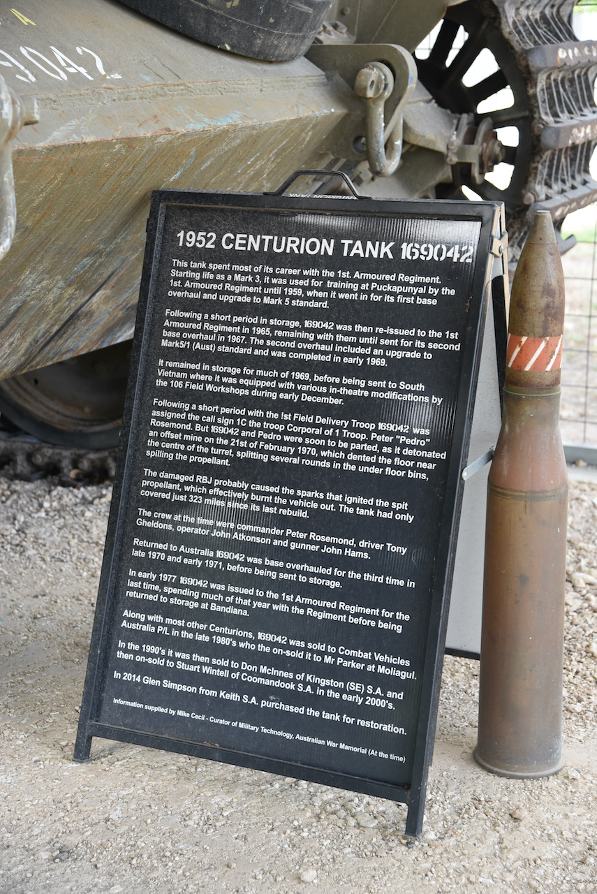
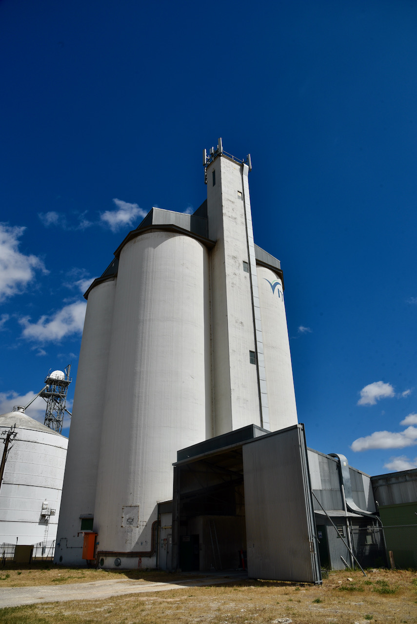
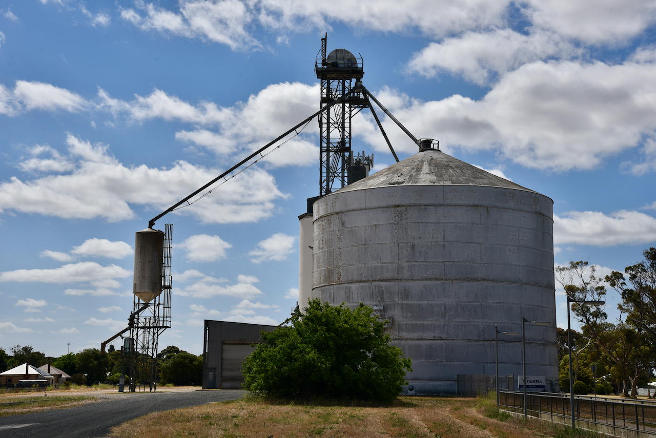
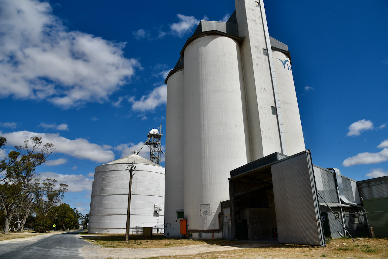
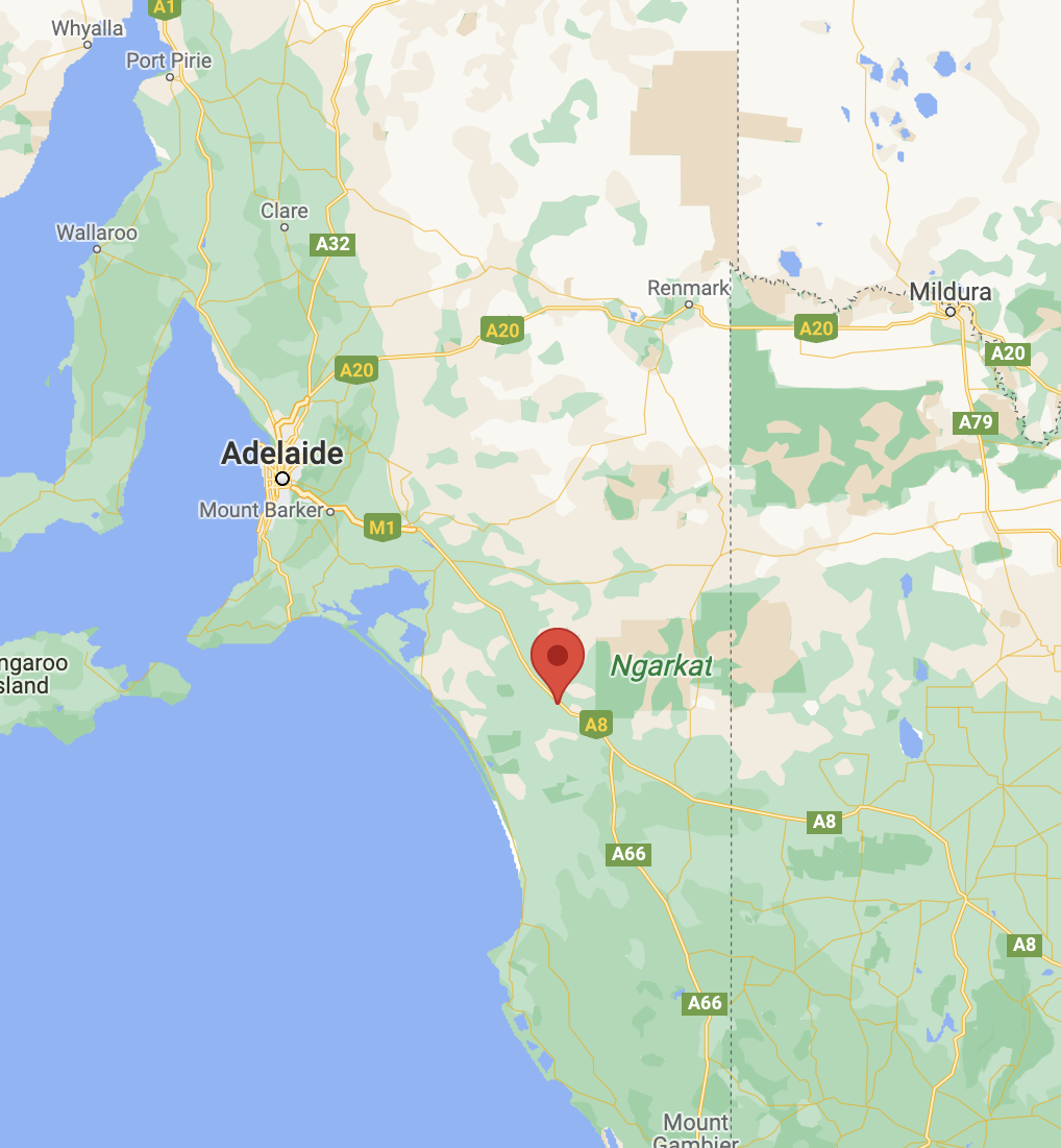
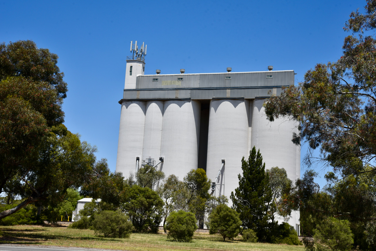
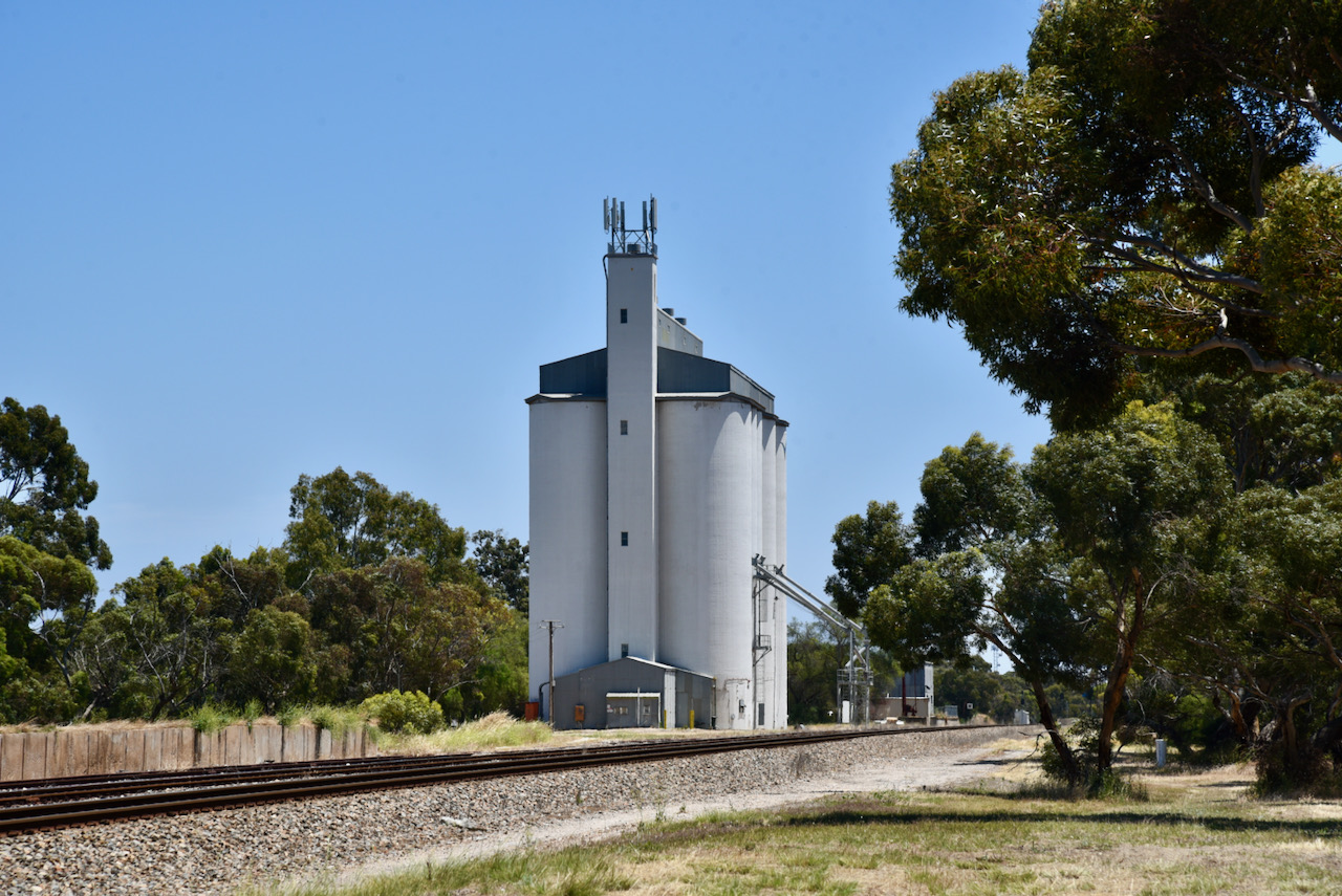
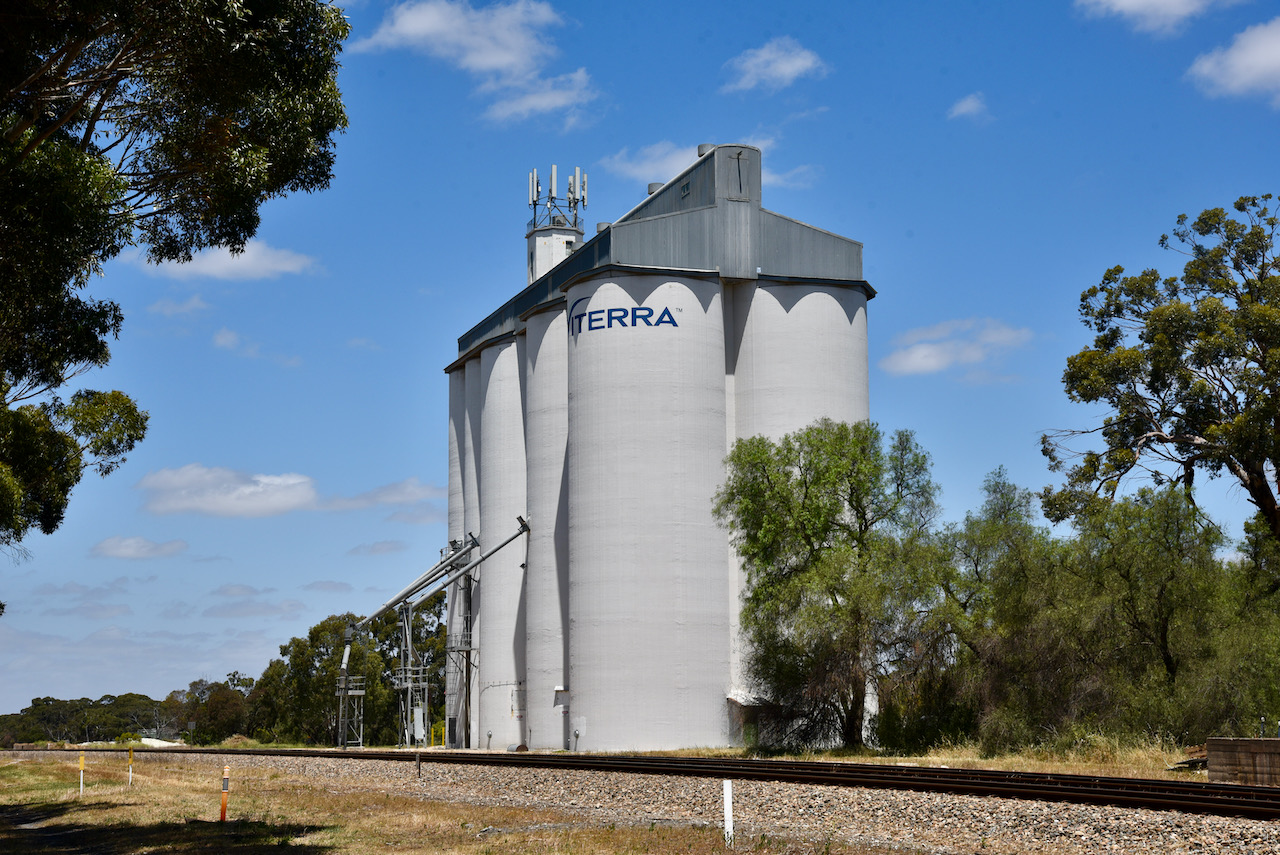
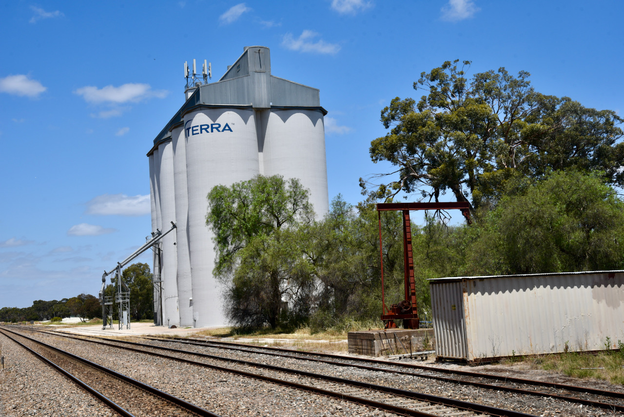
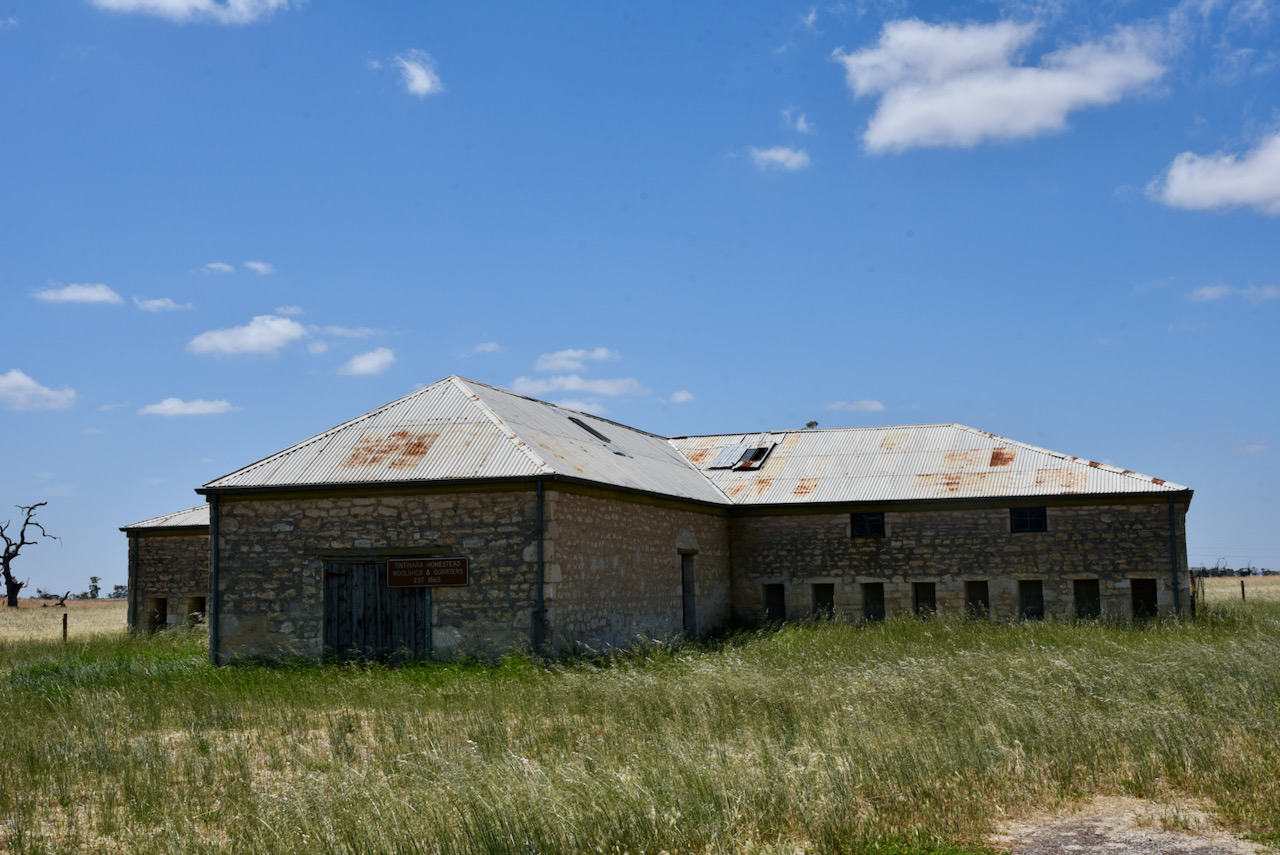
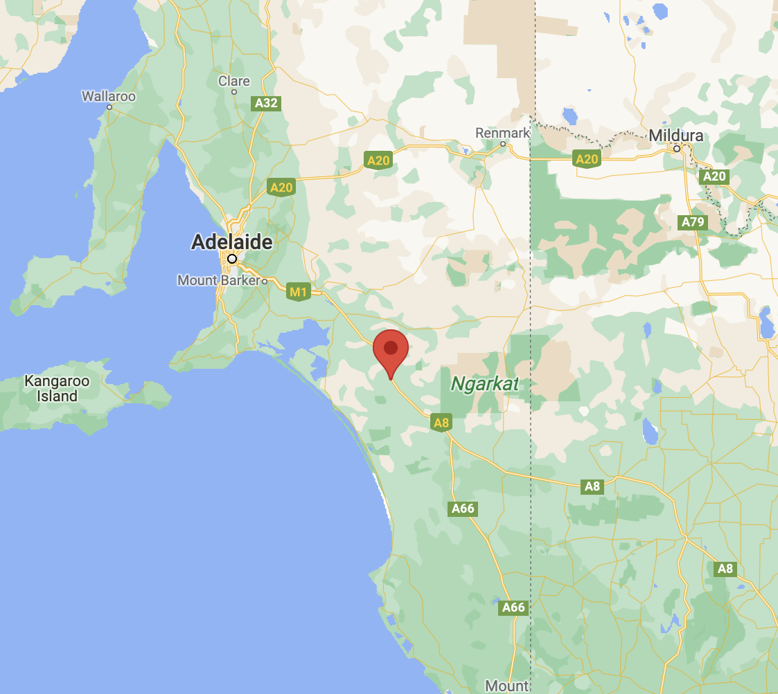
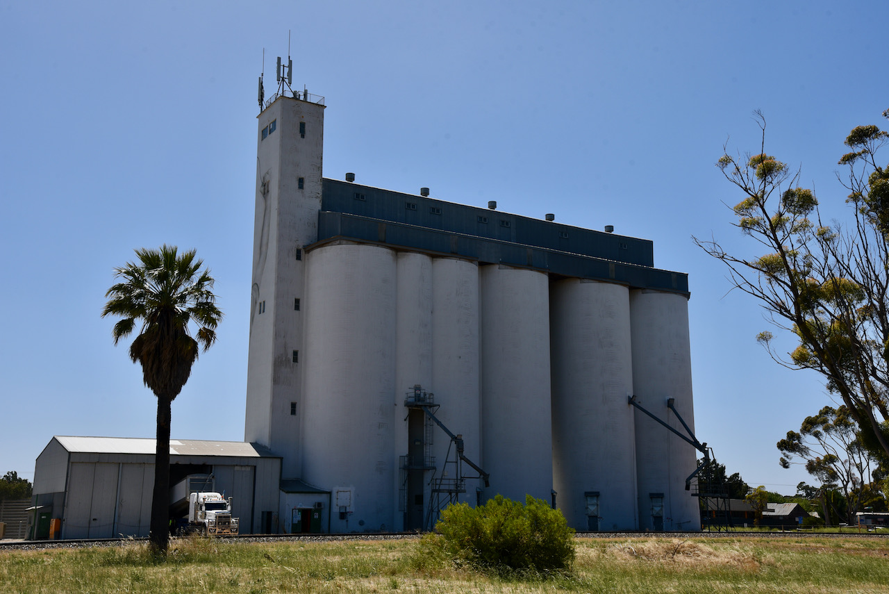
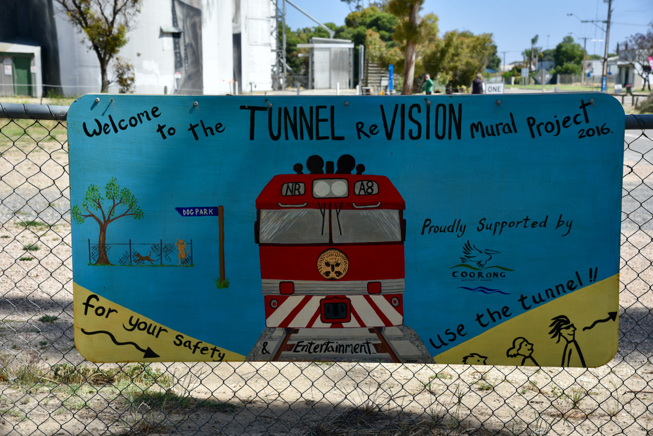
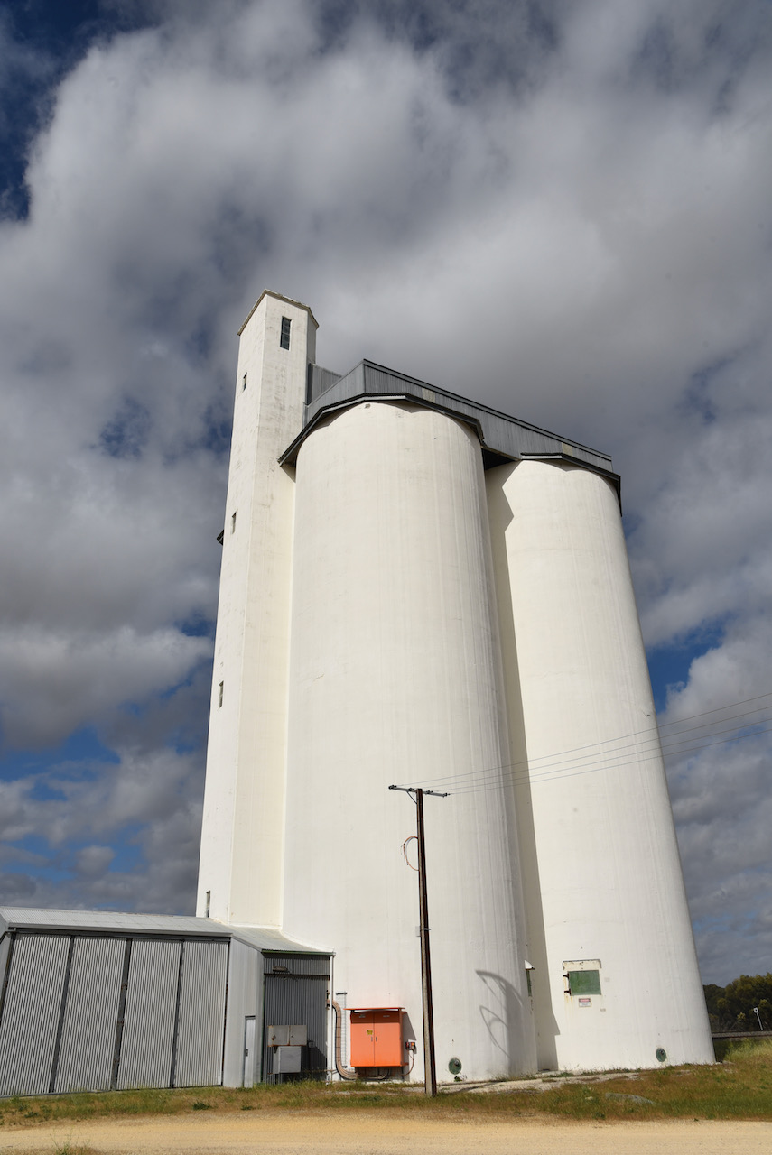
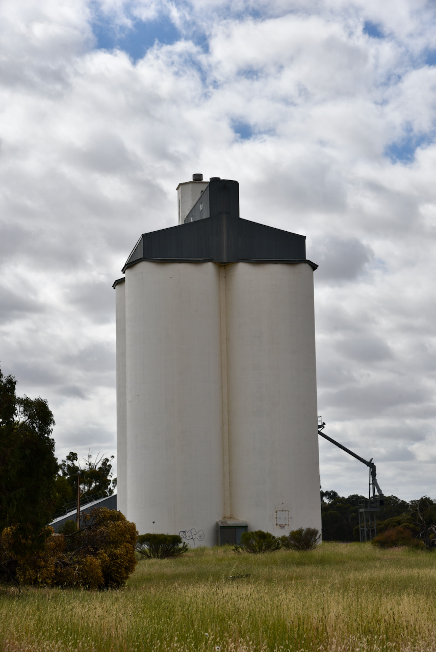
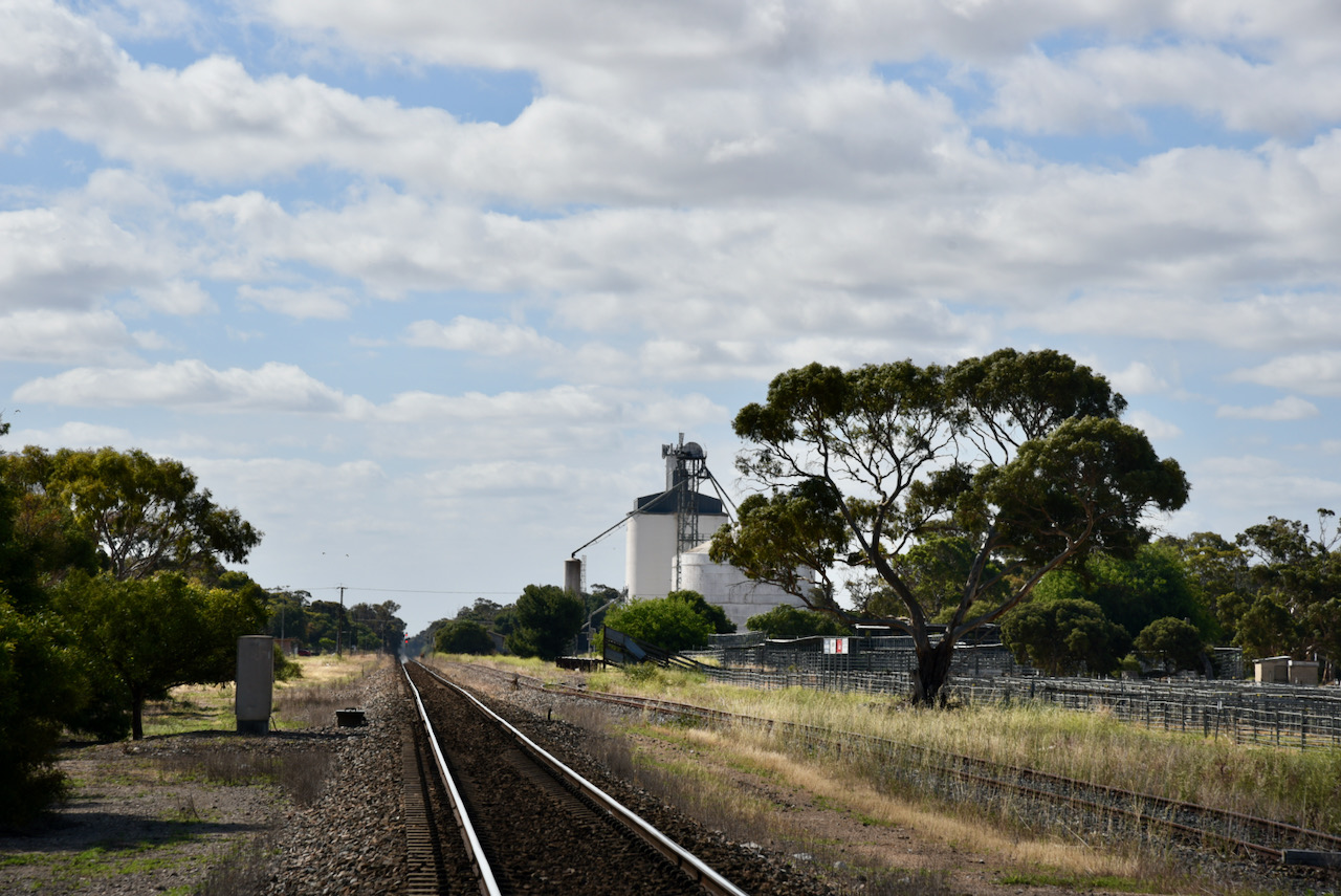
Our final silo of the day (Friday 26th November 2021) was the Wirrega silo VK-WRG5 in the tiny town of Wirrega, about 252 km southeast of Adelaide. We had hoped to activate some more silos but we had run out of time.

Above:- Map showing the location of Wirrega. Map /co Google maps

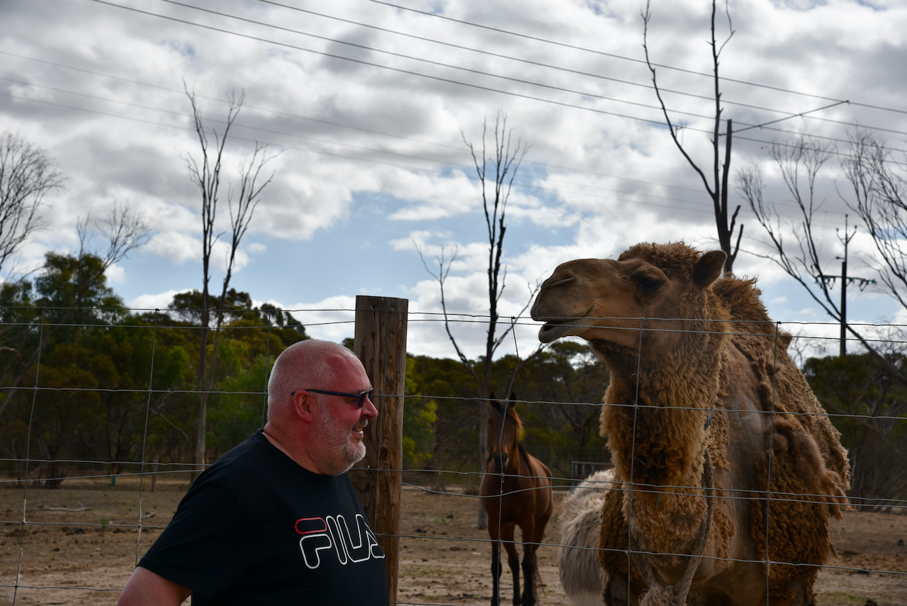
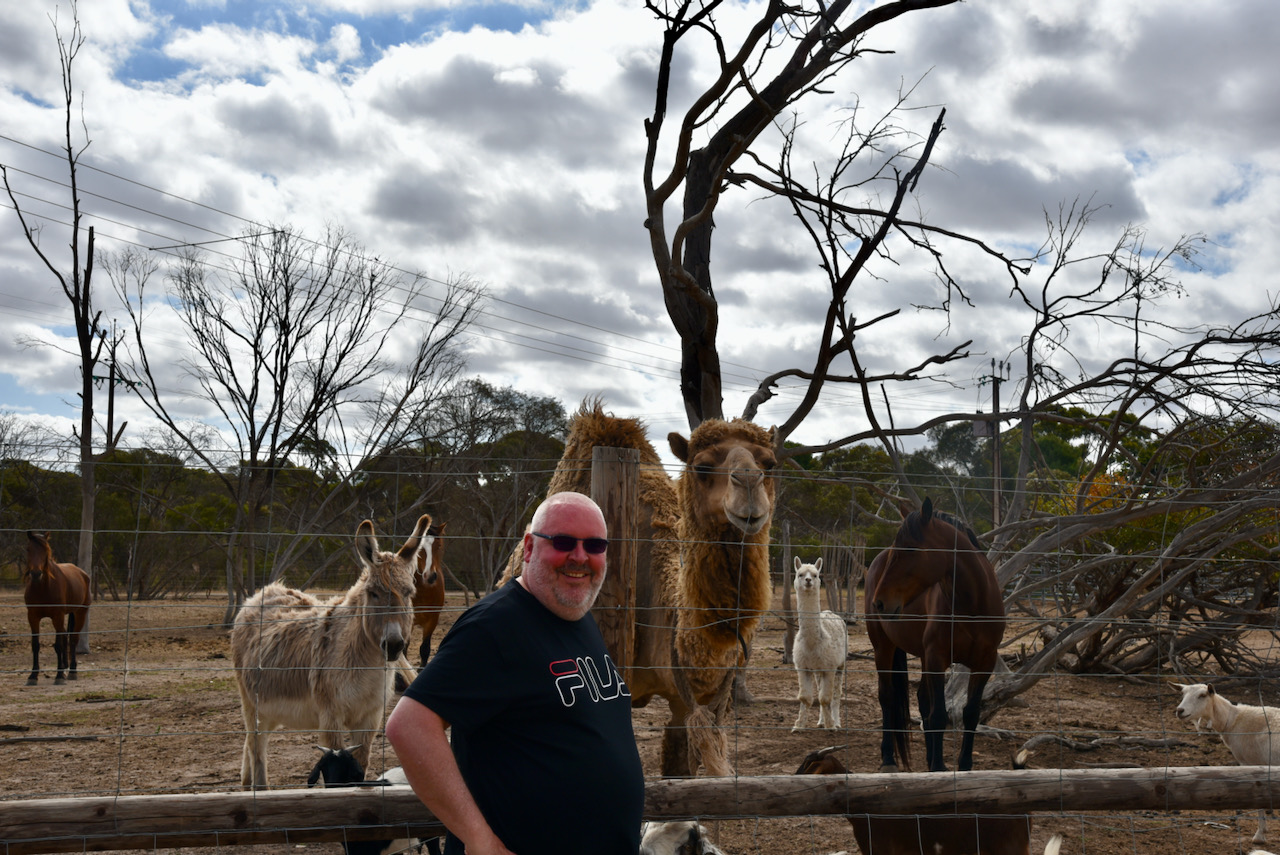
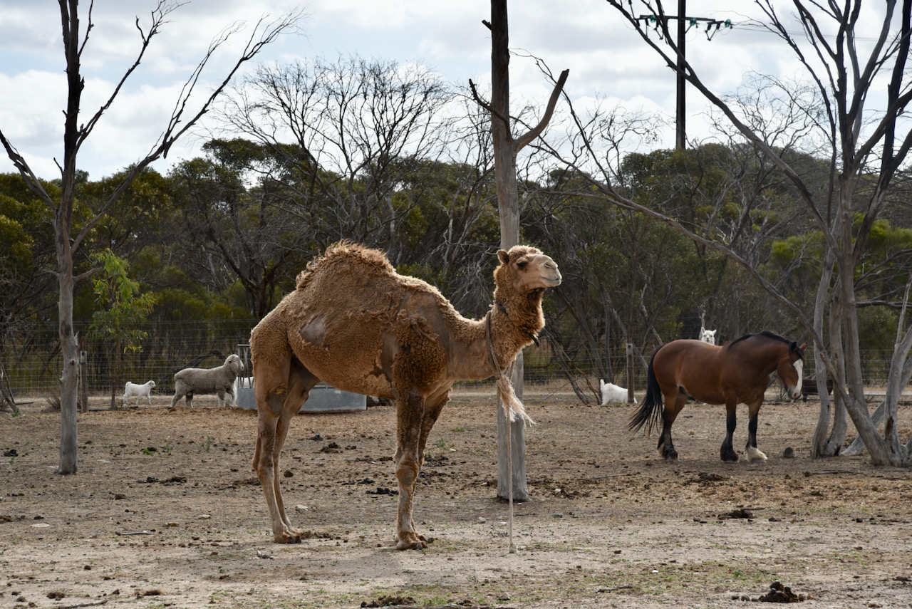
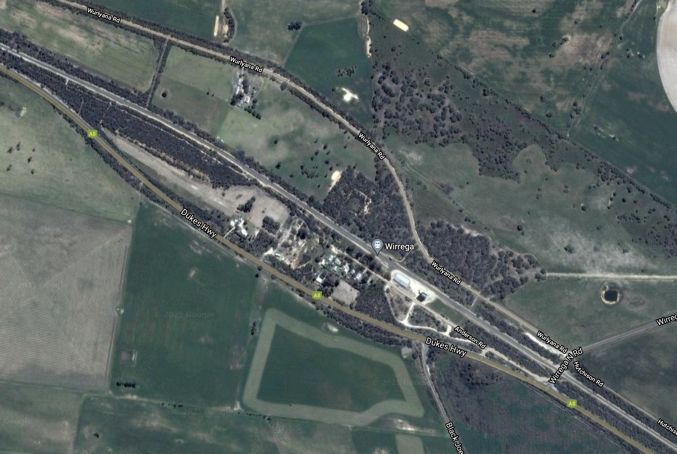
We turned off the Dukes Highway and travelled along Anderson Road towards the silo. We came across a paddock with a menagerie of animals including a camel.

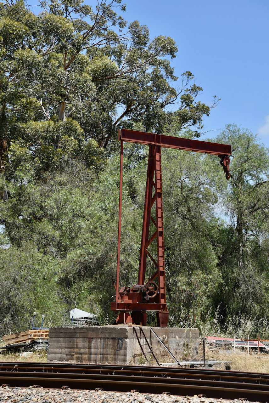
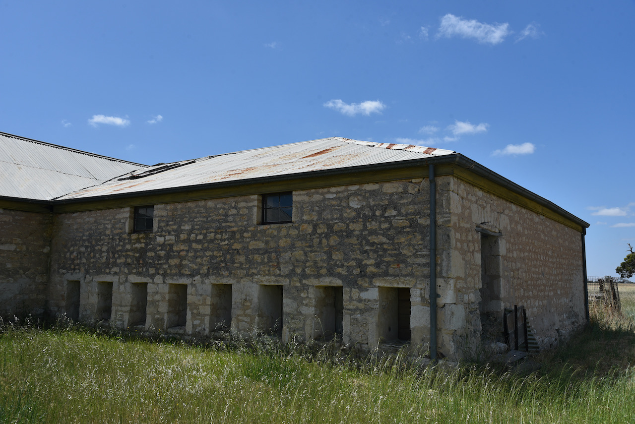
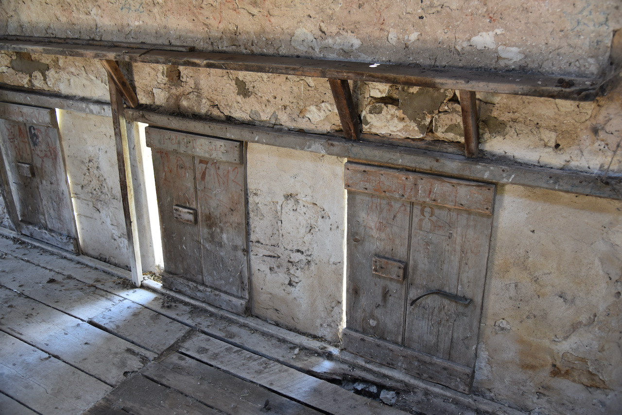
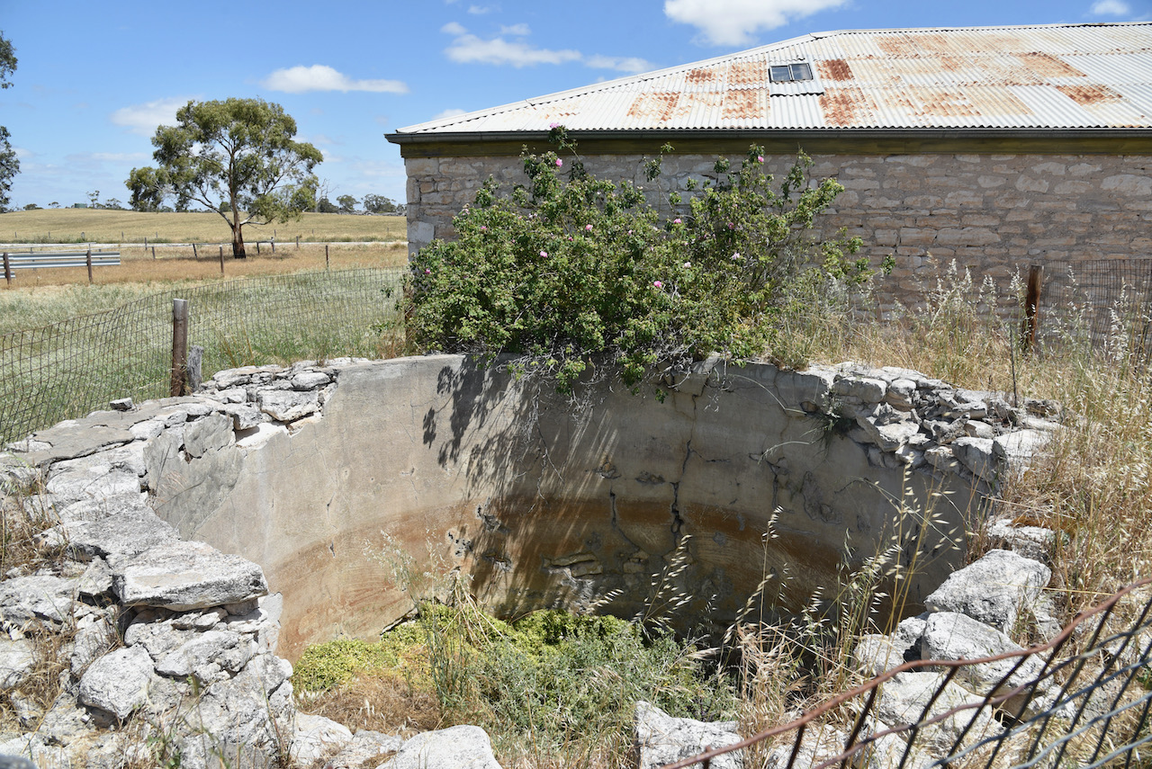
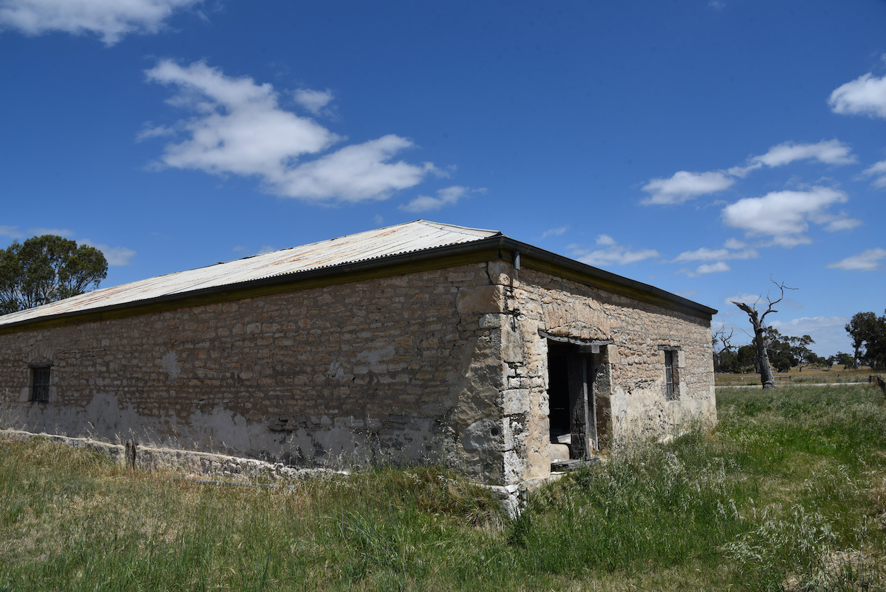
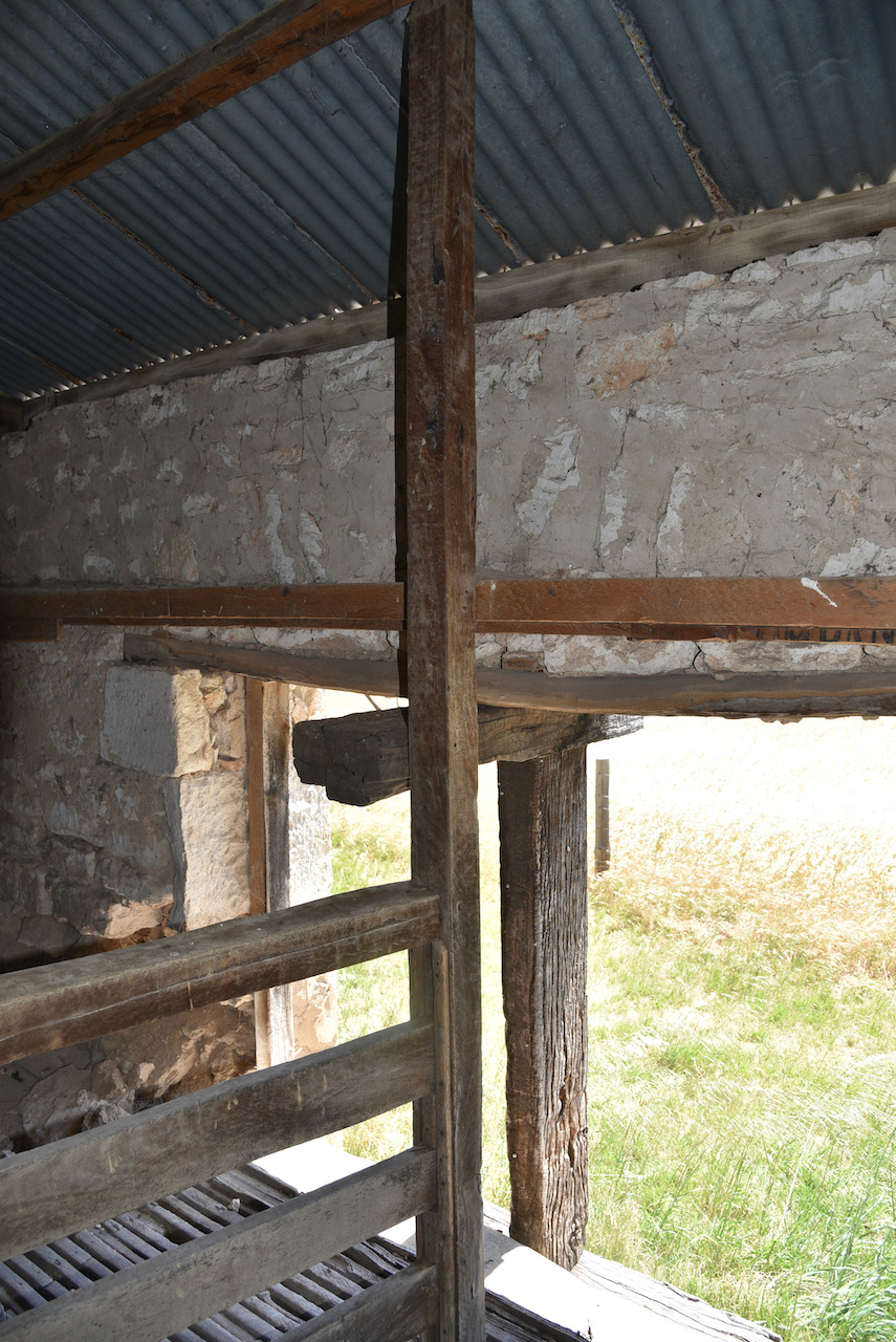
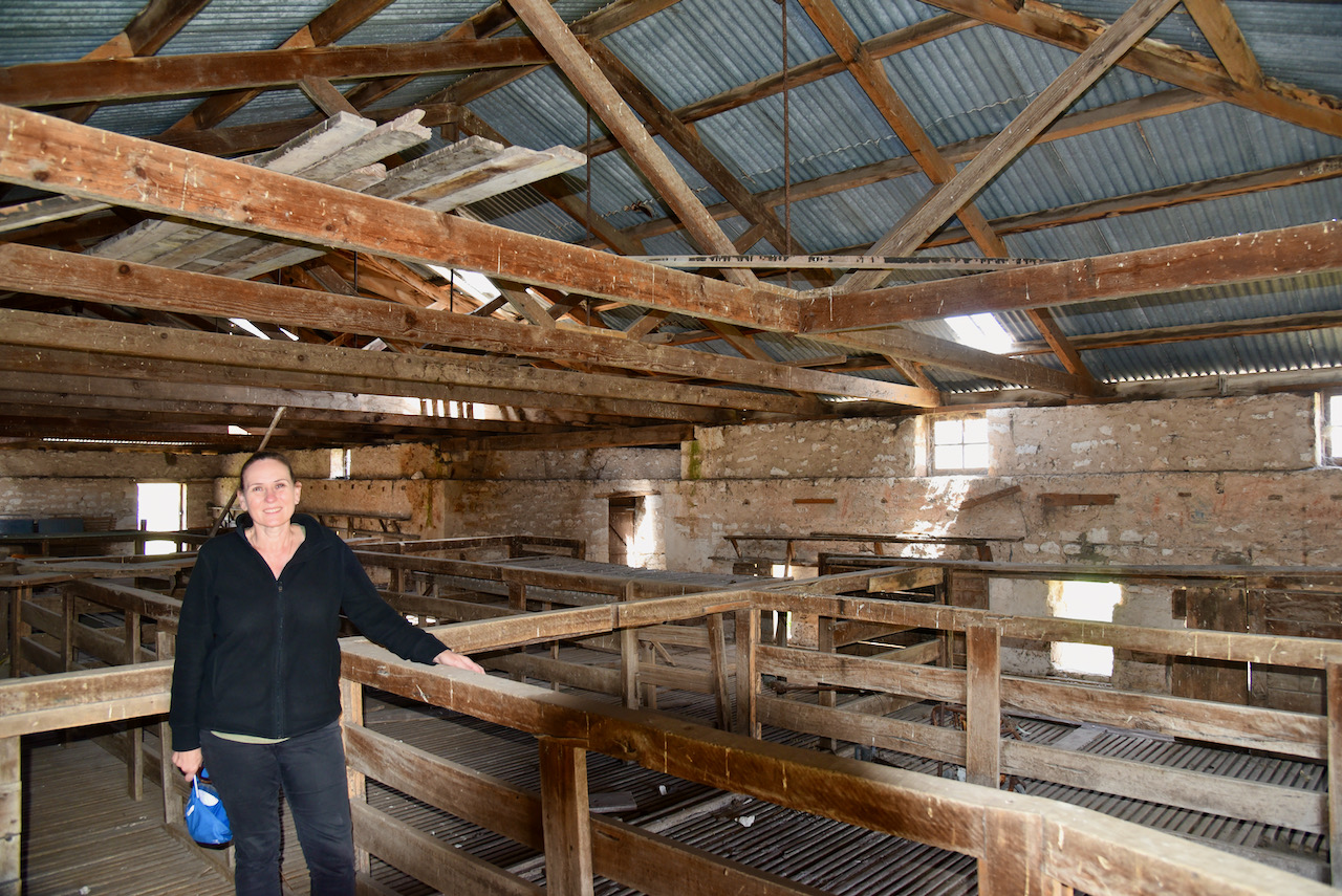
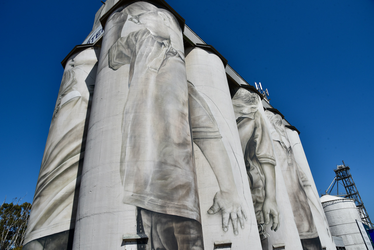
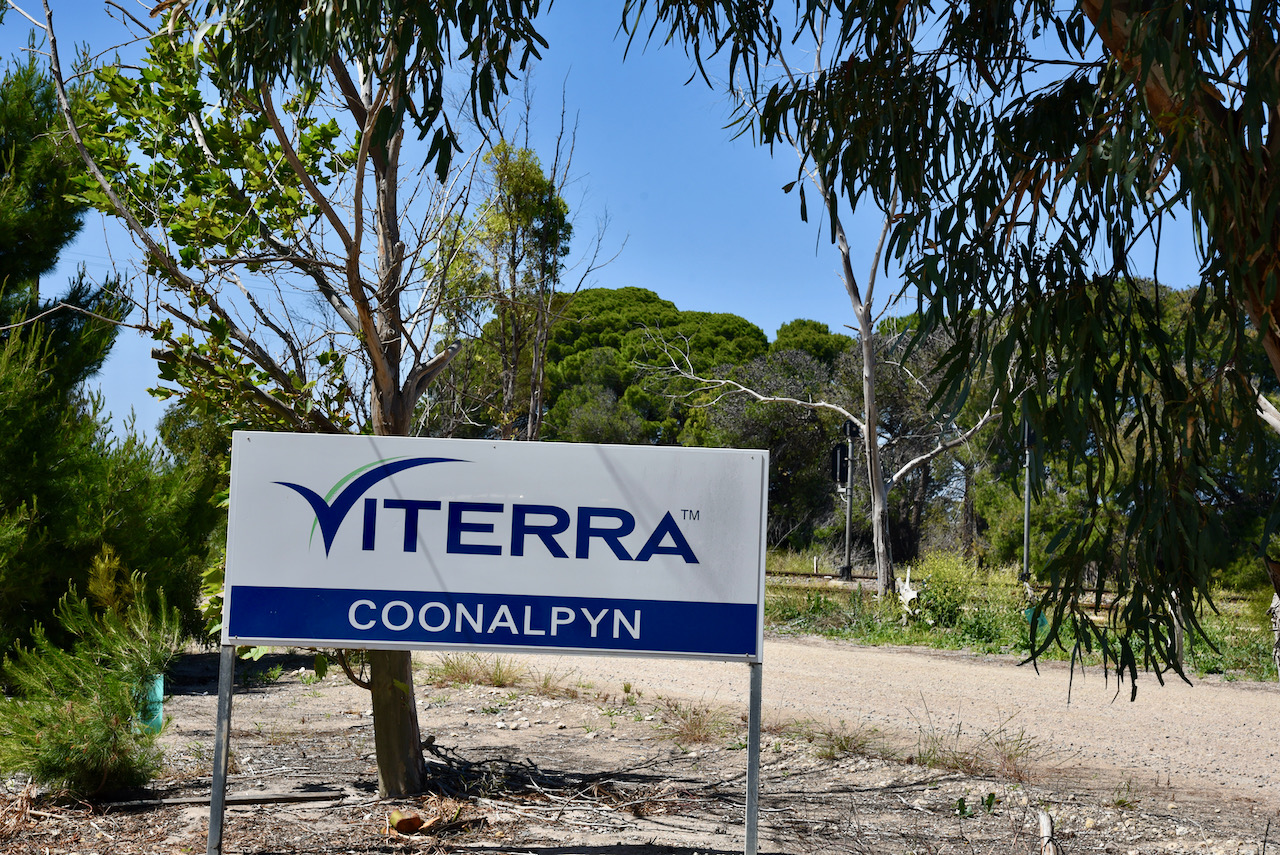
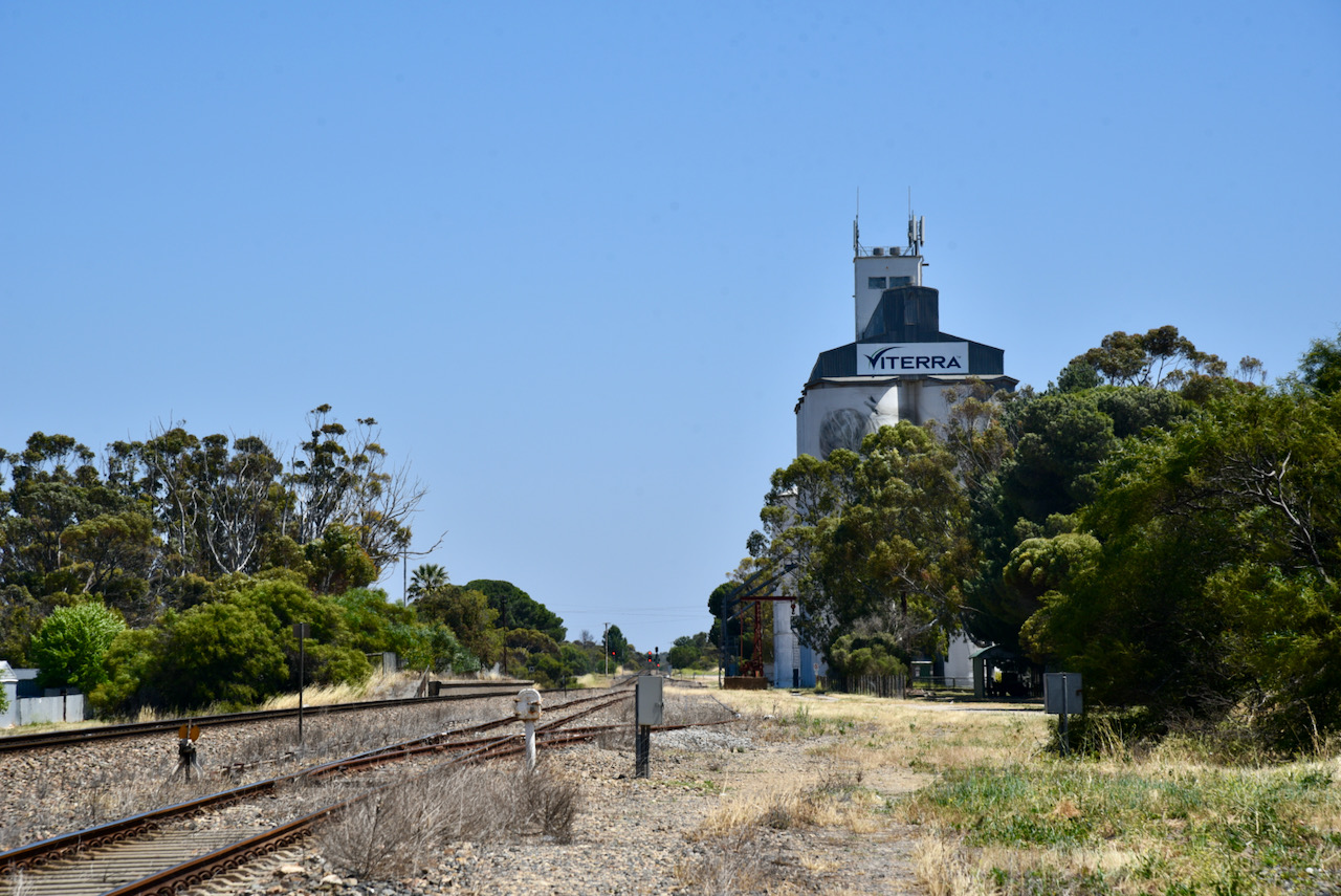
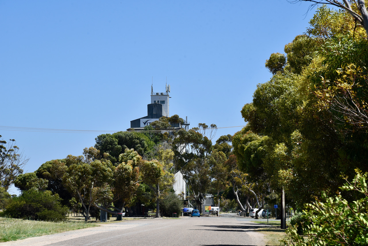
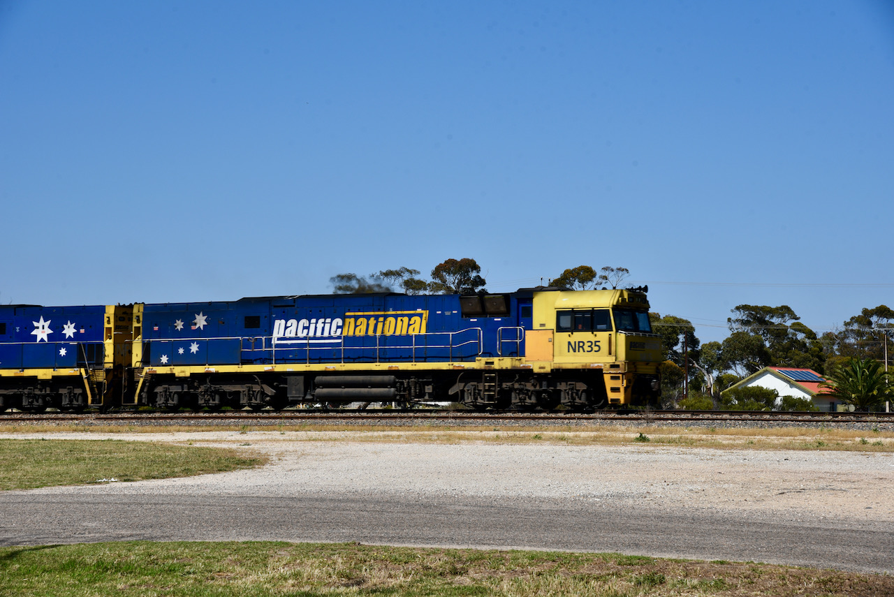
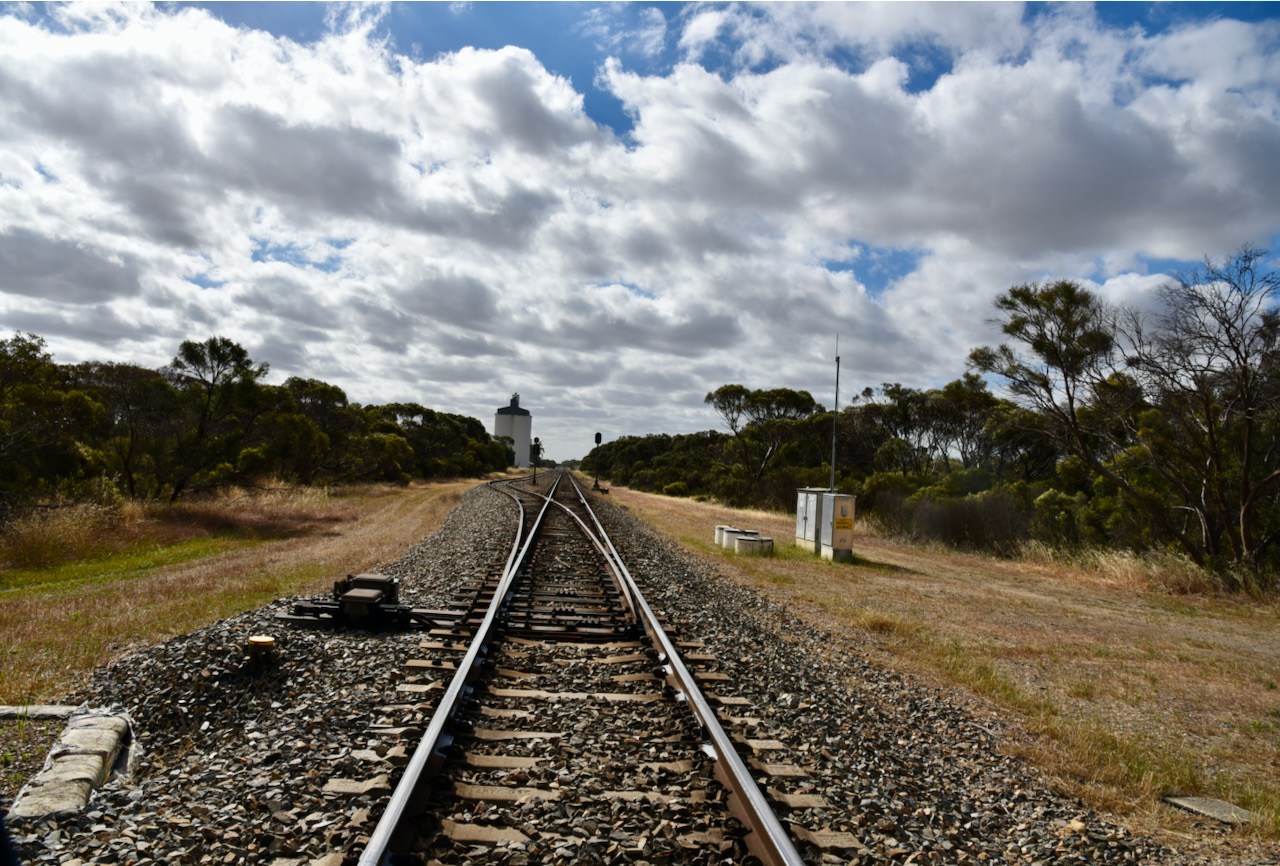
The Wirrega silos are located on Anderson Road and run alongside the Adelaide-Melbourne railway line.

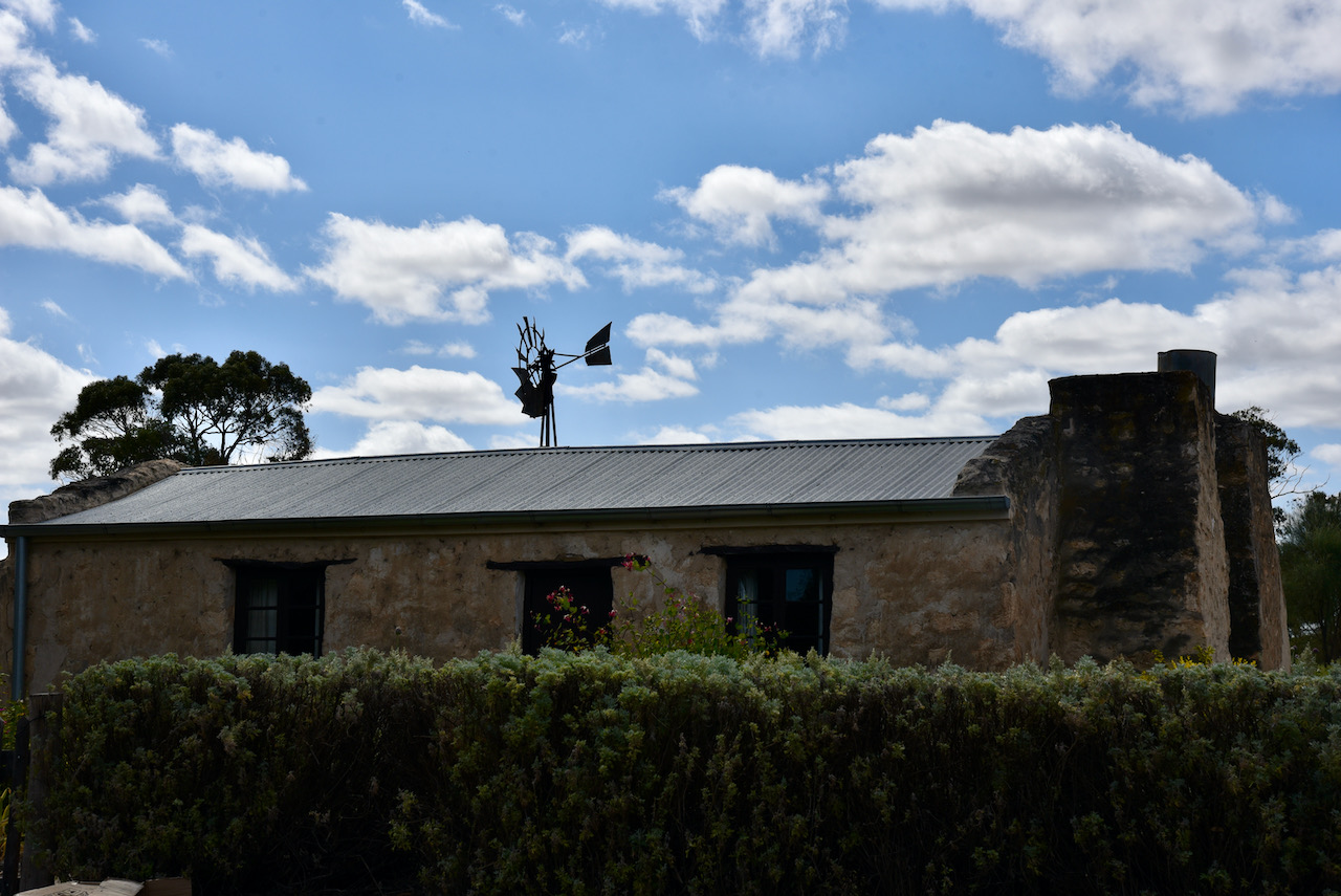
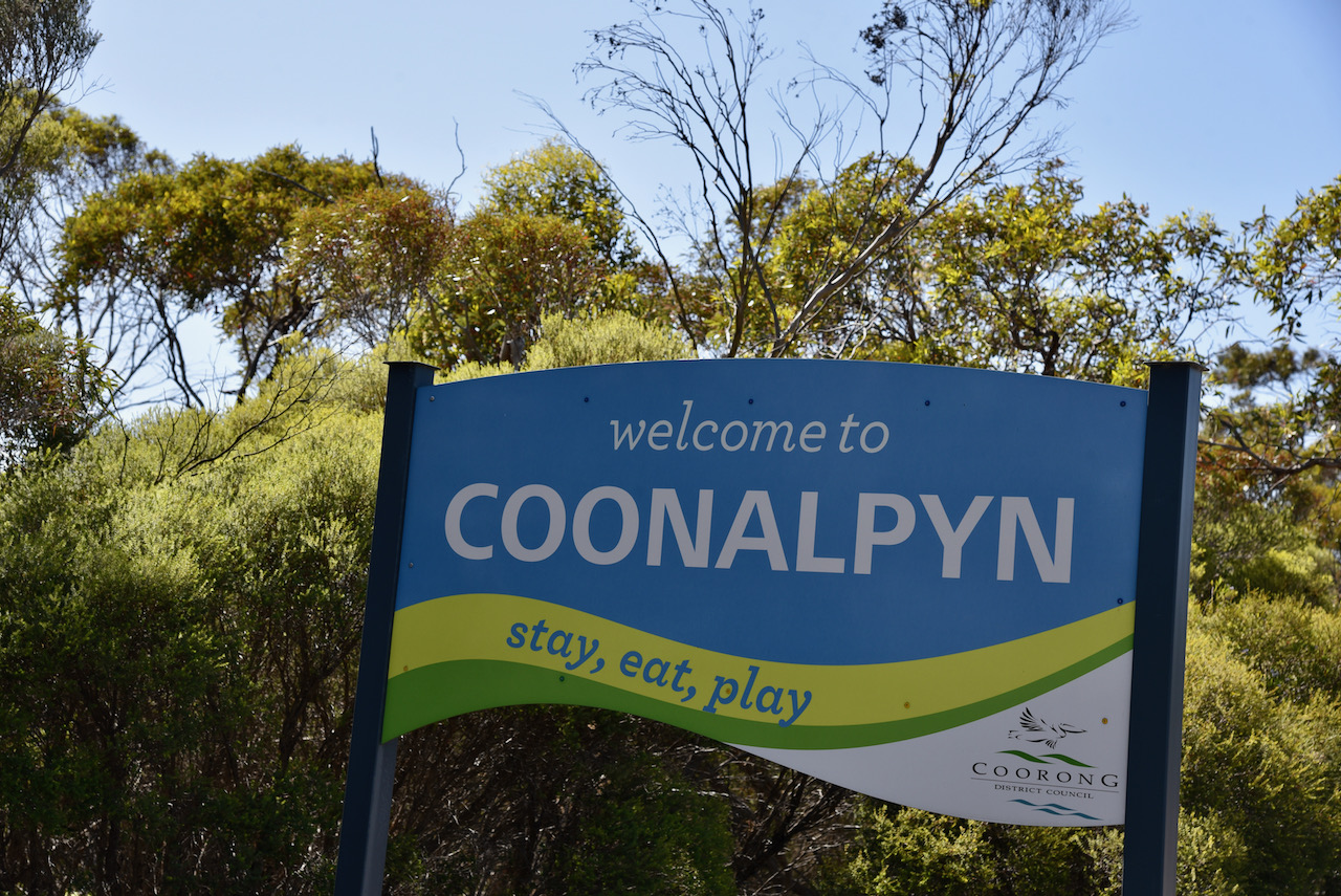
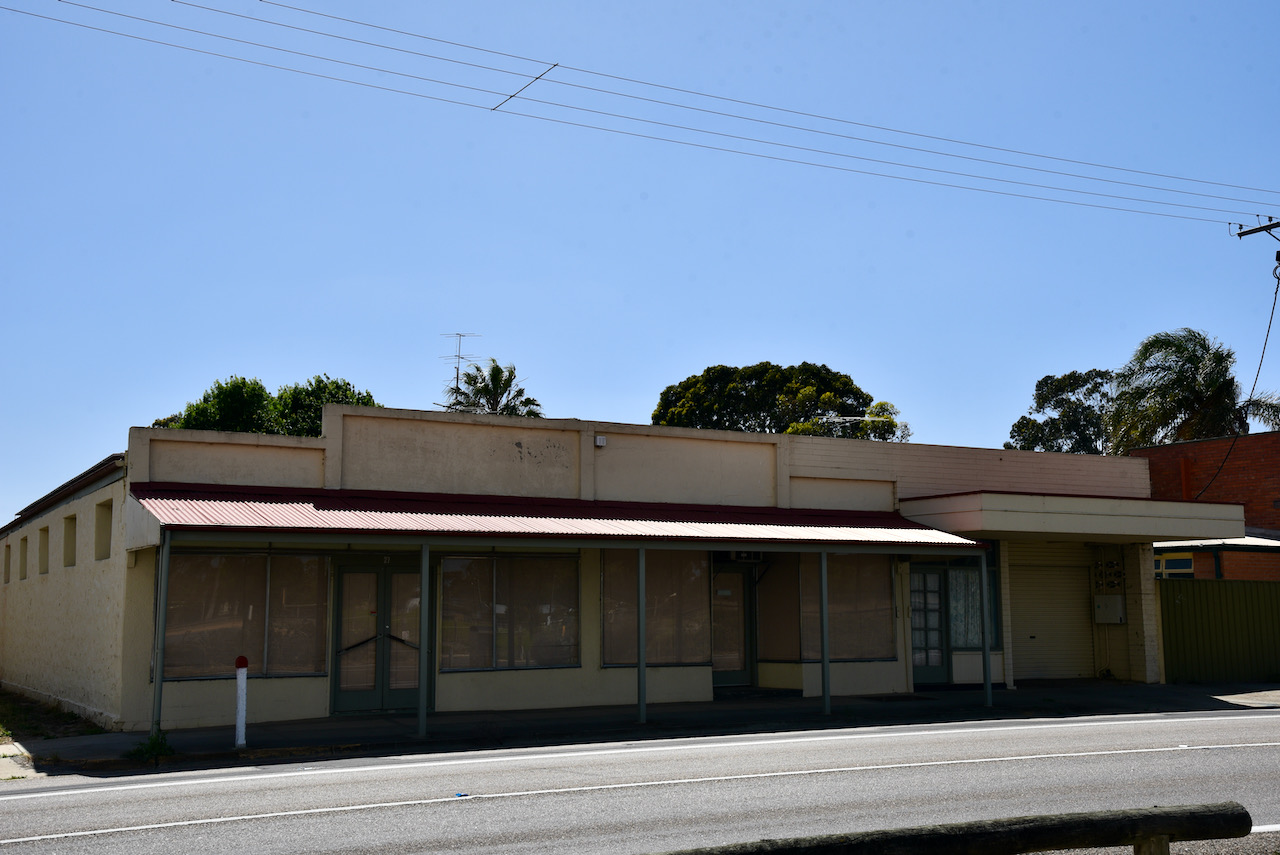
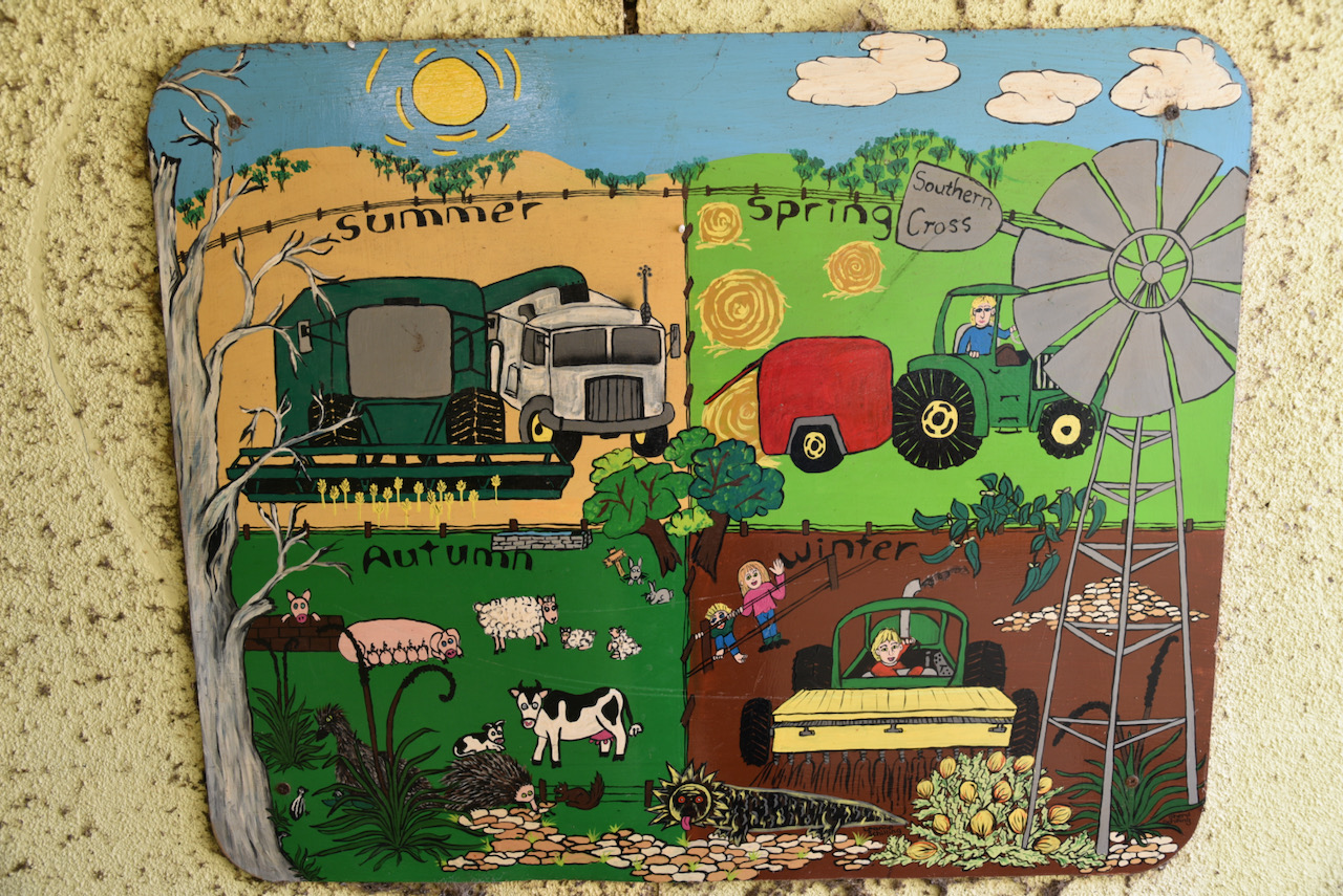
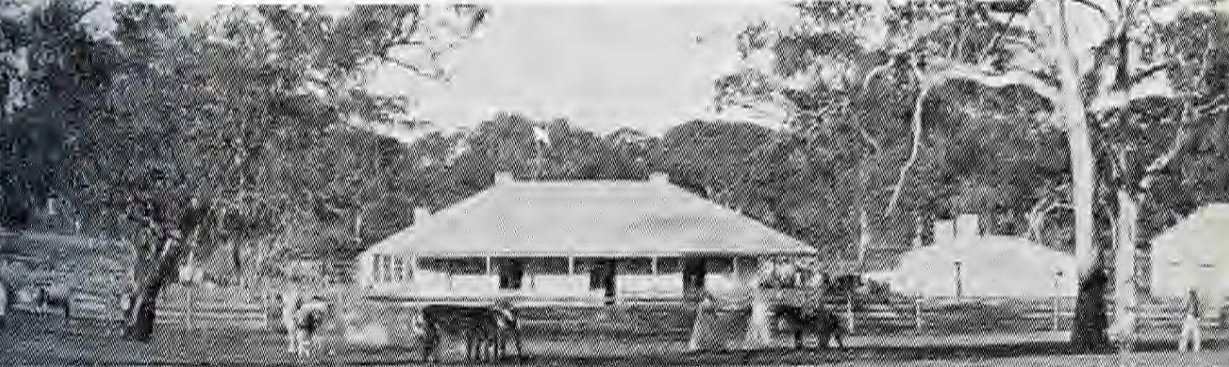
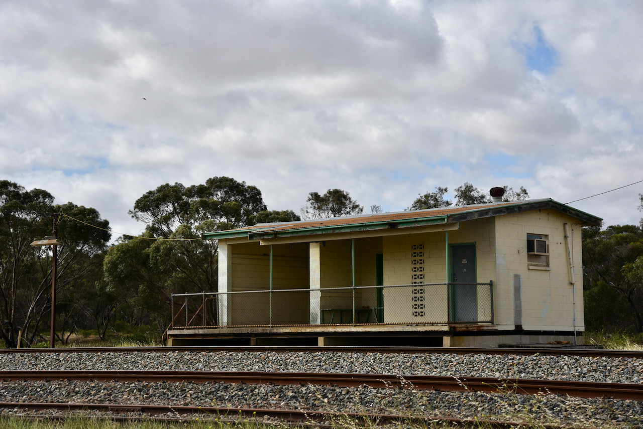
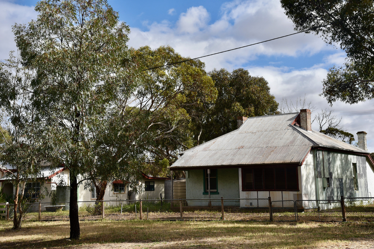
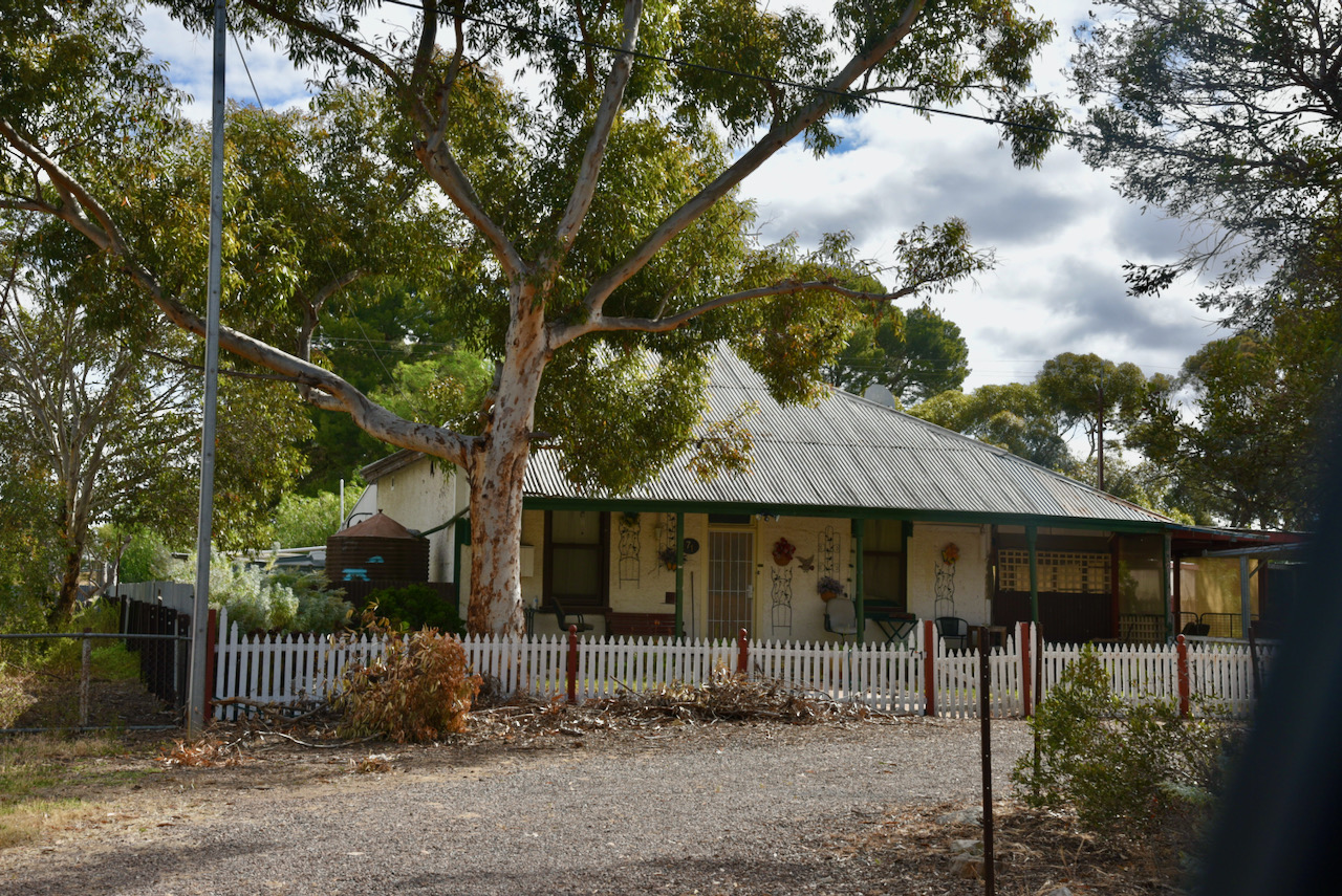
There isn’t much at Wirrega. Blink and you will miss it. Just a few old houses remain.

Above:- An aerial view of Wirrega. Image c/o Google maps.

Wirrega takes its name from Wirrega pastoral run which was established on the 26th February 1846. Wirrega is an aboriginal name said to mean ‘dwellers in the open forest’.

Above:- Wirrega Homestead. Image c/o SA State Library

The Wirrega Post office opened in 1911. The Wirrega school opened in 1925 and closed in 1946.

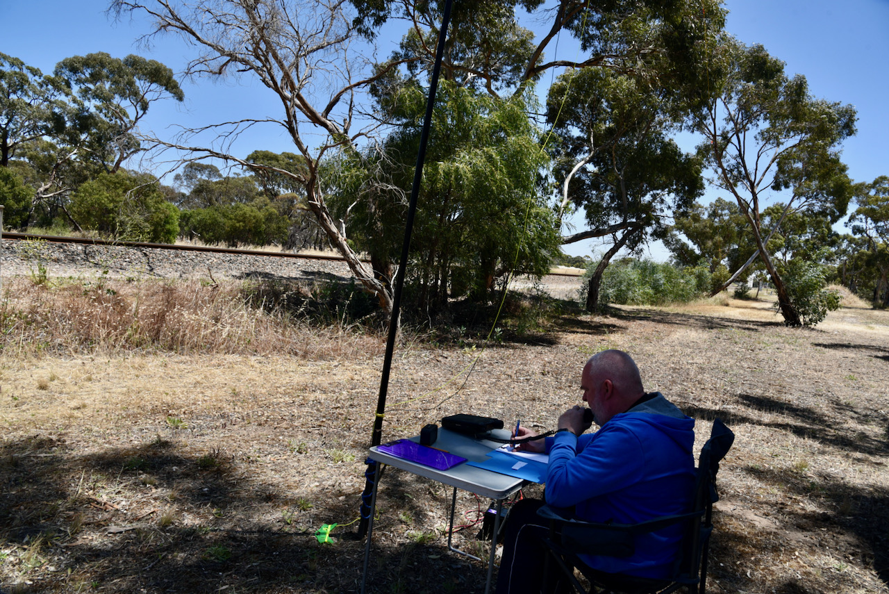
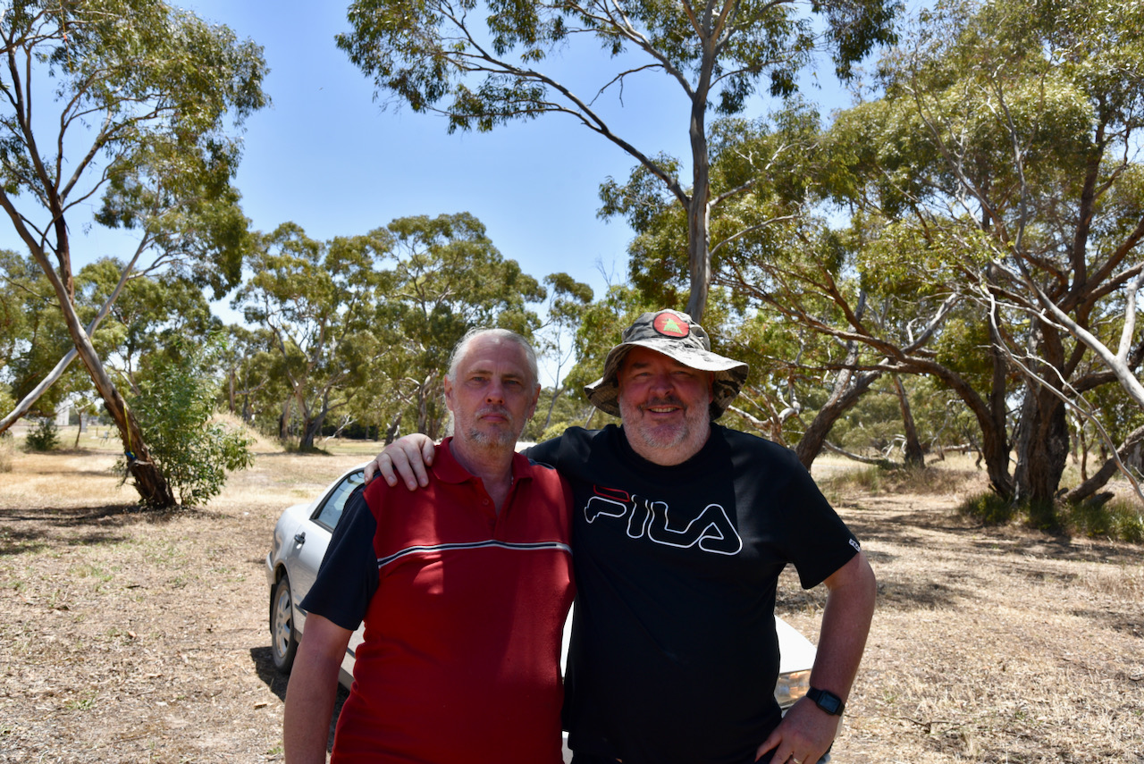
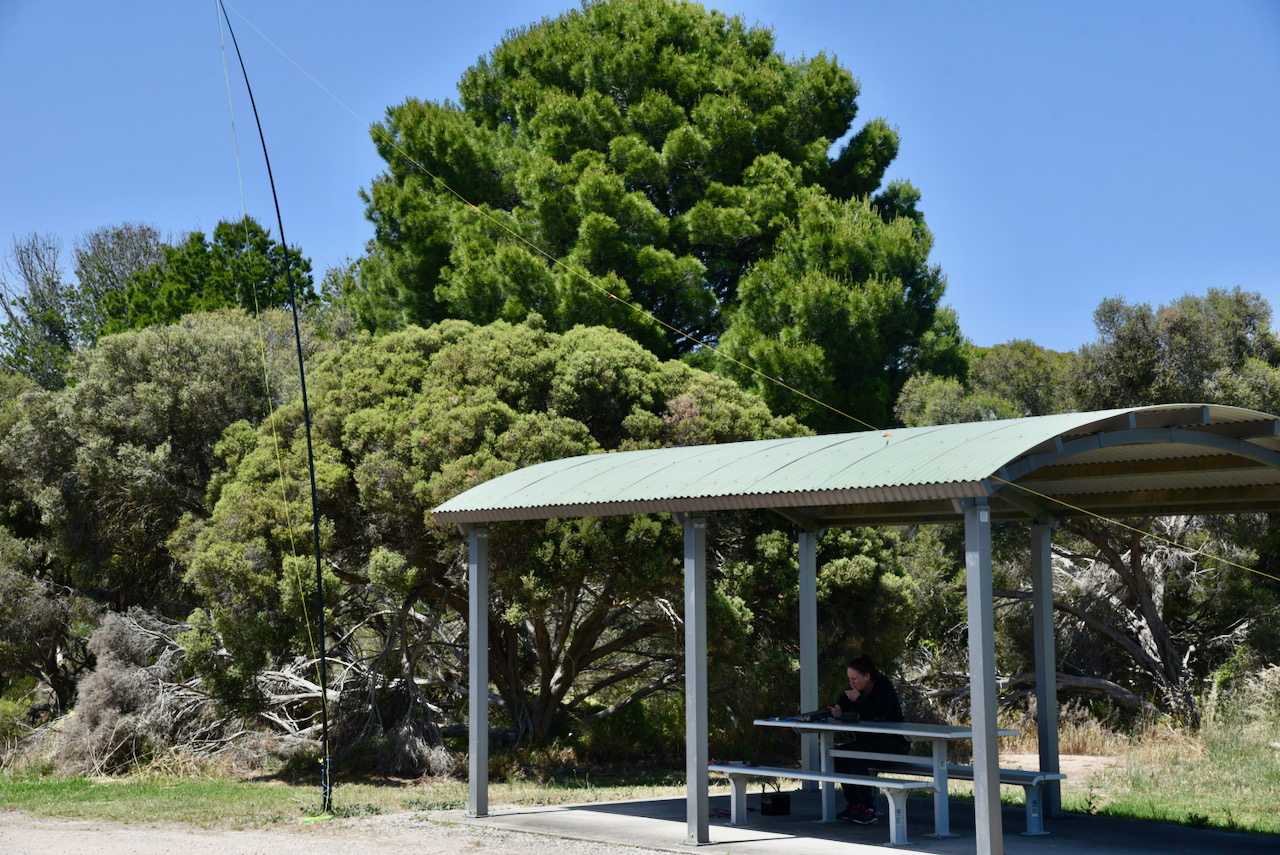
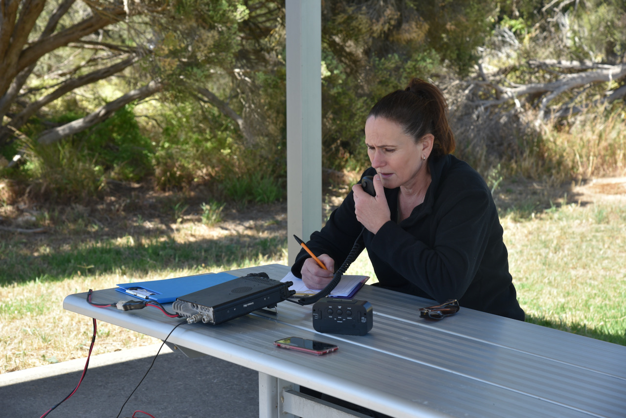
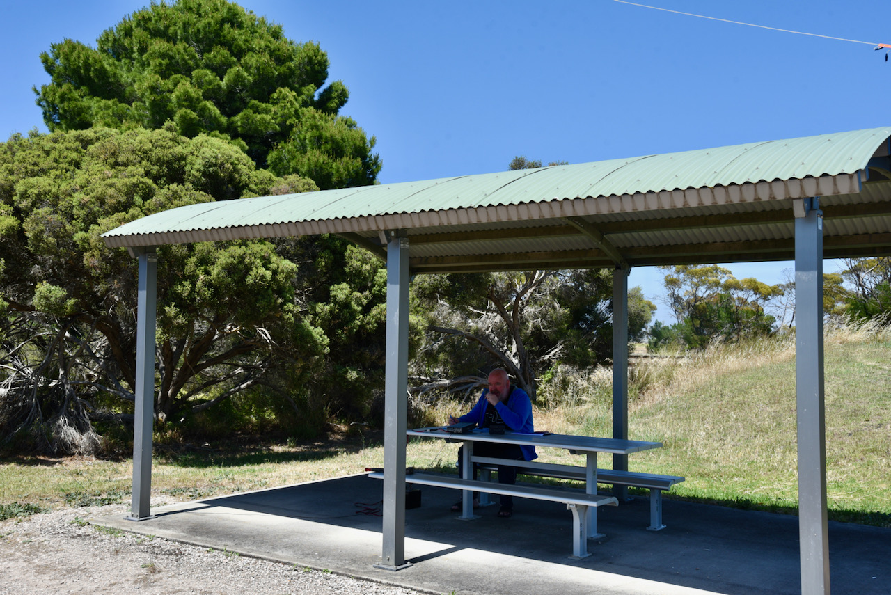
Marija and I drove to the other side of railway line to Wurlyana Road and set up our station there. Once again we ran the Yaesu FT857, 40 watts, and the 20/40/80m linked dipole.

I called CQ and first in the log was Peter VK2DHN, followed by Peter VK3PF, and Brett VK2VW. I logged a total of 7 stations on 40m from VK2 and VK3, before swapping over with Marija.

Marija’s first contact was with Peter Vk3ZPF, followed by Gerard VK2IO, and then Lee VK2LEE. Marija had qualified the silo. Marija went on to log a total of 13 stations on 40m from VK2, VK3, VK4, and New Zealand.

I then called CQ on 14.310 and logged a total of 5 stations from VK2, VK4, and New Zealand.

And finally, to complete the activation, I called CQ on 80m where I logged 7 stations from VK1, VK2, VK3, and VK5. There was zero noise floor on 80m. It was a very quiet location to operate from.

Marija worked the following stations on 40m SSB:-

  1. VK3ZPF
  2. VK2IO
  3. VK2LEE
  4. VK2YAK
  5. VK4YAK
  6. Vk4NH
  7. VK2PBC
  8. VK2YW
  9. VK4SMA
  10. ZL4NVW
  11. VK2VW
  12. VK2HFI
  13. VK3AAV

I worked the following stations on 40m SSB:-

  1. VK2DHN
  2. VK3PF
  3. VK2VW
  4. Vk2HFI
  5. VK2YW
  6. VK2YAK
  7. VK4YAK
  8. VK3ZPF

I worked the following stations on 20m SSB:-

  1. VK2VW
  2. VK2HFI
  3. ZL4NVW
  4. VK4NJ
  5. VK2IO

I worked the following stations on 80m SSB:-

  1. VK5FANA
  2. VK5WG
  3. VK5IS
  4. VK5CZ
  5. VK3OHM
  6. VK1DA
  7. VK2UH

With a total of 32 stations in the log, it was time for us to head to Bordertown.

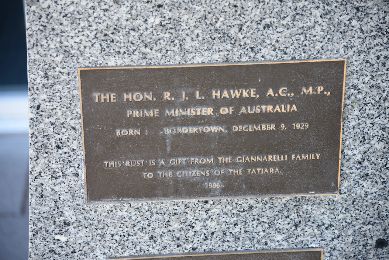
After leaving Wirrega, we drove into Bordertown and booked into our motel. As there was still some daylight we had a quick look around Bordertown. Our first stop was the bronze bust of former Australian Prime Minister Robert ‘Bob’ James Lee Hawke which is located outside of the Council Chambers. He was born in Bordertown on the 9th day of December 1929.

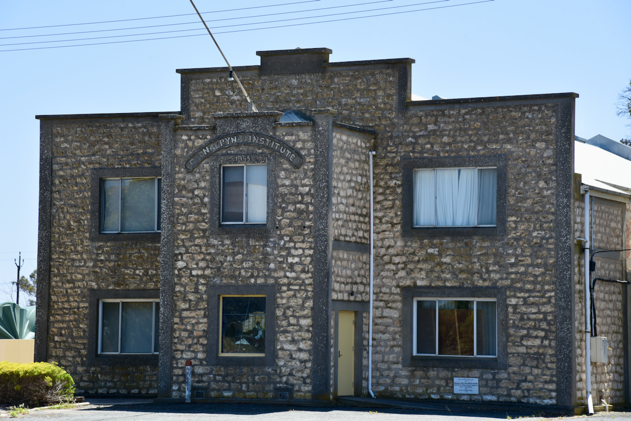
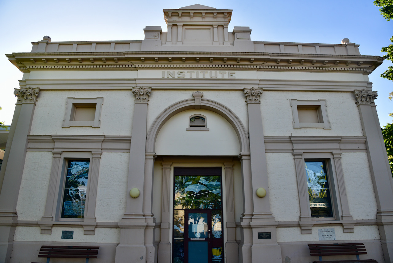
The Bordertown Institute is a beautiful building that is directly alongside the Council Chambers. The Institute was built and opened in 1909 and is a Neo-Classical design. It was built to the plans of Architects Davies & Rutt of Adelaide. It operated as a cinema from the 1920s. Known as the Plaza Theatre prior to 1951, it continued to operate as a cinema until about 1957.

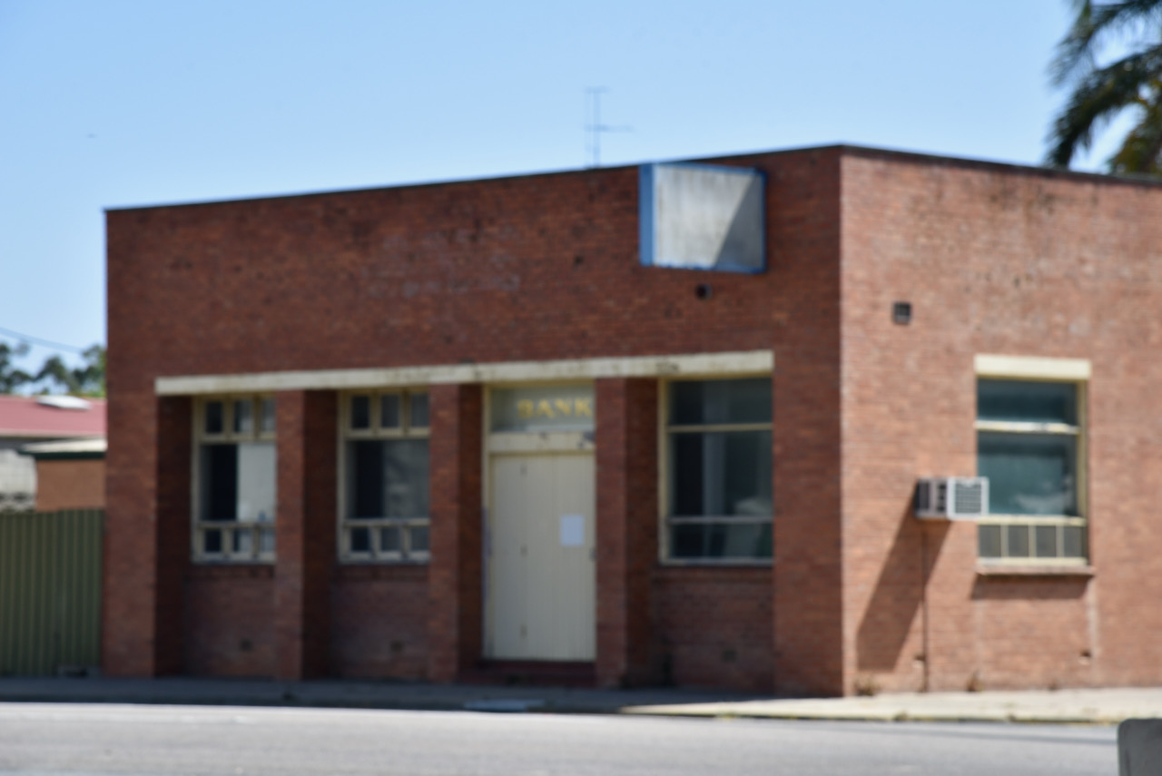
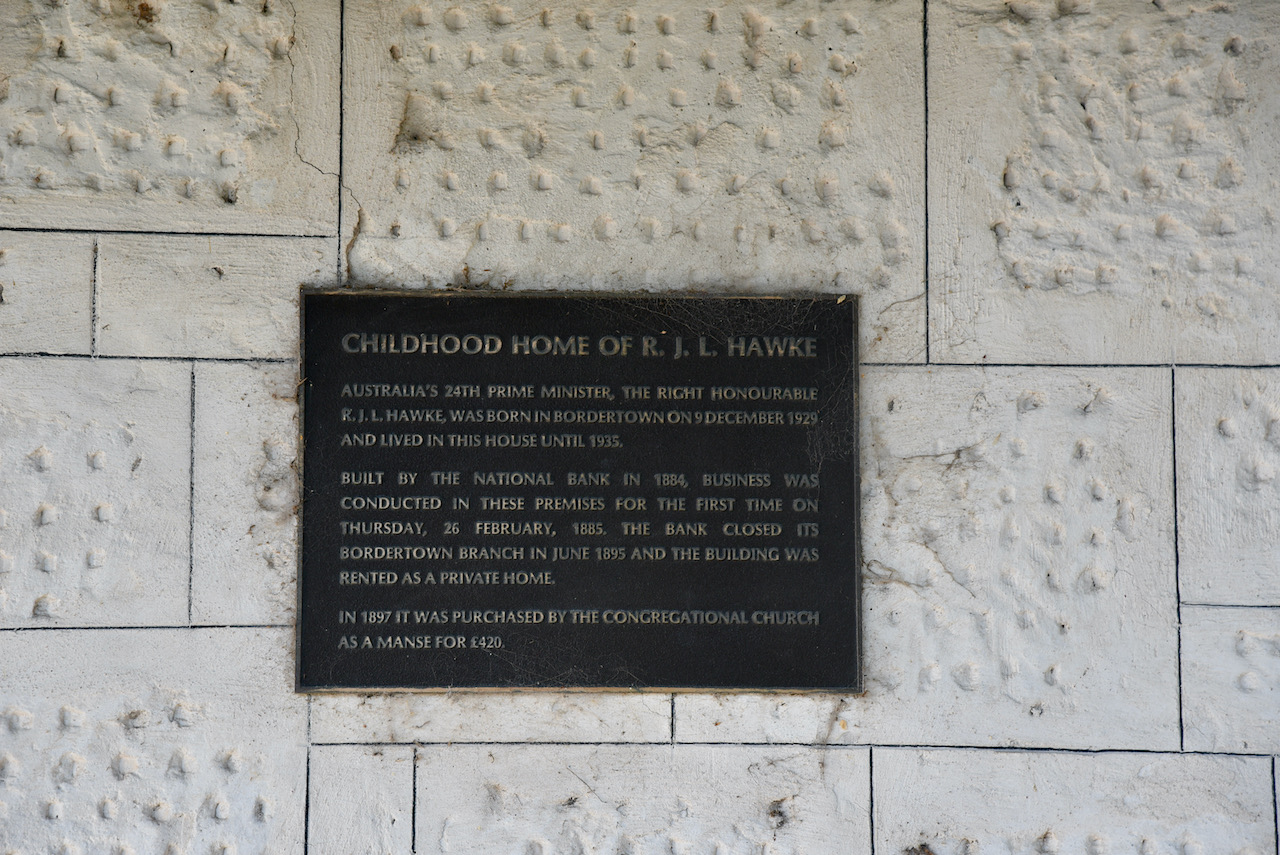
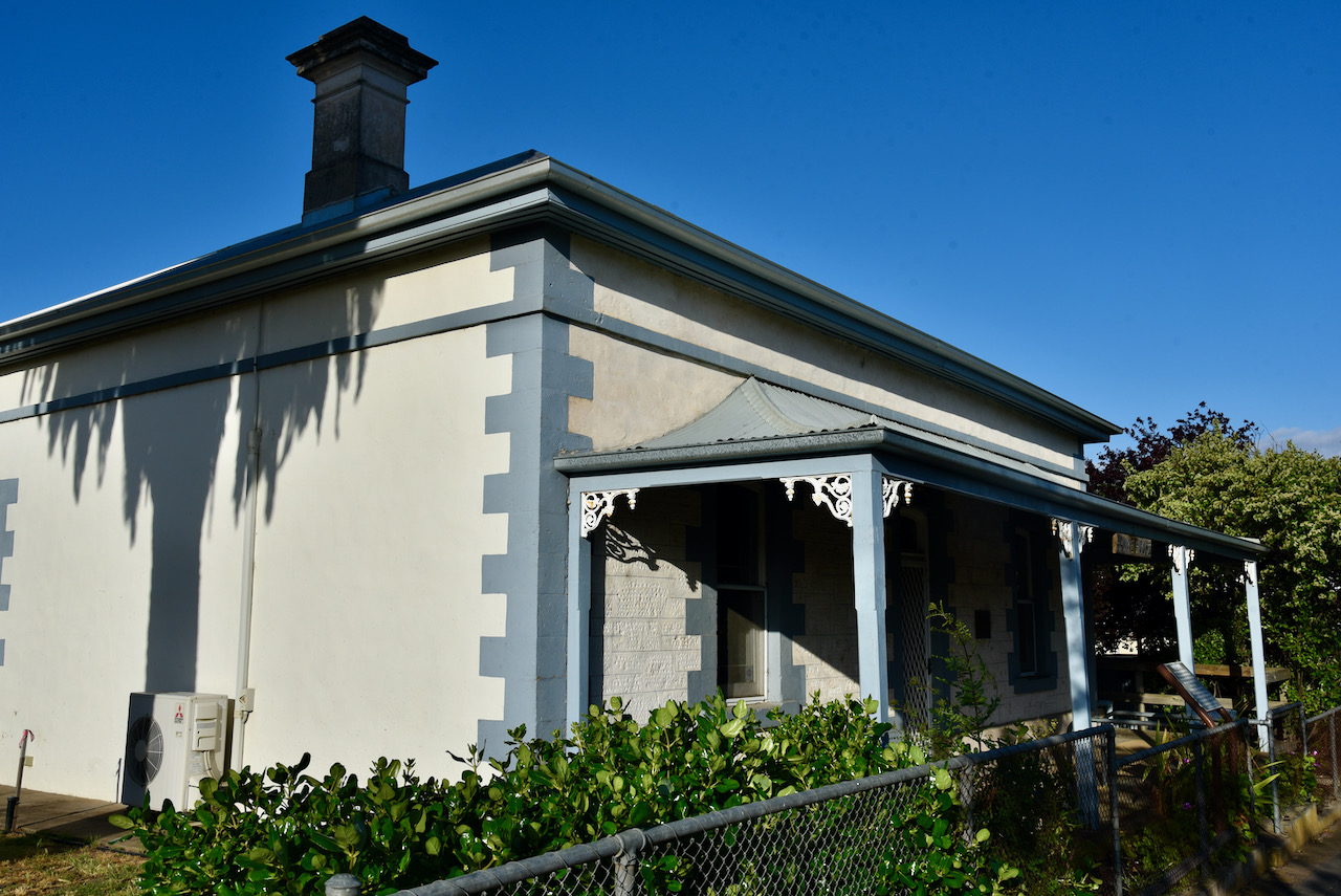
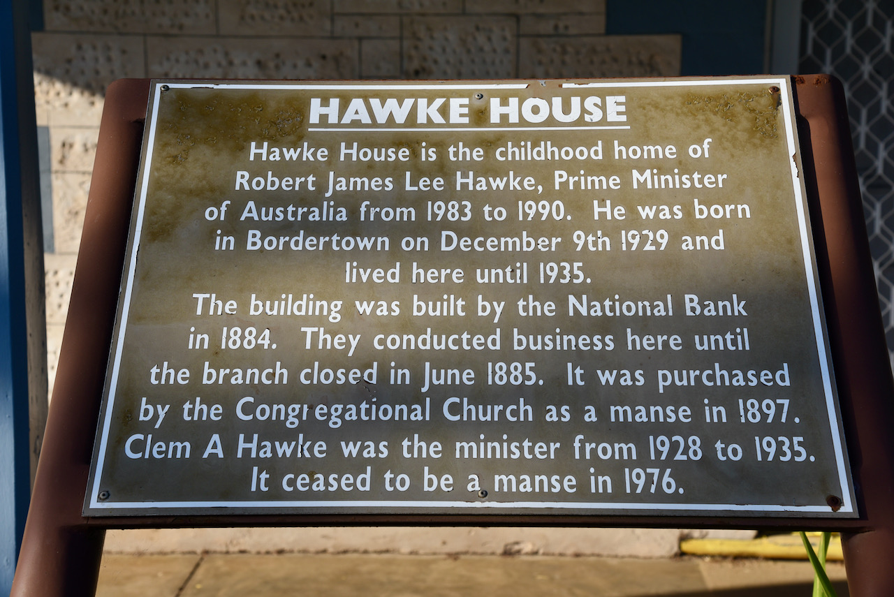
We then strolled a short distance to view the childhood home of Bob Hawke. He lived in the home until 1935. The building was built by the National Bank in 1884 and they conducted business there until the branch closed in June 1885. It was then purchased by the Congregational Church as a manse in 1897. Clem A Hawke was the Minister from 1928 to 1935. It ceased to be a manse in 1976.

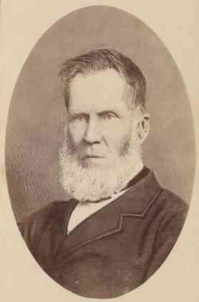
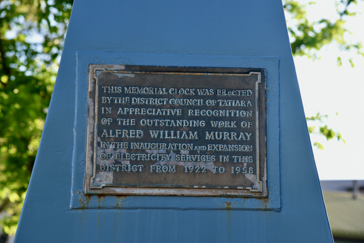
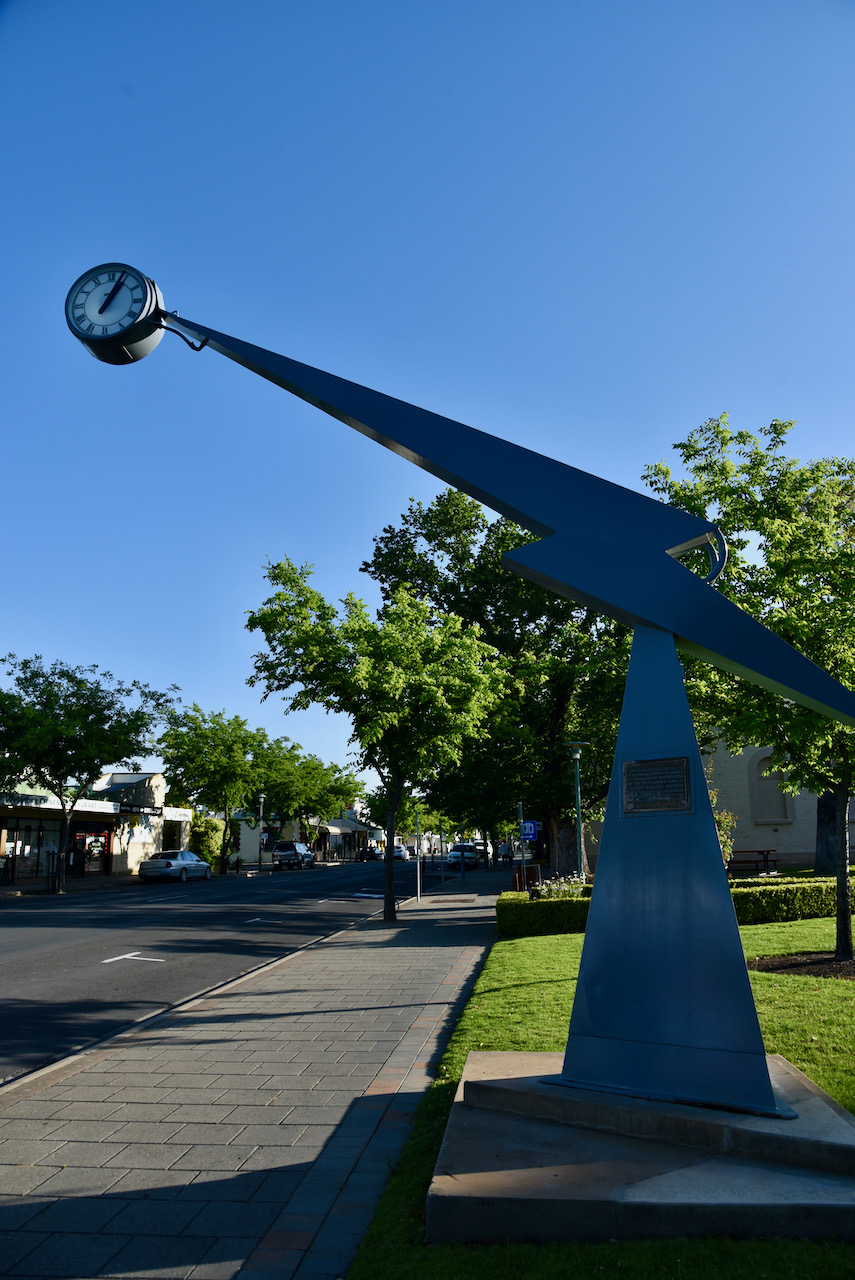
We also had a look at the Memorial clock which was erected by the District Council of Tatiara in ‘appreciative recognition of the outstanding work of Alfred William Murray in the inauguration and expansion of electricity services in this district from 1922 to 1958’.

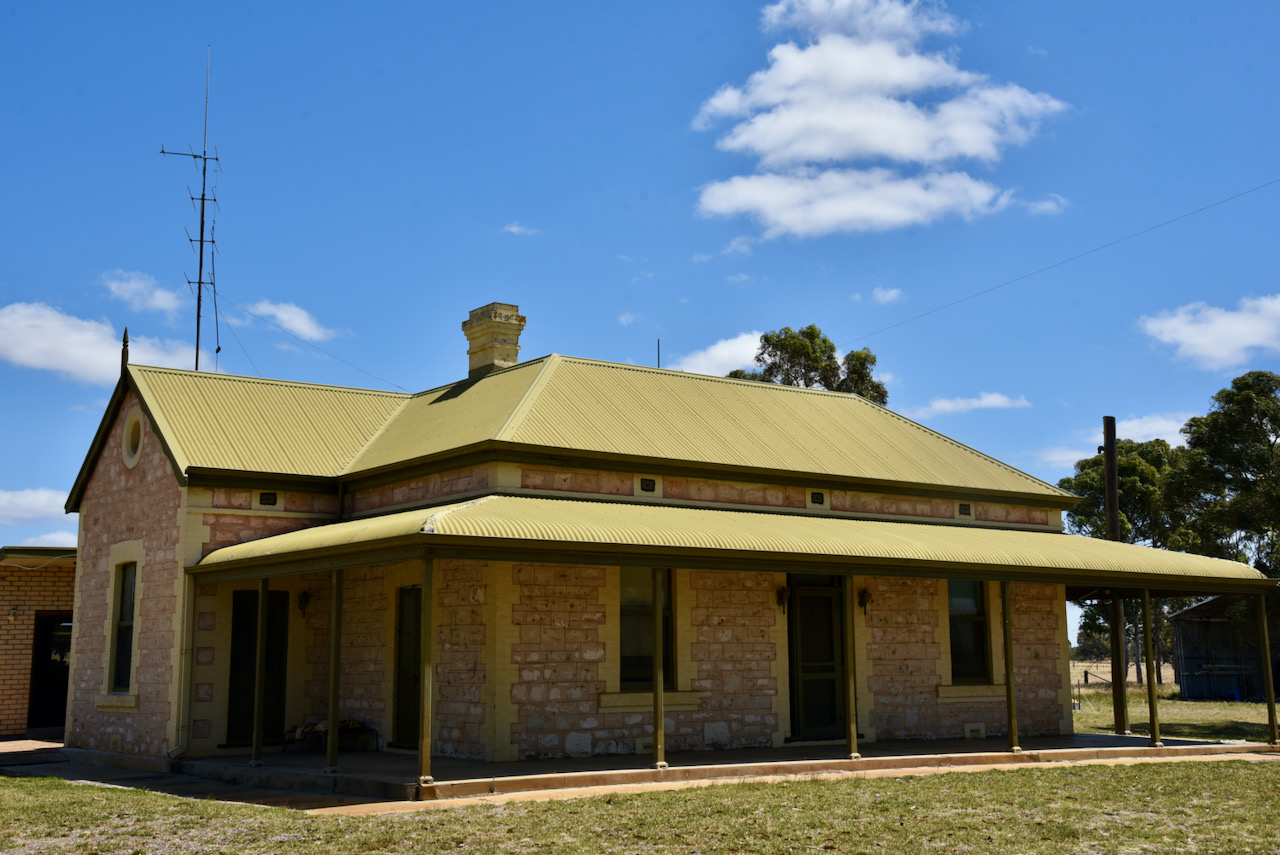
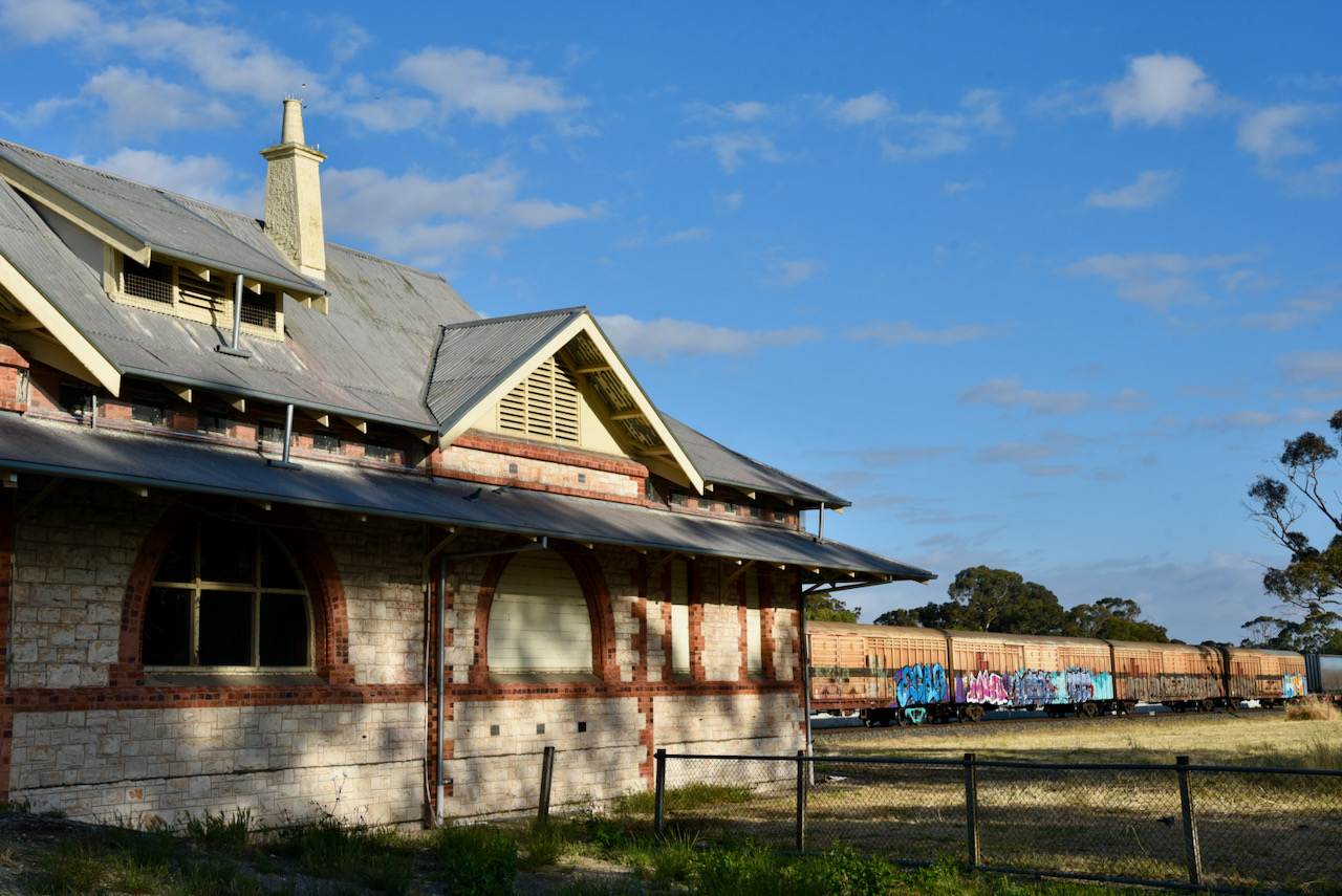
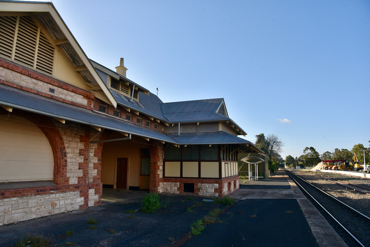
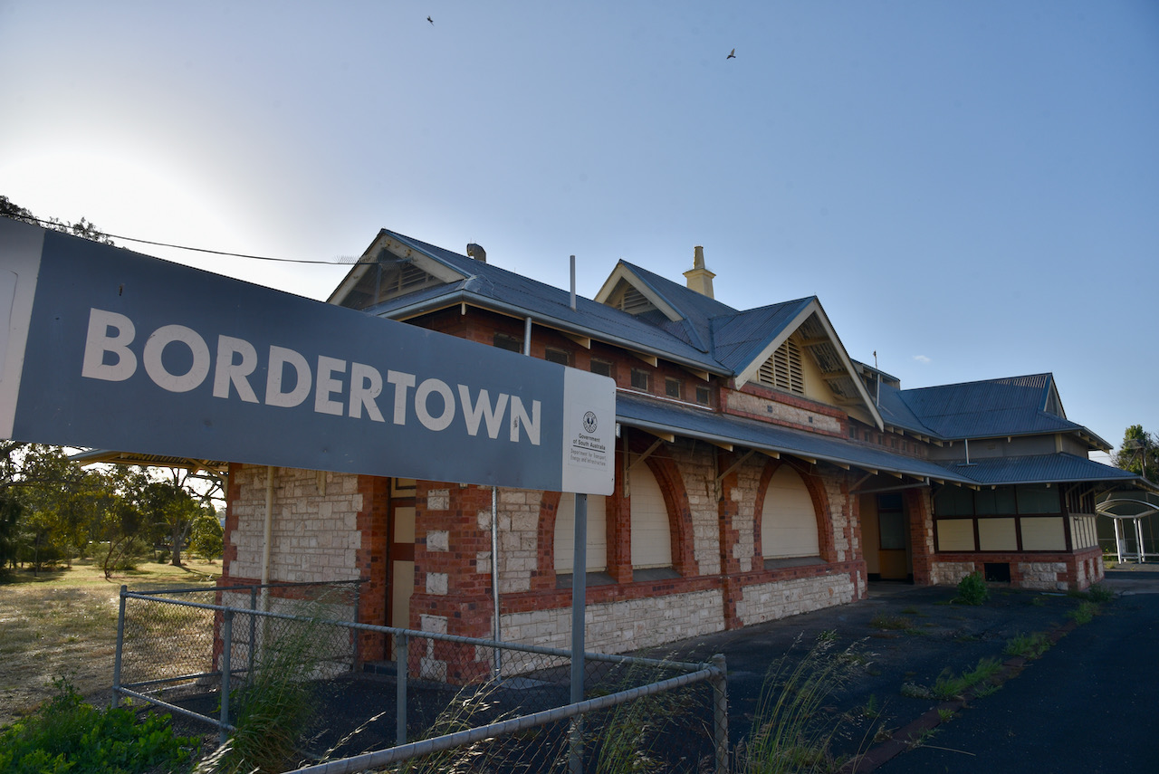
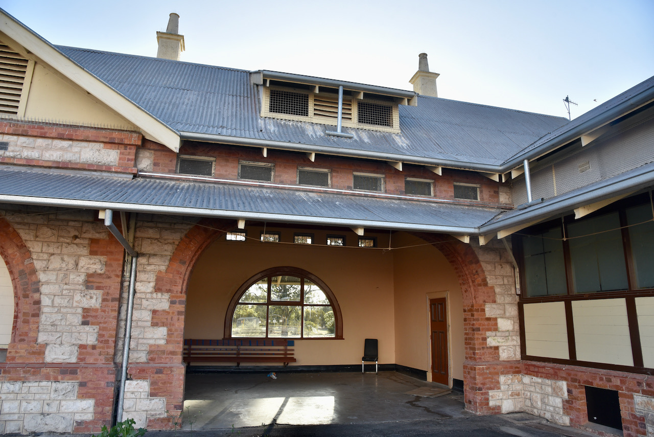
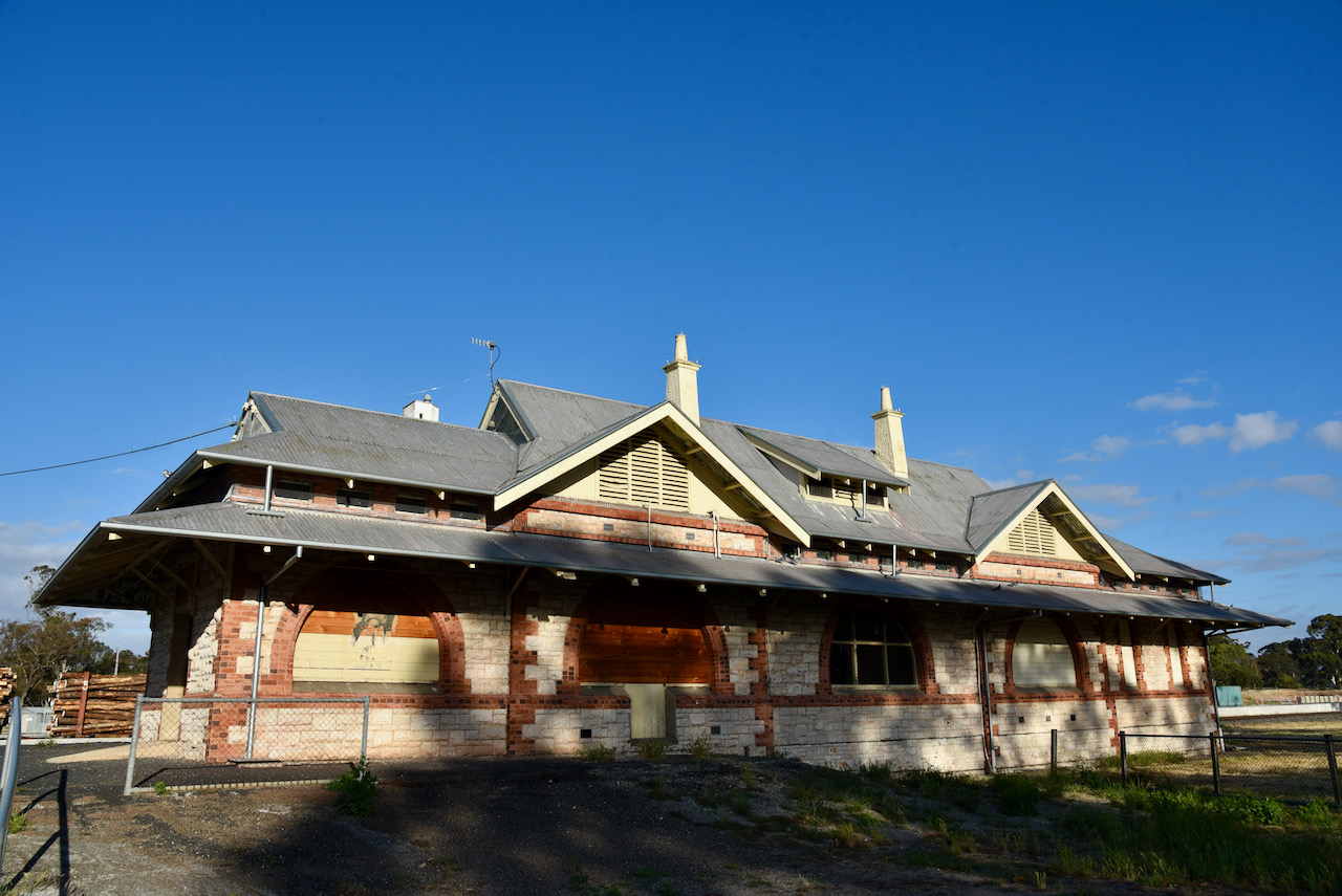
We also stopped to have a look at the old Bordertown railway station. The station was built in 1914 with stone which was railed from the property of Jim Watson at Cannawigra. Sadly this majestic old building sits idle and is unused.

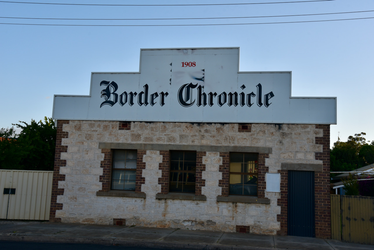
The Border Chronicle building in Bordertown was built in 1908.

We then headed back to the motel and enjoyed our Chinese takeaway meal. I sat back and watched the movie Independence Day (for about the 5th time) which even mentions “ham radio operators from new York and Japan are participating in an effort to launch a counter-attack”.

Image c/o Wikipedia

Morse code even gets a mention in the movie.

References.

  1. Cinema Treasurers, 2021, <http://cinematreasures.org/theaters/35442>, viewed 2nd December 2021.
  2. Tatiara Visitor Guide, 2021

Keith silo VK-KTH5

Our fourth silo for the day was in the town of Keith, about 225 km southeast of Adelaide.

Above:- Map showing the location of Keith. Map c/o Google maps

The area which is now Keith was known as the Ninety Mile Desert. During the mid-1850s, the Keith district consisted of a few scattered shepherd huts along the Victorian goldfield route. James Allen and Patrick Kelly were amongst the first settlers who took up land in July 1851 near Mount Monster on pastoral lease no. 224.

By 1884 the town had been surveyed and was known as Mount Monster Siding, following the construction of the Adelaide to Melbourne railway. It took its name from Mount Monster, a granite hill nearby which was used as a landmark by pioneers travelling east (this is now a Conservation Park).

The town of Keith was proclaimed on the 5th day of September 1889.

The origin of the name is a little unclear to me. Some sources state that Keith was named after the then Governor of South Australia, Algernon Keith-Falconer, Lord Kintore, or Earl of Kintore. His home in Aberdeenshire in Scotland was called Keith Hall. Lord Kintore, the Governor of South Australia.

Above:- Algernon Keith-Falconer. Image c/o Wikipedia

The information board as you come into Keith refers to Lord Keith of Inverare.

The Compendium of the Place Names of South Australia states the town was named Keith after Keith Stirling, the eldest son of Sir Lancelot Stirling who was a local grazier.

When I searched Trove I saw that various articles referred to it as both Kieth and Keith.

I then found this article on Trove from the Border Watch, Mount Gambier, dated Wednesday 11th September 1889, which appears to verify the origin of the name.

Above:- from the Border Watch, Sept 1889. Image c/o Trove

I then found another article on Trove from the Advertiser Adelaide, dated 11th April 1889. It refers to Alergnon Hawkins Thomond Keith Falconer, Ninth Earl of Kintore, and Governor of South Australia. The article states that he is also known as Lord Kintore and holds the titles of Lord Falconer of Halkerton and Lord Keith of Inverurie and Keith Hall in the peerage of Scotland, and Baron Kintore of Kintore, county Aberdeen. Part of the article can be found below.

From the Advertiser, 11th April 1889. Image c/o Trove

The townsfolk of Keith were involved in the maintenance of the railway, and also the production of wool and some cereal grain. However, the problems of wild dogs, rabbits, low soil fertility, contributed to the district growing at a slow rate through the depression of the 1930s and the period of the Second World War. The population of Keith at this time was about 500 people.

Research conducted during the Second World War found that the soil around Keith was deficient in copper and zinc. Application of superphosphate with those trace elements subsequently transformed the desert into pastures of clover and lucerne.

This coincided with the conclusion of World War Two and the return of Australian soldiers to Australian soil. The AMP Land Settlement Scheme was established and private investors commenced purchasing large areas of scrub. As a result, the township of Keith bloomed, with businesses, buildings and homes being established along with sporting and service clubs. By 1952 the population of Keith was 1,100 people.

Above:- Clearing land at Keith. Image c/o State Library SA

As you come into the town from the west there is an information board with details on the history of Keith, and all about Keith today.

We stopped off at the Andy Caldecott Memorial in Keith which was erected ion 2011 to commemorate the life and achievements of one of Australia’s greatest sportsmen. Caldecott was tragically killed in Mauritania in January 2006 during the ninth stage of the world’s 28th gruelling Paris-Dakar Rally. He was born in August 1964 and lived all of his life in Keith.

In close proximity is a 1952 Centurion Tank which was purchased by Glen Simpson from Keith for restoration. The tank spent most of its career with the 1st Armoured Regiment.

A not to miss in Keith is the Landrover on a Pole. During the 1940s when the AMP Society was purchasing land in the Keith district, the Landrover was a regular source of transport in the area known as the Ninety Mile Desert.

Also worth a visit if you are in Keith is the old settlers cottage which is believed to be one of the oldest buildings in Keith. It was built by William Davies in 1894, and is located on Emu Flat Road. It is constructed of local limestone and consists of our small rooms.

We then headed to the silos which are located on Railway Terrace. As this was right in the centre of town and it was very noisy on the bands, we headed to Densley Road and operated from the Keith showgrounds where the noise floor on the bands was much lower.

After Marija had placed a spot for me on parksnpeaks I started calling CQ on 7.150. This was answered by Peter VK3PF, followed by John VK2YW, and then Nev VK5WG. I had my three contacts in the log and I had qualified the silo. I logged a further 4 stations before swapping over with Marija.

Marija’s first contact was with Peter VK3PF, followed by Ray VK4NH, and then Brett VK2VW. Marija logged a further 3 stations before callers dried up.

We then headed to 20m where I logged a total of 5 stations from VK1, VK2, VK4 and New Zealand.

I then moved to the 80m band where I found that we had strength 7-8 noise. I logged just the one station, Ian VK5CZ in the Clare Valley.

With a total of 18 stations in the log, we packed up and headed to our next silo at Wirrega.

Marija made the following contacts on 40m SSB:-

  1. VK3PF
  2. VK4NH
  3. VK2VW
  4. VK2DWP
  5. VK3OHM
  6. VK2PKT

I made the following contacts on 40m SSB:-

  1. VK3PF
  2. VK2YW
  3. VK5WG
  4. VK3OHM
  5. VK2VW
  6. VK2HFI
  7. VK2PKT

I made the following contacts on 20m SSB:-

  1. VK1RF
  2. Vk2NP
  3. VK2IO
  4. VK4NH
  5. ZL4NVW

I made the following contact on 80m SSB:-

  1. VK5CZ

References.

  1. A Compendium of the Place Names of South Australia, 2021, <https://published.collections.slsa.sa.gov.au/placenamesofsouthaustralia/>, viewed 2nd December 2021.
  2. South Australia History Network, 2021, <https://explore.history.sa.gov.au/organisation/keith-early-settlers-cottage>, viewed 2nd December 2021.
  3. The Sydney Morning Herald, 2021, <https://www.smh.com.au/lifestyle/keith-20040208-gdkqjd.html>, viewed 2nd December 2021.
  4. Wikipedia, 2021, <https://en.wikipedia.org/wiki/Keith,_South_Australia>, viewed 2nd December 2021

Tintinara silo VK-TNA5

Marija and I packed up at Coonalpyn and hit the road once again, and travelled about 28 km and reached our next stop, the town of Tintinara. We had planned on activating the Tintinara silo VK-TNA5.

Tintinara is located on the Dukes Highway about 188 km southeast of Adelaide.

Above:- Map showing the location of Tintinara. Map c/o Google maps

Tintinara and the surrounding district is based around the agricultural production of sheep, beef and cropping.

The origin of the name Tintinara is debated. During my research, I discovered a number of options. One of the original settlers, J.H. Boothby in his reminiscences recorded that he had a ‘smart young aborigine’ with a name that sounded like ‘Tin-tin’, and the suffix of ara was added to it. There is an aboriginal word tinyara which means ‘boy’.

Another explanation is that it is derived from tinlinyara, the aboriginal name for stars in Orion’s Belt, described in aboriginal mythology as a number of young men hunting emus, kangaroos and other game on the great celestial plain in the sky.

Above:- An aerial view of Tintinara. Image c/o Google maps.

The Tintinara region was first settled by Europeans during the 1840s who grazed sheep in the area. Not long after, the Tintinara Homestead was built by the brothers Thomas Wilde Boothby (b. 1839. d. 1885) and James Henry Boothby (b. 1841. d. 1920) on their 165 sq. mile lease. They were the sons of Benjamin Boothby, a Judge of the Supreme Court of South Australia, and had emigrated to South Australia in 1853.

In 1865 a 16 stand shearing shed was constructed by the new owners William Harding and George Bunn (we visited the homestead and shearing shed – see below).

The Tintinara Well and the Reedy Well were regular stopping points for Alexander Tolmer’s gold escort team. During the 1850s Victorian Goldrush, a special armed detachment from South Australia provided a Gold Escort for the safe transportation of gold from the Victorian goldfields to Adelaide. The first of these was led by Alexander Tolmer, who later became the Police Commissioner in South Australia.

Above:- Alexander Tolmer. Image c/o Wikipedia

A total of eighteen Gold Escorts were made between 1852 and 1853, transporting 328,502 ounces (9,310 kg) of gold.

Above:- Police Gold Escort leaving Mount Alexander. Image c/o SA Police Facebook page

In 1986, a re-enactment of the Police Gold Escort was conducted as part of the 175th Commemoration program of the South Australia Police.

Above:- Gold Escort re-enactment. Image c/o SA Police Facebook page

In 1868 the Tintinara Post office was opened. The town of Tintinara was proclaimed on the 30th day of August 1906. The Tintinara school was opened in 1907 with 12 students and Miss Maud Jackson as the teacher. The Tintinara Institute opened in 1911. A Congregational Church and a Methodist church were built in 1913.

The Tintinara silos are located on the southern side of the Dukes Highway. It was quite noisy in town, so we drove a little further southeast on the Dukes Highway and set up amongst the trees and alongside of the highway and the railway line.

We ran the Yaesu FT-857, 40 watts, and the 20/40/80m linked dipole for this activation. We had strength 4 noise on 40m despite being a few hundred metres out of town.

I called CQ on 7.150 and this was answered by Peter VK3PF, followed by Ross VK3BEL, and then geoff VK3SQ. The silo had been activated. I then spoke with Peter VK3ZPF, Haucke VK1HW mobile, and Michael VK5LN, before swapping the operator’s chair with Marija.

Marija’s first contact was with Ross VK3BEL, followed by Peter VK3PF, and then Ian VK5CZ. Marija logged a further 5 stations before callers dried up.

We then headed to the 20m band where we logged a total of 6 stations, all from VK2.

To wrap up the activation I called CQ on 80m, but we had strength 9 noise and it made operating very difficult. We logged just the one station, John VK5HAA.

We were set up right alongside of the main railway line between Adelaide and Melbourne and at one point had to stop calling CQ as a large freight train passed by us.

During our activation, we had a surprise visit by a local amateur radio operator, Terry VK5TM and his wife.

Marija made the following contacts on 40m SSB:-

  1. VK3BEL
  2. VK3PF
  3. VK5CZ
  4. VK5WG
  5. VK5LN
  6. VK3HKV
  7. VK5MSA
  8. VK5COL

Marija made the following contacts on 20m SSB:-

  1. VK2IO
  2. VK2VW
  3. VK2HFI

I made the following contacts on 40m SSB:-

  1. Vk3PF
  2. VK3BEL
  3. VK3SQ
  4. VK3ZPF
  5. VK5HW/m
  6. VK5LN

I made the following contacts on 20m SSB:-

  1. VK2VW
  2. VK2HFI
  3. VK2NP

I made the following contact on 80m SSB:-

  1. VK5HAA

After packing up at the silo we headed to the Tintinara Visitor Information Centre which has a very distinctive mural painted on it that features a train, and the beef, sheep and wool industries of the district.

You can also find here an impressive D pattern Comet Windmill which stands at 40 feet. The windmill was previously used in the Tintinara district prior to the Murray Pipeline passing through the property.

We then headed out to the Tintinara Homestead and the historic shearing shed. Out the front of the property is a cairn marking the Gold Escort route……

“Along this track Commissioner Alexander Tolmer lead the first of 18 police escorts which under various commanders transported from Mt Alexander Victoria to Adelaide, South Australia, March 1852 to December 1853, 328,509 ozs of gold”

The Tintinara homestead was constructed in 1865. Shortly afterwards it became a post office. For many years it was a stopping point for Tolmer and his gold escort group. The walls of the homestead were once papered with old copies of the Adelaide Chronicle.

Whilst there we realised that this was potentially on private property. We telephoned the Visitor Information Centre but sadly they did not have much information on the homestead other than to tell us it was on private property. On that basis, we decided to leave. We left a note for the owners, who very kindly sent us an SMS message later that day stating they were happy for us to have a look.

We drove a short distance to the Tintinara Woolshed which was built in 1865. I always enjoy looking in old woolsheds as the history is quite amazing. The limestone walls are 80cm thick and the roof timbers are up to 11 metres long. They were carted by bullock drays to the location from Kingston South East.

You can also find a marker here on the Gold Escort Route.

Also located on the property is the headstone of William Harding. The headstone reads:-

Affectionate Remembrance of William. The beloved husband of Mary Harding, who departed this life July 5th 1874. Ages 50 years. Remember your Creator in the days of thy youth’.

References.

  1. A Compendium of the Place Names of South Australia, 2021, <https://published.collections.slsa.sa.gov.au/placenamesofsouthaustralia/>, viewed 2nd December 2021.
  2. Aussie Towns, 2021, <https://www.aussietowns.com.au/town/tintinara-sa>, viewed 2nd December 2021.
  3. Australian Dictionary of Biography, 2021, <https://adb.anu.edu.au/biography/boothby-thomas-wilde-3323>, viewed 2nd December 2021.
  4. flickr, 2021, <https://www.flickr.com/photos/82134796@N03/39992634621>, viewed 2nd December 2021.
  5. Tintinara Heart of the Parks, 2021, <https://tintinara.com.au/visit/tintinara-homestead/>, viewed 2nd December 2021.
  6. Wikipedia, 2021, <https://en.wikipedia.org/wiki/Tintinara,_South_Australia>, viewed 2nd December 2021
  7. Wikipedia, 2021, <https://en.wikipedia.org/wiki/Alexander_Tolmer>, viewed 2nd December 2021.
  8. Wikipedia, 2021, <https://en.wikipedia.org/wiki/Gold_Escort>, viewed 2nd December 2021.

Coonalpyn silo VK-CNN5

After packing up at Coomandook, we continued east for about 30 km and we soon reached the town of Coonalpyn. Coonalpyn is located about 143 km southeast of Adelaide.

Above:- Map showing the location of Coonalpyn. Map c/o Google maps.

It is believed that Coonalpyn is derived from the aboriginal word konangalpun (or kunalpin) meaning ‘place of mice excreta’ – kuna, ‘dung’. This is due to the area regularly being subject to periodical mice plagues. Another source states the name derives from kunangalpe meaning ‘crow track, line of travel’. While a third source states it means ‘barren woman’.

An early pastoralist in the Coonalpyn district was John Barton Hack who named his property Coonalpyn Downs. Hack had arrived in South Australia in 1837.

Above:- John Barton Hack. Image c/o Wikipedia

A post office was opened at Coonalpyn in 1887 and this was followed by the Coonalpyn school in 1889. The school closed in 1927 following a diphtheria epidemic. The school was located about 3 km southeast of the town. In May 1886 the railway line opened. It was known as the Nairne to Bordertown Railway. The railway brought a regular mail service to Coonalpyn. By 1889 the Coonaplyn Post office was dispatching 3,946 letters, packages, and newspapers a year and receiving 2,838.

In 1894 a railway station, station master residence, porters house and gangers house were built.

The town of Coonalpyn was proclaimed on the 25th day of November 1909. The first shop, known as the Coonalpyn stores, was opened in 1915.

Above:- The SA Govt Gazette showing the proclamation of Coonalpyn.

Nowadays in Coonalpyn, you can find a hotel, a community swimming pool, bakery, cafes, the town hall, oval, rest area, school, a medical centre, the silo mural, the Mosiac project, Tunnel Vision, and more.

Above:- Aerial view of Coonalpyn. Image c/o Google maps.

The Coonalpyn silos are active silos and are operated by Vitera. Due to a rise in quality grain in the Coonalpyn district, the first 9,600 ton silo was built in 1965. This was followed by another in 1967 increasing the capacity to 15,000 ton.

The silo art was part of the Creating Coonalpyn initiative, a $100,000 joint project of the local Council, with Country Arts SA and Viterra. The idea was for the renewal of the town of Coonalpyn through the arts. The initiative also included sponsorship from local businesses and individuals. The silo art in Coonalpyn is just part of this initiative.

The silo art is the work of world-renowned large scale mural artist Guido van Helten. The murals on the silos depict five Coonalyn primary school children in various poses. The Coonalpyn silos were the first silos to be painted in South Australia and were completed in March 2017. The mural took 200 cans of paint to complete. The artists van Helten used photographs as a reference, and first drew a giant grid onto the face of the five silos. He then sprayed paint to create the designs.

During the month-long painting of the silo, it is estimated that each hour about 40 to 50 vehicles stopped each hour to view van Helten at work. Coonalpyn became the most photographed regional town in South Australia, with the silo art project attracting both local, national, and international media attention. As a result of the silo art, three new businesses opened up in Coonalpyn including the Silos Cafe.

Below is a time-lapse video of the painting of the silos.

Other than the silo art, you can also view the Mosaic Mural which was created by Mike Tye and Marcia Camac and a team of local mosaic enthusiasts. The mosiac has images of birds, echidna, Correa and other native flora and fauna of the region. It took 27 volunteers over 3,000 hours over a 12 month period to complete.

There is also the Tunnel Vision mural project which features numerous murals created by the local Coonalpyn children.

I have attached a brochure entities ‘Connalpyn Arts Trail’ below.

In the rest area, you can find an excellent information board with the history of Coonalpyn and the district. There is also a tractor and a plough to acknowledge the importance of farming in the Coonalpyn district.

We then stopped off at the Waffles & Jaffles Cafe at Coonalpyn and enjoyed some Belgium waffles.

Below is a great story on the ABC website about the history of the Coonalpyn Waffles cafe ……

https://www.abc.net.au/news/2021-01-24/coonalpyn-belgian-waffle-empire-in-australia/13054198

We then tried a few different spots for the silo activation, testing the noise floor with the transceiver in the Toyota Hi-Lux. Alongside the silos, the noise floor was S9 plus on 40m. Although the SiOTA rules state that the activation zone is within 1 km of the silo, we wanted to be relatively close to the silo, so we set up in the rest area a few hundred metres south of the silo.

The silos were within sight from our activation spot.

Unfortunately, when we turned on the Yaesu FT857d after setting up the 20/40/80m linked dipole, the noise floor on 40m was strength 9. It had been lower from the vehicle. We decided to soldier on despite the noise floor and the noise of passing trucks and trains.

First in the log for me was Andy VK3VKT, followed by Peter VK3PF and Adrian VK5FANA. I had qualified the silo. I logged a further 3 stations on 40m before Marija took charge of the microphone.

Marija’s first contact was with John VK2YW, followed by Peter VK3PF, and then Geoff VK3SQ. Marija logged a further 2 stations on 40m until the noise floor got the better of us and we decided to try the 20m band. We know there were other stations calling, but the noise was horrendous.

To our great pleasure, there was no noise at all on 20m. We logged a total of 9 stations on the 20m band from VK1, VK2, VK3, VK4, and New Zealand.

To complete the activation we tried our luck on the 80m band, but the noise floor there was also strength 9. We logged just the one station, Adrian VK5FANA, before deciding that we would pack up and head to the next silo.

We had a total of 21 stations in the log and another silo successfully activated.

Marija worked the following stations on 40m SSB:-

  1. VK2YW
  2. VK3PF
  3. VK3SQ
  4. VK5FANA
  5. VK1DA

Marija worked the following stations on 20m SSB:-

  1. VK1DA
  2. VK2UH

Marija worked the following station on 80m SSB:-

  1. VK5FANA

I worked the following stations on 40m SSB:-

  1. VK3VKT
  2. VK3PF
  3. VK5FANA
  4. VK3BEL
  5. VK5WG
  6. VK2YW

I worked the following stations on 20m SSB:-

  1. VK1DA
  2. VK2UH
  3. VK4NH
  4. VK2IO
  5. VK4SMA
  6. ZL3RIK
  7. VK3PF

References.

  1. Australian Silo Art Trail, 2021, <https://www.australiansiloarttrail.com/coonalpyn>, viewed 1st December 2021.
  2. Coorong District Council, 2021, <https://www.coorong.sa.gov.au/community/arts-and-cultural/creatingcoonalpyn>, viewed 2nd December 2021.
  3. Murray River.com, 2021, <https://www.themurrayriver.com/about/historical-story/>, viewed 2nd December 2021.
  4. Professional Historians Australia, 2021, <http://www.sahistorians.org.au/175/documents/a-heritage-history-of-the-south-east-of-south-aust.shtml>, viewed 2nd December 2021.
  5. State Library SA, 2021, <https://published.collections.slsa.sa.gov.au/placenamesofsouthaustralia/>, viewed 1st December 2021.
  6. Wikipedia, 2021, <https://en.wikipedia.org/wiki/John_Barton_Hack>, v iewed 1st December 2021.