
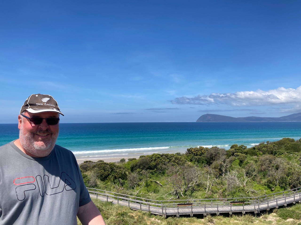
After packing up at Quarantine Station State Park (Monday 7th November 2022), Marija and I drove south on the Bruny Island Main Road and we soon reached The Neck.
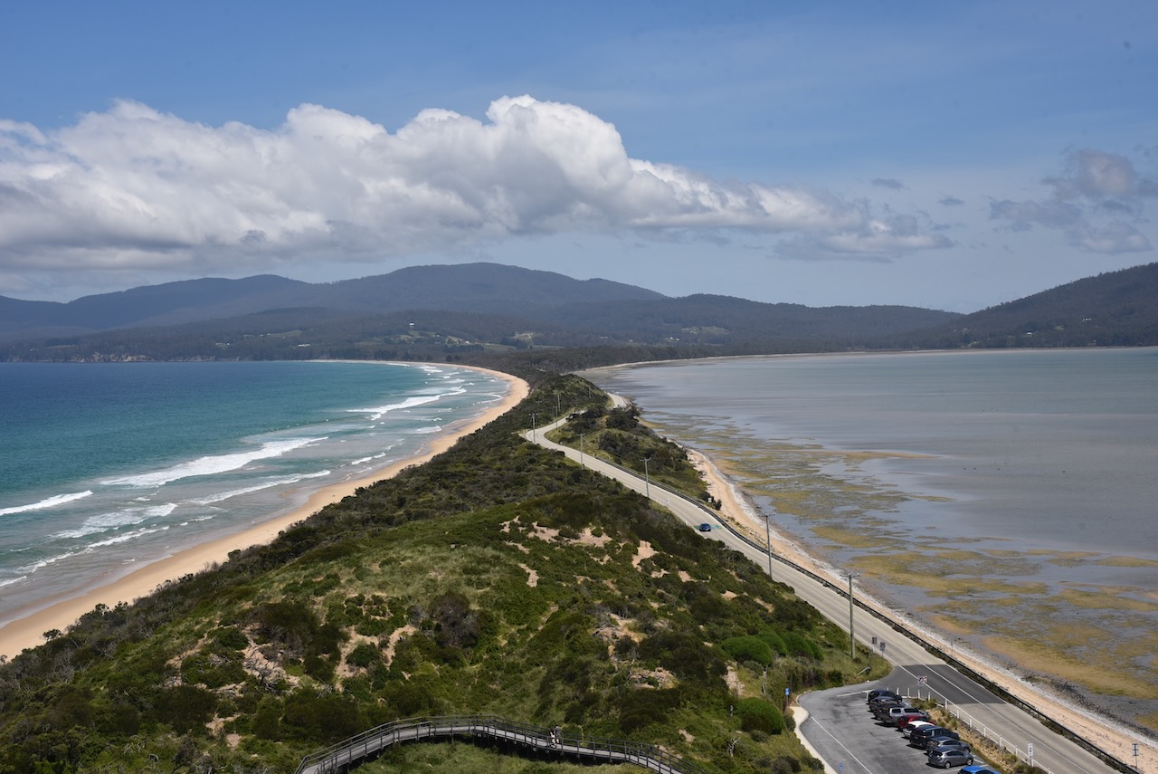
The Neck is an isthmus of land connecting north and south Bruny Island. What is an isthmus? An isthmus is a narrow strip of land that connects two larger landmasses and separates two bodies of water.
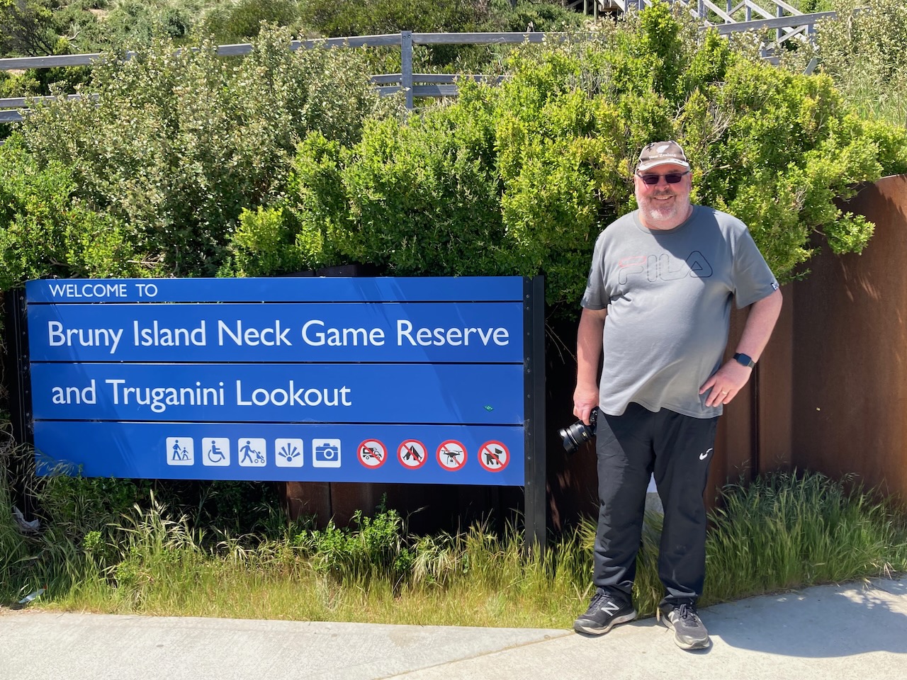
I immediately noted that there was a sign for Bruny Island Neck Game Reserve. Marija and I checked the WWFF Australia website, but sadly the park was not listed.
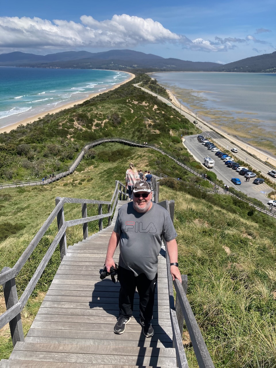
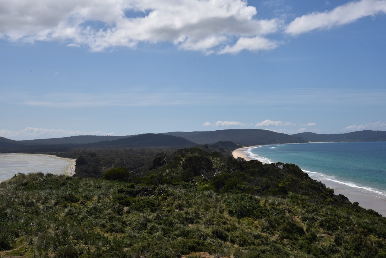
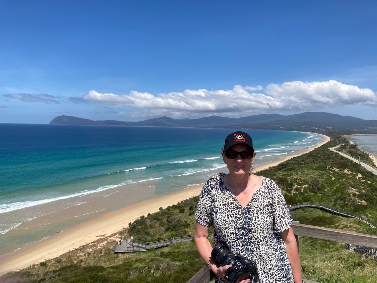
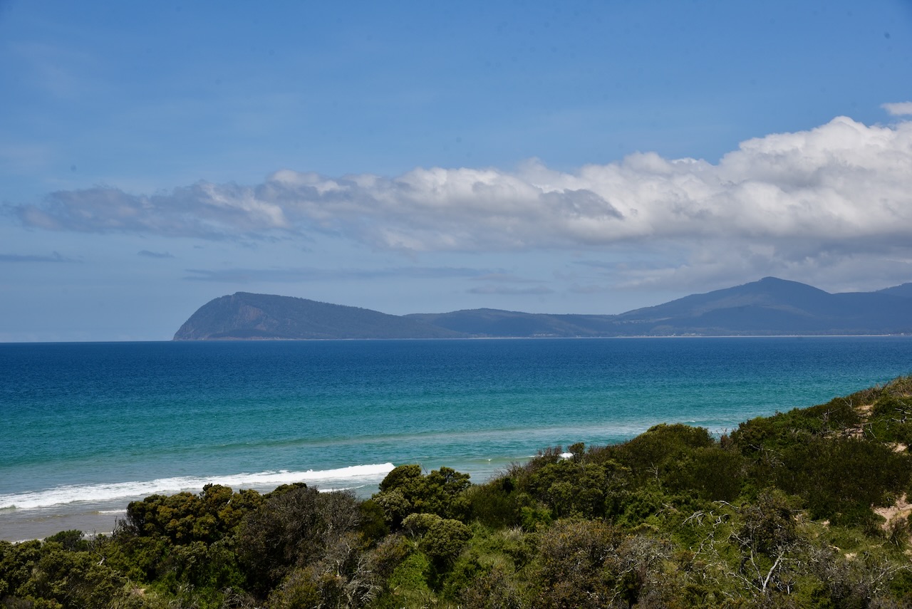
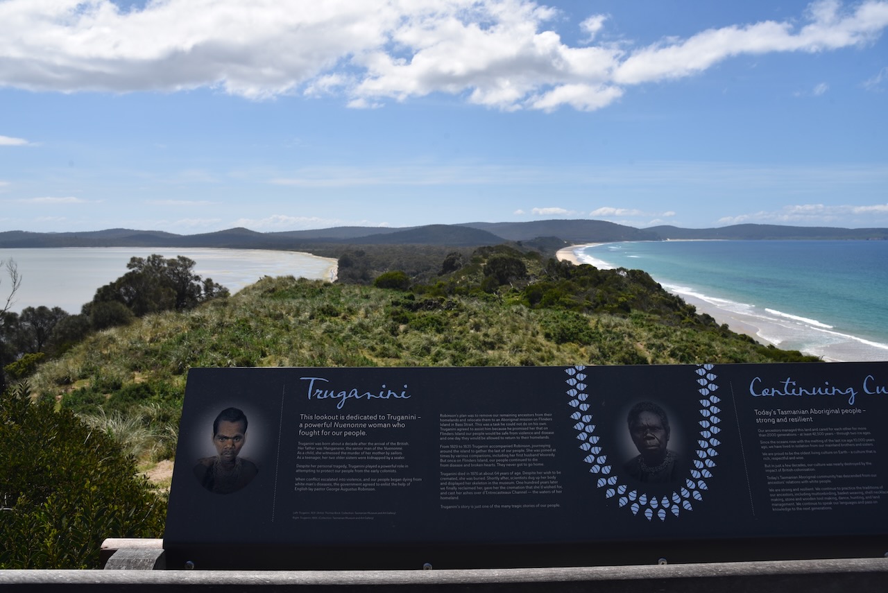
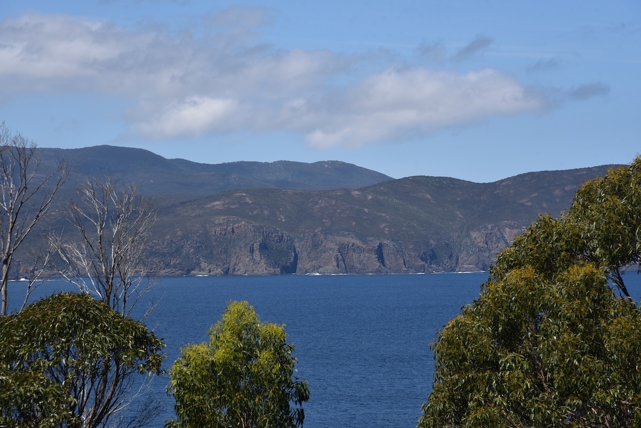
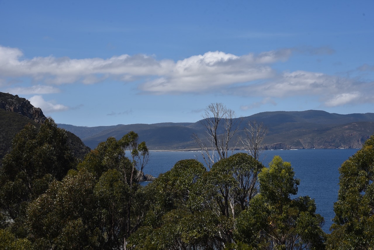
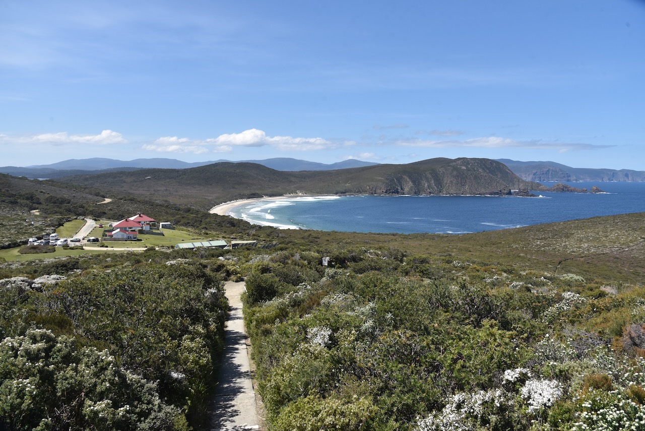
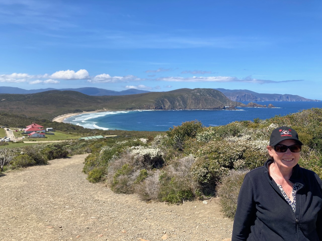
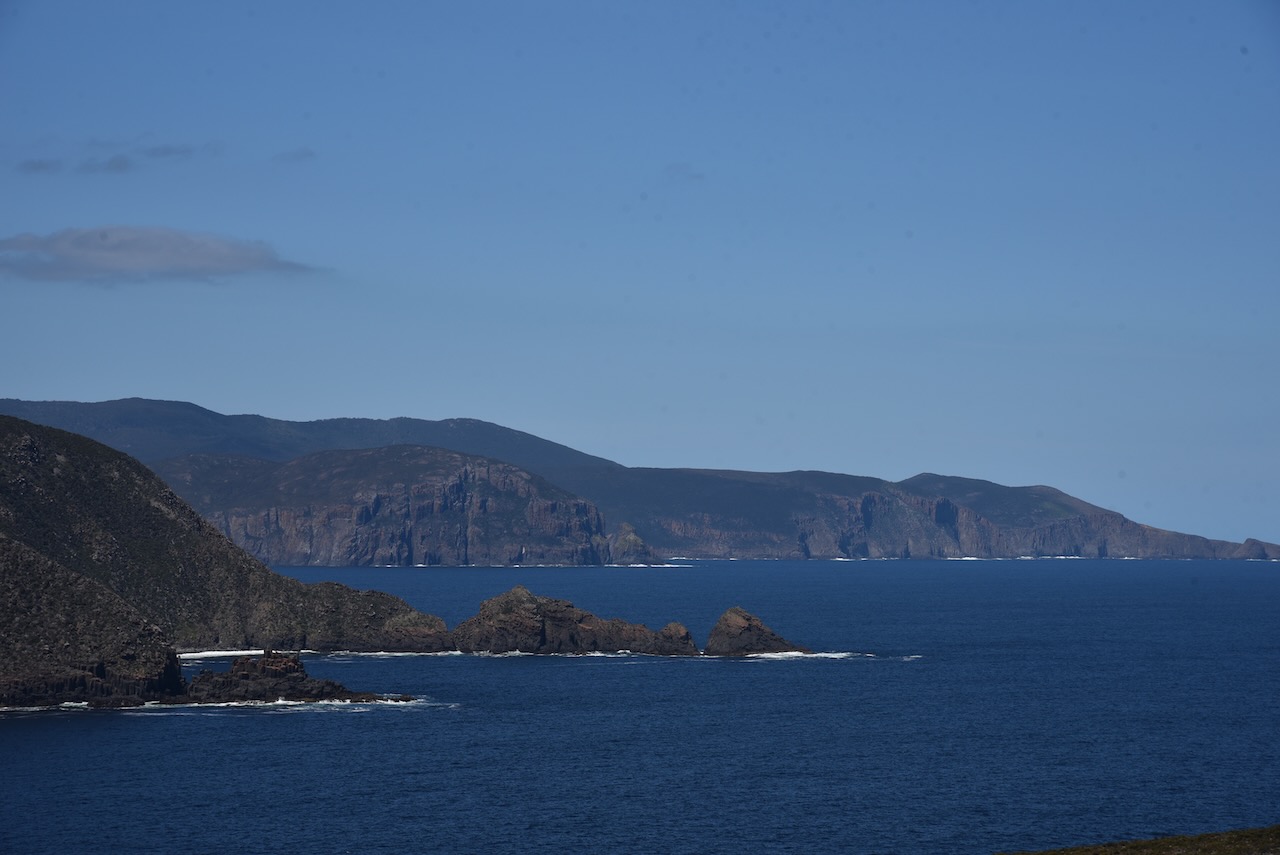
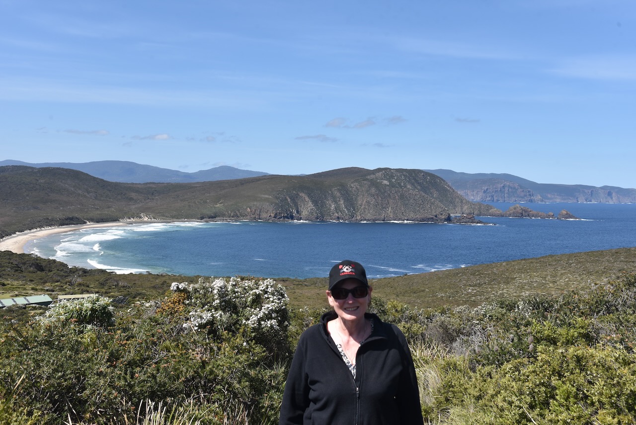
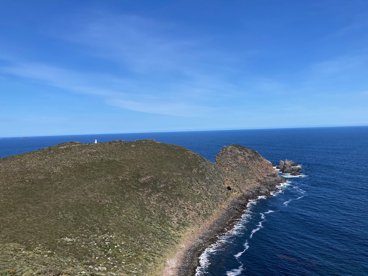
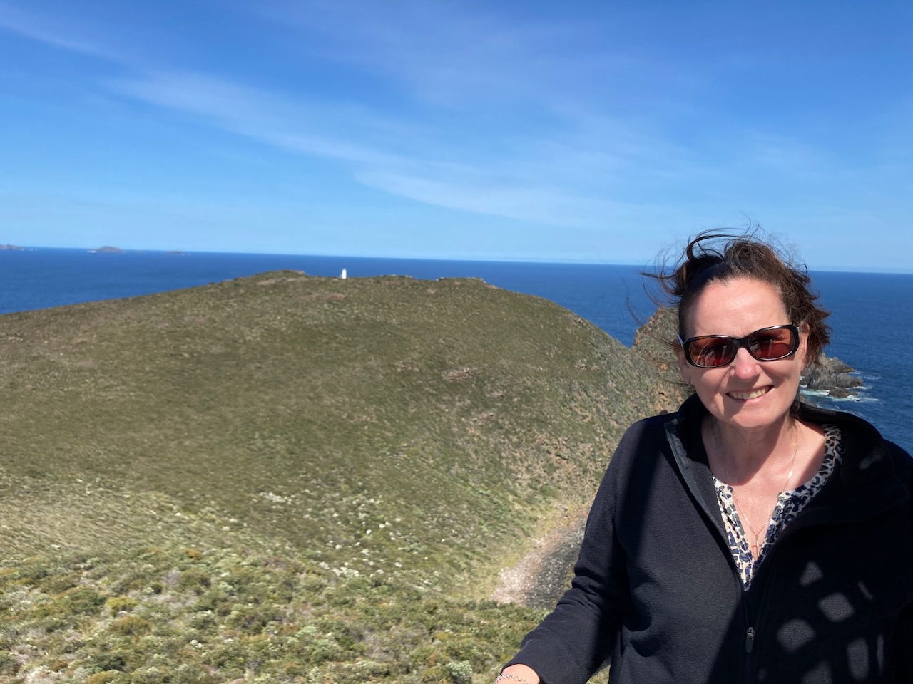
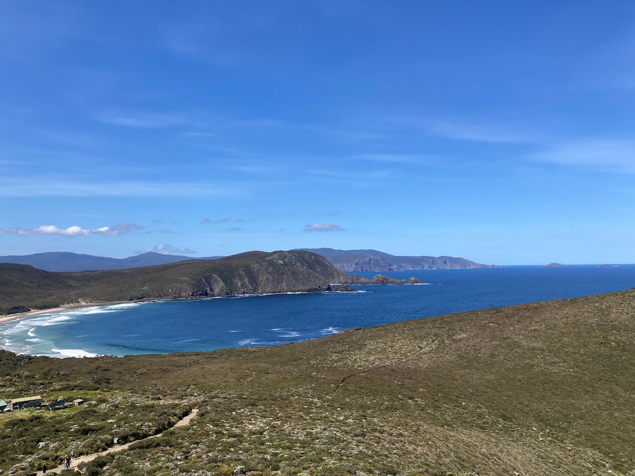
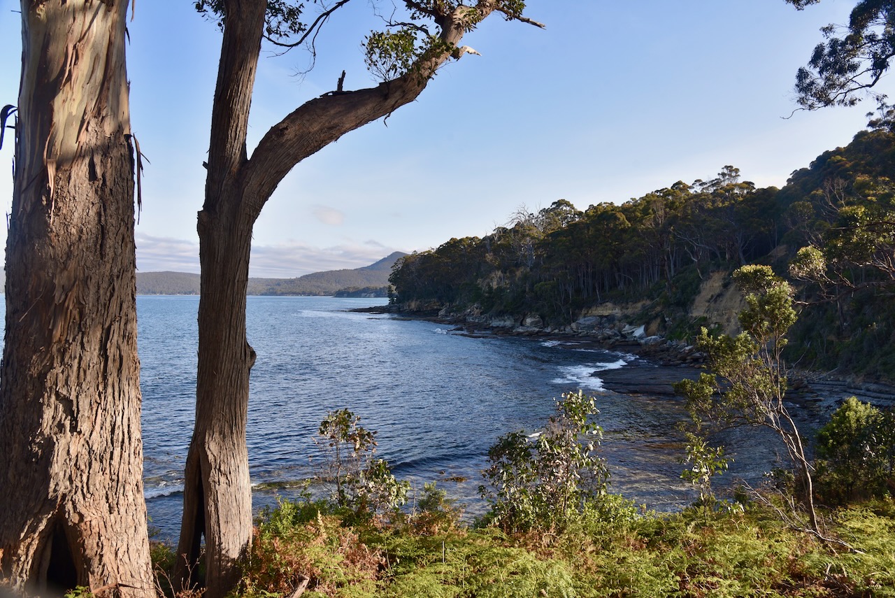
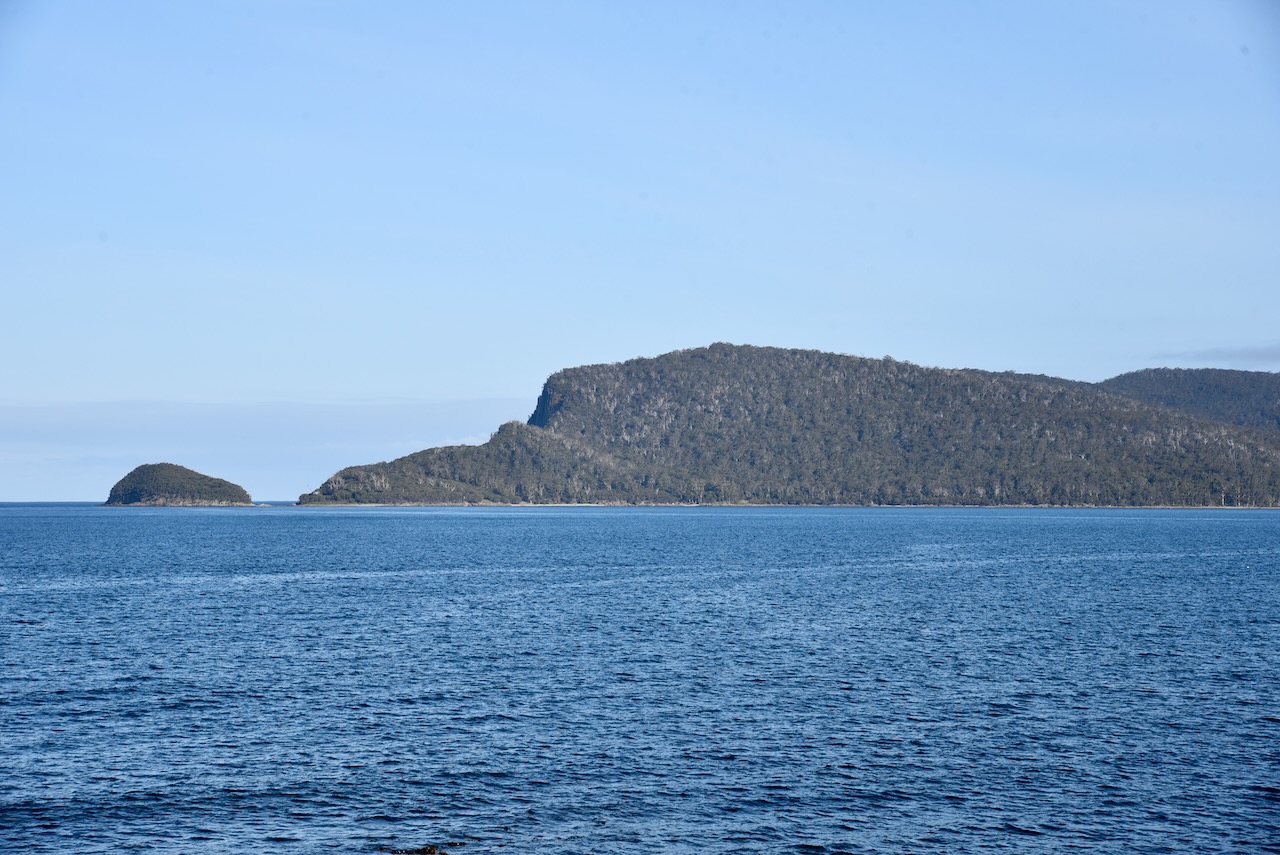
We toiled up the 300 steps across the dunes to the lookout. And it was worth it. From the top you can view an incredible 360 degree view which takes in water on both side of The Necks of the water on both sides of the neck, the remainder of Bruny Island and mainland Tasmania.
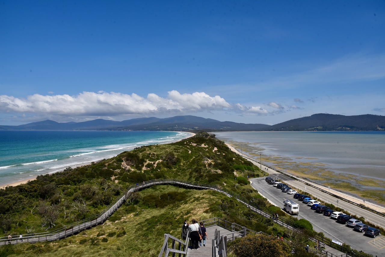
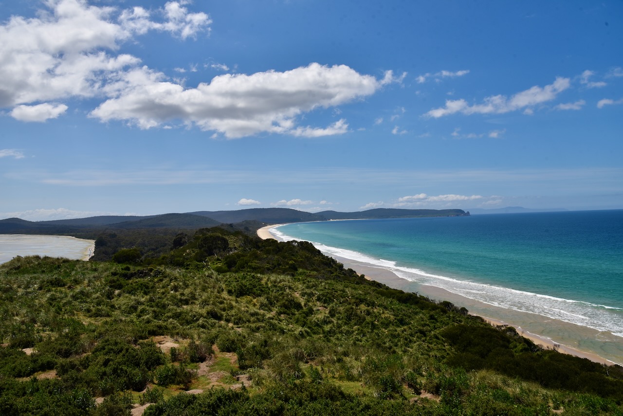
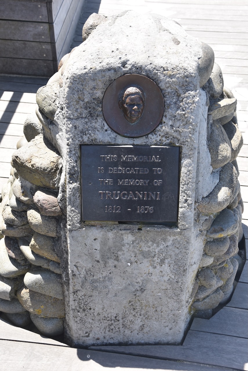
Once you reach the top of the lookout you can also view the memorial to Truganini who I mentioned in my previous post.
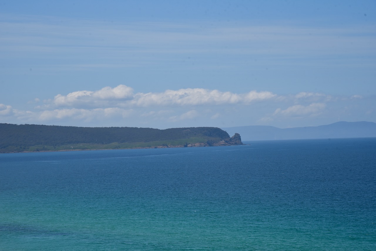
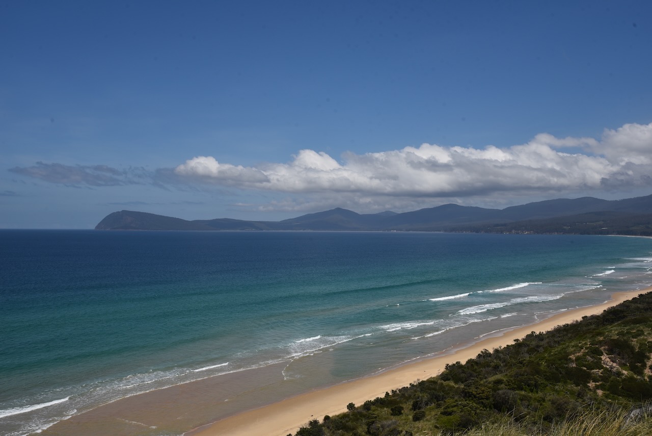
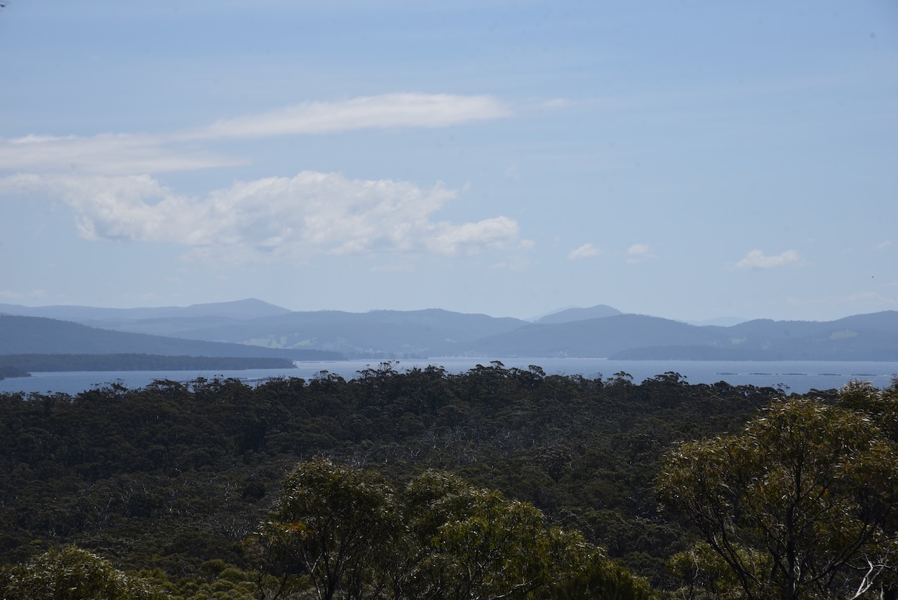
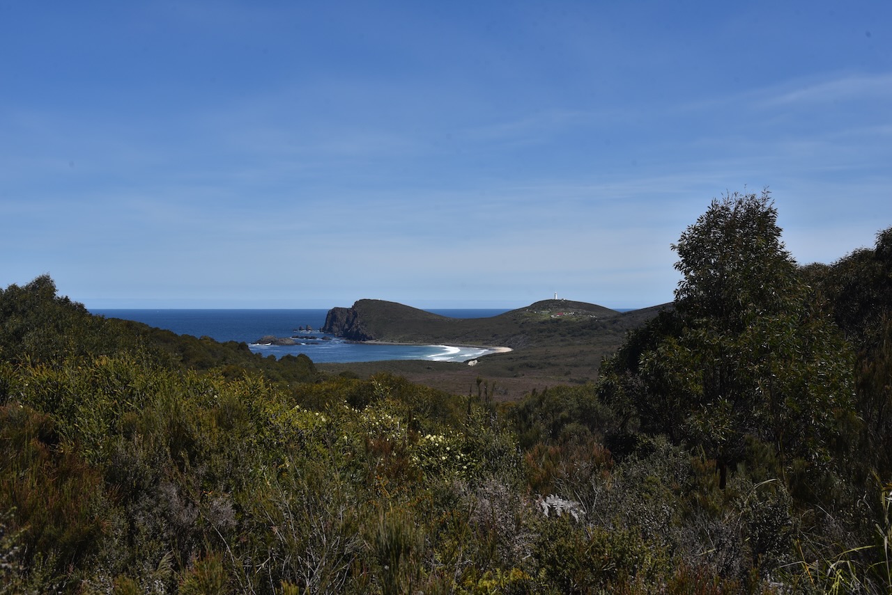
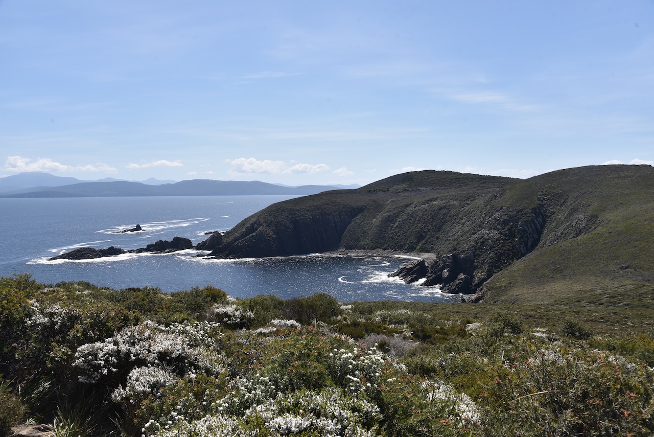
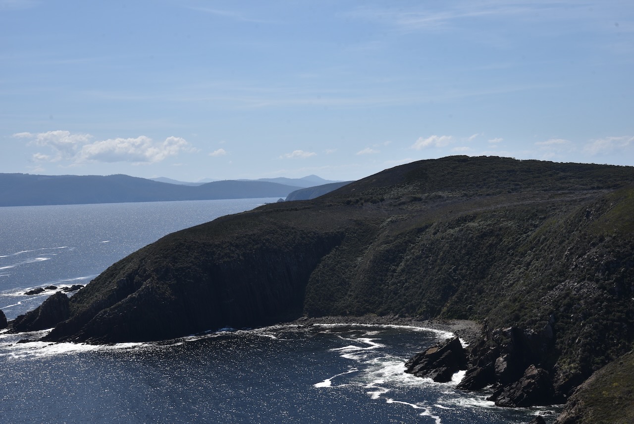
We then walked back down to the 4WD and continued south on our way to South Bruny National Park, stopping every now and again to enjoy some of the breathtaking views.
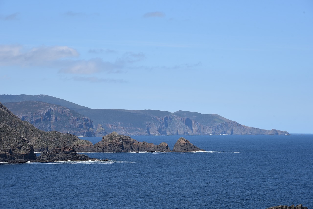
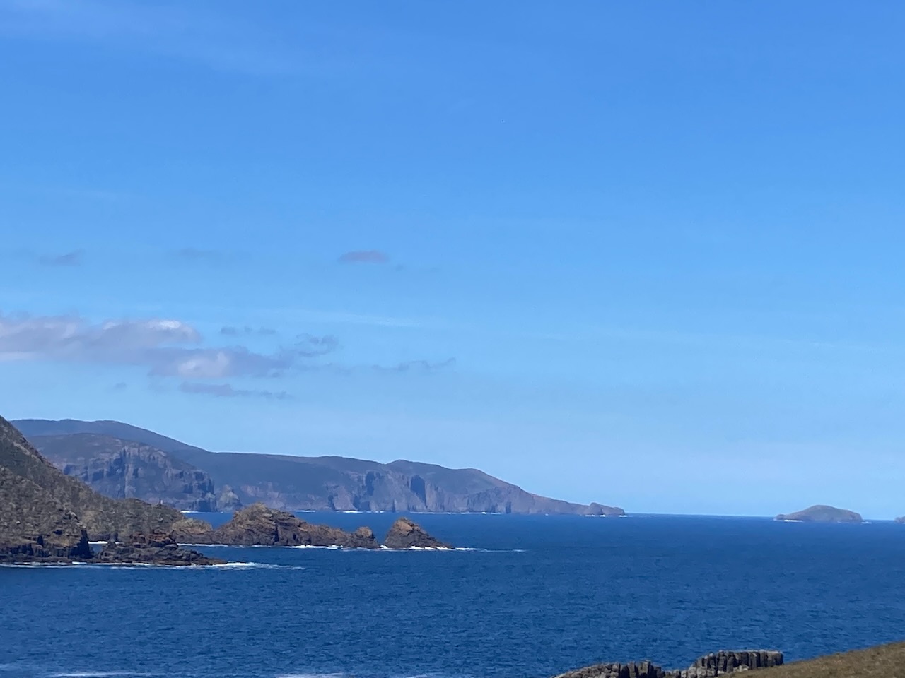
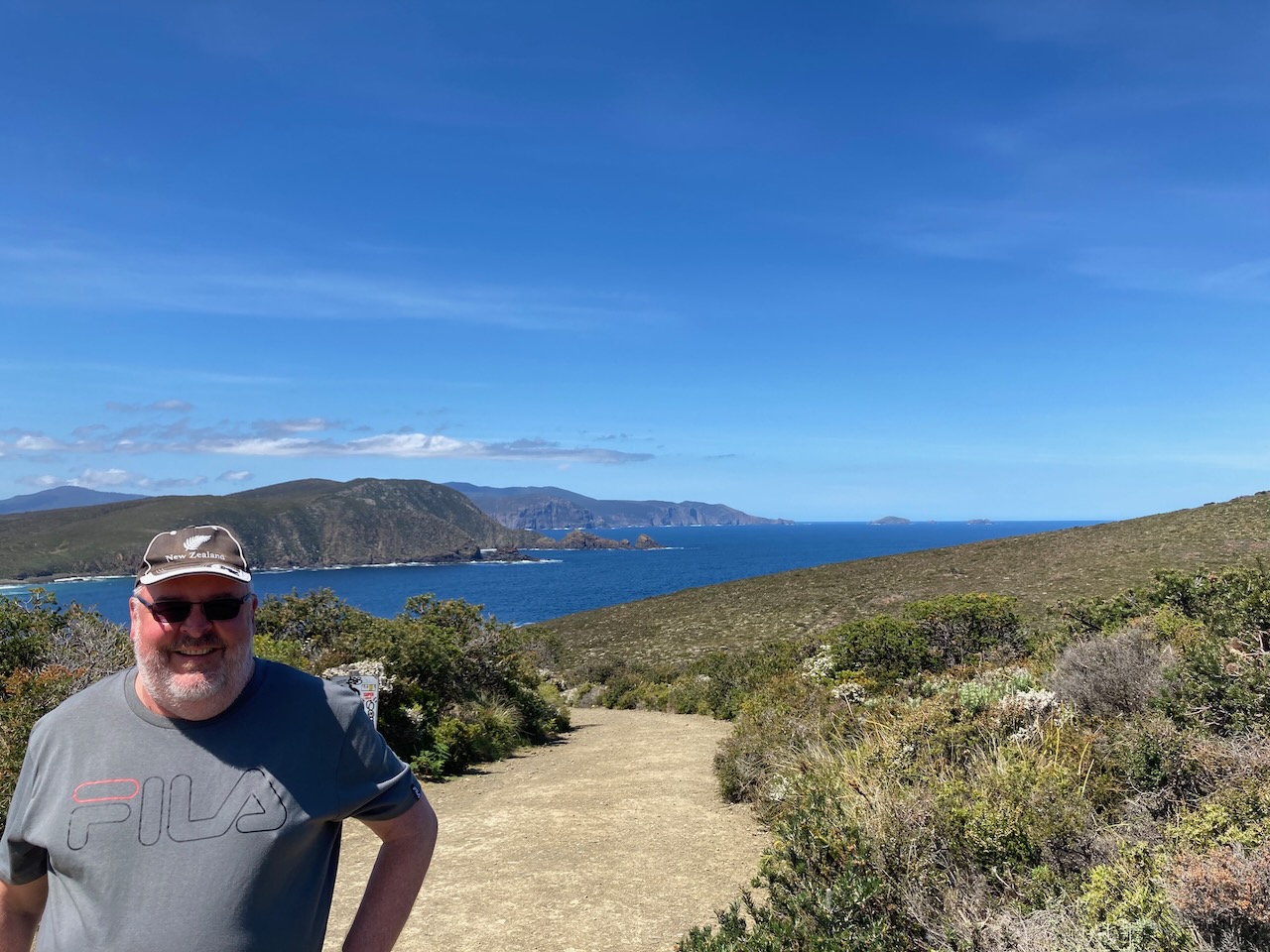
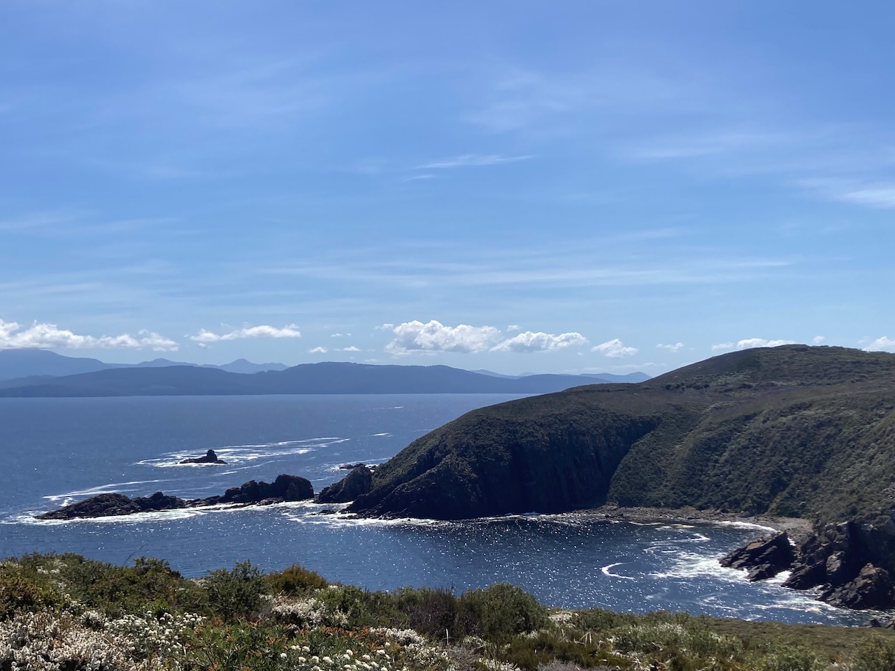
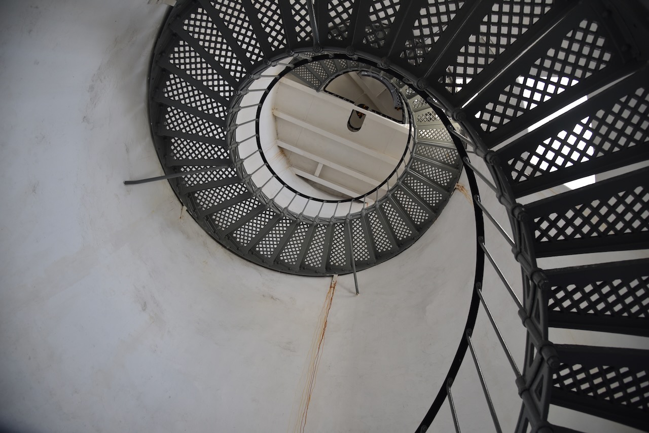
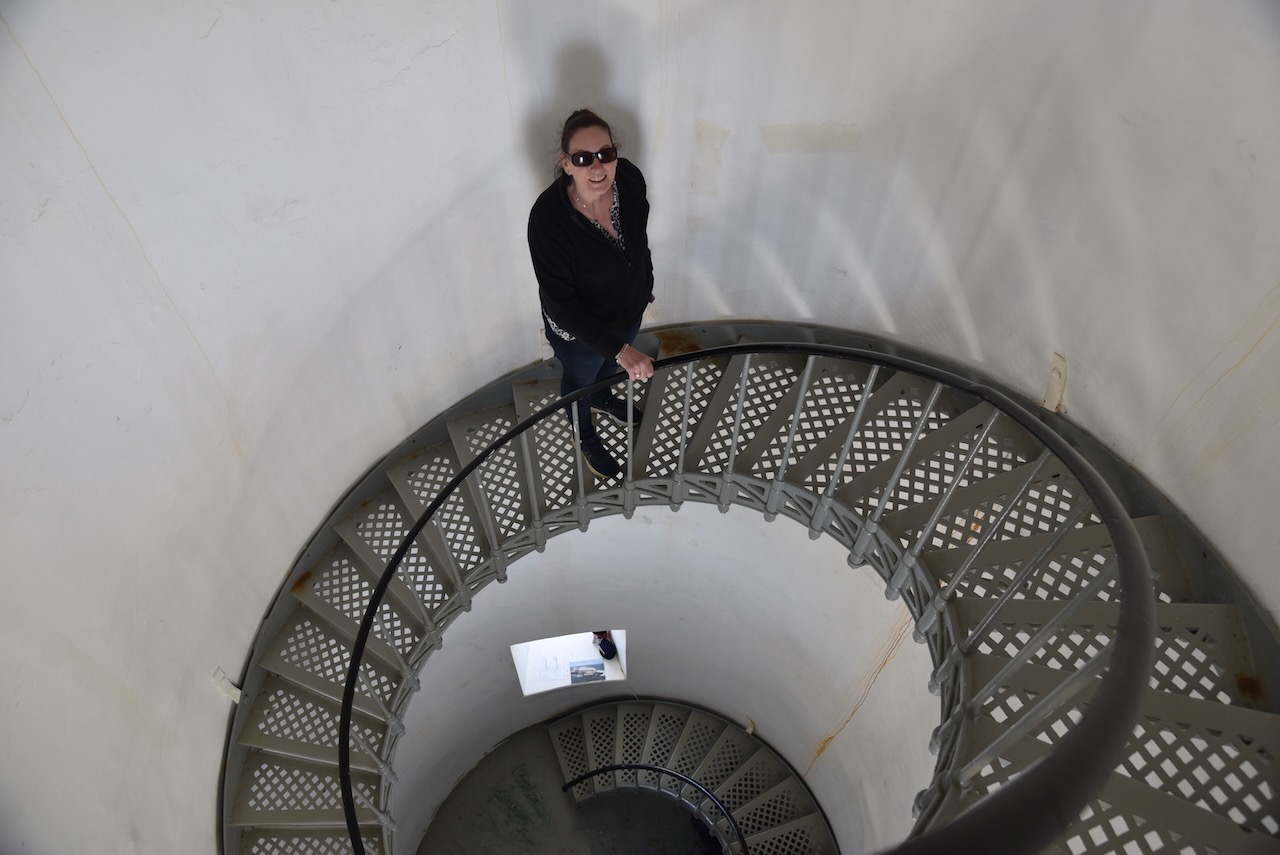
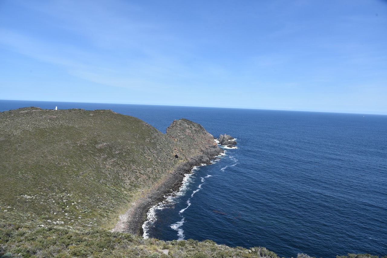
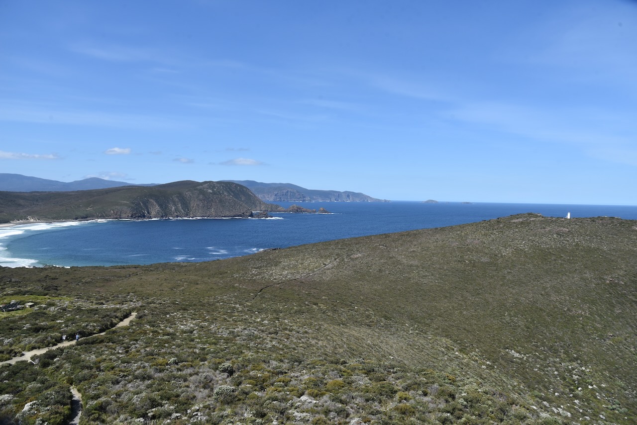
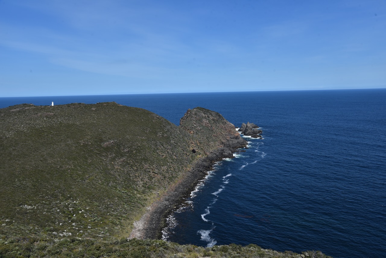
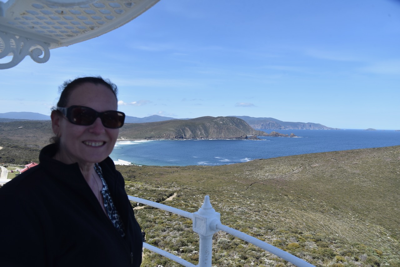
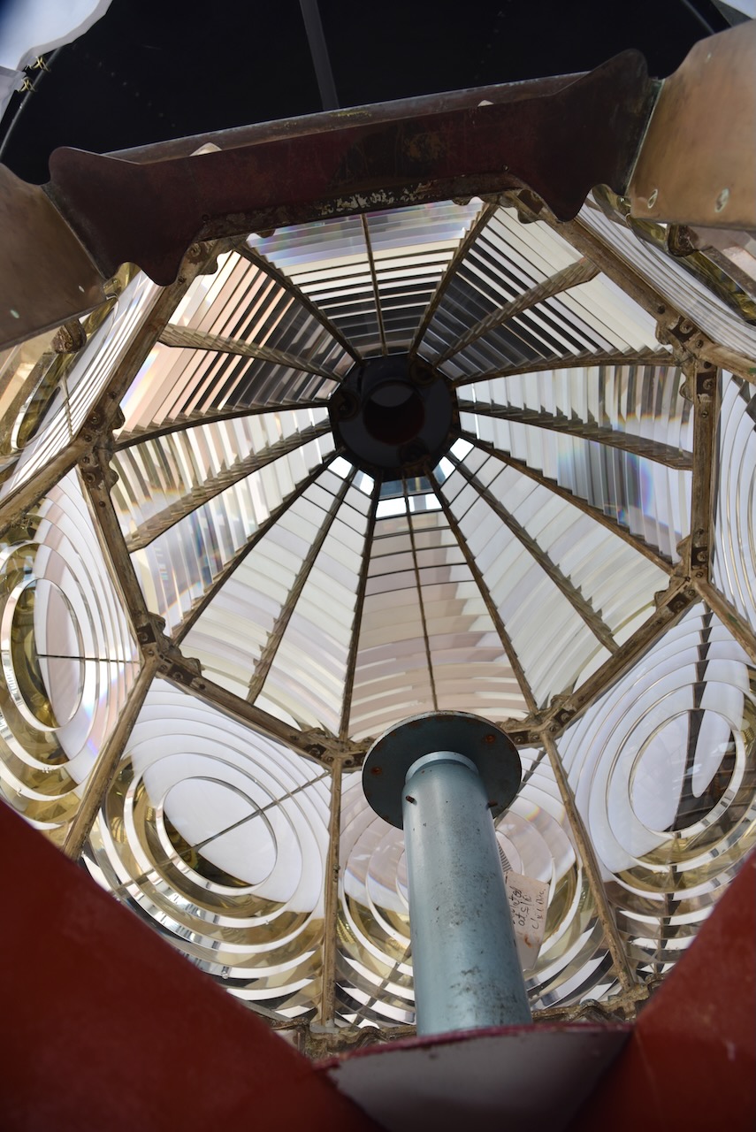
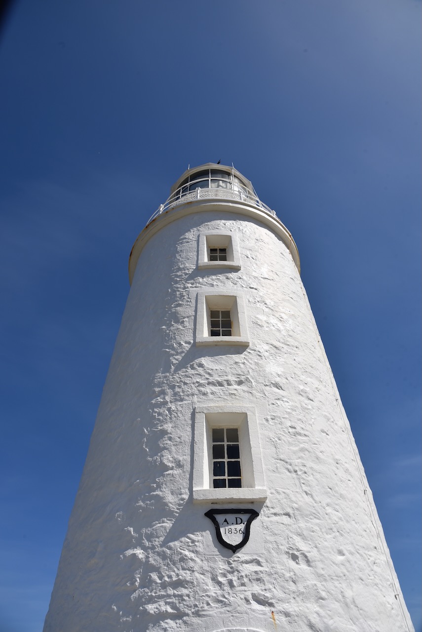
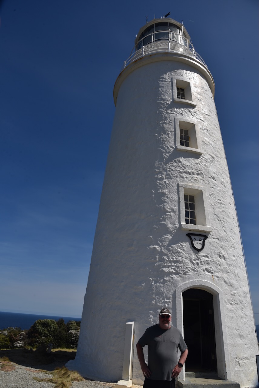
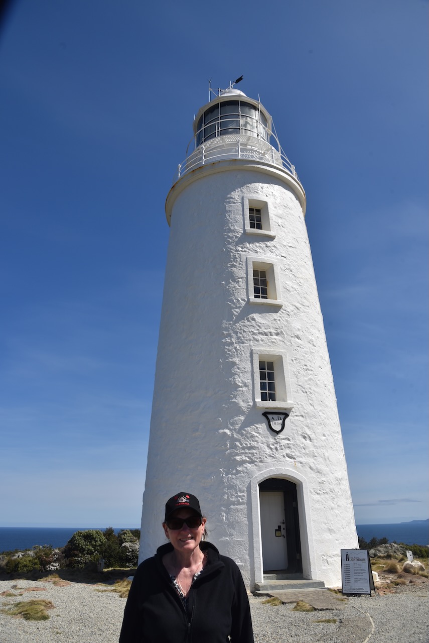
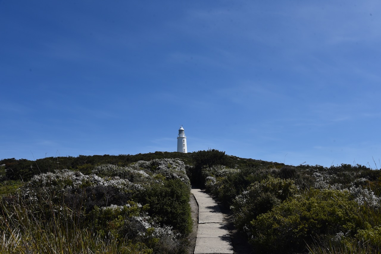
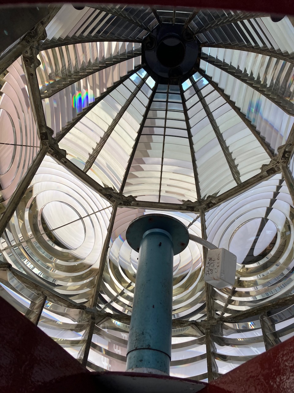
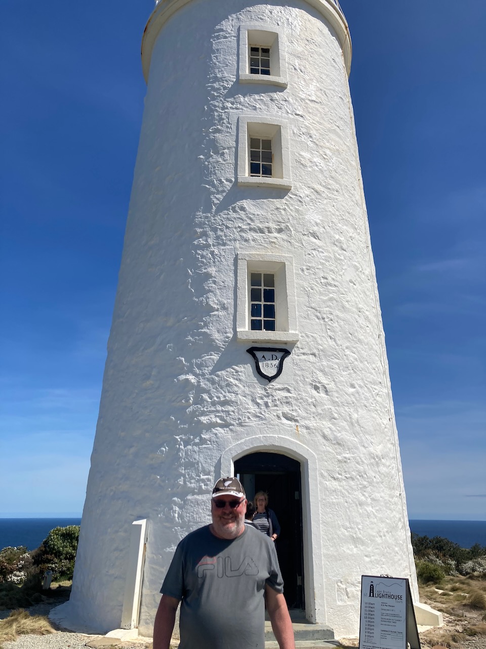
We continued south along Lighthouse Road and soon had the Cape Bruny lighthouse in our sights. We parked the 4WD and then took the short but steep walk up to the lighthouse.
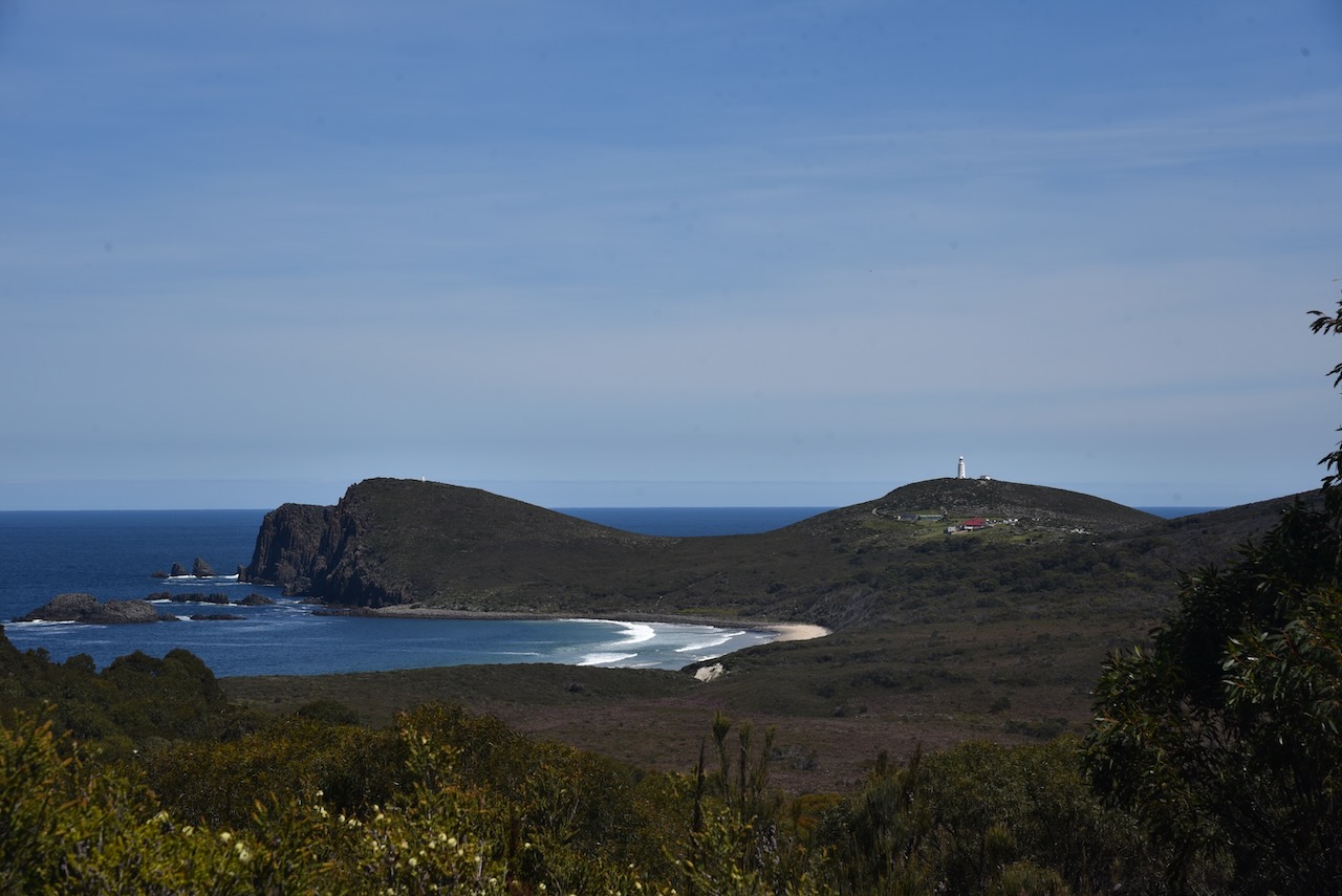
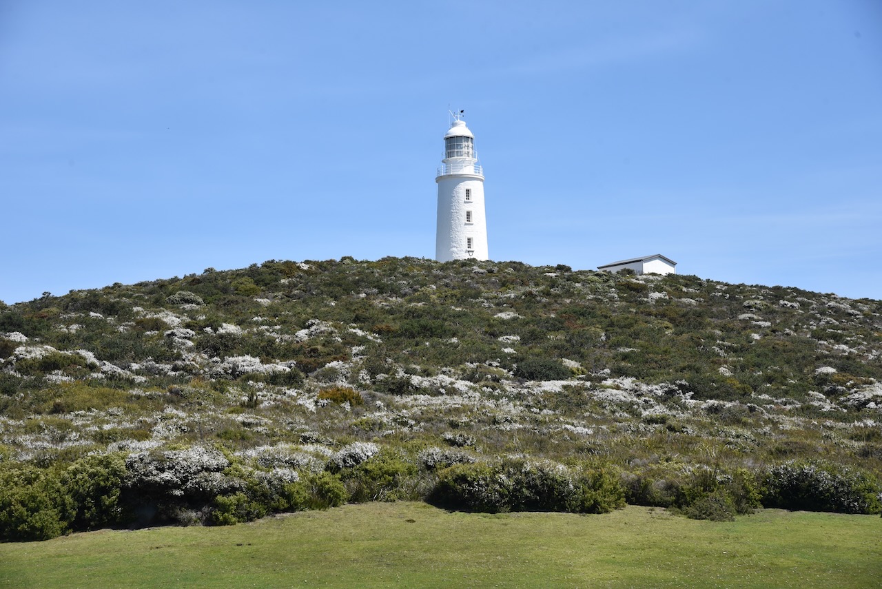
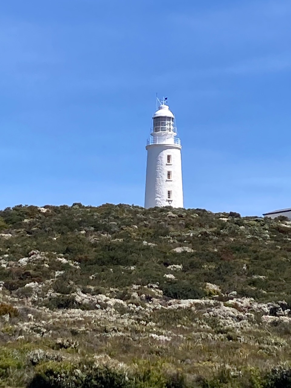
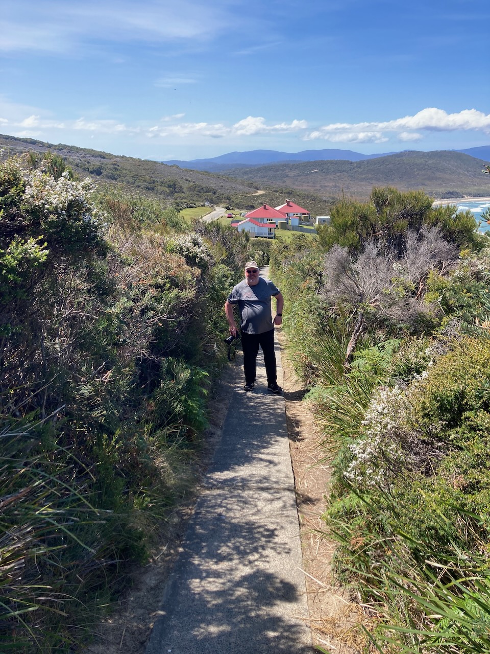
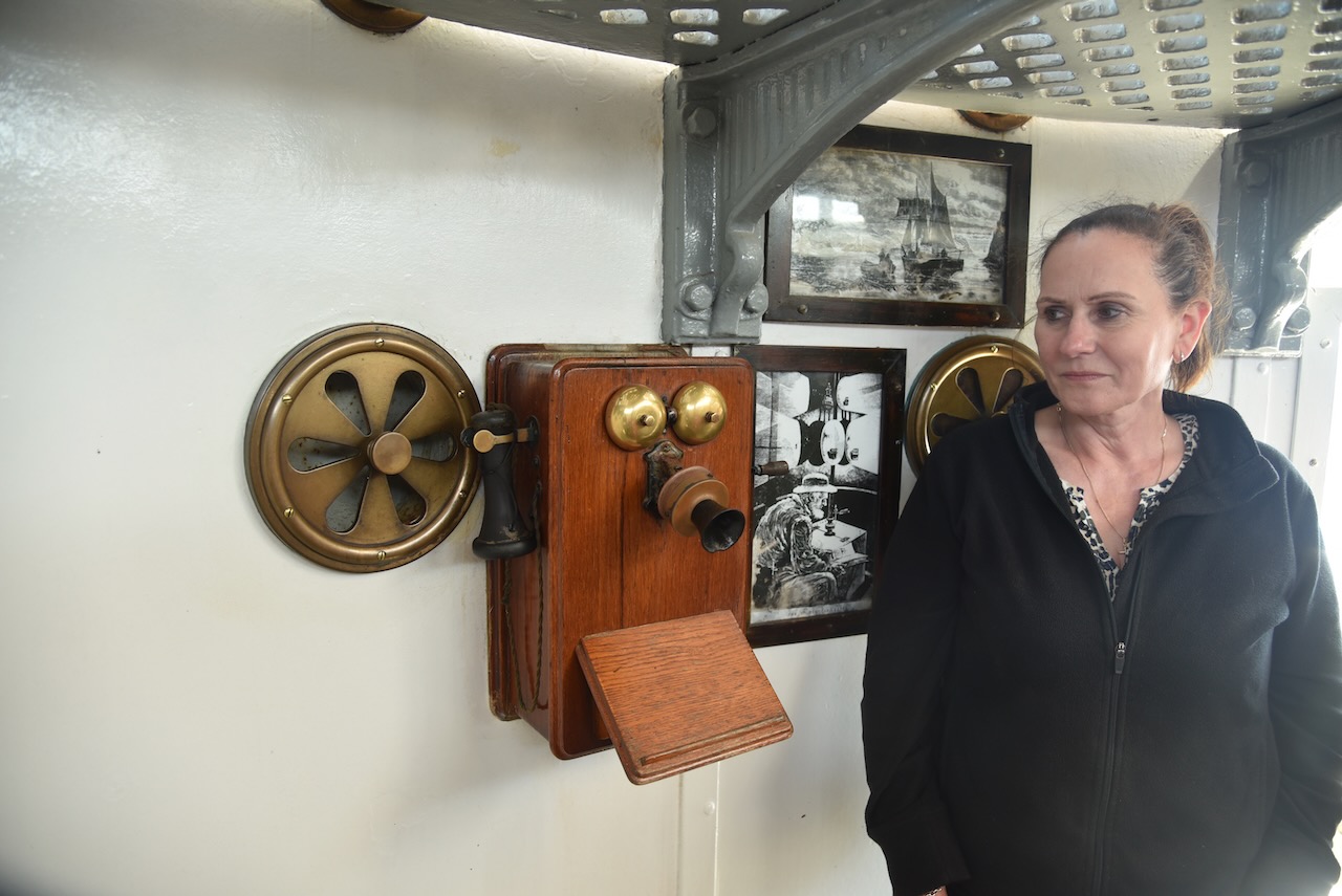
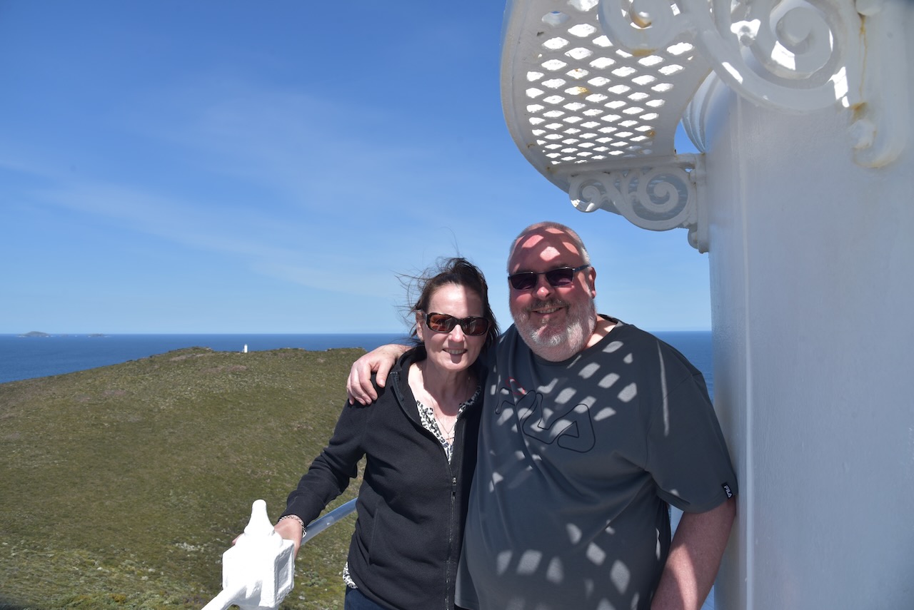
We decided to take a tour of the lighthouse which we can highly recommend.
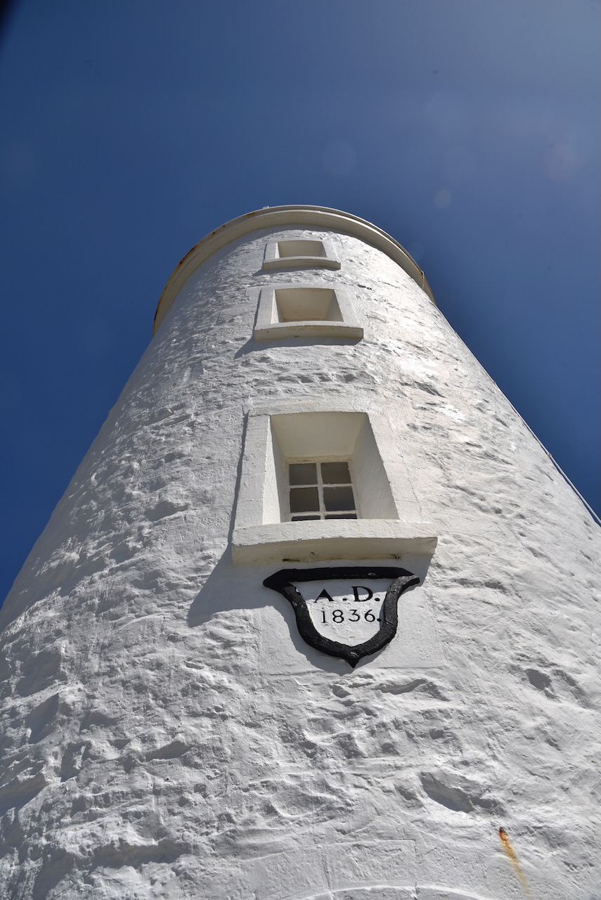
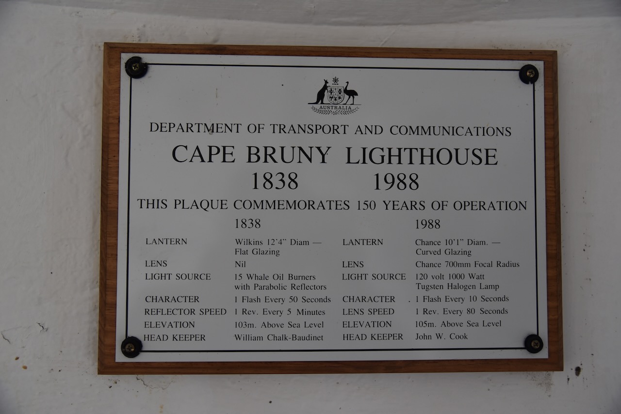
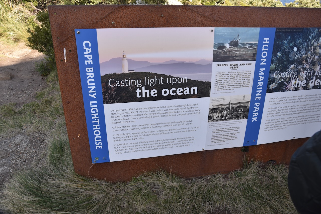
The Cape Bruny lighthouse was first lit on March 1838. It is Tasmania’s third lighthouse and Australia’s fourth lighthouse.
It was commissioned by Governor George Arthur in 1835 following a series of shipwrecks south of Bruny Island. This included the wreck of the convict transport ship George III, with the loss of 134 lives in April 1835.
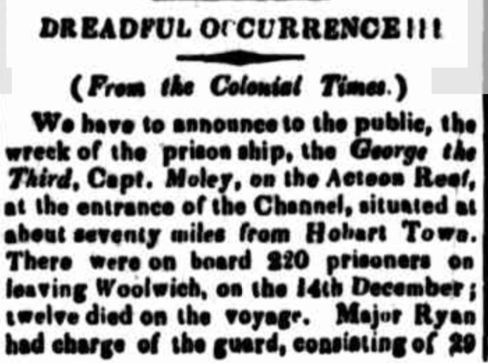
Above:- part of an article from The Cornwall Chronicel, Sat 18 Apr 1835. Image c/o Trove.
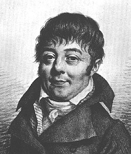
In January 1836 architect and engineer John Lee Archer (b. 1791. d. 1852) submitted his final design for the lighthouse. In April 1836 work commenced. However, construction took longer than expected. Part of this was due to the person he put in charge of construction, Charles Watson (b. 1798. d. 1849). Watson was a former convict and had not been approved by Governor Arthur.
Watson and his team of 12 convicts completed the lighthouse in March 1838.
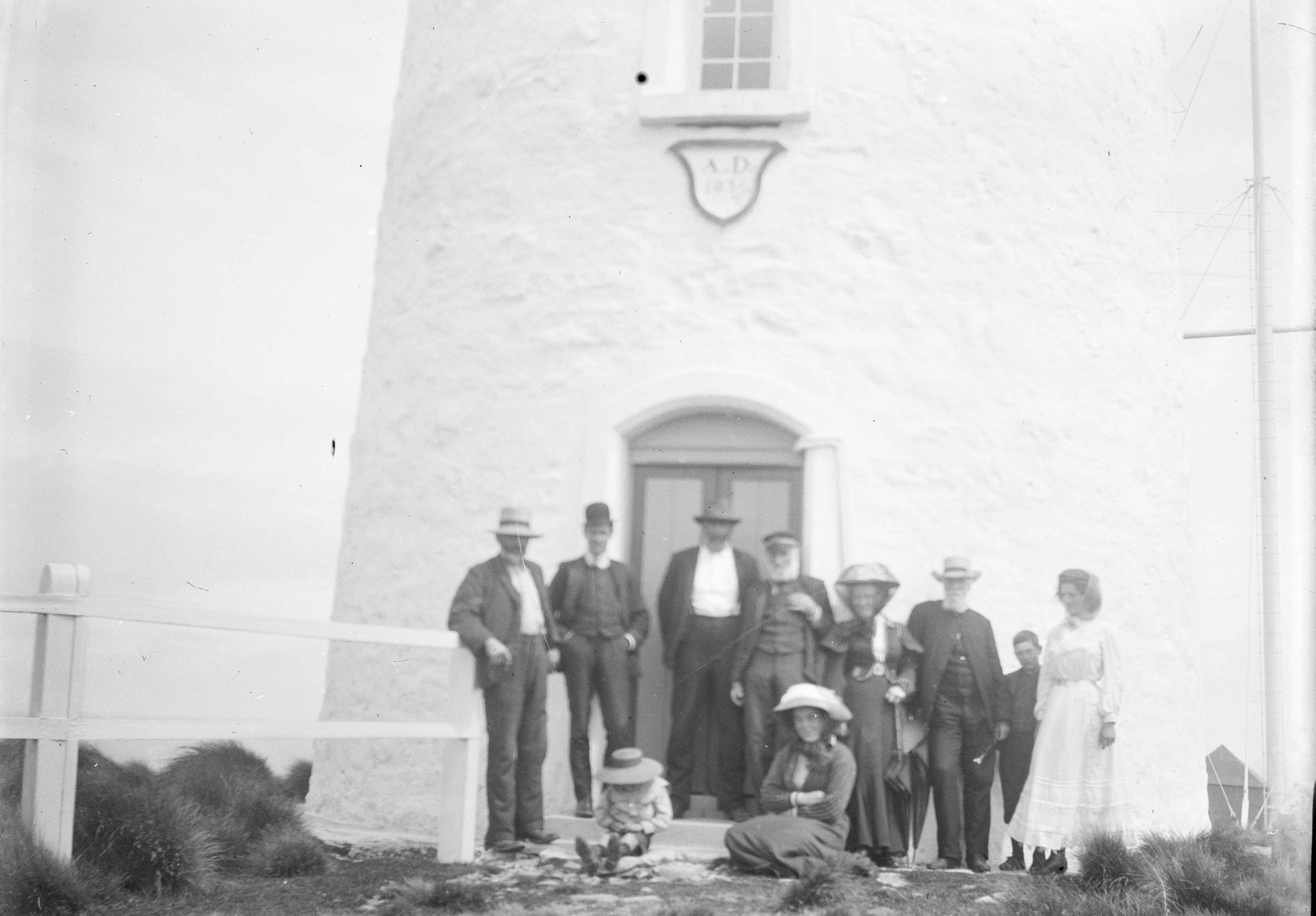
Above:- Cape Bruny lighthouse, early 1900s. Image c/o Trove
The Cape Bruny Lighthouse was made redundant in 1993. Its last lighthouse keeper was John Cook who spent 13 years at Cape Bruny.
Our lighthouse guide was veery informative and we got to admire the very impressive views from the railing at the top of the lighthouse.
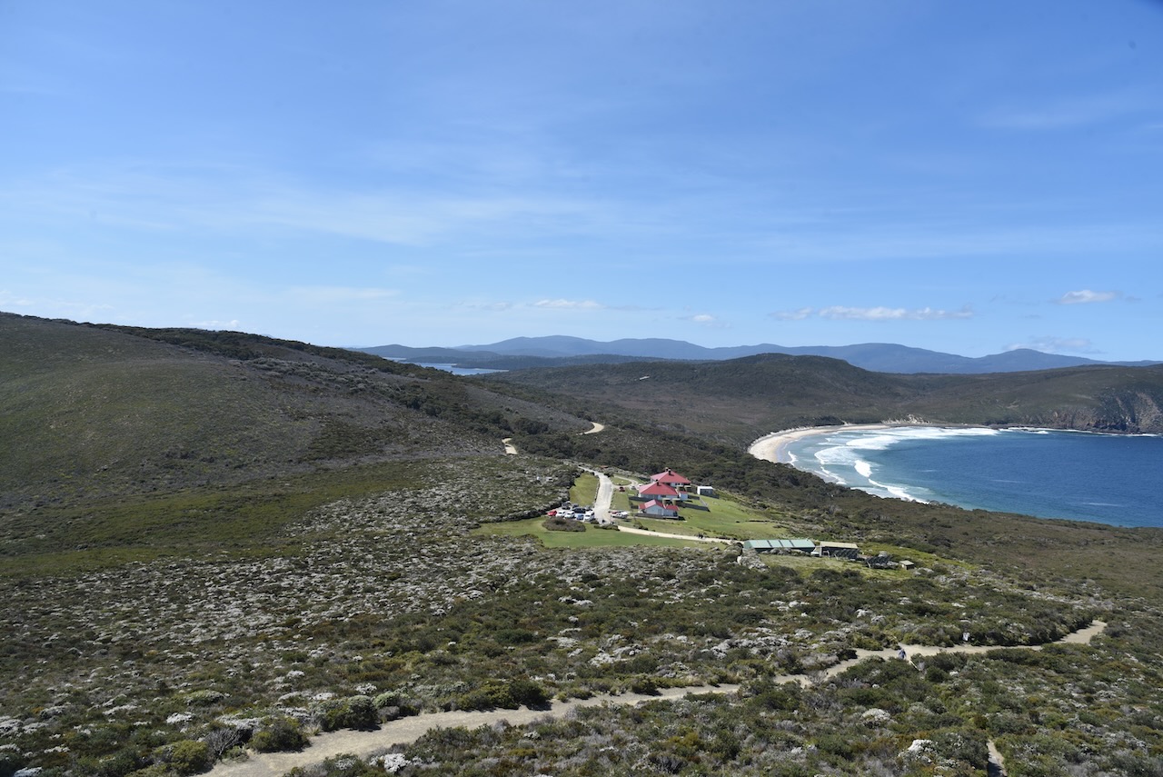
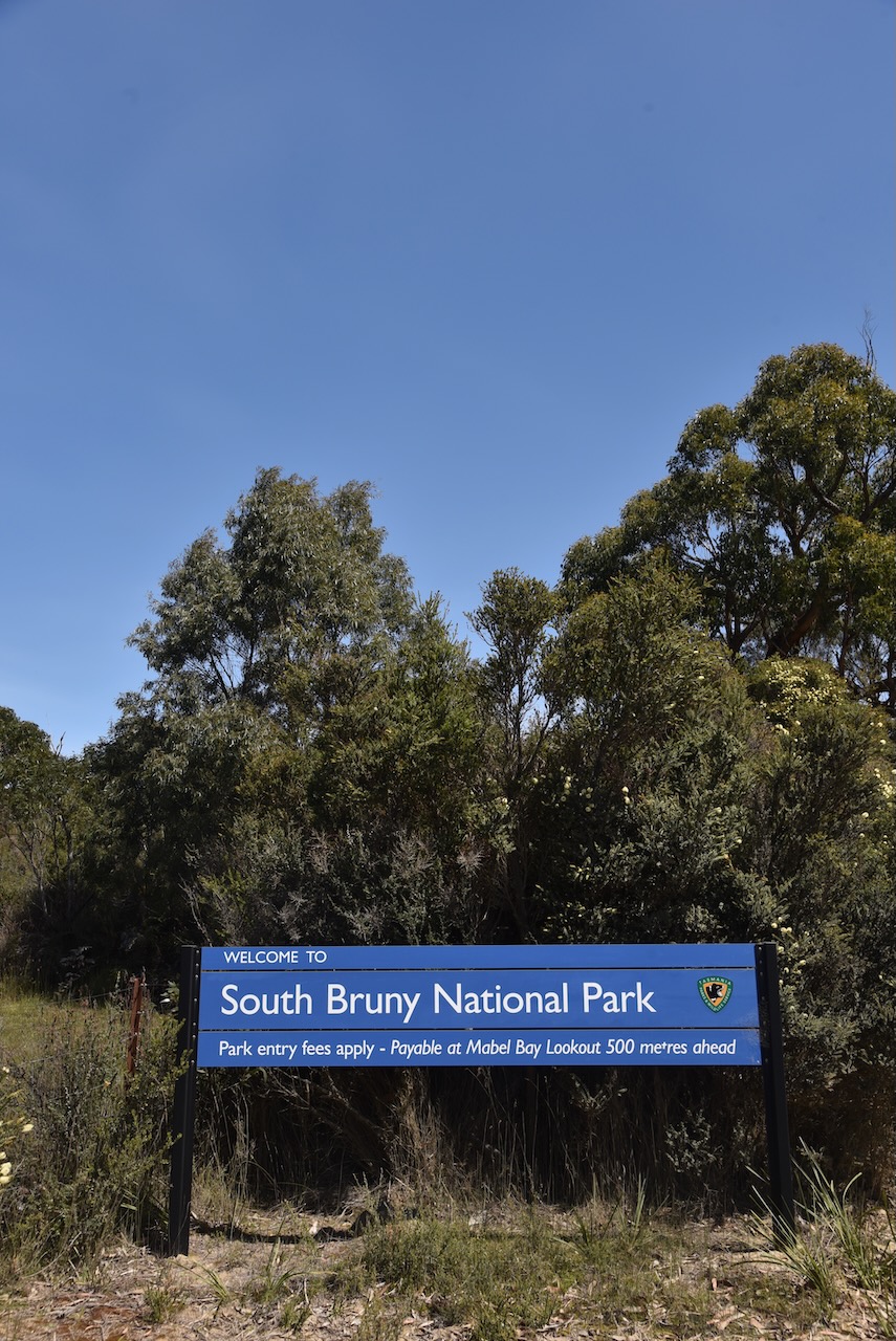
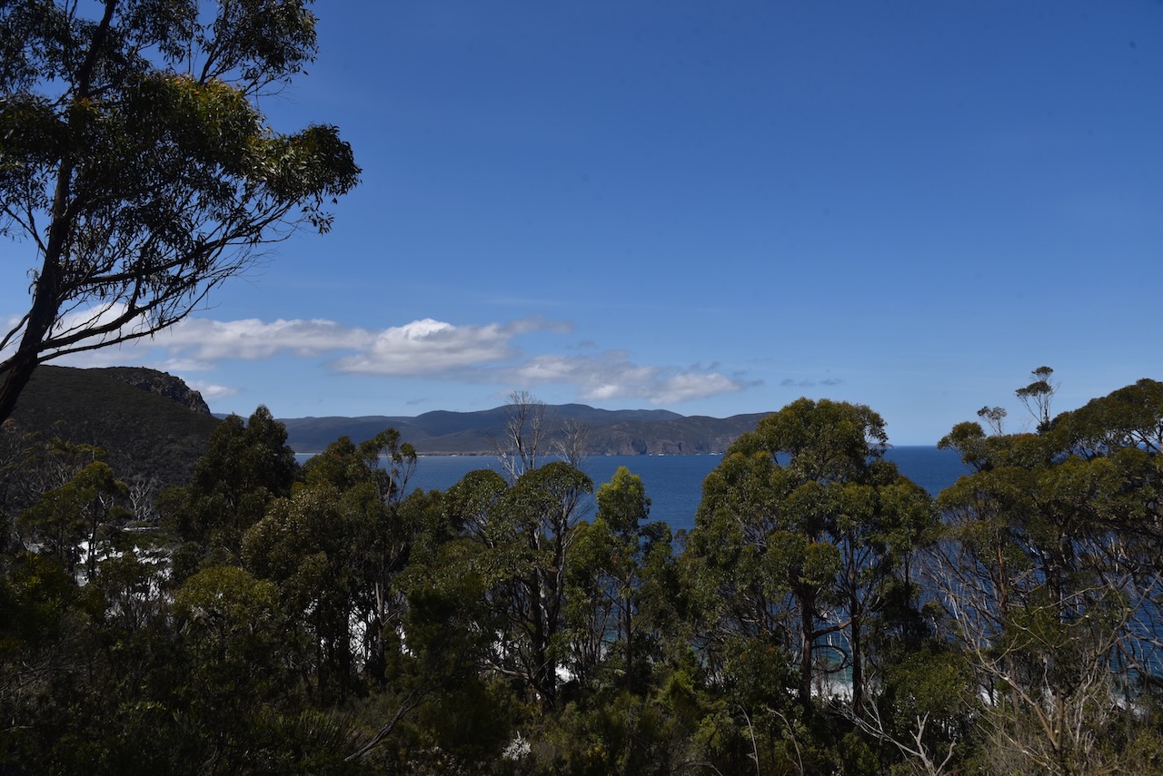
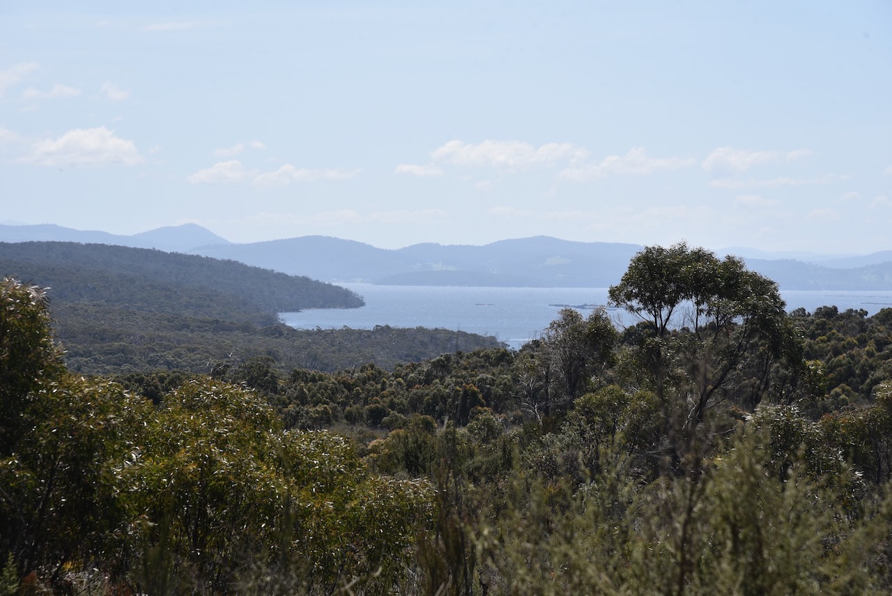
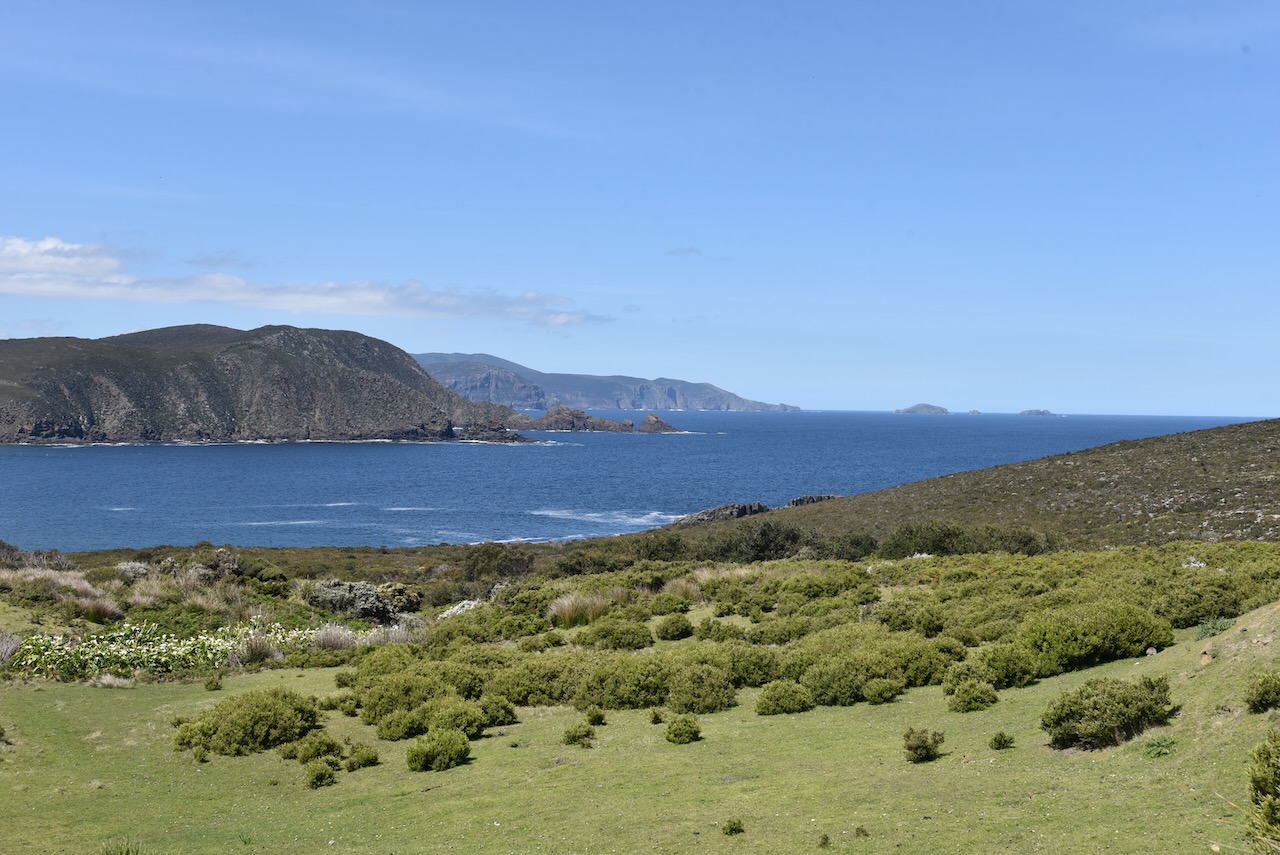
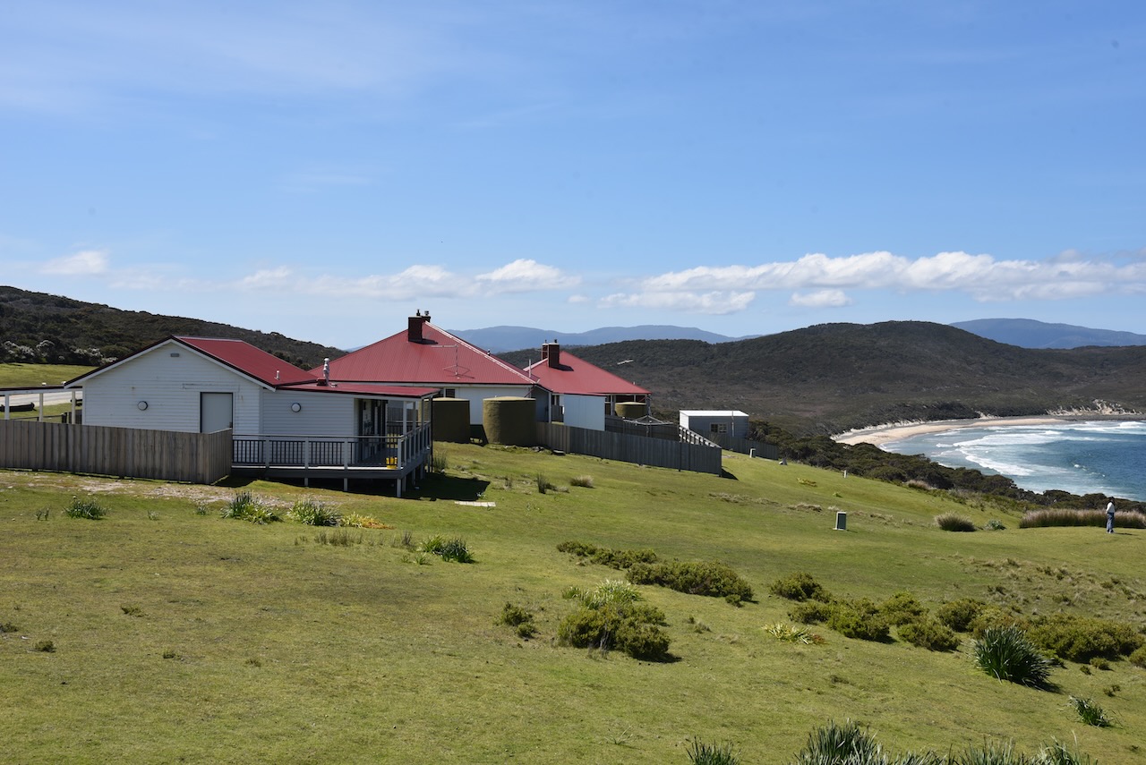
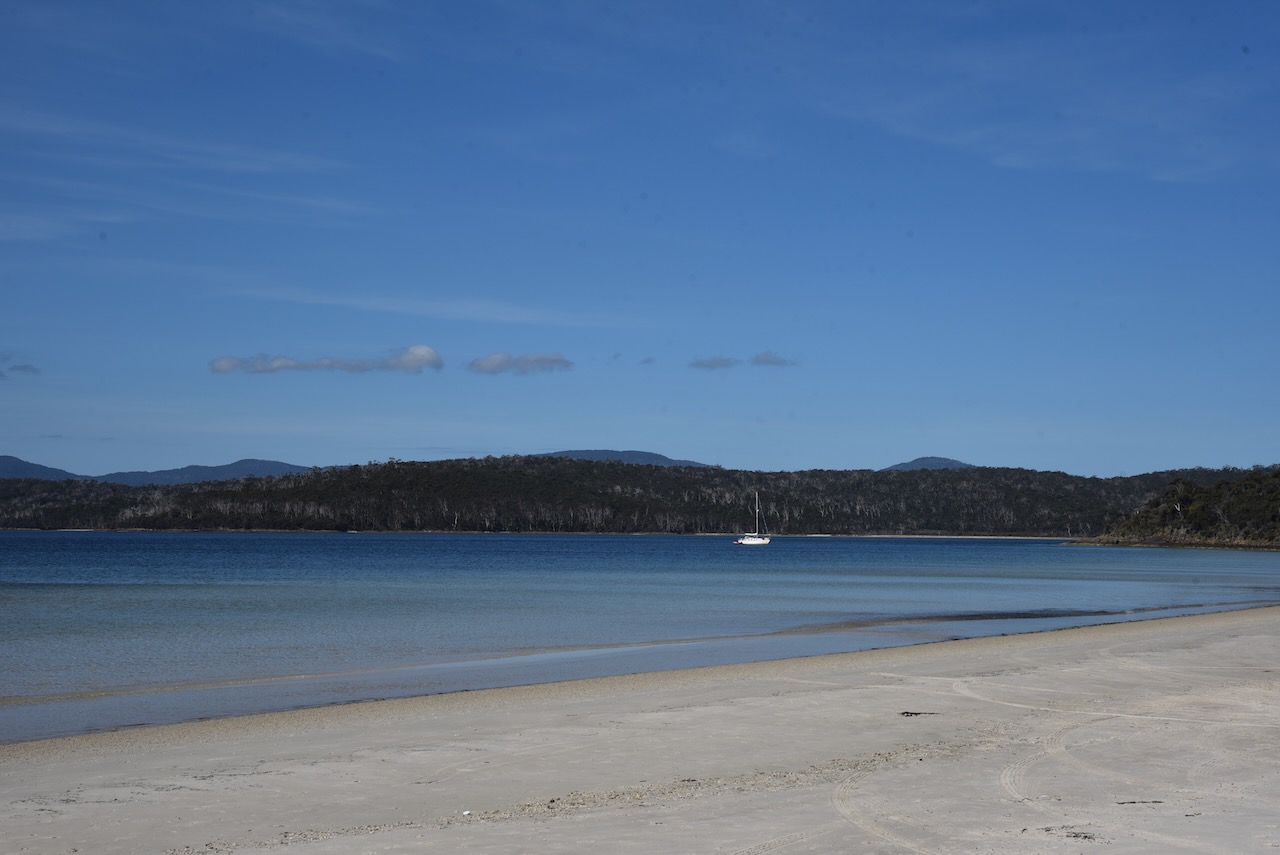
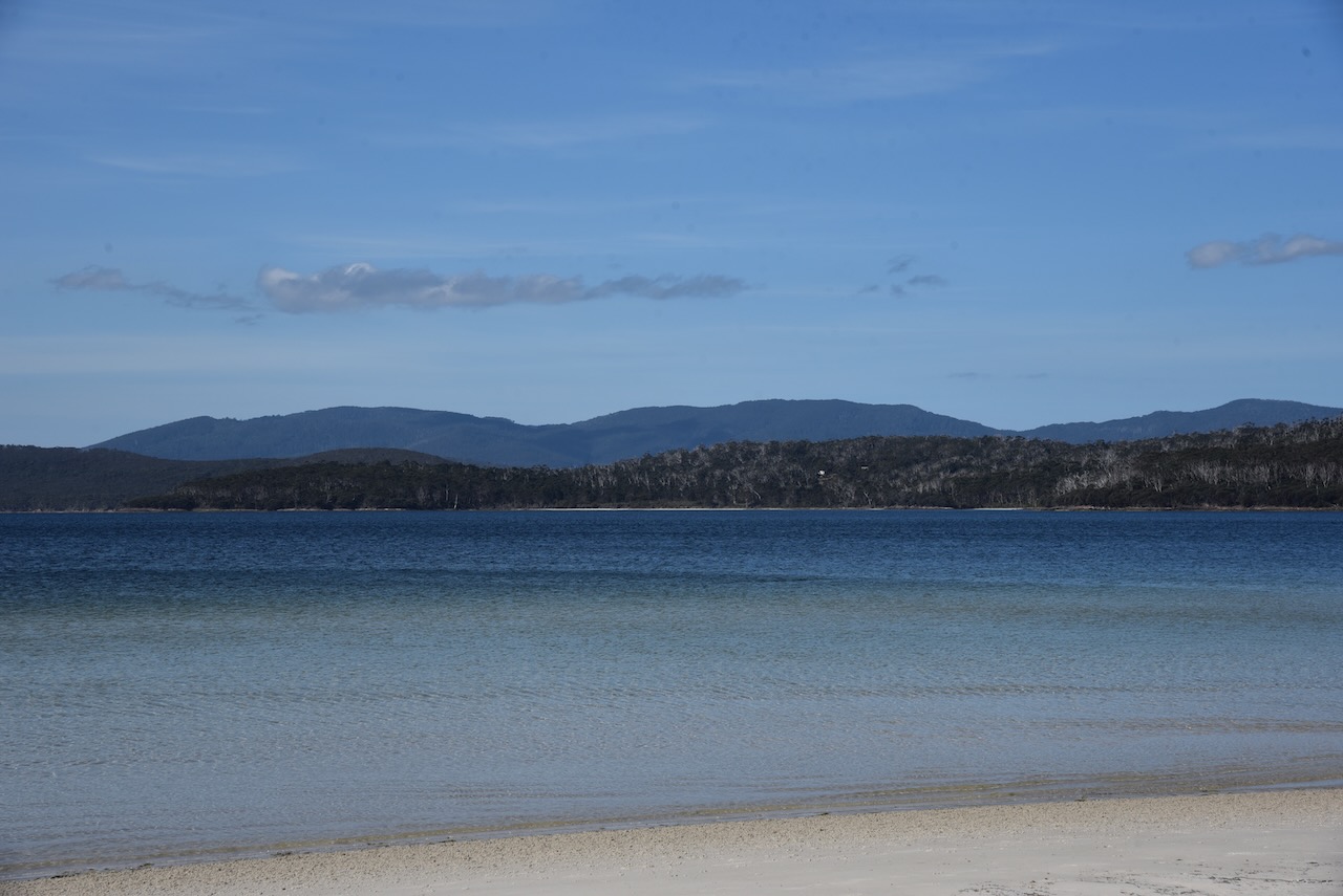
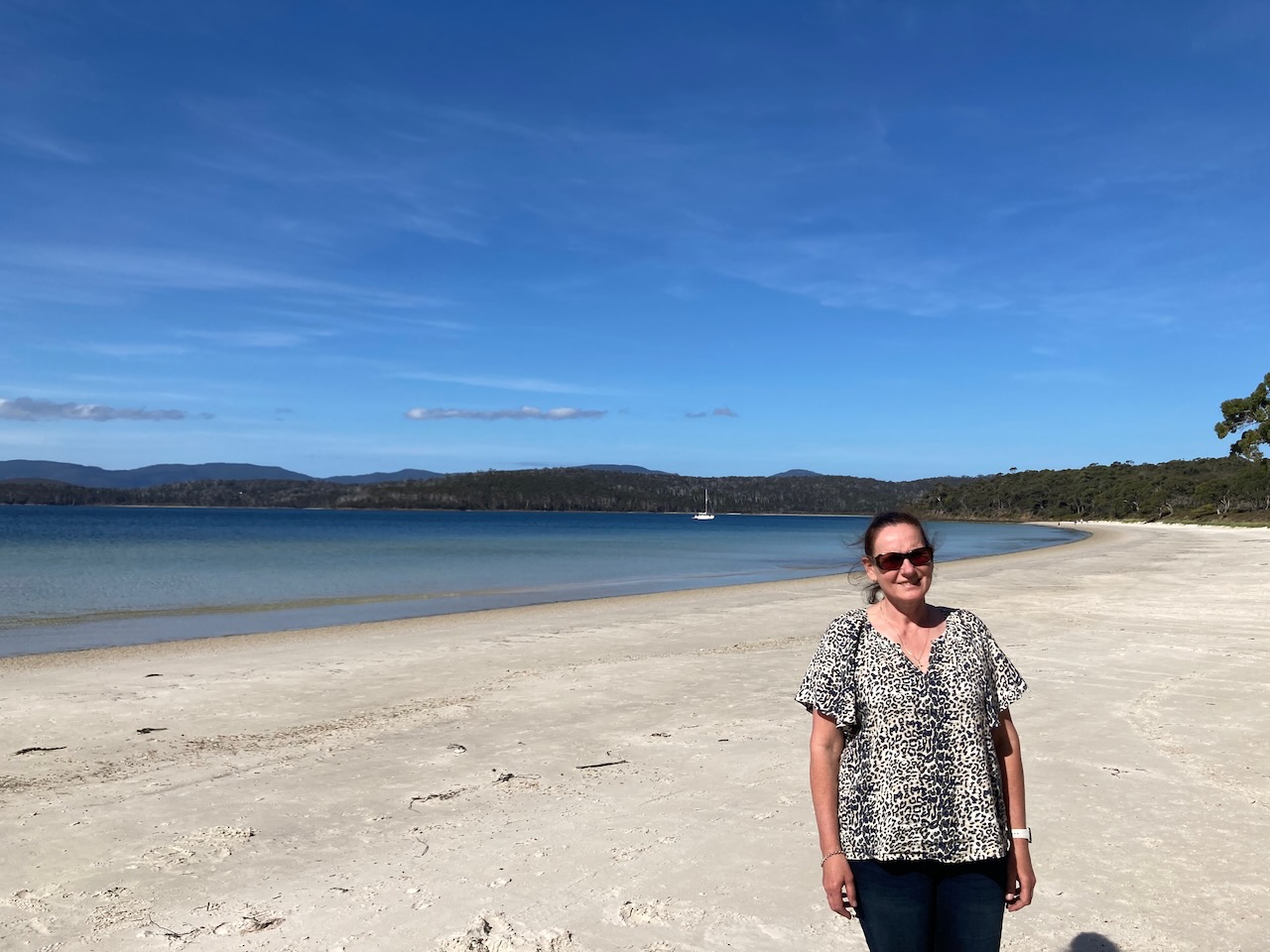
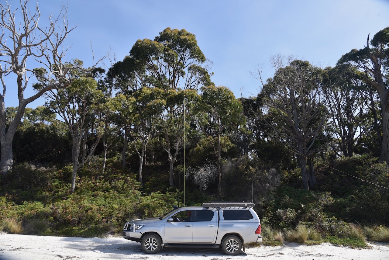
After leaving the lighthouse Marija and I headed north through the park along Lighthouse Road. We then turned onto Old Jetty Road and headed down to Jetty Beach to activate South Bruny National Park VKFF-0456.
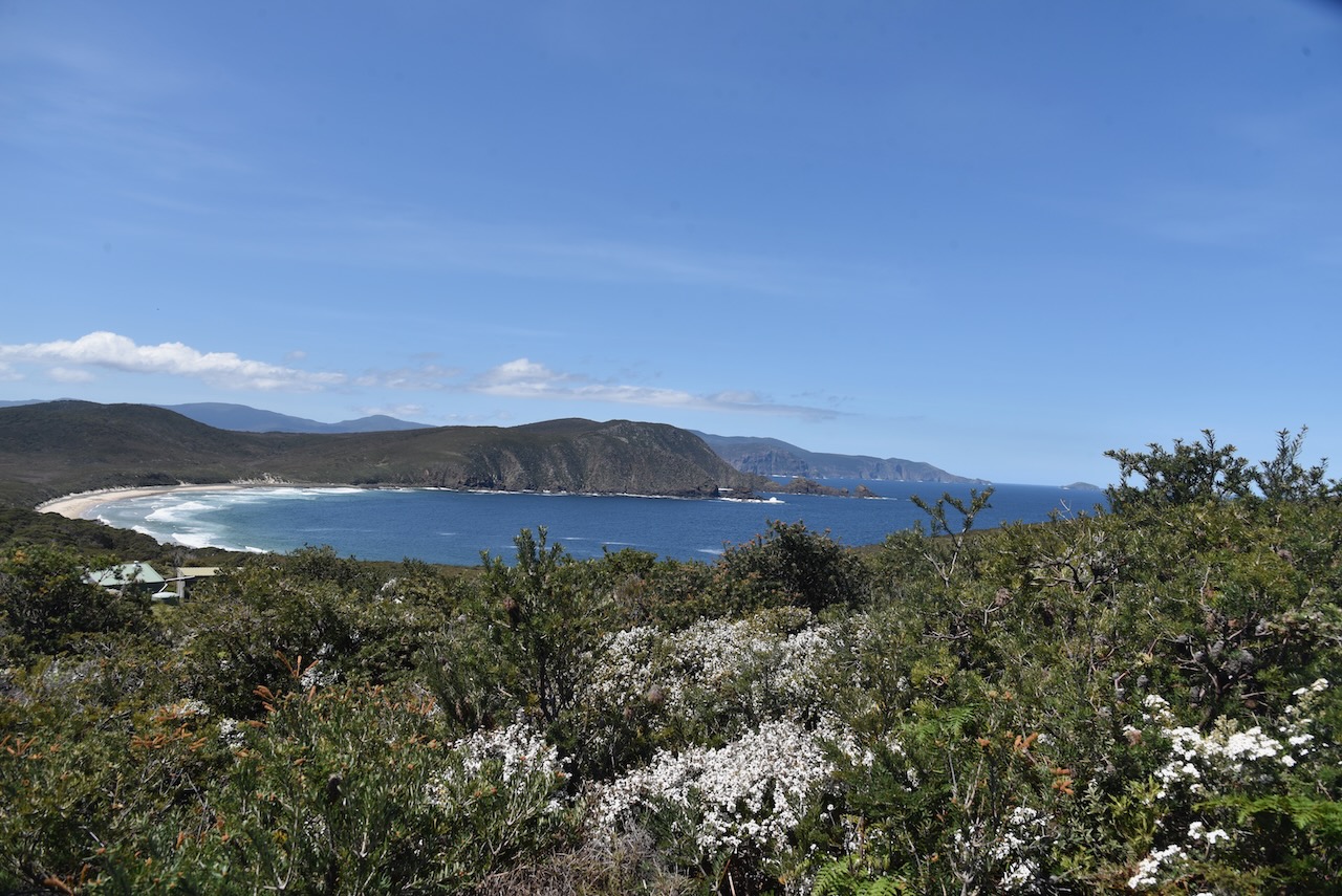
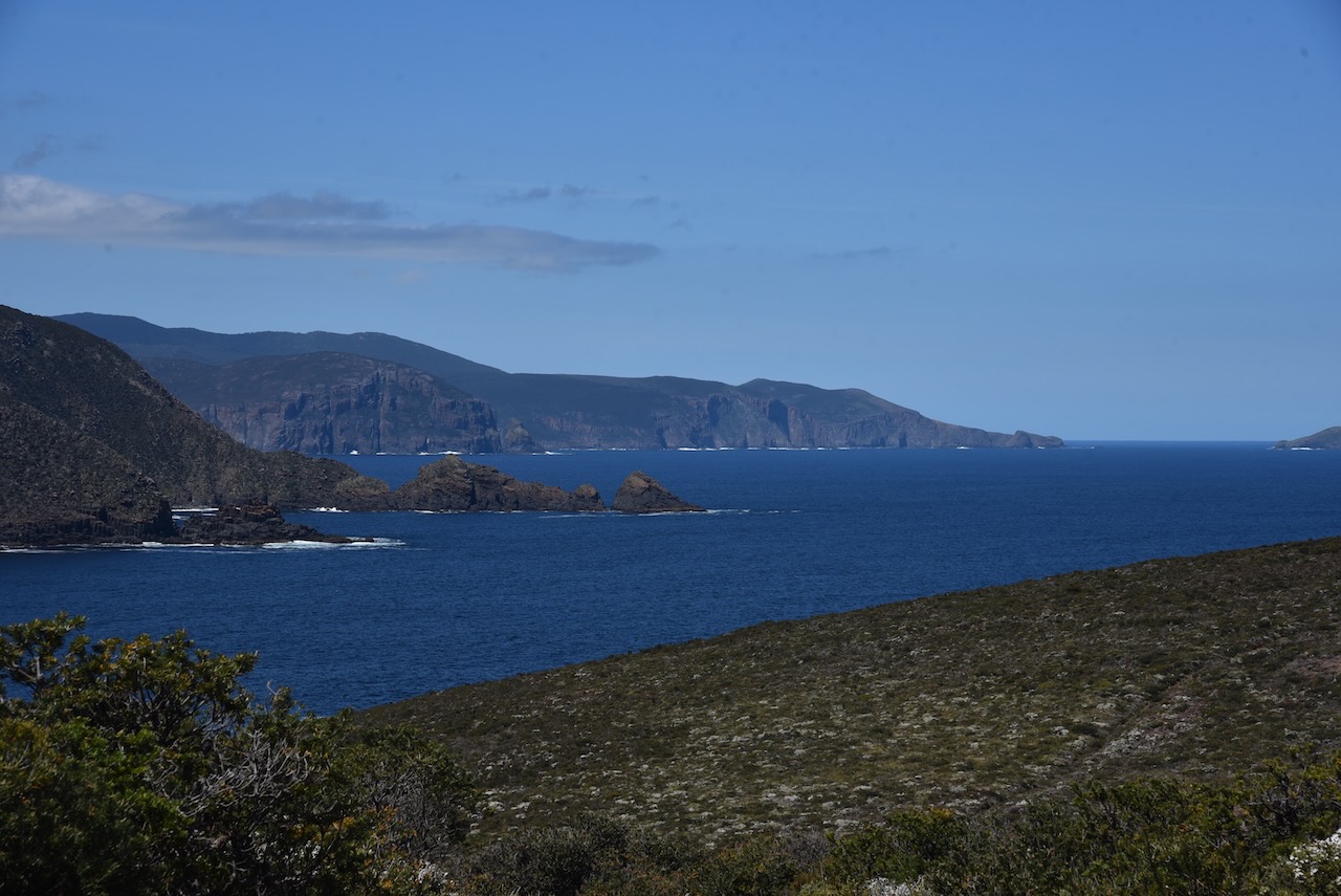
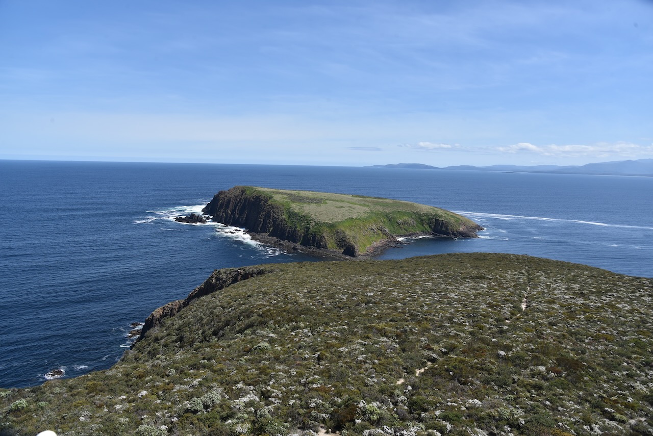
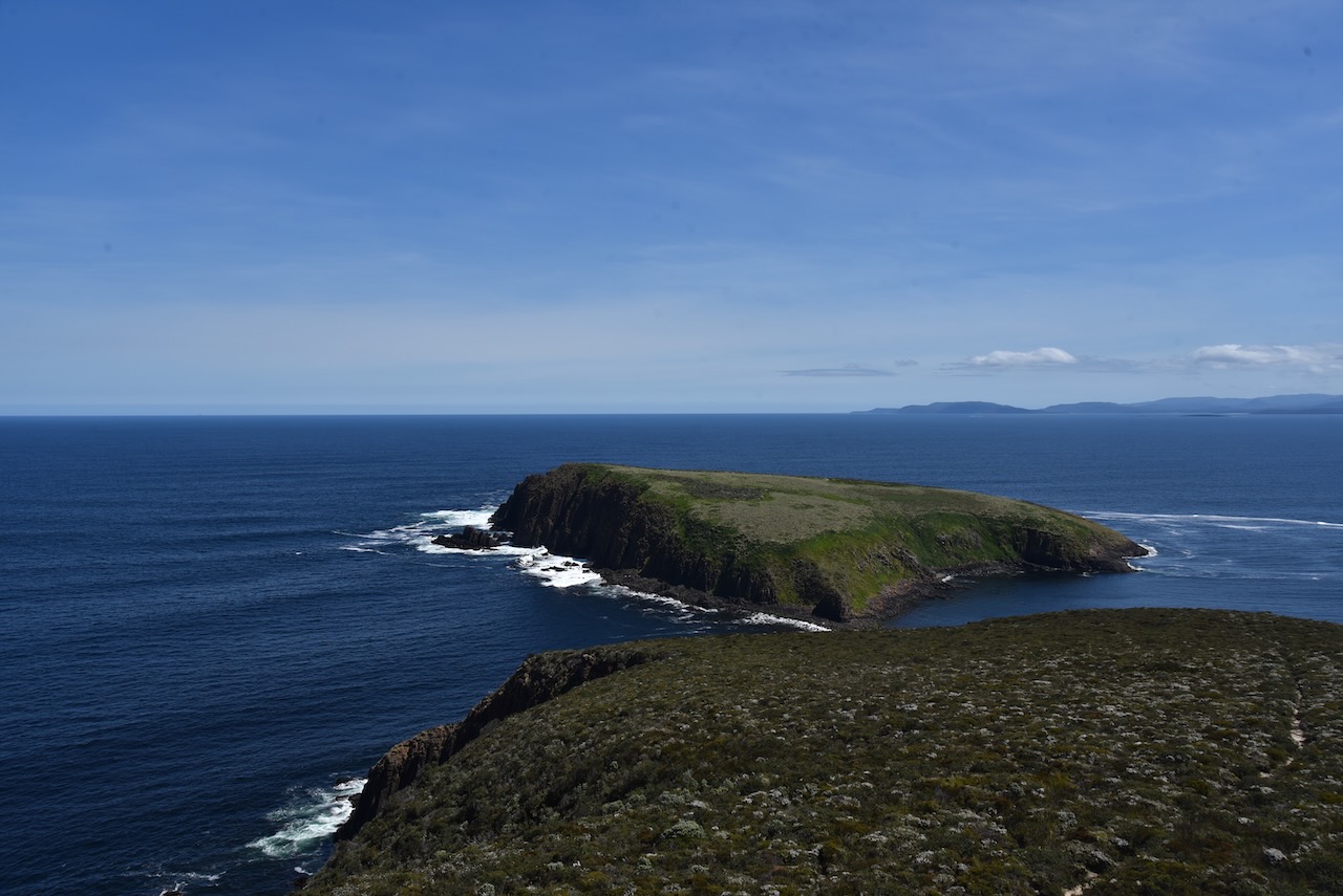
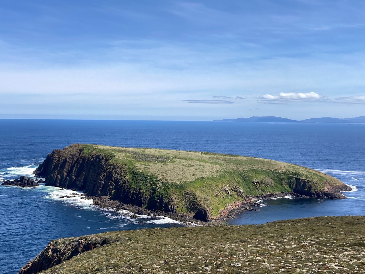
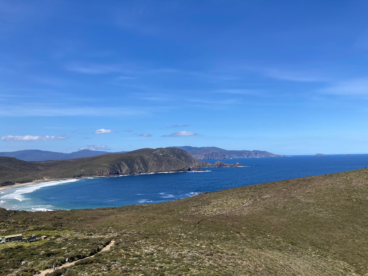
South Bruny National Park is located at the southern end of South Bruny Island. It is 50.59 km2 in size and was established in 1997 for its coastal scenery, Aboriginal and historic heritage, and to protect a number of threatened species. The highest point in the park is Mount Bruny at 504 metres. It qualifies for the Summits On The Air (SOTA) program, but unfortunately we did not have sufficient time to activate it. The park includes a number of island including Partridge Island, Green Island and The Friars
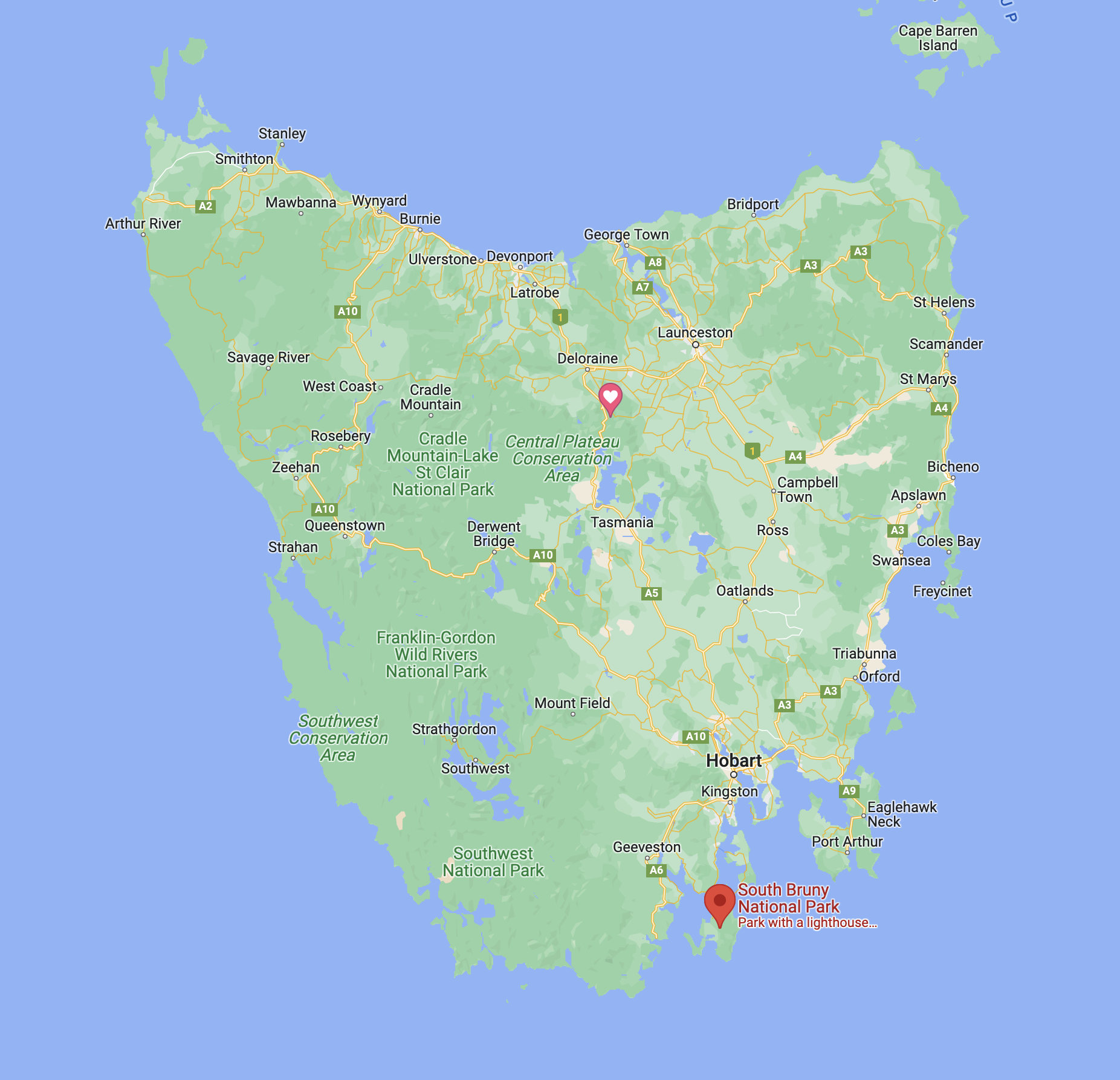
Above:- Map of Tasmania showing the location of South Bruny National Park. Map c/o Google maps.
The park includes the Labillardiere Peninsula which is named in honour of the French botanist Jacques Labillardière. He was the author of the first general flora of Australia and a member of Bruni d’Entrecasteaux’s expedition who I mentioned in the previous post.
Above:- Jacques Labillardiere. Image c/o Wikipedia.
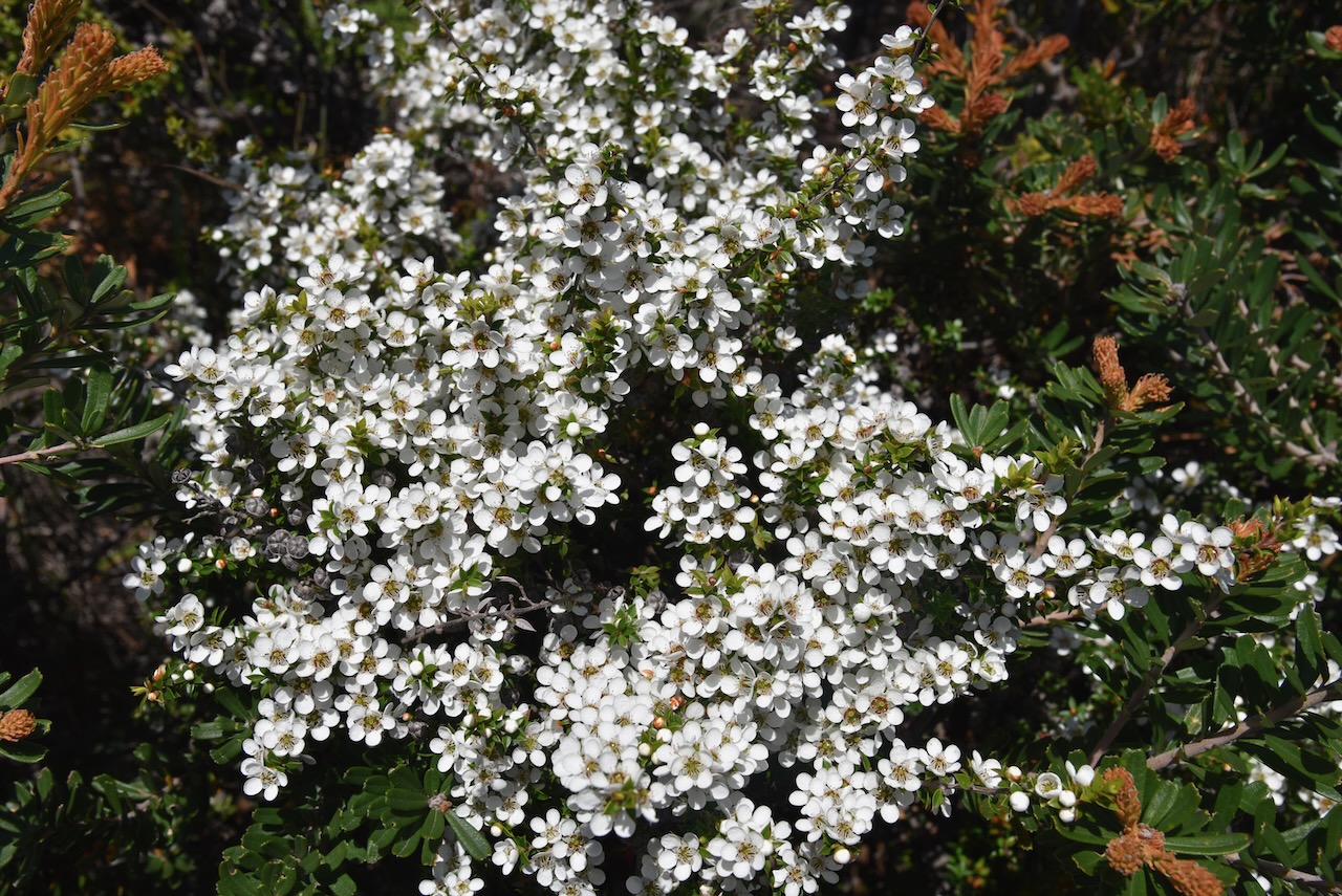
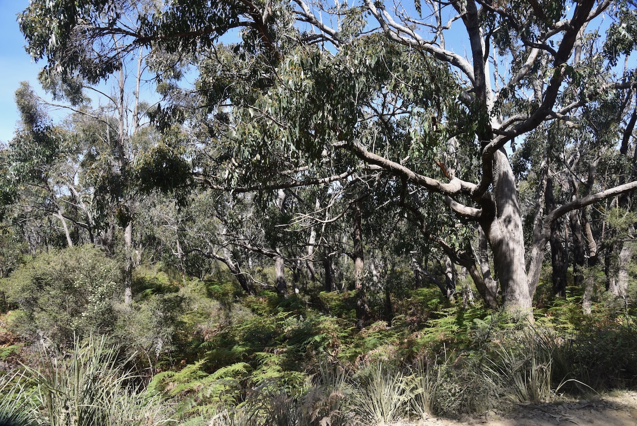
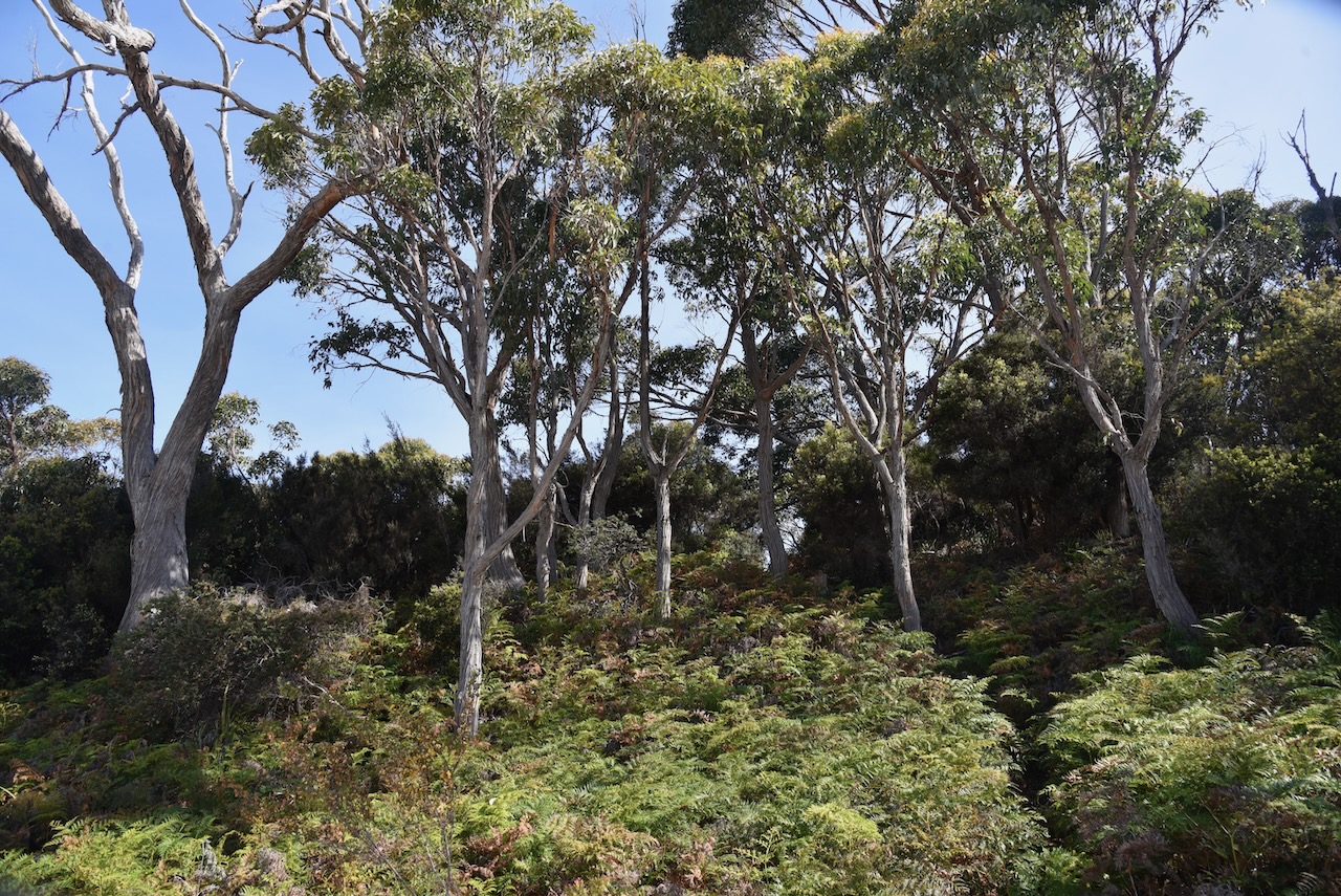
The park consists of eucalypt woodland , heathland, and wet eucalypt forest and temperate rainforest. The park contains several rare, endemic orchid species including the endangered chestnut leek orchid and the pretty leek orchid.
Native mammals found in the park include Bennett’s wallaby, common brush tail possum, Tasmanian pademelon, Eastern quoll, Spitted quoll, Tasmanian devil, and Common wombat. The Bennett’s wallaby is quite common throughout Tasmania, however the South Bruny National Park protects a small population of unusual white Bennett’s wallabies.
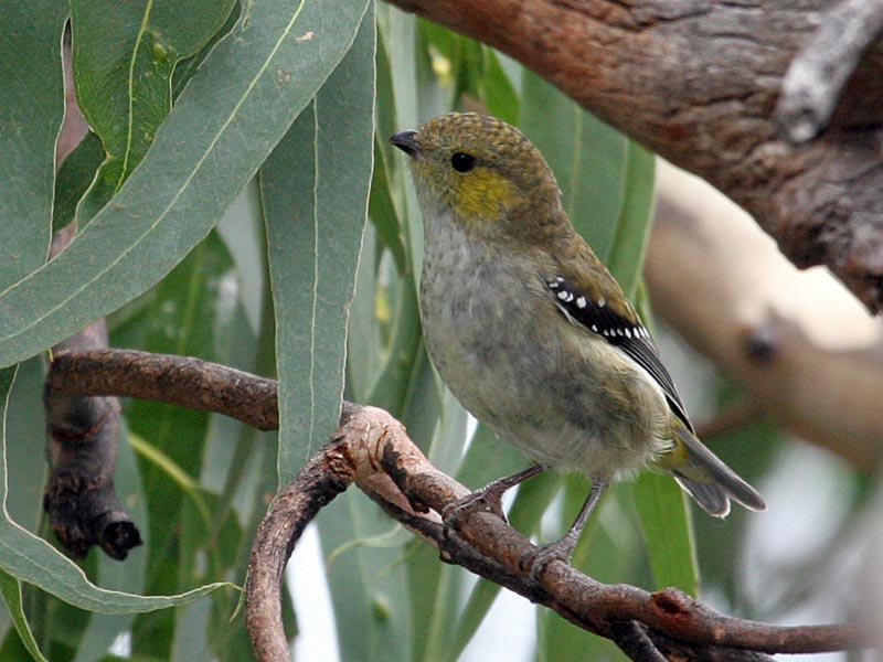
Birds found in the park include the white-bellied sea eagle, the wedge-tailed eagle, and the grey goshawk which is endangered and found on Partridge Island. A breeding colony of penguins can also be found on Partridge Island.
Other rare birds include the Ground parrot which are extremely scarce. The Forty spotted pardalote, one of the rarest birds in Australia and classified as endangered can be found in the park. Despite rescue efforts, their numbers are declining. The endangered Swift parrot can also be found in the park. They are a migratory bird which travels between southeast mainland Australia and Tasmania.
As we had a 4WD we were able to drive down onto Jetty Beach and set up. We ran the Yaesu FT857, 40 watts, and the 20/40/80m linked dipole for this activation.
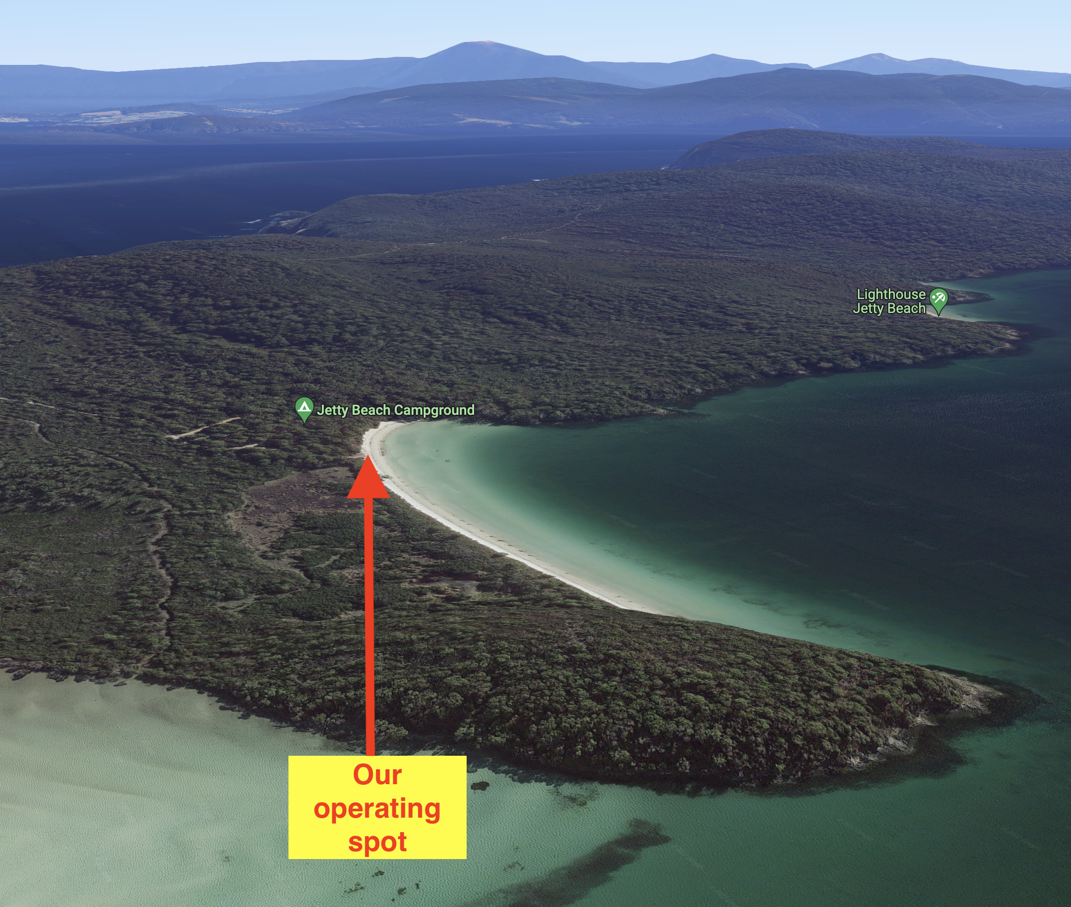
Above:- Aerial view showing our operating spot. Image c/o Google Earth.
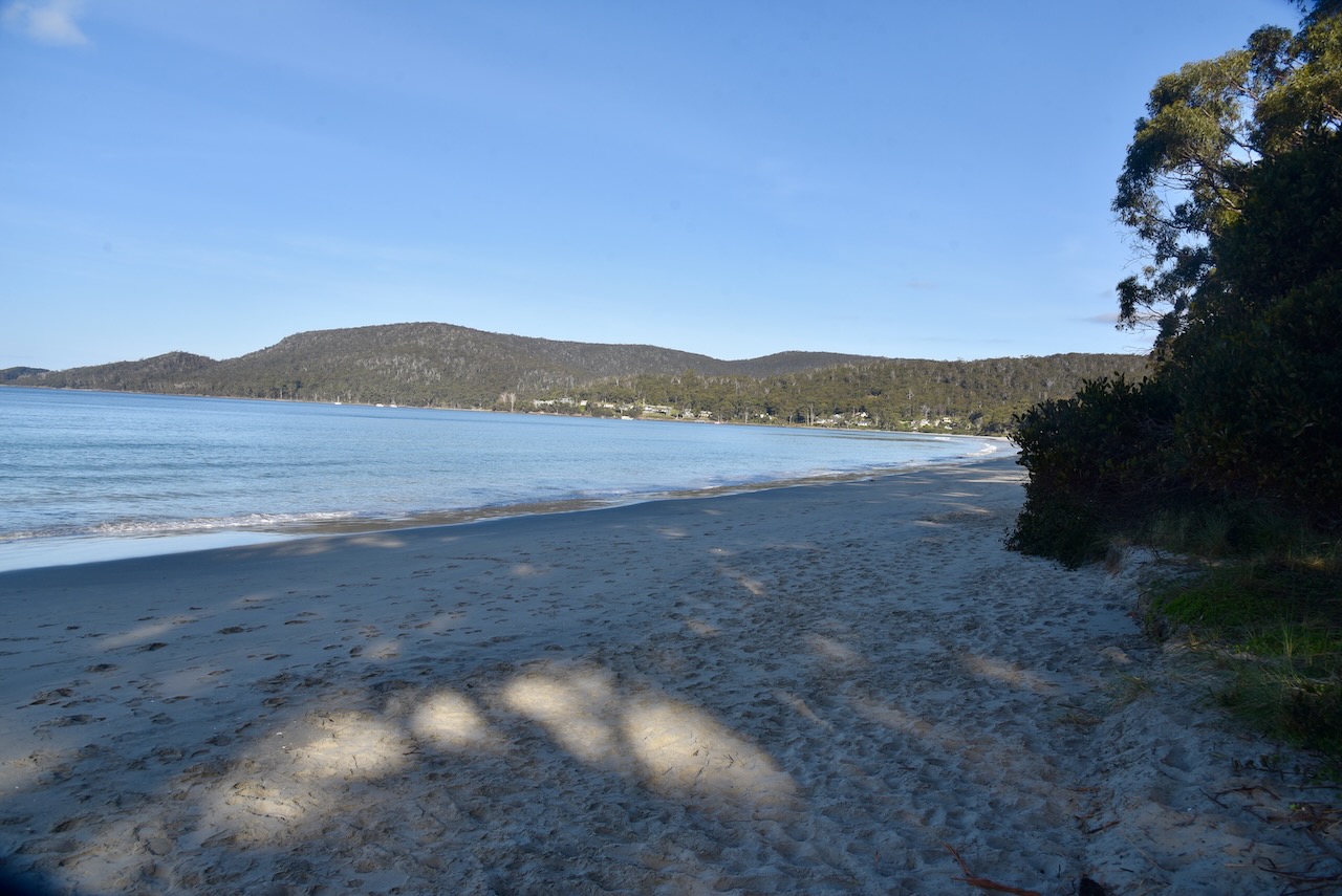
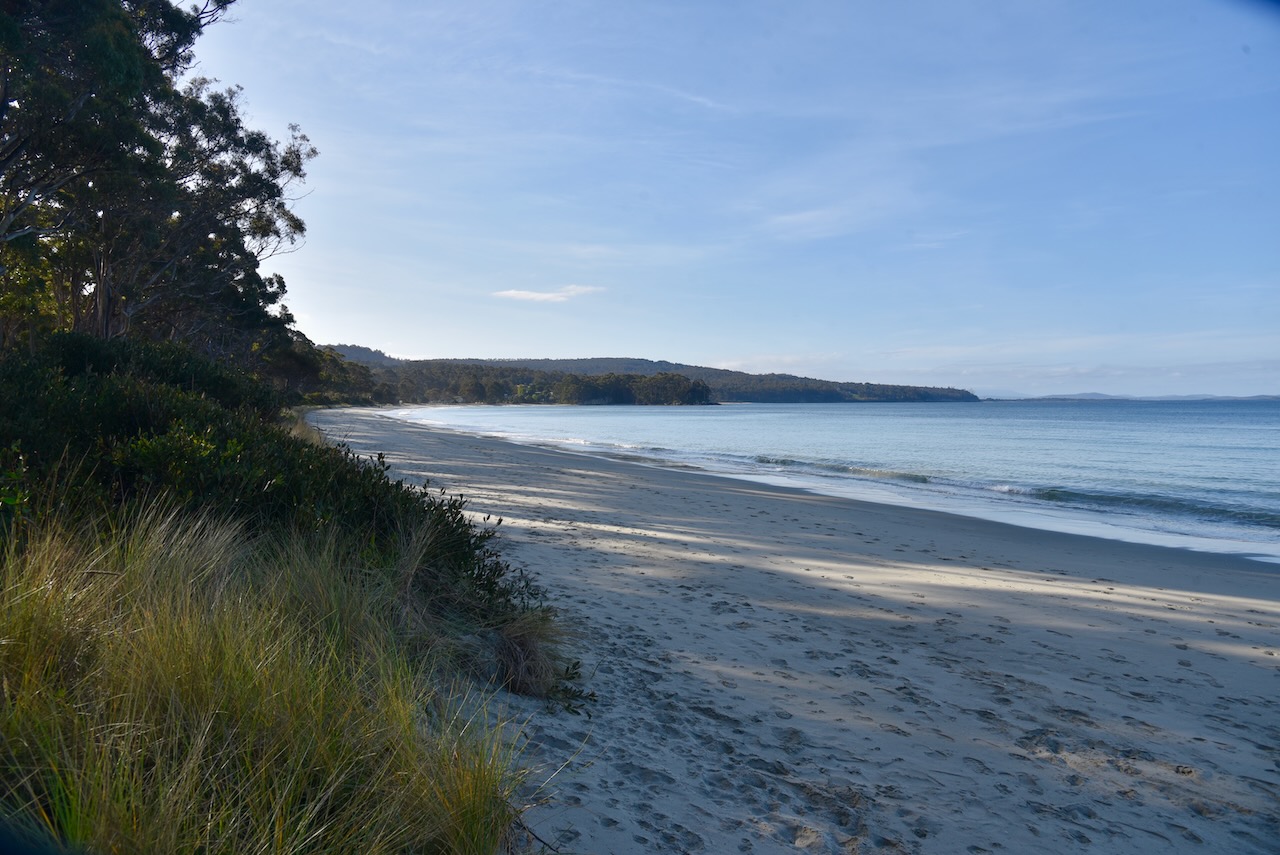
It was a beautiful sunny day and the scenery at Jetty Beach was amazing.
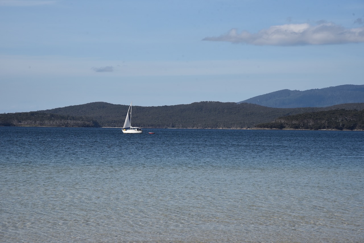
We operated for about 90 minutes and made a total of 63 contacts on 40m & 20m SSB. Unfortunately the DX was light on during this activation with just New Zealand, Hawaii, and France in the log. It was nice to get a Park to Park contact with Daryl VK3AWA who was activating the Gippsland Lakes Coastal Park VKFF-0747.
Marija made the following QSOs on 40m SSB:-
- VK3PF
- VK7JFD
- VK2EXA
- VK3AMO
- VK3ZPF
- VK2MET
- VK1AO
- VK3UH
- VK3ZSC
- VK2NP
- VK3AWA/p (Gippsland Lakes Coastal Park VKFF-0747)
Marija made the following QSOs on 20m SSB:-
- VK4NH
- VK4DXA
I made the following QSOs on 40m SSB:-
- VK3PF
- VK7JFD
- VK2EXA
- VK3AMO
- VK3ZPF
- VK2MET
- VK1AO
- VK3UH
- VK3ZSC
- VK2NP
- VK3UAO
- VK7OT
- VK2VH
- VK4AAC
- VK7DON
- VK7KW
- VK3TWO/m
- VK3VIN
- VK2DWP
- VK3BEL
- VK3CJN
- VK7HH
- VK5VK
- VK3AWA/p (Gippsland Lakes Coastal Park VKFF-0747)
- VK2IO
- VK3SQ
- VK2CDB
I made the following QSOs on 20m SSB:-
- VK2DWP
- VK5KLV
- VK2NP
- VK4NH
- VK4DXA
- VK4TJ
- VK2IO
- VK2MET
- VK1AO
- VK5BJE
- VK4KLA
- VK4EMP
- ZL1TM
- ZL3LAL/m
- VK4CC
- VK4MAD
- VK4DOG
- ZL4CY
- KH6KW
- VK7XX
- VK2HDT
- VK4XCS
- F1BLL
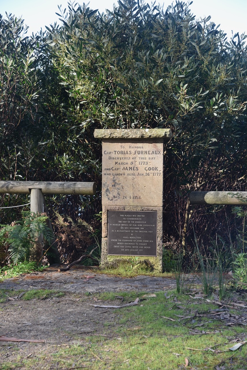
We were pushed for time, but we were keen to see the Captain Cook memorial on Bruny Island. Unfortunately we did not find it. Researching this after getting back home, it appears to be a common problem, wioth people not being able to find the memorial.
Cook had anchored at Adventure Bay on 26th January 1777 and had carved his initials into a tree. The tree was destroyed by a bushfire in 1905.
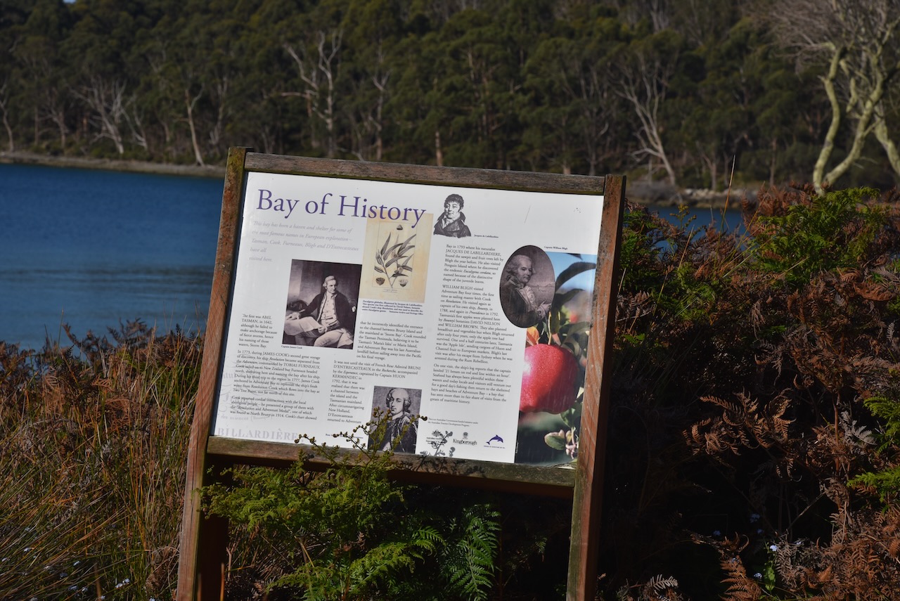
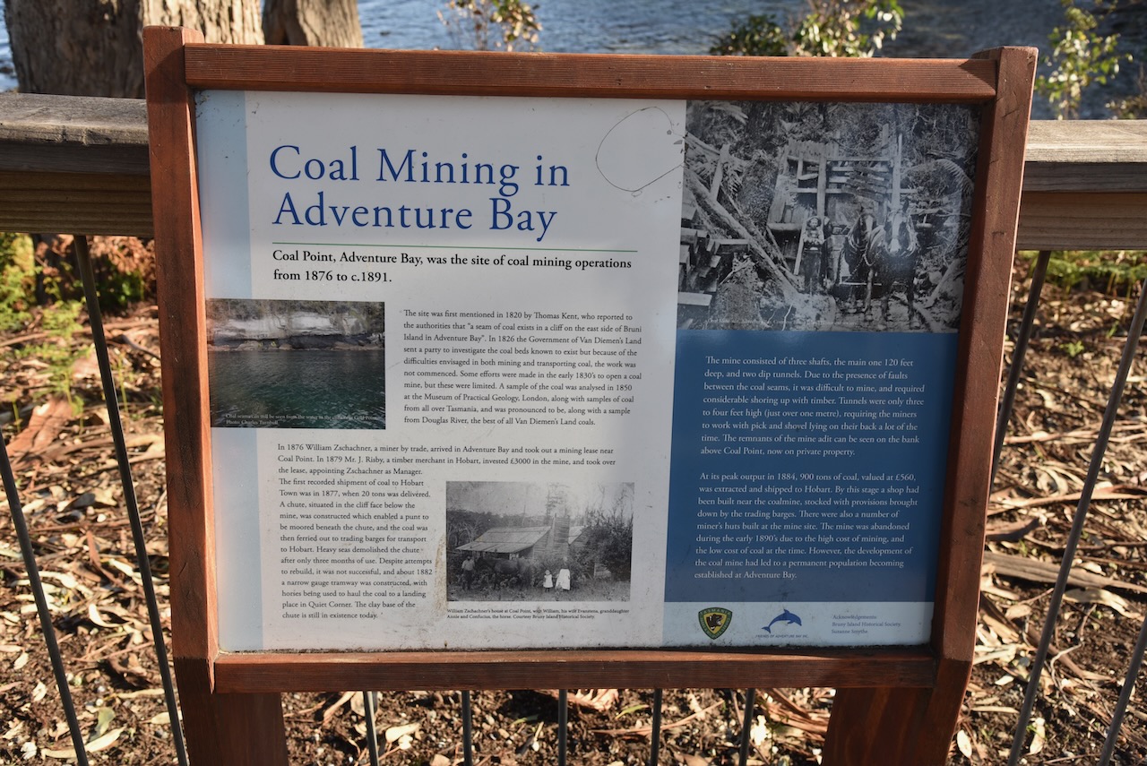
There were some other interpretive signs that we did stop to have a look at. This included information on European explorers of Adventure Bay including Cook and D’Entrecasteaux. And another one on coal mining in Adventure Bay.
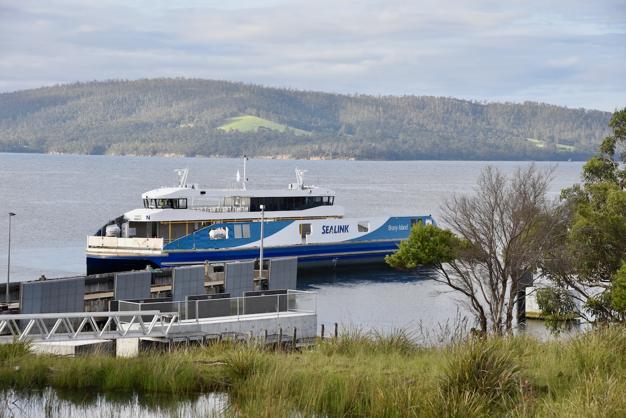
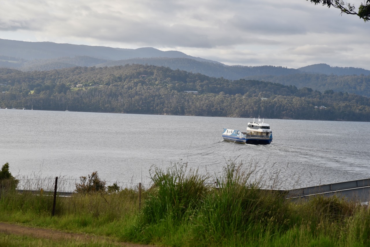
We then headed back to Roberts Point and caught the ferry back to the Tasmanian mainland. It had been a very enjoyable day on Bruny Island.
References.
- Bruny Island, 2022, <https://www.brunyisland.org.au/walk/truganini-the-neck-lookout/>, viewed 29th December 2022.
- Cape Bruny Lighthouse Tours, 2022, <https://www.capebrunylighthouse.com/history/>, viewed 29th December 2022.
- Discover Tasmania, 2022, <https://www.discovertasmania.com.au/things-to-do/nature-and-wildlife/brunyislandneck/>, viewed 29th December 2022.
- Wikipedia, 2022, <https://en.wikipedia.org/wiki/South_Bruny_National_Park>, viewed 29th December 2022.
