
It was now our penultimate day (Friday 18th November 2022) in Tasmania. We had just one more night left in Stanley and it was then back to Devonport to catch the ferry back to the mainland.
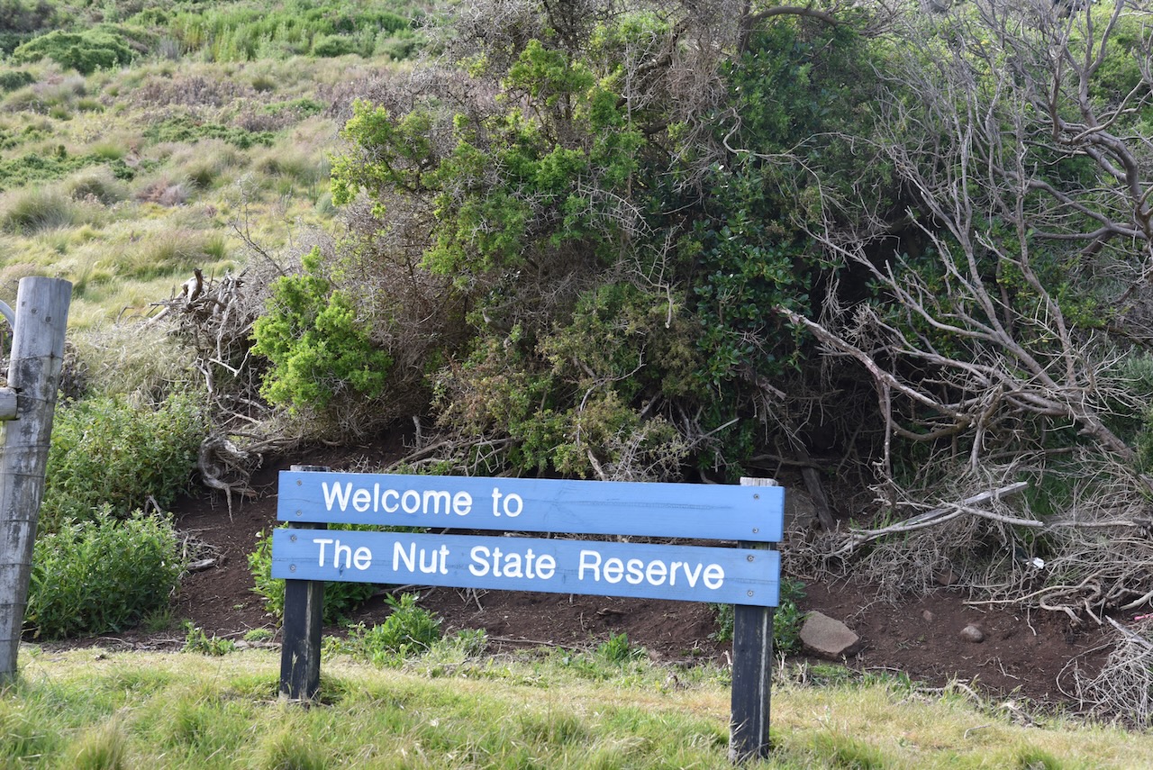
After breakfast we visited The Nut State Reserve VKFF-1831 at Stanley.
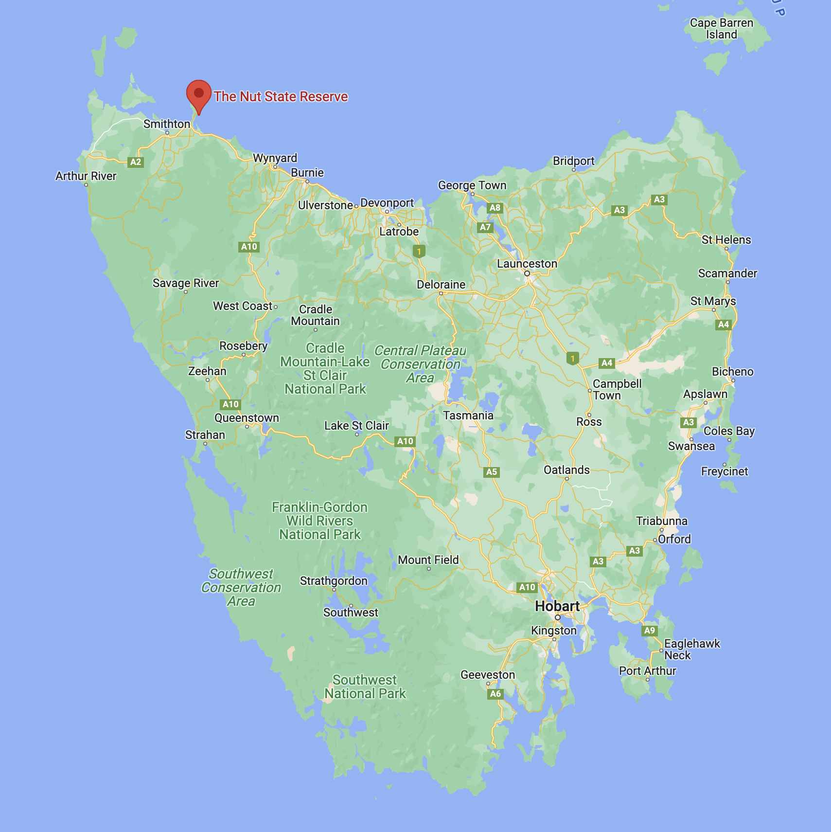
Above:- Map showing the location of The Nut State Reserve. Map c/o Google maps.
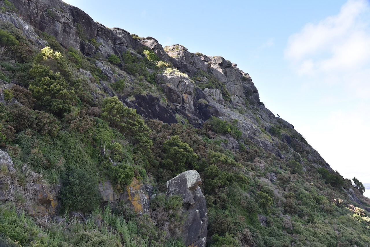
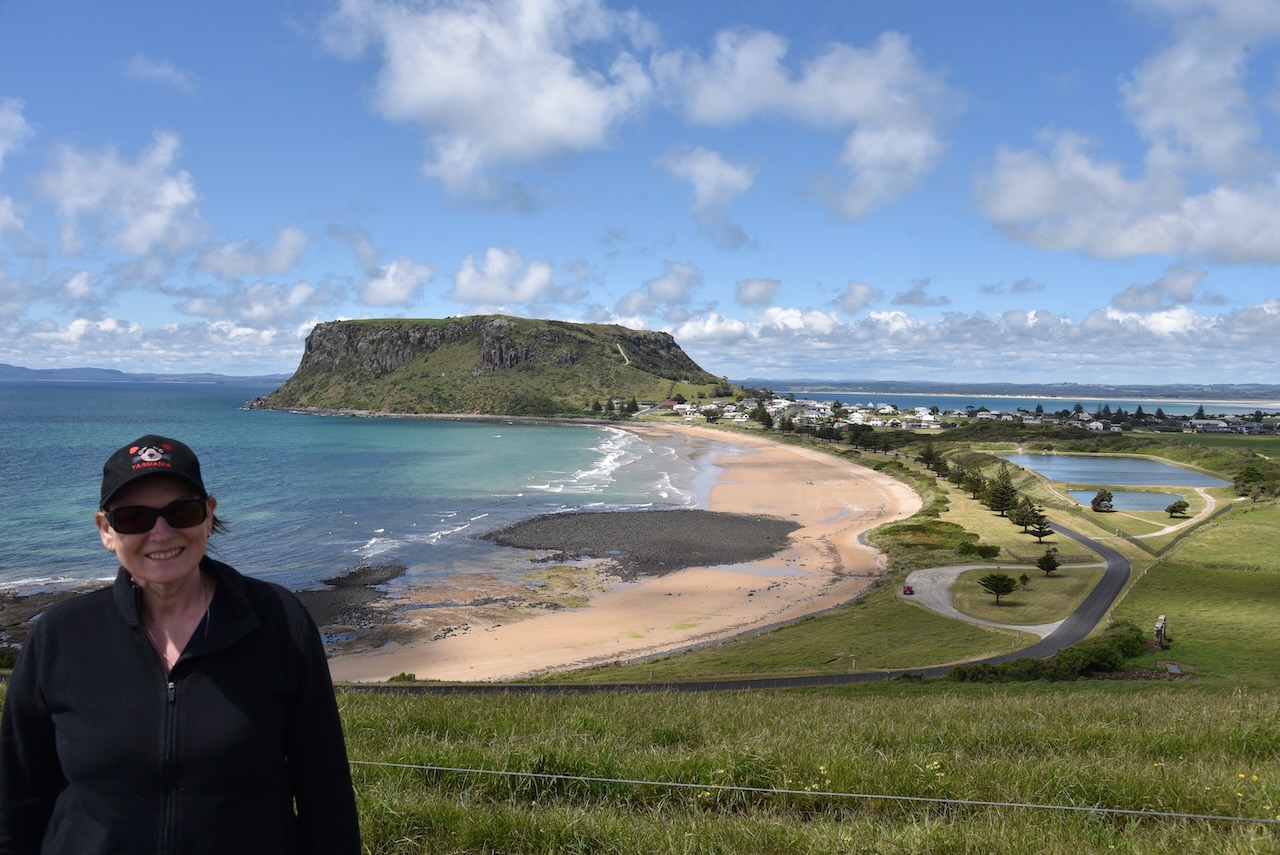
The Nut State Reserve incorporates The Nut, a geological formation called a volcanic plug which rises from Bass Strait and sits over the top of the town of Stanley. A volcanic plug is formed when magna hardens within the vent of an active volcano. The volcano at The Nut was active about 25-70 million years ago.
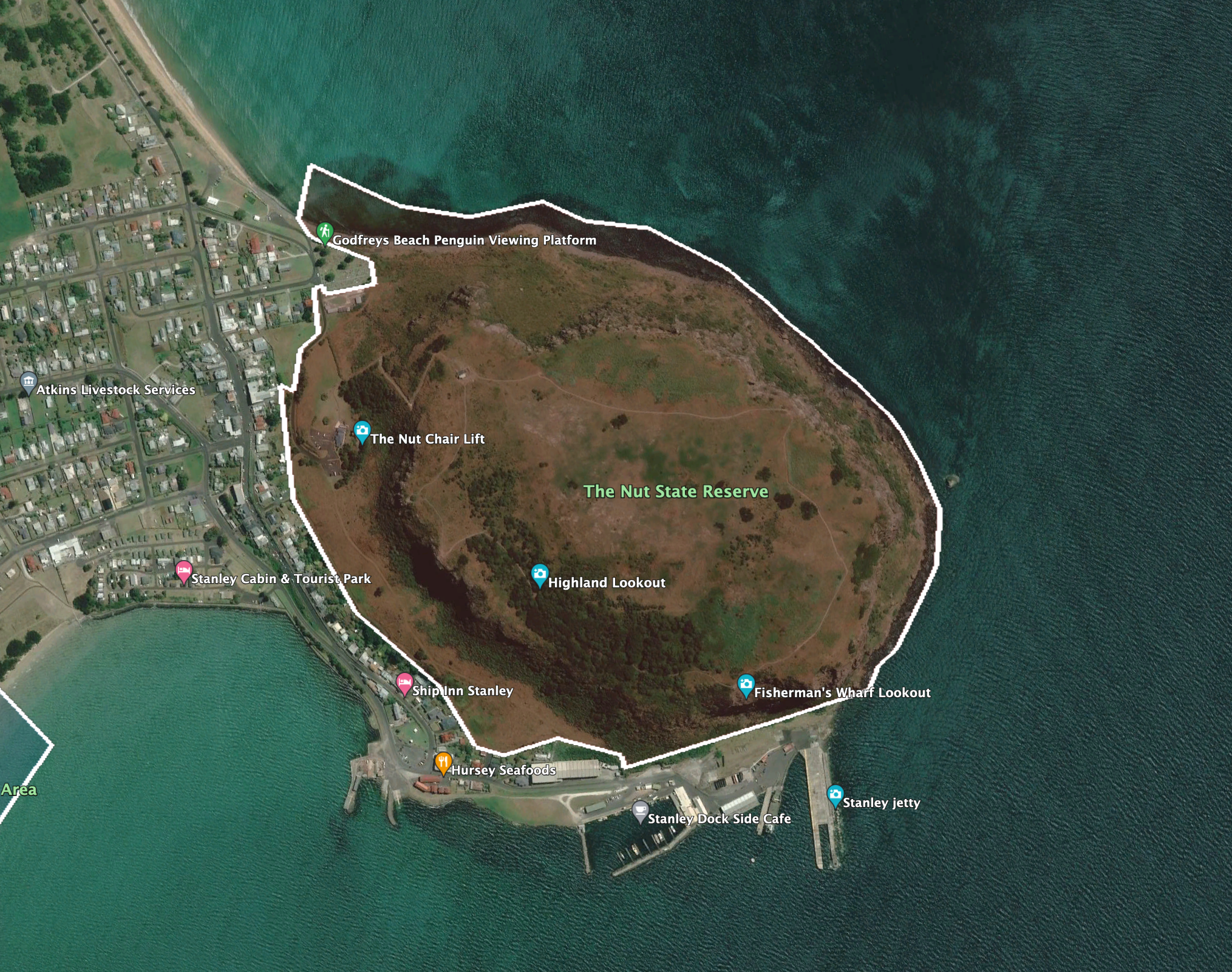
Above:- An aerial view of The Nut State Reserve. Image c/o Google Earth.
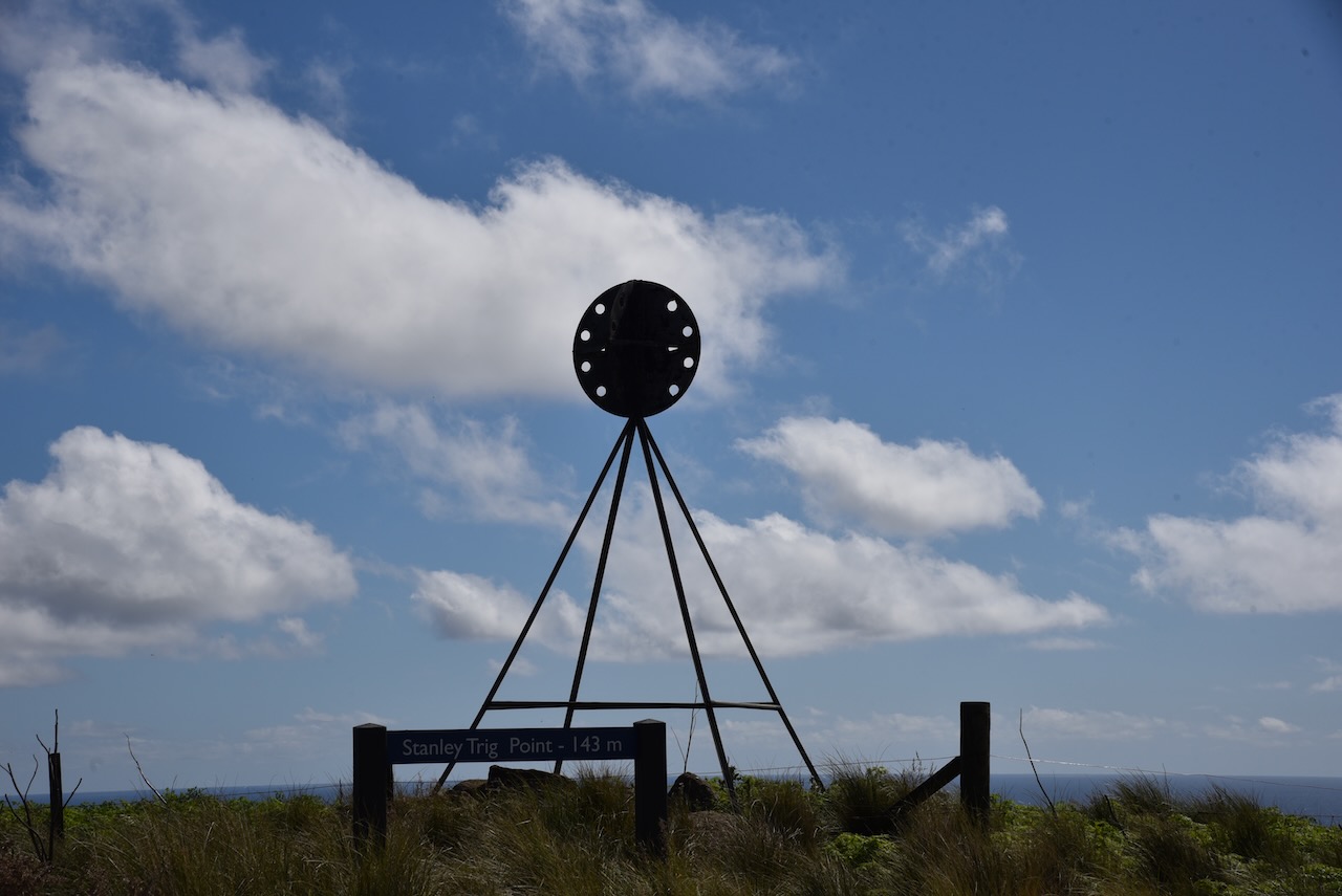
Unfortunately The Nut is 143 metres high, just 7 metres short of it qualifying for the Summits On The Air (SOTA) program. It is believed that the name originates from the Tasmanian Aboriginal name, “munatrik” (moo-nut-re-ker). It was originally known as Circular Head and named by European explorers Matthew Flinders and George Bass in 1798.
The Nut State Reserve protects a nationally endangered straw daisy. The reserve is almost treeless except for some remnant coastal white gum woodland.
The park is an important breeding site for Short-tailed Shearwaters, Peregrine Falcons, Australian Kestrels, and Little Penguins. The Orange-bellied parrot, which is listed as endangered, uses The Nut as a staging point during its migration annually between Tasmania and Victoria.
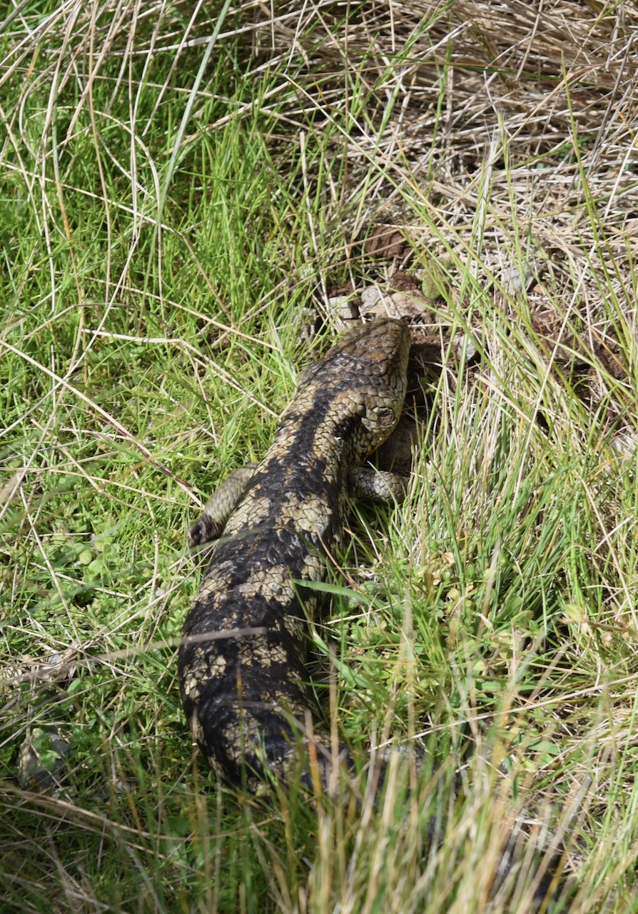
Native mammals which call the park home include the Pademelon, Tasmanian Devil, the Eastern barred bandicoot, the brushtail possum, and the ringtail possum.


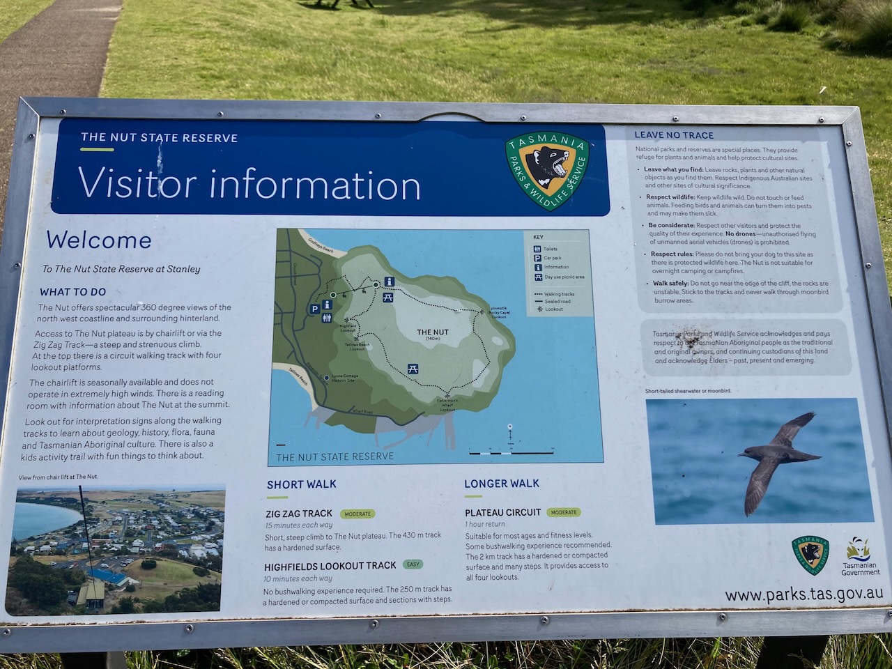
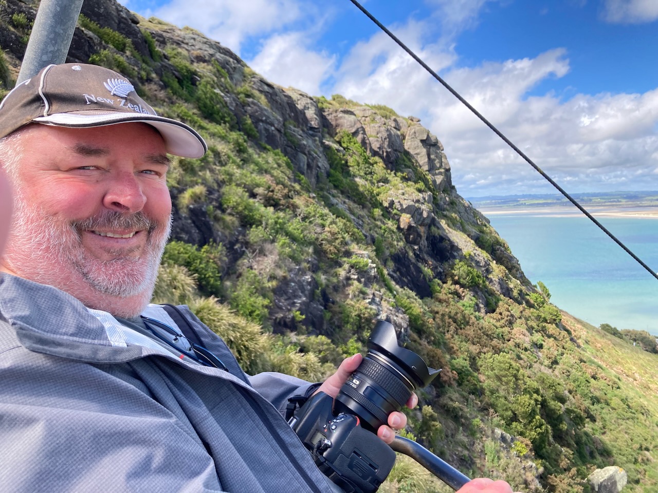
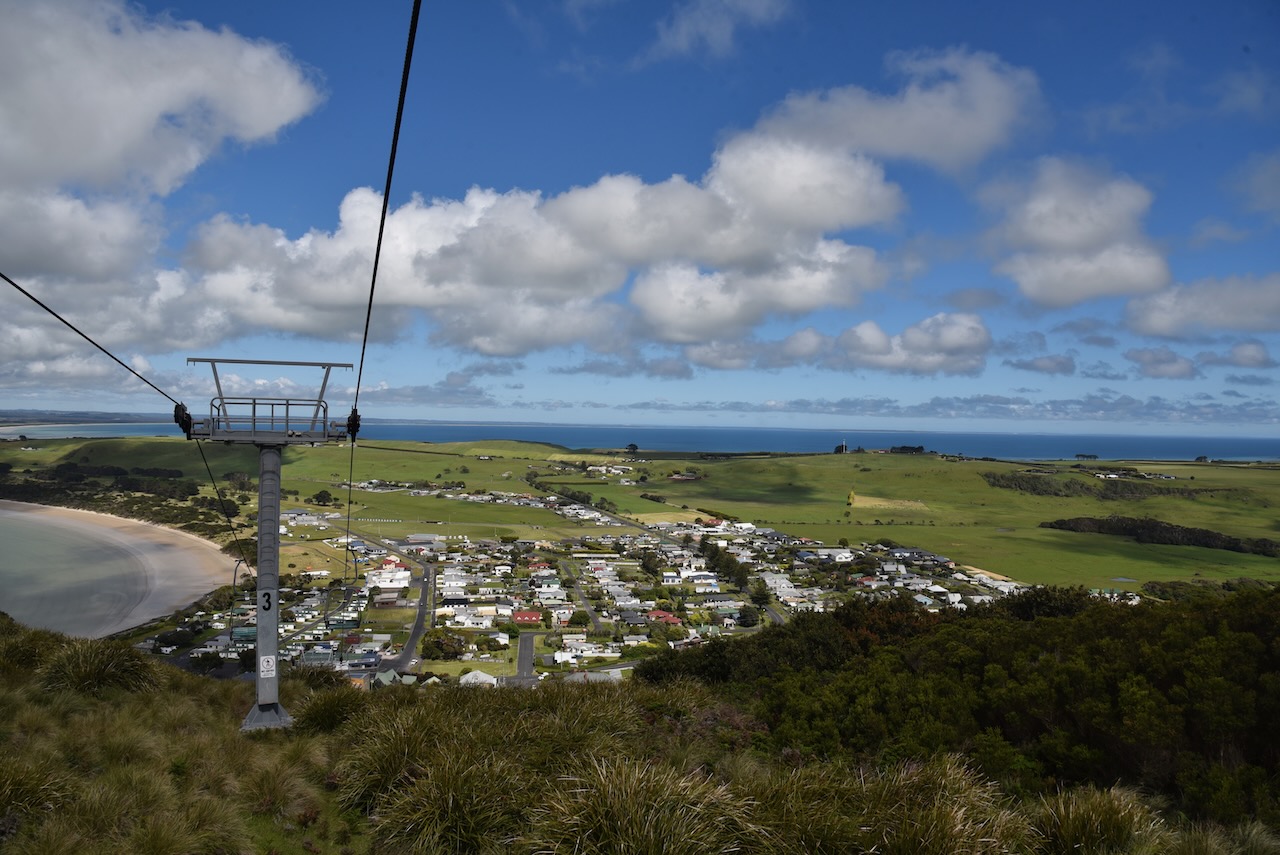
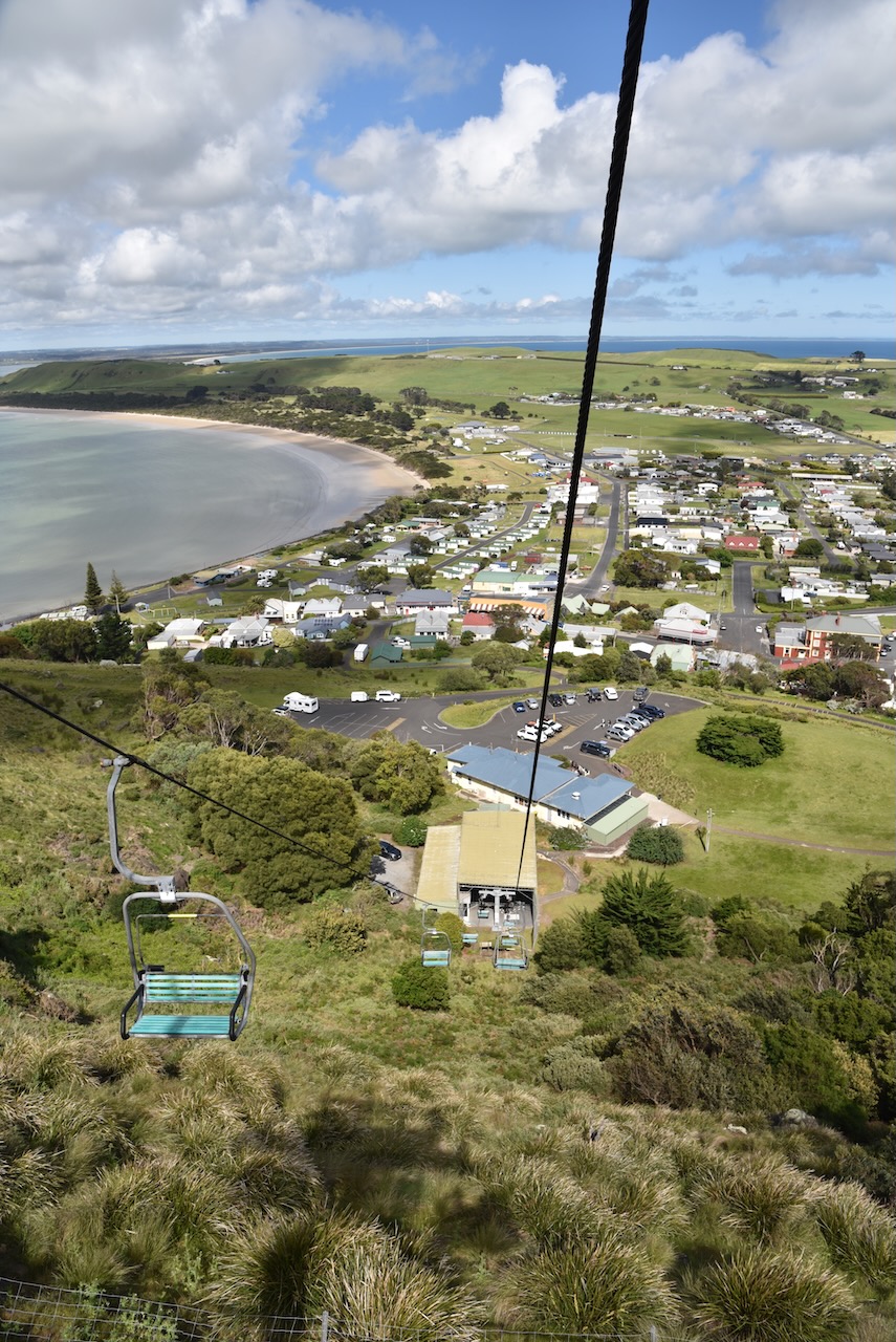
After some deliberation, Marija decided to climb The Nut and I chose the easy option of the chairlift to the top.
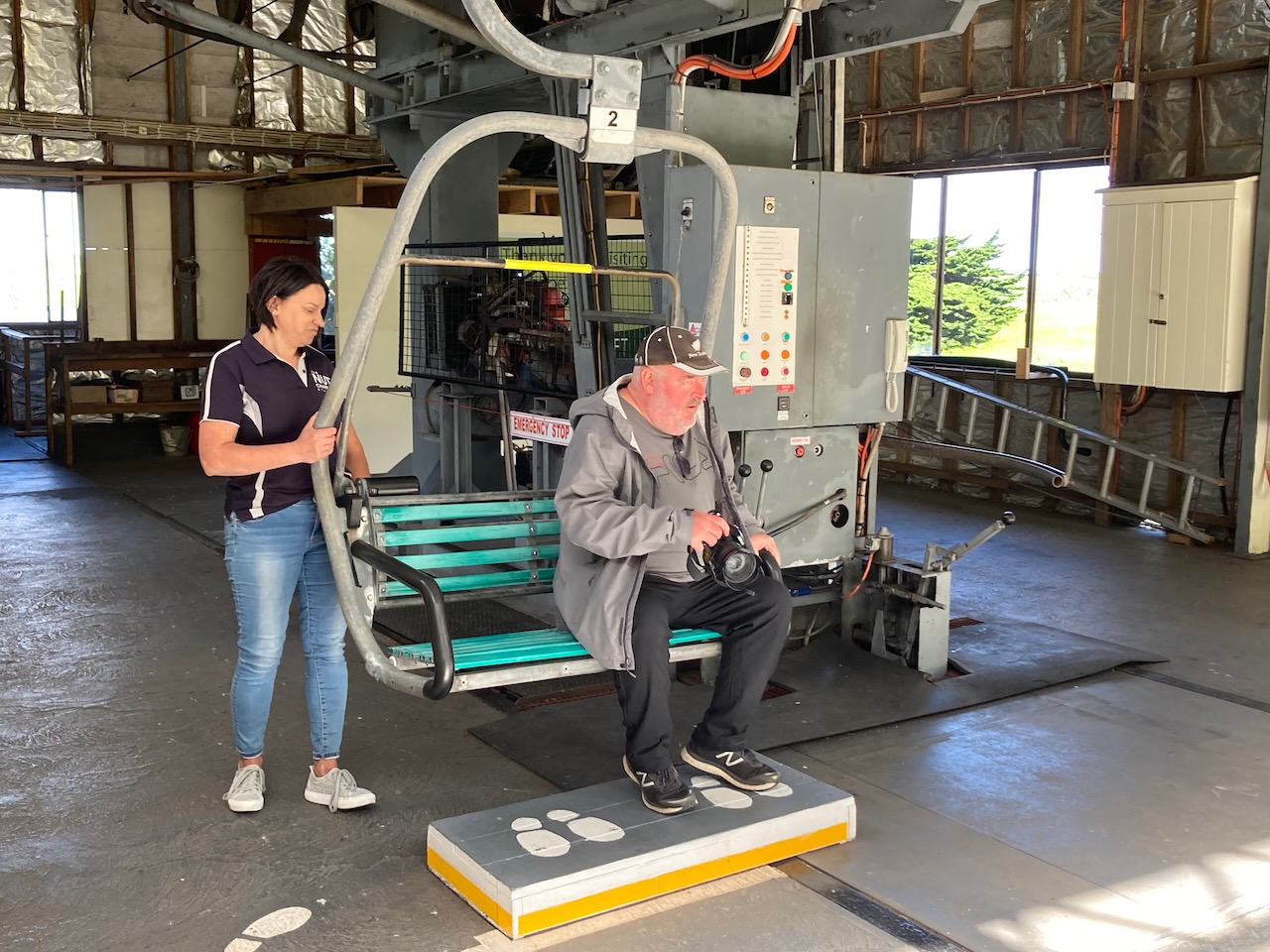
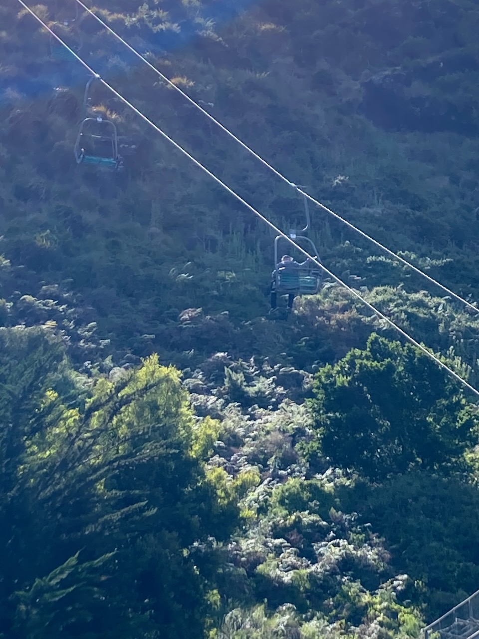
It was a nice sunny morning and I enjoyed some brilliant views as the chairlift took me to the top in comfort, while Marija sweated it out walking to the top.
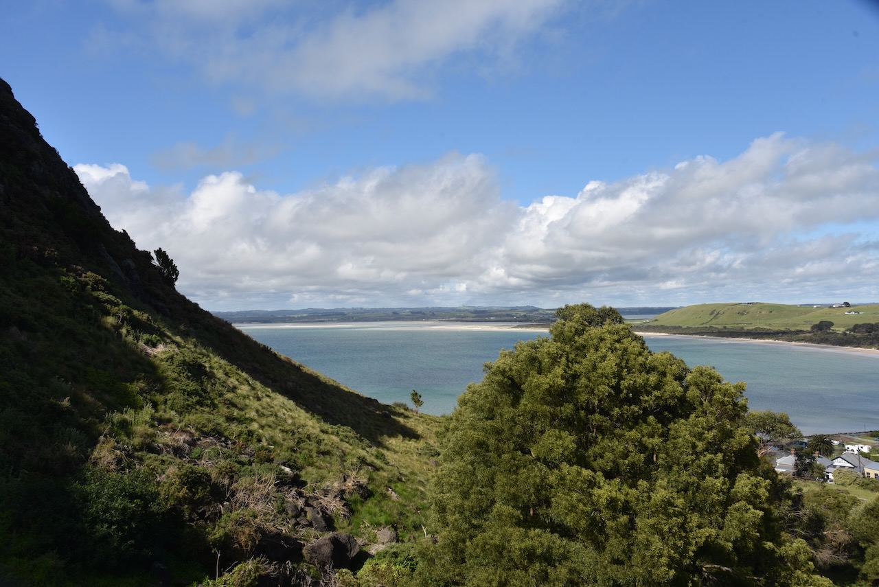
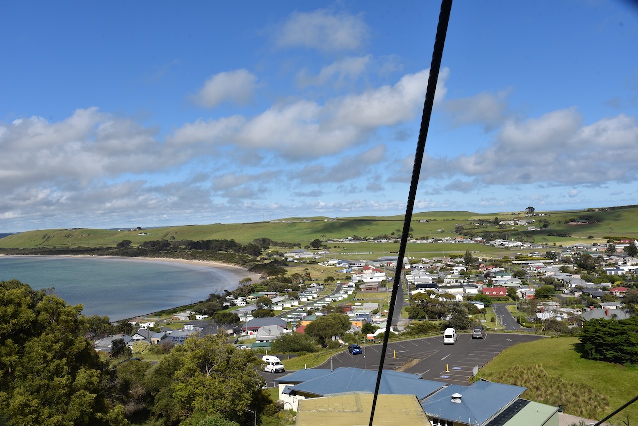
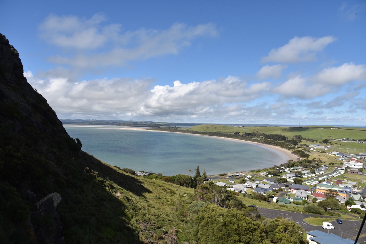
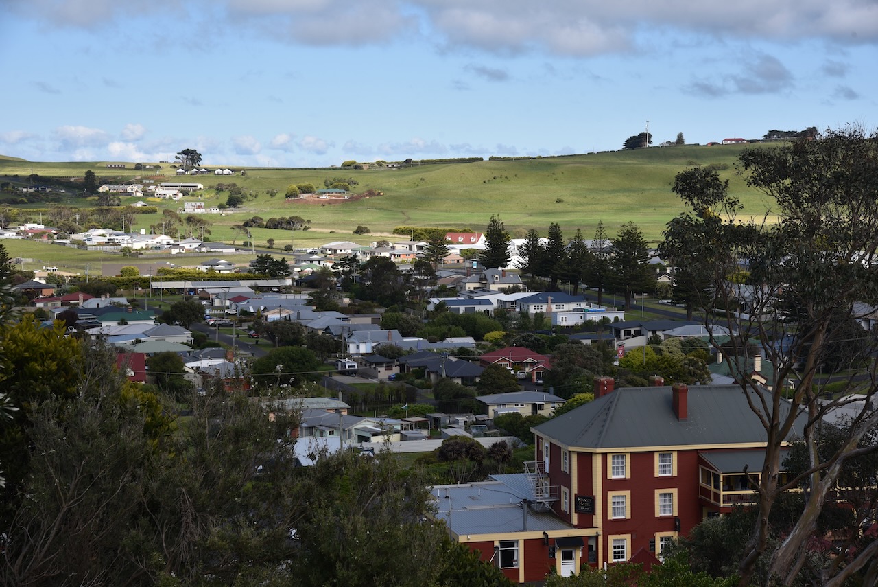
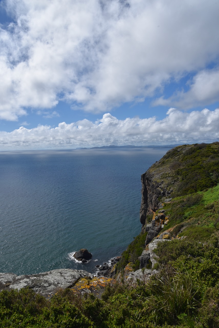
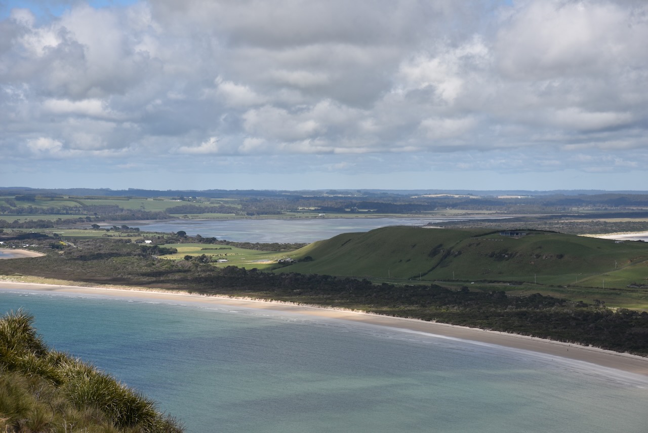
Once at the top Marija and I enjoyed the magnificent views of the town of Stanley, the coastline, and the surrounding countryside.


We had a walk around the top of The Nut to the trig point and the Tatlows Beach lookout.


We both then headed back down via the chairlift to the carpark.


Once back down we activated The Nut State Reserve VKFF-1831 for the World Wide Flora Fauna (WWFF) program. We operated from the carpark in the $WD, running the Icom IC7000, 100 watts, and the Codan 9350 self tuning antenna. Unfortunately we had strength 5 noise floor on 40m and this made it very difficult to receive a number of stations that were calling.
Marija worked the following stations on 40m SSB before the UTC rollover:-
- VK3UAO
- VK2VH
- VK4AAC
- VK3PF
- VK3DFG
- VK7HOB
- VK3VIN
- VK3ZK
- VK3KUG
Marija worked the following stations on 40m SSB after the UTC rollovere:-
- VK3PF
- VK3UAO
I worked the following stations on 40m SSB before the UTC rollover:-
- VK3UAO
- VK2VH
- VK4AAC
- VK3PF
- VK3DFG
- VK7HOB
- VK3VIN
- VK3ZK
- VK3KUG
I worked the following stations on 40m SSB after the UTC rollover:-
- VK3PF
- VK3UAO
- VK3ZK
- VK2EXA
- VK3BEL
- VK3AMO
I worked the following stations on 20m SSB:-
- VK4TJ
- VK2VW
- VK2HFI
- VK4HAT
- VK2MET
- VK1AO
- ZL1TM
- VK5IS
- VK4XCS
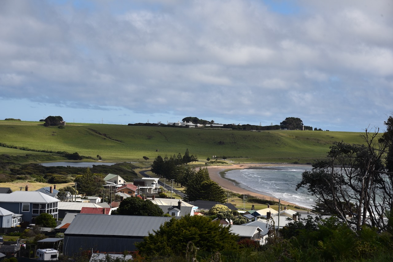
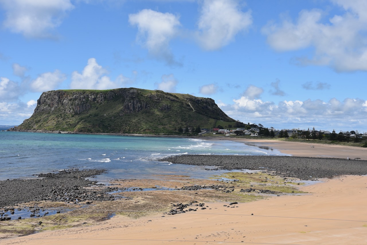
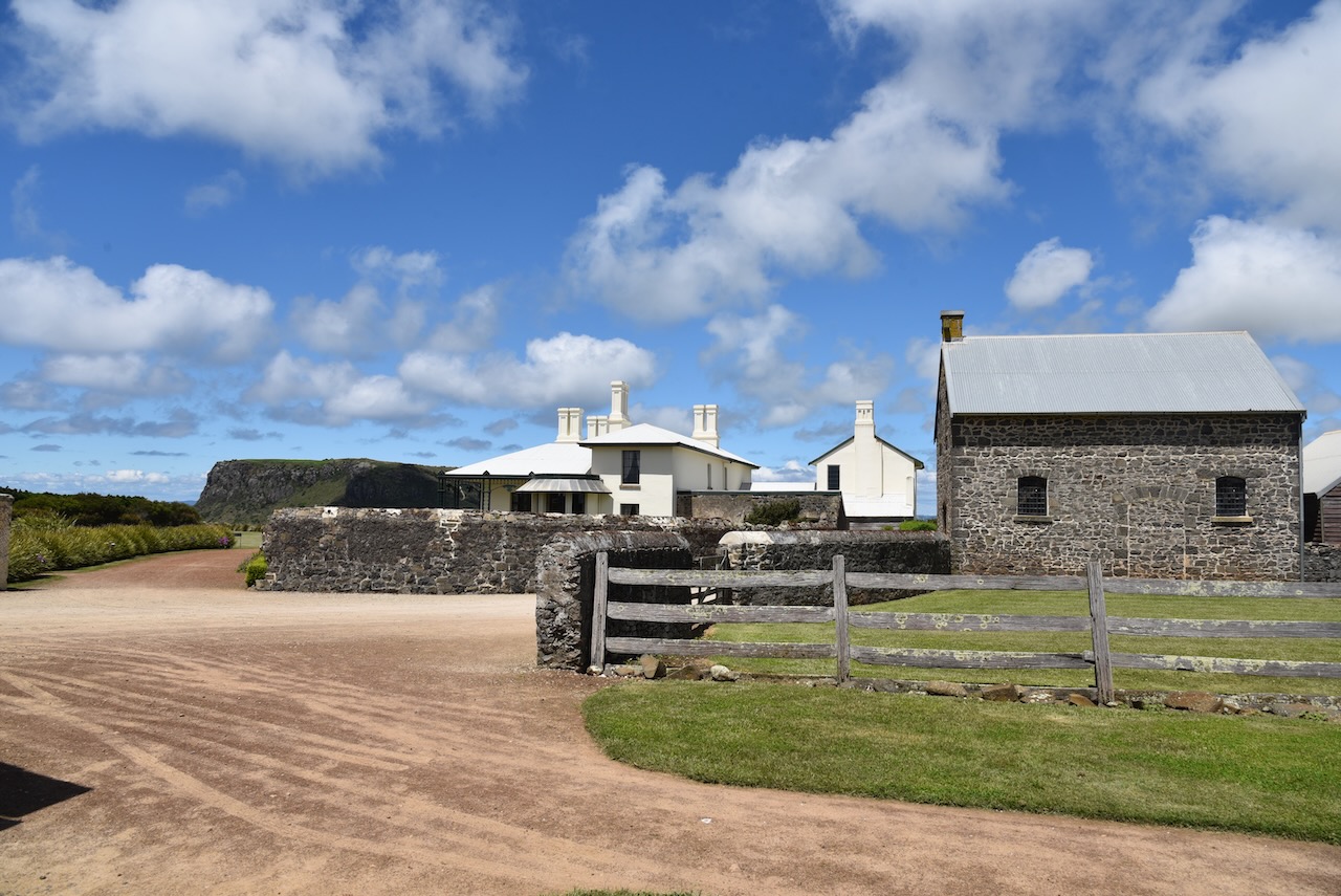
With the park qualified for the VKFF chapter of WWFF, we then headed to the Highfield Historic Site. We stopped at the Highfield lookout along the way which afforded us with a brilliant view of Godfreys Beach and The Nut.
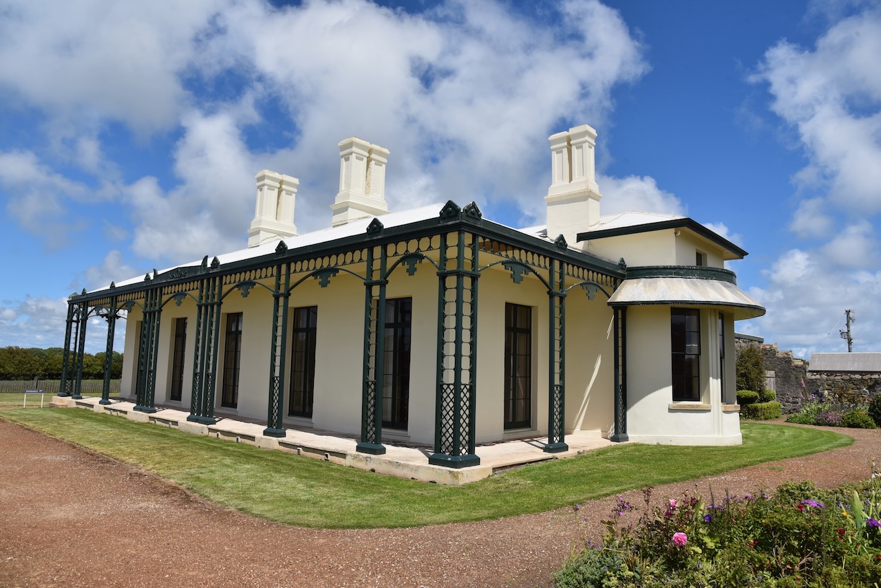
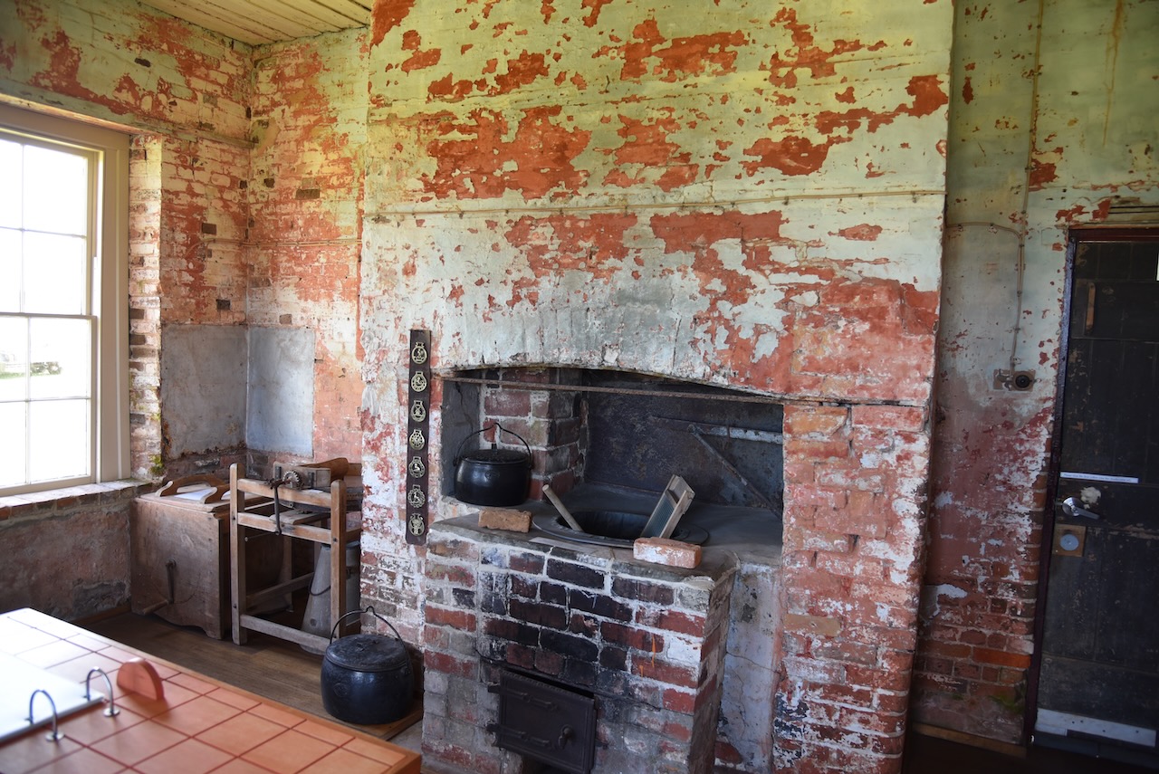
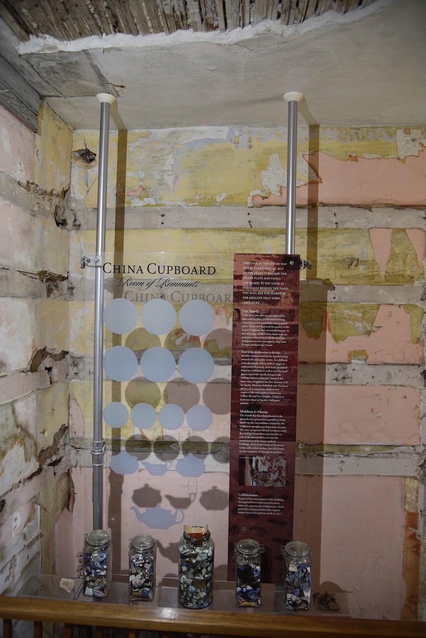
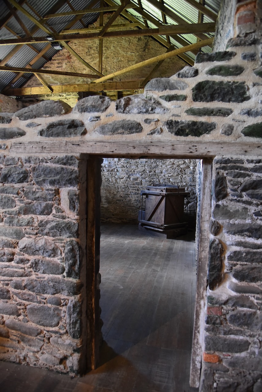
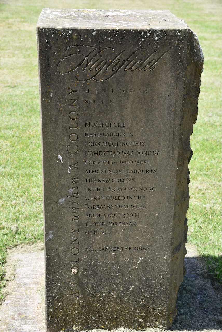
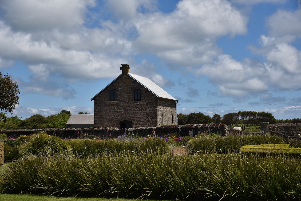
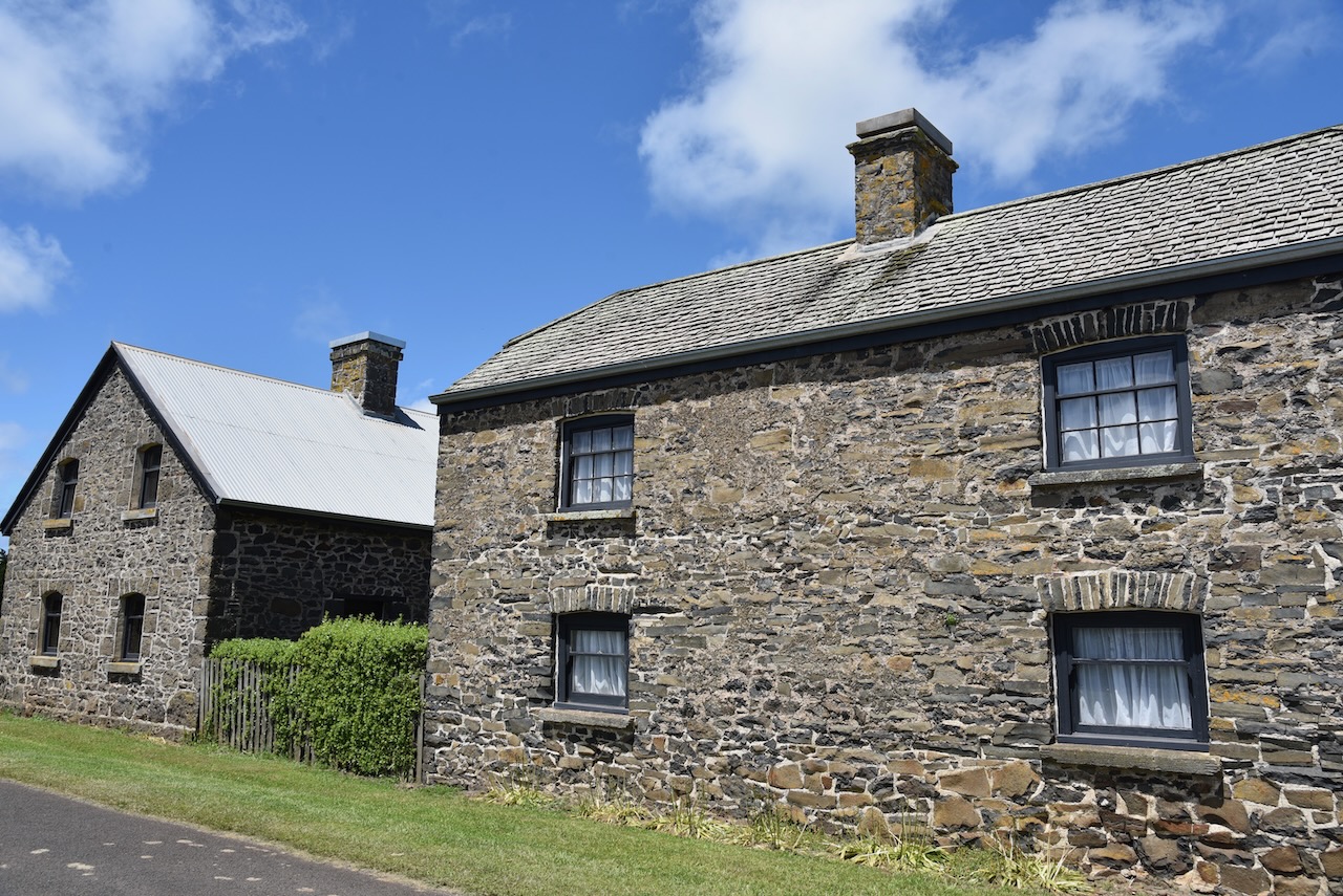
The Highfield Historic Site includes the magnificent Highfield homestead. Construction by convict labour commenced in 1826 under the supervision of Edward Curr, the chief agent of the Van Dieman’s Land Company.
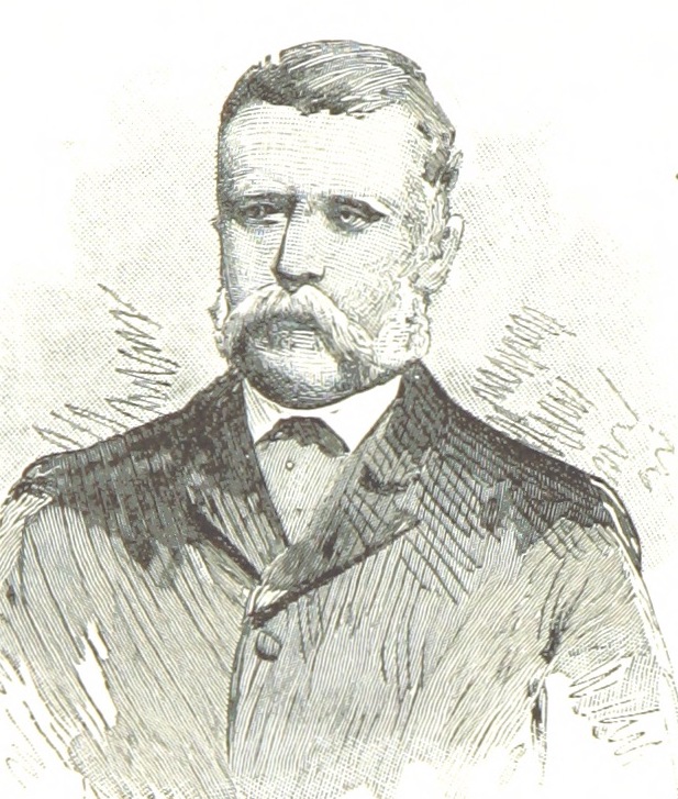
Above:- Edward Curr. Image c/o Wikipedia.
The original area of land that the homestead sat on was 350,000 acres granted under Royal Charter by George IV.
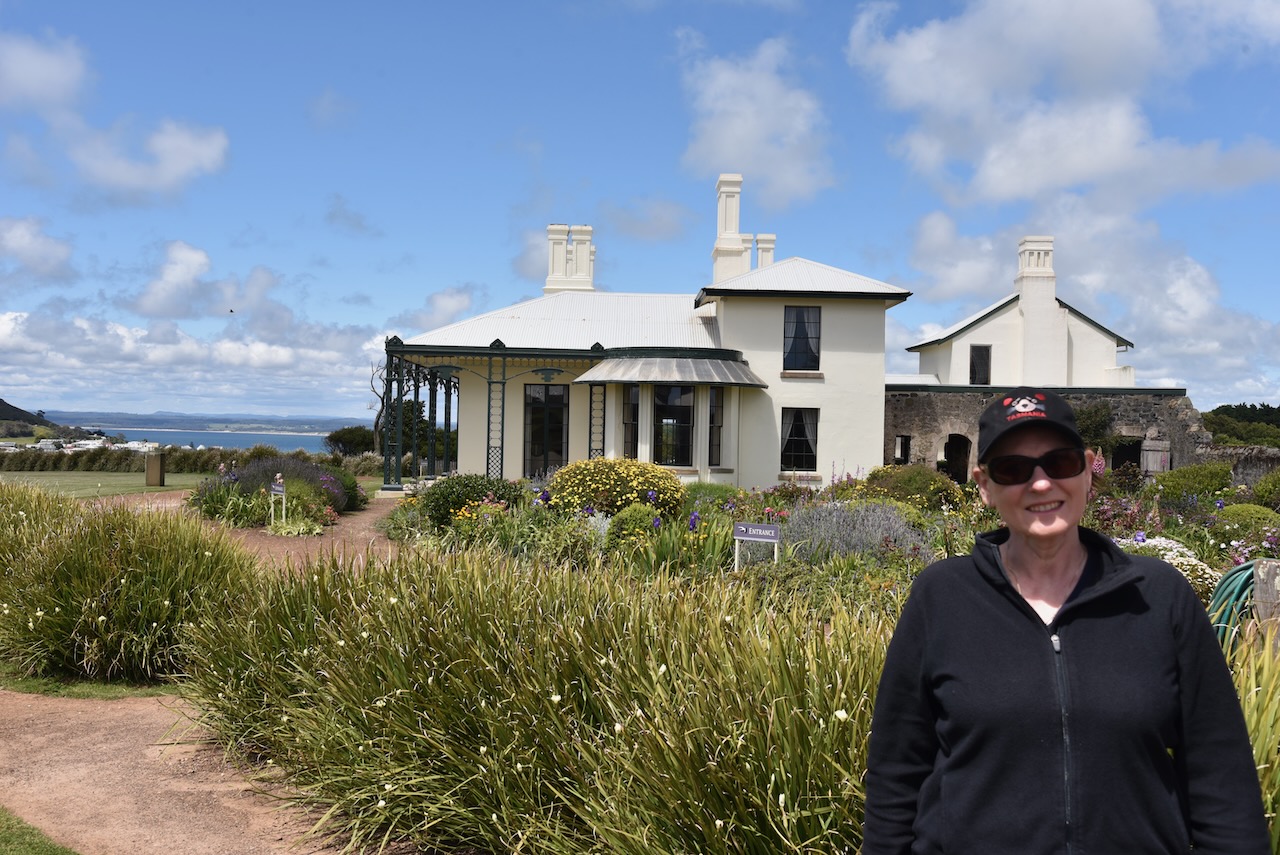


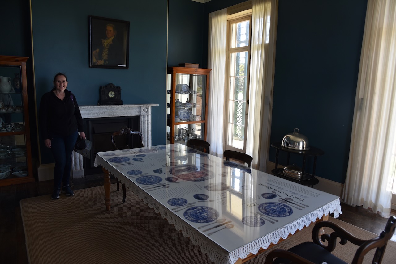
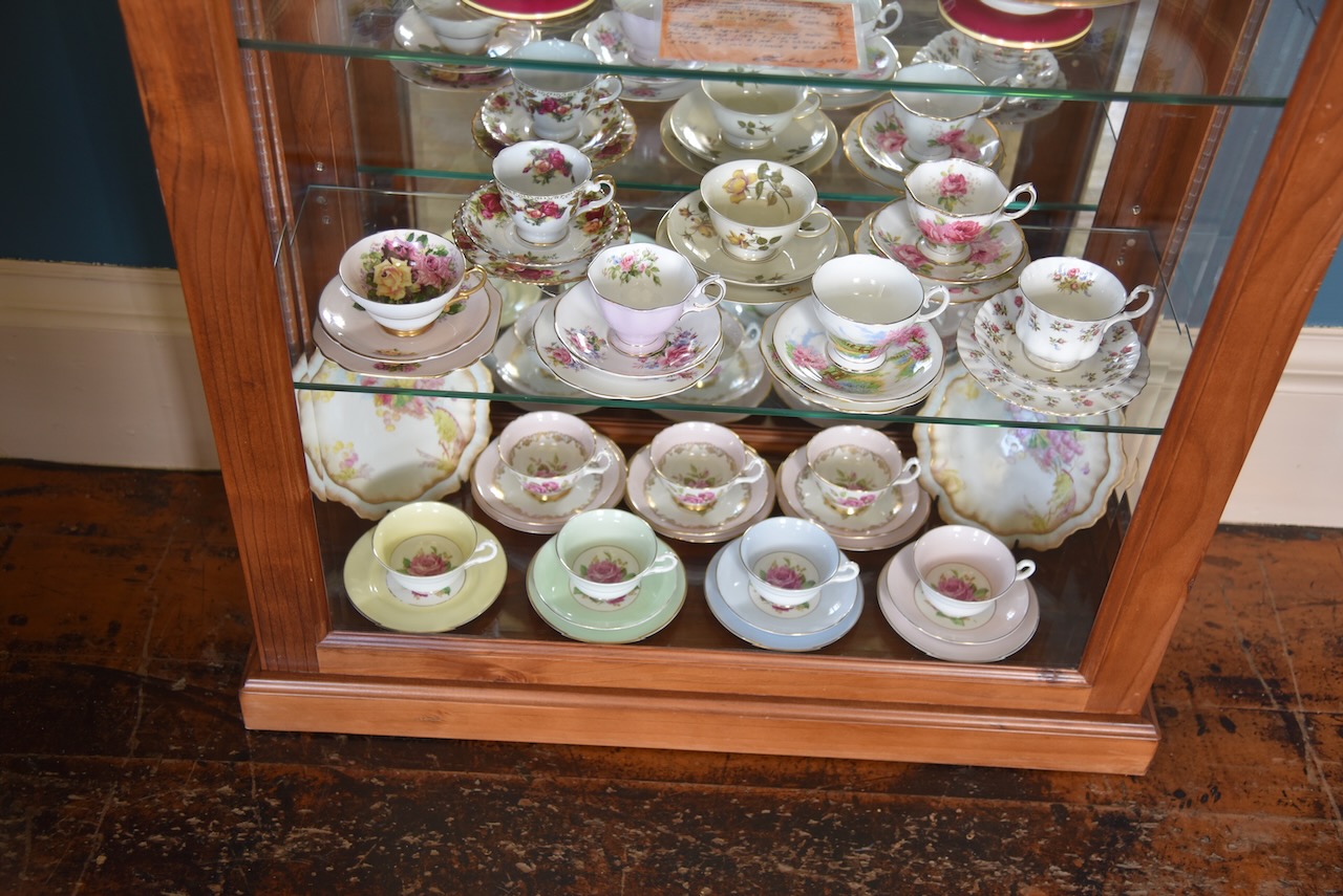

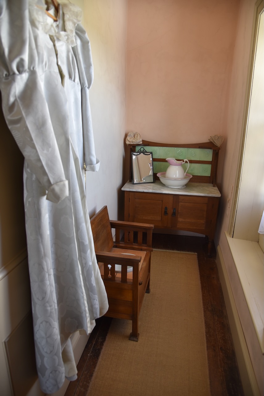

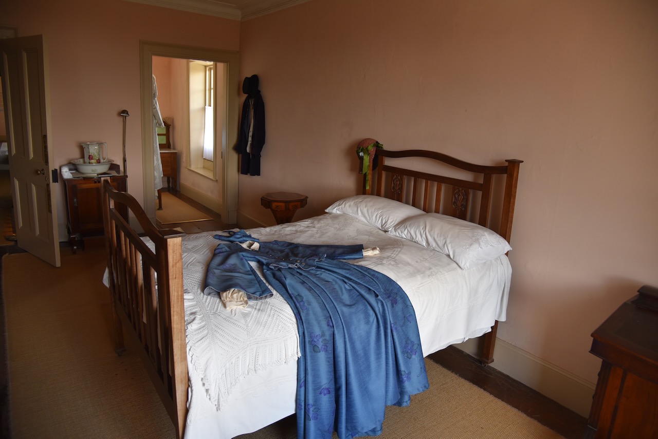

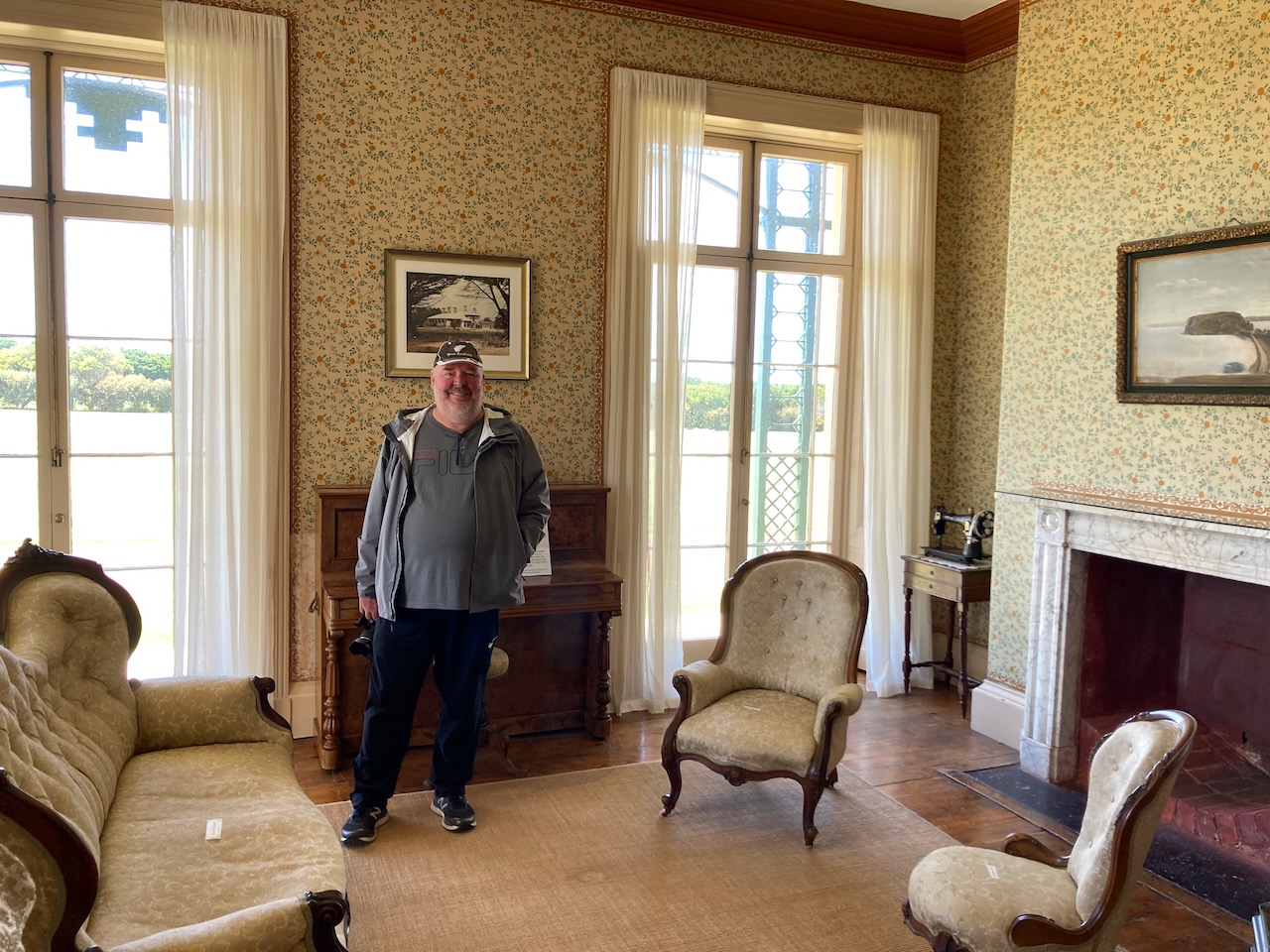
The homestead contains beautiful gardens.

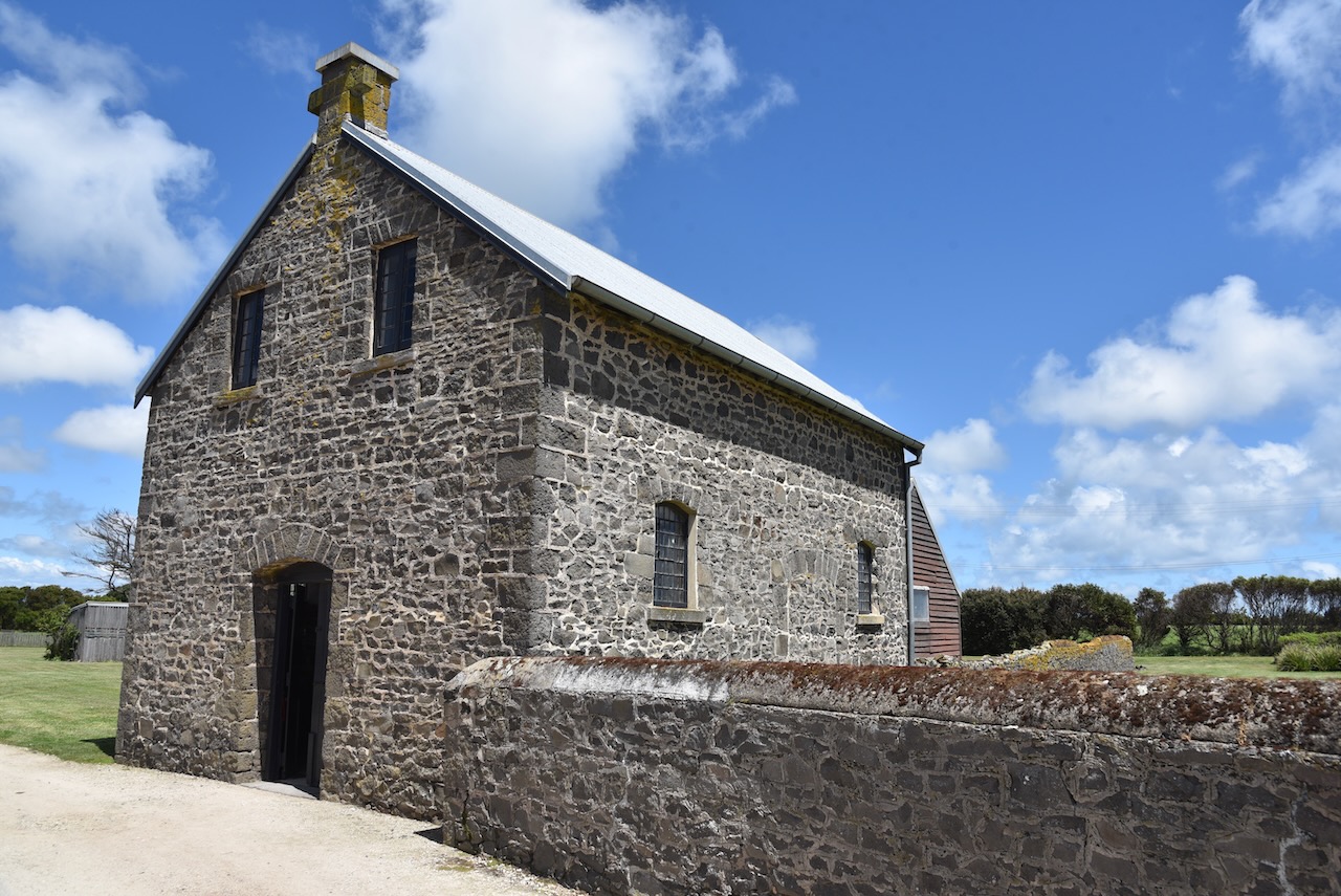
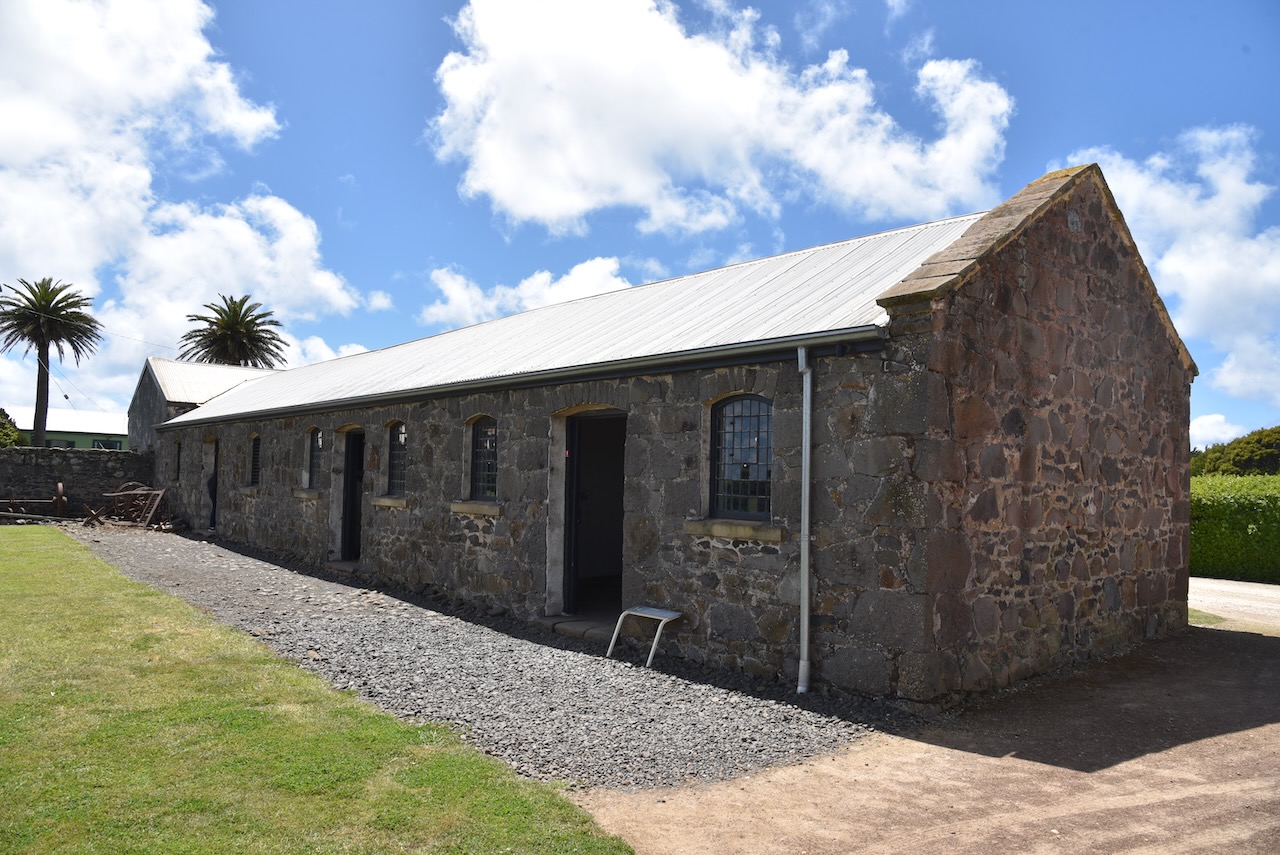
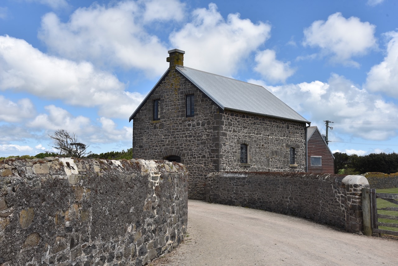
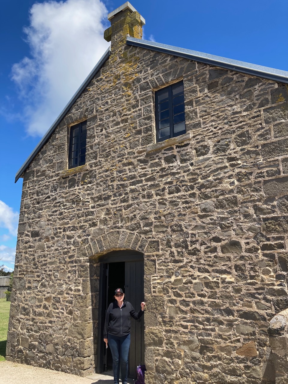
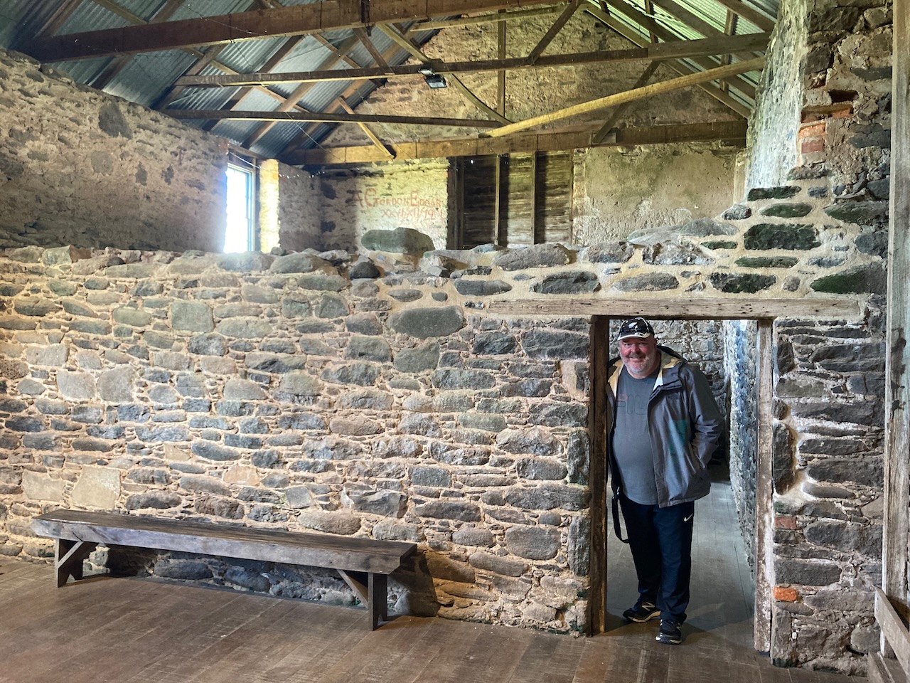
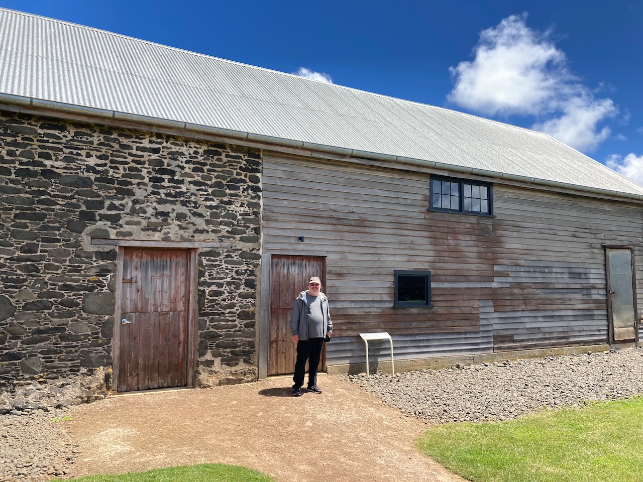
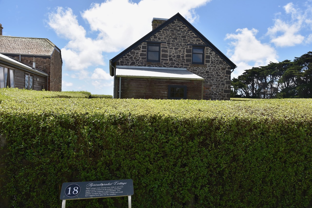
Other than the homestead on the 9.5 acre property, there is also the chapel, the barn, and the stables.


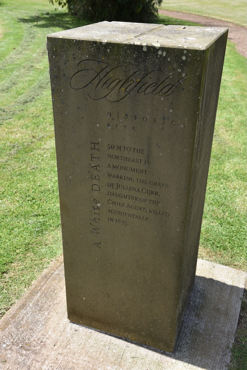
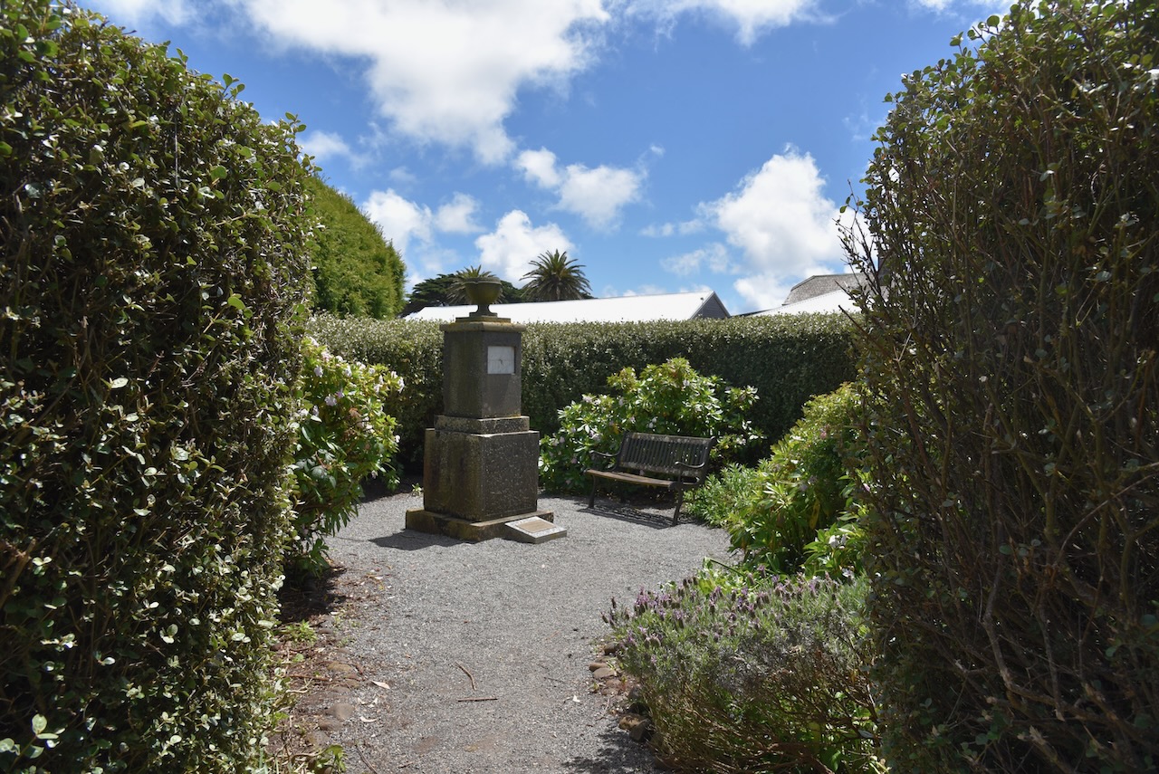
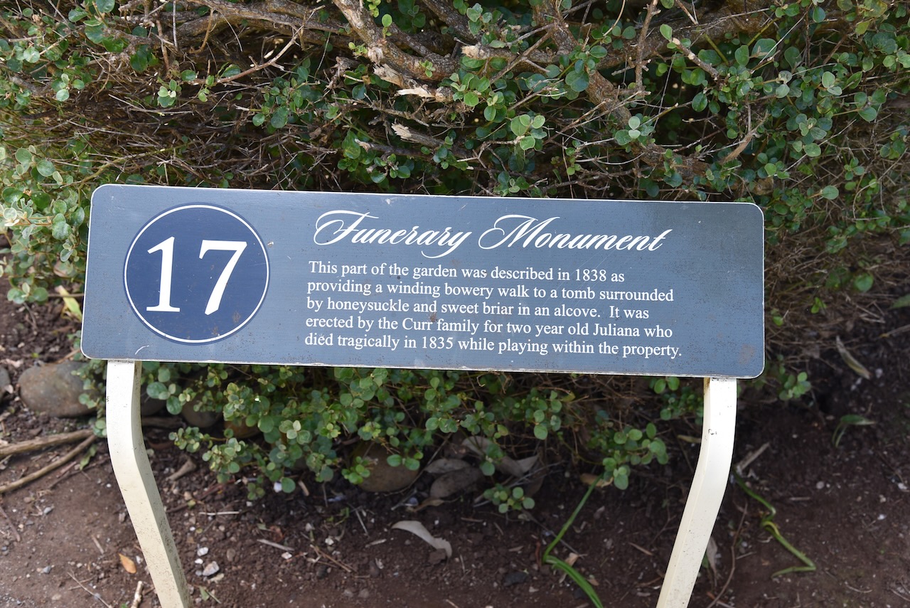
In 1835 while playing on the property, the Curr’s 2 year old daughter Julianna was killed. A monument for Julianna can be found on the property at Highfield.

There are other historic buildings on the property, some of which now serve as accomodation.
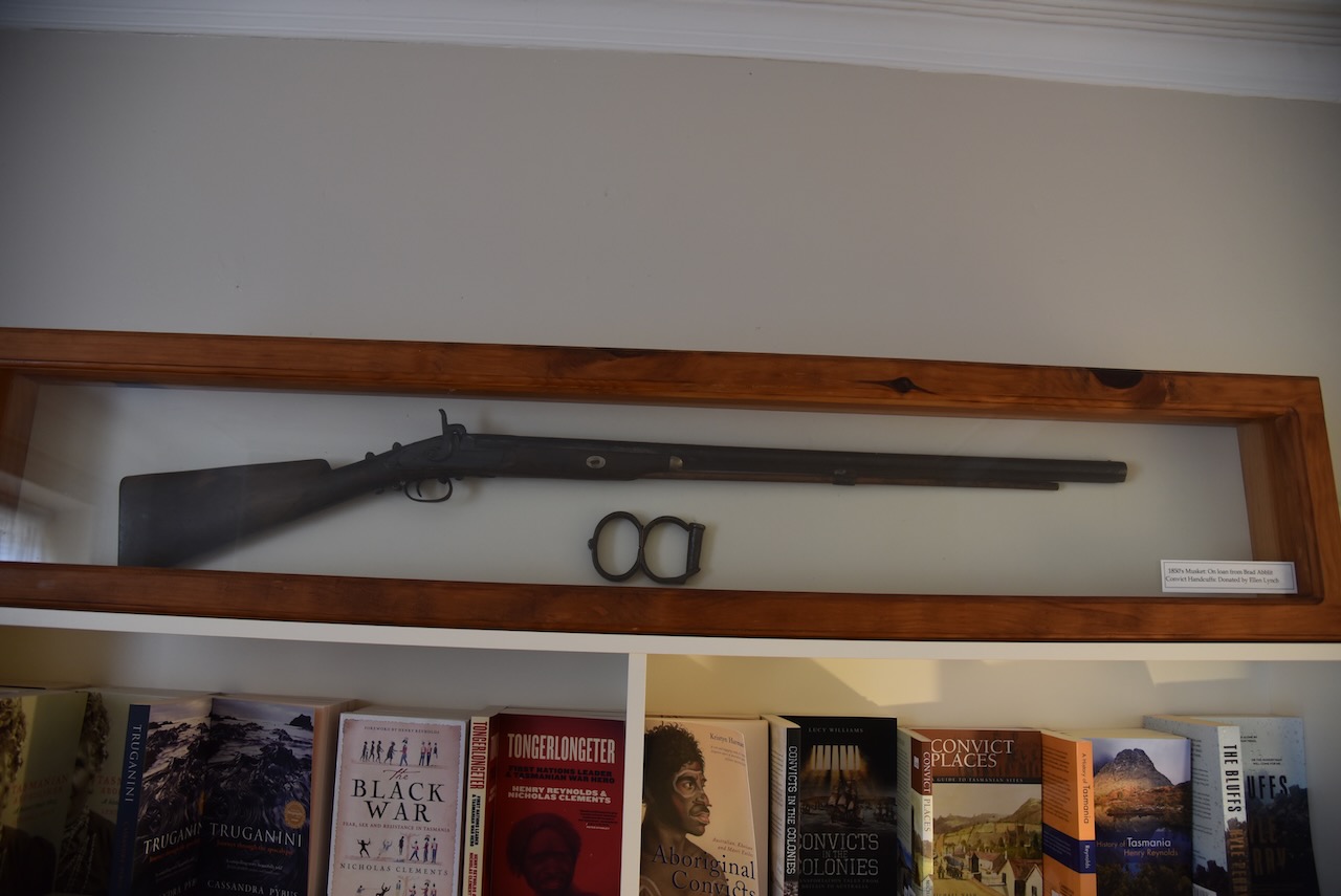
On the property is a memorial for Suicide Bay which is located about 50 km west. It was within the borders of the Van Dieman’s Land Company and is the site of one of the few documented killings of Tasmanian aboriginal people.

Suicide Bay is also known as Taynayuwa and is located at the site of the 1828 Cape Grim massacre. On the 10th day of February 1828, a group of aboriginal people gathering food at the beach, were ambushed and shot by workers from the Van Dieman’s Land Company. Some of the bodies of the 30 men killed were thrown from a 60 metre cliff. This was in reprisal for an earlier aboriginal raid on a flock of sheep. It was part of the ‘Black War’, the violent conflict between European settlers and the aboriginal people between the mid 1820s to 1832.
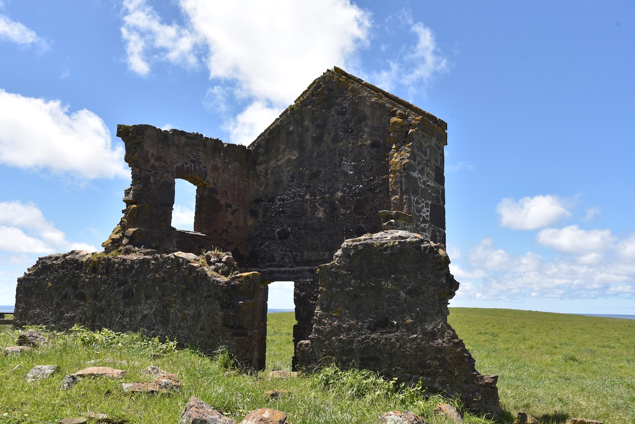
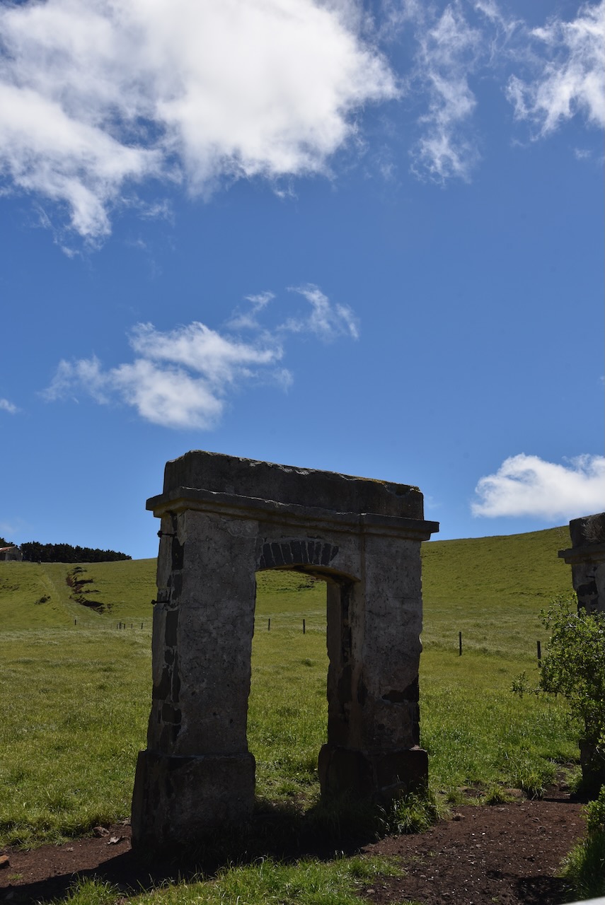
Just outside of the Highfield garden and outbuildings, on Green Hills Road are the ruins of the convict barracks. Most of the har labour in construction of Highfield was done by convicts. About 70 were housed in the barracks.
We headed back in to Stanley for some lunch.
References.
- Tasmania Parks & Wildlife Service, 2023, <https://parks.tas.gov.au/explore-our-parks/the-nut-state-reserve>, viewed 8th January 2023.
- Tasmania Parks & Wildlife Service, 2023, <https://parks.tas.gov.au/explore-our-parks/highfield-historic-site>, viewed 8th January 2023.
- Wikipedia, 2023, <https://en.wikipedia.org/wiki/Volcanic_plug>, viewed 8th January 2023.
- Wikipedia, 2023, <https://en.wikipedia.org/wiki/The_Nut_(Tasmania)>, viewed 8th January 2023.
- Wikipedia, 2023, <https://en.wikipedia.org/wiki/Cape_Grim_massacre>, viewed 8th January 2o023.
