
After packing up at Rokewood (20th November 2022) we headed northwest along the Rokewood-Skipton Road and we soon reached the little town of Skipton.
Skipton takes its name from Skipton in Yorkshire in the United Kingdom. It comes from Old English – ‘Scip-tun’ meaning ‘sheep town’. The area was first established as a pastoral run in 1839. By 1852 the town site had been surveyed. A Post office was opened on the 6th day of March 1858. In 1859, Skipton held the first agricultural show in the western district of Victoria.

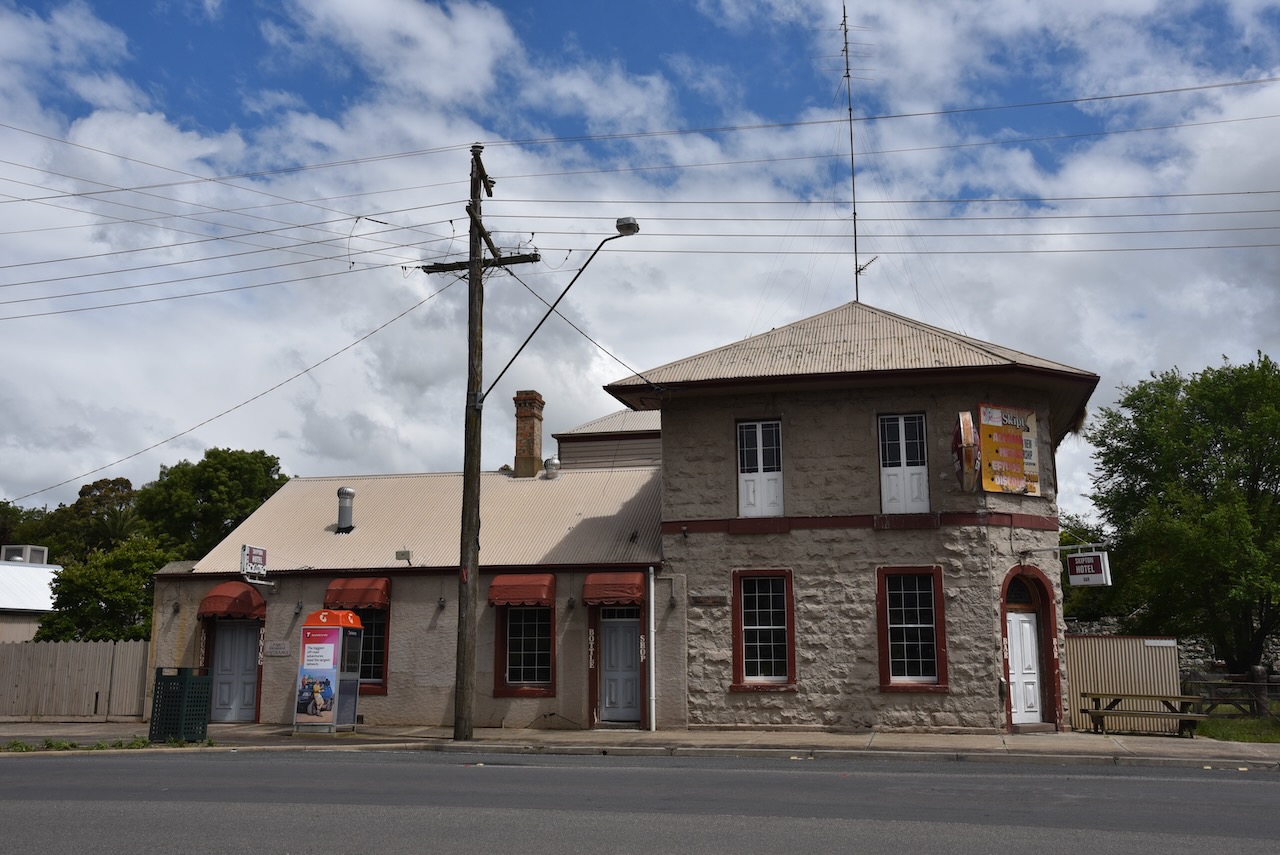
Above:- The Skipton Hotel. Image c/o https://victoriancollections.net.au/
Skipton was the home to a number of notable people including Henry Bolte, the longest serving Premier of Victoria. There are also a number of historic buildings including the old Skipton Hotel which waas built in 1859.


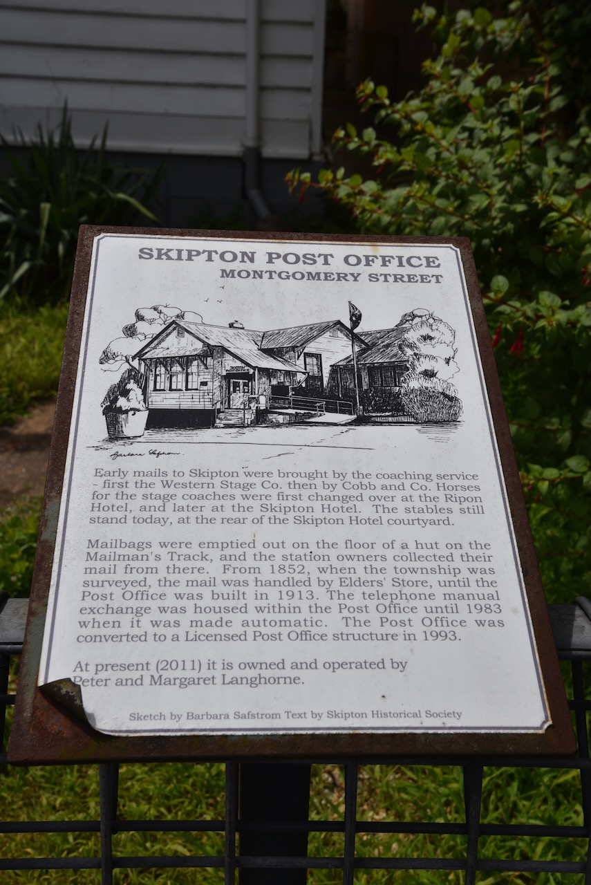
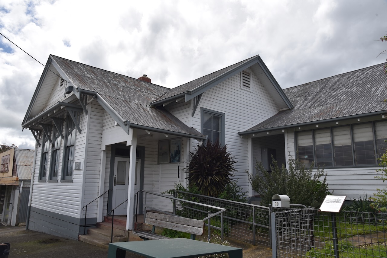


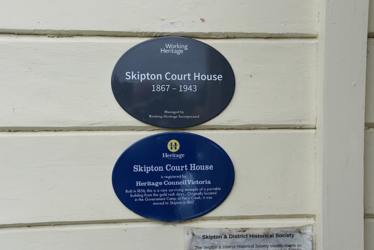
Marija and I then visited the old Skipton Court House which is now used by the Skipton Historical Society.
The old court house building was built at the government camp at Fiery Creek in 1856 and was moved to Skipton in 1867. We were lucky in that there were volunteers present and we were able to go inside the courthouse. The volunteer that we spoke to advised that the court house was flooded in recent weeks due to the heavy rain and that water was quite a few inches deep inside.


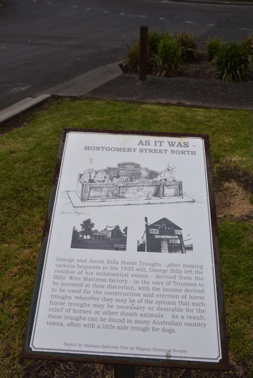
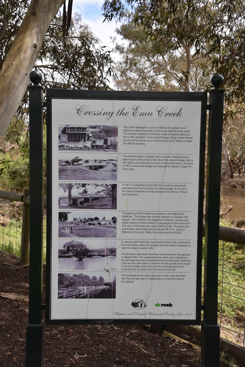
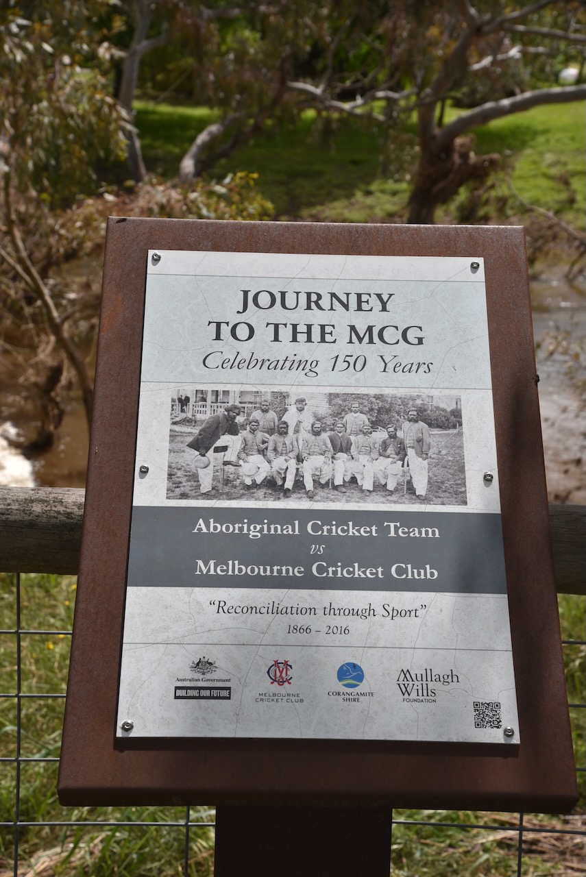
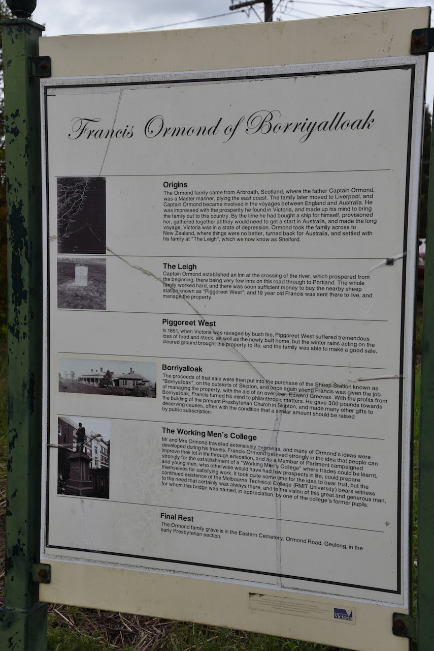
Adjacent to the old court house is Stewart Park on the banks of the Mount Emu Creek. There is a viewing platform in the park to view platypus which can be found in the creek. There are also a number of information boards with history of Skipton, and a memorial cairn to the Skipton pioneers. There was quite a bit of water flowing along the creek after the recent floods.


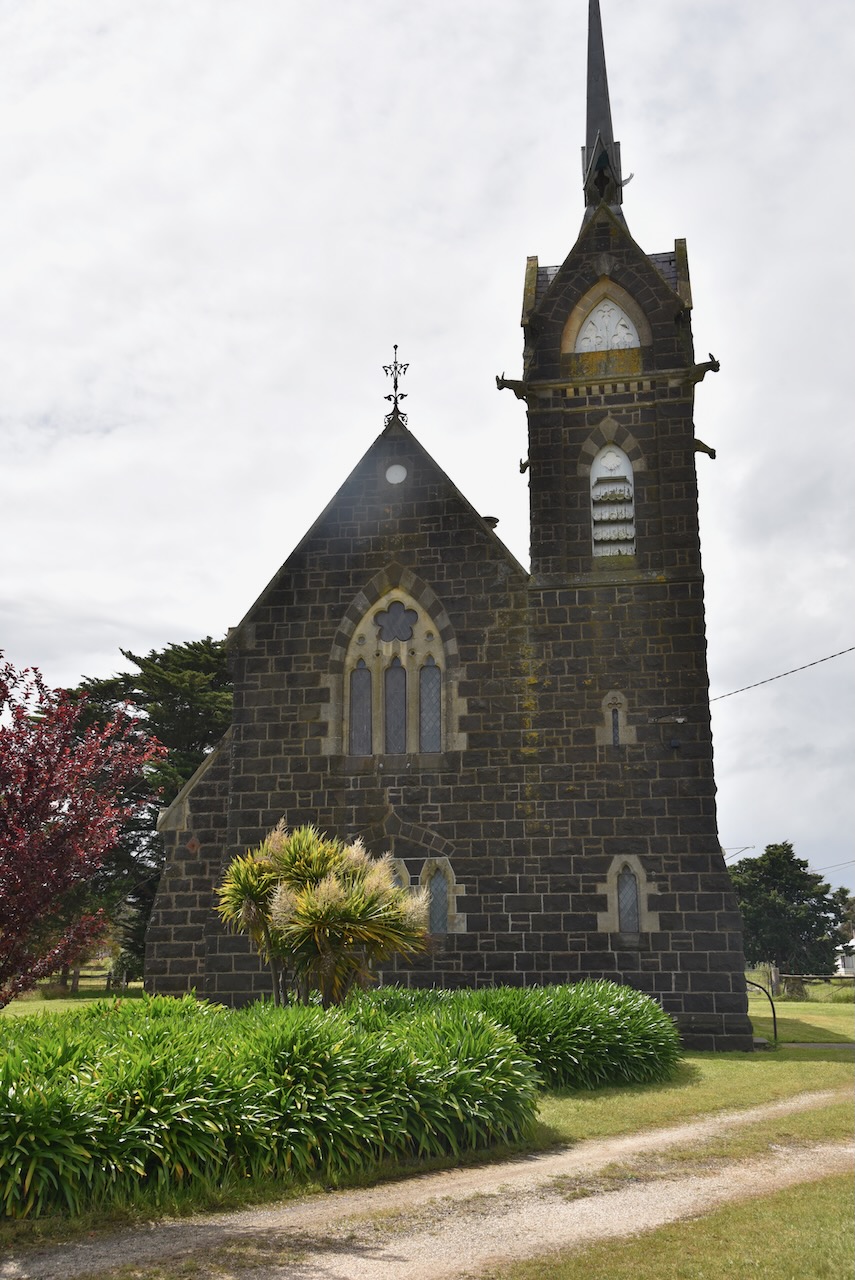
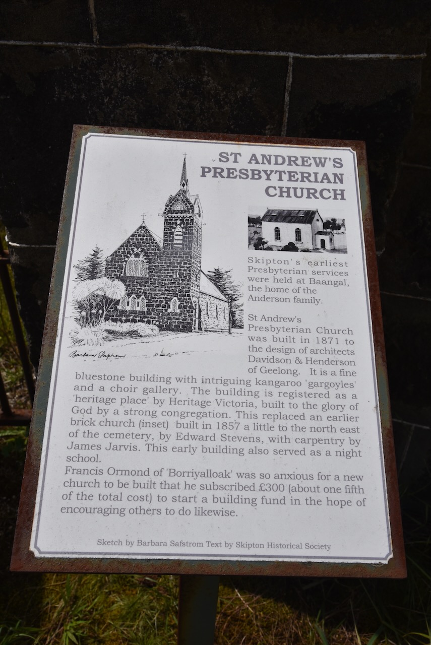
We then had a look at St Andrews Presbyterian Church, a beautiful tuck-pointed bluestone Gothic Revival church which was built between 1871-1872.
We then drove north out of Skipton on the Skipton Road towards Beaufort. Marija saw on the map that the Blacks Creek Nature Conservation Reserve VKFF-2049 was just up the road, so we decided to call in there for a quick park activation.

Above:- Map showing the location of the Blacks Creek NCR. Map c/o Google maps.
The Blacks Creek Nature Conservation Reserve is 233.95 hectares in size and is located on the northern side of the Carngham-Streatham Road. It was gazetted in 2002.
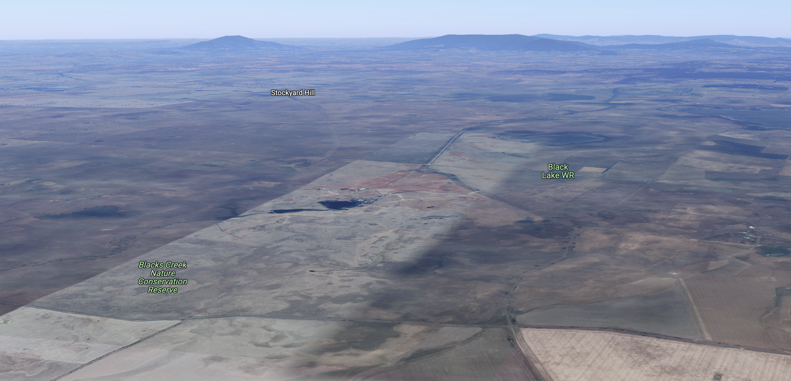
Above:- An aerial view of the Blacks Creek NCR. Image c/o Google maps.
The park preserves Plains Grassland which is considered endangered in the Victorian Volcanic Plain bioregion. Patches of grassland the size of Blacks Creek are very rare. The park contains a number of significant plant species, including at least two which are of national significance.


Marija and I set up near the corner of the Carngham-Streatham Road and Stockyard Hill Road.

Above: Aerial view of the park showing our operating spot. Image c/o Google Earth.
Marija worked the following stations on 40m SSB:-
- VK7XX
- VK2HHA
- VK3SQ
- VK2MET
- VK1AO
- VK2VH
- VK4AAC
- VK3VB
- VK7AN
- VK5PL
- VK2IO/p (Pitt Town Nature Reserve VKFF-1984)
- VK3BEZ/p (Alpine National Park VKFF-0619)
- VK3NRB/p (Alpine National Park VKFF-0619)
I worked the following stations on 40m SSB:-
- VK7XX
- VK2HHA
- VK3SQ
- VK2MET
- VK1AO
- VK2VH
- VK4AAC
- VK3VB
- VK7AN
- VK2PKT
- VK5PL
- VK3VIN
- VK5AYL
- VK3BBB
- VK2CCP
- VK3DL
- VK3GRX
- VK2IO/p (Pitt Town Nature Reserve VKFF-1984)
- VK4FW
- VK8MM
- VK4TJ
- VK3UH
- VK4KLA
- VK3YV
- VK3ZK
- VK4NH
- VK4DXA
- VK3GJG
- VK3BEZ/p (Alpine National Park VKFF-0619)
- VK5KVA
- VK3NRB/p (Alpine National Park VKFF-0619)
- VK3DXJ
- VK5BJE
- VK1AAF
I worked the following stations on 20m SSB:-
- VK4NH
- VK4DXA
- VK4FW
- VK8MM
- VK4EW
- VK4SMA
I worked the following stations on 20m AM:-
- VK4EW
- VK4NH
- VK4DXA
- VK4SMA
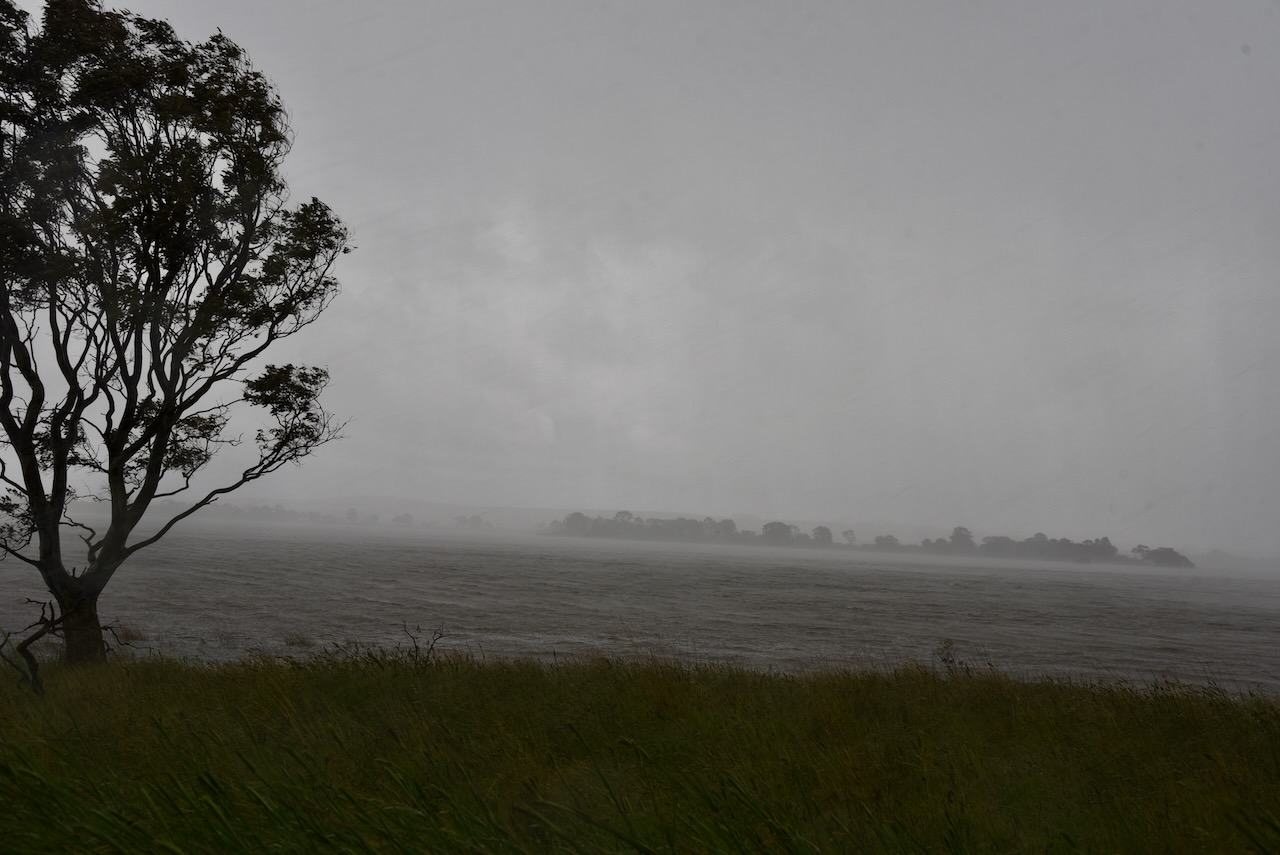
It had started to rain so we packed up, with 57 contacts in the log, including 6 Park to Park contacts.
We drove north on the Skipton Road towards Beaufort and the heavens really opened up and we experienced very heavy rain was we drove passed Lake Goldsmith.

References.
- Aussie Towns, 2023, <https://www.aussietowns.com.au/town/skipton-vic>, viewed 9th January 2023.
- Blacks Creek Nature Conservation Reserve Management Statement, May 2005
- Wikipedia, 2023, <https://en.wikipedia.org/wiki/Skipton,_Victoria>, viewed 9th January 2023
