
After leaving Pimpinio (Monday 21st November 2022), Marija and I drove a little further along the Western Highway to the Wail silo VK-WLL3.
Wail is about 26 km north west of Horsham, and about 292 km north west of Melbourne.
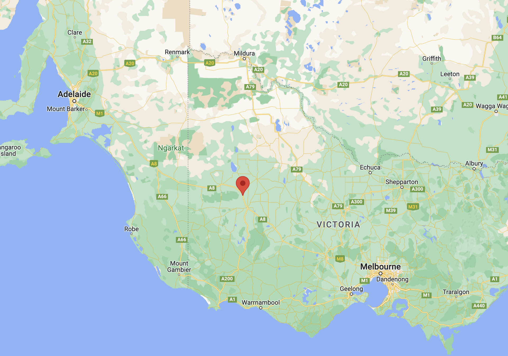
Above:- Map showing the location of Wail in western Victoria. Map c/o Google maps.
Wail is an aboriginal word for Curlew which is a a type of bird. On the 9th day of June 1873 the township of Wail was gazetted.
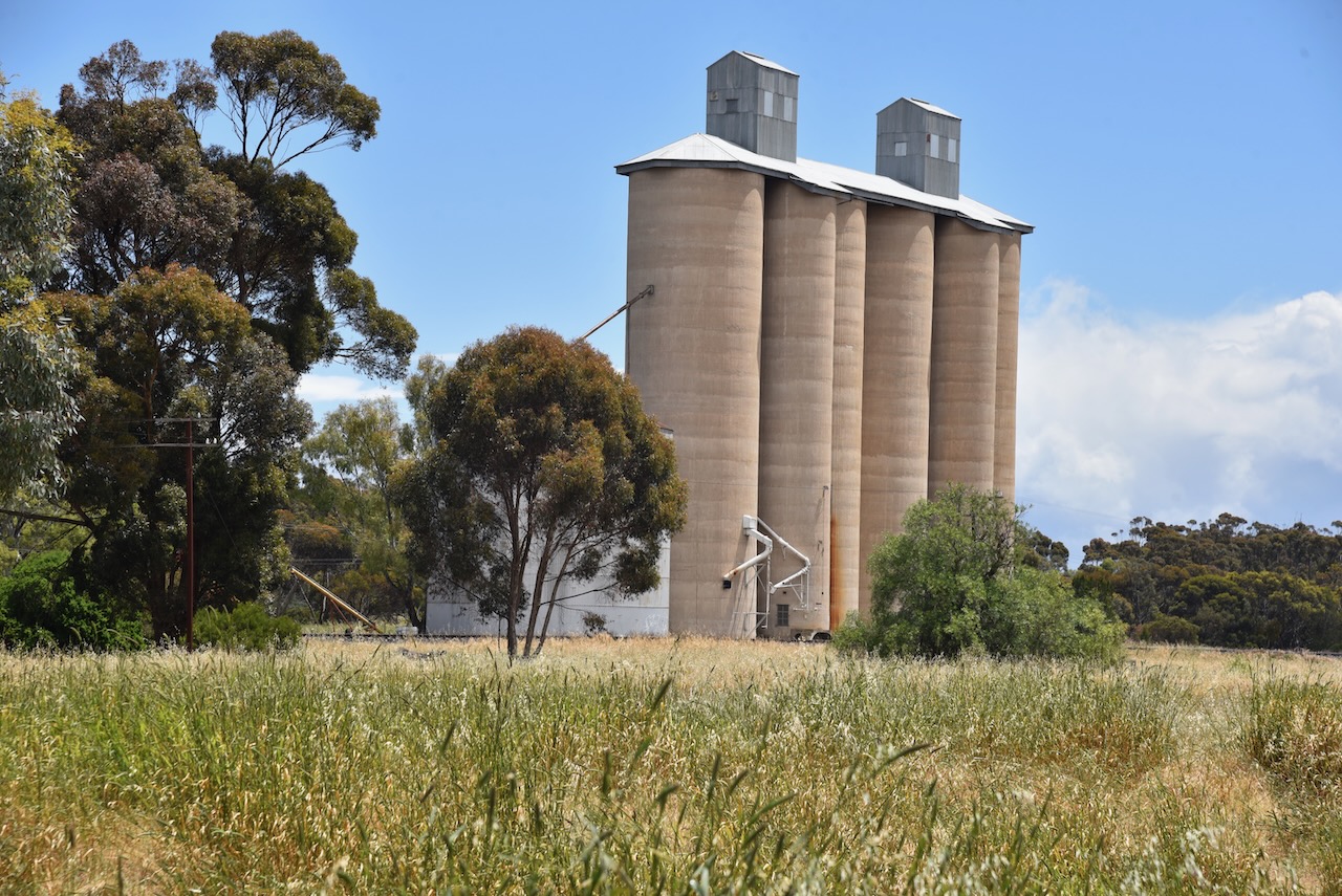
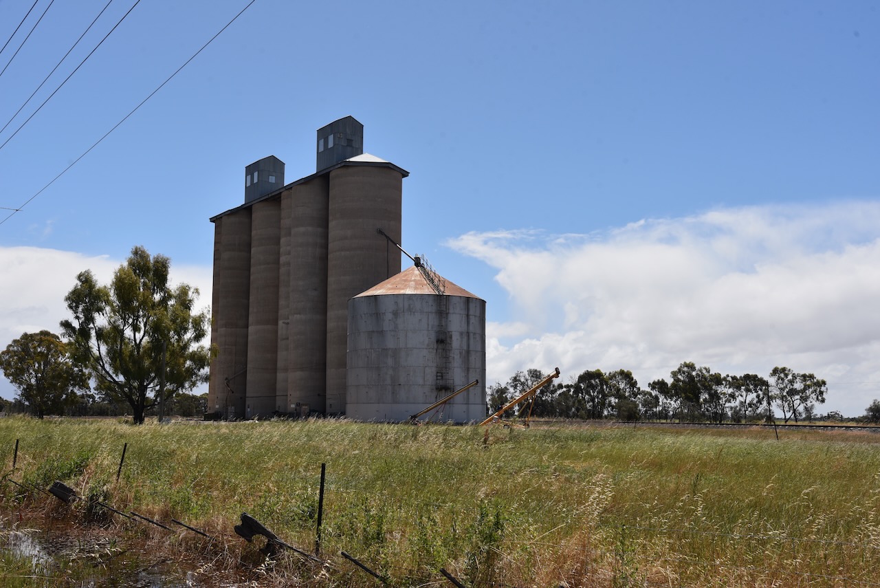
We operated from Wail Nursery Road directly in front of the silo. We ran the Icom IC-7000, 100 watts, and the Codan 9350 self tuning antenna.
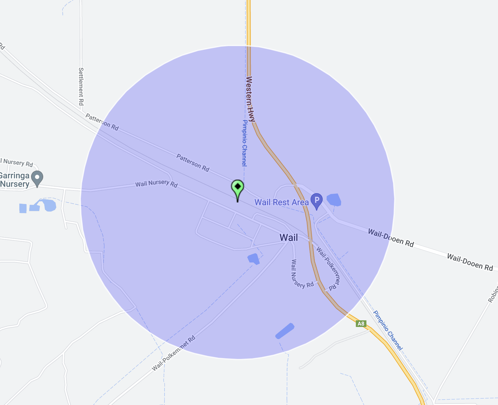
Above:- Map showing the location of the Wail silo and the activation zone. Image c/o SiOTA website.
Marija worked the following stations on 20m SSB:-
- VK4FW
- VK8MM
- ZL3MR
- VK4EW
- VK2IO
Marija worked the following stations on 20m AM:-
- VK4EW
- VK4FW
- VK8MM
Marija worked the following stations on 40m SSB:-
- VK2MET
- VK1AO
I worked the following stations on 20m SSB:-
- VK4FW
- VK8MM
- ZL3MR
- VK4EW
- VK2IO
I worked the following stations on 20m AM:-
- VK4EW
- VK4FW
- VK8MM
I worked the following stations on 40m SSB:-
- VK3PF
- VK4FW
- VK8MM
- VK2MET
- VK1AO
References.
- Historic trucks, 2023, <http://historictrucks.blogspot.com/2017/01/place-names-and-their-meanings-of-towns.html>, viewed 9th January 2023.
