
It was now Tuesday 28th February 2023, and we would be leaving Stawell and heading to Geelong. Along the way we planned on activating a number of parks for the World Wide Flora Fauna (WWFF) program and silos for the Silos On The Air (SiOTA) program.
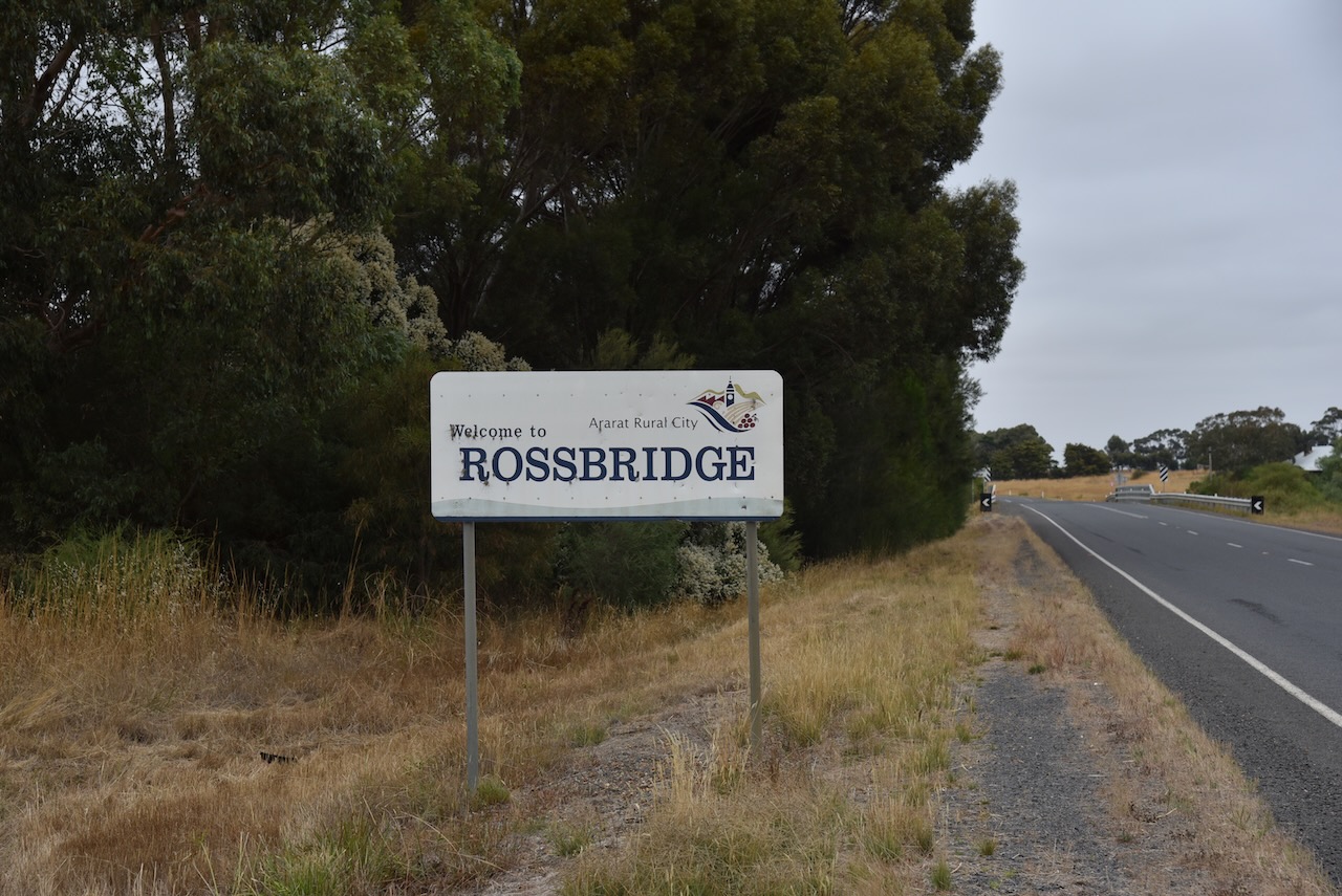
After having breakfast in Stawell, Marija and I travelled to the Rossbridge Wildlife Reserve VKFF-2429
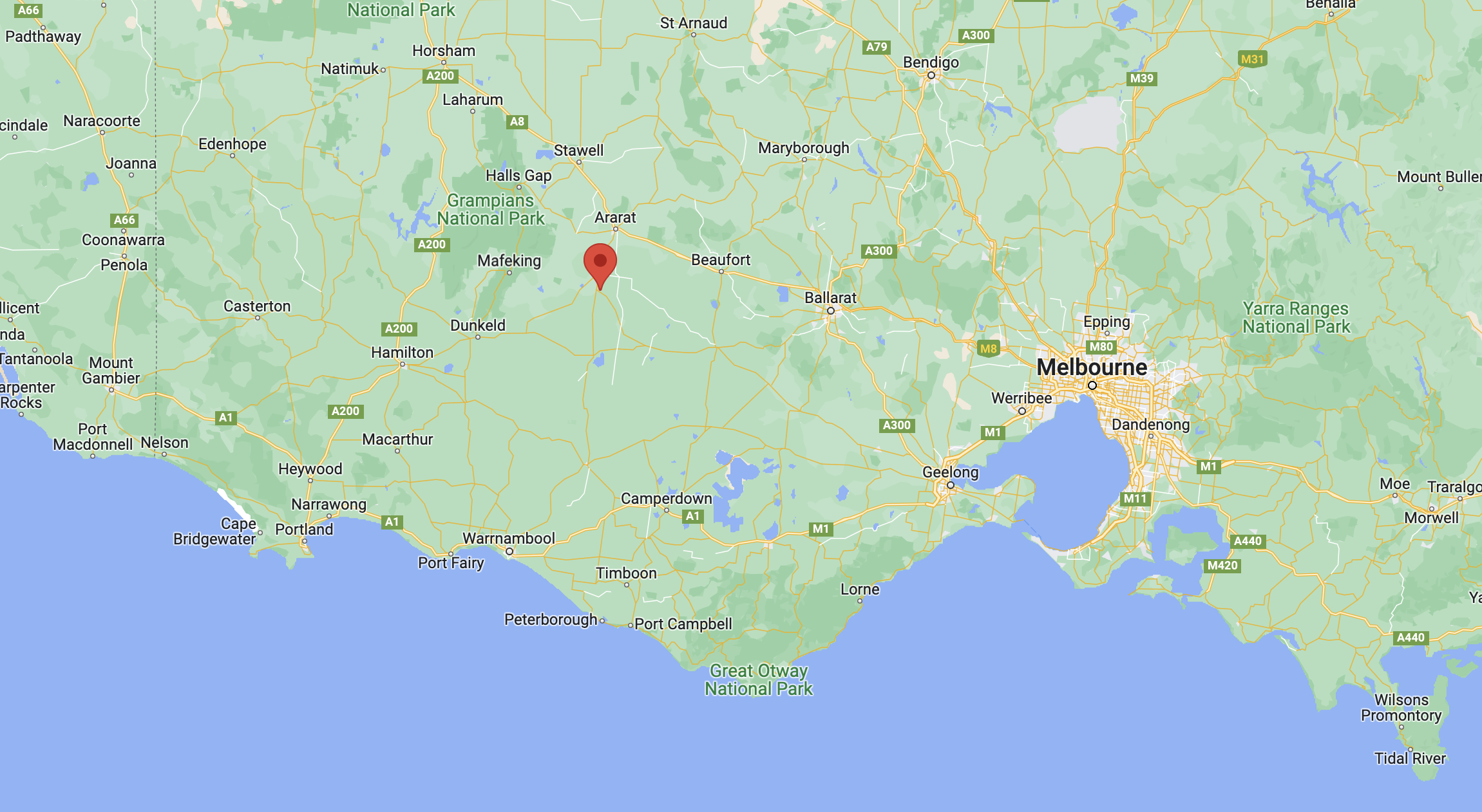
Above:- Map showing the location of Rossbridge. Map c/o Google maps.
The town of Rossbridge was established on the Ararat to coast Road during the 1860s. It was named after Ross’s Bridge at the crossing of the Hopkins River. The bridge was named after John Ross, the selector of the Mount William Plains 20,000-acre pastoral run.
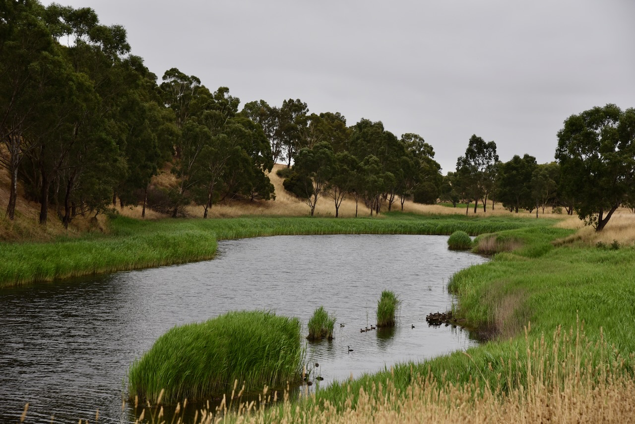
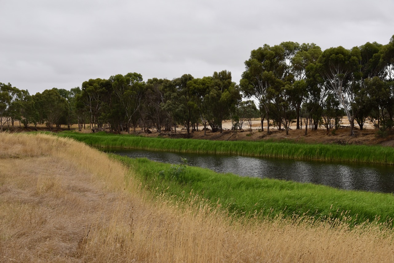
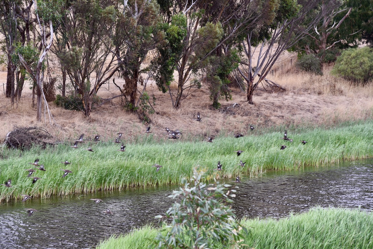
The Hopkins River is a perennial river of the Glenelg Hopkins catchment which rises below Telegraph Hill near Ararat and flows south for 271 km and is joined by twelve tributaries. This includes Mount Emu Creek. The Hopkins River eventually joins its mouth and empties into Bass Strait at Warnambool.
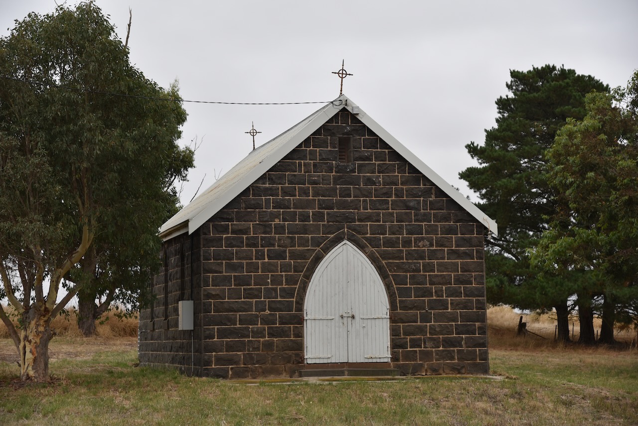
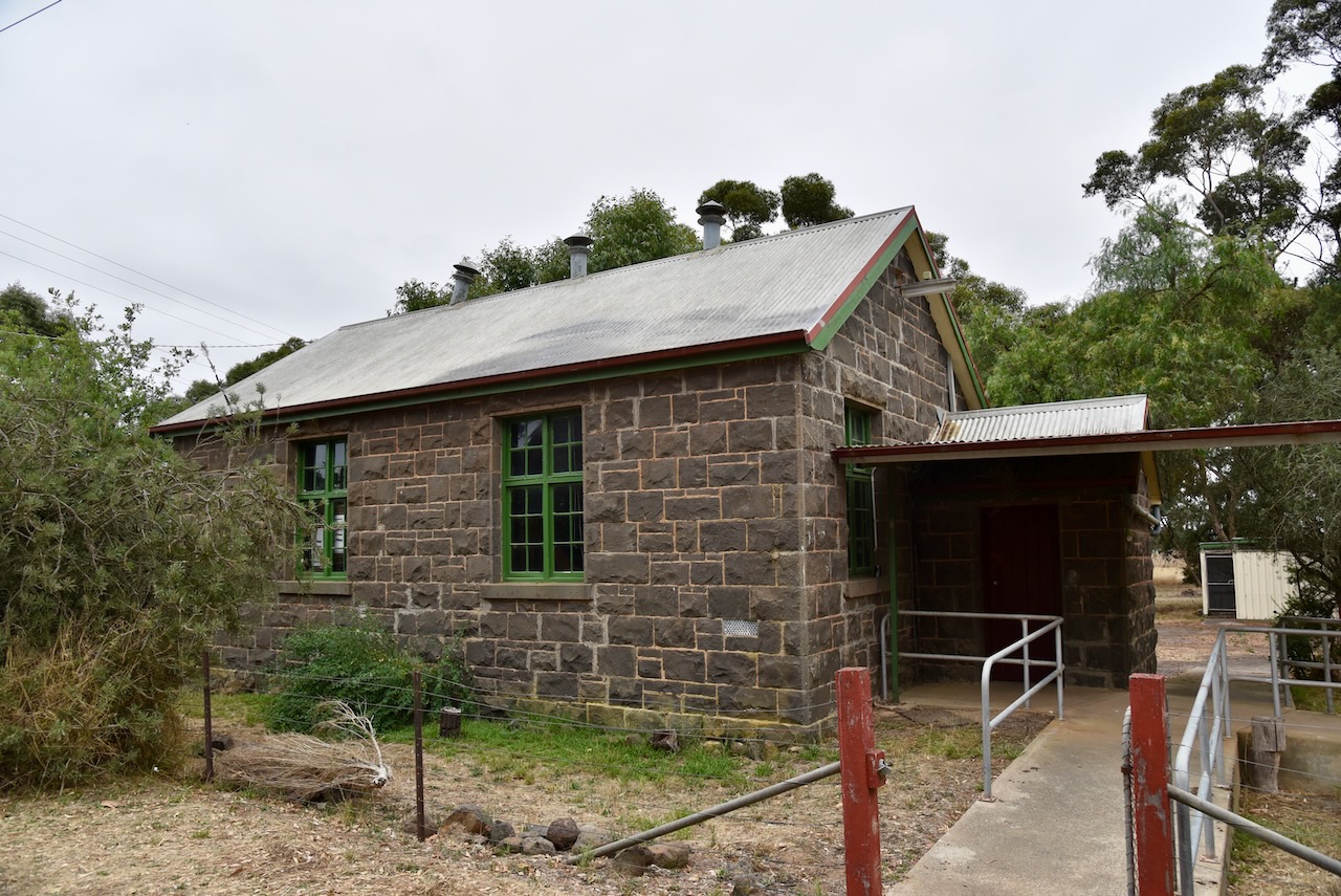
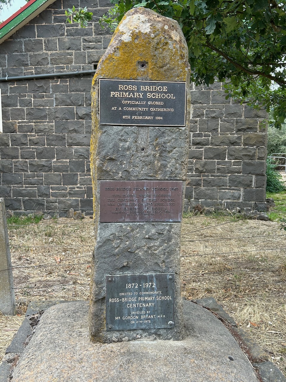
A church, a school and numerous residences had been established at Rossbridge by the 1870s. The Rossbridge Post office opened on the 21st day of November 1873. It closed in March 1962.

Above:- the township of Rossbridge. Image c/o Trove.
On the 9th day of February 1863, a tragedy struck the Rossbridge area when four children died after the shepherd’s hut they were sleeping in caught fire. The children john aged 9, William aged 6, Elizabeth aged 4, and Michael aged 2, were the children of Michael Murphy and Catherine Murphy nee Toland. They were buried on the bank of Hopkins River at what was then Gledefield Station. There is a memorial on private property on the Mortlake-Ararat Road. The actual burial site remained unmarked for many years until a landowner became aware of the death of the children and erected a fence around the site. The Ararat Historical Society subsequently erected a plaque.
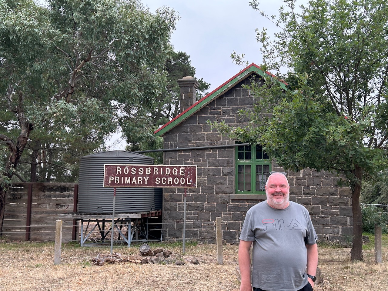
The old Rossbridge school and church remain today. The school is a private residence.
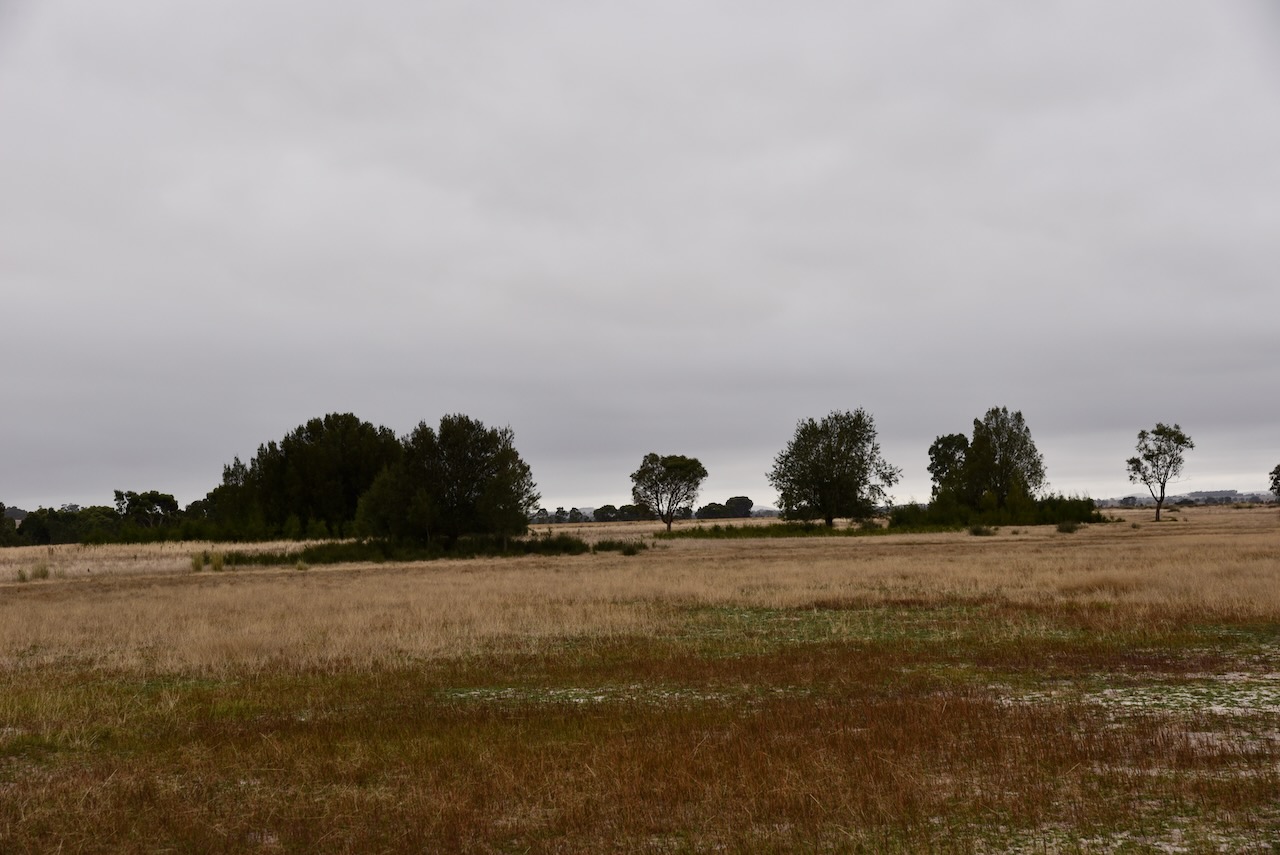
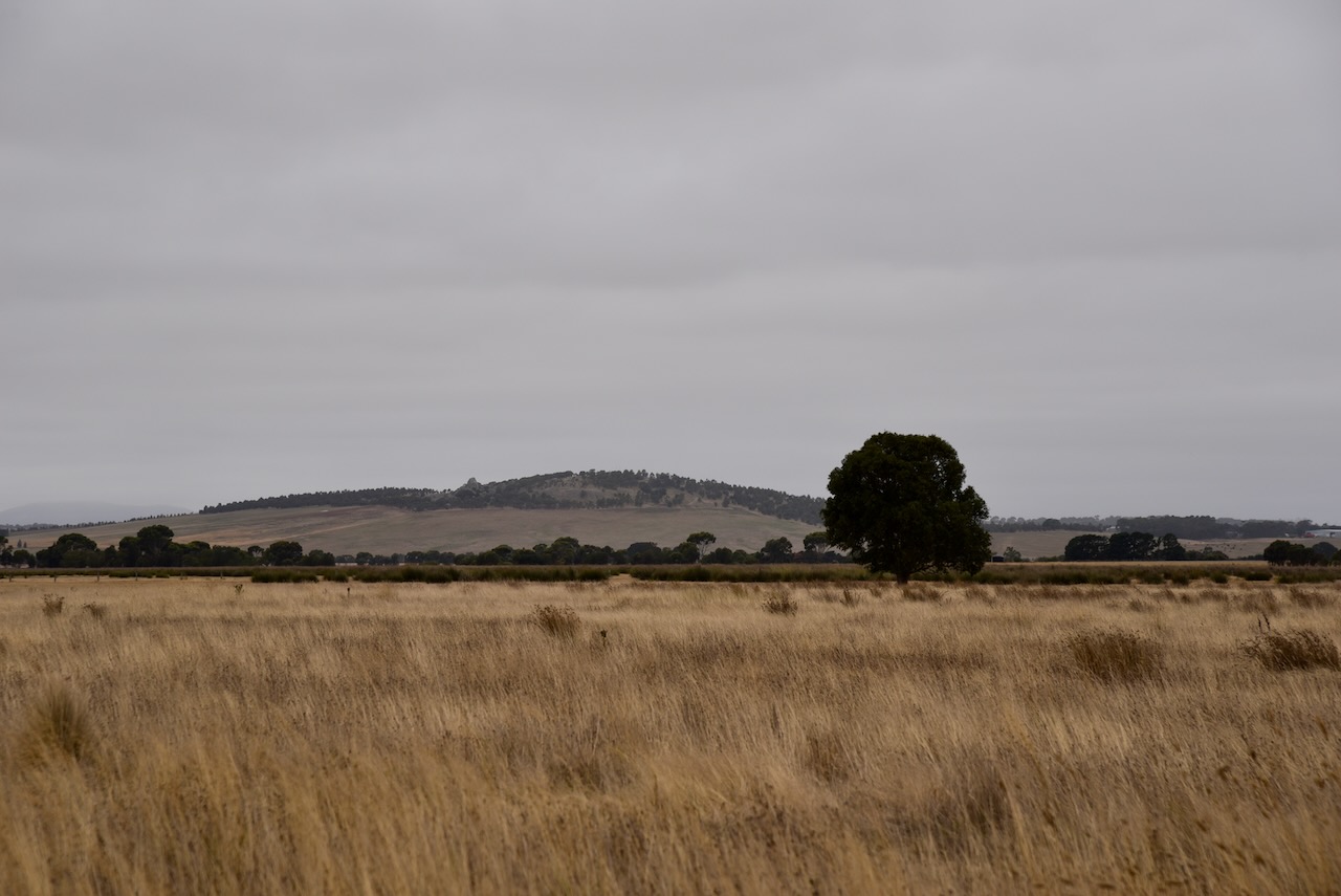
The Rossbridge Wildlife Reserve is about 148 acres in size. It is located on the northern side of Grange Road. Its northern boundary abuts the Hopkins River.
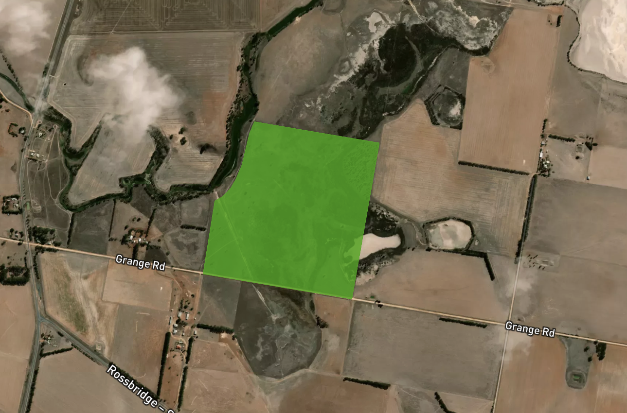
Above:- An aerial shot showing the Rossbridge Wildlife Reserve. Map c/o Protected Planet
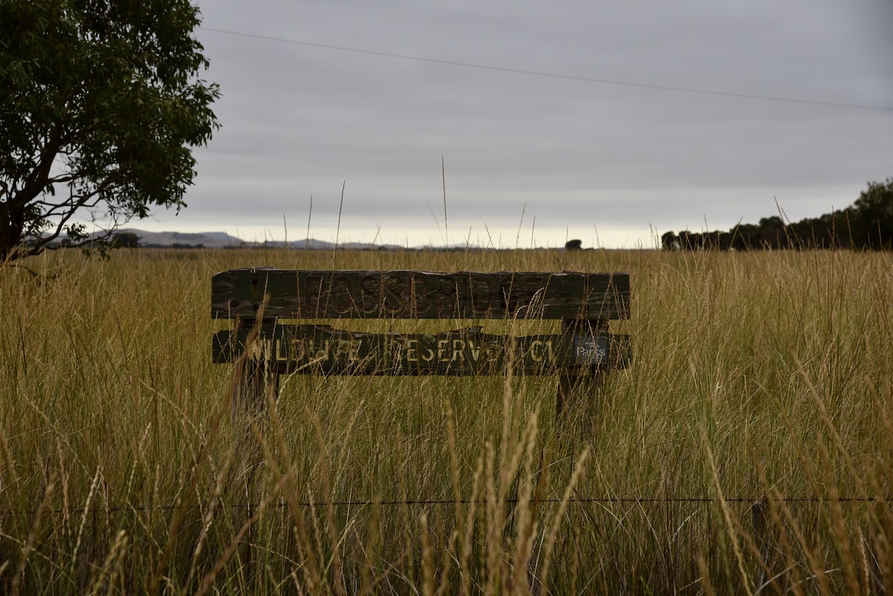
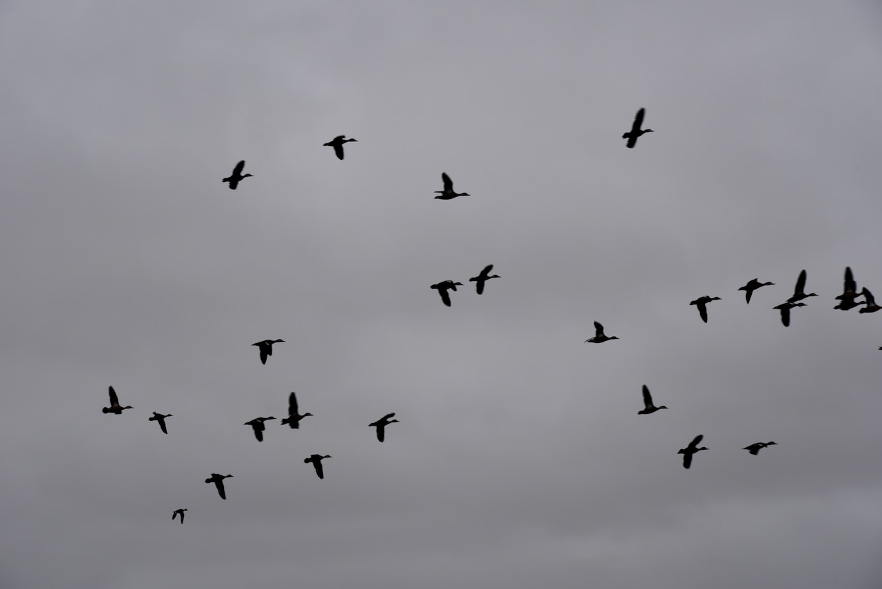
There is a park sign, but it is in poor condition and could be easily missed. The park is generally grassland with some low-lying trees.
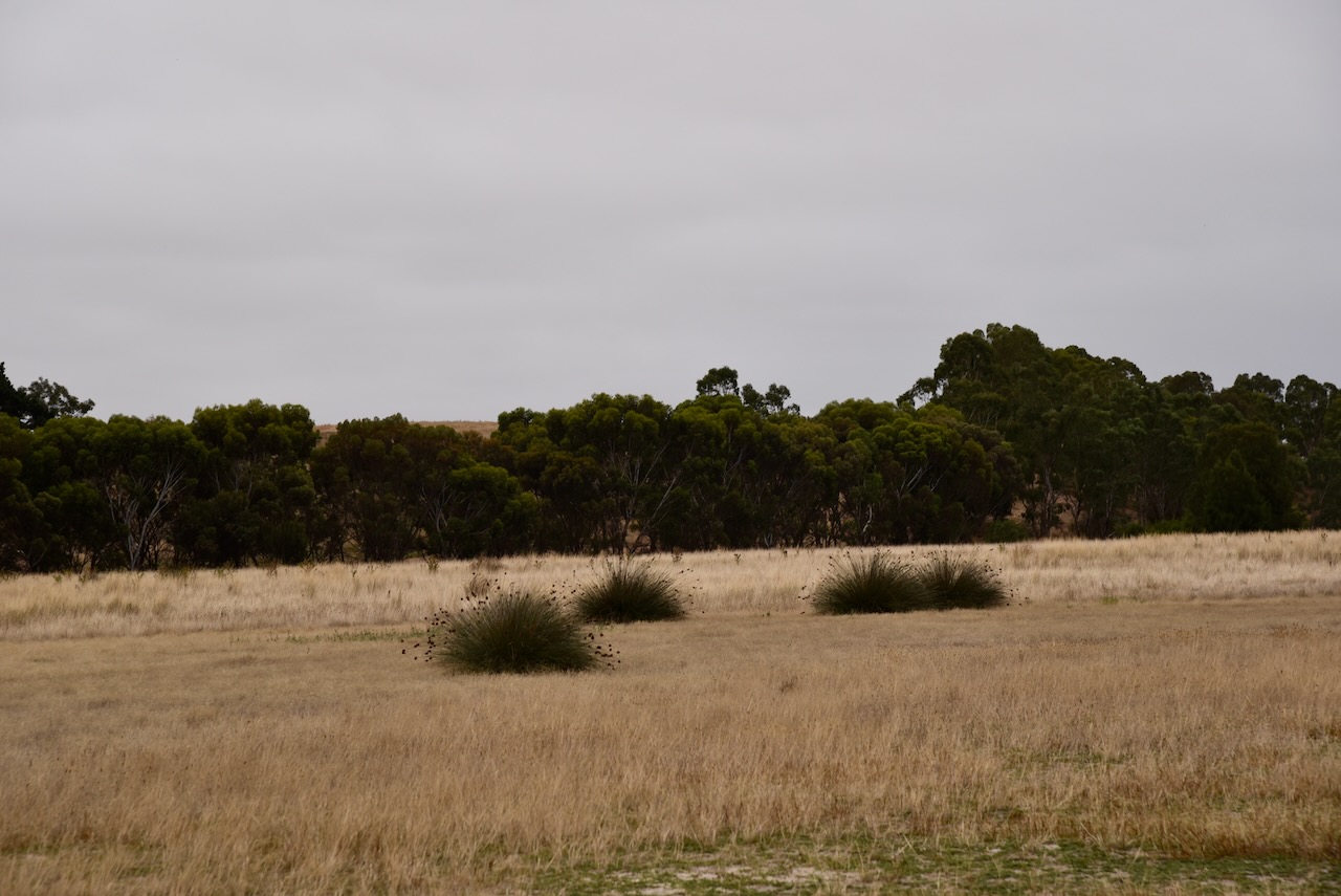
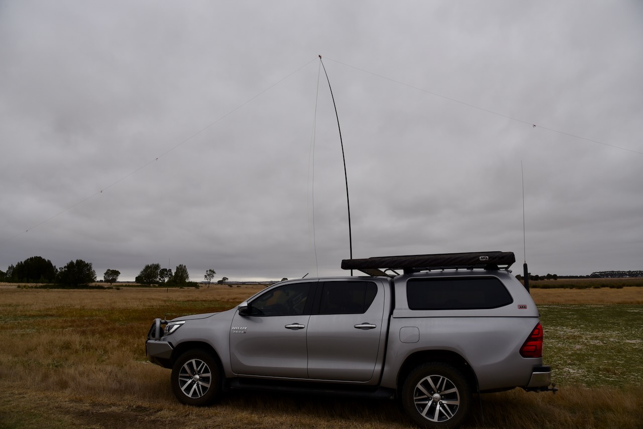
Marija and I found an open gate and a track at the southwestern corner of the park. We drove along the track and set up the 20/40/80m linked dipole. It was an overcast and chilly morning, so we operated from inside the 4WD.
We found band conditions to be very poor, although we both managed to get 10 QSOs to qualify the park for the VKFF program.
Marija worked the following stations on 40m SSB:-
- VK5HS
- VK2EXA
- VK4HNS
- VK2YPU
- VK4NH
- VK4DXA
- VK1AO
- VK2MET
- VK5FANA
- VK2FALL/p
- VK3PF
I worked the following stations on 40m SSB:-
- VK5HS
- VK2EXA
- VK4HNS
- VK2YPU
- VK4NH
- VK4DXA
- VK1AO
- VK2MET
- VK5FANA
- VK2FALL/p
- VK3PF
I worked the following stations on 80m SSB:-
- VK3PF
- VK3ANL
- VK2EXA
- VK5BJE
- VK5HS
I worked the following stations on 20m SSB:-
- VK4TJ
- VK1AO
- VK2MET
- VK4NH
- VK4DXA
References.
- ozburials, 2023, <http://www.ozburials.com/CemsVic/rossbridge.htm#>, viewed 27th March 2023.
- 1849 Squattters Directory of the Port Phillip District, 2023, <https://www.portphillipdistrict.info/1849_Directory.htm>, viewed 27th March 2023.
- Protected Planet, 2023, <https://www.protectedplanet.net/314841>, viewed 27th March 2023.
- Wikipedia, 2023, <https://en.wikipedia.org/wiki/Rossbridge>, viewed 27th March 2023.
- Wikipedia, 2023, <https://en.wikipedia.org/wiki/Hopkins_River>, viewed 27th March 2023.
