
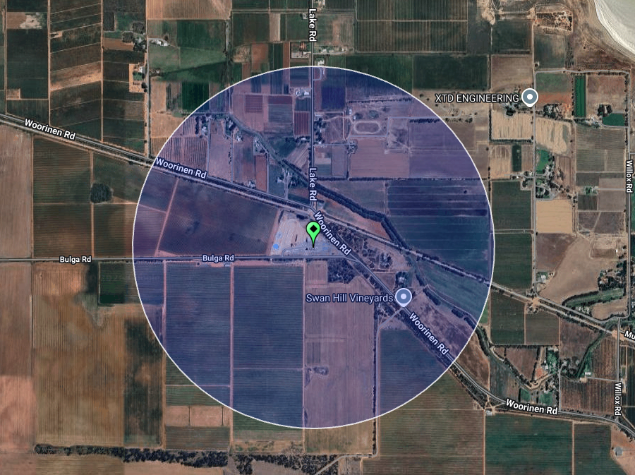
Our first activation for Friday, the 7th day of November 2025, was the Woorinen East silo VK-WRS3. Woorinen is located about 15 km northwest of Swan Hill.
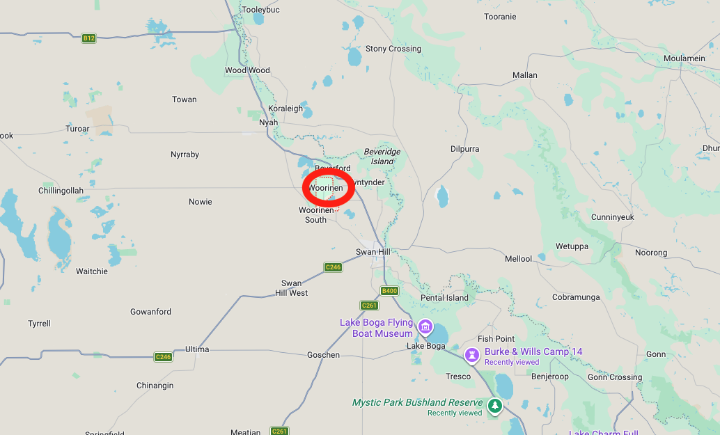
Above: Map showing the location of Woorinen. Map c/o Google Maps
Woorinen is believed to be an Aboriginal word meaning mouth. In 1913, the State Rivers and Water Supply Commission purchased 1,600 hectares of land to subdivide for orchards. In 1914, settlers took up farms, and in 1915, they built the Church of Christ, which was Woorinen’s first public building. The Woorinen R.S. Post Office opened on the 1st day of February 1915. It was renamed Woorinen on the 1st day of April 1919, and was closed on 24 September 1993. (Victorianplaces.com.au, 2026) (Wikipedia 2026)
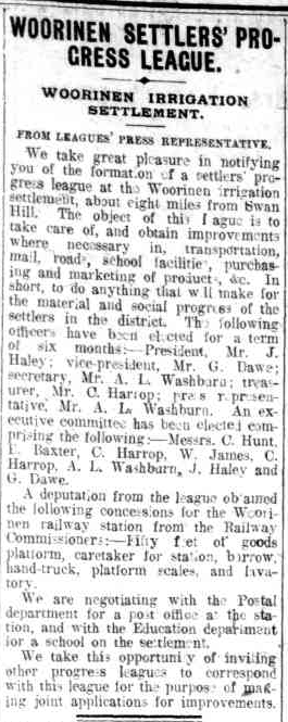
Above: article from the Swan Hill Guardian, Thu 28 Oct 1915. Image c/o Trove
In 1915, the railway line from Swan Hill was extended and passed through Woorinen South. In 1916, The Swan Hill Guardian newspaper wrote the following about Worrinen:
“The settlement is now well worthy of a visit, as showing once again the possibilities of irrigation and the once despised mallee country. It requires no great stretch of imagination to foresee the time, perhaps fifty years hence, when, after full conservation of the water resources of the country have been made, the mallee country has become the garden of Australia, rivalling in production the vast areas devoted to fruitgrowing in California….” (Trove 2026)
In 1921, the Woorinen Fruitgrowers Association built a dried fruit packings shed and this continued to function until 1967. In 1917, a school at Woorinen Central was established. In 1922, a Methodist church was built and continued to be used until 1979. A public hall was built in 1919.
Woorinen had several sporting clubs, including a football club and a cricket club.
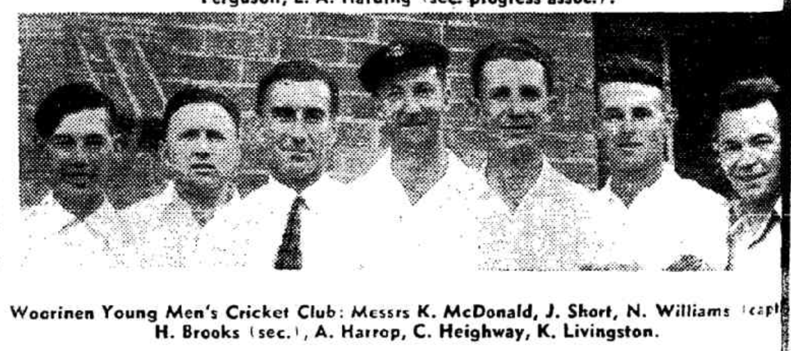
Above: Image from the Weekly Times, Wed 19 Nov 1952. Image c/o Trove
In 1925, a school was built at Woorinen North, and a school followed in 1930 at Woorinen South.
The Woorinen East silos are located on the corner of Woorinen Road and Bulga Road, alongside the Piangil railway line.
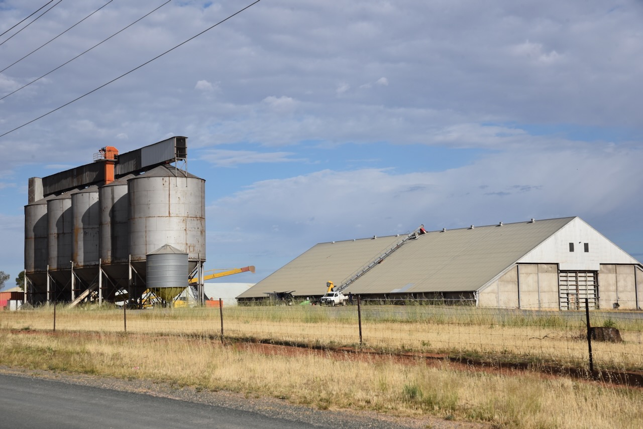
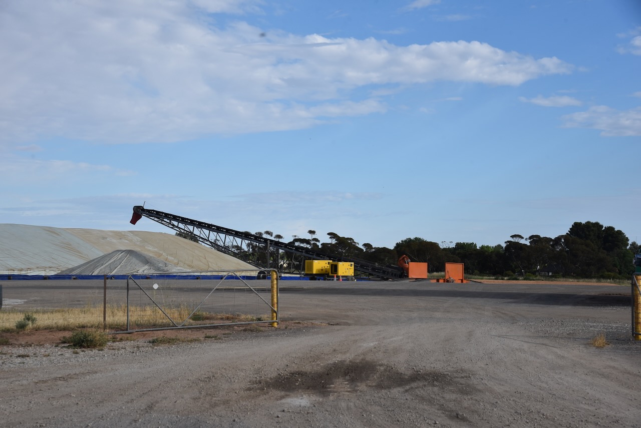
Marija and I parked on Bulga Road and operated from the 4WD. We ran the Icom IC-7000, 100 watts, and the Codan 9350 antenna with the 1.5 metre stainless steel whip.
Above: the activation zone at the Woorinen East silo. Image c/o SiOTA website
Marija worked the following stations on 40m SSB:-
- VK2IO
- VK3EJ
- VK2HBR
- VK3PF
- VK3UP/M
- VK4NH
- VK2VW
- VK2HFI
- VK2AKA
- VK2BUG
I worked the following stations on 40m SSB:-
- VK2IO
- VK3EJ
- VK2HBR
- VK3PF
- VK3UP/M
- VK4NH
- VK2VW
- VK2HFI
- VK2AKA
- VK2BUG
- VK5WY
References.
- Trove. (2026). WOORINEN. – Progress Association – Swan Hill Guardian and Lake Boga Advocate (Vic. : 1914 – 1918) – 11 Dec 1916. [online] Available at: https://trove.nla.gov.au/newspaper/article/92121003?searchTerm=woorinen%20hall [Accessed 17 Apr. 2026].
- Victorianplaces.com.au. (2026). Woorinen and Woorinen South | Victorian Places. [online] Available at: https://www.victorianplaces.com.au/woorinen-and-woorinen-south [Accessed 17 Apr. 2026].
- Wikipedia Contributors (2026). Woorinen. Wikipedia.
