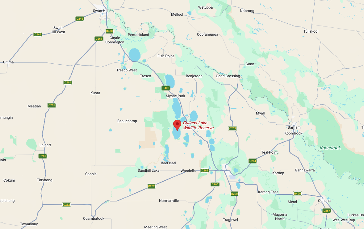
Activation number two for Friday, the 7th day of November 2025, was a joint World Wide Flora Fauna (WWFF) and Silos On The Air (SiOTA) activation of the Woorinen South Bushland Reserve VKFF-6143, and the Woorinen silo VK-WRN3 and the Woorinen West silo VK-WRW3.
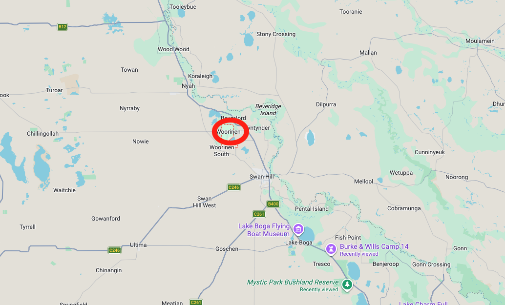
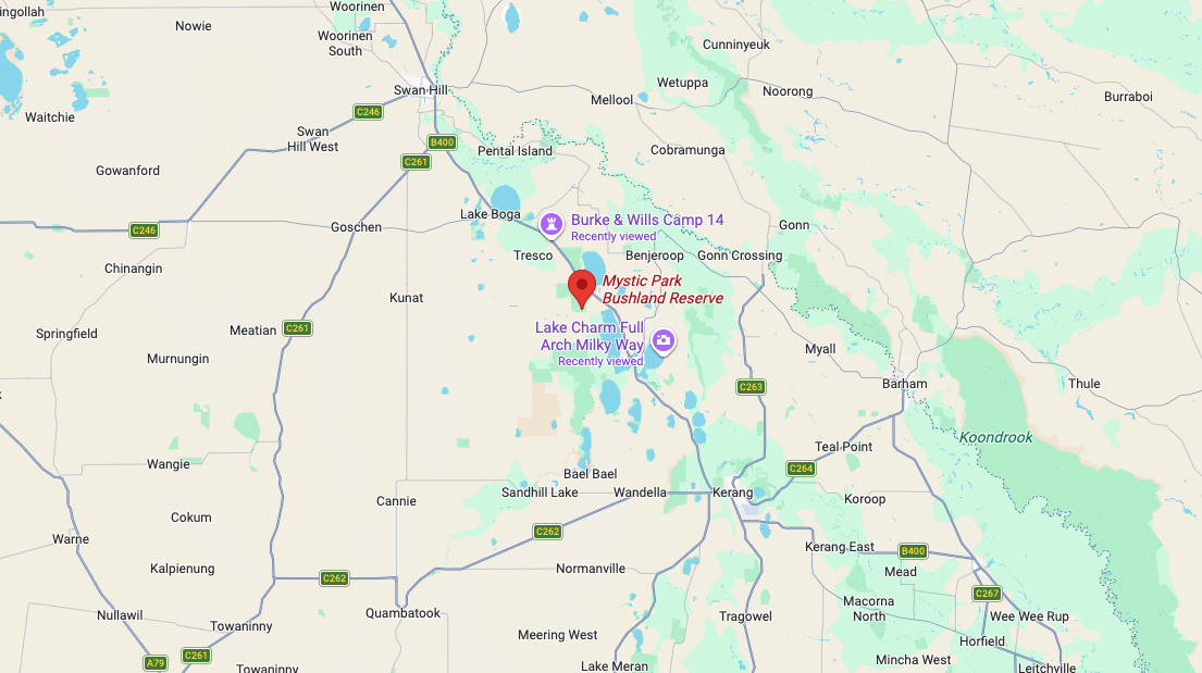
Above: Map showing the location of Woorinen. Map c/o Google Maps
After leaving the Woorinen East silo, Marija and I drove a short distance up Woorinen Road into the town of Woorinen South.
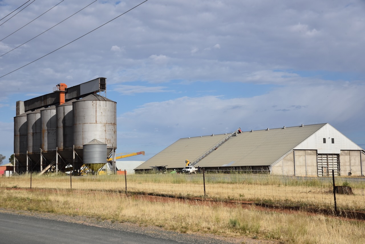
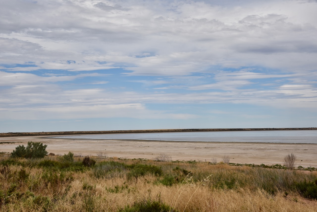
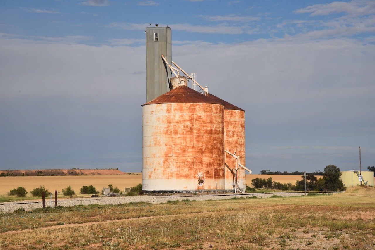
The Woorinen silo VK-WRN3 is located alongside the railway line on the southern side of Station Street.
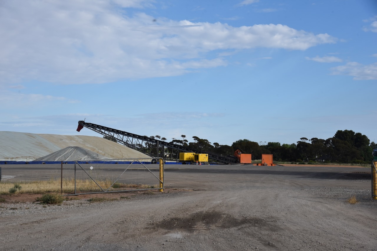
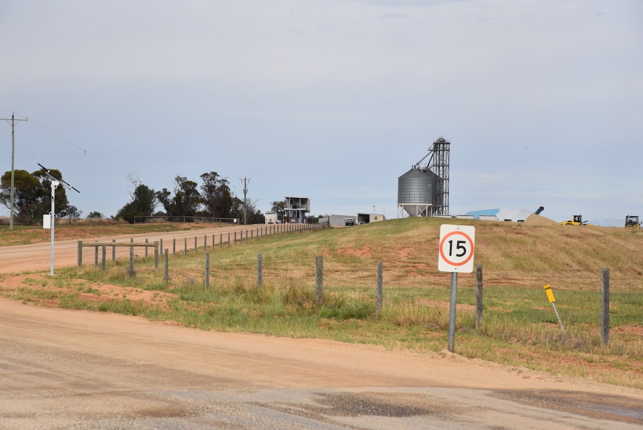
The Woorinen West silo VK-WRW3 is also located alongside the railway line and on the western side of the Woorinen-Vinifera Road.
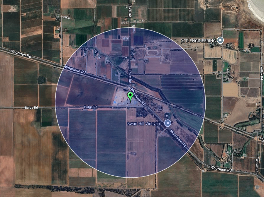
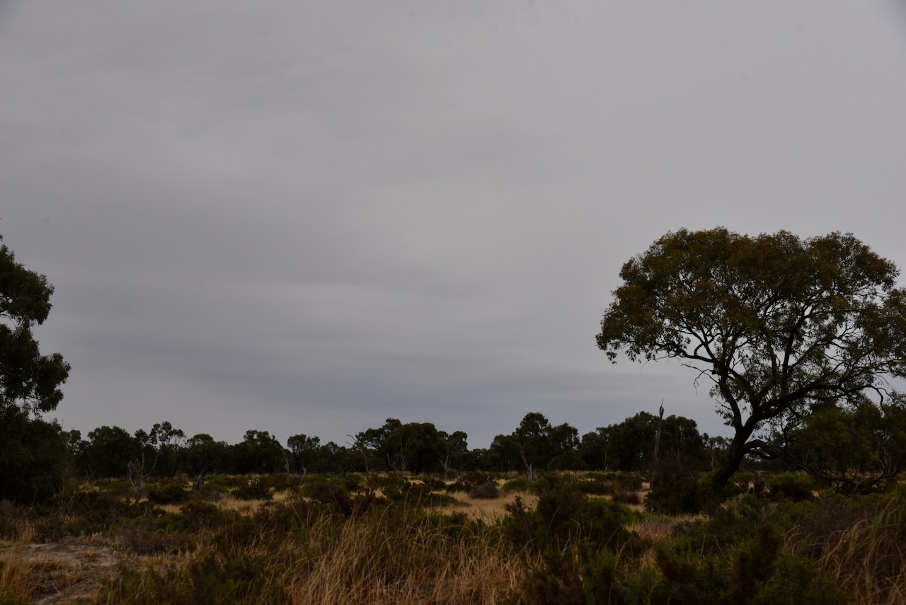
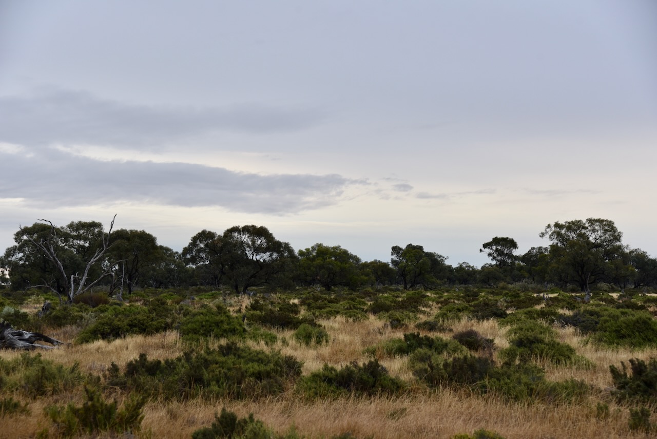
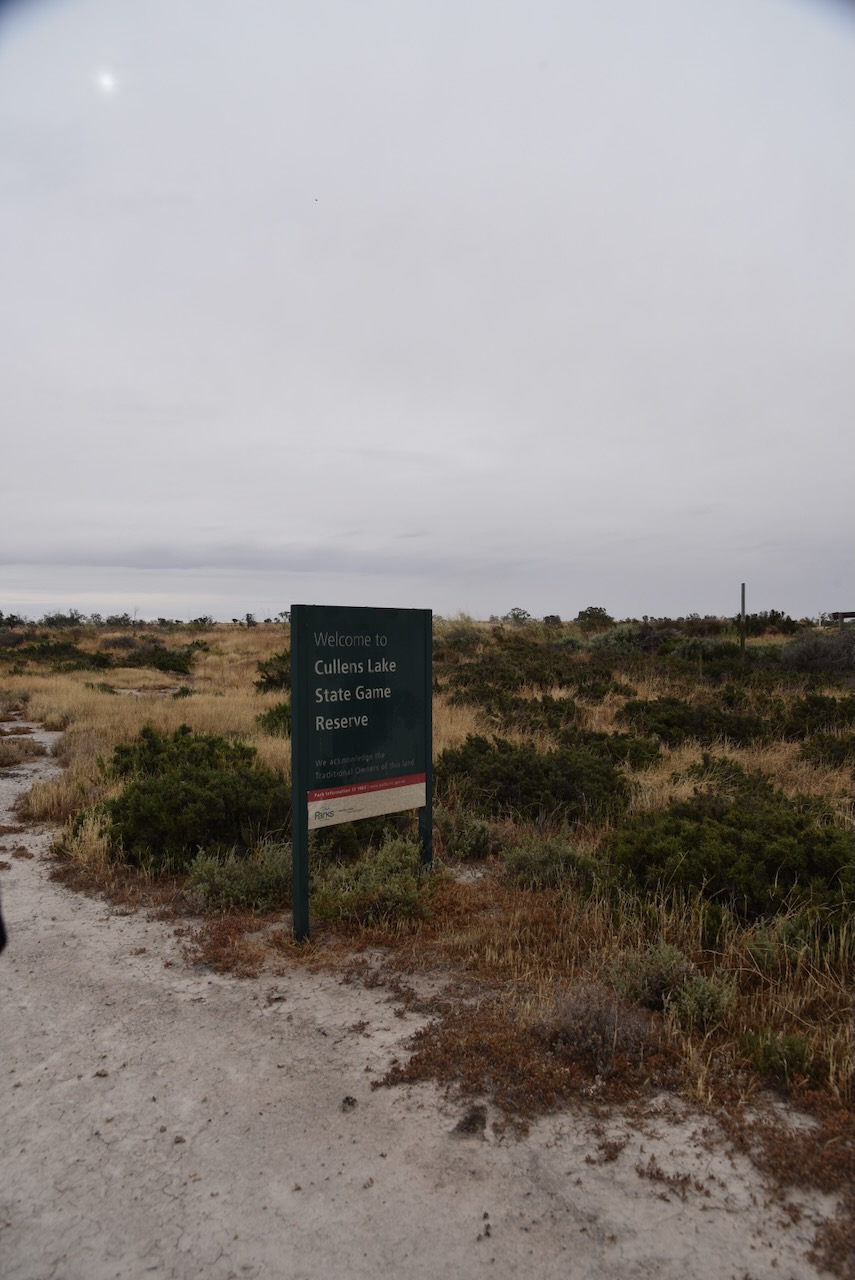
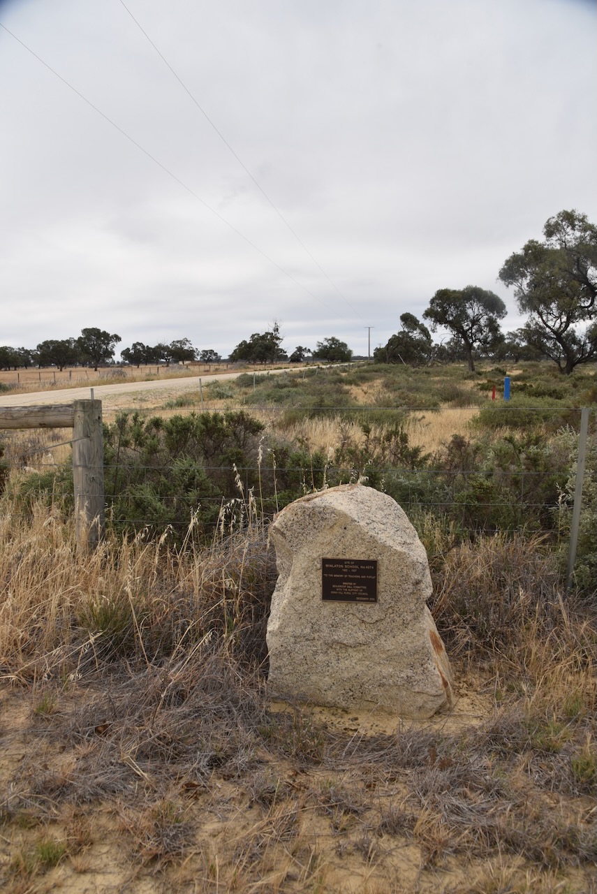
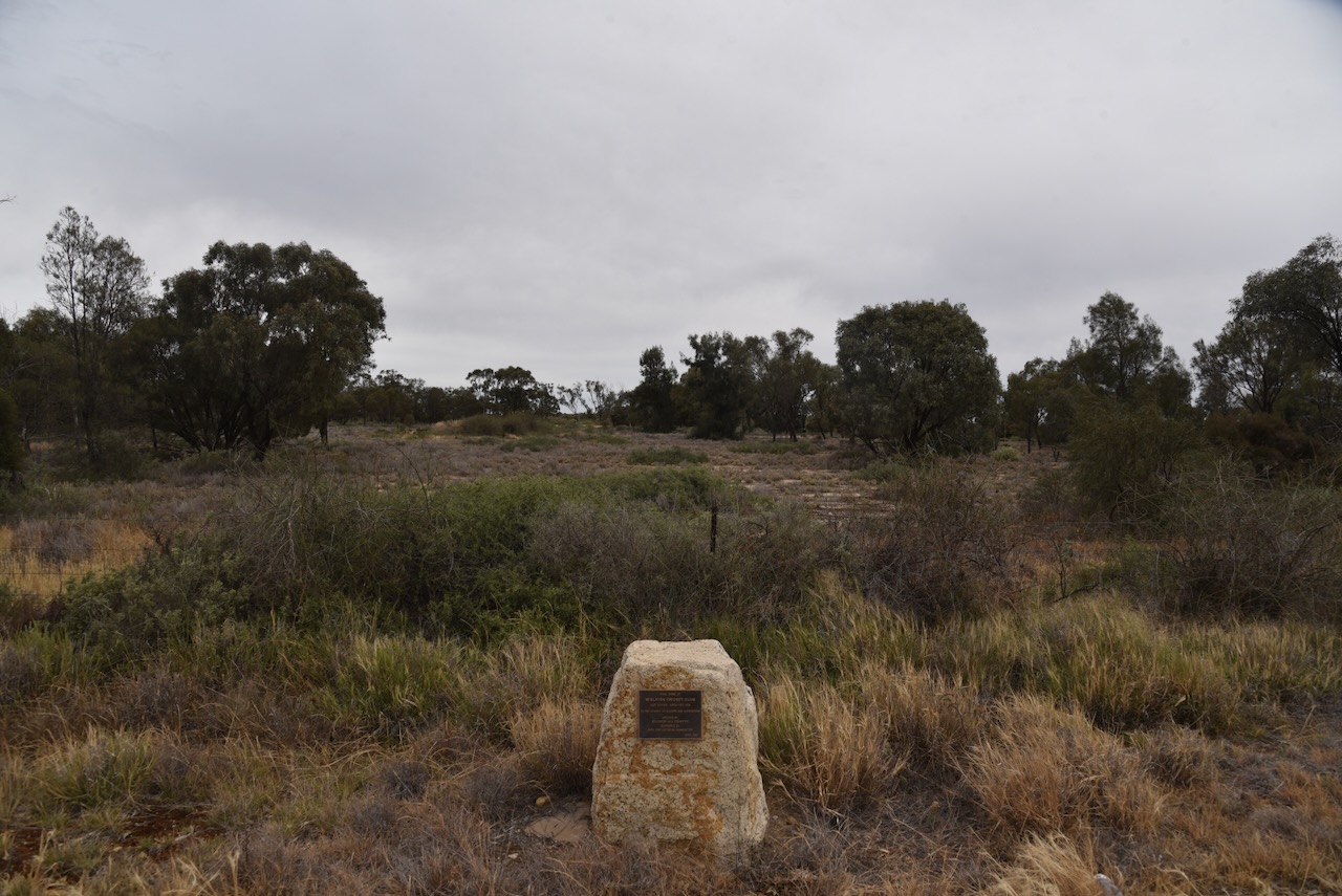
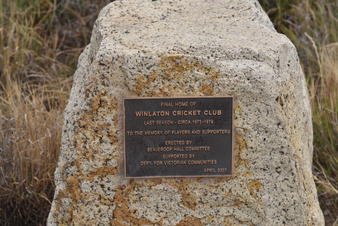
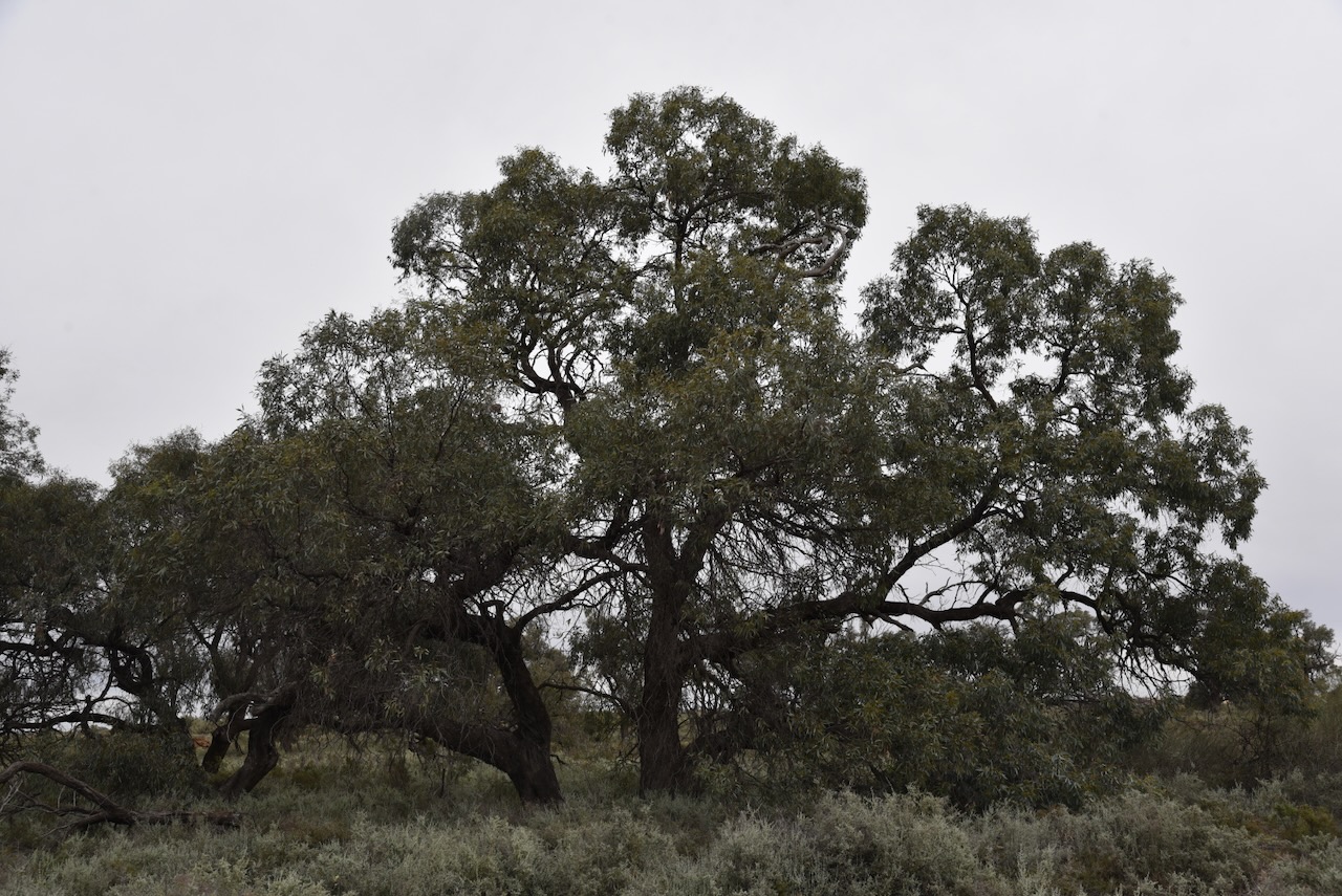
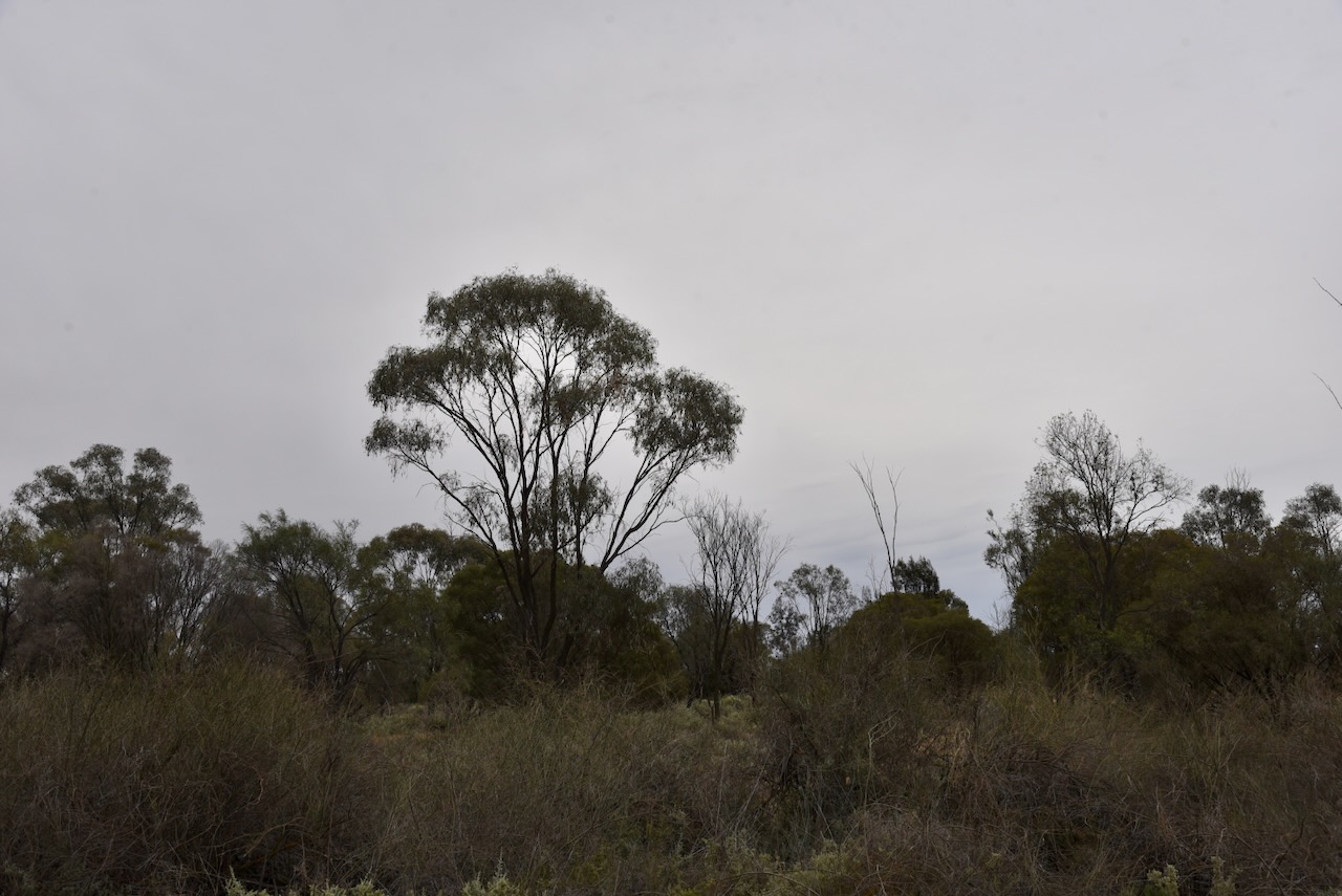
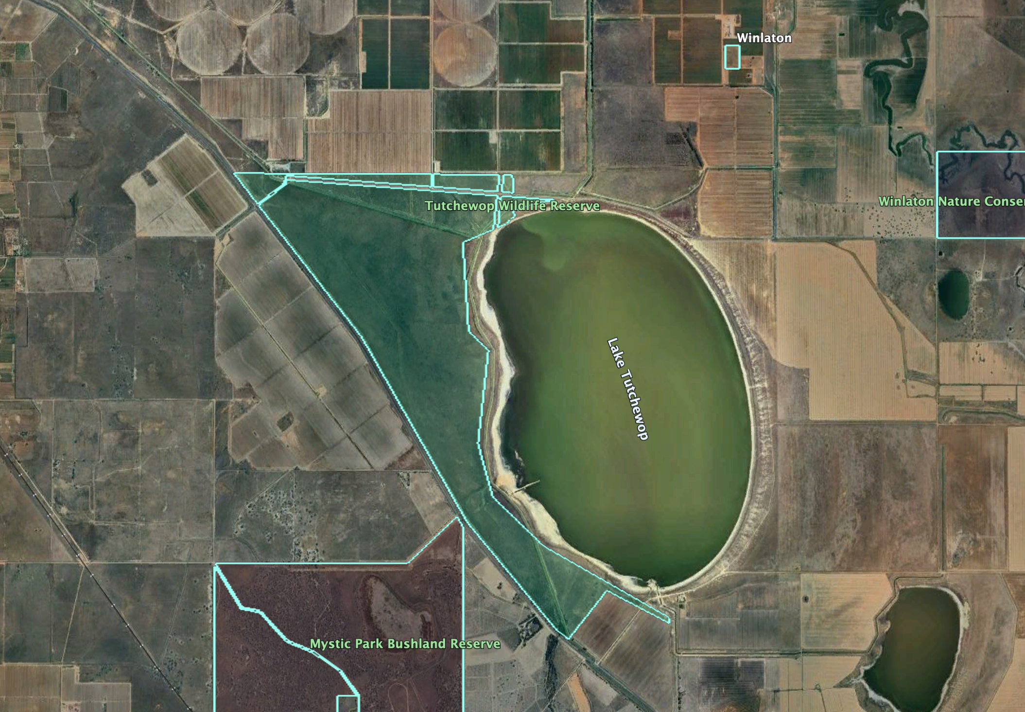
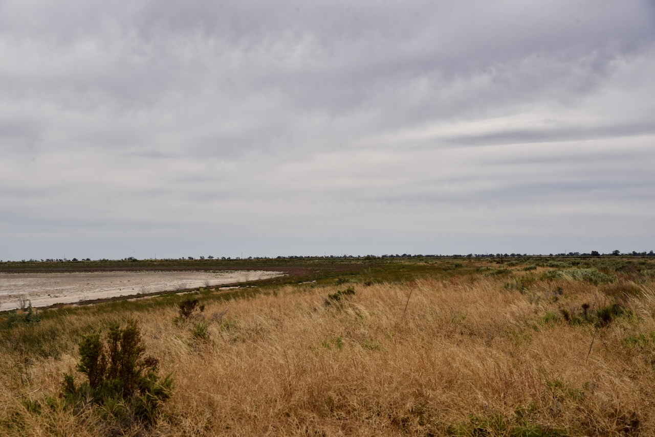
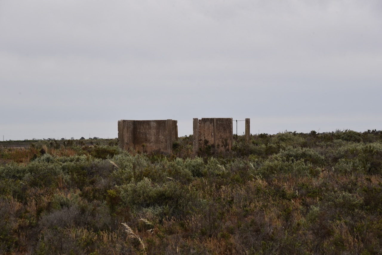
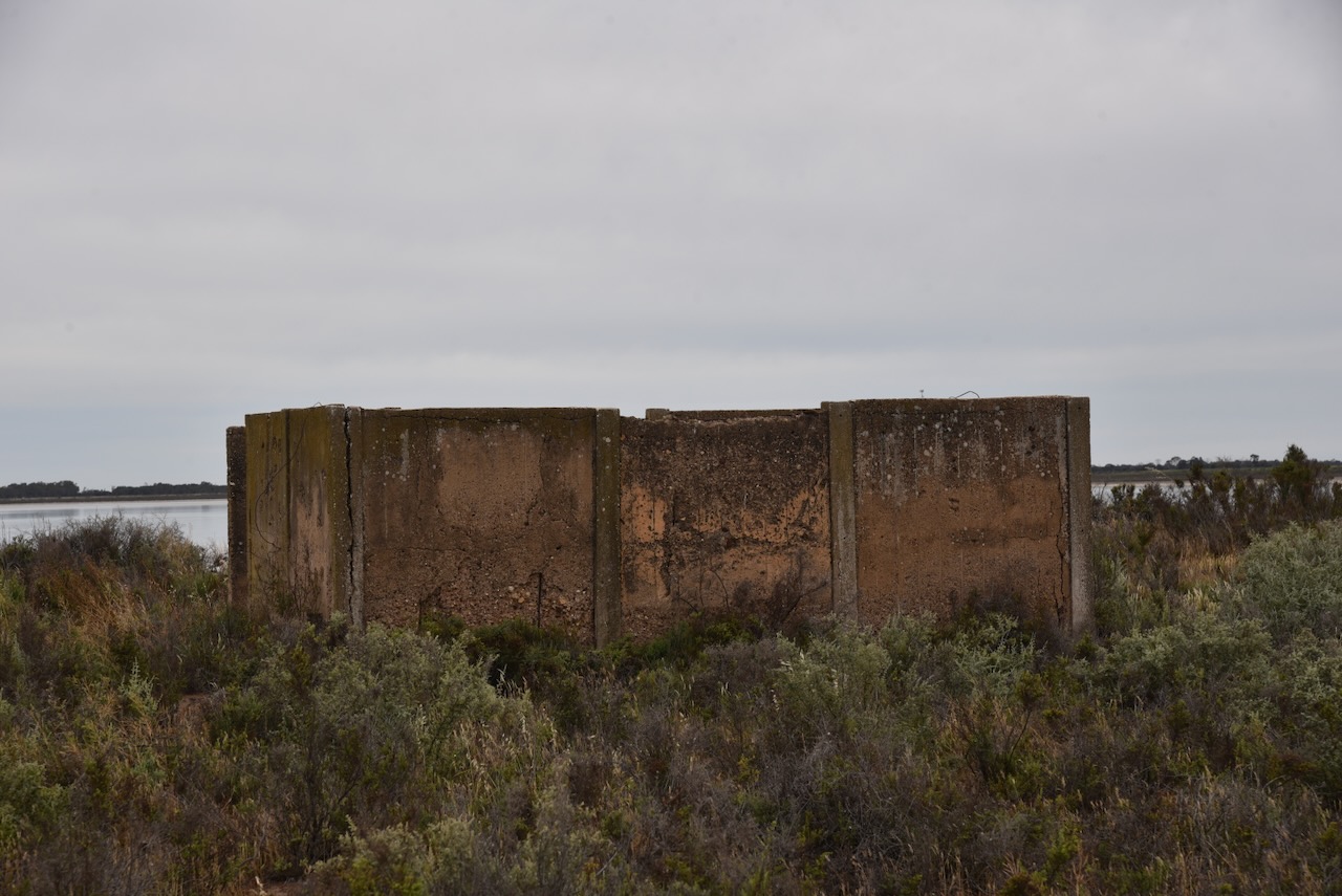
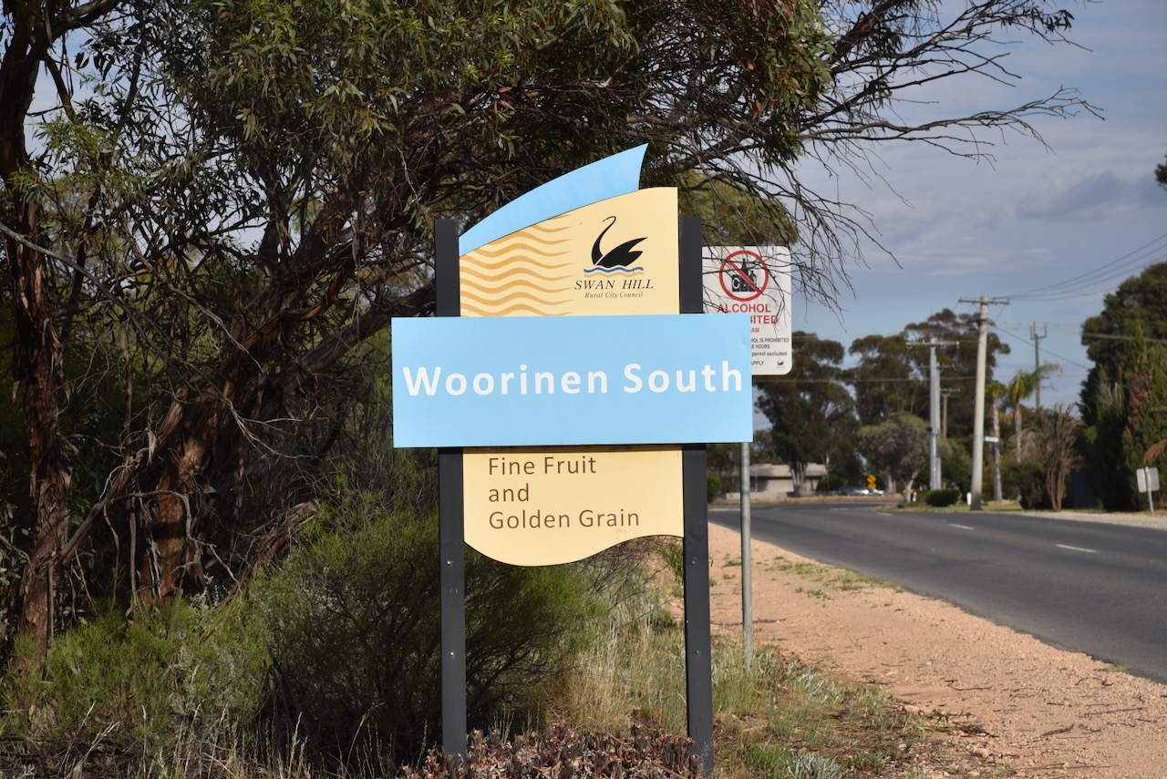
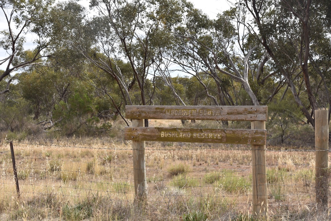
The Woorinen South Bushland Reserve VKFF-6143 is located on the northwestern edge of the town of Woorinen South.
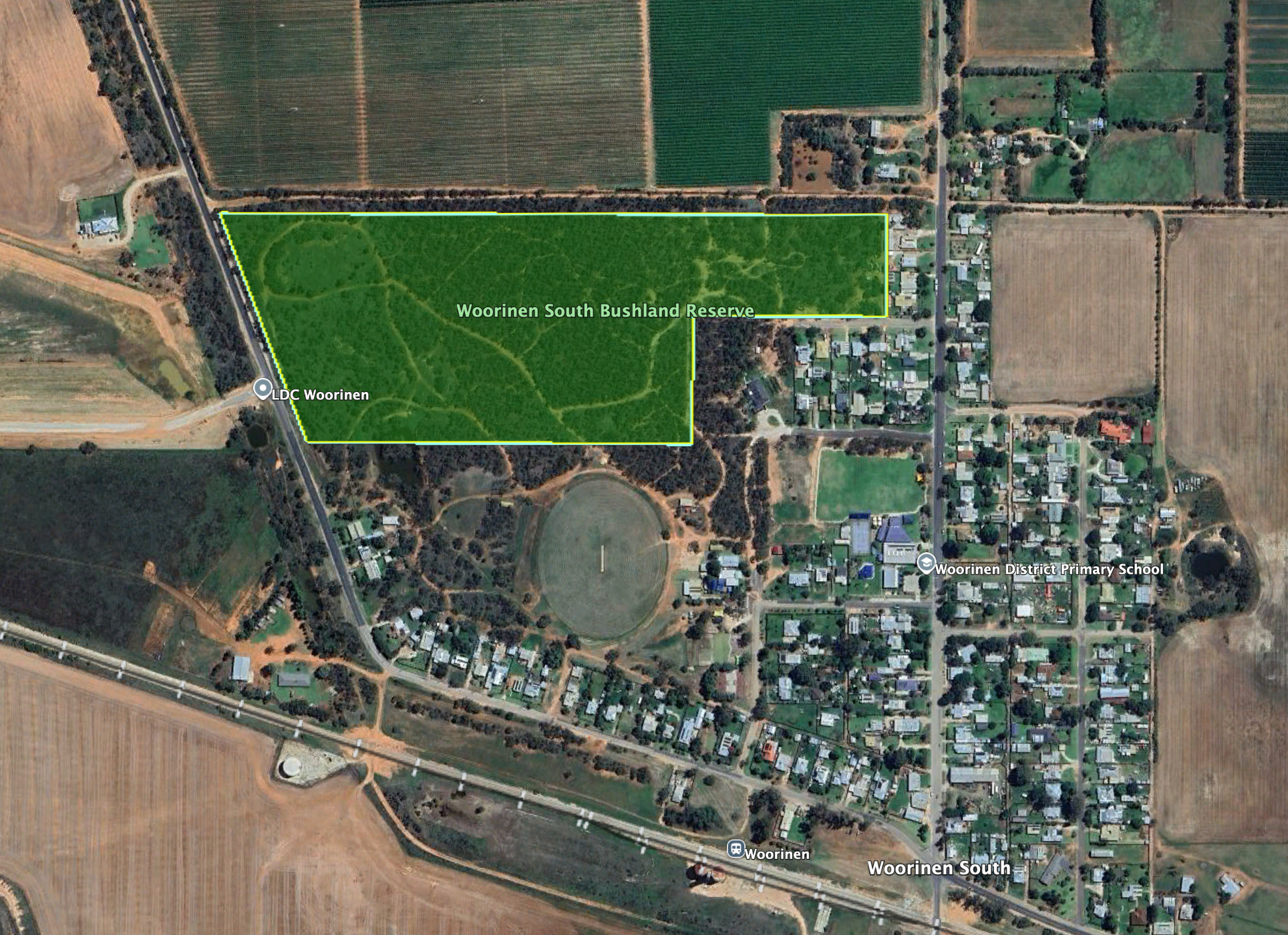
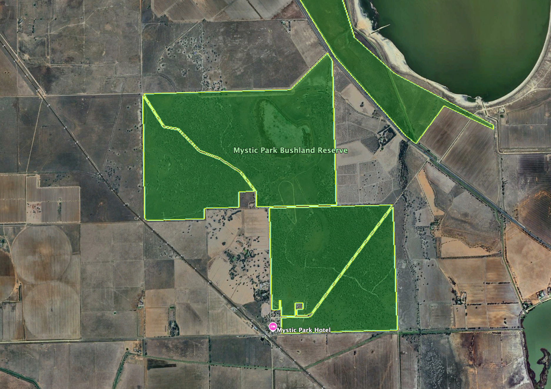
Above: the boundaries of the Woorinen South Bushland Reserve. Image c/o Google Earth
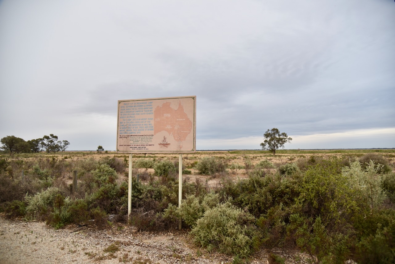
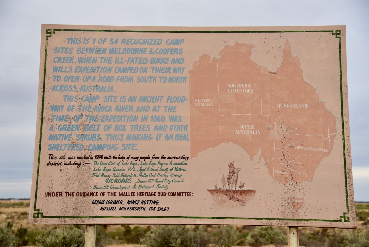
The reserve is about 11 hectares in size and was established on the 8th day of May 1990. (Dcceew.gov.au 2025)
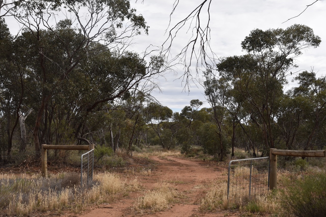
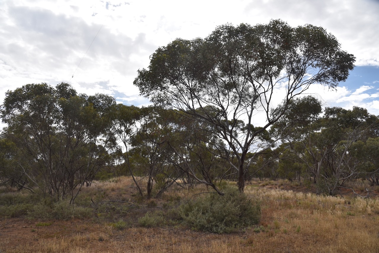
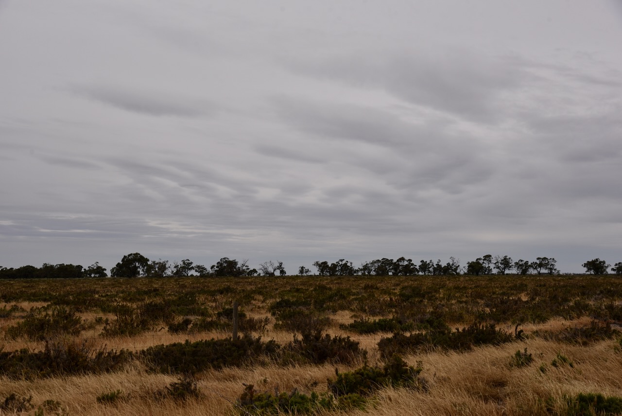
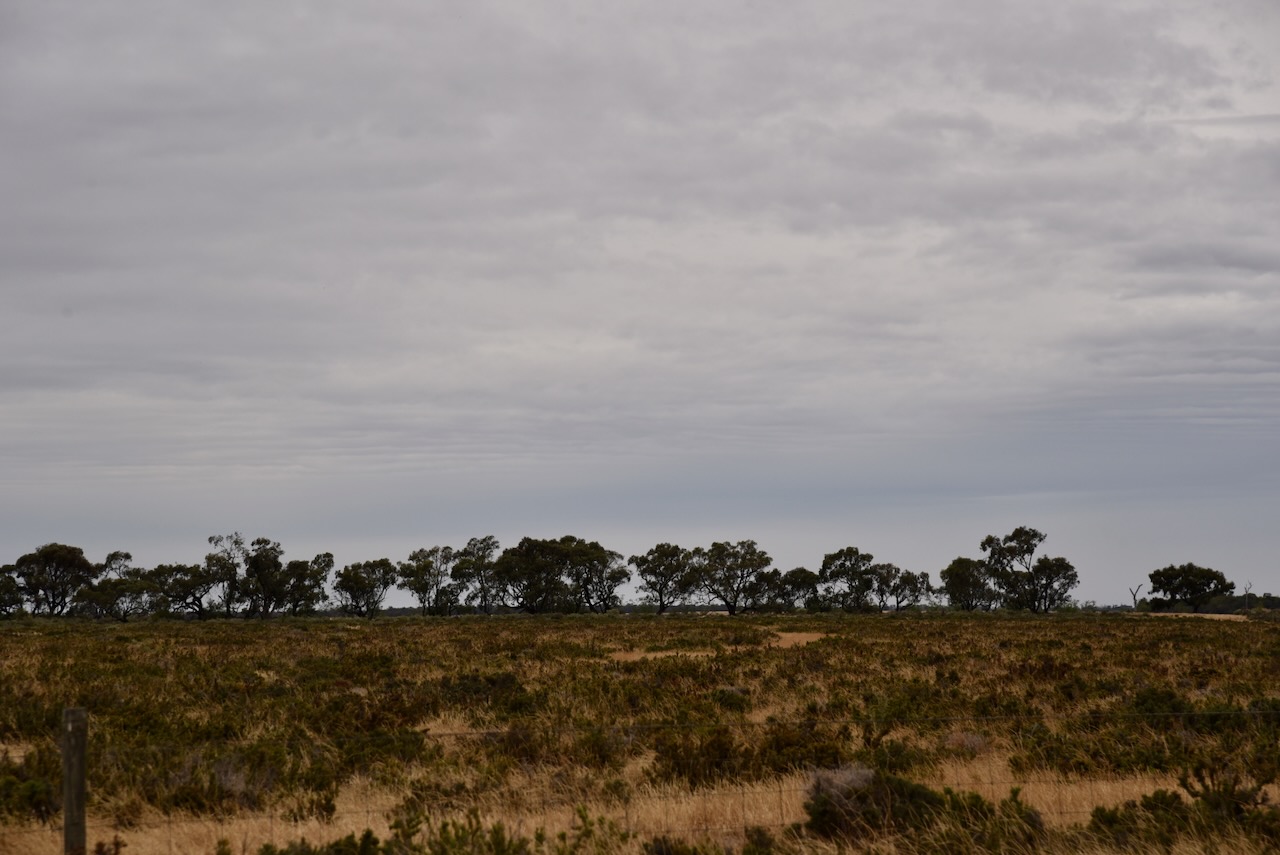
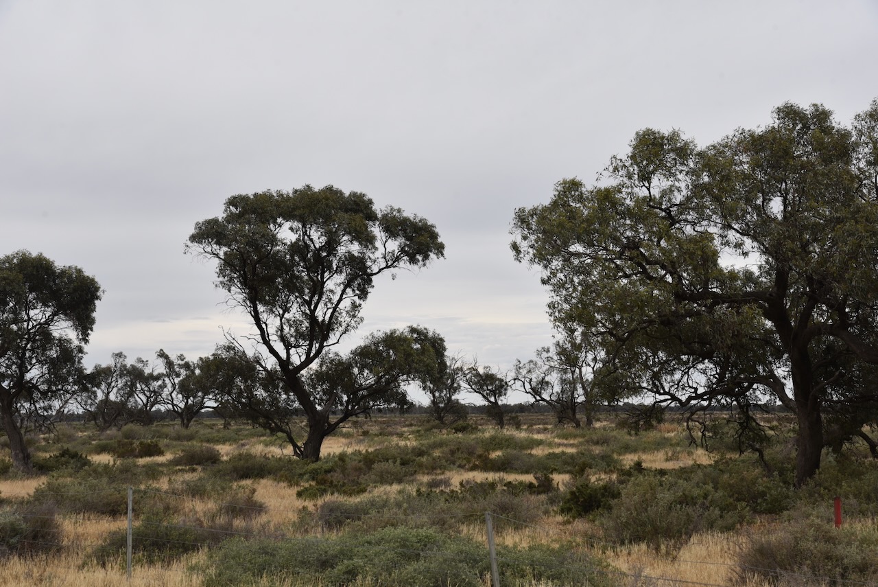
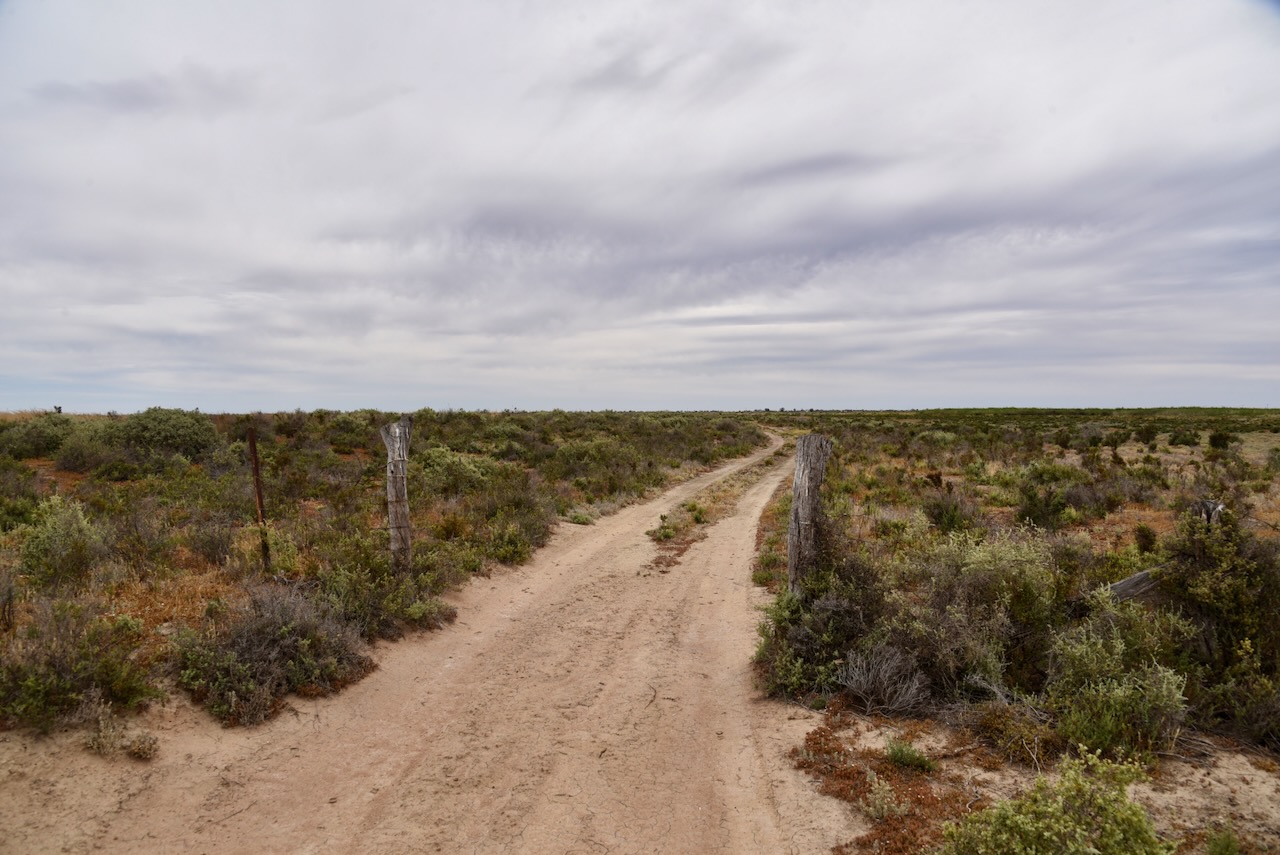
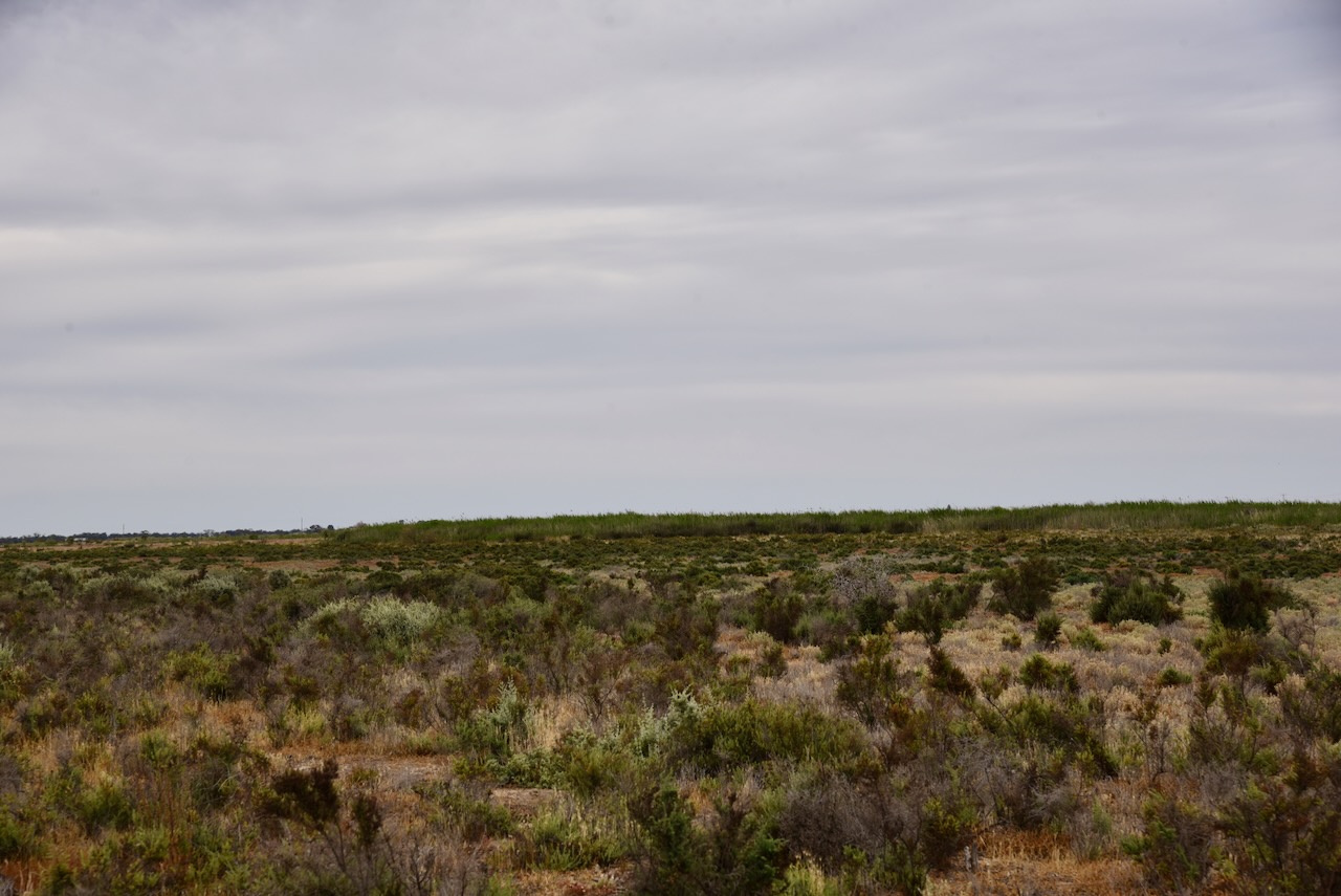
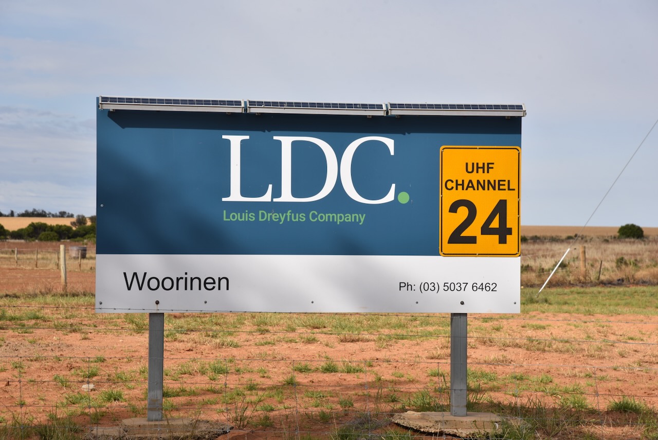
The reserve is easily accessible via the Woorinen-Vinifera Road. We parked in the reserve in the activation zone of the 2 silos. Marija and I ran our normal portable setup, comprising the Yaesu FT857, 40 watts, and the 20/40/80m linked dipole.
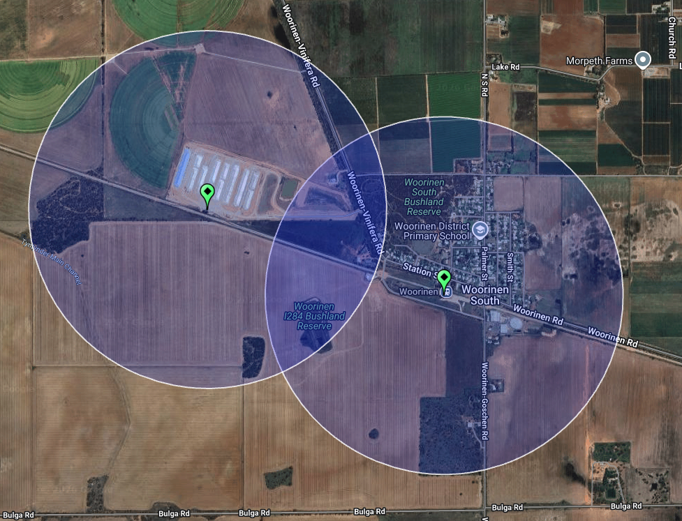
Above: the activation zone at the 2 silos. Image c/o SiOTA website
Marija worked the following stations on 40m SSB:-
- VK3PF
- VK3KAI
- VK2DA
- VK1DA
- VK4NH
- VK4DXA
- VK2NP
- VK3EJ
- VK3DAC
- VK2IO
- VK2VW
- VK2HFI
- VK2AKA
- VK2BUG
- VK5BRU
- VK2YAK
- VK4YAK
I worked the following stations on 40m SSB:-
- VK3PF
- VK3KAI
- VK2DA
- VK1DA
- VK4NH
- VK4DXA
- VK2NP
- VK3EJ
- VK3DAC
- VK2IO
- VK2VW
- VK2HFI
- VK2AKA
- VK2BUG
- VK5BRU
- VK2YAK
- VK4YAK
- VK3PMC
- VK5HS
- VK1OZ
- VK2OZI
- VK1PW
- VK2APW
- VK5CY
- VK5CS
- VK1AD
- VK1NAM
- VK3SQ
- VK3JT
- VK2BD
- VK2GEZ
- VK3FS
- VK3ATT
- VK3MRT
- VK3ZSC
- VK5IS
- VK2YK
- VK5GA
- VK3MAP
- VK4CK/M
- VK5AK/M
I worked the following stations on 40m AM:-
- VK5GY
- VK5CS
- VK3PF
- VK3KAI
- BK5HS
- VK2DA
- VK1DA
- VK2YK
- VK5GA
- VK1AD
- VK1NAM
- VK3FS
- VK3ATT
- VK3SQ
- VK3JT
- VK2BD
- VK5IS
References.
- Dcceew.gov.au. (2025). Collaborative Australian Protected Areas Database 2024 – DCCEEW. [online] Available at: https://www.dcceew.gov.au/environment/land/nrs/science/capad/2024. [Accessed 18 Apr. 2026]