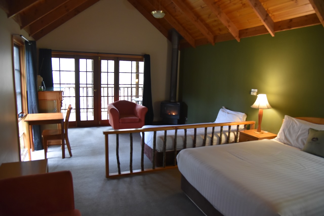
Day 22 (Wednesday 16th November 2022) was now upon us. We enjoyed a beautiful cooked breakfast at the retreat before hitting the road. We had planned on visiting a number of the caves in the area, but sadly they were all closed due to flooding and the recent heavy rain experienced in Tasmania. So we decided to do a day of park activating instead.
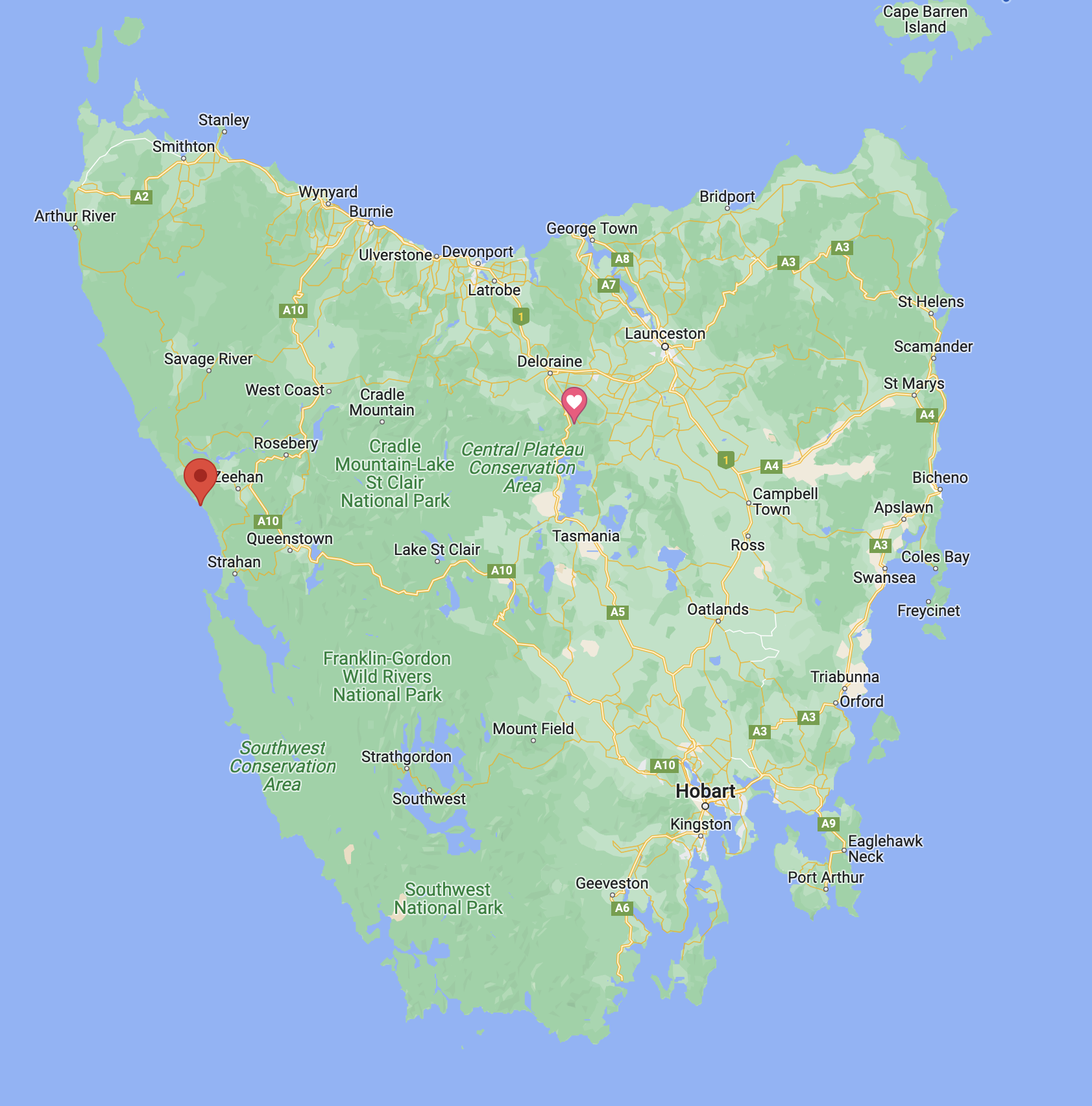
Our first park for the day was going to be the Mount Roland Regional Reserve VKFF-2938.
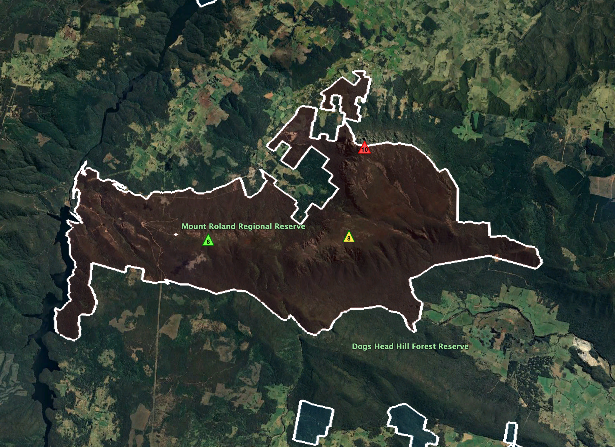
Above:- Map showing the location of the Mount Roland Regional Reserve. Map c/o Google maps.
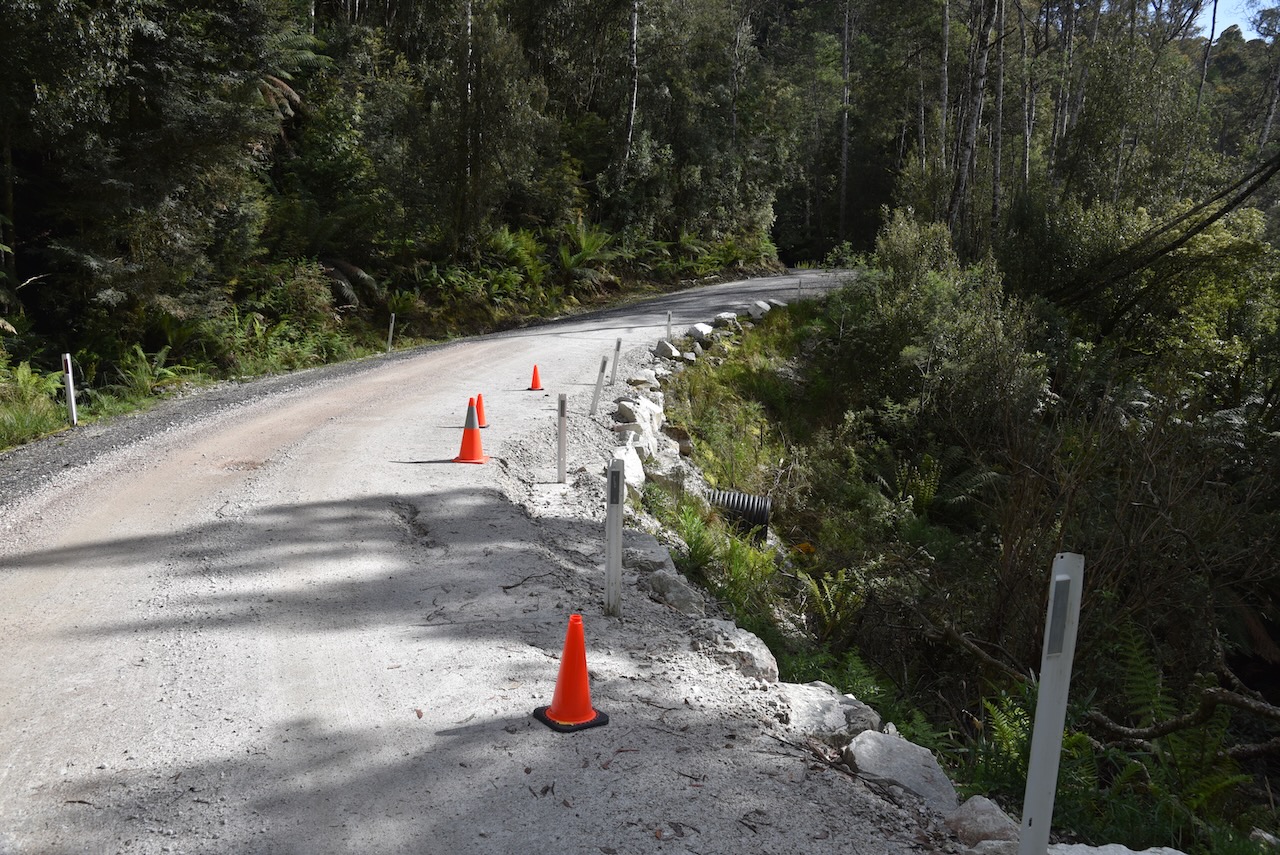
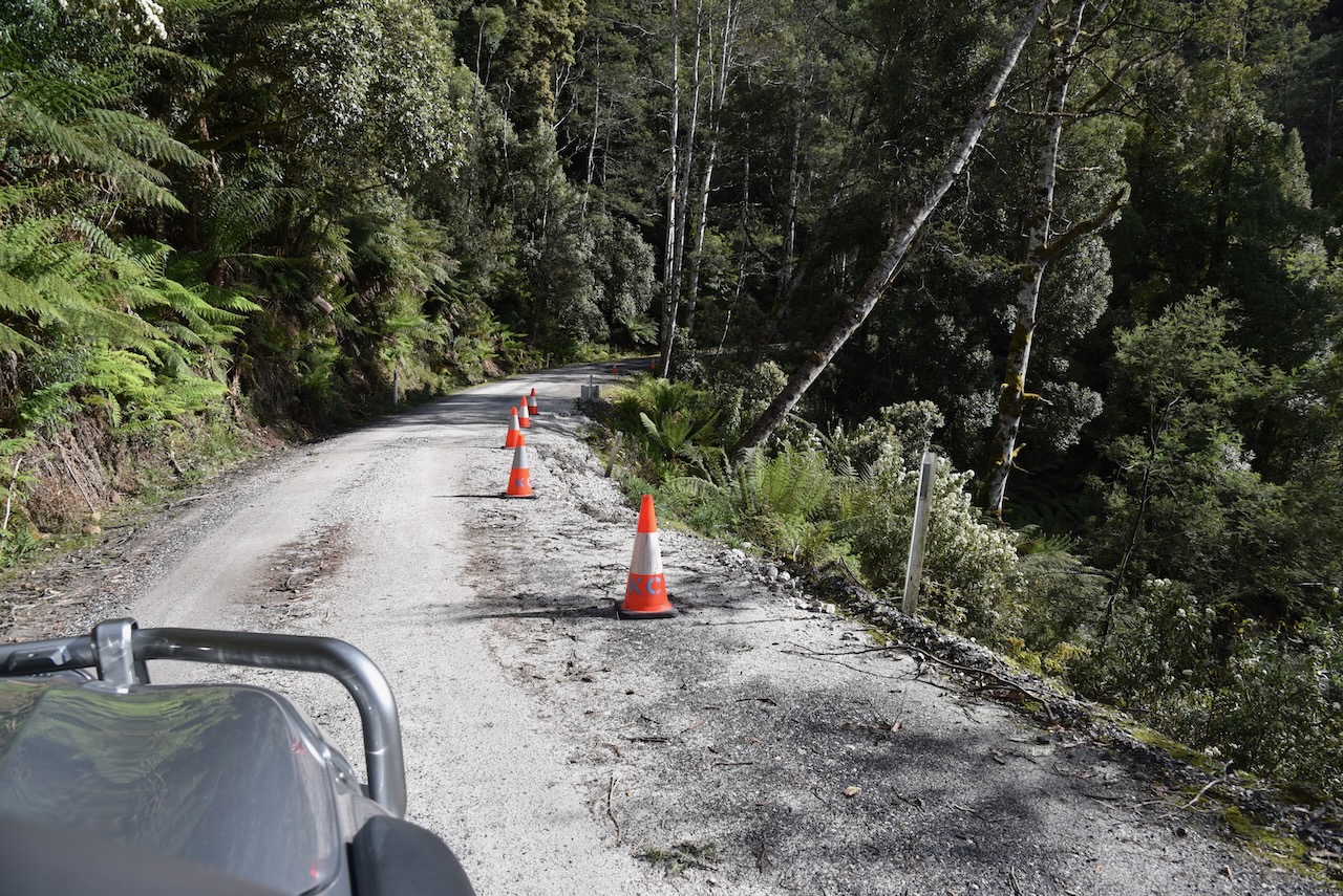
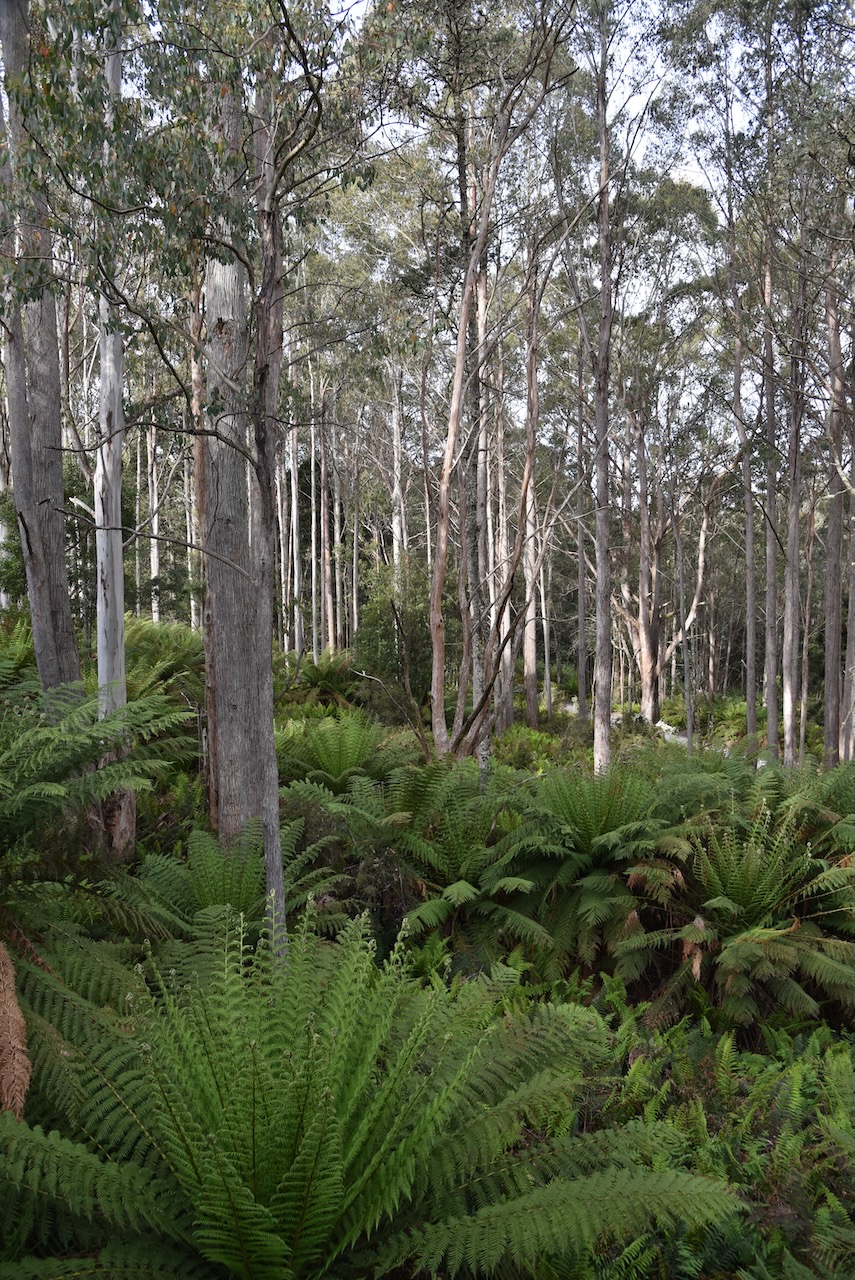
We left Lemonthyme along the windy but very picturesque Dolcoath Road. It was slow going as many parts of the road were still under repair after the flooding and heavy rain that Tasmania had experienced weeks earlier.
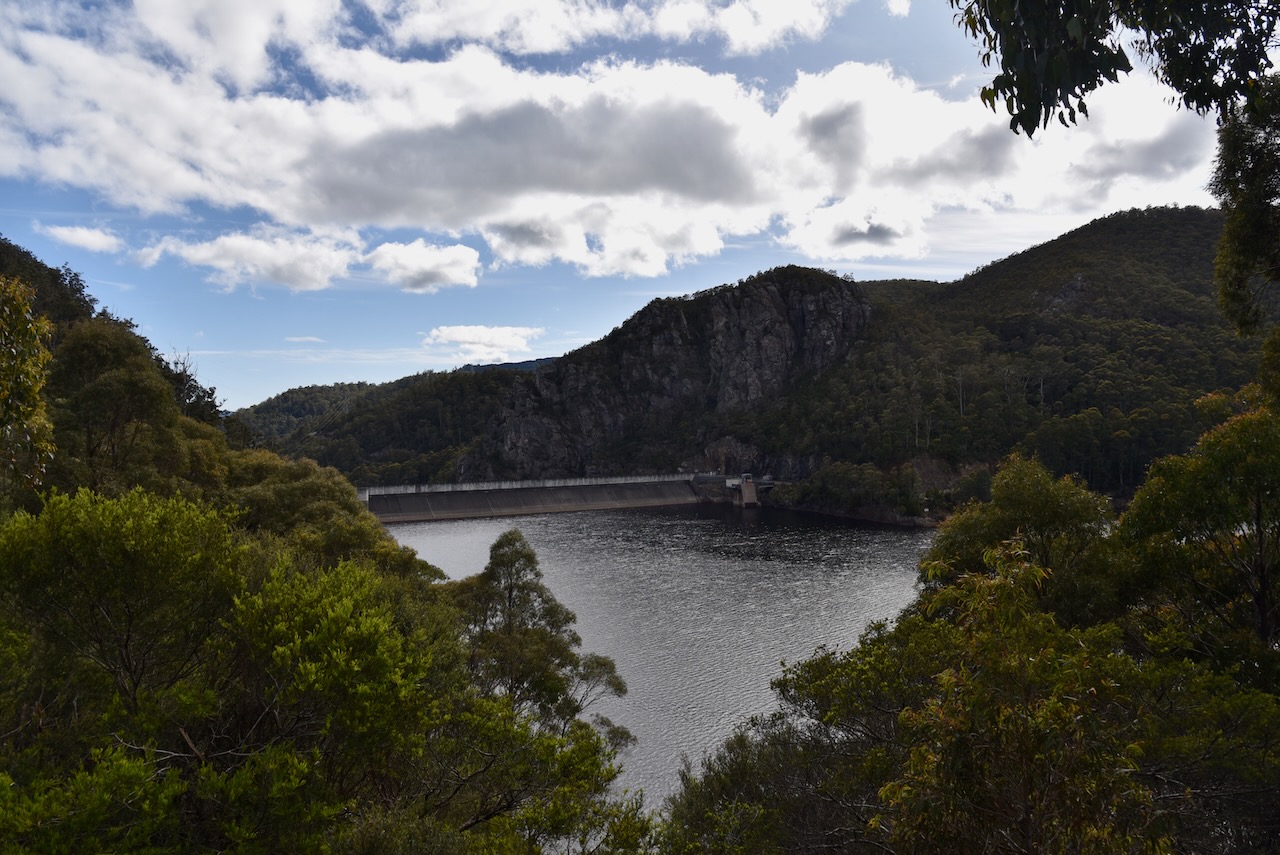
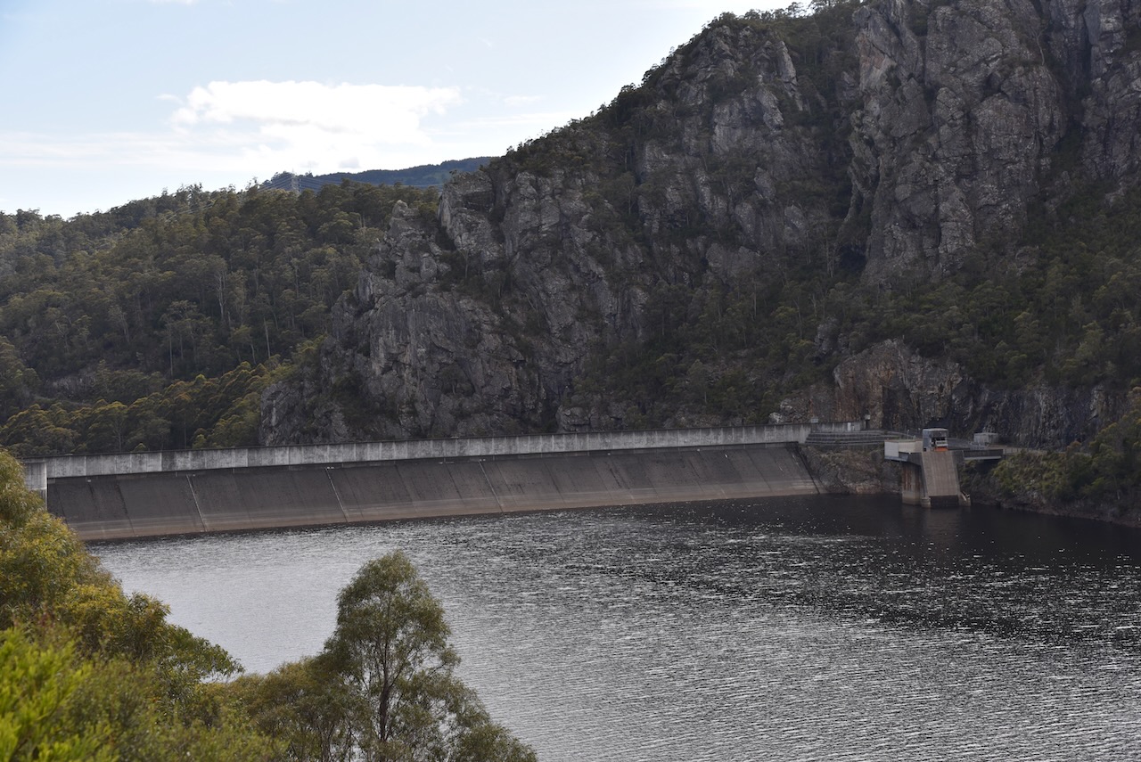
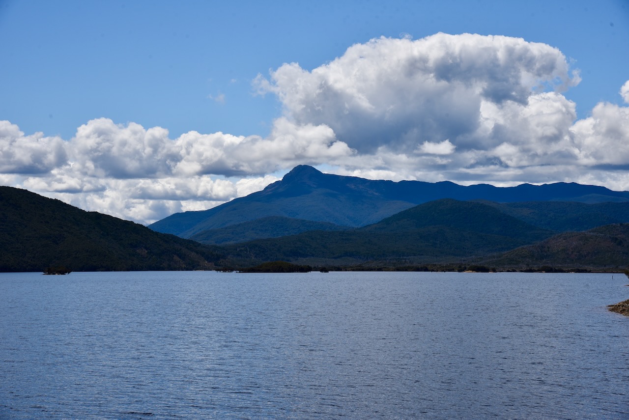
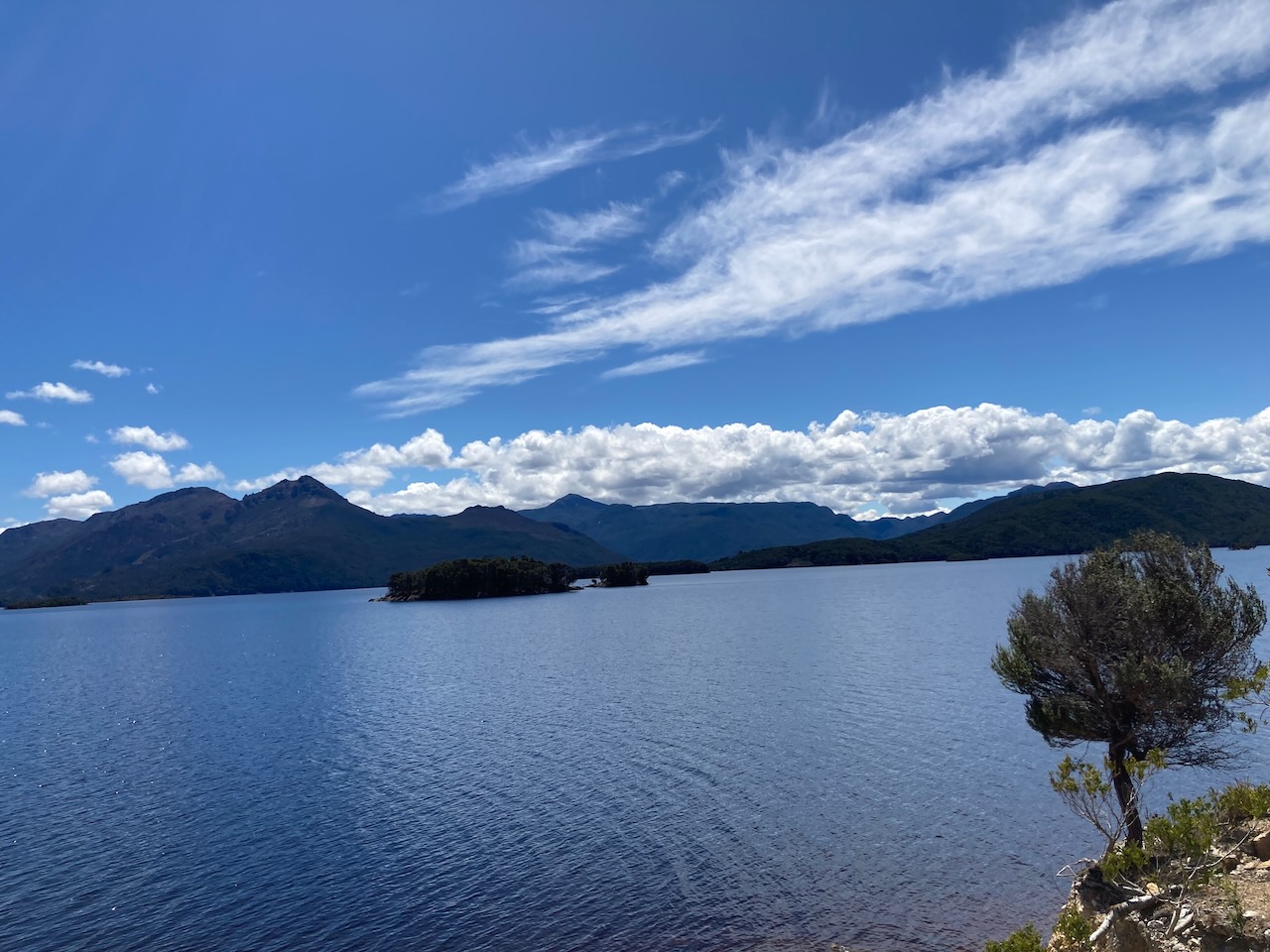
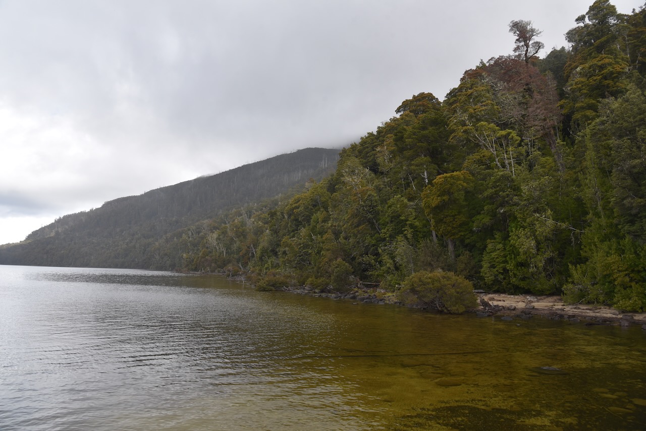
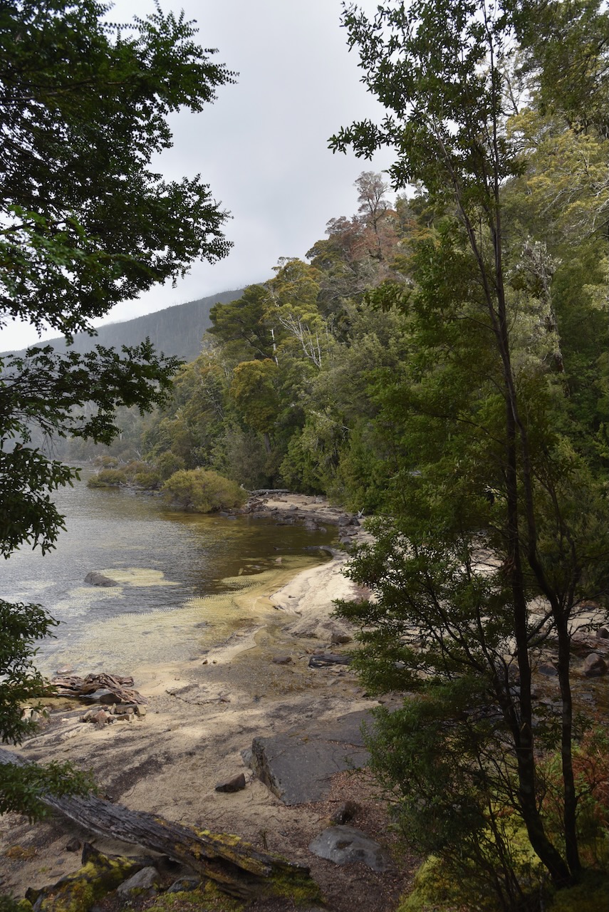
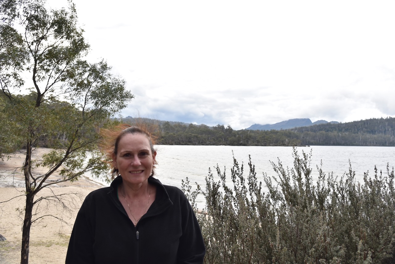
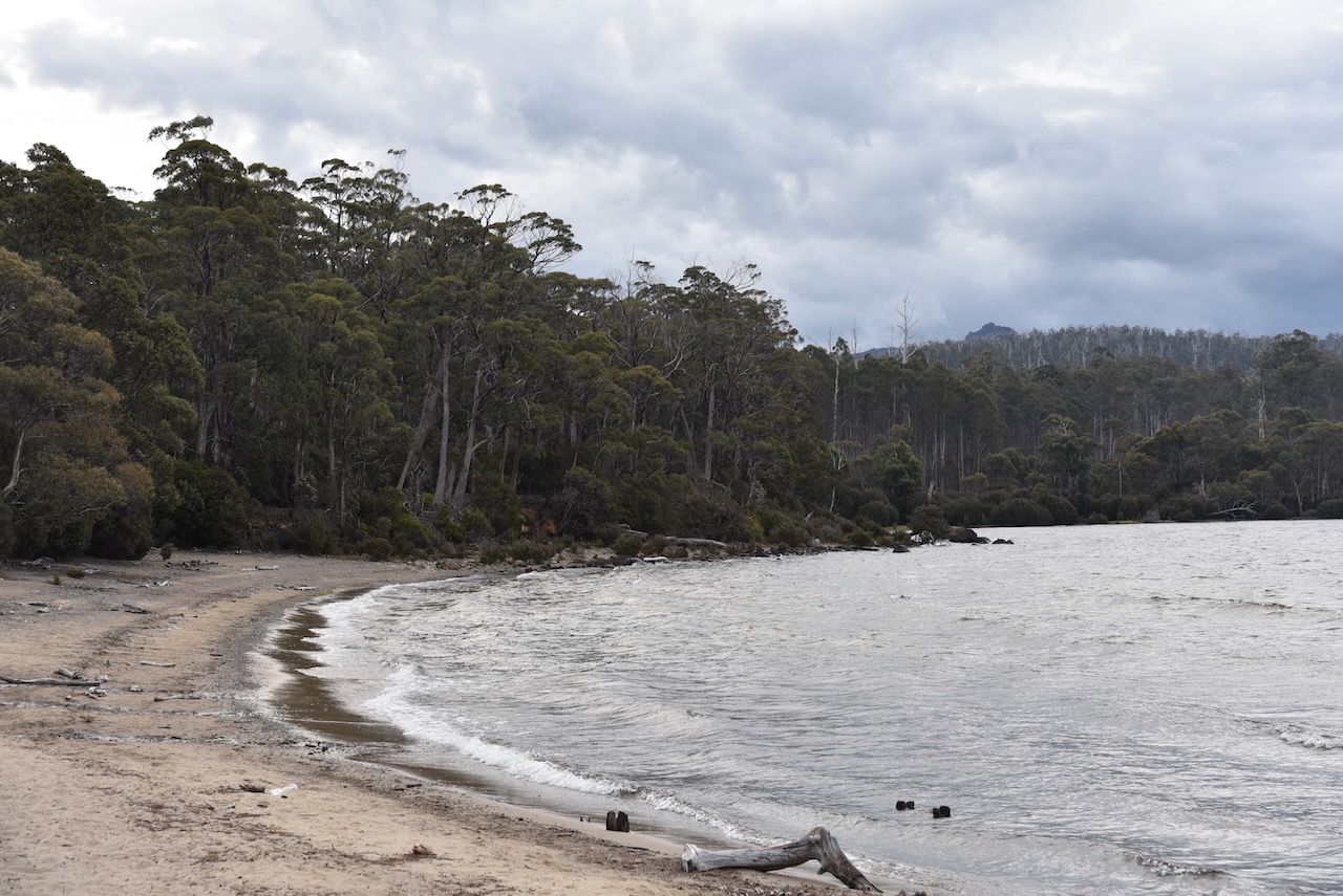
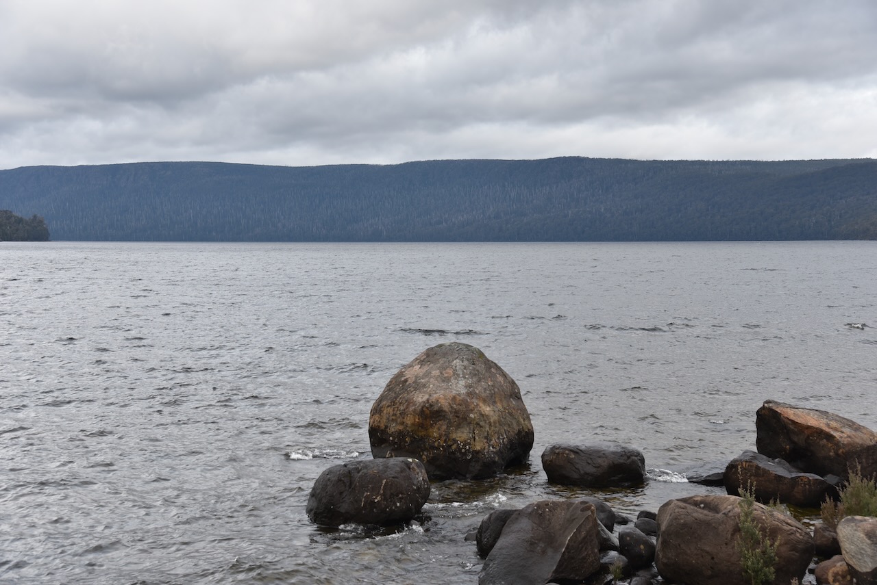
Our first stop for the day was Lake Cethana which is one of Hydro Tasmania storages on the River Forth. The Cethana Power Station was opened in 1971, and is one of only a few underground hydro stations in Tasmania. Cethana is aboriginal for ‘hair’. Large trout can be caught on Lake Cethana.
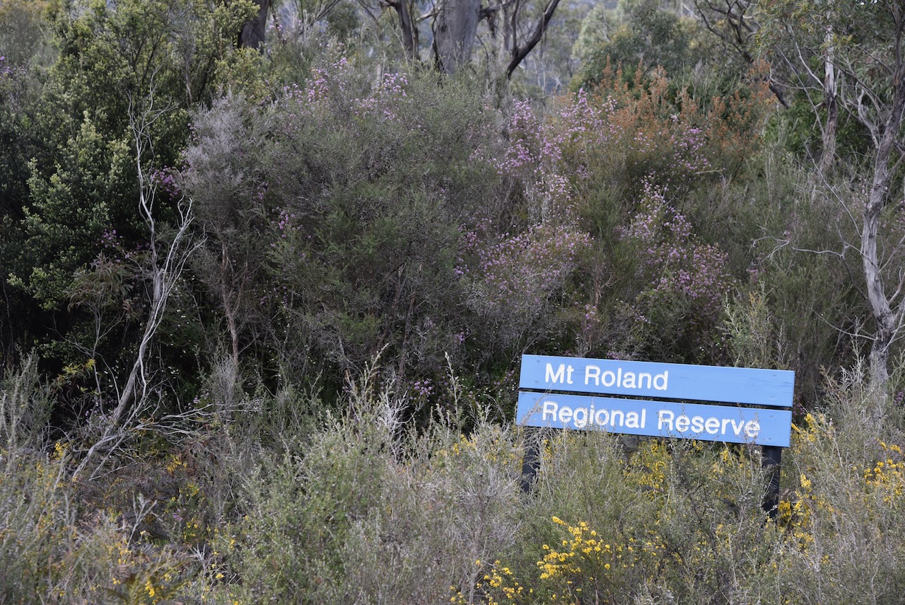
We then left the Cethana Road and took Olivers Road and we immediately saw the sign for the Mount Roland Regional Reserve.
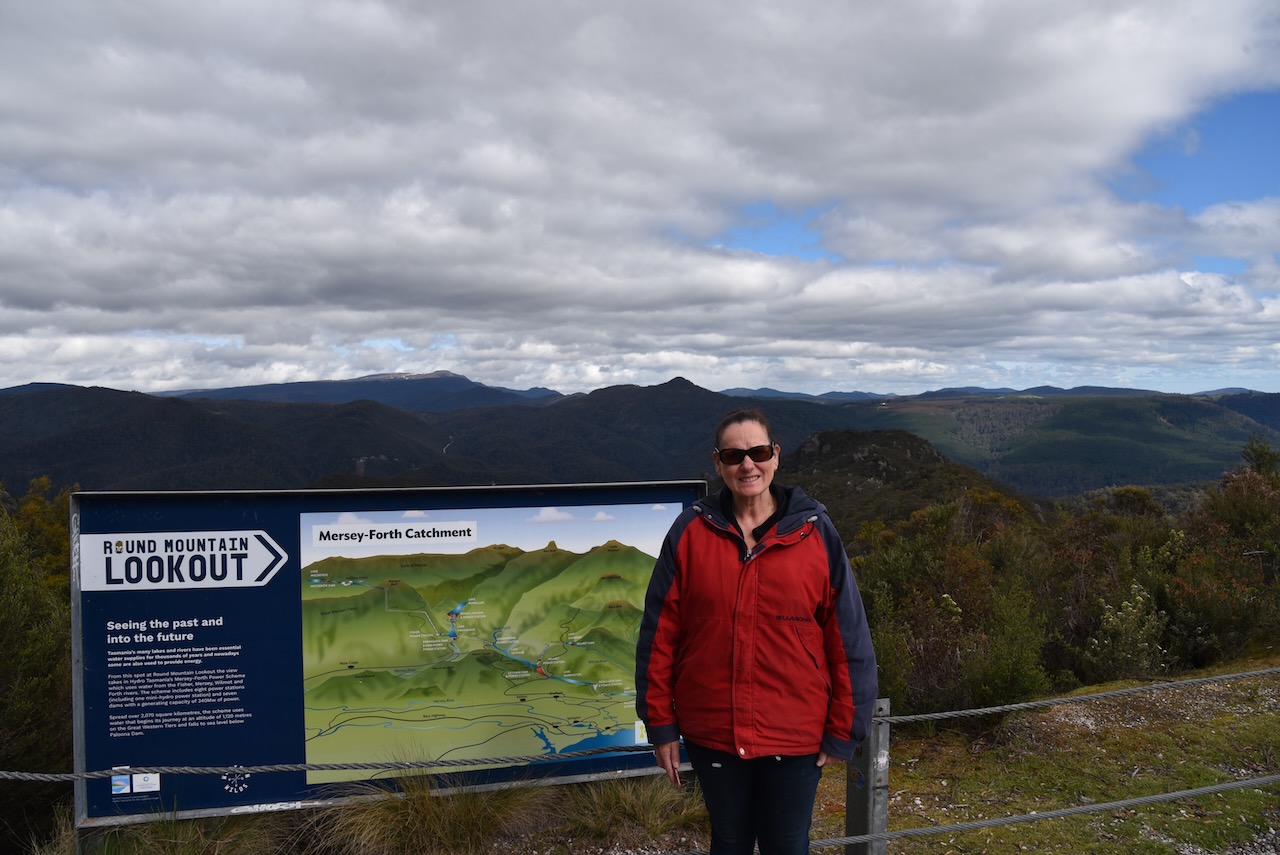
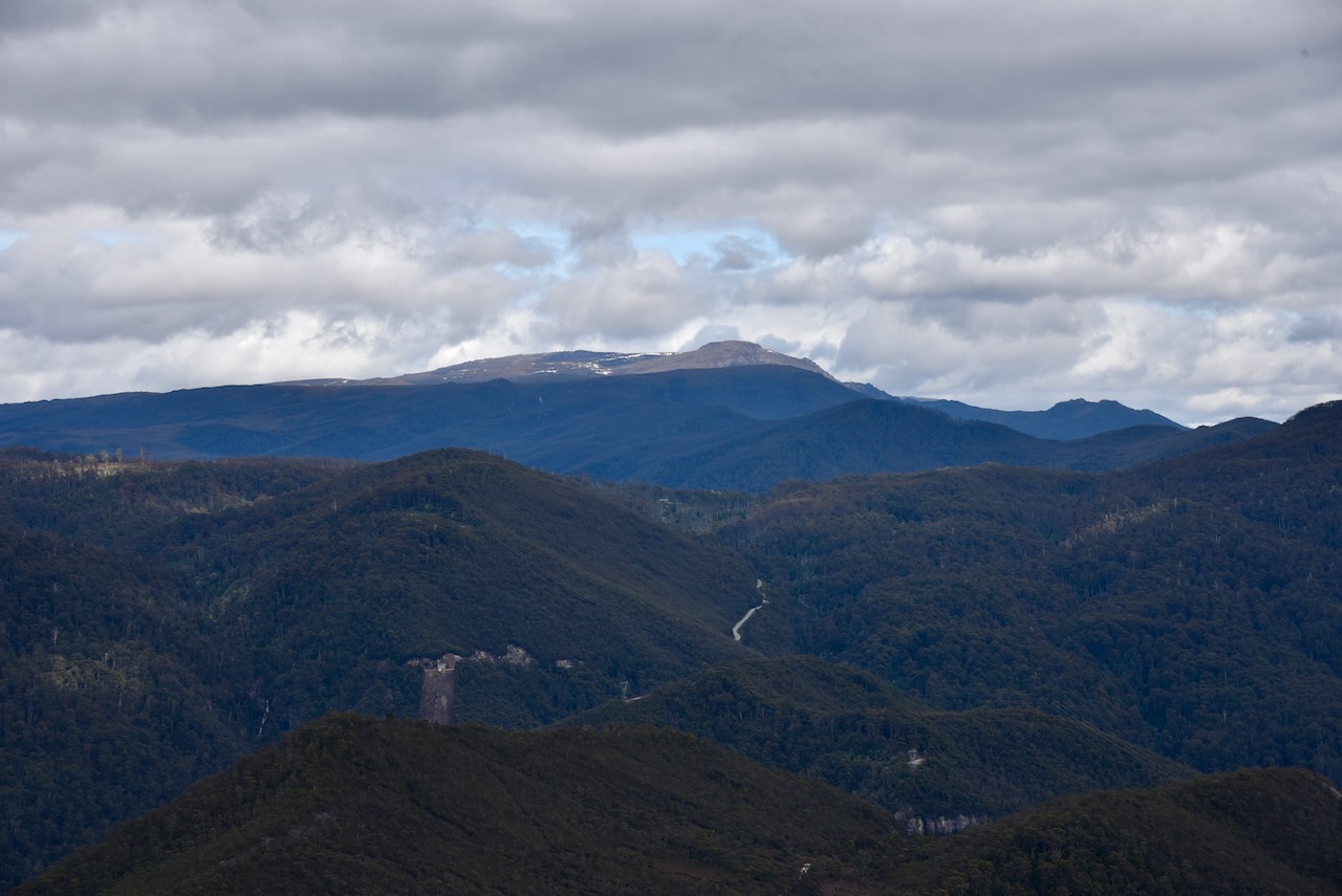
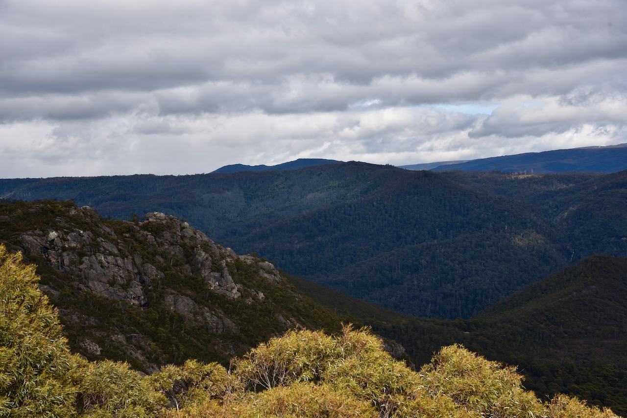
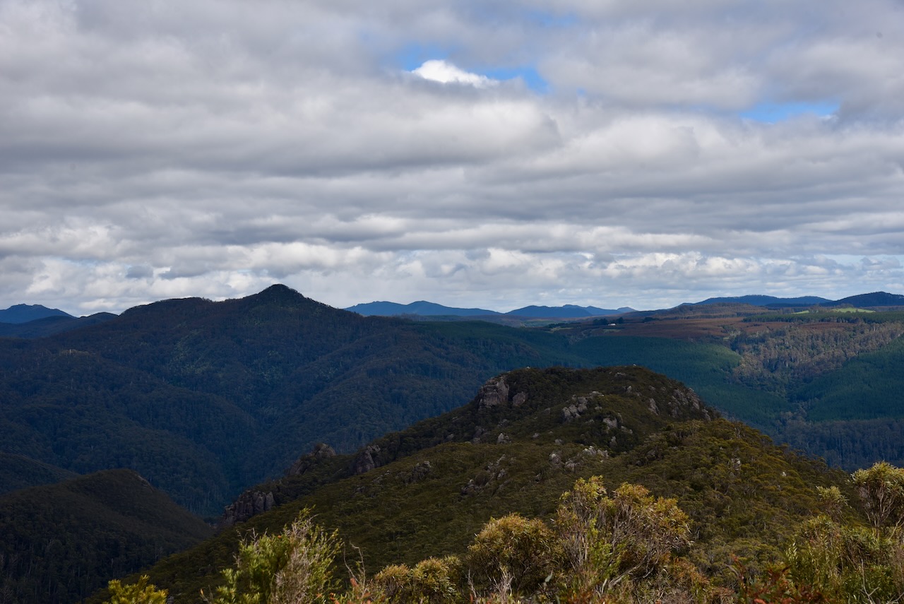
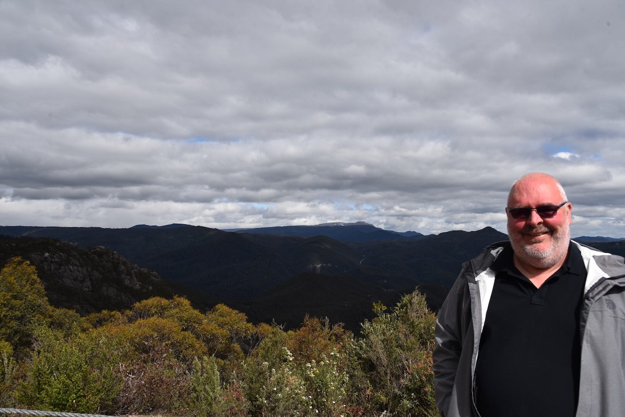
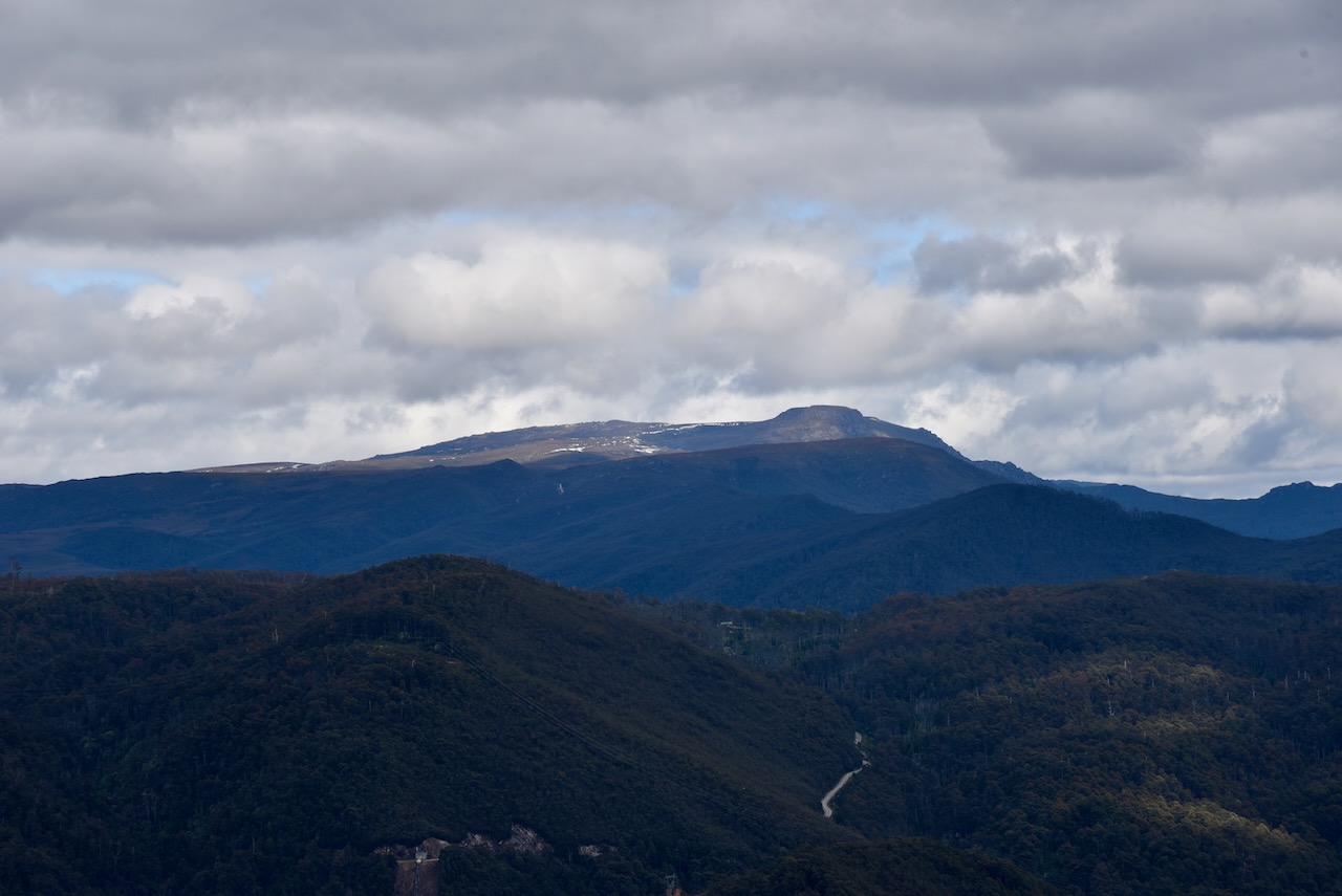
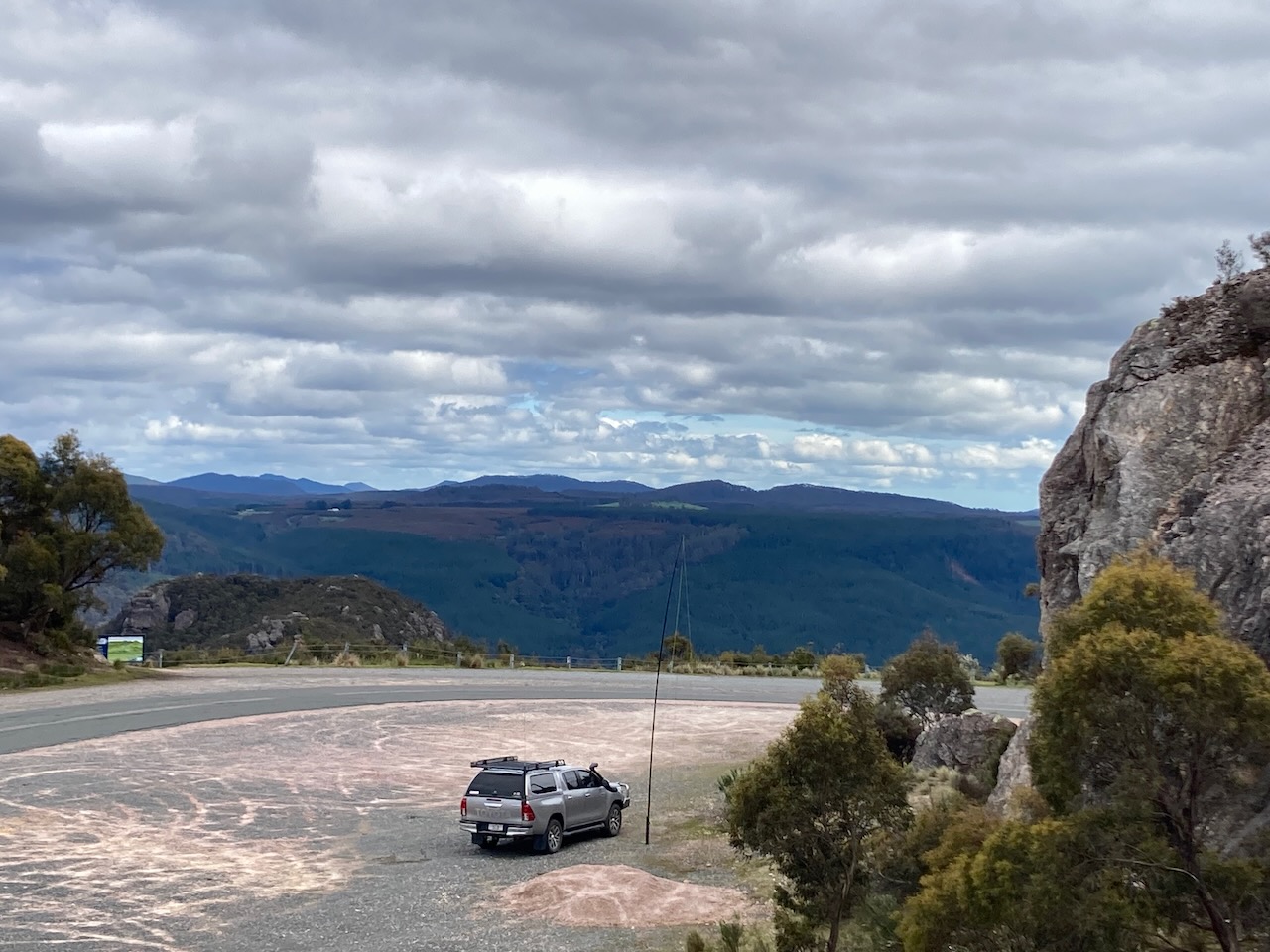
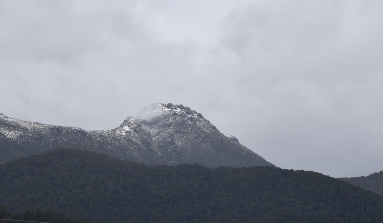
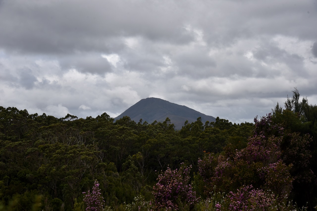
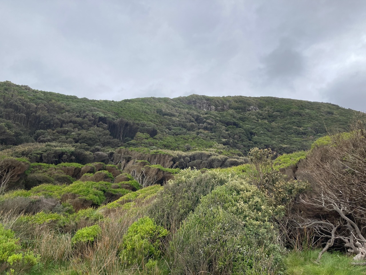
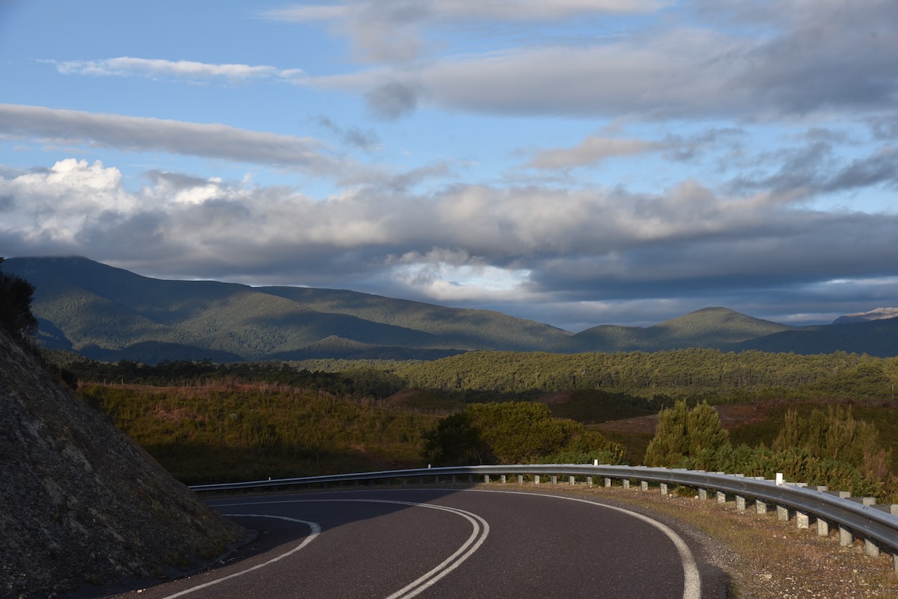
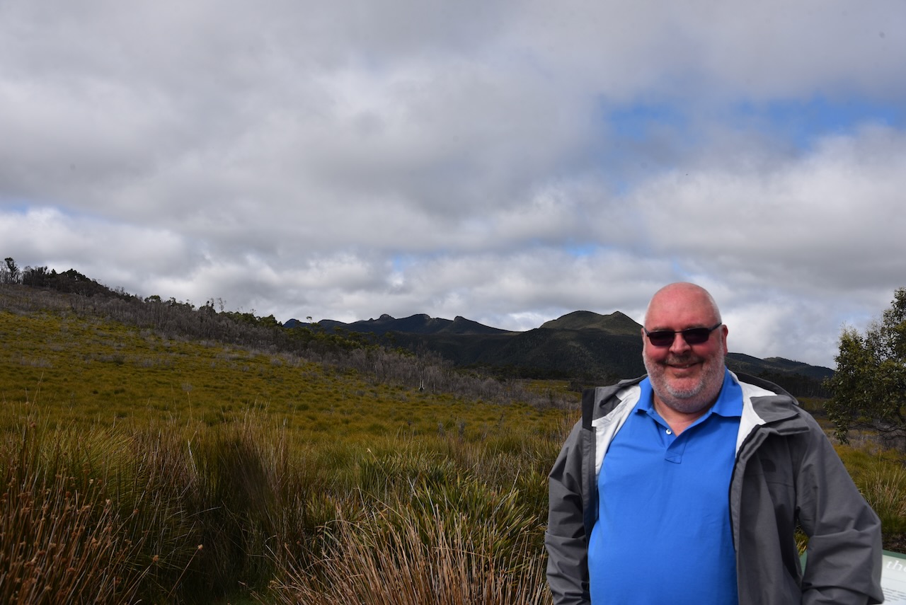
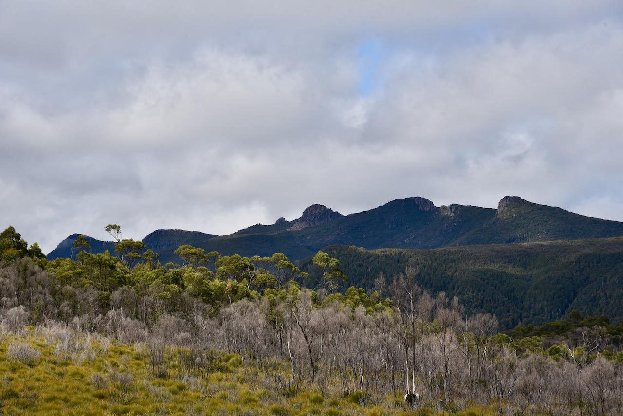
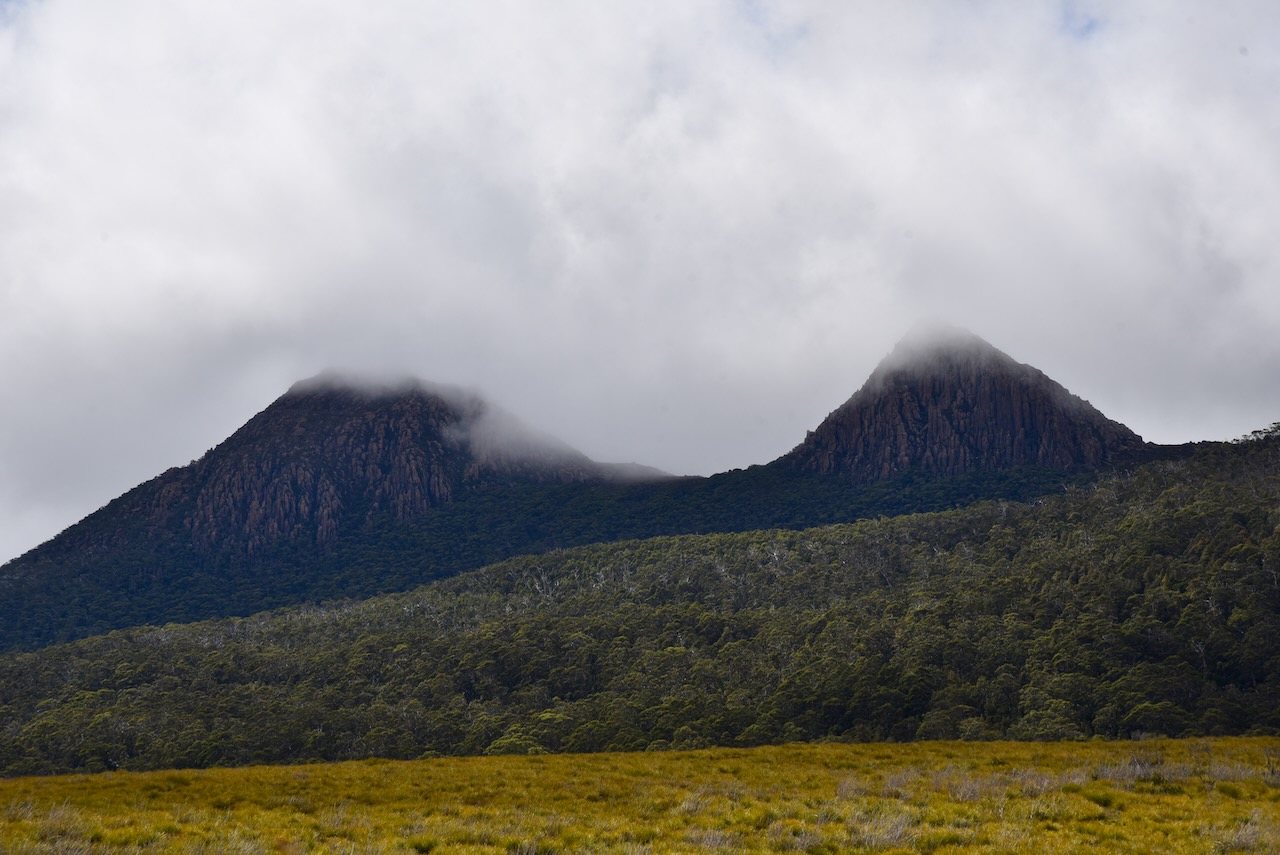
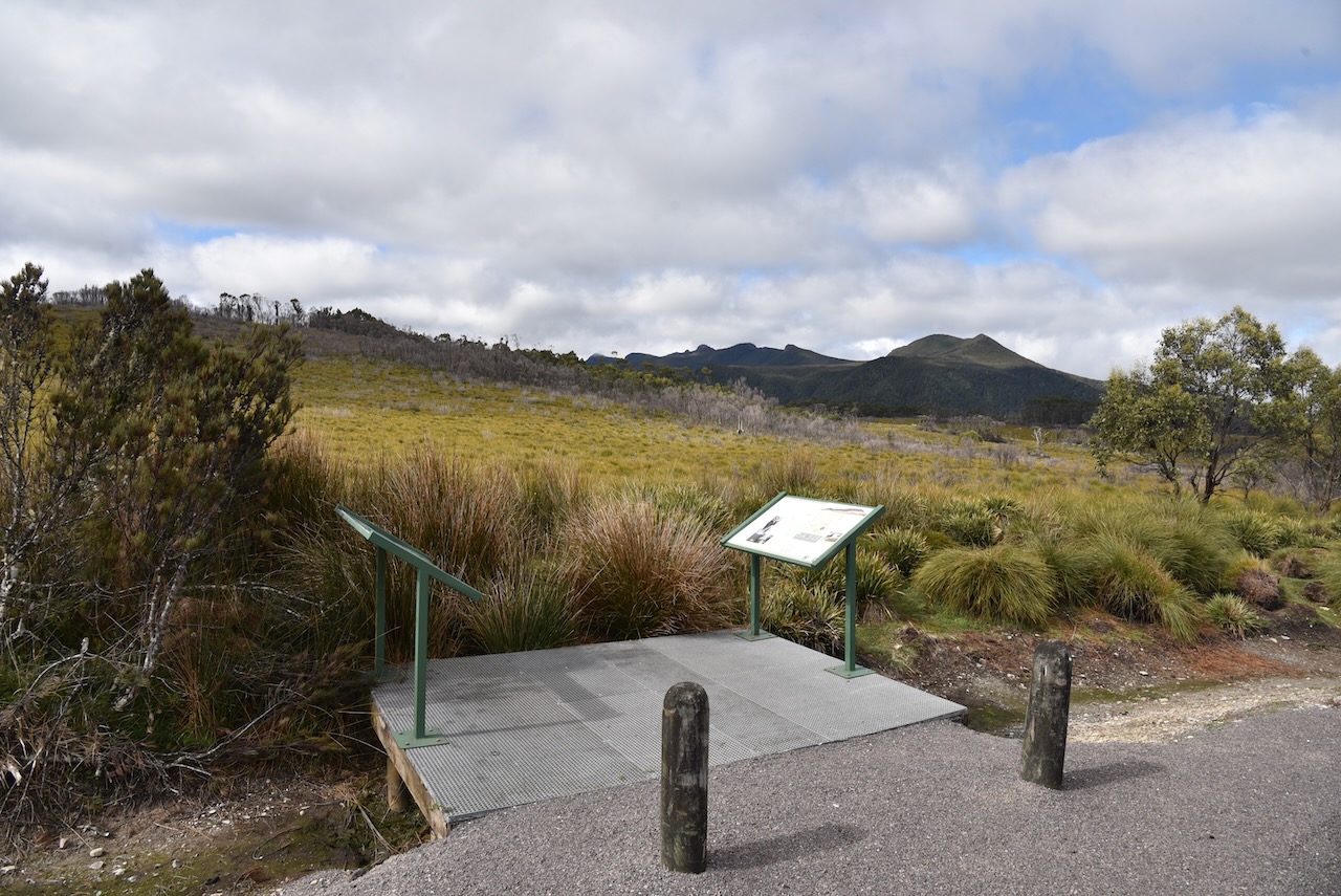
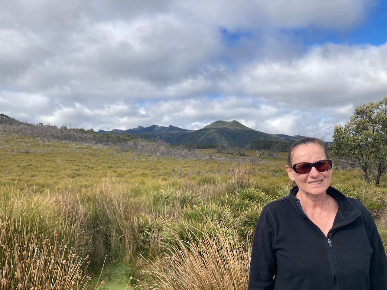
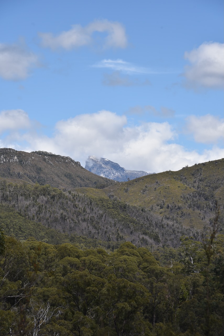
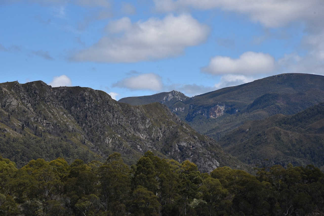
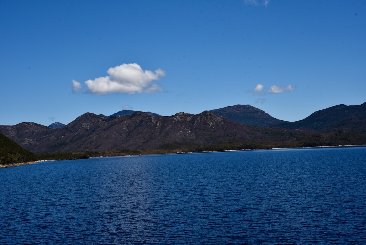
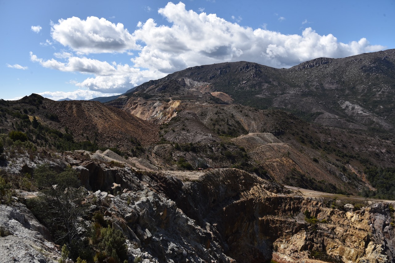
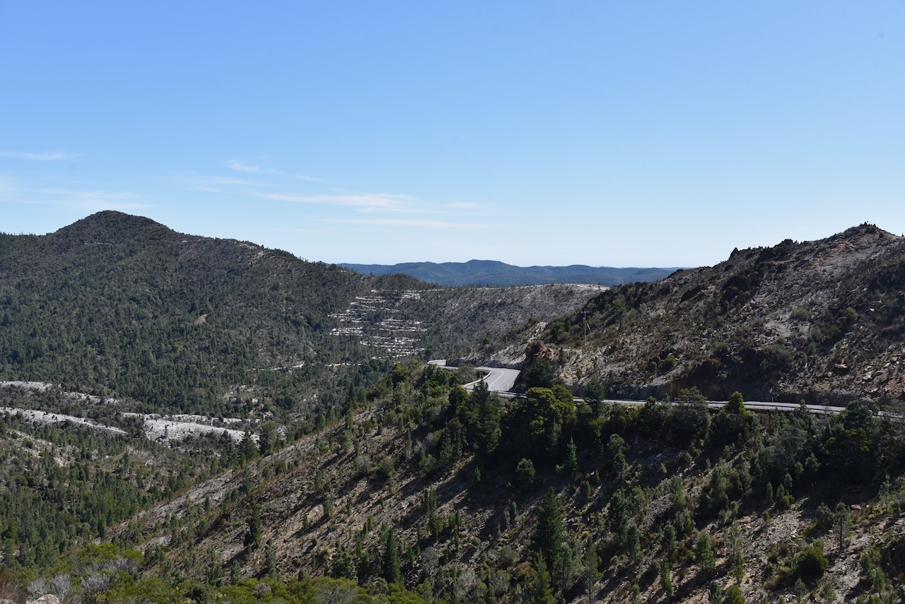
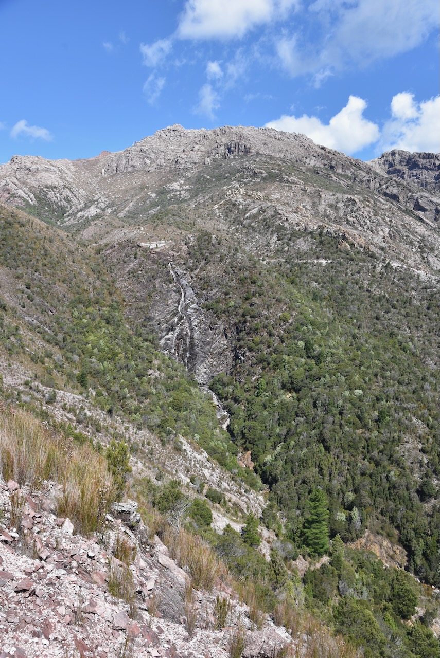
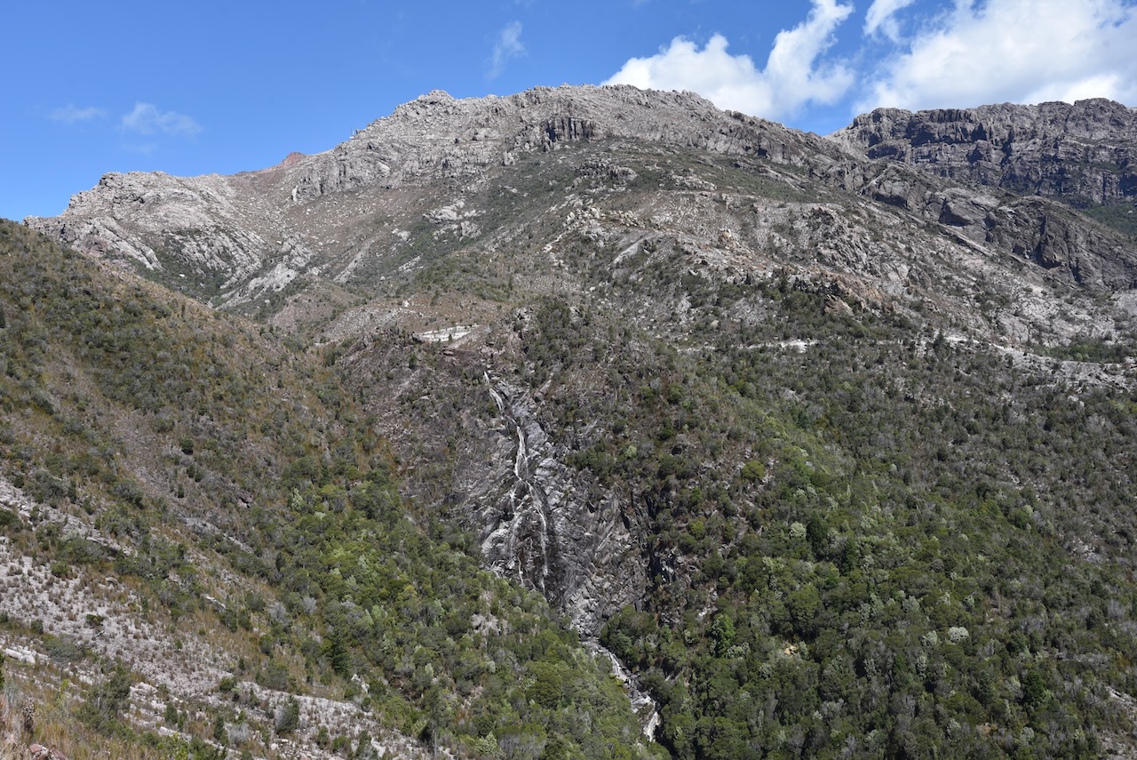
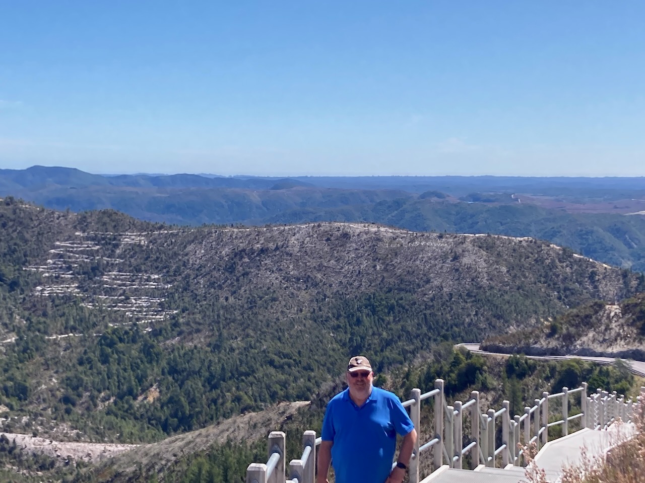
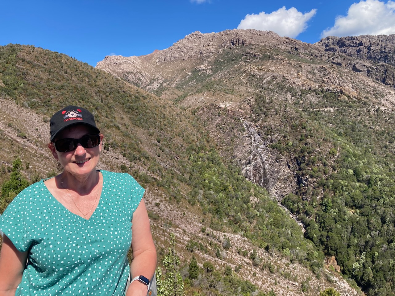
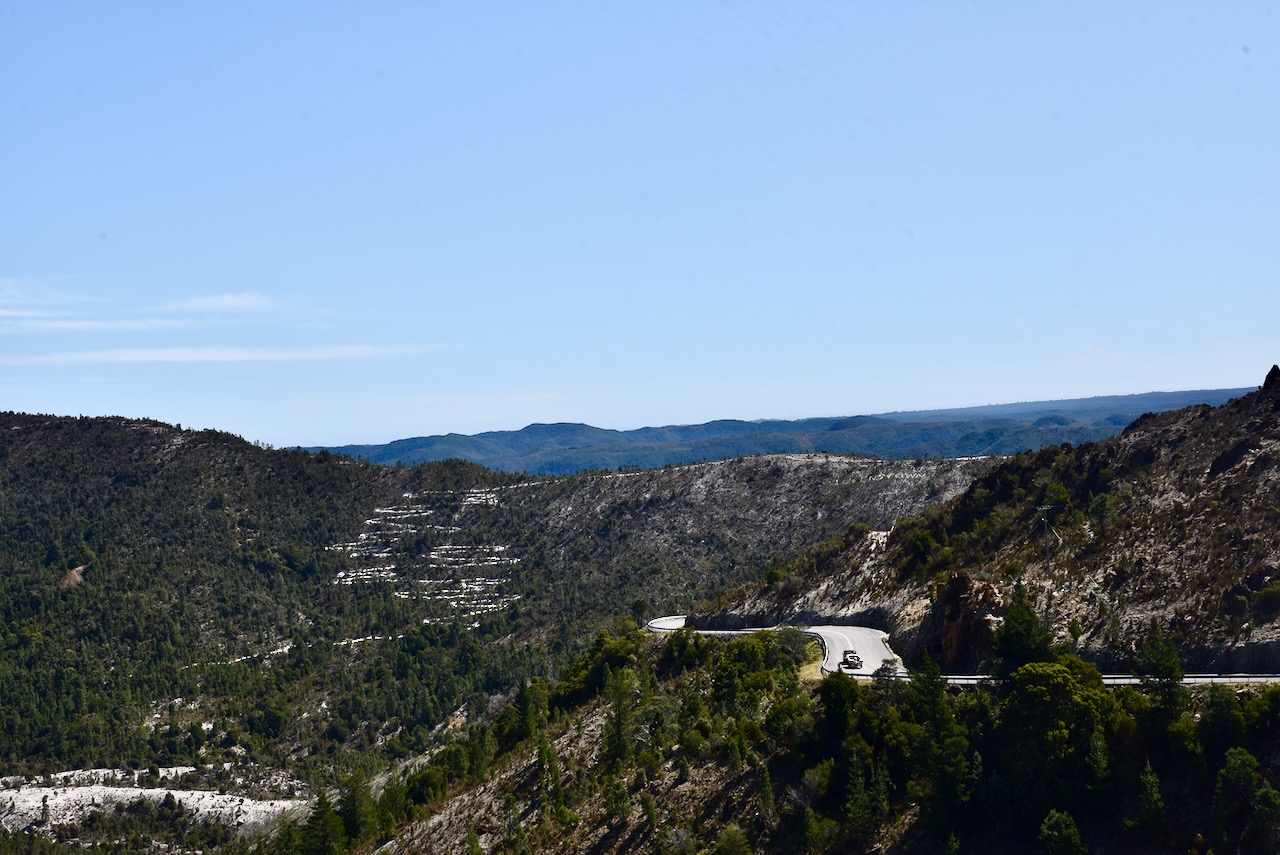
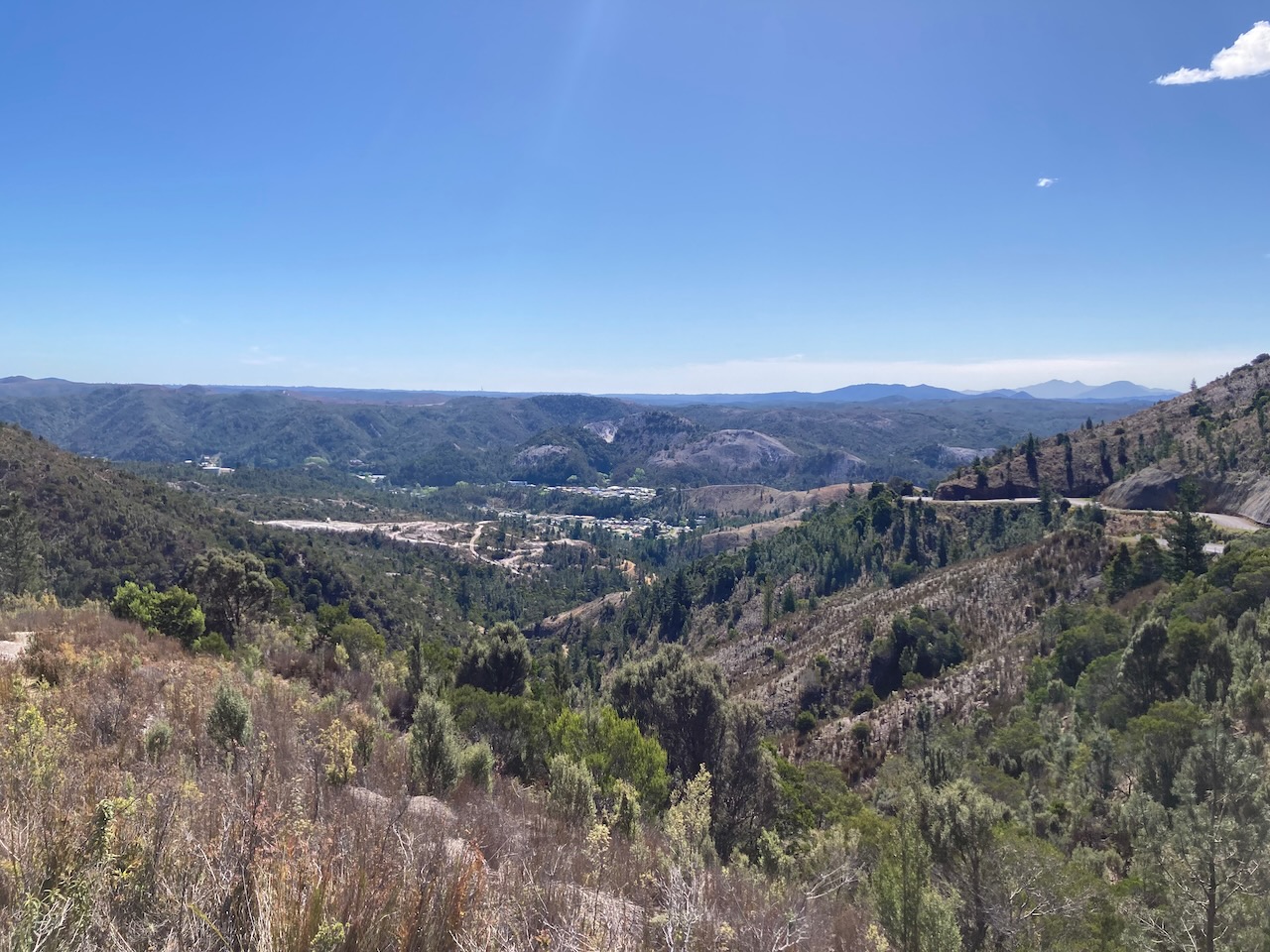
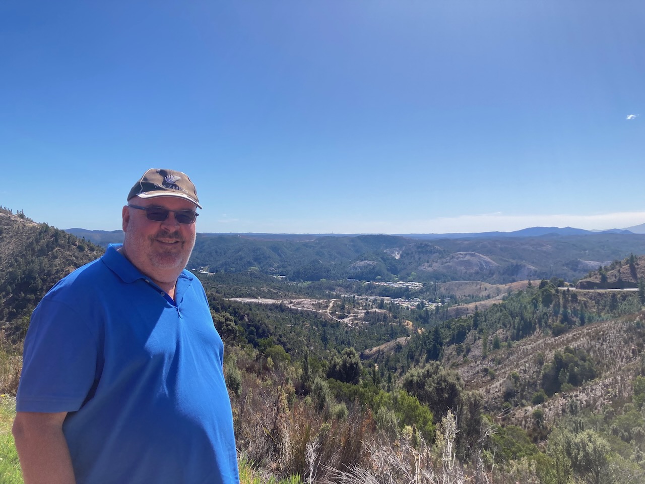
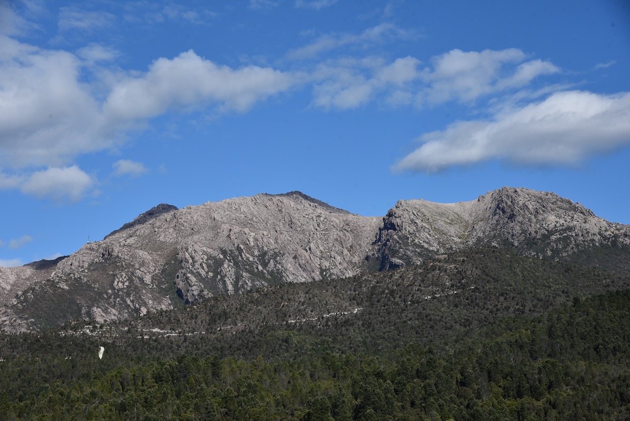
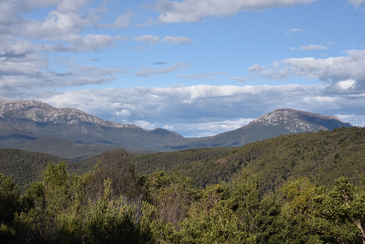
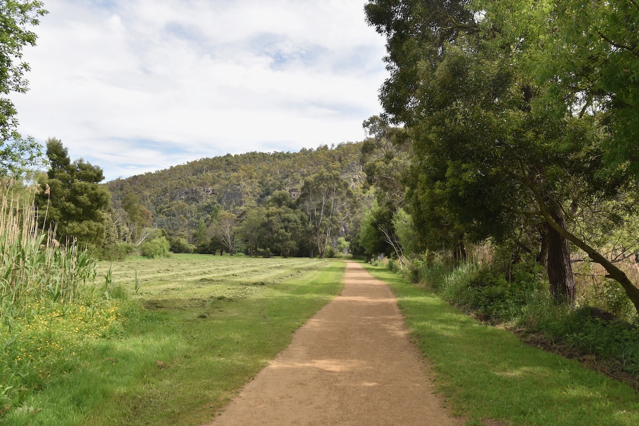
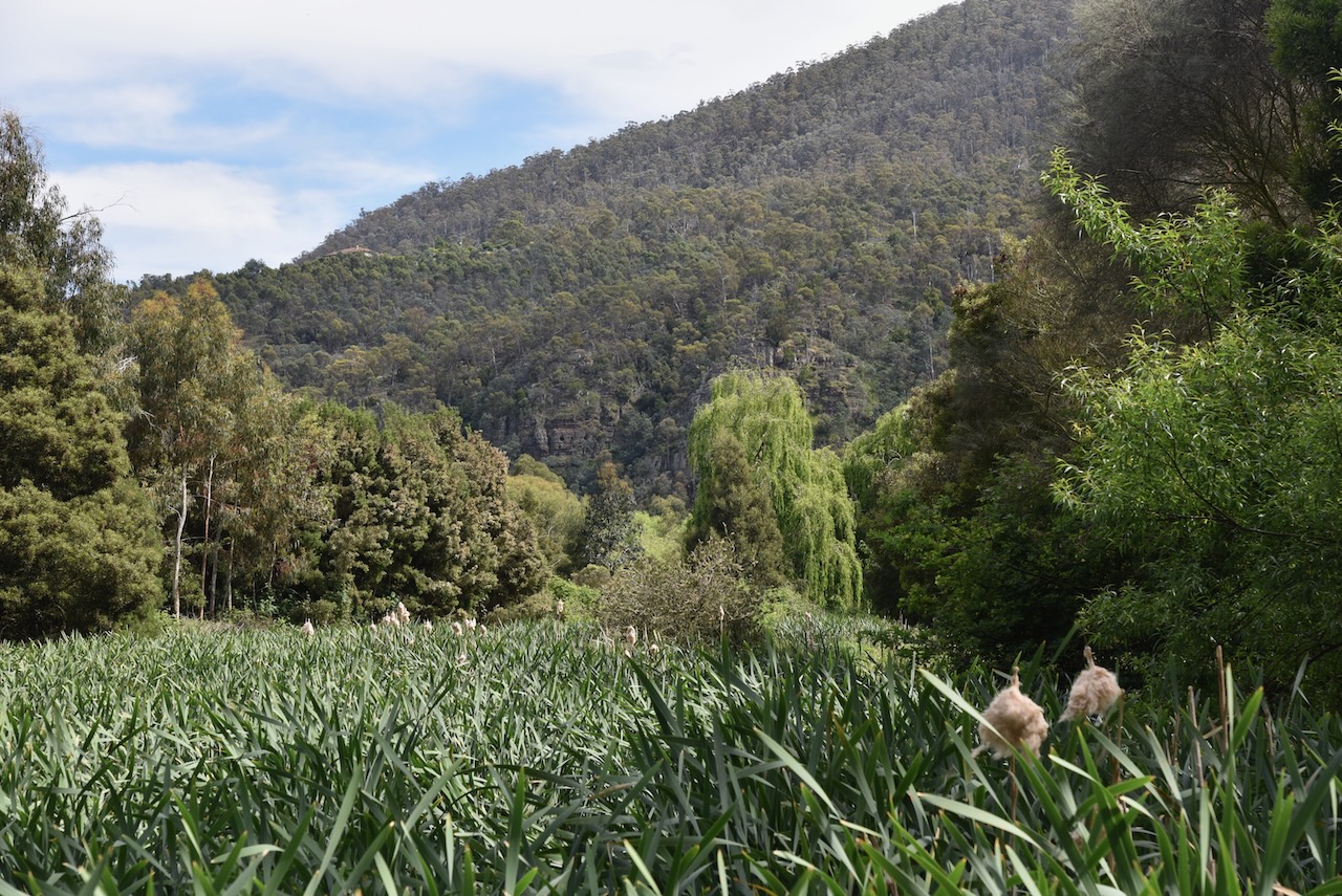
We continued on the Round Mountain lookout which takes in the Hydro Tasmania Mersey Forth Power Scheme, Cradle Mountain, Black Bluff, Mount Ossa, and the surrounding countryside. The views from here are brilliant. There was snow visible on Cradle Mountain.
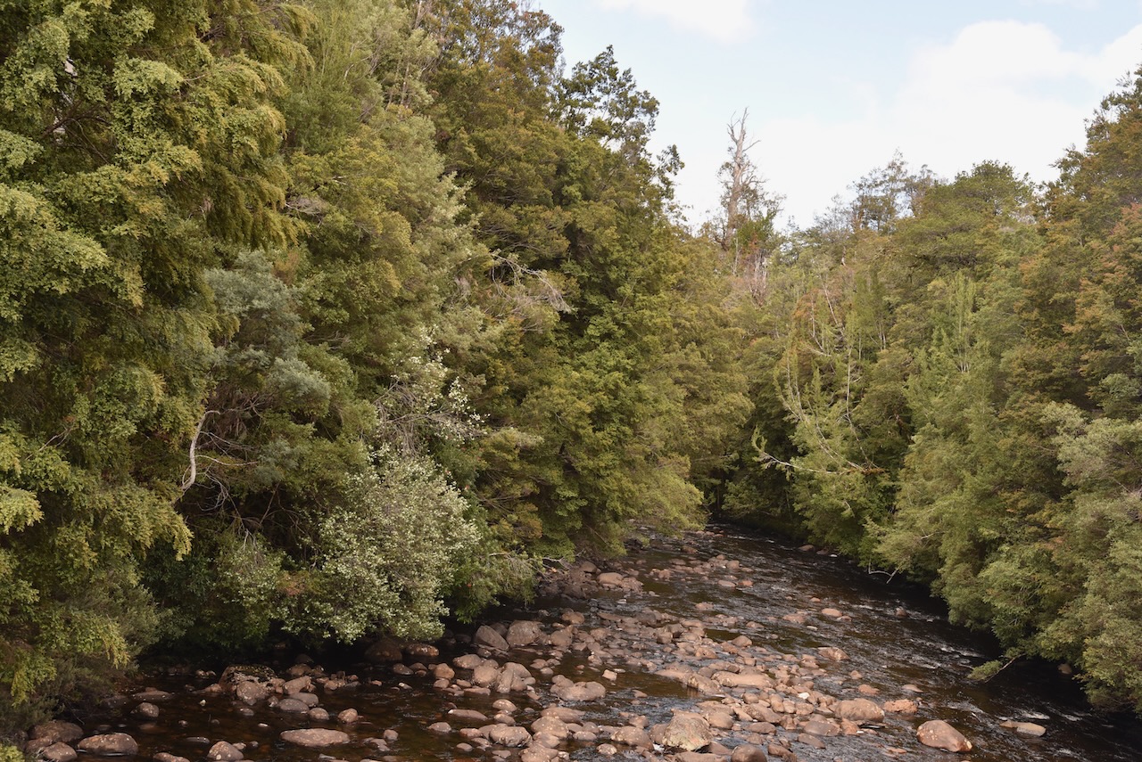
The Mount Roland Regional Reserve is a large park. It stretches from Lake Cethana in the west to to Minnow Falls in the east. It adjoins the Dogs Head Hill Forest Reserve and the Mount Roland Conservation Area.
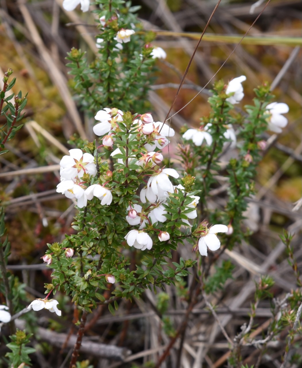
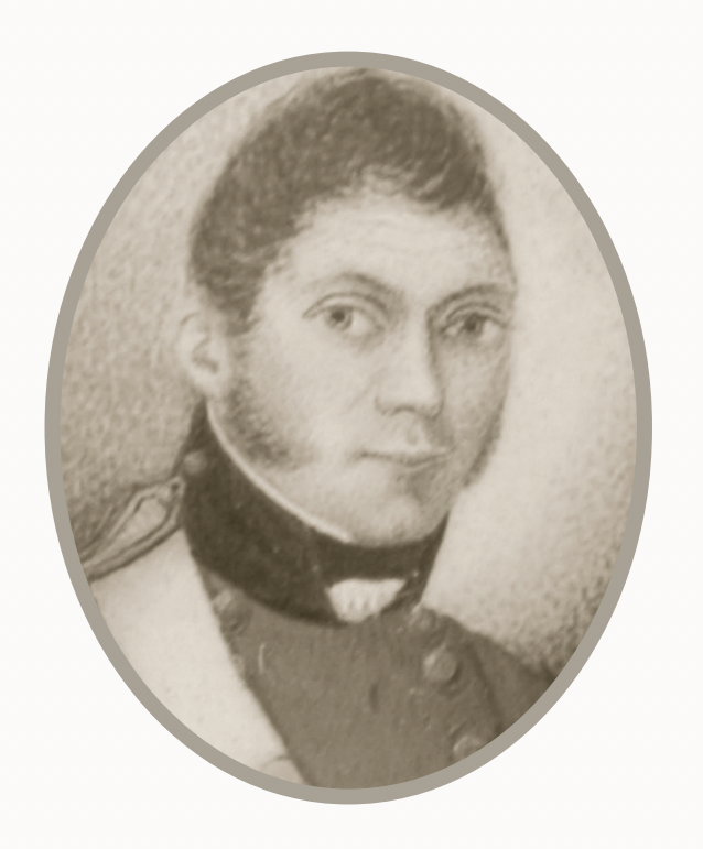
There are a number of summits within the park, the highest being Mount Roland at 1,233 metres above sea level. It was originally known as Rollands Repulse in honour of Captain John Rolland, an early explorer in the area.
The first successful ascent of Mount Roland in 1826 when Henry Hellyer (b. 1790. d. 1832) and Joseph Fossey (b. 1788. d. 1851) who were part of a Van Dieman’s Land Company party climbed the mountain.
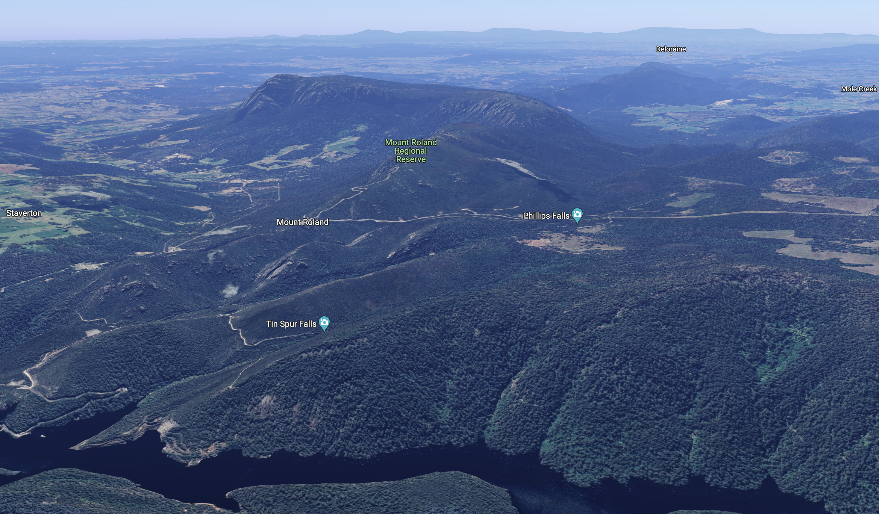
Above:- An aerial view of the Mount Roland Regional Reserve. Image c/o Google Earth.
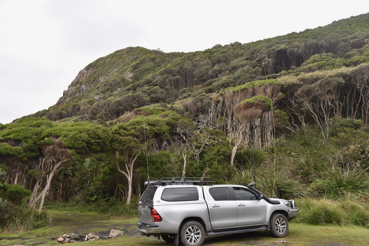
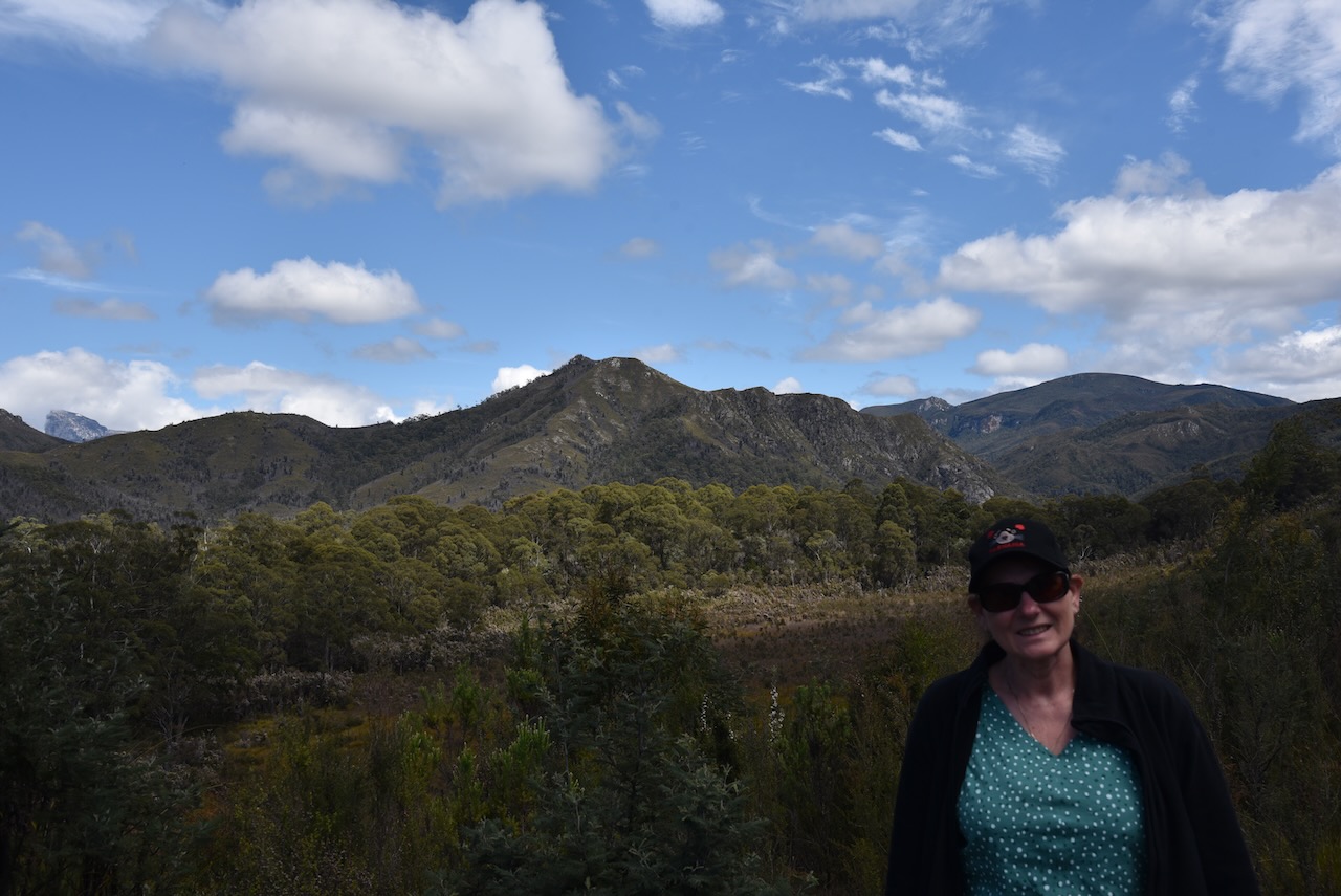
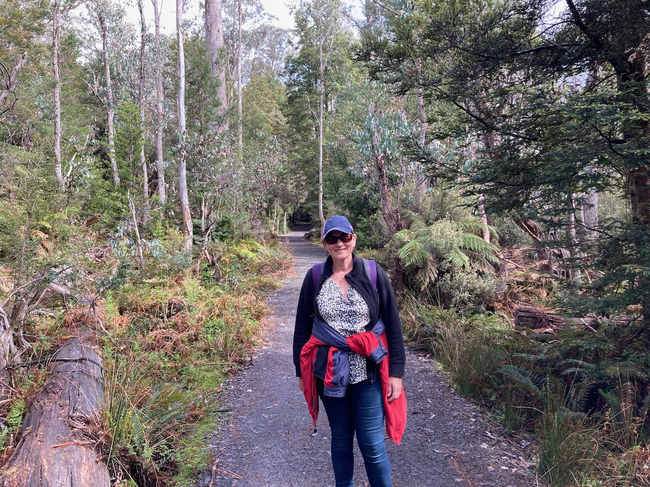
Marija and I set up in the area adjacent to the main carpark of Round Mountain lookout. We ran the Yaesu FT857, 40 watts, and the 20/40/80m linked dipole for this activation. We operated from within the 4WD as the outside temperature was about -34 deg C.
Marija made the following QSOs on 40m SSB before the UTC rollover:-
VK3VIN
VK7WUU
VK7JFD
VK3ZSC
VK2MET
VK1AO
VK5BHE
VK2IO
VK3PF
VK3APJ
VK3GRX/p
Marija made the following QSOs on 20m SSB before the UTC rollover:-
VK4KC/p (VKFF-1190)
VK4MAD/p (VKFF-1190)
VK4DOG/p (VKFF-1190)
Marija made the following QSOs on 20m SSB after the UTC rollover:-
VK4KC/p (VKFF-1190)
VK4MAD/p (VKFF-1190)
VK4DOG/p (VKFF-1190)
I made the following QSOs on 40m SSB before the UTC rollover:-
VK3VIN
VK7WUU
VK7JFD
VK3ZSC
VK2MET
VK1AO
VK5BJE
VK2IO
VK3PF
VK3APJ
VK3GRX/p
VK3EJ
VK1DI
VK3SQ
VK7AN
VK2EXA
VK5AV
VK3AHR
VK2HHA
VK3VB
I made the following QSOs on 20m SSB:-
VK4NH
VK4DXA
VK2MET
VK1AO
VK4KLA
VK2PKT
VK4KC/p (VKFF-1190)
VK4MAD/p (VKFF-1190)
VK4DOG/p (VKFF-1190)
VK6JK
I made the following QSOs on 20m SSB:-
VK6JK
VK4KC/p (VKFF-1190)
VK4MAD/p (VKFF-1190)
VK4DOG/p (VKFF-1190)
VK4NH
VK4DXA
VK4TJ
VK4HAT
VK4KLA
VK2IO
VK4KUS
I worked the following QSOs on 40m SSB:-
VK5AV
VK3VIN
VK3PF
VK3VB
We packed up and headed to our next park, the Mole Creek Karst National Park.
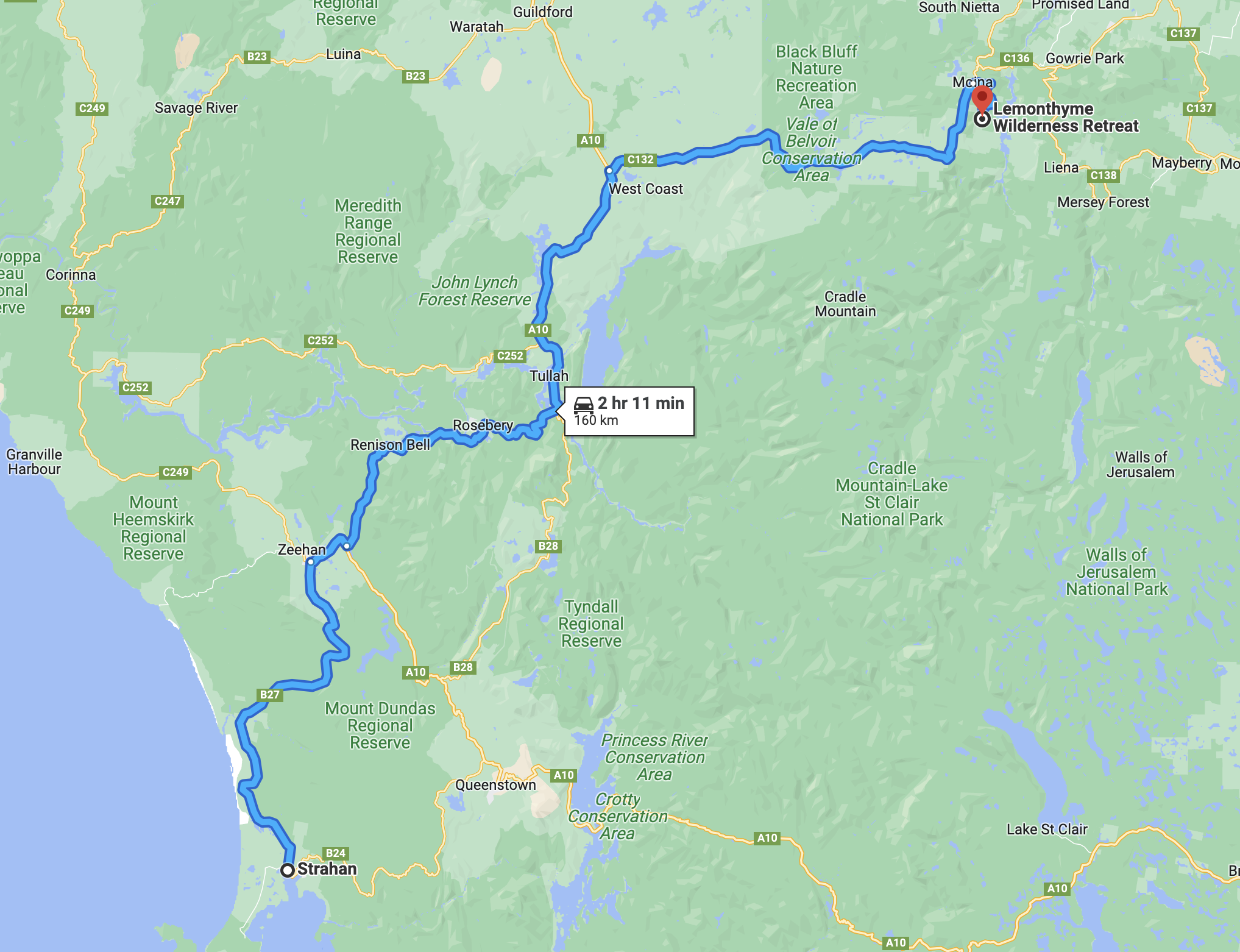
We were now into week three of our Tasmania trip and it was day 21 (Sunday 15th November 2022). We had spent 3 enjoyable nights in Strahan and now it was time to head inland to Lemonthyme Wilderness Retreat. We had a 160 km trip ahead of us that day.
Above:- Map showing our route between Strahan and Lemonthyme Wilderness Retreat. Map c/o Google maps
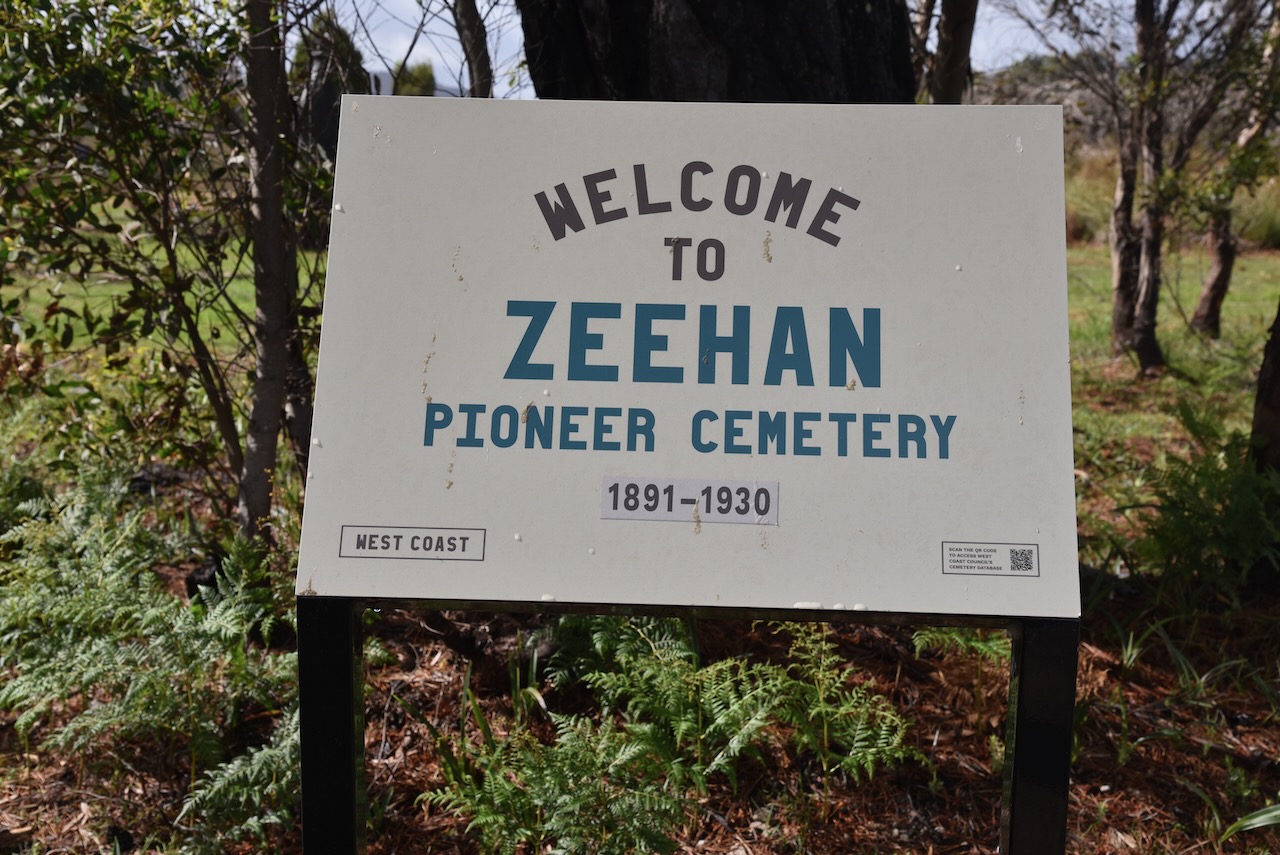
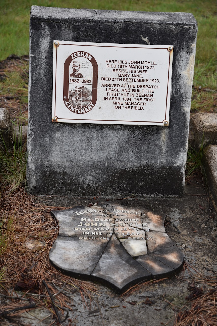
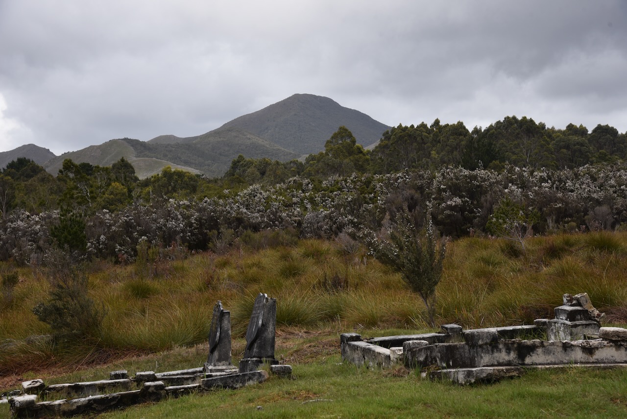
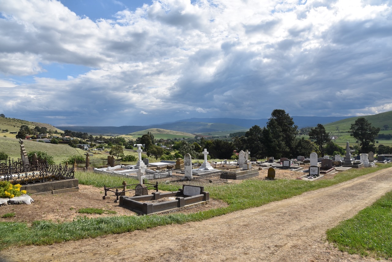
Once again, as we did the day before, we headed north out of Strahan on the Henty Road. Our first stop was the Zeehan Pioneer cemetery. There are a number of historic graves within the cemetery including that of John Moyle who built the first hut in Zeehan and was the first mine manager on the field. Sadly we found the cemetery in a bad state of repair.
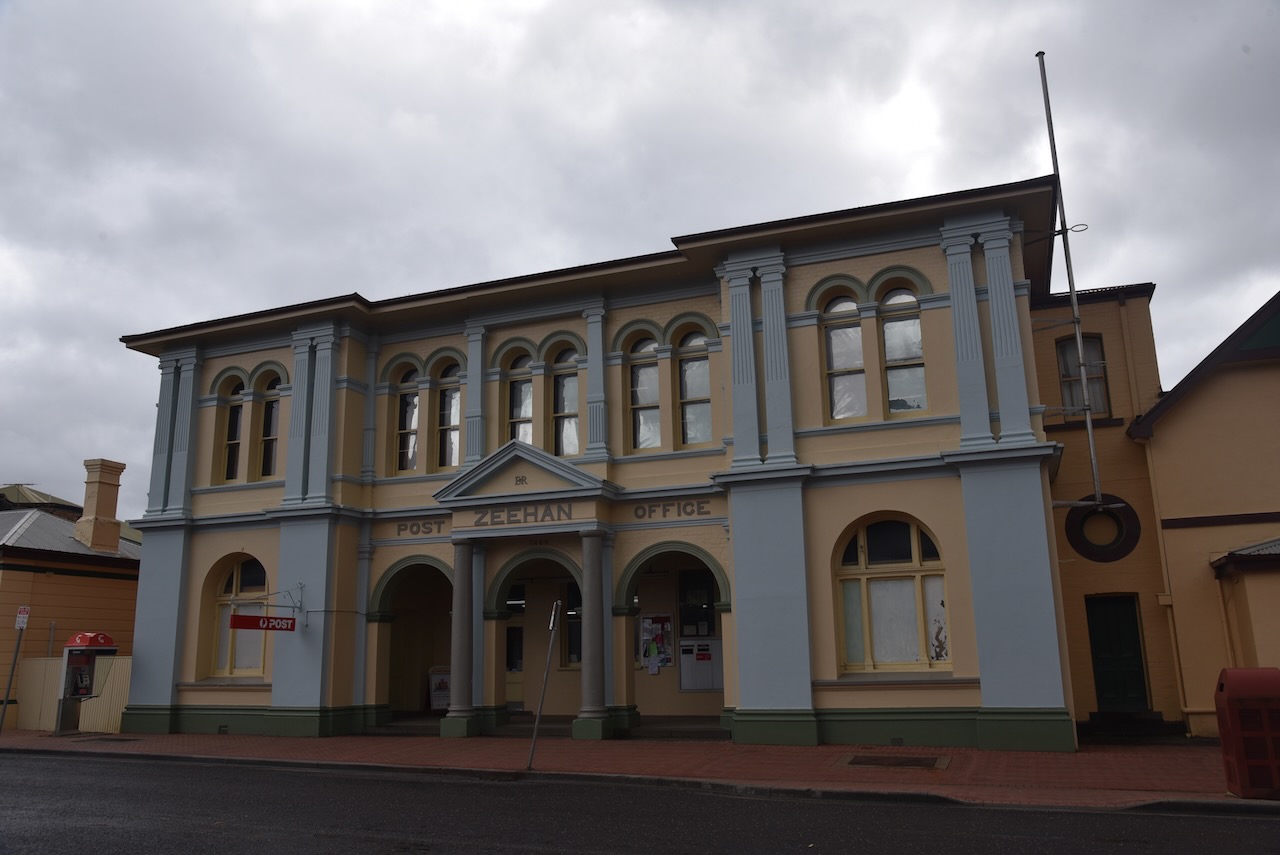
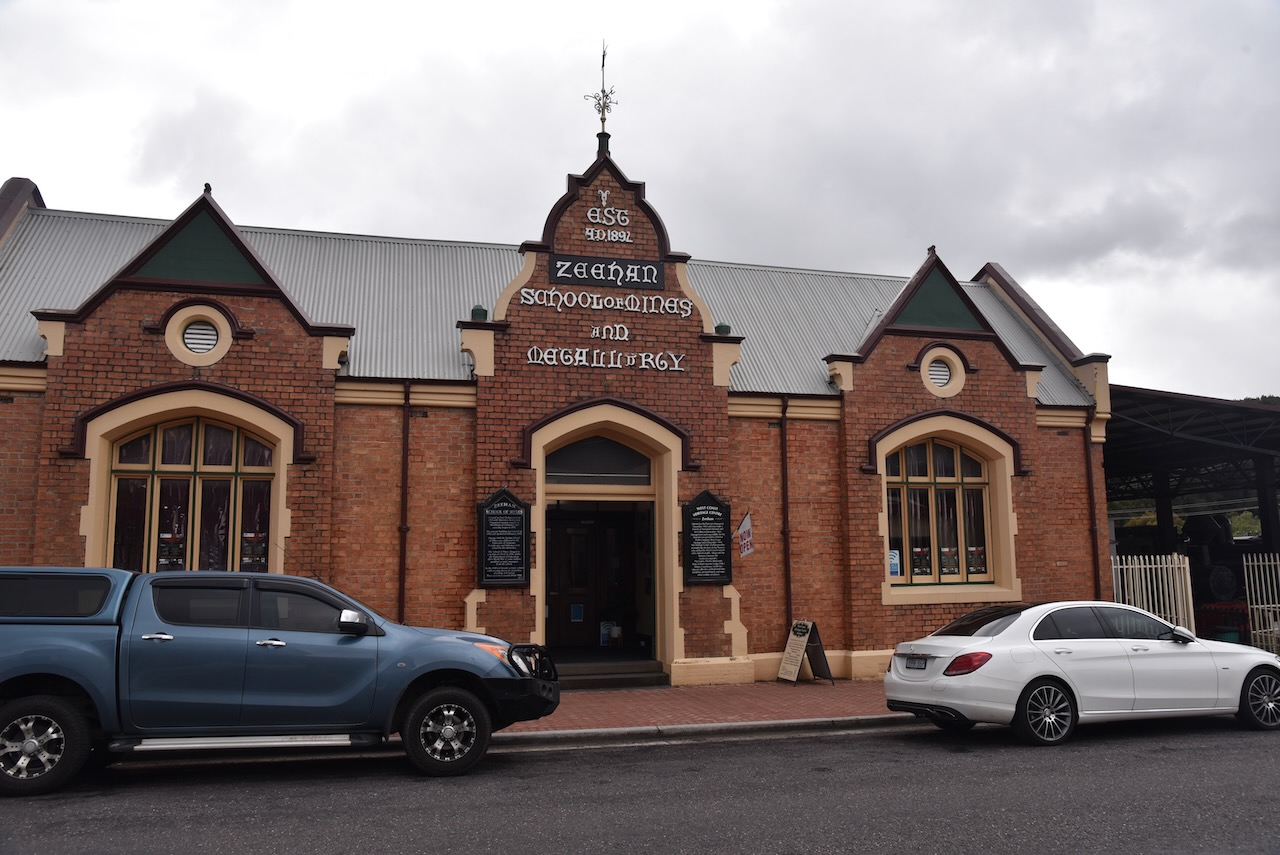
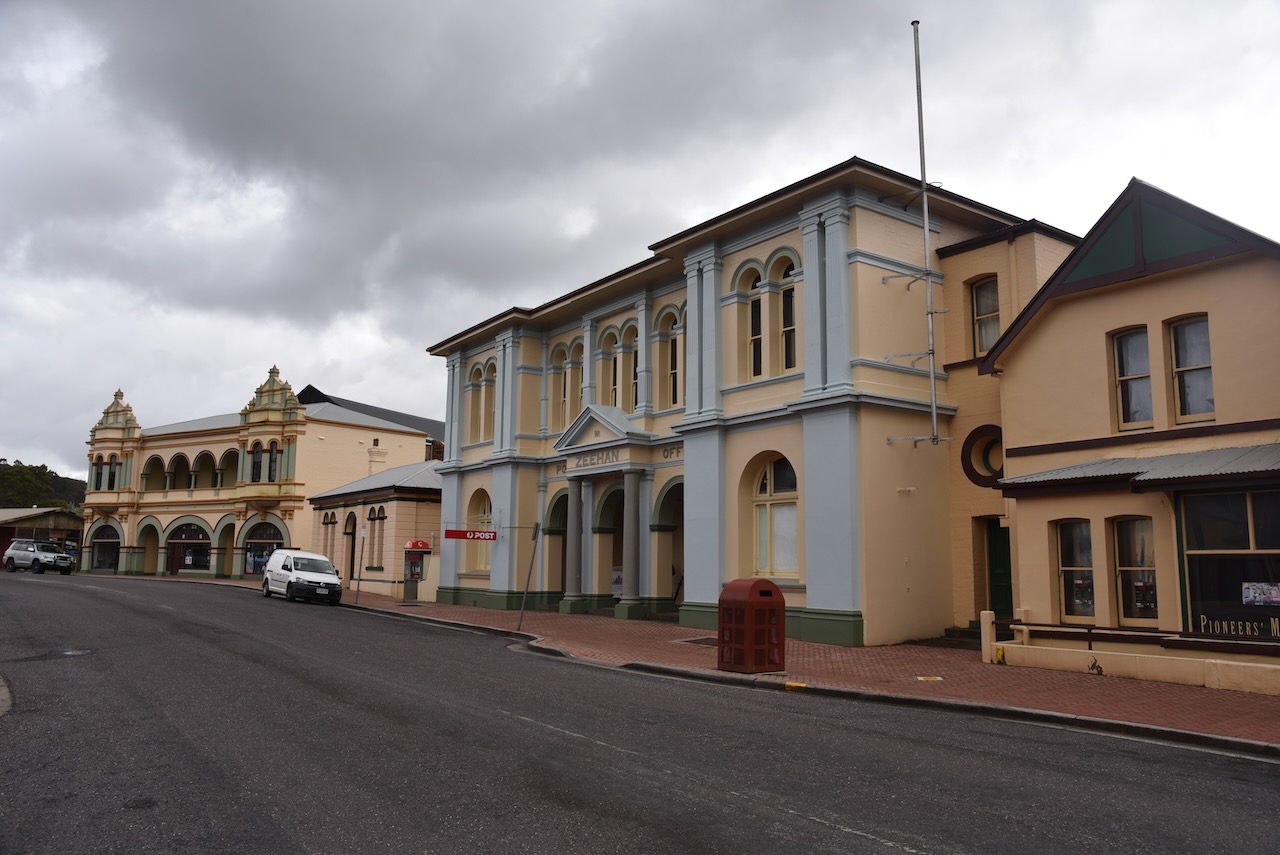
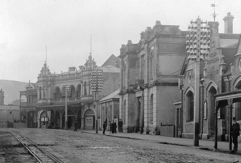
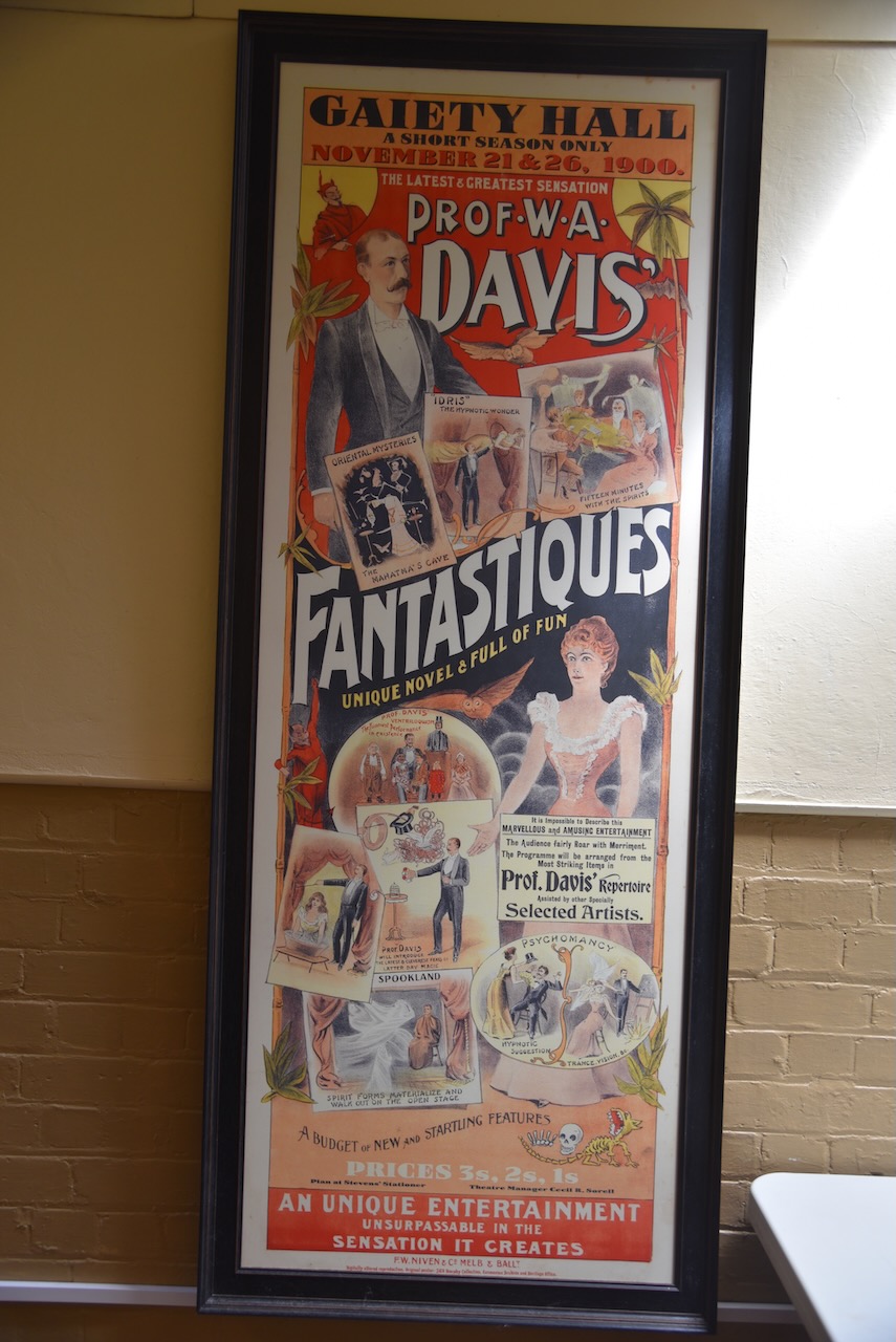
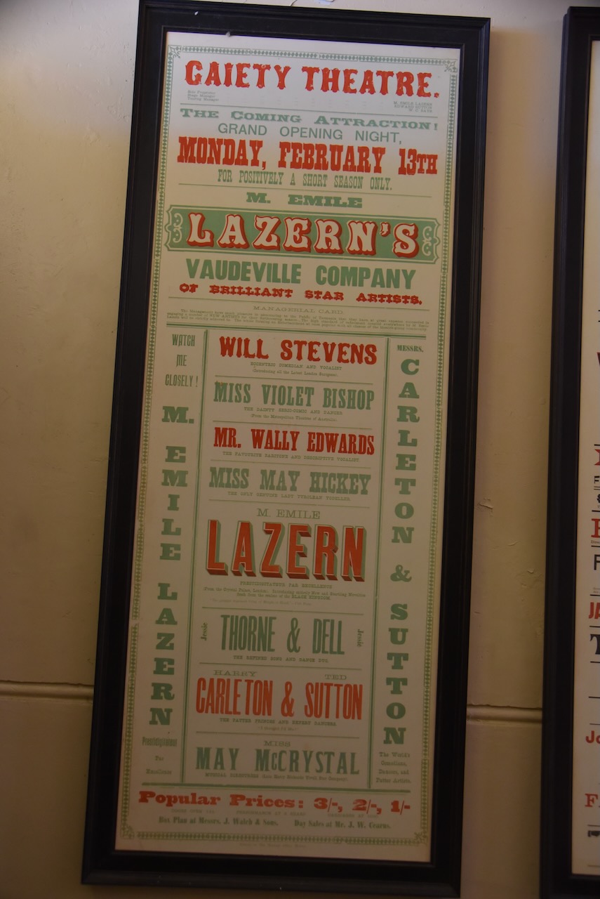
We then drove into the little town of Zeehan which is located about 139 km south west of Burnie. There are a number of historic buildings in Zeehan including the Gaiety Theatre which was built in 1898 and the Zeehan School of Mines built in 1903.
Prior to European settlement the Zeehan area was the home to the indigenous Peerapper and Tommeginne people of the North West group.
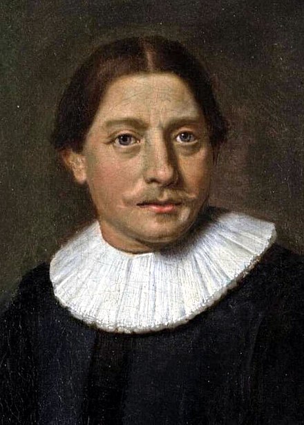
The first European explorer to sight the west coast near Zeehan was Dutch explorer Abel Tasman (b. 1603. d. 1659) in 1642. He sailed close to the coastline but waa unable to send a landing party due to poor weather.
Above:- Abel Tasman. Image c/o Wikipedia
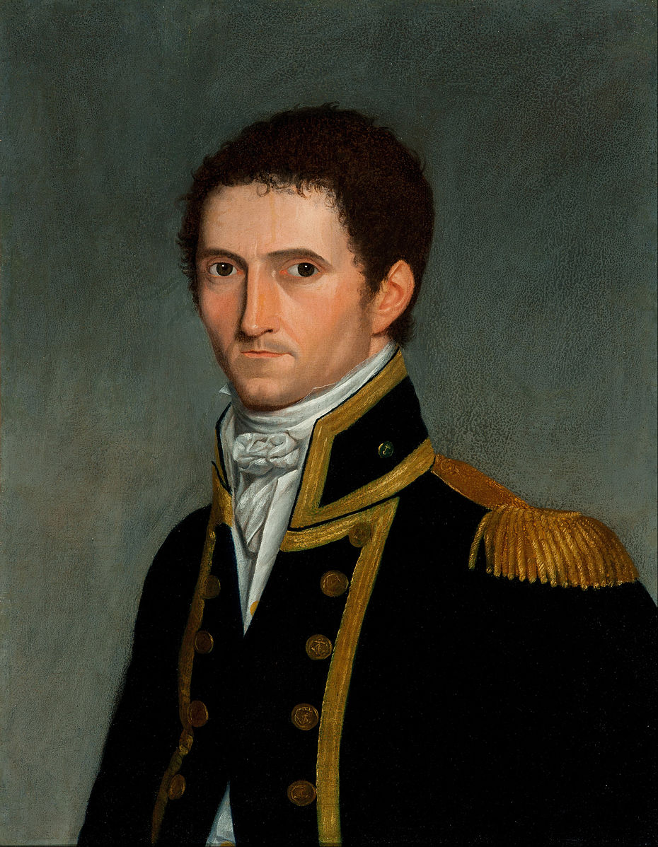
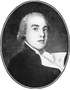
Over 100 years later, during their 1798-99 circumnavigation of Tasmania, British explorers Matthew Flinders and George Bass named Mount Zeehan after one of Tasman’s ships the Zeehaen (Old Dutch for “Sea Rooster”) in honour of Tasman.
Above:- Matthew Flinders and George Bass. Images c/o Wikipedia.
In 1871, tin was discovered at Mount Bischoff and then in 1879 at Mount Heemskirk. In 1882, deposits of lead and silver were also discovered. By August 1888 the Mount Zeehan Post Office had opened. In 1890 the township was named Zeehan. The town flourished due to it being close to the Zeehan mineral field. Up to the First World War, a total of 159 companies operated with the town stock exchange having 60 members.
The main street of Zeehan was over two miles long and had 20 hotels, a hospital, and two theatres, the Gaeity Theatre and the Theatre Royal. In 1910 the town’s population peaked at about 10,000 and it was the third largest town in Tasmania after Hobart and Launceston.
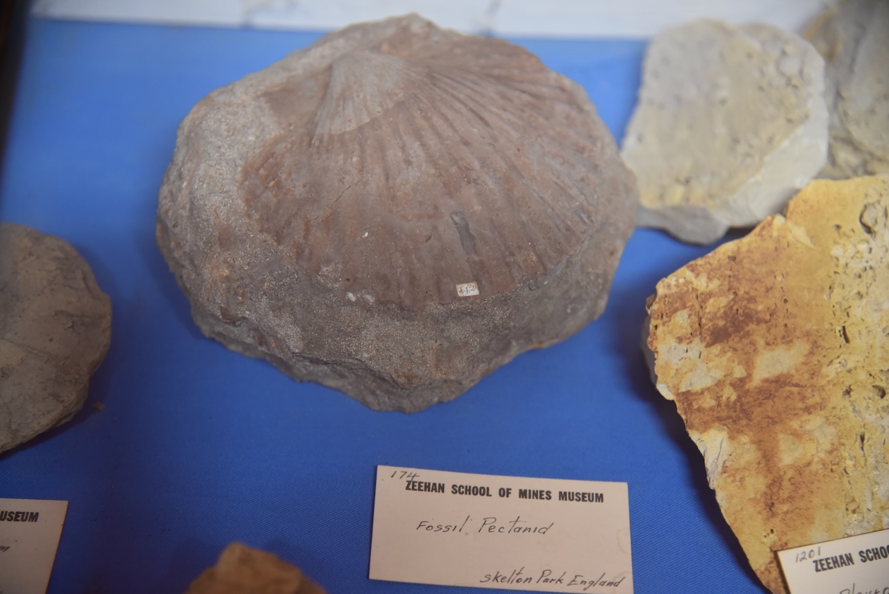
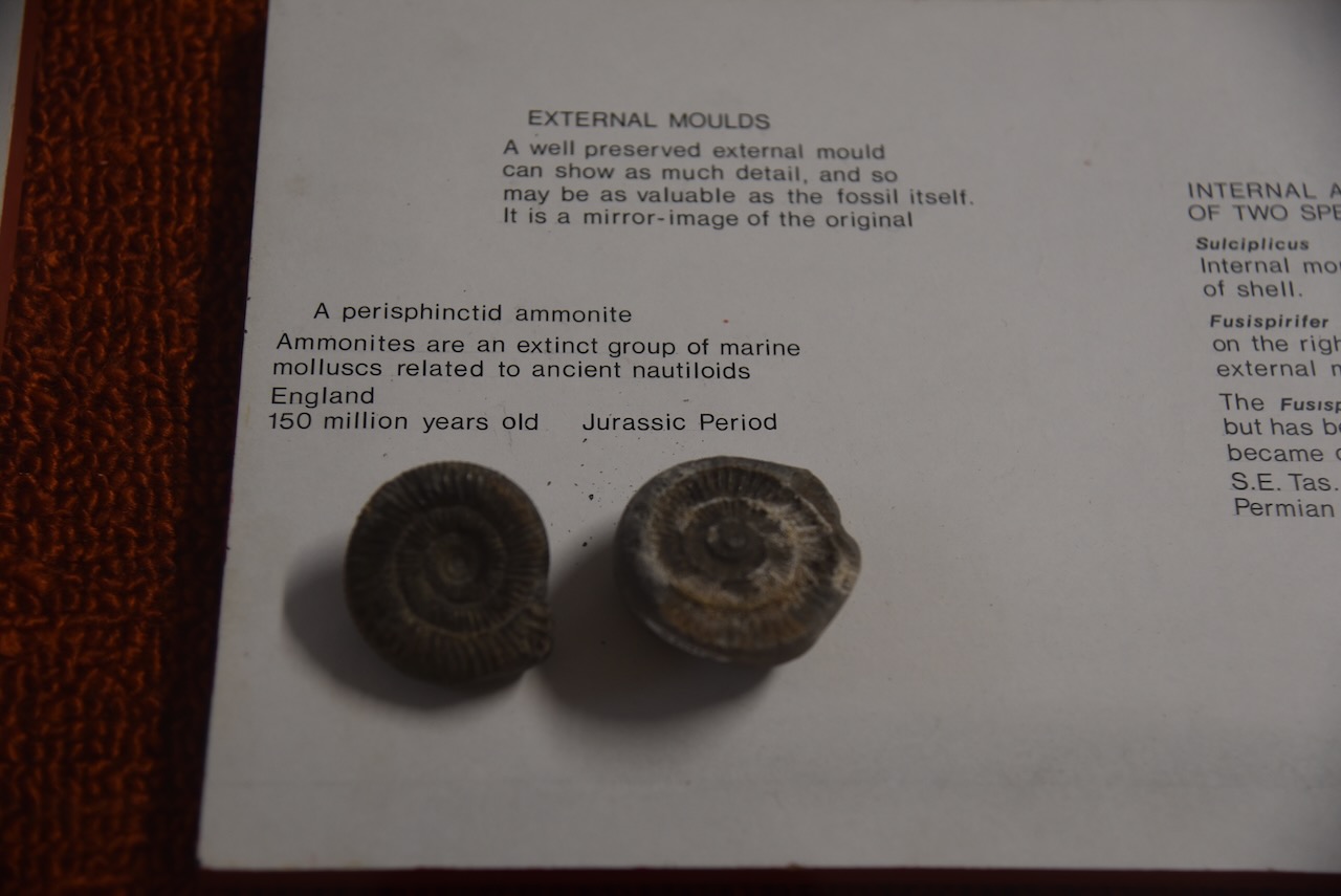
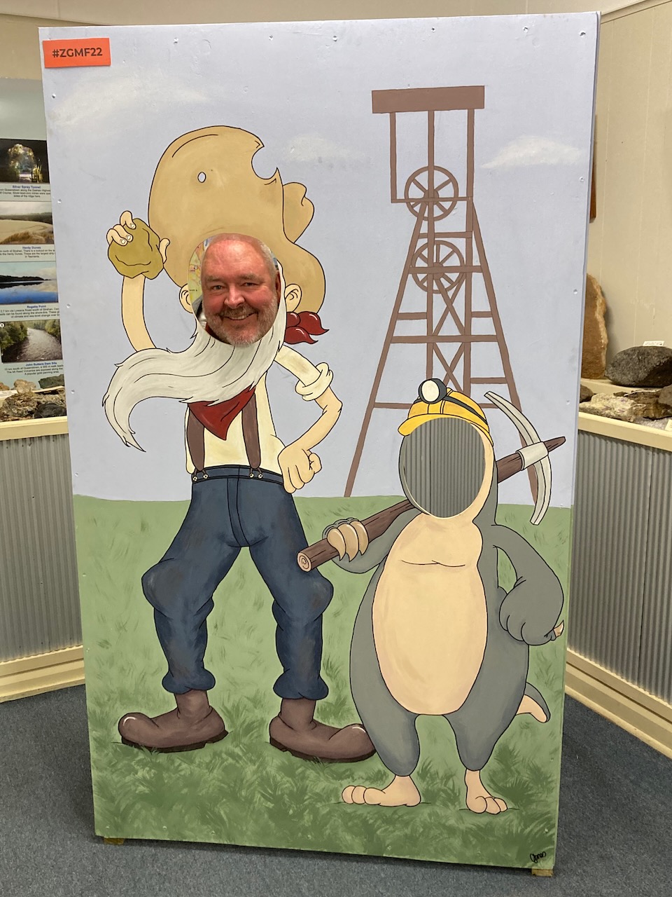
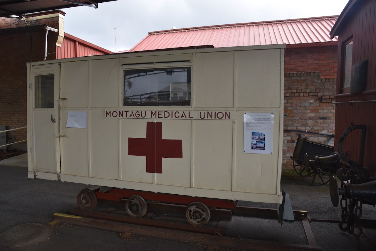
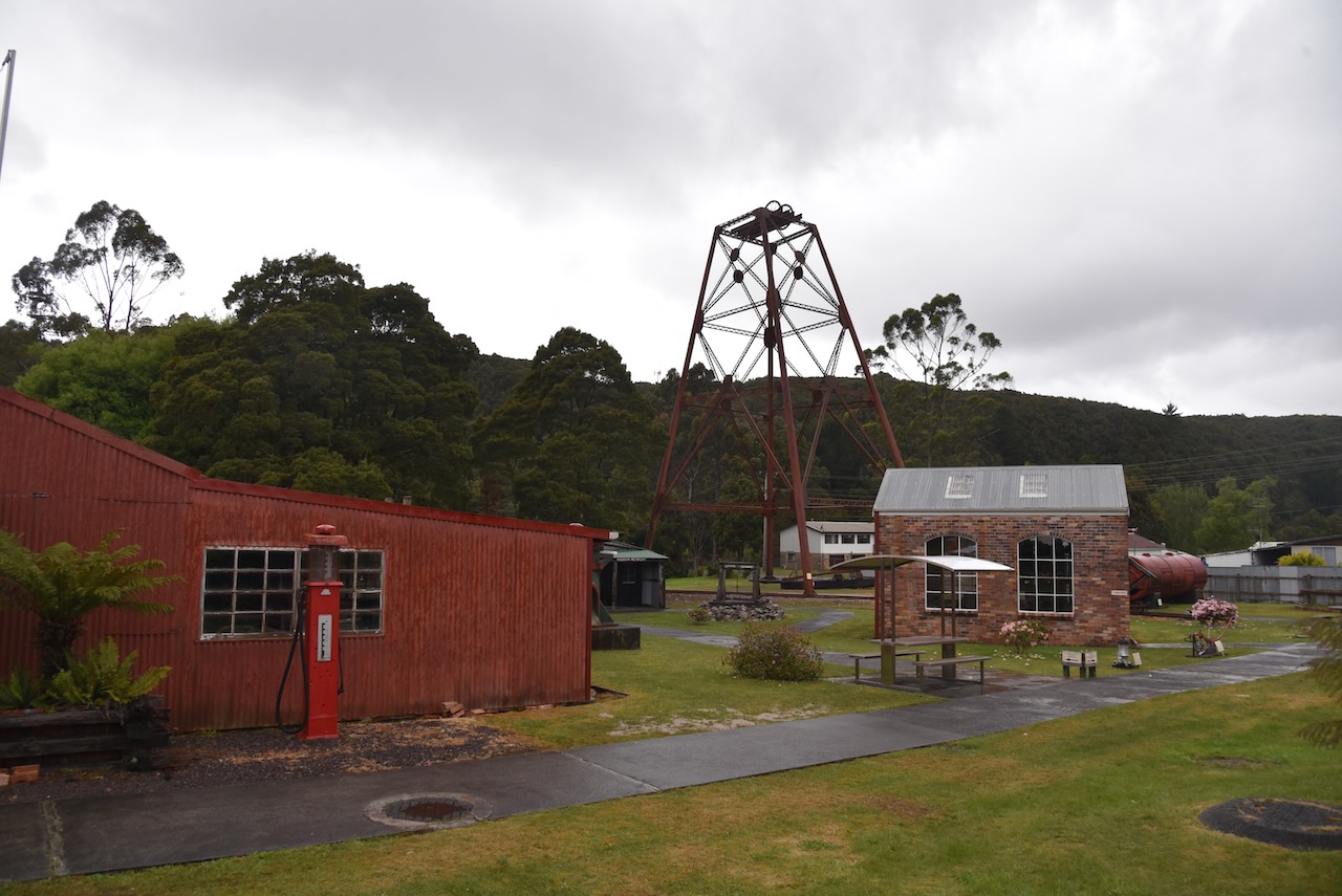
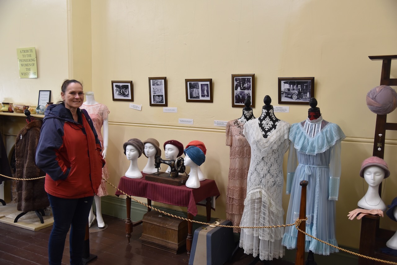
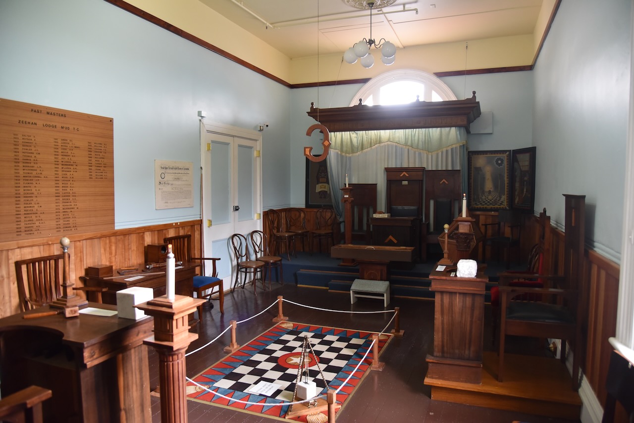
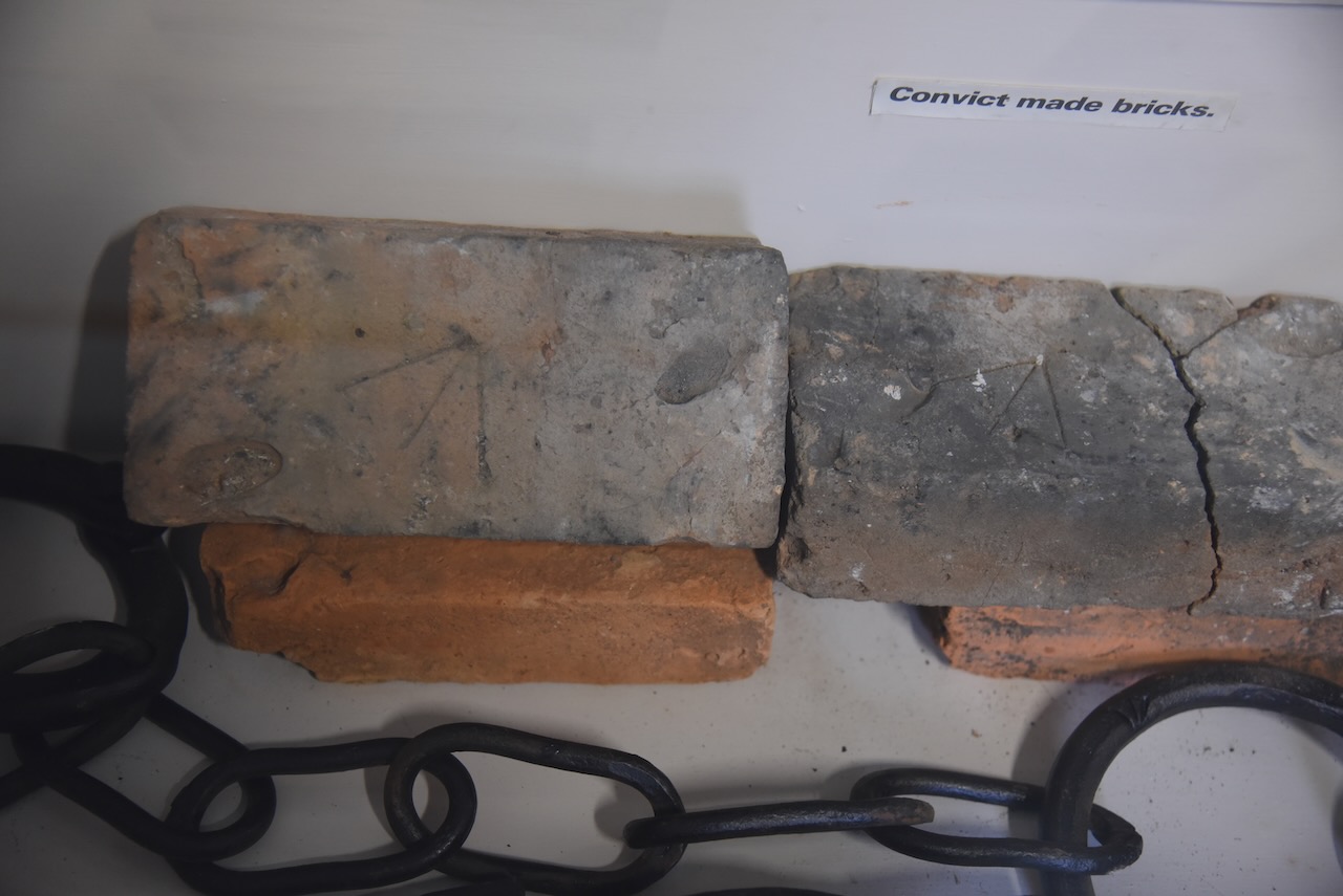
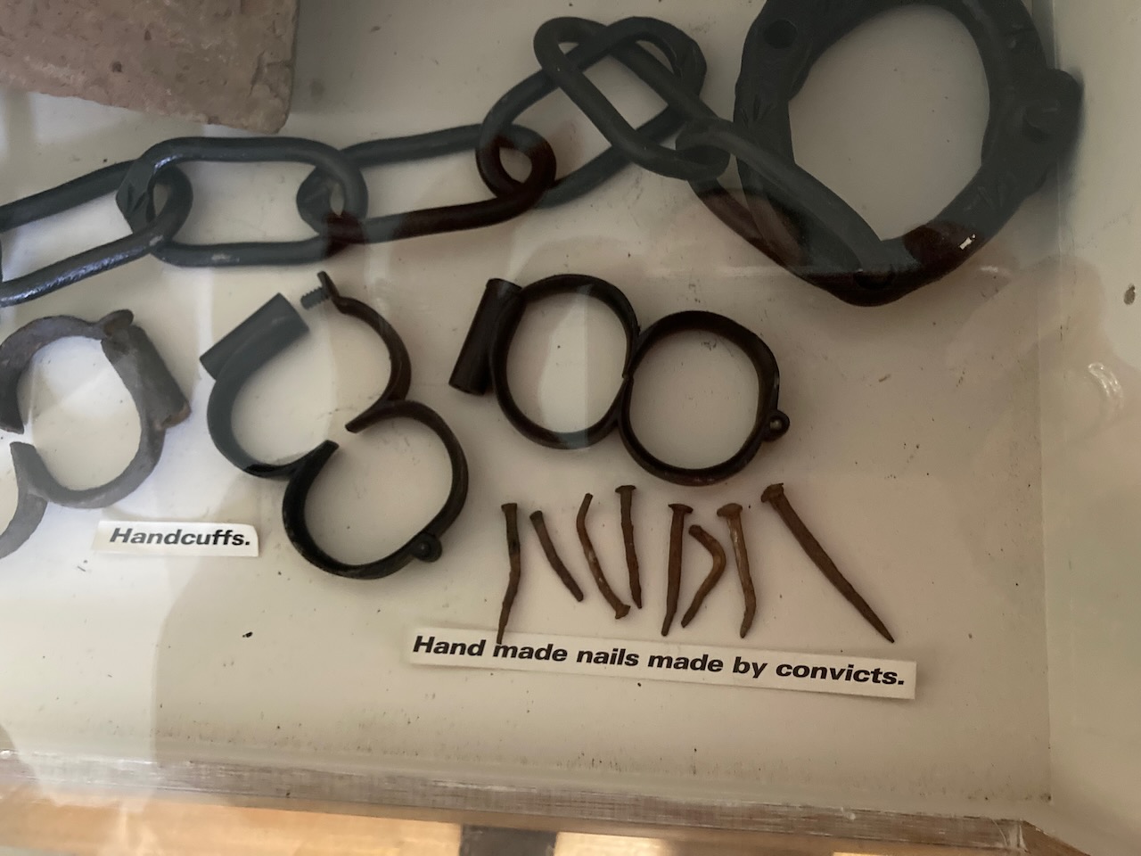
We visited the West Coast Heritage Centre at Zeehan which is located in the old Zeehan School of Mines building. This is a very good museum and is a must do during a visit to Zeehan.
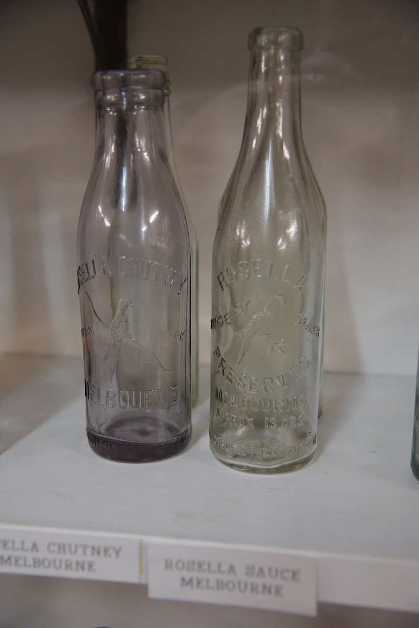
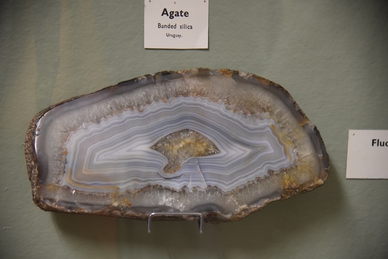
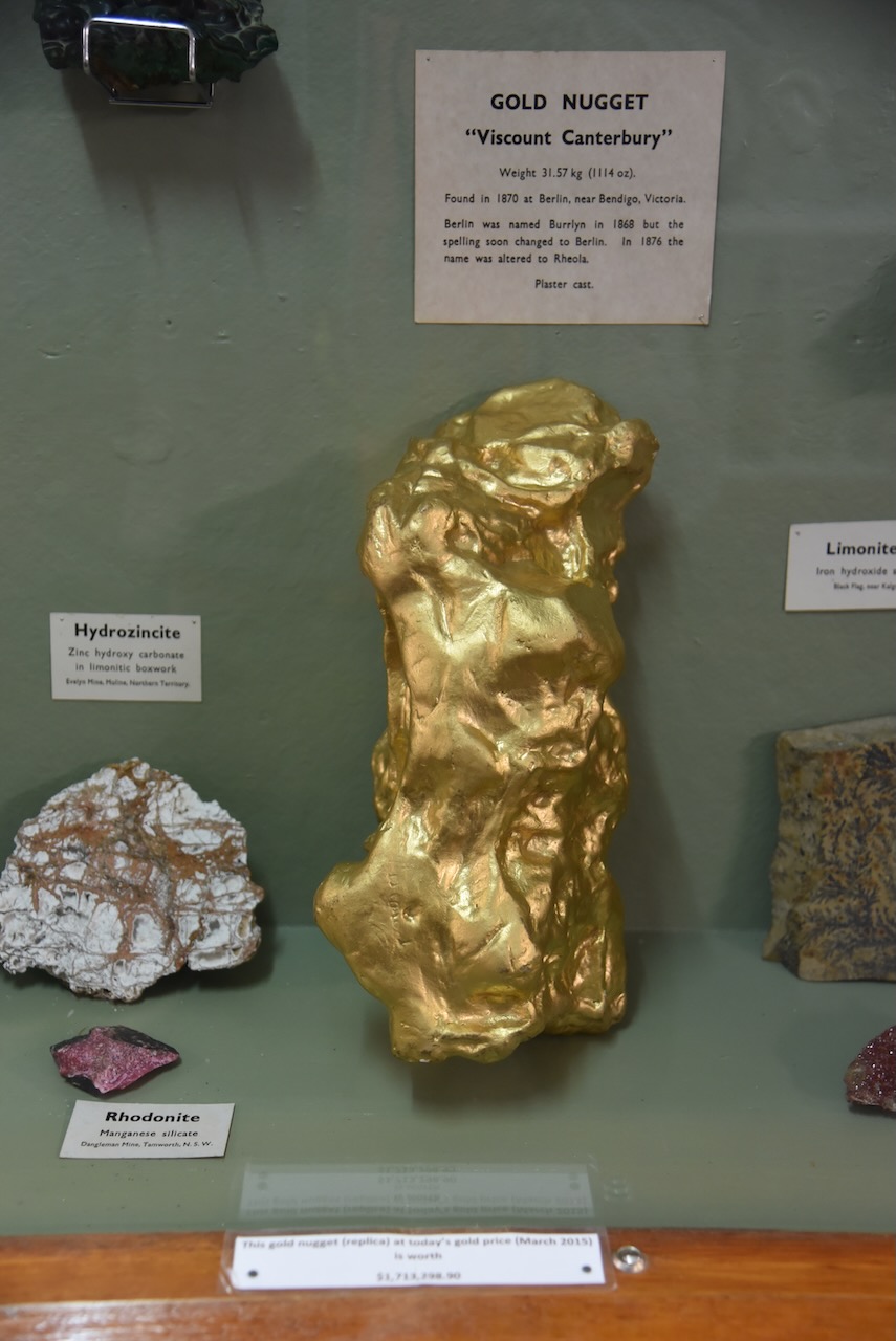
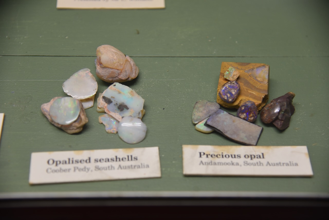
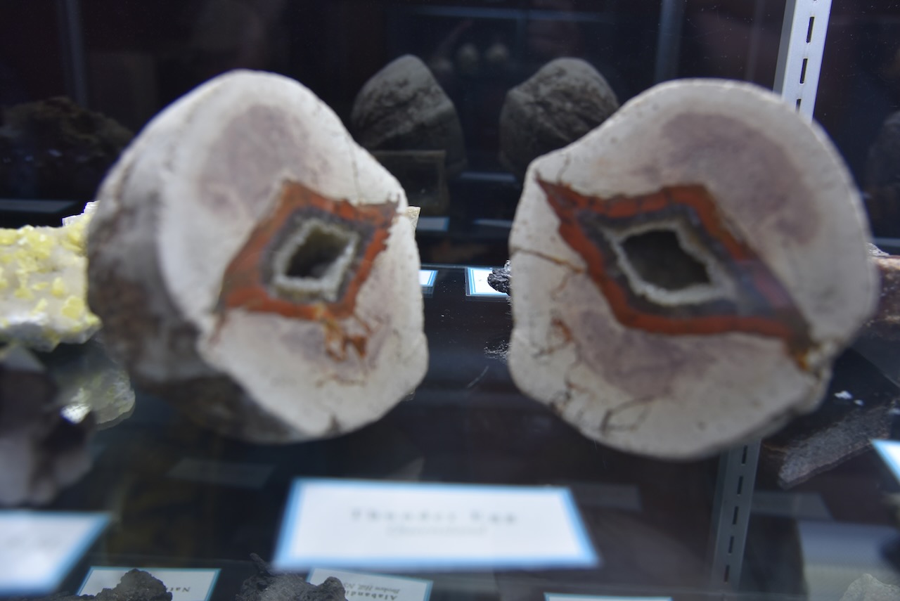
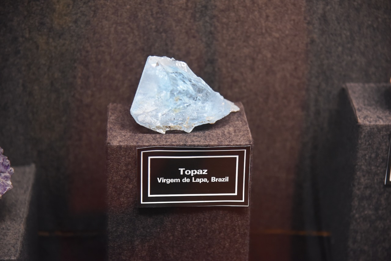
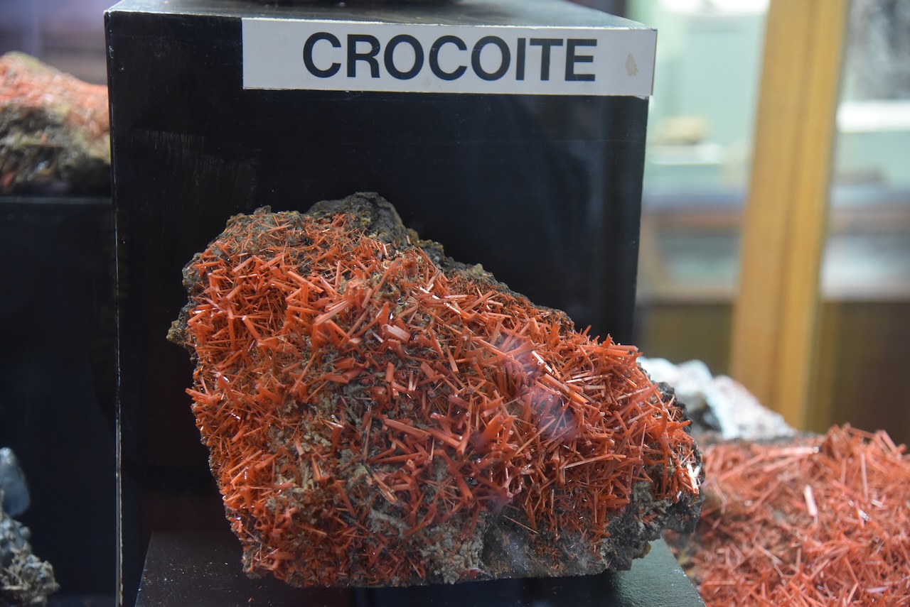
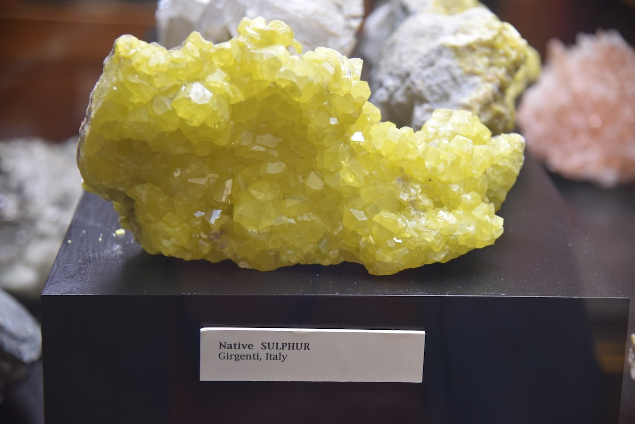
The museum has an excellent display of minerals and gems.
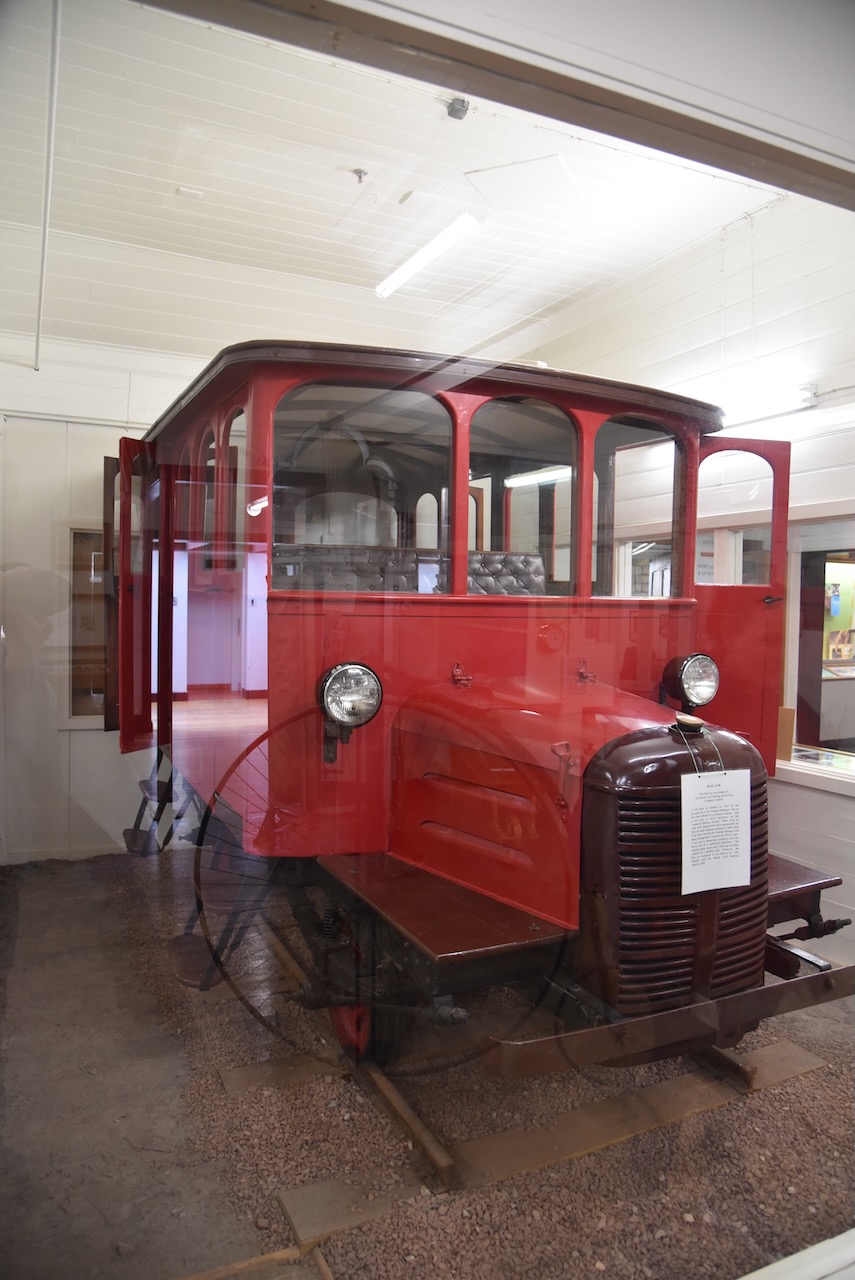
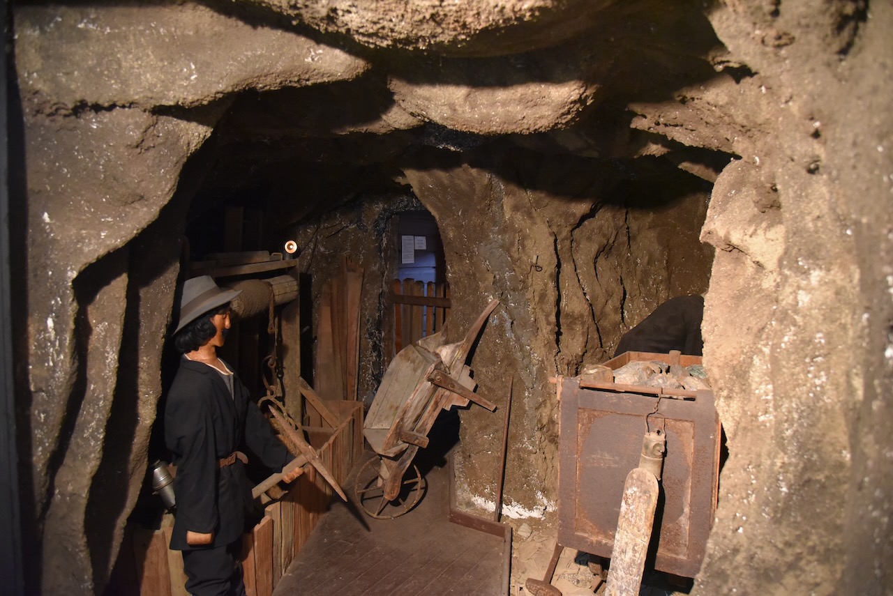
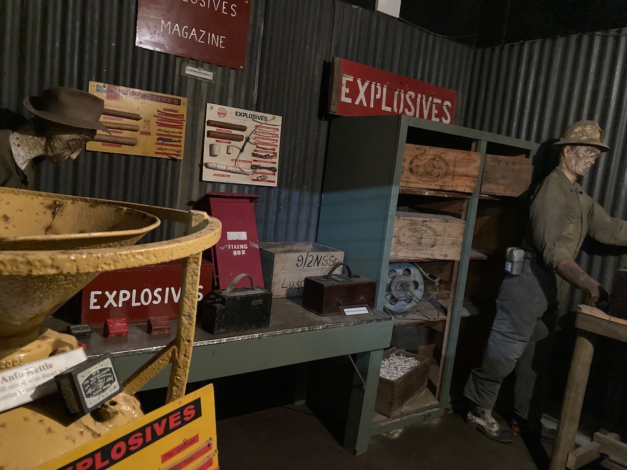
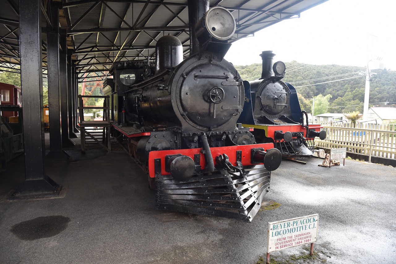
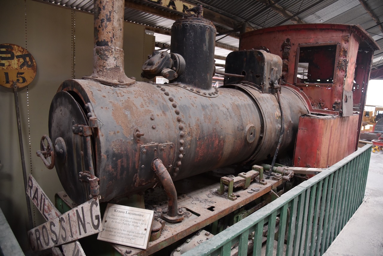
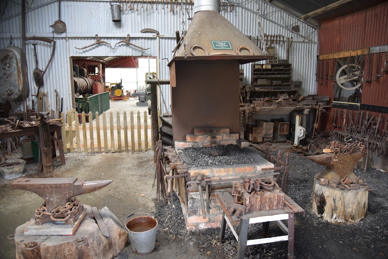
Outside they have a blacksmith workshop, machinery shed, an underground mine, and railway exhibits.
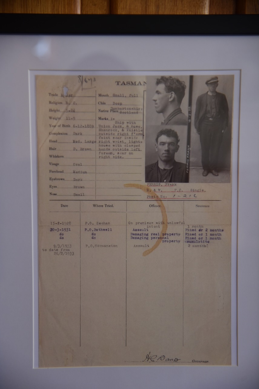
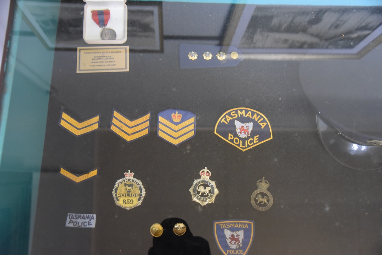
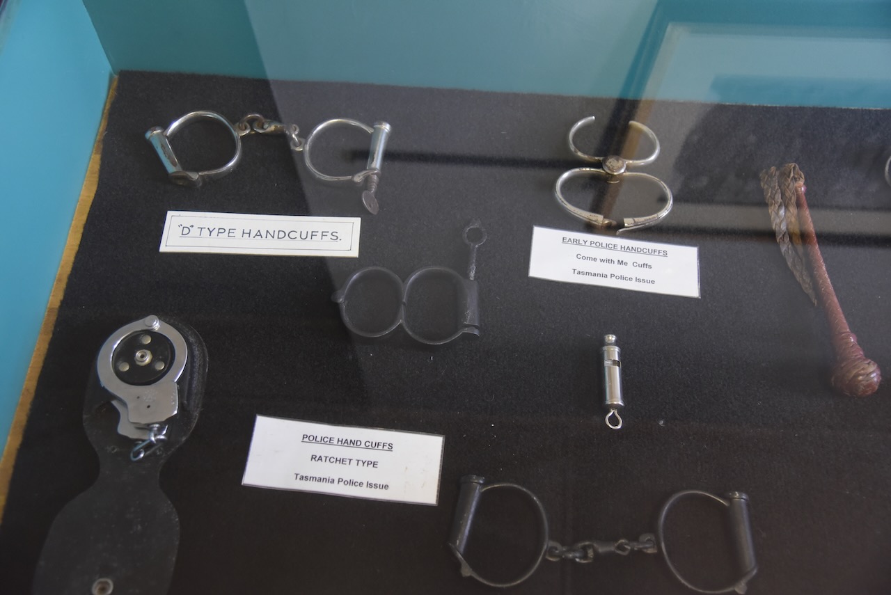
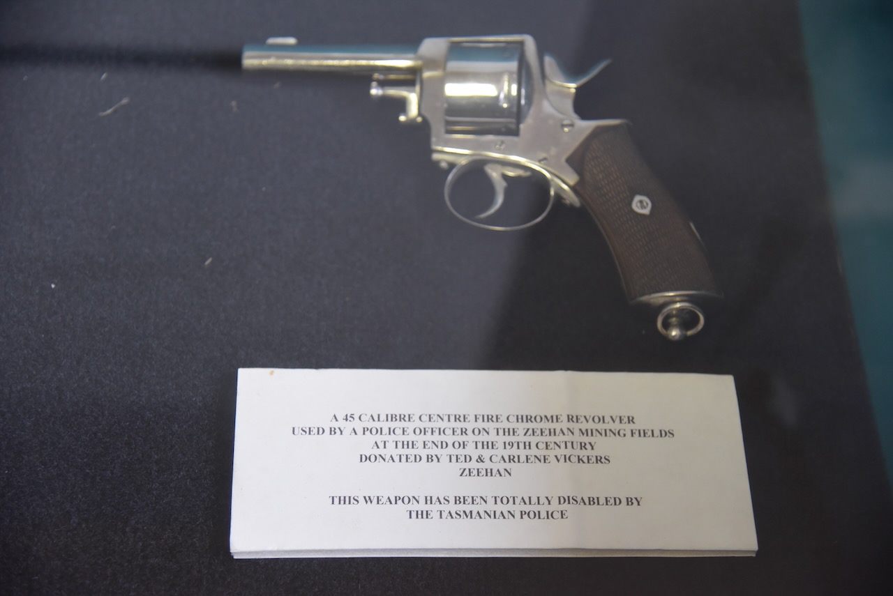
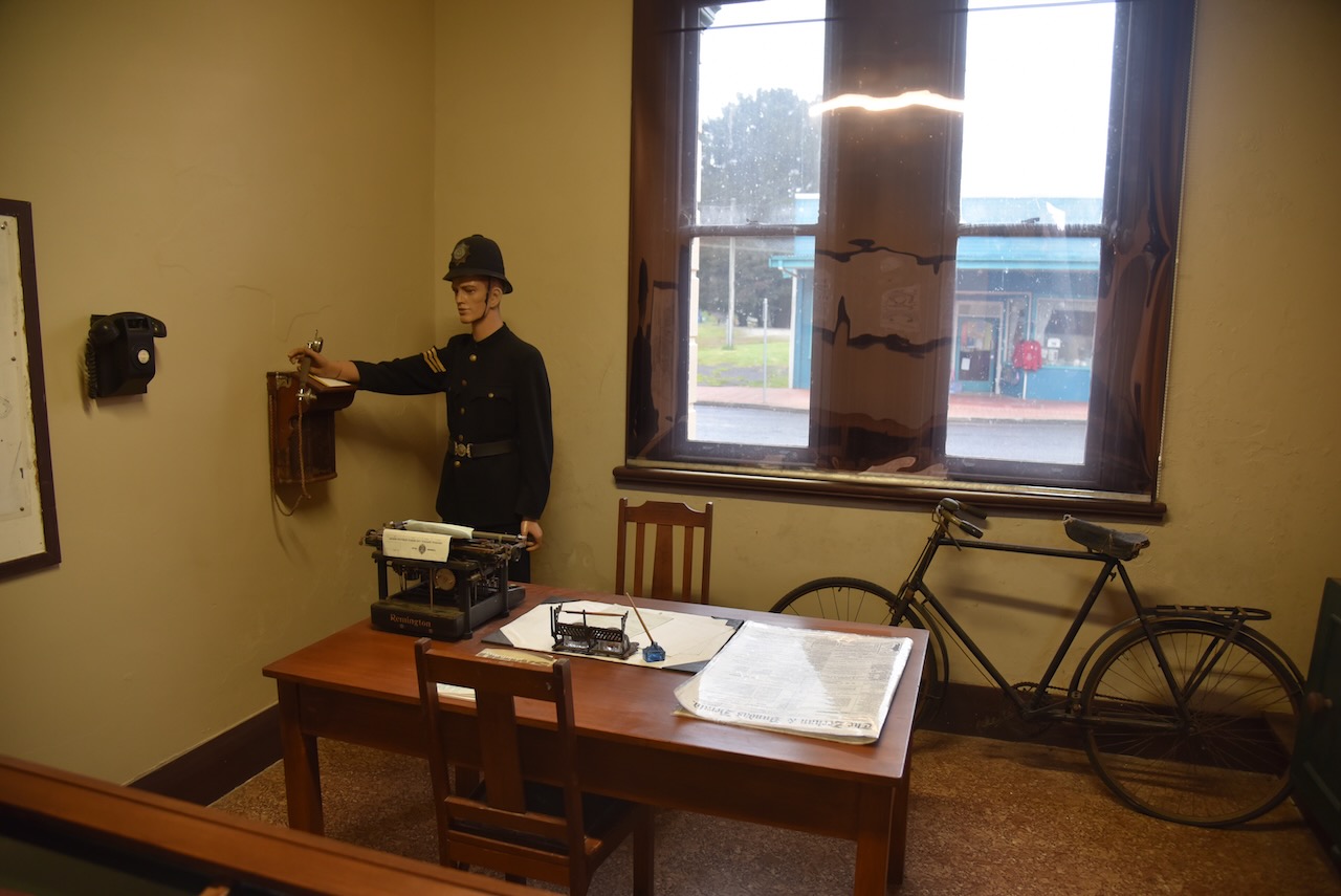
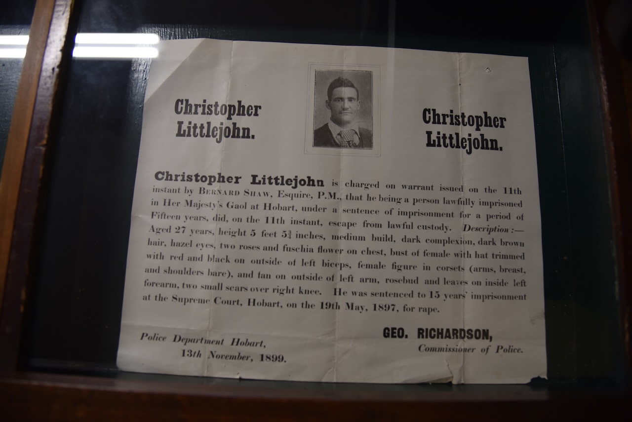
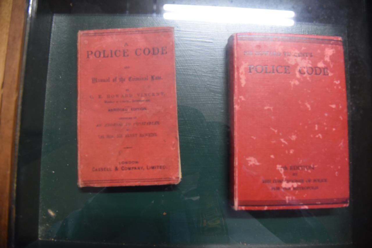
The old Zeehan Police Station is part of the museum and contains various police memorabilia and the magistrates court.
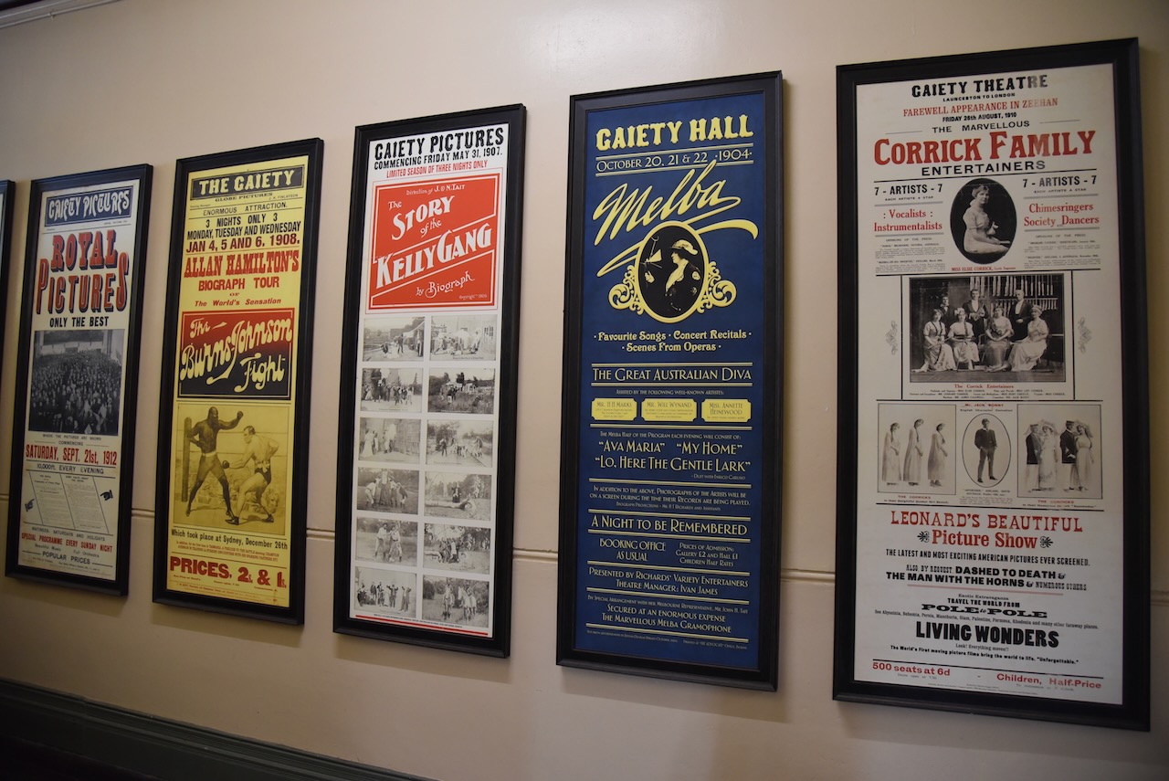
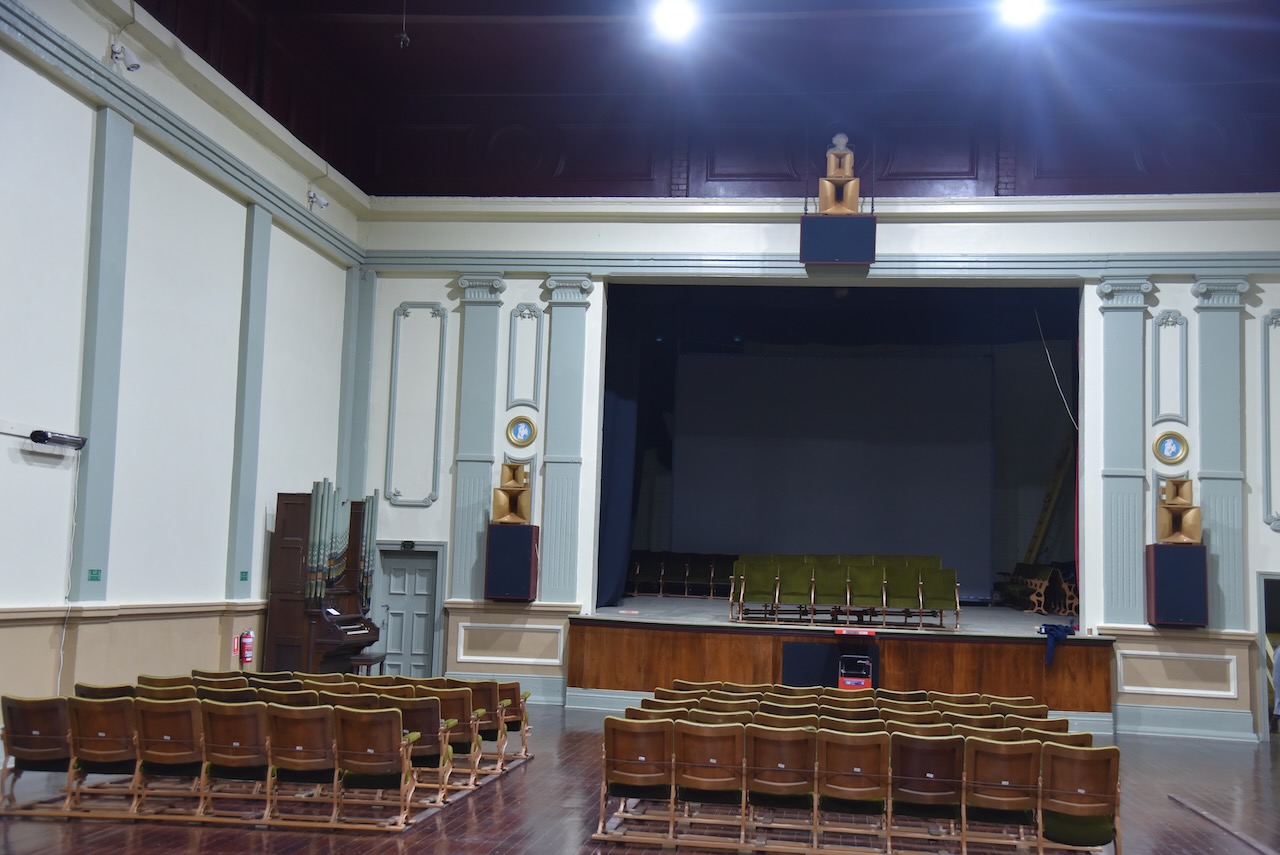
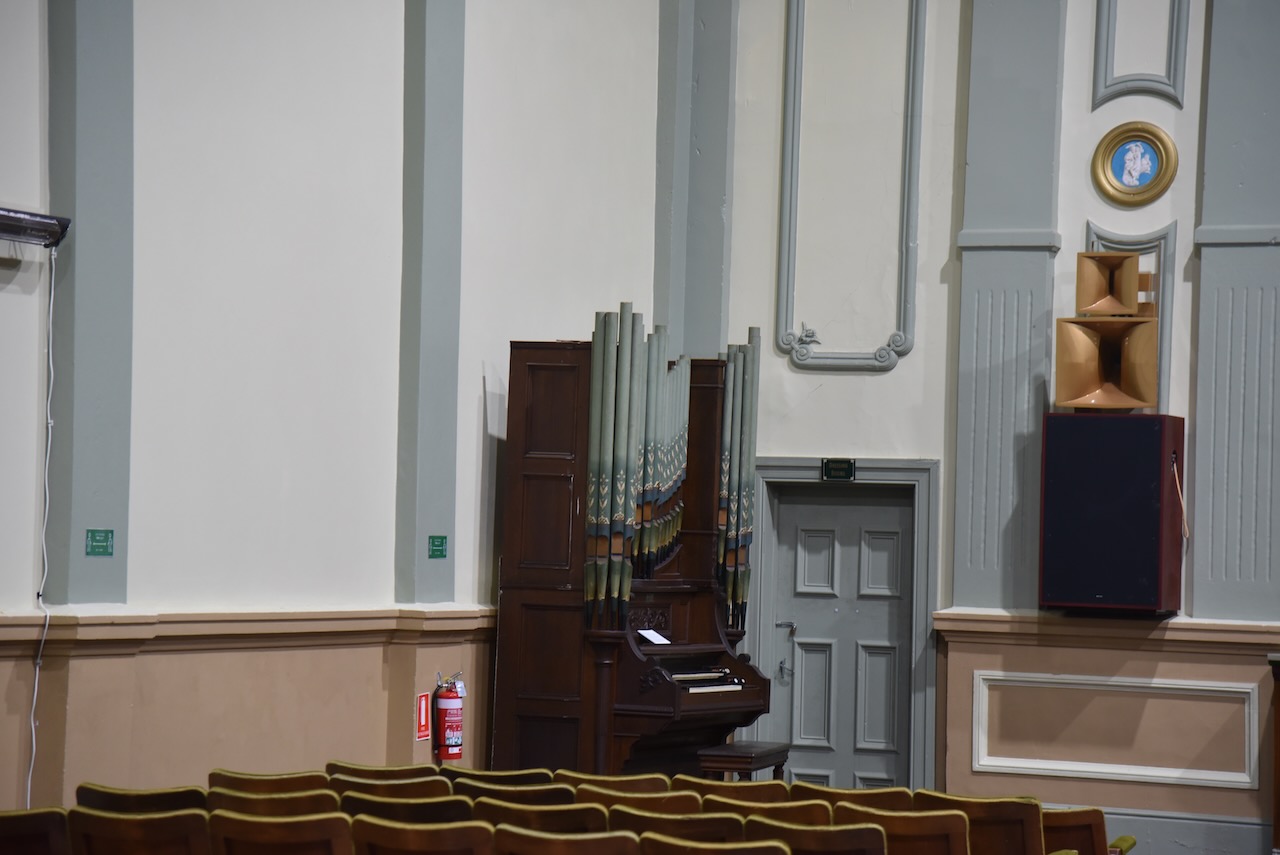
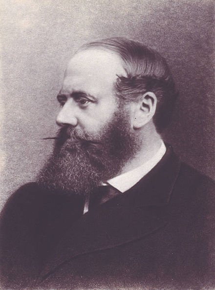
The museum also includes the Gaiety Theatre and Hotel which was built in 1898 by the Hon. Edward Mulcahy.
There is also a Masonic Lodge Display and a huge amount of other display and history of Zeehan.
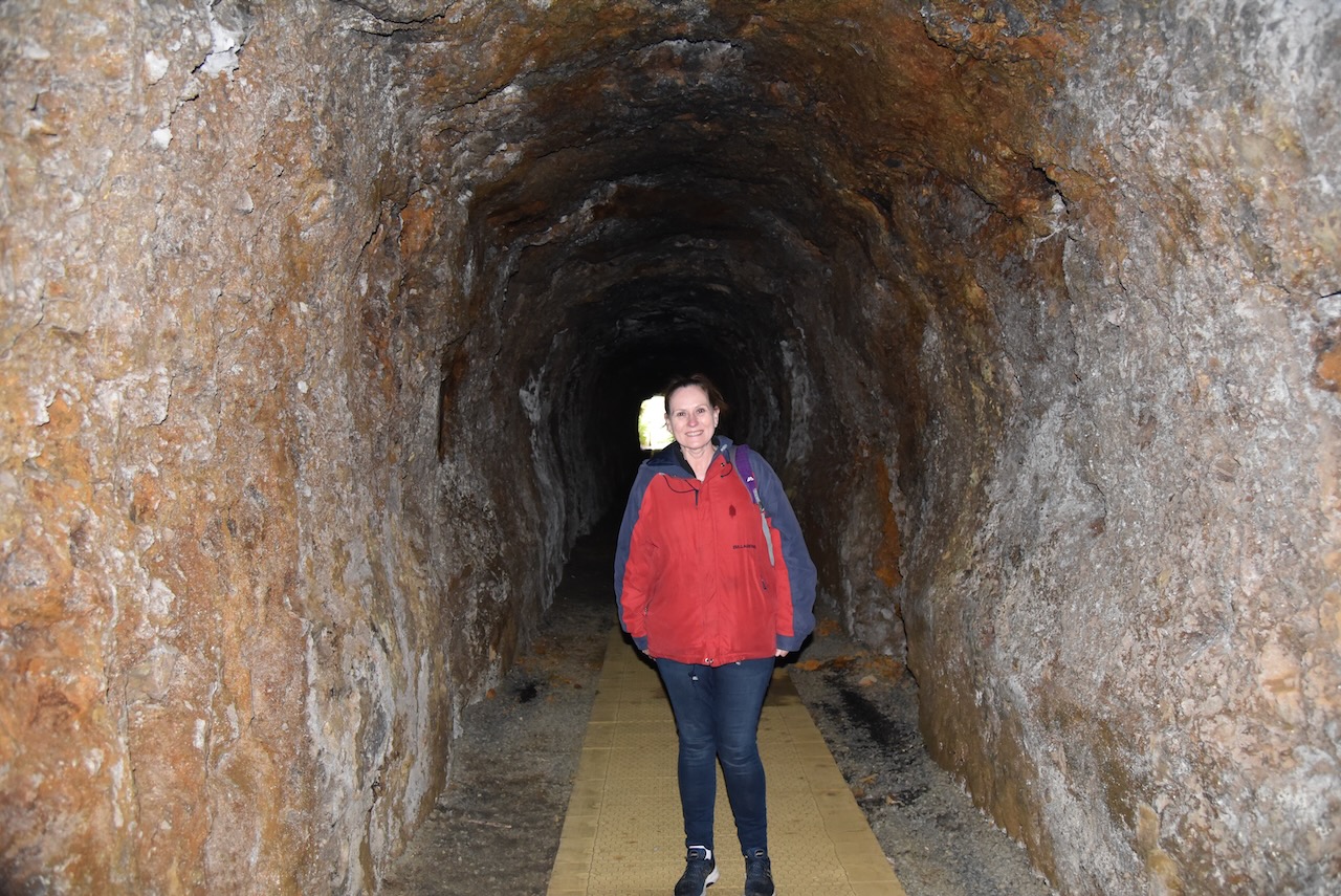
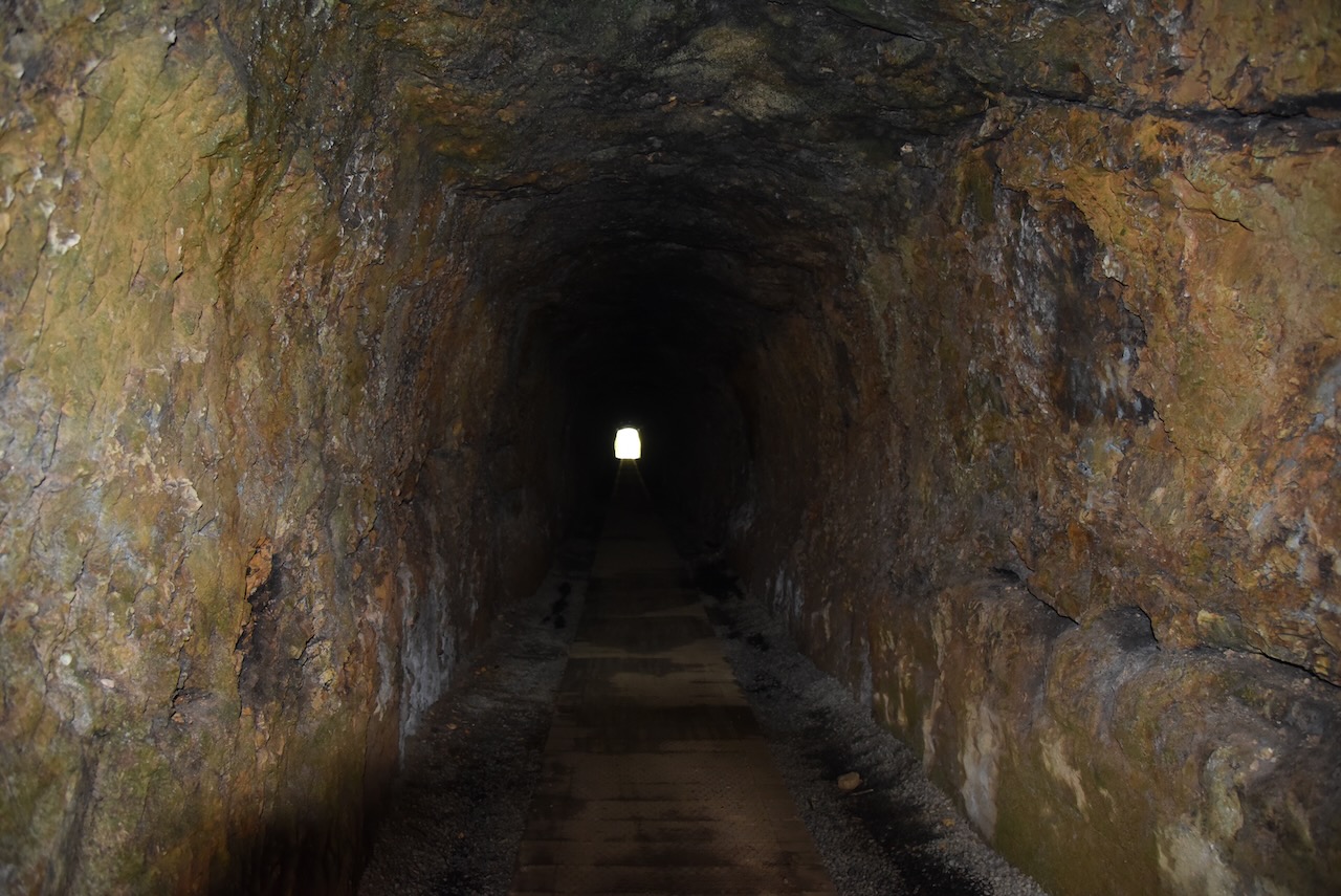
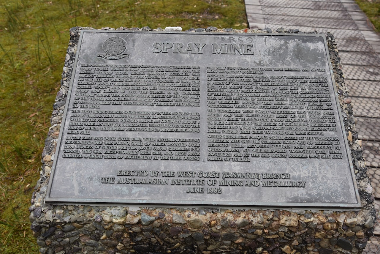
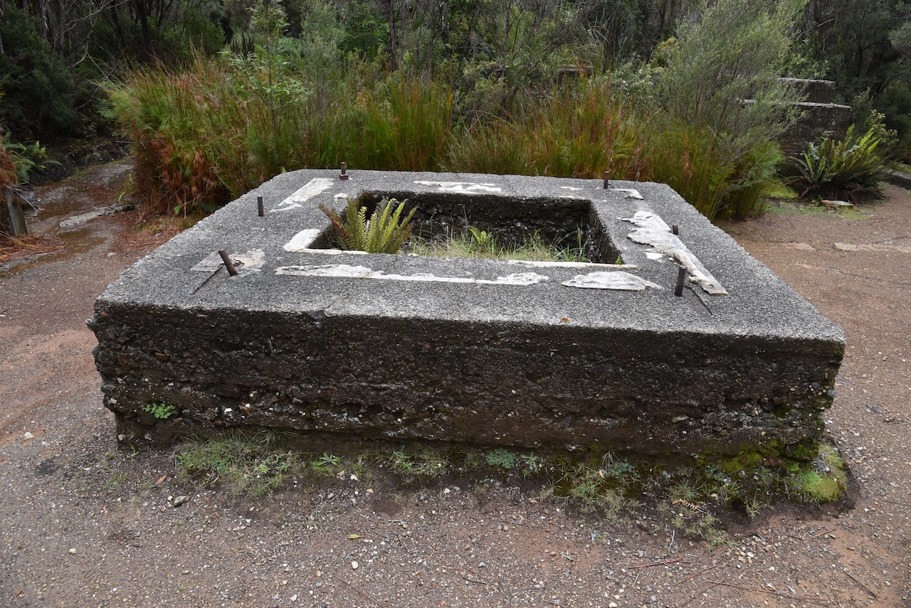
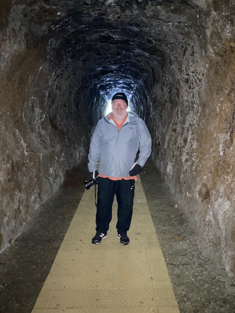
We then drove out to the Zeehan Spray tunnel, a 100 metre long abandoned railway tunnel which leads to the old Spray Silver mine. It was carved through the hill to enable ore being moved from the mine. The tunnel is 3 metres high, 2.2 metres wide and 100 metres long.
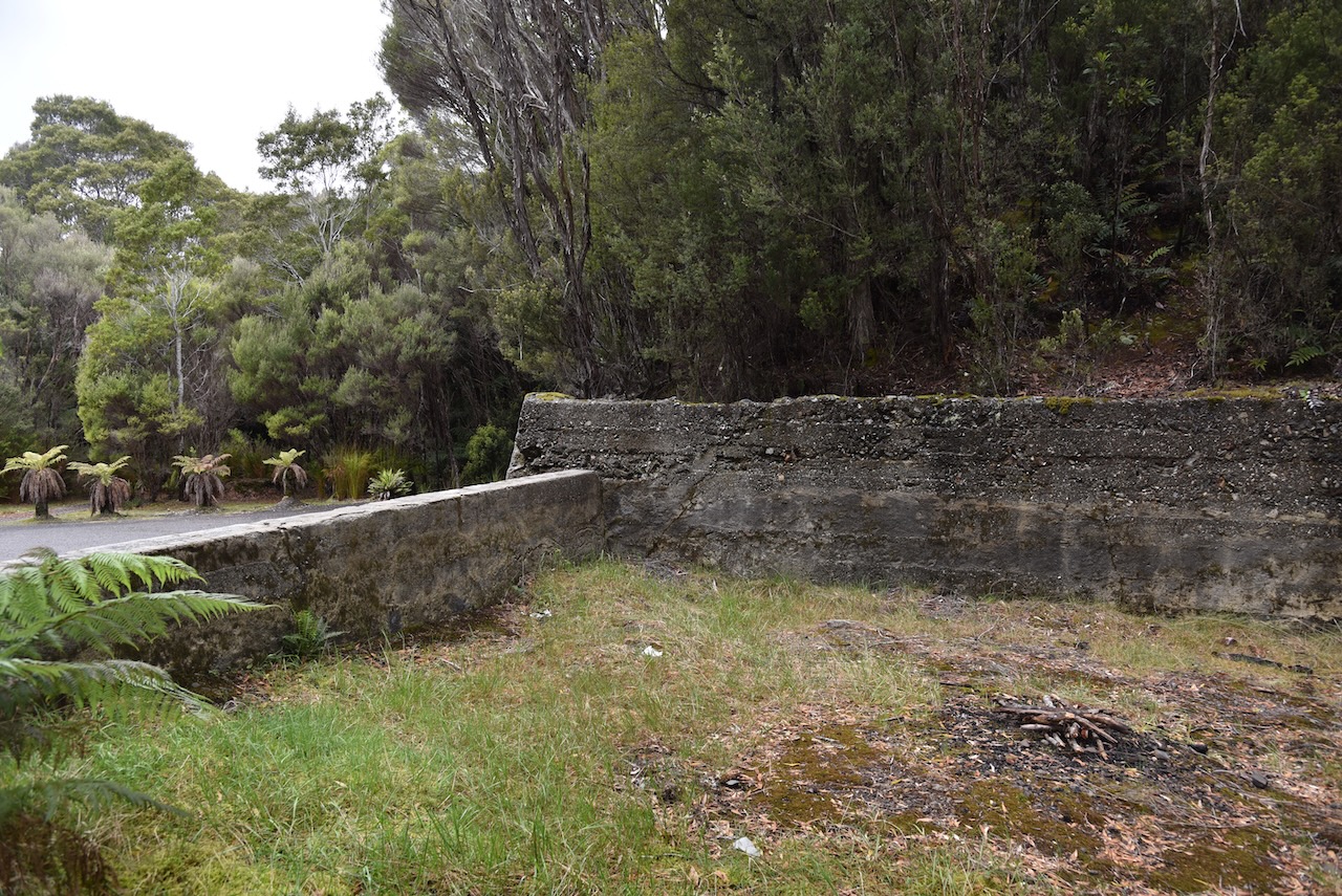
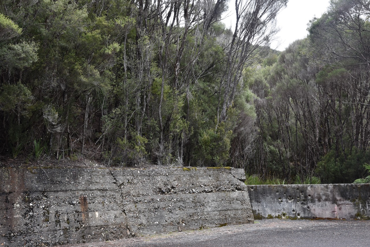
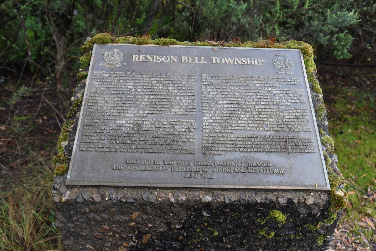
We drove north out of Zeehan on the Murchison Highway and stopped briefly at the site of the old Renison Bell township. It was once a thriving tin mining centre and was named in honour of George Renison Bell who was an early settler and prospector in the area.
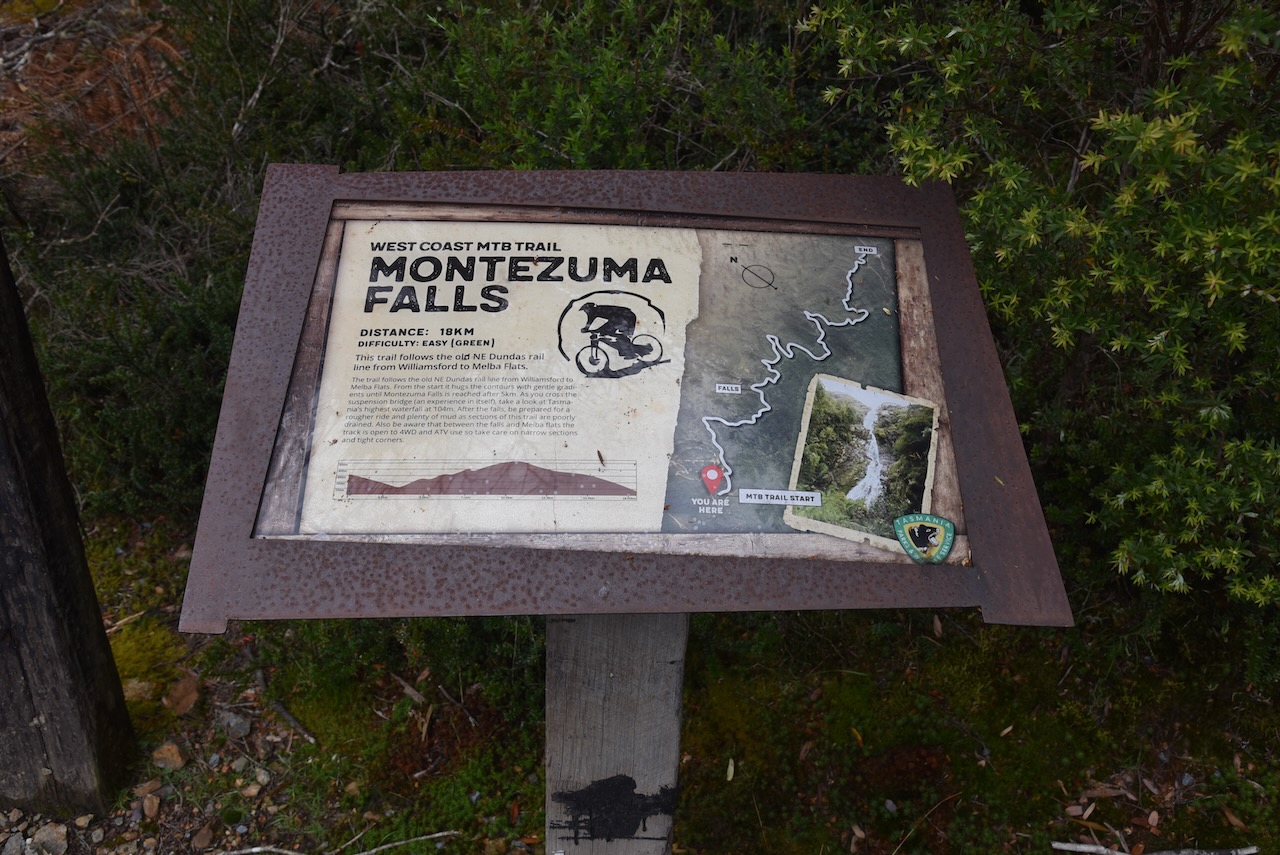
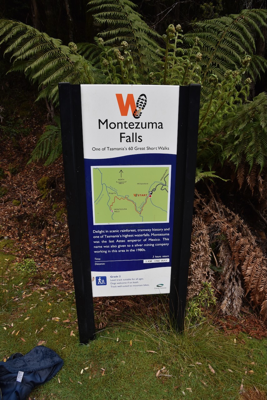
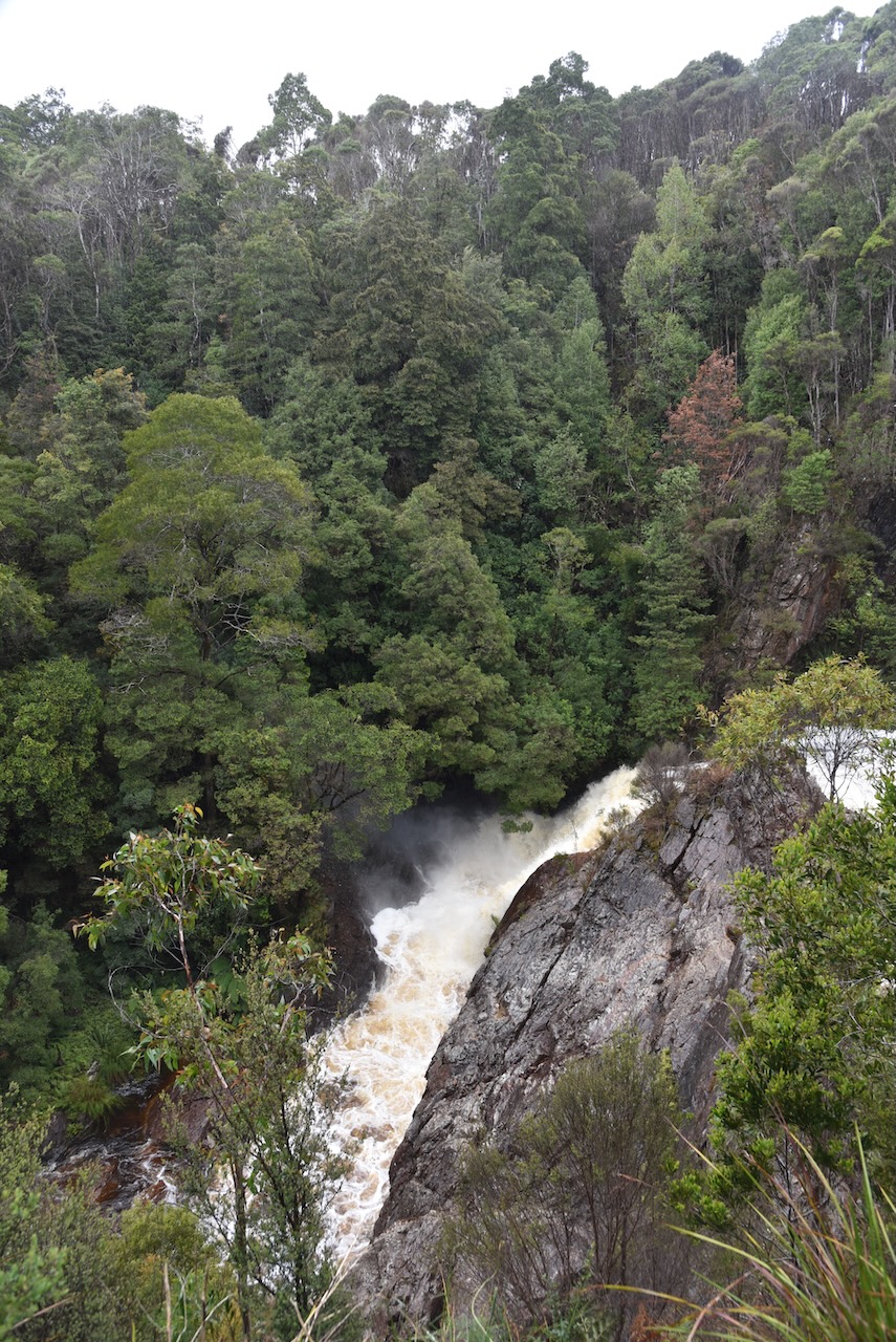
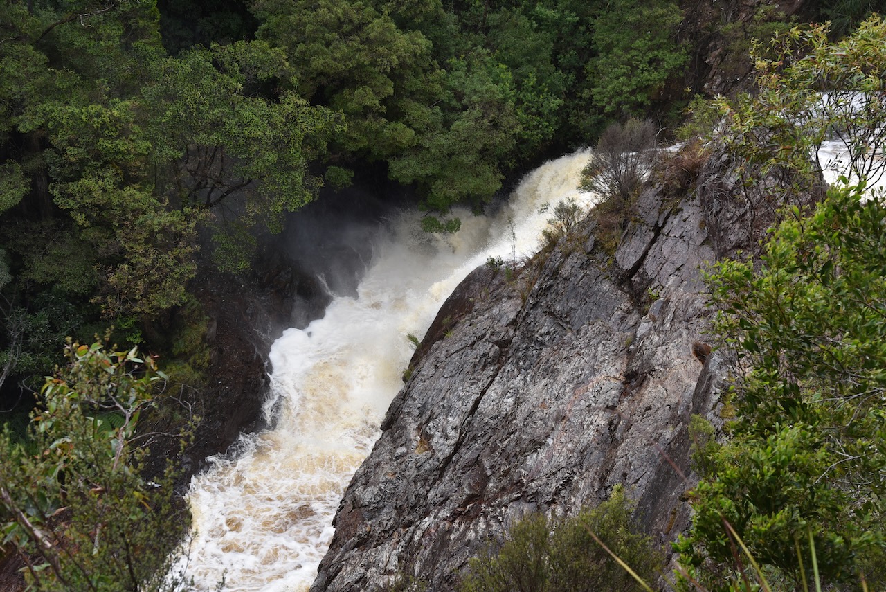
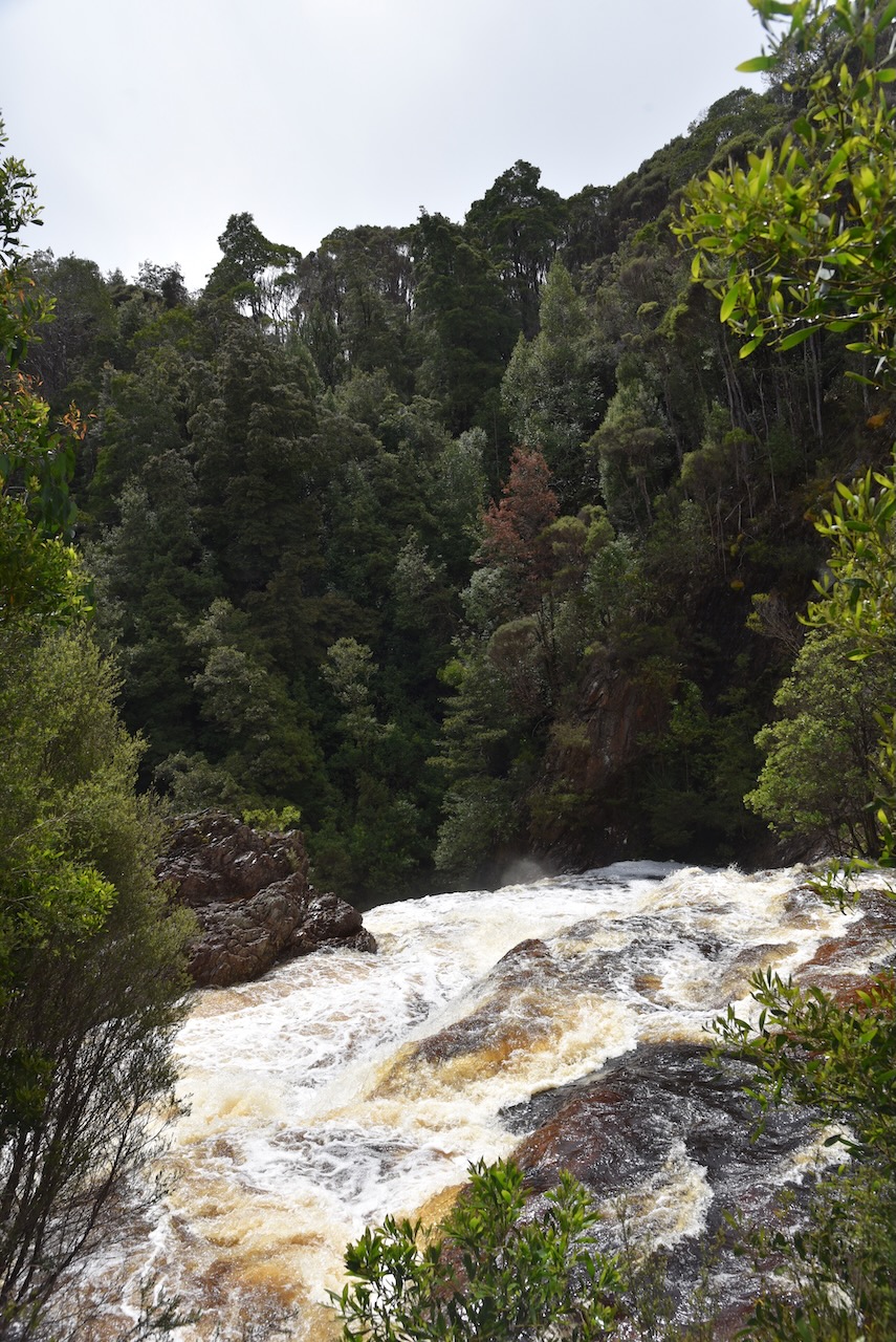
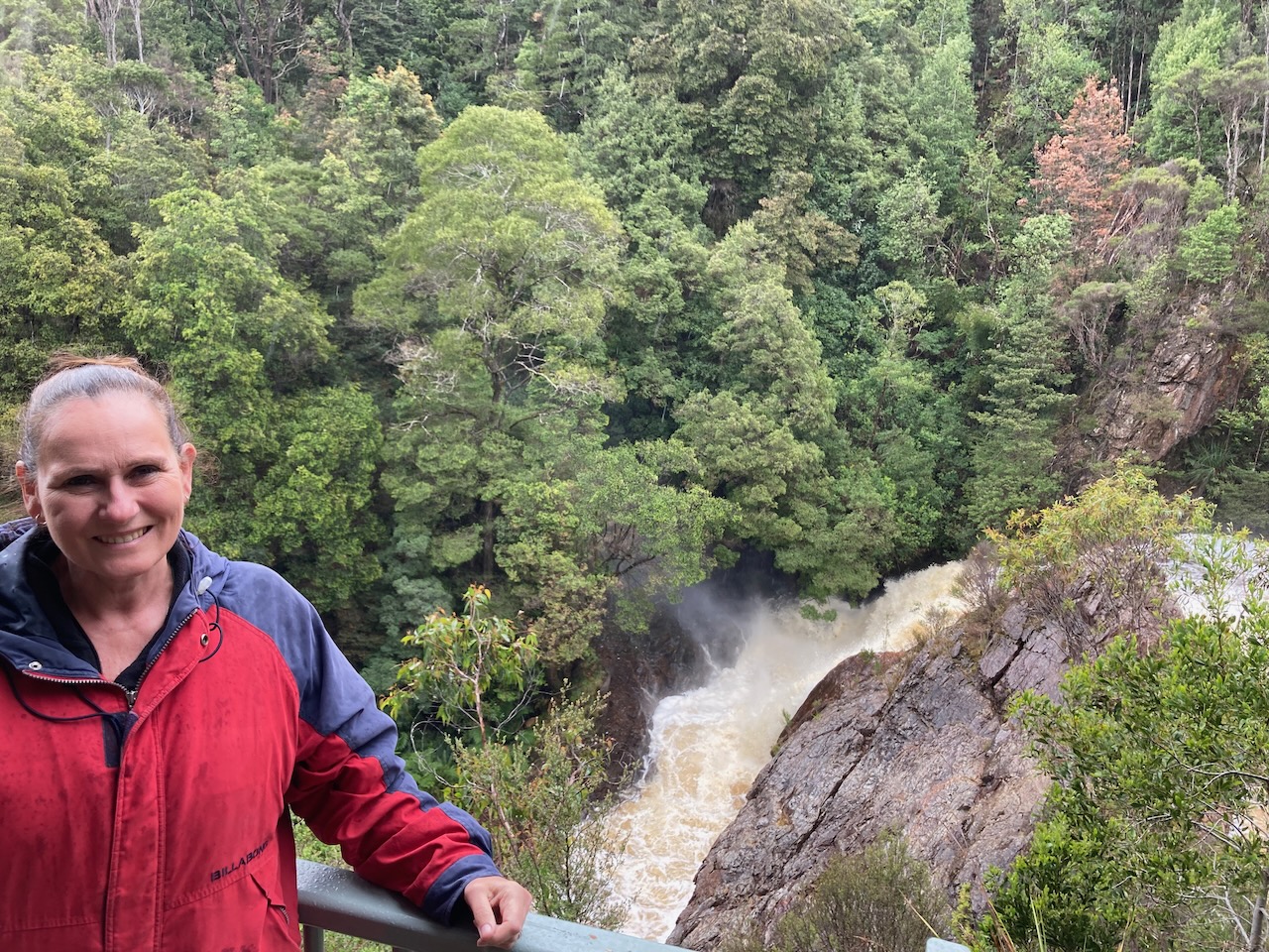
We had Montezuma Falls on our list of things we wanted to see. But when we arrived we found it was an 8m – 3 hour return walk and we just didn’t have the time unfortunately.
The video below shows what we missed out on. Montezuma Fllas is Tasmania’s largest single drop waterfall, with the water falling 104 metres.
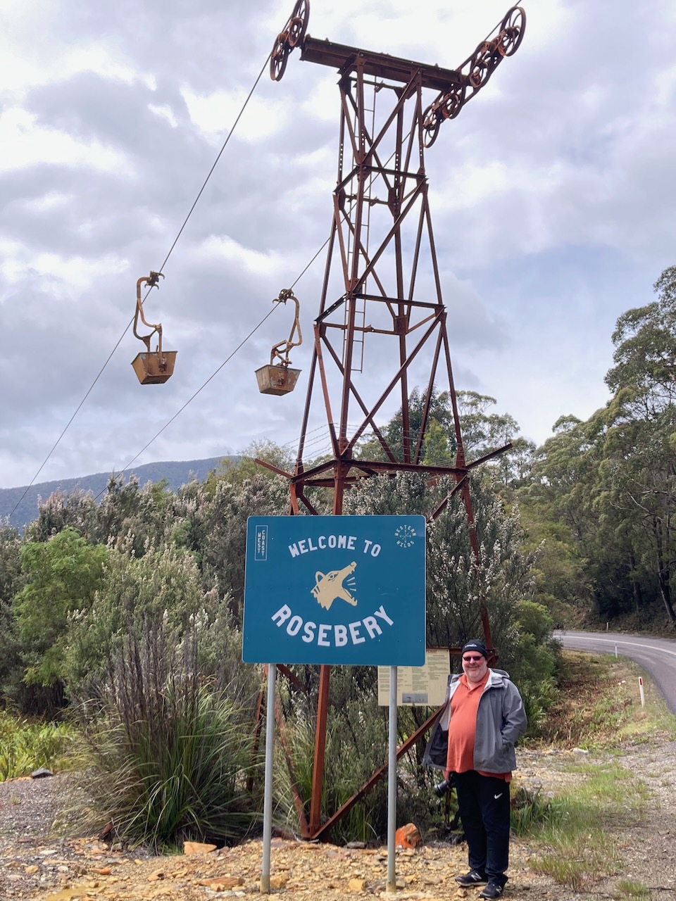
We then drove back to the Highway and on to the town of Rosebery.
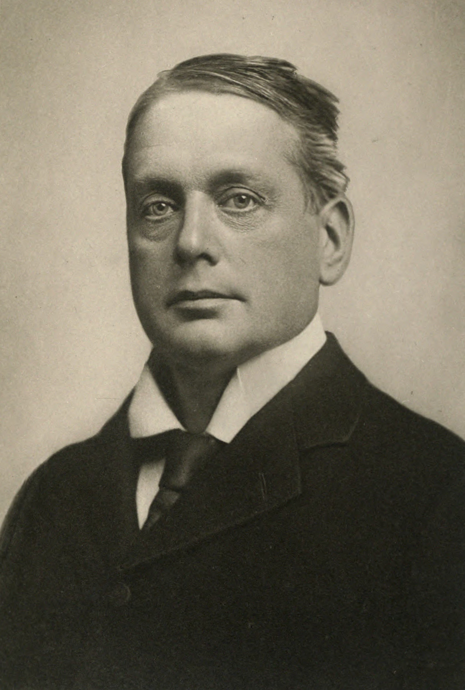
In 1893 gold was discovered in the rainforest on the slopes of nearby Mount Black by prospector Tom McDonald. He made several claims in the name of the Rosebery Prospecting Association which was named after Archibald Primrose, 5th Earl of Rosebery.
Above:- Lord Rosebery. Image c/o Wikipedia
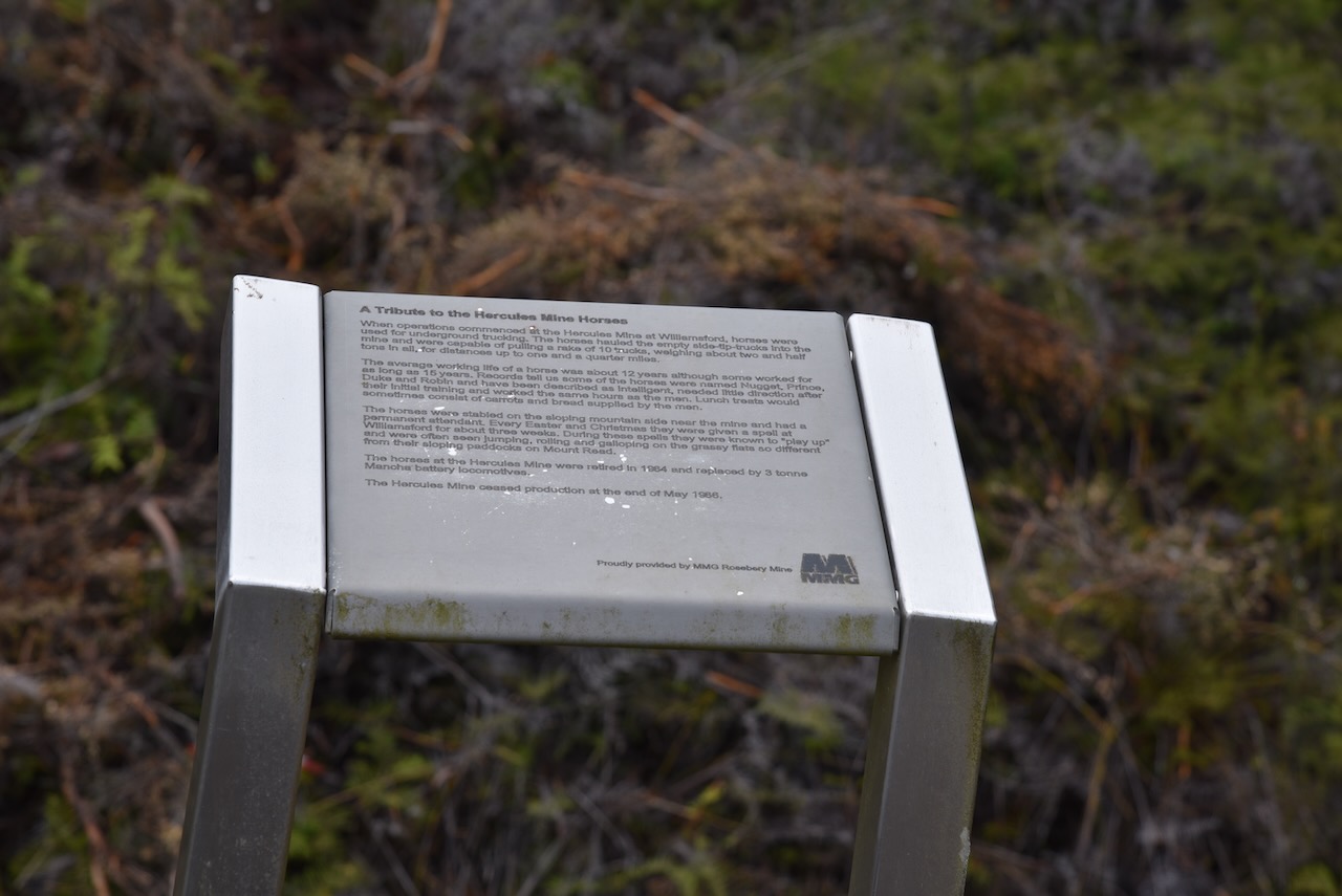
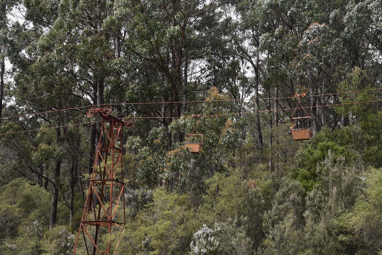
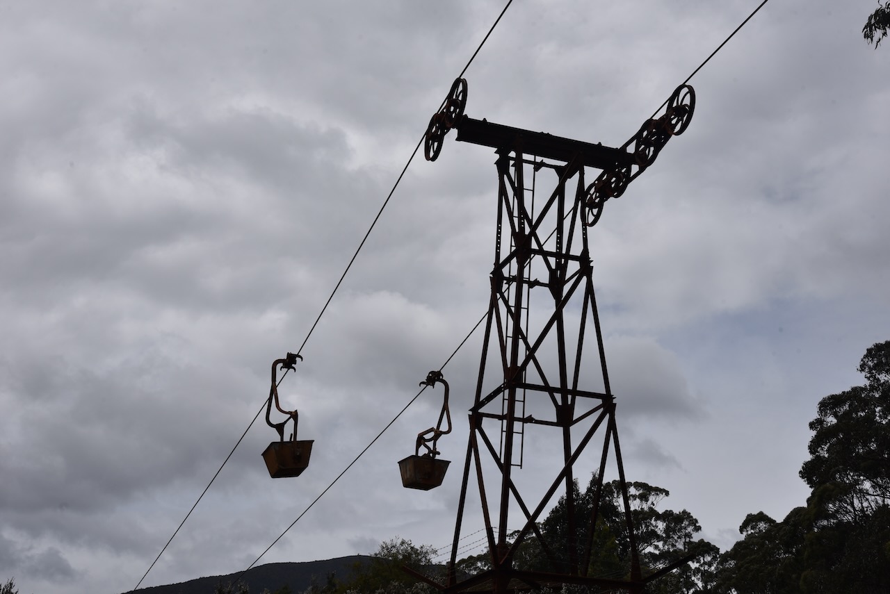
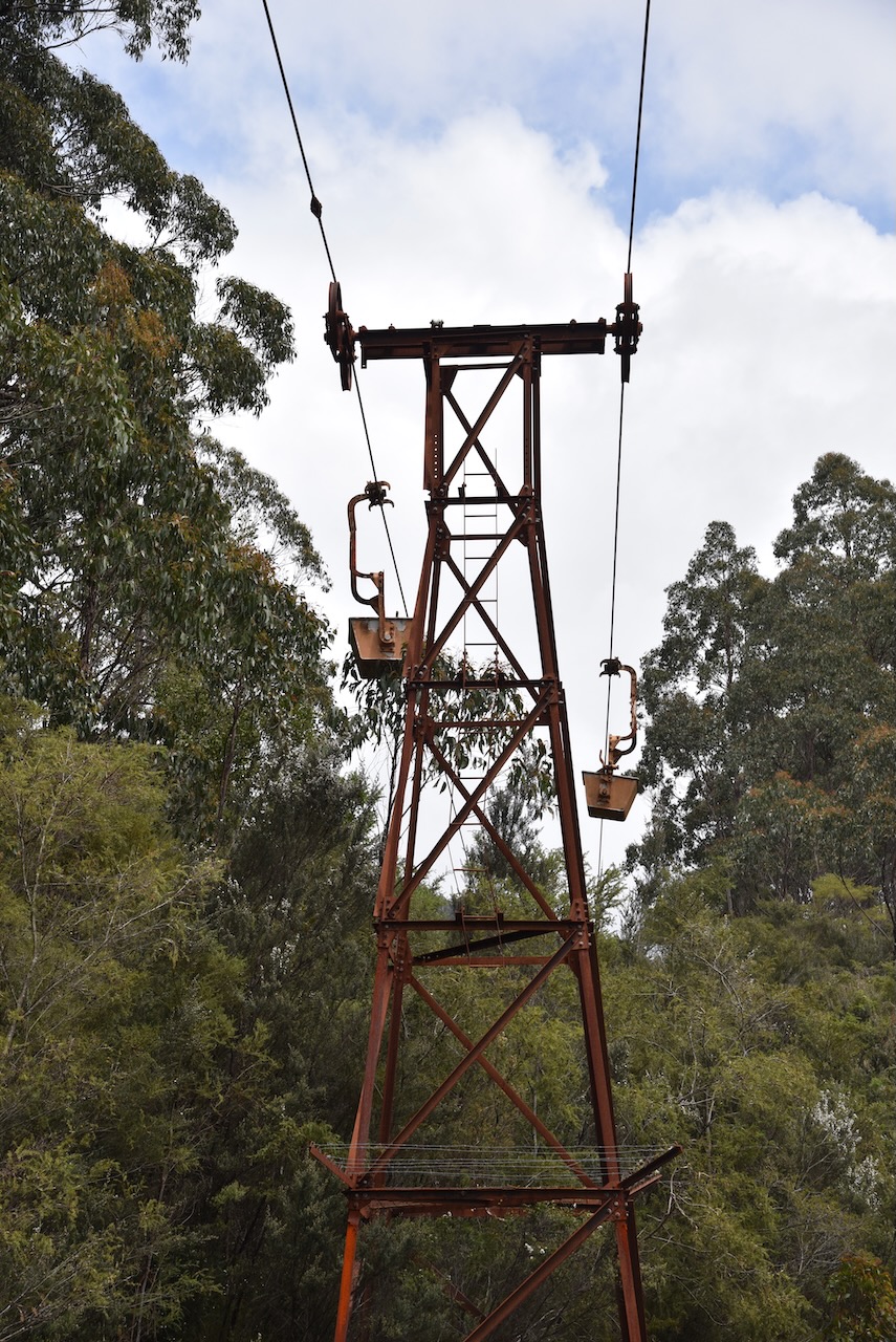
One of the interesting things to see in Rosebery is the Rosebery Aerial Ropeway which was constructed in 1928 to enable lead/zinc ore from the Hercules Mine to be transported to a new ore concentrating mill being built in Rosebery. The aerial ropway was used until its closure in February 1965. It transported an estimated 2 million tonnes of ore to Rosebery.
We then visited the replica of an early miners camp in Rosebery. It si a replica of one of two early accomodation huts for engineers who were required to stay on site for security reasons and other duties. The original was built in 1915 and was used until the 1950s.
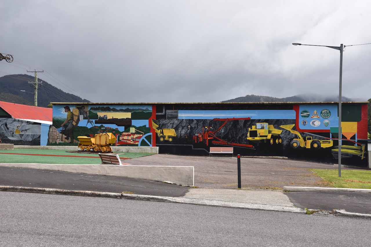
Next was the Rosebery mural and the Visitor Centre which unfortunately was closed.
Stitt Falls was our next stop in Rosebery. The falls can be viewed after a very short walk from the carpark. Stitt Falls drops about 5-8 metres.
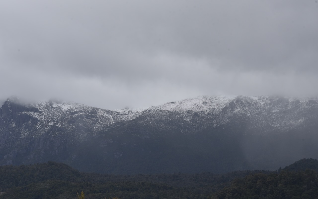
It was a rather chilly and overcast day and there was snow on the top of the nearby mountains close to Rosebery.
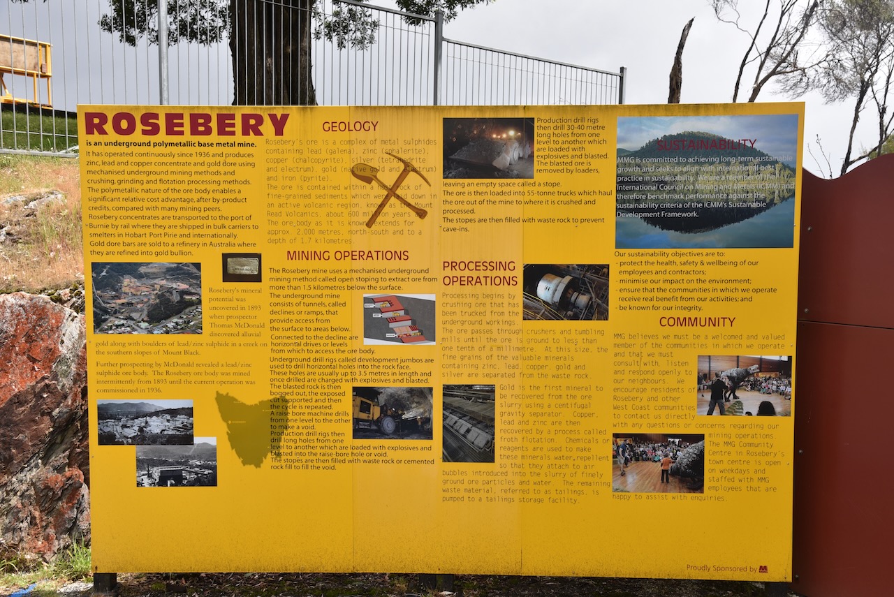
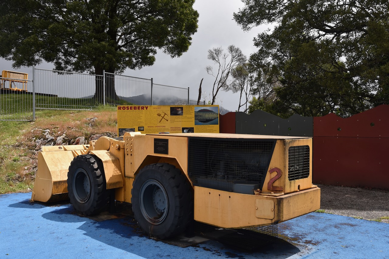
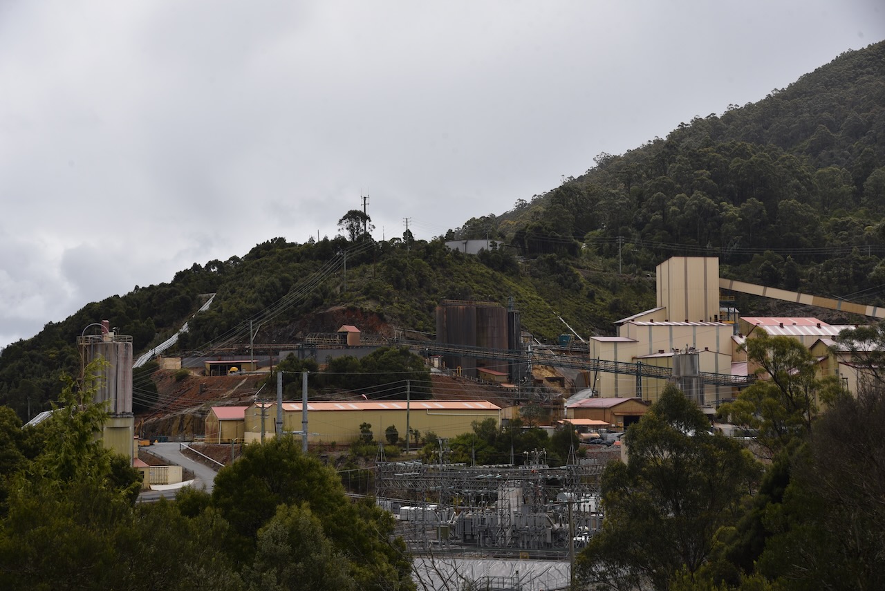
Prior to leaving Rosebery we had a quick look from the roadway at the MMG Limited Mine. Zinc, copper and lead concentrates as well as gold ore are produced at Rosebery.
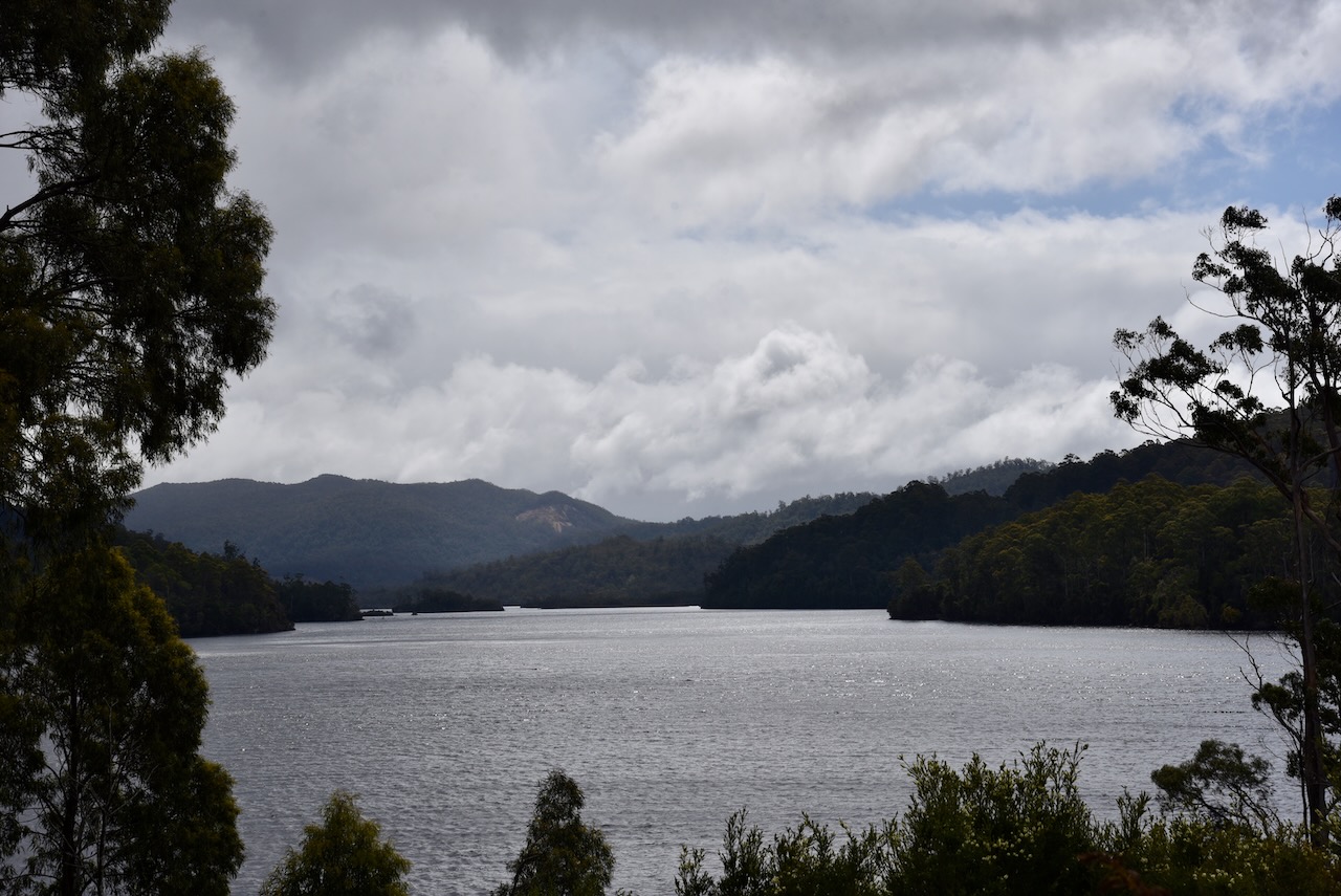
North of Rosebery, we stopped briefly to have a look at Lake Rosebery and the Murchison River.
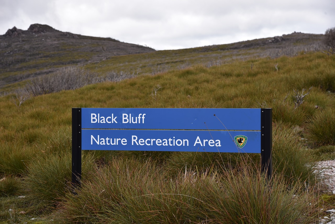
We then turned off the Murchison Road and headed east on the Belvoir Road. We soon reached the Black Bluff Nature Recreation Area. A check of the WWFF Australia website revealed sadly that this park was not on the list of VK7 qualifying parks.
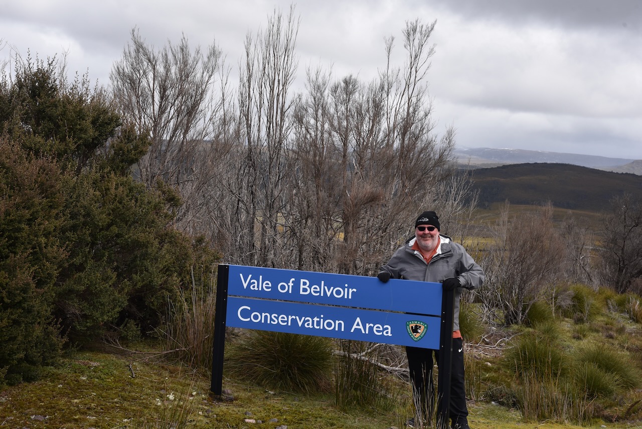
But within sight was another sign, this one for the Vale of Belvoir Conservation Area, and that was on the list, VKFF-2925.
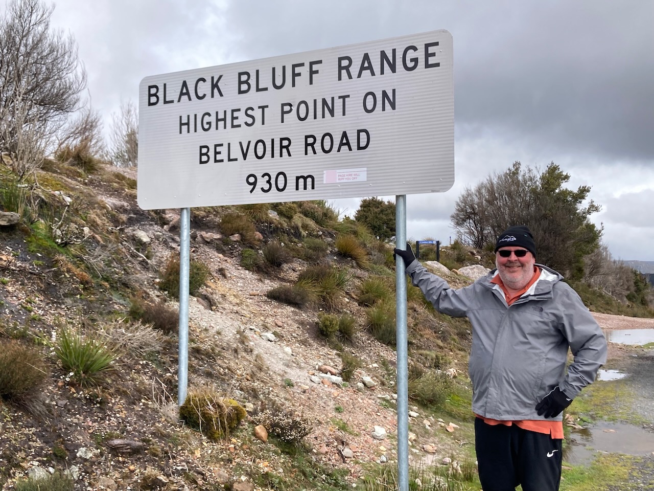
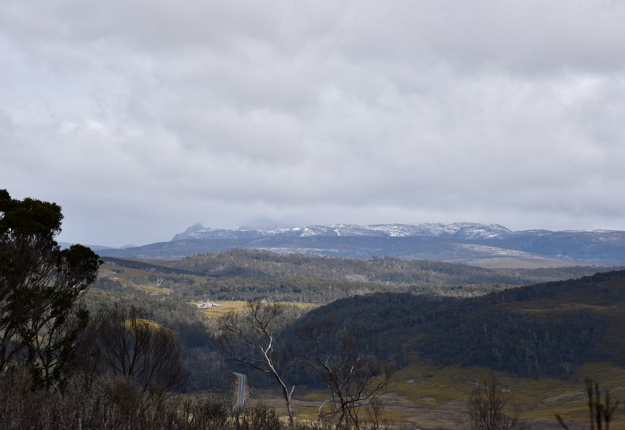
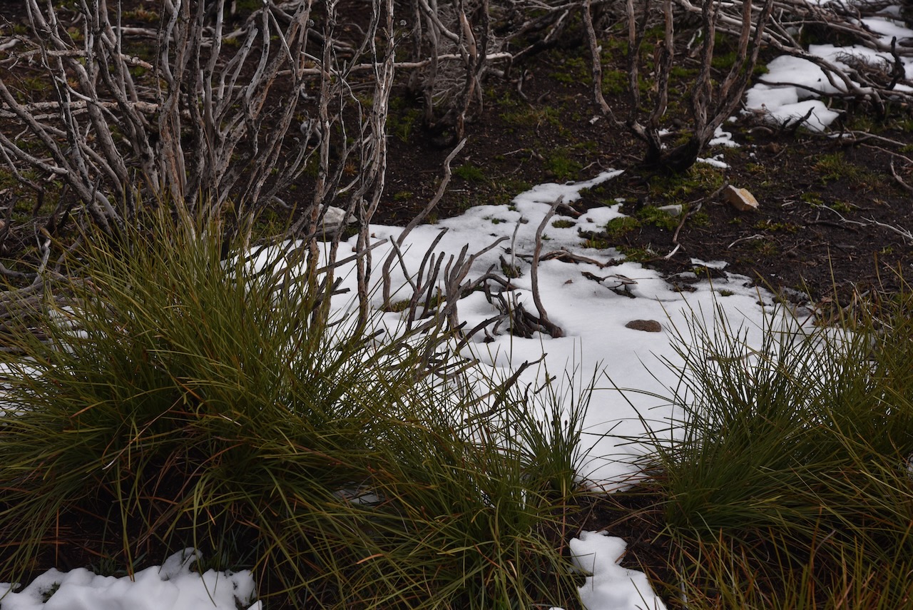
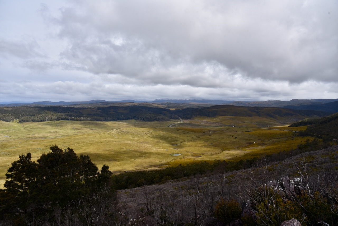
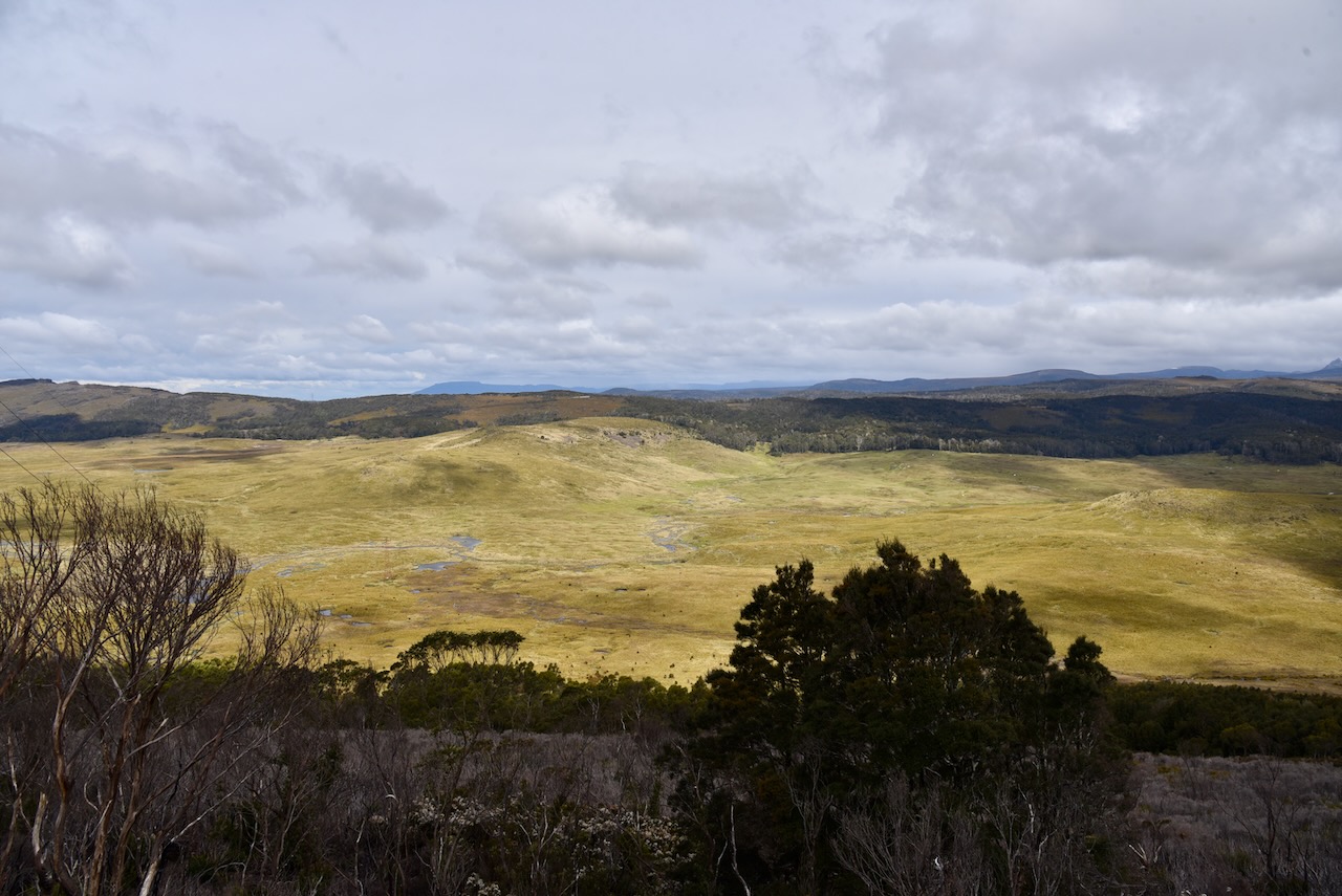
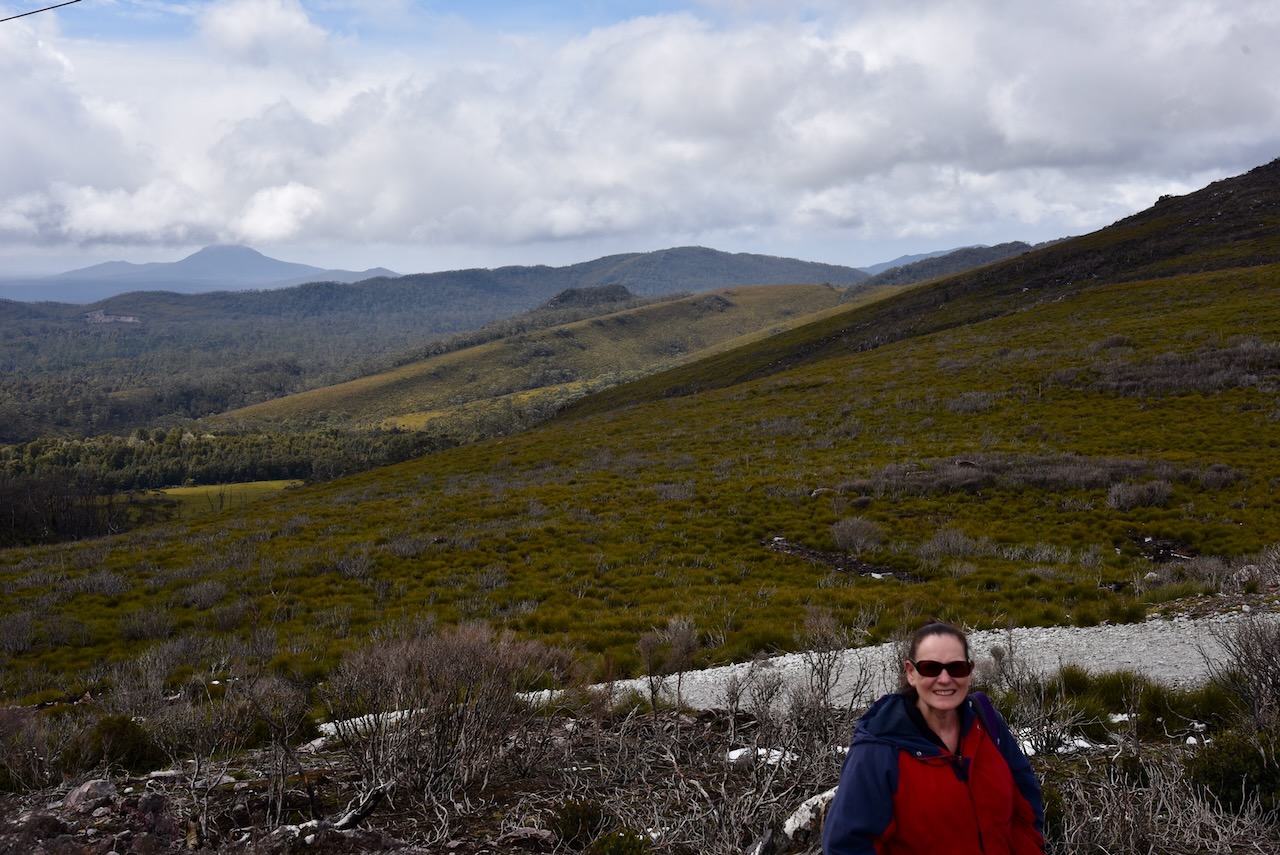
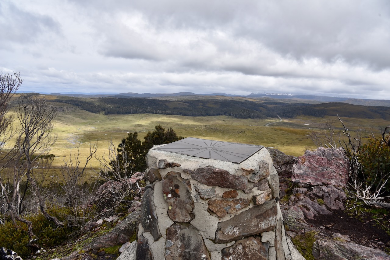
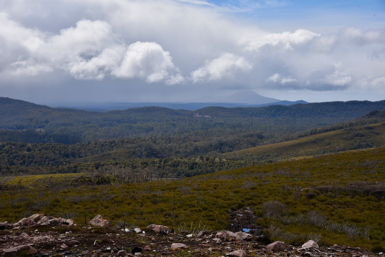
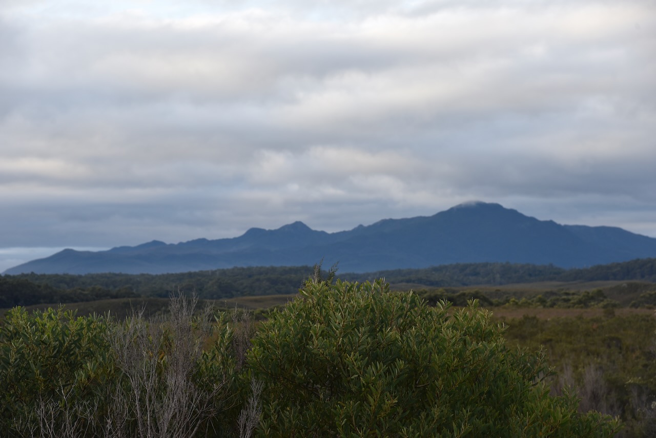
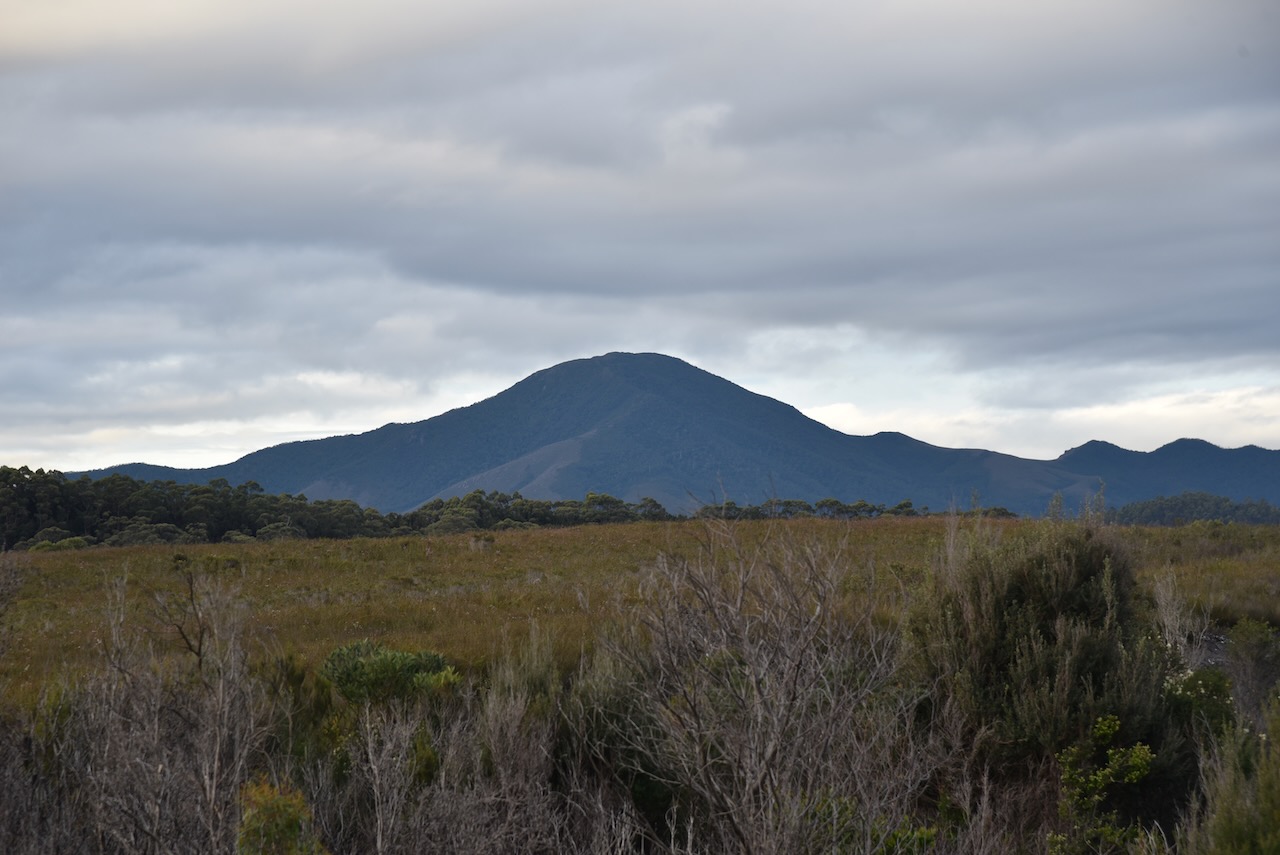
It was an extremely cold afternoon with the outside temperature being about 3-4 deg c, but we decided to brave the elements and walk to the top of the Black Bluff lookout. There was lots of snow on the ground as we walked to the top. Once at the top you are rewarded with some amazing views of the Black Bluff Nature Recreation Area, the Vale of Belvoir Conservation Area, and the Cradle Mountain Lake St Clair National Park.
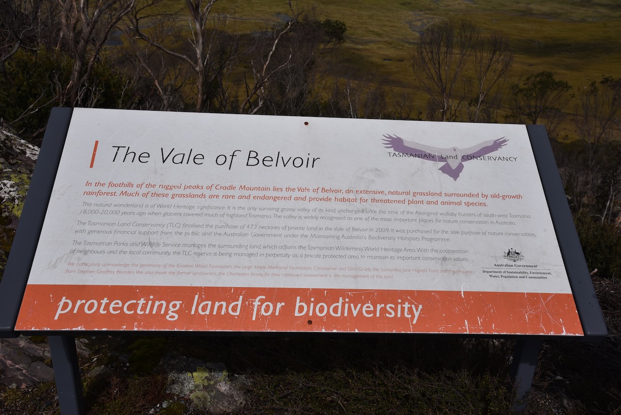
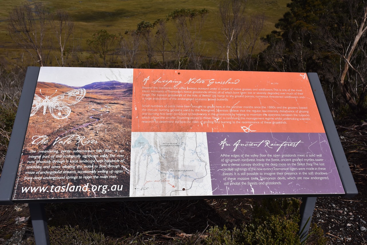
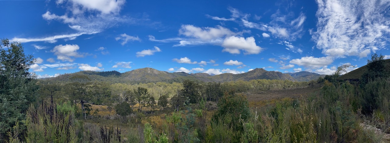
The Vale of Belvoir is located in the foothills of the rugged peaks of Cradle Mountain. It is an extensive natural grassland which is surrounded by old growth rainforest. Much of these grasslands are rare and endangered and provide habitat for threatened plant and animal species.
The Vale of Belvoir is of World Heritage significance and is the only surviving grassy valley of its kind, unchanged since the time of the Aboriginal wallaby hunters of south-west Tasmania 18,000 – 20,000 years ago when glaciers covered much of highland Tasmania. The valley is widely recognised as one of the most important places for nature conservation in Australia.
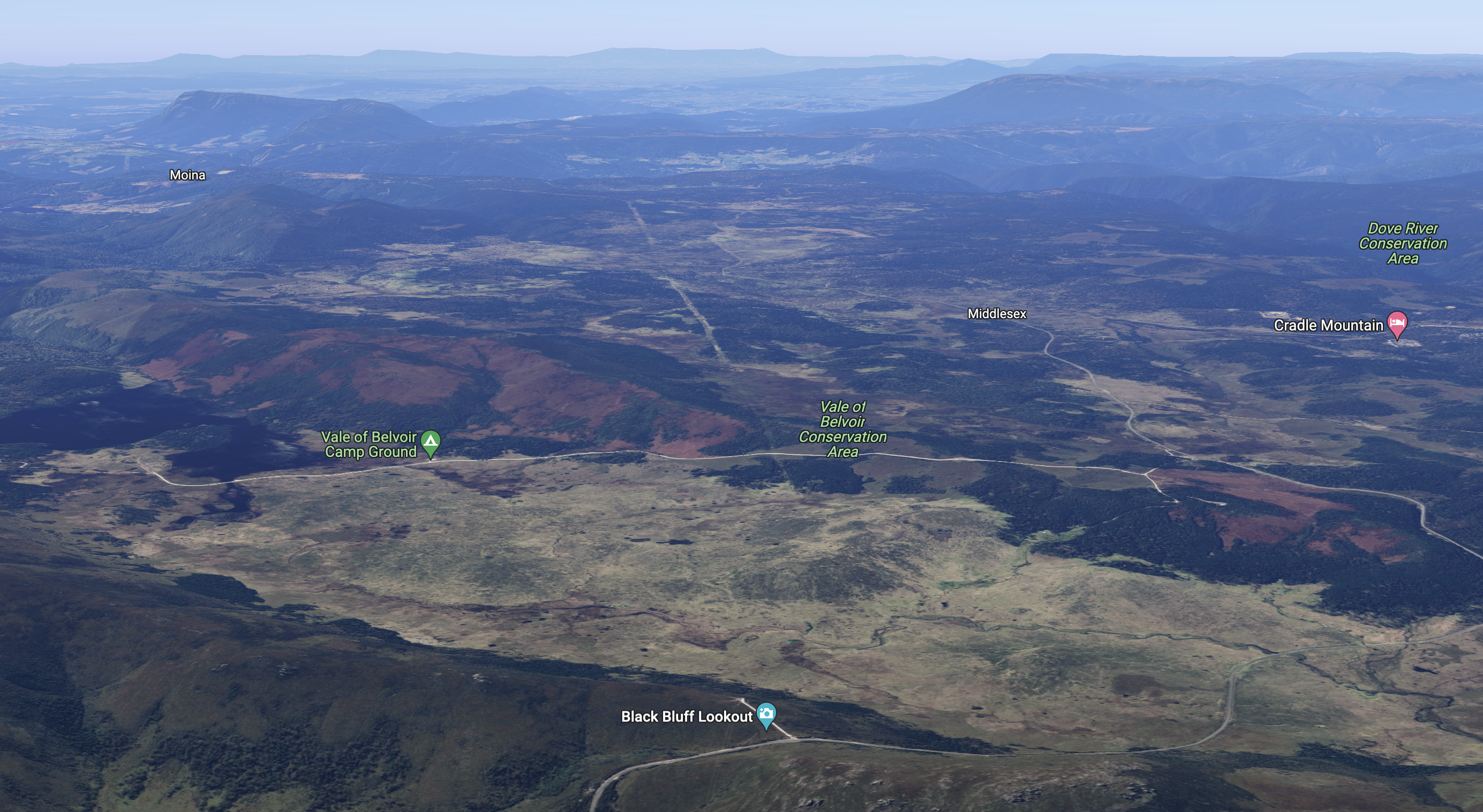
Above:- An aerial view of the Vale of Belvoir Conservation Area. Image c/o Google maps.
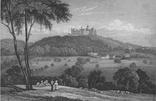
The Vale of Belvoir was named in 1827 by land surveyor Joseph Fossey (b. 1788. d. 1851) after the Vale of Belvoir in Leicestershire in England. The name derives from the Norman-French for “beautiful view” and dates back to Norman times.
Above:- Belvoir Castle overlooking the Vale of Belvoir in England, c. 1819. Image c/o Wikipedia.
From the 1850s cattle was grazed in the area. One settler, George Williams also had a dairy herd and a cheese factory. During the 1960s the Charleston family took over the land from the Williams family.
The Tasmanian Land Conservancy finalised the purchase of 473 hectares of private land in the Vale of Belvoir in 2009. It was purchased for the ole purpose of nature conservation.
Above:- The Vale of Belvoir Conservation Area. Image c/o Google Earth.
We then headed back down to the vehicle and strung out the 20/40/80m linked dipole while there was slight snow falling. As it was so cold we operated from the comfort of the 4WD.
Marija worked the following stations on 40m SSB:-
VK3PF
VK2HHA
VK3SQ
VK3SMW
VK2VH
VK4AAC
VK7JFD
VK7AN
VK2IO
VK3AWA
VK3EJ
VK7FAMP
I worked the following stations on 40m SSB:-
VK3PF
VK2HHA
VK3SQ
VK3SMW
VK2VH
VK4AAC
VK7JFD
VK7AN
VK2IO
VK3AWA
VK7STO
VK3YUN
VK3EJ
VK3ZPF
VK3JW
VK3BWS
VK3NP
VK3VIN
VKESRC
VK3FOWL
VK1DI
VK3GRX
VK2YAK
VK4YAK
VK3XL
VK7DIK
VK3NBL
VK3BEL
VK7WUU
VK5BJE
VK7WJT
VK7LTD
VK7FAMP
VK2EXA
VK3MCA
VK3PMC
VK7AAE
VK3SKT
I worked the following stations on 20m SSB:-
VK4NH
VK4DXA
VK4KLA
VK4TJ
F1BLL
UT5PI
IW2NXI
ZL1TM
VK4KC
VK4MAD
VK4DOG
VK4EMP
VK4TI
VK4AOC
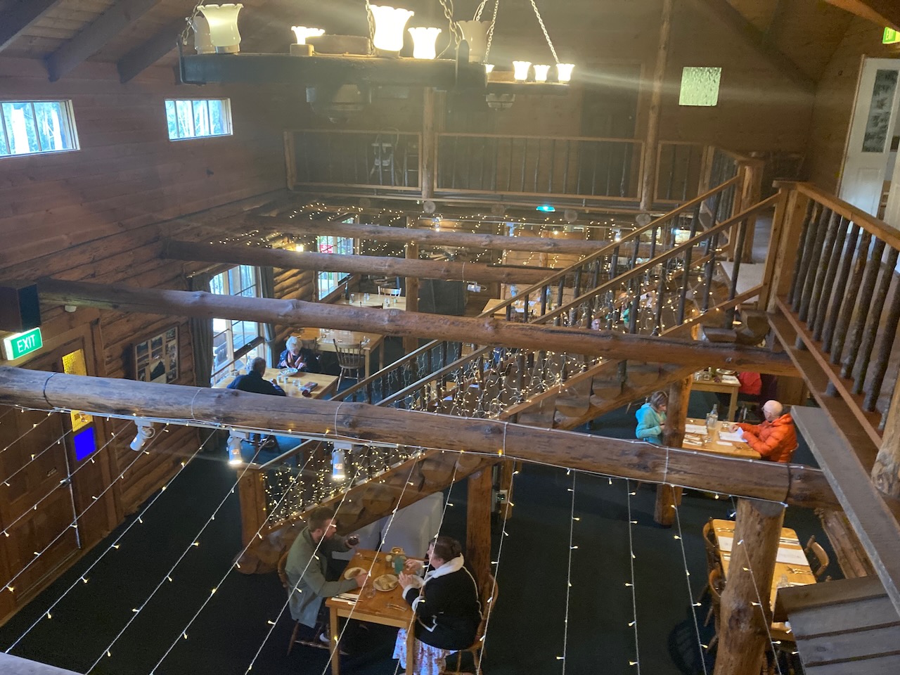
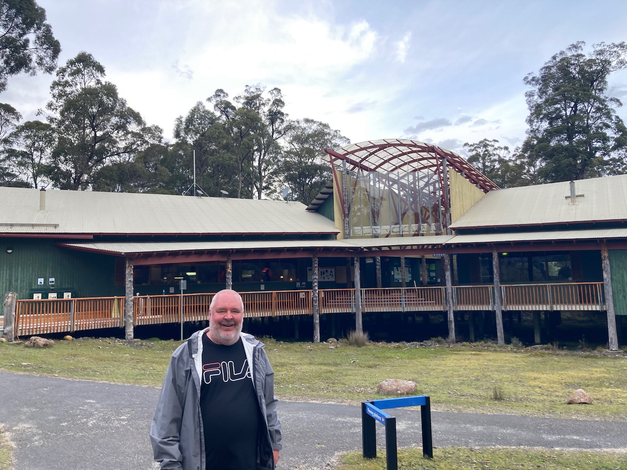
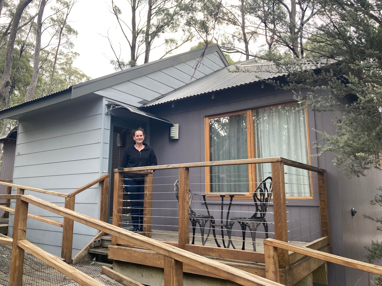
It was getting late, so we packed up and continued on to our accomodation at Lemonthyme Wilderness Retreat. And what a beautiful spot it was.
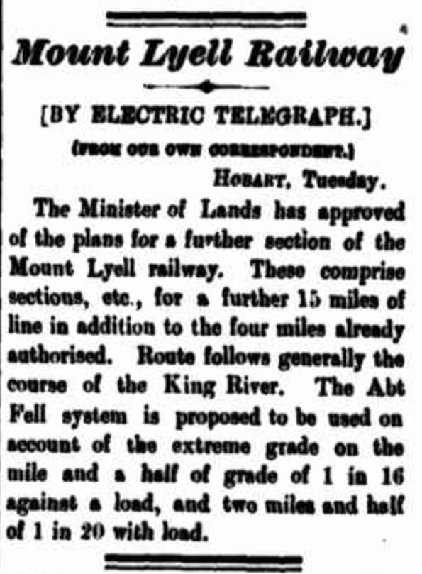
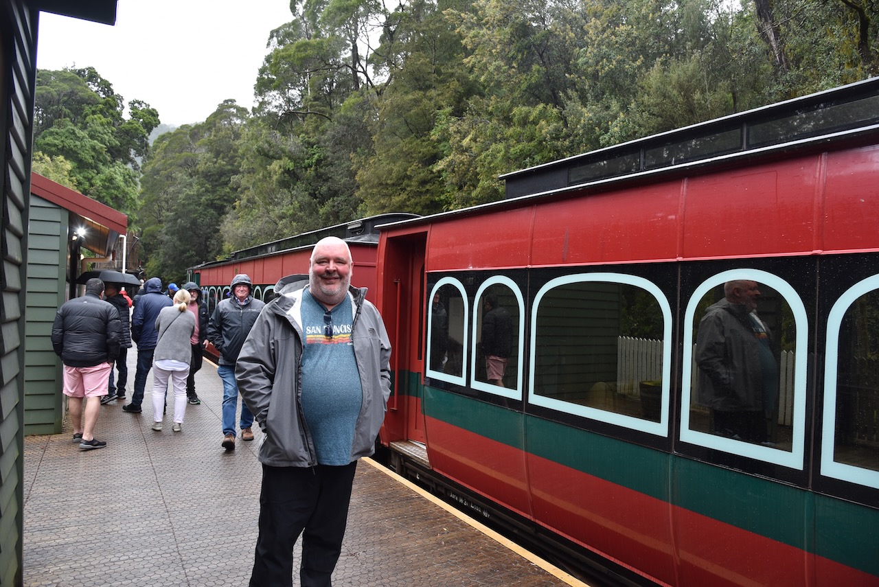
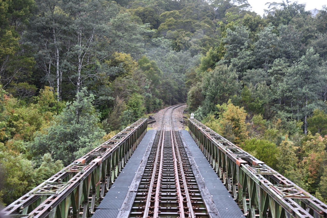
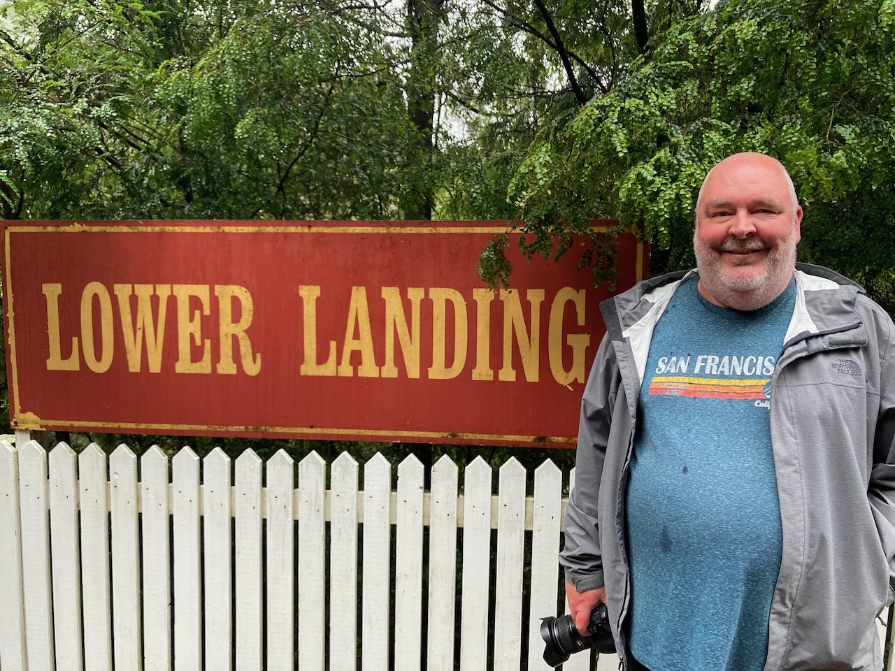
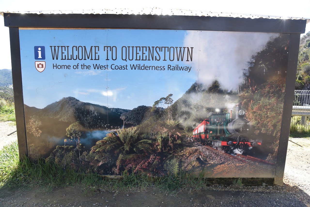
We were nearly three weeks into our Tasmania holiday and it was day 20 (Monday 14th November 2022). We had a trip booked on the West Coast Wilderness Railway. Our journey was the ‘River and Rainforest’.
The train departed the Regatta Point Station at Strahan and took us passed Macquarie Harbour and into the rainforest and mountains of Tasmania’s west coast.
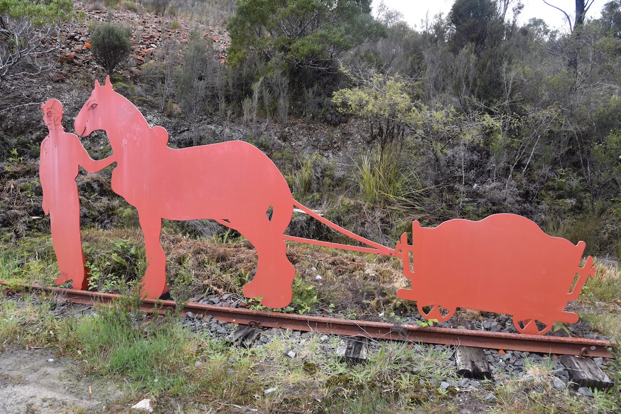
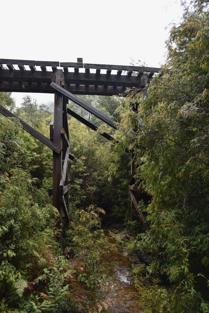
The West Coast Wilderness Railway was formerly known as the Mount Lyell Abt Railway. The slow and arduous process of transporting copper ore from Mount Lyell to Strahan using 60 horse teams was the inspiration for the creation of a railway. Survey teams which were led by Engineer F.A. Cutten identified three feasible routes with the shortest via the King and Queen River valleys chosen in spite of its steep grades over the Rinadeena Saddle. Cutten proposed the Abt rack-rail system – cutting edge technology at the time – to negotiate the steep inclines.
Construction of the railway commenced in 1894. The contractor for the initial section made slow progress, experiencing low worker morale in the harsh working conditions. Engineer E.C. Driffield was engaged to oversee the whole project and sped up the work by employing day labour teams based in camps along the route. Workers armed with hand tools and wheel barrows felled trees, excavated formations, and built embankments along with 48 bridges.
The whole first stage from Teepookana to Queenstown was completed in 19 months. The second stage from Regatta Point, Strahan to Teepookna was completed in 1899 with another 12 bridges including Iron Bridge over the King River. The railway ceased operation in 1963 when road transport became a more economical option. About 35 years later the railway was restored and now operates as a tourist heritage railway.
Above:- Article from the Zeehan and Dundas Herald, Wed 26 Sep 1894. Image c/o Trove.
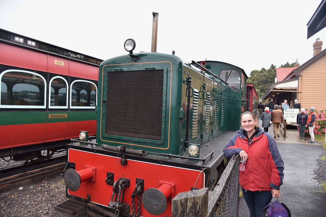
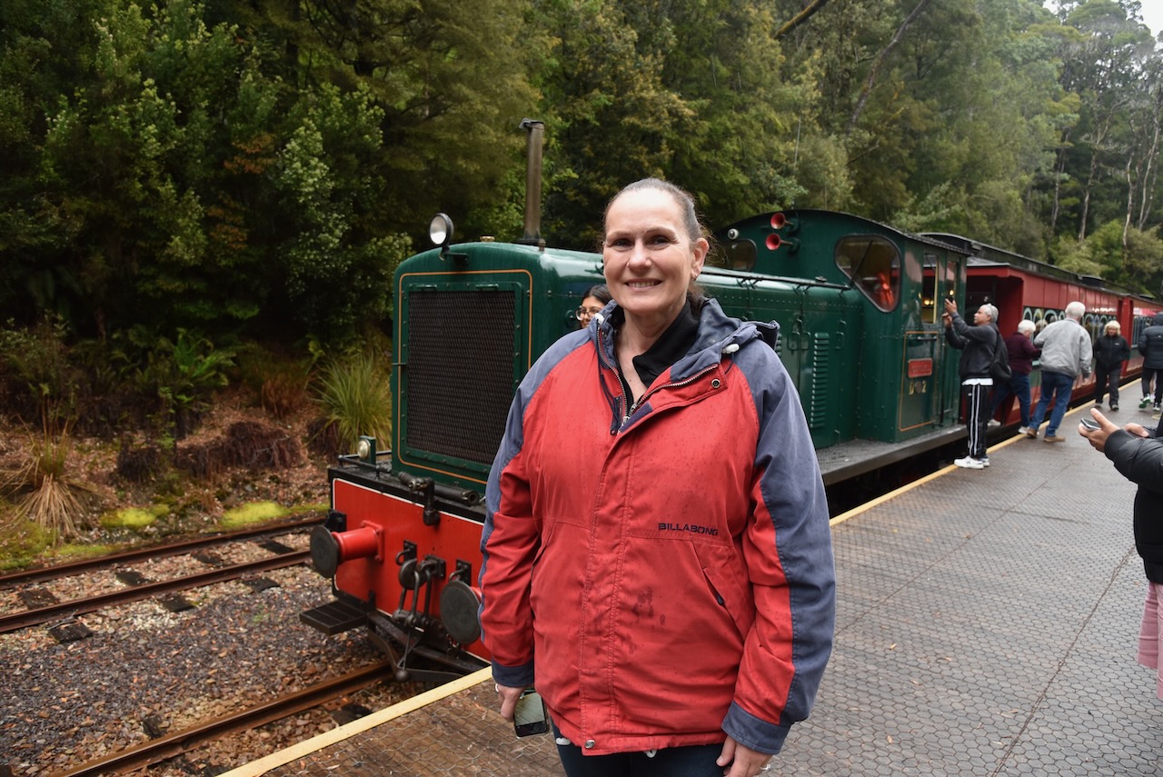
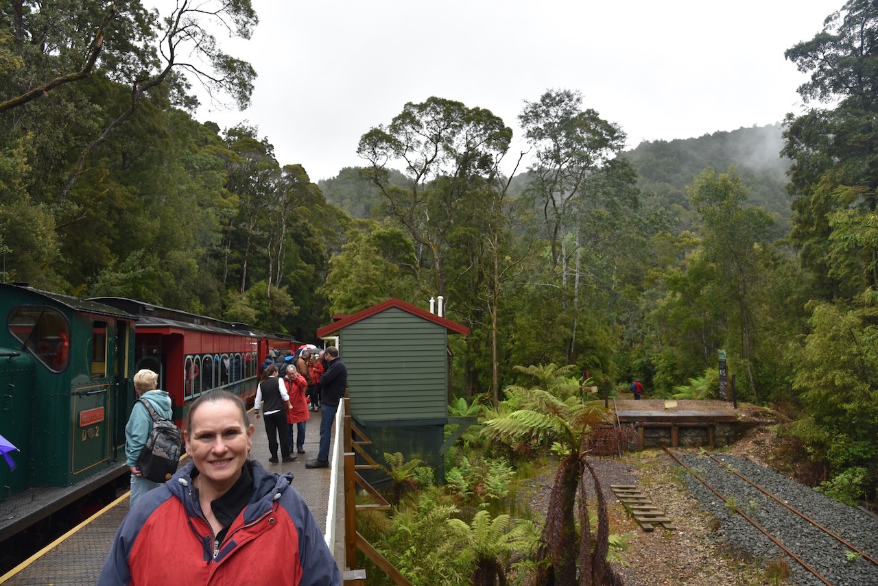
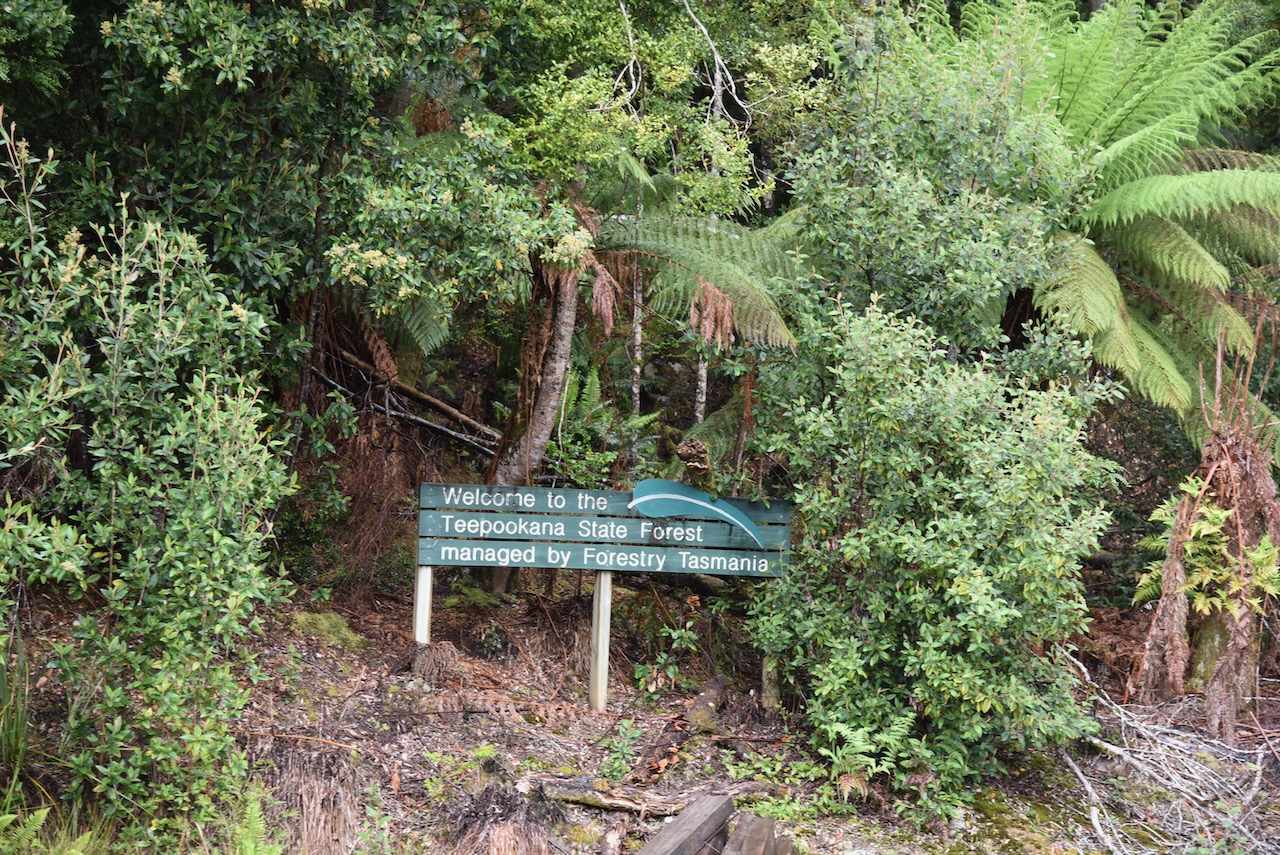
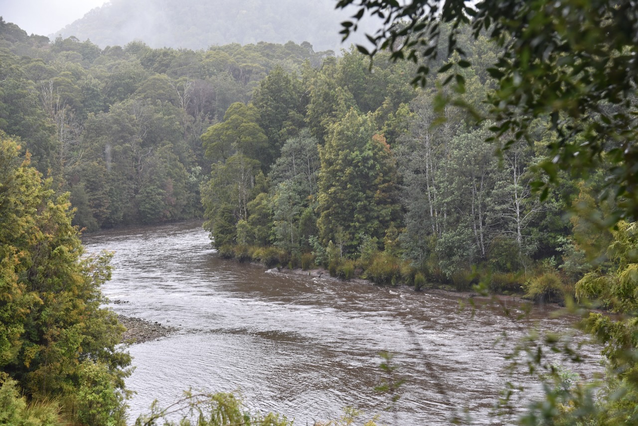
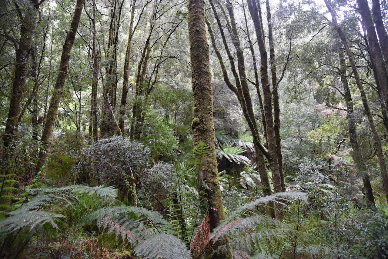
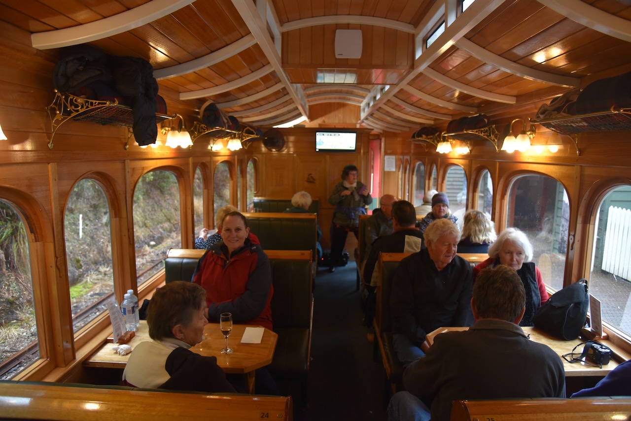
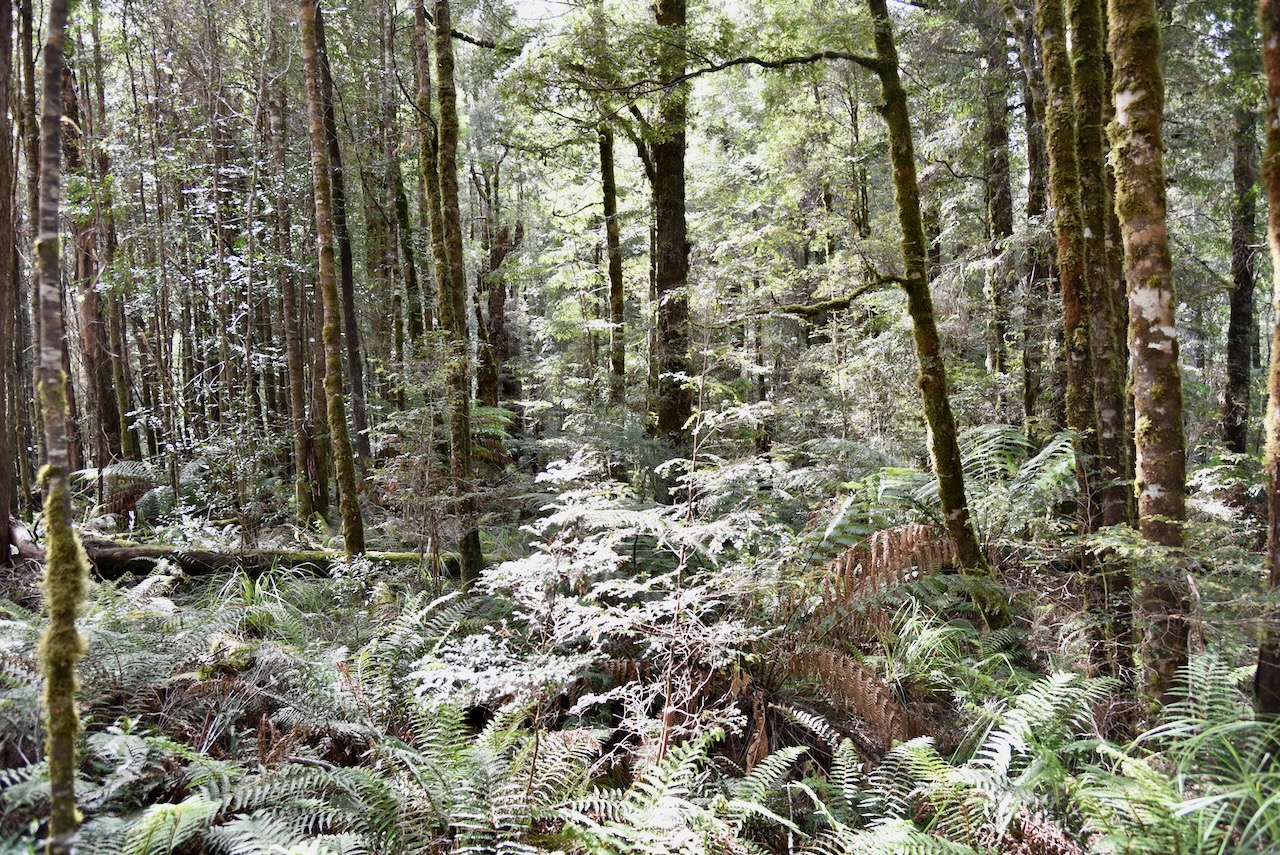
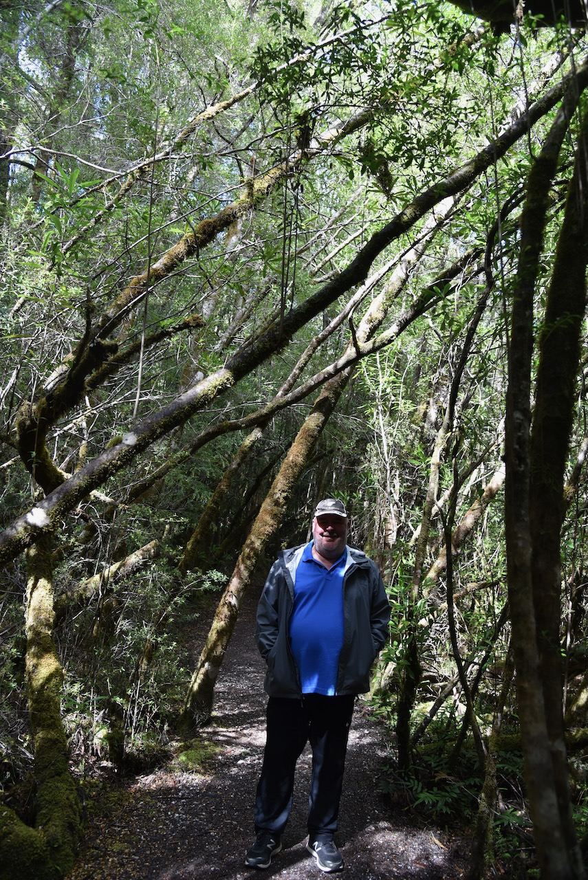
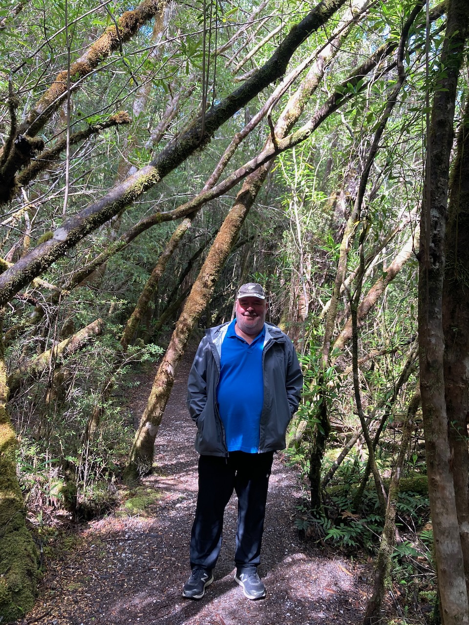
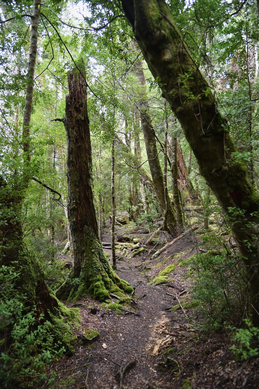
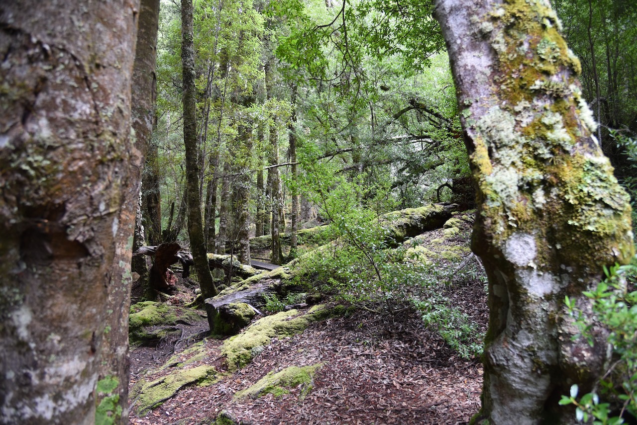
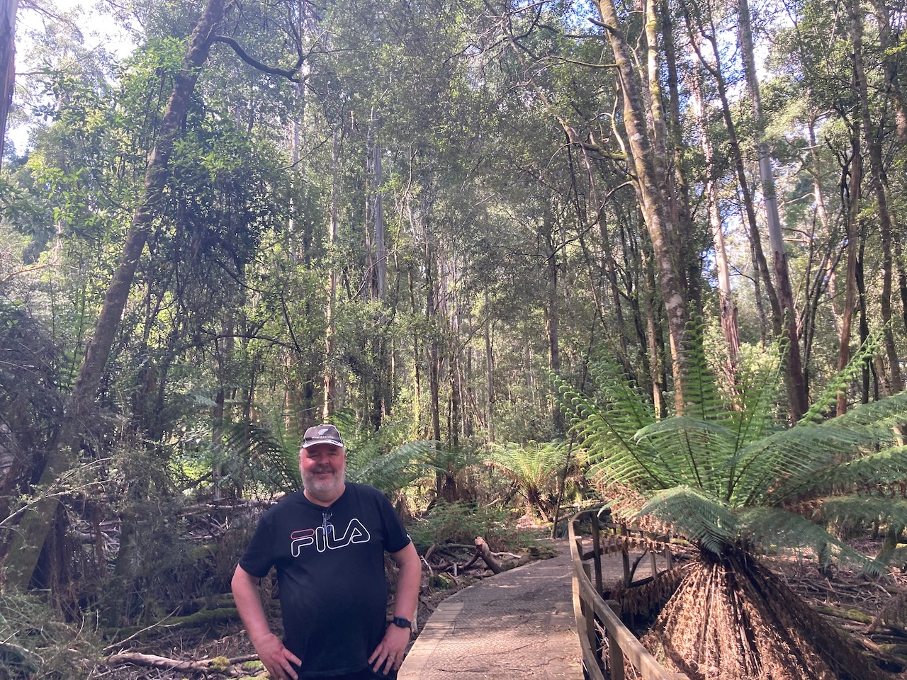
Our trip enjoyed a meal on board and a few stops along the way including a walk through the rainforest.
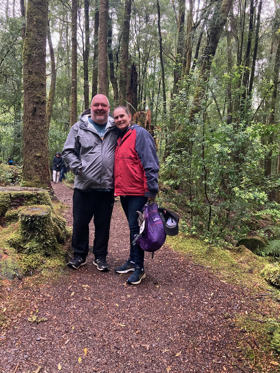
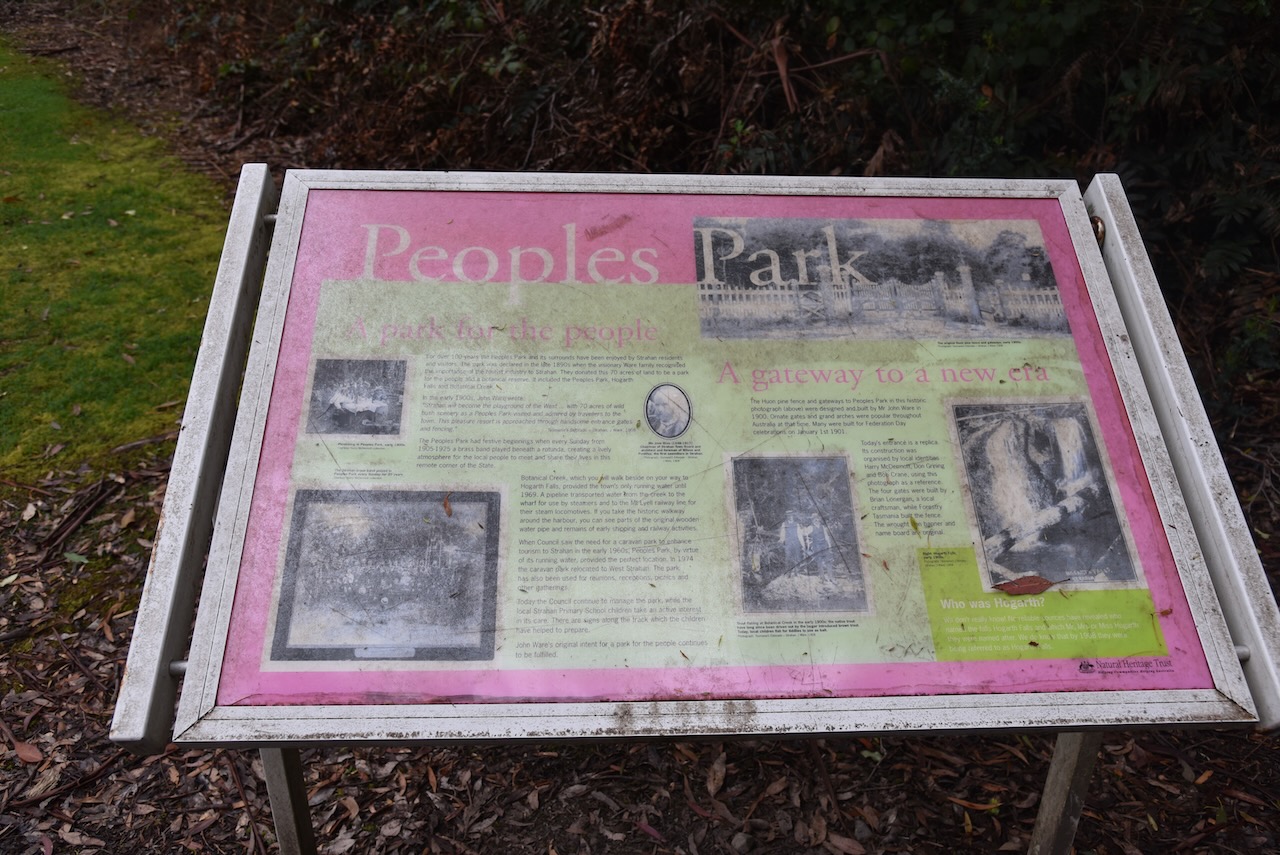
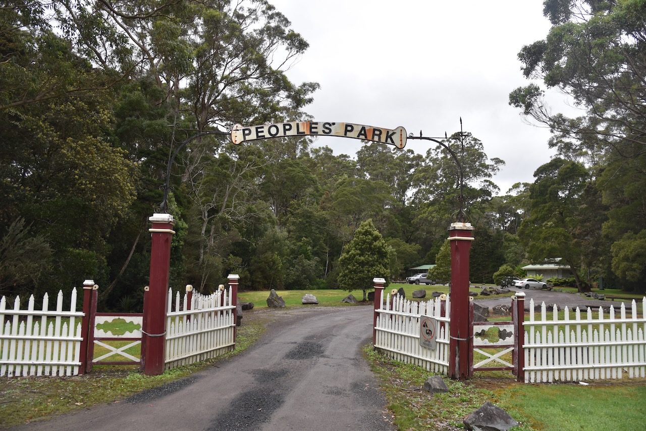
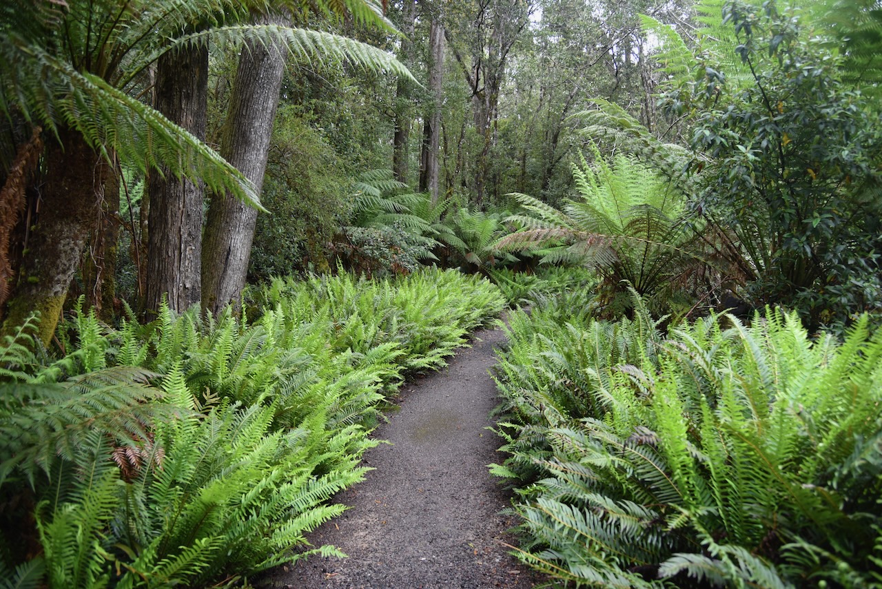
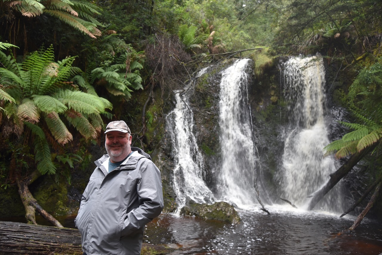
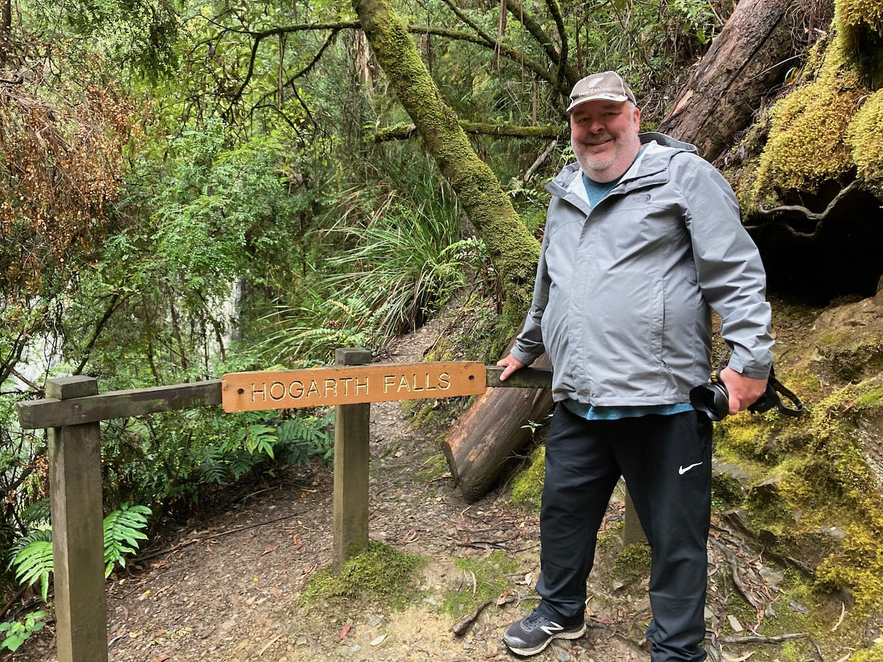
Once back in Strahan from our railway adventure we visited Peoples Park and went for a walk to Hogarth Falls. The park was declared in the late 1890s when the visionary Ware family recognised the importance of the tourist industry to Strahan. They donated 70 acres of land to be a park for the people and a botanical reserve, which included Peoples Park, Hogarth Falls, and Botanical Creek.
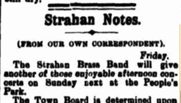
Between 1905 to 1925, on every Sunday, a brass band played beneath a rotunda in Peoples Park. Botanical Creek which runs alongside of the walk was Strahan’s only running water until 1969.
Above:- Article from the Zeehan and Dundas Herald, Sat 9 Mar 1901. Image c/o Trove.
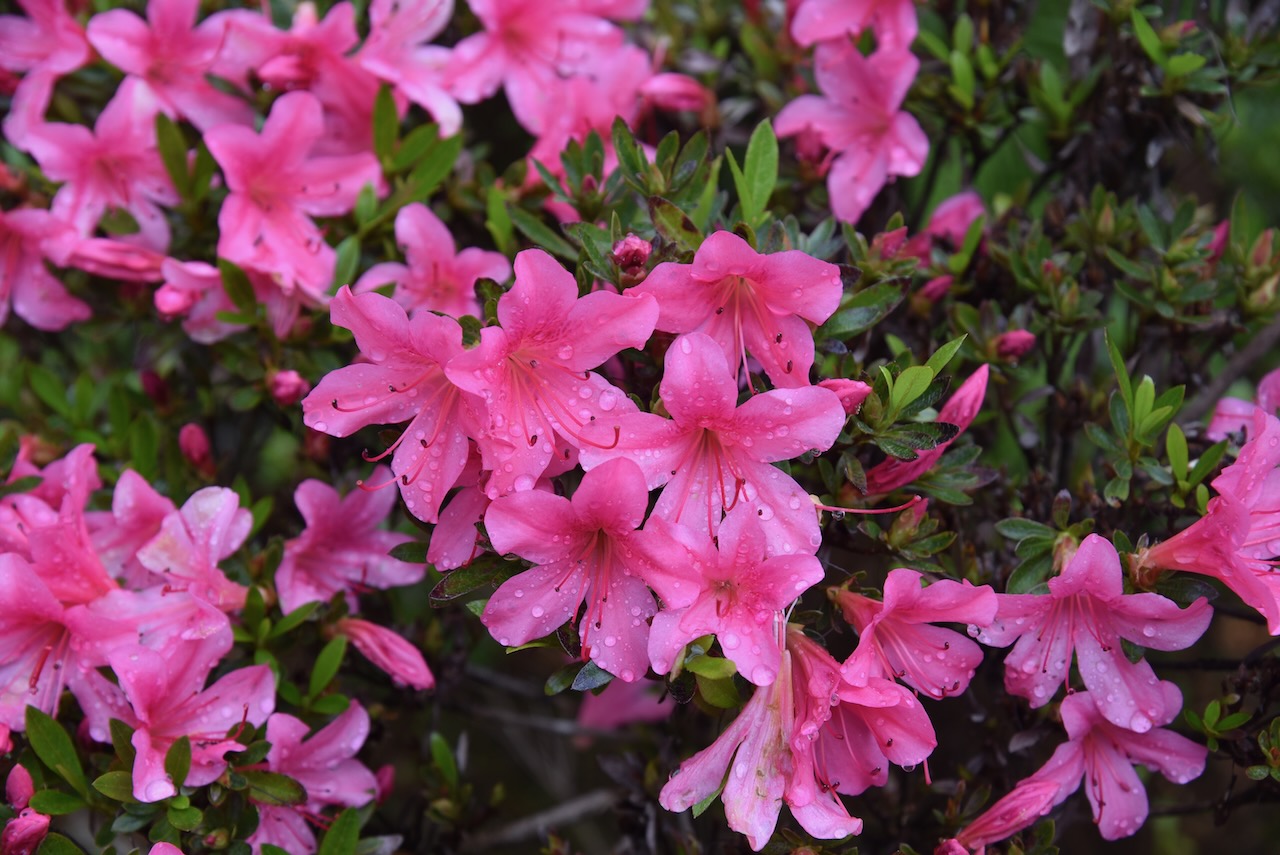
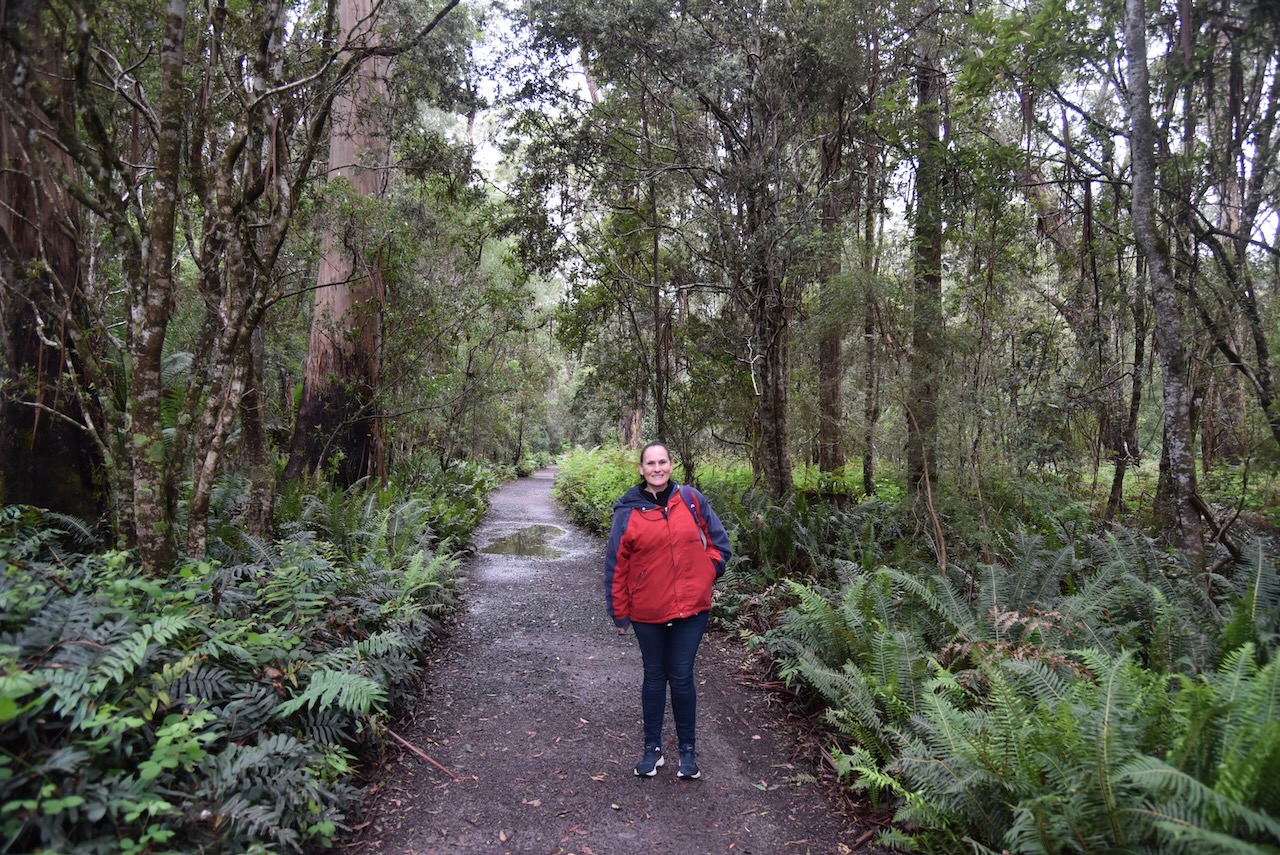
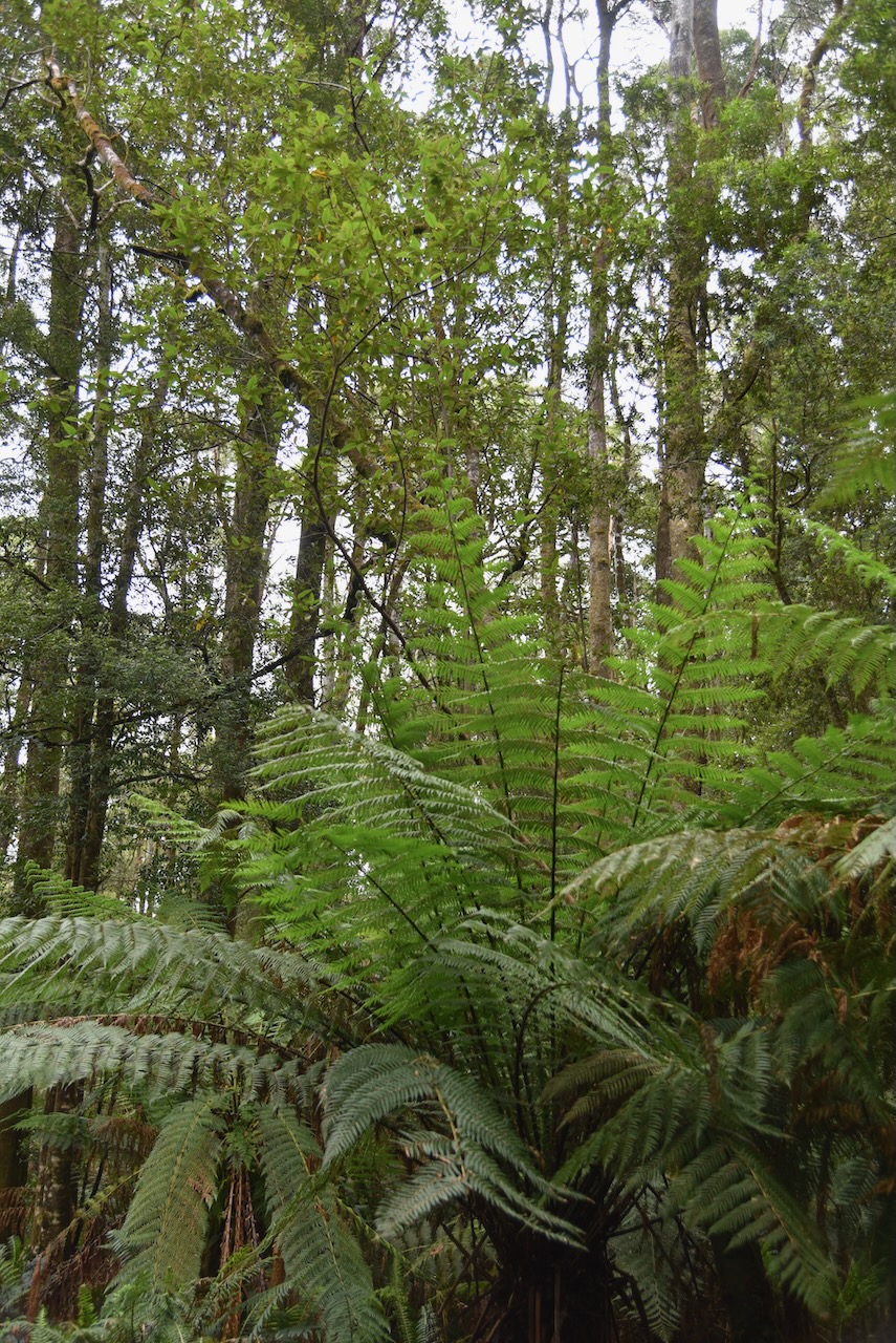
Despite it being a rather dreary day and cold, the walk along the Botanical Creek through the rainforest was absolutely beautiful. The walk is about 2.4 km return. Rainforest trees including Leatherwood, Sassafras and Myrtle line the route.
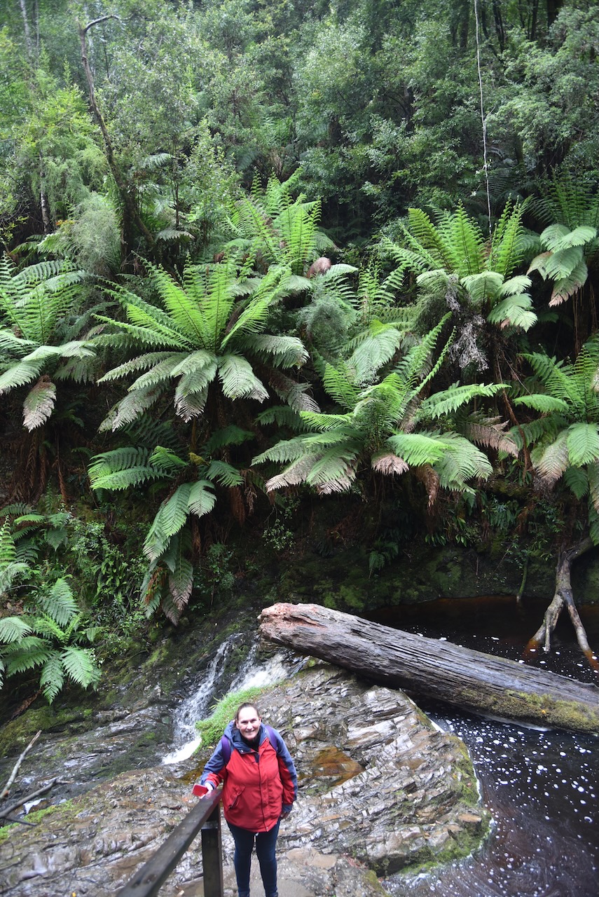
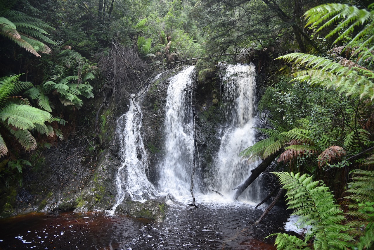
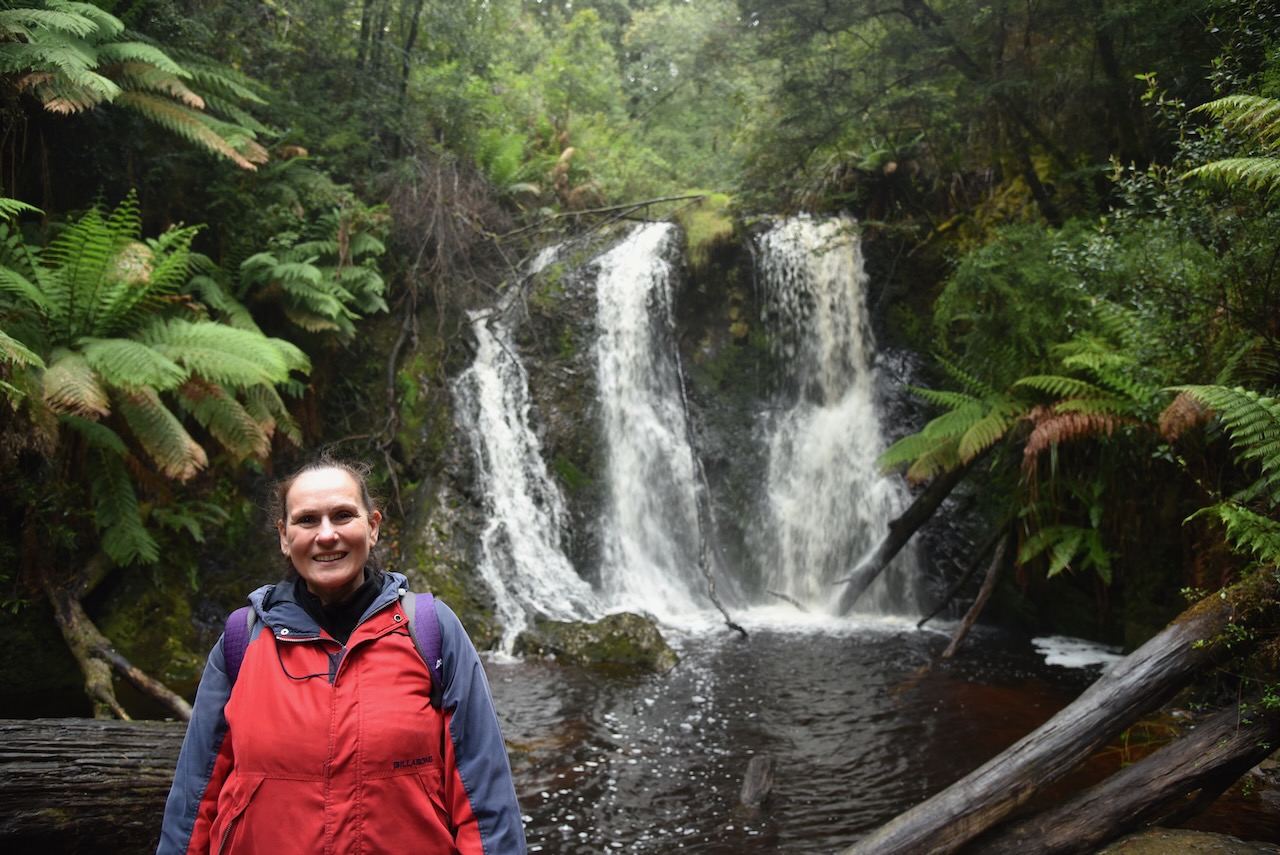
We soon reached Hogarth Falls which were flowing well after all the recent rain. The falls stand about 15 metres high and is split.
It is not entirely clear on the naming of the Falls, however they were known as such from 1908 onwards.
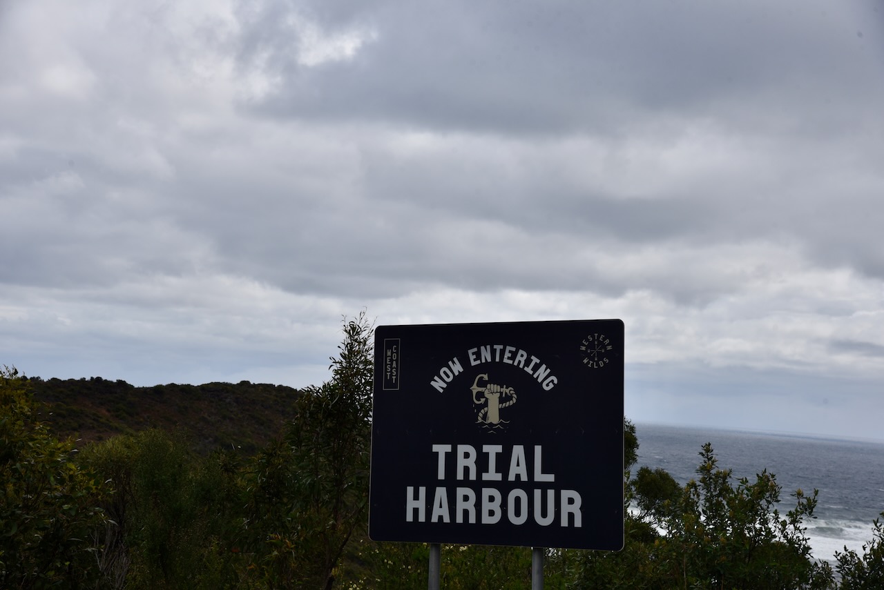
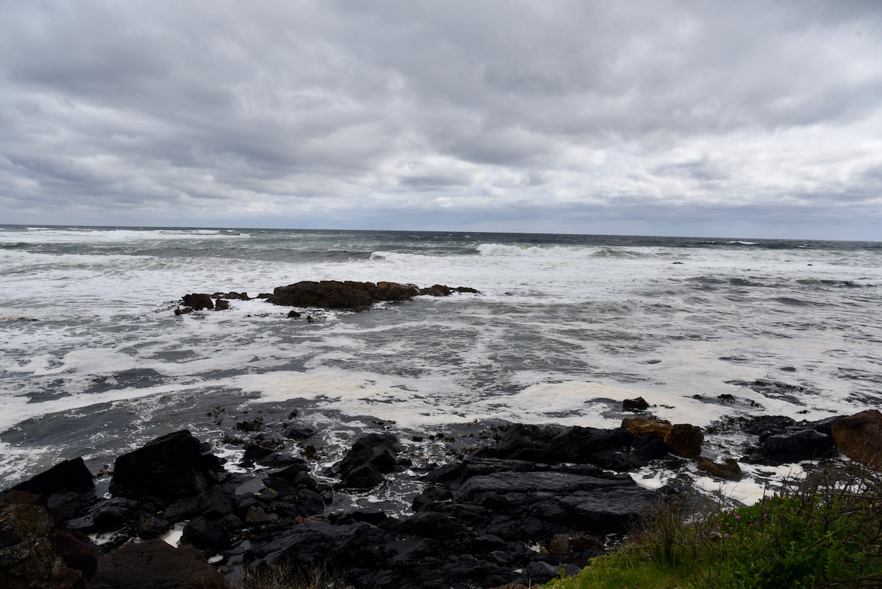
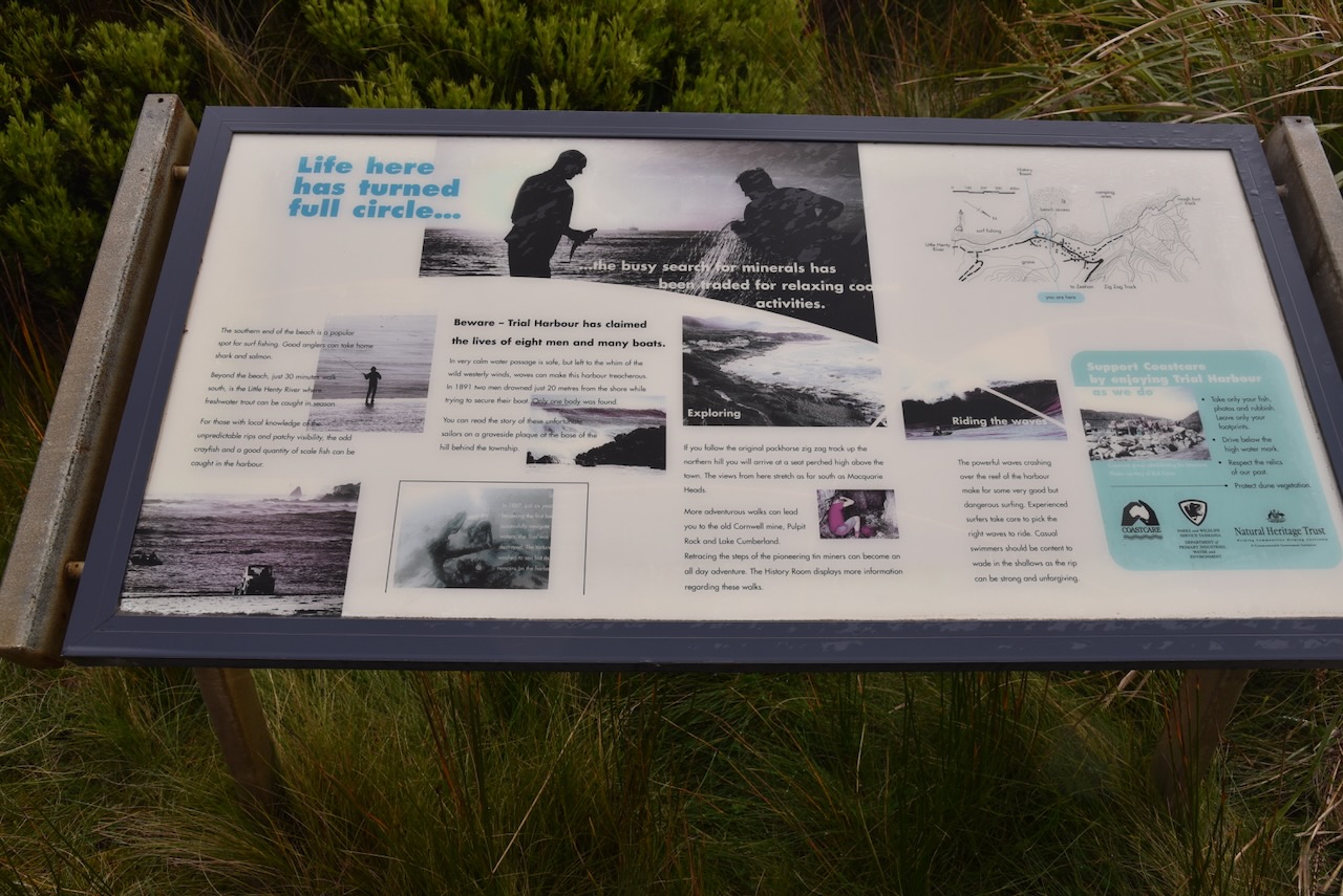
After our walk through Peoples Park and Hogarth Falls we decided to head north to undertake a park activation at the Trial Harbour State Reserve VKFF-1835. It was about a 63 km drive from Strahan.
Above:- Map showing the location of the Trial Harbour State Reserve. Map c/o Google maps.
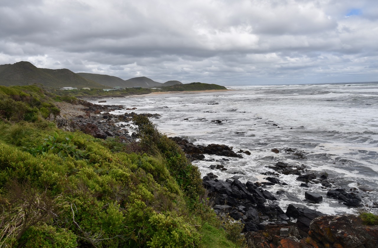
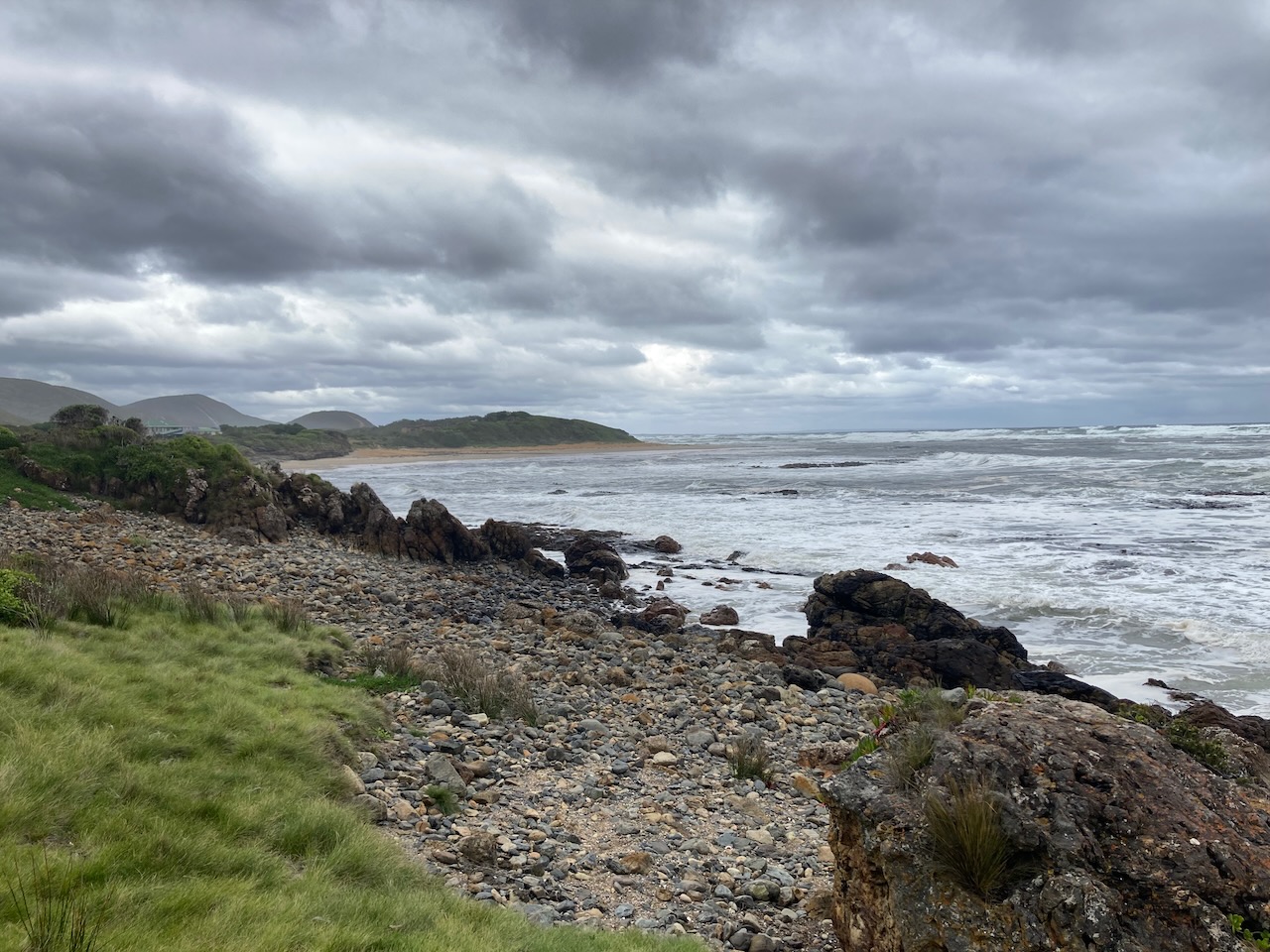
We drove north into the little town of Zeehan and then drove west along Trial Harbour Road which offered some great views of the coastline.
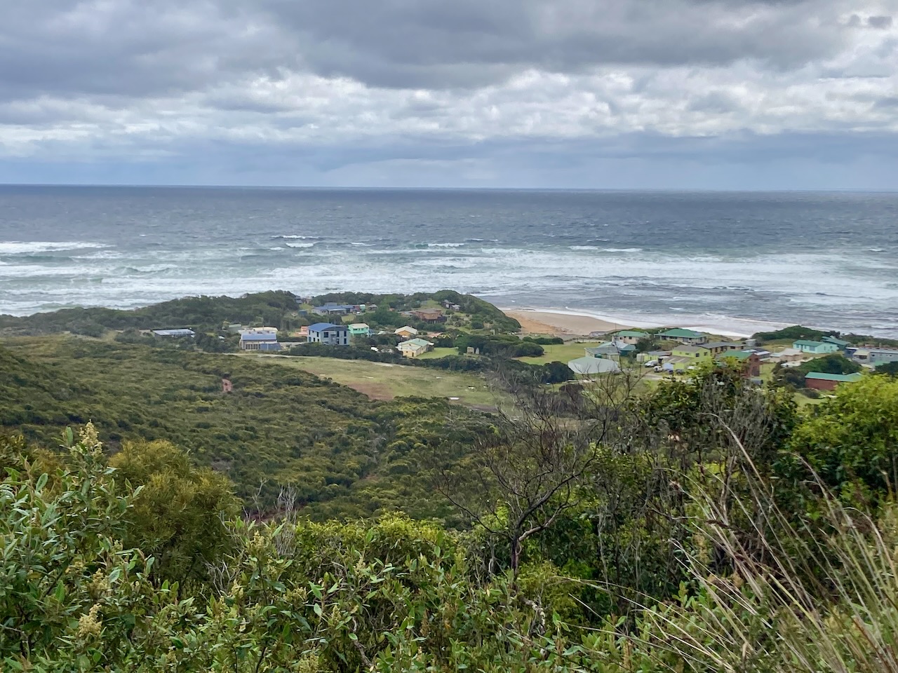
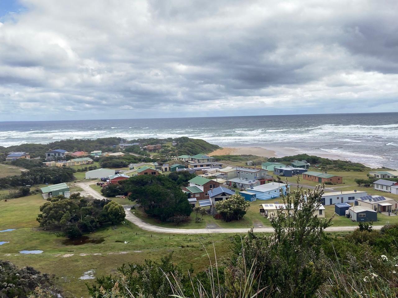
We stopped briefly at the Mount Heemskirk lookout to get a view of the town of Trial Harbour. During their 1798-99 circumnavigation of Tasmania, explorers Matthew Flinders and George Bass named Mount Heemskirk in honour of Ducth explorer Abel Tasman’s ship Heemskerck (Old Dutch for “Home Church”).
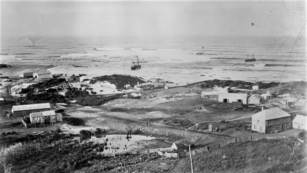
By the 1880s the township of Remine had commenced. It took its name after the the native name for the wildflower Blandfordia which grows in abundance on the hillsides surrounding the town.
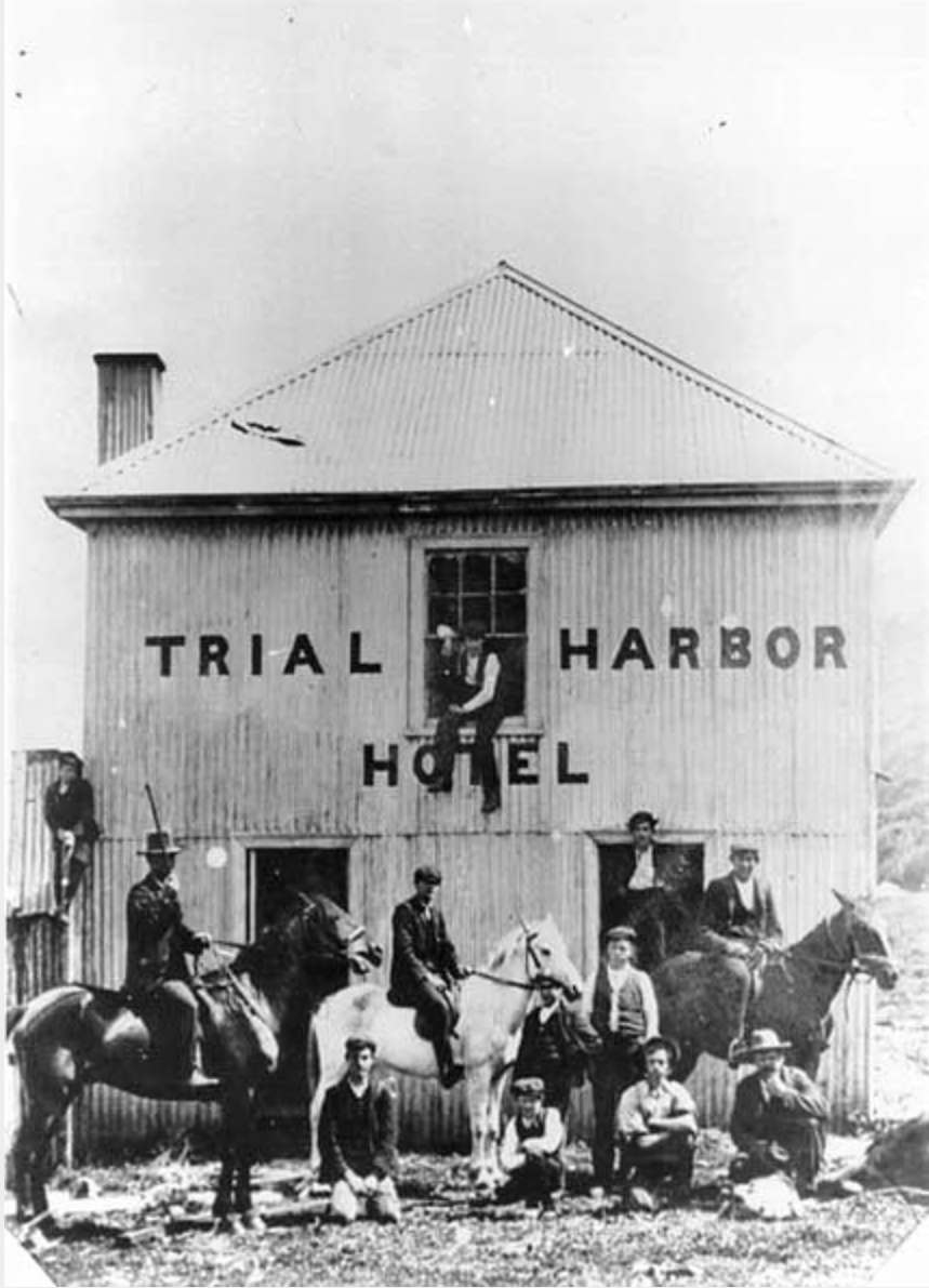
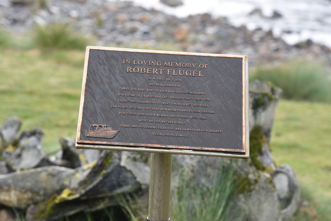
The harbour in which it was adjacent to was known as Trial Harbour. It took its name from the vessel Trial which was driven ashore in March 1881. It was carrying Mr. Alex Ingleton, the Manager of the Montagu Mine. Reporters from the Mercury newspaper arrived and upon asking the name of boat on the beach, they raised their mugs of spirit and proposed the toast: “Here’s to the health of Trial Harbour.”.
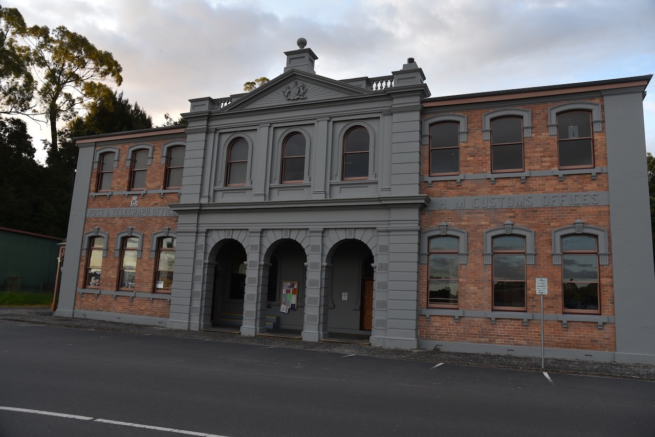
By the 1890s there were over 200 people living in the town which had two hotels, a general store, restaurant, blacksmith’s shop, post and telegraph office and a police quarters, along with houses, tents and camps.
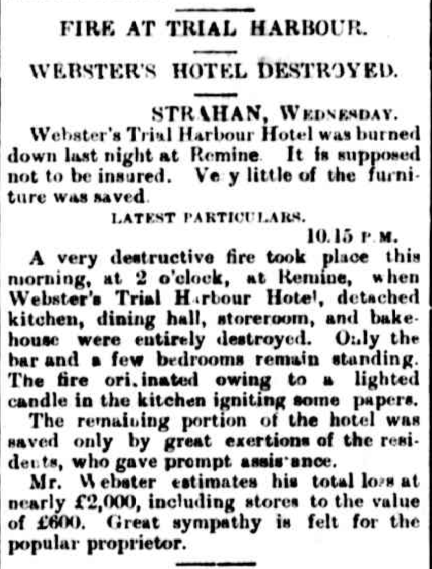
In 1888 a bushfire destroyed almost all of the buildings in the town. In April 1891 Websters Hotel in the town was destroyed by fire. In 1892 the Zeehan to Strahan railway was opened and this resulted in the town being redundant as a service port. Some years later another bushfire roared through the area and again destroyed the town.
Above:- Article from The Mercury, Thu 23 Apr 1891. Image c/o Trove
The Trial Harbour State Reserve is only small and was gazetted as a State Reserve in April 1999. It was previously known as the Trial Harbour Aboriginal Site.
It was cold, blustery and there were intermittent showers, so we operated from the vehicle for this activation. We dodged the showers, stretching out the 20/40/80m linked dipole supported on the 7 metre telescopic squid pole.
Marija made the following QSOs on 40m SSB:-
VK3NP
VK3UH
VK3AWA
VK3MCA
VK3PF
VK3PT
VK2VH
VK4AAC
VK2MET/p (SiOTA VK-HLD2)
VK1AO/p (SiOTA VK-HLD2)
VK2HHA
VK5HS
VK3VIN
I made the following QSOs on 40m SSB:-
VK3NP
VK3UH
VK3AWA
VK3MCA
VK3PF
VK3PT
Vk2VH
VK4AAC
VK2MET/p (SiOTA VK-HLD2)
VK1AO/p (SiOTA VK-HLD2)
Vk2HHA
VK3AMO
VK5KVA
VK2BYF
VK4FW
VK2IO
VK7AAE
VK2YAK
VK4YAK
VK5WU
VK3VIN
VK2LEE
VK3SQ
VK3ZPF
Vk3JW
VK2ACK
VK2EXA
VK3ANL
VK5HS
VK2NP
VK3NDG
VK3RW
VK5BJE
VK3AFW
VK5FANA
VK4NH
VK4DXA
VK3ANP
VK3BKC
VK3MBW
VK7RM
KG5CIK
VK7JFD
VK3ACZ
VK3FACD
VK2CDB
I made the following QSOs on 40m AM:-
VK5HS
VK3SQ
I made the following QSOs on 20m SSB:-
VK4TJ
F1BLL
Vk4FW
VK8MM
VK4NH
VK4DXA
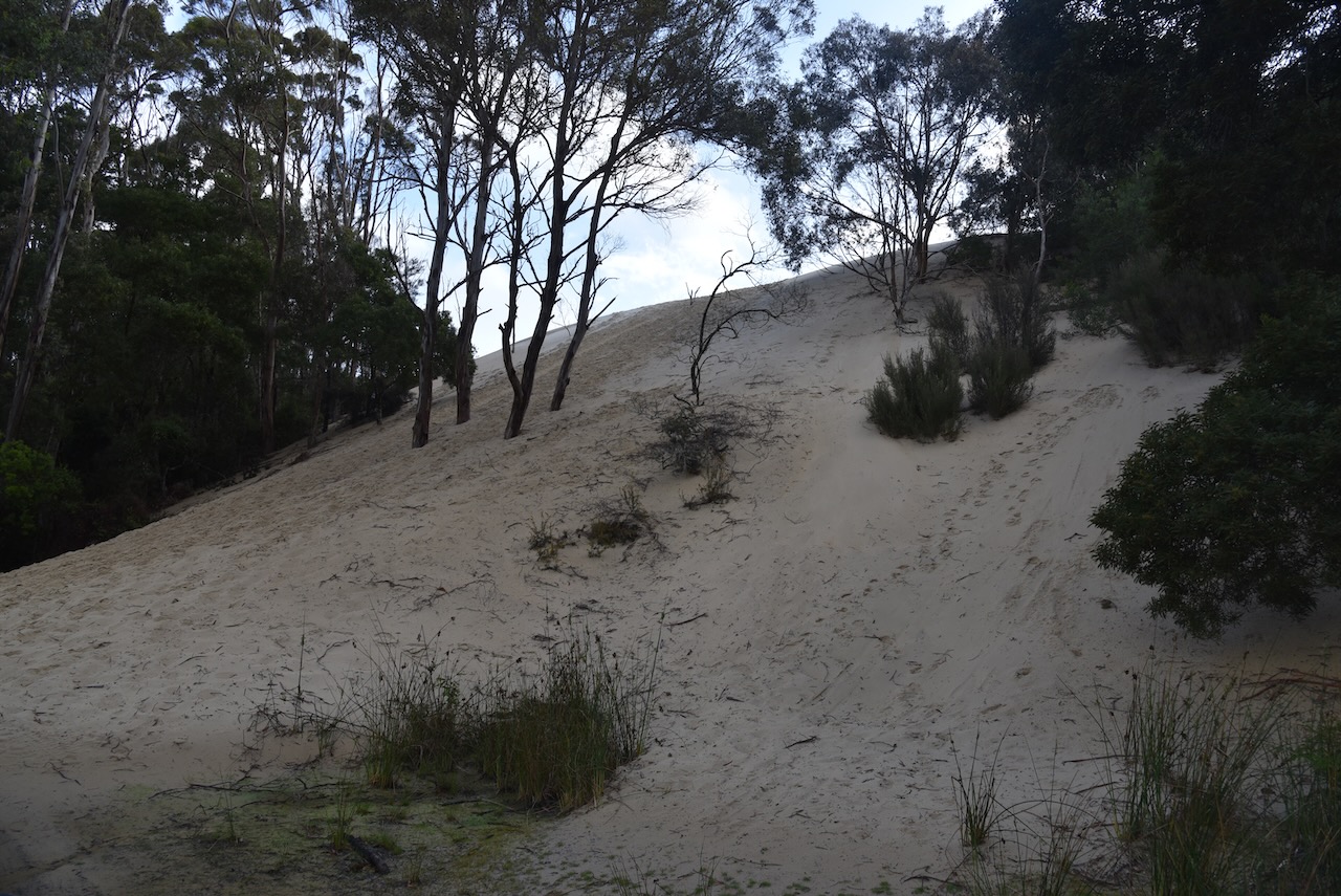
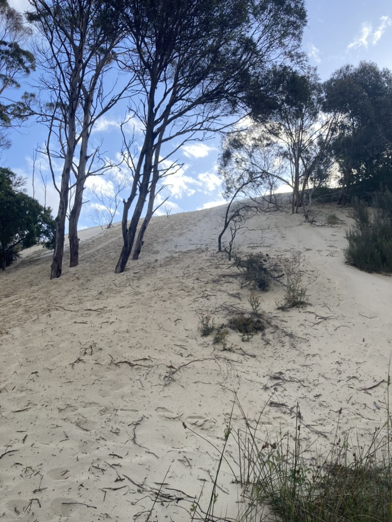
We packed up and left Trial Harbour and headed south on the Henty Road back towards Strahan. We stopped off at the Henty Dunes. A mixture of mineral grains deposited here over the last 10,000 years has created the giant 30 metre high sand dunes. There was a 4WD track but unfortunately it was not passable due to all of the recent rain, so we did not get to see much of the dunes.
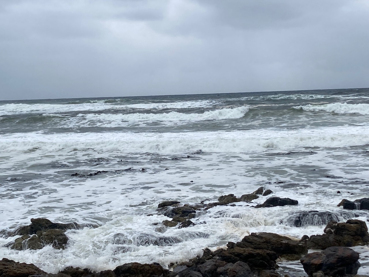
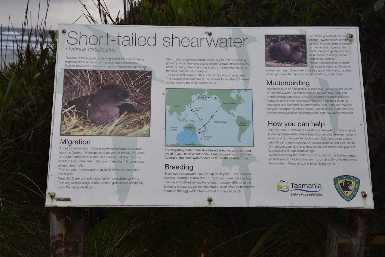
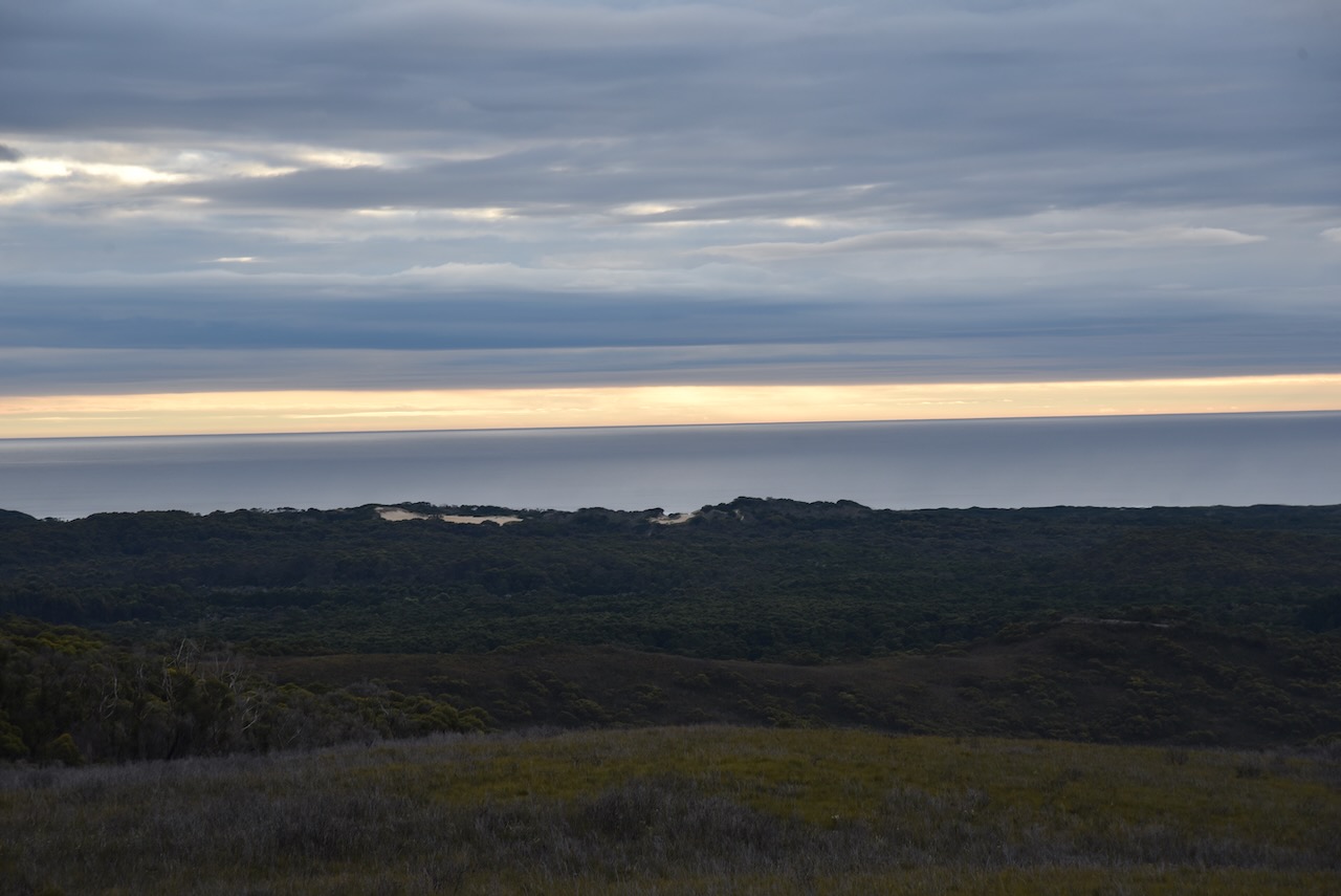
It was a wild and wet afternoon, but we decided to visit Ocean Beach, Tasmania’s longest beach. It stretches 40km from north of Macquarie Harbour and Hells Gates to Trial Harbour. Ocean Beach has no landmass at this longitude between it and South America.
Whale stranding frequently occurs on this beach. In fact about two months prior to our visit a total of 230 Pilot whales beached themselves on the beach.
We then headed out to Macquarie Head, but the weather was so lousy the views were not great.
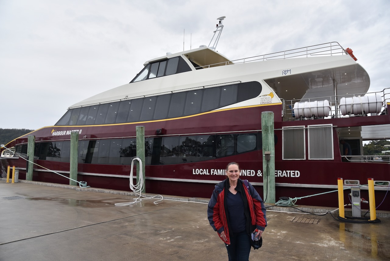
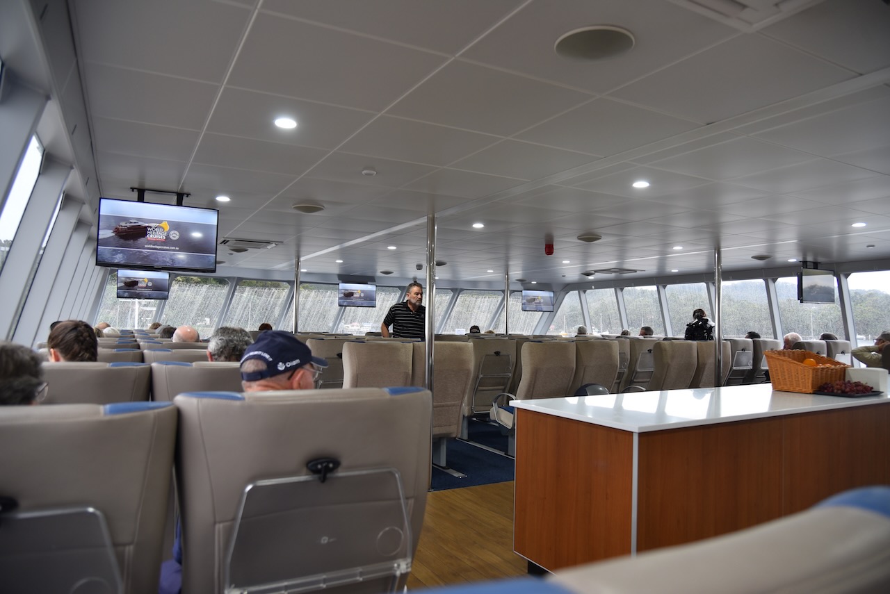
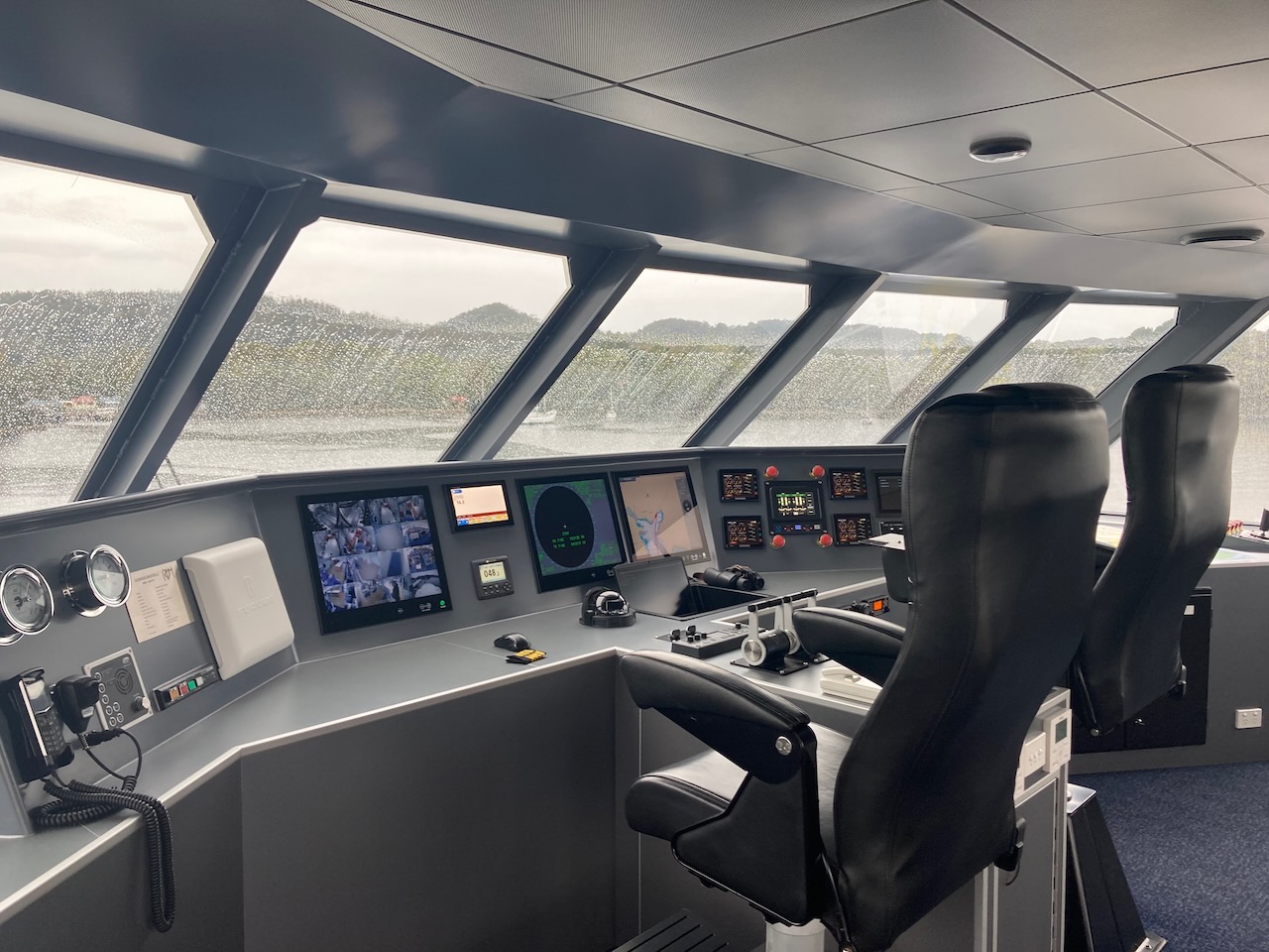
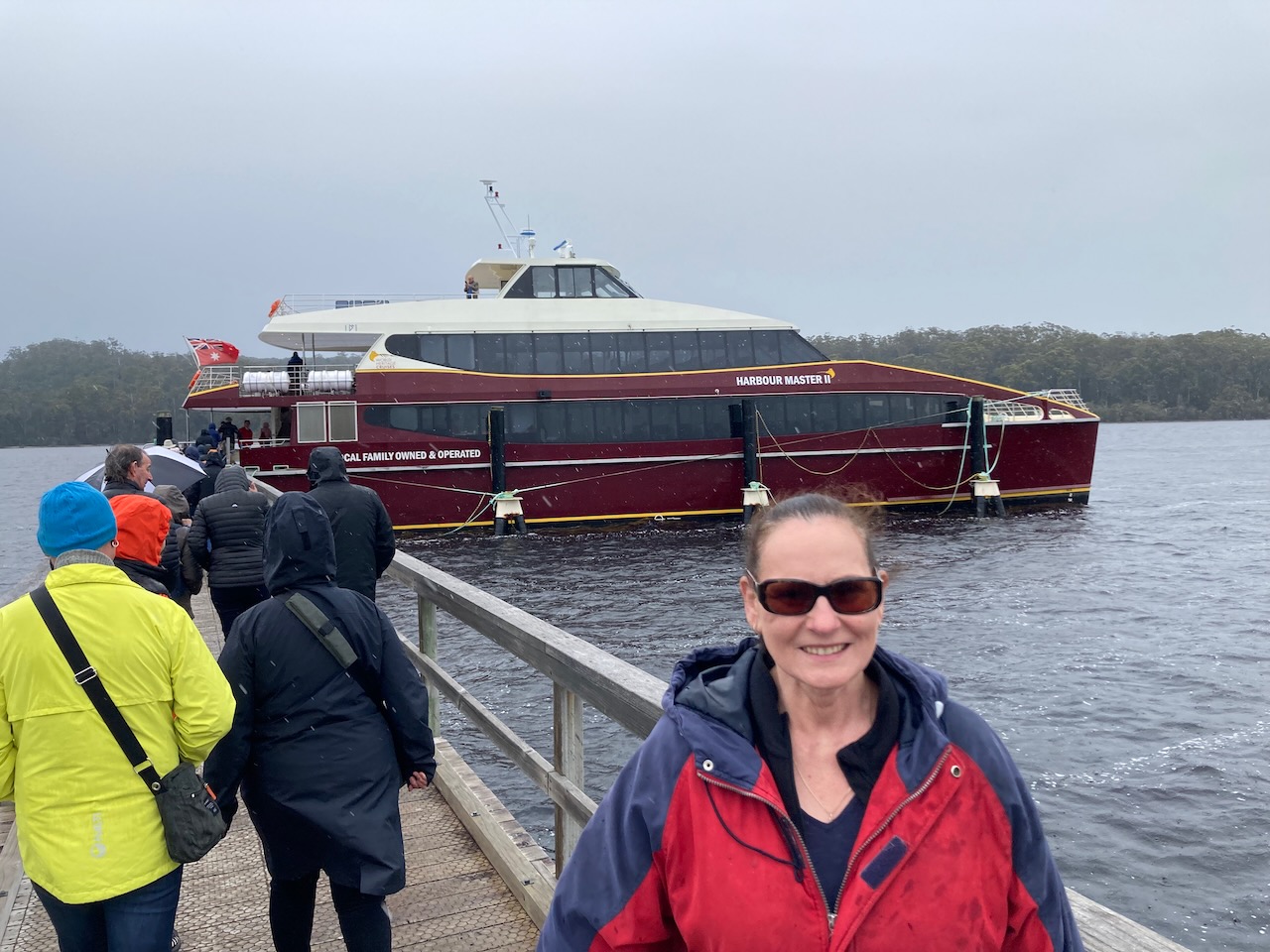
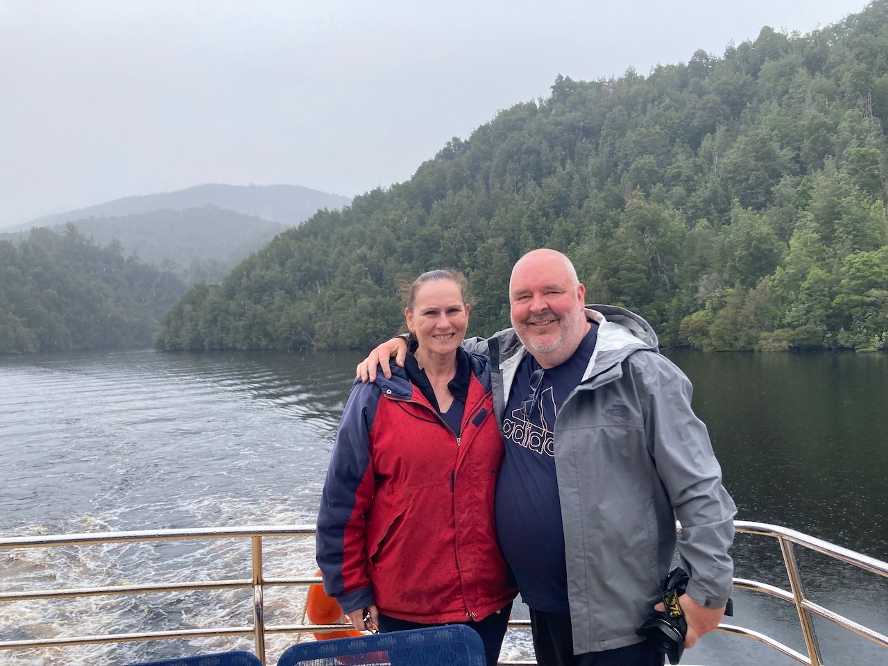
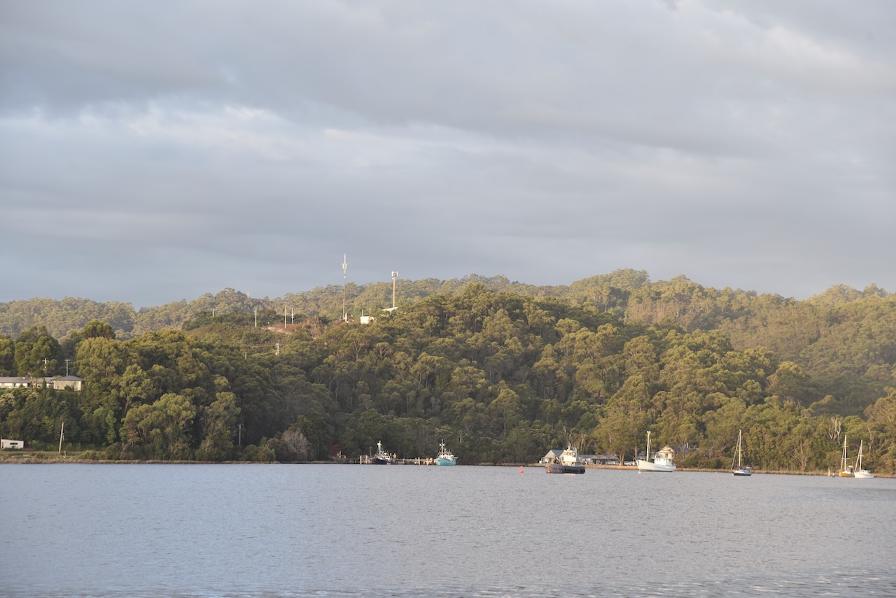
It was now day 19 (Sunday 13th November 2022) and we had a trip booked for a boat cruise on the Gordon River.
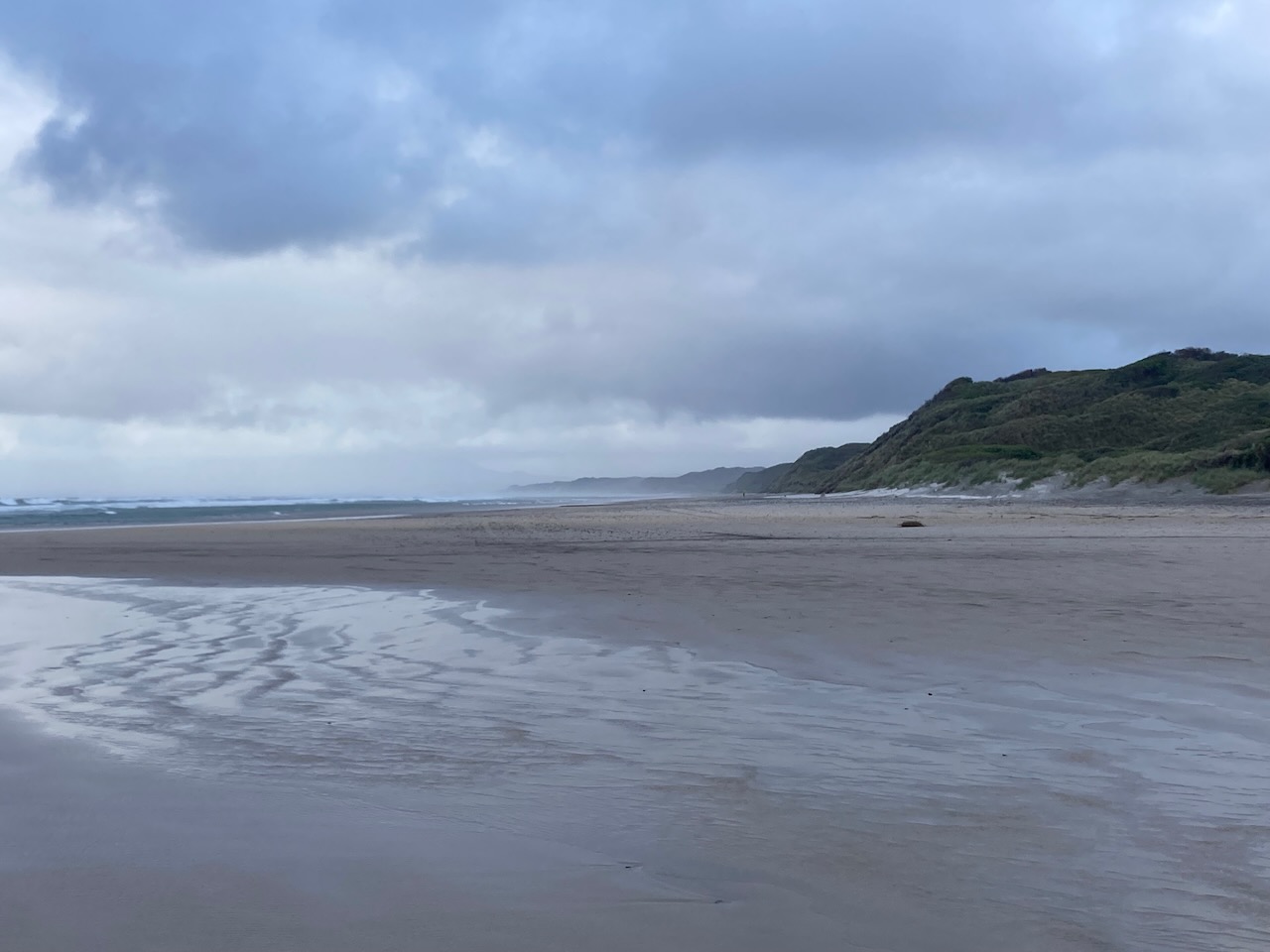
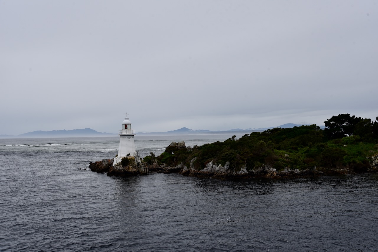
The trip took us to Hells Gates which is the narrow entry from Macquarie Harbor to the open water of the Southern Ocean. The name relates to the convicts’ claim that it was their point of “entrance to Hell’, their Hell being the penal station on Sarah Island.
We sailed passed the Bonnet Island lighthouse and the Entrance Island lighthouse. Both lighthouses were constructed in 1891.
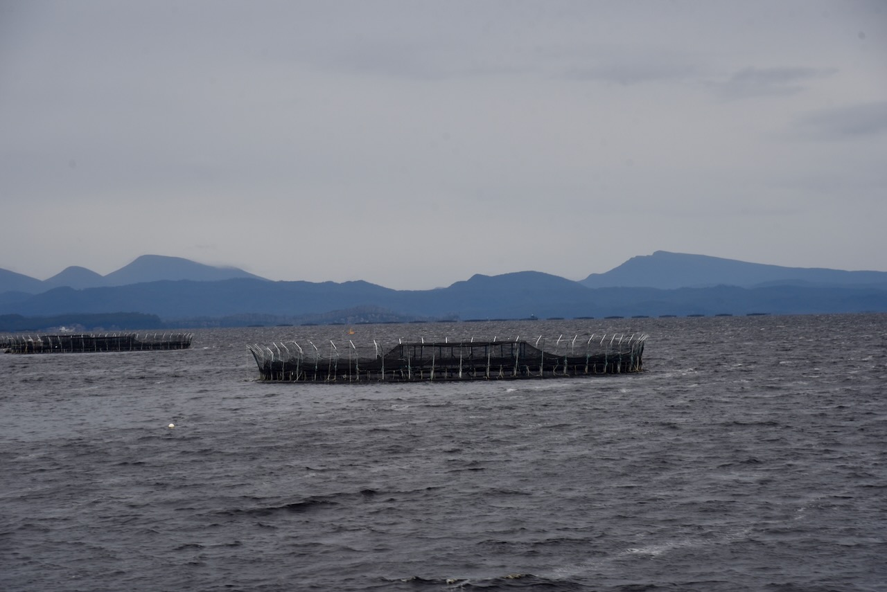
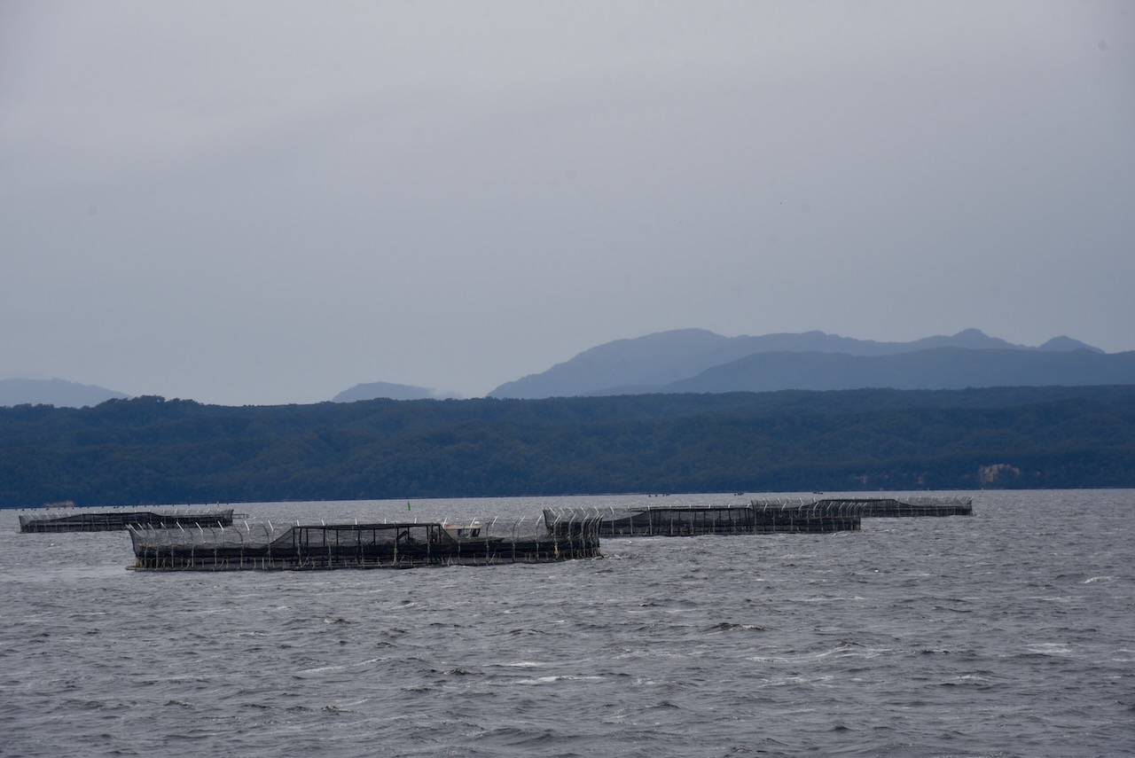
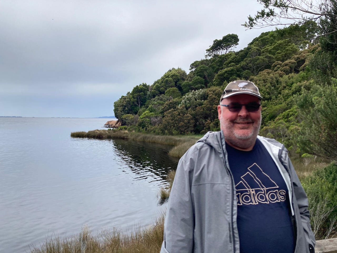
The cruise also took us passed Liberty Point and the aquaculture pens which are stocked with Atlantic salmon and Ocean Trout.
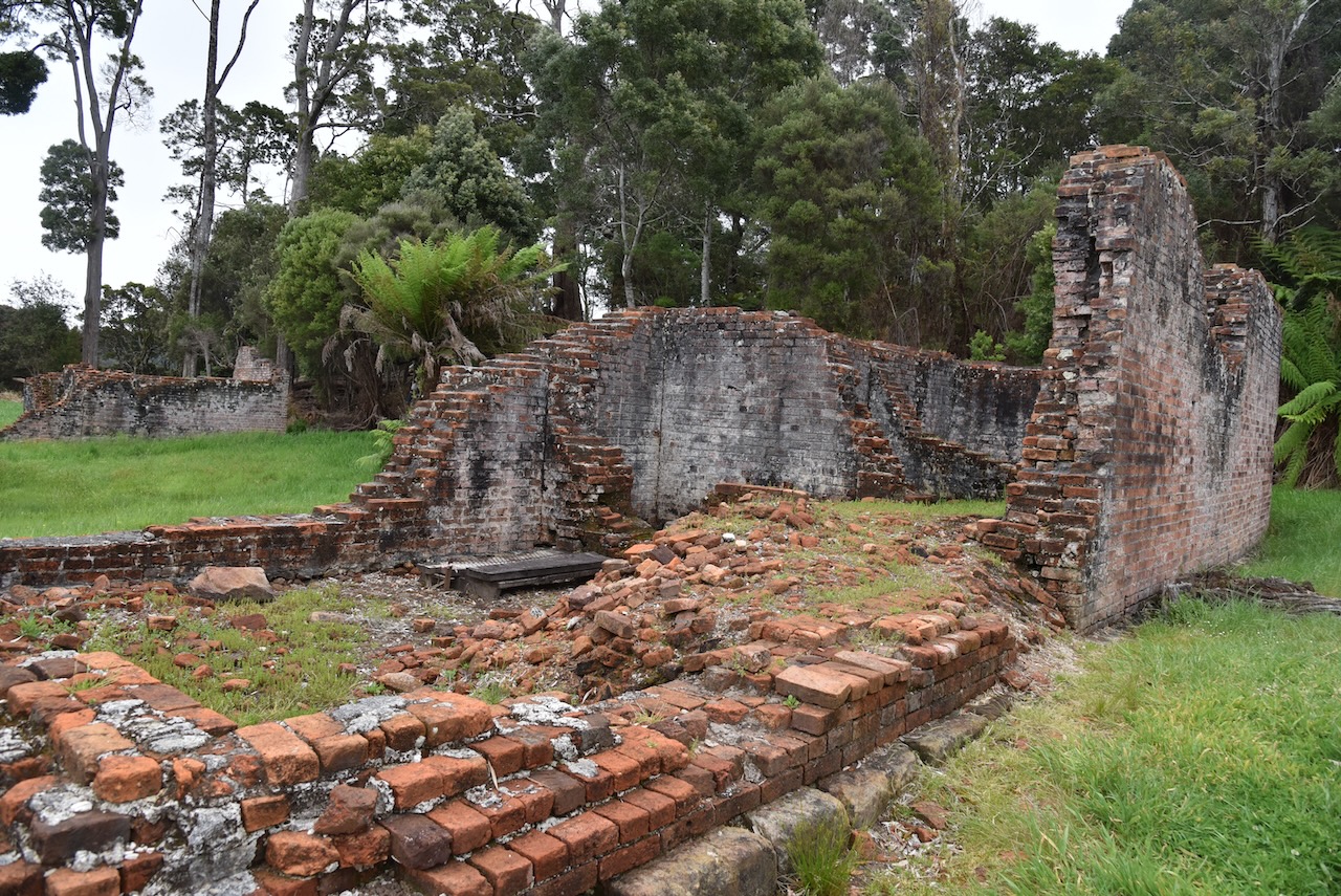
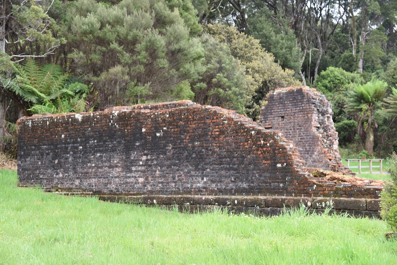
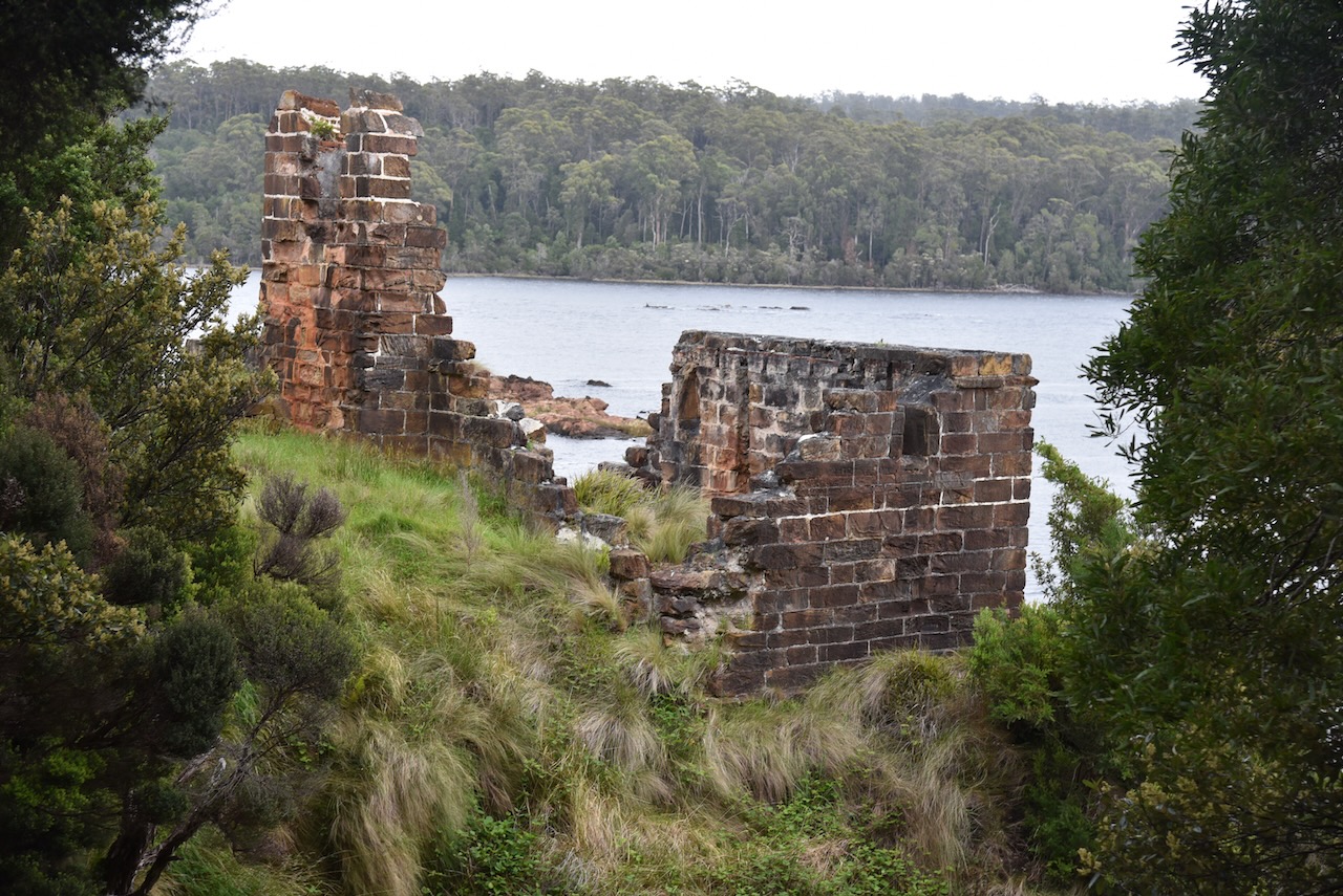
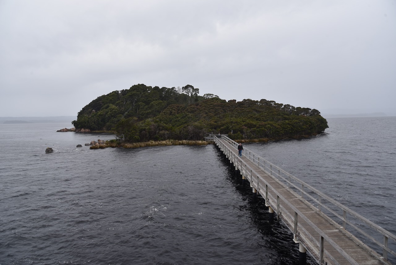
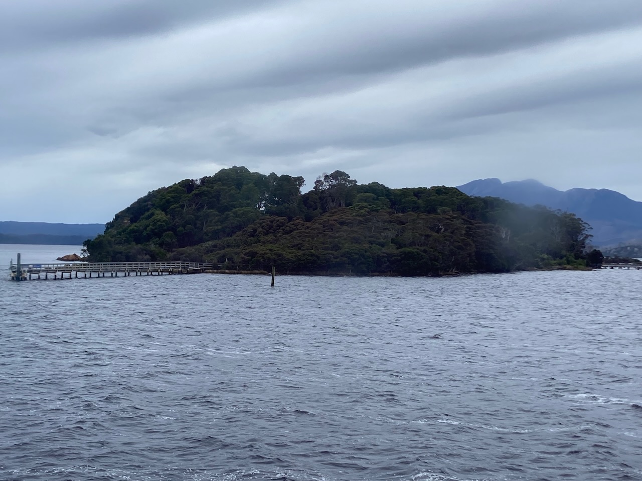
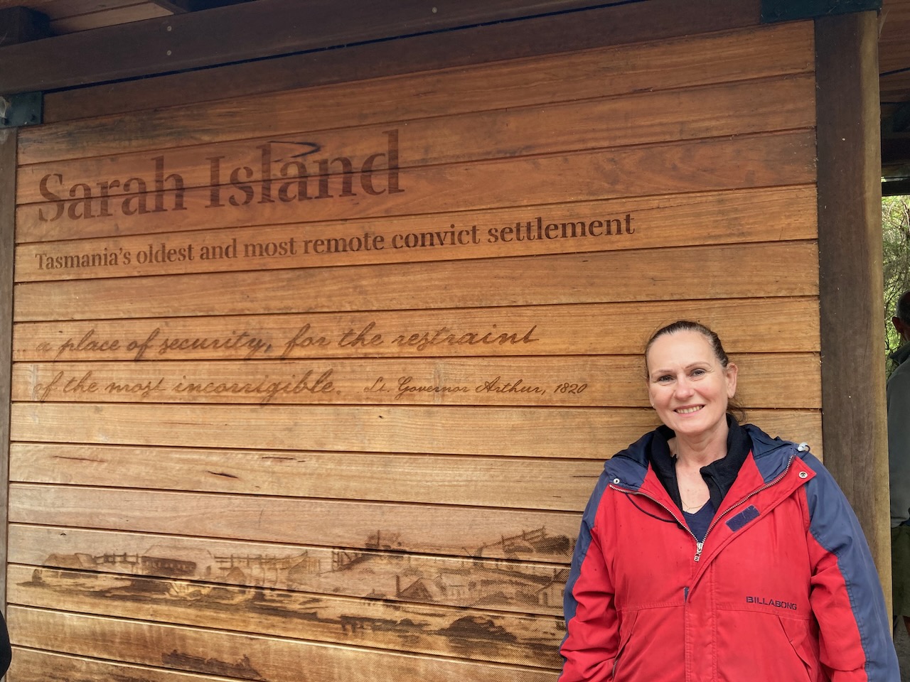
We then visited Sarah Island which was one of Australia’s harshest convict settlements. The Macquarie Harbour Penal Station on Sarah Island operated between 1822 and 1833. Sarah Island took the worst convicts including those who had reoffended and those who had escaped from other settlements.
Conditions on the island were extremely poor with malnutrition, dysentery and scurvy being common. Punishment at Sarah Island included solitary confinement and regular floggings. It was reported that in 1823 a total of 9,100 lashes were given. In 1824 a prisoner named Trenham stabbed another convict in order to be executed rather than face further imprisonment at Macquarie Harbour Penal Station.
Below is an excellent 20 minute video on the Macquarie Harbour Penal Settlement.
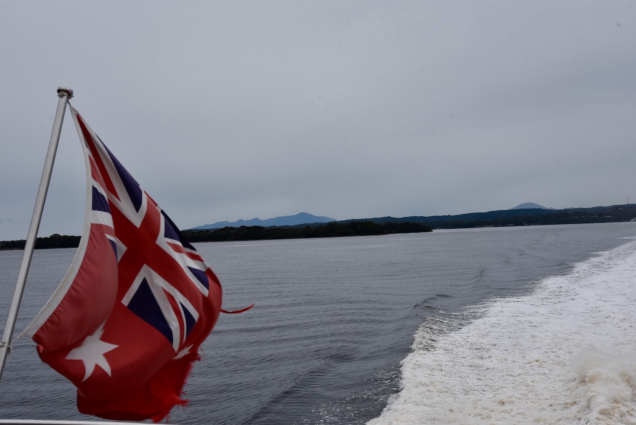
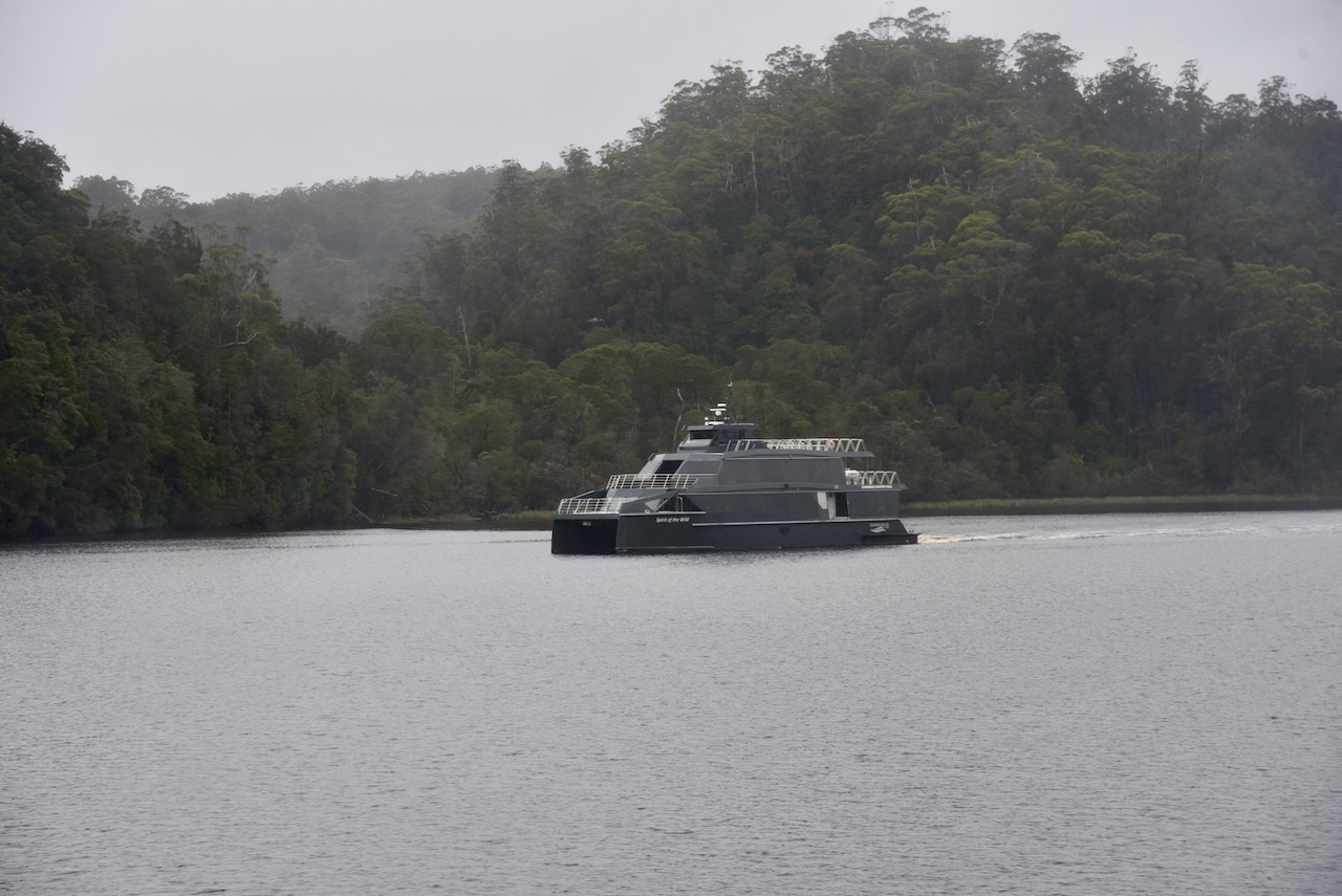
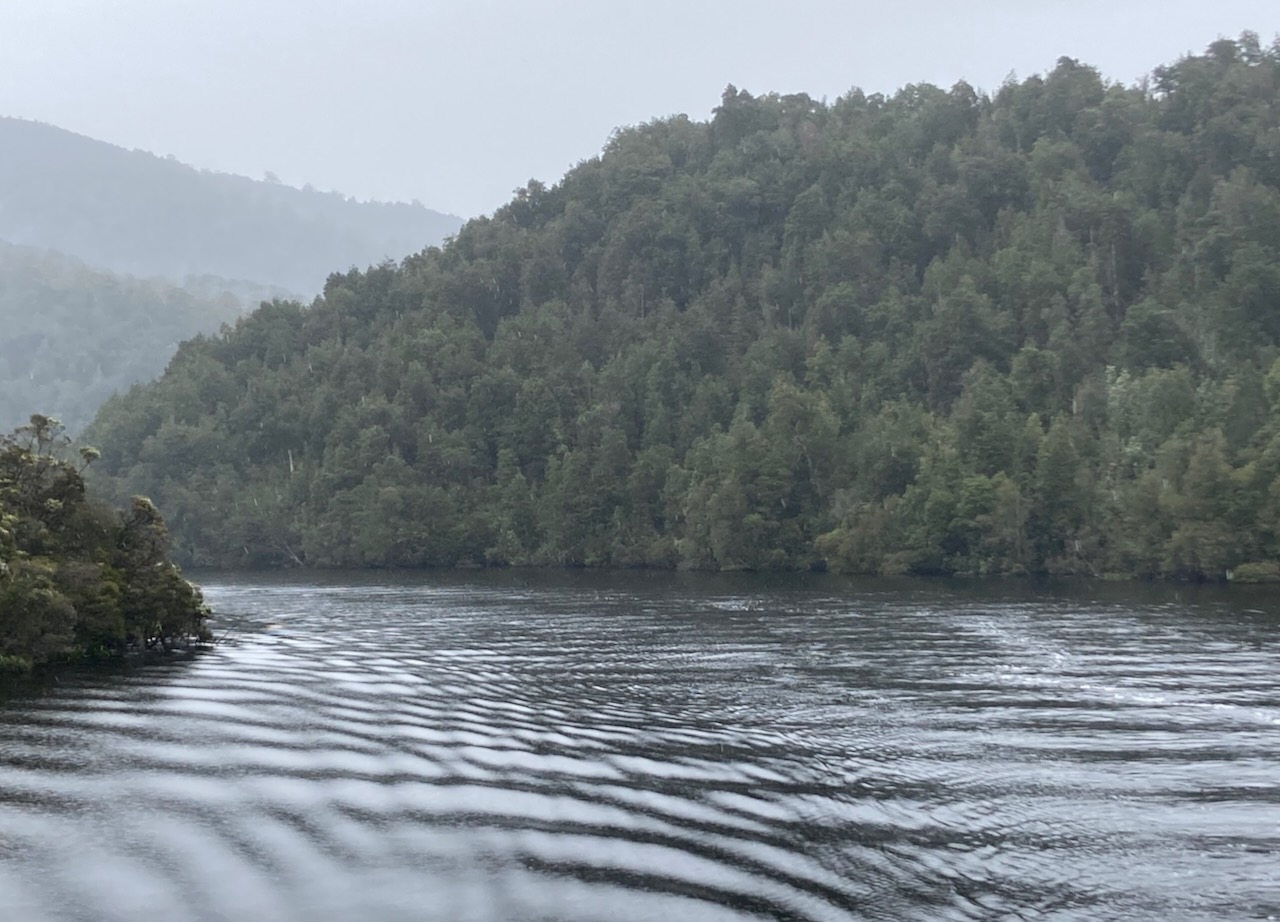
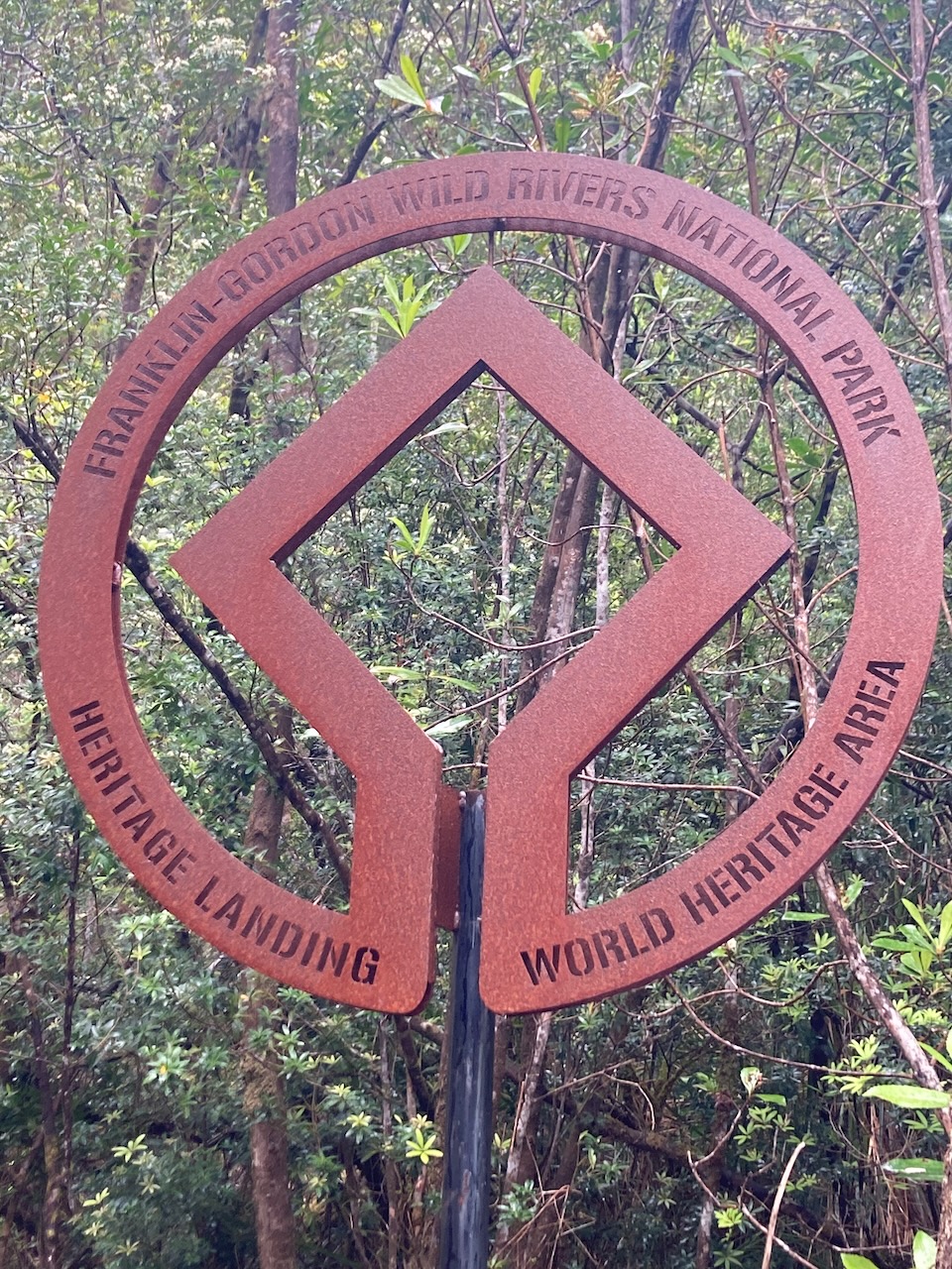
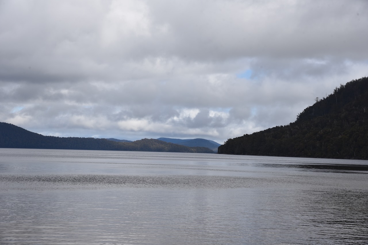
We then returned to the boat and sailed down the famous Gordon River. The river is 172 km in length and is part of Tasmania’s World Heritage Wilderness.
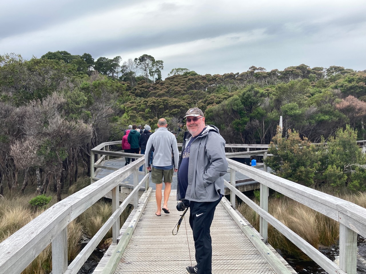
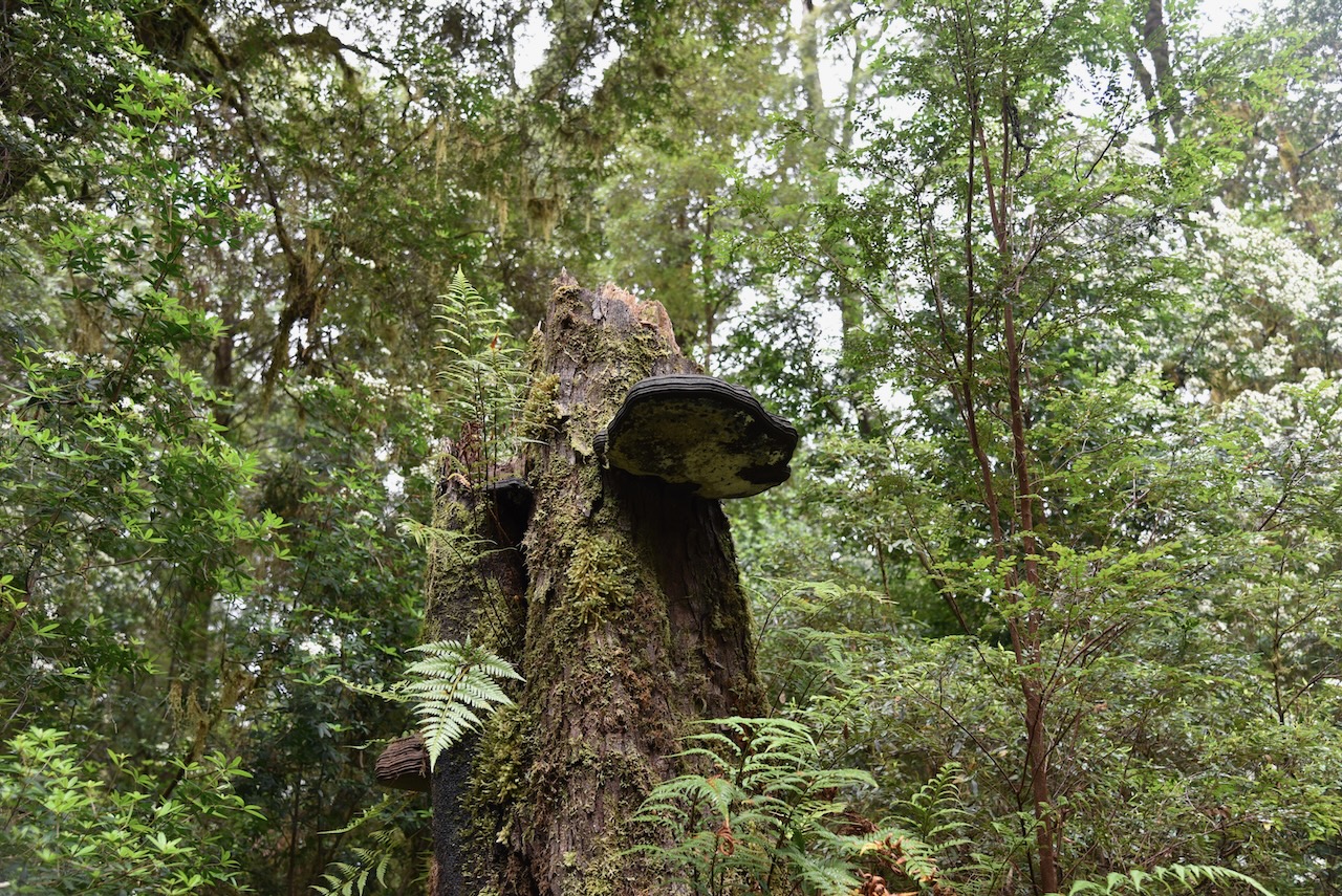
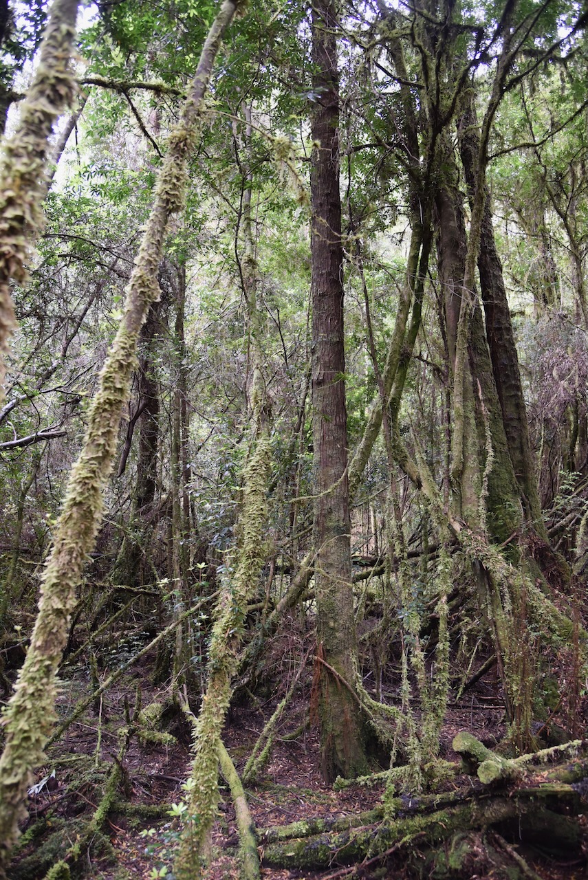
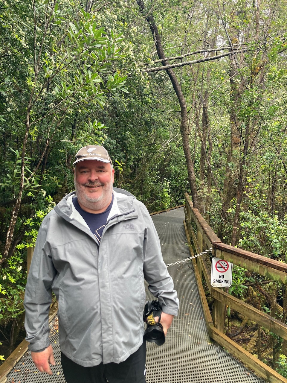
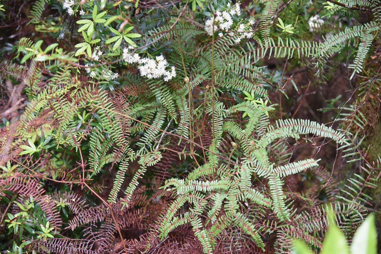
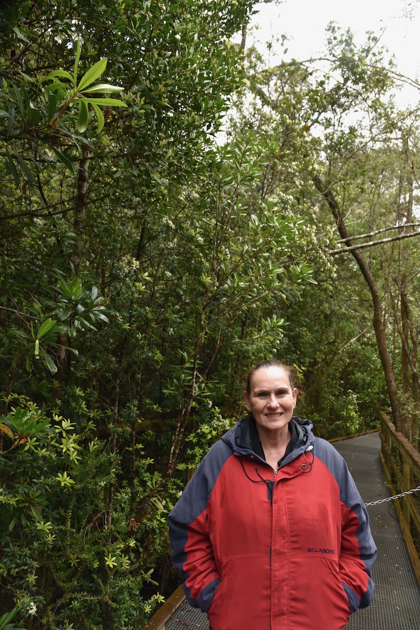
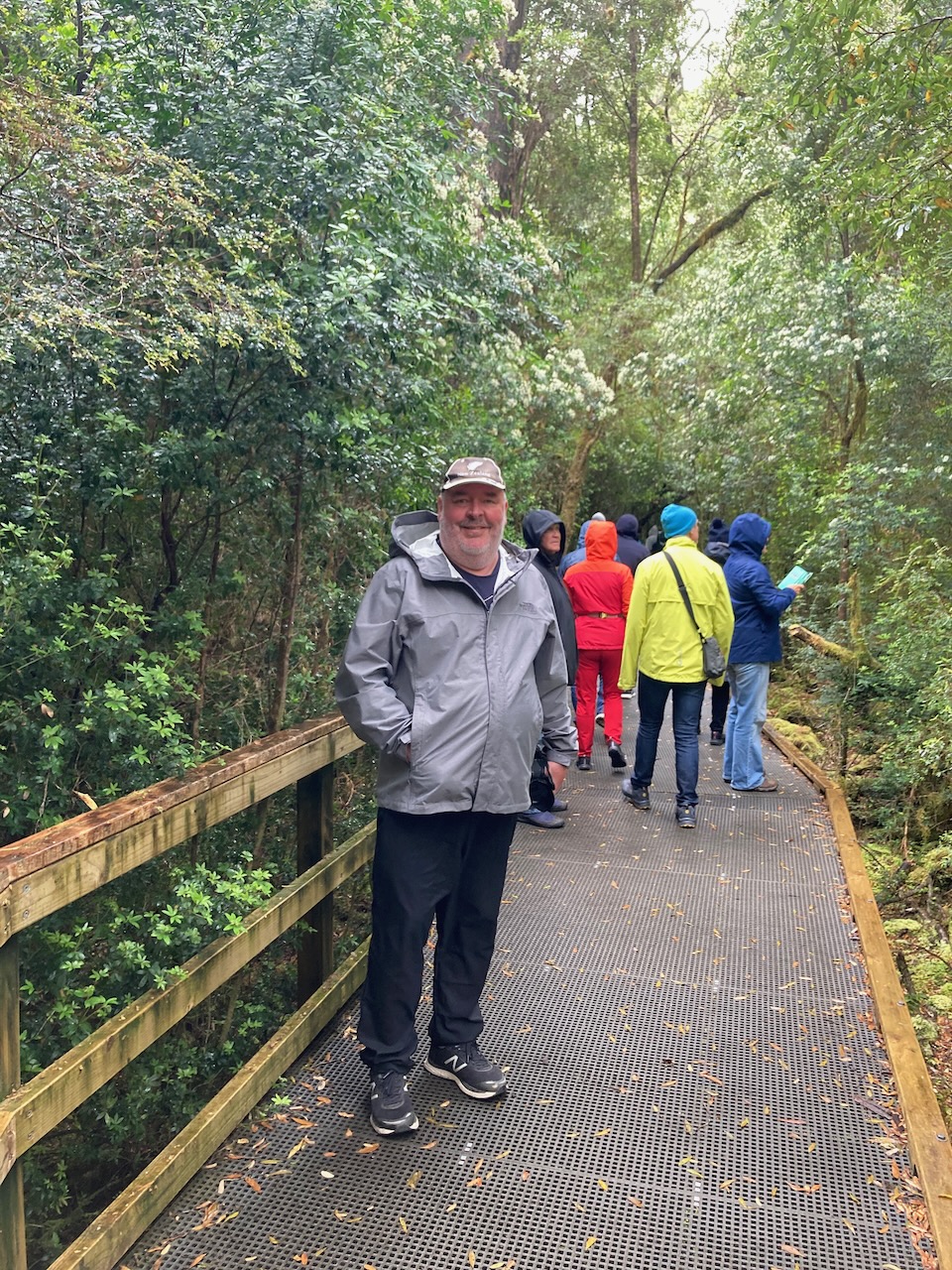
We then stopped at a Heritage landing and took a guided tour along a wooden boardwalk through the rainforest.
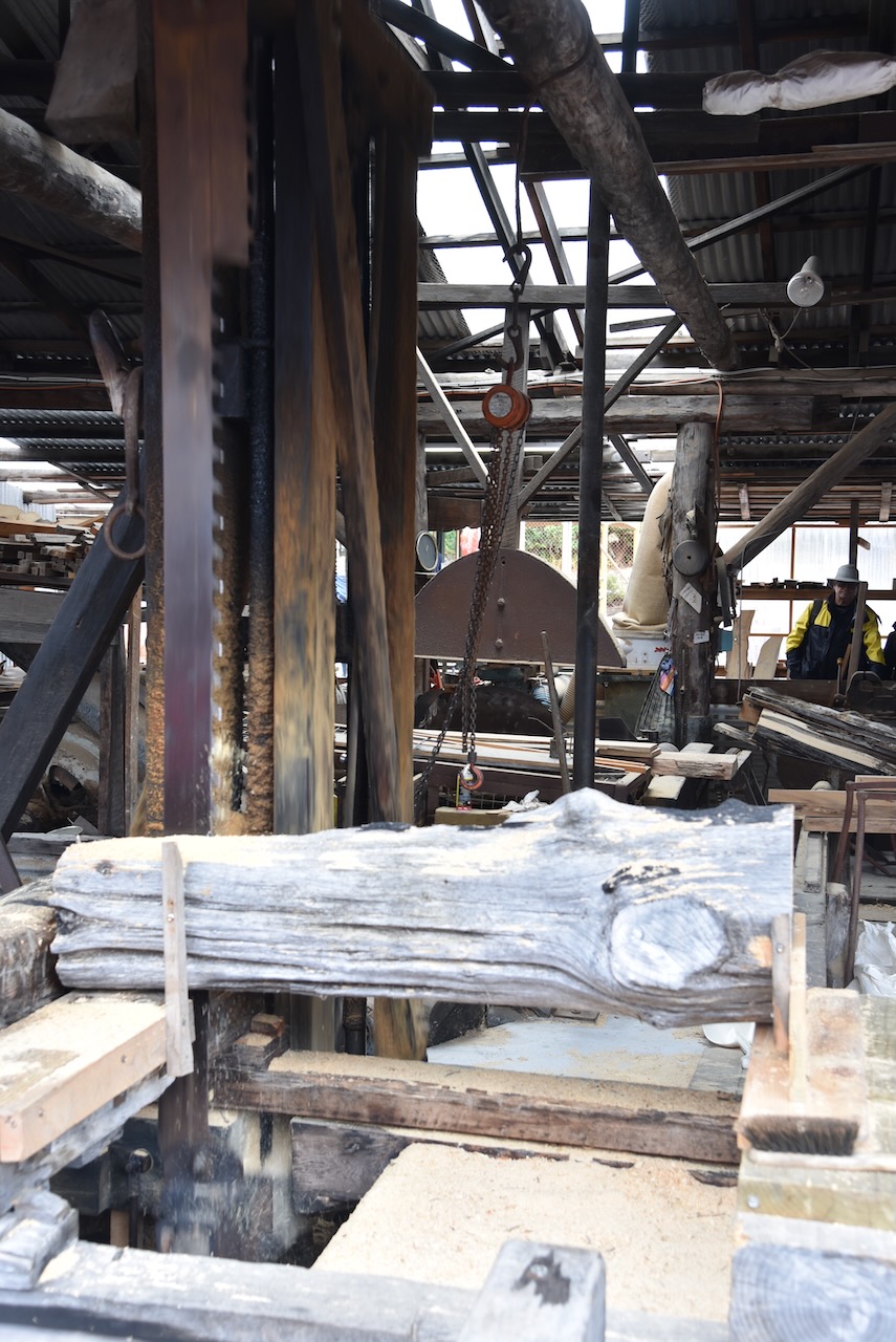
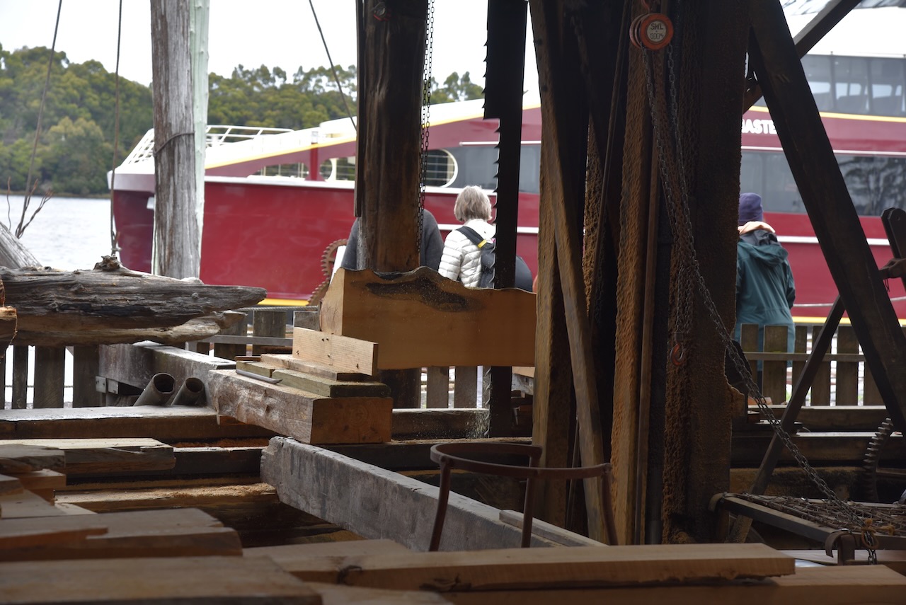
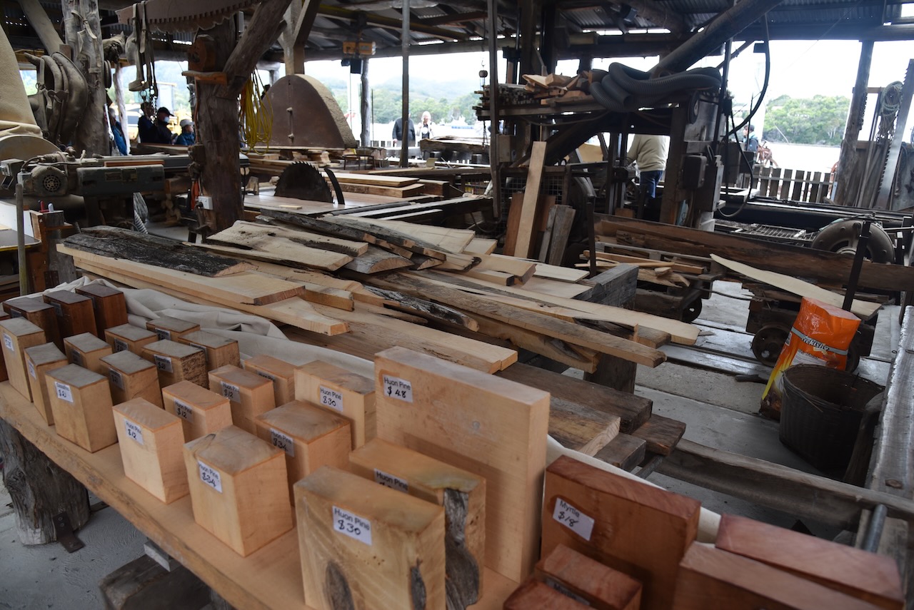
The boat then made its way back to Strahan where we left the boat and visited Morrison’s Huon pine sawmill. Huon pine only grows in Tasmania and predominantly on the West Coast and in the South West. The Morrison’s sawmill had been in operation on the site at Strahan since the early 1940s.
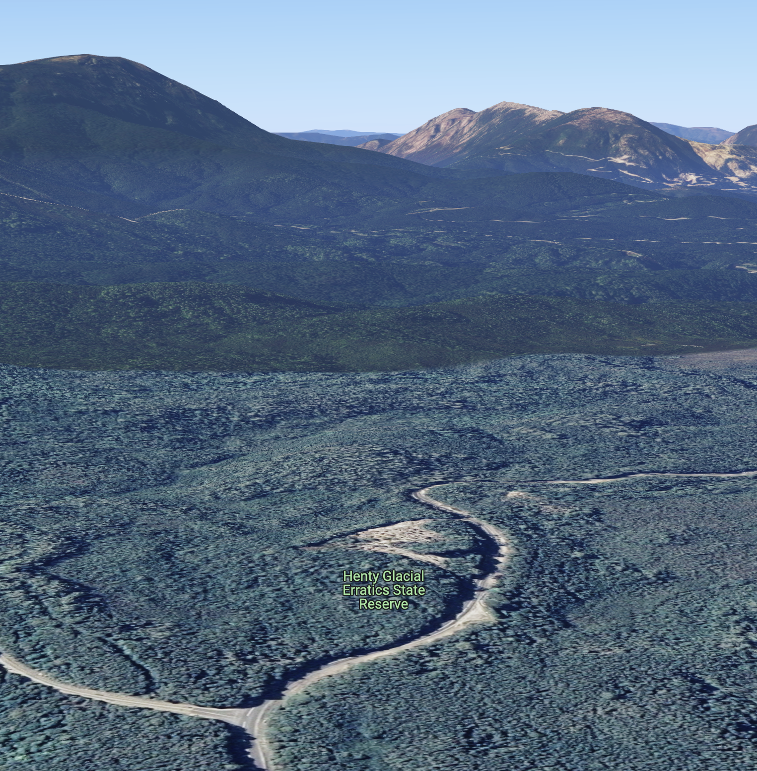
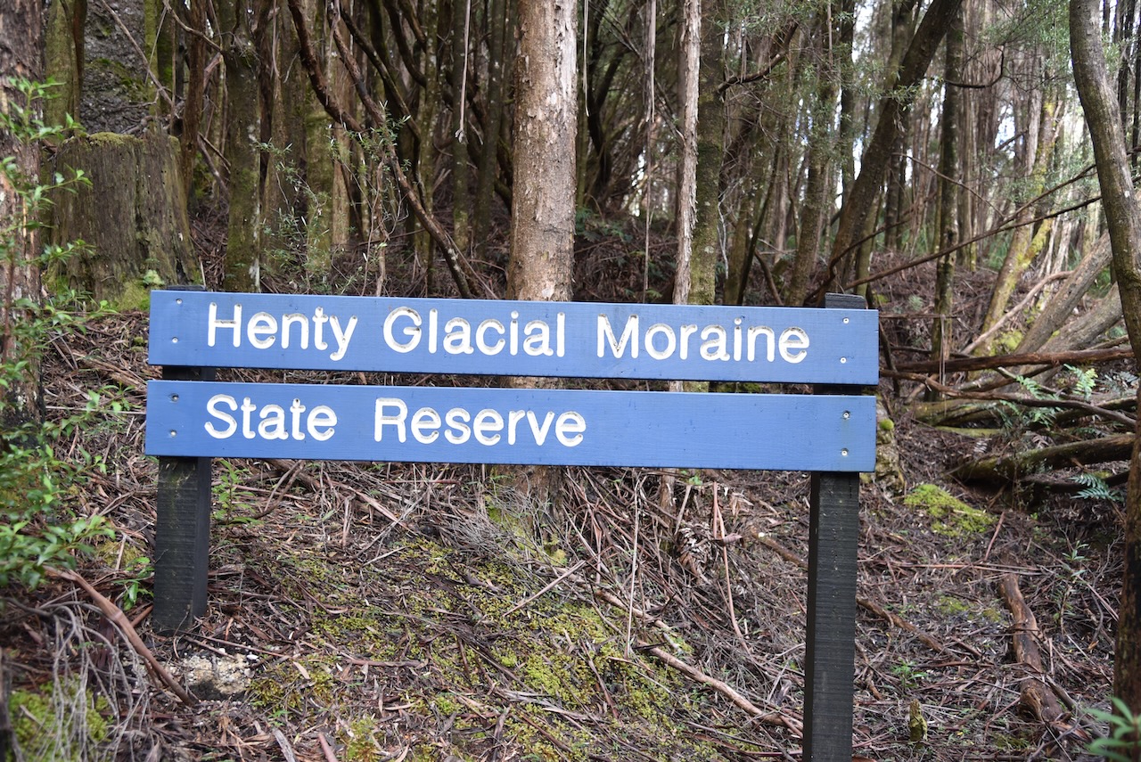
It was mid afternoon and we decided to go for a bit of a drive to activate a park. We decided upon the Henty Glacial Erratics State Reserve VKFF-1805, which according to the parksnpeaks app was one of the closest parks, about 48 km away.
Above:- Map showing the location of the Henty Glacial Erratics State Reserve. Map c/o Google maps.
The Henty Glacial Erratics State Reserve is located on the eastern side of the Zeehan Highway near the junction with Anthony Road.
Above:- An aerial view of the Henty Glacial Erratics State Reserve. Image c/o Google maps.
The park was gazetted on the 30th day of July 2001.
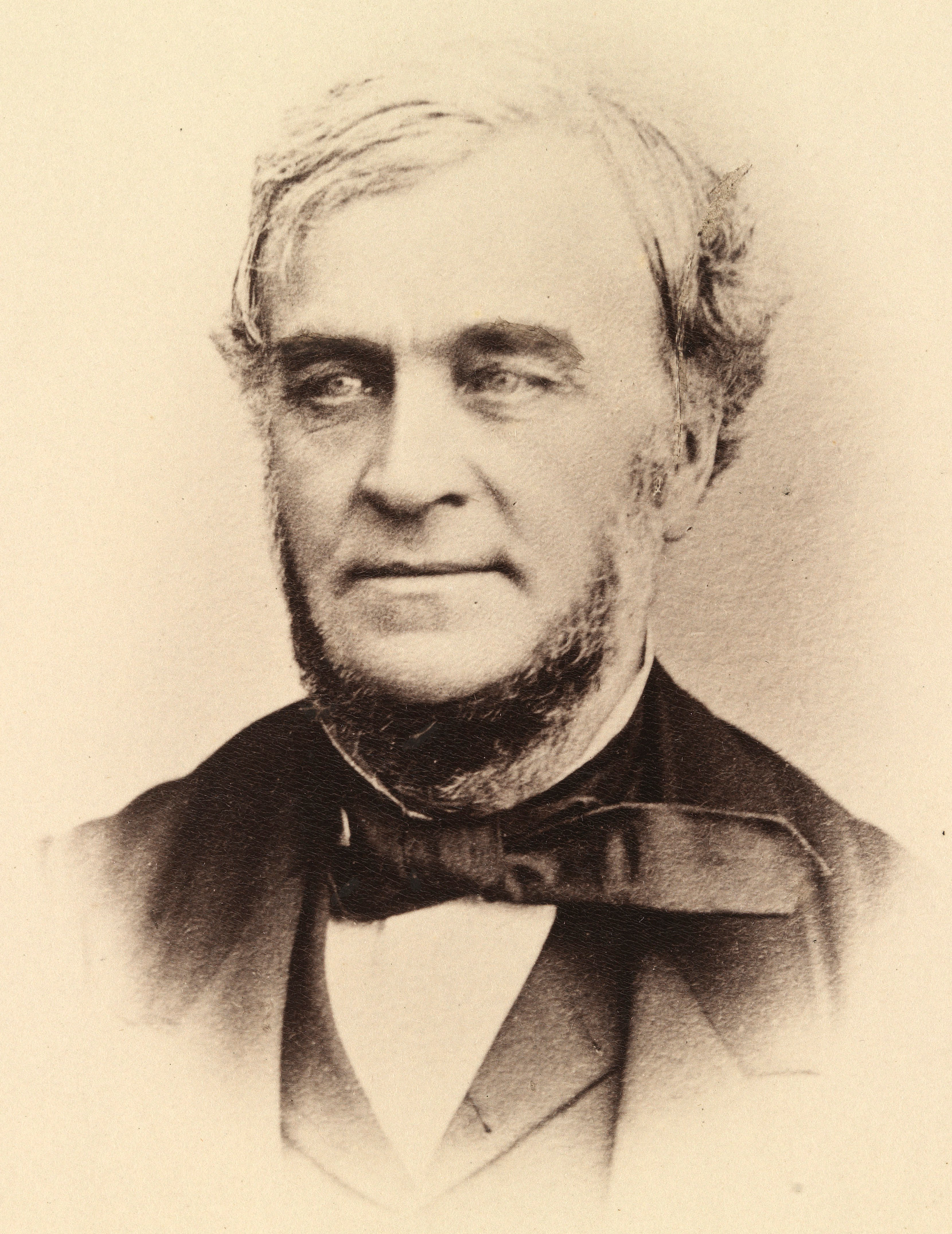
The park is located in the district of Henty which was named in honour of Mr. William Henty (b. 1808. d. 1881) who was the Colonial Secretary (1857-1862).
Above:- William Henty. Image c/o Wikipedia.
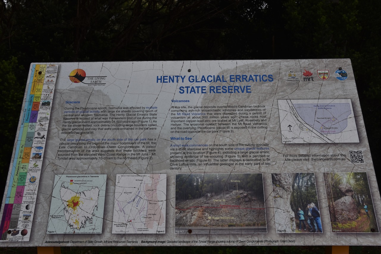
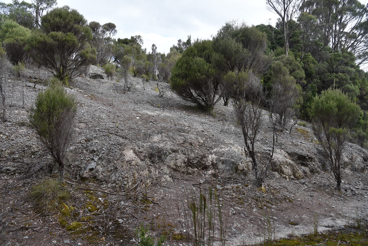
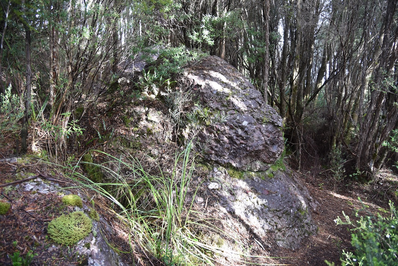
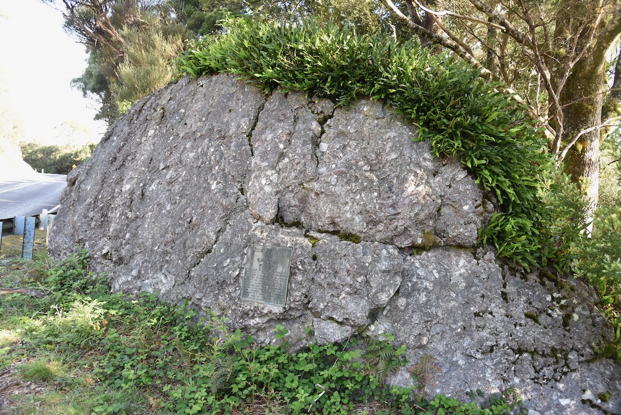
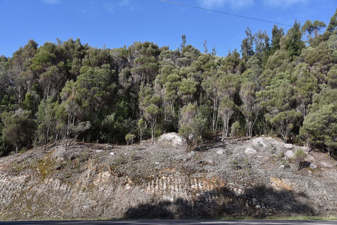
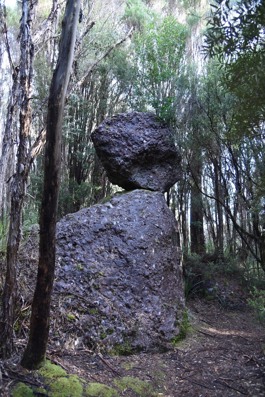
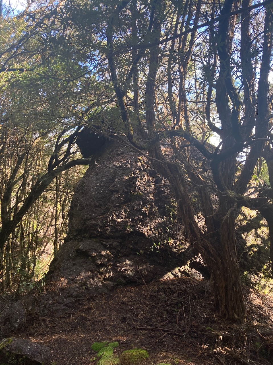
During the Pleistocene epoch, Tasmania was affected by multiple periods of glacial activity with large ice sheets covering much of central and western Tasmania. The Henty Glacial Erratics State Reserve is located at what was the western limit of ice during the Henty glacial event about 34,600 years ago. As the ice sheet melted, rock debris, including large boulders called glacial erratics, and clay that were once entrained in the ice were deposited as glacial tilt.
There is a short walk with some unique glacial features and interpretive signs.
Marija worked the following stations on 40m SSB:-
VK3PF
VK3DAE
VK2IO/p (Wallumatta Nature Reserve VKFF-2012)
VK5FANA
VK2YAK
VK4YAK
VK3VIN
VK3UH
VK3GJG
VK3DFG
VK3ZPF/p (Dandenong Ranges National Park VKFF-0132)
VK5BJE
I worked the following stations on 40m SSB:-
VK3PF
VK3DAE
VK2IO/p (Wallumatta Nature Reserve VKFF-2012)
VK5FANA
VK2YAK
VK4YAK
VK3VIN
VK3UH
VK3GJG
VK3DFG
VK3ZPF/p (Dandenong Ranges National Park VKFF-0132)
VK3JW/p (Dandenong Ranges National Park VKFF-0132)
VK2NP
VK5BJE
VK5CZ
VK7AOE
VK3LF/m
VK7RA
VK4TJ
VK5AYL
VK3NP
VK2MI
VK2YK
VK5GA
I worked the following stations on 20m SSB:-
VK4TJ
IK4IDF
IW2NXI
VK4NH
VK4DXA
VK4KC
VK4MAD
VK4DOG
DL2ND
VK4MUD
IK1GPG
VK4CZ
F1BLL
VK4MWL
ZL3MR
ZL1TM
OH6GAZ
OH1MM
OH5EP
ZL1BQD
OH1XT
VK4APV
IZ5JMZ
DK4RM
We packed up and headed back into Strahan. We stopped briefly at the Ocean Beach and Henty Dunes lookout to enjoy the views.
That evening we went out for dinner at the hotel in Strahan.
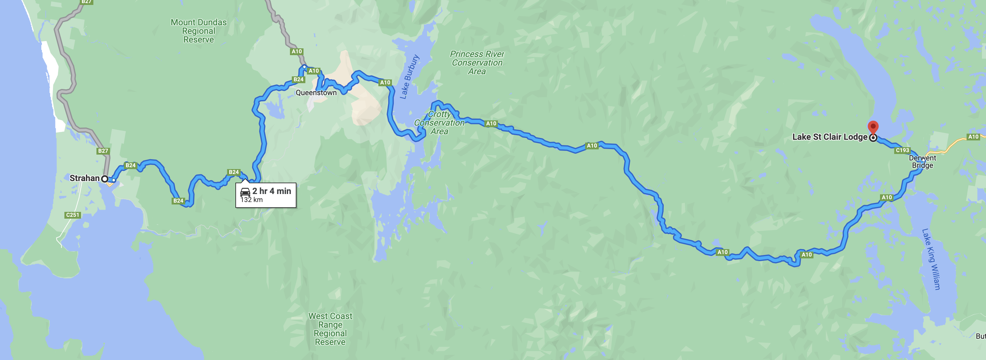
We were now well and truly into 2 weeks of our Tasmania trip (Saturday 112th November 2022). Today we were to travel from Lake St Clair to Strahan on the west coast of Tasmania, a distance of about 132 km.
Above:- Map showing our route from Lake St Clair to Strahan. Map c/o Google maps.
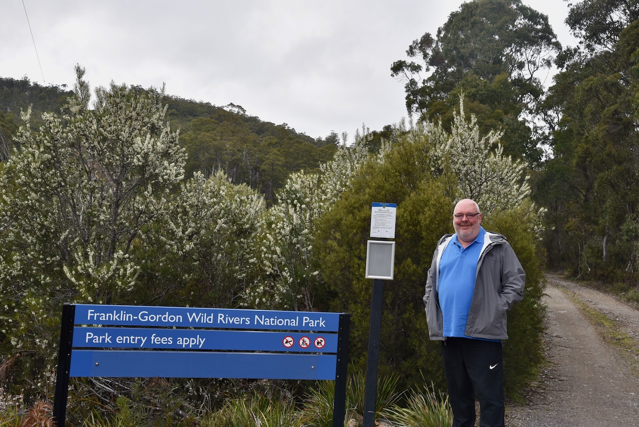
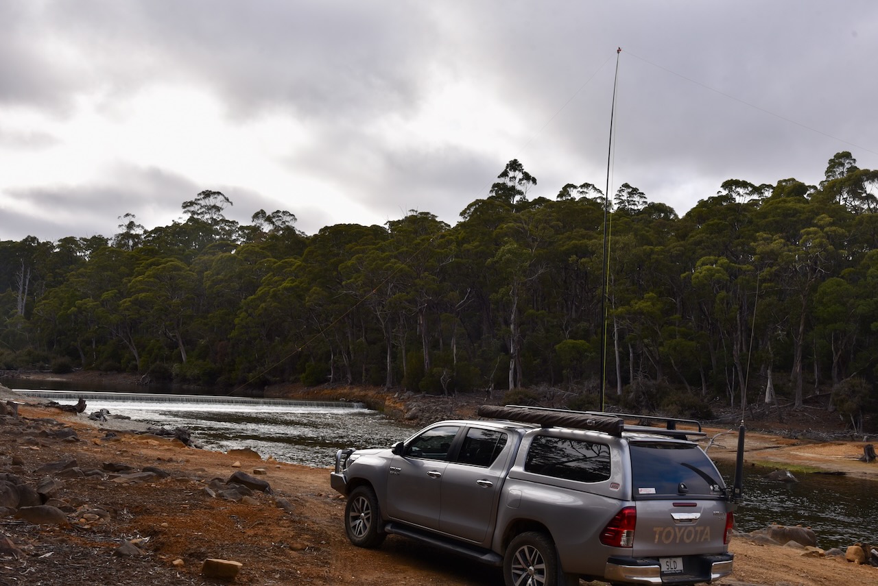
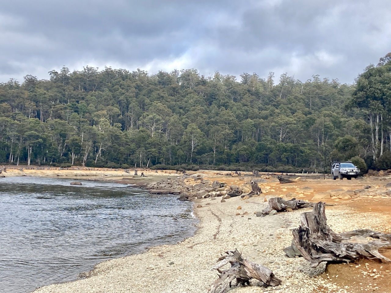
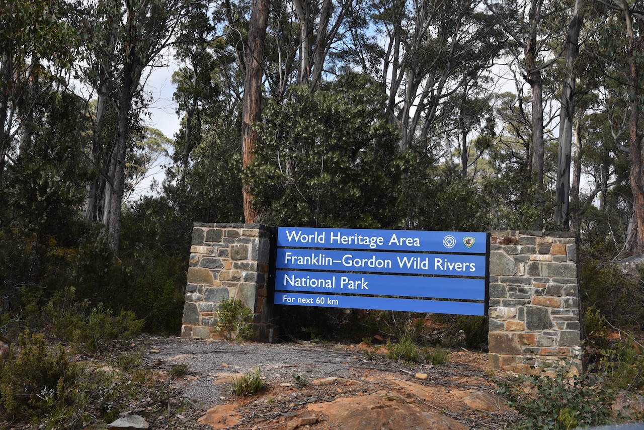
After another cooked breakfast at Lake St Clair Lodge we hit the road and started travelling south west on the Lyell Highway. It wasn’t long and we saw a sign for the Franklin Gordon Wild Rivers National Park VKFF-0185. We hadn’t realised that the park was so close to Derwent Bridge.
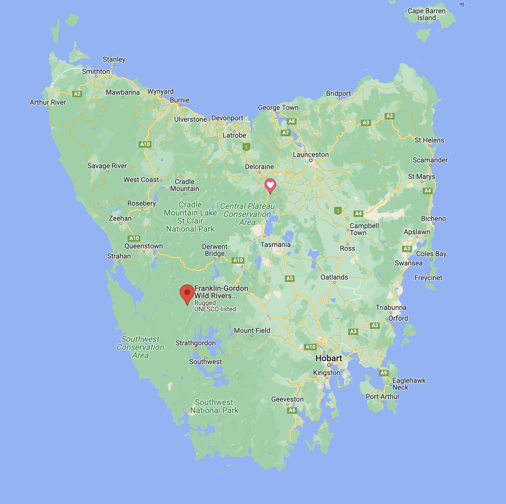
Above:- Map of Tasmania showing the location of the Franklin Gordon Wild Rivers National Park. Map c/o Google maps.
Franklin-Gordon Wild Rivers National Park is 4,463.42 km2 in size and is situated about 117 km west of Hobart. It is named after the two main river systems which lie within the bounds of the park, the Franklin River and the Gordon River. The park is located in the heart of the Tasmanian Wilderness World Heritage Area.
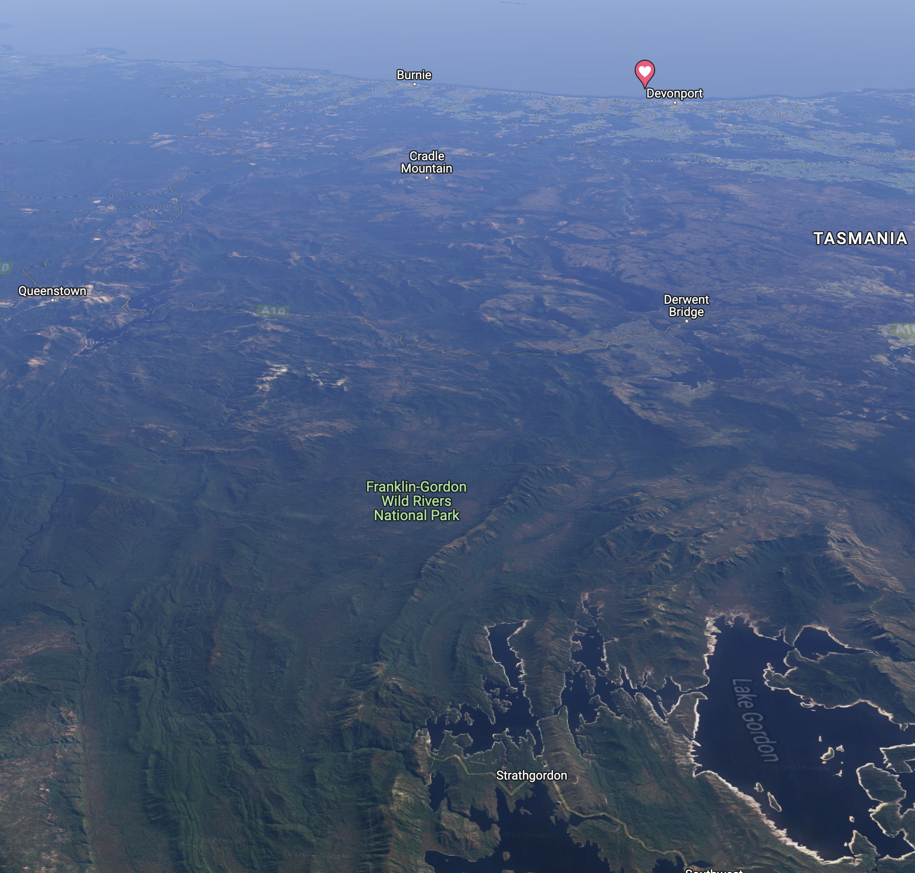
Above:- An aerial view of the Franklin Gordon Wild Rivers National Park. Image c/o Google maps
The Franklin River rises below Mount Hugel west of Derwent Bridge and flows west and south through remote and rugged mountainous country until it meets the confluence with the Gordon River. Its total length is 129 km.
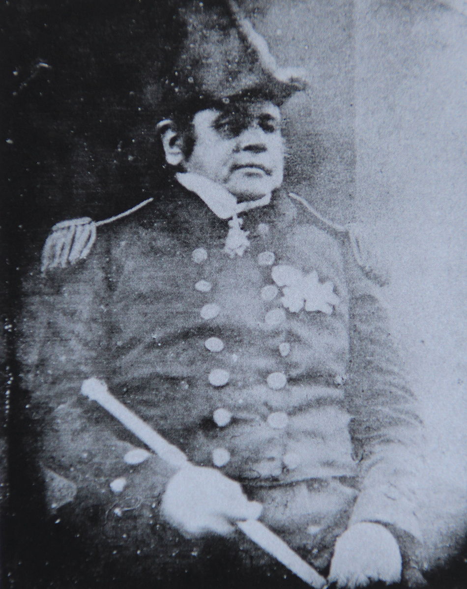
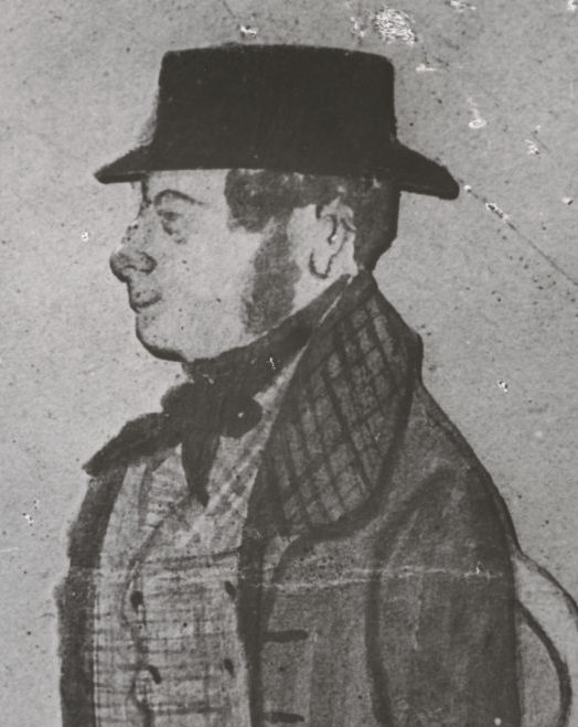
The river is named in honour of Sir John Franklin (b. 1786. d. 1847), a Governor of Tasmania.
Above:- Sir John Franklin. Image c/o Wikipedia.
The Gordon River rises below Mount Hobhouse in the National Park and flows south and spills into Lake Gordon. The river is 172 km in length.
The river was explored by James Kelly in 1816 who named it in honour of an associate James Gordon.
Above:- James Kelly. Image c/o Friends of North Bruny, friendsofnorthbruny.org.au
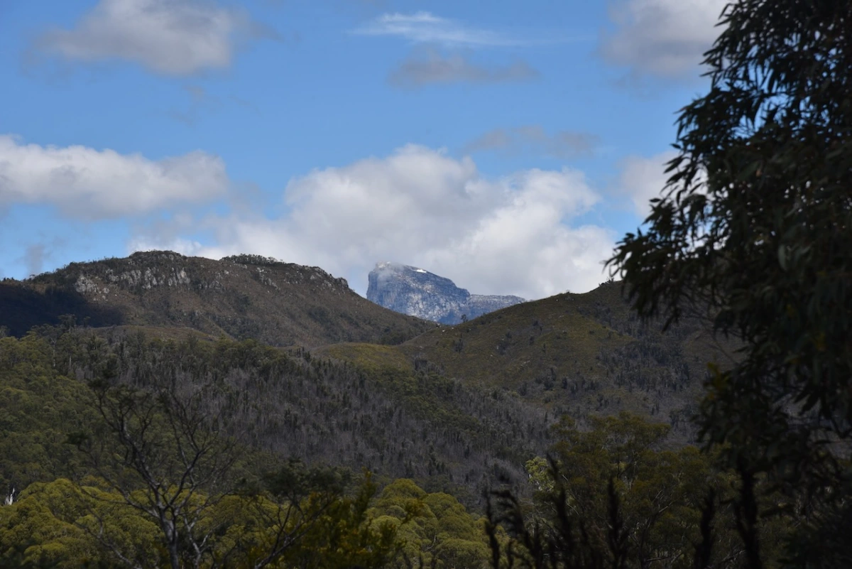
Part of the current park was previously the Frenchmans Cap National Park which took its name from Frenchmans Cap, a mountain which is 1,446 metres above sea level. It is named due to its appearance from some angles as looking like a Frenchmans Cap, most notably the Liberty Cap worn during the French Revolution.
Most Australians would recognise the names Franklin River and Gordon River. They were the subject of one of Australia’s greatest conservation efforts when in 1978 the Tasmanian Hydro Elecric Commission with the approval of Robin Gray State Liberal Government announced plans to build a dam on the Franklin River.
It became a very big national issue and particularly for the Tasmanian Wilderness Society which was led by Bob Brown. In 1972 the Tasmanian State Government had given the Tasmanian Hydro Electric Commission approval to dam the Serpentine and Huon Rivers to create Lake Pedder. The dam resulted in the loss of Tasmanian wilderness and the extinction of two invertebrate species. The development was opposed unsuccessfully by a number of environmental activists, many who went on to form the Tasmanian Wilderness Society.
Above:- Bob Brown. Image c/o Australian Greens website – Australian Greens
Following the 1978 proposal to build a dam on the Franklin and Gordon Rivers, an organised protect march in Hobart in 1980 against the damming of the Franklin River saw 10,000 take to the streets of Hobart. The Tasmanian State Government compromised and added the Franklin River to the Wild Rivers National Park. However they approved the building of a dam on the Gordon River. In December 1981 a referendum was held which led to a political crisis and a change in Government to the Liberal Party in 1982 who immediately approved legislation to dam the Franklin River.
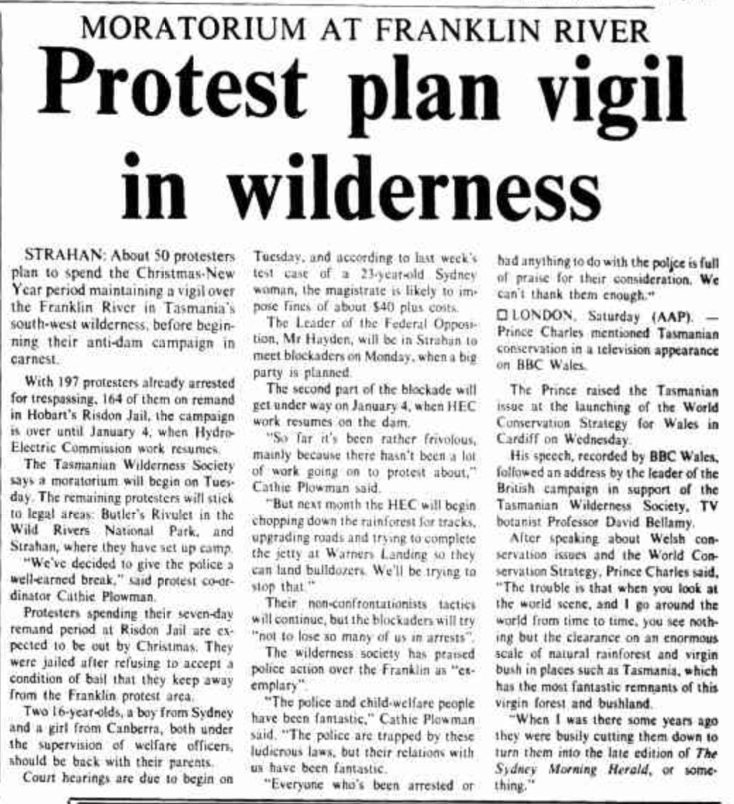
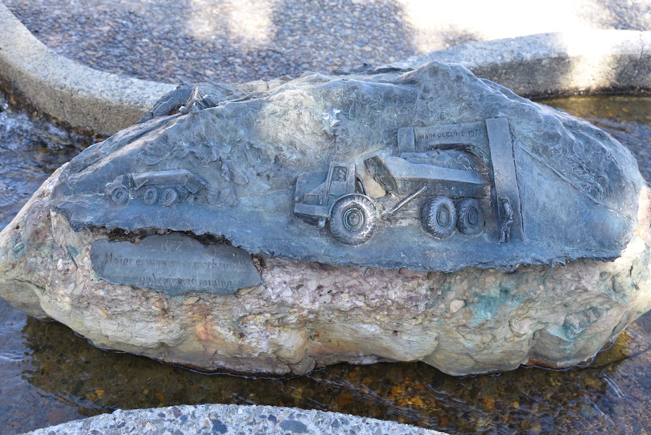
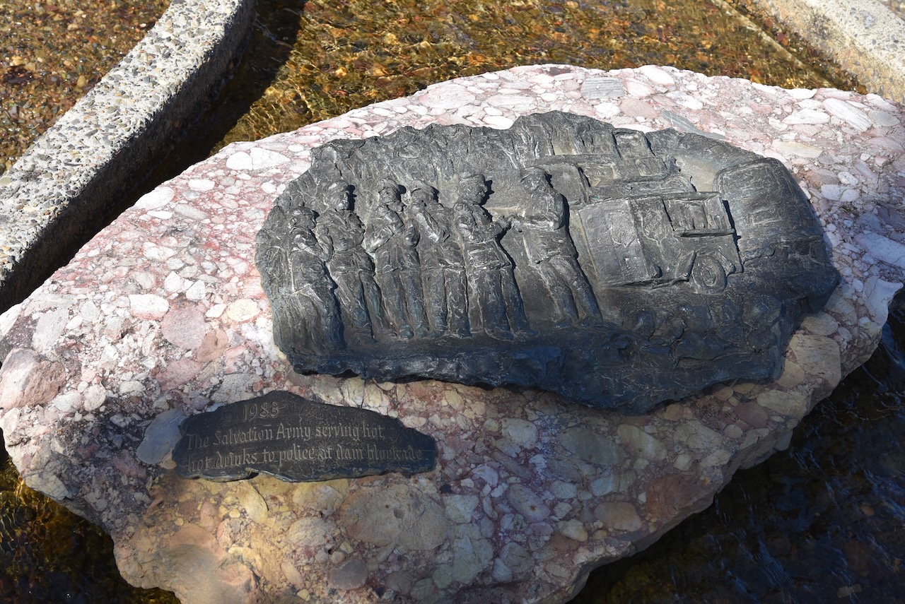
Protests then commenced including a blockade of the Franklin. Between December 1982 and March 1983. about 2,500 people participated. Of those 1,400 of these were arrested by Police. Bob Brown was one of those who was arrested.
Above:- news article from The Canberra Times, Sun 19 Dec 1982. Image c/o Trove
The Australian Federal Liberal Government refused to over rule the Tasmanian State Government. But in March 1983 the Australian Labor Party took over Federal Government and Prime Minister Bob Hawke introduced legislation to protect the Franklin and Gordon Rivers. The Tasmanian State Government refused to cease work on the dam which resulted in the Federal Government taking the State Government to the High Court of Australia. On the 1st day of July 1983, the High Court ruled in favour of the Federal Government.
Below is a video of reflections on the Franklin River blockade by Bob Brown.
We drove into the Lake King William area of the park on the southern side of the Lyell Highway. The lake’s namesake, Mount King William was named during the 1842 expedition of the area by Sir John Franklin (b. 1786. d. 1847). This was despite the fact that the reigning monarch at the time was Queen Victoria.
We ran out the 20/40/80m linked dipole for this activation, and used the Yaesu FT857 with 40 watts output.
Marija made the following QSOs on 40m SSB:-
VK5MOS
VK2IO
VK2VW
VK2HFI
VK4TJ
VK5FPKR
VK2EXA
VK5FANA
VK3VIN
VK5HS
VK2YAK
VK4YAK
VK3ZPF/p (French Island National Park VKFF-0622)
Marija made the following QSOs on 20m SSB:-
ZL3DRN/p (SOTA ZL3/ CB-514 & ZLFF-0128)
ZL1BQD
I made the following QSOs on 40m SSB:-
VK5MOS
VK2IO
VK2VW
VK2HFI
VK4TJ
VK5FPKR
VK2EXA
VK5FANA
VK3VIN
VK5HS
VK2YAK
VK4YAK
VK3SMW
VK3MTT/m
VK3BBB/m
VK2CCP/m
VK5BJE
VK5HAA
VK3AHR
ZL1BQD
VK3PF
VK1AD
VK2DRB
VK3ZPF/p (French Island National Park VKFF-0622)
VK3SQ
VK3APJ
VK2NP
VK2CDB
VK2YK
VK5GA
VK5WT
VK2MTC
I made the following QSOs on 20m SSB:-
VK4TJ
ZL3DRN/p (SOTA ZL3/ CB-514 & ZLFF-0128)
ZL1BQD
We had both qualified the park for the VKFF program, and I had fallen a few QSOs short of 44 required for the global World Wide Flora Fauna (WWFF) program. But it was before the UTC rollover and we still had some stops to go in the park. We packed up and headed further into the National Park.
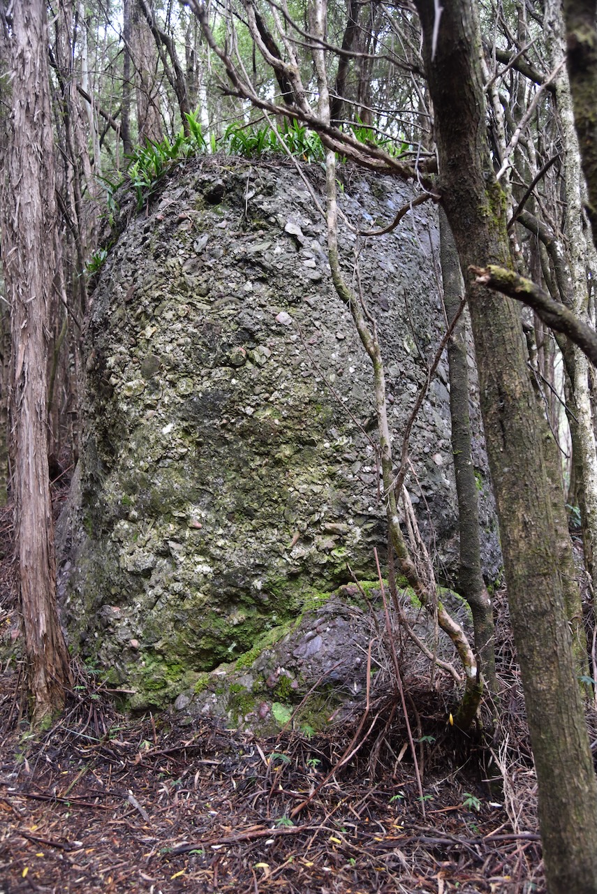
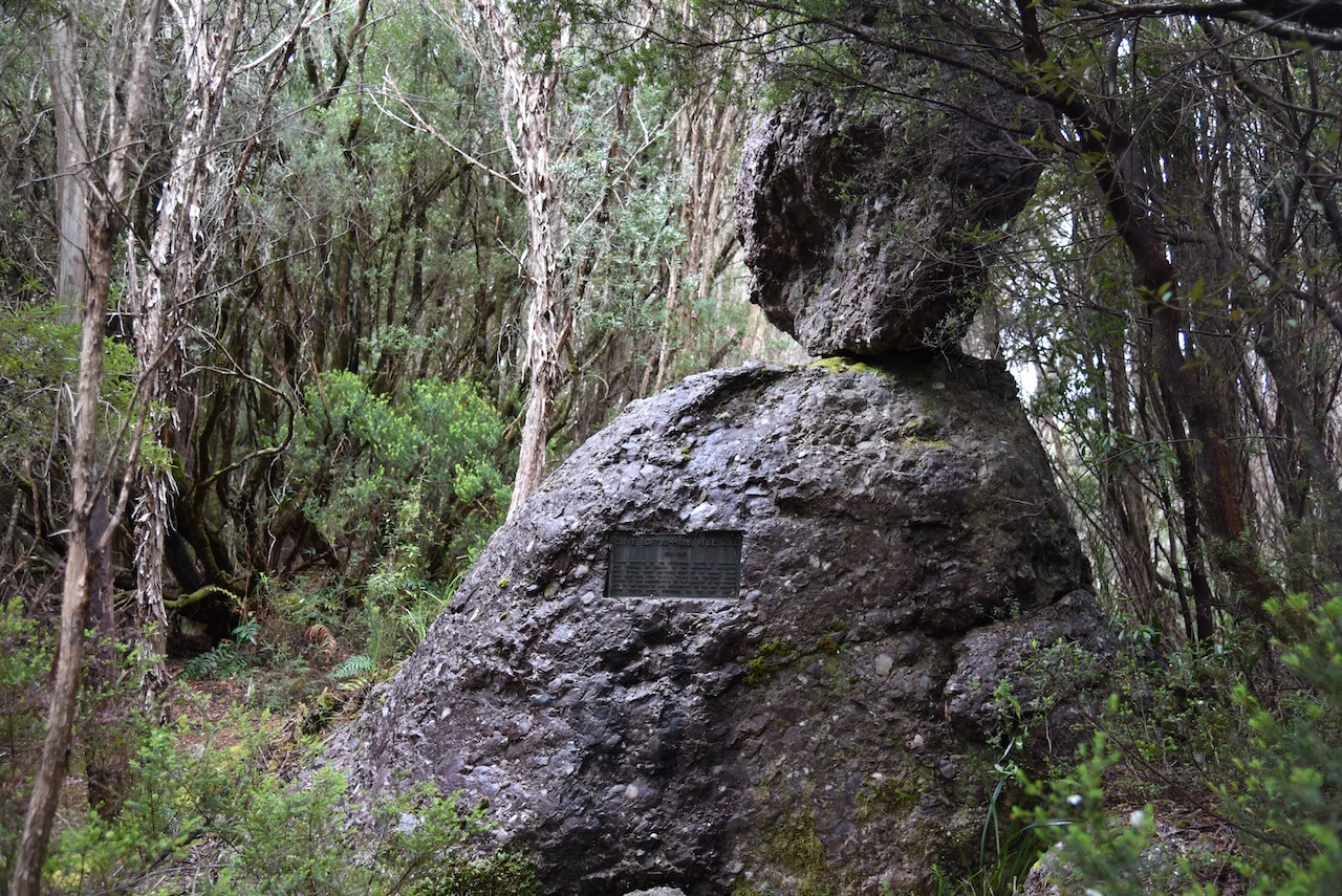
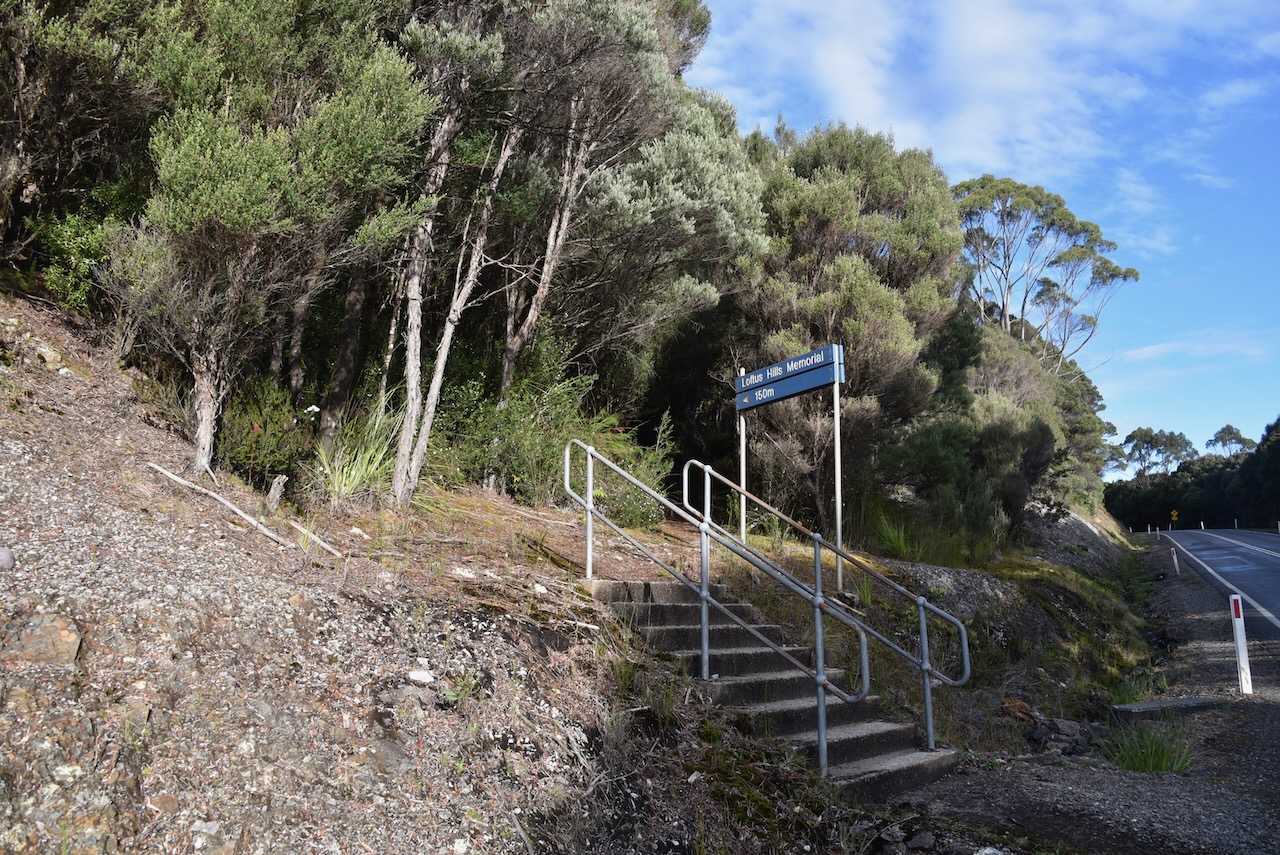
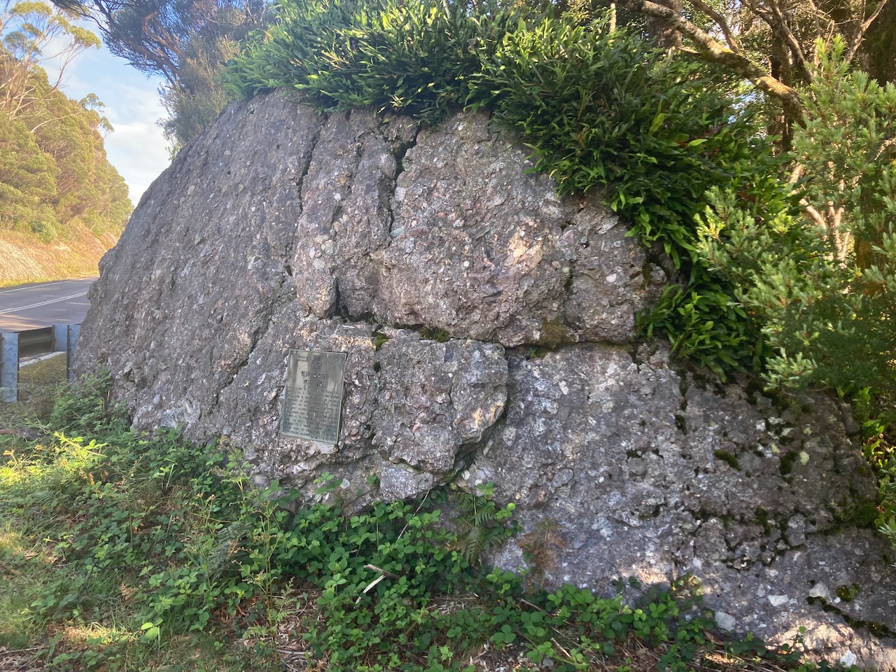
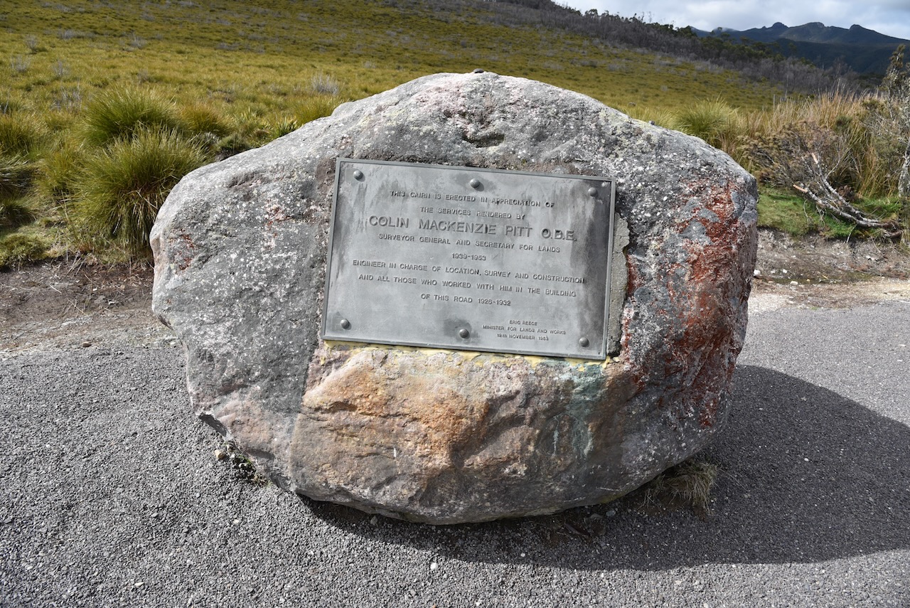
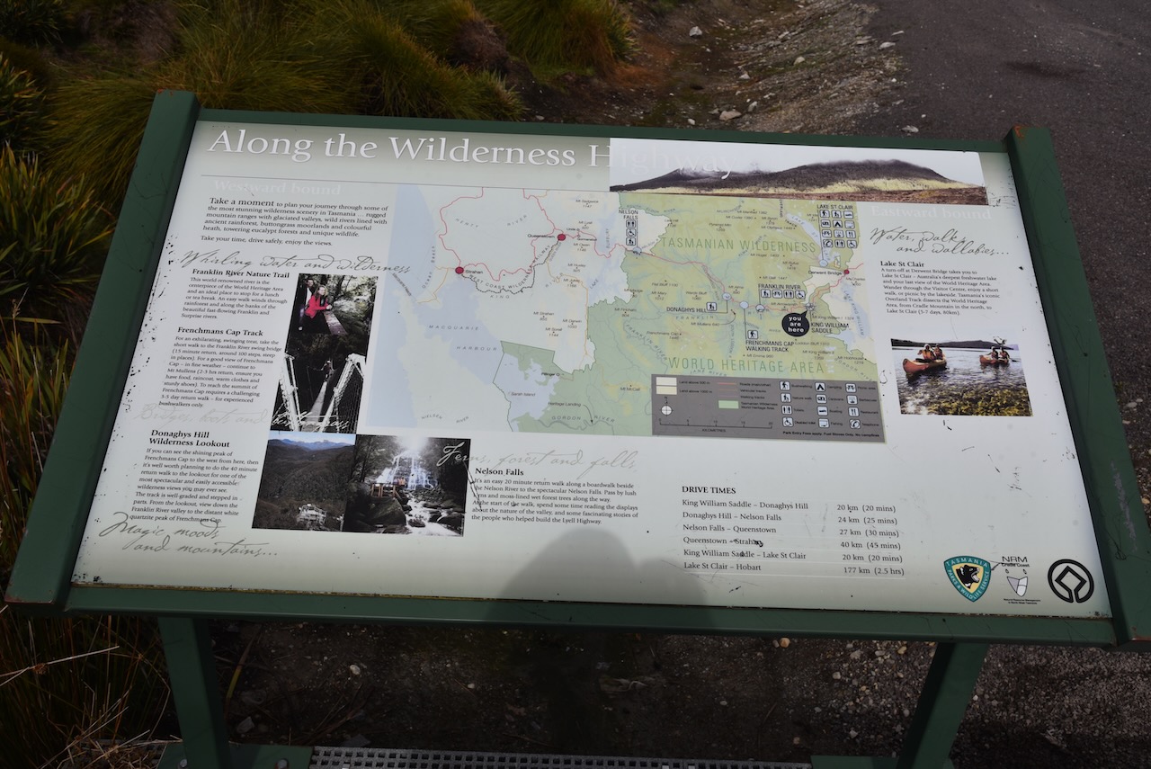
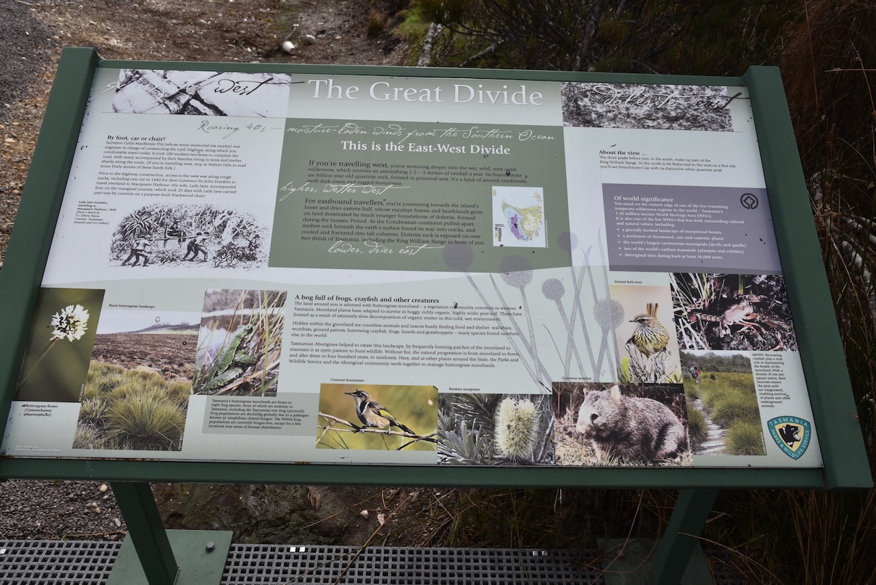
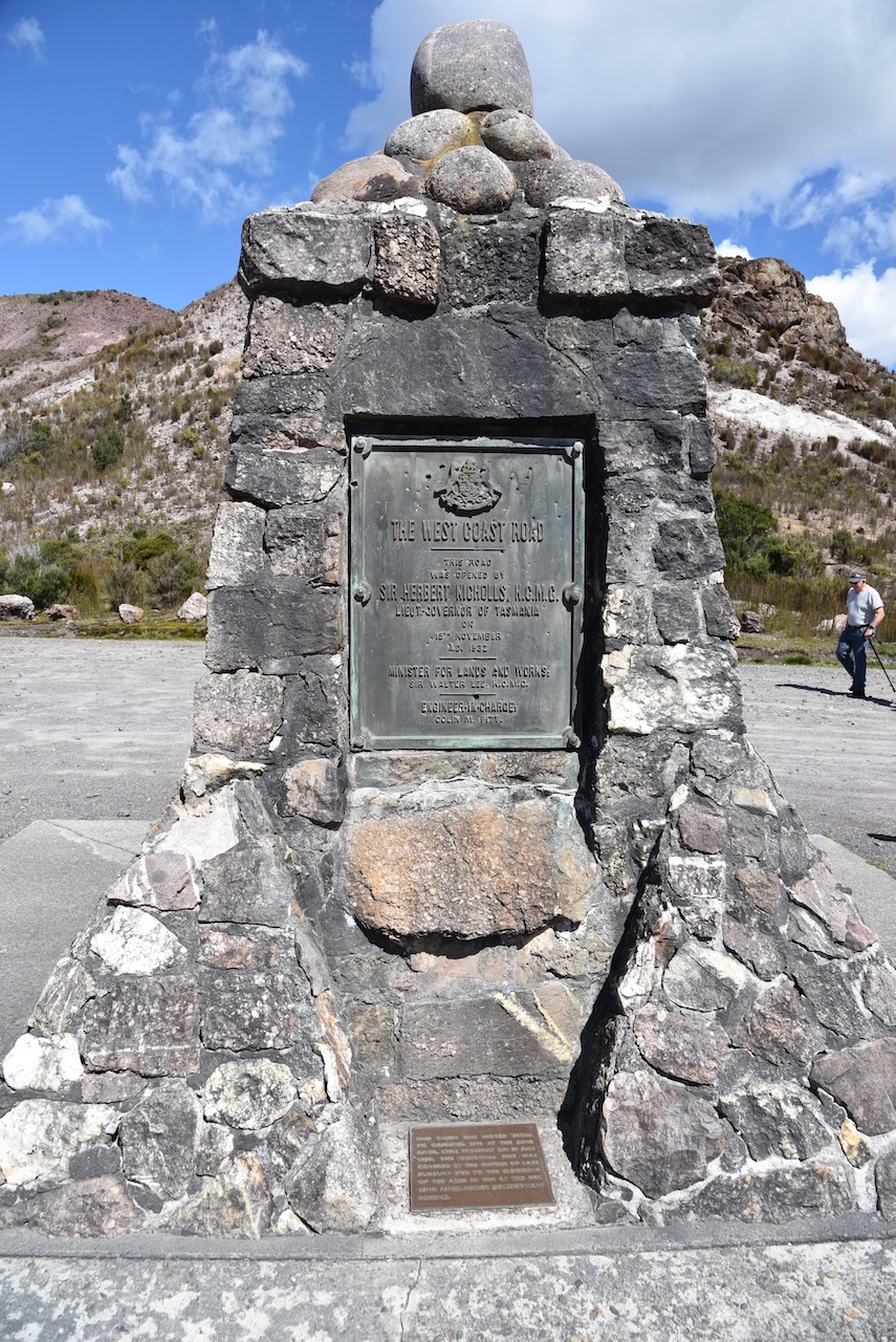
We stopped briefly at a roadside stop on the Lyell Highway where there are a number of information boards and a memorial cairn for Colin Mackenzie Pitt. He was the Surveyor General and Secretary for Lands. He was responsible for the building of the Lyell Highway. It took 200 workers a total of two years to complete the road.
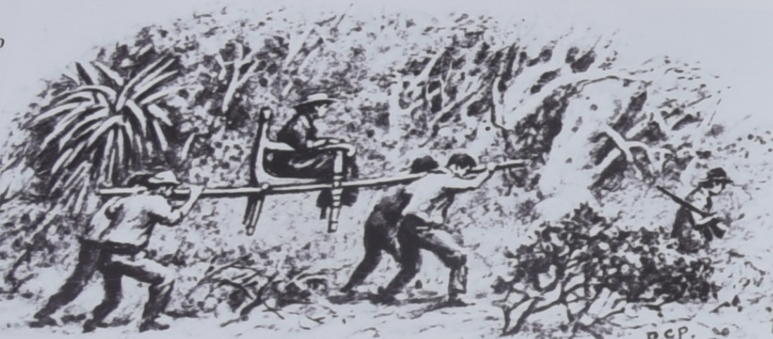
Prior to the construction of the Highway, access to the west coast of Tasmania was along rough tracks. This included a track which was cut in 1840 for Governor Sir John Franklin to travel overland to MacQuarie Harbour. His wife Lady Jane Franklin accompanied him on the inaugural journey which took 20 days with Lady Jane being carried part way by convicts on a purpose built Blackwood chair.
Whilst at the roadside stop Marija and I both worked Daryl VK3AWA who was activating The Lakes National Park VKFF-0484.
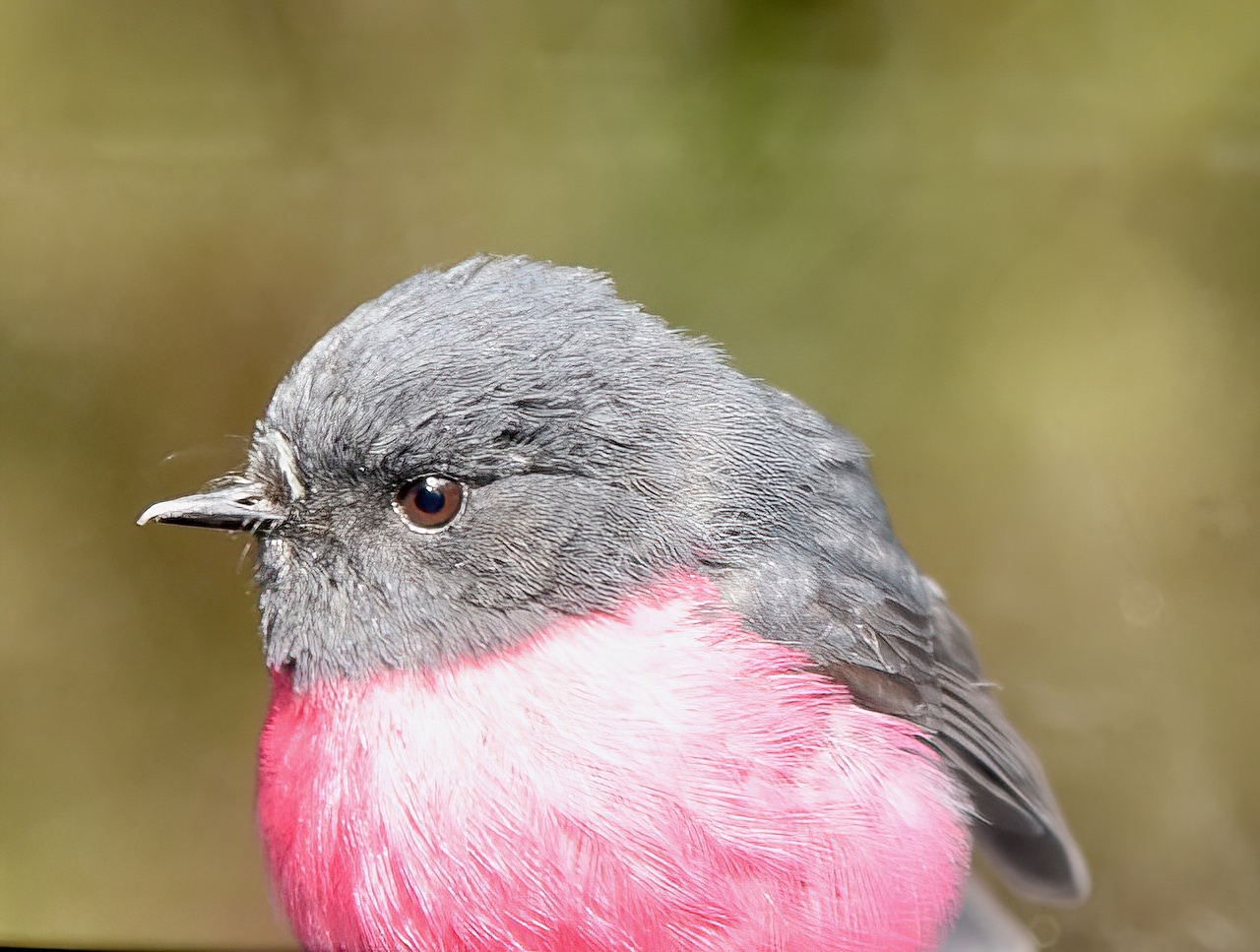
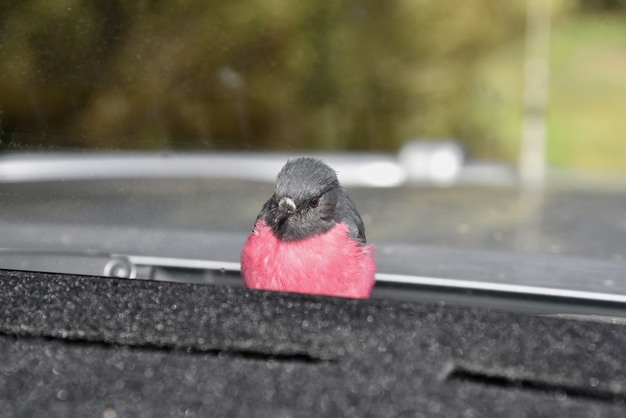
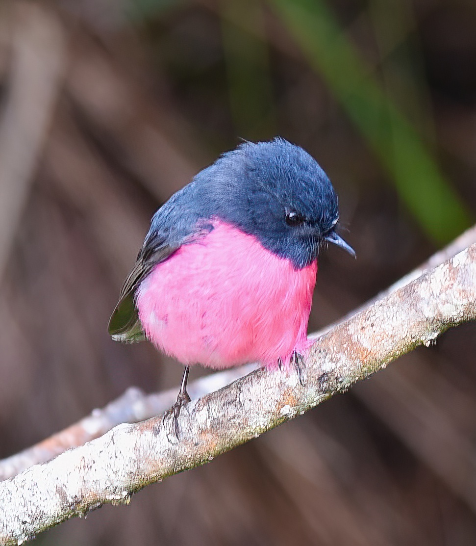
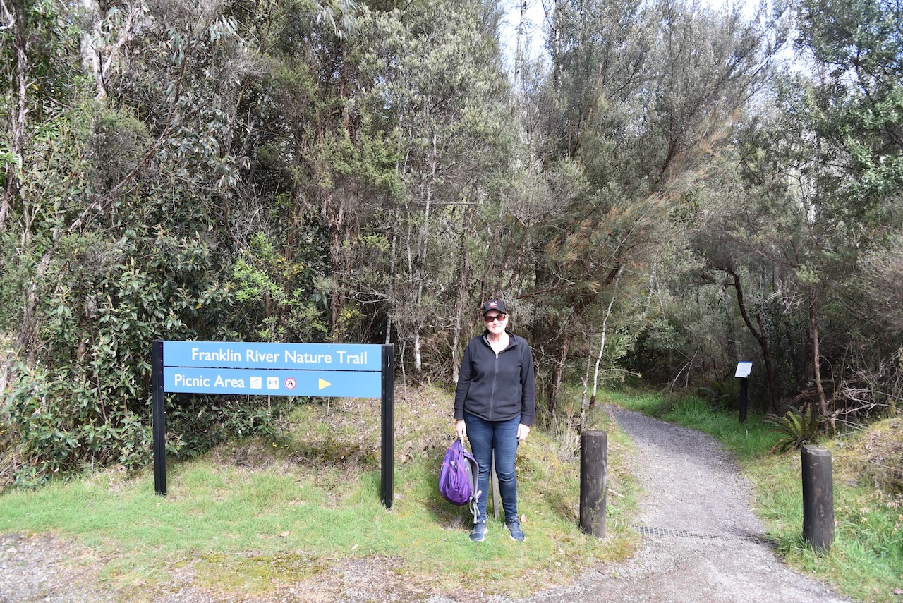
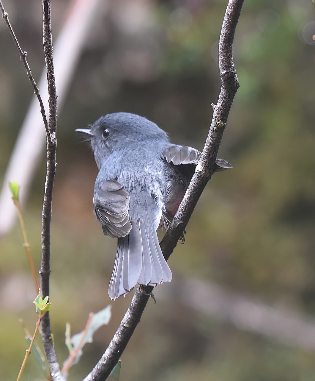
Our next stop was the Franklin River Nature Trail on the Lyell Highway. As we arrived in the carpark, a very friendly Pink Robin landed on our bonnet. I was so pleased to see this little bird as I had sighted one during our walk through Cradle Mountain, but when I went to take a photo the bird turned its back on me. Not this one.
Whilst in the carpark Marija and I both worked Joe VK3SRC who was activating the Churchill National Park VKFF-0621.
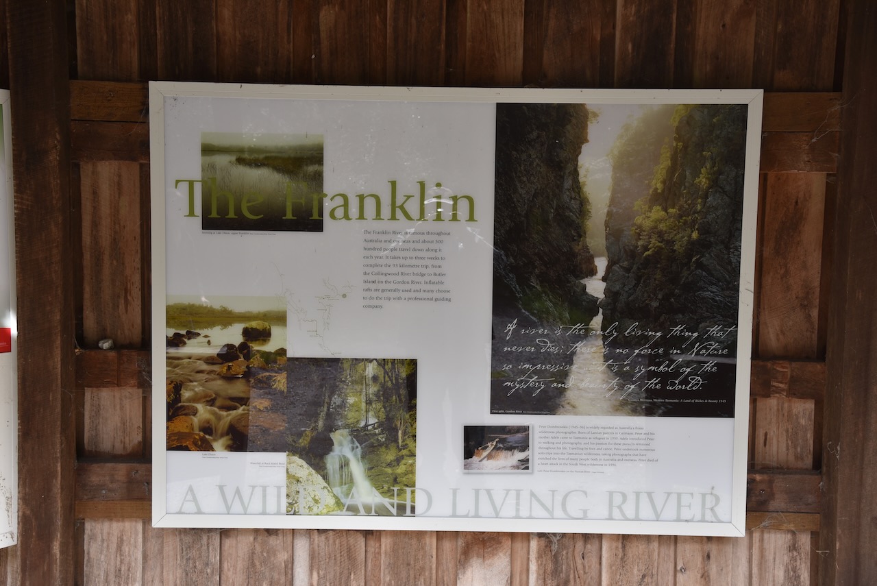
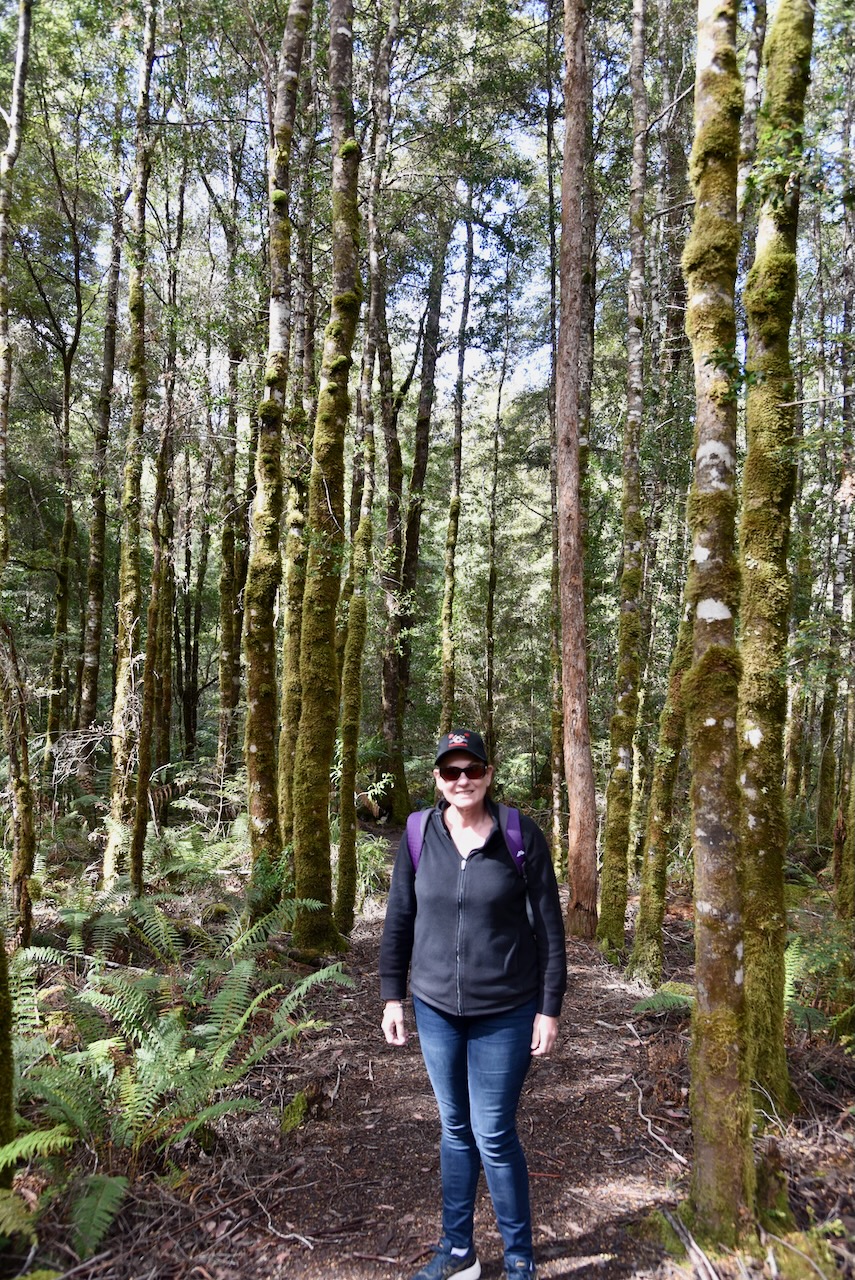
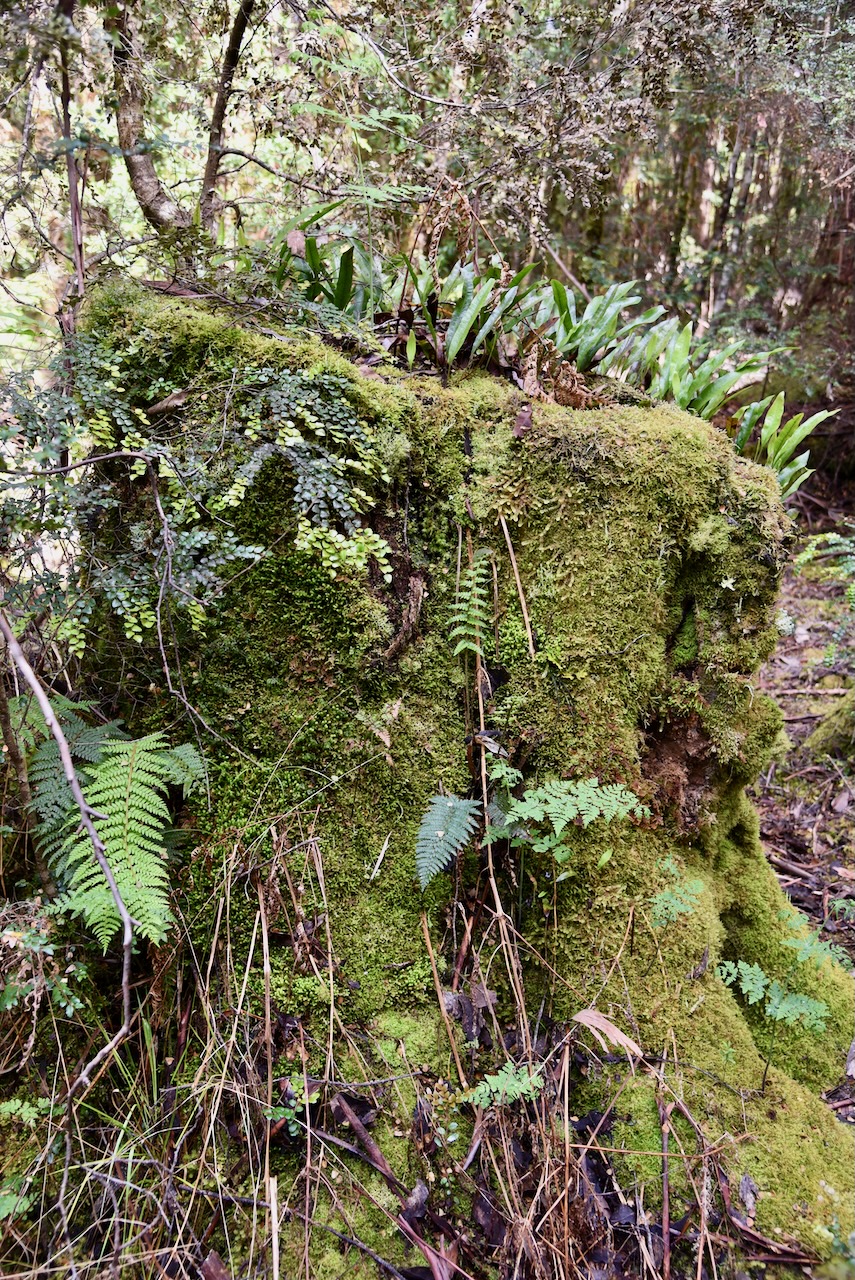
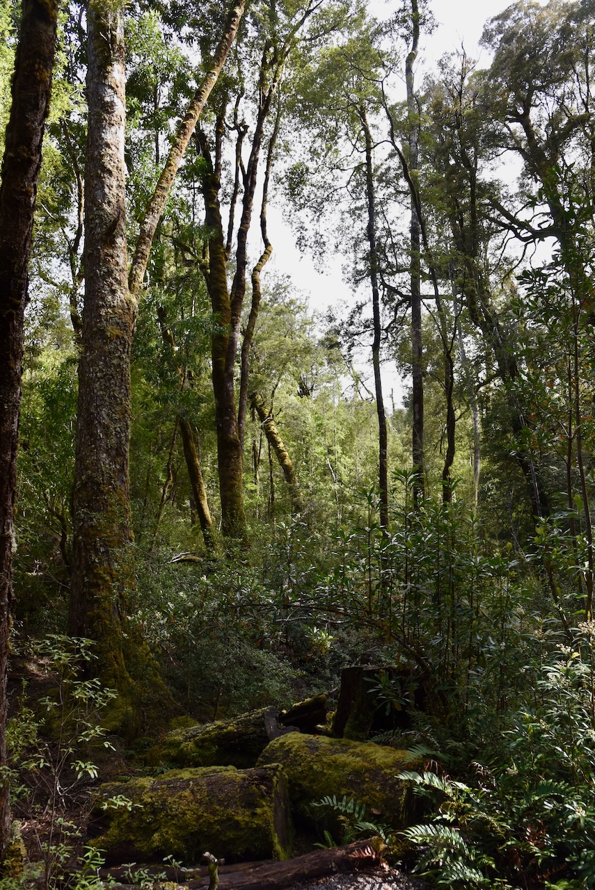
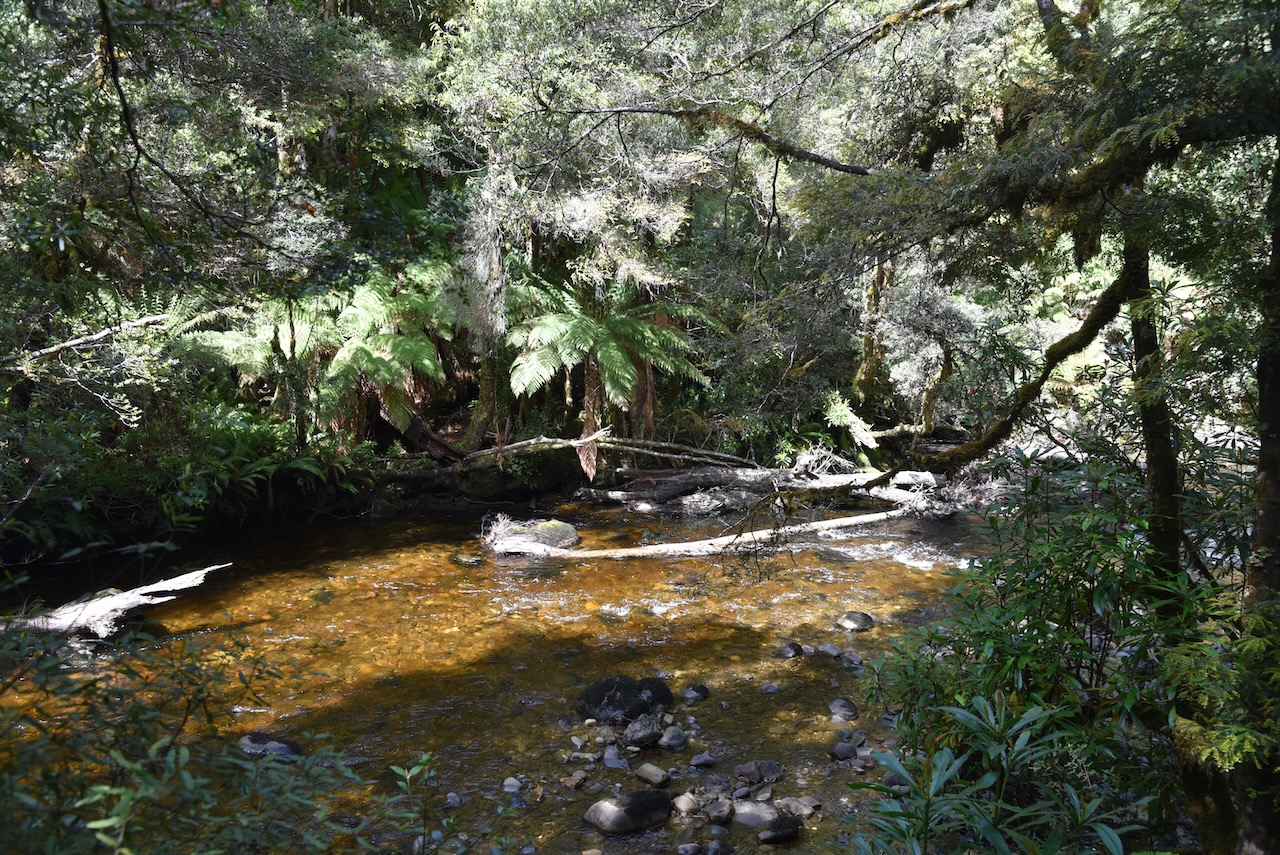
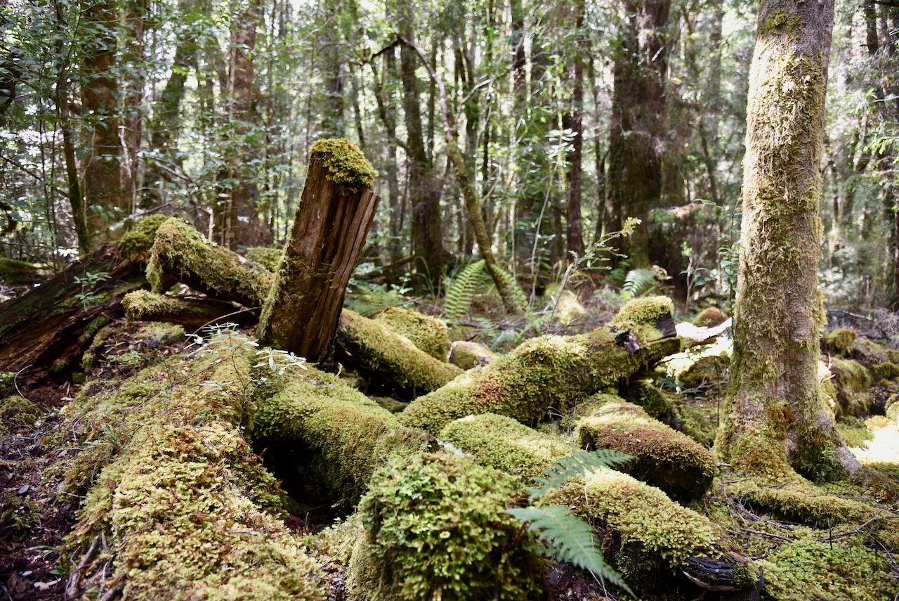
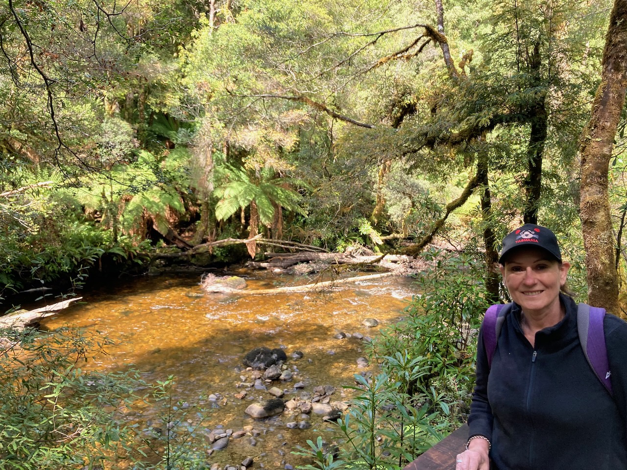
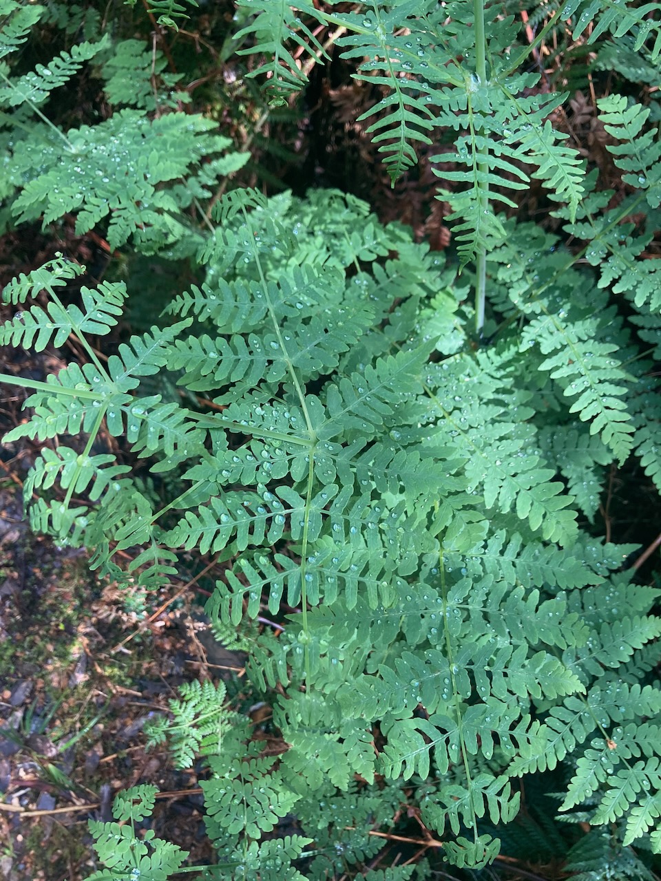
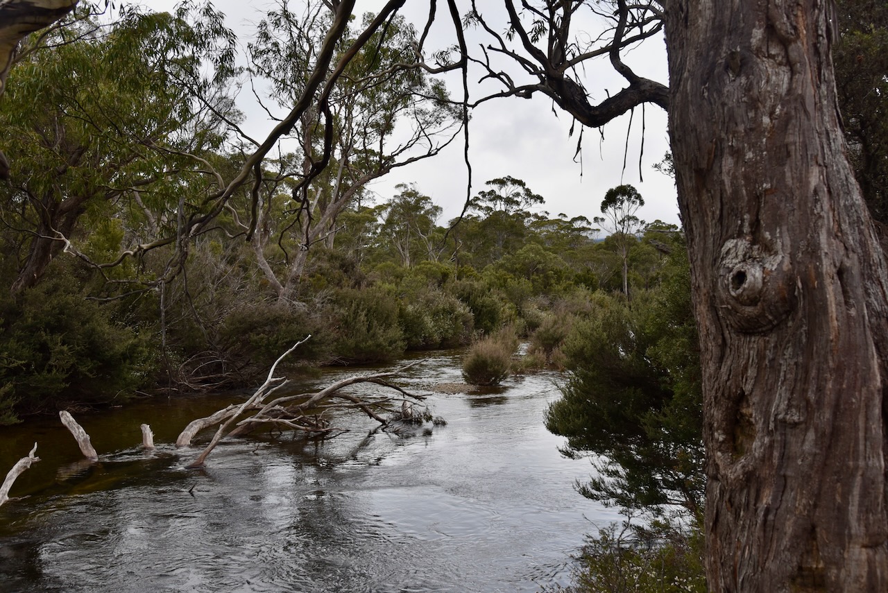
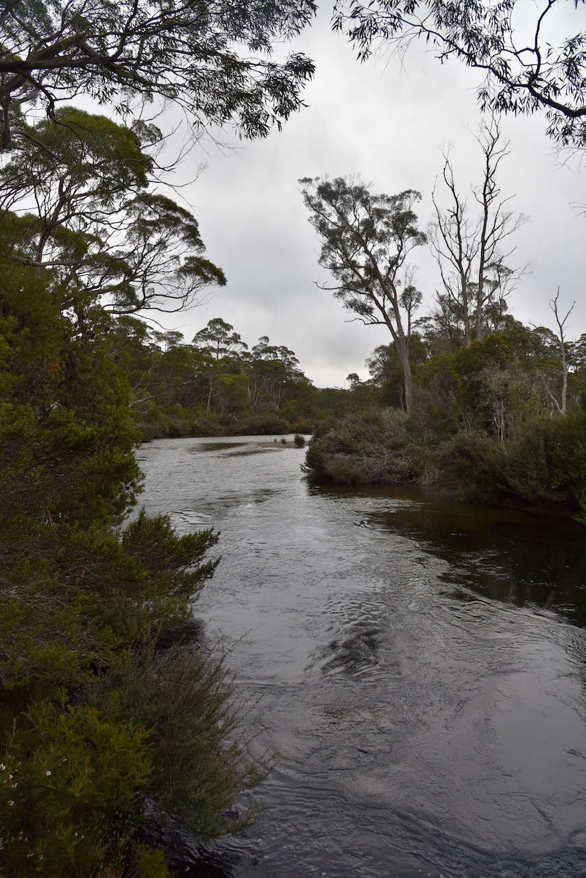
We then went for a walk on the very beautiful Franklin River Nature Trail. It is a 1km 25 minute walk which is very easy. It takes you through beautiful mossy rainforest and alongside the Franklin River. Along the walk there are a number of interpretation signs with details about the rainforest and the river.
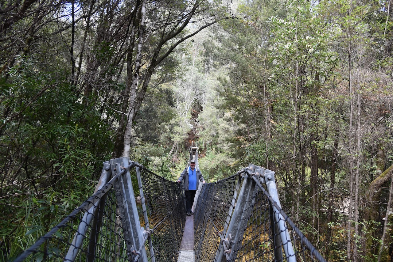
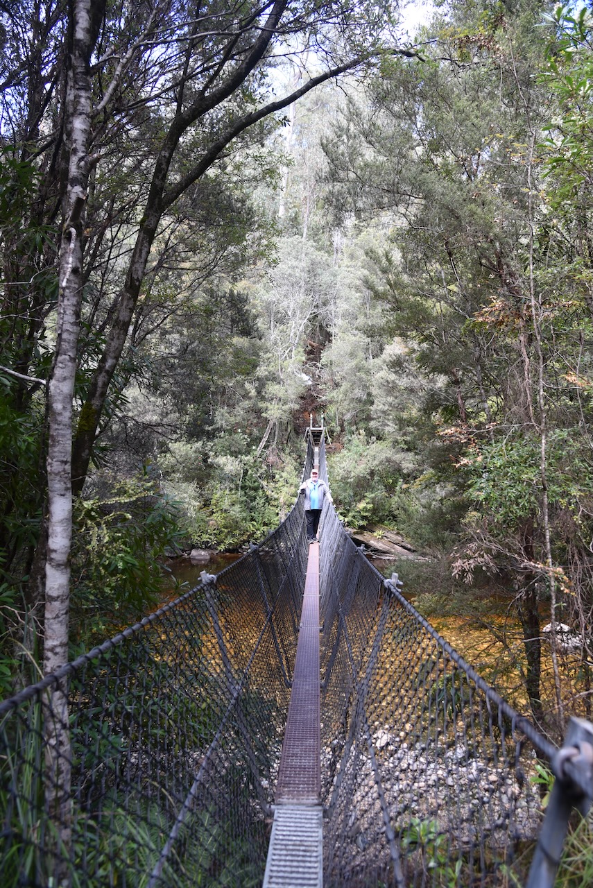
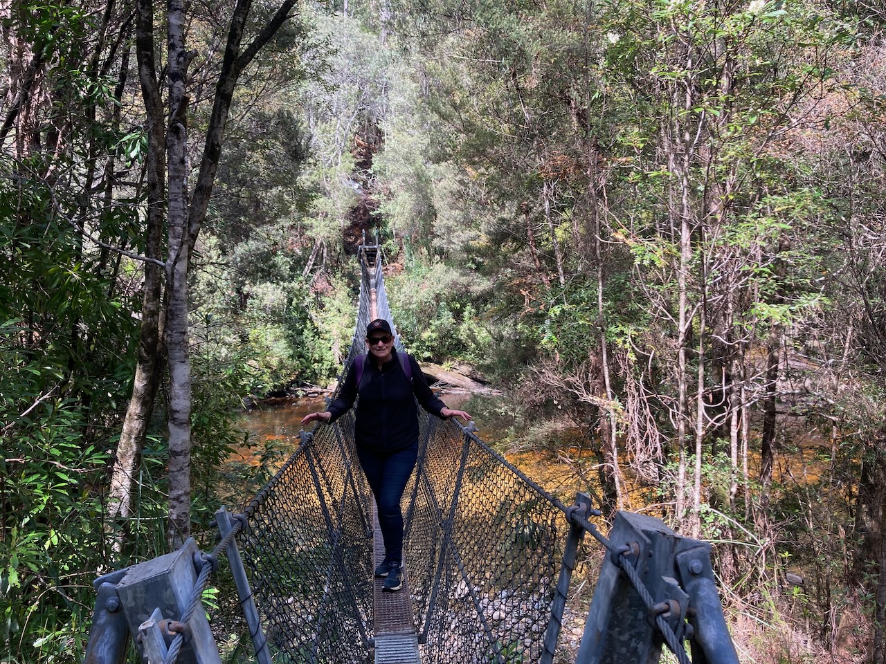
We then headed a little further along the Lyell Highway and came to the Frenchmans Cap trail which leads to the Frenchmans Cap suspension or swing bridge. The bridge can be reached after walking about 300 metres from the carpark.
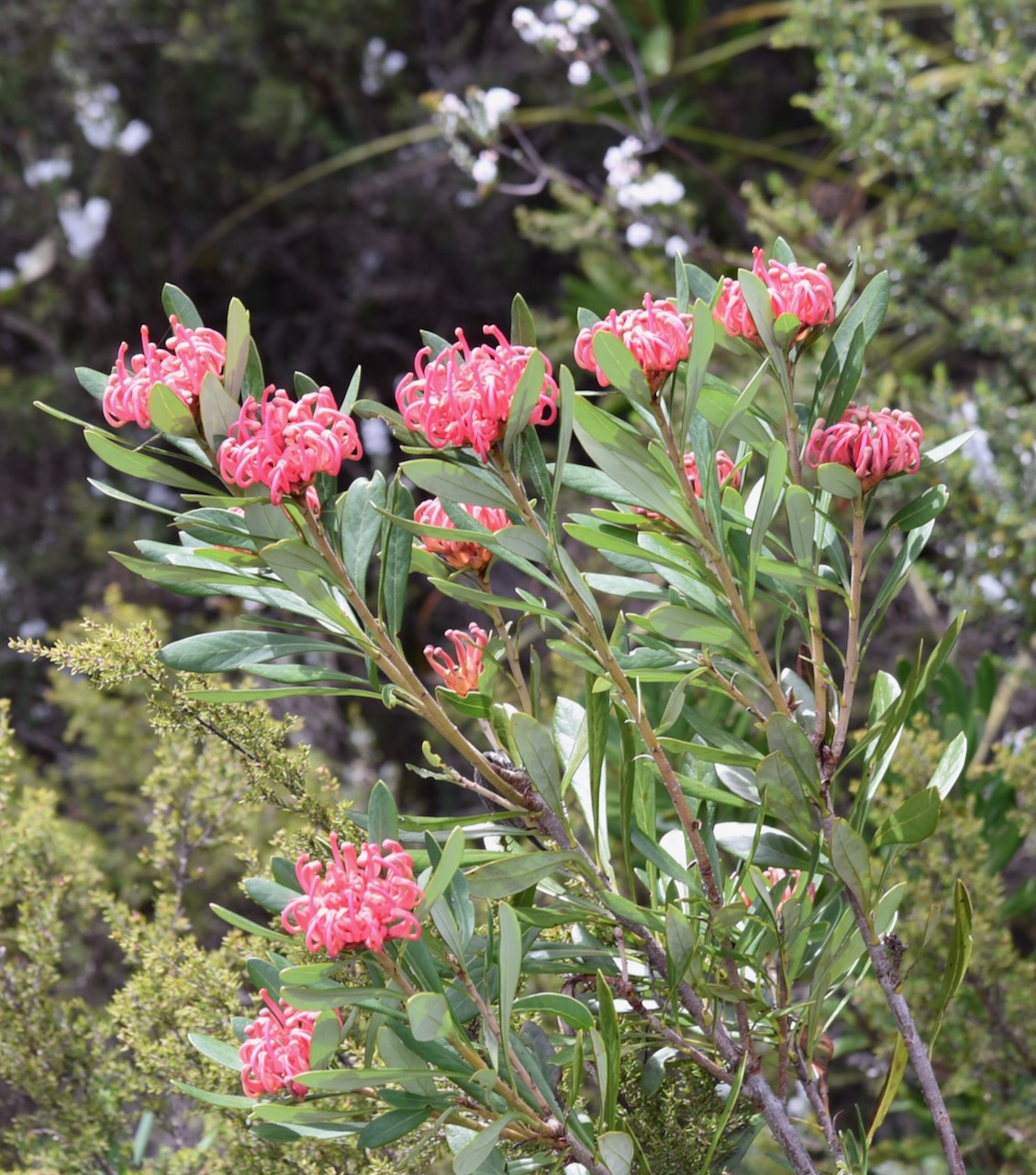
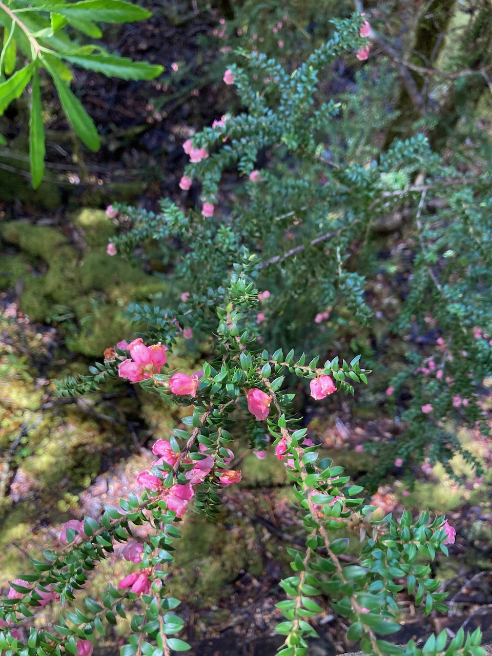
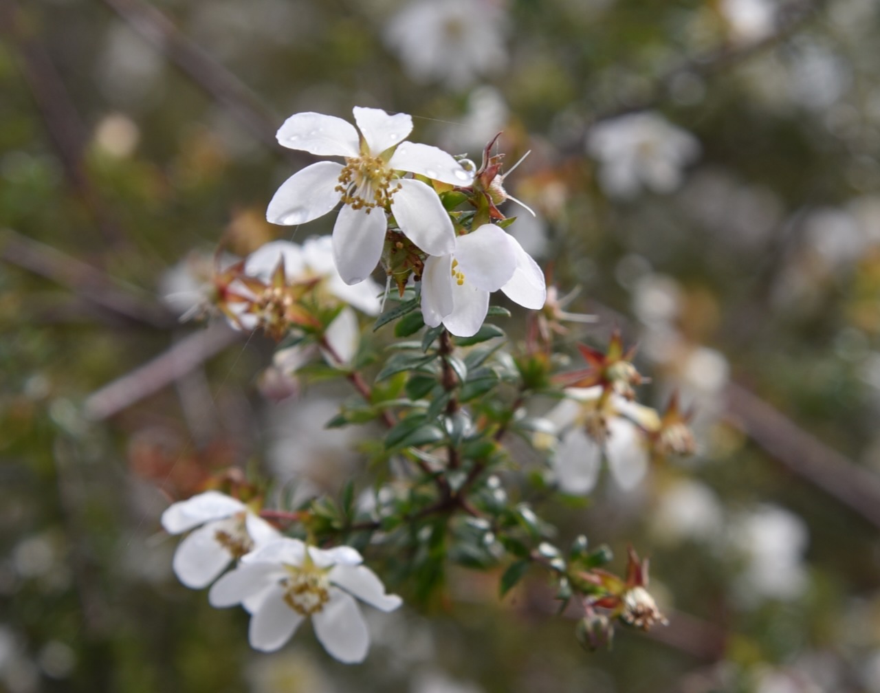
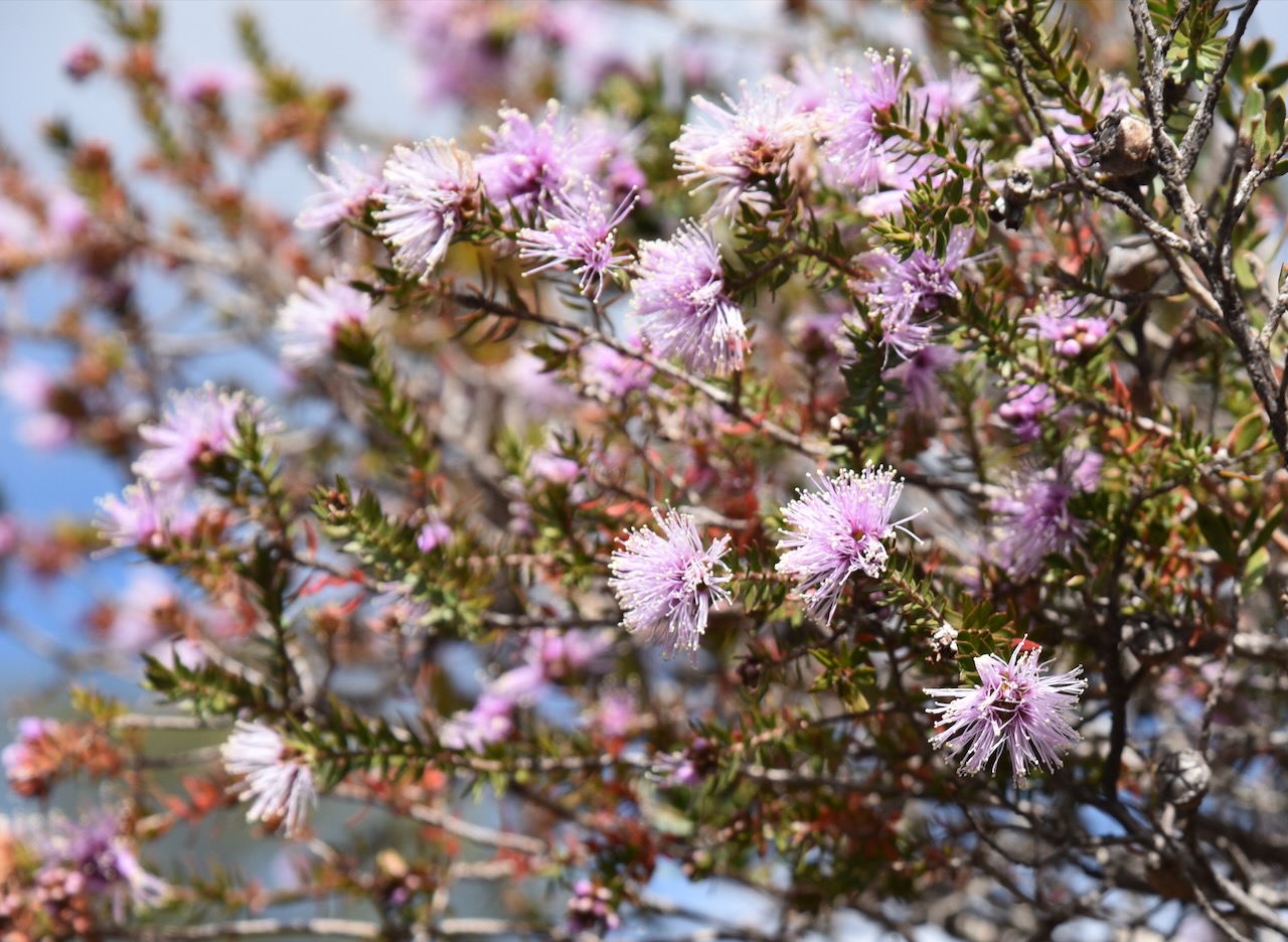
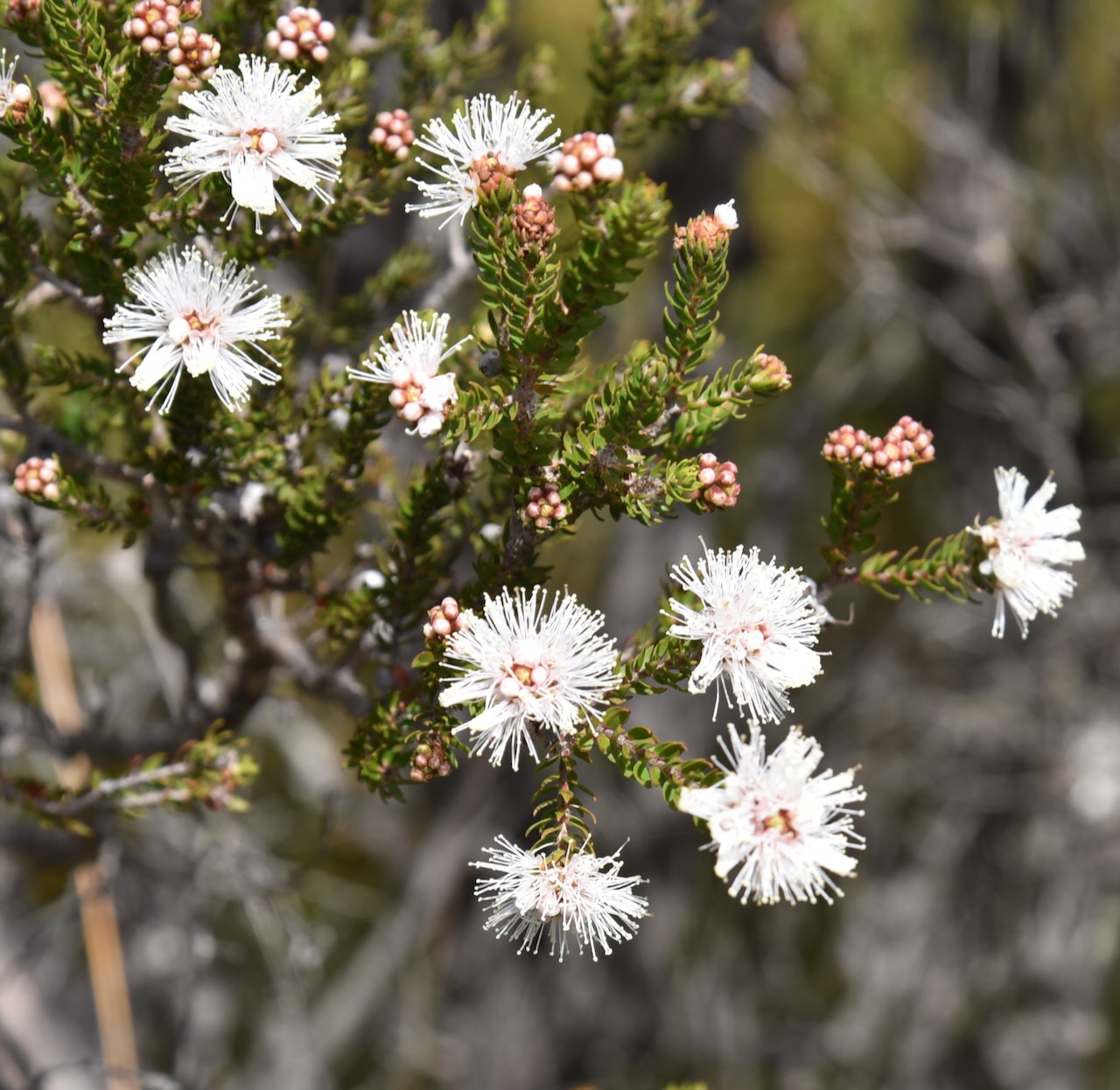
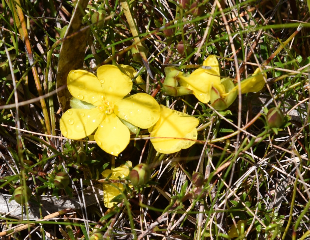
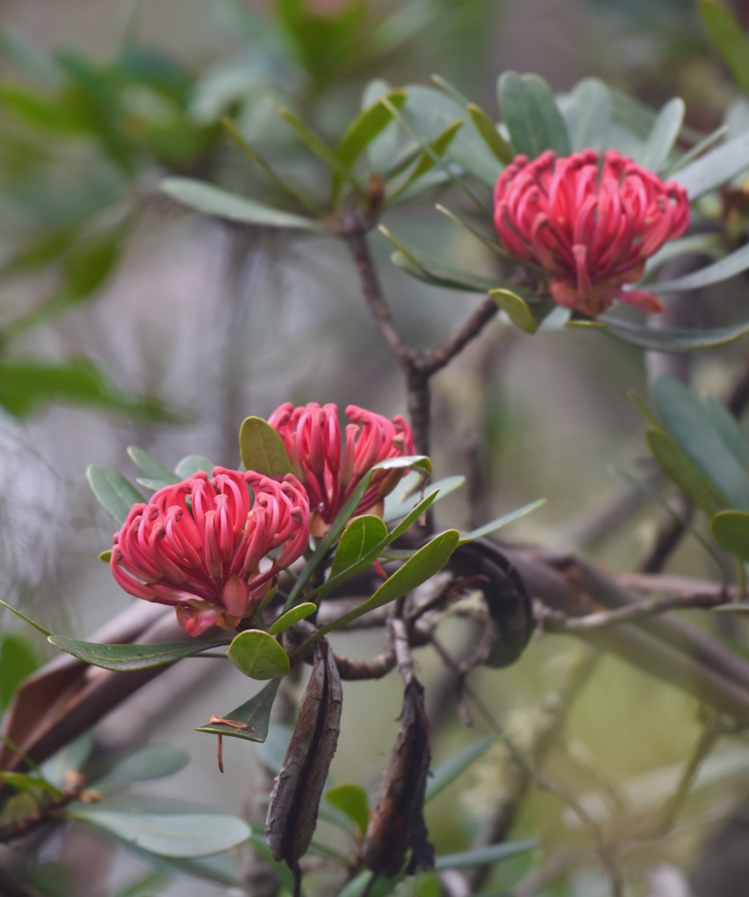
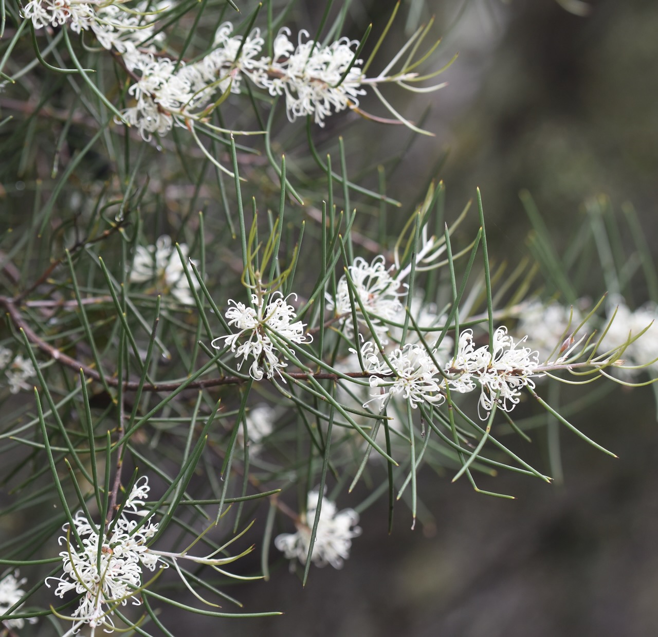
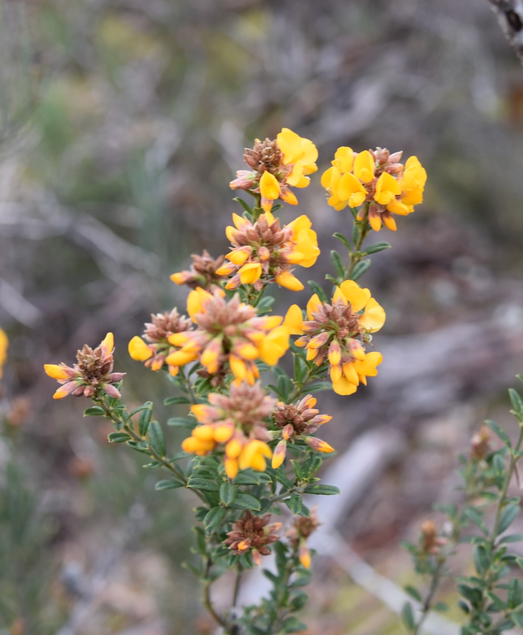
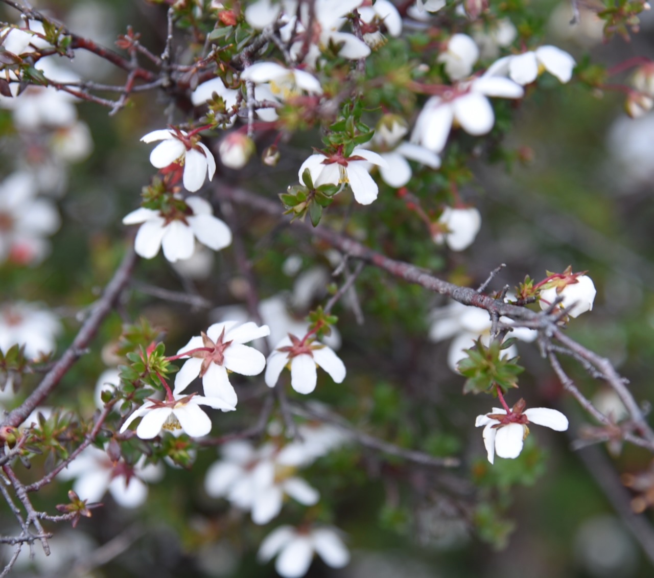
The walk was beautiful with lots of the native plants in flower.
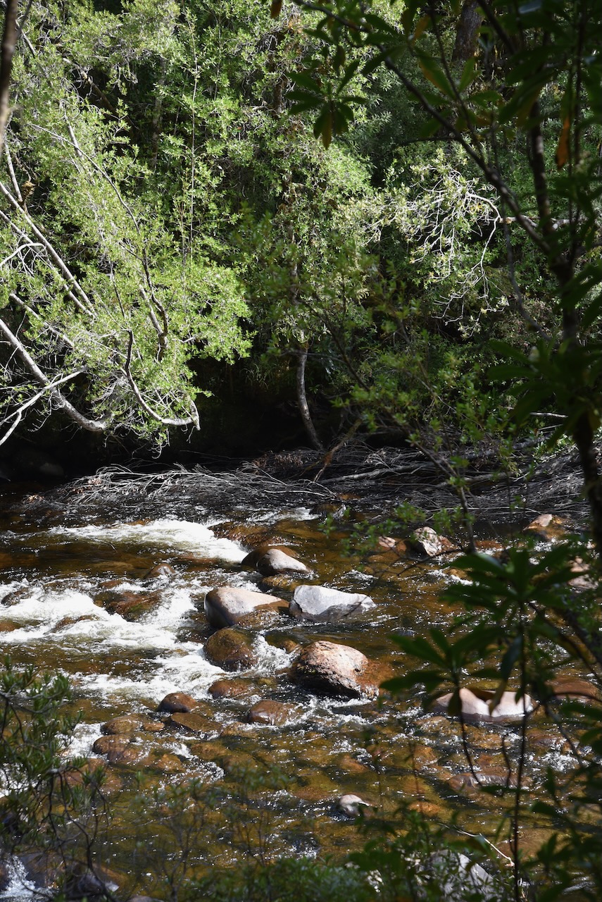
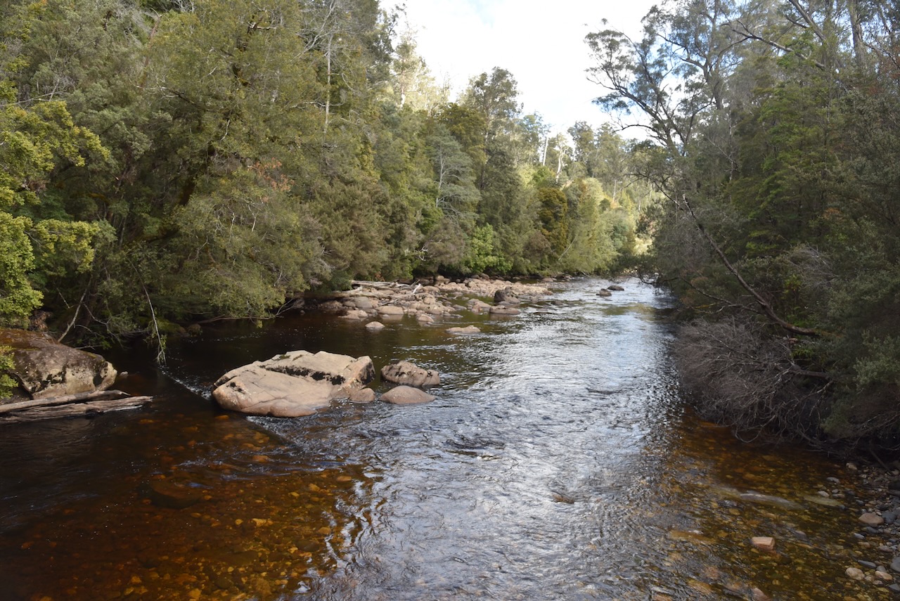
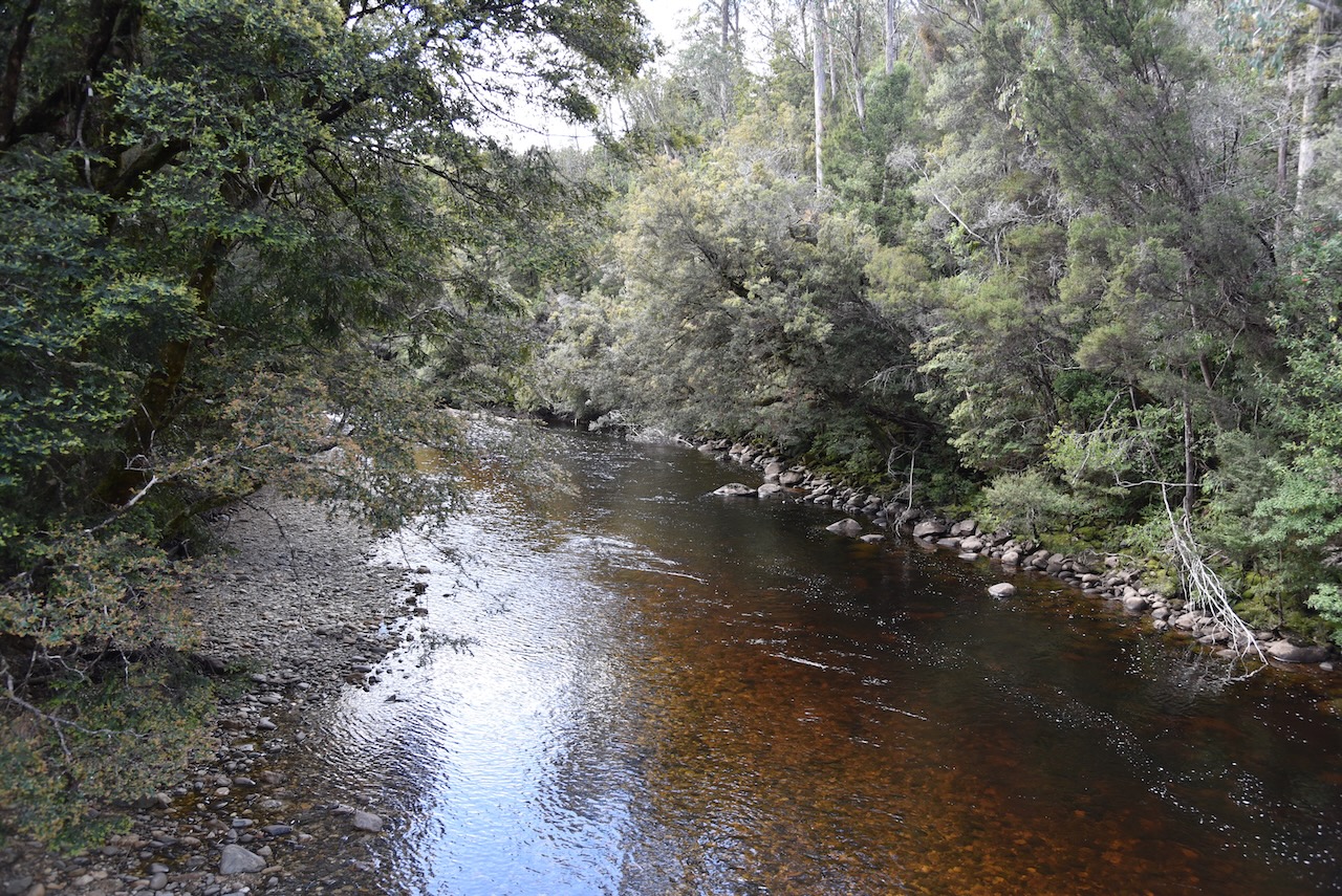
Once you reach the bridge you are rewarded with some great views of the Franklin River.
Once we got back to the 4WD Marija and I put out some more calls from the 4WD using the Icom IC7000 and the Codan 9350 antenna.
Marija logged the following QSOs on 40m SSB:-
VK3BEZ/p (VKFF-0480
VK2IO/p (VKFF-3253)
VK3ZPF/p (VKFF-0622)
VK3TKK/p (VKFF-0623)
VK3TUN/p (VKFF-0345)
I worked the following stations on 40m SSB:-
VK3BEZ/p (VKFF-0480
VK2IO/p (VKFF3-253)
VK3ZPF/p (VKFF-0622)
VK3AHR
VK3TKK/p (VKFF-0623)
VK2DA
VK1DA
VK2EXA
VK3OAK
VK3AMO
VK3TUN/p (VKFF-0345)
We then continued along the Lyall Highway towards Queenstown.
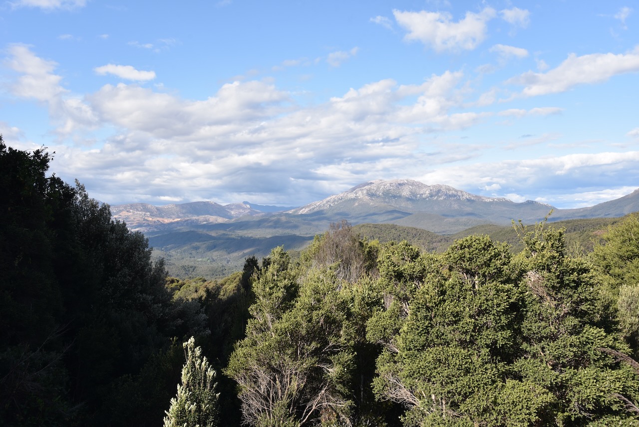
We stopped occasionally to take in the view of Frenchman’s Cap which had snow on it.
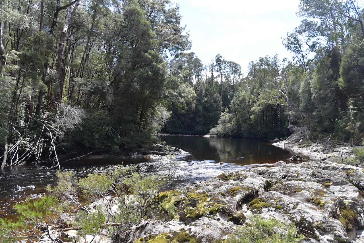
We then detoured a little of the Highway to have a look at the Collingwood River, a tributary of the Franklin River.
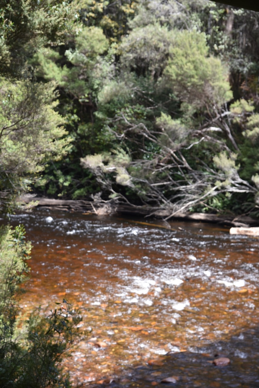
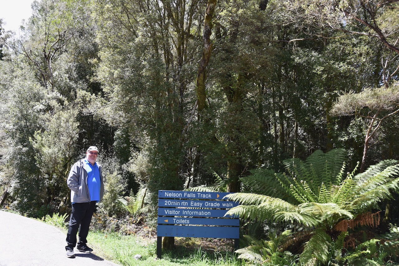
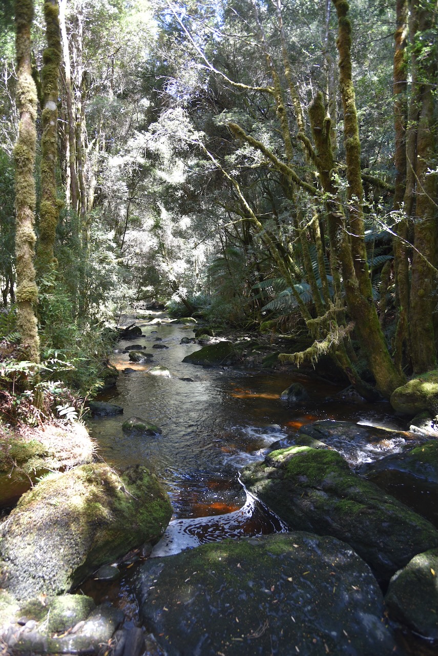
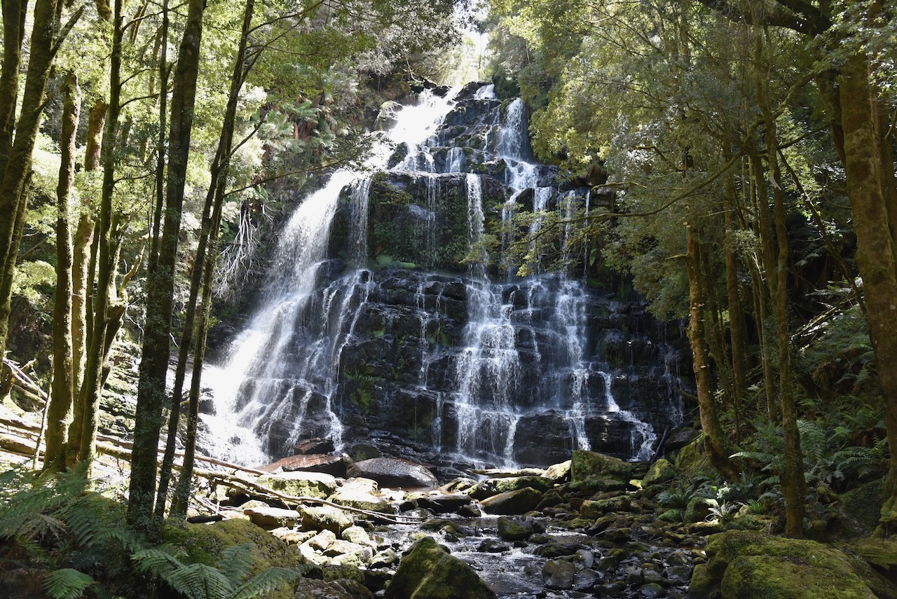
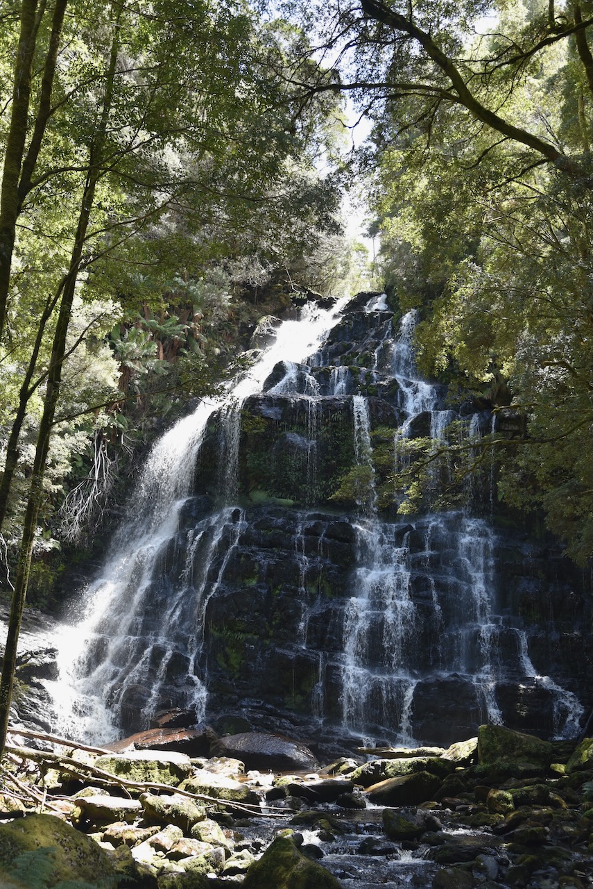
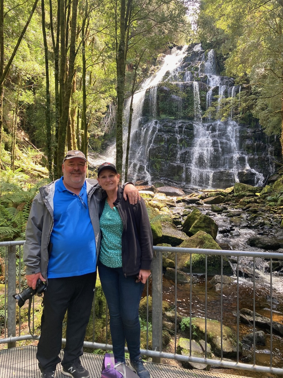
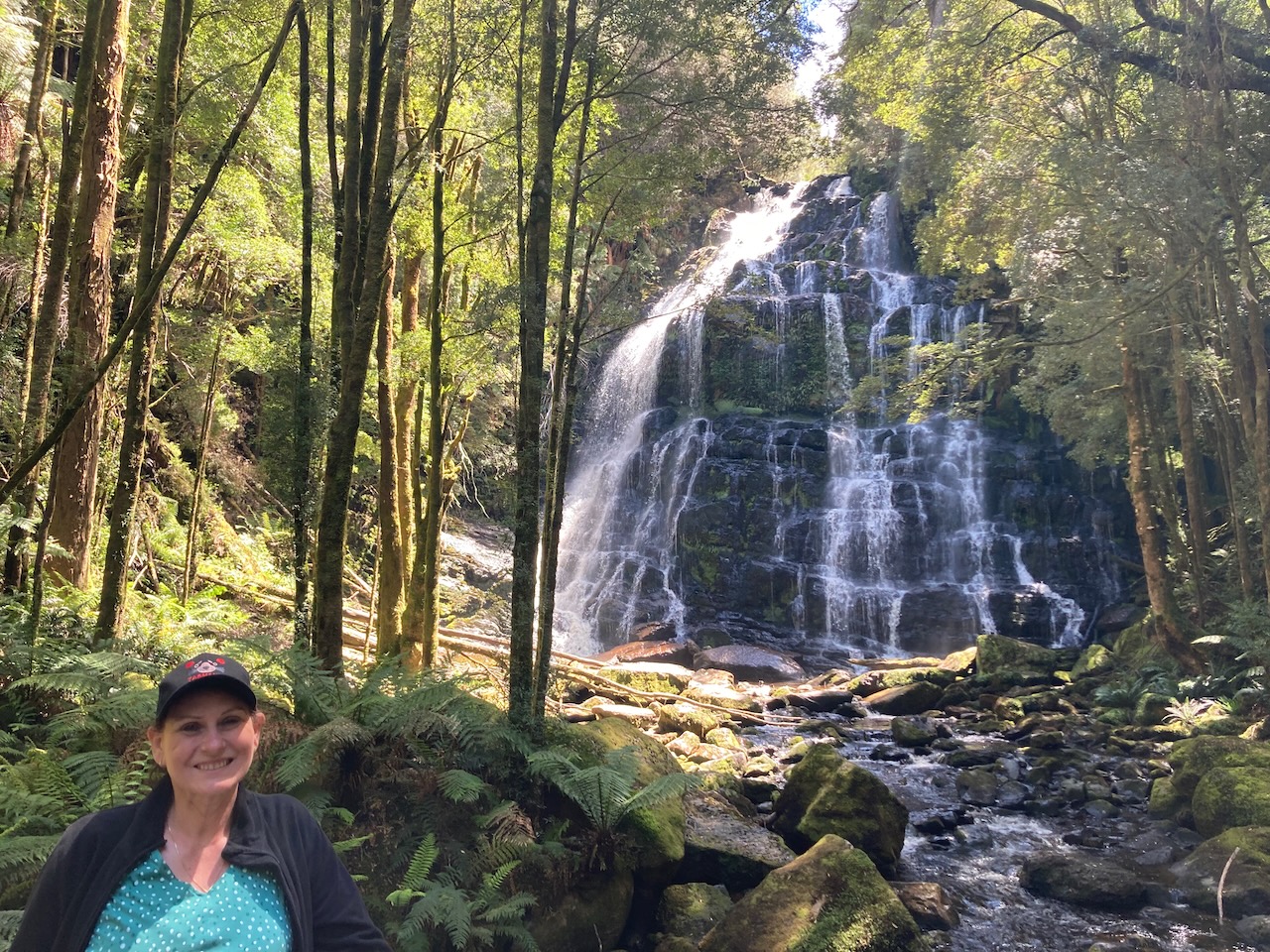
We proceeded a little further along the Lyell Highway and soon reached the carpark for Nelson Falls. It is just a short walk to the waterfall through beautiful rainforest and alongside of the Nelson River.
The Nelson Falls descend about 30 metres and were flowing well during our visit due to all of the recent rainfall.
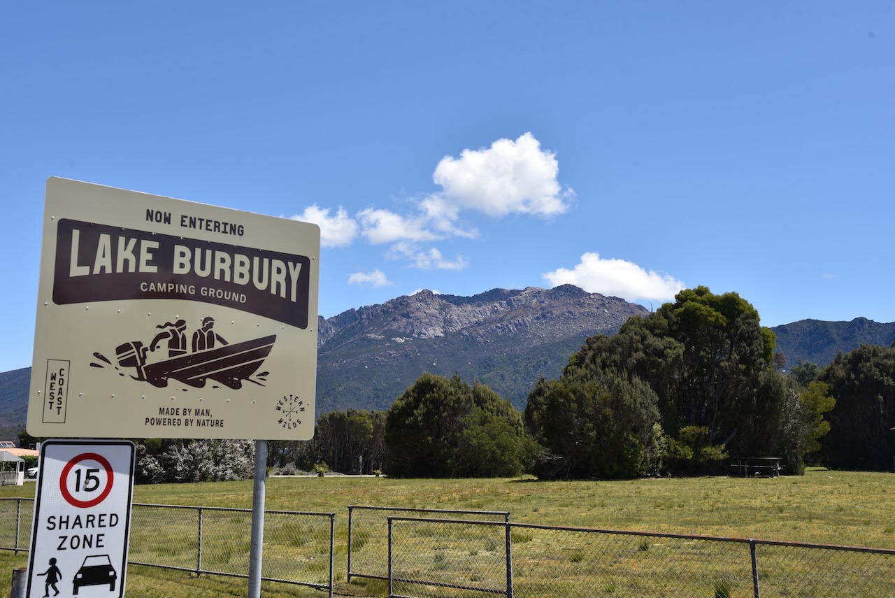
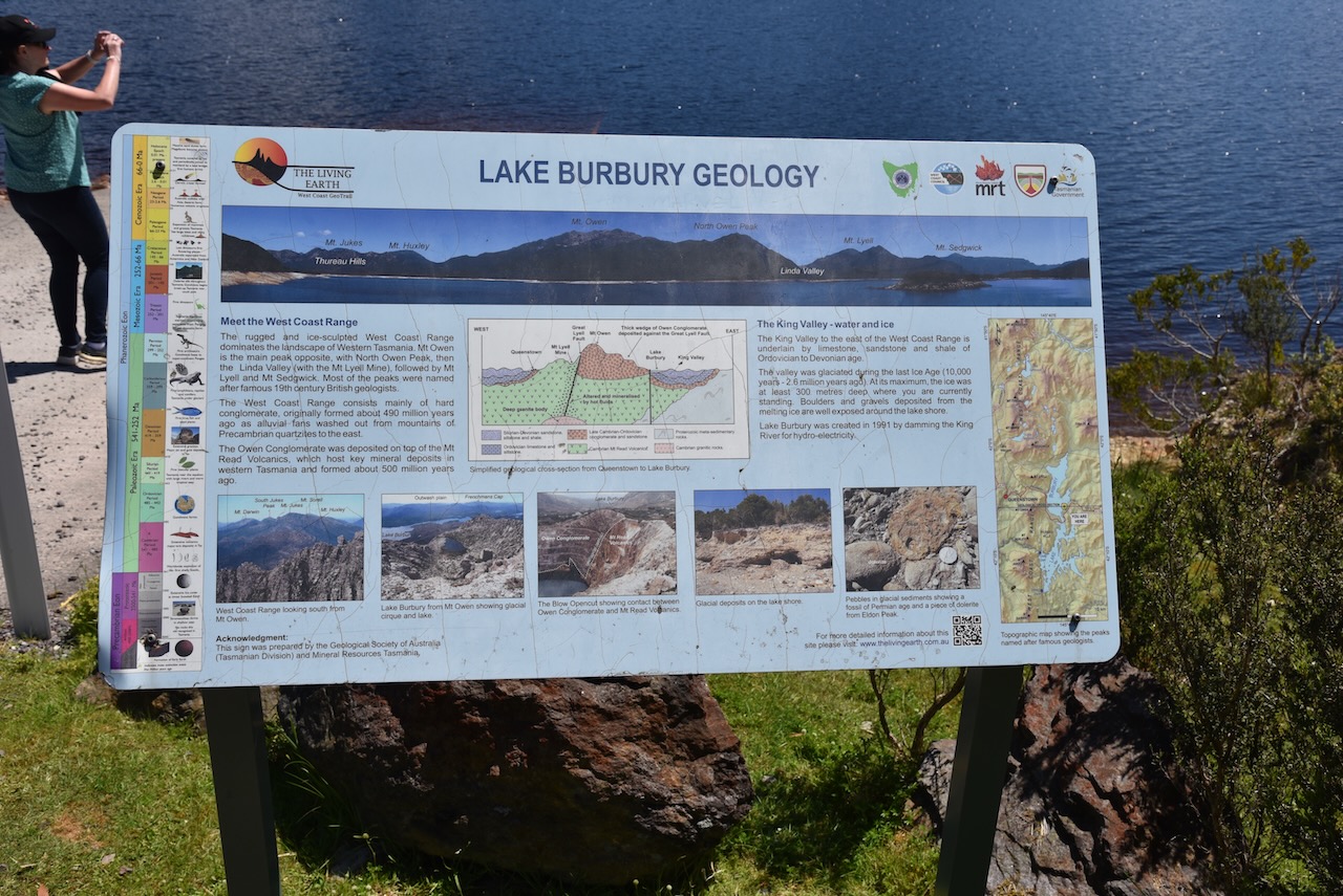
Further along the Lyell Highway is Lake Burbury, a 54 square kilometre man made reservoir for hydroelectricity production. It was named in honour of Stanley Burbury, the first Australian born Governor of Tasmania. The lake is fed mainly by rivers including the upper King River and Eldon River. It is popular with fishers with Brown and Rainbow trout being found in the lake.
It was an absolutely beautiful sunny afternoon and there were some spectacular views across the lake.
We then drove into the little town of Linda. It is believed that it was named after the French opera ‘Linda di Chamounix’. Linda is now a ghost town.
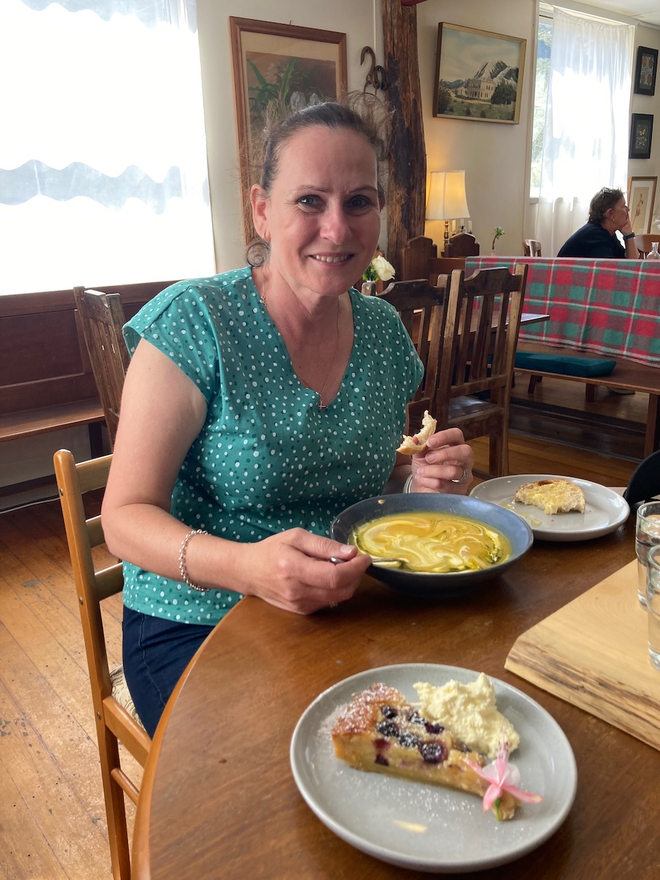
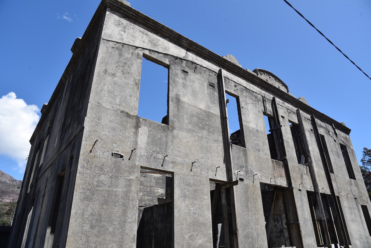
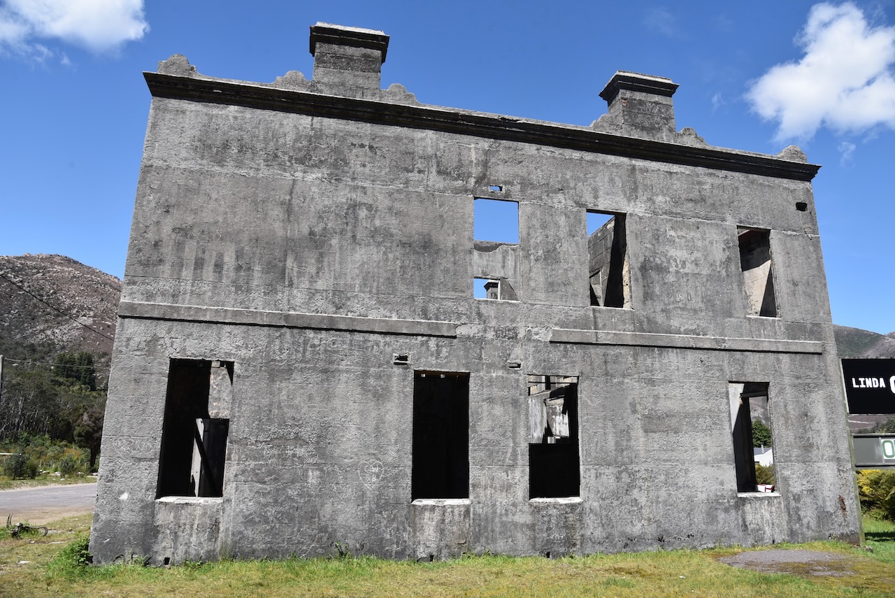
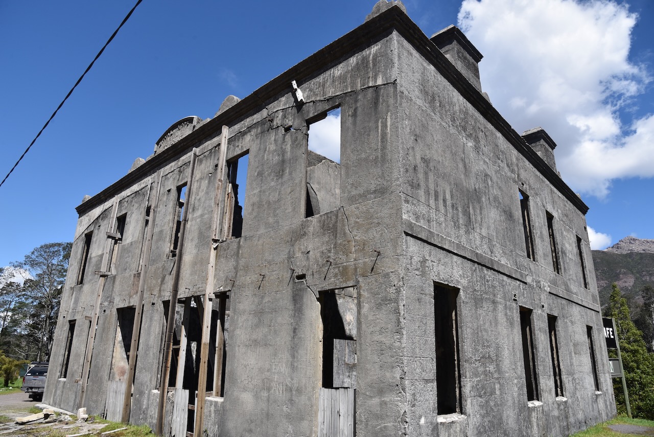
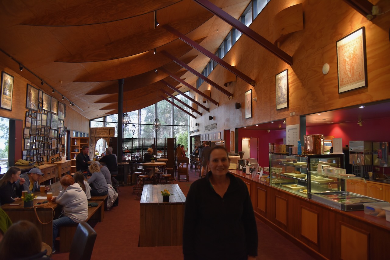
We had not had lunch and were hoping to get something to eat at Queenstown, but we stumbled across the Linda Cafe, and we were so glad we did. We had a late lunch here and it was absolutely beautiful.
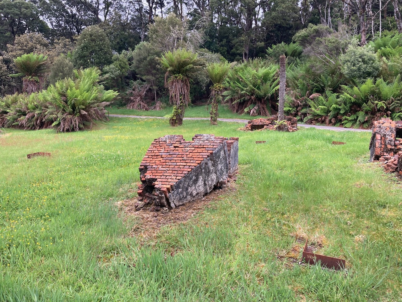
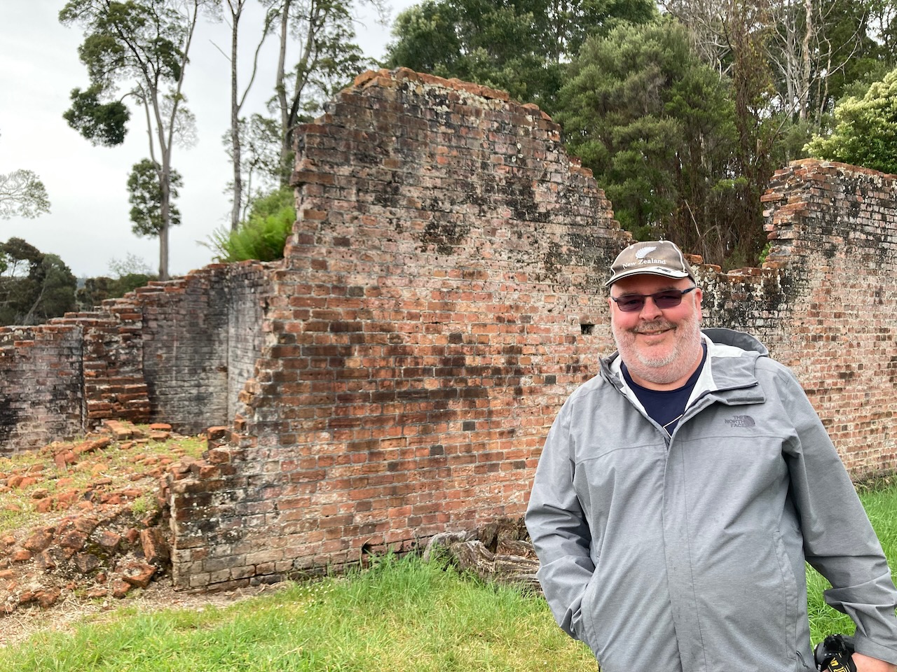
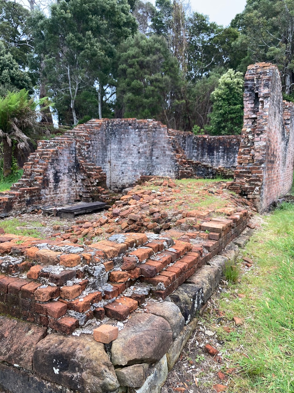
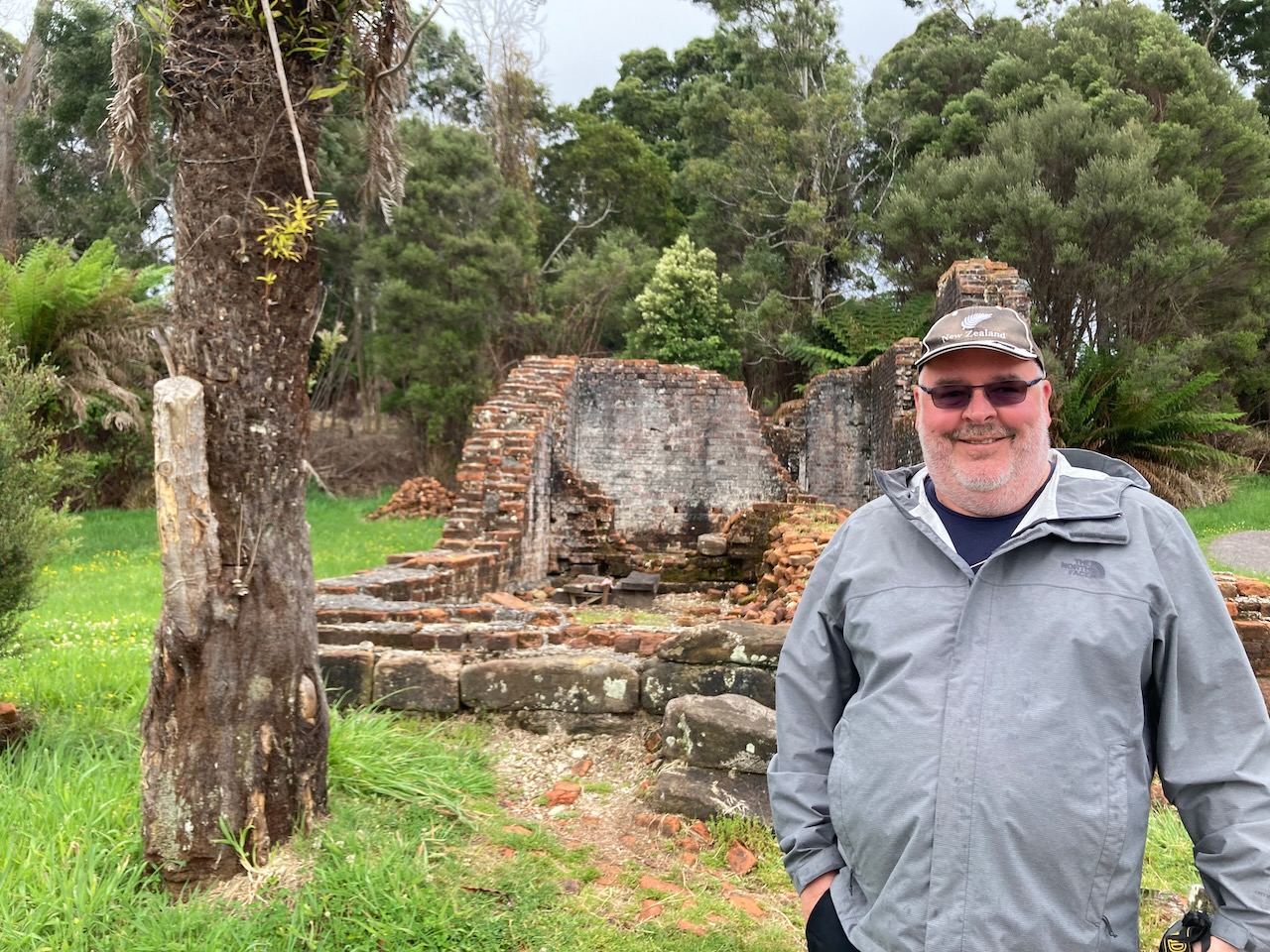
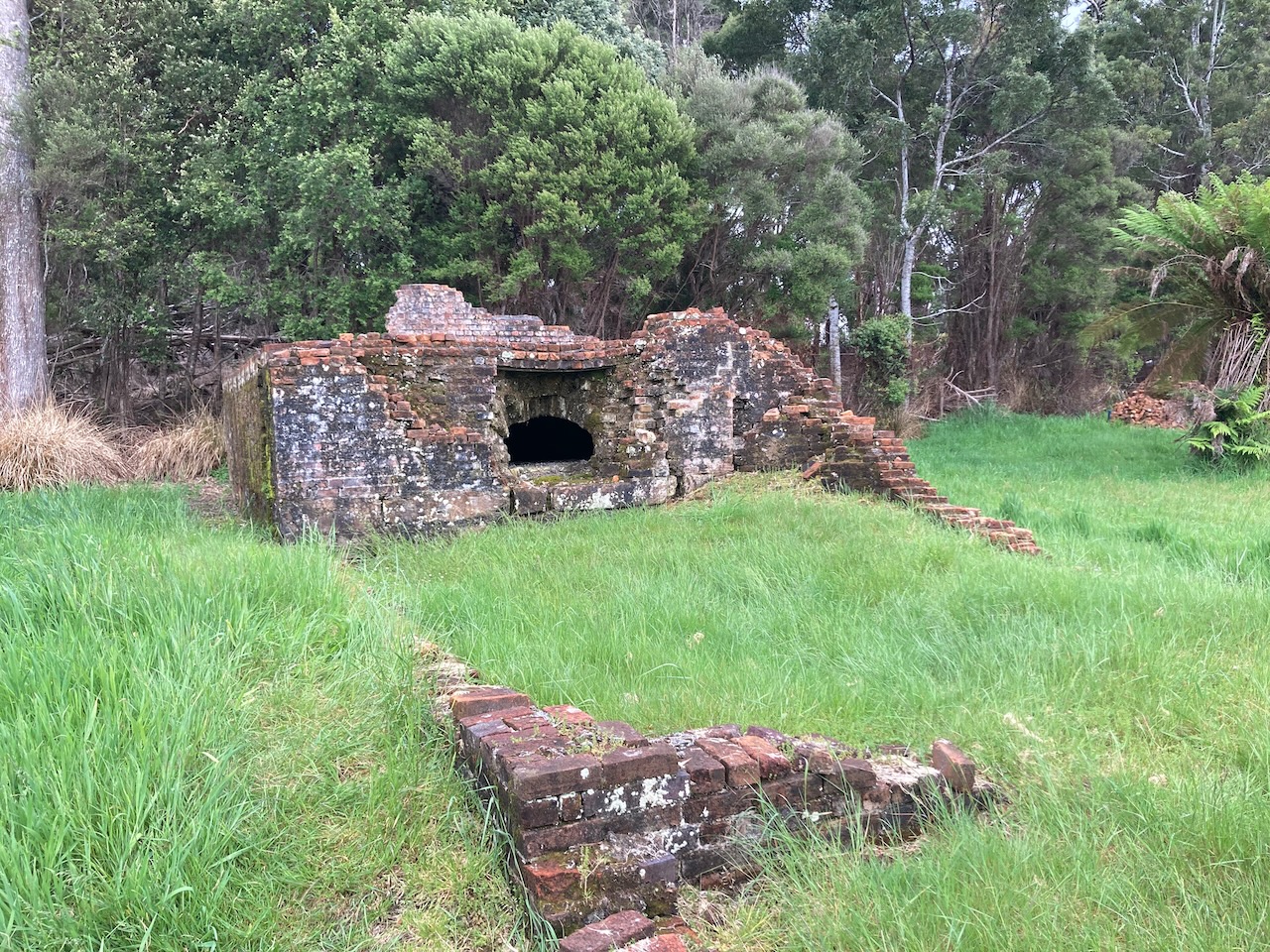
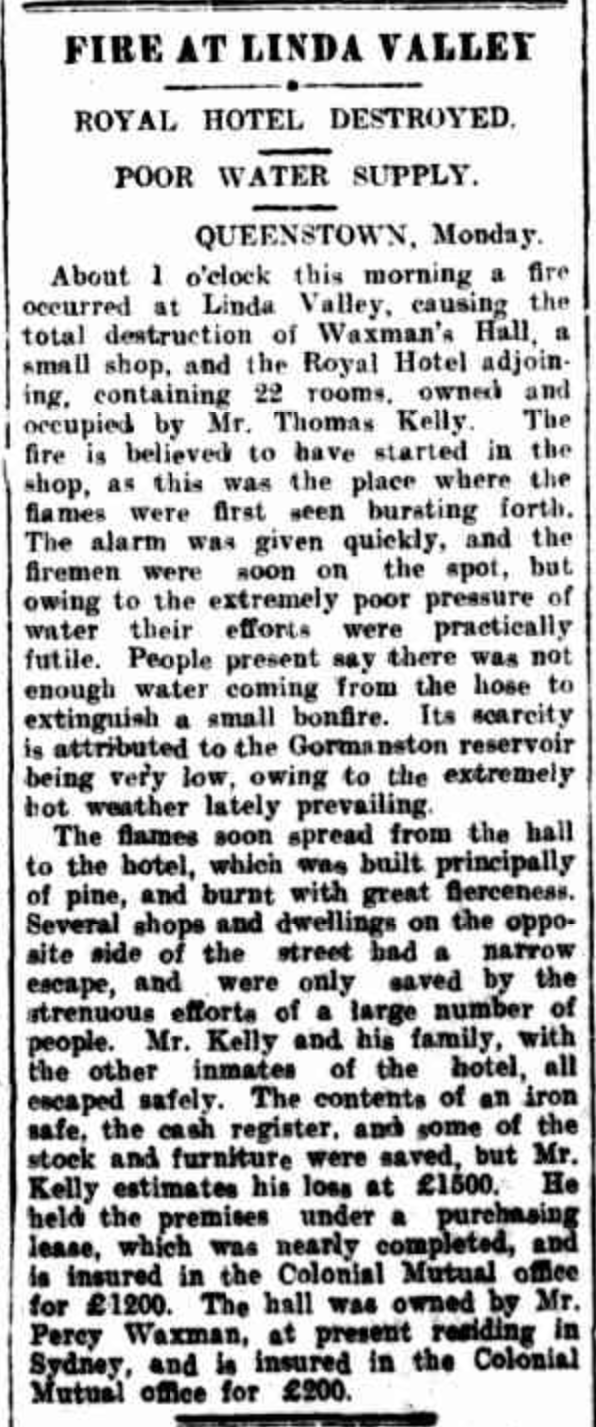
Adjacent to the cafe are the ruins of the old Royal Hotel which was built in 1901 by George Eaves. The hotel was destroyed by fire in 1910 whilst under the ownership of Tom Kelly who then had the hotel rebuilt.
Above:- Article from the Examiner, Launceston, Tues 11 Jan 1910. Image c/o Trove
At one time Linda had a population of about 600 people and the hotel was the heart of the thriving mining town. The last drinks were poured at the hotel in 1952 after which time the hotel fell into disrepair.
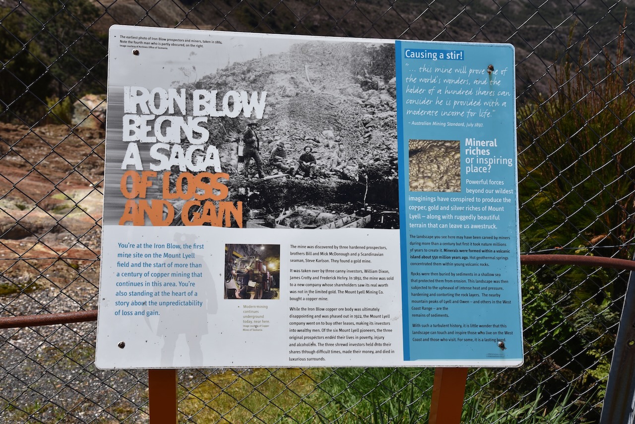
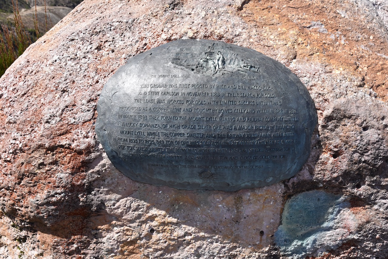
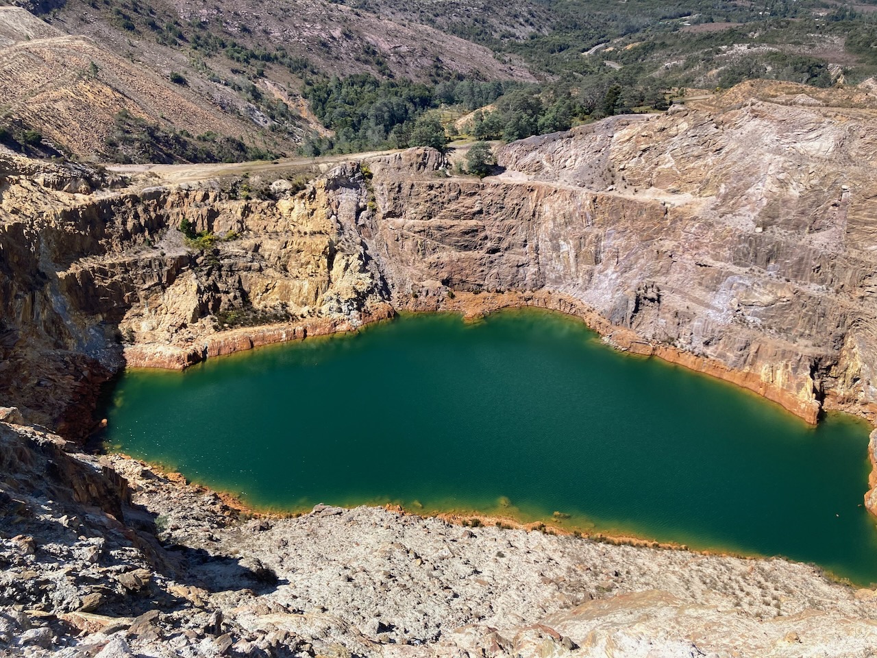
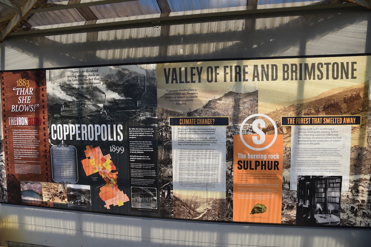
Not far up the road is the old town of Gormanston which was built as the company town for the Mount Lyell Mining and Railway Company for operations at the Iron Blow open cut copper mine. It was named in honour of Jenico William Joseph Preston, 14th Viscount Gormanston, Governor of Tasmania 1893 to 1900.
Above:- Jenico Preston. Image c/o Wikipedia.
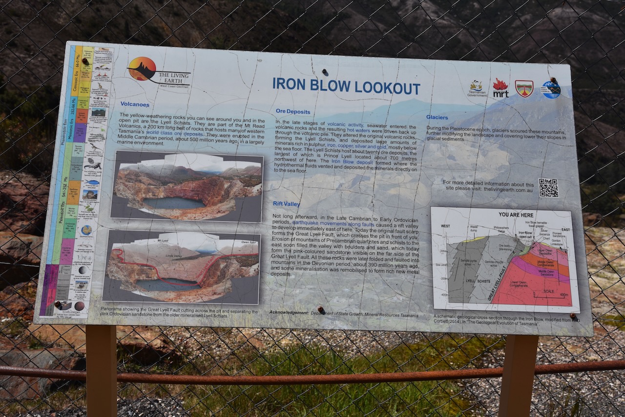
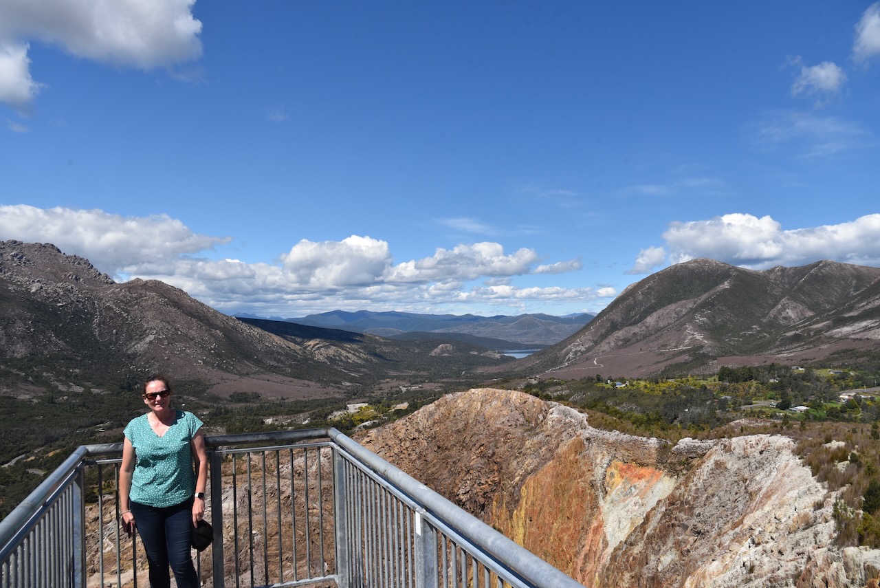
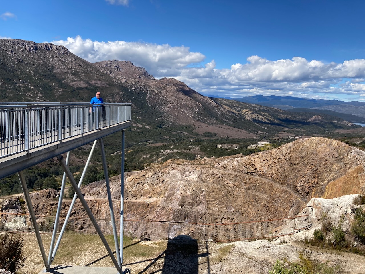
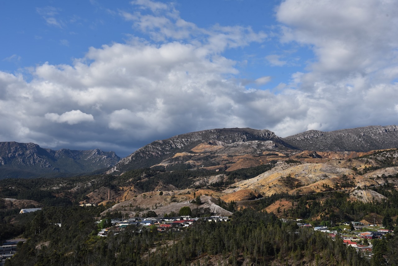
We headed up to the top of the Iron Blow Lookout which offers sensational views of Gormanston, the old copper mine and the surrounding countryside.
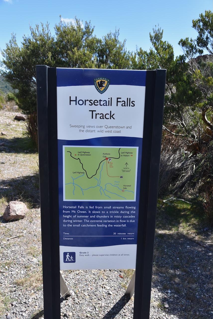
Just across the road you can find Horsetail Falls which is a large seasonal waterfall on Moore Creek which drops about 50 metres. It was flowing during our visit.
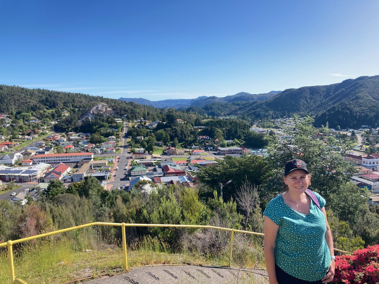
We continued on the Lyell Highway and stopped at the Queenstown lookout.
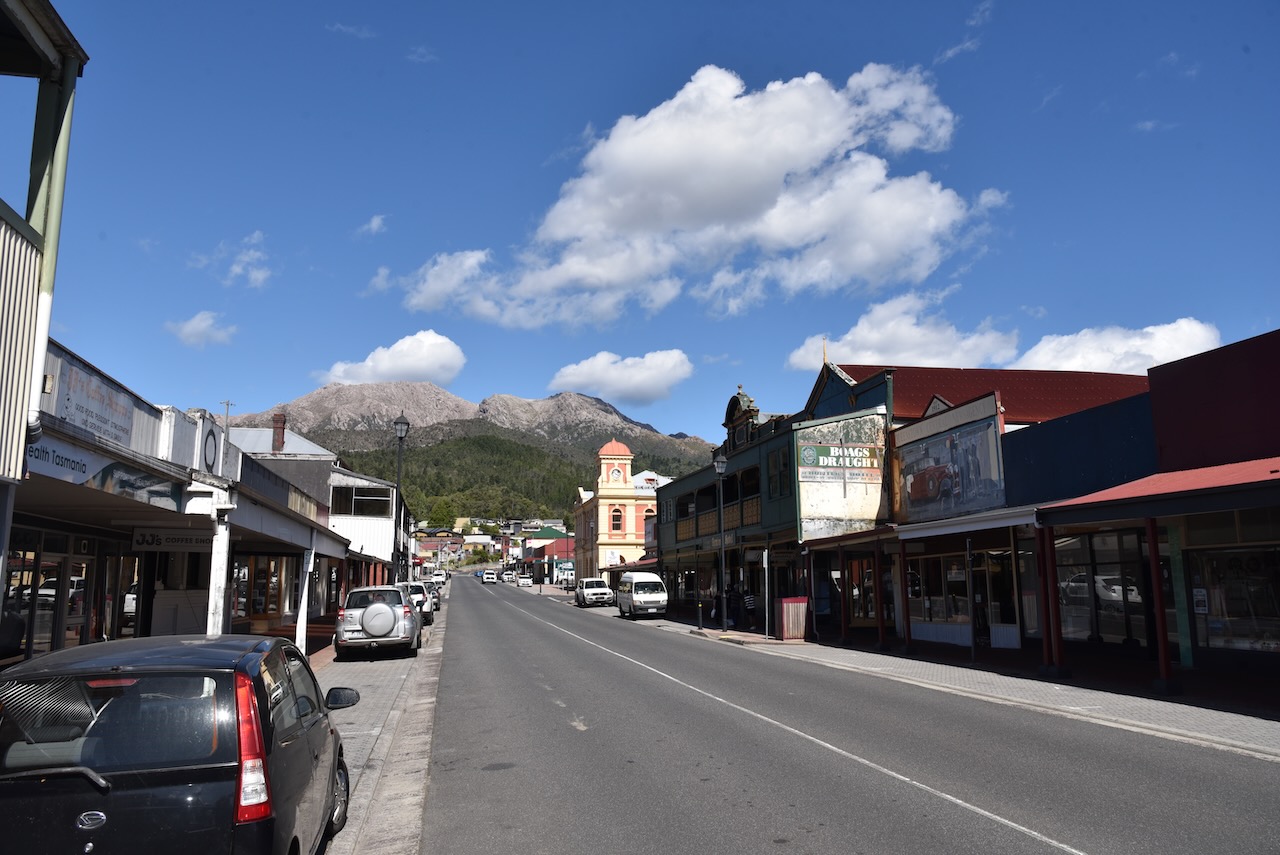
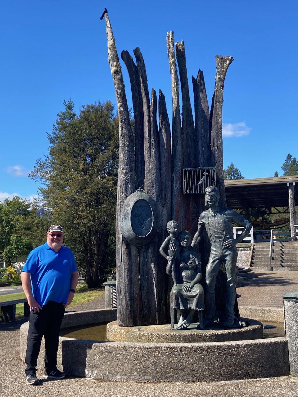
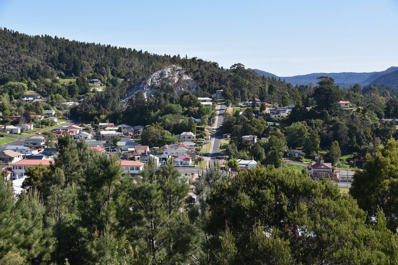
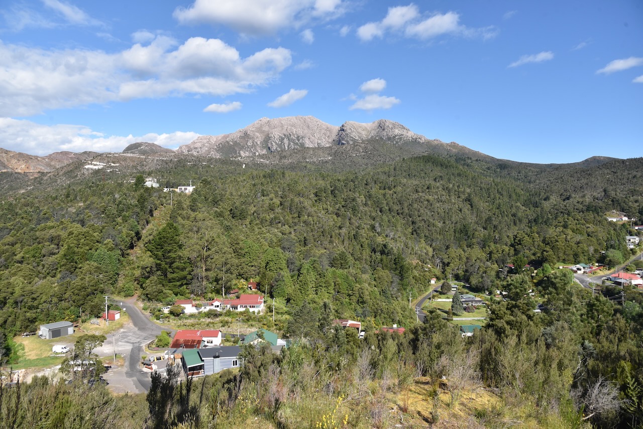
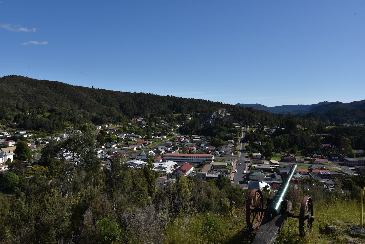
We then reached the town of Queenstown located in a valley on the western slops of Mount Owen. It was named in honour of Queen Victoria.
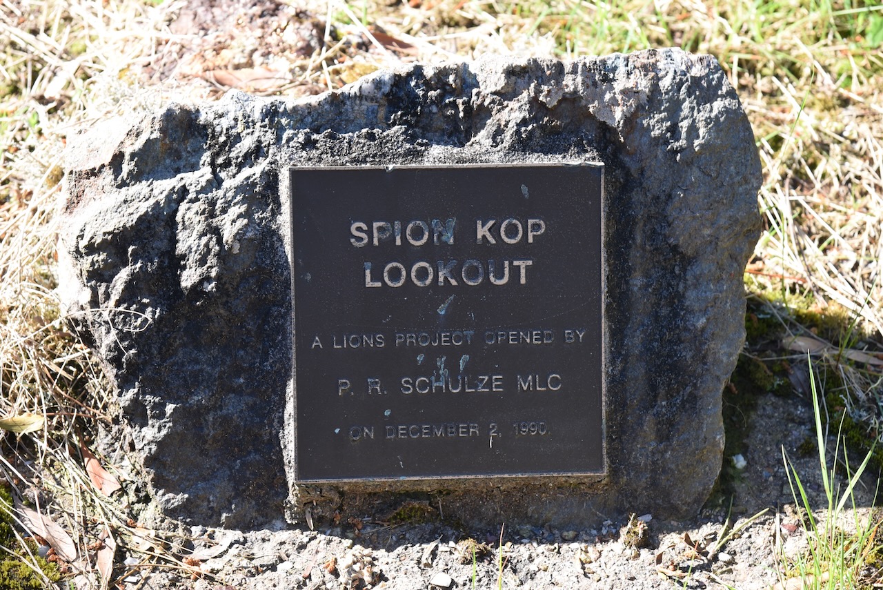
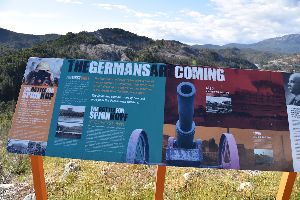
We then took the short but steep walk up to the top of Spion Kop lookout to enjoy the views of Queenstown. Spion Kop takes its name from a battle in the Boer War.
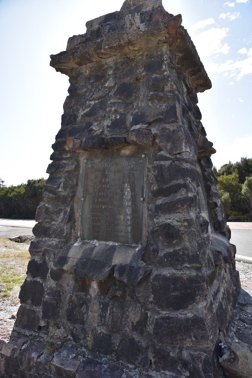
We headed north out of Queenstown on the Lyell Highway and stopped briefly at the junction of the Lyell Highway and the Zeehan Highway where there is a monument for the opening of the Queenstown-Strahan Road. Work commenced on the road on the 18th day of March 1935 and it was opened on the 30th day of October 1937.
Just up the road is the spectacular Queenstown airport.
Further along the Lyell Highway we stopped at the Rindeena Lookout, also known as Hall’s Creek lookout.
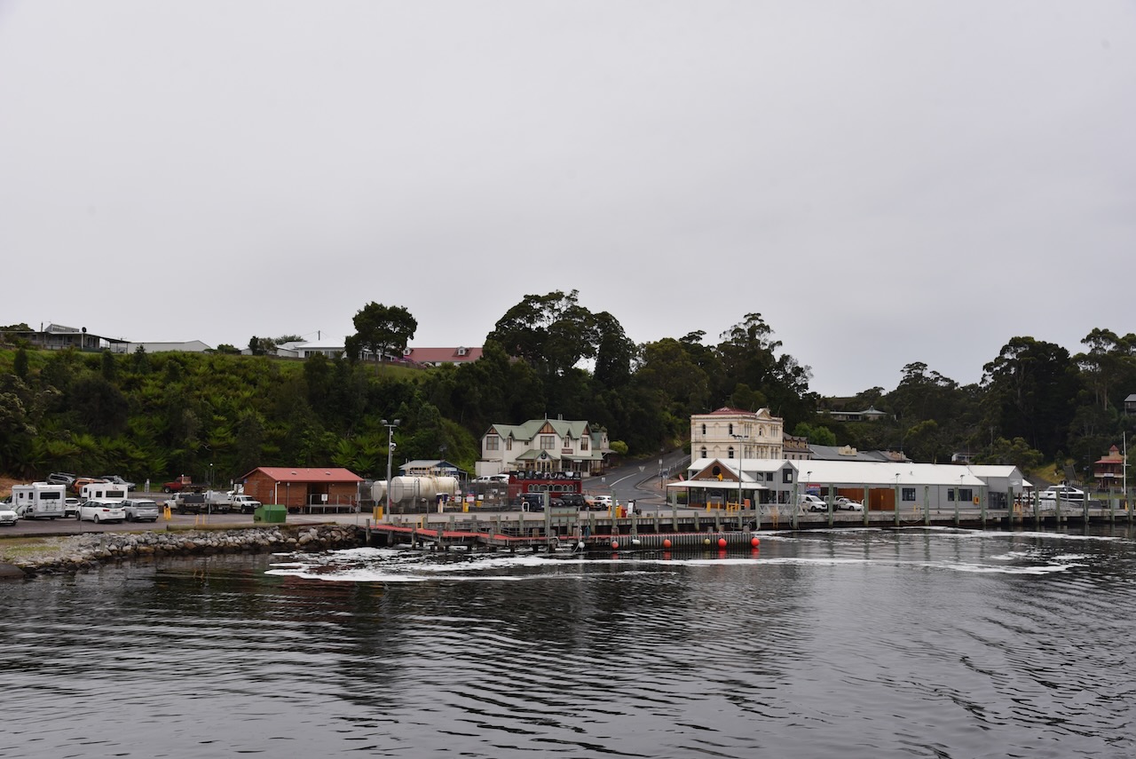
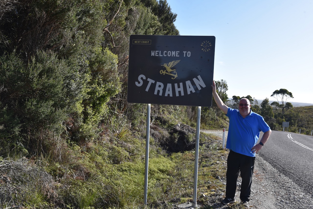
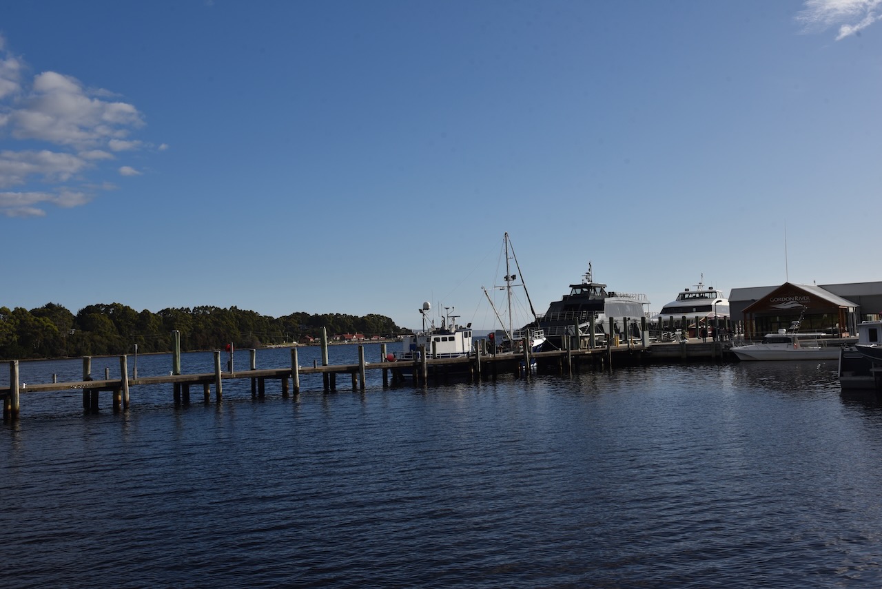
We then reached the town of Strahan on the west coast.
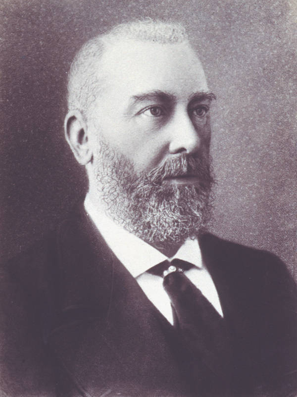
Strahan was originally developed as a port of access for the mining settlements in the area. Up until 1877, it was known as Long Bay or Regatta Point. Strahan was named after the colony’s Governor Sir George Cumine Strahan (b. 1838. d. 1887).
Above:- George Strahan. Image c/o Wikipedia.
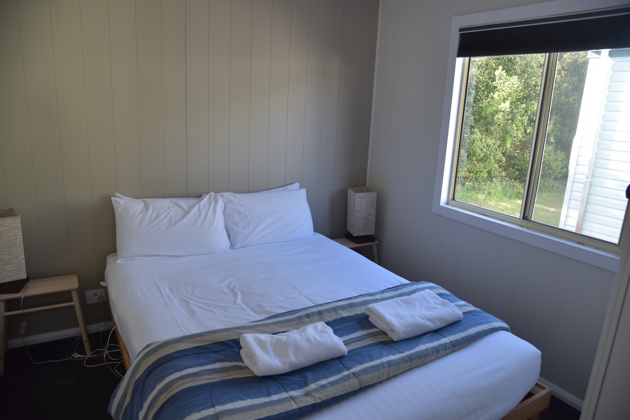
We then booked into our accomodation at the Strahan Beach Tourist Park. We had a self contained cabin and it was extremely nice.
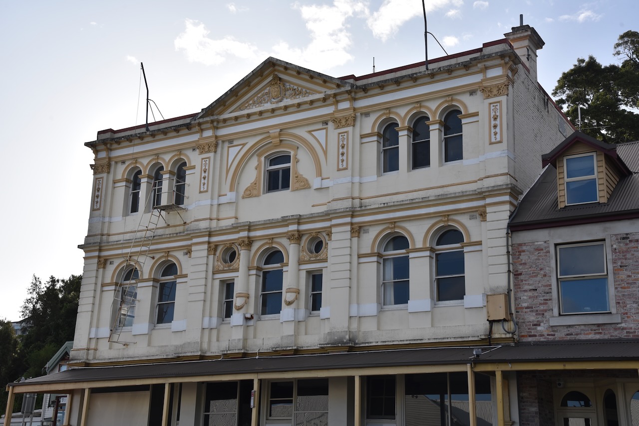
We had a drive around the town before it got dark to admire some of the views of Long Bay and some of the historic buildings.
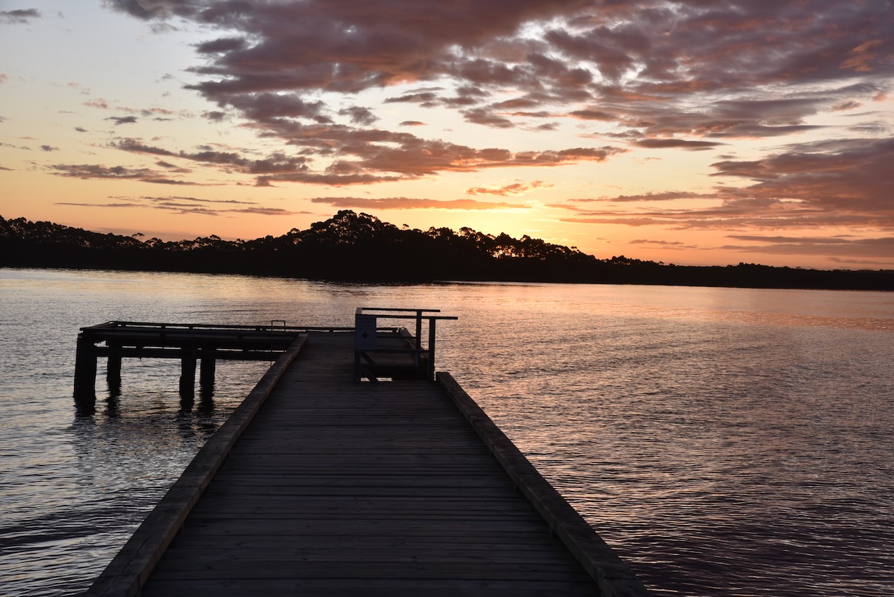
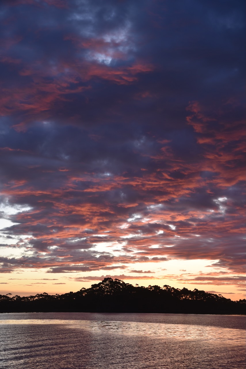
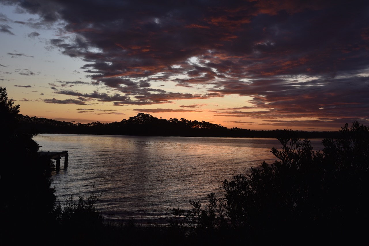
We then sat back and enjoyed a magnificent sunset before heading back our cabin for dinner.
Day 17 (Friday 11th November 2022) was upon us and we had a full day at Cradle Mountain. Out accomodation deal at the Lodge included breakfast so we headed down there and enjoyed a nice cooked breakfast.
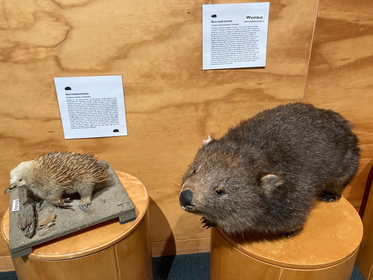
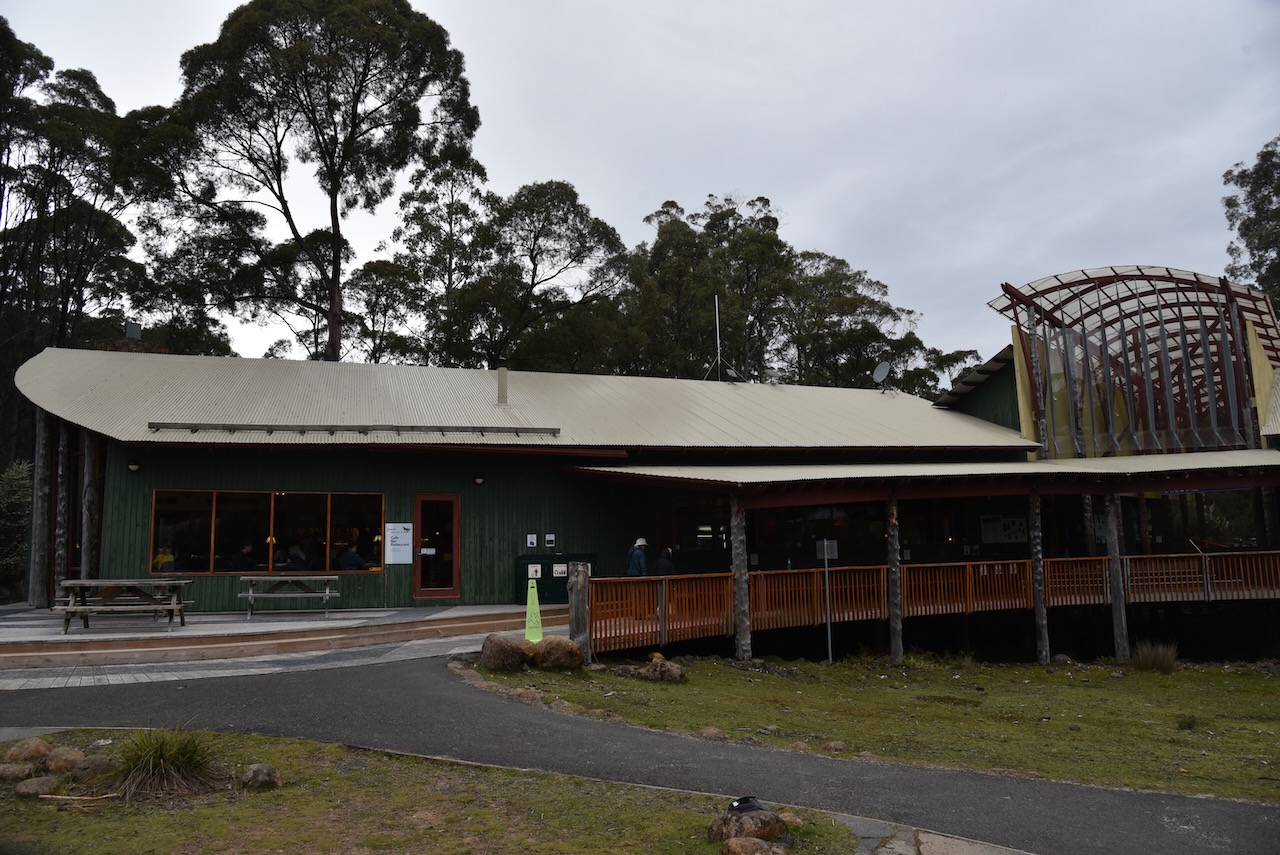
After breakfast we visited the Visitor Information Centre where they have some informative display and information about Cradle Mountain Lake St Clair.
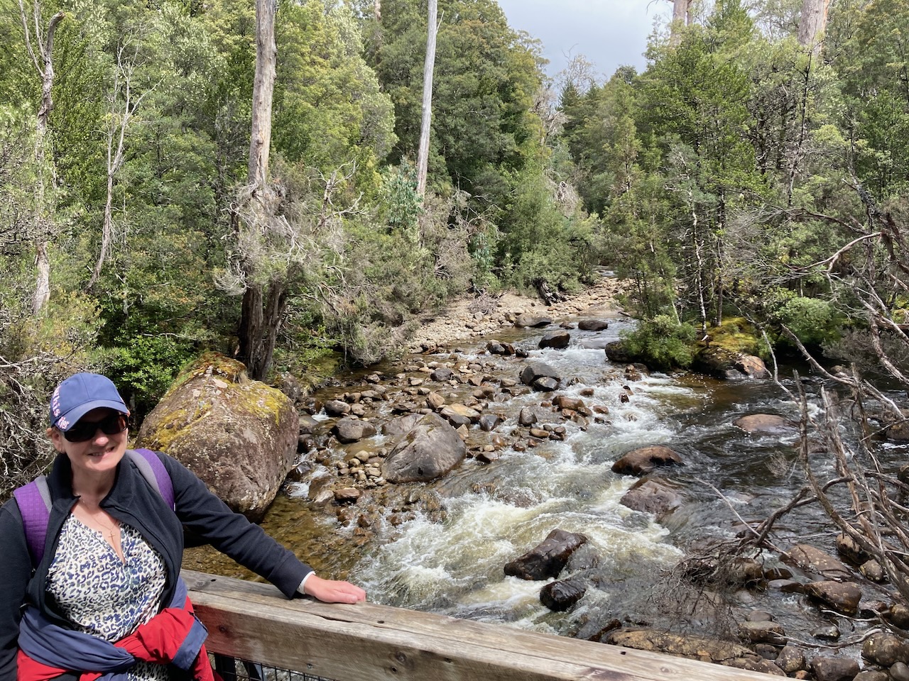
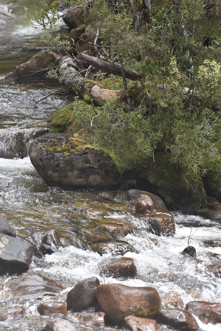
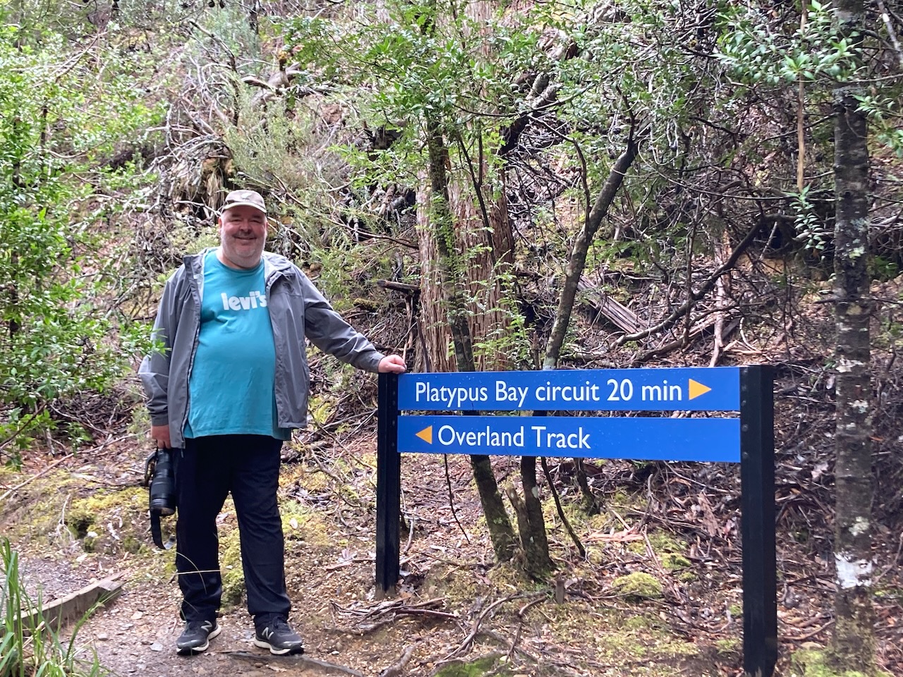
It was a rather dull and overcast day, but we decided to do the Watersmeet and Platypus Bay walks. The Watersmeet walk takes you to the confluence of the Cuvier and Hugel rivers and the Platypus Bay walk is a short loop walk beyond that.
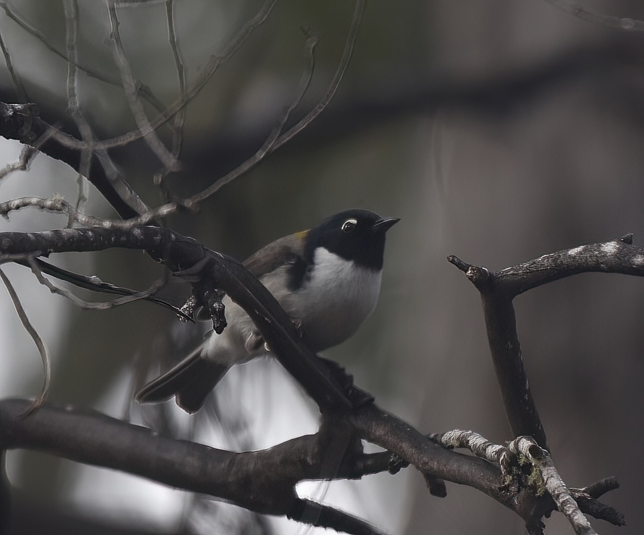
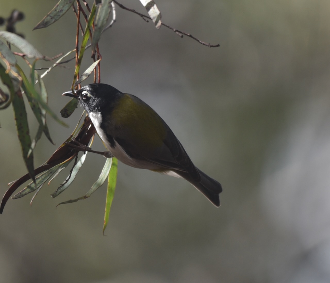
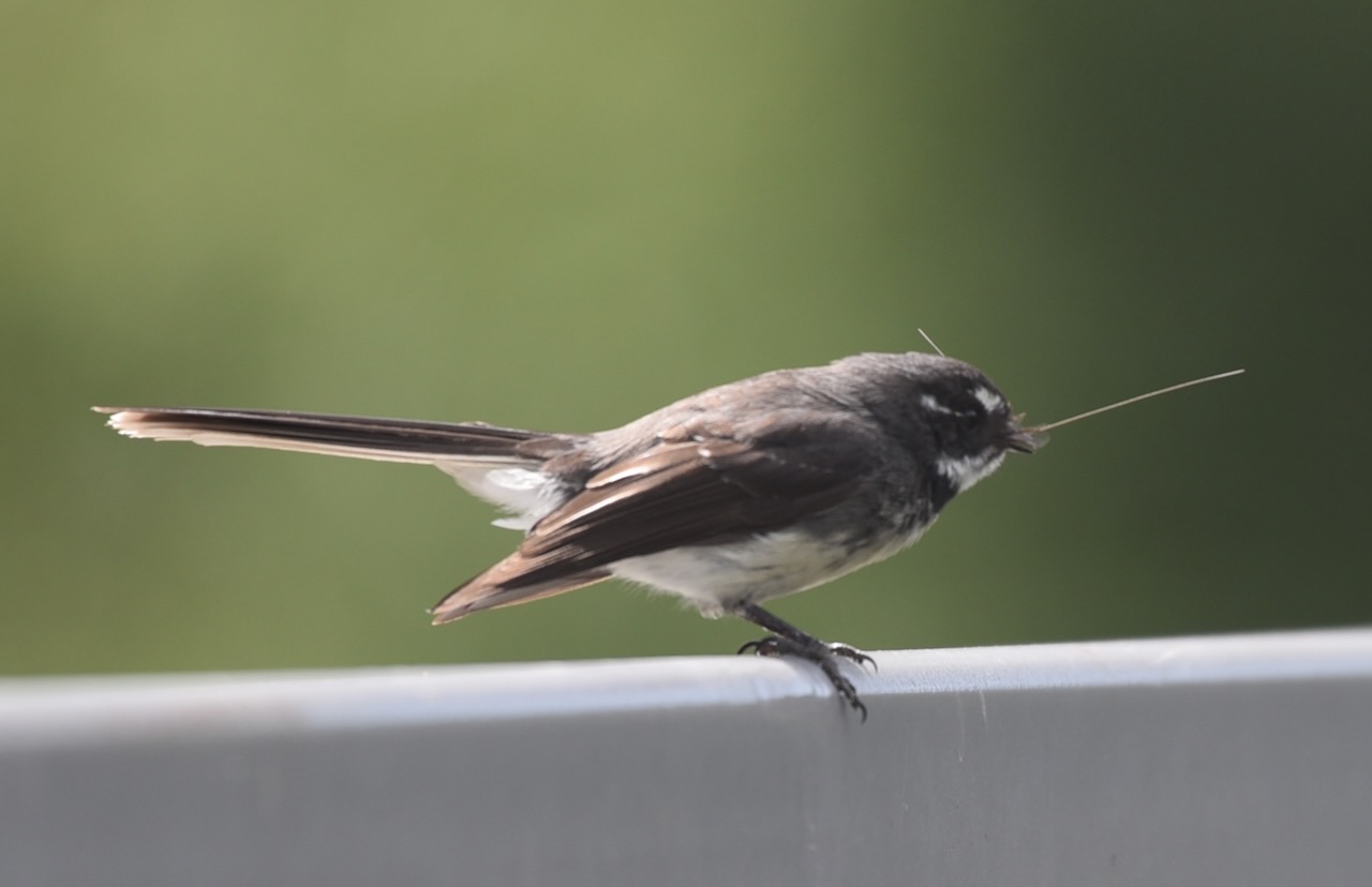
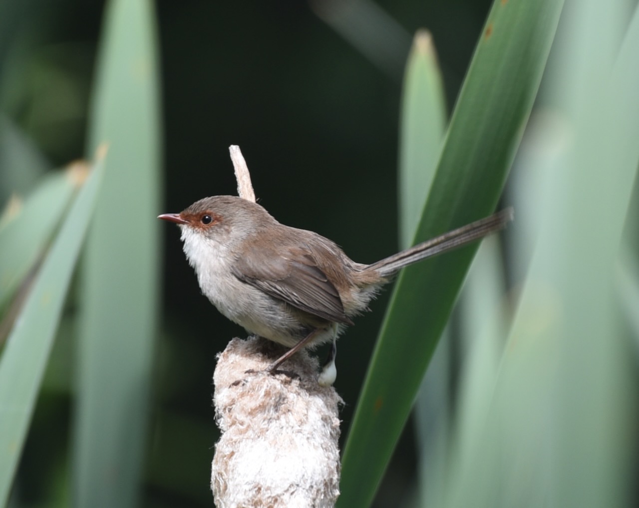
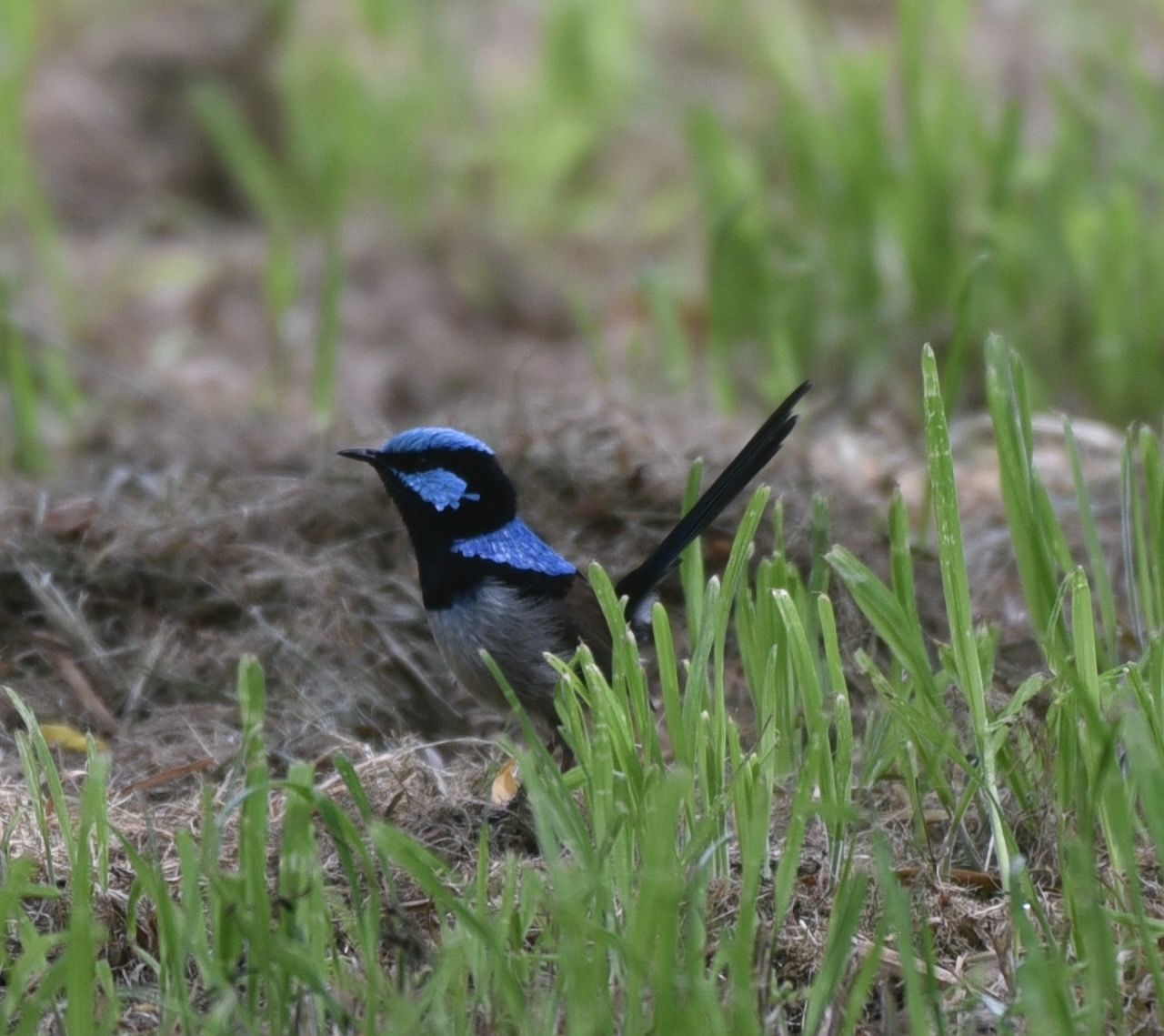
We were fortunate so see quite a bit of wildlife and birdlife along our walk. Sadly we did not see any platypus at Platypus Bay.
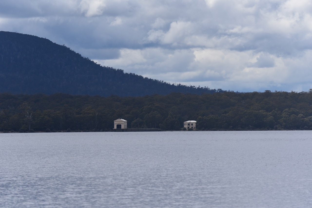
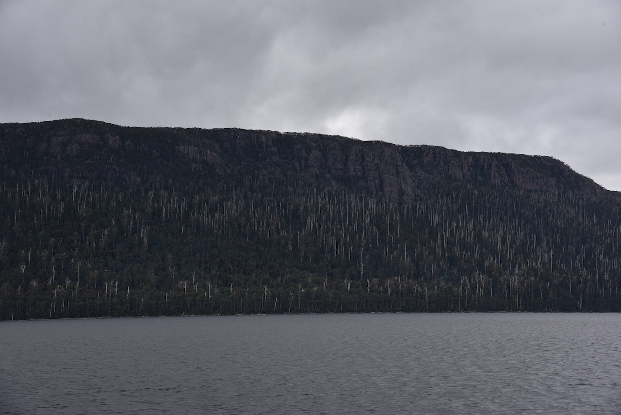
Despite the cloudy and foggy weather, there were some nice views of Lake St Clair along the walk.
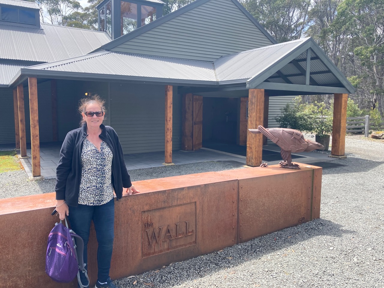
We then visited The Wall in the wilderness at Derwent Bridge. It is a large gallery with two long stretches of wooden carvings. The carvings are from Huon Pine and took 7 years to complete.
Unfortunately no photographs are allowed in the gallery. But the video below shows you what it is like inside.
We had booked a trip on the Lake St Clair Ferry across Lake St Clair so we headed back to Lake St Clair Lodge. It was slow at times as there was an abundance of wildlife on the road.
We then caught the small ferry from Cynthia Bay to Narcissus and return. Along with the captain, the only other passengers on board other than Marija and I were some friends, one from Sydney and her friend from England.
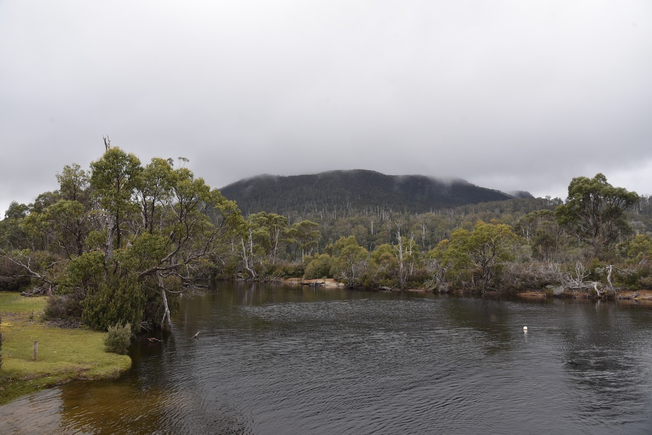
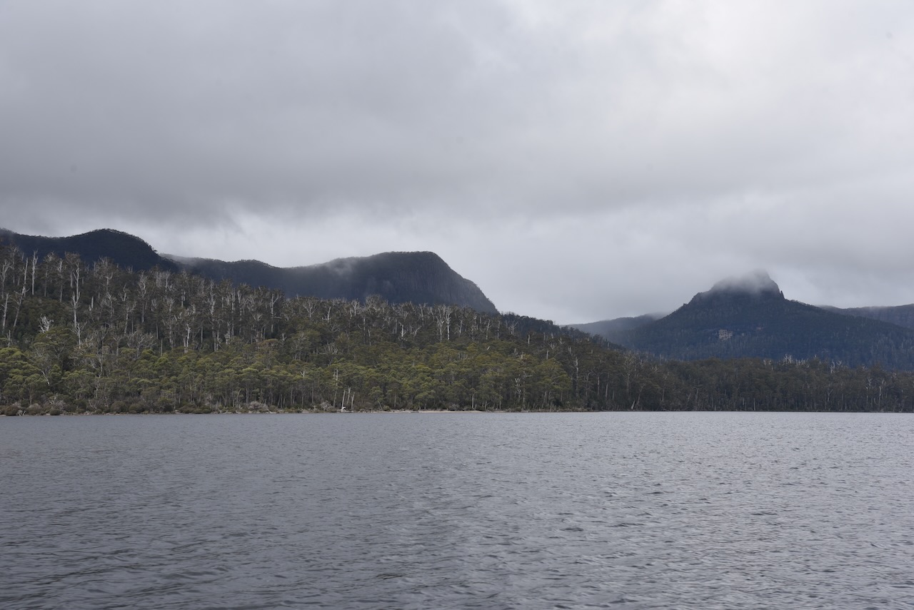
Sadly it was very foggy and the Captain assured us that Mt Hugel, Mt Olympus, Mt Orthys, Mt Byron and Mt Ida were in fact still out there.
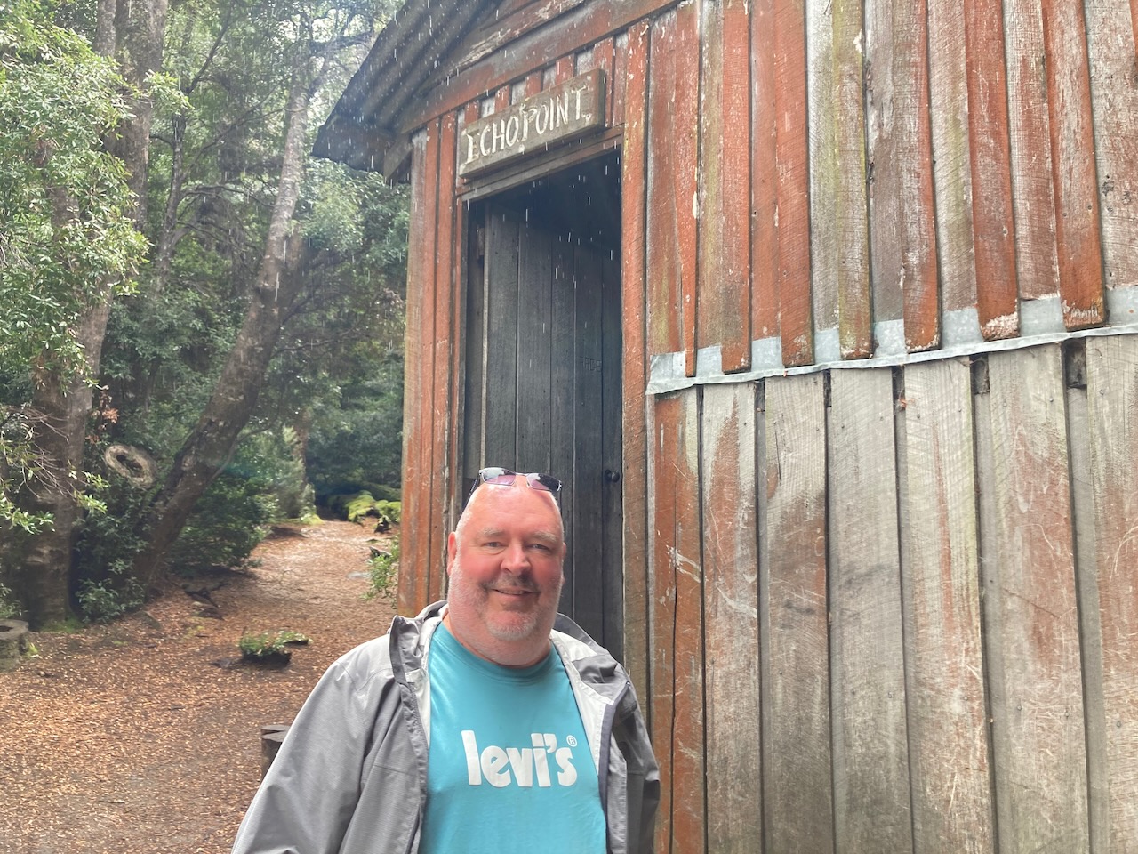
Before reaching Narcissus we stopped at Echo Point and were able to hop off the boat and have a walk through the rainforest.
We then reached Narcissus at the northern end of Lake St Clair and collected a group of bushwalkers that had been trekking for about a week through the National Park. Fortunately they sat up the front of the boat and we enjoyed the fresh air at the back.
It was late afternoon and we had some time for another activation of Cradle Mountain Lake St Clair National Park VKFF-0117. We headed back to our operating spot alongside the Derwent River.
Again the mosquitos were out in force, so we operated from inside the 4WD. We ran the Yaesu FT857, 40 watts, and the 20/40/80m linked dipole for this activation.
It was pleasing to see an opening on 20m long path into Europe. I worked the following DX: – Japan, Hawaii, Italy, Slovenia, France, Finland, and Belgium.
Marija made the following QSOs on 40m SSB:-
VK3UAO/p (Greater Bendigo National Park VKFF-0623)
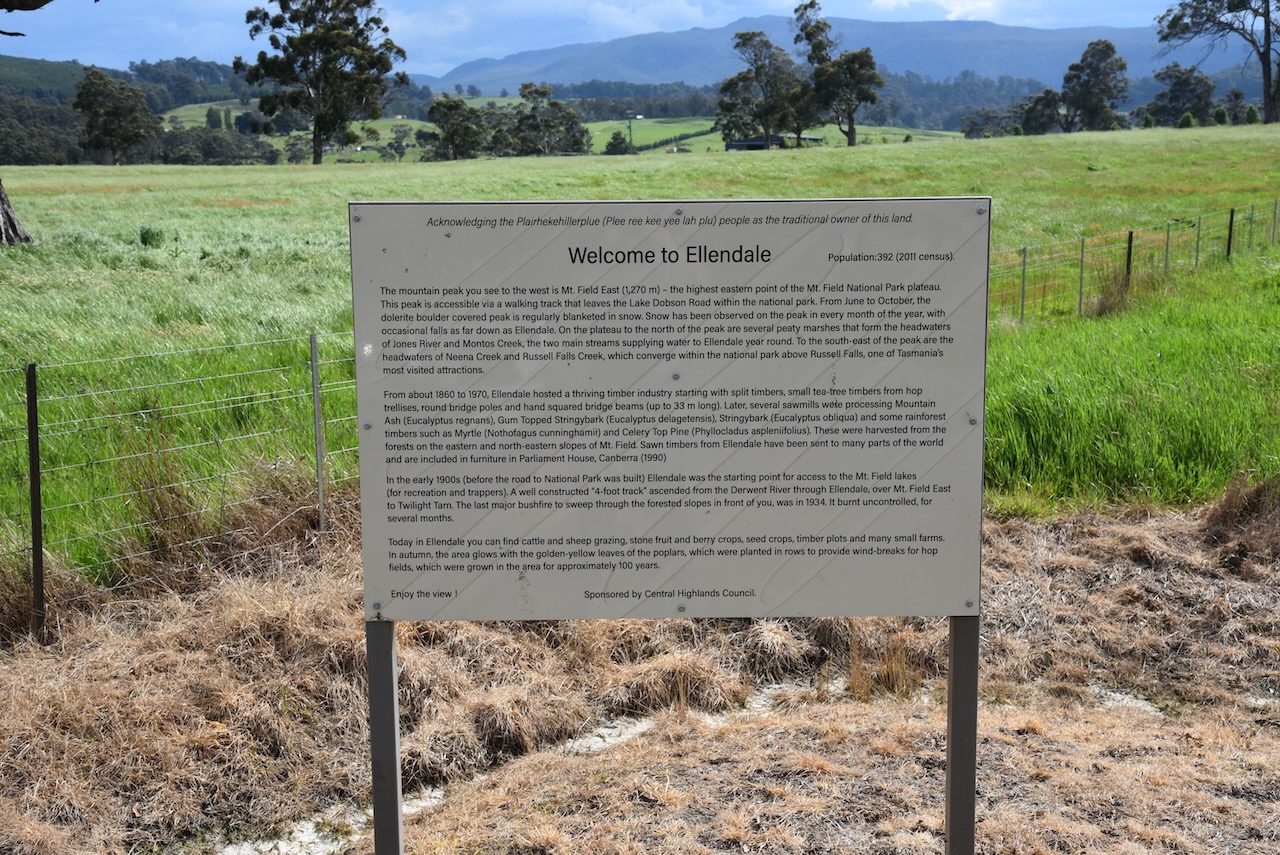
After leaving Mount Field (10th November 2022) we headed north on Ellendale Road towards the Lyell Highway.
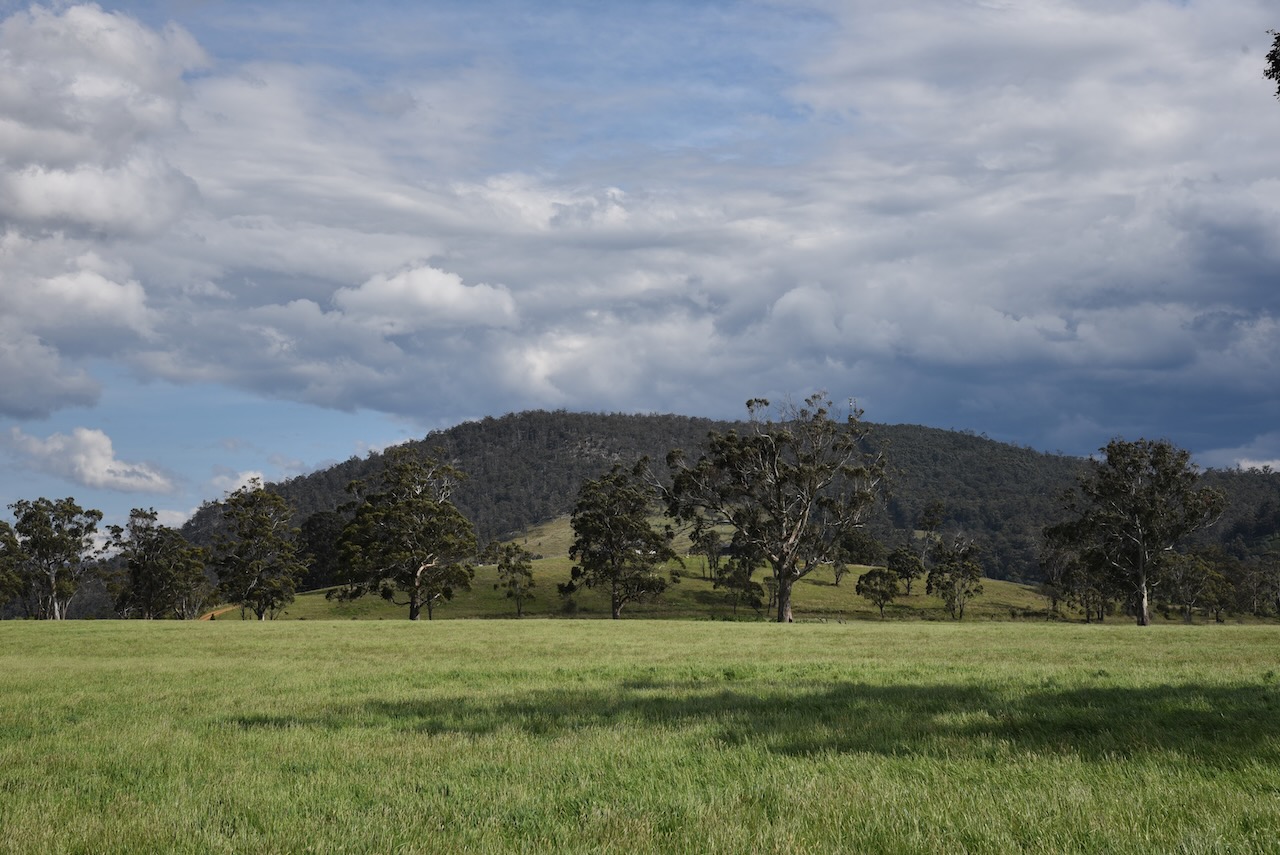
We stopped briefly at the Ellendale road stop admiring the view of Mount Field National Park. Between 1860 and 1970 Ellendale was the home of a thriving timber industry. Swan timbers from Ellendale have been sent to many parts of the world and are included in furniture at Parliament House.
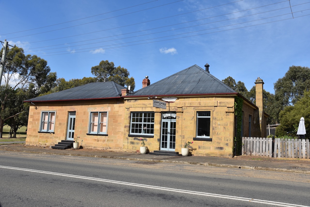
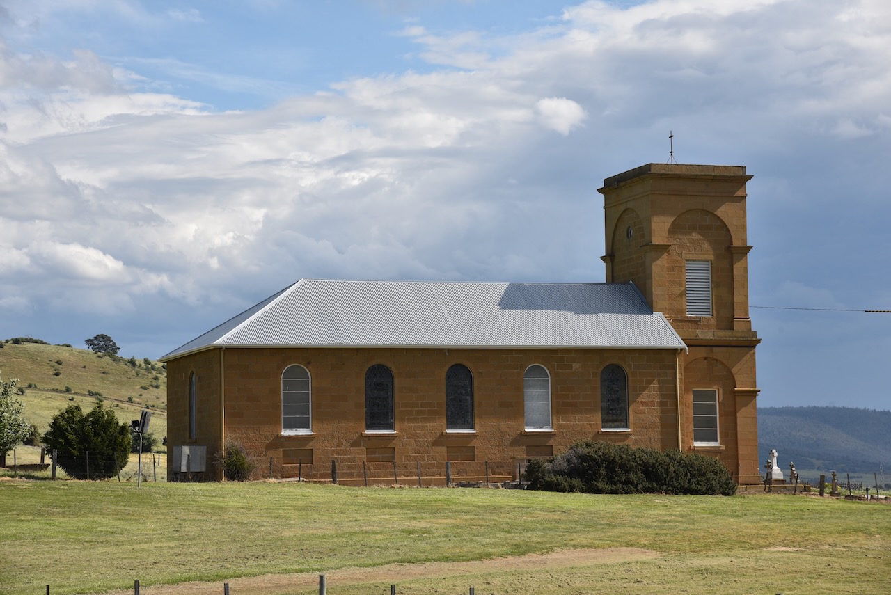
We doubled back along the Highway to the little town of Hamilton. I had wanted to see some of the many historic buildings that are in the town. These include the old school house which was built in 1858 by convict stonemasons. It was designed to allow the Headmaster to live in the room above the central staircase, while the children, according to their sex, entered the school from different doors.
Glen Clyde House was built in 1840 by convicts, originally as a private home. It was licenced as the ‘Tasmanian Lass’ in 1844. James Jacksons Emporium was built in 1854. The foundation stone for St Peters church was laid in 1834. The church was completed in 1837. The church had only one door and this was due to the fact that 50% of the congregation were convicts and the single door made escape more difficult.
Our GPS decided to take us off the Lyell Highway and along Fourteen Mile Road which was dirt, before rejoining the Highway. I’m glad it did detour us as we got to see the wooden hydro pipe at Bronte Park. It is one of the few hydro pipes which was constructed of wood. It was built so that the water from the Clarence River would run in to Bronte lagoon and from there though Tungatinah Power Station. This is one of 30 hydropower stations.
As we drove west along the Lyell Highway towards Derwent Bridge we started to smell smoke and then saw a very large plume of smoke. Fortunately we had internet coverage and Marija found out that it was a controlled burn off. t certainly didn’t look like that.
We then turned off the Highway onto Lake St Clair Road and soon reached our accomodation, the Lake St Clair Lodge. It is one of only 2 resorts built within a World Heritage listed area in the world.
Our cabin was right alongside of the shores of Lake St Clair, known as Leeawulena by the local aboriginal people.
Lake St Clair was named in 1835 by Surveyor General George Frankland when he visited the area. It was named in honour of the St Clair family who resided on the shores of Loch Lomond in Scotland.
After dropping off all of our bags we headed back down Lake St Clair Road and activated the Cradle Mountain Lake St Clair National Park VKFF-0117.
Cradle Mountain-Lake St Clair National Park is 1,614.43 km2 in size and was established in 1911. It is part of the Tasmanian Wilderness World Heritage Area. The park borders the Walls of Jerusalem National Park, the Franklin Gordon Wild Rivers National Park, the Vale of Belvoir Conservation Area, and the Central Plateau Conservation Area.
Above:- The Cradle Mountain lake St Clair National Park. Image c/o GoogleEarth.
Cradle Mountain lies between the Big River and Northern Tasmania people. They were last seen just south of Cradle Mountain in about 1836 following years of persecution by the European settlers.
The first Europeans to explore the Cradle Mountain area were Joseph Fosset (b. 1788. d. 1851) and Henry Hellyer (b. 1790. d. 1832) in 1827. They were surveying the area for the Van Dieman’s Land Company. It was named Cradle Mountain as it bore a similarity to a miners cradle.
From the 1860s until the 1950s, trappers worked in the area. However hunting in the park was declared illegal from 1927. These hunters established huts including Du Cane and Pine Valley. Logging on trees was also undertaken. From 1910 to 1930 cattle and sheep were grazed in Cradle Valley.
On the 16th day of May 2022 the Cradle Mountain Lake St Clair National Park celebrated his centenary. The video below shows what the park is like now, and what it was like back in 1922.
The history of how Cradle Mountain Lake St Clair became a National Park is a very interesting one.
Gustav Weindorfer emigrated to Australia from Austria in 1899. He married Kate Cowle in Tasmania in 1902. They were both dedicated botanists and spent their honeymoon camping at the top of Mount Roland. In 1909 Gustav and a friend and botanist called Charlie Sutton set out on an adventure to explore Cradle Mountain. Unfortunately thick fog, and time spent on collecting plant material, thwarted their intentions of climbing the summit.
In January 1910, Gustav and his wife Kate and Major R E Smith climbed the summit. Following this, Weindorfer famously said:
“This must be a National Park for the people for all time. It is magnificent, and people must know about it and enjoy it.”
Above:- Gustav Weindorfer. Image c/o Trove.
Gustav was so impressed with Cradle Mountain that he commenced building a hut called Waldheim (Forest Home). He provided accomodation for friends and others with whom he wanted to share his love of the Cradle Mountain area. In 1913 Waldheim was opened for commercial business.
Following the death of his wife in 1921, Gustav commenced a tour of Tasmania promoting both his accomodation Waldheim and the concept of a Cradle Mountain National Park. In the following year 1922, Cradle Mountain was declared a scenic reserve. In 1927 it was declared a wildlife reserve, and in 1947 it was declared as a National Park.
Above:- Article from the Examiner, Launceston, Thu 10 May 1923. Image c/o Trove.
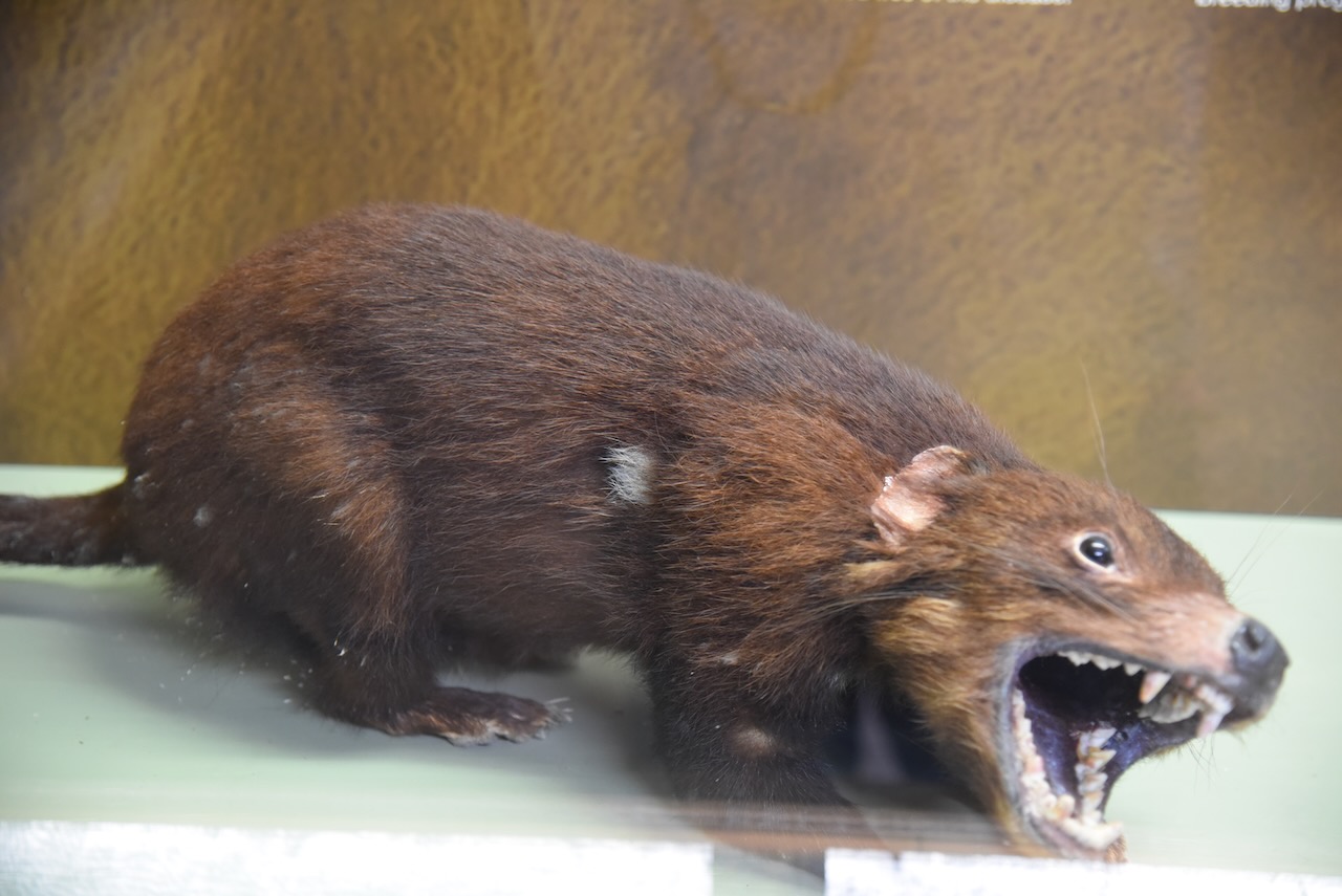
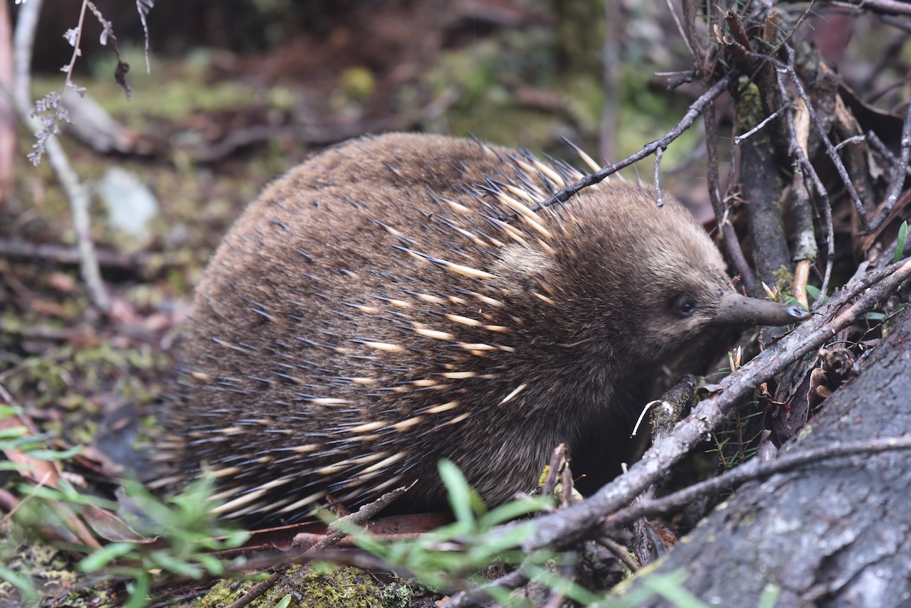
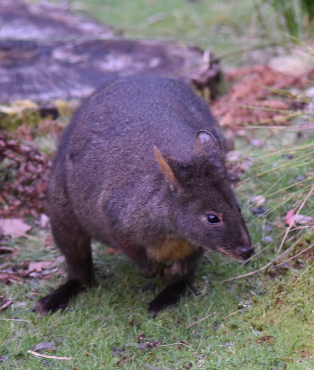
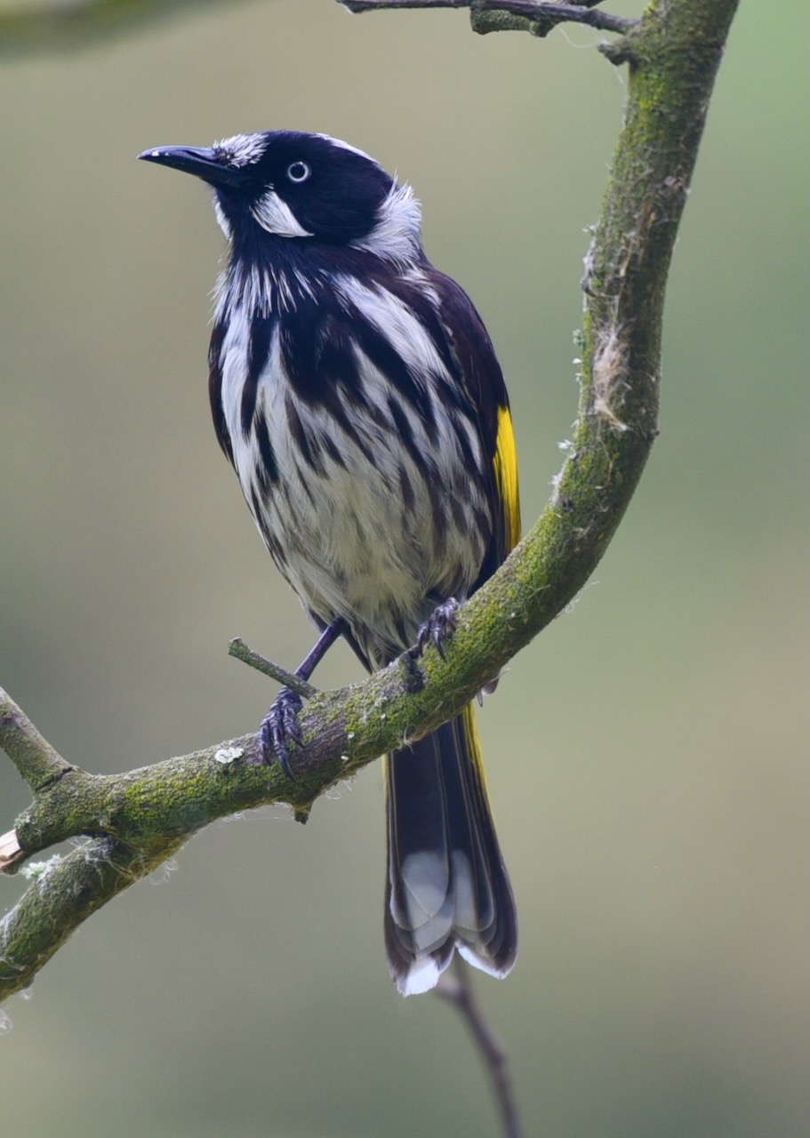
Native mammals found in the park include Tasmanian pademelons, Bennetts wallabies, quolls, Tasmanian devils, short-beaked echidna, platypus, common wombats, and possums. The park has been identified as an Important Bird Area (IBA) due to it providing vital habitat for numerous birdlife including the Flame Robin and Pink Robin, and the Striated Field Wren.
We found a nice little quiet spot alongside of the Derwent River off Lake St Clair Road.
We ran the Yaesu FT857, 40 watts, and the 20/40/80m linked dipole for this activation. We operated from inside of the 4WD as the mosquitoes were relentless.
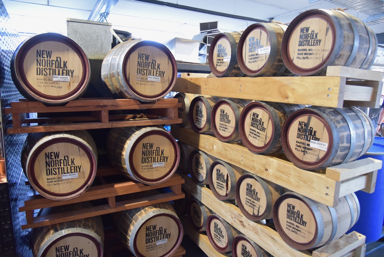
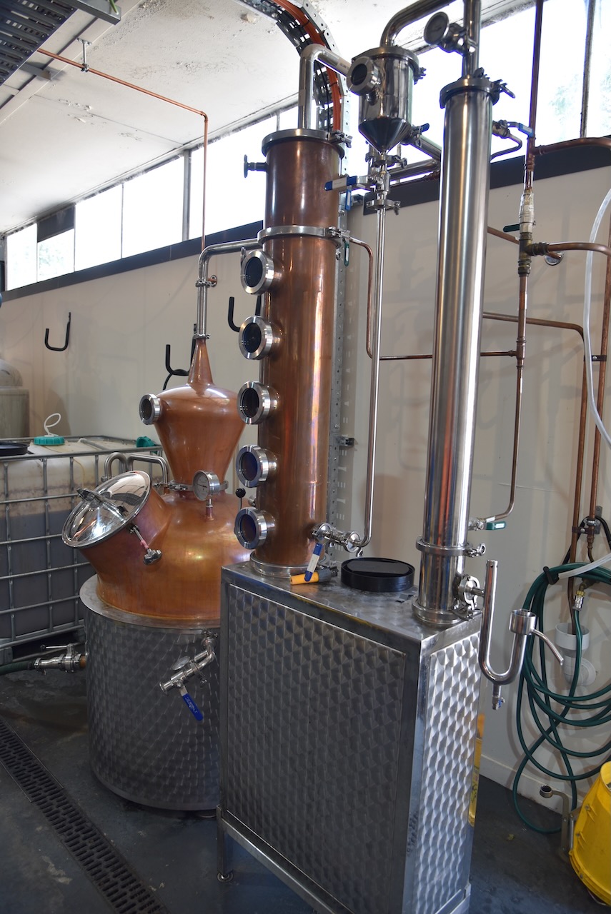
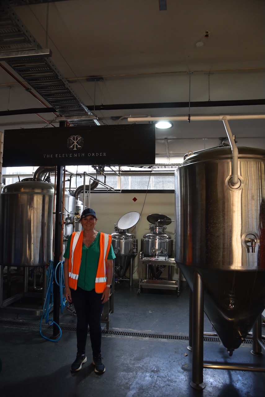
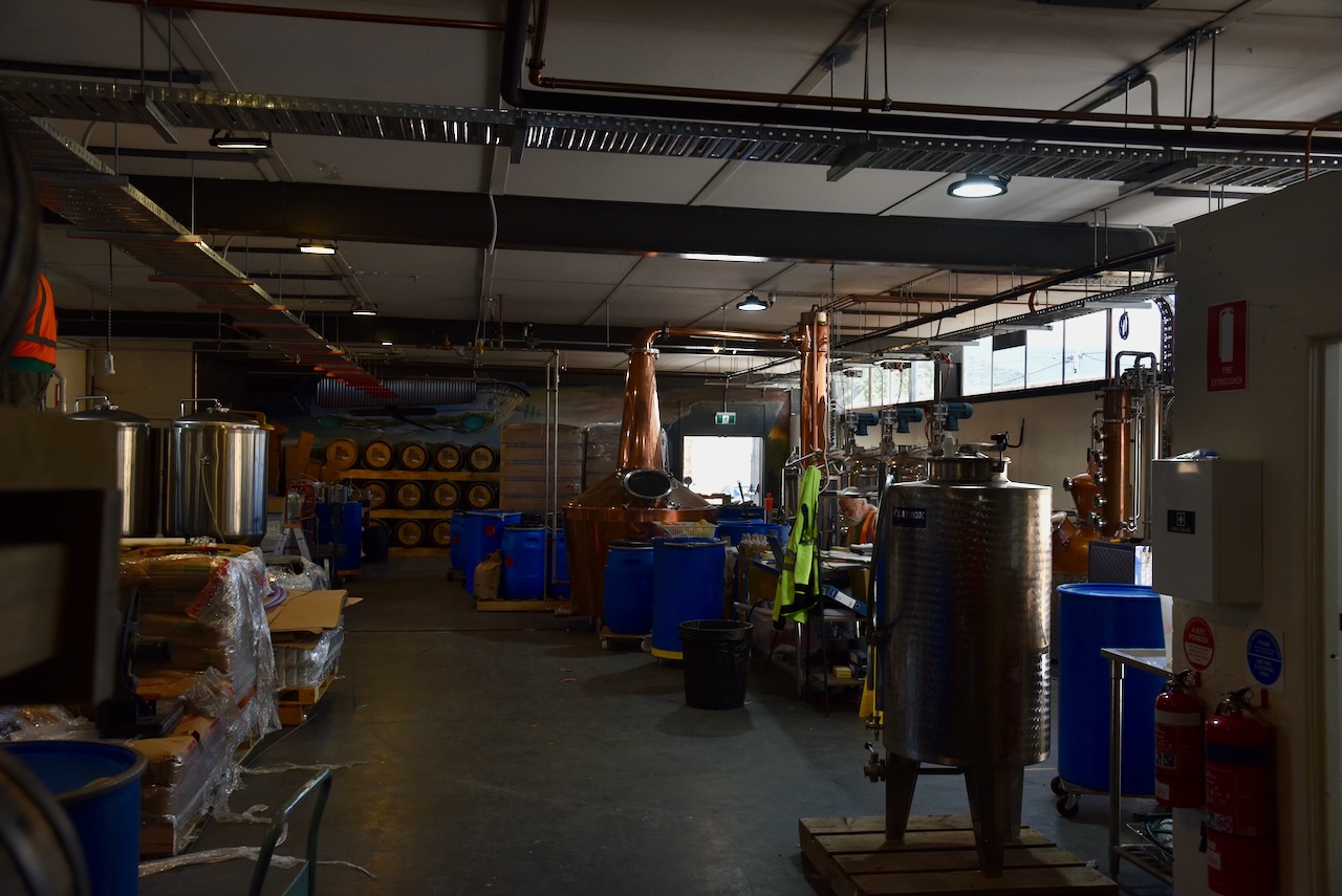
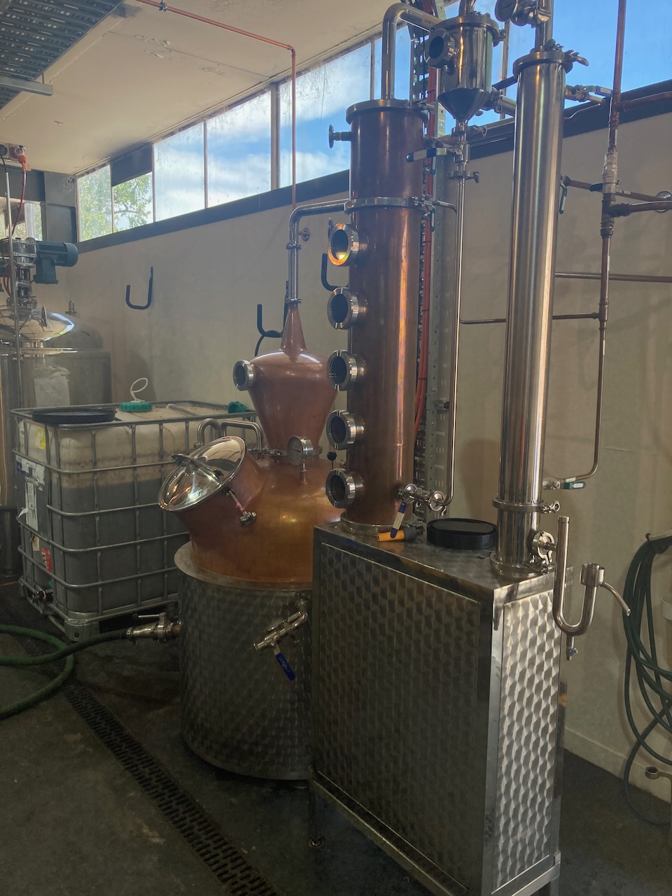
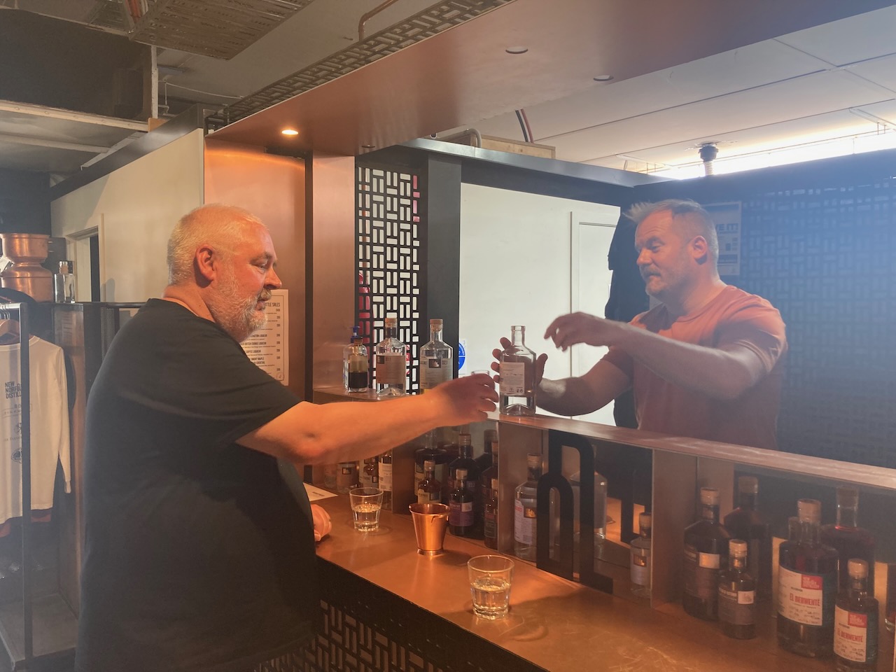
After packing up at the Derwent Cliffs State Reserve (10th November 2022) we visited the New Norfolk Distillery which is Tasmania’s only rum dedicated distillery. We undertook a short our which included some tastings at the end. I walked away with a nice bottle of rum and another bottle of liqueur.
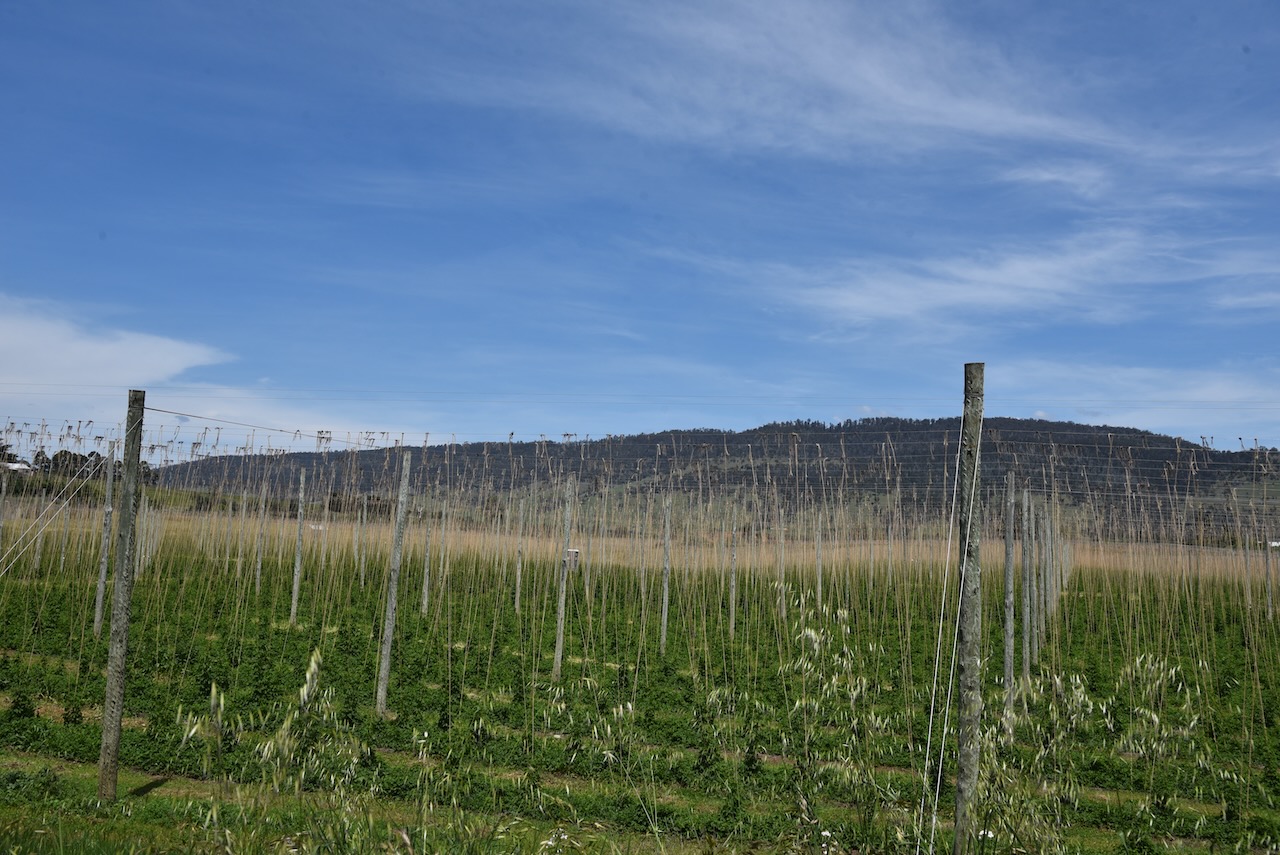
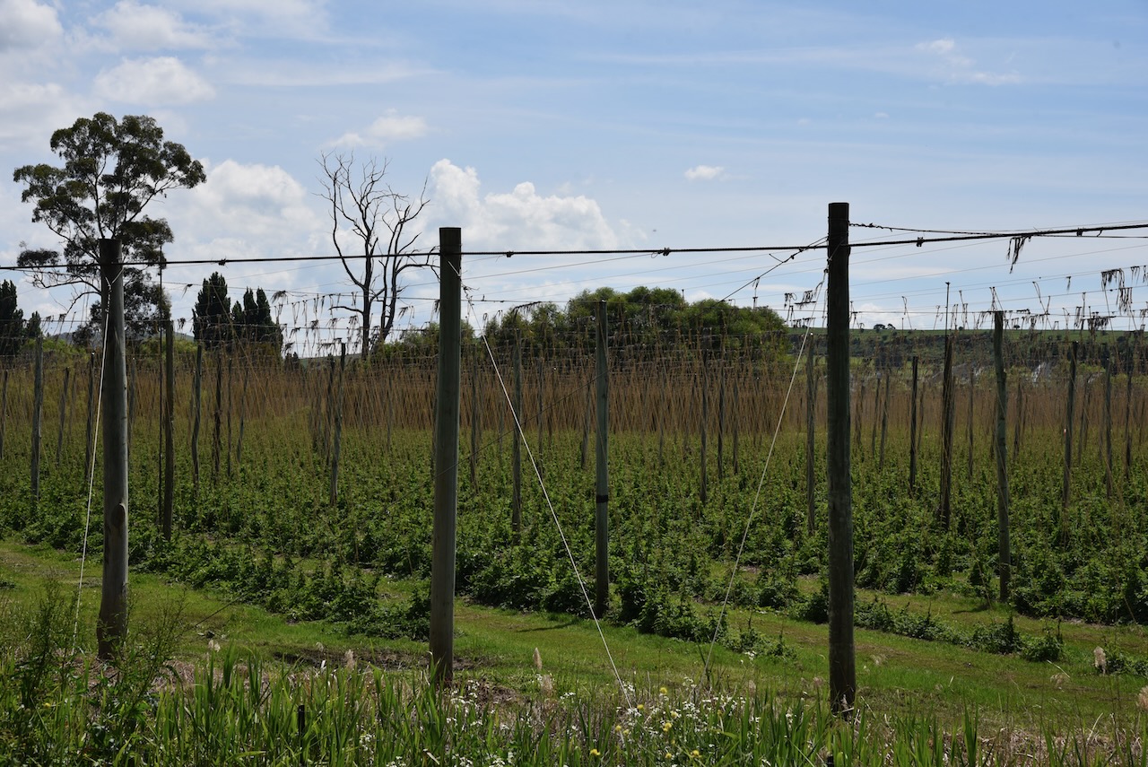
After talking with our guide at the distillery, we decided to take a detour from our planned route and we drove out to Bushy Park, the hops capital of Tasmania.
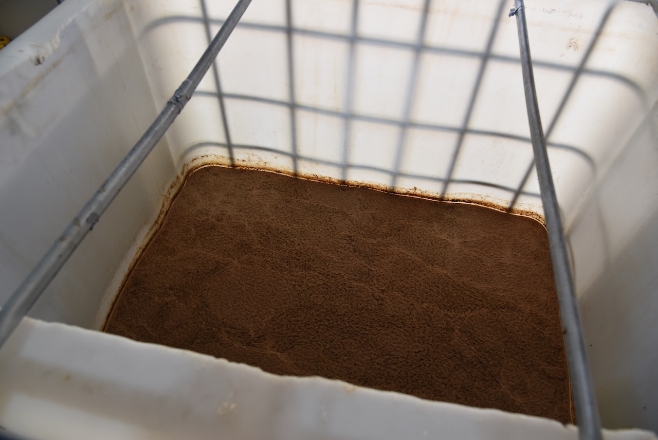
Hops are the green cone-shaped flowers of the Humulus lupulus plant which is the the source of bitterness, aroma, and flavor in beer.
The Bushy Park are was first called Humphreyyille after one of the first European settlers A.W.H. Humphrey who arrived in 1812. In about 1850 William Blyth, who had arrived in Hobart in 1835, bought out Humphrey. The name was changed to Bushy Park to honour the Blyth family estate near Hampton Court in England.
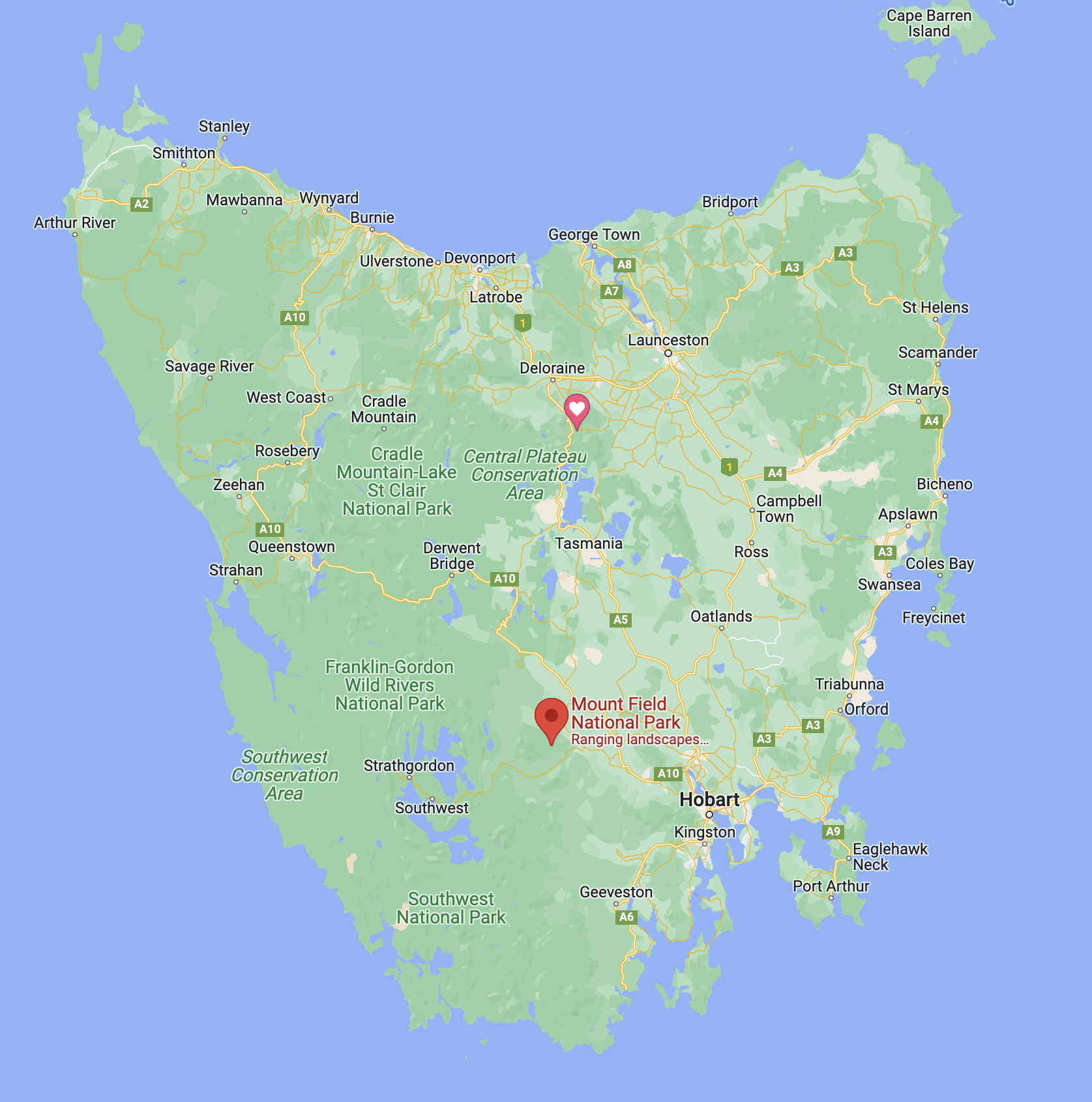
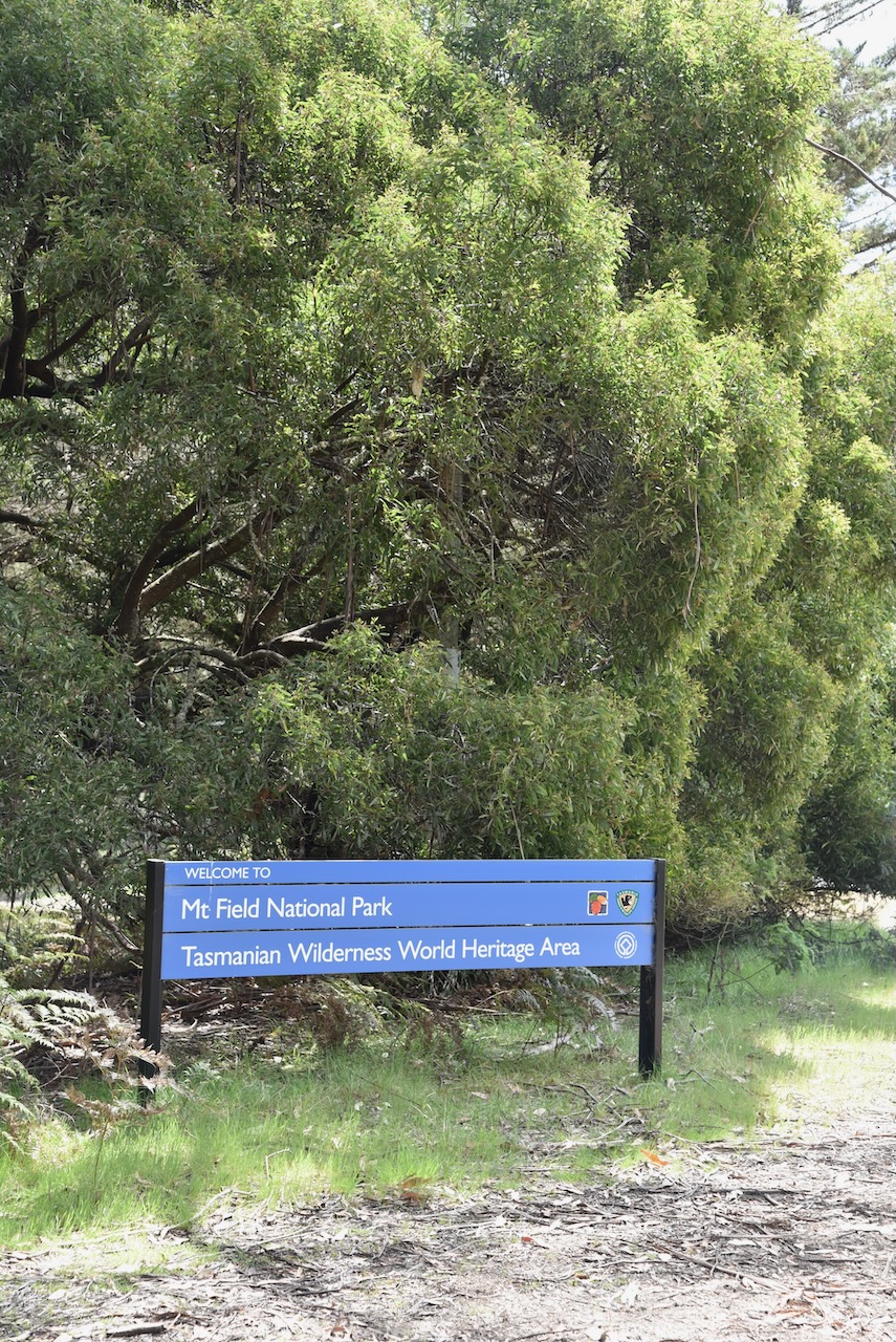
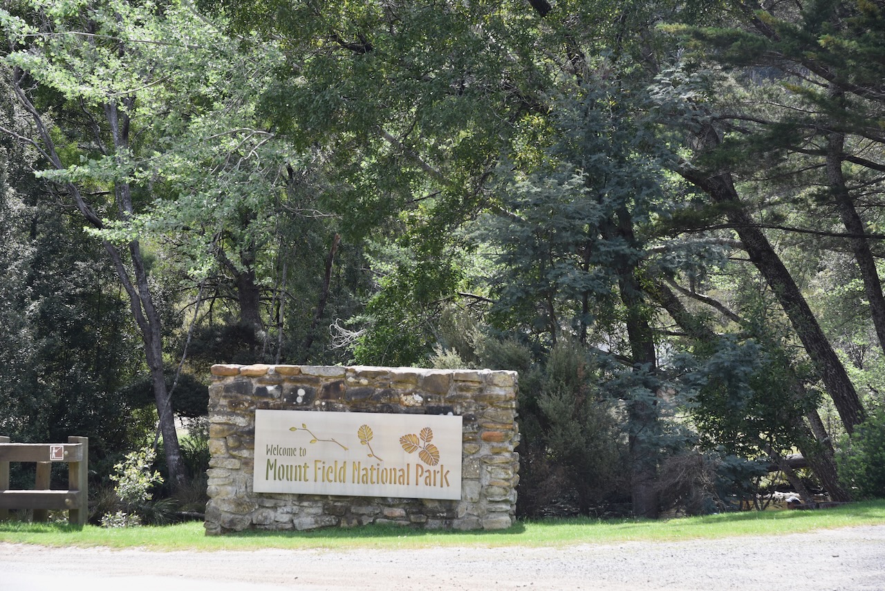
As were were now close to the Mount Field National Park VKFF-0347, we decided to detour out to the park for the park activation for the Wodl Wide Flora Fauna (WWFF) program
Above:- Map of Tasmania showing the location of the Mount Field National Park. Map c/o Google maps.
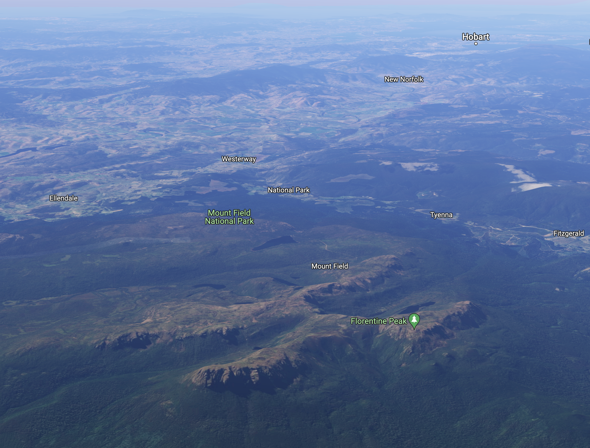
Mount Field National Park is located about 64 km northwest of Hobart. Its highest point is the summit of Mount Field West which is about 1,434 meters above sea level. The park is 162.65 km2 in size and was established in 1916.
Above:- An aerial view of the Mount Field National Park. Image c/o Google maps.
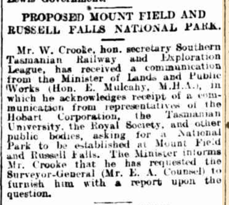
Along with Freycinet National Park, Mount Field is Tasmania’s oldest National Park. Russell Falls which is located within the National Park has been protected for its natural beauty since 1885. At that time it was set aside as Tasmania’s very first nature reserve.
Above:- Article from The Mercury, Hobart, Mon 17 Nov 1913. c/o Trove.
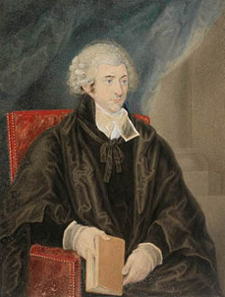
The Mount Field National Park is named in honour of Judge Barron Field (b. 1796. d. 1846), an English born Australian judge and poet. He visited Van Dieman’s Land as an itinerant judge in 1819 and 1821.
Above:- Barron Field. Image c/o Australian Dictionary of Biography.
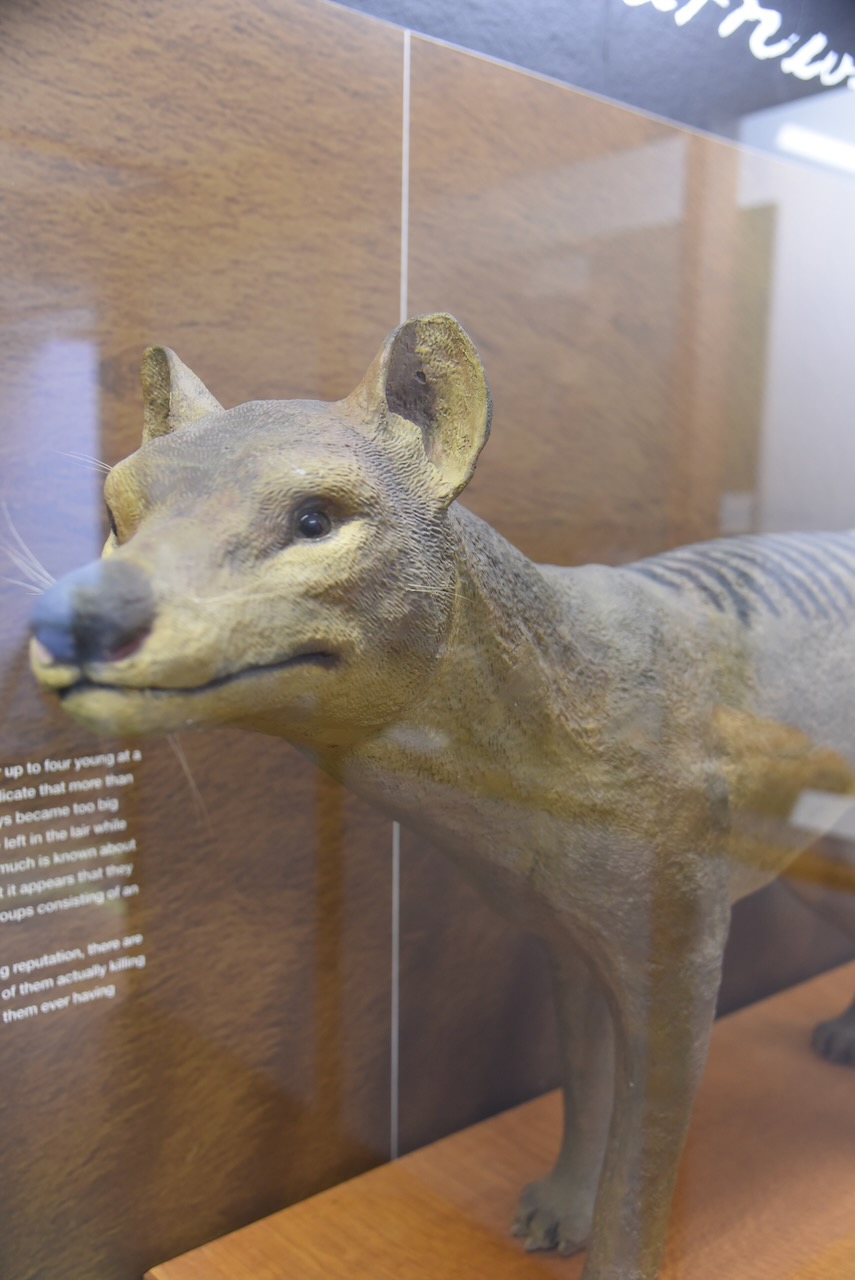
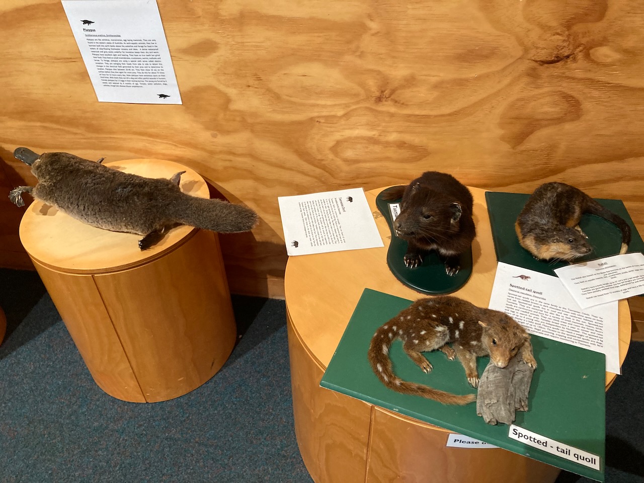
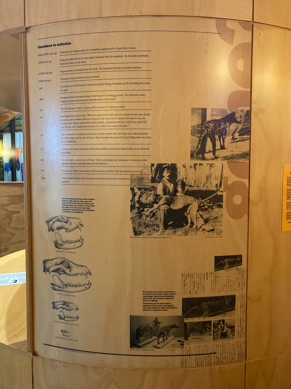
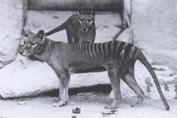
In 1933, the last known wild Thylacine was captured in the vicinity of the Mount Field National Park. The Thylacine, also known as the Tasmanian Tiger or an extinct carnivorous marsupial. Intensive hunting of the Thylacine encouraged by bounties brought about its extinction.
Above:- A Thylacine. Image c/o WIkipedia.
Native mammals that call the park home include wombats, platypus, eastern barred bandicoot, echidnas, and Tasmanian devil. Mount Field National Park is also home to an enormous diversity of fungi. The Fagus, a deciduous beech can be found in the park. It is one of only a handful of deciduous native trees in Australia.
During winter, the National Park is one of Tasmania’s two popular ski fields. The park is part of the Tasmanian Wilderness World Heritage Area.
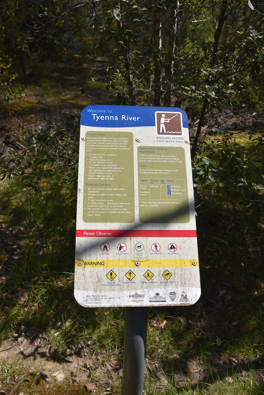
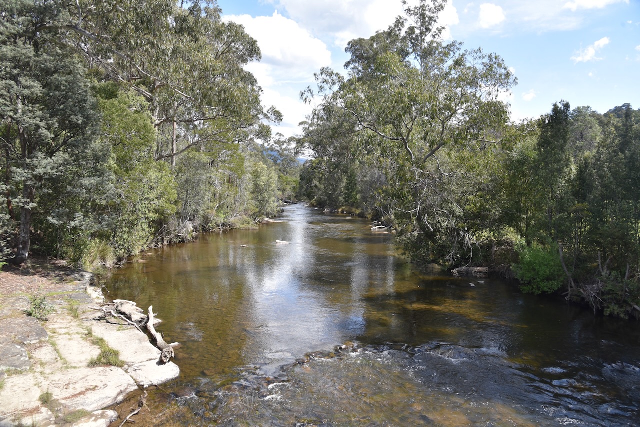
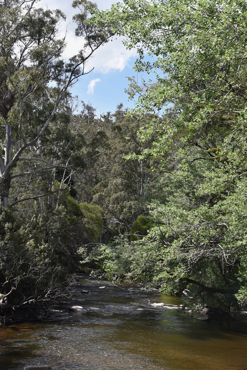
We set up in a car parking area alongside of the Tyenna River. Tyenna means bandicoot in aboriginal. It is one of the best trout fishing rivers in Tasmania.
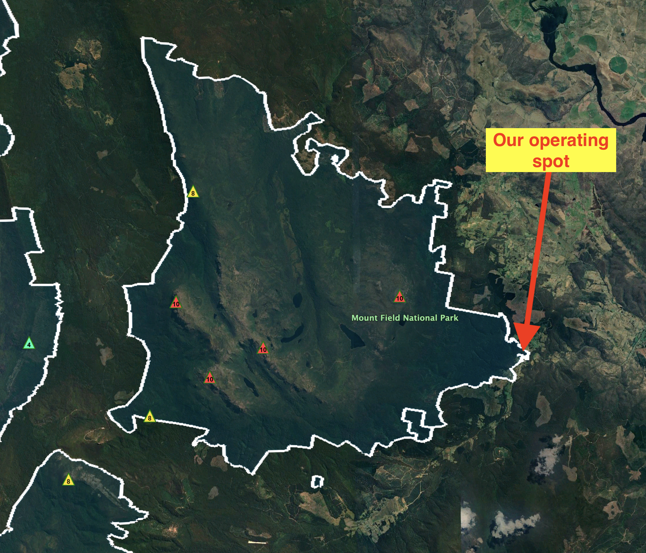
Above:- Map showing our operating spot in the park. Image c/o Google Earth.
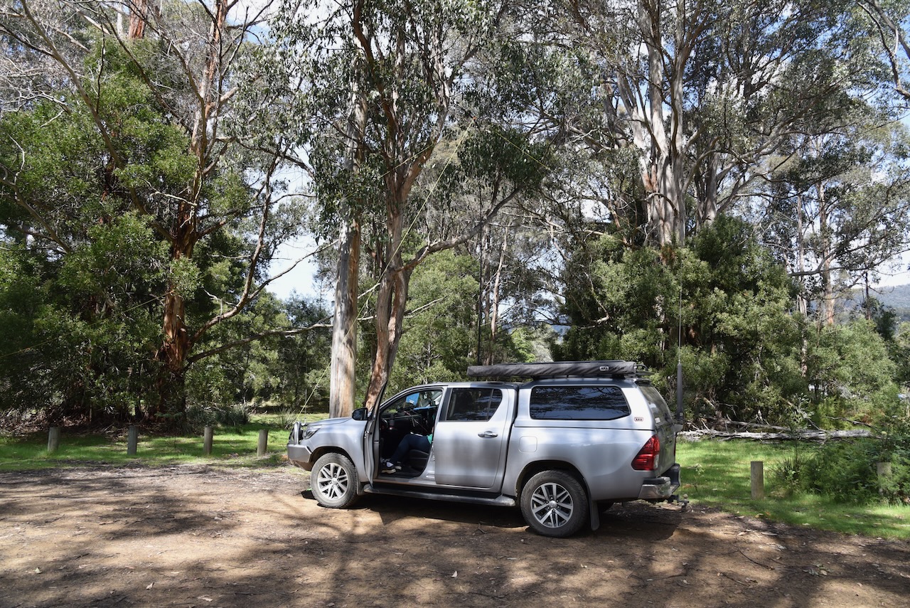
We ran the Yaesu FT857, 40 watts, and the 20/40/80m linked dipole for this activation.
We found band conditions to be extremely poor and there were long stretches of calling CQ with no response. A tune across the 40m band found no other stations. We were the only ones calling CQ.
Marija made the following QSOs on 40m SSB:-
VK3UAO
VK2MET
VK1AO
VK3AFW
VK3PF
VK3KAI
VK5DW
VK3ZLP
VK3VIN
VK3PF/m
VK3KAI/m
I made the following QSOs on 40m SSB:-
VK3UAO
VK2MET
VK1AO
VK3AFW
VK3PF
VK3KAI
VK5DW
VK3ZLP
VK3VIN
VK3PF/m
VK3KAI/m
I made the following QSO on 20m SSB:-
ZL1TM
We had both scraped in and qualified the park for the VKF program with more than 10 QSOs each.
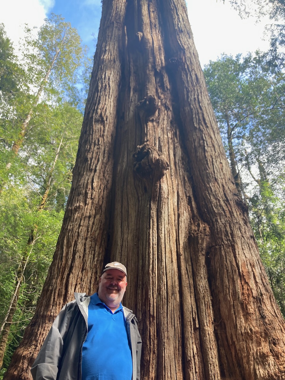
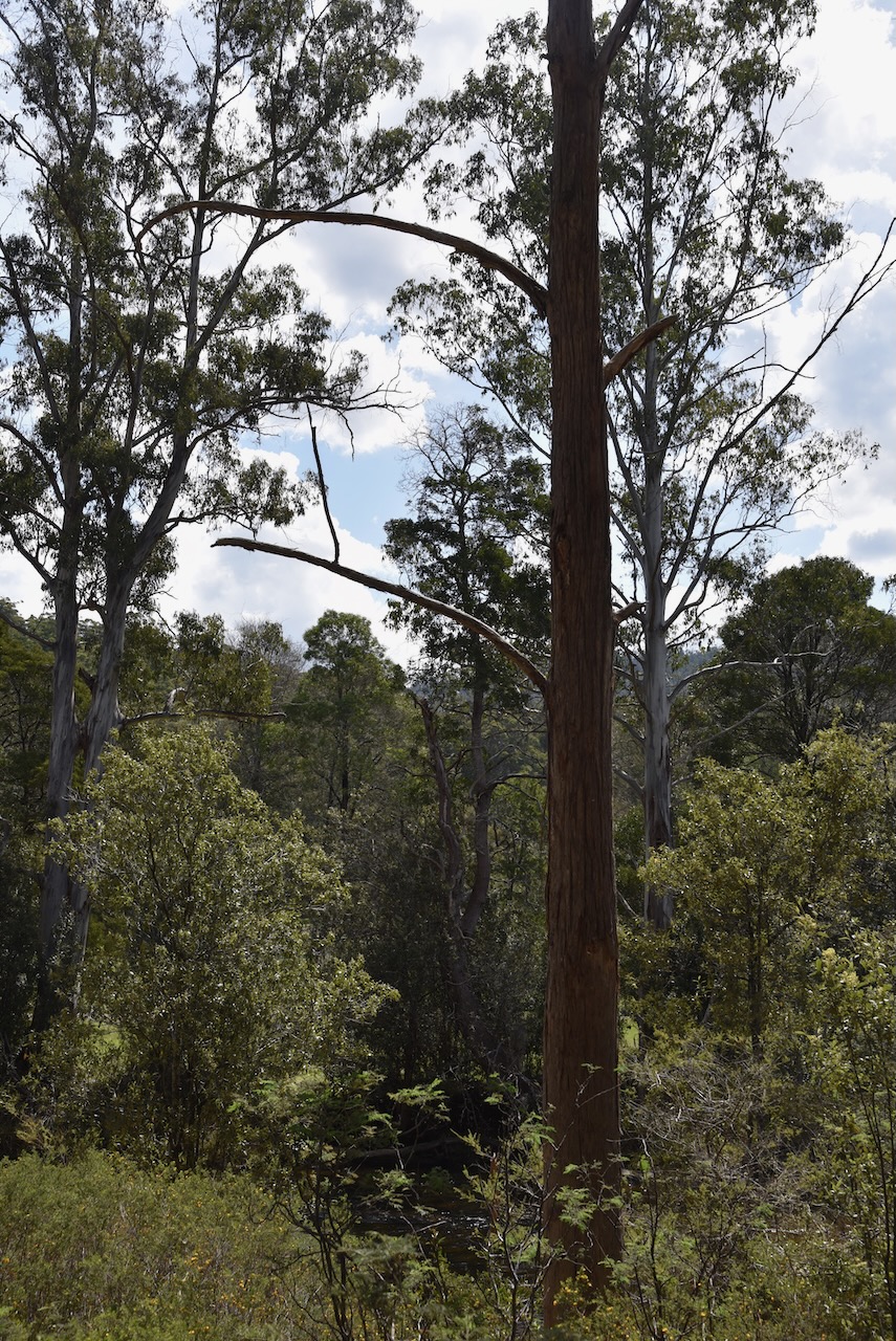
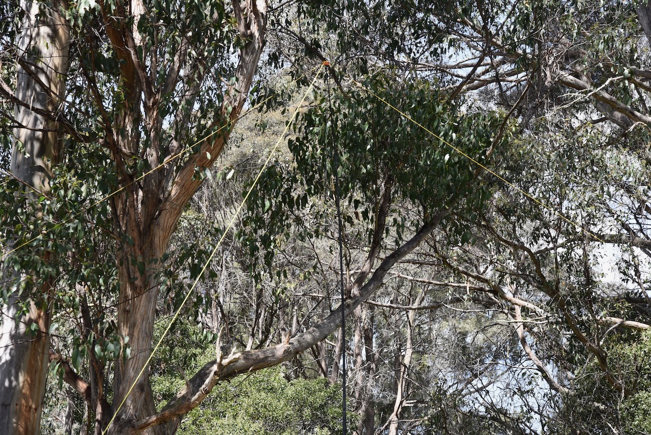
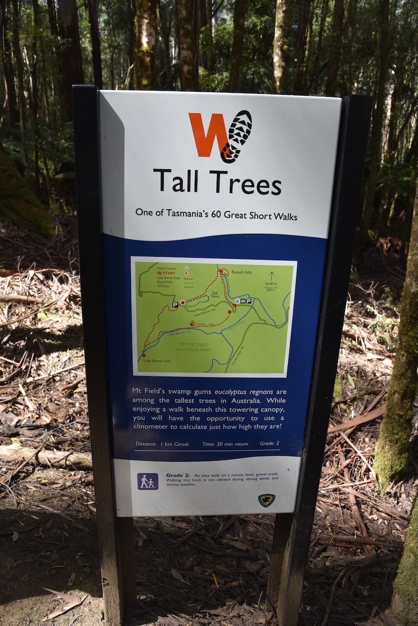
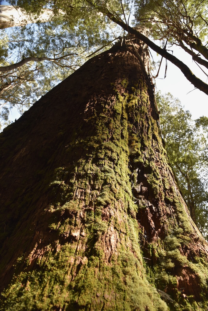
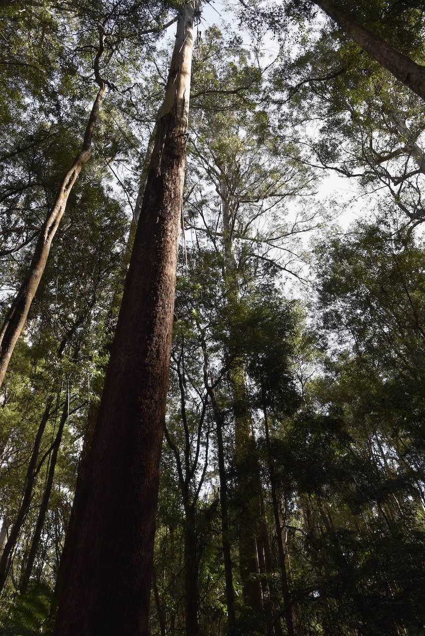
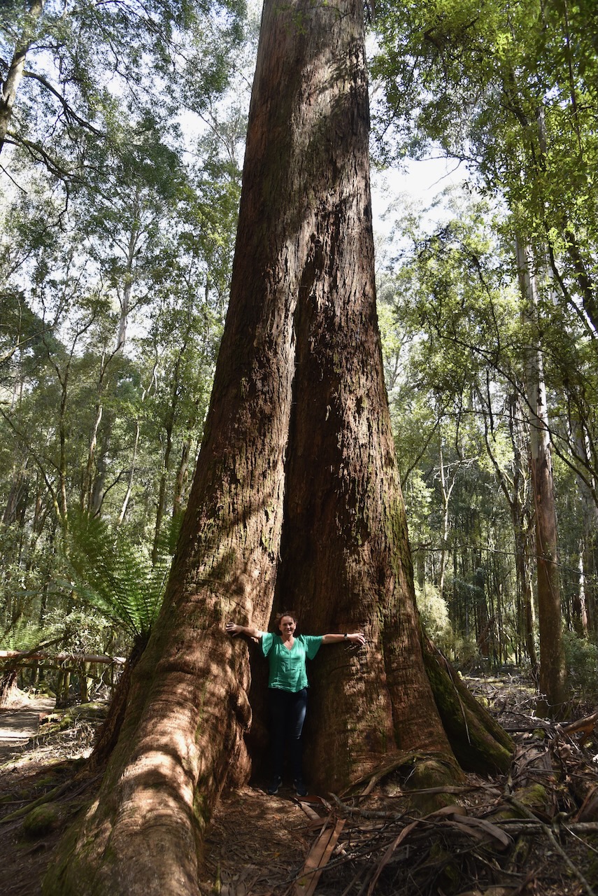
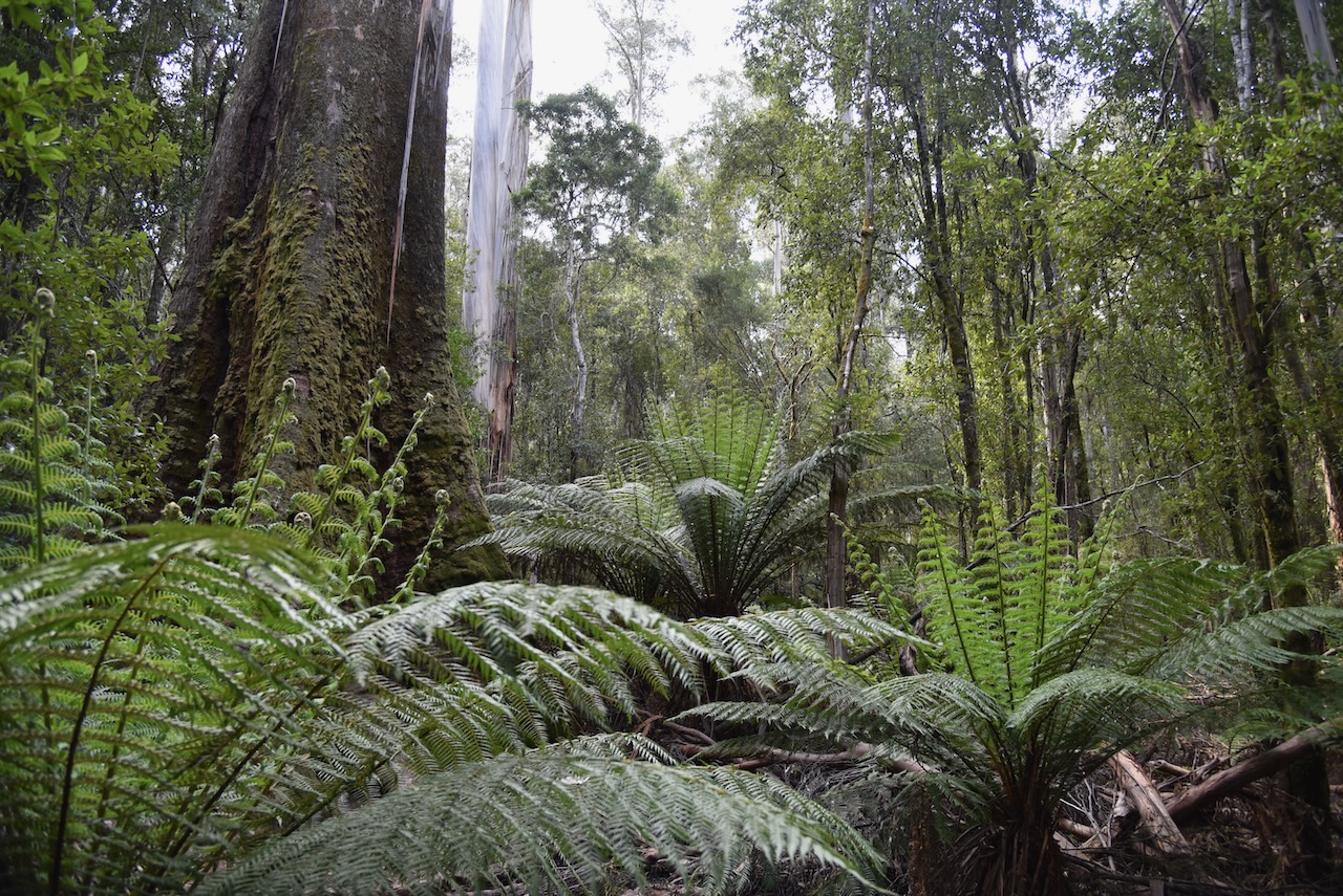
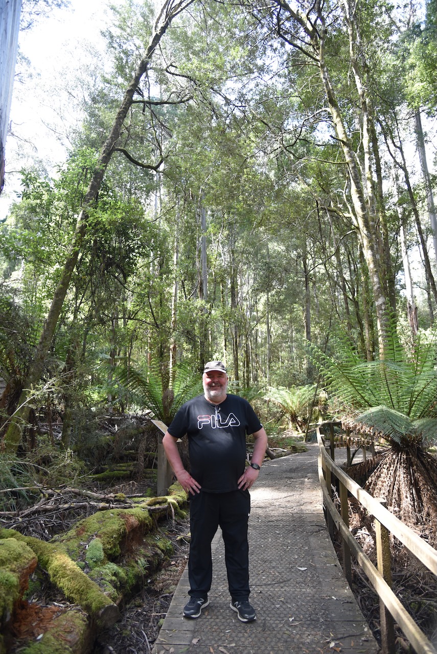
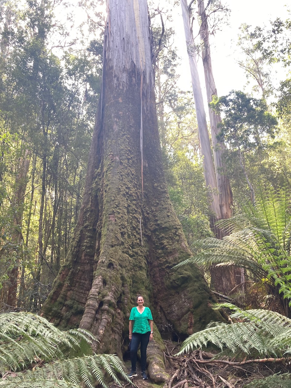
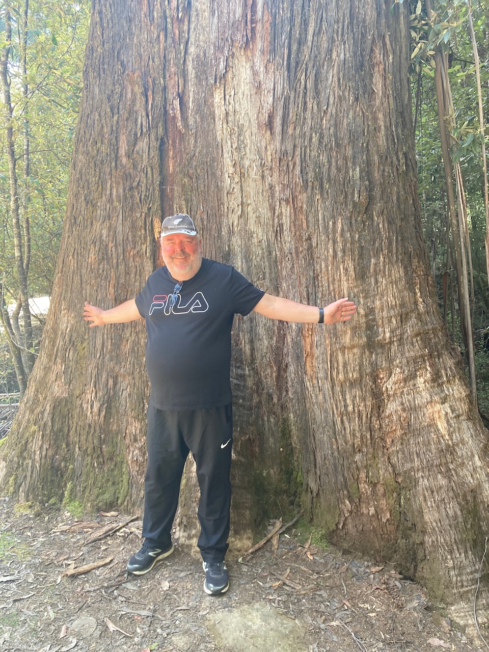
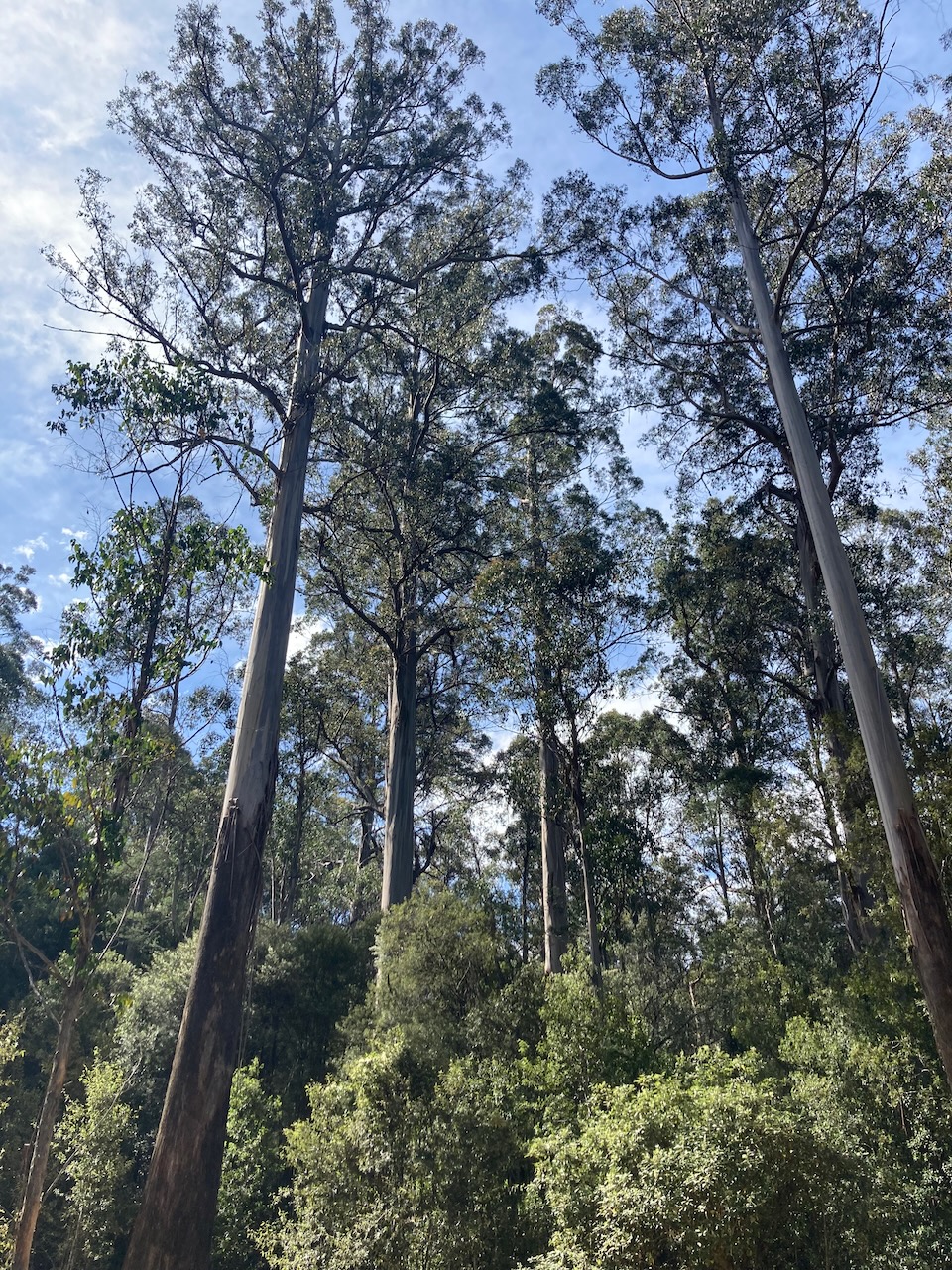
We packed up and drove further into the park and went for a walk at the Tall Trees trail. It is a 1 km loop which takes you passed the tallest flowering plants in the world, massive Eucalyptus regnans ‘Swamp Gum’. Some of the trees that you see here were growing when explorer Abel Tasman first sighted Tasmania in 1642. The trees can live for hundreds of years nad can reach over 100 metres in height.
We wished we had more time to explore this magnificent National Park. But it was time for us to continue along the Lyell Highway to our destination at Lake St Clair Lodge.
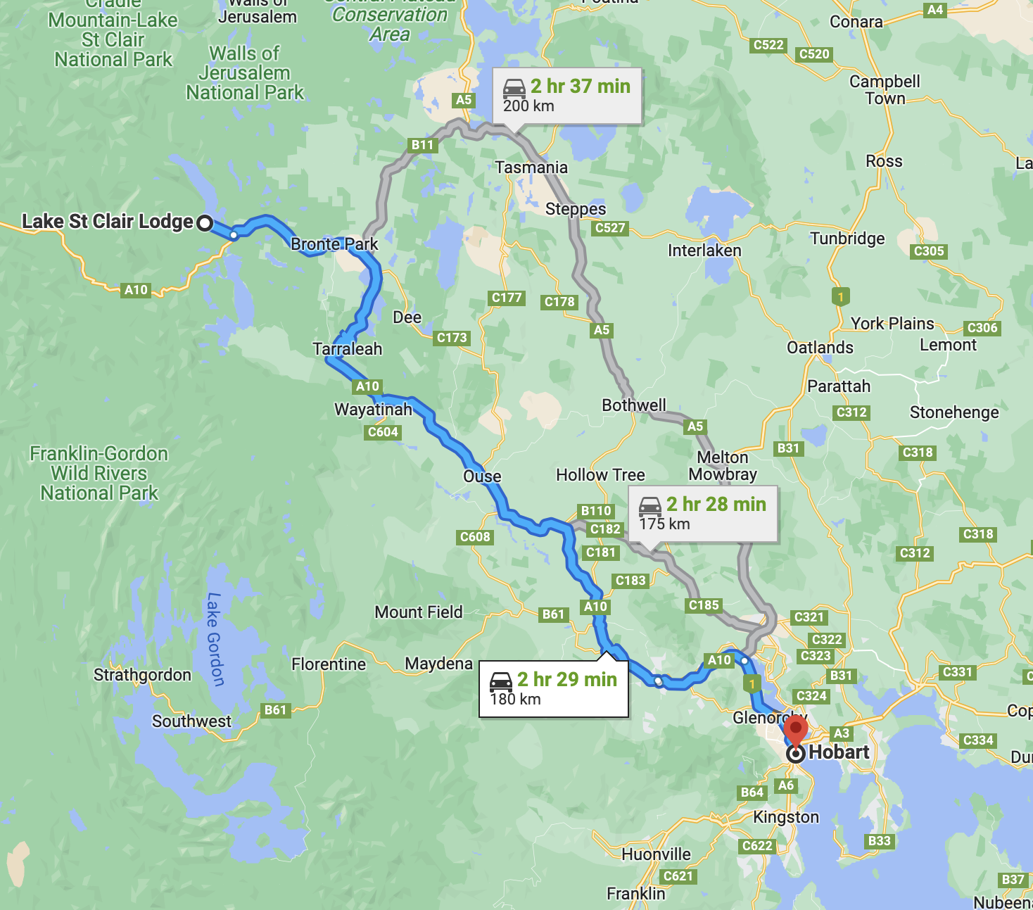
We were now over the half way mark of our holiday and it was day fifteen (Thursday 10th November 2022). Today we wee travelling from Hobart to Lake St Clair. We had spent six very enjoyable nights in Hobart.
Above:- Map showing our route from Hobart to Lake St Clair. Map c/o Google maps.
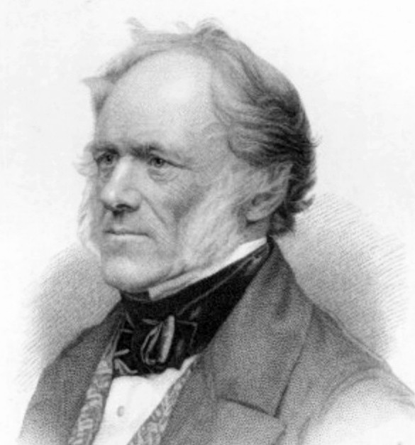
We headed north west out of Hobart on the Lyell Highway which takes its name from Mount Lyell where copper was found during the late 1800s. Mount Lyell was named by Tasmania’s first Geological Surveyor Charles Gould in 1863 in honour of geologist Charles Lyell.
Above:- Charles Lyell. Image c/o Wikipedia.
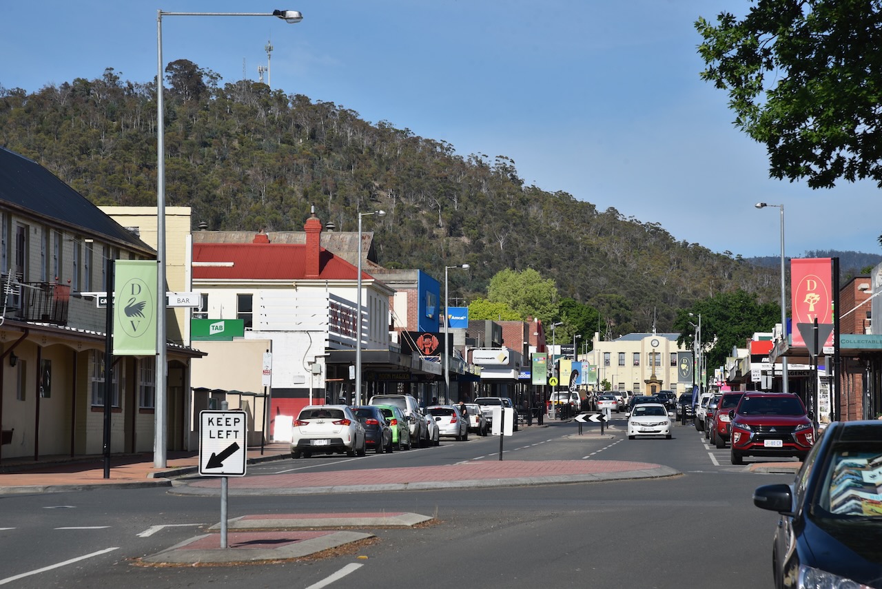
It wasn’t long before we reached the little town of New Norfolk, about 32 km north west of Hobart. When the Norfolk Island settlement was closed, 554 folk resettled in other parts of the colony of Australia. A total of 163 of those were settled around the current town of New Norfolk between November 1807 and October 1808. In 1825 the original name of the town, Elizabeth Town, was changed to New Norfolk to honour their former home of Norfolk Island.
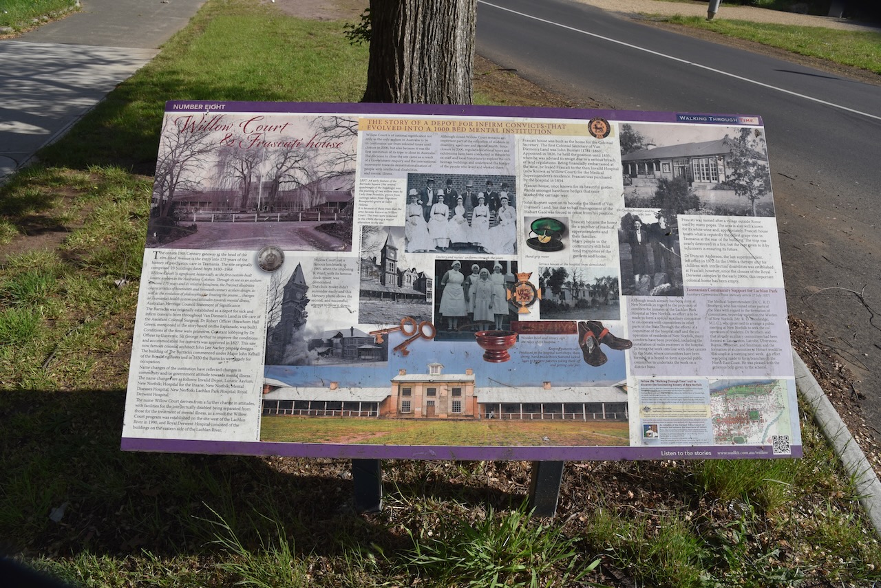
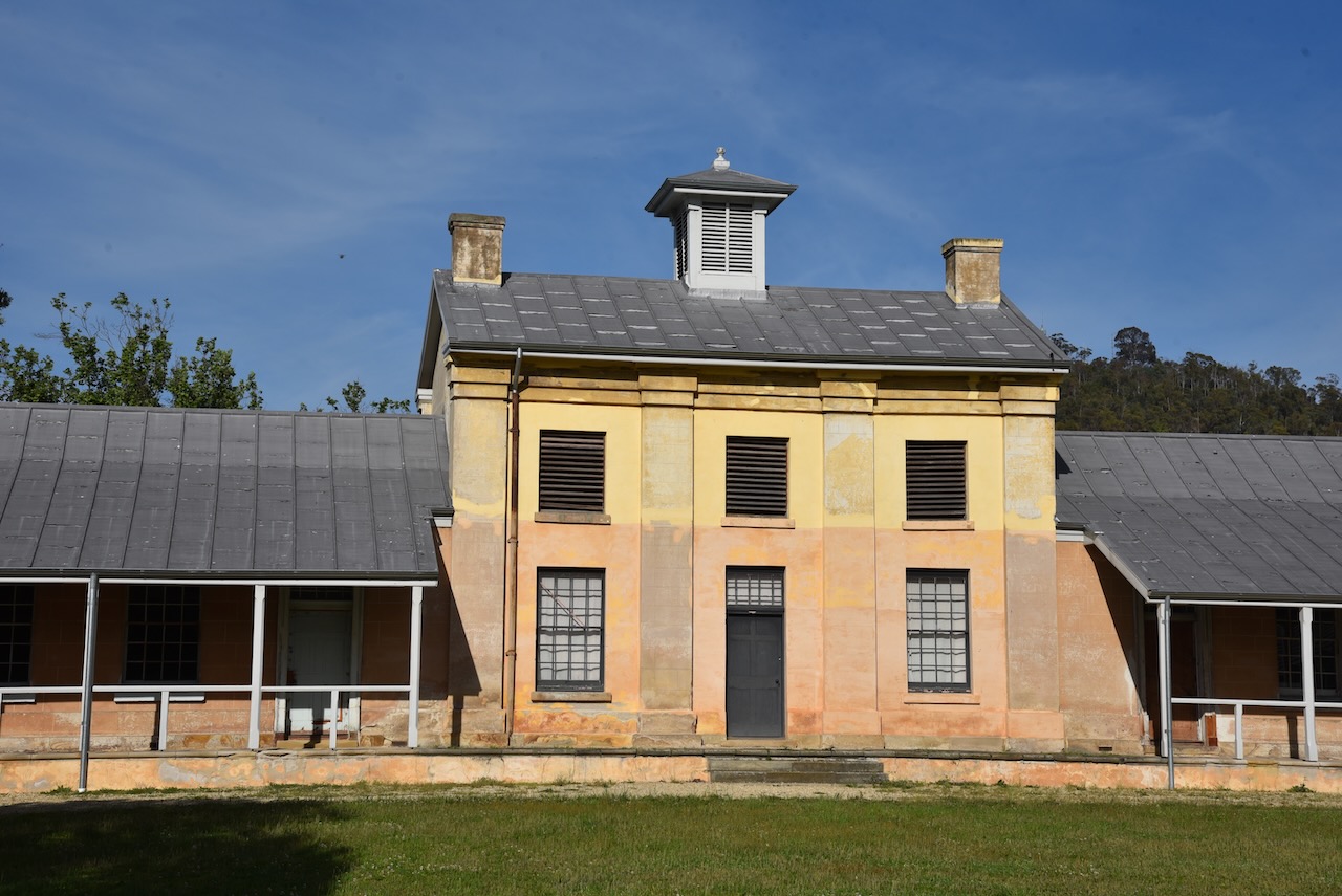
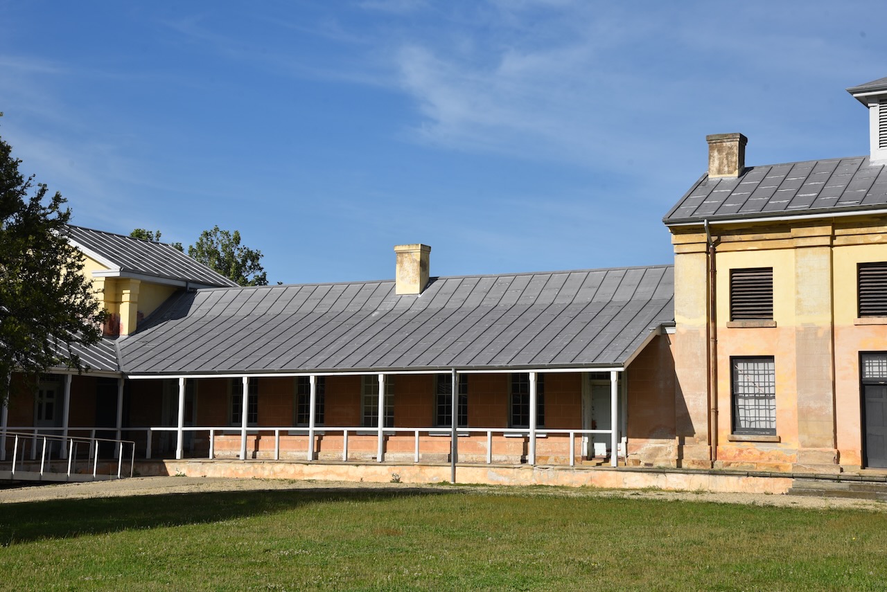
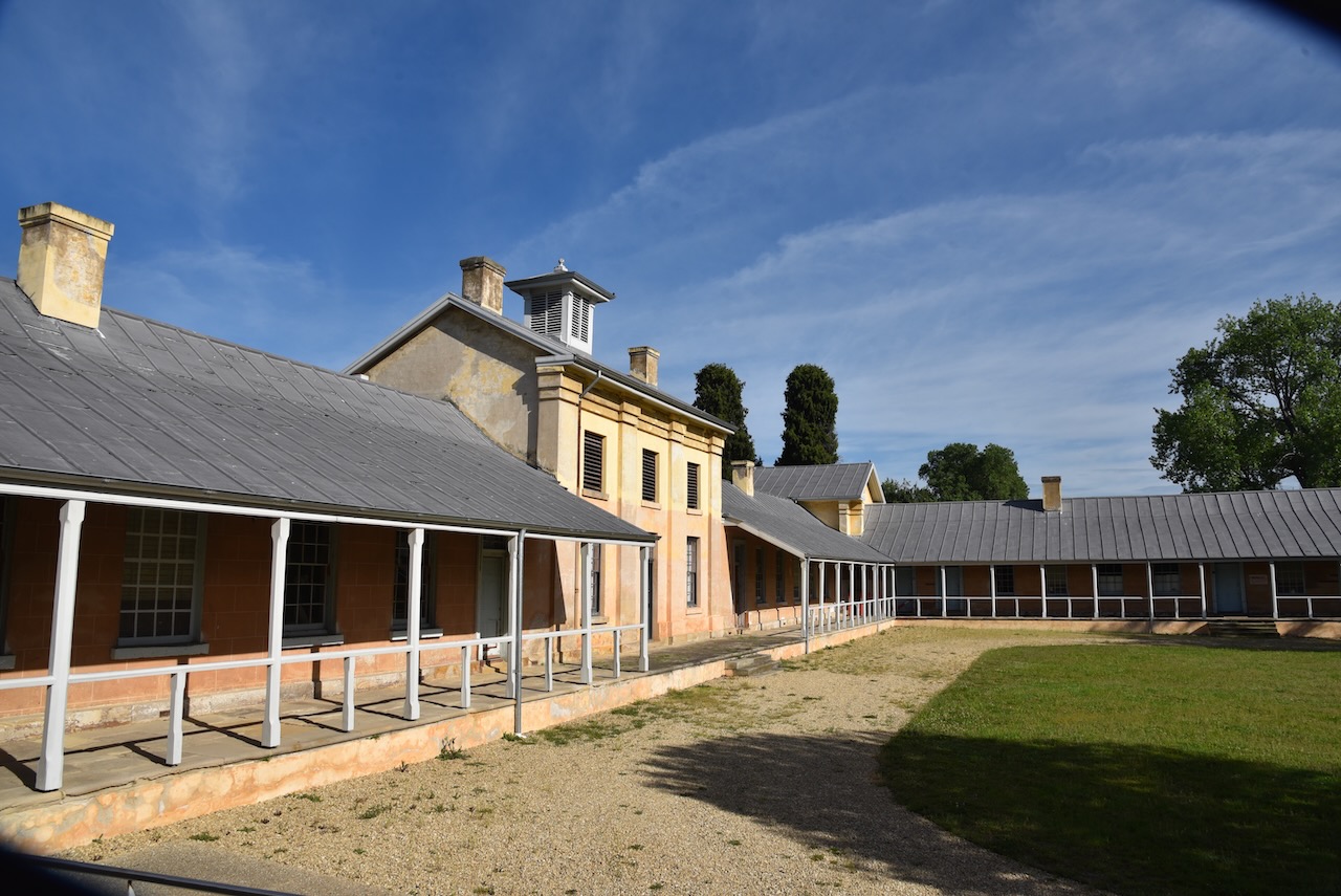
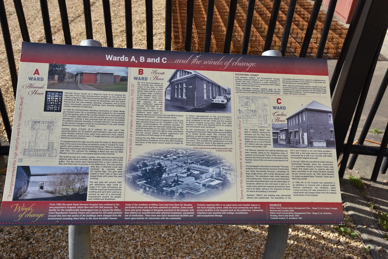
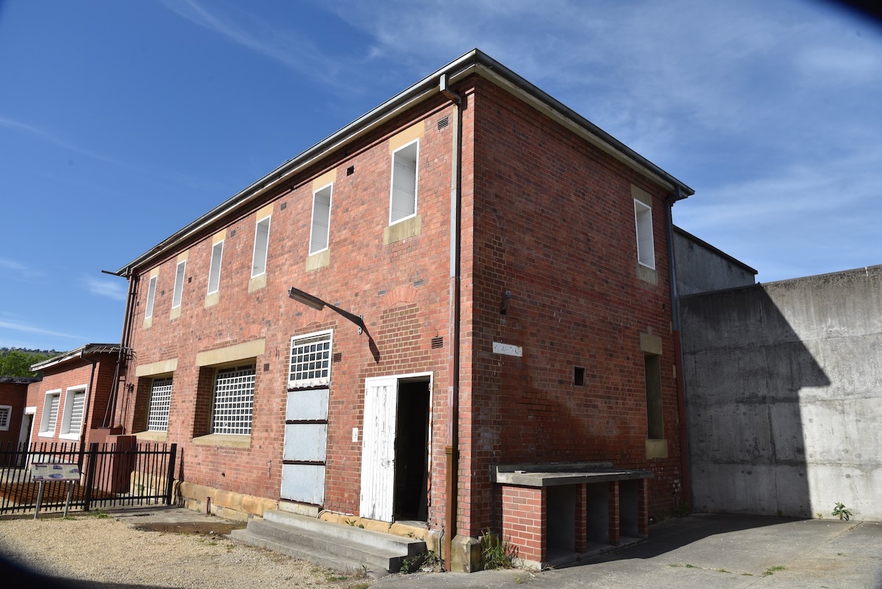
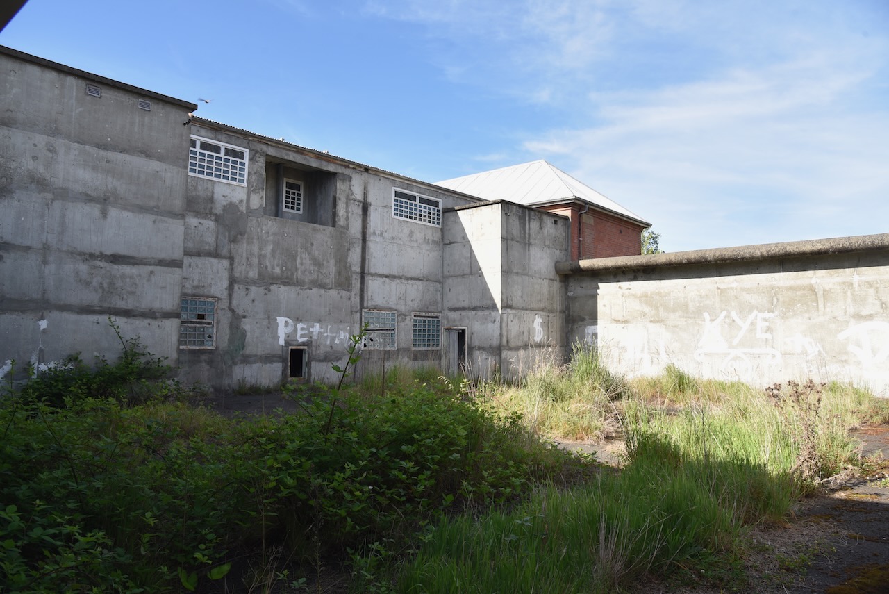
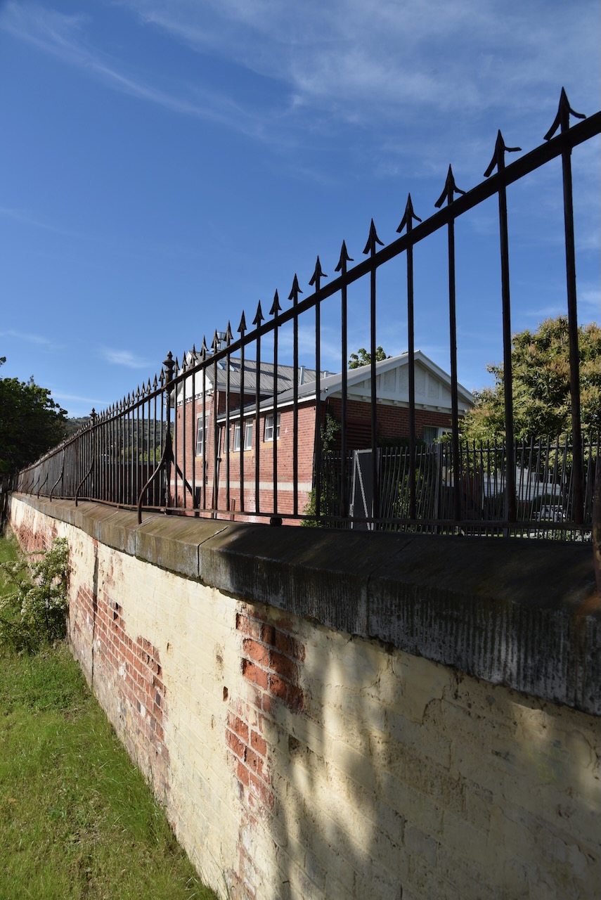
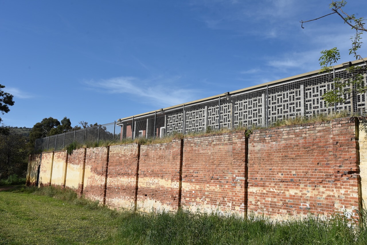
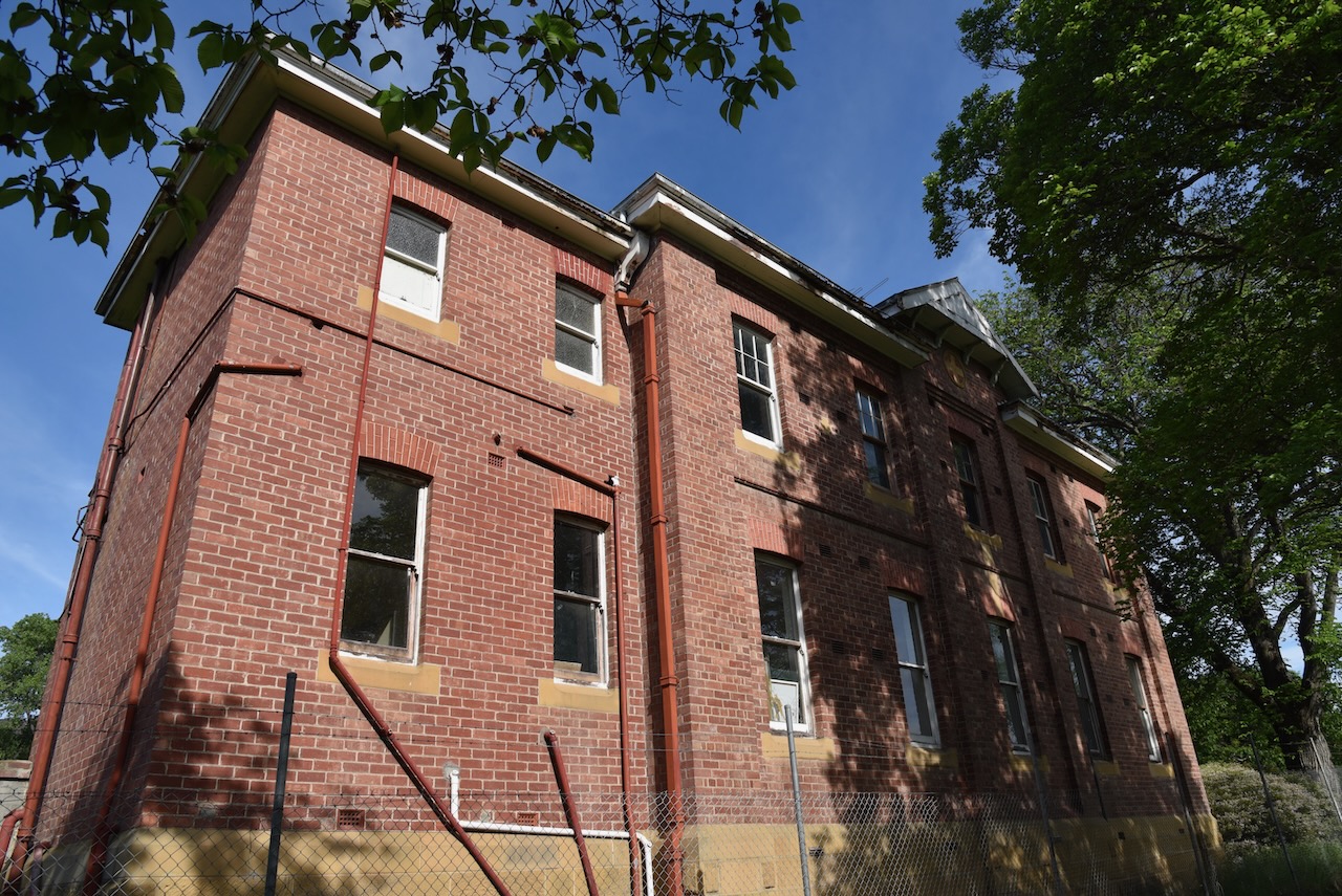
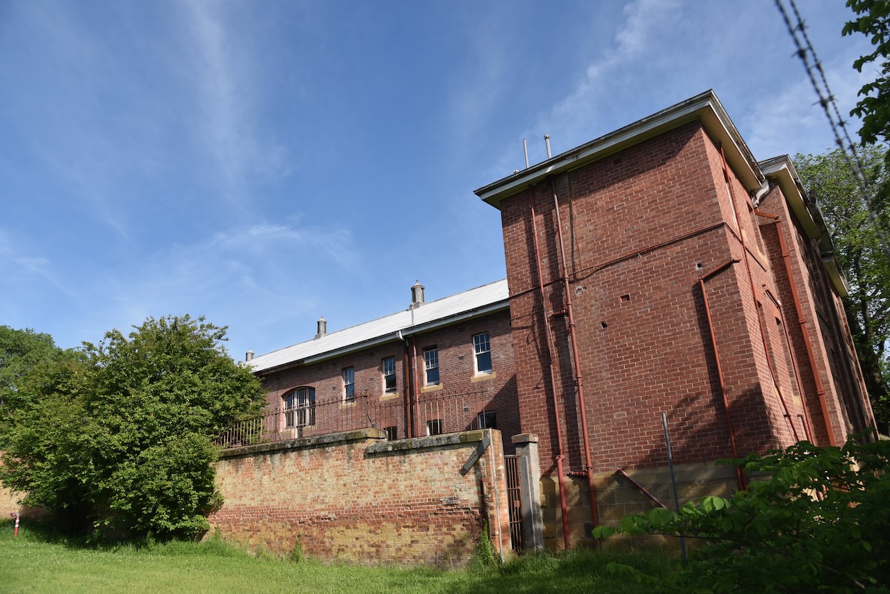
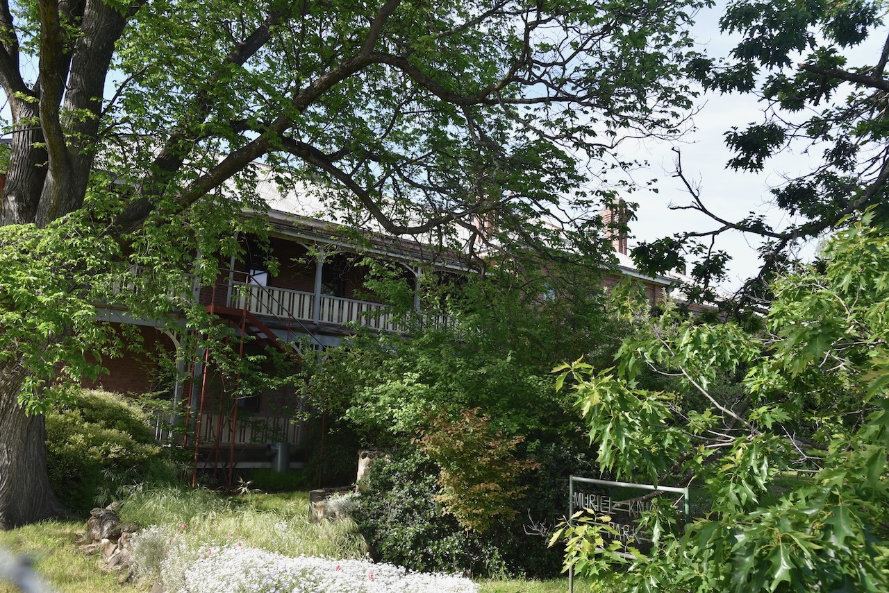
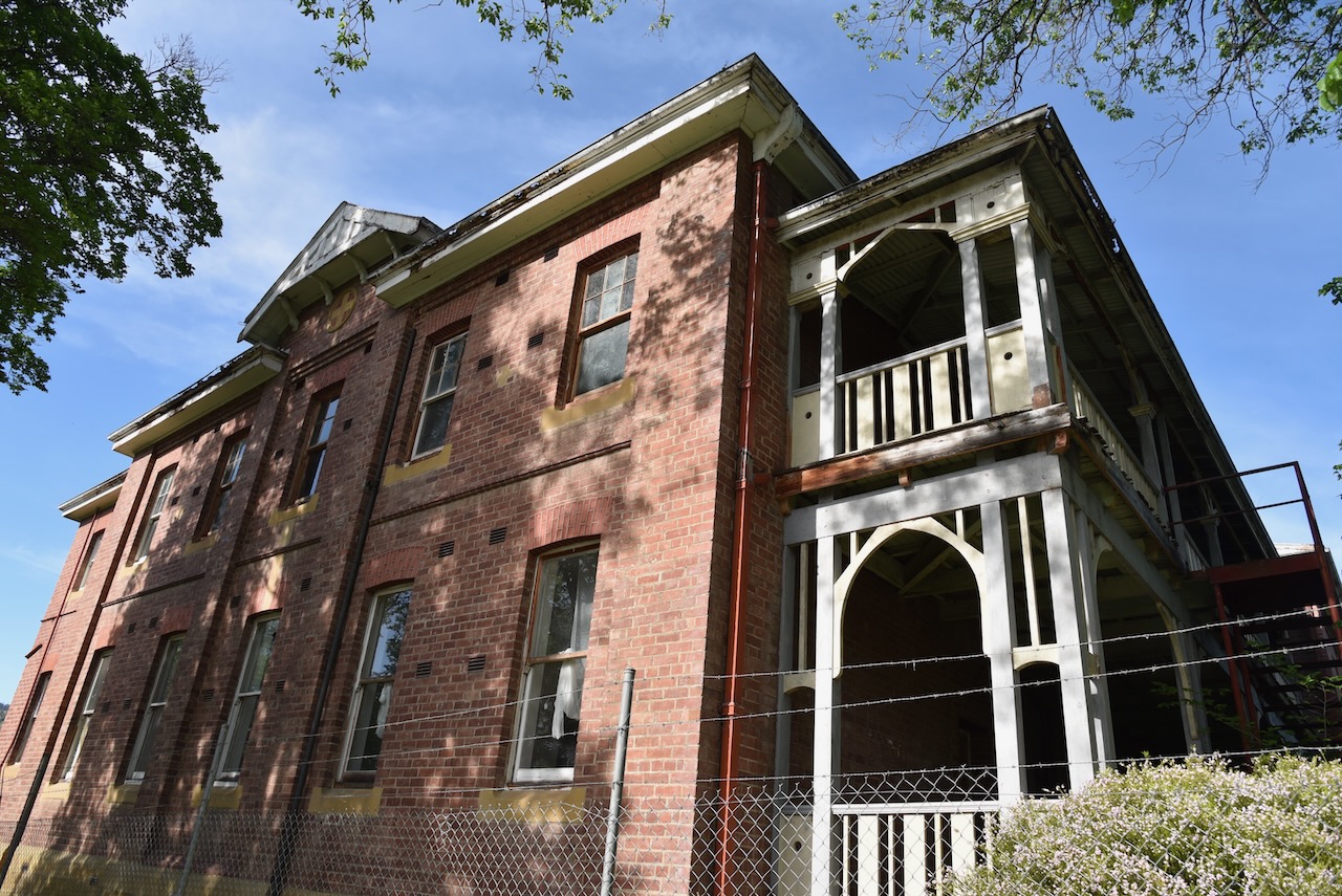
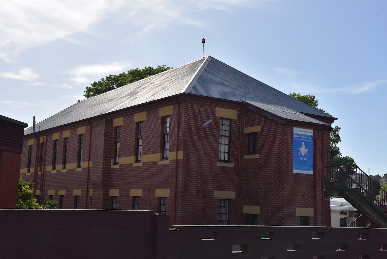
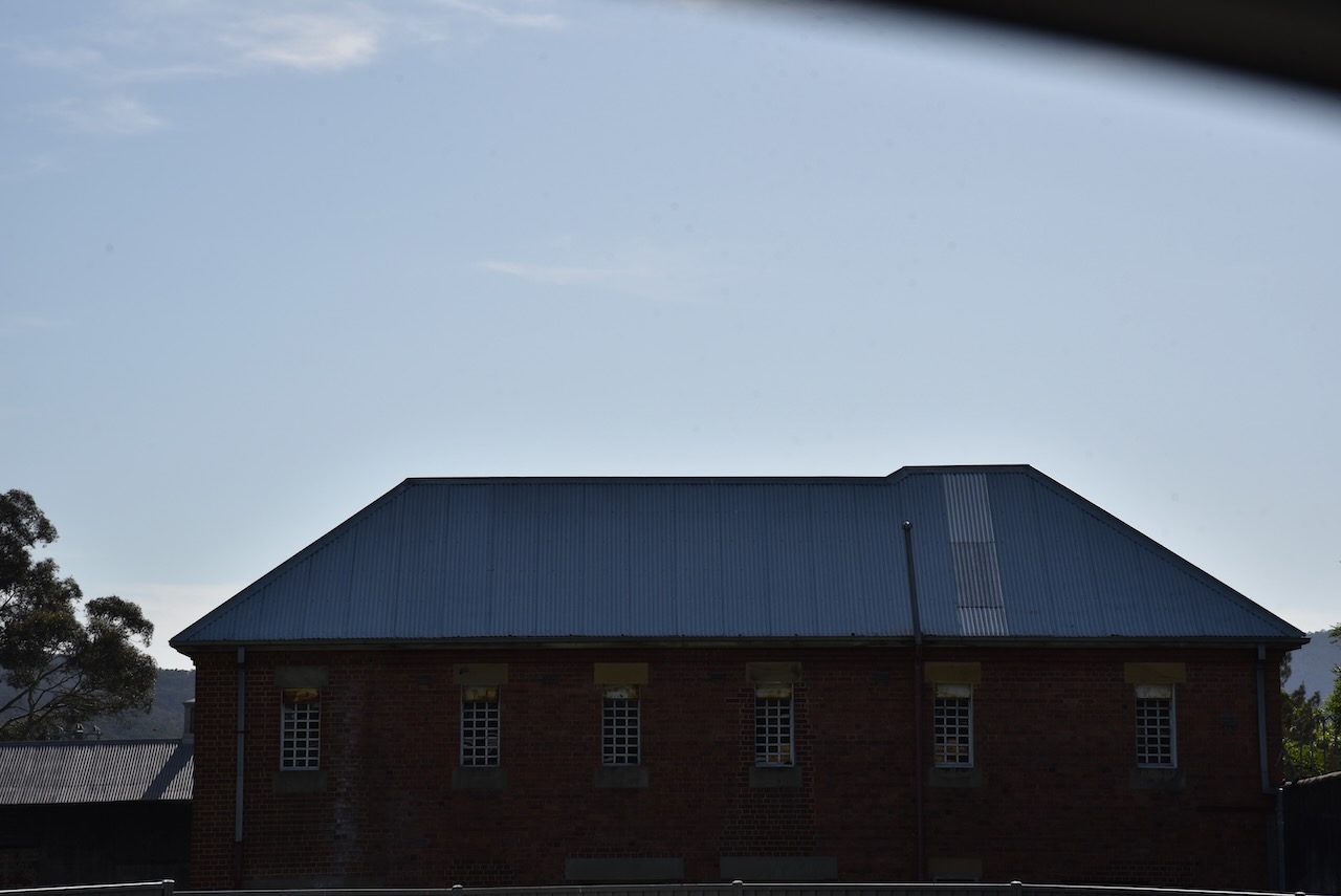
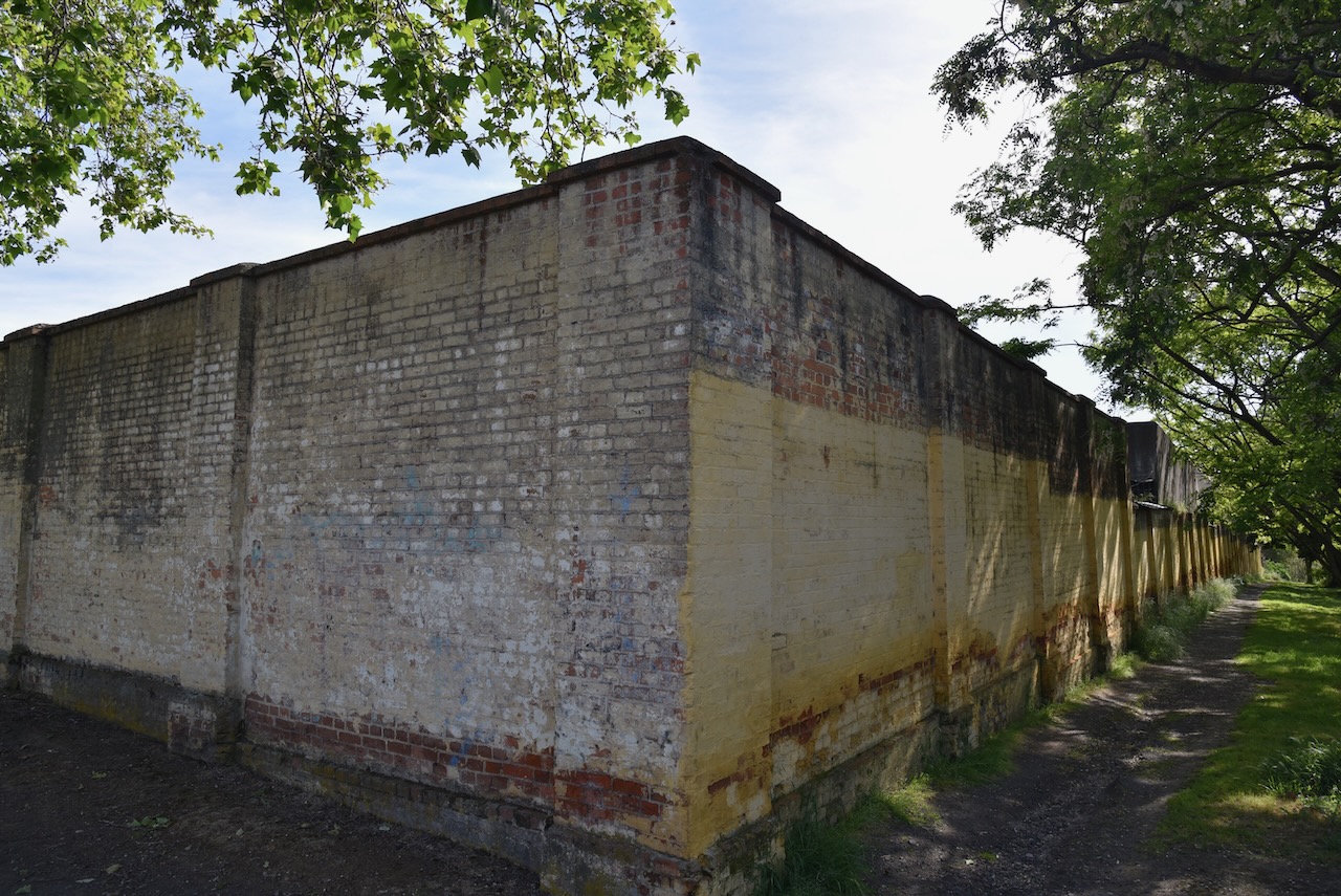
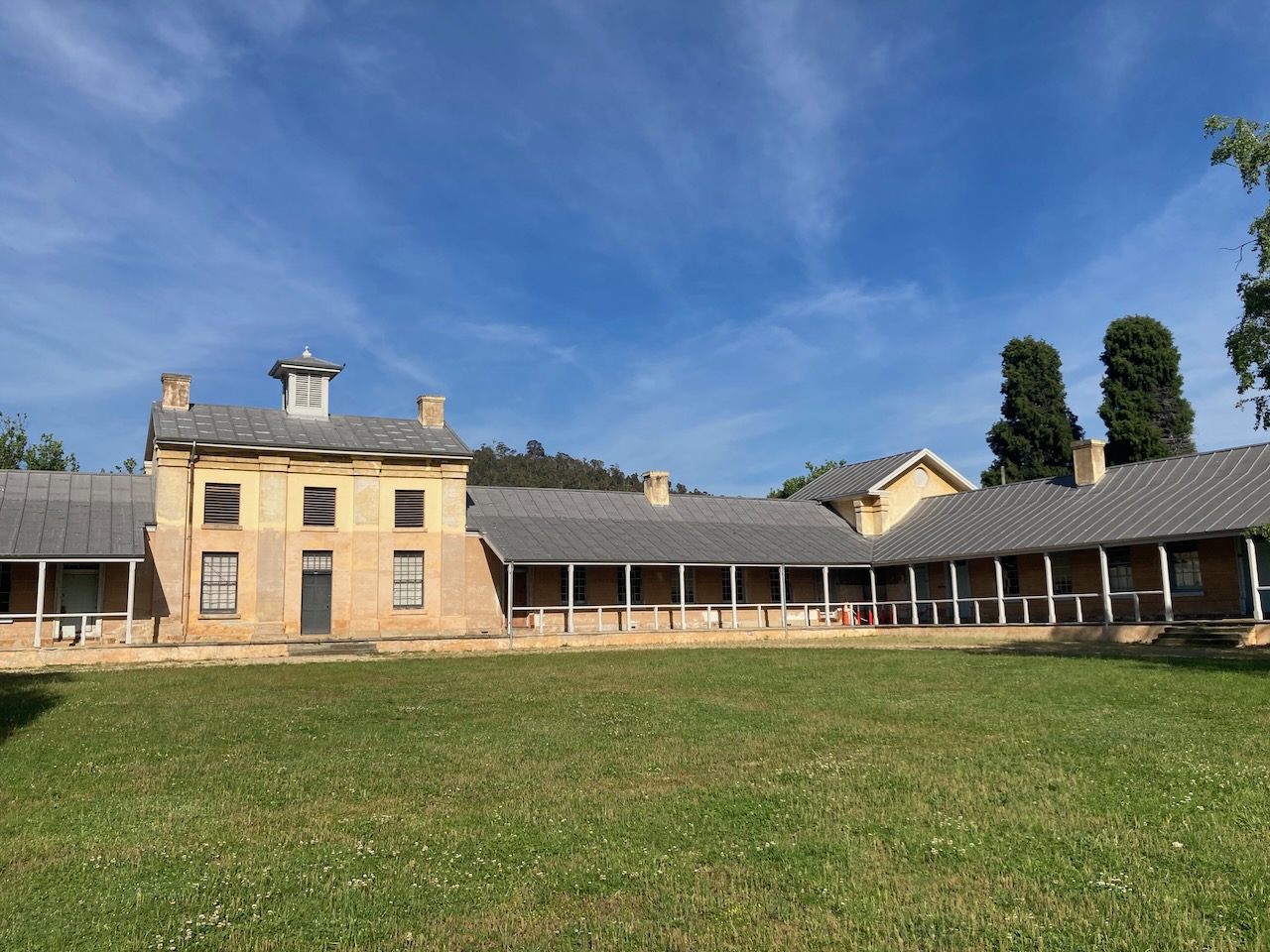
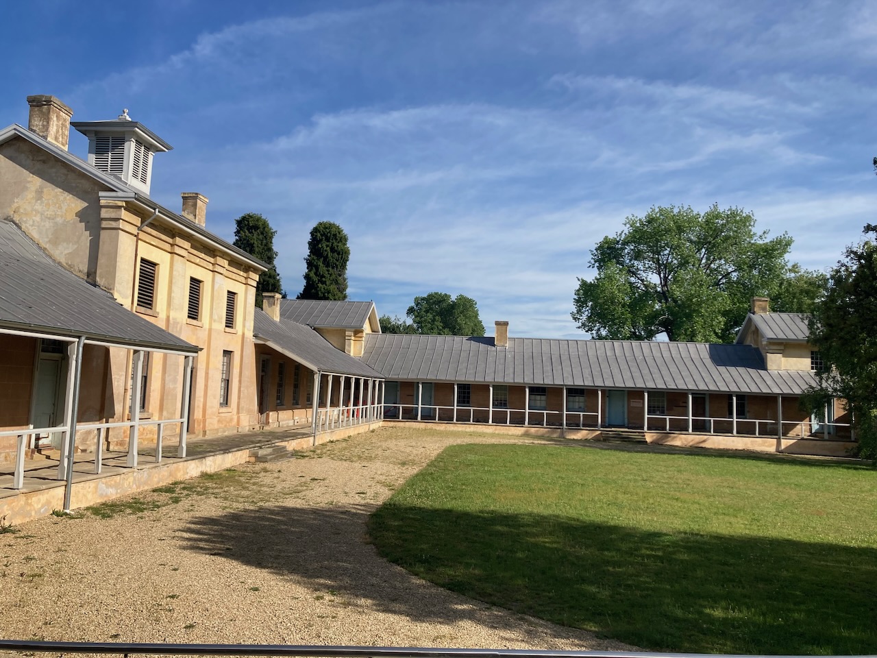
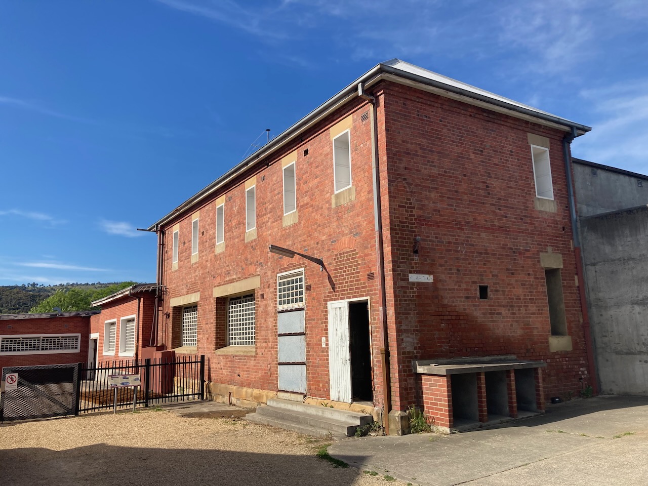
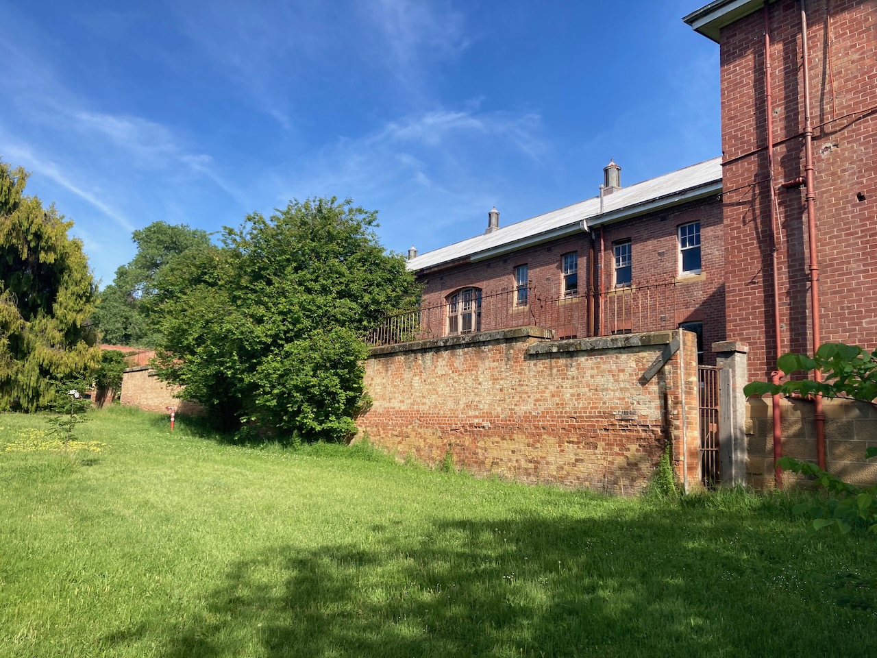
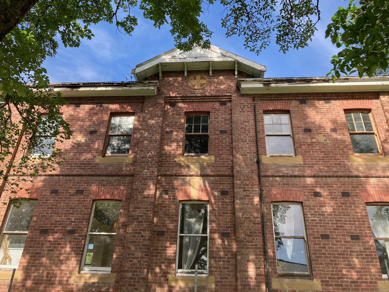
Our first stop was Willow Court, Tasmania’s oldest continually run asylum on the same site. Willow Court opened in 1827 and closed in 2001. It was named ‘Willow Court’ due to Lady Franklin planting a willow in the courtyard. It was originally established as a despot for sick and inform convicts.
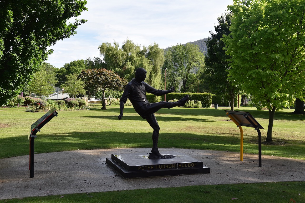
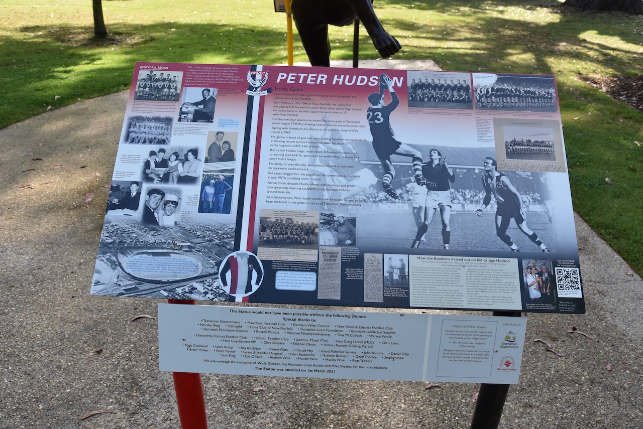
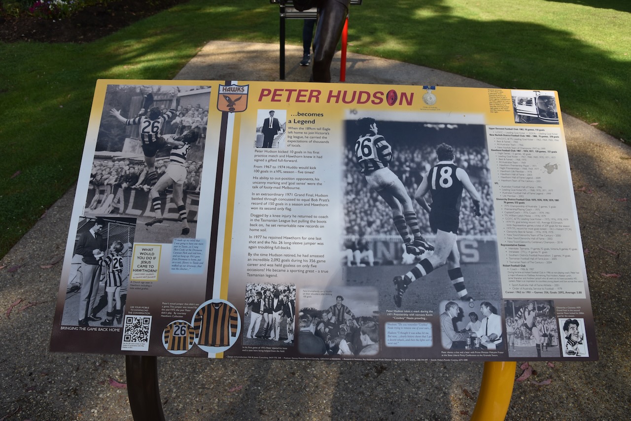
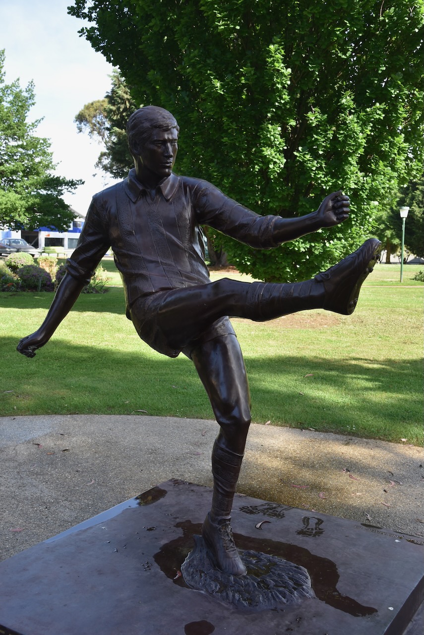
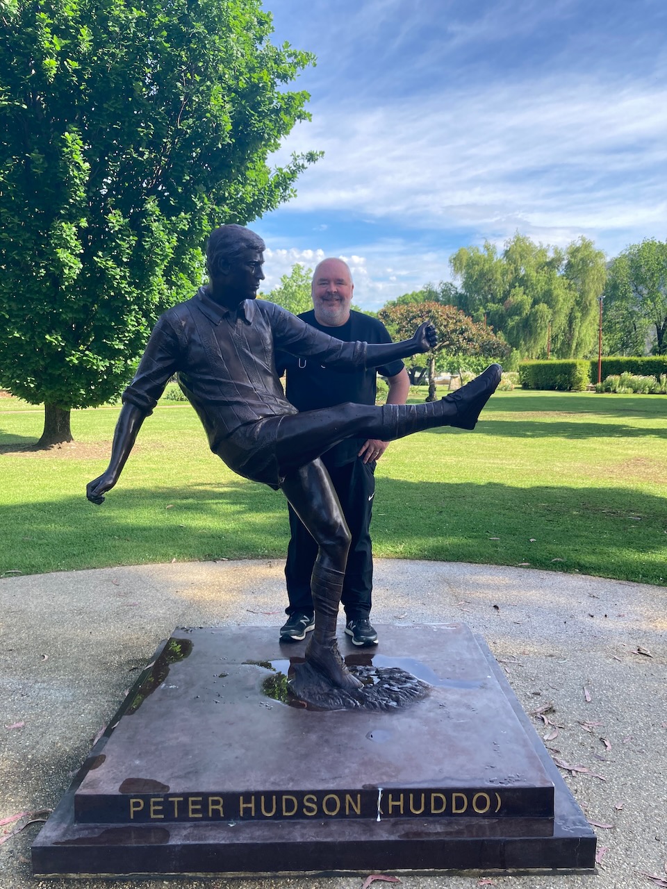
We then visited the Peter Hudson memorial in Arthur Square, New Norfolk. Peter John Hudson was born in 1946 in New Norfolk. He is a former Australian Rules footballer who played for the Hawthorn Football Club, the New Norfolk Football Club, and Glenorchy Football Club. He is a legend in the Australian Football Hall of Fame.
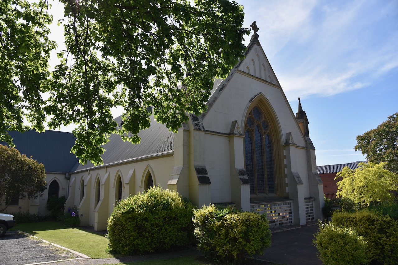
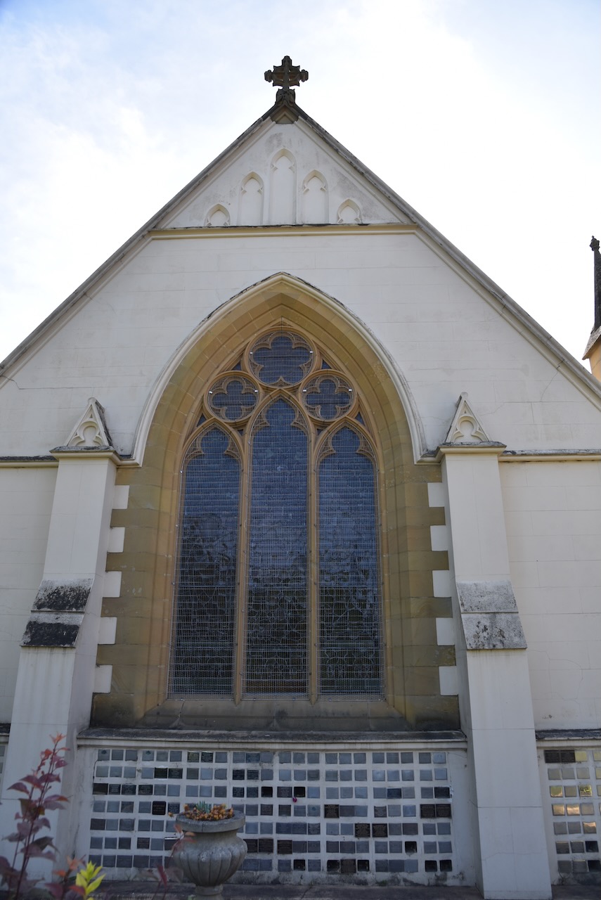
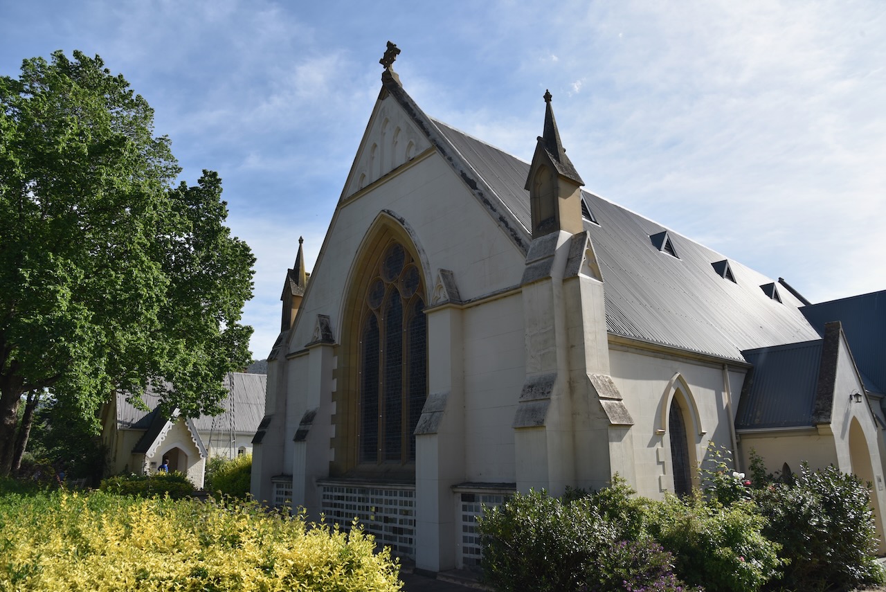
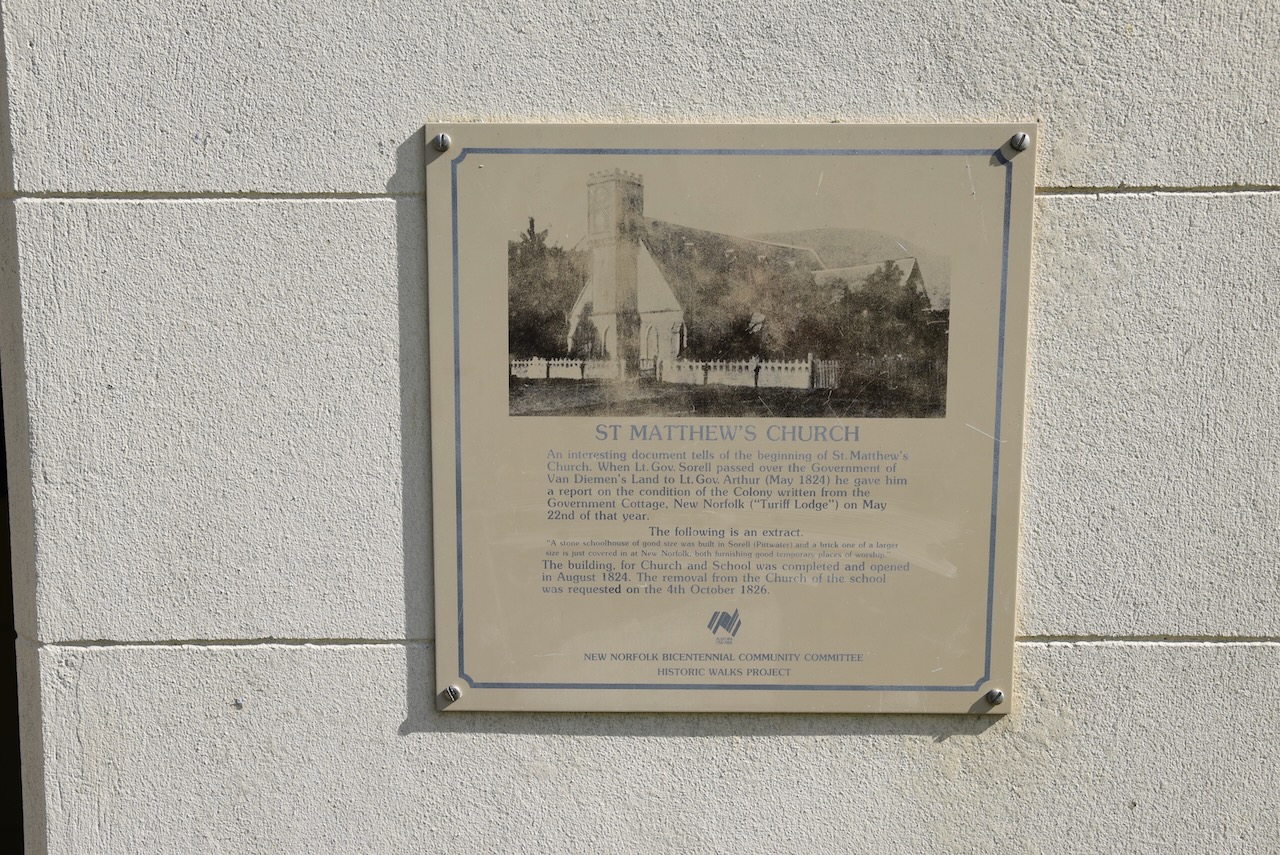
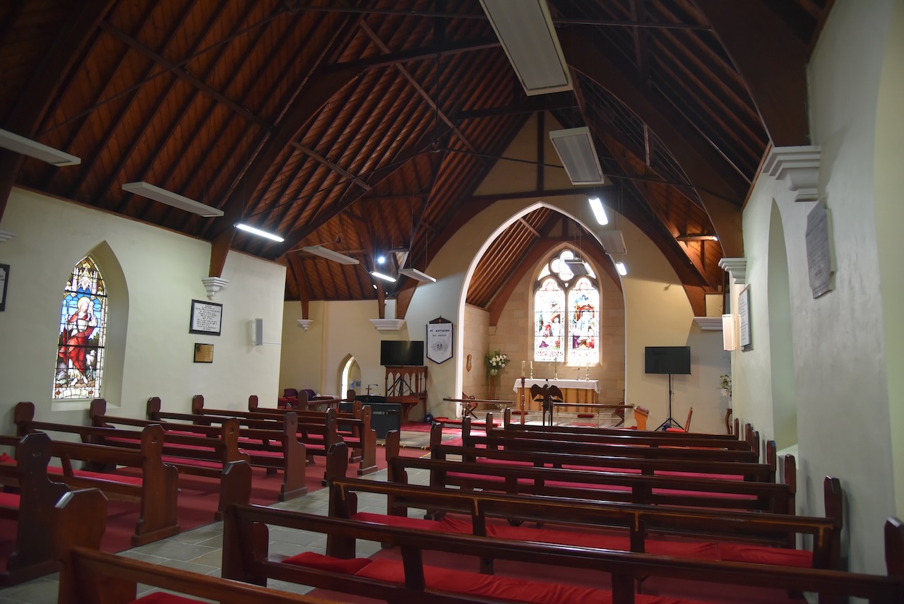
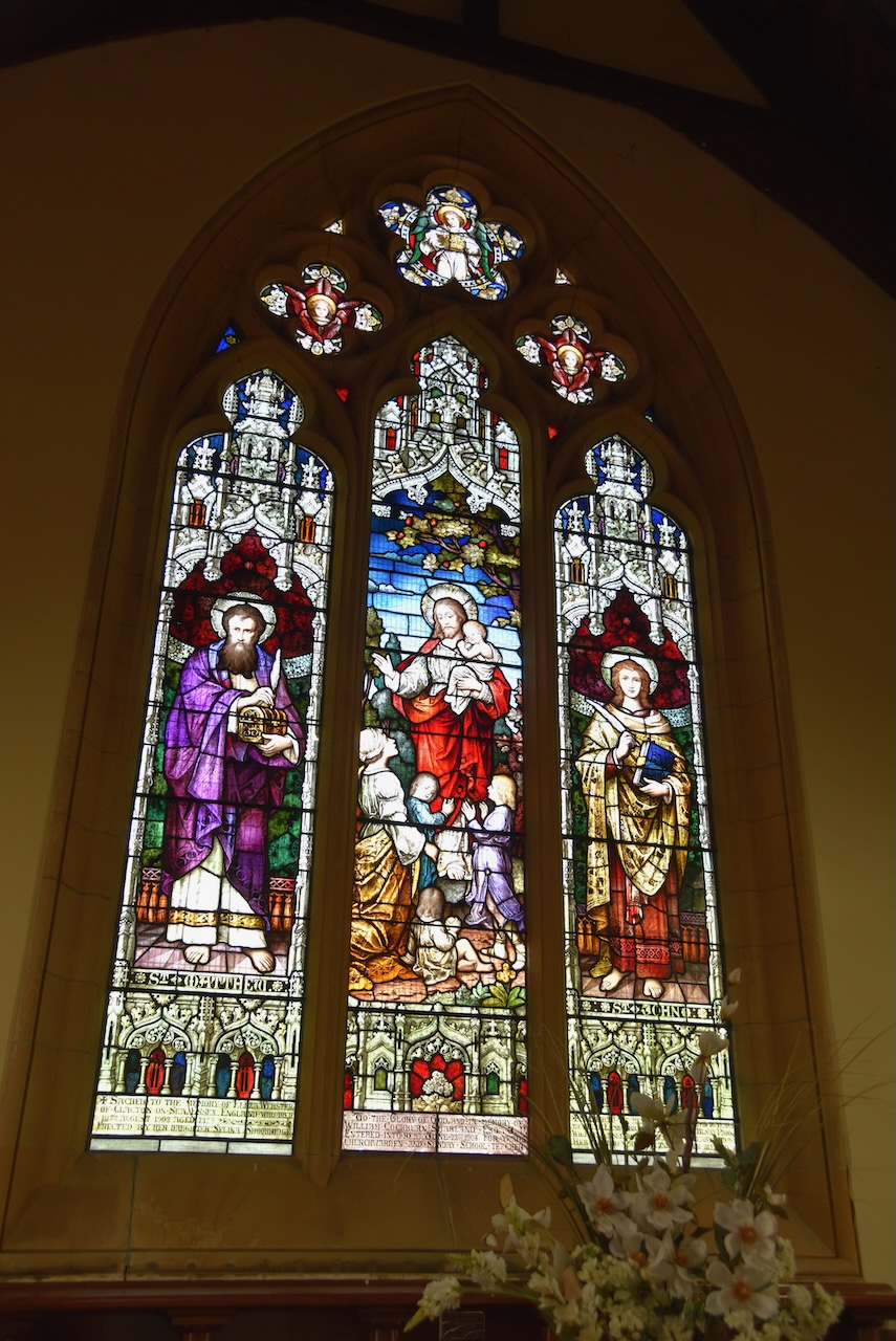
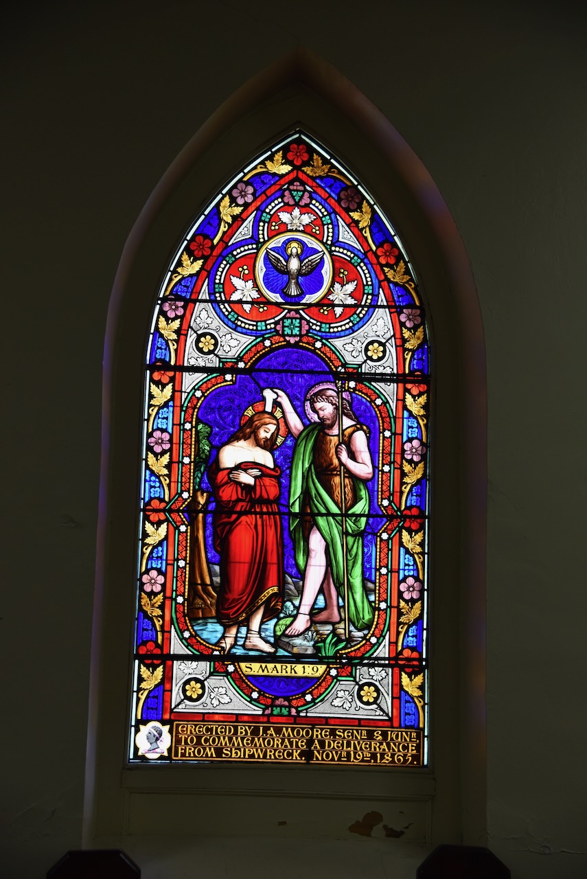
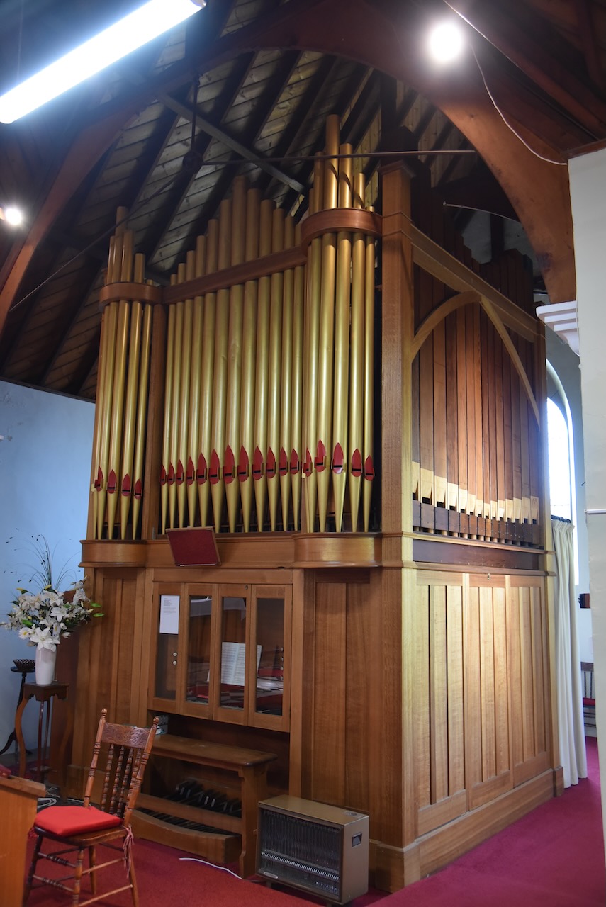
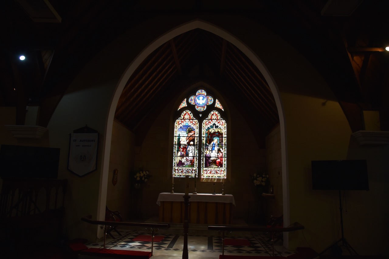
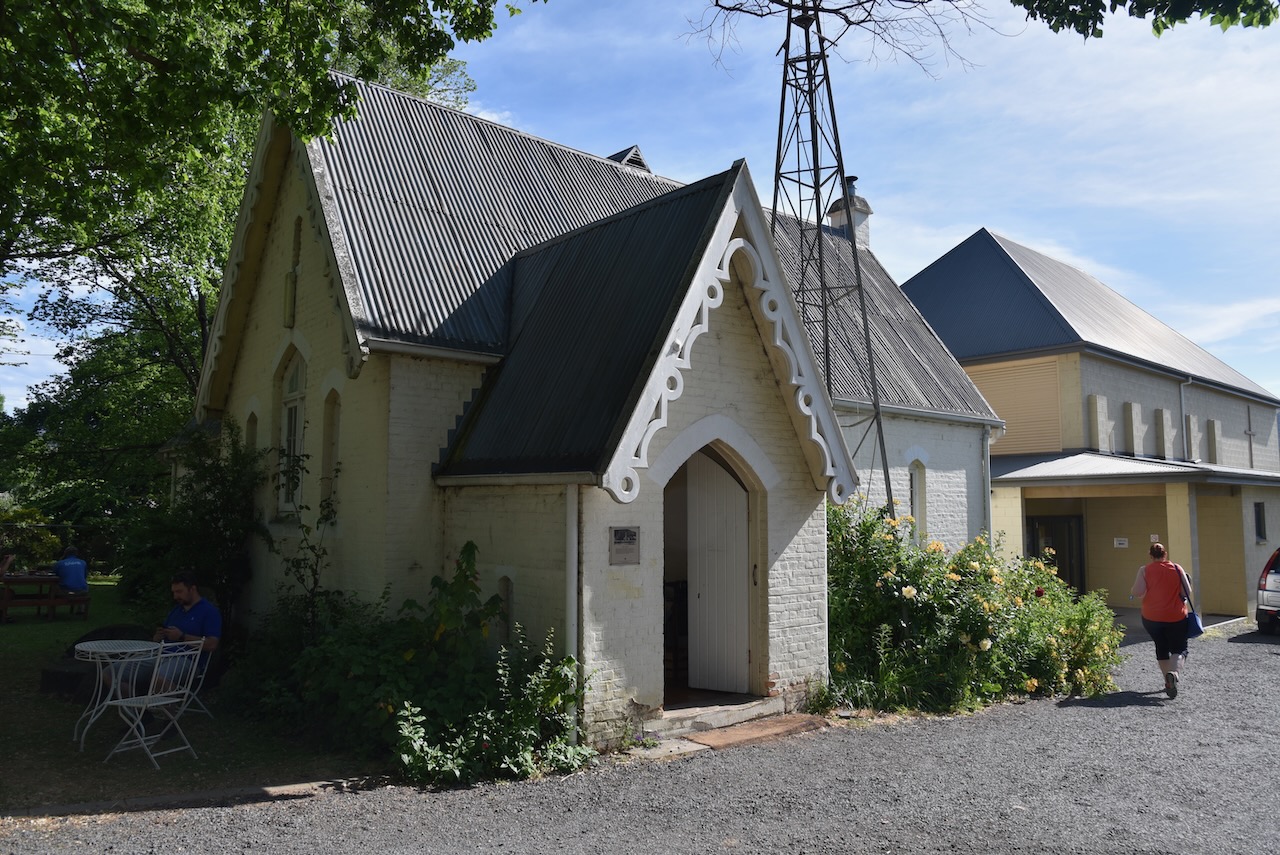
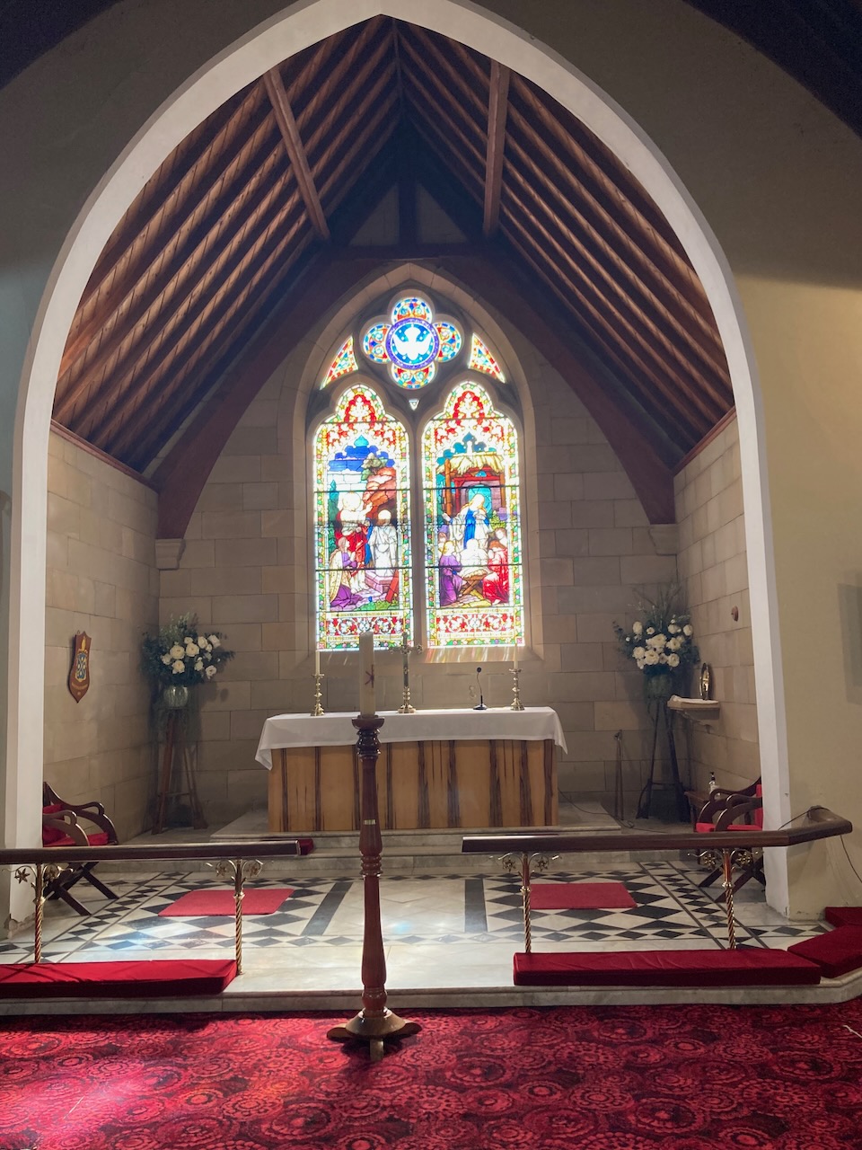
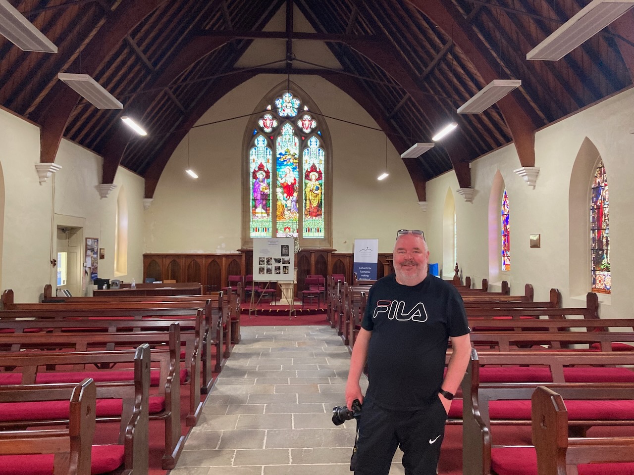
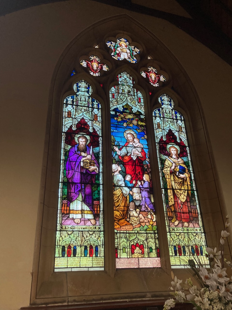
We then visited Tasmania’s oldest church, the Anglican Church of St Matthew in Bathurst Street opposite Arthur Square. The church was built in 1823 and was consecrated in 1828 by Archdeacon Scott from Sydney. The church has been significantly modified over the years. All that remains of the original church are the walls and flagged floor of the nave and part of the western transept.
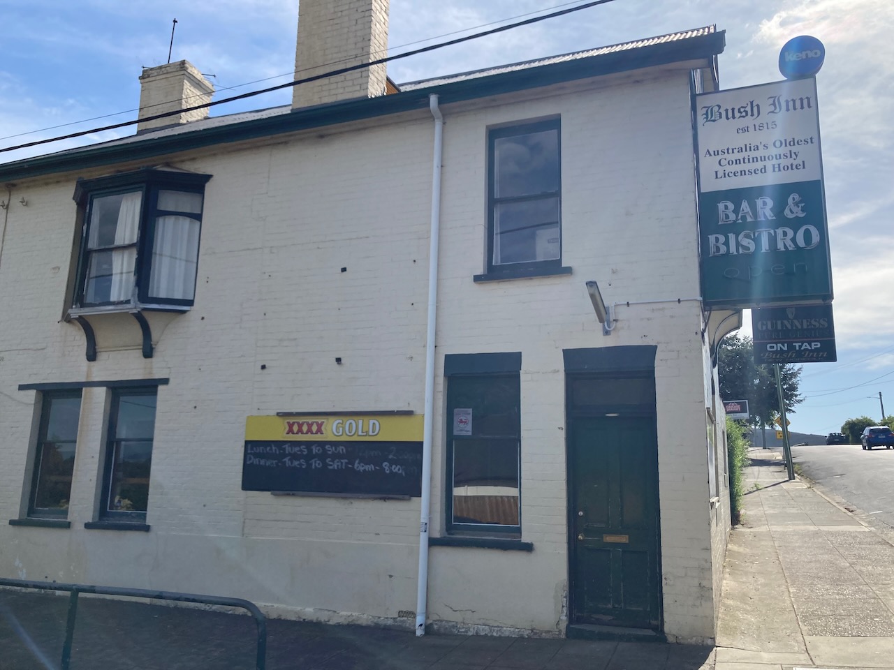
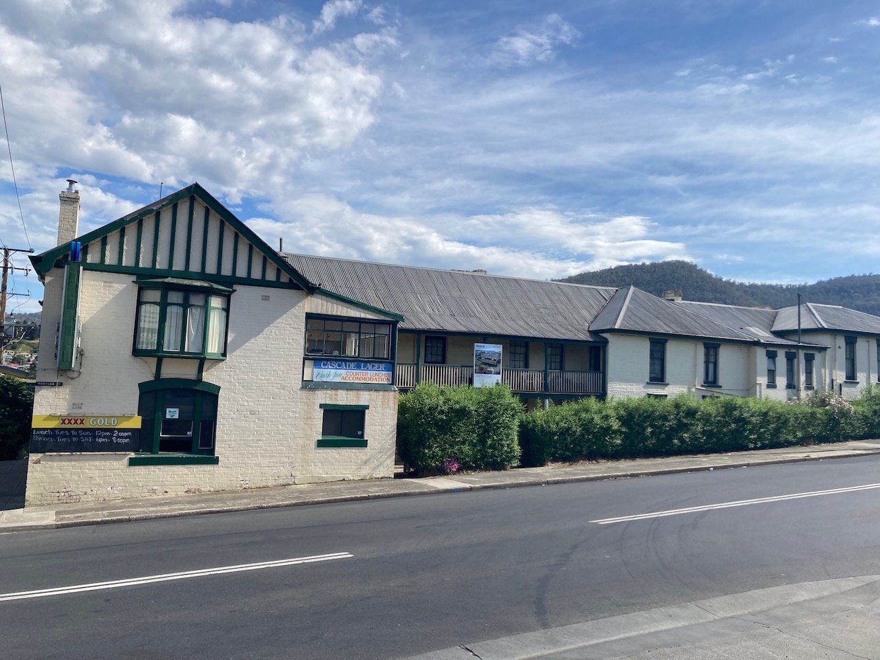
Our next stop was the Bush Inn, one of the oldest hotels in Australia, and believed to be the oldest continuously operating hotels in Australia. It was built in 1825.
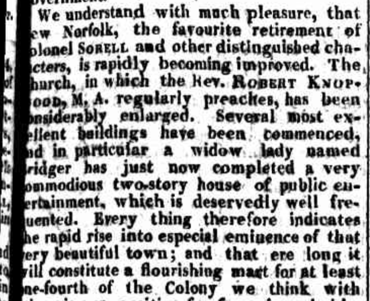
In April 1825 the Hobart Town Gazette and Van Dieman’s Land Advertiser reported that”‘a widow lady named Bridger has just now completed a very commodious two-storey house of public entertainment, which is deservedly well frequented”
In October 1825 Ann Bridger received a licence to sell spirits, wine and beer at the Bush Inn, New Norfolk.
Above:- Extract from an article in the Hobart Town Gazette and Van Dieman’s Land Advertiser, Fri 22 Apr 1825. Image c/o Trove.
Unfortunately the pub was closed otherwise we would have ventured inside for a drink.
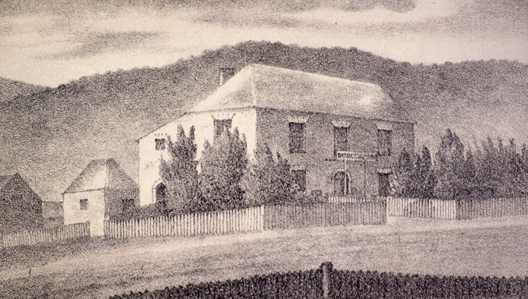
Above:- The Bush Inn, 1834. Image c/o Trove
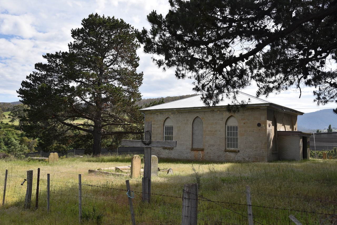
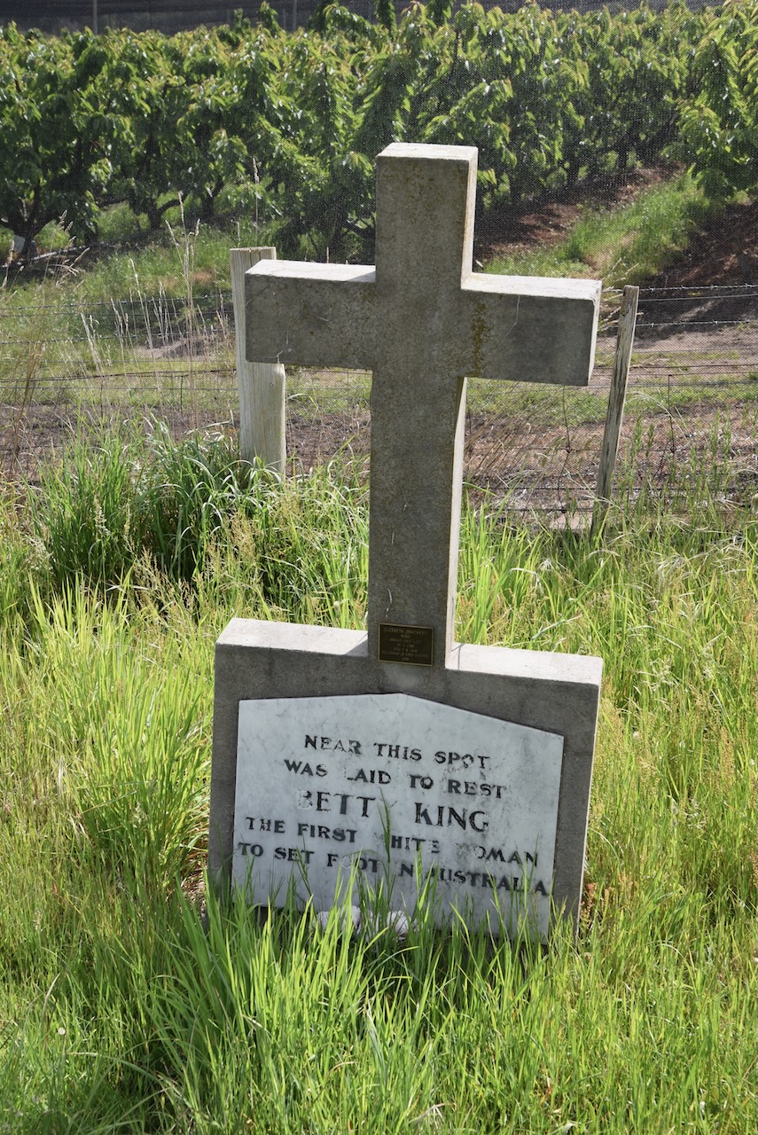
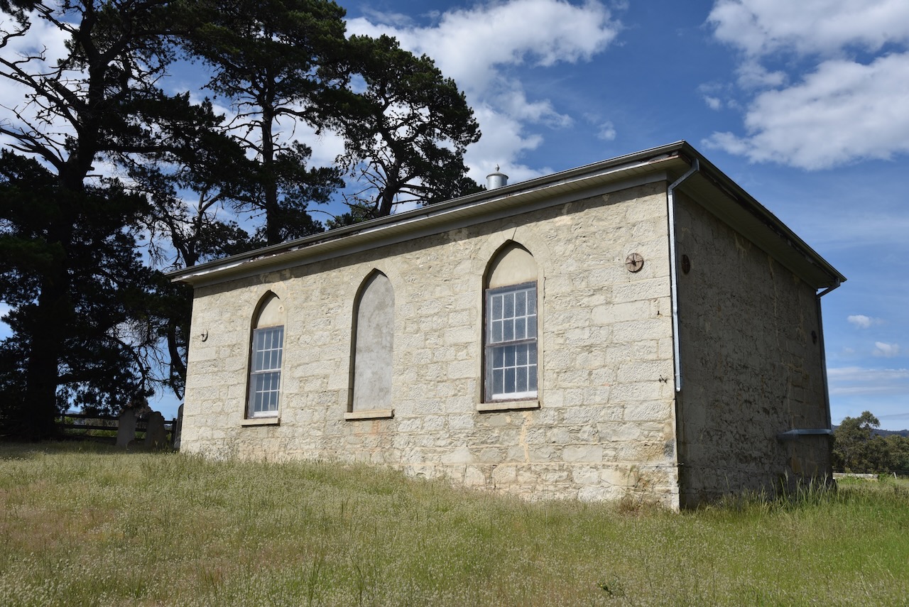
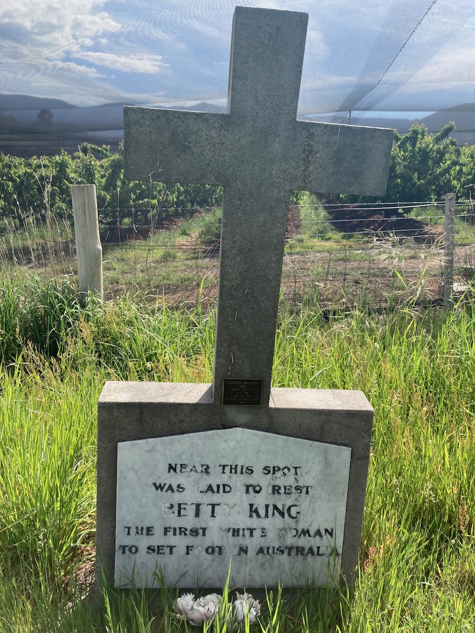
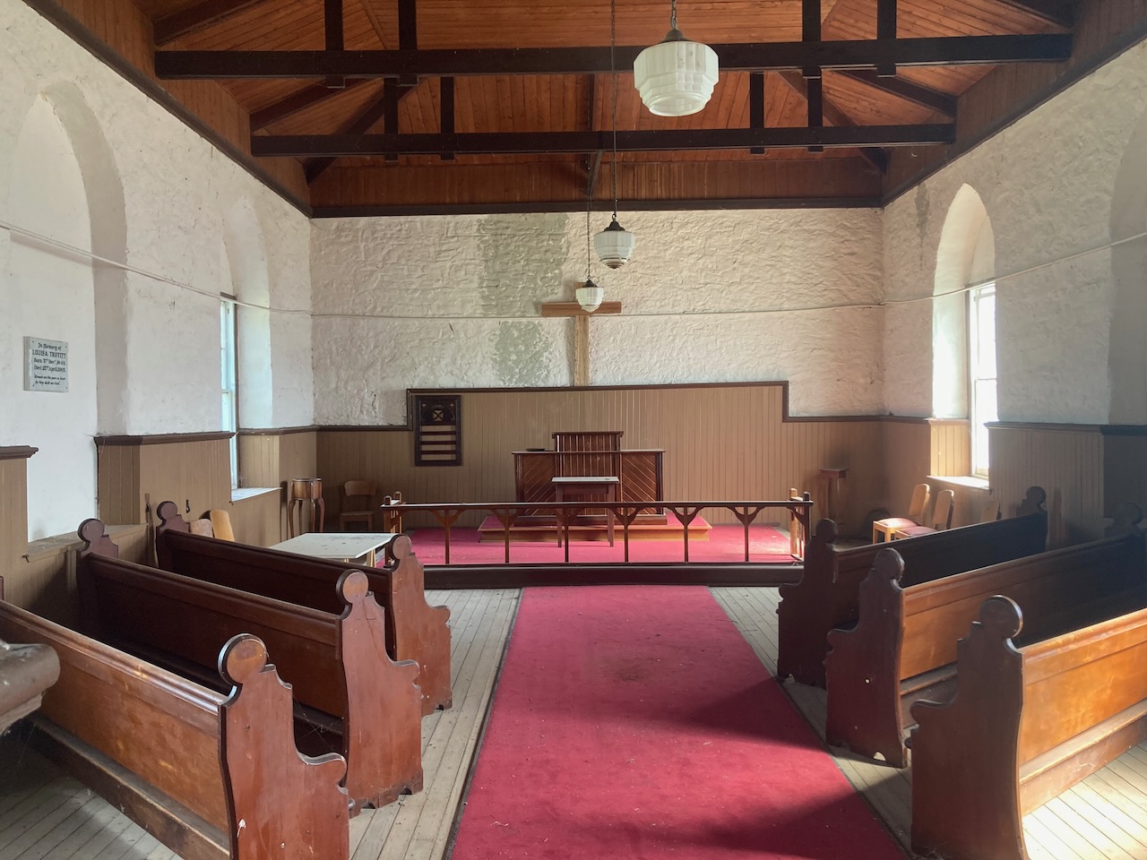
We then drove out to the old Methodist church on Lawitta Road, Magra, not far from New Norfolk. We wanted to visit the grave of reputedly the first white woman to set foot on Australia.
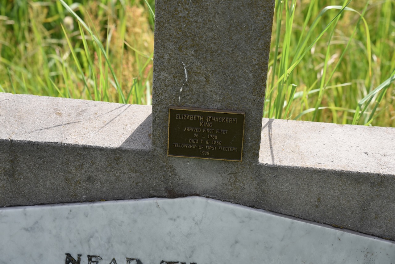
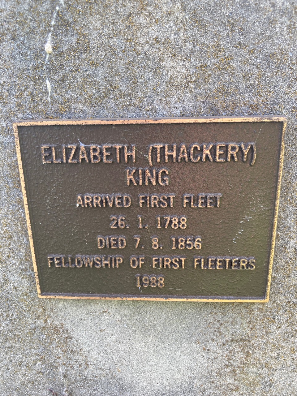
Elizabeth Thackery (b.1765. d. 1856) was a native of Manchester, Lancashire in English. At age 20, she was tried and convicted in May 1786 for the theft of five handkerchiefs valued at one shilling. She was sentenced to seven years transportation to the colony of Australia. Thackery is the last-known female survivor of the First Fleet, and she is also is reputed to have been the first ashore at Botany Bay upon her arrival aboard the Friendship on the 26th day of January 1788.
Prior to leaving for Australia Thackery spent a year as a prisoner aboard the prison hulk Dunkirk. She was then transported to Australia board the Friendship where it was reported that she was placed in irons on numerous occasions during the voyage.
She received 25 lashes in July 1791 following her arrival in Australia for “coming in from her settlement without permission”.
Thackery subsequently ventured to Van Dieman’s Land where she married and settled in the Dwerwent Valley. She died on August 1856 at the rope old age of 93 and was buried at the Methodist church cemetery at Magra.
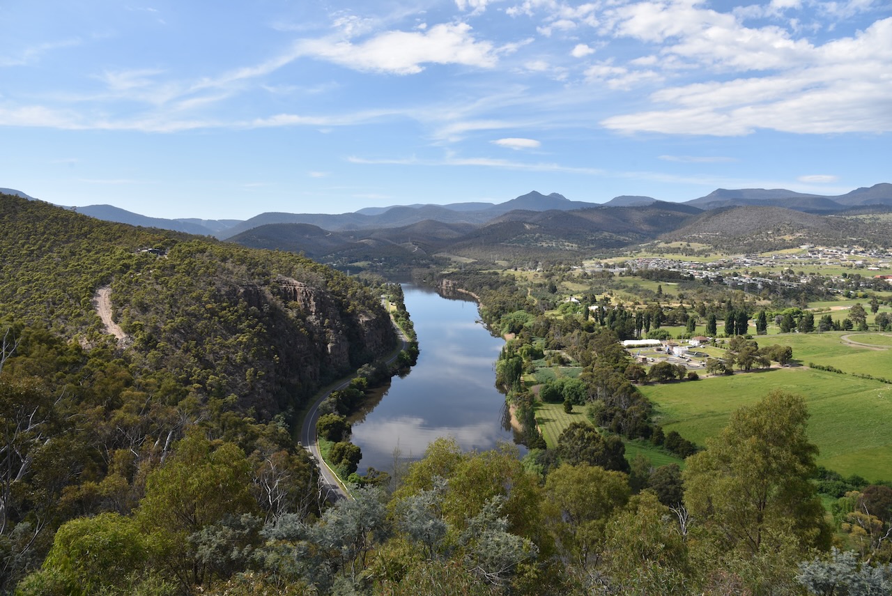
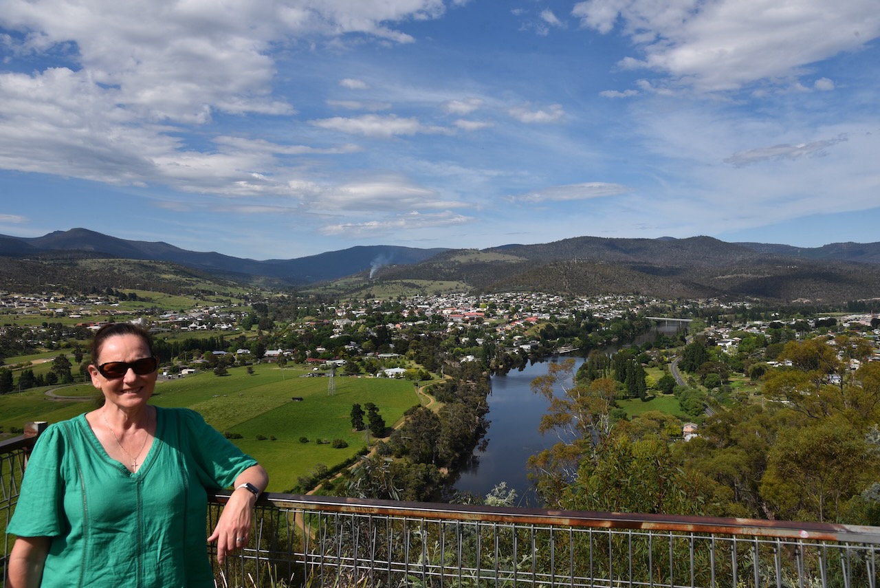
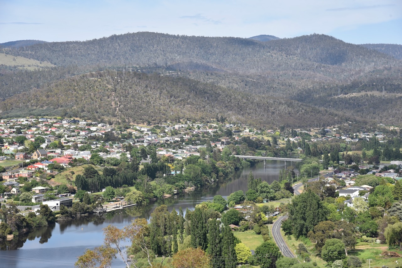
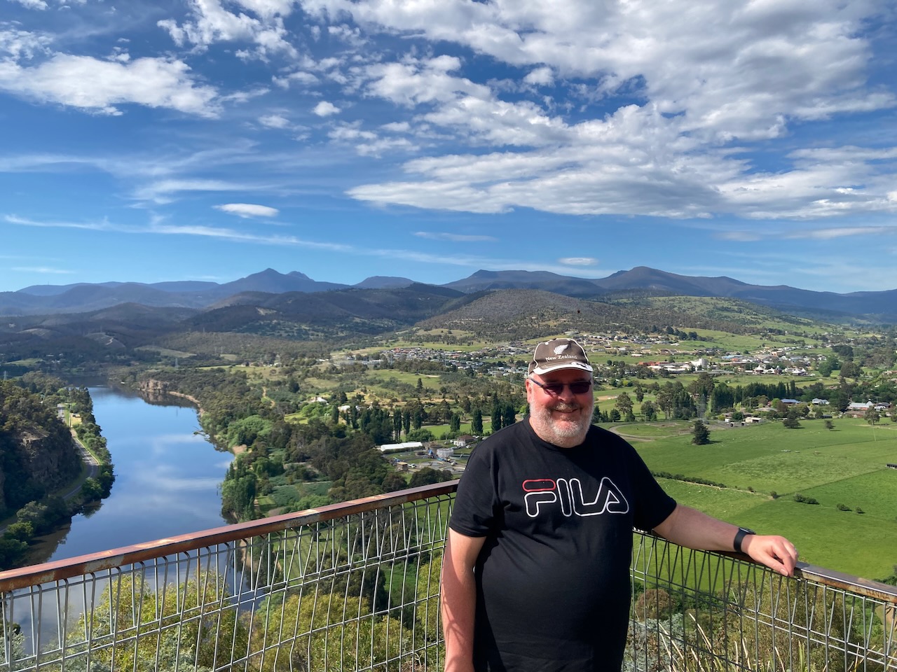
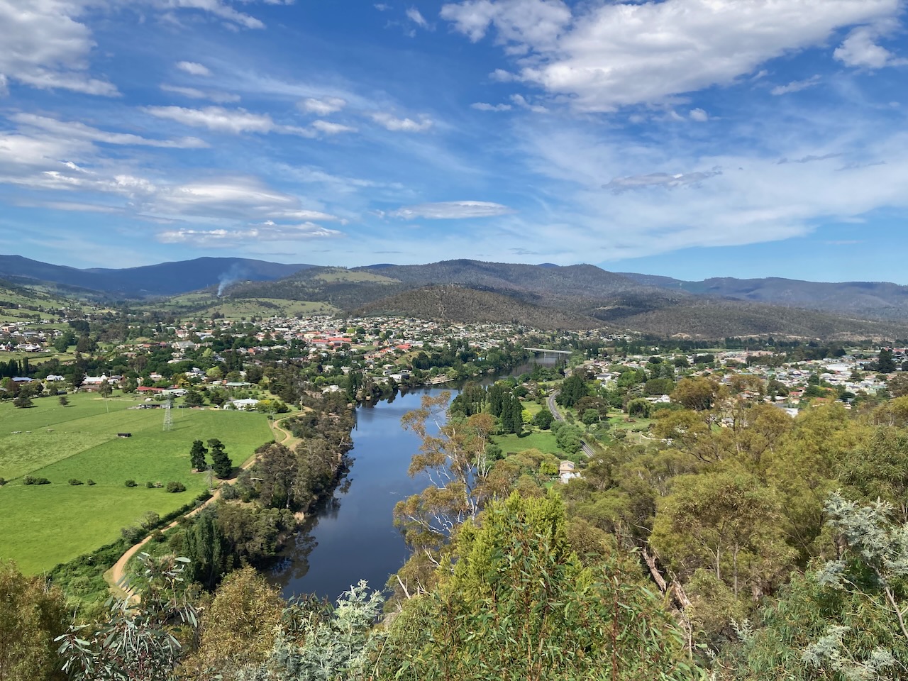
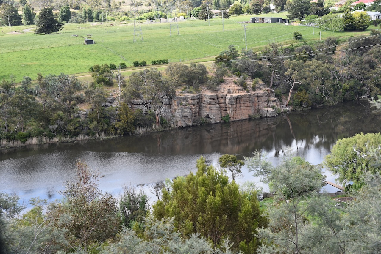
We then drove up to the Pulpit Rock lookout. Initially as we parked the car we did not think there was going to be much of a view. But after a short walk we were rewarded with some brilliant views of New Norfolk, the Derwent River, and the surrounding countryside.
We then decided to do a park activation and headed to the Derwent Cliffs State Reserve VKFF-1794, which is located at New Norfolk.
Above:- Map showing the location of the Derwent Cliffs State Reserve. Map c/o Google maps.
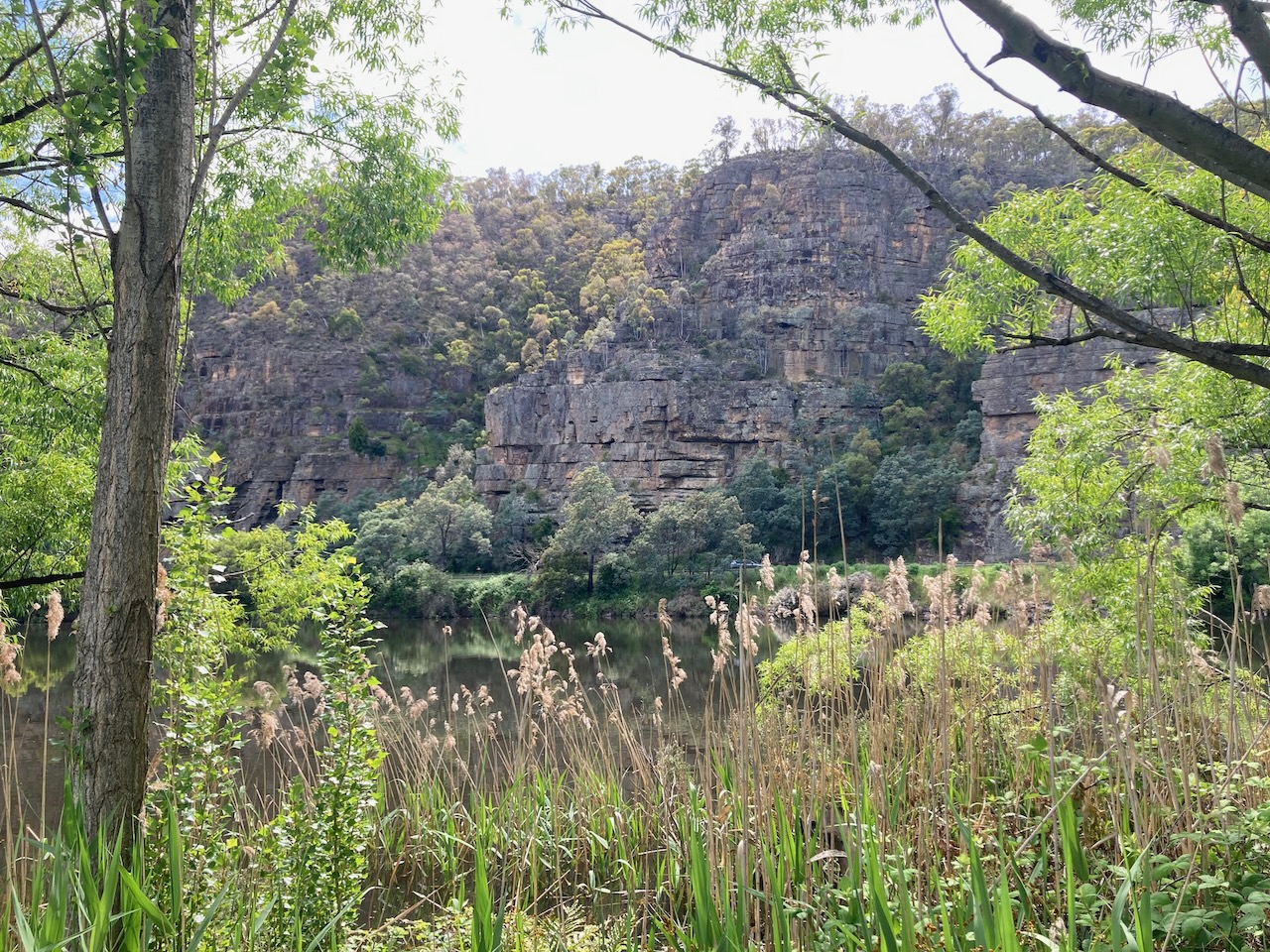
The Derwent Cliffs State Reserve is 3.72 hectares in size and is located on the southern side of the Derwent River. You can get some very good views of the park from the Pulpit Rock lookout.
There was quite a bit of birdlife in the park during our visit, including both native species and introduced species such as Blackbirds.
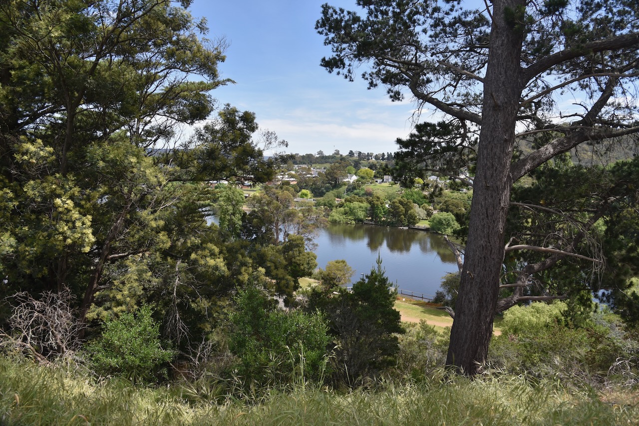
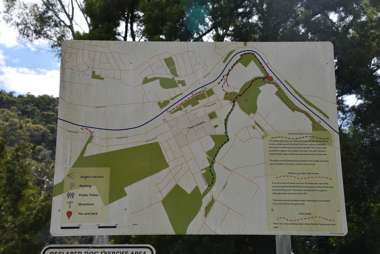
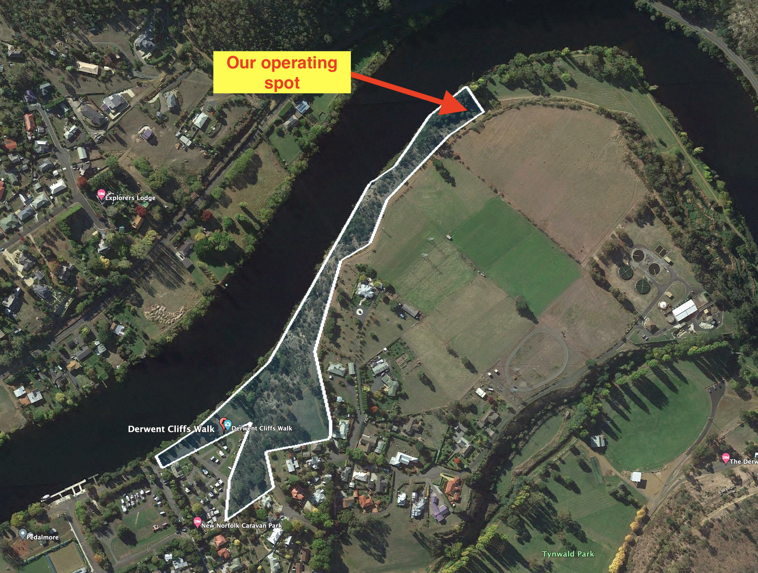
There was no where to drive into this park. We parked at Tynwald Oval and walked along the walkway adjacent to the Derwent River until we entered the park.
Above:- An aerial view of the park showing our operating spot. Image c/o Google Earth.
We found band conditions to be extremely challenging during this activation and we sturggled ober the line to get 10 contacts to qualify the park for the VKFF program.
Marija made the following QSOs on 40m SSB before the UTC rollover:-
VK2HQ/p (Brundee Swamp Nature Reserve VKFF-2547)
VK3PF
VK3SQ
VK3ZSC
VK3UAO
Marija made the following QSOs on 40m SSB after the UTC rollover:-
VK3UAO
VK3PF
VK3BEL
VK2MET
VK1AO
I made the following QSOs on 40m SSB before the UTC rollover:-
VK2HQ/p (Brundee Swamp Nature Reserve VKFF-2547)
VK3PF
VK3SQ
VK3ZSC
VK5BJE
VK3UAO
I made the following QSOS on 40m SSB after the UTC rollover:-
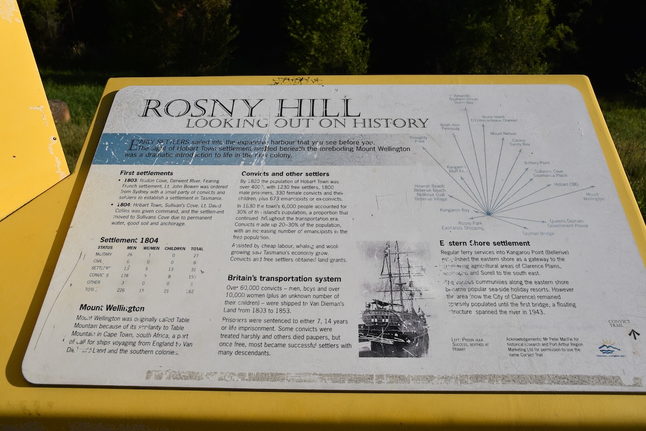
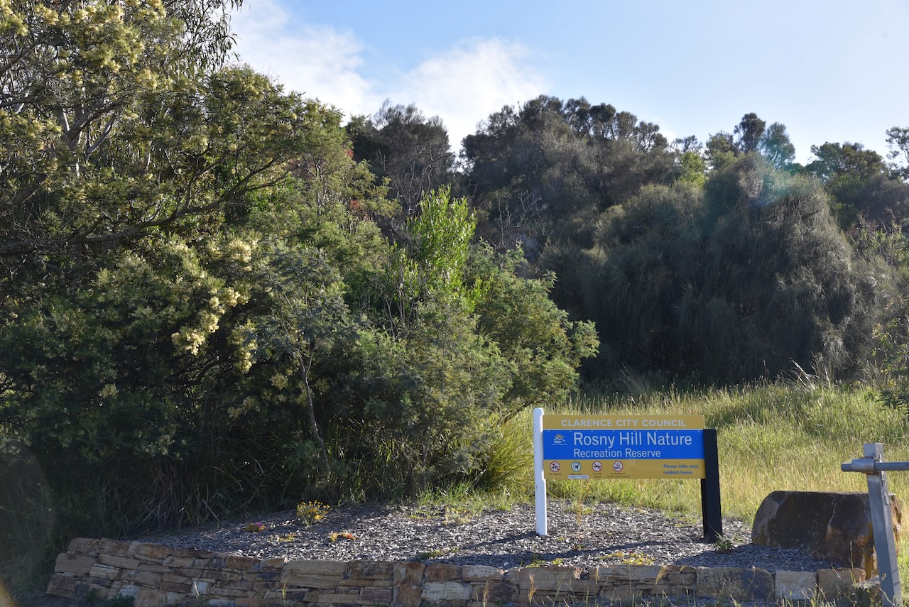
After packing up at East Risdon State Reserve (9th November 2022) we headed to our second park for the day, the Rosny Hill Nature Reserve VKFF-2928.
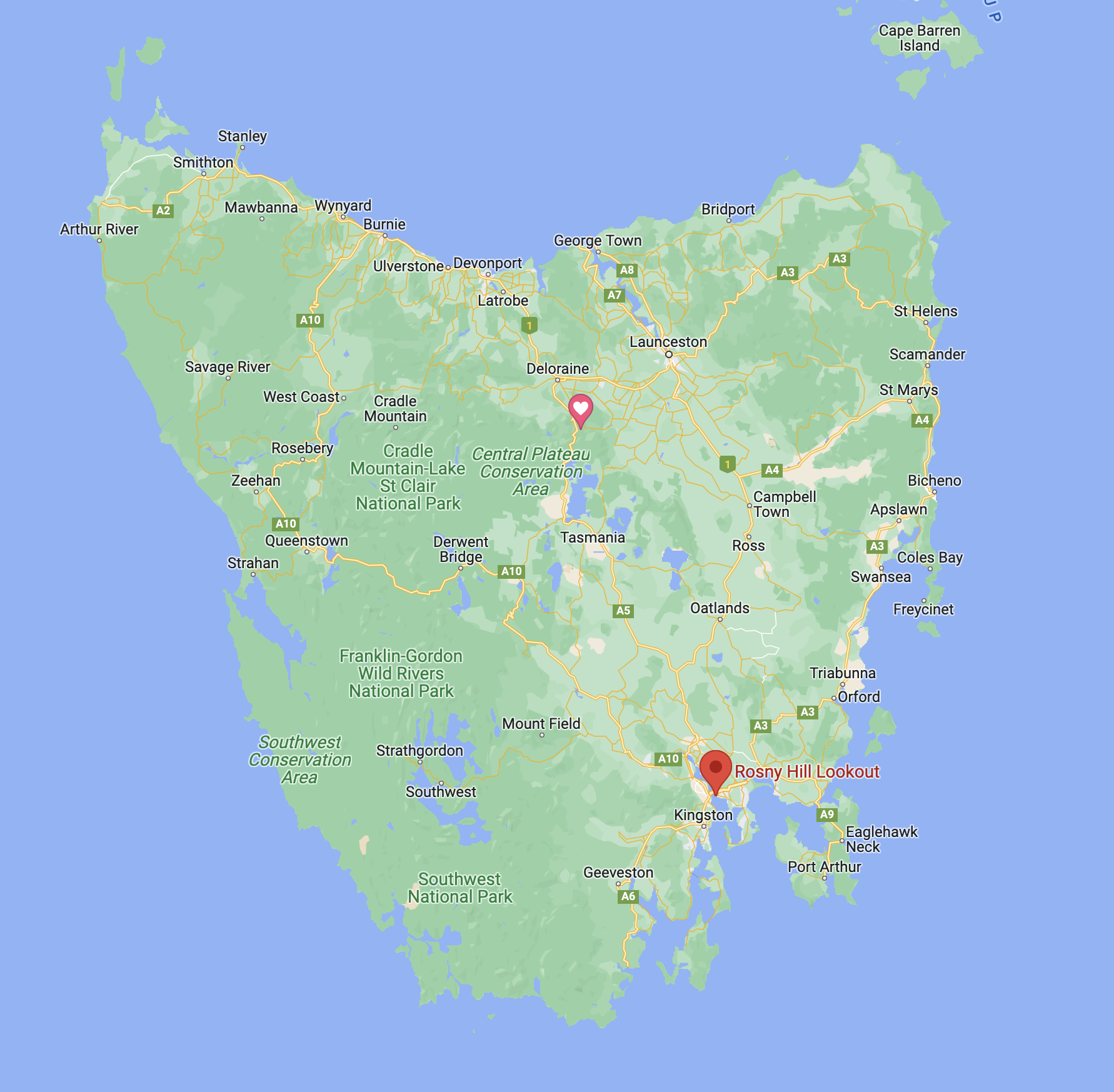
Above:- Map showing the location of the Rosny Hill Nature Reserve. Map c/o Google maps
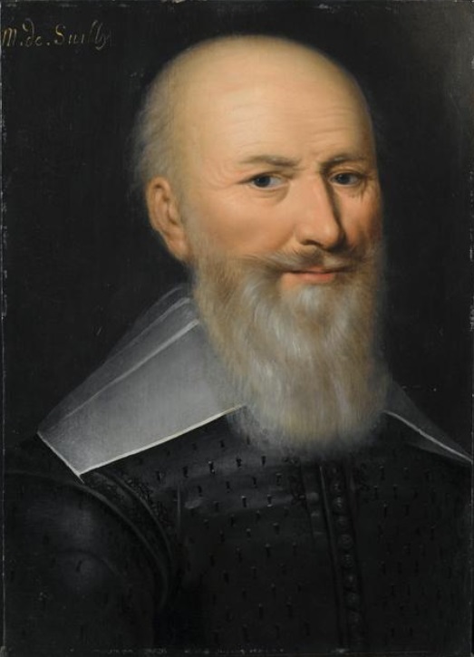
The park is located in the Hobart suburb of Rosny on the eastern banks of the River Derwent. Rosny was named by W.A. Bethune, the holder of the original grant on the point, in honour of his ancestor, the Duc de Maximilien de Bethune Sully, of Rosny-sur-Seine near Mantes in France.
Above:- Maximilien de Béthune. Image c/o Wikipedia.
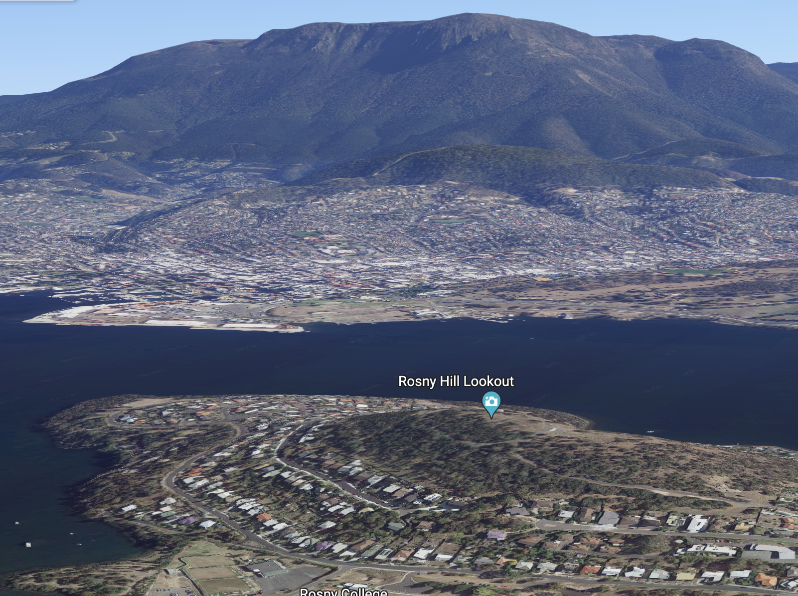
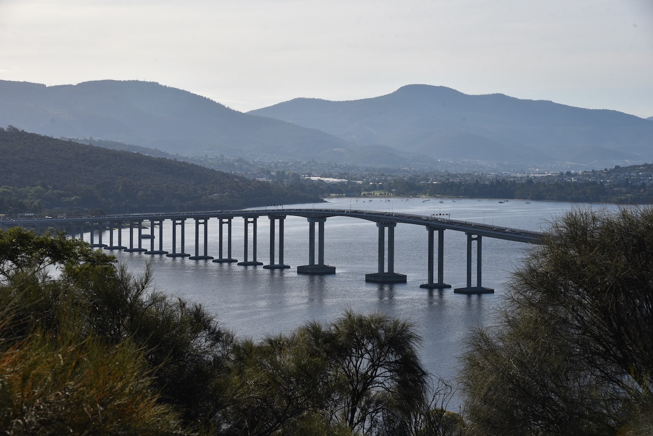
The Rosny Hill Nature Reserve is about 21.4 hectares in size. It encompassed the prominent wooded hill to the south of the Tasman Bridge. The park includes the Rosny Hill Lookout which is well known scenic vantage point. The park contains remnant vegetation which is entirely surrounded by residential subdivision.
The park is within the original homelands of the Oyster Bay people who were once the largest tribe in Tasmania. The band most closely associated with Rosny Hill were the Moomairremener people.
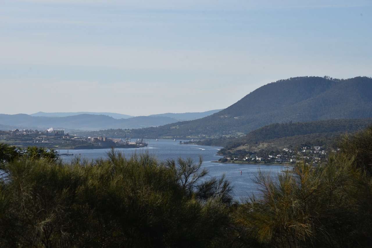
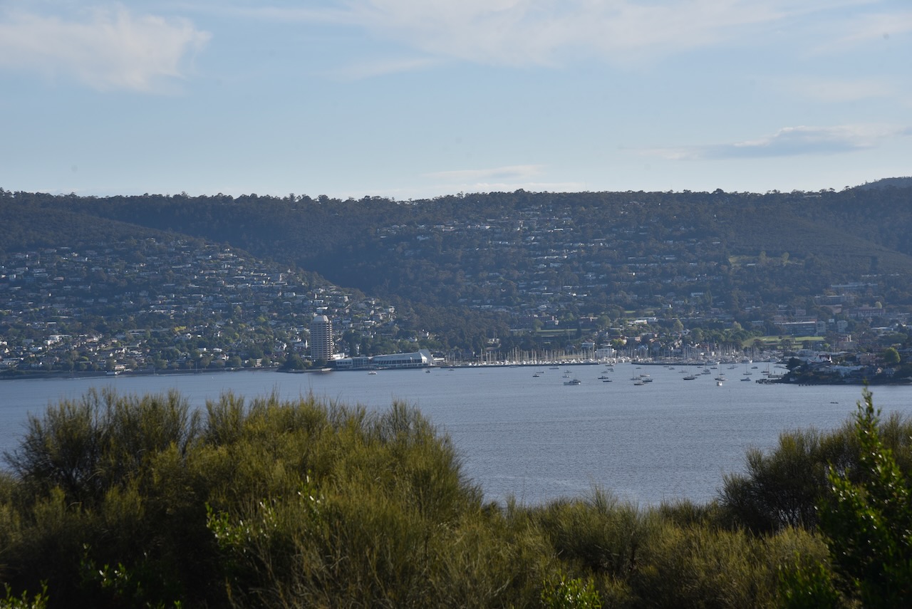
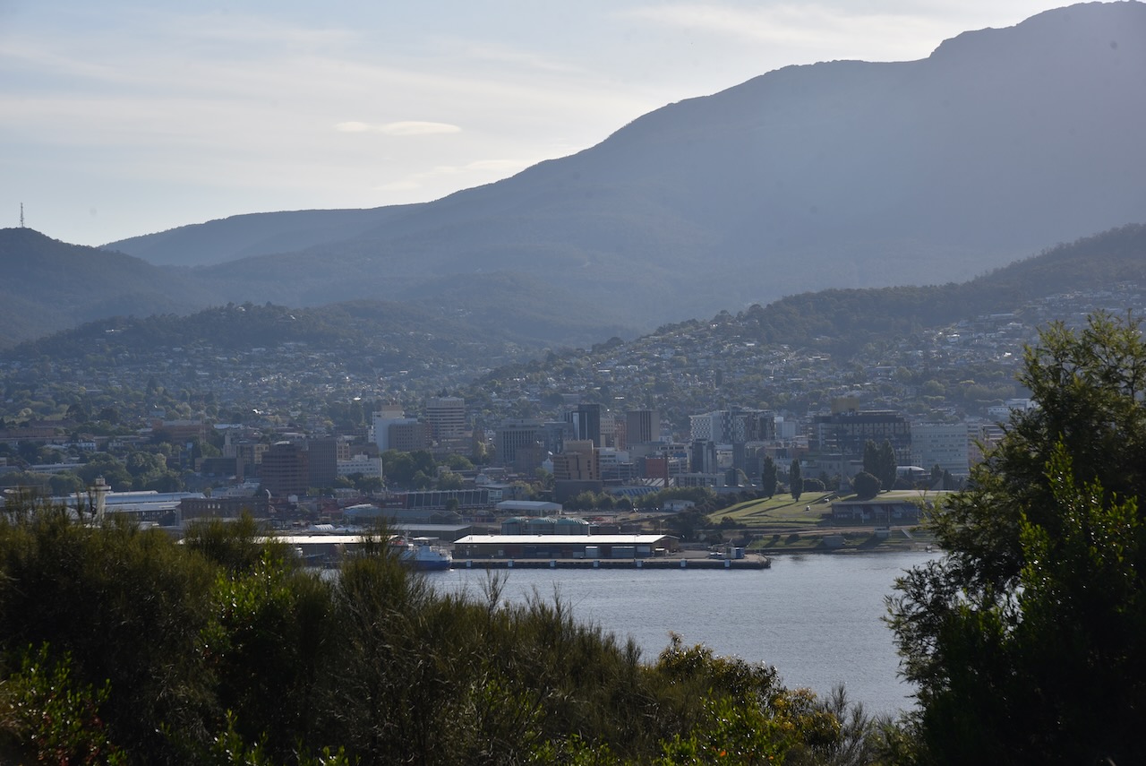
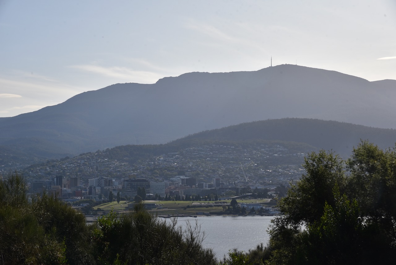
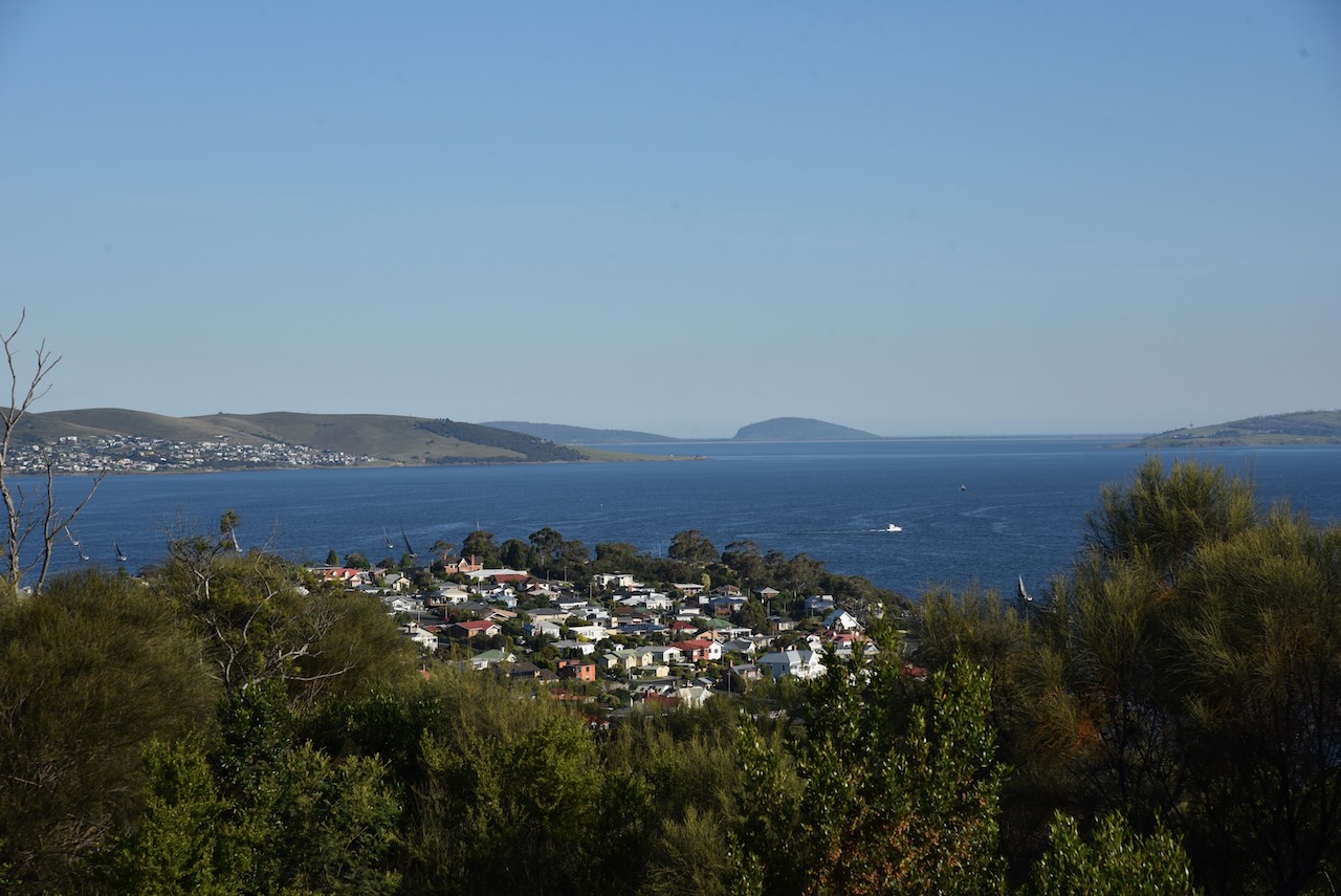
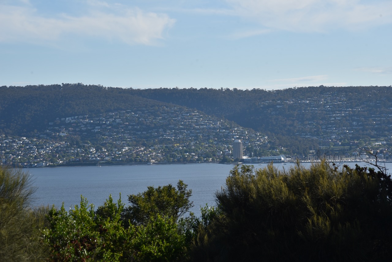
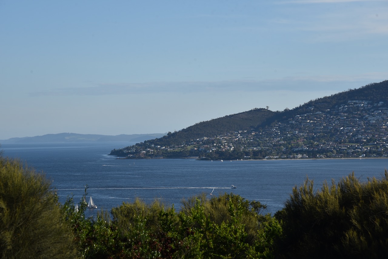
The lookout at Rosny Hill provides spectacular views of the city of Hobart, the Derwent River, Mount Wellington, and the Meehan Range. Residents of Hobart often use the lookout to view special events such as the Sydney to Hobart yacht race and New Years Eve fire works.
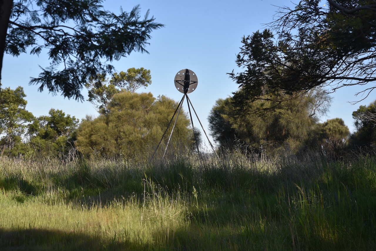
We operated from a clearing in the scrub hust down from the main lookout. We ran the Yaesu FT857, 40 watts, and the 20/40/80m linked dipole for this activation.
Above:- An aerial view of the park showing our operating spot. Image c/o Google maps.
We spent a little over an hour in the park and made a total of 66 QSOs. This included a bit of DX on 20m SSB into Italy, Slovak Republic, Marshall Islands, Finland, Switzerland, Belgium, and France. It was a great pleasure to work Danny ON4ON on both 40m SSB and 20m SSB.
Marija worked the following stations on 40m SSB:-
VK3TWO/p
VK2YAK
VK4YAK
VK3VIN
Vk2HHA
VK2MET
VK1AO
VK3PF
VK3SQ
VK5PL
VK2IO
VK3TWO/p (Pieman River State Reserve VKFF-1822)
I worked the following stations on 40m SSB:-
VK3TWO/7
VK2YAK
VK4YAK
VK3VIN
VK2HHA
VK2MET
VK1AO
VK3PF
VK3SQ
VK5PL
VK2IO
VK7FAMP
VK3NDG/m
VK4TJ
VK4EW
VK4BXX
VK2YK
VK5GA
VK7MOO
VK2EXA
VK4SMA
ZL3MR
VK2LD
VK3MCA
VK3TWO/p (Pieman River State Reserve VKFF-1822)
VK3HJW
VK7AAE
VK2VY
VK7LTD
VK4EMP
VK5HAA
VK3KKP
VK3AMO
VK3TR
VK2WOG
VK3ZPF
ON4ON
I worked the following stations on 20m SSB:-
IW2BNA
IK4IDF
VK7LTD
OM5DP
V73MS
VK7HH
ZL3MR
ZL1TM
IW2NXI
OH1MM
HB9BEV
VK4SMA
ON4ON
F4ILH
VK4MGL
VK4EMP
F1BLL
References.
Rosny Hill Nature Recreation Area Management Strategy, August 2011.