
We were now well and truly into 2 weeks of our Tasmania trip (Saturday 112th November 2022). Today we were to travel from Lake St Clair to Strahan on the west coast of Tasmania, a distance of about 132 km.
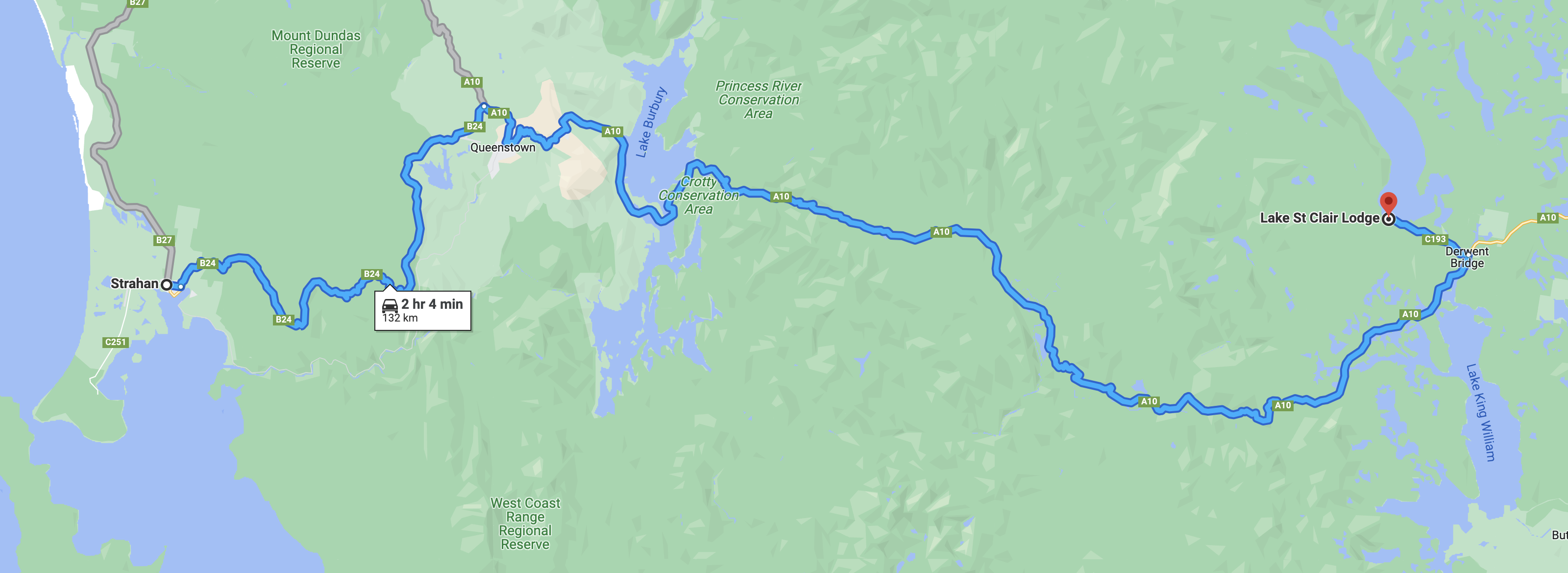
Above:- Map showing our route from Lake St Clair to Strahan. Map c/o Google maps.
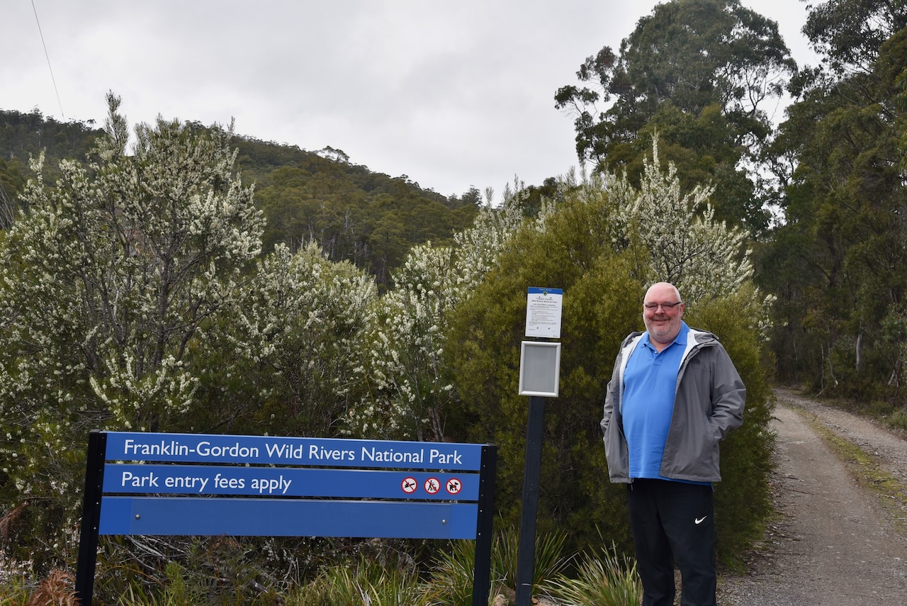
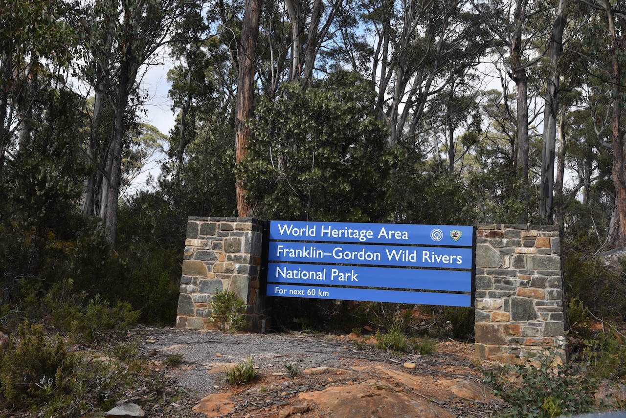
After another cooked breakfast at Lake St Clair Lodge we hit the road and started travelling south west on the Lyell Highway. It wasn’t long and we saw a sign for the Franklin Gordon Wild Rivers National Park VKFF-0185. We hadn’t realised that the park was so close to Derwent Bridge.
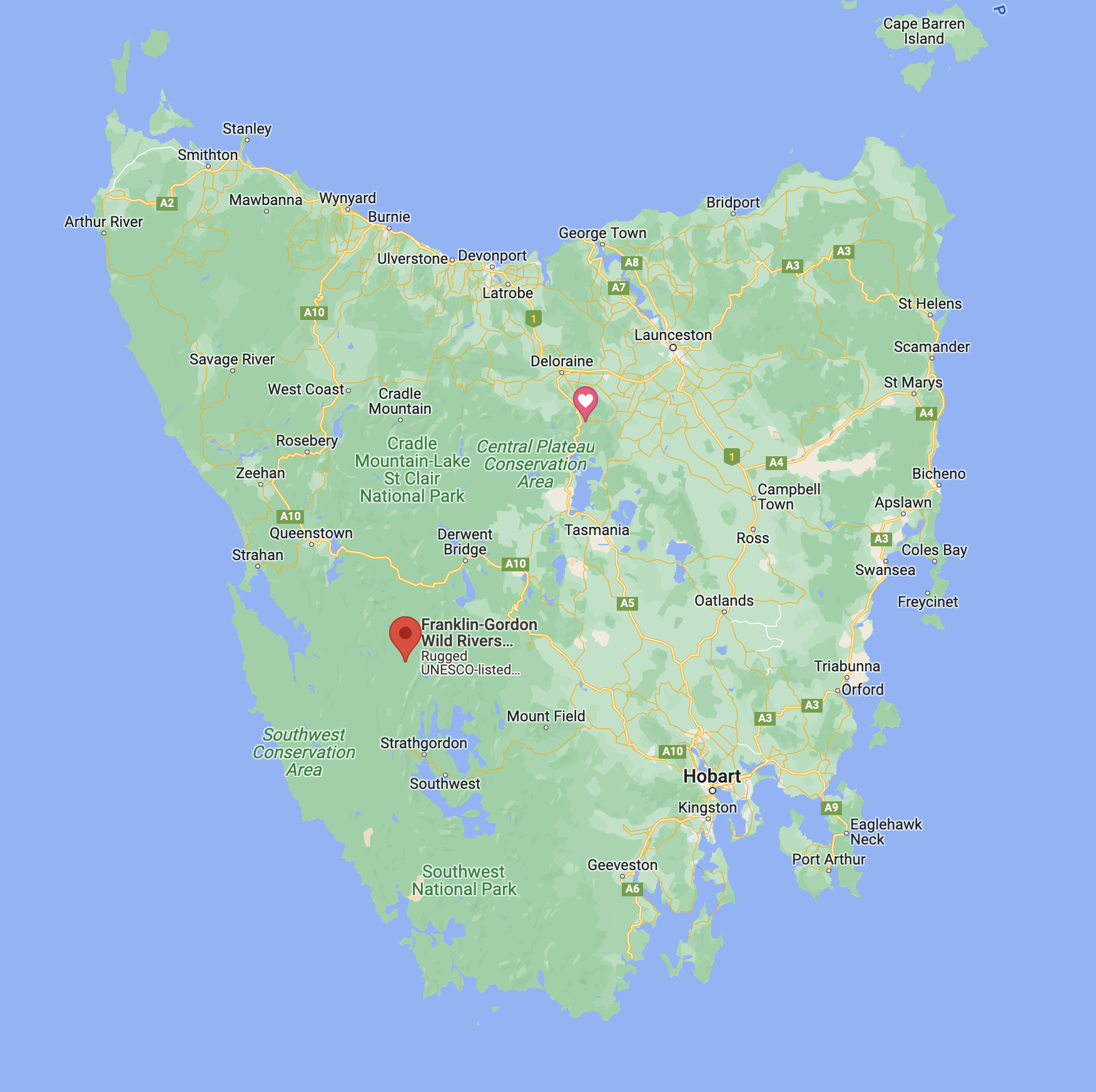
Above:- Map of Tasmania showing the location of the Franklin Gordon Wild Rivers National Park. Map c/o Google maps.
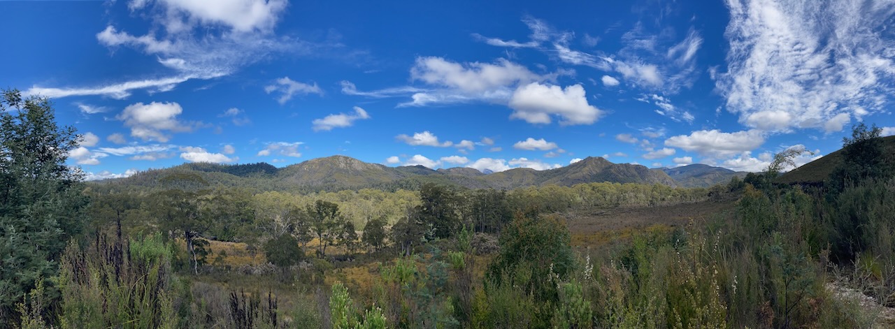
Franklin-Gordon Wild Rivers National Park is 4,463.42 km2 in size and is situated about 117 km west of Hobart. It is named after the two main river systems which lie within the bounds of the park, the Franklin River and the Gordon River. The park is located in the heart of the Tasmanian Wilderness World Heritage Area.
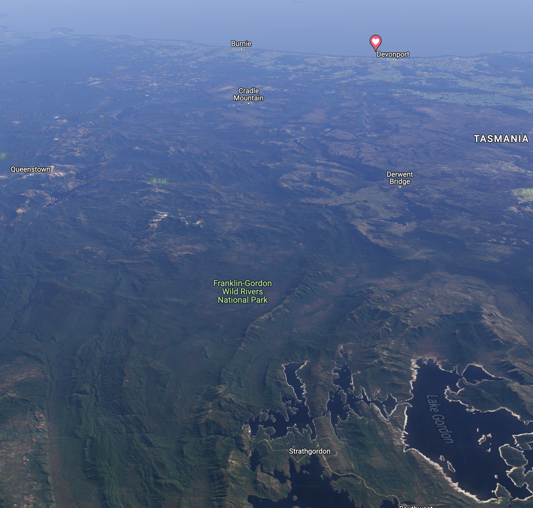
Above:- An aerial view of the Franklin Gordon Wild Rivers National Park. Image c/o Google maps
The Franklin River rises below Mount Hugel west of Derwent Bridge and flows west and south through remote and rugged mountainous country until it meets the confluence with the Gordon River. Its total length is 129 km.
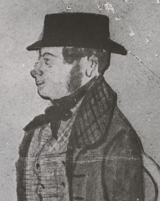
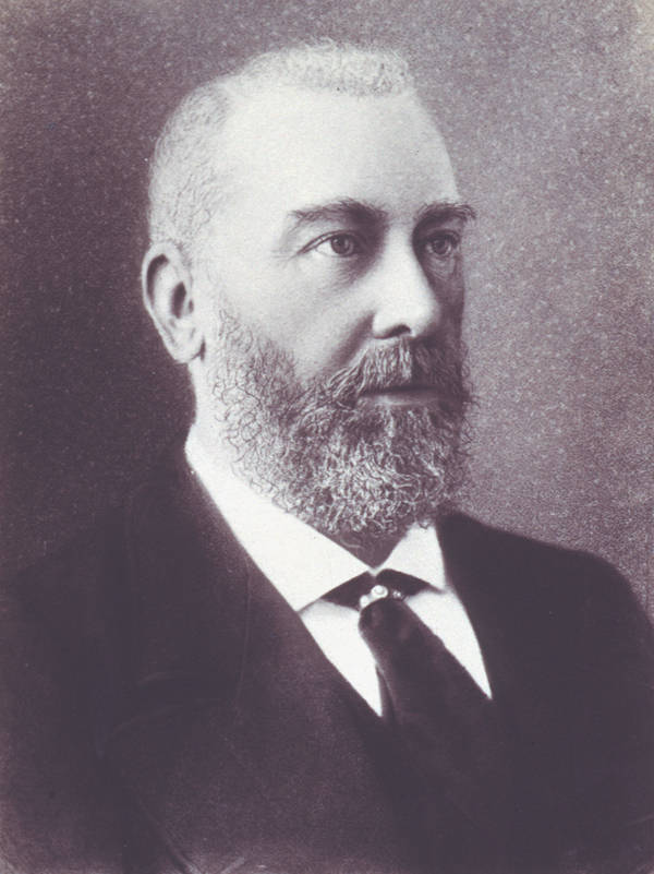
The river is named in honour of Sir John Franklin (b. 1786. d. 1847), a Governor of Tasmania.
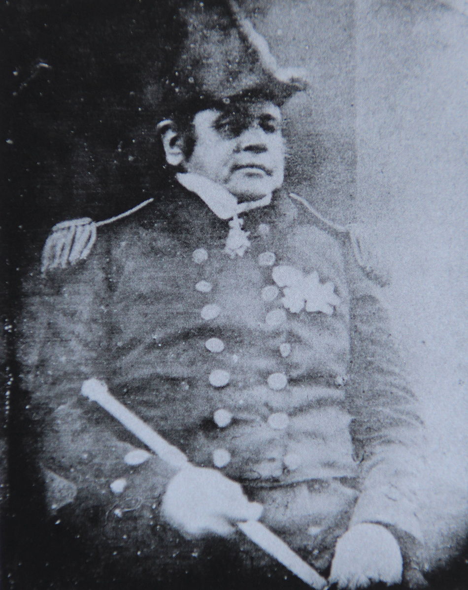
Above:- Sir John Franklin. Image c/o Wikipedia.
The Gordon River rises below Mount Hobhouse in the National Park and flows south and spills into Lake Gordon. The river is 172 km in length.
The river was explored by James Kelly in 1816 who named it in honour of an associate James Gordon.
Above:- James Kelly. Image c/o Friends of North Bruny, friendsofnorthbruny.org.au
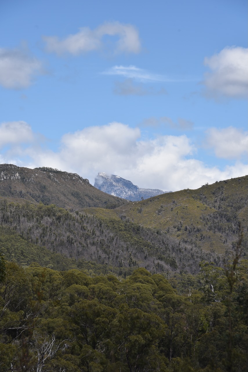
Part of the current park was previously the Frenchmans Cap National Park which took its name from Frenchmans Cap, a mountain which is 1,446 metres above sea level. It is named due to its appearance from some angles as looking like a Frenchmans Cap, most notably the Liberty Cap worn during the French Revolution.
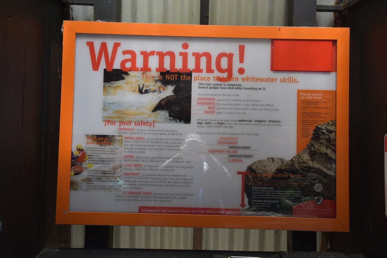
Most Australians would recognise the names Franklin River and Gordon River. They were the subject of one of Australia’s greatest conservation efforts when in 1978 the Tasmanian Hydro Elecric Commission with the approval of Robin Gray State Liberal Government announced plans to build a dam on the Franklin River.
It became a very big national issue and particularly for the Tasmanian Wilderness Society which was led by Bob Brown. In 1972 the Tasmanian State Government had given the Tasmanian Hydro Electric Commission approval to dam the Serpentine and Huon Rivers to create Lake Pedder. The dam resulted in the loss of Tasmanian wilderness and the extinction of two invertebrate species. The development was opposed unsuccessfully by a number of environmental activists, many who went on to form the Tasmanian Wilderness Society.
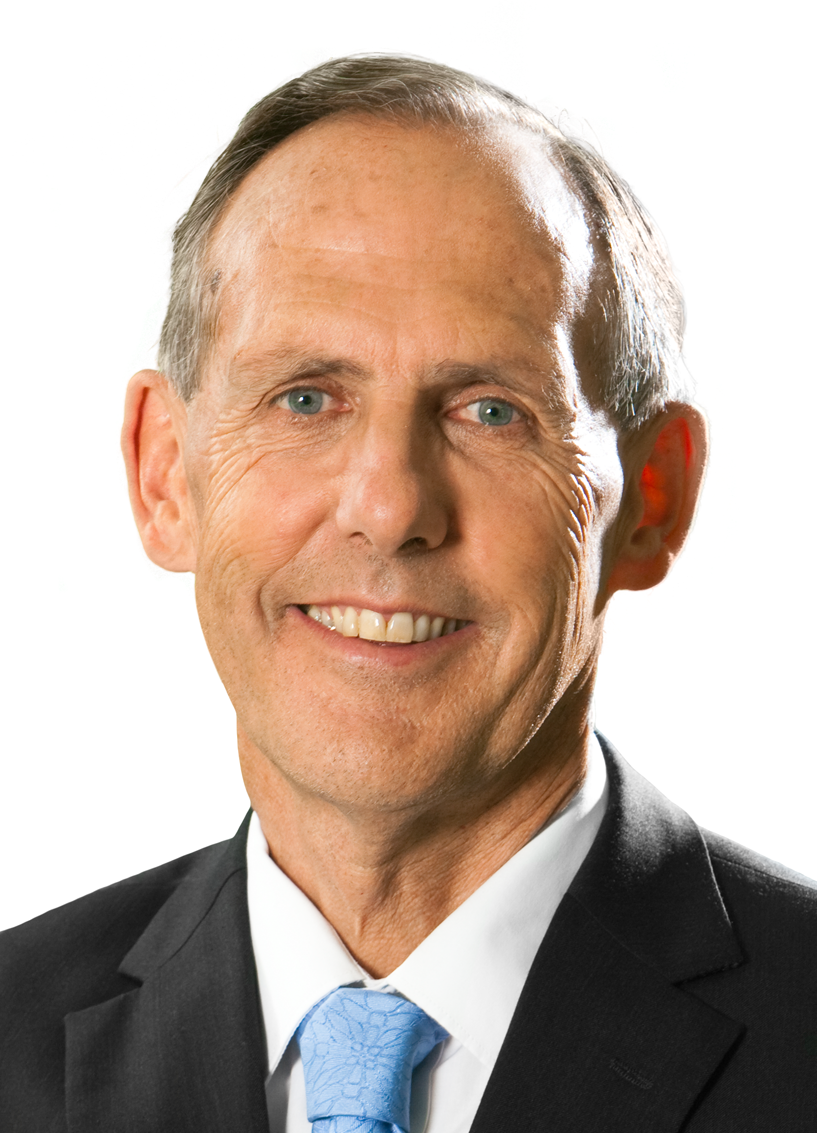
Above:- Bob Brown. Image c/o Australian Greens website – Australian Greens
Following the 1978 proposal to build a dam on the Franklin and Gordon Rivers, an organised protect march in Hobart in 1980 against the damming of the Franklin River saw 10,000 take to the streets of Hobart. The Tasmanian State Government compromised and added the Franklin River to the Wild Rivers National Park. However they approved the building of a dam on the Gordon River. In December 1981 a referendum was held which led to a political crisis and a change in Government to the Liberal Party in 1982 who immediately approved legislation to dam the Franklin River.
Protests then commenced including a blockade of the Franklin. Between December 1982 and March 1983. about 2,500 people participated. Of those 1,400 of these were arrested by Police. Bob Brown was one of those who was arrested.
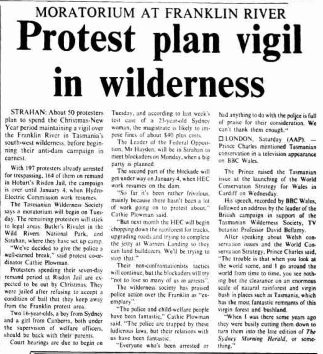
Above:- news article from The Canberra Times, Sun 19 Dec 1982. Image c/o Trove
The Australian Federal Liberal Government refused to over rule the Tasmanian State Government. But in March 1983 the Australian Labor Party took over Federal Government and Prime Minister Bob Hawke introduced legislation to protect the Franklin and Gordon Rivers. The Tasmanian State Government refused to cease work on the dam which resulted in the Federal Government taking the State Government to the High Court of Australia. On the 1st day of July 1983, the High Court ruled in favour of the Federal Government.
Below is a video of reflections on the Franklin River blockade by Bob Brown.
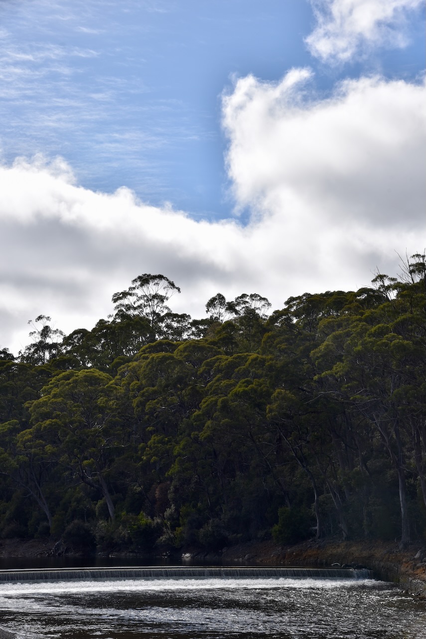
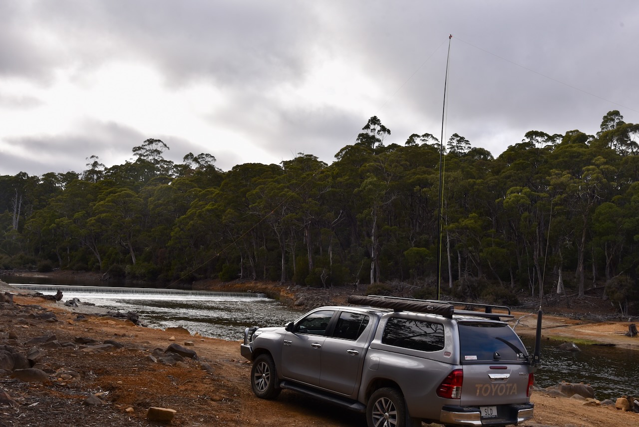
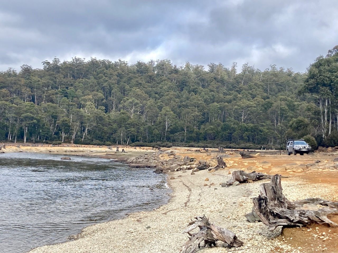
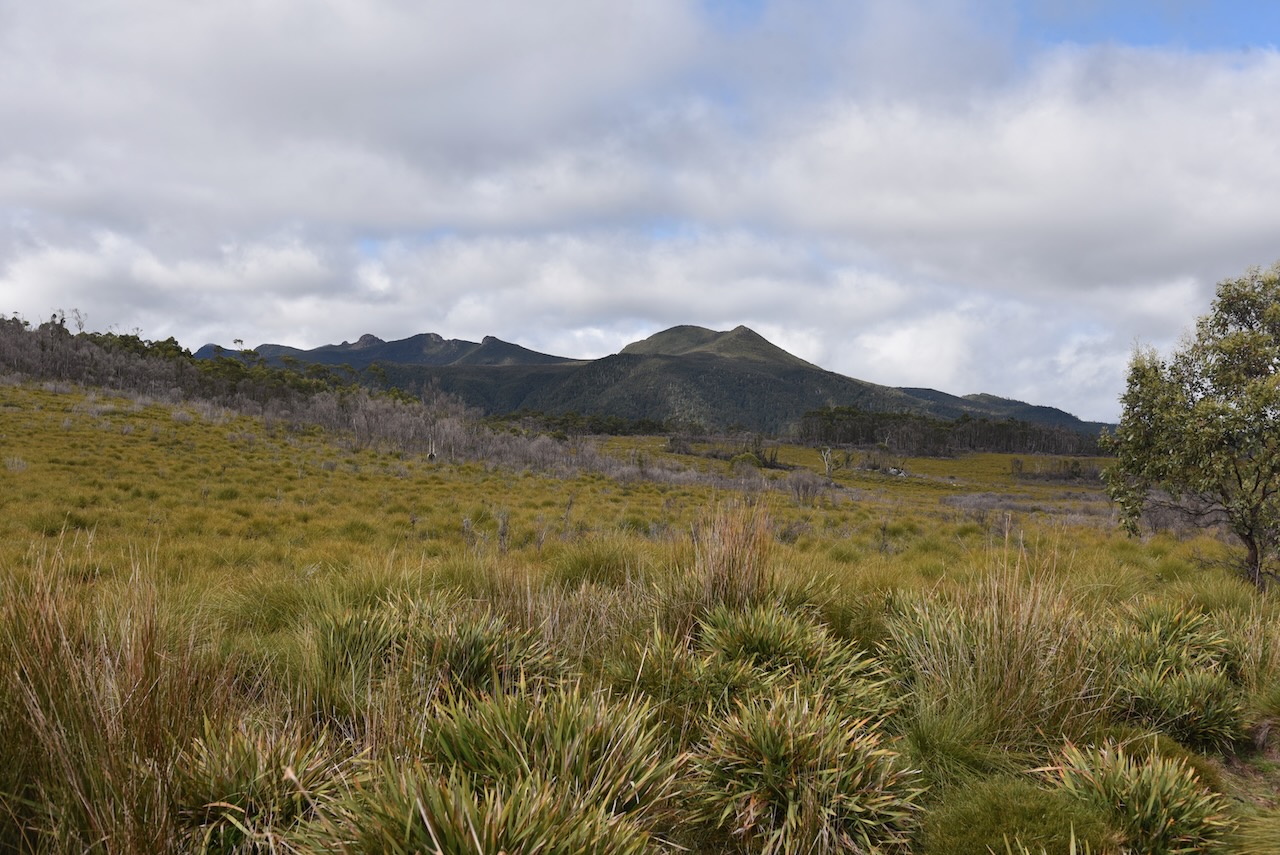
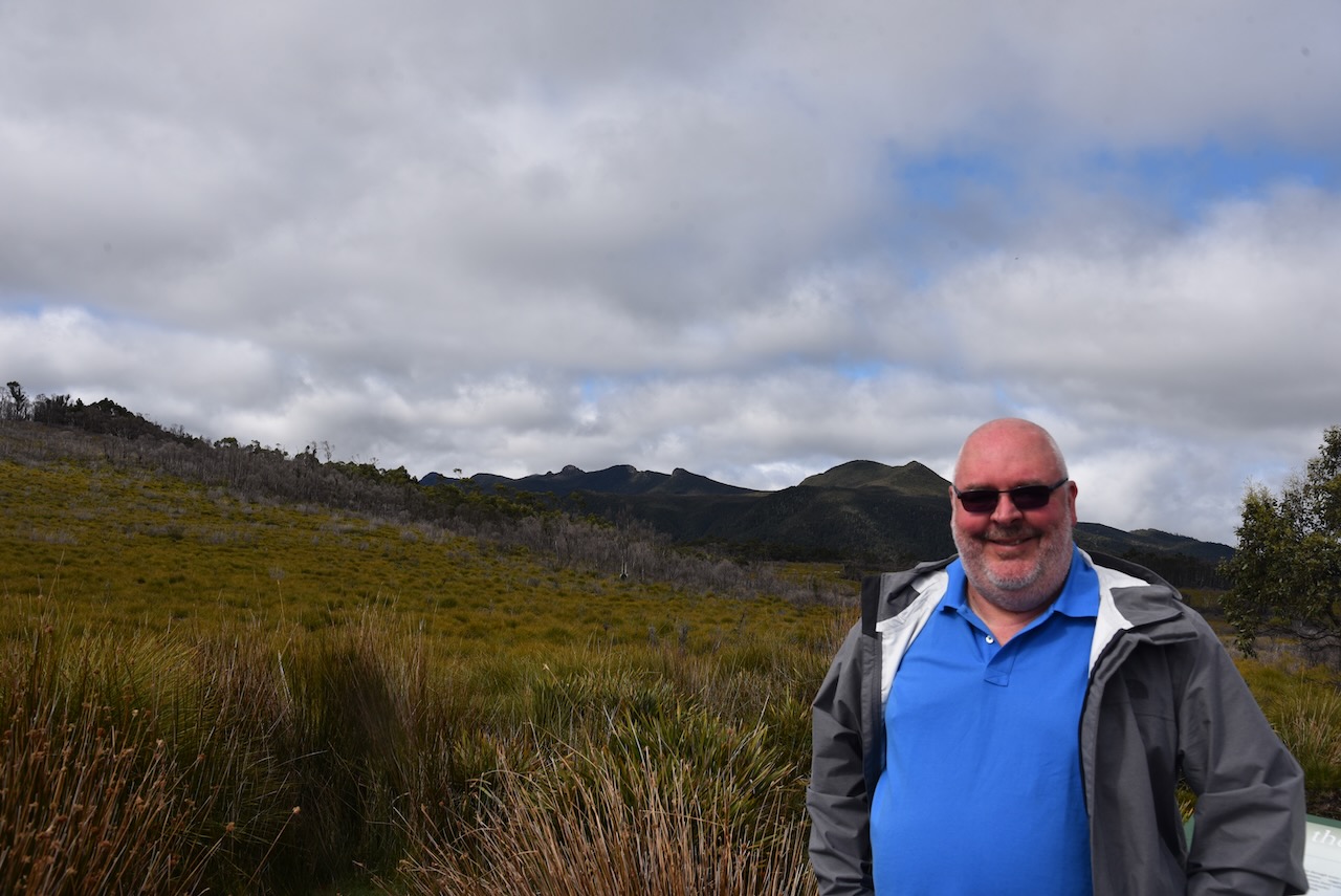
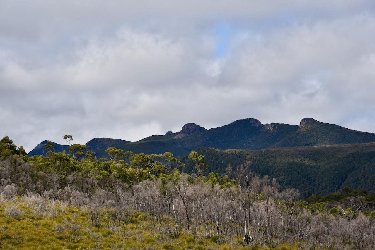
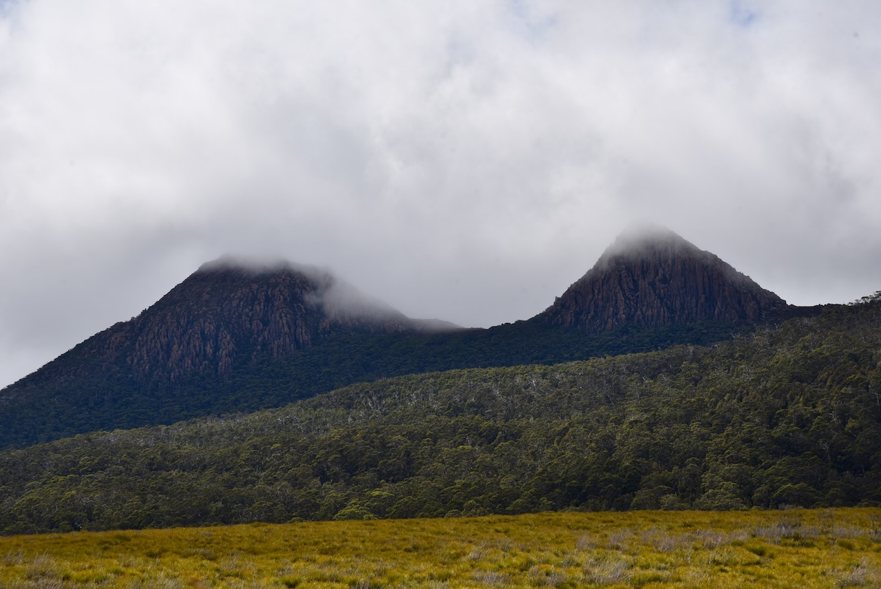
We drove into the Lake King William area of the park on the southern side of the Lyell Highway. The lake’s namesake, Mount King William was named during the 1842 expedition of the area by Sir John Franklin (b. 1786. d. 1847). This was despite the fact that the reigning monarch at the time was Queen Victoria.
We ran out the 20/40/80m linked dipole for this activation, and used the Yaesu FT857 with 40 watts output.

Marija made the following QSOs on 40m SSB:-
- VK5MOS
- VK2IO
- VK2VW
- VK2HFI
- VK4TJ
- VK5FPKR
- VK2EXA
- VK5FANA
- VK3VIN
- VK5HS
- VK2YAK
- VK4YAK
- VK3ZPF/p (French Island National Park VKFF-0622)
Marija made the following QSOs on 20m SSB:-
- ZL3DRN/p (SOTA ZL3/ CB-514 & ZLFF-0128)
- ZL1BQD
I made the following QSOs on 40m SSB:-
- VK5MOS
- VK2IO
- VK2VW
- VK2HFI
- VK4TJ
- VK5FPKR
- VK2EXA
- VK5FANA
- VK3VIN
- VK5HS
- VK2YAK
- VK4YAK
- VK3SMW
- VK3MTT/m
- VK3BBB/m
- VK2CCP/m
- VK5BJE
- VK5HAA
- VK3AHR
- ZL1BQD
- VK3PF
- VK1AD
- VK2DRB
- VK3ZPF/p (French Island National Park VKFF-0622)
- VK3SQ
- VK3APJ
- VK2NP
- VK2CDB
- VK2YK
- VK5GA
- VK5WT
- VK2MTC
I made the following QSOs on 20m SSB:-
- VK4TJ
- ZL3DRN/p (SOTA ZL3/ CB-514 & ZLFF-0128)
- ZL1BQD
We had both qualified the park for the VKFF program, and I had fallen a few QSOs short of 44 required for the global World Wide Flora Fauna (WWFF) program. But it was before the UTC rollover and we still had some stops to go in the park. We packed up and headed further into the National Park.
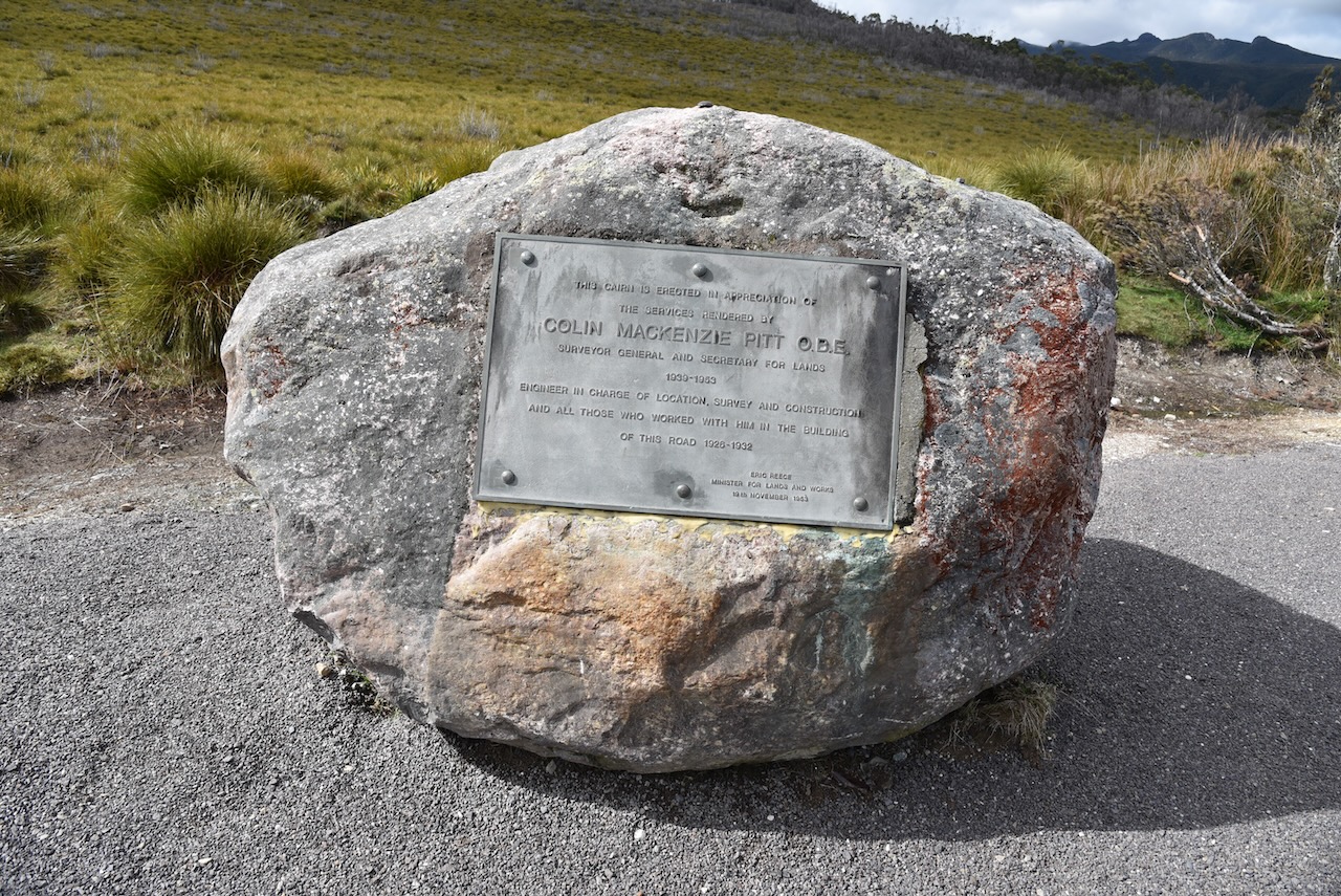
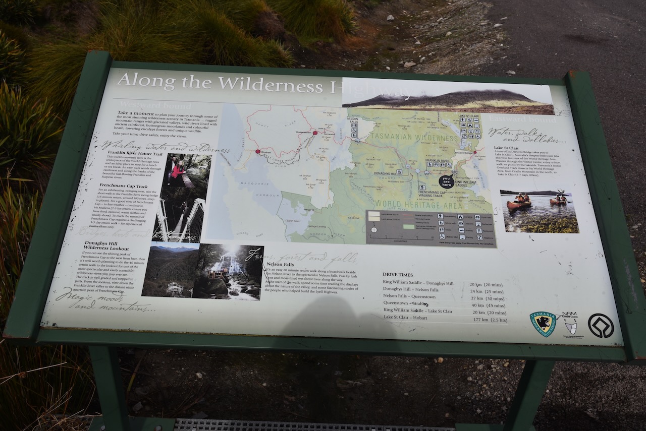
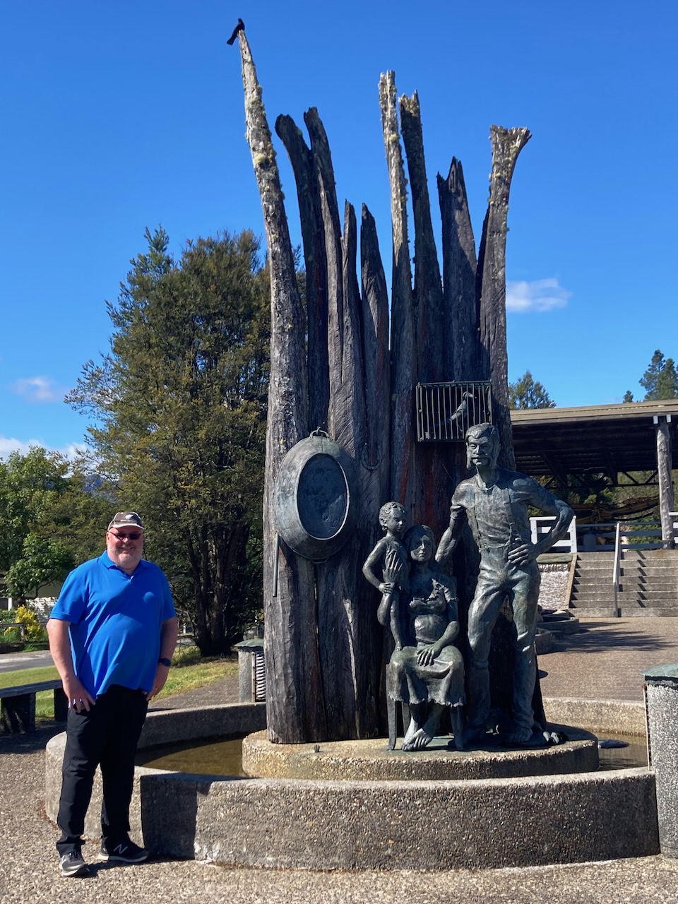
We stopped briefly at a roadside stop on the Lyell Highway where there are a number of information boards and a memorial cairn for Colin Mackenzie Pitt. He was the Surveyor General and Secretary for Lands. He was responsible for the building of the Lyell Highway. It took 200 workers a total of two years to complete the road.

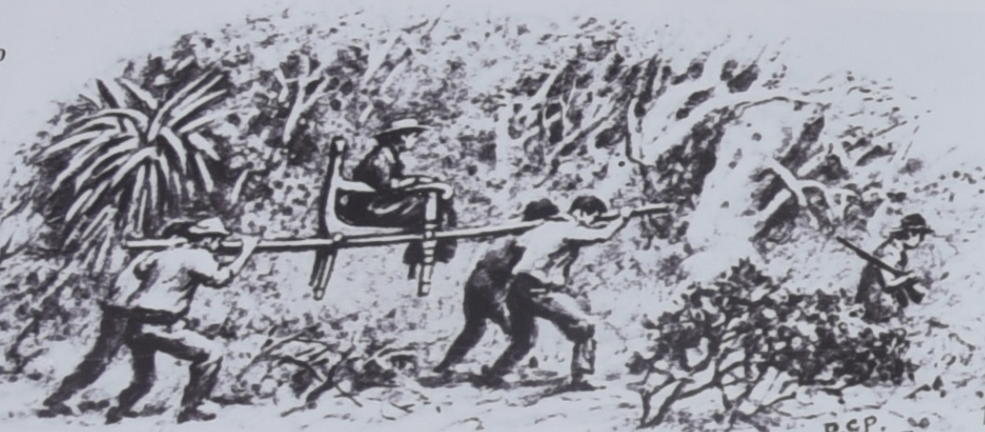
Prior to the construction of the Highway, access to the west coast of Tasmania was along rough tracks. This included a track which was cut in 1840 for Governor Sir John Franklin to travel overland to MacQuarie Harbour. His wife Lady Jane Franklin accompanied him on the inaugural journey which took 20 days with Lady Jane being carried part way by convicts on a purpose built Blackwood chair.
Whilst at the roadside stop Marija and I both worked Daryl VK3AWA who was activating The Lakes National Park VKFF-0484.
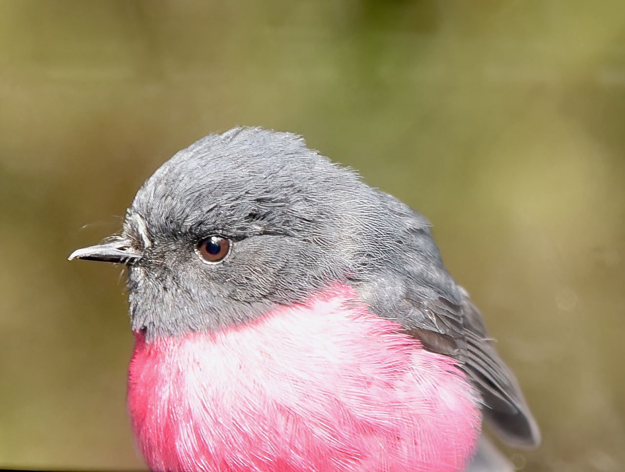
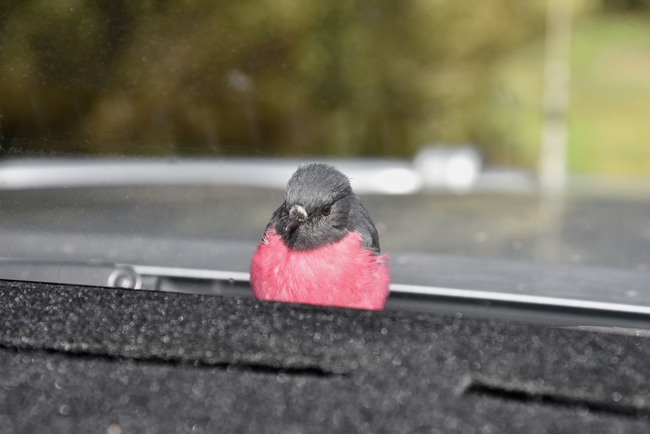
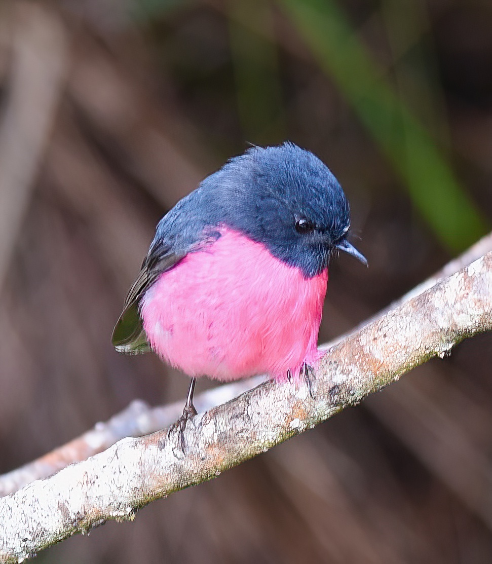
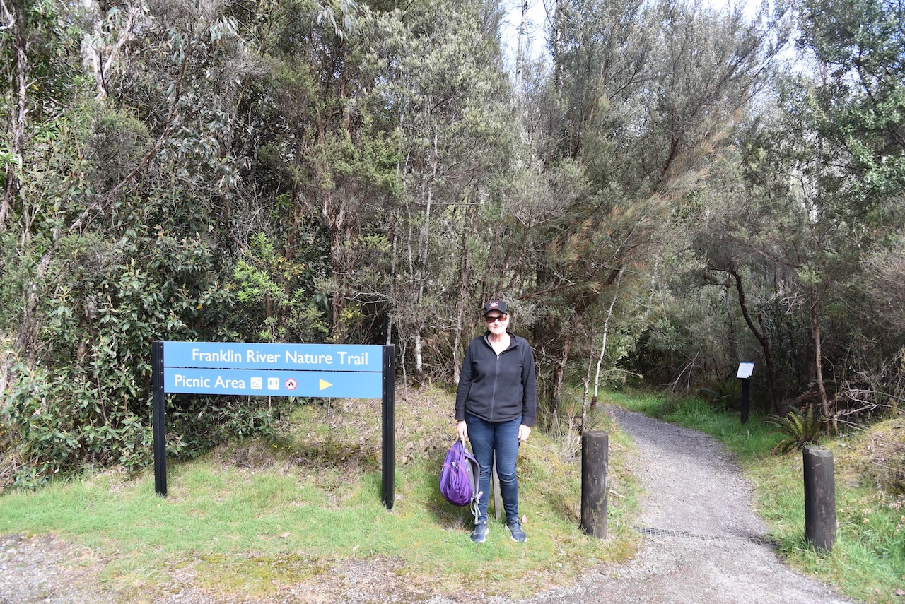
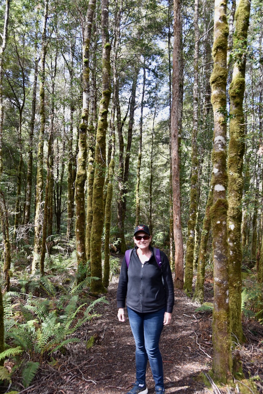
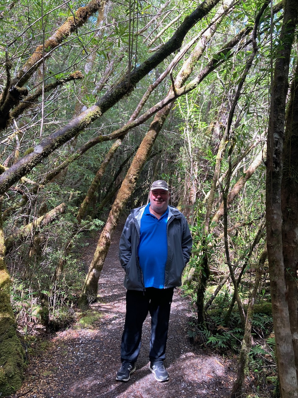
Our next stop was the Franklin River Nature Trail on the Lyell Highway. As we arrived in the carpark, a very friendly Pink Robin landed on our bonnet. I was so pleased to see this little bird as I had sighted one during our walk through Cradle Mountain, but when I went to take a photo the bird turned its back on me. Not this one.
Whilst in the carpark Marija and I both worked Joe VK3SRC who was activating the Churchill National Park VKFF-0621.
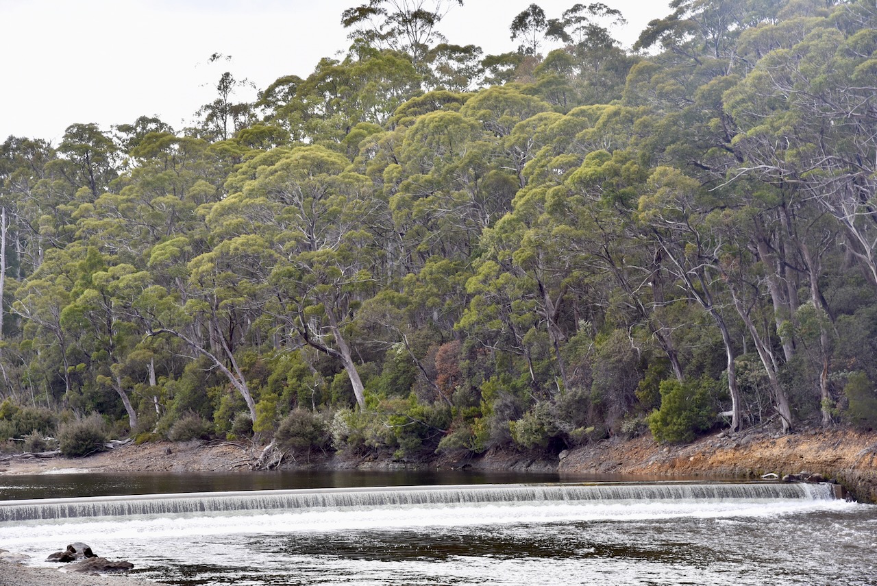
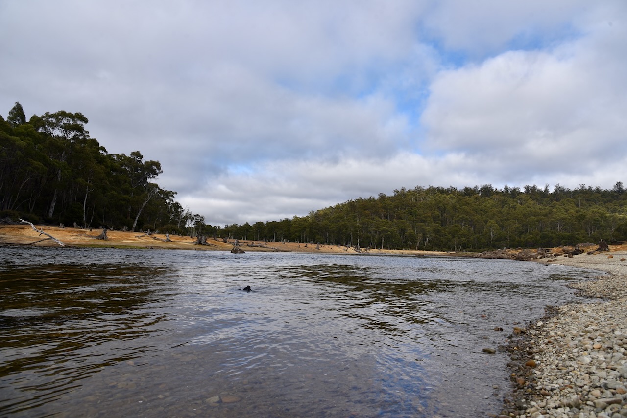
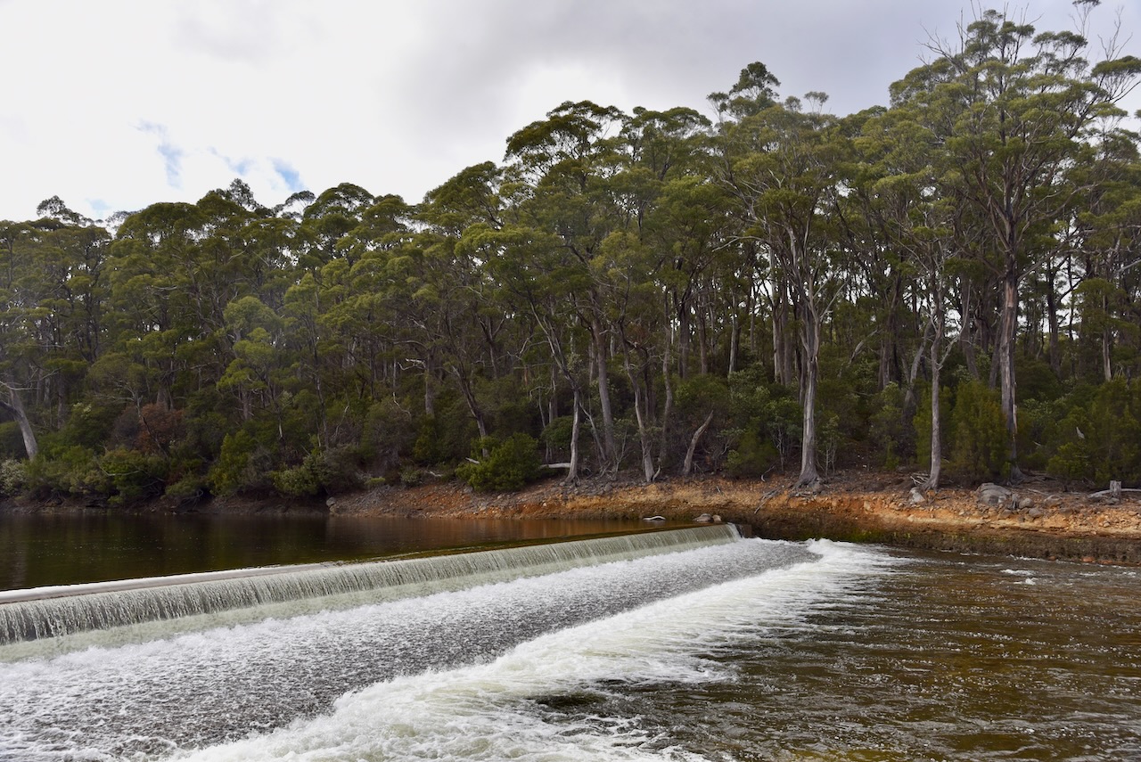
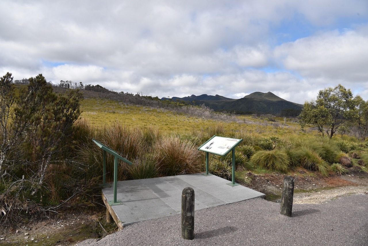
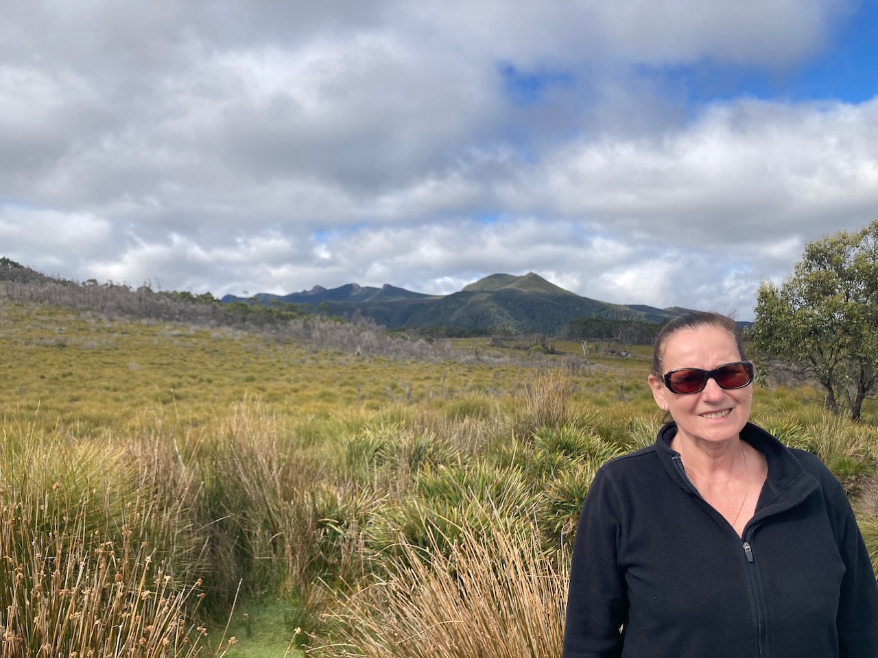
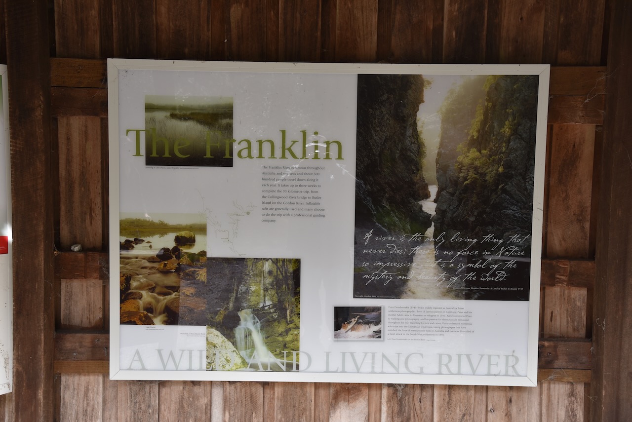
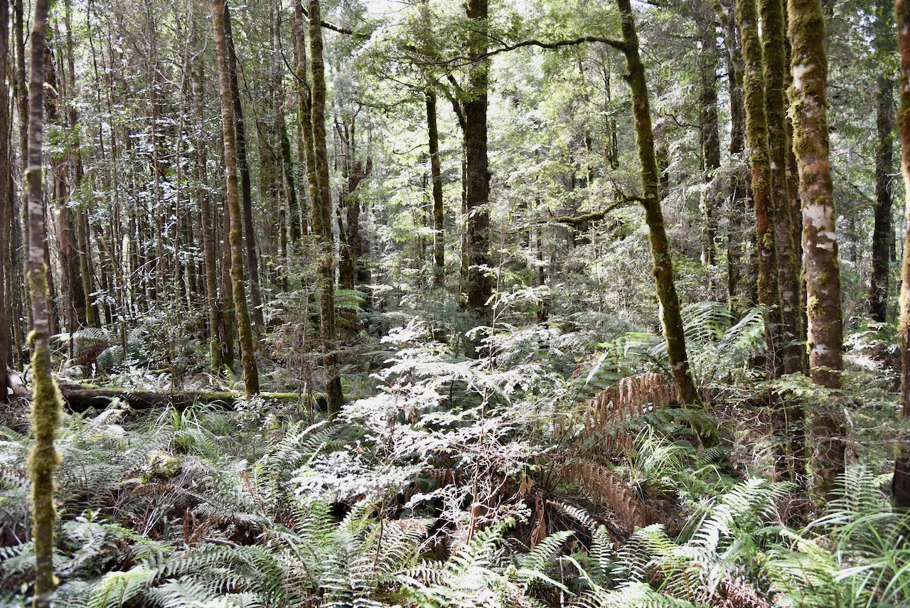
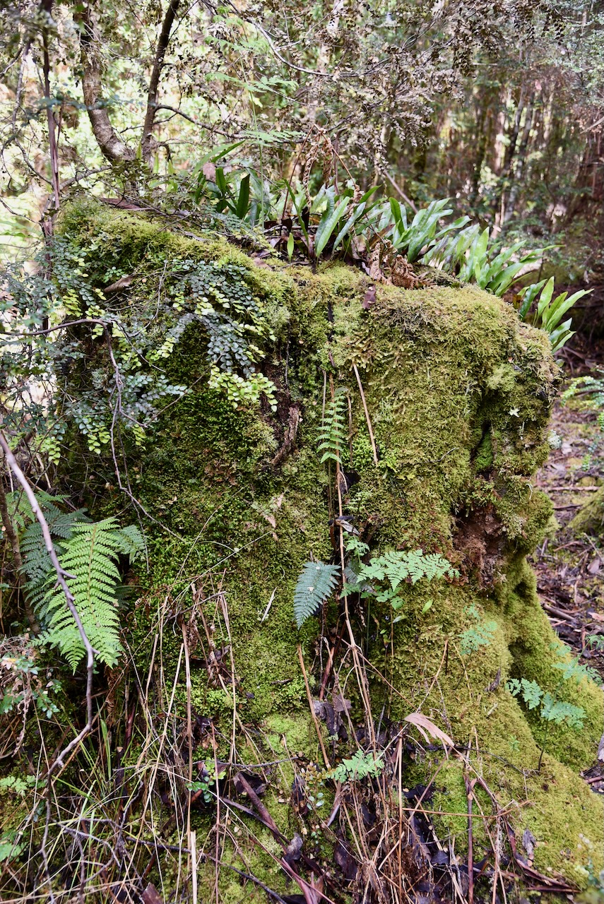
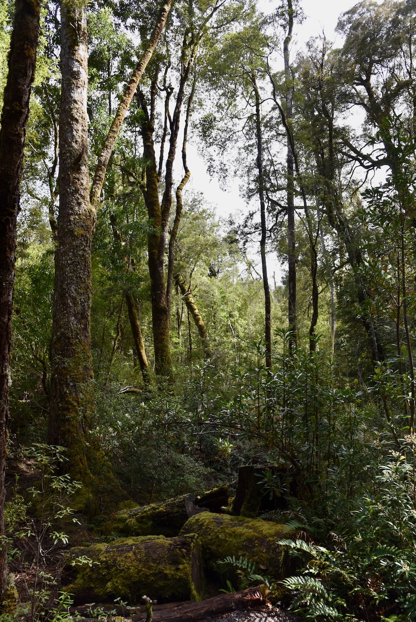
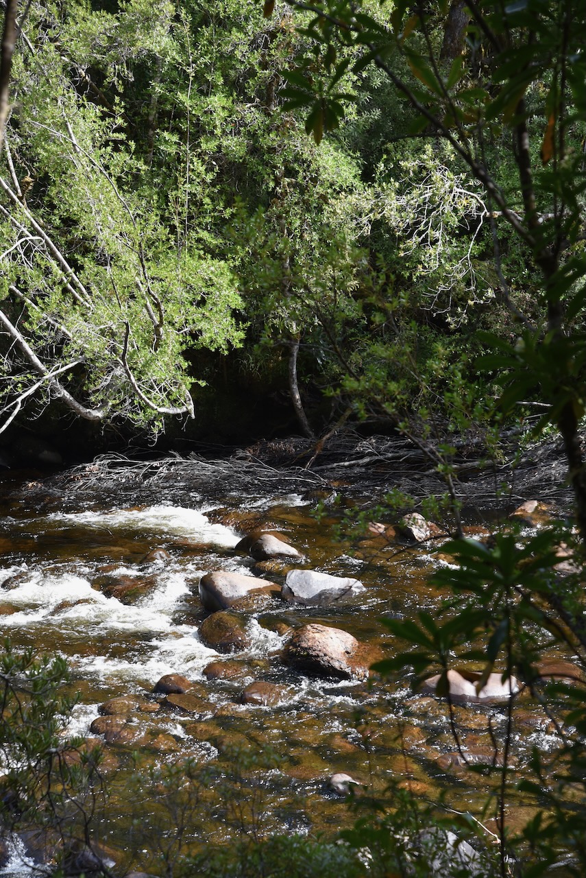
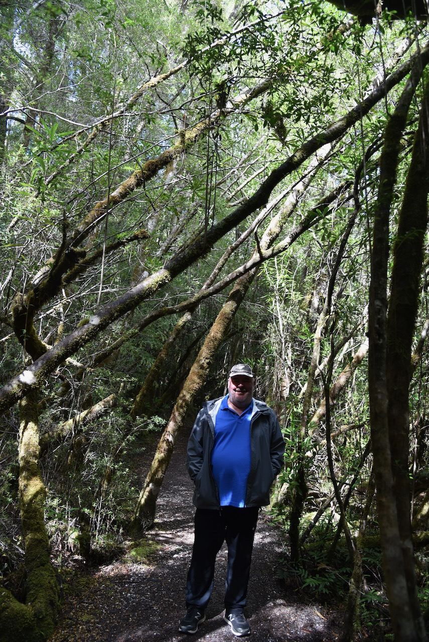
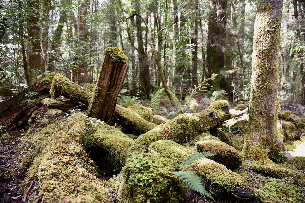
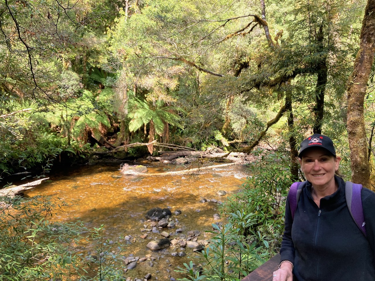
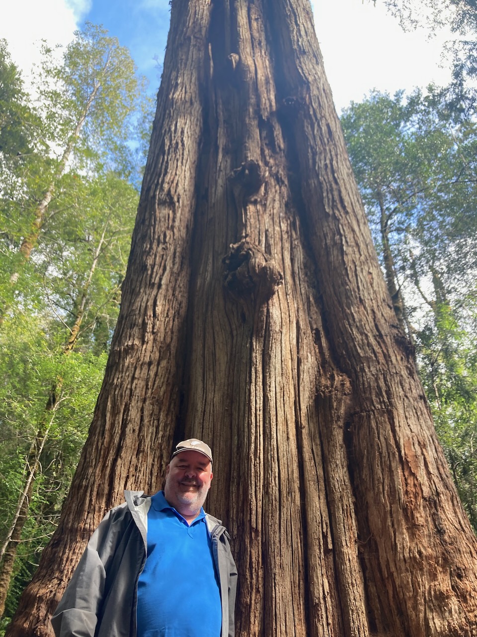
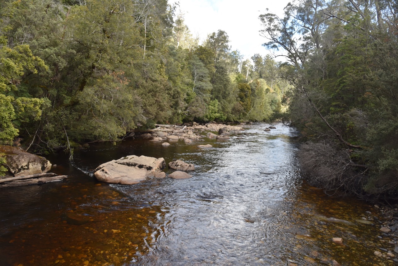
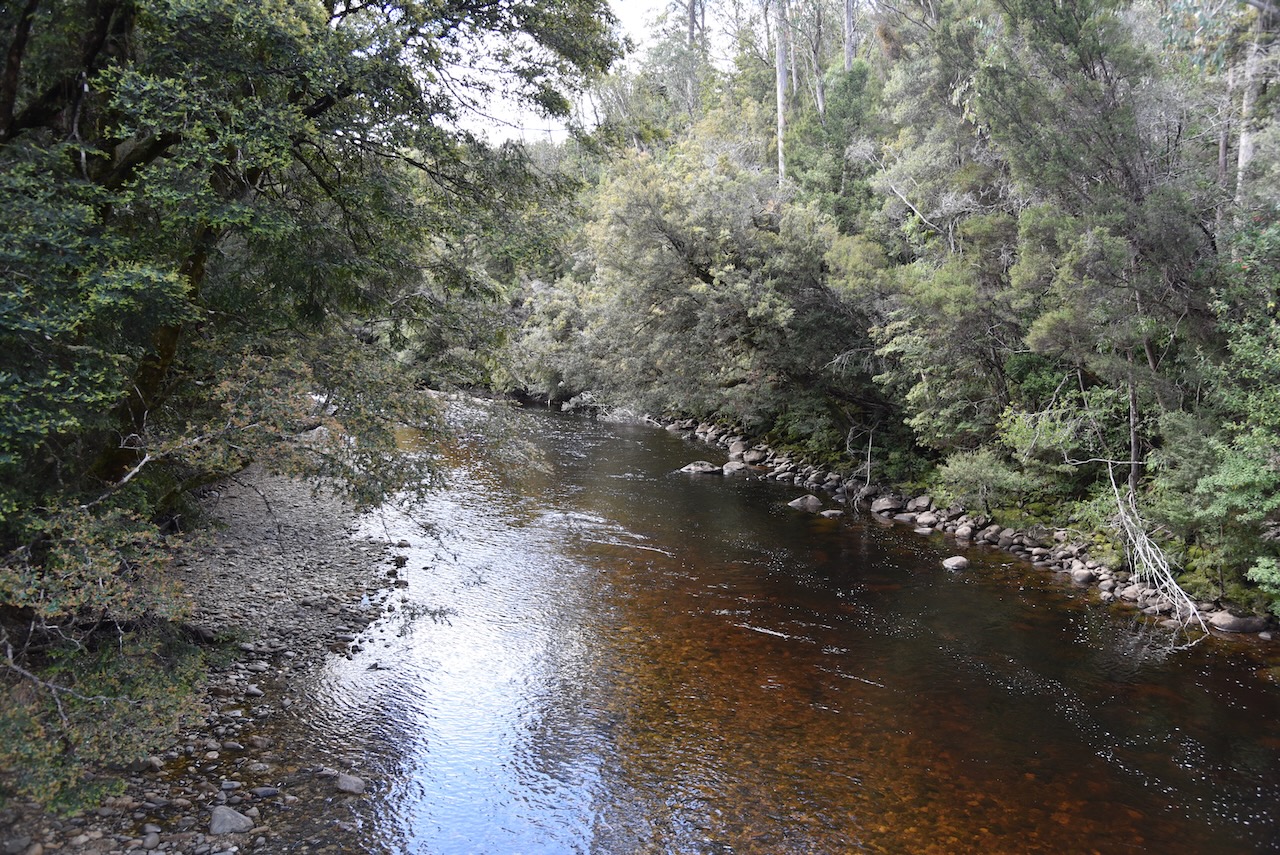
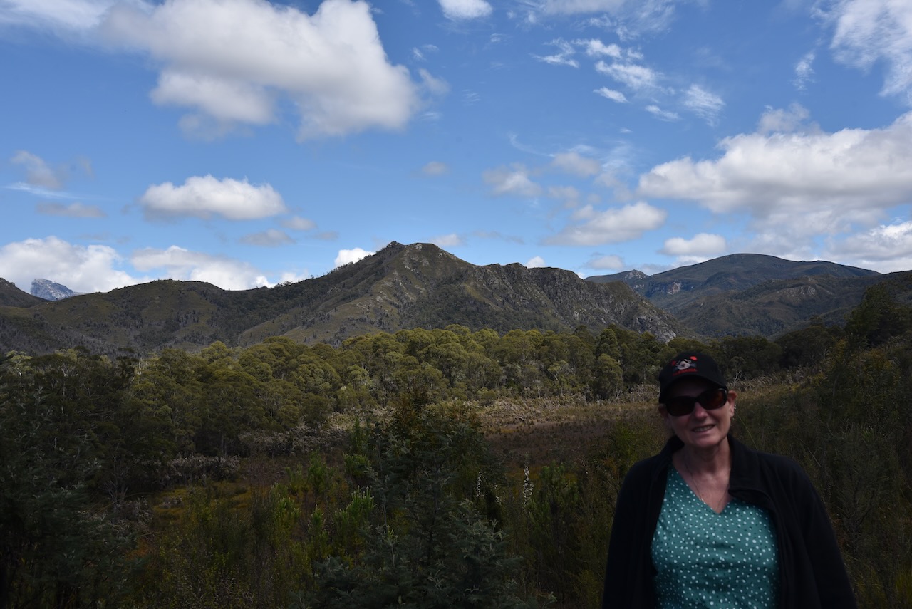
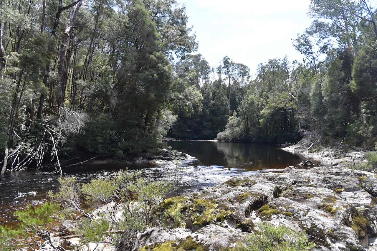
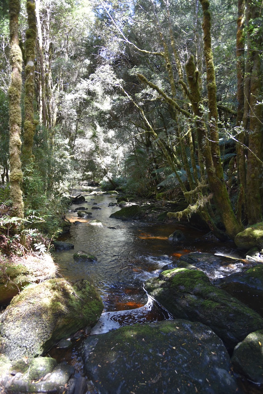
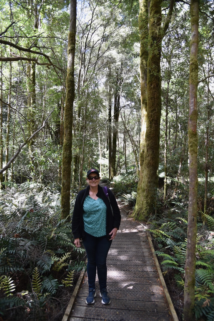
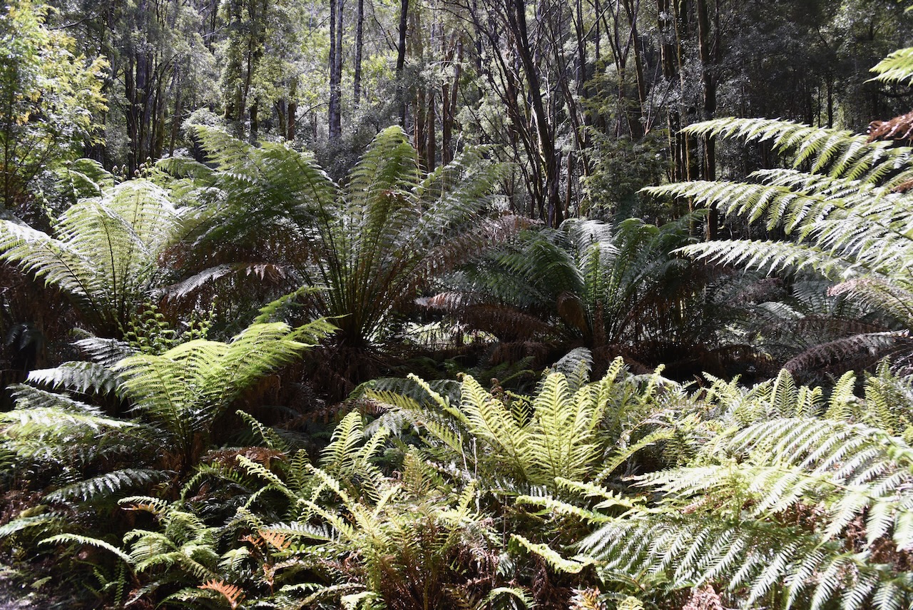
We then went for a walk on the very beautiful Franklin River Nature Trail. It is a 1km 25 minute walk which is very easy. It takes you through beautiful mossy rainforest and alongside the Franklin River. Along the walk there are a number of interpretation signs with details about the rainforest and the river.


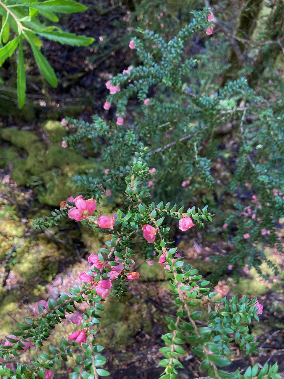
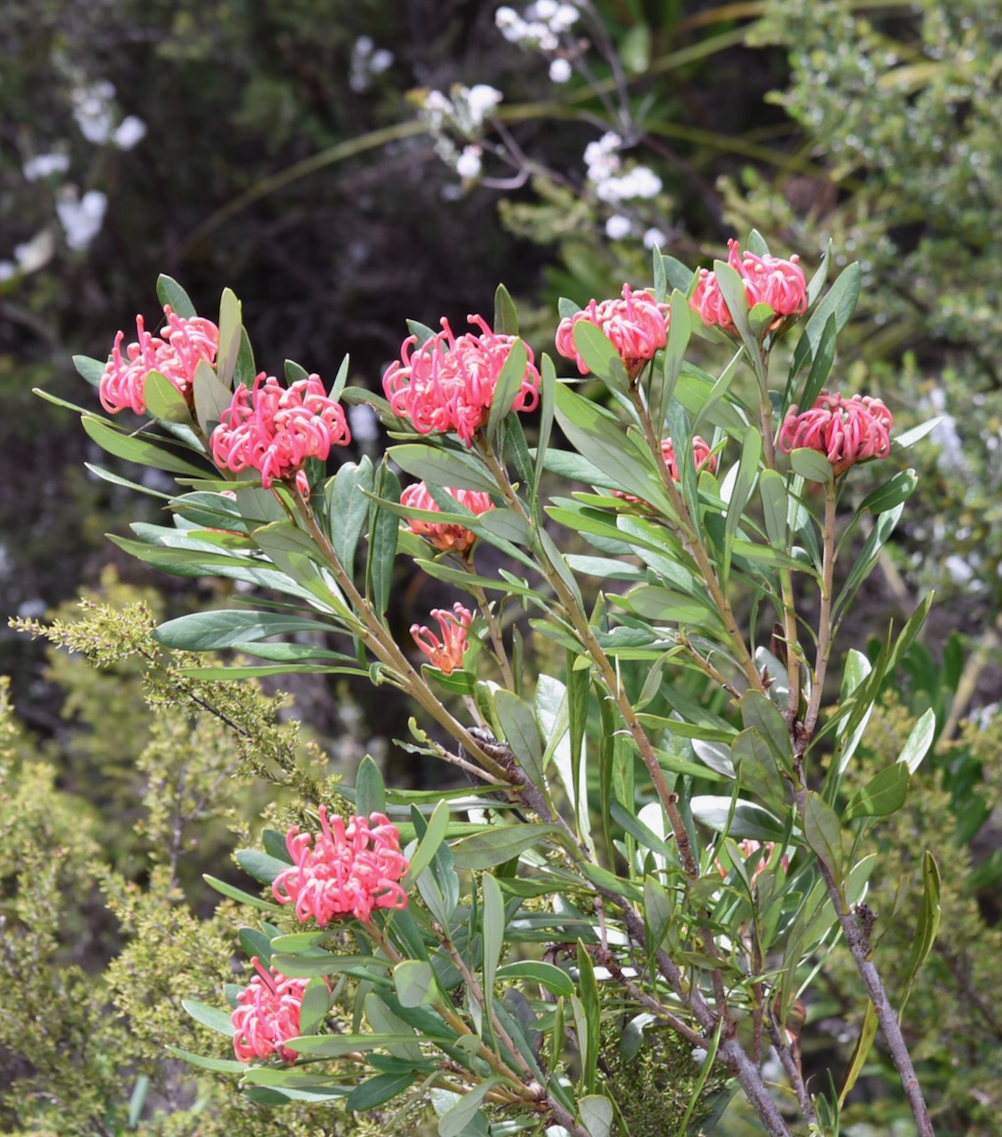
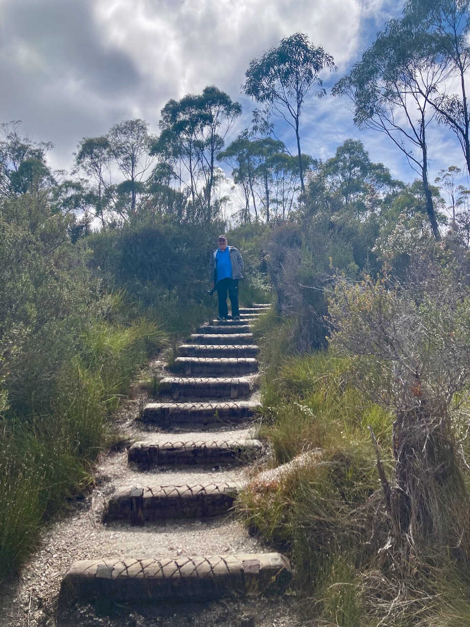
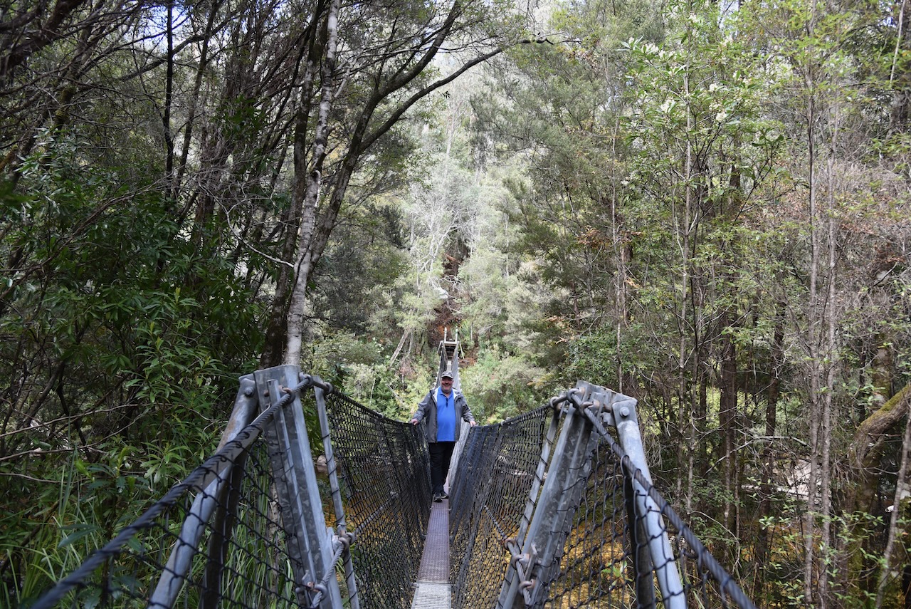
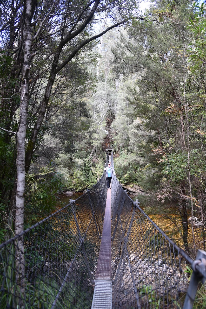
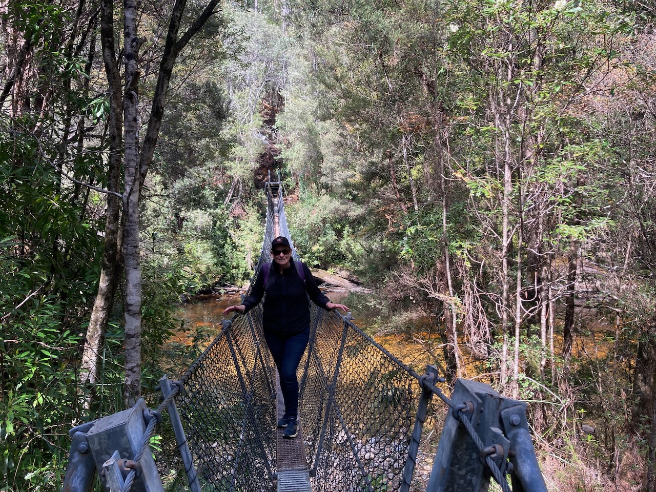
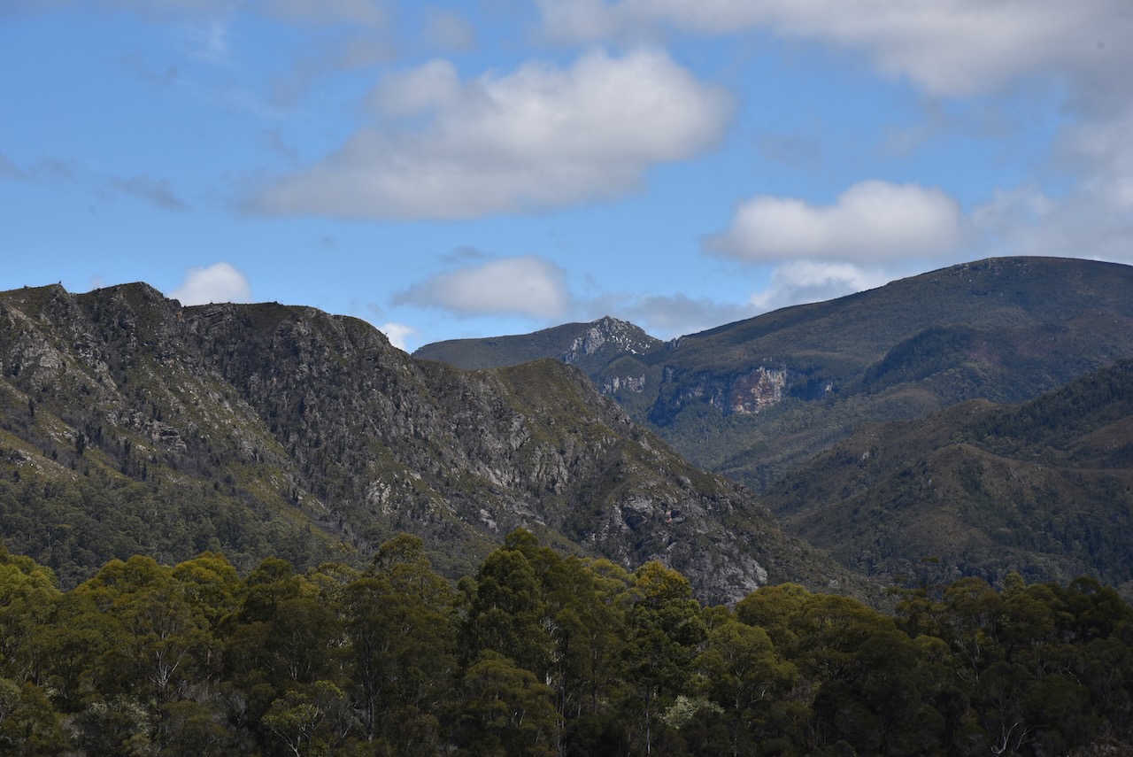
We then headed a little further along the Lyell Highway and came to the Frenchmans Cap trail which leads to the Frenchmans Cap suspension or swing bridge. The bridge can be reached after walking about 300 metres from the carpark.


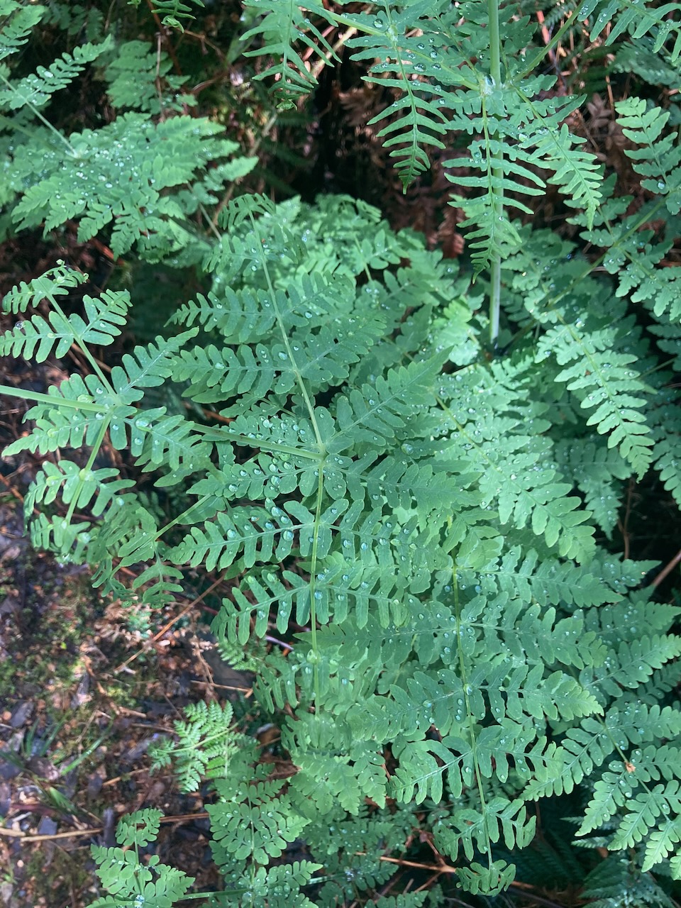
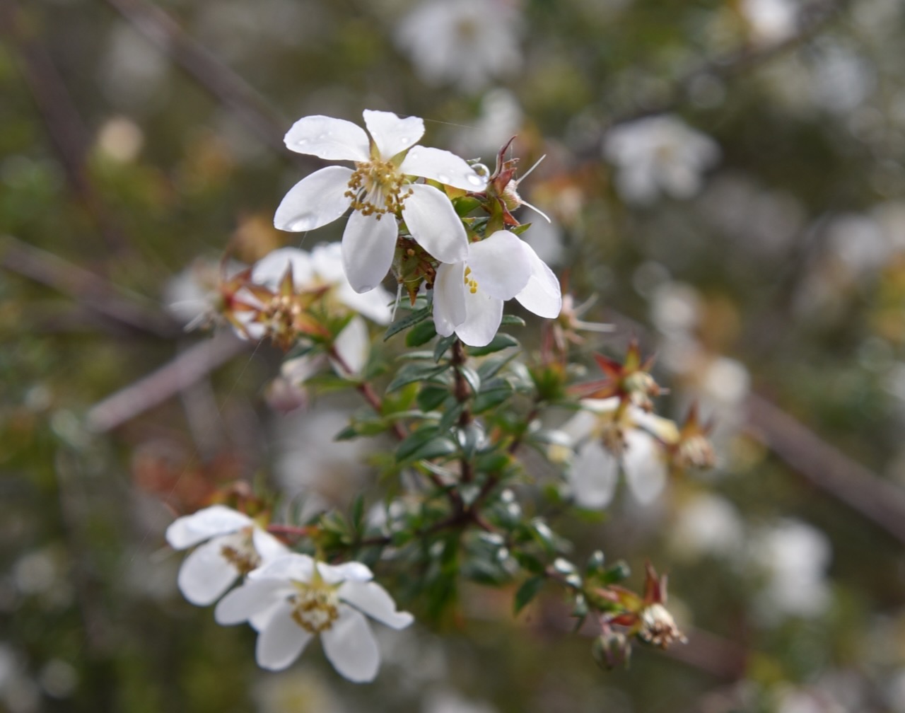
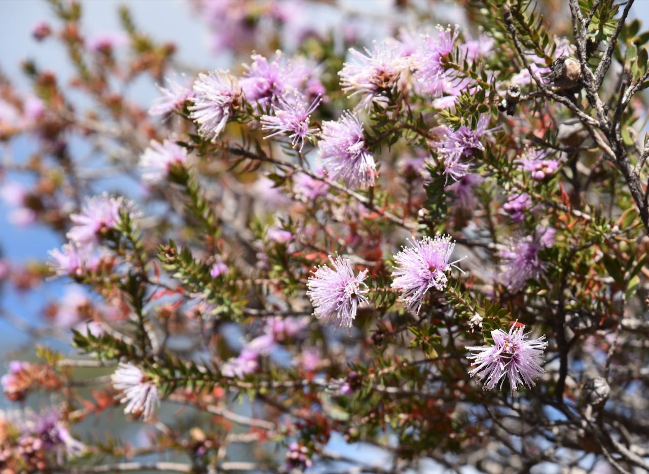
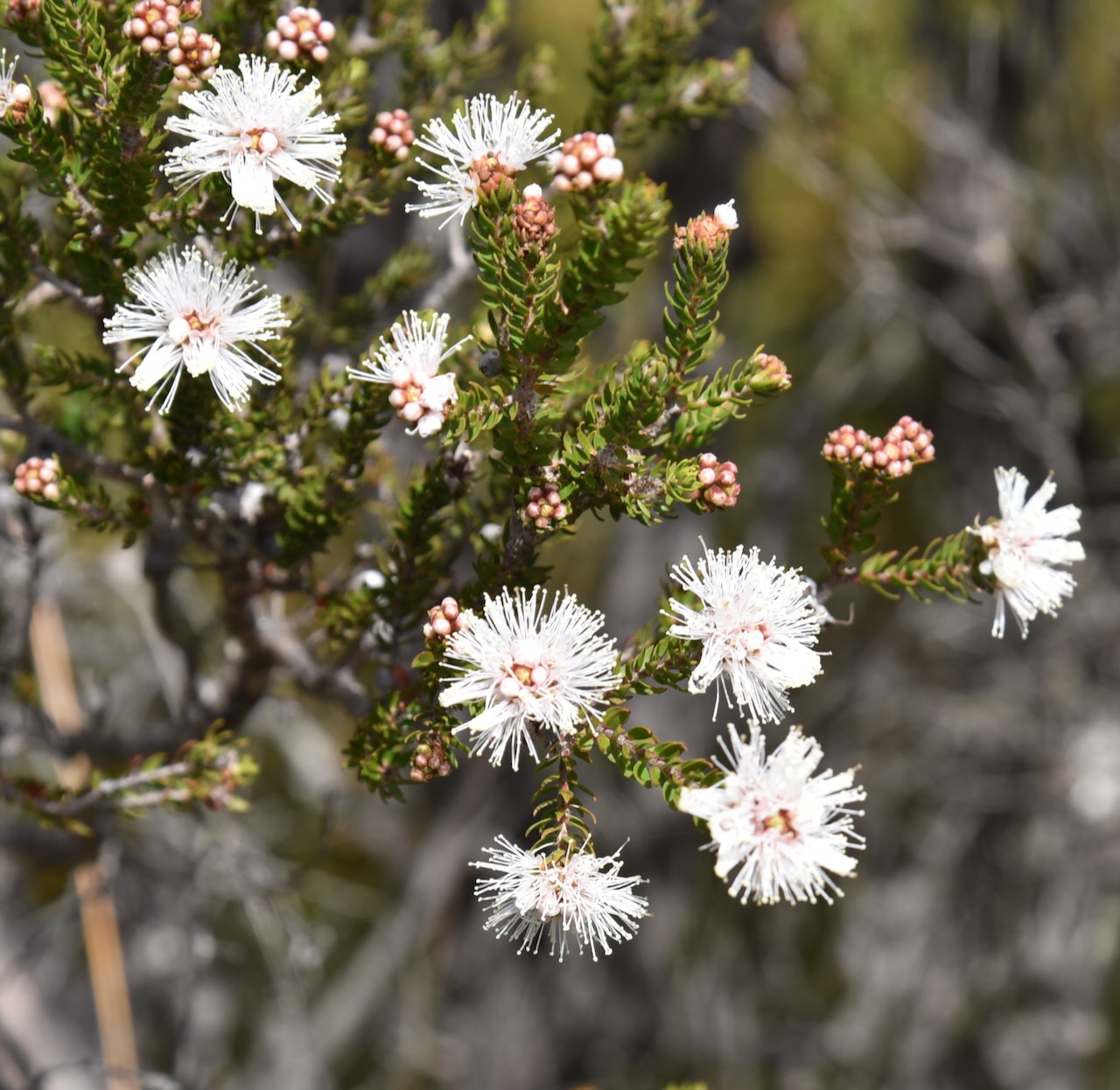
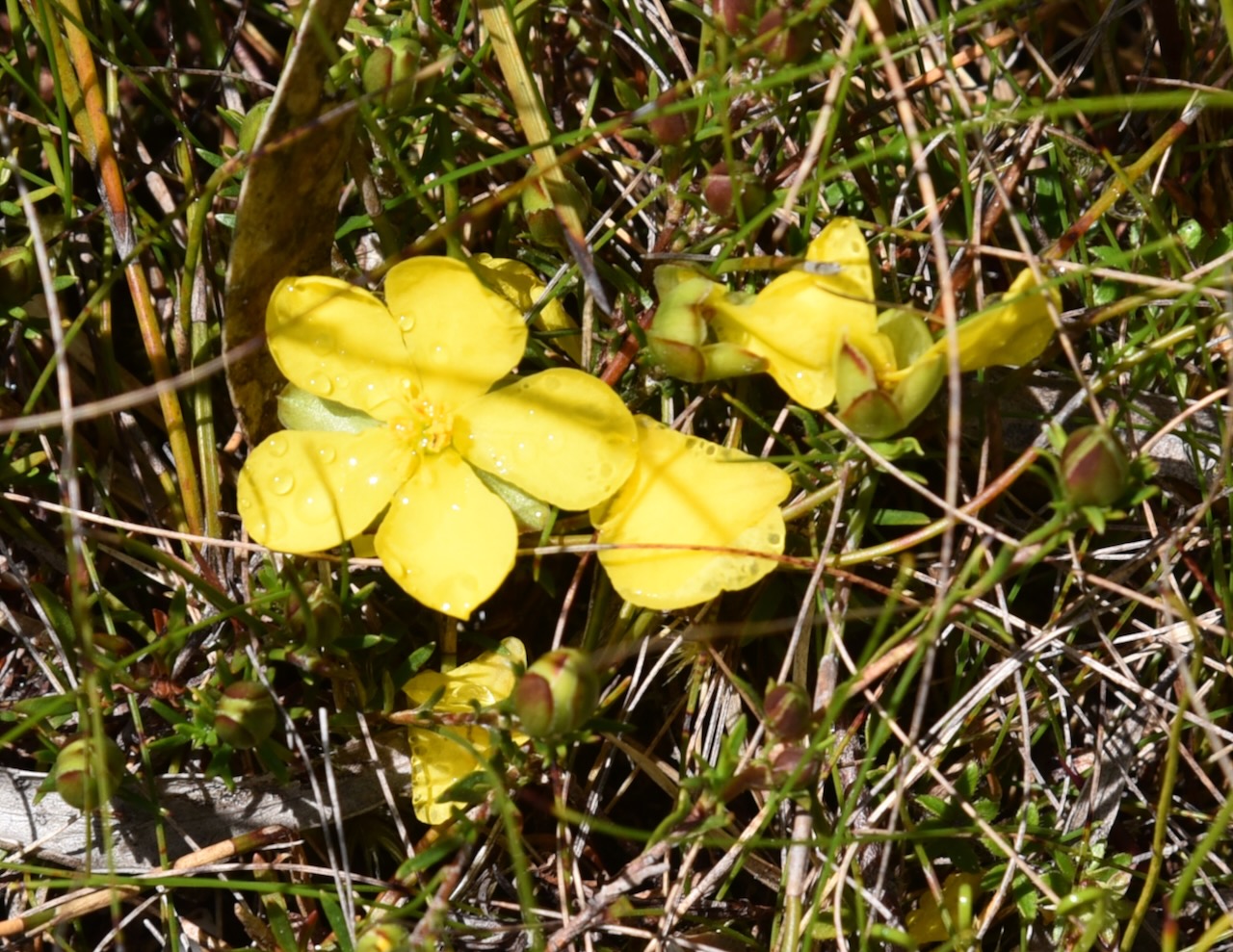
The walk was beautiful with lots of the native plants in flower.


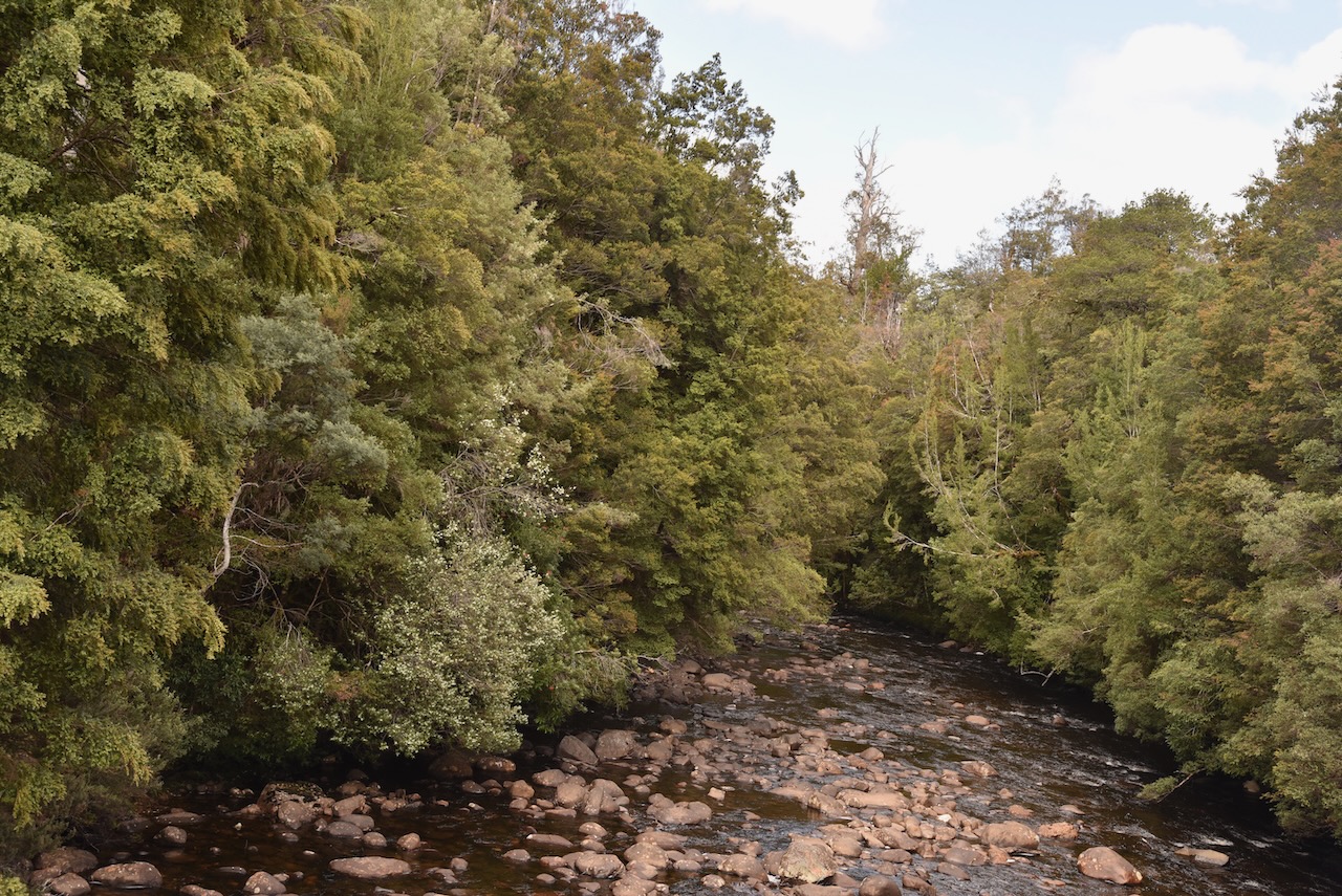
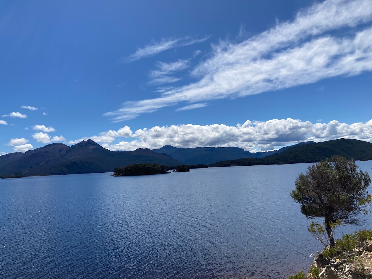
Once you reach the bridge you are rewarded with some great views of the Franklin River.

Once we got back to the 4WD Marija and I put out some more calls from the 4WD using the Icom IC7000 and the Codan 9350 antenna.
Marija logged the following QSOs on 40m SSB:-
- VK3BEZ/p (VKFF-0480
- VK2IO/p (VKFF-3253)
- VK3ZPF/p (VKFF-0622)
- VK3TKK/p (VKFF-0623)
- VK3TUN/p (VKFF-0345)
I worked the following stations on 40m SSB:-
- VK3BEZ/p (VKFF-0480
- VK2IO/p (VKFF3-253)
- VK3ZPF/p (VKFF-0622)
- VK3AHR
- VK3TKK/p (VKFF-0623)
- VK2DA
- VK1DA
- VK2EXA
- VK3OAK
- VK3AMO
- VK3TUN/p (VKFF-0345)
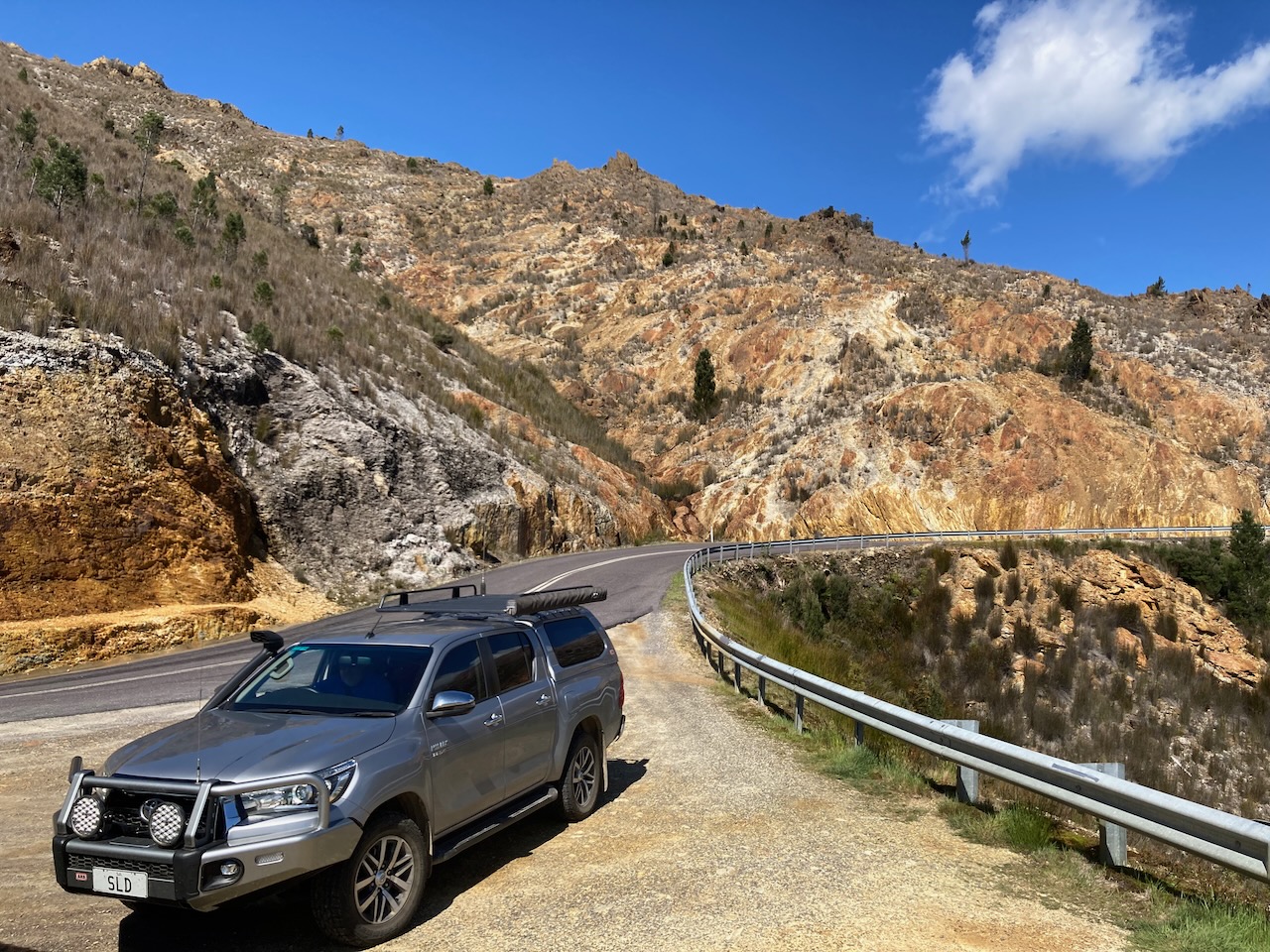
We then continued along the Lyall Highway towards Queenstown.
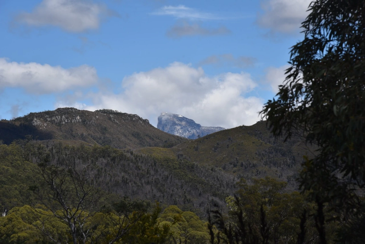
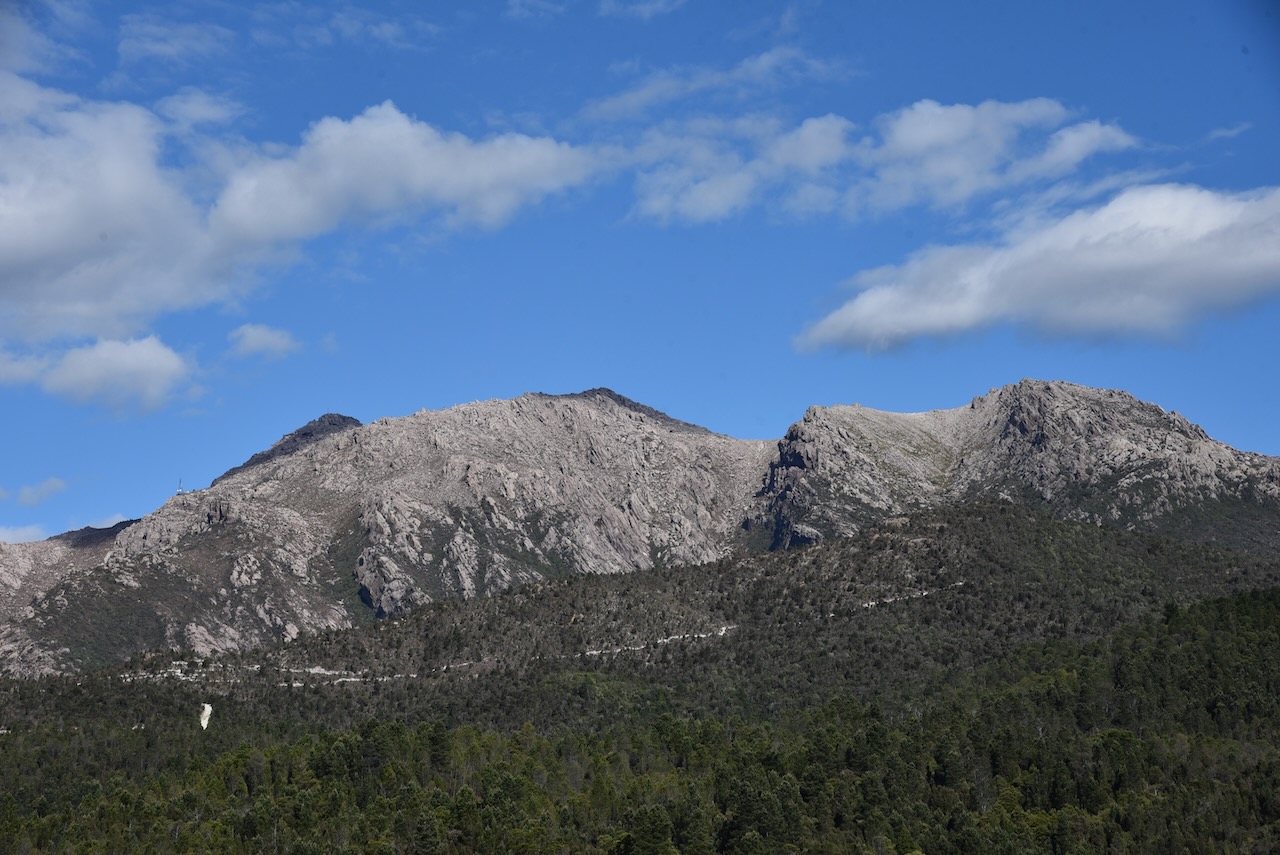
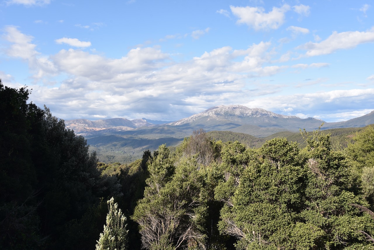
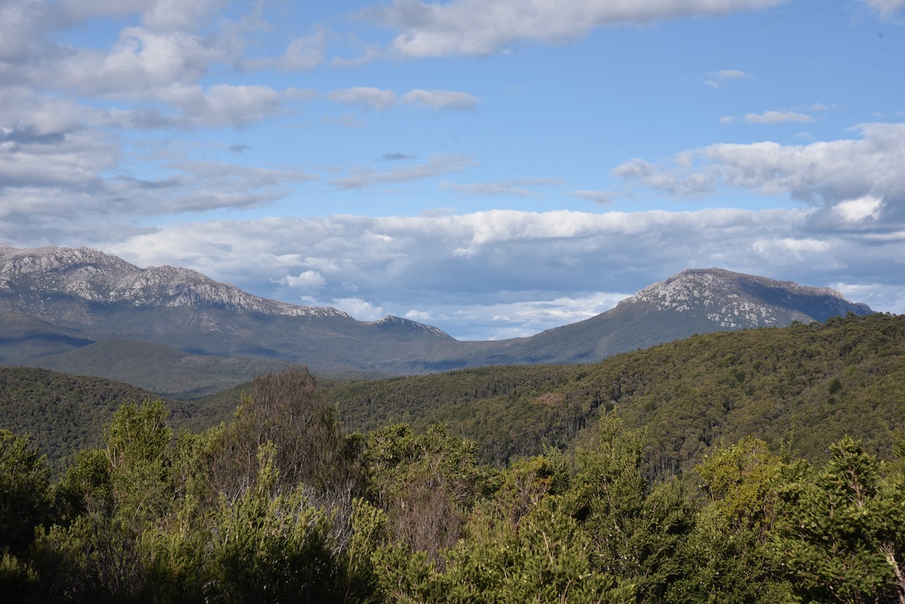
We stopped occasionally to take in the view of Frenchman’s Cap which had snow on it.

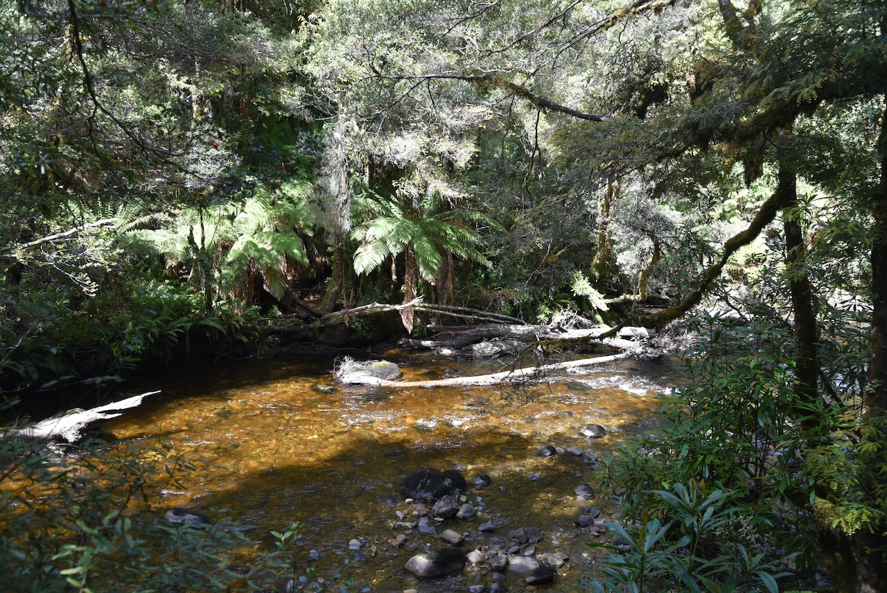
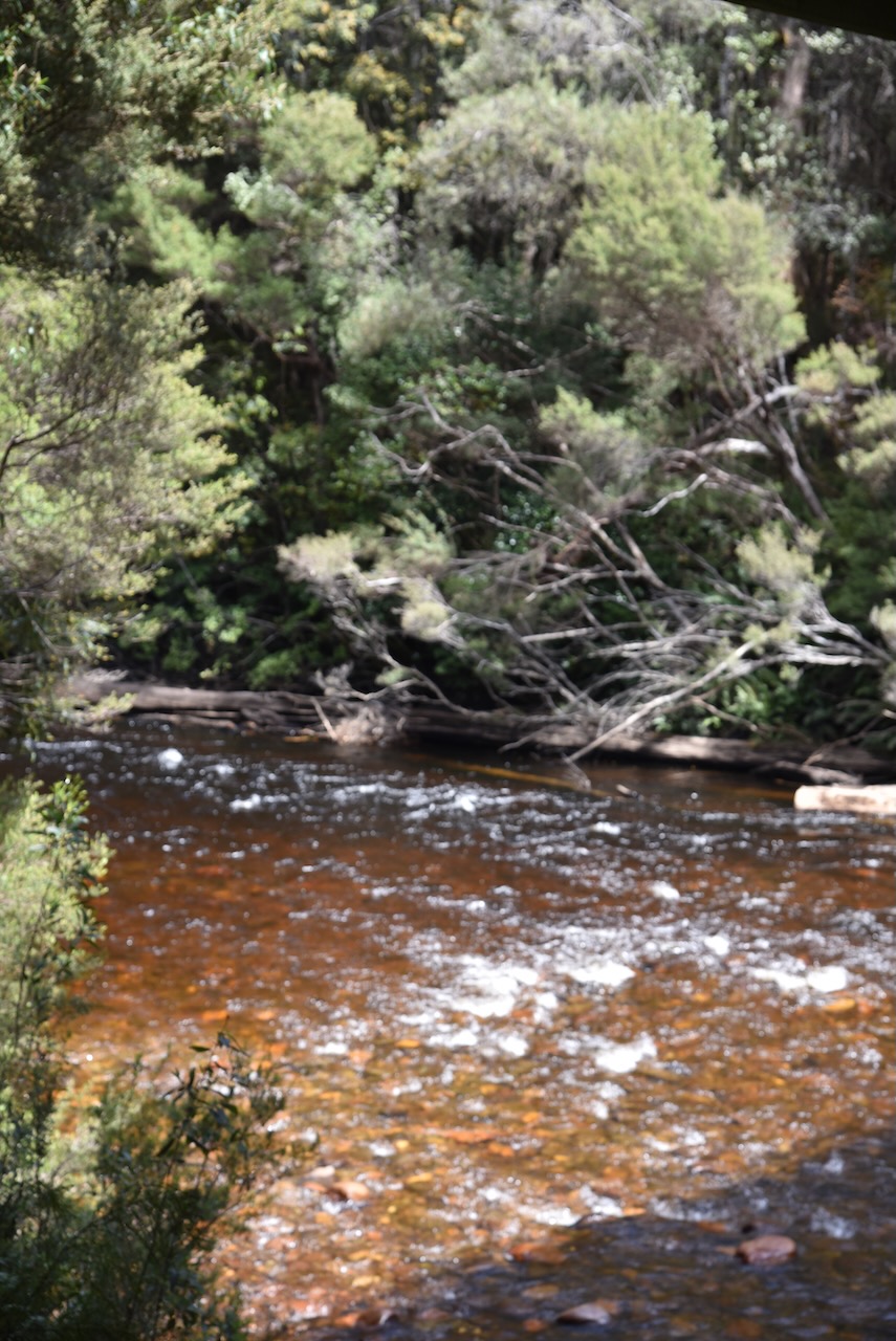
We then detoured a little of the Highway to have a look at the Collingwood River, a tributary of the Franklin River.


We proceeded a little further along the Lyell Highway and soon reached the carpark for Nelson Falls. It is just a short walk to the waterfall through beautiful rainforest and alongside of the Nelson River.
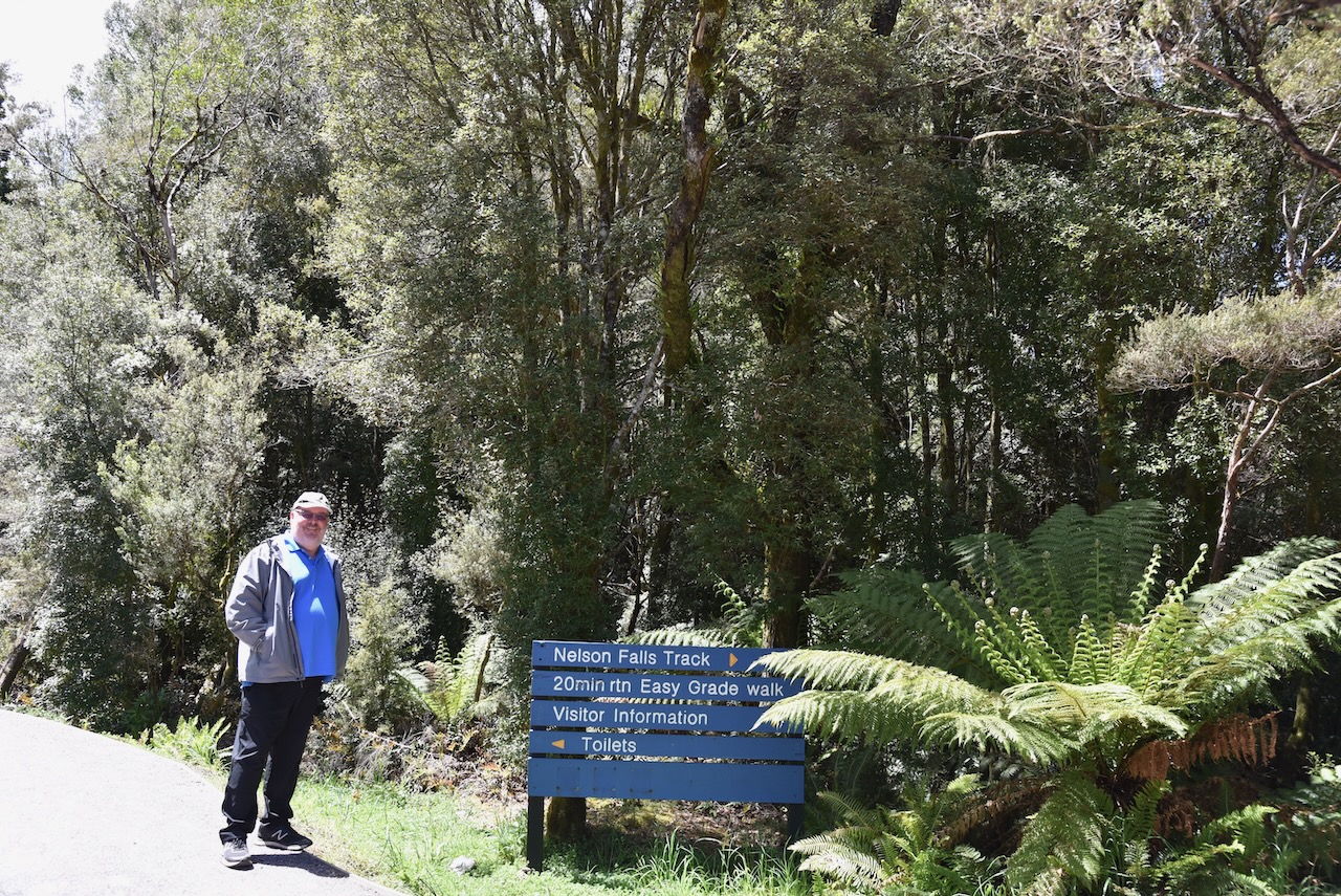


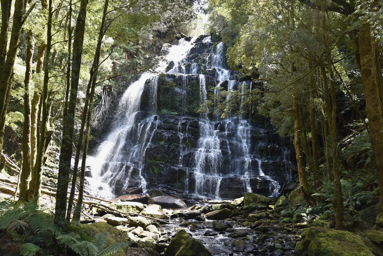
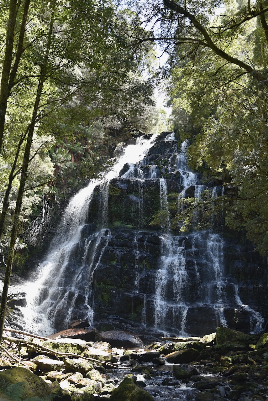

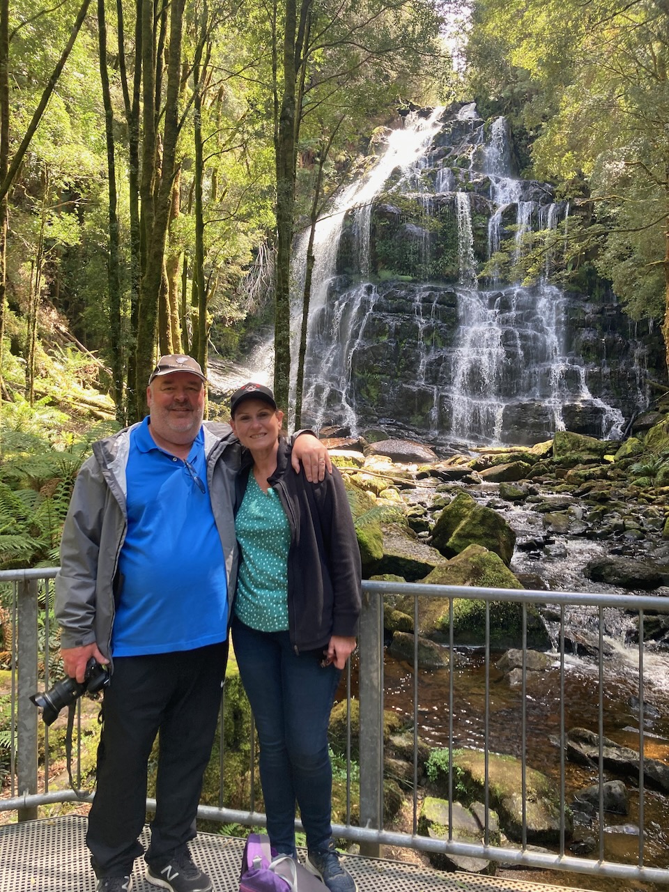
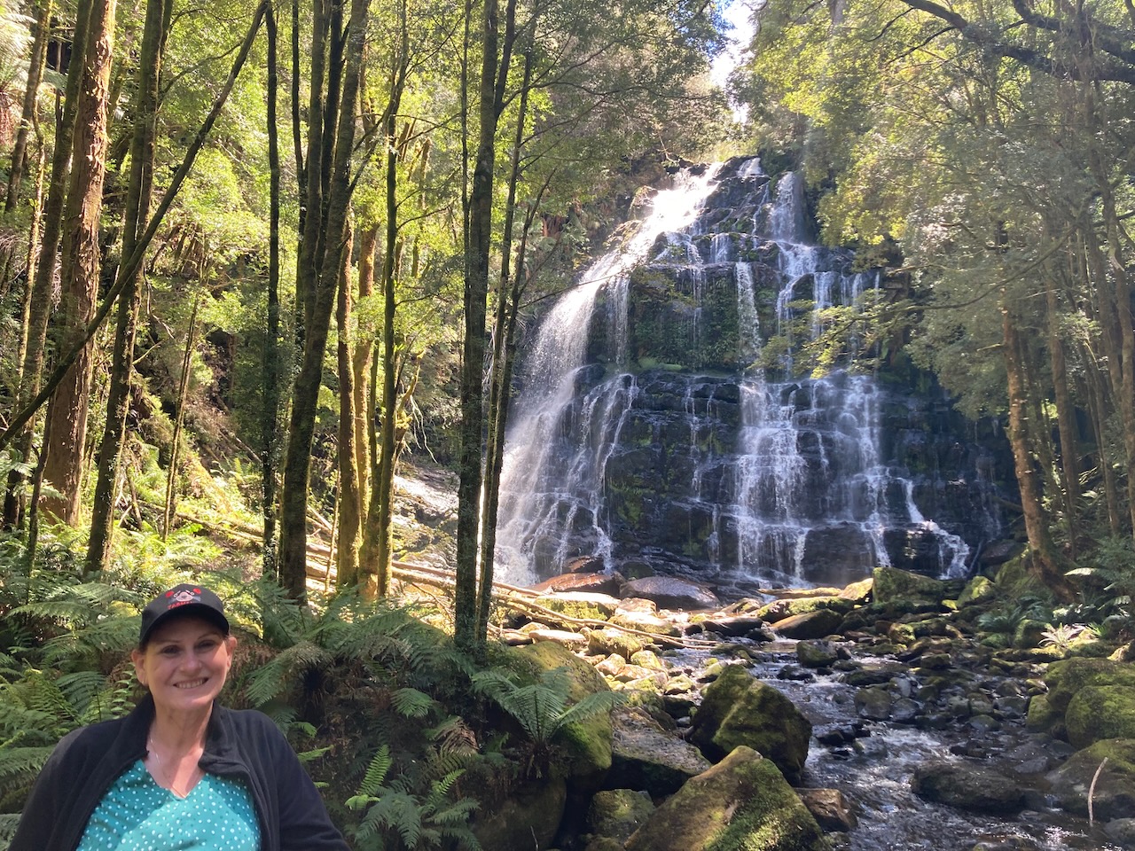
The Nelson Falls descend about 30 metres and were flowing well during our visit due to all of the recent rainfall.
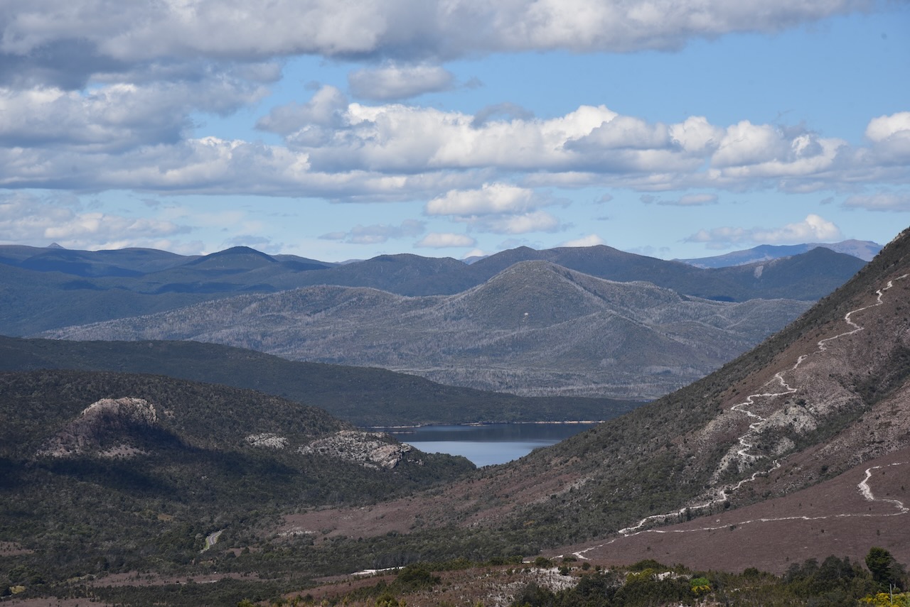
Further along the Lyell Highway is Lake Burbury, a 54 square kilometre man made reservoir for hydroelectricity production. It was named in honour of Stanley Burbury, the first Australian born Governor of Tasmania. The lake is fed mainly by rivers including the upper King River and Eldon River. It is popular with fishers with Brown and Rainbow trout being found in the lake.
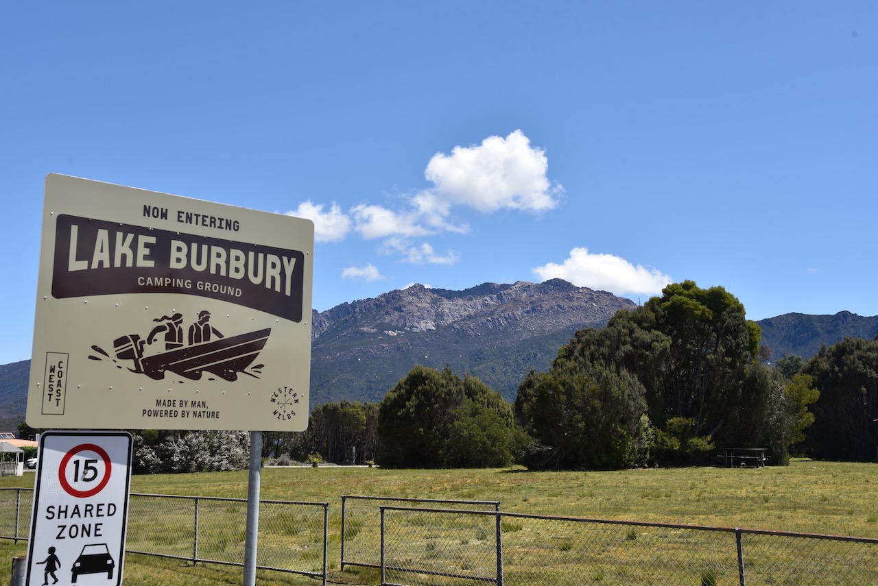
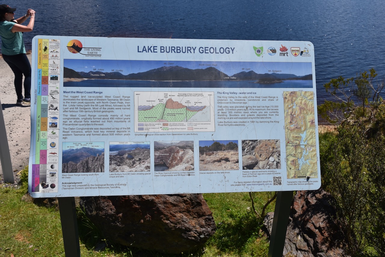
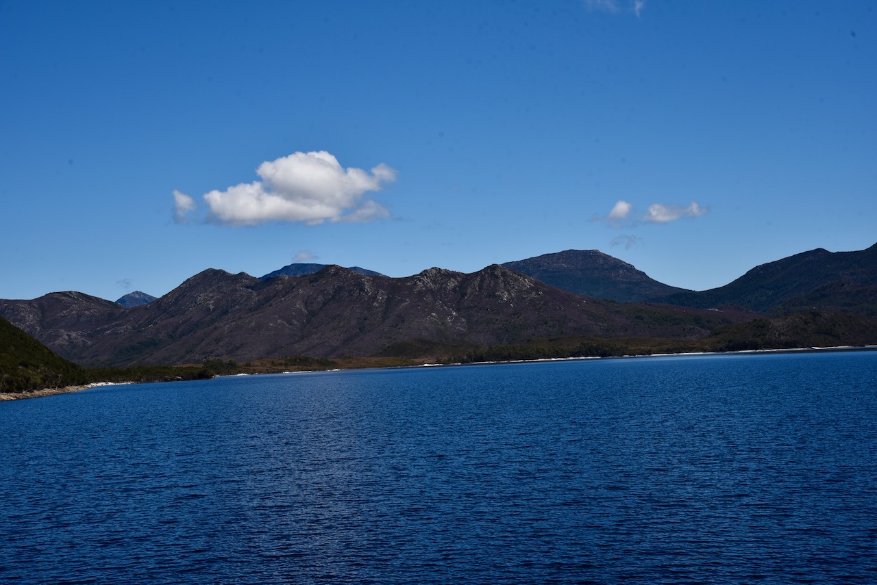
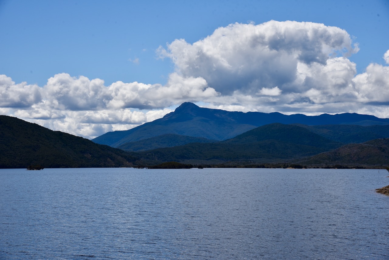
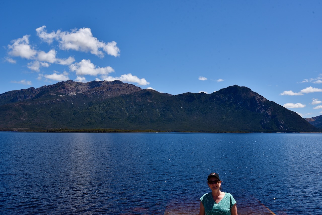
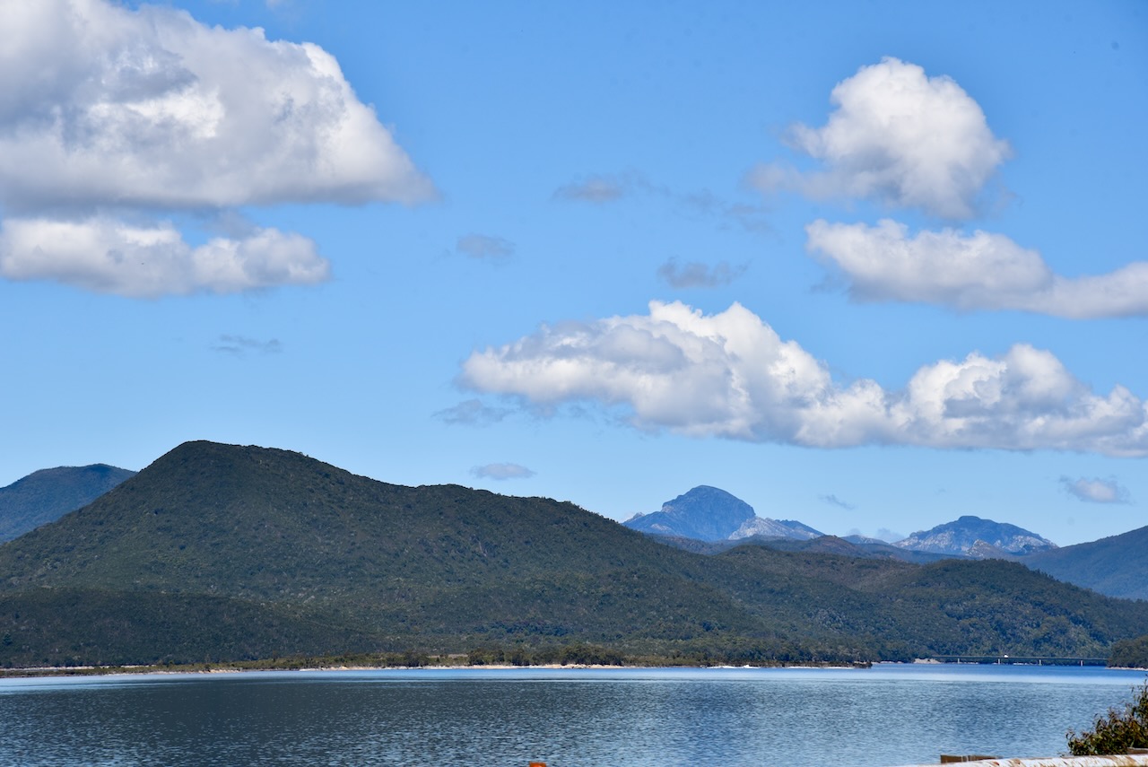

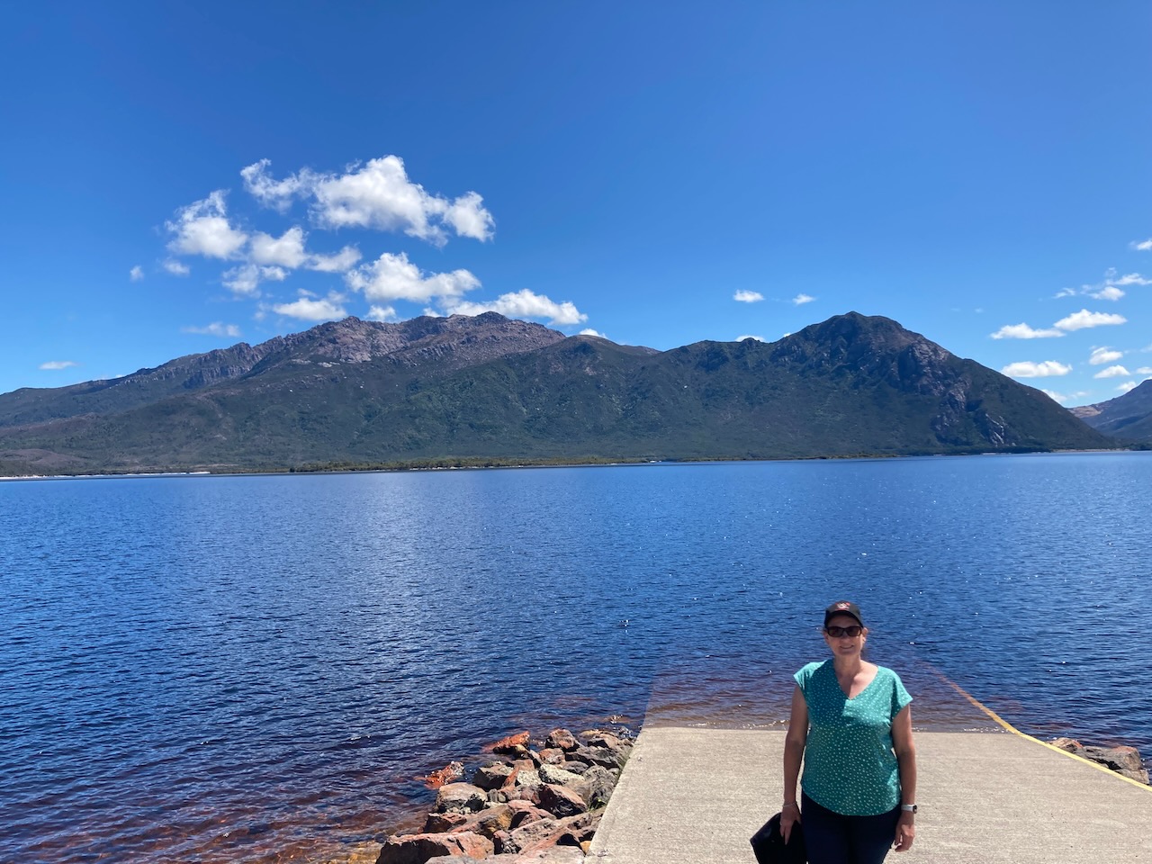
It was an absolutely beautiful sunny afternoon and there were some spectacular views across the lake.

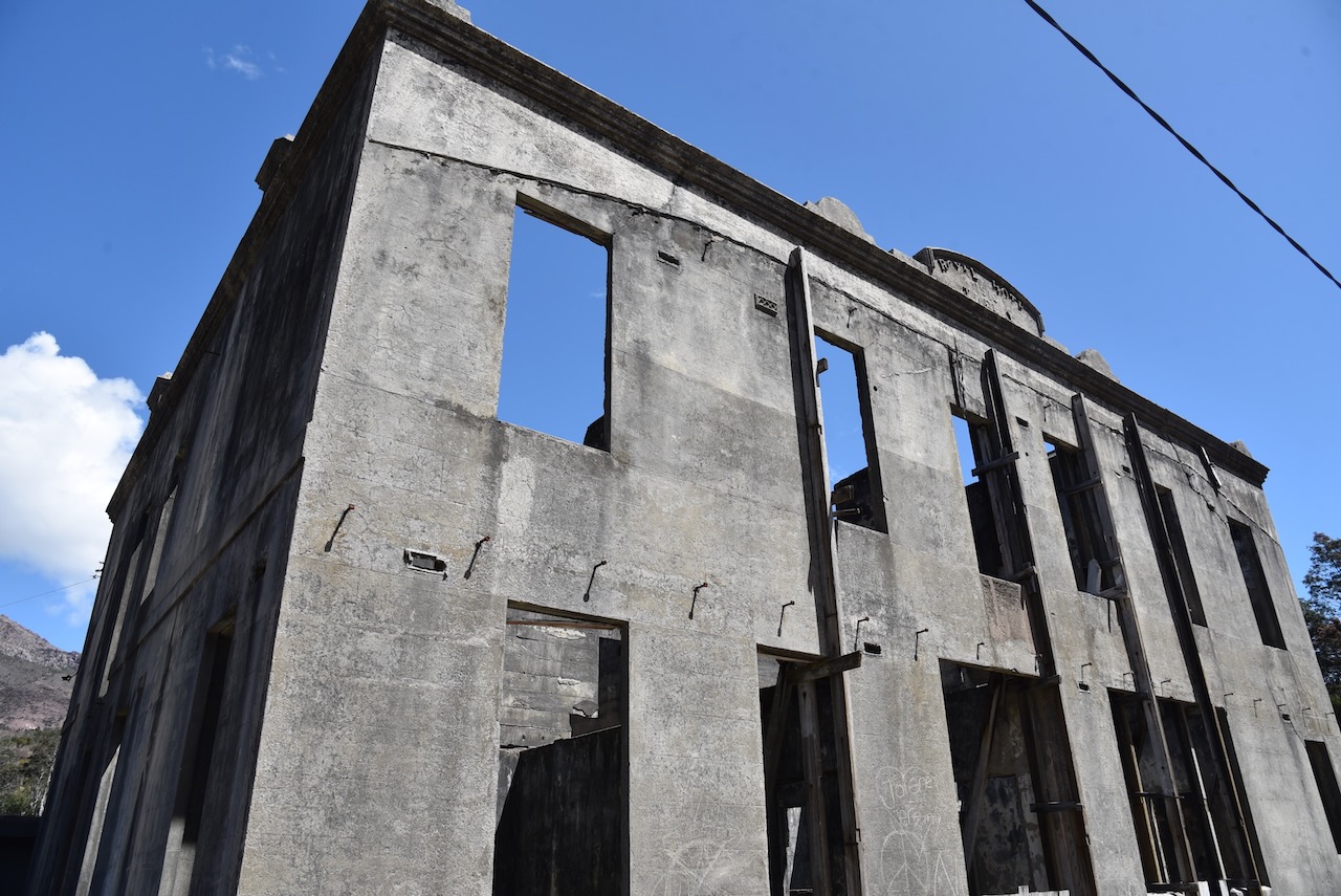
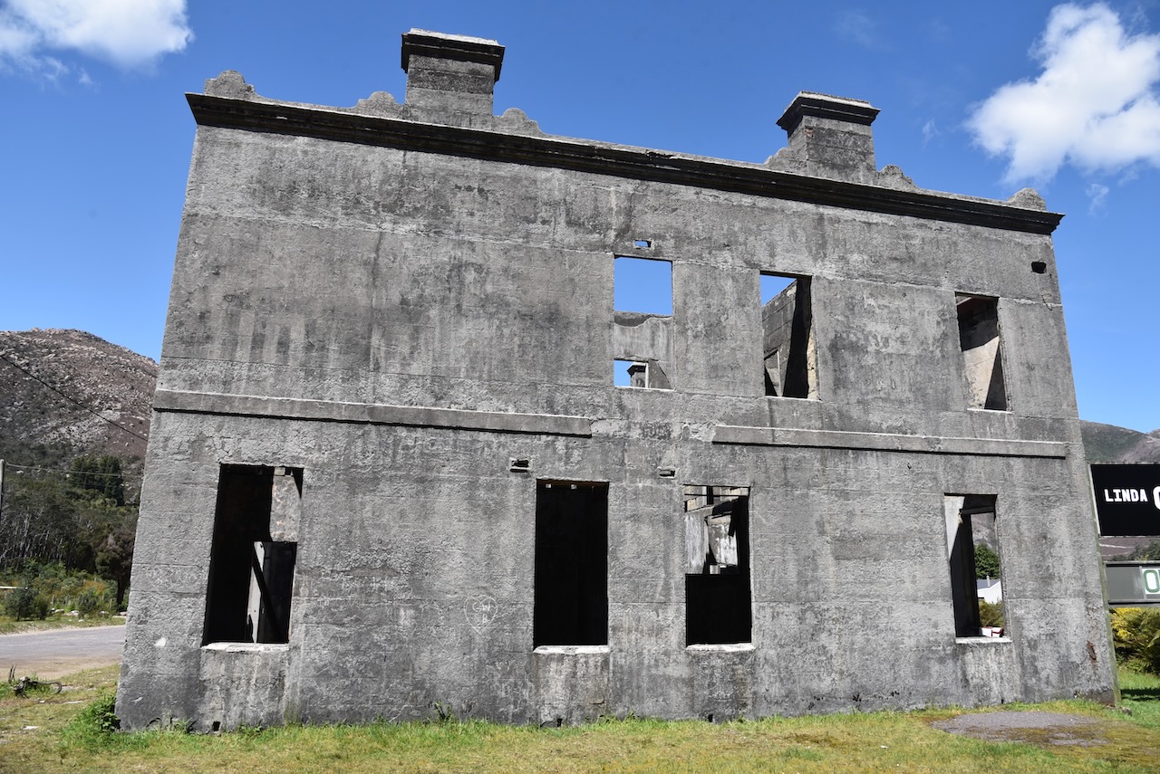
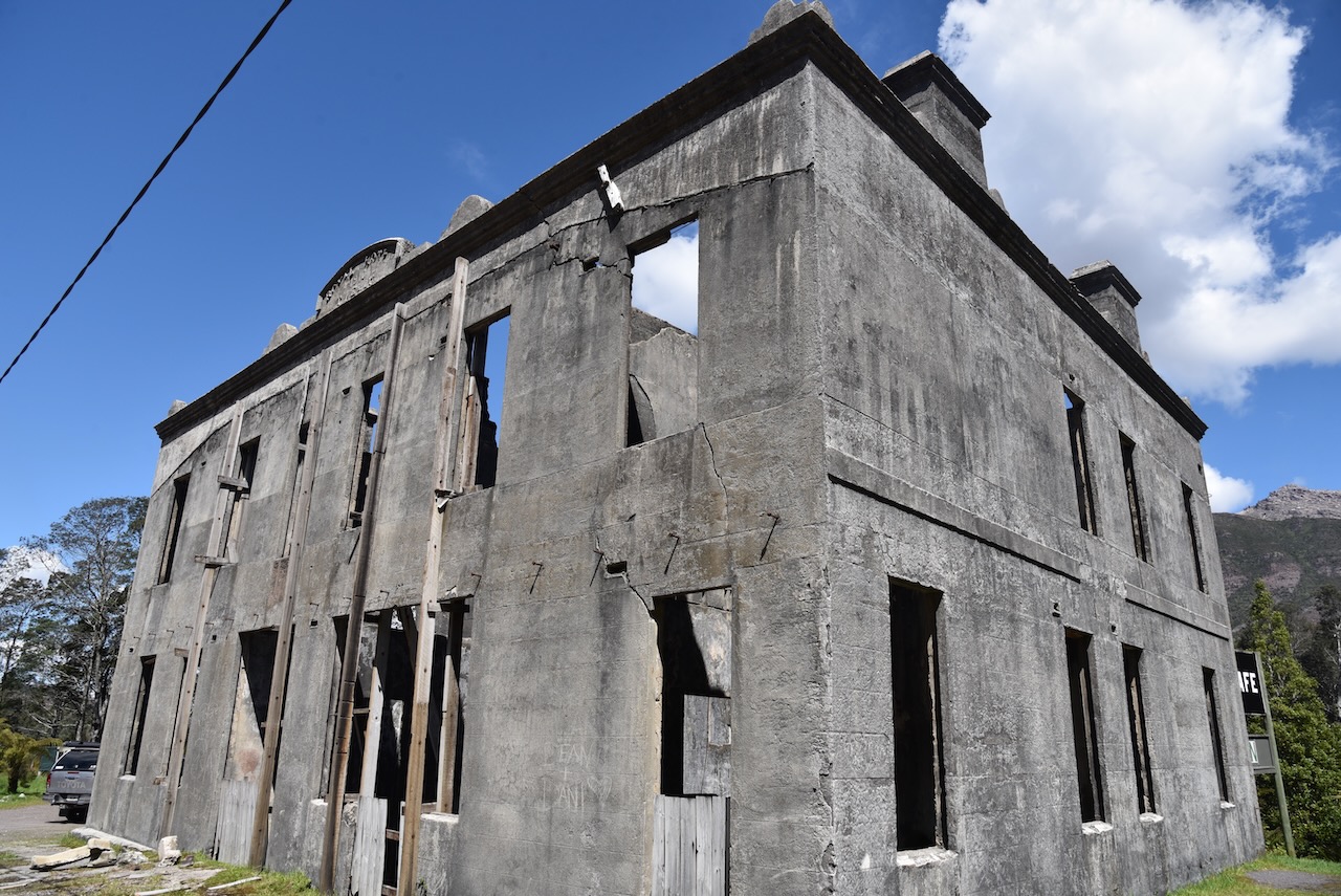
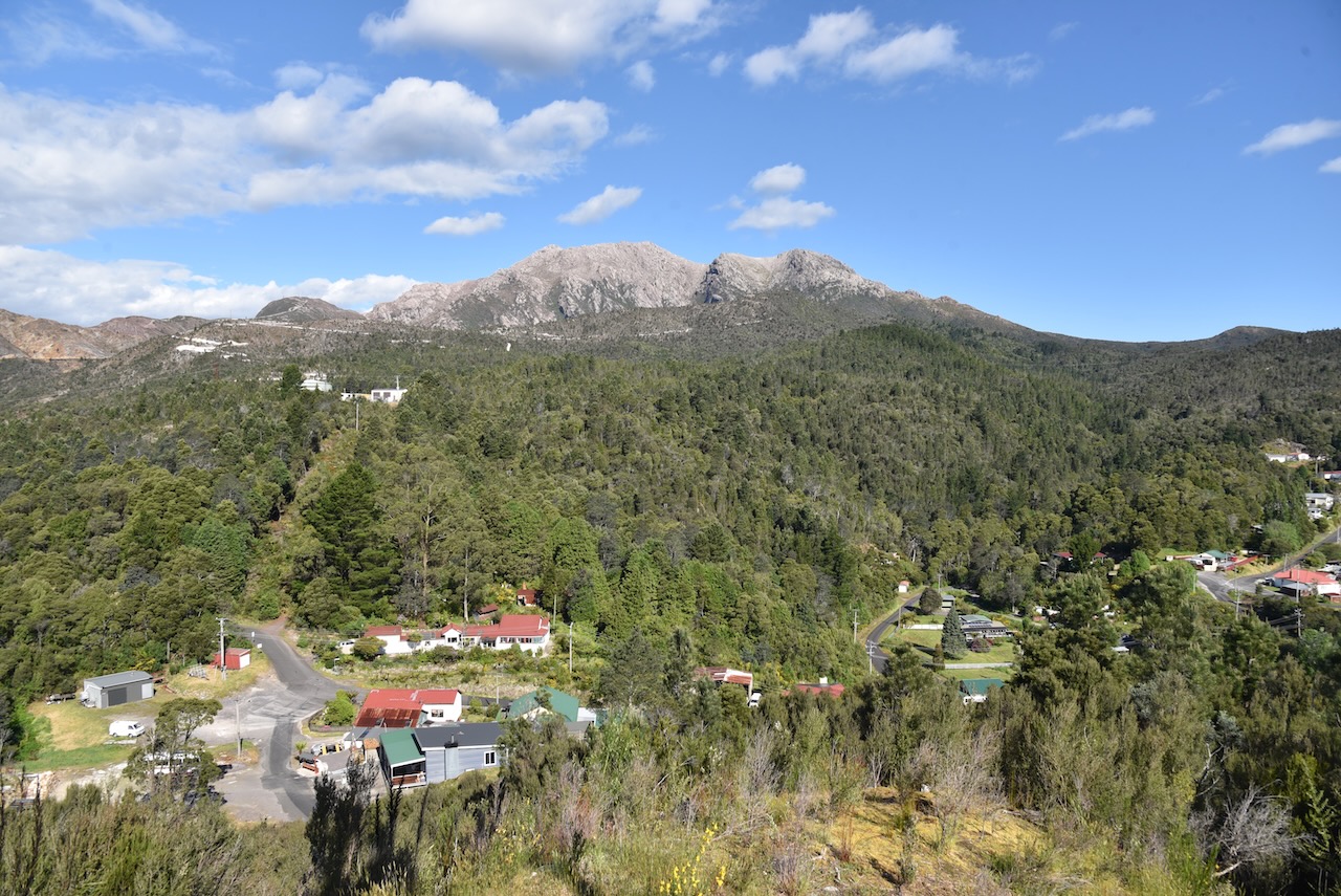
We then drove into the little town of Linda. It is believed that it was named after the French opera ‘Linda di Chamounix’. Linda is now a ghost town.
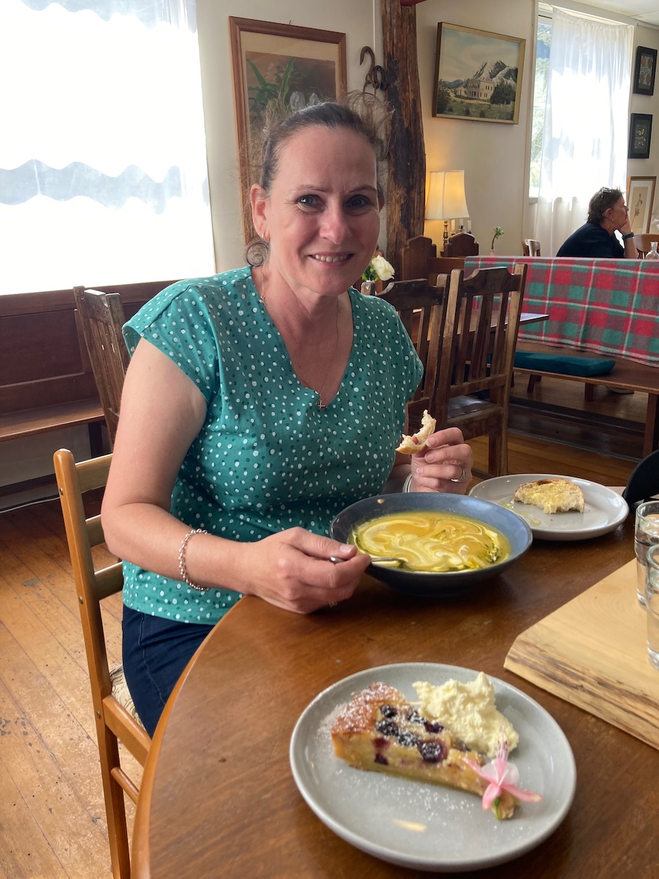
We had not had lunch and were hoping to get something to eat at Queenstown, but we stumbled across the Linda Cafe, and we were so glad we did. We had a late lunch here and it was absolutely beautiful.
Adjacent to the cafe are the ruins of the old Royal Hotel which was built in 1901 by George Eaves. The hotel was destroyed by fire in 1910 whilst under the ownership of Tom Kelly who then had the hotel rebuilt.
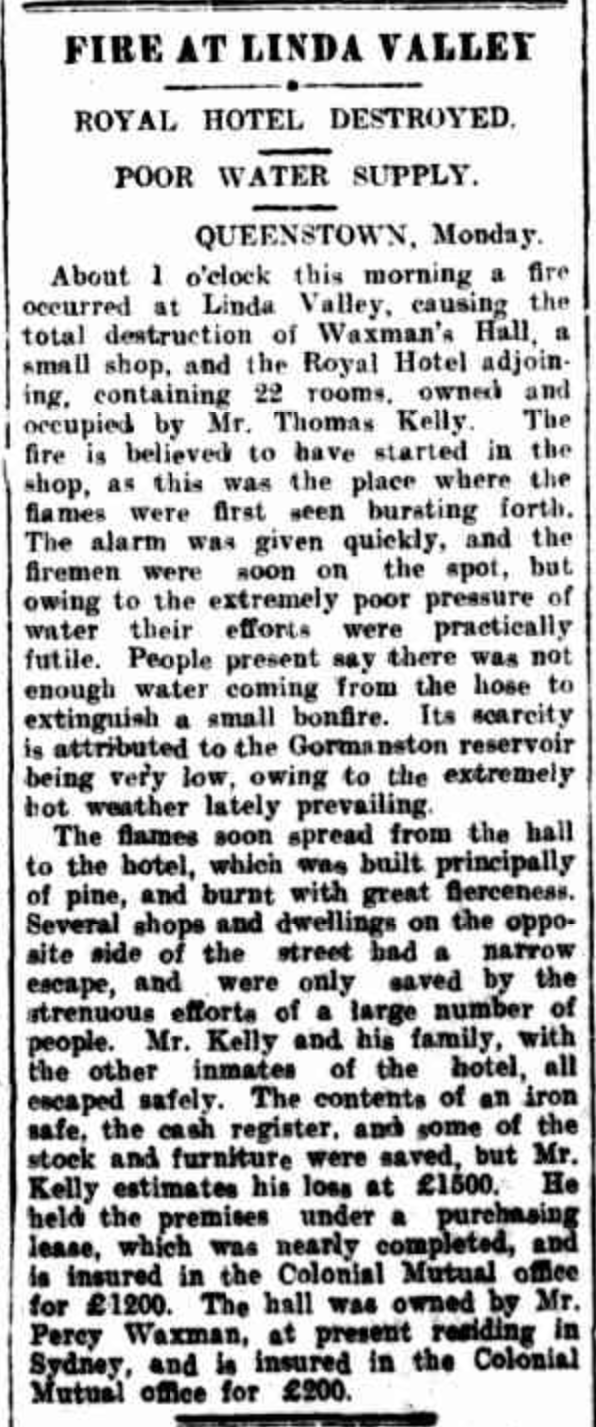
Above:- Article from the Examiner, Launceston, Tues 11 Jan 1910. Image c/o Trove
At one time Linda had a population of about 600 people and the hotel was the heart of the thriving mining town. The last drinks were poured at the hotel in 1952 after which time the hotel fell into disrepair.


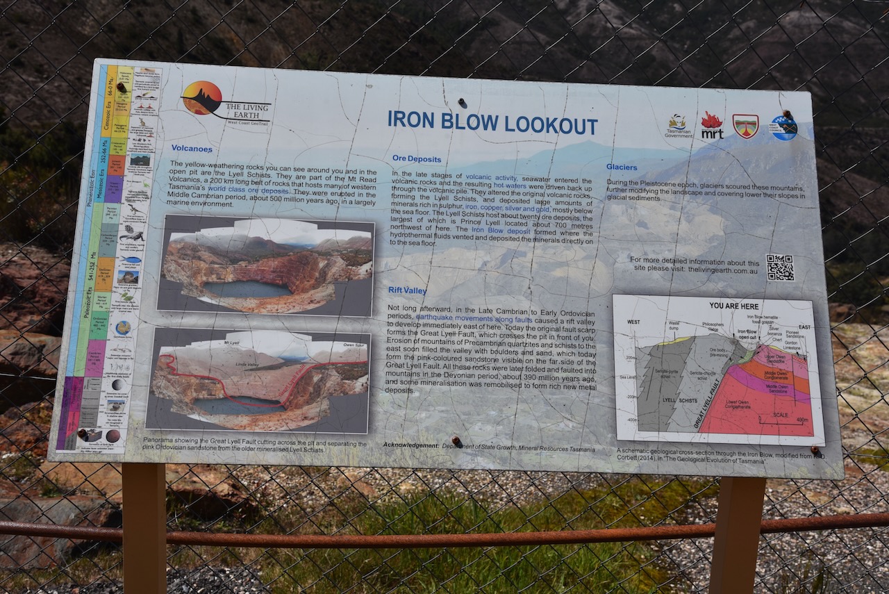
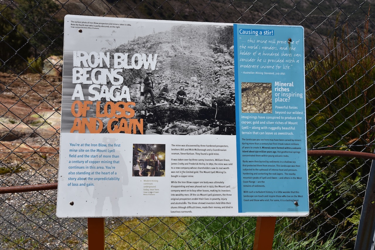
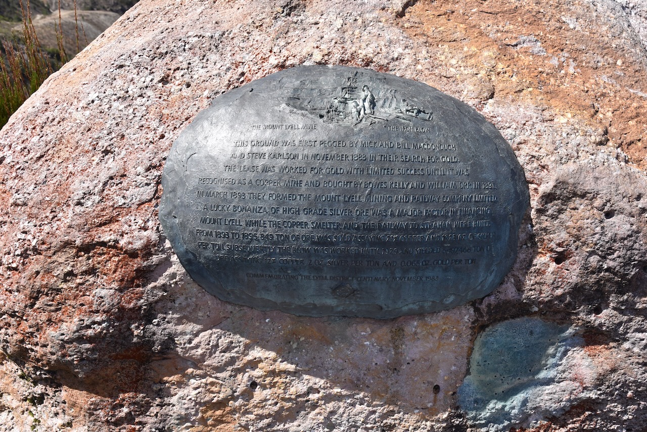
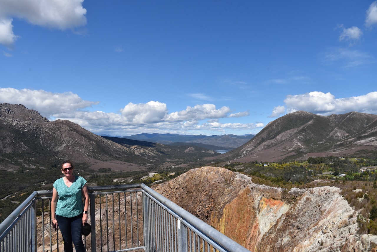
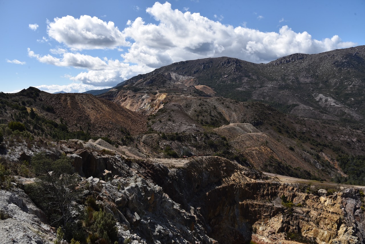
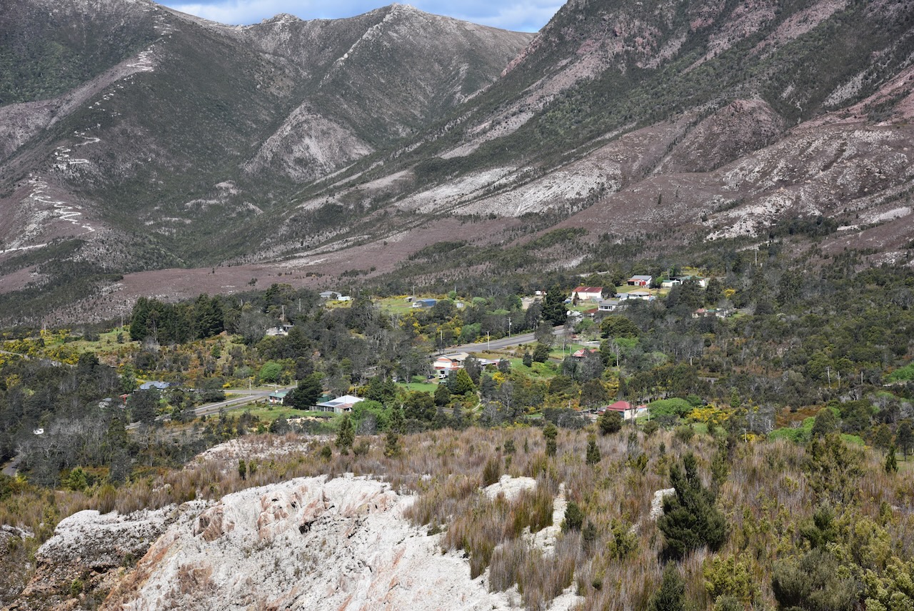
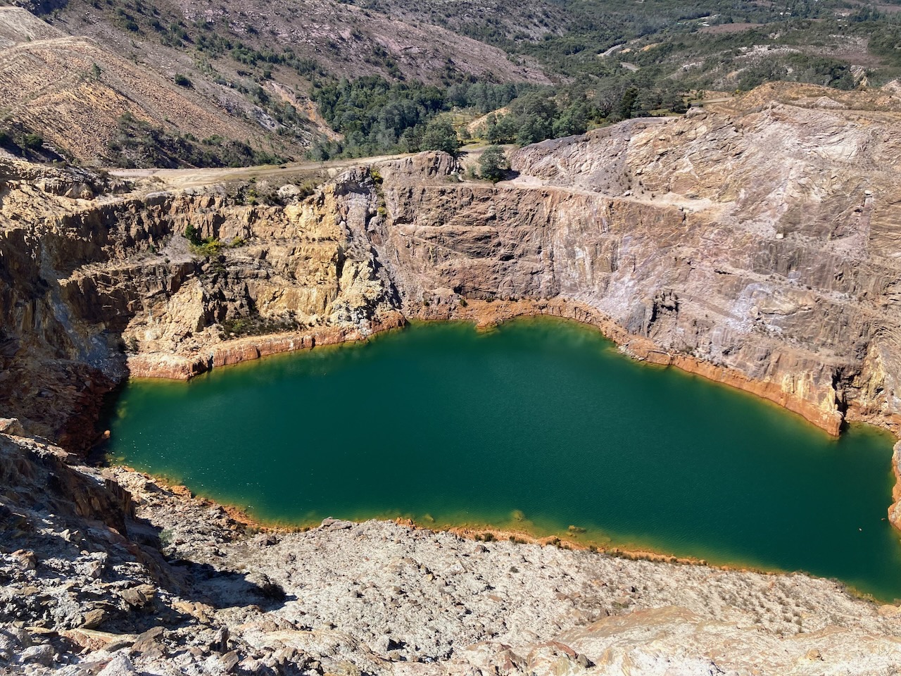
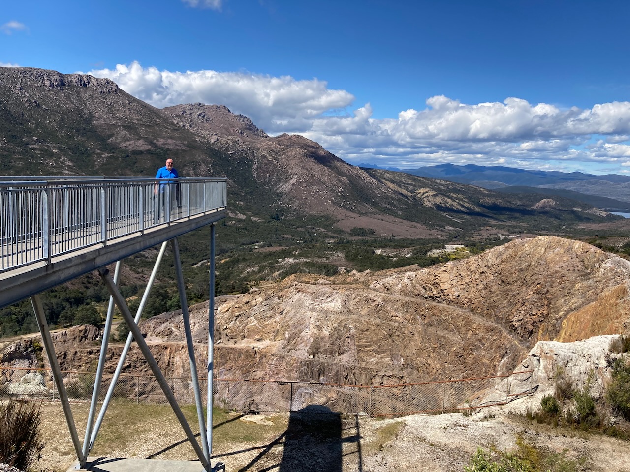
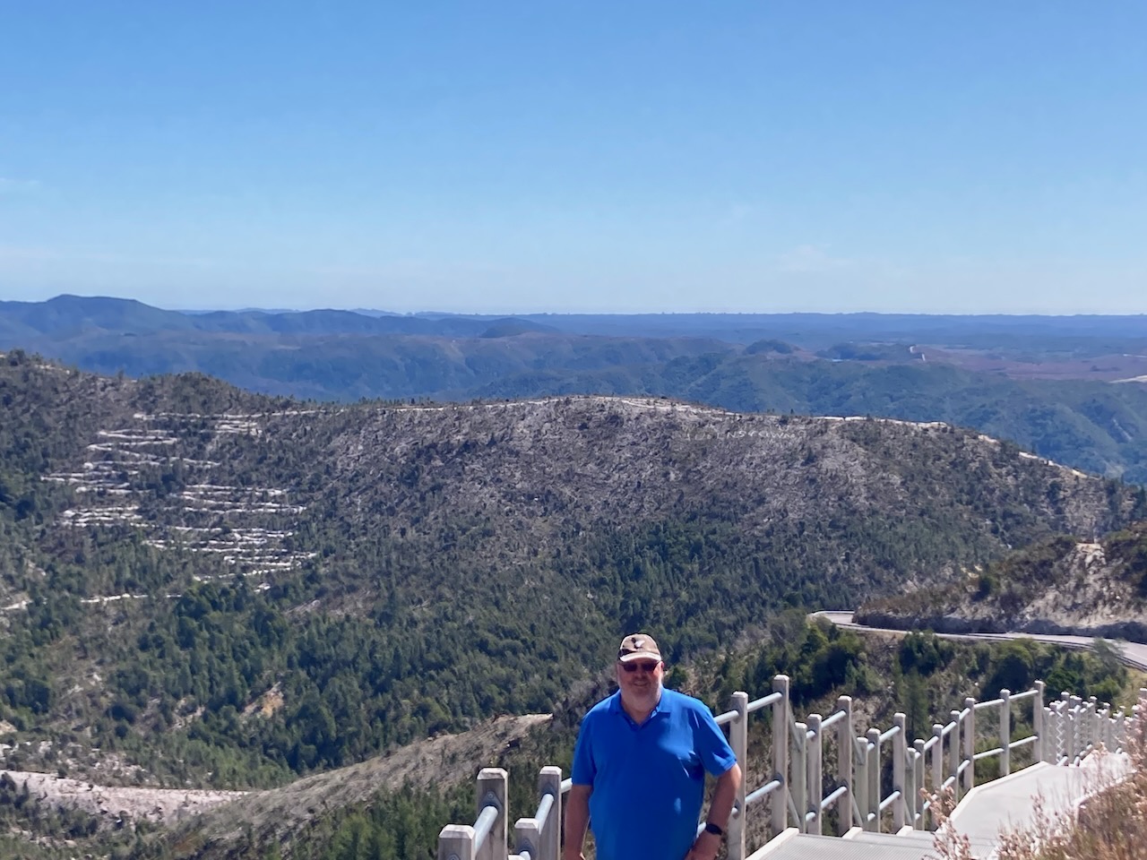
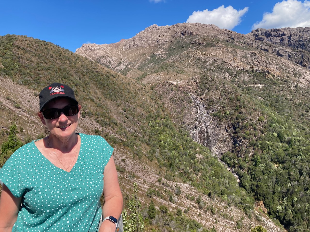
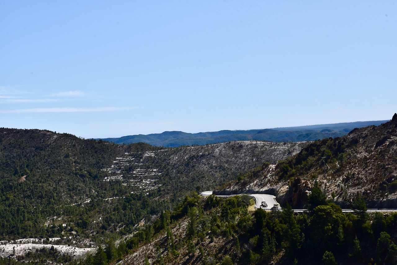
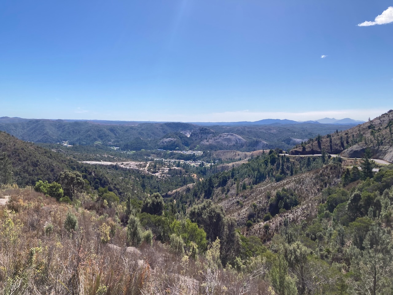
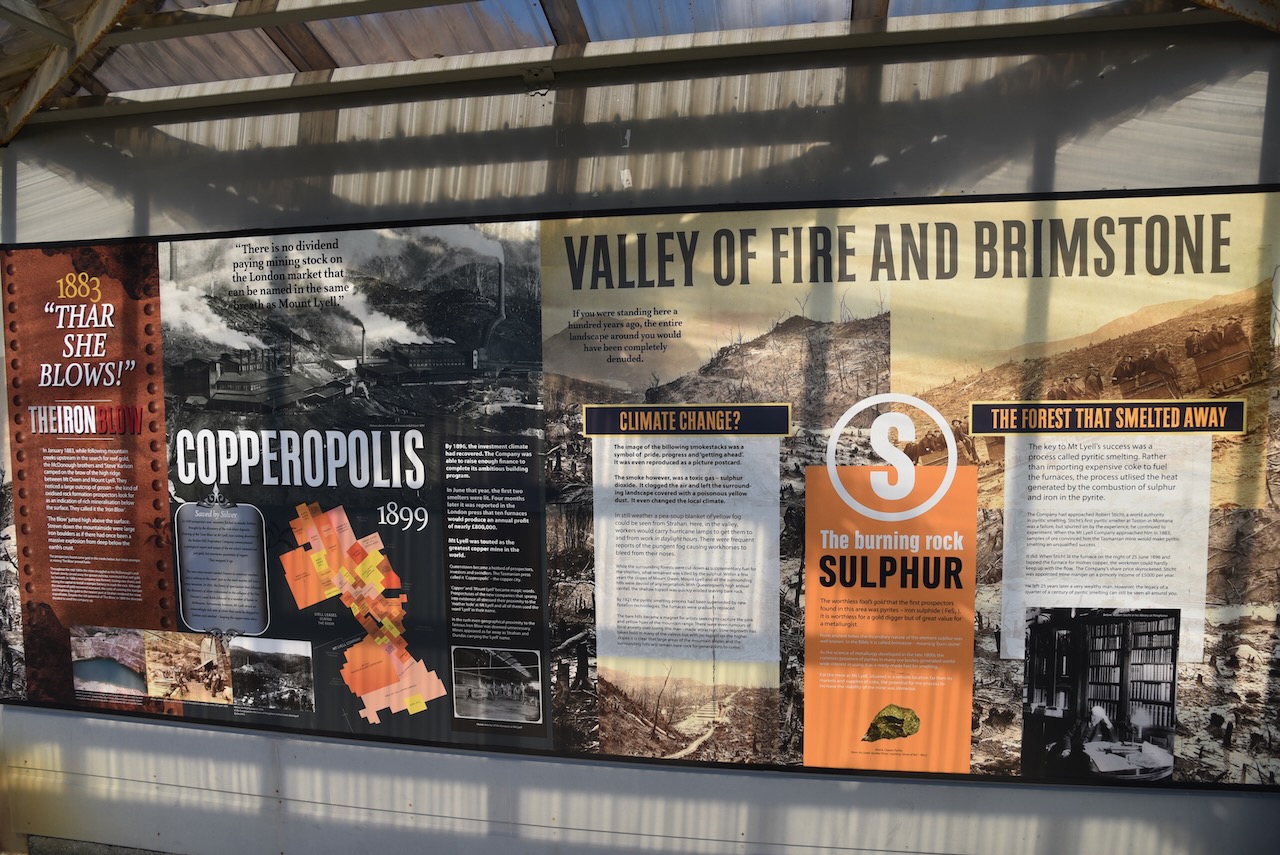
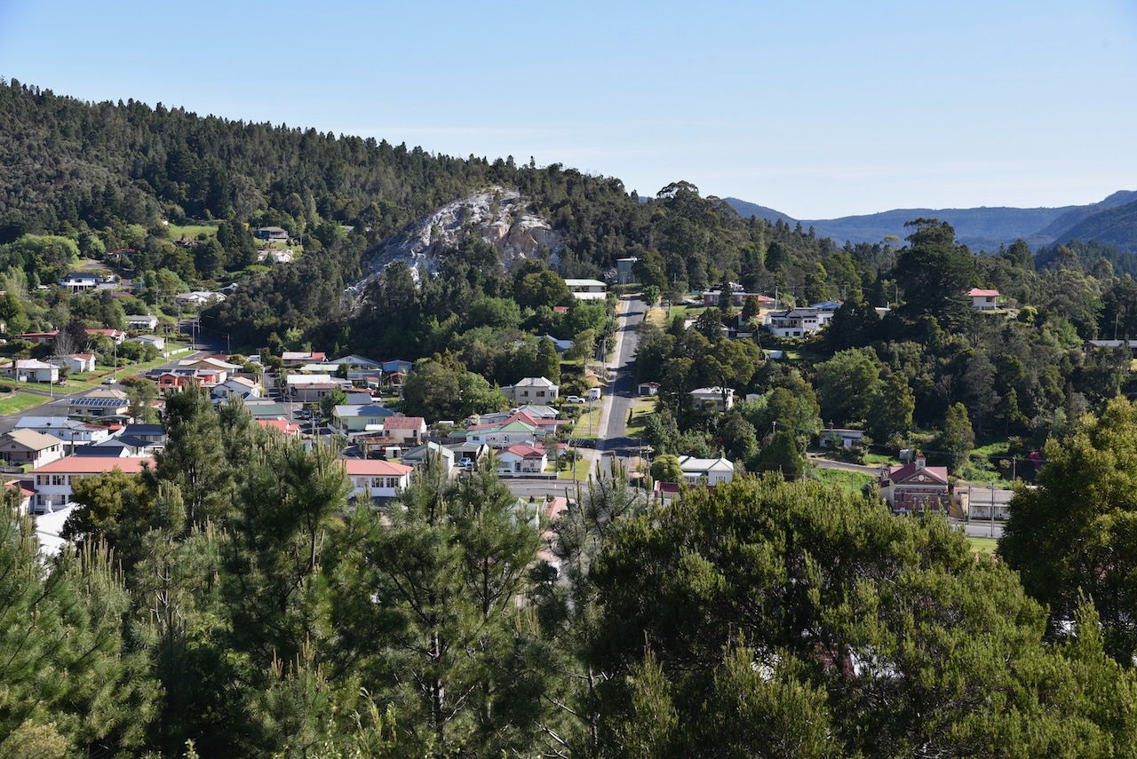
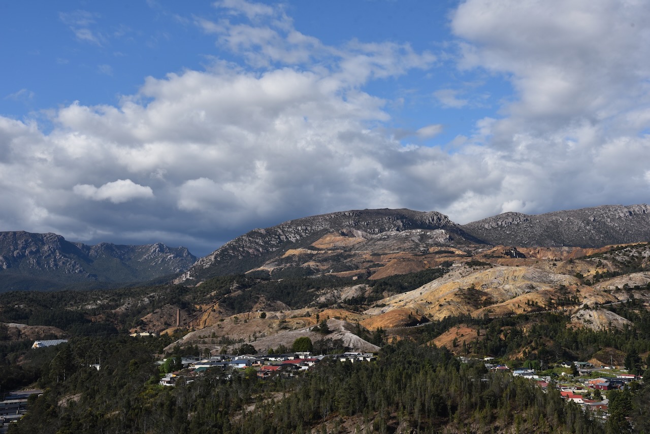
Not far up the road is the old town of Gormanston which was built as the company town for the Mount Lyell Mining and Railway Company for operations at the Iron Blow open cut copper mine. It was named in honour of Jenico William Joseph Preston, 14th Viscount Gormanston, Governor of Tasmania 1893 to 1900.
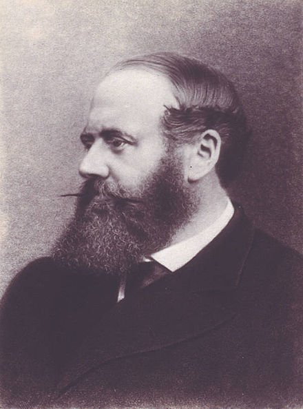
Above:- Jenico Preston. Image c/o Wikipedia.
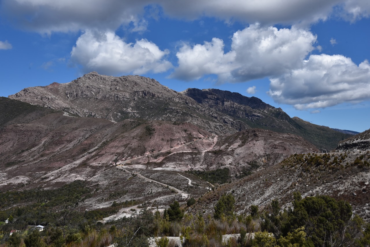
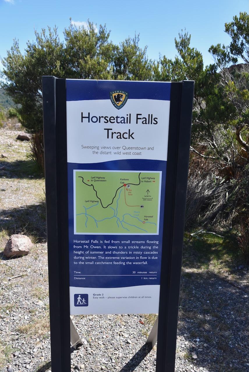
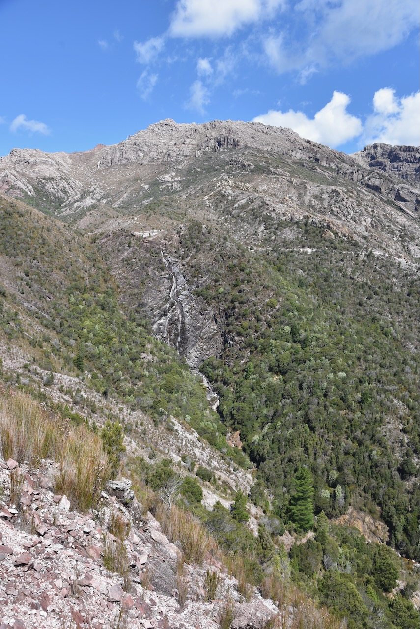
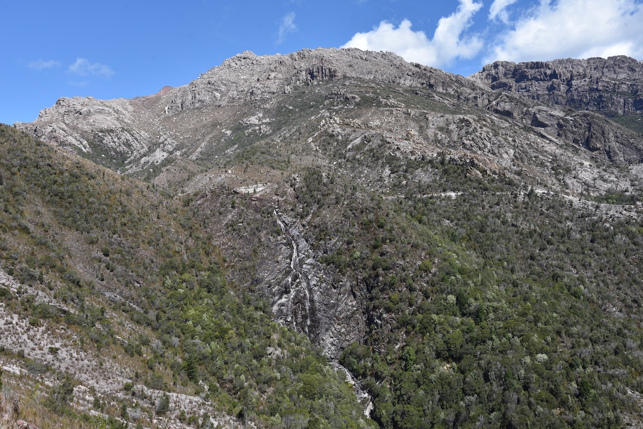
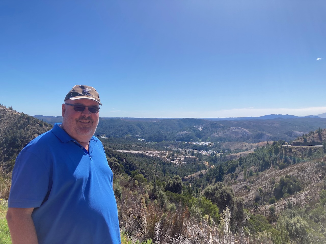
We headed up to the top of the Iron Blow Lookout which offers sensational views of Gormanston, the old copper mine and the surrounding countryside.


Just across the road you can find Horsetail Falls which is a large seasonal waterfall on Moore Creek which drops about 50 metres. It was flowing during our visit.
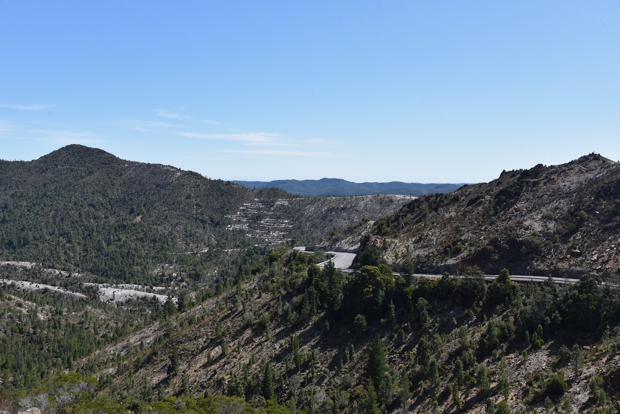
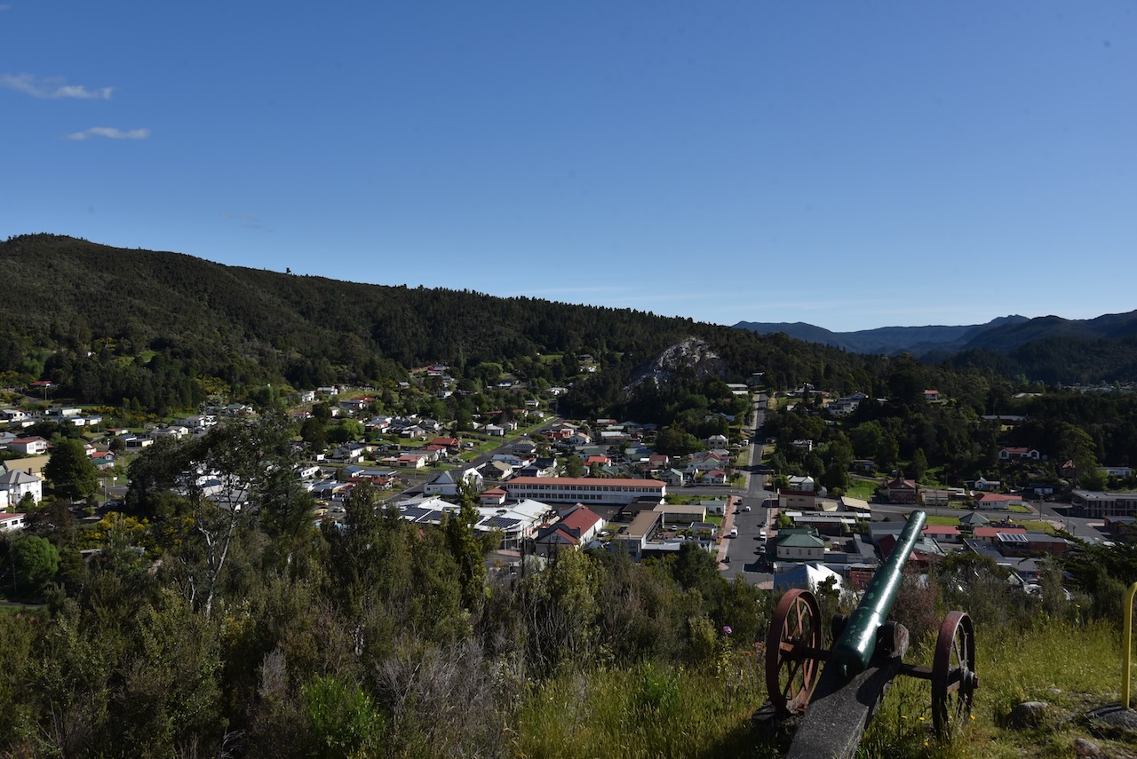
We continued on the Lyell Highway and stopped at the Queenstown lookout.

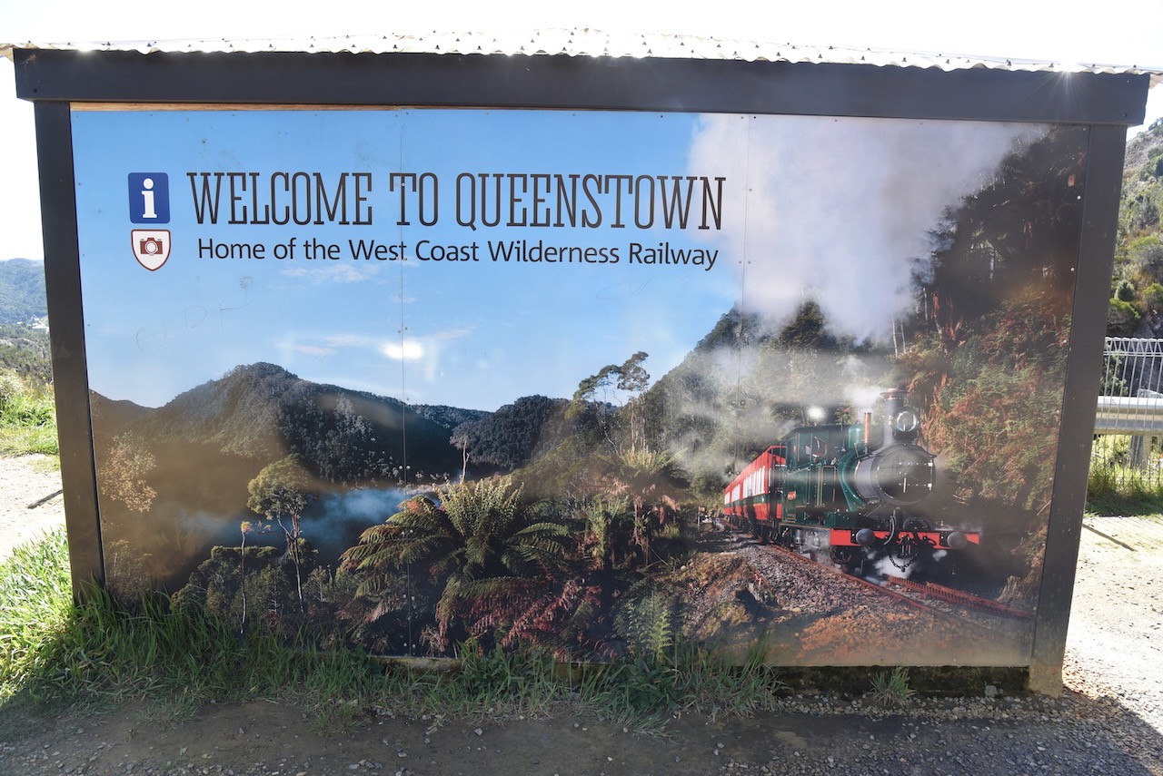
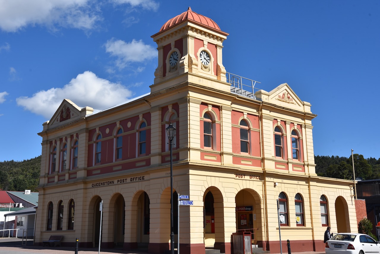
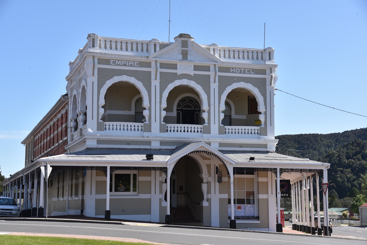
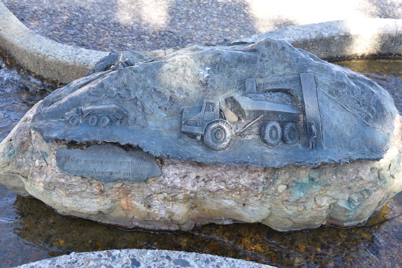
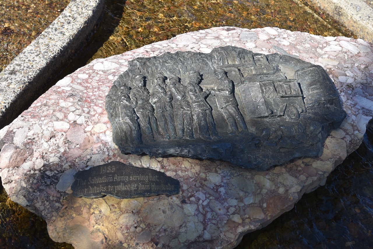
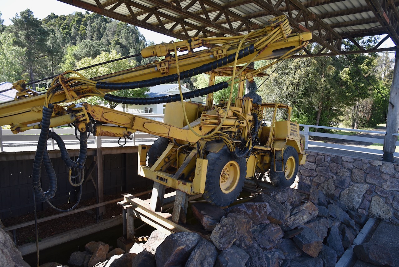
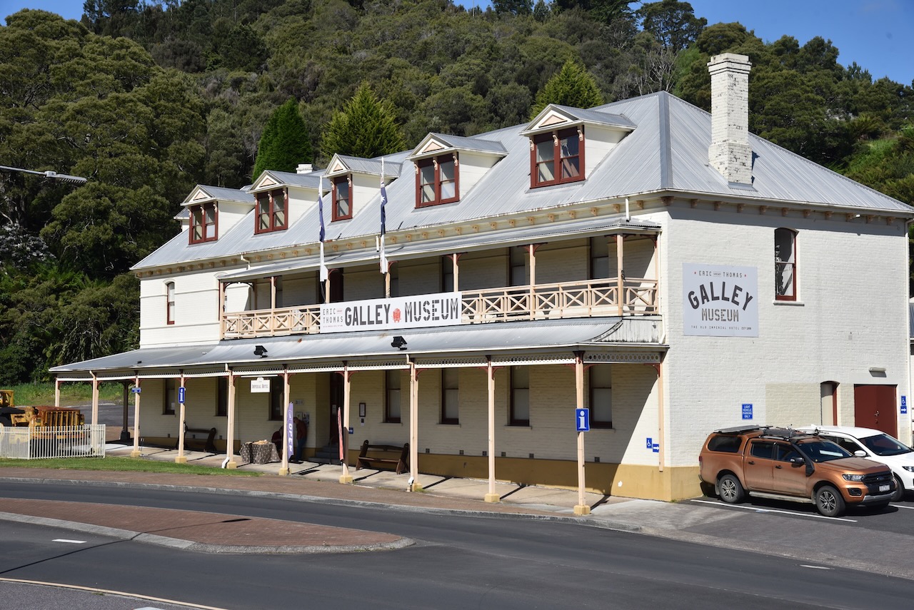
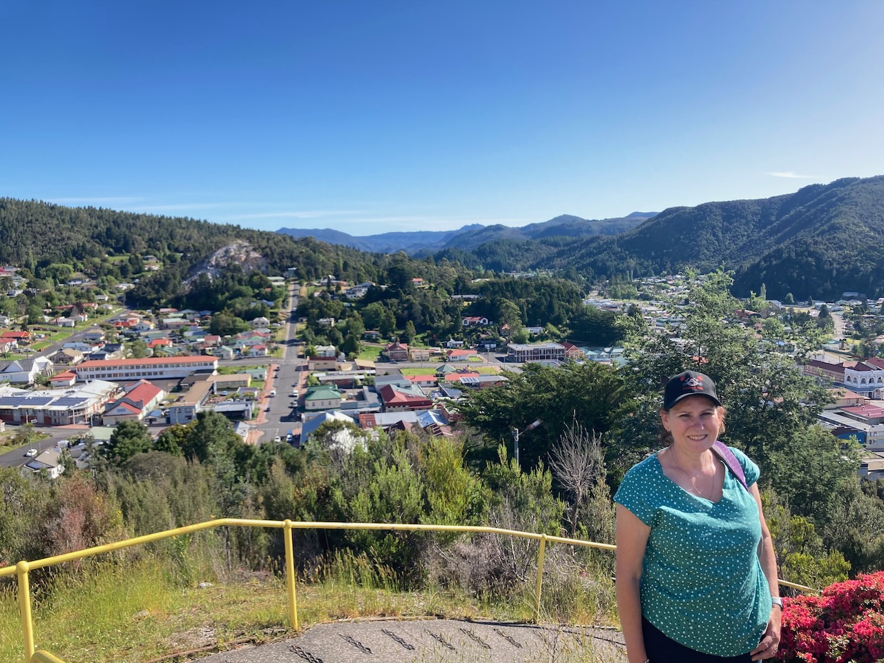
We then reached the town of Queenstown located in a valley on the western slops of Mount Owen. It was named in honour of Queen Victoria.
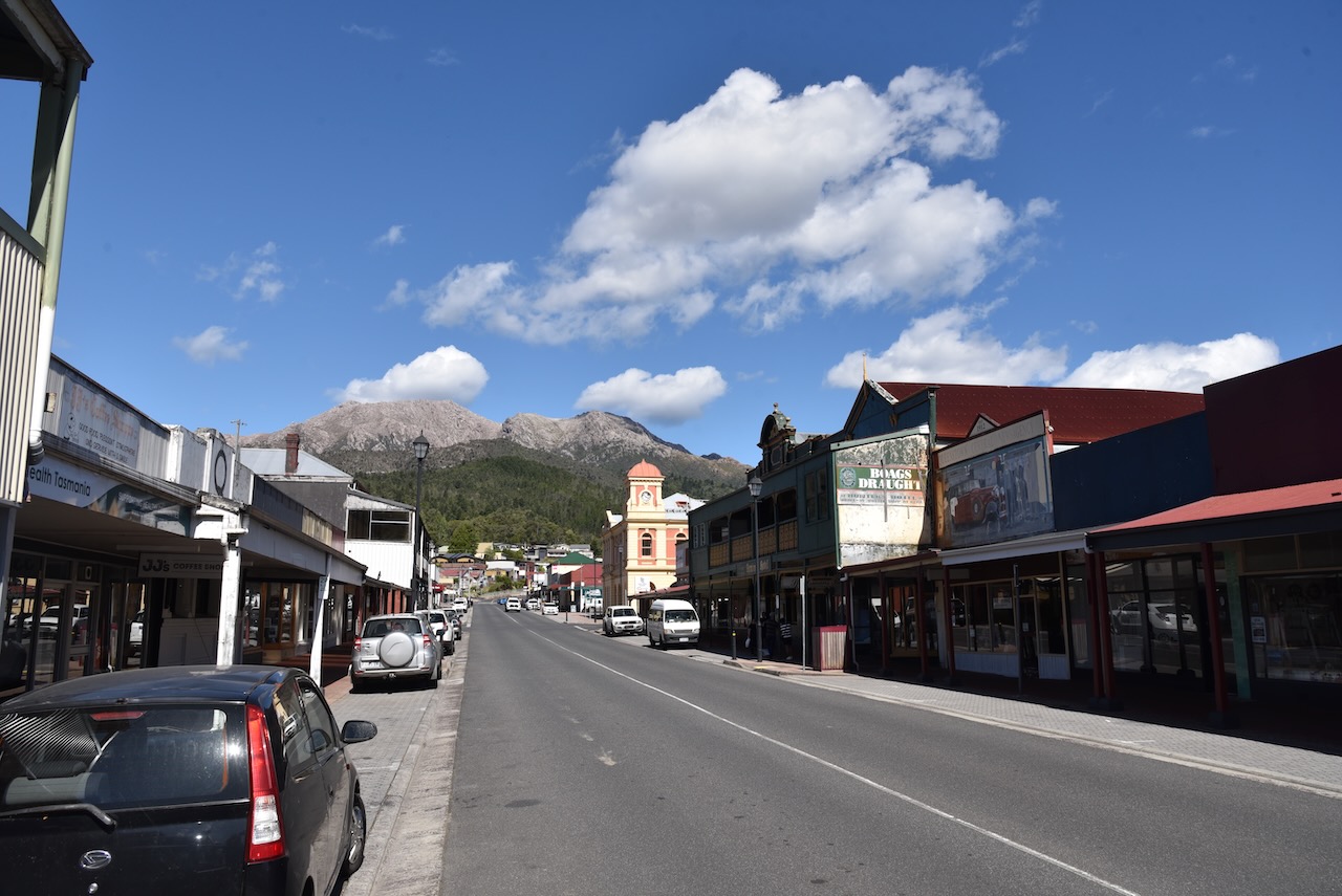


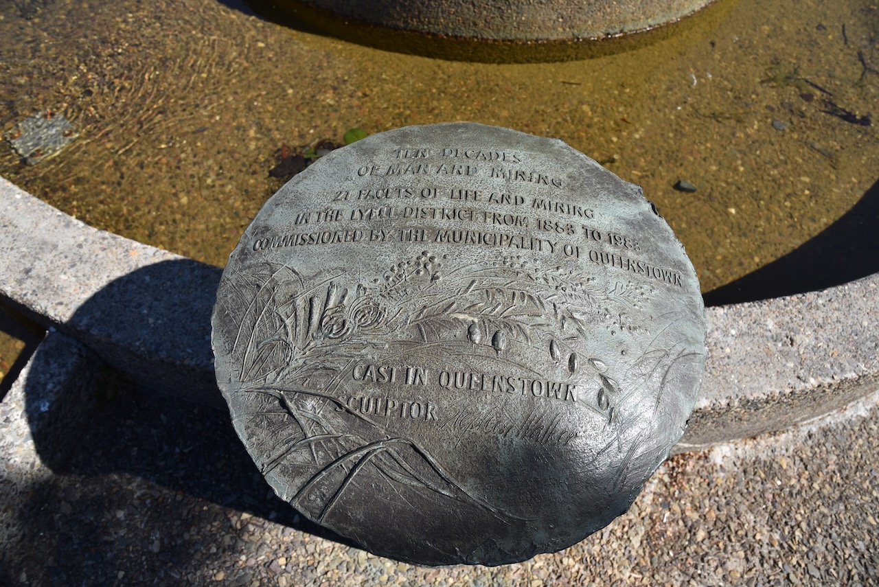


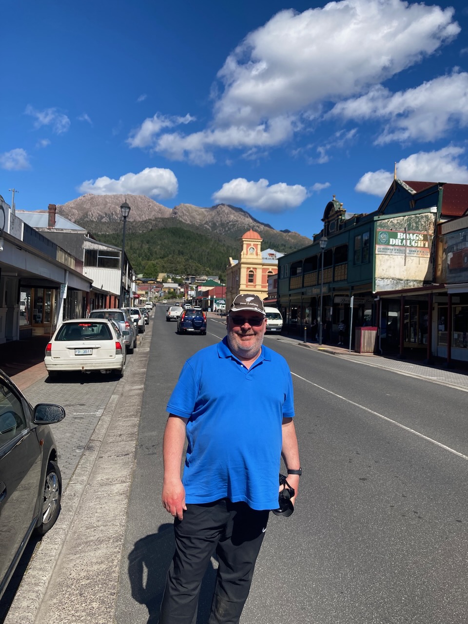
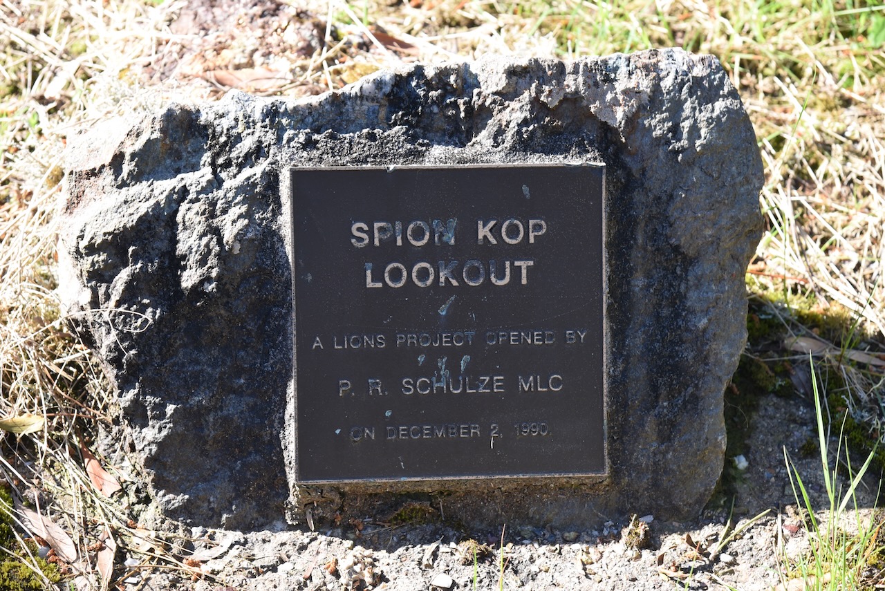
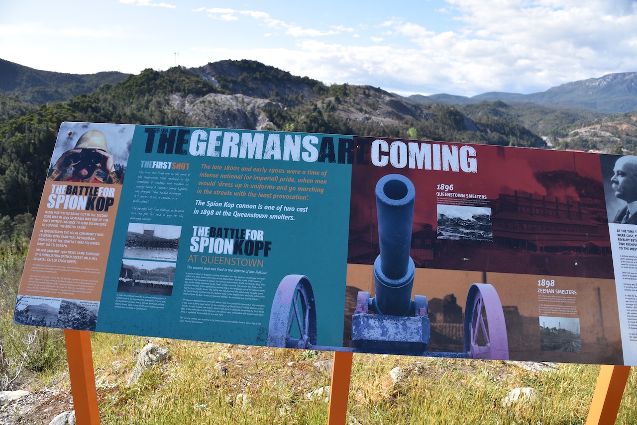
We then took the short but steep walk up to the top of Spion Kop lookout to enjoy the views of Queenstown. Spion Kop takes its name from a battle in the Boer War.


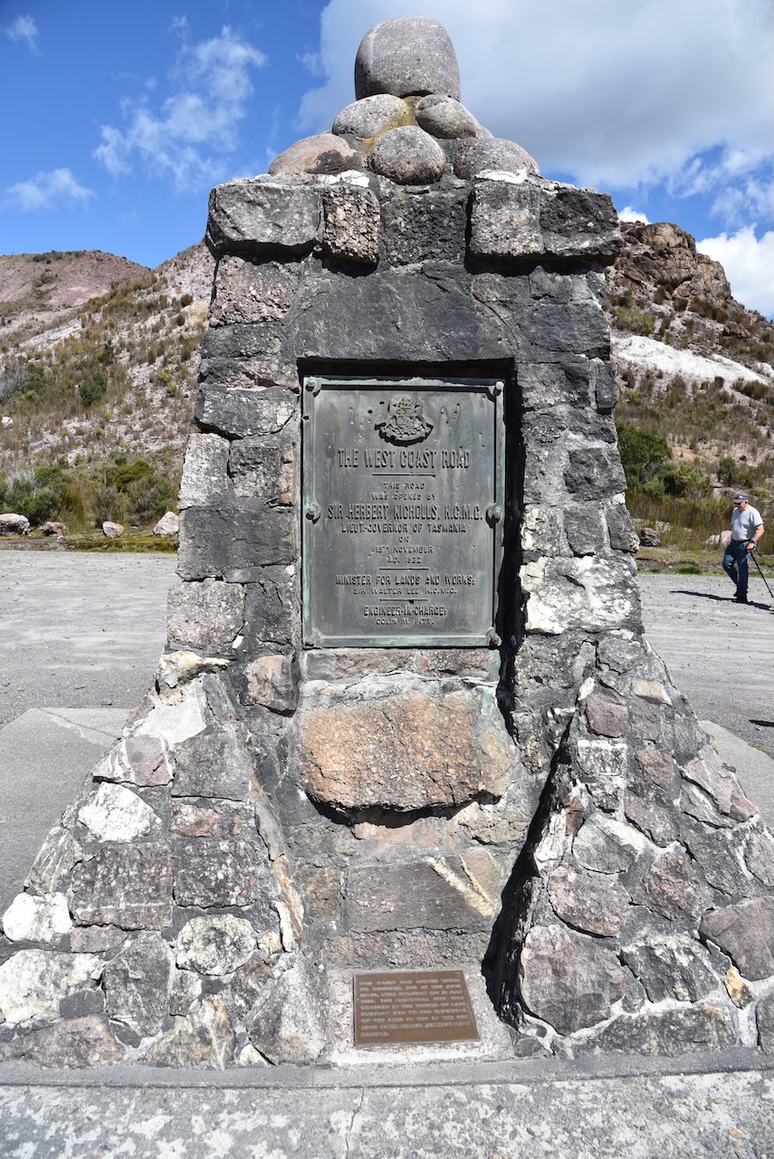
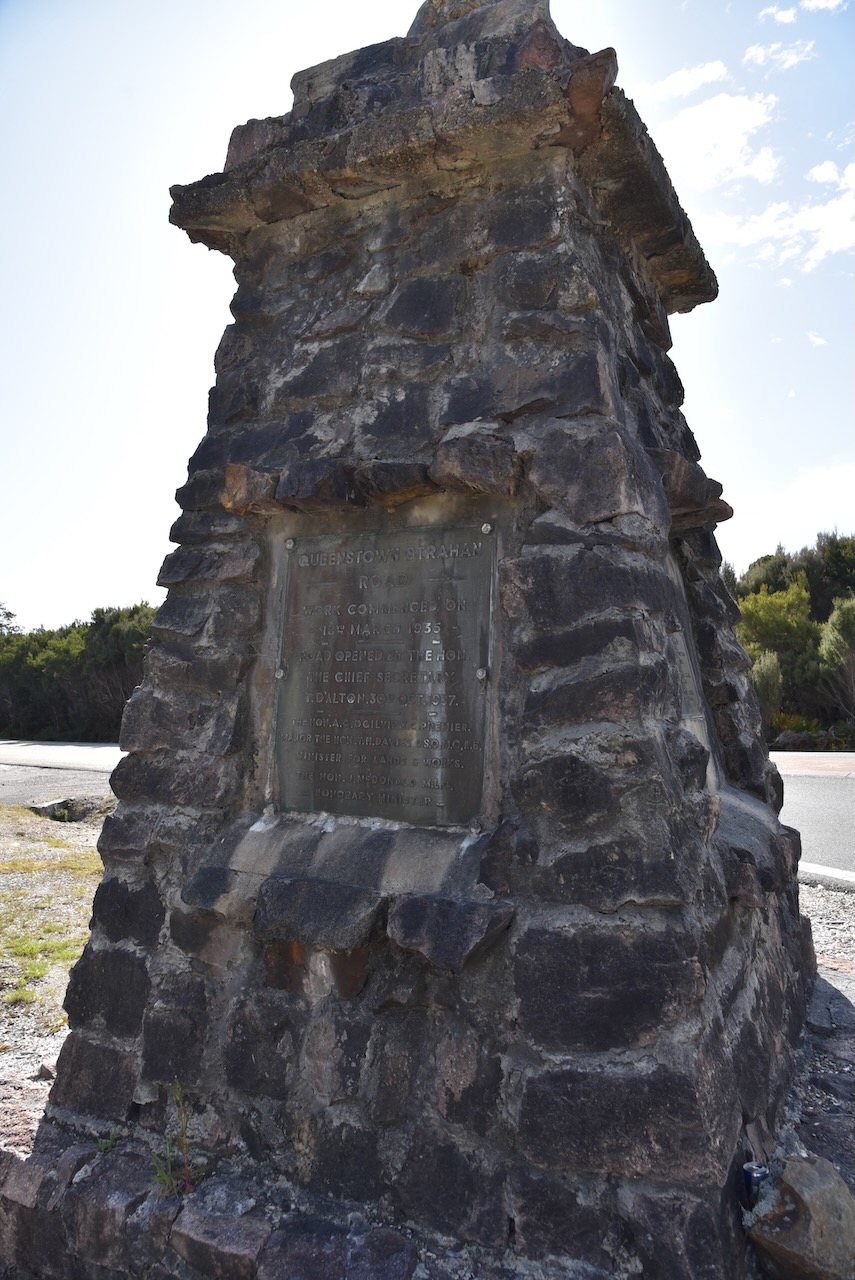
We headed north out of Queenstown on the Lyell Highway and stopped briefly at the junction of the Lyell Highway and the Zeehan Highway where there is a monument for the opening of the Queenstown-Strahan Road. Work commenced on the road on the 18th day of March 1935 and it was opened on the 30th day of October 1937.
Just up the road is the spectacular Queenstown airport.

Further along the Lyell Highway we stopped at the Rindeena Lookout, also known as Hall’s Creek lookout.


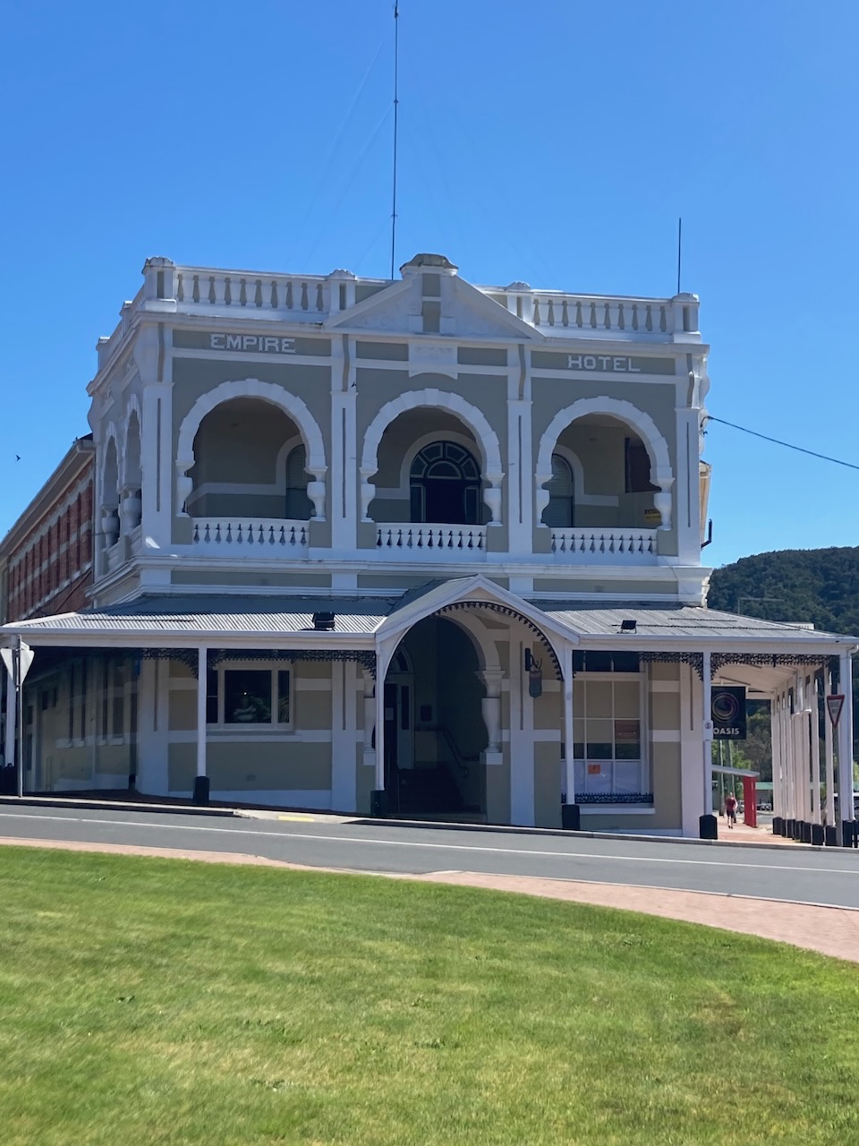
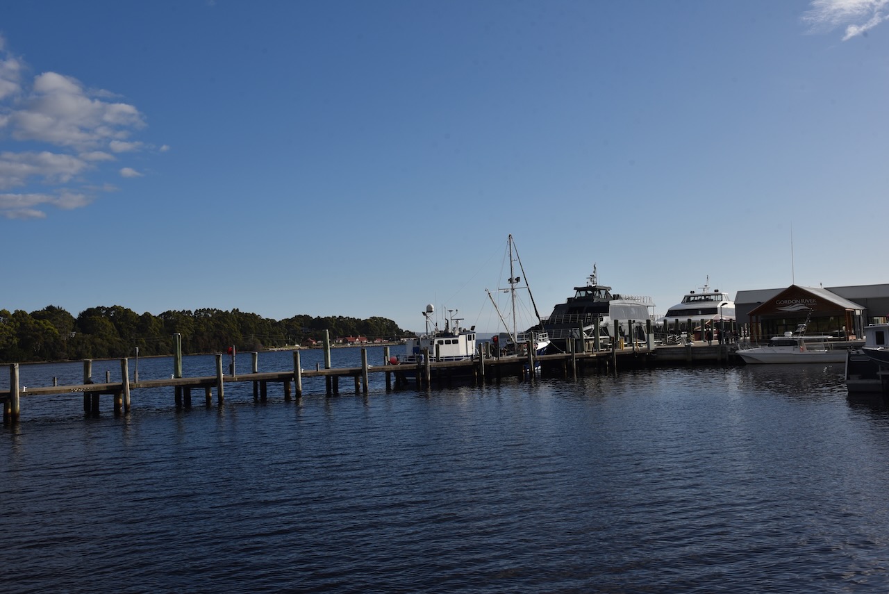
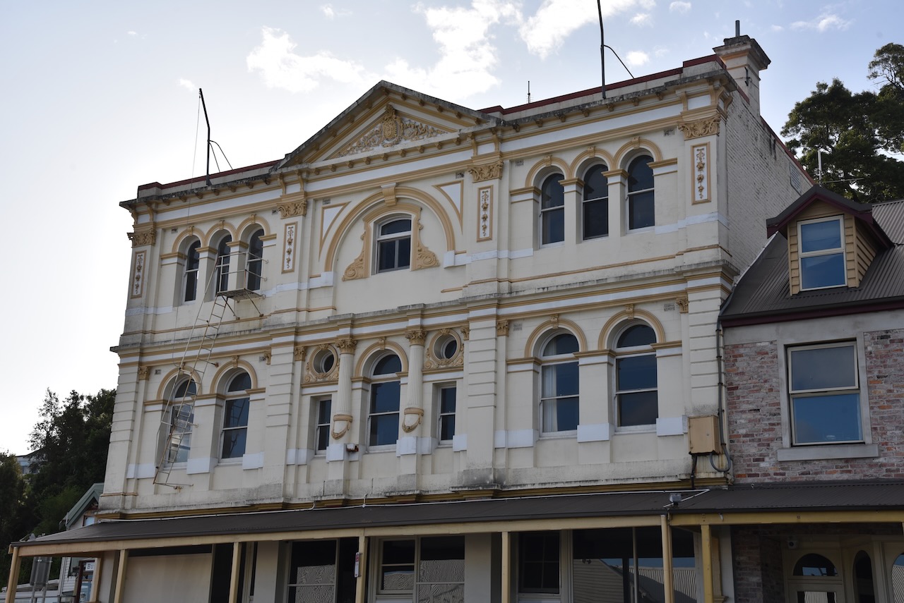
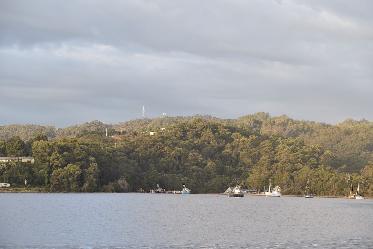
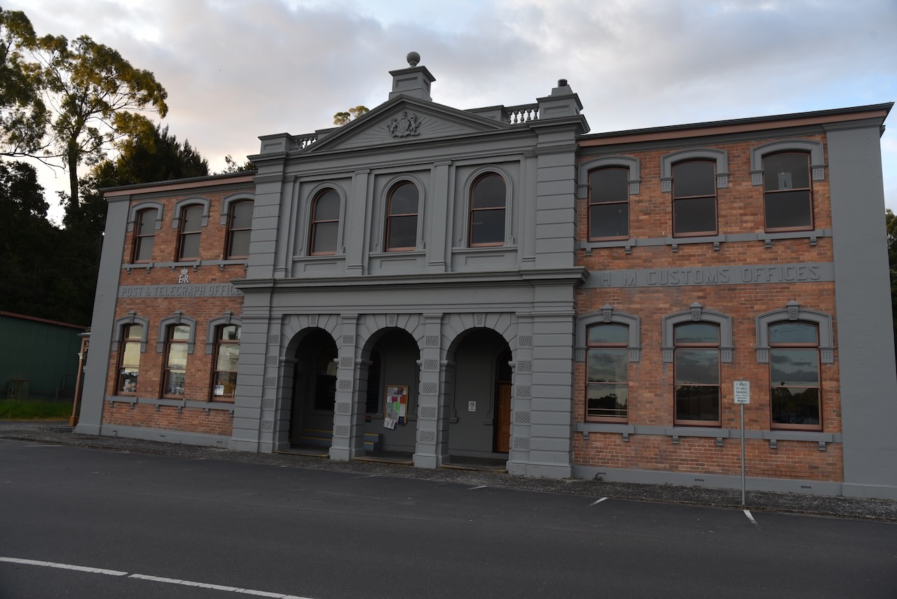
We then reached the town of Strahan on the west coast.
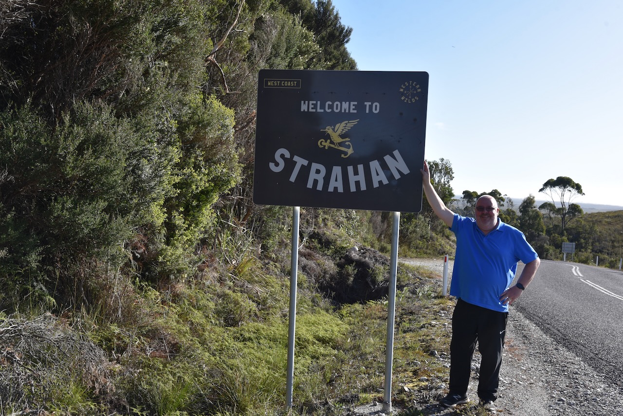
Strahan was originally developed as a port of access for the mining settlements in the area. Up until 1877, it was known as Long Bay or Regatta Point. Strahan was named after the colony’s Governor Sir George Cumine Strahan (b. 1838. d. 1887).
Above:- George Strahan. Image c/o Wikipedia.
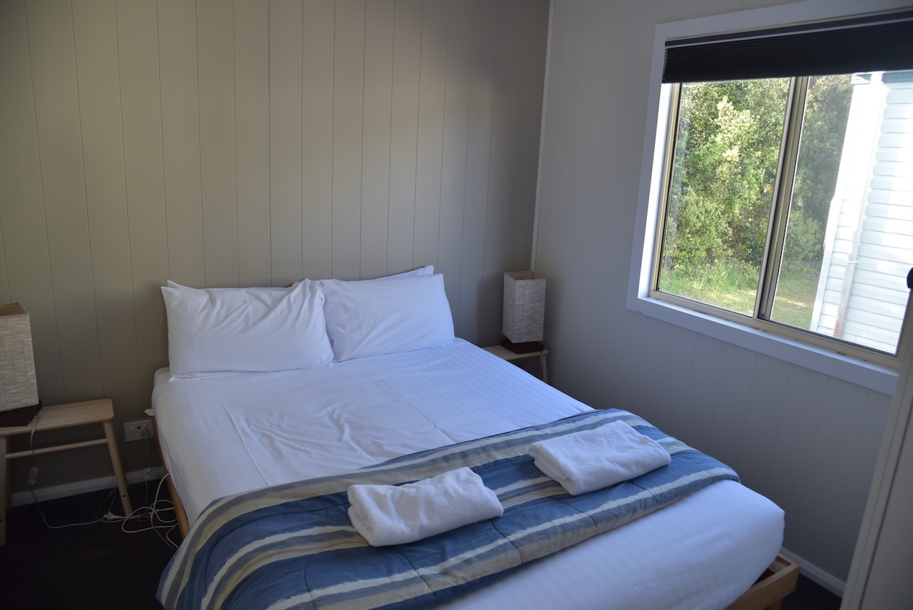
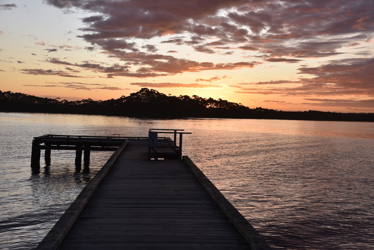
We then booked into our accomodation at the Strahan Beach Tourist Park. We had a self contained cabin and it was extremely nice.

We had a drive around the town before it got dark to admire some of the views of Long Bay and some of the historic buildings.


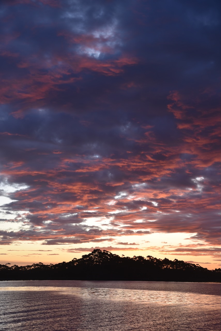
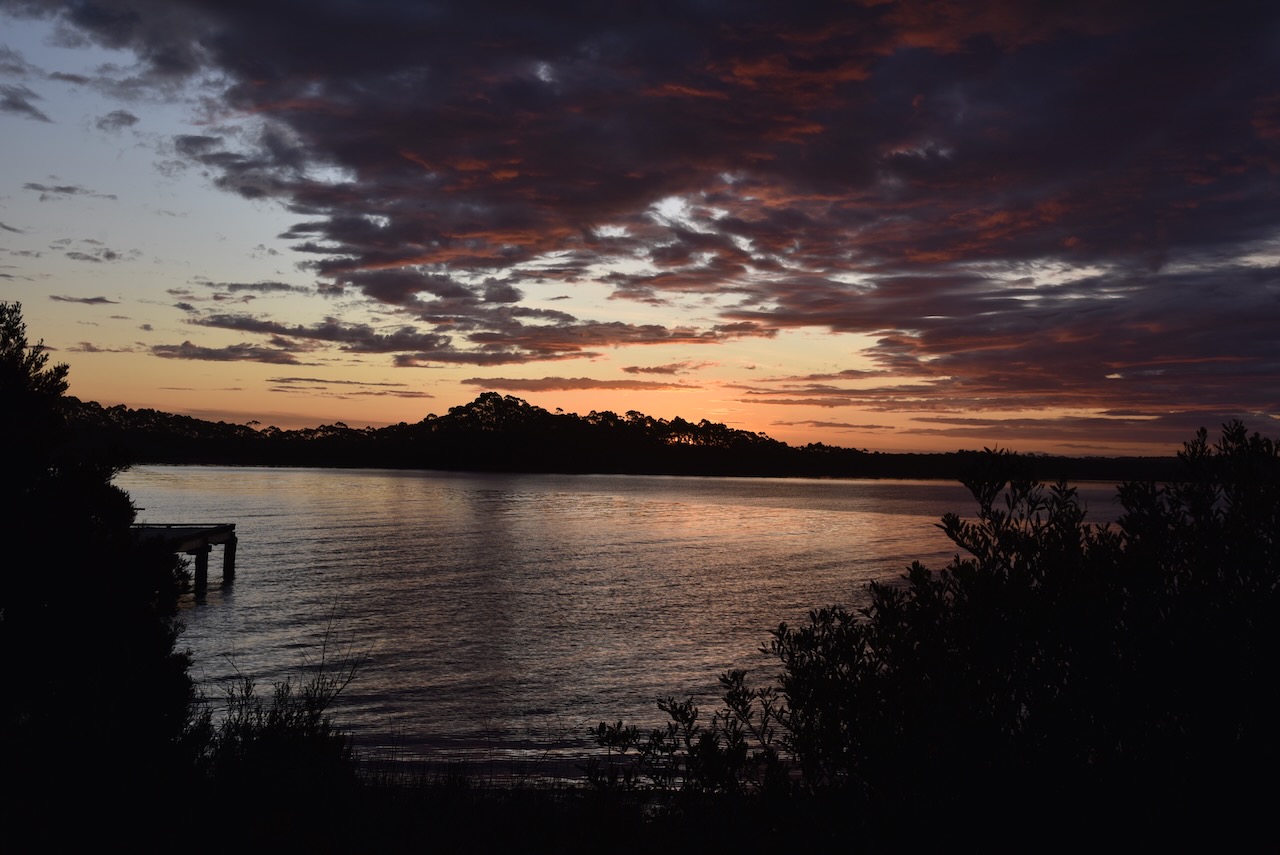
We then sat back and enjoyed a magnificent sunset before heading back our cabin for dinner.


References.
- Australia’s Defining Moments, 2023, <https://digital-classroom.nma.gov.au/videos/1982-franklin-dam-protests>, viewed 3rd January 2023.
- Britannica, 2023, <https://www.britannica.com/place/Gordon-River>, viewed 3rd January 2023.
- Geocaching, 2023, <https://geocaching.com.au/cache/ga1393>, viewed 3rd January 2023.
- National Archives of Australia, 2023, <https://www.naa.gov.au/learn/learning-resources/learning-resource-themes/environment-and-nature/conservation/protesting-franklin-dam>, viewed 3rd January 2023.
- Tasmania Parks and Wildlife Service, 2023, <https://parks.tas.gov.au/explore-our-parks/franklin-gordon-wild-rivers-national-park/franklin-nature-trail>, viewed 3rd January 2023.
- Waterfalls of Tasmania, 2023, <https://waterfallsoftasmania.com.au/waterfalls/horsetail_falls>, viewed 3rd January 2023.
- Wikipedia, 2023, <https://en.wikipedia.org/wiki/Franklin-Gordon_Wild_Rivers_National_Park>, viewed 3rd January 2023.
- Wikipedia, 2023, <https://en.wikipedia.org/wiki/Franklin_River>, viewed 3rd January 2023.
- Wikipedia, 2023, <https://en.wikipedia.org/wiki/John_Franklin>, viewed 3rd January 2023.
- Wikipedia, 2023, <https://en.wikipedia.org/wiki/Gordon_River>, viewed 3rd January 2023.
- Wikipedia, 2023, <https://en.wikipedia.org/wiki/James_Kelly_(Australian_explorer)>, viewed 3rd January 2023.
- Wikipedia, 2023, <https://en.wikipedia.org/wiki/Frenchmans_Cap>, viewed 3rd January 2023.
- Wikipedia, 2023, <https://en.wikipedia.org/wiki/Mount_King_William>, viewed 3rd January 2023.
- Wikipedia, 2023, <https://en.wikipedia.org/wiki/Nelson_Falls>, viewed 3rd January 2023.
- Wikipedia, 2023, <https://en.wikipedia.org/wiki/Lake_Burbury>, viewed 3rd January 2023.
- Wikipedia, 2023, <https://en.wikipedia.org/wiki/Gormanston,_Tasmania>, viewed 3rd January 2023.
- Wikipedia, 2023, <https://en.wikipedia.org/wiki/Queenstown,_Tasmania>, viewed 3rd January 2023.
