
Day 22 (Wednesday 16th November 2022) was now upon us. We enjoyed a beautiful cooked breakfast at the retreat before hitting the road. We had planned on visiting a number of the caves in the area, but sadly they were all closed due to flooding and the recent heavy rain experienced in Tasmania. So we decided to do a day of park activating instead.
Our first park for the day was going to be the Mount Roland Regional Reserve VKFF-2938.

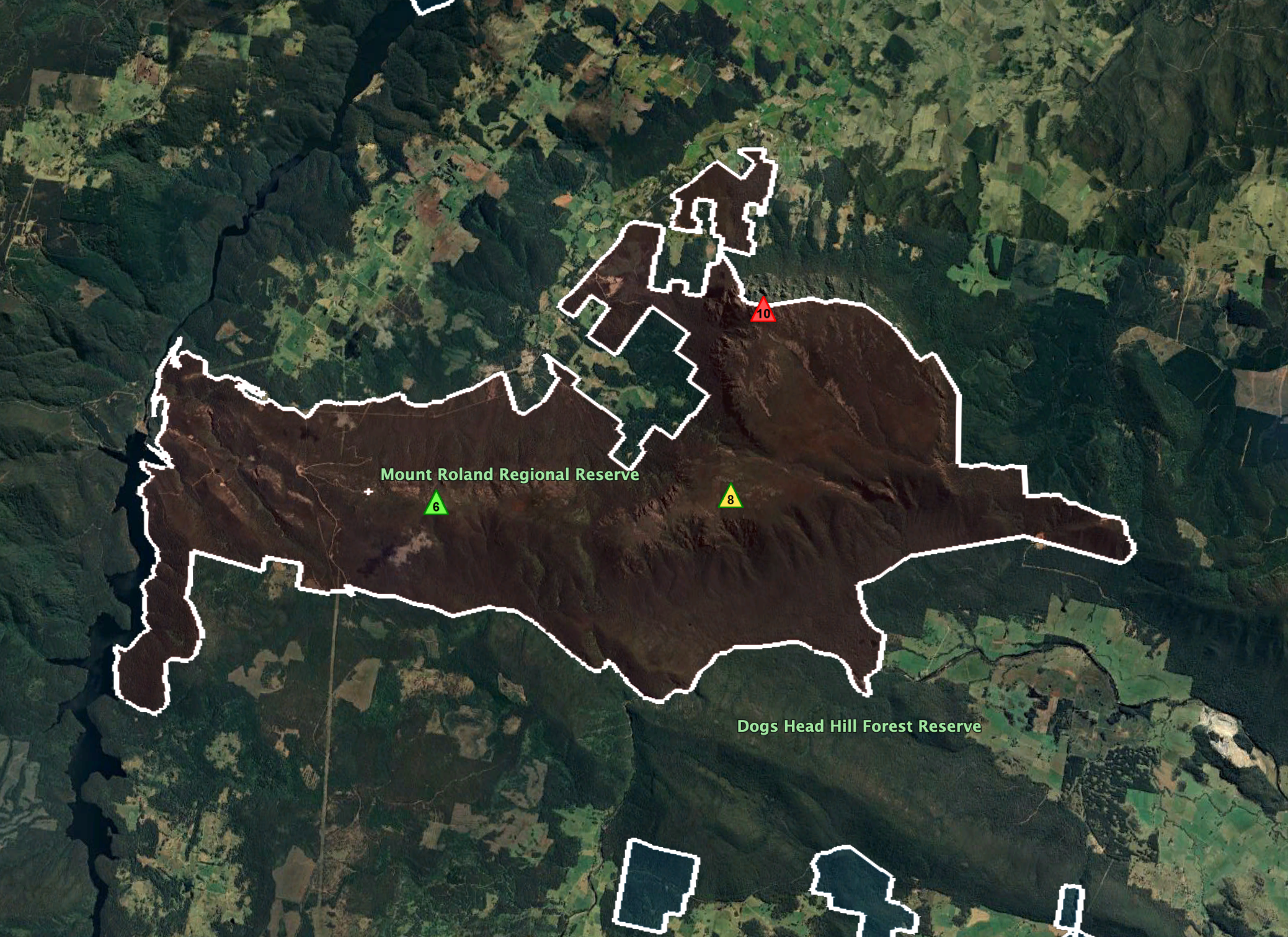
Above:- Map showing the location of the Mount Roland Regional Reserve. Map c/o Google maps.
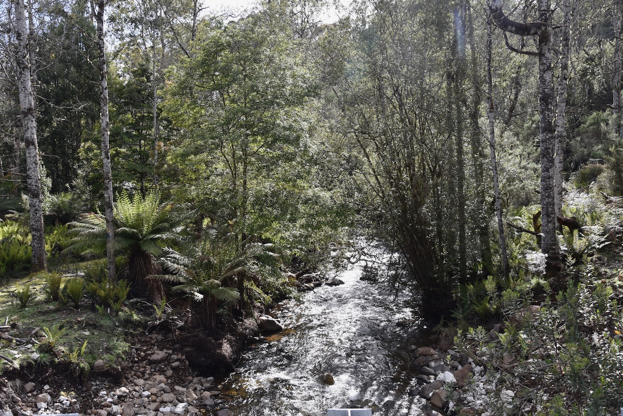
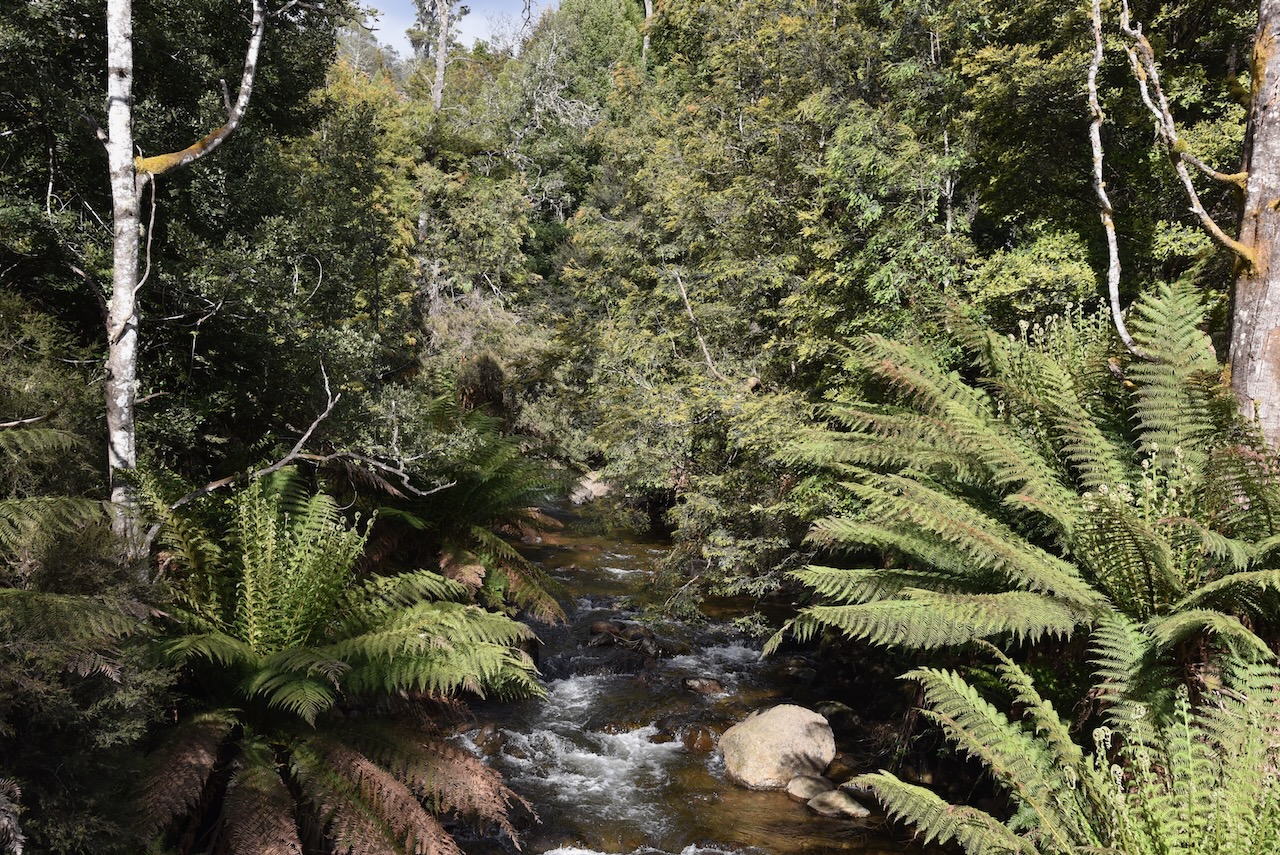
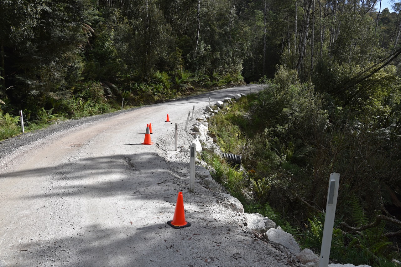
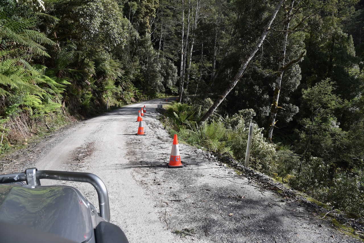
We left Lemonthyme along the windy but very picturesque Dolcoath Road. It was slow going as many parts of the road were still under repair after the flooding and heavy rain that Tasmania had experienced weeks earlier.
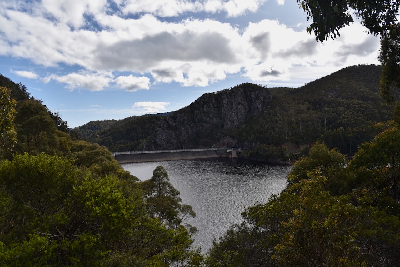
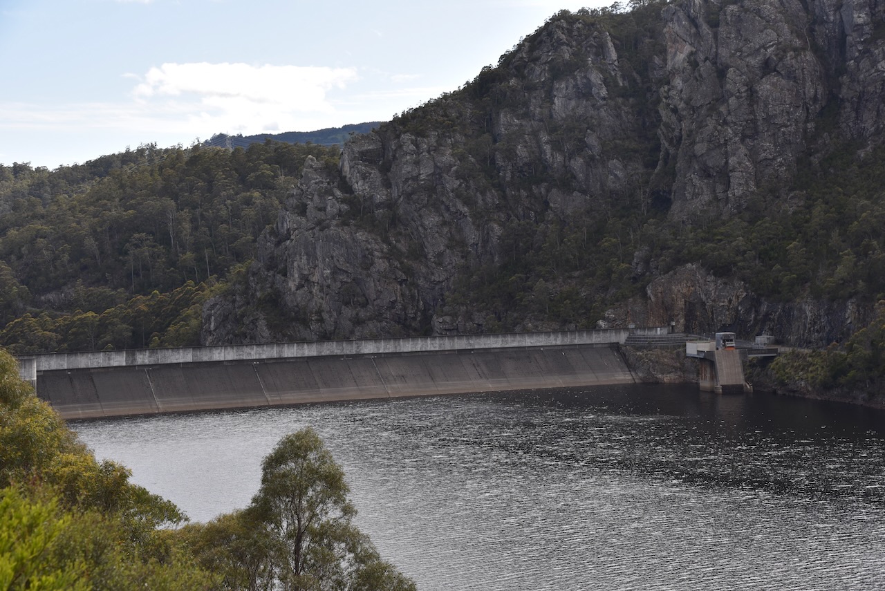
Our first stop for the day was Lake Cethana which is one of Hydro Tasmania storages on the River Forth. The Cethana Power Station was opened in 1971, and is one of only a few underground hydro stations in Tasmania. Cethana is aboriginal for ‘hair’. Large trout can be caught on Lake Cethana.


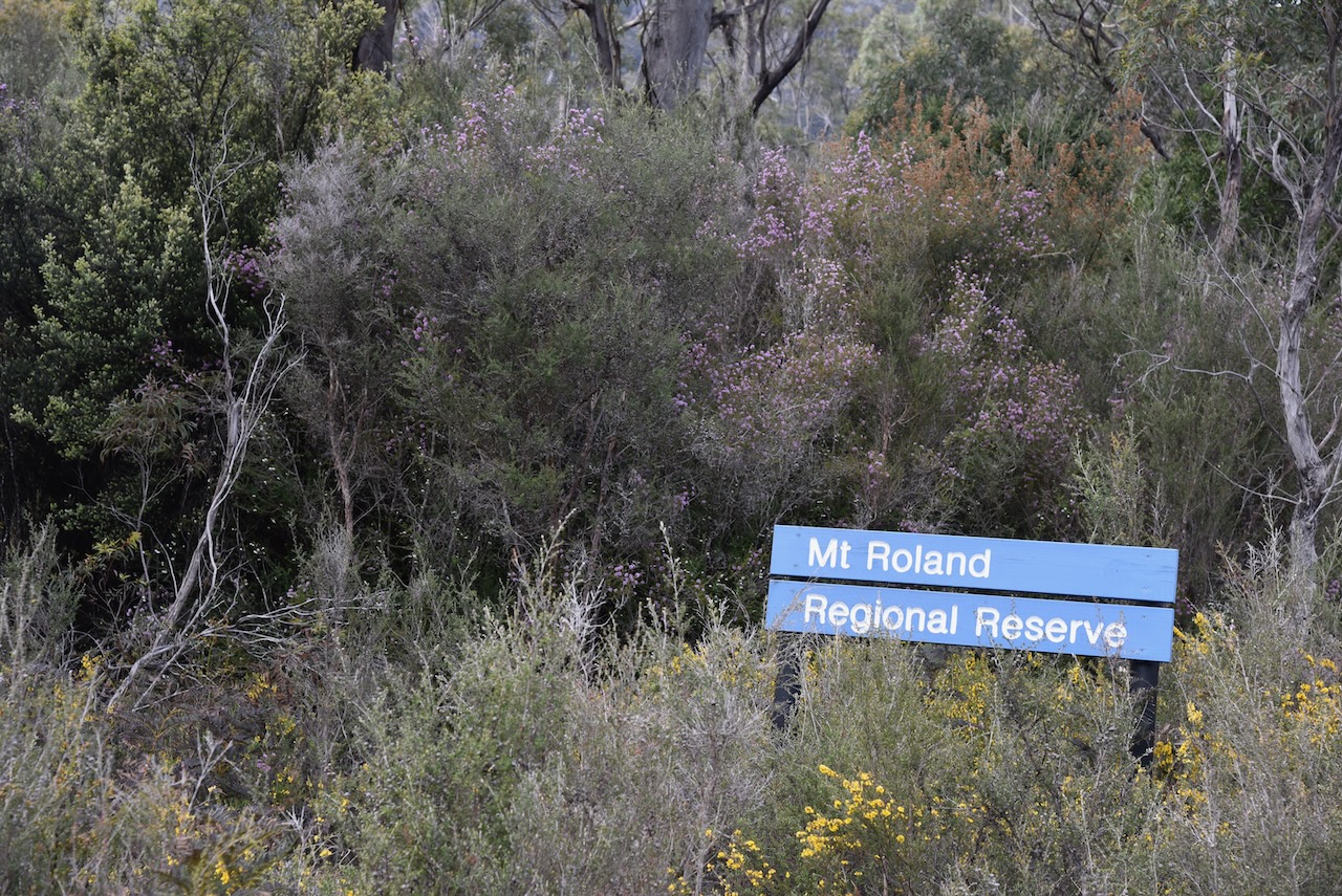
We then left the Cethana Road and took Olivers Road and we immediately saw the sign for the Mount Roland Regional Reserve.
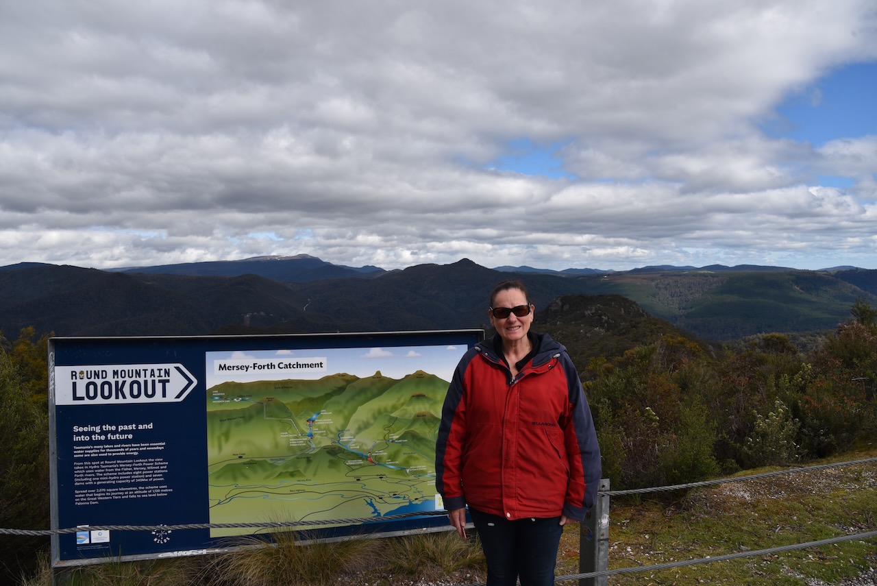
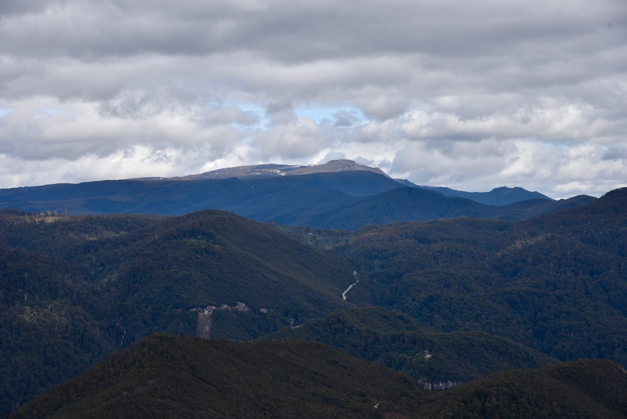
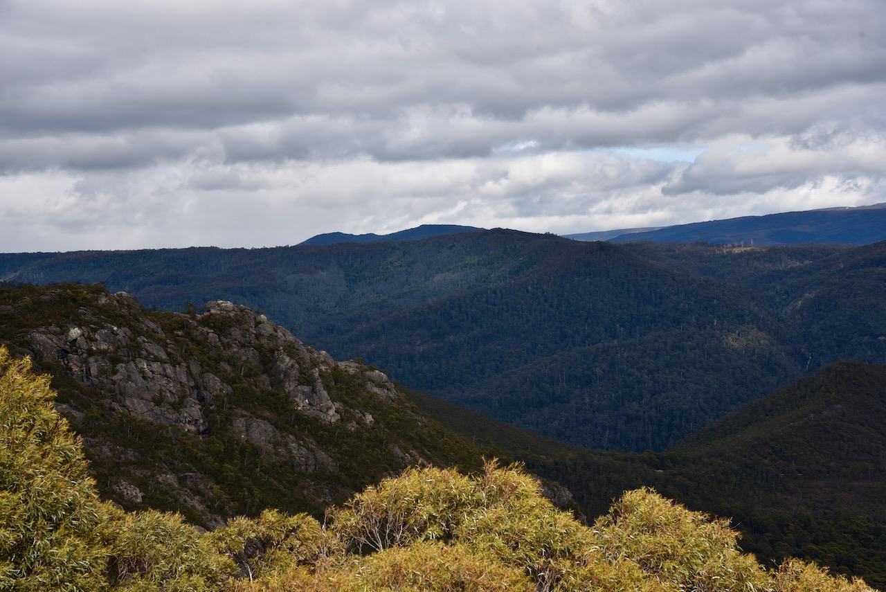
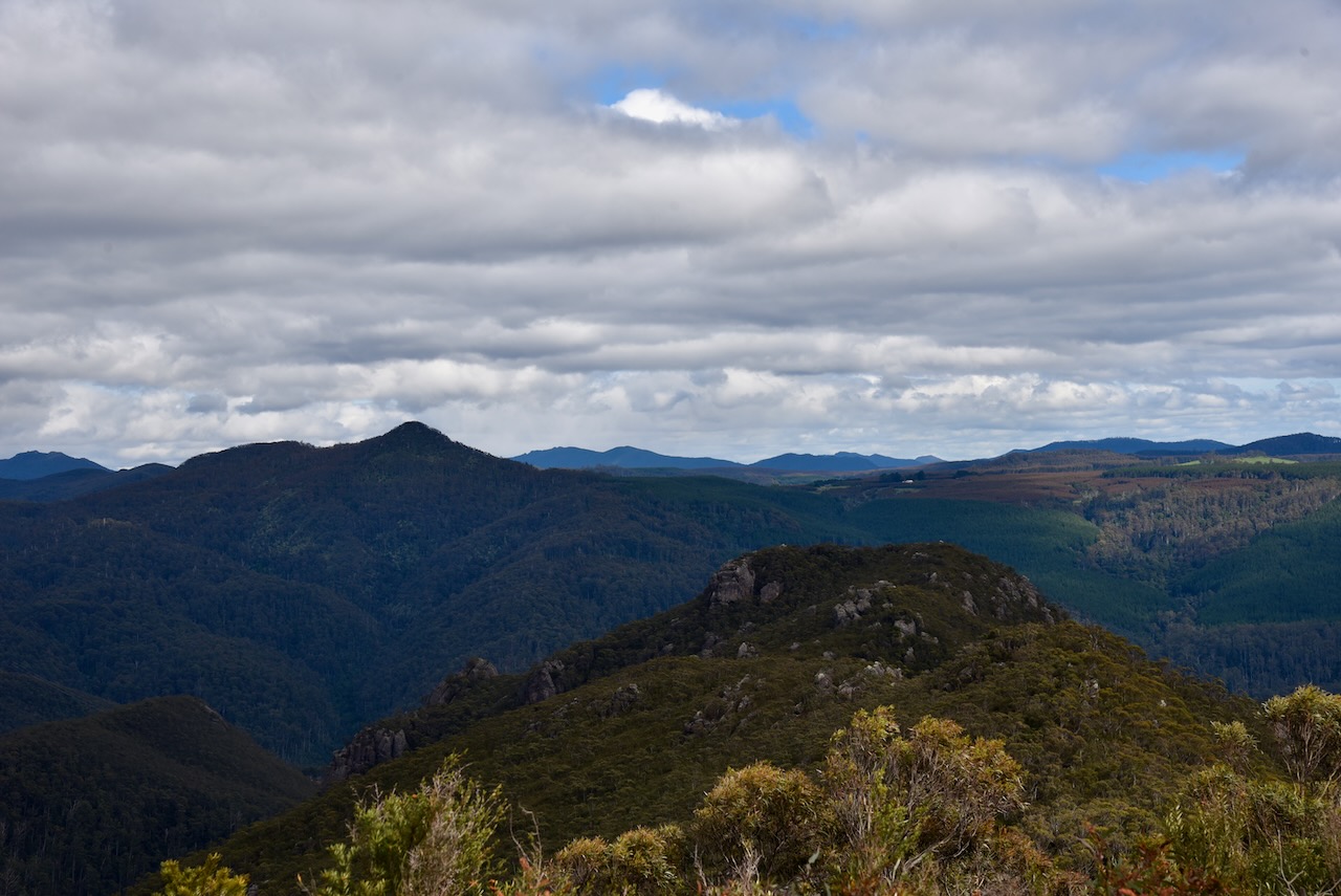
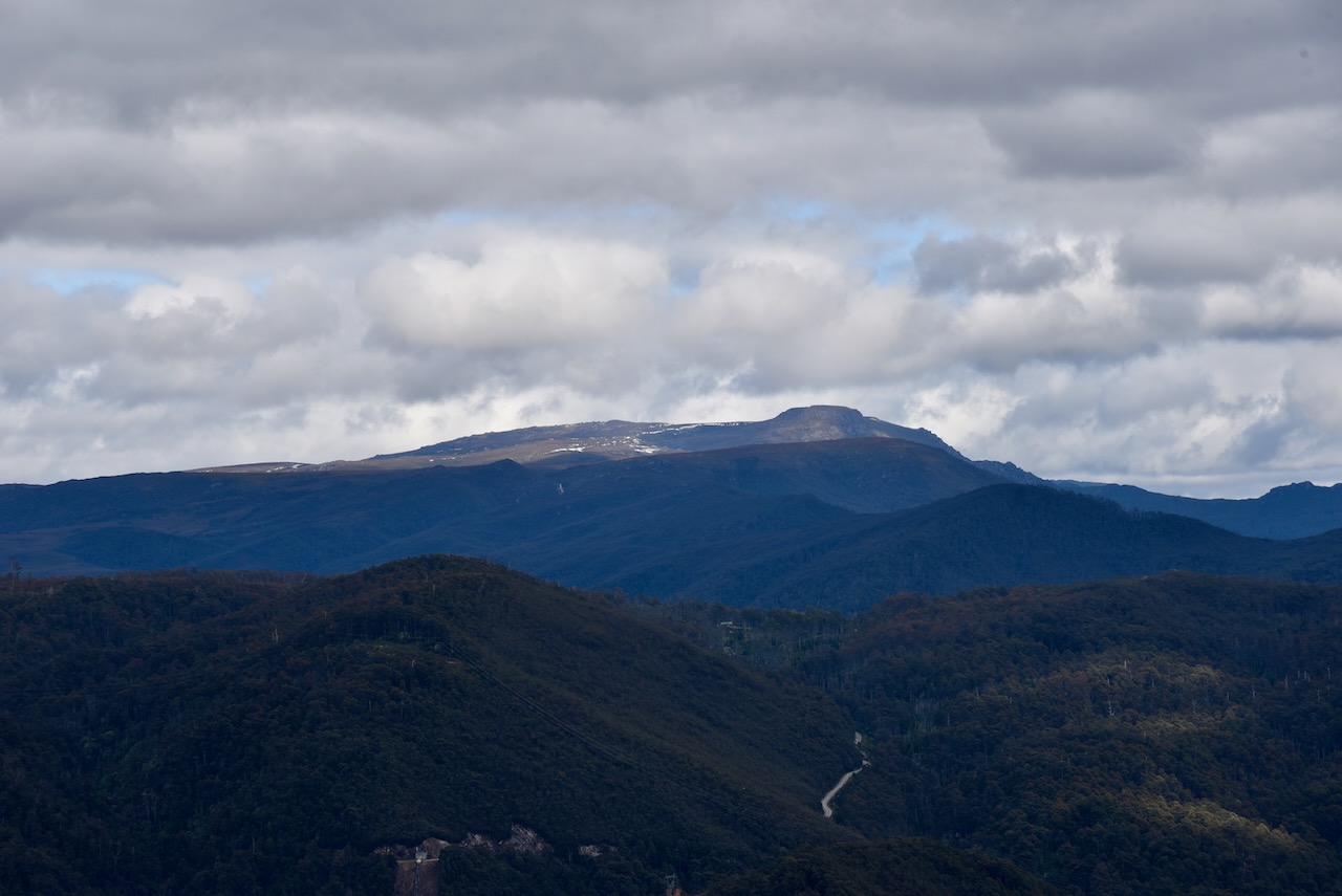
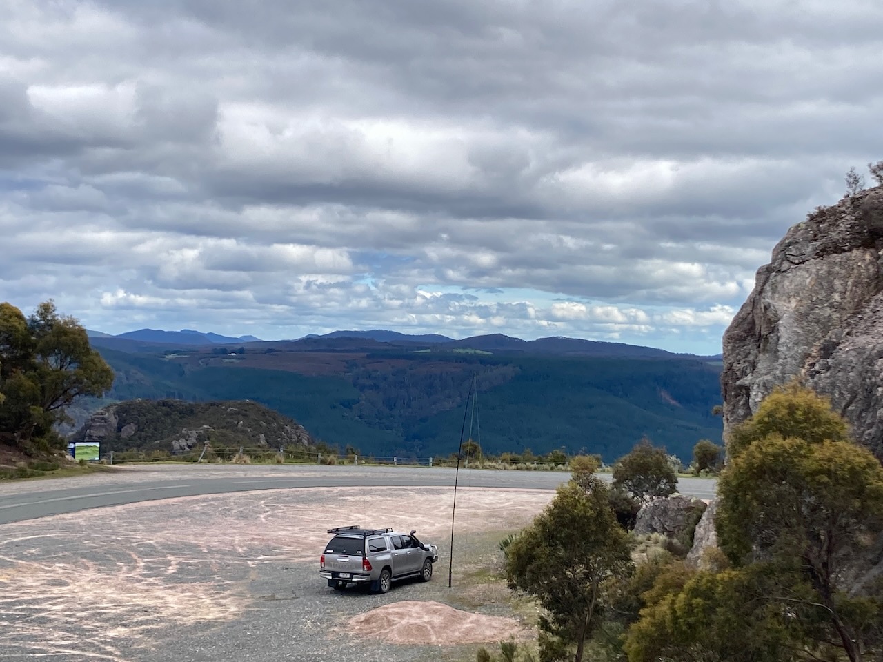
We continued on the Round Mountain lookout which takes in the Hydro Tasmania Mersey Forth Power Scheme, Cradle Mountain, Black Bluff, Mount Ossa, and the surrounding countryside. The views from here are brilliant. There was snow visible on Cradle Mountain.
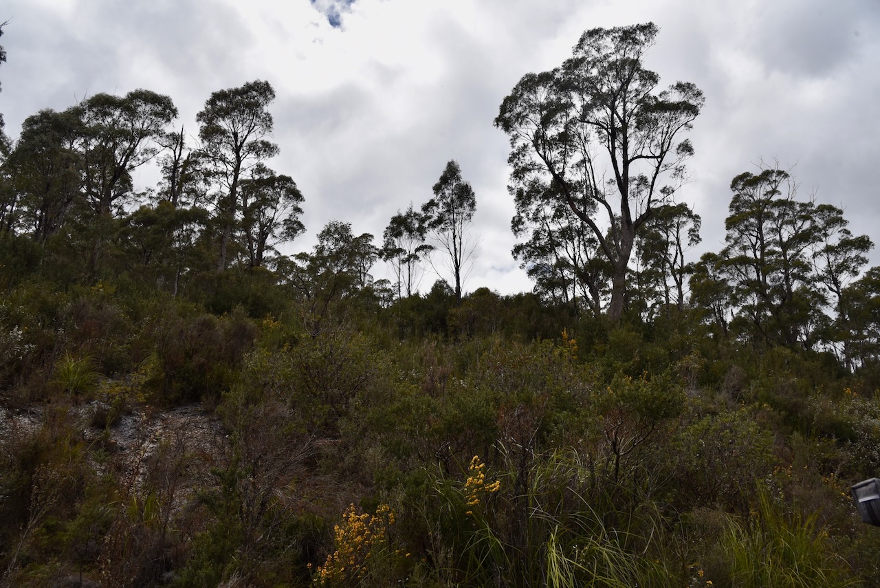

The Mount Roland Regional Reserve is a large park. It stretches from Lake Cethana in the west to to Minnow Falls in the east. It adjoins the Dogs Head Hill Forest Reserve and the Mount Roland Conservation Area.
There are a number of summits within the park, the highest being Mount Roland at 1,233 metres above sea level. It was originally known as Rollands Repulse in honour of Captain John Rolland, an early explorer in the area.
The first successful ascent of Mount Roland in 1826 when Henry Hellyer (b. 1790. d. 1832) and Joseph Fossey (b. 1788. d. 1851) who were part of a Van Dieman’s Land Company party climbed the mountain.
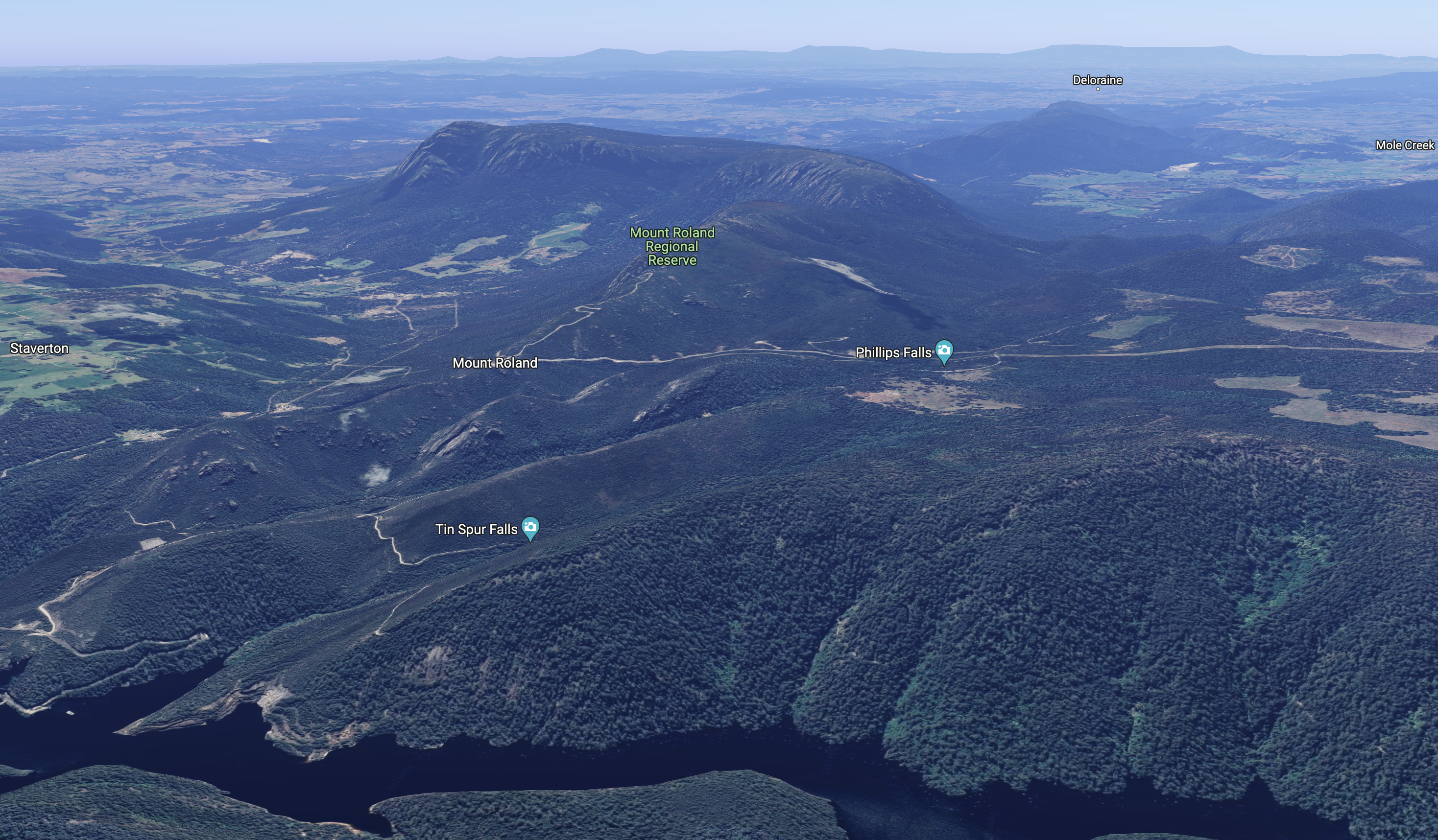
Above:- An aerial view of the Mount Roland Regional Reserve. Image c/o Google Earth.
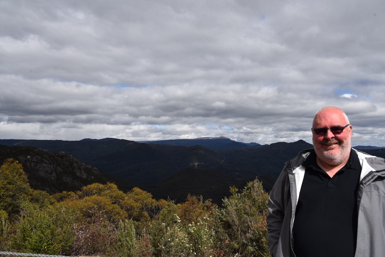
Marija and I set up in the area adjacent to the main carpark of Round Mountain lookout. We ran the Yaesu FT857, 40 watts, and the 20/40/80m linked dipole for this activation. We operated from within the 4WD as the outside temperature was about -34 deg C.
Marija made the following QSOs on 40m SSB before the UTC rollover:-
- VK3VIN
- VK7WUU
- VK7JFD
- VK3ZSC
- VK2MET
- VK1AO
- VK5BHE
- VK2IO
- VK3PF
- VK3APJ
- VK3GRX/p
Marija made the following QSOs on 20m SSB before the UTC rollover:-
- VK4KC/p (VKFF-1190)
- VK4MAD/p (VKFF-1190)
- VK4DOG/p (VKFF-1190)
Marija made the following QSOs on 20m SSB after the UTC rollover:-
- VK4KC/p (VKFF-1190)
- VK4MAD/p (VKFF-1190)
- VK4DOG/p (VKFF-1190)
I made the following QSOs on 40m SSB before the UTC rollover:-
- VK3VIN
- VK7WUU
- VK7JFD
- VK3ZSC
- VK2MET
- VK1AO
- VK5BJE
- VK2IO
- VK3PF
- VK3APJ
- VK3GRX/p
- VK3EJ
- VK1DI
- VK3SQ
- VK7AN
- VK2EXA
- VK5AV
- VK3AHR
- VK2HHA
- VK3VB
I made the following QSOs on 20m SSB:-
- VK4NH
- VK4DXA
- VK2MET
- VK1AO
- VK4KLA
- VK2PKT
- VK4KC/p (VKFF-1190)
- VK4MAD/p (VKFF-1190)
- VK4DOG/p (VKFF-1190)
- VK6JK
I made the following QSOs on 20m SSB:-
- VK6JK
- VK4KC/p (VKFF-1190)
- VK4MAD/p (VKFF-1190)
- VK4DOG/p (VKFF-1190)
- VK4NH
- VK4DXA
- VK4TJ
- VK4HAT
- VK4KLA
- VK2IO
- VK4KUS
I worked the following QSOs on 40m SSB:-
- VK5AV
- VK3VIN
- VK3PF
- VK3VB
We packed up and headed to our next park, the Mole Creek Karst National Park.
References.
- Our Tasmania, 2023, <https://www.ourtasmania.com.au/northwest/lake-cethana.html>, viewed 5th January 2023.
- Peak Visor, 2023, <https://peakvisor.com/park/mount-roland-regional-reserve.html>, viewed 5th January 2023.
- The Companion to Tasmanian History, 2023, <https://www.utas.edu.au/library/companion_to_tasmanian_history/M/Mt%20Roland.htm>, viewed 5th January 2023.
- Where in Tasmania, Dennis, C.J., July 2003.
