
After leaving Mary Seymour Conservation Park, I travelled a short distance to my next park activation location at the Big Heath Conservation Park, which is situated about 20 km south of Naracoorte. This was another unique park for me for the VK5 National & Conservation Parks Award and a unique park for the World Wide Flora Fauna (WWFF) program, so I was hoping to get my 44 contacts. Big Heath was only just recently added to the WWFF program.
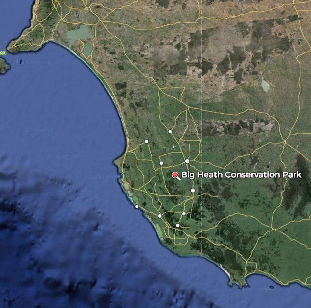
Above:- Map showing the location of the park. Map courtesy of mapcarta.com
Big Heath Conservation Park was constituted back in 1964 and covers an area of 2,351 hectares. In an extra 100 hectares of land was added to the park. When this land was added, Department of Environment Water and Natural Resources (DEWNR) CEO stated:-
‘Big Heath Conservation Park is situated in an area of high national and state priority for conservation, and protects remnant wet heath land vegetation in a regionally threatened plant community’.
The park contains a diversity of vegetation types. It is certainly a very attractive park. In the higher areas of the north eastern corner of the park, there is a Eucalypt woodland with a sparse understorey. In the north western end of the park you can find a low woodland of Brown Stringybark, Pink Gum, and Desert Banksia. A number of limestone outcrops located throughout the park, support Manna Gum, South Australian Blue Gum and Pink Gum woodlands. In the south eastern corner of the park, River Red Gums of varying age and densisty proudly stand. A dense heath of Mallee Honey Myrtle, Yellow Hakea, and Prickly Tea Tree is also found. As elevation increases in the park, there are corresponding changes to the heath vegetation associations, with Broombrush, Grass Tree and Dwarf Sheaok occurring.
A large amount of native wildlife can be found in the park including the threatened species, Little Pygmy Possum.
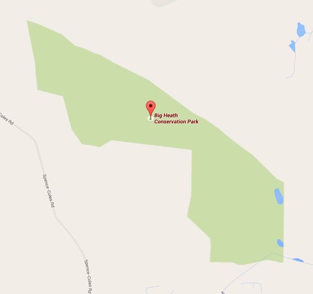
Above: Map showing the borders of the park. Map courtesy of google maps.
I set up in the south eastern corner of the park, after following Coles-Kilanoola Road into the park, passed the vineyards. There was a nice cleared area at this location with plenty of room for me to run out the linked dipole.
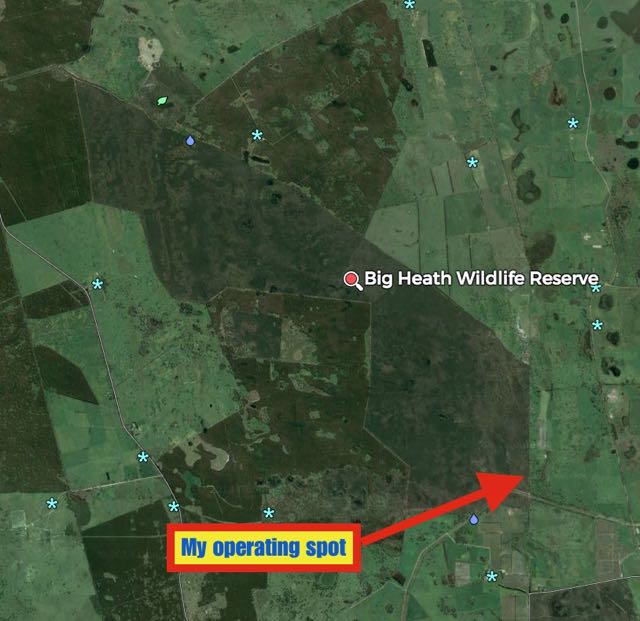
Above:- My operating spot. Map courtesy of mapcarta.com
Again, I started off calling CQ on 7.095 and first cab off the rank was Greg VK5GJ at Meadows, running his normal QRP 4 watts with a nice 5/7 signal. This was followed by Jim VK1AT/3 who is being a regular park hunter. Next up was Rob VK4AAC/5 portable on Kangaroo Island, and then two regular park hunters, Arno VK5ZAR and Mick VK3PMG.
Things were travelling along well, and I was on my way to 44 contacts. I had a steady flow of callers from all over Australia. As I normally do, I took a break from the hunters from home, to listen out for mobiles and portables. This resulted in a large number of mobile stations calling in, including husband and wife team Joe VK3YSP and Julie VK3FOWL, Eugene VK5ZA mobile at Auburn in the Clare Valley, Greg VK5ZGY, Mark VK5QI mobile at Blanchetown in the Riverland, Simon VK3SMC mobile in the Toolangi State Forest (4WDing), Peter VK5KX mobile at Blanchetown, Matt VK5ZM, Peter VK3TBN mobile at Bundoora, Chris VK2SR mobile in the ACT, and Tom VK5FTRG. I was also called by Kerry VK4FKDP portable near the Condamine River .
At 0550 UTC (3.20 p.m. SA local time) I QSYd from 7.095 up to 7.105, so that I did not cause any QRM to the Kandos Net which operates at 0600 UTC on 7.093. I worked a further 9 stations in VK3, VK4, & VK5 on 7.105.
After an hour in the park, I had 45 contacts in the log, thus qualifying the park for WWFF. I was tempted to have a go on 20m but it was getting a little late (4.40 p.m. SA local time) and I still wanted to get to Hacks Lagoon. I was cognisant that if I called CQ on 20m from a VKFF park, and the Europeans found me, it would be very hard to get out of Big Heath. So I packed up my gear and headed off for another unique park, Hacks Lagoon.
The following stations were worked:-
- VK5GJ
- VK1AT/3
- VK4AAC/5 (Kangaroo Island)
- VK5ZAR
- VK3PMG
- VK3OHM
- VK3NBV
- VK3NBL
- VK3DBP
- VK3FQSO
- VK5JK
- VK3BHR
- VK3PF
- VK5HCF
- VK4RZ
- VK2NP
- VK3YSP/m
- VK5FANA
- VK5NRG
- VK3FOWL/m
- VK5ZA/m
- VK5ZGY/m
- VK5QI/m
- VK3SMC/m
- VK5KX/m
- VK5ZMm
- VK4FKDB/p
- VK3TBN/m
- VK2SR/mobile1
- VK5AW
- VK5FMID
- VK5NIG
- VK3OF
- VK3MEK
- VK5FCHM
- VK5BJE
- VK3TJK
- VK5KLV
- VK4GSF
- VK3AIG
- VK5FTRG/m
- VK7CC
- VK3MCK
- VK3FEUG
- VK5NQP
References.
Natural Resources Group, Department of Environment and Natural Resources, 1994, Small Inland Parks of the South East Management Plan.
Department of Environment Water and Natural Resources, 2015, <http://www.environment.sa.gov.au/Home/Full_newsevents_listing/News_Events_Listing/110113-Three_new_parks>, viewed 11th June 2015
