
My second activation for Sunday, the 3rd day of May 2026, was the Fryingpan Creek Streamside Reserve VKFF-3692.
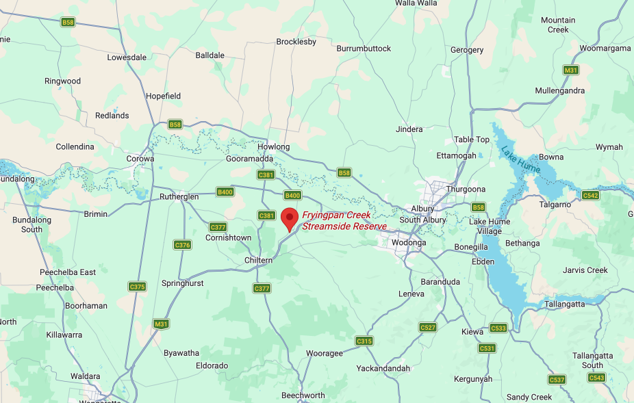
Above: Map showing the location of Fryingpan Creek SSR. Map c/o Google Maps
The reserve is located on the southeast corner of High Street and Cemetery Road at Barnawartha.
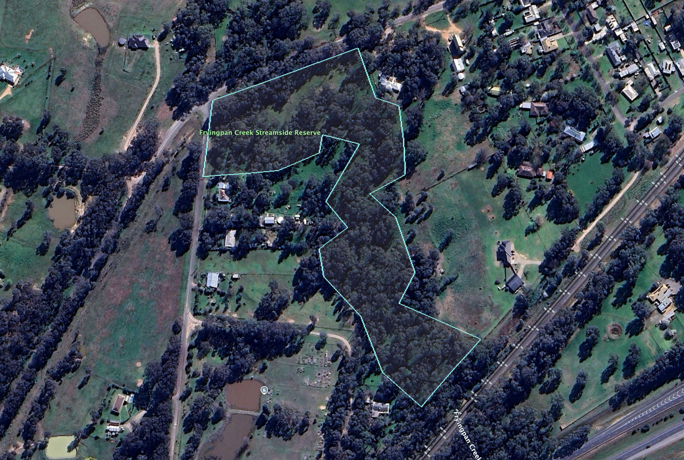
Above: the boundaries at the reserve. Image c/o Google Earth
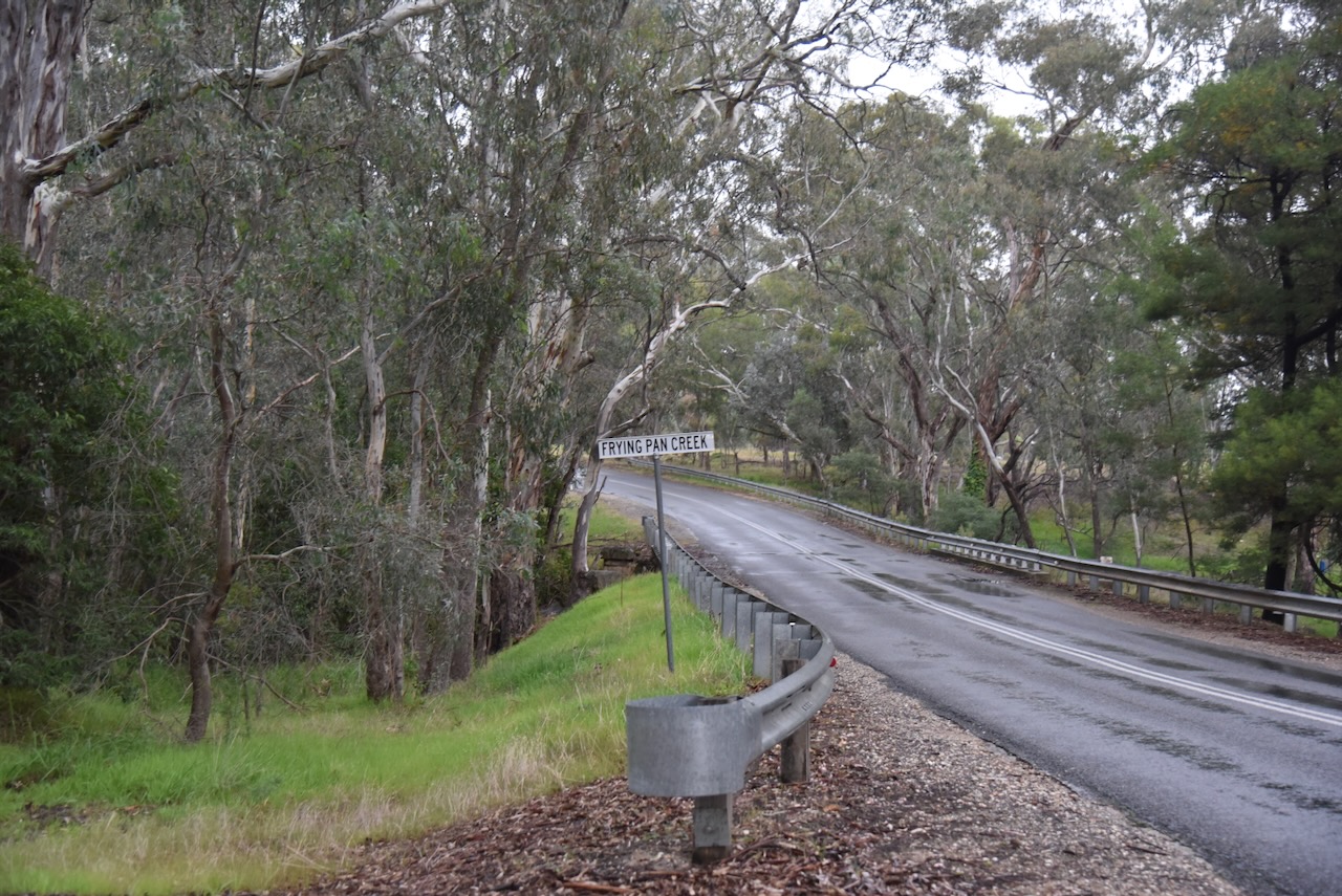
The reserve is about 5.5 hectares in size and was established on the 1st day of May 1979. As the name implies, Fryingpan Creek passes through the reserve. The creek commences near the Chiltern Mount Pilot National Park and flows into Indigo Creek to the north. (Dcceew.gov.au, 2023)
I ran the Yaesu FT857, 40 watts, and the 20/40/80m linked dipole for this activation.
I worked the following stations on 40m SSB:-
- VK3IFT
- VK3TKU
- VK3WRD
- VK2VW
- VK2HFI
- VK2AKA
- VK2BUG
- VK4BWL
- VK3VIN
- VK3CEO
- VK5AYL
- VK3MDC
- VK4FNQ
- VK3MB
- VK3KRL
- VK5MAZ
- VK3SQ
- VK2BD
- VK3JT
- VK3UH
- VK5DW
- VK3CLD
- VK2DBF
- VK5QA
- VK2EXA
- VK5PL
- VK5AV
- VK5FANA
- VK4MRH/P (VKFF-3992)
- VK4EAH
- VK2KJH
- VK5AMH
- VK3FB
- VK7PJM
- VK2IO/P (VKFF-2186)
- VK2GEZ/P (VKFF-2186)
- VK3APJ
- VK3FS
- VK3ATT
- VK3ETT
- VK5HS
- VK3ACZ
- VK5BJE
- VK3GRK
- VK2MAB
- VK2LUE
- VK3CJN
- VK3QHU
- VK3FB
- VK3BDW
- VK1ACE
- VK5NJ
References.
- Dcceew.gov.au. (2023). Collaborative Australian Protected Areas Database (CAPAD) 2022 – DCCEEW. [online] Available at: https://www.dcceew.gov.au/environment/land/nrs/science/capad/2022.
