
On Sunday afternoon, the 3rd day of May 2026, at the conclusion of the VK Summit event, I headed out to activate some parks. My first park was the Barnawartha Scenic Reserve VKFF-3588.
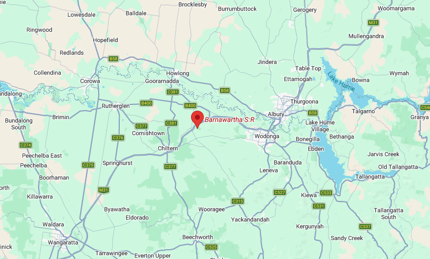
Above: Map showing the location of the Barnawartha Scenic Reserve. Map c/o Google Maps
The reserve is located on the eastern side of the Hume Freeway, between Plunketts Road and Oates Gap Road.
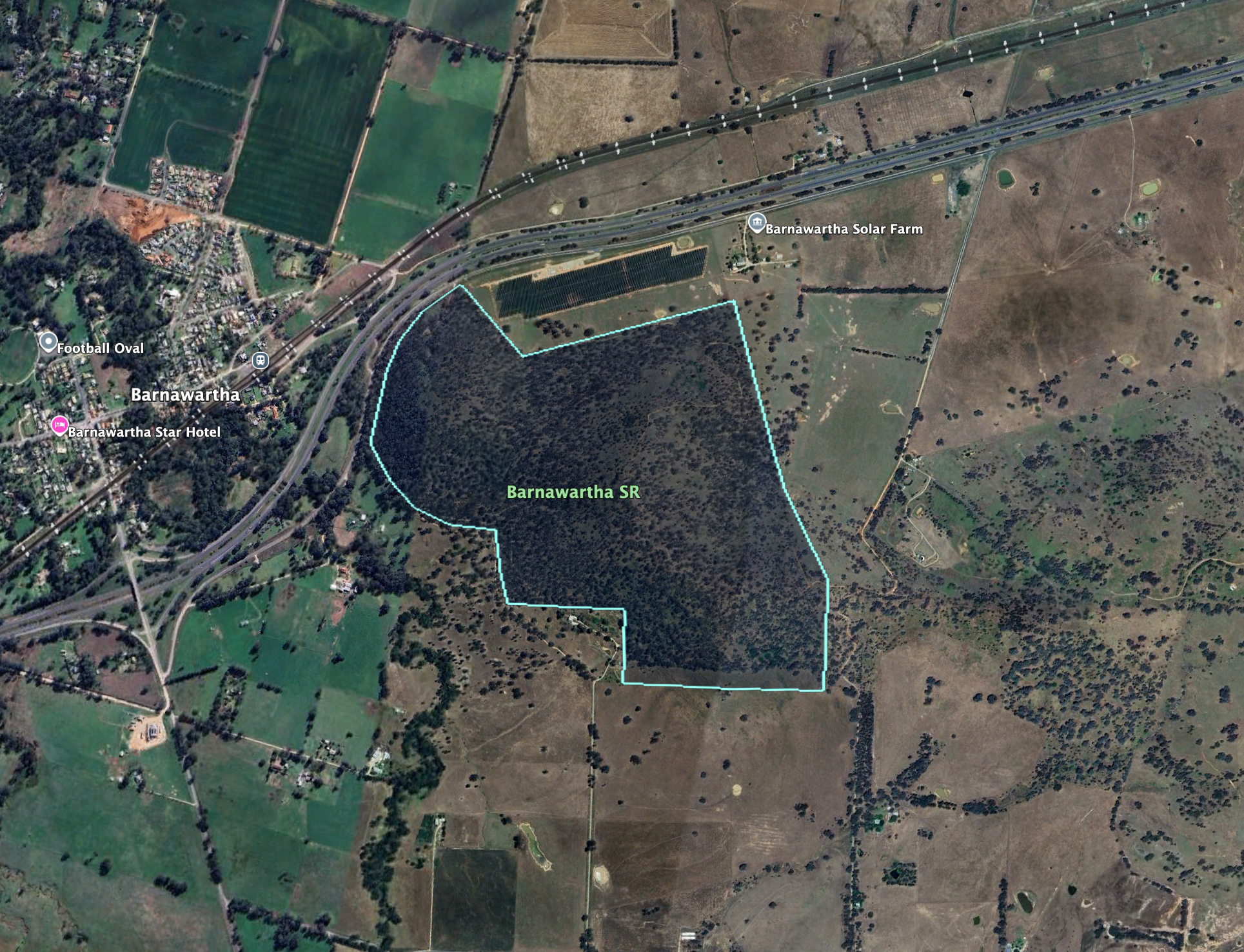
Above: the boundaries at the Barnawartha Scenic Reserve. Image c/o Google Earth
The reserve is about 131 hectares in size and was established on the 1st day of May 1979. (Dcceew.gov.au, 2023)
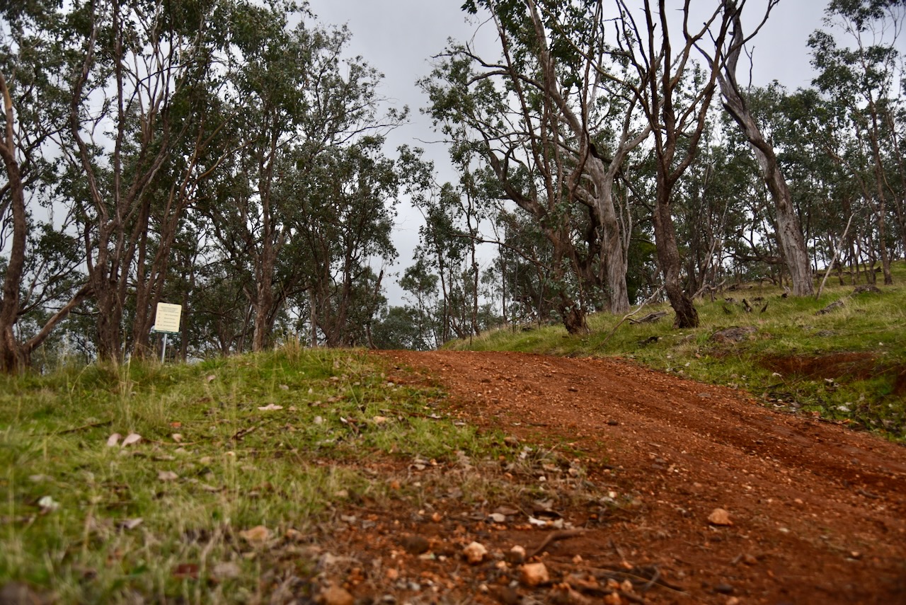
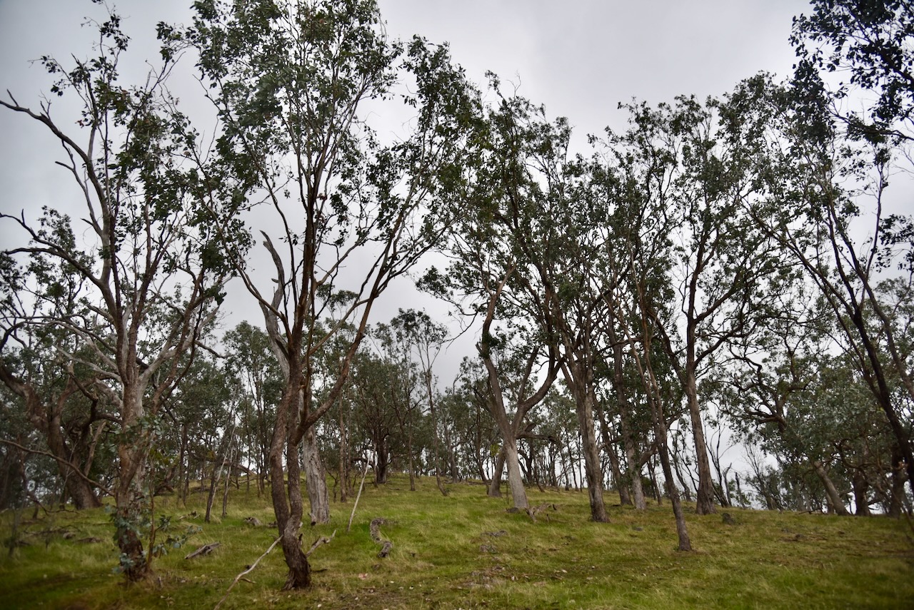
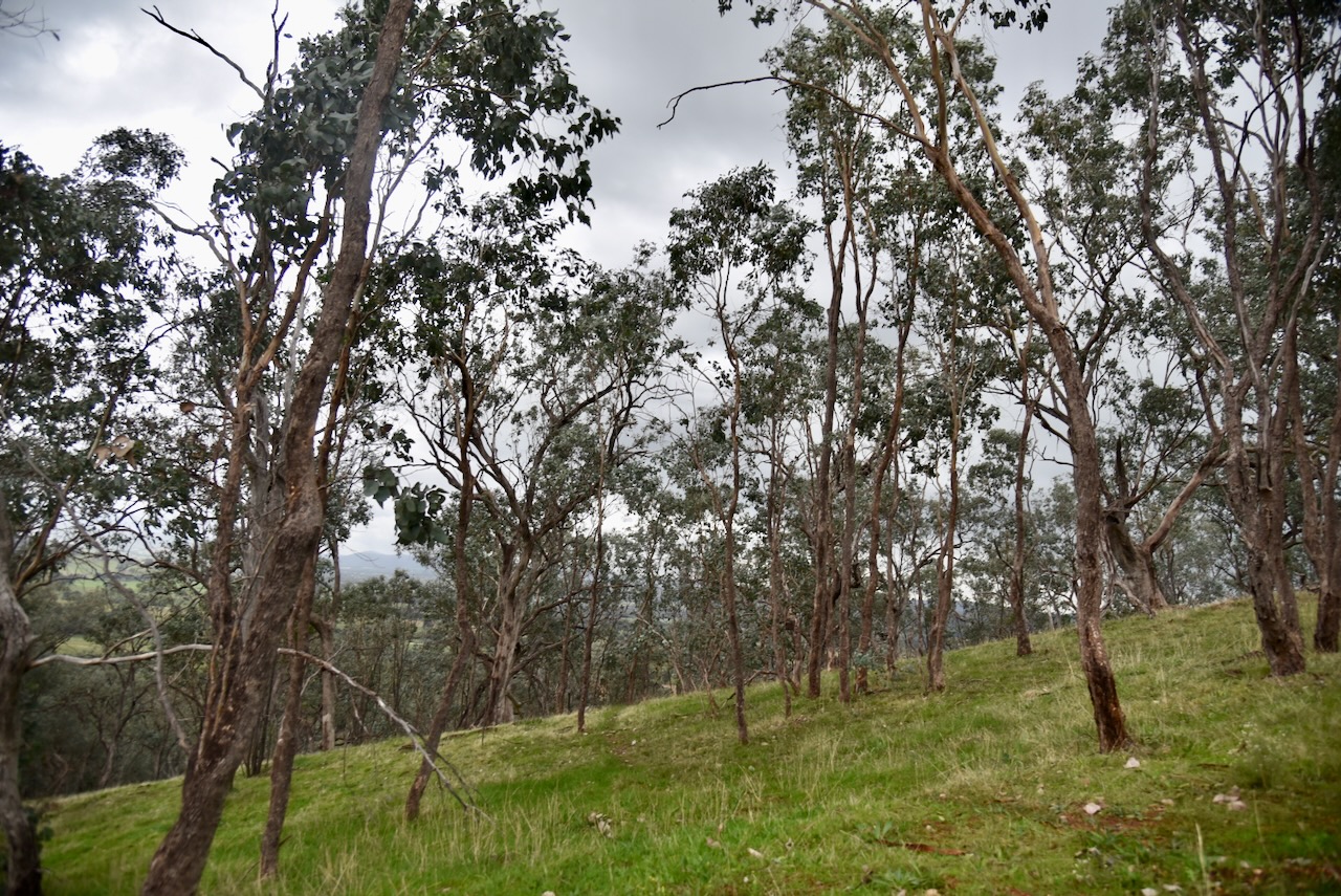
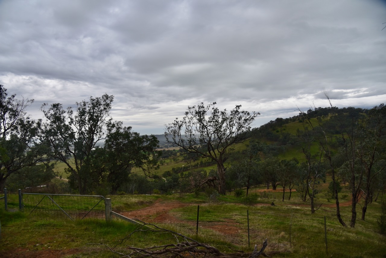
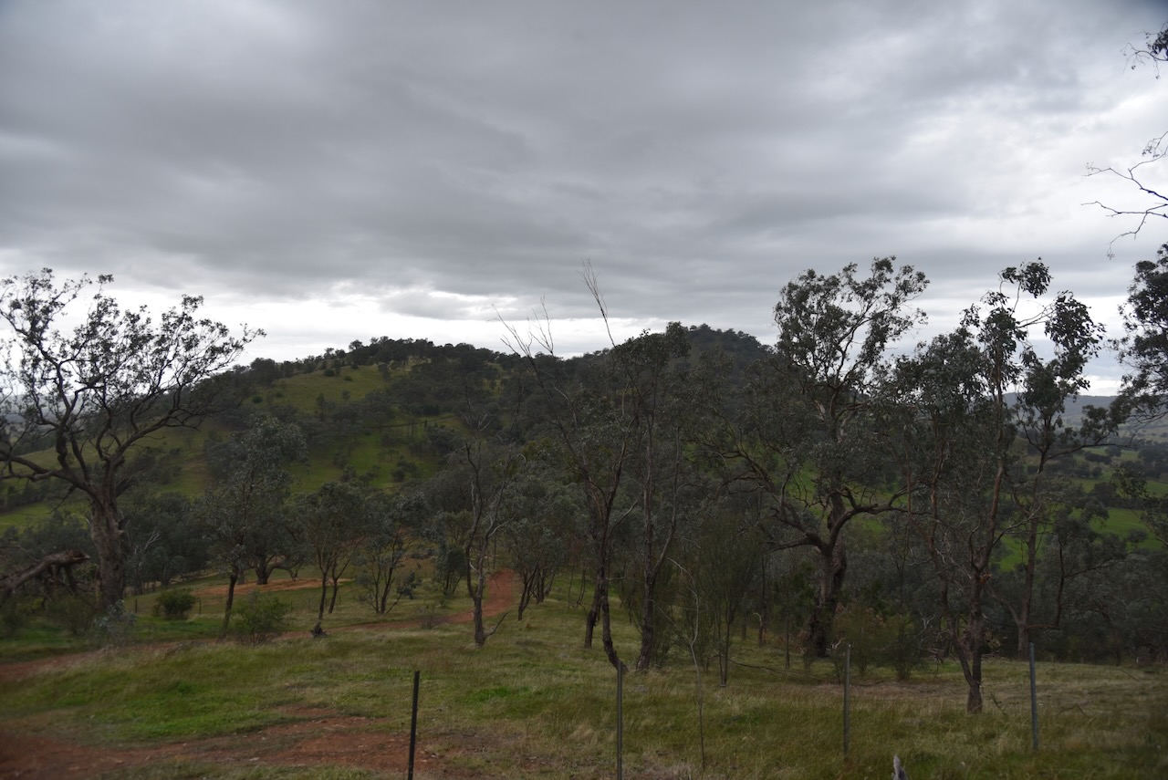
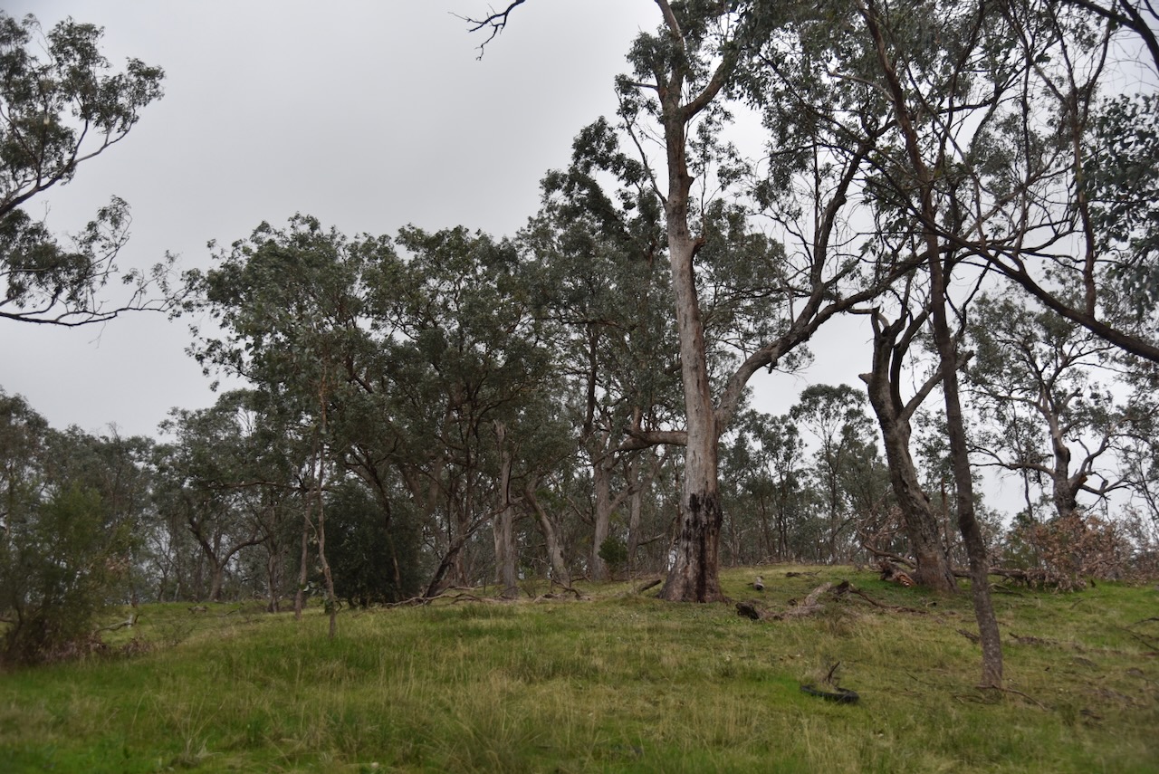
I accessed the park via Oates Gap Road and then a 4WD track that led into the park. It was quite a wet afternoon and the track was steep and slippery and only accessible via 4WD.
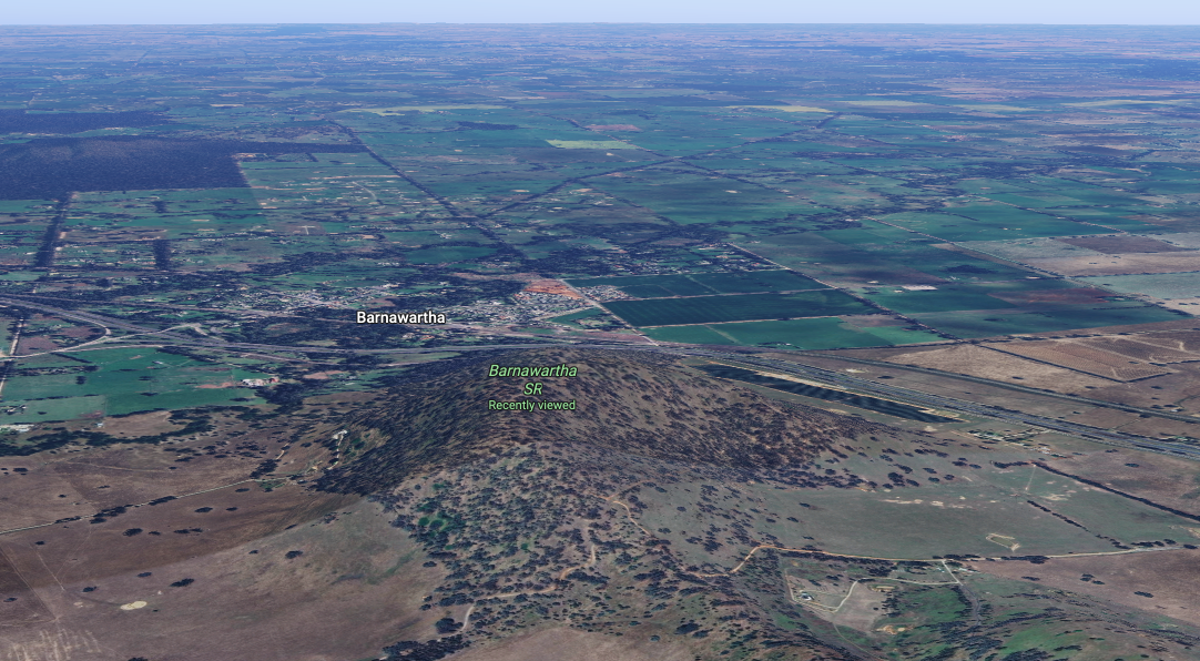
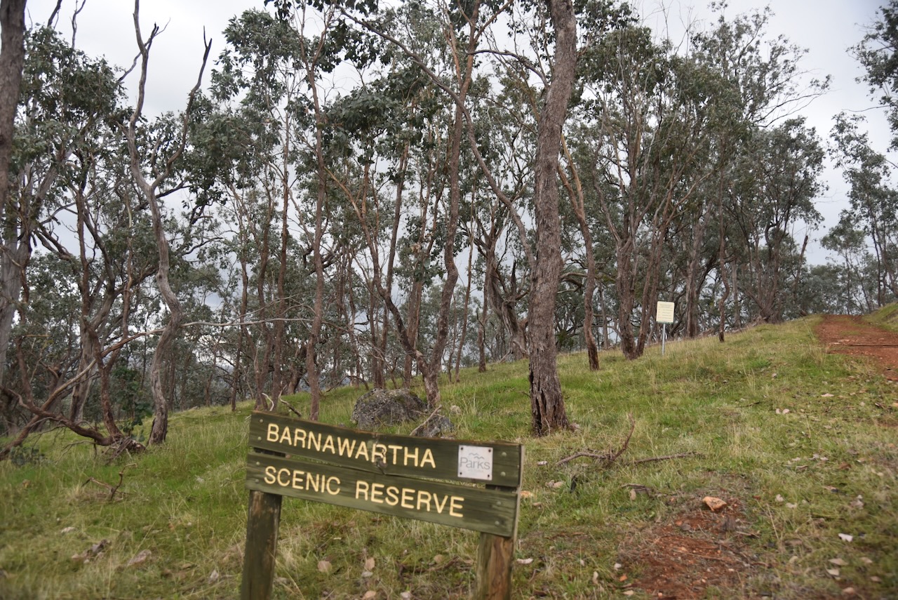
Above: an aerial view of the Barnawartha Scenic Reserve. Image c/o Google Maps
I ran the Yaesu FT857, 40 watts, and the 20/40/80m linked dipole for this activation.
Unfortunately, 10 minutes into the activation, I had LZ5R come onto my frequency, calling CQ contest. Fortunately those that were calling me were much stronger so I remained on the frequency.
There was a very nice opening on the long path 20m into Europe. I logged a total of 130 stations for this activation.
I worked the following stations on 40m SSB:-
- VK7PJM
- VK2IO/M
- VK2GEZ/M
- VK3ZSC
- VK3TKU
- VK2AIH
- VK4VHW
- VK2VH
- VK4AAC
- VK2VW
- VK2HFI
- VK2AKA
- VK2BUG
- VK3FB
- VK4NH
- VK4DXA
- VK2MW
- VK2HSV
- VK2OM
- VK2XWB/P
- VK3PF (VKFF-5788)
- VK3KAI (VKFF-5788)
- VK3VBA (VKFF-5788)
- VK2EXA
- VK3CEO
- VK1AO
- VK2MET
- VK5DM
- EI6KV
- VK3CWF
- VK2JHJ
- VK5FANA
- VK3WRD
- VK3TVG
- VK3HHE
- VK2AXV
- VK2IO/P (VKFF-4631)
- VK2GEZ/P (VKFF-4631)
- VK3AMO
- VK5KVA
- VK3CJN
- VK3QHU
- VK3VIN
- VK3UP
- VK1CHW
- VK2CHW
- VK5FL
- VK3MB
- VK2NWT
- VK3UH
- VK3MAY
- VK2ICW
- VK3PJT
- VK2LEE
- VK2DG
- VK2YW
- VK2MAB
- VK2LUE
- VK5HS
- VK2MOE
- VK1MO
- VK4SYD
- VK1KEP
- VK3TUN/P (VKFF-5798)
- VK5DG/P (VKFF-5798)
- VK5ANB/P (VKFF-5798)
I worked the following stations on 20m SSB:-
- KG5CIK
- VK3AP
- YO3AEK
- 9A8DX
- IC8CUQ
- IU0PXO
- KE3GR
- F5NZO
- UT5PI
- F4ISZ
- OZ6CM
- OK2ZV
- F5PYI
- NU6C
- OH1MM
- UY7VV
- IU6JMK
- SQ7KM
- ES6RW
- DL8UP
- SP5HRX
- E75RN
- SV5ADM
- OE3MGS
- K7DHX
- R3G
- VK4EW
- VK5HS
- VK3PF (VKFF-5788)
- VK3KAI (VKFF-5788)
- VK3VBA (VKFF-5788)
- EA5IPC
- VK5WU
- IW2MJQ
- VK3SX
- VK4NH
- VK4DXA
- VK5PL
- VK7AAE
- PD5S
- PD1AT
- DG0OBU
- LZ3TY
- IK3PCZ
- EA3MP
- IZ5JMZ
- OK7WA
- EA5GVV
- S54X
- VK5DDD
- SQ9CWO
- IK1GCB
- VK4ERC
- F1EMX
- F4GYE
- F6KBK
- IZ5ILF
- SM1ALH
- F4GYM
- VK3IFR
- VK3TKU
- TA4YMA
- DK3TG
- DJ1SD
References.
- Dcceew.gov.au. (2023). Collaborative Australian Protected Areas Database (CAPAD) 2022 – DCCEEW. [online] Available at: https://www.dcceew.gov.au/environment/land/nrs/science/capad/2022.
