
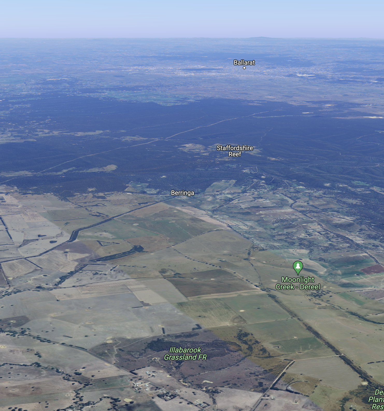
Our seventh and final park for 7th March 2023 was the Illabrook Grassland Flora Reserve VKFF-2335. The park is about 158 km west of Melbourne and about 44 km south of Ballarat.

Above:- Map showing the location of the Illabrook Grassland Flora Reserve. Map c/o Google Maps.
The Illabrook Grassland Flora Reserve is 126 hectares in size and was established on the 21st day of May 1996.
Above:- An aerial view of the park. Image c/o Google Maps.
The park is bordered on the west by Cape Clear-Rokewood Road and to the east by Moonlight Road. The park’s southern boundary is Illabrook Football Ground Road.
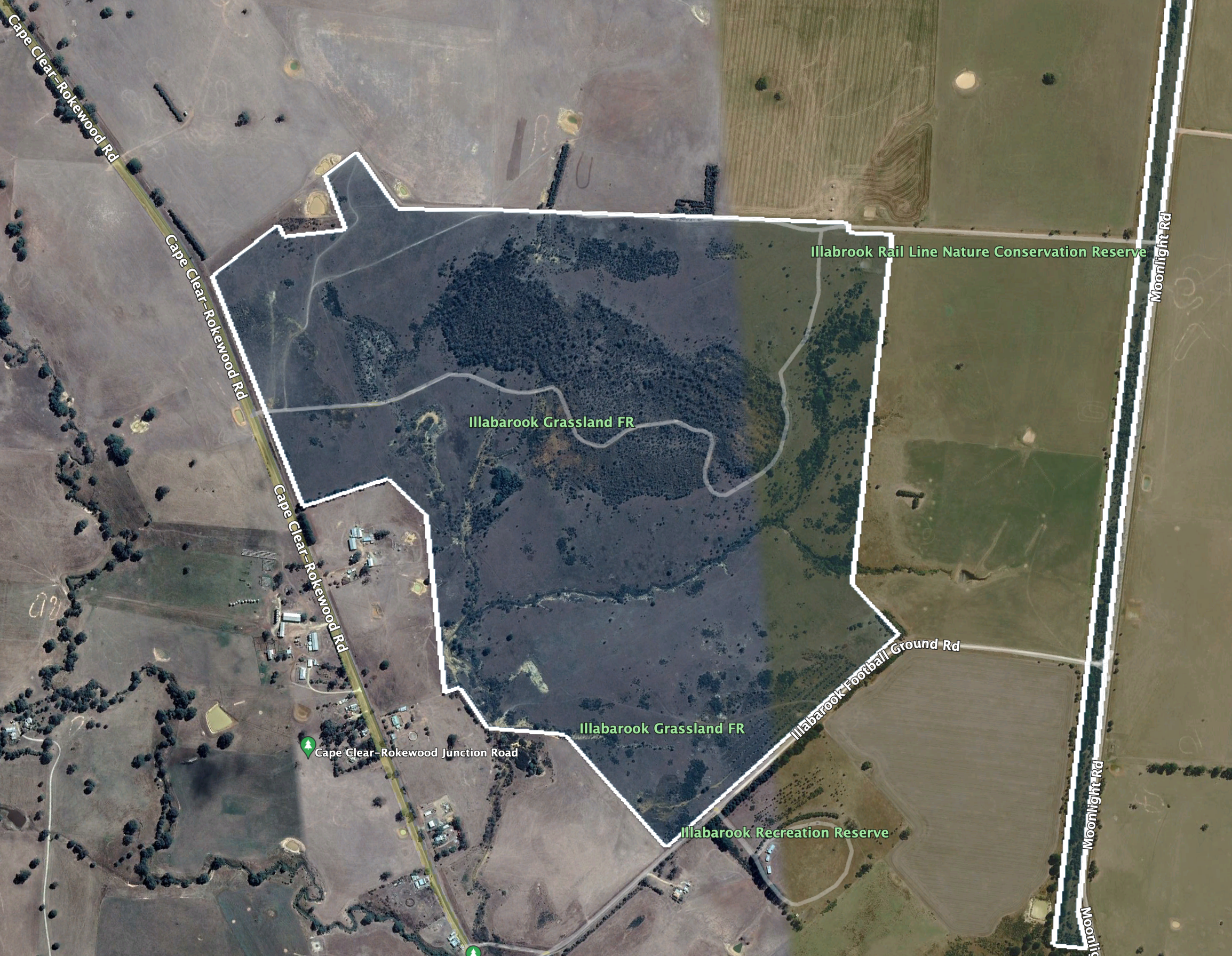
Above:- An aerial view of the Illabrook Grassland Flora Reserve. Image c/o Google Earth.
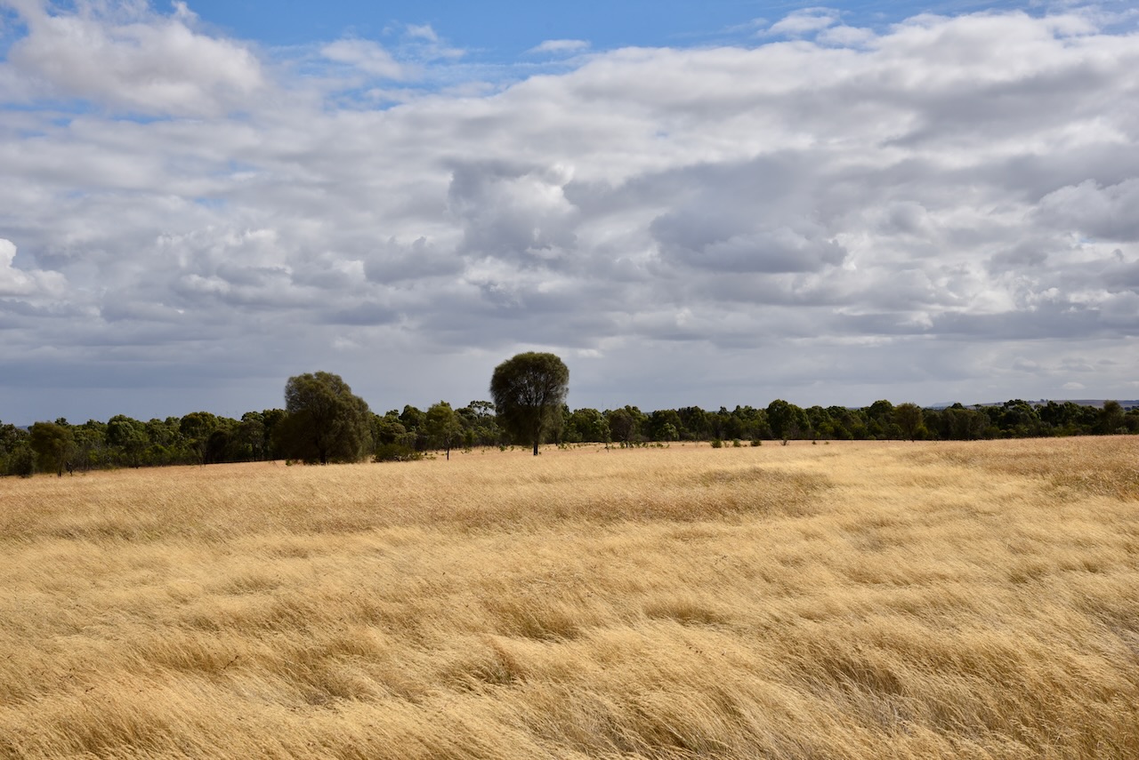
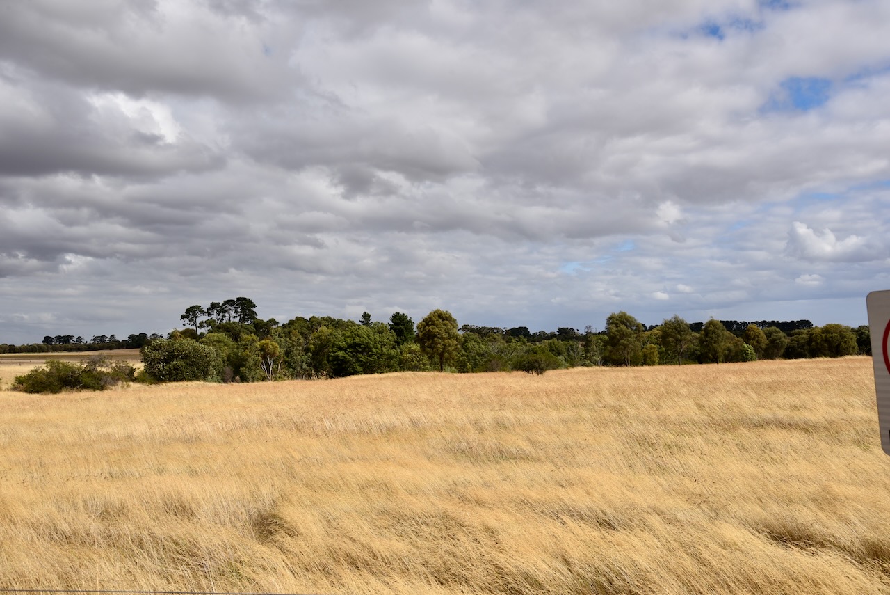
The park is significant due to the majority of Victoria’s grasslands having been cleared for agriculture. European settlers found that the expansive grasslands in Victoria were excellent for grazing and easy to convert to cropping. Other than grassland, the park contains numerous orchid, daisy, and pea species.

Marija worked the following stations on 20m SSB:-
- VK4EMP
- VK4TI
- VK4FW
- VK8MM
- VK4TJ
- VK2IO
- VK6GLX
- K5RX
Marija worked the following stations on 20m AM:-
- VK4FW
- VK8MM
- VK4TJ
I worked the following stations on 20m SSB:-
- VK4EMP
- VK4TI
- VK4FW
- VK8MM
- F1BLL
- KG5CIK
- VK4TJ
- VK2IO
- VK6GLX
- K5RX
- IW2BNA
I worked the following stations on 20m AM:-
- VK4FW
- VK8MM
- VK4TJ
I worked the following stations on 40m SSB:-
- VK3APJ
- VK3PF
- VK5BJE
- Vk2EXA
- VK5PE/m
- VK1TTY
- VK5TN
- VK3VIN
- VK5HS
- VK1RF
- VK3UAO
- VK3CWF
- VK5KRX
- VK3CAT
- VK4FW
- VK8MM
- VK2MOE
- VK3PWG
- VK2IO
- VK4NH
- VK4DXA
- VK3HJW
- VK3KR
I worked the following stations on 40m AM:-
- VK5HS
- VK3VIN
- VK3APJ
I worked the following stations on 80m SSB:-
- VK3CWF
- VK3GJG
- VK3PF
- VK3UAO
- VK3APJ
I worked the following stations on 80m AM:-
- VK3CWF
- VK3PF
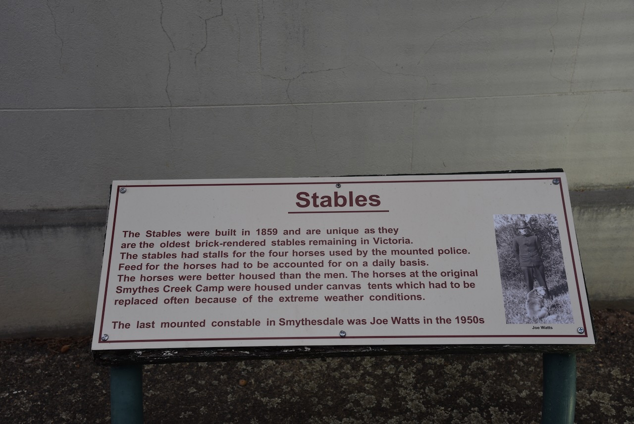
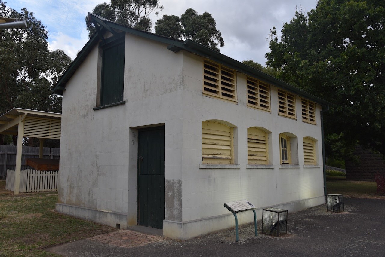
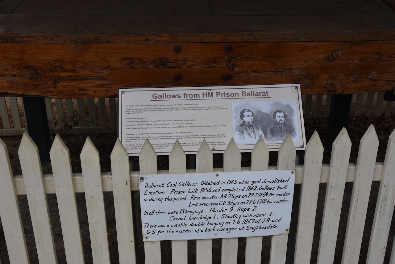
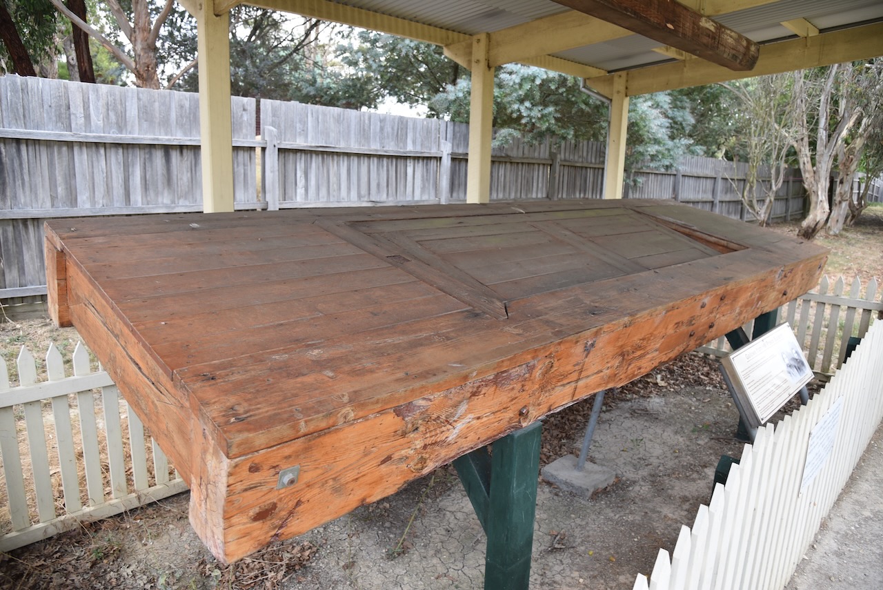
After leaving the park we drove north to the little town of Smythesdale which is located about 18 km southwest of Ballarat.
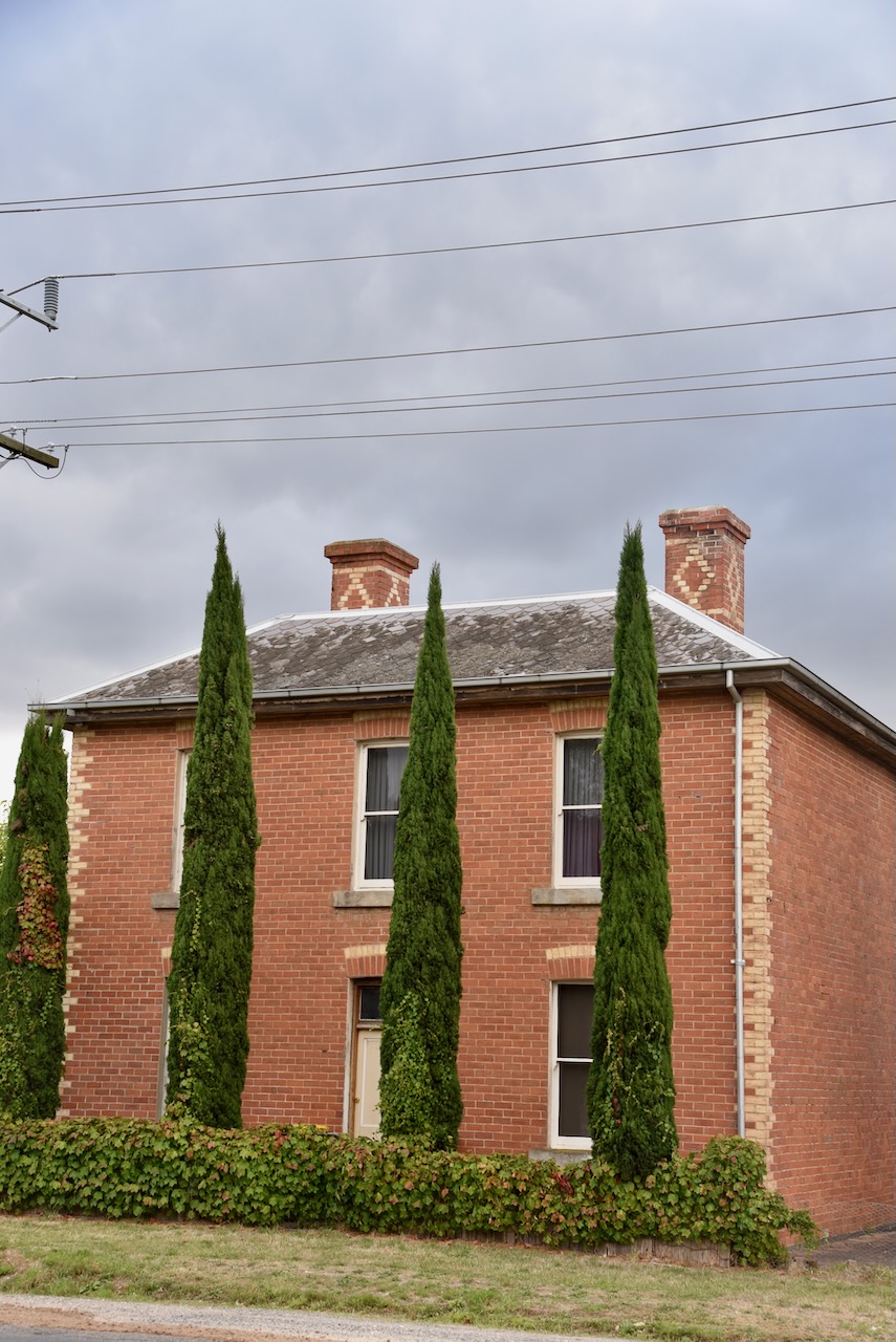
The town was named after John Smythe who took up a pastoral lease Nentinball in the district in 1849. In 1853 gold was discovered at Smythesdale, and soon after southwards along Smythese Creek toward Cape Clear. By 1856 an Anglican school was opened and in 1861 a courthouse was opened. Smythesdale’s largest population was during the 1860s when the town had a mechanics institute, a free library, a foundry, a sawmill, a brewery and numerous hotels. Smythesdale residents laid out a public park and a racecourse. They formed several sporting clubs and an amateur theatrical club.
The 1903 Australian Handbook 1903 describes Smythesdale as follows:
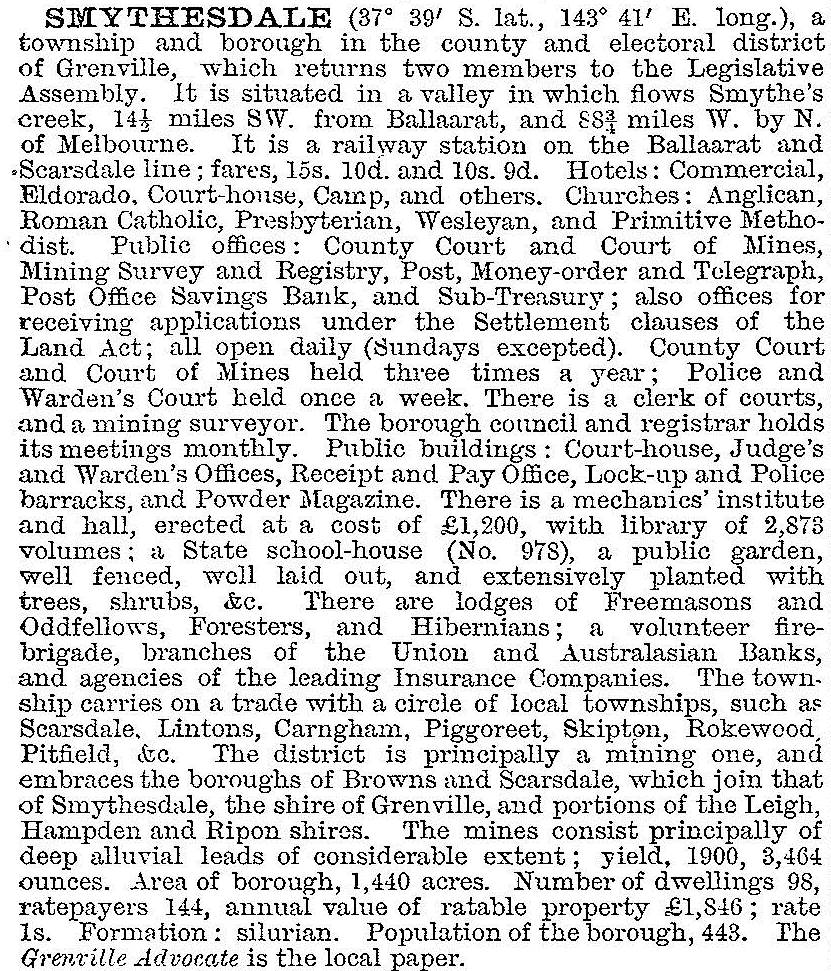
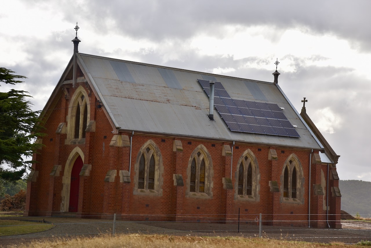
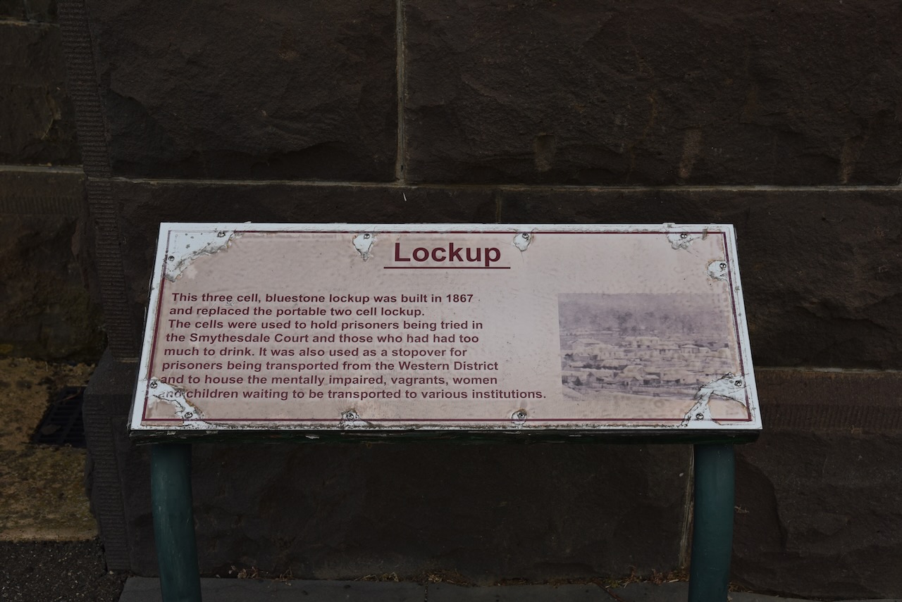
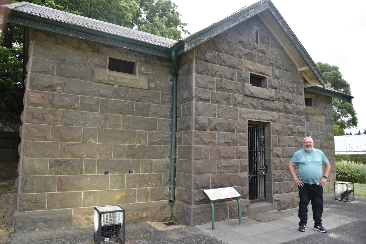
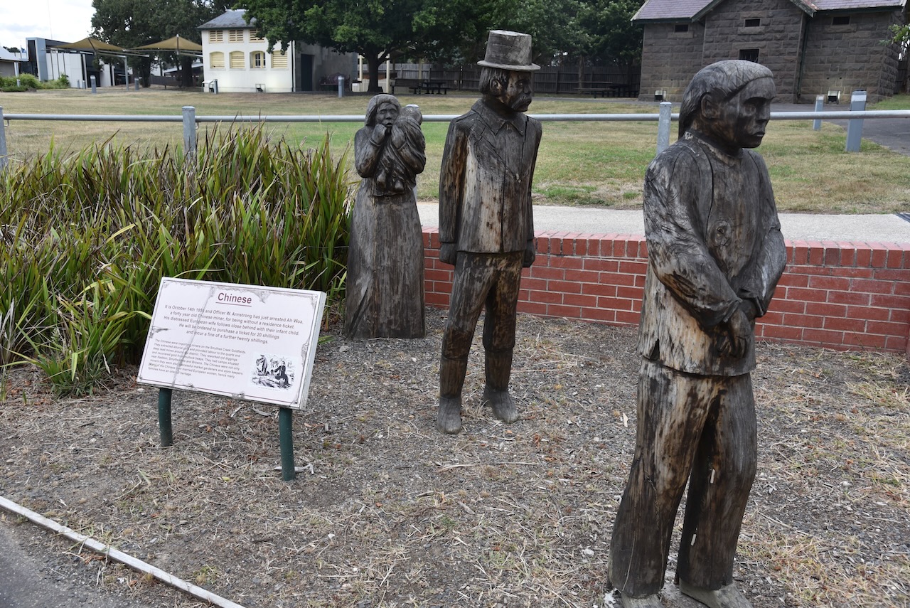
The town has a number of magnificent historical buildings and interpretive signs. We spent quite a bit of time wandering around this fascinating little town.


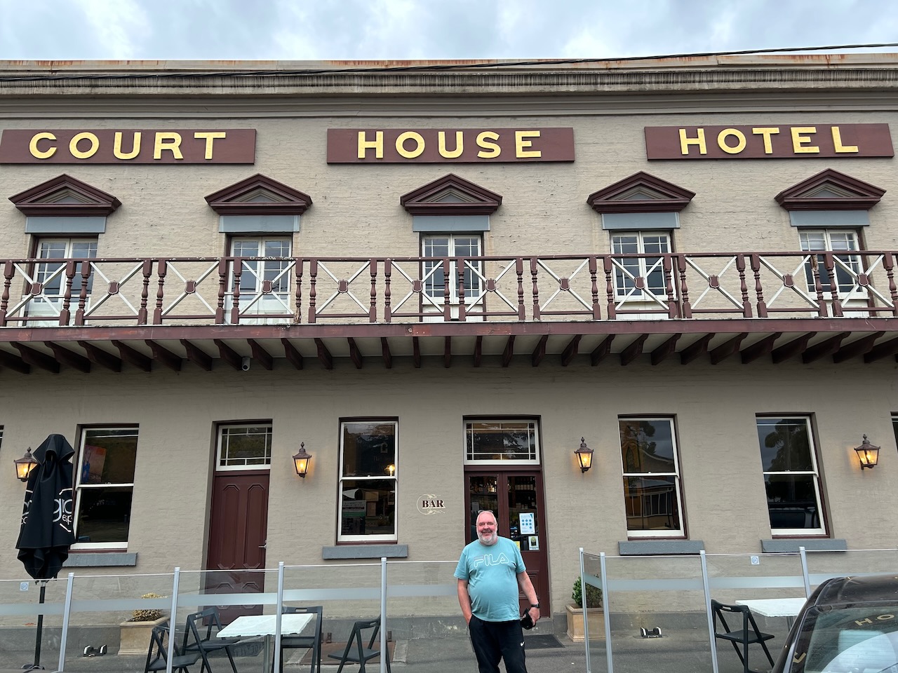
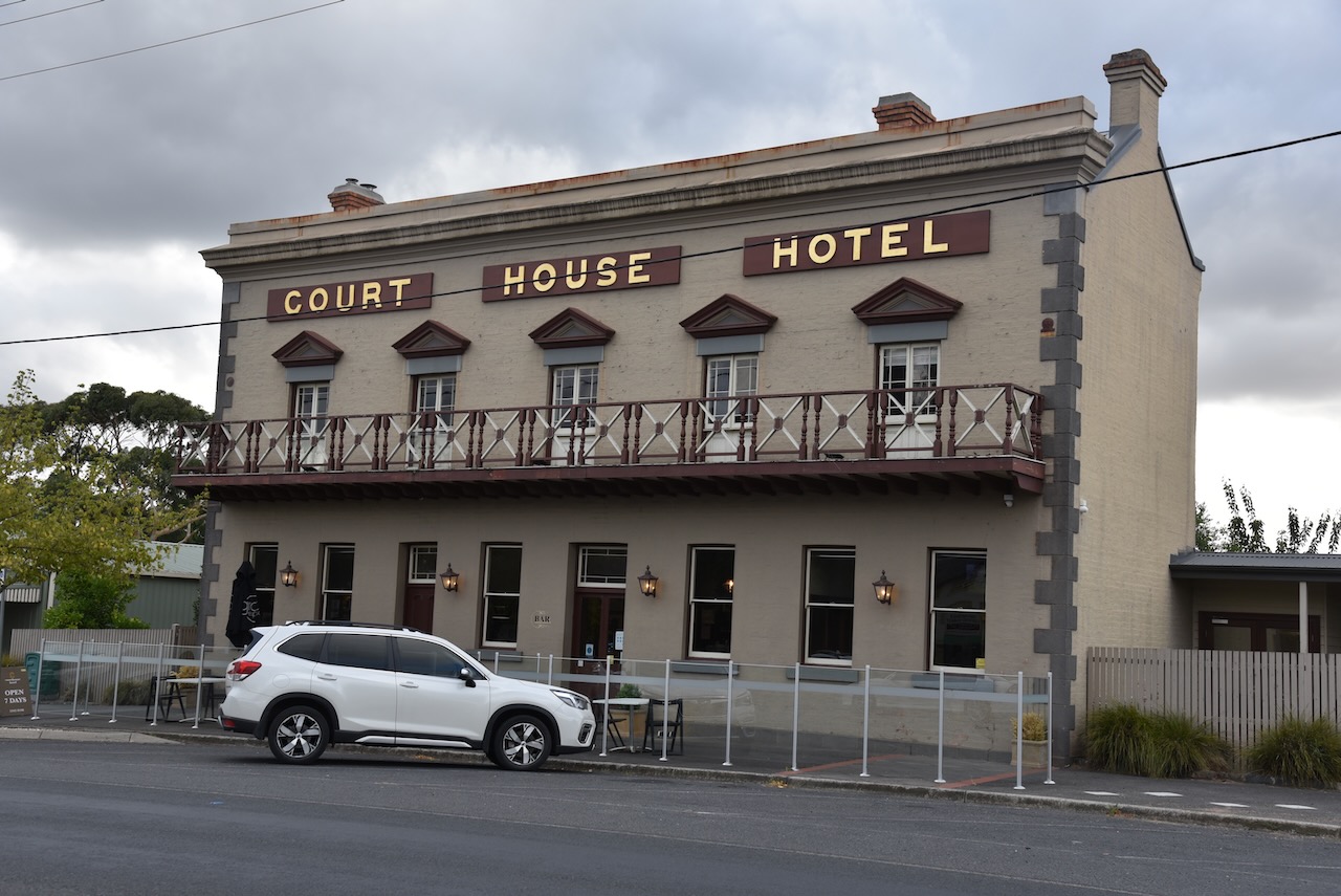
It was dinner time, so we ventured to the Court House Hotel, where we enjoyed a very nice meal and some refreshing ales. The hotel commenced as a wooden building in 1850, and the current brick building was built in 1856.
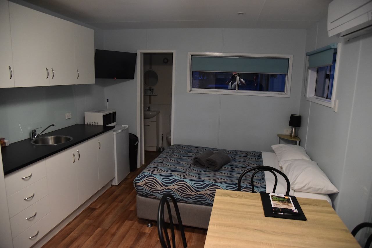
We then drove about 86 km to the town of Ararat where we had booked into the caravan park. It was the end of a long, but very enjoyable day.
References.
- CAPAD 2020.
- Parks Victoria, park-update august 217
- Victorian Places, 2023, <https://www.victorianplaces.com.au/smythesdale>, viewed 4th May 2023.
- Wikipedia, 2023, <https://bih.federation.edu.au/index.php/Court_House_Hotel_(Smythesdale)>, viewed 4th May 2023.
