
Our fourth silo activation for 8th March 2023 for the Silos On The Air (SiOTA) program was the Arapiles silo VK-ARS3.
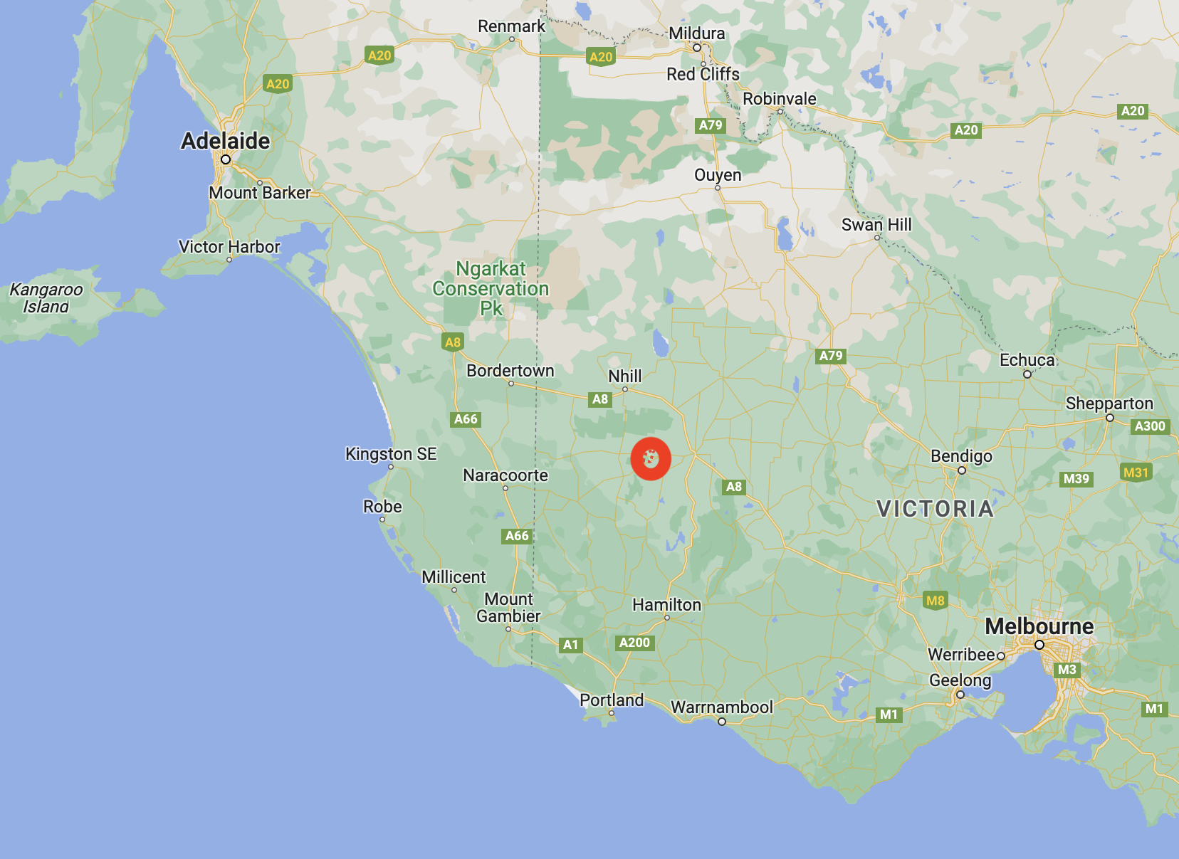
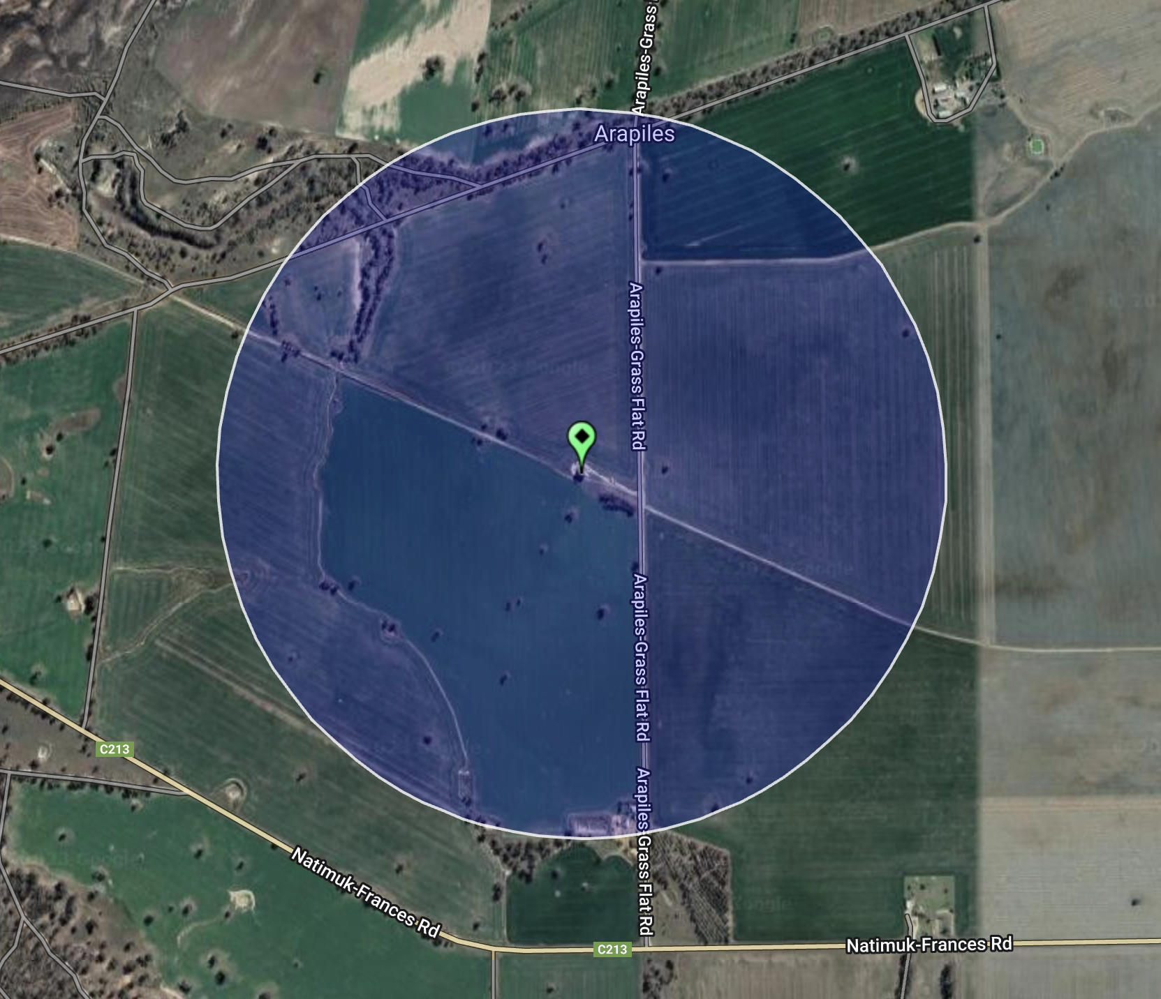
Above:- Map showing the location of Arapiles. Map c/o Google Maps.
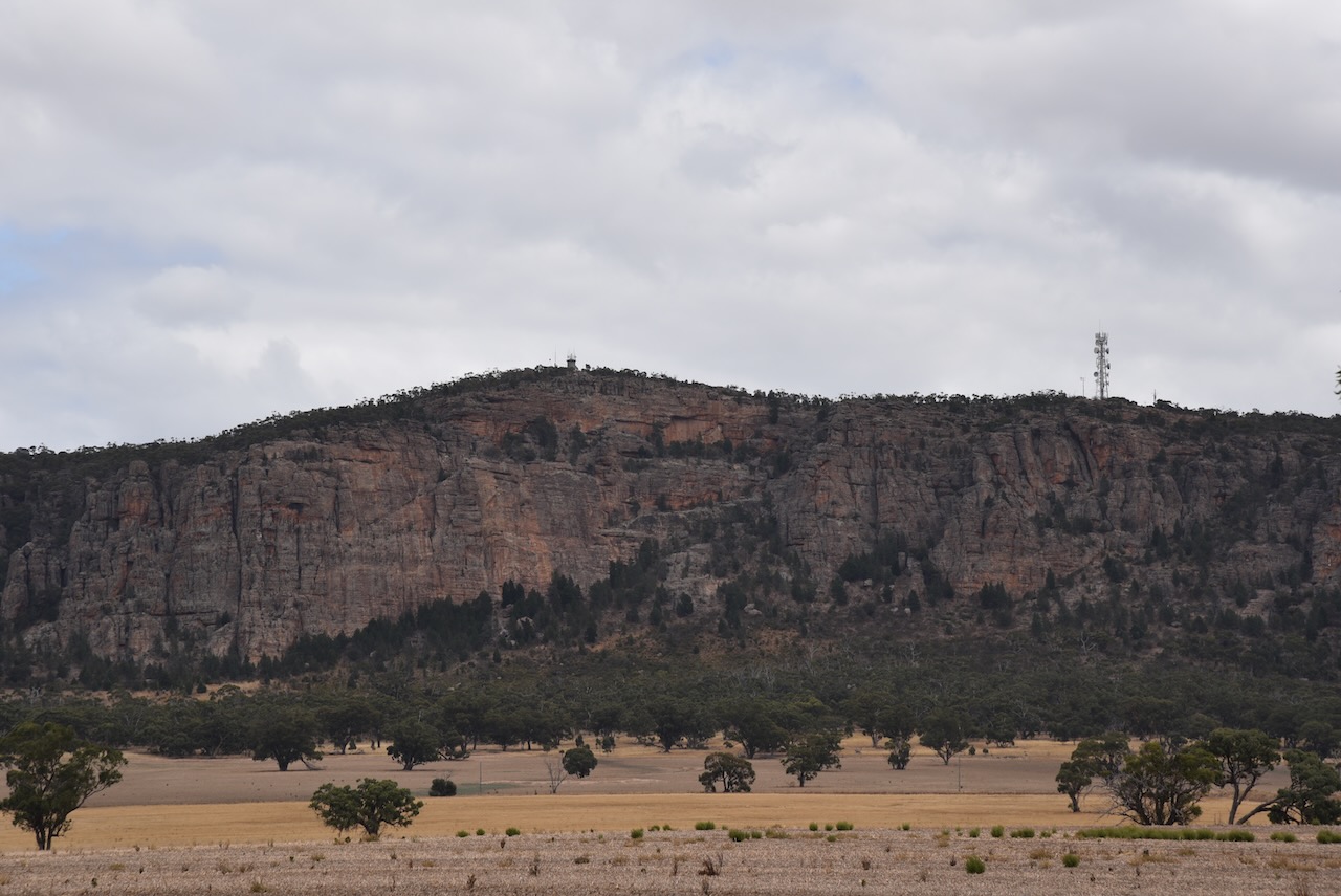
Arapiles is a small locality in western Victoria. The imposing feature in the district is Mount Arapiles. Major Thomas Mitchell discovered the mountain in 1836 and named it after a place in Spain, where his brother died at the battle of Salamanca.
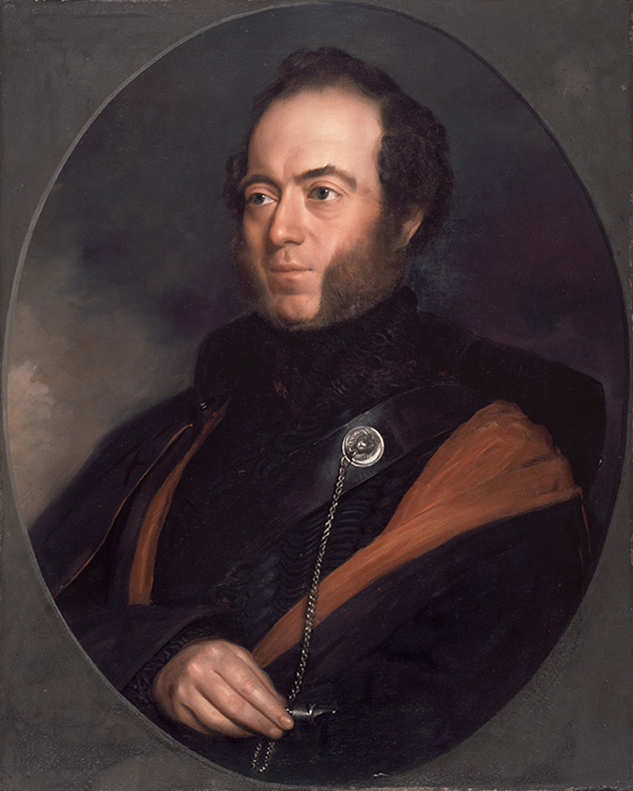
Above:- Major Thomas Mitchell. Image c/o Wikipedia.
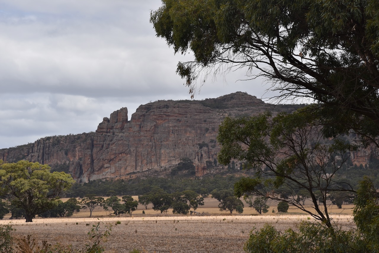
Mount Arapiles is 140 metres above sea level and is part of the Mount Arapiles-Tooan State Park.


The Arapiles silos are located on the western side of Arapiles-Grass Flat Road, just north of Natimuk-Frances Road.
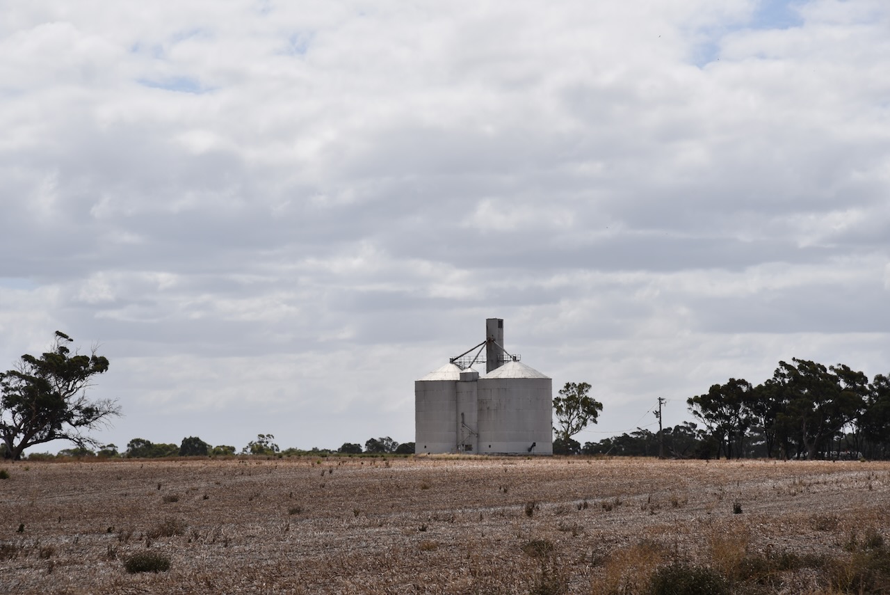

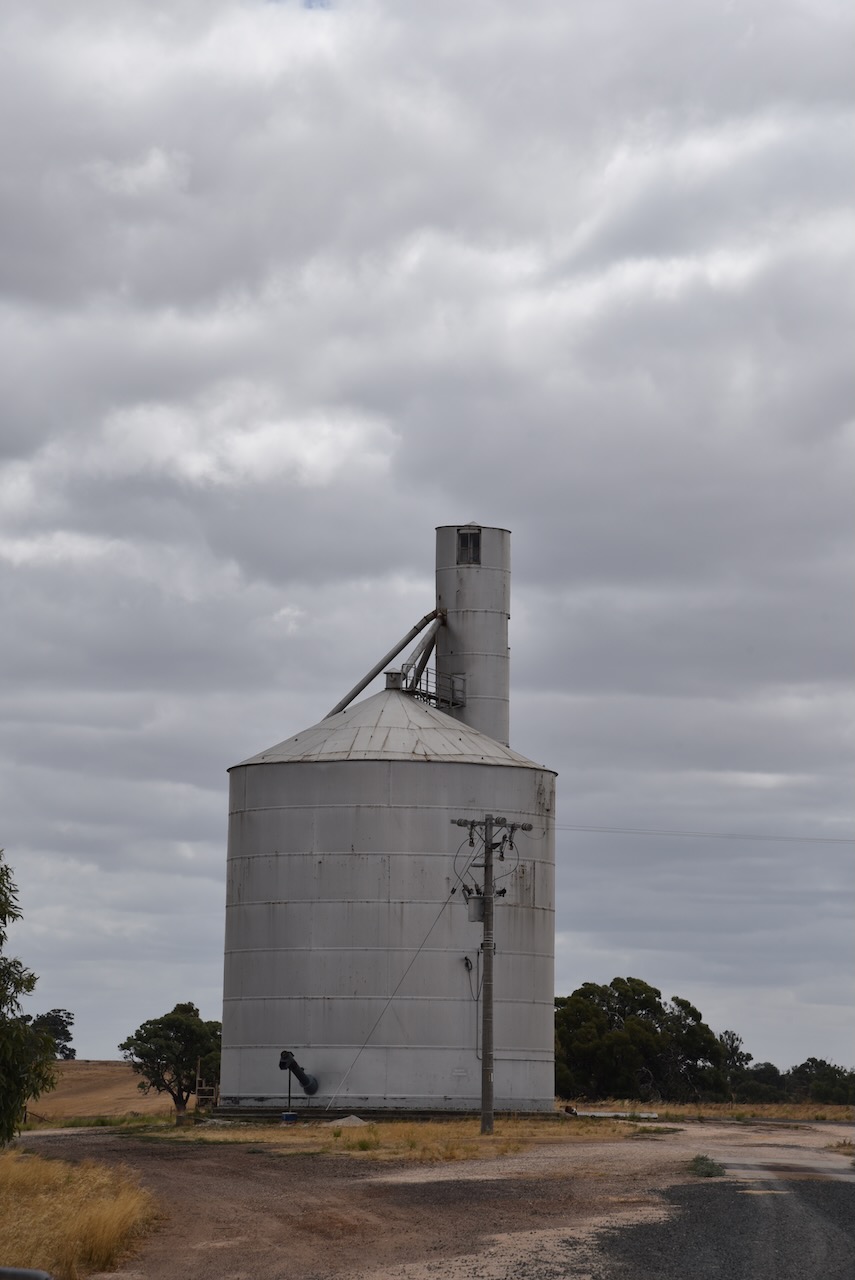
Marija and I parked directly outside the gates leading to the silo. We operated from the 4WD, running the Icom IC-7000, 100 watts, and the Codan 9350 antenna (1.5-metre stainless steel whip).
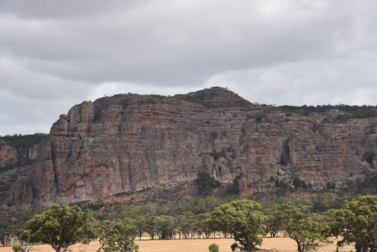
Above:- the activation zone at the Arapiles silo. Image c/o SiOTA website.
Marija worked the following station on 40m SSB:-
- VK3PF
- VK2EXA
- VK3APJ
- VK3SQ
Marija worked the following stations on 20m SSB:-
- VK1AO
- VK2MET
I worked the following stations on 40m SSB:-
- VK3PF
- VK2EXA
- VK3APJ
- VK3SQ
- VK7XX
- VK1AO
- VK2MET
I worked the following stations on 20m SSB:-
- VK1AO
- VK2MET
- VK4NH
- VK4DXA
- VK2IO
References.
- Monument Australia, 2023, <https://www.monumentaustralia.org.au/themes/people/exploration/display/32888-major-thomas-mitchell->, viewed 5th May 2023.
- Wikipedia, 2023, <https://en.wikipedia.org/wiki/Mount_Arapiles>, viewed 5th May 2023.
Wikipedia, 2023, <https://en.wikipedia.org/wiki/Mount_Arapiles>, viewed 5th May 2023.
