
Marija and I left the town of Mitre (8th March 2023) and we travelled west on the Natimuk-Frances Road to our next silo, the Gymbowen silo VK-GYN3.
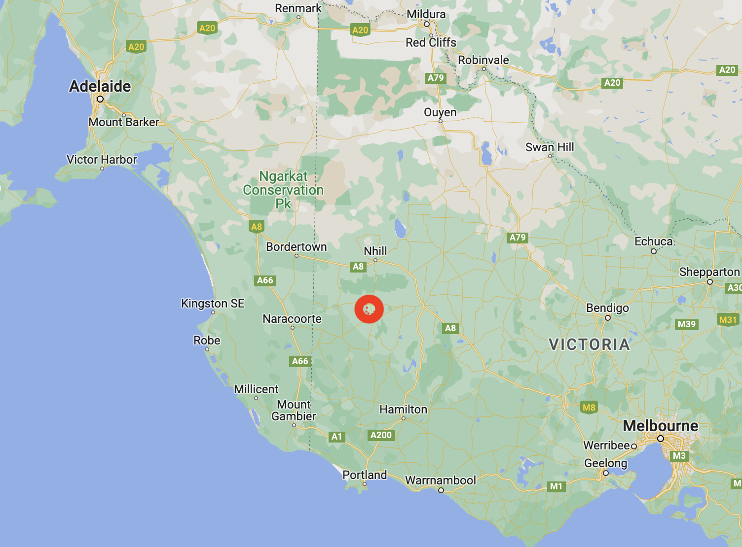
Above:- Map showing the location of Gymbowen, Victoria. Map c/o Google Maps.
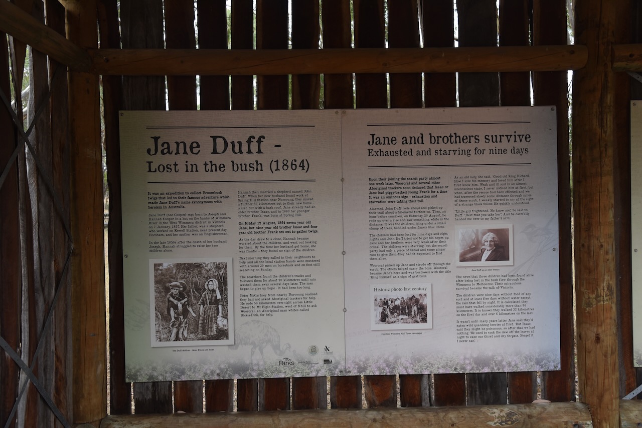
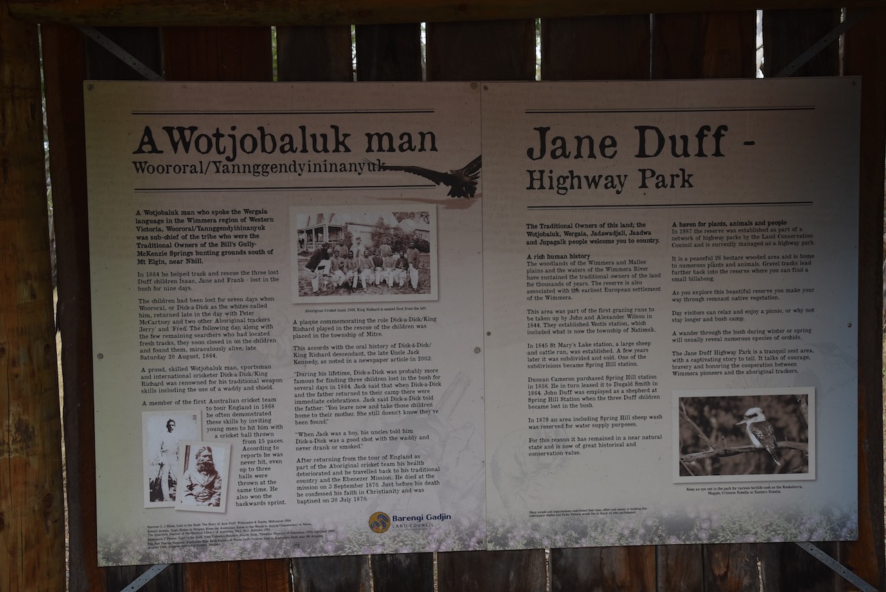
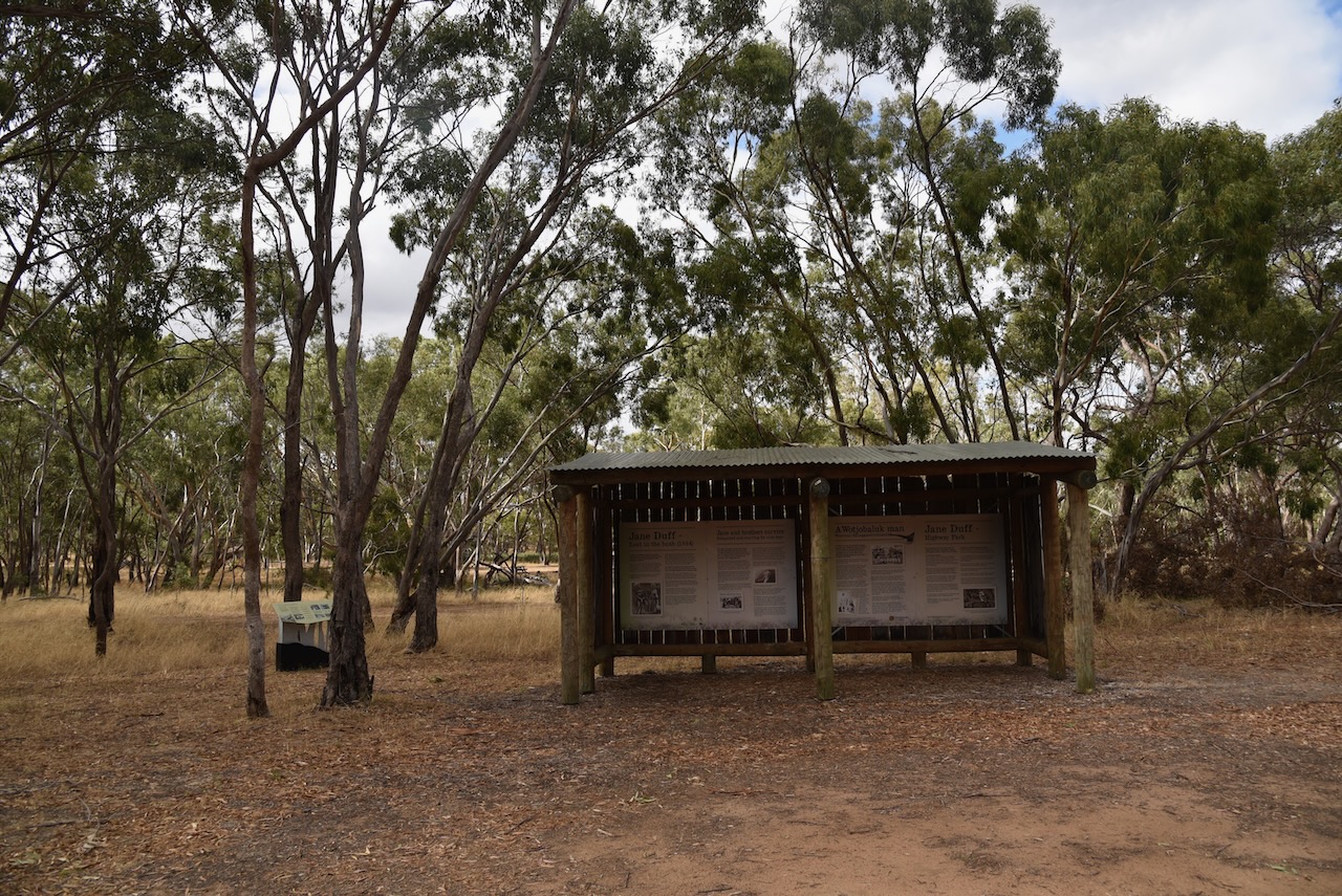
We stopped briefly at Jane Duff Highway Park. On Friday the 12th day of August 1864, seven-year old Jane Duff and her nine-year old brother Isaac and four-year old brother Frank, set out to gather twigs. They remained lost in the bush for nine days until they were located by aboriginal trackers.
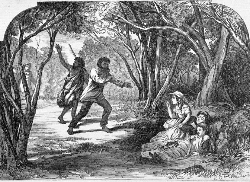
Above:- the discovery of the Duff children. Image c/o Aussie Towns Facebook site.
There is an excellent monument and information board that tells this amazing story of survival.


In 1882 the Post office at Gymbowen was opened. The Gymbowen school was opened in 1891. A hotel was opened some years earlier. Gymbowen served as a coach changing stage. The railway line reached the town by 1894 and was closed in 1986.


Marija and I parked on Hennesseys Road and operated from the 4WD.

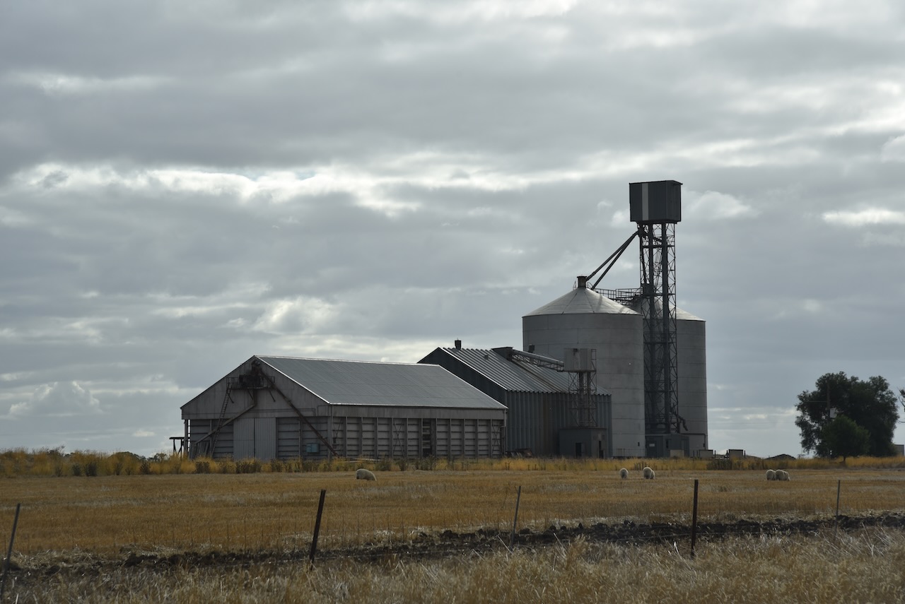
Above:- The activation zone at the Gymbowen silo. Image c/o SiOTA website.
Marija worked the following stations on 40m SSB:-
- VK3PF
- VK5CZ
- VK5TN
- VK3AWA
I worked the following stations on 40m SSB:-
- VK3PF
- VK5CZ
- VK5TN
- VK3AWA
- VK4FW
- VK8MM
- VK2IO
I worked the following stations on 20m SSB:-
- Vk4EMP
- VK4TI
- VK1AO
- VK2MET
- VK6JKP
References.
- Wikipedia, 2023, <https://en.wikipedia.org/wiki/Gymbowen,_Victoria>, viewed 5th May 2023.
