Bailey Plain Bushland Reserve VKFF-4521

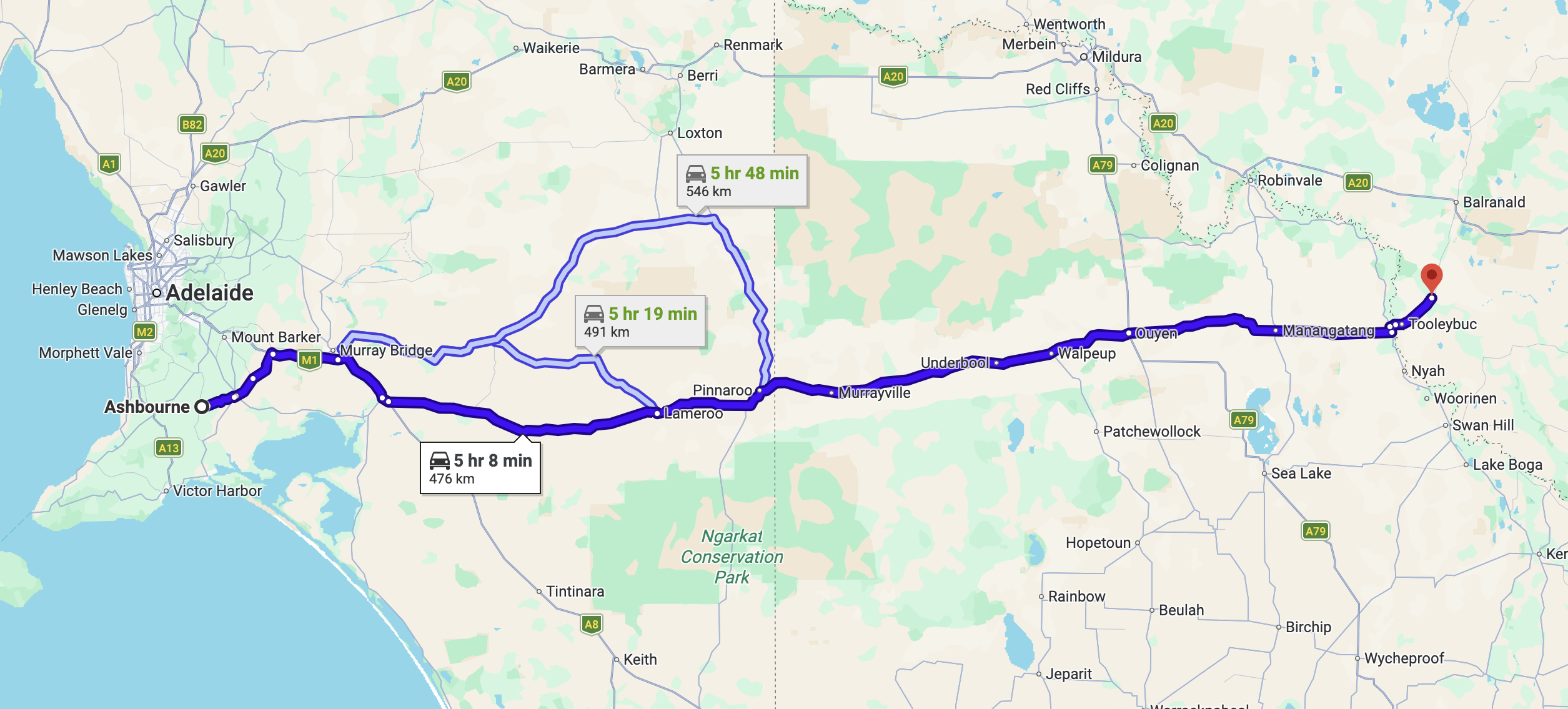
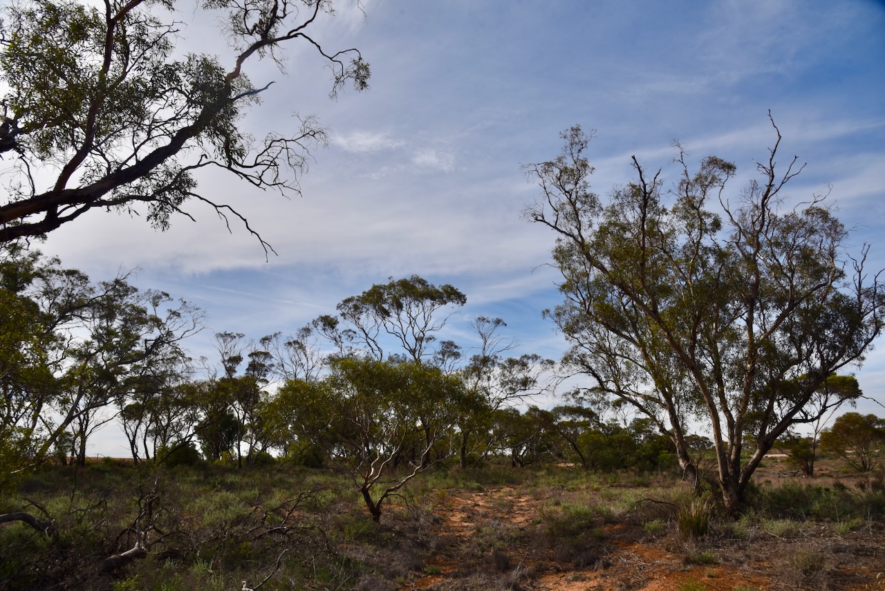
Our third and final VKFF park activation for Thursday, the 30th day of April 2026, was Bailey Plain Bushland Reserve VKFF-4521. The reserve is located about 11 km west of the town of Piangil.

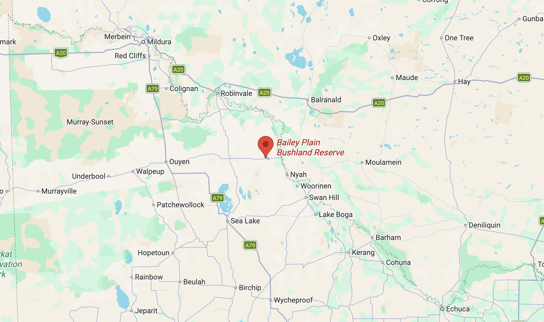
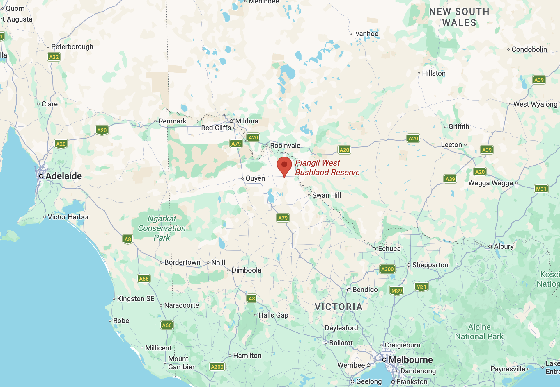
Above: Map showing the location of Bailey Plain Bushland Reserve. Map c/o Google Maps

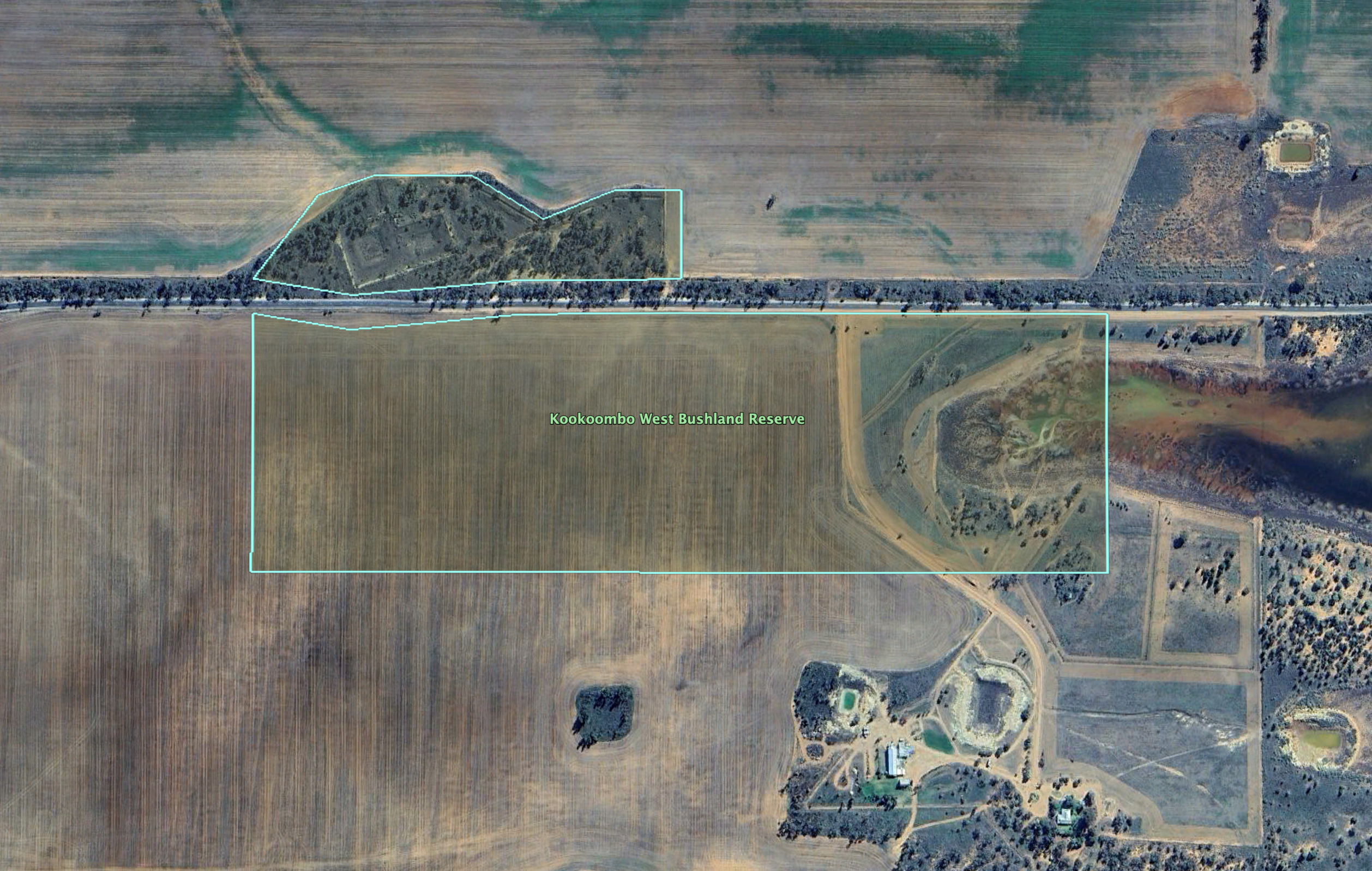
The reserve is located on the northern side of Mallee Highway, between Fire Access Road and Salt Pan Road.

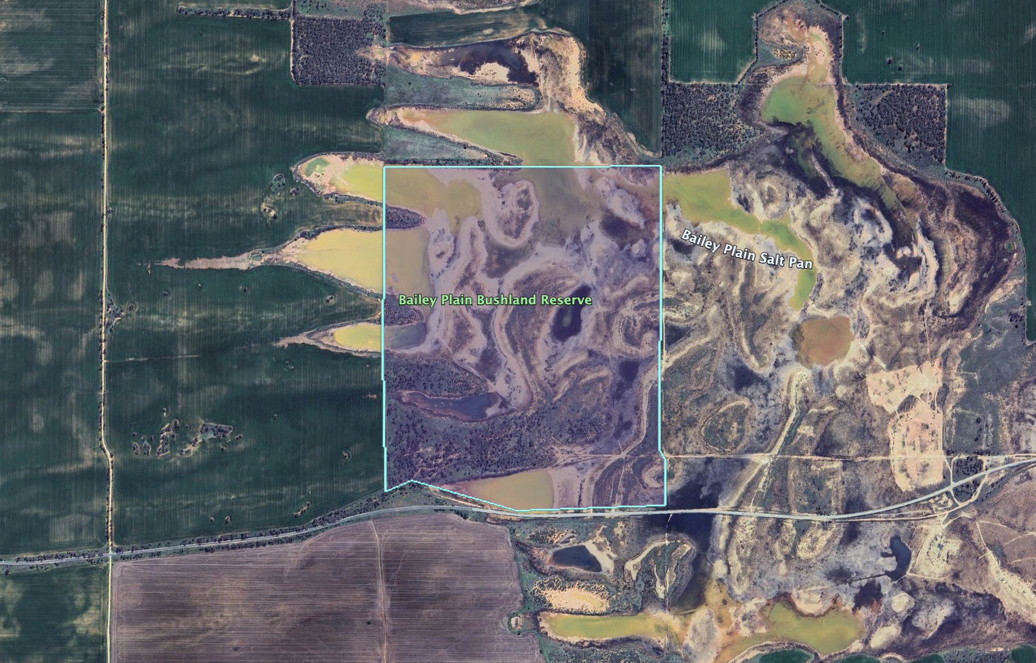
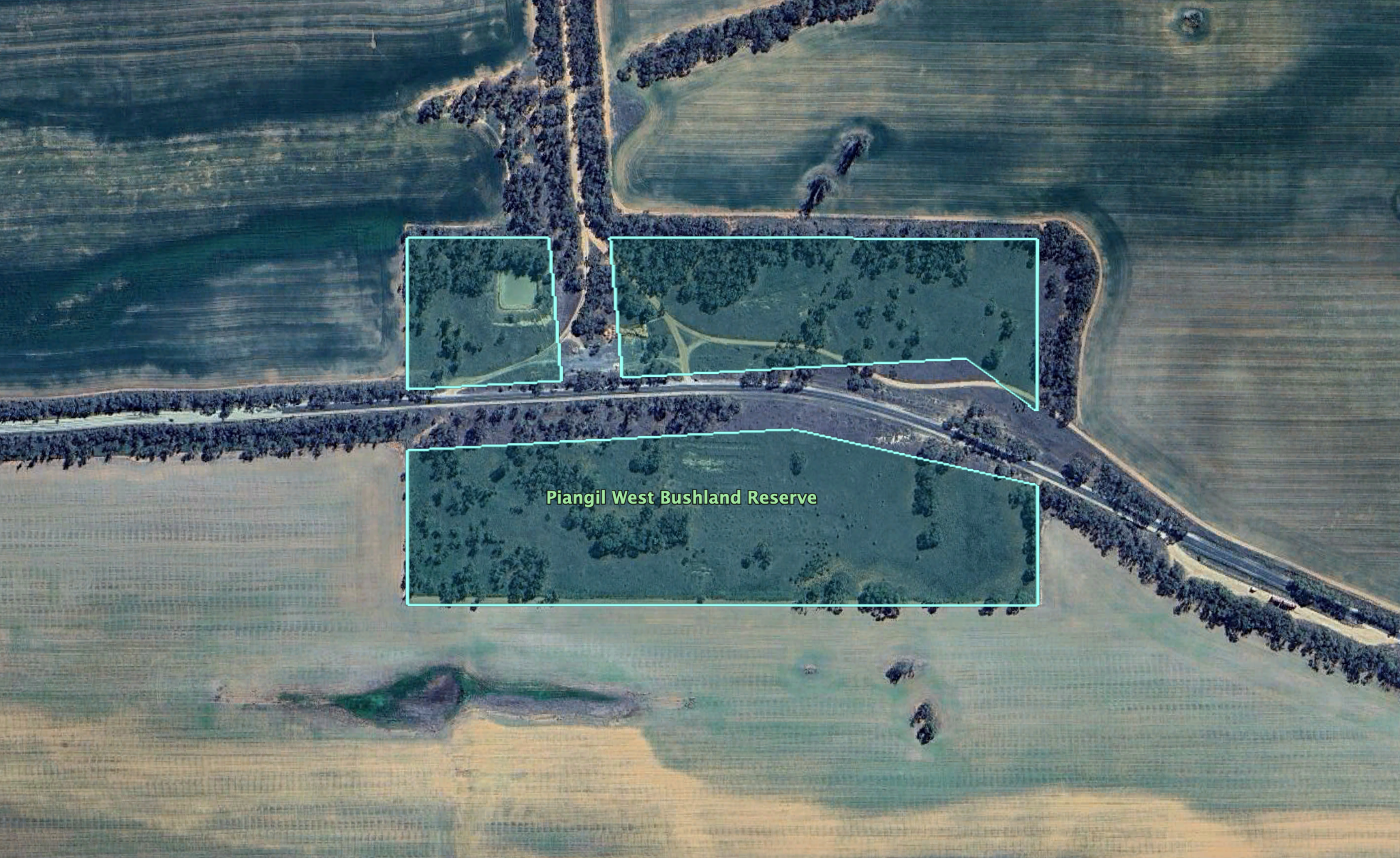
Above: the boundaries of the Bailey Plain Bushland Reserve. Image c/o Google Earth

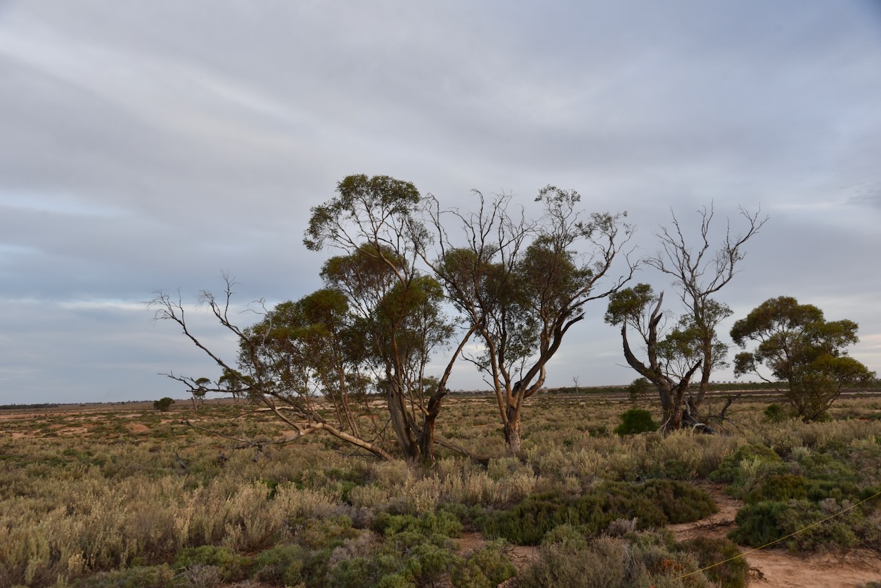
The reserve is about 177 hectares in size and was established on the 8th day of May 1990. The park is located on the Bailey Plain Salt Pan. (Dcceew.gov.au 2023)

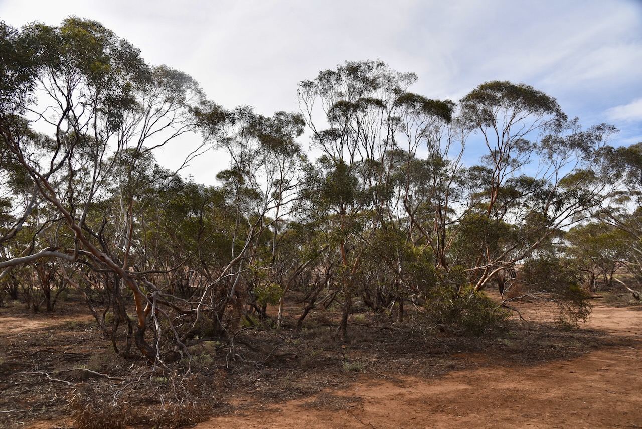
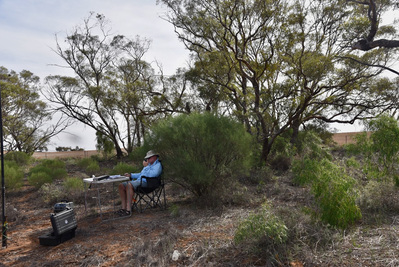
Chris and I drove into the park along a 4WD track. We ran the Yaesu FT857, 40 watts, and the 20/40/80m linked dipole. We swapped the mic for this activation.

It was nice to see the long path open on 20m to Europe and the UK. We even made a Park to Park contact with a French station.

I worked the following stations on 40m SSB:-

  1. VK3SQ
  2. VK3JT
  3. VK2BD
  4. VK3WSG
  5. VK3WRD
  6. VK3EV
  7. VK5KKT
  8. VK3CEO
  9. F5PYI
  10. VK2EXA
  11. VK3AKD
  12. VK7PJM
  13. VK3UP
  14. VK5WU
  15. VK4NH
  16. VK4DXA
  17. VK3BEL
  18. VK3BEB
  19. VK2IO/P (VKFF-1272)
  20. VK2GEZ/P (VKFF-1272)
  21. VK4HMI
  22. VK4CPS
  23. VK5OZ
  24. VK2MAB
  25. VK2LUE
  26. VK2PKT
  27. VK2KFT
  28. VK3TDX
  29. VK3HBG
  30. VK3TBS
  31. VK5IS
  32. VK5ZLT/P
  33. VK3APJ
  34. VK2NP
  35. VK1DI
  36. VK2VIC
  37. VK1VIC
  38. VK2GOY
  39. VK2IO/P (VKFF-1271)
  40. VK2GEZ/P (VKFF-1271)
  41. VK5TOM

I worked the following stations on 20m SSB:-

  1. VK4FNQ
  2. VK4NH
  3. VK4DXA
  4. KG5CIK
  5. VK2VW
  6. VK2HFI
  7. VK2AKA
  8. VK2BUG
  9. VK6XL
  10. EA3MP
  11. IW2NEF
  12. IU2SMA
  13. PD1JN
  14. KL1OQ
  15. KH6DE
  16. OH1MM
  17. EB3AM
  18. GB9IOW
  19. IU4VLX
  20. CT7BIZ
  21. SP7MW
  22. EA7HNE
  23. VK6LK
  24. ZL1HIM
  25. IK1GPG
  26. DL1EBR
  27. OM3CND
  28. F5NZO
  29. MW0YVK
  30. G1IZQ
  31. HB9EFJ
  32. UT5PI
  33. G0IDX
  34. TK5AE
  35. SQ9FMC
  36. SP5GOH
  37. IK3HMB
  38. OH6GAZ
  39. F4GYM
  40. F6KBK
  41. F6EOC (FFF-0300)
  42. LB1LJ
  43. EA1FMZ
  44. ON7MZ
  45. G8AKL

Chris and I still had a significant number of European stations calling us, but we needed to go QRT to get to our accommodation at Kyalite. Apologies to all those who were calling.

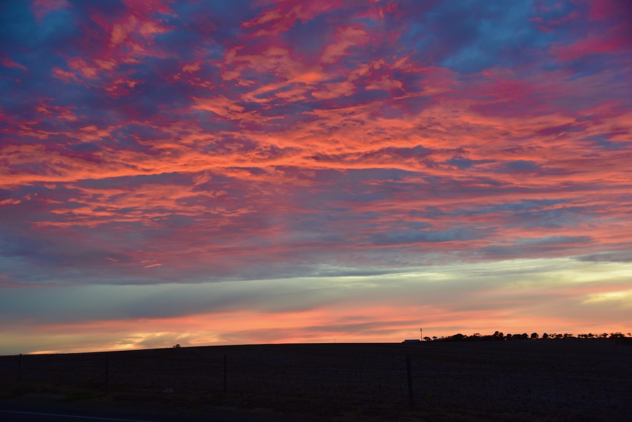
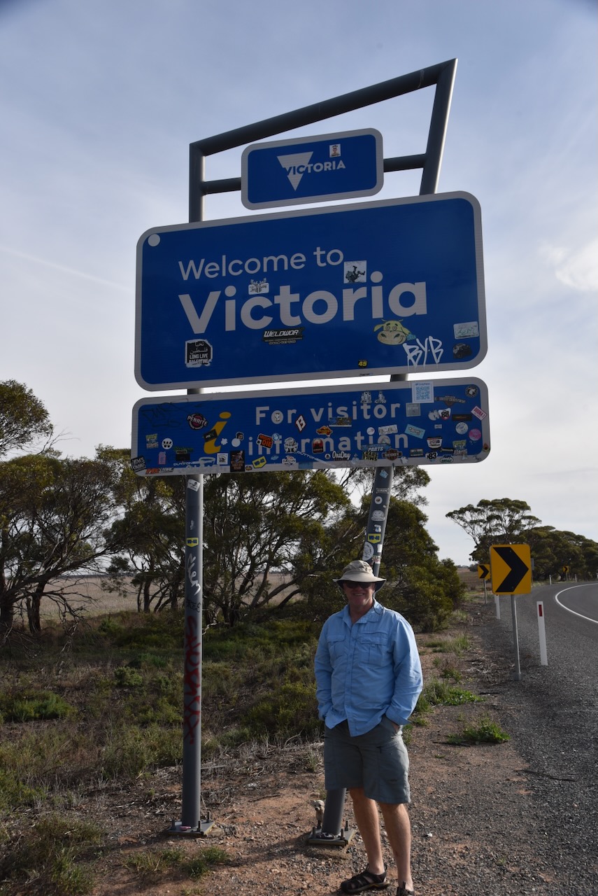
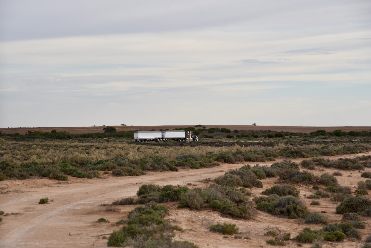
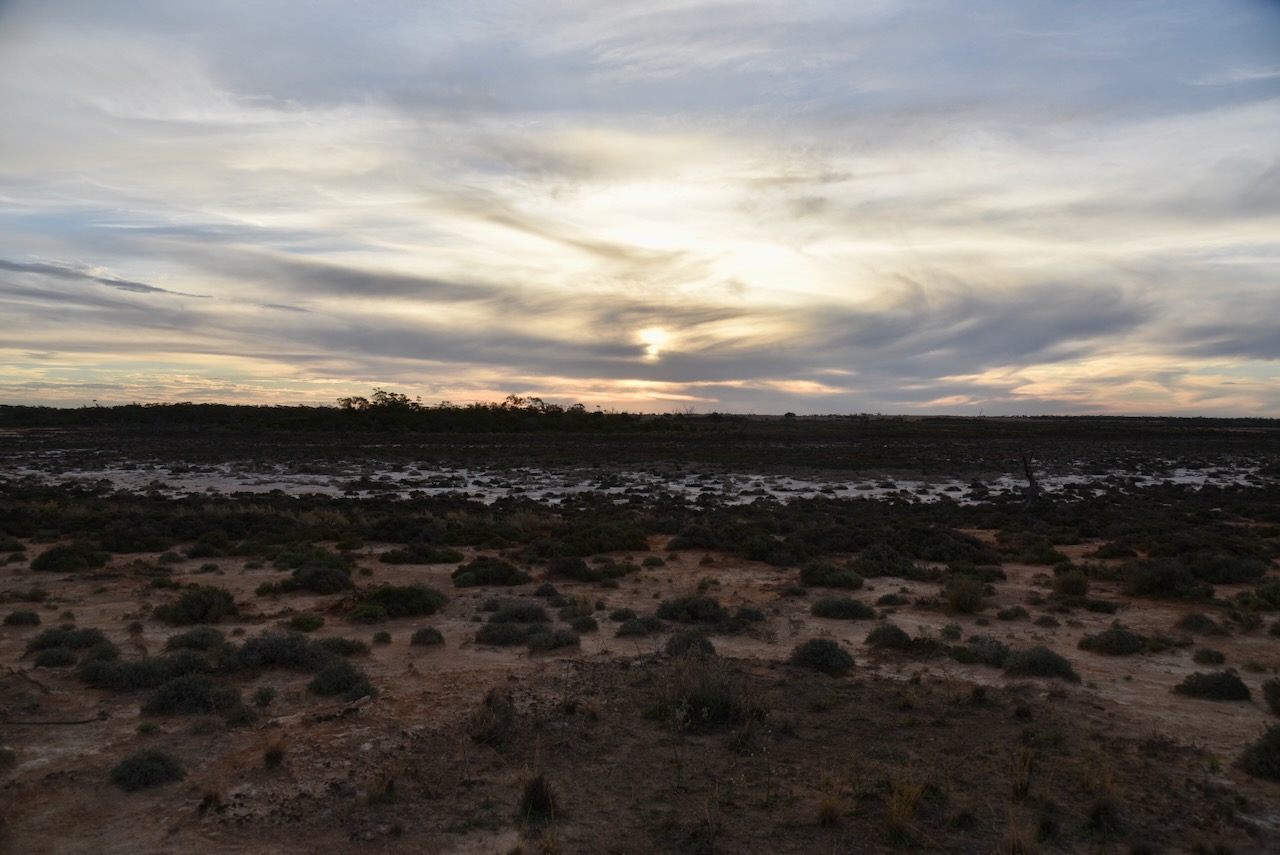
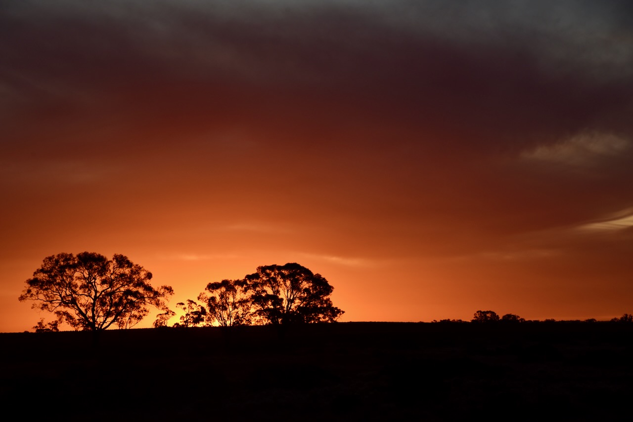
We drove west along the Mallee Highway to the town of Piangil and enjoyed a magnificent sunset as we drove along. We then crossed over the Murray River from Victoria into New South Wales.

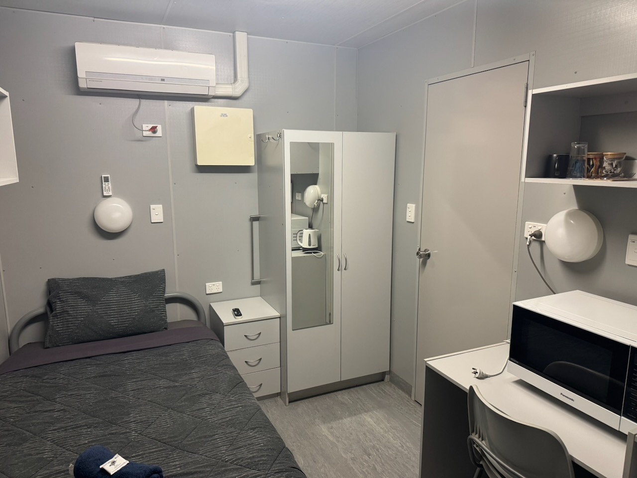
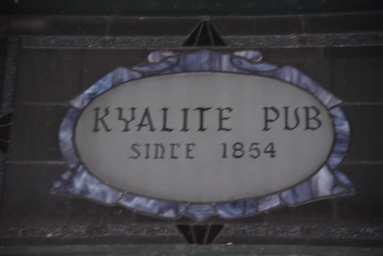
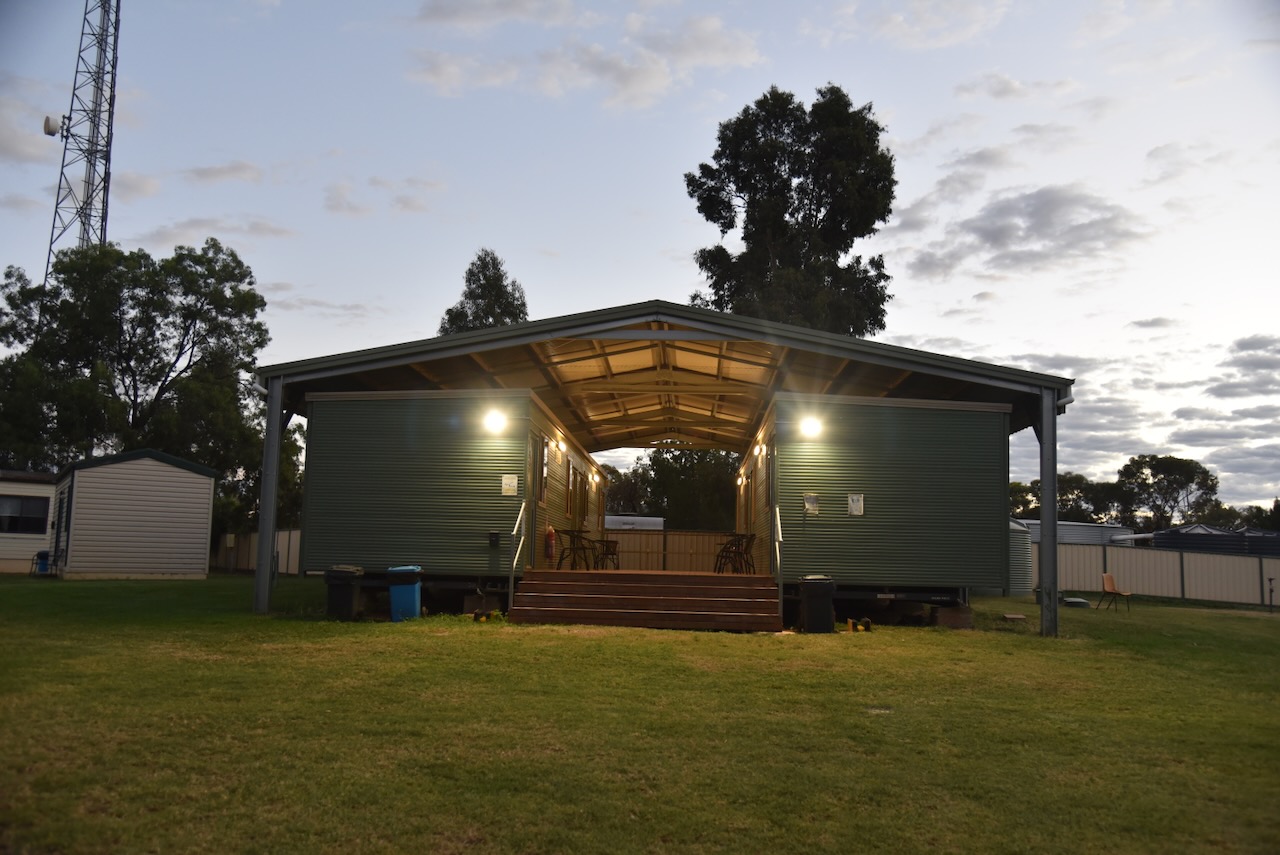
Chris and I checked into the Kyalite Pub, unloaded the 4WD and then went to the pub for dinner.

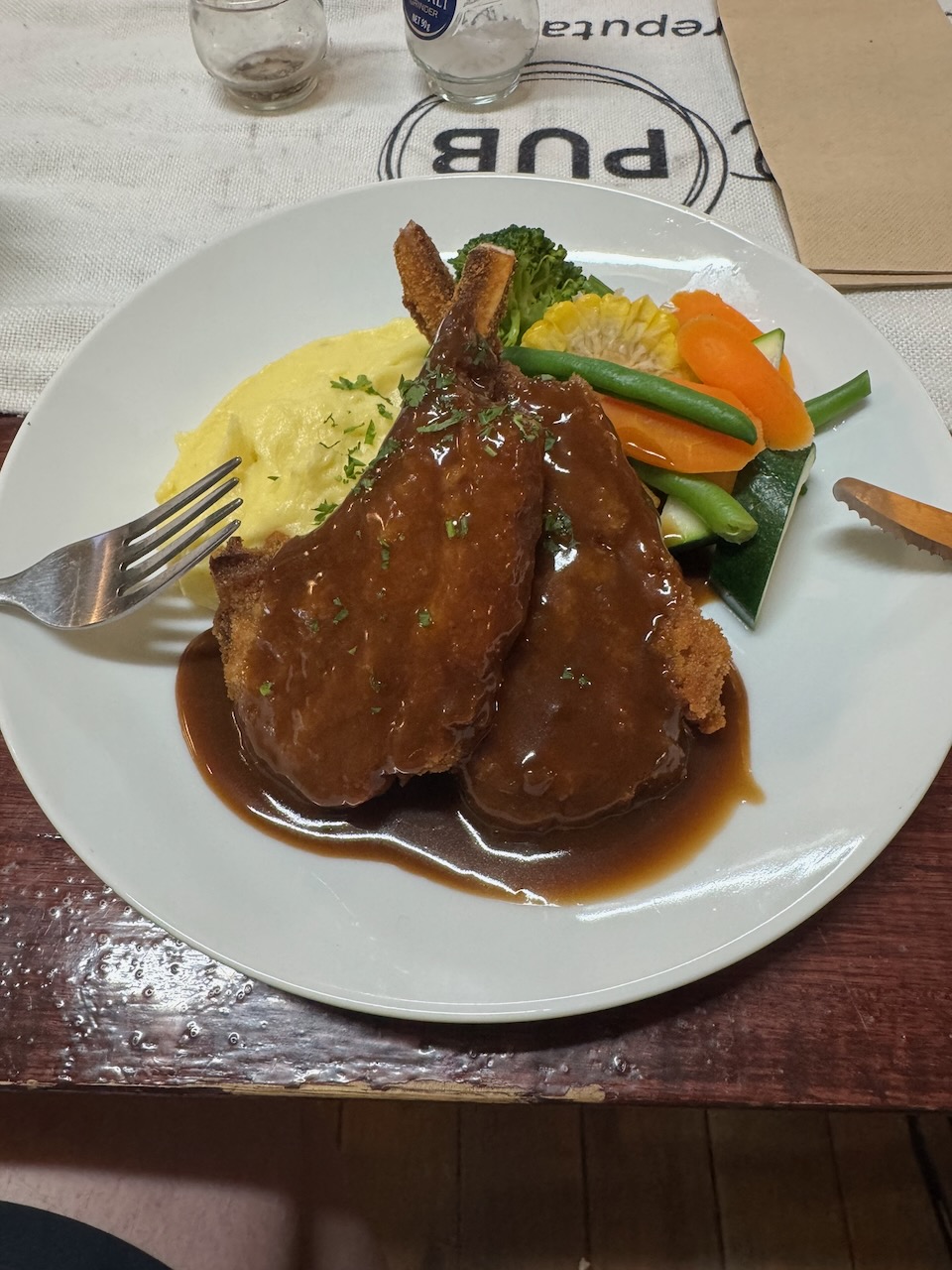
I had crumbed cutlets for dinner, and they were sensational.

After a very nice meal and a few ales, we headed back to our rooms for a good night’s sleep after a very enjoyable day.

References.

  1. Dcceew.gov.au. (2023). Collaborative Australian Protected Areas Database (CAPAD) 2022 – DCCEEW. [online] Available at: https://www.dcceew.gov.au/environment/land/nrs/science/capad/2022. [Accessed 8 May. 2026]‌

Piangil West Bushland Reserve VKFF-5714

Our next activation for Thursday, the 30th day of April 2026, was the Piangil West Bushland Reserve VKFF-5714.

Above: Map showing the location of the Piangil West Bushland Reserve. Map c/o Google Maps

The reserve is located on the northern and southern sides of the Mallee Highway, at the junction with Kookoomboo Road.

Chris and I were very surprised to see a sign at the corner of Malleee Highway and Kookoomboo Road that said ‘Kookoomboo Bushland Reserve.’ It was an old wooden sign, and I suspect it is the old name for the reserve.

The reserve is about 17 hectares in size and was established on the 1st day of May 1979. (Dcceew.gov.au 2023)

We had no internet coverage in this park, so thank you to everyone who took the time to spot us on parksnpeaks. Chris and I ran the Yaesu FT857, 40 watts, and the 20/40/80m linked dipole. We swapped the mic during this activation. We set up in the northeast section of the park.

Above: an aerial view of the reserve looking east. Image c/o Google Maps

I worked the following stations on 40m SSB:-

  1. VK2VIC
  2. VK1VIC
  3. VK2GOY
  4. VK3WSG
  5. VK3ZSC
  6. VK3BSC
  7. VK2IO/P (VKFF-1386)
  8. VK2GEZ/P (VKFF-1386)
  9. VK3AJE
  10. VK3PF (VKFF-6420)
  11. VK3CJN
  12. VK3QHU
  13. VK3KRL
  14. VK3DBW
  15. VK3CE
  16. VK2VW
  17. VK2HFI
  18. VK2AKA
  19. VK2BUG
  20. VK2MAB
  21. VK2LUE
  22. VK3EV
  23. VK5WU
  24. VK7IAN
  25. VK2ICW
  26. VK2VAR
  27. VK2GOM
  28. VK1AD
  29. VK1NAM
  30. VK1OE
  31. VK3IDM
  32. VK3BEL
  33. VK3BEB
  34. VK3XAT
  35. VK7PJM
  36. VK3CLD
  37. VK2DBF
  38. VK5QA
  39. VK3BKO
  40. VK4MGL/P (VKFF-0859)
  41. VK4NH
  42. VK4DXA
  43. VK2XWB/P (VKFF-2229)
  44. VK3NCR
  45. VK3UDL
  46. VK4EMP
  47. VK4TI
  48. VK4GKO
  49. VK3PF (SOTA VK3/ VE-015 & VKFF-0619)
  50. VK7MAT
  51. VK2NP
  52. VK5FANA

I worked the following stations on 20m SSB:-

  1. KG5CIK
  2. VK2VW
  3. VK2HFI
  4. VK2AKA
  5. VK2BUG
  6. VK2USH
  7. VK1AO/P (VKFF-2594)
  8. VK2MET/P (VKFF-2594)
  9. VK4NH
  10. VK4DXA
  11. VK2UGB
  12. VK6XL
  13. VK7PJM

References.

  1. Dcceew.gov.au. (2023). Collaborative Australian Protected Areas Database (CAPAD) 2022 – DCCEEW. [online] Available at: https://www.dcceew.gov.au/environment/land/nrs/science/capad/2022. [Accessed 8 May. 2026]‌

Kookoombo West Bushland Reserve VKFF-5246

On Wednesday evening, 29th April 2026, my mate Chris VK5FR stayed overnight in preparation for our trip to Abury, New South Wales, for the 2026 VK Summit event, and the 2026 AGM for the Wireless Institute of Australia (WIA). My wife Marija cooked a beautiful meal, and we enjoyed a nice bottle of red. Chris also had some fun in my radio shack, making several contacts into the USA and Canada on the Southern Cross DX Net on the 20m band.

Bright and early on Thursday morning, the 30th day of April 2026, Chris and I left home and headed to Kyalite in New South Wales, where we had booked in to stay for one night at the Kyalite Hotel. We had 476 km to drive that day out through the Murray Mallee region of South Australia and into the Mallee region of northwest Victoria.

Our first stop was just down the road from home at the Strathalbyn bakery for some breakfast. We enjoyed a magnificent sunrise as we travelled along the way.

Chris and I stopped briefly at the Victorian and South Australian border to stretch our legs. We then continued east along the Mallee Highway in Victoria to the town of Ouyen, where we stopped for lunch. We then headed to our first park activation of the day, the Kookoombo West Bushland Reserve VKFF-5246.

The reserve is located on the northern and southern sides of the Mallee Highway at Manangatang, just to the east of Meridian Road.

The reserve is about 35 hectares in size and was established on the 1st day of May 1979. I have not been able to find the origin of the name of the park. The northern section of the park consists of a small piece of remnant scrub, while the southern section is grassland. (Dcceew.gov.au 2023)

Chris and I accessed the northern side of the park. We ran the Yaesu FT857, 40 watts, and the 20/40/80m linked dipole. Chris and I swapped the mic for this activation.

I worked the following stations on 40m SSB:-

  1. VK3SMW
  2. VK2MAB
  3. VK2LUE
  4. VK3SQ
  5. VK2BD
  6. VK3JT
  7. VK3VIN
  8. VK2VW
  9. VK2HFI
  10. VK2AKA
  11. VK2BUG
  12. VK3BEL
  13. VK3BEB
  14. VK1AC
  15. VK3ZSC
  16. VK3BSC
  17. VK5WU
  18. VK1AO/P (VKFF-1392)
  19. VK2MET/P (VKFF-1392)
  20. VK3WSC
  21. VK1DI
  22. VK3PF
  23. VK3OTR (VKFF-3904)
  24. VK3FS/M
  25. VK3ATT/M
  26. VK3ETT/M
  27. VK3CJN
  28. VK3QHU
  29. VK2IO/P (VKFF-1386)
  30. VK2GEZ/P (VKFF-1386)
  31. VK3SWL
  32. VK2SWL
  33. VK1AD
  34. VK1NAM
  35. VK1OE
  36. VK3AMO
  37. VK5BJE
  38. VK7EE
  39. VK2YW
  40. VK4MGL/P (VKFF-0939)
  41. VK2PKT
  42. VK2KFT
  43. VK3PF (VKFF-6240)
  44. VK3ARK
  45. VK5AOK
  46. VK5EDY
  47. VK3BSF
  48. VK3APJ
  49. VK3AUX
  50. VK2GQR

I worked the following stations on 20m SSB:-

  1. VK4FNQ
  2. KG5CIK

It had been a very enjoyable and rewarding activation, and with a combined total of 108 QSOs in the log, Chris and I packed up and hit the road and headed to our next VKFF park activation.

References.

  1. Dcceew.gov.au. (2023). Collaborative Australian Protected Areas Database (CAPAD) 2022 – DCCEEW. [online] Available at: https://www.dcceew.gov.au/environment/land/nrs/science/capad/2022. [Accessed 8 May. 2026]‌