
Our next activation for Thursday, the 30th day of April 2026, was the Piangil West Bushland Reserve VKFF-5714.
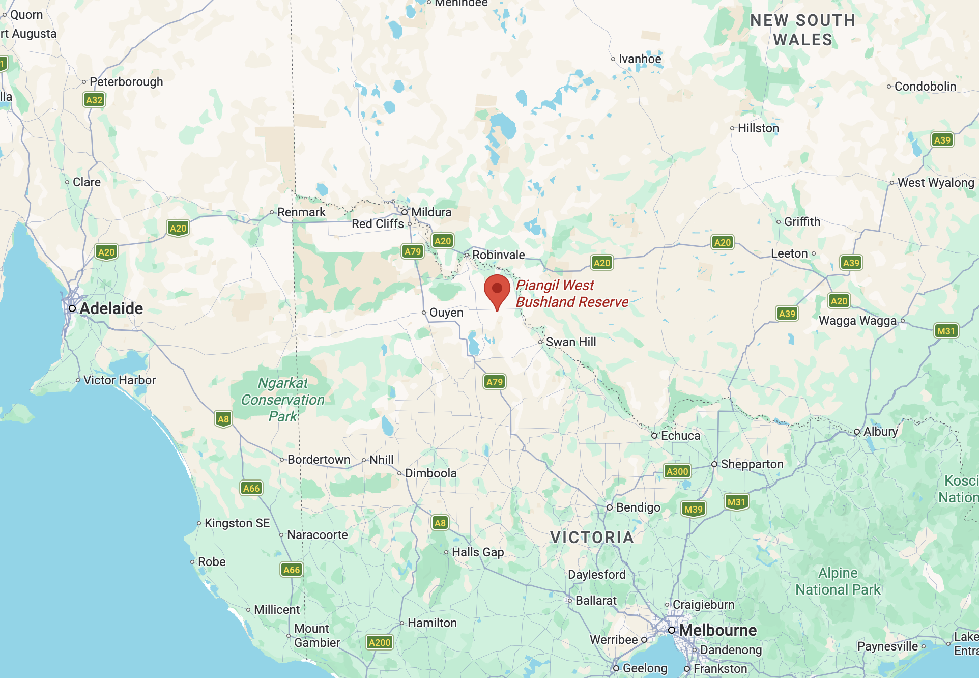
Above: Map showing the location of the Piangil West Bushland Reserve. Map c/o Google Maps
The reserve is located on the northern and southern sides of the Mallee Highway, at the junction with Kookoomboo Road.
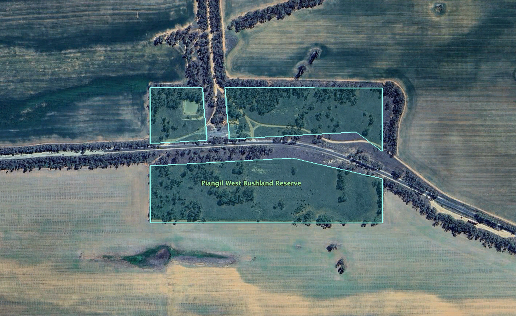
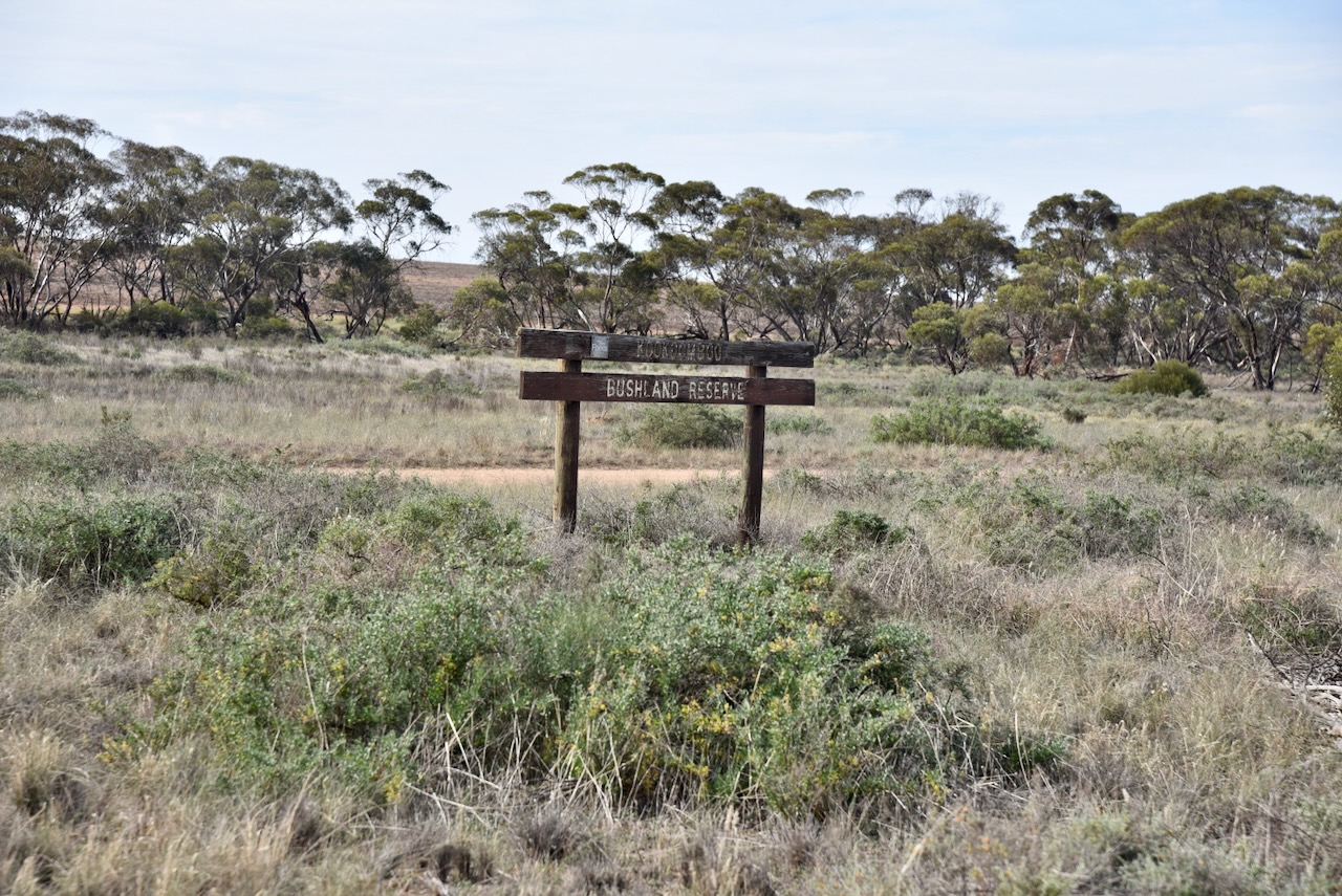
Chris and I were very surprised to see a sign at the corner of Malleee Highway and Kookoomboo Road that said ‘Kookoomboo Bushland Reserve.’ It was an old wooden sign, and I suspect it is the old name for the reserve.
The reserve is about 17 hectares in size and was established on the 1st day of May 1979. (Dcceew.gov.au 2023)
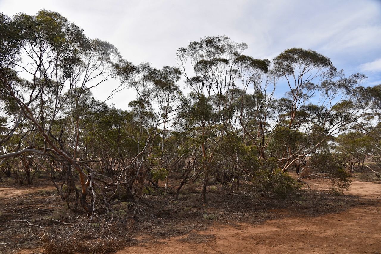
We had no internet coverage in this park, so thank you to everyone who took the time to spot us on parksnpeaks. Chris and I ran the Yaesu FT857, 40 watts, and the 20/40/80m linked dipole. We swapped the mic during this activation. We set up in the northeast section of the park.
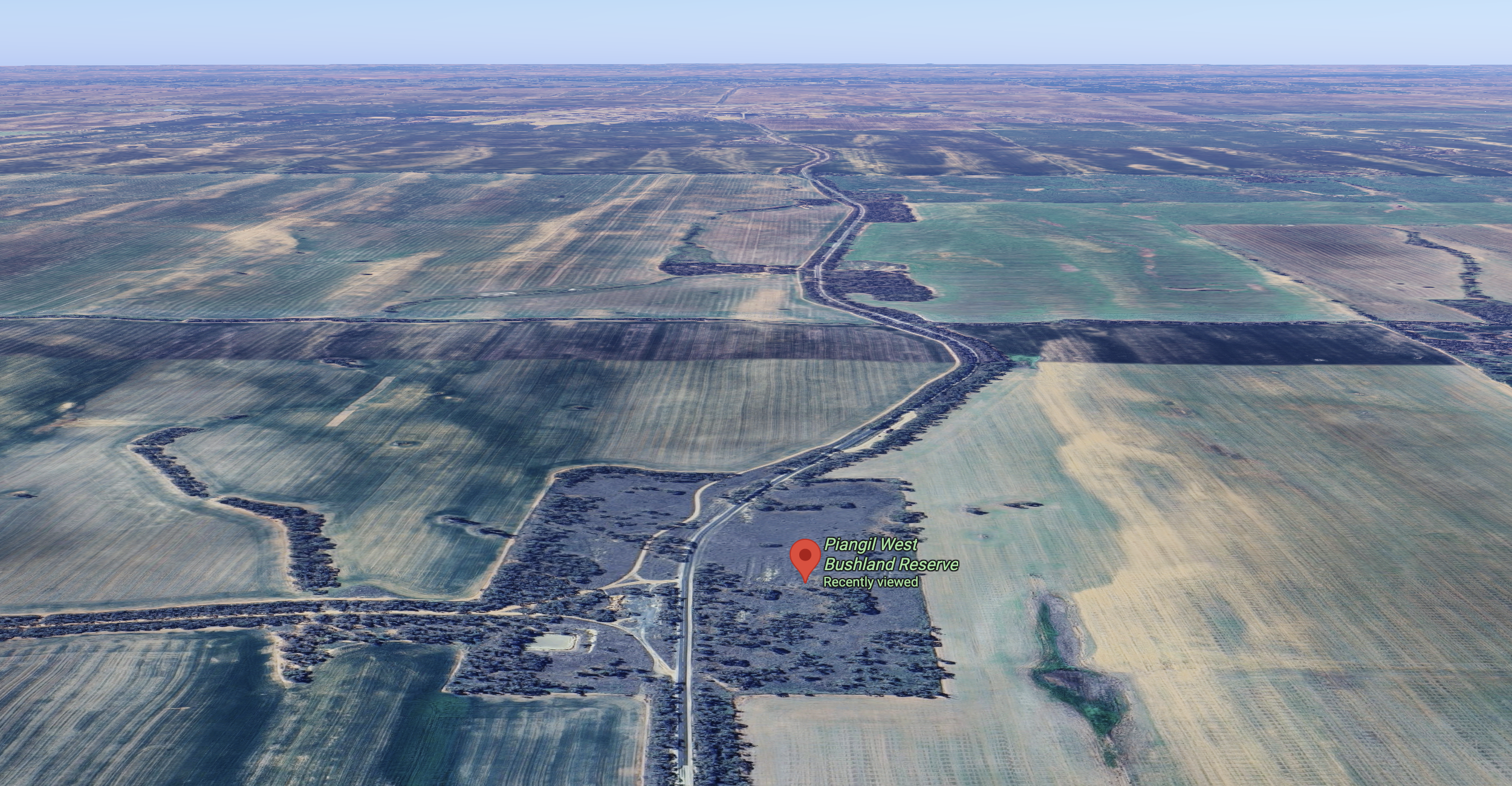
Above: an aerial view of the reserve looking east. Image c/o Google Maps
I worked the following stations on 40m SSB:-
- VK2VIC
- VK1VIC
- VK2GOY
- VK3WSG
- VK3ZSC
- VK3BSC
- VK2IO/P (VKFF-1386)
- VK2GEZ/P (VKFF-1386)
- VK3AJE
- VK3PF (VKFF-6420)
- VK3CJN
- VK3QHU
- VK3KRL
- VK3DBW
- VK3CE
- VK2VW
- VK2HFI
- VK2AKA
- VK2BUG
- VK2MAB
- VK2LUE
- VK3EV
- VK5WU
- VK7IAN
- VK2ICW
- VK2VAR
- VK2GOM
- VK1AD
- VK1NAM
- VK1OE
- VK3IDM
- VK3BEL
- VK3BEB
- VK3XAT
- VK7PJM
- VK3CLD
- VK2DBF
- VK5QA
- VK3BKO
- VK4MGL/P (VKFF-0859)
- VK4NH
- VK4DXA
- VK2XWB/P (VKFF-2229)
- VK3NCR
- VK3UDL
- VK4EMP
- VK4TI
- VK4GKO
- VK3PF (SOTA VK3/ VE-015 & VKFF-0619)
- VK7MAT
- VK2NP
- VK5FANA
I worked the following stations on 20m SSB:-
- KG5CIK
- VK2VW
- VK2HFI
- VK2AKA
- VK2BUG
- VK2USH
- VK1AO/P (VKFF-2594)
- VK2MET/P (VKFF-2594)
- VK4NH
- VK4DXA
- VK2UGB
- VK6XL
- VK7PJM
References.
- Dcceew.gov.au. (2023). Collaborative Australian Protected Areas Database (CAPAD) 2022 – DCCEEW. [online] Available at: https://www.dcceew.gov.au/environment/land/nrs/science/capad/2022. [Accessed 8 May. 2026]
