
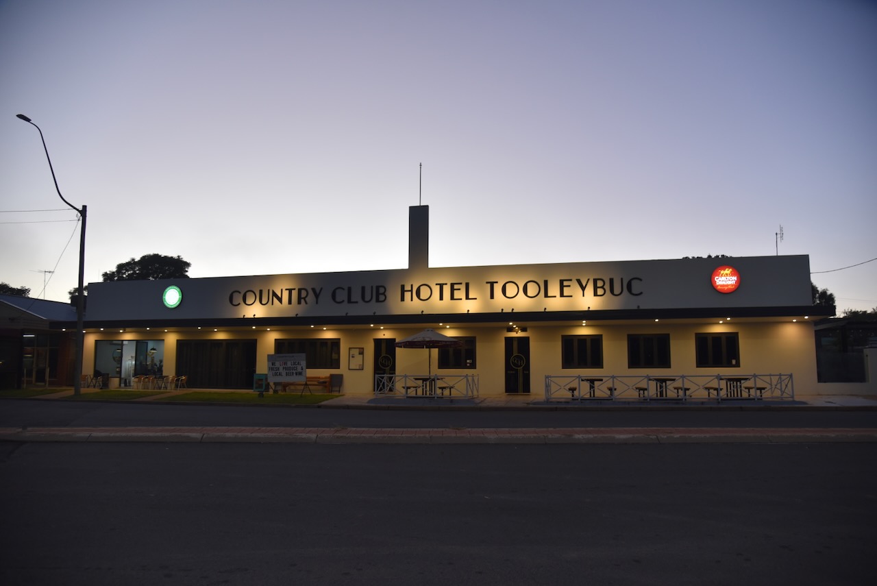
It was now Tuesday, the 5th day of May 2026, and time for Chris and me to head home after our Albury trip. I can highly recommend the accommodation at the Tooleybuc Motel, and the meal next door at the Country Cub Hotel was excellent.
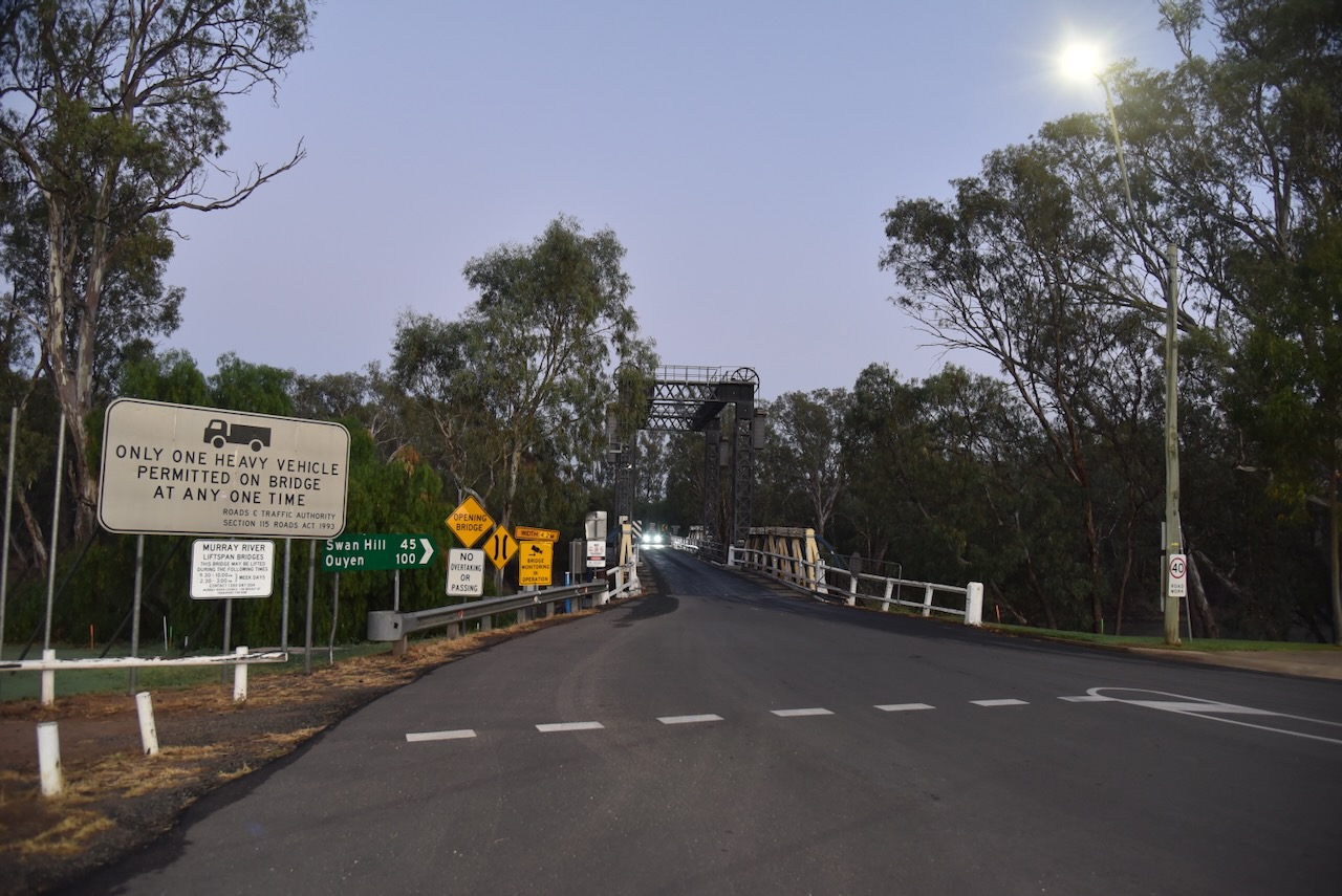
The historic timber truss bridge at Tooleybuc over the Murray River was constructed in 1924. It was designed to allow paddle steamers to pass through and has a vertical lift span. It was the last bridge designed by Percy Allan and is one of only two surving Allan truss spans bridges over the Murray River. (Service 2023)
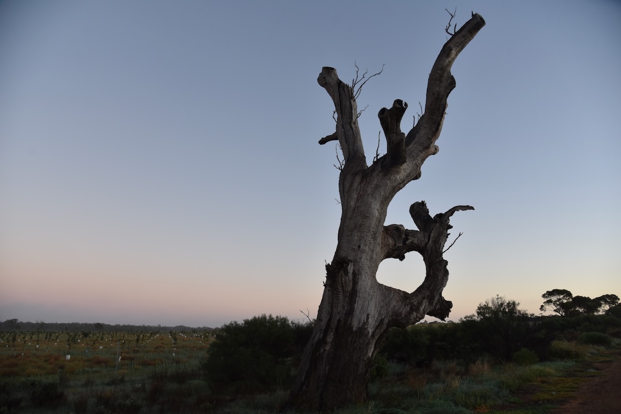
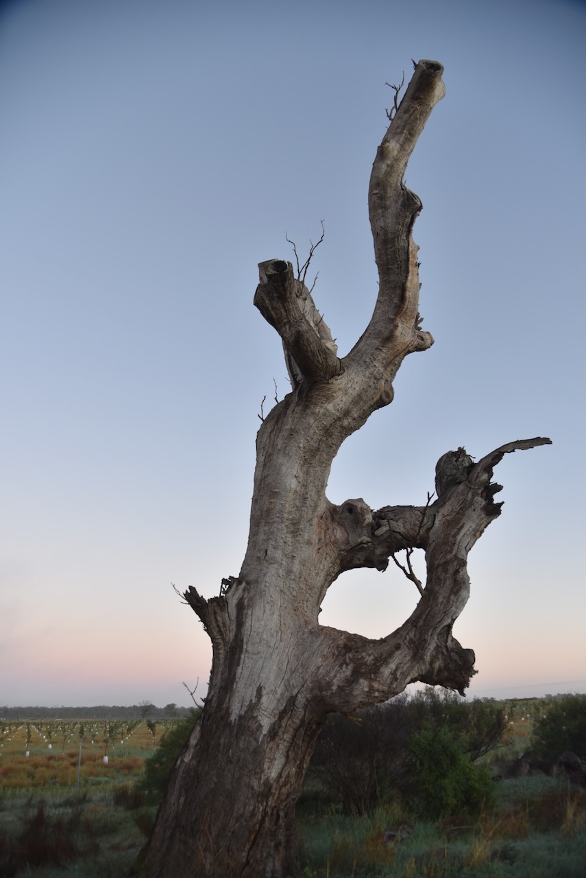
Chris and I drove out to the Ring Tree on the Koraleigh Road. It is a very rare surviving example of an old Aboriginal boundary or river crossing marker. This particular Ring Tree is believed to be for navigation, possibly guiding travellers to a safe river crossing. To form the ring, the branches have been tied together so they grow into the unusual circular shape.
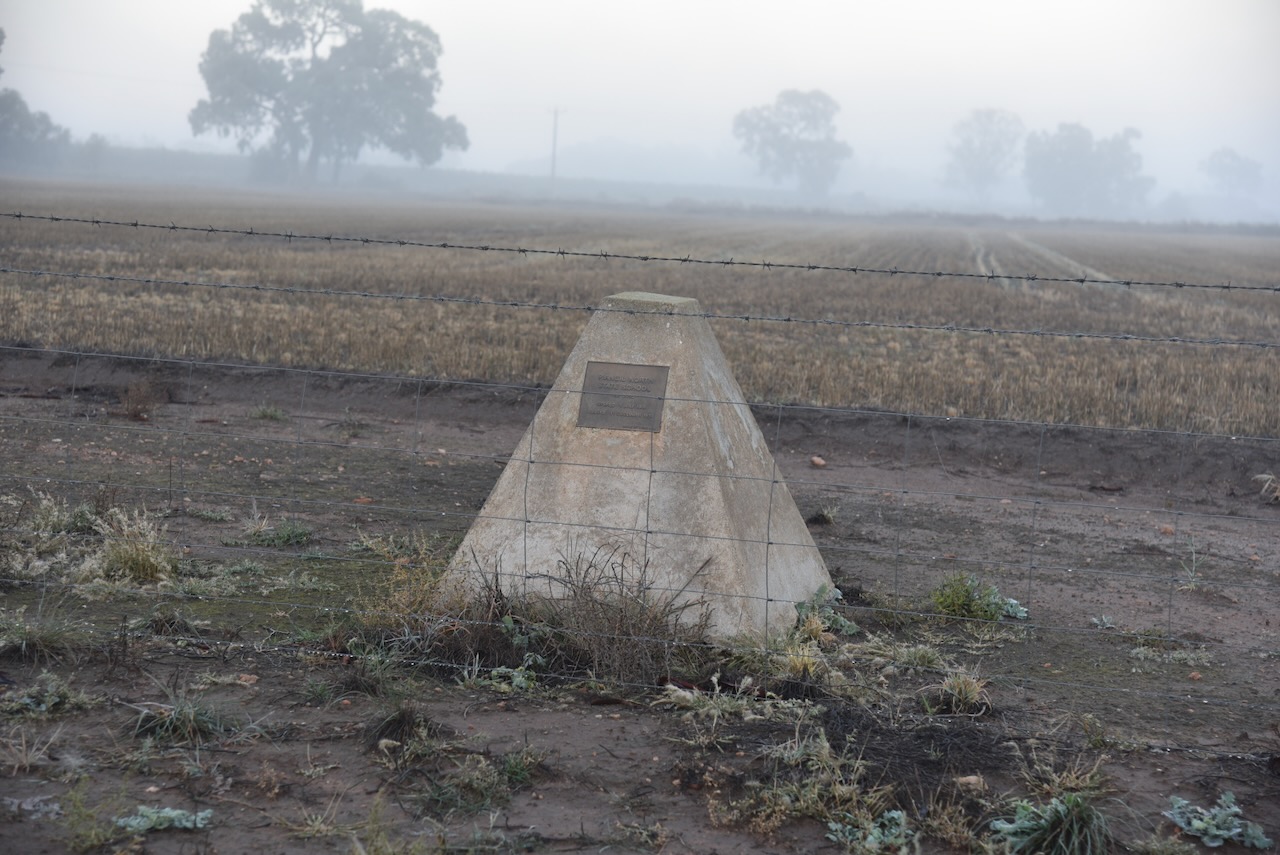
We then headed back to the Murray Valley Highway and stopped briefly to view the monument for the Piangil North State School, which opened on the 1st day of July 1908 and closed in December 1930.
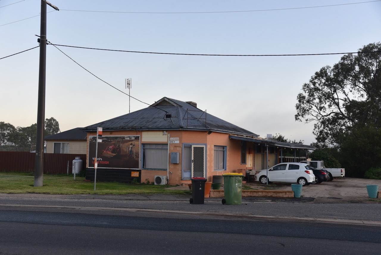
Located on the corner of Murray Valley Highway and Mallee Highway at Piangil is what appears to be an old hotel.
Chris and I then headed to the nearby Miralie Bushland Reserve VKFF-5490 and the Miralie silo VK-MRI3 for a park activation for the World Wide Flora & Fauna (WWFF) program and the SIlos On The Air (SiOTA) program.
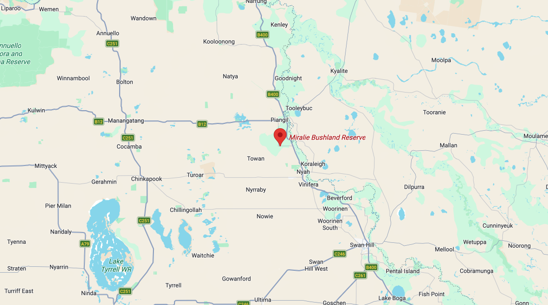
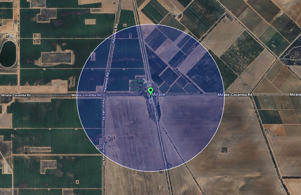
Above: Map showing the location of the Miralie Bushland Reserve. Map c/o Google Maps
The reserve is located on the northern side of Miralie-Cocamta Road, close to the Piangil railway line.
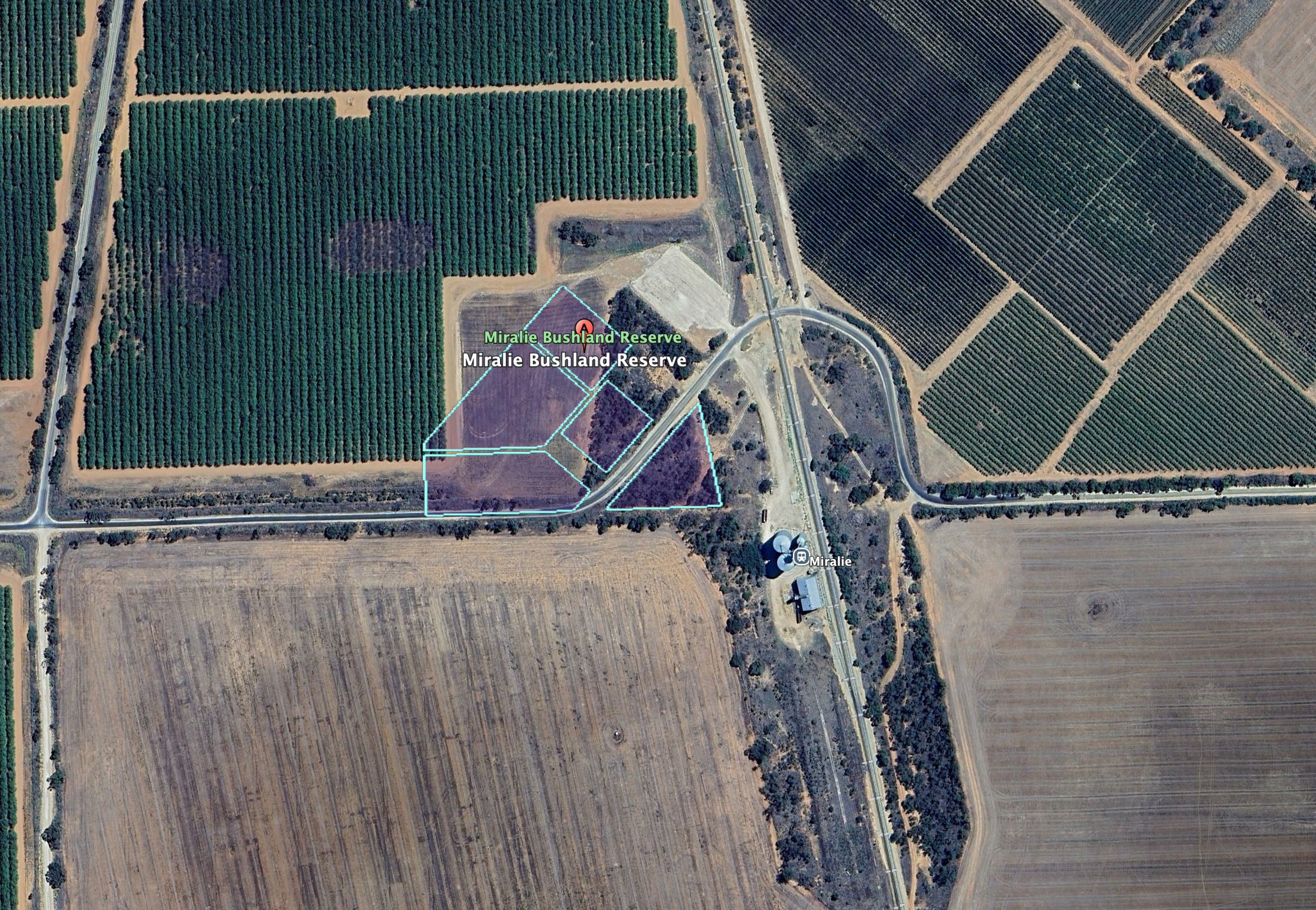
Above: the boundaries of the Miralie Bushland Reserve. Image c/o Google Earth
Miralie is an Aboriginal word for ‘black duck’. The Miralie Post Office opened on the 11th day of March 1925 and closed in July 1925. (Blake 1978) (Wikipedia 2025)
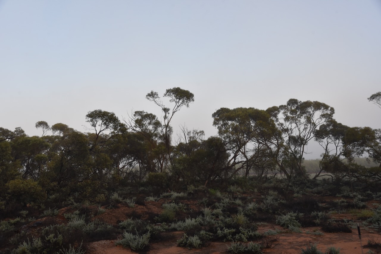
The reserve is only a small park, comprising 2.4 hectares of native scrub, and surrounded by cleared land for cropping and orchards. (Dcceew.gov.au 2023)
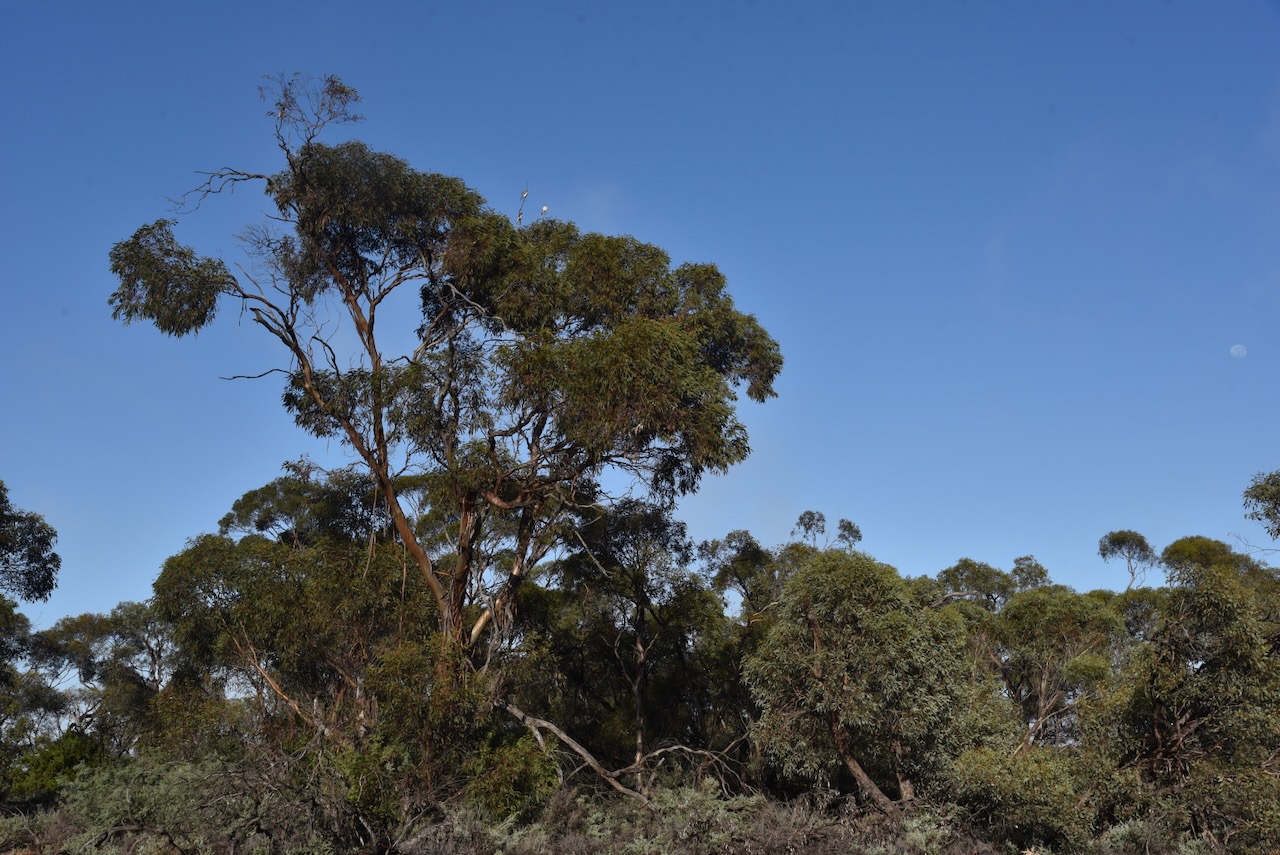
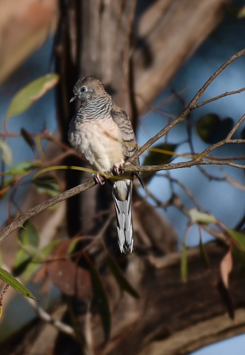
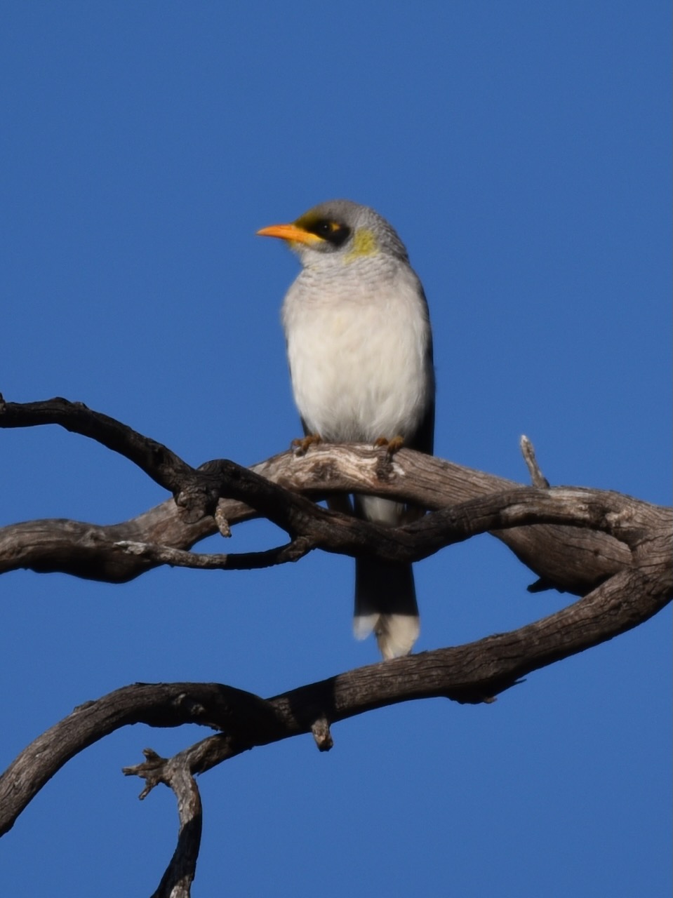
During our visit, the reserve was alive with birdlife.
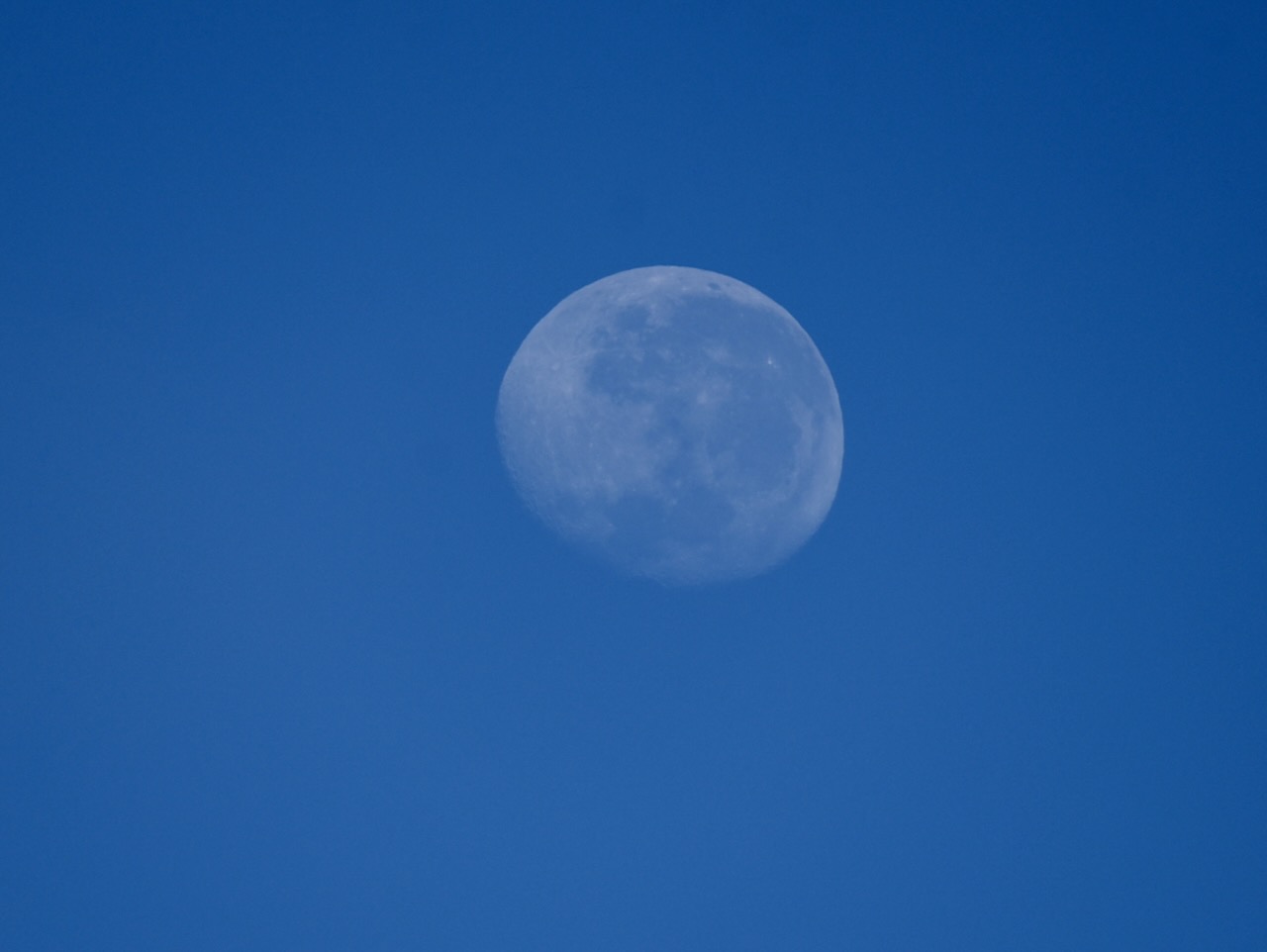
We even got to enjoy a view of the moon.
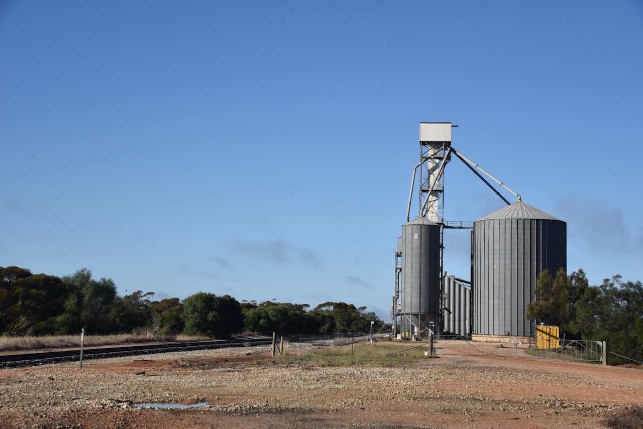
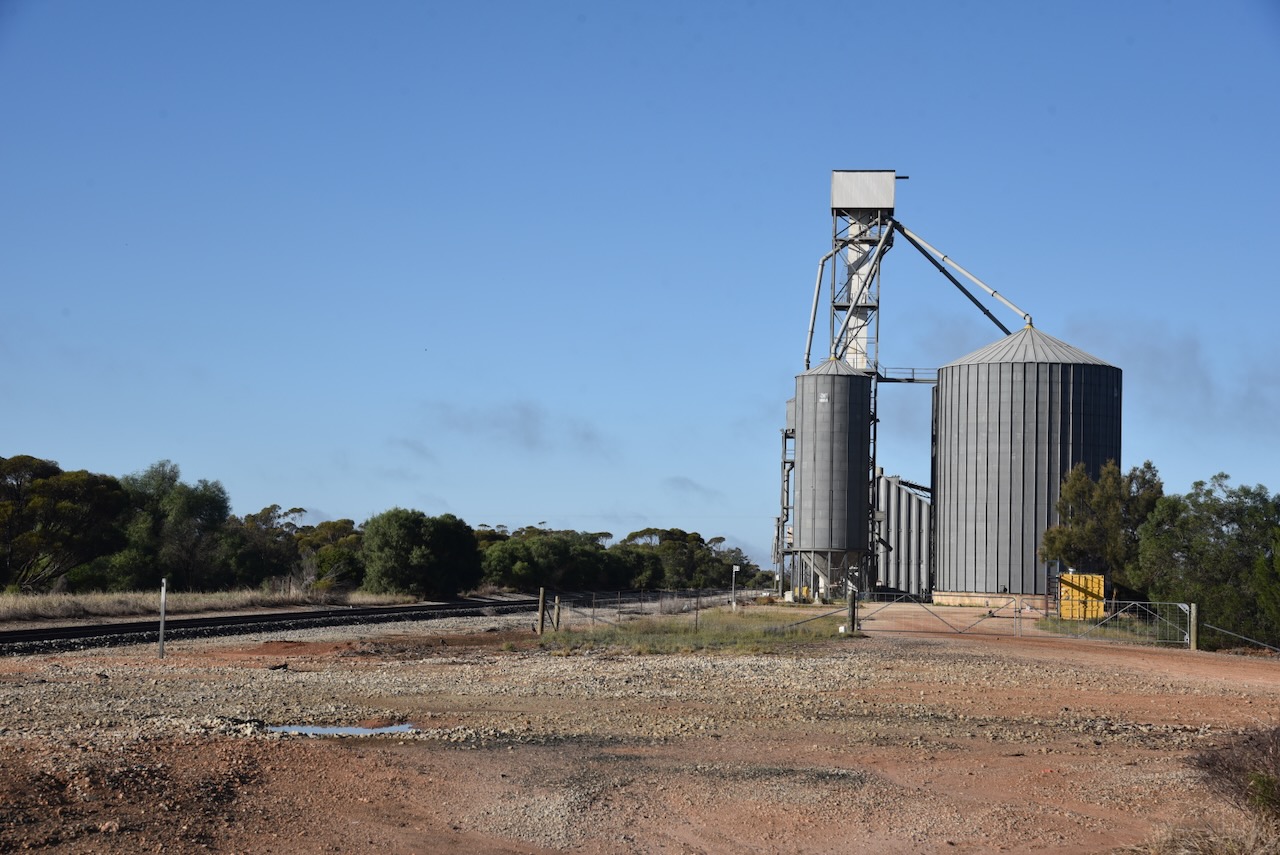
The reserve is within the activation zone of the Miralie silo, which was covered in fog when we arrived.
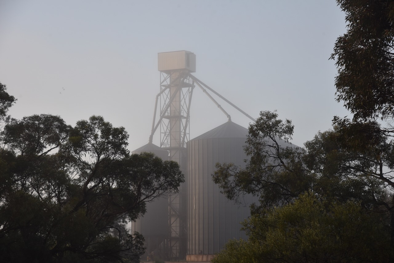
The Miralie silos are located just to the southeast of the reserve, alongside the railway line.
Chris and I pulled into the park in the 4WD and used the Yaesu FT857, 40 watts, and the 20/40/80m linked dipole for this activation.
The activation zone at the Miralie silo. Image c/o SiOTA website
I worked the following stations on 40m SSB:-
- VK2IO/P (VKFF-6153)
- VK2GEZ/P (VKFF-6153)
- VK4NH
- VK4DXA
- VK6ADM
- VK7PJM
- VK5HS
- VK2VW
- VK2HFI
- VK2AKA
- VK2BUG
- VK3IFT
- VK3TKU
- VK5RI
- VK5DR
- VK5FANA
- VK3PF
- VK3FS
- VK3ATT
- VK3ETT
- VK2MOE
- VK1MO
- VK3MCK
- VK3CLD
- VK5QA
- VK2DBF
- VK3EJ
- VK2TRL
- VK4MRH
- VK4ERH
- VK2KJH
- VK3CEO
- VK5LRB
- VK2VH
- VK4AAC
- VK3VIN
- VK4HMI
- VK2MZ
- VK4FNQ
- VK3ZAQ
- VK2EXA
- VK5GTS
- VK3AMO
- VK2IO/P (VKFF-3599)
- VK2GEZ/P (VKFF-3599)
- VK1GM
I worked the following stations on 40m AM:-
- VK2VW
- VK2HFI
- VK2AKA
- VK2BUG
- VK2IO/P (VKFF-6153)
- VK2GEZ/P (VKFF-6153)
I worked the following stations on 20m SSB:-
- VK2IO/P (VKFF-6153)
- VK2GEZ/P (VKFF-6153)
- VK4NH
- VK4DXA
I worked the following stations on 20m AM:-
- VK4NH
- VK4DXA
References.
- Leslie James Blake, 1978, Place Names of Victoria.
- Dcceew.gov.au. (2023). Collaborative Australian Protected Areas Database (CAPAD) 2022 – DCCEEW. [online] Available at: https://www.dcceew.gov.au/environment/land/nrs/science/capad/2022. [Accessed 14 May. 2026]
- Service, C. (2023). Tooleybuc Bridge Over Murray River. [online] NSW Government. Available at: https://www.nsw.gov.au/visiting-and-exploring-nsw/locations-and-attractions/tooleybuc-bridge-over-murray-river [Accessed 14 May 2026].
- Wikipedia Contributors (2025). Miralie. Wikipedia.
