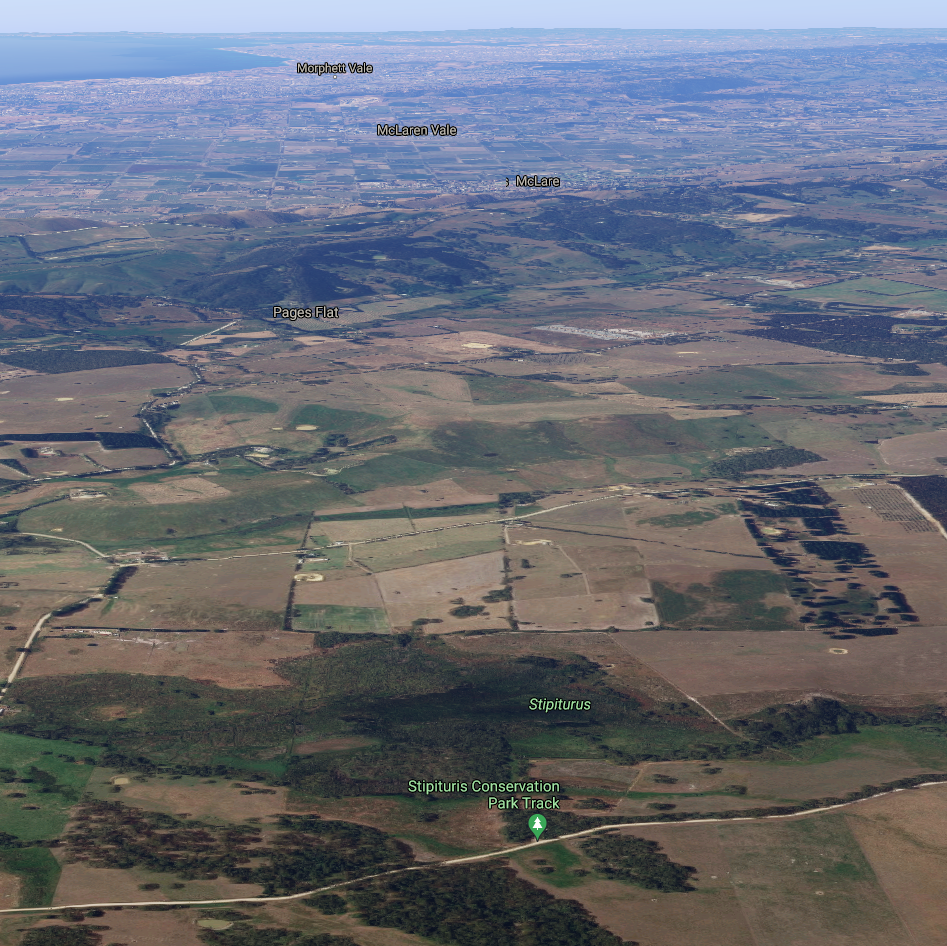
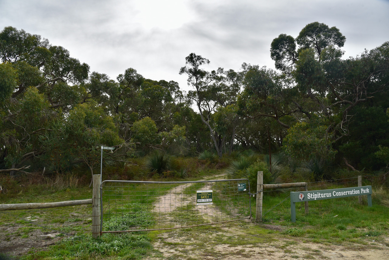
After packing up at the Stipiturus Conservation Park, I headed for my first every HEMA activation, Trig Point VK5/ HSE-042.
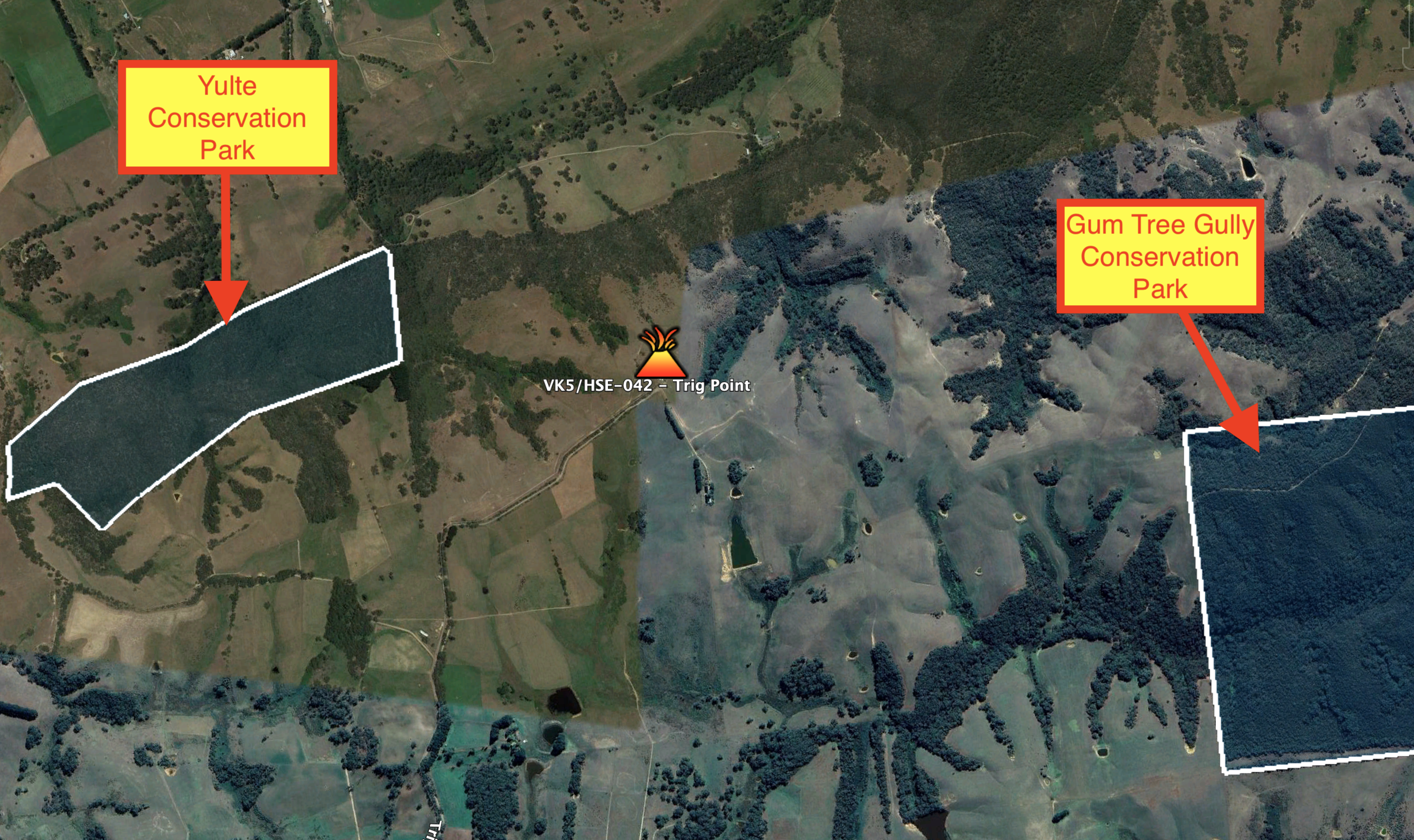
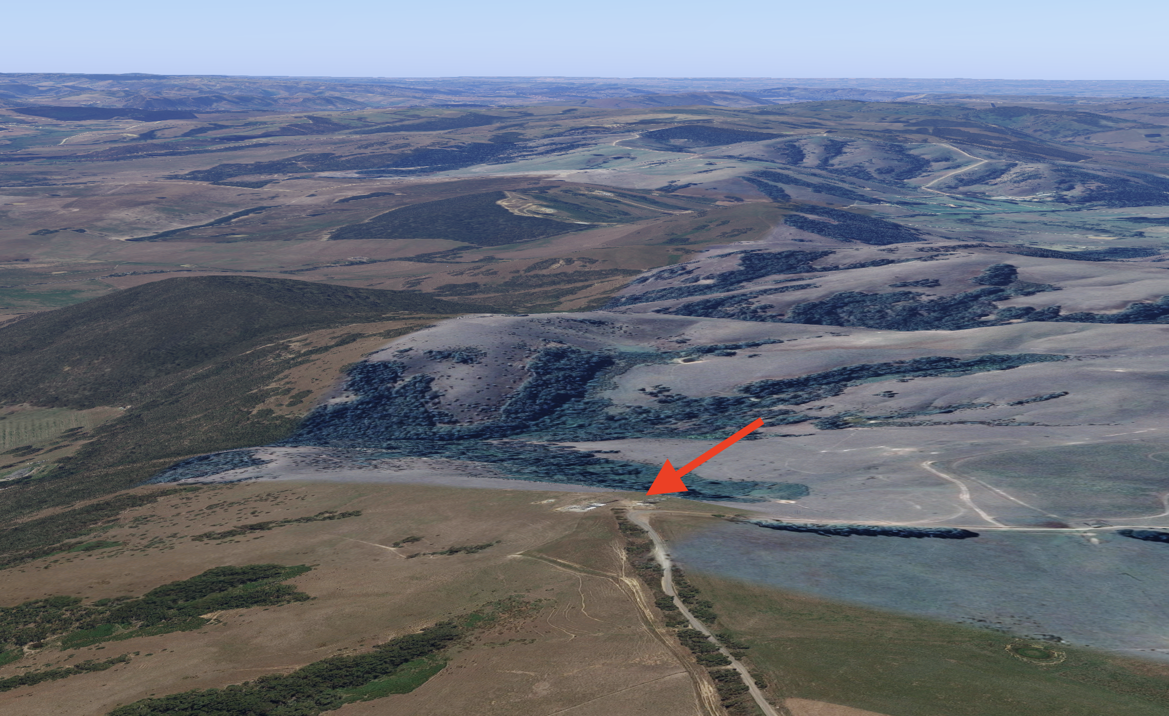
The summit is located in the area of Hindmarsh Valley, right on the border with Myponga, on the Fleurieu Peninsula about 67 km south of Adelaide. The summit is located in between the Yulte Conservation Park and the Gum Tree Gully Conservation Park.
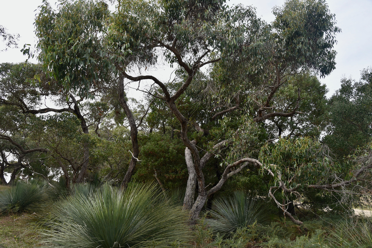
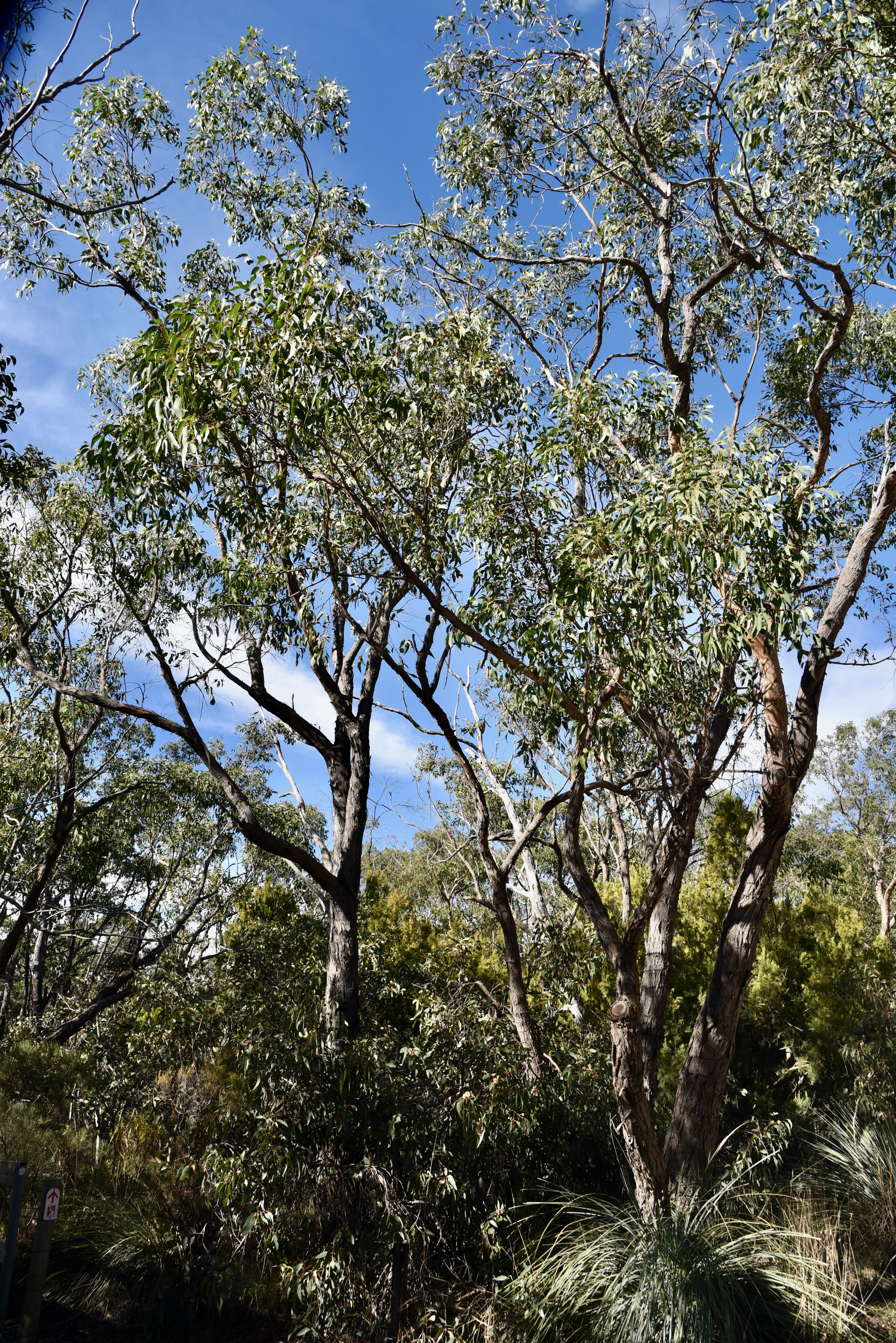
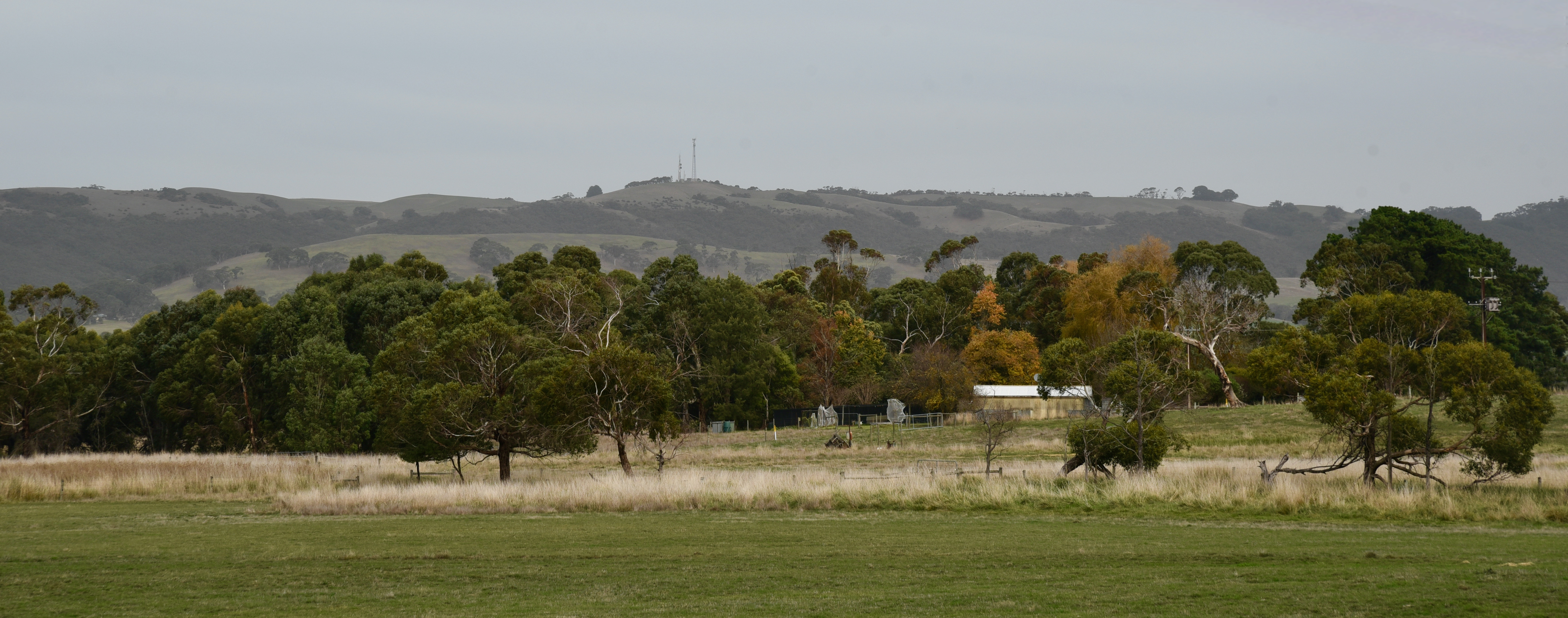
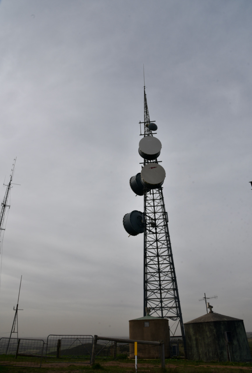
I travelled along Pages Flat Road from the Victor Harbor Road towards the town of Myponga, and was able to see the summit clearly as I travelled towards Myponga. The summit has a number of communication towers on the top.
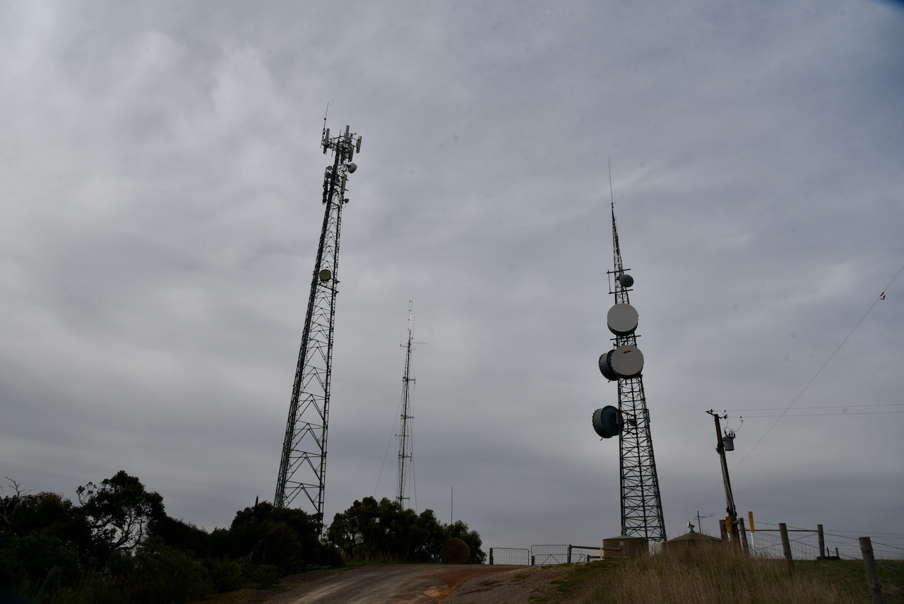
The summit is referred to as Trig Point on the HEMA website, but it is referred to as Myponga Hill on a number of communication tower sites.
Myponga is an aboriginal word maippunga meaning locality of high cliffs.
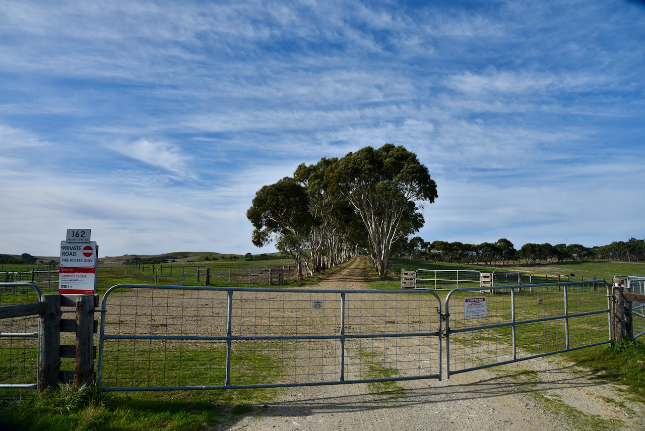
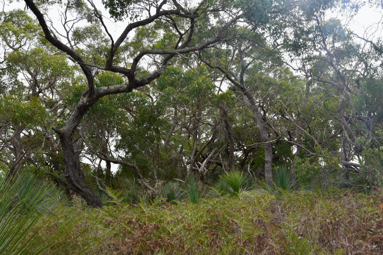
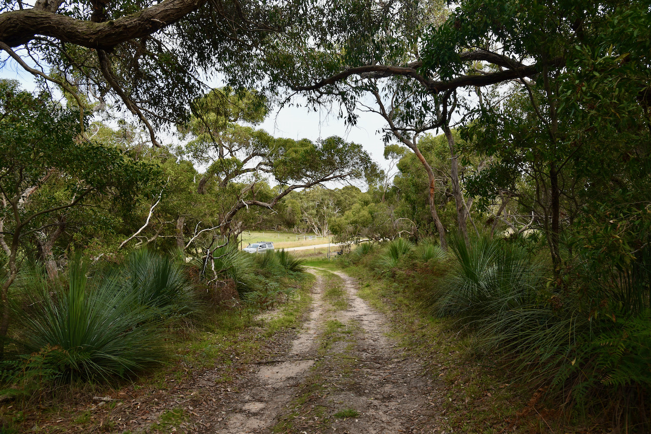
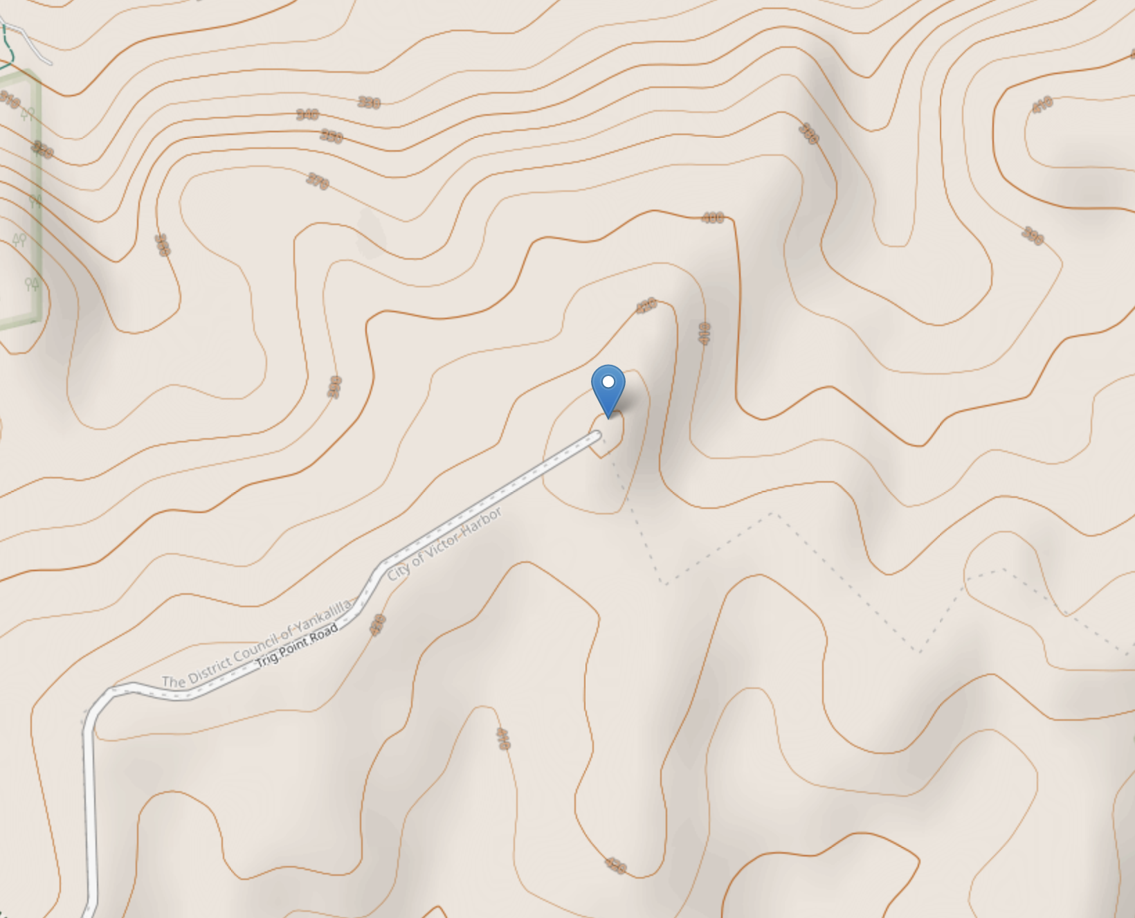
The summit is easily accessible at the end of Trig Point Road which runs off Springmount Road. Trig Point Road is dirt but is in good condition and can be accessed via a conventional vehicle.
The summit is 442 metres above sea level and has 148 metres of prominence – just 2 metres short of qualifying for the Summits On The Air (SOTA) program. Yes, just 2 metres!
There are a number of communication towers on the top of the summit. This includes a digital TV broadcast site.
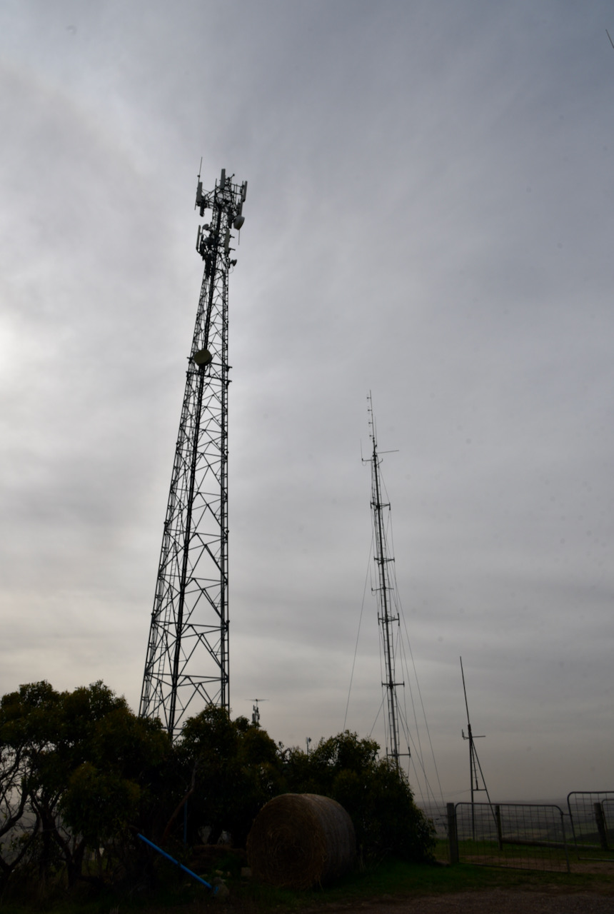
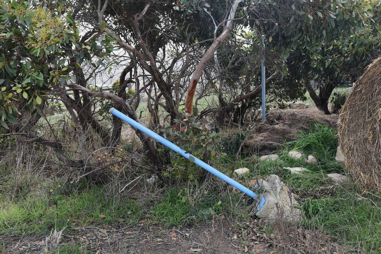
There is also an old trig point at the site, but it is not in great condition. Two of the blue coloured poles can be seen in the photo below, while the third is bent and buckled. A farmers bale of hay sits in the position of the trig point.
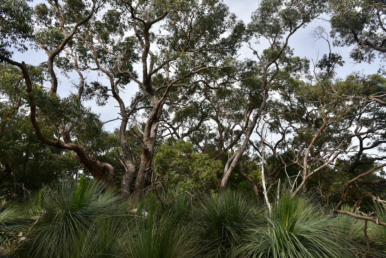
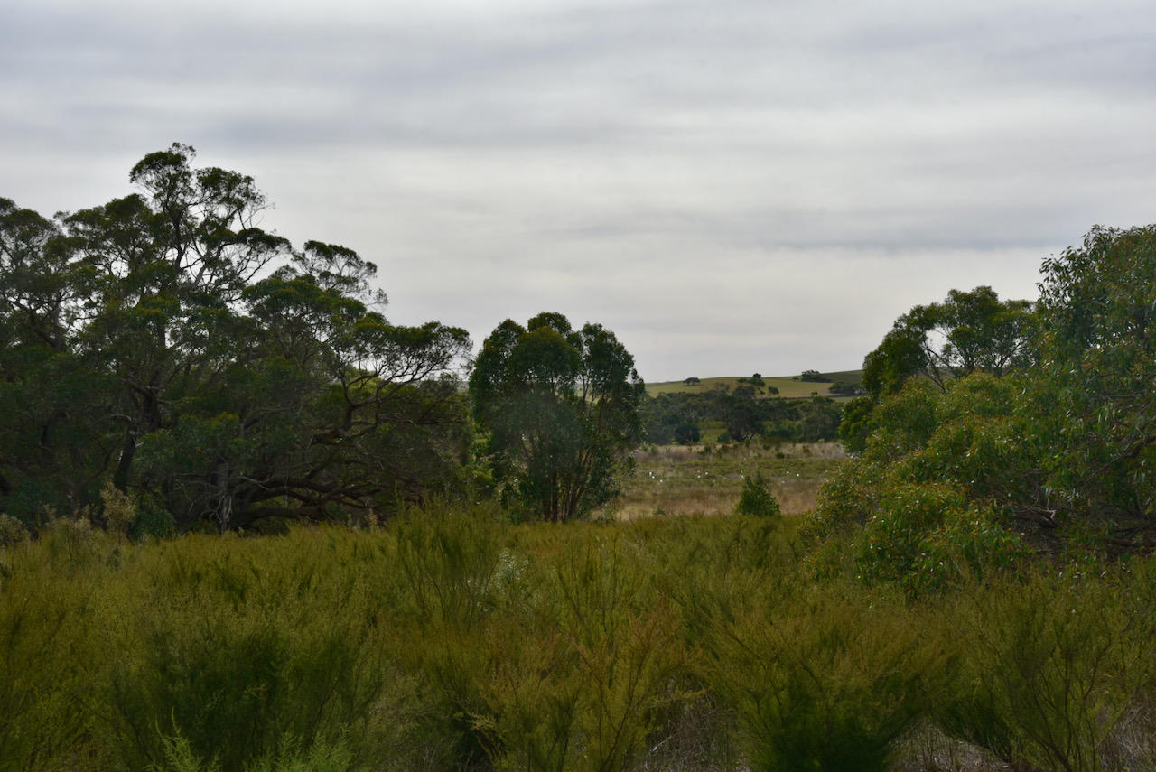
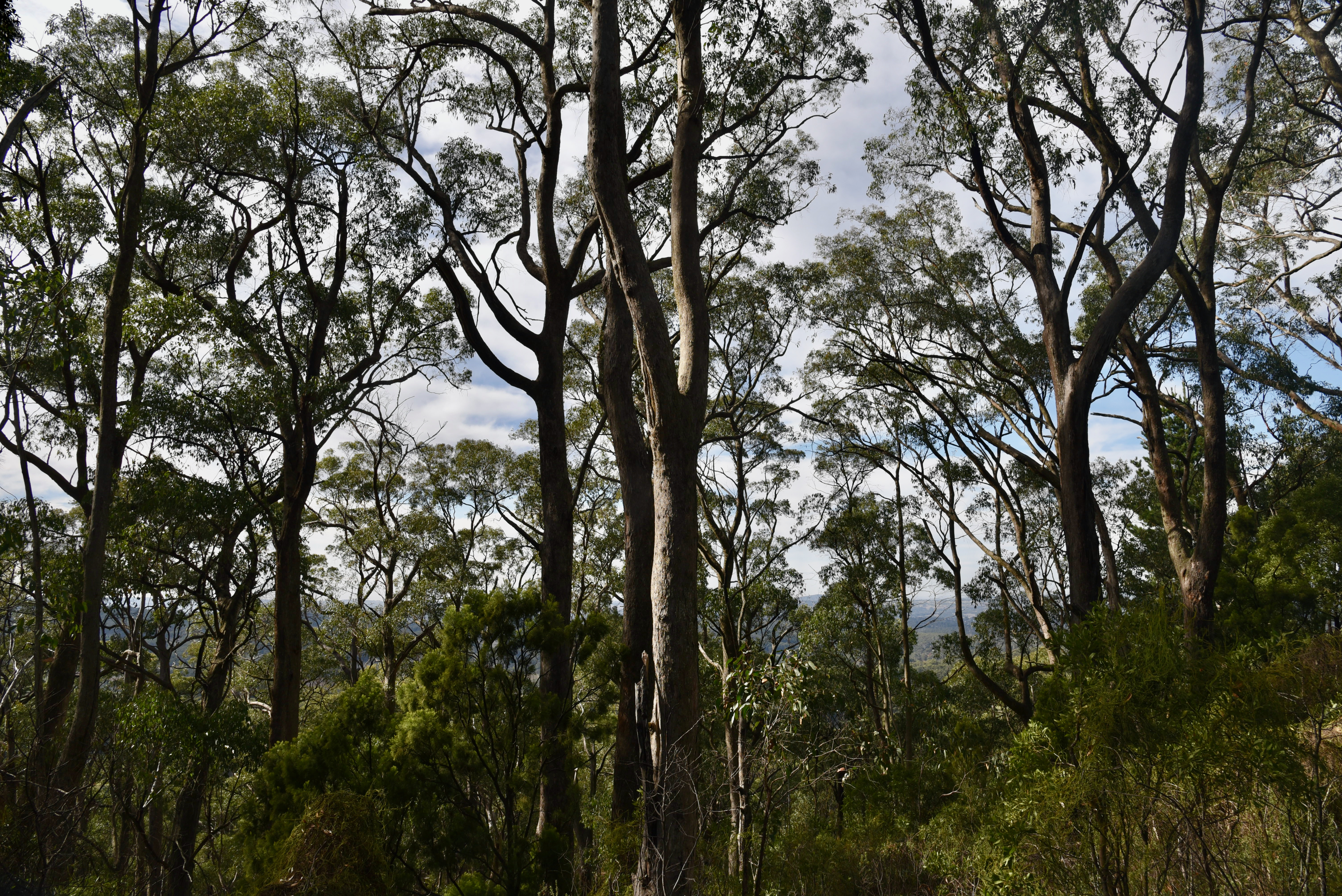
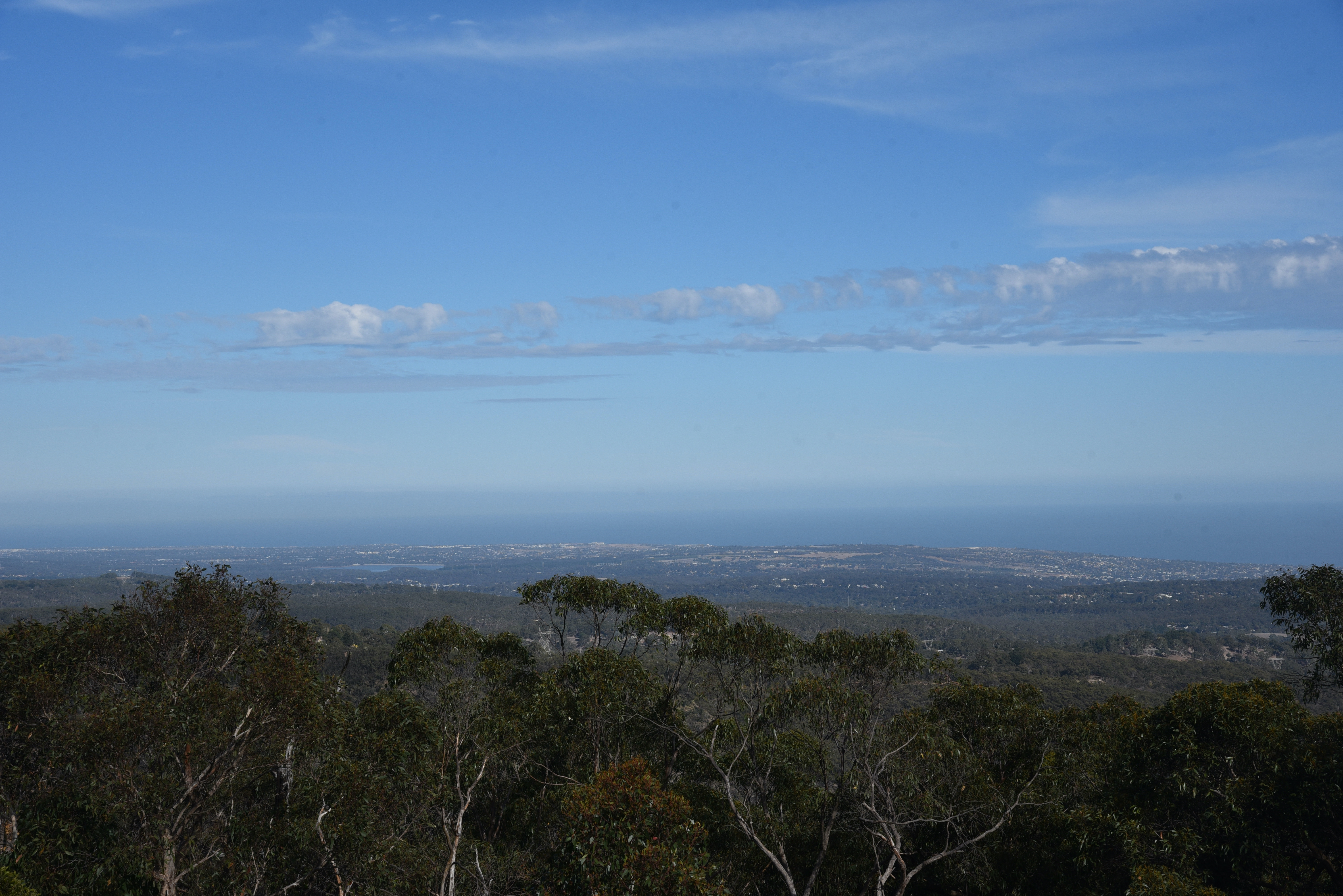
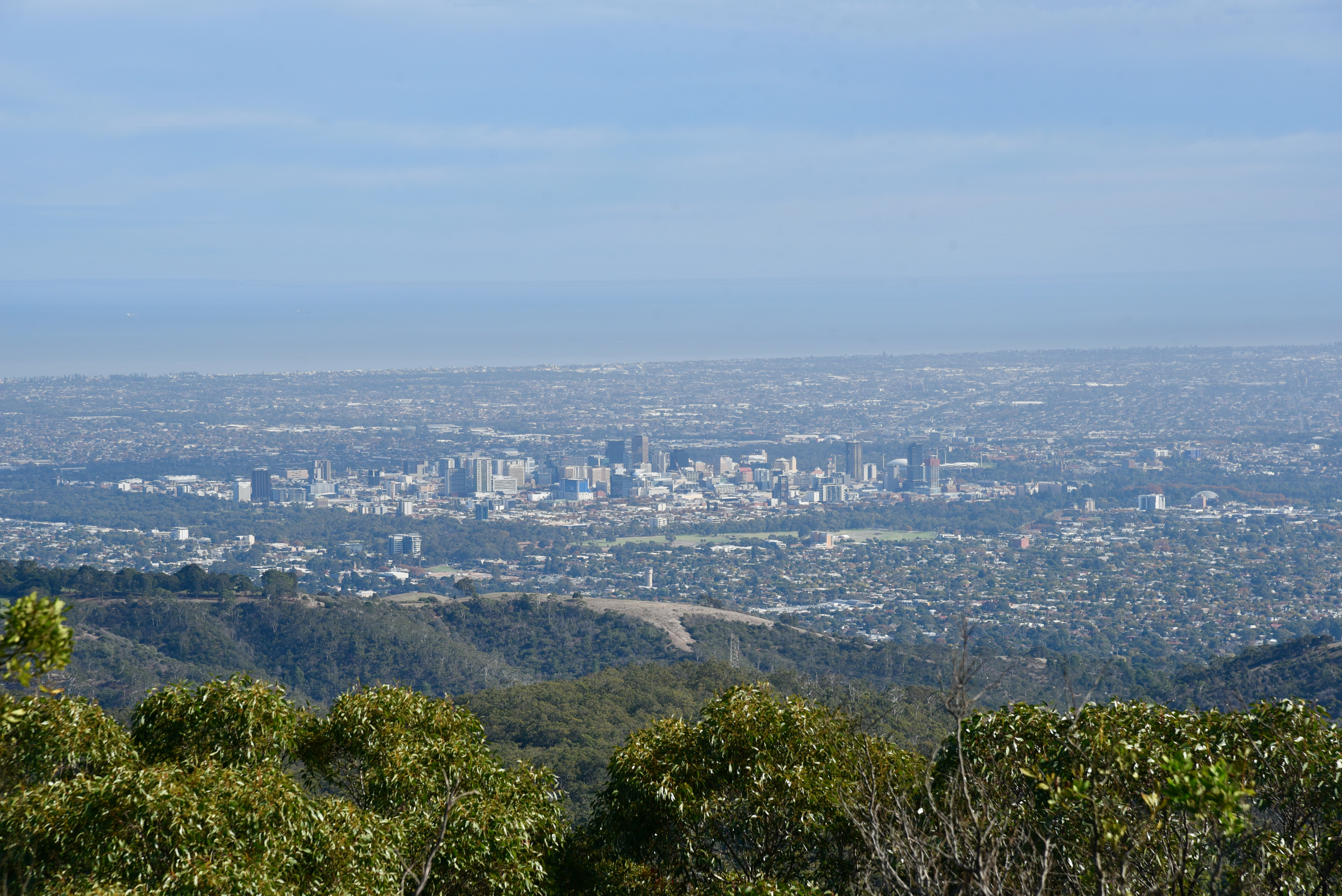
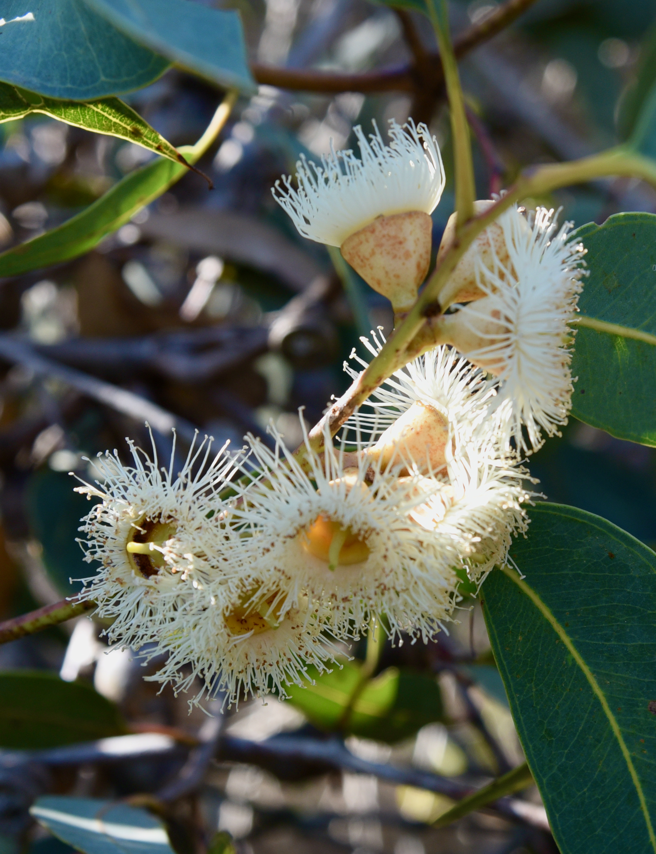
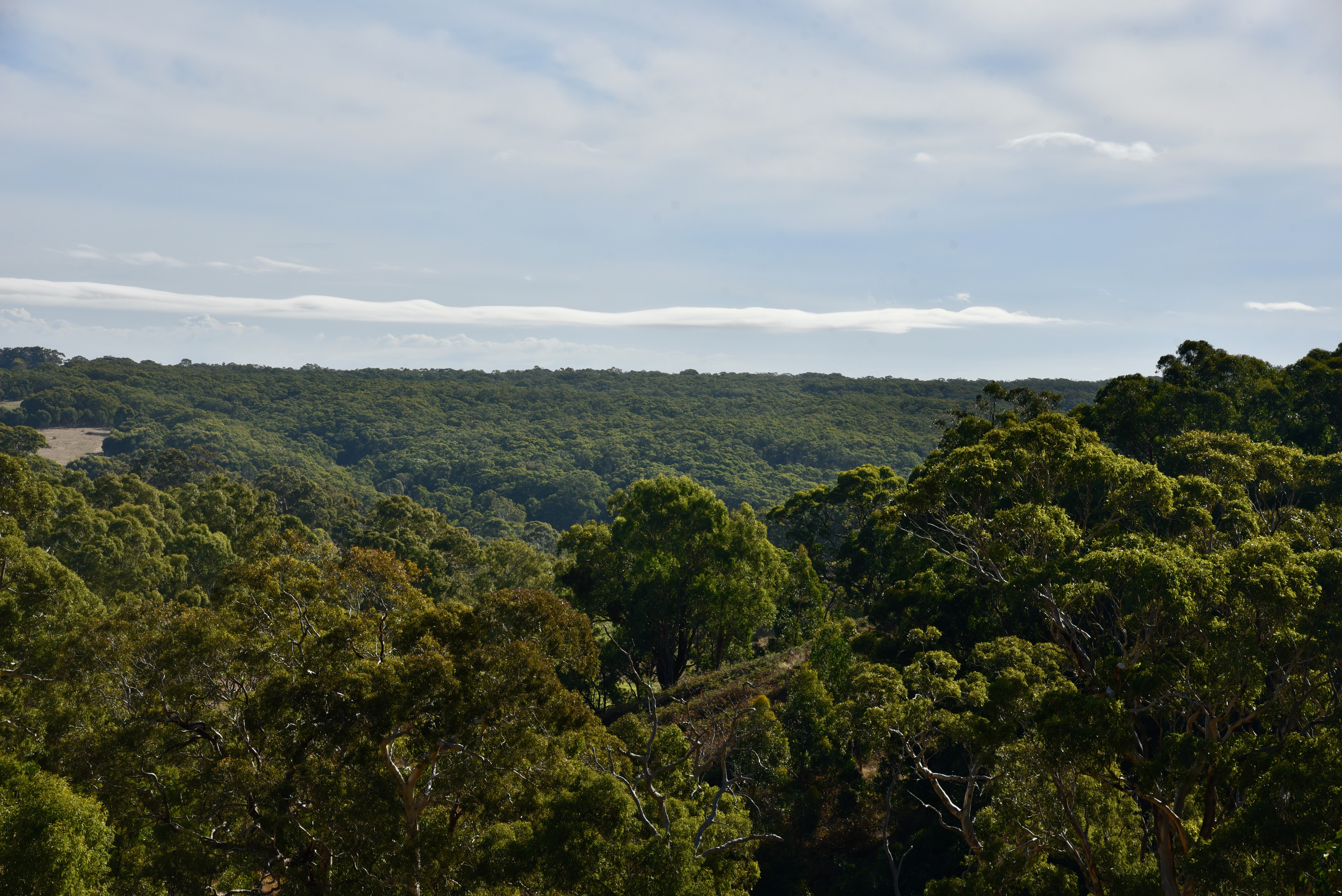
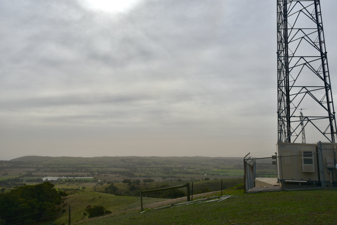
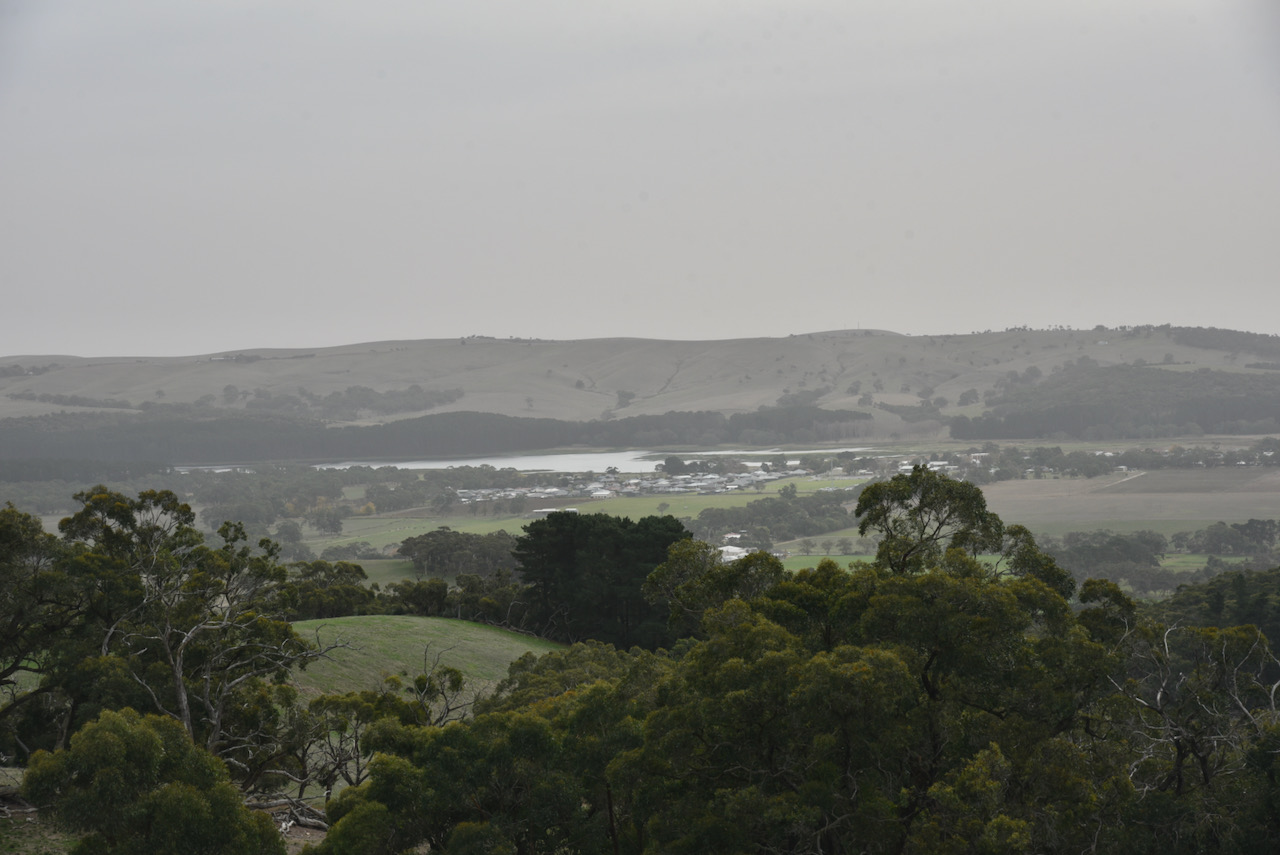
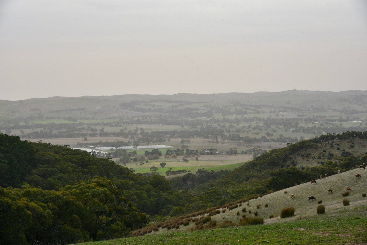
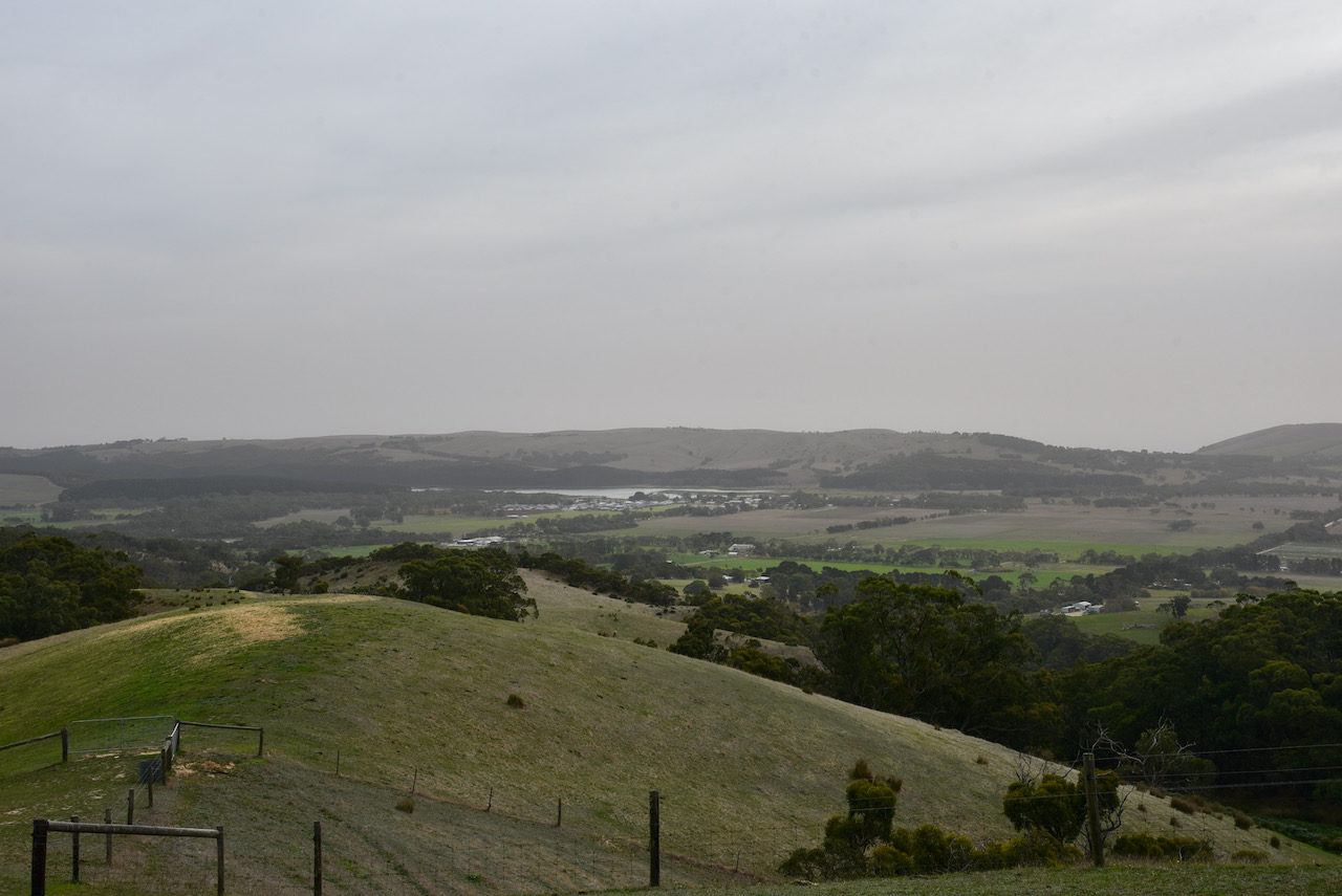
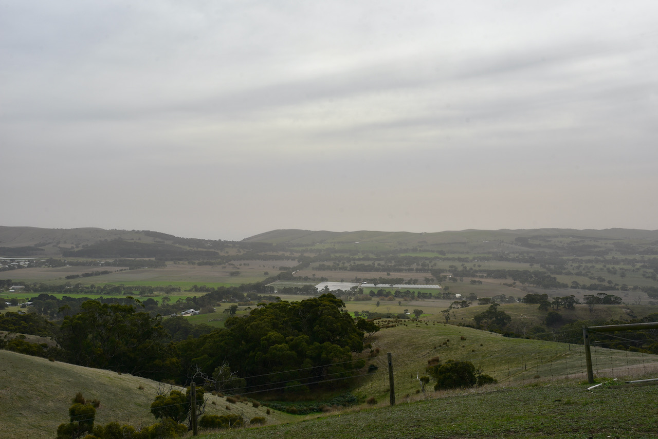
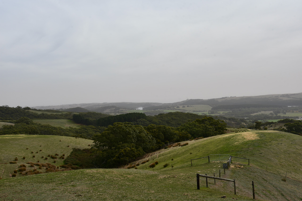
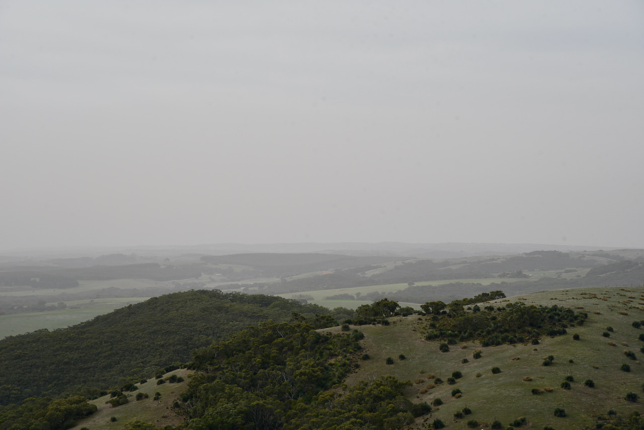
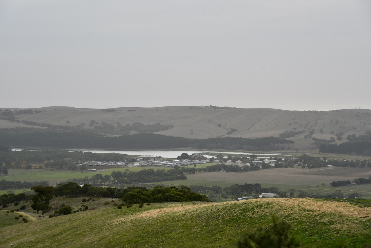
There are some great views out to the south-west, the west, and north-west from the summit. You can see the township of Myponga, the Myponga Reservoir, and across to another HEMA summit, Heatherdale Hill HSE-009. Unfortunately it was a very average day weather-wise and it was blowing a gale and it was very hazy.
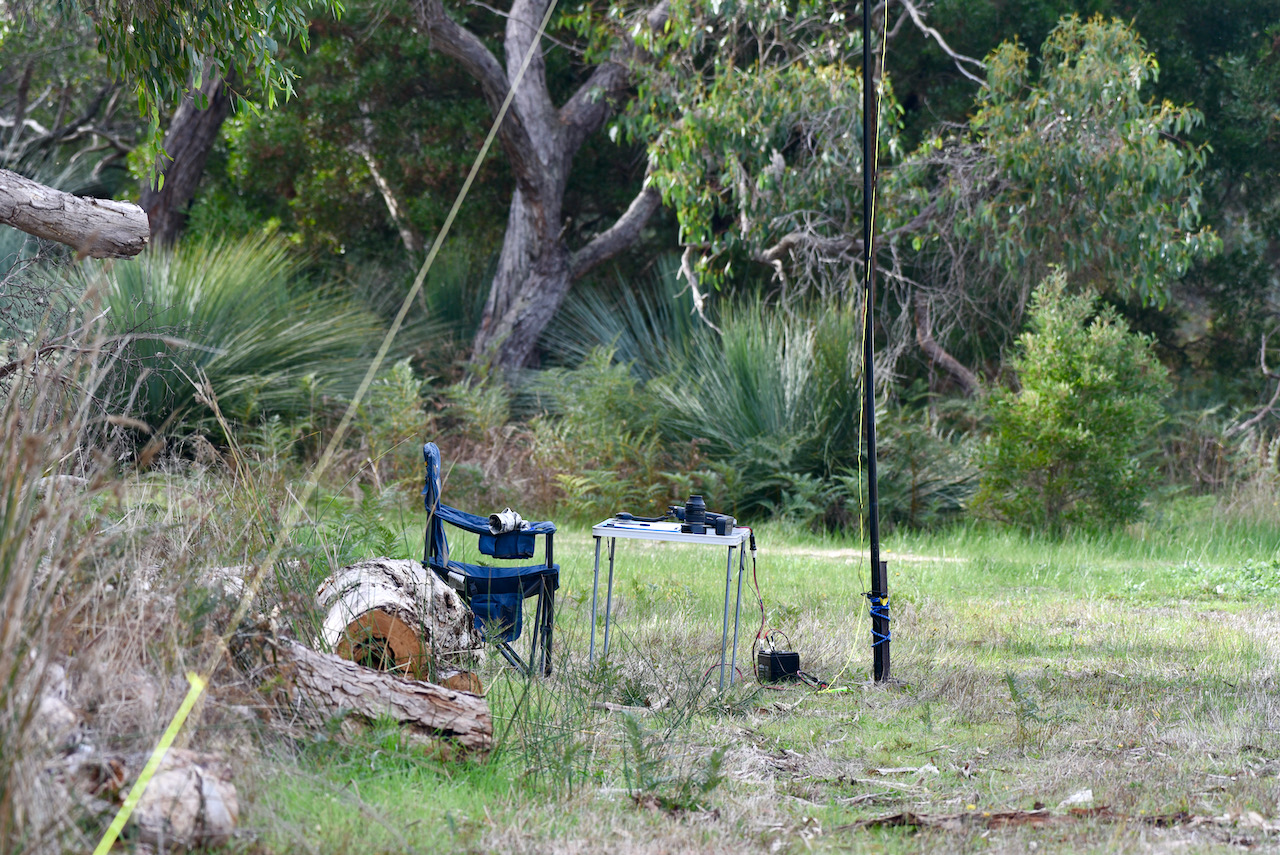
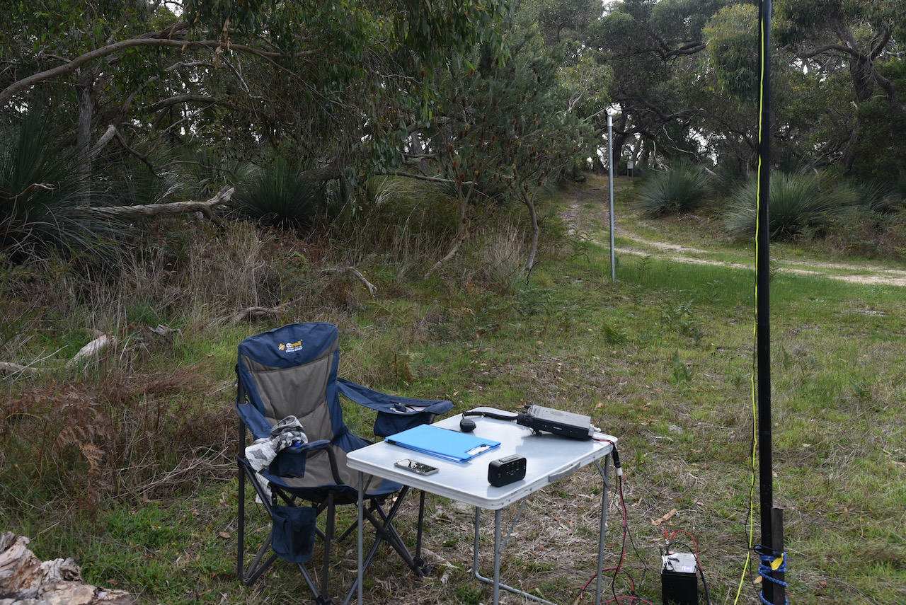
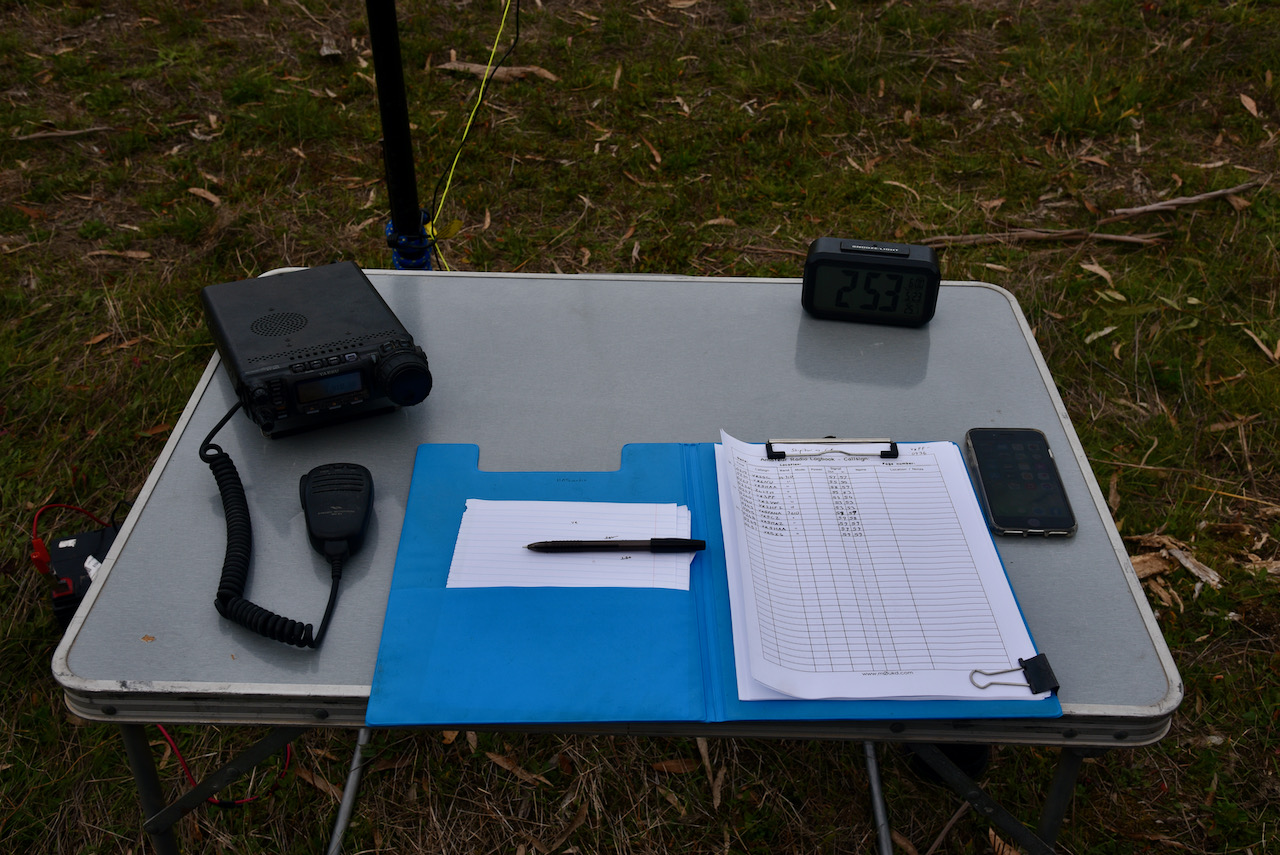
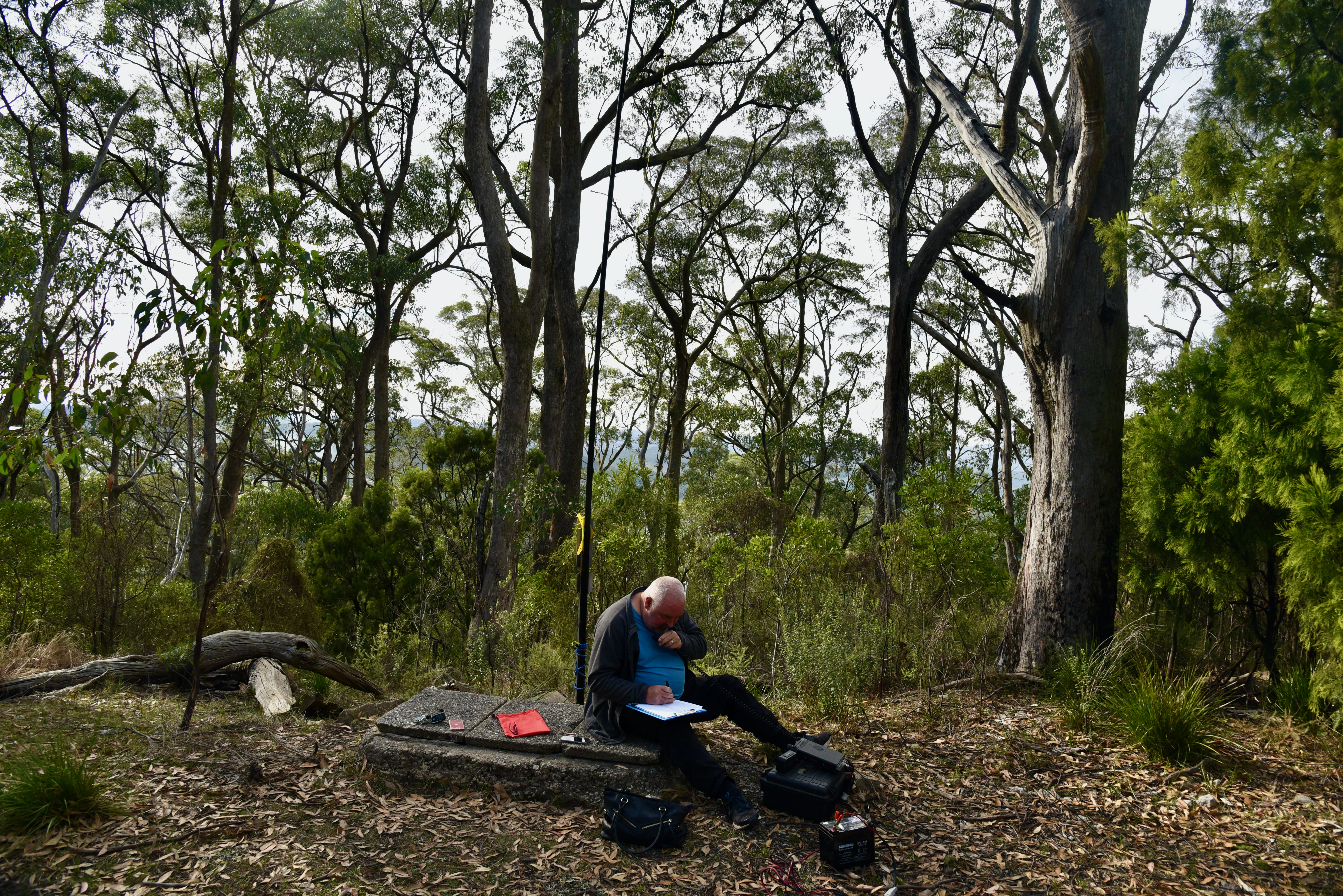
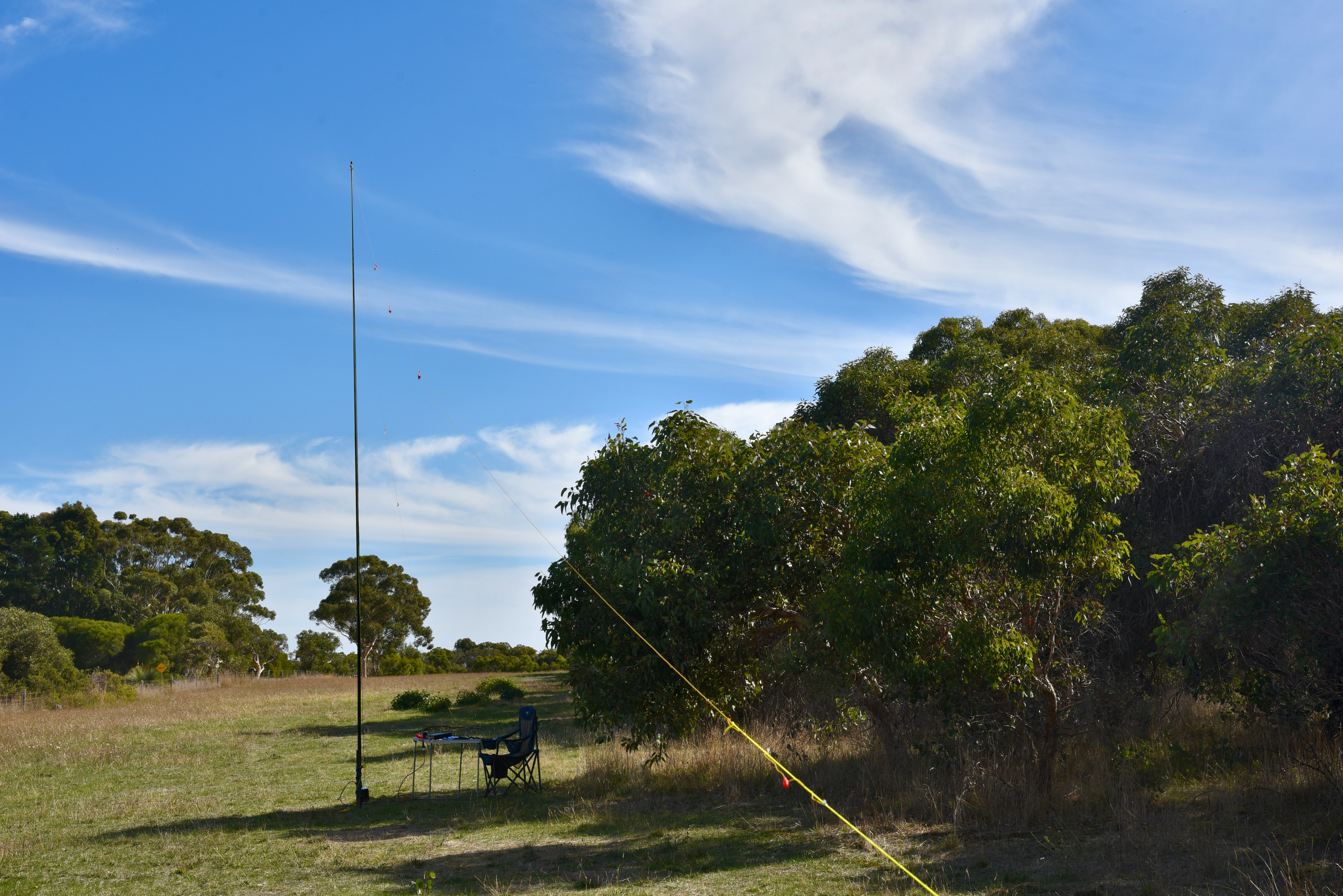
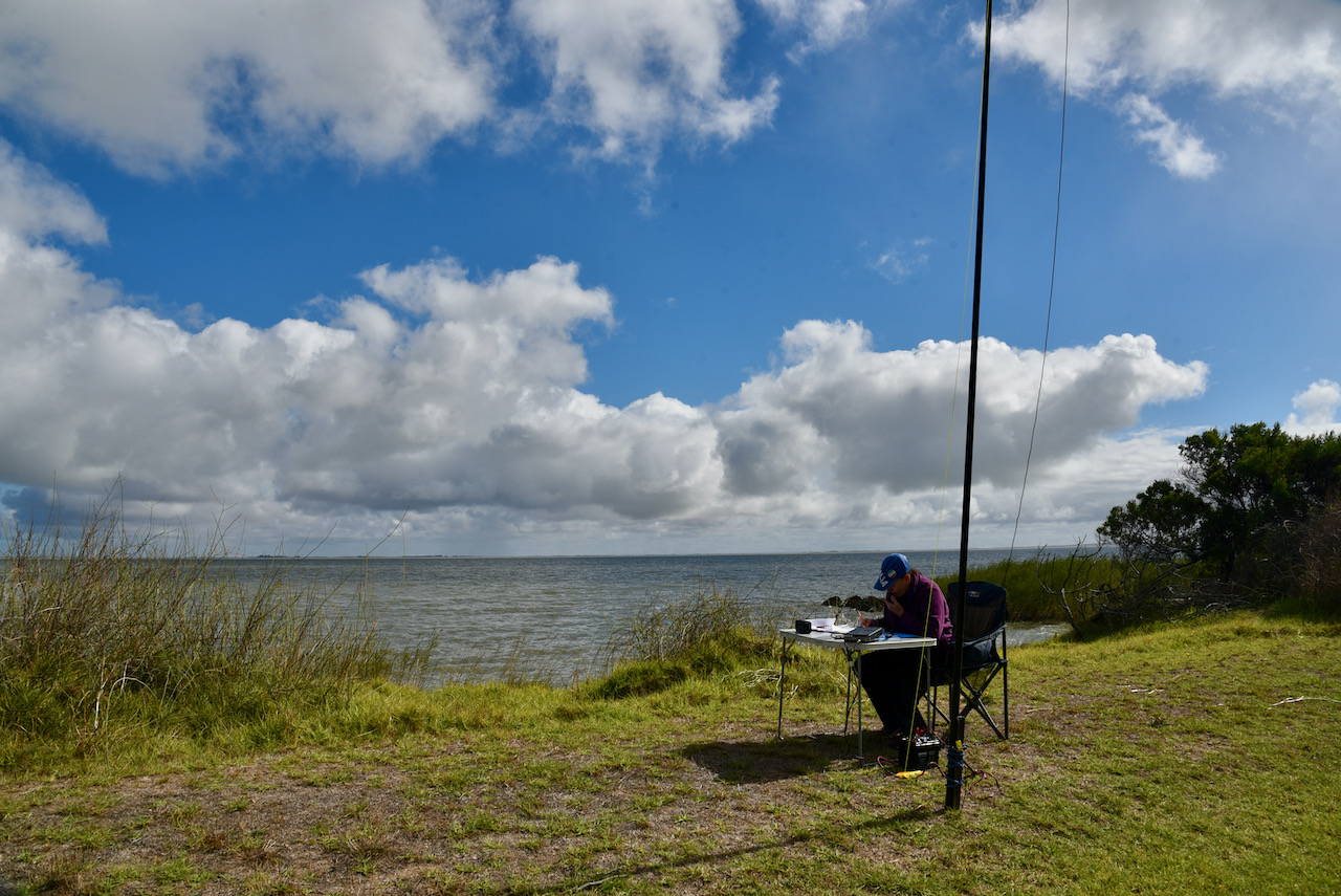
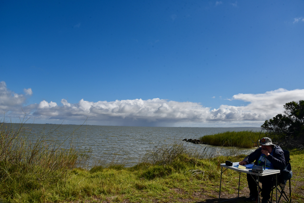
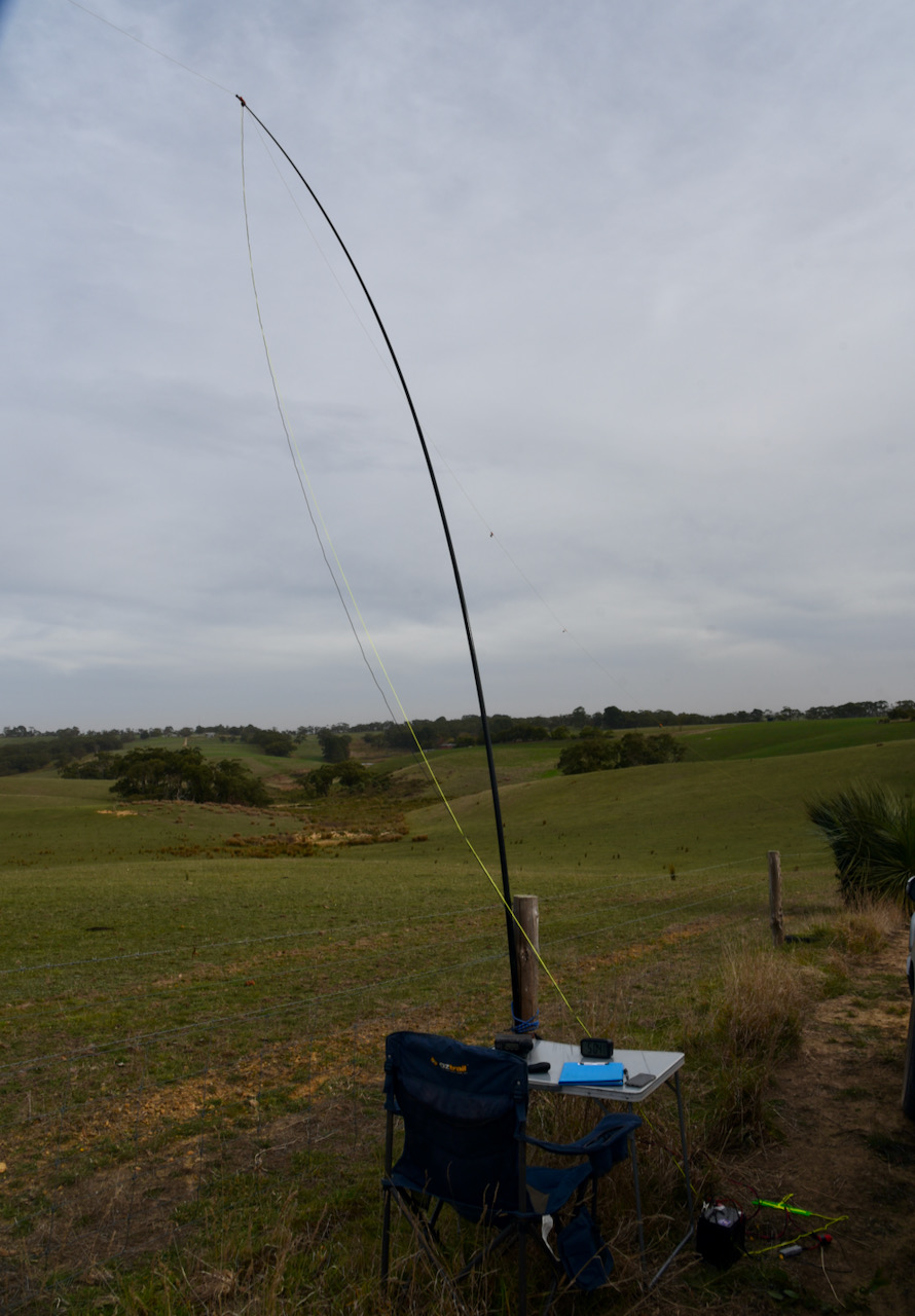
I set up on the side of Trig Point Road. I used a fencepost as an anchor point for the 7 metre telescopic squid pole with the help of an octopus strap. As this was an easy drive up summit I had the comfort of a deck chair and fold up table.
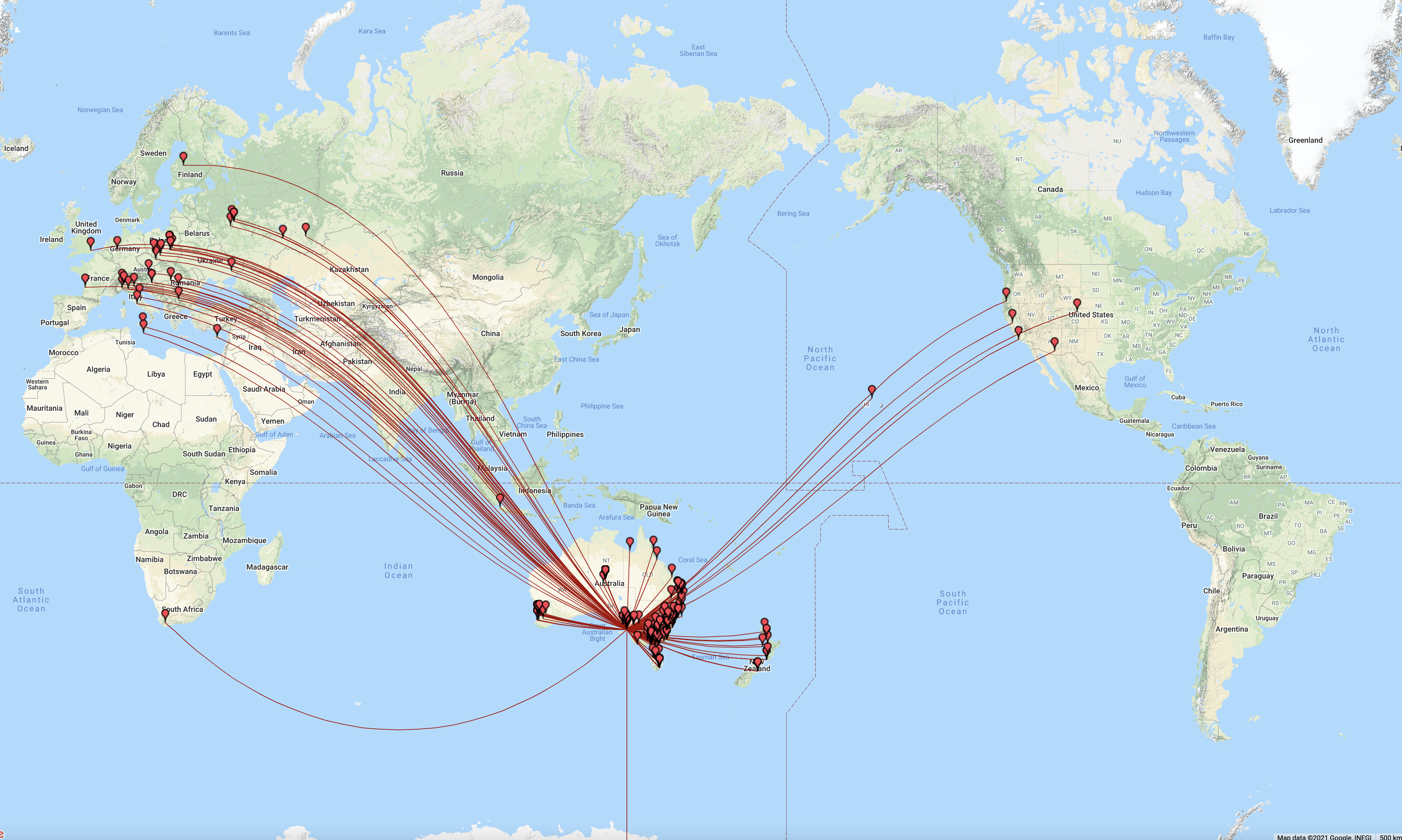
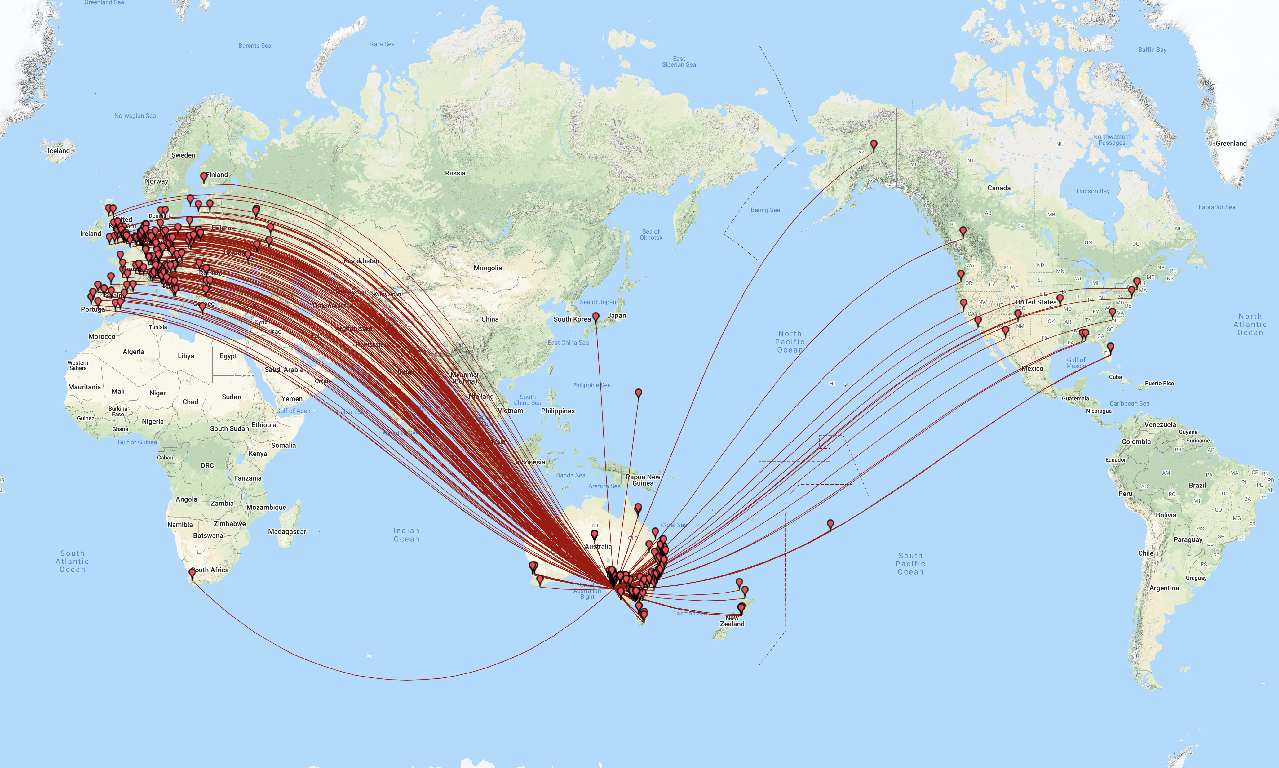
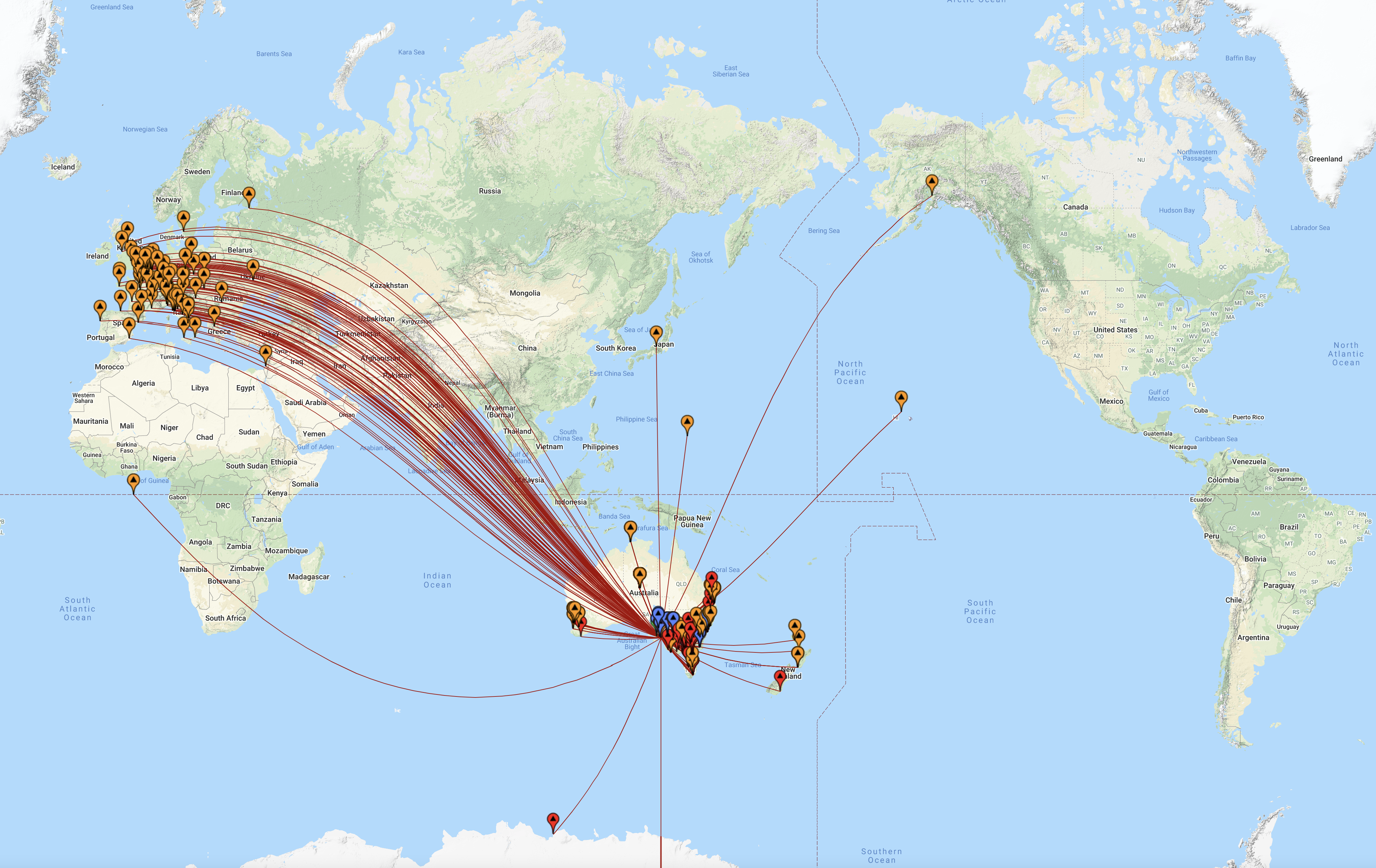
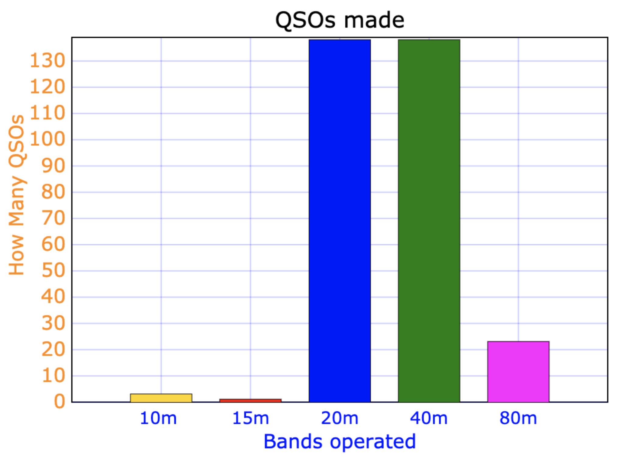
First in the log was Ken VK3HKV, followed by Marija VK5MAZ, and then Adrian VK5FANA. Wal VK2WP then called from a SOTA summit, VK2/ CT-001. Wal was my 4th contact and as a result the HEMA summit was qualified.
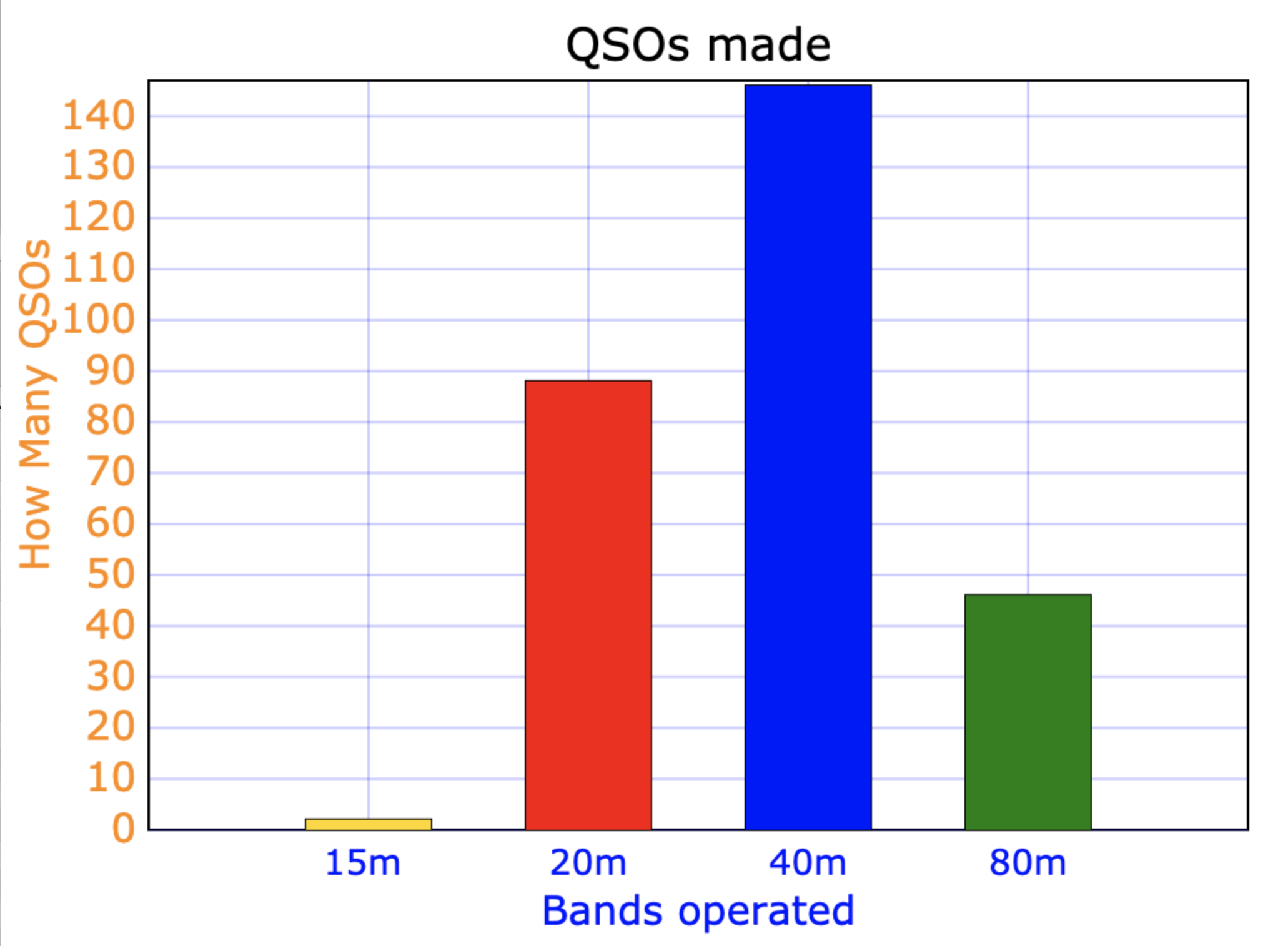
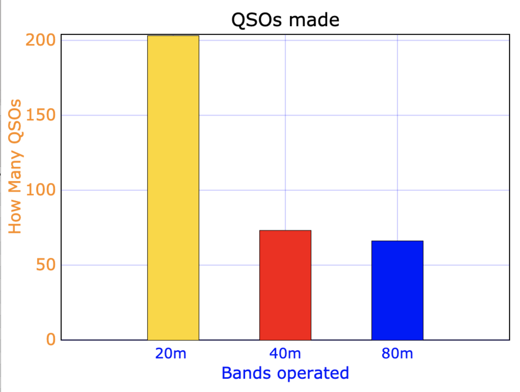
It was quite slow going on 40m and with 13 stations in the log, I decided to head to the 80m band. I called CQ on 3.610 and this was answered by Adrian VK5FANA. I logged a further 5 stations on 80m. This included my wife Marija VK5MAZ who had a huge signal on 80m. I also logged John VK5HAA, the VK5 HEMA Manager.
To conclude the activation I headed to 14.310 on the 20m band. The 40m and 80m bands had been quiet, but there was an S5 noise floor on 20m, possibly from the communications towers. I logged 3 stations on 20m from VK3, VK5, and VK6.
With 22 stations in the log, and the HEMA summit well and truly qualified, I decided to pack up and head off to VK5/ HSE-009. I was not upset about packing up as it was extremely windy and quite cold.
I worked the following stations on 40m SSB:-
- VK3HKV
- VK5MAZ
- VK5FANA
- VK2WP/p (SOTA
- VK3PF
- VK3PI
- VK5KVA
- VK3SRC
- VK3GTV
- VK2IO
- VK2KMI
- VK3ARH
- VK5PL
I worked the following stations on 80m SSB:-
- VK5FANA
- VK5HAA
- VK5CZ
- VK5PL
- VK5MAZ
- VK5BJE
I worked the following stations on 20m SSB:-
- VK5HAA
- VK3SX
- VK6NU
References.
- Australian Explorer, 2021, <https://www.australianexplorer.com/myponga.htm>, viewed 27th May 2021.
- HEMA, 2021, <http://hema.org.uk/fullSummit.jsp?summitKey=59891>, viewed 27th May 2021.
- Oz Digital TV, 2021, <https://ozdigitaltv.com/transmitters/SA/673-Myponga-Hill>, viewed 27th May 2021.