
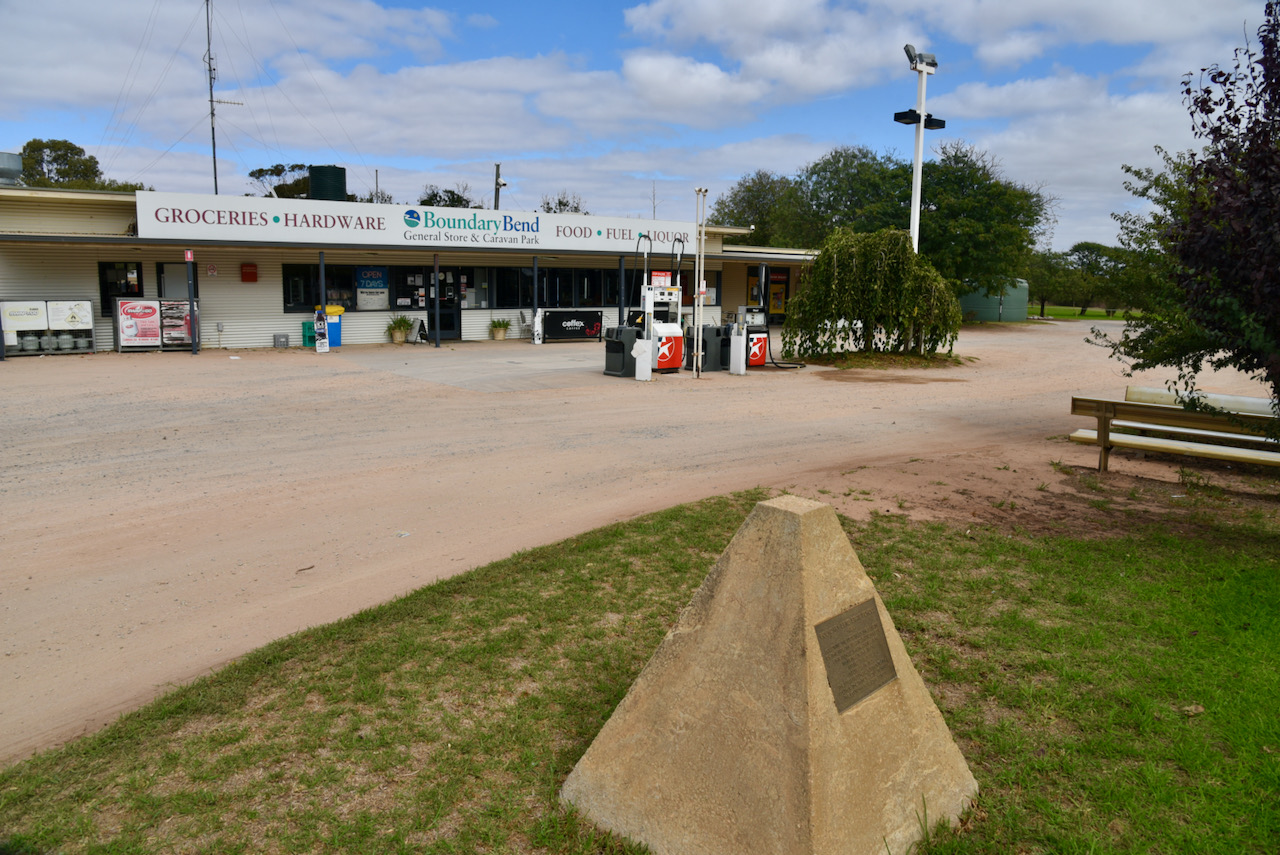
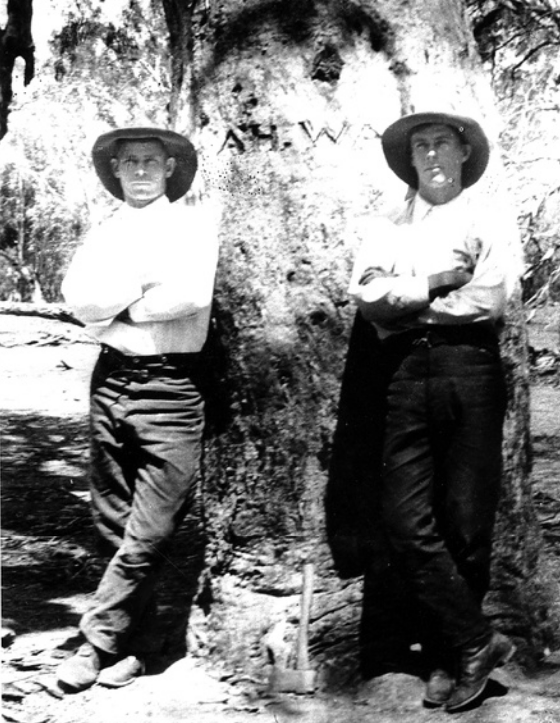
After packing up at Tol Tol, Marija and I drove south along the Murray Valley Highway until we reached the little town of Boundary Bend which is about 50 km east of Robinvale and Euston. We stopped here for a coffee.
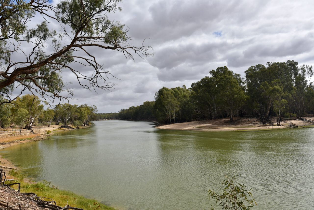
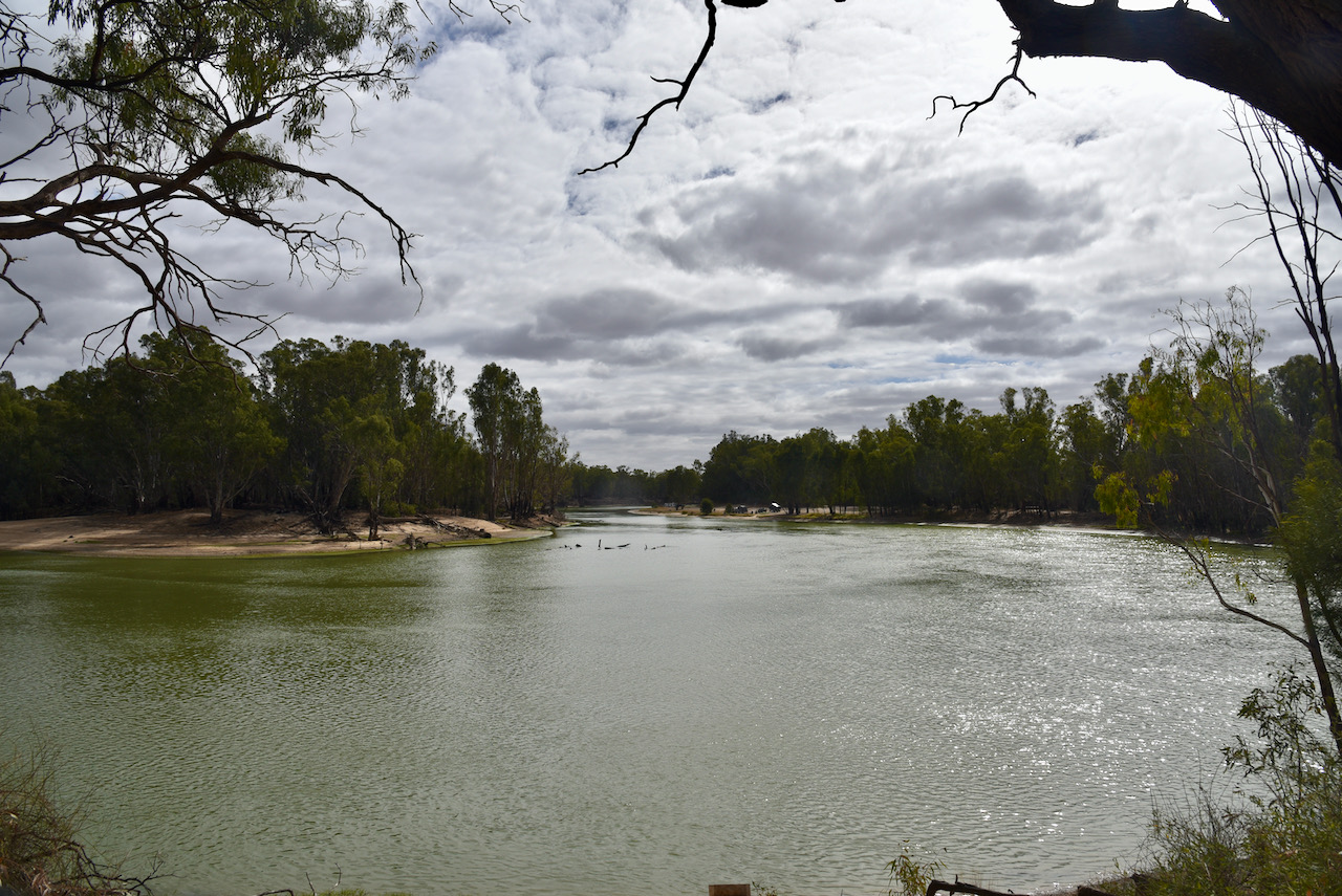
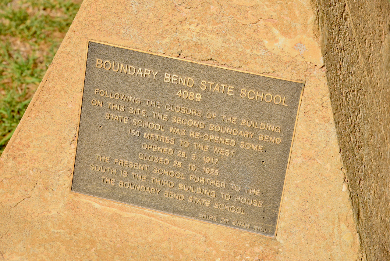
Boundary Bend is a thriving horticultural area with very large olive groves and almond plantations. It is named for the river bend, at the point where the boundary fence between Narrung and Yungera Pastoral Stations met with the Murray River. The town offers a magnificent sweep of the Murray River as its view. There is a small monument here re the old Boundary Bend School which closed in 1925.
Boundary Bend was the home of Arch Conner who died in 1980 at age 93. Known as ‘The Old Man of the Murray’, he was famous in the area as a fisherman on the Murray and Murrumbidgee Rivers. In his latter years he was a fully qualified paddle steamer ‘Master’.
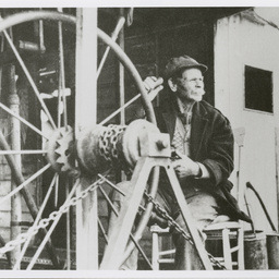
Above:- Photos of Arch Conner, c/o State Library of South Australia B 63241/2, PRG 1258/4/79; and whiteburys.com
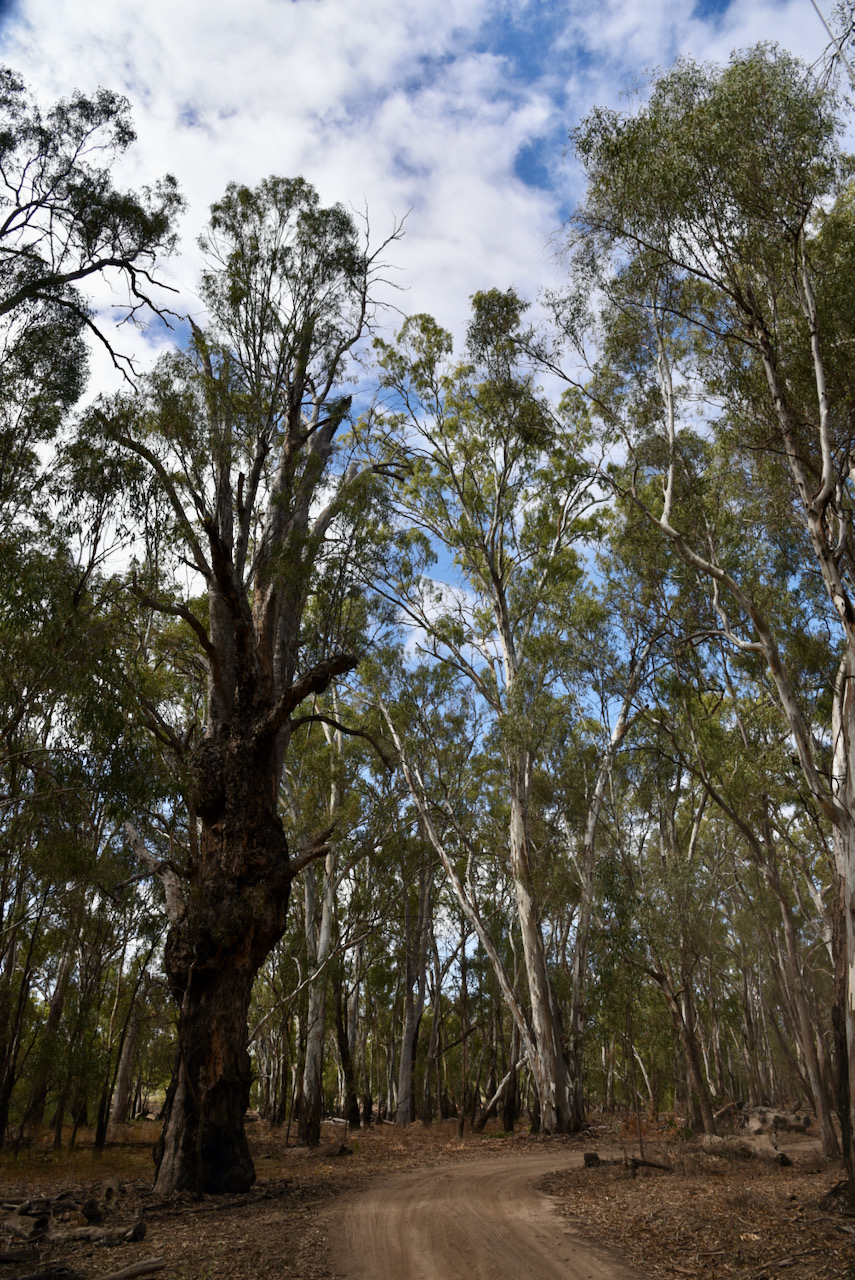
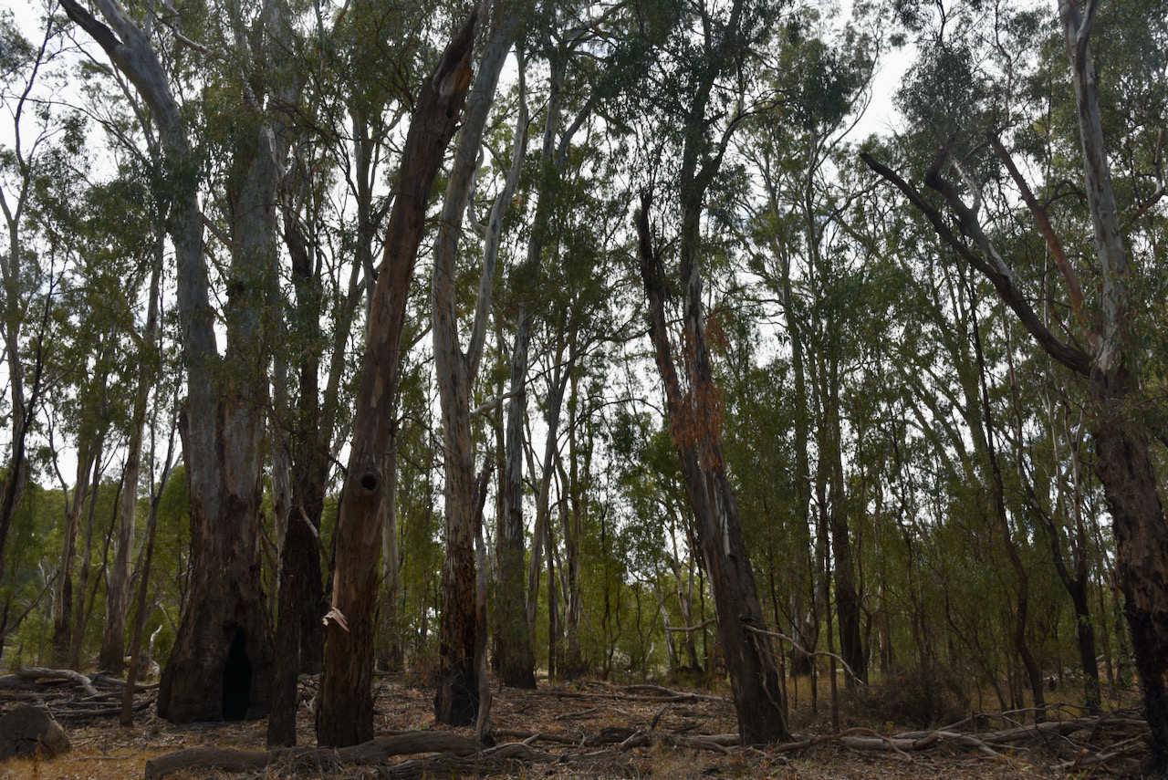
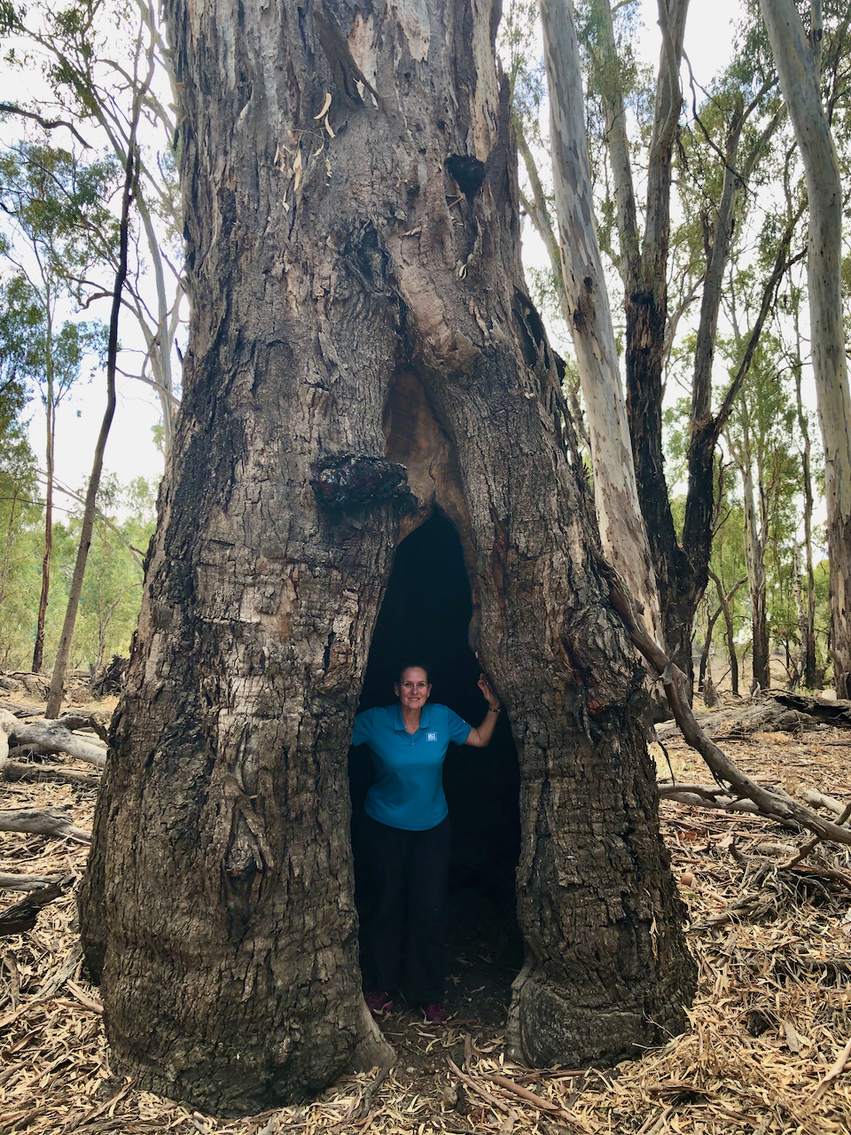
We then turned off the highway onto River Track and followed the 4WD track through magnificent River Red Gum forest and along the mighty Murray River. Our destination was to be the junction of the Murray and the Murrumbidgee Rivers.
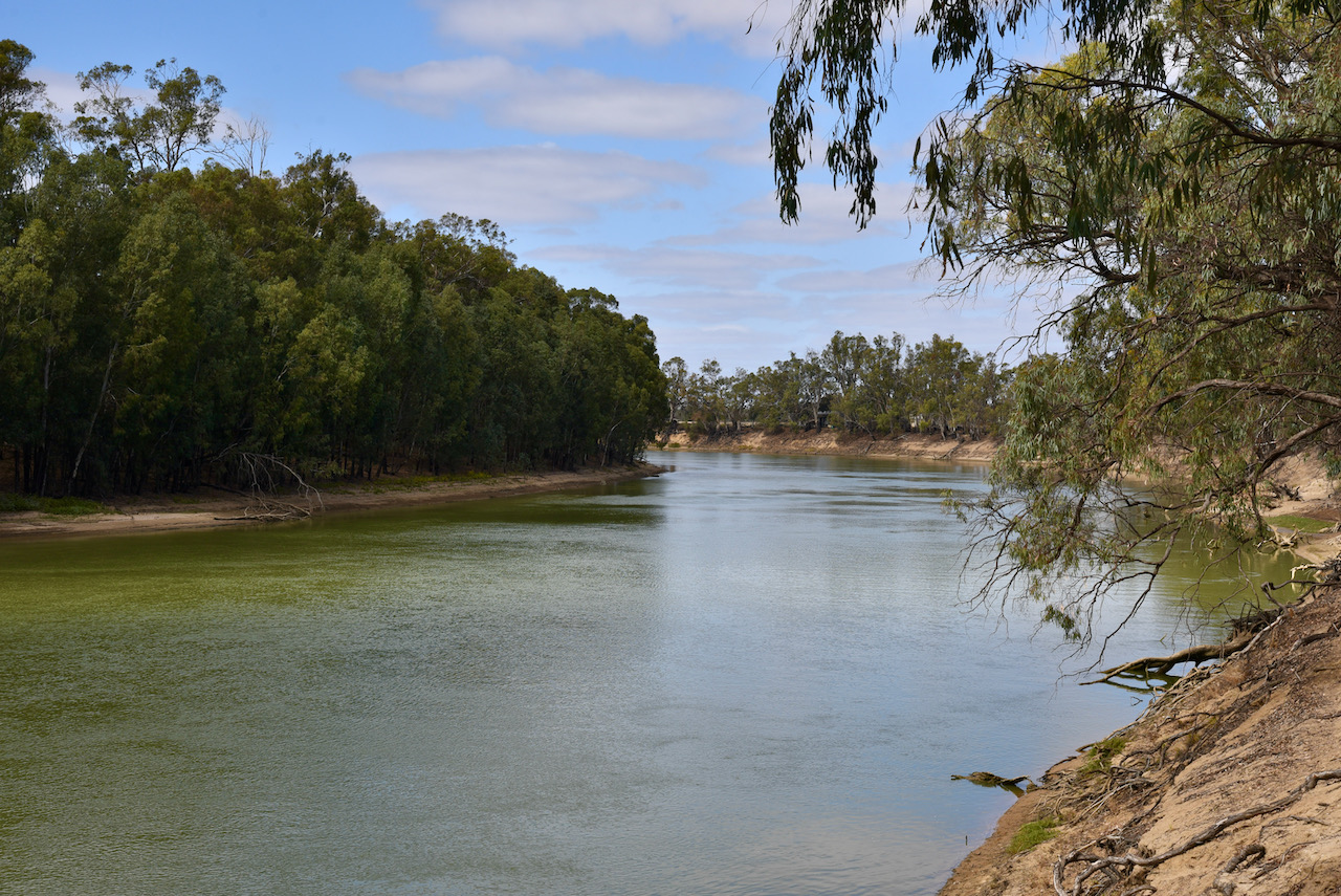
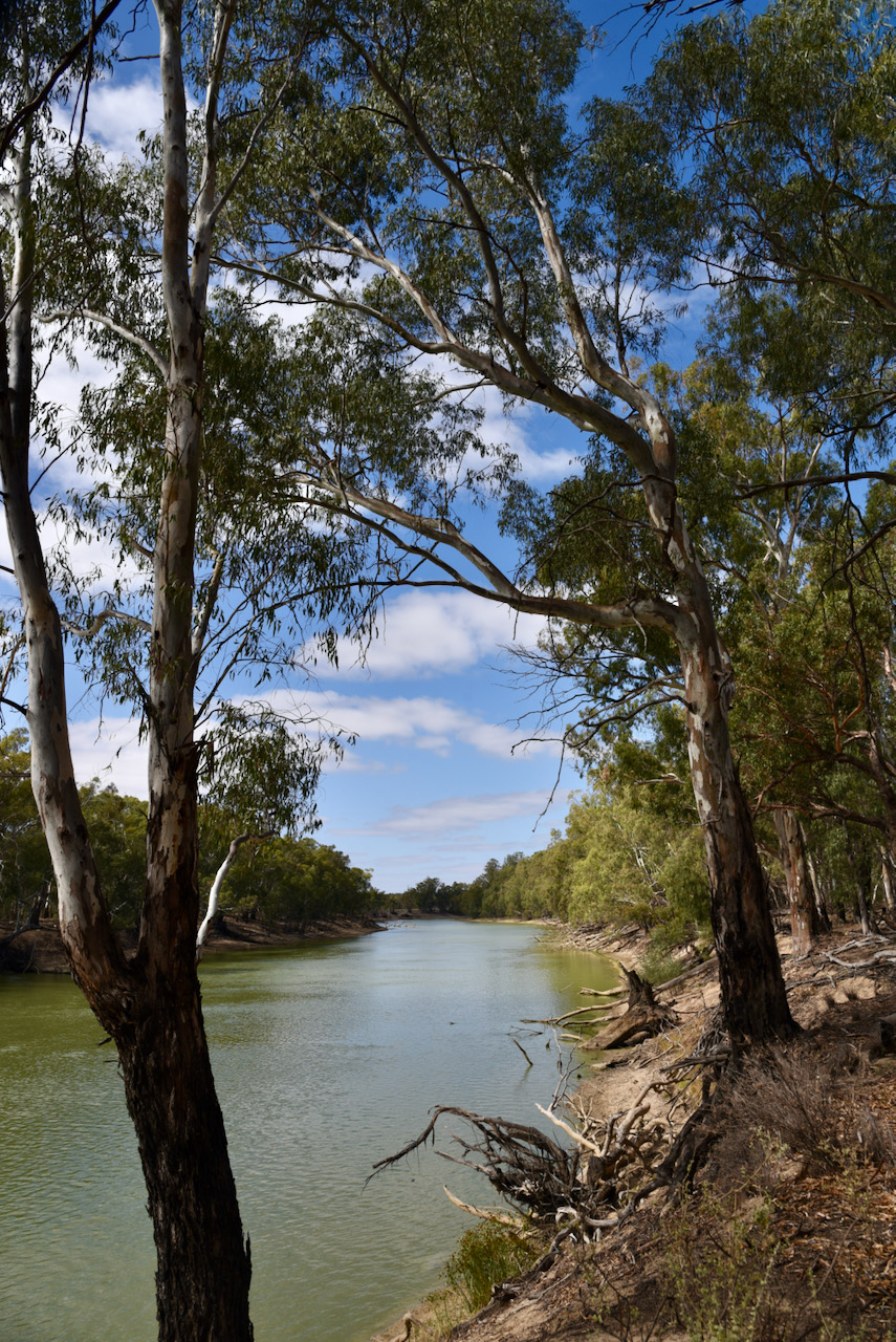
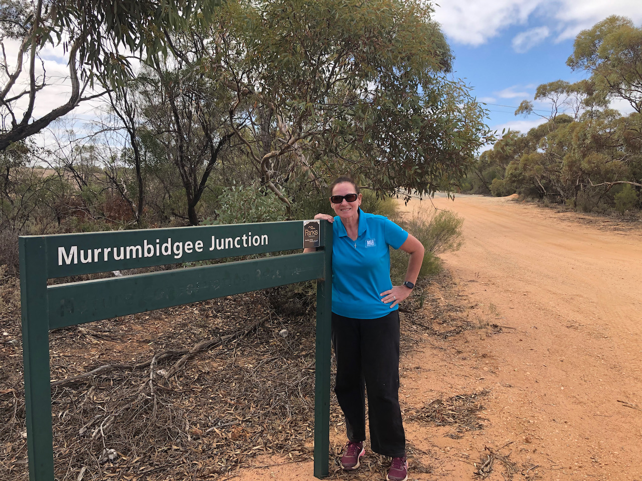
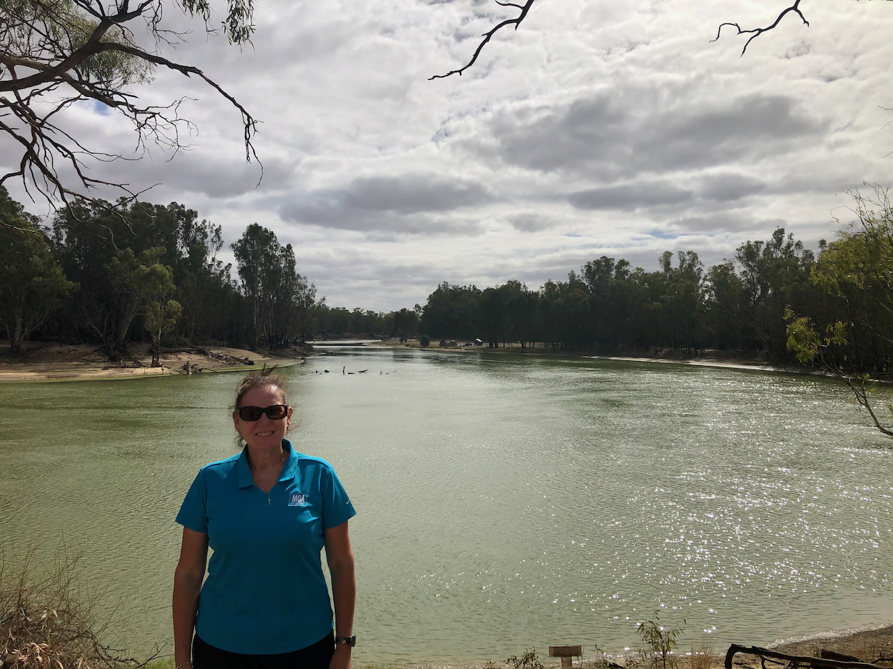
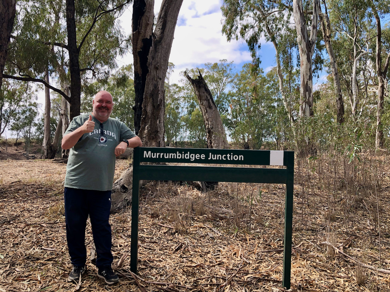
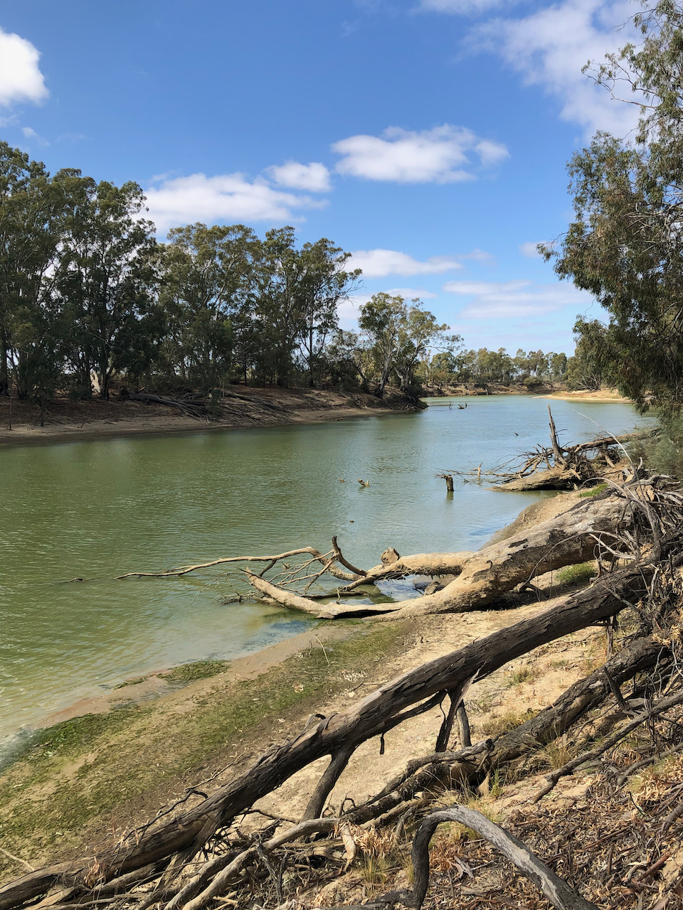
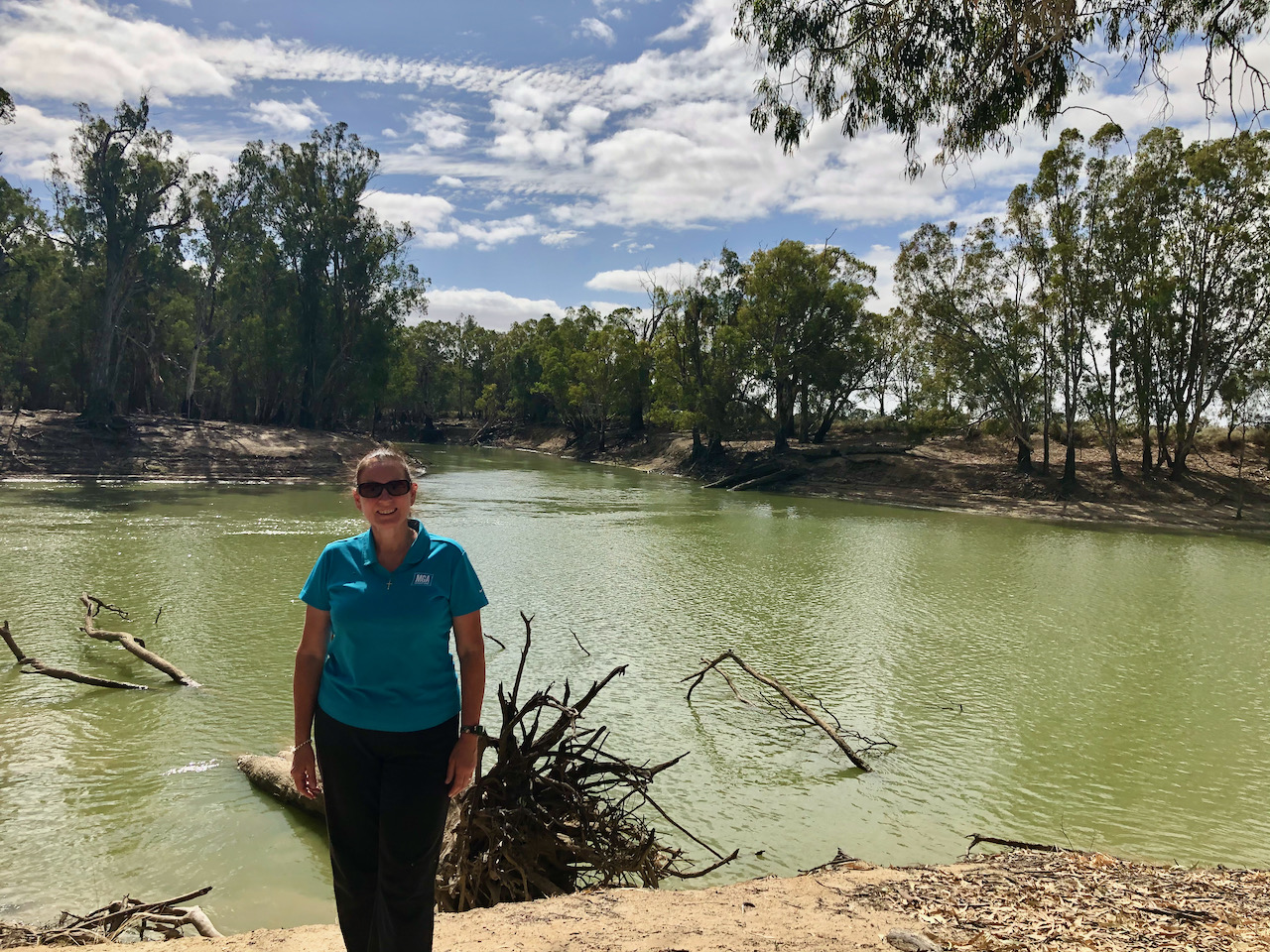
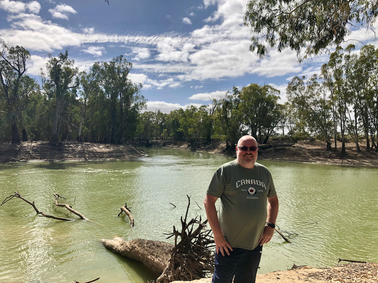
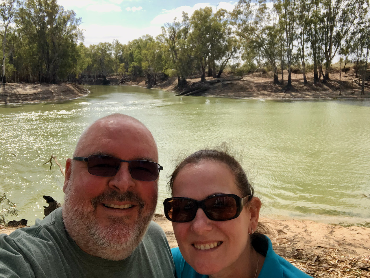
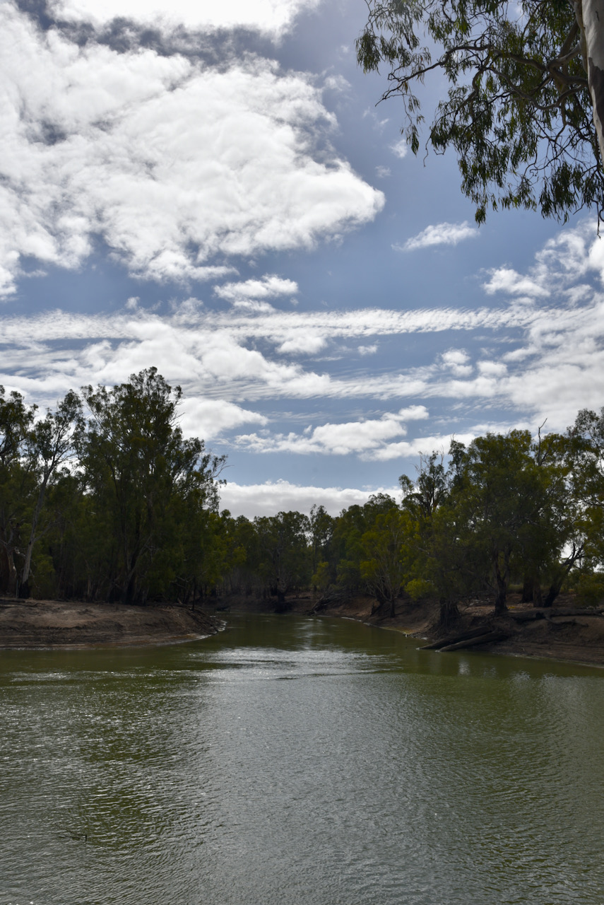
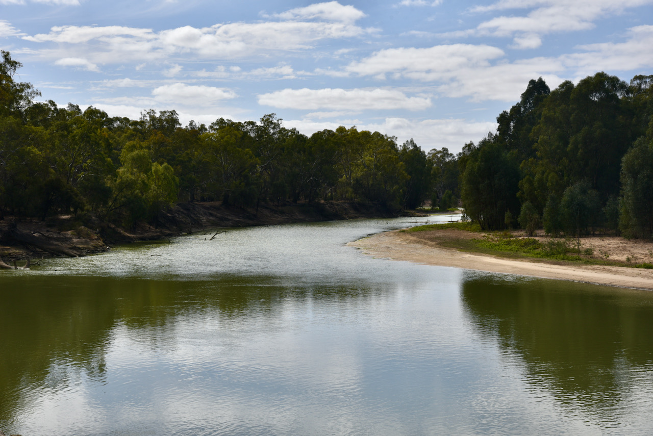
We then took the Murrumbidgee Junction Track and soon reached the junction of the two rivers. This was a place I had always wanted to visit, and I was not disappointed. It was a beautiful spot and incredibly quiet.
The Murrumbidgee is a major tributary of the Murray River and is the second longest river in Australia. Murrumbidgee is an aboriginal word meaning ‘plentiful water’ or ‘big water’. It flows through the Australian States of New South Wales and the Australian Capital Territory towards its confluence with the Murray near Boundary Bend.
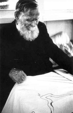
In January 1830, explorer Charles Napier Sturt (1795-1869) and his party rowed down the lower half of the Murrumbidgee River in a stoutly built, large row-boat, from Narrandera to the Murray River, and then down the Murray River to the sea. They then rowed back upstream, against the current, to their starting point.
Sturt wrote:-
“Suddenly the Murrumbidgee took a southern direction but in its tortuous course swept round to every point of the compass with the greatest irregularity. We were carried at a fearful rate down it’s gloomy and contracted banks. At 3 p.m., Hopkinson called out that we were approaching a junction, and in less than a minute afterwards we were hurried into a broad and noble river.”
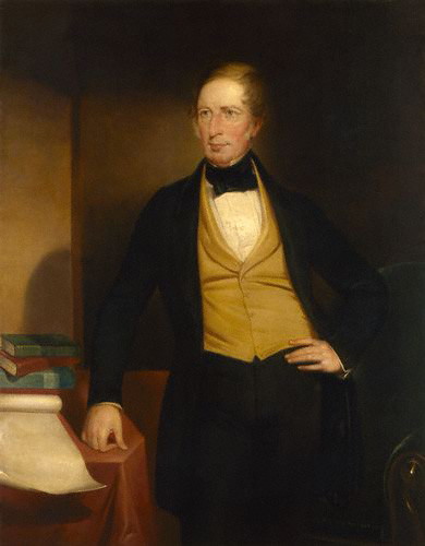
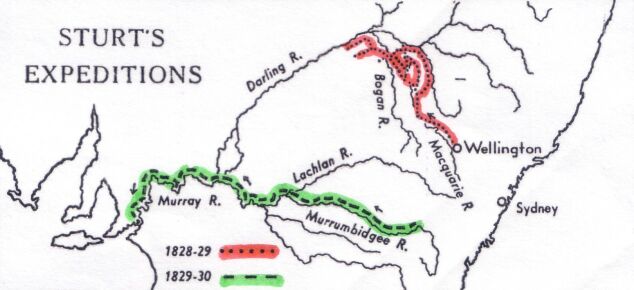
Above:- Image of Charles Sturt and map showing his expeditions. c/o Wikipedia.
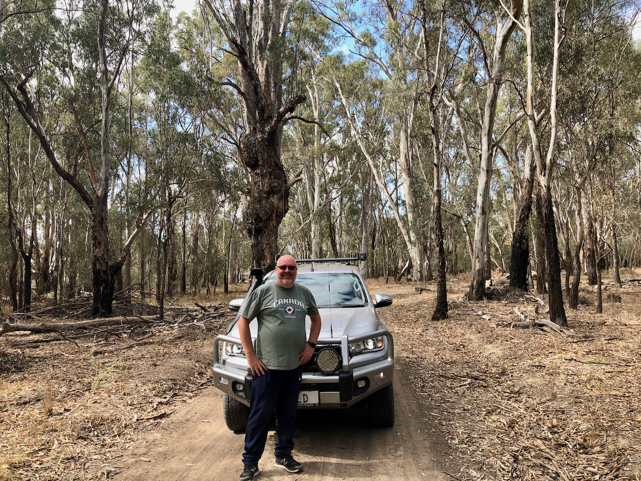
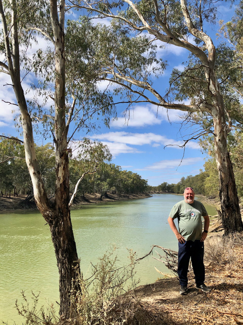
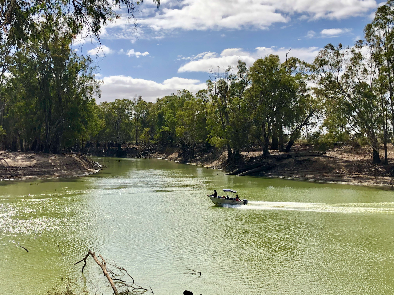
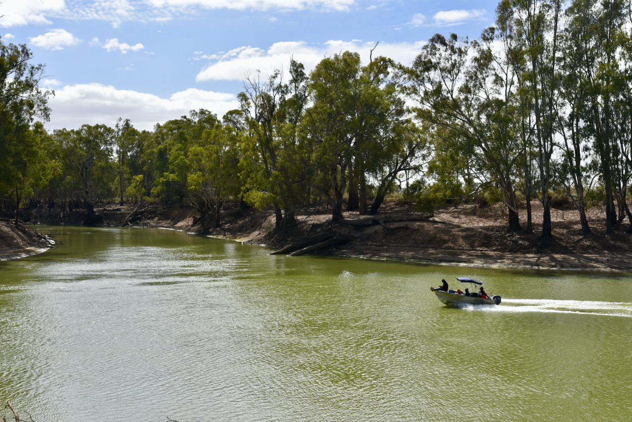
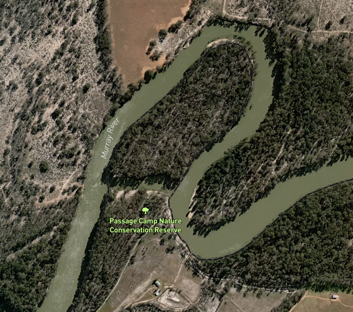
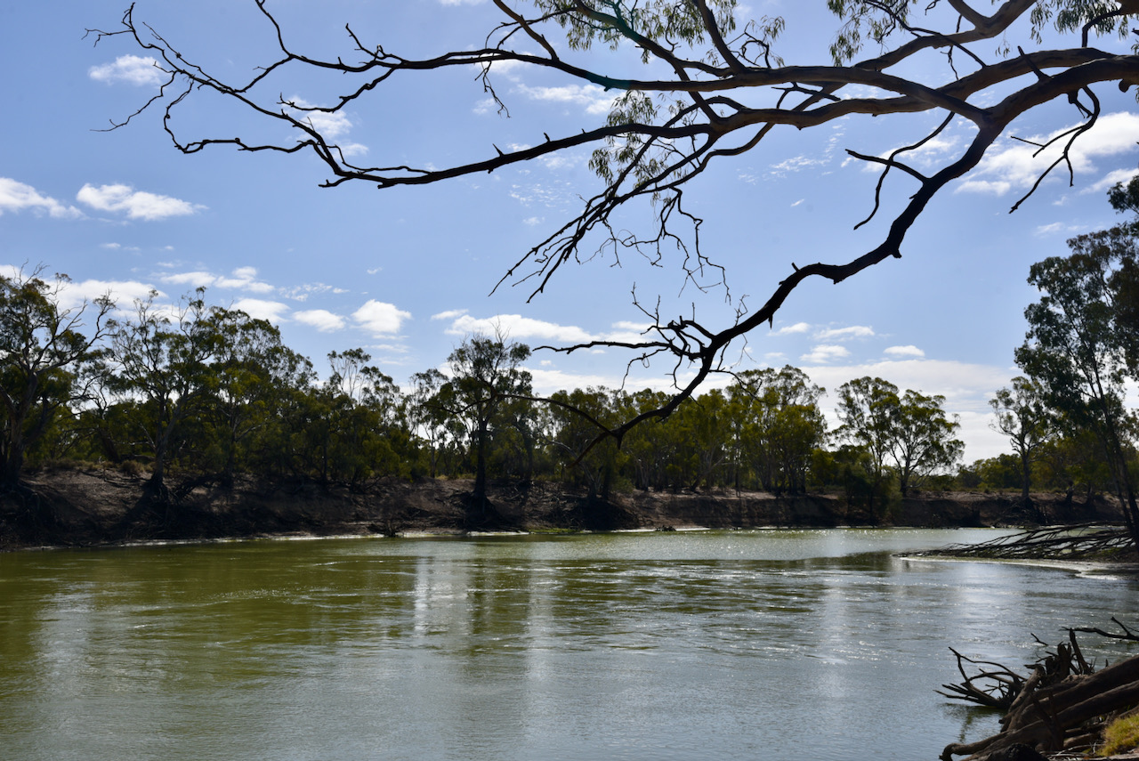
We kept following River Track and headed to the Passage Camp Nature Conservation Reserve VKFF-2173. The park is located about 46 km south-east of the town of Robinvale.
This was to be a first time activation of the park by myself and Marija. Mike VK6MB had previously activated the park back in 2019.

The Passage Camp Nature Conservation Reserve is 0.21 km² in size and was established in 2015. The park is divided in two by an anabranch of the Murray River.
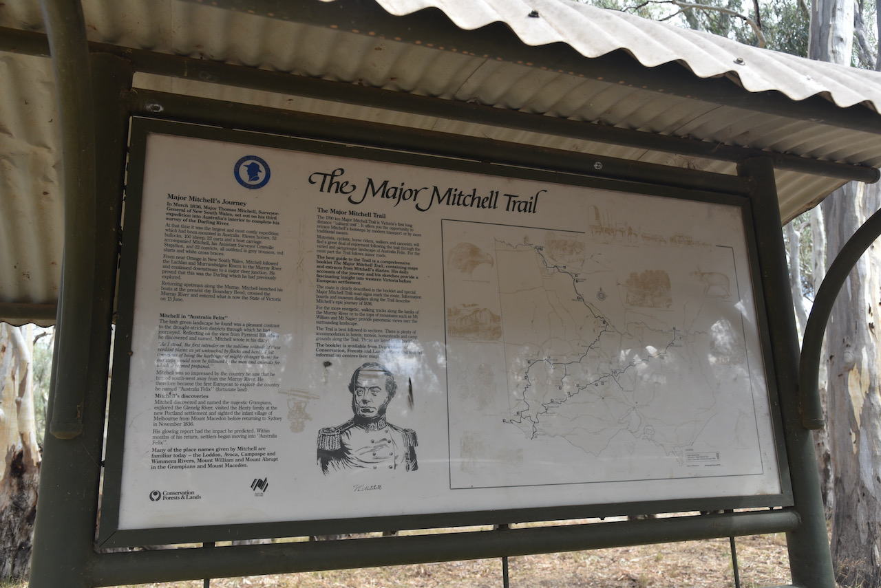
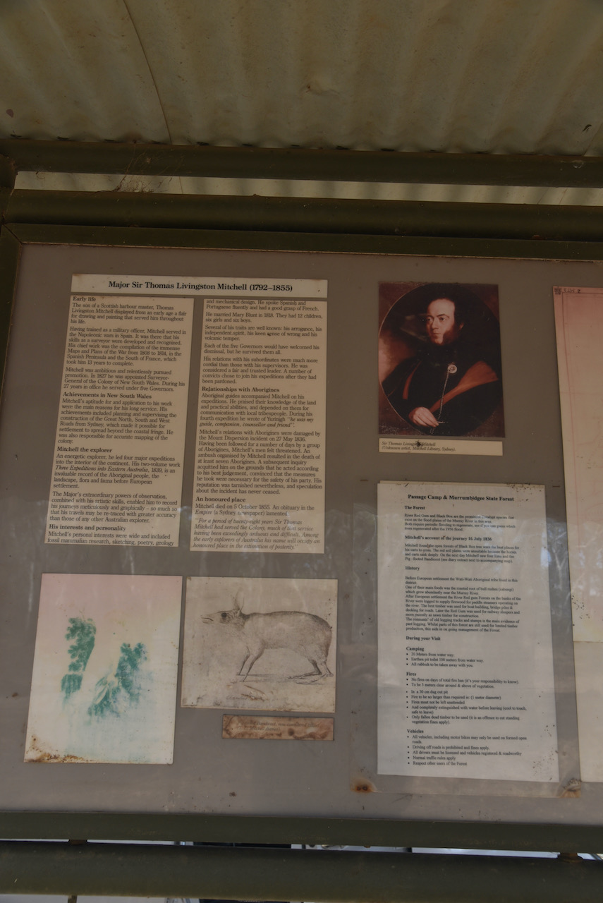
Sir Thomas Livingstone Mitchell (1792-1855) was a surveyor and explorer of south-eastern Australia. Mitchell’s third expedition which commenced in March 1836 was to explore and survey the lower part of the Darling River with instructions to head up the Murray River and then return to the settled areas around Yass.
At the time it was the largest and most costly expedition which had been mounted in Australia. A total of 11 horses, 52 bullocks, 100 sheep, 22 carts and a boat carriage accompanied Mitchell, his Assistant Surveyor Granville Stapylton, and 22 convicts, all outfitted in grey trousers, red shirts and white cross braces.
From near Orange in New South Wales, Mitchell followed the Lachlan and Murrumbidgee Rivers to the Murray River and continued downstream to a major river junction. He proved that this was the Darling which he had previously explored.
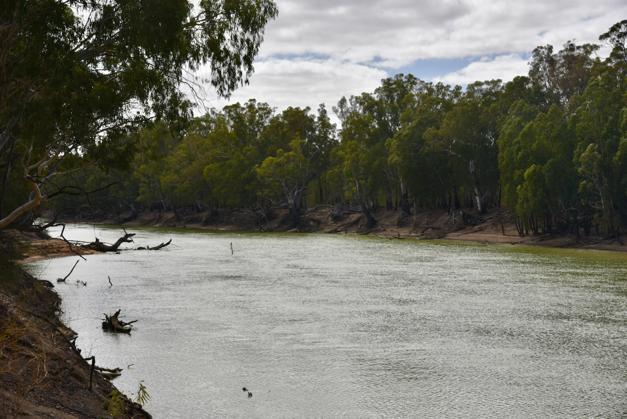
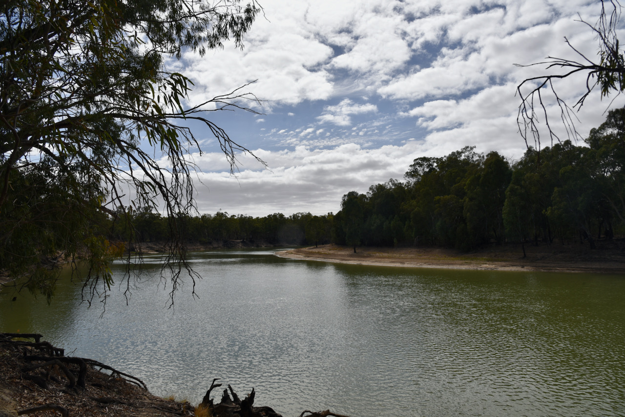
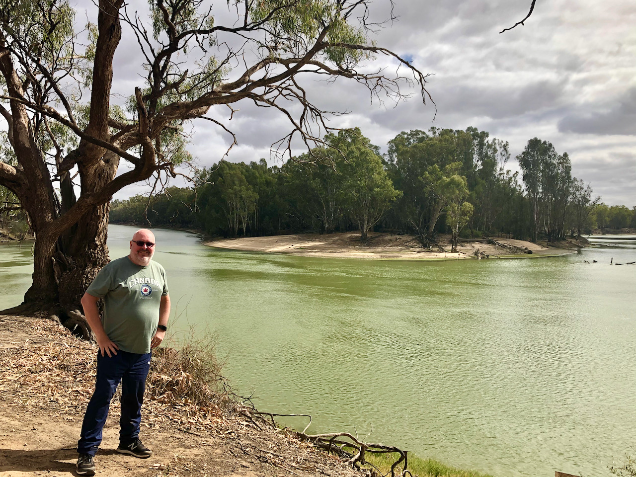
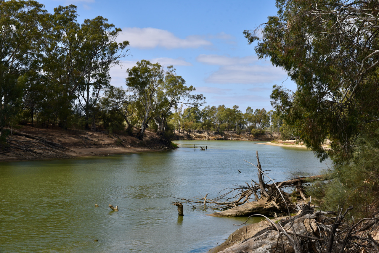
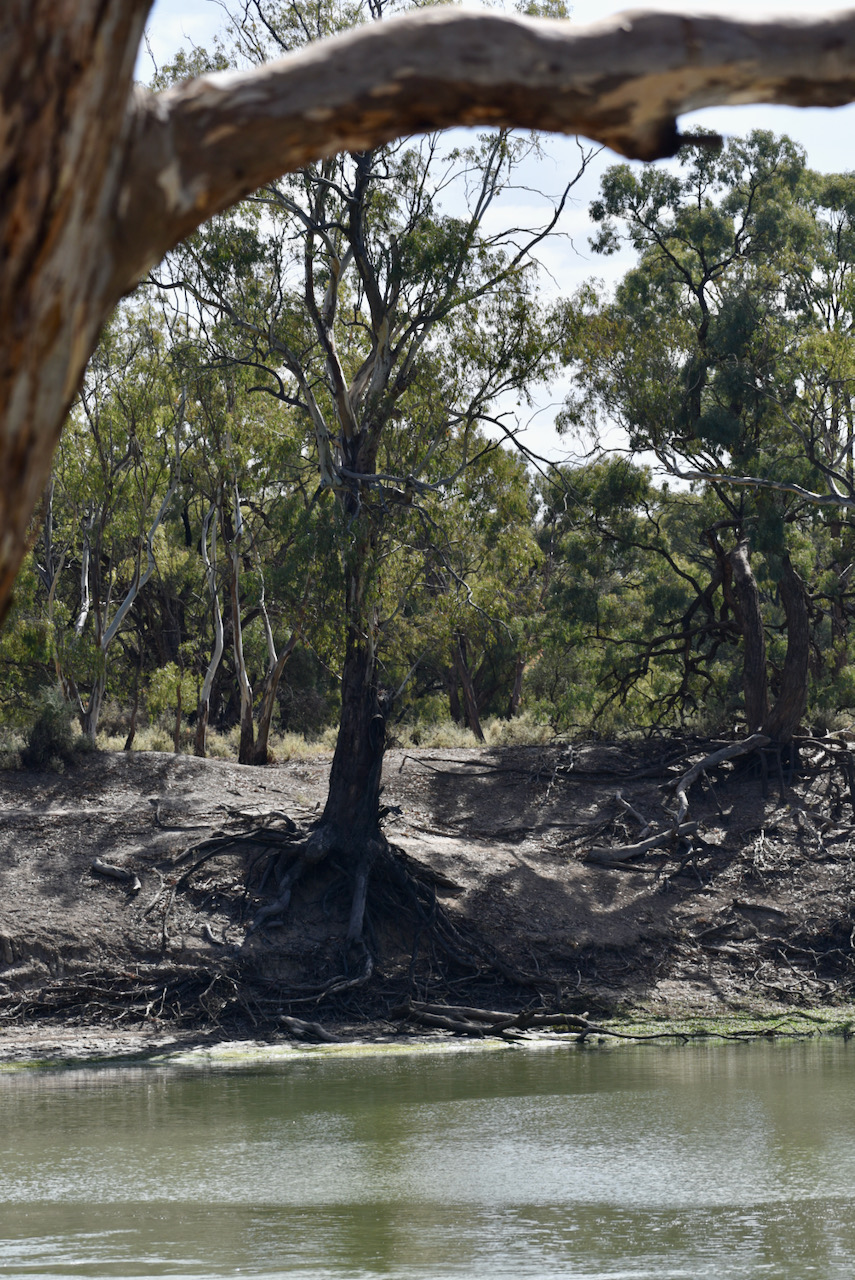
Returning upstream along the Murray, Mitchell launched his boats at the present day Boundary Bend, crossed the Murray River and entered what is now the State of Victoria on the 13th June. On the 13th to 16th June 1836 Mitchell and his party camped at Passage Camp.

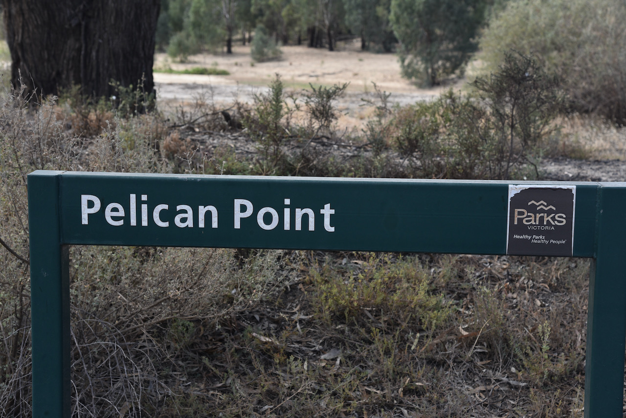
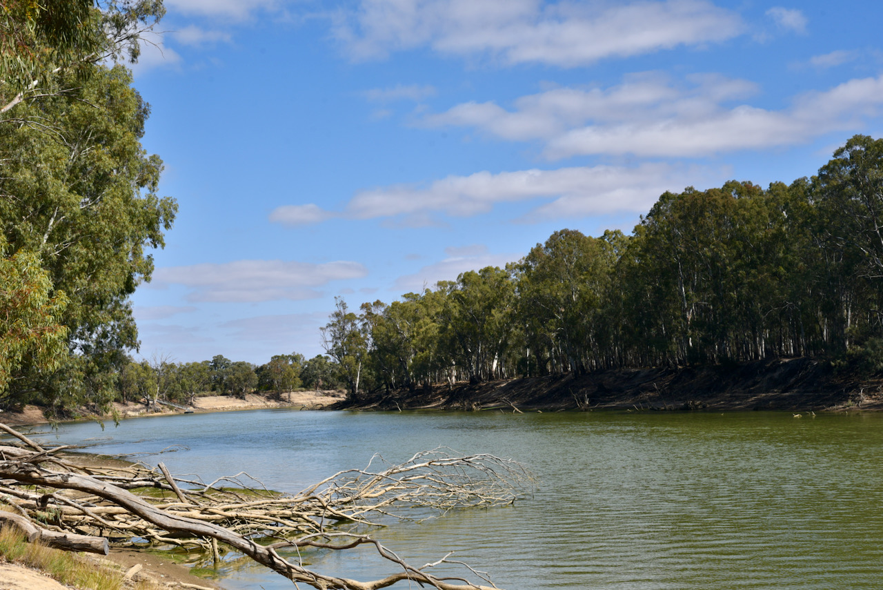
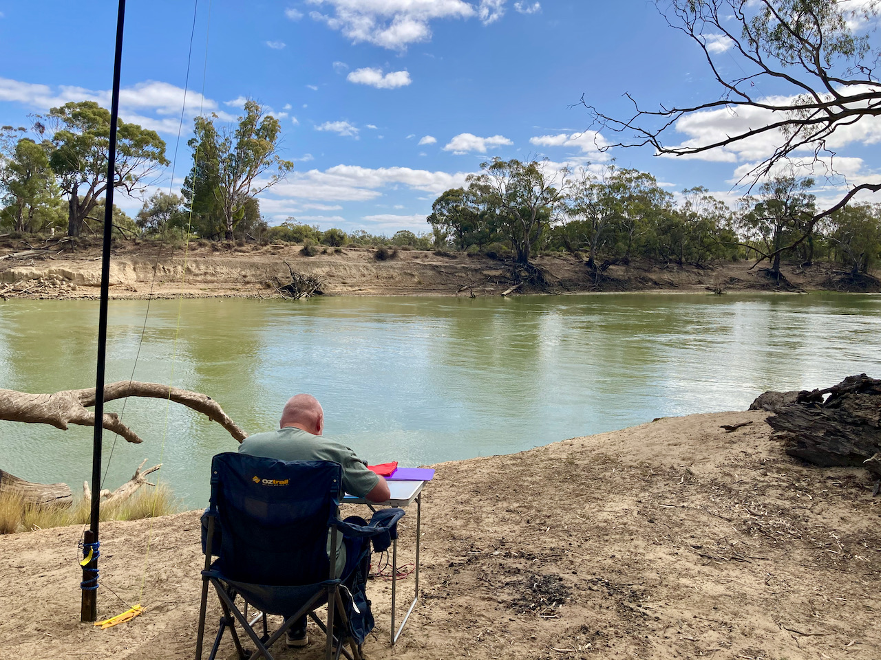
We found an information board at Passage Camp with lots of information about Mitchell which was very interesting. We also stopped to have a look at Pelican Point.
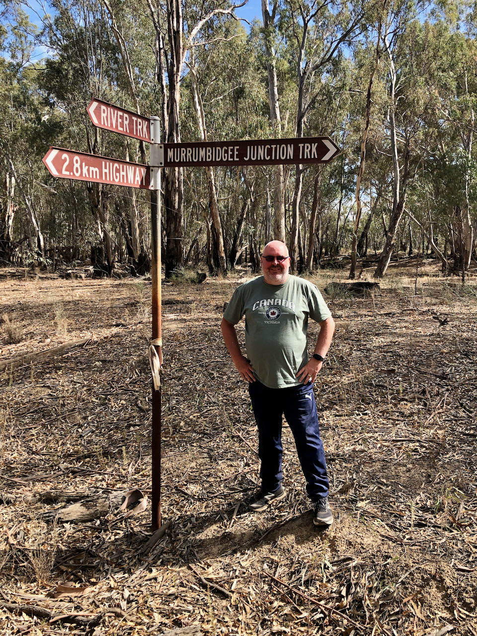
The park was well signposted.

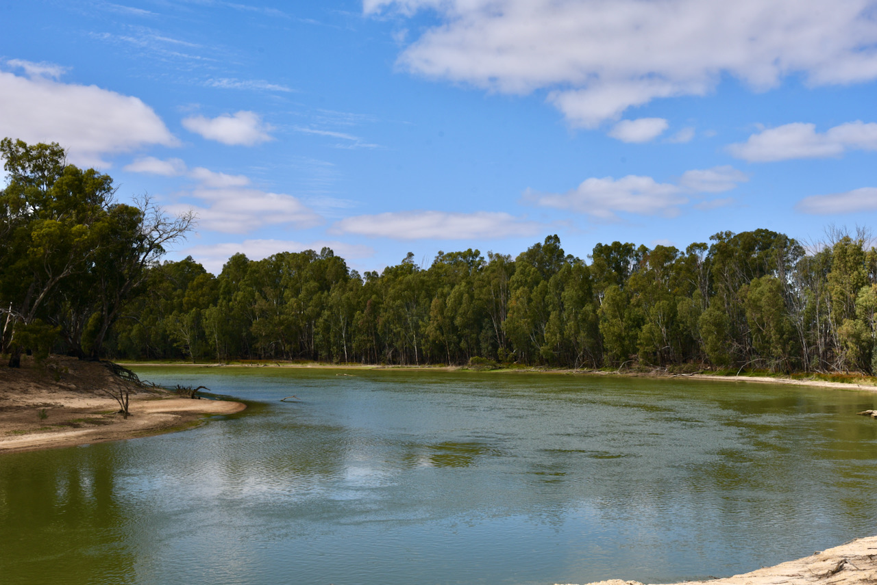
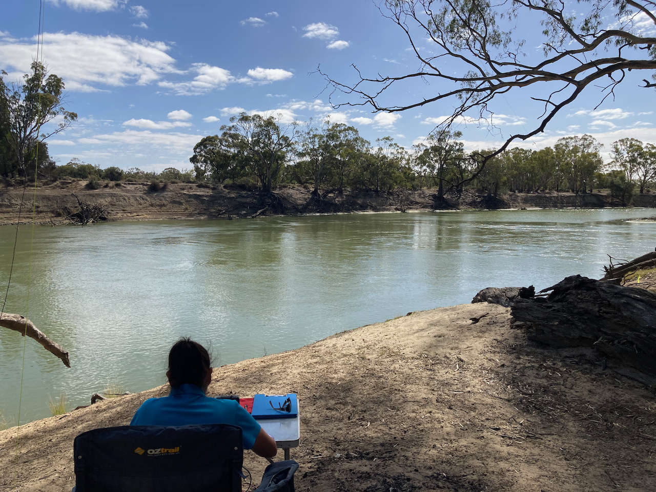
It was another beautiful sunny day and we enjoyed some terrific views of the Murray River from the park.
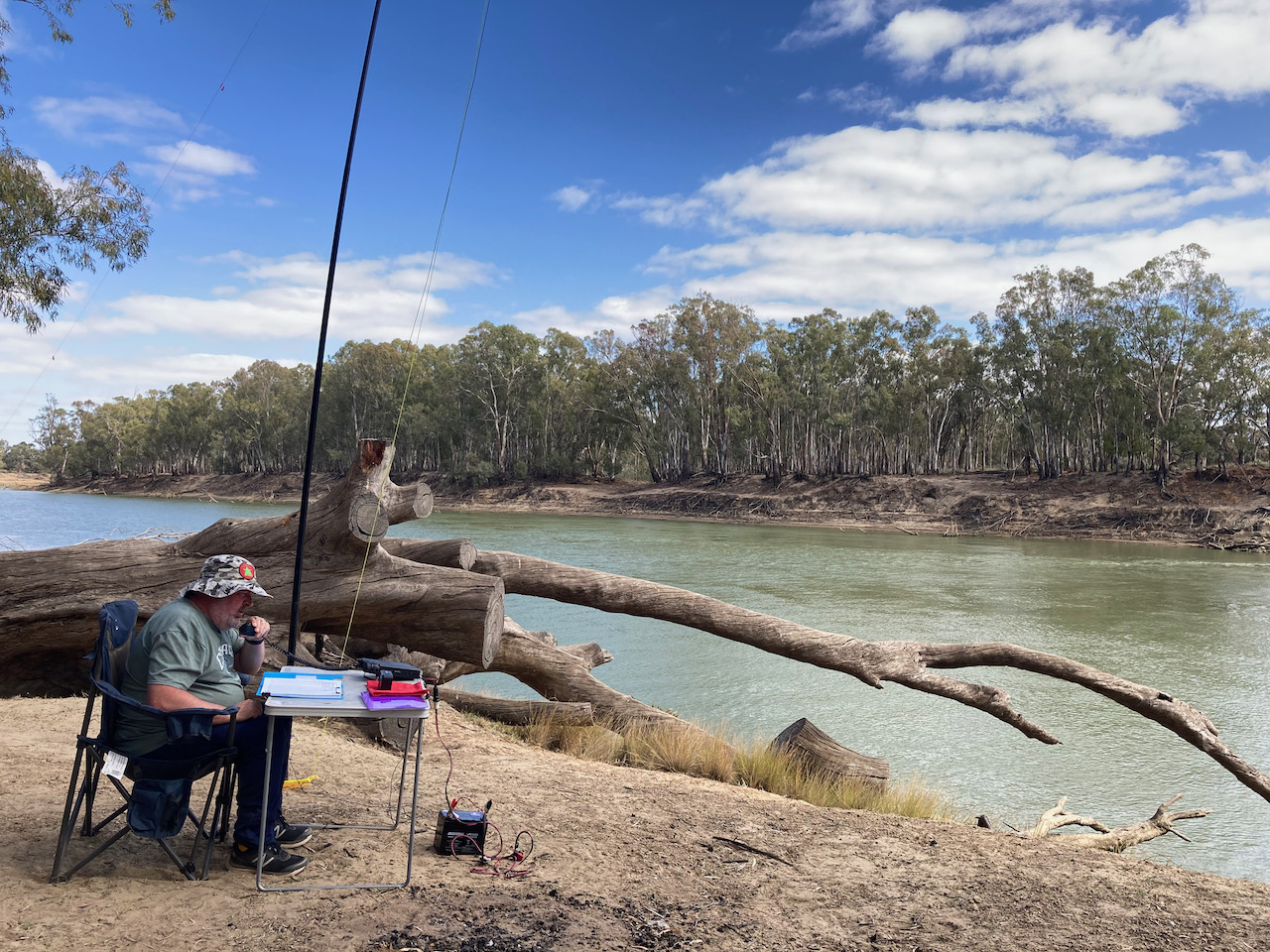
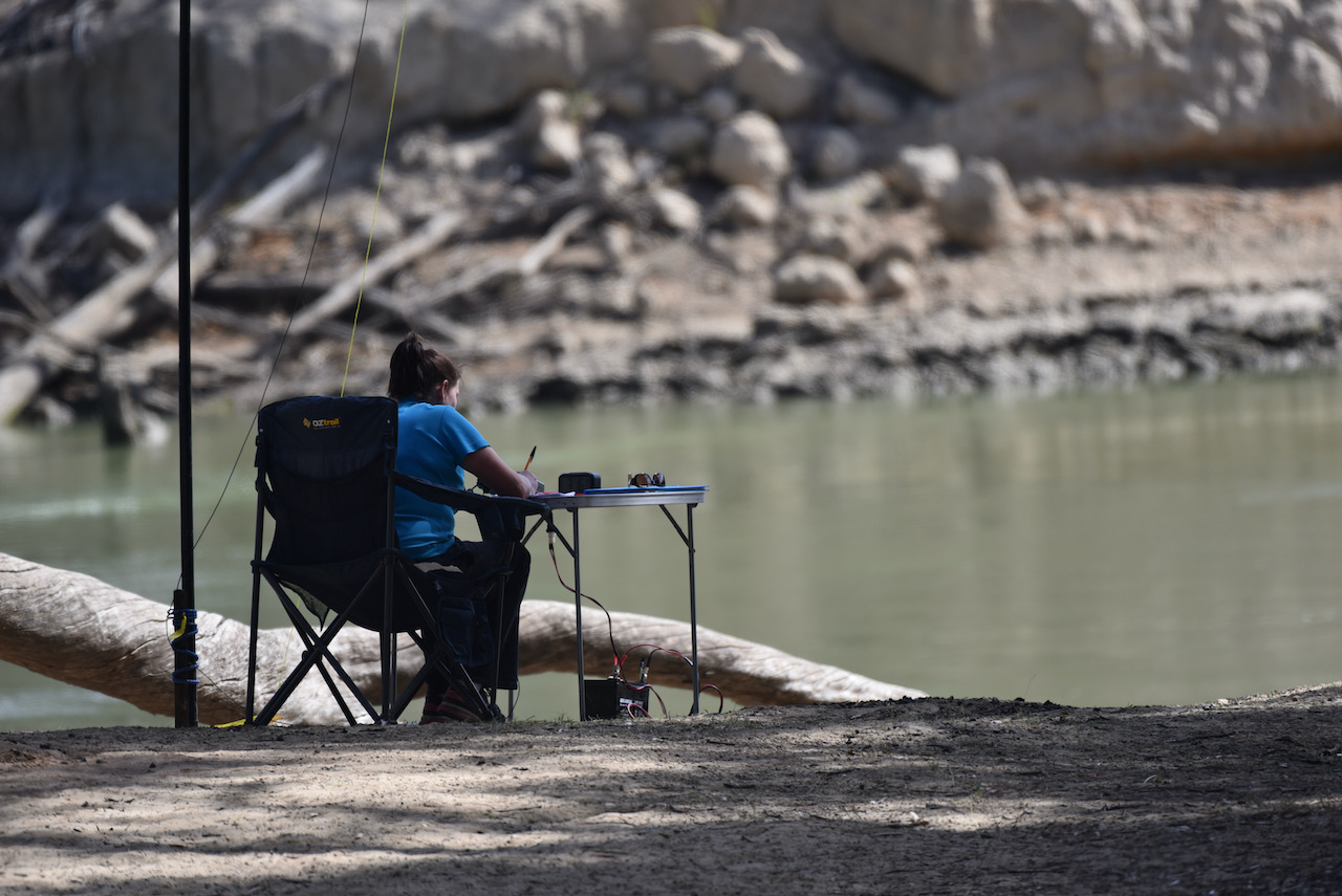
I kicked off the activation at Passage Camp and called CQ on 7.139 which was answered by Peter VK3PF, followed by Ian VK1DI, and then Steve VK3SMW. Contact number ten was with Brian VK2CCP.
I logged a total of 23 stations on 40m before callers dried up. Contacts were made into VK1, VK2, VK3, VK4, and VK5. This included a Park to Park contact with Stuart VK3UAO/p who was activating the Jallukar Nature Conservation Reserve VKFF-2155. Marija also logged Stuart for a Park to Park QSO.
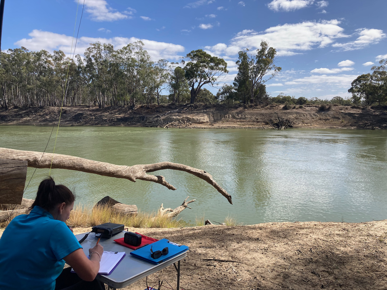
Marija then jumped into the operator’s chair. Marija’s first contact was with Peter VK3PF, followed by Deryck VK4FDJL and then Joe VK3SRC. Marija’s tenth contact was with Adrian VK5FANA.
Marija logged a total of 29 stations on 40m SSB before handing the mic back to me.
I was keen, if possible, to get my 44 contacts and qualify the park for the global WWFF program. Callers were slow, and with 43 contacts in the log, Marty VK4KC suggested we try 40m AM. I switched off and logged Marty, 5/9 both ways on AM.
I then headed to 80m and called CQ for 5 minutes but had no takers.
We were packing up when we saw a spot for Gerard VK2IO/p in a park on 40m. So we quickly hoisted up the 7 metre squid pole and logged Gerard who was activating the Jervis Bay Marine Park VKFF-1408.
Marija worked the following stations on 40m SSB:-
- VK3UAO/p (Jallukar Nature Conservation Reserve VKFF-2155)
- VK3PF
- VK4FDJL
- VK3SRC
- VK5WG
- VK5SCR
- VK2HRX
- VK3MCK
- VK3EJ
- VK5FANA
- VK1MAL
- Vk2DG
- VK3UH
- VK3SMW
- VK5CZ
- VK2TM
- VK5GY
- VK2LEE
- VK3PI
- VK3YV
- VK2VH
- VK4AAC/2
- VK7QP
- VK2VW
- VK2HFI
- VK4KC
- VK4MAD
- VK4DOG
- VK3TKK/m
- VK2HBG/p (Jervis Bay Marine Park VKFF-1408)
I worked the following stations on 40m SSB:-
- VK3PF
- VK1DI
- VK3MSW
- VK5GY
- VK7QP
- VK5CZ
- VK2IO
- VK5FANA
- VK3BBB
- VK2CCP
- VK4NH
- VK4DXA
- ZL4TY/VK4
- VK5TOM
- VK3ZPF
- VK5LTD/p
- VK3UH
- VK3JP
- VK3TKK/m
- VK5WG
- VK2TM
- VK3UAO/p (Jallukar Nature Conservation Reserve VKFF-2155)
- VK4FDJL
- VK4KC
- VK4MAD
- VK4DOG
- VK3SRC
- VK3BXG
- VK2VH
- VK4AAC/2
- VK3SQ
- VK5FDMG
- VK3KV/m
- VK7DIK
- VK2QM
- VK2FMPC
- VK3PI
- VK3MCK
- VK5AYL
- VK3ZSC
- VK4KC
- VK4MAD
- VK4DOG
- VK2HBG/p (Jervis Bay Marine Park VKFF-1408)
I worked the following station on 40m AM:-
- VK4KC
References.
Discover Murray, 2021, <http://www.murrayriver.com.au/boundary-bend/>, viewed 9th May 2021.
Protected Planet, 2021, <https://www.protectedplanet.net/314794>, viewed 10th May 2021.
Robinvale-Euston Visitor Centre, 2021, <https://www.robinvaleeuston.com/murrumbidgee-junction/>, viewed 10th May 2021.
Wikipedia, 2021, <https://en.wikipedia.org/wiki/Murrumbidgee_River>, viewed 10th May 2021.
Wikipedia, 2021, <https://en.wikipedia.org/wiki/Thomas_Mitchell_(explorer)>, viewed 10th May 2021.
