
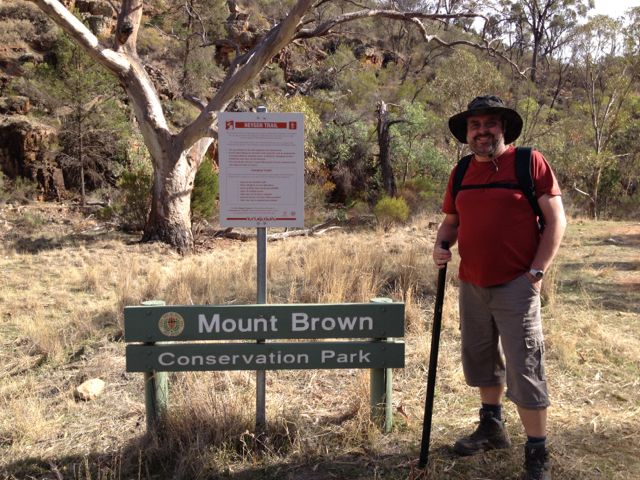
I activated the Mount Brown summit and Mount Brown Conservation Park on Saturday, the 3rd May, 2013.
Mount Brown summit is 951 metres ASL and is worth 8 points.
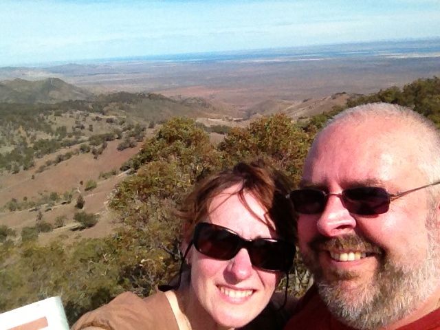
The Mount Brown summit is situated within the Mount Brown Conservation Park, and is located in the Southern Flinders Ranges, about 300 kms north of Adelaide, and about 14 kms south of Quorn.
Mount Brown is named in honour of Robert Brown, the botanist aboard Matthew Flinder’s survey ship HMS Investigator, who climbed the mountain and viewed Willochra Plain.
Access to the park is from Quorn township. At the Quorn Mill, travel south following the signs to Richman Valley and Waukarie Falls. Drive to the southern end of Richman Valley Road, a total distance of about 14 kms. The hike starts at the Olive Grove Trailhead, situated 200 metres from Olive Grove gate.
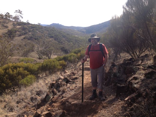
Walk down 50 metres from the Olive Grove Trailhead to checkpoint 1 near Waukarie Falls. Distance measurement markers start from here and are placed every 200 metres along the trail.
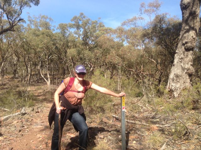
My wife Marija accompanied me on this hike which is about 11.6 km return, and took us about 2 hours to reach the summit. It is a moderate hike but is certainly challenging. The first 2 kms are quite flat and follow the creek line, but soon you are climbing up the tracks and it progressively gets steeper.
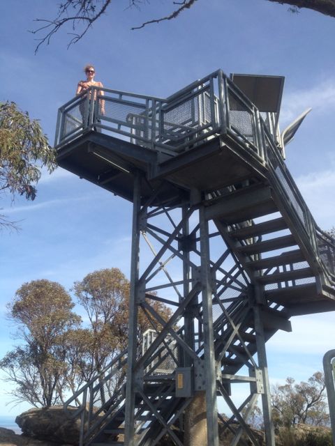
There is a small commemorative lookout at the summit which you can climb to see the spectacular 360 degree views. There are some great interpretaive signs on the lookout as well, which explain about the area & Robert Brown.
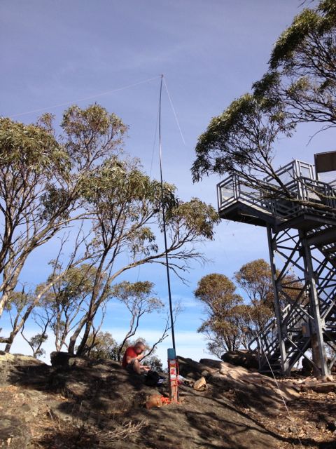
There are also some small antenna installations here and some solar panels, which I think were causing a little bit of noise interference, but nothing too drastic.
There are quite a few large gum trees at the summit which afford some shade, and lots of large rocks to sit on or to use to support a squid pole.
At the top of the summit we met a group of volunteers who were maintaing the track leading to the summit. They were extremely interested in the SOTA program and watched with interest as I made a few QSO’s.
I used my Yaesu FT-817nd, 5 watts, and my BandHopper 40m/20m linked dipole supported on the 7m squid pole which I secured to a distance marker.
I managed 17 QSO’s on 40m and 20m. It was a bit of a struggle into VK3 from here. Got in some DX contacts on 20m into Austria, Croatia, & France. Peter VK2NEO, had such a strong signal on 40m he nearly knocked me off the edge of the cliff face.
Stations worked were:- Peter VK3FPSR; John VK5EMI; Ernie VK3DET; David VK5KC; Rob VK2ZRD; Peter VK3PF; Peter VK2NEO; Larry VK5LY; Ron VK3AFW; Paul VK5FUZZ; Mark VK5QI; Rod VK5KFB; Don VK3MNZ/p; OE3DIA; Emil 9A9A; Pierre F8DHE; and Matt VK1MA.
It took about 90 minutes to climb back down to the bottom carpark.
For more information on Mount Brown, have a look at PeakClimbs…..
http://www.peakclimbs.com/peak/Mount-Brown/46/view
p.s. The TransContinental Hotel in Quorn is a very friendly place, and serves beautiful ice cold beer.
Here is a video of the activation…..
