
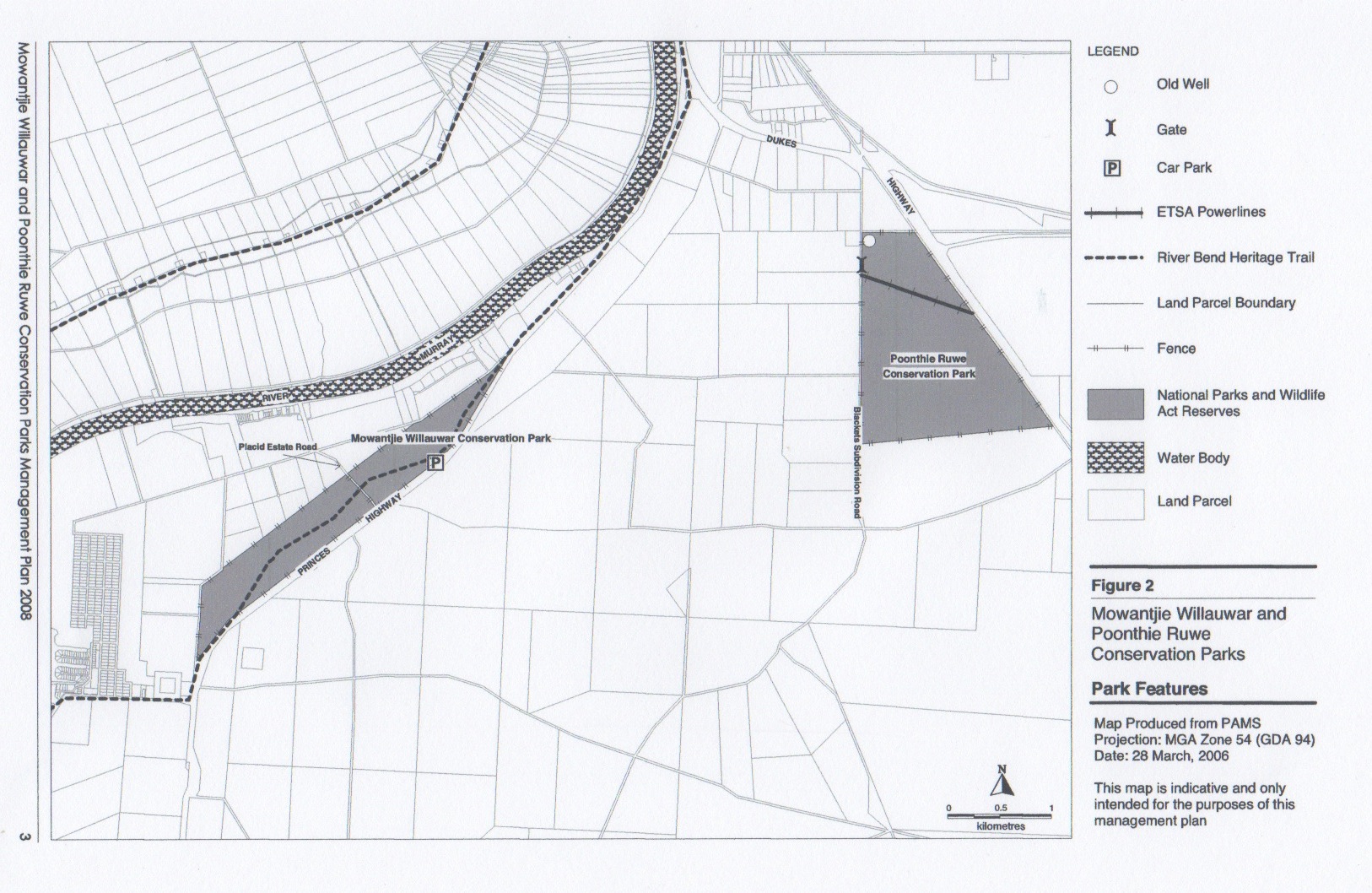
On Sunday morning, 2nd June 2013, I activated the Poonthie Ruwe Conservation Park, which is located about 100 kms east of Adelaide. It is situated about 5 kms south east of the town of Tailem Bend, near the Murray River. The park was originally called Poonthie Ruwi-Riverdale CP and was proclaimed back in 2003, but the name was changed in May, 2008. The park’s name means ‘Hopping Mouse Country’ in the traditional Ngarrindjeri aboriginal language. Unfortunately, there is no Hopping Mouse population in the area today, due to European settlement.
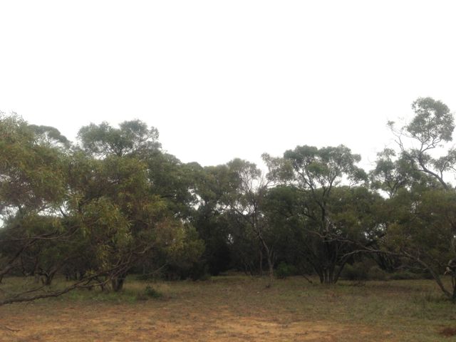
Poonthie Ruwe consists of mallee and Scented Irongrass tussock grassland and covers an area of about 241 hectares. It is the largest area of this type of vegetation in South Australia, and the temperate grasslands that are found in the park are classified as critically endangered. This type of vegetation has been poorly conserved due to clearing for farming.
Access to the park is via Blackets Road, which runs off the Princes Highway, just out of Tailem Bend. There are no signs indicating the park is there, so before leaving home make sure you know exactly where it is located.
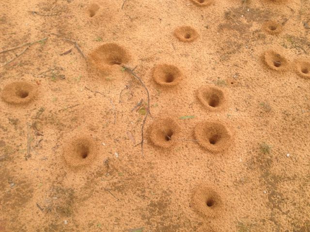
The area is quite sandy, and there is a resident ant population as I found out. Their nests almost looked like the lunar landscape.
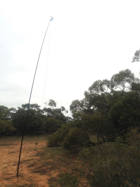
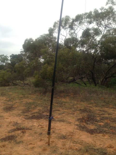
I set up my gear and called CQ on 7.100 on 40m, but things were incredibly slow. First cab off the rank was Bob VK2OD. This was followed by a few of the regular Hunters in Andy VK5LA, Brian VK5FMID, and Allen VK3HRA.
Because things were s slow, I decided to pack up the gear and i headed ‘around the corner’ to the Mowantjie Willauwar Conservation Park.
I made a total of just 6 QSO’s, all on 40m.
The following stations were worked:- Bob VK2OD, Andy VK5LA, Brian VK5FMID, Allen VK3HRA, Roy VK5NRG, and Ian VK3FIAN.

Pingback: Poonthie Ruwe Conservation Park | vk5pas