Darke Range Conservation Park

After activating the Darke Peak summit, I drove around the corner to the Darke Range Conservation Park, and activated the park as part of the VK5 National & Conservation Parks Award.

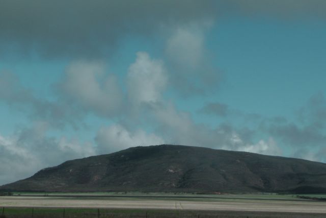
The Darke Peak summit is located within the Darke Range, but not within the Darke Range Conservation Park.  The mountain range, summit, town, and Conservation Park take their name from the exploirer John Charles Darke, who was injured in a spear attack by Aborigines in the vicinity of the summit on the 24th October, 1844.  He died the next day and was buried at the foot of the large peak.

IMGA0008

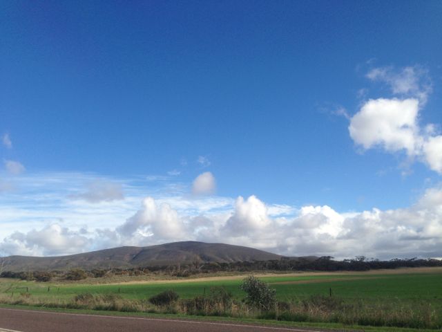
The Conservation Park is contained within the central section of the Darke Range, a few kms from the town of Darke Peak.  The hotel here is well worth popping in and having a feed or a beer.

IMG_2829

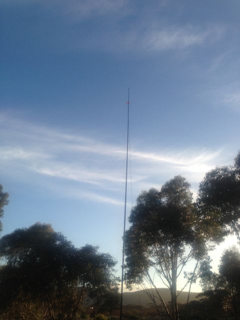
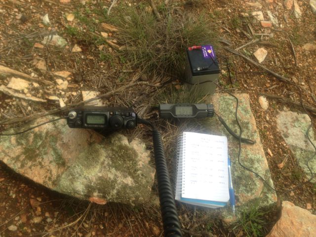
I set up for about half an hour and worked 8 stations in VK2, VK3, & VK5, on 40m SSB.

The following stations were worked:- Peter VK2NEO; David VK5KC; Roy VK5NRG; Matt VK3FORD/m; Andrew VK3FABE; John VK5BJE; Ted VK5KBM; and Bill VK5MBD.

Darke Peak, VK5/ SW-006

My 2nd summit for Tuesday 11th June, 2013, was Darke Range, VK5/ SW-006.

The Darke Range summit is situated in the Darke Range, in close proximity to the little town of Darke Peak, and about 53 kms south of Kimba.

IMG_2787

The town takes its name from the explorer John Charles Darke, who was injured in a spear attack by Aborigines in the vicinity of the peak on 24 October 1844.  He died the next day and was buried at the foot of the large peak.  His grave can be located on the western side of the Darke Range.  In 1910, the South Australian State Government erected a memorial at the site.

Governor Grey expressed a wish that some landform in the region of the grave should be named to honour him.  In 1865 surveyor Thomas Evans who was performing a trigonometrical survey of the Gawler Ranges, and named the 1,564 ft (477 m) high mount, ‘Darke’s Peak’.

IMG_2796

I gained access to the summit via the southern side.  There is a track that will take you al the way to the summit, but this is for 4wd only, so I drove as far as I could and then walked the rest of the way.  It is quite a few kms to the actual summit.

IMG_2821

Fortunately the weather held off for me and I ended up with 22 QSO’s.  The majority of these were on 40m SSB, but I did work some stations on 20m SSB, including some DX: England, New Zealand, French Polynesia, Hawaii.  They were a bit of a struggle, but nether the less, they are in the log.

Stations worked were:- Peter VK3PF; Rod VK5FTTC; Ernie VK3DET; Peter VK3FPSR; Bill VK5MBD; John VK2YW; Nev VK5WG; Grant VK5VGC; Roger VK5NWE; Ian VK1DI/3; John VK5FTCT; Dale VK5DC; Andrew VK5ARP; Keith VK5FEKH; Paul VK2HMV; Don G0RQL; Rob ZL1RD; William FO5JV; Owen ZL2GLG; Ray VK4NH; Clem VK4XCS; and Jamie KH6KW.

More information on PeakClimbs…..

http://www.peakclimbs.com/peak/Darke-Peak/202/view/#climb_id_317

Below is a video I put together of the activation, which I have placed on You Tube.

Caralue Bluff, VK5/ SW-002

Caralue Bluff, VK5/ SW-002, was my first proposed SOTA activation for Tuesday, 11th June, 2013.

IMGA0003_3

Caralue Bluff is 486 metres above sea level, and is worth 1 point.  It is situated about 27kms west of the town of Kimba.

This was a real hit and run activation for me, as the weather during the morning was atrocious.  I almost didn’t make it out of ‘Cooyerdoo’ at Iron Knob because of the weather.  The upper Eyre Peninsula had torrential rain overnight and it continued until mid morning.  And when it did stop raining, the sunny breaks only lasted a short period of time.

Fortunately there is a track which takes you up to the summit.  So for the first time it was get 4 contacts and get out quick.

There is a communications tower and also a trig point at the top.

The following stations were worked:- David VK5KC; Peter VK3FPSR; John VK2YW; Peter VK3PF; Roger VK5NWE; Ernie VK3DET; and John VK5MG.

For more information, see PeakClimbs at…..

http://www.peakclimbs.com/peak/Caralue-Bluff/201/view/#climb_id_316

Lake Gilles Conservation Park

My first activation for Tuesday 11th June, 2013, was the Lake Gilles Conservation Park.

IMG_2765

Lake Gilles was first discovered in 1839 by explorer Edward John EYRE, and was named after Osmond GILLES, who was the Colonial General at the time.

Lake Gilles Conservation Park was established in 1973, and protects a sample of original vegetation growing in the transition zone between pastoral leases and established agricultural lands.  The lake was added in 1993, increasing the total area to 68,584 hectares.  The southern section of the park was surveyed in 1925 for farming.  Some sections were allocated to early settlers but only used for grazing.

Due to drought and the Great Depression, the Government decided against farming and reverted the area to pastoral leases.  Although timber cutting by the early settlers was prevalent, the native vegetation in this area was saved from clearing for farms and remains in its original state.

IMG_2773      IMG_2776

I turned the Yaesu FT-817nd to 40m and called CQ for about 5 minutes but had no takers at all.  So I QSY’d down the band a bit and heard Gary VK5ZK talking about my Eyre Peninsula trip.  So at the end of his over I jumped in and had a really enjoyable conversation with Gary VK5ZK; John VK5BJE; Trevor VK5ZTJ/m; and John VK5NJ.

After about 30 minutes of chatting, I decided it was time to take the antenna down and head further west towards Caralue Bluff.