
After leaving the Yarra Ranges National Park, Marija and I headed north on the Maroondah Highway. Our next intended activation was the Lake Eildon National Park. But along the way we decided to stop in quickly to the Cathedral Range State Park VKFF-0755, for a quick activation from the vehicle.
The park is located about 21 km north of Marysville, and about 120 km north east of Melbourne (by road).
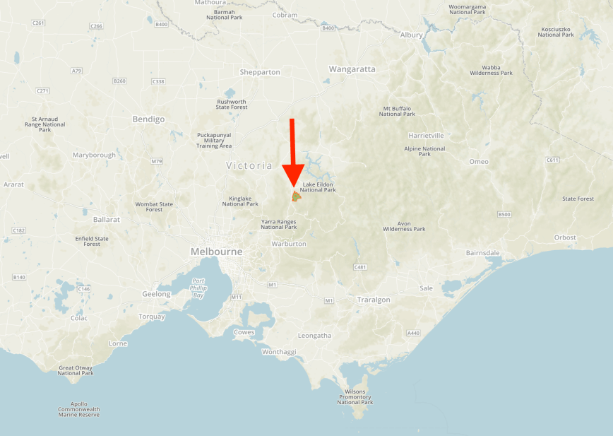
Above:- Map showing the location of the Cathedral Range State Park. Map courtesy of Protected Planet.
The Cathedral Range State Park was declared a State Park on the 26th day of April 1979. It comprises 3,577 hectares and includes the Cathedral Range, a spectacular 7 km ridge of sharply upturned sedimentary rock. The Little River and Storm Creek flow through the park. The Cathedral Range is a popular destination for bushwalkers, campers, rock climbers and abseilers.
The traditional land owners are the Aboriginal people from the Wurundjeri tribe. European settlement commenced in 1839 when land was selected for the Acheron Run. Seven years later in 1846, land was selected for the Acheron Run, which included the Cathedral Range area.
The difficult terrain discouraged settlers from building there. The land was grazed until the 1930’s when wild dogs became destructive towards the stock. Logging and milling occurred between the 1930’s to the 1970’s. Remnants of Cooks Mill remain at the Cathedral Range State Park and is protected as a historic site.
The park contains a broad range of flora, ranging from Manna Gum Tall Open Forest to Myrtle Beech Closed Forest. The park is home to a variety of native orchids, and is home to a number of rare species of flora including the Bristle-fern.
Fauna within the park includes the Common Wombat and the Eastern Grey Kangaroo. Numerous birds call the park home including the Superb Lyrebird, the Peregrine Falcon, and the Satin Bowerbird.


The park was well signposted and we soon reached the northern section of the park via Cathedral Lane and Little River Road.


We drove down to Neds Gully and pulled over on the side of the road. I used the Icom IC-7000 and the Codan 9350 antenna on the back of the Hi Lux for this activation.
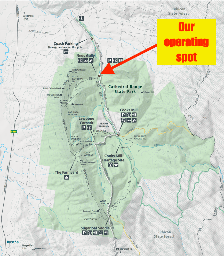
Above:- Map of the Cathedral Range State Park, showing our operating spot. Map courtesy of Parks Victoria
This activation was to be really hard work. It took me 16 minutes to eventually get my 10 contacts to qualify the park for VKFF. And the Codan antenna did not like the canopy of vegetation and was very difficult to tune up on 40m.
First in the log was Karl VK2GKA, followed by Phil VK5NPP, and then Danny VK5DW. I logged just 5 stations on 40m before deciding to give the 80m band a go. It wasn’t much better there, with Just Peter VK3PF/VK3KAI calling in.
So with 7 contacts in the log, I headed back to 40m and called CQ on 7.144. This was answered by Peter VK2UXO with a big signal, followed by Andrew VK2UH, who obliged with his second call of VK1DA/2. I had qualified the park, but it had been a real struggle.
I worked the following stations on 40m SSB:-
- VK2GKA
- VK5NP
- VK5DW
- VK2XXM
- VK2IO
- VK2UXO
- VK2UH
- VK1DA/2
I worked the following stations on 80m SSB:-
- VK3PF
- VK3KAI
References.
Wikipedia, 2018, <https://en.wikipedia.org/wiki/Cathedral_Range_State_Park>, viewed 12th December 2018
